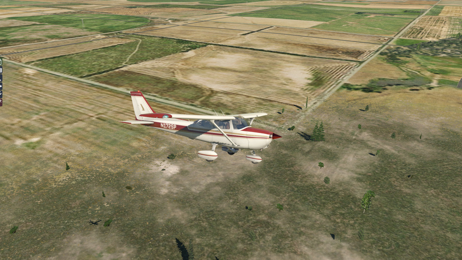
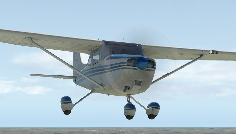
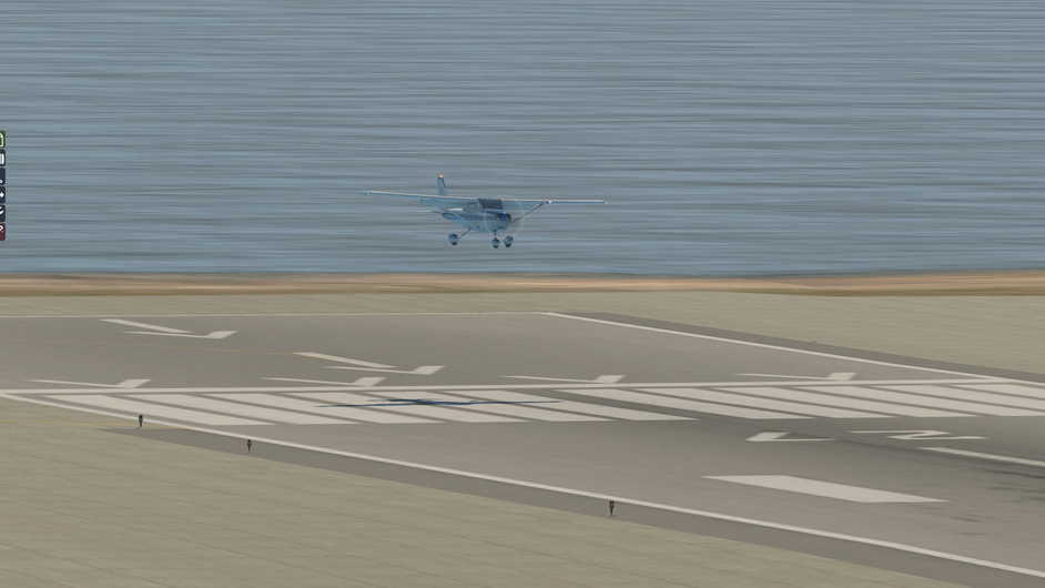
Learning to fly but I ain't got wings - a sim pilot's diary

He sure is - he has done that for a few years now and I think he might be getting enough of living in a guarded complex, but the flying sounds amazing. He is looking at transitioning to jets in the near-ish future to pay the mortgage down a bit quicker but the flying won’t be as exciting I’m sure!

I got a quick flight in before checking beehives this Sunday.

Run-up facing the wind - a 10-knot Northerly wind here today, a bit bumpy.

A little glance at the Ardmore facilities on the way up.

On the way back down after a quick flight over South Auckland.

Too high and left off centreline on final - but the runway is plenty long and the touchdown was smooth, so I take it for now.

I switched the sparkplugs, which helped with the fouling - you still get the message at times but a little nudge of the throttle for a second smooths the engine sound and the message goes away.

Yeah, ok, no Carb Ice then :slight_smile:

1 Like

Ground reference maneuvers flight - rectangular course

The baby is sleeping and I’ve been itching to get back in the saddle with my ‘flying lessons’.

I set up a 20-knot Southerly wind at Wichita, Kansas.

The area has a flat landscape with nice rectangular roads at right angles to each other.

One of these days I’ll learn what all these symbols mean. Right now it says to me that there’s enough going on that I probably shouldn’t be here.

I started up in front of the Wichita Cessna Service Center. At least if I break something I know where I can go.

Given the Southerly wind, I decided to use RW19L, closest to the Cessna hub.

Nice colours.

The straight roads provided a good reference grid to practice crab angles and precision turns.

A short but sweet session. Next up will be practicing accurate circles over a ground reference point in windy conditions.

4 Likes

I’m enjoying reading your posts. You might consider trying PilotEdge for some of your flights.
I’ve had a huge fear of the MIC for a long time and have been flying between Class D airports during the last few weeks over the Western US. As I accumulate time on the network, I find that I’m not so (inexplicably) terrified when it comes time to talk on the radio.
With ATC involved, it will hold you to a slightly higher standard and I find that the realism is stepped up a bit.
It’s not free, but you can do a two week trial. I would suggest signing up for the trial and doing some of the VFR CAT (Communications and Airspace Training) ratings.

4 Likes

Thanks for the tip! I’d definitely like to somehow start to incorporate the radio side of things to my sessions.

VATsim seems to be another option if I’ve understood correctly.

The issue will be the sporadic nature of my current flying - will probably hold off the trial until I know I have a reasonable chance to utilise it. :slightly_smiling_face:

I do have a couple of years’ experience with NATO radio ops but in a ground unit so I’m comfortable with phonetic alphabet but not with the aviation radio brevity and it is a bit intimidating.

My listening comprehension is generally good but I really struggle to take in and actually process the things said in those tower-pilot conversations at the required pace.

1 Like

A scenic flight

A bit naughty, I know…I should stick to my lessons schedule.

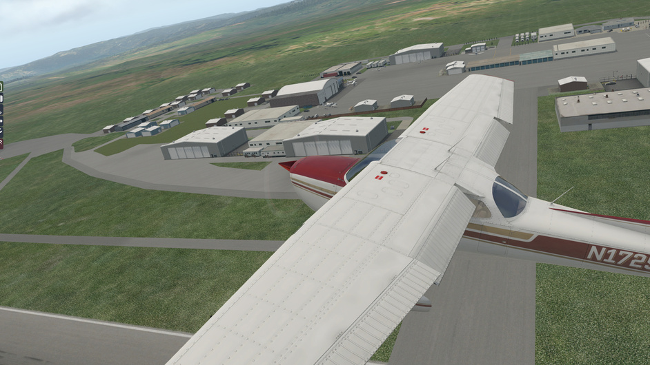
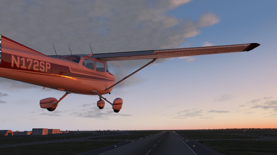
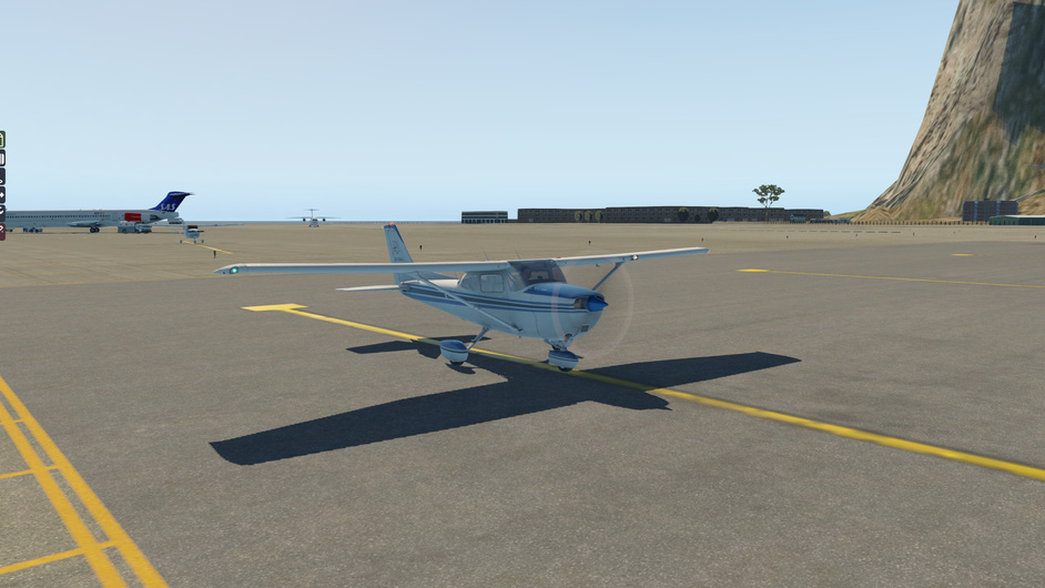
Alas, in the virtual world nobody is going to reprimand me for commandeering a Skyhawk at Queenstown (NZQN) for just a scenic flight.

PaulRix’s Queenstown screenies reminded me of one of my very favourite areas in the world (my wife and I have been guilty of flying there for a long weekend about once a year when work gets a bit much and you just need to hike up a hill away from it all).

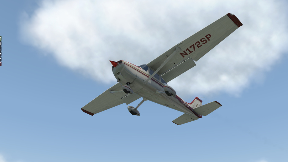
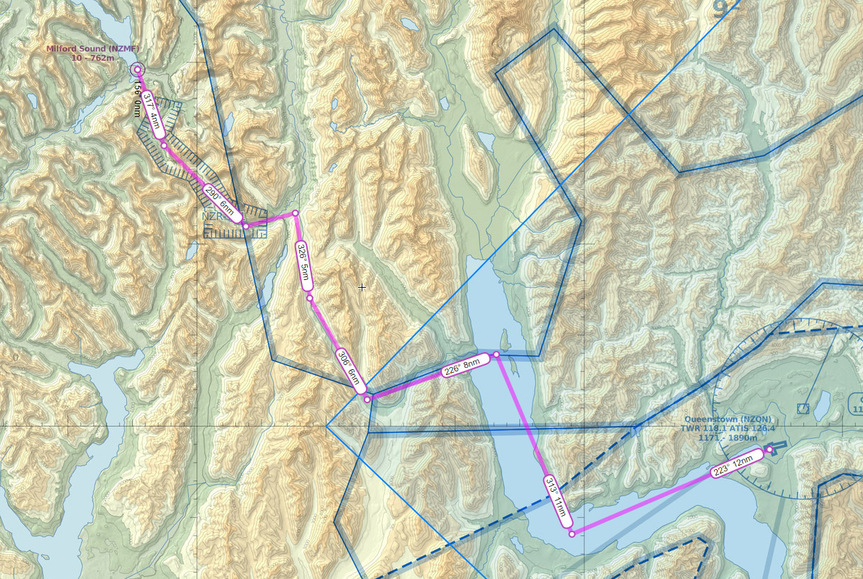
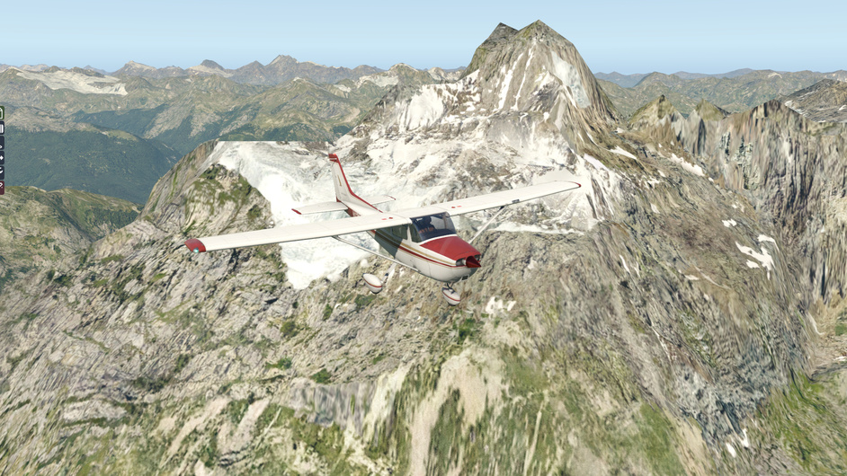
We will fly from Queenstown over Fjordland national park to Milford Sound, a spectacular deep fjord. The trip involves reasonably advanced mountain flying and hence it would be strongly advisable for a pilot of my calibre to not go anywhere near a place like this in an aeroplane. Having said that, I’ve hiked there heaps so chances are if I crash and don’t break any major bones, I know the way out so that’s all good.

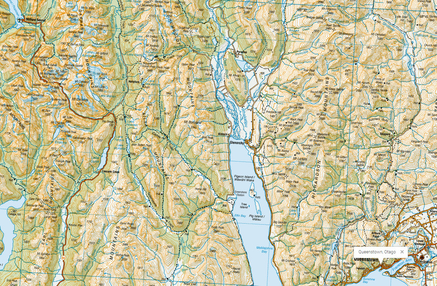
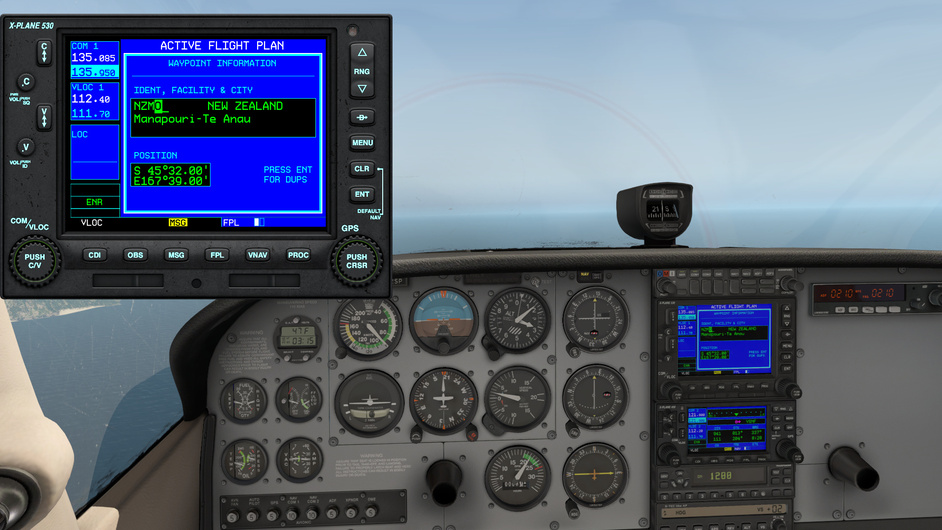
The plan is to fly over Lake Wakatipu until I arrive to Matau and Wawahi Waka islands, then turn West and follow the Greenstone River valley up to The Divide and continue on the Te Anau-Milford Sound road all the way to the destination.

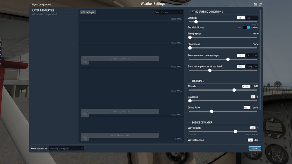
The weather was showing 25 knot winds, which seemed a bit extreme - so I’ve taken the liberty of using the current downloaded weather as a base but reducing the surface winds to 5 knots gusting 10.

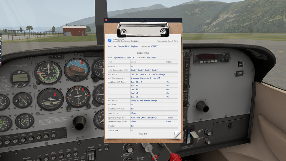
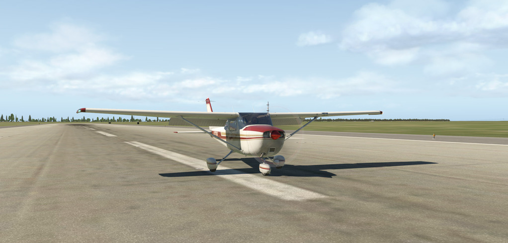
What I will do to keep the semi-serious learning on track is put a bit of emphasis on going through the preflight inspection in detail with some help from Youtube and my guide books. There seems to be many different ways of doing the checks, even for such a simple plane - so I’m just picking one out of the bunch and going with it this time.

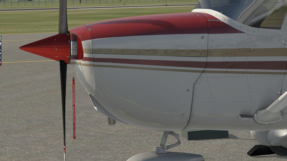
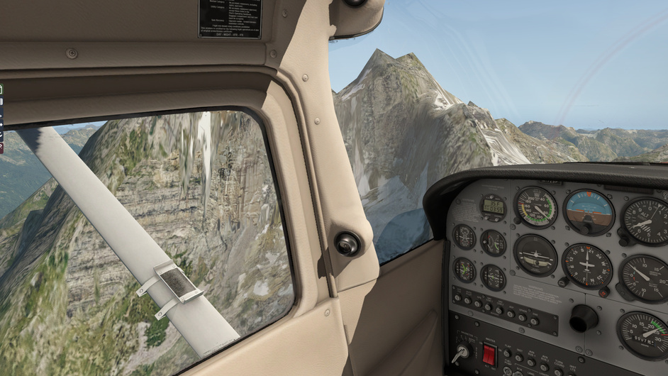
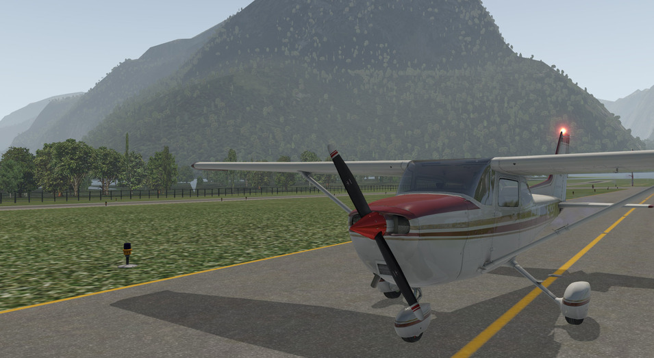
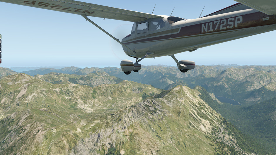
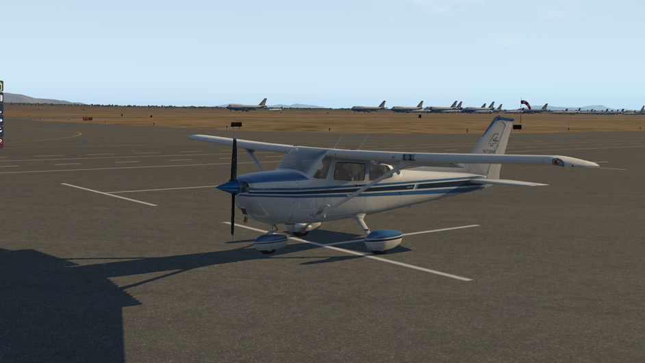
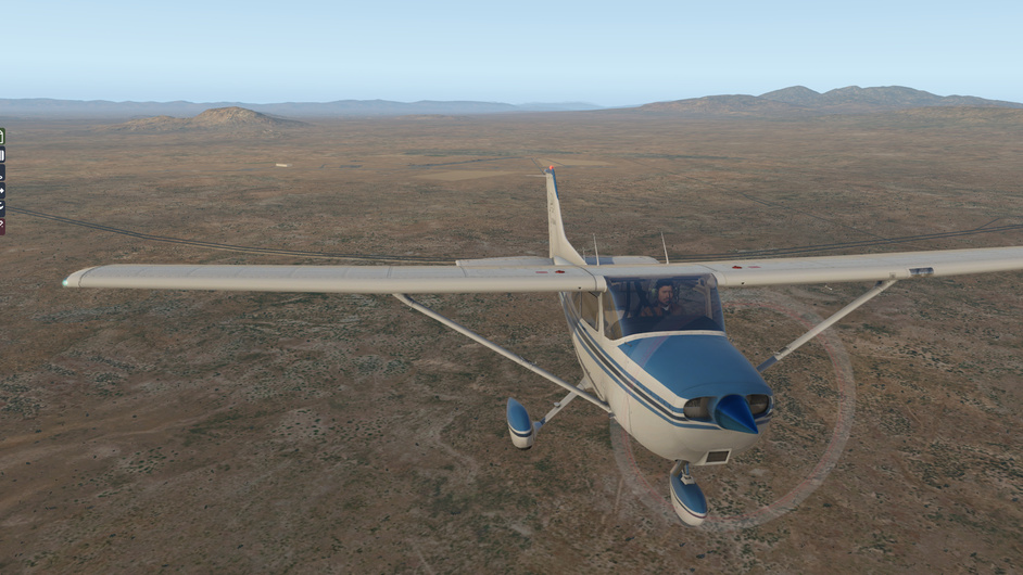
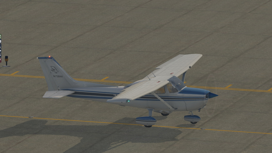
Coming to preflight, she looks tidy enough and appears to have the right number of wings. No obvious damage, visible airframe bending or other concerns.

The aircraft documents are in order and the maintenance checklist looks good. A good 30-40 hours before we need to worry about oil change.

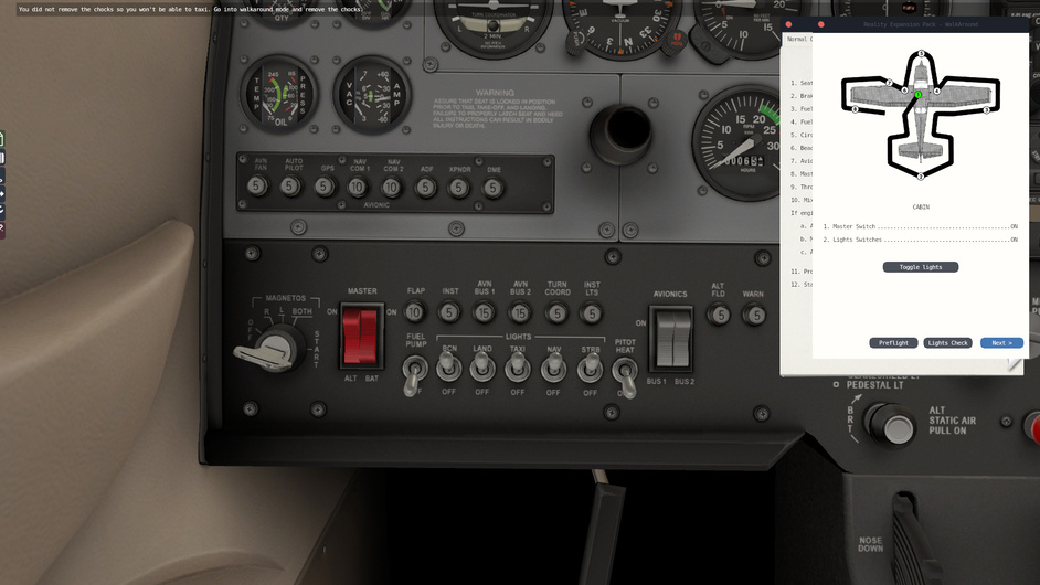
Prop area clear, battery on, fuel selector on both, flaps down. Check lights.

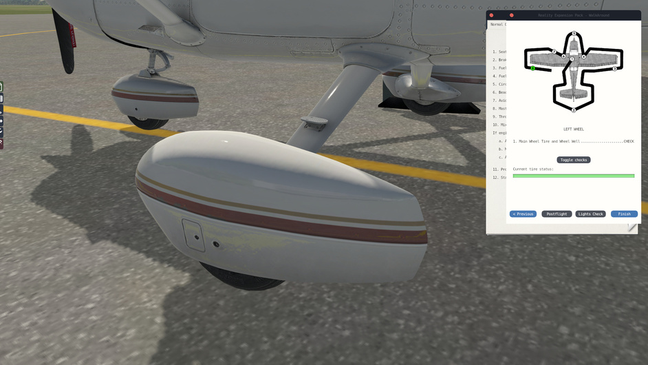
Battery off, moving on to external inspection. Left side cabin ok, left tire looks good, no evidence of hydraulic leaks on breaks. Landing gear struts show no damage. No wrinkles or signs of strain along the fuselage near landing gear, all rivets look good.

Left flap tracks, push rods, rear of left flap.

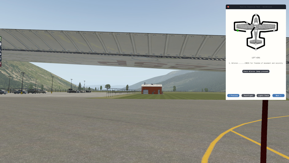
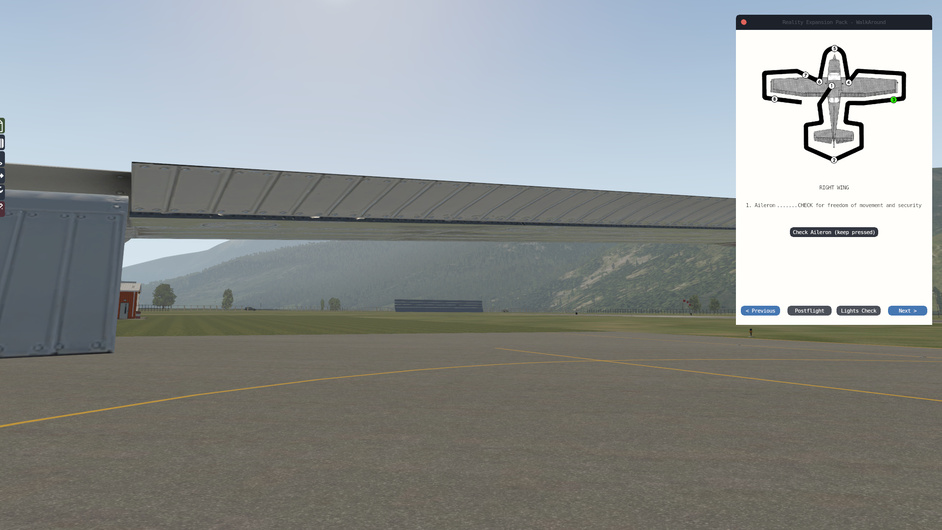
Left aileron movement, hinges, pushrod, counterweights.

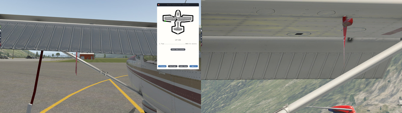
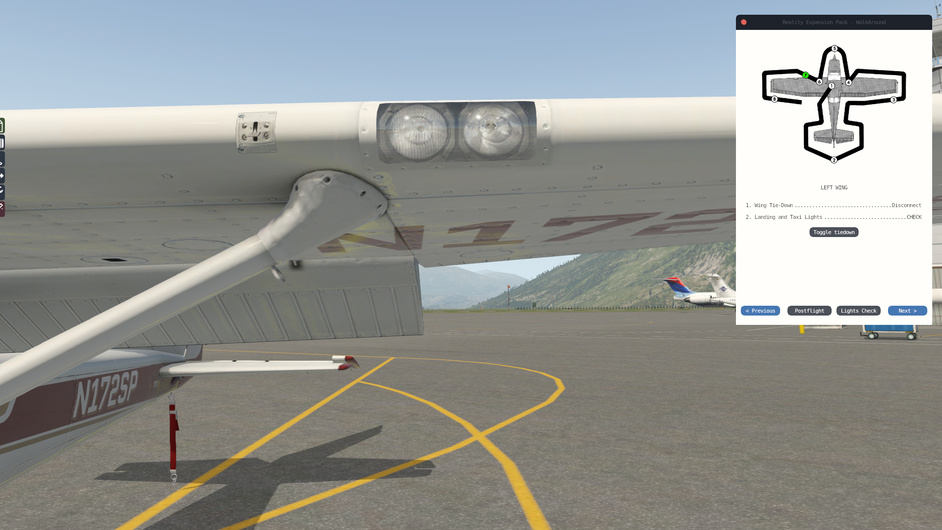
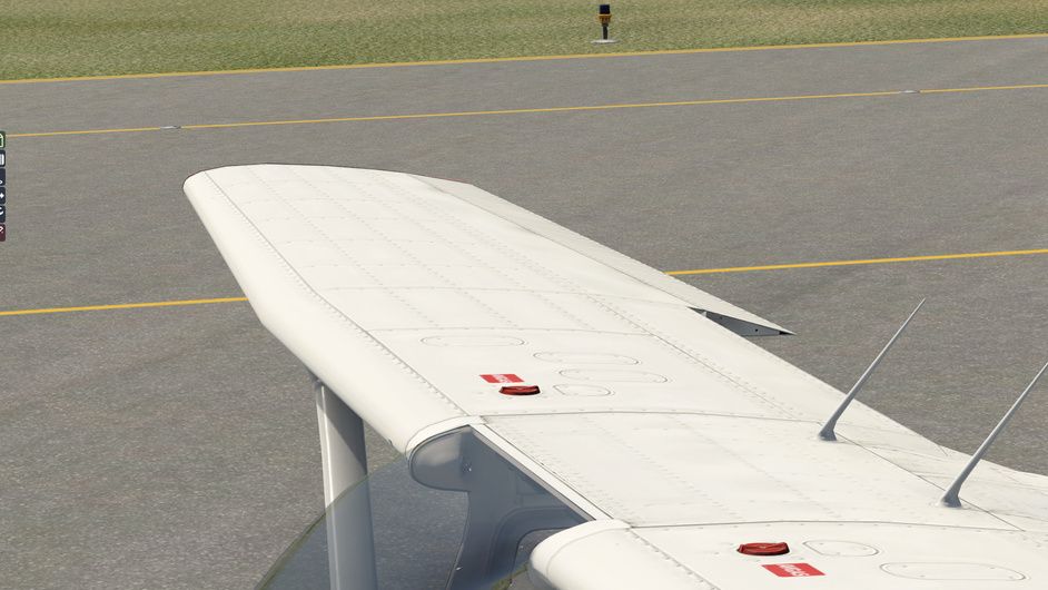
Left wing leading edge, stall warning, remove tiedown and pitot tube cover. Check fuel & air vents and primary static port. Primary static port, left side of cowling.

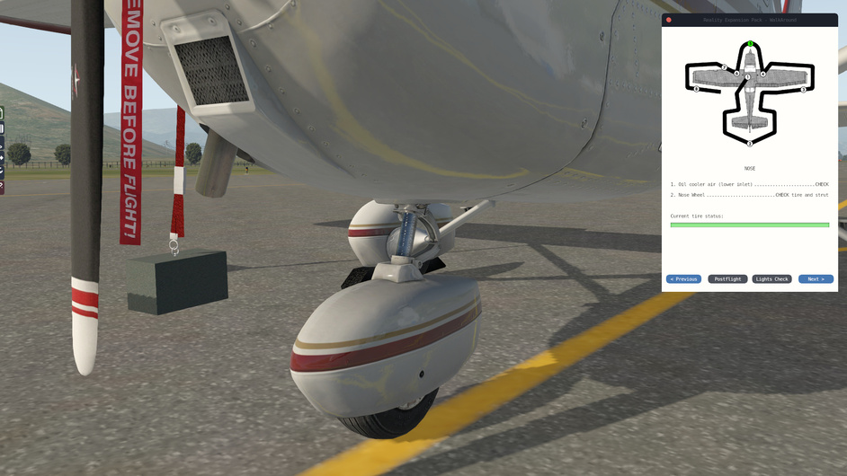
Nose wheel and the oleo strut inflation.

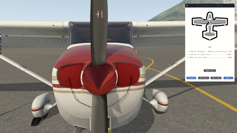
Propeller blade checks for cracks or nicks, spinner, removal of inlet cover. Check for objects inside cowling. Check air filter condition / obstruction.

Alternator belt tension, right side cowling, engine oil level check.

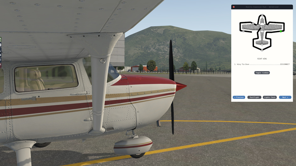
Right wing leading edge, air vents, remove tiedown. Right aileron movement, hinges, pushrod, counterweights.

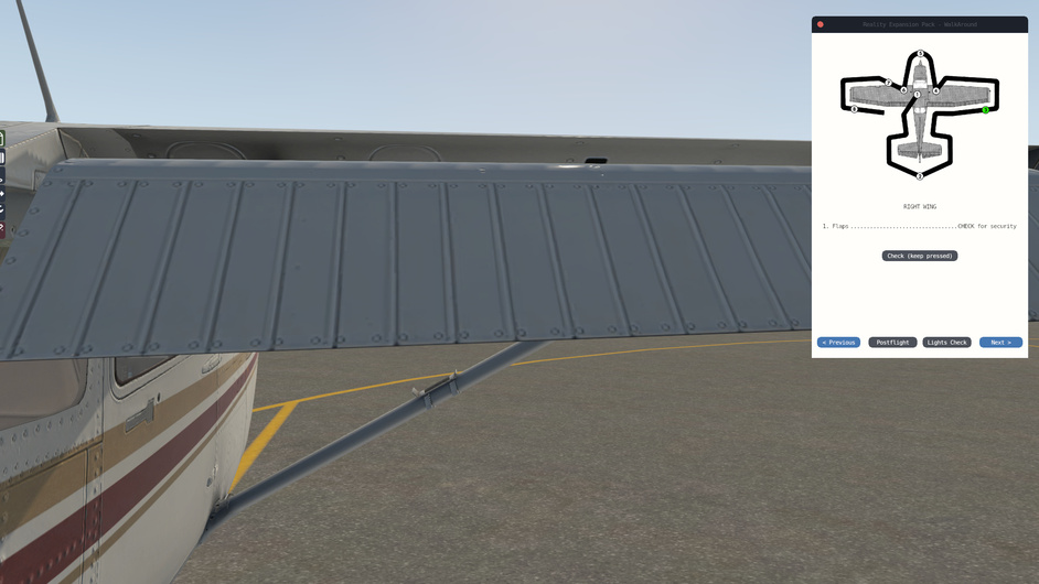
Right flap tracks, push rods, rear of right flap.

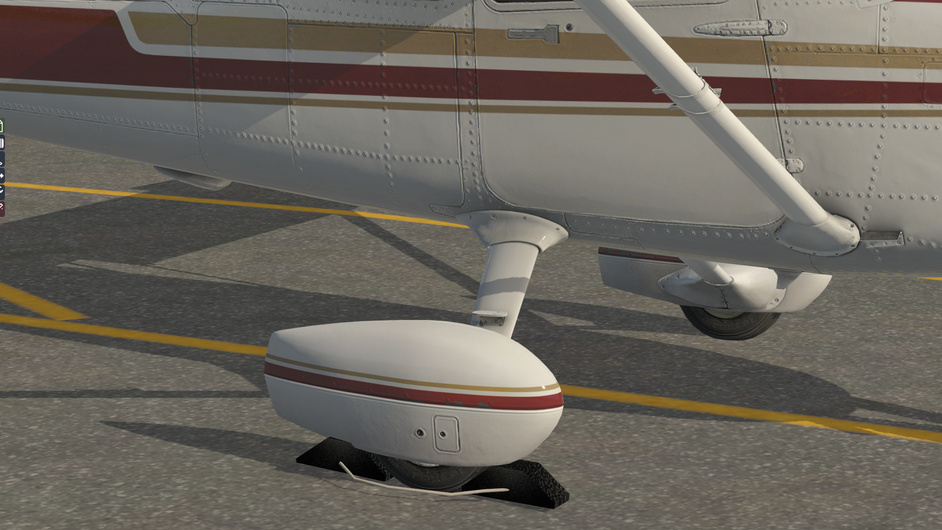
Right cabin, right tire & brakes, strut and fuselage.

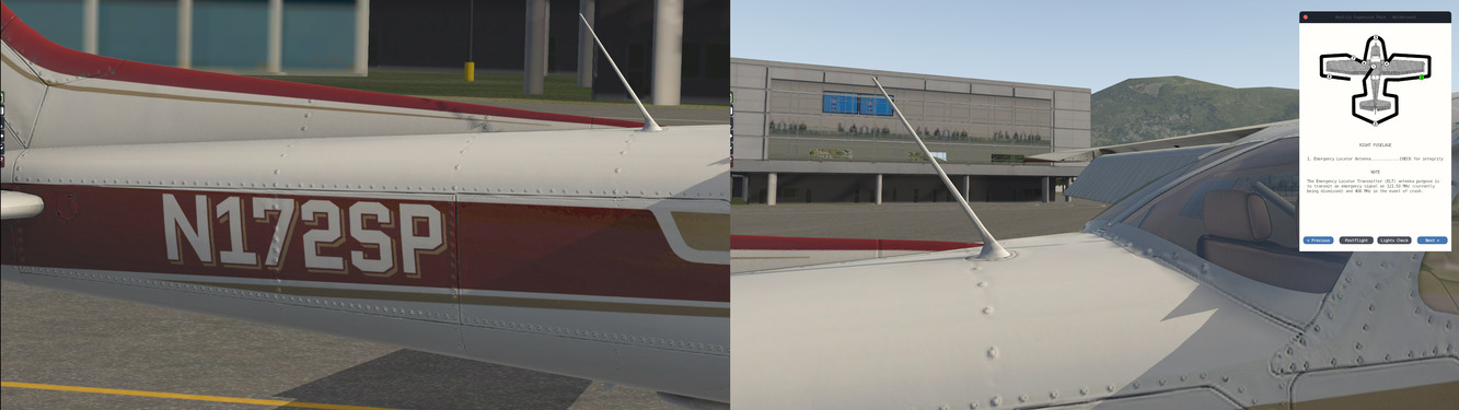
Right rear fuselage and emergency locator antenna.

Left and right horizontal stabiliser, left and right elevator, elevator hinges and trim tab linkage. Left and right rudder cable.

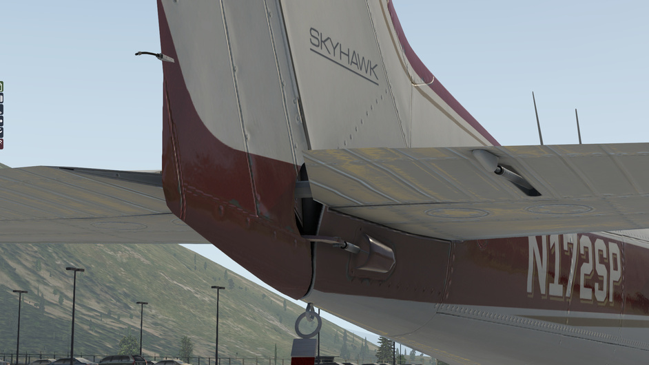
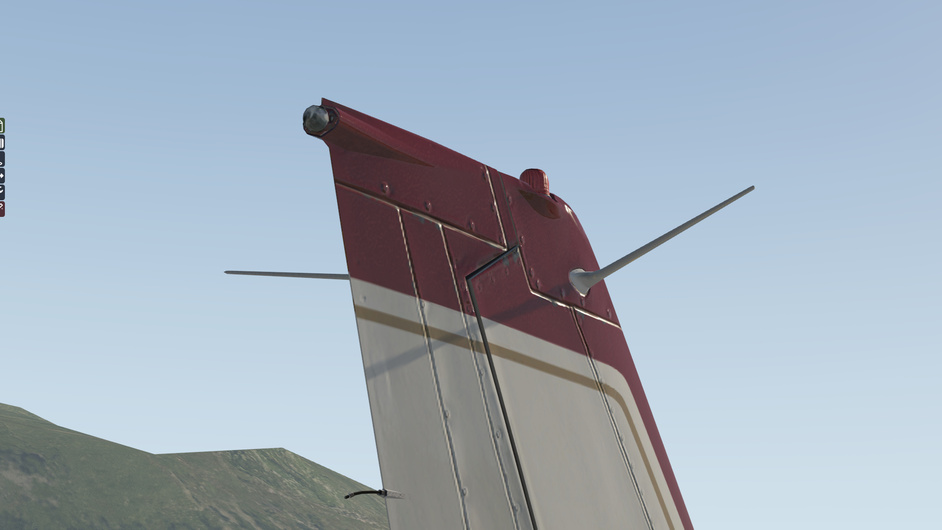
Vertical stabiliser, rudder, hinges, tail antennae, beacon light and tail navigation light.

Left fuselage, secondary static port, baggage door and compartment.

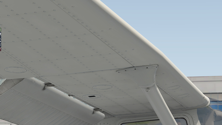
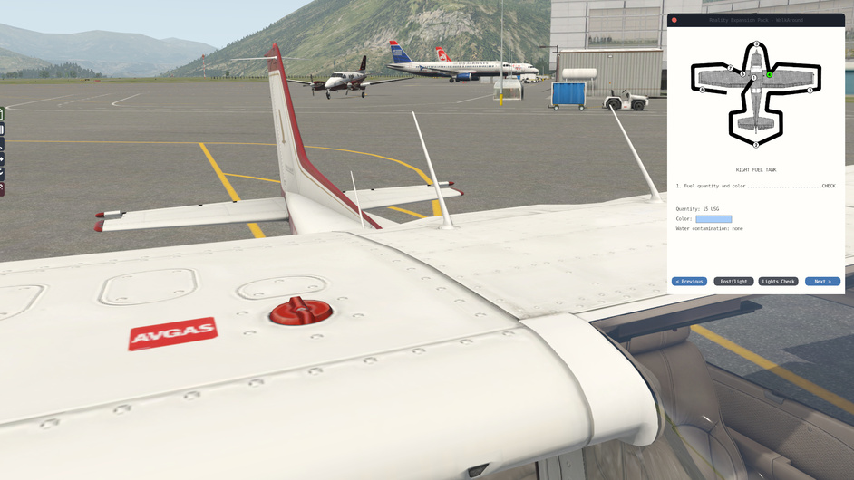
Fuel sumps, left and right fuel tank quantity, top of wings.

Good to go.

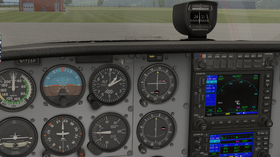
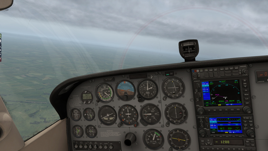
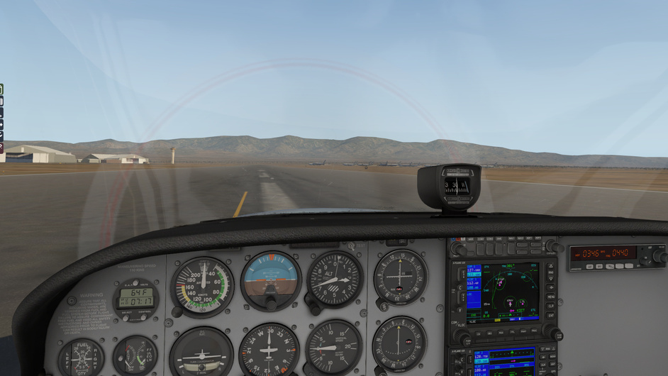
Altimeter and directional gyro set while waiting for the oil temperature to rise.

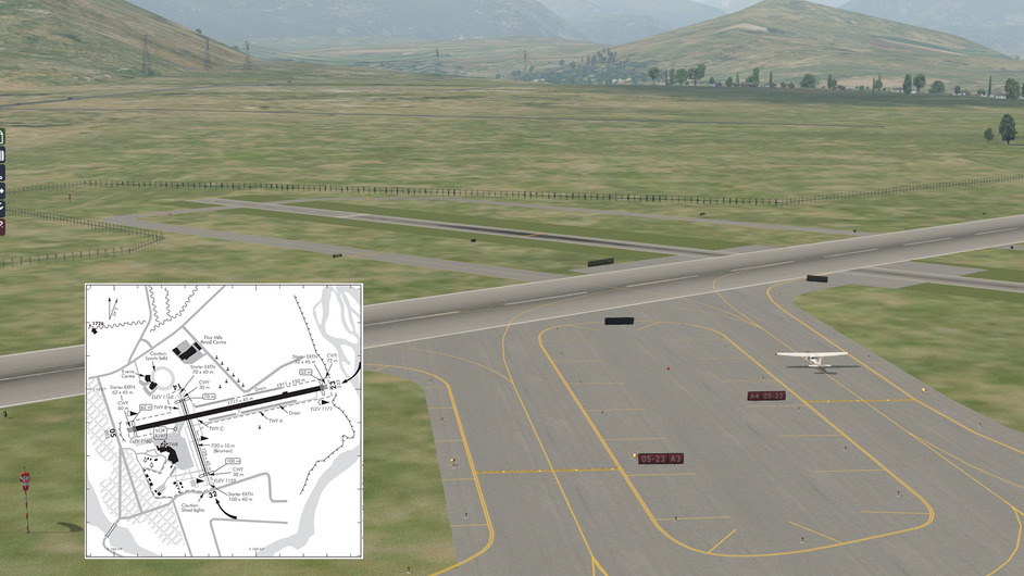
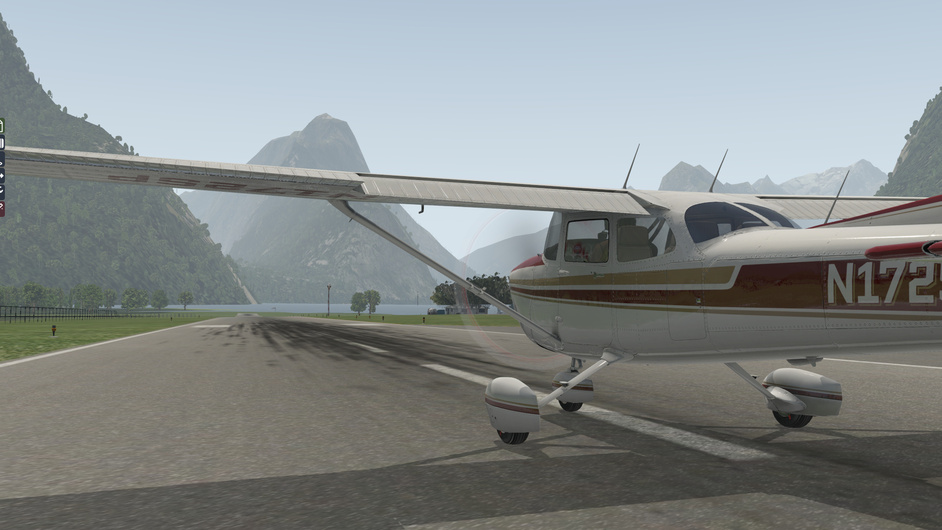
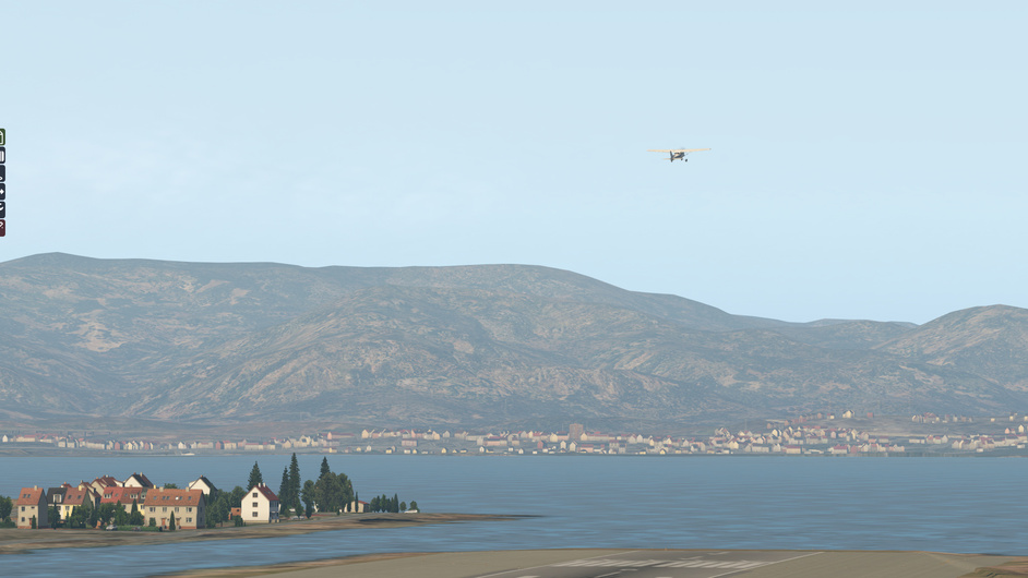
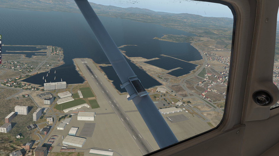
Wind direction is 165 so using RW14.

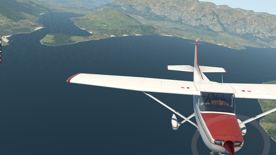
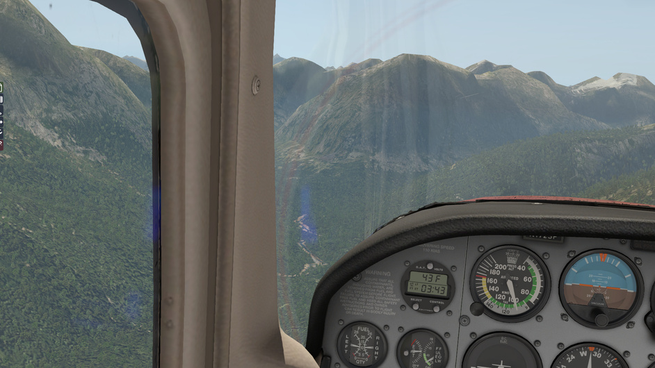
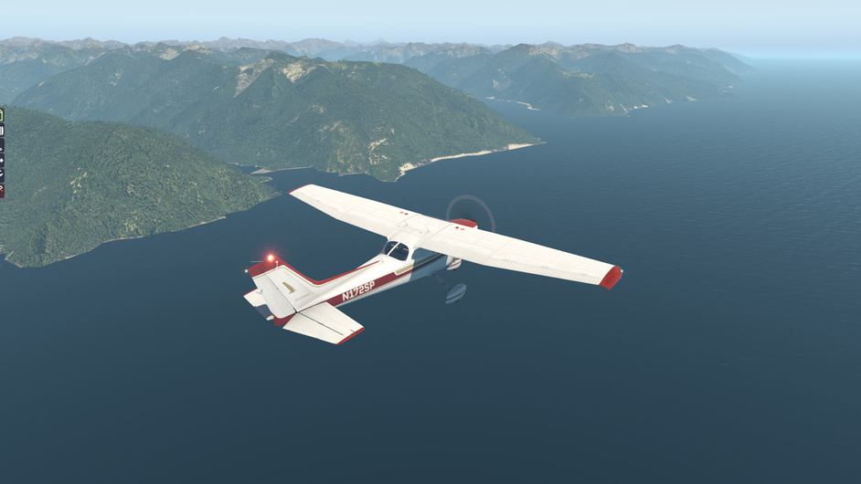
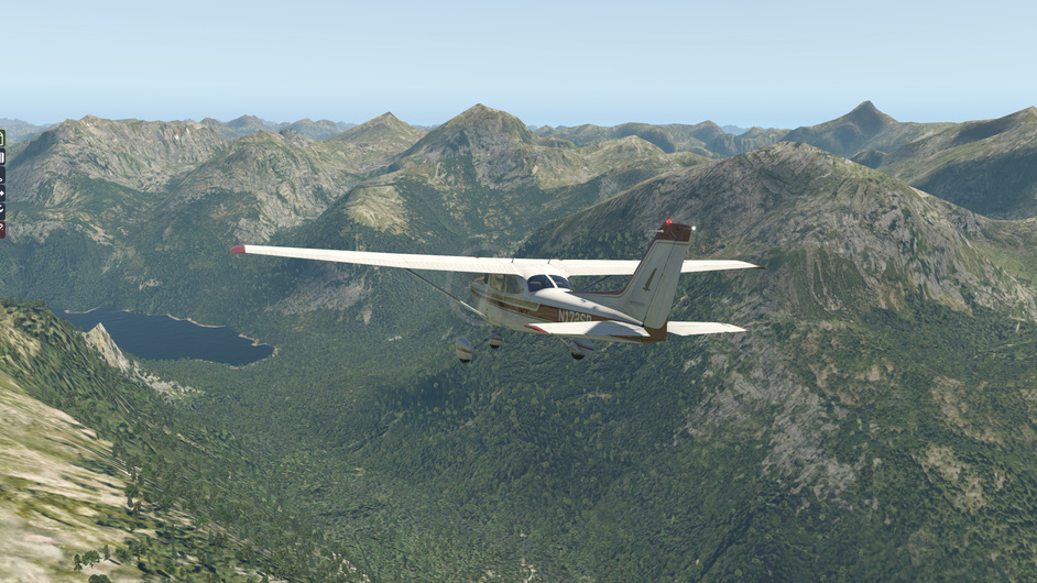
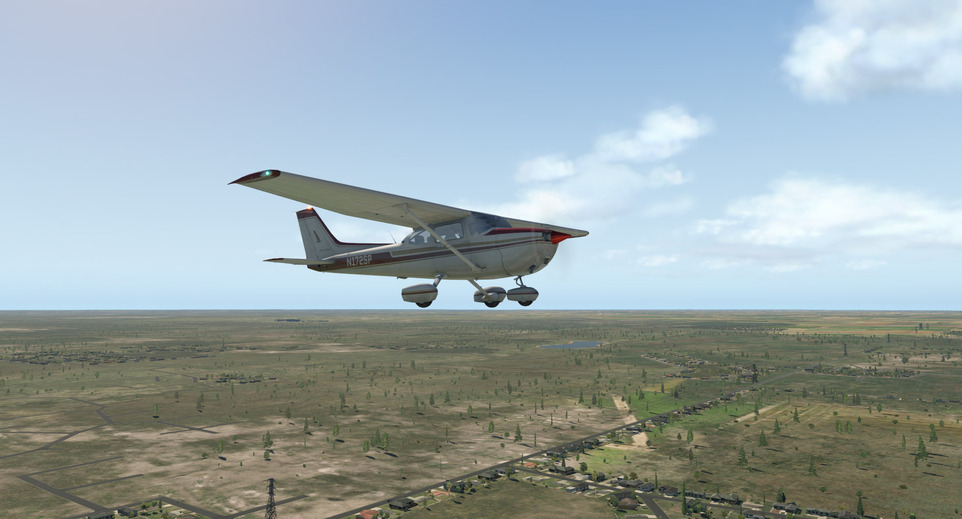
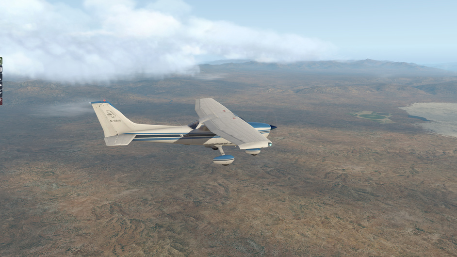
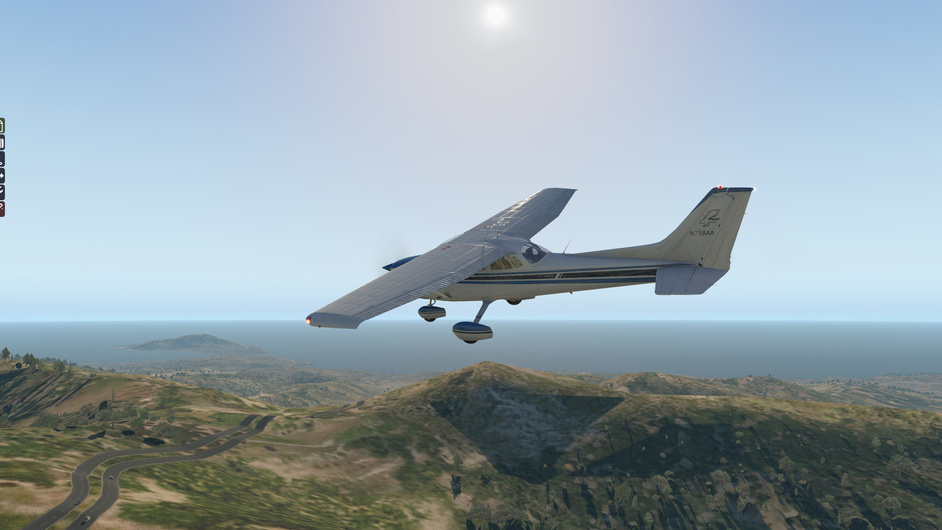
Leaving Frankton Arm behind.

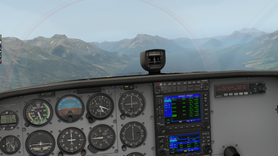
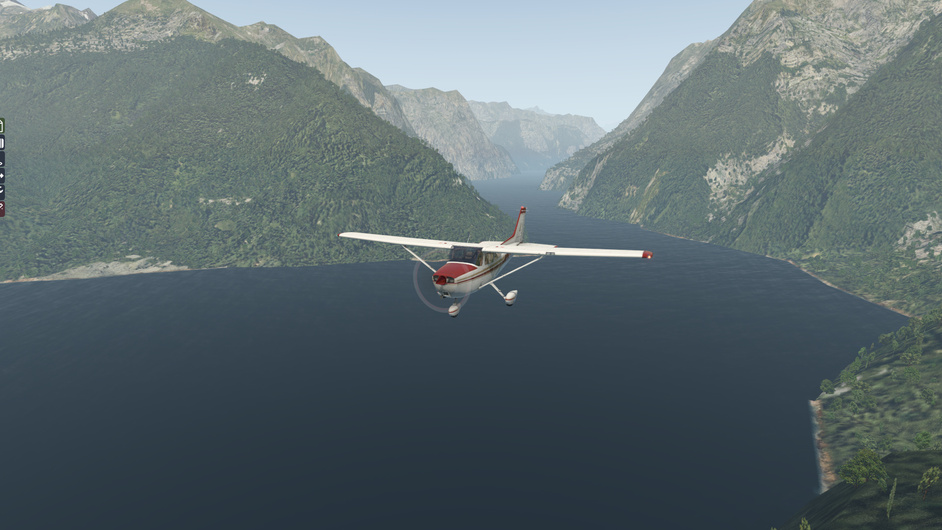
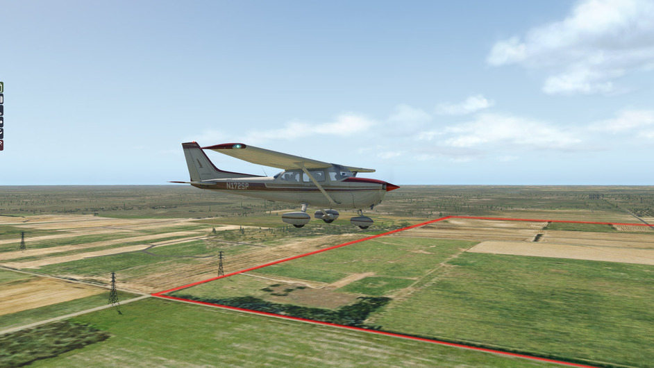
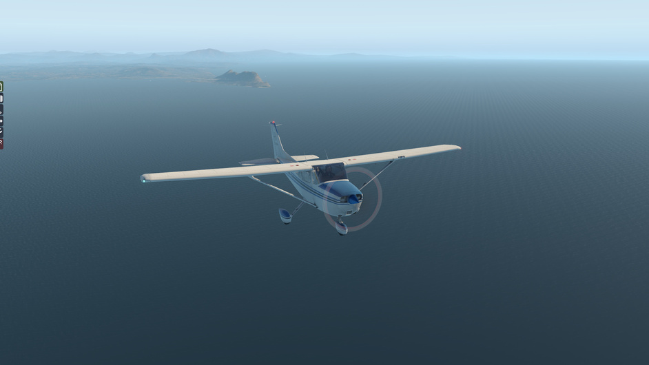
Matau and Wawahi Waka islands and Home Hill ahead. We will turn left to the West before Home Hill to follow Greenstone river inland.

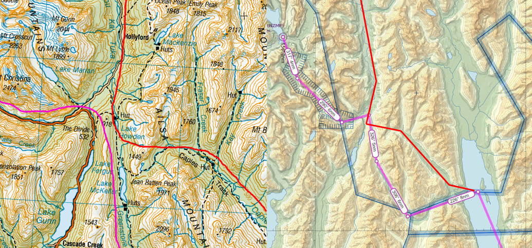
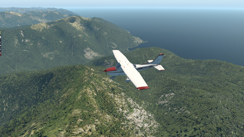
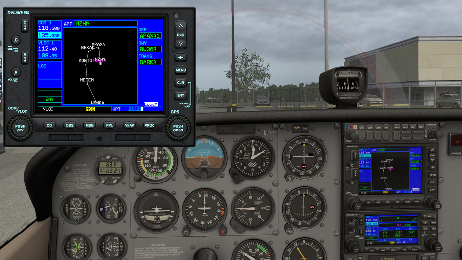
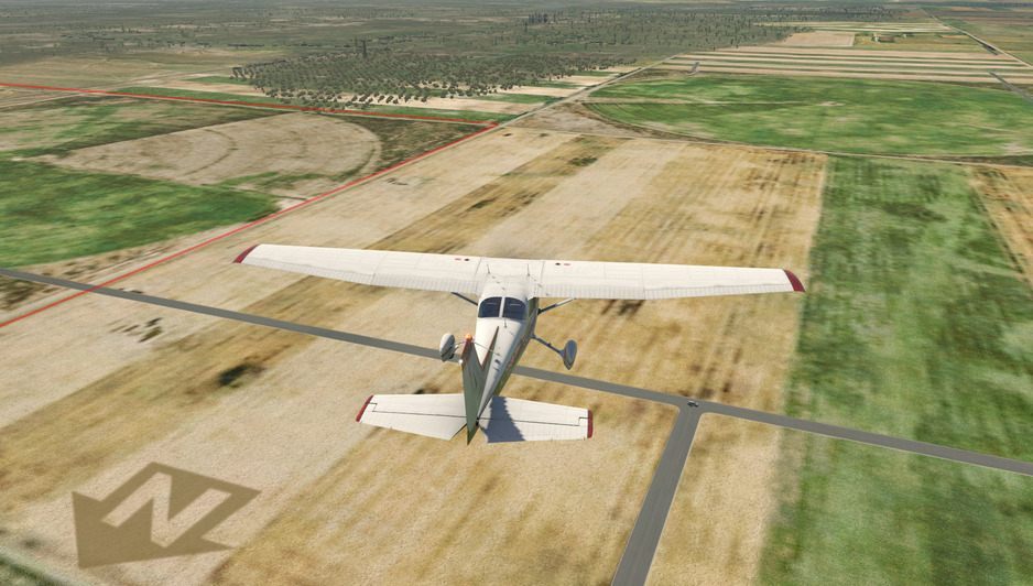
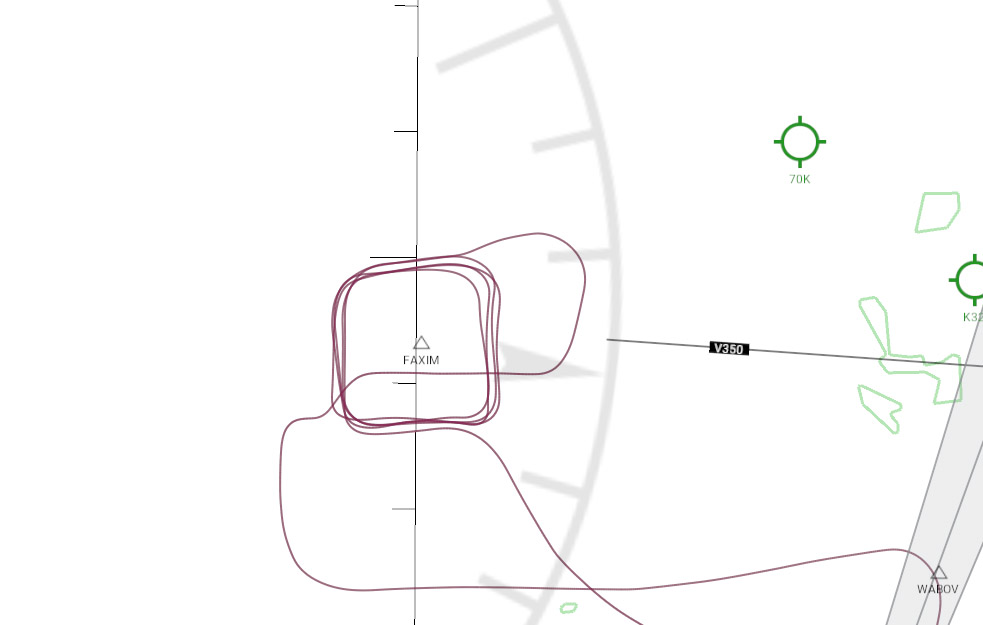
Now, here is where things are getting a little bit hairy. The flight plan was to take the Greenstone river valley to WSW (226), however I got confused.

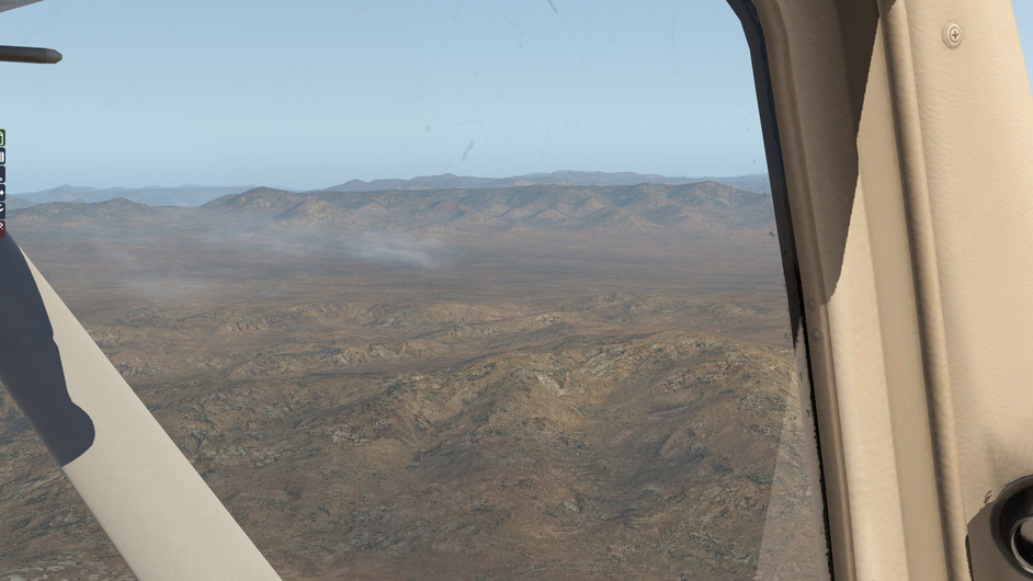
The Greenstone river is joined from WNW by the Caples river shortly before it flows into Lake Wakatipu. I knew this - I’ve hiked both trails…but I didn’t think about it, failed to check my actual heading and flew into the much wider and more obvious Caples river valley instead. You can see in the directional gyro - my heading is about 285 rather than the 226 it should be.

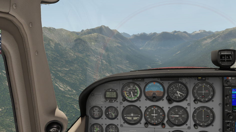
As far as I know, I’m supposed to follow the river to the right, up North, to get to Lake Howden and intercept the Te Anau-Milford Sound road. This doesn’t happen the way I expect, of course, since I am following the wrong river.

Things don’t really look right, as instead of a main river flow bending to the right, I only see a tiny feeder stream leading to the right (this is Fraser Creek, as I learned later). Finally the river does lead into a right-hand bend to the North, however what I don’t realise is that I’m already over Lake Howden so I entirely miss the intercept.

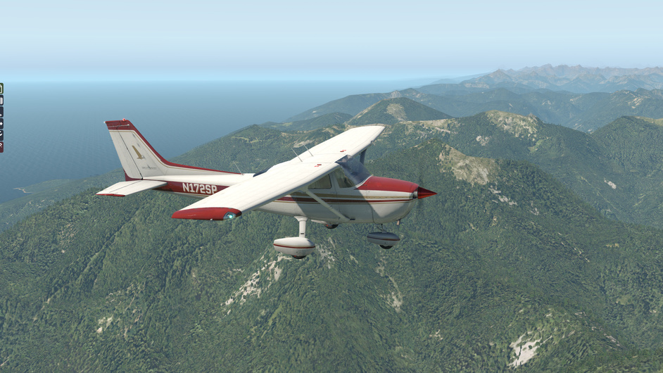
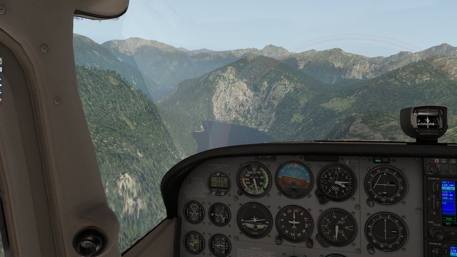
It isn’t before I see a large body of water before me that I realise I’m in the wrong place entirely and that ahead of me lies the lake Whakatipu Waita, NNE of Milford Sound.

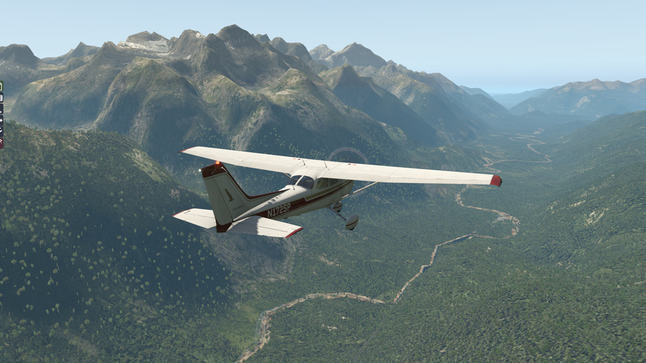
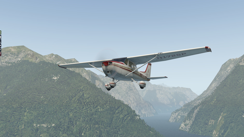
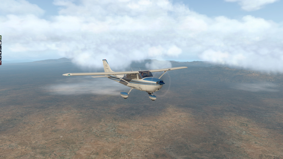
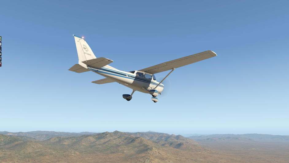
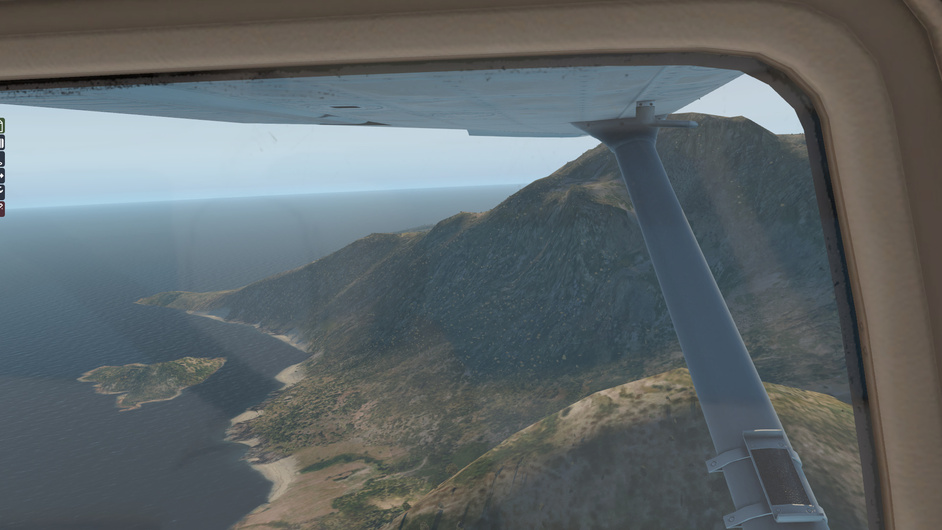
Ah well. My options are either to go back, fly out to sea and loop back to Milford Sound, or fly over the Darran mountain range to reach Milford Sound. I choose the Darran Mountains option, as that sounds the most fun, if not the safest. Up, up we go.

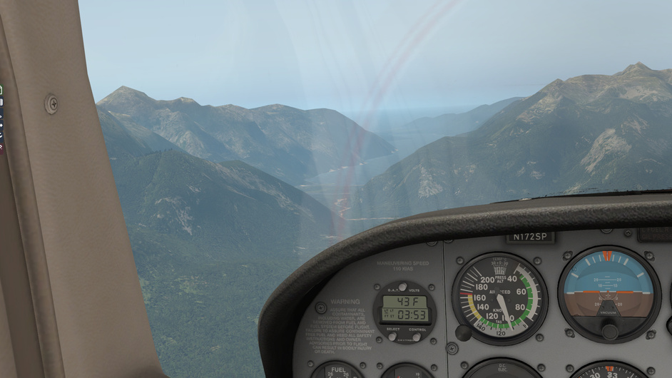
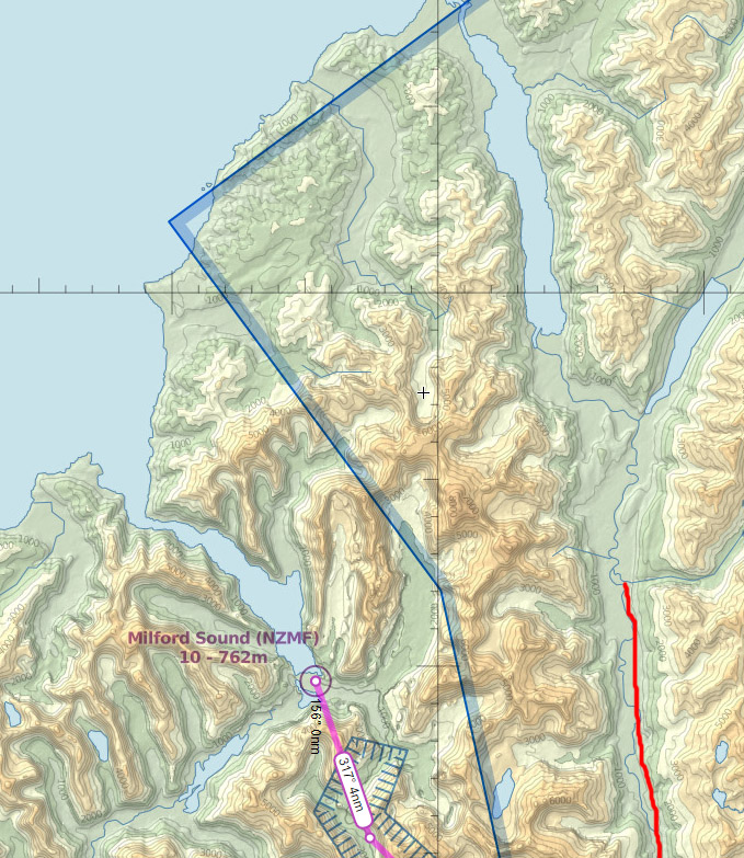
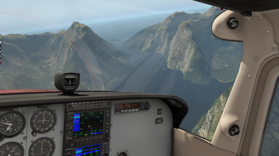
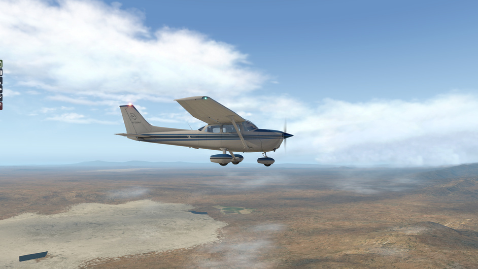
Finally I see the sea, the magnificent Milford Sound and the pesky road we were meant to follow.

All is well that ends well…but as I suspected, I should leave real life mountain flying to the pro’s for the time being.

The funny thing is, I’m pretty good with a map on the ground and I even know the area but I still got lost (of course the graphics are not that accurate, but still)…the decision-making time can be short when flying, even when you are meandering along at 100 kts.

4 Likes

Superb flight description! You picked two of the most scenic airports in the world. I’ve featured both in the pages of PC Pilot magazine. And yes, those wrong valley turns can be interesting (and fatal in some cases).

2 Likes

This plane sure looks like its happy to go flyin with you :smiley:

4 Likes

I did a couple of quick flights to test out the GPS systems - again, it would be better for me to practice basic maneuvers but I can’t do that holding a baby. I can, however, read up on systems whilst singing lullabies and do quick flights to try things in practice once she’s fallen asleep. :smiley: The real reason is of course that I like flying in interesting places…but as long as I’m happy with my excuse it’s fine, right?

Milford Sound (NZMF) - Te Anau (NZMO)

My plan was to do meander down the coastline for a bit, then turn SE to Manapouri / Te Anau and land there.

Taking off from Milford Sound.

Navigating the Sound out to sea.

A bit of altitude for cruise.

Out at Tasman Sea with Milford Sound mouth behind us. St Anne Point is seen above the left elevator and to the right in the picture you can see the Transit River valley.

Punching in Te Anau in the GPS.

Sutherland Sound and Bligh Sound ahead.

Turning inland.

Flying over the Southernmost slopes of Murchison Mountains. McKenzie Burn valley to our right.

Descending into the McKenzie Burn valley towards the South Fjord of Lake Te Anau.

Arrived at Te Anau aerodrome.

Hamilton (NZHE) - Mercer aerodrome (NZME)

I did another short hop from Hamilton to what ended up being Mercer. The initial plan was to fly from Hamilton to Auckland International and use the GPS to do a full flight plan with departure, arrival, approach etc. through the PROC menu…however I didn’t really know what I was doing and all the arrivals to Auckland were very much jet distance arrivals (starting from much further away from Auckland than Hamilton).

Mercer is a tiny uncontrolled field between Hamilton and Auckland that isn’t even found on SkyVector but is in the X-Plane GPS database…I saw the field in the ‘nearby airports’ page and was curious enough that I ended up finishing the flight there.

I definitely need to do a bit more reading on when and how to use SID / STAR etc…but the idea was for me to get a hang of how to use the GPS interface and I’m getting much better at it, so progress was made. Many of the GPS functions must relate to IFR flying / routes which I don’t know anything about yet.

3 Likes

Two months and one child later – good time to reflect a bit on how my ‘journey’ is going.

As I suspected, life with a newborn is busy and I haven’t managed to achieve a lot apart from sporadic flights – and the flights I have done have been more for fun than studying for real-life PPL.

Still, I have really enjoyed the slightly more realistic approach to simming – the immersion is there in a different way when you do a preflight, try to plan the flights a bit and choose to opt for a go-around instead of pushing through a shoddy landing etc.

So far I’m getting reasonably comfortable with the steam gauge Cessna and I have a good idea of the next flying exercises I’ll do so I’m quite happy with my approach to date, even if it hasn’t been very disciplined.

Horsing around

A fun sidenote – I took a P-51 Mustang for a quick ride around an airfield one evening last week in DCS. I used to fly that bird a little bit a few years ago between jet fighter sessions.

Because of the jet fighter speeds I was ‘used to’, the Mustang never felt particularly fast back then – especially because I wouldn’t have worried too much about flying an accurate altitude or pattern or anything at the time but just taken her out for some broad-brush convoy rocketry and back…so task saturation wasn’t really an issue as I wasn’t doing any of the tasks a real pilot would.

Flying her for the first time after a couple of months of Cessna 172, though – whoa! The speed, torque, agility and rudder trim requirement were really noticeable…and things happen so fast and with so little margin of error / reaction time!

I’ve seen warbirds at air shows before and know what amazing monster engines those planes have…but I hadn’t quite appreciated their raw power as I had primarily only flown simulated jet aircraft so the perceived performance in comparison wasn’t that huge.

This time it really hit home what incredible machines those WWII warbirds were. When you’re used to a speed range of 40-160 kts, watching the terrain slip past in the Mustang at low altitude way faster than that is very exciting…and you can really feel the available power. It is very cool how flying low-performance aircraft sims actually enhances the experience of flying high-performance aircraft sims – an unintended consequence but a nice one!

Serious business

I’ve tried to take small steps towards finding out how to go about PPL and contacted a couple of pilot acquaintances, however I haven’t managed to lock in a catch up yet. If this gets too hard I’ll just drive out to a few flight schools for yarns but I’d like to chat to some pilots with no financial interest in the matter first.

In the meantime I’ve looked into the PPL application process a little bit on my own and printed out the Civil Aviation Authority of NZ Advisory Circular that sets out the examination syllabus content for the issue of PPL. It is not a study resource so much as a list of study areas and exam questions, but it looks like a good document to get across.

The Written Examination Credit comprises the following study areas:
-air law
-air navigation and flight planning
-meteorology
-aircraft technical knowledge
-human factors
-flight radiotelephony

The Written Examination Credit comes to effect when all the written examinations have been passed within three years and the credit is valid for three years from the date of issue.

There is a publisher called Waypoints in NZ that appears to sell a set of books specifically geared towards the Written Examination Credit, with one book for each of the subtopics of the syllabus – I’ll do a bit more due diligence before buying these but they look like potentially a good option.

I will see how the next couple of weeks go with the baby but if all is going well I’ll try to commit to going through the WEC study areas one at a time through 2018. Ticking even some of the exams off would be great and the 3-year timeframe (although a long time) would mean that the clock starts to tick once the first exam is passed, encouraging me to push on with the process even if it is hard to find the time sometimes.

3 Likes

Ground reference maneuvers - rectangular course - more practice

We are back at Wichita for another day of strangely specific weather - this time a 15-knot 075 wind on an otherwise perfect day. What a coincidence, that suits me perfectly.

Cruising around the outskirts of western Wichita at 600ft above the plains, looking for a suitable rectangular area.

About to join my ‘circuit’ downwind leg from the NE.

Crabbing South along the base leg.

Turning from upwind to crosswind.

Back home in one piece after four repetitions, which was all I had time for.

My rectangles weren’t too bad, although plenty of room for improvement.

My altitude weaved about 50-200 feet in the first turns (generally I climbed in the turn and descended back on the leg) but I got that under control in the last couple of go’s. My grasp of speed was poor - my airspeed variance was about 20-25kts, although to be fair I was concentrating more on looking outside. The ball wasn’t that well centered either…but ah well. We’ll get there.

In the meantime I found one of the PPL books in the library (flight radiotelephony operator), so I have some nice bedtime reading to do.

1 Like

Nice job…! Those look like good square patterns to me. Now find yourself a straight road and crank in some perpendicular winds aloft and try to make symmetric S-turns across it. As an instructor, I used to enjoy teaching that concept…shallower bank angles on the upwind, steeper on the downwind.

2 Likes

Yes! That’s the plan. S-turns and turns around a point and the various ‘eights’ (across a road, along a road, on pylons etc.).

More rectangles in the sky - this time paying a bit more attention to speed, altitude and the ball. I also included the proper downwind exit this time.

We also have a pretty newly painted bird! I quite like the blue tones.

more%20squares

2 Likes

Flight Radio Telephone Operator syllabus material

This post will primarily be a progress log for myself, so no pretty pictures or exciting adventures around Milford Sound this time – consider yourself warned if you choose to continue reading!

Since I found a FRTO book in the library, rightly or wrongly I’ve started the semi-serious study of this topic first.

The edition of the book I have is from 2003 so I suspect that getting an up-to-date copy will be beneficial but the fundamentals should be relatively similar.

The PPL Syllabus Advisory Circular (AC61-3) I printed out states the following syllabus items for flight radio telephony - these are also reflected in the NZQA exam outline found online (NZQA is the entity conducting the exams):

Basic Radio Wave Propagation
Transceivers
SSR Transponders
Emergency Locator Transmitter (ELT, aka ELBA or ELB)
Practices and Rules
Phraseology and Procedures
Distress and Urgency Communications
Loss of Communications – Aircraft Equipment
Loss of Communications – ATS Equipment Failure

I have little experience of radios (we used various field radios in the army including the ‘long wire’ long range reconnaissance radios – but they never taught us much theory, just how to use them in practice in our limited scope of operations) so most of this stuff is new to me.

Some of the study material assumes a level of understanding regarding general flight operations (airspace classes etc.) which makes me wonder if the Air Navigation and Flight Planning topic should be studied first…but mostly it is quite easy to look up what’s what to fill in the gaps.

So far I’ve studied through the introductory chapter of the book, which covers the general fundamentals of radio technology, the characteristics of HF and VHF frequency bands and introduces the typical radio equipment found in GA aircraft (VHF-COM, NAV-COM, SSR Transponder).

I think this radio stuff will really require the practical experience so I’ll definitely look into VATSim / PilotEdge for some practice once I’m through this topic. At this point I’m a little bit apprehensive - I’ve listened to a bit of VASAviation on Youtube and the listening comprehension is hard; the transmissions seem garbled and everyone speaks fast. It seems I’m two steps behind, rotating a compass wheel in my head trying to follow what’s going on and understanding every third transmission if that.

Then again I guess the language comprehension gets easier when you have a thorough understanding of the context/phraseology and what messages to expect etc.

Anyway – it’ll be interesting to see how long it’ll take me to wade through this one topic. Probably gives me some insight into how long I can expect to take to go through the whole syllabus.

1 Like

Mojave (MHV) - Inyokern (IYK)

A short cross country flight, just to stay in the sim routine while studying.

chart

A sunny morning in Mojave. Not entirely surprising - I guess there’s a reason why the airline graveyard is here.

Lining up on RW 30 - a gentle Northerly wind here this morning.

Checking out the ‘graveyard’ on the climb out.

Leaving the busy hub of Mojave behind. I have to say I’ve seen more positive places in my time, despite all the interesting air/space stuff that’s there.

A bit of cloud lingering in the West - not enough to worry me and it’ll probably get burned off in the Californian sun soon enough.

Flying over the Red Rock Canyon State Park - a great camping spot there if you ever end up that way. Edwards Air Base is only a day trip away too!

Arrived at Inyokern. I might fly around these parts a bit more, actually - brings back good memories of our US road trip! :slight_smile:

2 Likes

Some study material for tonight - from the side of the bottle:

"Falconer’s Flight Hop blend pays homage to American craft brewing legend Glen Falconer and the 2010 USA West Coast Pale Ale boom

2010 saw the tragic loss of 3 members of the Royal NZ Air Force in the ANZAC day Iroquois helicopter crash. Trying to create something similar to the wave of beers released with this hop blend, we’ve rounded up a cast of Pilots from the RNZAF Ohakea Base that just happen to be craft beer nuts, and formed the collaborative brewing team for “Flight of the Falcon”.

The result - an approachable, drinkable Pale Ale, in true Pacific North West Coast style."

It’s been a busy month with work & baby but I’m taking a bit of time to get back on the PPL study wagon tonight. I’m sure the beer doesn’t help with the study…but it sure tastes good.

4 Likes

LXGB - Ceuta Heliport - LXGB

A sunny, if windy morning at Gibraltar (LXGB). No particular reason for today’s flight location, except that it seems the xorganiser seems to think only some of my hd meshes have loaded and that I’ve run most of my flights on just standard mesh - go figure. Anyway, this area appears to be loaded so hopefully it’ll look pretty-ish.

I’m thinking of dashing over the water South to check out Ceuta - but see how we go. Winds are Westerly (270) at 14 kts, temperature at sea level 15 degrees Celcius, altimeter 2992.

Taxiing with a quartering tailwind - upwind aileron down, downwind aileron up…still forget to do this half the time.

Off we go!

Next stop Africa! …good thing it’s only a few miles away.

Feet dry in another continent.

On arrival to Ceuta, I found something interesting - a heliport with a short runway! This called for some quick calculations. Temperature was 15 degrees Celcius, we had a 6 knot headwind from memory.

The Ceuta runway is 787 ft long at sea level. At 15 C and a 6 knot headwind I estimated that I should be able to come to a full stop in less than 585 feet.

First attempt was a go-around.

Second time lucky with runway to spare!

Back towards Gibraltar.

4 Likes

General Aviation airfield locations

A bit more PPL due diligence done in the last week.

GA airfield locations in the wider Auckland area are:

  • Ardmore Airport, Papakura - NZAR
  • Whenuapai RNZAF Base, Whenuapai - NZWP
  • North Shore Airport, Dairy Flat - NZNE
  • Kaipara Flats Airfield, Warkworth - NZKF
  • West Auckland Airport, Parakai - NZPI

Whenuapai is the closest to home and work – unfortunately a call to the flight school revealed that while they accept civilian student pilots / club members, their rules dictate that 50% or more of the club members must be military / emergency services / law enforcement personnel and they currently fall short of that rule – i.e. no new civilians allowed until the ratios change.

Parakai Airport currently doesn’t have a PPL flight school – they train for ultralight / light sports aircraft only. Another no-go.

In practice, Kaipara Flats is in the same direction as North Shore Airport, so unless there is a substantial benefit to driving out further, I will probably scratch Kaipara Flats out of the list also.

That leaves North Shore Airport (NZNE) and Ardmore Airport (NZAR) as the possible locations – I suspected that from the beginning, but I’m happier having done the research.

Ardmore looks like the busier one of the two, as there are multiple flight schools operating there including a few aviation colleges that concentrate on career students - it seems that NZNE is actually owned by the club. Whether this is a good thing, I’m not sure.

I’m going to take one flight lesson in the near future, not necessarily to ‘kick off’ the PPL properly (I’m still probably going to postpone regular lessons until next year as I have an overseas trip coming etc.) but more for fun and to get motivated about ticking off a couple of the ground school modules before the year is over. I’ll probably also get a medical done, just so that in case there’s anything preventing me from pursuing the licence I’ll know before spending a lot in lessons.

I am leaning towards doing this at NZNE, as that’s more convenient traffic-wise. It seems like a nice airfield, quite a rural setting but not too far out (about a 35-40 minute drive on a normal week morning).

I visited NZNE and checked out the viewing deck after having a chat with one of the instructors.

2 Likes

Well, today was something special! PPL officially kicked off. I enjoyed immensely. The Robin flies beautifully.

8 Likes