My First leg. I am going to fly the excellent freeware Potez 25. I am using a new (to me) program for mapping and flight planning. Little Nav Map. It really is quite impressive, and free!
The planned route:

Departing KFRG


The route takes us over what was Hazelhurst Field…now a shopping mall.
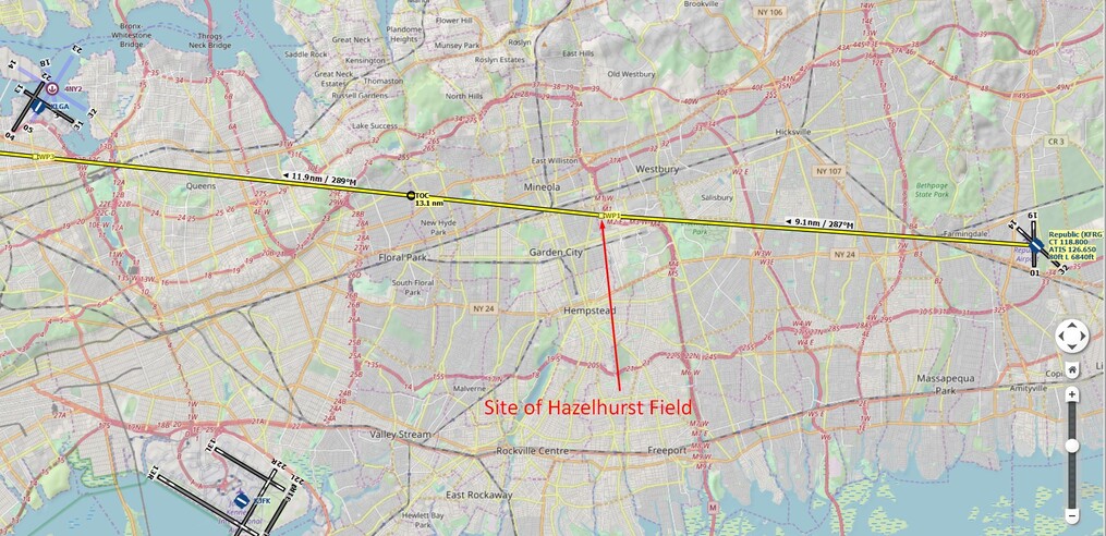
You can see the area just beyond the “4 leaf clover” on/off ramp.

The next checkpoint was La Guardia International Airport (KLGA). The route has us flying just to the South of it… so far, so good.

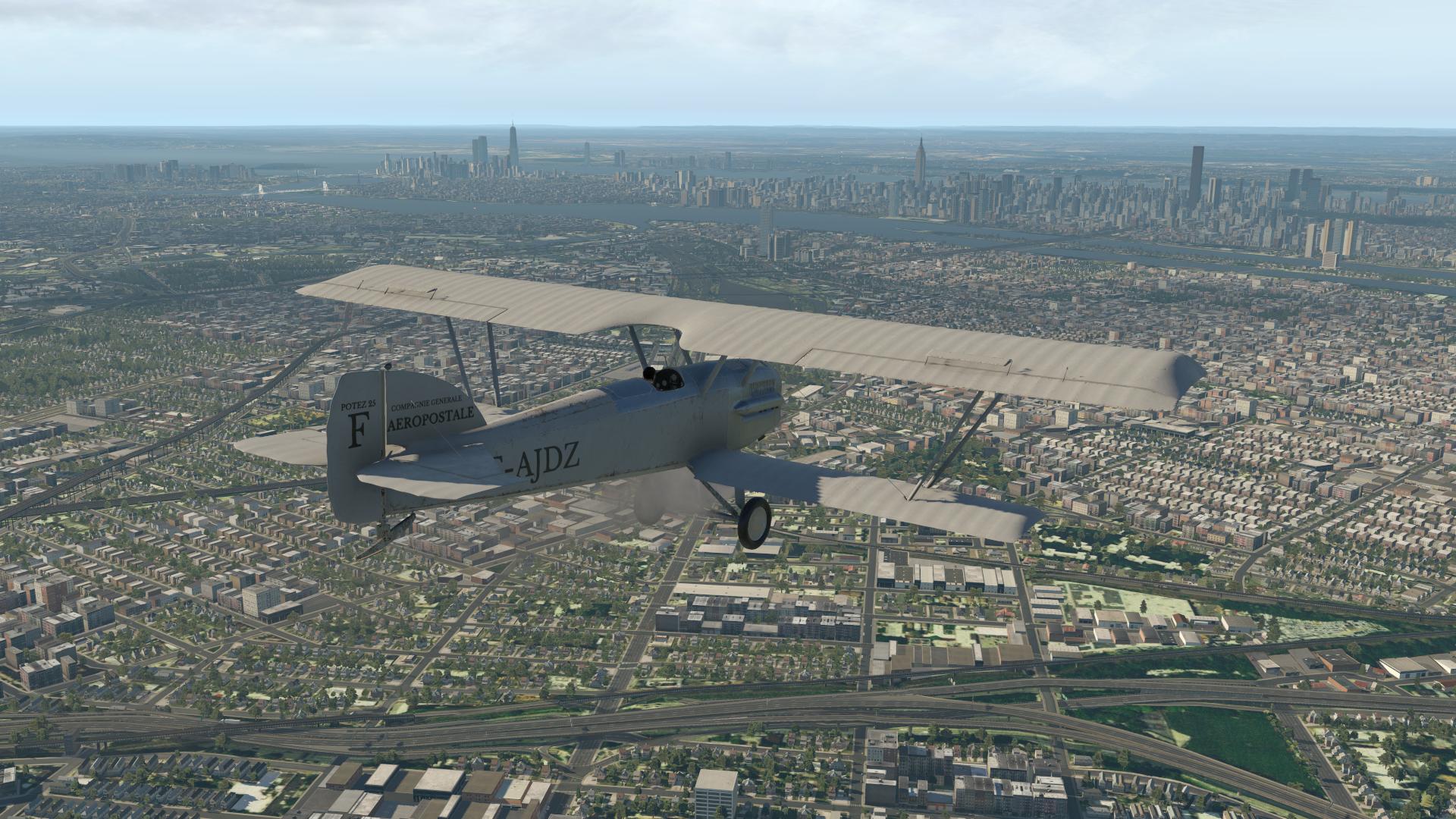
New York City…
We are supposed to cross Central Park at it’s Southern edge…


I pass directly between Teterboro KTEB (my favorite place in the whole wide world ![]() ) and Newark KEWR. The next checkpoint is Morristown Airport (KMMU)…
) and Newark KEWR. The next checkpoint is Morristown Airport (KMMU)…

About 7nm West of Morristown, the Clyde Potts Reservoir…

Next, we cross overhead Hackettstown Airport. I had to look hard for it just as you have to sometimes in real life flying. I’m really liking Forkboy2’s ortho scenery.

Approaching the Delaware River with Belvidere NJ ahead. Beyond the river, we are into Pennsylvania.


Next, we have Bangor, Pen Argyl and Wind Gap. We are supposed to cross the ridgeline just to the West of Wind Gap, passing just to the South of the town itself. Beyond the ridge we should see some ski runs on the North side.
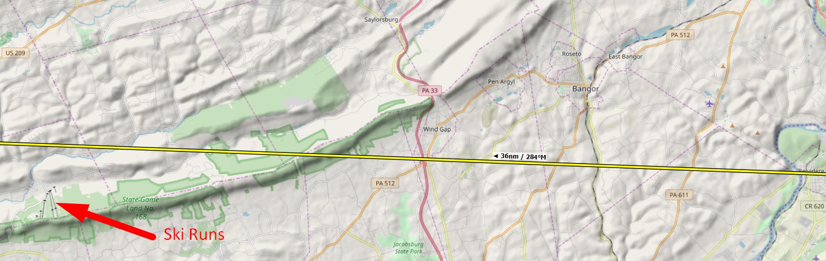

The ski runs are right where they are supposed to be… ![]()

After this the route continued over a number of lakes and reservoirs which made good visual references. The next big town on the route is Sunbury, located at the confluence of the North and West branches of the Susquehanna River. You can’t really miss it!


From Sunbury, it is just 46nm across the mountain ridges to Bellefonte…

I flew over the Bellefonte High School, which is the site of the original Air Mail airfield, and then landed at the current airport, situated to the South West of the town.


The flight took me 2.2 hours. It was a lot of fun to navigate just by visual reference. The scenery was stunning too!