You’re going to have to go over the sterile cockpit rules with your wife (unless you are above 10,000’…then…she is free to remind you of the honey-do list…)… 
6 Likes
I finally made it to Cape Town! I flew past it by some 50nm after having to go afk to deal with a bull that was lose in my yard…(yes, really). lol. Fortunately the little CJ now has plenty of fuel!
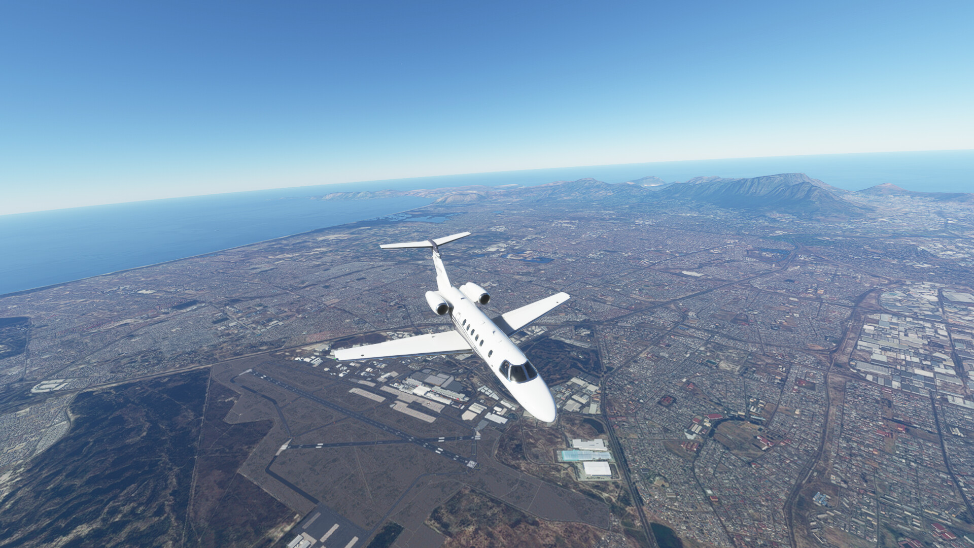
I’ll try to catch up with the AAR’s, but it was a fun trek this year. I really enjoyed flying the new sim too. Despite being more limited than X-Plane in a number of ways, it looks simply stunning most of the time.
12 Likes
Well…that is definitely a sterile cockpit violation…! 

5 Likes
At least I wasn’t checking my work schedule!
2 Likes

Do include photo’s of this in the AAR please
3 Likes
After a few disastrous rounds of golf, it was time to get another leg in.
Leg 6: FTTJ (Hassan Djamous) Chad → FZAA ( N’Djili International Airport, Kinshasa)
I chose the Medium GA parking as I thought that’s where I’d left the aircraft the night before. However after getting the engines started and taxi clearance, I realised there was a hanger right next to the taxiway. An excursion across the hard packed mud didn’t do any damage and was given clearance to depart.
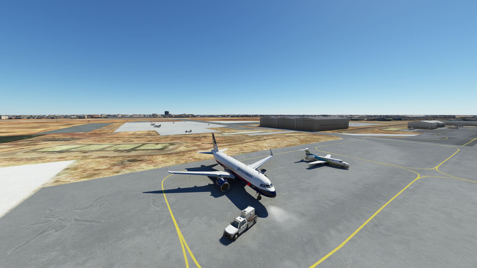
Tight squeeze
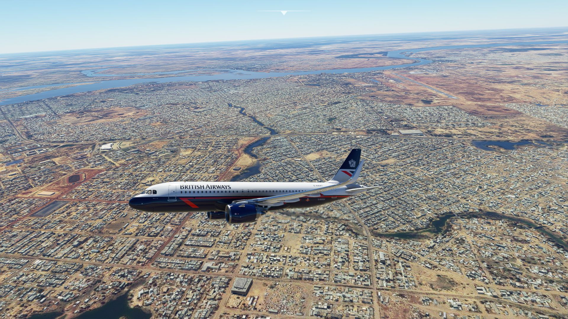
Downtown N’Djamena
Chad is on the border of both Congo’s, “Democratic Republic of the…” and “Republic of the…”. If that’s not confusing enough, both countries capitals border each other way down in the south, Kinshasa and Brazzaville. The latter sounding like one of those cringe TV late night shows you’d rather not watch, but end up watching behind the cushions in case you see something you’d rather un-see.
Congo used to be called Zaire when I was at school and I still thought it existed until I swallowed a Wikipage trying to find something interesting about Congo. One final fact I do remember from school, the national drink is Um-Bongo*
*Um-bongo - Warning, hear be an annoying earworm
Back on topic, the Congo is very green. I expected this, but after the brown of the desert, it was quite a shock to see what central Africa is like.
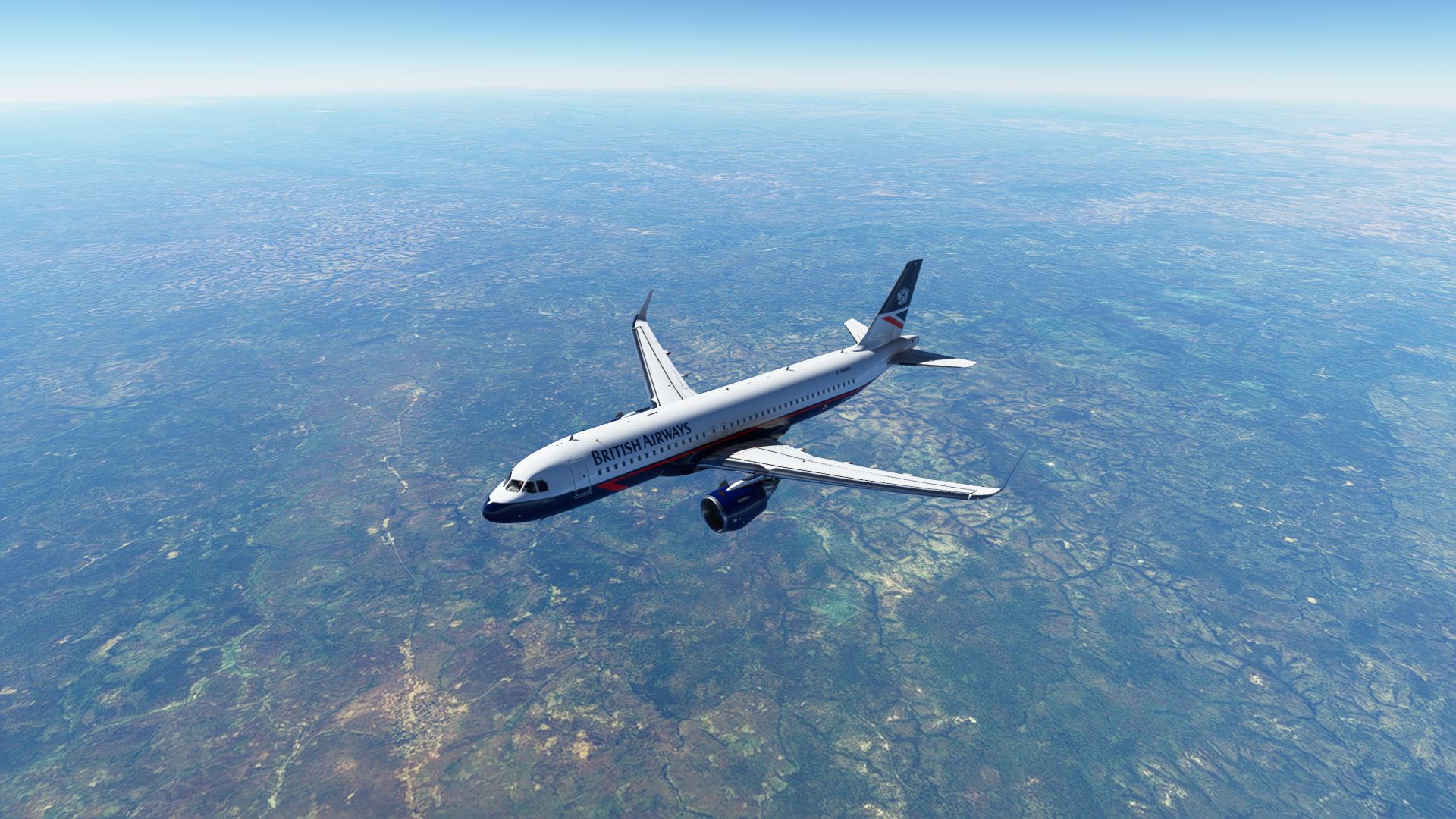
Brown gives way to green
It was quite a lot of green and I started to get the opposite of the Antarctic effect, wanting to see any other colour apart from green.
Nearing the TOD (get me dropping pilotty type terms), the weather I’d seen on the METAR materialised and clouds started to form with the occasional flashes of lightning.
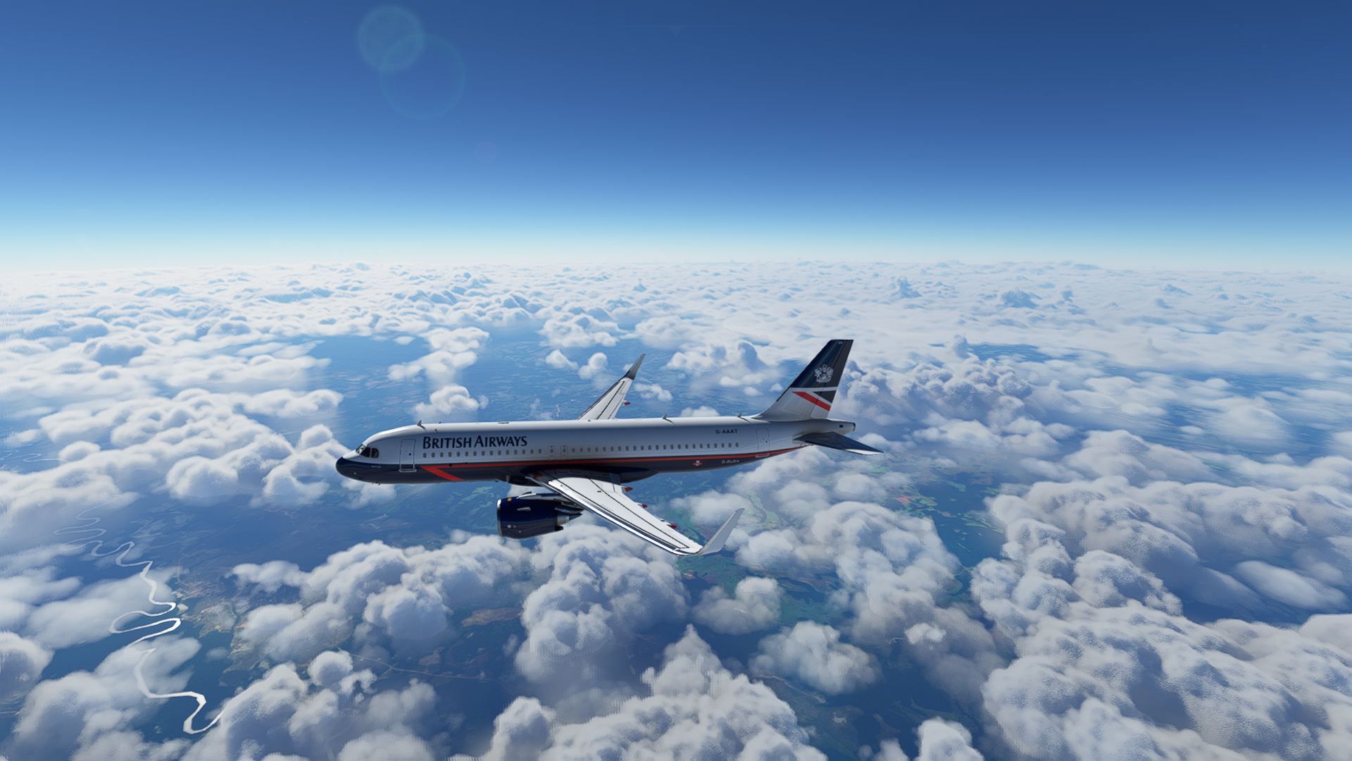
Clouds and a river
Checking the weather radar, I could see Kinshasa was free of cloud for now, but suspected I could have a race to get down in the clear.
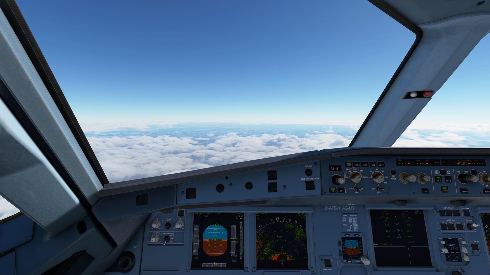
“NOSIG” - are you having a laugh
The approach into Kinshasa brings you down over Brazzaville airport. This caused a mild panic as I’d convinced myself this was where I was heading and thought I was in for a MSFS moment to shuffle things. Checking the charts clarified things, who’d have thought it.
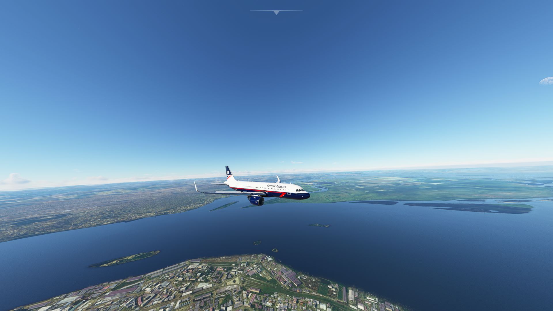
The Congo River
The ILS approach involved skirting the city and then heading out into the surrounding hills. This was all very picturesque, but I’d got an eye on the weather and needed to get wheels on before the thunderstorms arrived.
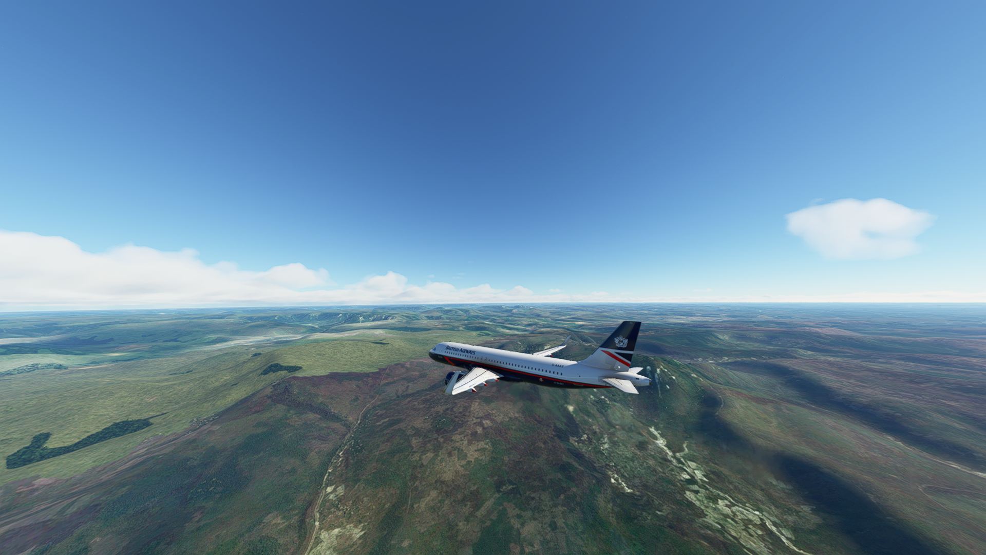
Some hills
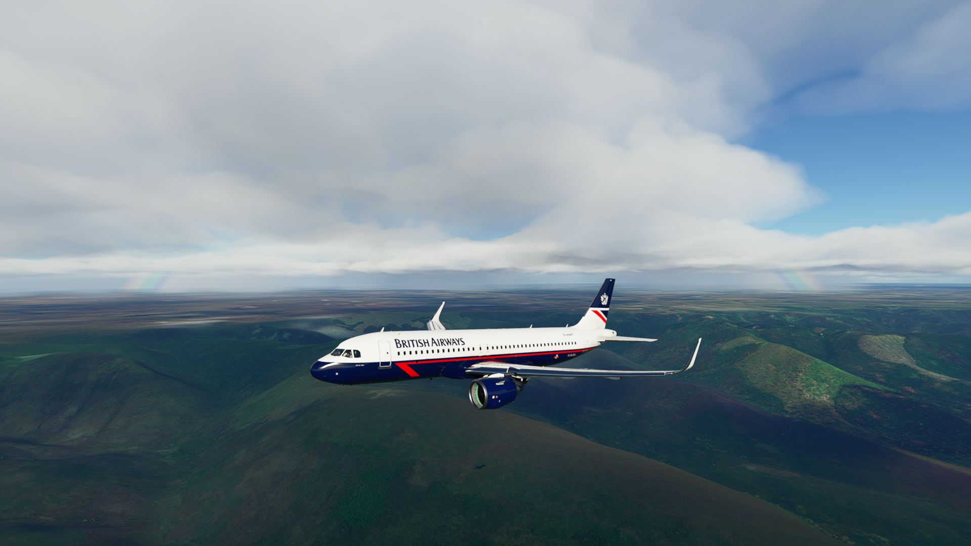
More hills
Picking up the localiser, prepping for landing, I could see the rain starting to come down. Lightning flashing away in the distance, getting ever closer.
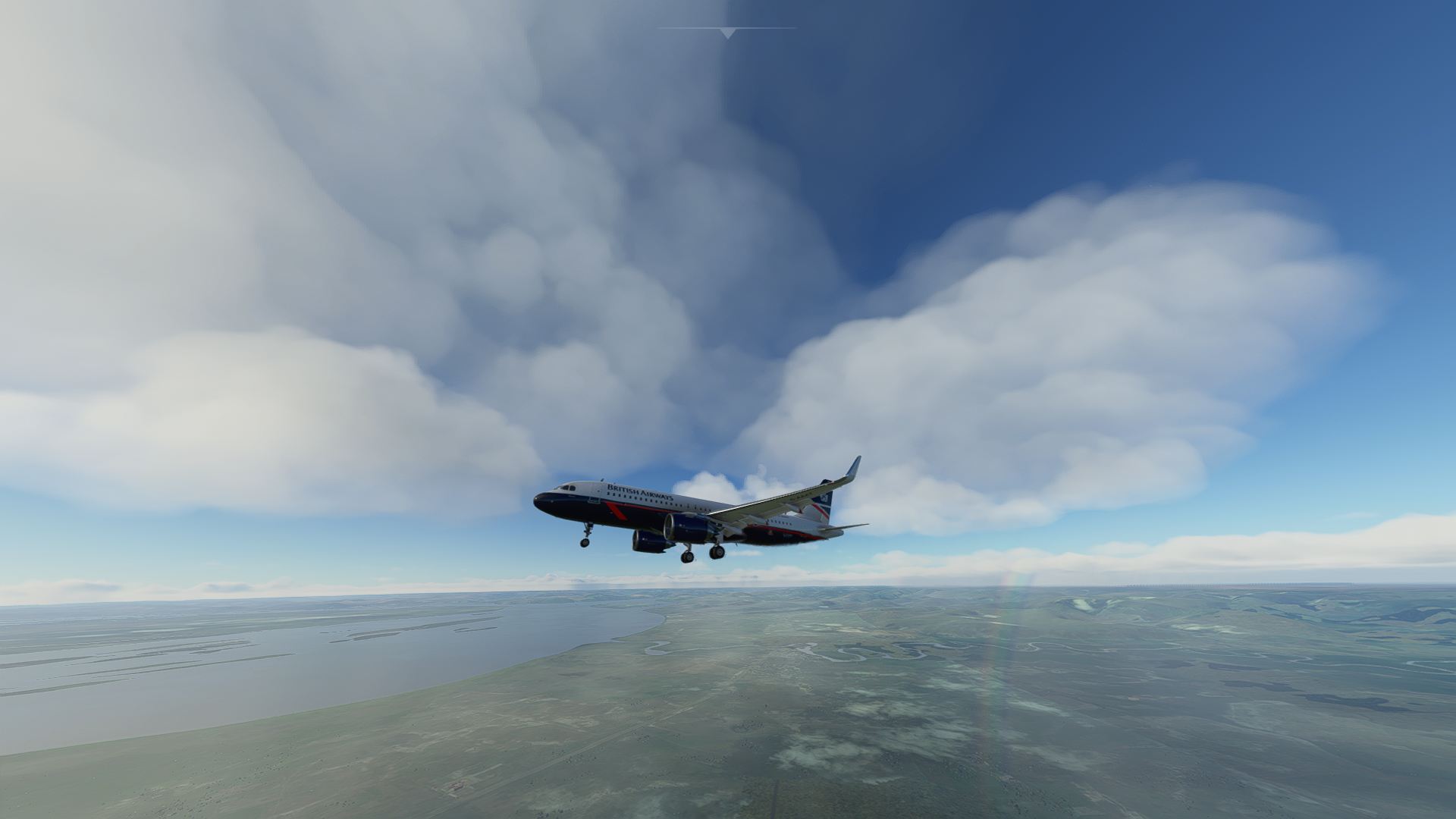
Flying through a rainbow
Passing through the rain it was clear the other side.
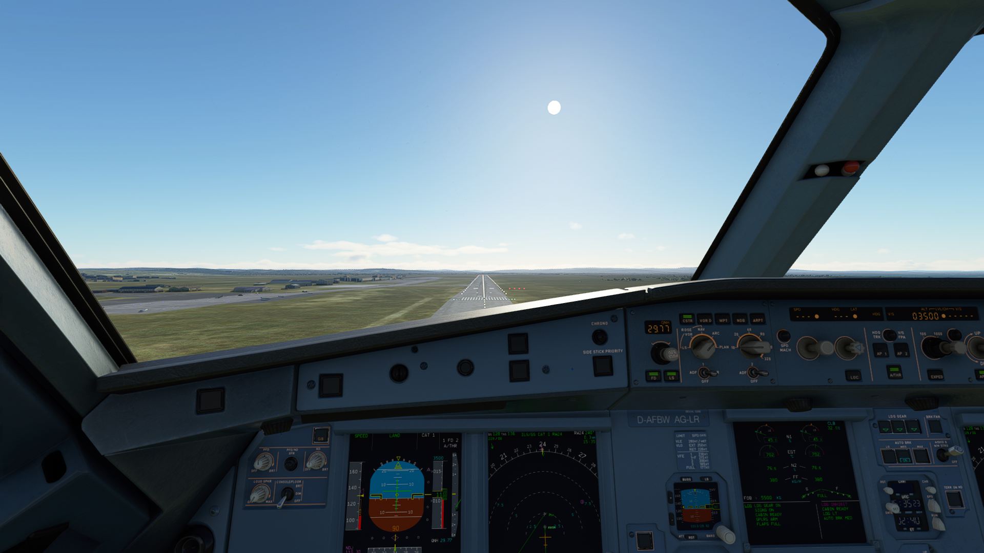
Cleared for landing
Touching down for what was probably my best landing yet in the A320, I rolled out and parked up.
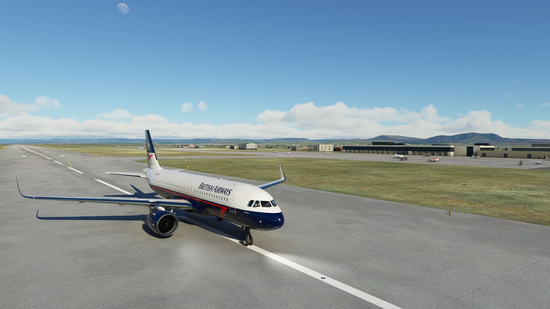
Welcome to Kinshasa
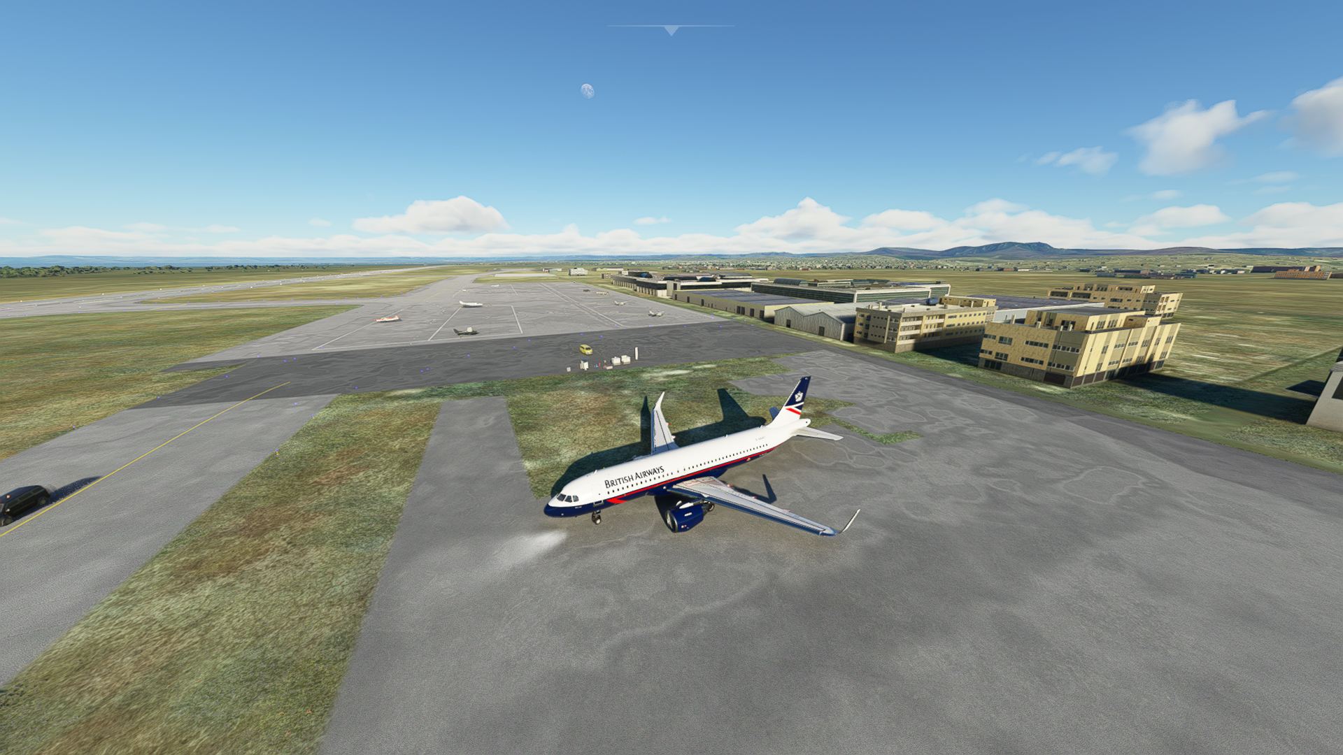
Parked up, now where do I deposit that ear worm?
Two more legs should do it, I have the finish in sight. I think I’m going to make it this year. 
9 Likes
Leg 8 of my trip, and apparently following @keets…
We find ourselves going from FTTJ to FZAA in an A350-900.
On the ramp and boarding
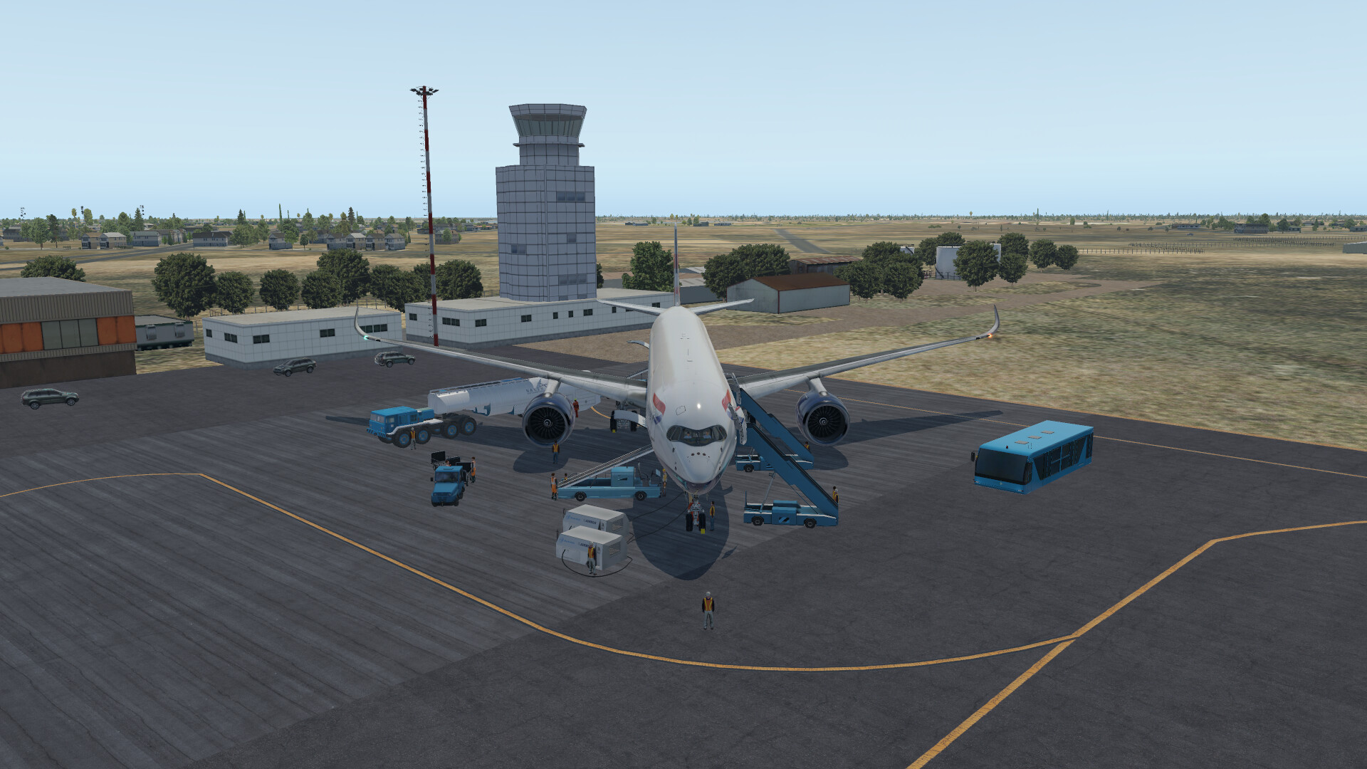
no pushback needed again, so ready for taxi
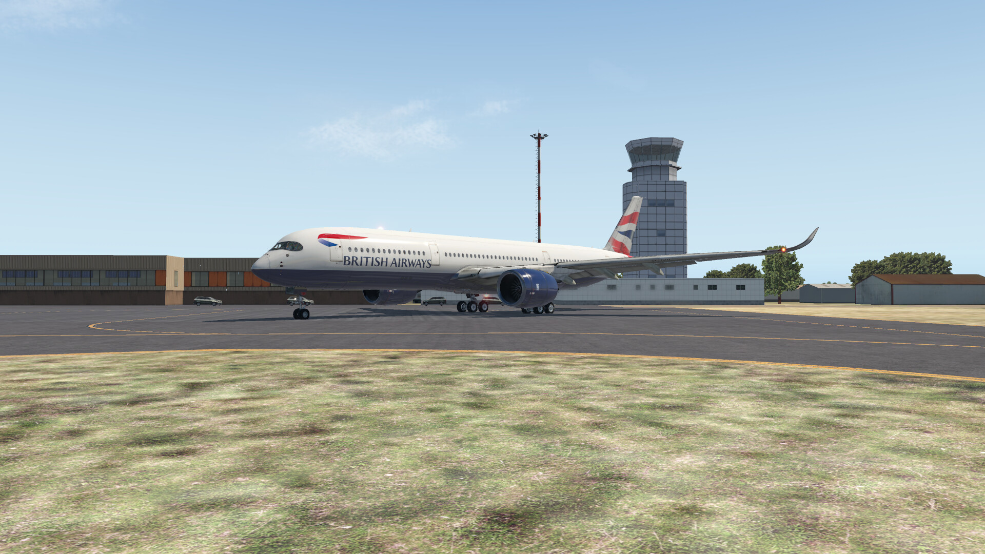
Lining up on the runway, she fit but barely
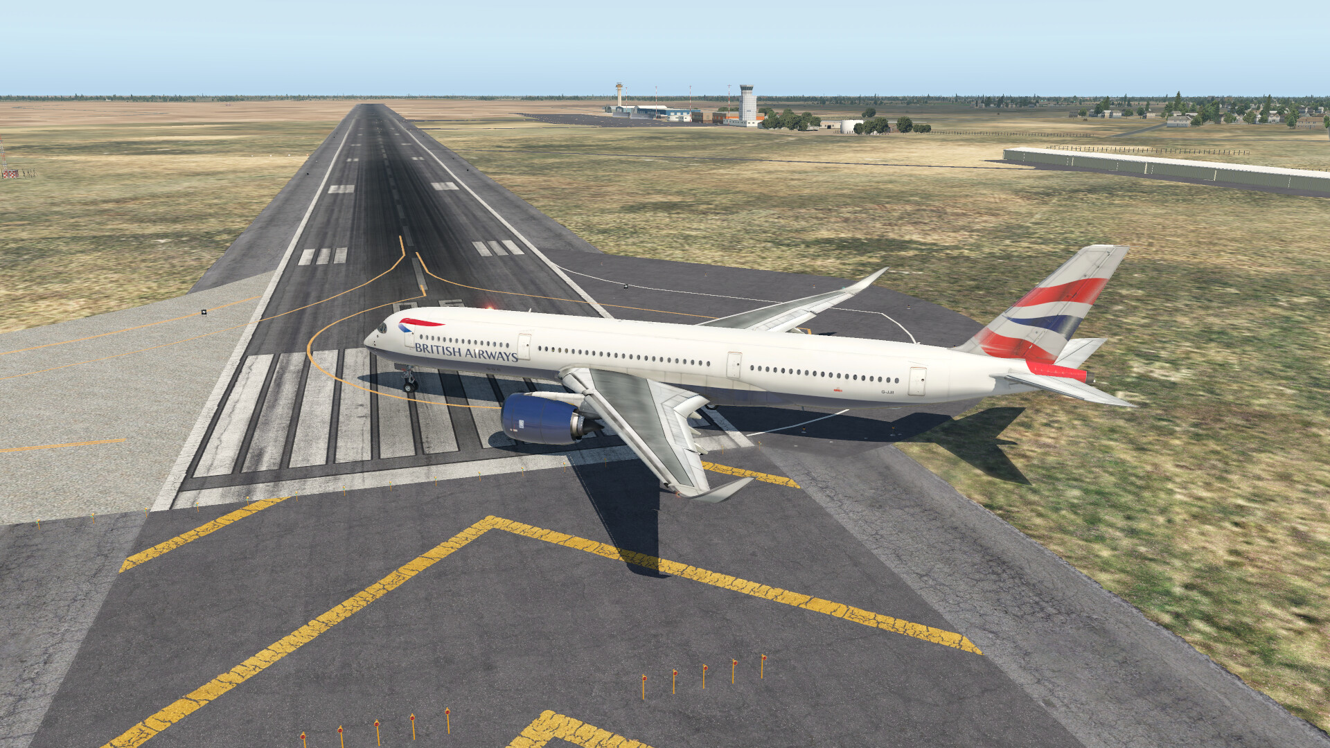
And off we go!
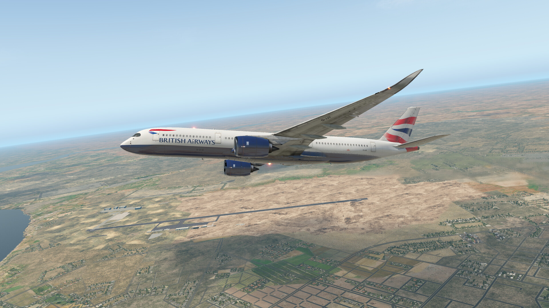
At cruise with some great weather
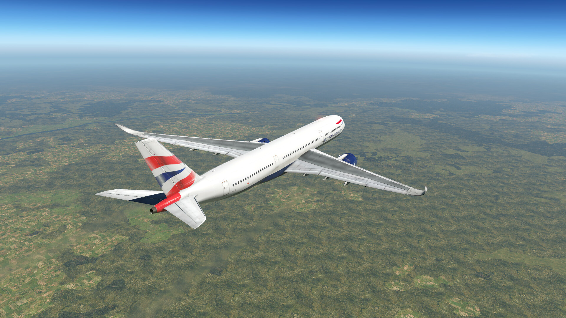
Weather seems to be getting a bit worse the closer we get to FZAA
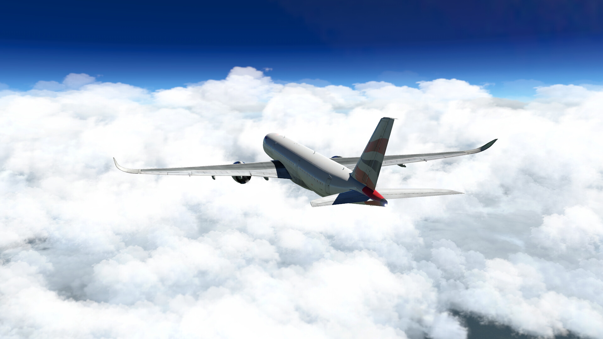
During descent things get a little murky
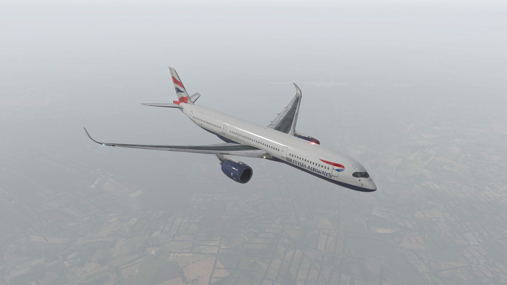
On final with “great visibility”
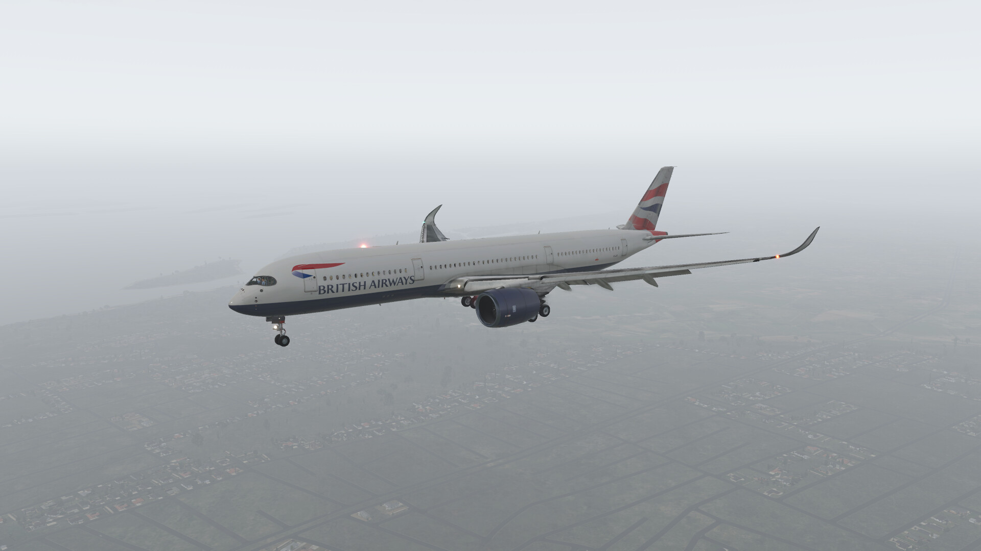
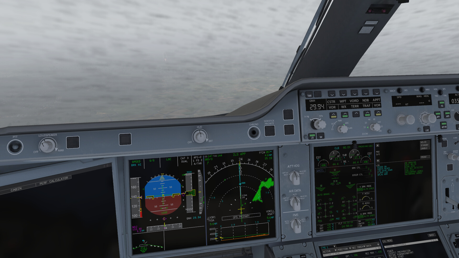
Ever have that, The runway dosent look long enough feeling?
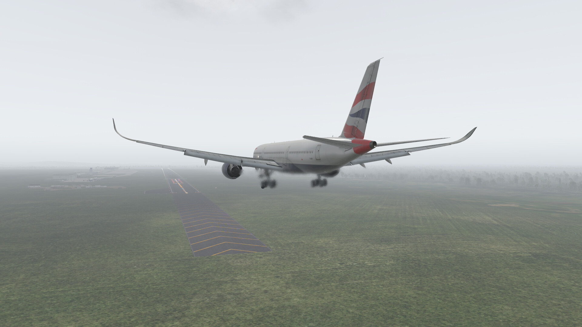
Also my CG was way off. Something wonky with the FlightFactor A350, My ZFWCG was like 42% or something, Never should have left but I was curious to see what would happen. So I dialed in HI wheel brakes and put it down on the runway. She stops almost on a dime!
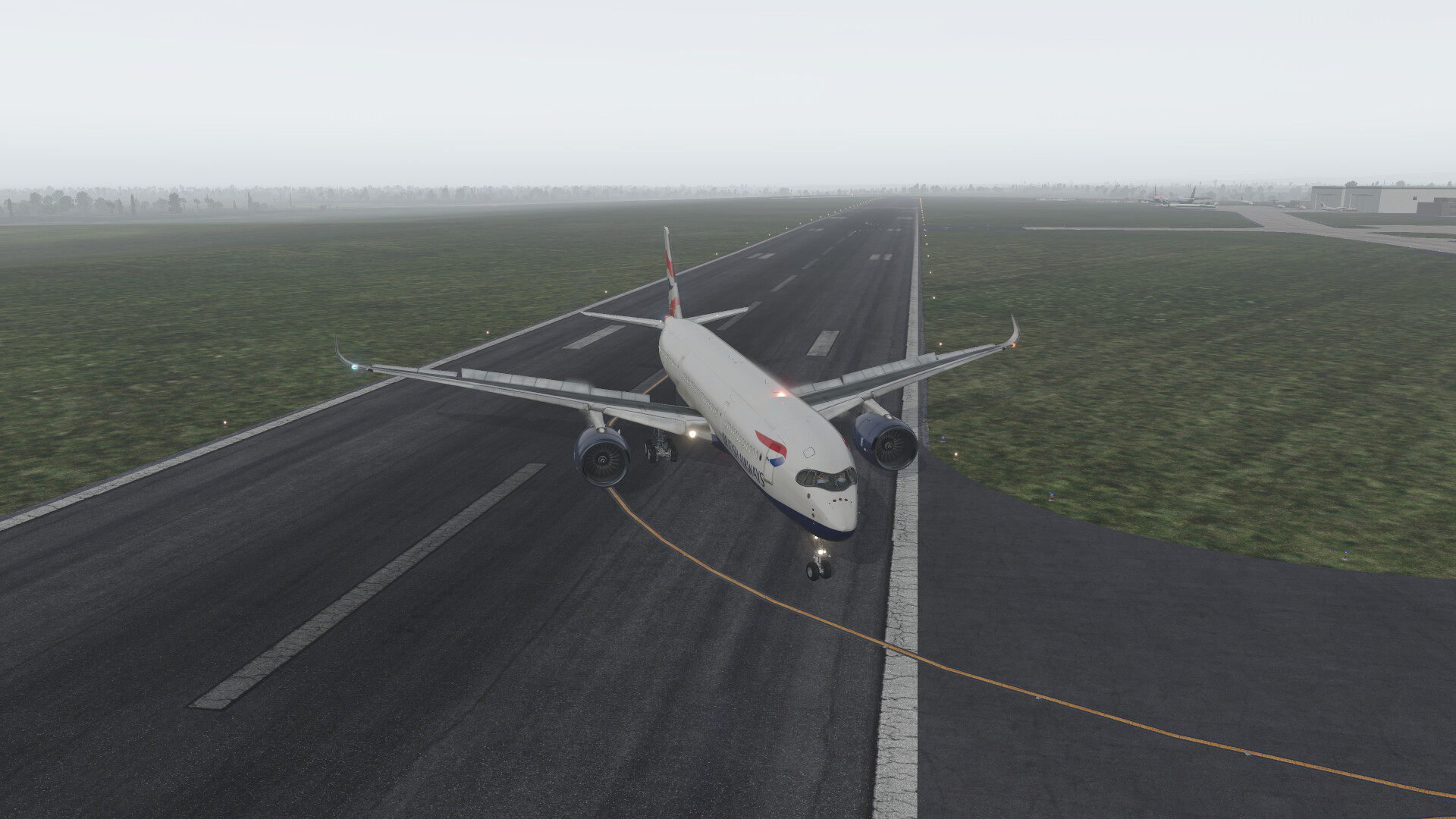
Hardest landing Ive had in a long time, I believe it was a 650FPM land. Nobody died but everyone was shorter and happy to get off the plane asap, We kept the cockpit doors locked during deboarding…
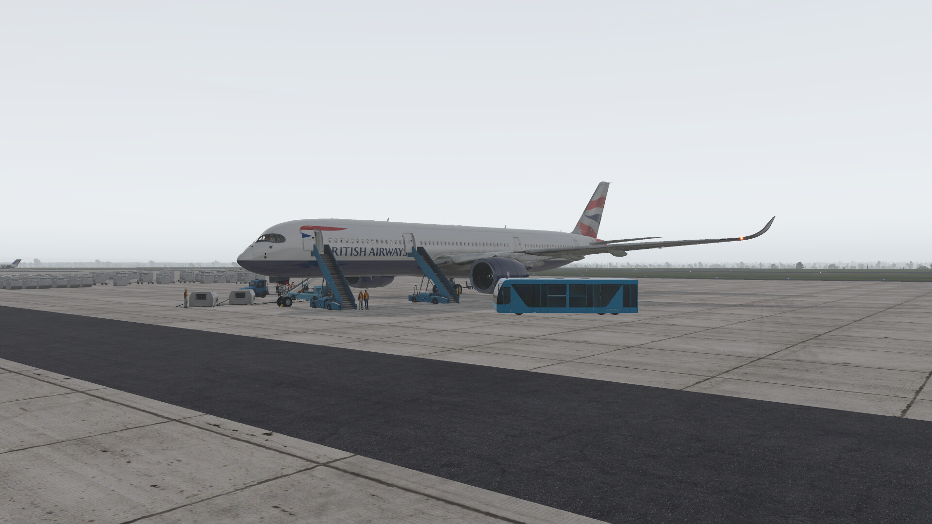
At least @keets arrived before the “great” weather!
11 Likes
Another night on the town… my poor head.
5 Likes
Leg 9, leaving before @keets head explodes…
We are in the B767-300, going from FZAA to FYWH
On the ramp boarding in great weather again…
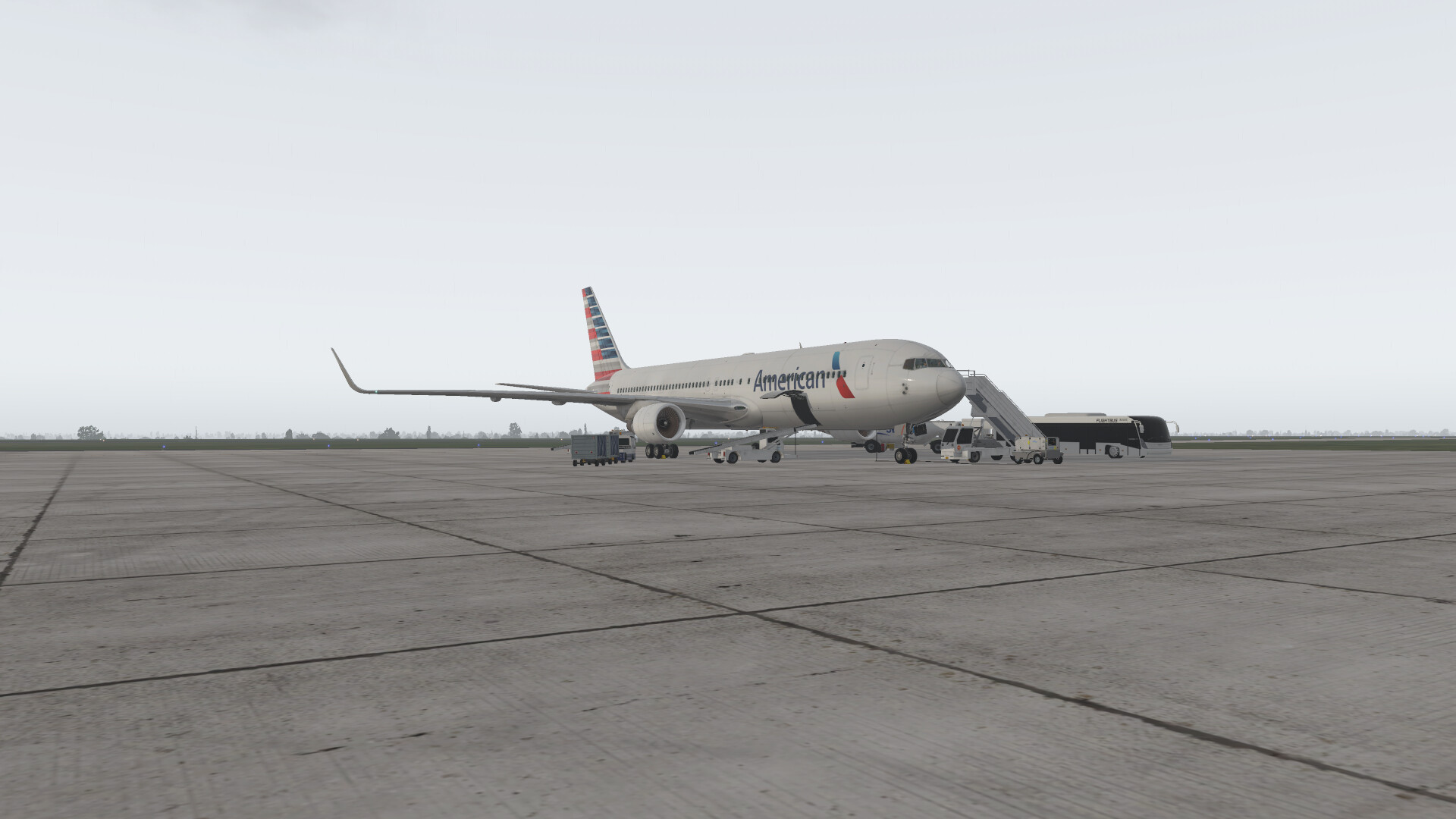
Ready for taxi, no push needed again
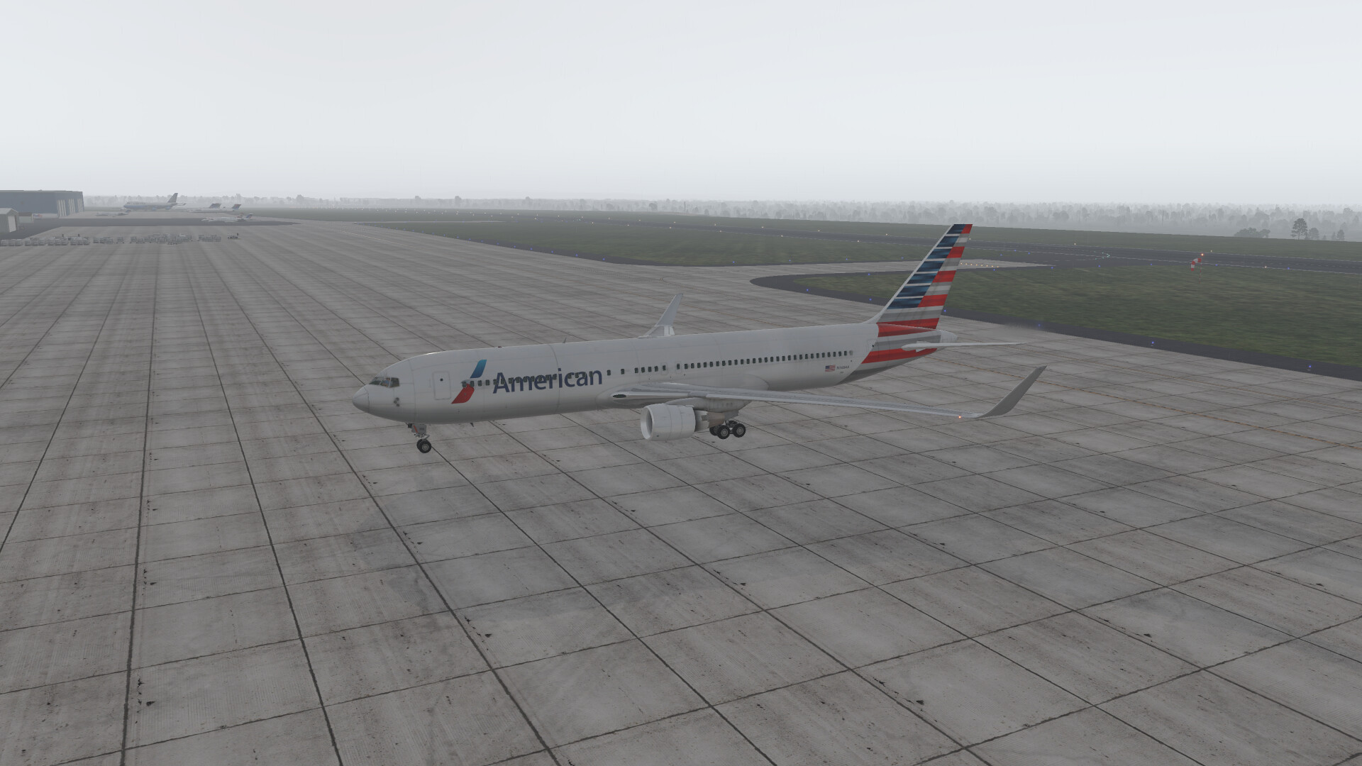
And we are off
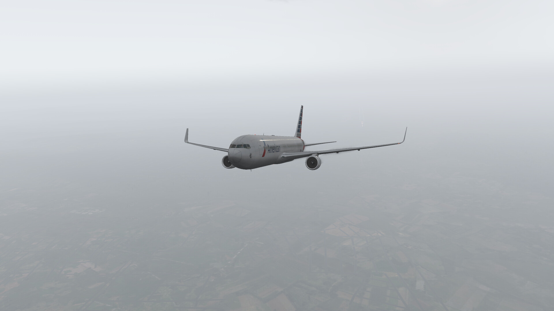
Climbing to cruise and the weather clears up nicely.
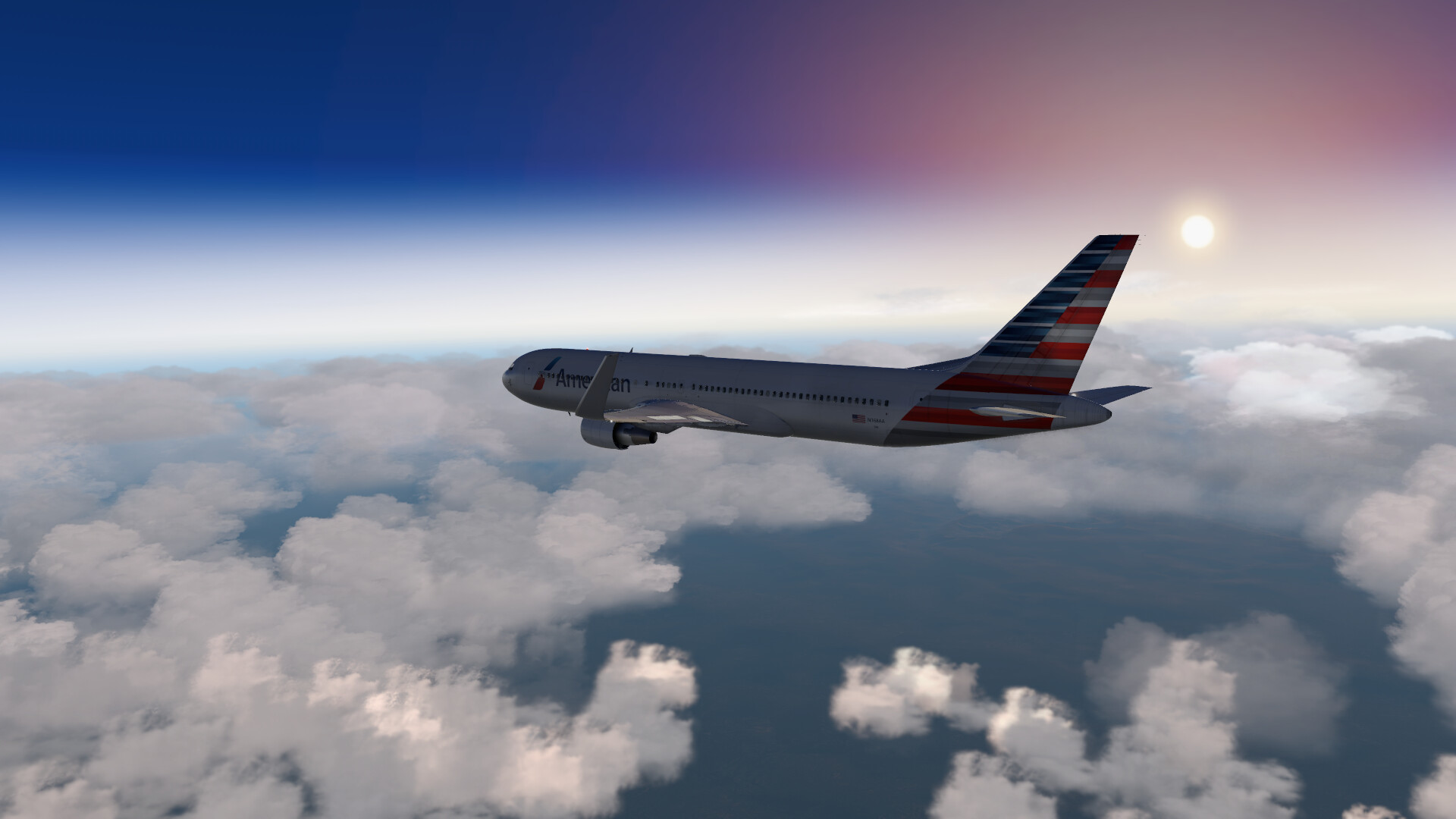
At cruise as the world rotates away from the sun…
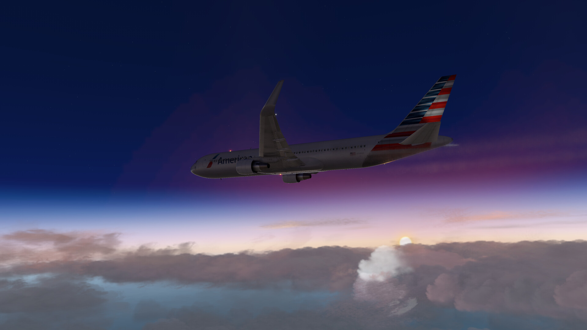
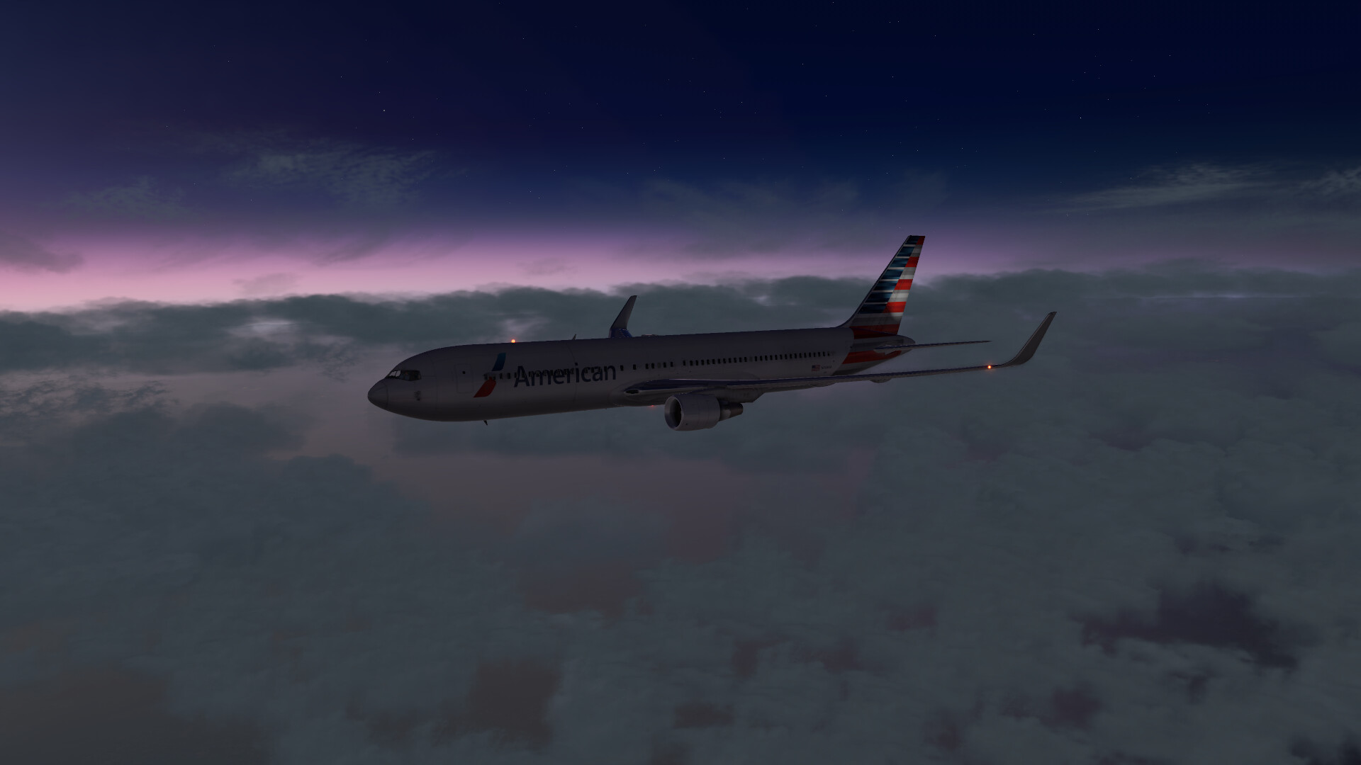
We descend into FYWH and the weather turns again…
On final, it clears up just enough
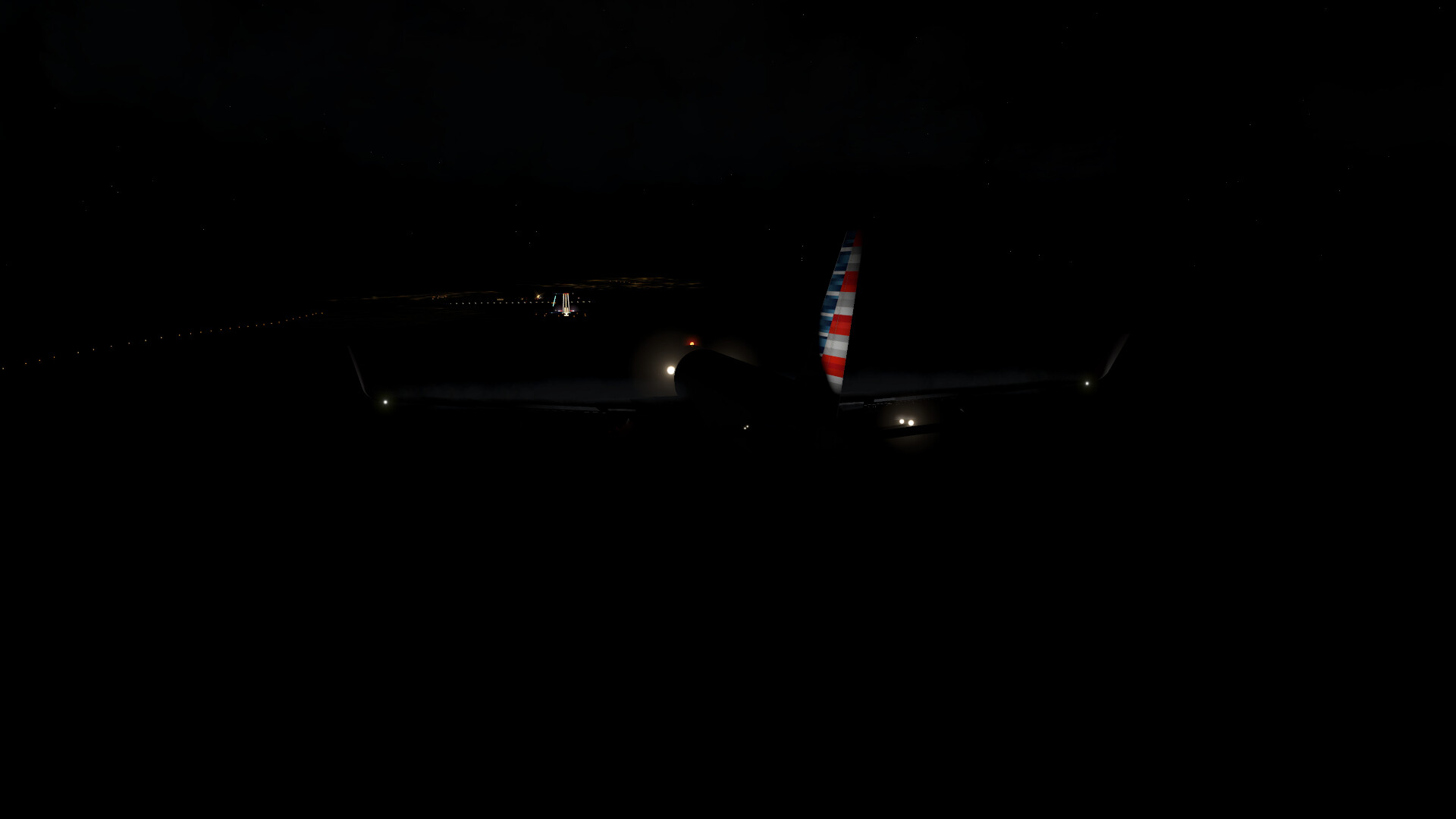
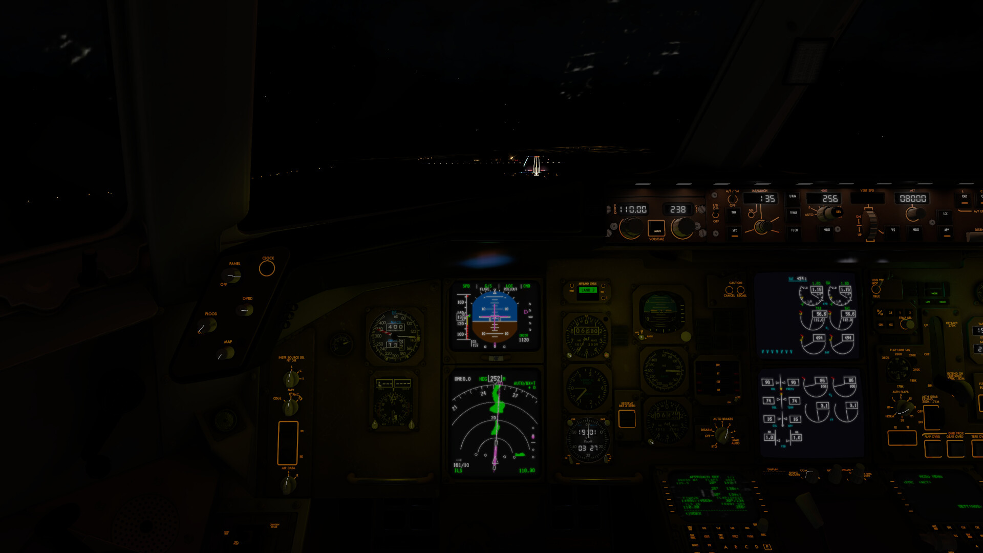
At the gate in a good downpour…
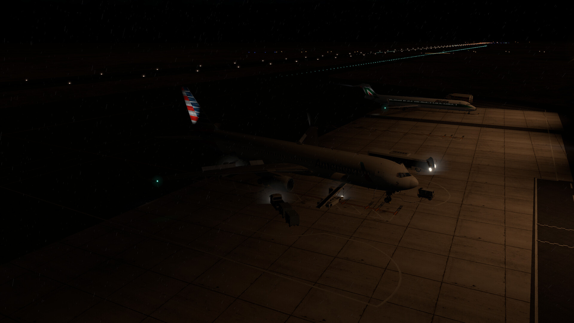
Only one leg left to go.
8 Likes
http://forums.skydemon.aero/Topic31992.aspx#32043
This may help you. I use skydemon in XP11 and this is a workaround to get it working in MS2020 but I haven’t got the new flightsim so you’ll have to suck it and see mate
1 Like
Lol, I just flew this leg this afternoon. Did you get bad Thunderstorms midway through Angola?
I’ll get the report in tomorrow morning, but it’s my round at the bar.
1 Like
Sure did. and then again landing in FYWH.
1 Like
How does that compare to Little Navmap? The last update seems to have broken the connection to XP11.
1 Like
Its a very expensive subscription but it has the benefit of being probably the best IRL vfr flight planning and following app. Its £90 or so per year but as it has dual use in real world and sim its invaluable.
1 Like
Sky Demon lite is free
1 Like
I never knew there was a lite version. I just bought mine to fly with and then used it on XP11 later
It gives access to planning, NOTAMS and weather but not any use in an aircraft. My account has just expired and I am still able to use the ‘lite’ features. I will renew at some point but without a car (hint) I can’t get to Motorglide or even Cranwell to go flying.  The CAA/NATS made free access a condition for official approval of the NOTAM/weather service. You could use it as a map in flight or as a reference source but it will not link to a GPS. SKYDEMON does not make it easy to get the free version but here is a link if anyone wants to try it. Also availabe on Android and Apple
http://lightaircraftassociation.co.uk/2011/Home%20Page/skydemon_light.html
Hey, that’s actually my post!
Happy it helps others too 
1 Like
Super confused here… wasn’t i replying to @Scoop?