All I did was change the ATC callsign to MUDSPIKE…LOL…
3 Likes
I think it might have been fixed. Try to update the sim.
- Fixed cockpit interactions that were either getting mixed up or not working on 3rd party airplanes
1 Like
If you could do that, it would be awesome. I have GIMP installed, and have absolutely no idea what I’m doing.
1 Like
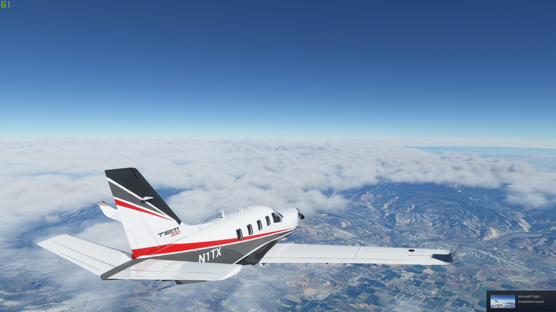
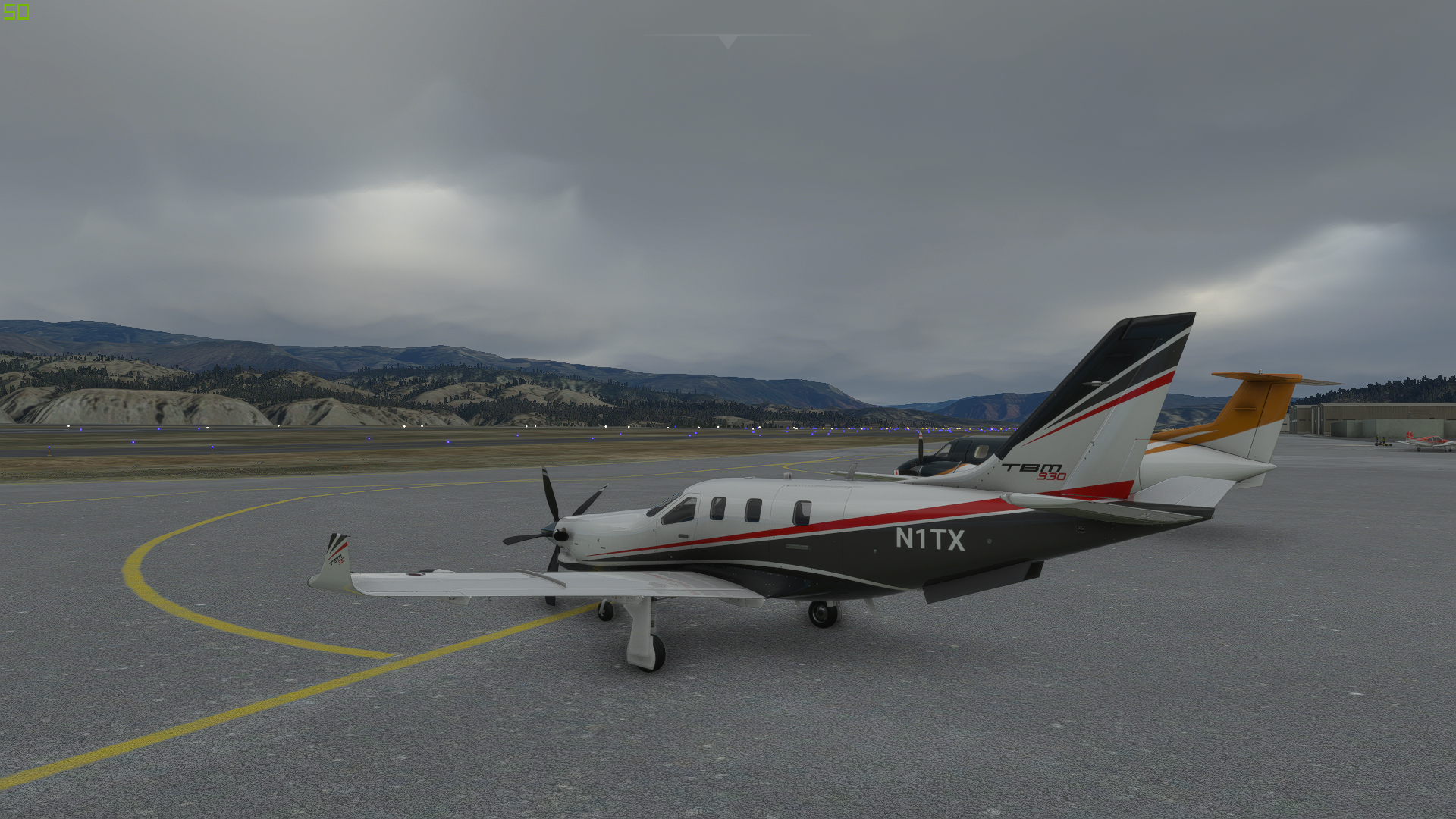
Last night I started the trek from Austin, Texas. Normally I would be flying something old and slow, but I wanted to use MSFS this time, and my time is going to be limited due to work over the next few weeks, so my ride this year will be the default TBM930.
My route will head East from Austin, out over the Gulf of Mexico to Key West. From Key West, I will island hop along the Caribbean until I hit the Venezuelan coast. From there I will follow the coastline East until I get to Natal, Brazil before hoping across the South Atlantic via Ascension Island and St Helena. The African route is still a work in progress. If I have time, I’d like to head to Maun, Botswana to take a look at the Okavango Delta before heading to Cape Town.
And so it begins… departing Austin Texas.


KAUS behind us.

The huge LUEKE ‘signature’ near Smithville. is hard to miss.


As I got closer to Houston a cloud layer formed, which largely obscured my view of the city.

Synthetic Vision shows Galveston Bay up ahead…

Somebody mounted a camera on the vertical stab. We are still over Houston. Looks like the cloud layer is thicker up ahead.

Over the Gulf of Mexico now, and indeed, the layer thickened up into a solid undercast.

A little later, the layer broke up a little, but I’m seeing signs of some vertical development.

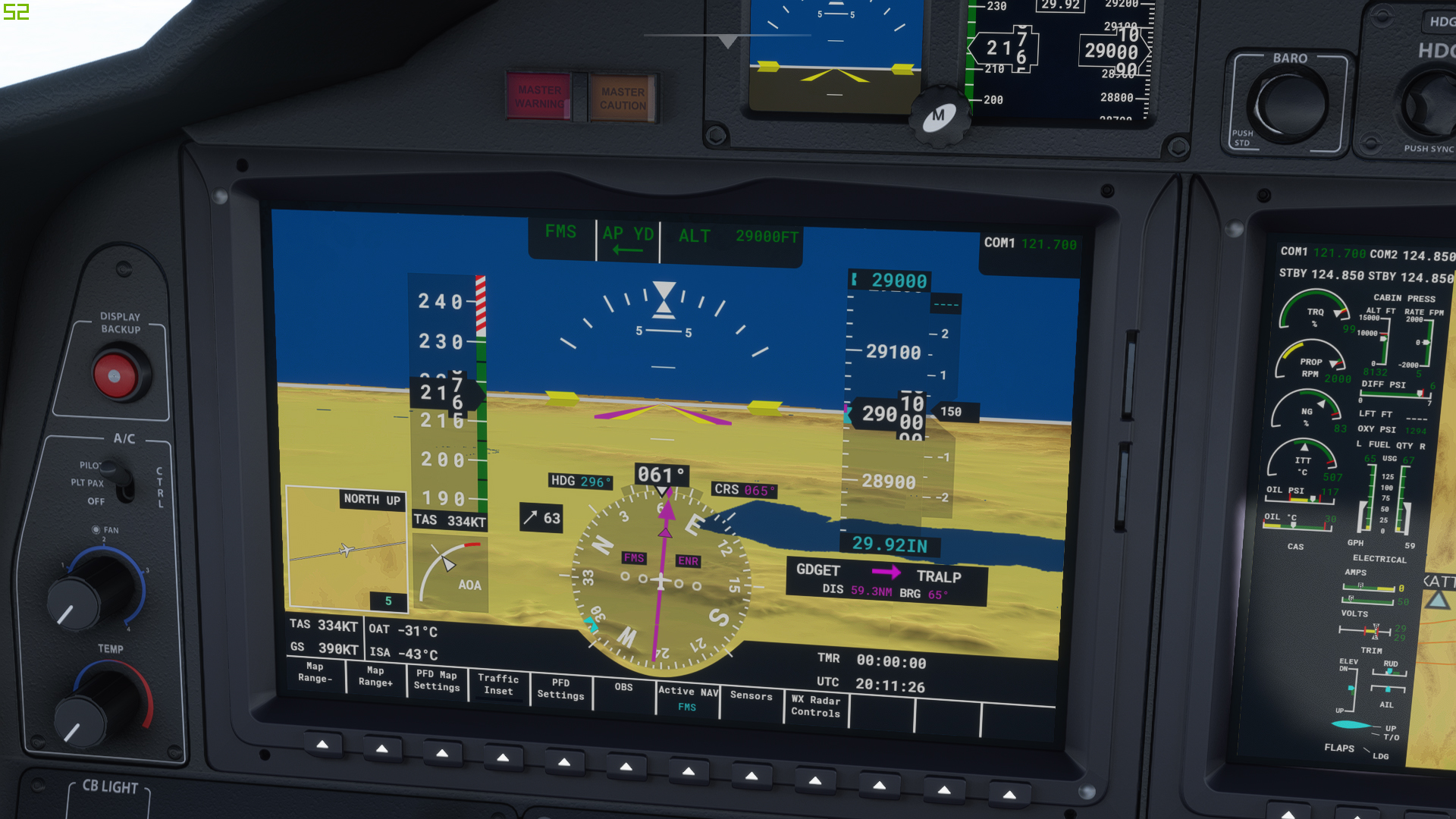
It’s not long before I’m encountering clouds at my level (FL250).
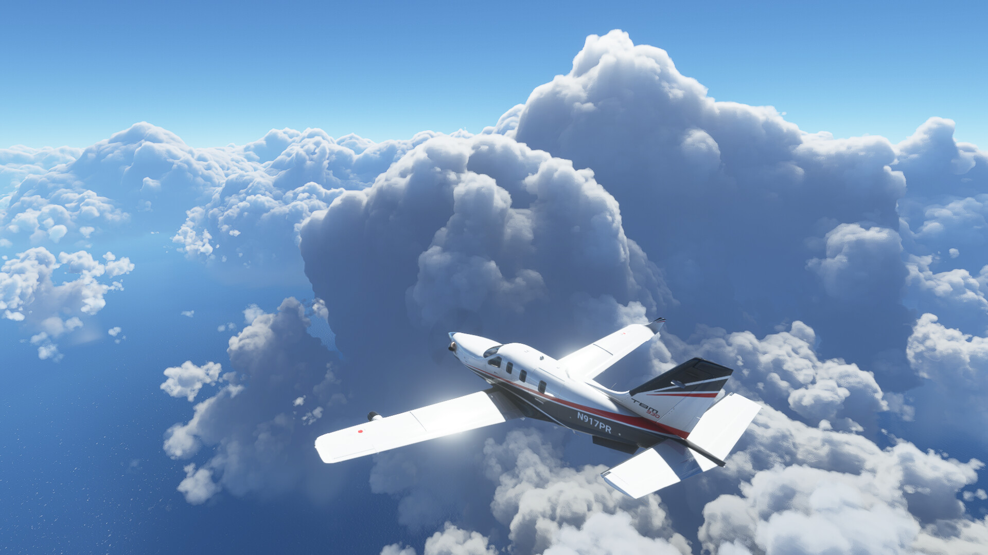
It’s starting to get serious… ![]()

There is lightning and ice in them thar clouds!


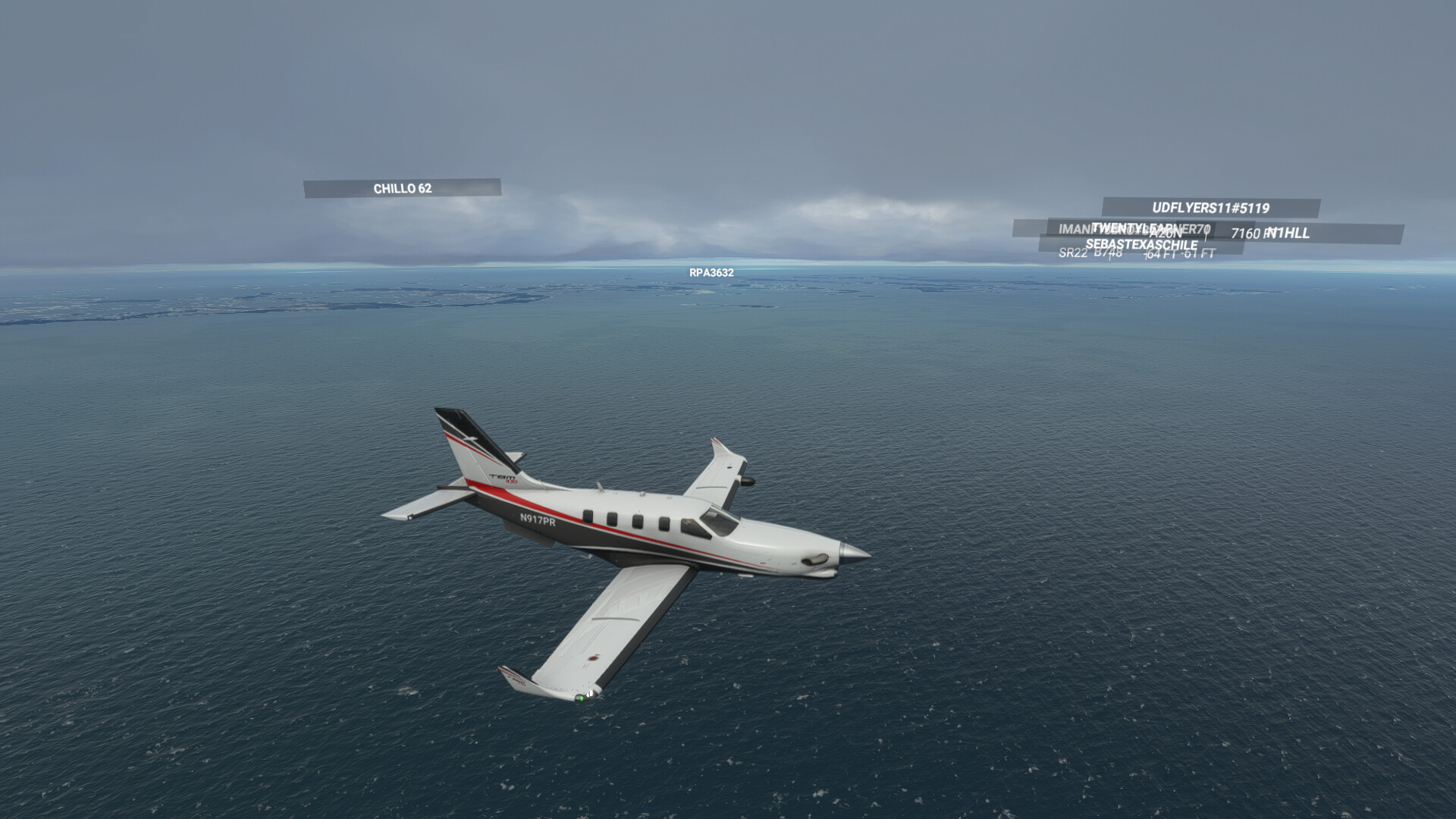
At last, I break out of the weather as I approach Key West…


Down safe.

Time for a Margarita!

What this sim lacks in the way of high fidelity aircraft, it certainly makes up for in the visual department. The depiction of weather and the general standard of the scenery is just amazing. I can’t wait to try this in VR.
11 Likes
Nice work! I need to get a leg in soon to get the journey started.
This year’s Xmas flight has the interesting nuance of people having to make a platform decision - visual immersion vs flight models and wider plane selection (and VR).
2 Likes
Looking forward to your reports @Bearhedge. I am still shy to try heavy metal. But this track gives great opportunity to use different planes on some of the legs.
1 Like
Still undecided on the plane (but stock fs2020 fast prop, probably TBM930).
This is the planning so far

about 6000 miles…I planned for 1-2 hours maximum time for any waypoint…Will take probably around 3 weeks to finish it
3 Likes
Yeah…updated the sim tonight…and still getting an instant CTD if I use the mouse click button to move the altitude preselect or heading knob or anything like that. Other Carenado users are reporting the same issue…so looks like whatever Asobo applied didn’t work for the Carenado plane. Thanks for the suggestion though!


I think yesterday I skipped over something mentioning that the fix was for the italian Jet. Apparently it was broken, too.
1 Like
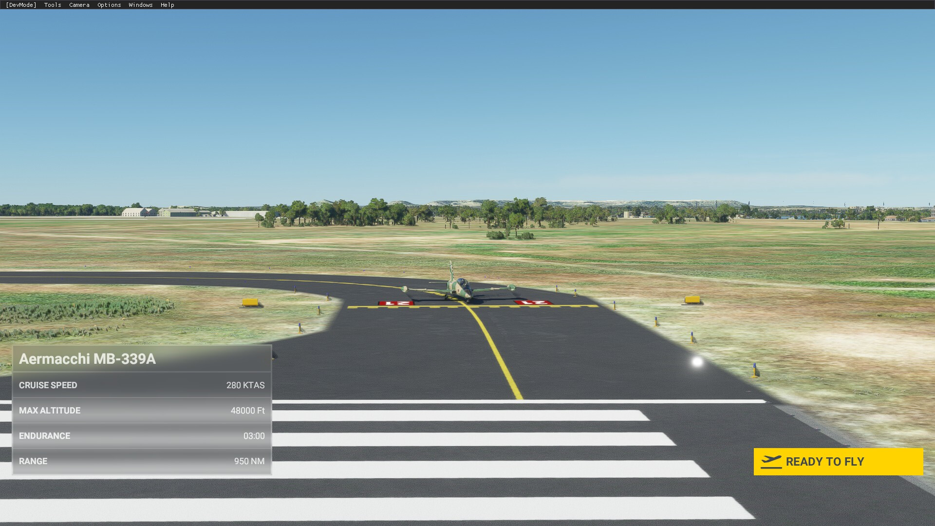
Got started today. I figured that yes MSFS has amazing scenery, but cruising along at 100 knots meant that going low and slow probably wasn’t going to work. Rather I decided to take out the MB-339, 300 knots or so certainly will help move things along, and it’s nice to have steam gauge bird to fly in.
So off we go, starting from Austin Bergstrom (KAUS): Lined up and ready to go

Austin fading in the distance as I head west

Wait, west?! Has he lost his mind?
Well I figured since everyone else is trying to figure out how to make the ~1600 nm hop across the Atlantic, why not do it the easy way?

That little hop across the Bearing Sea is only 54 nm, I mean I can fly an ultra light across that. Also mean how bad can the weather be in Alaska/Eastern Russia in November and December…?
So with a route of something like this:

At 300 knts TAS, it should only take about 45 hours to get to Cape Town.
Alright enough chatter, back to flying.
Here we are over Junction, at unsuprisingly the junction of I10 and US 377

And about 10 minutes later, the lights of San Angelo Texas, and Mathis AFB in sight

Runway in sight, we’ll be landing on 03 (the one of the right side), which is the ILS equipped runway

And on final

This shot shows off the night lighting pretty well. The MB-339 doesn’t feature an autopilot, but you can set the ADI to display the nav information. Overall the bit I have messed with the MB-339 I like it, the flight model feels decent, and the system modeling is more in depth than the stock AC (which doesn’t say much).
161 NM down, 13,320 NM to go.
8 Likes
At some point you and I will have to meet up for a beer, seeing as we are pretty much neigbors. :).
1 Like
Once the CV restrictions die down, we really do.
2 Likes
Started my first leg today, my goal is to use real weather and time to the max extent practical. However, I don’t see any point in doing a trip in the dead of night - after all my goal is to get out of the local area and see new locations.
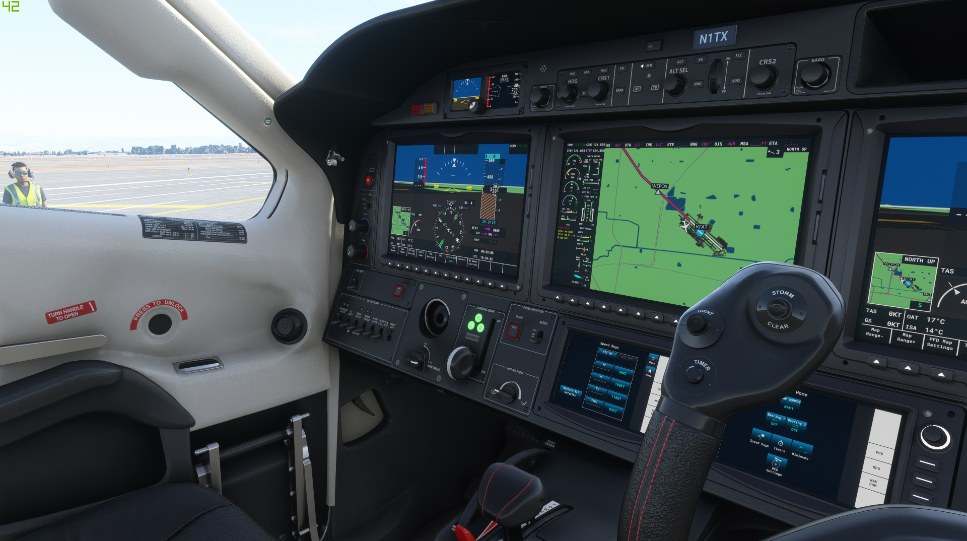
I realllllllllly debated starting the first couple legs in XP11. I’ve got Ortho up through Colorado, literally just bought the Orbx KFAT, and the Hotstart TBM blows the default FS TBM out of the water, but ultimately I decided to stick with FS2020 for the scenery (especially when it comes to the European side) and the weather rendering.
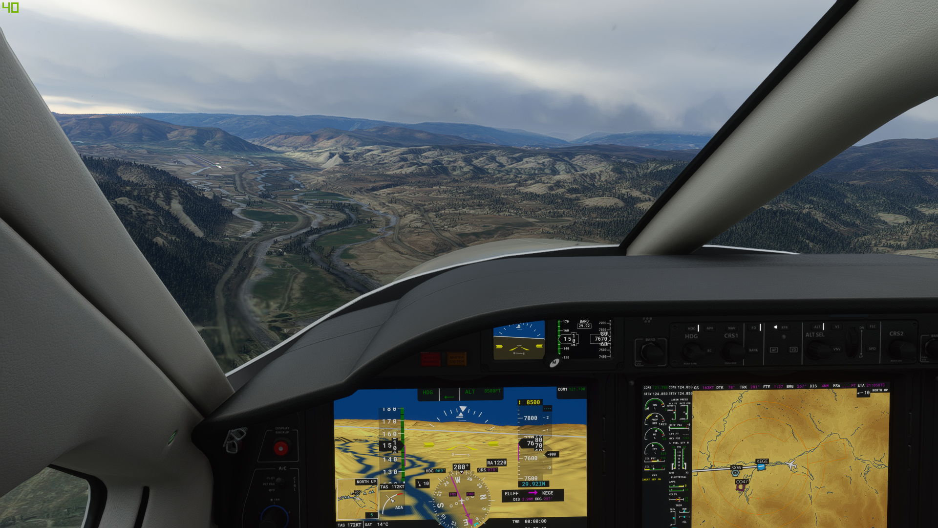
First leg is from KFAT - KEGE.
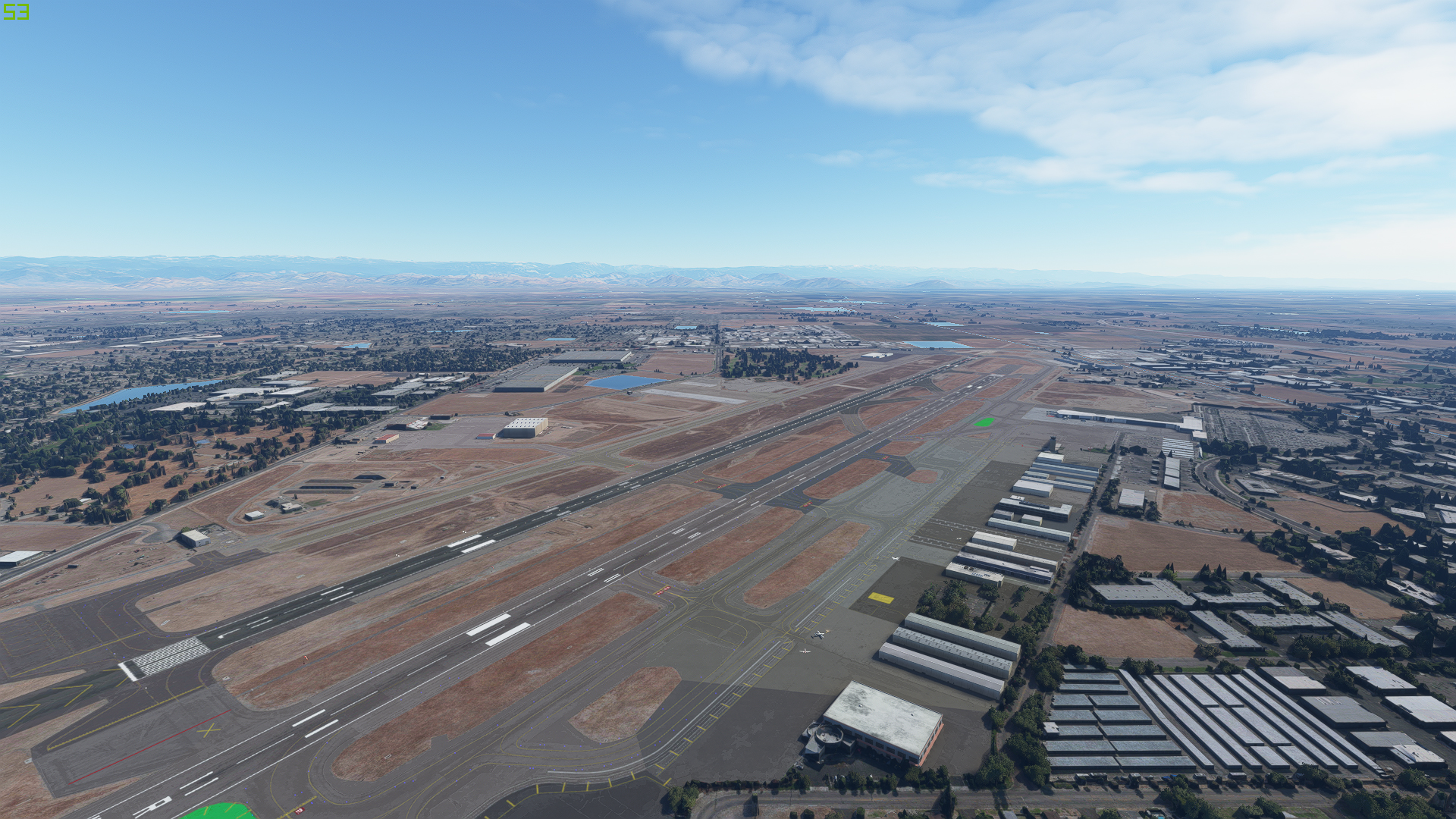
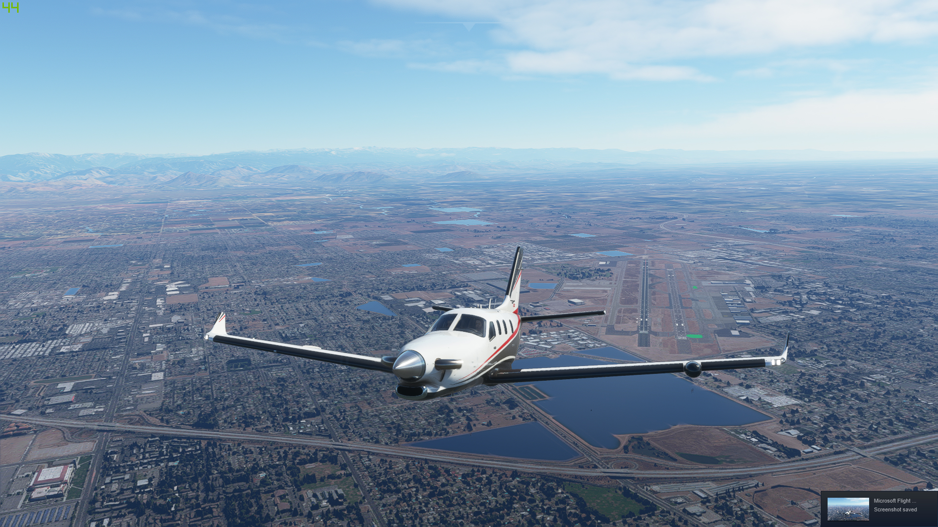
Climbing out of Fresno, Ca.
The tailwind heading east is quite nice!
Clouds in Colorado. I don’t think the real weather was quite this cloudy but it sure looks nice.
I was hoping to see more snow but perhaps it’s still a bit early. My next leg will likely take me up into the USA’s hat, though the exact field hasn’t been decided.
9 Likes
Leg 2 for me… Key West to Providenciales, Turks and Caicos. KEYW - MBPV
Departing Key West…


Looks like there are quite a few others playing in this area…
We have come such a long way since Psion’s Flight Simulation on the ZX Spectrum!

Rainbow! That’s the first time I have seen one in a sim.

Anyone who has spent time in the Caribbean can attest to the fact that the weather depiction here is pretty accurate…


Turks and Caicos in sight!


On final at MBPV…


Time for a rum based adult beverage!

And that is as far as can go for the next week. My virtual self can sit on the beach sipping cocktails while in reality I’ll be in Dallas sat in a classroom and playing in a different kind of sim.
11 Likes
The plan for today:

383 NM and about an hours flight time
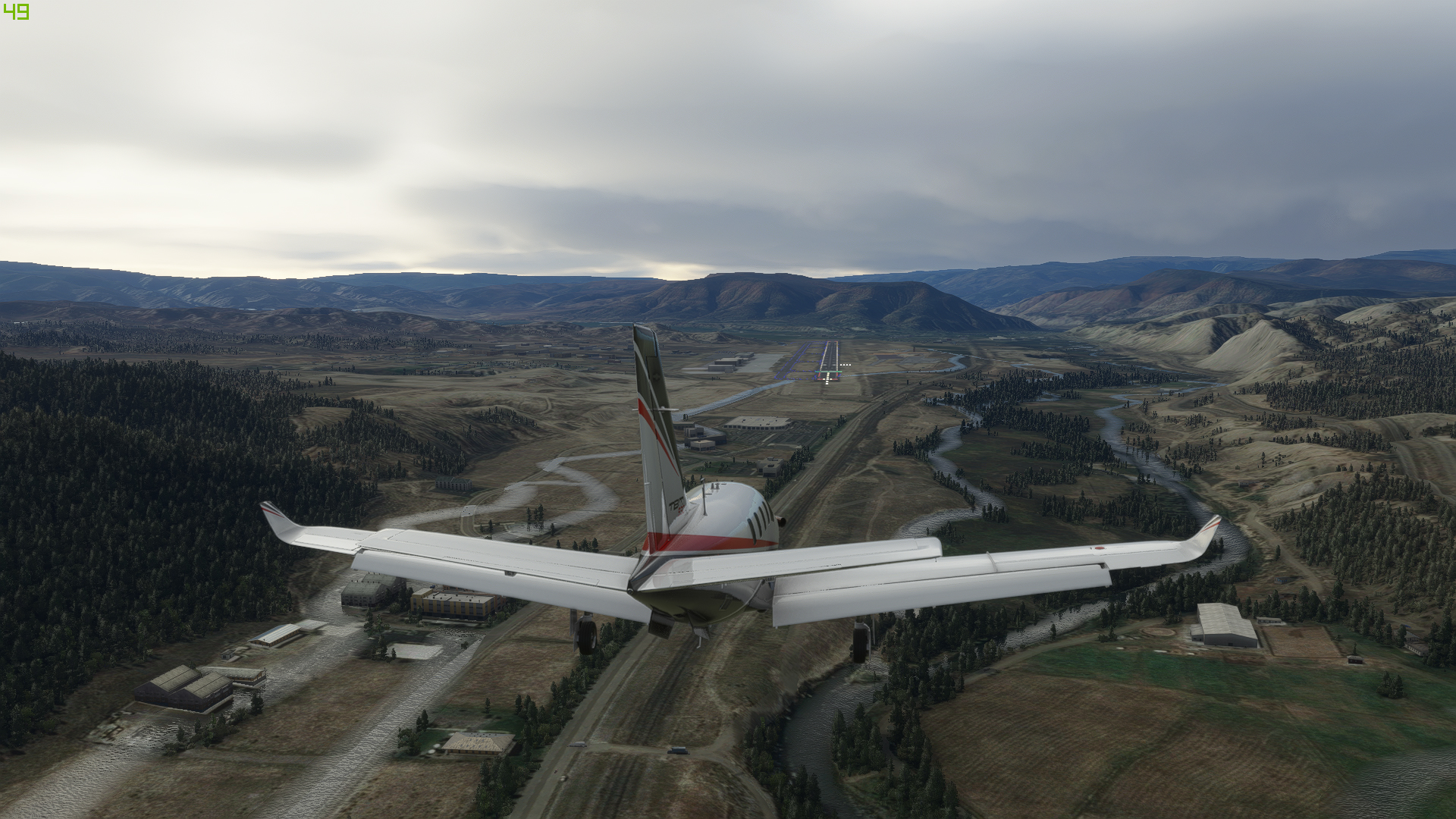
Here we are lined up at Mathis AFB getting ready for leg 2, which will take us up to Albuquerque.
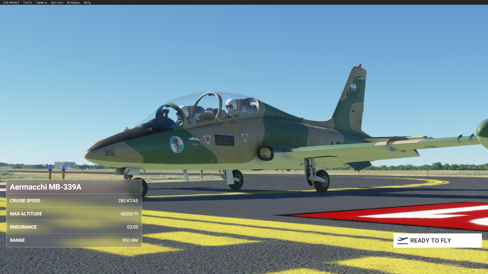
I like the Argentinian livery, it reminds me of old school woodland camo. The front office, which has an odd texture issue when the sunlight hits the gauges, it pixelates them a bit.

Mathis AFB as we climb out and head for the Roswell VOR

San Angelo Texas

Roswell International along with a lot of circular irrigation

Finally something other than plains! The mountains indicate we’re getting close to Albuquerque.


So I made a mistake on the Xmas flight to Pago Pago (was that 2018?) KABQ is BEHIND the mountains. On that trip I had dropped down to pattern altitude before I got to the mountains, needless to say that was a problem. This time we stayed well above them as we descended in.

On final runway 03


Leg 2 finished

The weather was great today, no real turbulence, CAVU, so ~380 knots TAS all the way made for a nice trip. This was flown with the throttle pretty much all the way forward, we burned up a little under 1000 kg of fuel, out of a full load of approximately 1153 kg. As out next leg is going to be almost double in length, we’ll have to slow that one down a bit to make sure we aren’t gliding in for final.
4 Likes
Yeah…my logic too. I’ll use real weather…but I want to fly in the daylight and see some stuff…
1 Like
No kidding. Nice field…with a great museum…!
1 Like
You all have already left? Oh no… I need to spin the prop and kick the tires too…
A quick glimpse on the weather radar suggests VFR might be a good option. I did not make any thorough planning, just depart - the Alps - the sea - some island (hopefully Corsica).
Departing on one November morning with real time weather from my local airport ELLX. This airport is a home base of Cargolux which you might have seen in one of the major hubs. The red arrow points to our aeroclub hangars which I know rather intimately ![]() (the aircraft registration clashes with the paint; I need to tidy this up for the next leg).
(the aircraft registration clashes with the paint; I need to tidy this up for the next leg).

Climbing out. I like the weather depiction and lighting in this sim.

The weather was actually overcast over France, so I resorted to VOR tracking. Next time I will spend bit more time with the weather radar ![]()
The Alps on the horizon!

Over Switzerland with Mont Blanc in the distance. I did some skiing and trekking around there in the past.

Matterhorn with Mont Blanc to the right. I have to say that after seeing some of the default and especially user-made photogrammetry sceneries, I haven’t fallen in love with them. They just look…ugly from mid-distance already. However mountains can really benefit from this tech.

Uh… oh… never seen Matterhorn from this perspective before. I did some skiing around it too, but no trekking so far. Hopefully once the C-thing is over ![]()

Italy again below clouds. Did I say I liked the weather depiction in MSFS 2020? Good to see the weather being different before the mountains, over the mountains, and after the mountains…

…and different again over the sea. Oh yes, I can see the sea! And Corsica in the distance.

La Corse!

On the right base for R20 of Ajaccio, my destination for today.

This thing is a bit faster than the usual C172… so of course I came hot & high for the landing ![]()

On the apron. Time to get some drink and prepare the next leg to Malta.

Even with some imperfections here and there, this sim is growing on me. And I also noticed some performance issues in some scenarios. Well I run pretty high settings but my rig is no slouch either, so… I am quite curious about the VR performance once it comes. Looking forward to it ![]()
Milan
7 Likes
I may try this year and just skip the pond hop.
1 Like