CHAPTER 9
DENOUEMENT

Yancheng Nanyang International Airport (ZSYN), Nanyang, Jiangsu Province, China TO Ganzi Kangding Airport (ZUKD), Kangding, Garzê Tibetan Autonomous Prefecture, Sichuan Province, China.
6 November 2023, 0630L (5 November 2023, 2230Z)
1036NM. ETE: 4+50
Well, here I am. China. About a month ago, this particular journey of (ten) thousand miles had begun with the proverbial single step. And for several thousand of the steps that had followed, I was more than a little doubtful that I’d get this far. Now, one last thousand miles was all that stood between me and the finish line. Easily doable in a single hop, should I so desire. But, at this point, it was early in the season, still well before Thanksgiving, and it just didn’t feel like the holidays quite yet.
So, I debated back and forth as to whether I should sprint for the goal or save, just a bit, for Christmas.
The title section spoils the mystery of course. But, at the time, it was decidedly a last-minute call.
I started by plotting the route all the way to Daocheng, which required a little…creative license. The closest I could seem to manage was taking airway B-213 to PEXUN, about 100NM north of the field, then taking a cut south to ZUDC.
Just for the fun of it, I planned to use published routes and navaids. It was pretty damn circuitous, but I suspected that there was probably a reason for that.
And who am I to argue with the local aviation authorities anyway? Well, twice. ![]()

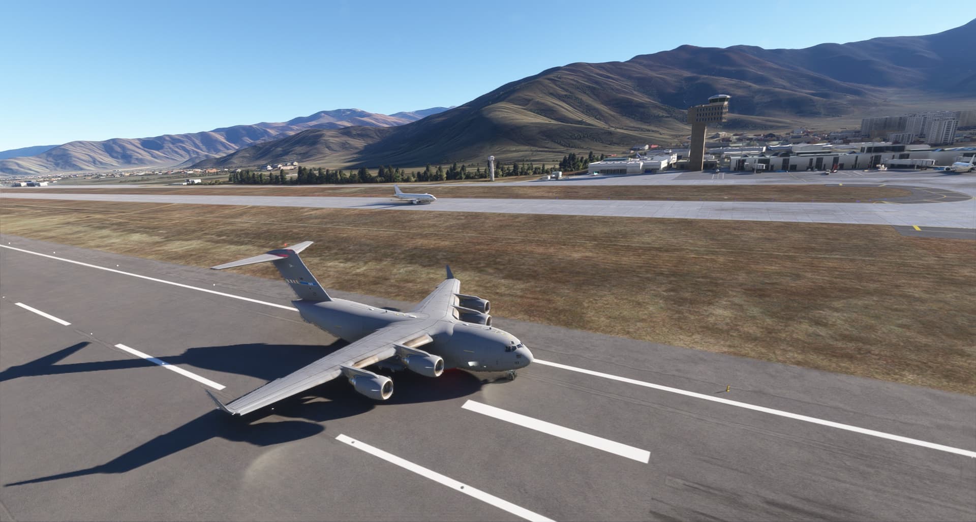
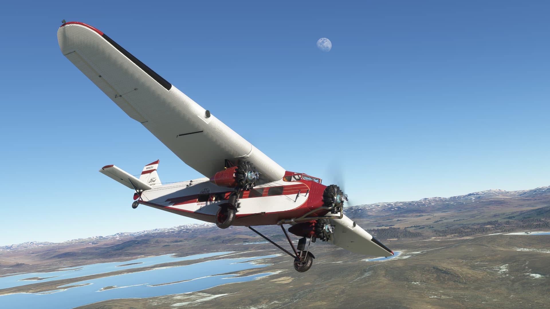
Armed with a plan (of sorts) I roared into the clear morning air of Yangcheng. My mount, the DC-6 in spectacular Cathay Pacific British racing green and white, courtesy of richboy2307.

Why don’t we have colors like this anymore?

Gaoyou Lake stretched out ahead of me as I climbed to 20,000ft just as the morning sun was greeting the citizens of Jieshouzhen living along its shore.

As I proceeded further west, the Yangtse River shadowed me in the distance and I was reintroduced to my old nemesis…

No, not that one.
I’m speaking of the VOR! ![]()
As will likely surprise no one, I have found that the VOR ranges in MSFS can sometimes be…disappointing. Even on published high altitude airways, I often seem to get very late signal reception (or sometimes, none at all, as we will see).
Luckily, it was a clear day, for now, and the Chinese landscape spread out before me like a topographical map. At this point, it wasn’t too difficult to TLAR it between navaids until the needles came alive.

Engaged in this little, navigational mini-game, the time passed quickly. Soon the Yangtze trundled back towards me from the left and I came to an…ahem…small, out of the way hamlet that I’m certain that no one has ever heard of…

What?
Eventually, I arrived at the high sprawling plain surrounding the cities of Nanchong and Chengdu. This landmark served as something of a “go/no go” point for me, with the promise ot flat terrain and several large airfields, before hitting (metaphorically hopefully), the mountains of Tibet. Soon, I would need to decide whether to call it a day here, or continue.
It also, unexpectedly, offered me one more…opportunity to excel.
And just when I thought it was getting boring!
As you can see, the airway structure makes a few interesting jinks through here. I couldn’t quite tell why this was necessary as the area was entirely flat and both the cities and the airfields seemed well spread apart.

But, as I turned northwest and began looking for the Nanchong (GAO) VOR, my OFF flag stayed resolutely in view, my needles parked at 3-9.
After about ten minutes of waiting, I broke the range at which a decent transistor radio should have been receivable. I was going to be CLUDO on Nanchong it seemed.
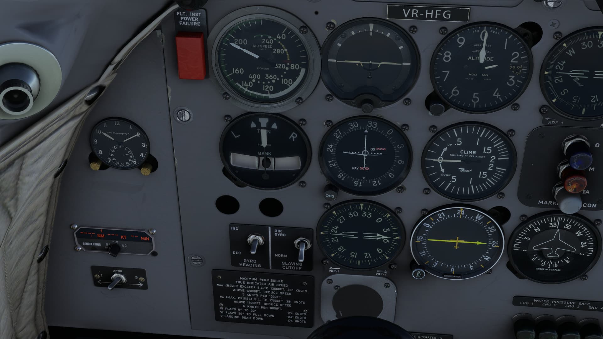
Luckily, the weather was still largely clear there and the clouds still firmly over the mountains. With the city of Nanchong and the bends of the Jailing River in sight, it was possible to set up an at least approximate course towards Chengdu. However, since I couldn’t get a sweet lock on either GAO on one end or Wufengxi (WFX) on the other, I was going to need to revert back to good old-fashioned Dead Reckoning; at least until I could find a navaid that worked.

In the end, it took a fair bit of terrain association (though I did eventually get a signal on WFX) to make my way to Chengdu.

Along the way there, I had also done a bit of “what if” plotting, trying to determine if my original plan was still the best way to get to ZUDC. There would be a long stretch without Navaids no matter which way I chose. But increasingly, I was beginning to think that taking a radial out of Chongzhou (CZH) and stopping in Kangding (ZUKD) might just get me a little closer (and on a radial for longer) than taking a sharp left turn out of PEXUN, if I could even find the intersection should the navaid peter out.
The fact that I had seen two soup cans and a string with better radio reception than the navaids around here was no small factor in my decision! ![]()

The other obviously pressing question was, now or later? As I had said previously, the building clouds were all in the mountains.
But now I was in the mountains! And I harbored no illusions that the VOR would hold out all the way to ZUKD.

My naturally gifted, but relentlessly honed, navigational mind went to work. It looked something like this:
“Well, it looks like there are three river valleys between me and Ganzi Kangding. So, all I need to do is count three valleys and I’ll find the field!” n’est-ce pas?
Surely, not since the heady days of Duck Dodgers in the 24 ½ Century and his mission to find planet X (by proceeding from planet A through W) has such navigational brilliance been seen!


I now had a (harebrained) plan, high mountains, the potential of no ground contact, and iffy signal reception.
So, I did what any safe and sane pilot would do in this case…
I went anyway.
And a one!

And a two!

And a three!

That last one behind me, I was fresh out of valleys.
It was time to set peepers to max gain!

I did get one more break (well, two, you’ll see that I seem to have outclimbed the clouds). Just as I passed over the last valley, I spotted what looked to be the Mugecuo Reservoir (I’m guessing, the charts are pretty zip-lipped over here) just at my one o’clock, almost obscured by ice and snow. If this was correct, then ZUKD was literally one ridgeline away.

And there she is. I run smack dab right into her.

Maybe Porky Pig ain’t so stupid after all!

Have I showed you my disintegrator gun? ![]()
Practically having to climb to pattern altitude, downwind was easy to find.

I tried to keep my speed up on final a bit to make up for the altitude. I didn’t want the bottom dropping out on me here. Now, hopefully, I could stop!

Mmmmm, smooth.
I must be fast as balls!

But, after arriving at gate 10…11…12…13…

my smoking brakes and I pulled into the ramp at ZUKD.

One leg (and a hundred miles) to go!