So gave it a quick go and it does what it says. The main downside is that the navdata overlay can get too cluttered, due to the nature of the data and there aren’t any options around that.
There’s a new toolbar entry here you see in VR (or 2D if you like):
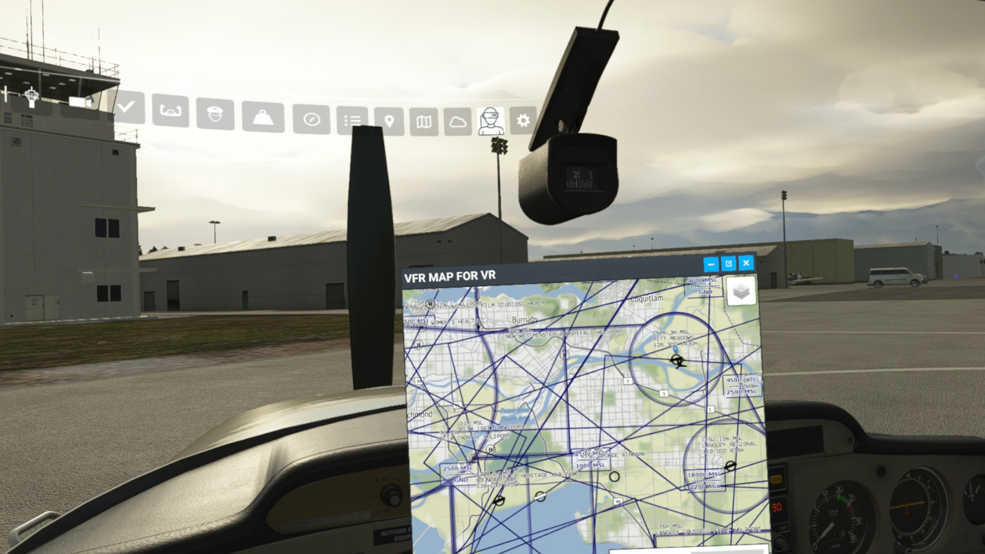
It can be resized and moved around in VR, but things like ILS and VOR frequencies being clickable shown would be the ideal (I guess it is the VFR MAP for VR afterall…). The performance is fine and the tower frequencies can be read ok.

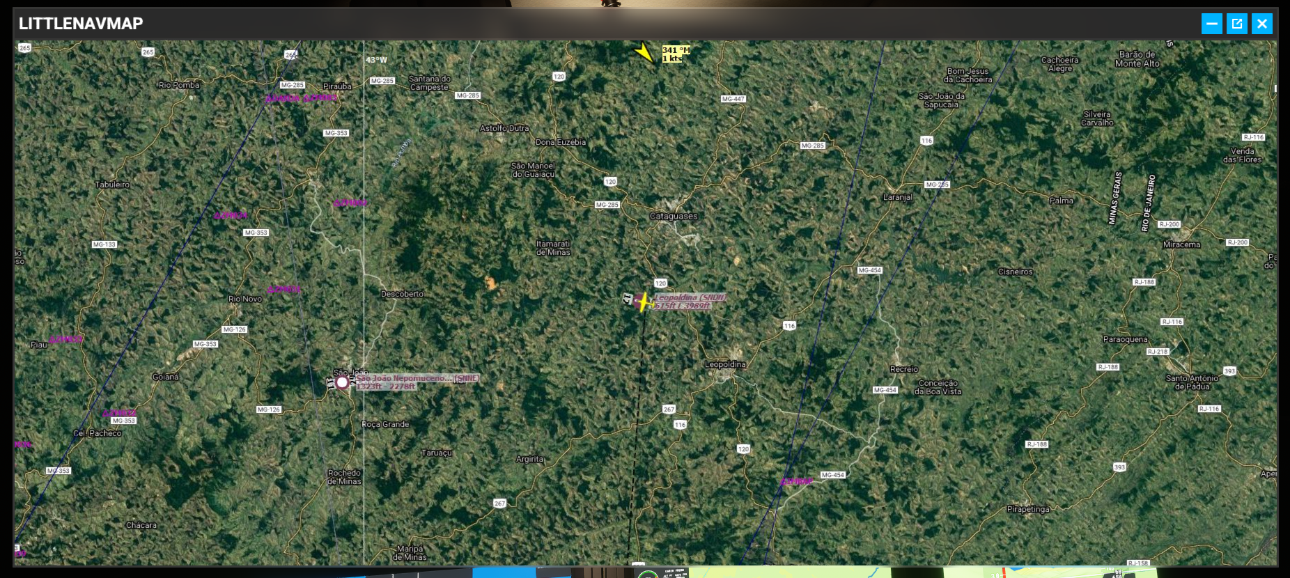
I also played around with having Little NavMap displayed, as that has lots of features and would be nice in VR. I used this:
That just adds the ‘webserver’ view into VR, with the main downside is that there is very little options around the graphics tiles font sizes, which means in VR resolutions a lot of things are too small to see (as the text is built into the graphic maps). Still, it did work nicely just not a silver bullet as yet:

The best solution for a lot of these things is just MSFS being able to work with the usual desktop compositors ok, so you can just bring in 2D apps as you would any other VR app, so we’ll have to see if ‘Sim Update 3’ does that (soon) (ish).