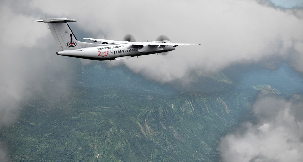
Wow…that mist in the mountains shot is great… Is that the default weather engine?
Yep! Sometimes it really can produce magnificent shots! Although I think the little flufballs of clouds are better hidden low above the ground.
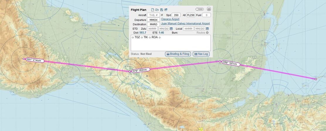
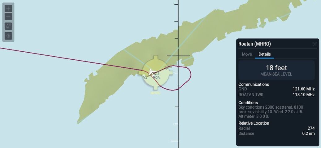
So I flew Leg #3 last night from Oaxaca (MMOX) to Roatan, Honuras (MHRO) - a short leg 600nm leg that doesn’t get us much closer to Antarctica, but does provide for a good jumpoff point to points south…hoping to beat some weather into Roatan…
Here we go…
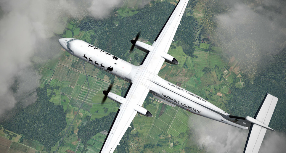
Since we don’t have to worry about fuel on this leg at all - I elect to go at the MEA of 15,000 so I can see the mountains scooting under my wings…
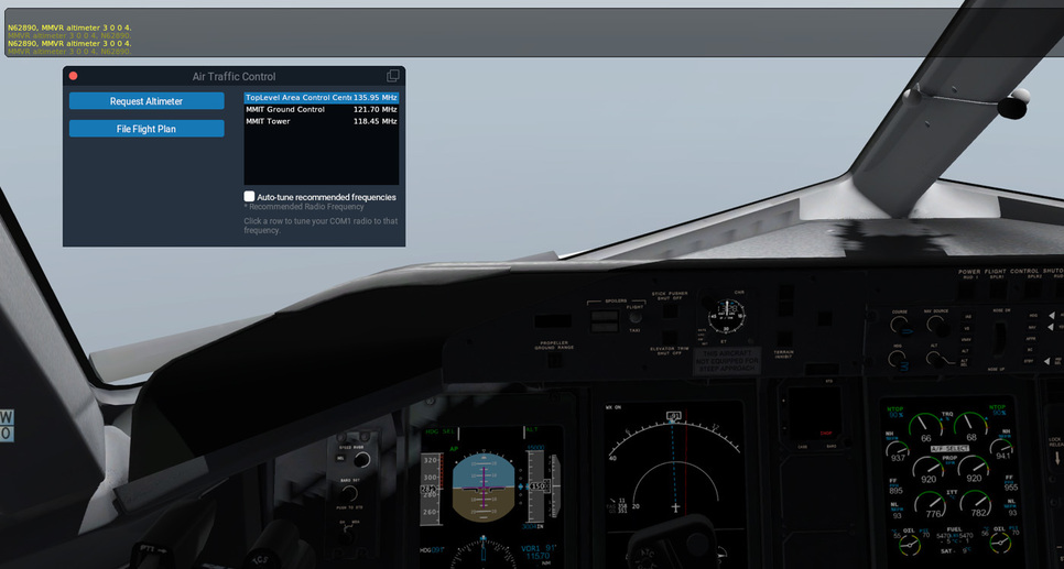
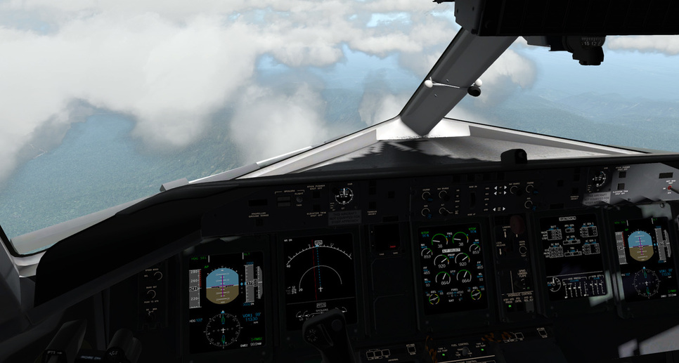
Occasionally checking in with the Center controller to keep the altimeter updated…
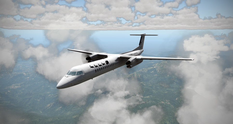
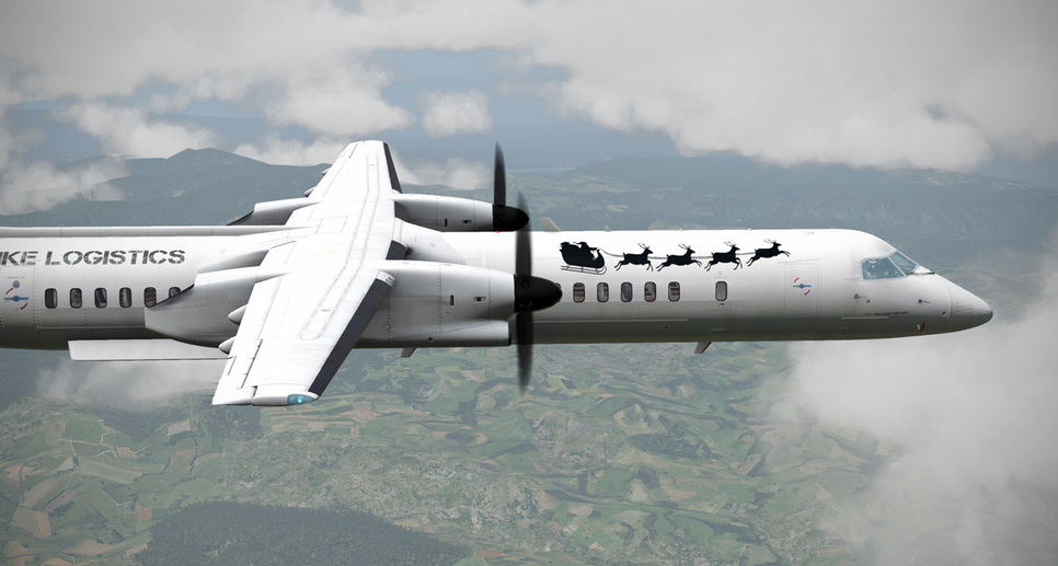
Enjoying the views…
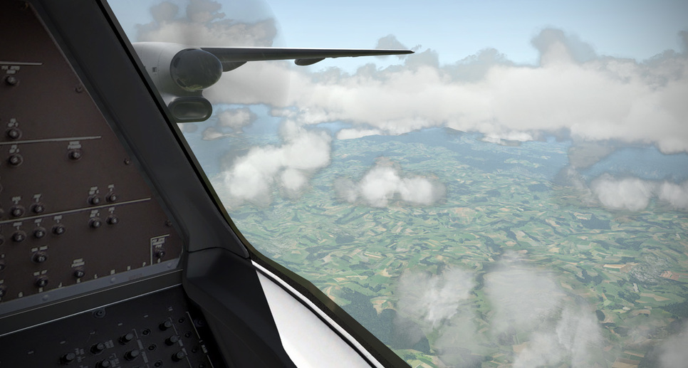
There is some really incredible terrain northeast of Molina, Mexico - I’d love to see what this gorge looks like in real life…
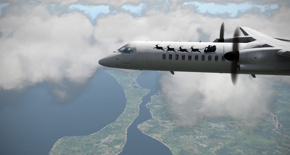
Eventually the highlands give way to farmland as we approach the coast…
Heading out over the Caribbean Sea…leaving Mexico behind for good…
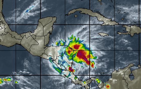
Soon the island of Roatan emerges from the mist. The tropical moisture is definitely moving in as the cloud layers are thickening and visibility is dropping…
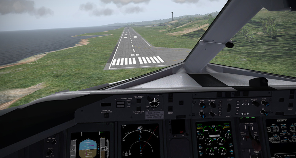
Fortunately, the weather is good enough for a visual approach…
Flying the visual pattern…
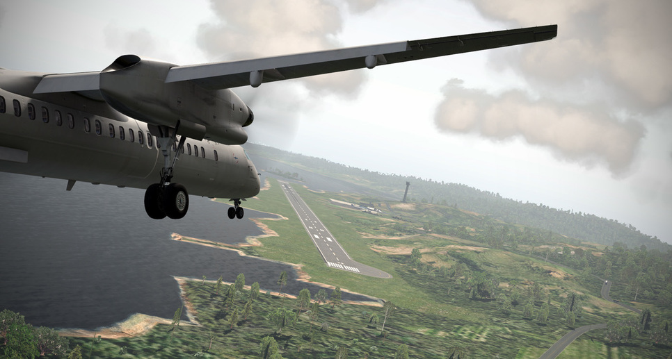
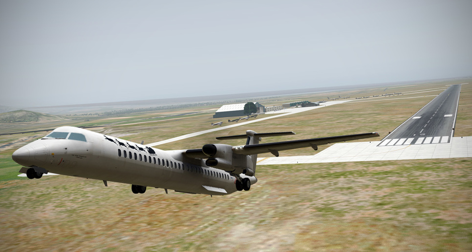
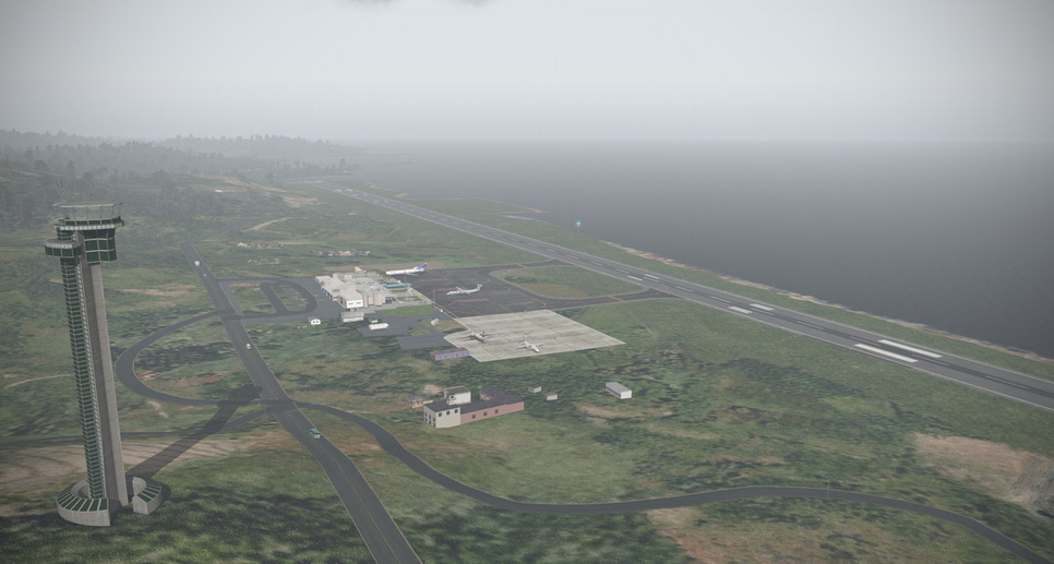
Short final to Roatan (beautifully created by axmiha - HERE)…
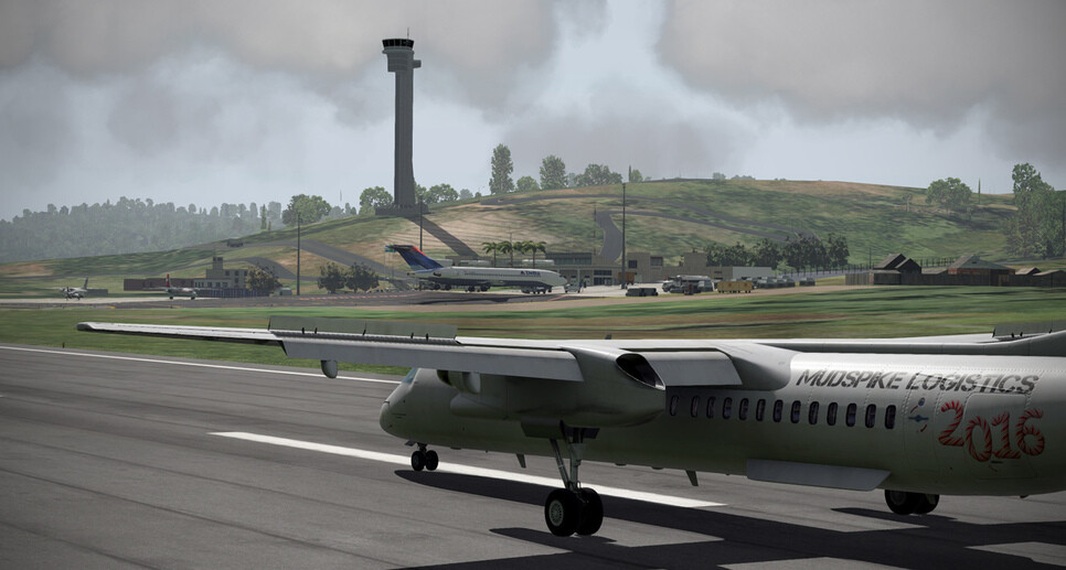
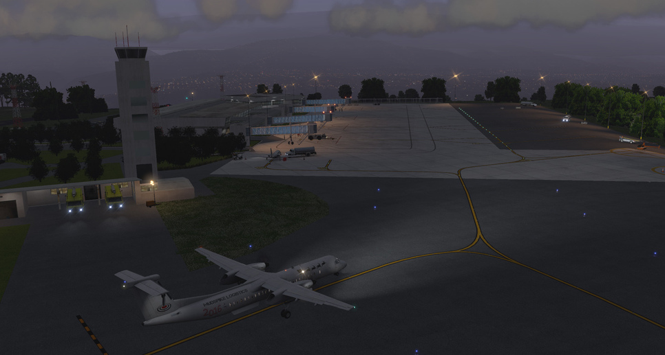
On the ramp as the rain starts…


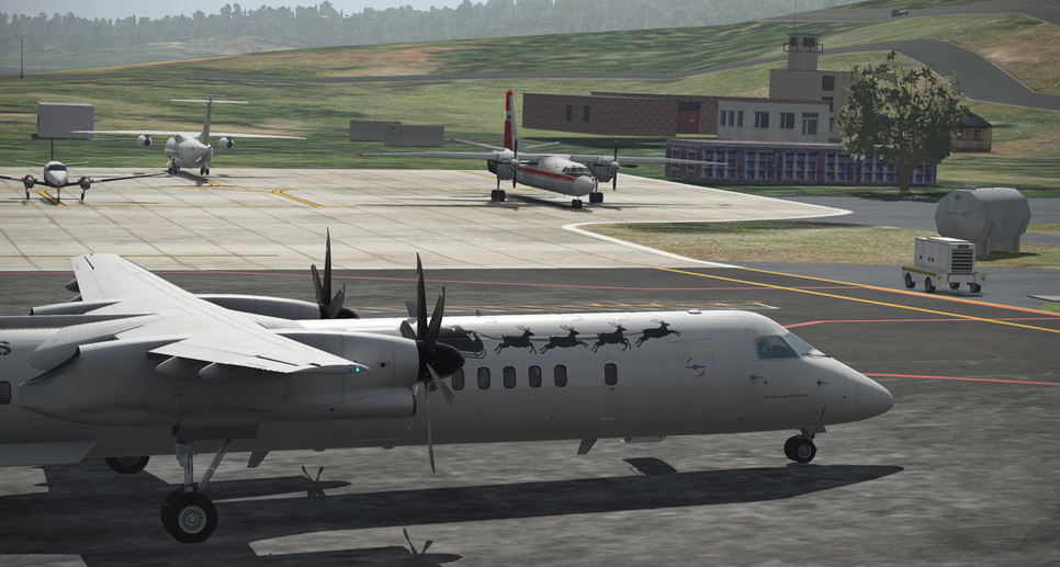
Across the ramp - I spot a funny little irony as an An-24RV sits…(my first choice for this trip…but not to be for XP11)
The rain settling in…
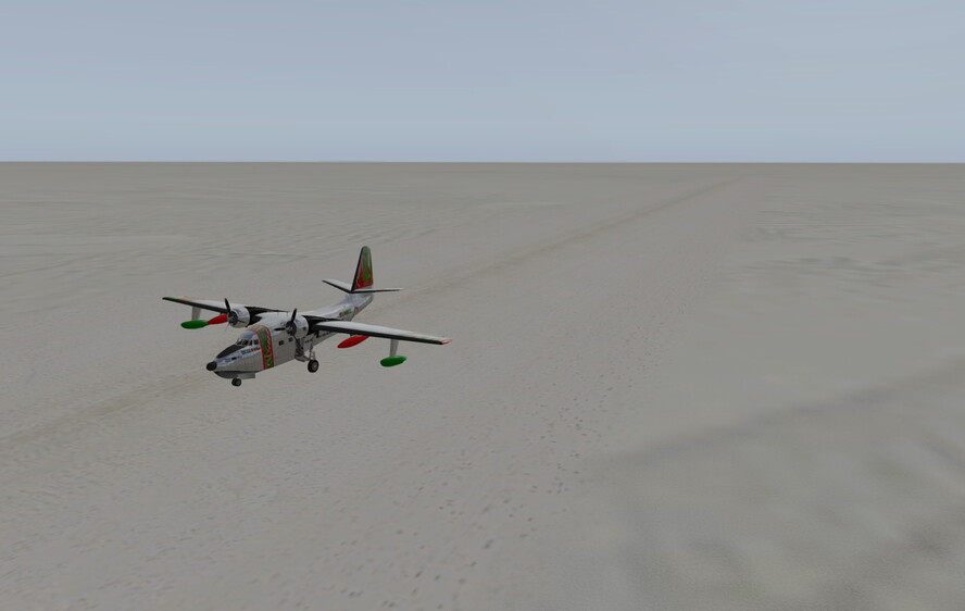
Time to put the compass on “S” for a bit…looking forward to the next leg…
4 Likes
Antarctic Stop 5: NZPG McMurdo Station Pegasus Field
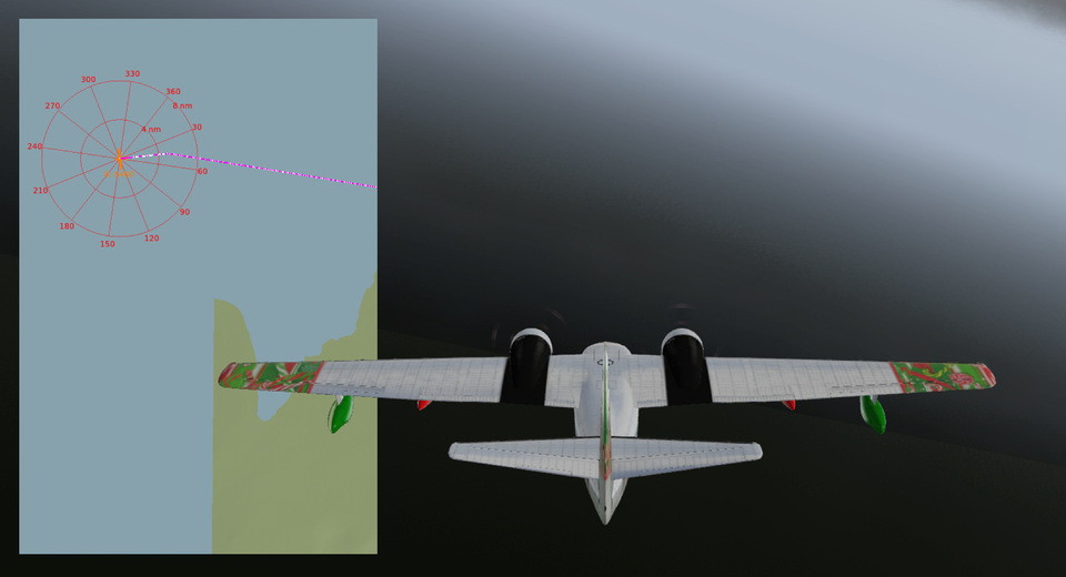
From AT24 we headed Northwest until we returned to “scenery-lization”, as evidenced by the following image taken in a miraculous moment of CAVOK…
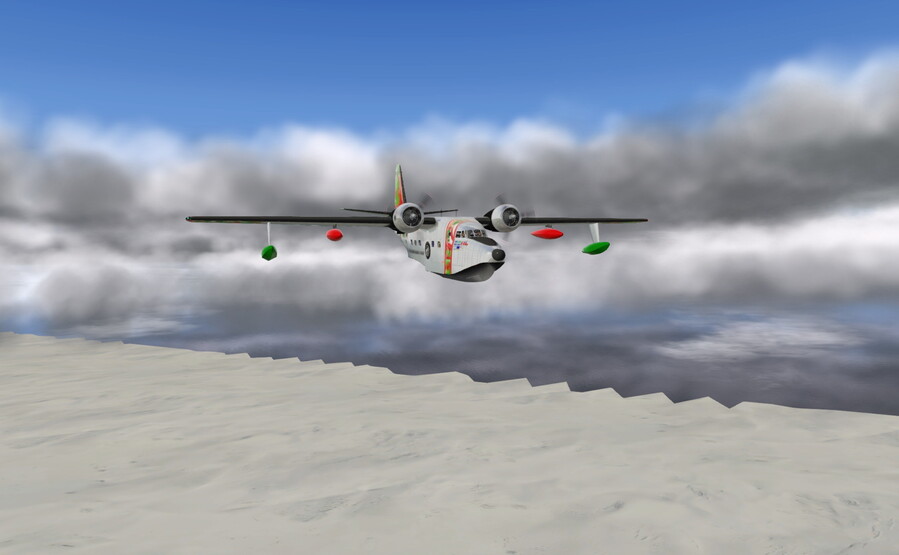
Then the clouds came back and the Candy Cane continued on her quest…
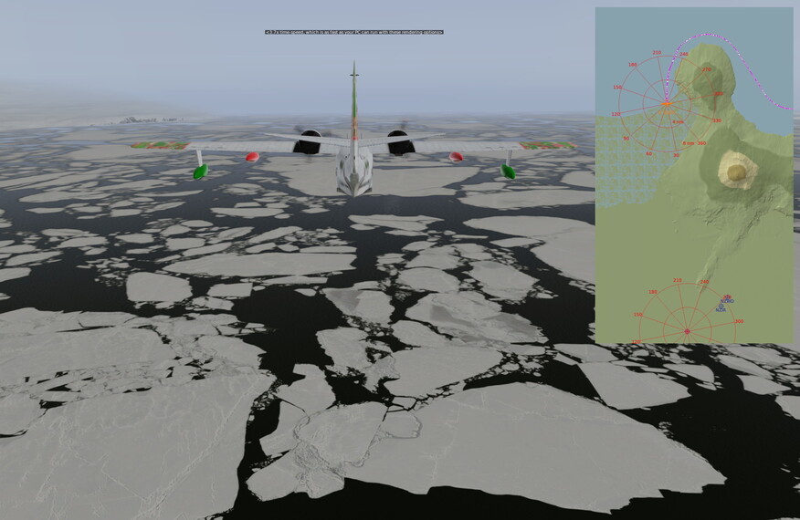
Eventually we arrived at a more natural division between land and sea, and changed course to begin following the coastline westward…
But soon enough we found ourselves again without a coastline to coast over…
Inspired by our SIGG bottle’s motto, we continued …and continued…
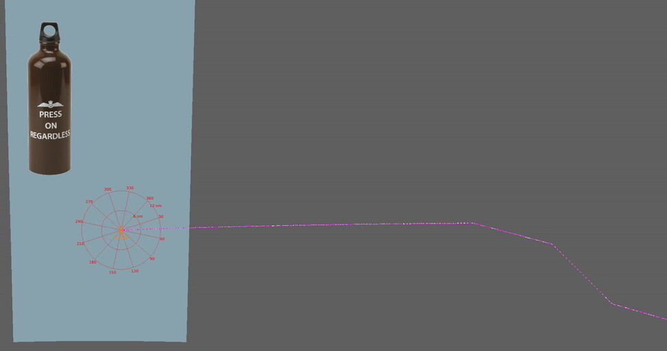
…until we ran out of gas somewhere in the vast Southern Ocean.
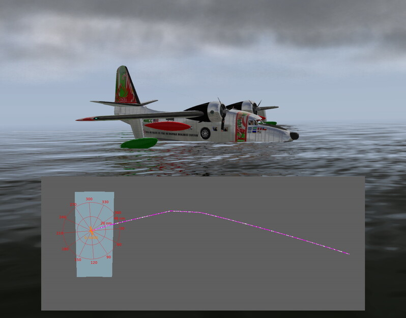
Fortunately for us there was a floating fuel station nearby. These are the best things ever invented/imagined to support thirsty floatplanes in the middle of a virtual ocean (besides the ubiquitous aircraft carrier)…
Fuel o’ fuel, we could not get our fattened Albatross back off the water in the real-weather conditions. But another miraculous moment of CAVOK enabled us to do it. Just how many Christmas miracles we have been allotted on this adventure remains to be seen. In the meantime, we flew in a direction what we hoped was West. We kept adjusting our heading to maintain that general direction based on X-Plane’s local map display. Remember (or let me tell you) that the Albatross is not equipped with a GPS, so we were really going on rough estimates.
Further we went…
By this point in the dead-reckoning, I was getting uncomfortable with relying solely on the skills of my besotted navigator. On hindsight, I will not be convinced by my crew that “just lightening the load” is a valid excuse for being caught nibbling upon the rum-filled chocolates.
Using the satellite phone, I was able to extract our current latitudinal and longitudinal coordinates from its utility menu (that translates to using X-Plane’s data output to display such info). Using the sat phone’s browser, I input the coords into Google Maps. Did that every 15 minutes or so and, voilà, instant positional reports (denoted by the red pins below)…
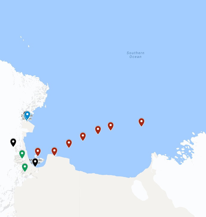
By the time we hit the coast again, the autopilot was set to 135 degrees, which is still hard to get my head around. The scenery into McMurdo Sound was pretty cool…
We landed at NZPG without incident, having the full stopping power of those (properly functional) reversible-pitch propellors…
We’ll stay here overnight and unload what will be the largest portion of our cache in the morning for the 1,250+ good little boys and girls that reside here.
Actually, we will stay a few nights. It will take a lot of cold-weather cocktails to numb our brains to match the numbness of our butts. We’ll be sure to tip the resident bartender appropriately.
Other links of relevancy…
5 Likes
Nice! That’s a cool idea…
1 Like
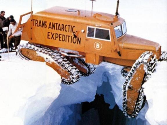
“Stan has been operating the Snow-Cat under the influence again…!”
2 Likes


1 Like
Now we know why the fourth Tucker Sno-Cat Model 743 was not brought back for display in a museum.
Way to go, Stan. Well, Stan probably did go …down there in the crevasse with the fourth Sno-Cat.
1 Like
What an insane trek - and look at how they DID pull them out…well…it didn’t fall all the way in…but look at the labor…
Yeah…we’re just gonna be filling in a crevasse with hand shovels today…

1 Like
Congrats! Here…

1 Like

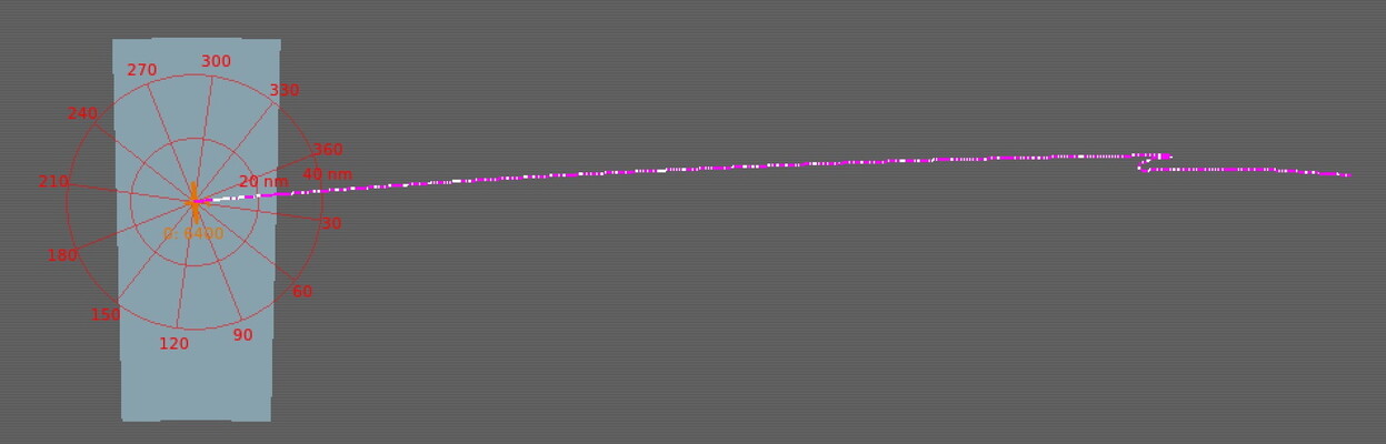
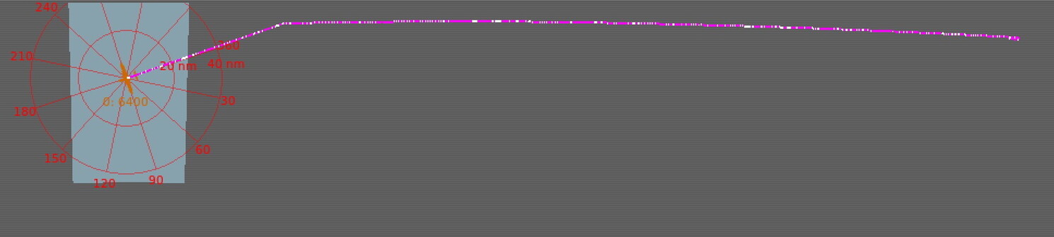
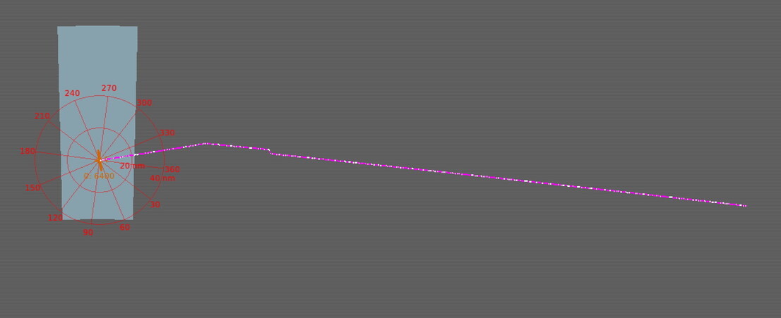
Well…those interior VORs of Mexico must be (L) service volume. I’m currently tracking San Andres (SPP) VOR at 128nm (FL250) - so apparently (H) and (L) VORs are modeled. I was losing the (L) VORs at around 45 miles.

Hmm…weather is good enough…but could get interesting if that lower layer becomes broken… Definitely shooting an approach though…
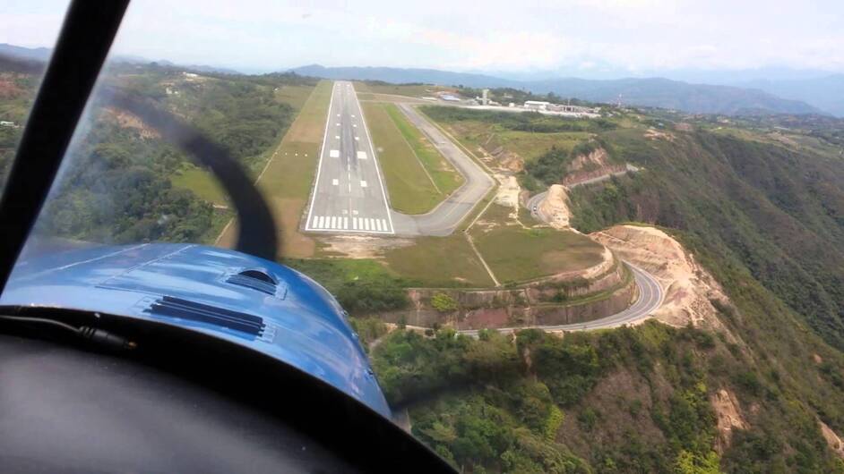
SKBG 130500Z 00000KT 9999 SCT010 SCT070 21/19 A3003
Arrived in Pelongero Airport / Bucaramanga, Columbia (SKBG) - a very unique airport with an absolutely stunning perch on a mountain overlooking the city and valley below. I’d have to say this was one of the prettiest flights I’ve ever had in a simulator. The weather and arrival time just happened to catch the beautiful sky colors of XP11…and the haze and lighting effects are just unparalleled. I’ll post the screens tomorrow…
5 Likes
Where’s that Albatross from btw?
It looks really good. (sorry if you already wrote about it, I admit I haven’t carefully read every post in this ginormous thread).
Thank you!
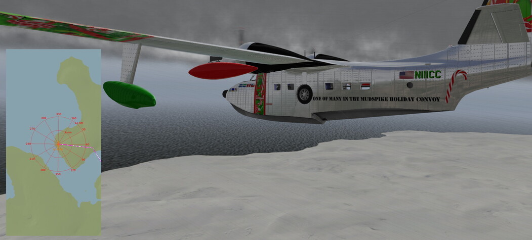
I’m flying the now two-year old Khamsin/HydroZ HU-16, to which I’ve applied Ddenn’s Materials_NG plugin and my own livery.
http://hydroz.net/simu/hu16/hu16.htm
http://forums.x-plane.org/index.php?/files/file/35235-n111cc-for-khamsins-grumman-albatross/
1 Like