I’m going to wait for the targeting pod to do the math for me. Sounds like too much hand-jamming.
Have also been witness to guided munitions hitting the wrong target (GMLRS). I wonder if the 95% reliability margin is for accounting for human error or mechanical failure?
Also we can potentially avoid the CTD and button-mashing on a multi target pass by simply NOT trying to set a weapon to the PP profiles (ignoring the QTY setting entirely as suggested four posts later:
Just to add to that, I saw this over on the ED forums (haven’t tried it) and thought I’d share.
The reason we hit enter twice on the JDAM coordinates lat / lng is that the precision is set on the second enter press, i.e. N 12 34 45 (enter) 333 (enter).
So really the only thing waiting is getting arc seconds detail on the F10 or Mission editor map. To get around that you can set the map to MGRS coords, note the figures and then convert to full arc seconds, i.e. http://www.earthpoint.us/Convert.aspx
I tend to set up the mission profile on the ground, so entering these with a conversion isn’t too bad.
Thank You! That solves that mystery for my brain. So the “hidden” feature of precision mode is basically a prompt label on the UFC that isn’t being shown.
I know a mission we can try to practice with precision, it may just need a update with the Hornet.
JDAM crash, accuracy, and the ability to view DD/MM/SS.SS on the ME and F10 maps is all addressed internally, We hope to have an update after we un-bork the HARM.
The last bit is great news. Using the Hornet a lot for SEAD/DEAD in most of the evil missions @Franze or @WreckingCrew cook up…
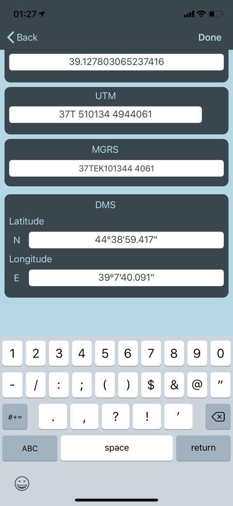
I am now using an iPhone app to do the MGRS to Long/Lat in DMS.sss format. I have been able to enter precision with two decimal places and the app does 3 so I round the last digit. JDAMs have hit their mark each time, within acceptable CEP.
The app is called Mgrs and Utm Map, it’s free and I asked the developer about adding conversion from DM.mmm to DMS.sss for the purpose of translating TGP coordinates. They replied and said they would pass it along to the iOS team - so hopefully that comes through!
Key thing to note is the minutes in long/lat don’t have preceding zeros, but you will have to enter them in the UFC. When the coordinates display on the JDAM page they are also lacking preceding zeroes, so you can visually verify it.
I thought this was going to be added in the latest open beta today, but I guess not? I am LALT-Y’ing on the mission editor and F10 map, but no arc seconds that I can find?
That seems to be the case, as reported on the ED forum. People still complaining about JDAM accuracy but I suppose they don’t jury-rig the precision mode.
You guys, you guys, y’all been missing long with LGB’s too?
Someone on the ED forum found the fix:
Open the HSI page. Press DATA. Press WPT. Press UFC. Select ELEV. Type 0(zero) and press ENT. Voila. The current selected waypoint altitude is now set to zero and the dumb hornet fire control computer will no longer assume you are trying to bomb the mountain climbers off of Mount Everest, the bomb will manage to see the laser designator and hit like a boss.
So it wasn’t to do with the map. It’s the waypoint altitude setting.
Good catch. I think you have to do the same with the A-10C mod.
Technically when the intel bubba from CVIC gave you the target coordinates, they would have also given you the target’s elevation which technically is the elevation you should use.
This is more important with GPS-guided bombs. For example, if you are attacking a tall building, you may want the bomb to hit the center of the top of the building–just say a military command center is on the top floor. If you use 0ft or the height of the terrain the building is built on, the bomb will try to go through a side of the building to hit that point on the ground, and miss your designated target. It might damage the building but not the true target. Worse yet, the roadbed or rail bed a tall bridge …If the target elevation is entered as the elevation of the water under the bridge, it will be a clean miss.