MacRobertson Air Race (2019)

If there’s a medal for most lost, it’d be mine.
@NEVO I also landed at LGAV, but not by intenstion…

LOWI - LHBP (Hungry Budapest) takeoff 4/10 8:30am landed 11:12am duration 2:42
LHBP - LGAV (Greece ???) 4/13 9:30am landed 5:10pm duration 7: 40
Total 17:47

LOWI - LHBP


Pretty easy, because I was able to just follow the Danube River once I hit it from the mountains, and weather was mostly clear. Though when leaving Innsbruck, it was rainy/foggy.


The blue Danube is kind of blue…ish?

Pass Vienna

Into rain again

The Danube bend north to Budapest


A quick circle above the city

Landing at Ferenc Liszt International, which seems to me a bit small for a capital city’s airport

7 Likes

the next leg, here is the plan


Would stop at Sofia of Romania. But…
Leaving Budapest

Soon surrounded by clouds. Why so much rain and cloud in this part of Europe?

Set the heading, engaged AP, set time acceleration, set a timer on my watch, I went to prepare my tax return (in the US, the deadline for filing tax return/declaration is Apr 15). When it’s about time, I set the time back to normal pace, lowered till I could see the ground…

Couldn’t tell at all where I was. All right, should be somewhere in Romania. Since my DC-3 has such long legs, why not turn to 106 degree and let’s head to Turkey. It’s another long leg. I could continue working on the tax return.
When it’s time, I lowered out of the cloud.

OK. Lot of water. Make sense. May be somewhere close to Hormuz…Then it began a I don’t know how long running around like a blind mouse. I flew to a open sea to the east, which I guessed to be Marmara. But the size and shape couldn’t be right. Turned back to the west, and flew into a narrow water, which seemed to be east-west long. Couldn’t locate any water body on the map like that in the area. When I felt desperate and the fuel was low, I spotted an airport. I gave up. After landed, I opened up the map…

That narrow water body was not east-west long at all. Then it occurred to me to check the DG. Sure enough, it’s off by almost 70 degrees from the magnetic compass. And I’d landed in Greece!

Now I vaguely recall that X-Plane had prompted a message shortly after take-off (I think, or maybe I’d confused with some previous flight because it’d happened more than once or twice) that the DG was off. But I didn’t do anything, because it wasn’t by that much. I don’t know at which point the DG went off that much, and the AP was guided so much further south. Big lesson learned…
Even though it was just in the game/simulator, I really felt desperate and exhausted when lost over the sea after such long flight search. I couldn’t help but thought of those earlier days’ pioneers / adventurers or those naval pilots in the Pacific war who got lost over the open ocean. What a dire situation to be in…

8 Likes

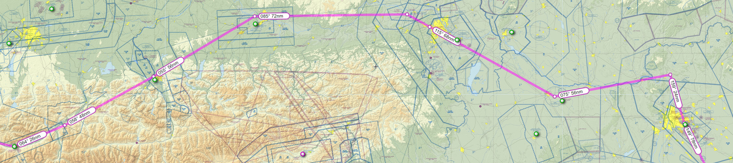
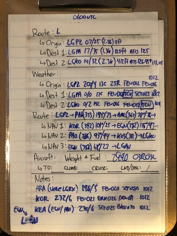
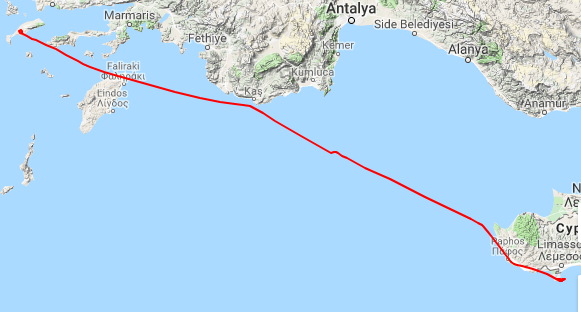
Leg 07: LGPZ to LGKO (by way of LGAV) via AML, KOR, EGN, PAO and KOA

Aircraft: Carenado Beachcraft Bonanza F33A w/ SimCoders Reality Expansion Pack;
Addon: FSFlyingSchool 2019 for X-Plane 11
Addon: ActiveSkyXP;

Date: 15 April 2019
Weather: Historical 15 April 2019 @ 08:00 UTC (06:00 local)
Takeoff: ~ 08:20

Leg Total
Planned Distance 376 nm 1792 nm
NDB Beacons Tuned 5 27
Weather ‘Situations’ 1 4
Duration 02 H 50 M 11 H 36 M

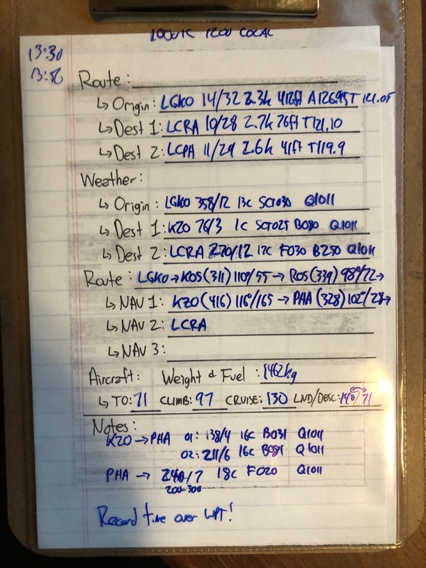
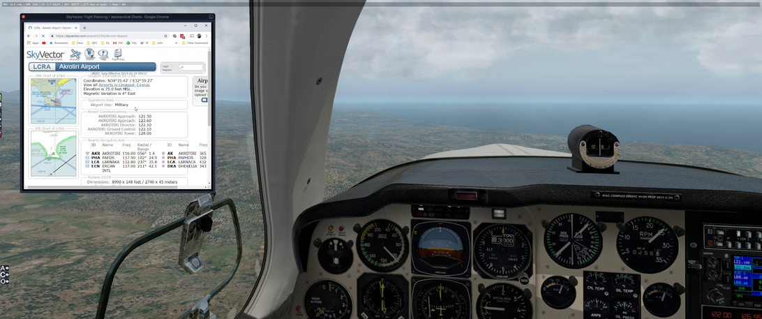
Location: Antimachia, Kos, Kos Regional Unit, South Aegean Region, Aegean, 85302, Greece

Part 1:
2019-04-15%2019_47_59-Window
Part 2:
2019-04-15%2021_31_34-Window

Briefing Notes:

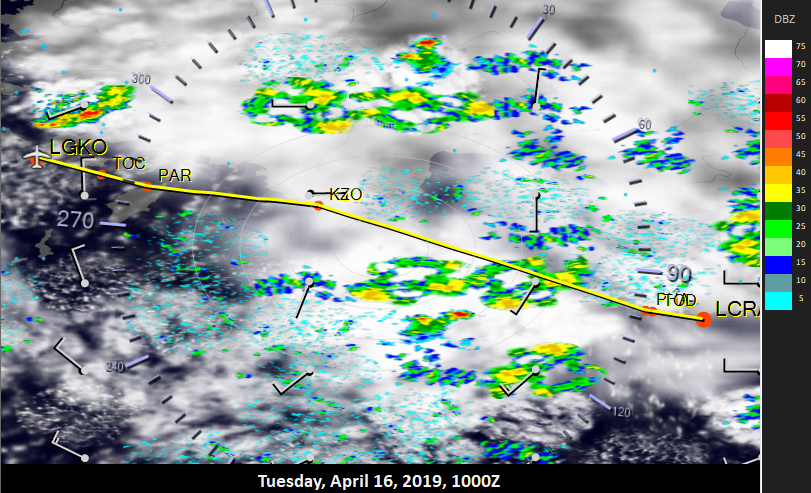
The weather is really not cooperating. I can’t really get above FL100 and the weather enroute doesn’t look the best unless I really want to spend a long time going around. So, looking at the weather in ActiveSkyXP, I figure that the best time to start is 0600 UTC*(See Briefing Part 2 below).

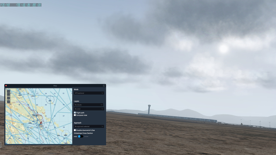
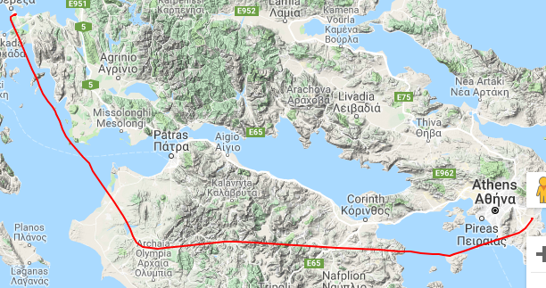
The plan is to head down to the AML NDB, a nice long range station, and see if I can either pick my way across the Gulf of Corinth to the North or through the middle of this mountainous area of land to the KOR NDB. If the weather holds, which it ‘should’ *(See Briefing Part 2 below), I can stretch it out to LGKO (via PAO and KOS NDBs).

If it doesn’t hold, I am going to see if I can make it to LGPA which is between Athens and my destination;

Other Media and Notes:

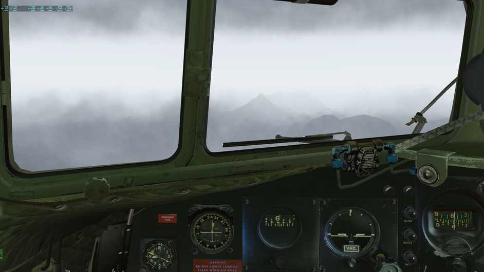
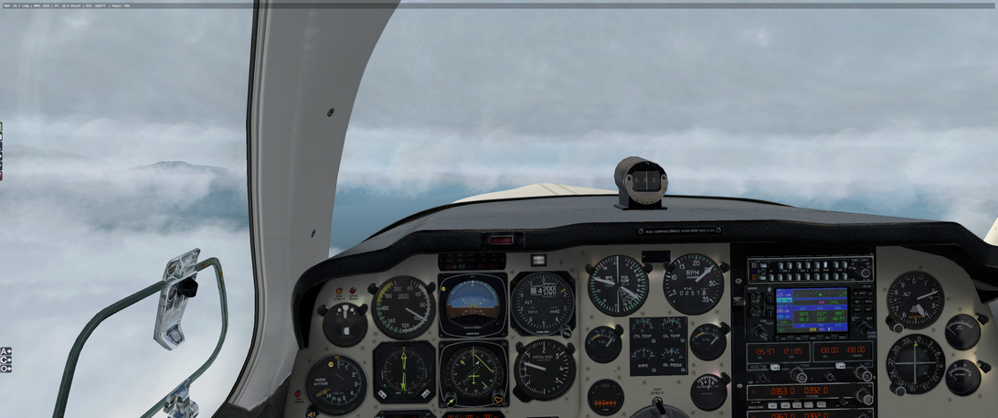
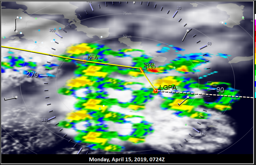
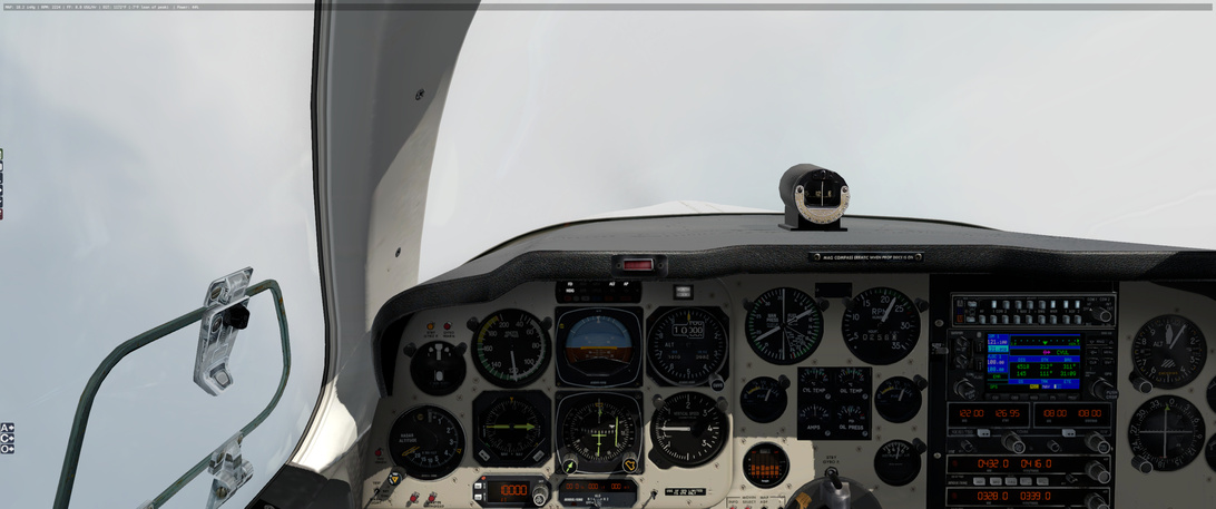
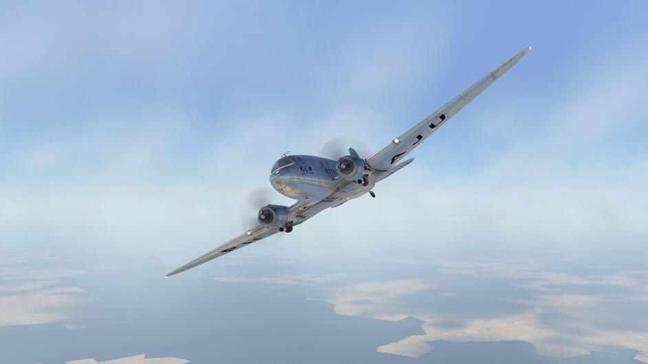
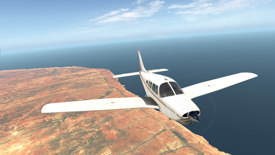
Climbing out of LGPZ is a challenge as there are Thunderstorms in the area earlier than I anticipated - and it is quite something to take this little plane into those conditions. Patience on the controls, though, and I push through.

I try to go up through but have to settle for a rocky flight below the clouds with the flashes of lightning and boom of thunder around me. No idea what happens if I am struck my lightning but I am pretty sure it won’t be good :slight_smile:

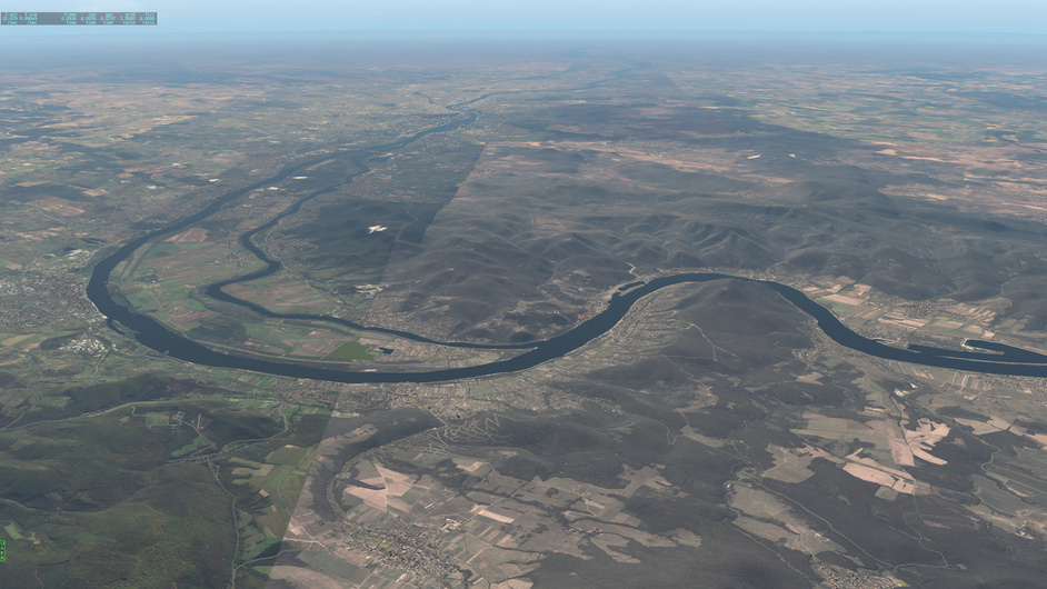
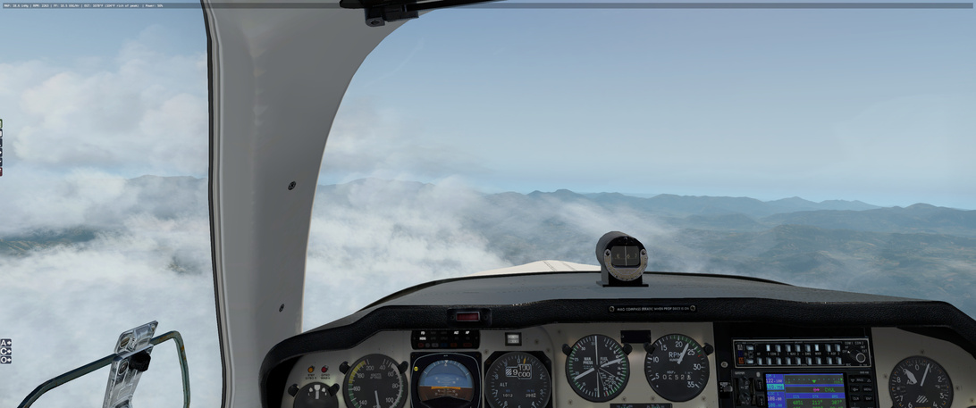
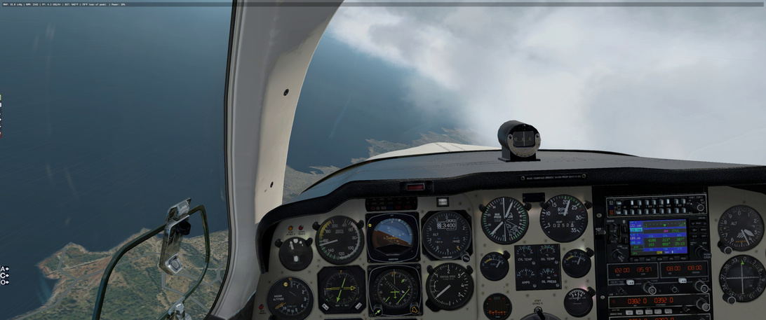
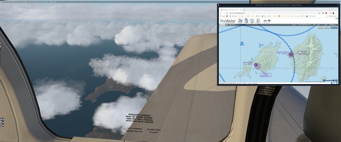
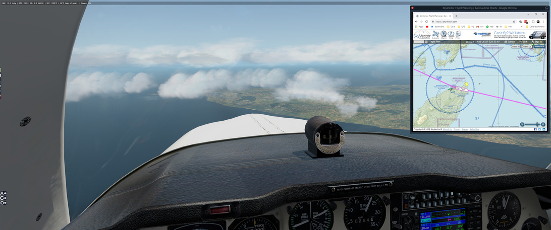
Passing AML I turn due east to head south of the weather that seems to have made a home over the Gulf of Corinth. Best I can manage:

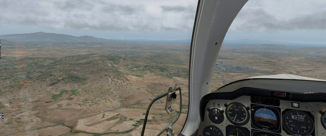
Somewhere out there to my left is where I wanted to go :slight_smile:

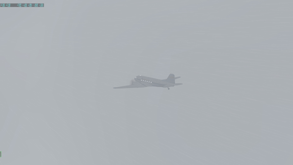
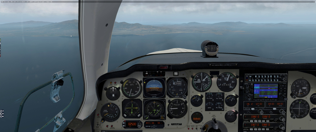
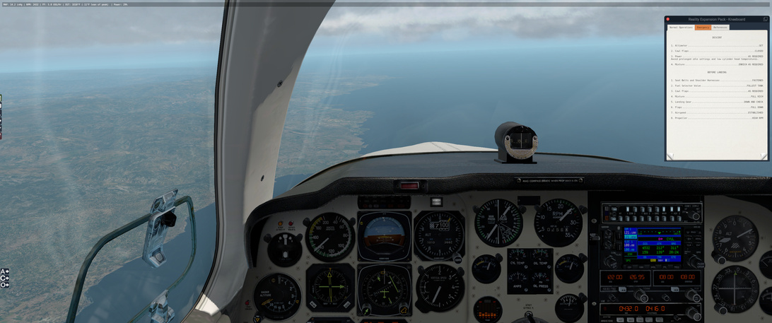
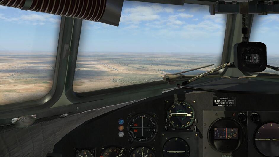
By the time I come up on the coast, loose the AML NDB signal and pick up EGN (deciding to bypass KOS to my front left, I enter weather.

I check the weather ahead of me and … yeah, that is not looking like I had planned. It looks monstrous for me to continue with my plan.

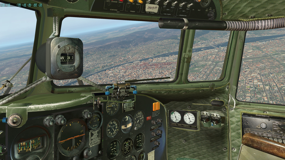
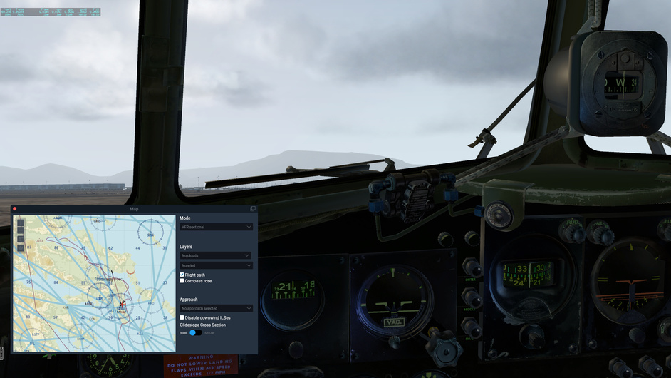
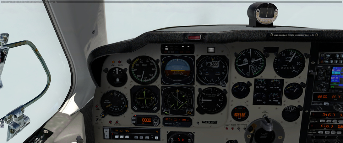
I pull up PlanG and find the bearing and range from EGN to the Athens airport at LGAV. With that bearing, I descend at my best possible speed, careful not to overspeed the aircraft in the turbulence, down to 2500 feet for a relatively clean run to Athens.

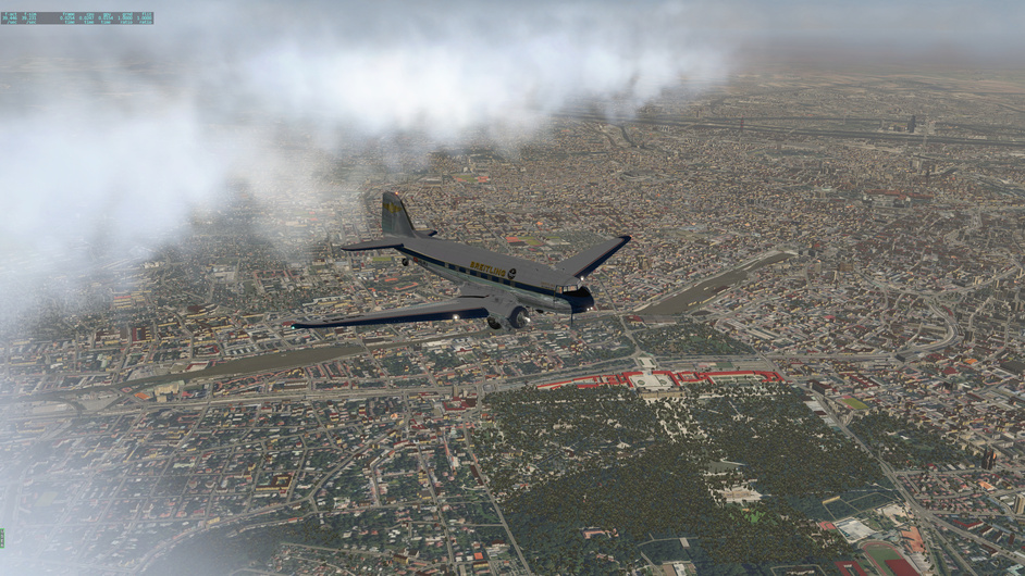
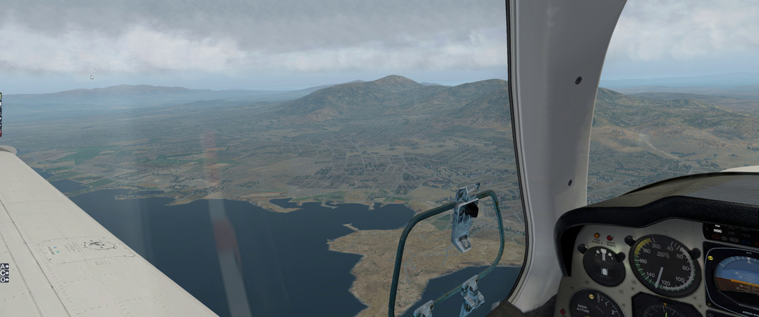
Somewhere ahead of me is a major airfield. I am on my my correct bearing, as far as I can tell.

It’s gotta be just on the other side of these hills. Or am I lost.

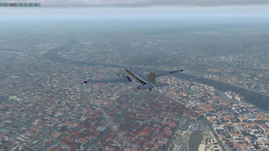
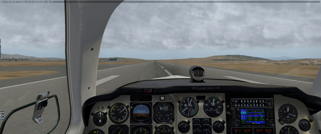
There it is, just off of the canopy strut.

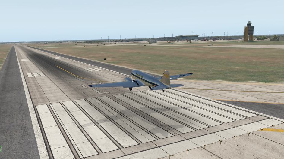
Helpfully, FSFlightSchool instructor informs me that I am ballooning down the runway. Yeah. I know. :slight_smile:

Briefing Notes Part 2:

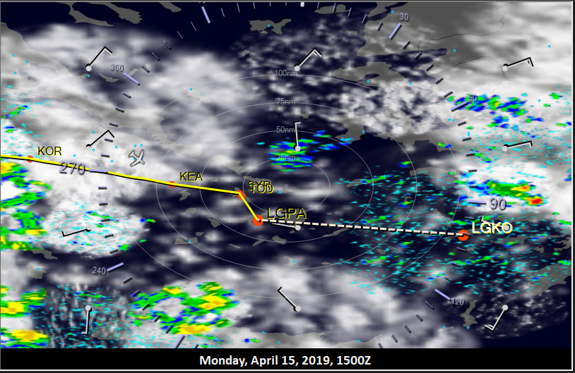
So I decide to wait out the weather here and see if it will improve. By 1500 Zulu it looks clear enough for me to try and complete the rest of todays leg. I don’t want to get left too far behind, the pressure is building to keep going :slight_smile:

I wipe my notes board and reset.

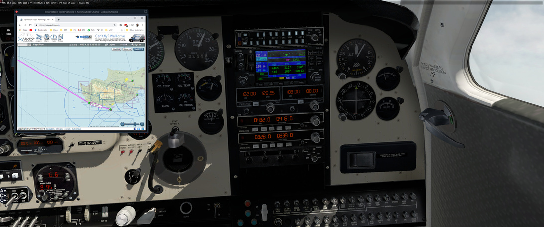
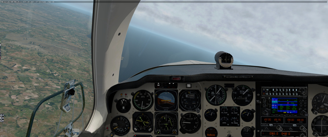
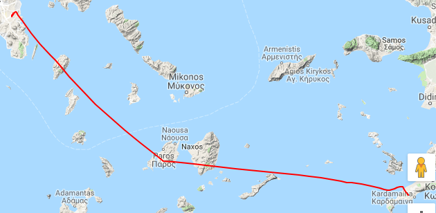
The plan is to head directly to the PAO NDB from the Athens airfield at best speed. I am going to try to get up to FL100 and see if I can get over most of the weather in my way. Nothing fancy here :slight_smile:

Other Media and Notes Part 2:

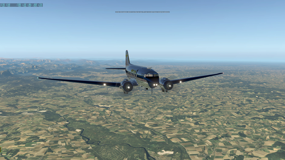
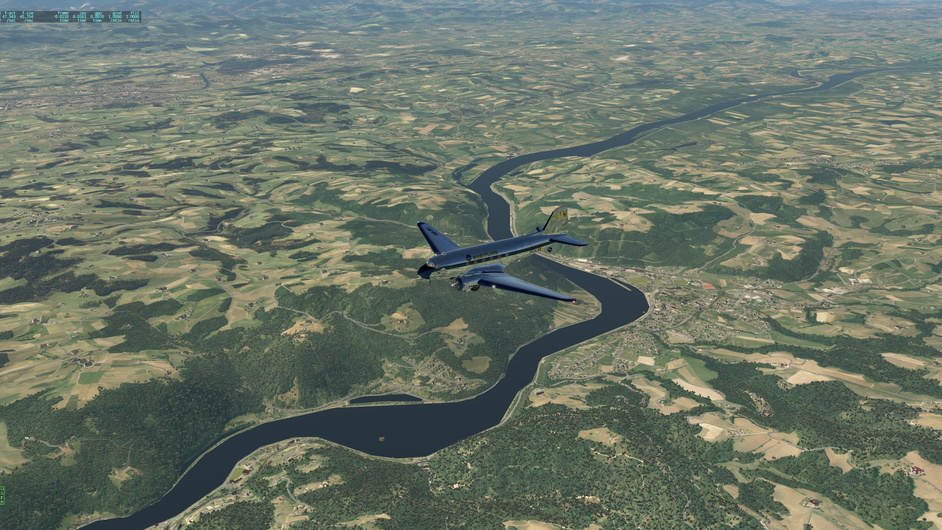
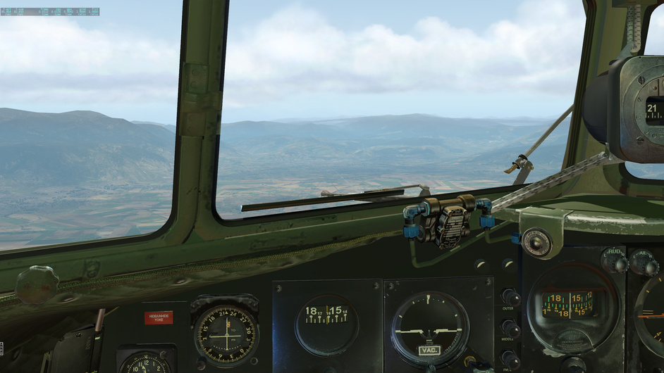
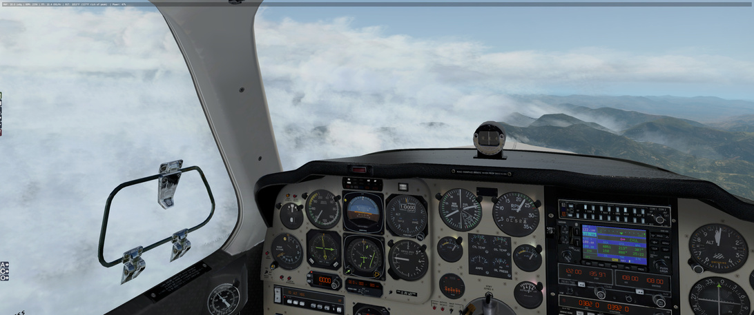
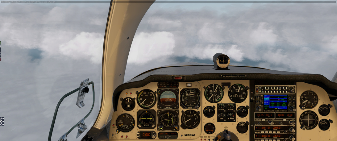
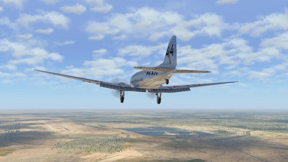
Takeoff and climb out is uneventful and I hit none of the turbulence and weather that I was in before.

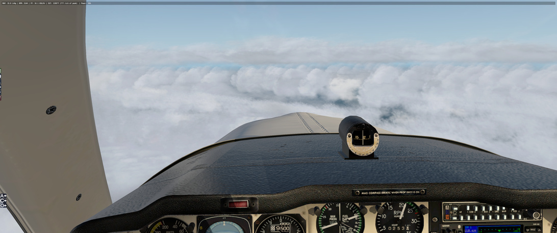
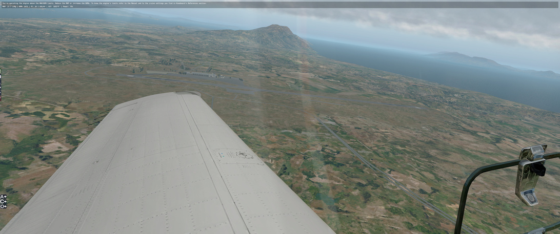
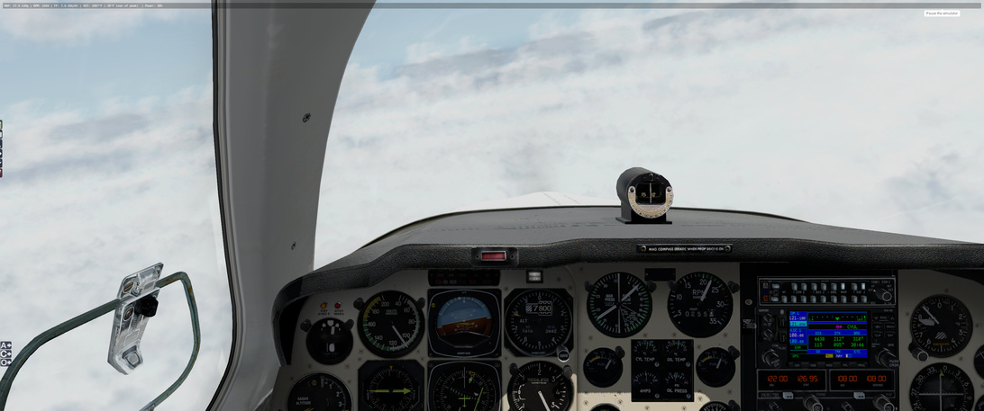
I get above the weather but the NBDs are right where I expect them.

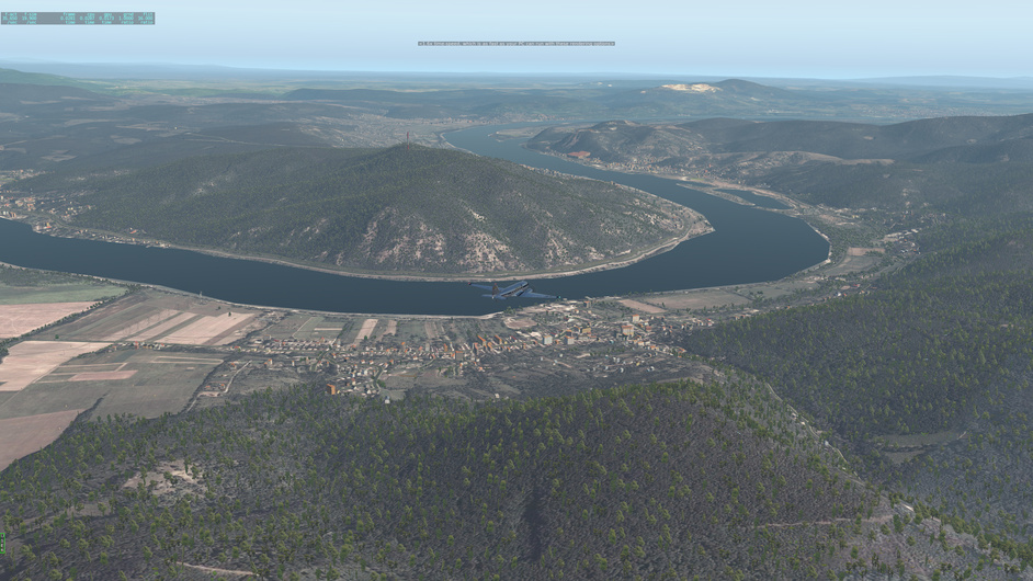
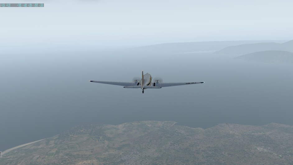
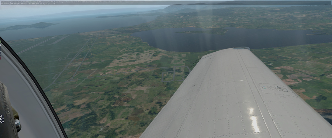
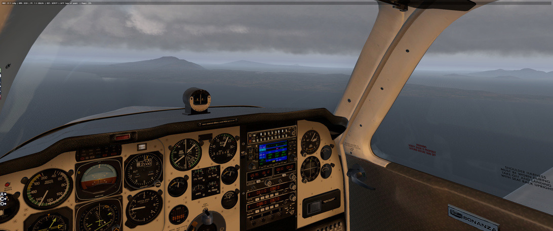
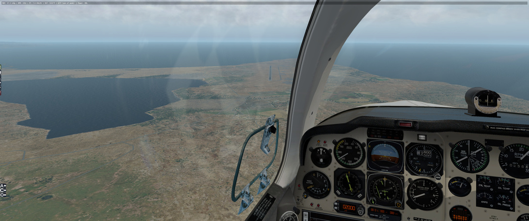
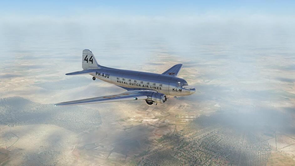
Over PAO I catch a glimpse of the island below and a distinctive feature is readily apparent - a little double cove north of PAO.

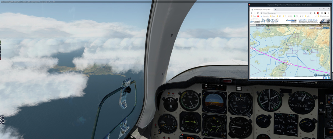
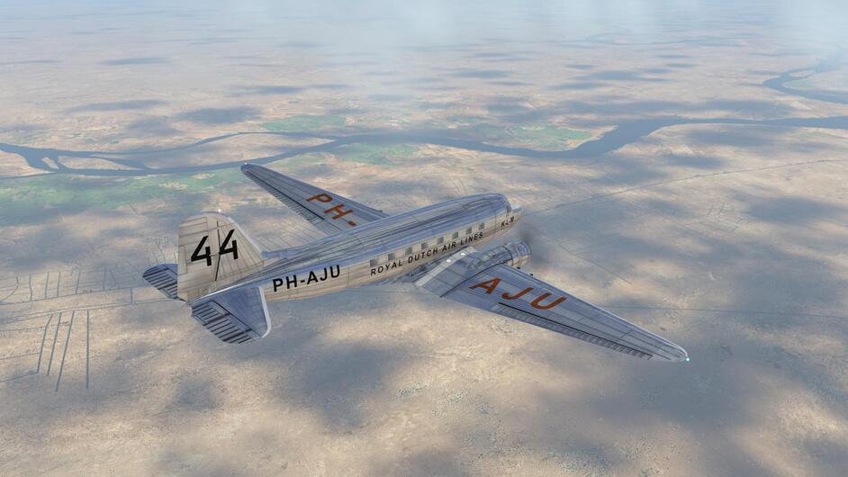
The weather stays with me, underneath me, and it is relatively smooth as I begin my descent somewhere between PAO and KOS.

And wow was it nasty descending through that mess. There were times that I would balloon back up 1000ft before I could start to work my way back down. The FSFlightSchool instructor chastised me for the G’s and the nose pitch but I don’t think that it can handle turbulence without blaming it on the pilot :slight_smile:

Below the cloud cover it wasn’t that much better but once I descended away from the clouds, it felt smooth as butter. I was getting worried about having to put the plane down with some significant bouncing around but I was lucky.

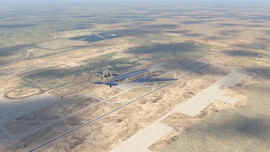
Lights in the distance!

This screenshot really does not do it justice! but seeing the head and tail lights of the cars and trucks was pretty nifty.

Car_Bonanza_26|690x288

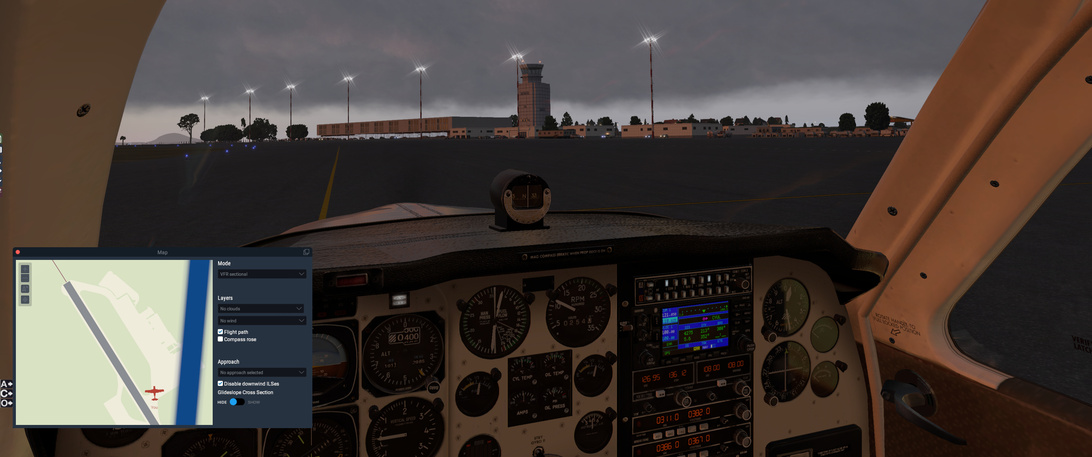
There was a police car waiting at the airport … not sure if the flight instructor called them there or not :slight_smile:

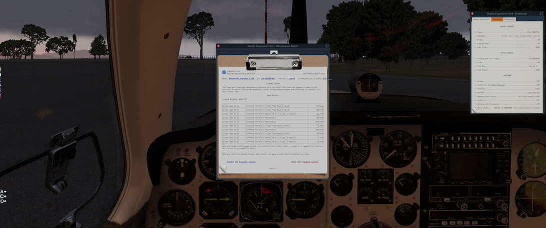
Everything looks good on the maintenance log as well. May need to pack a few more vomit bags, just to be safe.

I will see if I can get a cut of the video for that landing but I don’t want to spend the extra time when I need to get another leg in. :slight_smile:

6 Likes

(Sucking eggs caveat)

After starting the engines and letting everything settle down, you have to manually sync the DG and the one on the Sperry to your magnetic compass setting.

I have noticed on the longer flights the tendency for it to creep and need re-sync. I need to read s bit in this to see if this happens in RL or not.

@Bearhedge - loving the weather reports/forecast. :+1:

@Sine_Nomine - now I have log envy. I’m going to have to amend my nerd log now. :nerd_face:

3 Likes

Yep, this happens RL. A lot in case you are changing significantly and constantly directions.

That’s why I rely strictly on magnetic compass. That one and the clocks are my only navigation instruments. In fact only the compass as I really care less about the times on WP :slight_smile:

Same here SkyVector all the way :slight_smile: This and no time checking is my way how to get lost sometimes but its fun to find the route again.

I am the real adventurer and racer on this flight :wink:

I am realy enjoying this event have to say. I didnt start any other sim since we started. Thumbs up to all participants !

6 Likes

I wholeheartedly agree! We’ve already seen some really great adventures and we’ve barely reached Baghdad. :slight_smile:

The real-world weather adds such a dimension to it all, especially at the altitudes we fly at - it’s really superb that sims today have that ability.

4 Likes

Agreed! What is nice is that we’re all on a similar route. :slightly_smiling_face:

3 Likes

For my next leg I’m trying out a VFR flight planner I found online…no idea what I’m doing but hey, it’s good for tickling the ‘little grey cells’.

7 Likes

I think that it is fine. I am expecting to CFIT at any time now - weather and mountains :slight_smile:

3 Likes

Linky? :slight_smile:

@fearlessfrog

Here’s the link - I just printed the first one to give it a try, there’s a few different variations but I figured any one of them will get me to study the principles and do the calculations.

Slightly different format but I’ve been watching this guy’s YouTube videos on the topic too - he isn’t a CFI but seems to have a decent grasp of explaining the concepts / process:

@Fridge

I haven’t had much time at home to study the documentation of the JustFlight Turbo Arrow but so far it seems pretty good. I really like the feel of the touchdown in it, by the way. Good sounds and a sense of weight going to the wheels. It was good enough for me to be surprised and got a smile out.

7 Likes

Leg 08: LGKO to LCRA via KOS, ROS, KZO, a TCU, PHA and AK

Aircraft: Carenado Beachcraft Bonanza F33A w/ SimCoders Reality Expansion Pack;
Addon: FSFlyingSchool 2019 for X-Plane 11
Addon: ActiveSkyXP;

Date: 16 April 2019
Weather: Historical 16 April 2019 @ 10:00 UTC (12:00 local)
Takeoff: ~ 08:20

Leg Total
Planned Distance 333 nm 2114nm
NDB Beacons Tuned 6 33
Weather ‘Situations’ 1 5
Duration 02 H 26 M 14 H 02 M

Location: Vulcan Road, Akrotiri, WSBA, 4640, SBA

2019-04-16%2020_33_57-Window

Briefing Notes:

Starting to be a familiar pattern - take a long look at the weather for they day and try to figure out the ‘safest’ time to make an attempt to gain back some ground.

I believe that I mistimed this and if I had waited an hour those nasty areas of rain would have cleared. Next time I am doing that!

Plan is to get out of LGKO and up to my cruising altitude of FL100 en-route to ROS (ignore the stations in the weather map as I can’t create a good flight plan and have to approximate it). I will push on from there to KZO and make the jaunt across to RAF Akrotiri (LCRA) first picking up (hopefully) PHA and AK NDBs.

Weather looks ‘reasonable’ and I am hoping that the rain clears as it should before I get there. I take a few extra weather notices from the route between KZO and PHA for aid.

Other Media and Notes:

I should know better. I always run into issues when I hit rain that shows so prominently on the ActiveSky XP radar map. I almost bite during this leg. Almost.

Up and out of LGKO.

Looking great and hitting the VFR points to keep me confident between the NBDs.


I make it to the KZO NBD in Instrument conditions but …

… without much stress and turn to the KZO-PHA leg. I set the autopilot and go to get something to eat. It is a 165 nm leg and I can afford to spend some time AFK.

Right?

Wrong. Somewhere durning the leg I hear the beep of the autopilot disconnect from my headset. No idea how I heard that but by the time I was back in the seat I was 30 degrees nose low and descending fast. I grab the controls and try to pull out of it and I have to fight hard. It feels like the tail is not there - I can’t pull the nose up and my speed is getting yellow line dangerous. I am able to recover, though it is hard. I check the controls, zero the trim, whatever I can think of and eventually I ‘level’ out. I have no idea how far off course I am and I spend the next 15 minutes trying to decide if I push through to where I think I am going or head back and see if I end up in the clutches of that Greek weather monster.

I wish I had some better screenshots but this is all I have - given that I was to occupied with flying to think of starting the recording or taking any screenshots. Above I am struggling for control still, nose isn’t pointed to the center of the world but the vertical velocity indicator sure is :-).

Eventually I get back up to FL100 and I don’t want to ALT-TAB out to get any further info as that feels like cheating. I only do that if I have a confident NBD fix (passing over top). So here I am, somewhere off course.

Looking at my options, I am somewhere left or right of that pink line ‘intended’ course on SkyVector. If I am south, I may miss the PHA NDB, if I am north, I may get lucky and see the island or I can tune onf of the other western NDBs. So I change my heading from 116° to about 112°, erring toward the north side of Cyprus and one of the NDBs in a broad swath along my intended path.

I figure that I have enough fuel to hit land eventually (assuming my instruments are correct and I can maintain level(ish) flight along a set heading), unless I run into another Weather Monster.

Great. I am in IMC again and I have absolutely no idea how far along that 165 nm leg I am. Or I could be way off course and headed to the Middle-East ahead of schedule.

Oh yes. I finally pick up the PHA Beacon and get my navigation under control. It is a relatively short range beacon, so I decide to get down below the cloud layer to get into a visual frame of reference.

I have never been happier to see land in a flight sim :wink:

Turning over PHA onto the route to AK.

Checking out the runway details and the weather I had recorded previous and I should be able to fly parallel to runway 10/28, do a 180 and come back down to land on 28 into a mostly head on wind from 270.

After landing I check out the track. That little dog-leg is where everything went sideways (pretty literally).

It looks like my recovery plan would have worked out. If I had been farther south, I still would have intercepted PHA. If I had been farther north, tuning the LCA NDB as backup would have worked … unless I was way off course.

Lessons learned:

  • Respect the colours on the radar;
  • Have a plan in case monsters arrive;
  • Record your time over your waypoints so that you have guesstimate how far along you are :slight_smile:
8 Likes

I made it to Baghdad this evening (RAF Akrotiri, Cyprus to Baghdad, Iraq), which is where I will have to spend the next several days. The weather behaved and the winds matched those on my flightplan, so navigation went better than expected using mainly dead reckoning.

10 Likes

Totally fine, even under the older far more detailed rule set, crashing was a 4 day flight time penalty as you wire your machine back together with wire, biscuit tins, and recover your wings in tea bag silk.

If work will ever stop interrupting my simming, I’ll finally get out of Baghdad, and headed further East.

3 Likes

Twelve days into the competition, our brave pioneers of the sky are starting to reach Baghdad.

Despite fierce weather, breakdowns and getting lost in dangerous storm clouds, our heroes are pushing on relentlessly across the skies without fear. But will they survive the heat of the Persian desert? Buy the Sunday Special, 5 pence!

8 Likes

Its also huge fun to read!

3 Likes

Heh, I disabled the initial map ‘cluster’ icon I had for when people were too close together it would collapse to an icon to click. I figured that once you all left the UK then you would all spread out. I was wrong. :slight_smile: The night is dark and full of terrors I guess…

6 Likes

Sure, the penalty is just against your logged flight time, not your real world flying time. That would be a bit draconian!

Africa!

4 Likes

@Bearhedge JustFlight has a Easter Sale on … so I will be picking up that module in a few minutes - and maybe a couple others (curse you @BeachAV8R and your fancy shoes!) :smiley:

https://www.justflight.com/bundle?utm_medium=email&utm_campaign=Just%20Flight%20Easter%20Pick%20%20Mix%20Sale&utm_content=Just%20Flight%20Easter%20Pick%20%20Mix%20Sale+CID_1b9b69709088d8d7eb8a9a7d67f30f97&utm_source=cm&utm_term=justflightcom

EDIT: Doh! The ones I want are not for X-Plane 11! I guess I can keep my money :slight_smile:

1 Like