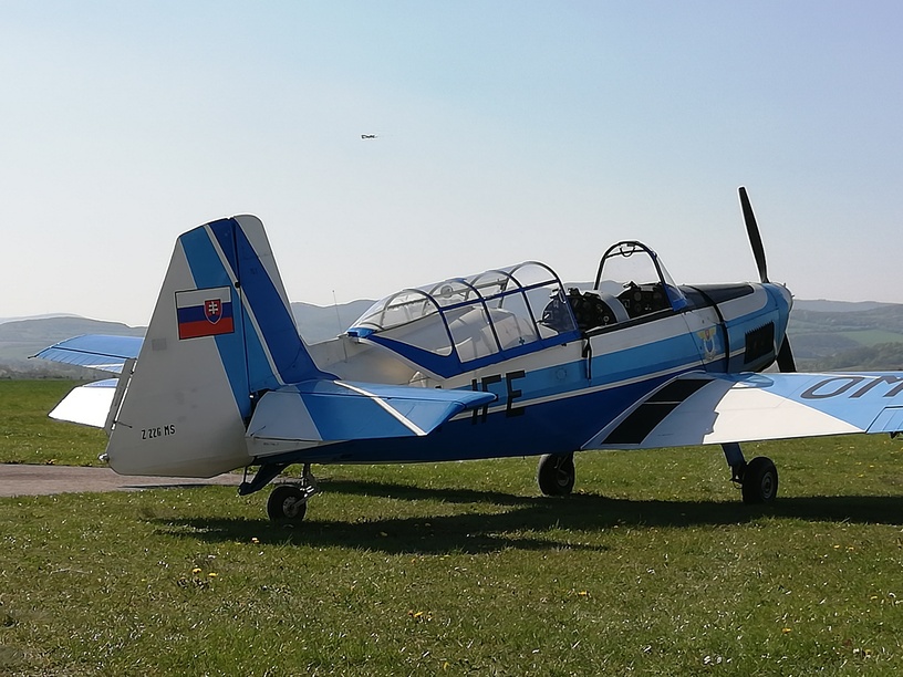
An oddly limited sale! If the Duchess for XP had been included I’d been tempted to get the C152 and the Duchess…but it’s probably better this way. ![]()
1 Like
The Duchess is brand new, so they probably won’t want to give that one away for less just yet.
2 Likes

G’day all,
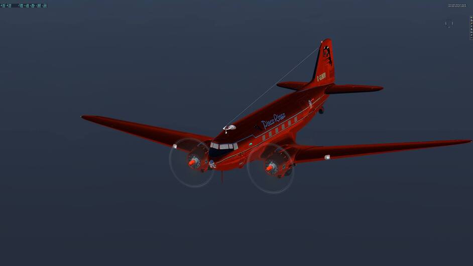
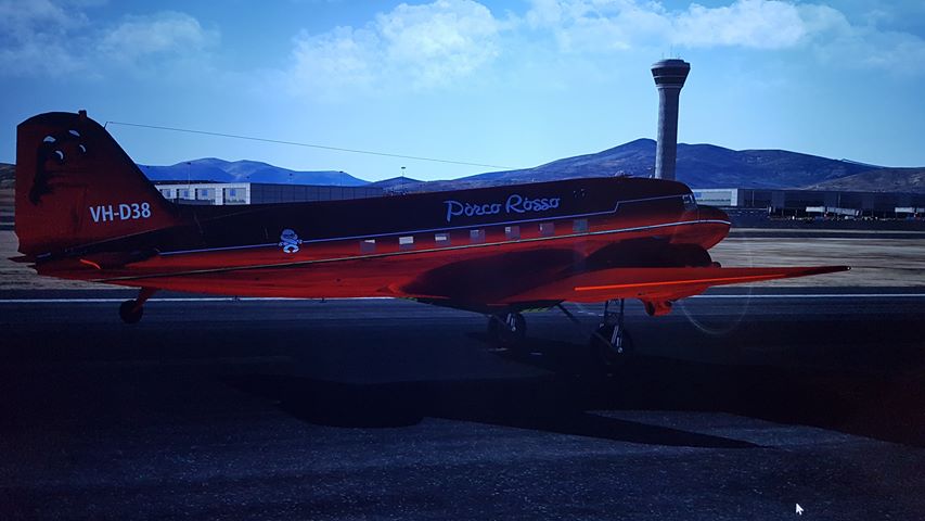
I am Porko and I am writing to you from beautiful downtown Roma to give you some insight as to how we have managed to arrive here in one piece in our beautifully prepared DC3.
Today, for your interest and education,I will enlarge on our method of Navigation. In the enclosed photo you will see that Navigation is very basic and is being done with the assistance of a large World Atlas, a magnifying glass, a protractor, and a ruler.
I am awaiting the arrival of some instruments to assist with the navigation, these instruments should arrive in Rome in a day or so, hopefully before our planned departure to our next stop somewhere in the vicinity of Athens. .
It is hoped that communications to you all will continue as we progress on our journey,
Caio…for now Porko.
5 Likes
Welcome aboard Porko. Looking forward to reading about your journey. ![]()
1 Like
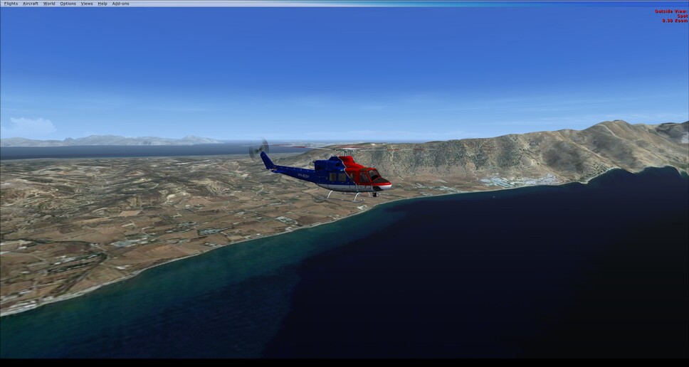
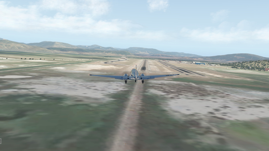
Made it to Bagdad! I’ve finally caught up to the leaders pack. But that’s a lot of flight simming … this is going to be a long haul ![]()
Was considering switching to something faster, but everything (most everything) else in X-Plane 11 is newer than what I am using. Plus I am enjoying the dual ADF radios and the path tracking flexability that gives. Even if I am somewhat capped to FL100 and 130 knots indicated ![]()
I am pretty borderline as it is for the air race class but it’s as close as I can get and stay sane ![]()
6 Likes
I think that I am, after much consideration, going to try switching to the JRollon SIAI-Marchetti SF-260. If is older than what I am currently using, though it is faster. The SF-260 has close to the same range but it loses one of the ADF radios - which have been making it a little easier for me to feel confident. It should also handle a little less stable and I will have to be very careful of getting in the heavy turbulence that was causing me issues in previous legs.
I did figure out my problem on Leg 07 when I was heading to Cyprus and entered that Thunderstorm. I had the autopilot on and was AFK when I heard the tone of it disconnecting and rushed back. What I think happened was that I entered a stall. I lost a lot of altitude and the nose was starting to point down when I got back to the stick. I tried to pull the nose up and stop the descent but all that did was drop my airspeed dangerously … and I was still descending in weather where I had no horizon. So, I took my hands off the stick for a little bit to think … and the nose dropped, and the speed increased and when it was up around 100 knots, I was able to regain control and climb again. That sounds very similar to a stall exit procedure?
3 Likes
G’day all, Porko here.
While coming down the West Coast of Italy below Rome I started to feel a miss and a bit of a shudder in the port engine.
The only place that has a decent mechanic who can work quickly and keep his mouth shut is Napolle, so it’s low flying till I get there.
My friend has a hanger at the strip so if I can get in real quick I should be able to avoid the Carabinieri. I’ve timed it so everyone should be having a siesta and probably won’t notice me, and if they do I will be past them before they realise who it is.
While the mechanic works, it’s on with the glad rags and into town to have a nice meal, a cappuccino and some delightful company… Ahhh Napolle.
Ciao Porko
5 Likes
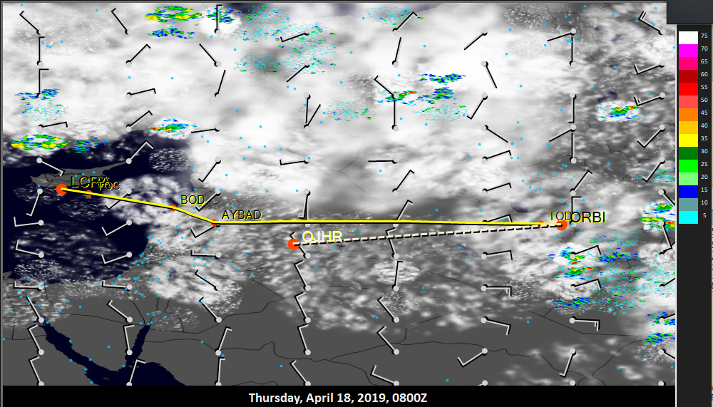
Leg 09: LCRA to ORBI via AK, BOD, ARD and lots of visual barren landscape
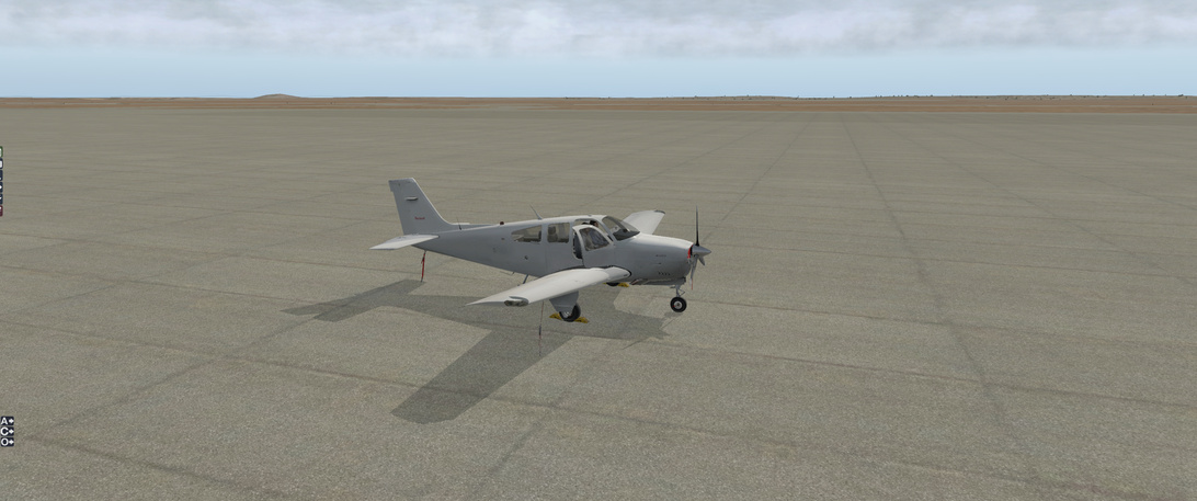
Aircraft: Carenado Beachcraft Bonanza F33A w/ SimCoders Reality Expansion Pack;
Addon: FSFlyingSchool 2019 for X-Plane 11
Addon: ActiveSkyXP;
Date: 18 April 2019
Weather: Historical 18 April 2019 @ 08:00 UTC (10:00 local)
Takeoff: ~ 08:20
| Leg | Total | |
|---|---|---|
| Planned Distance | 580 nm | 2694 nm |
| NDB Beacons Tuned | 3 | 36 |
| Weather ‘Situations’ | 1 | 6 |
| Duration | 03 H 57 M | 13 H 59 M |
Location: Tall Ghanim, Mansour, Qasr Tal al Milih, Karkh, Baghdad, Iraq
Briefing Notes:
I think that I am finally realizing why, after spending a good, long hour researching weather reports before any of my flights, I am being surprised by the weather. Notice the time that I am setting in X-Plane:
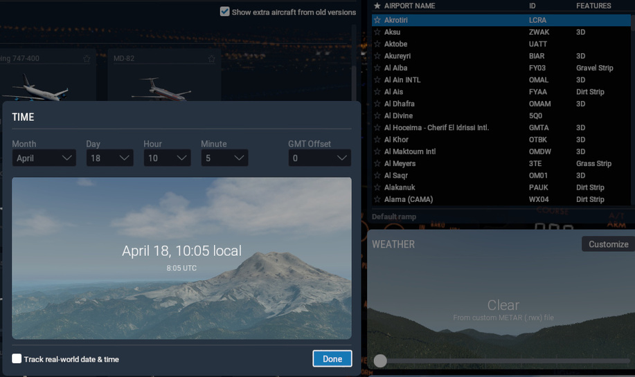
And notice the time that ActiveSkyXP is reading:
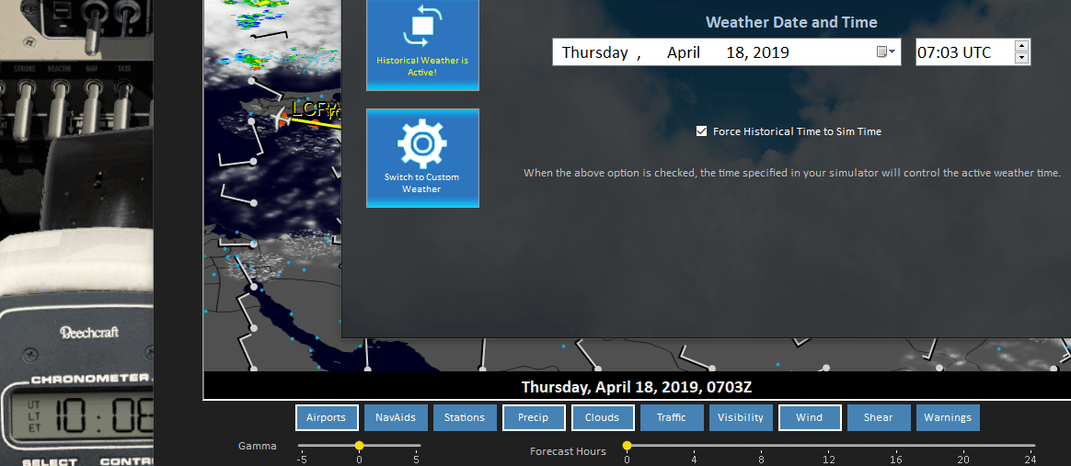
It is an hour earlier. So I check the inter-webs to see what the GMT offset for Cyprus is:

And someone is not taking into account ‘Summer Time’. X-Plane seems to be telling me (asking me) one thing but then interpreting it into another thing that is getting passed to ActiveSky XP.
All of my careful planning has been for naught. I didn’t notice this until I had started the leg and didn’t want to go back and replan. But for the future? For the future I would be bold ![]()
But here is the (faulty) weather information that I was operating under for this flight:
And the plan is straight forward … up to a point.
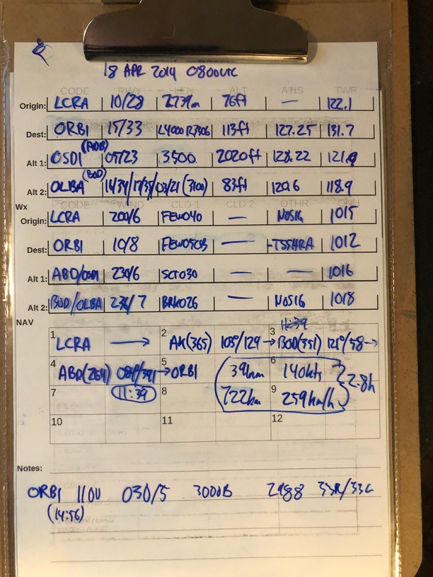
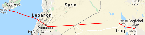
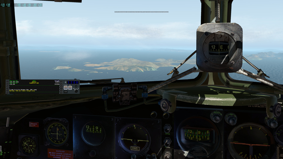
I am going to proceed out of Cyprus down to Beirut, over the mountains to it’s east and then into the gentle pan of eastern Syria and Iraq (and maybe touching the Jordian airspace as well - its close). After 2 hours flight from the ABD NDB I should be properly in Iraq and will take that time as a marker to make sure I am below any weather in order to visually identify the landmarks I need (those big lakes) that can guide me to ORBI.
Other Media and Notes:
Up and away from LCRA in British controlled Cyprus and enroute.
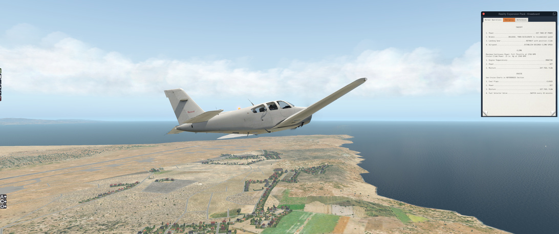
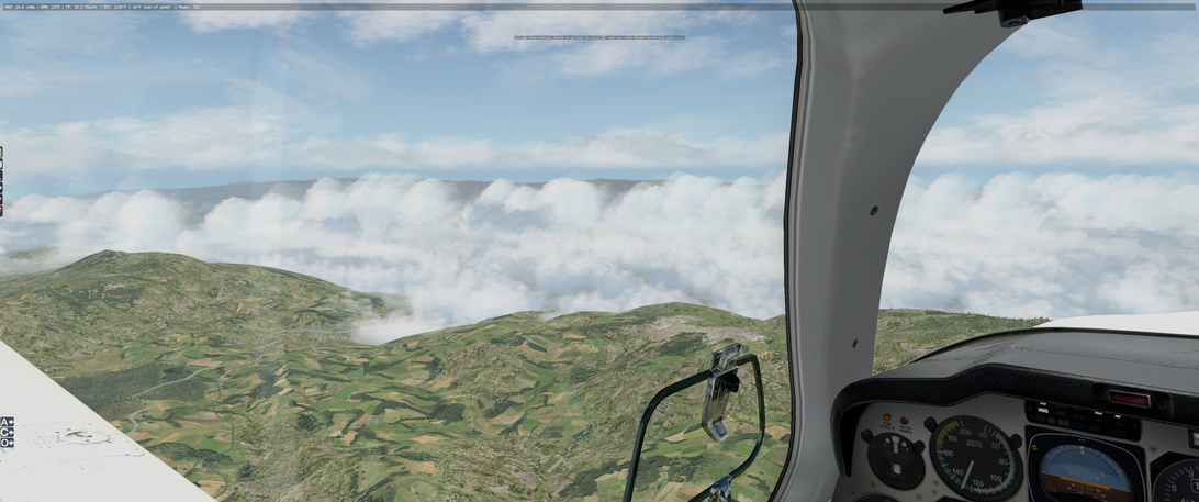
Climbing up through the clouds, everything is looking good … but the Oil Pressure gauge is looking a little marginal. It’s been happening the past few flights and I have had to pay (through the REP system) to have the oil refilled over the last couple of legs. It is something that I need to monitor.
Running into some weather as I come up on the coast.
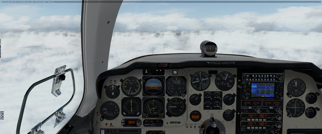
Not sure if this is the work of ActiveSky XP or X-Plane but it looks great ![]()
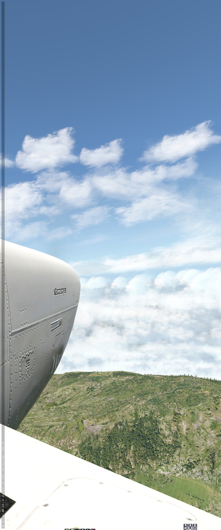
Had to take off my headset and Track IR made up this location (I rotated it 90 degrees to make it sane)
Weather situation for this leg occurred about 10 minutes after this picture when I encountered heavy turbulence. Is there any way to get a forecast for this along a route? Nothing in what I was seeing would have tipped me off that there was some significant turbulence for small aircraft and I would like to improve my ability to predict (and potential avoid) those areas in the future.
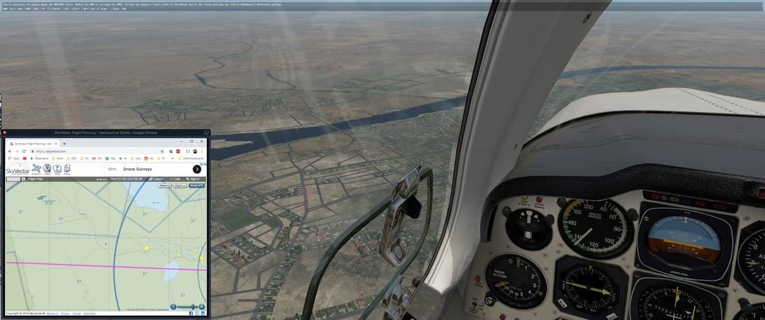
Oh, and I am going to cut out a lot of pictures of relative flat desert here. No one needs to see those.

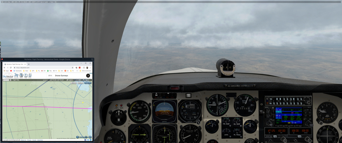
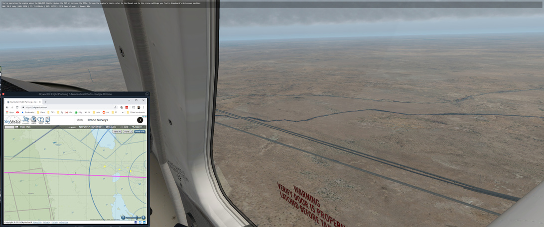
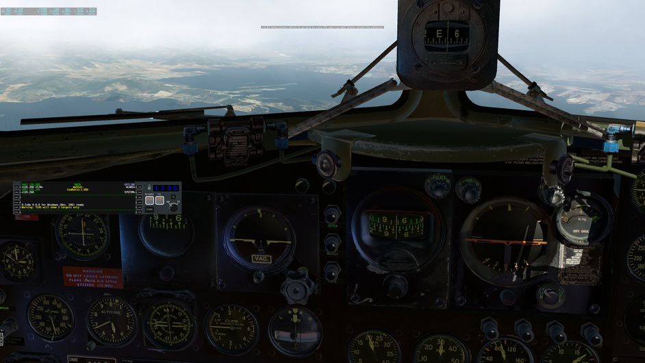
After 2 and a half hours I was checking the VFR chart ok SkyVector against what I was seeing, hoping for some indication that I was not terribly far off course. It is really hard to find terrain features in this.The ceiling started to drop and I was forced down to keep visual contact with the ground. At this point I still had not see anything that I was looking for. I was particularly interested in that road that cuts across my flight path. If I was still on course, I should see it at any minute,
2 hours and 50 minutes from the ADB NBD and I finally see a road…
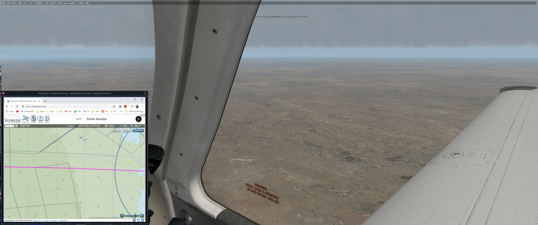
… but it’s not my road because there is a stream/river on the other side of me…

… and the road gets closer (and I kindof hope for) but there is another steam?
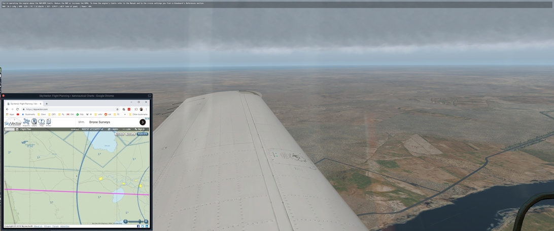
The stream on the left joins with another and turns into a river proper … and comes up to a town. Is this the yellow town on my VFR view? It turns out not to be.
I know that any streams/rivers I see should be running down to the west side of Bagdad and that alomost circular lake at the bottom right of the VFR chart. I look ahead of me and can almost make out a lake but I am down at 2700 ft (2500 ft AGL) and can’t be sure. If the weather had cooperated I would have been much higher.

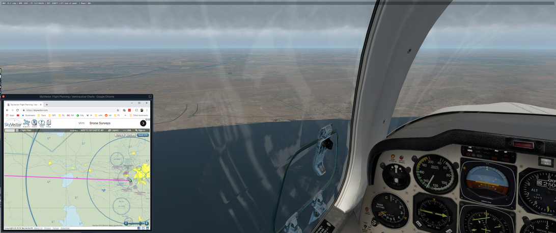
I decide to cur 20 degrees right and head down the river. The lake, now to my left, starts to resolve itself. If you look at the little plus sign (+) in the middle of the VFR chart, I start to think that I am above and to the left of it.
I am getting more confident and what looks like another lake starts to take shape on the horizon. Sure enough. As I get further south, I see the river split around the ‘yellow’ target city (Ramadi) and continue on toward the ‘circle’ lake (Habbaniyah Lake). Over the lake I take stock and turn back to a rough course of 090, back on my intended track.
Here I run into the same airfield that cause @BeachAV8R to pause. Is this Bagdad airport? Not according to my VFR chart … which shows nothing?
I will back track to here if I can’t find my intended destination. As I continue on, questions continue to mount. Where the heck is the airport? Then, it slowly comes into view.

This was the longest hour of my flight so far. Being so low, under an overcast ceiling limited my visibility and having access to nary an NDB, this was by far the hardest navigation leg of my trip.
As normal, if I have no idea where I am, I do not alt-tab to ActiveSky or PlanG which might give me clues. I wish I had taken a screenshot of PlanG before exiting X-Plane as it had both my planned route and my actual course. I was somewhat north of where I intended to be. In this segment from the FSFlyingSchool app, I planned on being over route 1 in the bottom left of the next picture but was instead quite a bit north.
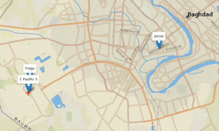
In the end it worked out ok and I was able to park at Bagdad International. Now just to find the others … or anyone for that matter. ![]()
6 Likes
@Sine_Nomine You have the worst luck! Also, as always I am impressed by the shear amount of aviation knowledge you have, I knew literally nothing you mentioned regarding compass errors. Very enlightening.
Take off: 0236 local
Touchdown: 0700
Distance: ~ 975 NM (planned was a lot longer, but roughly ~770 NM as the crow flies)
Average Speed: 222 knots
Total Flight Time: 19:15
Total Distance: ~3785 NM
Average speed: 195 knots
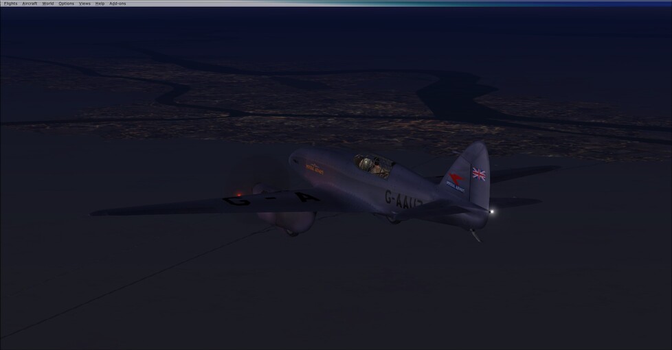
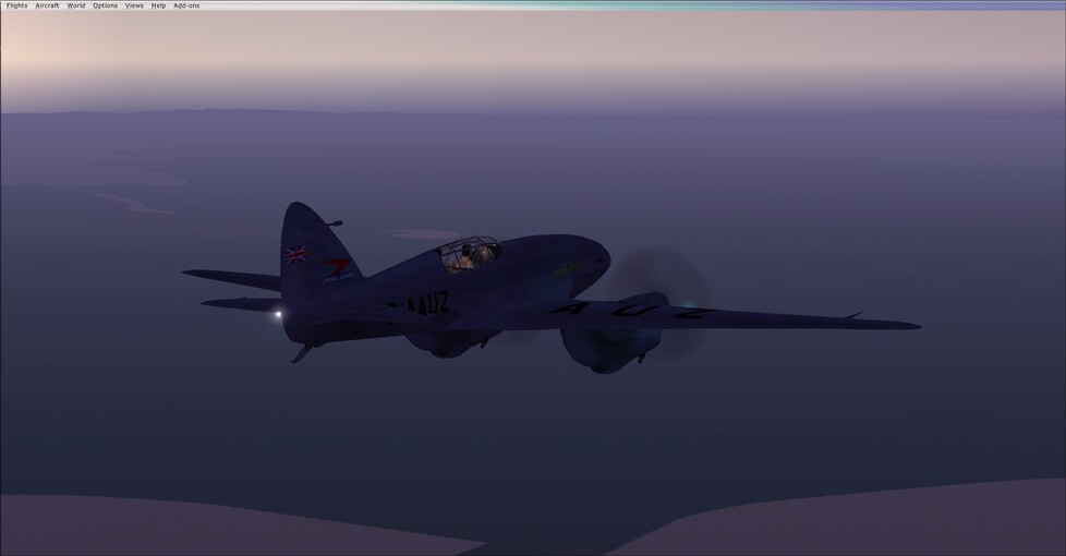
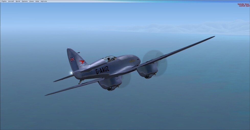
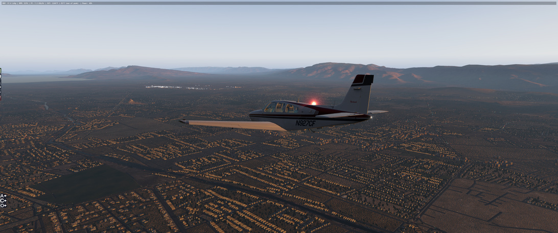
So with the work week finally over it was time to make some distance. Until the real world interceded. I probably could have made my original route work, but I wanted to get to bed before 0200 today. So leaving Baghdad it was time to put down some speed, and also for the first twin engine bird of the event for me.
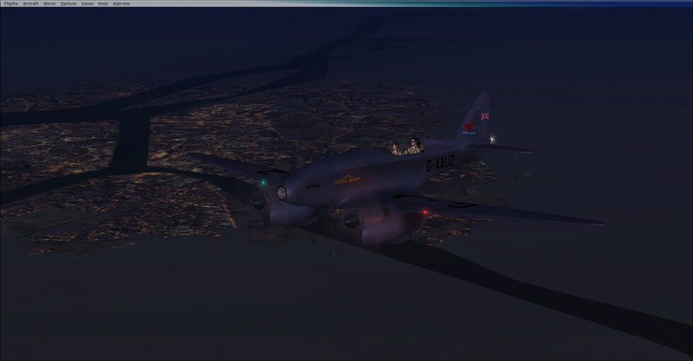
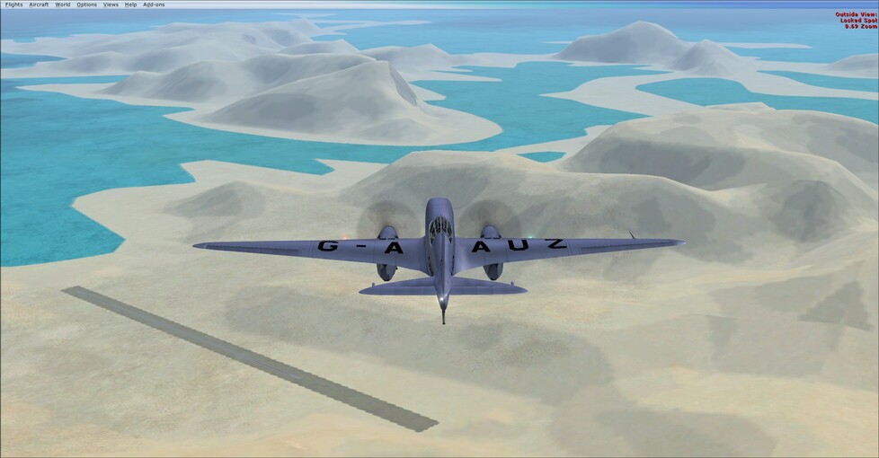
The de Havilland DH.88 Comet. Quite a bit faster than my previous chariots of the air, and with significantly longer legs. The original plan was to go all the way to India, which I would still have plenty of gas for. As is, it was still a relatively simple route. Head out 128 magnetic, and once I hit the gulf keep the coastline in sight. The weather cooperated, so it was mainly just a matter of keeping track of which inlet or bay I was passing to figure out where I was.
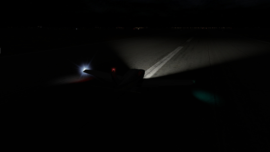
The only bit of excitement, was that it was a 0230 take off. As such the initial flight to the gulf, was purely on the compass and instruments. A nice change of pace actually.
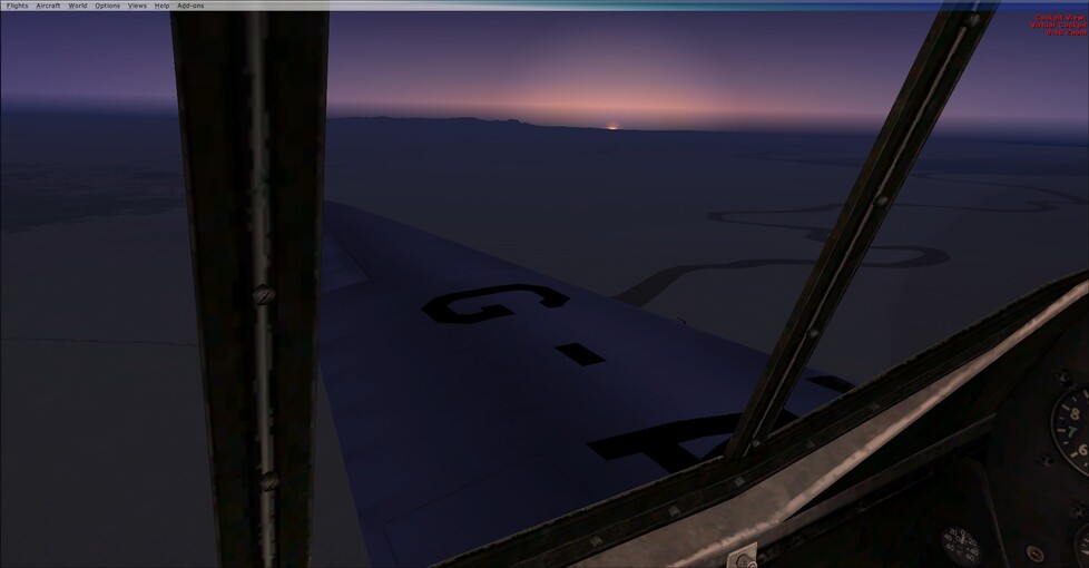
I thought I was over Basrah, turns out I was bit further down the river at Abadan.
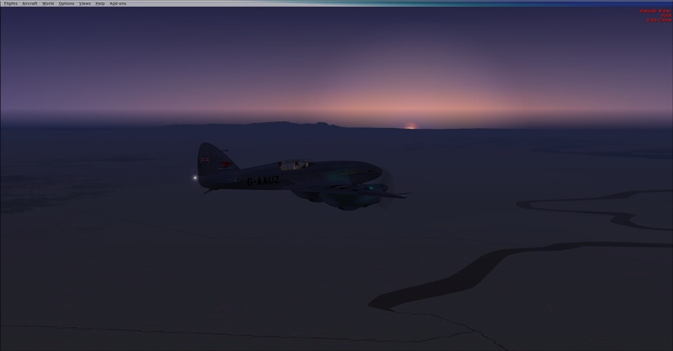
The sun rising out over the gulf.

10 Likes
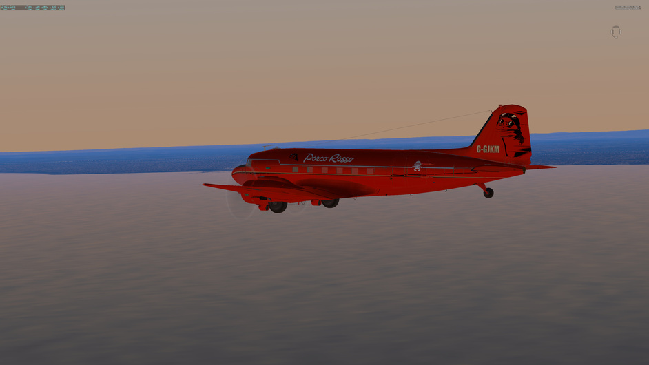
Didn’t have chance to progress further east in my Red Lady but fortunately did at least some tail dragging.
After 6 years it was fun again to tow some gliders ![]()
8 Likes
@Sine_Nomine I don’t know how you went through all of it at the real time. I could not follow at the speed of reading.
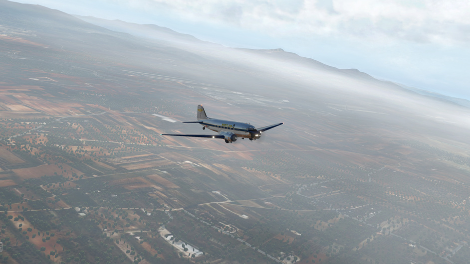
After a week stranded at the Athens airport, I finally was able to leave for Turkey. Maybe they thought I worked for Turkey to spy on them… Takeoff 2pm, landed 3:10pm, distance 186 nm, based on SkyVector. This gives a rather strangely high ground speed for my DC-3… Maybe I got some help from west wind. Total time 18:57
Anyways, very uneventful. The clouds were still low. But was able to catch the two planned NDB on route, and arrived at LTFE just fine.
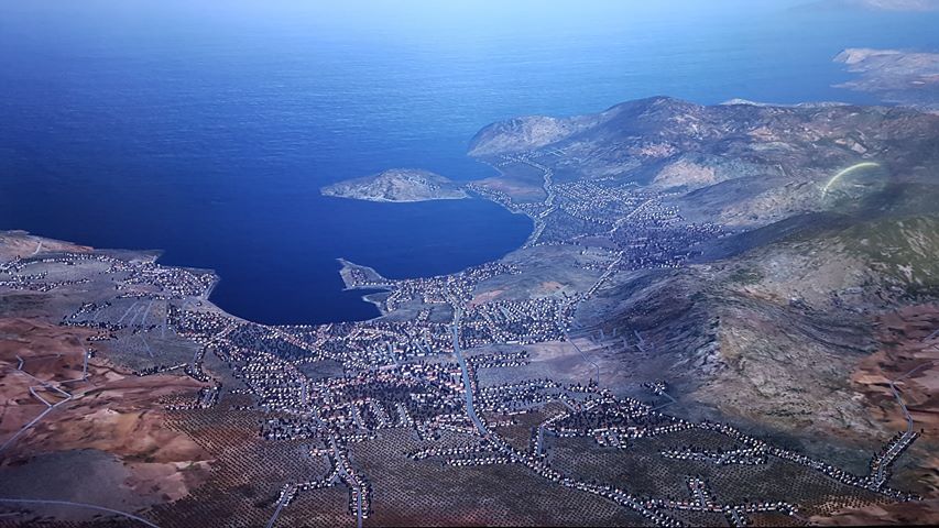
Leaving LGAV. I’ve been there once a long time ago in RL. But don’t recall the place feeling so deserted even with the Ortho scenery. Maybe just the color…
Passing some small island of Aegean. Had to adjust the DG a couple of times. I installed the X-flightserver plugin, but forgot the ID I was assigned…
Getting to Turk land
Looks like there was some crosswind. This is the first time I landed under such condition. Only after I installed Active Sky for XP just yesterday. Seems working pretty wel. Had some turbulence on the route, which was also new to me. There’s a sale of it going on at $27, for those interested.
4 Likes
Depart Lecce in ITALY. Arrive Athens in GREECE.
G’day all,
well we finally arrived in Athens, we left ‘LECCE’ the airport in the heel of Italy, crossed the ’ Straits of Otranto’ and traveled SE toward Athens, as the mountains here (according to the Atlas) don’t get any higher than 2510m , I put us just under 10,000ft…
The mountains, Valleys and riverways are quite speci and I was somewhat surprised by the beauty of it all.
The natural weather and clouds added to the delight of flying.
Ciao Porko.
7 Likes
that historical map is my desktop background
1 Like
Made it to Shiraz Shahid Dastgheid International Airport, Iran (OISS) today. Very pleasant flight ![]() Also great scenery at this spot!
Also great scenery at this spot!
3 Likes