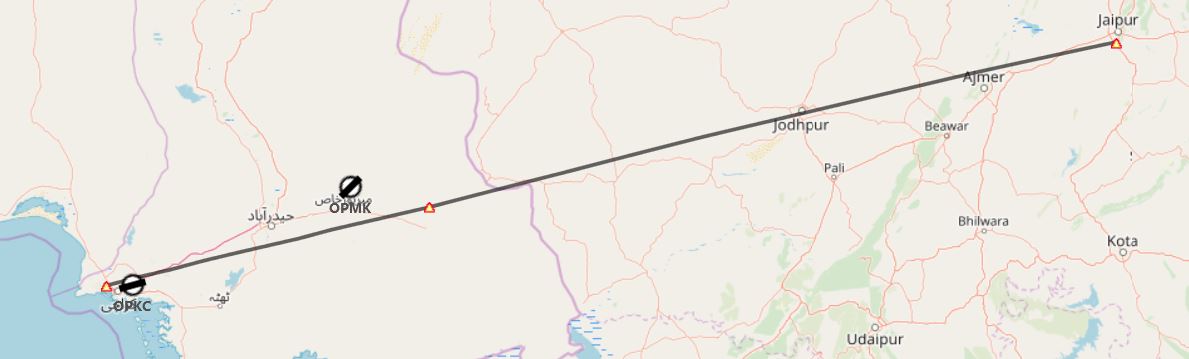
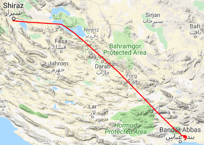
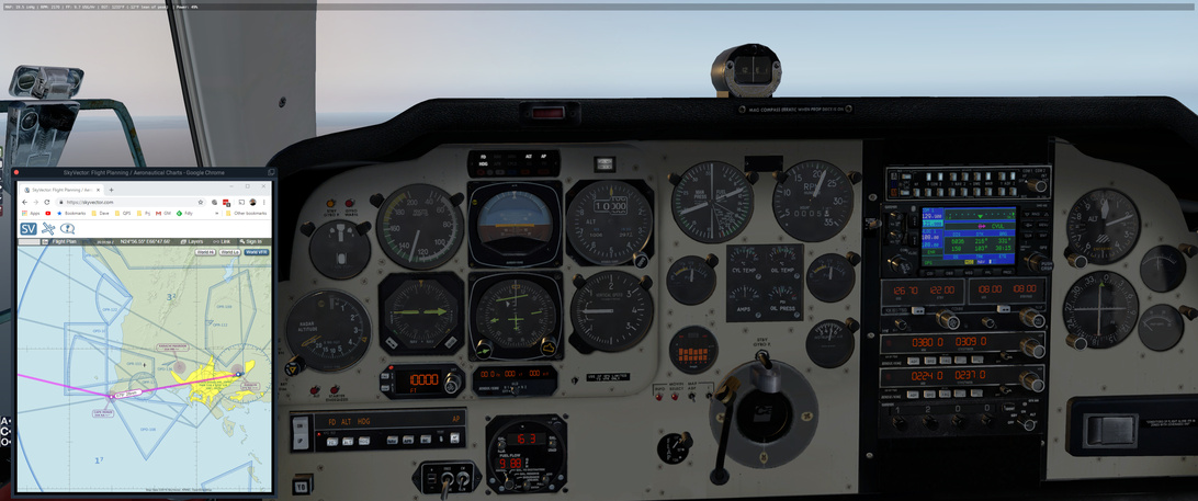
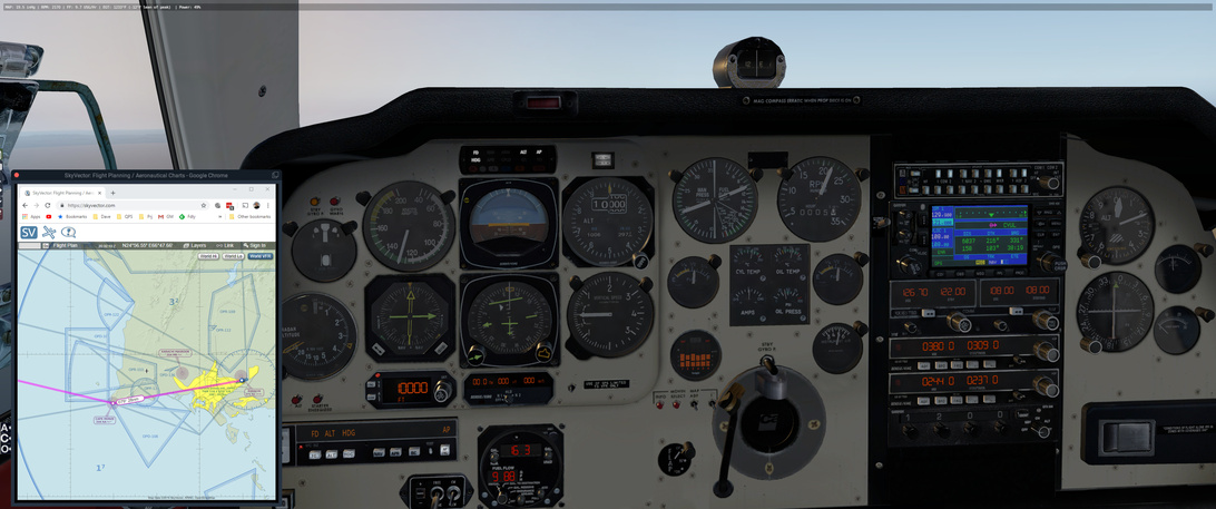
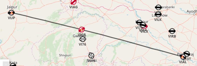
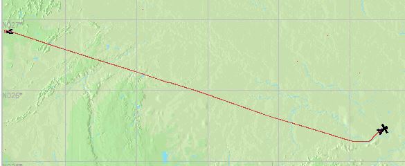
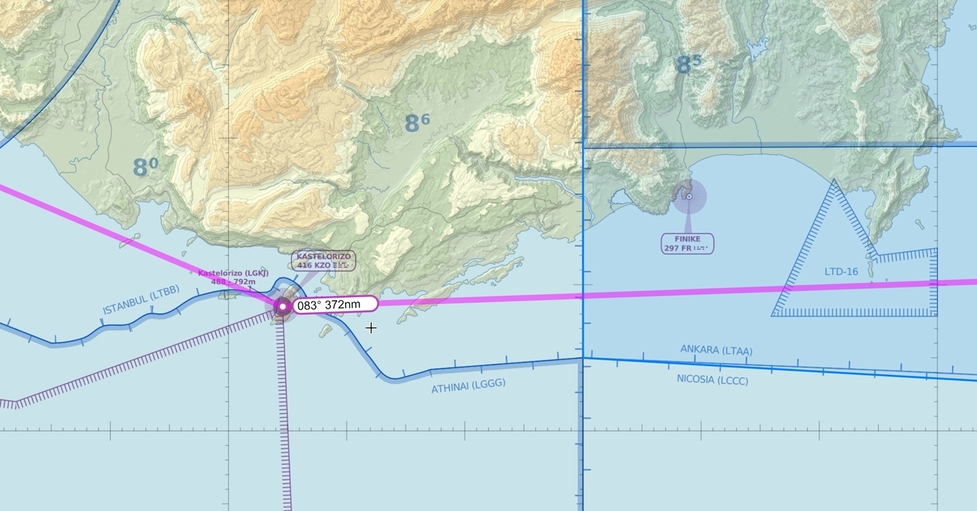
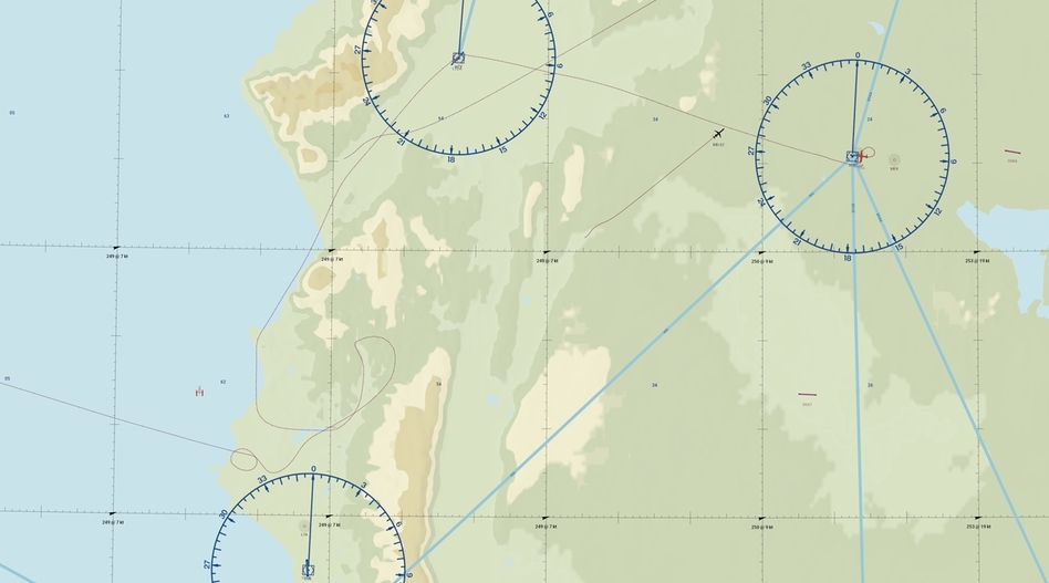
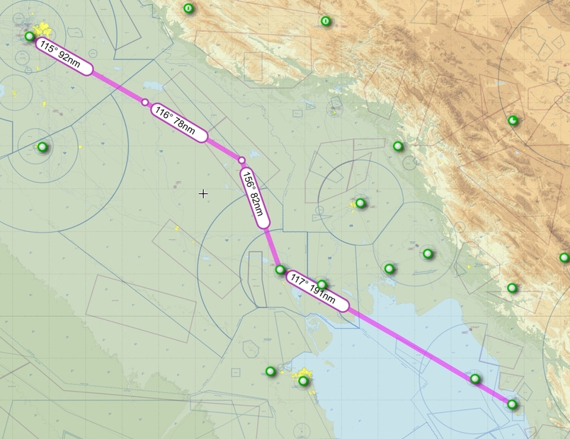
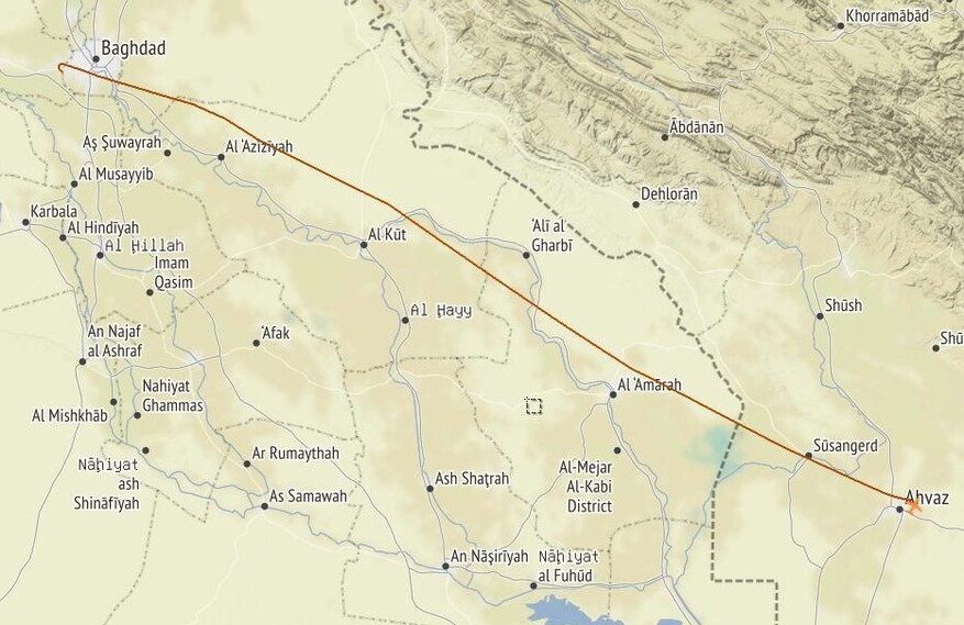
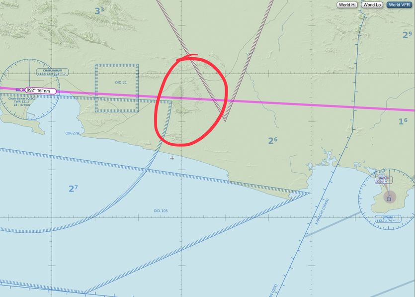
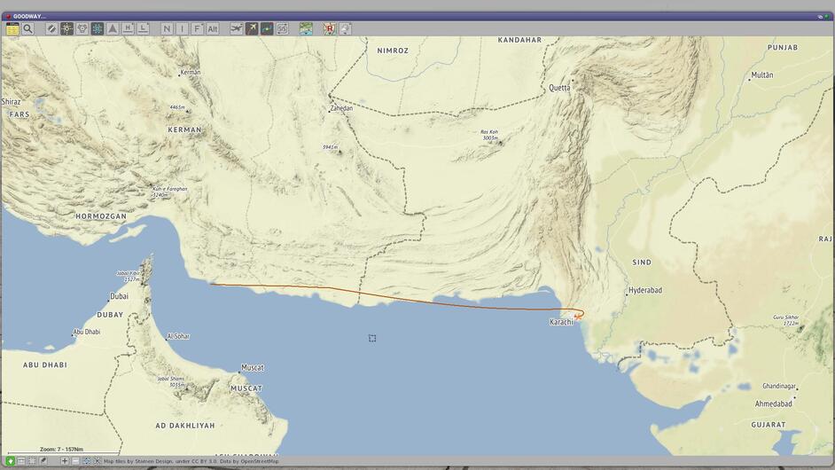
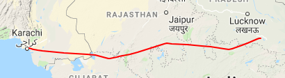
Leg 12: OPKC to VEAB via KF, DS, LU, KO, KJ and AP NBDs
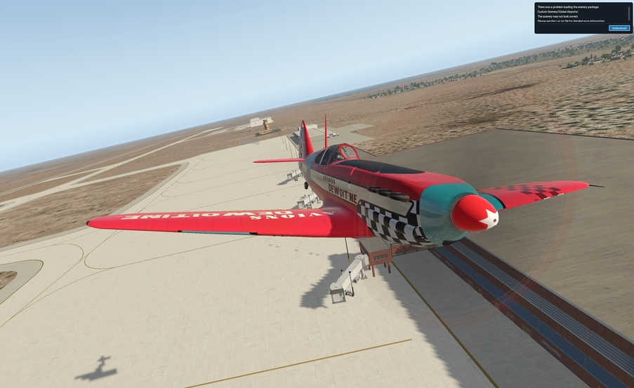
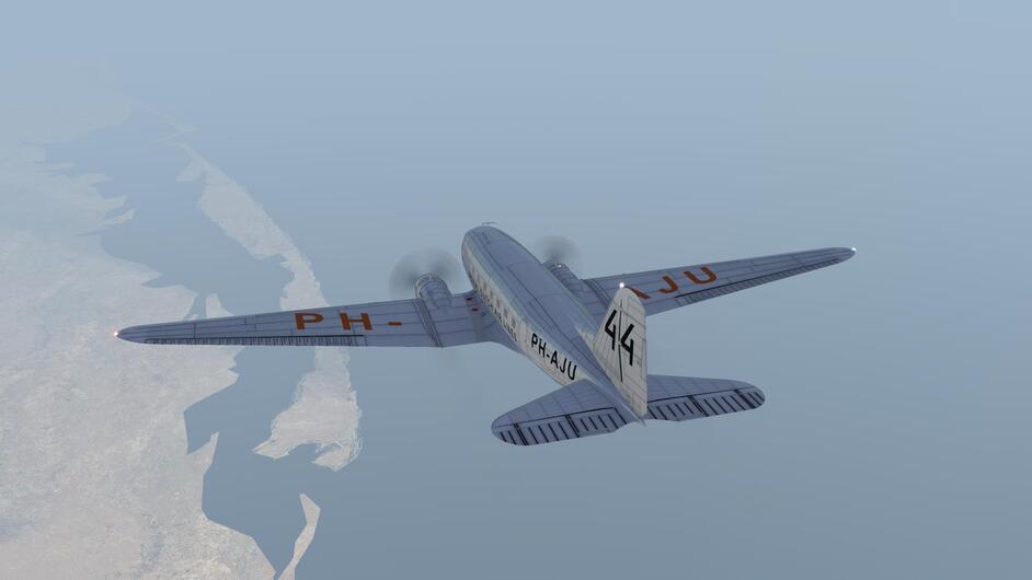
Aircraft: Carenado Beachcraft Bonanza F33A w/ SimCoders Reality Expansion Pack;
Addon: FSFlyingSchool 2019 for X-Plane 11
Addon: ActiveSky XP;
Addon: UltraWeather XP;
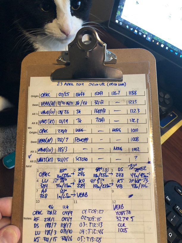
Date: 23 April 2018
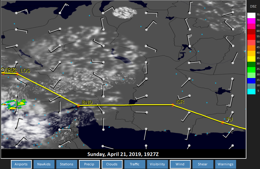
Weather: Historical 23 April 2018 @ 04:00 UTC (09:00 local)
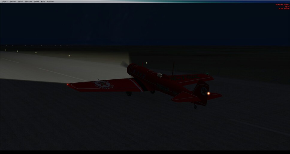
Takeoff: ~ 09:27
|
Leg |
Total |
| Planned Distance |
813 nm |
4857 nm |
| NDB Beacons Tuned |
6 |
51 |
| Weather ‘Situations’ |
0 |
6 |
| Duration |
05 H 40 M |
29 H 20 M |
Location: Prayagraj, Prayāgrāj, Kaushambi, Uttar Pradesh, 211001, India
Briefing Notes:
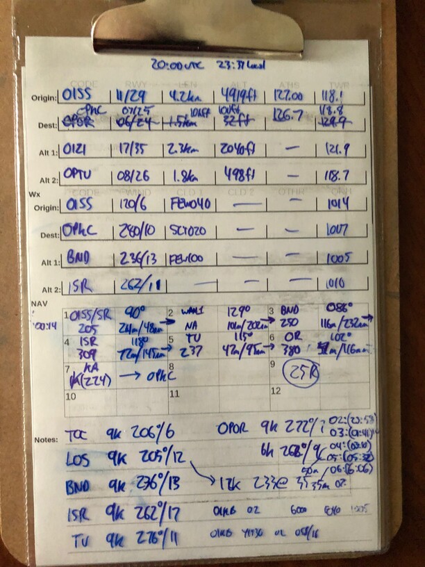
Weather is looking to not be an issue - today India looks like it wants to have good weather across the stretch of the flight plan which should see us depart Karachi after 9am local time and arrive in Allahabad some … 5 hours and 40 minutes later. Wow!
Here is a picture of a cat; co-pilot 1 of 2 (that’s her new designation  ).
).
Other Media and Notes:
So I realize that I am starting to succumb to my usual pattern of overdoing something. It’s not a competitive thing, because then I would be using other aircraft, but it is a thing where I rush to stay safely in the middle and end up racing against myself - I do this all the time biking, kayaking, hiking, driving, whatever. Never seem to slow down and smell the roses or the 100 Octane Fuel as the case may be.
So. This will be the last long jump for a while, if I can help it. Unfortunately that means a lot more posts! Onward!
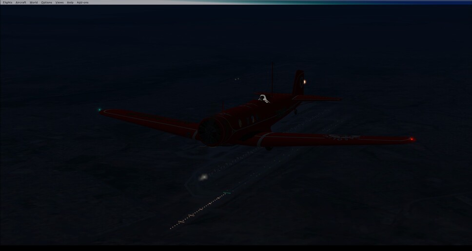
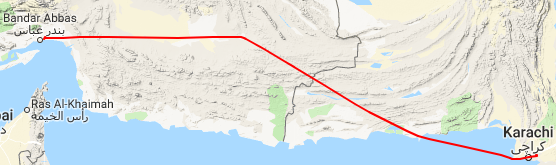
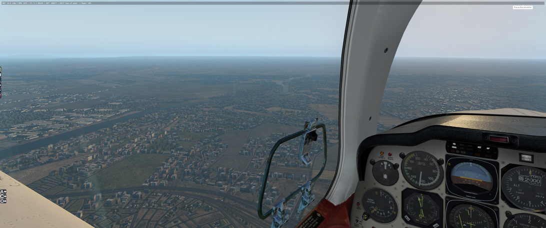
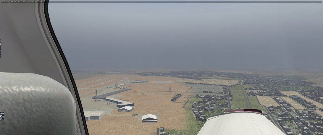
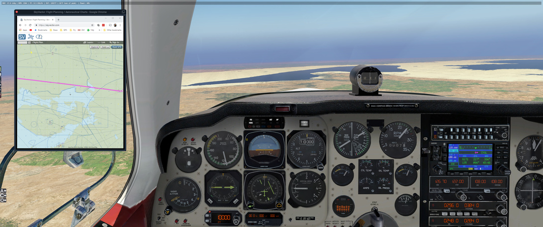
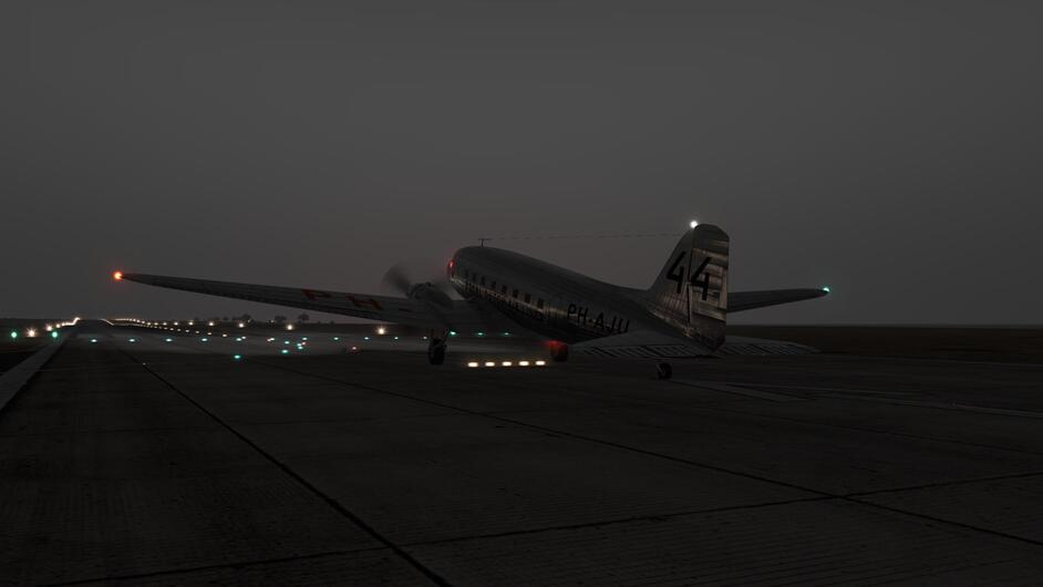
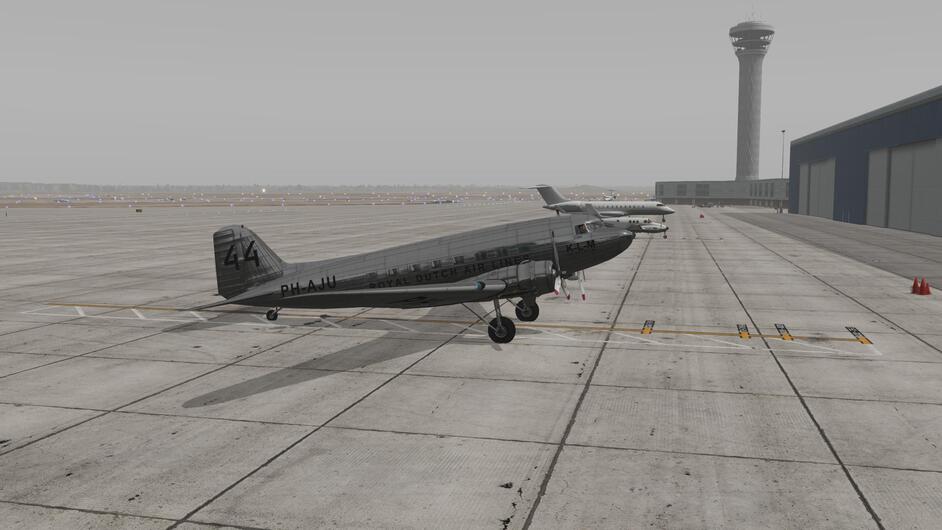
Karachi has a nice atmospheric airport … and I think that X-Plane/Ultimate Weather XP heard me and upped it’s game.
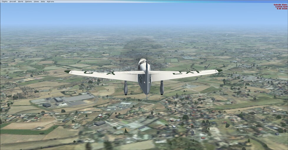
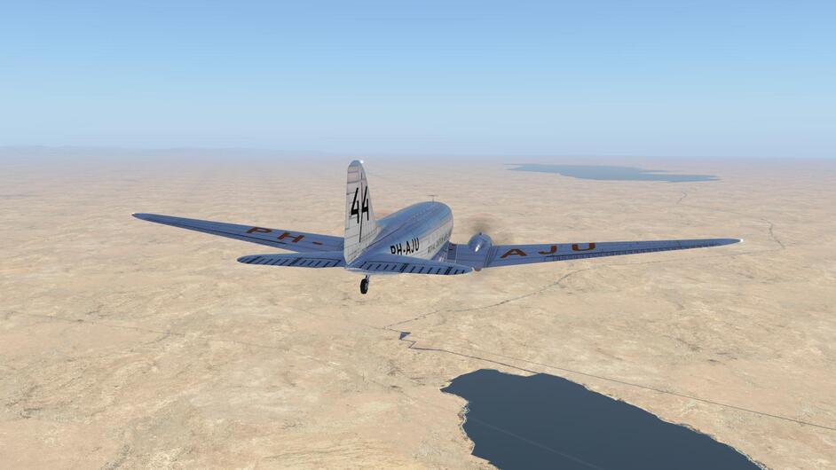
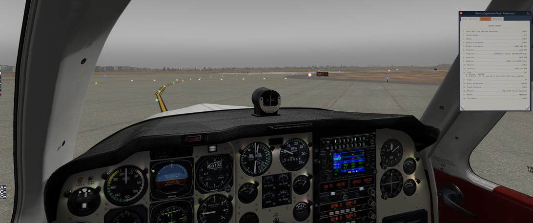
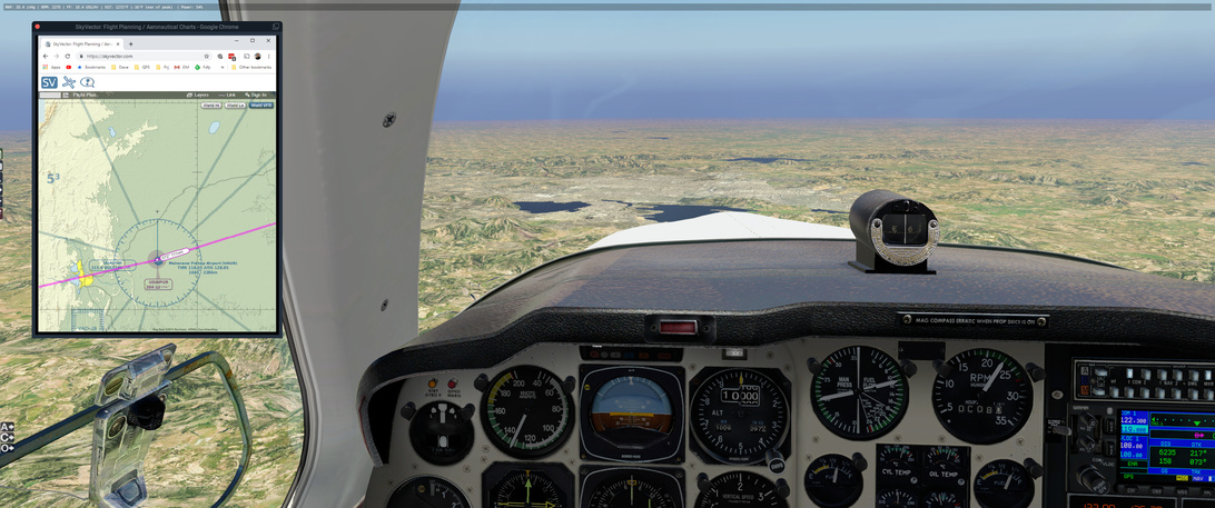
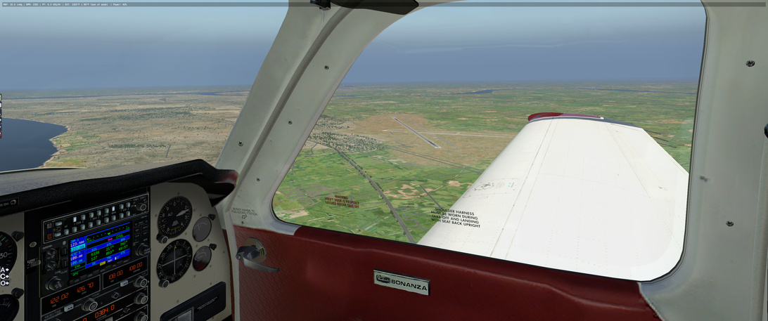
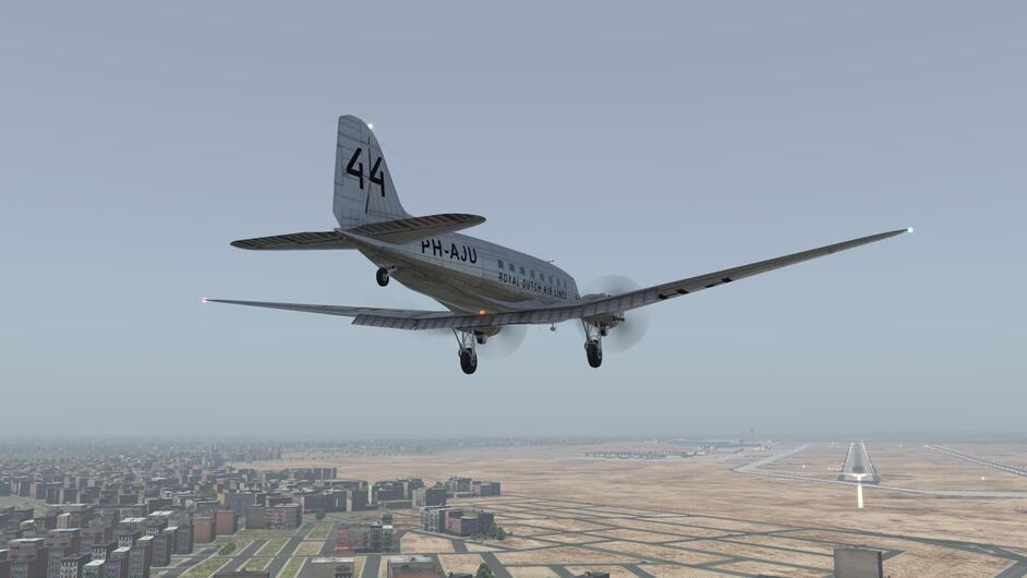
Here I am making the mistake of heading for the wrong runway. Yeah you want the other end of the airport, Fridge.
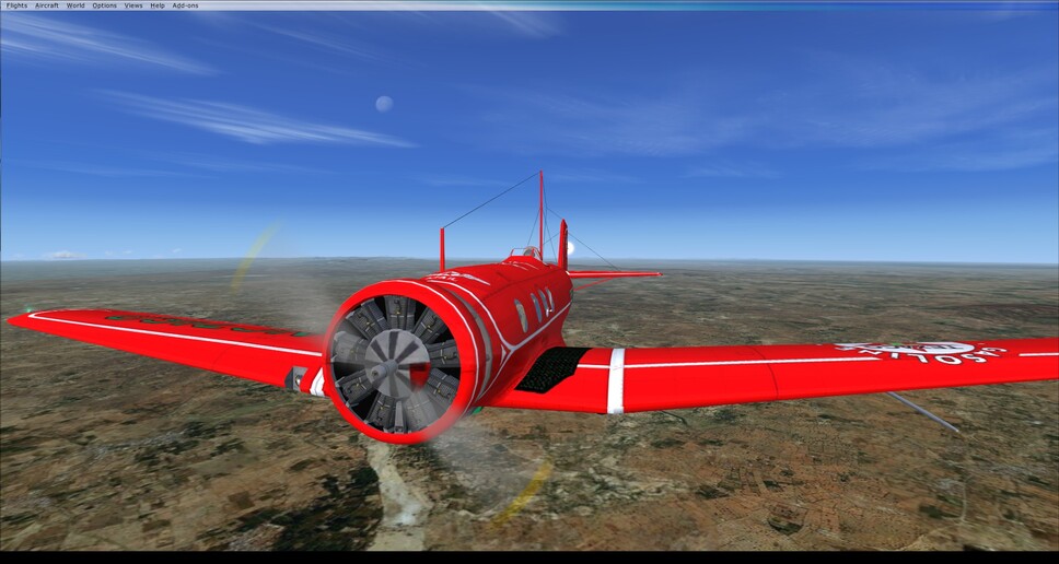
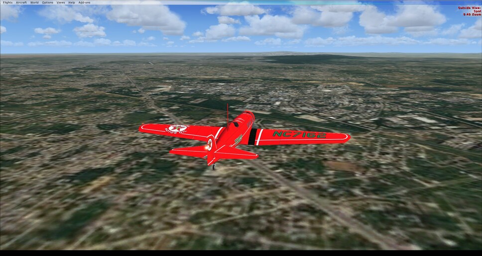
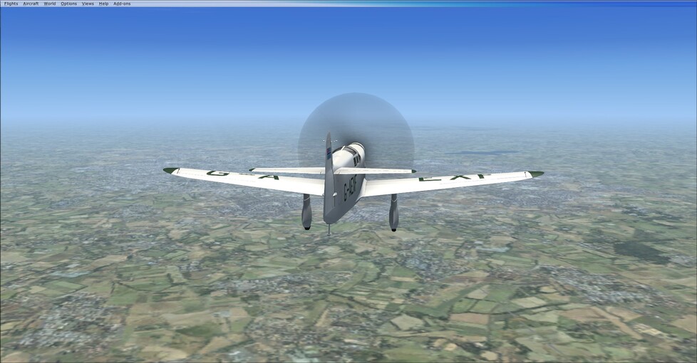
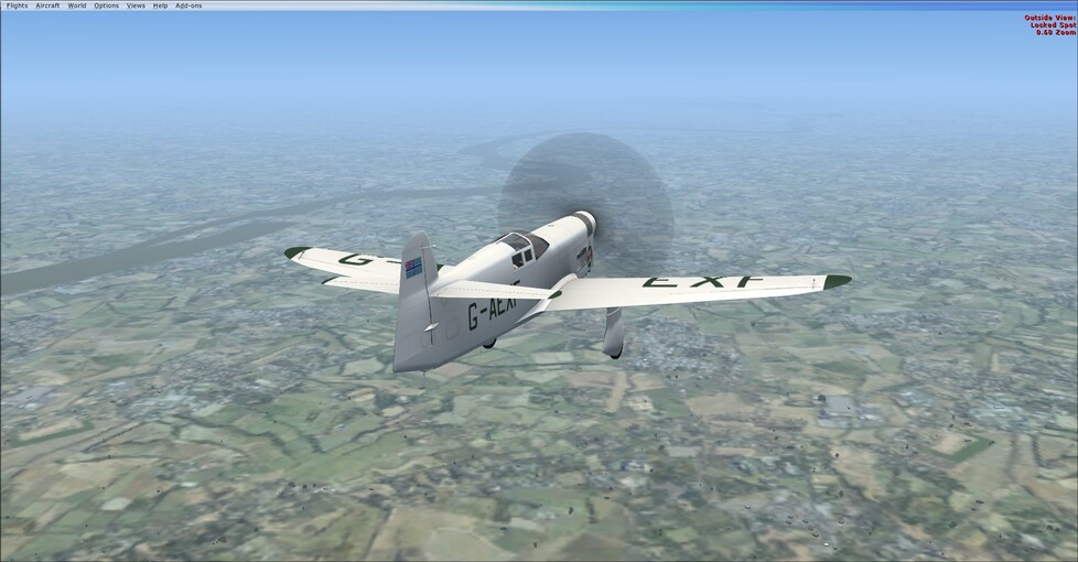
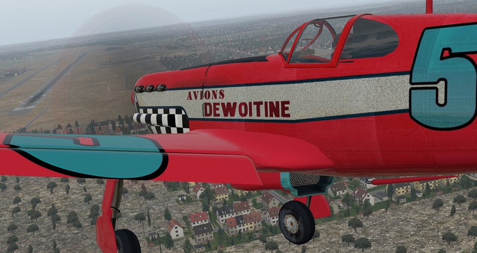
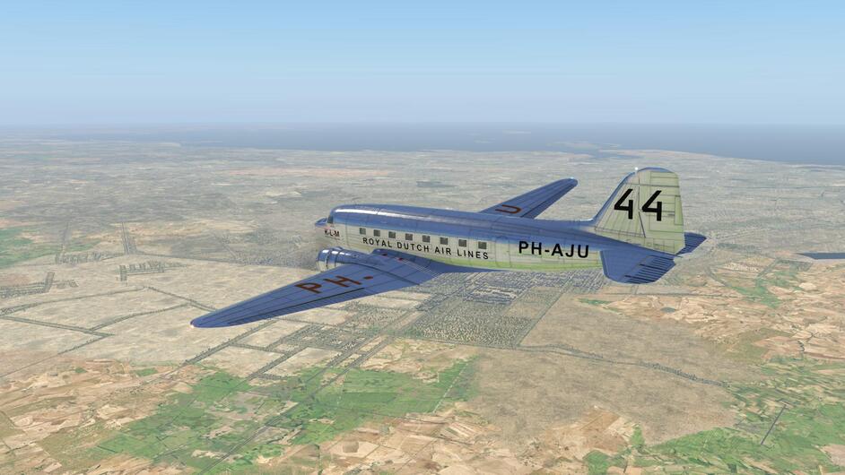
The Carenado Beechcraft Bonanza F33A is a nice module. I would have liked a manual of some sort but I have likely been ruined by the detailed manuals that the third party DCS developers are putting out.
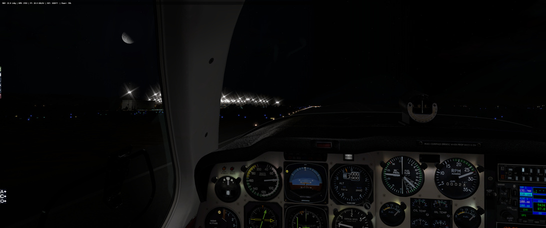
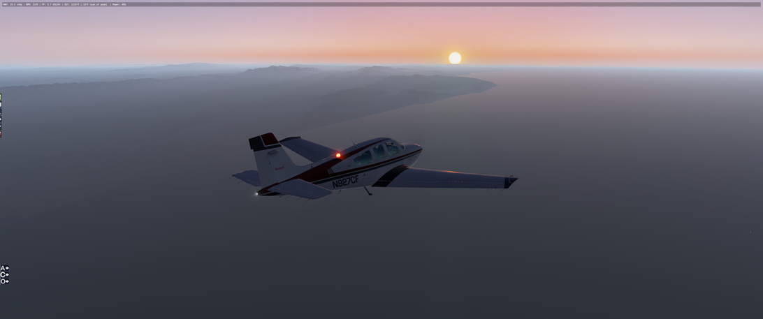
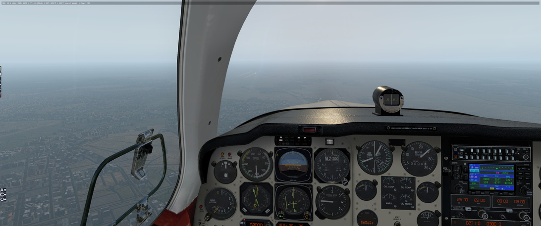
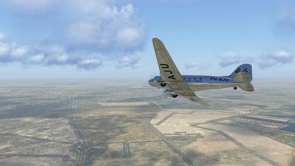
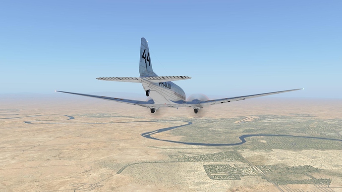
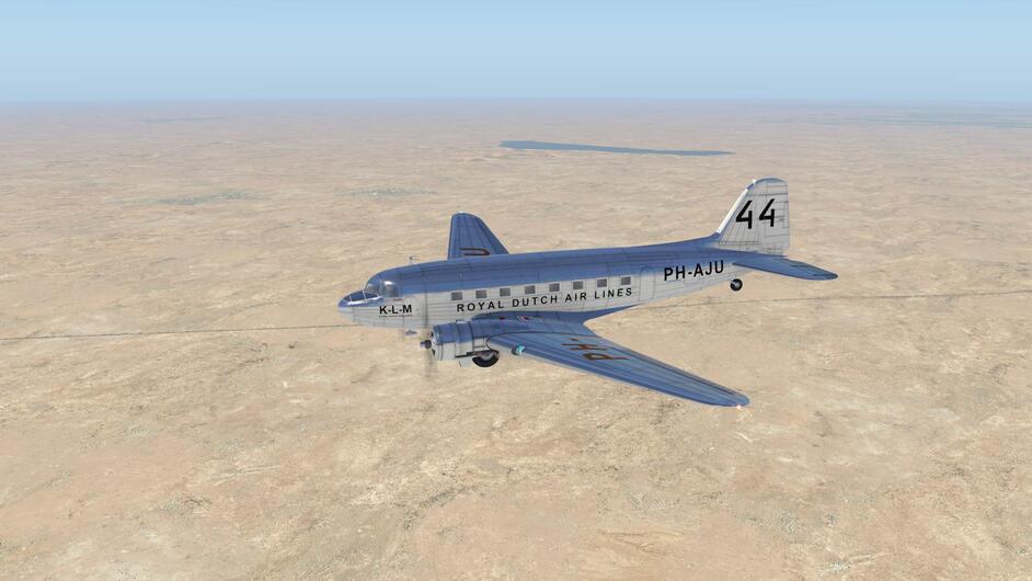
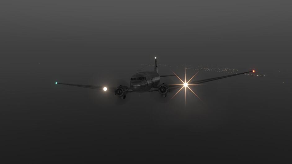
Up and away!
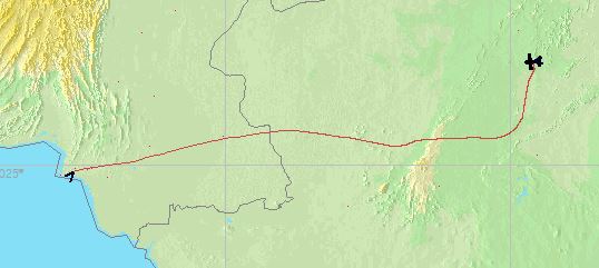
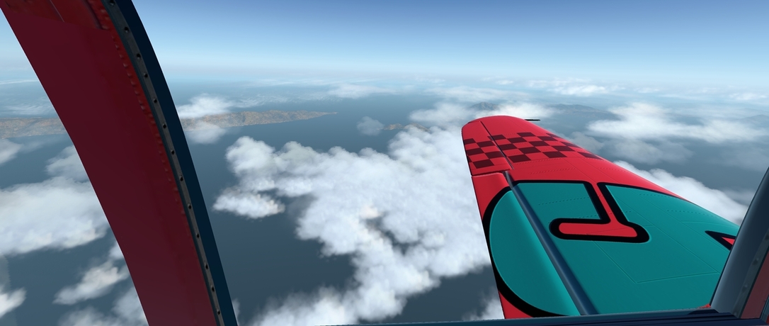
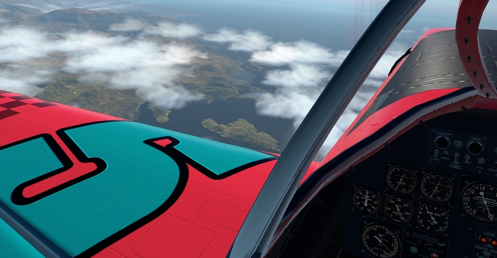
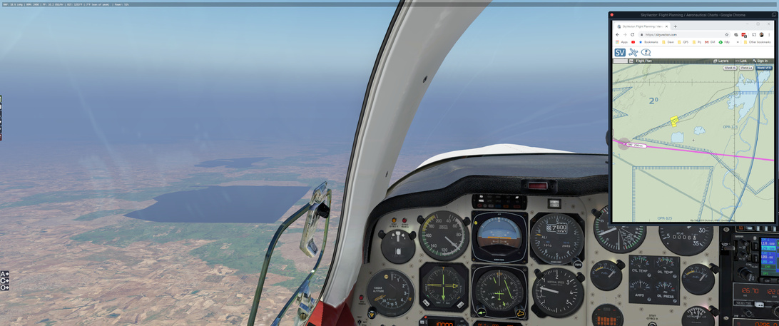
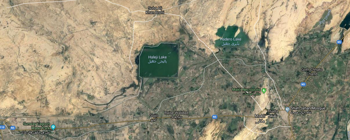
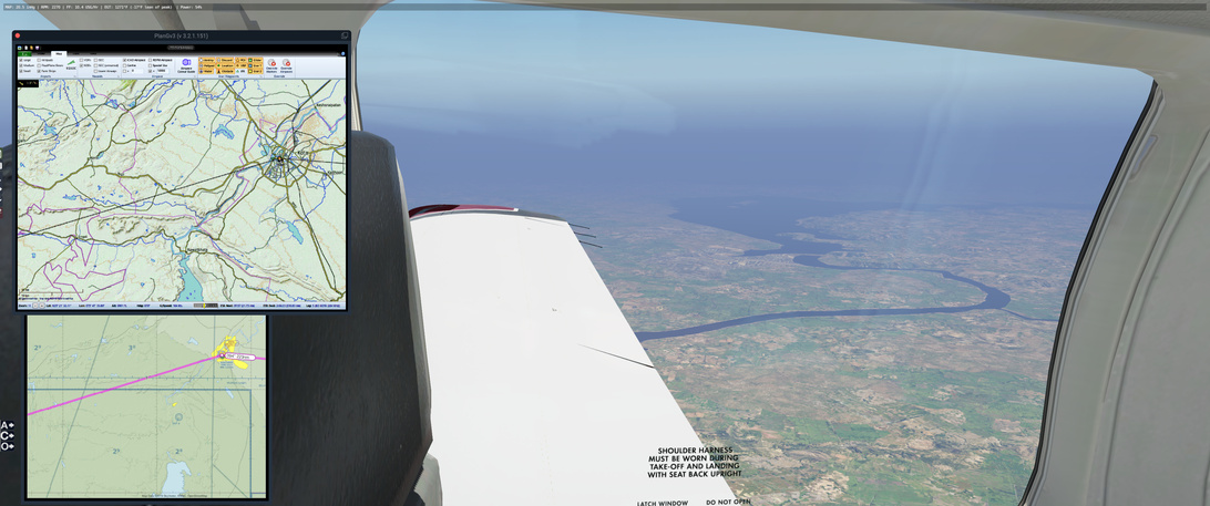
The scenery is pretty generic, but having never flown over Pakistan or India (or within a few thousand kilometers) I can’t be certain. This here is Haleji Lake and it looks pretty human made - but it also looks like this in real life.
Google Maps:
link.
This is a theme in this area - human made reservoirs to contain or direct water for consumption. Over here in America we tend to take this for granted but, and I will avoid the climate change sermon, we are going to have to adapt as well.
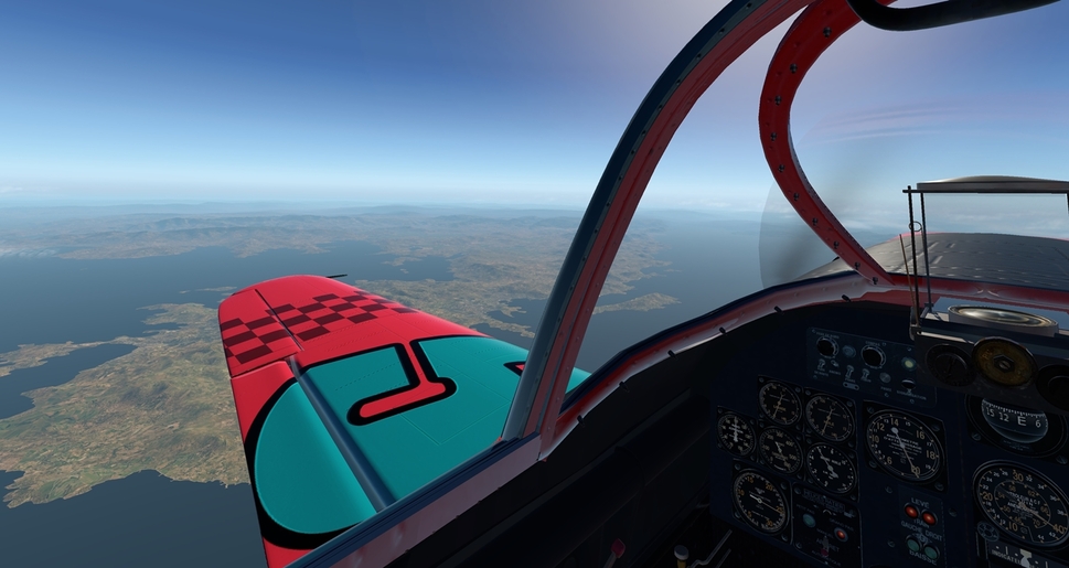
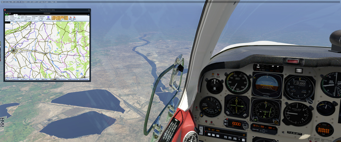
Shortly after Haleji Lake is Keenjhar Lake …
… which is interesting because of the canal system that robs/controls the Indus River right next to it. Interesting (Google Maps: link).
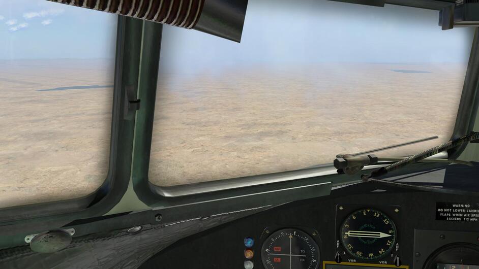
Off to the right is Rann of Kutch Lake, a salt marsh on the border of Pakastan and India which I am happy to see X-Plane accurately reflect.
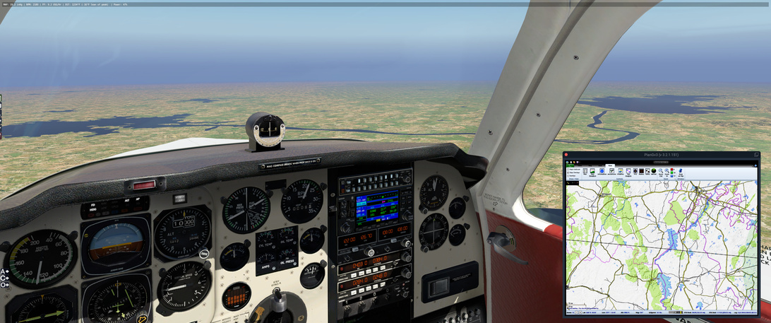
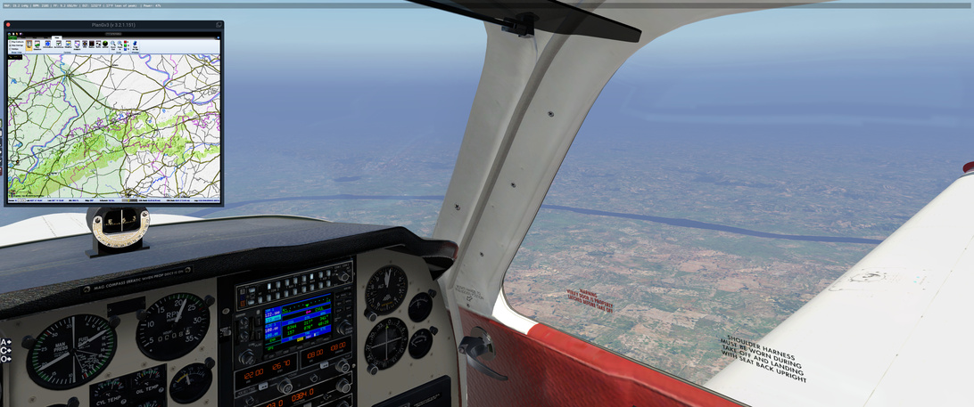
Navigation is going well. NBDs showing up pretty well on course as long as I make some allowance for the winds at FL100. The next shot shows Udaipur with VAUD and the LU NDB just beyond. I am finding the SkyVector VFR maps … difficult to match land features to but this location is not hard to spot.
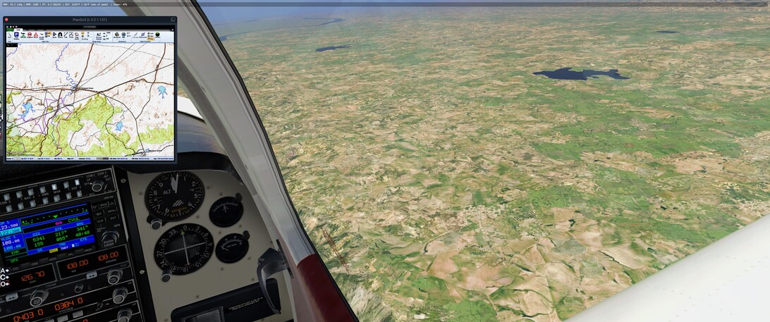
I keep tabs on the rivers and lakes that cross my path and try to keep on course as best I can in those spots between the NBD signals. I end up switching to the PlanGv3 view (and shrink it down to obscure the details that it might show with regard to my position along my plotted course) as if givens a much better representation of the land that I am flying over. The OpenTopo maps are likely a source for the X-Plane scenery. It is much easier to look at a lake and go “That’s it” as opposed to “That’s it?”. Its a subtle change.
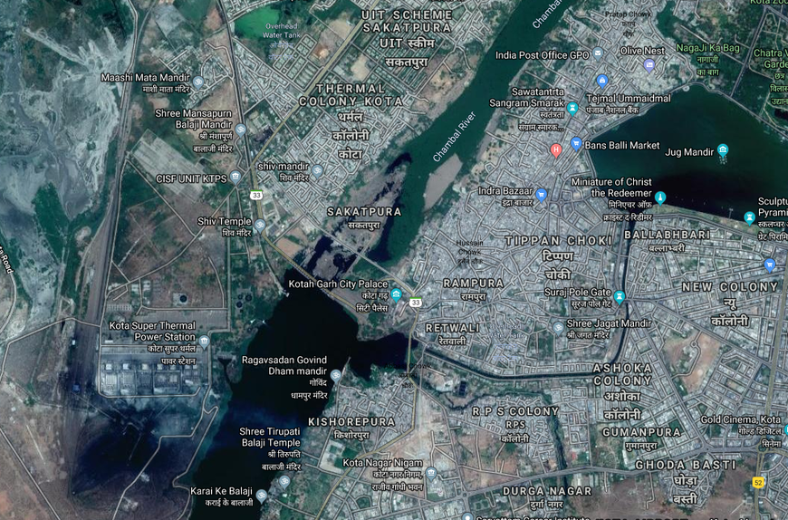
Interesting human habitat. This is Kota and at the end of that large railway feature…
… is the Kota Super Thermal Power Station (Coal).
Google Maps:
link
So those rail lines feed that beast generates 1241 MW of electrical power which can provide power to just a fraction over 9 million people in the area (source)
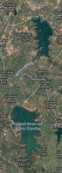
Here are the double reservoir lakes provided by the Rajghat Dam (right/south) and the Matatila Dam (left/north) on the Betwa River. The Rajghat Dam (2006) provides irrigation to the area in addition to al 45 MW power station (serving roughly 328,000 people (same source as above)). The Matatila Dam is older (1958) and is intended, I think, to just store water.
Google Maps:
link
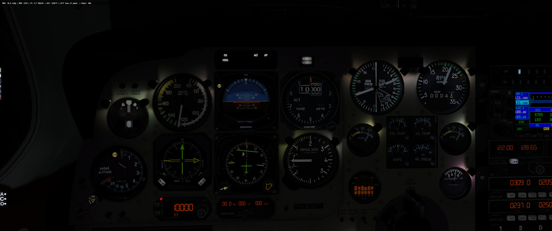
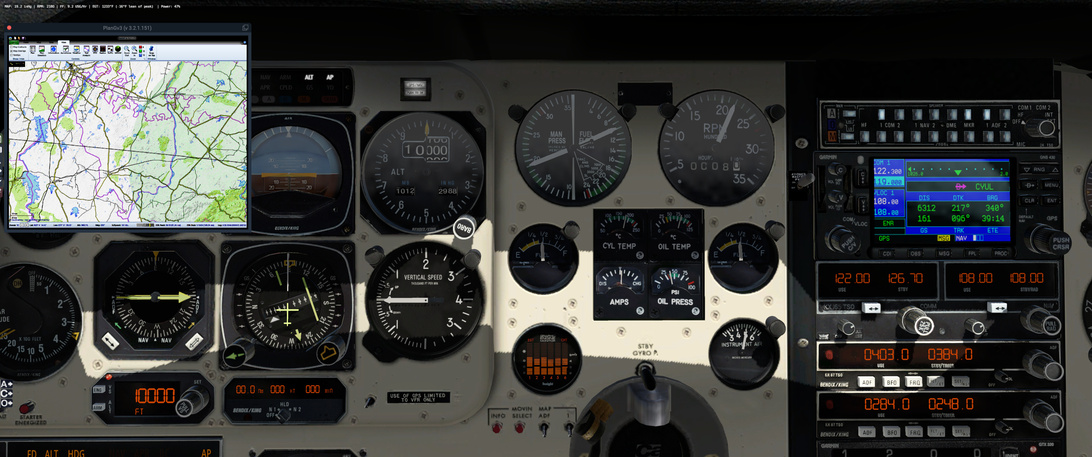
Just after this I am about half way through my fuel (according to the gauges). Oil pressure is steady.
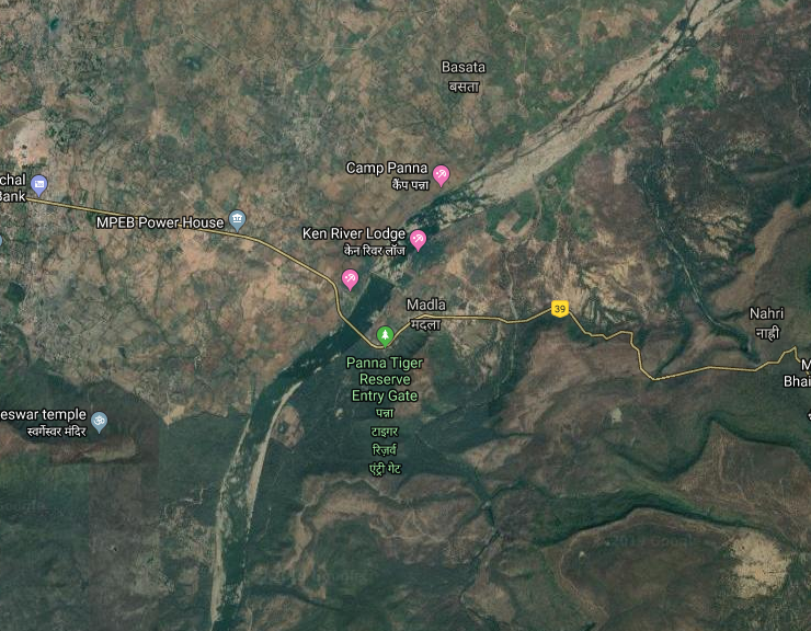
This is interesting. Just past the KJ NBA (and the VAKJ/Khajuraho Airport is the Panna National Park.
This park is notable for two features … two features that mean I do not want to have to ditch there if my engine fails. The first is the Panna …
… Tiger Reserve. That’s off in front of my right wing if i am reading the land features correctly. Google Maps: link
The second is Bear Valley Camp, which is a little farther along where the river starts to turn north … right under the tip of the PlanV3 window there.
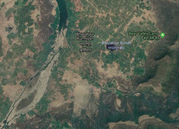
Google Maps: link
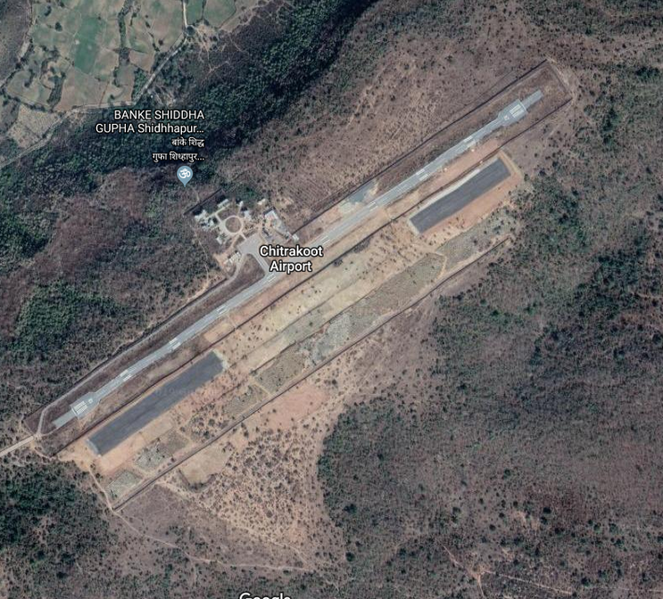
I am not even gonna ask. I am just going to keep to the left of the river if I have to put the Bonanza down under duress. And of course, as I come up on Chitrakoot, about half way between the KJ and AP NDBs, there is a new airport cut into the edges of this rugged terrain.
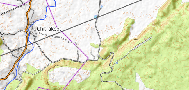
X-plane does not have it in the database, which is wise because it looks like a place created by lions to lure unsuspecting aviators to their demise!
Google Map:
link
Look at that! You can not tell me that is not a prime example of terrain-to-be-run-down-by-a-lion! You open the door, check the tires, pull out the ‘Do Not Remove Before Flight’ ribbons and … Bam! Lions!
My recommendation … don’t add this airport to the X-Plane 11 database. Just don’t.
And, luckily, its not there … or at least I couldn’t find it in those X-Plane terrain tiles that are trying so hard to be wrong
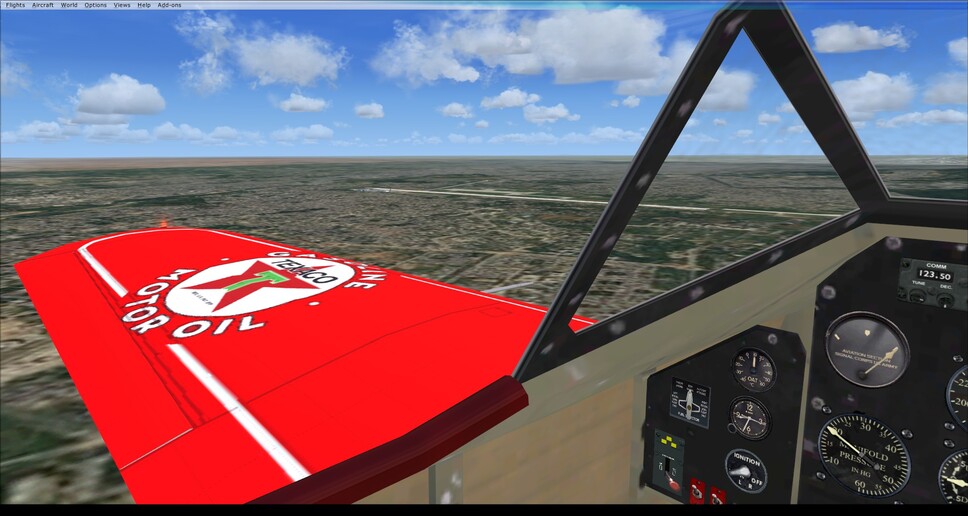
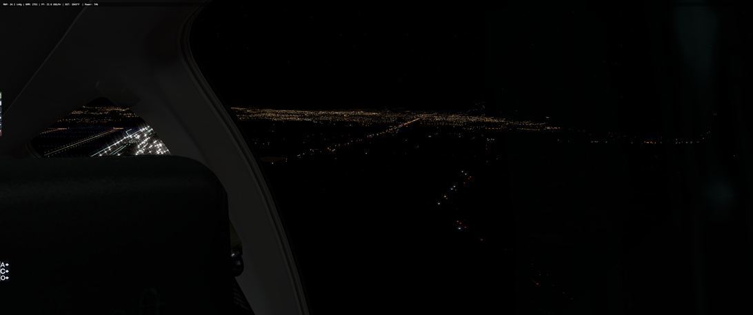
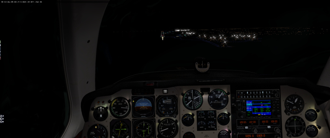
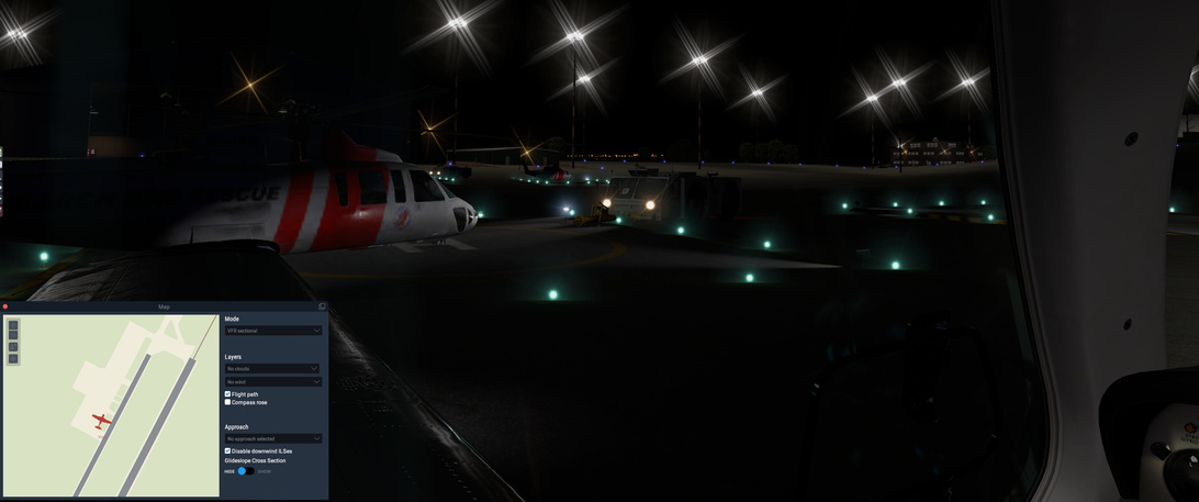
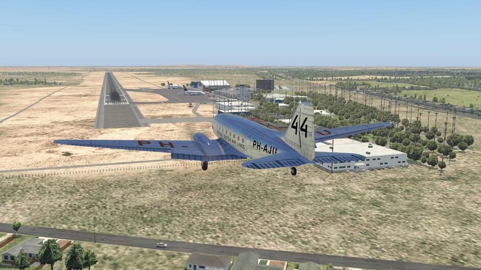
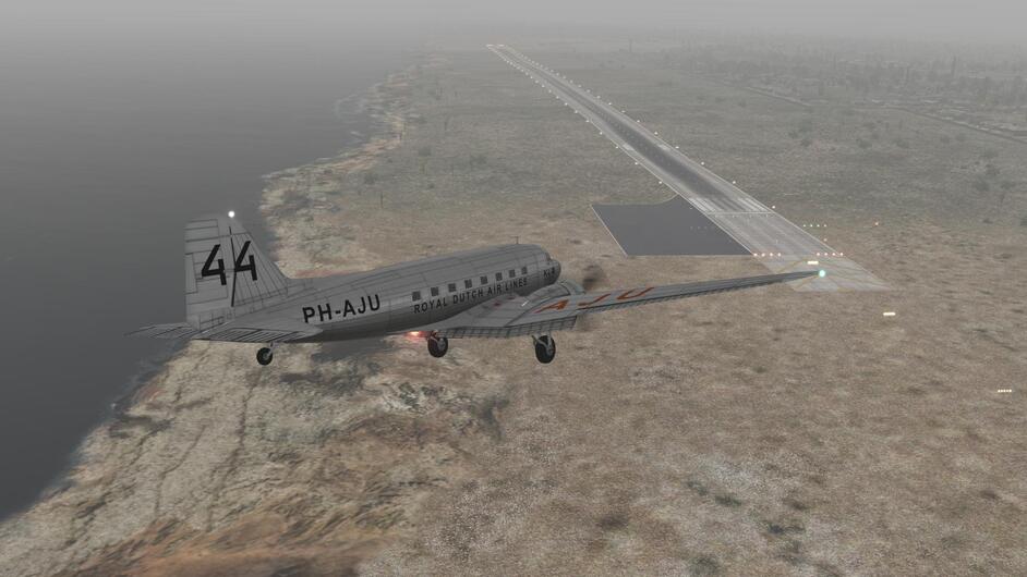
Anyway, enough with my fear of large carnivores! A short time later I am descending (under power, not duress) toward VEAB. Winds are behaving and the airfield looks clear of obstructions (except for the lights that cross at the runway intersection
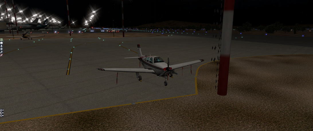
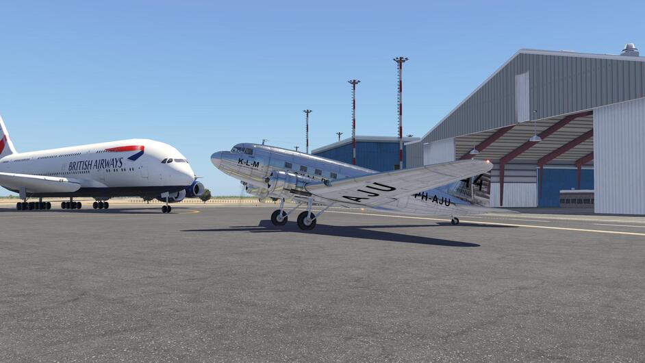
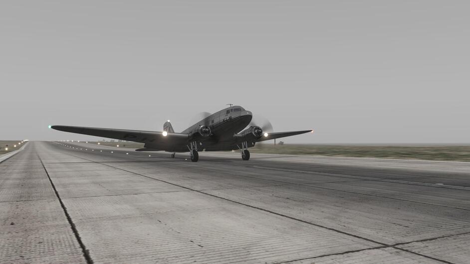
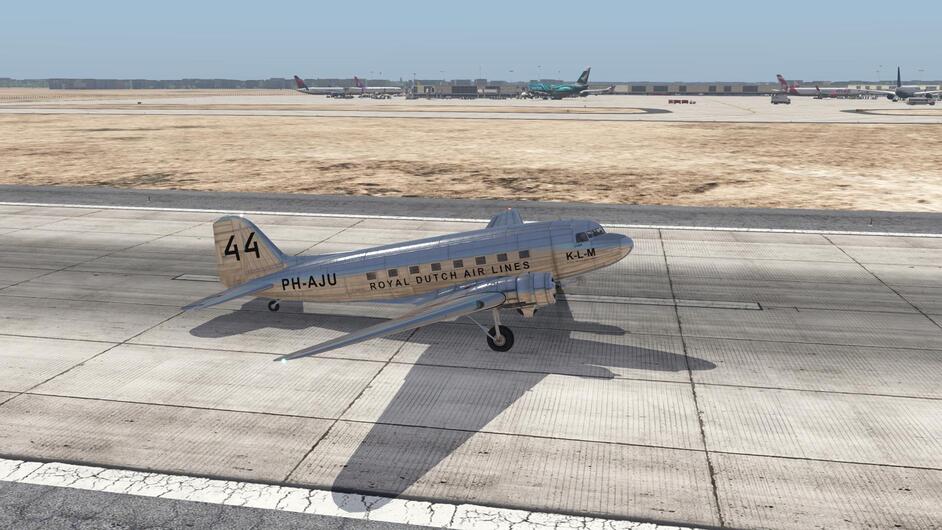
I do the post flight walk around, secure the aircraft and check the oil.
Looking good for a 820 nm flight! I have a fuel to spare which makes me wonder either about the burn rate being potentially incorrect or the fuel capacity being too high. Oh well, that’s for the developers to worry about!