Another nice way to use it! I had to make a similar turn in my Baghdad - Doha leg when I deviated into the Gulf (had planned to fly along the coast), but only ran into Doha after I turned 90 degree by luck.
I also made it to Allahabad with two legs from Karachi. The weather was quite nice. And there are so many lakes / rivers, it wasn’t too difficult to follow the plan.
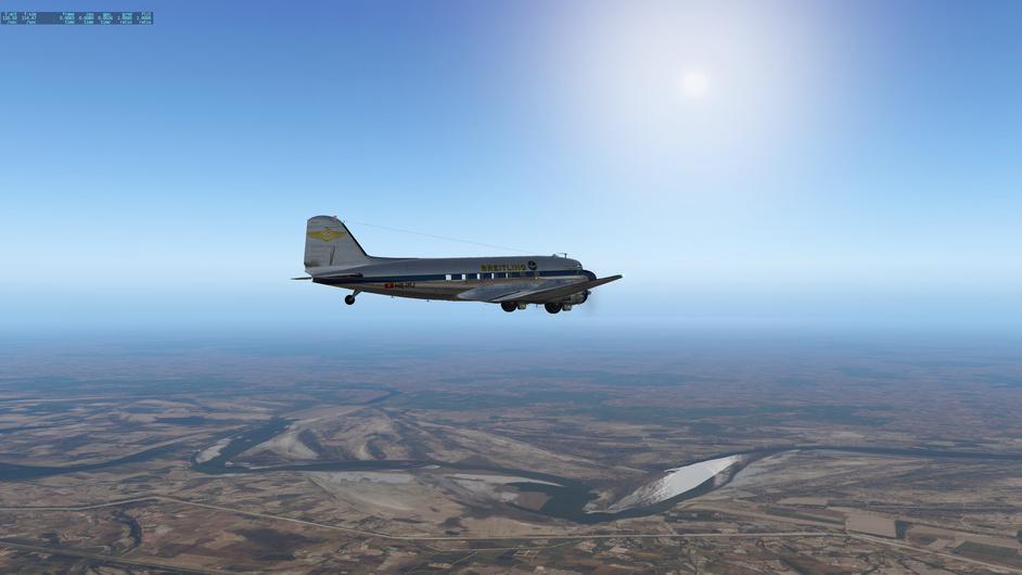
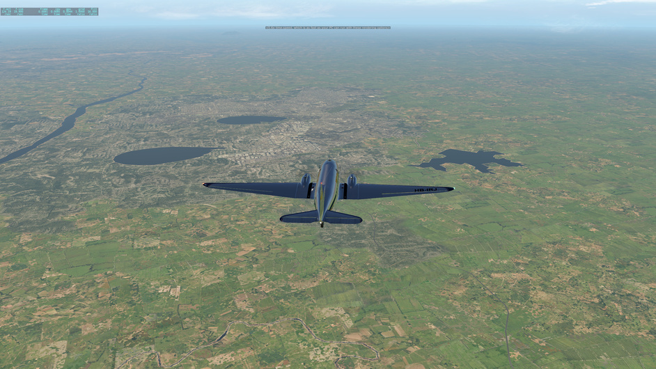
Many rivers to help navigation. I believe this is shortly after Deesa. Have to say the default XP11 scenery isn’t too bad, though some pattern repetition. At least the rivers /lakes are identifiable.
Cranking mode for the race / multitasking mode when working from home
Calcutta - Bangkok 911nm 5:41
Total 49:36
Had planned to land in Yangon, Myanmar, in between, but overshot a little bit. Since there’s plenty of fuel, and I was too lazy to descend, I just carried on to Thailand. The flight path below starts in the middle of the flight because I remembered to log into x-flightserver only after takeoff.
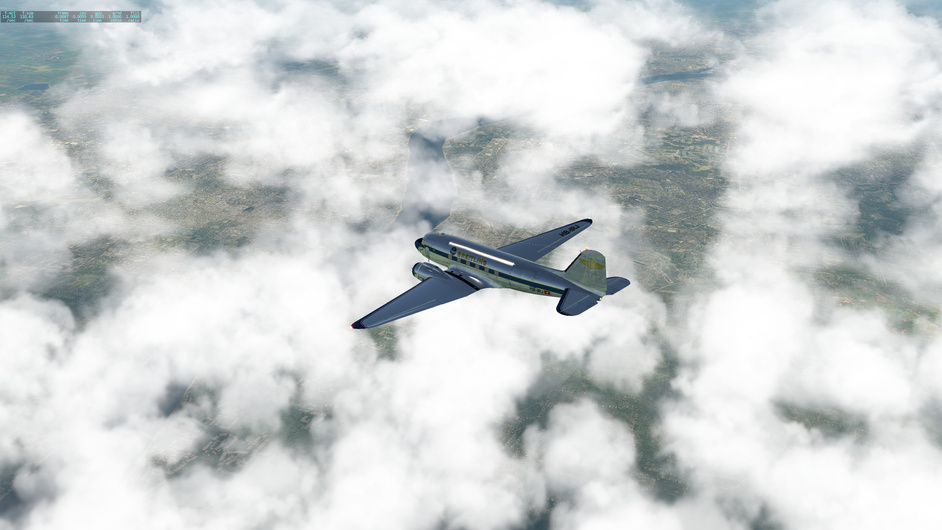
I used Active Sky historic weather mode of yesterday’s data. It was pretty foggy in Calcutta when I took off at 6:30am local time. I climbed all the way through to 15500 ft / 4500 m for some clear sky.
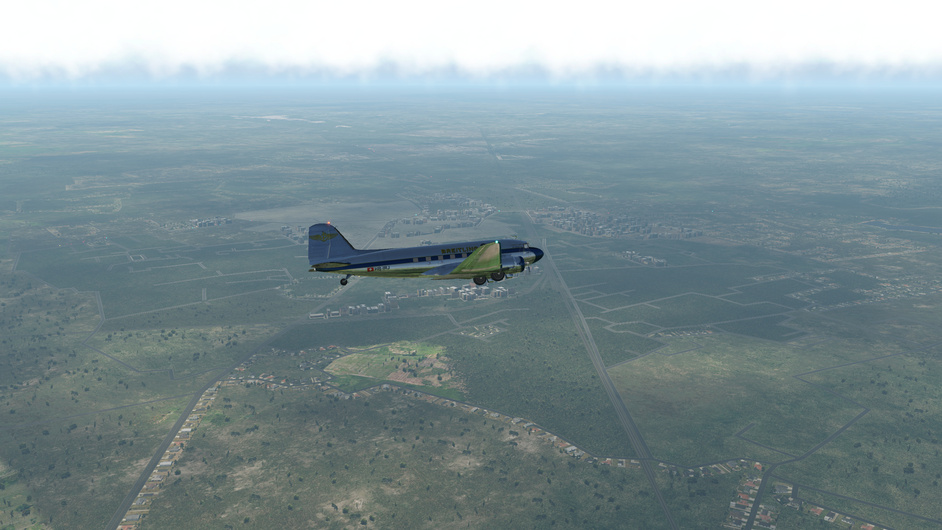
Already passed Yangon and Andaman Sea, entered Malay Peninsula. Some interesting shaped mountains and lakes. This one looks like a person with really short torso and long legs. Google Map does not show any name of it.
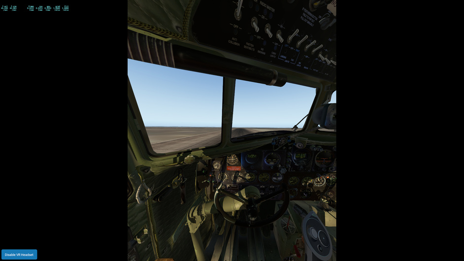
After landed, I hit replay, trying to take some more screenshots. But my XP crashed when I dragged the time bar. Had wanted to show the taxi way that’s as wide as the runway and of just the same color. I was going to land on the taxi way, and switched over only in the last moment, realizing that’s not a usual threshold.
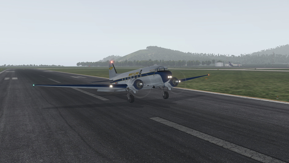
This didnt look good. Crosswind ! Landing was harsh but the takeoff was horrible ! Next time I will try to land and takeoff on the grass at least slightly into the wind
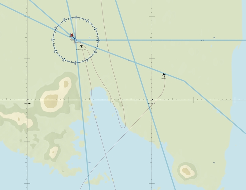
Already low on fuel. I knew there is airport North of Bandar. But my planned destination was Java.
Decision made, lets push South East. After few minutes looking on my fuel gauge my courage dissipated and I turned 180
I wanted to write to you that it sure will ! But too late now you discovered it all by yourself
Considered also many times to change to ride or change the track but hey, this is a Race and it will all turn up good in the end
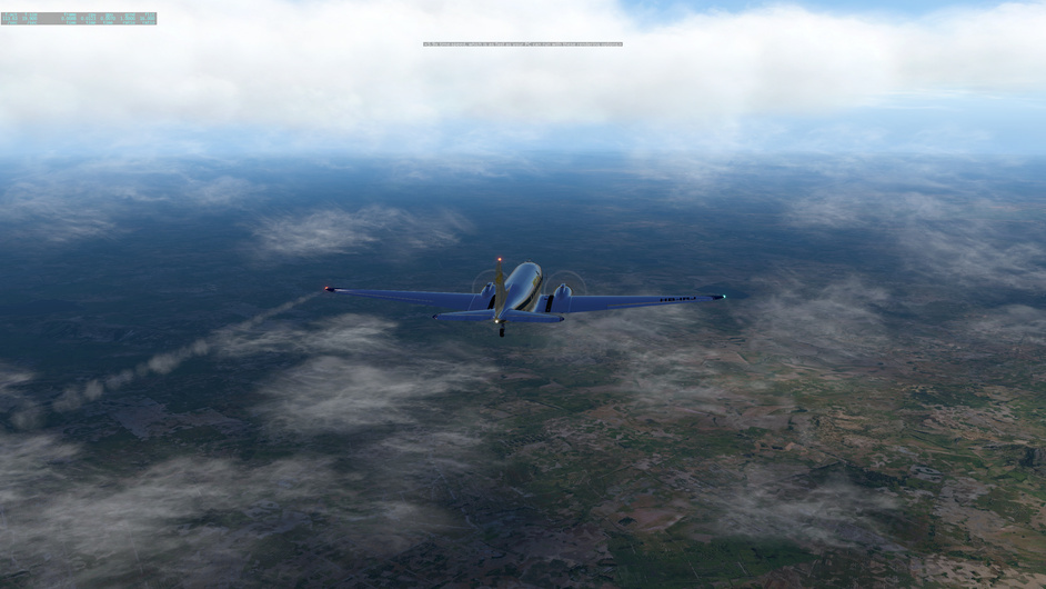
And agree with the problematic depiction of haze / fog in XP @ffly . If you have enough height you can clearly see the ground. It works OK only when there are low clouds and you are forced to fly low… like most of my flights from India to Indonesia
… until I crossed the Peninsula to the Malacca Strait side, passed Langkawi island which is about 60nm north of Penang and easy to identify, when I descended into thick fog. And there’s no NDB in this area…