MacRobertson Air Race (2019)

Better keep going while the going is good. I’m heading towards Calcutta.

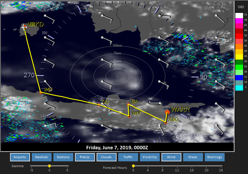
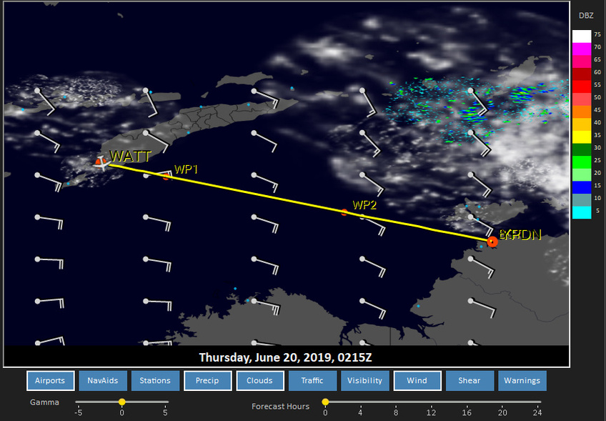
Weather looks a bit interesting. I’ve just left Allahabad and the weather is fine here, as well as on the three weather stations ahead along the route. Things might get interesting close to Calcutta, however. The forecasts show potential thunderstorms, which is confirmed by Windy data:

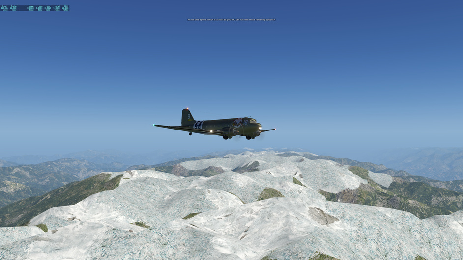
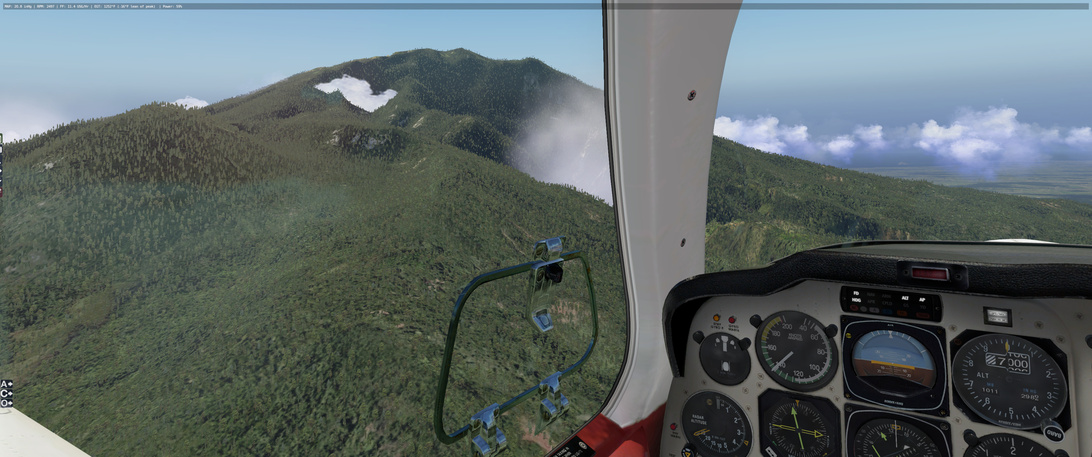
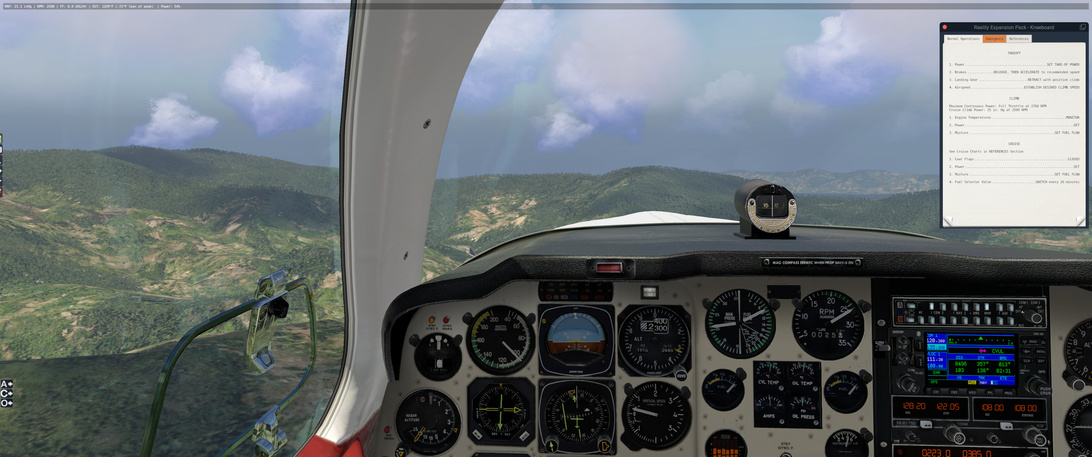
Further East at Chittagong the TAF looks even worse with a long list of worrying abbreviations. As of right now though, all is well with the weather. The river Ganges is keeping me company, making pilotage easy and life is good.

Edit:

I have just crossed the Sone river, pleasingly right at the predicted location over the Sone and North Kone river fork. The weather still holds, although some of the forecasted cloud has started to form.

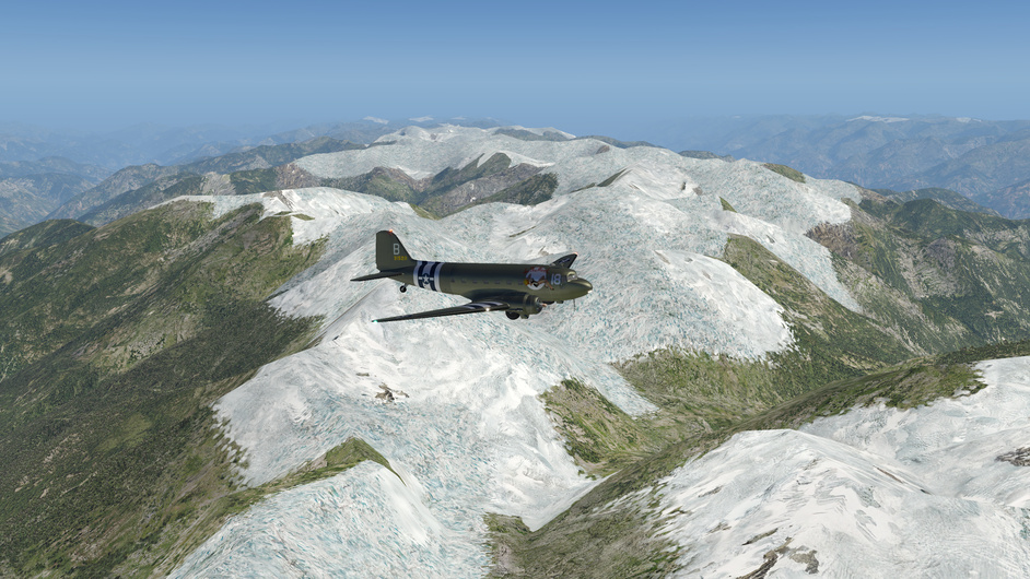
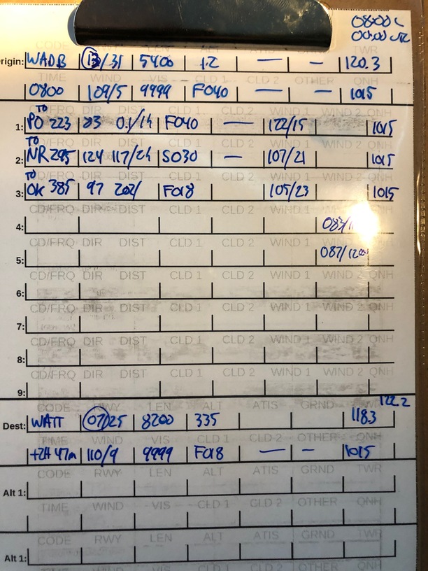
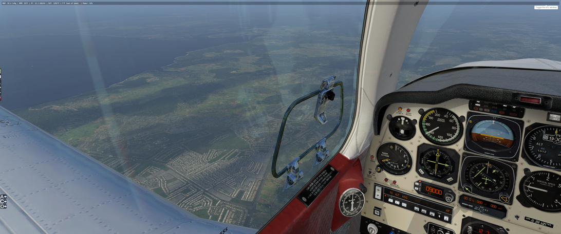
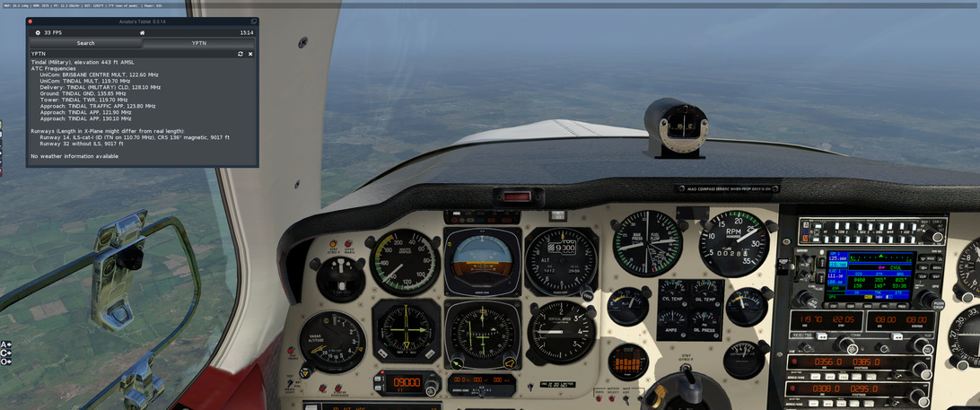
This part of the route has a comforting pair of airfields both in the North and the South, should I develop any serious trouble. I’ve dialed in both VORs and tower frequencies, just in case.

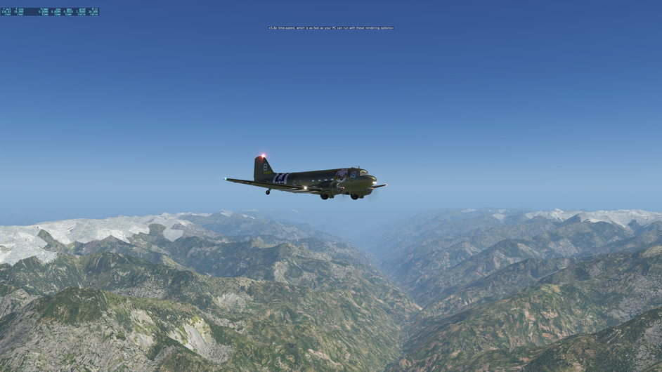
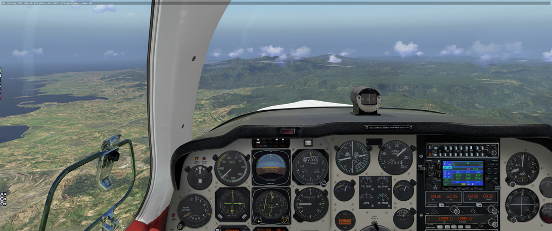
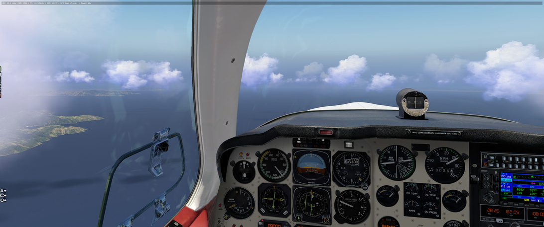
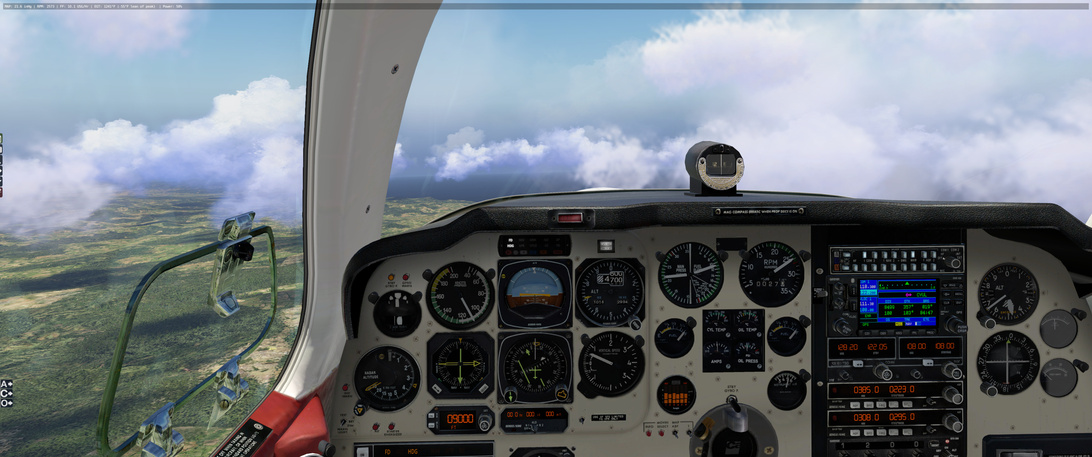
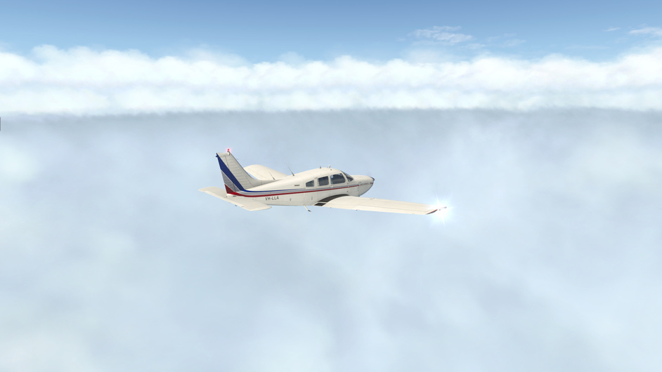
A bit more cloud forming as I push on. I climbed to 12500 ft to get over the clouds and get a bit more fuel efficiency.

That weather warning is drawing a bit close for comfort, though:

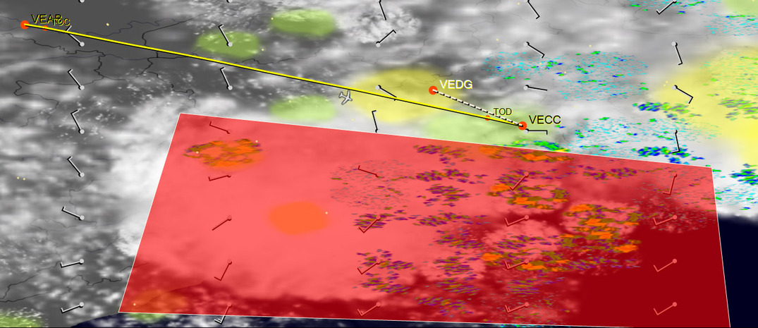
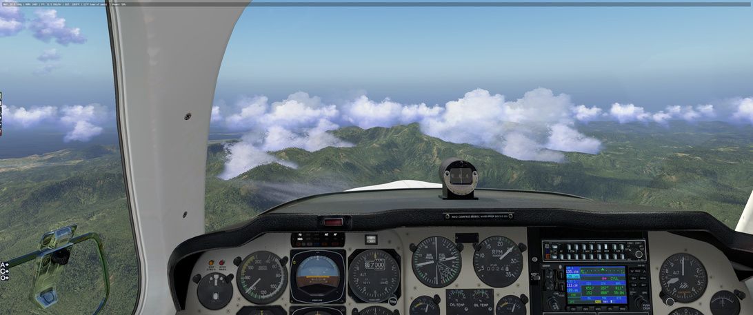
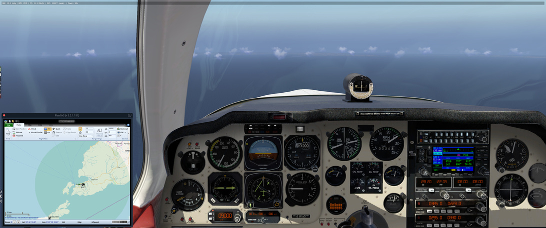
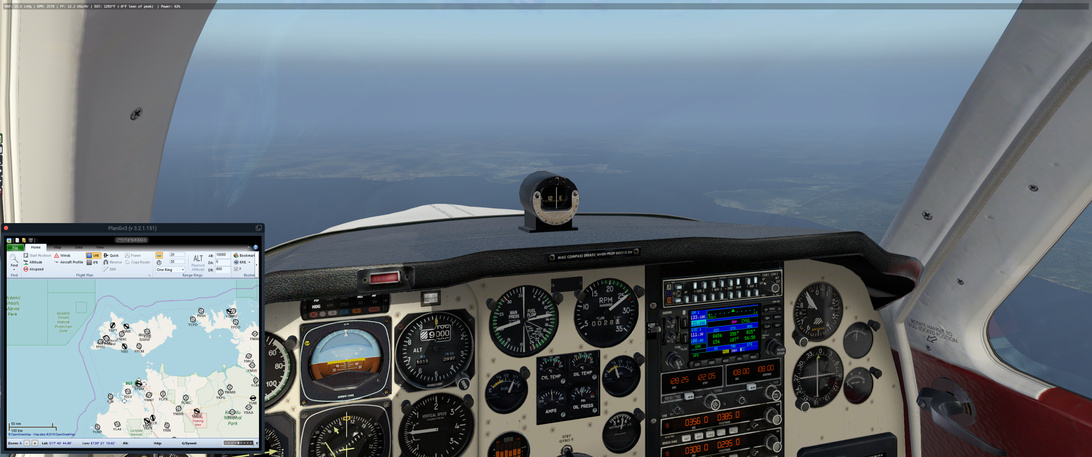
90NM out, now a solid undercast beneath me. This could get interesting yet. Current Calcutta weather is still manageable, although not easy with 5km visibility, haze and a few layers of scattered could.

The forecast is for thunderstorms and rain, though. I hope I can get there before the weather closes in completely. My alternate is not looking great either, but there are some airfields a bit further north that might work if all else fails - it looks like the weather is worse the more south you go.

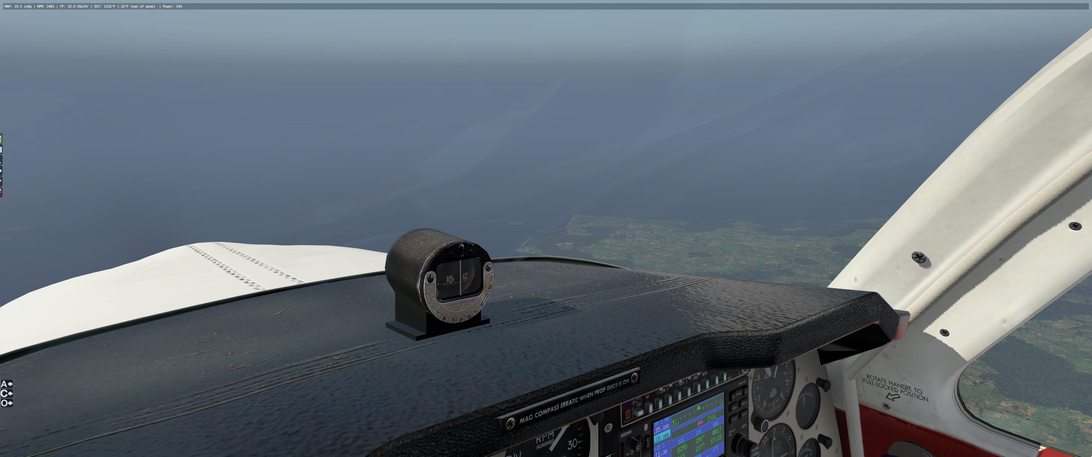
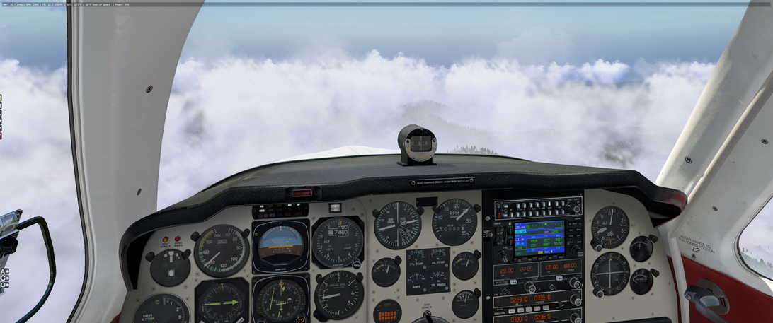
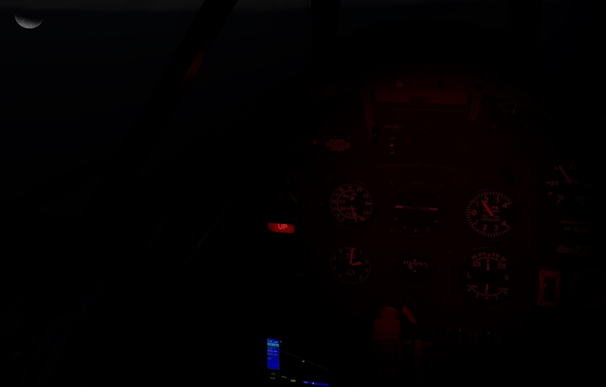
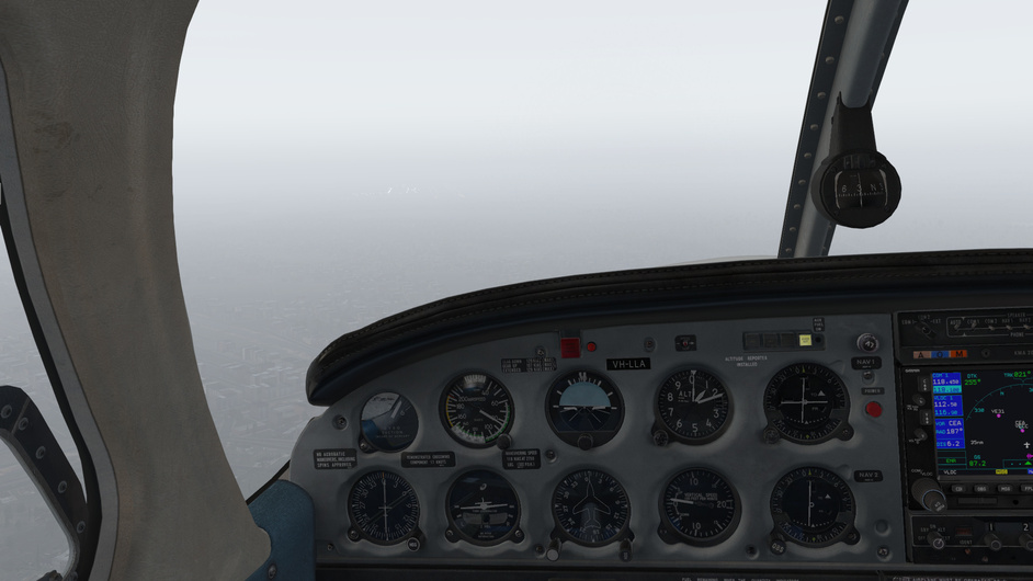
…and then I got socked in and rattled around a bit. I descended down from 13,000 to 10,000 feet and found a bit of calm air between dark cloud layers. I’m now 40 NM out and maintaining a 500 fpm descent through the cloud, IMC. Winds are 070, so there will be a crosswind component. If the conditions allow, I’ll pursue to land on runway 1L.

The weather was awful on the way down. Turbulent air, very little visibility. Thunder cracking somewhere uncomfortably close. The VSI was going up and down like mad and it was all I could do to hold on and try to maintain a steady descent and to stay within the green airspeed range.

I decided to see if I could land with a little help from the VOR DME and ADF equipment onboard. I was approaching from the West, but I wanted to land on runway 01, so at about 20 NM out I took a SE heading and circled around until I was on radial 190 (an agonising wait as I was getting bumped around constantly by the weather). I also tuned in the ADF needle for additional SA for the exact heading of the airfield.

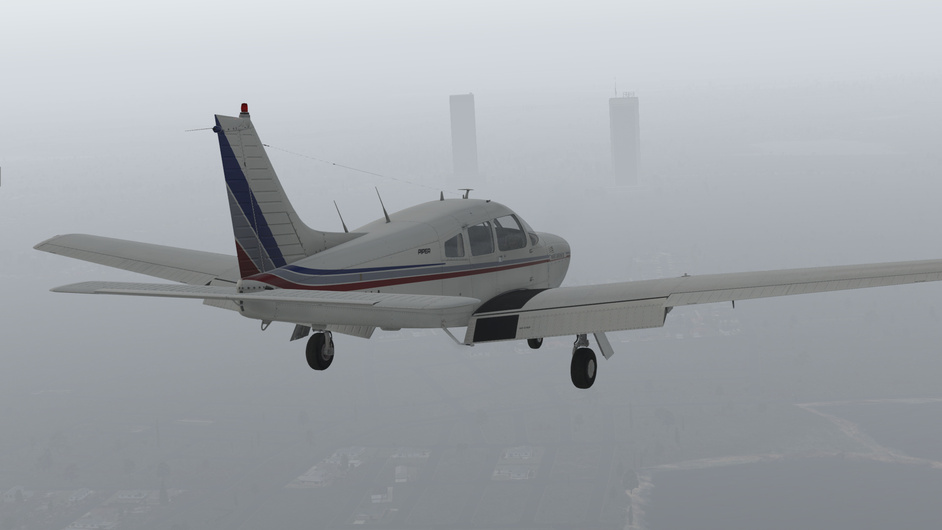
At 2500 feet barometric I could make out the ground.

It was slightly unnerving to watch the skycrapers emerge from the muck…I just hoped that the visibility wouldn’t get any worse.

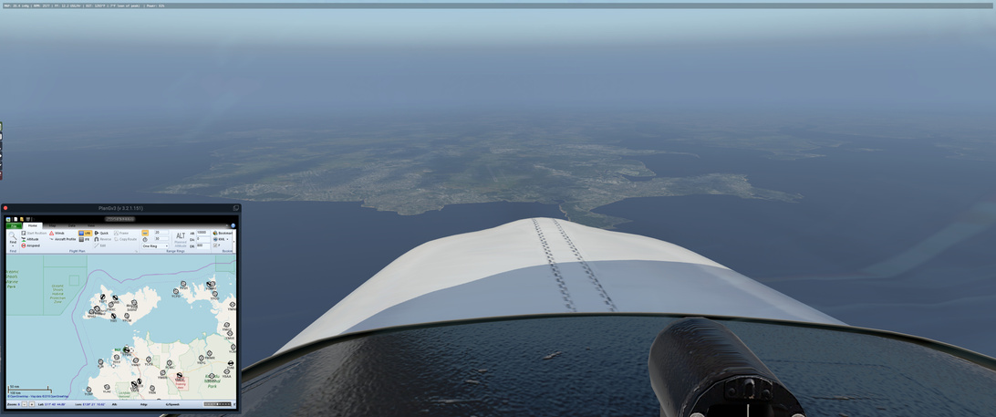
It was a true relief when at 6 NM distance to the airfield I could make out the lights and knew that I was where I thought I was.

In the end the crosswind was quite light, so the landing itself wasn’t too challenging.

What an exciting flight and what fun! I knew that I took a bit of a risk heading into that forecast, so it didn’t come as a surprise…but that certainly didn’t take away from the excitement.

7 Likes

Good luck man, may the force be with you :slight_smile:

1 Like

They might still charge you for ATC services! Better not link your Paypal account!

1 Like

Leg 20: WIOD to WARR via ND and BA NDBs

Aircraft: Carenado Beachcraft Bonanza F33A w/ SimCoders Reality Expansion Pack;
Addon: FSFlyingSchool 2019 for X-Plane 11
Addon: ActiveSky XP;
Addon: UltraWeather XP;

Date: 07 June 2019
Weather: Historical 07 June 2019 @ 01:00 UTC (08:00 local)
Takeoff: ~ 08:20

Leg Total
Planned Distance 421 nm 7819 nm
NDB Beacons Tuned 2 74
Weather ‘Situations’ 0 9
Duration 03 H 10 M 51 H 01 M

Location: Terminal 2, Jalan Ir. H. Juanda, Gedangan, Betro, East Java, 60900, Indonesia

2019-06-07%2022_14_30-Window

Briefing Notes:

Snuck in a flight last night while doing chores and unwinding from the work week. This one is going to be a leap of faith across the Java Sea to Surbaya. Figure if I head out from the NDB on the island of Billiton, I can make the leap across the sea and cut some time off the track.

All (90%) of this route over the sea will be out of NDB range so I have to try and pay attention to the wings at the crusing altitude of 9000ft, hoping to not get blown off course - but it should not be too bad as I can likely regain my bearings near the BA NDB.

2019-06-07%2019_50_37-Window

Granted, this only works if the weather is good, and the mechanics along the way have been keeping the engine and air-frame in top shape. There are no good landing positions other than the surface of the sea for 336 nm - and the sea, she can be a harsh mistress.

Lucky for me the weather seems to be ideal.

ActiveSky XP doesn’t seem to want me to enter my own flight plan … so in the above picture, its’ version is wrong.

Other Media and Notes:

Takeoff from WIOD was uneventful - which is good :slight_smile:

and shortly thereafter went ‘feet wet’ for the long sea voyage.

About 70% of the way along that stretch I ran into the islands of Karimunjawa. Looks like I am a little off to the west. I corrected my course to aim at the large island, from which I will return to my roughly 138° course.

Passing over WARU, I set me VOR course needle to point along my course and give me a quick ‘go-to’ line if I run into mechanical problems for most of the rest of this sea run.

A short time later I see Mount Muria loom out in the distance. While I should stay on course to pass it off my right, while I do not have some of the history of this area as @Sine_Nomine does with his engaging WWII references, I can at least enjoy a bit of scenery. I divert south to check it out.

Interesting. Wikipedia tells me that this volcano, now dormant, use to be twice it’s height. Weather and gravity have slowly eroded away most of its structure into the land surrounding it (a story familiar among the other volcanoes along the coast) but it is easy to imagine its once former majesty. Google Earth has it’s peak at 5256 feet, meaning that if it was double that height in it’s prime, I would have to go around :slight_smile:

On the other side it is time to get back on course. The BA NDB offers to guide is to the general vacinity of WARR and the weather stays in top shape :slight_smile:

6 Likes

I actually had planned for this leg as part of the race, which I more took as an incentive to fly somewhere. But skipped it when I passed Calcutta. The entire detour would be too much. It’s just D-Day 75th anniversary the day before (did it yesterday). This was a different theater of WWII, but thought it’s still appropriate, and should do at least the flight .

Flying the Hump (wiki). From Chuabua, India (VECA) to Kunming, China (ZPPP). 454nm, 2:51.


From the Wiki page:
"The operation began in April 1942, after the Japanese blocked the Burma Road, and continued daily to August 1945, when the effort began to scale down. It procured most of its officers, men, and equipment from the AAF, augmented by British, British-Indian Army, Commonwealth forces, Burmese labor gangs and an air transport section of the Chinese National Aviation Corporation (CNAC). Final operations were flown in November 1945 to return personnel from China.

The India–China airlift delivered approximately 650,000 tons of materiel to China at great cost in men and aircraft during its 42-month history.[5] For its efforts and sacrifices, the India–China Wing of the ATC was awarded the Presidential Unit Citation on 29 January 1944 at the personal direction of President Franklin D. Roosevelt,[6] the first such award made to a non-combat organization.[7]"

"The official history of the Army Air Forces states::
The Brahmaputra valley floor lies 90 feet (27 m) above sea level at Chabua. From this level the mountain wall surrounding the valley rises quickly to 10,000 feet (3,000 m) and higher. Flying eastward out of the valley, the pilot first topped the Patkai Range, then passed over the upper Chindwin River valley, bounded on the east by a 14,000-foot (4,300 m) ridge, the Kumon Mountains. He then crossed a series of 14,000–16,000-foot (4,300–4,900m) ridges separated by the valleys of the West Irrawaddy, East Irrawaddy, Salween, and Mekong Rivers. The main “Hump”, which gave its name to the whole awesome mountainous mass and to the air route which crossed it, was the Santsung Range, often 15,000 feet (4,600 m) high, between the Salween and Mekong Rivers. East of the Mekong the terrain became decidedly less rugged, and the elevations more moderate as one approached the Kunming airfield, itself 6,200 feet (1,900 m) above sea level."

Shortly after takeoff from Chabua, still close to the Brahmaputra River. The mountain range should be the Himalaya’s at the north side of the Brahmaputra valley.


The southeast side of the valley. Mountains are closing in.

Appears to be in the Namdapha National Park, which I assume not existed during the war.

If I am not mistaken, that ridge is the Patkai Range as mentioned in the Army Air Force description above, borderline of India and Burma (Myanmar). I am not entirely sure. The ranges / valleys mentioned seem to be further south to my route.

Does feel like a wall… the other side would be Burma

Passing my first waypoint, Putao, which lies on the north end of a huge valley referred to I think as Chindin River valley. The Chindin River appears to be further south. But the valley is vast and continuous, and appears starting at this point.

Into mountainous terrain again.

A snow capped range can be seen in the horizon. I had climbed to 16,000 ft. This altitude gave me no trouble passing all the mountains. I had set the weather to be of June 6 at first, but it’s very cloudy. I changed it to manual / clear.

Closing in…

I think this is the Hump -


Down below is the Mekong River (?)

As described in the Army Air Force statement, the terrain became less rugged to the east, into the China side. Relatively. This is Er Hai, a huge lake to the northeast of the city of Dali. At this point, I turned to 104 degree towards Kunming.


Arriving at Kuming. The city is also neighboring a huge lake, Dian Chi. It’s hard to miss. The altitudes of both lakes are about 2000 meters / 6000 ft.

At the threshold of the runway, I crashed… Didn’t get into a good descend slope. Adjusted throttle quite violently. The plane slowed down rather quickly. Guess I didn’t pay enough attention. After so many landings in previous legs, I thought I’d make this one. The weather was clear. There’s no wind… Simply poor lousy flight. Oh well, no goodies this time.

11 Likes

Thank you Sir!

4 Likes

Nicely done @ffly! That is something I hope to explore after the race is over.

3 Likes

@ffly That’s a really cool entry, thanks for that!

3 Likes

Leg 21: WARR to WADB via BS, GA and PO NBDs

Aircraft: Carenado Beachcraft Bonanza F33A w/ SimCoders Reality Expansion Pack;
Addon: FSFlyingSchool 2019 for X-Plane 11
Addon: ActiveSky XP;
Addon: UltraWeather XP;

Date: 10 June 2019
Weather: 10 June 2019 DATE @ 00:30 UTC (07:30 local)
Takeoff: ~ 07:50

Leg Total
Planned Distance 368 nm 8487 nm
NDB Beacons Tuned 3 77
Weather ‘Situations’ 0 9
Duration 02 H 34 M 53 H 35 M

Location: Sultan Muhammad Salahuddin Airport, Jalan Lintas Nusa, Desa Padolo, Kabupaten Bima, West Nusa Tenggara, Indonesia

2019-06-10%2021_44_44-FSFlyingSchool%20Flight%20Route%20Map

Briefing Notes:

Wow. They were not kidding when they said that marathons were long races. This is taking a lot more than I thought it would to get there, but then again I am always surprised at how big the world really is!

Weather for today’s jaunt looks exceptional. There should be some nice, light cloud cover near the destination that could prove photogenic. I plan on doing this one at a lower altitude to relax a little and worry less about the destination and more about enjoying the trip. I didn’t factor that into my flight planning, however, and realized a little late that I would need to either climb or go around some of the old volcanoes in the area.

Plan, loosely, is to travel east among the islands and check out the scenery. NBDs will provide a helpful guide along the way.

Other Media and Notes:

Uneventful take off on what must have been a wet runway.

Climbing up to my initial cruising altitude of 5000 feet I get some vapour off the wing tips. I don’t remember seeing these on any other leg of the journey. Not sure if this is new, a result of tweaked settings or just a feature of the local weather at the time.

This looks higher than my current altitude. I need to check the map in Little NavMap to see that I will need to be at or above 7000 ft to go past.

Can I make it through that cut ahead? Pretty sure I am above the peaks but I may as well aim for it :slight_smile:

Safely on the other side. The scenery is great!

The next high area was above 7000 ft, so instead of climbing I decided to go around.

Next one is taken between East Java and Bali.

![

Next, a dramatic peak on the island of Lombok.

Coming into West Nusa Tenggara I feel an urgent need to check the maps again :slight_smile:

Not sure if there is another setting I need to tweak but the clouds in the distance didn’t really match what I ran into when I get closer.

Relatively sparse cover…

Turns into very obscuring cover.

Fellow traveller, going the other way :slight_smile:

Down safe and sound at WADB. The airport scenery here is nothing to write home about :slight_smile:

8 Likes

Leg 22: WADB to WATT via PO, NR, OK NBDs

Aircraft: Carenado Beachcraft Bonanza F33A w/ SimCoders Reality Expansion Pack;
Addon: FSFlyingSchool 2019 for X-Plane 11
Addon: ActiveSky XP;
Addon: UltraWeather XP;

Date: 17 June 2019
Weather: Historical 17 June 2019 @ 00:00 UTC (08:00 local)
Takeoff: ~ 08:20

Leg Total
Planned Distance 320 nm 8807 nm
NDB Beacons Tuned 3 80
Weather ‘Situations’ 0 9
Duration 02 H 27 M 56 H 02 M

Location: Kec. Kelapa Lima, Penfui, East Nusa Tenggara, 85361, IndonesiaEND_LOCATION

2019-06-17%2020_19_28-FSFlyingSchool%20Flight%20Route%20Map

Briefing Notes:

Continuing to work my way along the islands toward the coast of Australia. This is, and will continue to be, I guess, the farthest south I haven ever flown. I seem to remember trying to make it to the Olympics in South America before but I am going to discard that as a GPS Autopilot dream :slight_smile:

Weather looks great for a trip closer to the finish line. Increasing cloudiness as time progresses over WATT but it doesn’t look like it should be concerning.

Flight plan is fairly simple but I will be out of contact with the NDBs over a significant portion of water. Hopefully the mechanics have been kind and through :slight_smile:

Other Media and Notes:

Up and out of the airfield is relatively uneventful. Following the heading from runway 13, I am going to keep this course until I climb over these mountains. I have to eventually turn left but I’m only going to do that when I am clear.

Feet wet on my way to the NR NDB

It is off there in the distance.

Turning on to the outbound leg from NR. Everything is looking good.

Lots of empty ocean out there but I have a feeling that if I check the X-Plane map I will see a carrier and frigate/destroyer/cruiser somewhere in the area.

VFR map is up. Figure that I am close to the place I want to be but likely off a little to the right or left with the wind. Should be manageable though. Sure enough, the clouds start to pick up as land comes in to view.

As I read it, the land to the center right is likely the island close to the coast west of the target airfield. In the cloud break to the center left (left of the ascending triple of clouds, is the north side of the harbour. If I hold this course as I descend, I should be able to turn south after passing the island and then back east when the NDB needle hits 070, straight into the rough area of runway 07.

The clouds get thicker and I figure I may need to be descending earlier than I had planned to get under them and not get too far off the plan.

Looks like the two north bumps of the island west of the airport. At this point I turn south and continue my descent to 1500ft ASL, keeping an eye on the radar altimeter just in case. Shortly after going feet dry, the clouds ease up a little and I can make out the airport. Little cross-wind but I am starting to be able to handle it better with all this practice :slight_smile:

EDIT: forgot my flight plan notes

9 Likes

Leg 23: WATT to YPDN YPTN via OK, BGT, TN NDBs

Aircraft: Carenado Beachcraft Bonanza F33A w/ SimCoders Reality Expansion Pack;
Addon: FSFlyingSchool 2019 for X-Plane 11
Addon: ActiveSky XP;
Addon: UltraWeather XP;

Date: 02 June 2019
Weather: Historical 02 June 2019 @ 04:00 UTC (12:00 local)
Takeoff: ~12:20

Leg Total
Planned Distance 600 nm 9407 nm
NDB Beacons Tuned 3 83
Weather ‘Situations’ 0 9
Duration 04 H 09 M 60 H 11 M

Location: Carson Drive, Tindal, Town of Katherine, Northern Territory, Australia

2019-06-20%2016_03_24-FSFlyingSchool%20Flight%20Route%20Map

Briefing Notes:

Well then. The original plan was to head from WATT to YPDN (Darwin on the Australian coast) … a 3+ hour jaunt across the water. Interestingly, in ActiveSky XP, it created a much more reasonable flight plan going the quickest distance across the water to land, much farther to the west of Darwin, instead of the straight course that I had chosen, which was likely the safer course minimizing the time in areas where I can’t land. Instead, I went back to my original plan straight as the crow flies :slight_smile:

The weather looks good. Winds at altitude do not look chaotic enough to blow me off the intended target.

I threw in a couple of waypoints along the path to make sure that I had good weather info … but then realized that over the water there are not a lot of weather stations to report or forecast for :slight_smile:

Looks straight forward, right? Well then you have to pay attention through those 3 hours to your fuel tank selection. Which I didn’t do. And ended up with the right tank 90% empty with the left 90% full. So, instead of trying to land at Darwin with the weight waaaay out of intended parameters, I extended my flight to the YPTN in order to burn off some of the off balance weight.

That should explain why my flight plan notes below are a little more chaotic.

Other Media and Notes:

Take off … uneventful …

Except for the significant cross wind that was much higher than I expected …

Looking good with the weather as I go feet wet again.

After a few hours, getting the VFR chart ready to encounter the islands and … would you look at that fuel balance discrepancy.

Time to start planning to bypass Darwin or circle for an hour to get that balance back in line. Looking at the VFR charts and the upcoming cost, I think I am farther out that I am …

But then I get closer, and take a closer look, and realize that I am just about over Darwin.

Looks pretty down there though.

Getting the radios set up for YPTN.

Coming up on what I think is YPNC …

And sure enough the NDB at TN engages the radios. Part way through the descent, which I started a little early (not good at judging that).

Coming in to land at YPTN … not worse off for the bad job at paying attention to the fuel state and tank selectors.

Luckily I was in a place (home sick for the day) where I could take the extra time to push on from Darwin.

Almost there. I can hear the people hired to clean the streets at the end of the original marathon, given that at this point, everyone waiting for contestants to cross the finish line have all gone home :slight_smile:

9 Likes

I don’t know if everyone has gone home in Melbourne but I can tell you that I have drunk the bar dry. Don’t worry though, I’ll make sure it is restocked before you arrive ;). Congrats on making it to Oz!

5 Likes

I have a plan. LOL…I’ll make it there! Hopefully before the Christmas Flight!!

2 Likes

I can see lot of good progress above! Nice!

I got stuck on Radin airport ( WILL ) for few days… or is it already weeks ? :slight_smile:

Had some time finally day before yesterday but went into troubles. Or better phrase it ’ decisions '.
I mean, at that time there was already dark night in Jawa. So it was VFR night or second option shifting the time.

My Spit has an option for mounted std XP GPS. So I decided to use it as a substitute for VOR / NDB receiver. To my surprise Jawa is full of them.
Plan was to set the next enroute VOR and use the simplest GPS screen to just track the direction to it. It went quite well.

So let ride into the night :slight_smile:

Made it only half way between Batavia and Rambang. Had to stop at Semarang for fuel.
2019-06-23%2006_54_21-Greenshot

Takeoffs and landings are challenge during day time. Will this be doable ?

Jakarta Int. in sight

This was my standard view out of the cockpit. Not much to see especially over the water :wink: ( notice no backlit on the gauges. I had to use flashlight )

Down in one piece. Landing was not so bad actualy … I did only barely see how crazy it was :smile:

7 Likes

That’s unfortunate and frustrating I am sure!

1 Like

Something to consider would be a UPS battery backup. Even ones that only have a ten minute backup time sound like they would save you quite a few headaches. Even more importantly, imo, the surge protection built into them would be another line of defense against your power companies recent lack of reliability.

I have seen the ones with just a ten minute power supply priced as low as $45.00 US.

Wheels

2 Likes

I had since made my way back to Singapore from Kunming. Very much appreciate @Sine_Nomine rescue effort though :smile:
Changed my ride to Twin Otter though, which I picked up during the last sale. Made a short hop. Not much to report. Just a few pictures to share. I set the graphic option to HDR. That really hit the fps. The graphic definitely looks better in some ways, though also much darker.


6 Likes

Reading this just now :smile: Had read it sooner will save my self the decision process and maybe also the night flight.

In the Spit the ’ same song ', no cockpit lighting or gauges backlit. Fortunately there is handy default flashlight in XP what made the flight doable.

When I think about my night flight now it maybe went so smooth that some daylight flights didnt turn up so well :wink:

2 Likes

Awesome read @Sine_Nomine!

1 Like

I always learn something new and interesting when reading your flight reports @Sine_Nomine. I had not heard about the 1815 Tambora eruption. I mistakenly thought that Krakatoa was the biggest eruption in the region within relatively recent times.

That caldera is huge!

6 Likes