Actualy it will be much faster to get to the Aleutians from Melbourne, at least for me.
1 Like
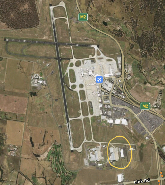
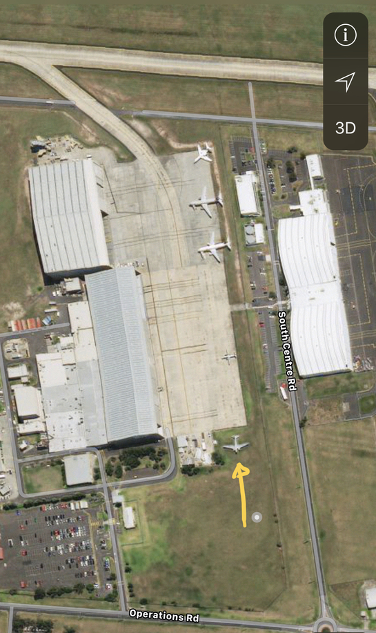
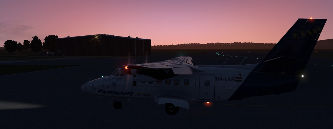
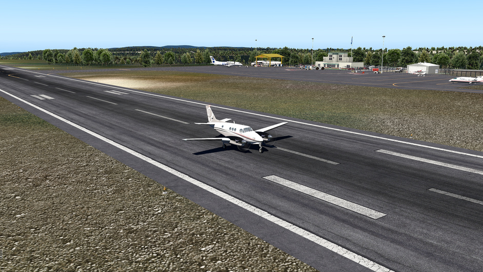
I parked out of the way at the South end of the airport, as shown on the following Apple Maps satellite photos (![]() ). Looks like they pulled the old girl off into the grass though.
). Looks like they pulled the old girl off into the grass though.
Congratulations on making it to the finish!!!
![]()
6 Likes
Congrats @Sine_Nomine - what an epic journey…!
1 Like
Congratz @Sine_Nomine ! Great flights and reports.
I hope for tomorrow. Cause if I dont finish it tomorrow then I am away from my pc again. For 11 days.
1 Like
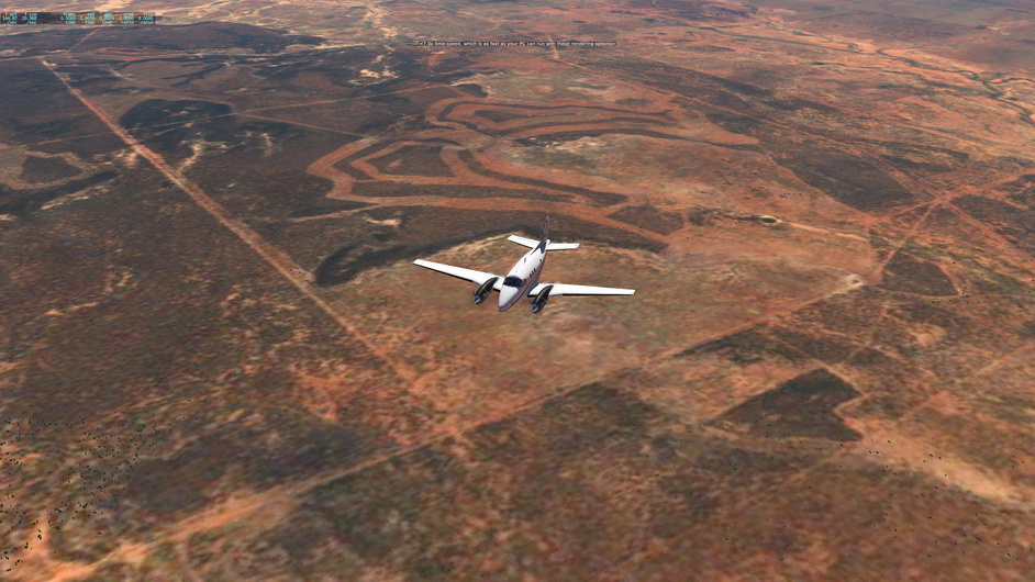
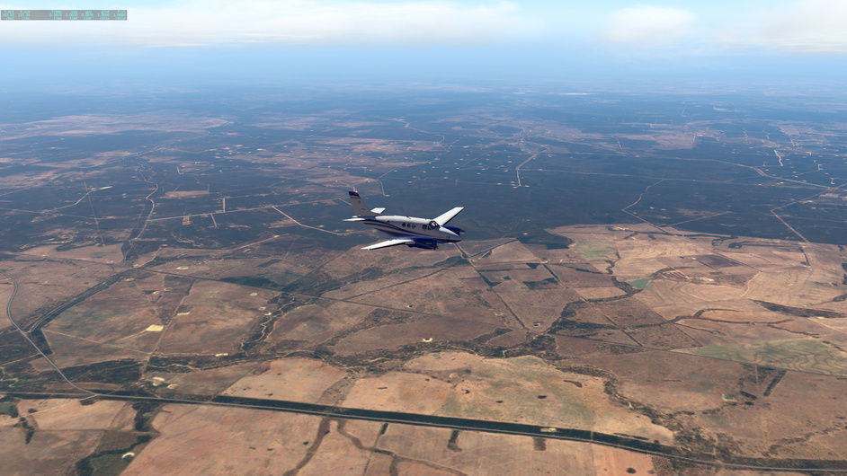
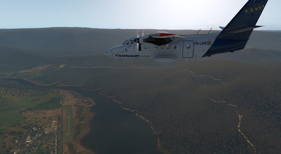
18:45 local in Peak Hill. How far we can go ? Wind is having fun also - 17kt from 240 ![]()
What a waste ! Downloaded ortho scenery for this leg to Melbourne. At least this is going to be short hop in the dying light.
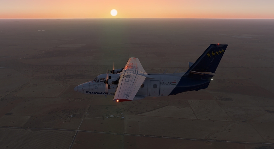
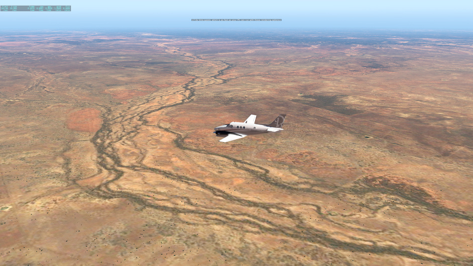
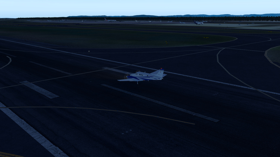
And… we are here… Parkes YPKS. Distance flown full 25NM ![]()
And this is it. Will camp here for next 11 days.
5 Likes
I have another leg in the books. I was testing my old and new hardware and figured it was as good a time as any :-). Report coming tomorrow, though it will not have all the detail that my previous ones did.
4 Likes
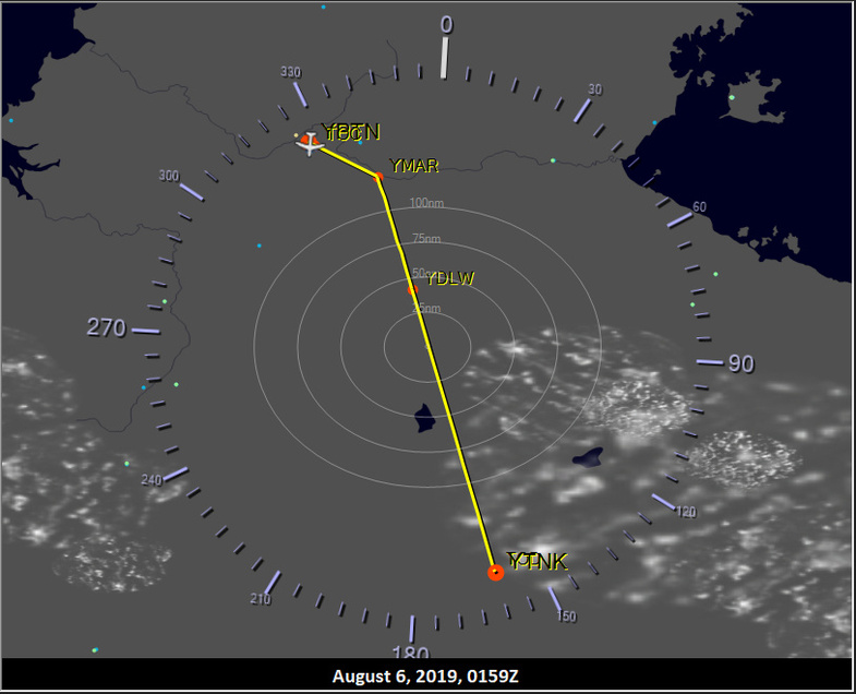
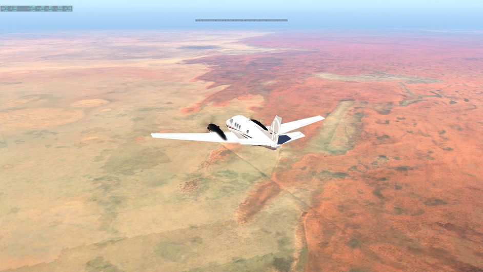
Leg 24: YPTN to YTNK via TNK
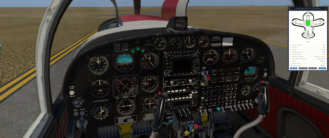
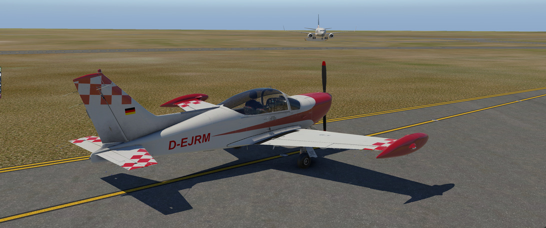
Aircraft: SIAI-Marchetti SF-260 w/ SimCoders Reality Expansion Pack;
Addon: No Addons for this leg;
Addon: ActiveSky XP;
Addon: UltraWeather XP;
Date: ahhh… let’s call it 07 September 2019
Weather: ahh … I think it was back in Historical 06 August 2019 @ 02:00 UTC
Takeoff: ~ 02:10 UTC
| Leg | Total | |
|---|---|---|
| Planned Distance | 339 nm | 9746 nm |
| NDB Beacons Tuned | 1 | 84 |
| Weather ‘Situations’ | 0 | 9 |
| Duration | 03 H 24 M | 60 H 11 M |
Location: Irvine Street, Tennant Creek, Barkly Region, Northern Territory, 0860, Australia
Briefing Notes:
Weather is pretty straight forward. This is a bit of a crosswind but the goal is to follow highway 87 south to Tennant Creek. This is a VFR flight the entire way, with only a NDB at TNK to make sure we are finally in the destination area.
I am switching to the SIAI Marchetti SF-260 for the flight to take away some of the systems that I was using with the F33A. There are no aileron trim options, so that is going to be the thing that brings out a problem with my VKB Gunfighter Mk.I. That lead to some … delays ![]()
Other Media and Notes:
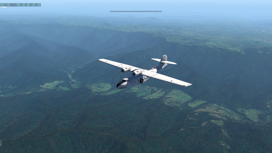
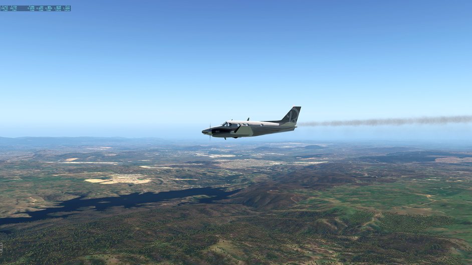
Flight was relatively uneventful … except for the aforementioned flight stick issues. The SF-260 is a pretty good module, with good power (and acrobatic potential).
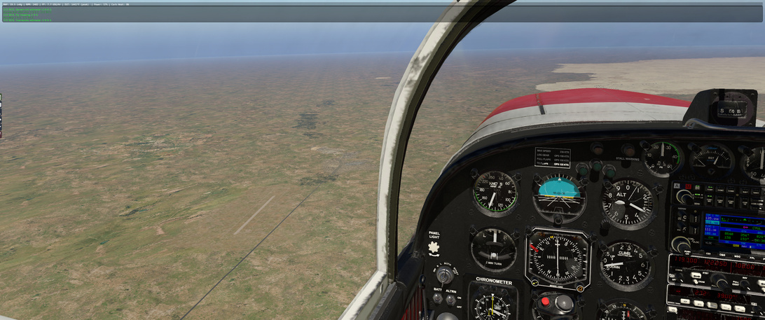
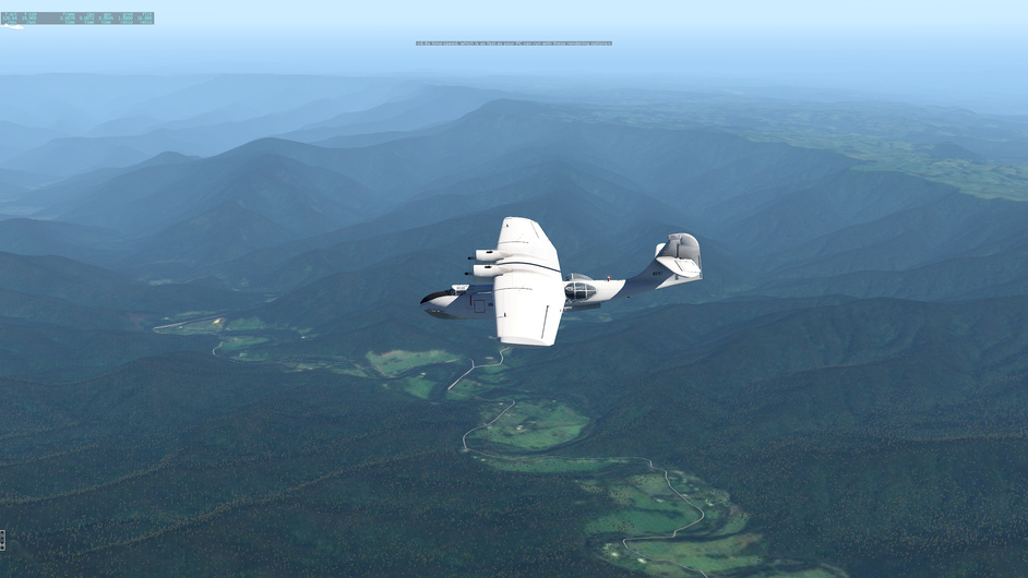
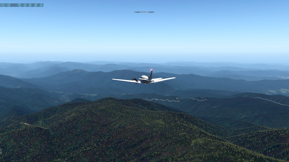
On the way down, following Highway 87, I was keeping an eye out for the following airfields: YMAR, YGOR, YDLW, YHFD, YNCW, YELL, YHLN, YMUY and YBTU. Yeah. I made notes beforehand because there was no way I was going to remember that ![]()
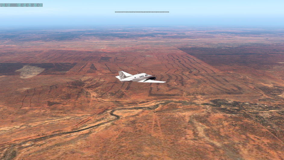
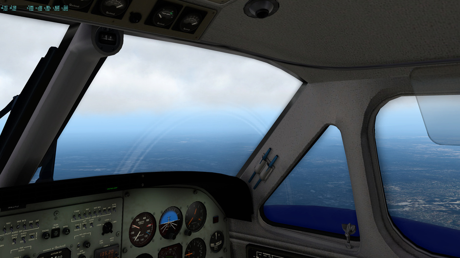
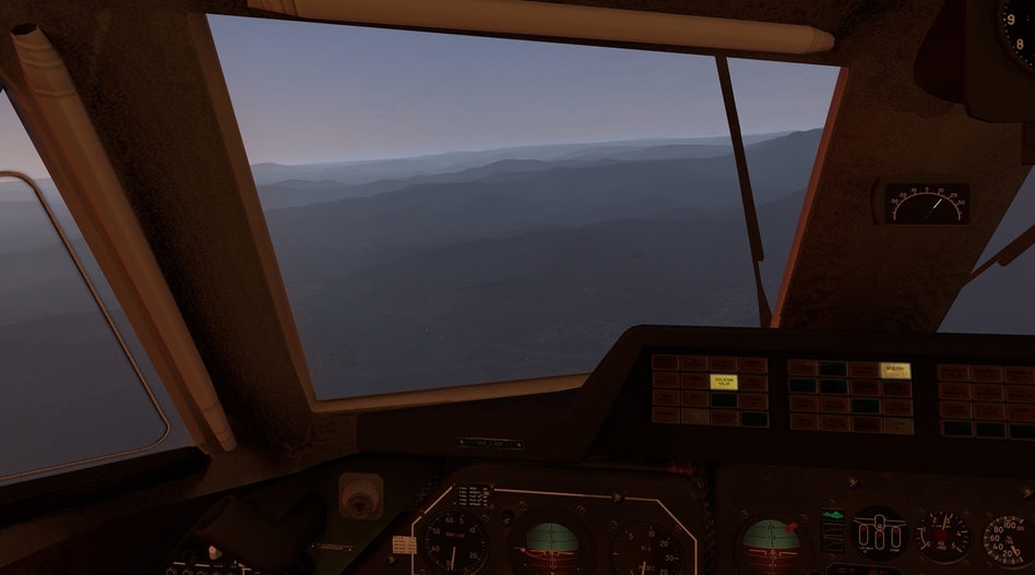
And pretty much the entire trip at FL070 was this view:
5 Likes
Love the look of that SF-260…I should probably look into that one. I see it has an autopilot too… Nice leg!
1 Like
Yeah. In this case I toughened up and didn’t use it for this leg. Granted, the leg was broken into bits as I was messing with the VKB, which was fortunate having so many small airfields to pause at ![]()
1 Like
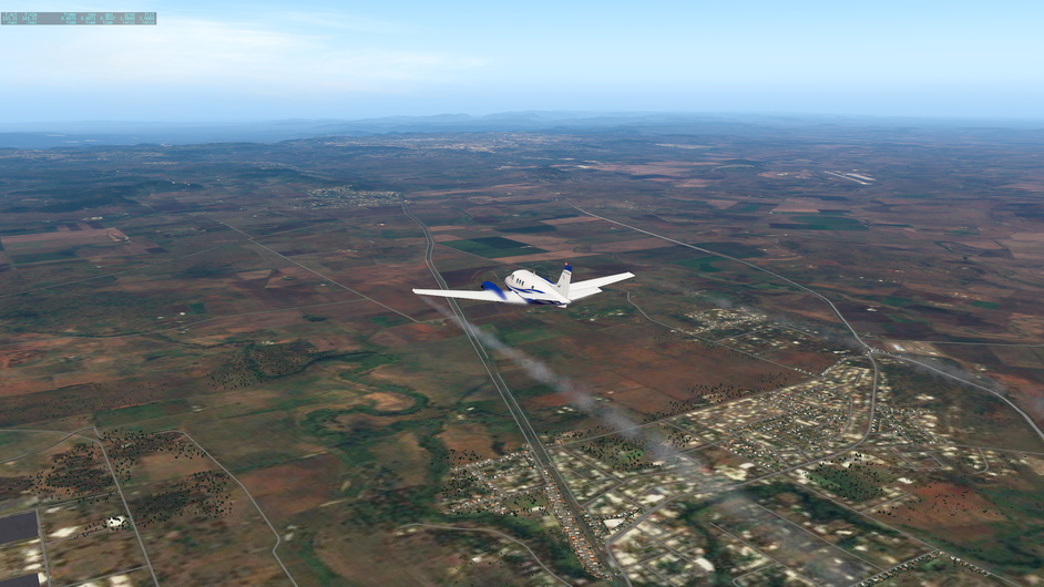
Busy days but managed to move South a bit again. Parkes YPKS to Young YYNG. After Narromine I am flying straight South ( much easier to build the ortho tiles this way ![]() )
)
So still somewhere here between ![]()
Some nice terrain to the East
Navigation wasnt a problem again, nice weather and easy to recognize woods shapes ![]()
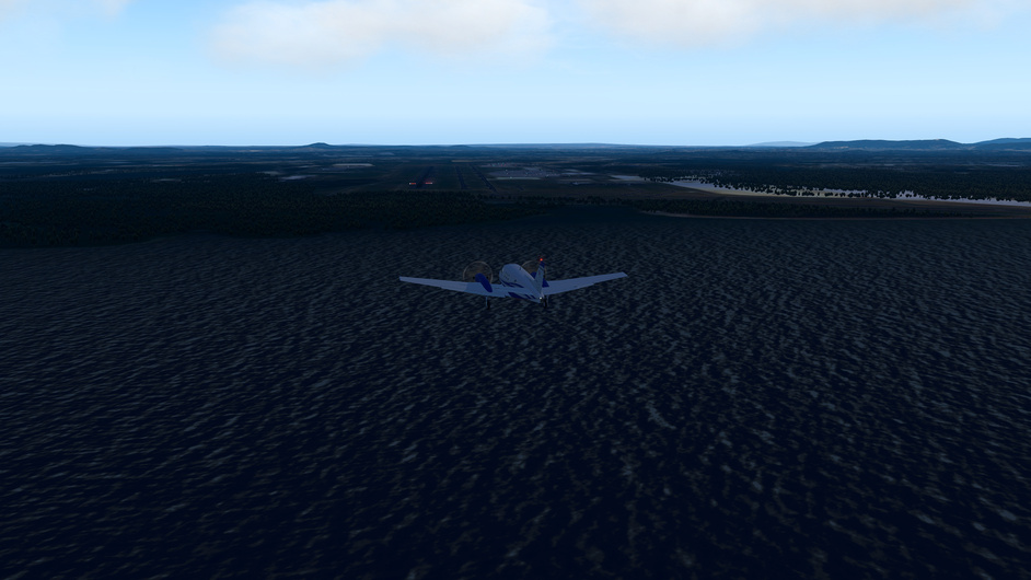
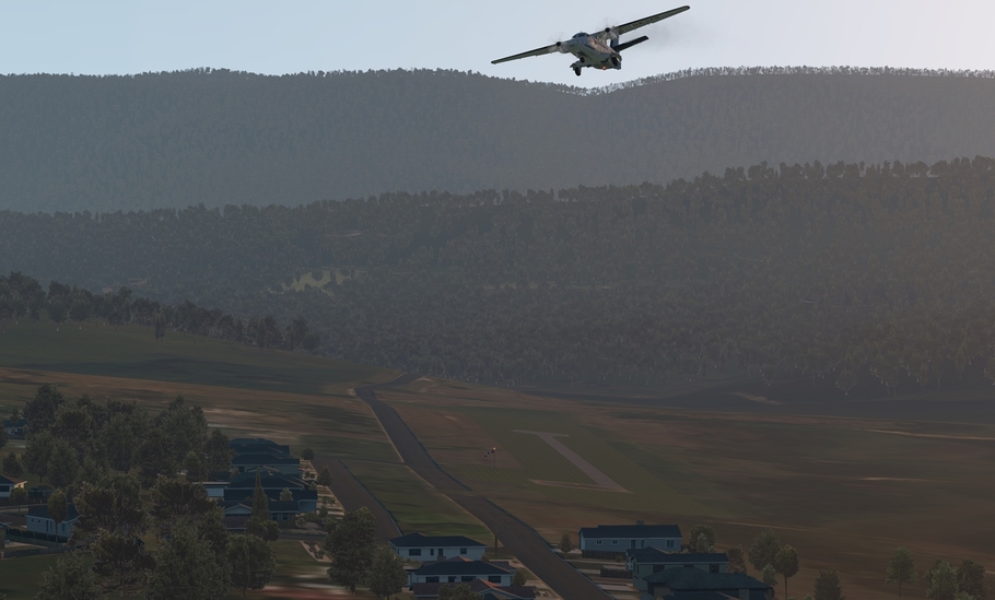
Forgot to enable the ortho overlays so there was nothing to see on the ground. So at least on final to Young here ![]()
6 Likes
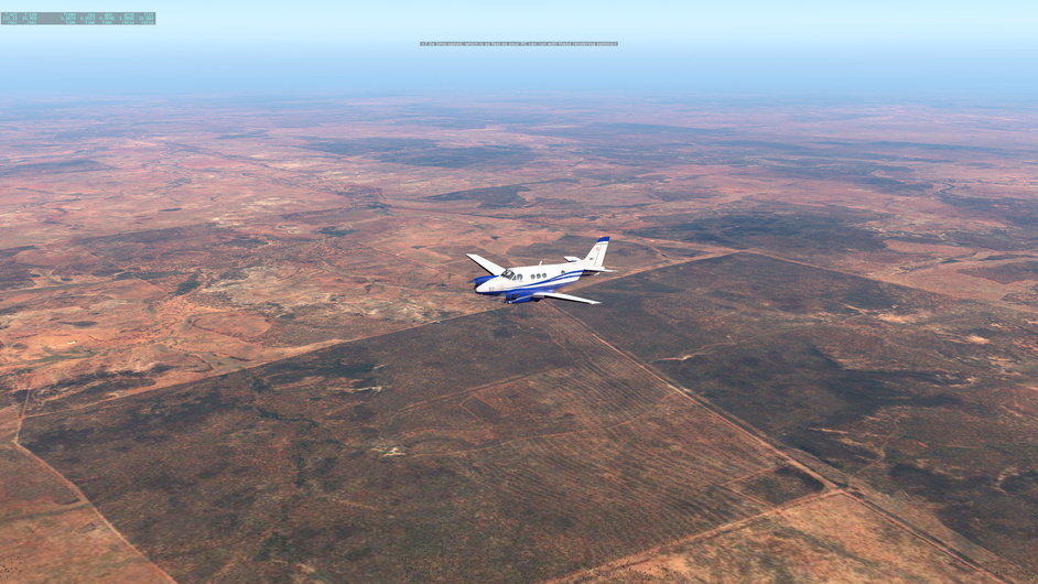
![]() now we are racing ! My jetprop vs your sailboat. Will you be home first or will I make it to Melbourne first ?
now we are racing ! My jetprop vs your sailboat. Will you be home first or will I make it to Melbourne first ?
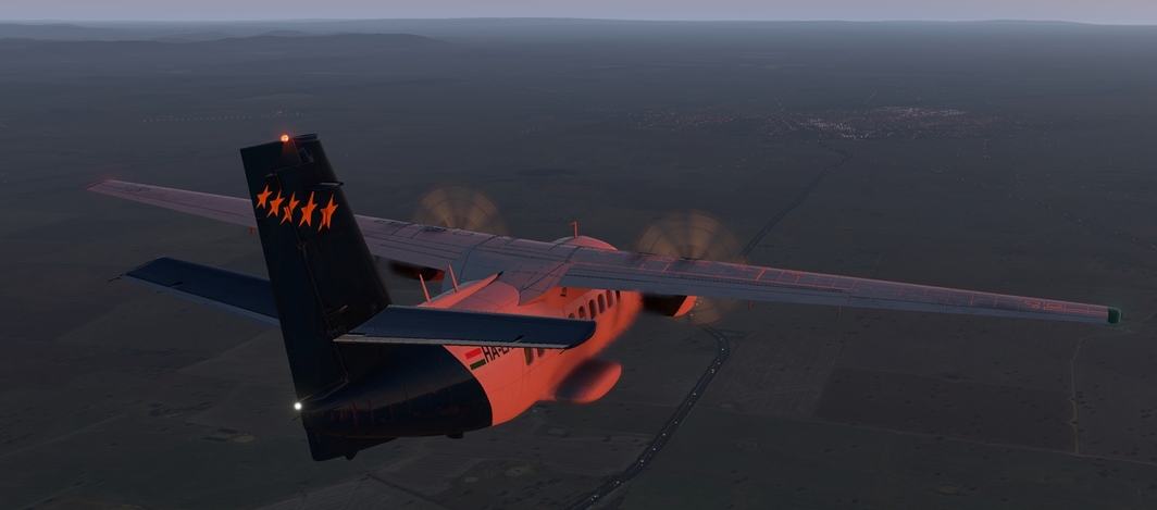
…and this isnt Melbourne ![]()
2 Likes
It’s been a while. I told myself I got to wrap this trip up before I could even start the Christmas one, which has been kicked off. Some of these last few legs in Australia were done quite a while ago. Just have been lazy to report back. Details are fuzzy now. But at least I will post some screenshots.
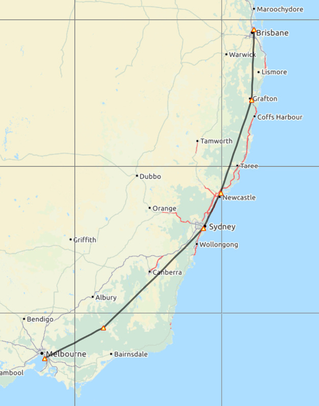
I took a route that’s a bit different from others. It’s a detour to the coast, and then turn south to Melbourne.
Darwin - Brisbane via Charleville

The whether has been nice all the way. Just left Darwin.
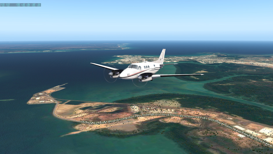
The change in the colors of the terrain is very interesting.
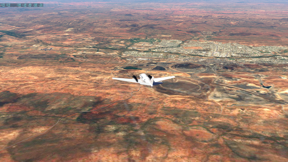
This is YBMA, Mount Isa Airport, the first point in the route after turning east.
Heading towards Charleville.
Arriving at Charleville
Leaving Charleville for Brisbane now
The terrain starts to turn greener, and I fly into some mountain area before getting to the coast
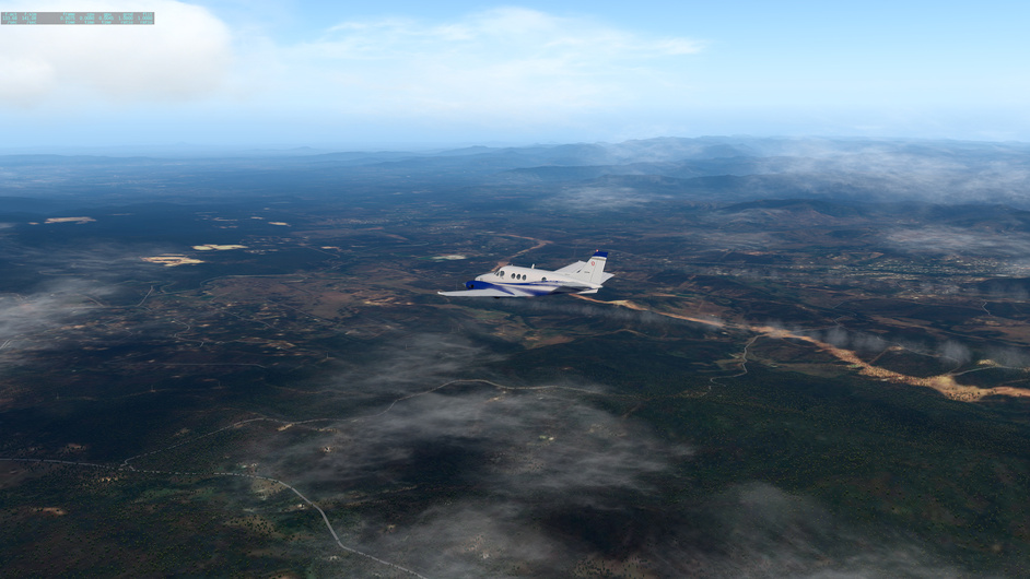
Luckily, I made it to Brisbane before it gets completely dark
There must have been something with my scenery order. So far, I had been missing 3D airport buildings and lighting in even Brisbane.
6 Likes
YBBN - YSSY - YMMB - YMML
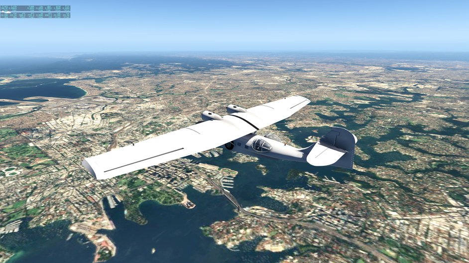
Starting from Brisbane, I got into fsecomony. For the first assignment, I rented a PBY to transport a bunch of travelers from Brisbane to Sydney. Everything went fine, and I ended up with a little profit.
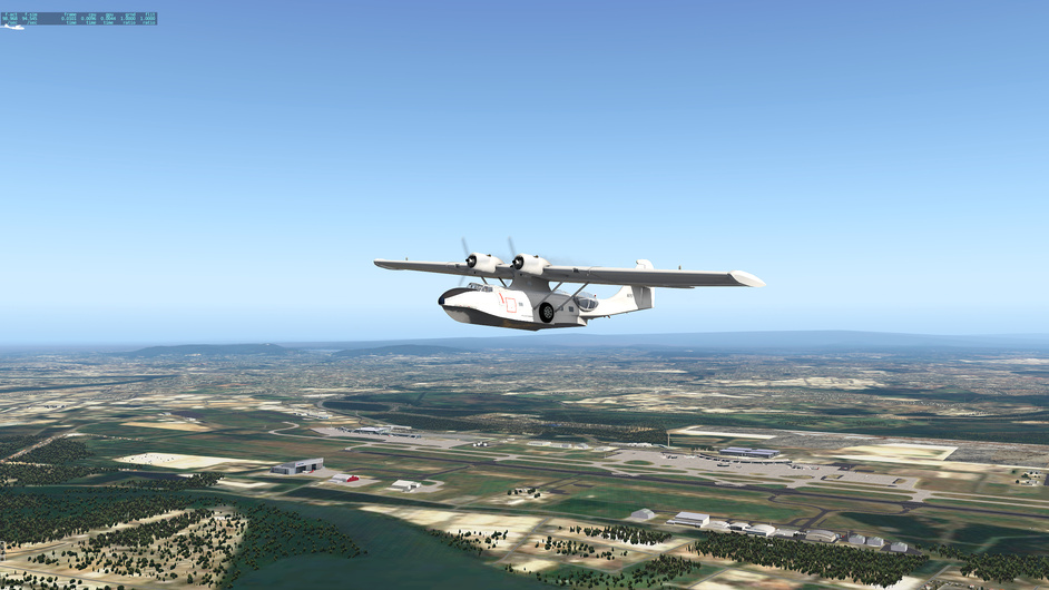

The Sydney Opera House feels quite small compared to the bridge. Had always seen the building occupying majority of any pictures.
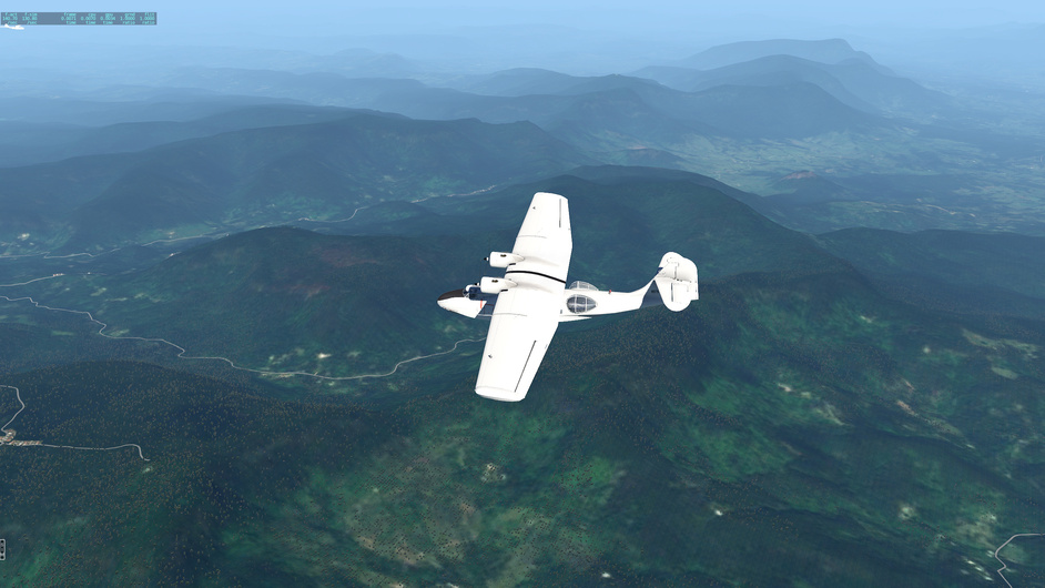
My second job took me from Sydney to Mount Hotham (YHOT), a little bit more inland.
This reminds me of Appalachian in East US
YHOT turns out to be in the mountain
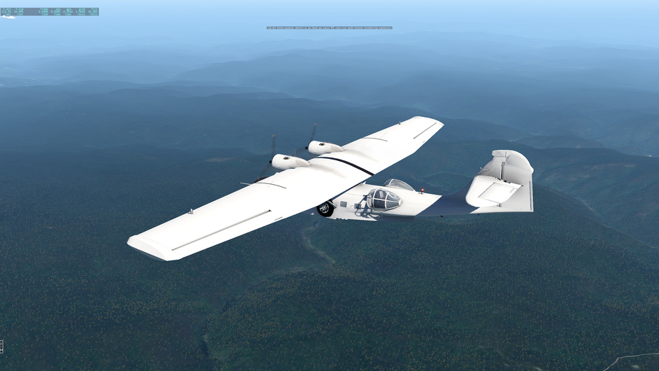
A nicely made default airport
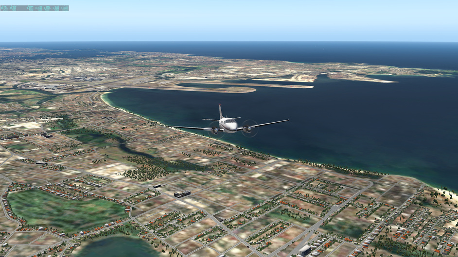
Dropped off some passengers, picked up some others, headed for Melbourne.
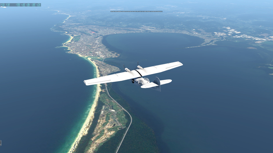
The sky turns a bit more cloudy when approaching the coast again.
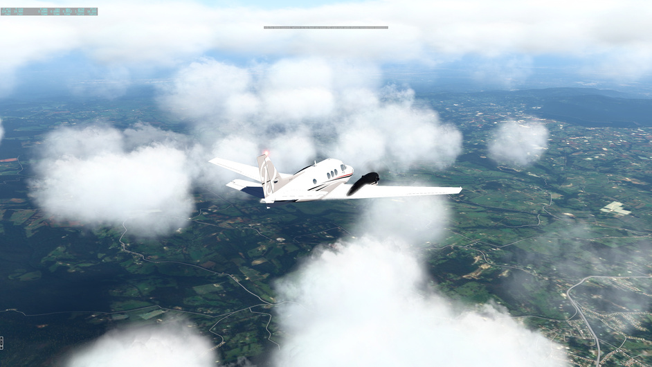
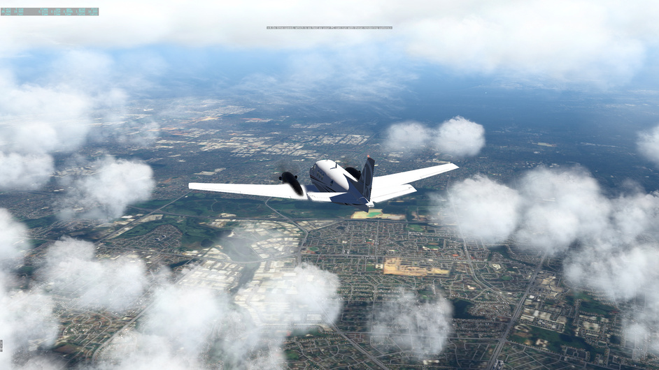
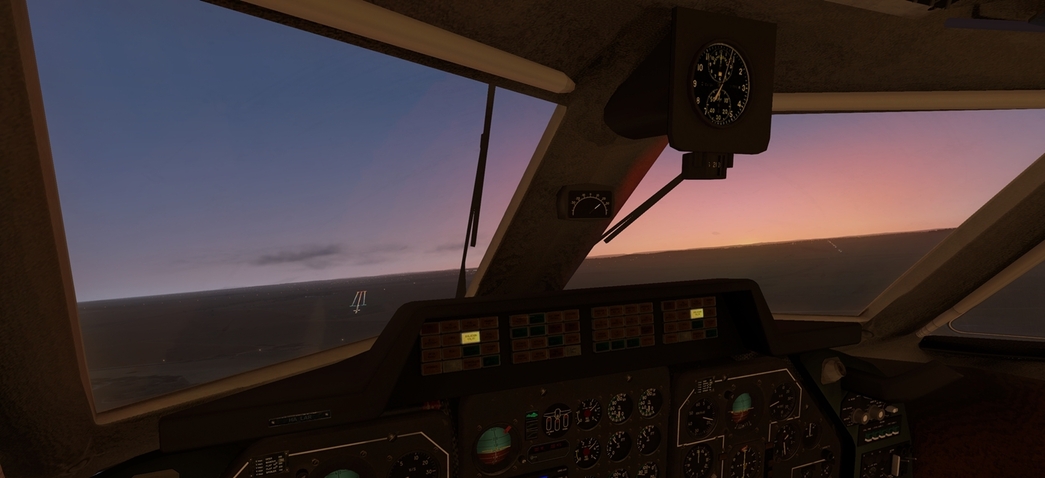
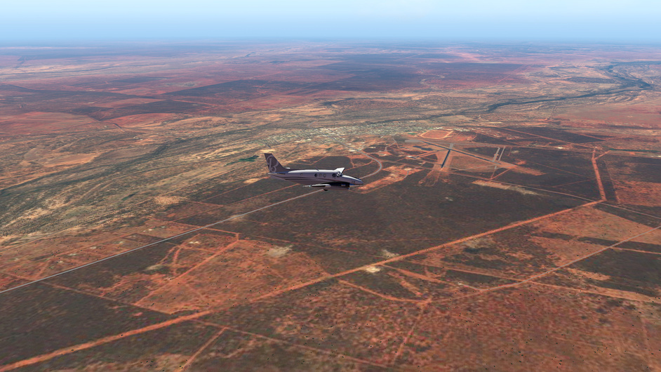
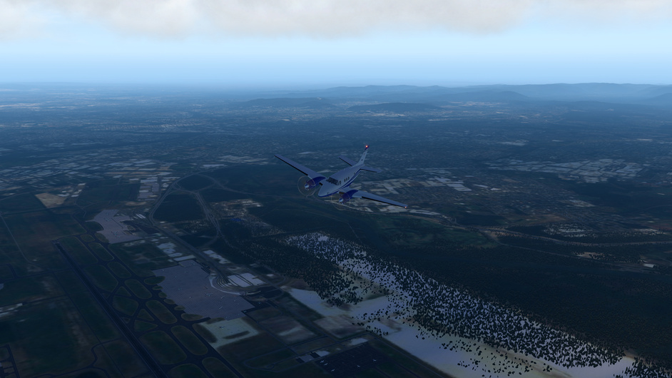
Finally got here
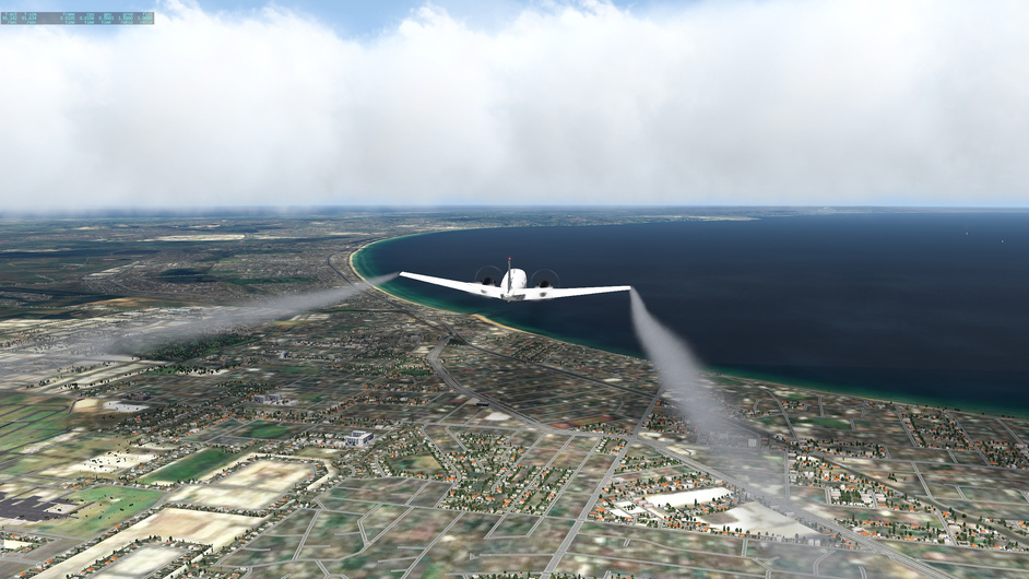
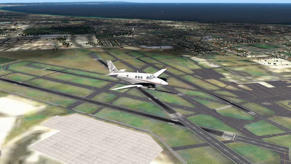
25 NM away from the final destination
6 Likes
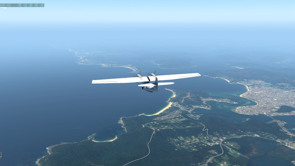
I guess thats the global ortho ( ZL14 ). It looks reasonable good from that height. Its great to get feeling of the looks of real scenery running under your simulated wings.
But for sure, low and slow only custom built scenery works reasonable good.
I would say dont worry about the planes. This classic race changed to ’ crawl to Melbourne no matter how ’ long time ago ![]()
![]()
5 Likes
Haha ain’t that the truth ![]()
2 Likes
Yes, it’s zl14. Not from the global scenery, but forkboy’s files in the US Ortho post at x-plane.org.
Yeah, have been crawling indeed. Could drive to ymml on highway maybe ![]()
And to think, I pushed to the finish because I was about to hit a busy spell at work. I figured if I didn’t do that I would come in last… That was back in May. lol.
4 Likes
Had few urges like that myself. But… still pushing ![]()
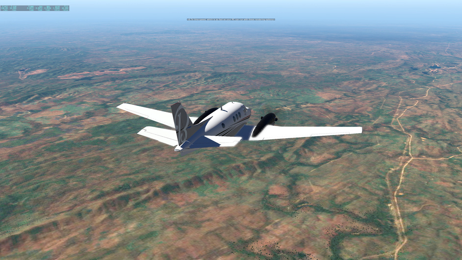
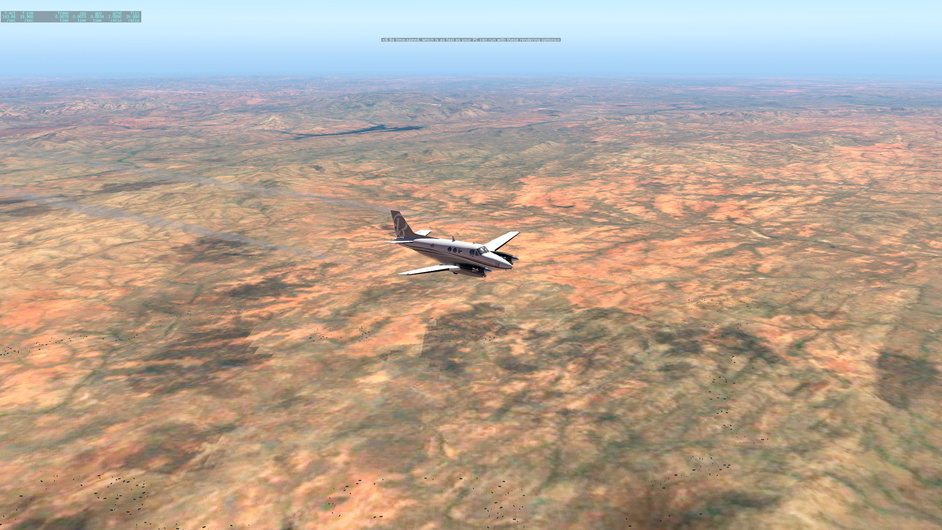
Ok somewhere still here. Last time made it to Young airport. This time again without any big plan - take off, head South, reach the Aus Alps…
Hoped for quiet not demanding flight = just fly straight, make few pics. Was I wrong again.
I thought that with overlays Young will be much life-like. Nope
Underneath me still some bushes and few towns ( Young town )
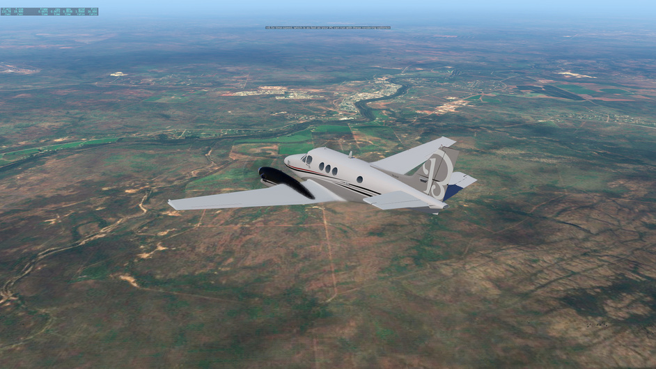
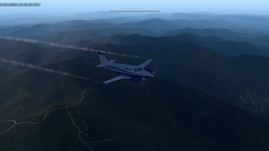
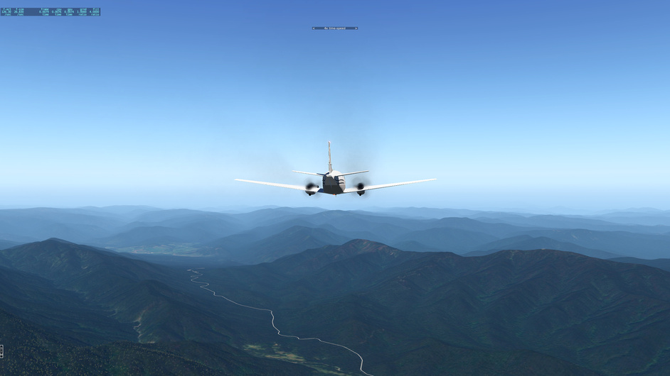
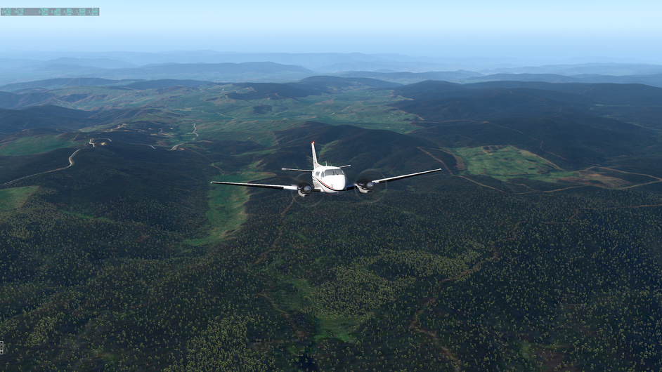
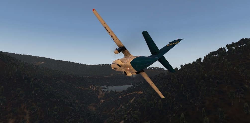
After few whiles first hills came to meet us. We decided to turn little East to njoy the scenery little more. These ’ hills ’ are not that high, ’ only ’ circa 4000m
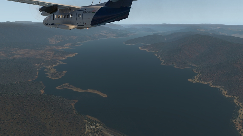
We entered Tumut River valley with Blowering Reservoir, Jounama Poundage and Talbingo Reservoir. The latter with nice dirt strip. We just had to
We proceeded further south ’ low ’ over the hills. These hills looks more like mountains already ![]()
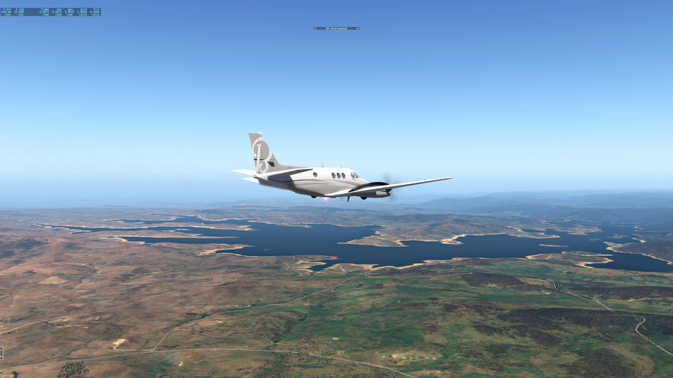
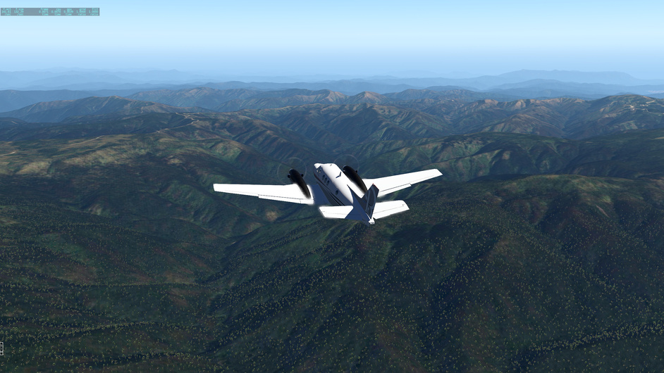
And we were pushed higher, 4500m, 5000m … Aus Alps at their best
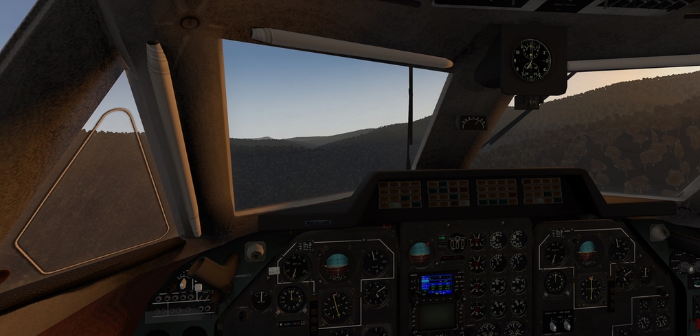
Vistas were spectacular
But being ’ low ’ over the mountains means njoyable ride but we really were not aware of our position. We started to monitor our right hand side at this point
My copilot sweared that he saw some lake of particular shape at our 4 o’clock. But as all pilots know, navigators always lie. So it took us some more time to positively recognize Dogman Hut Camping Area and turn back North

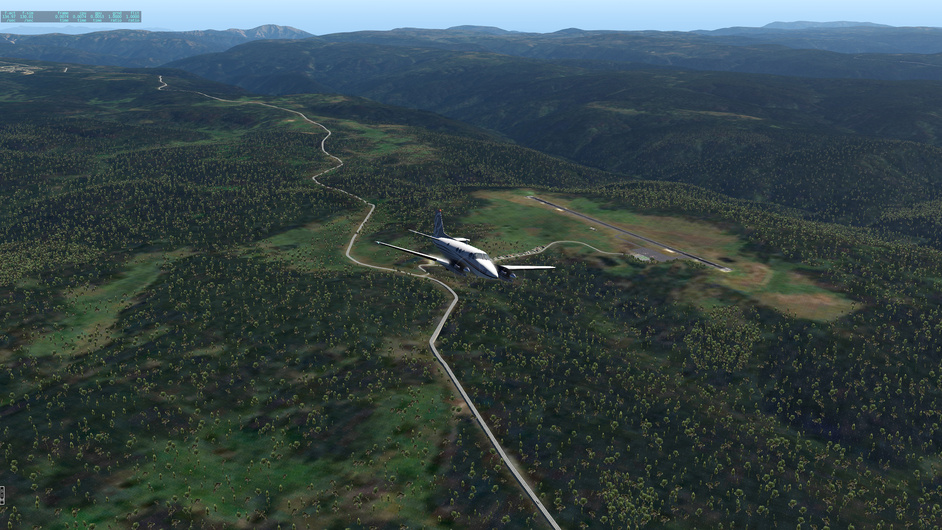
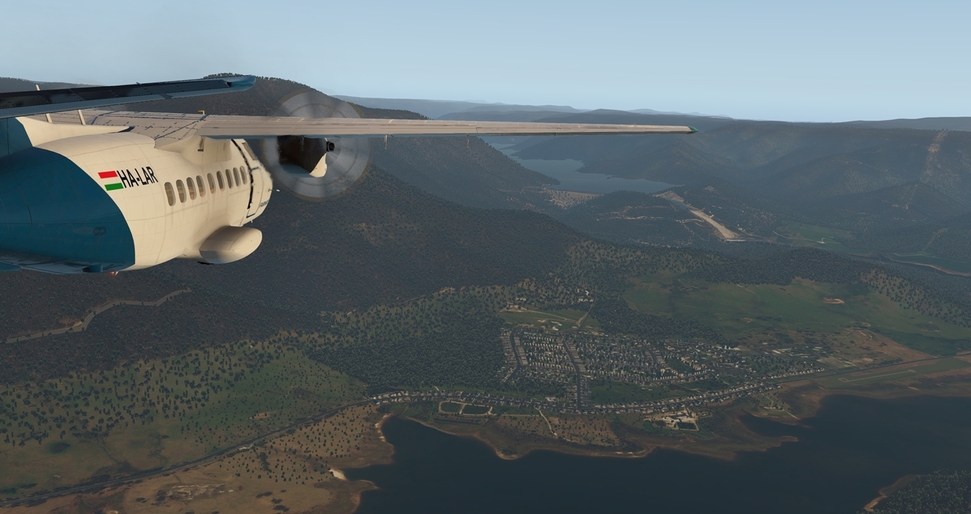
With the dying light it was just on time when we recognized Khancoban airstrip right under Khancoban Pondage dam
This nice place is located just North of Mount Hotham strip which you wisited @ffly. But as it was more mountain-ish I decided for the lower lands as my not-planned destination
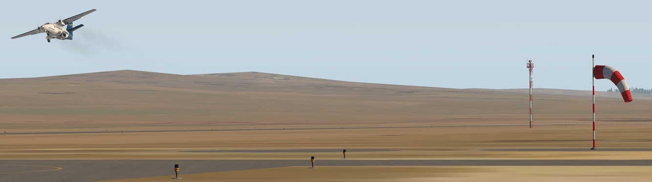
Khancoban strip as viewed from the dam road, cool!

6 Likes
Nice AAR and screen shots! I think my sun is always blurry. How did you get yours so clear?
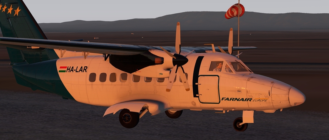
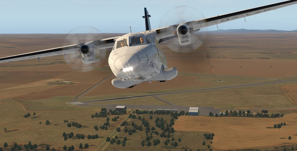
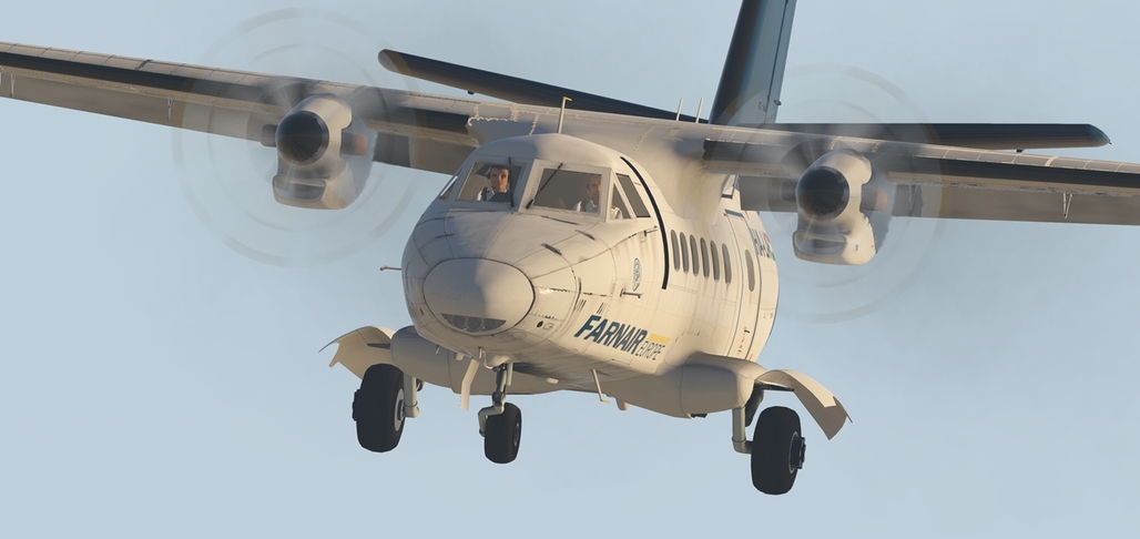
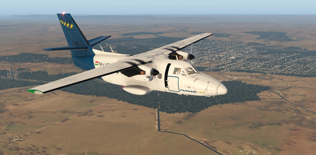
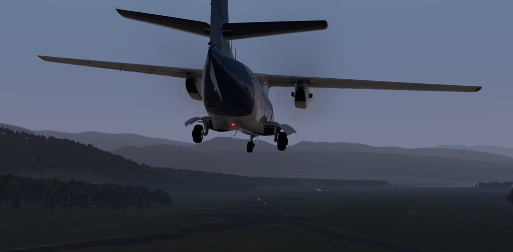
I tried the Let410. Not that easy to land. Either float too much or sink like a rock. I couldn’t adjust the throttle well.
Enjoyed the AAR and screenshots.
Wheels