MacRobertson Air Race (2019)

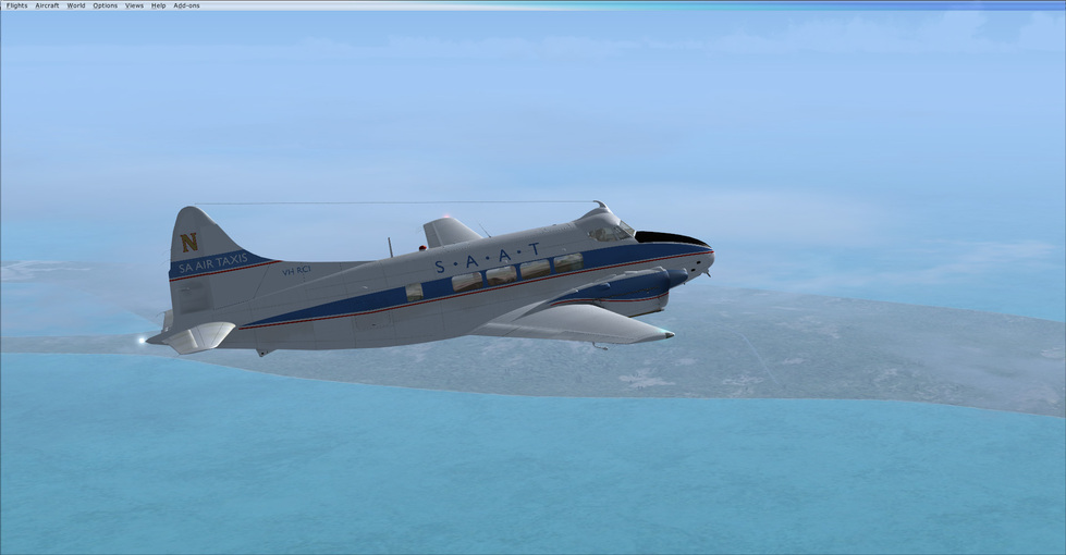
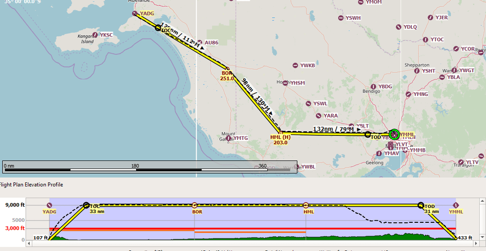
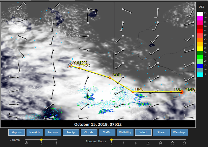
Leg 27: YADG to YMML via BOR, HML NDBs

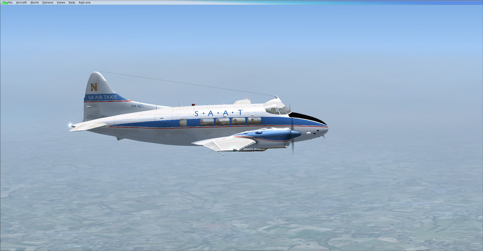
Aircraft: JustFlight Duchess Model 76;
Addon: n/a
Addon: ActiveSky XP;
Addon: UltraWeather XP;

Date: 17 October 2019
Weather: Historical 15 October 2019 @ 07:00 UTC (16:30 local)
Takeoff: ~ 17:00

Leg Total
Planned Distance 359 nm 11,109 nm
NDB Beacons Tuned 2 91
Weather ‘Situations’ 0 9
Duration 02 H 17 M 69 H 14 M

Location: South Centre Road, Melbourne Airport, City of Hume, Victoria, 3045, Australia

Briefing Notes:

Last leg. Unless I have the destination wrong - or have forgotten it since I started, oh, way back there on 07 April! Wow.

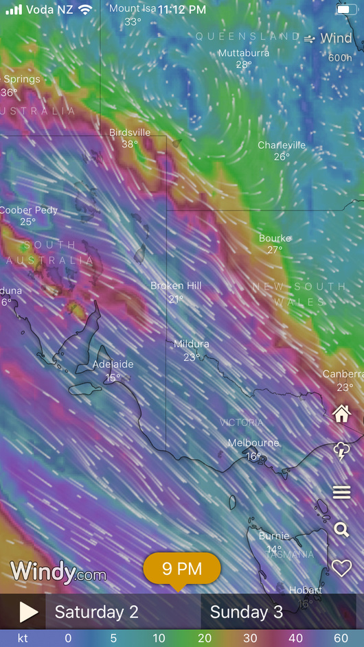
Weather is … marginal. I had to search back a few days from today to avoid some relatively high windows and thunderstorms around Melbourne. Unless ActiveSky is deceiving me, and throughout this whole trip I have become a little suspicious about its accuracy, there is a window where I can get into YMML between some clouds, with the route clear of significant weather.

Other Media and Notes:

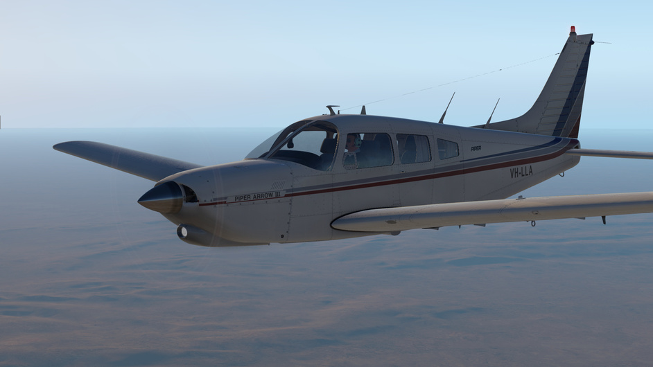
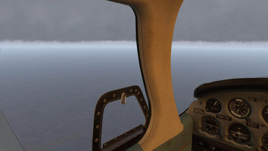
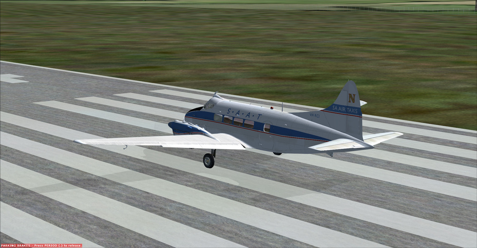
Takeoff was ok into overcast skies. Was having some trouble controlling the Dutchess on the ground but I am not sure if I broke something with the nose gear steering (is that possible, as I save the game state at the end of each flight and restart from there?) but I was using the toe brakes for steering like I would in a WWII bird. I need to check the manual but I can’t remember that issue at the start or end of the previous flight segment.

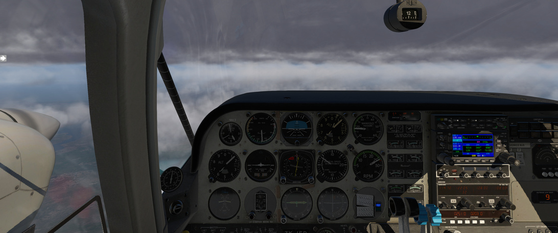
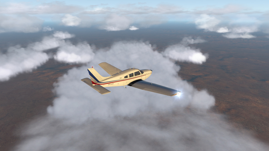
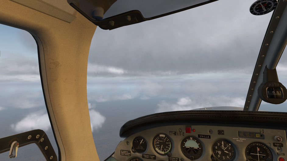
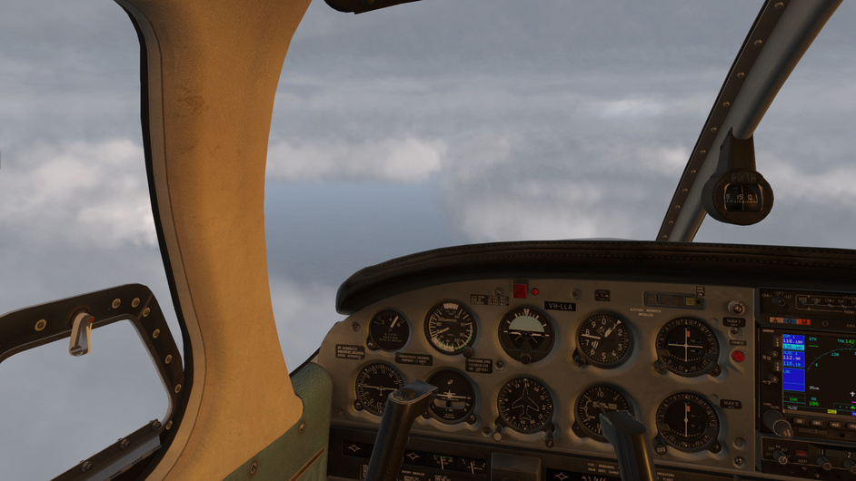
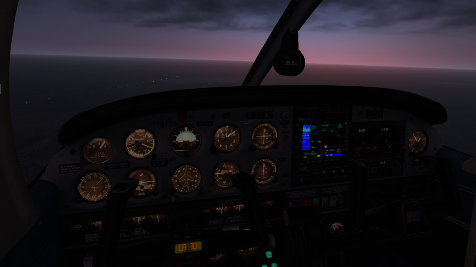
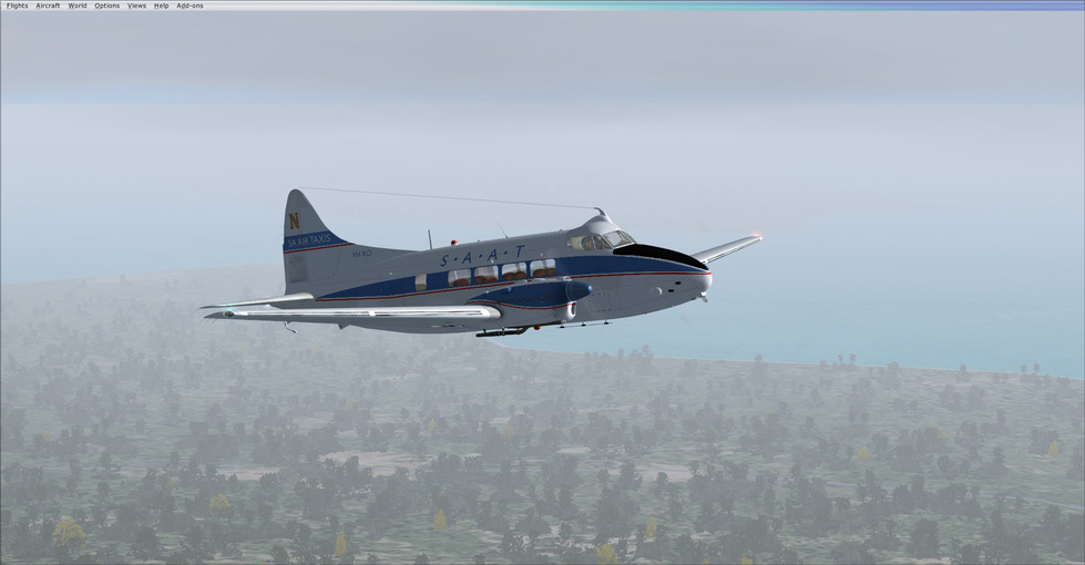
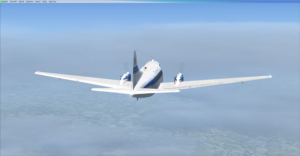
Soon enough it was time to enter the soup at altitude.

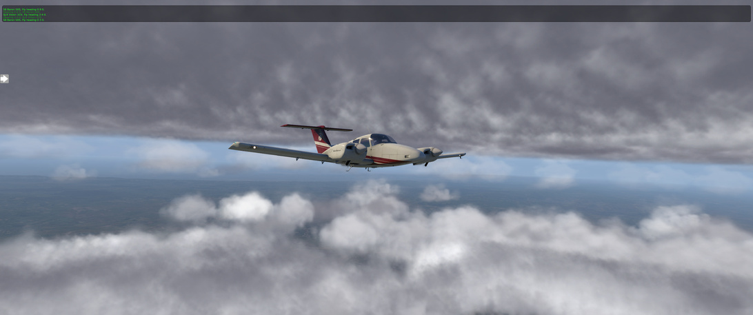
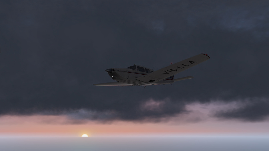
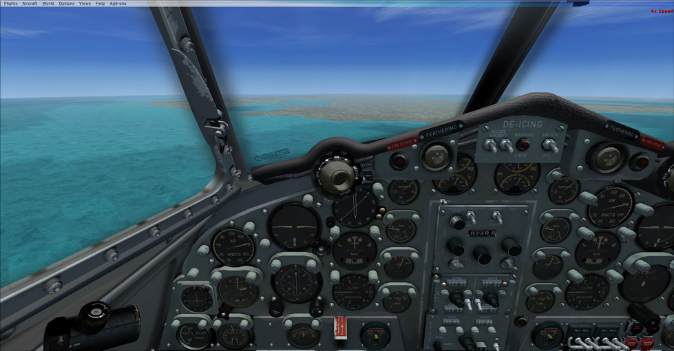
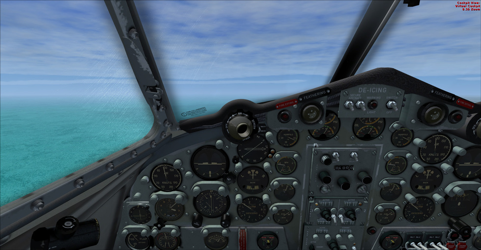
Most of the flight was spent in a state of grey but I didn’t want to go too high for fear of my breathable oxygen, nor too low to loose efficiency. It was uneventful, however, even if it was visually boring :slight_smile:

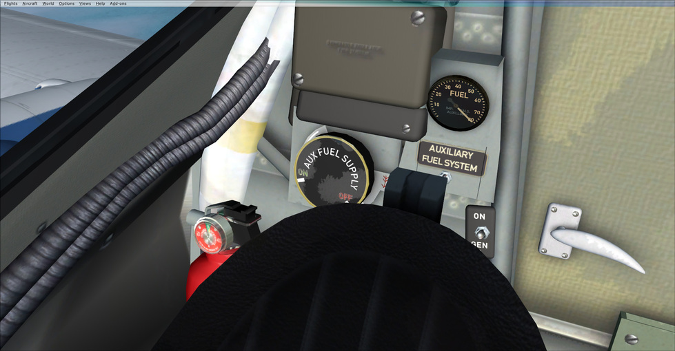
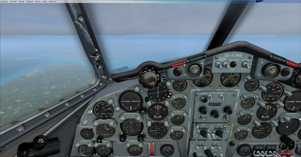
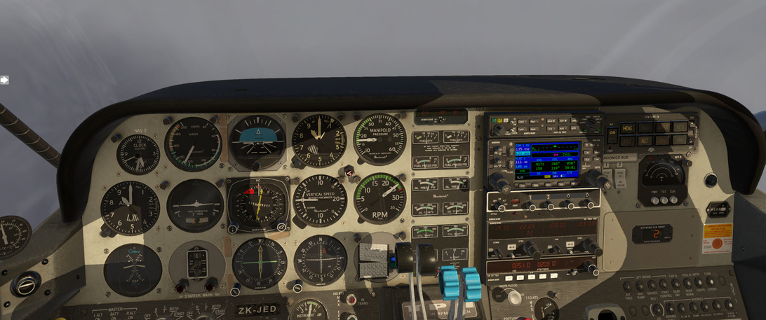
One thing I note here with the Duchess systems is that the ADF doesn’t seem to work when you start up. It ‘looks’ operational but it doesn’t move the needles or pass through the morse code audio. If you cycle it’s power, it will spring to life. So about 40 minutes into the first leg, with no NDB noise that I expected, I cycled the power and, sure enough, there it was.

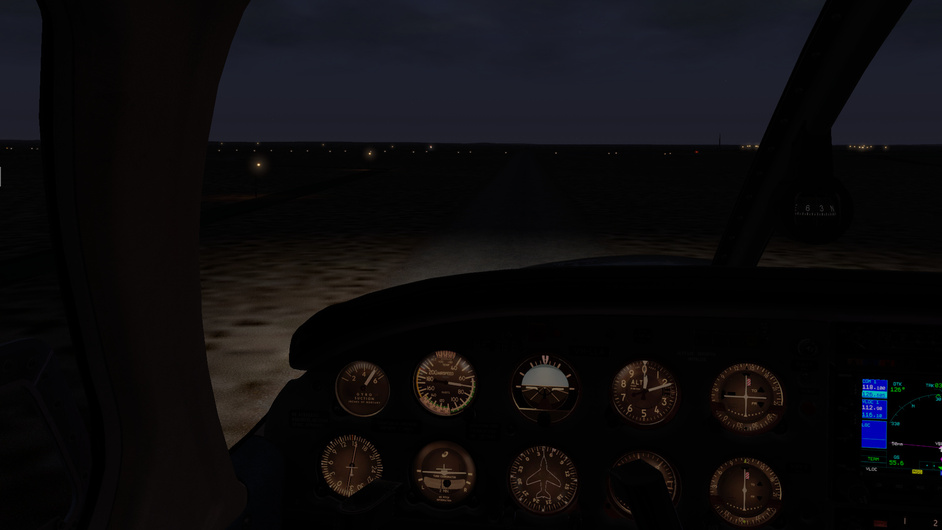
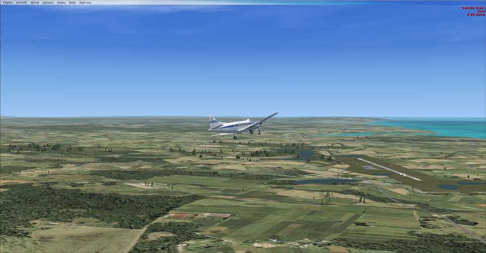
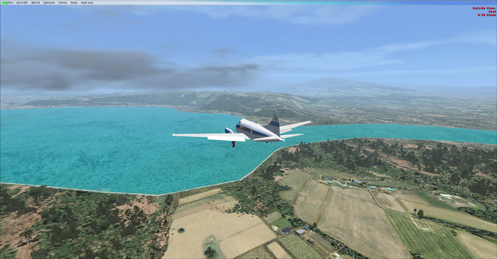
At one point I think that I am coming out the cloud but I end up right back in there. Some hour and a half or so later, I start me descent to get below the clouds and make sure I can see where I am going.

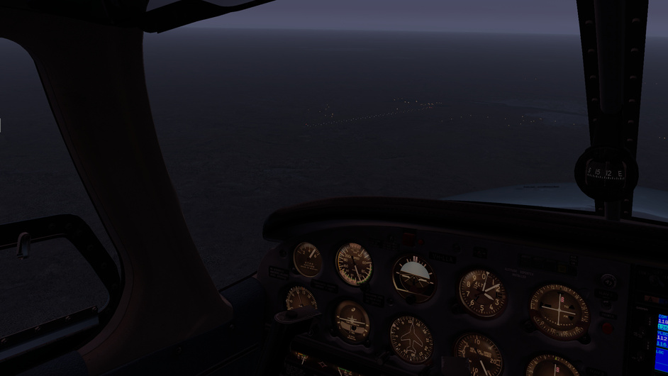
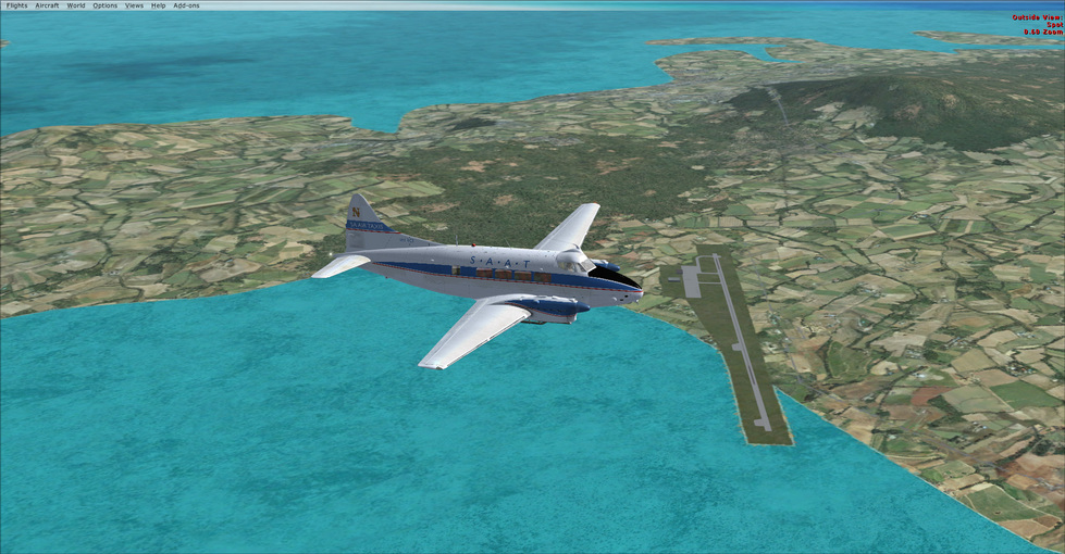
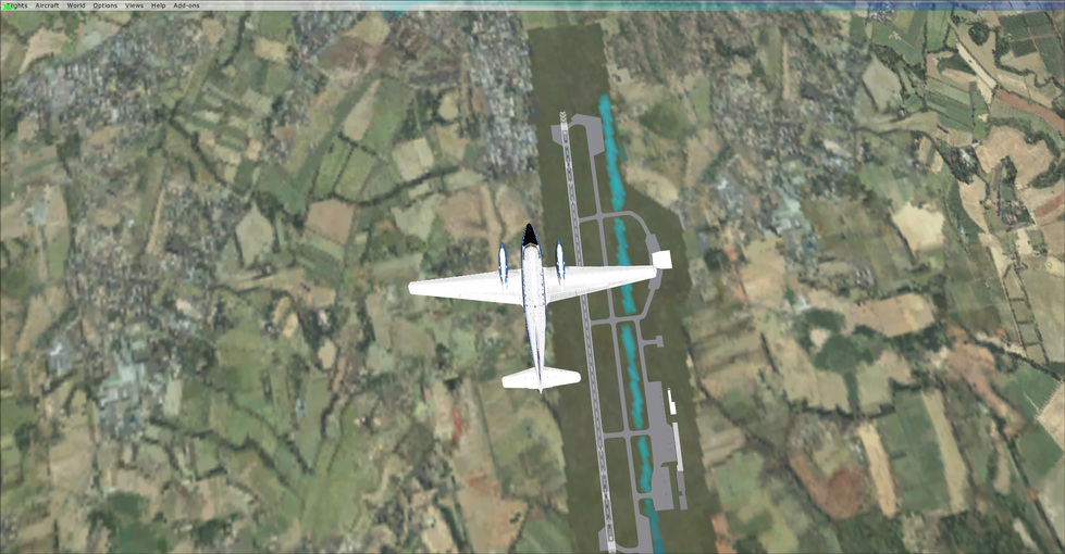
It is getting dark, so I should see a pair of major airports off of the nose. Melbourne Airport will have it’s infrastructure on the South-East corner of the airport cross, while off the the South-East of YMML, Essendon Fields will have its infrastructure in the North West corner.

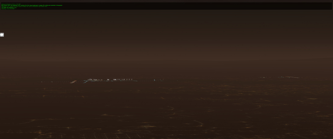
There they are and I can make out the major bits enough to be sure I am in the right space.

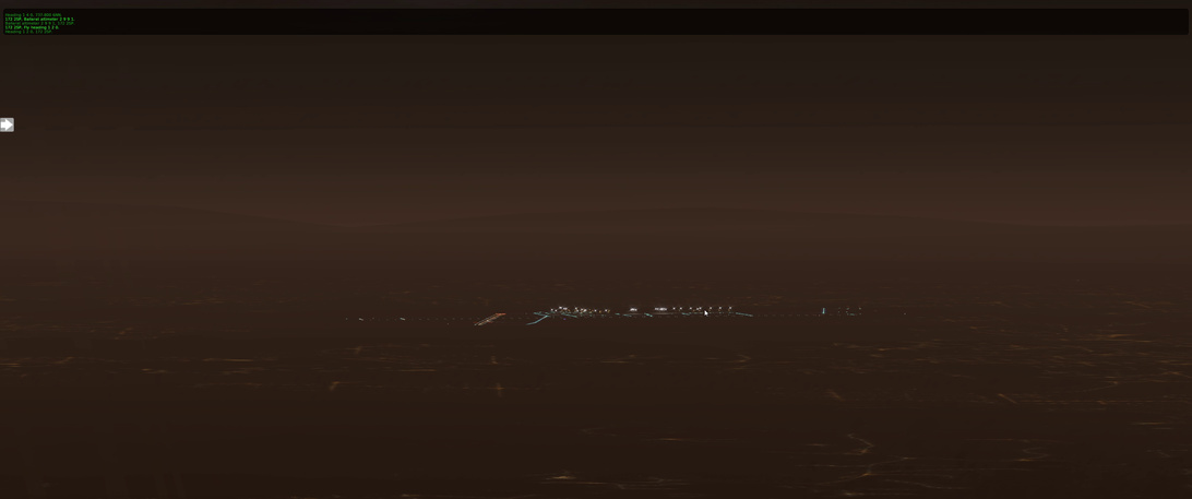
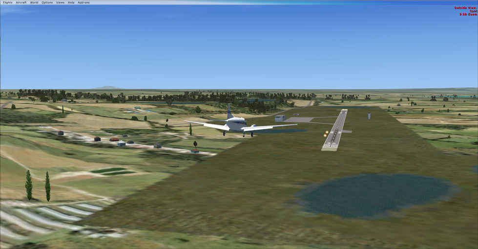
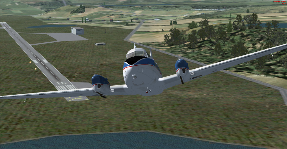
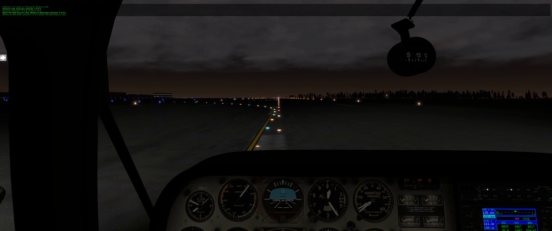
I put out a little flaps to help slow me on descent and pull off to the left of the left most airport to line up with runway 16. I don’t know about you, but it is spooky for me to be flying over dark ground where I can’t see any features that will cause me issues. If I was doing this ‘better’ I would be studying the destination airport in better detail to plan my arrival.

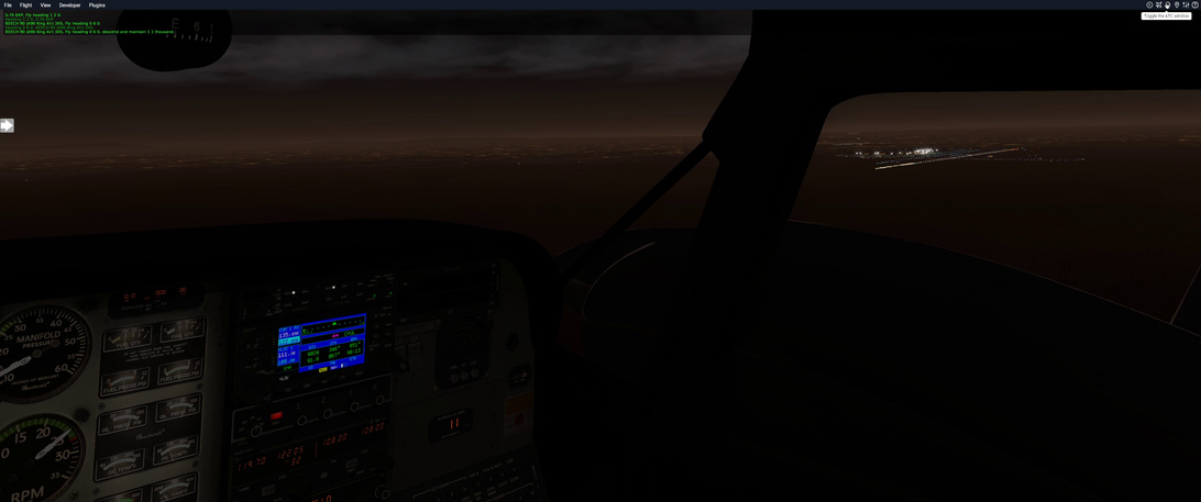
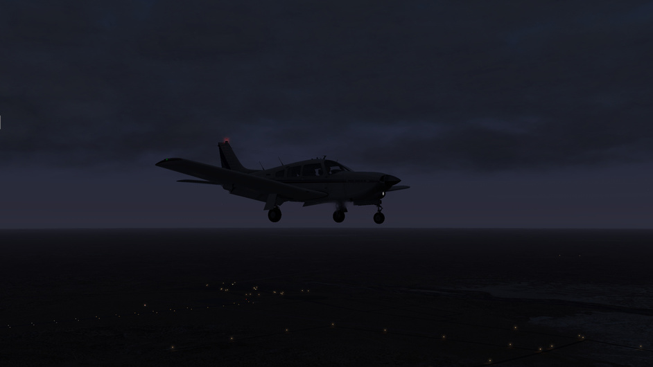
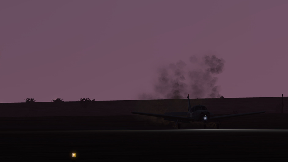
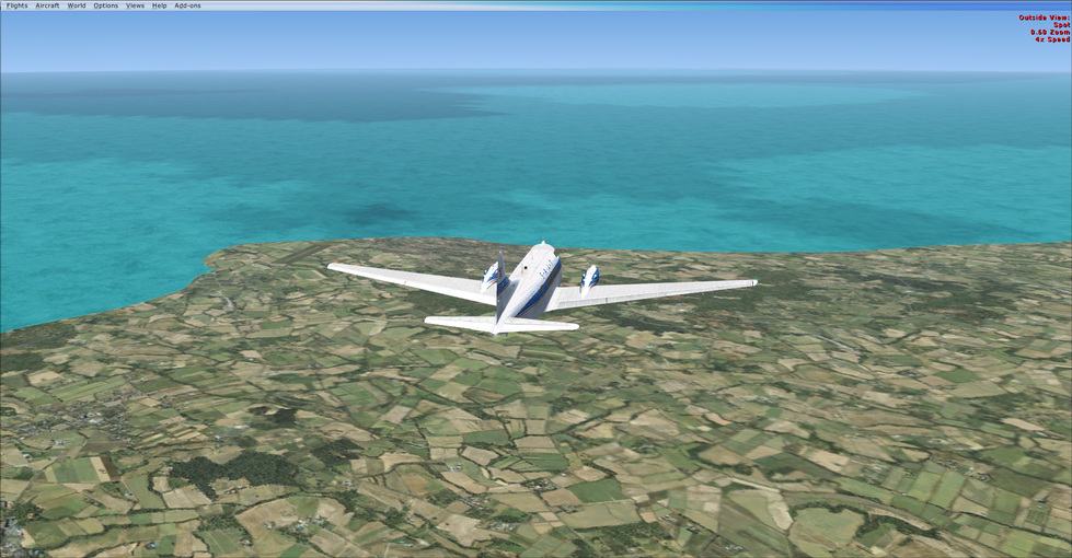
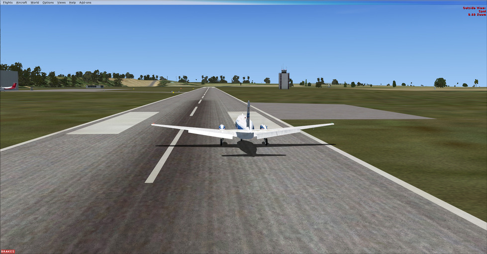
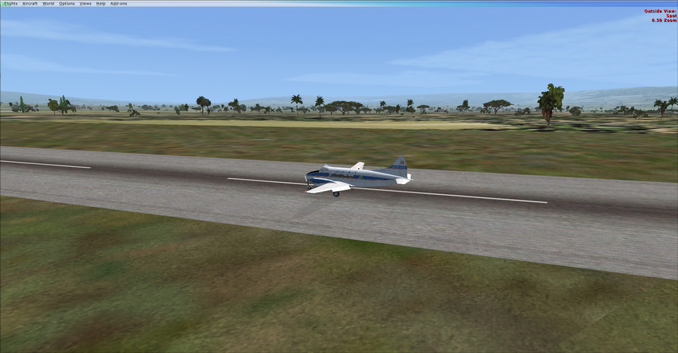
Touchdown. I pretend like I am flying the DCS F-16C and keep the nose in the air as I roll out along the 12,000 foot runway. I didn’t realize it at the time because I was just focused on keeping my speed up a little in case there was an AI aircraft following me in (I checked but you can never be sure). About 70% down the runway I realized and put the nose down :slight_smile:

And that’s it! Off to the bar for a top tier scotch, the best that they have, as I celebrate the completion of my first Mudspike event. Granted a little later than I had hoped but hey! At least I raced @BeachAV8R down here :slight_smile:


I want to close off this post with a quick look at the stats.

  • 11,000 nm flown is the longest I have likely logged in a prop aircraft in my entire flight sim ‘career’. I may have surpassed that in WWII Online, when I was flying that sim but I have no way to estimate that. I’m going to give X-Plane that record :-);
  • I tuned 91 beacons after previously tuning an estimated 3 previously.
  • The weather events were educational and taught me to pay better attention to the weather en-route and I can say with some certainty that those lessons are enforced for future flights :-);
  • For an estimated 60 hours flew the Bonanza F33A, which has to be a record for my log book and is the most flight hours I have logged in a single module in a civilian flight sim.
  • Longest VFR section (with no start and end NDBs)
    • YPTN → YTNK in central Australia for 324nm;
    • Honourable Mention ADB (NDB) → ORBI (Bagdad) for 392 nm;
  • Leg/Segment (Airport to Airport) with the farthest distance traveled:
    • Leg 11 (OISS to OPKC) for 866 nm;
  • Leg/Segment(Airport to Airport) with the most NDB stations tuned:
    • Leg 04 (LFMH to LIRF) with 9 beacons tuned;
  • Longest Stretch between NDBs:
    • ND → BA (Leg 20: WIOD to WARR across the Java Sea): 336 nm;
    • KF → DS (Leg 12: OPKC to VEAB from Pakistan into India): 255 nm;

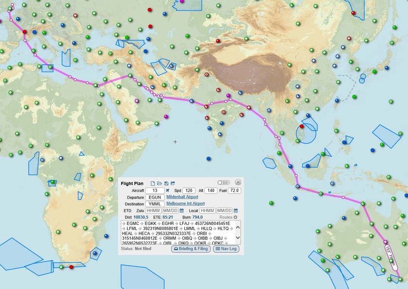
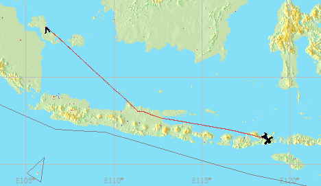
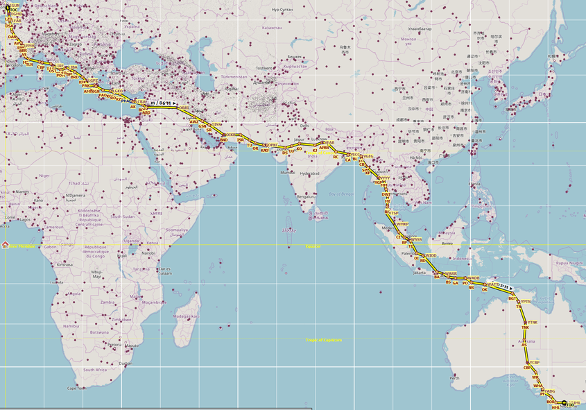
Here is the whole route:

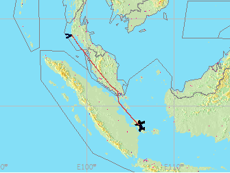
With the Altitude plot (assuming 9000ft all the way - which is not accurate :slight_smile:):

Whew! I do feel a nice sense of achievement!

11 Likes

Superb last leg and fantastic trip reports throughout! Congrats on the arrival…!

2 Likes

Congratulations! :beers: My goodness that’s some serious statistics! What a fantastic record!

1 Like

Congratulations Fridge! It certainly was an epic journey.

1 Like

Congrats @Fridge ! :beers:
I mean :tumbler_glass: :tumbler_glass:

1 Like

Congratulations! What a journey!
One that I didn’t even dare to start, let alone finish it. 11,000nm in light GA aircraft…

2 Likes

Congrats to all that have beaten me to Melbourne (which I think is almost everyone), and to think I was trying to be competitive at the start lol! Having just gotten back from vacation, it is time to get caught up on this thread, and see if I can finally get out of Burma/Thailand before I start the Xmas trip. Oh the sim’ing I need to get caught up on!

5 Likes

Closer…closer…

An evening flight from Tennant Creek to Birdsville, a 471NM flight. The flight was good, although I had to keep descending from my original cruising altitude of 13,000 ft all the way down to 5,000 ft as the overcast kept creeping lower and the visibility poorer.

It all started quite easy, I took off around 5pm local time. A few cloud puffs started to appear a short way into the flight.

It wasn’t long until I was flying sandwiched between an overcast at 14,000 ft and a thickening scattered deck below me.

As things started to look worse ahead, I took the hole to the left and ducked below to 9,000 ft…which became 8,000 ft…which became 5,000 ft.

It was good to see the airfield lights ahead. Unfortunately the only runway with lights had a brisk crosswind, which I wasn’t super keen on.

I opted for the unpaved runway which had no lighting but which was well aligned into the wind. I don’t know whether this was the safe call to make, but I figured I could always do a go-around if the landing light didn’t do it’s job well enough.

On the downwind leg as the sun threw its last rays across the western sky.

Eh, she’ll be right.

Hello Birdsville! Population 140. I hope someone has a spare bed for the night, otherwise it’ll be another night in the sleeping bag under the wing.

A mere 780NM to Melbourne. If I get some tailwind, that would be just about within a direct flight range, if I manage my economy. Getting there!

Edit:

Ooh…there is a big low pressure system forecasted to move east over the water south of Australia - that looks to be causing high northwesterly winds over the weekend:

I may need to don the oxygen mask to make use of the best winds…but this might mean a direct flight to Melbourne!

7 Likes

You can do it!

2 Likes

Sry @Bearhedge, I just left Melbourne in a hurry.

But the good news is that once you arrive the attention of that young waitress will be all yours :wink:

2 Likes

Mostly I just haven’t done my homework on the topic, so I feel bad for asking…but here goes. Sorry if the questions are dumb.

Above is the power setting table from the POH (well, it is from the Turbo Arrow IV model POH rather than III but the engine is the same - just the tail is different, so I assume the same table applies).

The controls I have available are throttle, prop RPM and mixture. The indicators I have available are RPM, MAP, fuel flow and EGT.

There are three cruise power settings: high speed 75% power, economy 65% power and long range 55% power.

I can’t see a power setting as a % on any instrument directly as such, I don’t think - I just set the controls according to the table and that provides the corresponding power setting, right?

Is the table to be read from left to right, lowest power setting to highest power setting?

As in, say cruising at 8000 feet, is a 2400 RPM / 33.8 MAP setting a lower power setting than 2500 RPM / 32.8 MAP? Or are they both just ‘75% power’ settings and you can use either?

I think my difficulty in understanding the table comes from not really having a proper handle around understanding the relationship between RPM and MAP…or maybe I’m just overthinking this. Haha.

I hope that question makes sense.

2 Likes

I have these same questions! I think that if you set 2400 RPM / 33.8 MAP, or 2500 RPM / 32.8 MAP you are in the 75% power range. But I have no idea why you would pick one of those over the other?

2 Likes

It is late. Report to follow. But my race is complete. What a journey.

@Sine_Nomine thank you for that excellent training post - I will read through with thought. :slight_smile:

7 Likes

Congrats @Bearhedge, well done! :beers: :tumbler_glass: :tumbler_glass:

Regarding RPM and MAP. I flew only one plane with variable pitch propeller. It was Zlin142 and these Arrow settings are new also for me.

That Zlin has just single RPM / MAP settings for particular power regime. Quite different from the Arrow, as you observed, where are multiple settings for same regime.

Now I am curious… is that Arrow on sale ? :wink:

2 Likes

Awesome! Thanks @Sine_Nomine

And congratulations on finishing the race @Bearhedge!

1 Like

Congratulations @Bearhedge! :sunglasses:

1 Like

@NEVO it is for sale - you may want to give it a really good pressure wash inside & out, though - and an engine overhaul wouldn’t go amiss either! :smiley:

The last leg was fairly uneventful, although I did play around with the MAP / RPM settings quite a bit to find maximum efficiency. The Turbo Arrow module has a nice cheat screen, which shows you the exact GPH, speed and a NM per gallon indication - that means I can quite easily (if unrealistically) test out the power setting table for efficiency.

So - the full route travelled:

Circa 10,830NM distance travelled, probably a bit more in actual numbers. Who knows how many legs that was…many.

Some of the highlights for me were:

  • Having a reason to be interested in the real life weather in all these exotic places - and running into some ‘interesting’ conditions along the way! I’m generally not organized enough to create missions for myself to practice weather, so the race provided a great excuse to run into whatever was ahead and get thoroughly disoriented in the soup.
  • The geography lessons. It is one thing to glance at a map of an area and quite another to navigate through it in a 3D simulation environment.
  • Using VOR / NDB navigation for the first time, albeit in a rather ad hoc manner…but I get the concepts now so doing a bit more formal learning on radio navigation should be easier.
  • Learning to use power setting tables and dipping my toes into flight planning and fuel planning etc. - a lot more to be learned here, of course, but some of it is starting to make sense.
  • Reading the other pilots’ excellent reports.

The race was long, of course - and I did run out of steam at times (as did others too, I think!).

The challenge for me was that I wanted to do a bit more flight planning per leg (as that would have been great learning for me), but I wanted to get going too…and I guess the impatient desire to spend my limited free time flying, rather than flight planning, won.

There’s a silver lining to it, though - flying with undercooked plans presented me with many practical problems, such as:

  • Do I have enough fuel to get over there? How about that quartering headwind, how does that impact things? How do I calculate that?

  • I’m off target despite having set the heading 100% right! Oh, magnetic variation…how does that work again?

I’d like to think that having faced these issues and wanting to know the answers in practice makes it easier to read the theory and learn it. Gotta love sims…it’s quite nice to be lost in cloud in India with marginal fuel left, press pause, grab a beer and watch Rod Machado on YouTube explaining what you should do next. :smiley:

Right, I might catch a flight to Auckland with something a bit faster now so I can get going on the Christmas flight!

8 Likes

Excellent report @Bearhedge! I find it interesting to look back and see just how far we traveled! As you say, it was a great learning experience and having to deal with the weather and navigation challenges was excellent!

1 Like

Well after a 5 month lay off in Thailand, it’s time to get back into the air here.

image

Take off: 0734 local
Touchdown: 1203 local (yeah there’s a story here)
Distance: ~ 810 nm (planned 778)
Average Speed: 180 knots

Total Flight Time: 48:23
Total Distance: ~8146 NM
Average speed: 167 knots

I choose to take out a personal favorite of mine that’s a bit after the time period of the air race. The de Havilland dh.104 Dove, which is a wonderful post WW2 twin. Just Flights version is a great representation of the Dove, and looks great. She flies just as well as she looks, and makes pretty good time doing it.

It is a very pleasant trip from Phuket down to Pangkal Pinang airport on Bangka Island in Indonesia just off the coast of Sumatra. The weather was great, with just a bit of overcast on departure.


The Dove has an body fuel tank, that for some reason is the “auxiliary” tank (I guess since it’s not to be used for TO or landing?). It’s a bit of a pain to get to in the sim, real world, I’m not sure it’d be much easier to reach that toggle and switch. Once we got to our cruising altitude at 12K’ it was time to switch over to aux tank and burn that down.

I followed the NBD’s down the coast, using airfields as visual markers as well. The excellent weather really helped with making the flight pretty straightforward and simple.


Overall one of my favorite twins in my hanger.

7 Likes

Knocking some miles out in good order while I avoid the trick-or-treater’s

image

Take off: 0821 local
Touchdown: 1326 local
Distance: ~ 910 nm (planned 864)
Average Speed: 179 knots

Total Flight Time: 53:28
Total Distance: ~9056 NM
Average speed: 169 knots

Pics to follow tomorrow.

I had such a pleasant flight in the Dove yesterday, I figured why not do it again. Down the coast of Indonesia to WADB, only about 2500 NM to go after that lol.

Weather was a little bit worse, with some overcast and clouds to work through. I took a couple of leaps of faith above the clouds with the ground not in sight, or only very irregularly in sight, and no NDB signal. The winds were very light, so it worked out pretty well, and I actually came into range of my last NDB almost directly at 12 o’clock.

Overall another nice leg, and 1 step closer to finishing (finally).


8 Likes