Screenshots can wait. It is surprising how much effort it takes for me to collect all of that and do a post. If your workflow is anything like mine, focus on the flying ![]()
3 Likes
Nice going! Pangkal Pinang is where I stopped as well, thinking I was in Jakarta in my slightly inebriated state.
The range of the Dove would let you fly to Darwin directly, by the looks? That route would see you overfly El Tari nicely for a last check before the bluewater crossing. Looks like good weather for the weekend too.
1 Like
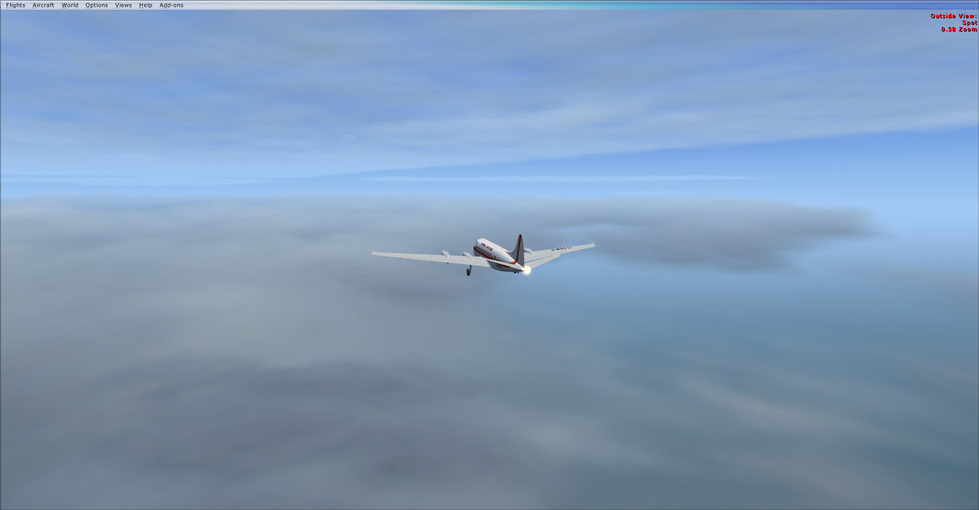
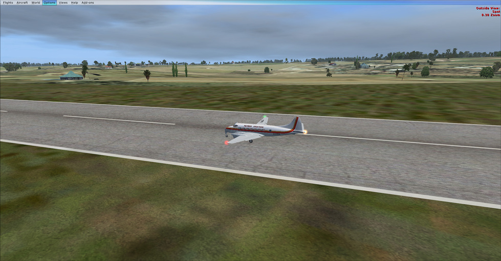
Yep, I’ve been landing with about 10-15% reserve fuel on 850+nm legs in the dove, so it would certainly make Darwin no problem.
Not totally sure what I’ll fire up tomorrow, but the Dove is certainly trending lol.
2 Likes
![]()
2 Likes
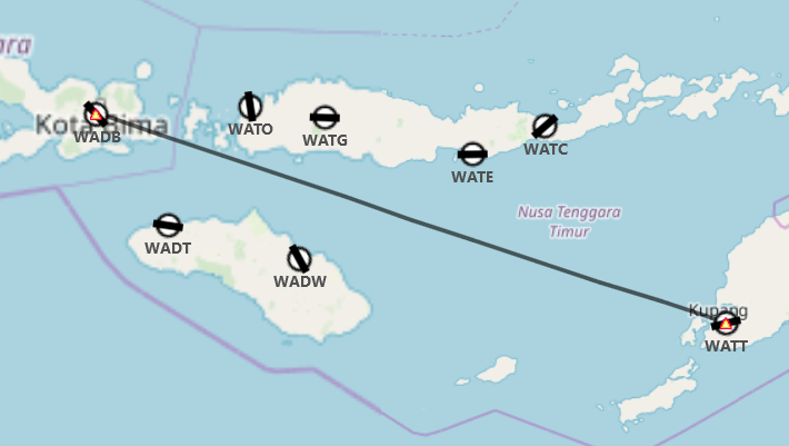
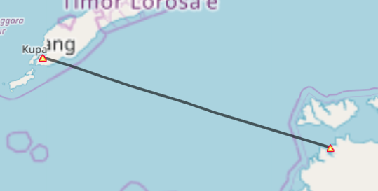
A double hop, that unfortunately screw up my record keeping abit, but we’ll wing it.
Let WABD to WATT
Take off: Not sure
Touchdown: Not sure
Time: ~2:40
Distance: ~ 320 nm (planned 310)
Average Speed: 120 knots
Total Flight Time: 56:08
Total Distance: ~9376 NM
Average speed: 167 knots
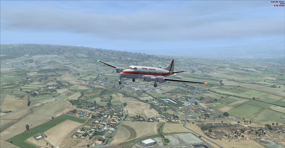
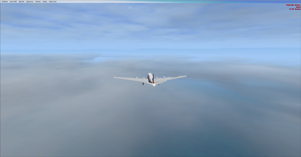
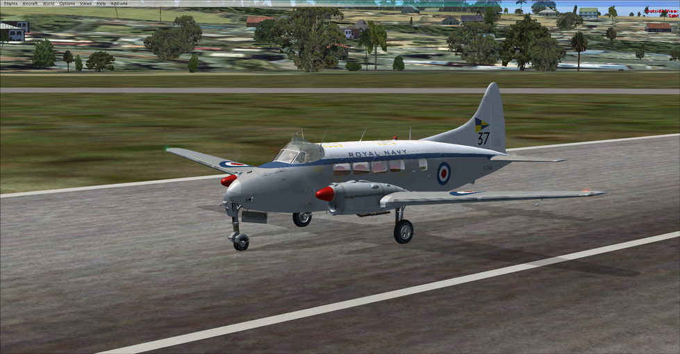
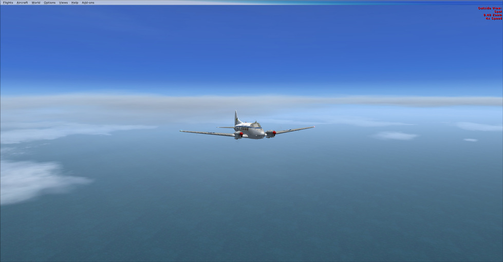
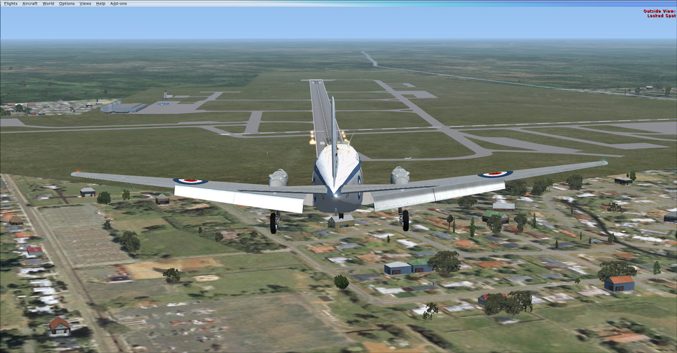
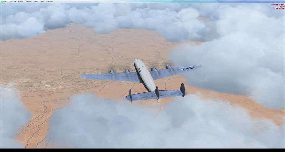
For something a little different, I decided to add a few engines. In this case the de Havilland Heron. A 4 engine propliner, that was s contemporary of the Dove. It was designed for asutre routes, and unimproved fields. Hence the fixed landing gear (which always leaves me feeling as if I forgot a step).
From there it was WATT to Darwin
A long open water leg with no real nav references (I think it’s probably the longest overwater leg I’ve flown in this event). Fortunately the weather was excellent, necessitating only a 2 degree correction for wind.
Take off: 0943 local
Touchdown: 1242 local (yeah there’s a story here)
Distance: ~ 515 nm (planned 445)
Average Speed: 173 knots
Total Flight Time: 59:07
Total Distance: ~9891 NM
Average speed: 167 knots
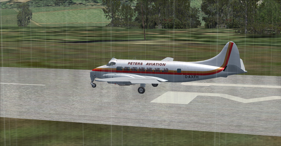
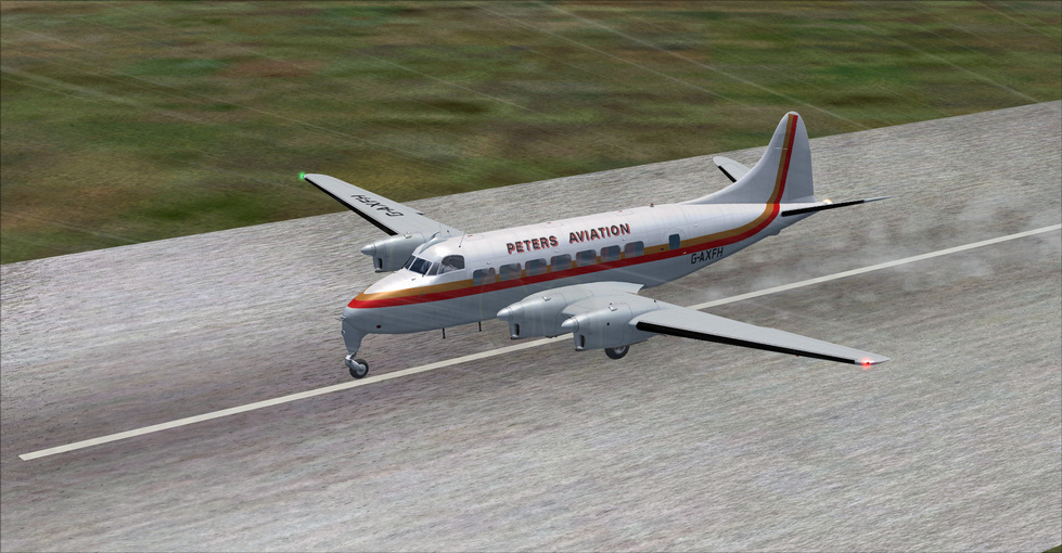
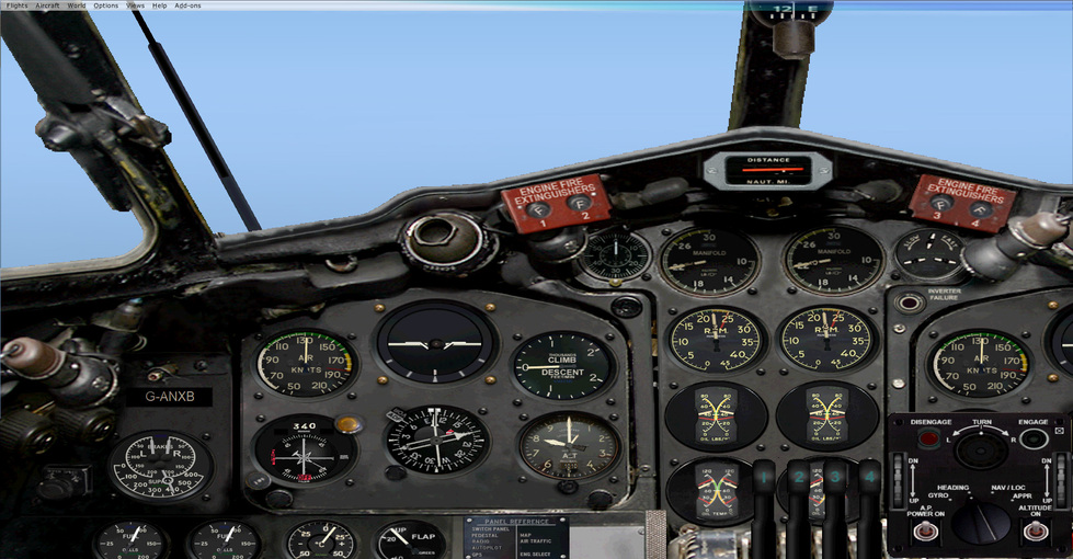
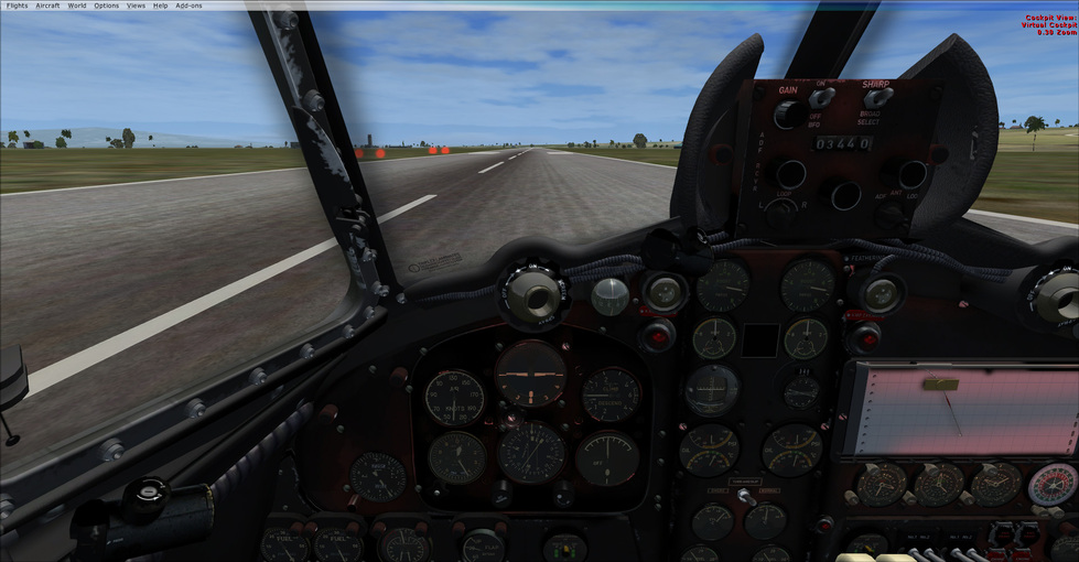
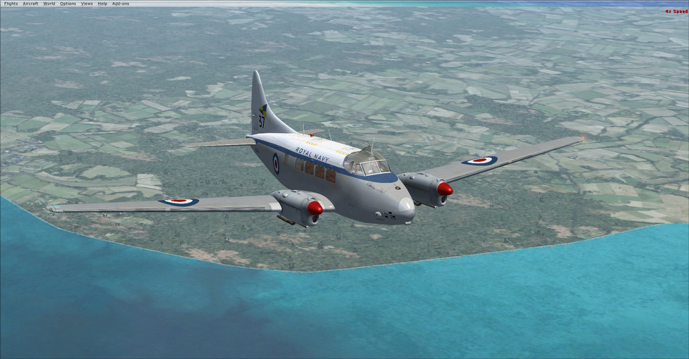
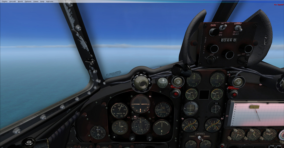
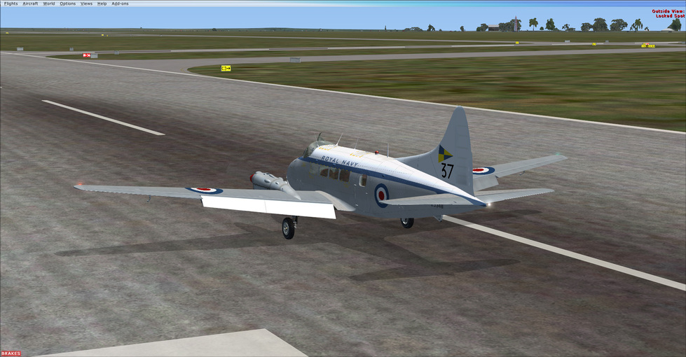
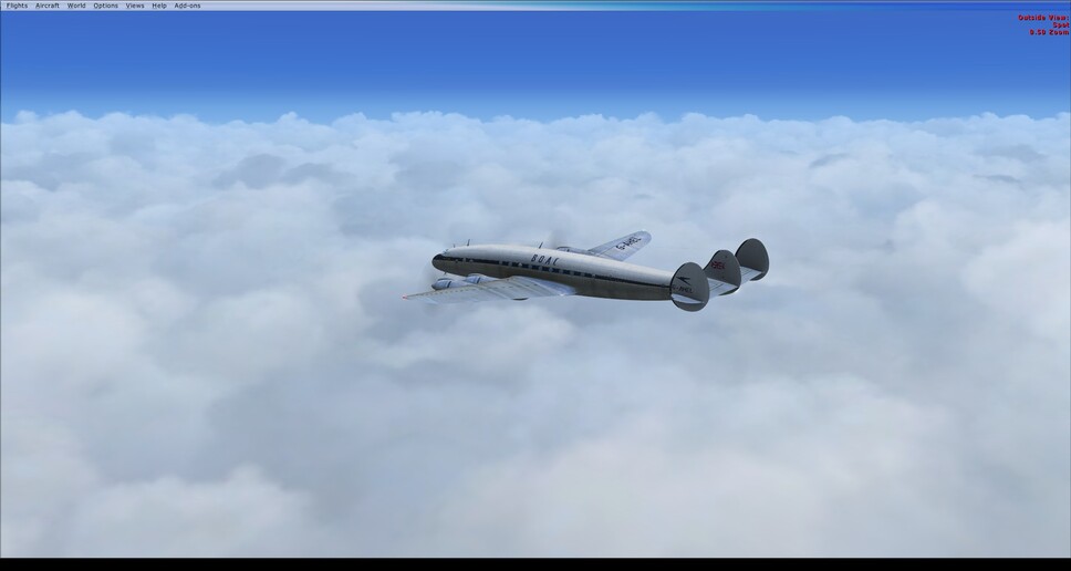
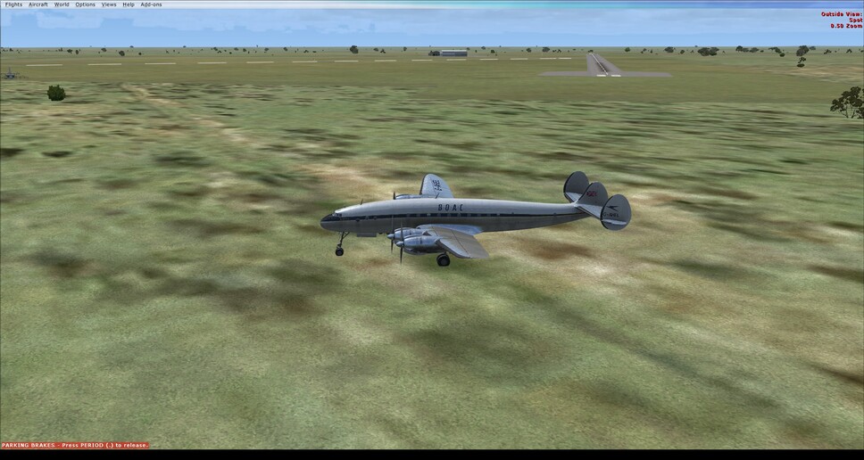
Took one of the early generation RAF Devon’s, which is simply a Dove flown by the RAF. They are designed for single pilot flight, and the crazy looking graphing thing on the right hand side of the cockpit is a flight tracking system (sadly not operational in the sim).
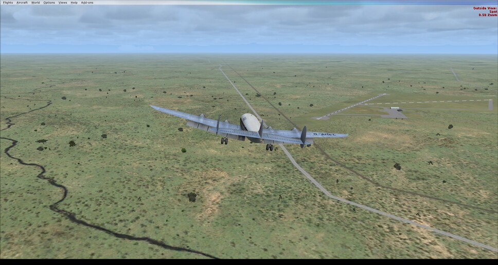
Alright finally on the dark continent. Wait that’s Africa. Umm land of the midnight sun? Nope that’s taken too. Hmmm, the land of summer Christmas? Lets roll with that.
From here’s it’s only a hop and a skip and ~1900 nm to Melbourne.
11 Likes
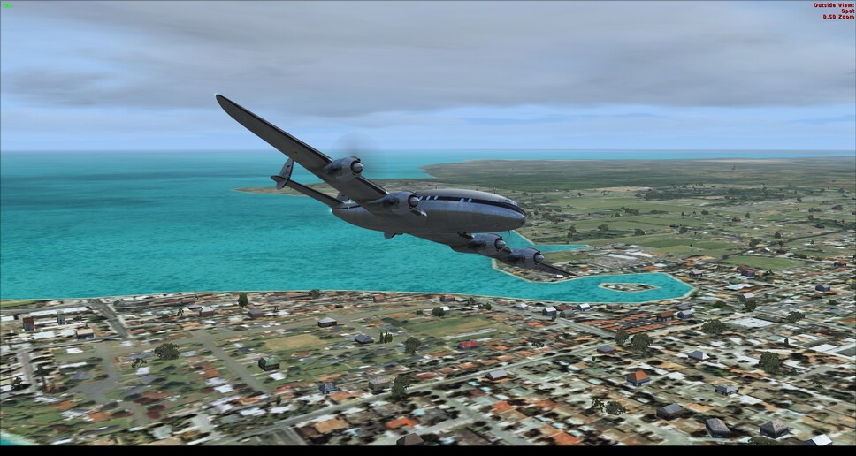
So this adventure began almost 8 months ago. In an effort to gain a morale victory of sorts for myself, I knocked out the final two legs tonight. Not in anything remotely close to Air Race legal, but at least radial engines were still in use. The long leg from Darwin to Charlesville was flow in the A2A Constellation. I had read almost a year ago a report from an air race pilot of the era, that in short stated that wind corrections are unnecessary on really long legs, they’ll average out. Surprisingly that was fairly true, as I was able to stay fairly on course with the NBD’s with no major corrections for wind needed.
I made one miscalculation about this leg, which is that Charlesville’s runway is only 5200’ long. That made for a bit of excitement getting the Connie down and stopped.
Lets just say I hope the airstair has all terrain tires…
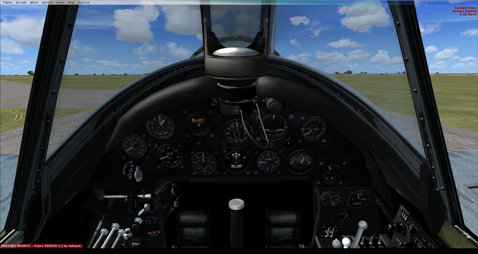
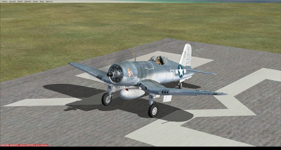
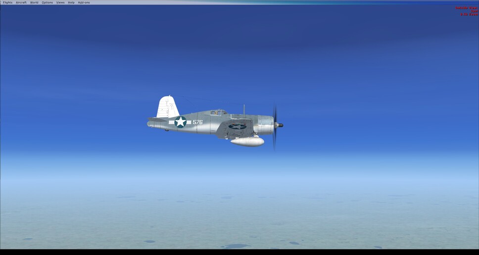
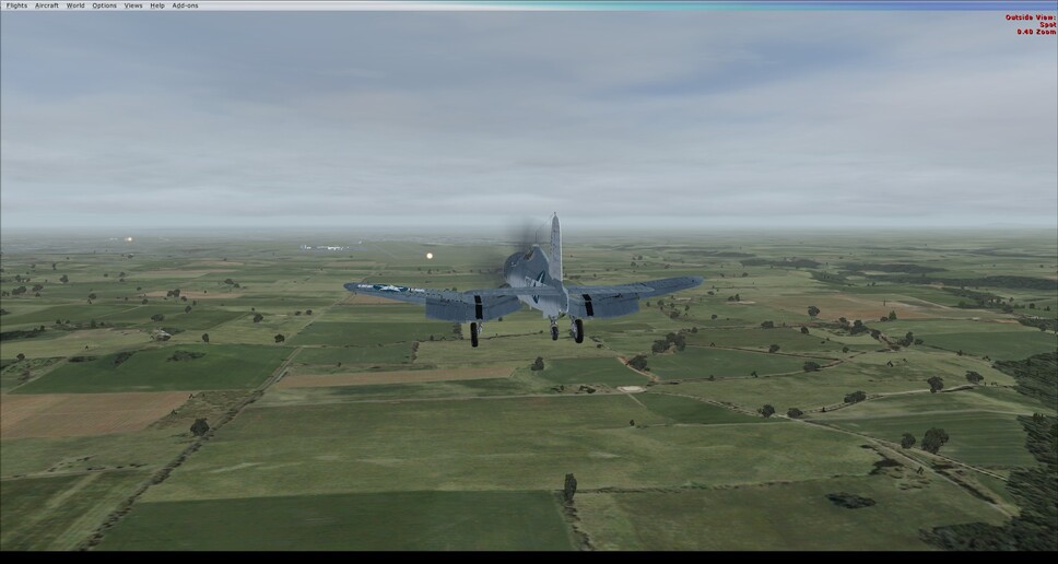
The last leg from Charlesville to Melbourne, I picked a bird I really should fly more often which is the Just Flight F4U Corsair. The modeling is light, nowhere near as deep as say the A2A P-51, but it is a fun plane to fly. The power of the engine is insane, and slamming the throttle forward can snap the plane right over.
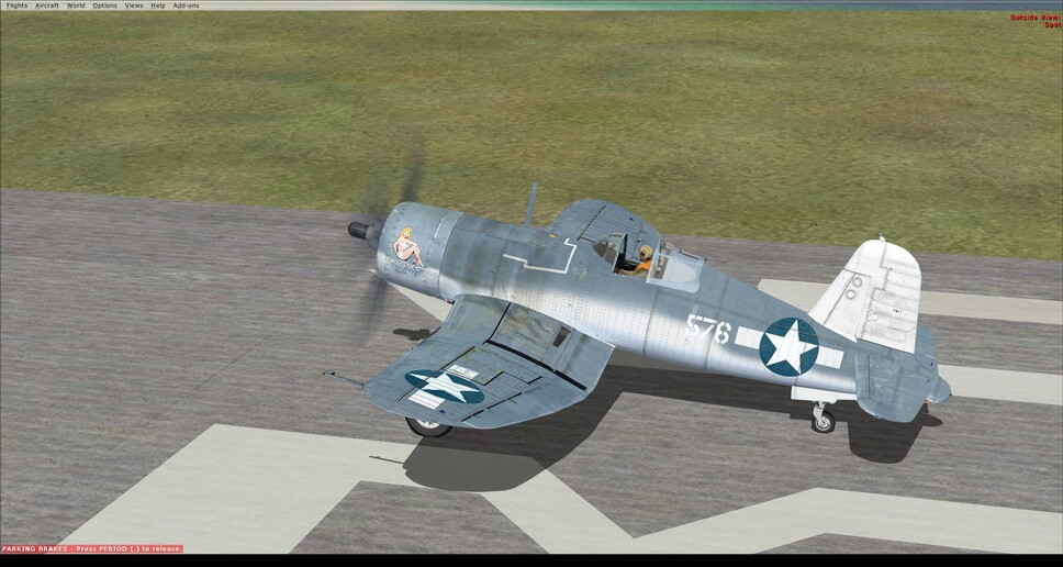
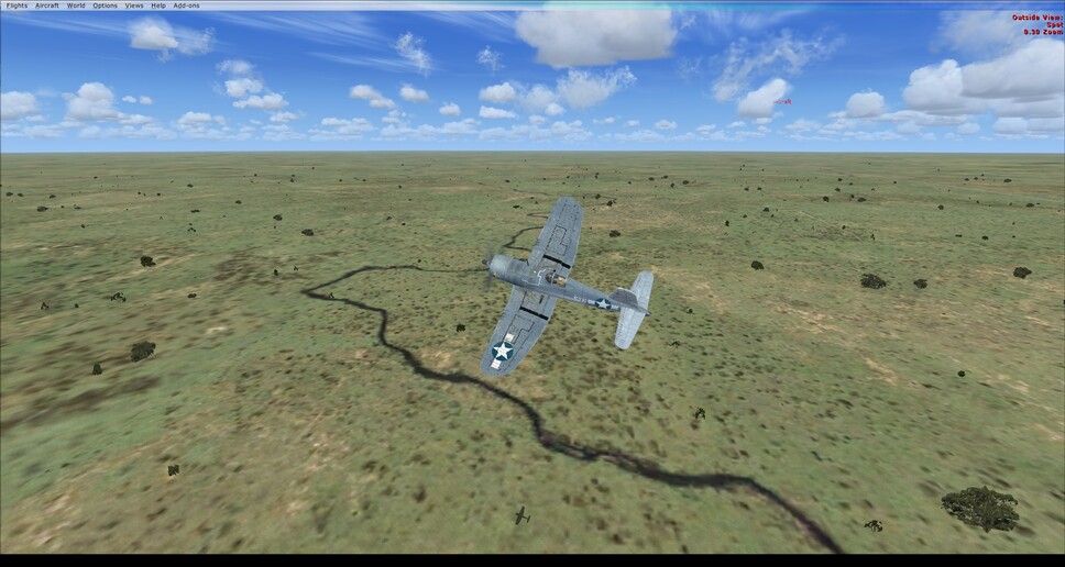
Trimmed up and cruising along at 198 KIAS at FL30 (~300 knots TAS). Not sure if that’s accurate, but I know it sure is a fast way to eat up the miles!
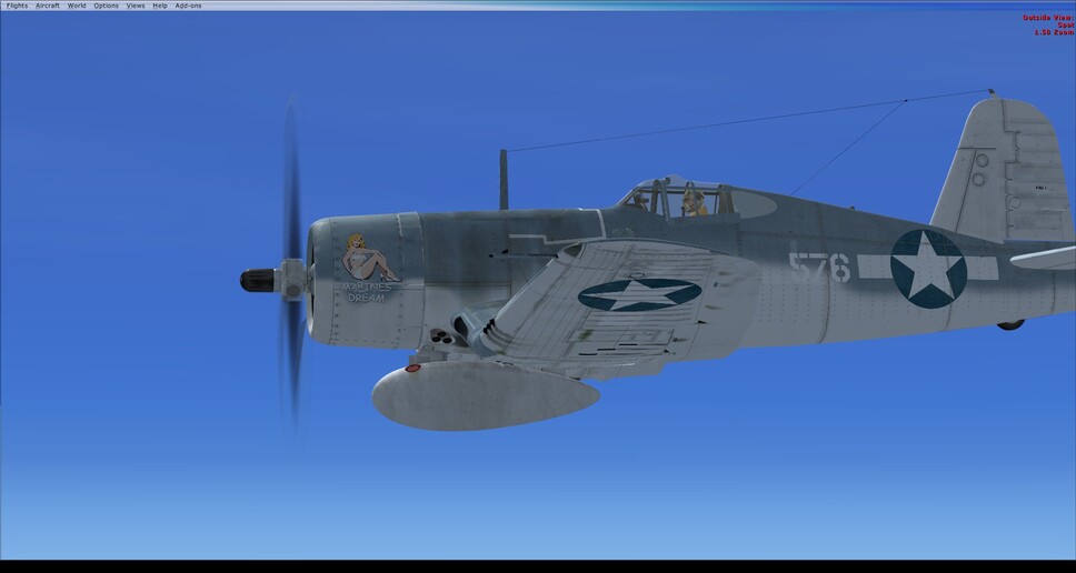
The astute observer will note something is missing…
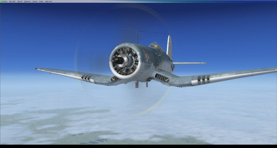
So what do you do when you realize you about 10,000’ to high on your approach? Well, pop out the dive brakes and get back on the approach path of course! The Corsair used the landing gear, rather than separate dive brakes, and you’ll notice the tail wheel doesn’t drop in this configuration. This system saved weight, which equaled range and endurance in the war.
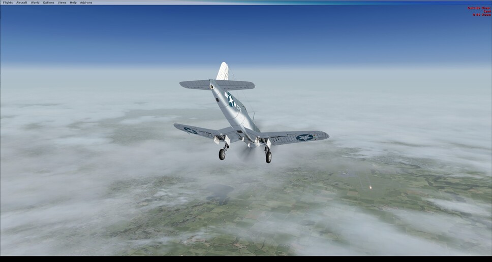
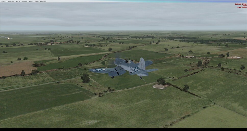
I can see why this was called the “ensign eliminator.” I’ve got a non-moving runway, and probably 30 years of simming under my belt to get this thing down and I’m still just taking a hazy guess at where I am going to be on the runway. A new pilot, just a couple hundred hours, moving carrier, battle rattled nerves, it’s a miracle we didn’t loose a lot more pilots.
Touchdown Melbourne Australia
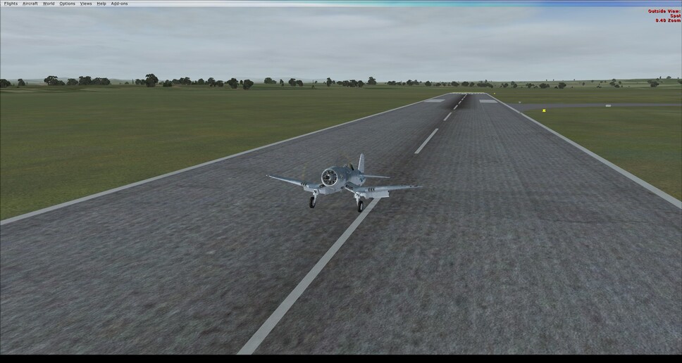

Well I’ll take the morale victory of getting this one closed out finally. My goal of flying the whole thing in a pre 1939 aircraft went out the window after the ridiculously long flight with the PBY-2. A couple of real world events that interceded and caused me to have to fly the same leg 2 or 3 times, really took the wind out of my sails, and the flight with the Cat’ that was less exciting than paint drying really did me in. The last few hops with more modern aircraft, unabashedly using the autopilot where available, made the finish do able, and to an extant enjoyable.
This was by far the most hand flying I’ve done in terms of NM covered. I don’t think I’ll do that again anytime soon. I enjoyed the pilotage, and having to use older nav-aides, it was a nice change of pace.
9 Likes
Congratulations Jenrick! It is a long way in these old birds. Thanks for coming up with the idea for the event in the first place.
3 Likes
Congrats @jenrick! Absolutely - it was a great idea and while it was a long way, it was definitely a worthwhile journey! ![]()
A few more stragglers on the way, I believe…
2 Likes
Congrats @jenrick ! It was epic civi coop session ![]()
Next race probably something shorter ![]()
2 Likes
Congratulations @jenrick! This was a great race! Err ‘race’!
1 Like
Thanks all!
@NEVO Speaking on the next event… I do have a suggestion that is quite a bit shorter, but that might be a bit more challenging (navigation wise). I’ll start a thread about it closer to new year.
2 Likes
Hey @BeachAV8R , what’s the map add-on you use to overlay your track made good into Google maps? I’m just doing a to-do-list of XP tweaks I want to do, and I always wondered, but never asked. ![]()
That was xIvap - an online flight tracker that uses that map. It has been sort of up and down the past couple years, so I’m not sure if it is still working or not:
1 Like
Thanks! I’ll give it a whirl.