Don’t feel too bad, it could have been a Shelby to go with your Raptor.
3 Likes
They are both excellent. The avionics on the TBM are more advanced (the synthetic vision is outstanding). The King Air will always be my personal favorite though.
1 Like
Conversion from JPG to DDS running… now I understand your reference Paul ![]()
It is quite a task @NEVO but it is well worth the time investment. My X-Plane has never looked so good what with Forkboy2’s ortho and the OrbX True Earth regions.
1 Like
So I started off the trek. I’m not a good enough pilot to go era specific and no nav aids, but at least this has given me a reason to fly. First leg is the trusty C172 from KFRG to KMMU.
Using the actual weather settings from XP gave me some rather crappy stuff to fly through. Finally made it down and in one piece! Now for the new toy! I had to use the tutorial to start her up, but man is this going to be a lot to learn. I like how you can manipulate every little detail with it. Heading from KMMU to N96


Got her down in one piece, bounced the landing pretty good. I’m also confident I didnt shut her down properly, so the next leg will probably include lots of maintenance cost.
8 Likes
You were not klidding about it being a bumpy landing. Not only did you bend the prop but you bent both wing tips too!
Wheels
6 Likes
Can confirm. Wanted to check the installed scenery and did short hop westbound to Mid-State KPSB. Didn’t see much of the scenery flying low under the overcast

PLUS :
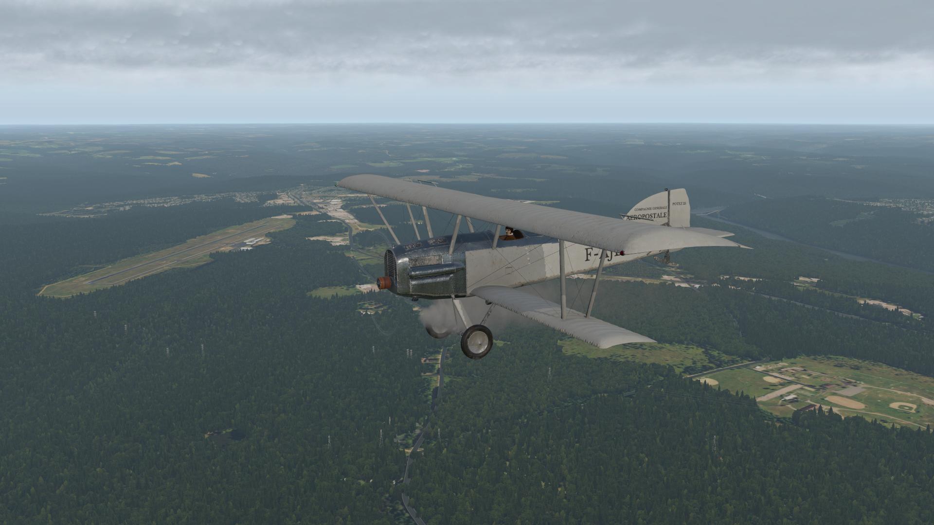
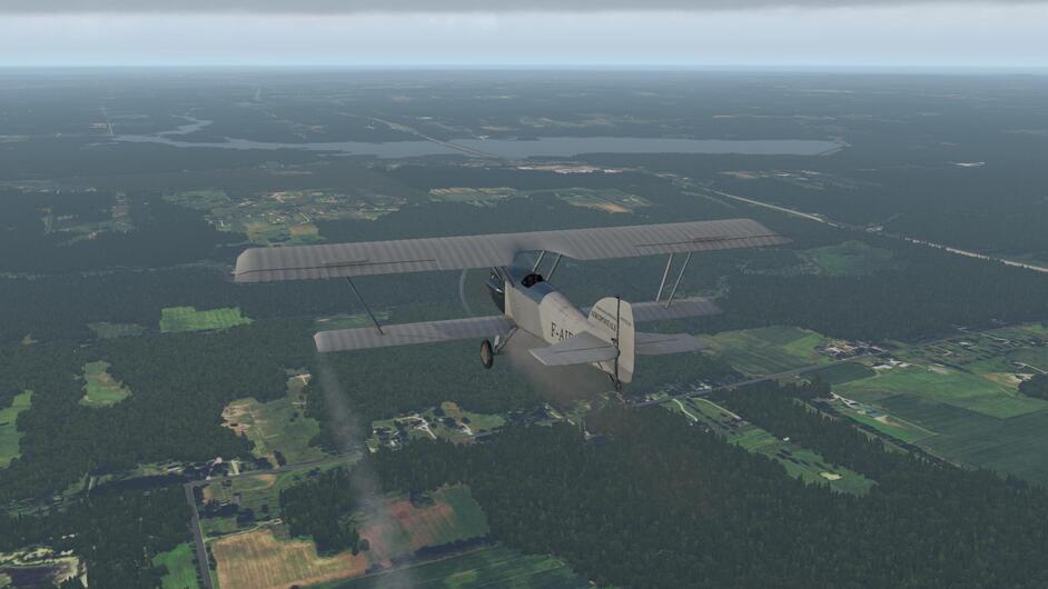
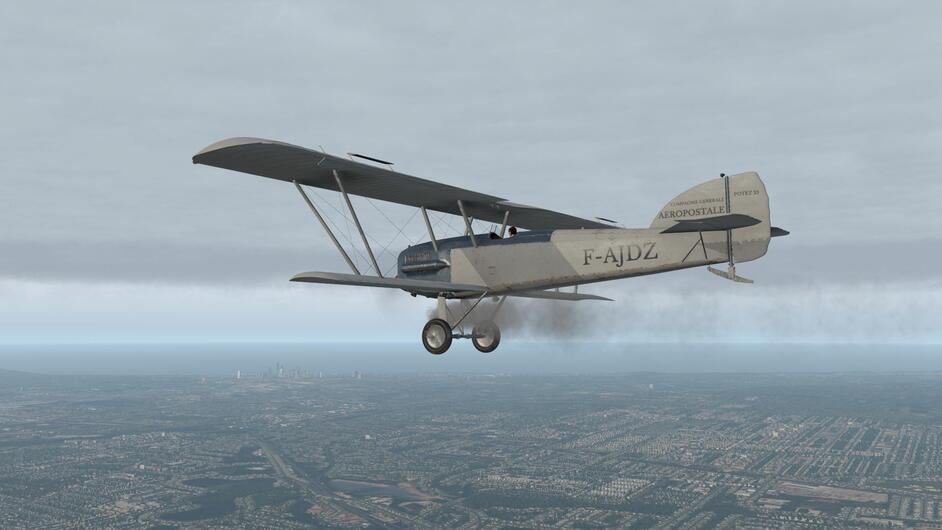
Me either, especially in this White Raven, my only era specific bird. It is trying to kill me whenever I roll it

7 Likes
Leg 2… Bellefonte PA (N96) to Cleveland OH (KCLE).

Slipping the surly bonds…

A last look back at the Appalachian mountains…

Interstate 80 didn’t exist in the 1920’s but it follows my route almost half way to Cleveland. That makes it rather hard to get lost…I’m not complaining though.

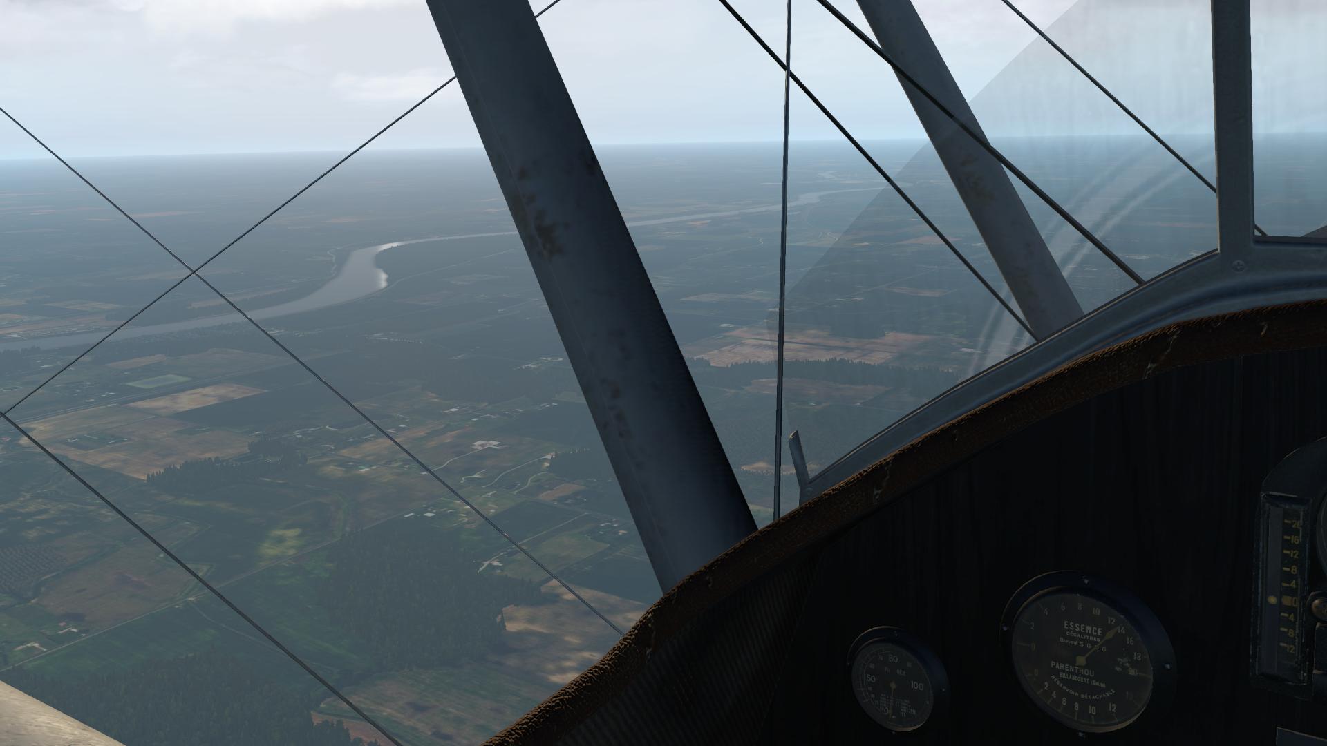
Looking off to my right, we can see the West Branch of the Susquehanna River. The next visual checkpoint is Clearfield Lawrence Airport (KFIG) which should be on the other side of the river when we cross it…


And here it is… right where it is supposed to be. ![]()

Looking back as we pass KFIG with the city of Clearfield lying to the South of the airport and Interstate.

Lake Bimini near DuBois PA…

DuBois Jefferson Co airport (KDUJ) off my right wing…

Brookville, PA

Passing Clarion Co airport (KAXQ). Shortly after this, the Interstate winds off to the South West.
About 40 nm farther along our course, the next major checkpoint comes into sight, the Shenango River Lake.


And now we get to some familiar territory… Mosquito Creek Lake dead ahead, which is just to the North of Youngstown Ohio.

To the left of our course is Youngstown Warren Regional Airport. I flew my first US solo cross country to this airport back in 2002.

Crossing Mosquito Creek Lake…

LaDue Reservoir straight ahead and easy to identify with US 422 crossing it.
Urban sprawl… we are entering the Cleveland area, and Lake Erie is off to our right.

Downtown Cleveland and Burke Lakefront airport off in the distance…
KCLE in sight! Setting up for a right base to runway 6R.

A tight turn to final…

Miller time! ![]()

Flight time was 1.9 hours.
10 Likes
My new Beech Baron 58, overhauled and with a fresh coat of paint!

Departing Somerset, following I78. Yeah, they should do something about those overgrown lanes…

I78 winding its way through the countryside.

As Bellefonte isn’t modelled in AFS2 I just tracked inbound Philipsburg VOR.
Quite a tailwind… ![]()

There, somewhere on my right, is Bellefonte.

That’s not some wierd coastline. It’s the scenery boundary. From now on, It’s dead reckoning…

And before I knew it, I was in Illinois.

Then, out of nowhere, my #1 started to make grinding noises… I shut it down and continued to Meigs. Sorry about the pics, but I had my hands full.


Parked at Meigs next to this nice lady, who had her own Cessna.
She was eager to hear all about my inflight shutdown…

9 Likes
Love your pics, @PaulRix.
X-Plane doesn’t play well on my PC, as I have mentioned before. Been a while since I tried though. Maybe I should give it a go? Last time it wouldn’t even start unless I dropped the overclock back to 4.8 GHz.
Aerofly FS2 is a really nice VR sim, but the scenery is limited, and the aircraft are a mixed bag. The B58 doesn’t have fuel flow modelled. The tanks never dry up and the mixture only affects the fuel flow indicator and eventually shuts the engine. Cowl flaps and some switches don’t work.
But in a detailed scenery, it’s a good looking sim.
Leaving the NY state scenery was a disappointment. I had enjoyed the flight up until then, but grew weary of the bland textures. I managed to keep it going by flying on top, for a while, but then I had to slew myself into the next scenery again.
The same for me… I just leave the clock speed at standard for X-Plane.
The most fun I have had with AeroFly FS2 in VR is flying at break-neck speed at low level in the Swiss Alps… Flying the R22 around San Francisco is pretty cool too!
It is convenient to download forkboy’s scenery as a complete package, no doubt about it, despite the older creation date (in some cases).
Just looking forward to see what @Sine_Nomine can get with the latest data.
Still no good weather ![]() Standard situation - I saw the ridge top as I got closer, but once on the other side the clouds were lower and I flew right into them. Fortunately I kept visual contact with the trees
Standard situation - I saw the ridge top as I got closer, but once on the other side the clouds were lower and I flew right into them. Fortunately I kept visual contact with the trees

As mentioned before, this country is fortunately full of airports. Reached the town of Clearfield and decided to stop right there.

4 Likes
@Cygon_Parrot…
For tree placement with ortho scenery, I can recomend XTreme Trees East and West packages for the US
Since I purchased those two packages Global Forests was released and covers a much greater area ie the entire North American Continent. I haven’t tried it personally yet though…
1 Like
And there is also this product on a sale rn
2 Likes
Leg 3. Cleveland (KCLE) to Bryan OH (0G6).

A relatively short 120nm hop… 1.2 hours.
Off we go… looks like a slight crosswind from the left…


Flying along the shoreline of Lake Erie


About to fly over Sandusky…


I picked up Ultimate Water Enhancement V2 in the current Org Store sale… I like how the sun catches the water…

After Lake Erie, the next visual reference point is Woodville. The city has a large Lime Plant just to the North, and a smaller one to the South. Hard to miss really!


Next, we cross the Maumee River…

From here I just follow the direction of the roads to the West, and keep the river off my left wing…


Eventually the river takes a turn to the South West, but I kept my heading and before long the city of Bryan and Williams County Airport appear on our nose.


All done for the day. Next stop will be Chicago Midway.
9 Likes
How about Meigs !?
1 Like
So, as my no. 1 engine had a damaged bearing and needs another overhaul. I’m going to call the shop that did the last one and get them to sort this on a warranty.
That nice lady had sold her C152 to a guy in San Franscisco and since I was headed that way, I could deliver it for her.
There’s no zoom in the camera viewfinder so appologize for the crappy pics…
Need to get me one of those new camera smartphones.
The Cessna 152 that’s going to take me westward.

Take off from Meigs, turning south with the windy city on my right.

This should’ve been a cool pic of Meigs…

When the AFS2 scenery is good, it’s really good! With amazing framerates.

But once you leave the detailed parts behind you, things get ugly.

Really ugly…

Still, even at its ugliest it’s a lot better than when I started this hobby, some 30-35 years ago.
Arriving at the Colorado scenery, things are looking better again. One thing AFS2 does really well is shadows…

Arriving at Kit Carson, 4200ft elevation.

On final.

Parked and shut down.

From here on there’s detailed scenery all the way to the coast!
5 Likes
Kicked off my flight this afternoon. I was originally planning to go all the way from Republic (KFRG) to Bellefonte (N96), but after takeoff I (cough) noticed that the line guys had only halfway filled my tanks. Errr…
I’m using the Alabeo Pawnee PA-36 - not exactly period authentic, but I like the Planes livery…

Leaving Republic behind…beautiful weather this afternoon! (Using ActiveSky XP)

Passing by the site of the World Fair next to LaGuardia - pilots will recognize this from the Expressway Visual circle approach…

Coming up on New York City…always an impressive mass of humanity. Best of luck to them in this difficult time…

Passing Newark - Mom said if you don’t have anything good to say…well…

Then things get a little more interesting since I’m not using a moving map, GPS, or any navigation aids. Now it is time to break out the sectional chart (SkyVector) and start comparing things you see out the window to what is on the map. This turns out to be pretty easy today because visibility is so good. I find some lakes around the Spruce Run Reservoir…good VFR checkpoint…

Keeping an eye on the gas gauges…

Soon we come up on Allentown, but for a bit I’m not quite positive whether it is Allentown or Phillipsburg. Eventually I spot a couple airports that sort it out and I take up a northeasterly heading off of Lehigh Valley to land at the more interesting little airport of Slatington (69N) that sits right in a gap of a ridgeline. I’d imagine the winds funneling through there can make things interesting sometimes…


I’ll have to overnight here until tomorrow when I can continue on to Bellefonte, PA…

A couple things of note about the Pawnee - somewhere along the line in the X-Plane 11 upgrade the rudder motion got reversed (but the rudder action works in the correct yaw axis)…and the Hobbs Meter runs backwards… ![]()
8 Likes
Moving swiftly on then ![]() I have the same sentiments for Teterboro too, especially in the winter.
I have the same sentiments for Teterboro too, especially in the winter.
1 Like
I love Burke Lakefront (Cleveland) airport at any temperature above about 13C…below that…I despise it. ![]()