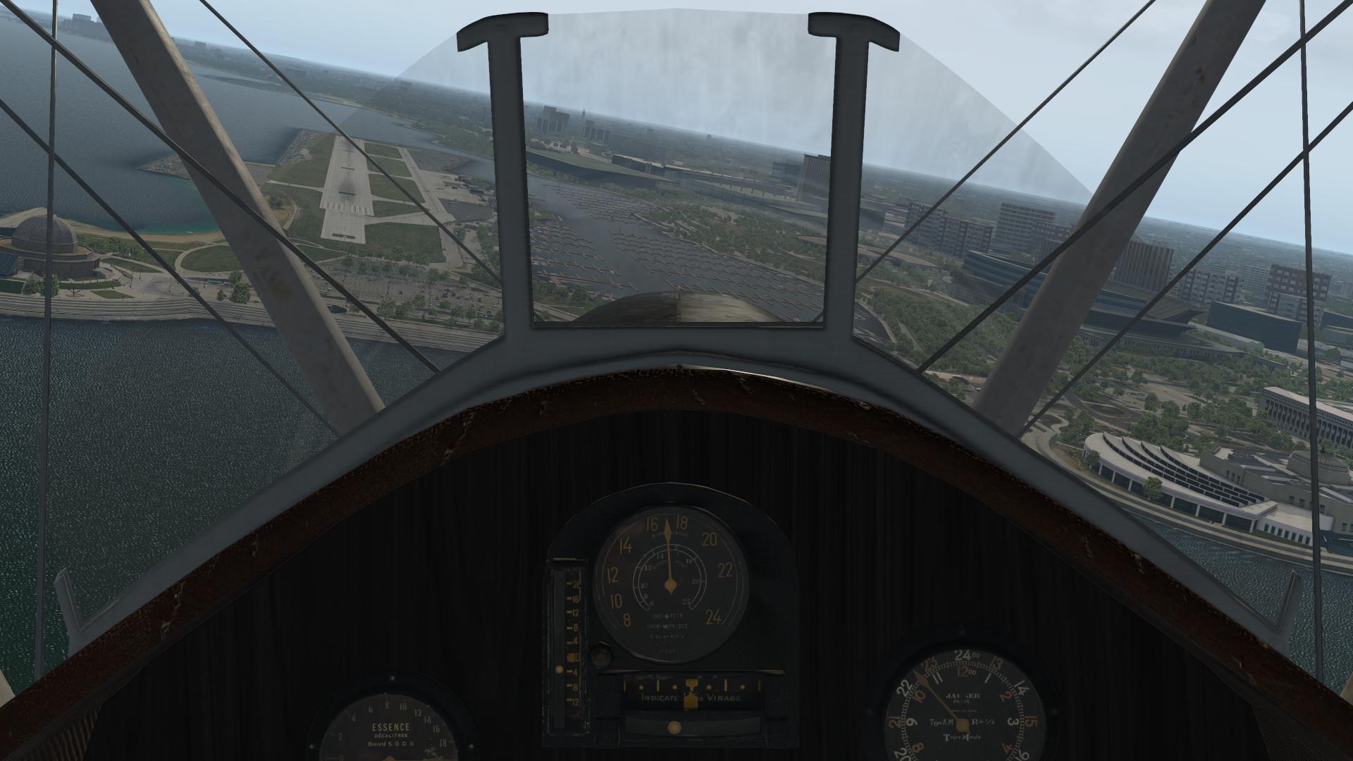
Burke Lakefront, departing at night, where they run you over the lake at low level… ugh! ![]()
Must NOT use the Force Luke!
1 Like
My next leg will be a palindrome…err…no, that’s not the right word…

Yep…that place is no joke when they turn you northbound at that 2,000’ running you under the CLE arrivals and departures…
Yeah…in doing a bit of searching over on The Org I see you can dive into Plane Maker and change around some stuff.
1 Like
I like the way you think ![]() I always wanted to play a bit with the Plane Maker, but never found a proper time. Tweaked some sceneries in WED only.
I always wanted to play a bit with the Plane Maker, but never found a proper time. Tweaked some sceneries in WED only.
Good results there. What other jumps into my eyes always are the roads overlays when they doesn’t match with the underlaying orthos.
Sometime I feel ‘guilty’ for not being committed properly to my hobby then I invest some money. And these tracks are always good oportunities ![]()
1 Like
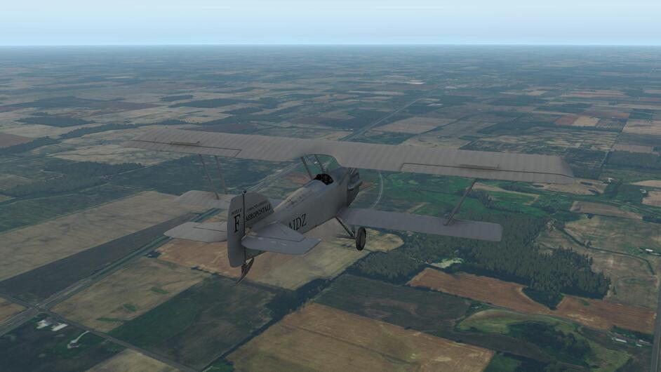
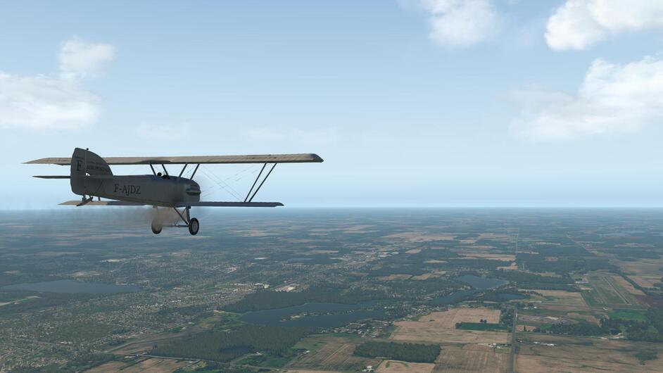
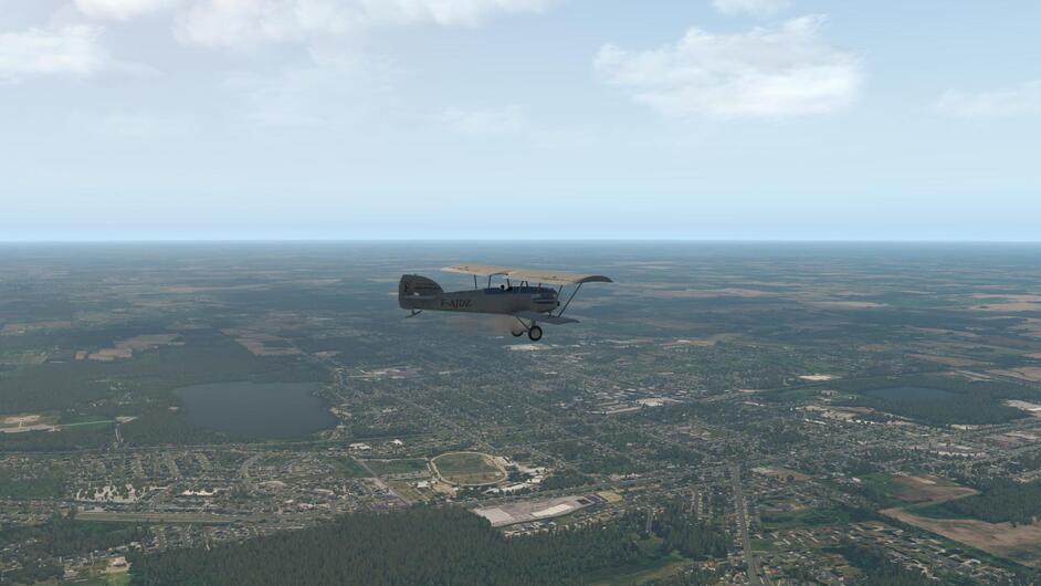
Clearfield to Cleveland.
First part I did in good weather from Clearfield to Franklin
Over Franklin still with the default trees
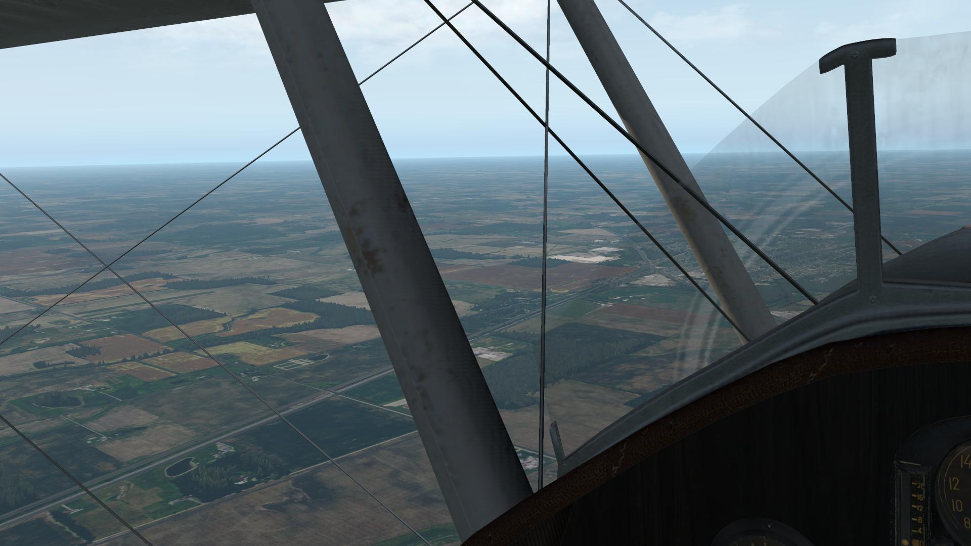
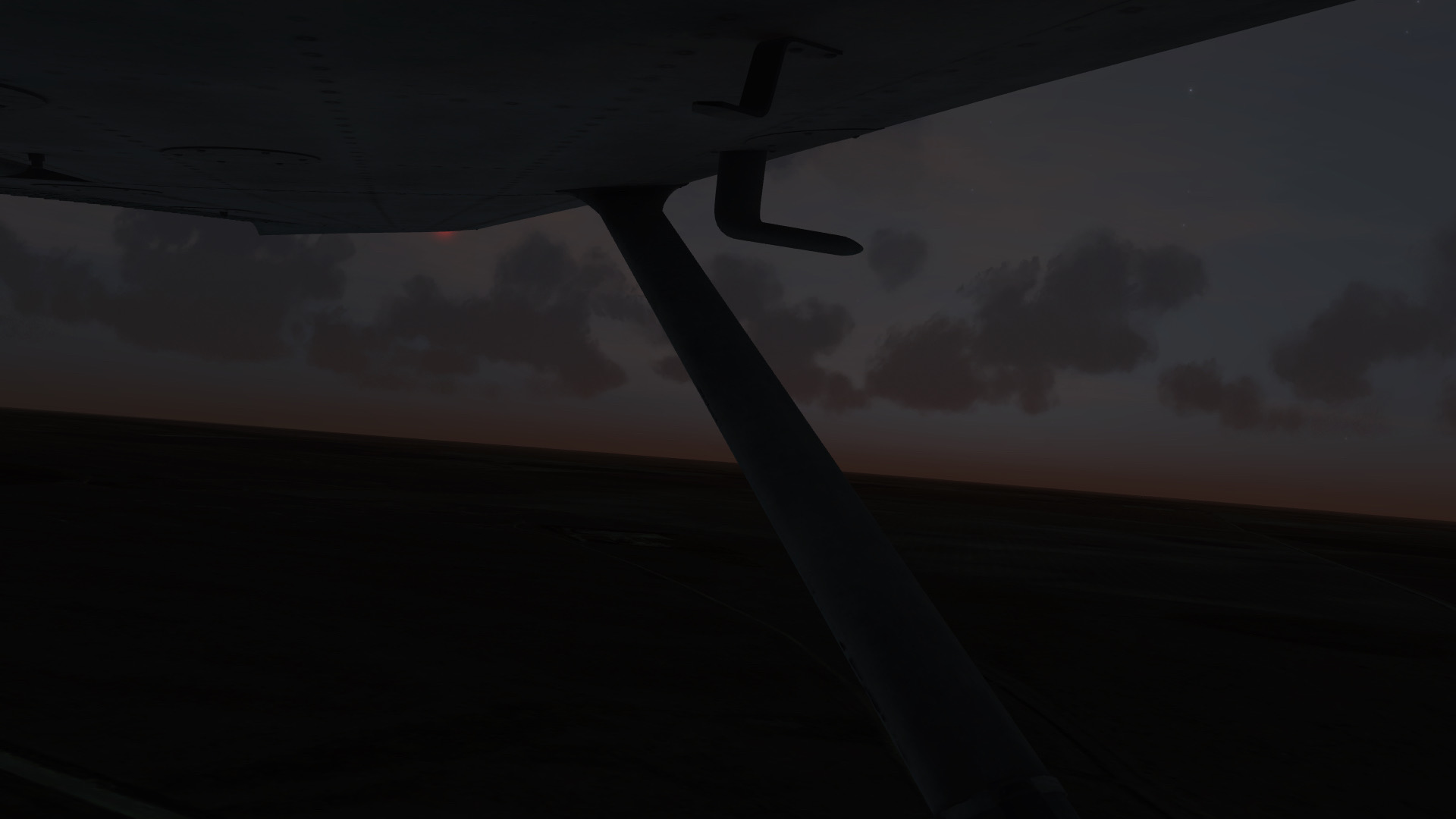
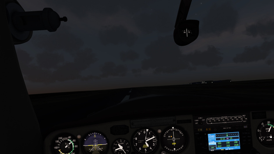
From Franklin it was some ‘stormy’ weather but we made it to Cleveland just fine (notice how the clouds layer slowly change height from left to right, wondering if it was really difference in height or the clouds on my left were just closer to me than the clouds on my right)
BUT THEN…
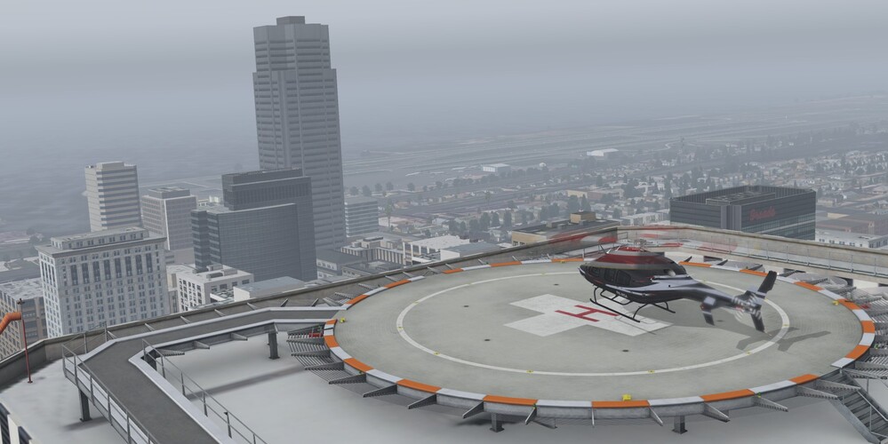
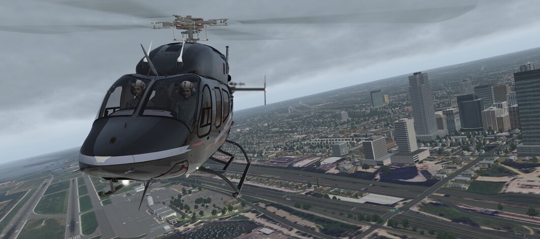
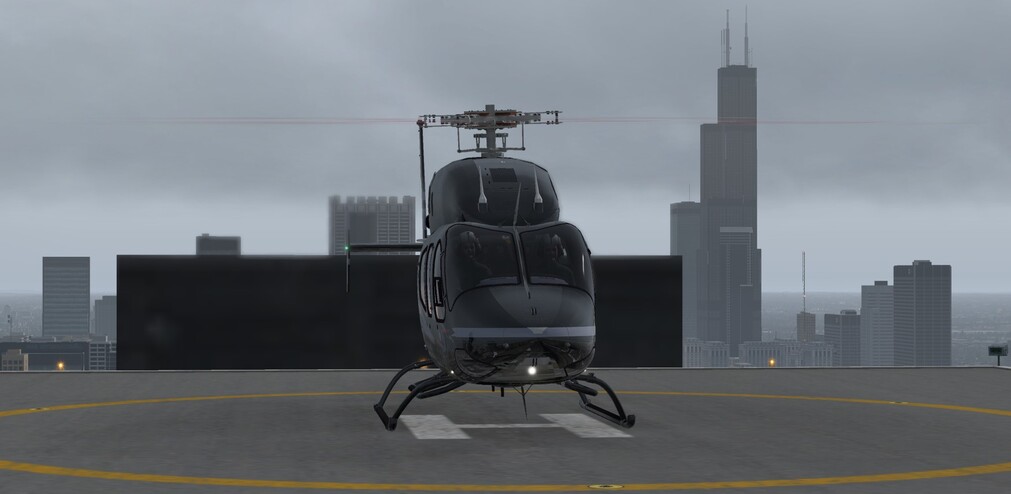
I was like this is really not fun to land such nimble machine on such big spot.
In the meantime it started to rain, didn’t know that this freeware helo has such nice rain effect implemented
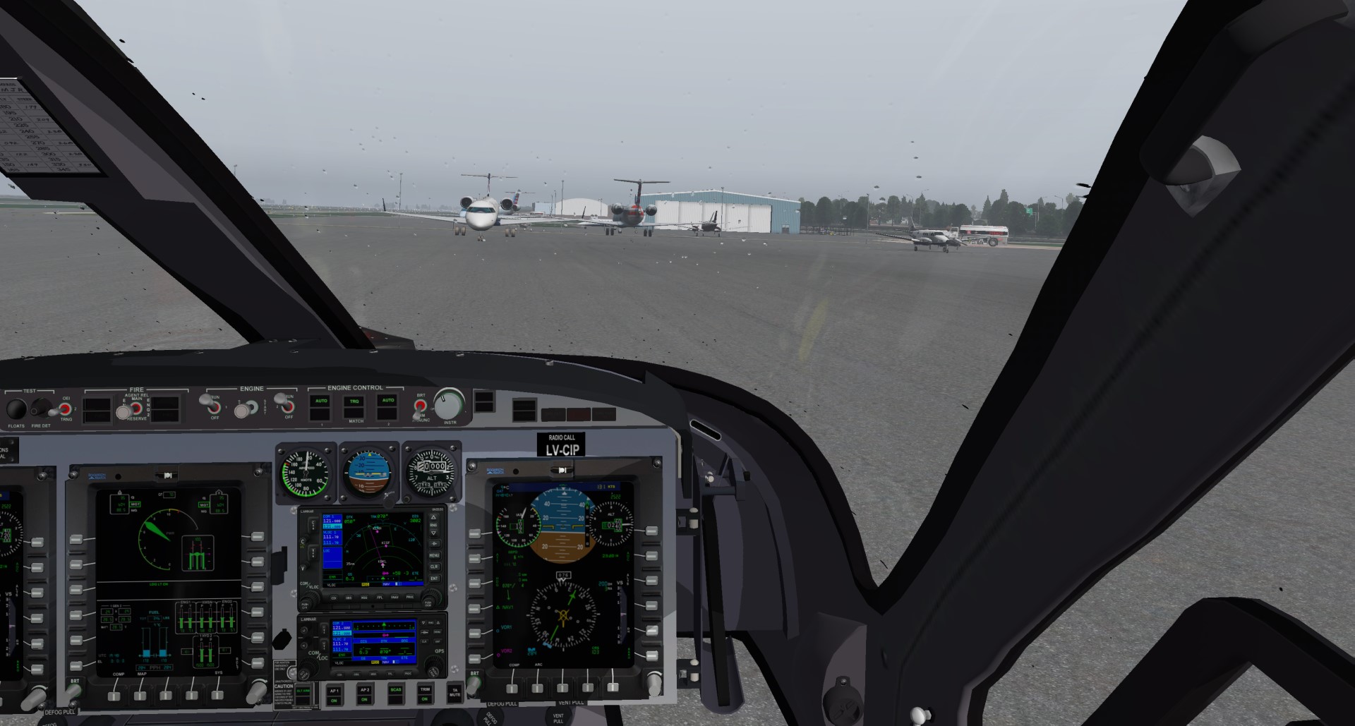
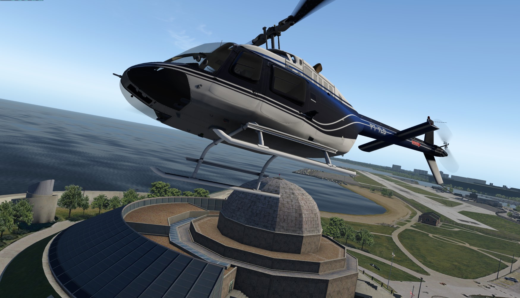
Found more appropriate spot for a ‘bird of prey’ ![]()
5 Likes
That is how I meant it. My comment was not specifically aimed to your picture / results oc.
From AlPilotX web page, one of the HD Mesh features. So I agree with your approach :
The vector data simplification is less aggressive than in the default mesh (where Laminar needed to do that to limit the overall size of the global scenery). Thus road / railroad bendings are more accurate and the same is true for rivers, shorelines (but where the OSM raw data is bad, this can’t help much either)
Just wondering if one needs these roads overlays when the roads are already on the ortho anyway and they are flat (not like buildings or trees) ![]()
1 Like
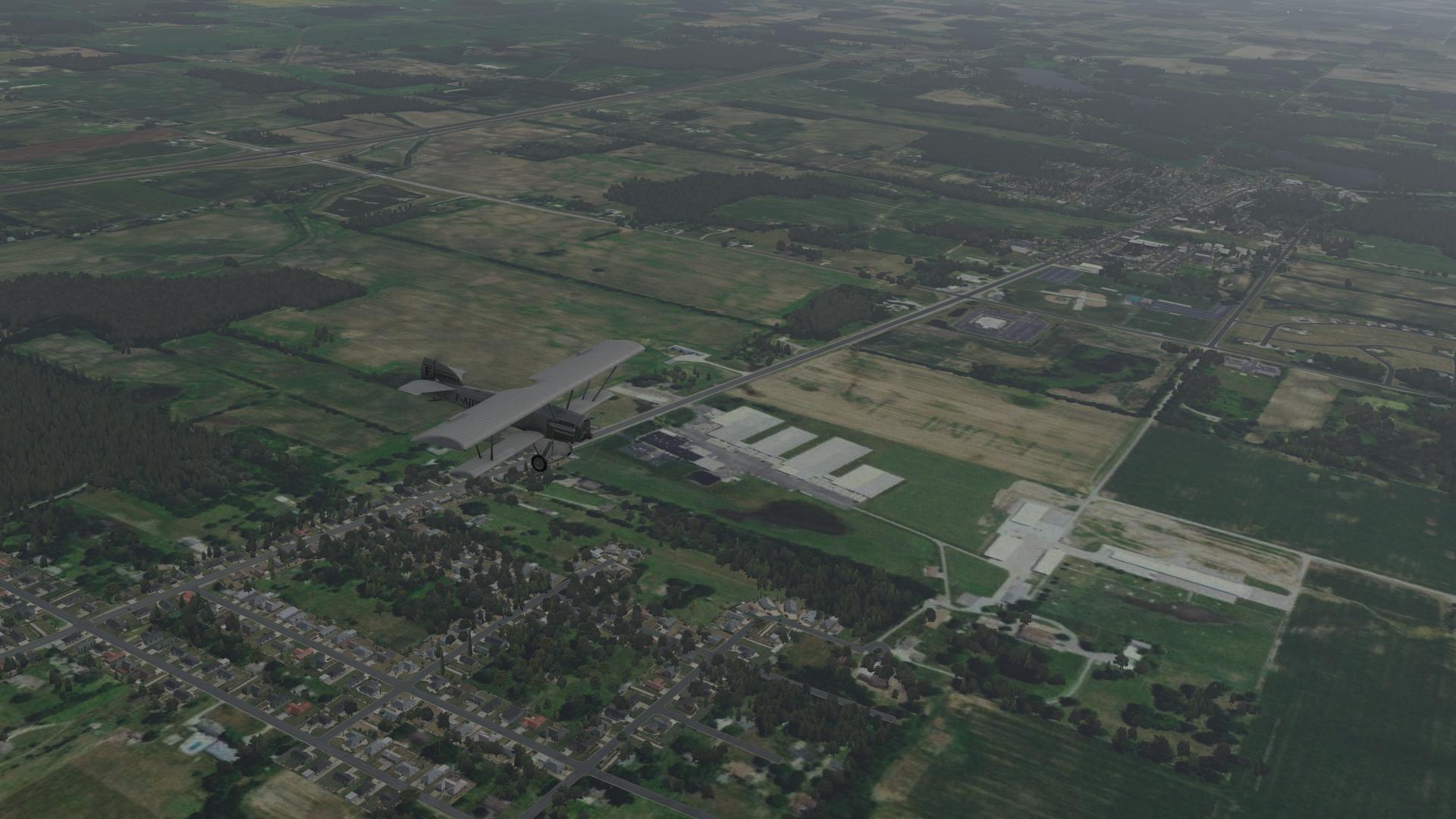
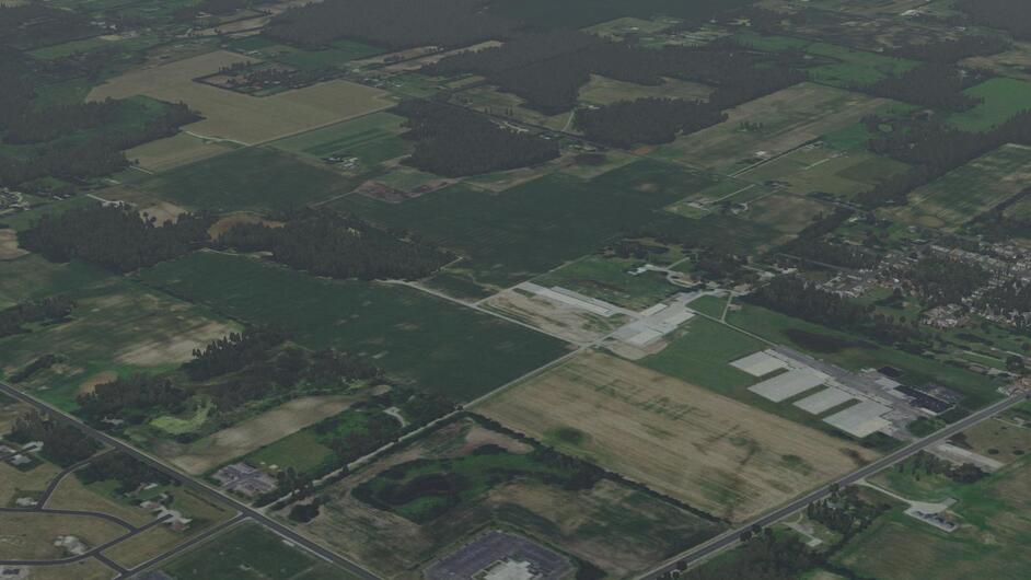
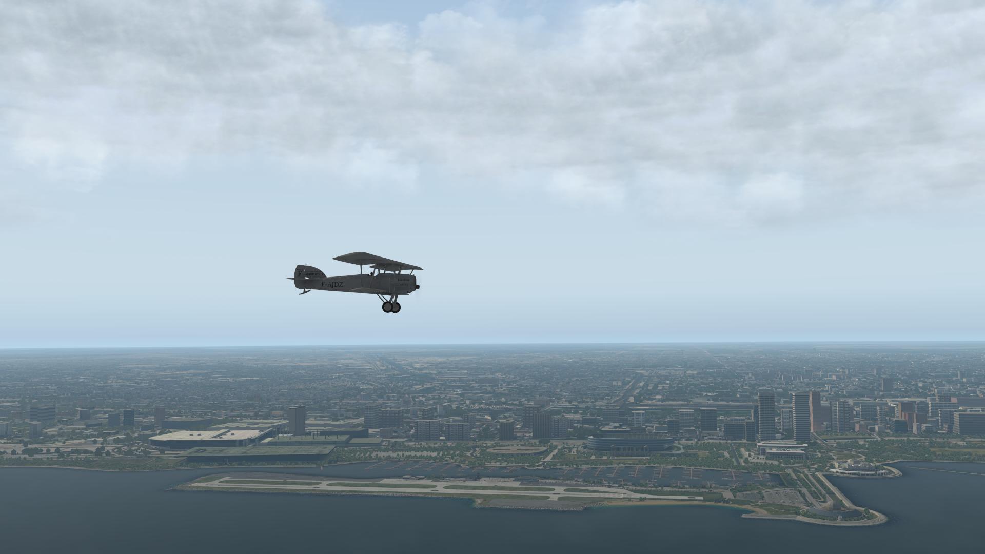
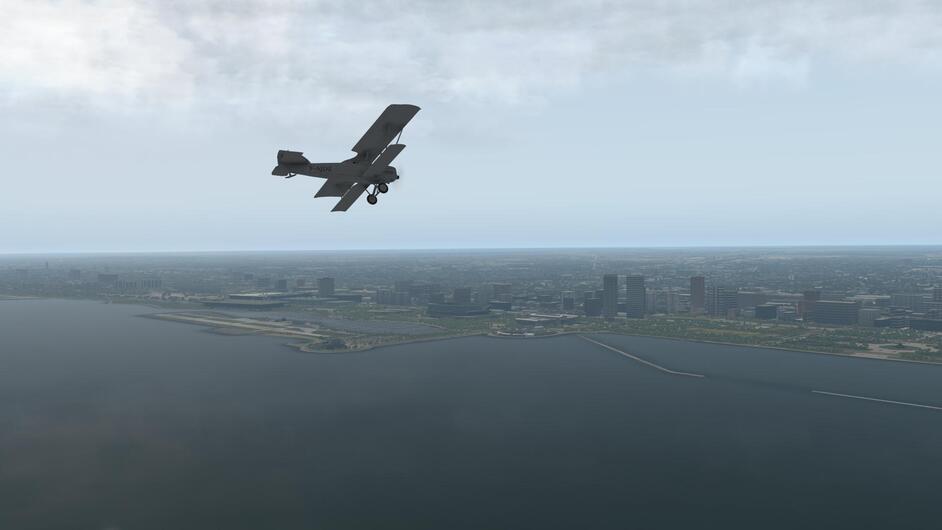
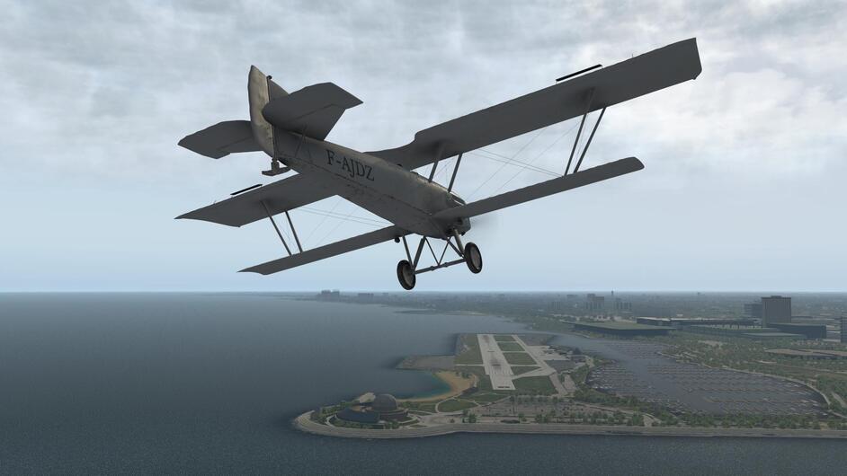
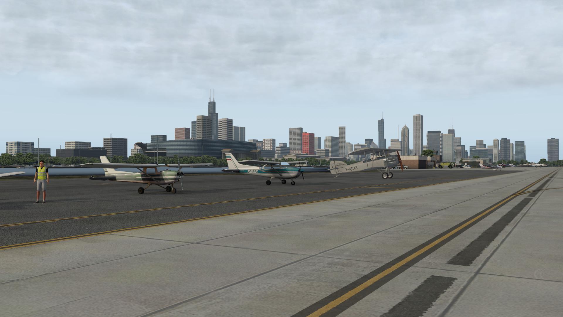
Leg 4. Bryan OH to Chicago Meigs… KCGX
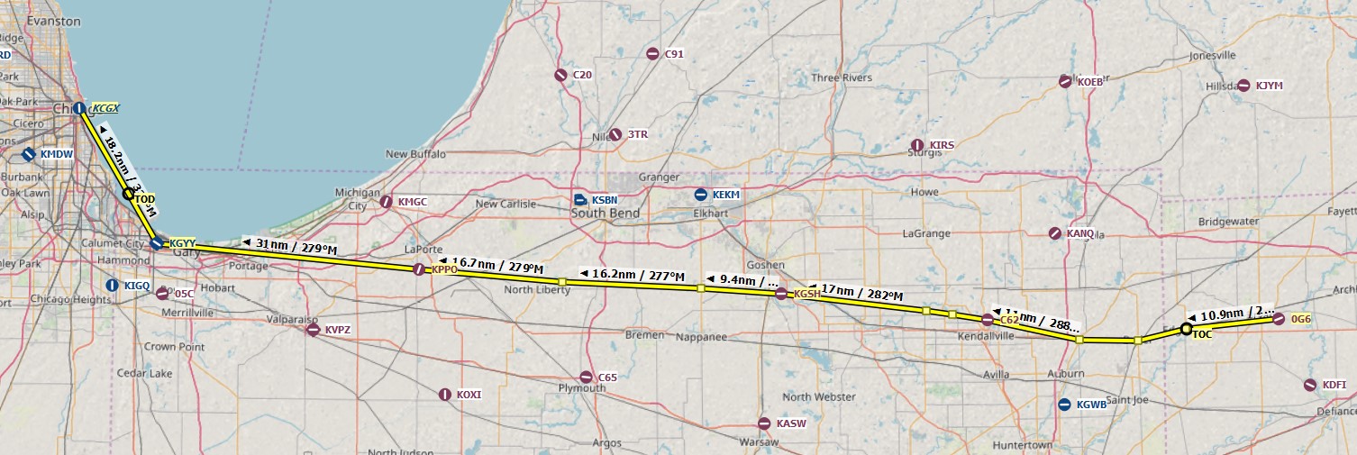
I was originally planning to land at Midway, but thinking on @NEVO’s suggestion, I decided on Meigs instead for a couple of reasons. First, I don’t have any good scenery for Midway, and second, I like to keep the memory of Meigs Field alive.

I had to chuckle even though I am not a big fan of the man… if you look closely, a farmer got creative back in the lead up to the 2016 election… I guess that dates the ortho imagery quite nicely. ![]()
Flight Time 1.5 hours.
10 Likes
I just saw the Meigs on the sale… and it is on our track… so I thought it could be ok to use it ![]()
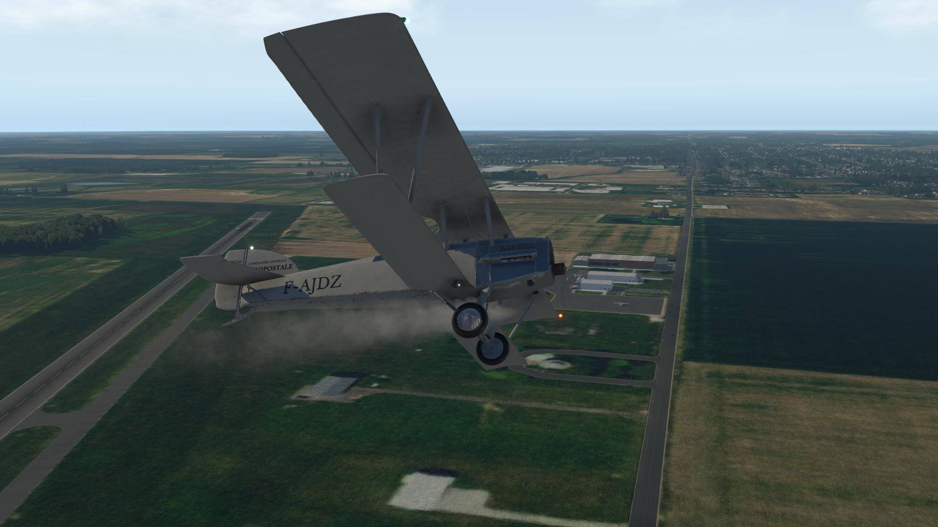
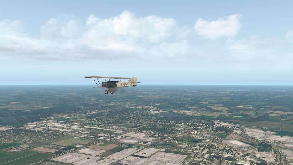
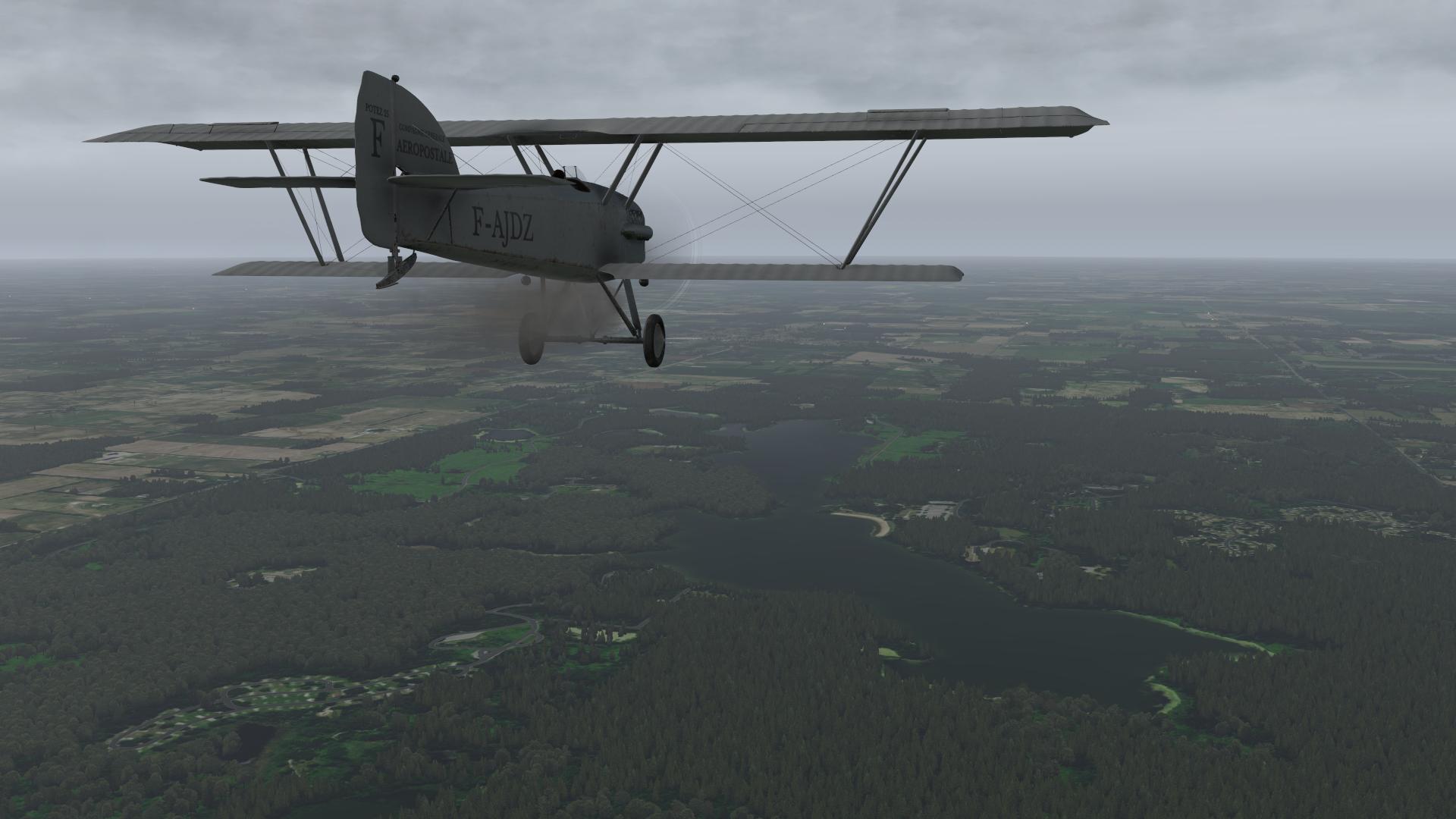
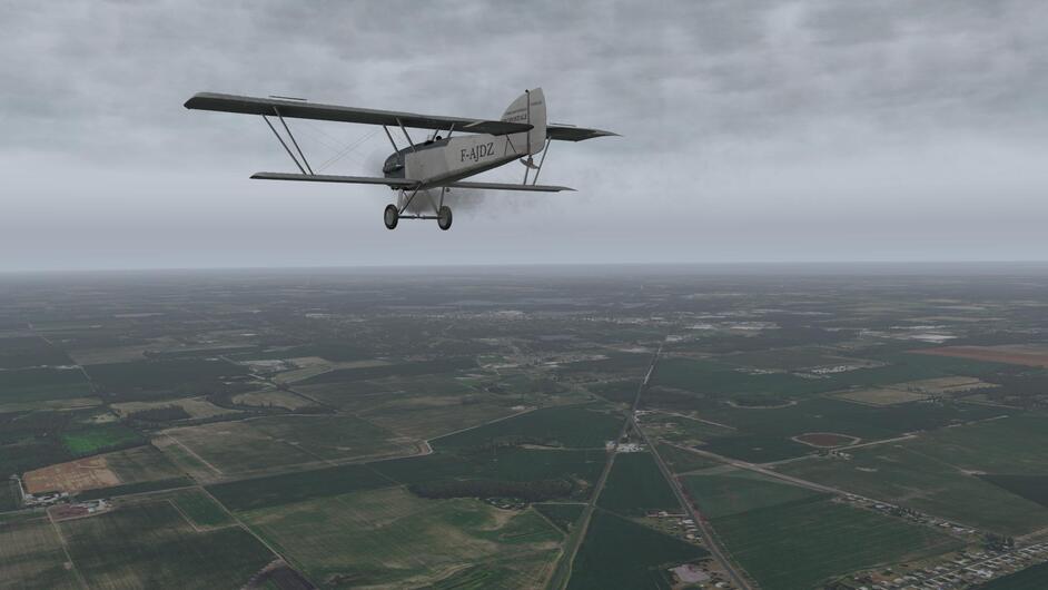
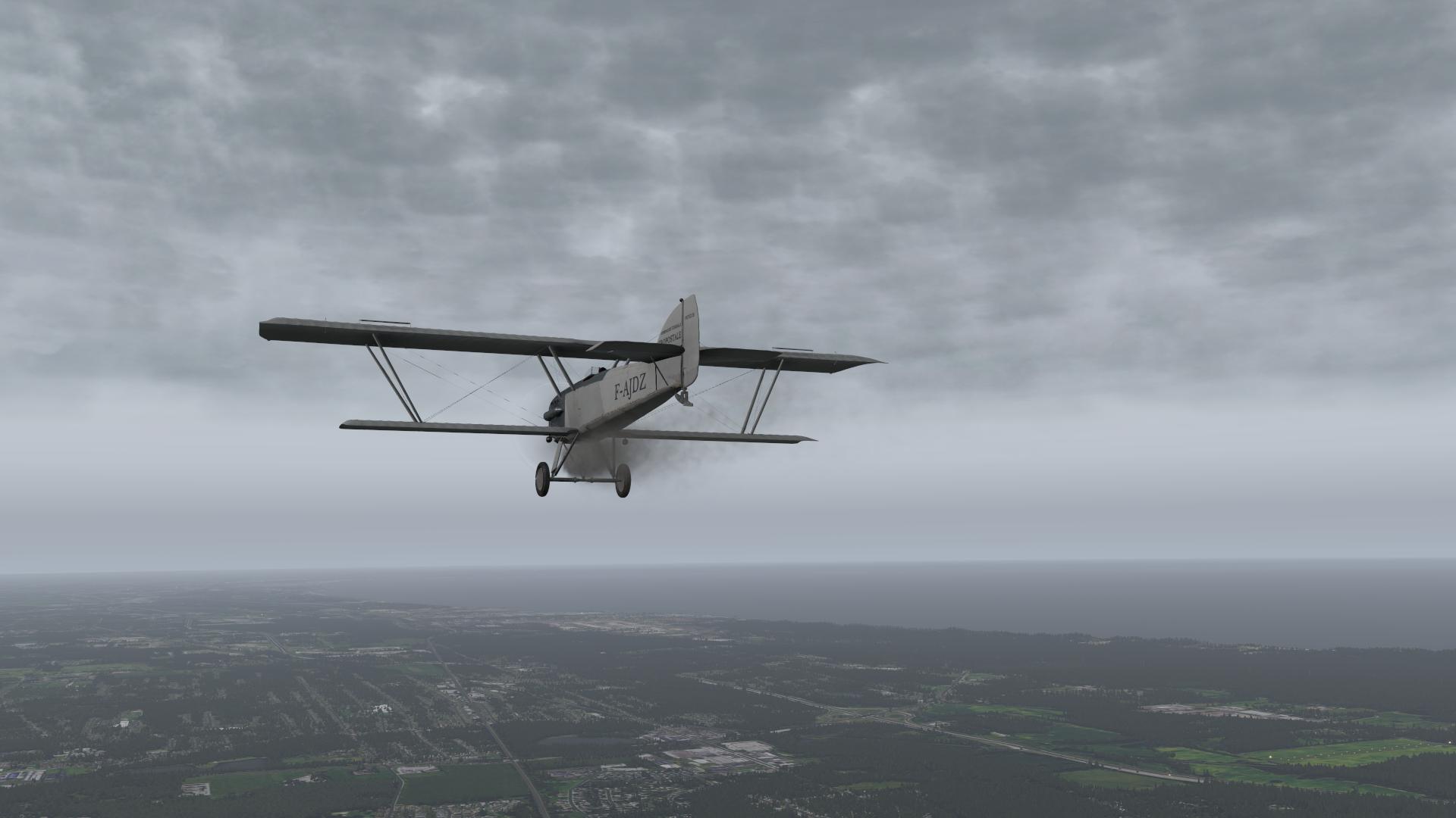
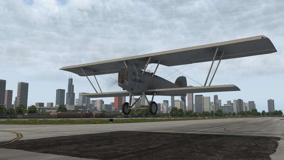
That Potez looks perfect on the ramp next to the Cessnas.
One big advantage, from my point of view, is that not obstructed view from the cockpit. Usually virtual interpretation of glass (and all its reflections) makes me want to fly something with opened cockpit.
2 Likes
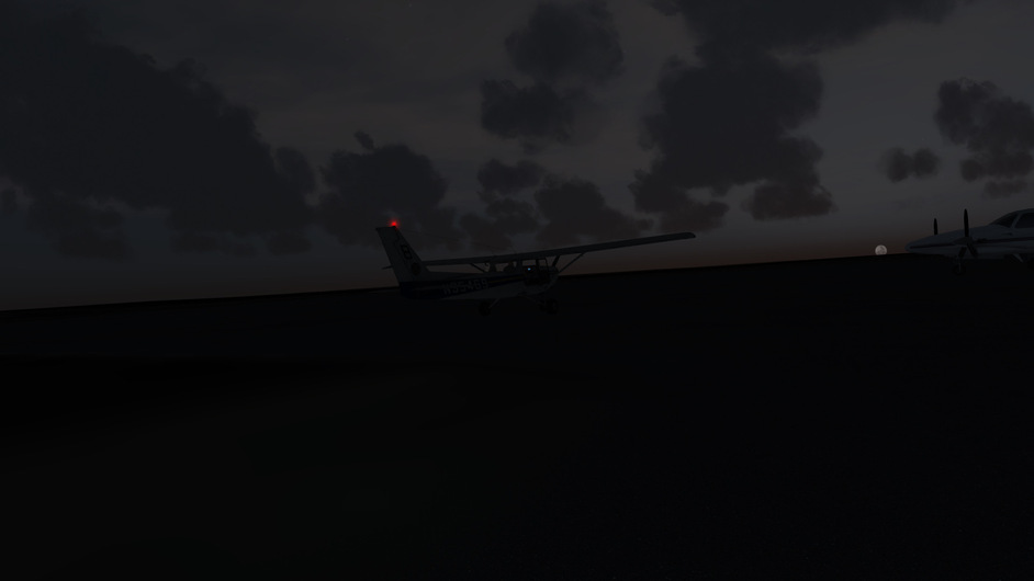
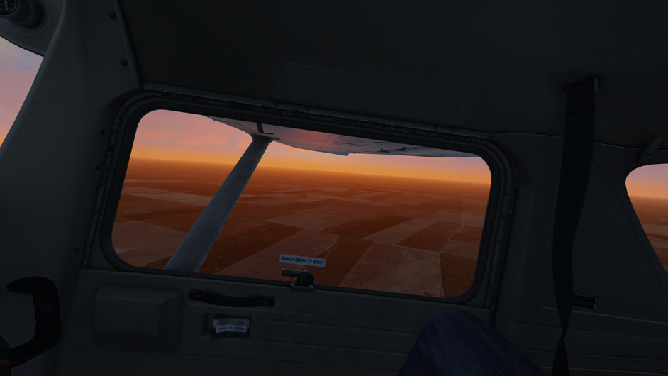
It was a cold and early morning in the Colorado high country as I started up the C152 at Kit Carson airport.
There are no RWY lights, and the puny Cessnas landing light didn’t help much.
But I could see enough to take off.
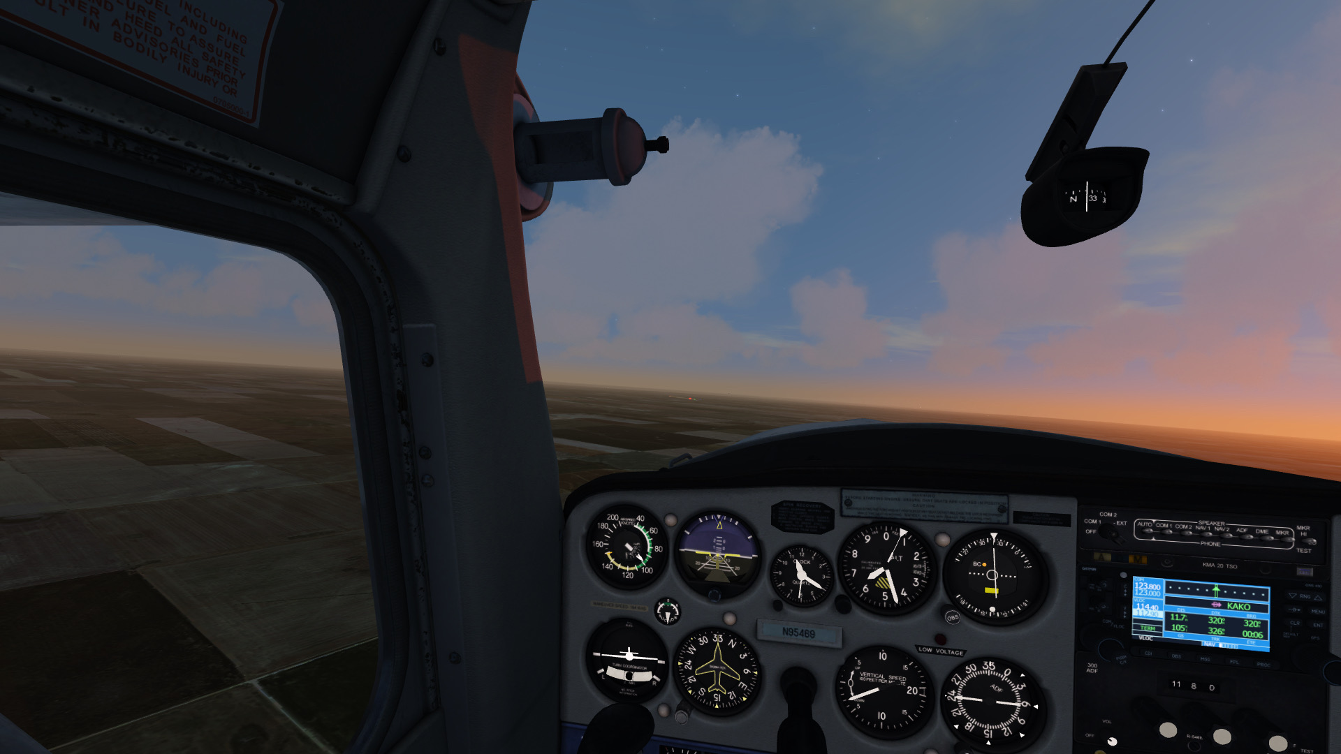
I maintained a nortwesterly heading until I could pick up AKO VOR, just outside Colorado Plains airport in Akron. As the flight progressed, the sun started to come up, under my starboard wing.

The airport beacon could be seen at quite a distance, in the clear mountain air.
I could spot the runway and the wall of the Akron Highschool building, bathing in the sunrise.
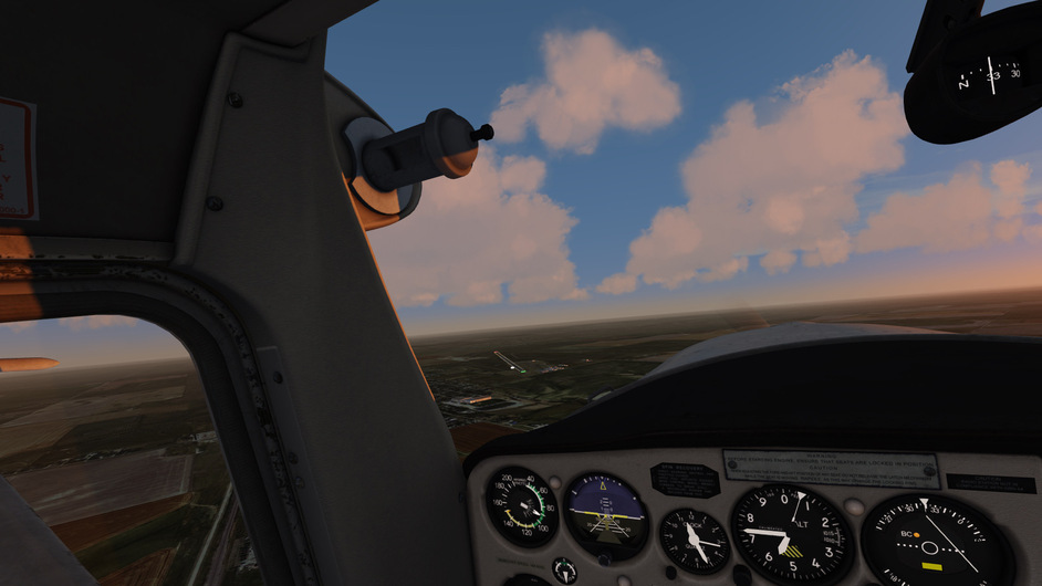
I followed a left pattern to RWY 11.
Parked and ready for breakfast! I wonder if there’s a café somewhere, that’s open…?
8 Likes
I think I see a guy with a red hat in there somewhere.
2 Likes
Your AAR’s are always the highlight of any Mudspike trek CP. I’m looking forward to reading the next installment! ![]()
4 Likes
That’s a great little slice of history provided in a unique fashion. Hope to learn a lot about my own country as you wing your way westbound…
2 Likes
Cleveland to Chicago Meigs !?
In fact I didn’t plan for Meigs for obvious reasons ( I mean I have planed to do some flying there but didn’t plan for landing there today ). So was quite surprised at the end of this track ![]()
Cle[a]veland
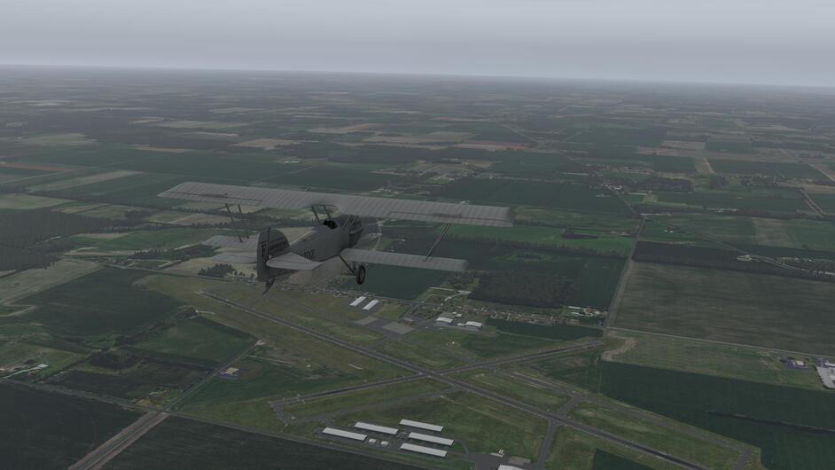
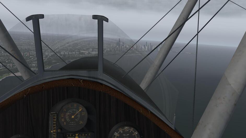
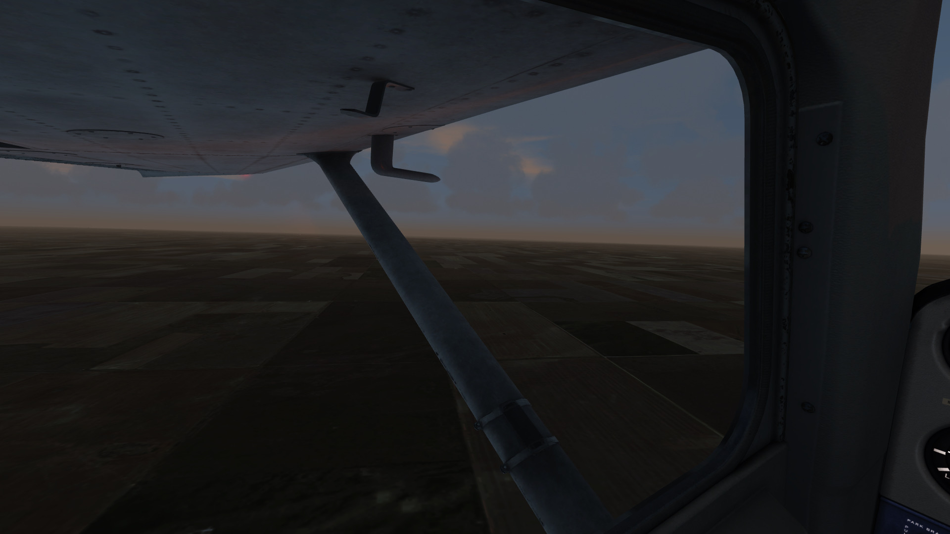
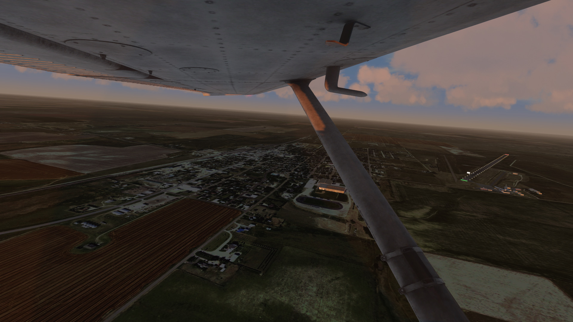
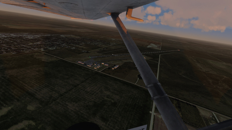
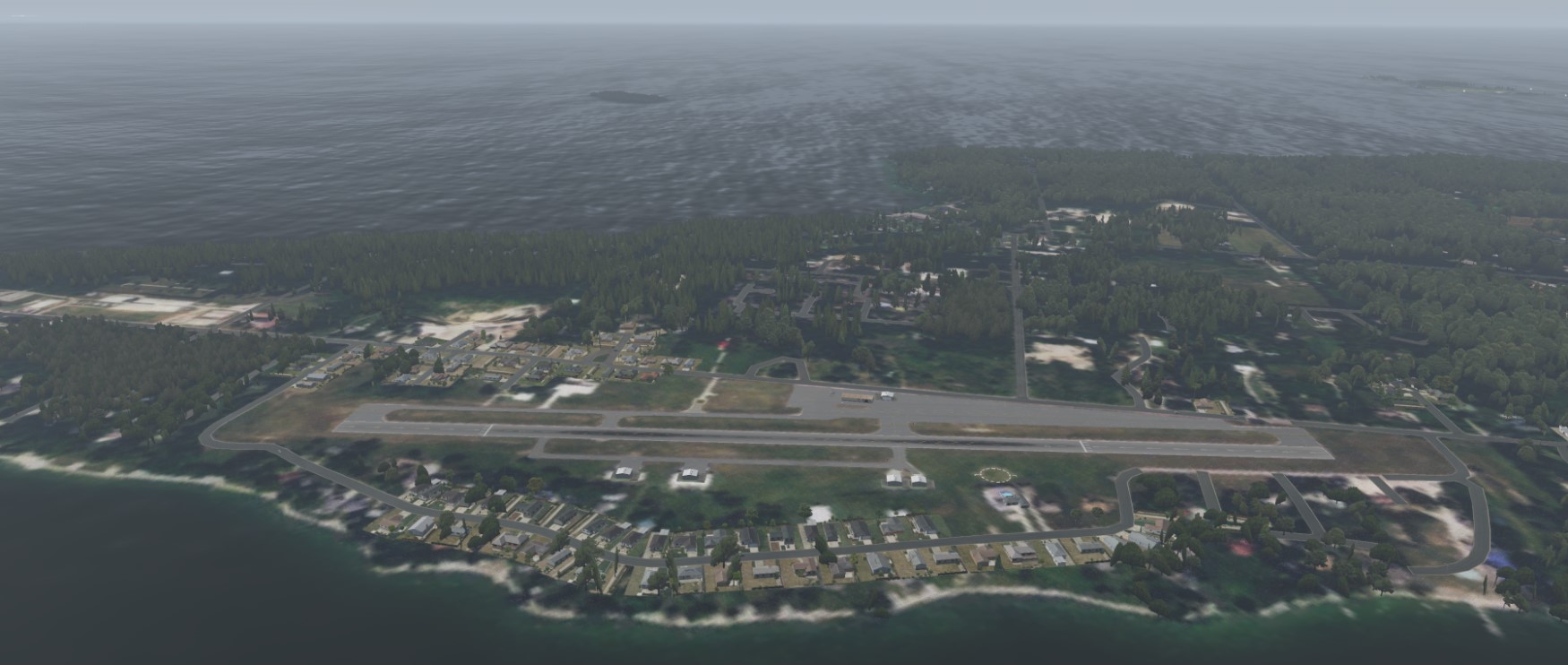
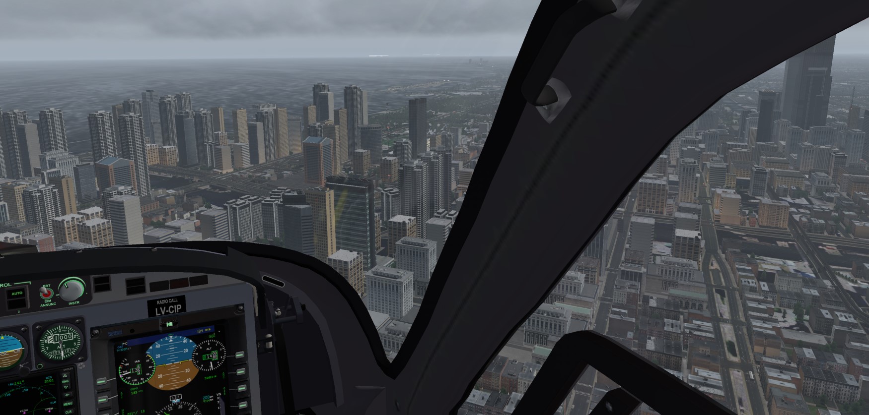
Again, low clouds, so flying down low and enjoying the Eire islands with their cute airports
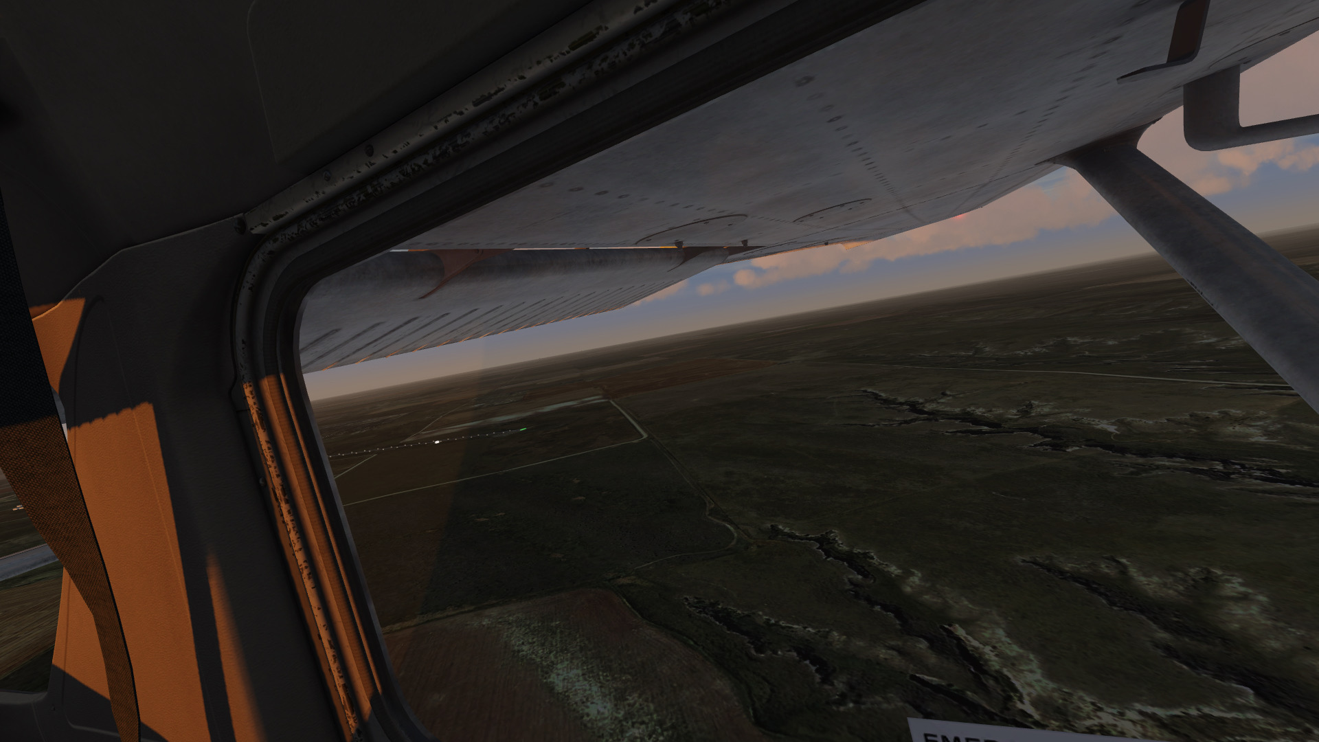
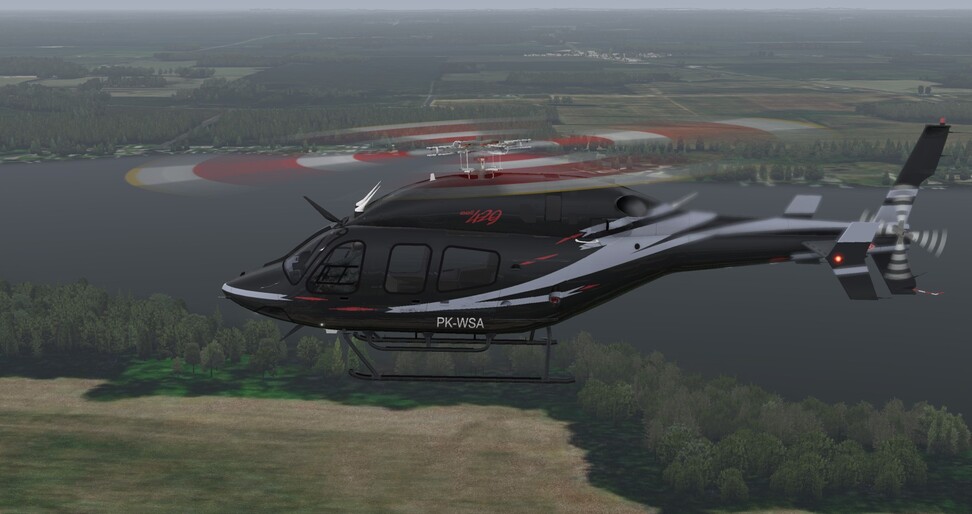
Further West. Here you can notice what I like about the GlobalTrees addon, the diversity of tree types and their particular modelling and how they blend. That’s really nice and makes the view outside more pleasant
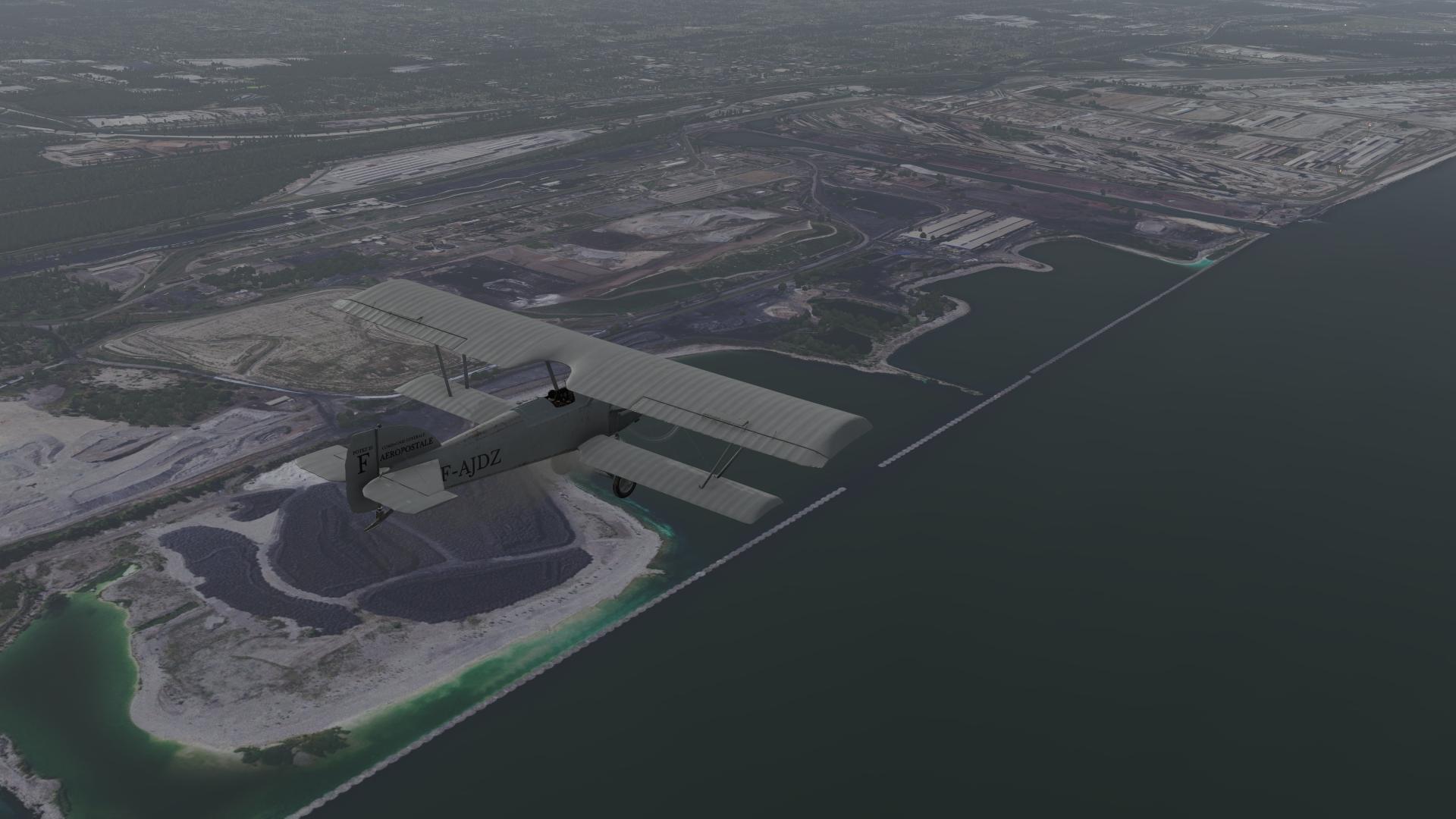
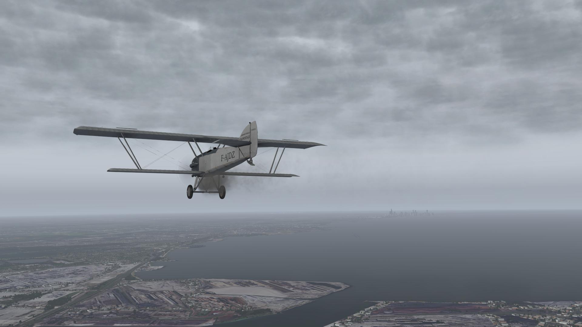
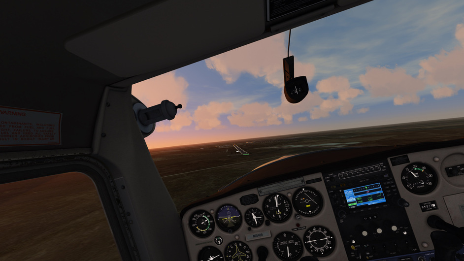
Here already above Chicago looking for some nice spot above… when I saw some lights in the distance… Meigs! lol, didn’t expect that at all ( ‘If I could tuuurn back tiiime…’ )
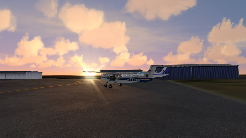
But saving it for some better weather. For now this is good spot for acclimatization ![]()
7 Likes
I set aside time to read these. No pressure or anything! ![]()
3 Likes
![]()
2 Likes
Pennsylvania is indeed a great state with lots of cool things to offer.
1 Like
I think you have outdone yourself yet again @Cygon_Parrot… Great story telling, excellent artwork…and a giant Gorilla, and you are only at Bellefonte! I am looking forward to the next installment!!!
1 Like
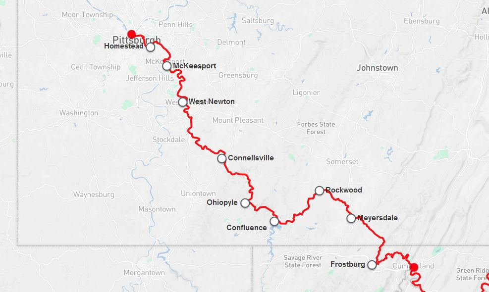
I don’t think we got through Pine Creek Gorge…we basically cycled through a ton of the backwoods and parks of PA on that trip we did last Fall. Everything from West Newton to Meyersdale is absolutely gorgeous. Confluence has some awesome kayaking and canoeing from what I hear. Lovely state with lovely people in that central and western portion…we can’t wait to go back and do that trail northbound next time…
3 Likes