Mudspike New York - San Francisco Air Mail Trek - 2020

Really njoyed flying in Nevada…

… so decided to give Reno a go, as the last stop on the edge of the deserts

It was good decision as I came across this nice field


And I am finishing this Air Mail Trek in Half Moon Bay.
Didn’t use period specific plane, didn’t use period specific navigation, but njoyed it no less! :sunglasses:

7 Likes

I finally started moving again! KOFF (Offutt AFB, Omaha Nebraska) to KLBF (North Platte, Nebraska)…

I made this one an evening flight using Active Sky weather, and the newly released XPRealistic V2 which really brings the airplane alive if you are flying on a 2D screen.

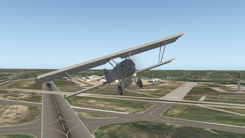
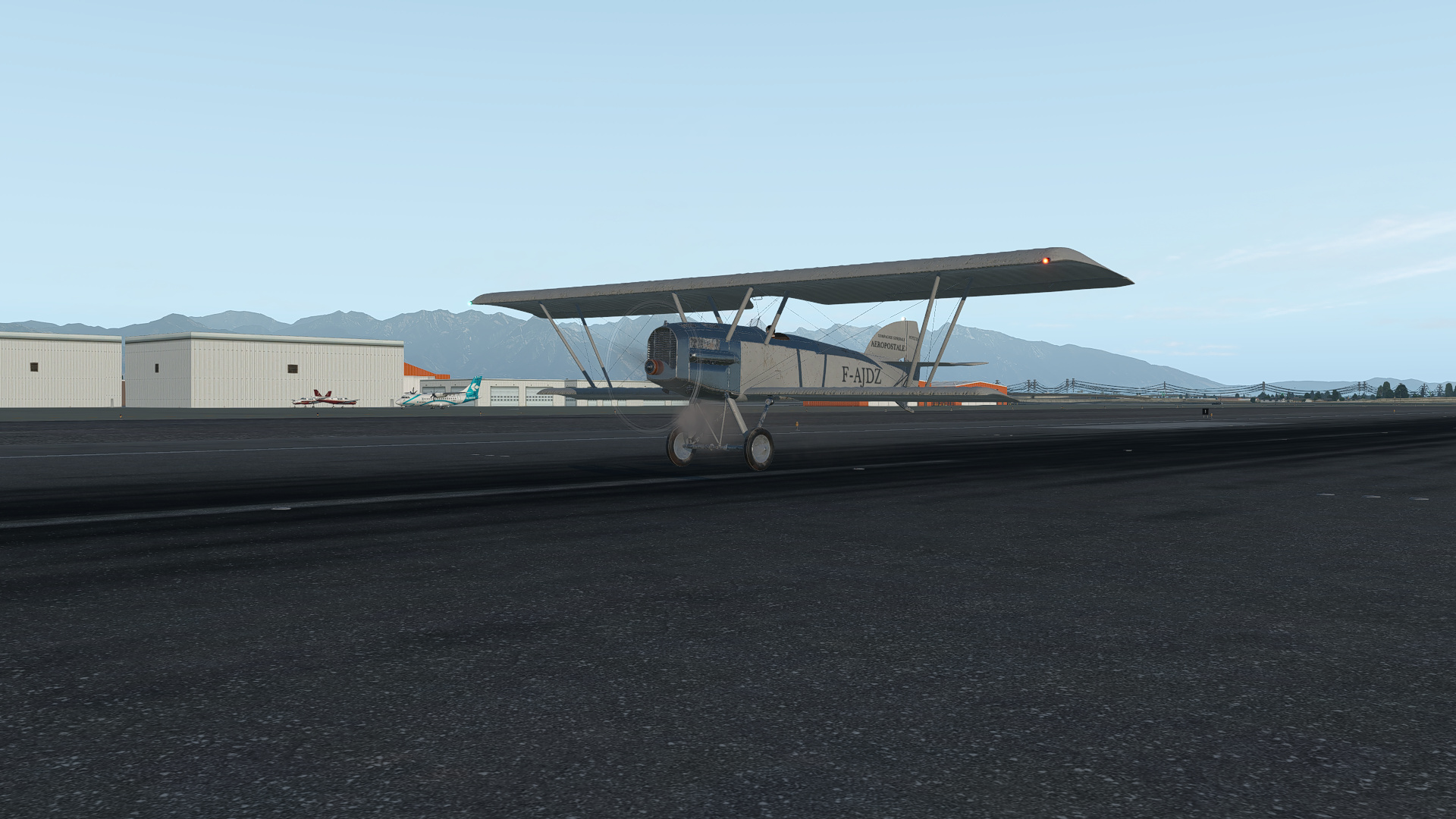
On the ramp at Offutt AFB…
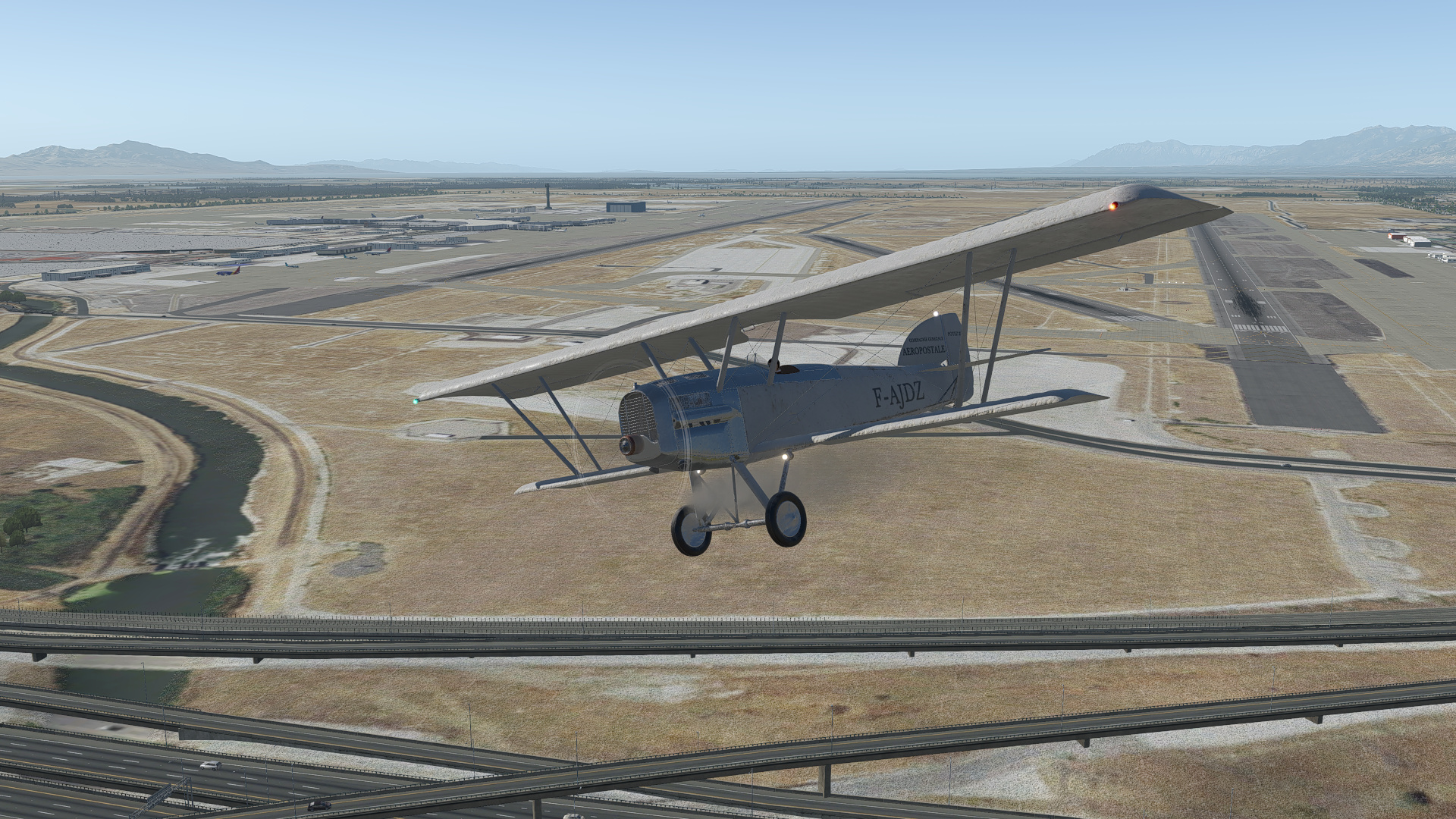
Heading West!

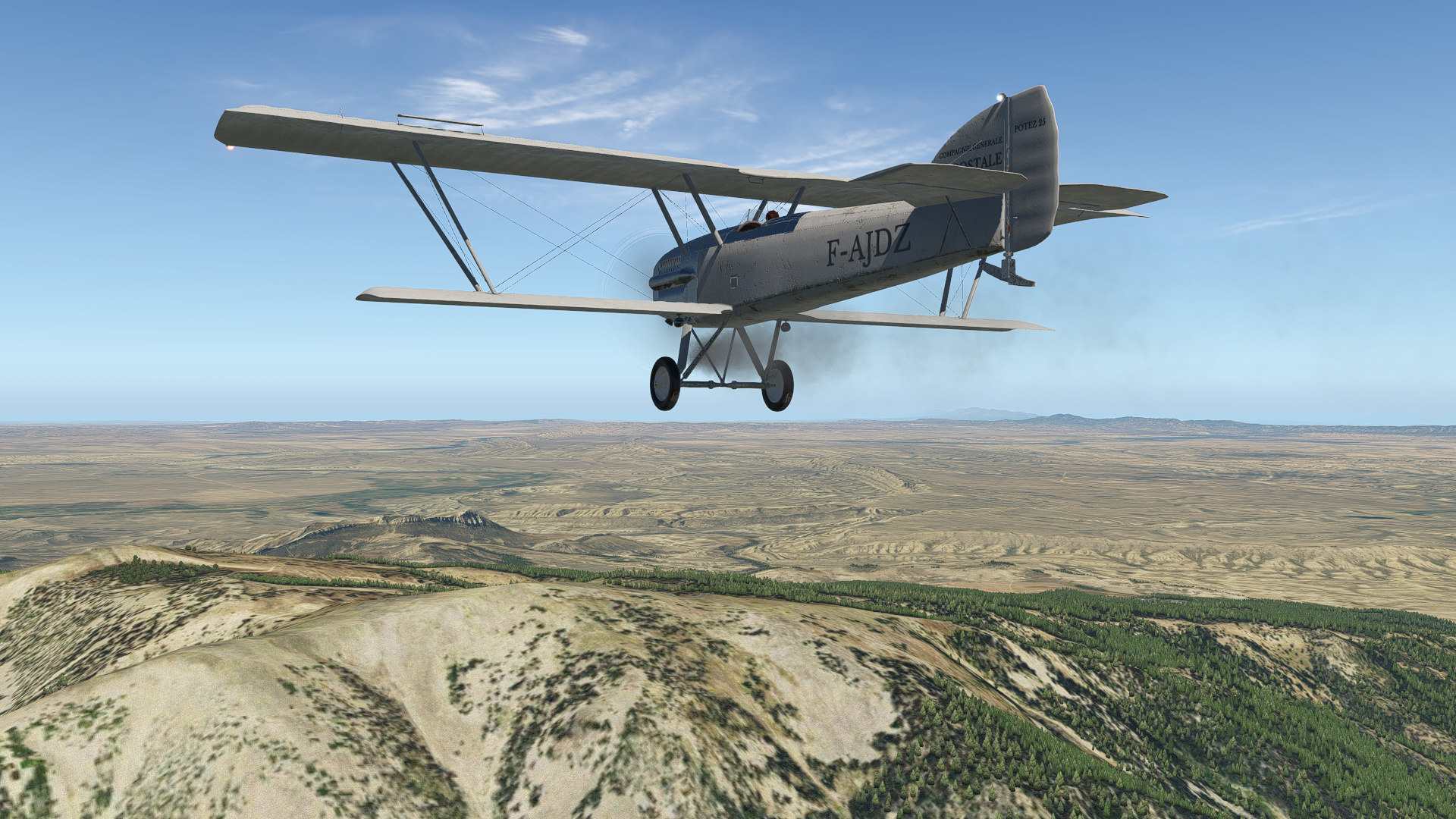
A good visual reference point just West of Omaha…so far so good.


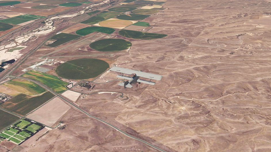
The terrain is FLAT in this area. Visual references are mainly roads, railroads, towns and powerlines, with an occasional river.


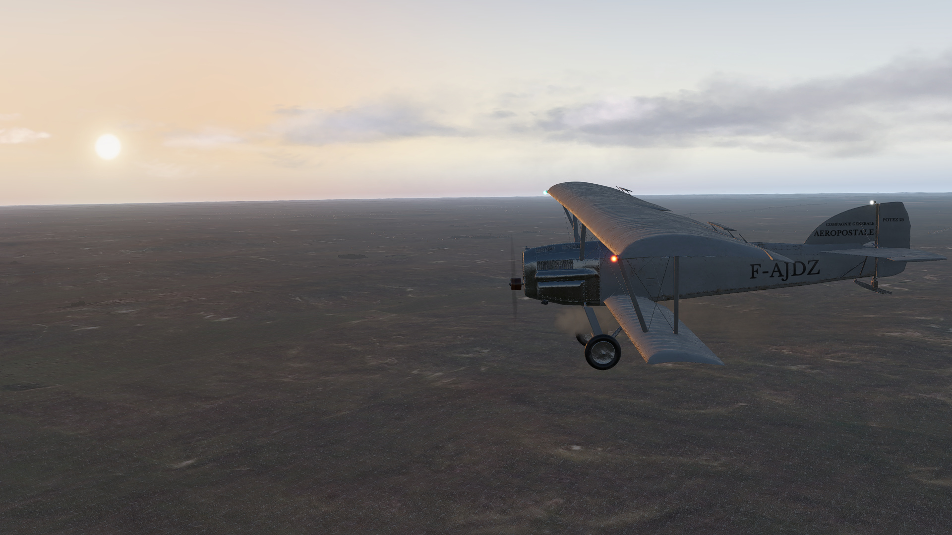
As the sun was getting low on the horizon, the terrain started to get a little bit more interesting…

North Platte coming into view…

Airport in sight… it was a bumpy ride, and I knew I would have my hands full with this landing.

And I was right… I had jumped into VR for the landing, which made things a little easier.


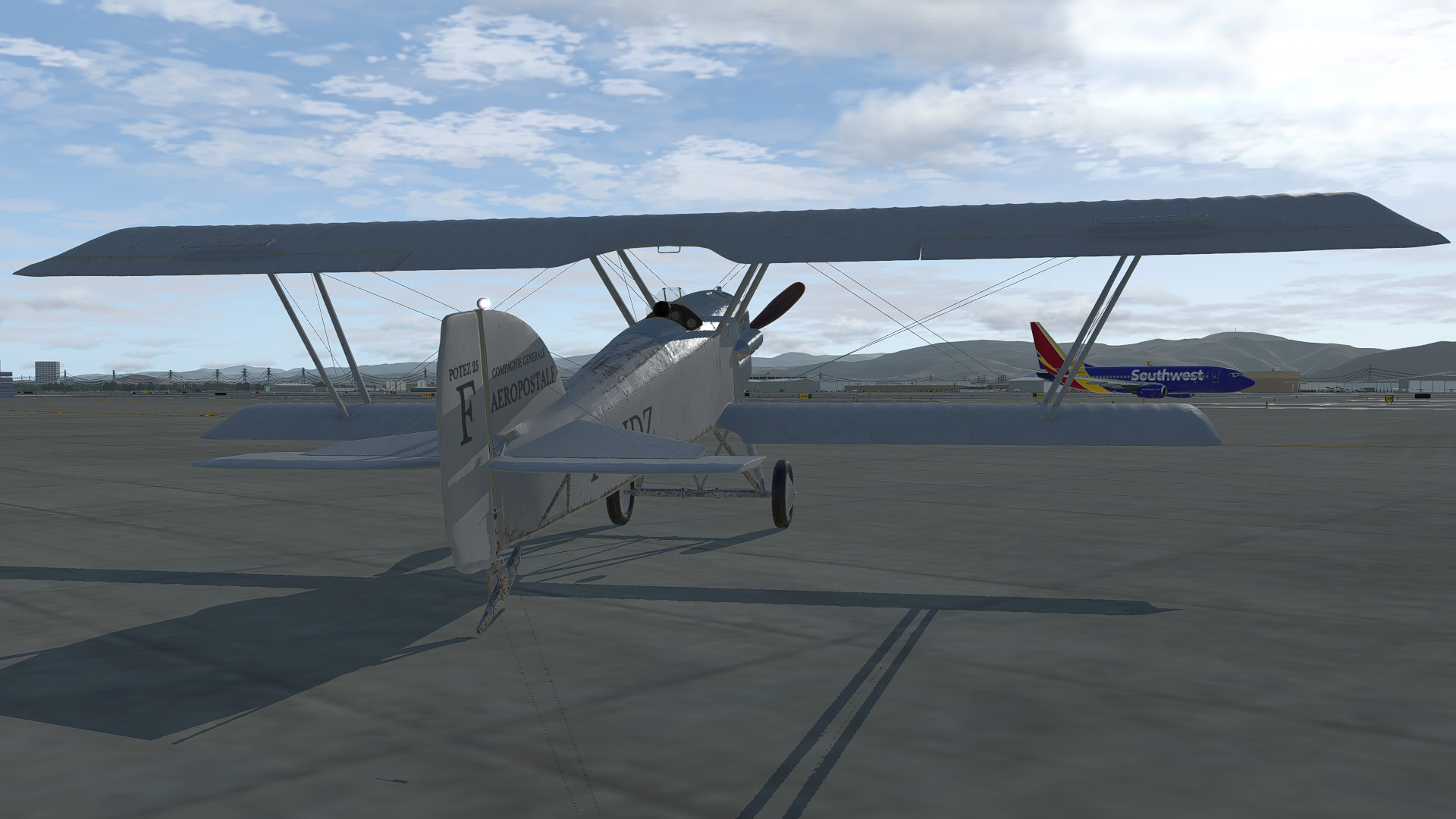
Finally stopped. The wind was so strong that I found it impossible to taxi back to the ramp, so I ended the flight on the runway. That is usual X-Plane behavior when you are flying a tail dragger.

With the flight over I took a look at the METAR. No wonder it was a work out!
Screenshot_101

The next leg takes us to Cheyenne, Wyoming, and finally to some more interesting terrain!

Oh, and the XPRealistic V2 plugin is pretty cool. Well worth looking at. Evidently there is a 7 day free demo (which I didn’t realize before buying it).

7 Likes

This morning I pushed on to Cheyenne, Wyoming.

Onward and upward!


North Platte has a pretty large rail yard…

Not too far West of North Platte is the town of Sutherland, and the Sutherland Resevoir. I used this as a time hack to work out my ground speed…


The city of Ogallala

The Ogallala Airport KOGA. 27nm in 15 minutes gives a ground speed of 108 Kts.

Some time later, Pine Bluffs slips behind us…

Before long, Cheyenne airport comes into sight…and some hills on the horizon!

Base to final.


Easy does it…

Oh no! On touchdown the aircraft behaved as if I had brakes applied and I nosed over…

It actually flipped right over and the model sank halfway into the runway, but I won’t post a picture of that as it isn’t very realistic. I don’t know exactly what happened… maybe I had engaged the parking brake (unlikely), or something is amiss with that runway… who knows, but the Potez has definitely been pranged. Maybe it is a good excuse to continue with a different steed.

5 Likes

It looks like that taxiway also serves as a ski jump. I love it when you notice those kind of geometry errors on short final and they happen to be in the middle of the runway.

1 Like

I decided to stick with the Potez, and evidently it did buff out, just as @Sine_Nomine predicted :wink: .

The next leg takes us to Rawlins, Wyoming. A relatively short hop this time. We can see from the map that this was a pretty good place to start crossing the Rockies. There are some good visual reference points too, such as the city of Laramie, the Medicine Bow mountain and Elk Mountain.


Little Nav Map suggested a cruise altitude of at least 12000ft along this flight path. The highest terrain being at Elk Mountain. You have to be careful with that though because Medicine Bow Mountain is higher, but should stay several miles off to our left.

Here we go again!

Farewell Cheyenne!

Looking South towards Denver…

Approaching Laramie.

Over the city, with the airport just to the West. So far so good!

After Laramie, we can see Medicine Bow mountain up ahead to the left, and Elk Mountain off in the distance to the right. Our flight path takes us right over Elk Mountain.

Medicine Bow Mountain off to our left, right where it should be…

Coming up on Elk Mountain…

12000ft has us comfortably clearing the summit.

Rawlins in sight!

It was another windy and gusty day, but fortunately it was right down the runway…

Still a little squirrelly, but I got it safely on the ground.

Once again, the winds were too strong to taxi over to the ramp. I wish Laminar would take a look at tail dragger ground handling. It should be tricky when there is wind, but not impossible if you are making the right control inputs.

Next stop is Rock Springs Colorado.

5 Likes

I’m getting some momentum going here… yesterday I flew on to Rock Springs, and then to Salt Lake City.

Takeoff from Rawlins…


There isn’t much to see between Rawlins and Rock Springs, but at least the scenery isn’t completely flat.

On final into Rock Springs.

Rock Springs to Salt Lake City… This was a more interesting leg.

Looking South along the Black Forks River.

And to the North.


Approaching the towns of Lyman and Mountain View.

The next visual reference point is the Piedmont Reservoir.


Followed by the Sulpher Creek Reservoir.

Porcupine Mountain

Over the final ridge, the Great Salt Lake comes into view.

And right on the nose, Salt Lake City International KSLC.

Safely parked and shut down.

Just three legs left!

5 Likes

Familiar places, nice to see it again :+1:

1 Like

Salt Lake City to Elko…

Today the wind had dropped considerably and the skies were clear…

Climbing away and turning out to the West…

Heading West over the Southern edge of the Great Salt Lake…


The famous Bonneville Salt Flats near Wendover.

Elko Mountain…


The city of Elko in sight up ahead…

Turning in for a long final…

Safely down and parked…

4 Likes

Elko to Reno

Pressing on, I decided to make this an early morning departure. The lighting with XP11 combined with Ultra Weather 2.6 is sublime during sunrise and sunset.

This leg was not too difficult, with light winds and great visibility, along with plenty of visual references to keep me on track…

Reno comes into sight!


Shut down on the ANG ramp, watching as a SWA 737 heads out to the runway.

Just one leg to go now! I think I will save that for tomorrow though.

5 Likes

You are the King of Mudspike adventures! I’m a faster starter and not so good finisher… :rofl:

1 Like

Oh, I don’t know about that… I just like to finish once I get started. I’d have got this knocked out some time ago if it wasn’t for Eric getting me hooked on Condor 2. :grin:

1 Like

I’d give the title of King of Mudspike adventures to you CP. You always manage to make each leg interesting, informative and often with a novel twist.

1 Like

He’s the Shakespeare of Mudspike Adventures…

2 Likes

Too late to write up a proper AAR right now, so I will just leave this here and finish up the report tomorrow.

6 Likes

Hmm…looks like the Verrazzano Narrows Bridge in NYC…

https://youtu.be/qsfmhnNDc7s

2 Likes

So those letters on the compass actually mean something? Who’d-a-thunk-it? :rofl:

1 Like

So… last leg… Reno to San Francisco (Marina Field).

Ignore the last short leg to SFO. I had to put in a destination field that was in the database. Marina Field is up near the Golden Gate Bridge.

For the last time on this trek, I am at the end of the runway, ready to push the throttle forward…


Just a mile and a half off the end of Reno’s Runway 25 is the site of the original airfield used by the Air Mail Service.

A quick flyby was in order…


And then it was time to head South, climbing hard to get above the terrain before making a turn Southwest towards Sacramento.

Peaking over the mountain ridge, we can see Lake Tahoe (I somehow forgot to take any decent screenshots of the lake)

Lake Tahoe behind me…

Mist forming in the valleys and up ahead, Folsom Lake, near Sacramento.


A short time later, Folsom Lake is behind us and we are over Sacramento…

Continuing South West, we cross the Sacramento Deep Water Ship Canal

Is that a big bridge on the horizon? I think it is!

The sun is getting low in the sky… we should be able to get on the ground just before the light fails…

Downtown San Francisco, Alcatraz Island and the Golden Gate Bridge (which wasn’t there in the 1920’s). We can also see Treasure Island, which is where Pan Am based their famous flying-boat Clippers in the 1930’s.

Turning onto a downwind, scoping out Marina Field…

Dragging it in, low and slow…


Touchdown!

Stopped…

And shut down!

What a great trip. I lost momentum when I reached Nebraska, but I am glad that I came back and finished the trek… Now I should probably spend some time with AH2, DCS and Condor 2!

6 Likes

Congrats @PaulRix ! :smile: I think I missed your last post here. Looking forward to XMas track.