It’s been awhile since I flew the B200 but low to mid 20’s sounds about right. If fuel burn is the main consideration you could look at higher. I’m sure Chris will be able to give a more accurate assessment though. It’s hard to believe it has been 5 years since I last flew the King Air and I have most certainly forgotten a lot.
Can you operate the GPS systems in a Master/Slave mode in the sim? Usually you would want to have the same route on both boxes to give some redundancy in the event one unit dies on you. You should only have to plug in the route on one unit if it is set up to share with the second box.
Thanks @PaulRix. That’s helpful. I’m not sure about Master/Slave since there is no doc, but the upper is linked to NAV1/COM1 and the bottom, NAV2/COM2. I was thinking leaving the top basically displaying the route, and use the bottom one for other functions, like VNAV or approaches. Will refine as I learn.
By the way, the experience in this group is amazing. I guess PC sims have gotten to the point that RL pilots think them worth a look. This was not always the case.
I think most of the RL pilots here probably started out with sims in their youth, way before they saw the inside of a real airplane. My first sim was Psion’s Flight Simulation on the Sinclair ZX Spectrum. State of the art stuff back in 1983 when I was 12 .
I started up FSX the first time in ages to see if I maybe can also do a flight.
But I rage quit because it sucks so much.
Wanted to do the trip from Germany to Rio in a VRS Super bug. But with 1300 miles ferry range that’s a lot of legs.
And it lags like hell. And it feels like stone age coming from DCSW.
I might try it with another plane though. Need a good freeware plane with a good range. 2000 miles would be nice. And it shouldn’t be too big. And a jet Any ideas? Maybe a citation X or something like that?
Pretty sure the gns units aren’t slaved. You need to program into both. Easiest way is to set the plan’s save it and then just load it to the second one.
You say that it shouldn’t be too big, but the first freeware aircraft with long legs for FSX that came to mind is the iFly B747-400 v1. Bring your whole town with you
Thanks, guys.
I think I had that Citation ages ago. Beautiful plane. I’d even say it is one of the most beautiful small business jets ever built.
Normally I don’t care for civil planes very much, and I even can’t tell most of them apart, but some are just…distinctive. Like a V-Tail Bonanza or that Citation X.
I also like the Citation Mustang, but that expensive payware addon… I am still angry about buying it, because it is impossible to run it smoothly. That and the damn expensive VRS Superbug (and paying for patches!!) made me quit FSX. Man was I angry.
Man I hear ya on that one, after battling several issues last night trying to get in the air, my traffic program died and I lost steering in the plane… I was done, I just don’t have that kinda patience any more lol
Quick reply because I’m just rolling in from a long day of MEL’ing items (LOL)…
Your best bet on efficiency is to just use the distance rule of thumb for most King Air flights.
100 mile flight? FL100
200 mile flight? FL200
250 mile flight? FL250
500 mile flight? Uh…280…(unless you are RVSM certified - then you might consider going up to FL310)
You don’t hear about B200s going up into the 30s all that often, even if they have a ceiling of FL350. King Air 300s and 350s might venture up there more often though…
Not sure about the GNS430s. One of our B200s has a G1000 panel and the other has a Universal UNS1 - so I’m not real familiar with 430 type boxes unfortunately…
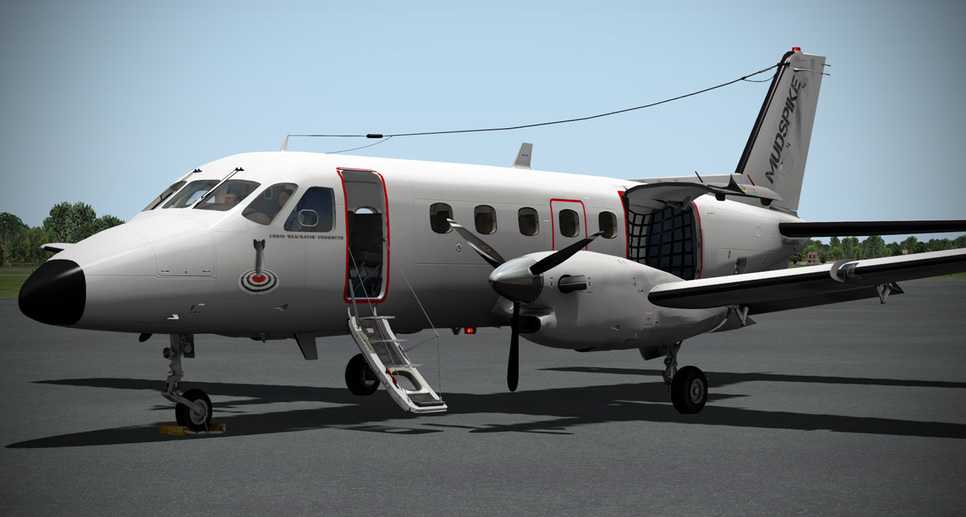
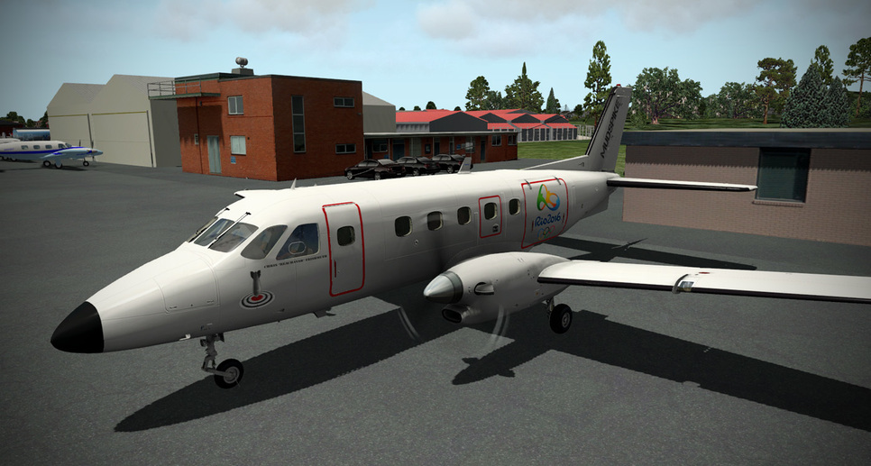
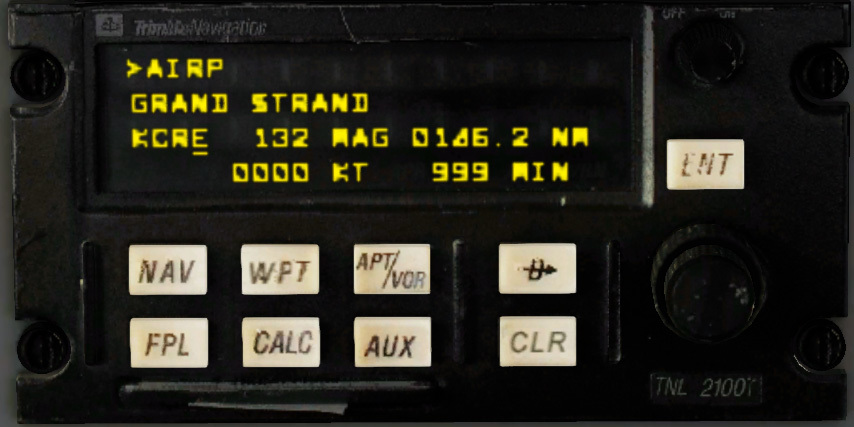
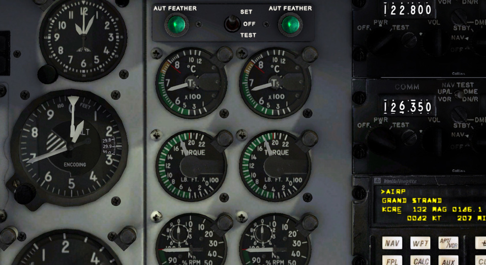
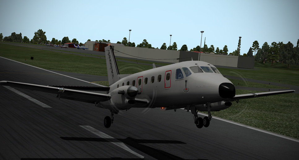
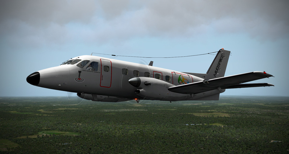
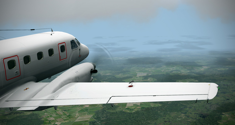
So it is a bit stormy in the Carolinas tonight…but I wanted to start my journey to Rio. I started with the airport I used to fly out of as a corporate pilot and took a short hop over to KCRE - North Myrtle Beach. CRE has a very special place in my heart, being as it is where I used to work on the line pumping fuel and turning my paycheck right back over to the FBO to learn to fly. I worked my way up through the instrument, commercial, multi-engine, CFI, and CFII there and it led to my career path into corporate aviation. I flew beach rides, freight, passengers…and all kinds of instruction there.
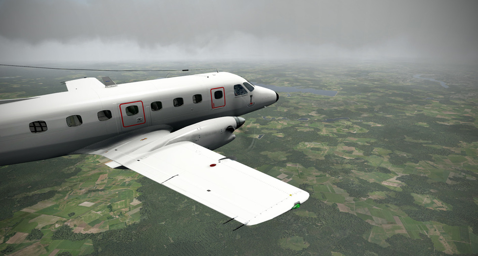
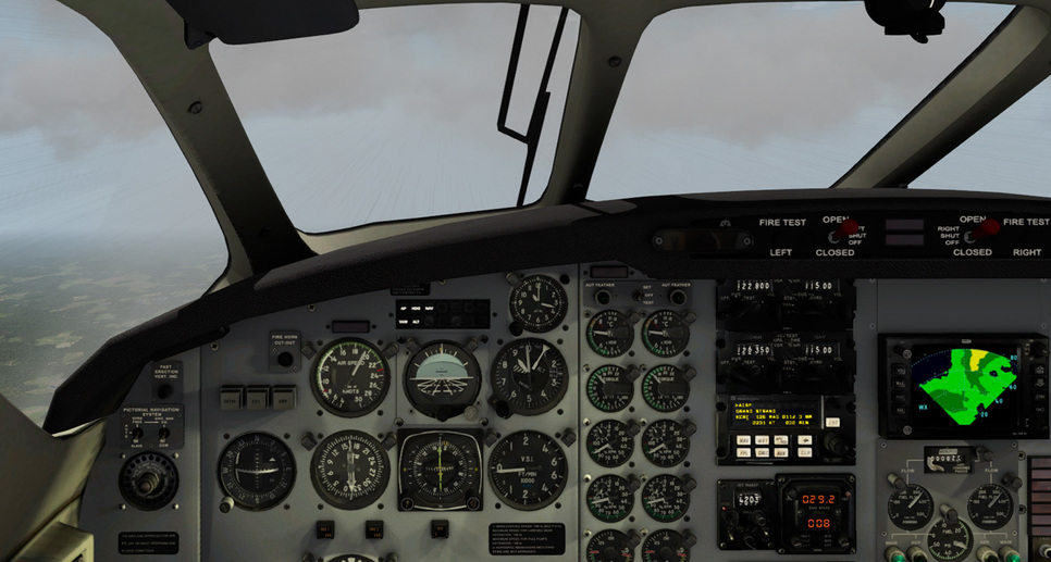
Starting the EMB110 was a breeze. Figuring out some systems required a tiny bit of hunting around…but it is a super easy airplane to manage. I’m not sure about the takeoff torque and temp settings…so I wagged it as a bit under redlines for both…
Grand Master that real-time map is very cool. Please enlighten your grasshoppers as how to do same.
FWIW, this is how I will flight plan:
Use onlineflightplanner.org to generate the flight plan with the default settings (SIDS, STARS, etc). Then export the .FMS to my \X-Plane 10\Output folder. Save the .PDF for reference, including METAR.
Hand copy the route into SkyVector in order to generate the cool map and cleaner looking Nav Log.
Load the .FMS file into the GNS 430 and rock that to destination.
Use SkyMax and RealWeatherConnector to fly weather in real time.
If route generation fails in onlineflightplanner, use Google Maps and SkyVector to plan route. There are a few spots (Trinidad) that I don’t want to miss on the way due to previous experiences there.
The live map is actually online flying using xflightserver.
Google xflightserver beta to get the download. You want the beta x-ivap from the site not the default… beta is 64 instead of 32 bit. You’ll need to sign up.
I’d get more detailed but lacking on time St the moment.
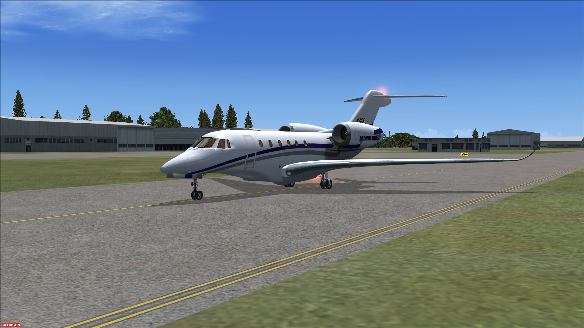
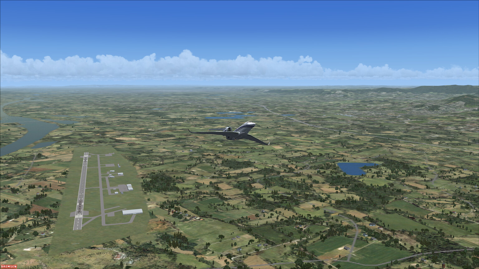
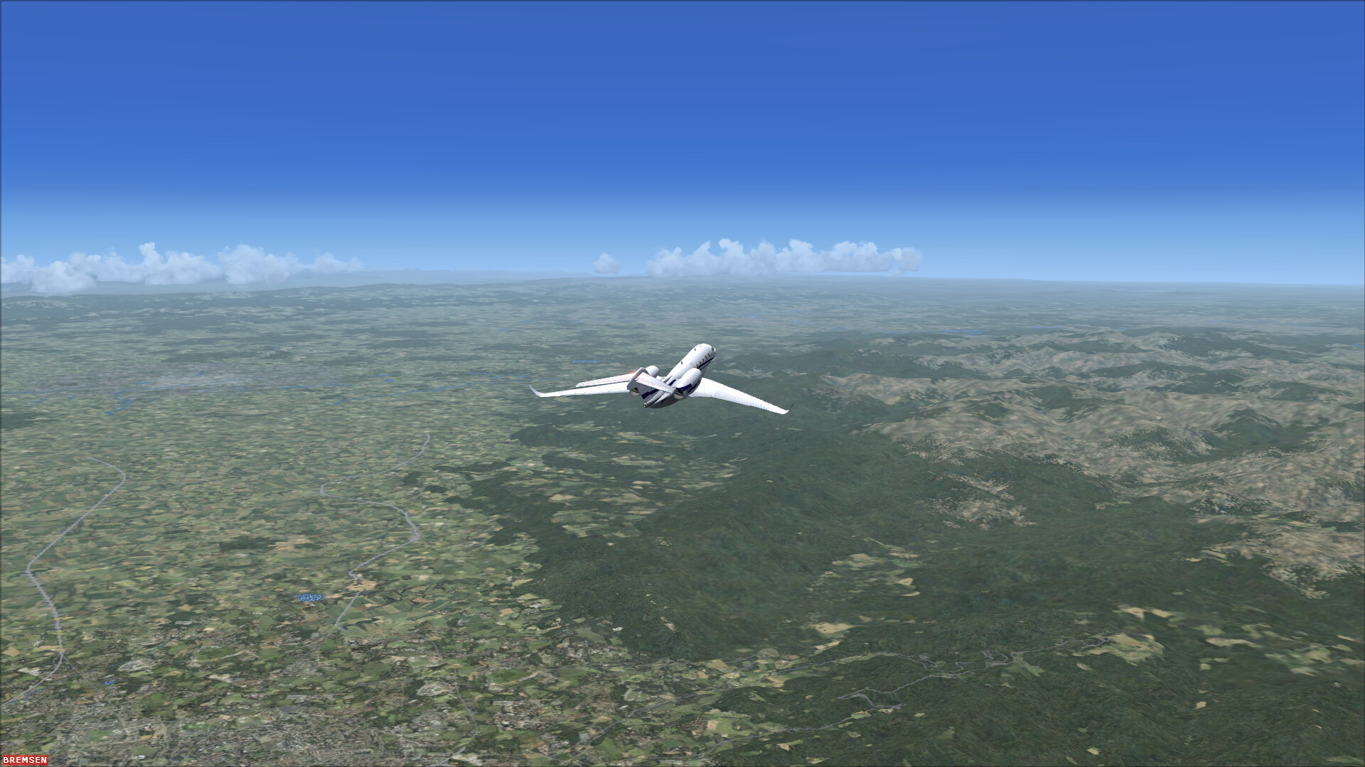
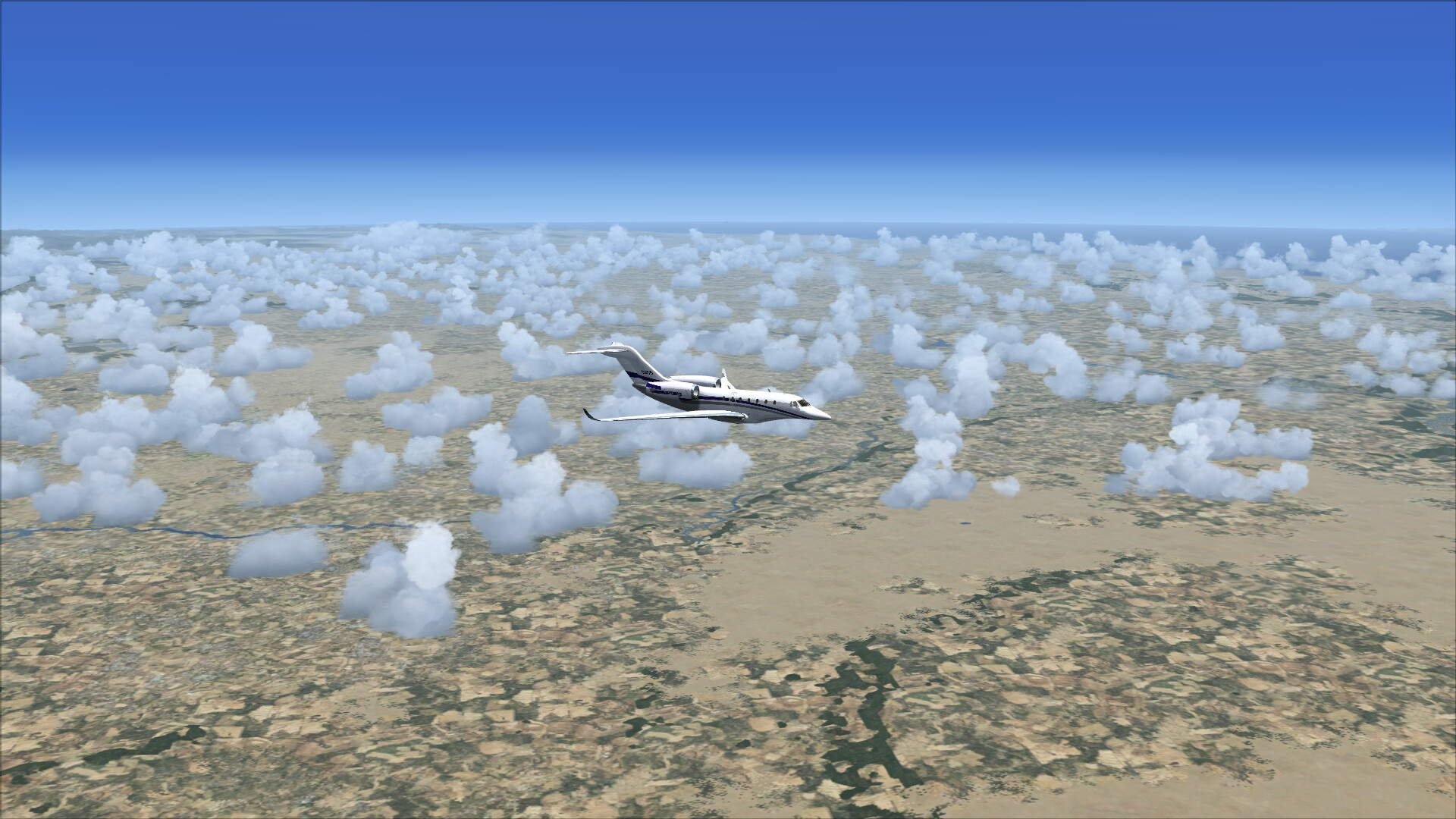
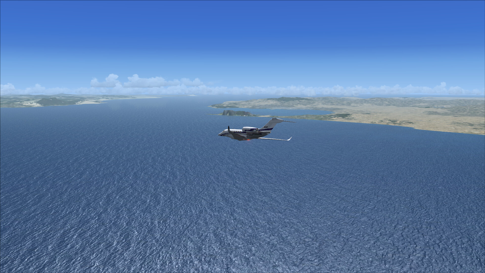
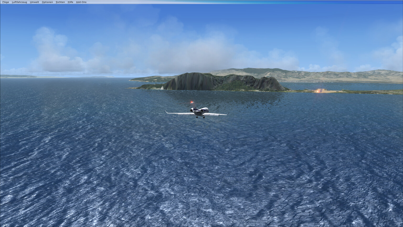
Ok, I decided to really do it.
This is my planned route, flying the Citation X by Alejandro Rojas Lucena
EDSB → LXGB → GQPP → GVAC → SBSG → SBGL
Here’s the AAR for my first hop:
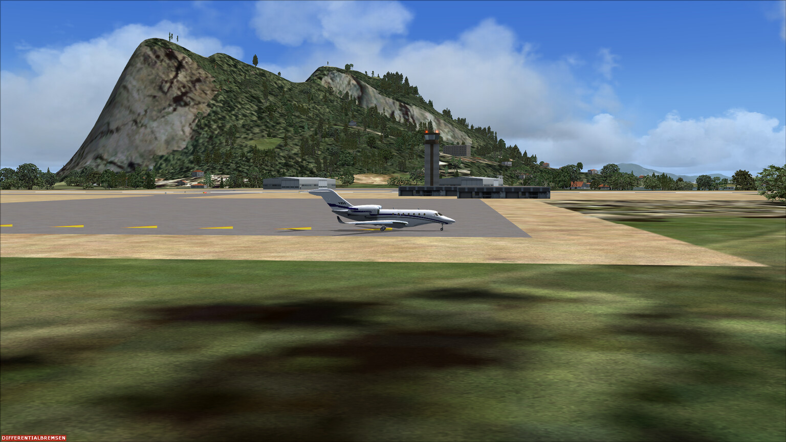
EDSB, also called Baden Airpark, is a small airport near Karlsruhe, Germany. I happen to live around 40 kilometers northeast of there. It is the nearest airport big enough for the Citation X.
I play without terrain addons so please excuse the bad visual quality.
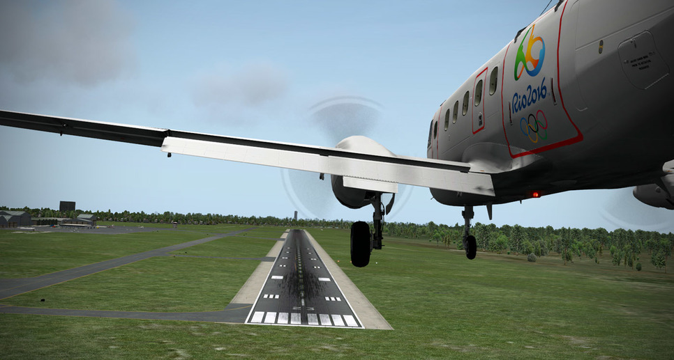
Ok, that worked. I used almost the complete runway because I was a bit fast on final. I haven’t flown that plane in years so that’s still OK I guess.
Shutting down. The next part of the journey will be along the north west coast of Africa, to Mauretania.