Thanks @BeachAV8R. Any input on King Air systems and procedures is very welcome and appreciated. I’m just sort of flying by seat of the pants at this point, but found the FlightSafety Pilot Training Manual linked in this thread. Still hunting for autopilot information.
That’s a great manual - I have one from my initial training. You can pretty much find everything you need in there except for the operator specific stuff that one sort of learns over the years.
Re: the autopilot, there should be a button (probably on the pedastal) that switches you from NAV (VOR) to GPS. You actually hit the button, then rotate the knob to select the source. I used to have a video about it I made somewhere…lemme see if I can dig it up.
Ah…here we go…just uploaded it to YouTube…
And an old start-video I made for when we were verifying some stuff that Aeroworx was doing on their B200 I think…
Here is a video of how the ALT PRESELECT is supposed to capture and chime (I think Carenado’s has it slightly wrong…or at least it used to):
1 Like
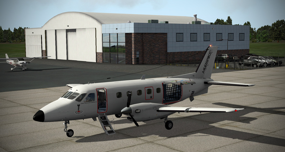
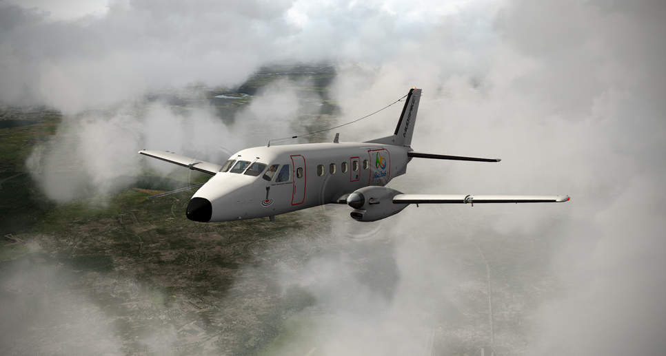
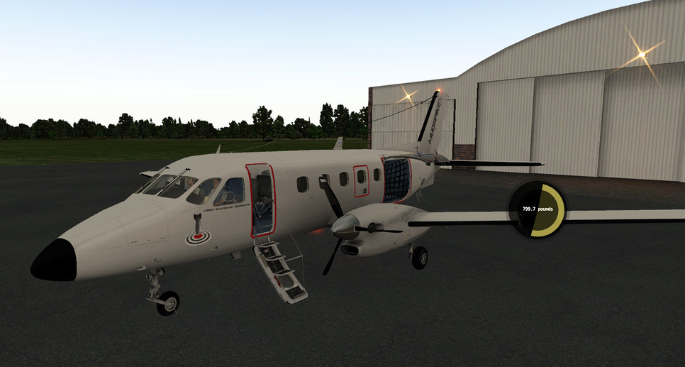
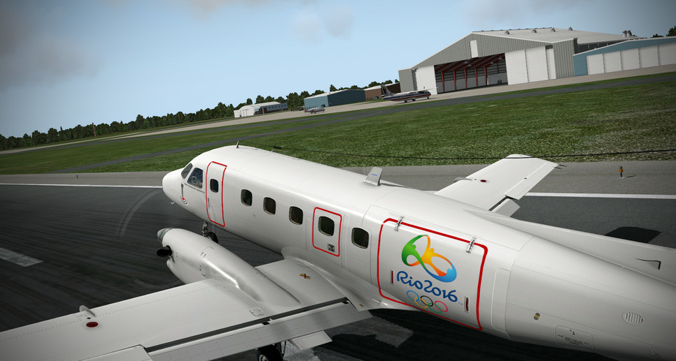
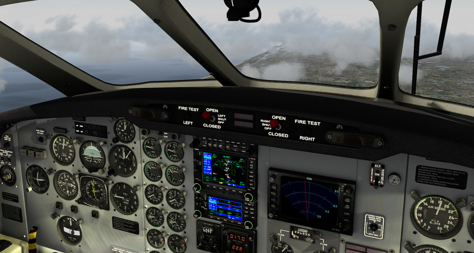
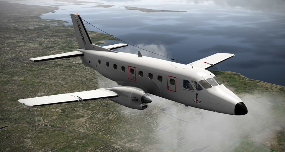
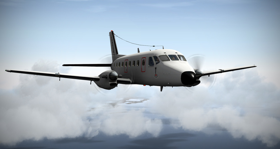
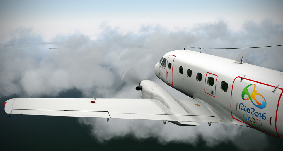
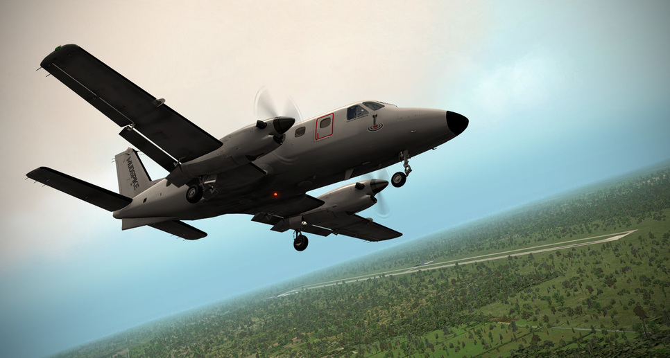
So thanks to Treasure Coast Avionics - they toiled away in the hangar all night long and upgraded my EMB110 panel to a more modern Garmin to allow for more advanced flightplans on the way down to Rio…!

BeachAV8R
2 Likes
So last night’s leg took me down the coast from KCRE (North Myrtle Beach) to what was planned to be Vero Beach, but I had mistakenly planned to the wrong airport and really need St. Lucie for the avionics shop there (just 10 miles past Vero Beach)…
Departing North Myrtle Beach…
Plug in the Victor Airway and track the radial down to Charleston, SC - using the autopilot in pitch mode and NAV capture during the climb to 10,000’…
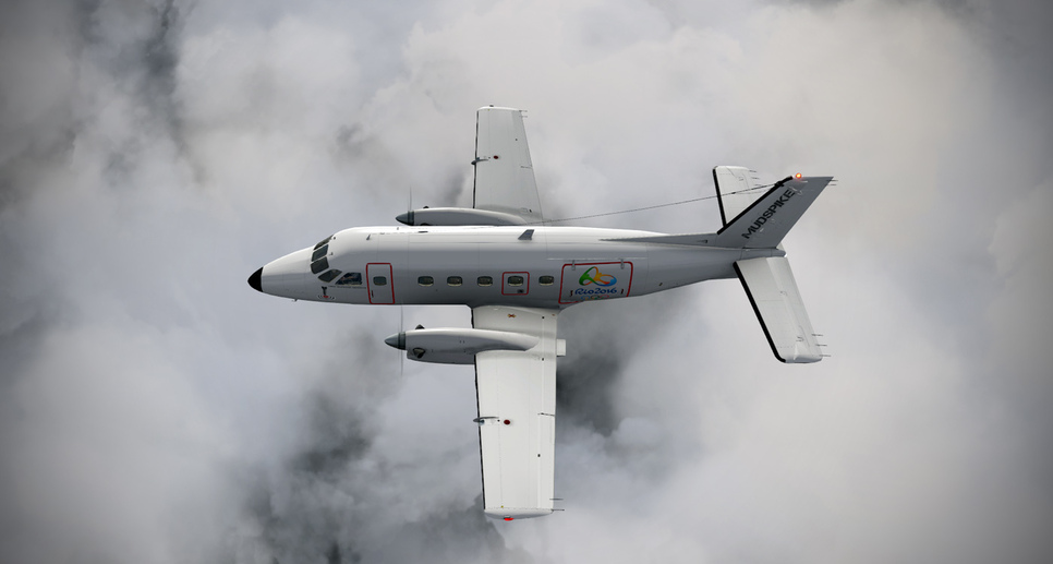
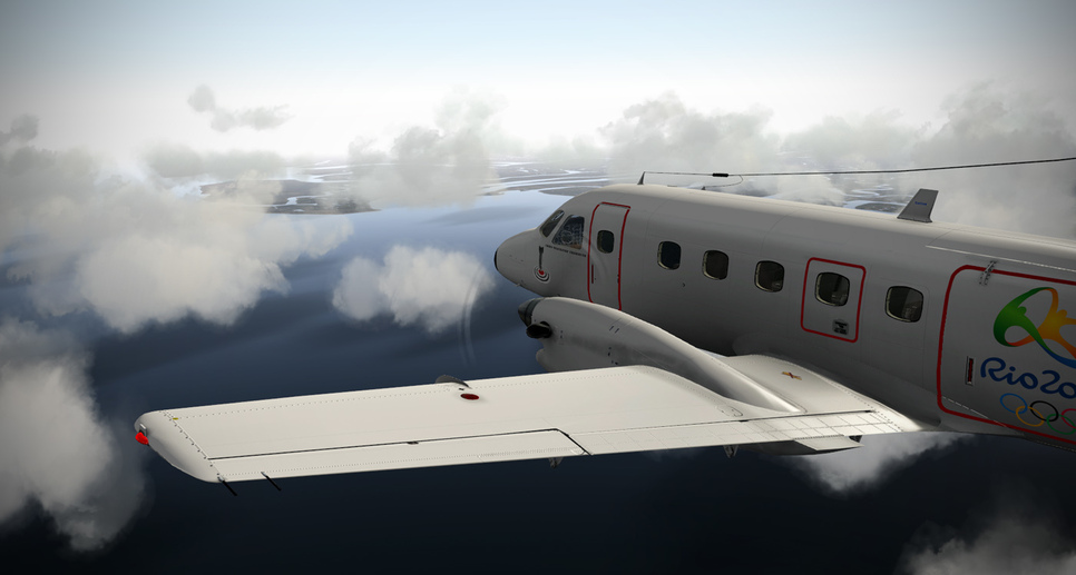
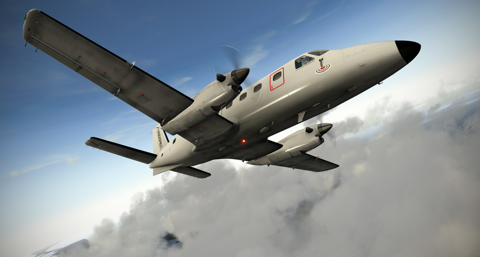
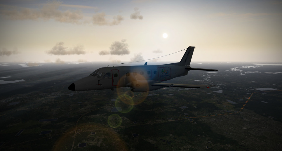
Just a bit of cloud cover from the storms encroaching on the coast…

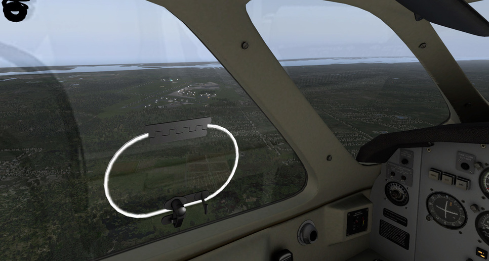
Looking out the left side passing the Georgetown area and approaching Charleston (KCHS)…
Hmm…wonder what that C-17 is loading?
![]()
Checking out the weather to the west…still looking good…
Coming up on Tybee Island - hmm…wonder where that bomb is?
Making the turn over TYBEE intersection to head down toward Ormond Beach…
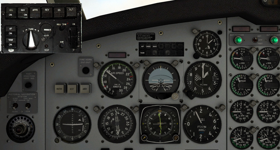
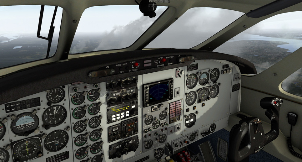
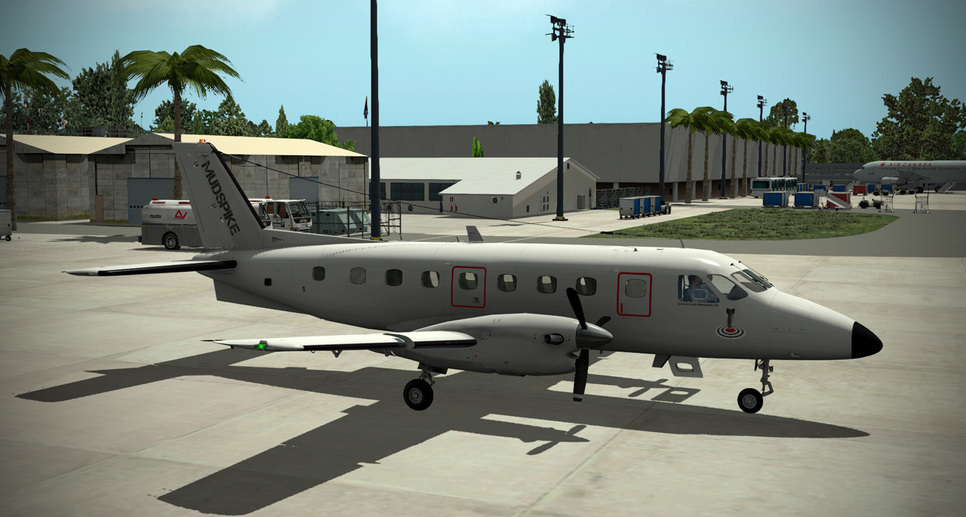
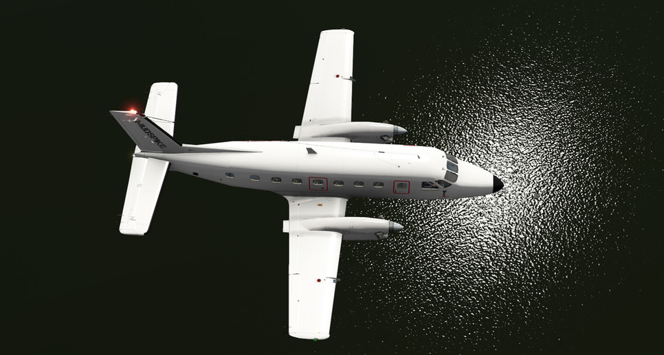
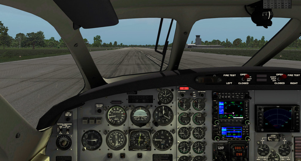
The “old” panel that I’m getting replaced with the new Garmin panel…
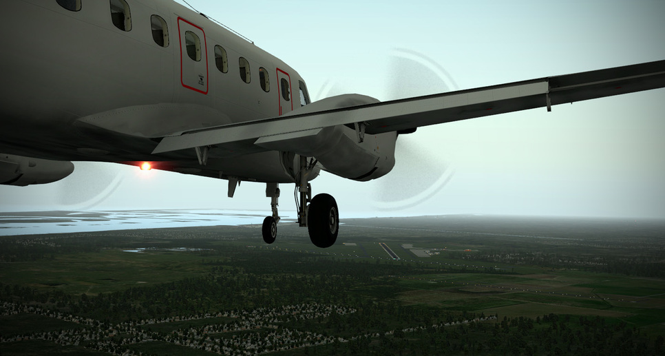
Over two hours of flying…and the sun is starting to set…
Passing by Vero Beach…
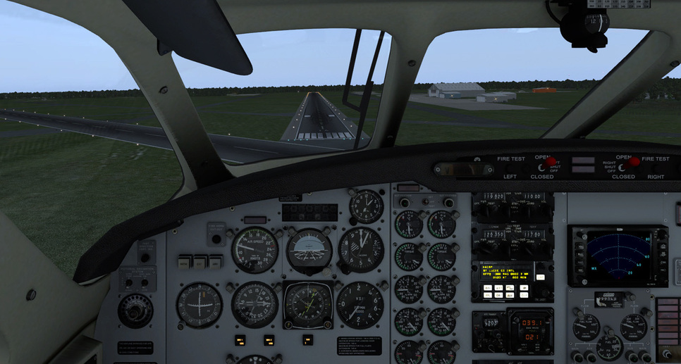
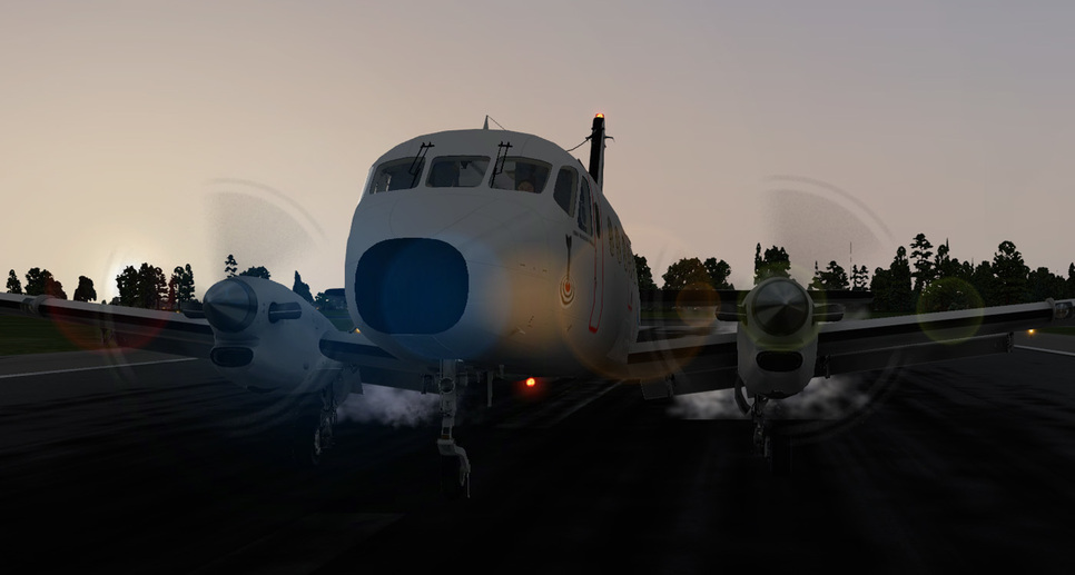
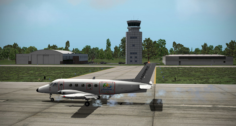
On final to St. Lucie…
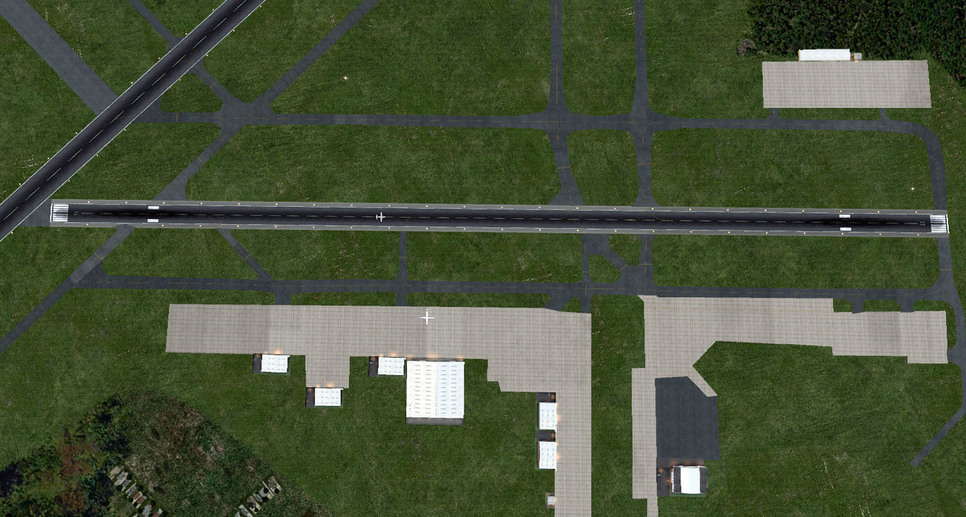
Touchdown, max reverse, and heavy braking. I wanted to judge on this 4,755’ long runway how short I could stop because of future plans on my flight to Rio…
Looks like only 2,000’ or so of runway used…
Burned about half a tank of fuel from each wing…so endurance if stretched, and if I went up higher…is probably on the order of 4-5 hours…
Looking forward to the next leg - going to do some flight planning this afternoon…
BeachAV8R
1 Like
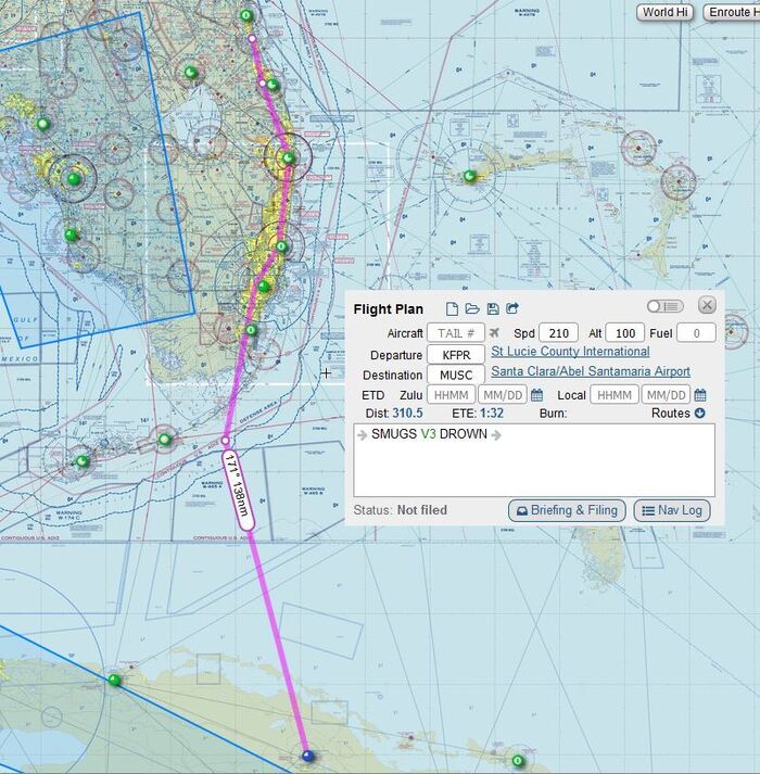
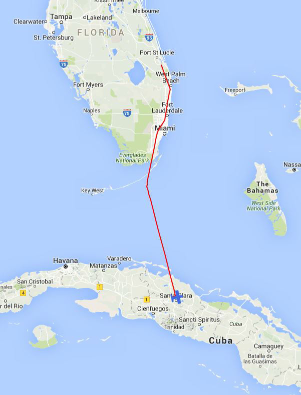
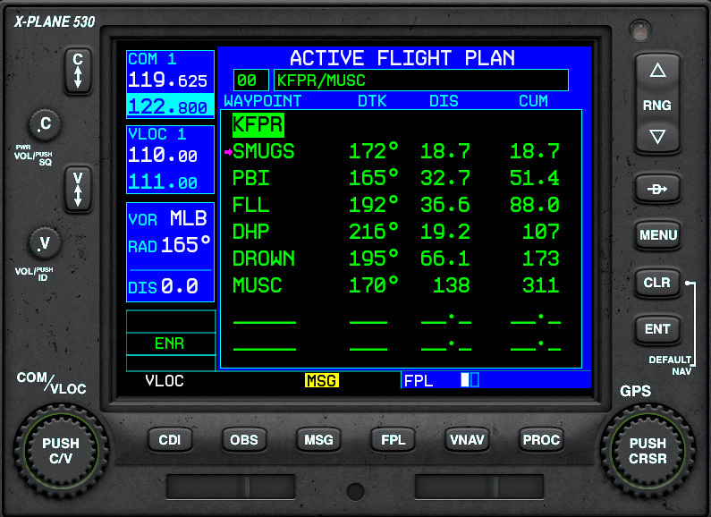
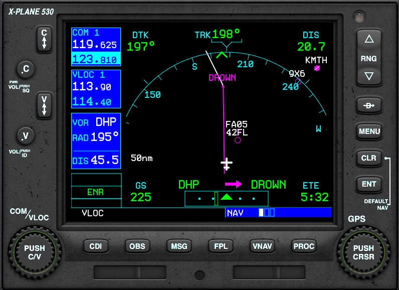
OK - flight-planned for the next leg out of St. Lucie. Looks like we’ll depart KFPR (St. Lucie), pick up V3 at SMUGS and fly V3 all the way to DROWN. Interesting, and slightly politically incorrect intersection name if you ask me. After DROWN, direct to Santa Clara, Cuba! I have secured my educational VISA from the State Department (we are going to give a class on the fermentation of hopps and barley).
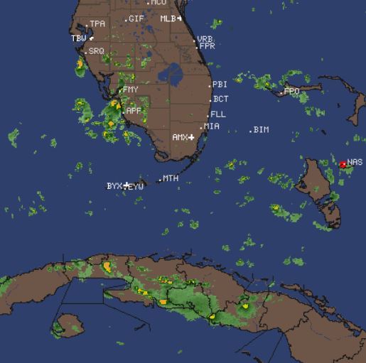
Widely scattered storms that should not present a challenge…
BeachAV8R
1 Like
Where are you getting that weather map?
That one is FlightAware:
http://www.intellicast.com/National/Radar/Current.aspx?location=default®ion=CLT
If you click on it, it will take you to a smaller region, then click on the Pan & Zoom option to get even more (finer) detail and cell movement…
I believe it only composites US and territory type data though…so it won’t help much with Mexico, Central, South American and the Caribbean…
1 Like
Cool thanks.
For the Caribbean, I’m a pretty big fan of this imagery because it shows where you might run into convective type stuff…
http://www.intellicast.com/Storm/Hurricane/CaribbeanSatellite.aspx?animate=true
I like finding interesting intersection names like that. INBRD, near Pensacola, is one that comes to mind as well.
2 Likes
Time lapse…looks kind of cool…
1 Like
Probably created by an ex-Air Force guy working in FAA mapping as an FU…LOL…
Very cool. SkyMax Pro?
Yes. I have a love hate relationship with it. I hate it sometimes. I love it sometimes. Bleh…LOL…
On the way to Cuba…!!
Arrived Santa Clara, Cuba…! Little bit of rain on the final approach…but all good…
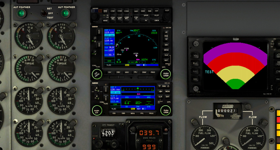
Really loving that Garmin…!
BeachAV8R
1 Like
Guess I won’t be taking my X-15B for a spin out there today.
1 Like
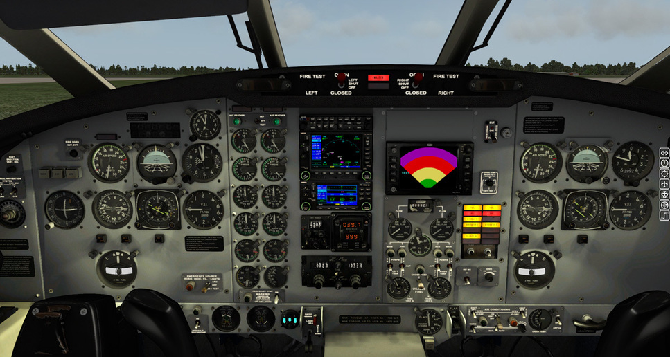
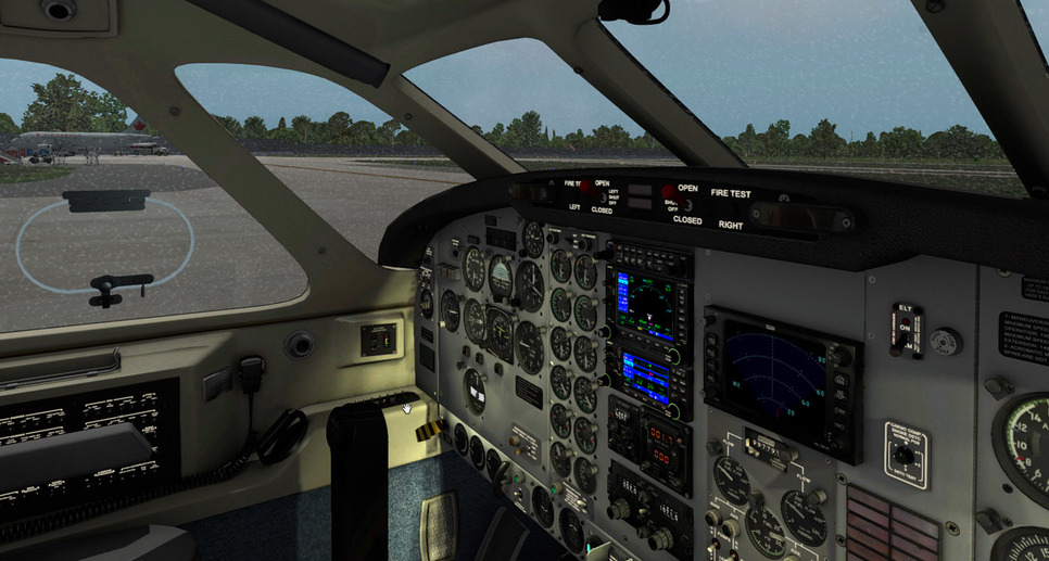
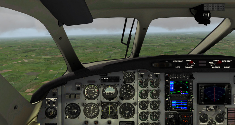
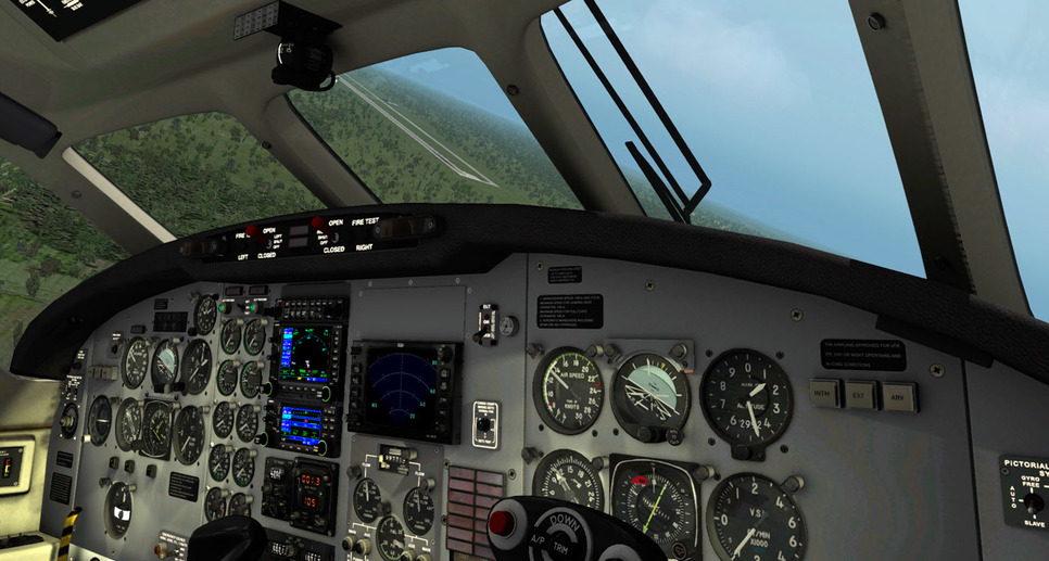
Thanks Beach! Those videos are really helpful, especially seeing the power/prop/condition settings that you are using. Well apparently I couldn’t see the forest for the trees, because going back over the Carenado docs I found pretty much everything that I needed with regards to the autopilot on pages 7 - 10 in B200 EFIS.pdf. Those explain the Select Panel, Autopilot, and Altitude Preselector functions. With that along with GNS430 videos on youtube I should be good to go.
So with the new Garmin 530 installed, I input my flight plan which would take me out of St. Lucie to SMUGS V3 DROWN > DIRECT to MUSC, Santa Clara, Cuba. I have all my documents in line, my handler is set up via Rockwell Collins, and we are ready to go!
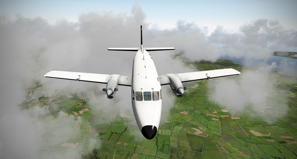
Beautiful day over southern Florida today with just a few broken layers…
It took me about 15 minutes to figure out that I had to hit the CDI button on the GPS to slave the HSI CDI to the GPS output - up until then I just flew the published VOR radials.

The greater Miami area slips under the left wing…
A touch of Everglades…

Getting ready to “coast out”
Good-bye Florida!
Only ten or fifteen minutes later the coast of Cuba was coming into view…
And soon I was descending down over the lush farmland…

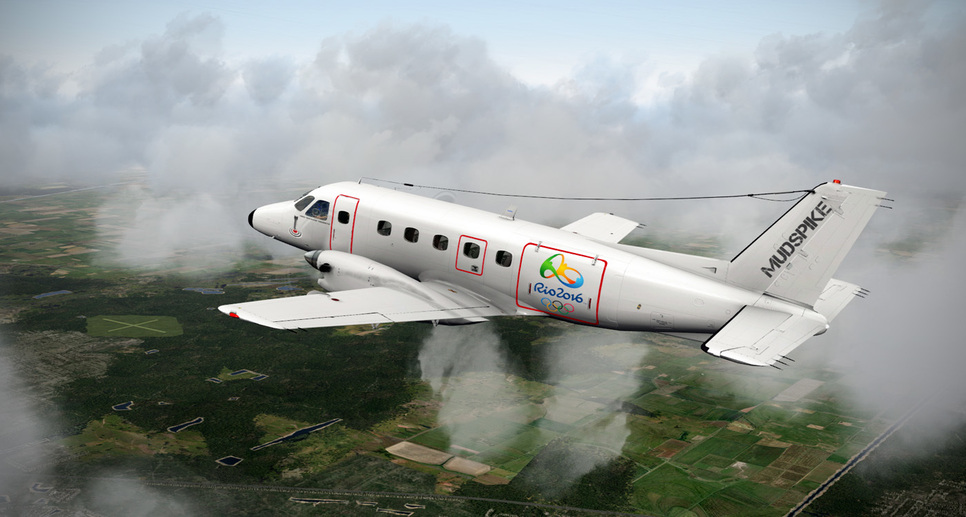
A little bit of murky skies and some scattered thunderstorms…
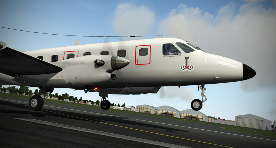
Turning to land at AirCanadaCaptain’s Santa Clara…
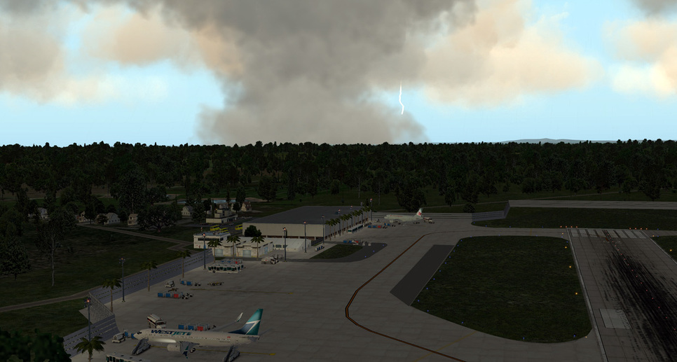
A little light rainshower was dusting the windscreen as I shut down while a larger storm lurked just beyond the airport…
BeachAV8R
1 Like