Official 11th Annual Mudspike Christmas Flight 2025 - Discussion and AAR Thread

After spending the night in Venice it’s time to progress our journey towards Africa. Next planned stop is Limmasol on Cyprus. I haven’t decided the exact route yet, but naturally I feel more inclined to fly over water than land with my trusted flying boat.

We lift anchor and get on our way. But only after spending some time in the controls screen, as I did really like to control engines 5 and 6 with my throttle and not per hand. As we’re ready for a long flight I take on some more fuel than before.

Here we go, leaving Venice behind.

After the initial climbout to a whopping 1500 meter, I take a look at the passenger cabin.

No drink and fly, too bad.

Returning to the cockpit everything seems to be in good order.

The weather gets a bit worse.

What might be in this bag? Manuals, maybe?

And in this one?

I can remove the computer with a single button on my ‘tablet’ :smiley:

Some time later we make a landfall at Albania.

There’s even a lake large enough for us!

Some time later we come over the Turkish mainland. Asia.

Now it would be a good time to refill the almost empty main fuel tanks from aux fuel tanks. But how? I do not dare to touch any of the switches back there, as I had no plans to fall out of the sky (this time around). In the distance the Med is seen and some lake or bay inland. That will be a sweet spot for landing!

Maybe the hills shouldn’t be that close?

With kilometers of water ahead, the touchdown on the water is not really that difficult.

Maybe we can become renegade air pirates and capture that Yacht!

But first we need to have an idea where we actually are, so we can continue from here next week…

12 Likes

Looking at those shots of the cabin and all I can think of is:

7 Likes

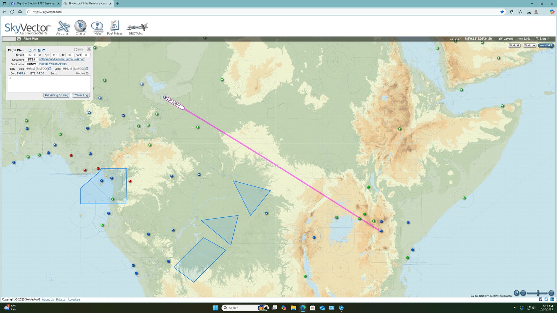
Leg 7: Aéroport International de N’Djaména, Chad (FTTJ) TO Jomo Kenyatta International Airport, Nairobi, Kenya (HKJK)

Where was I? Oh, yes… :wink:

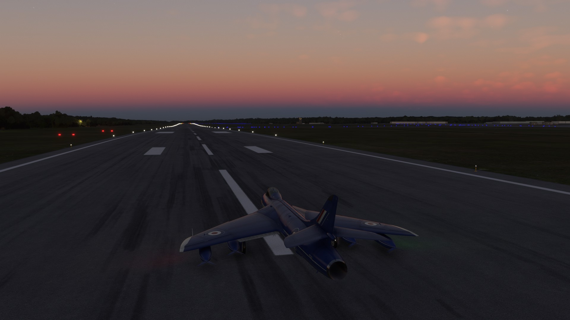
The languid African dawn approached and it was time to go.

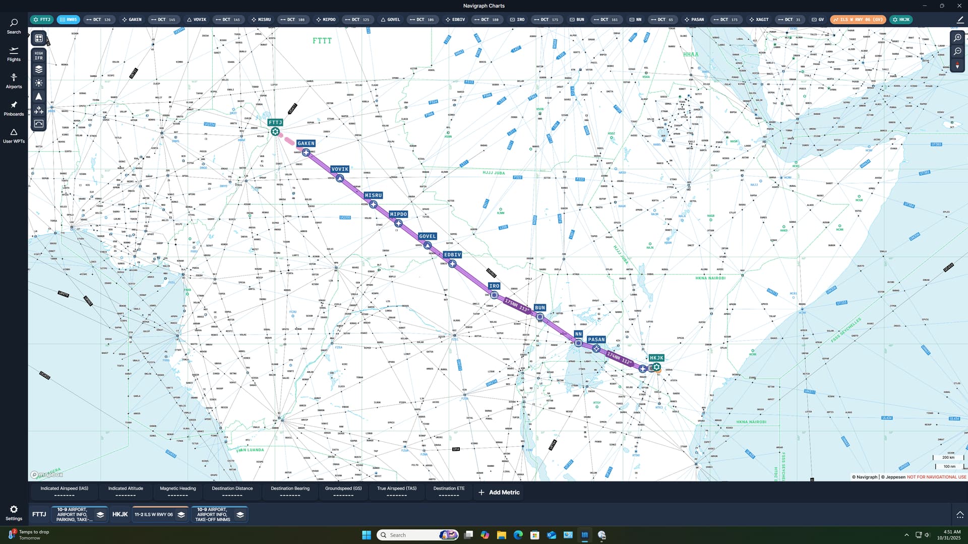
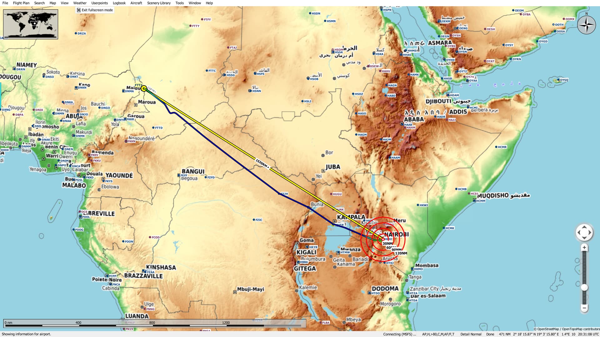
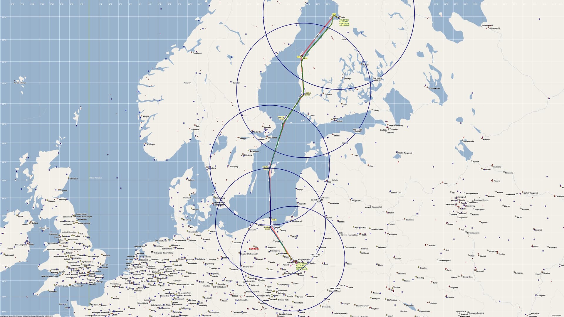
Continuing my trek towards Kilimanjaro, I plotted a very reasonable 1500 mile(ish) leg to Nairobi. I had initially hoped to use some of city’s more traditional fields but, in the end, the long runways of Jomo Kenyatta lured me in.

Having not yet found the source of my previous long range nav issue, I was sorely tempted to revisit the topic on this flight. A look at the high chart made me feel a little guilty though, and I resolved myself to flying the airways, for this leg at least.

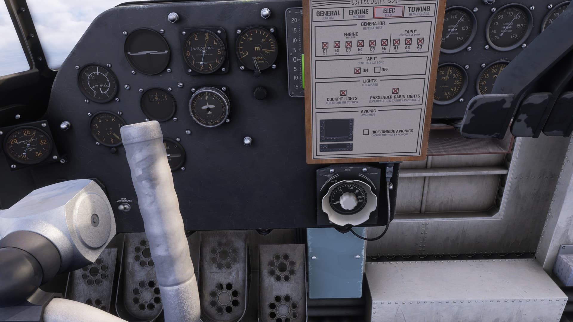
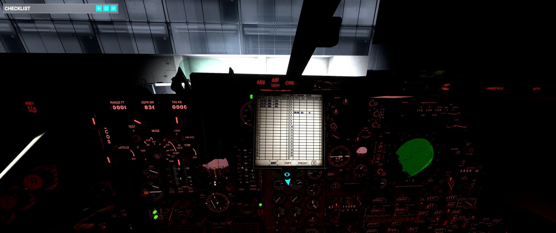
On the plus side however, my planned route was likely going to exceed the total number of waypoints available to the CIVA, requiring me to do a little waypoint swapping. So this would be a good opportunity to try something new.

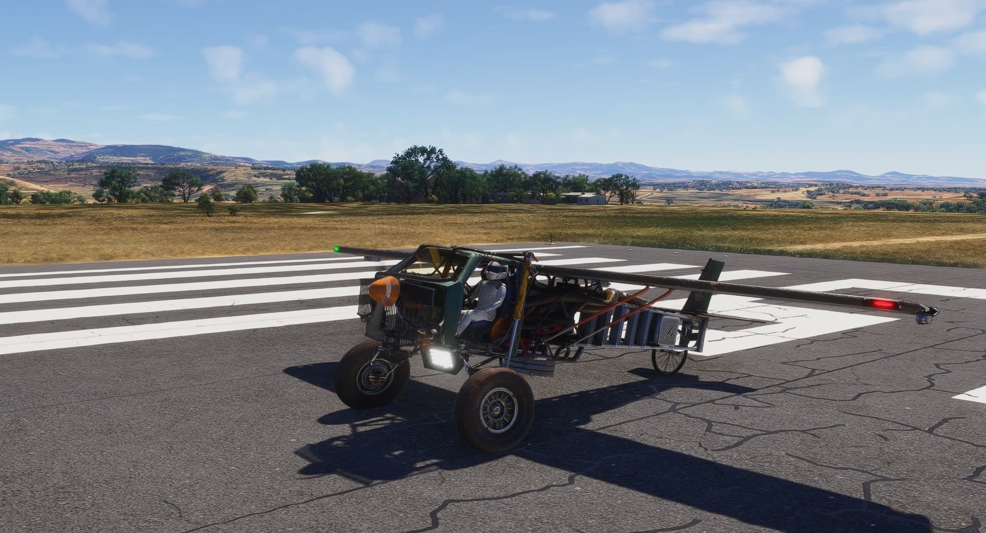
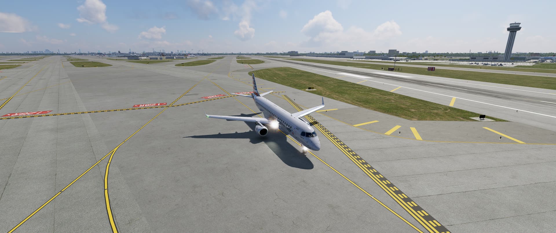
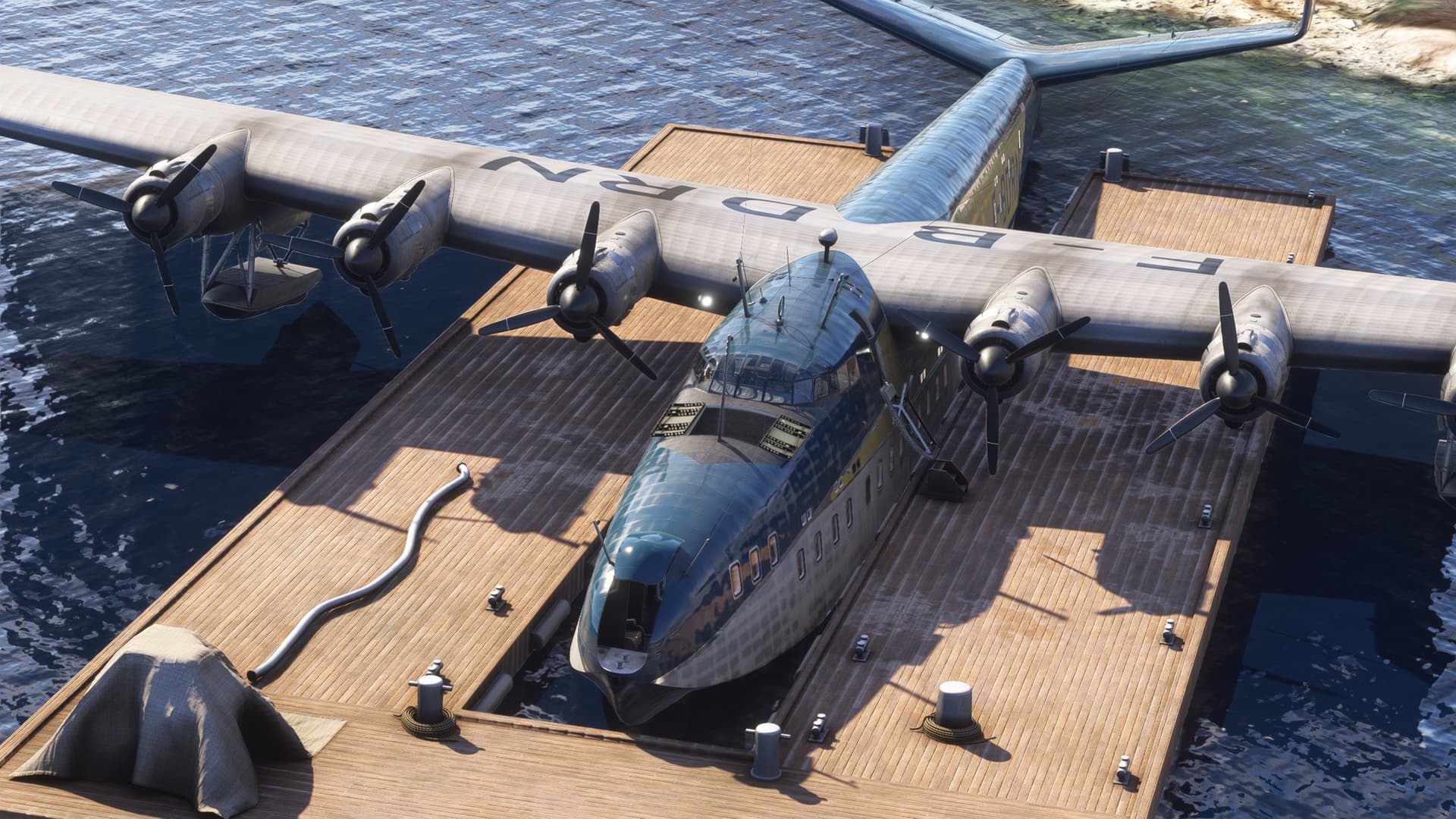
Thus armed with plan and purpose, I found a good livery for my hard working 72 and began trying to find N’Djaména on the Flight Sim map.

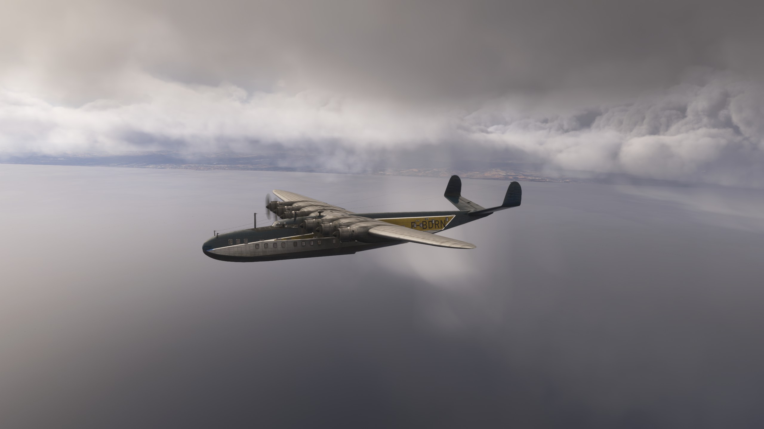
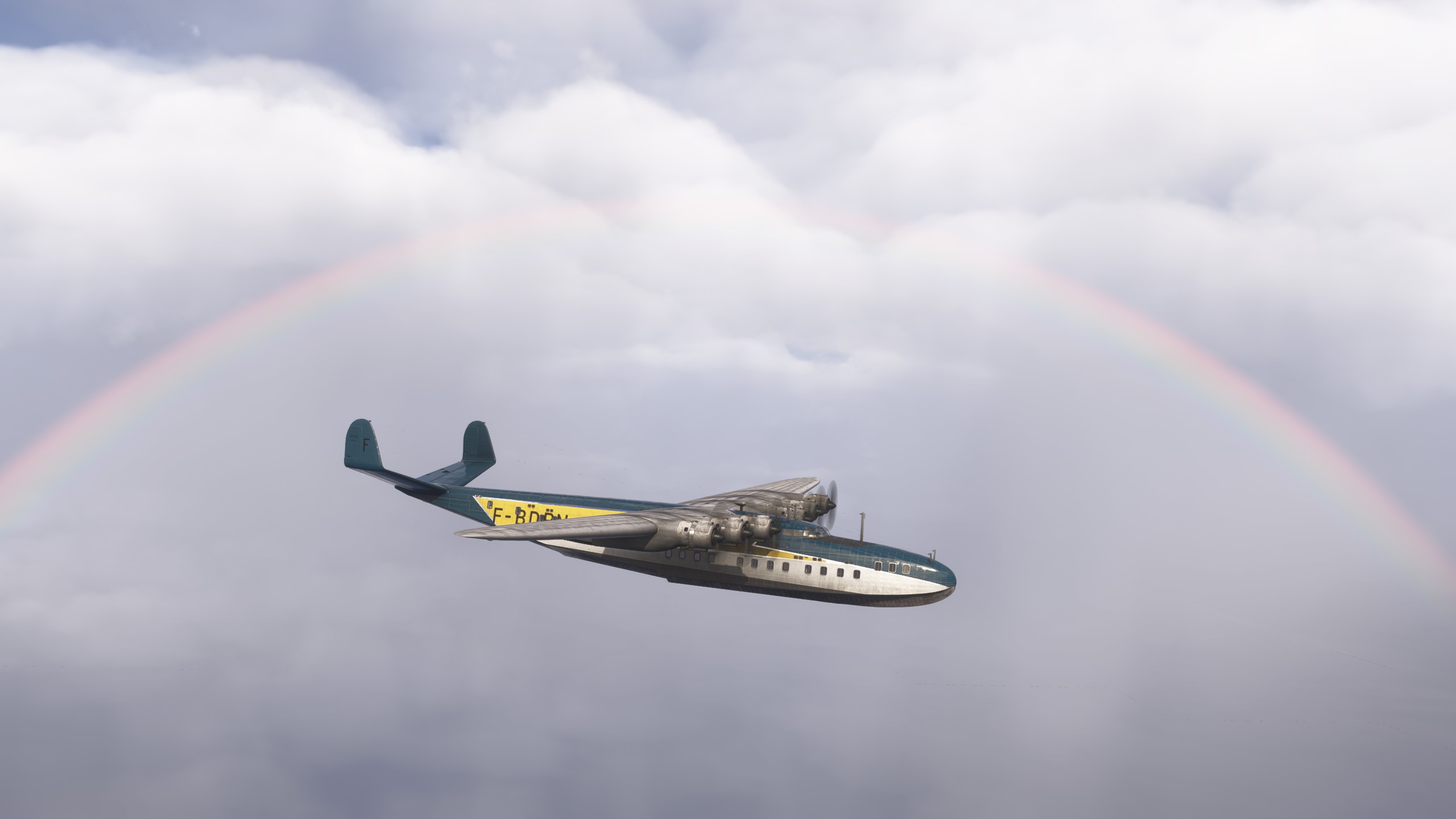
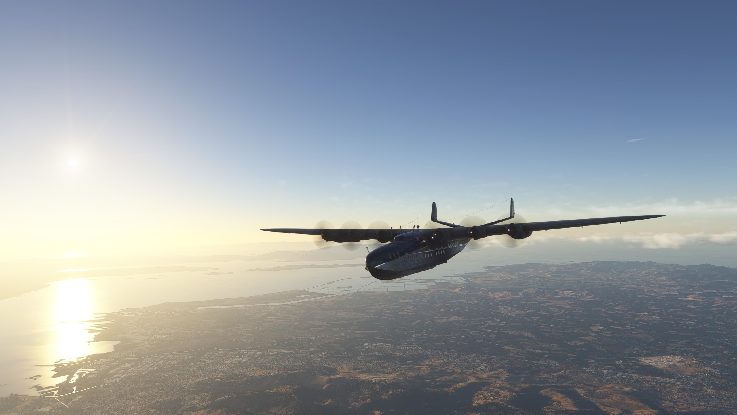
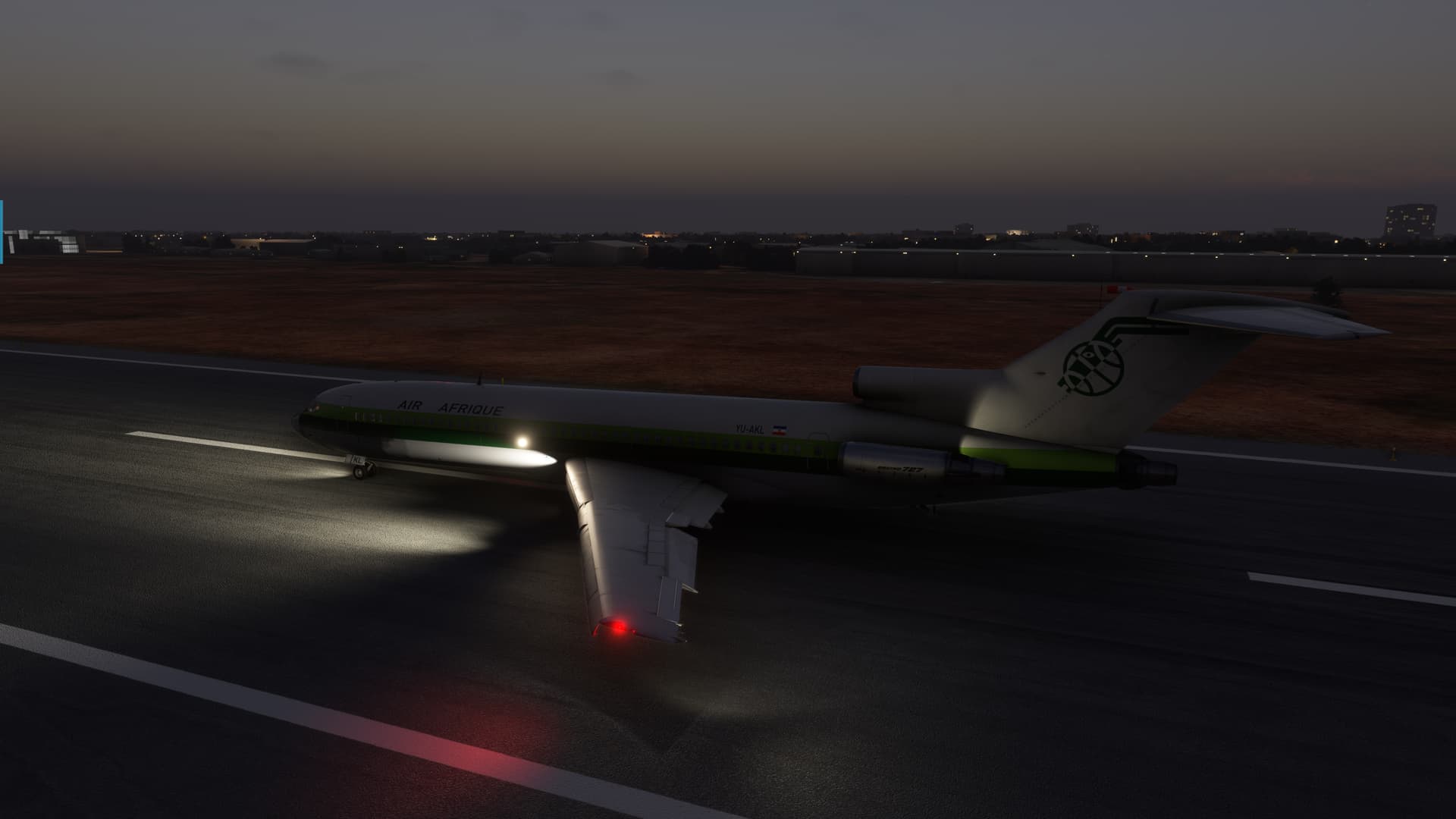
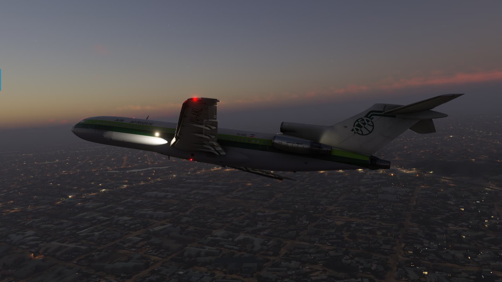
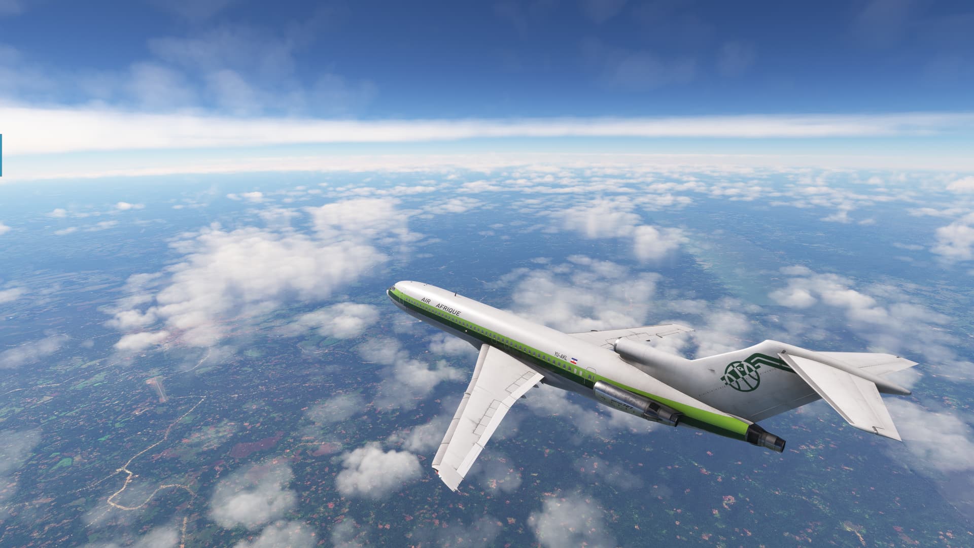
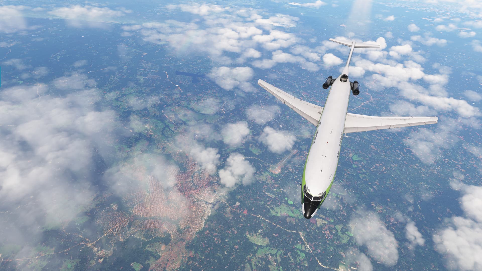
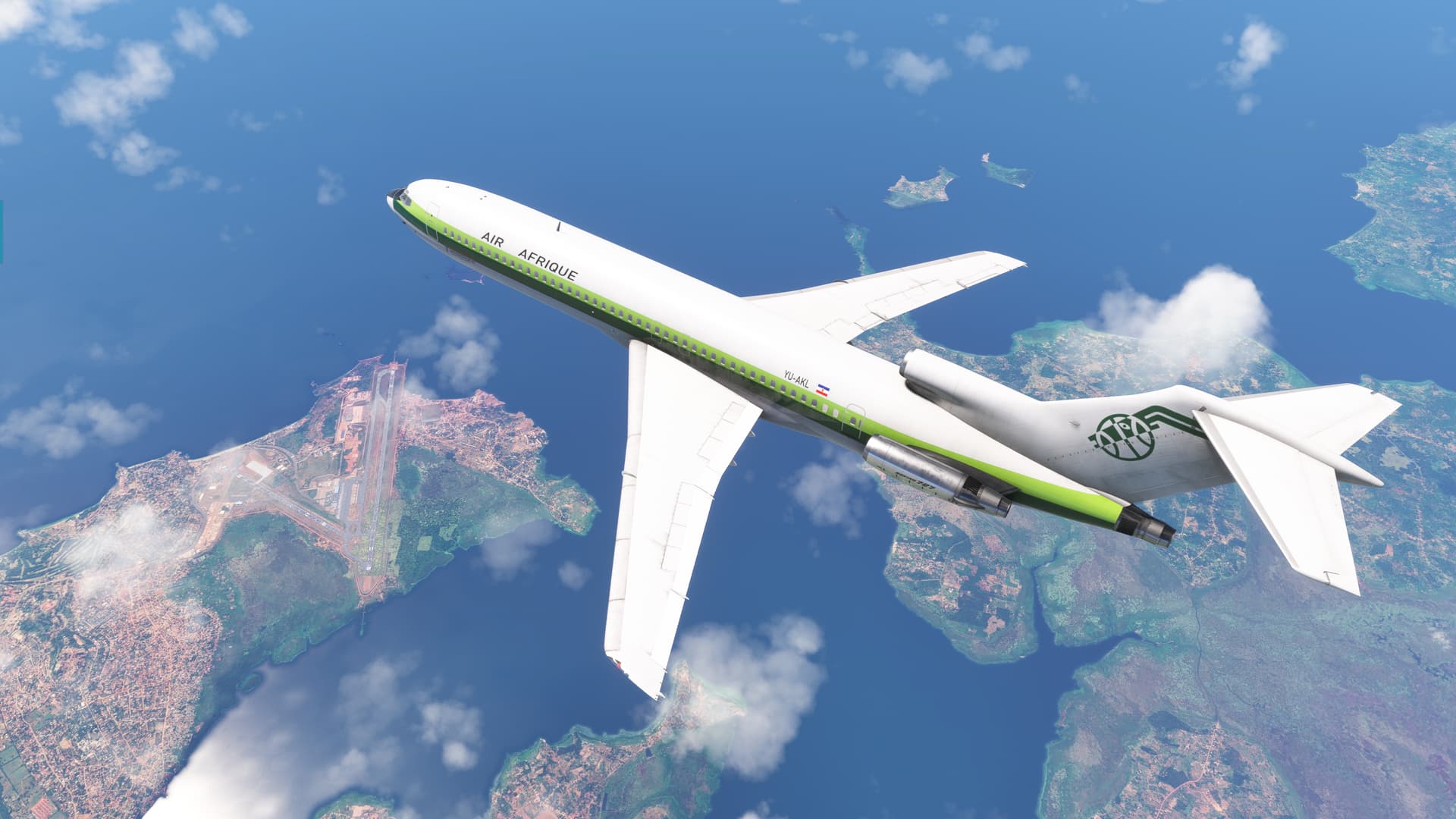
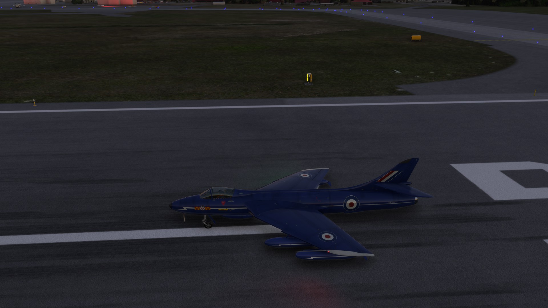
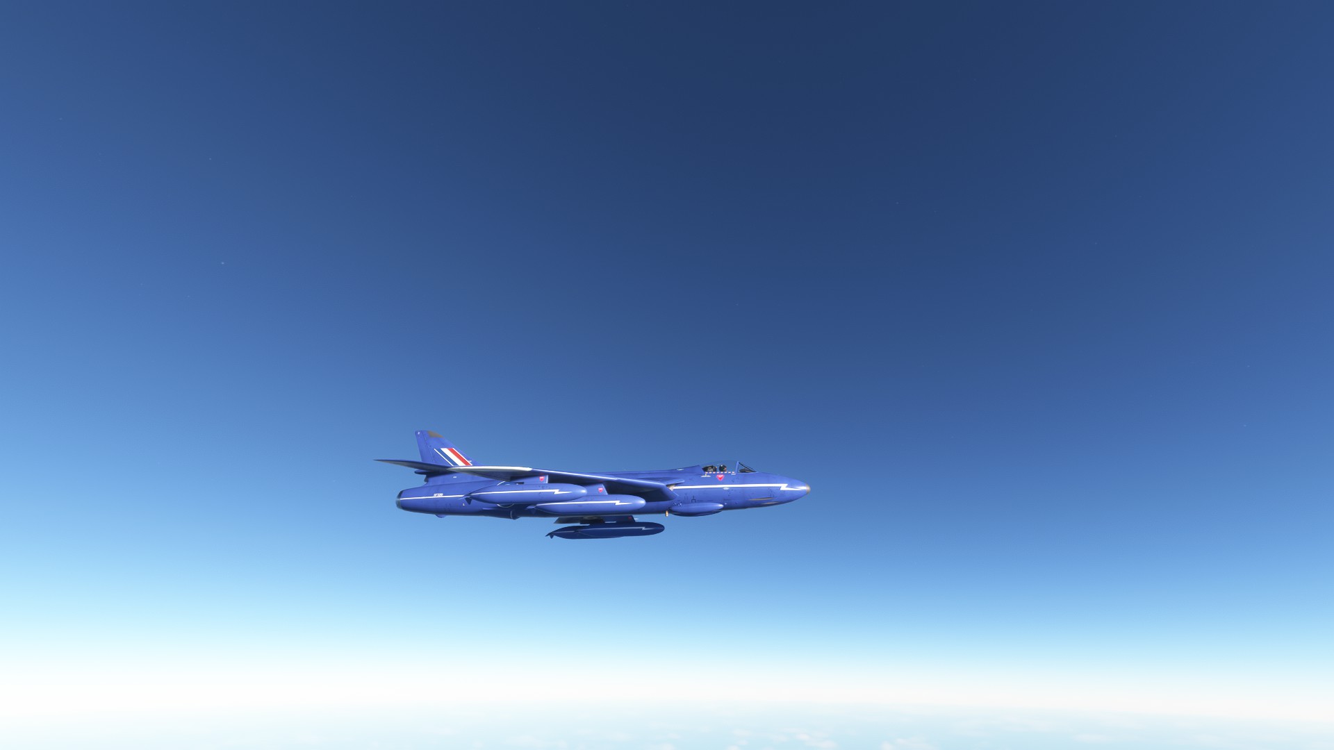
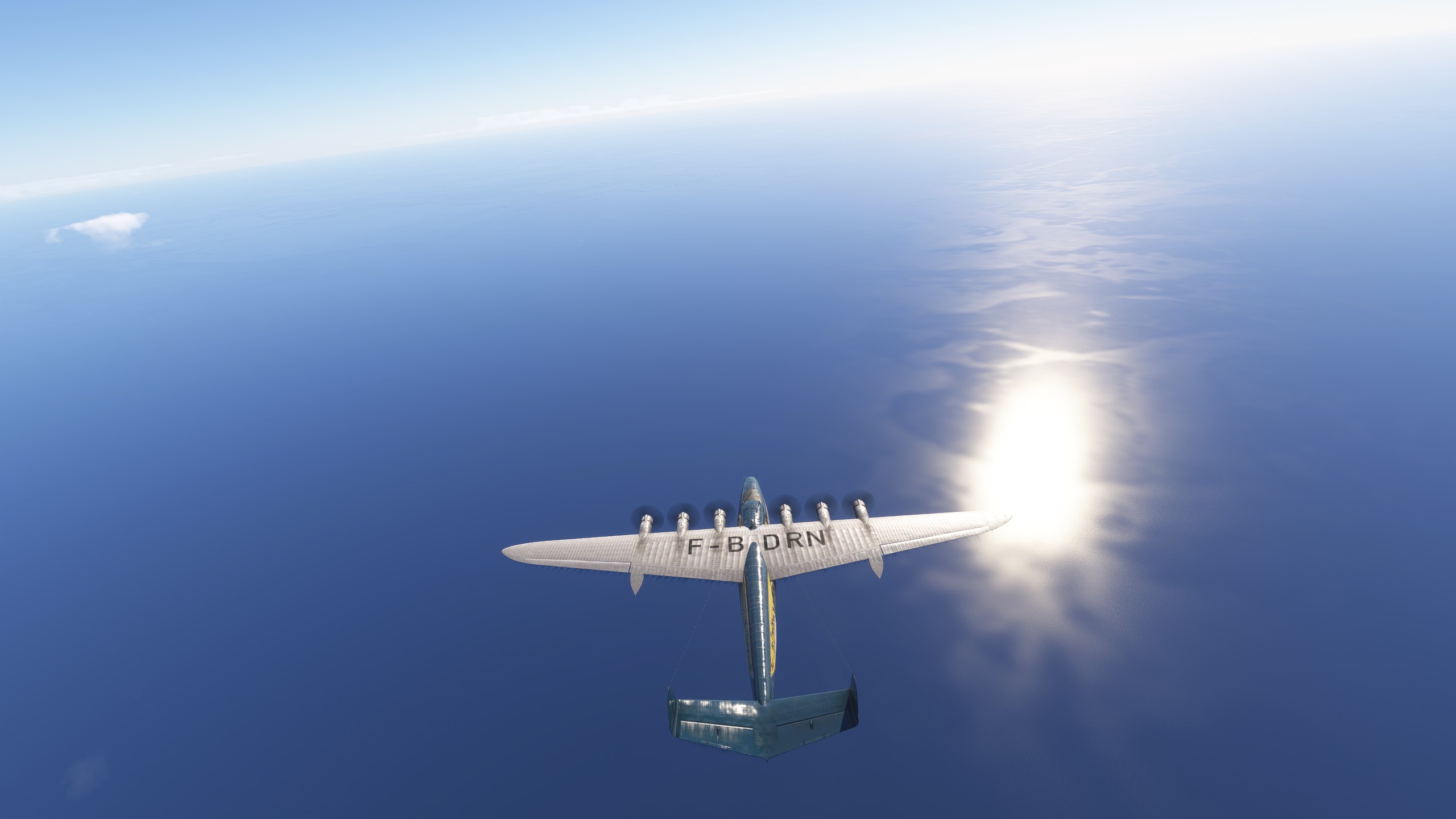
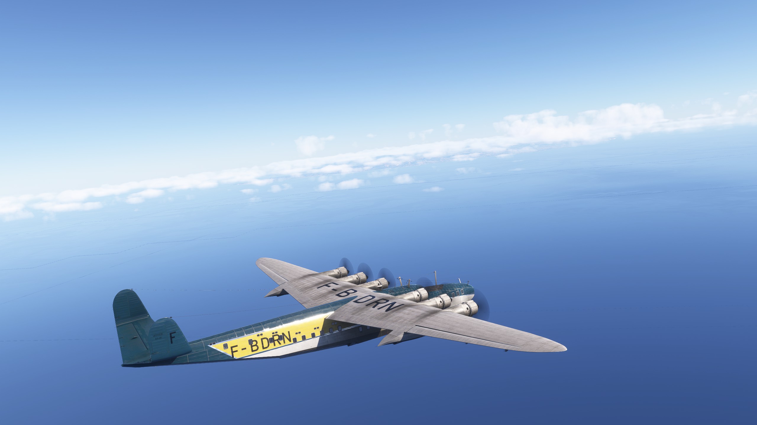
Today, we fly in the livery of Air Afrique, courtesy of oskar4007. I was happy to find a livery that represented the host continent, even though AA was originally partly owned by Air France…

When possible, always root for the home team, says I. :grin:

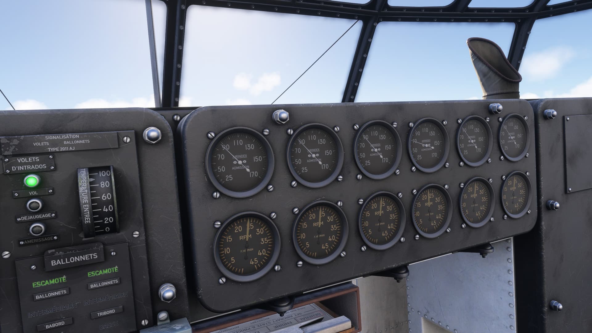
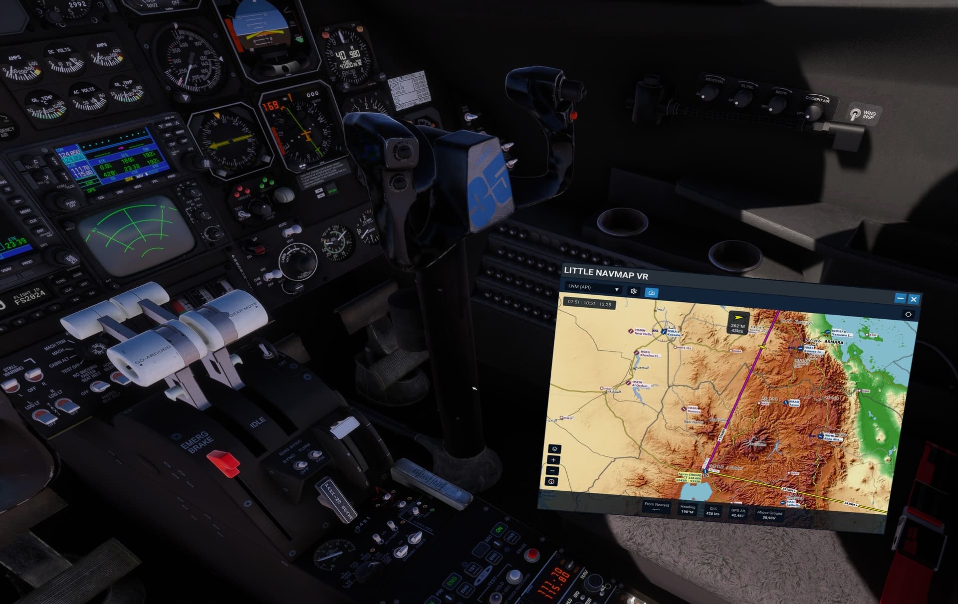
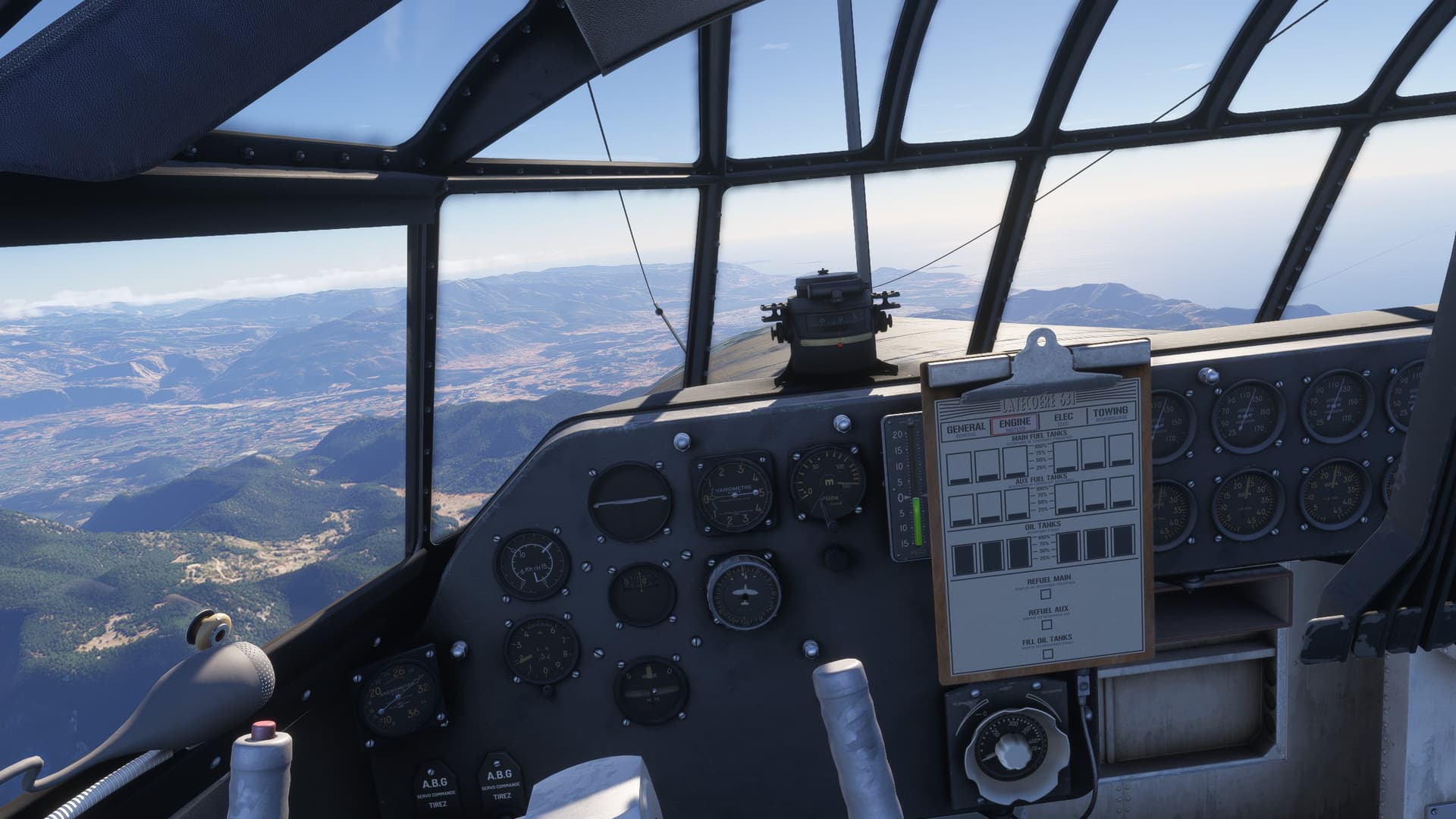
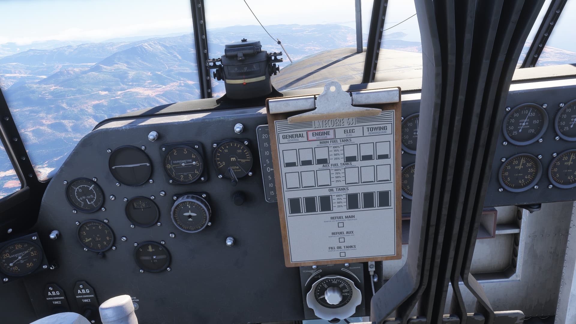
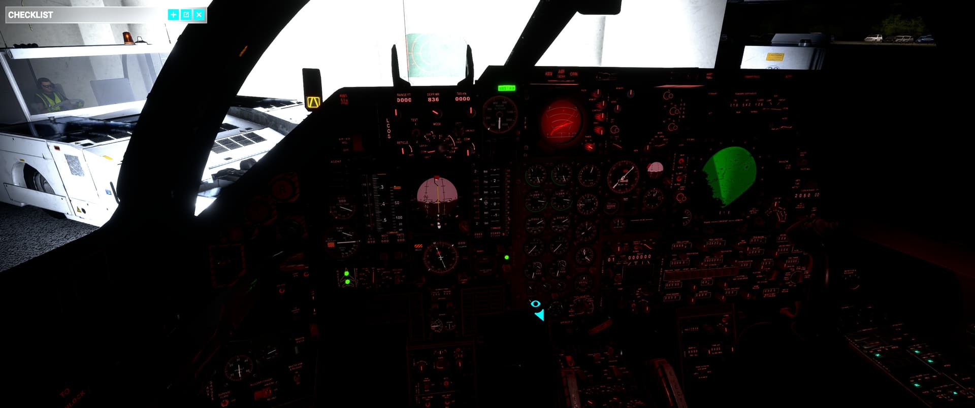
Everything’s loaded, the tanks are full (and checked!), and the CIVA is loaded with the first 9 waypoints.

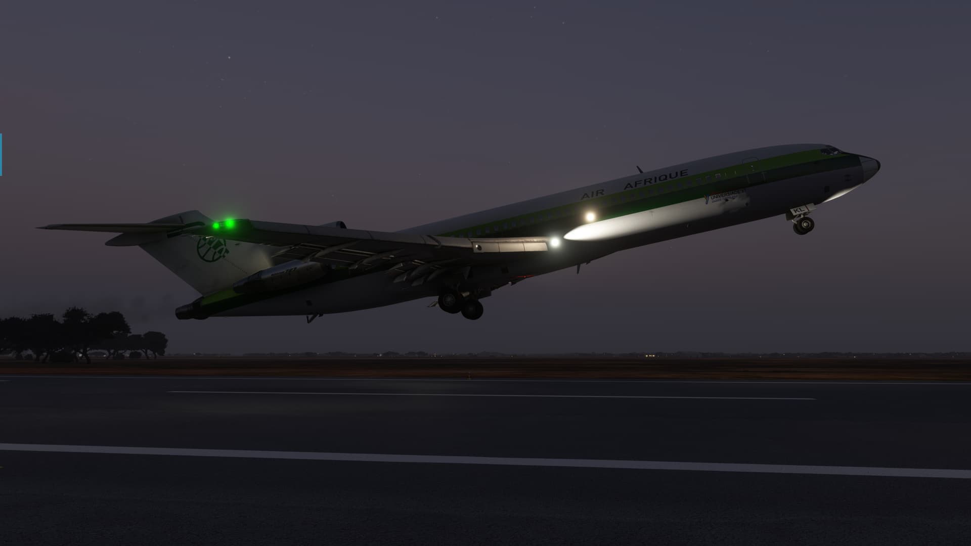
There were some surly bonds that needed slipping, and off we went!

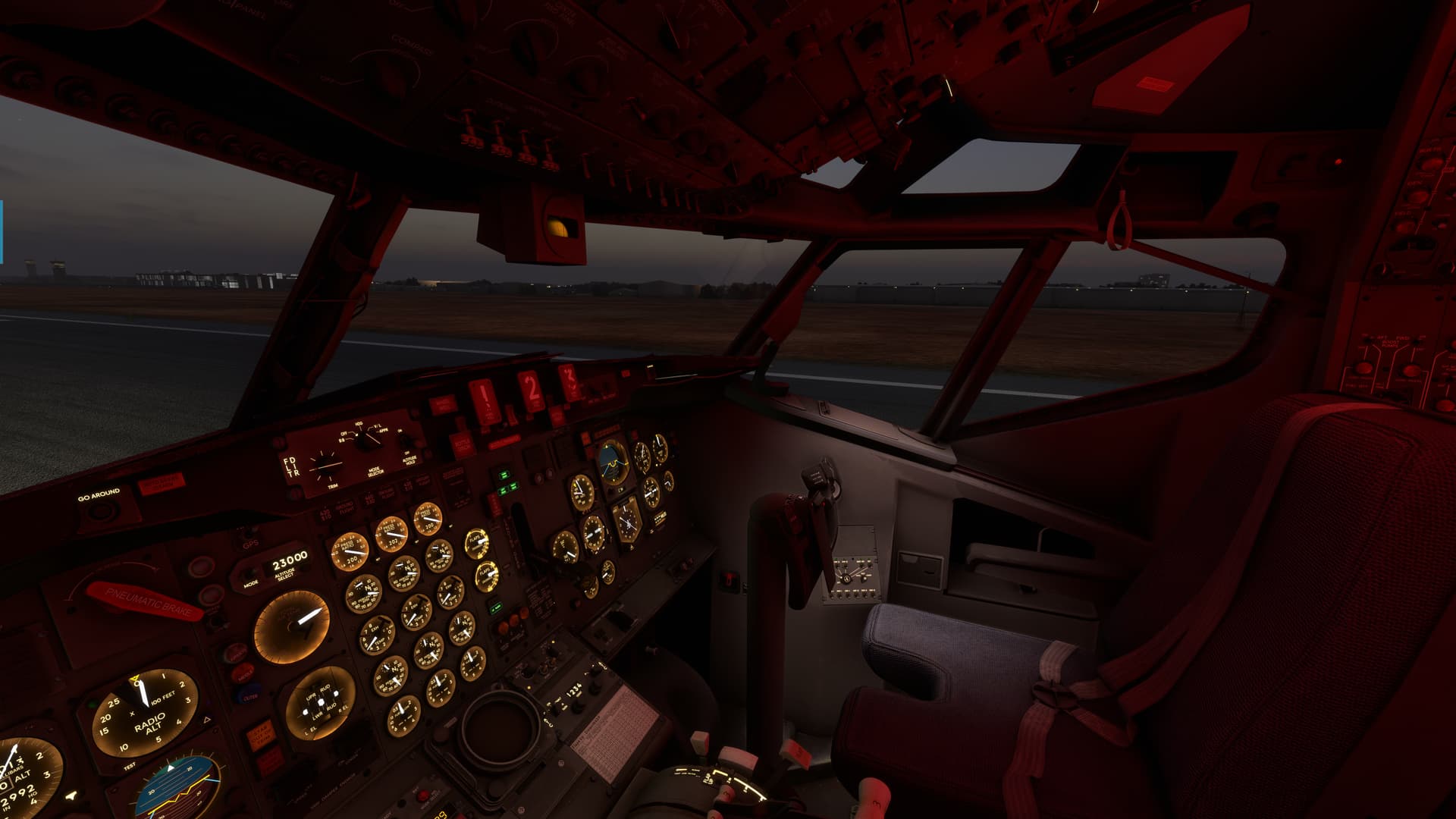
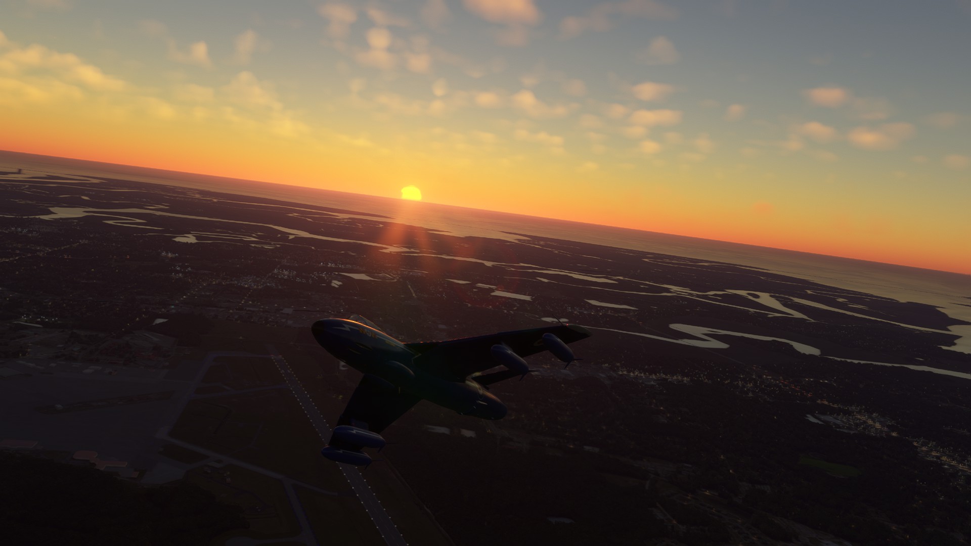
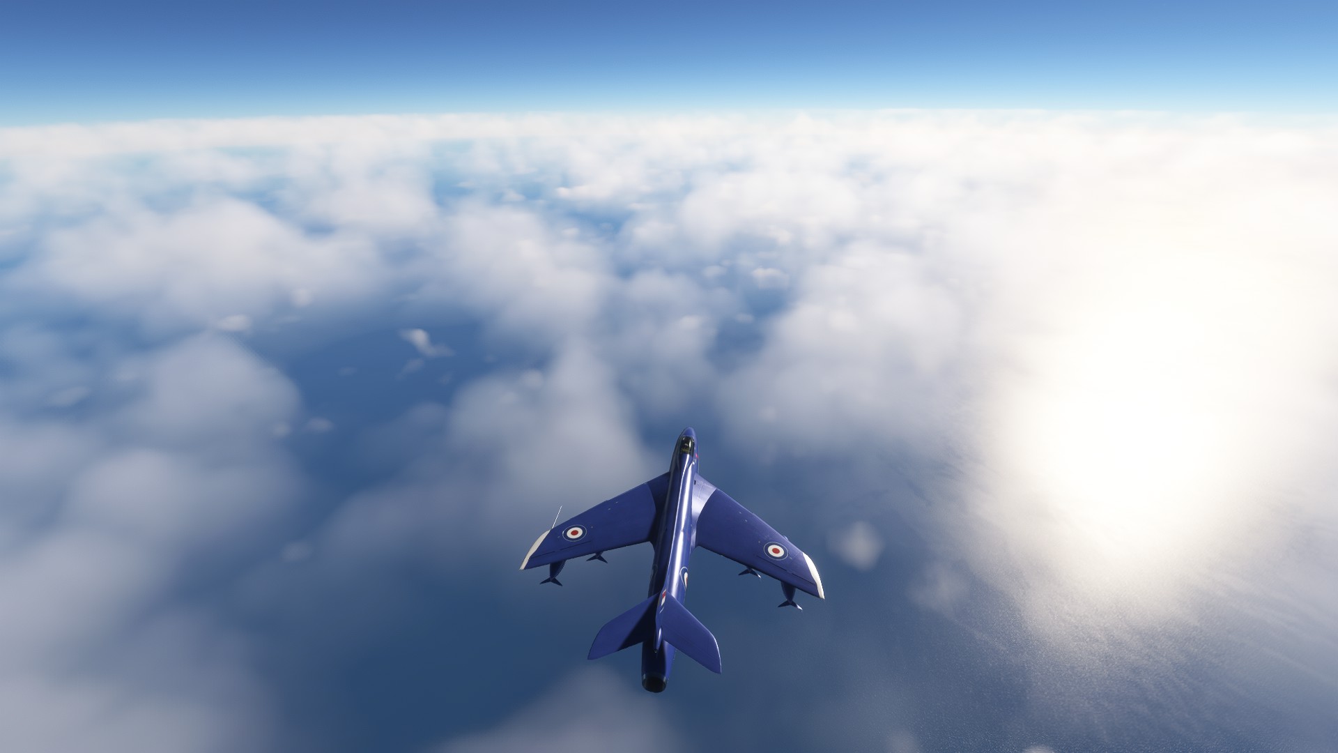
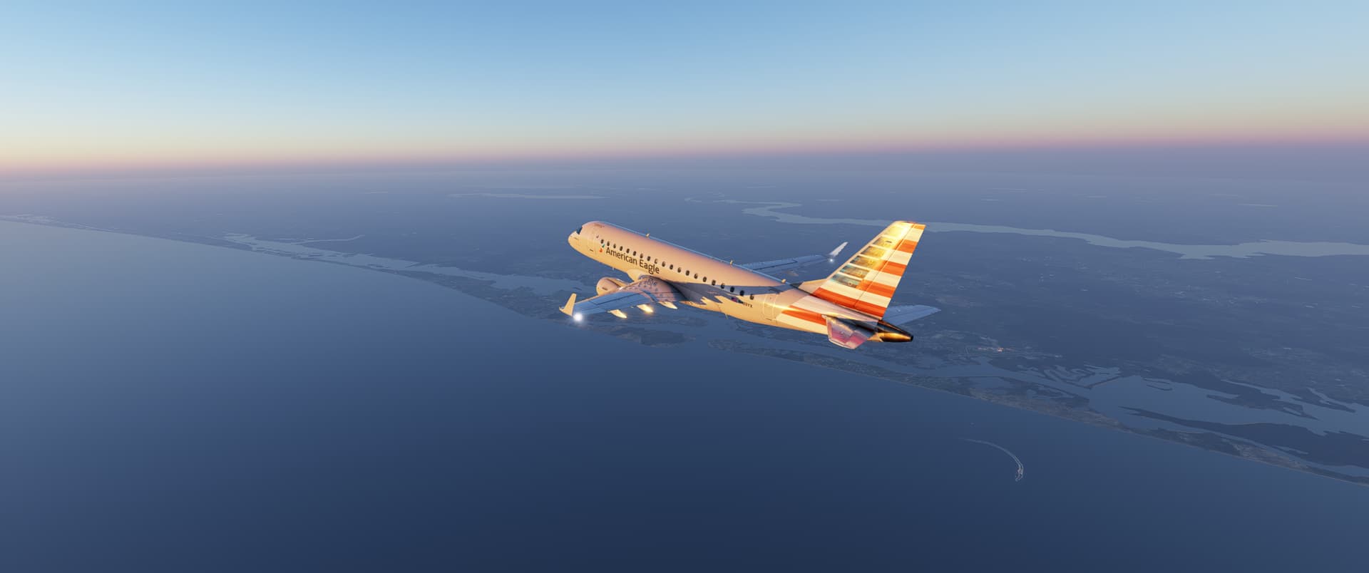
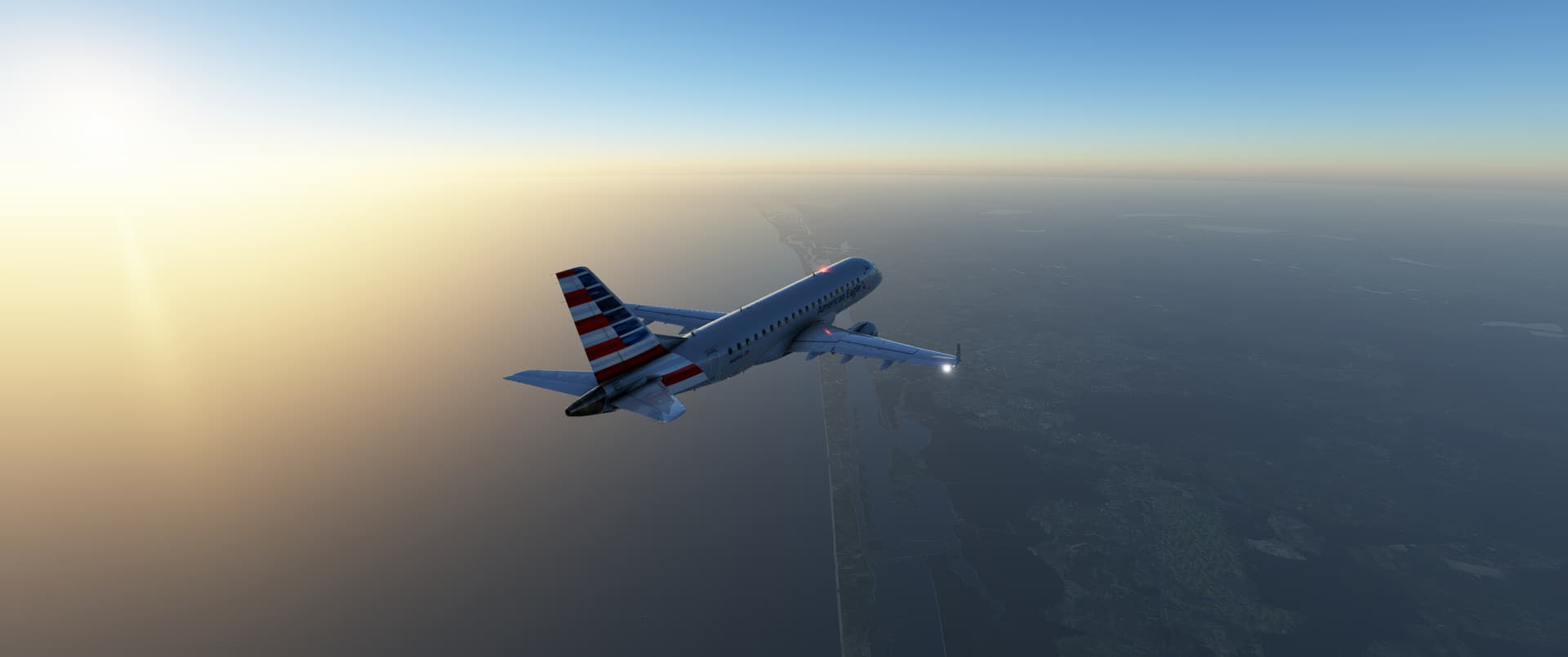
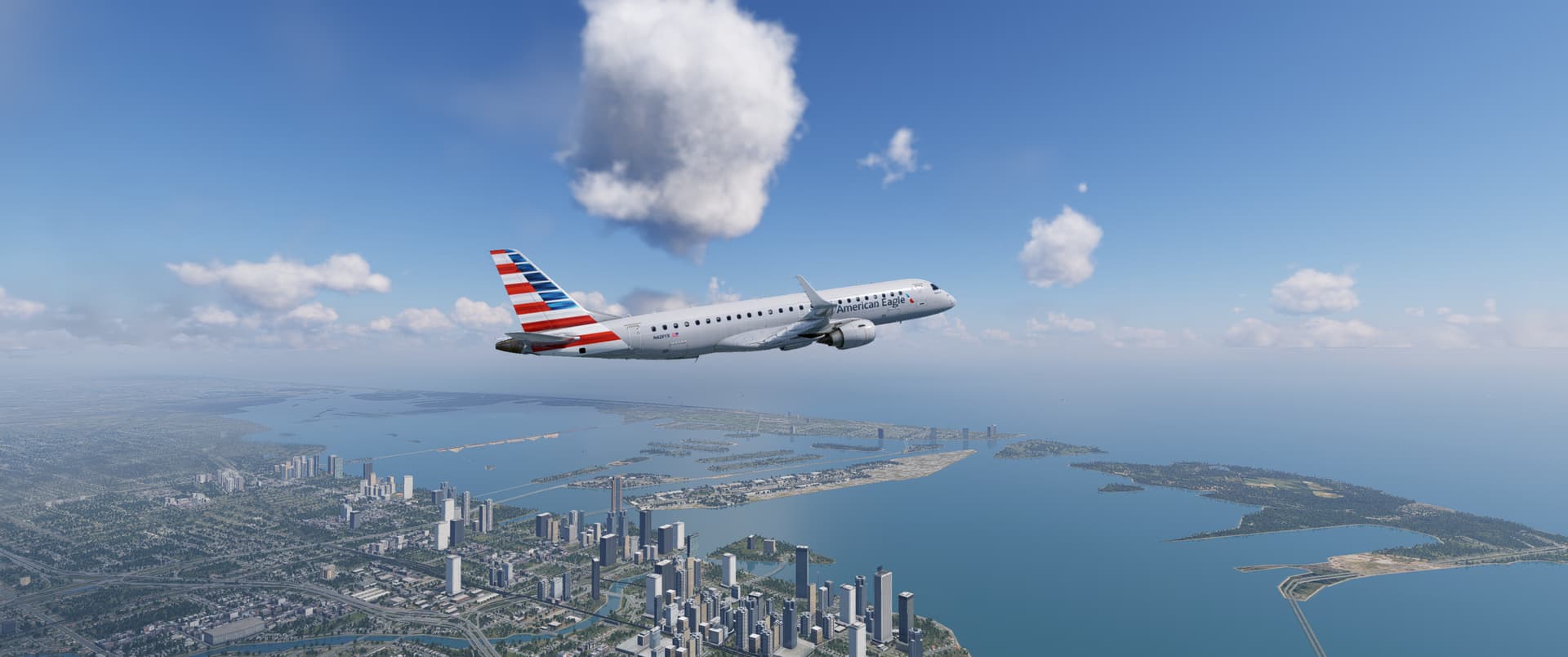
Once again, flight sim nailed the feeling of the sultry African dawn…a little hazy with light cirrus to reflect the coming Sun.

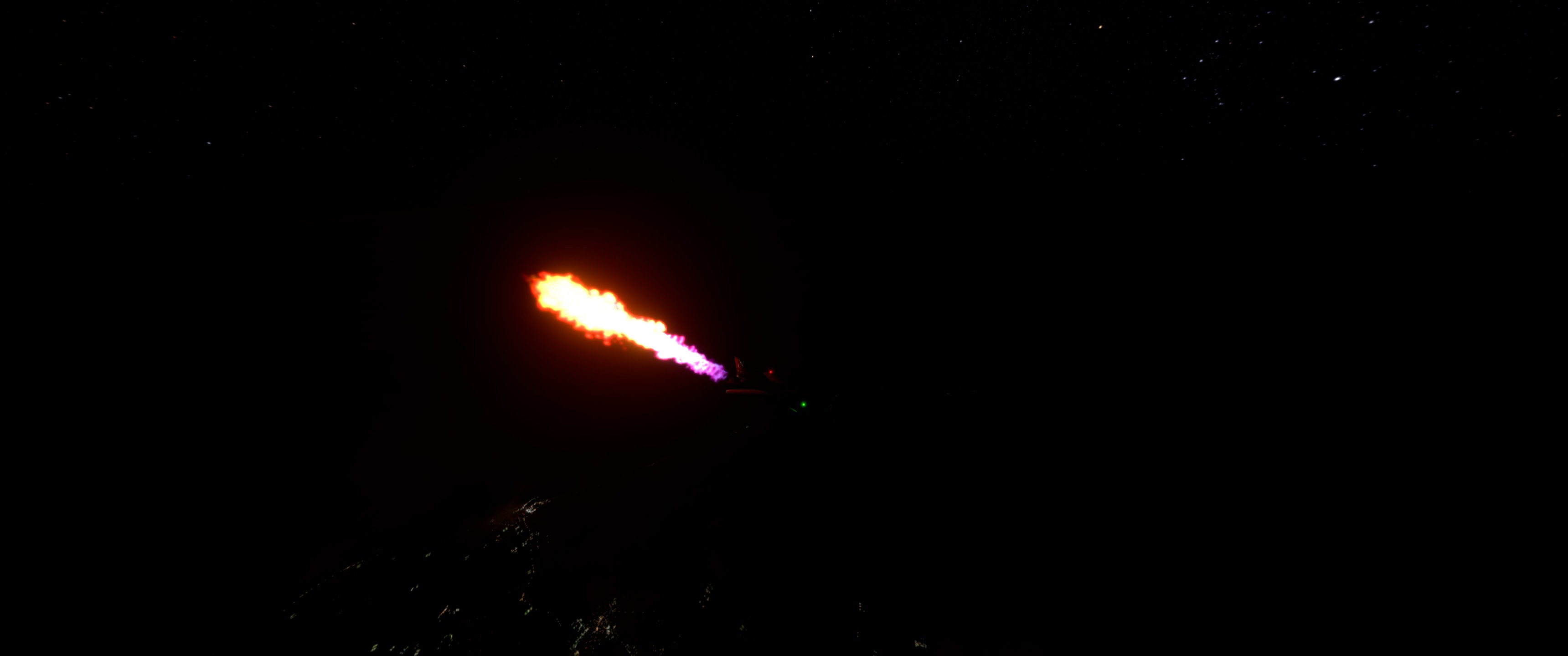
In short order, the Sun rose above the horizon…with a little help from Pratt and Whitney…to reveal the Chari River off our right wing.

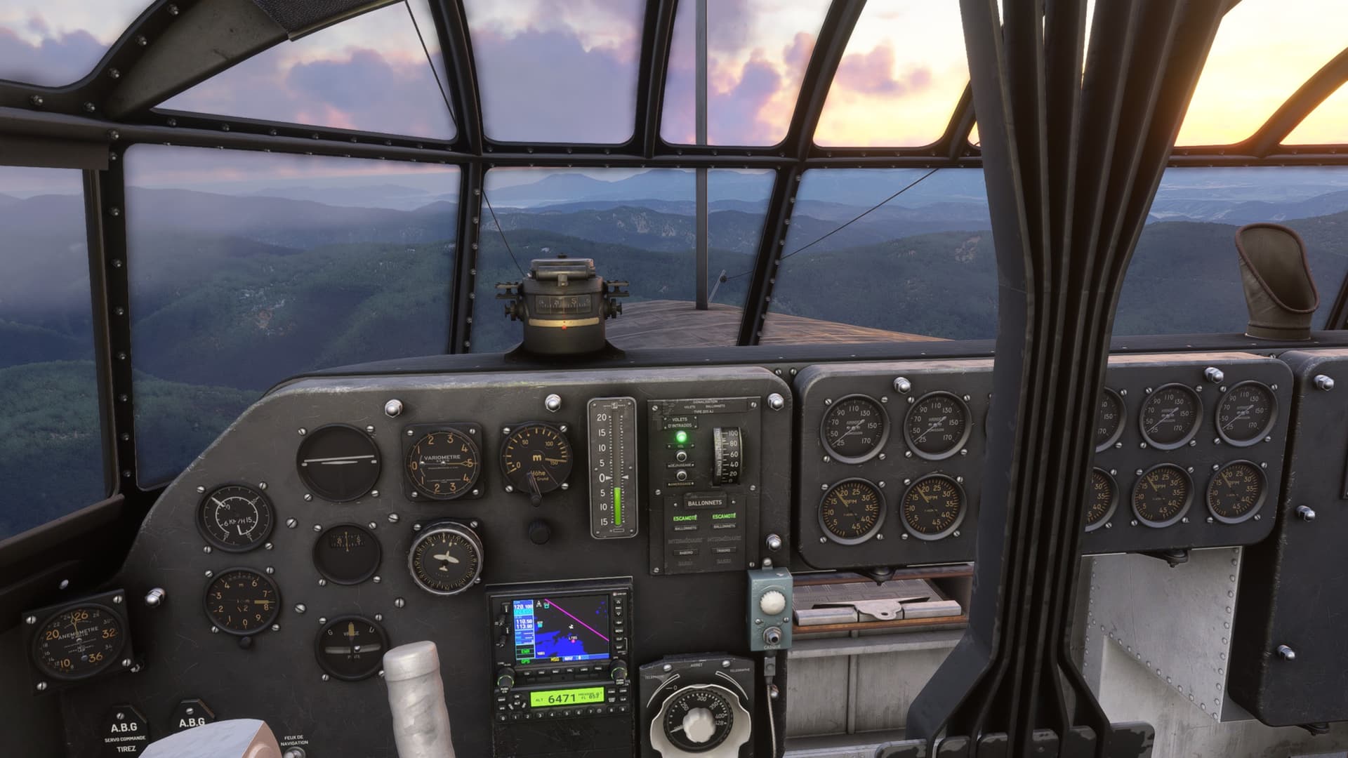
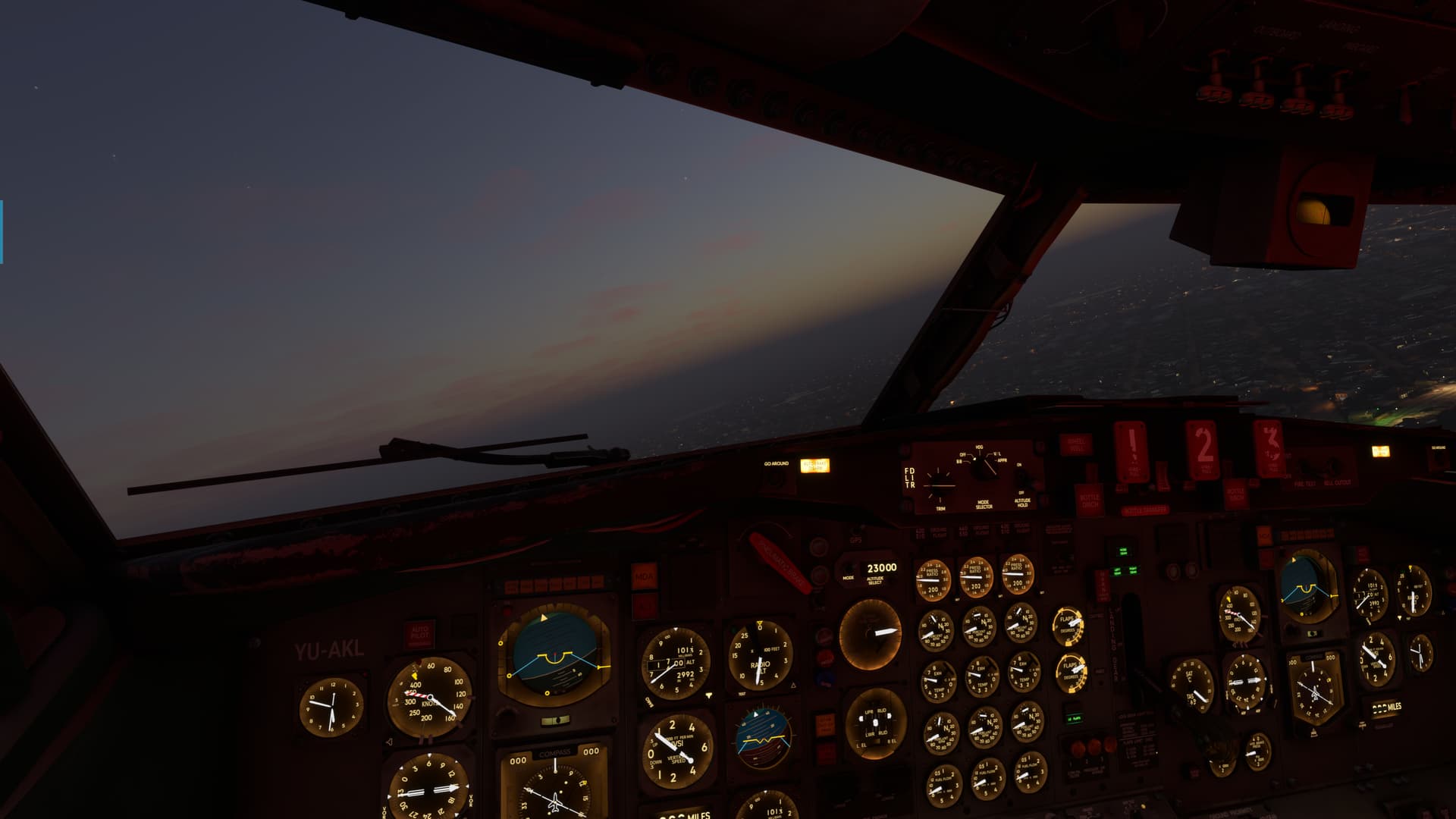
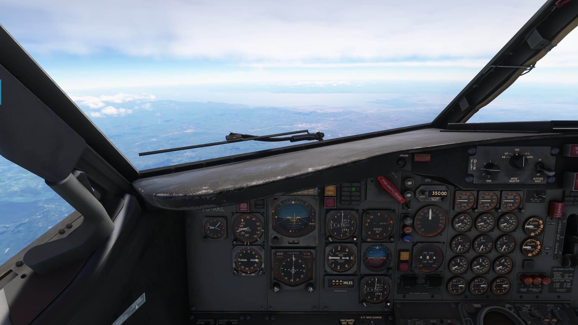
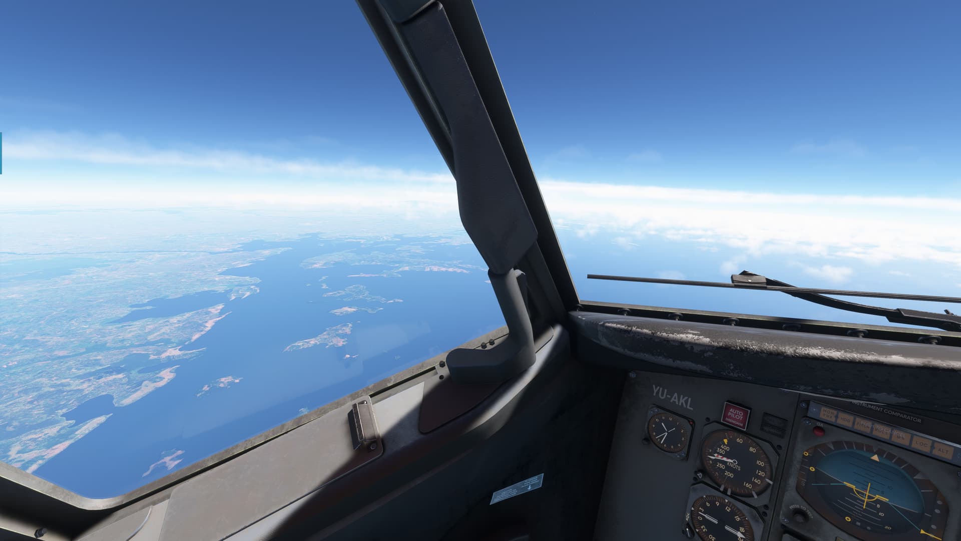
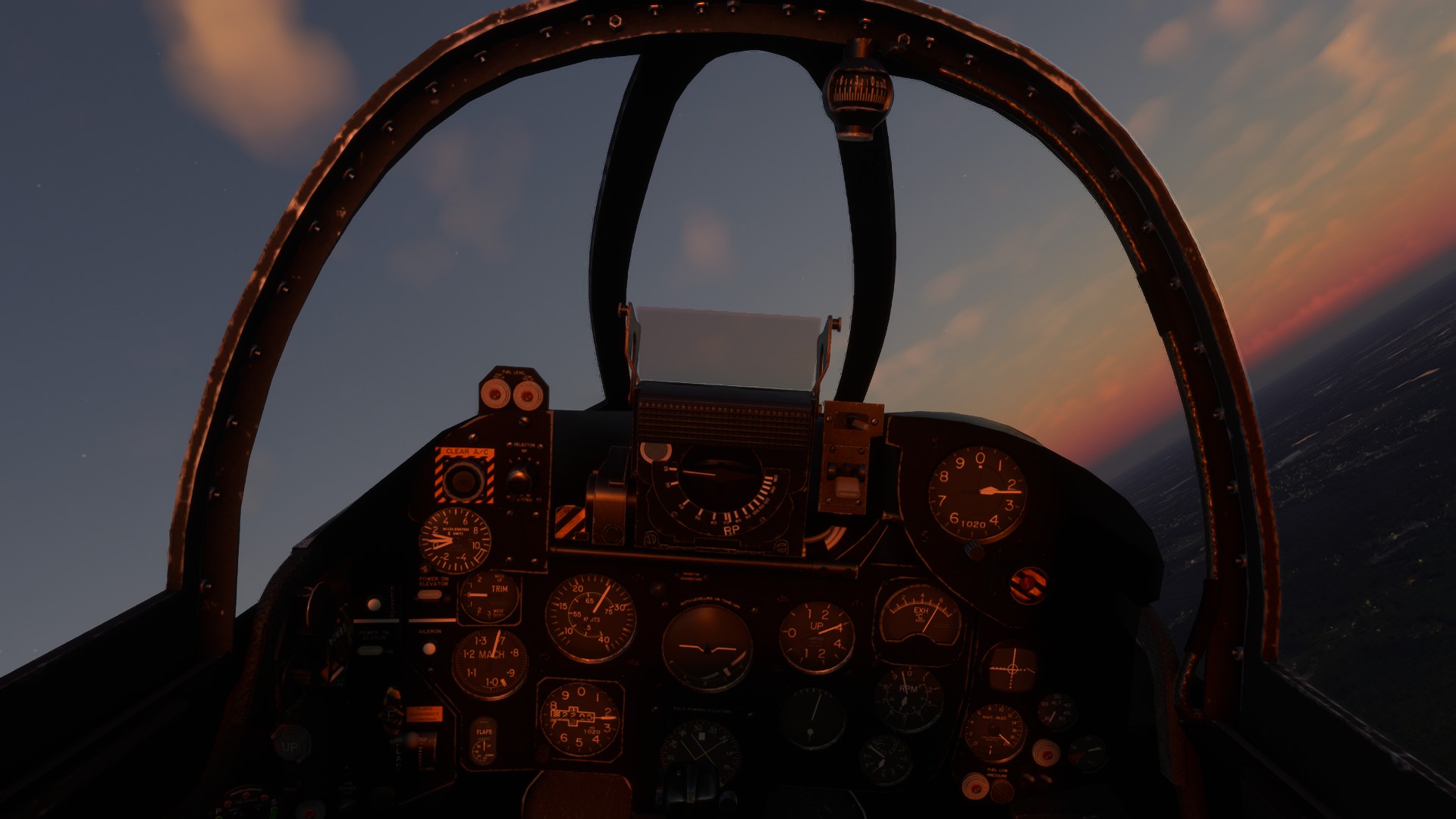
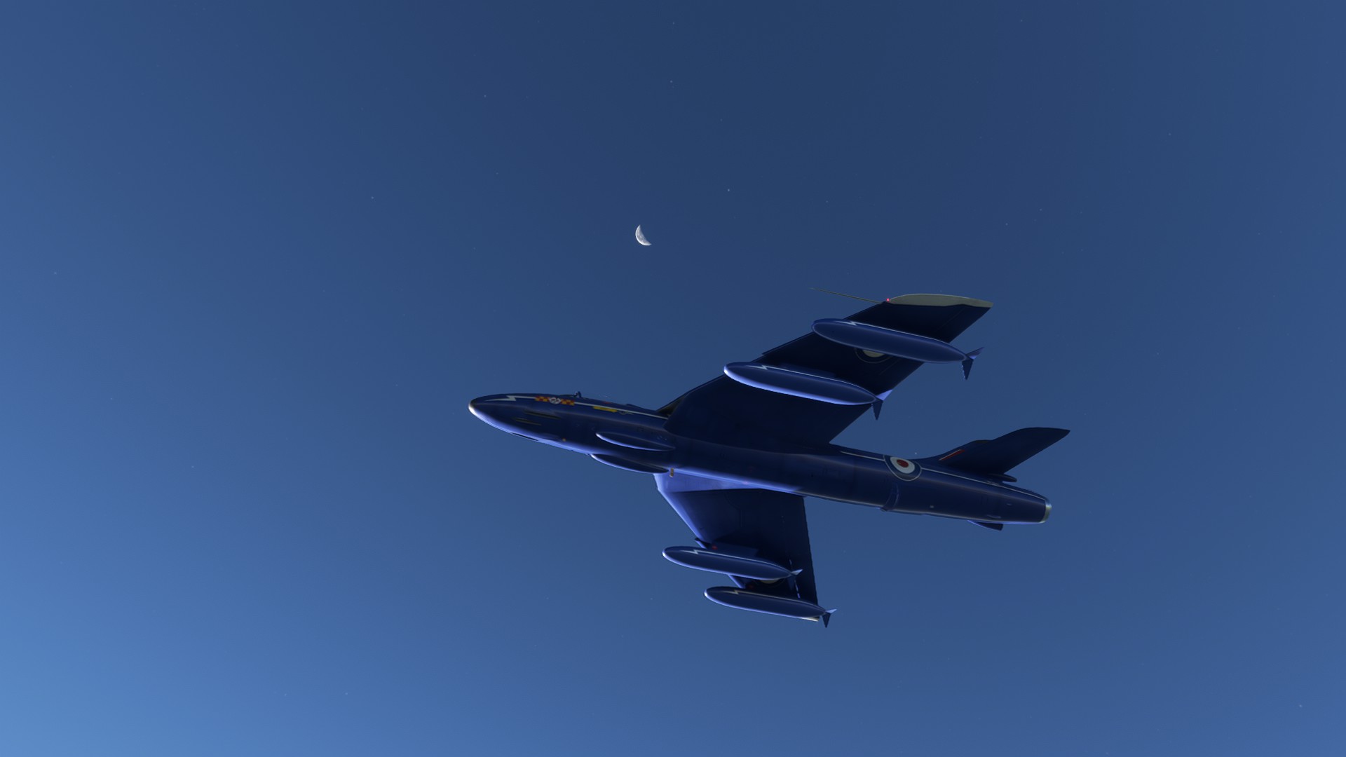
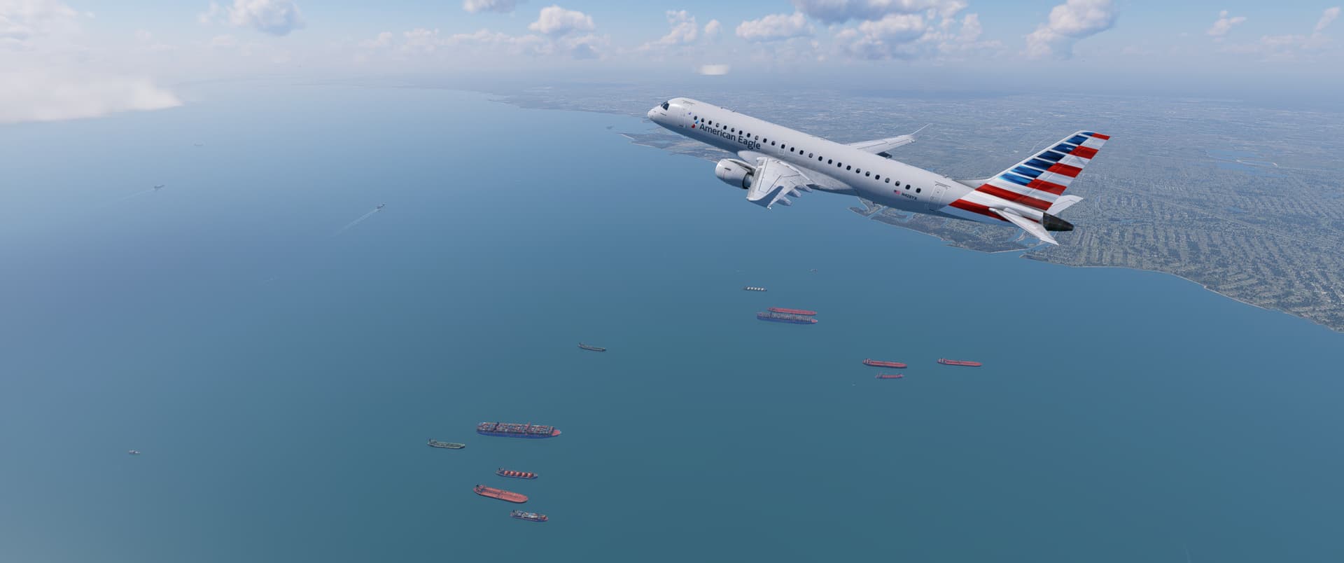
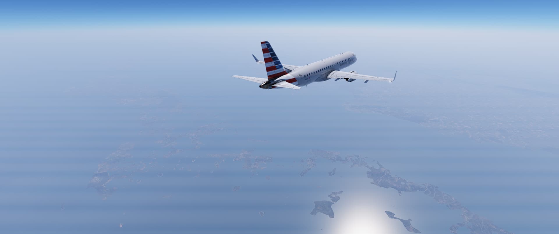
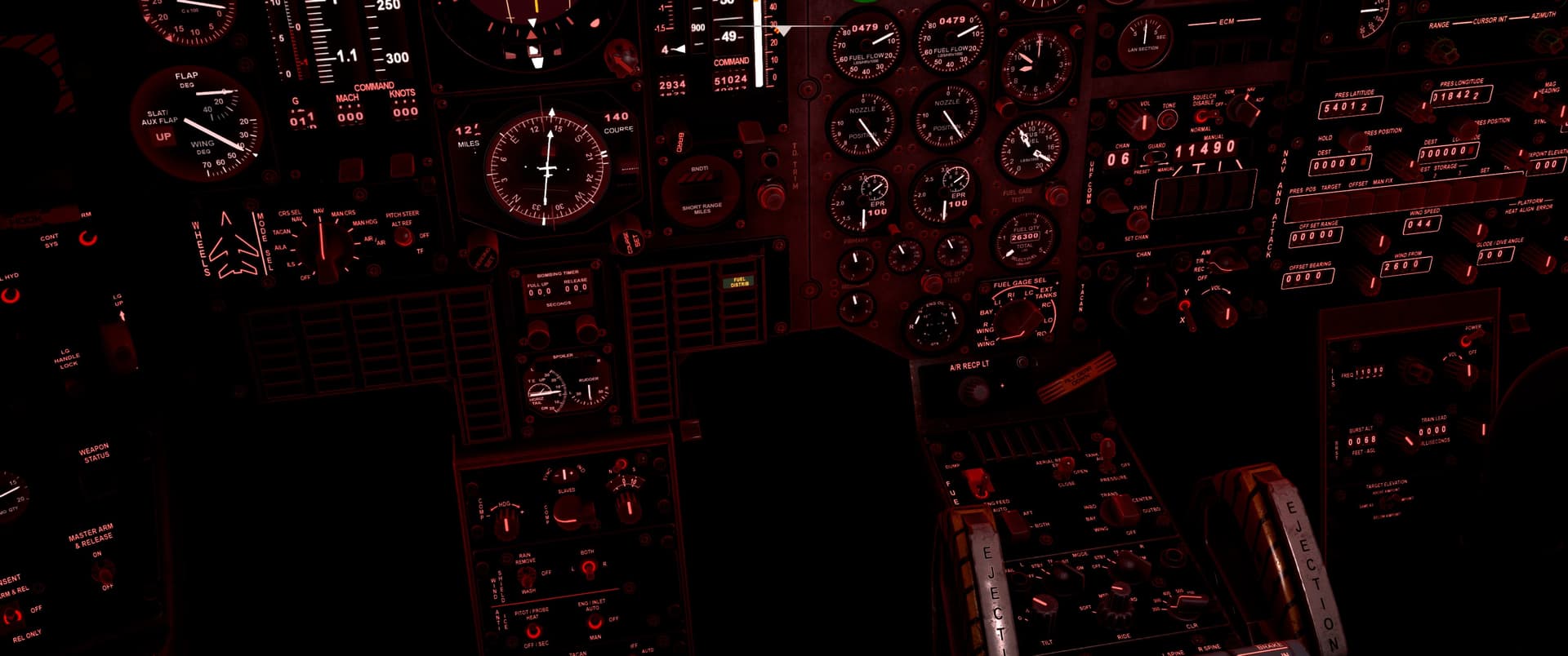
And soon we were up to our cruising altitude of 35,000ft. Looks like it should be a smooth ride, so I’m going to turn off the fasten seat belt sign. I would like to ask you however to keep those seat belts loosely fastened about you when you are not up and about in the cabin as there is always the possibility of some unexpected bumps along the way. This is 1960 however, so feel free to smoke like a chimney if you so desire!

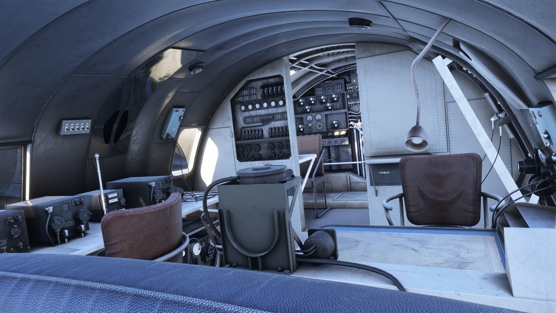
Now, to ring the back and get a little cuppa’ Jet A…

833c4d4c-778c-441f-b30d-58bb20c8d859_text-3629327877

Ah well…

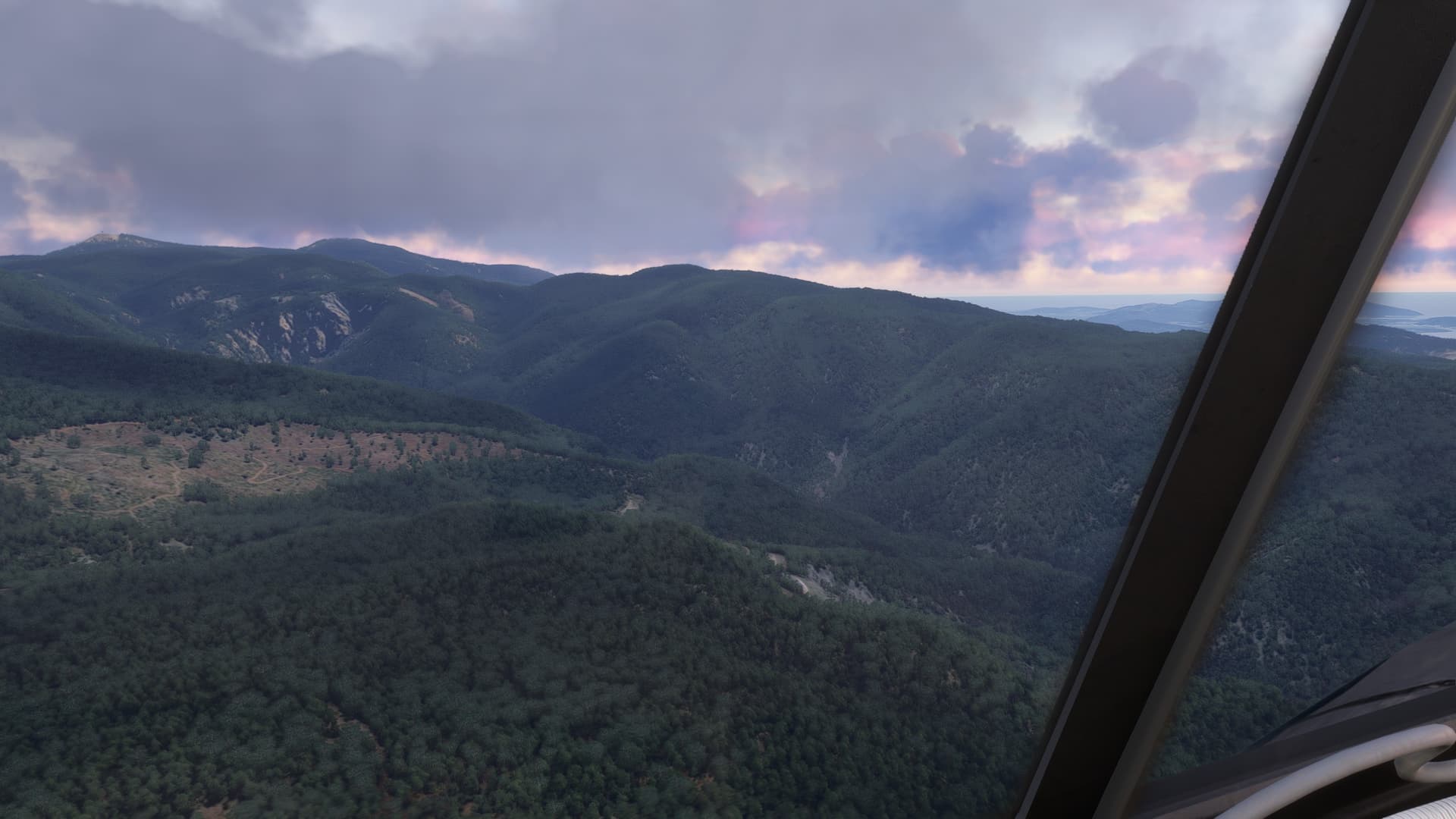
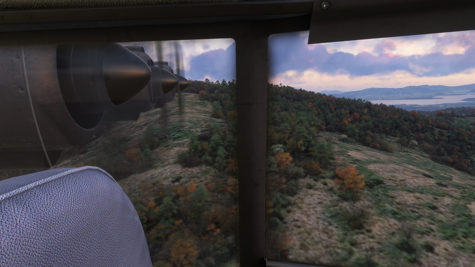
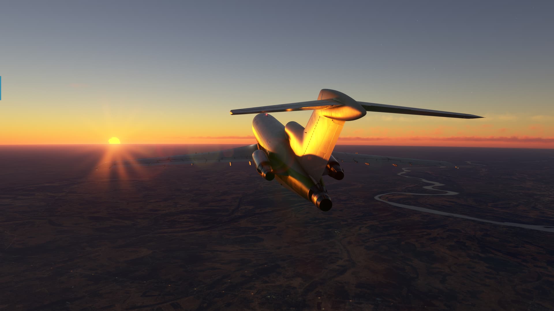
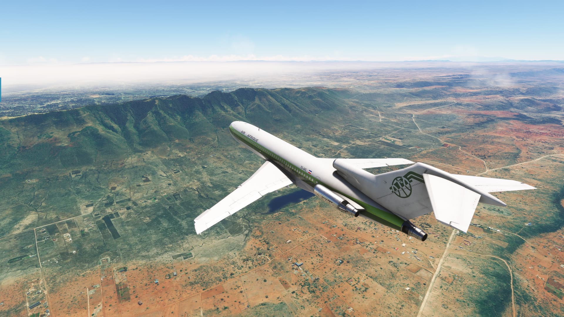
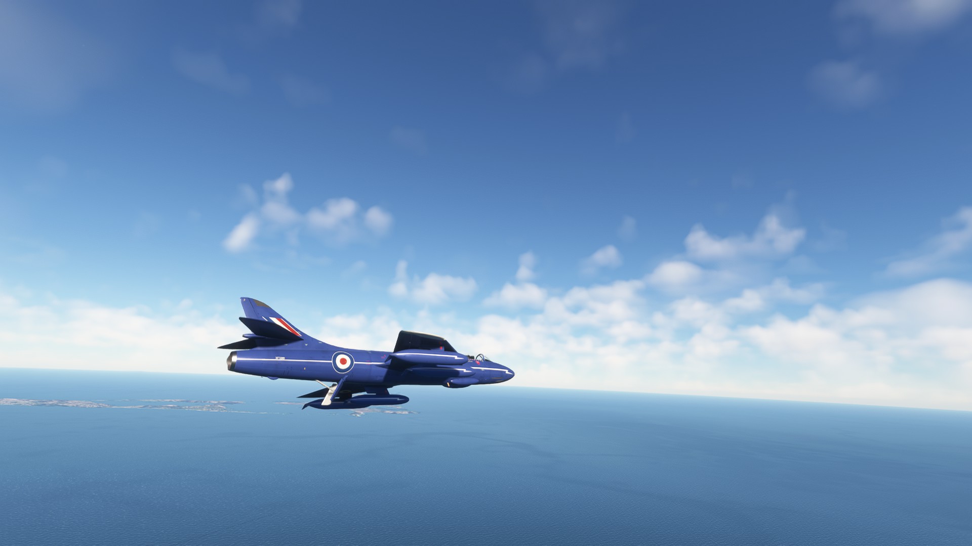
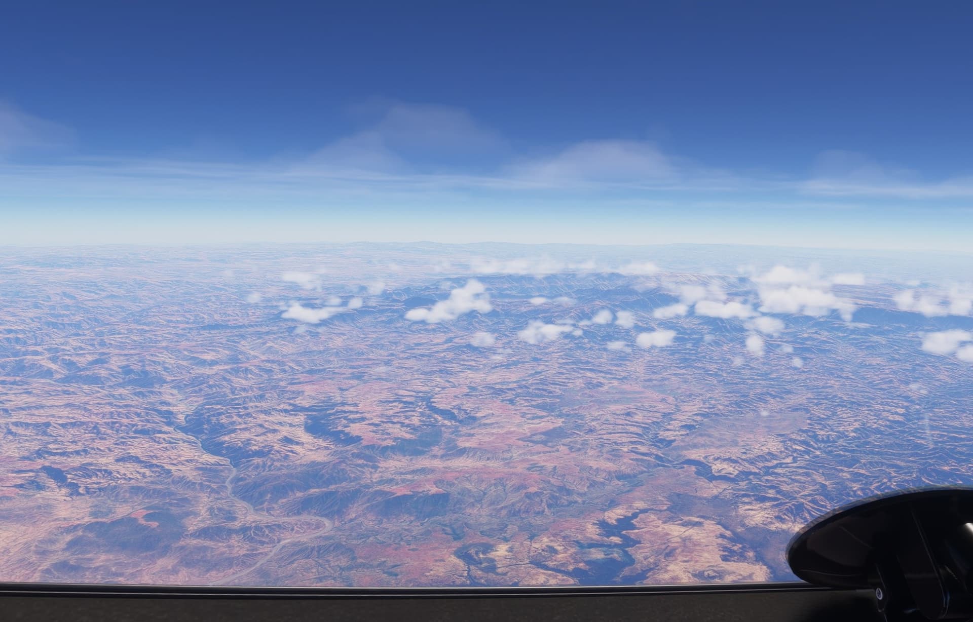
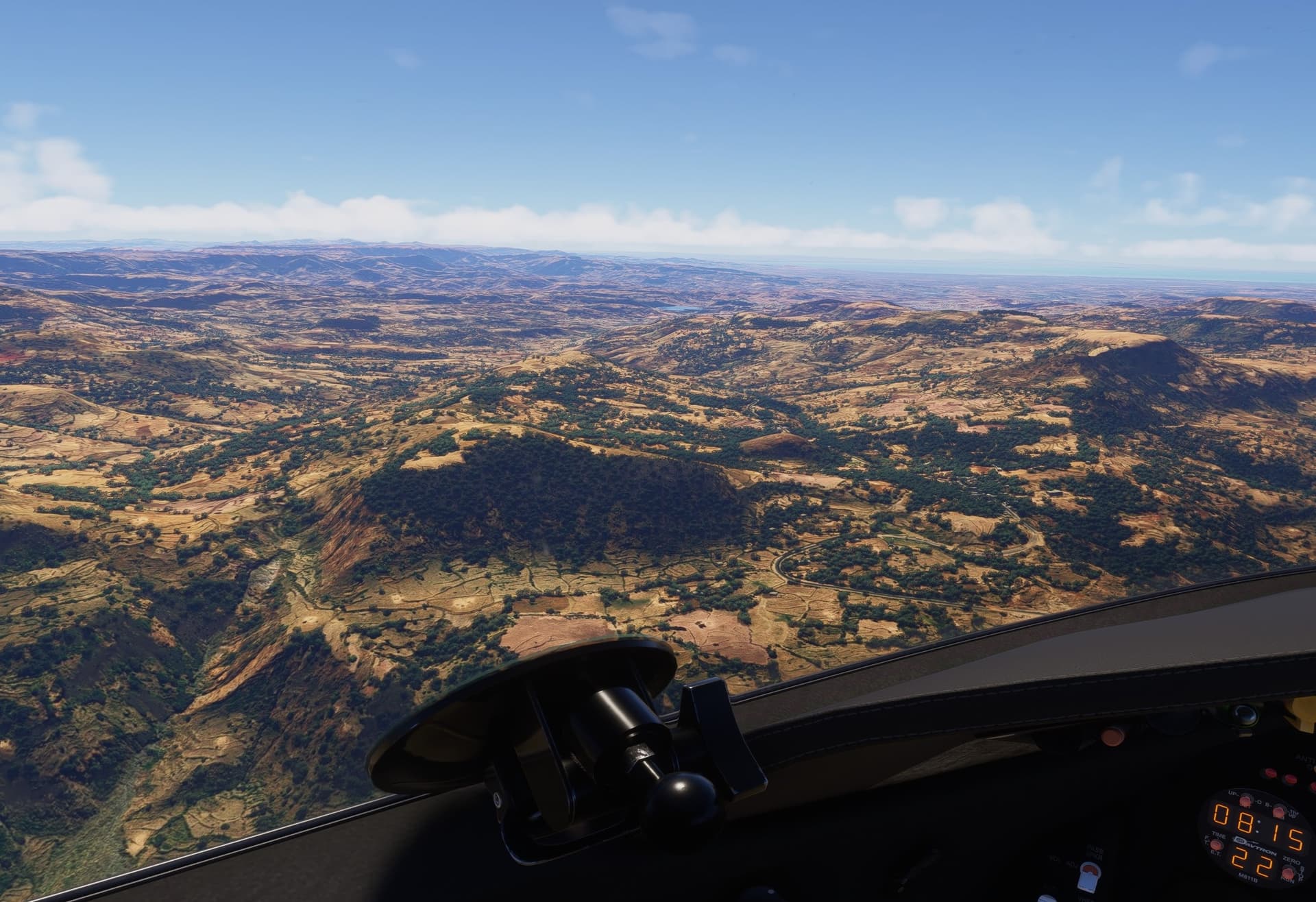
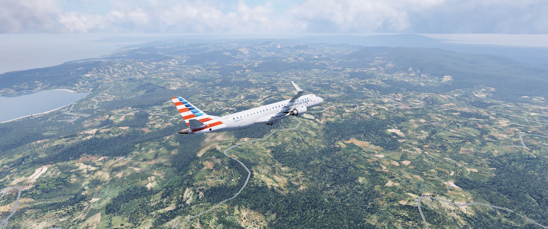
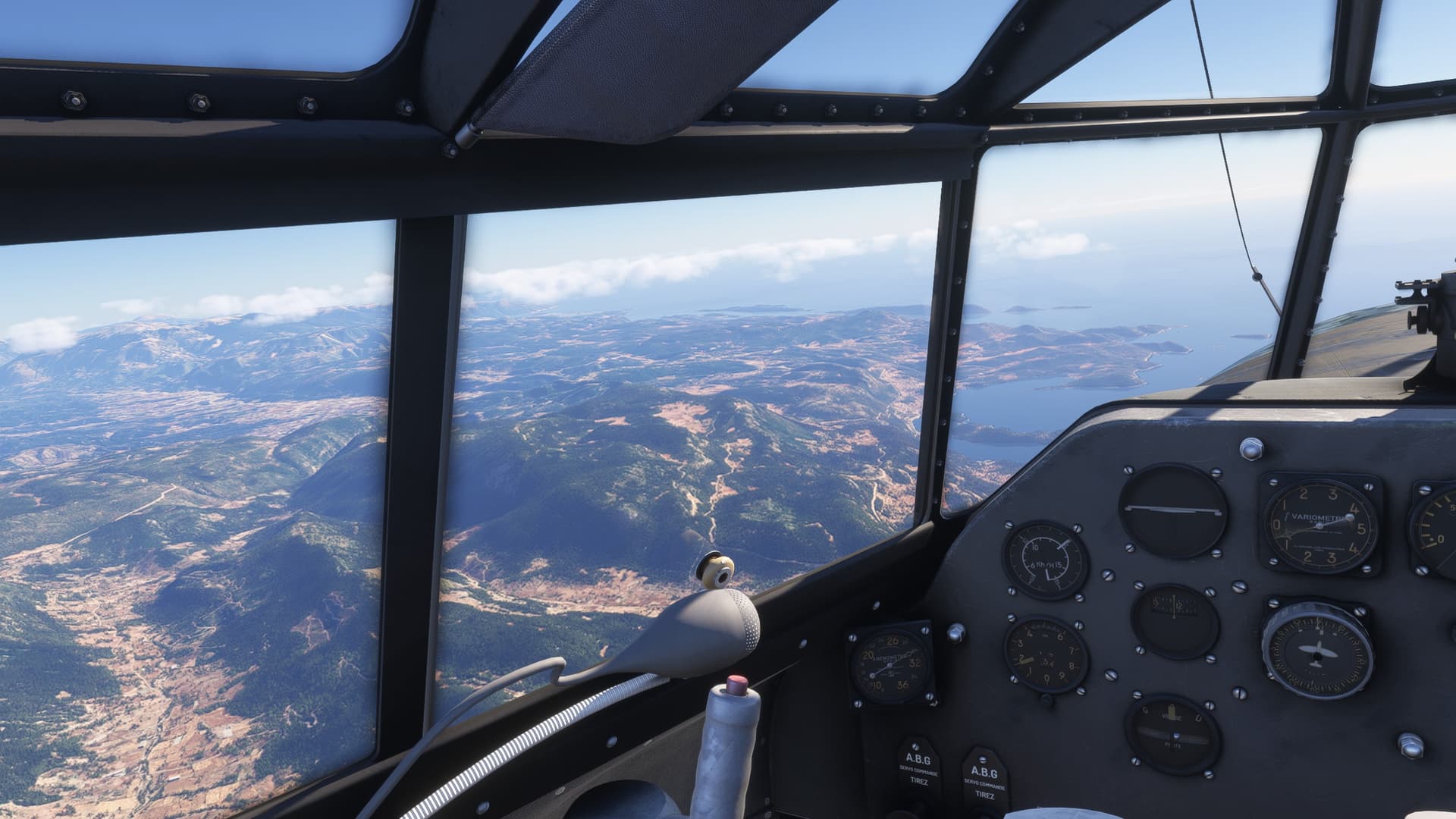
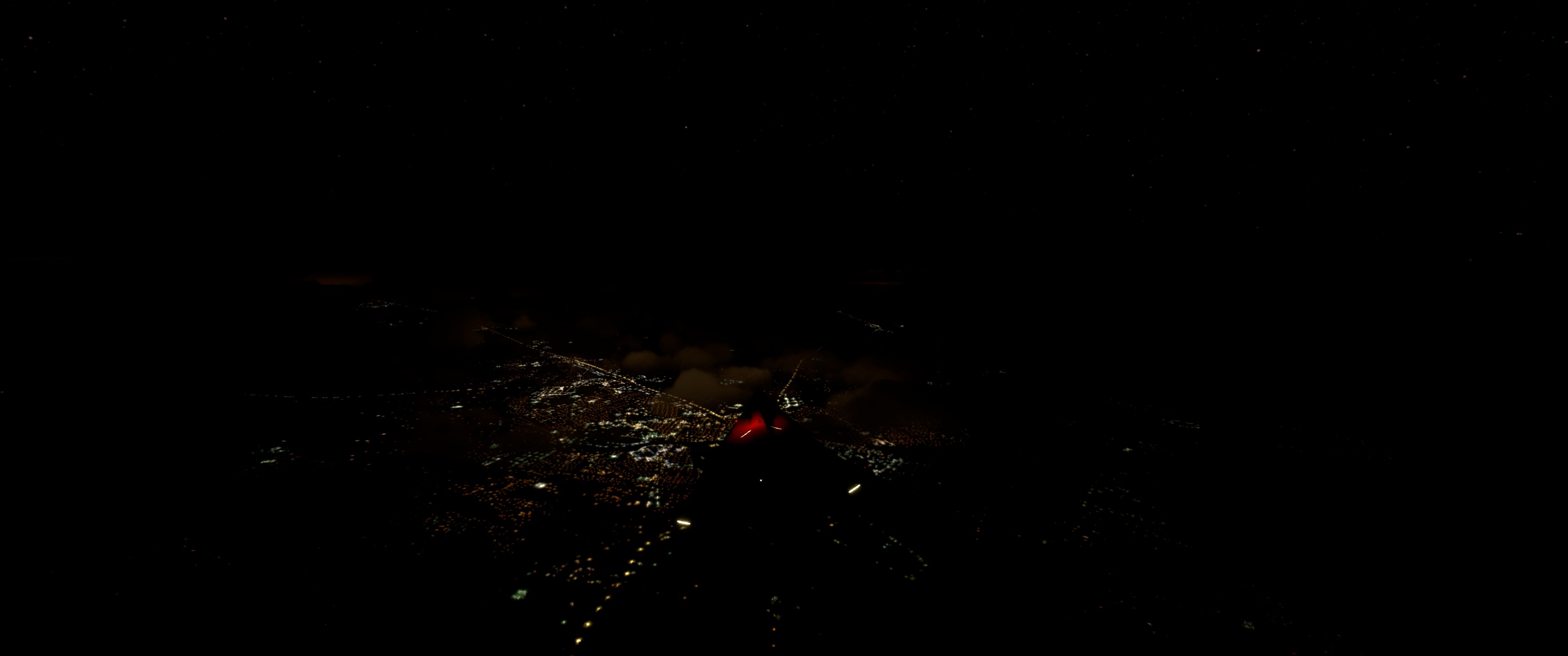
Overall, the flight was pretty uneventful. The countryside over Chad, the Central African Republic and the Congo was serene and bucolic, but nowhere near as visually interesting as the richly hued landscape farther west.

Even my inflight reprogramming of the CIVA went off without a hitch. The waypoints cycling from 9 back to 1 as advertised and without sending me off in the direction of BFE (roughly 030 in this case :wink:) as a consequence.

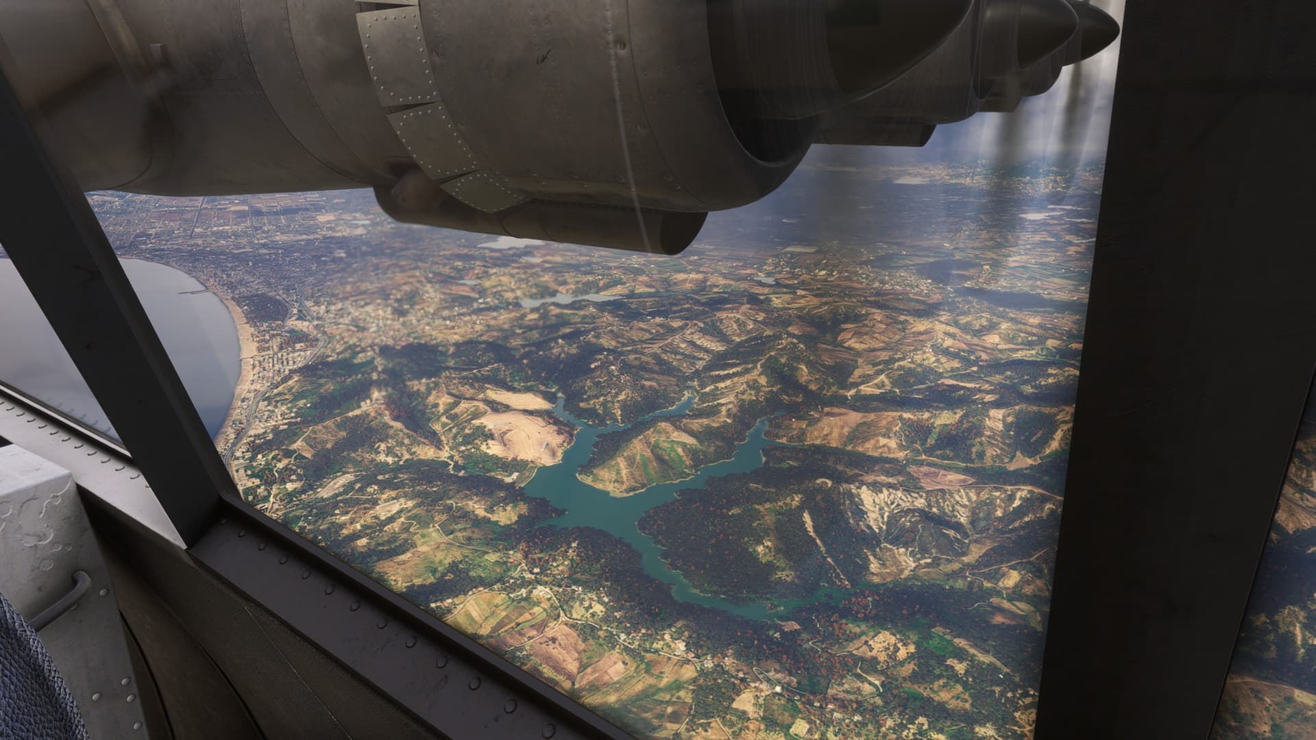
I had entertained the idea of performing a VOR/DME update somewhere along the line but, as it turned out, the drift appeared to be minimal just judging how closely I was passing to the few points that were visually identifiable by air. Here, I fly almost right over the field at Isiro.

Besides, the procedure looked long and scary! :scream:

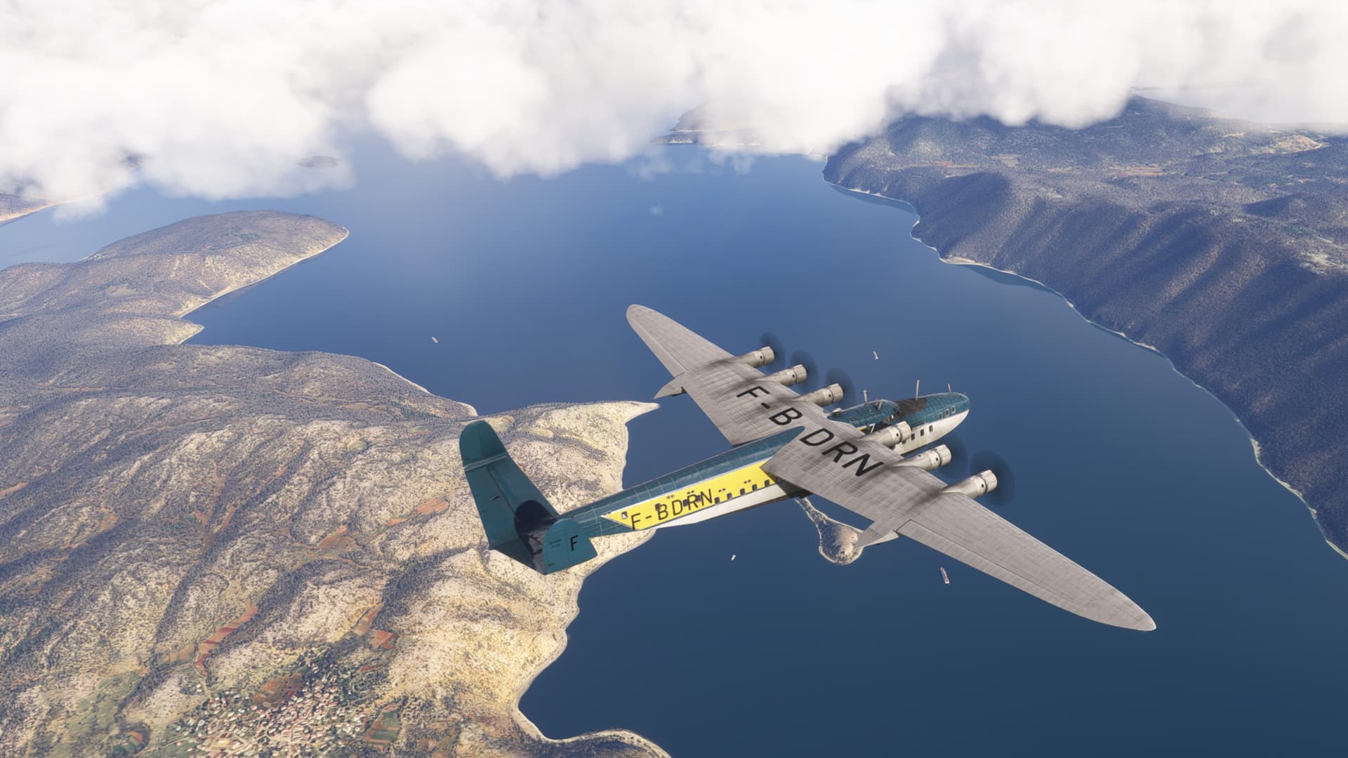
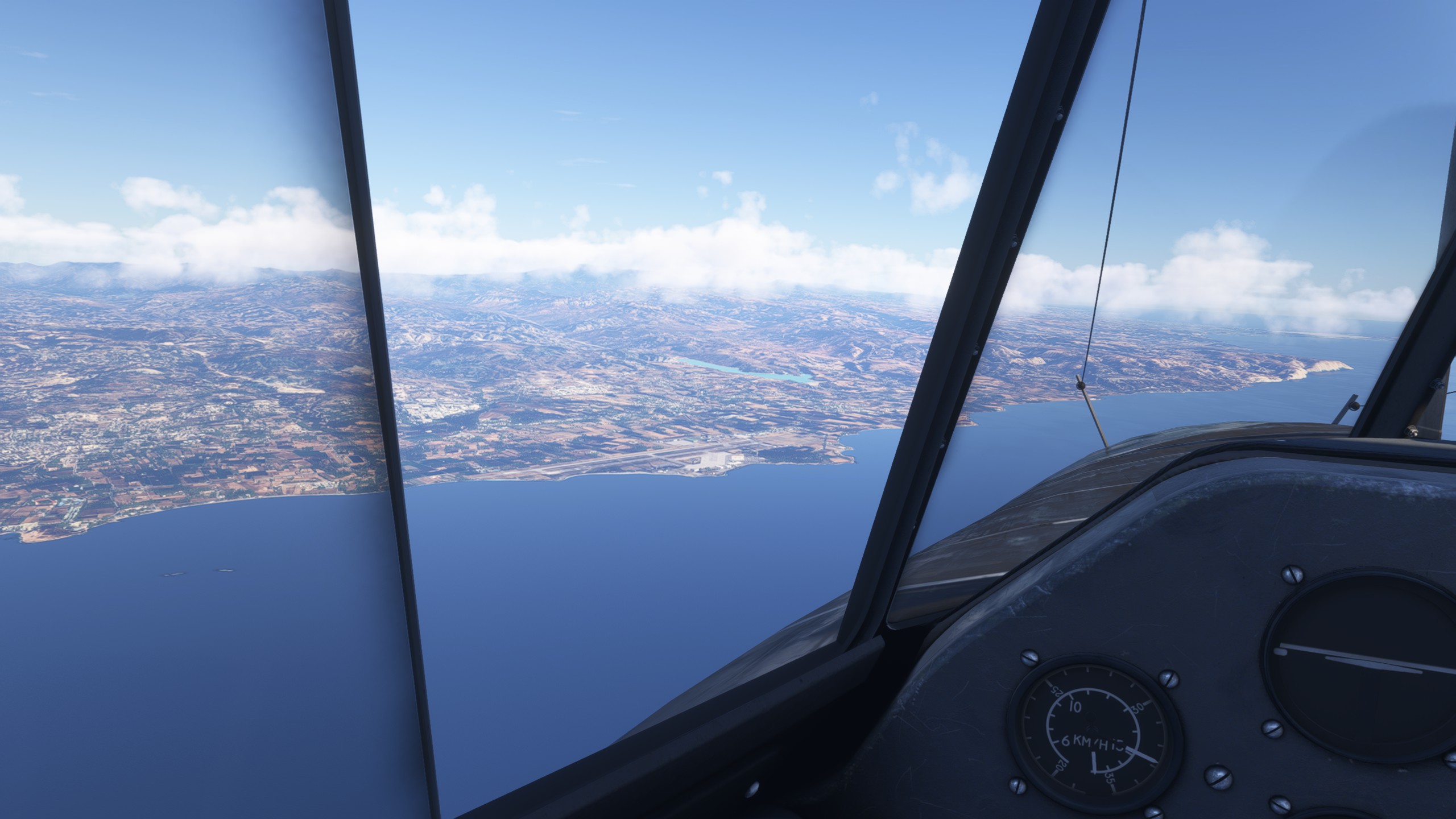
Before long, Lake Albert begins to take shape off the nose.

Quite the impressive sight, it is Africa’s sixth-largest lake and the second biggest of Uganda’s Great Lakes (Thaaaaaank you Wikipedia! :laughing:).

The Rwenzori mountain range (yep, had to look that one up too!) rises up to the south, apocryphally linked by European explorers with the legendary Mountains of the Moon, claimed by the Greek scholar Ptolemy as the source of the Nile.

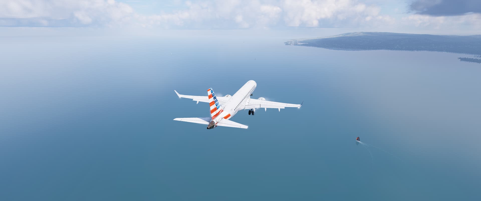
But Lake Albert paled in comparison to the splendor of Lake Victoria (he was only Prince Consort after all :wink:)

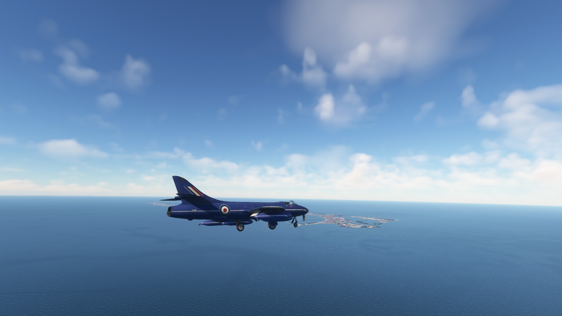
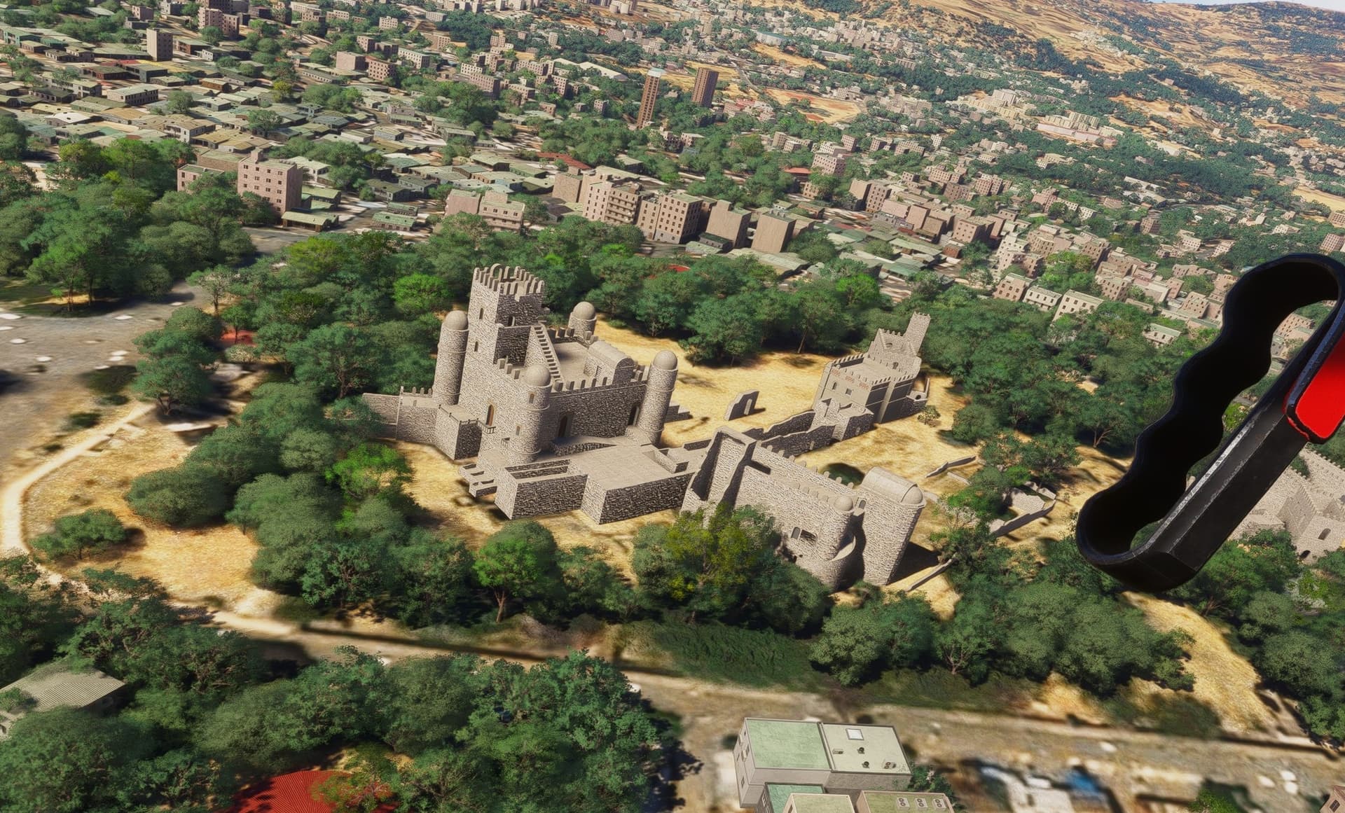
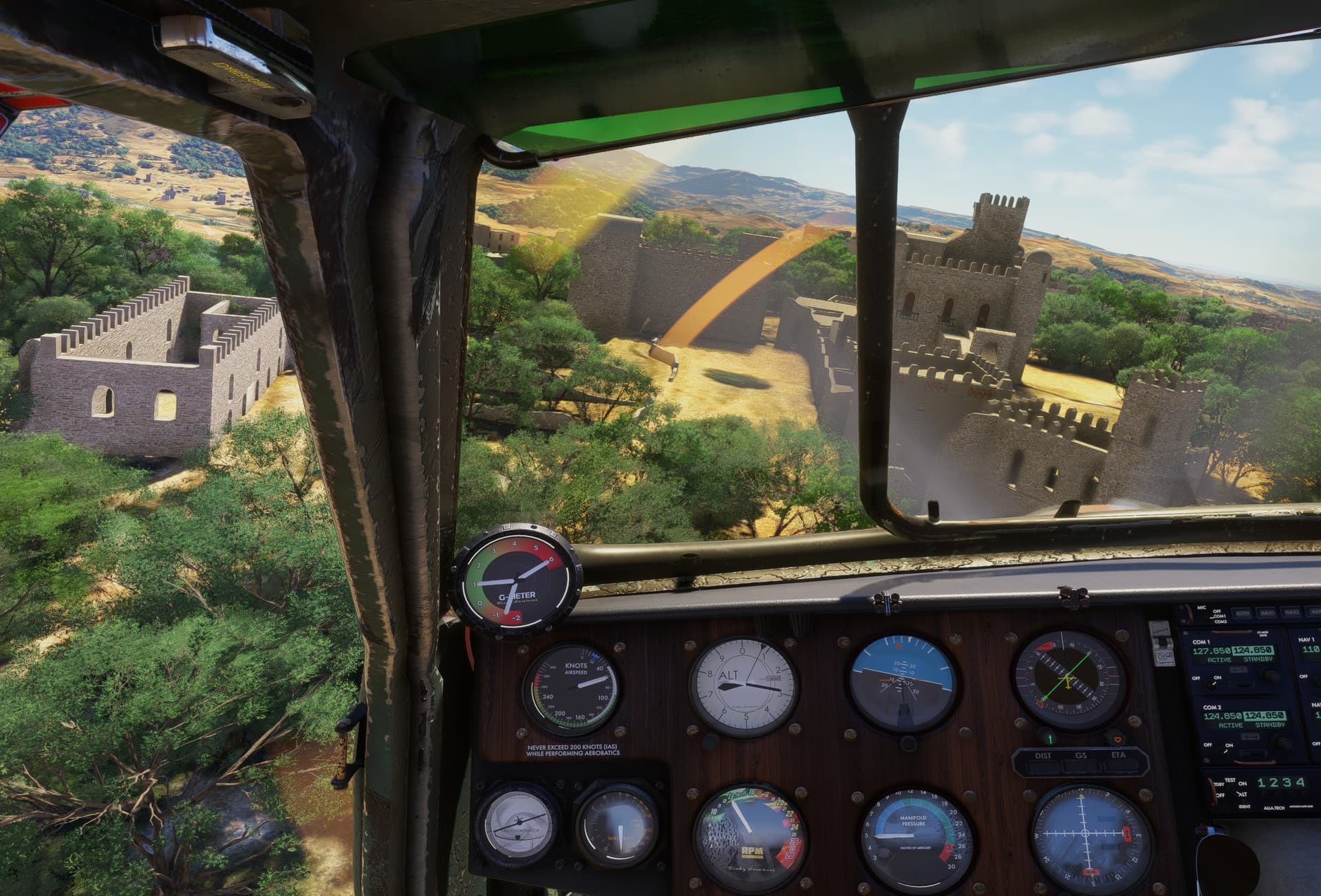
In the transit of which I passed over the field at Entebbe, site of the famous 1976 raid.

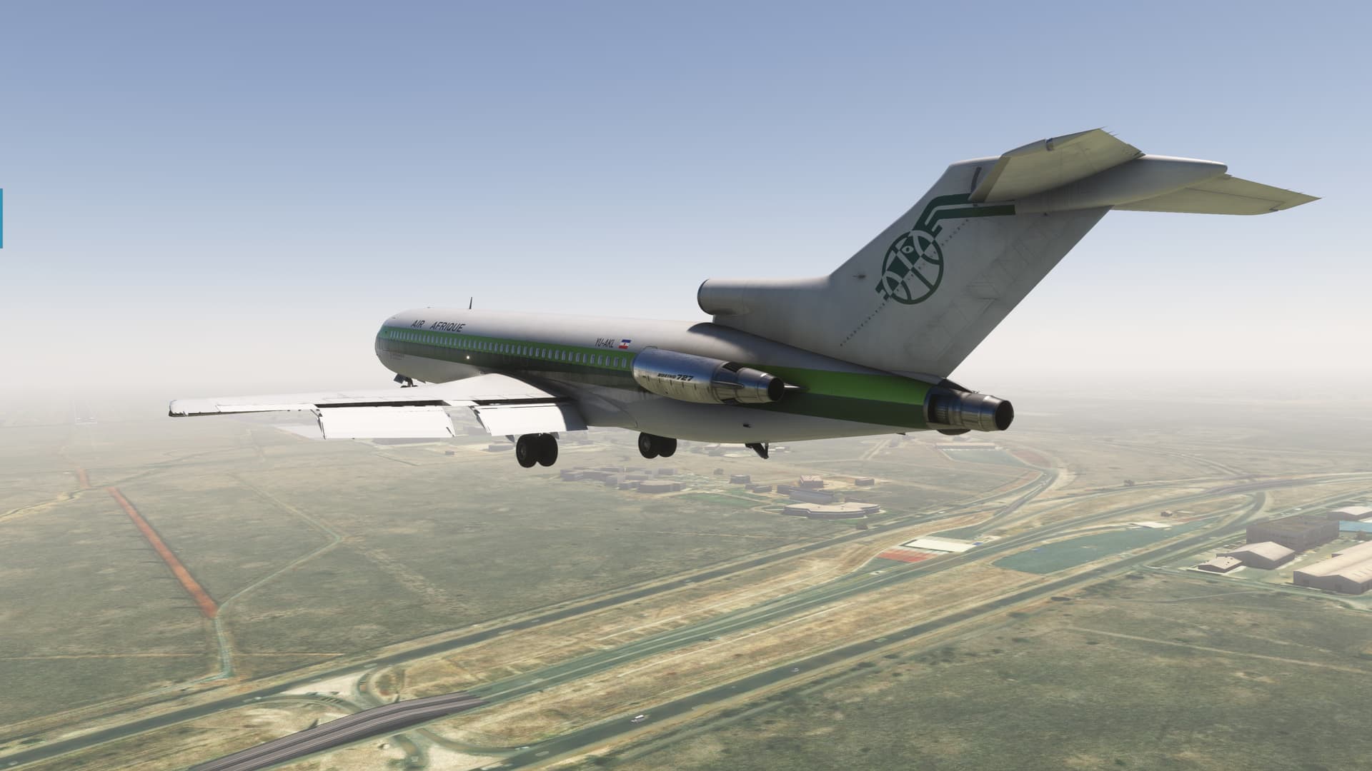
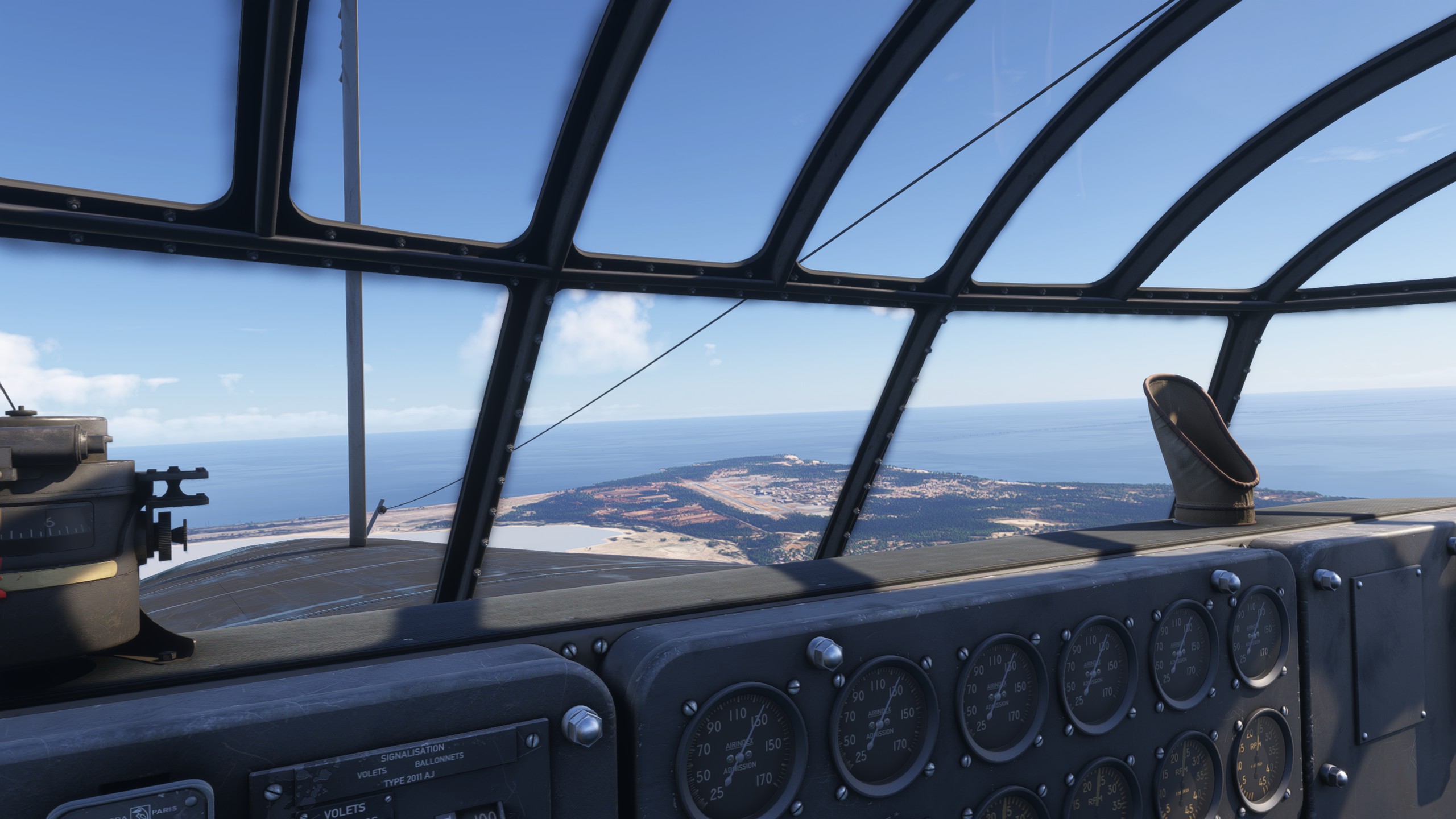
Shortly thereafter, it was time to start thinking about letting down.

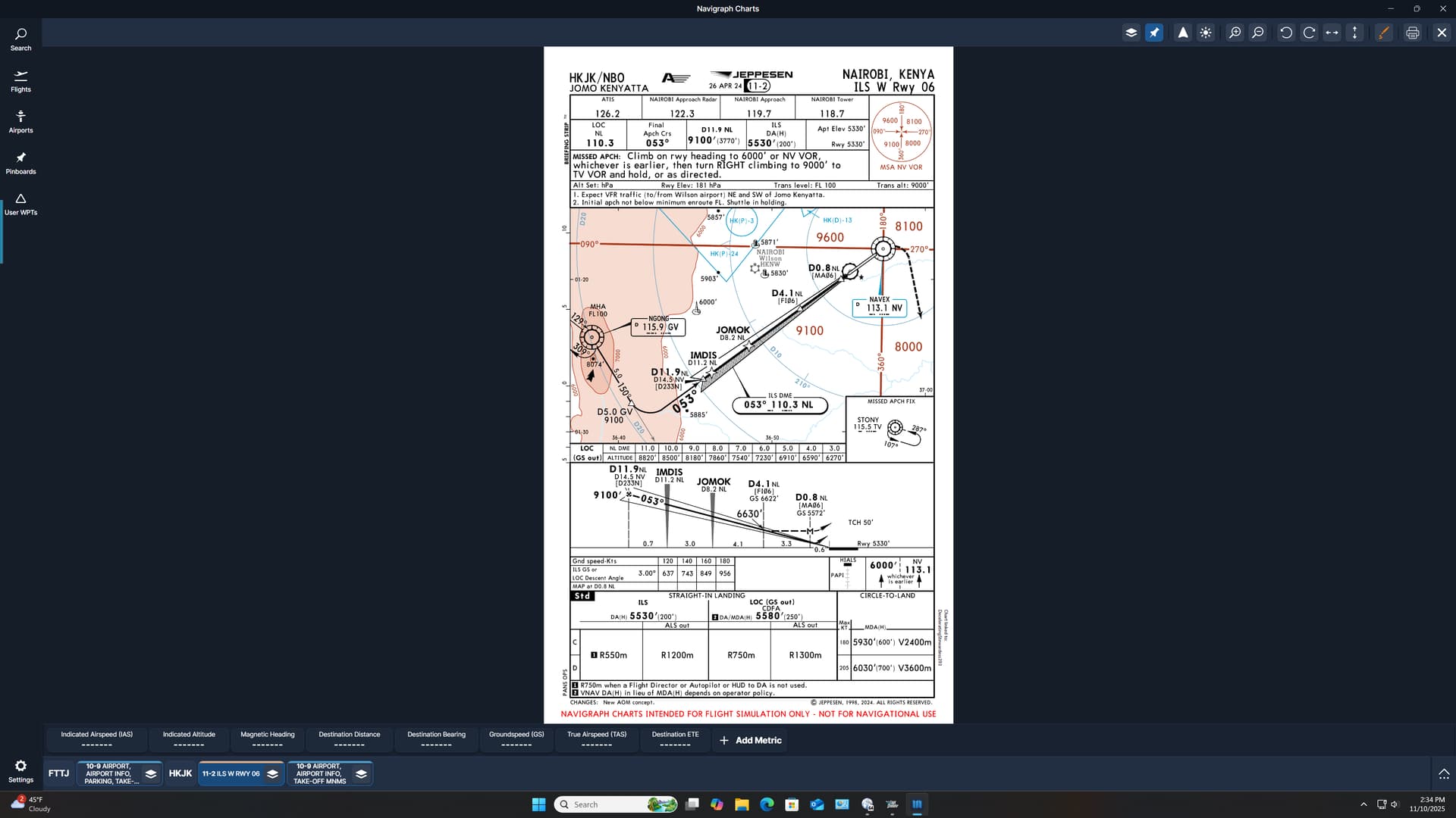
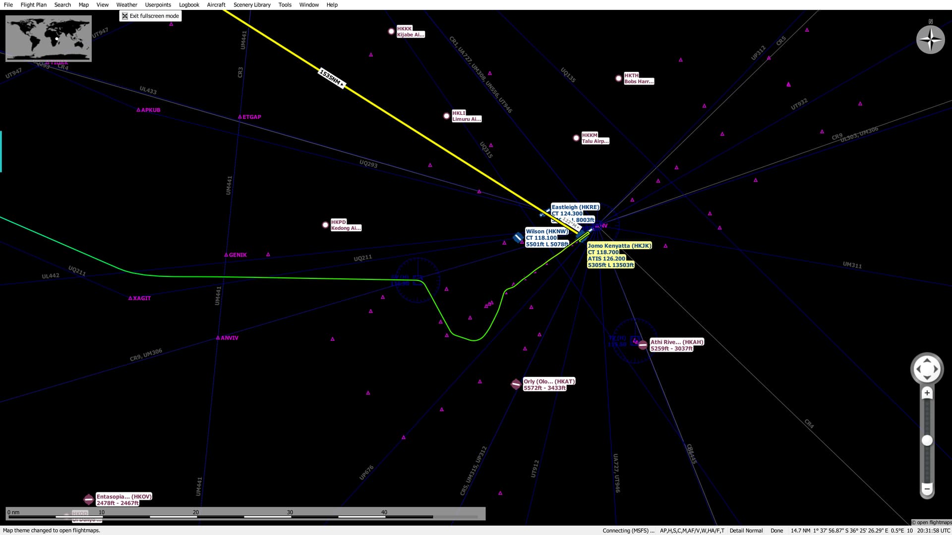
I had my pick of ILSes into Nairobi…and so I chose the ILS W Rwy 06.

you-choose-poorly-924d597de6-79260271

Huh, you don’t say?

As it would turn out, Spinach Chin here was spot on. :point_up_2:

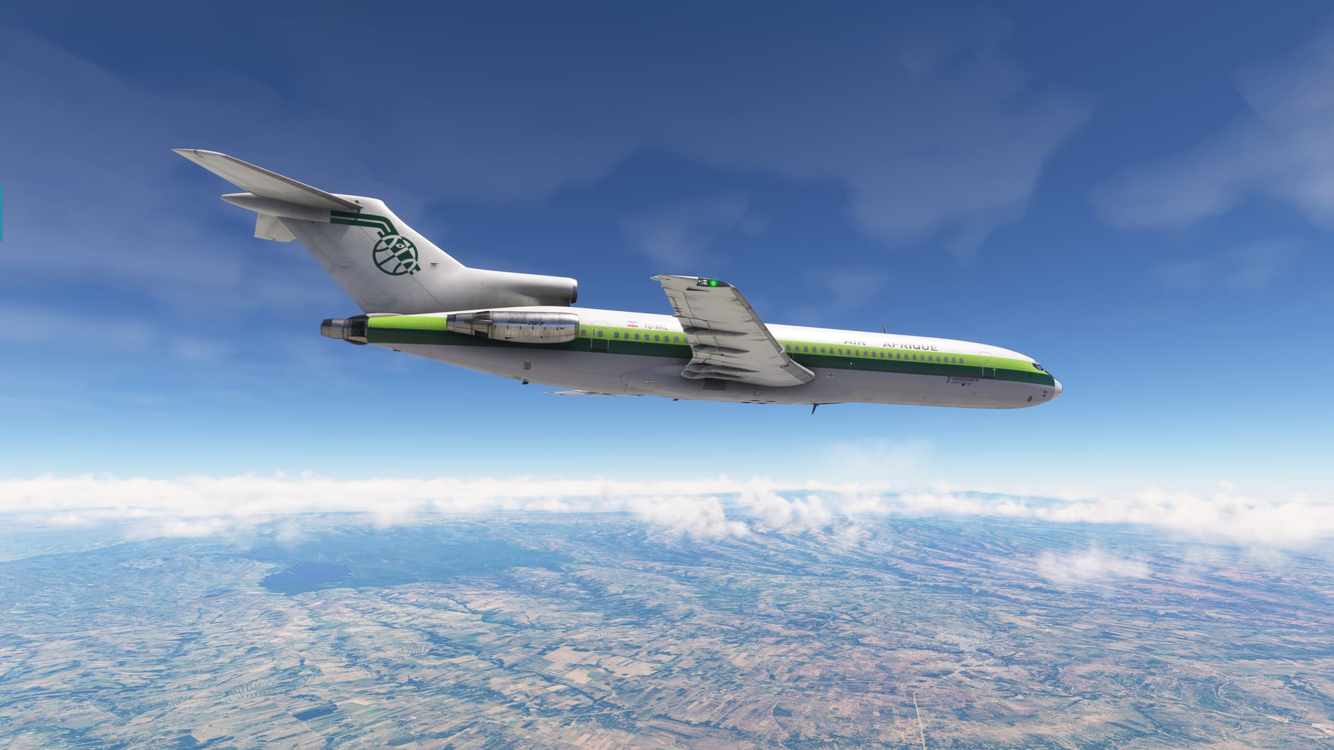
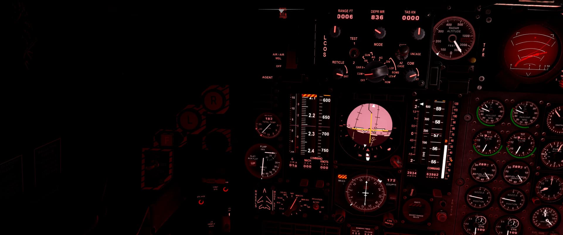
Of course, the huge turn onto final from GV wasn’t lost on me…especially in the wake of the George’s previous inability to even manage a 60 degree intercept. But I figured, what the Hell, let’s give it a try. Maybe with a little more modest speed and a few flaps the jet might just hack the turn.

I started down a little early this time, not wanting a repeat of my previous performance…particularly since I didn’t want to go raging around base turn like an SR-71.

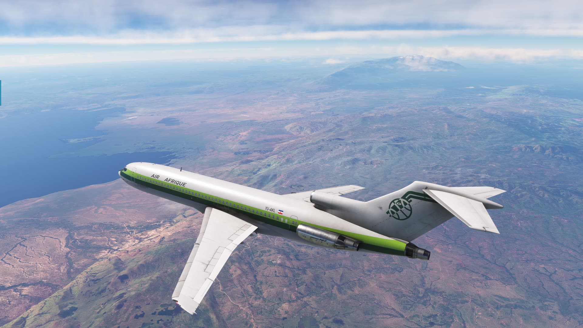
But I did need to be just a bit judicious as the MEA on the last route segment was nearly 25,000ft! Even the IAF was over an 8,000ft mountain.

This mountain in fact.

Of course, filed under the heading of being too smart by half, I chose exactly the wrong time to ask the Auto Flight Engineer to do the approach checklist. He set the local altimeter just as I was trying to level off at the IAF. :joy:
Luckily, it was VFR and I could see the mountains below us.

Regrettably, even down around 180kts with Flaps 5 the jet still blew right through the Localizer. It just couldn’t capture it early enough to manage the turn.

This wasn’t surprising exactly; I suspect that something with an FMS would have led the turn before the LOC even came off the case. But I was doing this the old fashioned way.

Alternatively, I guess I could have also begun a turn at the 5.0 DME fix off GV in anticipation. But I did kinda want to see what the autopilot was capable of.

And it didn’t disappoint…in disappointing.:wink:

That being the case, I once again had to do some more of that pilot stuff to try to salvage the approach.

And that wasn’t optional either! Despite being technically VMC, the field was all but invisible in the haze and dust.

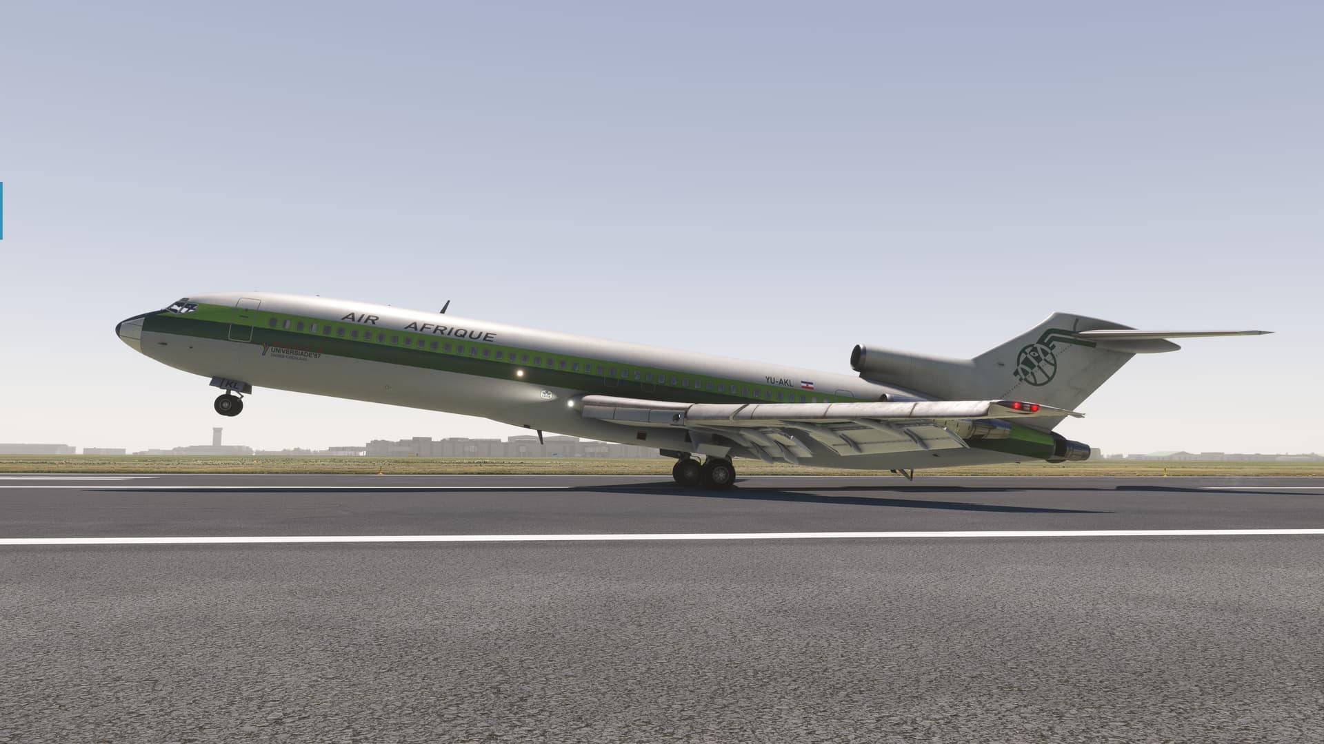
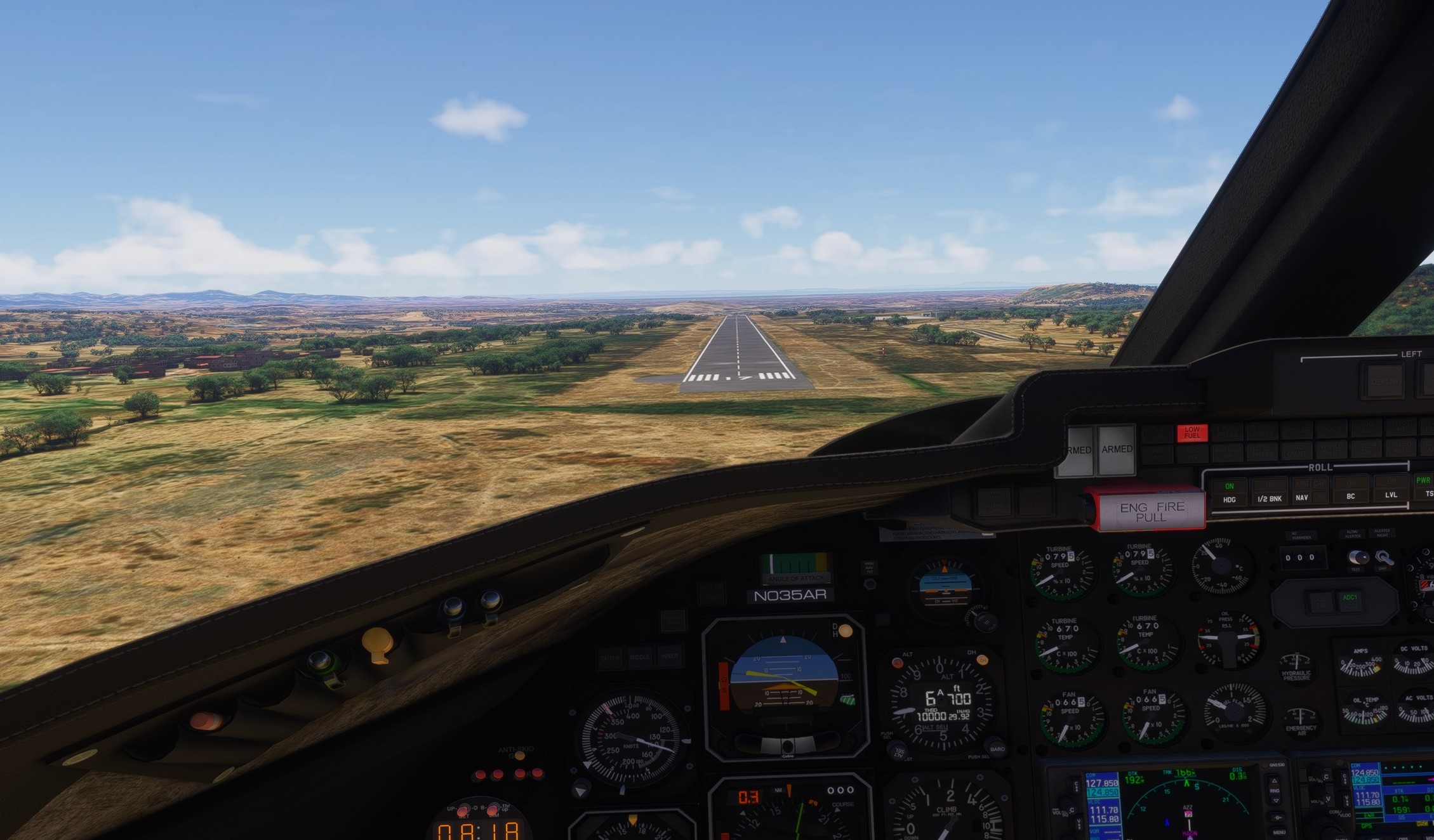
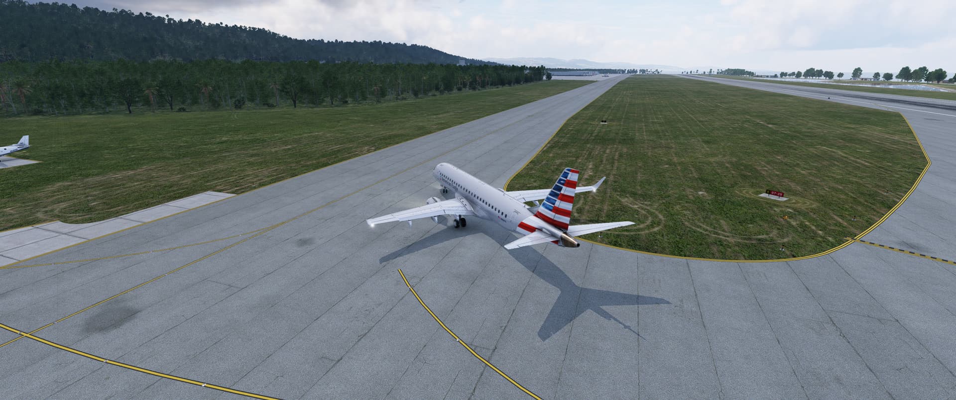
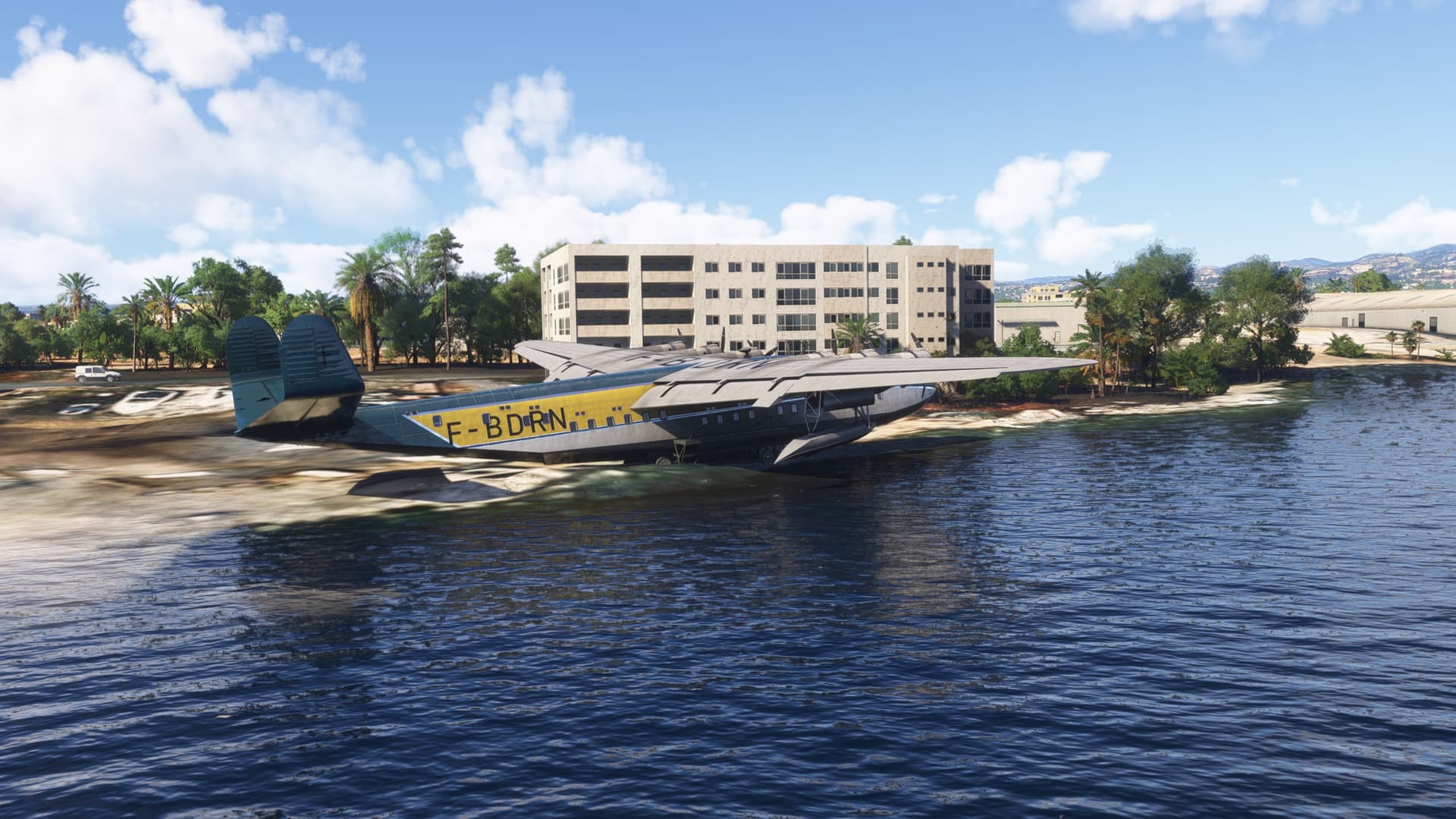
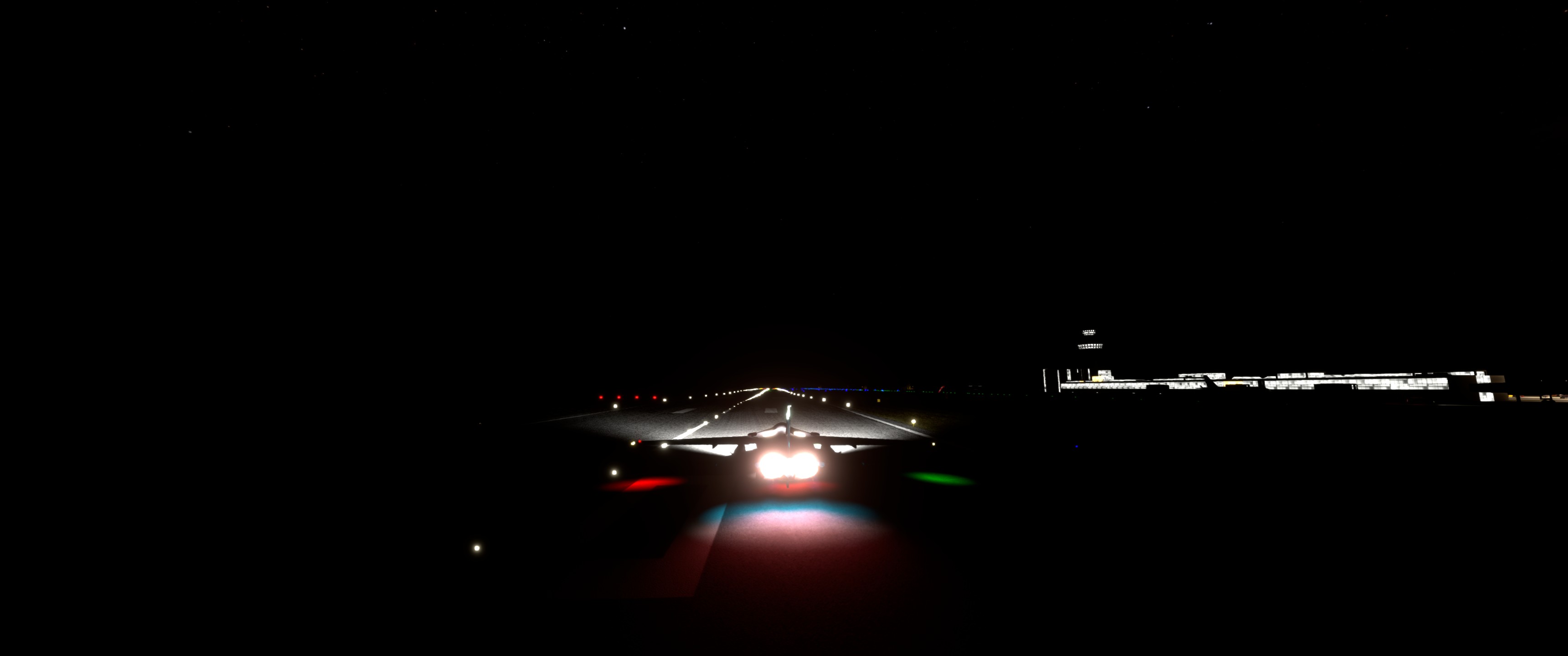
Eventually, I got her settled down by 1000ft and made my smoothest touchdown in the 72 yet…

…though I hadn’t exactly set the bar unfathomably high up to this point! :rofl: :rofl: :rofl:

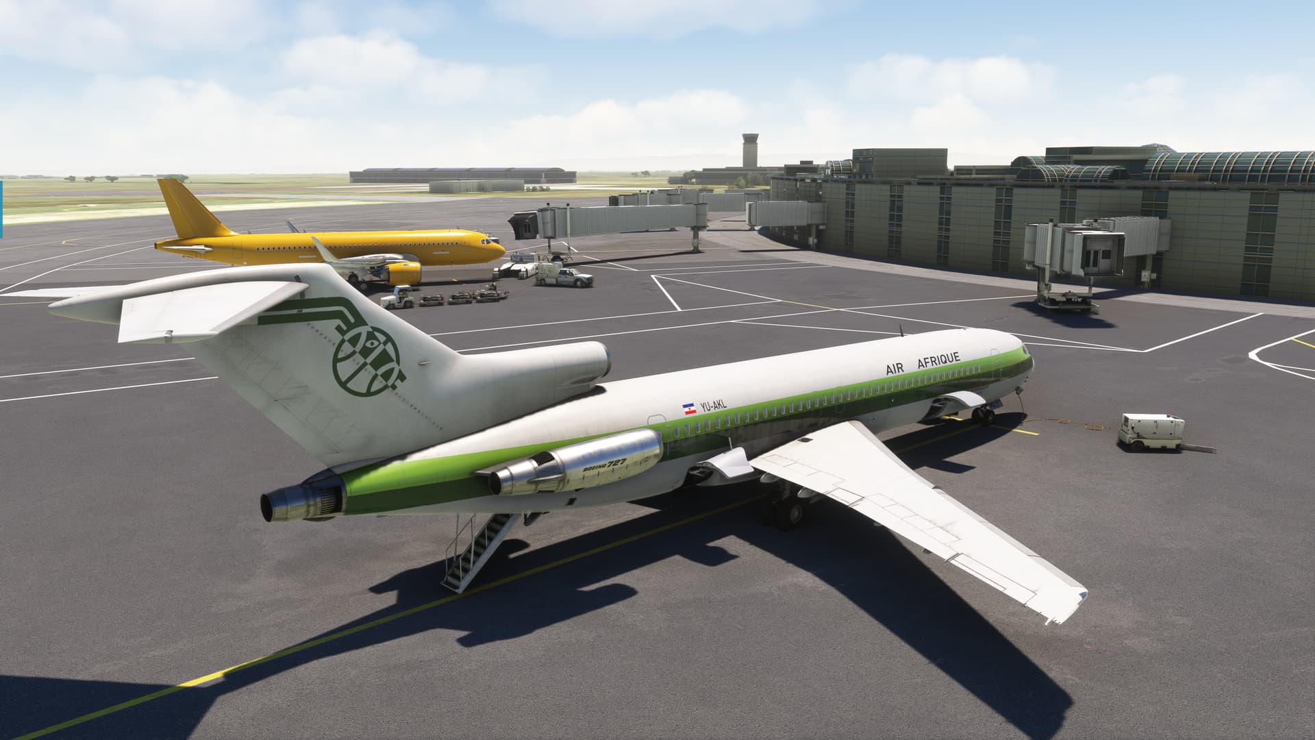
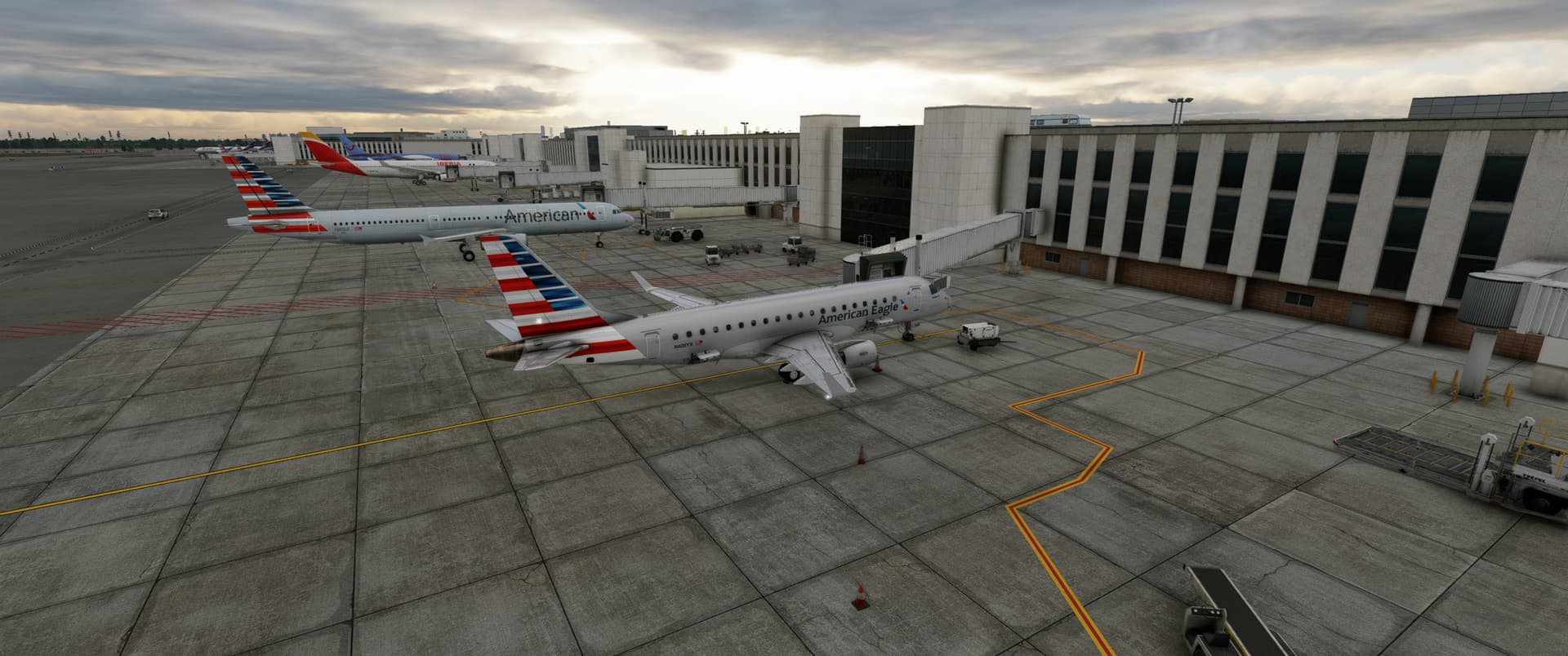
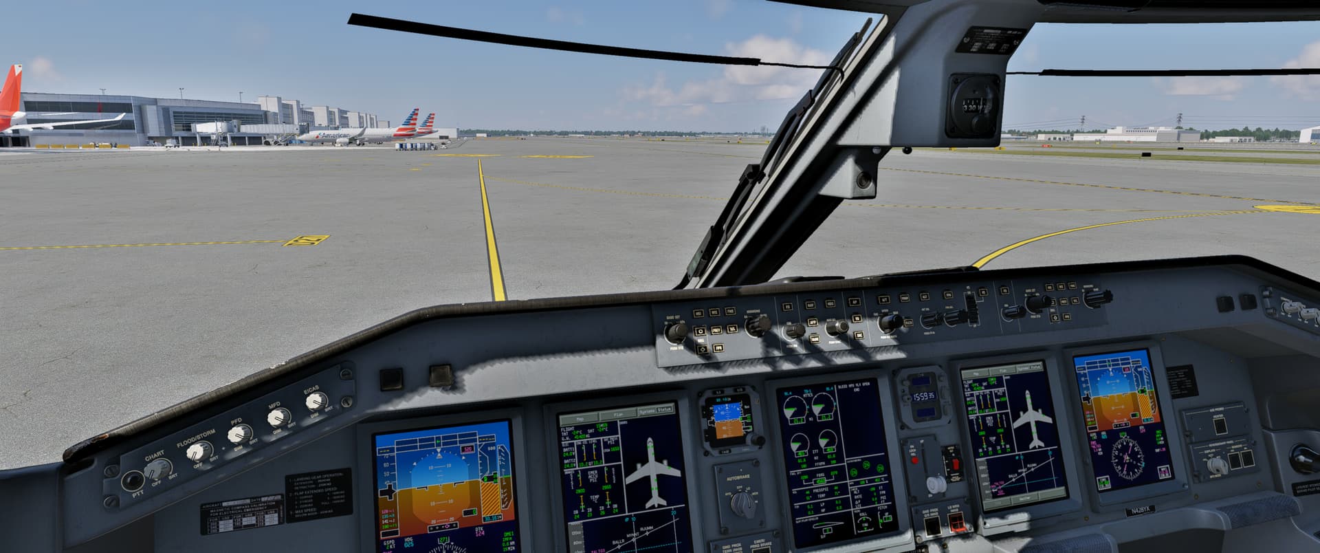
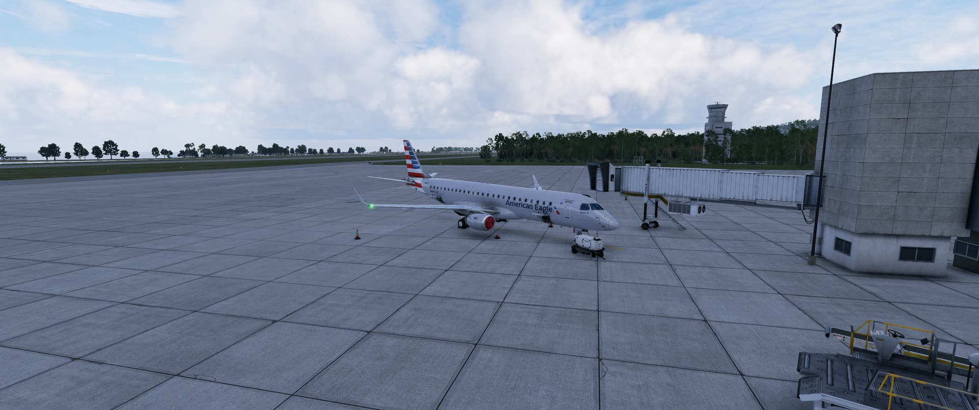
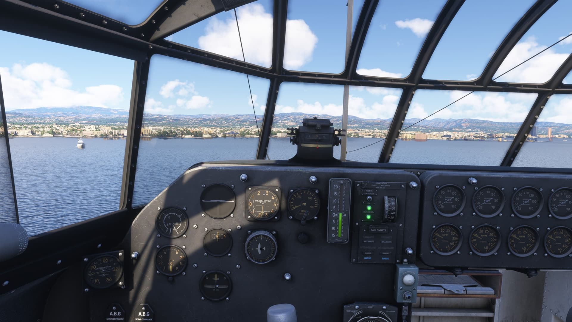
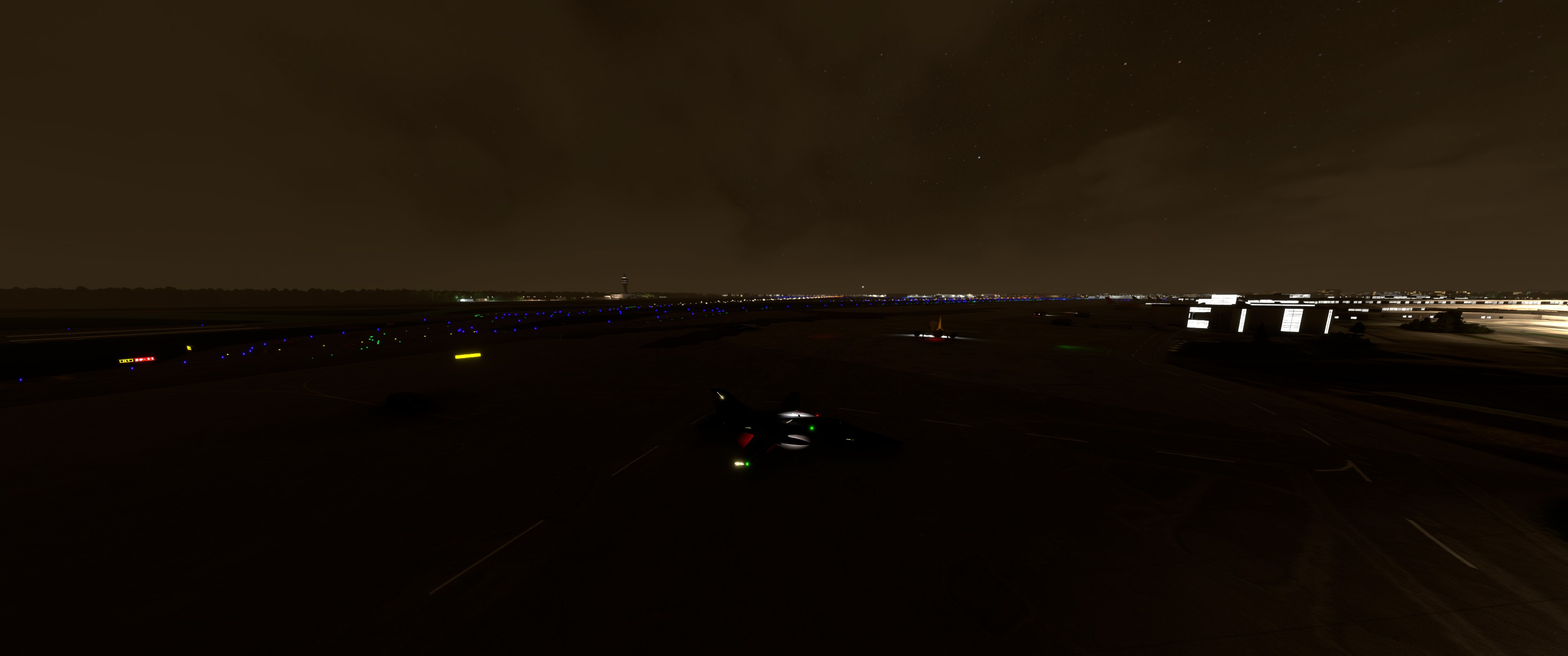
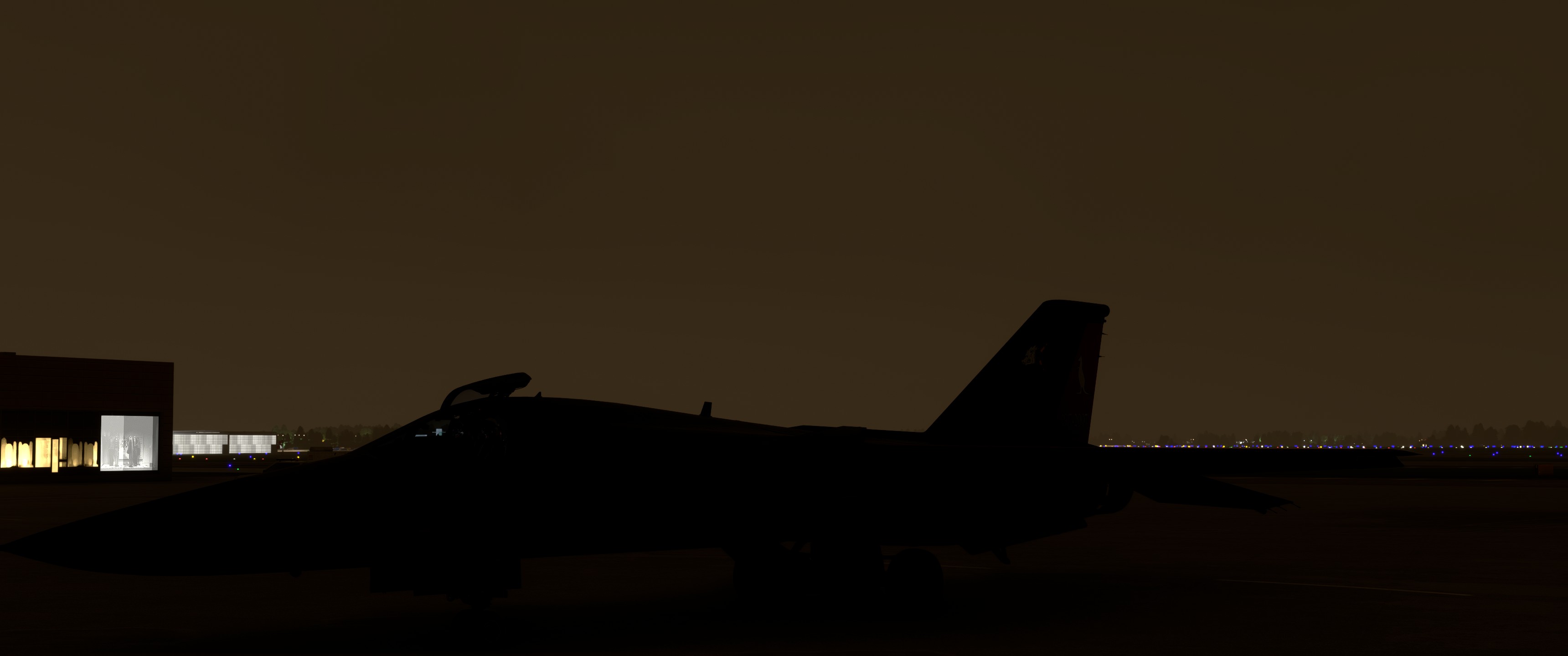
And here we are. Nairobi.

And here’s the damage.

And the overshoot! :grimacing: :laughing:

There was, of course, an old fashioned procedure turn here. However, as the plane isn’t exactly an ergonomic masterpiece (particularly while trying to hold your TrackIR head still while simultaneously clicking), I had been holding off doing one.

But arguably, it would have been a much more controlled entry in a jet of this, ahem, vintage. :grin:

14 Likes

LOL! That’s exactly the internal conversation I had when I flew her!

5 Likes

Leg 7

KSVN to TXKF

Long over water legs can be a drag, not much to do, not much to see. Yes, real world the thought of being miles above miles of salt water adds some spice to the occasion, but sim’ing eh not so much. So what to take what to take?

836 NM in 95 minutes, for an average of 548 knots over the ground. So definitely a little faster than my previous legs. What is our trusty steed for today?

The freeware Hunter is a gorgeous external model, pretty decent pit, and from what I’ve read about flying the Hunter pretty decent flight dynamics. The fuel burn rate (or drag profile with tanks mounted, not sure which) seems a bit off as I didn’t quite burn all 4 100 gallons external tanks before I landed in Bermuda. Then again cruising at FL380 with a 70 knot tail wind certainly didn’t hurt.
Addendum, doing some research and found operating date for the F6, and apparently it does sip gas when you’re up high. 2 tanks would have gotten me approximately 900nm at best cruising speed, so running the throttle a bit wider with 4 bags full works out about right.

There’s not a lot of action to this leg, mainly cruising along and try to not to wander too far off course while reading about flying the Hunter.


The real Hunters were known for being very light on the controls, and having a tendency to gain or loose altitude with a surprising quickness. Additionally with roll rate of 420 degrees per second the Hunter can really be tossed around. On a prior fam flight, she certainly seemed to match up with everything I’ve read. The tendency to suddenly be 1000’ off from where I thought I was, was evident on this leg the weather made the horizon difficult to pick out cleanly. I ended up watching the VSI like a hawk to keep it settled.


She hand flies wonderfully, and in this MSFS version there aren’t too many systems to worry about. A full fidelity version would be lot of fun.

I though about doing an overhead break, but I was honestly about done after spending the last 90 minutes tooling along in a roughly straight line. A conventional straight in works fine for me.


In the preceeding 7 legs I have flown the:
AN-2

Staggerwing

F3F

What do these three and the Hawker Hunter F6 all have in common (in MSFS at least, and I’m pretty sure in the real world too)? I’m going to try to continue with that similarity on the whole trip, but the ~1700nm next leg might make that tricky. Ironically after really pouring over the map, I could have gone down through S. America and then over and only had a max leg length of about a 1000nm. Oh

12 Likes

Biplanes?
Radial engines?
No? No!

Dunno

season 1 friends GIF

Btw my instructor was flying Hawker Hunter when he was in the Royal Netherands Air Force.

5 Likes

Single engine military veteran? Long service life? More than 7 decades old? Subsonic?

2 Likes

The Staggerwing was impressed into military service, so technically I guess the first one could count, but that’s not it. F3F only served about 6-7 years, so no on that. Over 70, just barely on the Hawker, and all are techincally subsonic (the Hawker can break mach in a dive). However, those are not it. Good guesses though.

3 Likes

Good looks? Was single-engine corrsct?

After a little break I am back…
…and in black.

This sleek black livery comes with black cockpit textures as well. It looks nice but I wouldn’t want to drop my pen there while in flight :grimacing:

Ahead is another of rather longer legs of my Christmas outing (well, longer for my standards… looking at some previous AARs above…) so I better stick to something fast and fun.

Hope my passengers will not spill their champagne with this deck angle.

The plan is simple:

  1. take off
  2. set the autopilot to follow the magenta line
  3. descent in time (this one proved to be a little tricky)
  4. land visually

Climbing to FL410.

Around my TOC I hit the coast and was ready for the short hop over the Red Sea…

…which happens soon after.

And, yet again, we are arriving to Africa :slight_smile:

waka waka football GIF

The cabin is a little too dark for my taste, though fortunately I am looking ahead. Not behind :slight_smile:

And on this flight, I am also checking the new version of LittleNavMap panel for VR. It works great in MSFS 2024 and can be integrated into the default EFB. This is a great option, only in VR the EFB can’t be resized and is HUUUGE even in its smallest form factor.

So I resorted to the custom LNM panel depiction and could not complain.

On this flight I committed to make FAR better descent - you know… well calculated, well executed… all that stuff that I - yet again - borked completely :laughing:

Anyway, with throttles on idle and chasing the max speed, the VSI needle soon hit close to the min stop of the gauge and the Learjet was falling like a well trimmed brick.

Baby Fail GIF

In the process, I was marvelling over the Ras Dashen, the highest mountain in Ethiopia located in the Simien Mountains National Park in the North Gondar Zone of the Amhara Region. It reaches an elevation of 4 550 metres (14 930 ft).

I am not flexing my geographical knowledge of Africa. All that comes from Wiki :slight_smile:

That much for my virtual carbon footprint!

Do you remember what I hinted in the point 3) of my flight planning?

The Azezo elevation is around 6 500 ft so I planned my descent to 8 000 ft in order to pick the airport visually and land. Had I checked the terrain around the airport, let alone the FREELY available approach chart for Azezo, I would have known that the minimum sector altitude in the 25 nm within the airport radius is 12 500 ft.

Episode 1 Ugh GIF by NBC

So I was practically looking into rabbit holes when I levelled off at a bit more conservative 10 000 ft.

Though from there I spotted the airport and landed safely. Or so I believed… until my passengers (courtesy of FS Realistic) shouted “What a hard landing!” :laughing: Ungrateful bastards. Next time they’ll walk.

Please ignore the low fuel warning light :grimacing:


OK, but why Azezo / Gondar?

I tell you right away but first…

…first I wanted to take the freeware Little Nellie for a spin. And I did… quite literally. Let me just say that if you want to try that one out, do yourself a favour and pull also the rotor brake lever that hides below the throttle, else…

Anyway, this was the one I took out in the end.

Supposedly STOL so it should not be a problem to land on any spot I pick. Maybe.

Love the attention to detail :slight_smile:

The reason for plotting the magenta line to Gondar is the Fasil Ghebbi fortress. It was founded in the 17th century by Emperor Fasilides and was the home of Ethiopian emperors. Its unique architecture shows diverse influences including Portuguese, Hindu, and Arab characteristics. [Wiki]

Of course I wanted to test the STOL capabilities of this aircraft so I carefully positioned myself on the approach path…

…and than landed smoothly.

Or maybe plastered it against one of the historical walls. I am certain they have seen worse things over their lifetime. Btw the wheel was still spinning when I took the screenshot.


And a quiz question: There were two rather unusual aircraft parked on the apron. I think I have never seen them before. Any idea what these two are?

The yellow one and the one on the left.

9 Likes

Sorry forgot about the single engine one. Those are all correct, but not what I was thinking. It’s system related if that helps any. I’ll give it a few hours in case anyone else wants to take a guess, then reveal the answer.

2 Likes

I am genuinely curious.

Asked ChatGPT and this is what I’ve got: All of them use fabric-covered primary flight control surfaces.

Blurred in case it is right. Coz it is cheating :grinning:

3 Likes

To the best of my knowledge the Hunter is all metal. I don’t think fabric would handle transonic or mach flight.

3 Likes

I will blame it on the hallucinating AI :grinning:

3 Likes

AC/DC played their Melbourne concert last Wednesday.

Chief scientist at the Seismology Research Centre, Adam Pascale, said the concert registered in the 2-5 hertz range at their office in Richmond, about three-and-a-half kilometres from the concert at the MCG — enough for people to feel the ground shake.

One resident living 10 kilometres away told the ABC they could hear the concert.
:metal:

6 Likes

leg 2 KJFK to KMIA in an E175

Next up KMIA to MKJS

14 Likes

@apollon01 @Freak The thing all 4 of these aircraft have in common, is no autopilot. To the best of my knowledge none of these aircraft has an autopilot, and for sure the ones I’m flying in MSFS don’t. I will unashamedly use the magenta line to get me across the ocean with no real nav aides, but it’s all been hand flown. Finding an aircraft with the legs to cross the Atlantic that doesn’t have an autopilot (and preferably can do it fast enough for me to be willing to do it) has been a challenge. Once I touch down in the Azores that becomes much less of issue.

10 Likes

Leg 3 KMIA to MKJS in an E190

Next up MKJS to MPDC

14 Likes

After resting at the lake in Turkey for a week, it’s time to renew our attempts to go to Africa.

With help of the tug boat we put the Latecoere flying boat due south.

A few minutes later we get airborne, no problem with a runway of that length!

Lesson learned from last flight - we want to get the aux tanks content into the main tanks right away - I defueled sufficiently, so there’s enough space. It’s only a short hop to Cyprus.


Soonish we leave the Asian mainland and enter our natural habitat, the sea.

The crew takes a break, probably at the bar (again).

A bright sky with only a few clouds on the horizon, what a day for a flight!

After some 50 minutes Cyprus appears on our left, shielded by some low clouds.

Paphos, place of many helicopter crashes on test flights by myself in DCS.

Akrotiri air base, operated by the Britsh. Was our alternate airfield in DCS when we didn’t get the refueling done in our F-4E in DCS for the flights with the 86vFW. Flashback to early 2000ies - I went to Limassol for a bike riding training in spring. The first rideout was towards that peninsular, as it’s foremost flat there. As preparation for the hill climbing that was to ensue afterwards.

On final. We hop over a barrier in the sea, shielding the harbour.

We came in too fast and wouldn’t turn quick enough. Hence we used our carriage to get back into the safe waters.

Finally at the dock.

Lesson learned, prefer a parallel landing to the shore, not one towards it :smiley:
On the other hand I didn’t want to tug for 10 minutes to anchor… Oh well.

14 Likes

First leg (EFOU-EPWA) of the joyrney and and the first AAR for me, so I am thrilled to see how it goes.

Departure is from Oulu airport. I wanted to use live weather and time, which will pose some challenges. We have about 6 hours of daylight and temperature is already subzero and there have been some snowing already. So this will literally be “cold and dark” AAR leg :night_with_stars: :snowflake:.

The screenshots are also very dark, so we might as well have small guessing game about the ride as seen parked cold at Oulu airport.

Add some more fuel just in case. Don’t really know how thirsty this jet is?!

Ready for push back with all systems running.

As we don’t have GPS installed, we will be doing old school navigation. It seems I need to learn VOR navigation first. And Little Nav Map to make a plan.

Here is the result, details for the first three VOR stations (will fill the rest as a past time activity on the air).

Ready to go!

After about half an hour flight we pass Turku Pori and turn to Baltic sea. Too bad we cannot see the archipelago with hundreds of islands because of the dark.

Now that we start flying over the sea and get some more altitude, we can also crank up the speed. Let’s see what this beast is made of.

We need to keep an eye on the total temperature gauge. It seems we have 182 seconds more at this speed before something happens (most likely AB shutdown to cool things off). Wings are folded all the way back and speed is 2.25 mach at the moment.

After couple of navigation points and altitude changes. we are already approaching the destination (Warsaw) and I have creeping feeling that we might be too heavy for landing. It seems we have a button to burn fuel just to bring the weight down.

Let’s try, no idea of how long I should do this. Anyway, it is spectacular show in the darkness.

Judging the gauges it did not do much, the fuel seems almost full to me. Dunno.
Also we got the warning about the fuel distribution, better not burn more now. Let the automatic fuel distribution to fix this, hopefully.

Approach and landing to Okecie went nicely apart some issues connecting to ILS, which turned out to be one digit error in the frequency, oh well. Found the issue about 6nm before the airfield :sweat_smile:

Dark and grey weather also at the Okecie airport.

The flight plan with the VOR stations. Navigation was surprisingly smooth with this old method. Landing is always the most thrilling part. I wonder how far I could hook to the ILS or should I navigate by other means until I am very close to airport and then turn on the ILS?

14 Likes