Alright, somebody’s got to start us off!
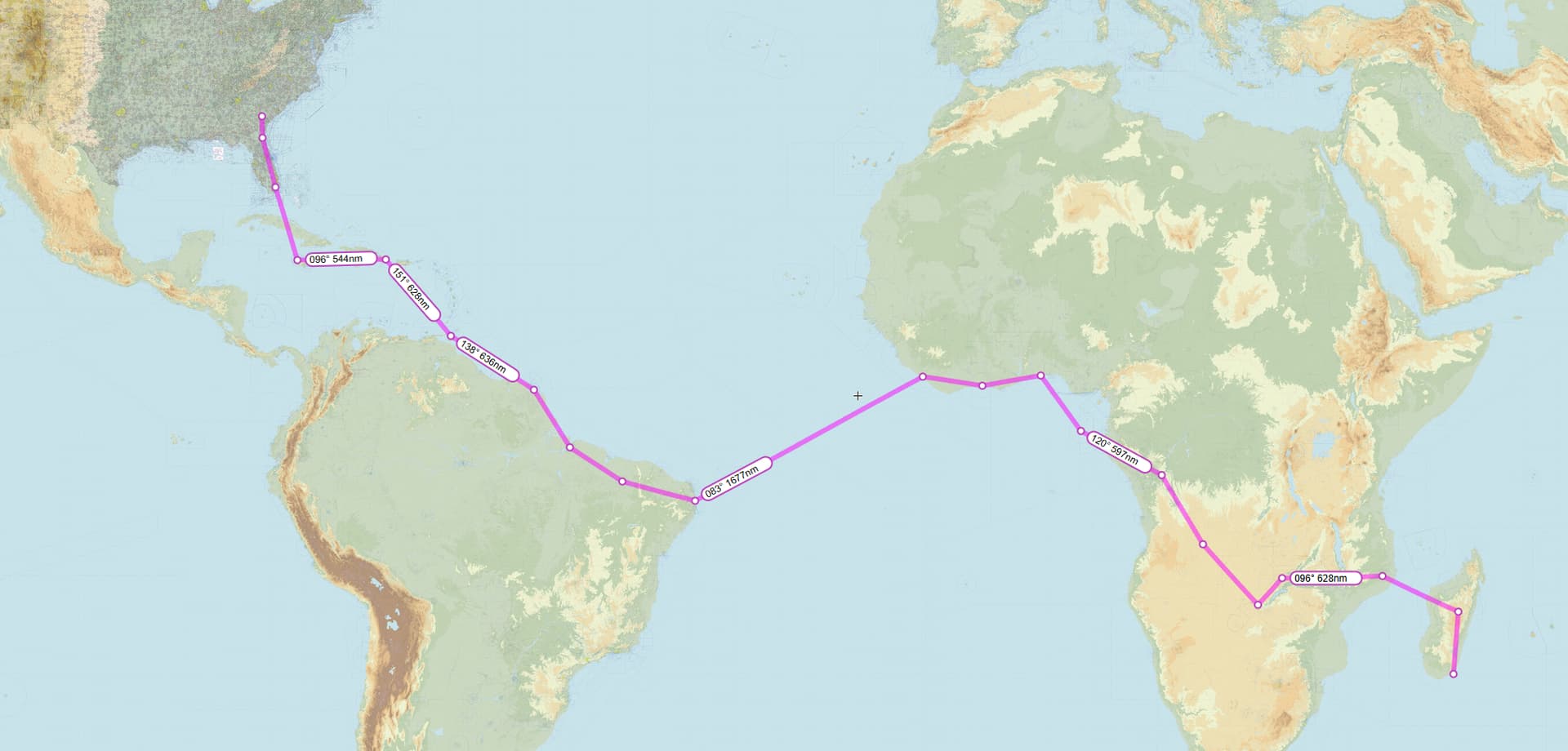
Leg 1: Laguardia Airport, East Elmhurst, Queens, New York City, New York, USA (KLGA) TO Greater Moncton Roméo LeBlanc International Airport, Dieppe, New Brunswick, Canada (CYQM)
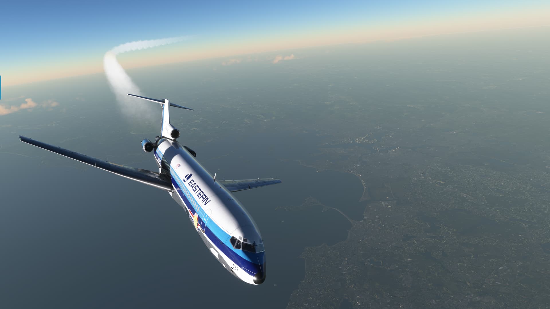
So, I feel that it’s important to start off the Holiday Flight with a bold statement…and I think I hit that nail squarely on the head! 
I didn’t have much in the way of a plan this year, but I had really wanted to try some old timey tubeliners. The 707 would have been ideal for crossing the pond but, from what I read, it still had a lot of unsolved problems.
In the end I decided to give the FSS B-727 a shot; it seemed the most promising option available. On the upside, the FSS 72 appeared to be fairly well regarded. On the down, it wasn’t going to get me over the Atlantic in one leg, at least not according to Captain Google. He says it only has about 2200NM of range (depending on the variant).
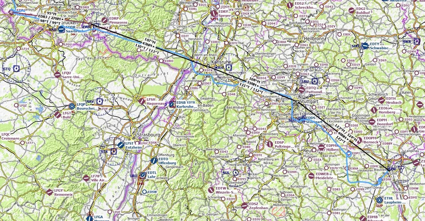
But, if I could get just a little bit closer, maybe I could make it across. Hence, my first planned stop was going to be Gander at an easy (or so I thought at the time) 954NM.
That left me in a peculiar position. I had given myself exactly one familiarization flight in the 72, simply to make sure that I could fly it. But that didn’t mean that I knew how to use the INS…or really anything not obvious from just looking at the panel.
And that meant I was limited to old fashioned VOR nav, which was unfortunate. There just aren’t many available anymore. Especially as you get further north.
So, without looking too closely, I plucked out a flight plan that used whatever I could find on the chart.
This’ll become important later! 
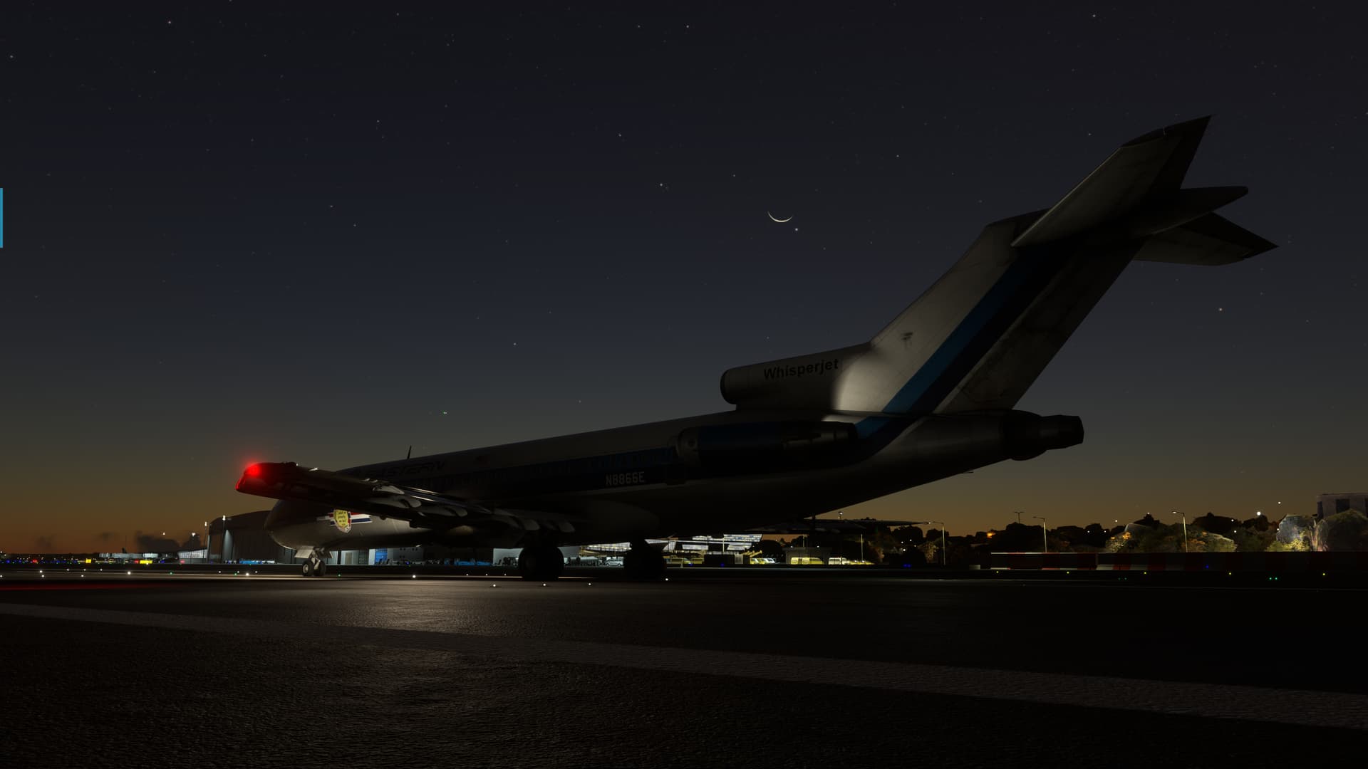
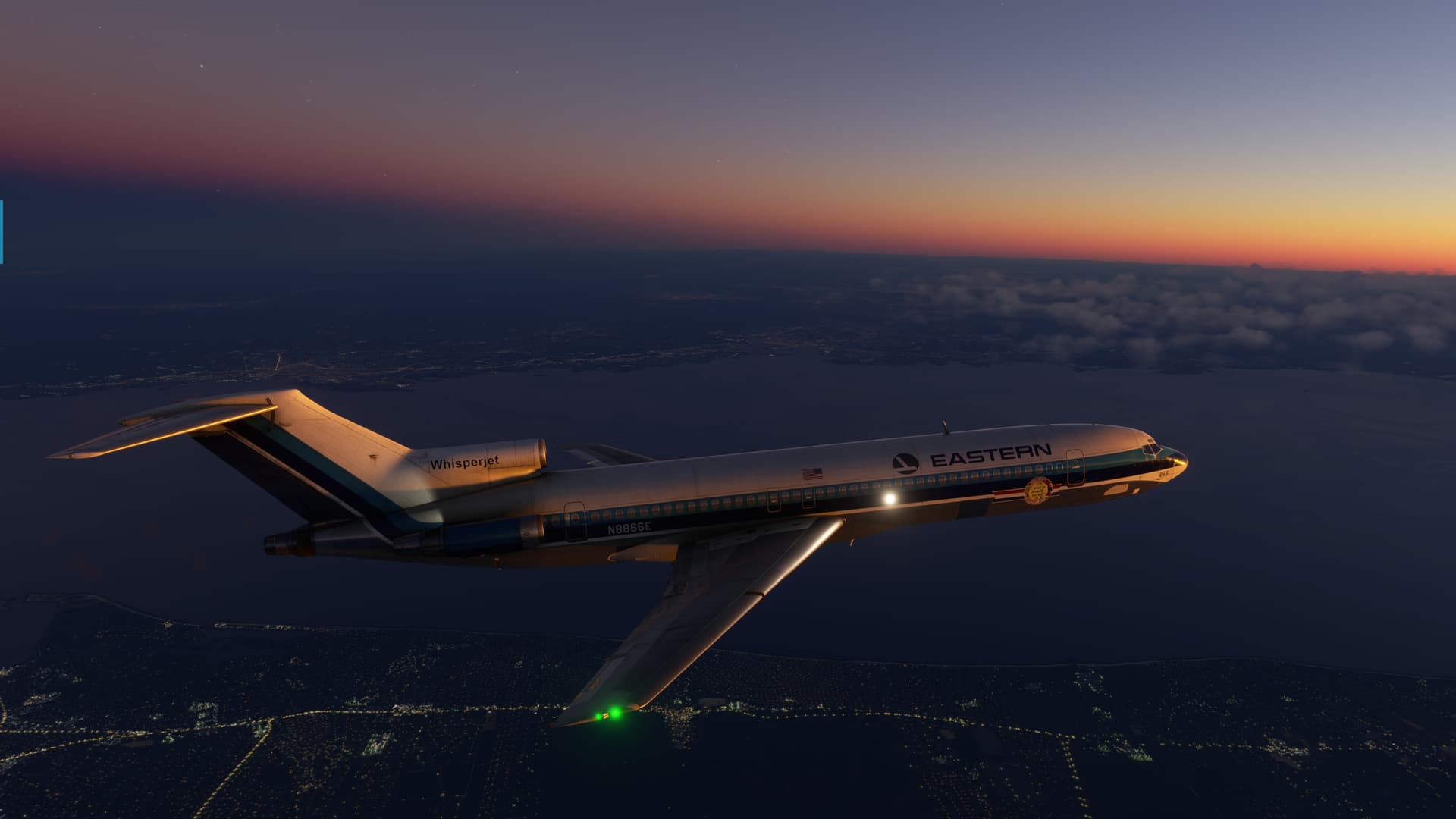
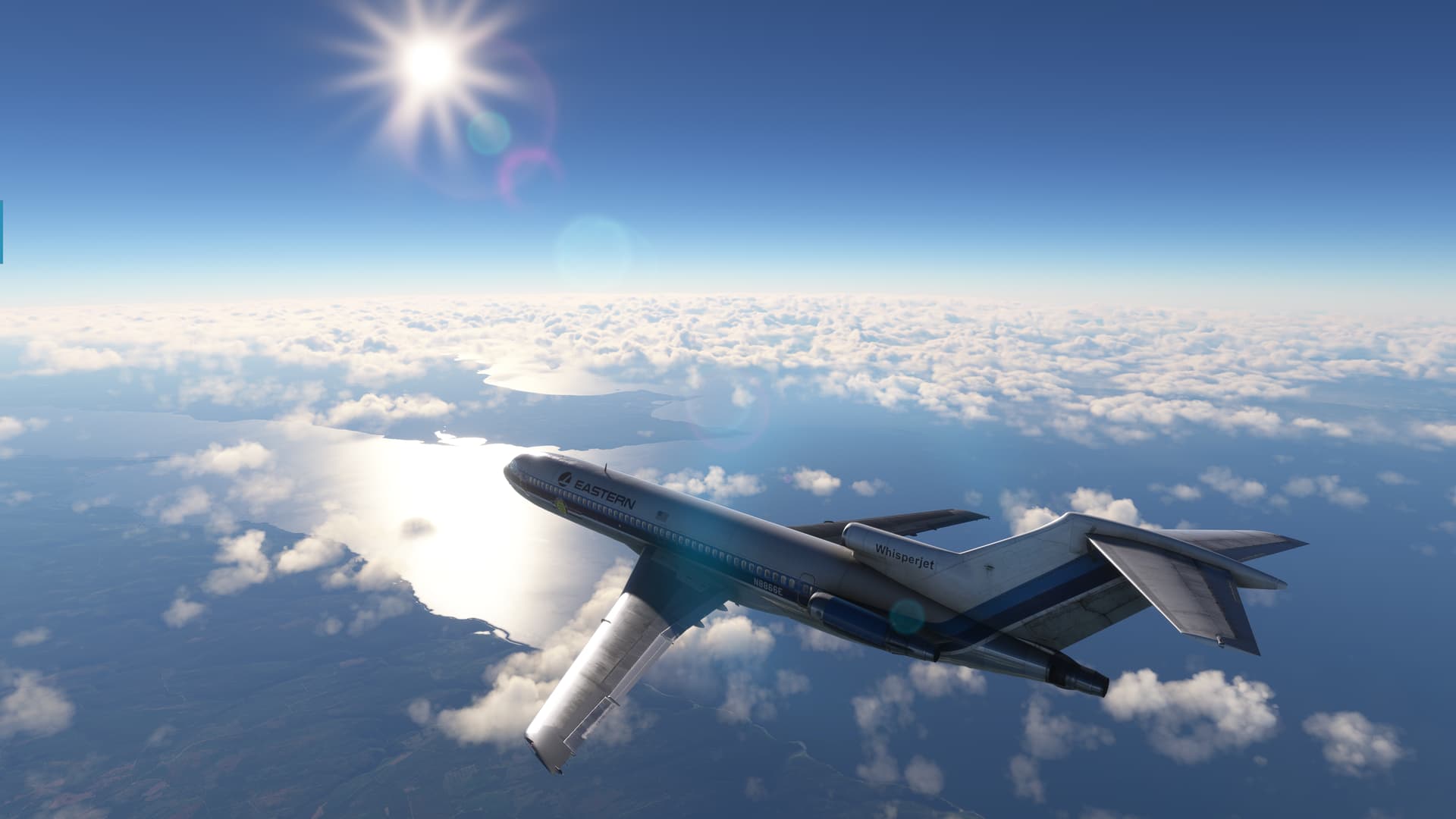
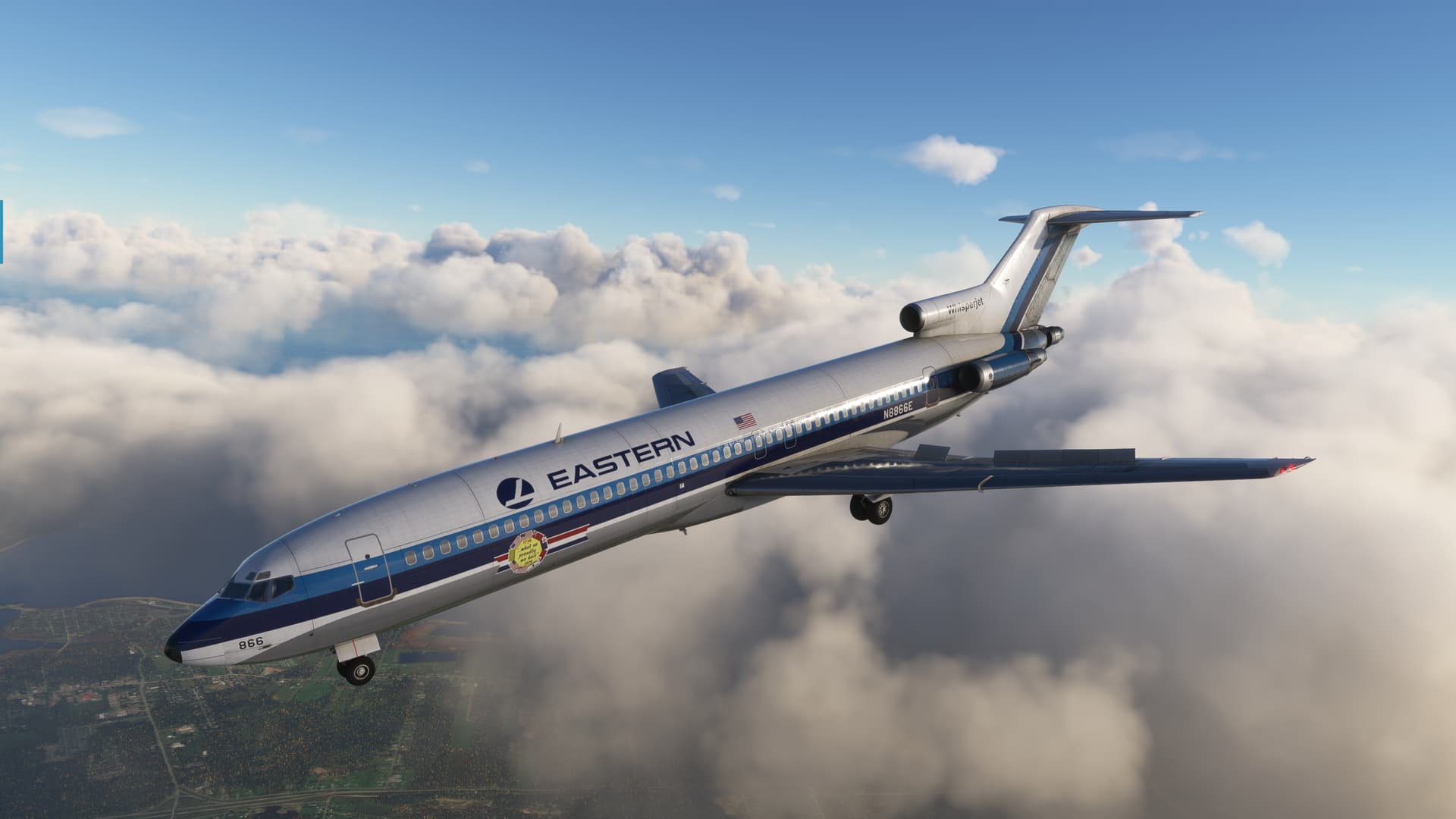
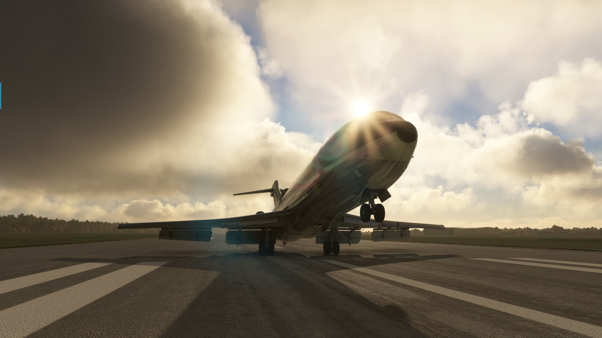
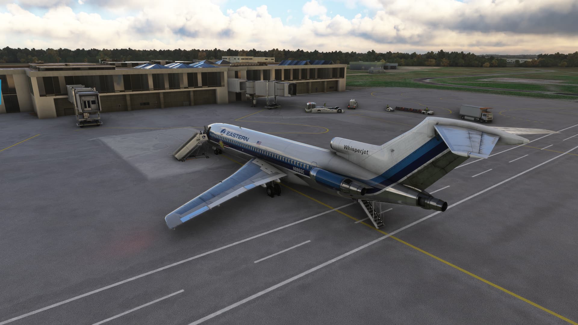
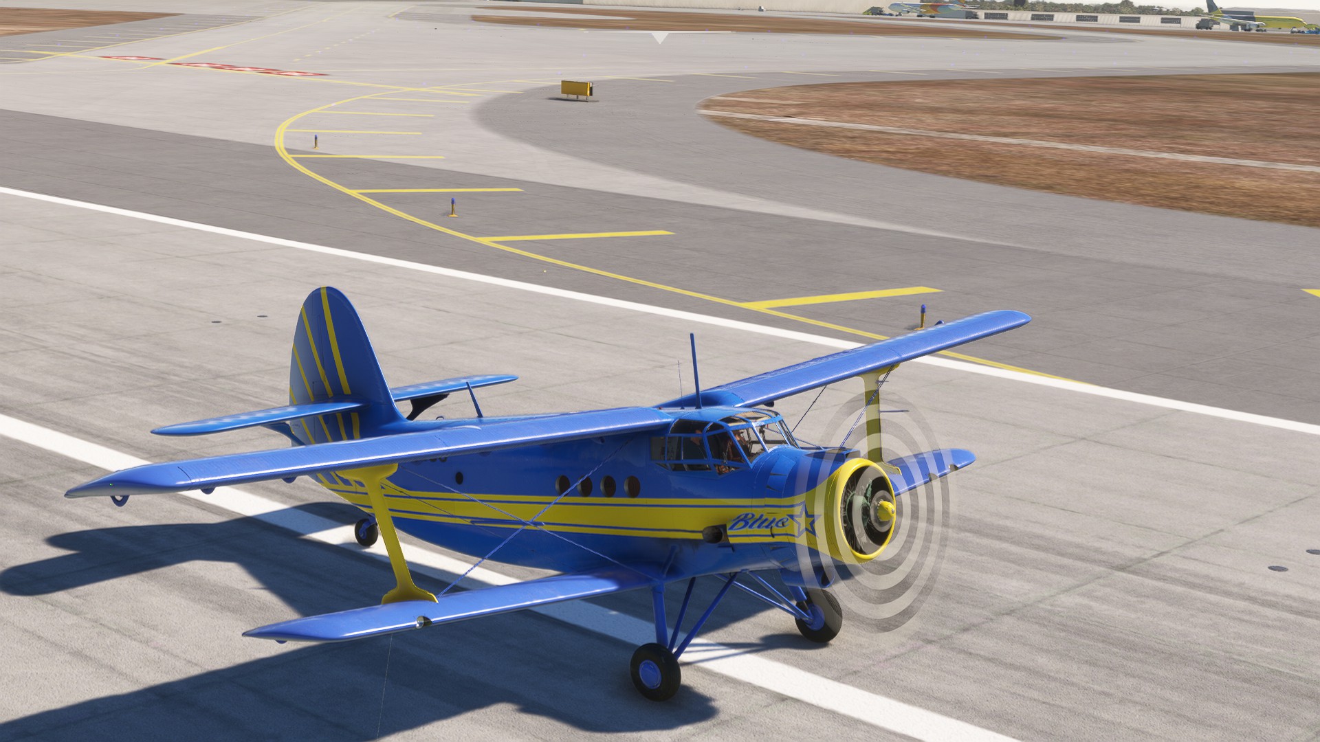
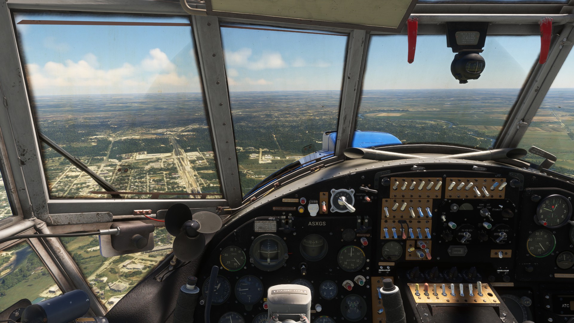
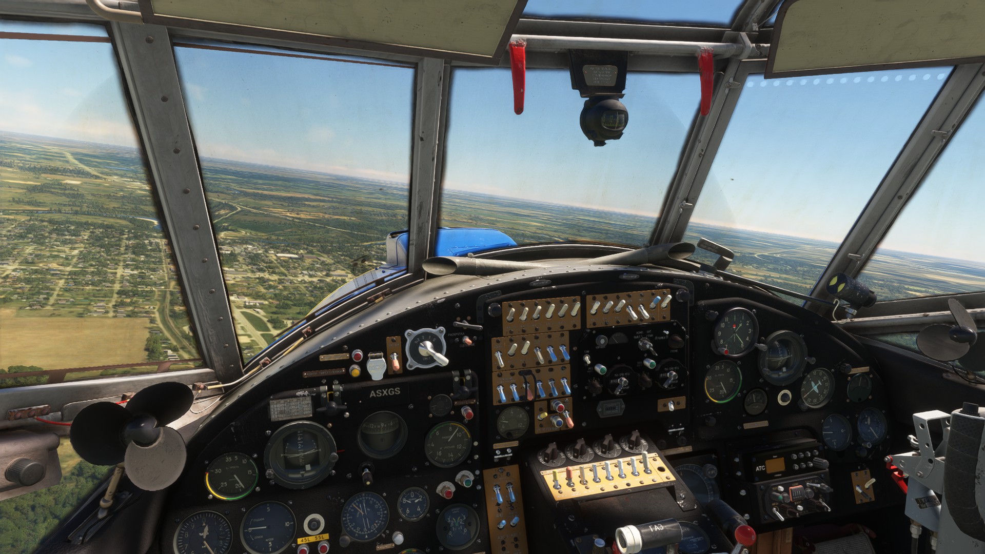
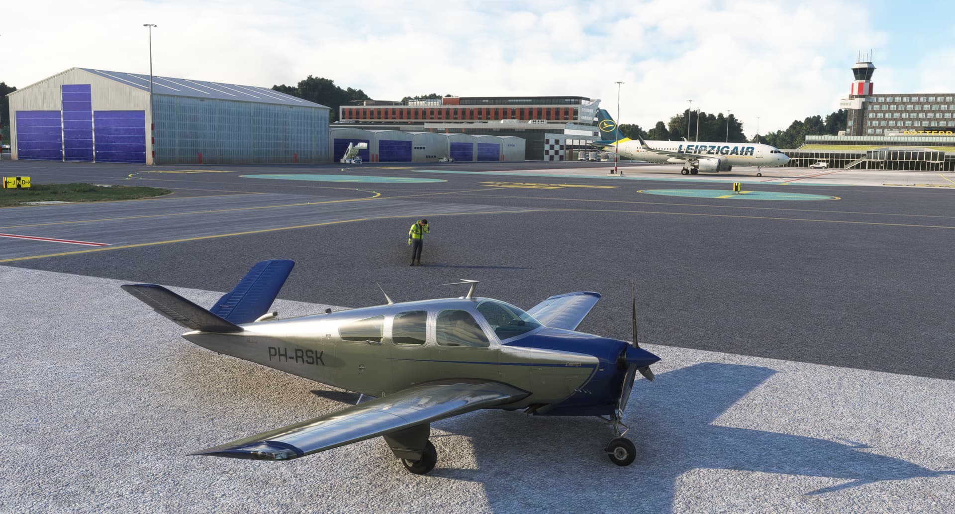
The Flight Sim Studios B-727. My first airline job was on the B-737-200. So, if this wasn’t home, it was at least in the neighborhood!
OK, this part not so much. 
LGA at sunrise. Looks less dirty then.
Livery, Eastern Airlines Bicentennial Edition courtesy of Fscabral
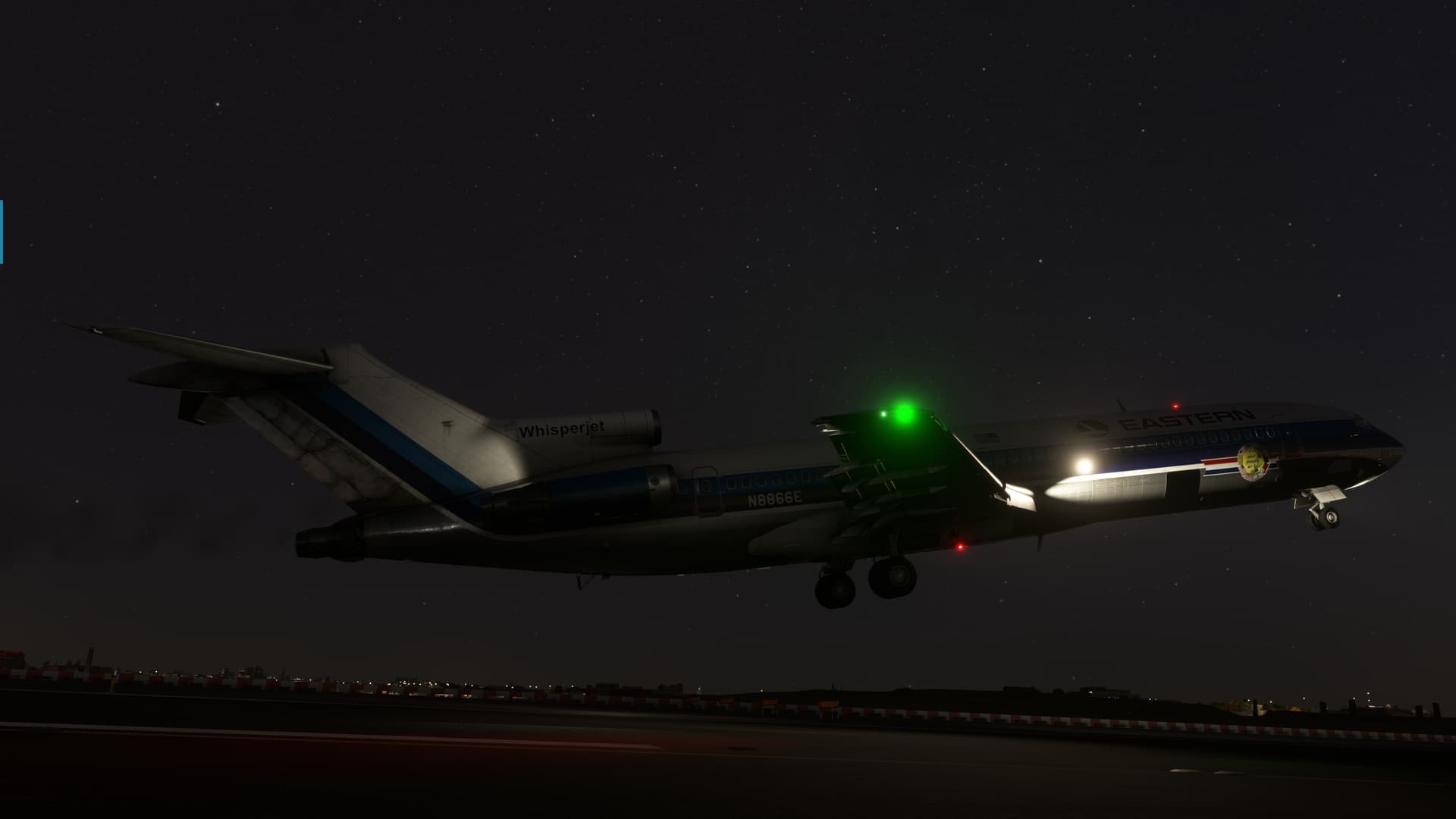
Off we go!
But first, the music…
Jet Airliner - YouTube
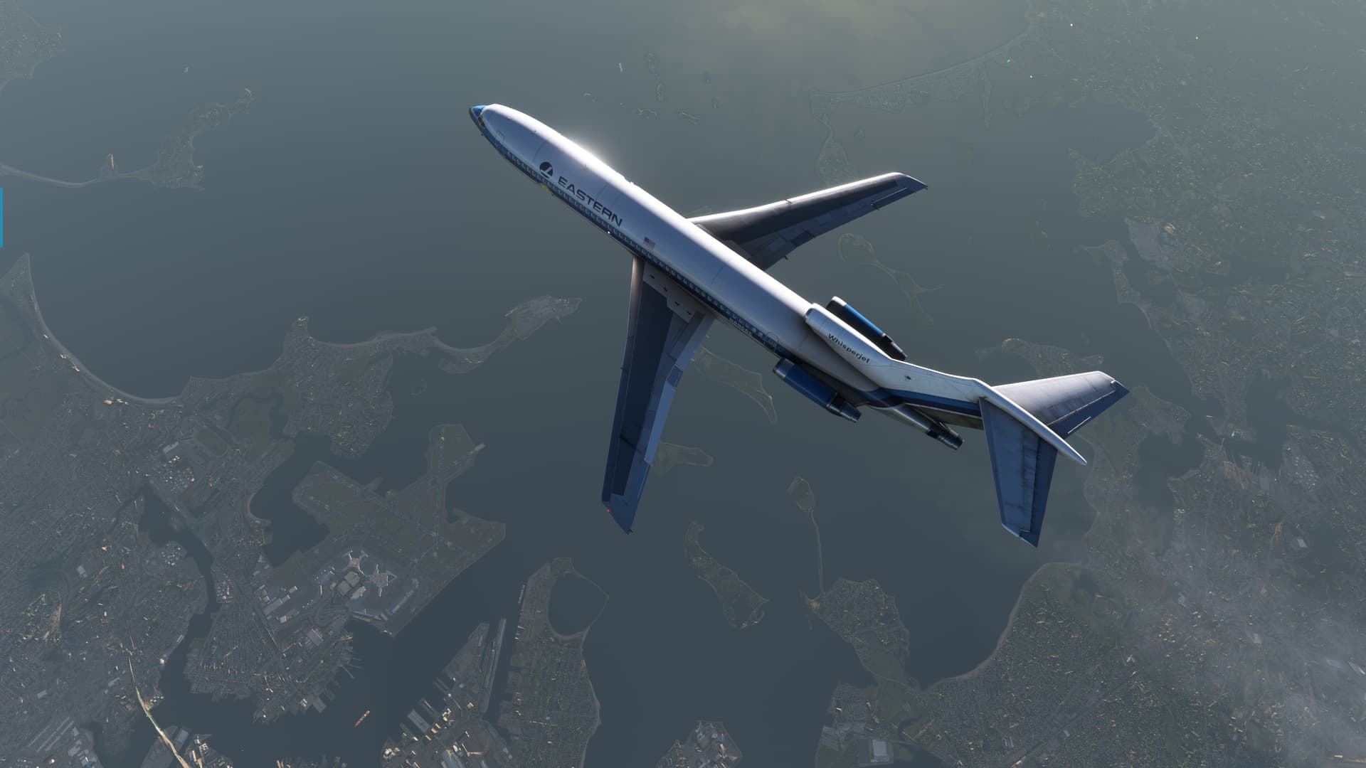
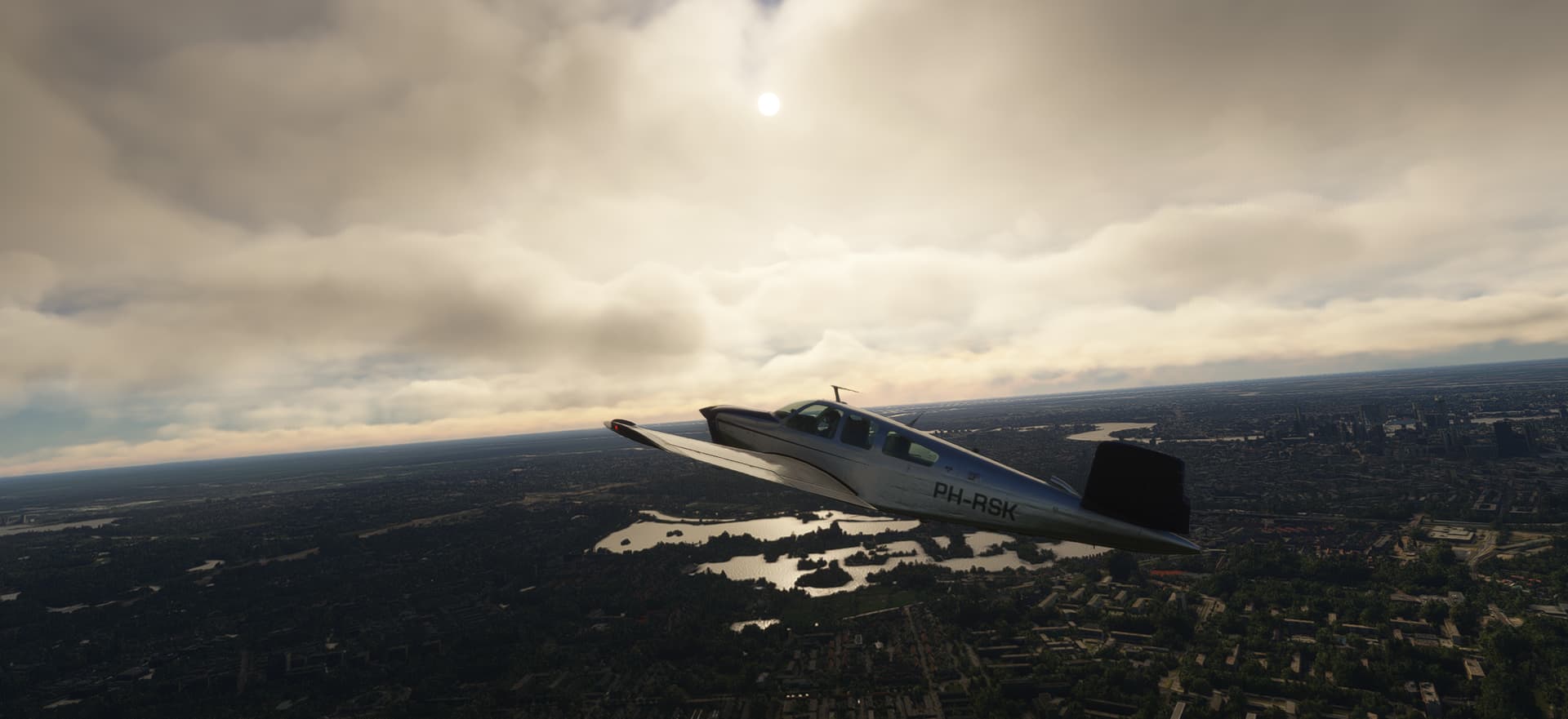
I used the last brick on takeoff which left me clawing for altitude as we turned out over Flushing Bay.
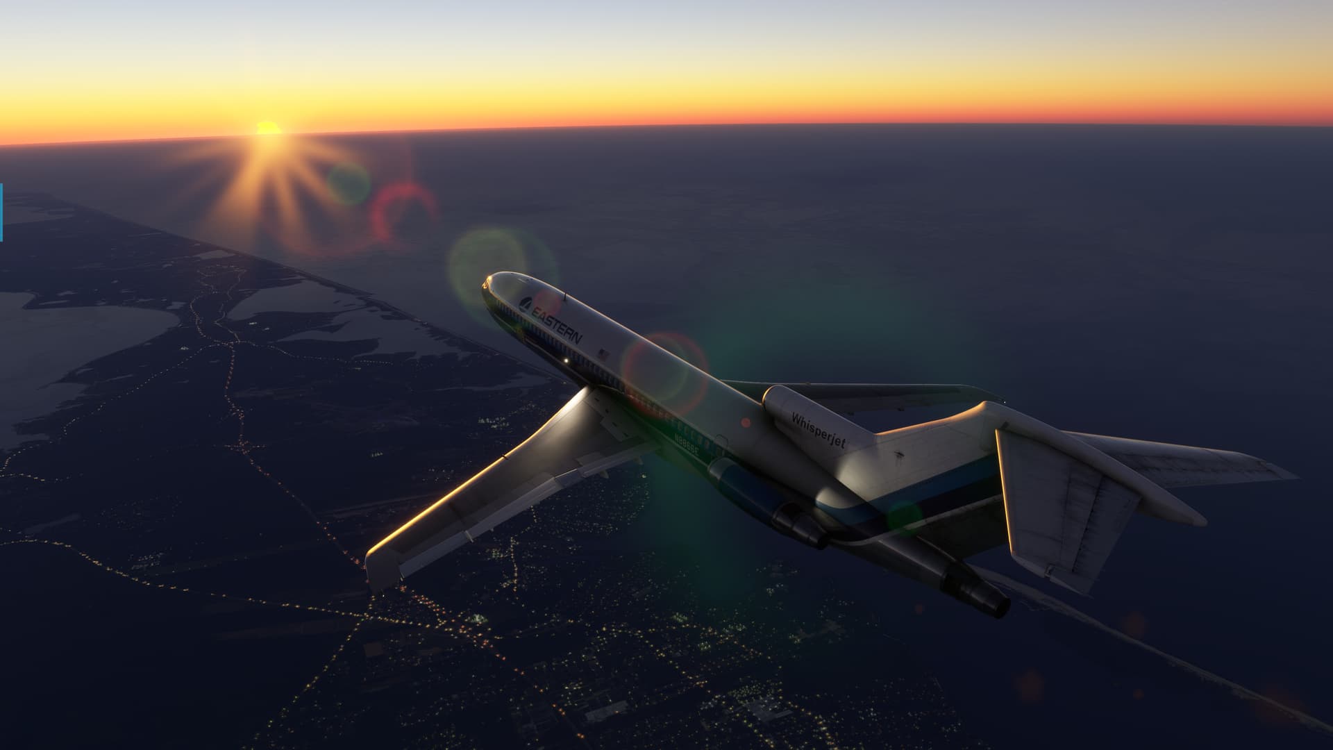
But eventually I got cleaned up and headed towards the East Hampton VOR, my first checkpoint.
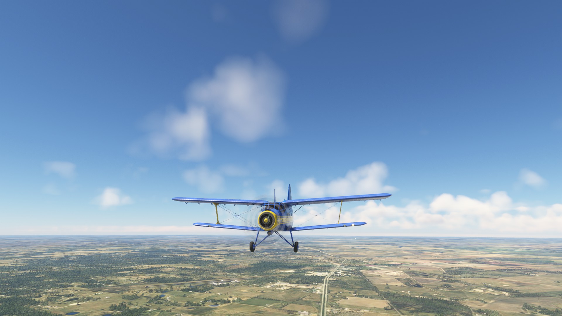
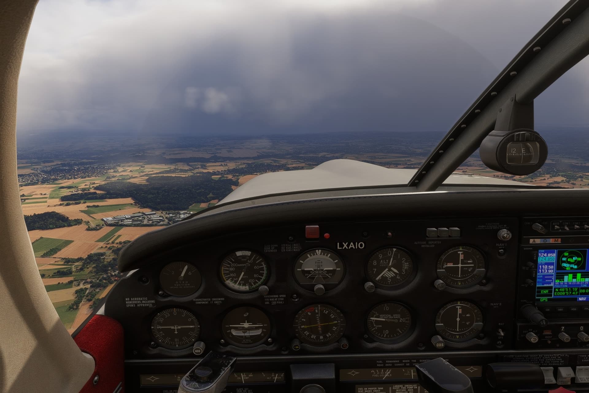
The 72 is a little rocket ship, but the controls feel a little off. This thing just does not want to stay upright, rolling off to one side or another like a ball on an upturned bowl.
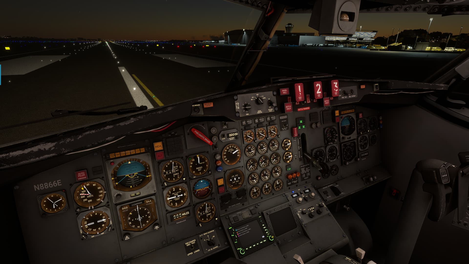
This made looking down pretty challenging, which is where all the autopilot controls are in what passed for ergonomics in the '50s!
Once George was flying however, things became a little more manageable.
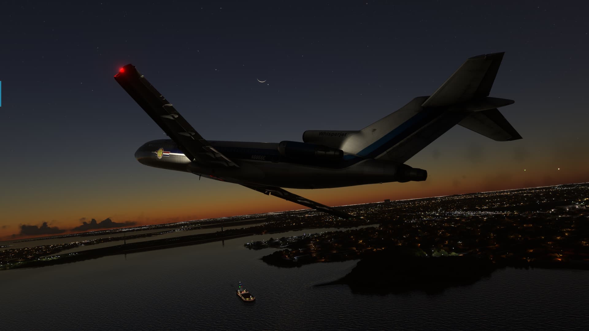
Sunrise over Long Island Sound.
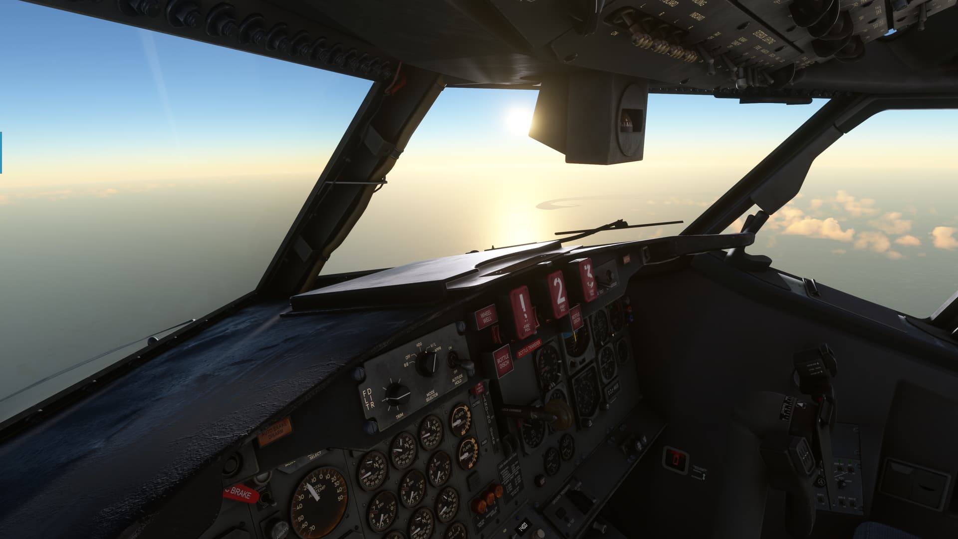
We were hauling the mail once we got up to altitude, which probably should have clued me into something. I had always heard the 72 was fast though, so I left the power up.
Plus, in my haste to slip the surly bounds I hadn’t done anything so pedestrian as, oh, I don’t know, looking up the cruise power settings or anything. 
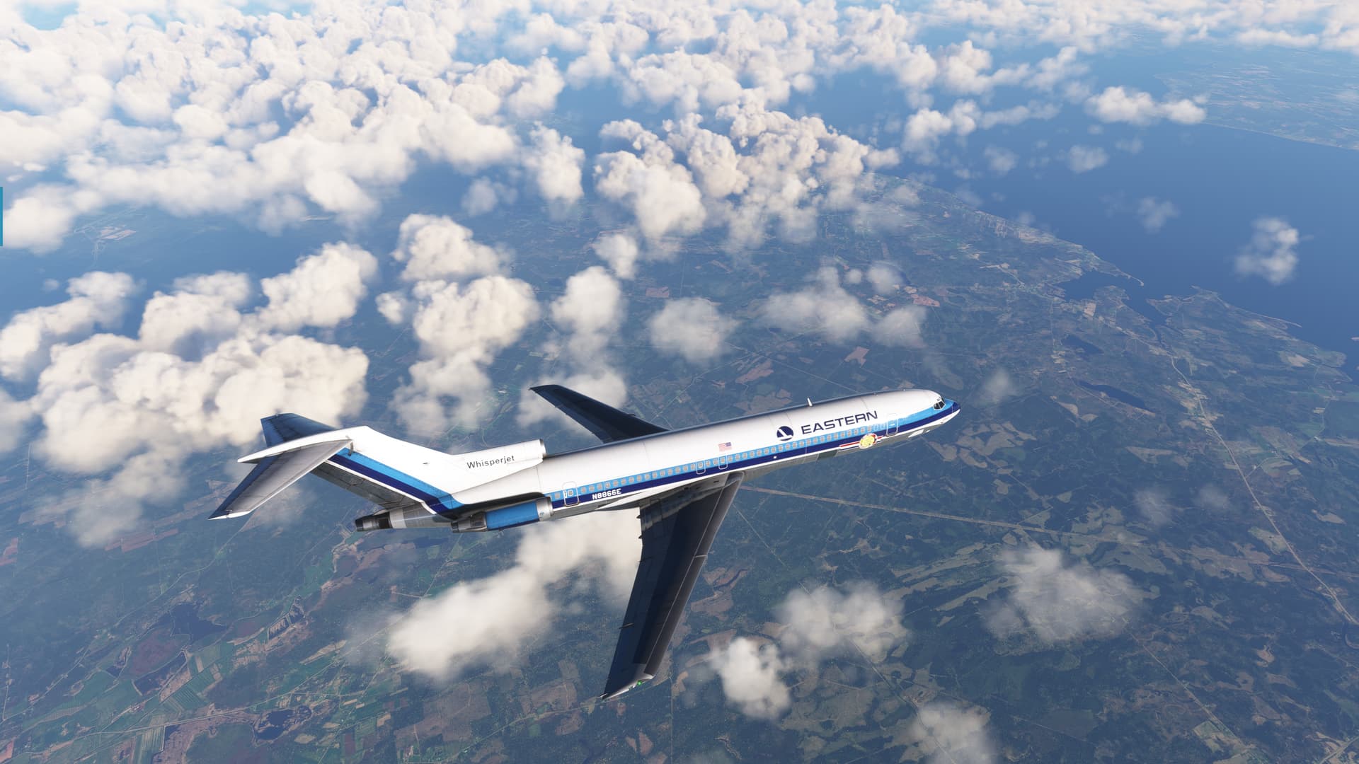
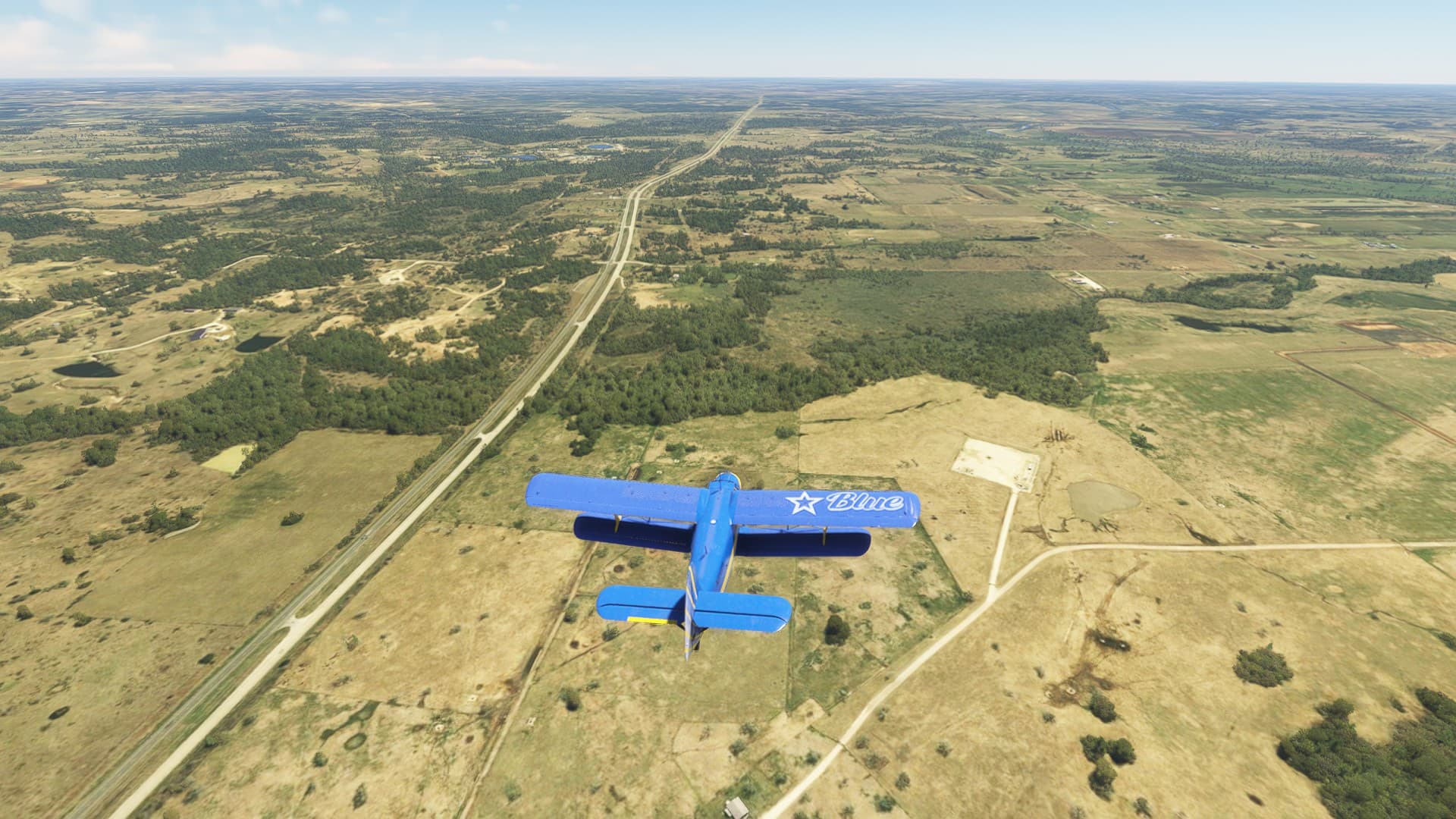
In short order, the great arm of Cape Cod could be seen out the FO’s window.
And soon, we were over Boston.
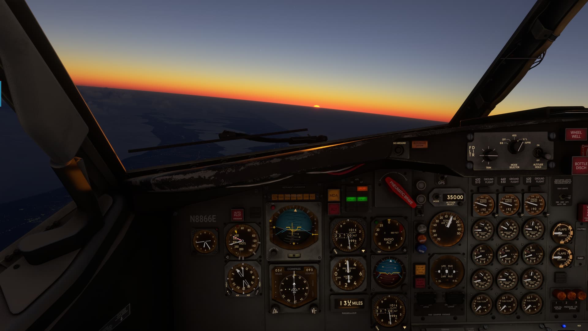
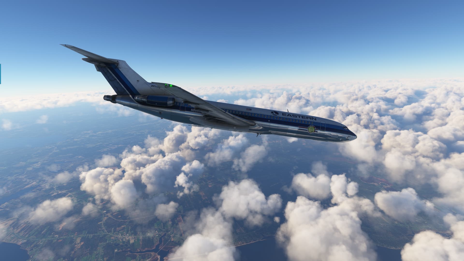
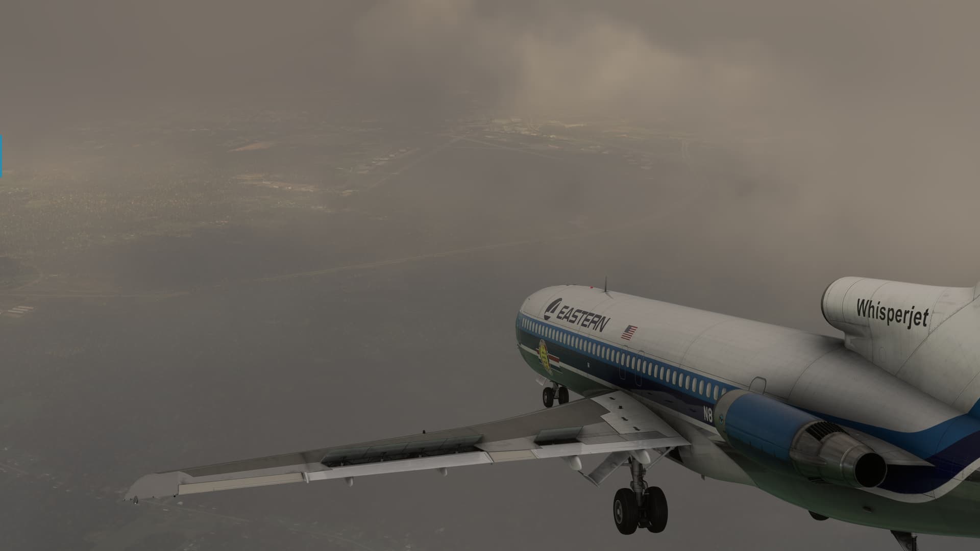
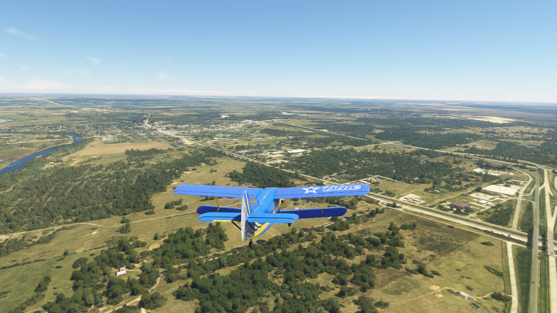
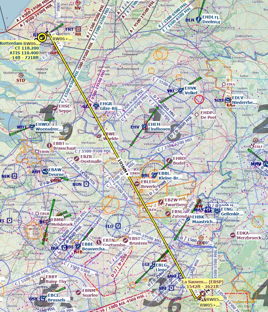
Things were going along swimmingly until we had passed Bangor, Maine and were well into Canada.
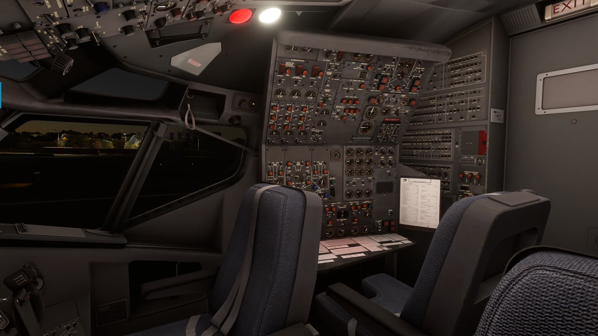
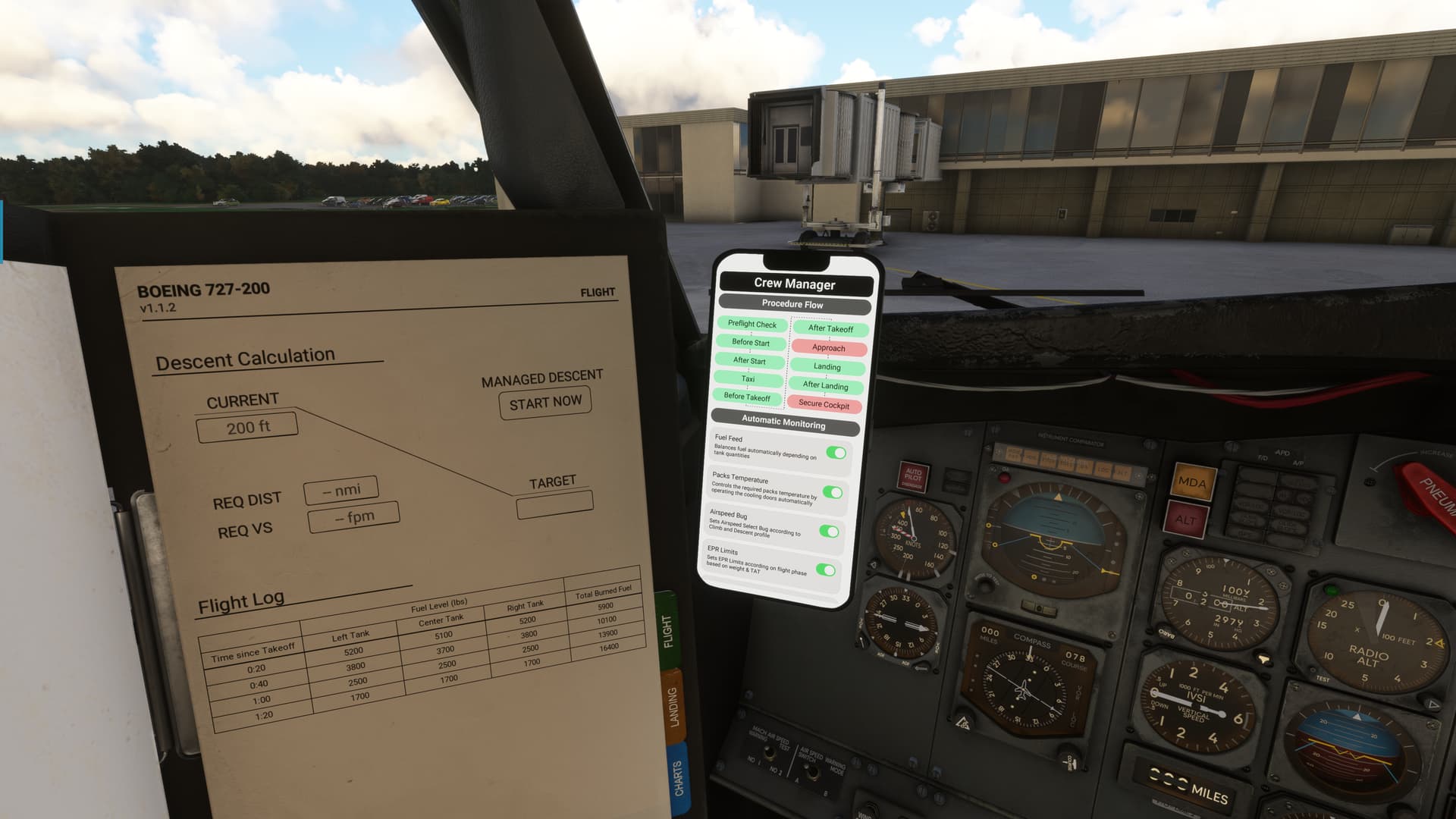
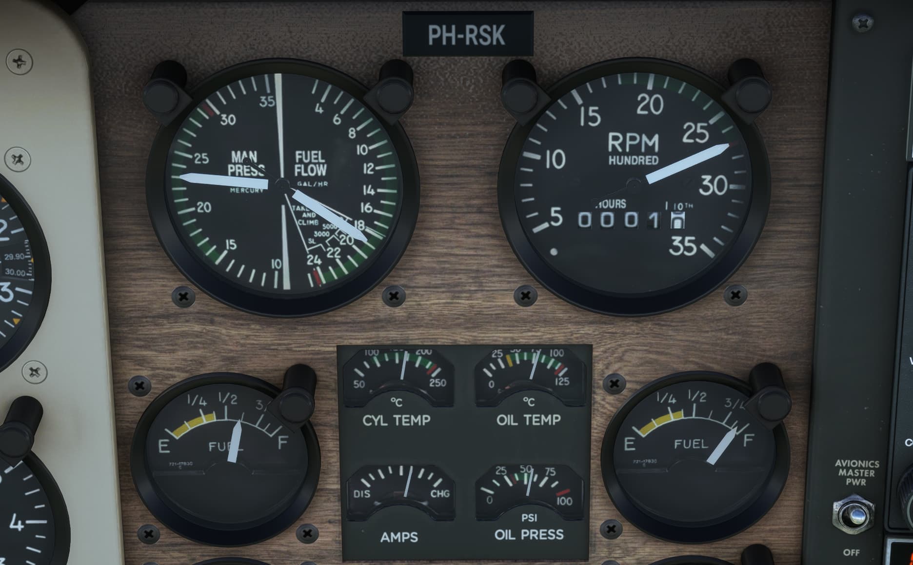
Ever since takeoff I had looked about the cockpit for the fuel quantity gauges, but failed to find them. I assumed that this was because there was an intrepid Flight Engineer back there who would normally keep a weather eye on such things. The gauges must be back there.
But I was going only about 900NM in a 2200NM aircraft. Surely, full bags would be more than enough to get me there, right?
Right?!?!
Wrong.
When I did finally find a fuel log in the olde-style in sim logbook thingy (official industry term), I was overjoyed…no, that’s not the term…oh yes, horrified to discover that I only had 2600lbs per tank!!! 
2600lbs! I couldn’t cook a steak past medium rare with that! I needed to get this thing down.
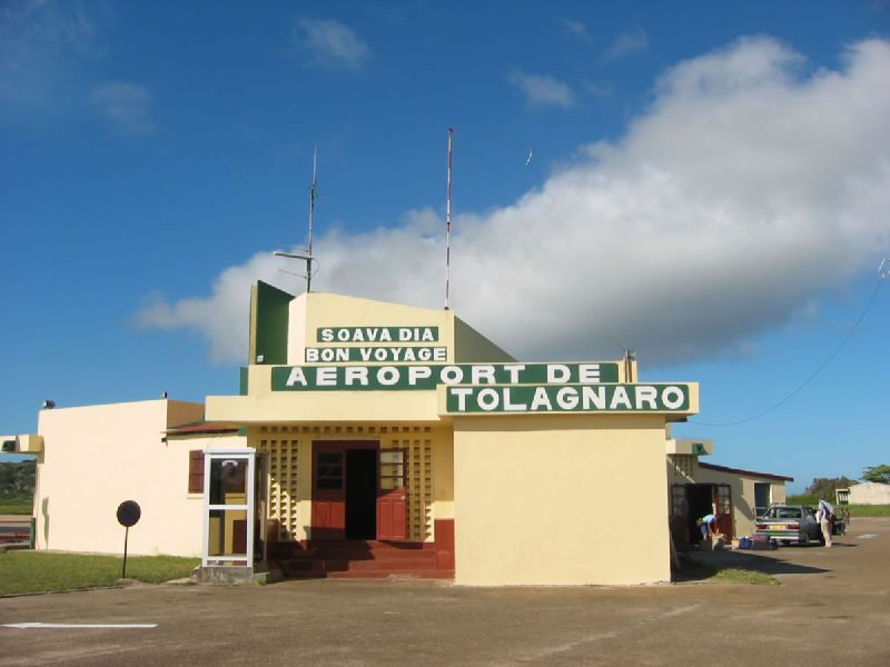
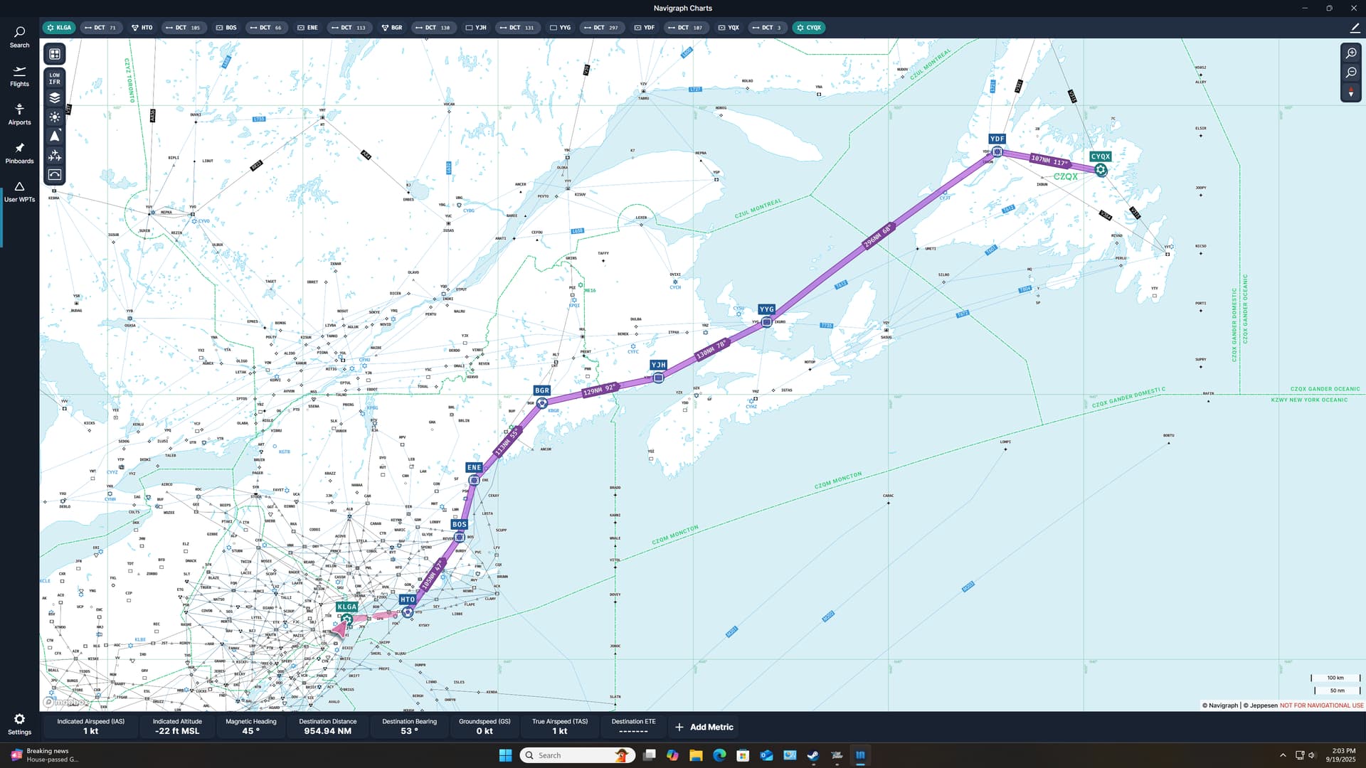
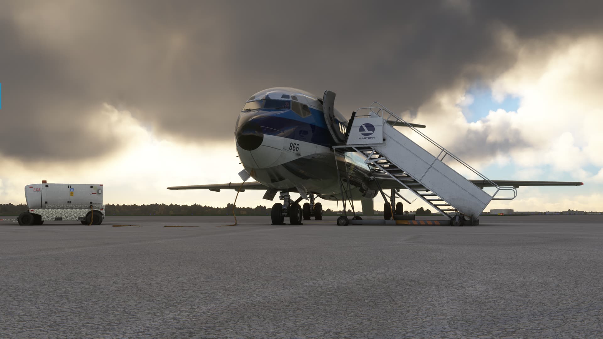
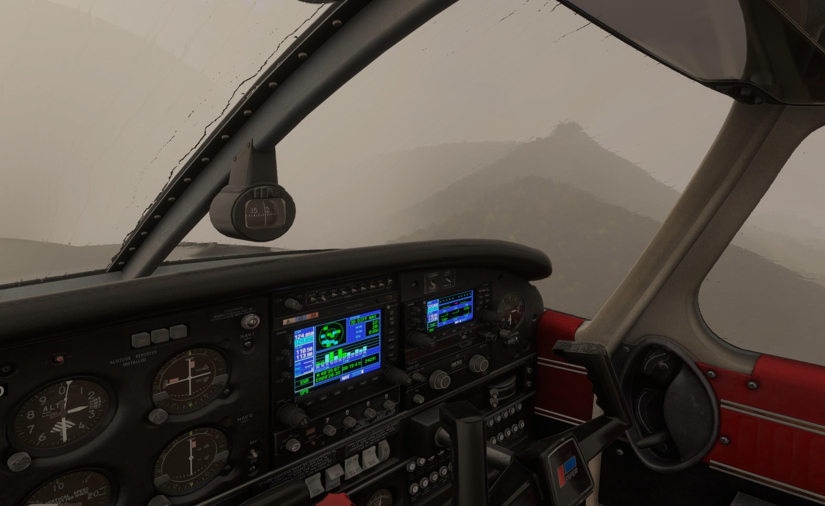
I hastily looked at the chart. I knew that I was passing near Moncton, but had never been there and knew nothing about the weather, other than it was overcast in that direction. I had accepted that flying the ILS for the first time in this thing might be a challenge. But I didn’t even know if they had an approach into there!
Or if I had the fuel to fly it!!!
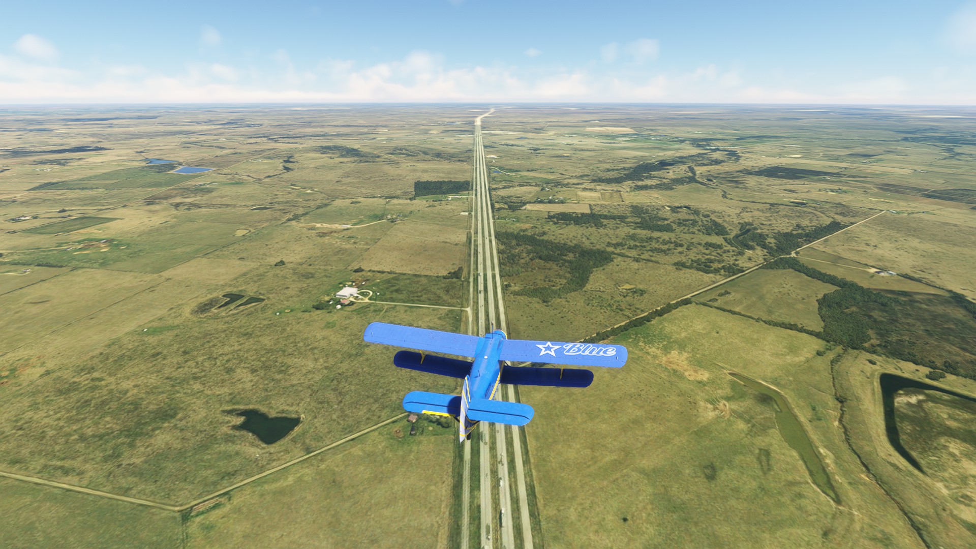
But that was problem number later. Problem number now was that we were still at 35,000ft in expectation of a nice 3:1 descent into Gander, and I couldn’t have been more than 30 miles from Moncton.
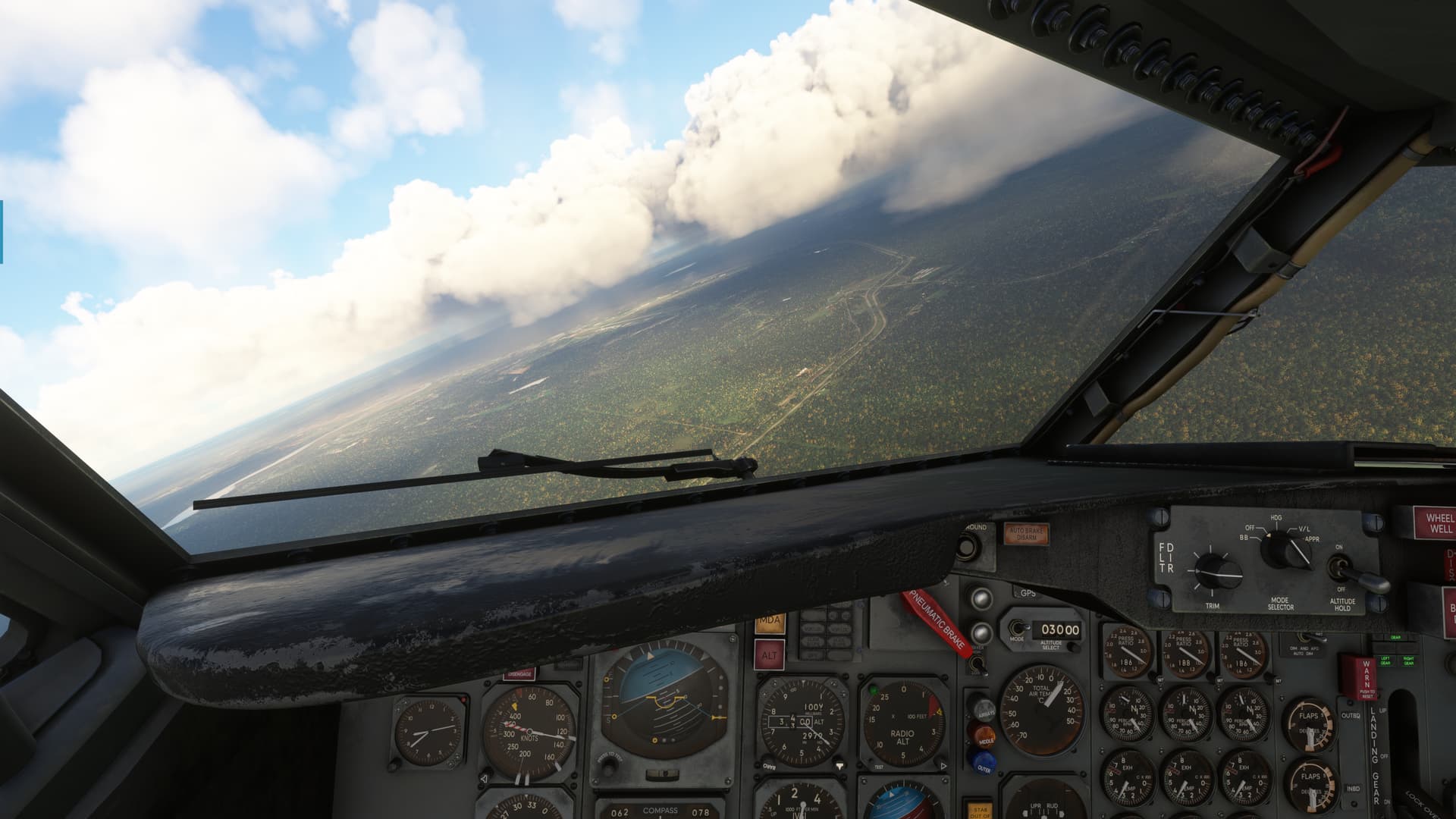
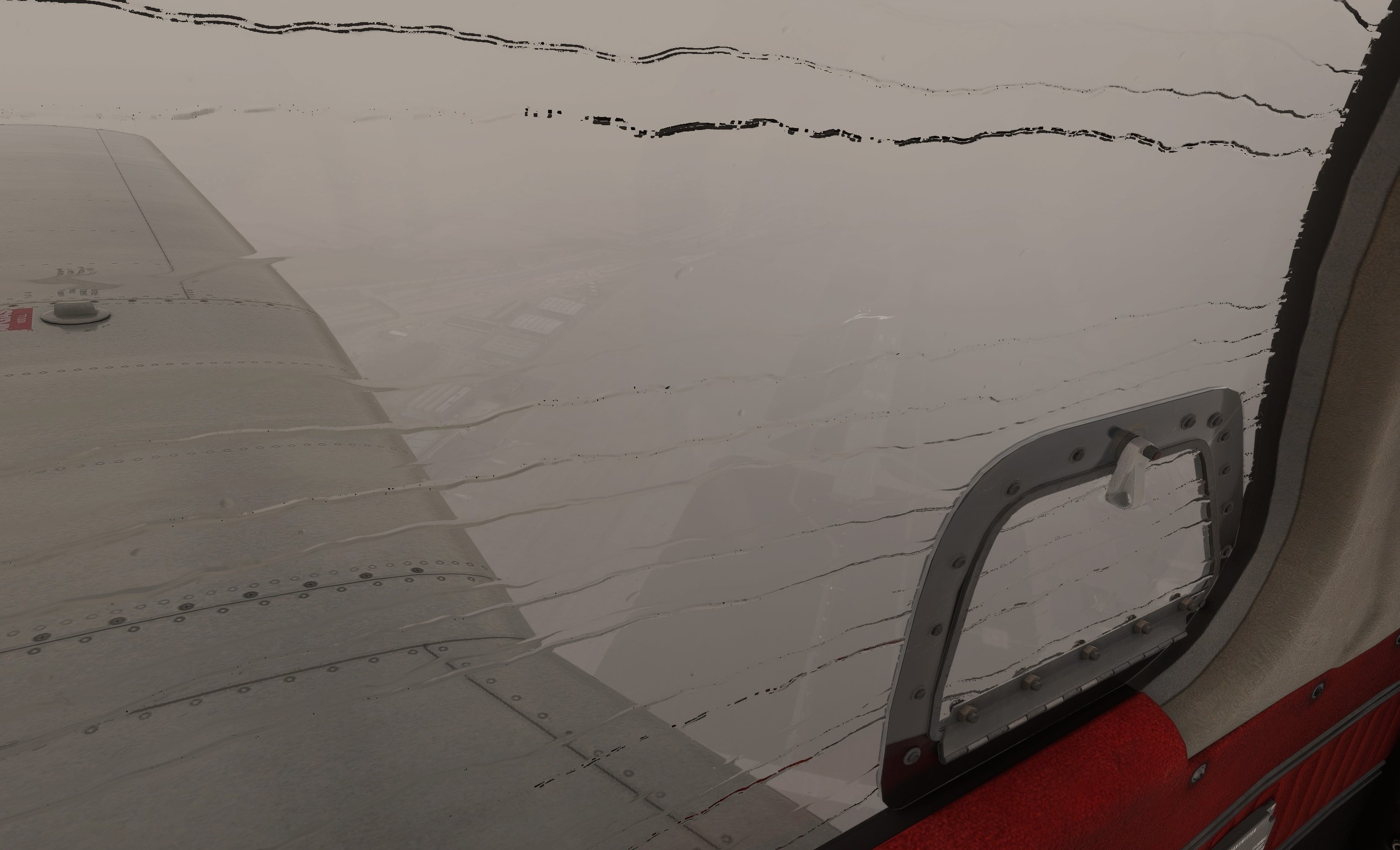
Out came the boards. Down came the nose. Next floor, housewares and ladies lingerie. Watch your step!
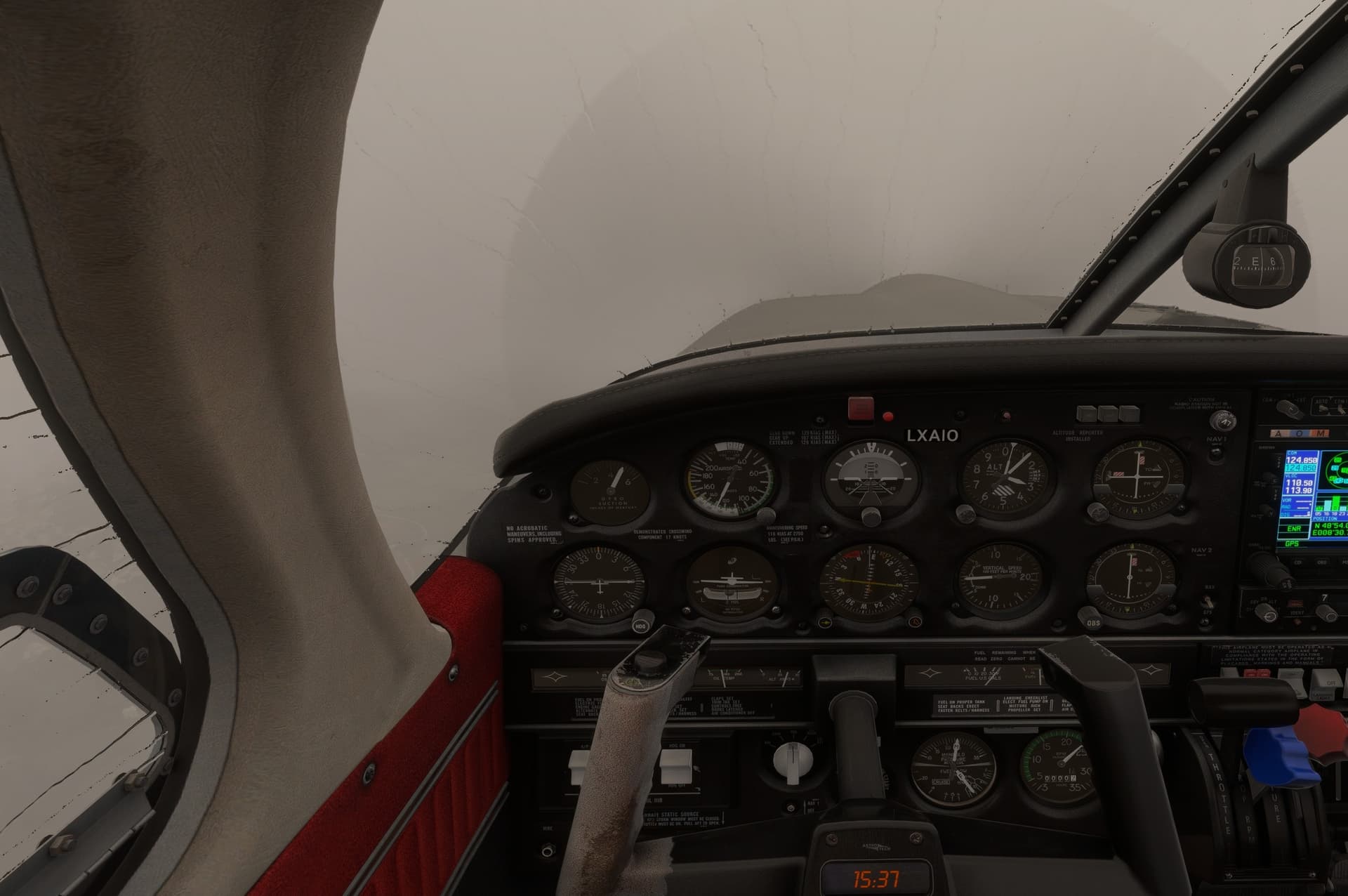
Without the map, we’d have been up a tree. At 10K, I slowed and dropped the gear as we entered the clouds.
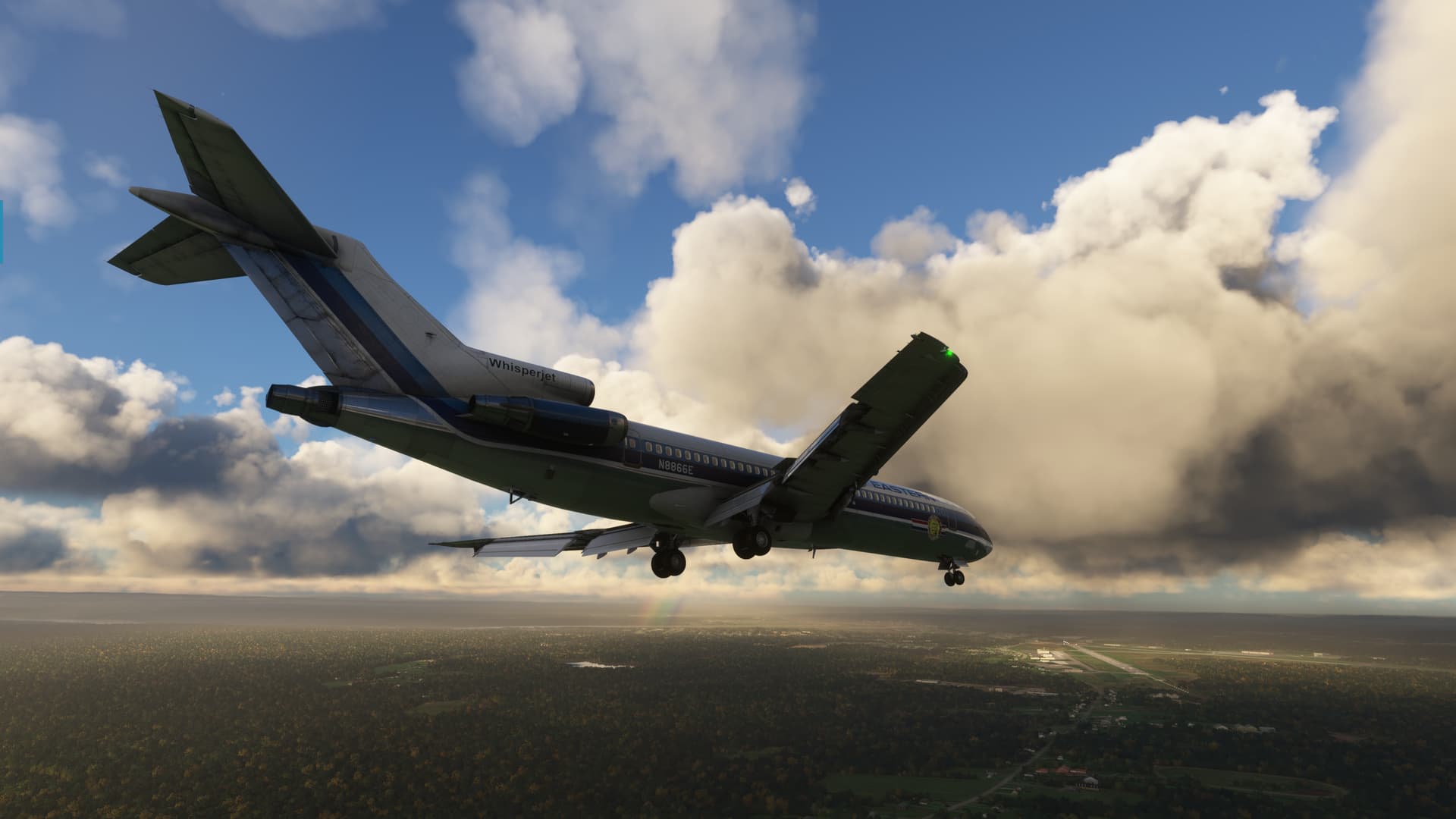
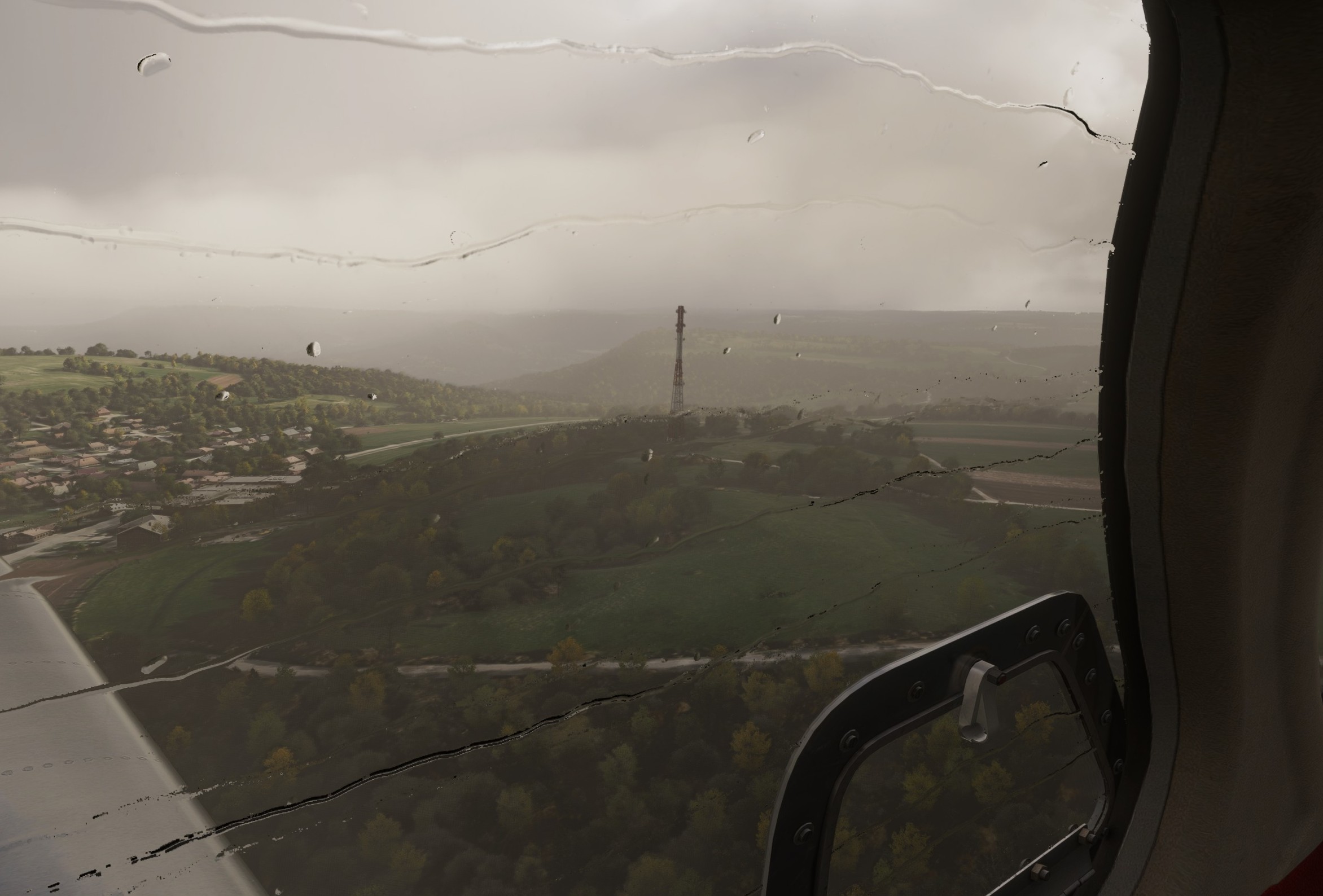
By sheer luck, we break out about 7NM from the field. High on a right dogleg to one of the runways…don’t even know which.
A quick S turn to slow down and get the flaps out and we turn back to the field.
Turbines, don’t fail me now!
Whew! somehow we make it.
I jiggled the weight and balance slider accidentally, so I don’t truly know how much gas we had left at the end, but the log thingy shows me with 1700lbs/side at the 1:20 hour mark. So, probably slightly less than that. 
Well, that was a thing. That still seems like a massive fuel burn and I guess there is the possibility that the fuel defaulted back to 50% when I reloaded the sim. But, either way, I should have found the fuel reporting thing earlier.
Maybe I should go back and read the manual before leg two? 
In any case, welcome to the Mudspike Christmas Flight and thank you for flying Eastern Airlines!