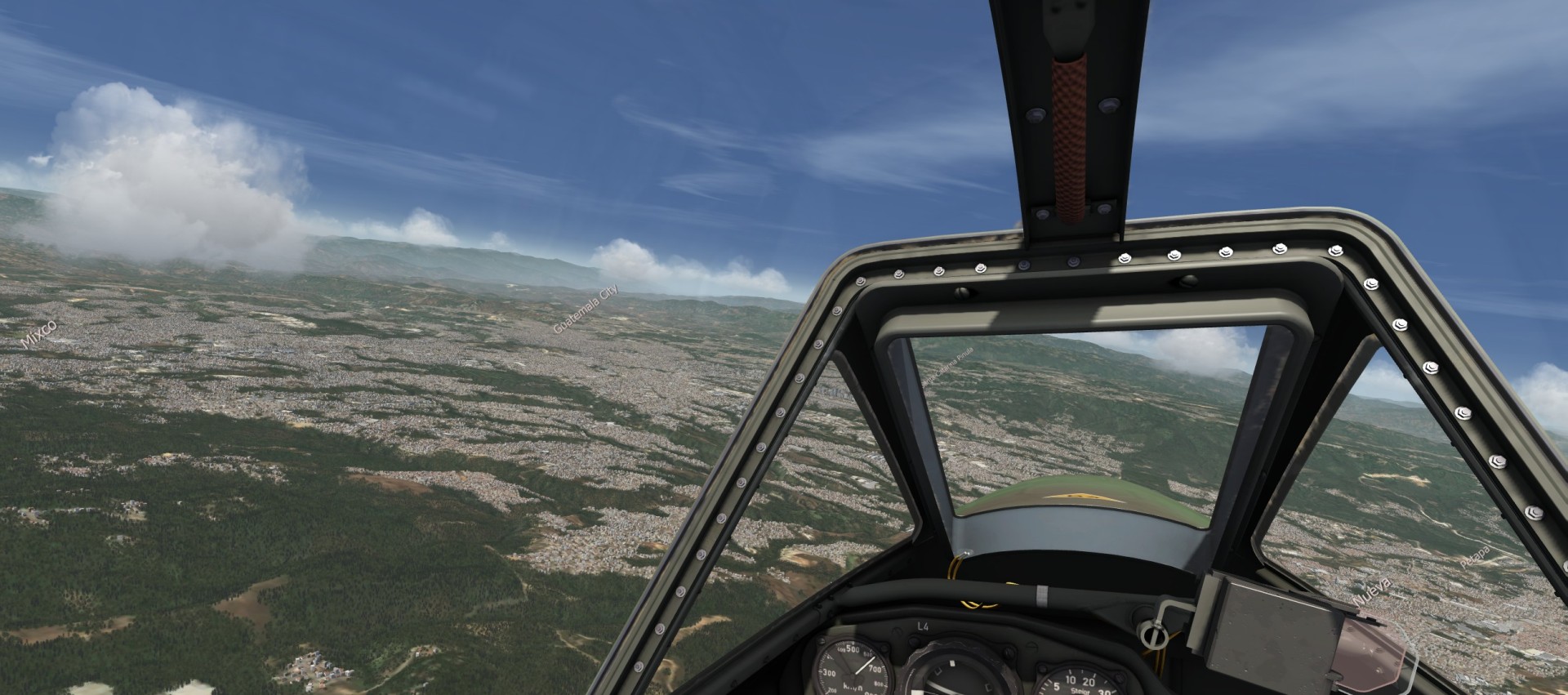
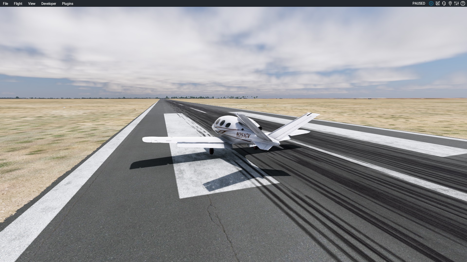
totally forgot where I have landed yesterday
Quiché Airport , elevation: 6631.0ft ( 2.021 m ), 17 - 35 ASP 4.090 ft ( 1.247 m )
almost scratched the surface leaving it today
going downtown
totally forgot where I have landed yesterday
Quiché Airport , elevation: 6631.0ft ( 2.021 m ), 17 - 35 ASP 4.090 ft ( 1.247 m )
almost scratched the surface leaving it today
going downtown
I am lagging behind my plan a bit… not surprising really ![]()
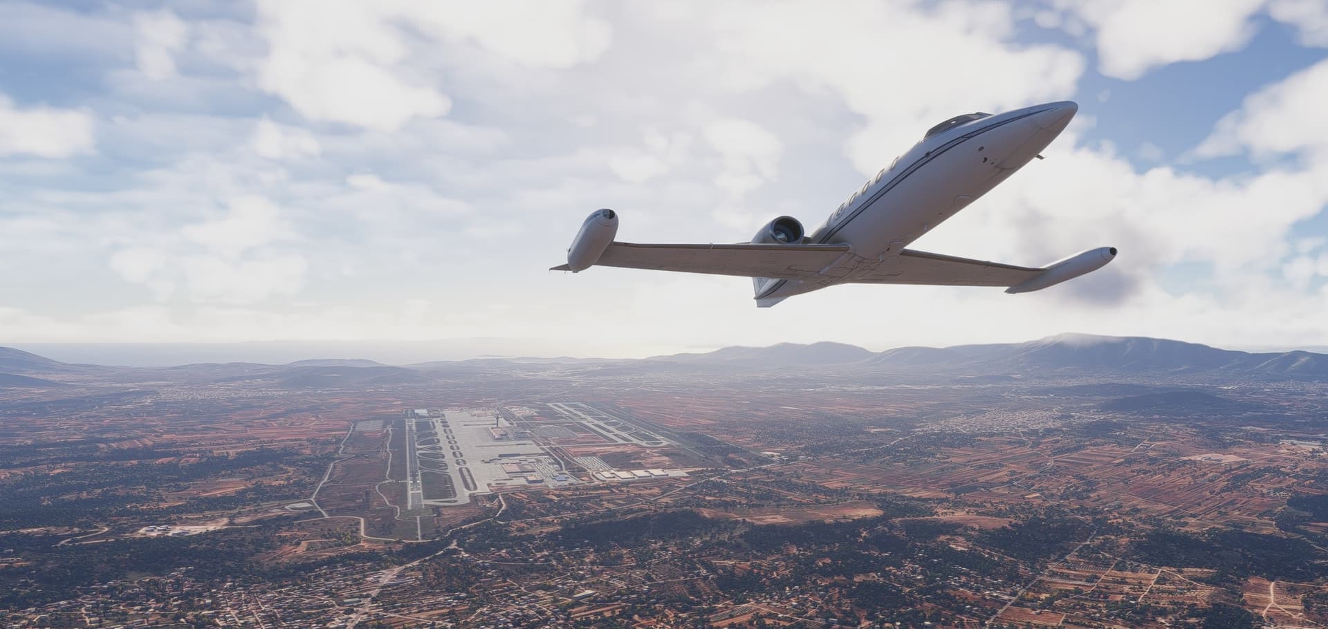
Today I am flying from one important historical place to another - Athens to Cairo.
Get going took some time as I started to forget some of the switchology. Though all seemed to run fine and the engines did not shut in flight so I suppose all good in the end.

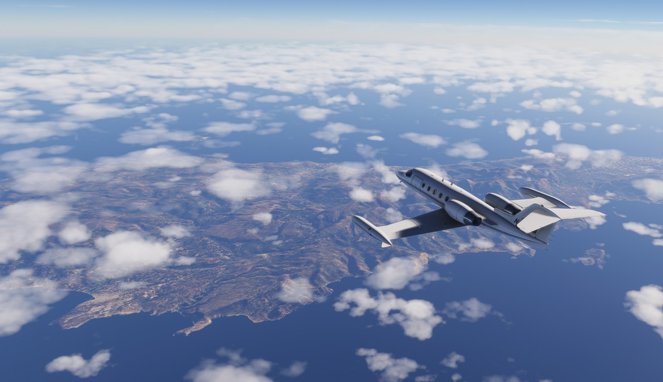
Island of Crete as seen from FL410.
At this altitude the weather is always great ![]()
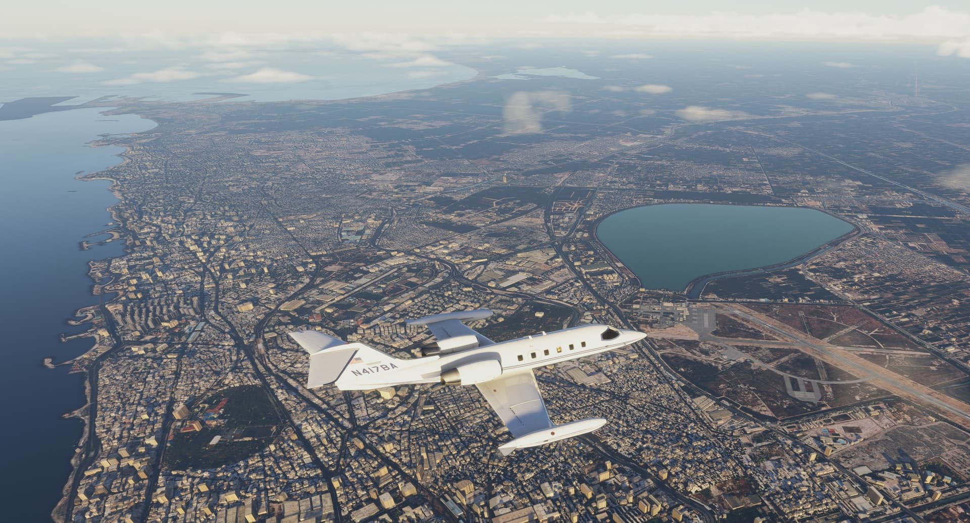
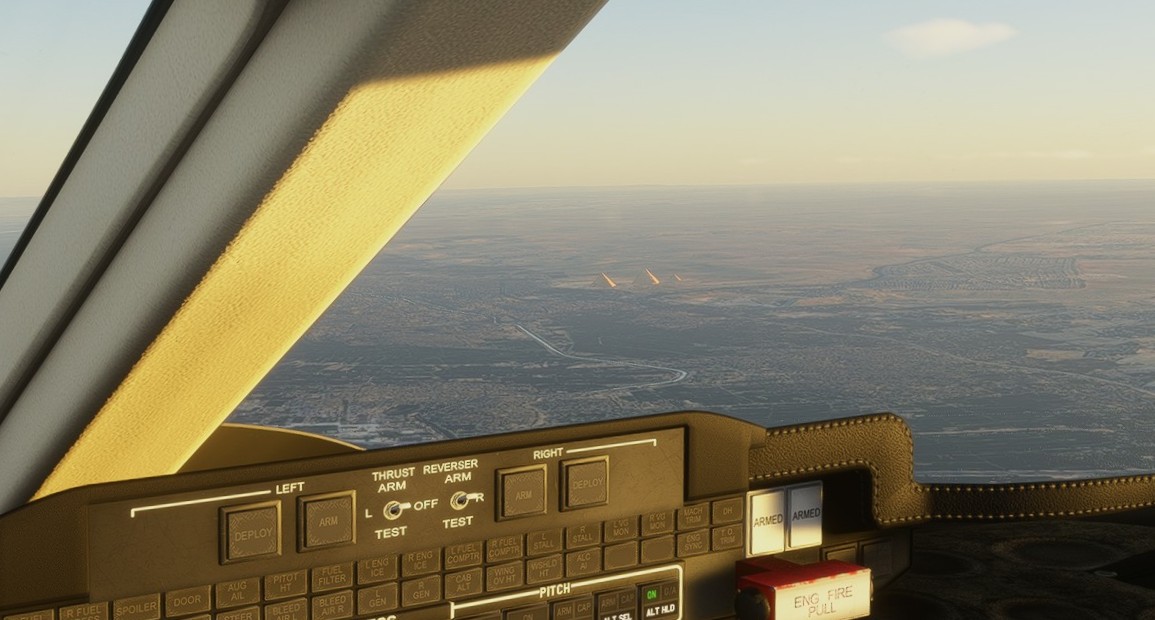
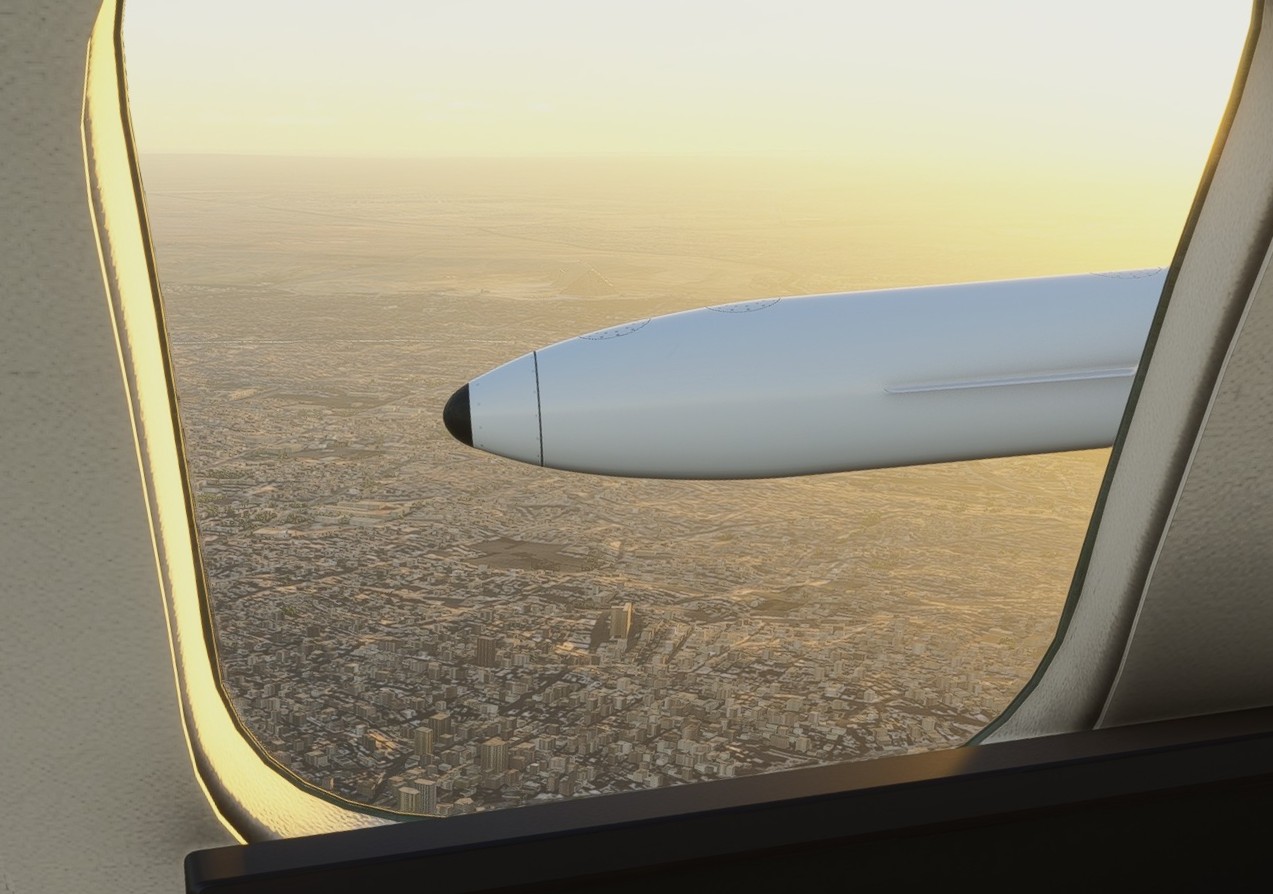
Arriving to Africa…

…over Alexandria VOR. I am still trying to master the descent profile. Idling the engines and descending at max speed results to some 6k ft / min descent rate which is quite… terrifying? Dunno… maybe that’s how it should be done in this bird so I continue exploring. Slowing to 250 kts ias below 10k ft changes the profile a bit but all in all it seems like I was coming (falling?) down at bit more than 6 degrees, which is still quite OK to calculate the TOD.
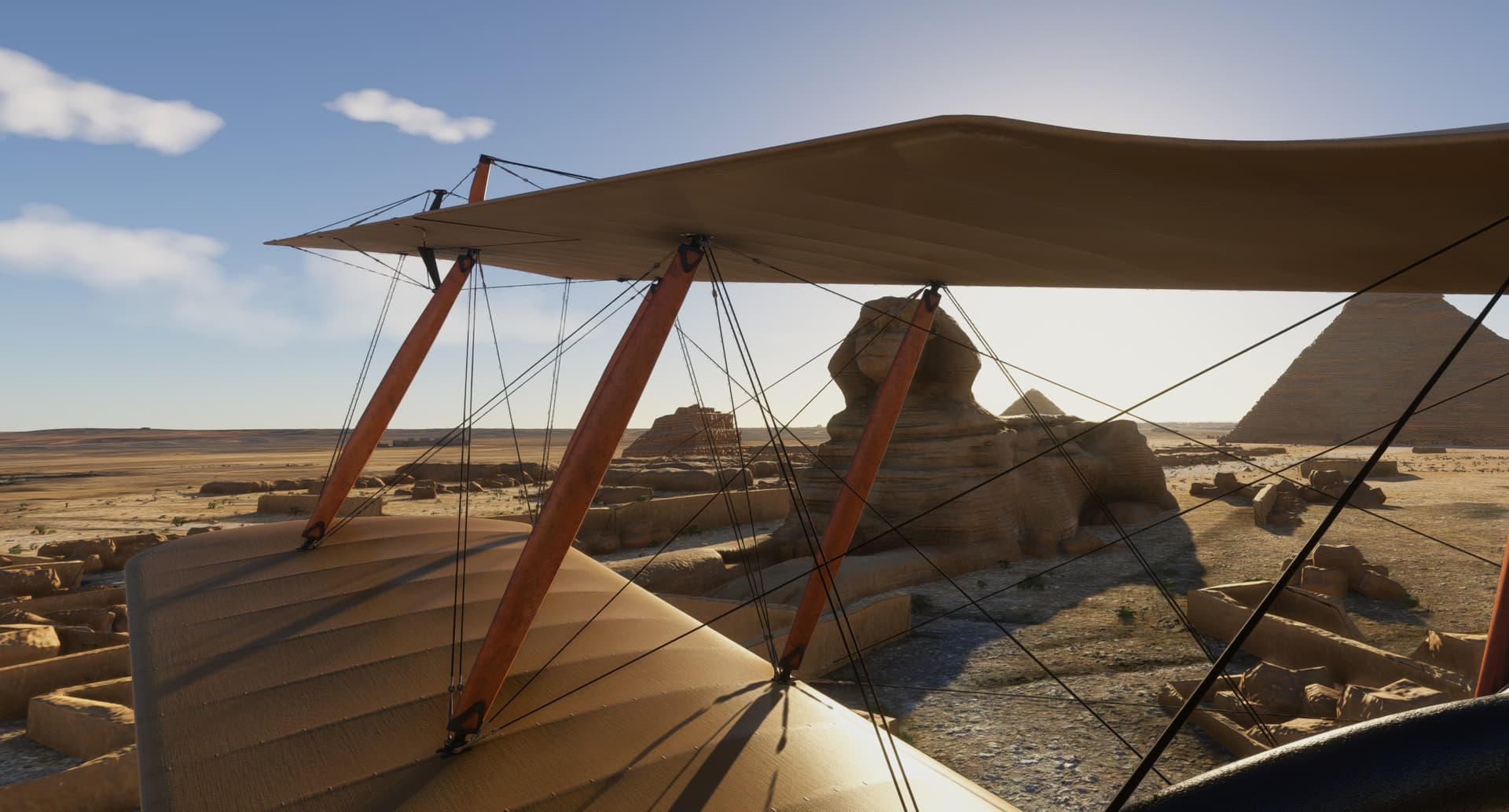
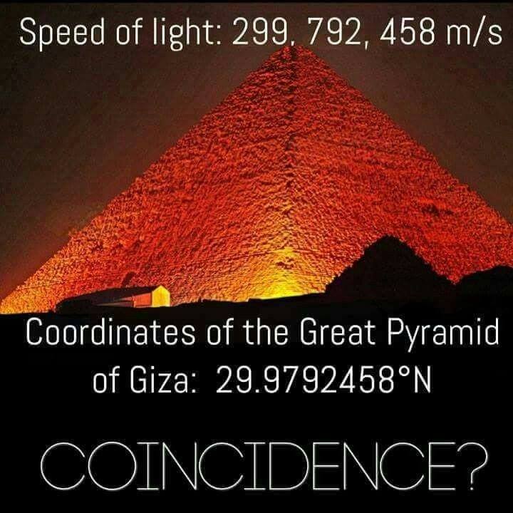
Can you see what I can see?

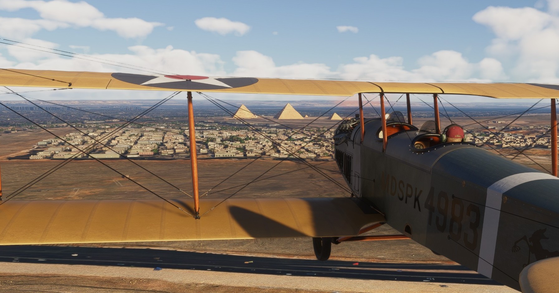
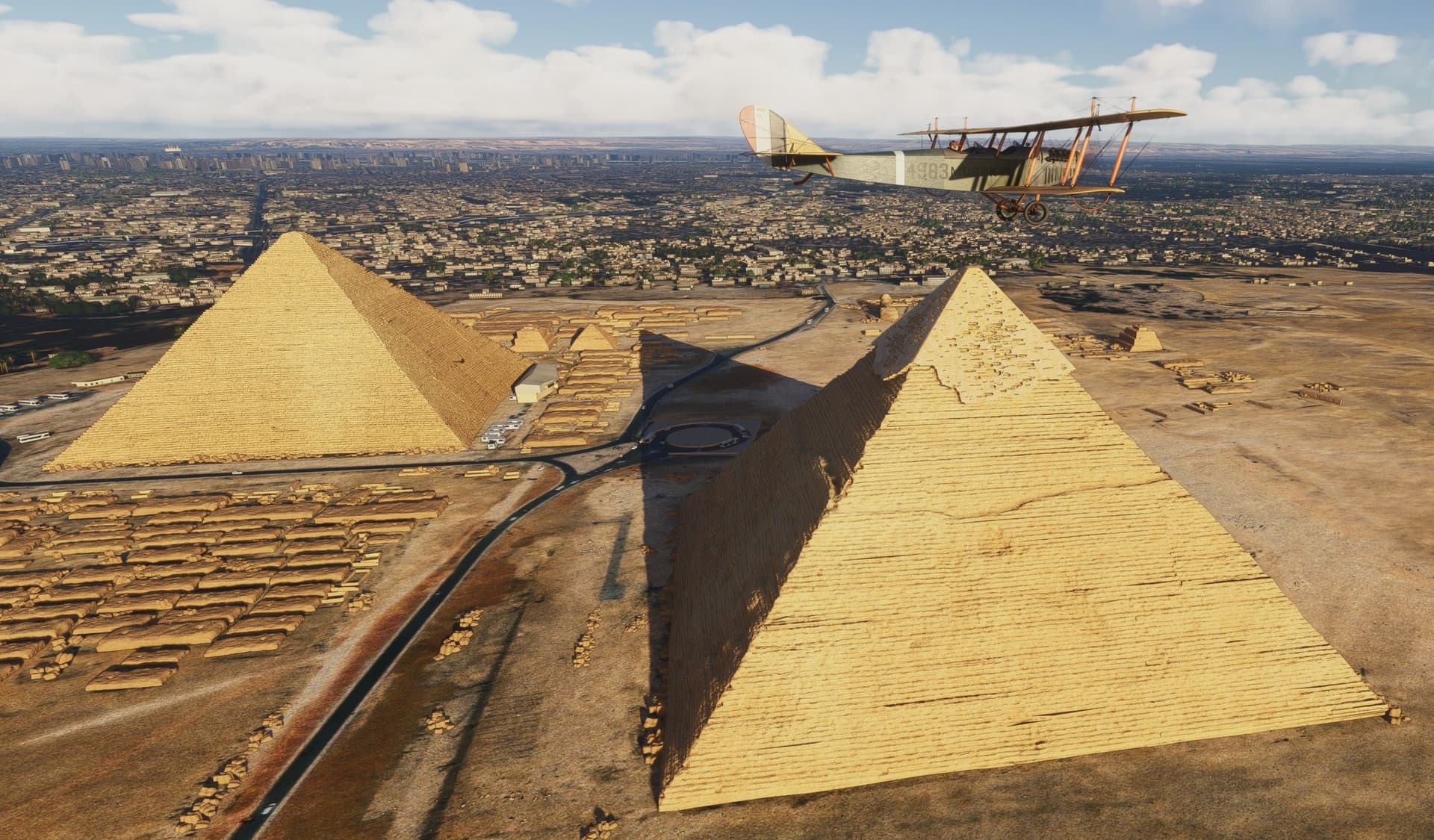
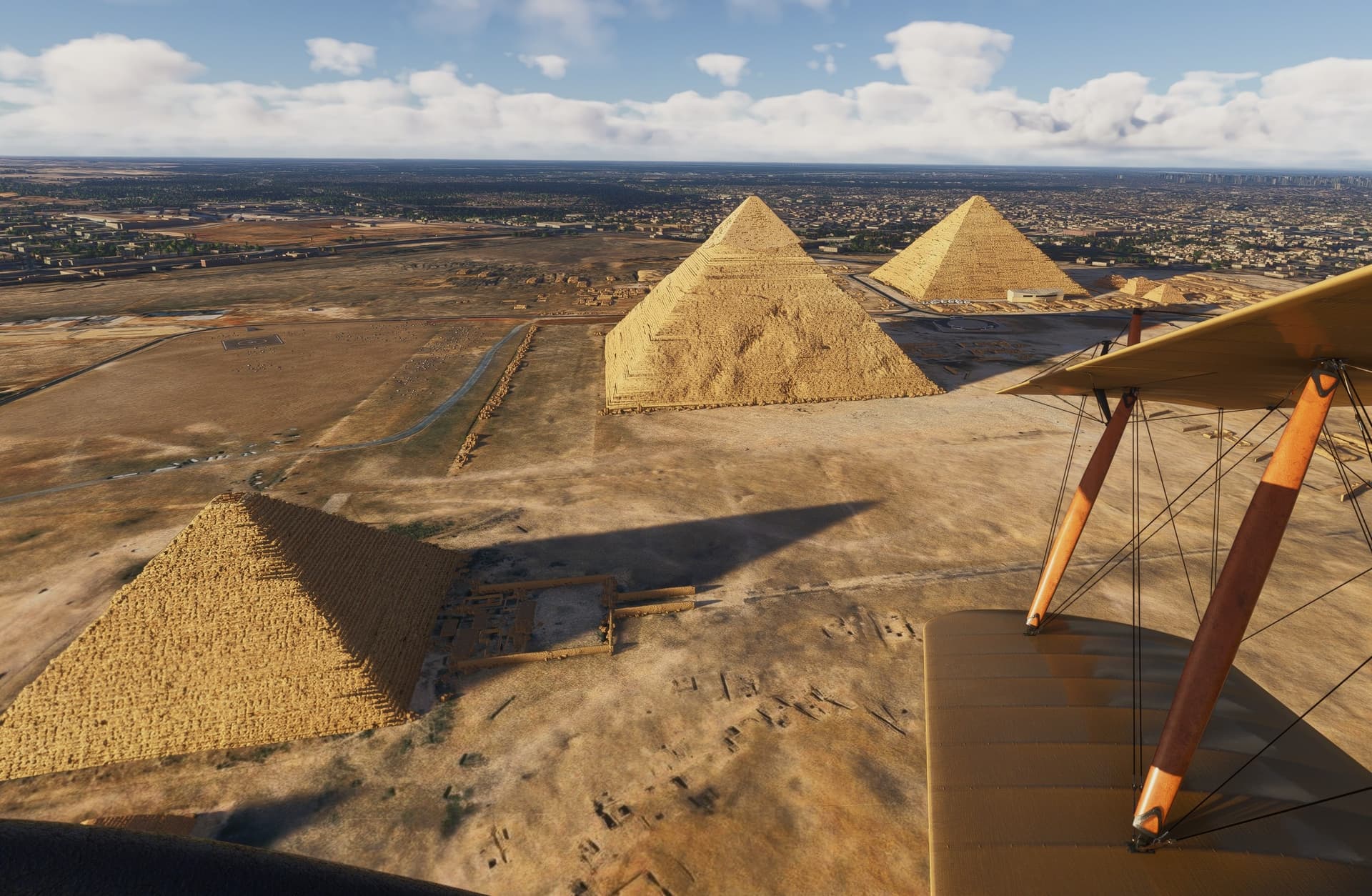
Found a nice shelter on the apron while I am checking the Pyramids.
The Pyramids…
The Giza pyramid complex (also called the Giza necropolis) in Egypt is home to the Great Pyramid, the pyramid of Khafre, and the pyramid of Menkaure, along with their associated pyramid complexes and the Great Sphinx. All were built during the Fourth Dynasty of the Old Kingdom of ancient Egypt, between c. 2600 – c. 2500 BC. [Wiki]
lets put our tin hats on …
Is The Great Pyramid of Giza’s Location Related to the Speed of Light? | Snopes.com
Well, I can’t top a good Ancient Aliens conspiracy…
No, I can’t… ![]()
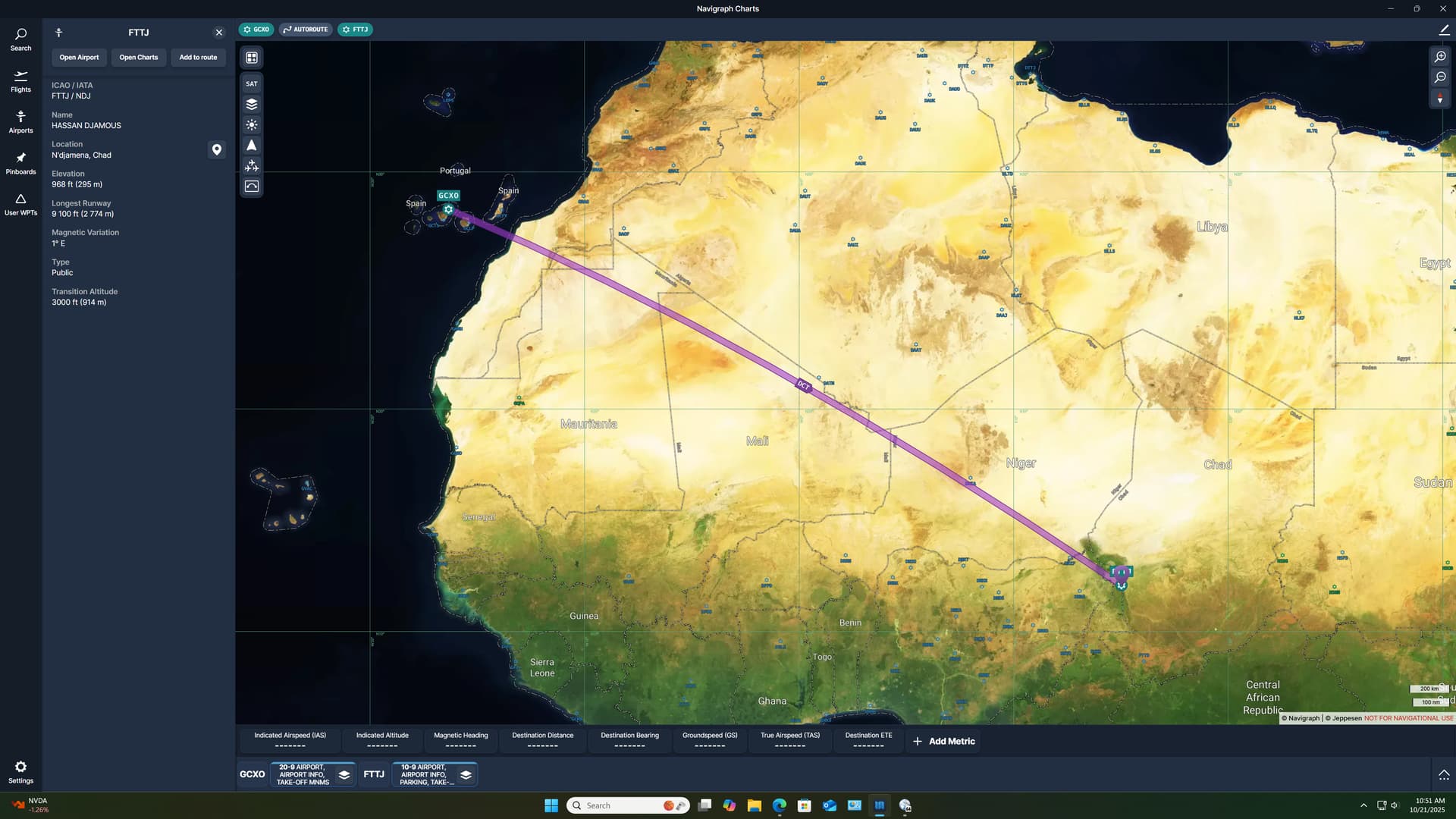
Leg 5: Tenerife North–Ciudad de La Laguna Airport, Tenerife, Spain (GCXO) TO Aéroport International de N’Djaména, Chad (FTTJ)
So, there I was, across the Atlantic, Africa spread out like a carpet before me…
and no idea what to do next.
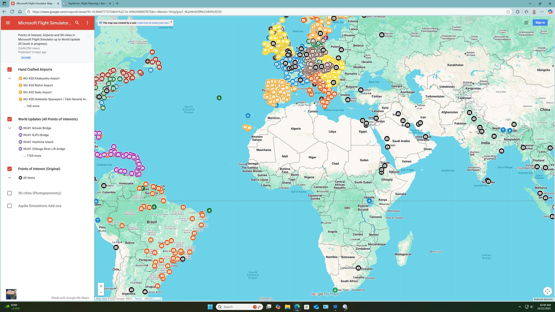
It’s generally about here in my yearly travels that I start complaining about how much I miss paper atlases. I know that there are endless wonders to be found, scattered across the continent.
And yet, a search for MSFS POIs in Africa generally yields me something like this…
Pretty spartan.
Without any better plan then, I plot a course towards one of the sites that I am determined to visit. Kilimanjaro.
Towards because, at almost 3500NM, there’s no way that I’m going to one leg it in the 72.
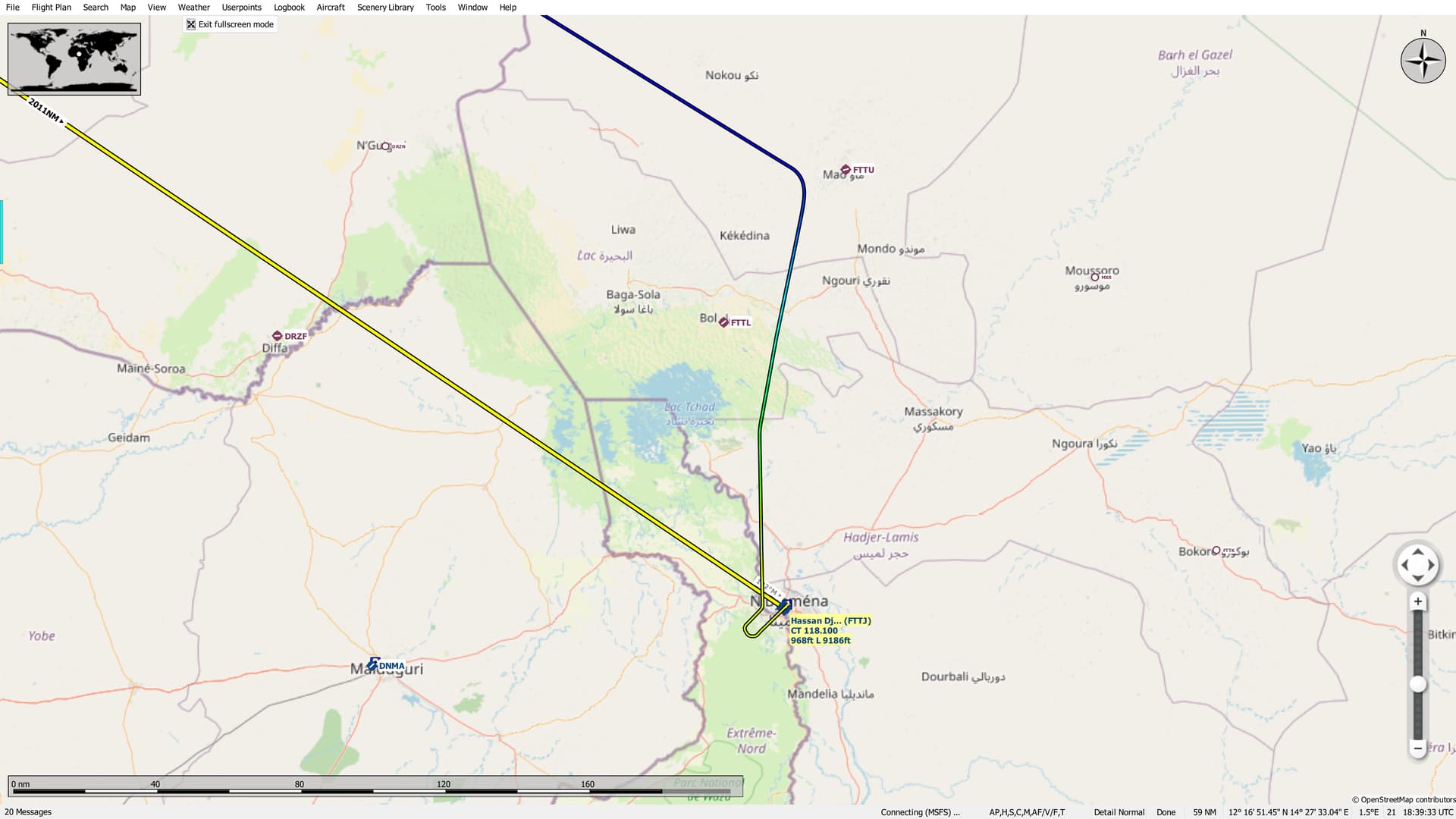
Which leads me to N’Djaména at right around 2000NM.
The around part is important, as you’ll soon see.
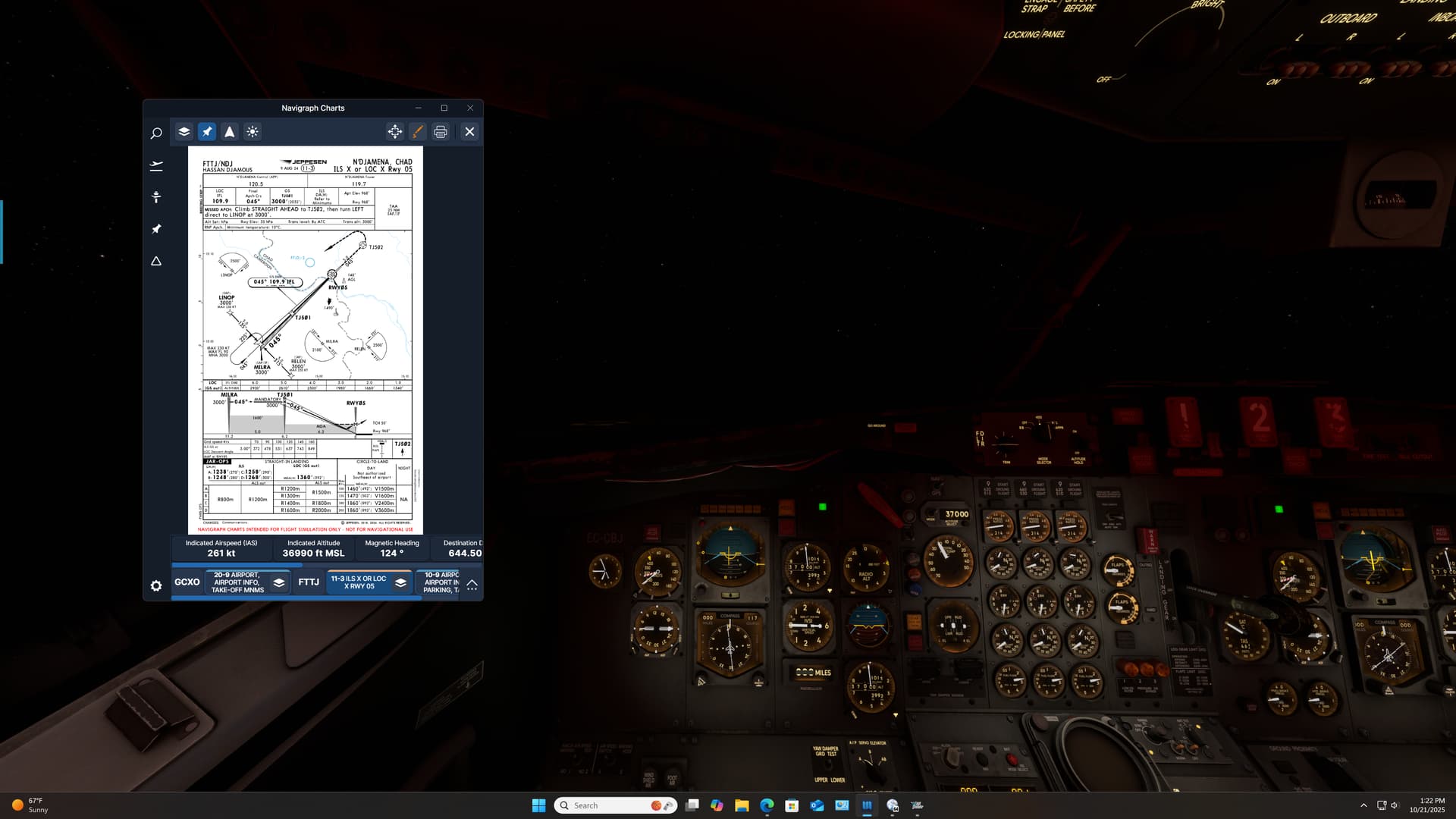
This was to be sort of a graduation leg for me in the 727. I had gotten the fuel straightened out, I had figured out the INS, and I knew that I could use the anti-ice without blowing the engine cowls off.
I was ready for a true max range run with all the trimmins’.
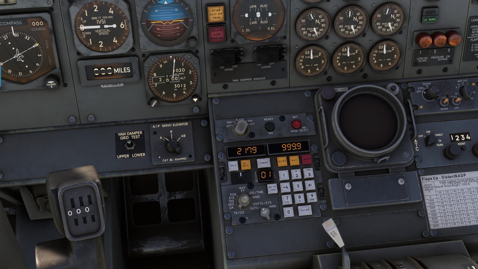
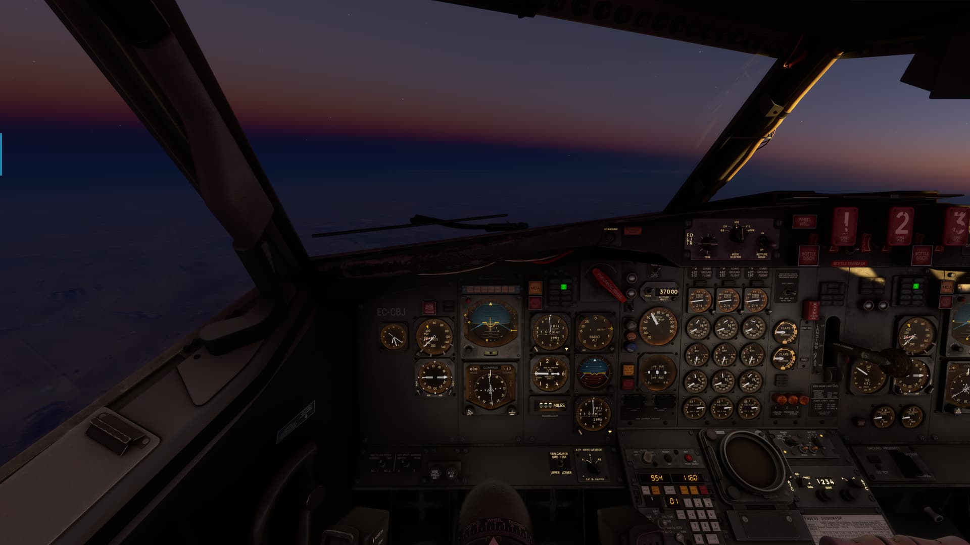
And then I came to this display right here.
The “2179” on the INS display is the issue here…the distance between myself and FTTJ. What’s significant is that it’s around 200NM farther than either LNM’s or Skyvector’s distance estimate (they differ slightly, which doesn’t help).
So once again I’m a contestant on my favorite gameshow…
Is it the plane? Is it the sim? Or is it me? ![]()
In reality, I probably would have just realigned the INS. But at the time, having triple checked the Lat/Longs, I couldn’t wholly dismiss the possibility that this was somehow a feature. Maybe some simulation of the CIVA that I didn’t know about?
In the end, I just decided to go with it and see where it took me. There was a VOR near FTTJ. So I wasn’t entirely without a crosscheck somewhere down the line.
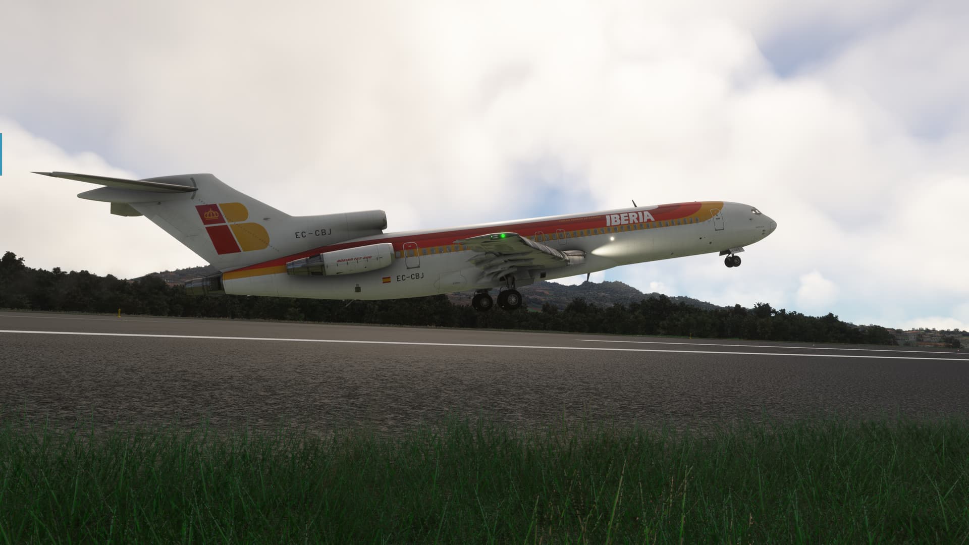
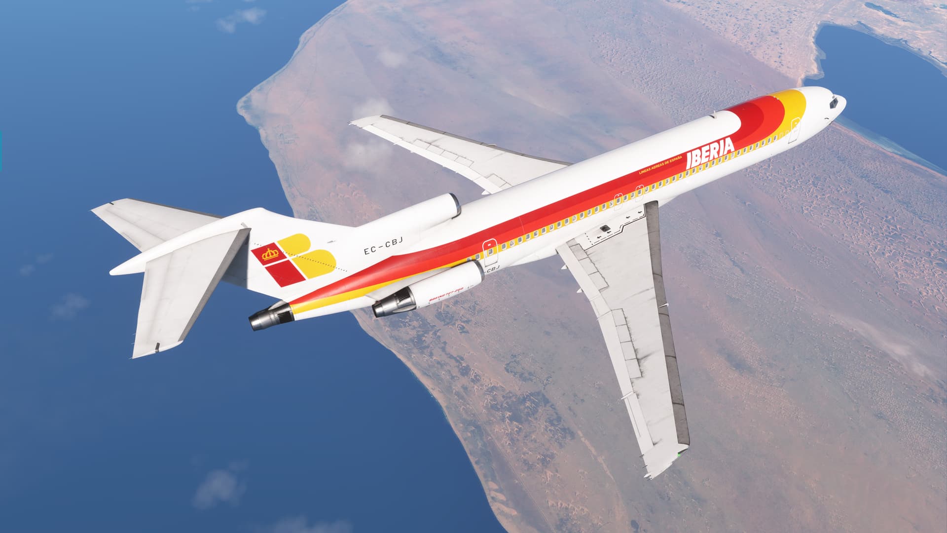
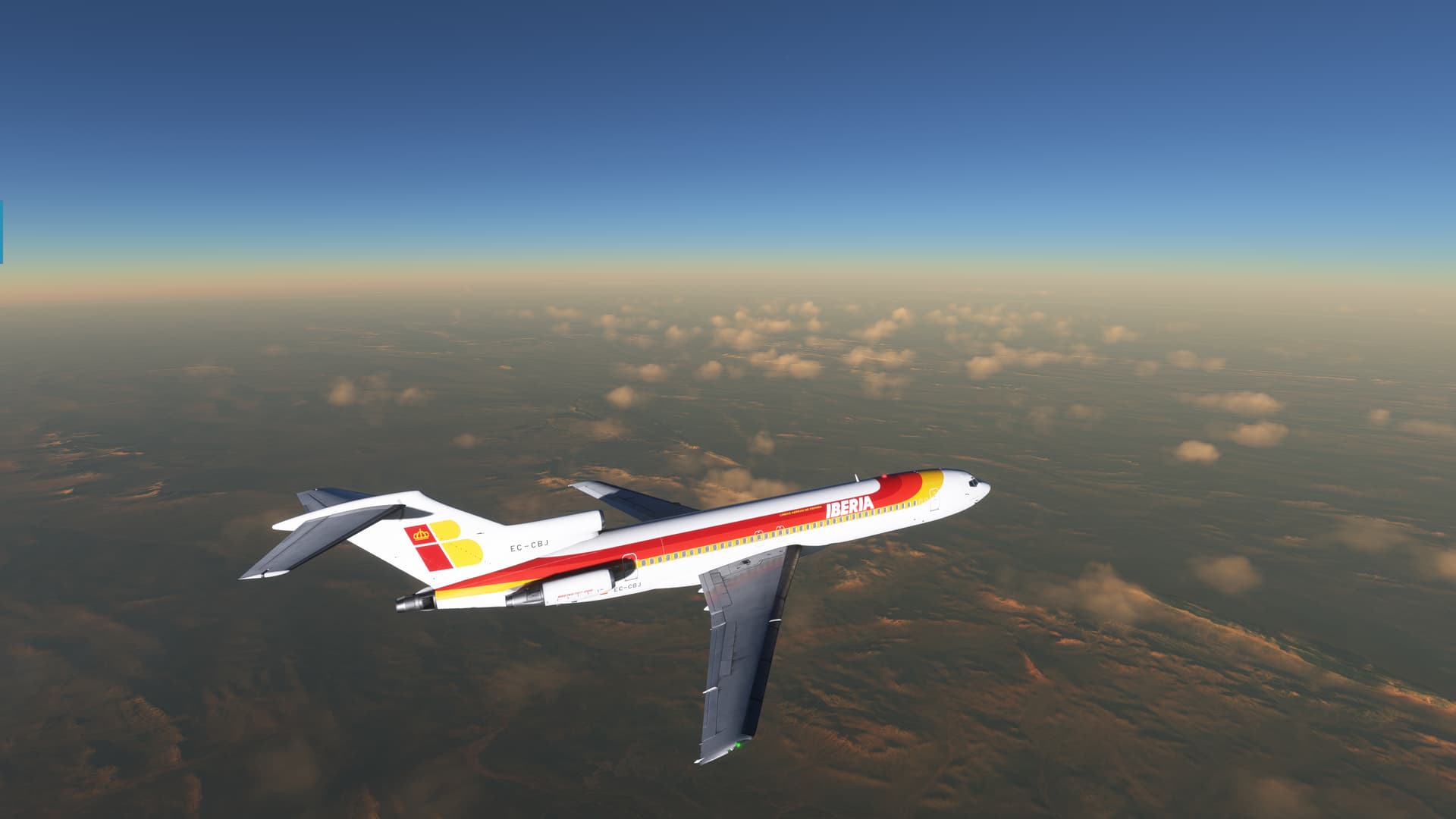
Well, that was enough of spinning my gyro, so to speak. Off we went, in Iberia colors by JanT73
On the previous arrival, I had fully underappreciated how mountainous Tenerife was. There’s some serious cumulo-granite out here!
But, with a quick turn west, I was soon out past Santa Cruz de Tenerife, and away from danger. Mount Teide loomed in the background.
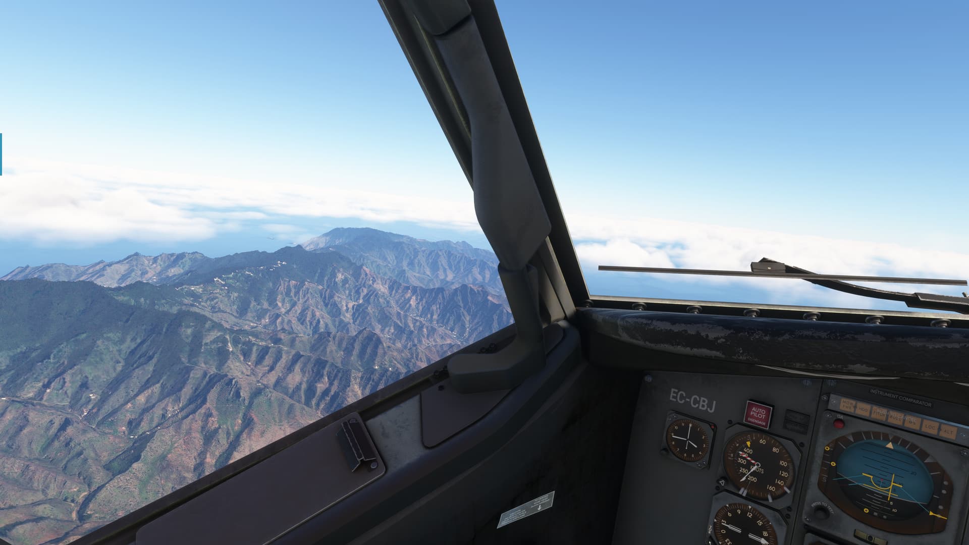
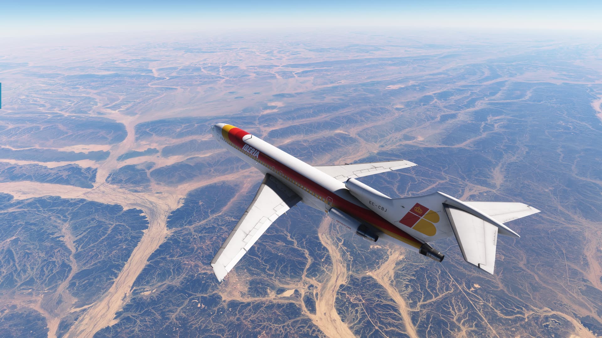
The climb to 370 was laborious, but I just managed to complete my cruise checks in time to see the sprawling coast of Morocco stretch out before me.
The stark contrast between the water and the desert is almost surreal, and never fails to make me feel small somehow.
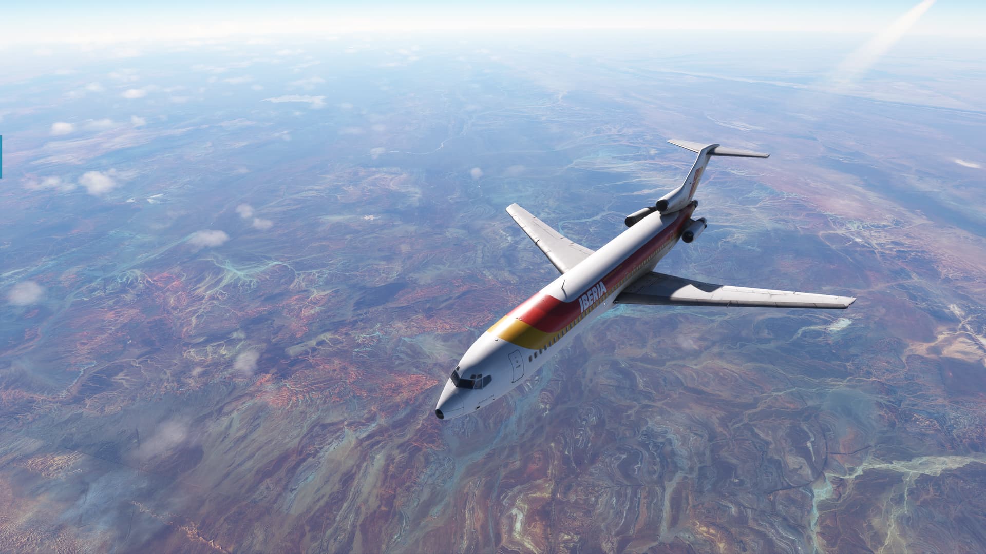
One thing that MSFS really nails is the way the sand dunes arrow, like a school of Angelfish across the desert hardpan. I remember being fascinated by it when I was flying in the desert and I’ve never seen anything like it in the States.
Actually, once I got to altitude, there was little to do other than marvel at the sere beauty of the Saharan Desert. It’s so different from the deserts of the American southwest that I’m more familiar with.
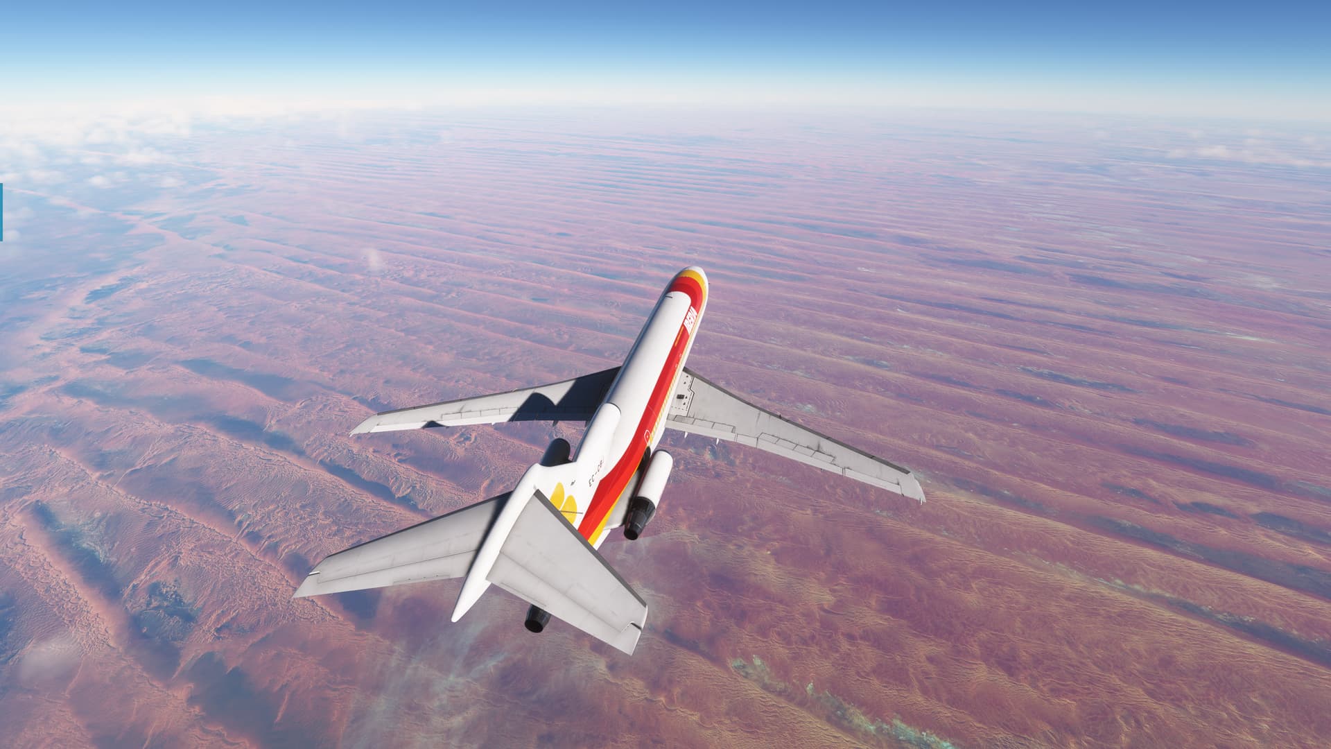
Here, sand rivers fill what looks to be a base of ancient volcanic rock.
Which gives way to this amazing landscape.
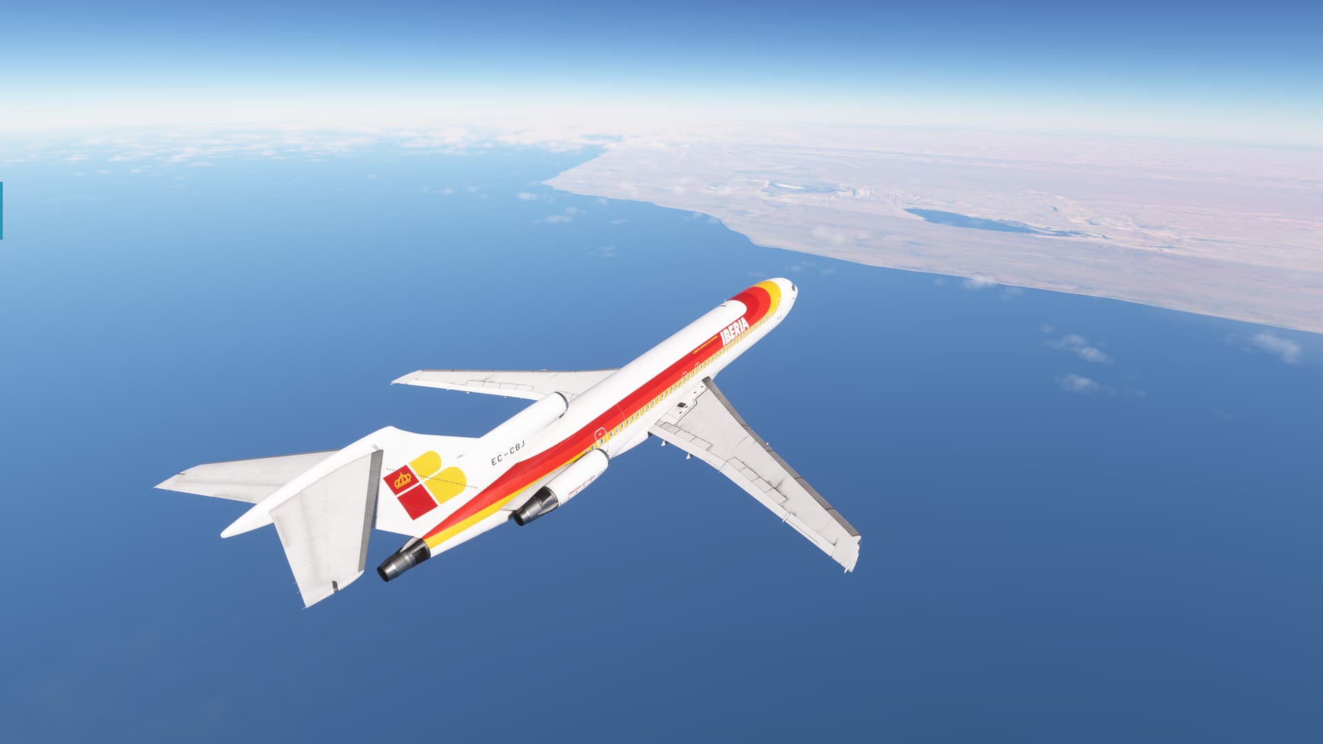
Before finally lapping up to the “shores” of the Tindouf Basin, and the deep desert.
Amazing.
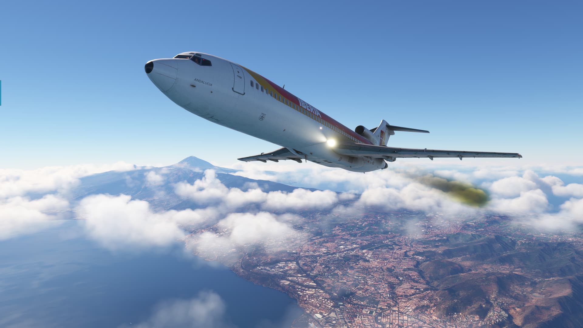
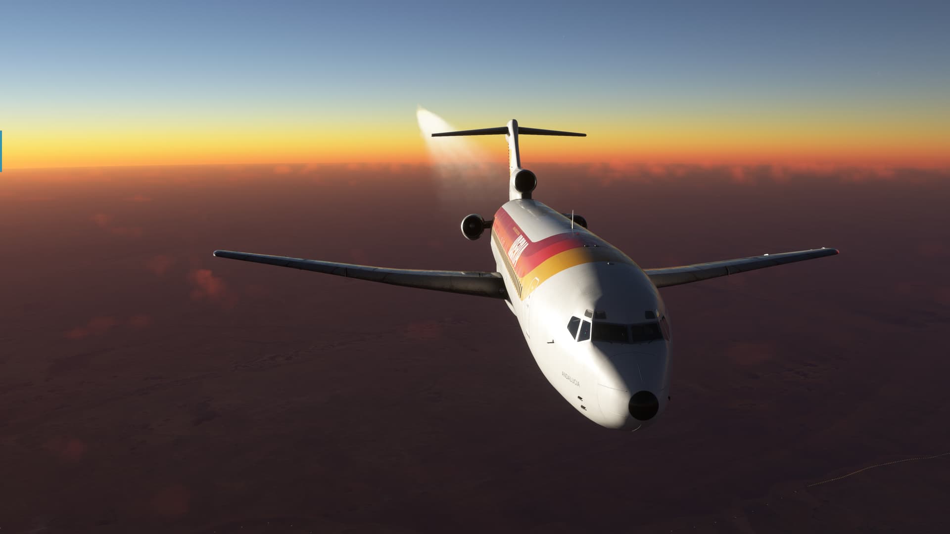
Meanwhile, the Sun had been steadily marching its way west.
And my hopes of maybe just glimpsing the Hoggar mountains rising from out of the Tanezerouft Desert seemed to have just been…dust in the wind. ![]()
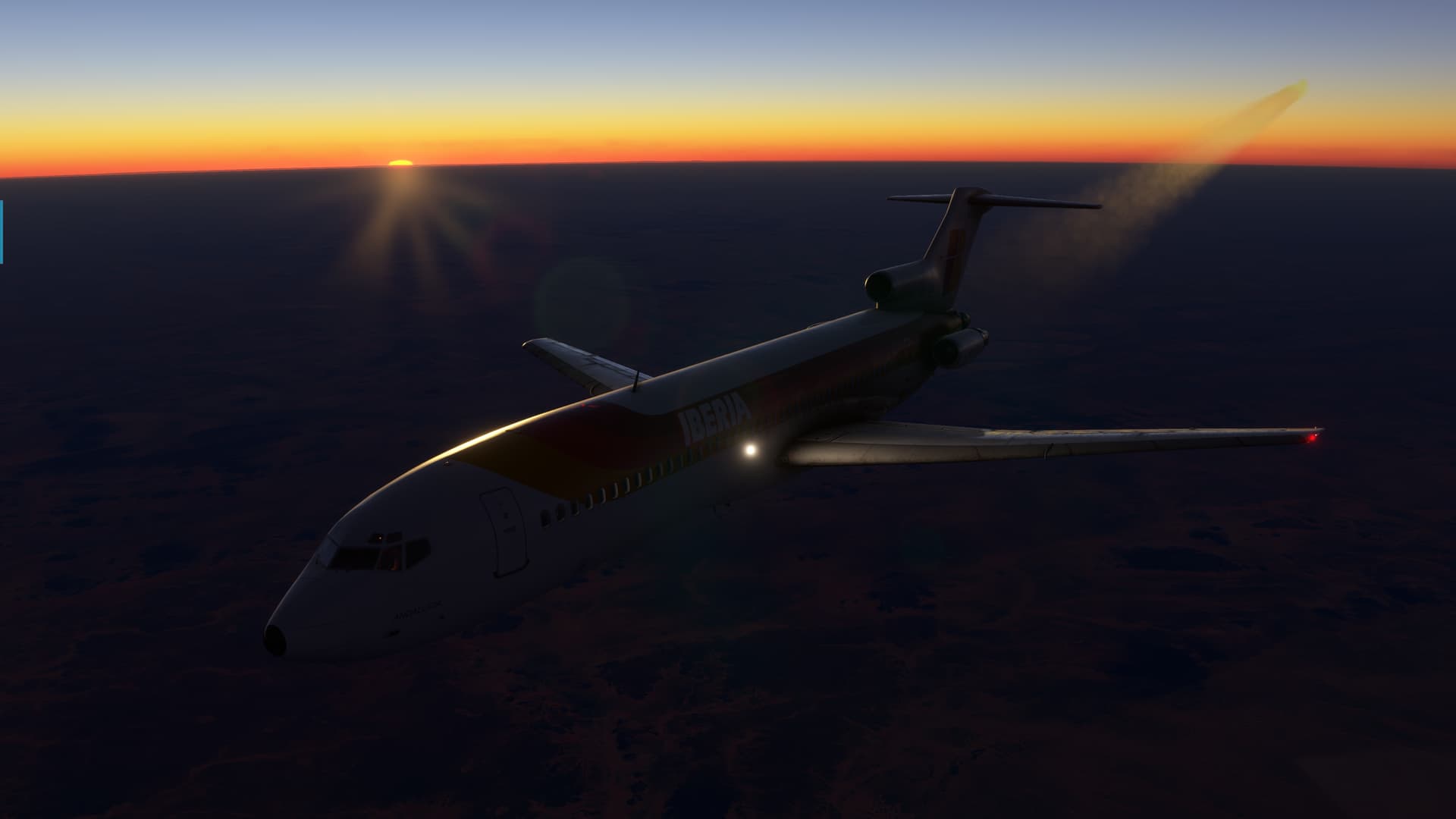
Well, back to work…
The first thing to greet me when I came back inside was a nice case of the leans!
Wow, that’s effective. I’m getting a case just looking at it now! ![]()
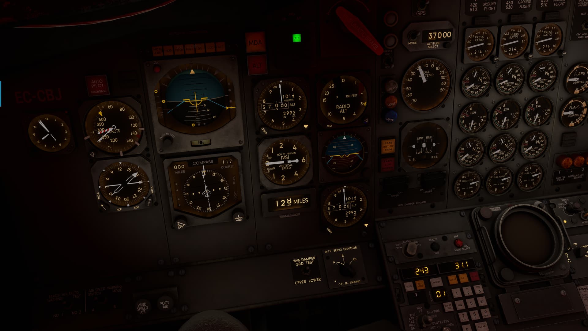
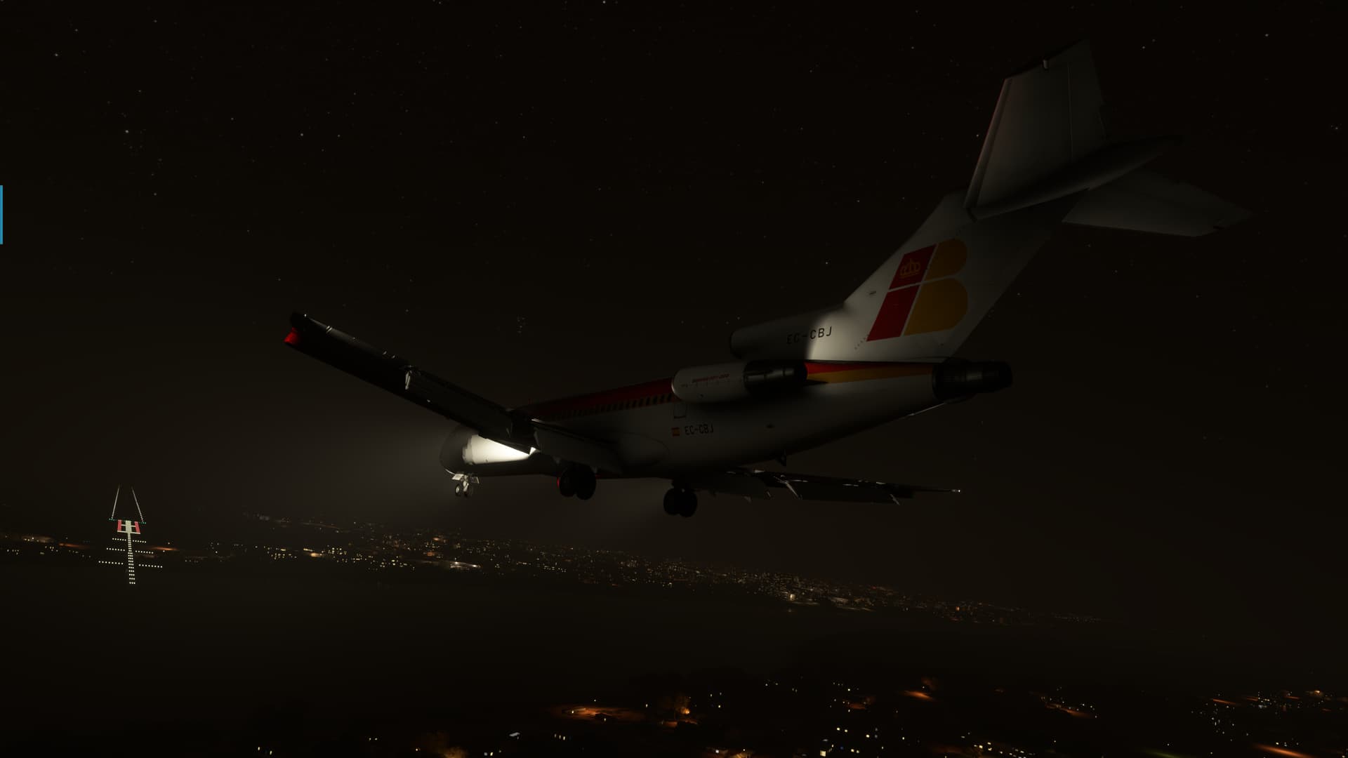
I was happy to see that N’Djaména had a pretty full featured ILS. Should be a nice straight in.
Or so I thought. About 243NM out according to the INS, my needles finally got a sweet lock on the N’Djaména VOR, 128NM off to about 2 o’clock.
It turns out that this was not a feature of the INS after all.
Looking back, I was pretty lucky to have gotten a lock at all. The VOR was a Terminal one and I might have missed it entirely if I was much farther out.
Trusting that the VOR was correct and in the right place (no small assumption from my previous experience), I turned to put the needle on the nose and set up for what looked to be a downwind entry now.
I just hoped that there was a field at the end of it, and that MSFS hadn’t pasted over it somehow…not like that has ever happened to me before… ![]()
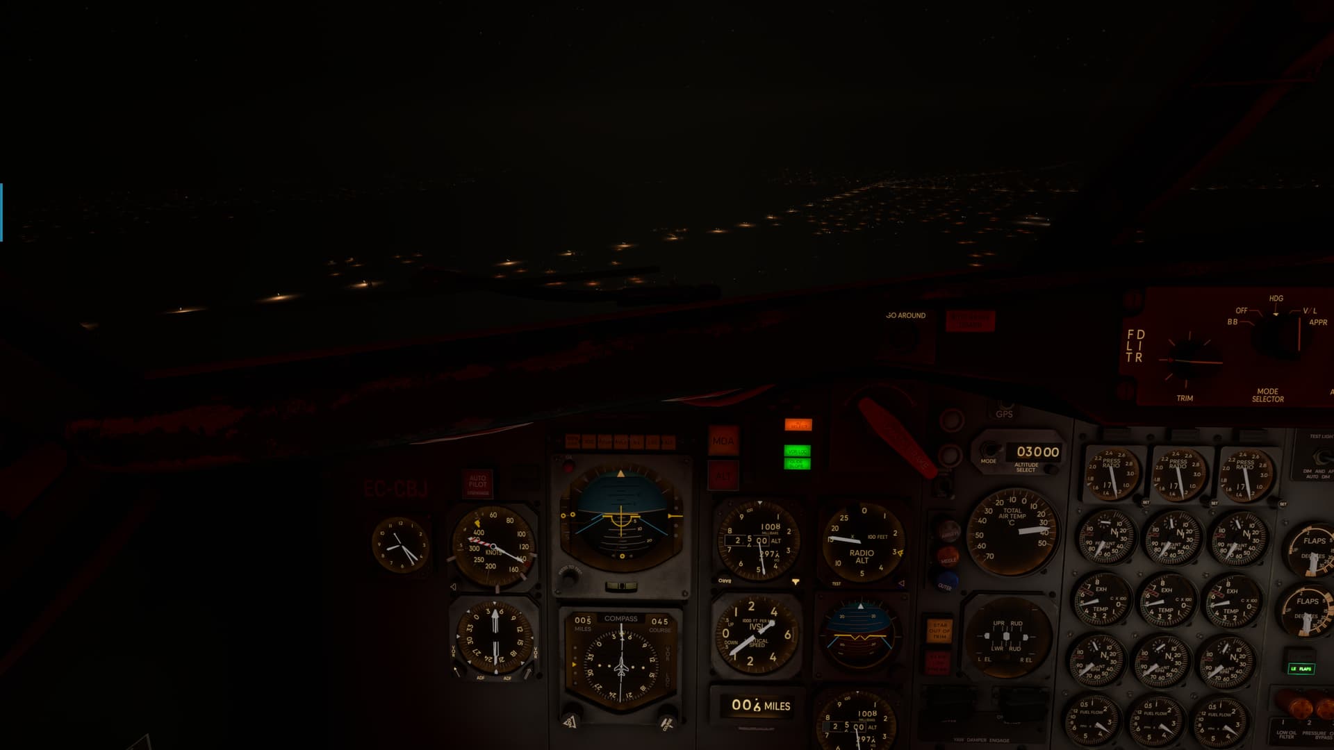
Given my new arrival direction. I set myself up for a nice wide box pattern based off the VOR; and eventually did get the jet all coupled up.
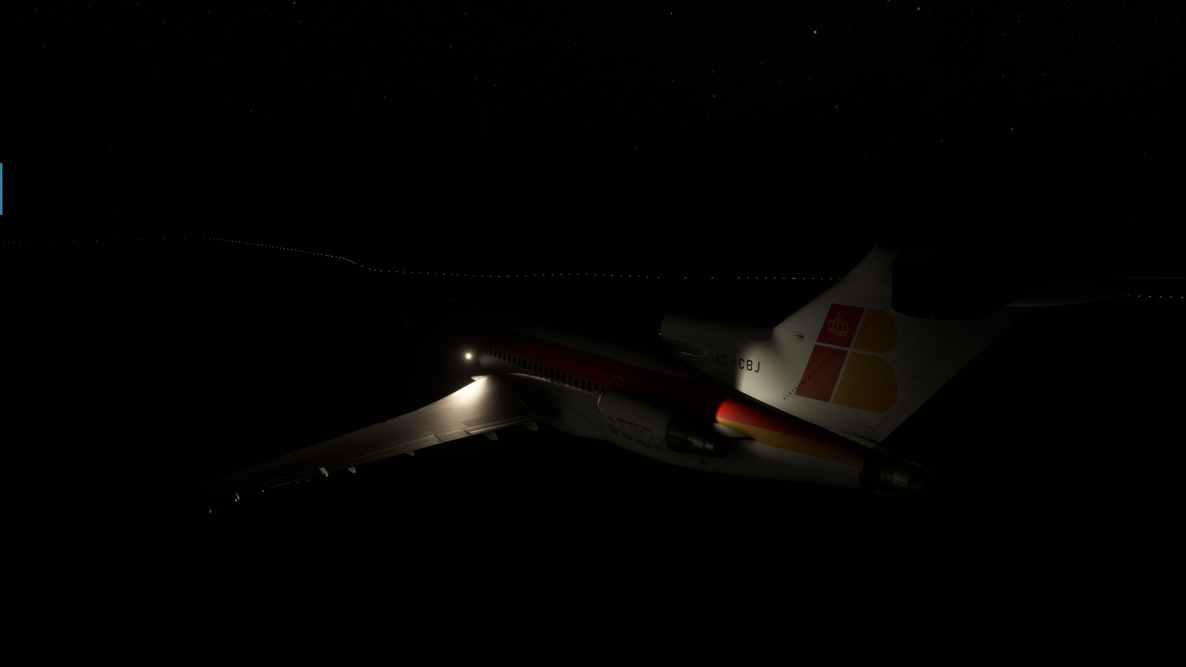
But, for what was reported as SKC, it was full on dark. No city lights, no approach lights, nothing.
Just a big black hole with a few highway lights for perspective.
I was well under 1000ft before I broke out the runway. Just dim lights in the haze I suppose, but for a few seconds there I thought I thought that I was sans field!
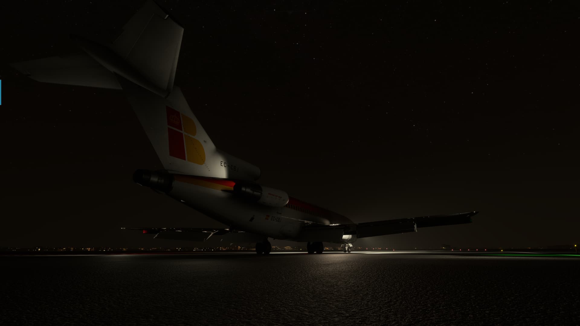
I put her down in something of a hurry, so no points for style on this one…I was just glad to be here!
So, after I shut her down, I took a look at the map.
Sure enough, the INS was taking me someplace other than I thought she was.
I checked the waypoints once again and they looked correct to me. So I may have had a bad alignment.
But at least I know now that it isn’t a feature and that I need to do something should my expected distance be that far off again.
Alternatively, the CIVA does have a few update options, so maybe I’ll try to sweeten her up a little next leg and see how that works.
In any case, I made it. Time to call it a day!
Great report and fantastic screens! It gives me vibes of my first Christmas flight to Cape Town. Africa looks so much different to anything else.
As for POIs over there - yeah, I am happy I will hit some of the few ones on the eastern coast.
No 727 driver here but I think this INS implementation simulates also drift. So that may be what you experienced on this looong leg.
Thanks!
Well, I was thinking about that, as I usually do on these flights. And I kinda went (dare I say, “drifted”?) down the drift path myself at first.
On further reflection though, I don’t think its a simulation of drift. For one thing, drift usually comes from an imparted acceleration…if I remember correctly.
So, I shouldn’t show a drift from the outset. Rather, the world and the INS’s model of the world should slowly drift apart over time.
The other thing is that the distance from the two points is the thing that doesn’t agree in this case. If the INS’s model of the world is correct, then I think that the two points should indicate the proper distance, it’s just that both the points will slide away from their initial positions, Like sliding a ruler across an ice rink.
Which took me to a bad alignment. I don’t do C+D starts on these, so I use the “Fast Alignment” function FSS provides to speed things up. If I missed this step, I suppose the INS might think it was somewhere orher than where I said it was. But I would mostly think that it would put the world in the wrong place, and not me in it.
That’s if the MSFS INS and the real INS work the same. ![]()
At the time, I had also entertained the idea that the CIVA just had some limitations in its view of the world. For instance, if it treated the world as a flat map and not a globe, then there would certainly be a difference in its measurement of distance. But, I’m just guessing here.
Sadly, and as is usually the case. the most likely explanation is that I fat fingered something in the box. ![]()
That was my first thought as well.
God I love those movies
While the overall direction of this year’s journey is South, the next leg sent me a bit counter intuitively North-East.
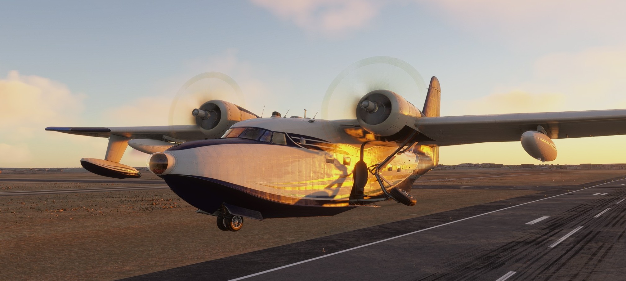
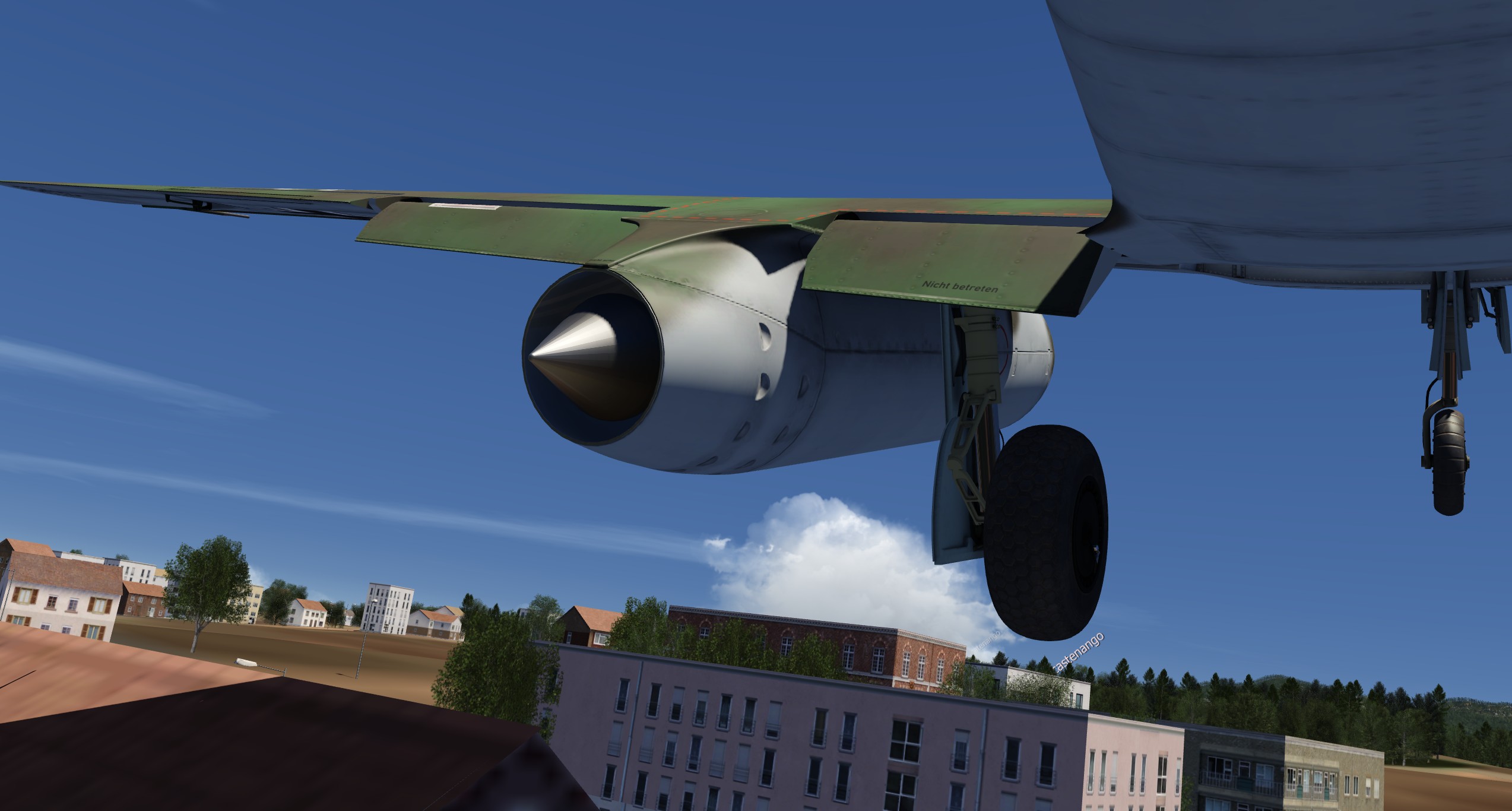
I can’t even remember when I flew the excellent Albatross the last time. The practical consequence is that I am not able to get the engines started ![]()

Of course I could just ctrl+Ed it but that’s cheating, right?
So instead I opted to spawn right on the runway of Cairo with the engines running ![]()
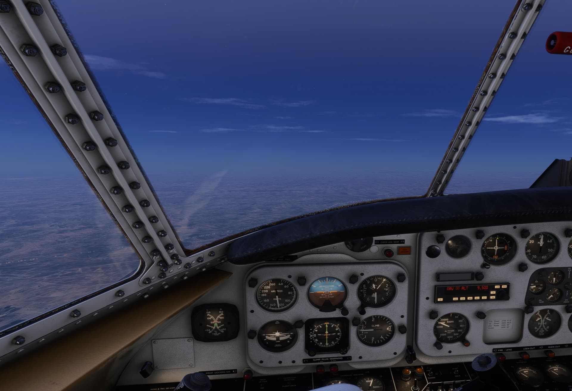
It is evening, and probably quite a warm one, because I kind of continue where I left it after arrival.
The inevitable consequence, of course, is that at some point…
…it gets…
…dark.
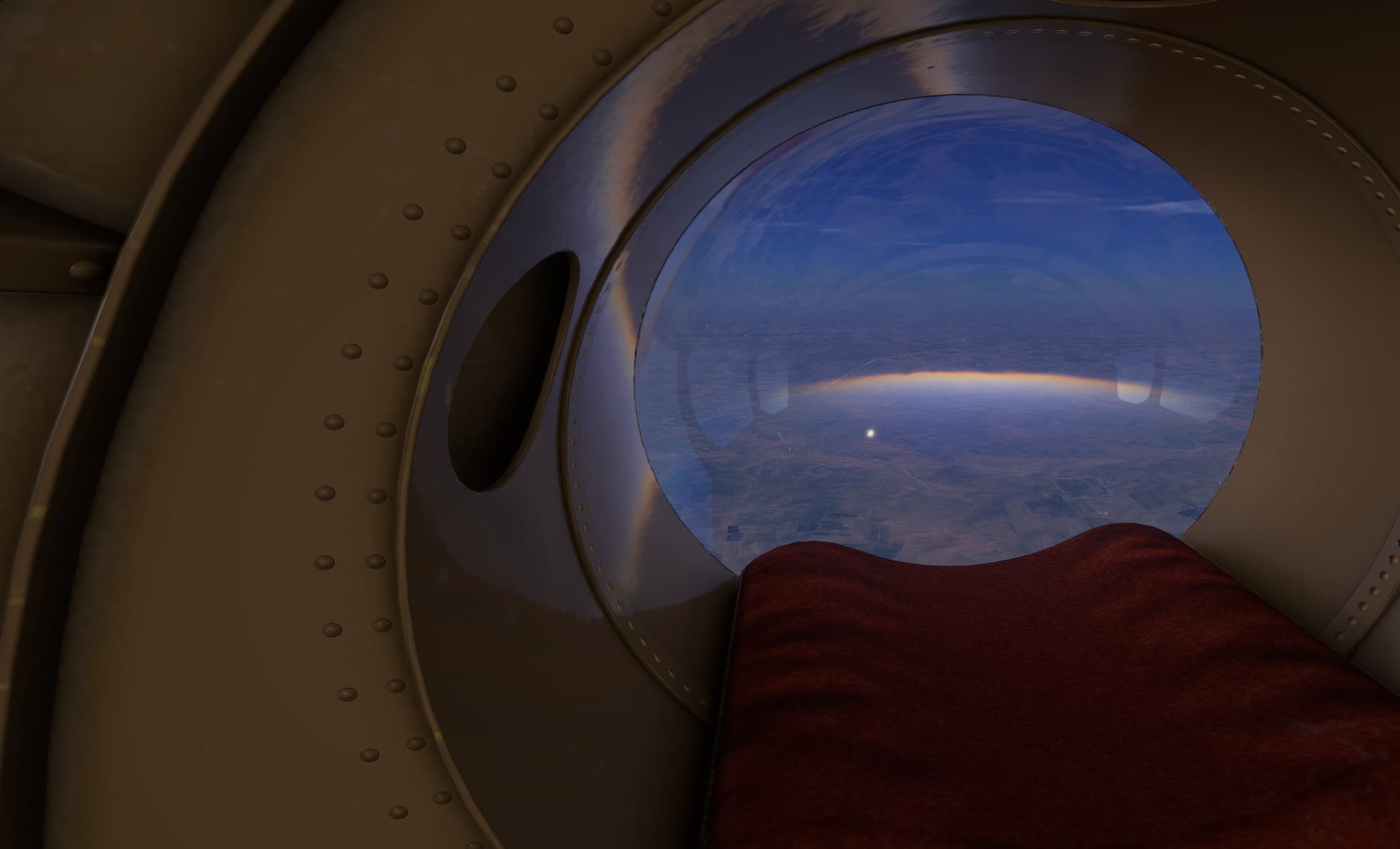
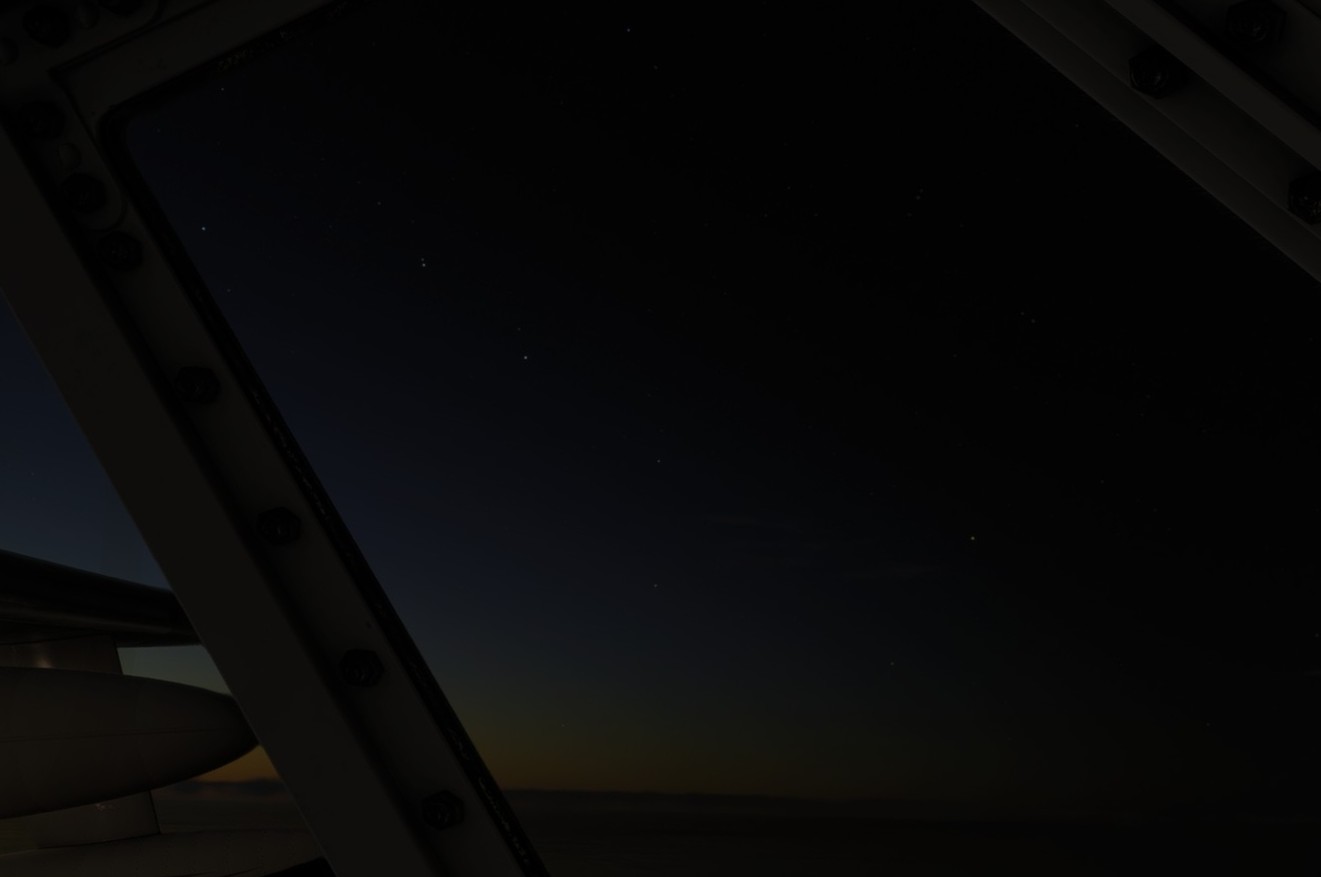
Note the Ursa Major (Great Bear) constellation in the screenshot below. I saw also Cassiopeia but it did not come up well in the screenshot.
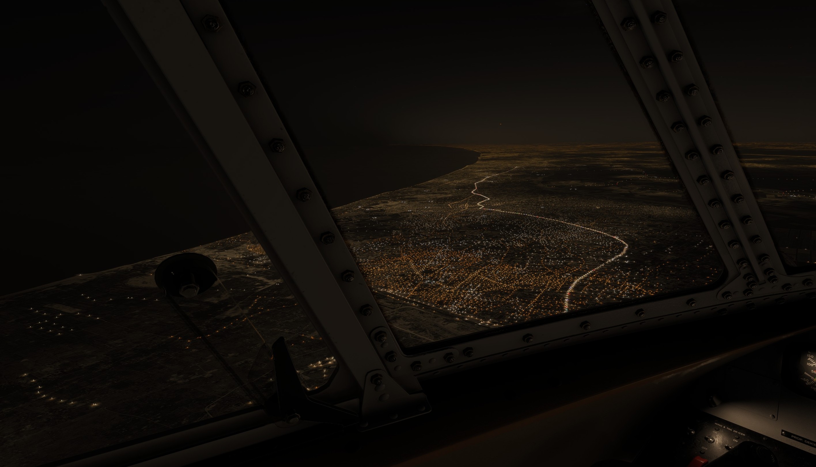
You can say which way is Egypt and which way Israel.
Speaking of which… Yes, I am flying to Israel and at this point was expecting the Israeli come to greet me with some fast metal in the skies ![]()
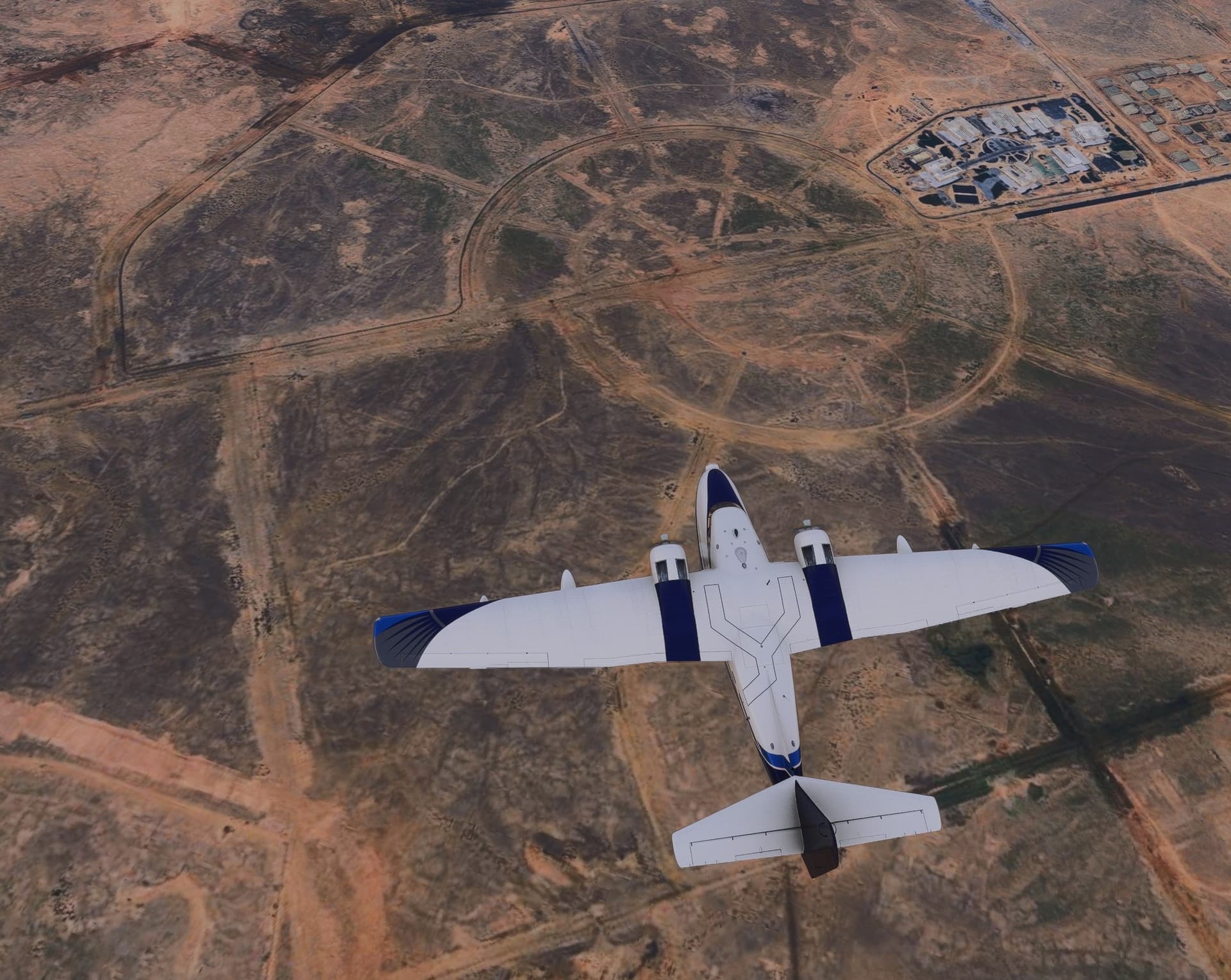
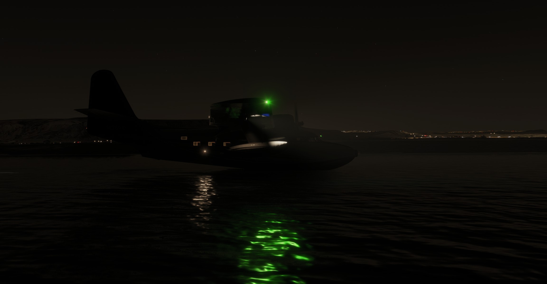
And by now you probably also guessed why I am flying an amphibian ![]()
My landing spot is somewhere ahead…
…which happens to be on the Dead Sea.
This place has two specificities:
a) due to its ability to keep afloat pretty much anything, I could probably land even a Cessna on it
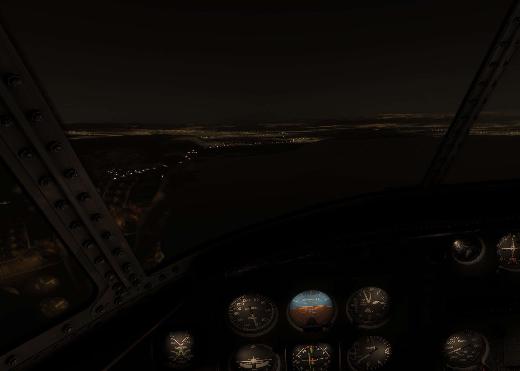
b) it is some 430 m (1440 ft) bmsl (below mean sea level)
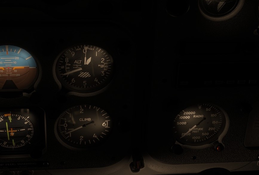
Check the altimeter vis-a-vis the radio altimeter (bottom right). Here and especially at night this radio thingy comes really handy.
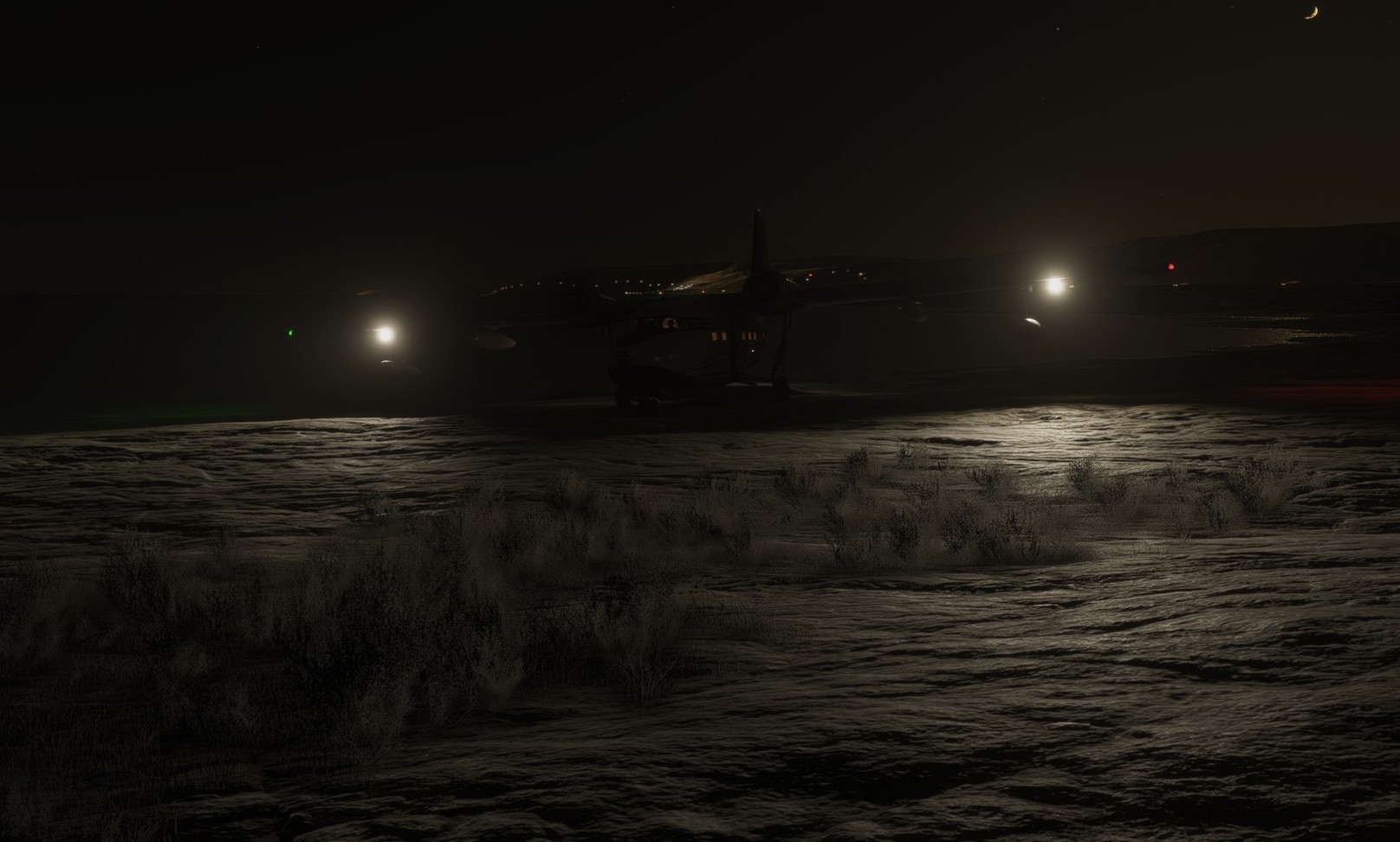
Kissed the water a few moments later and parked on the beach.
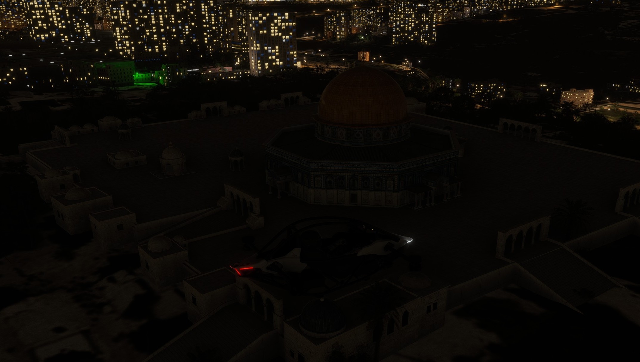
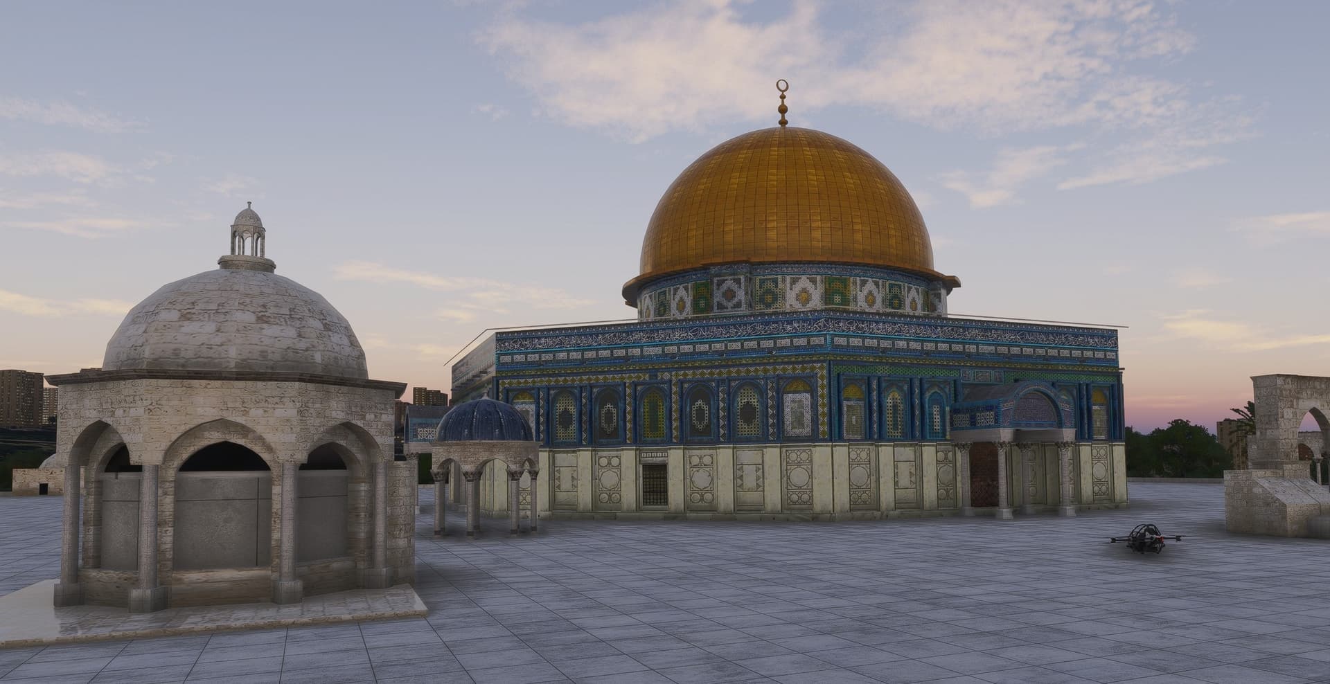
The next POI on my way is the Temple Mount. I jumped to the Jetson One to take it slowly but was not able to find that place in the night lights of Jerusalem.
And who would when it looks like this:
Someone forgot to switch the lights on.

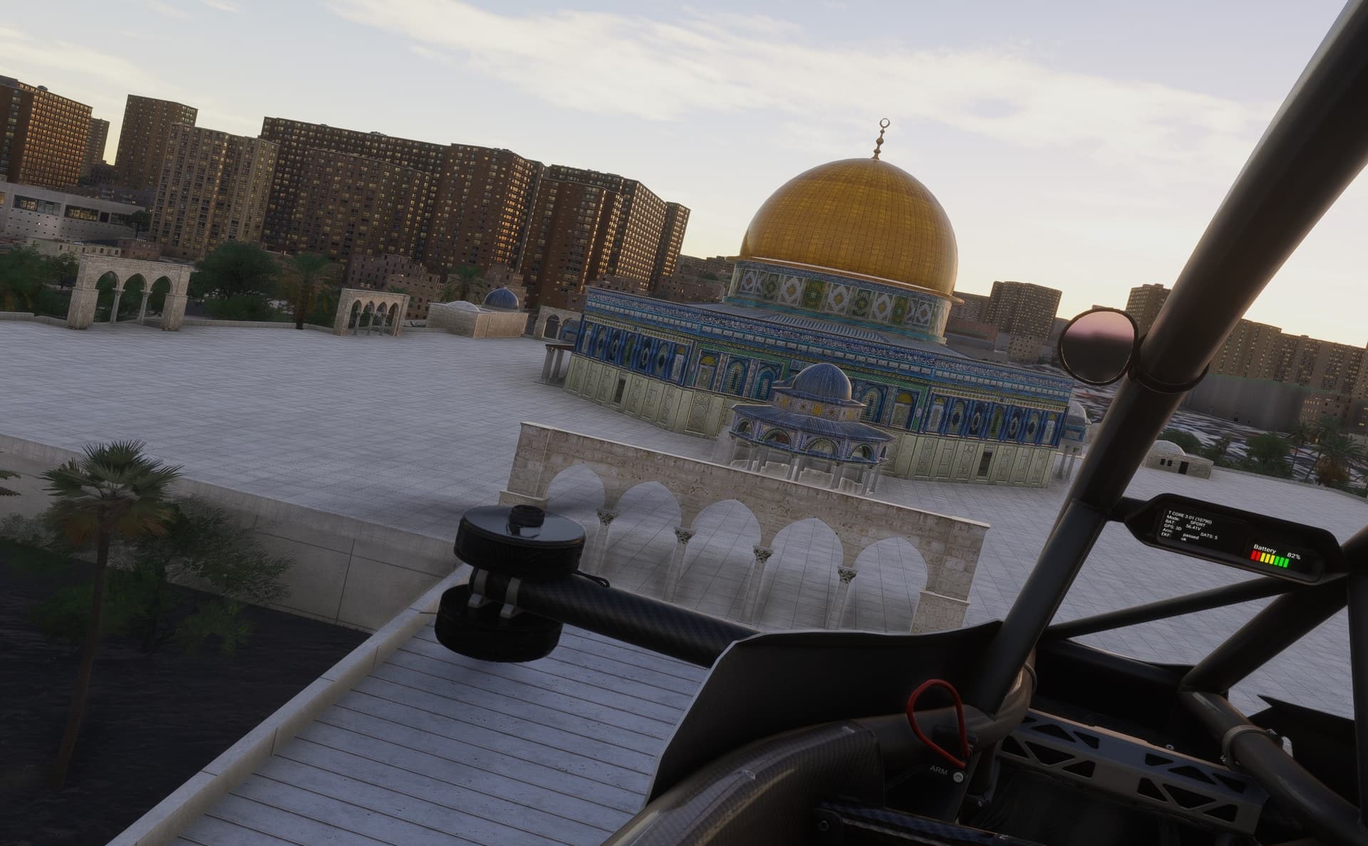
Few clicks in the weather tab fixed that (moved the month from October to August) and the view changed to this:
Much better.
The Temple Mount is a hill in the Old City of Jerusalem. Once the site of two successive Israelite and Jewish temples, it is now home to the Islamic compound known as Al-Aqsa, which includes the Al-Aqsa Mosque and the Dome of the Rock. It has been venerated as a holy site for thousands of years, including in Judaism, Christianity and Islam. [Wiki]
One advantage of doing tourism in MSFS is that there are no crowds ![]()
Which, I would not be surprised, could be one of the new features of the next MSFS iteration ![]()
Man, that 2024 scenery is just amazing!
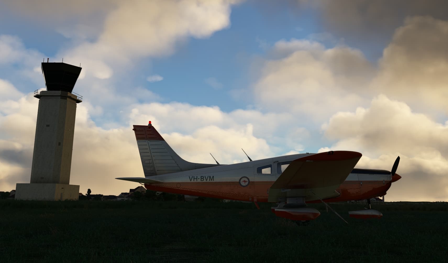
First flight done! I was going to do it in a helicopter but MSFS2020’s helo dynamics are garbage compared to DCS so I did not have a good time. I went with my trust Piper, it’s a Just Flight addon, which so far is the only company who’s addons I’ve bought for 2020 and will exclusively be using them. I think they are literally catering to my needs.
The Archer II at Ameland. Note that this field has no such tower but oh well… Today is a windy day so it will be a fun challenge!
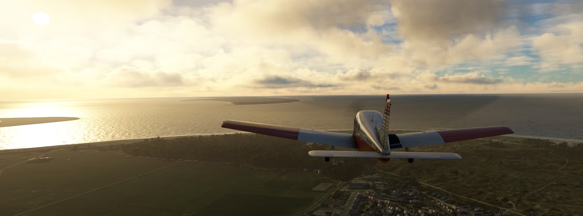
Heading west towards Texel airport first, the real world weather is still as beautiful as ever.
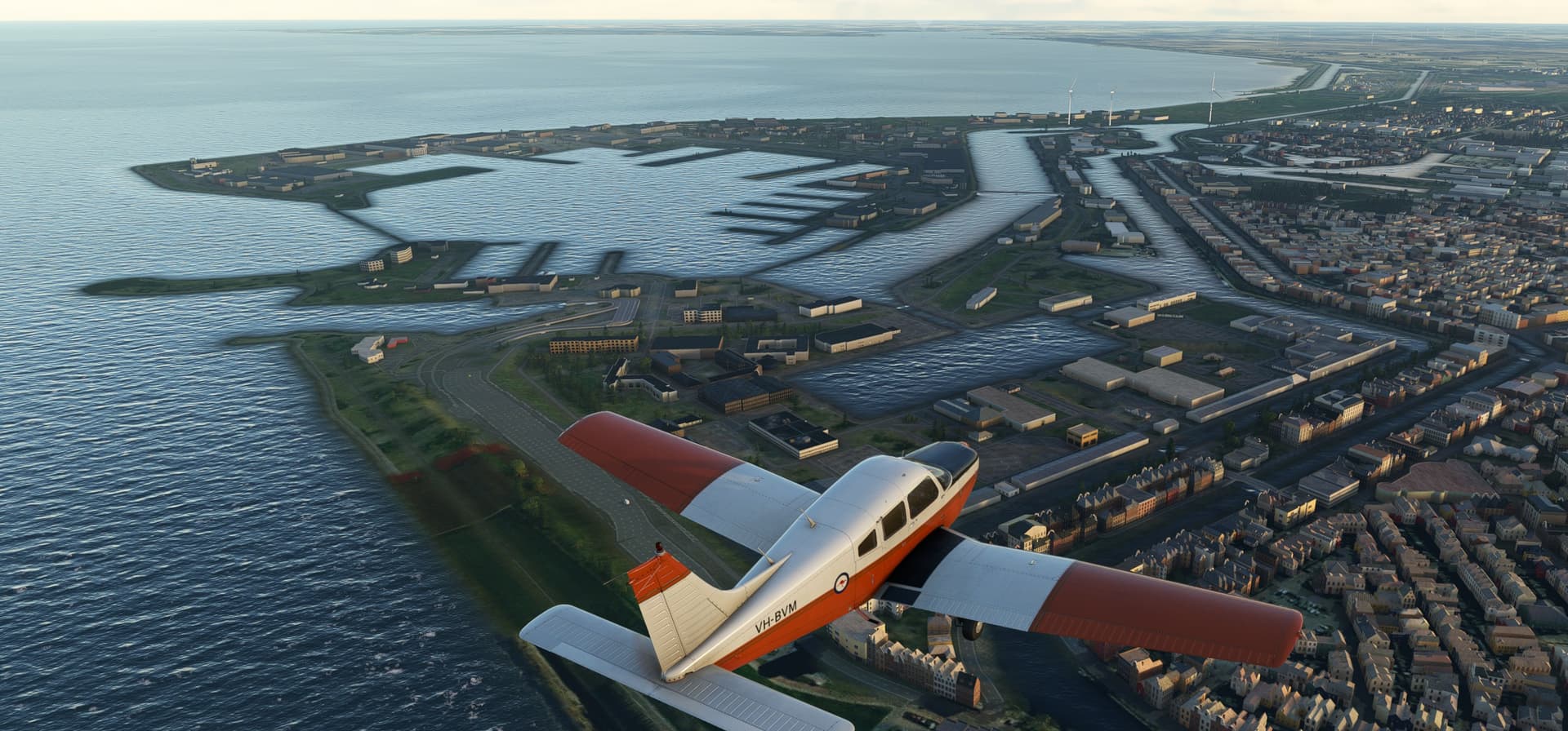
After passing over Texel airport we shall head south past Den Helder, a major naval port with the dutch equivalent of a NAS.
Passing the coastal dunes of the west coast with beautiful nature reserves and water treatment ponds in them.
I paused for a bit but time went on so it was dark as I passed over Noordwijkerhout. Soon I would be able to turn towards Rotterdam airport!
The approach was a challenge, the frame rate completely crashed so I can’t say it was a pretty landing.
Next leg, Lugano!
And here we go again with the idea of a Christmas pilot badge that we discussed briefly last year:
I usually do not care about badges available at internet forums that I frequent. But this one is different ![]() Christmas flight takes a bit more than just sitting in the forum long enough or getting a number of likes or shares.
Christmas flight takes a bit more than just sitting in the forum long enough or getting a number of likes or shares.
We plan, we fly, we learn, we debrief, we troubleshoot, we suffer, we persist, we accomplish and we draft AARs for the pleasure of other Mudspikers ![]()
This badge - Christmas pilot - would be one that I would wear proudly!

Please like or reply if you share my thoughts.
If we are numerous enough, perhaps @Troll et al would hear us out ![]() and think about modalities (granted for one year, granted to all who participate irrespective of whether the participant reaches the destination…)
and think about modalities (granted for one year, granted to all who participate irrespective of whether the participant reaches the destination…)
As would I. I am inclined to support a valid for one year concept (i.e. use it or lose it).
But to reduce the admin burden, then a permanent issue is OK by me. I would also support a retrospective award in this case to any member who has completed a Christmas flight.
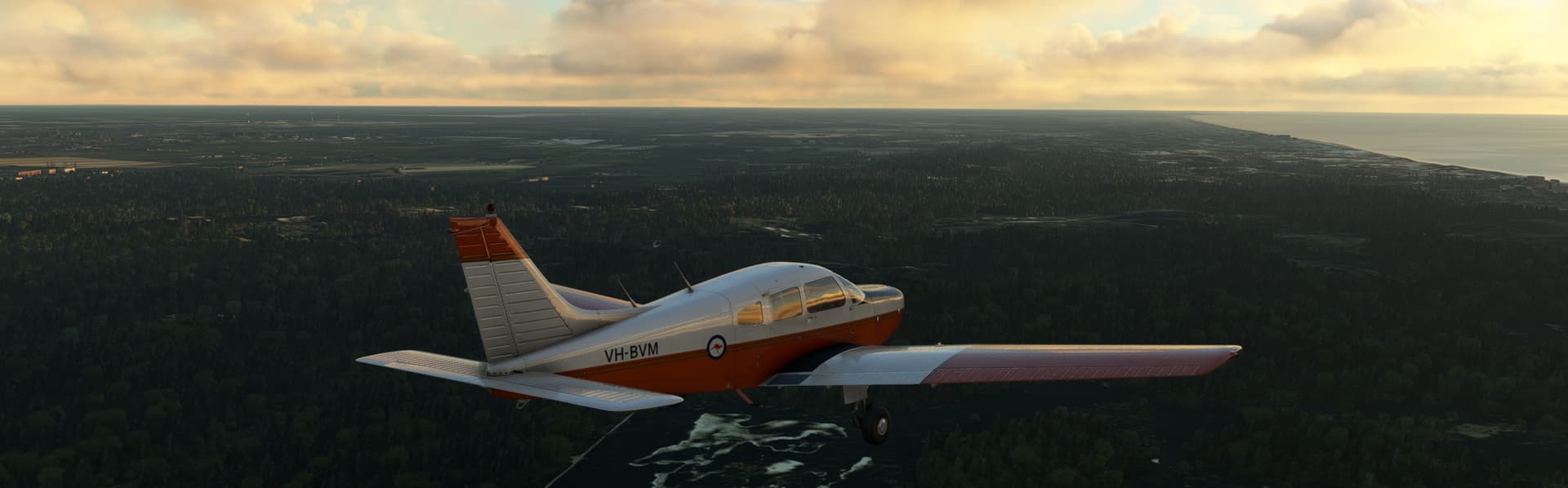
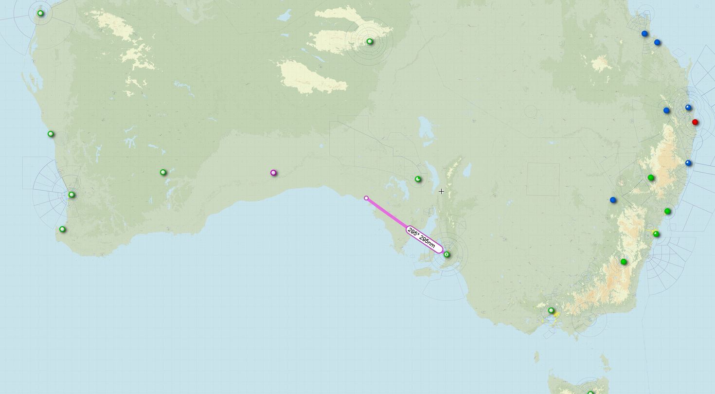
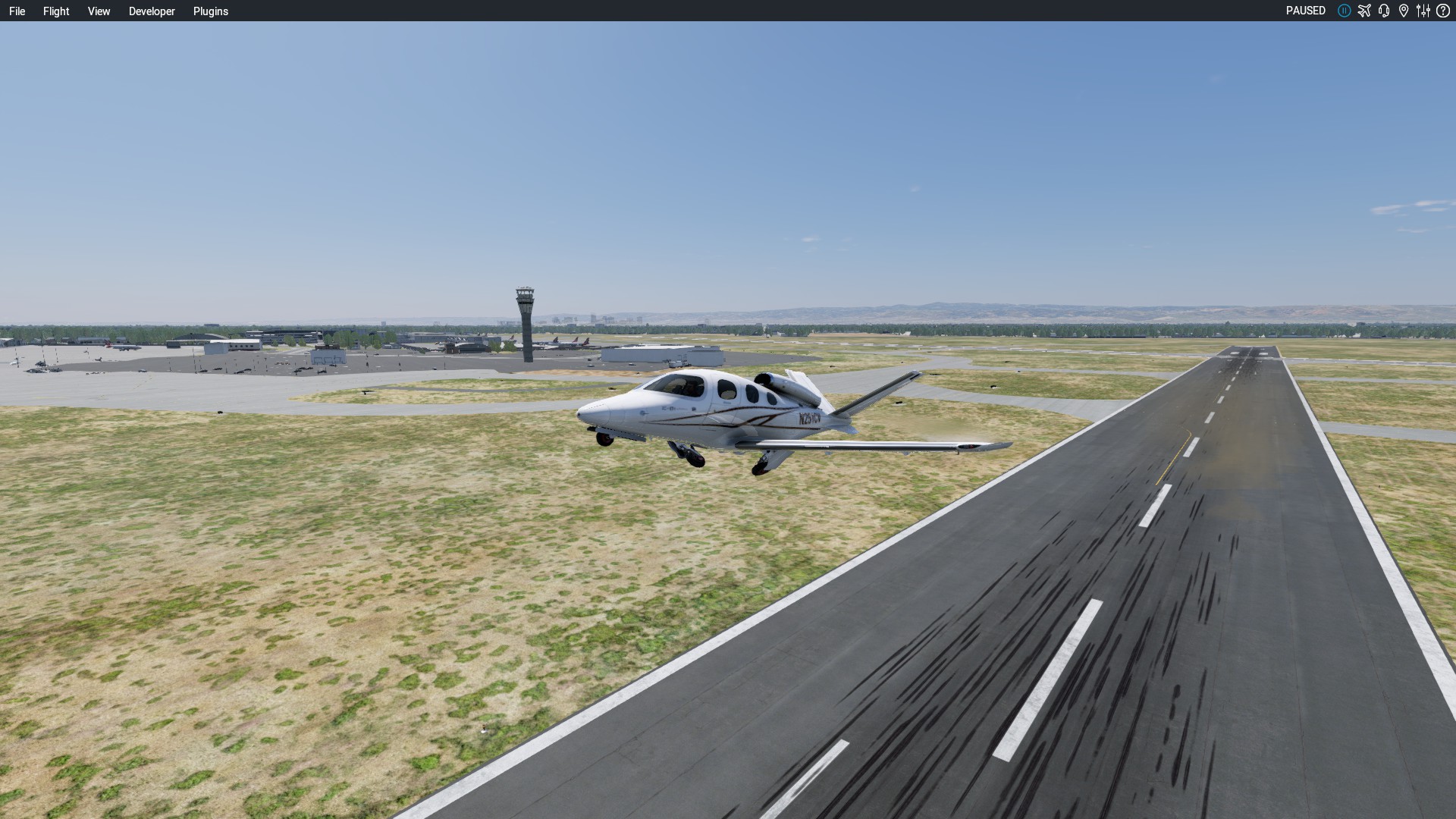
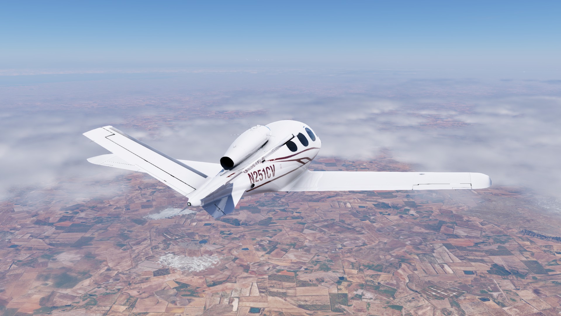
Just a short hop today. Adelaide (YPAD) to Ceduna (YCDU).
I don’t know much, anything really, about the town. I have driven through it a couple of times and even stopped for fuel once, but that is about it.
A late start to a late start… I have bought myself a Honeycomb Alpha to supplement the Bravo. That finally arrived yesterday but even before then it has taken me a while to get the Bravo, specifically the AP buttons to play nice with XP12. And today when I I was set for an early start, after plugging in the Alpha, X-Plane wanted to recognise my rudder pedals as an X-Box controller ![]()
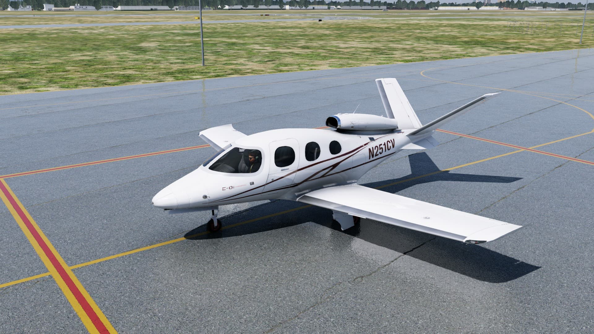
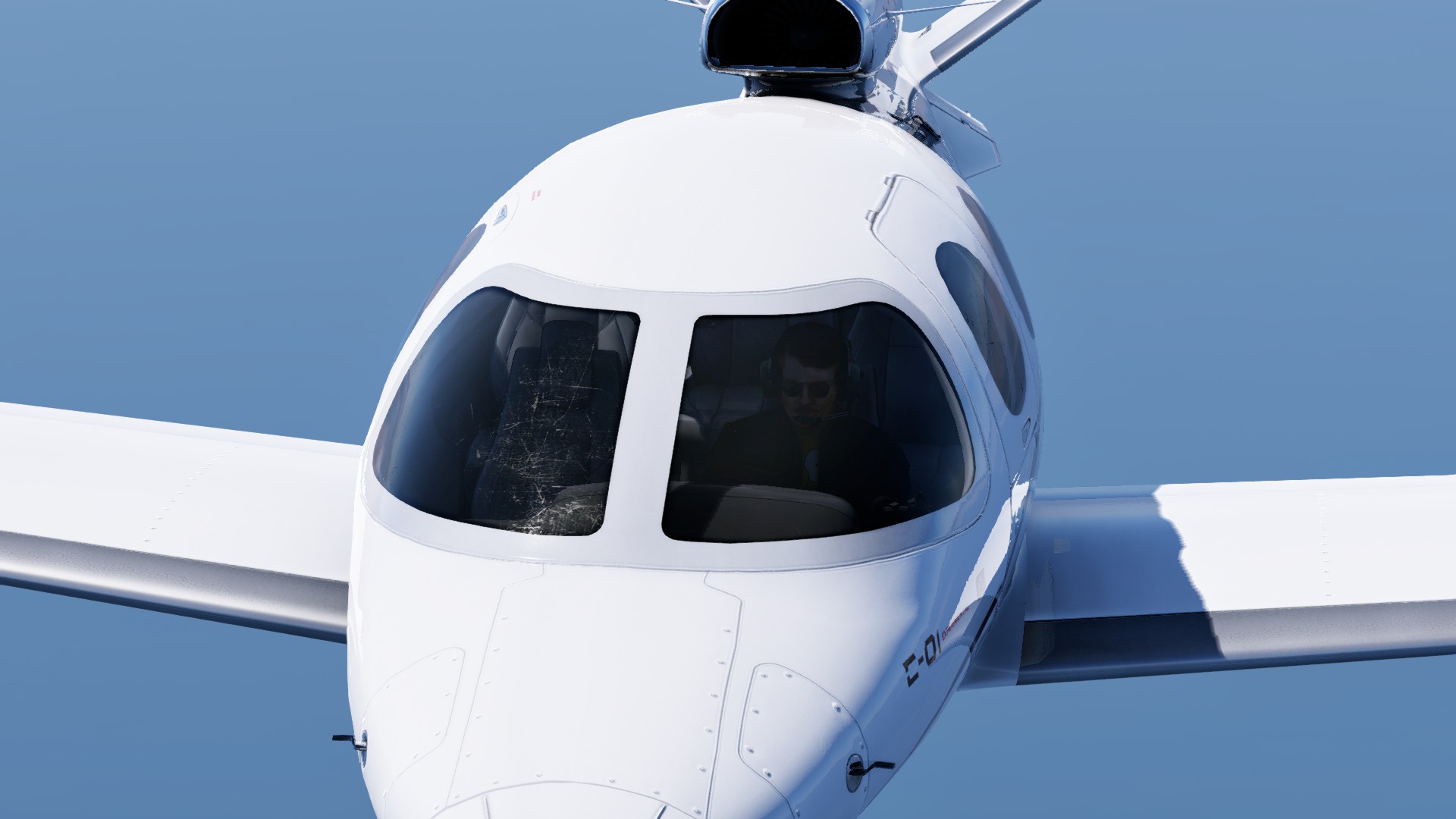
Now that I could finally get underway, I have decided to take the Cirrus for a spin (not literally). Typical, just when I get a yoke properly sorted, I’m flying an aircraft with a sidestick ![]()
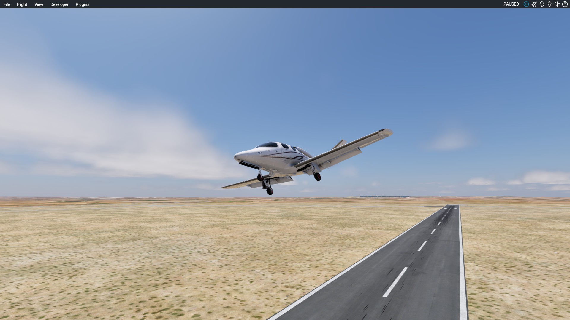
Wheels up at a tad over 1130 local.
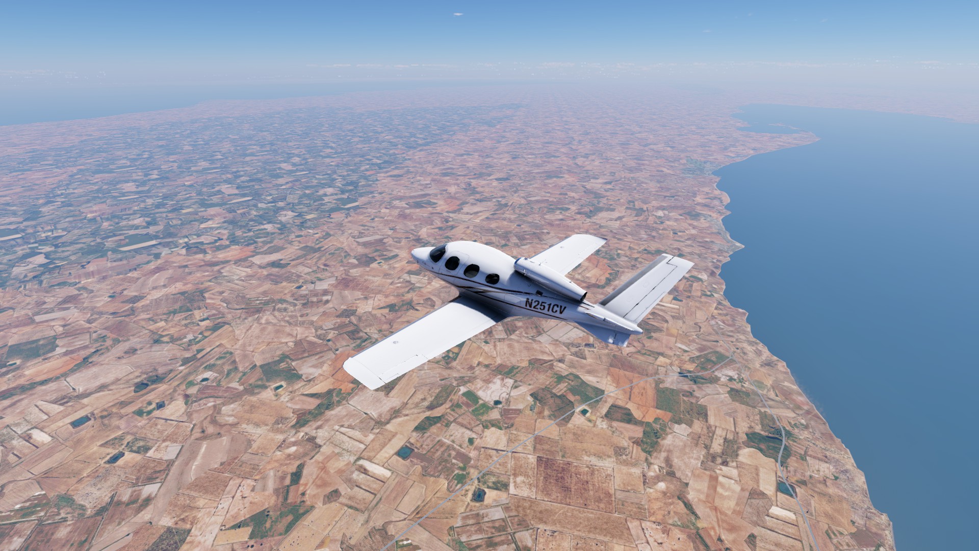
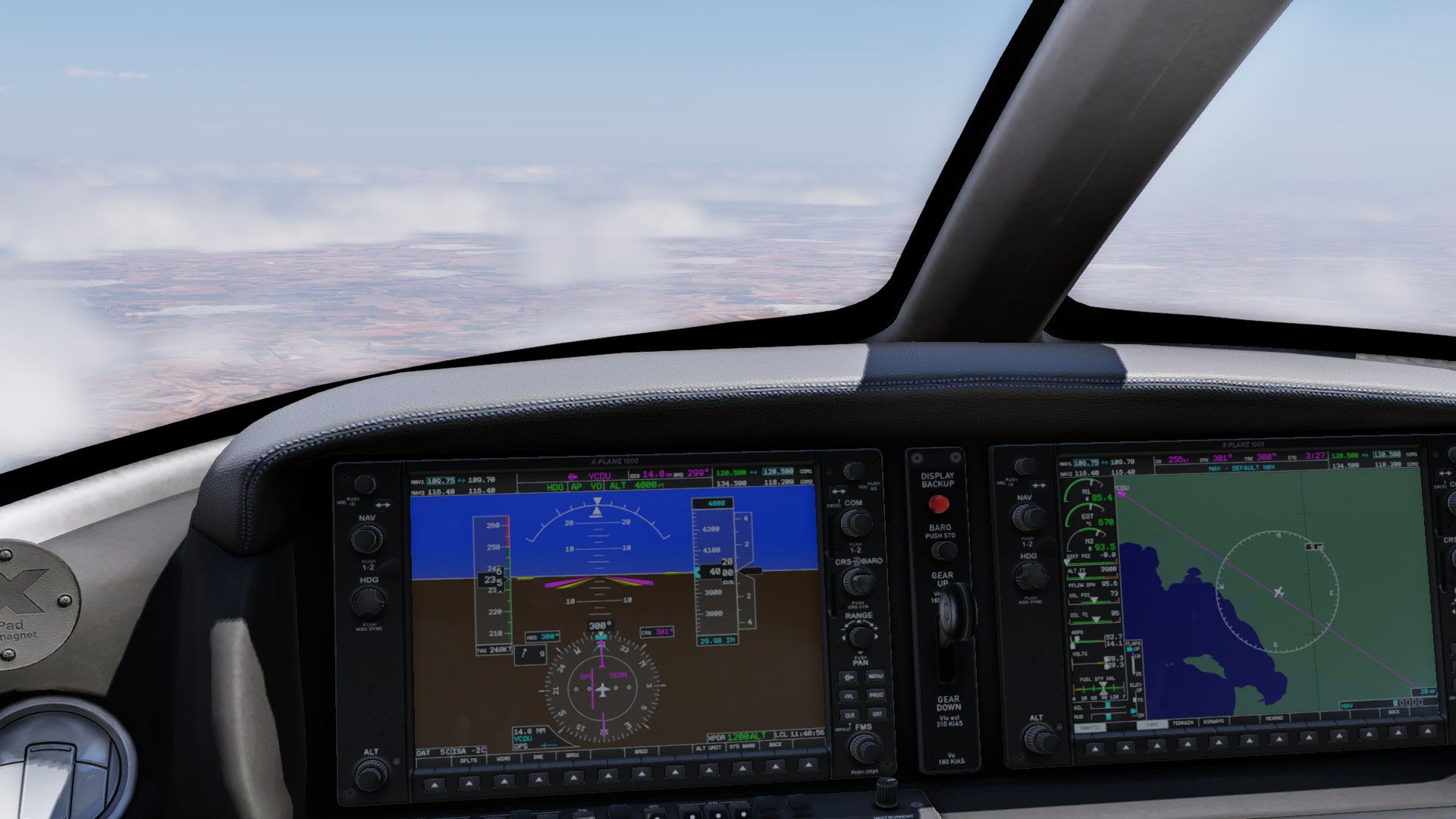
Once again nav didn’t get more complicated than a ‘direct to’ YCDU so I had a magenta line to follow and there ain’t much in the way of scenery in this part of the country (default XP12 textures notwithstanding).
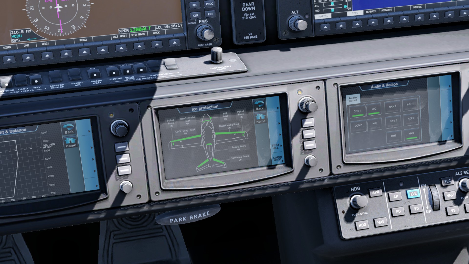
Cruising at 12,000ft and I might be picking up a bit of icing.
problem solved, but I probably should have turned that on before now?
Cloud are building up, but I’m in no rush to get below it. One good thing about this region is that it is flat as a tack. I won’t run into anything solid, even if it does get worse’ unless the clag extends to ground level.
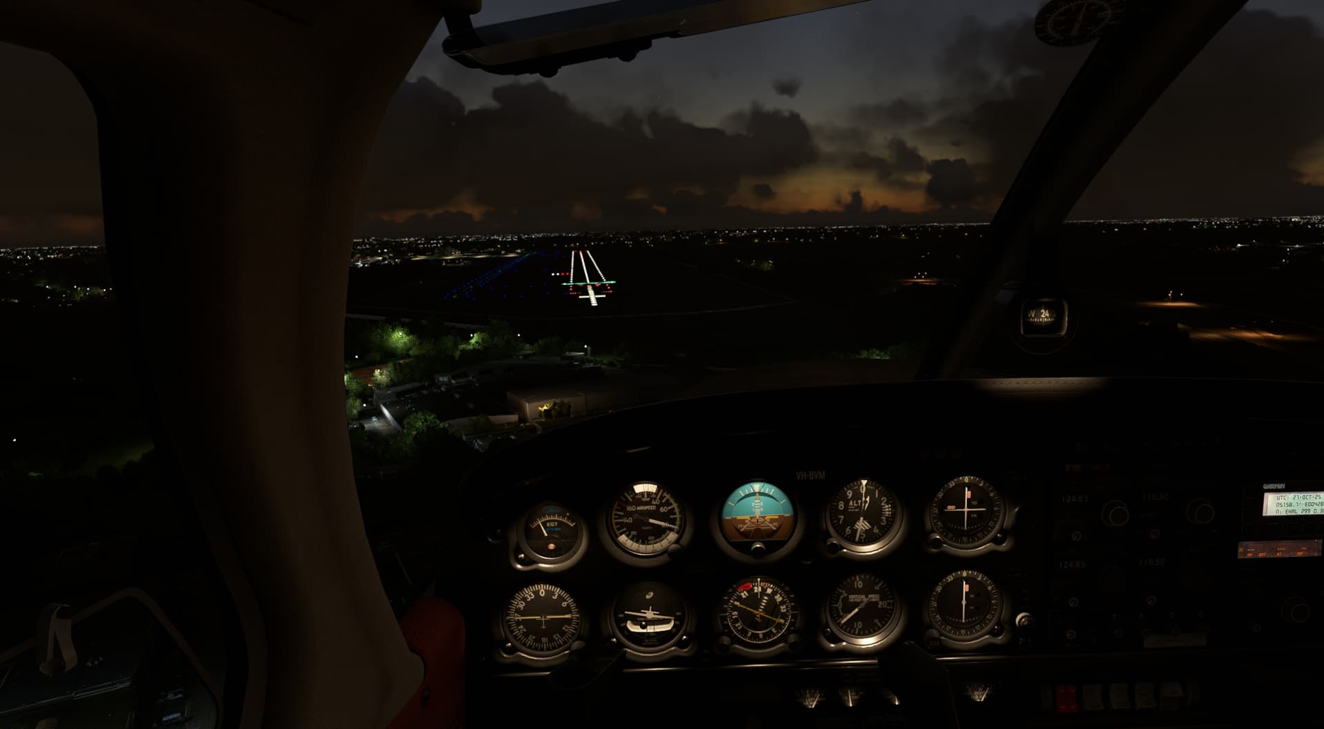
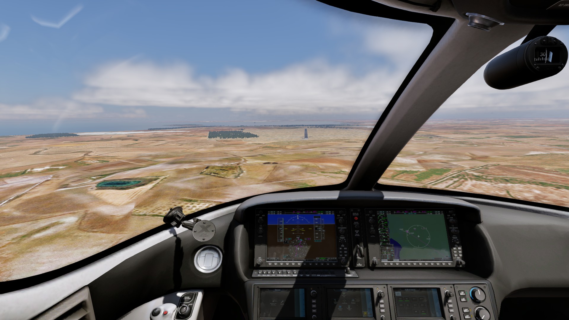
Nearly there
I didn’t spot the runway until way too late, first attempt was a missed approach.
This is looking better
And down… One of these days I might actually put it on the centreline?
I am really going to have to get motivated. I have at least two more legs before I even reach Perth.
I like the idea. I’d vote for Xmas flight participant, and an Xmas flight finisher badge. Most of us have started the annual winter tradition, but a lot of us don’t quiet make it there (I think I’m 2 or 3 out of 7 or 8) every year. Have it so you can only get them each one time, so it wouldn’t turn into a contest of any sort.
I don’t want it to turn into a ‘competition’ either, but like any ‘medal’ a Mudspike Badge should be for achieving something noteworthy? Such as ‘Destroying Blue Trucks’ ![]()
I am not keen on a participant badge. How do we define that? If last year I simply flew from Cooma to Canberra and called it quits instead of flying all the way to Svalbard I don’t think I should have got one.
If making it to the destination is the determining factor, then it is cut & dried who ‘qualifies’. Some times that can be a (proper) challenge, next year if the destination is Sydney, then easy peasy for me.
Sure, a badge would be great. But, I’m fine with a participation badge at this point. The ‘spike hasn’t ever been about contention and, if we’ve ever had the pleasure of someone joining us on the trip, then I say that was accomplishment enough in my book. ![]()
A participation badge might be good in that other Mudspikers (particularly new members) will see the badge throughout the year which will generate more interest in the next Christmas flight?
I am prepared to go with the flow…
How about a vote for Annual Mudspike Christmas Flight Awards (AMCFA)?
After a short grace period after Christmas we could have a forum poll for different categories or derive the winner based on measures.
Nominees would be everybody who posted at least one AAR.
Categories could include
Maybe you have more ideas…