That’s a great leg man…the fuel situation dropping into Greenland and Iceland can get sketchy with the funky weather those coastal cities get. Many a ferry pilot have started to pucker up getting weather reports while still hours from landing.
1 Like
I believe it, I’d actually been wanting to recreate the TBM ferry flights I’ve seen in various articles/videos, it sounds super interesting. I’d hate to do it with a headwind, though.

(Video form of above article)

3 Likes
I’d recommend passing on the Hákarl.
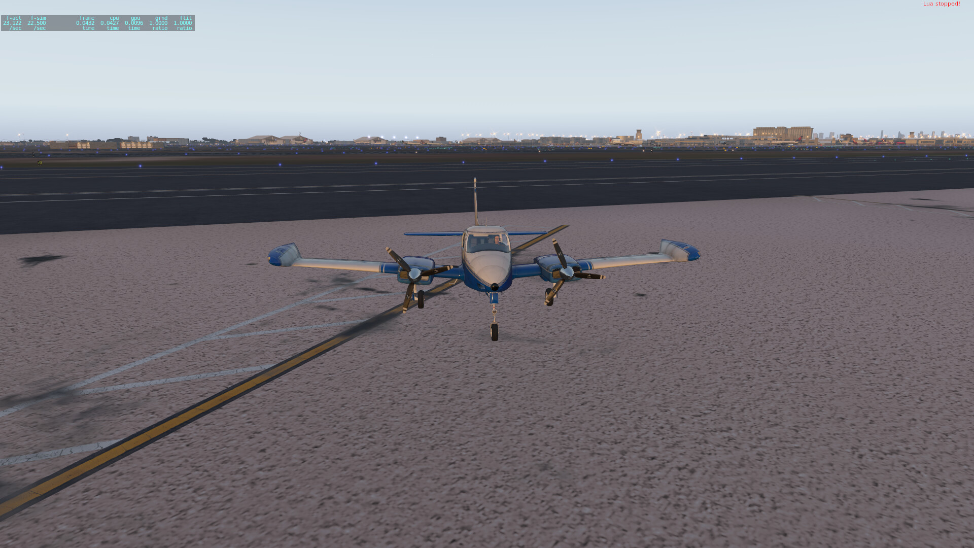
For this next hop I decided to try again something else.
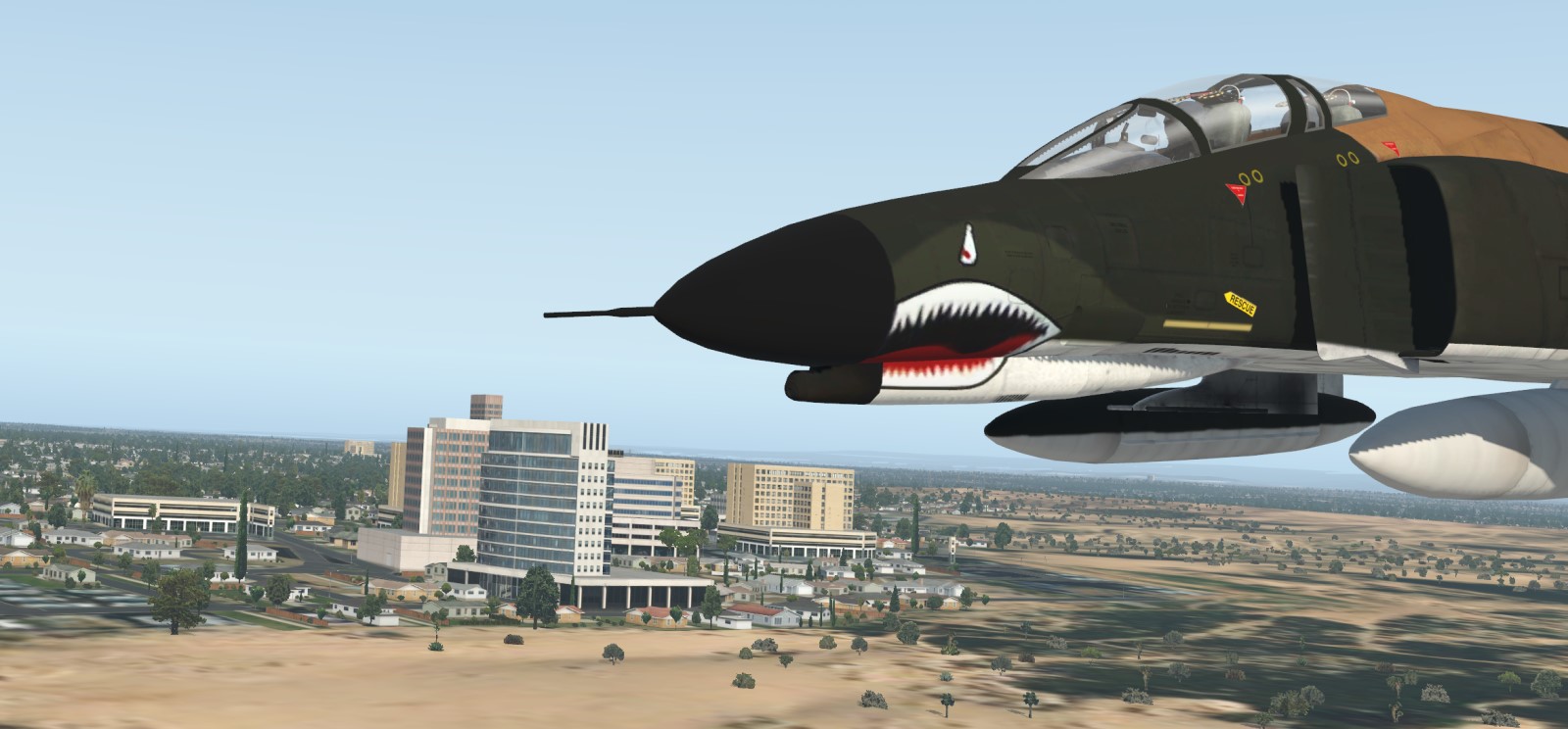
In the spirit of ‘Read it, do it!’, and as I already got to Israel, I picked two missions from book called ‘G-Suit’ from authors Merav Halperin and Aharon Lapidot.
First mission was low level SEAD strike against SAM sites at El-Qantara. Second mission was high altitude strike on Ras Banas port.
I joined these two missions into one flight from Hatzor low level to El-Qantara and then climb out and high altitude flight to Ras Banas.
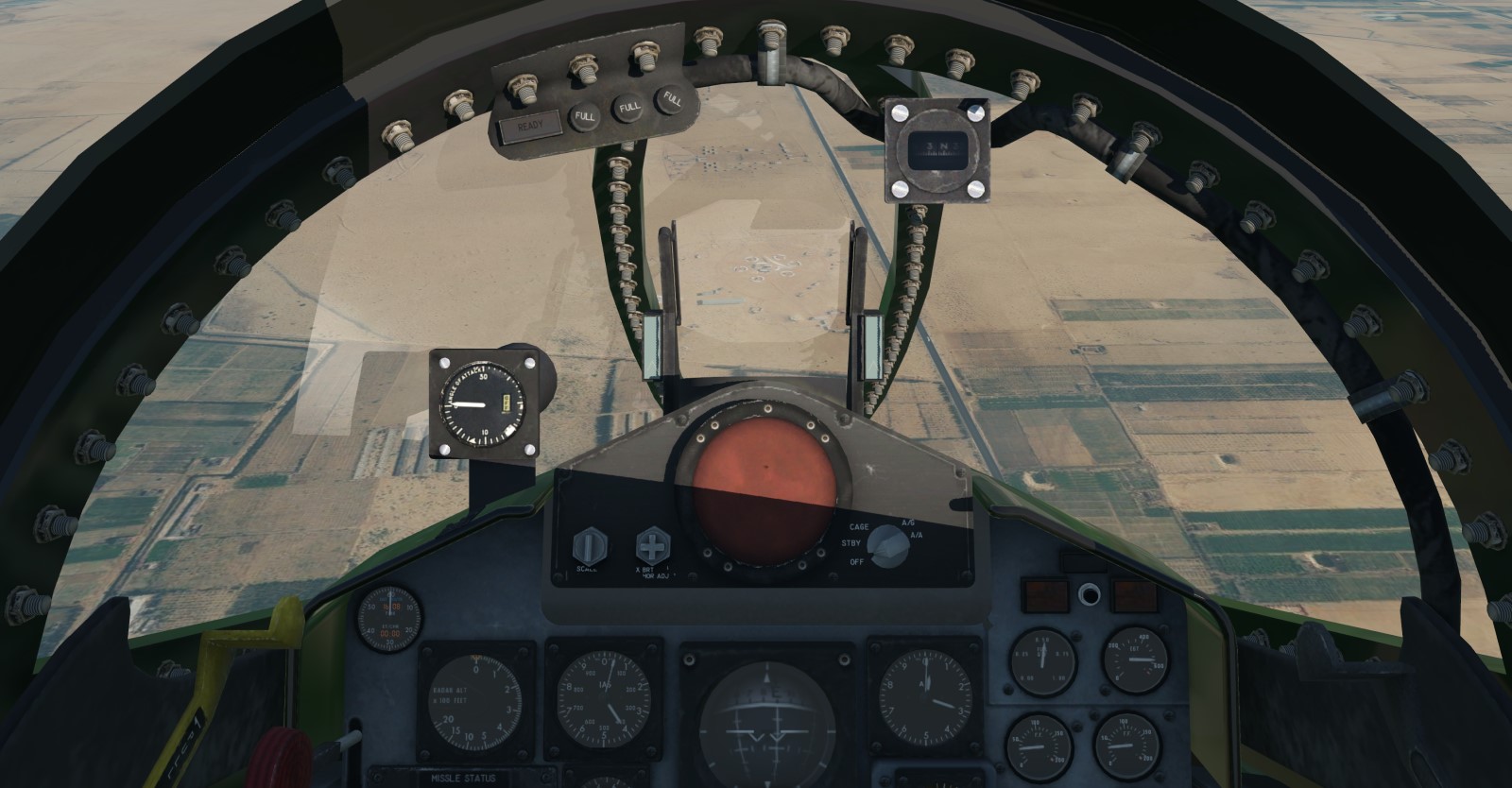
Left Hatzor and already low, between 100 and 300ft
After 14mins, somewhere over Mediterranean Sea, turned South
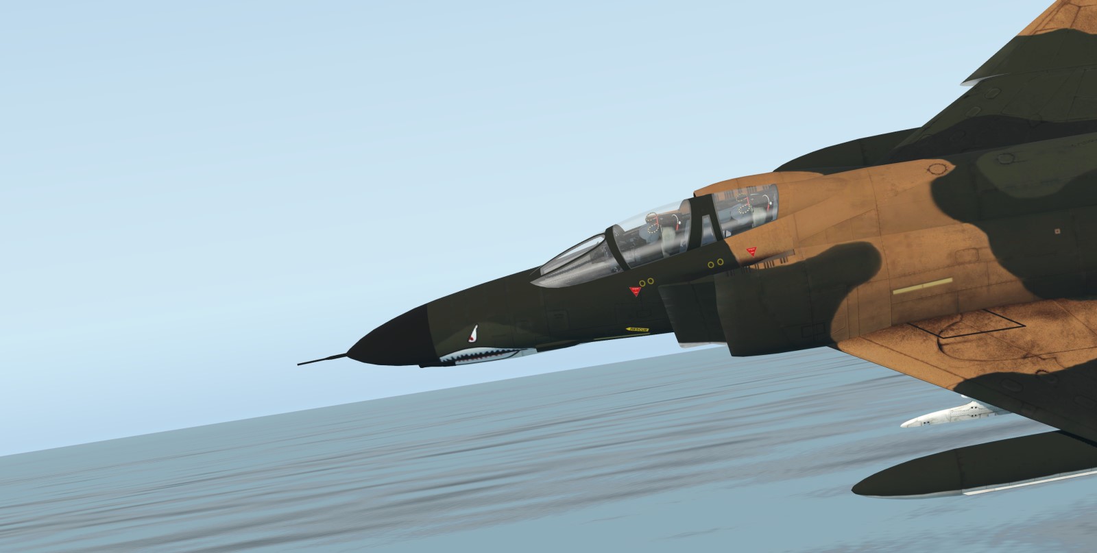
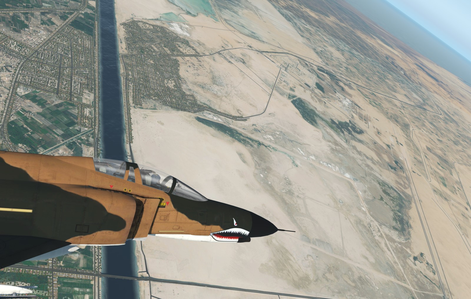
Feet dry somewhere between Port Said to my left and Damietta River to my right. From here low level flight was occasionally interrupted with pull ups to skip power lines
Didnt invest enough time into planning so ended up too far West. Also the low level flight didnt help in any way with orientation. It was IFR all the way hypnotizing radar altimeter.
After short left hand climbing turn to the East found an alternate area to point my nose at
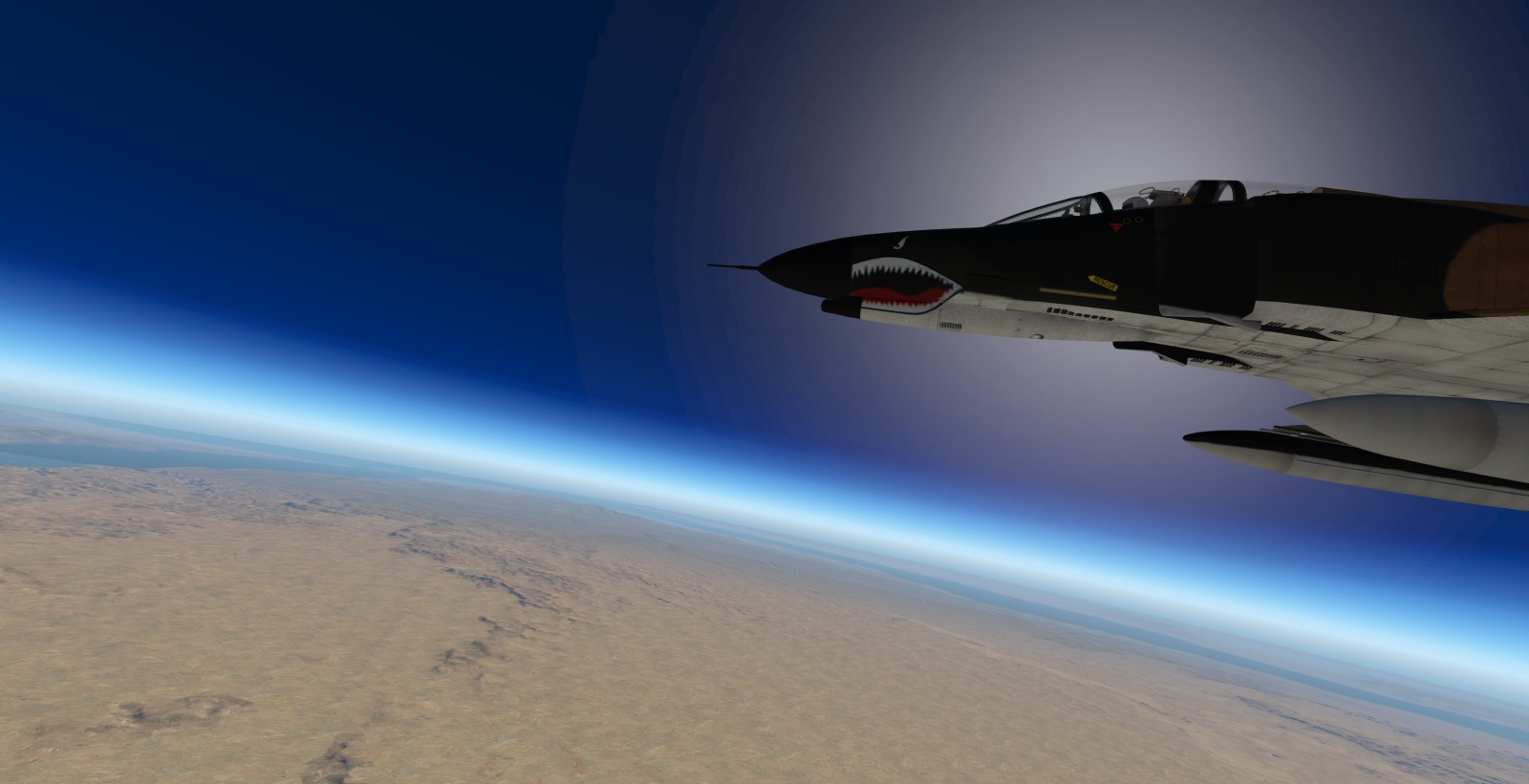
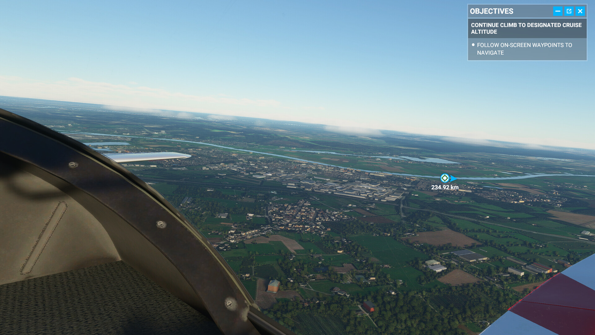
First half done. Next half I had much better look out. Climbed to reach my cruise altitude of 40.000 ft.
After short while El-Qantara appeared down low
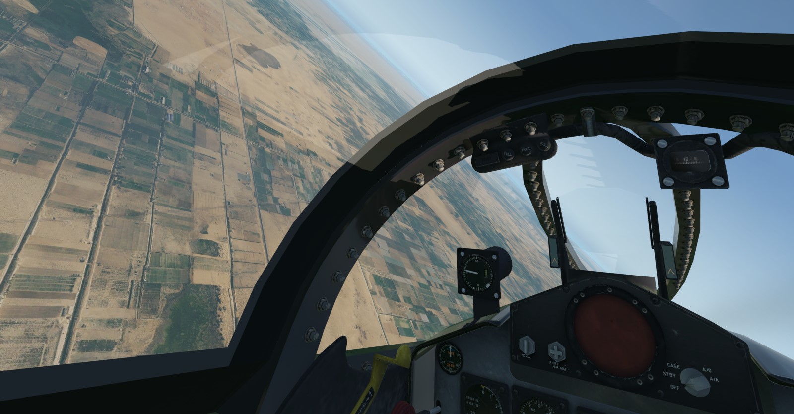
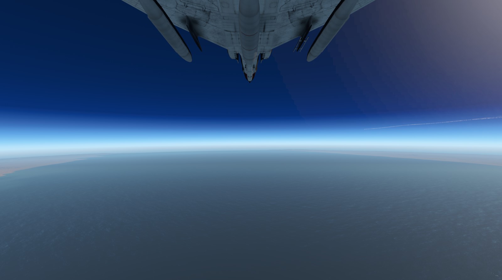
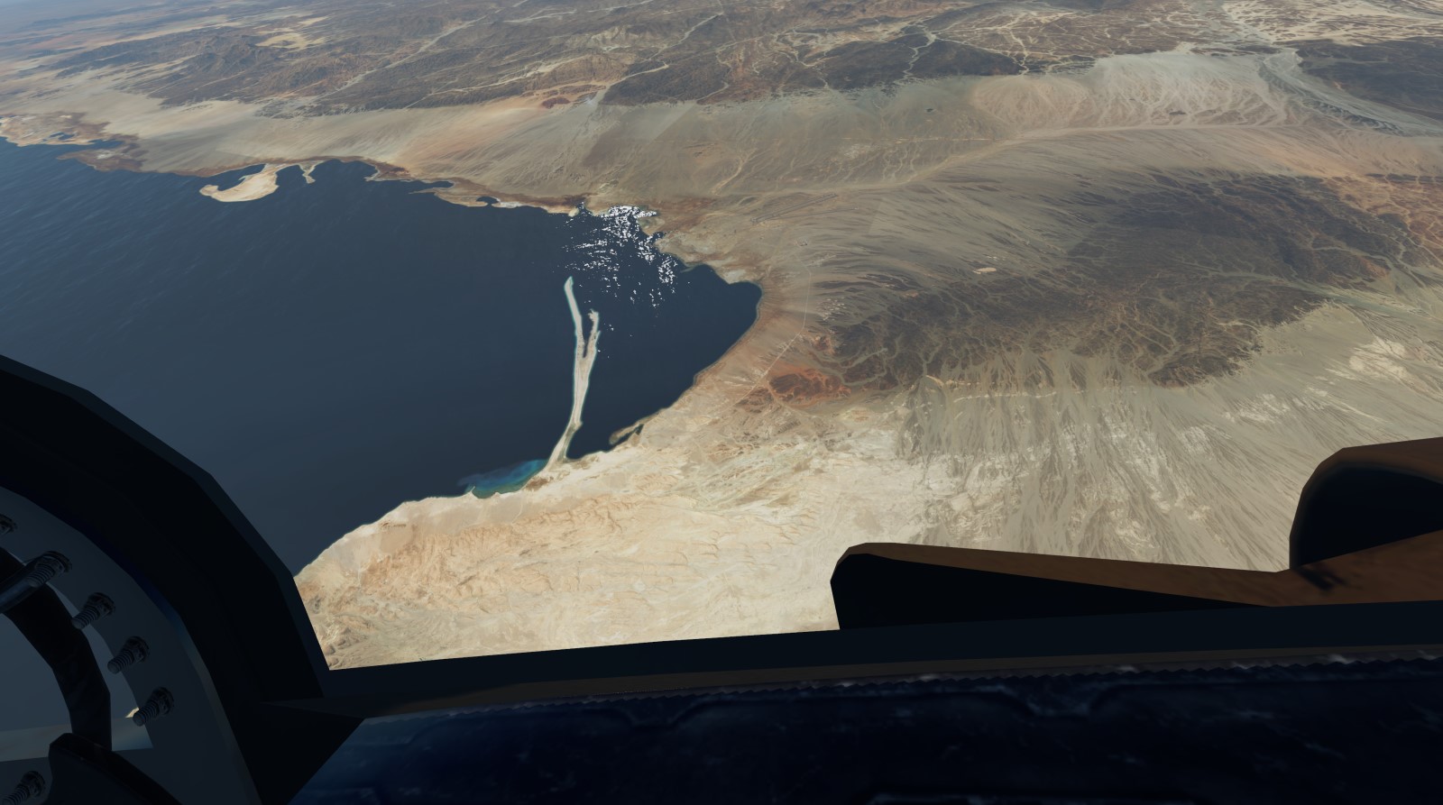
40.000ft and headed South-East
At Ejlat changed heading to South.
As pointed out also in the book, size of Red Sea is astonishing
From the altitude, it was hard to miss, Ras Banas peninsula
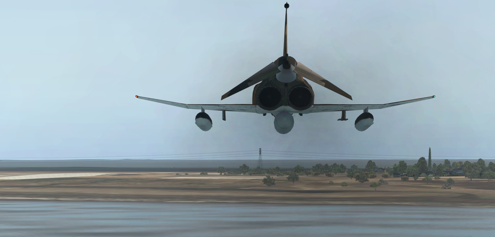
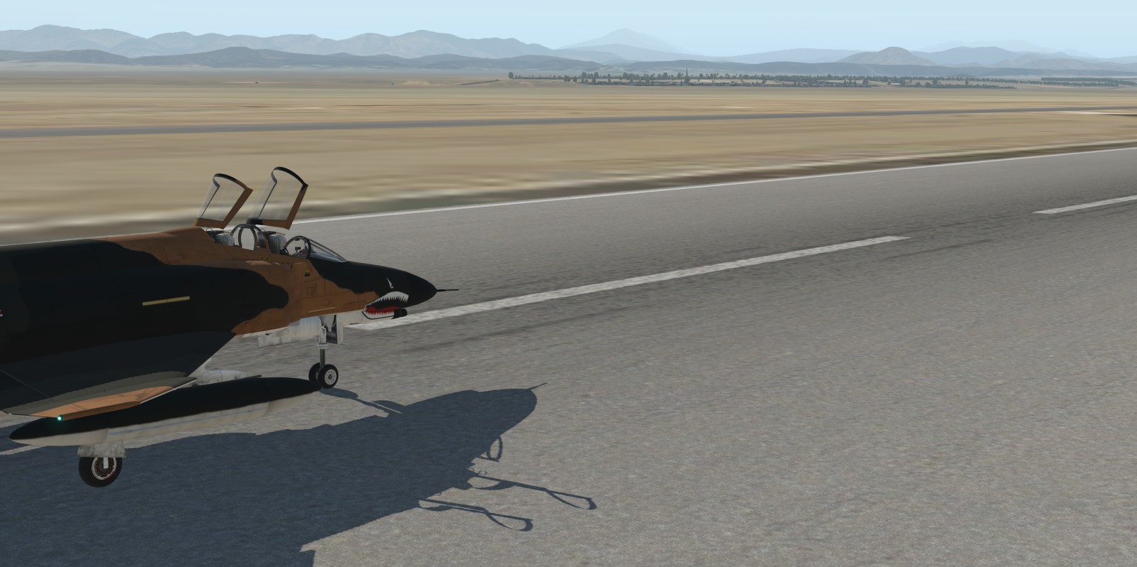
Missions accomplished
4 Likes
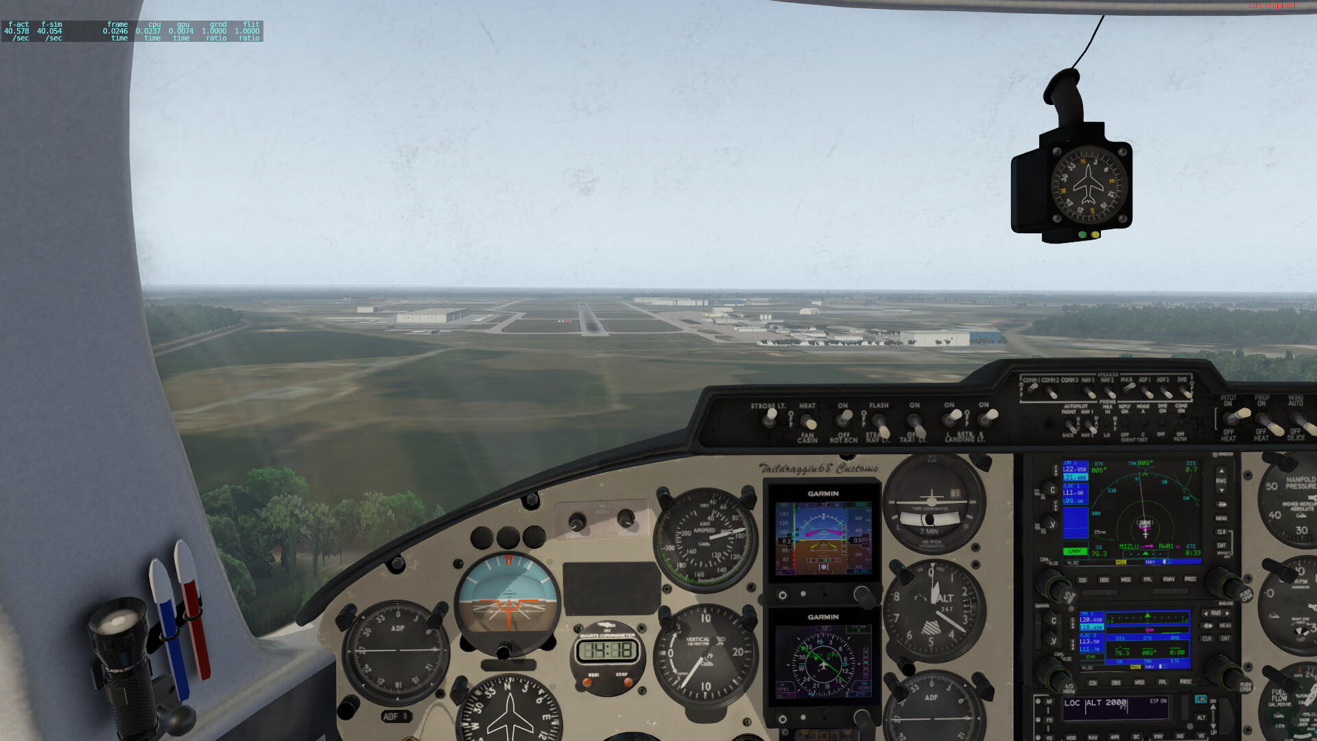
Leg 1: KRDU-KSAV
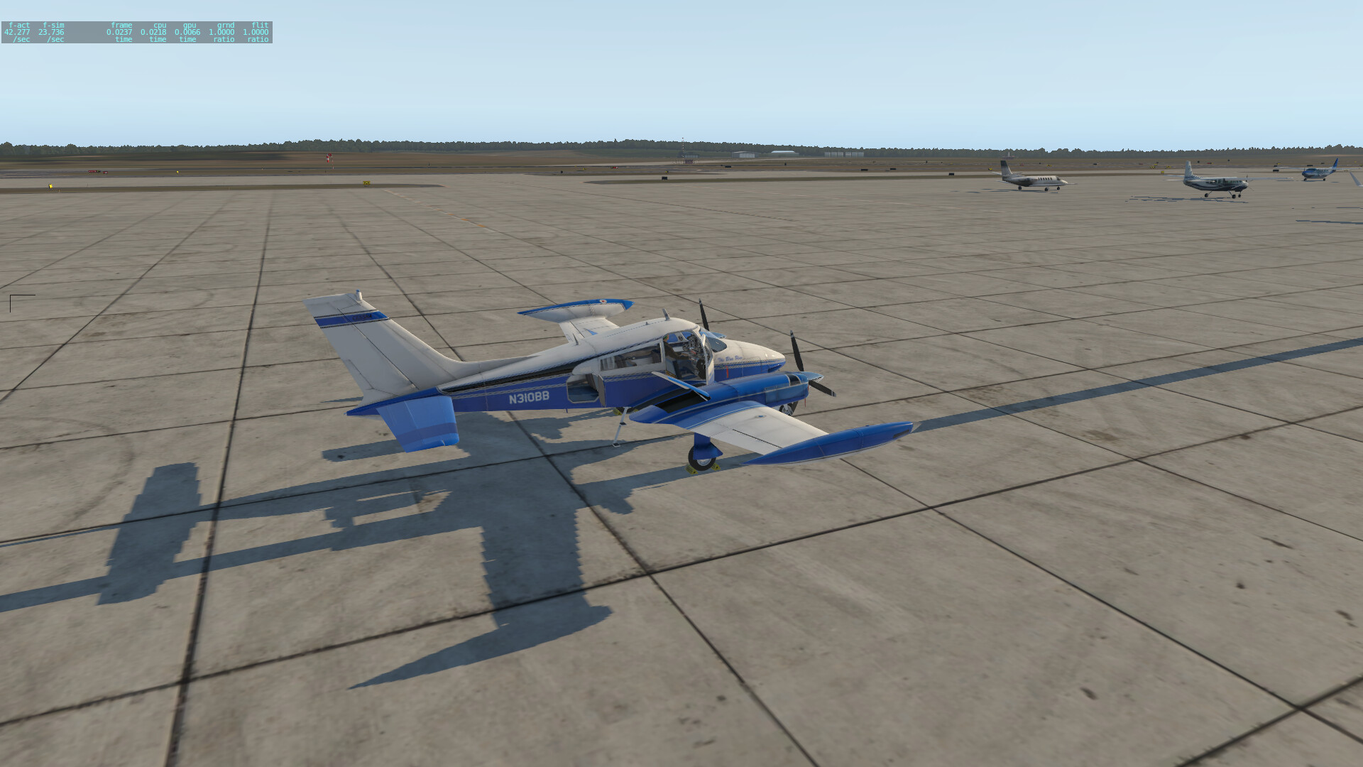
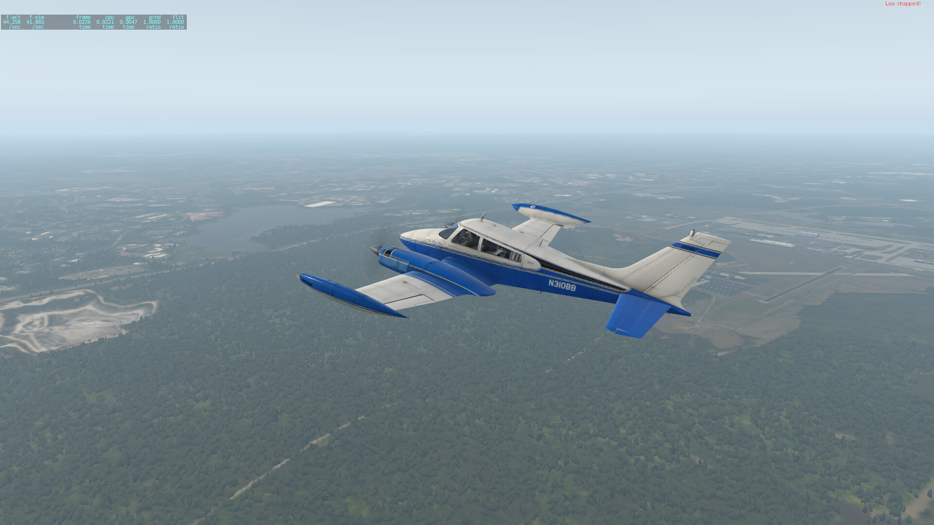
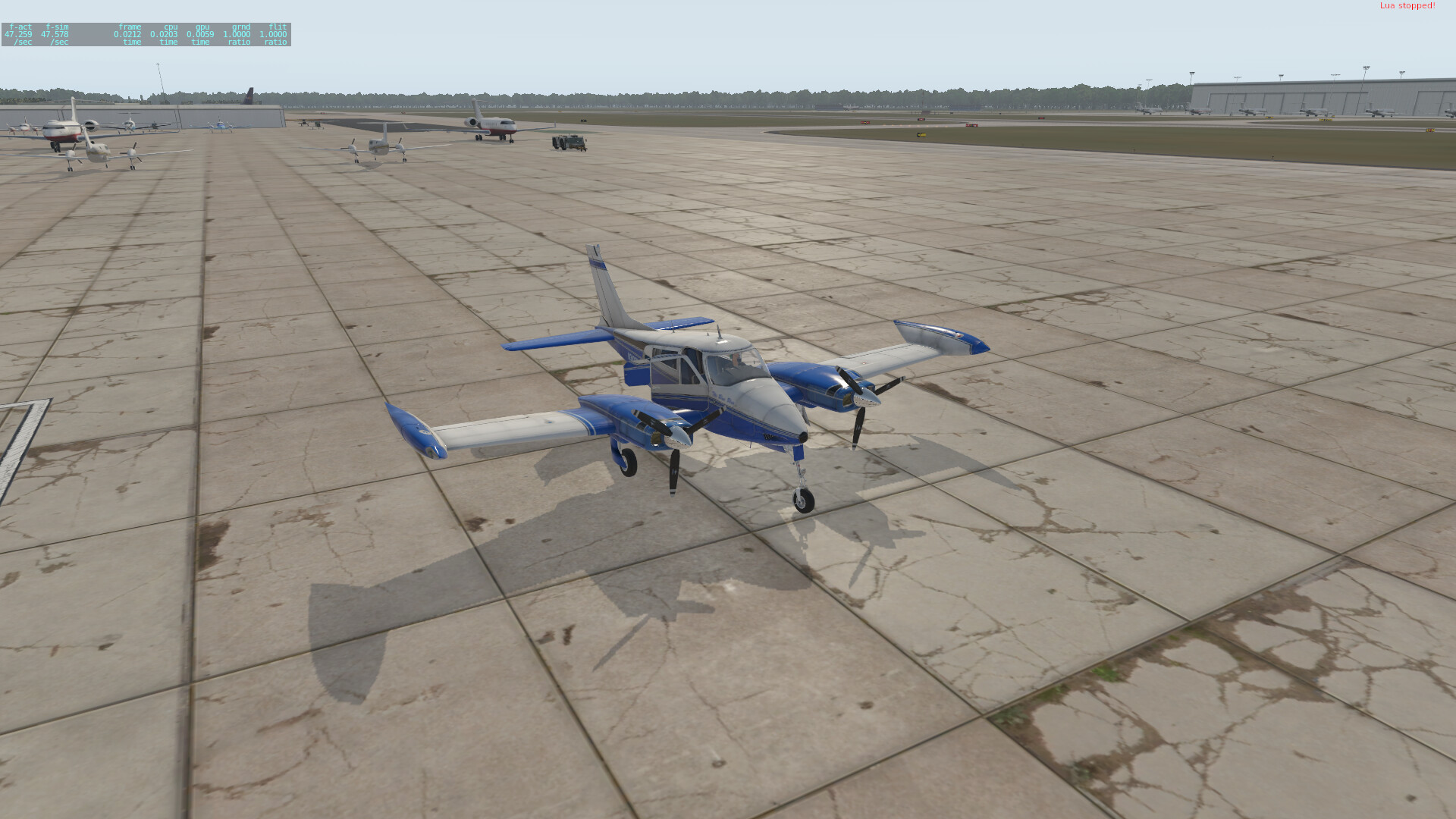
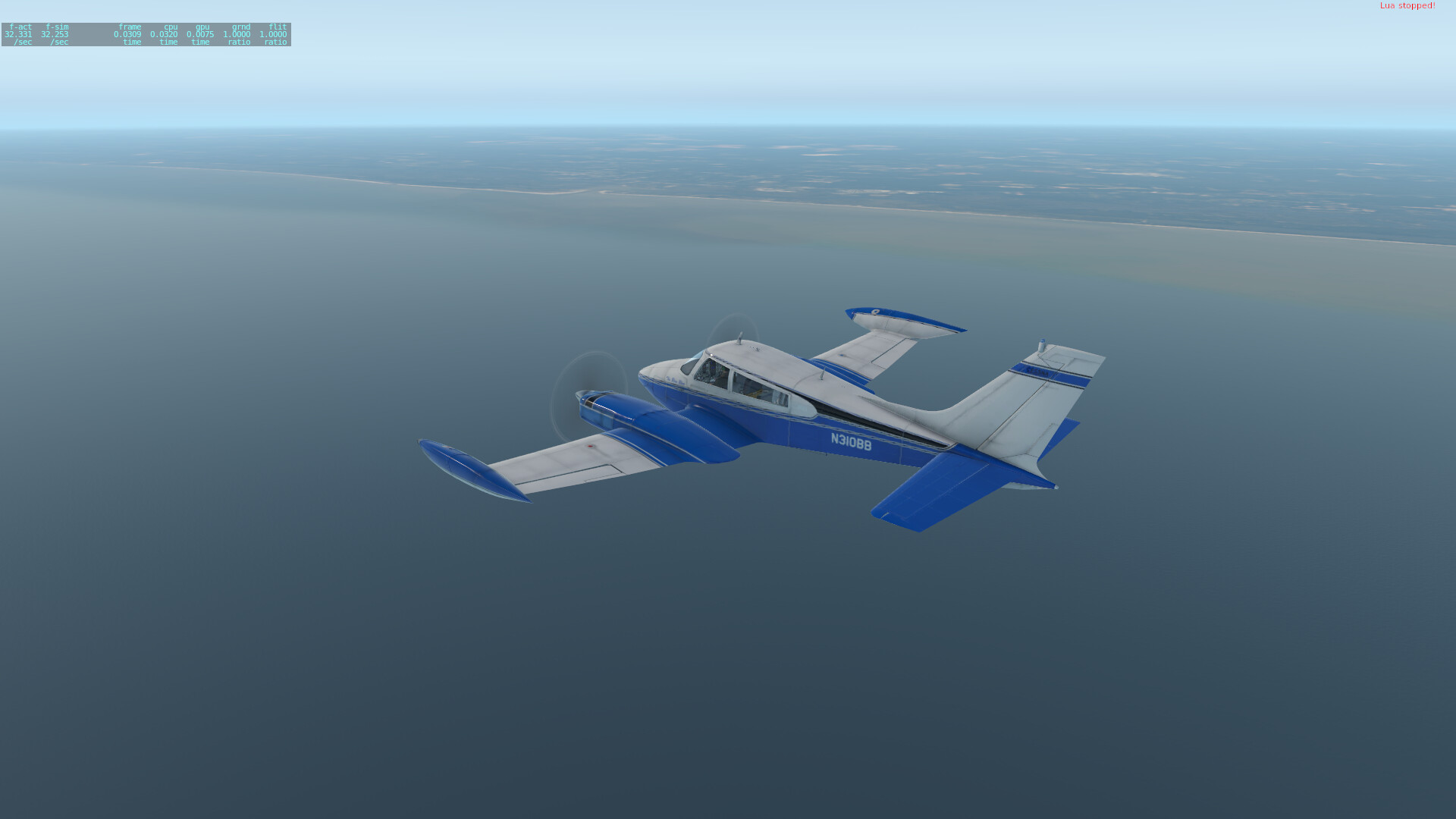
Finally getting underway here. Until it comes time to jump the pond, I’m flying the Digital Replica Cessna 310L - I’ve become very fond of that little plane over the last year or so, and with the most recent updates, it still plays well with the Vulkan update to XP11.
Loading up with Christmas presents (beer) at RDU before heading out.
So long, Raleigh!
Lake Crabtree just south of the airport as we’re heading out.
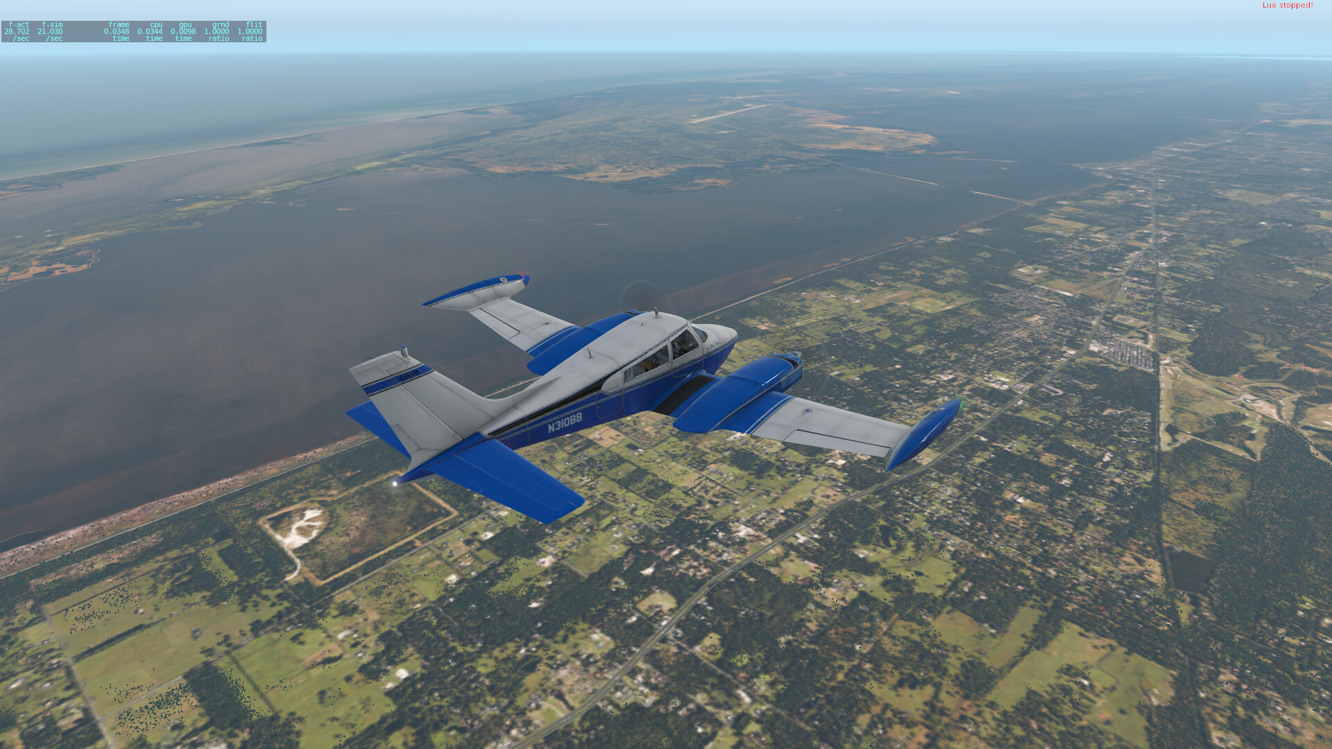
First waypoint on the way to Savannah was Charleston. I haven’t downloaded most of the orthos for the Carolinas, so there’s not much to see really (trying to prioritize hard drive space) before I got closer. Here I’m flying over the Nuclear Power School on Joint Base Charleston. No buildings in autogen at this altitude, but the cross shapes under the elevator are the barracks (named after different classes of nuclear-powered ships and subs), and the shape just to the left of the small circle (Rickover Circle) is the schoolhouse building (Rickover Center). Behind there towards the upper left corner is NPTU Charleston visible along the river- you can kind of make out the two piers where the training ships are moored.
Flying over KCHS/ Charleston AFB, looking towards downtown. I-526 is in the background, heading out towards Isle of Palms and Mount Pleasant. With some artifacting weirdness, because Xplane and Orthos.
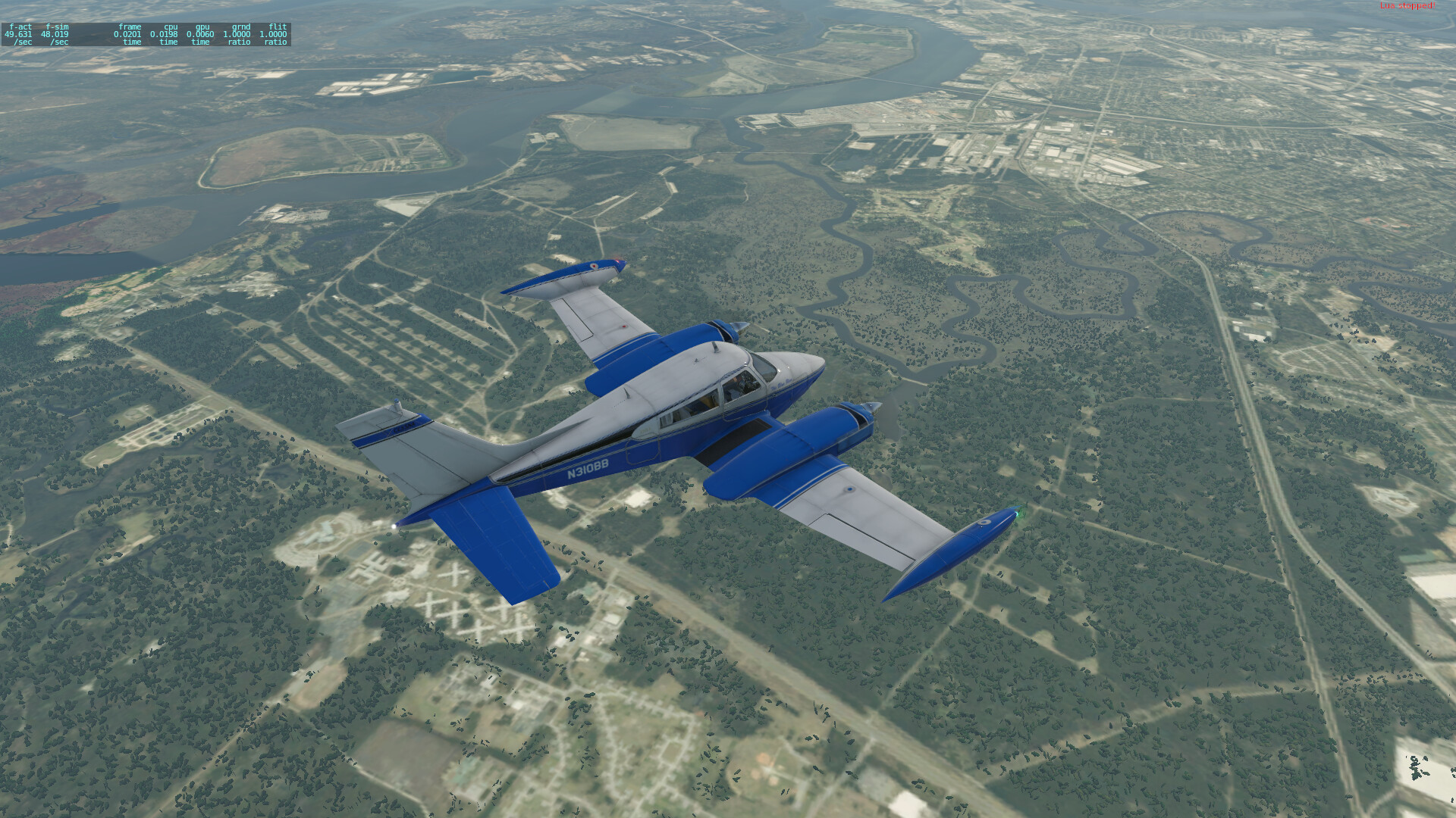
Flying over MCAS Beaufort. Parris Island is just off the nose here.
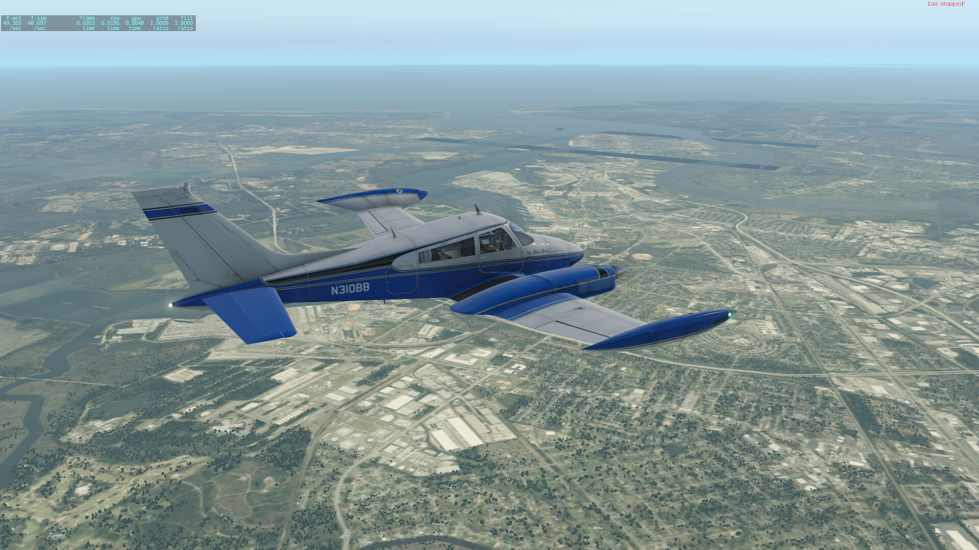
On the approach into KSAV. I forgot to get any good shots of the downtown area, so I’ll have to do that on the next leg.
Shut down in the GA area, ready to go pick up more presents (more beer, and also some whiskey from the two best distilleries in town). And of course before picking up the goods, need to sample them properly first. Thank goodness you can walk around downtown Savannah with open containers.
7 Likes
Leg 2: KSAV-KMIA
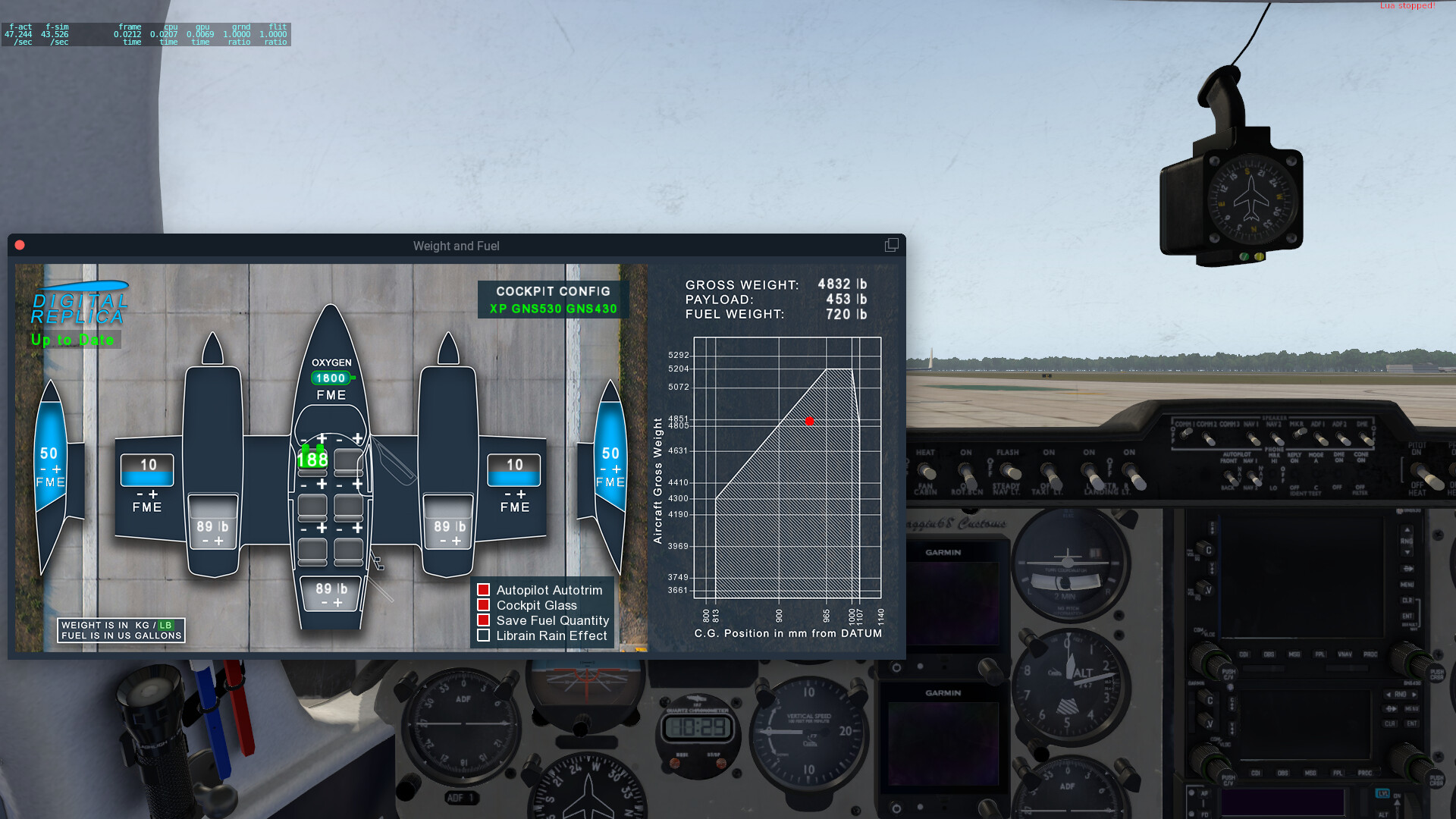
This one was definitely a good bit longer, since it went down the entirety of Florida’s Atlantic Coast. More gas and presents (beer and now whiskey as well) onboard for this leg, since I’m flying twice as far.
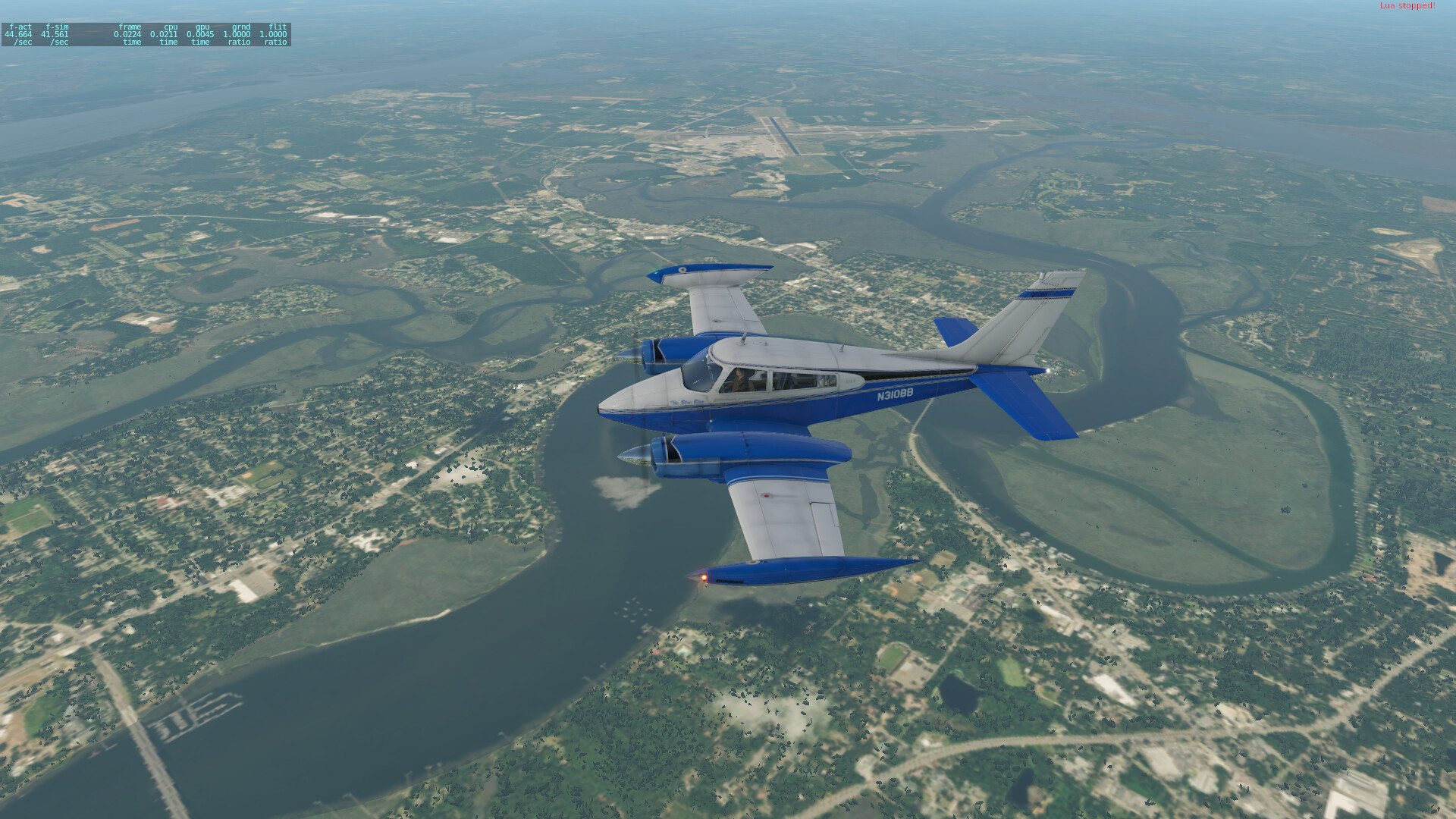
Climbing out, with downtown Savannah along the riverfront off the left wing.
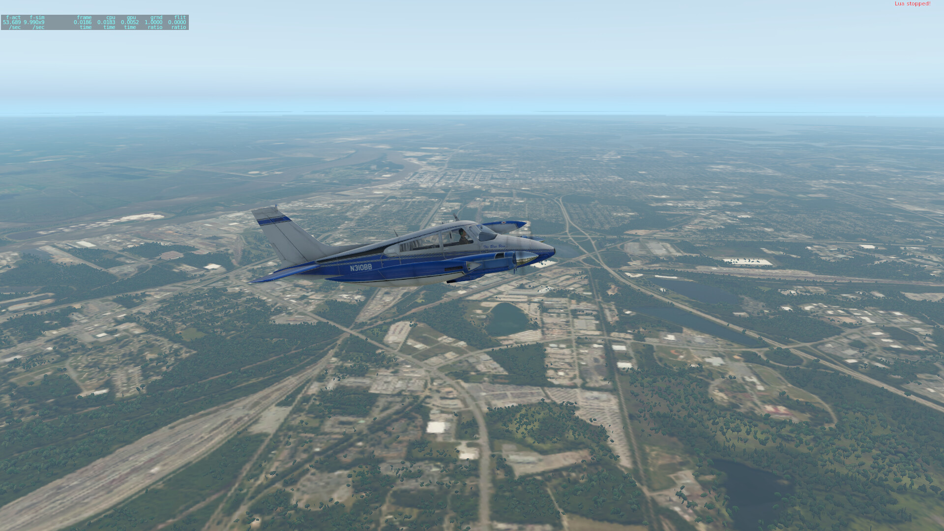
Off the coast of Jacksonville. The less said about that town, the better.
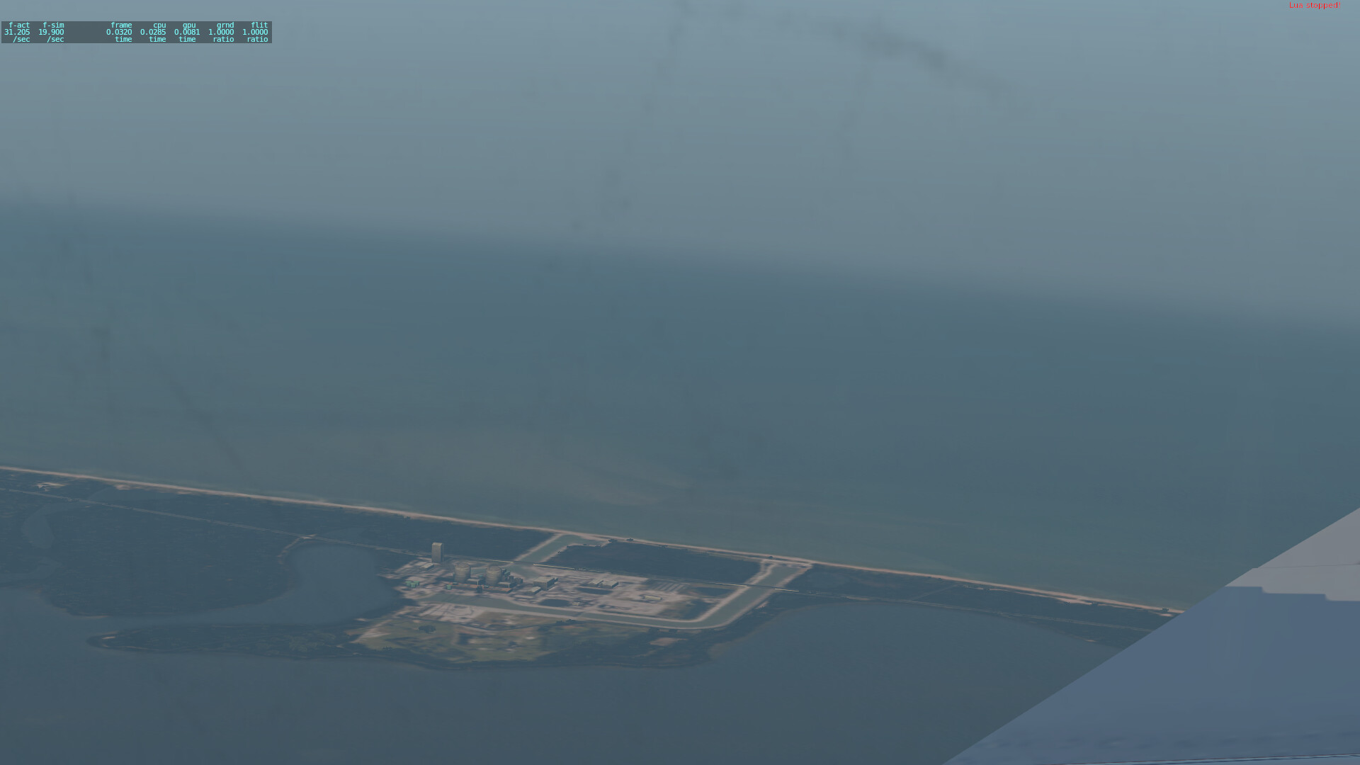
Coming up on the Space Coast. The Shuttle landing strip is visible ahead, and beyond that, I could make out the Vehicle Assembly Building and a couple of the active launch pads.

A bit further south, a fun easter egg in the form of the Port St. Lucie nuclear generating station.
West Palm Beach, before beginning the descent and entry into the pattern for Miami’s crowded airspace:

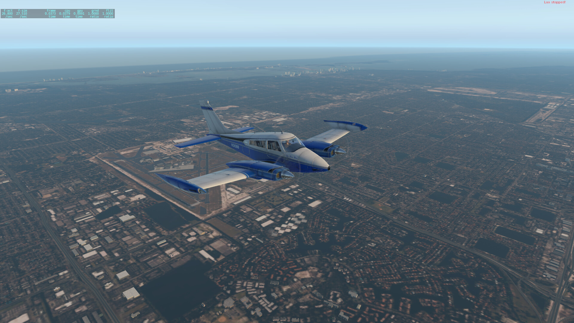
Overflying Miami International with the city in the background (not sure which part was blown up for the end fight in Bad Boys).
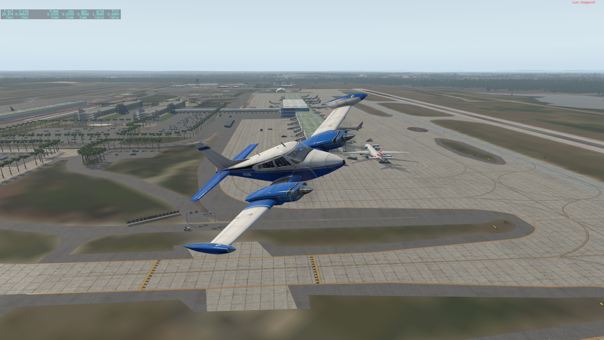
Shut down at the cargo ramp.
Not sure what I’m picking up yet in Miami, at least not that I could afford anyway.
3 Likes
I just registered at skyvector. It opens some dire warnings about filing bogus flight plans. “this is not a game” it sternly tells me. So ah… how do I play with it without making the authorities of Luanda airport think I will be flying in a C-47 next week?
2 Likes
You can make and save flight plans all you like, just don’t file them to the authorities!
Exciting to have you coming along! I don’t think I’ve seen you on the treks before, right?
4 Likes
That’s right. MSFS 2020 is my first civvie sim since the 1986 version. Usually doing A-B flying over ugly scenery didn’t strike my fancy, but the whole-world thing, the weather, I just can’t stay away. And I want to be in on the treks with you guys ![]()
But the blasted thing won’t install. Connection error. No further info given by the thing. Grrrr.
5 Likes
I am falling behind on my reports. I have two legs in that I need to get documented. Hoping to get another in tomorrow.
2 Likes
Same.
Should skyvector “autoplan” stops (because it isn’t doing that) or should I do that manually? I would like to make hops of about an hour flying time… (very new to this civilian flying malarky though I do remember what a VOR is)
I do my flight planning on skyvector manually on the world map. And I am not even registered. Is the registration useful anyhow?
I can make up my aircraft, hoping that the thing would work out stops depending on range.
As far as I know, it does not. You have to manually pick which airports you plan on landing at.
1 Like
You could also use PlanG… https://www.tasoftware.co.uk/
1 Like
I’ll just wing it with the built-in flight planner. Anyway, I just set off. First leg is Malden glider field (EHBE) - Luxemburg Int’l (ELLX).
The weather in sim is fine, almost clear with a couple scattered cloud. I turned live weather on. Looking outside it’s grey overcast. That ain’t right. Is there more to getting proper live weather than just turning it on in sim?
Setting off, leaving home.
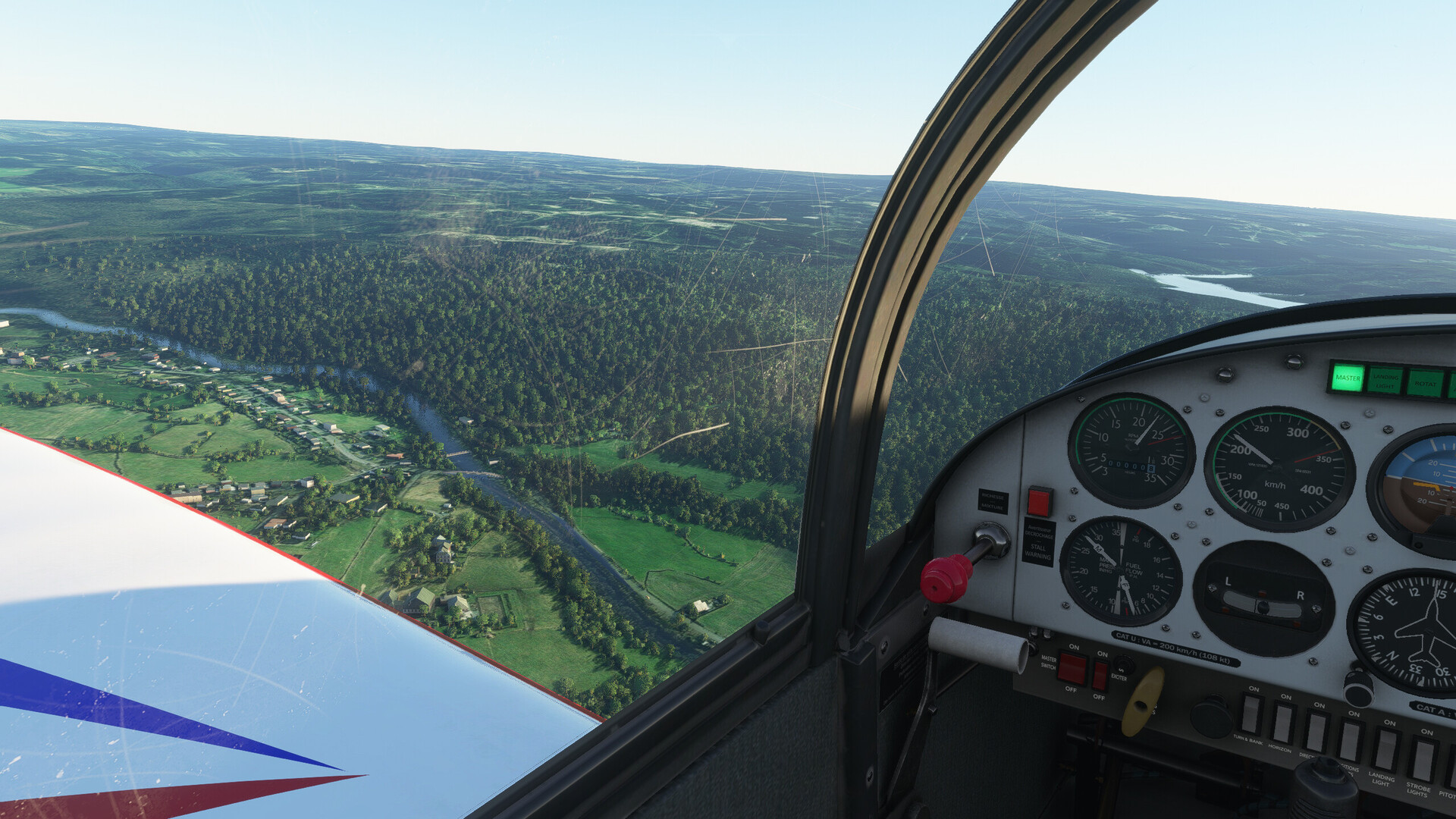
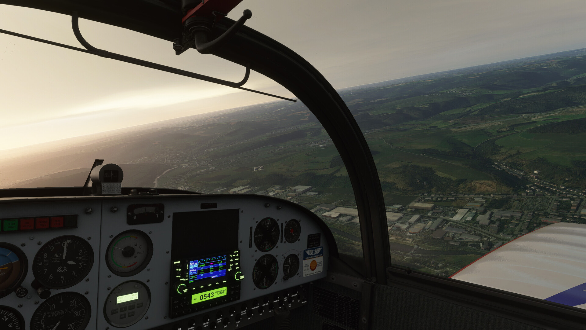
Entering the Ardennes region. Not nearly as spectacular from the air than driving into it. However, I will grant it that the changing of the landscape is noticeable and very interesting in this sim, really looking forward to fly all the way to Cape Town.
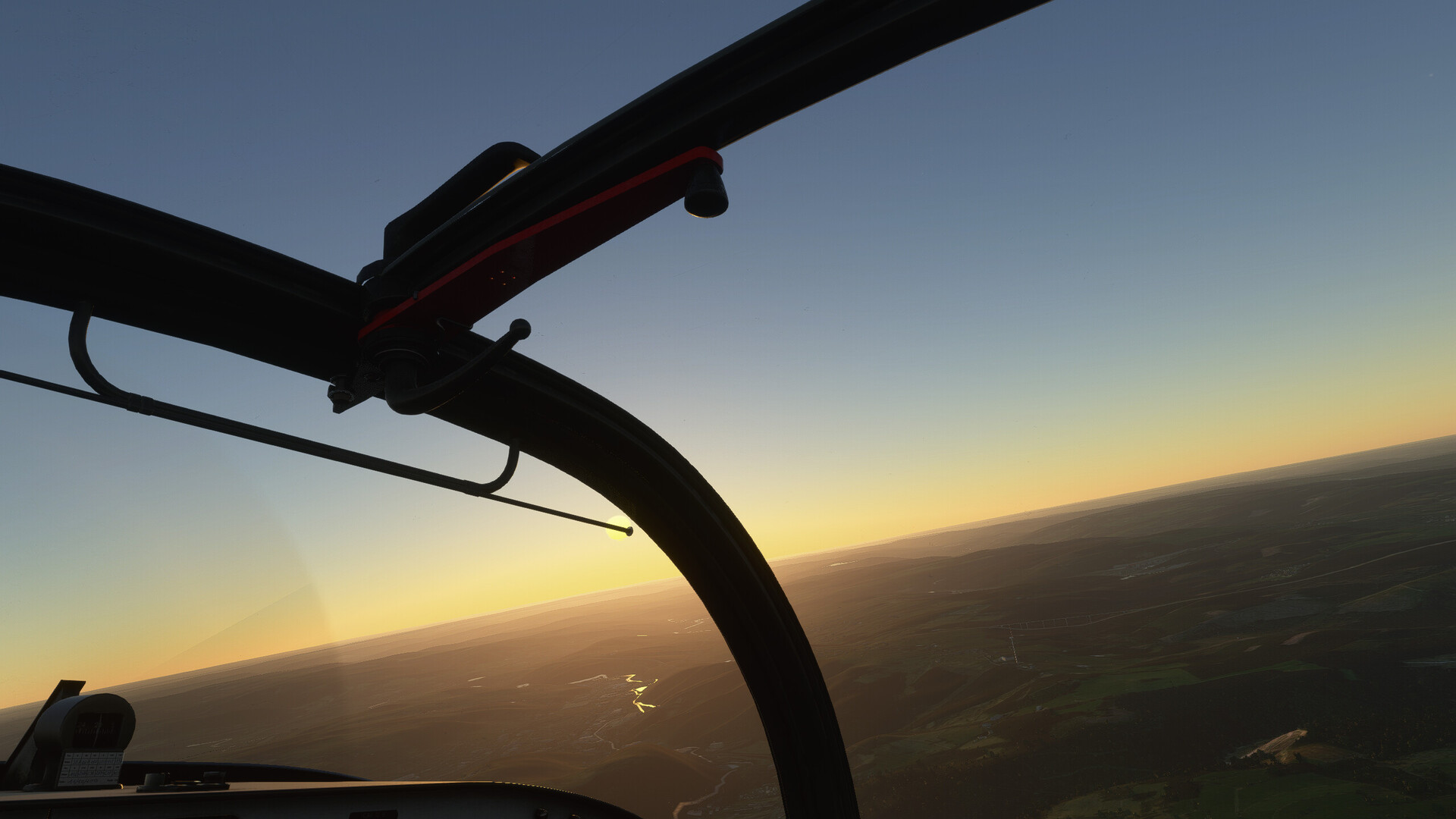
Bloody family had me pause the thing for an hour or so, so it’s going to be a dusk landing, if not entirely in the dark. I find it hard to believe this “live weather” thing is running nominal. I went and clicked it to “overcast”.
This sim is stunning. Generated scenery that is at least as good as DCS maps. Wow.
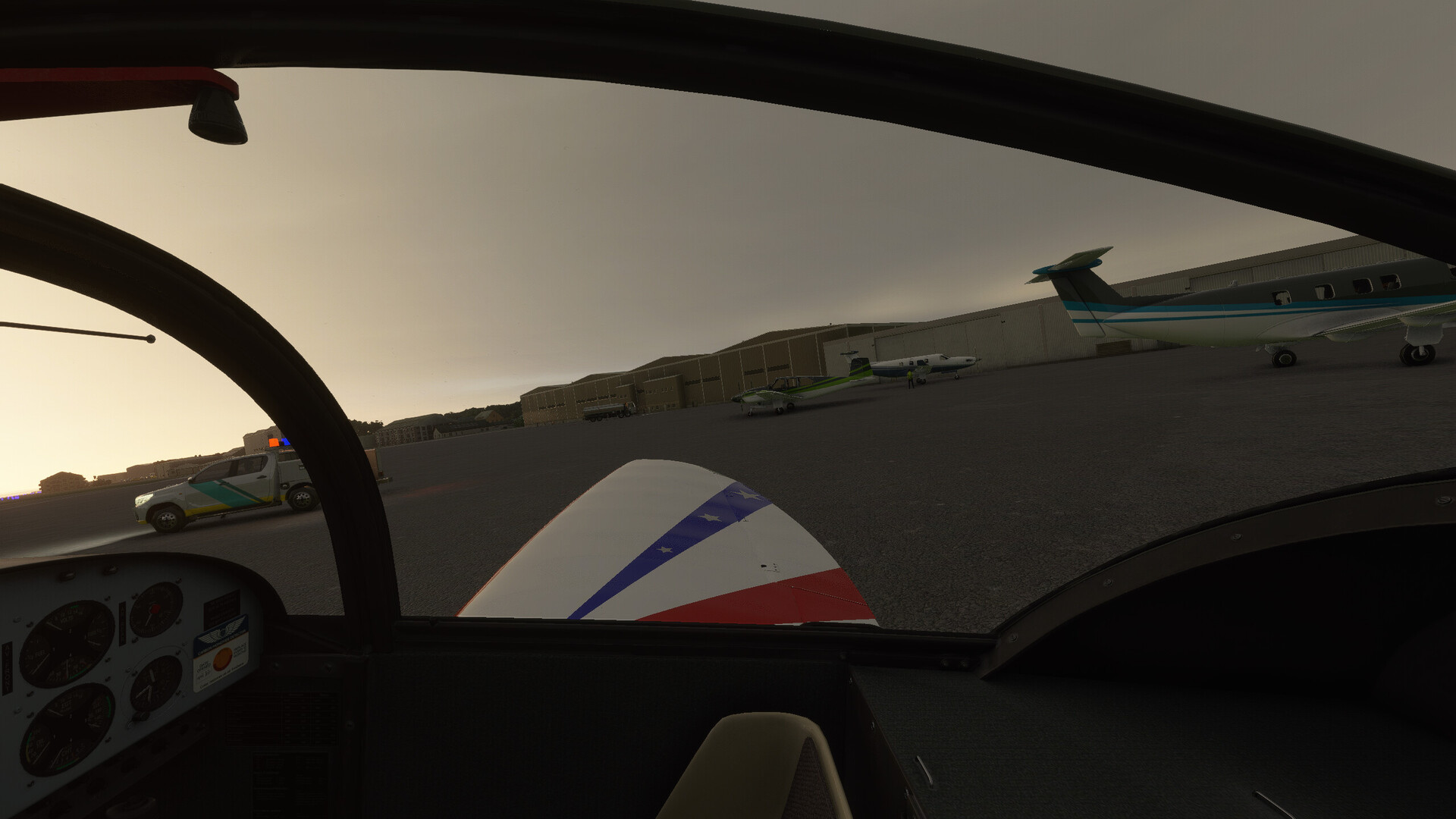
And here I am, parked at Luxemburg with the other smol bois.
8 Likes
Do not forget to top the tanks. The Avgas in Lux is pretty cheap! (not that it matters in the sim anyway ![]() ).
).
3 Likes
Another great resource is simbrief.
You can set departure and arrival airports and it’ll spit out a generally good route. You also pick your aircraft type and it will tell you planned fuel usage, time enroute, etc, as well as all the weather info you need.
For simflights, I’ll generally use simbrief to get the time/fuel required and let it populate a route for me. I’ll then QA the route in skyvector, making sure it makes sense based on the weather. It’s not perfect 100% of the time but overall it’s a great resource.
6 Likes
So I took the short hop from ED33 to LSZH in a Cessna 152 without taking pictures.
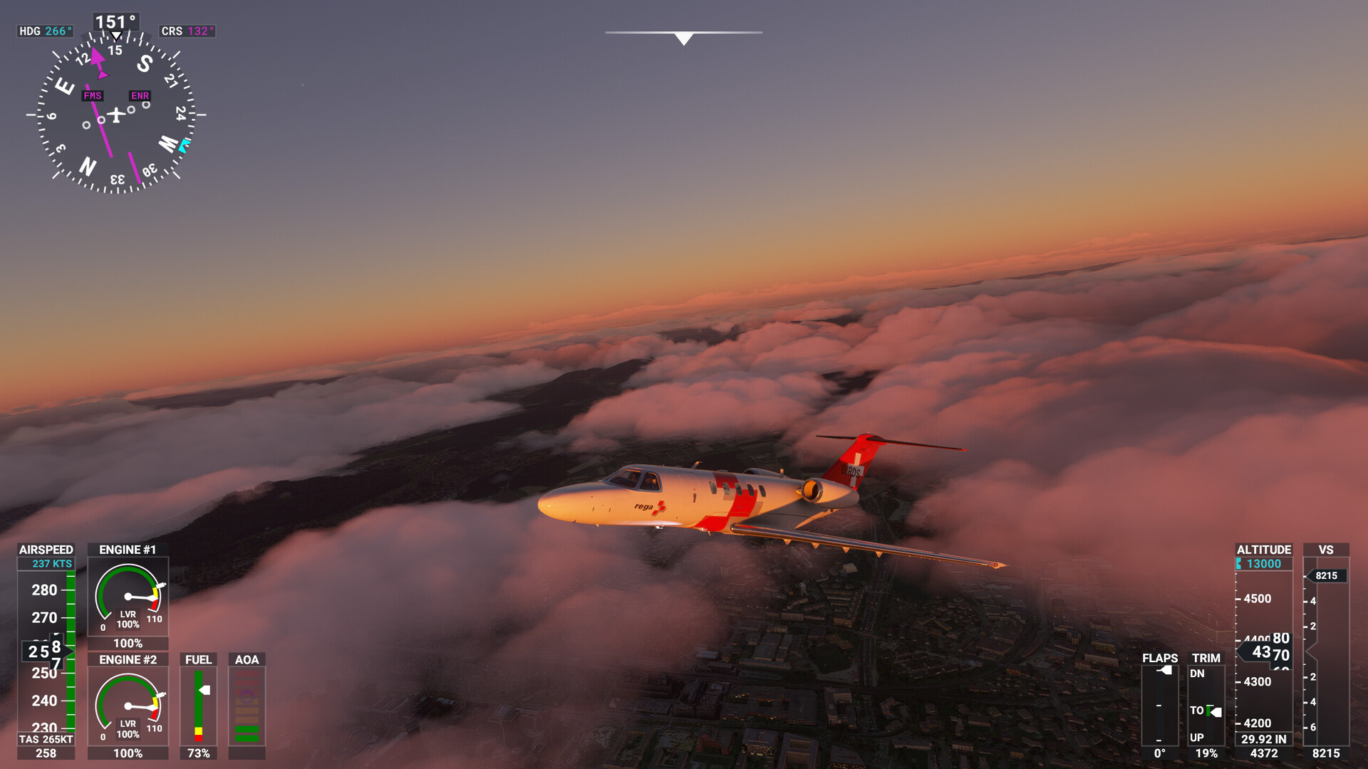
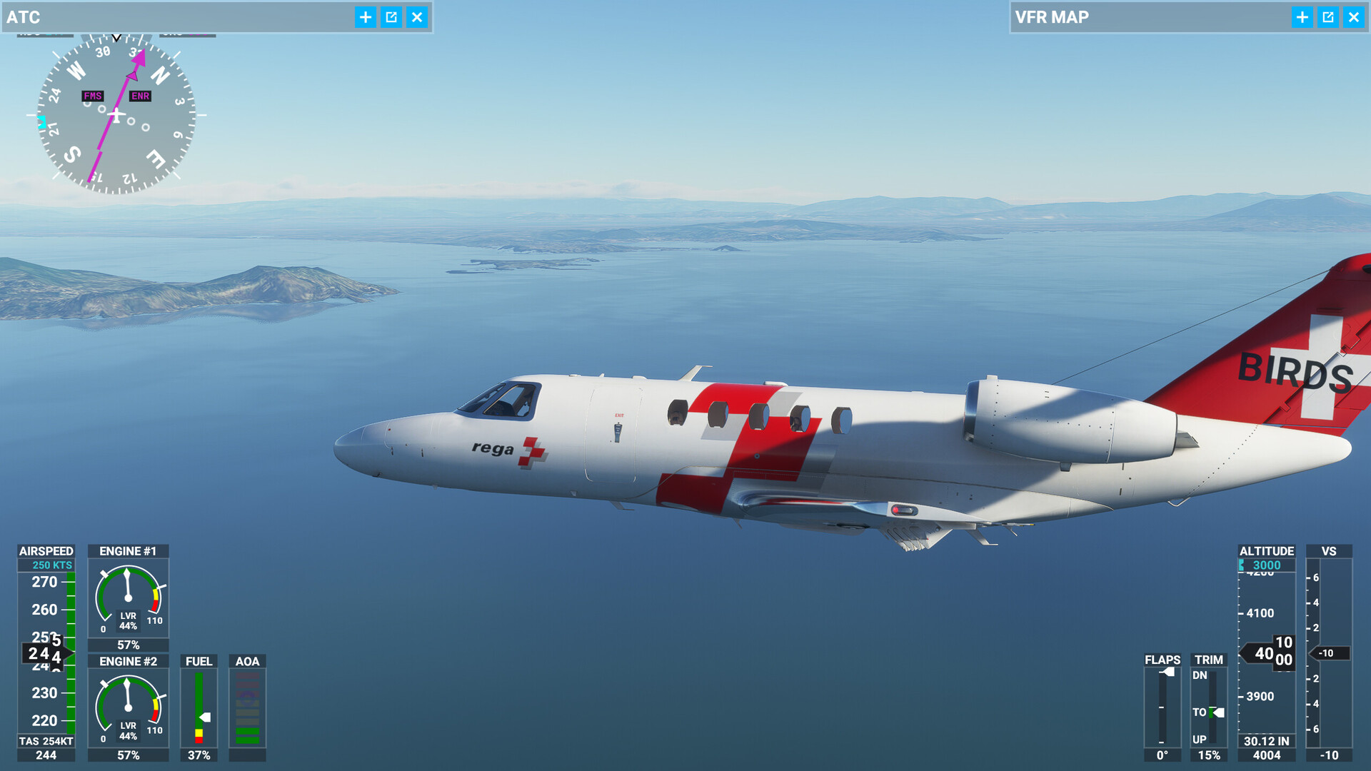
There my CJ4 was waiting for me among all my other planes. Since I am mostly clueless, it did not really matter which one to pick. But range and speed matters, as it’s a long way to south africa. My first stop will be … (spinning globe) … LIRN in southern Italy. Alrighty.
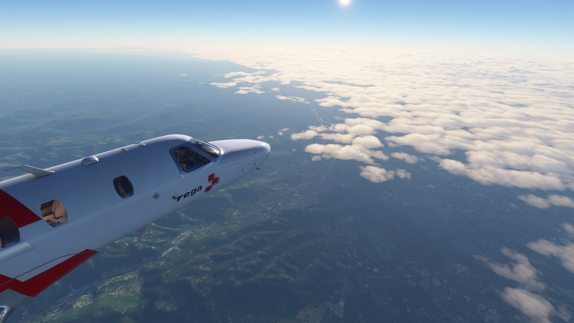
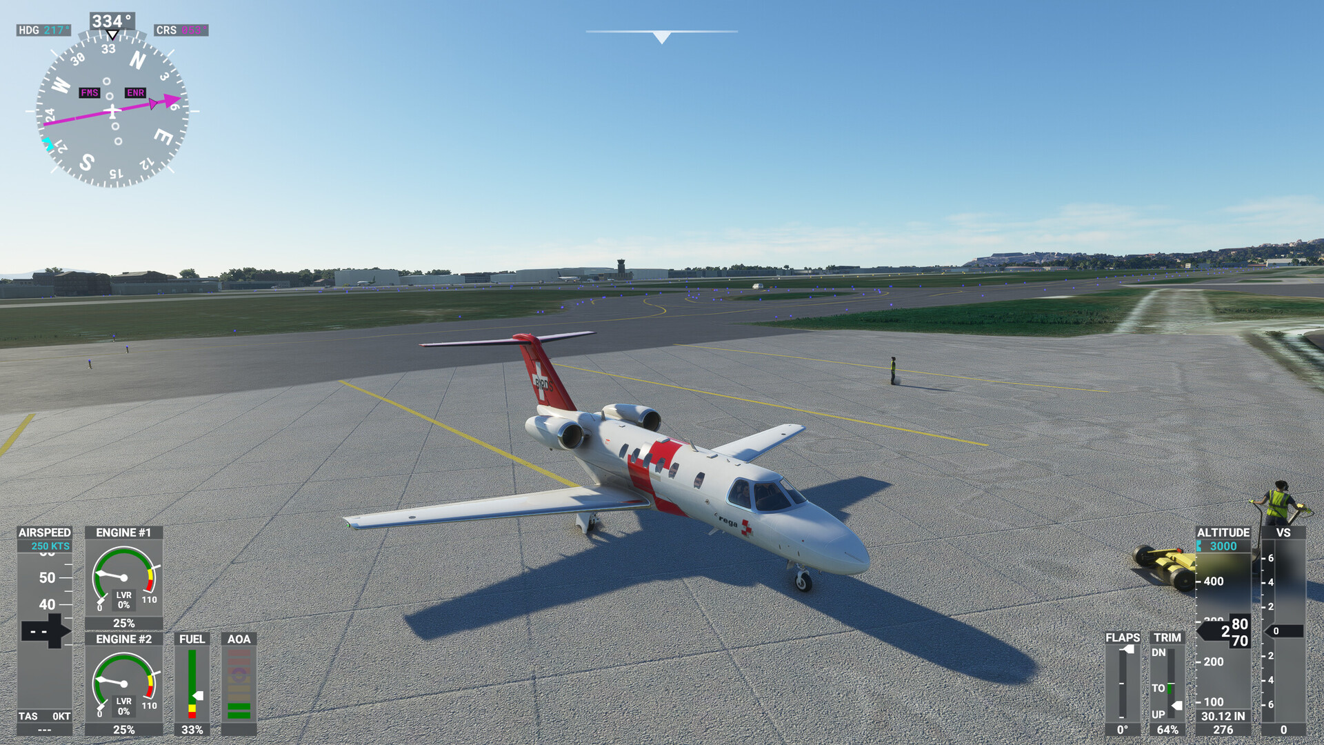
I am a Rega supporter so the choice of livery was easy.
Early morning hours in Zürich, runway 16:

Rise and shine! I haven’t attached the gamepad, so the drone cam is hard to use. Sorry for the unclean screenshot.
This is Rapperswil, which loosely translates to Rappers-Ville. It’s where all rappers are from, obviously.
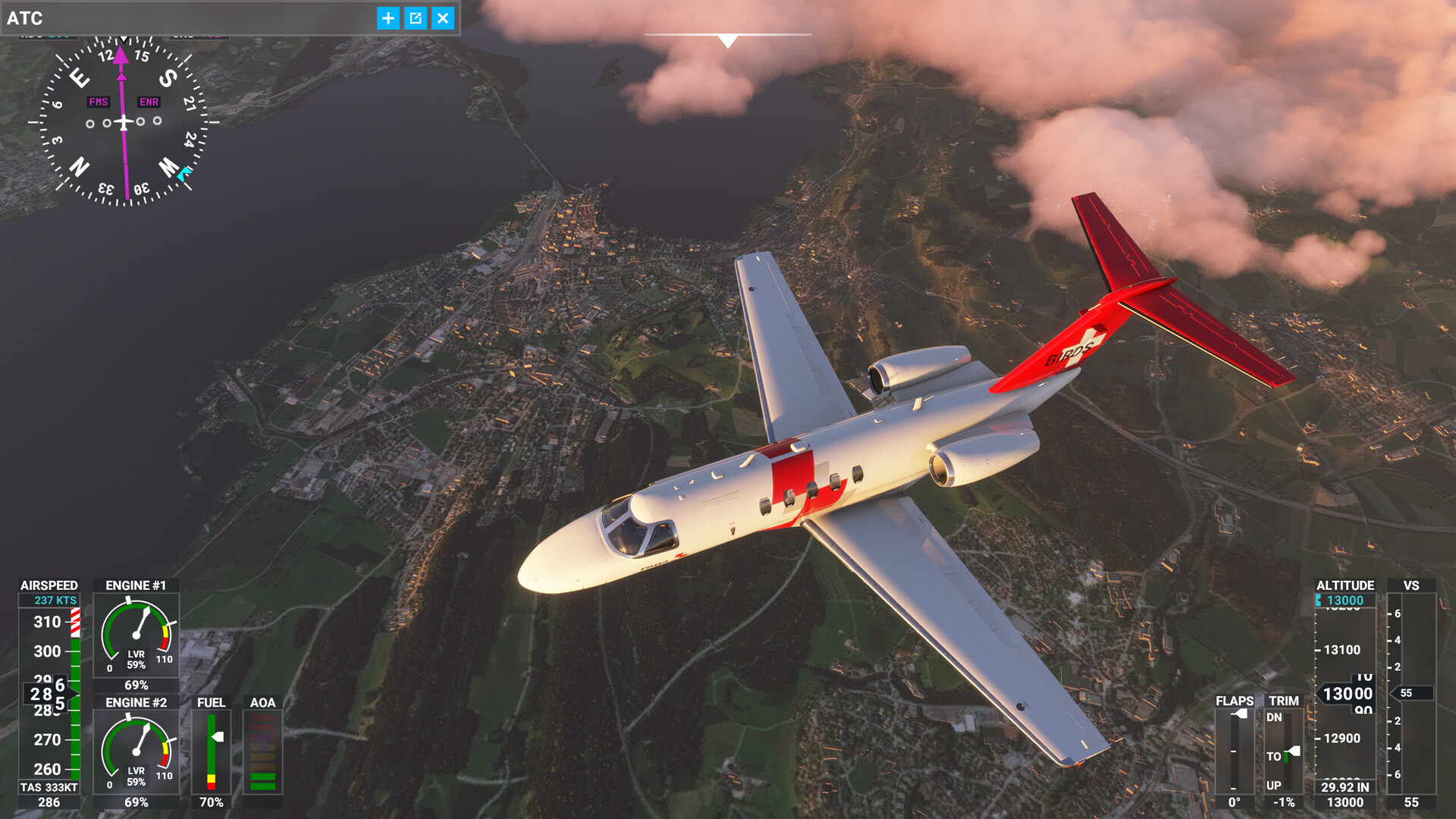
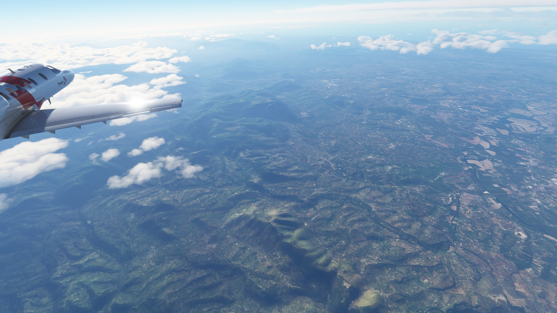
Crossing the alps the view was stunning and the plane kept me busy, so the next screenshot is already in Italy with a nice change in weather:
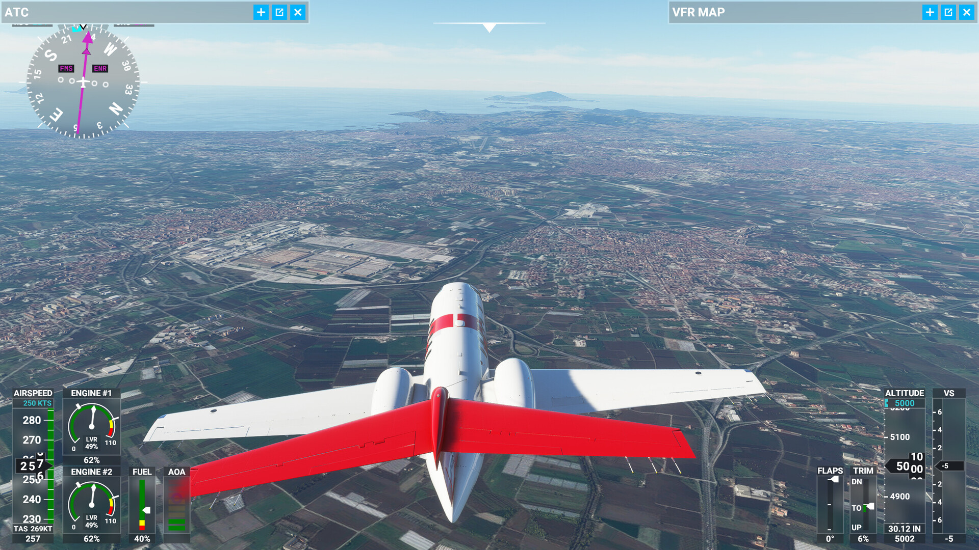
Somewhere in the vicinity of Rome. Maybe.
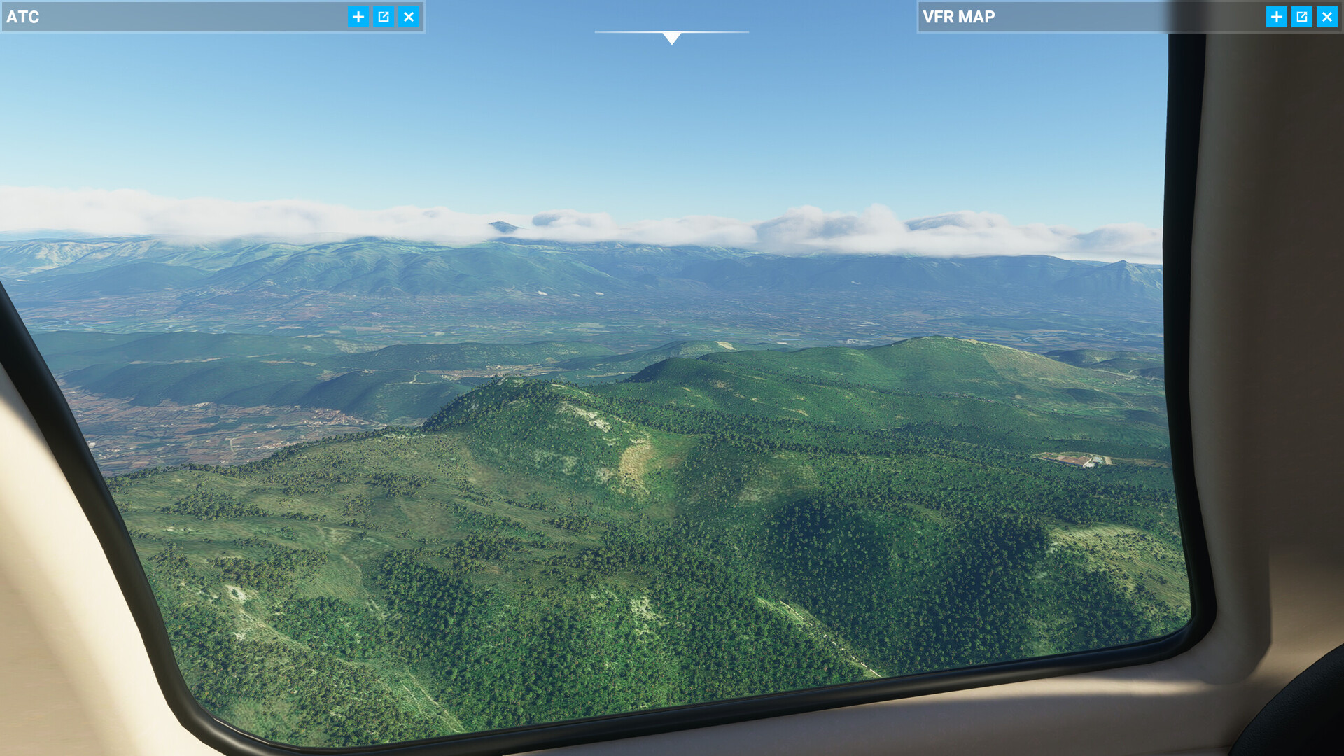
Approaching destination.
The AP was supposed to turn right here, but suddently the FMS decided to drop all legs and I almost flew into the ridge line to the right:
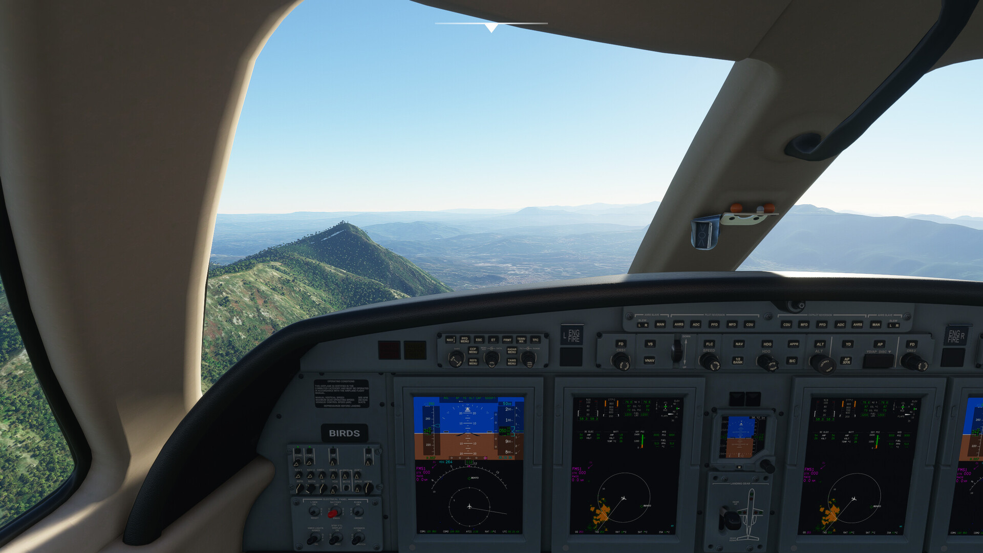
Somehow managed to get the FMS to behave again. Approaching the destination from the wrong side to check if it’s actually there. The runway is straight ahead.
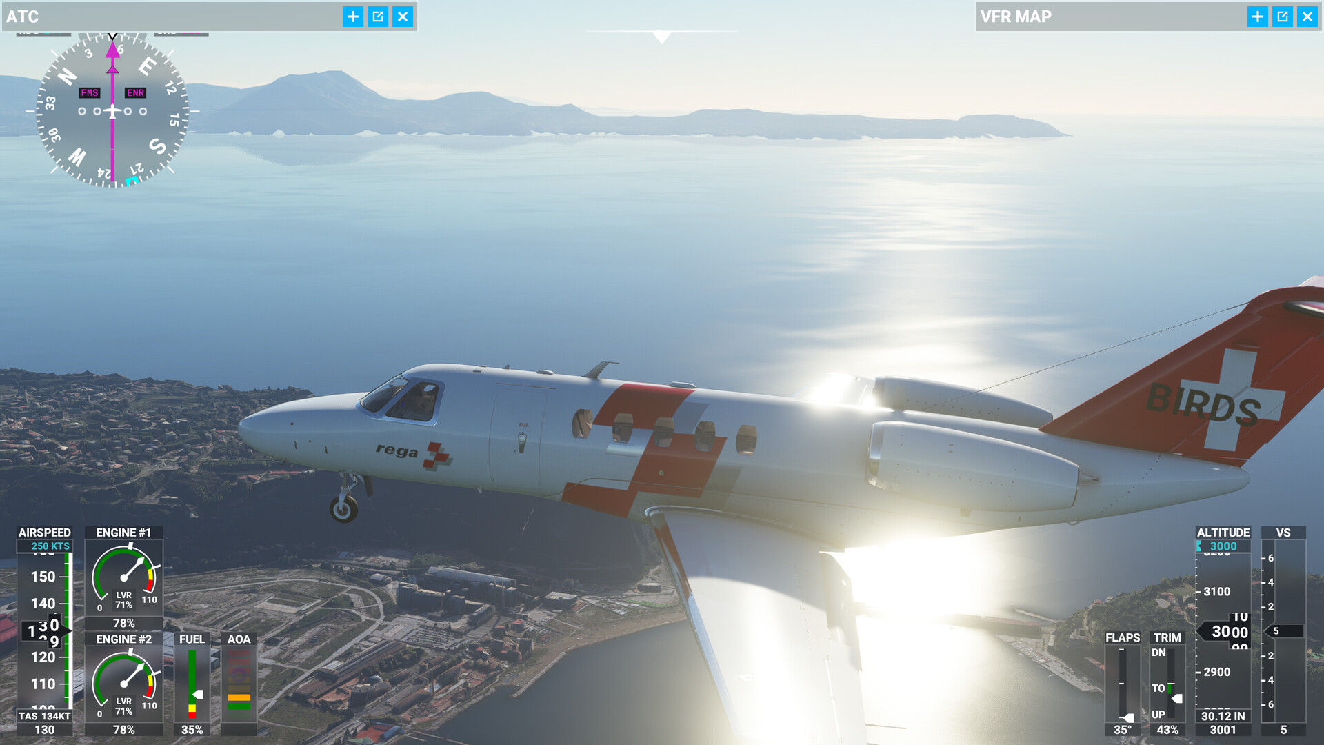
Turning around slowly for final.
On the glideslope to rwy 06, gear extended, full flaps. Speed… ahh I’ll just guess that based on the sink rate ![]()
Disconnect AP at 500 feet
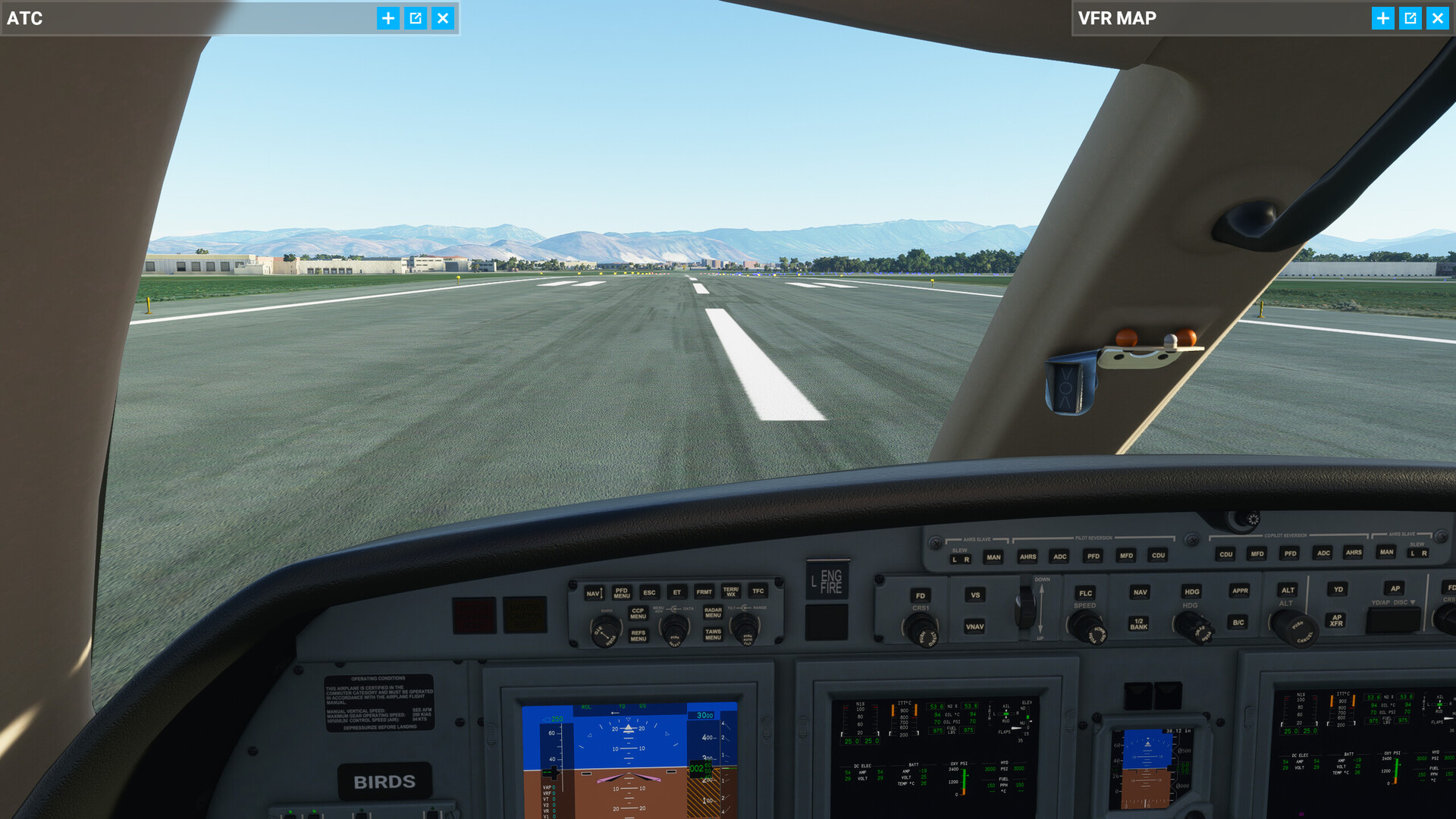
And welcome to Capodichino! At this point I noticed that I probably should have taken pictures of mount Vesuvio, the famous active volcano. ![]()
Flight time: 1:47 hours. No crashing(!). Probably a lot of rules and conventions broken, but here I am. Time for grappa. The first leg in my first fly-in ever completed. Cheers!
8 Likes