I’m doing the same thing with LittleNavMap to generate the .fms file. Though I really am finding I need to bite the bullet on Navigraph for a month just to get everything in the same Airac cycle.
Ah…the old “what’s it doing?” that we have all wondered in sims AND real life… ![]()
1 Like
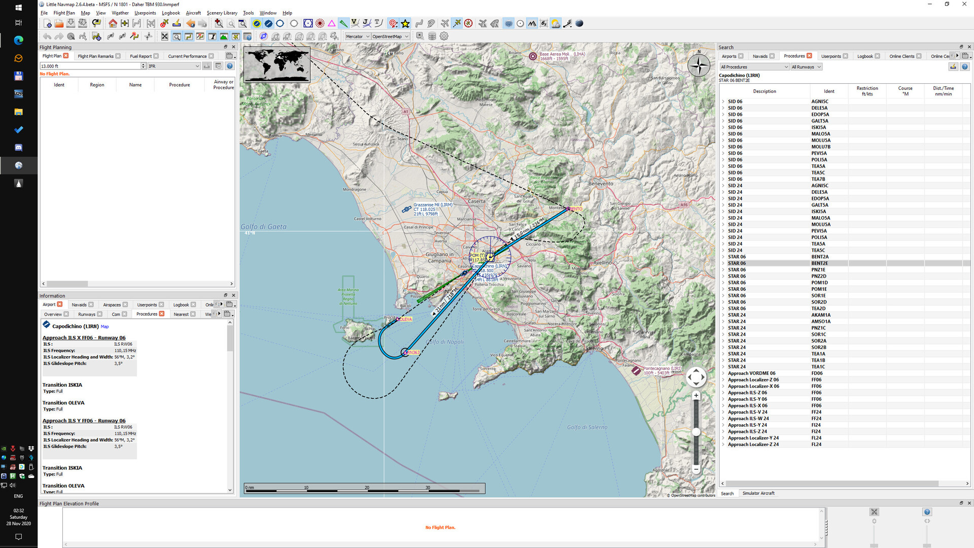
Maybe it was because I did not properly initialize the FMS. I just clicked a flightplan in MSFS and on the second to last waypoint I picked an approach.
I’ll try to do the full procedure next time, with Youtube as my teacher.
1 Like
Yeah…at least in the beginning phases of learning…sometimes it is good to go all the way out to the initial approach fix or feeder fixes - particularly for RNAV approaches. Intercepting inside of a initial approach fix sometimes requires some FMS dancing (heading to intercept mode) that can sometimes result in weirdness. As well, some RNAV approaches are specifically constructed to curve around nasty terrain…so if you skip any waypoints, you could draw a line straight into a mountain. Sounds like you are getting familiar with all of it quickly though! Awesome!
I love learning about this - but can’t draw a line between bug and user error at this point. Both is very likely. Maybe I should learn IFR using X-Plane.
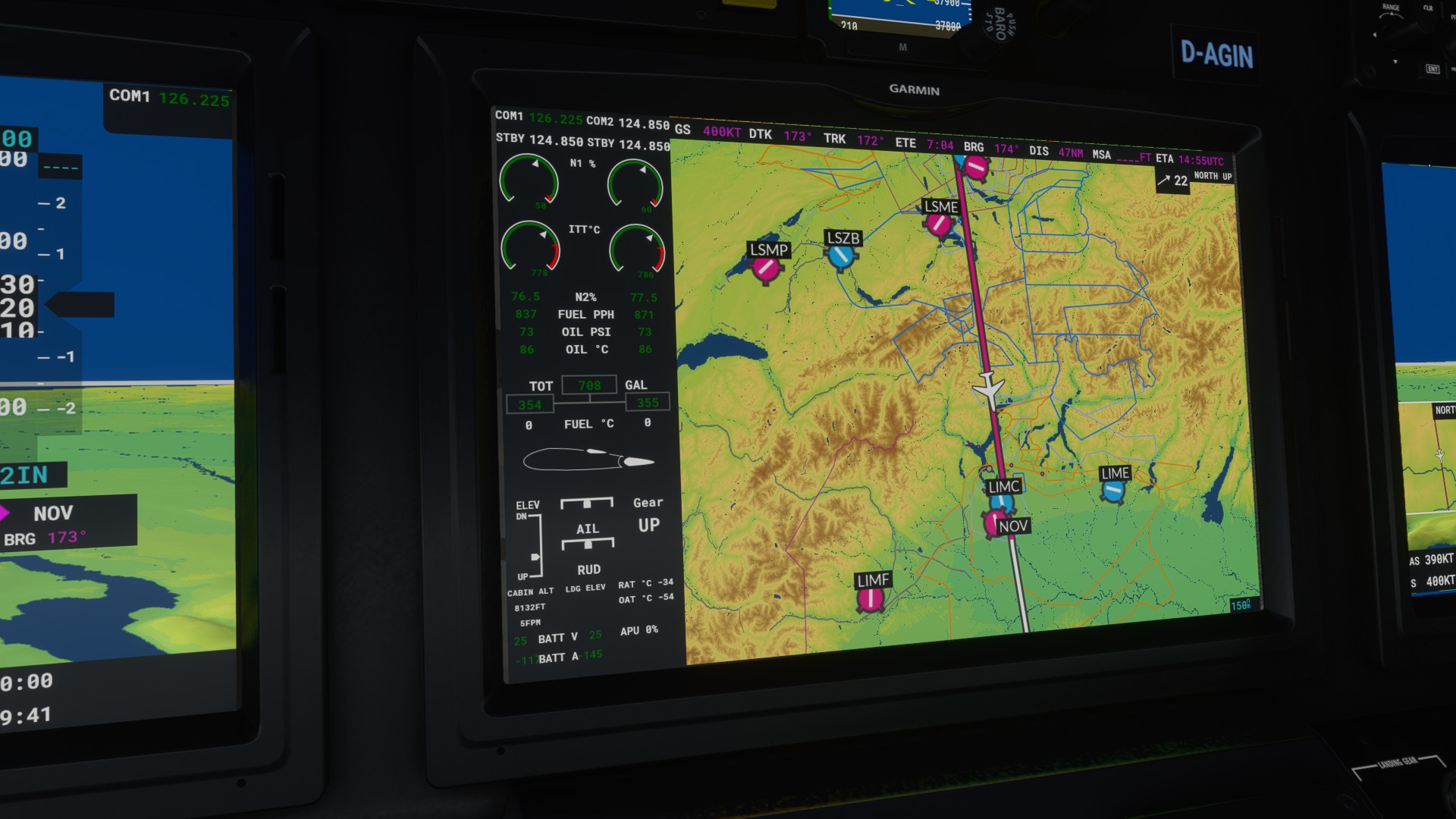
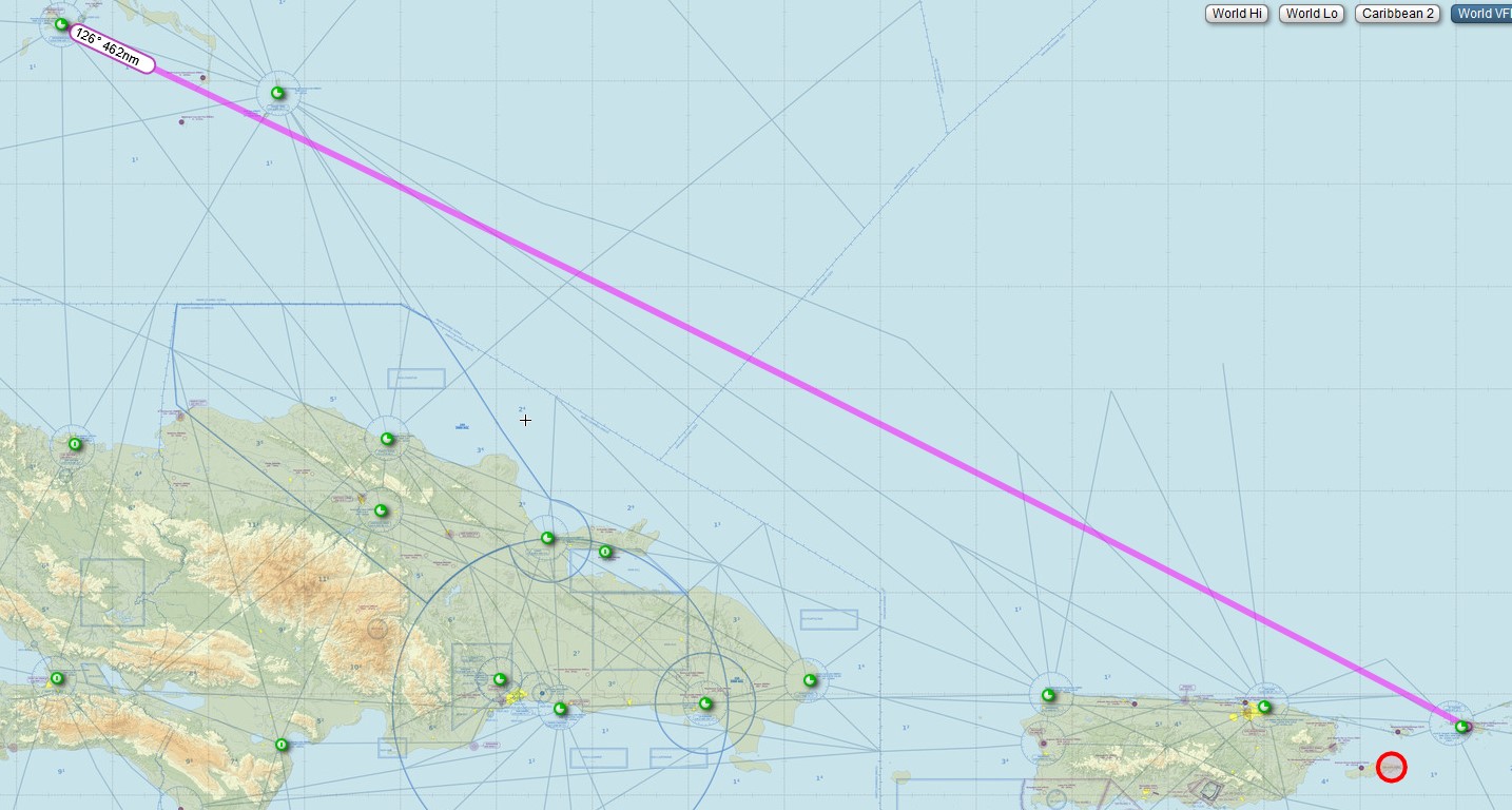
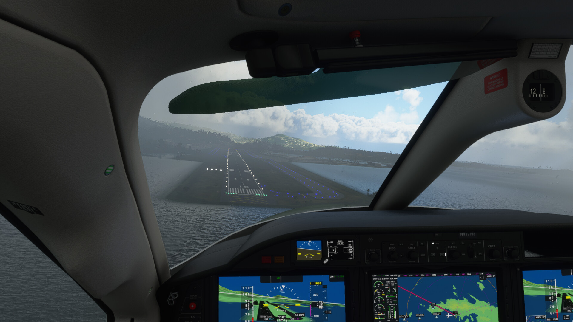
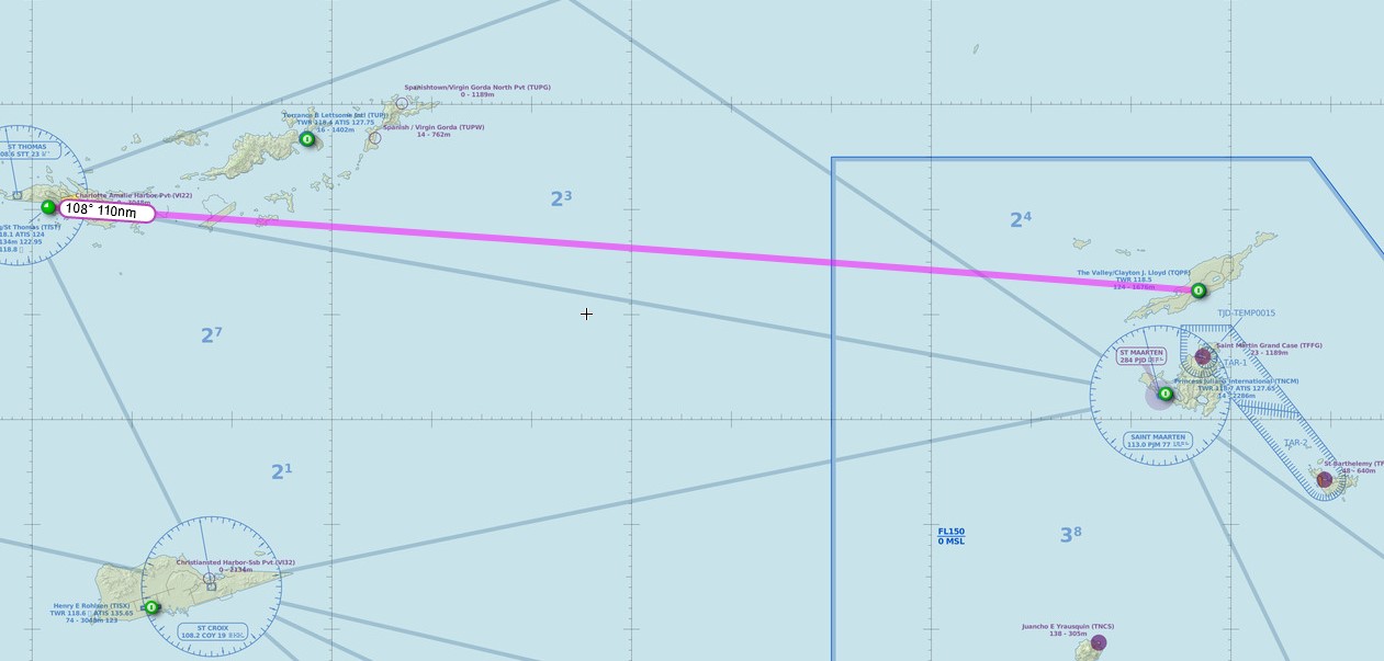
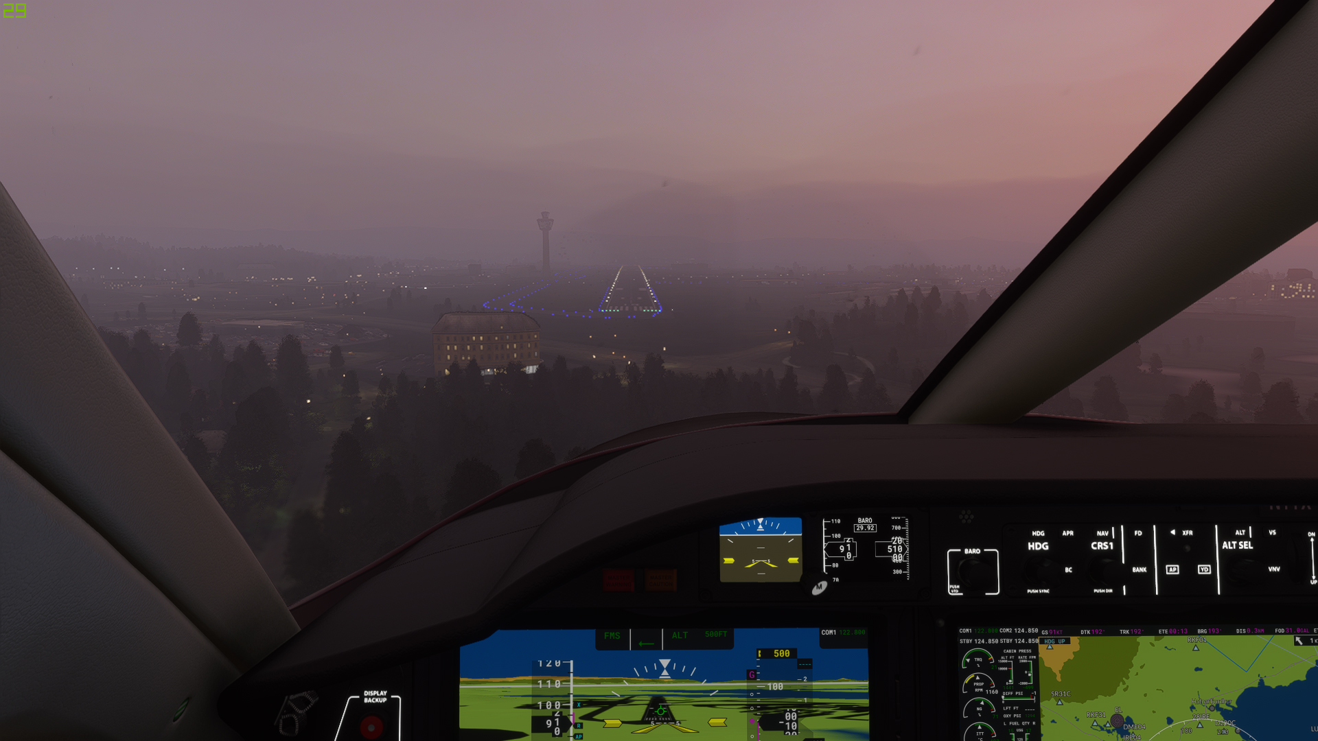
The path was ALAXI → TEA → BENTO (initial fix?) → ISKIA → OLEVA → ILS RW06
You can see where it did not intercept at BENTO in the picture below. Also I noticed the approach names in LNM are not the same as in MSFS, and the route it followed is also not the same. Some Navdata misconfiguration in LNM? I’ll post that to the LNM thread and will stop derailing this one.
1 Like
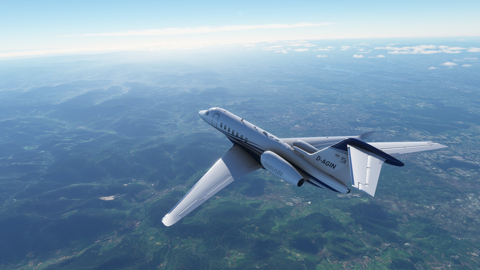
Now that I have solved most of my problems with FS2020 I also started my Africa flight.
I am a tad late and will probably not habe a lot of time to fly in the next weeks, so I decided to change my route a bit and pick a fast plane.
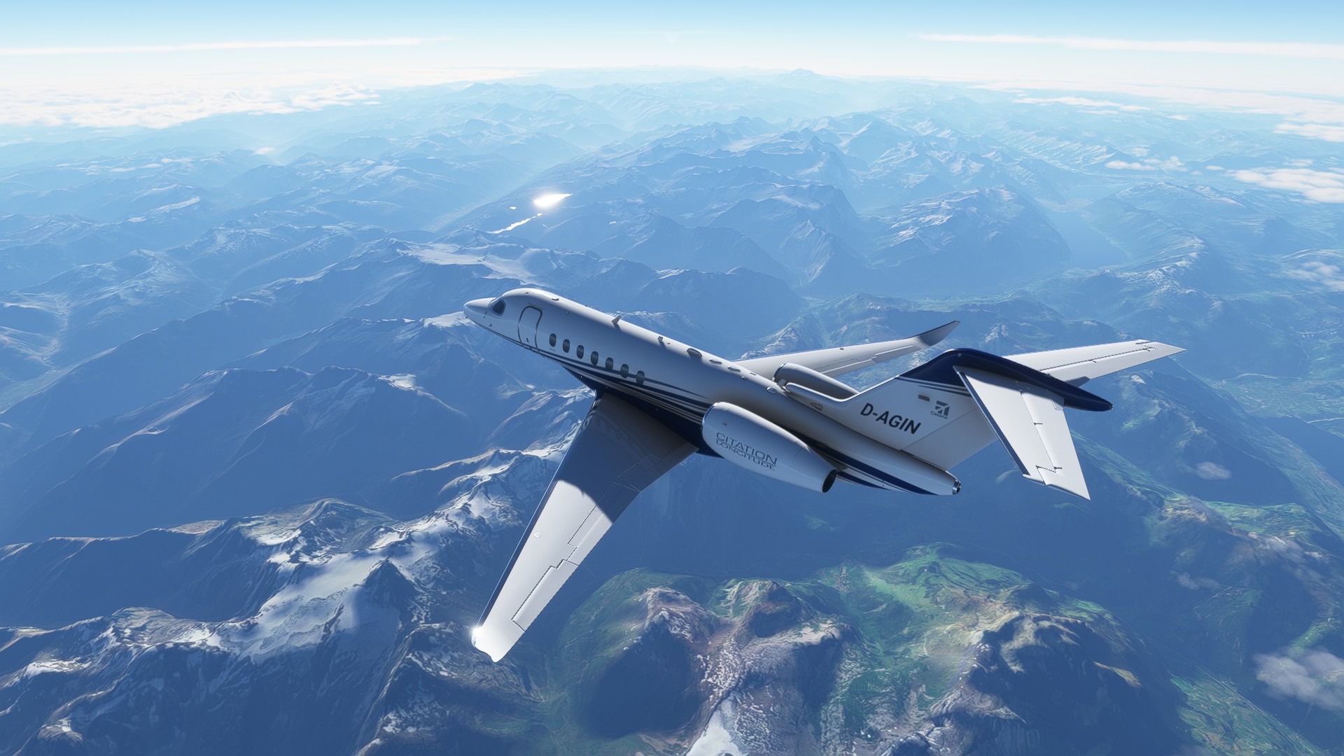
The Citation Longitude is the fastest one that I still feel comfortable with. I know it is not quite up to my usual standards (in XP11 I fly the excellent Challenger 300) but I really want to do the flight in FS2020 and there is no other fast business jet available in the sim as far as I know.
So here we go.
Fun fact: Cape Town is astonishingly straight to the south of Germany. In fact the Polish city of Gdansk (Formerly Danzig, Germany before the last war) is on the same longitude, 18.5 degrees East. So I am flying straight to the south. Which is boring so I’ll fly some detours. ![]()
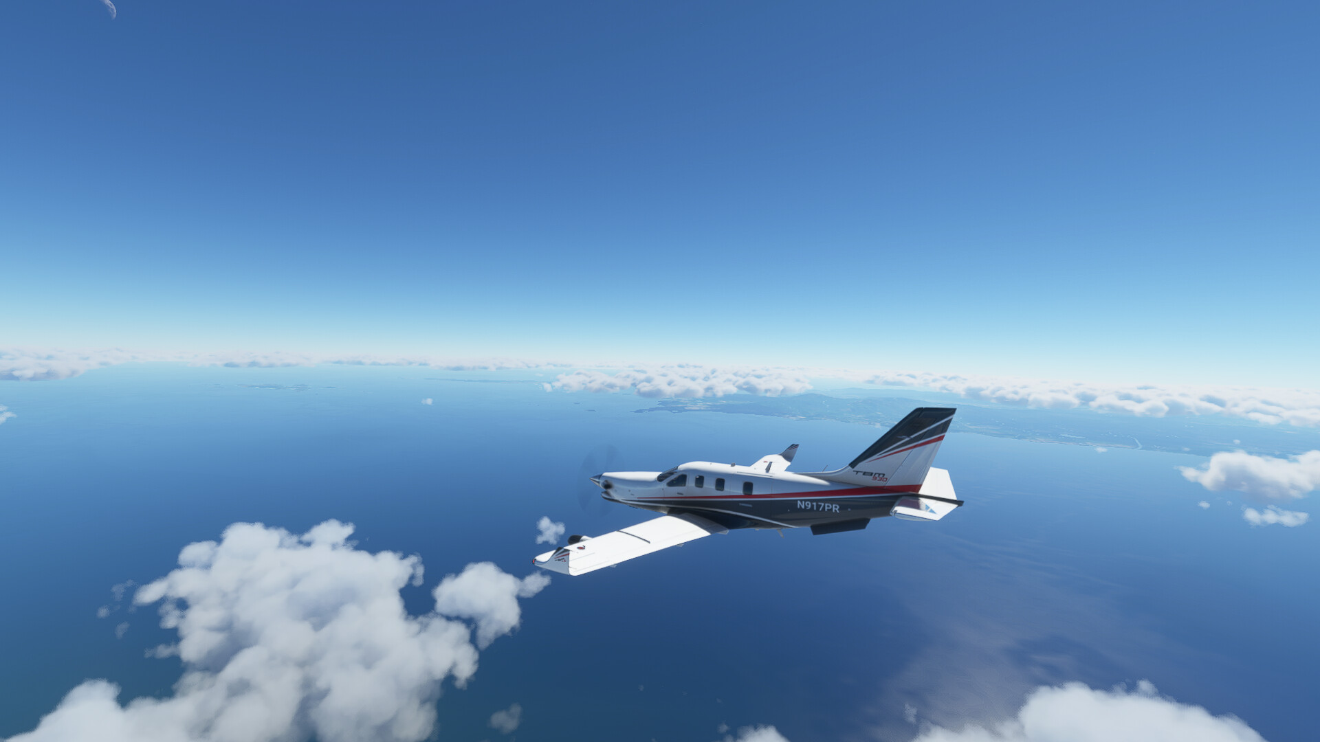
The first leg of my flight was from my home airport of Baden-Baden near Karlsruhe (EDSB) to Tunis, Tunisia (DTTA).
I’ve flown over Germany, Switzerland, Italy, France (unless you ask someone from Corsica), and of course Tunisia to get there.
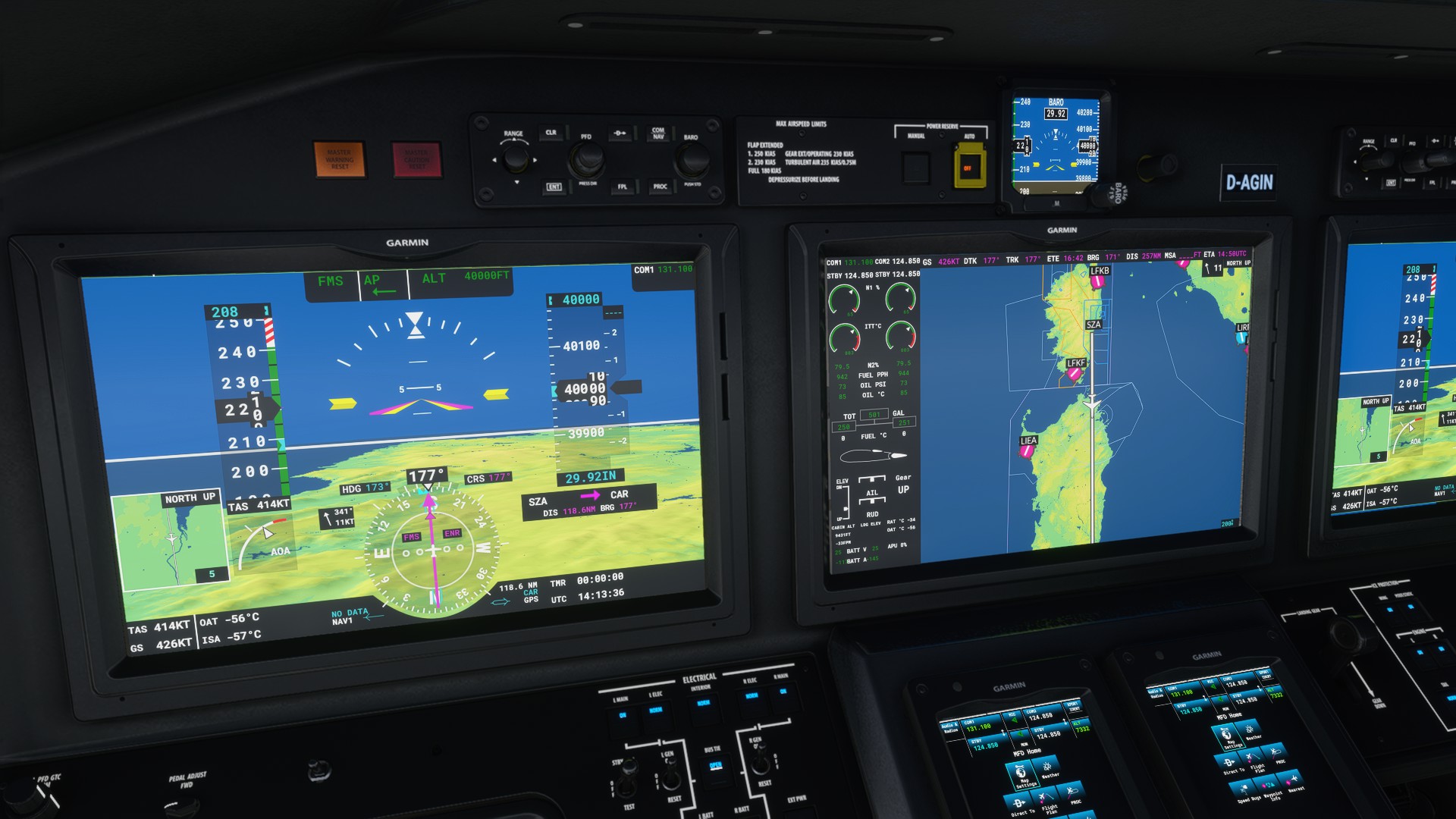
Flight plan was EDSB → TRA → SRN → GEN → SZA → CAR → BIZ → DTTA but to be honest I didn’t actually use the VORs, they seem to be broken in that plane. Which is strange because I think I remember them working before. I used them as waypoints but just used GPS. I also guess that’s how people do it in modern planes anyway.
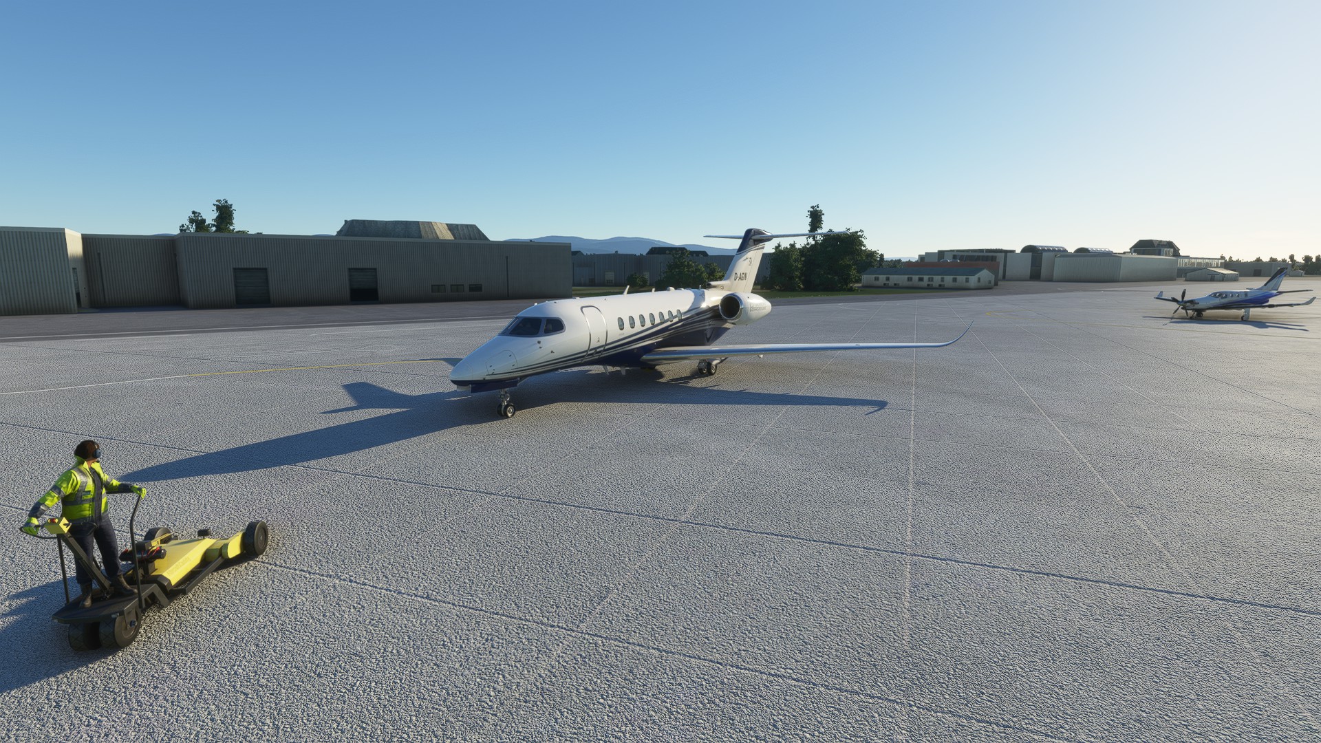
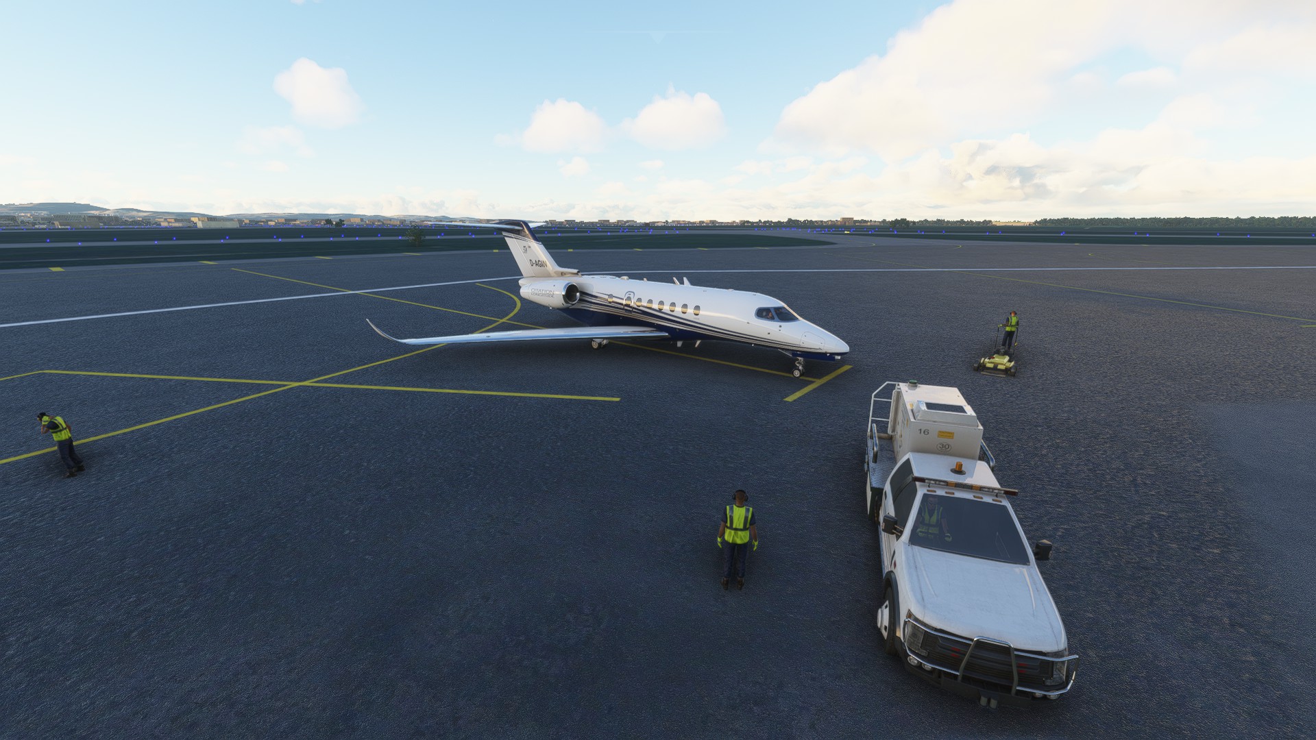
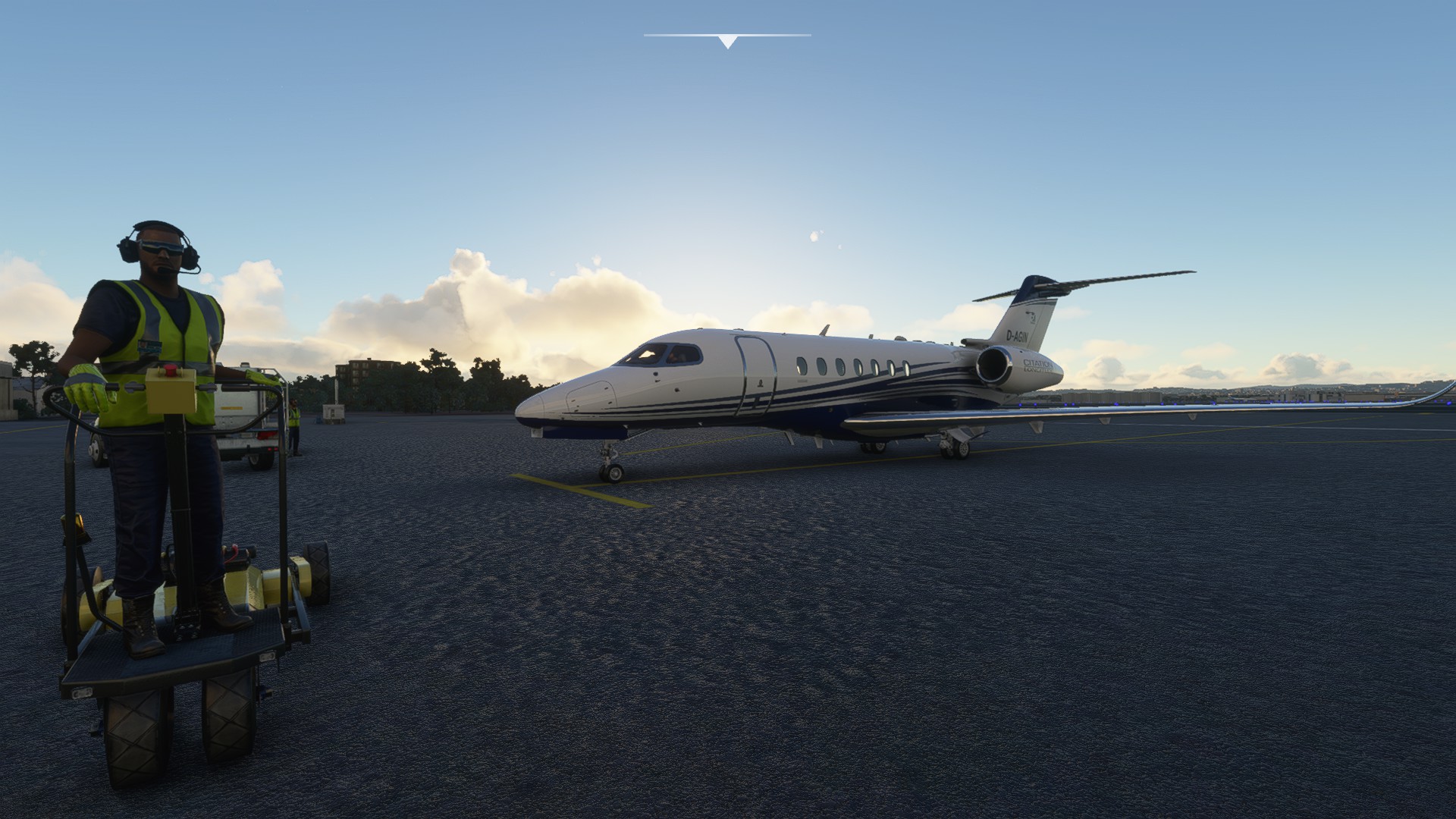
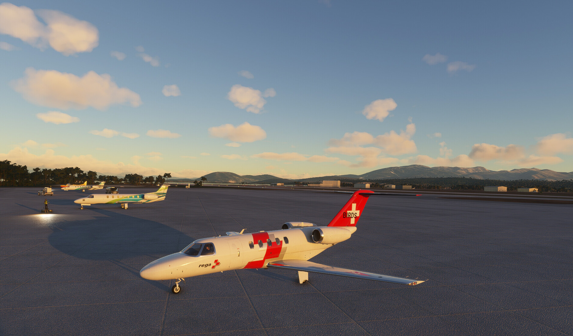
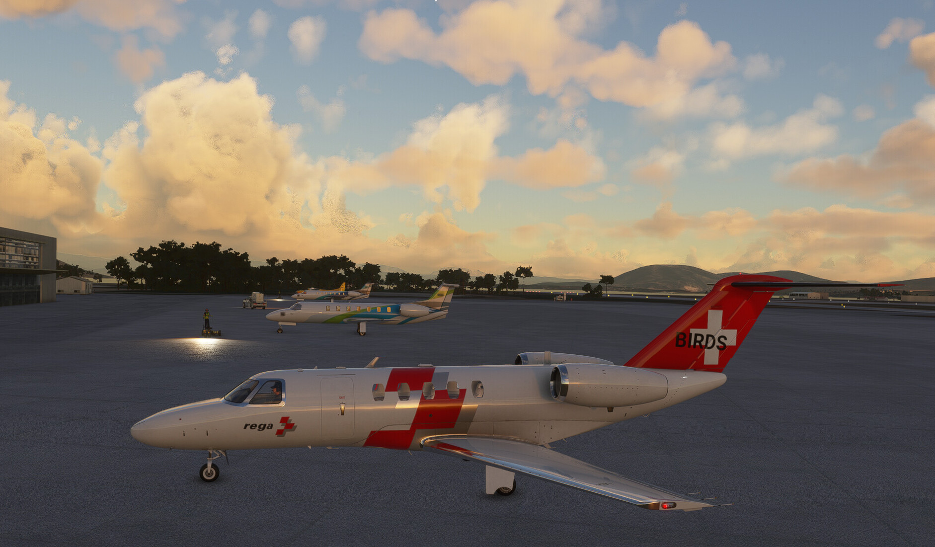
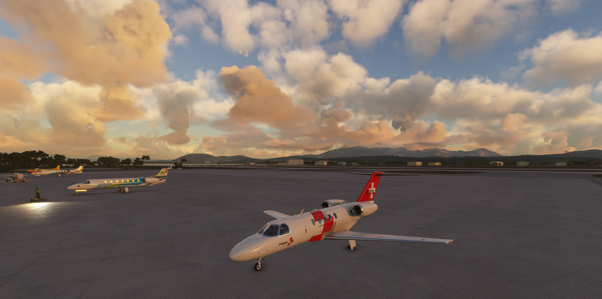
Ready for action in EDSB
Here we go, climbing out over the Rhine.
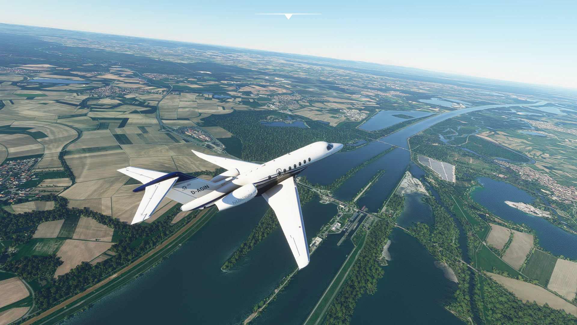
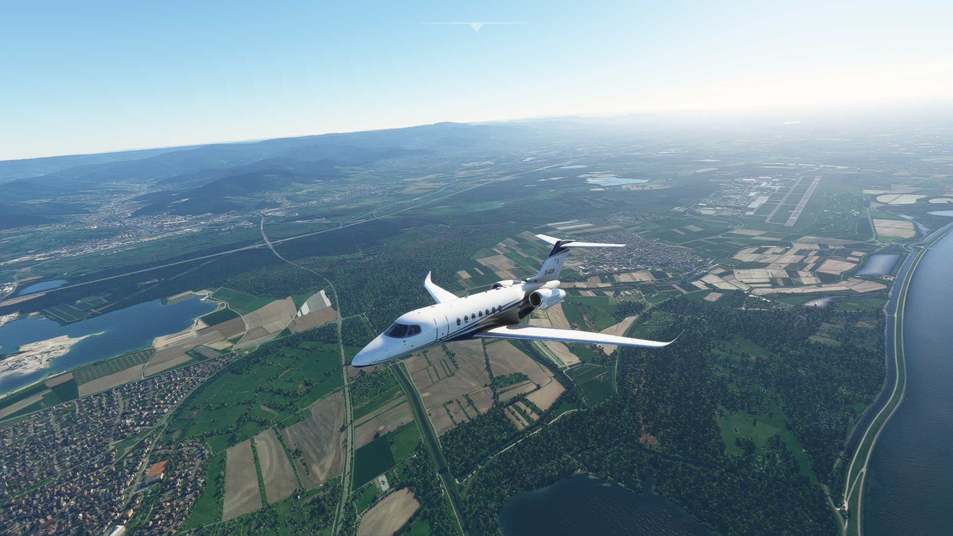
Heading south, over my home, the Black Forest mountains.
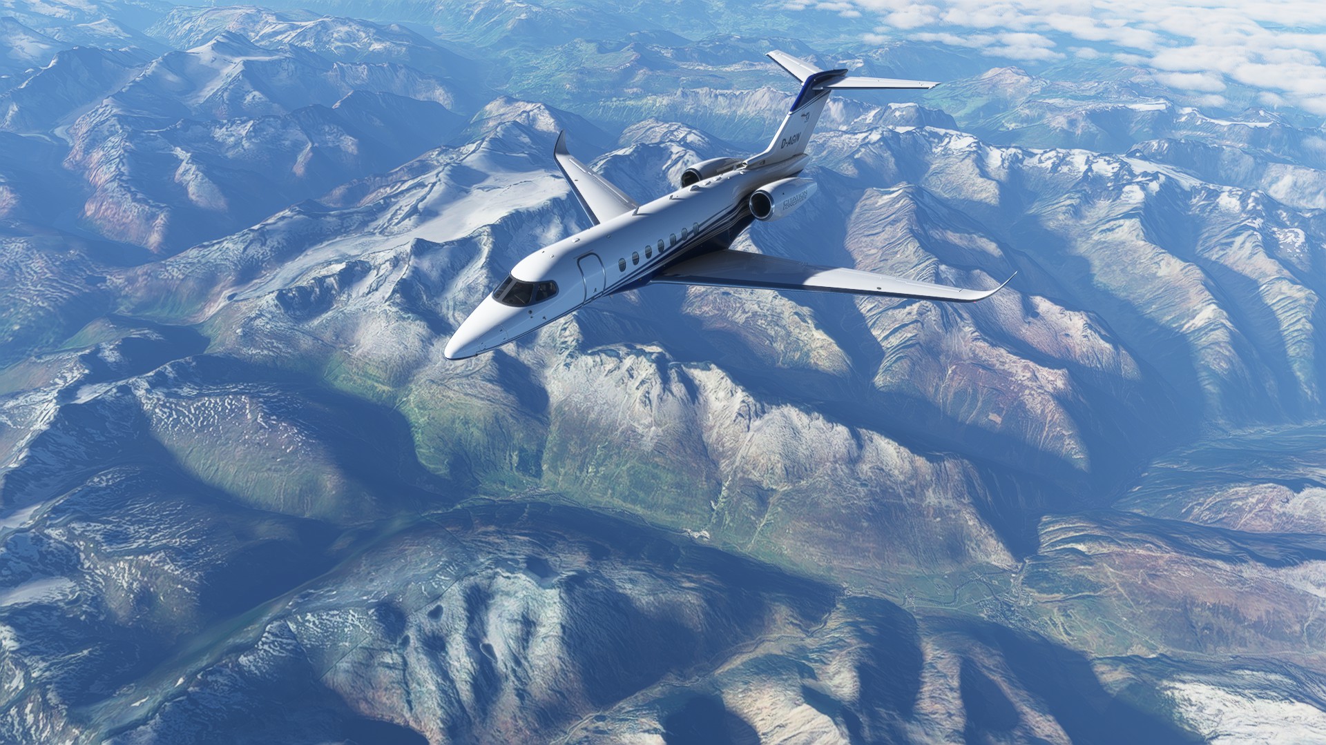
This plane climbs like the devil himself, so by the time I reach the Swiss border I have easily reached my cruising altitude. I flew almost the whole leg between FL380 and FL400, searching for the best endurance altitude. This plane does not yet fly like the manual says it should.
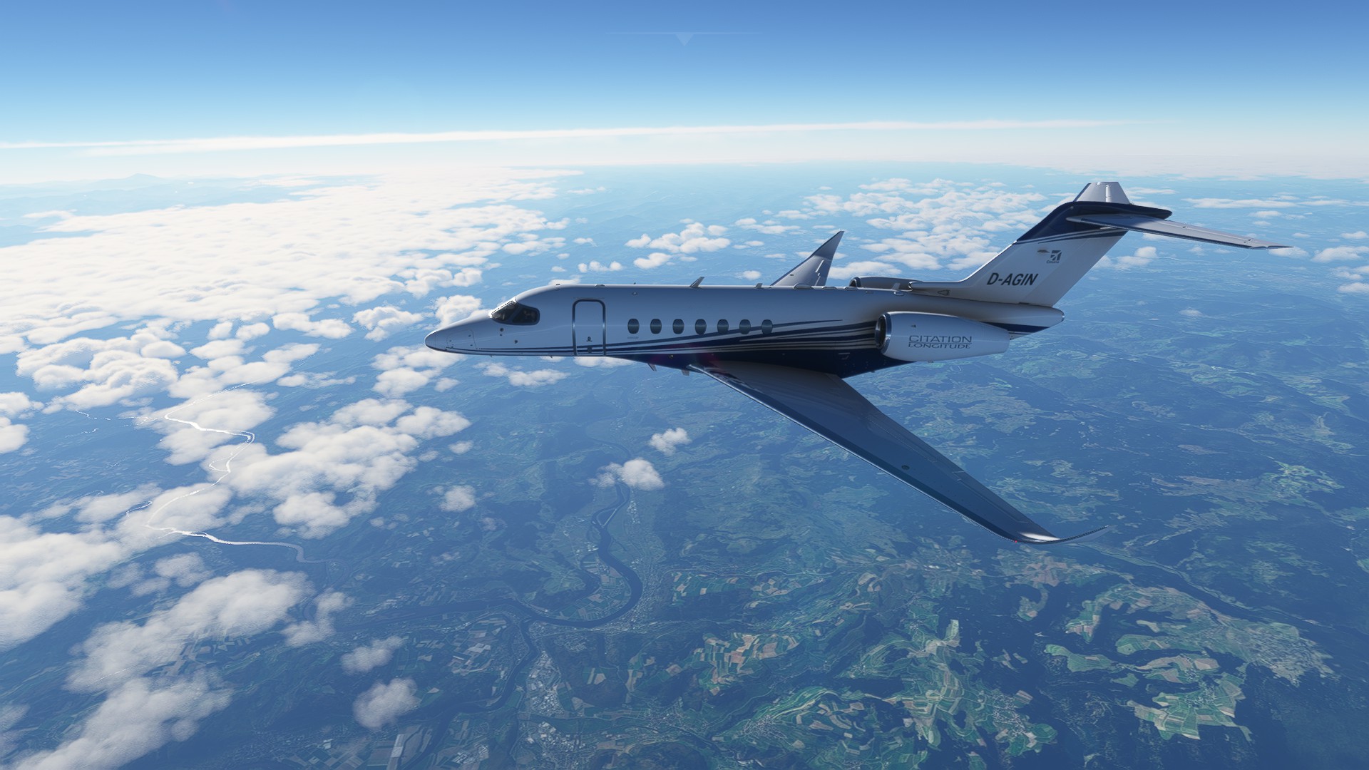
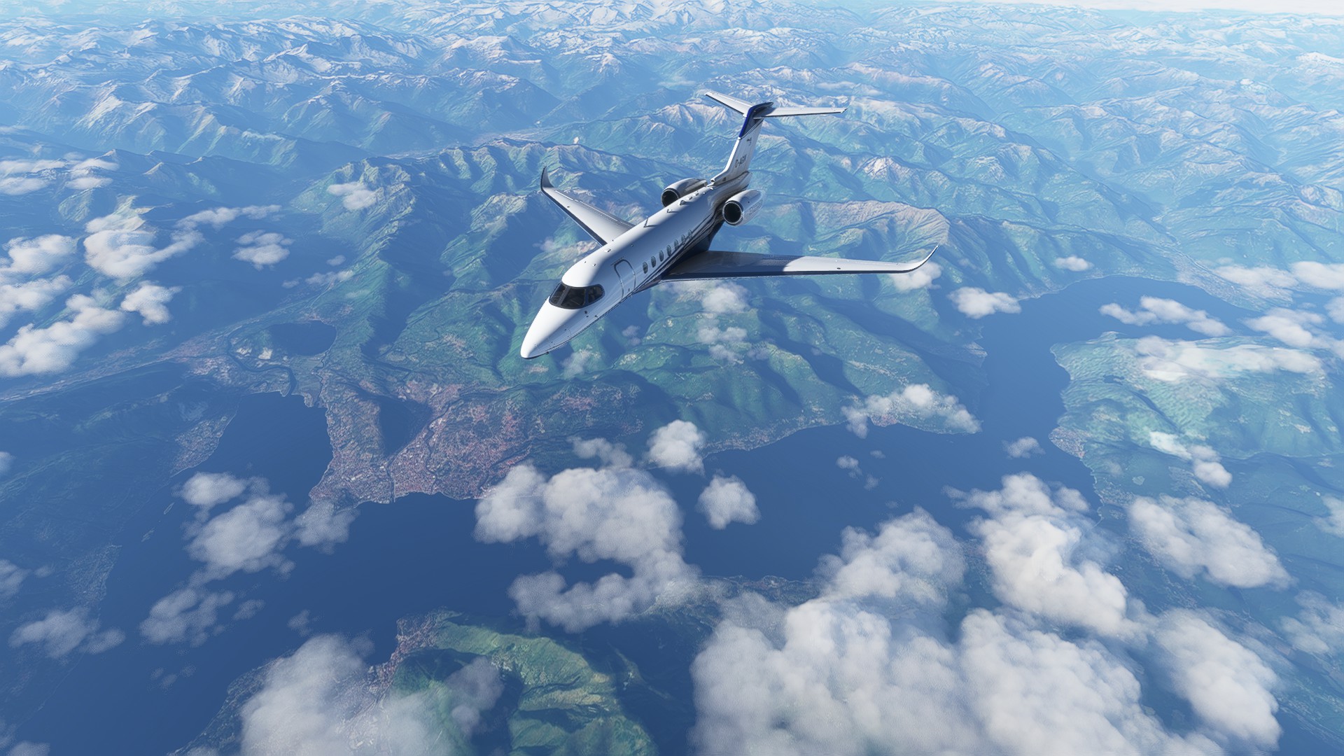
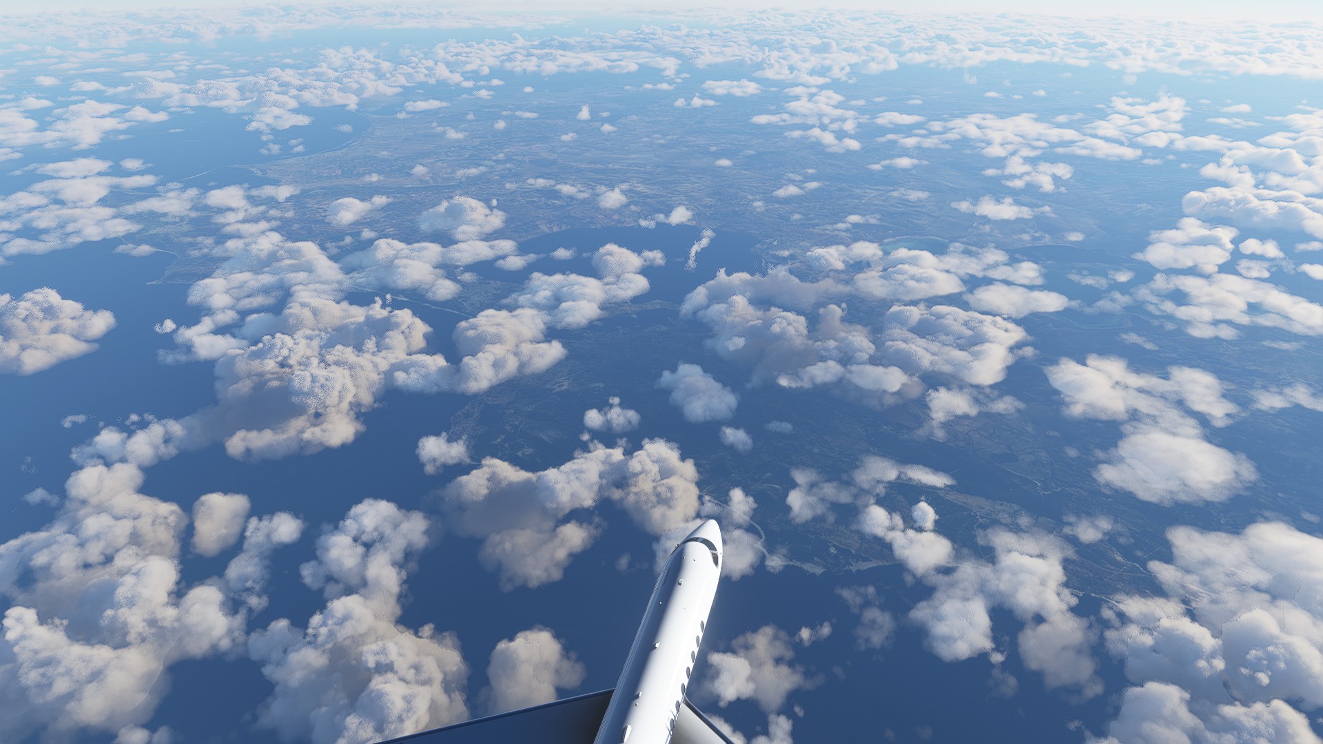
Parts of Switzerland are covered by clouds, but I still get some nice views of the Alps.
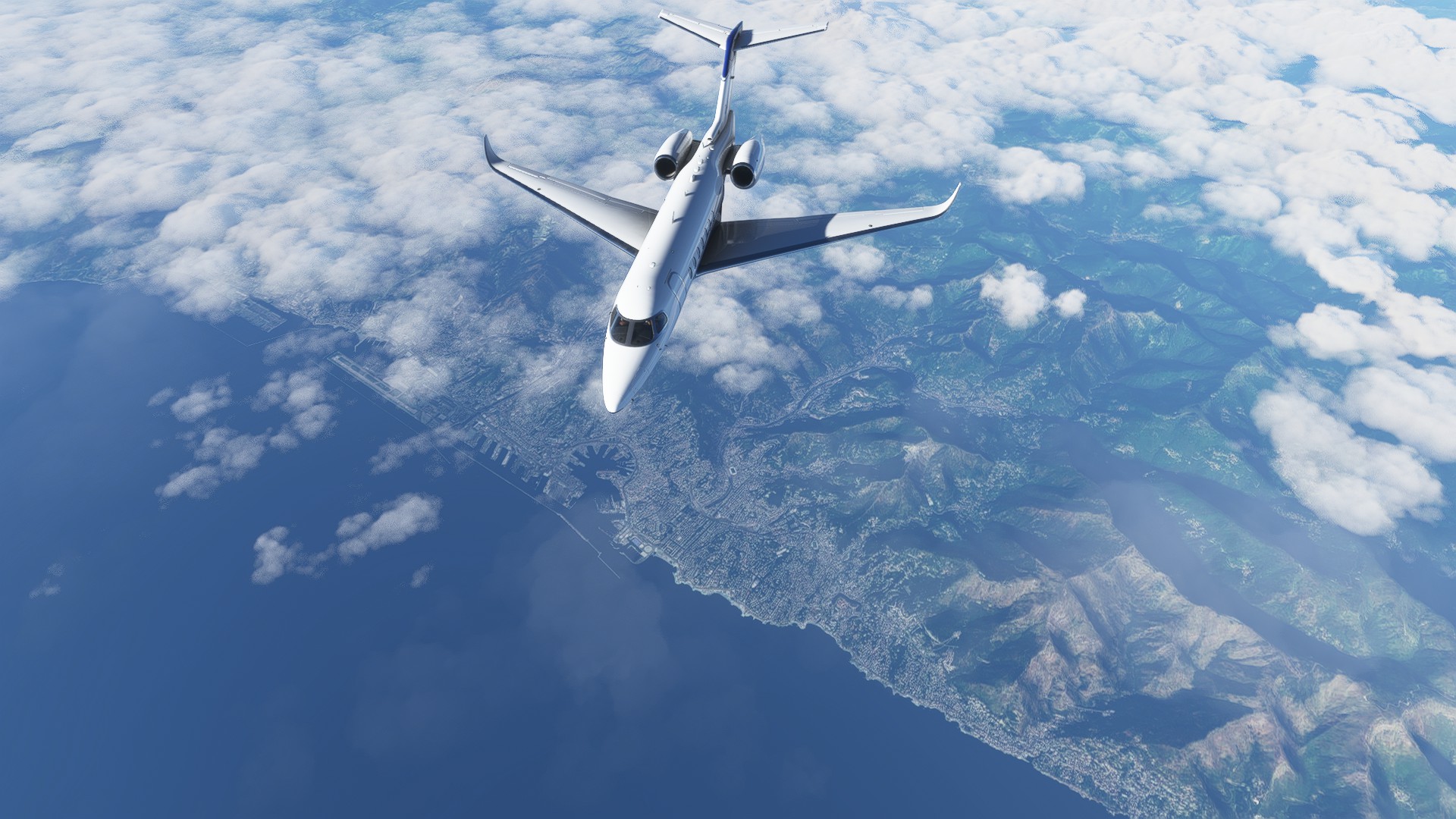
Same goes for Italy. But I got a nice view of Lago Maggiore, with the Italian city of Intra just right to the nose of the aircraft, and the Swiss city of Locarno off the left wing.
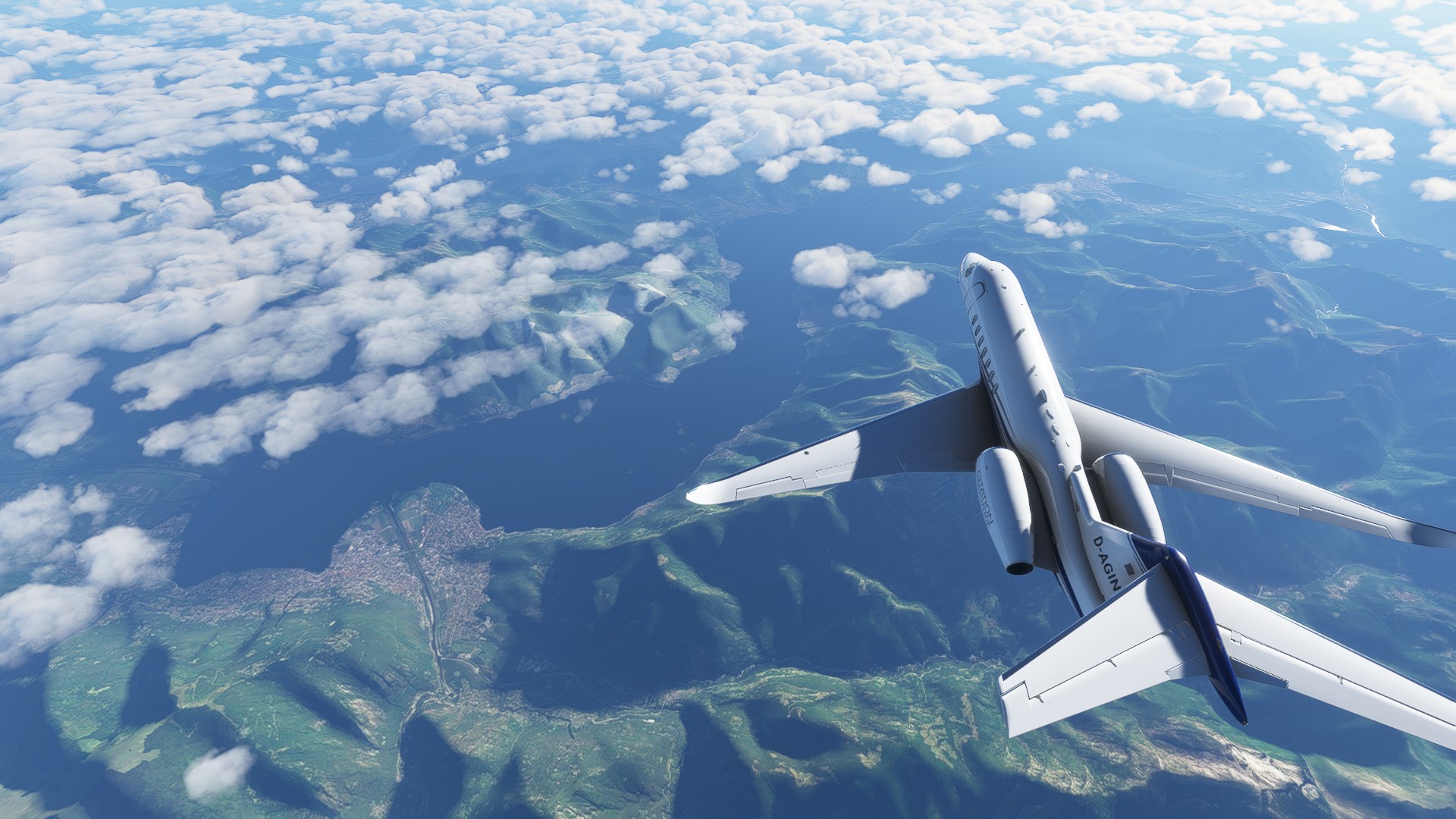
Another look at Intra, now I am over Italy.
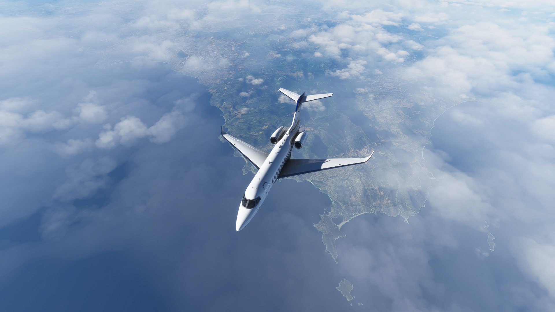
After a short time (425 knots is a decent ground speed) I went feet wet near the city of Genoa, flying over the Mediterranean sea.
Corsica. The French say it is French. The people of Corsica usually disagree. It is complicated.
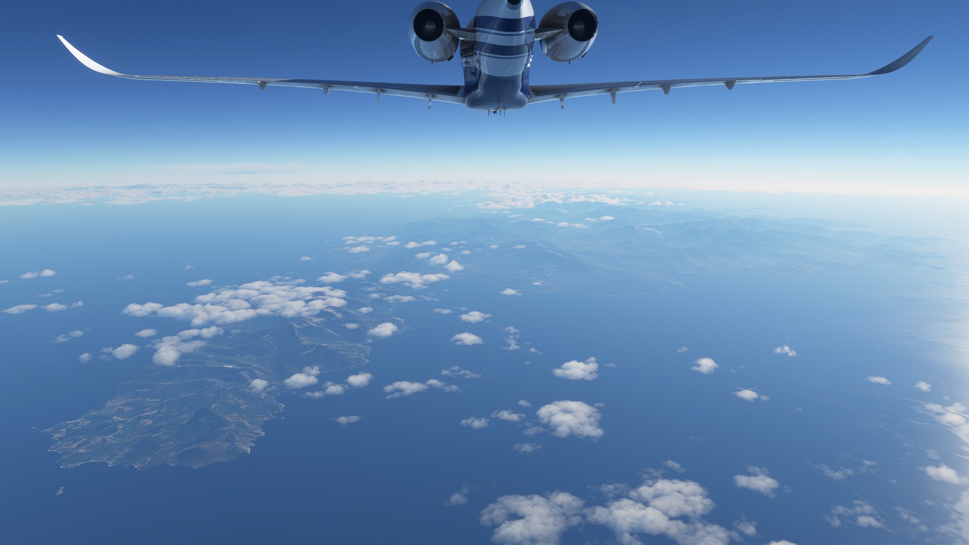
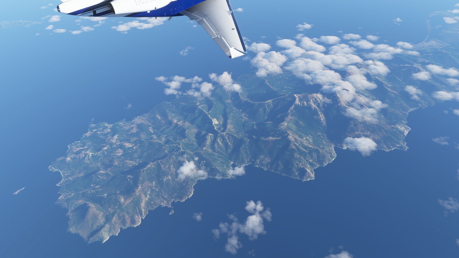
Just south of Corsica is Sardinia. Which is Italian territory, but some Italians say people from Sardinia are weird. I don’t know whether that is true. @komemiute any remarks on that?
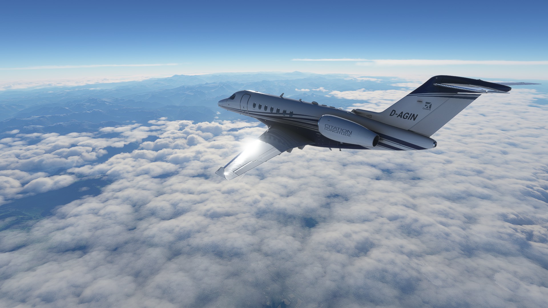
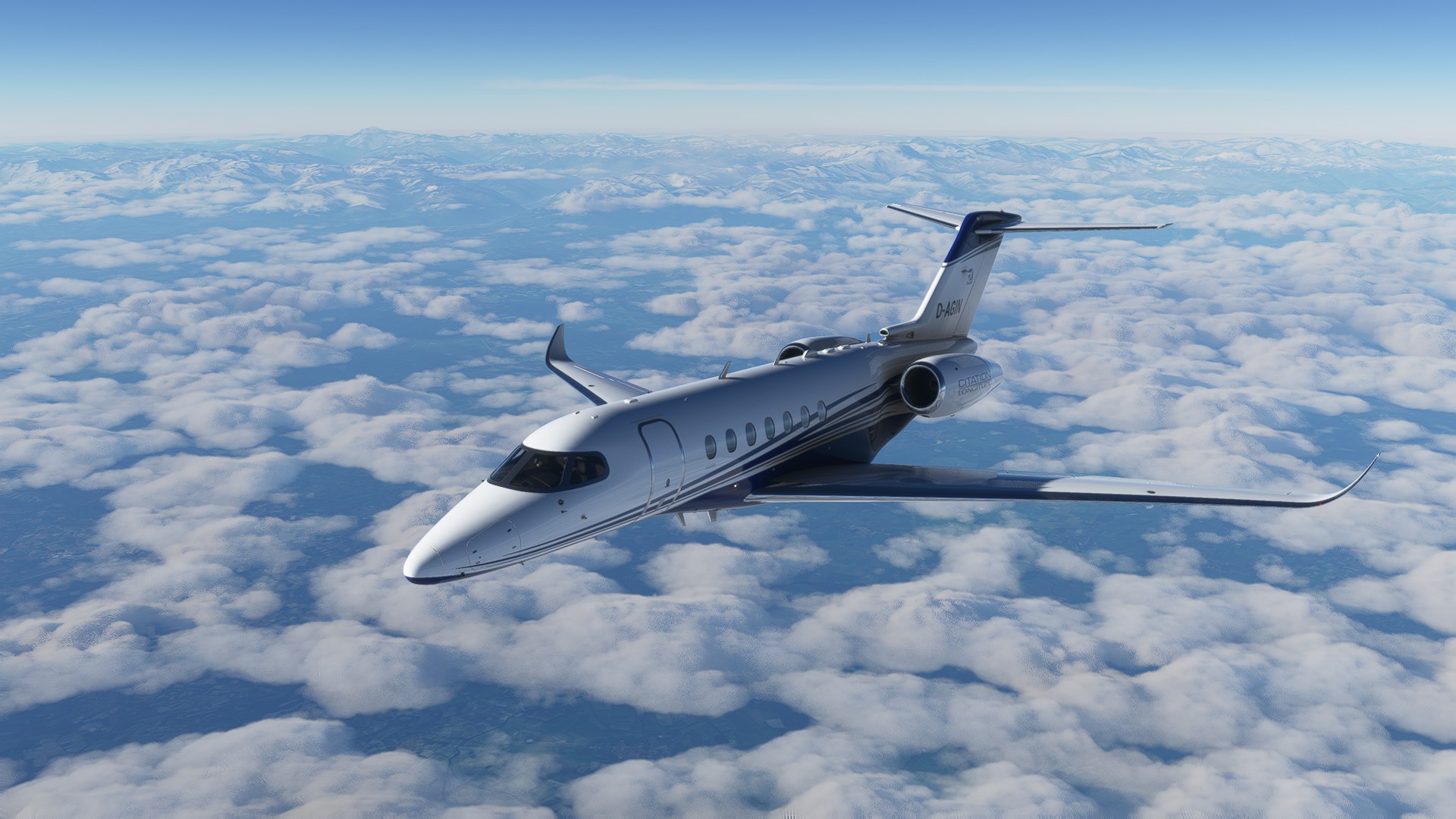
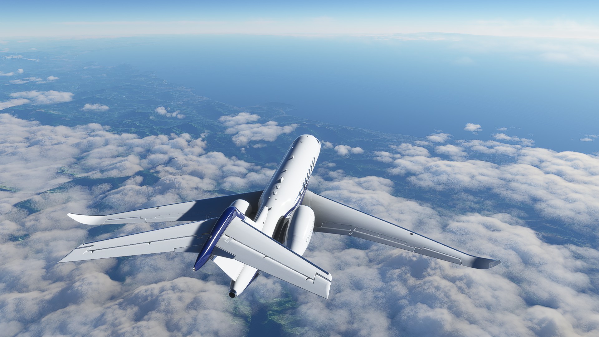
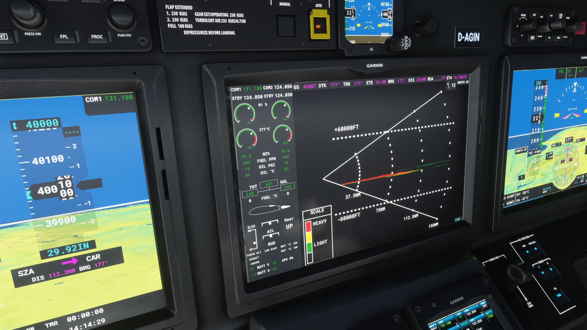
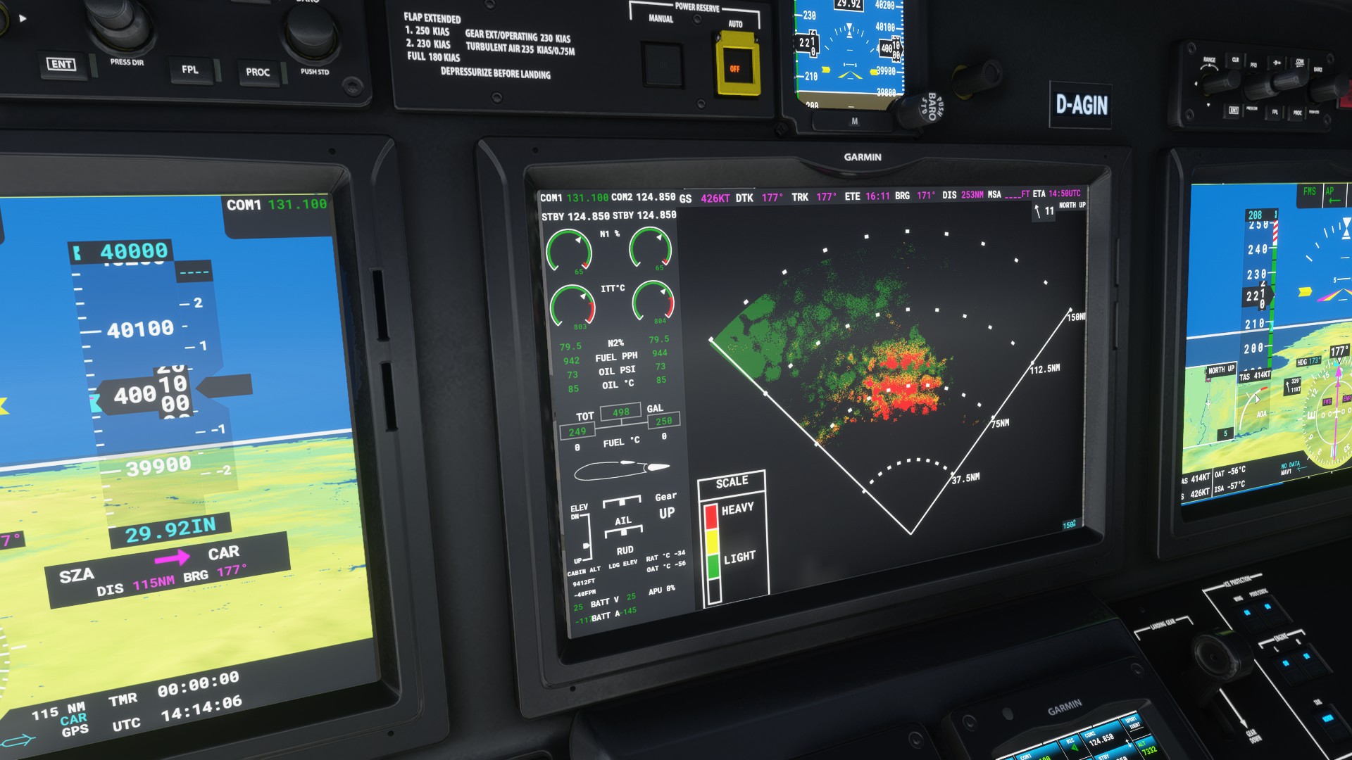
I saw some clouds ahead and checked the radar. Some of them were dense, but none reached high enough to bother me.
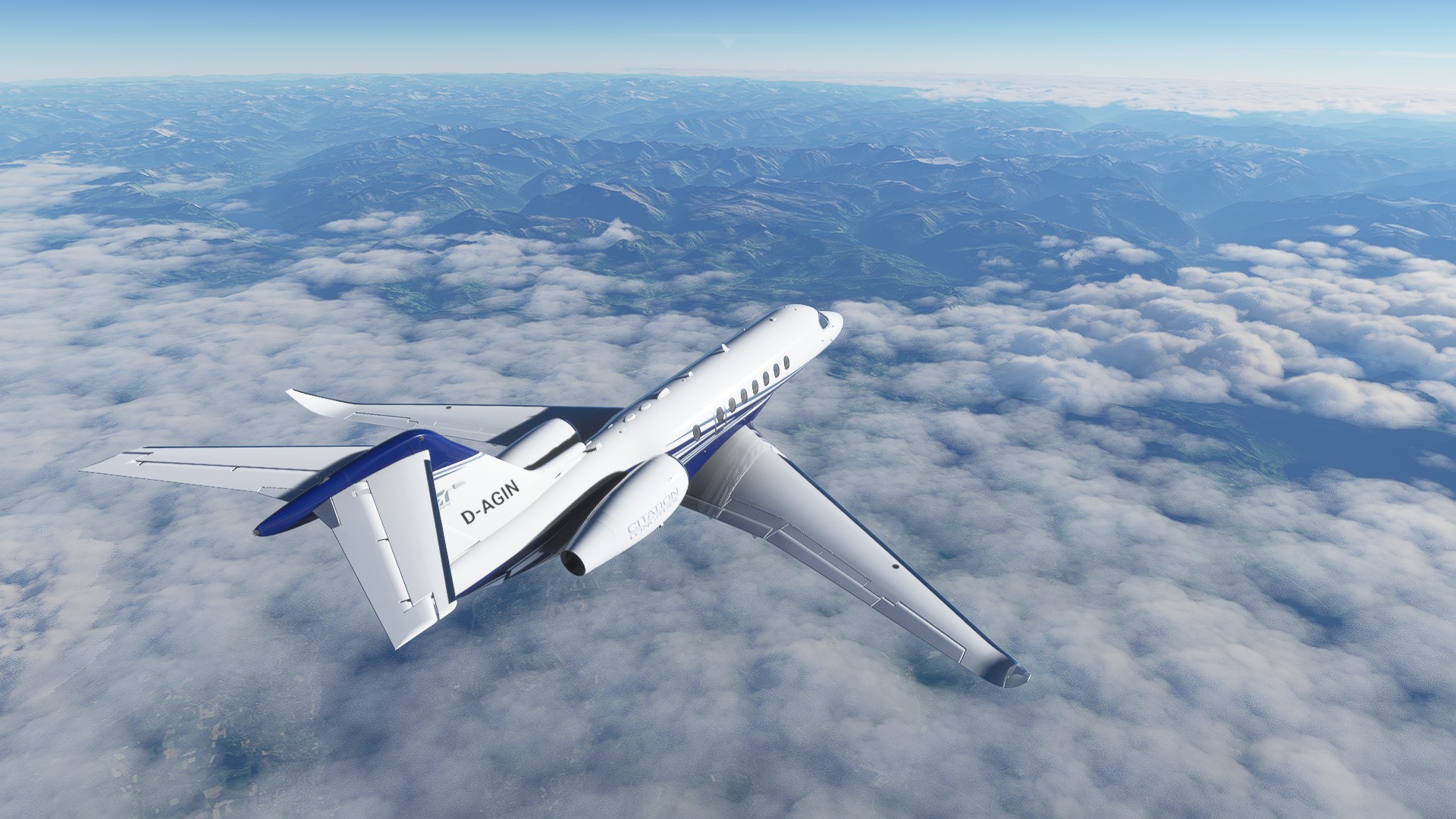
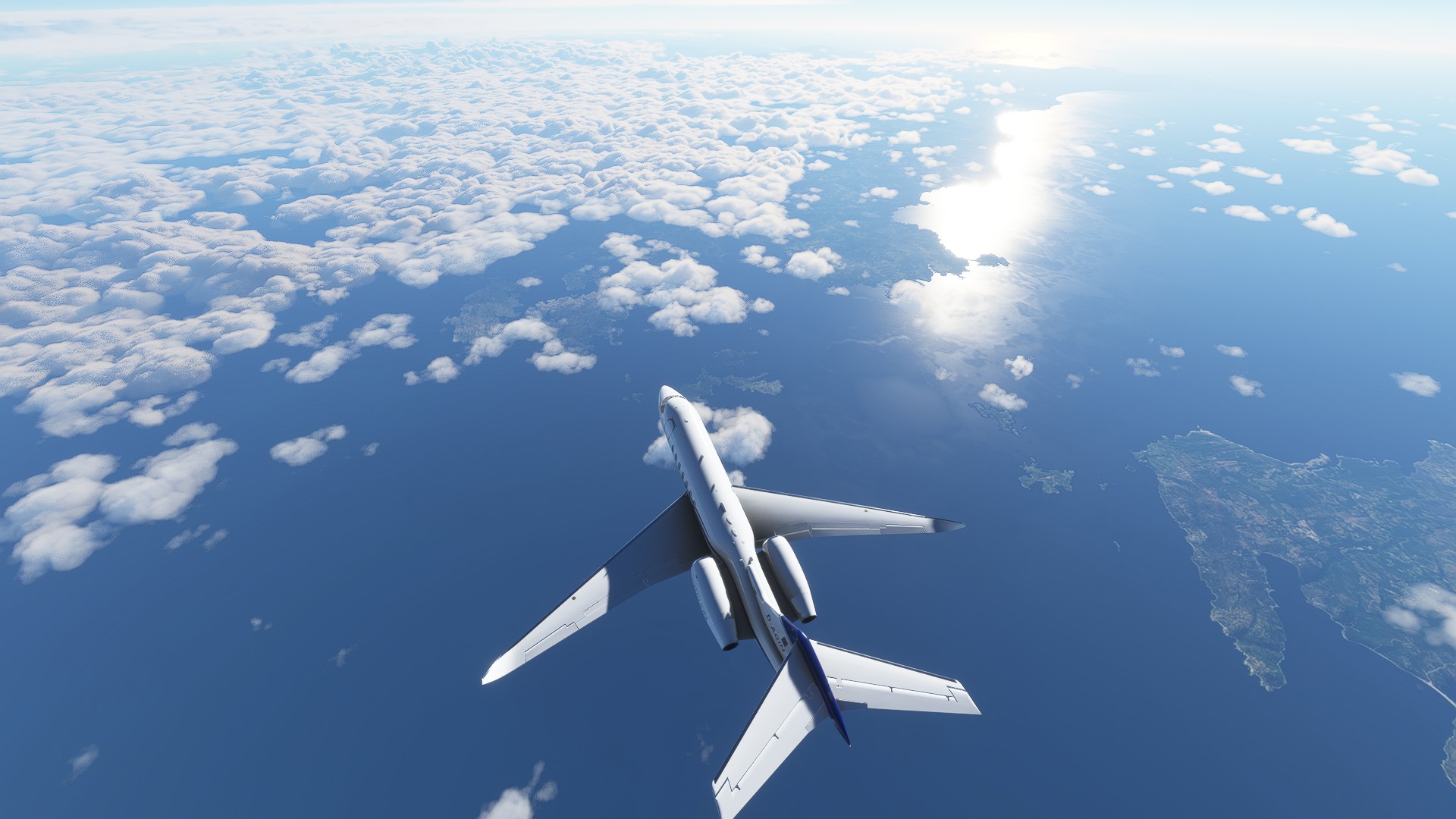
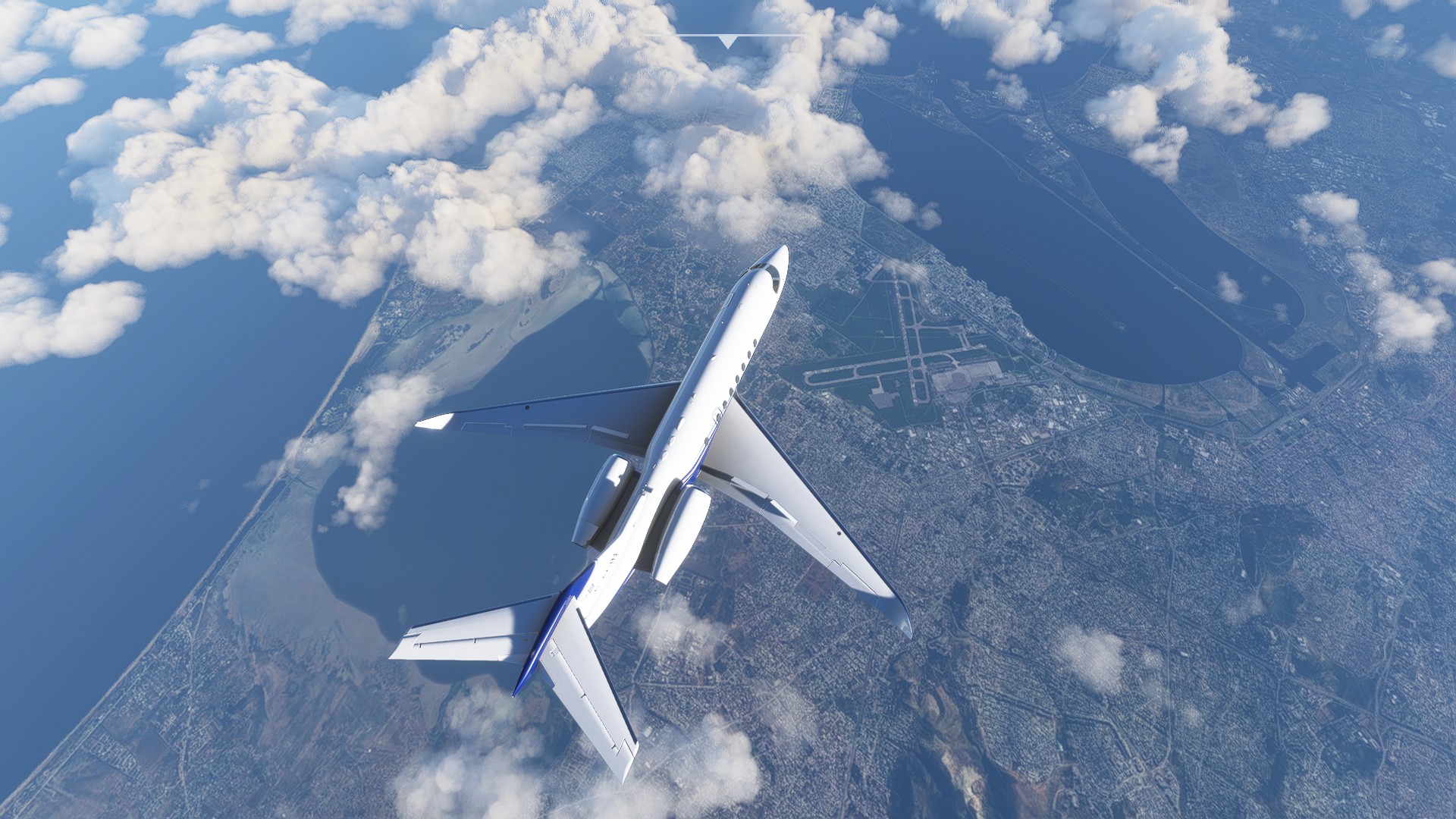
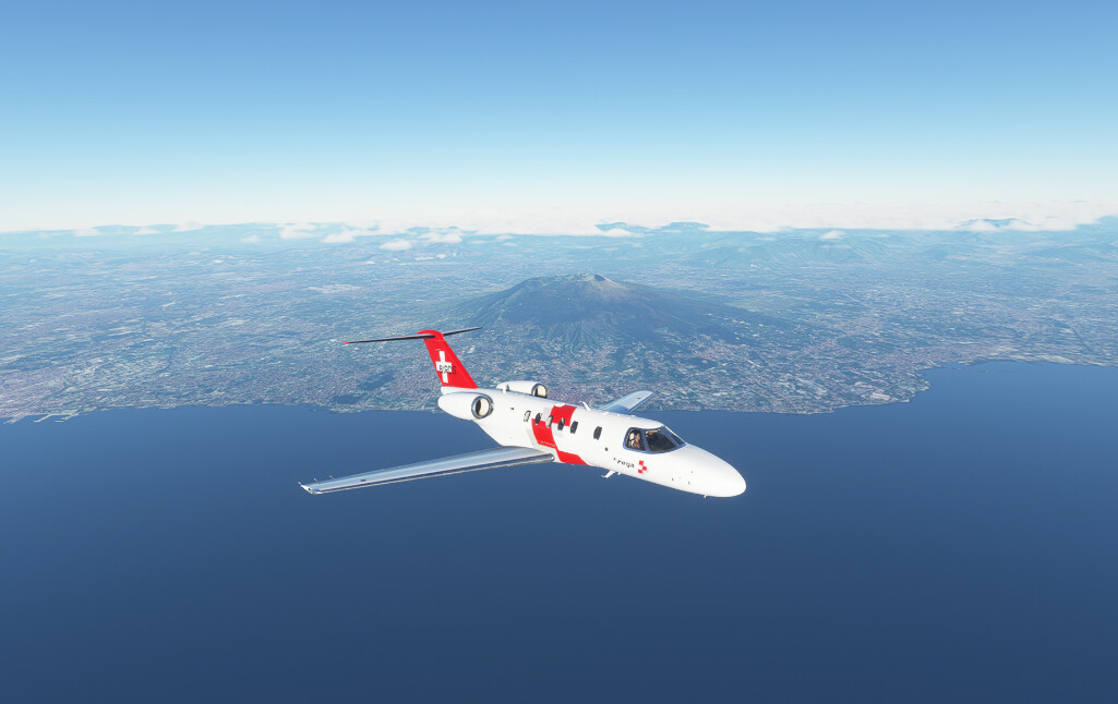
Leaving Sardinia. And shortly thereafter Africa comes in sight.

Somehow I was so mesmerized by those mountains that I forgot to descend. That’s my destination airport down there, but I am still at FL400.
Since my plane is only loaded with 500lbs of Lebkuchen and Glühwein I can risk a bit of a steep descend though, so boards out and dive it is.
Had to fly a little detour over the sea, but I am nearly there…
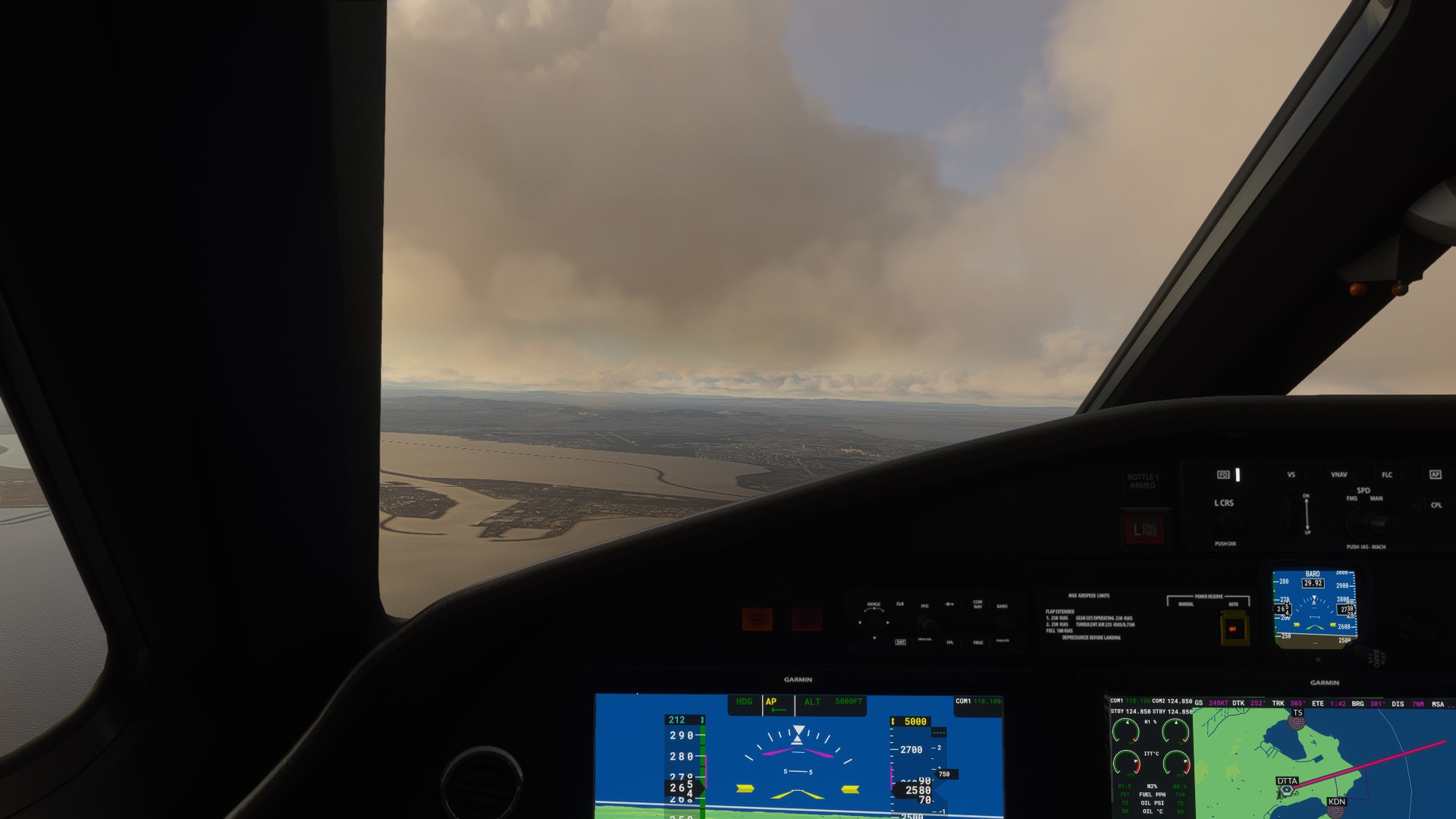
Landed at Tunis after two hours and thirteen minutes of flight and the first 750 nautical miles of my journey in the books.
Next up: Fly straight into the heart of Africa.
7 Likes
Hehehehe yeah, to keep this thread clean let’s say that we say about them what English people say about Irish and Scottish people.
3 Likes
In your 5th screenshot you could have dropped a Lebkuchen and it would have hit me on the head. ![]()
2 Likes
Like within most countries, a little friendly ribbing between regions is expected and appreciated for what it is.
3 Likes
Aye!
1 Like
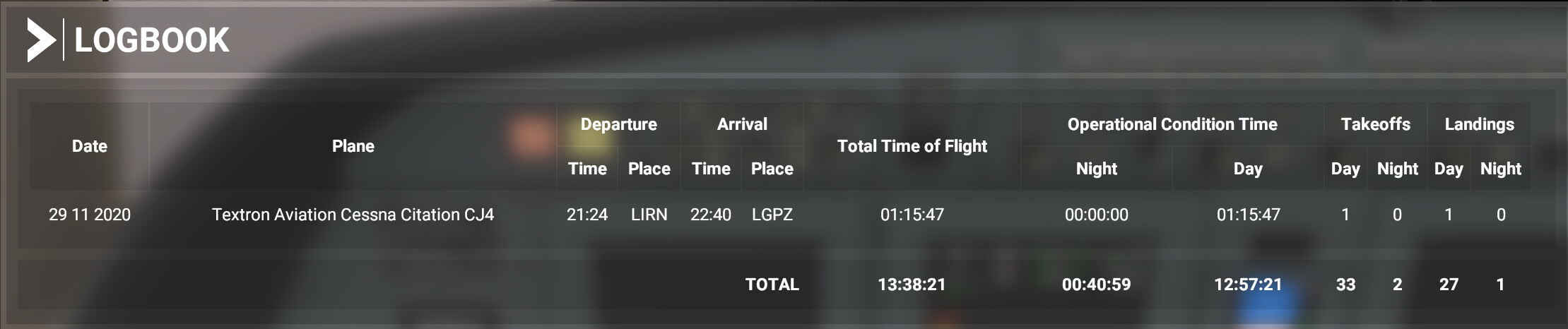
I flew this leg over a week ago but didn’t have time to do the write up…
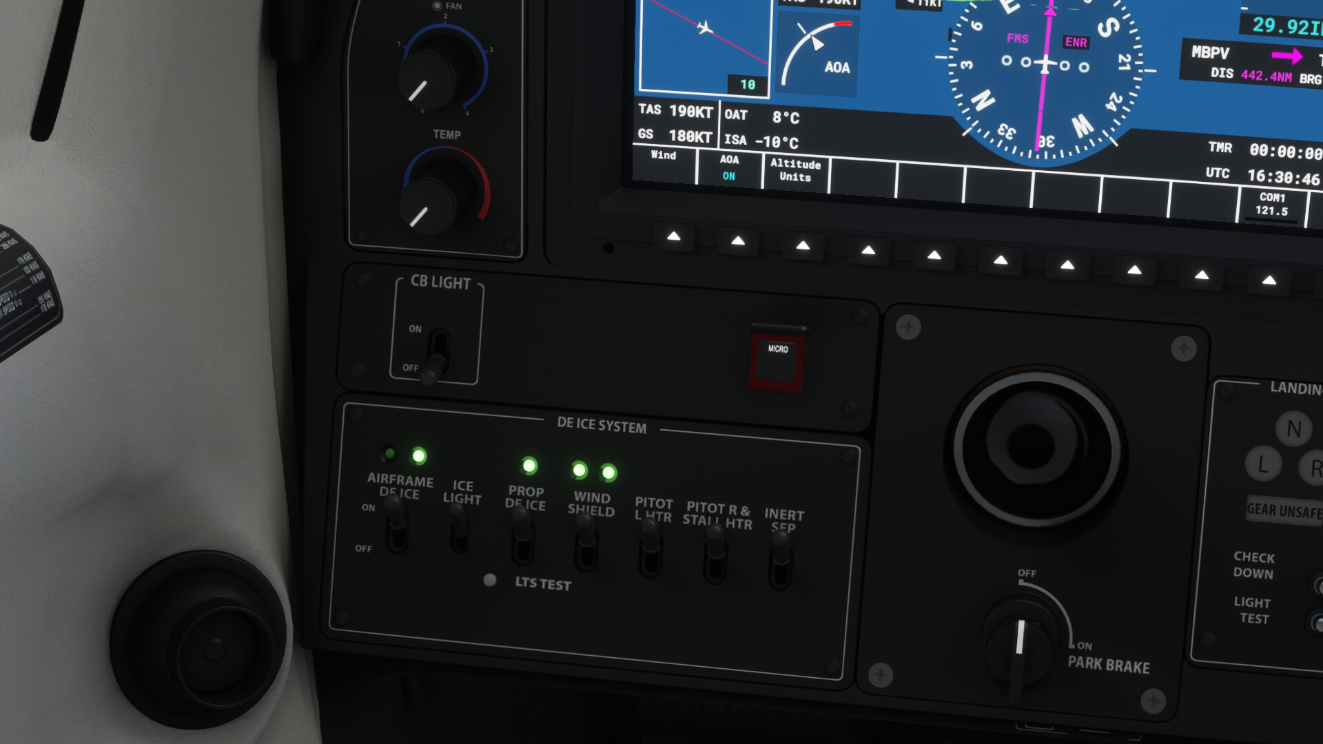
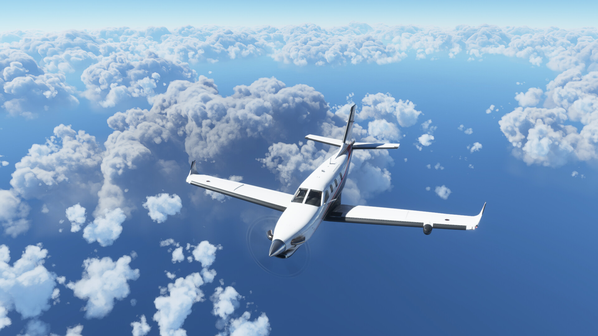
MBPV (Providenciales International Airport, Turk and Caicos) - TIST (St Thomas USVI).
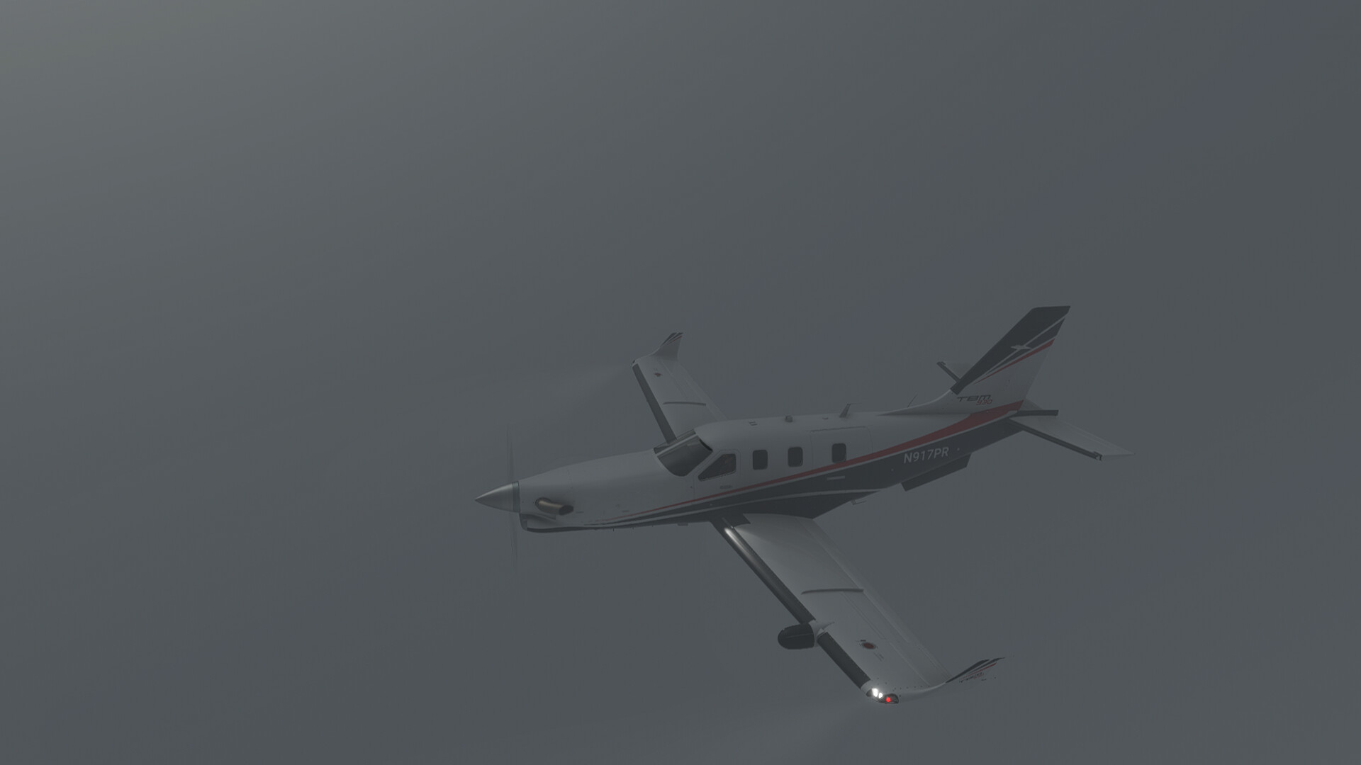
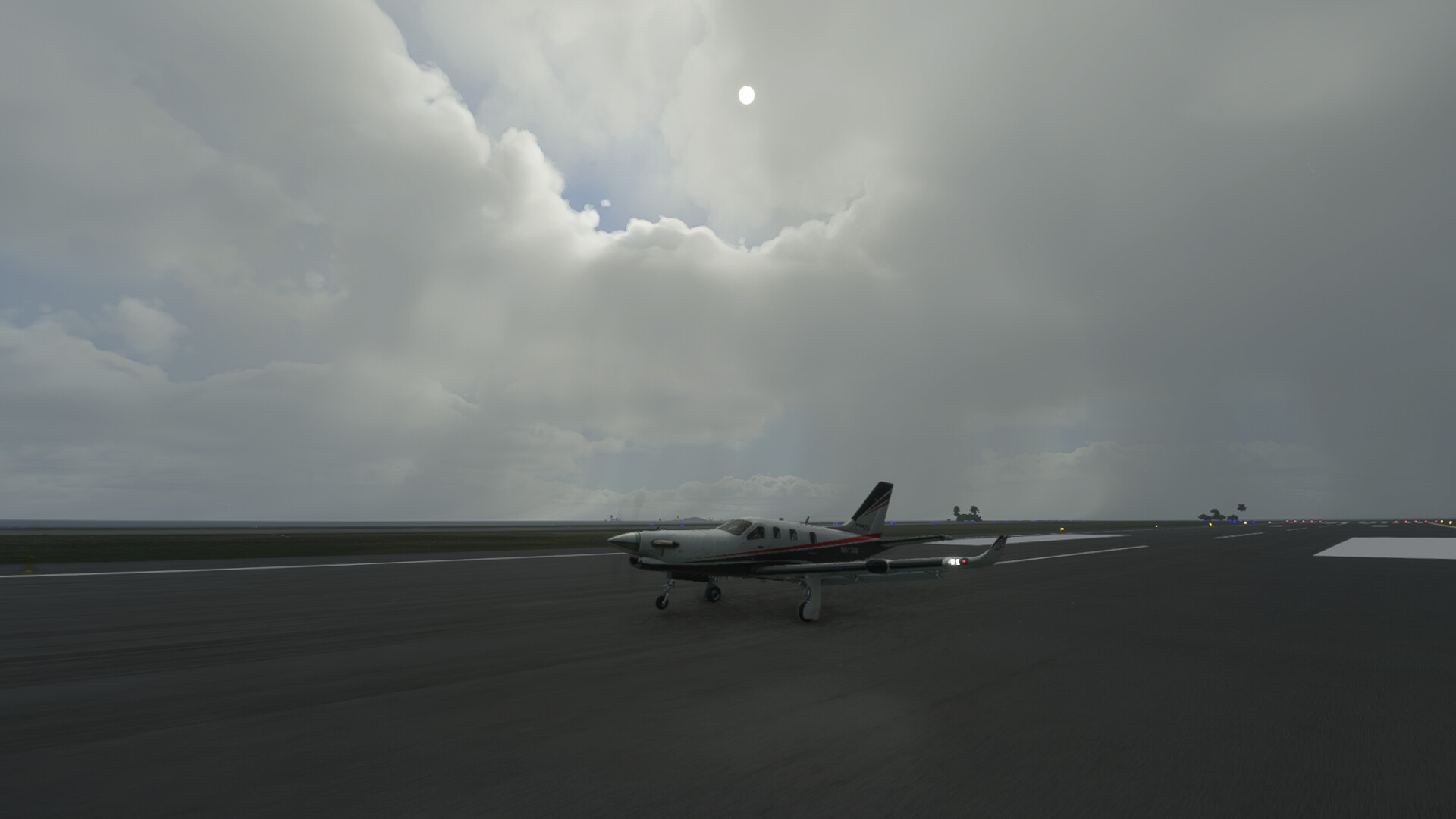
Departing MBPV into some lousy weather.
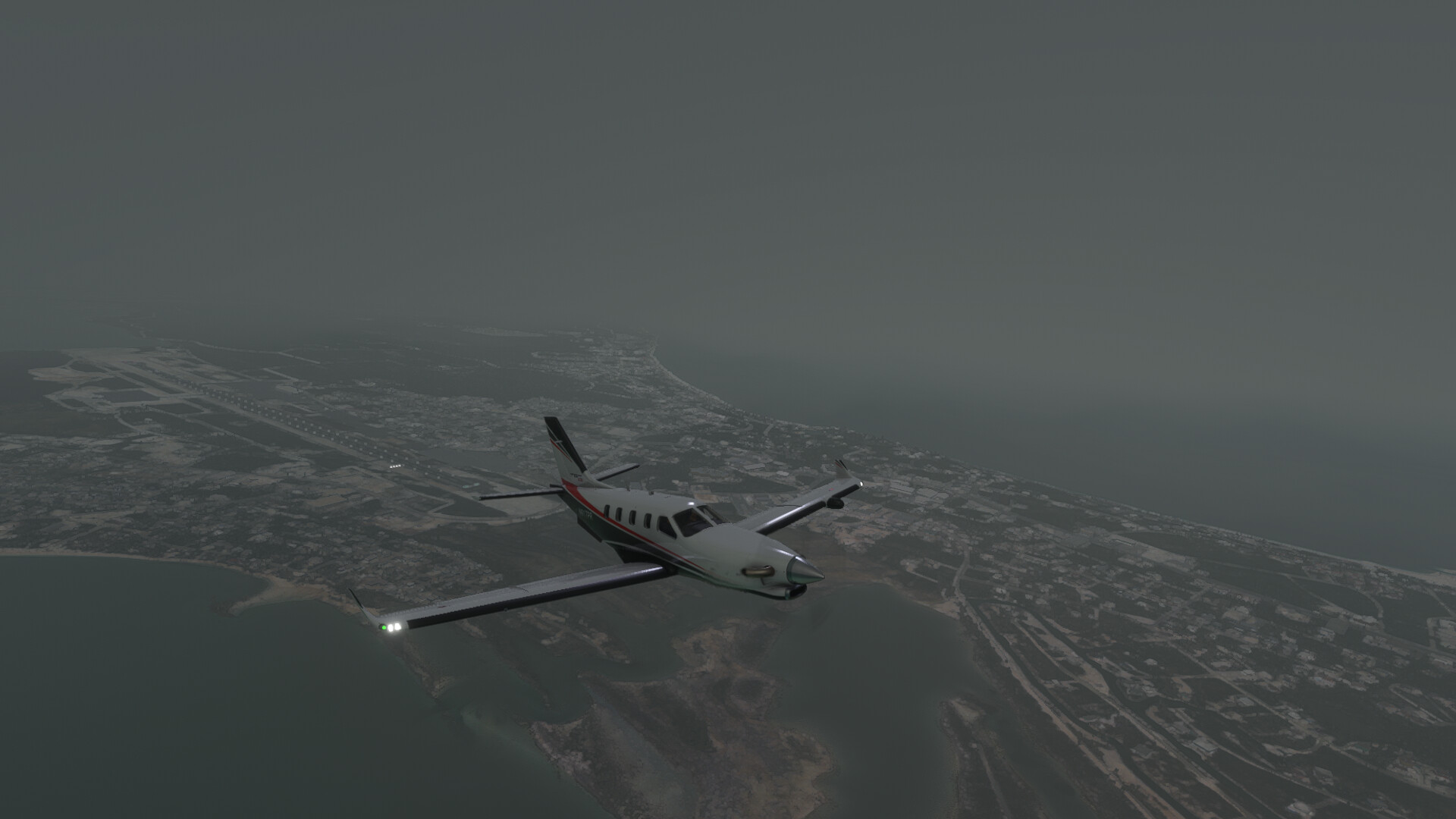
OAT is below 10°C and I’m in ‘Visible Moisture’, so anti-ice on!
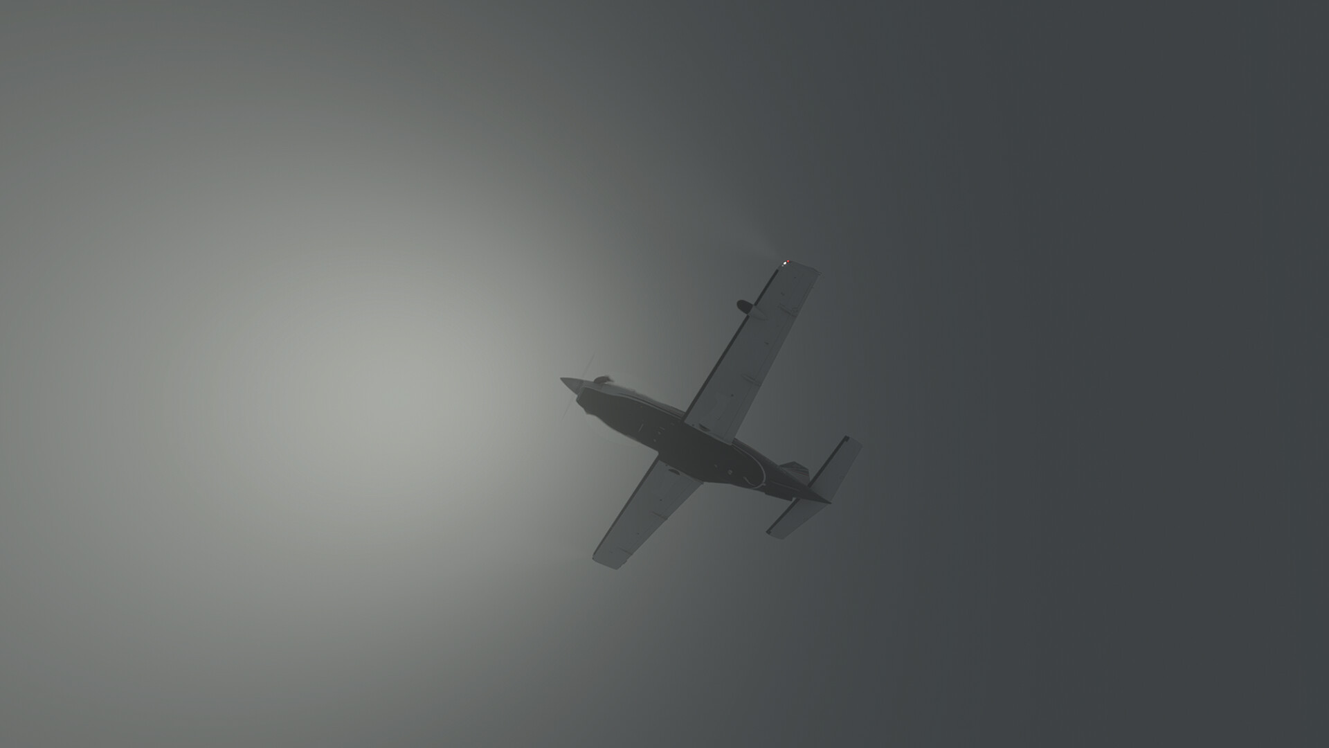
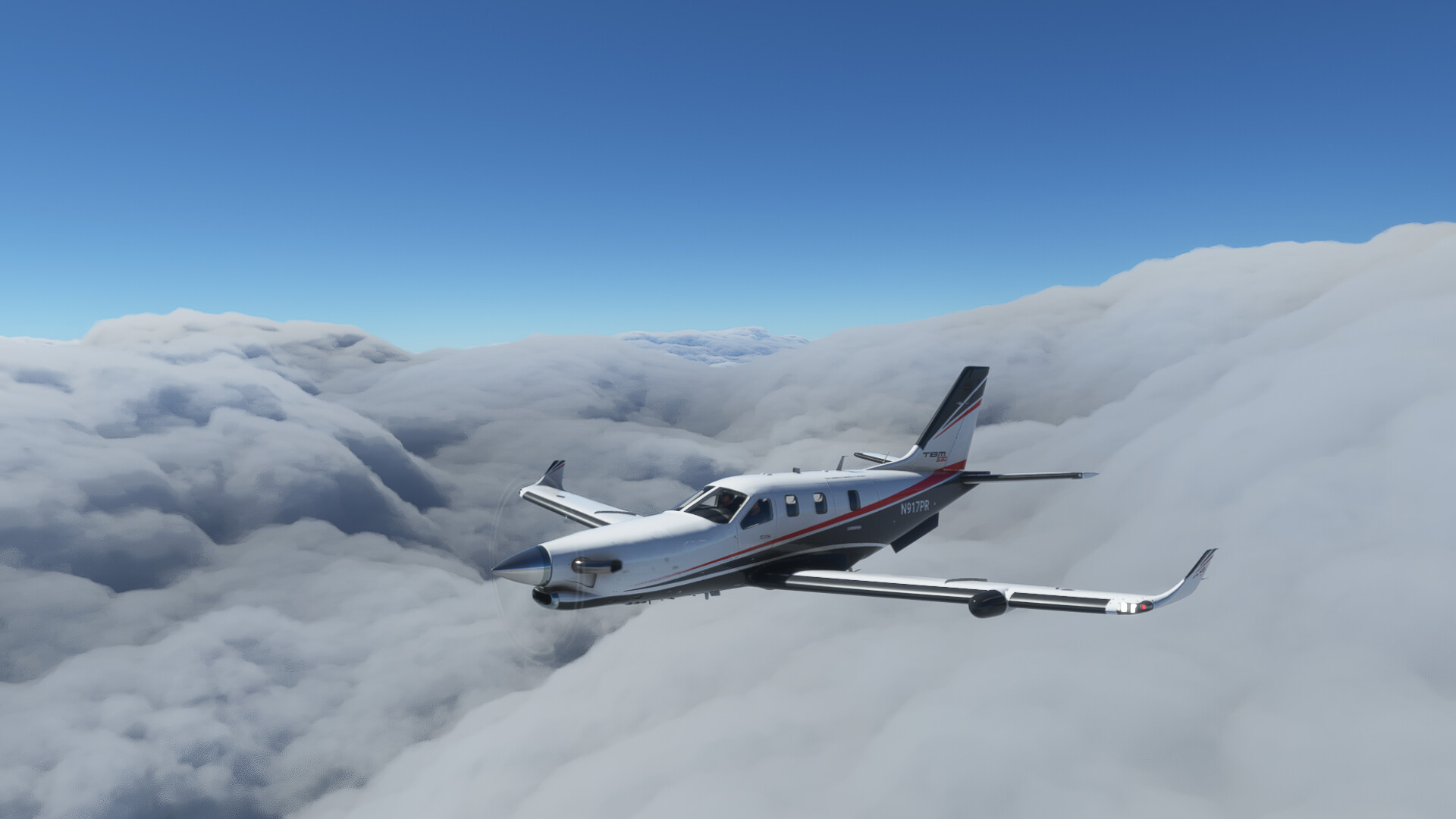
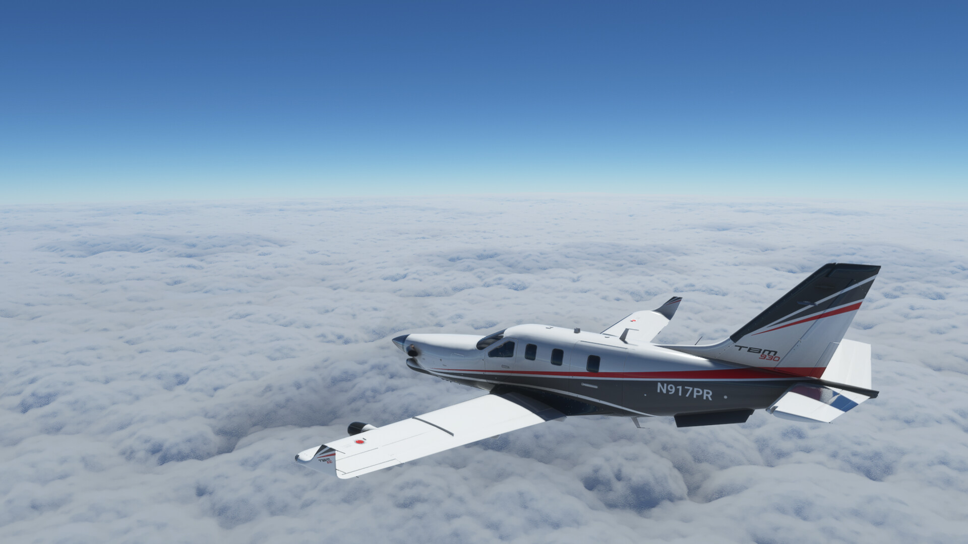
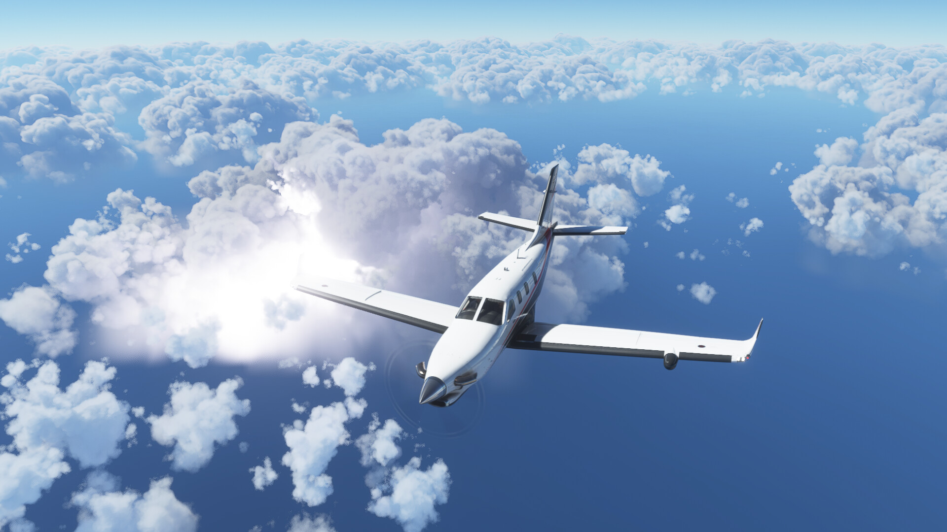
Finally breaking out on top…
That cloud is sparking!
More convective activity…
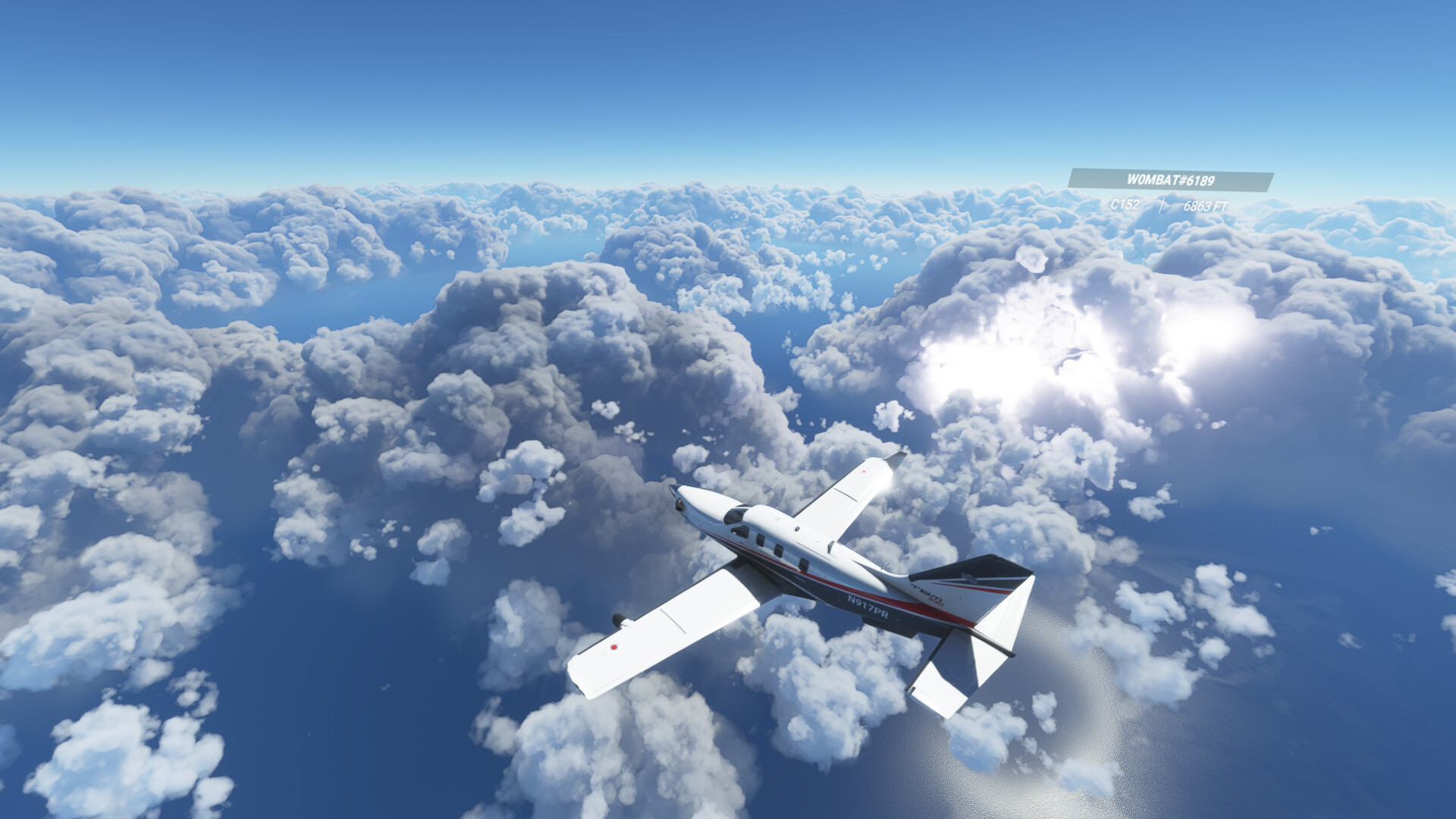
Puerto Rico off the right wing
On final at St Thomas…
Safely down.
From here I am planning to do some island hopping with some shorter legs.
7 Likes
I have neither a contemporary Xplane, nor FS2020, but let’s say this thread is always a temptation to get one and fly a C-130 out of Ramstein to whatever destination there might be ![]()
4 Likes
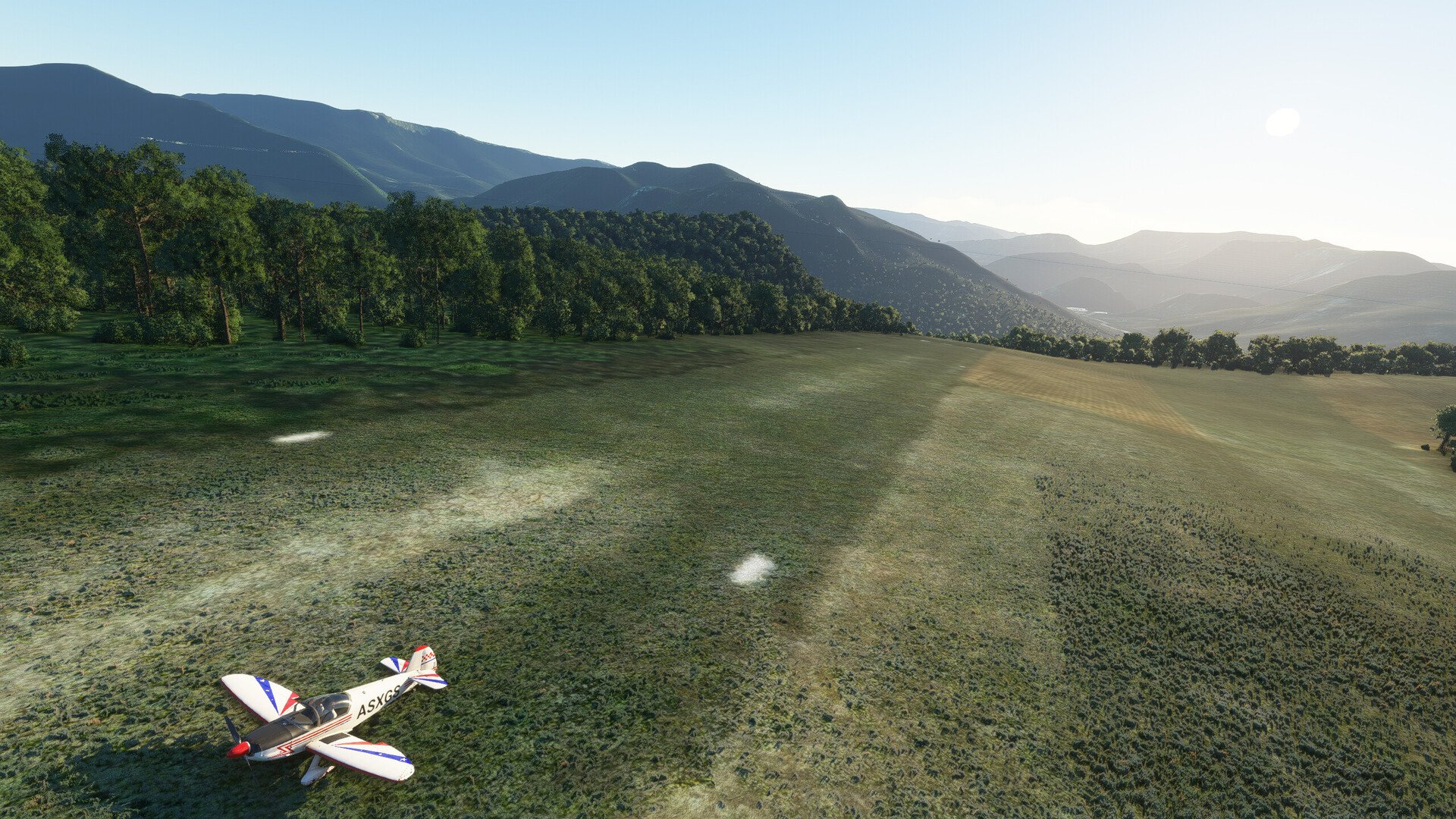
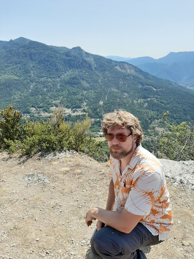
Here I am parked at LFJE, la Motte Chalancon. Flew there in the little robin from Luxemburg by way of Lyon. This little airstrip is special to me, not only because it’s on a slope.
See that near peak to the left of the runway? Beyond that lies a valley with a little river in it, L’oulle. On the far slope (from the airfield) is a large farm that is also a camping. It’s where my parents took me, and I have taken my own children camping there a couple of time as well.
The peak to the left of the runway was pretty prominent when seen from the slope the camping was on. On top of it the locals have put a cross, made out of steel beams. It’s about a three hour climb by foot from the camping.
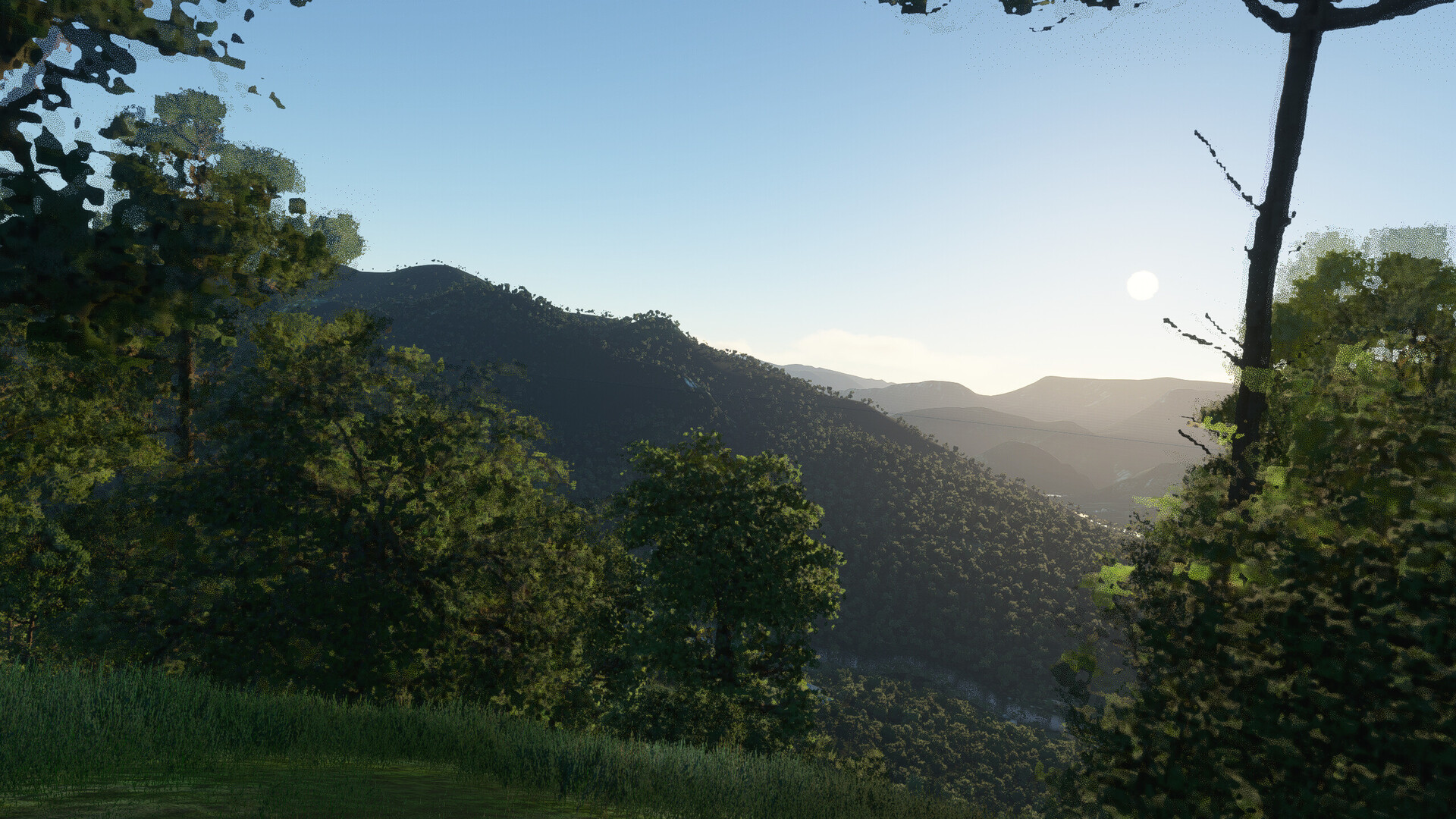
Notice how closely the terrain contours match. I am amazed. Astounded. Flabbergasted. What an age to live in, where mere games can do such things! The whole farking world man!
11 Likes
Amen, brother!
People (and yes, including me) nitpick the hell out of the sim, but even with all those bugs and stuff this is by far the most accurate “world sim” we ever had. Truly special, it blows my mind. Especially the terrain and weather.
3 Likes
I’ll be making that same leg probably tomorrow- just landed in San Salvador, and I will also be doing a bit of island-hopping through there before I switch to something faster and longer-legged for the crossing to Cape Verde.
1 Like
Well, just spent a week in Jekyll Island in real life…so guess it is time to get moving on this trip again!
4 Likes
Leg 2 to Greece.
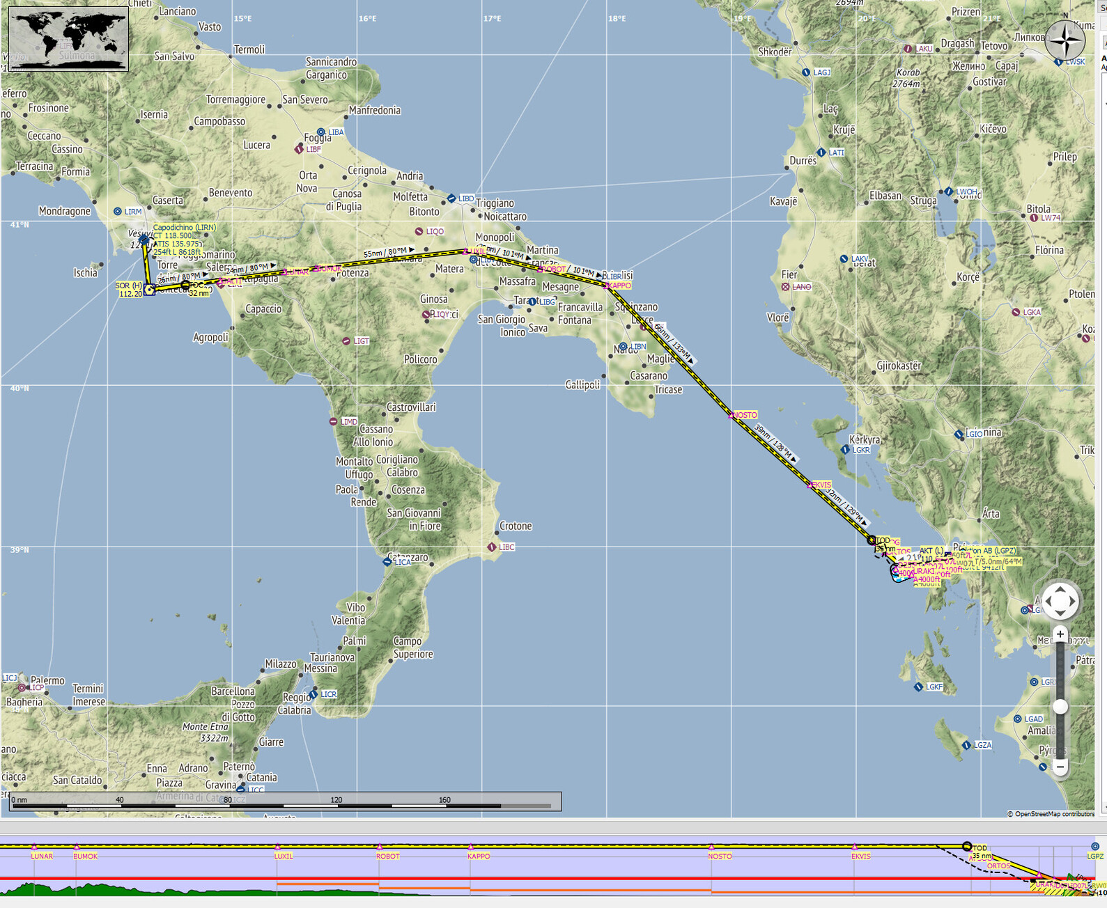
The vulcano I missed to snap last time:
Not many in route pics as I was fully… immersed…
Fiddled around with the camera after parking. As the sun set, the weather changed quickly:
To think this is all as it comes in the box. I’m so happy with it.
I also dig Pauls last flight. Wonderful to look at.
Summary:
5 Likes
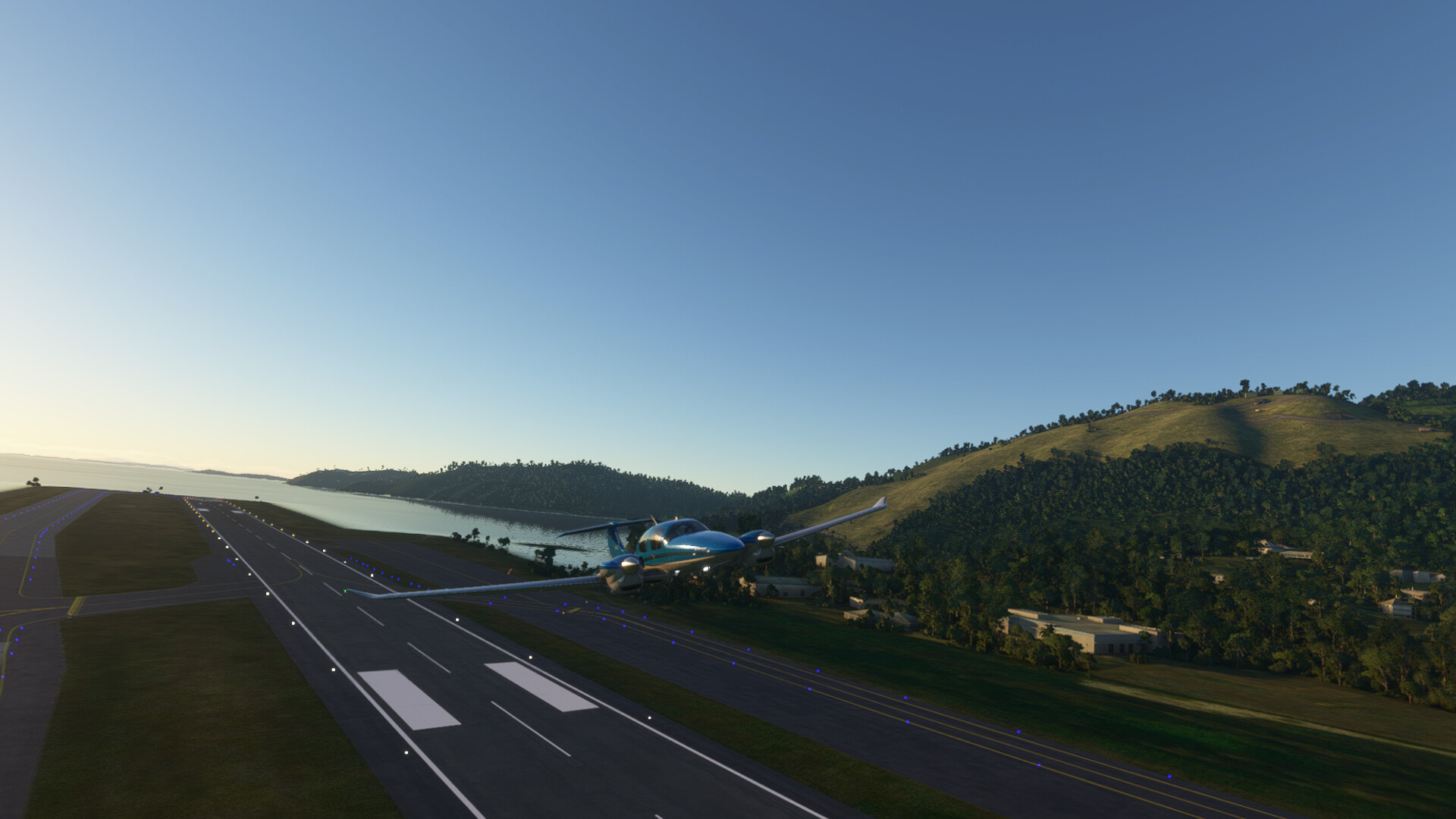
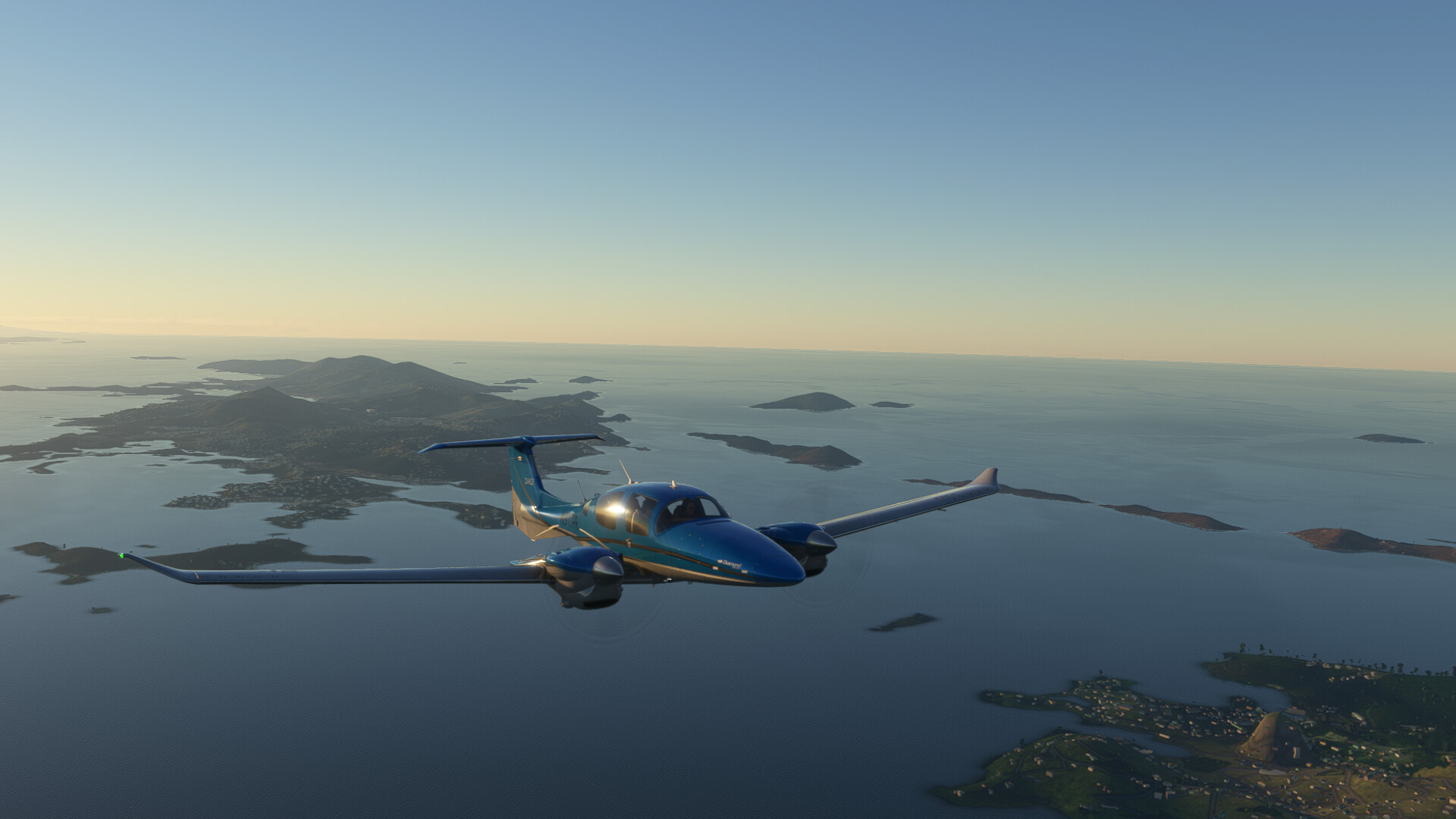
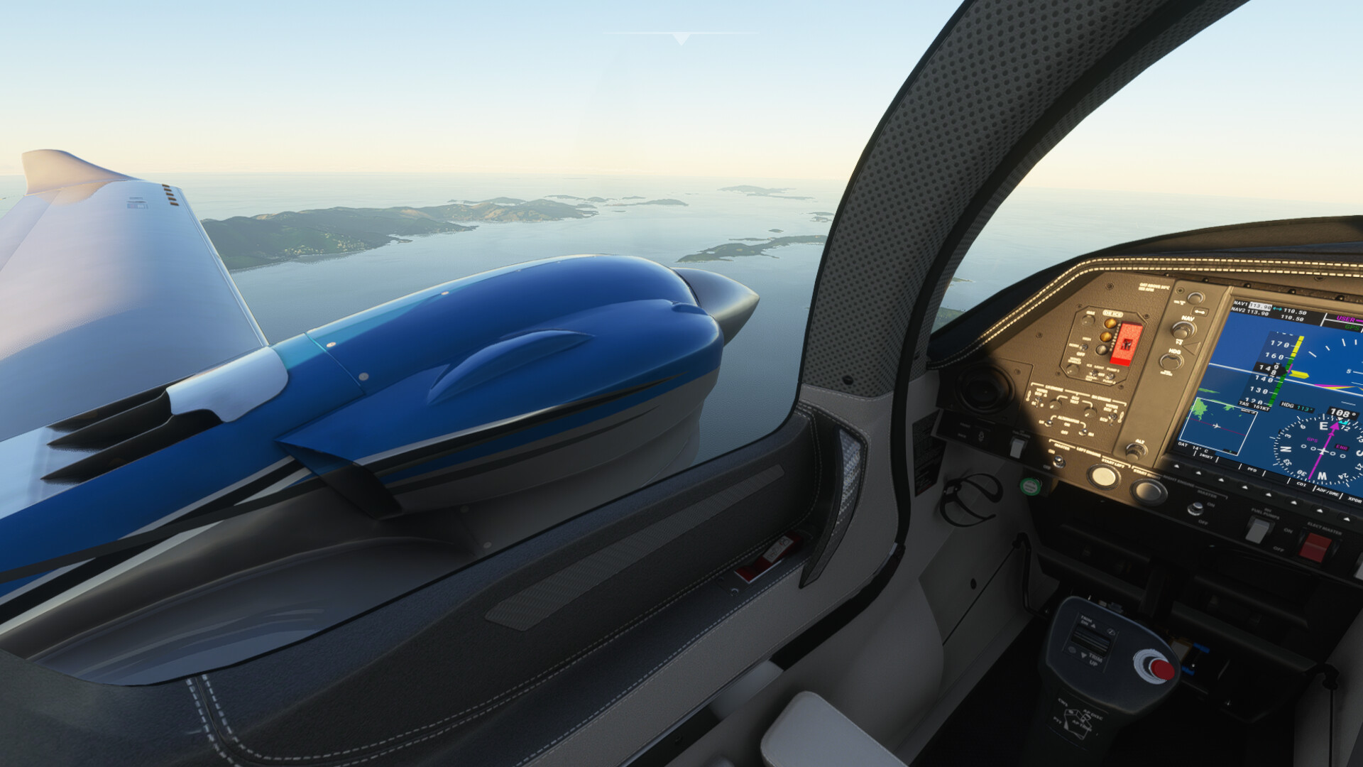
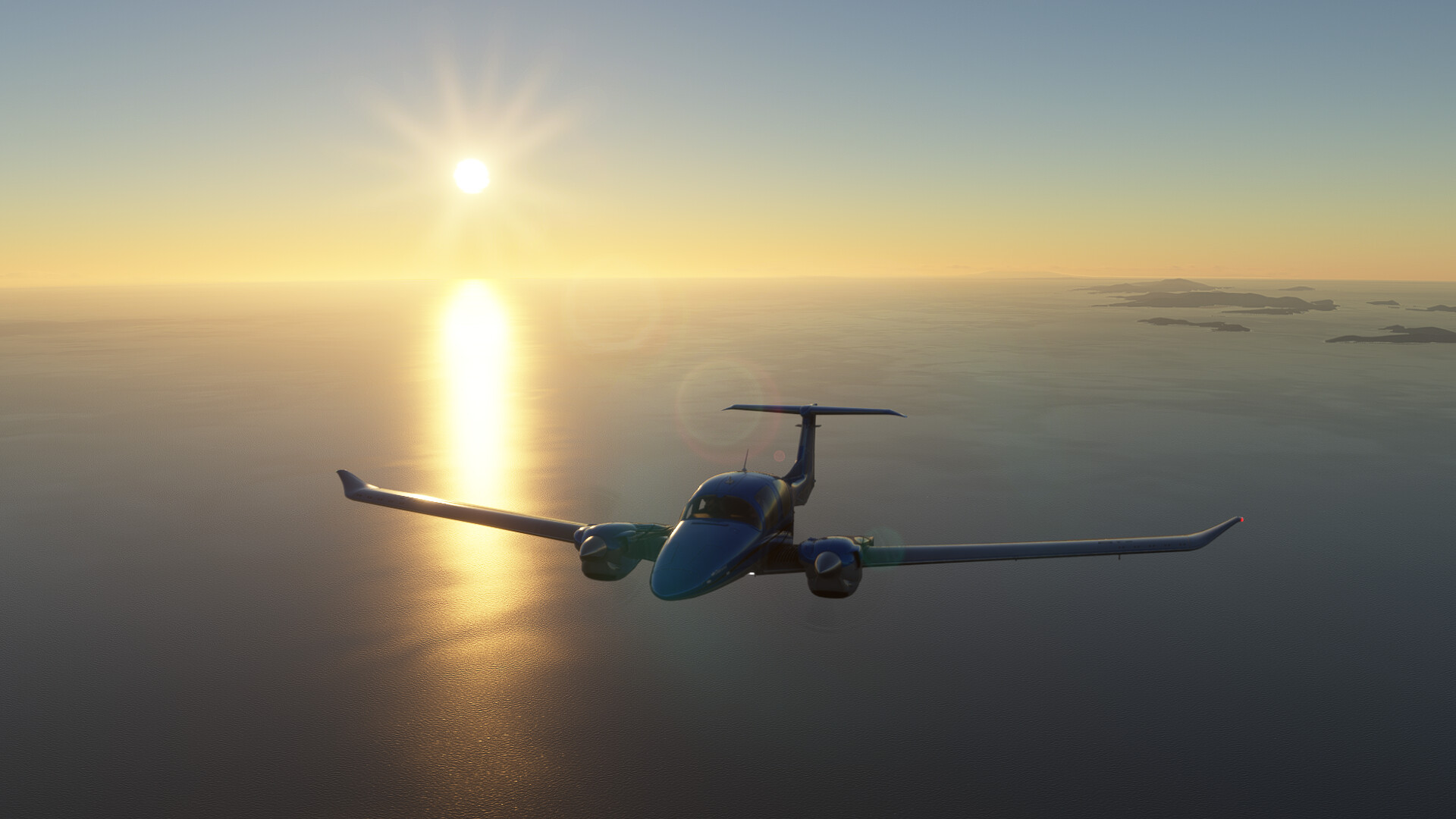
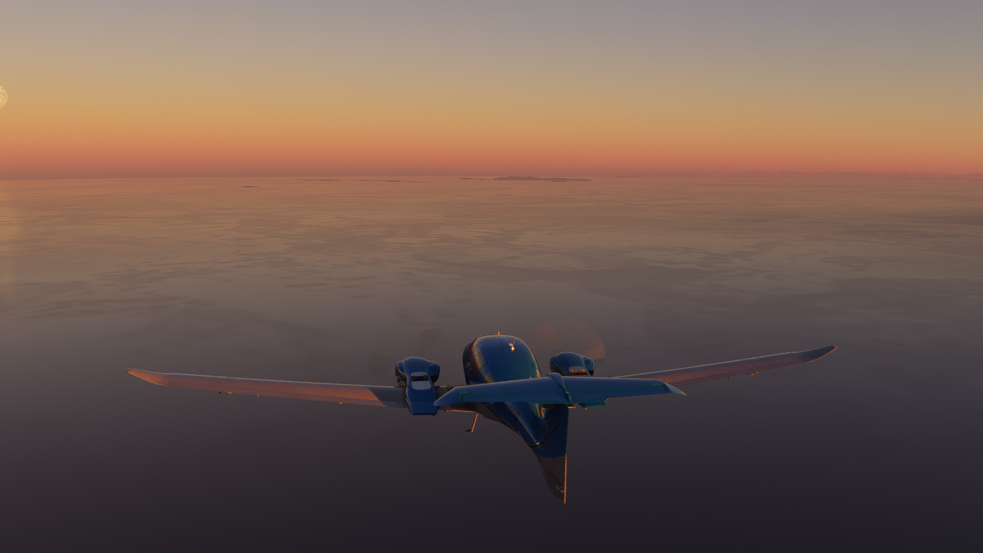
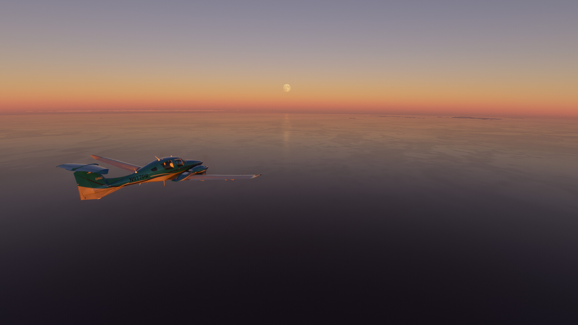
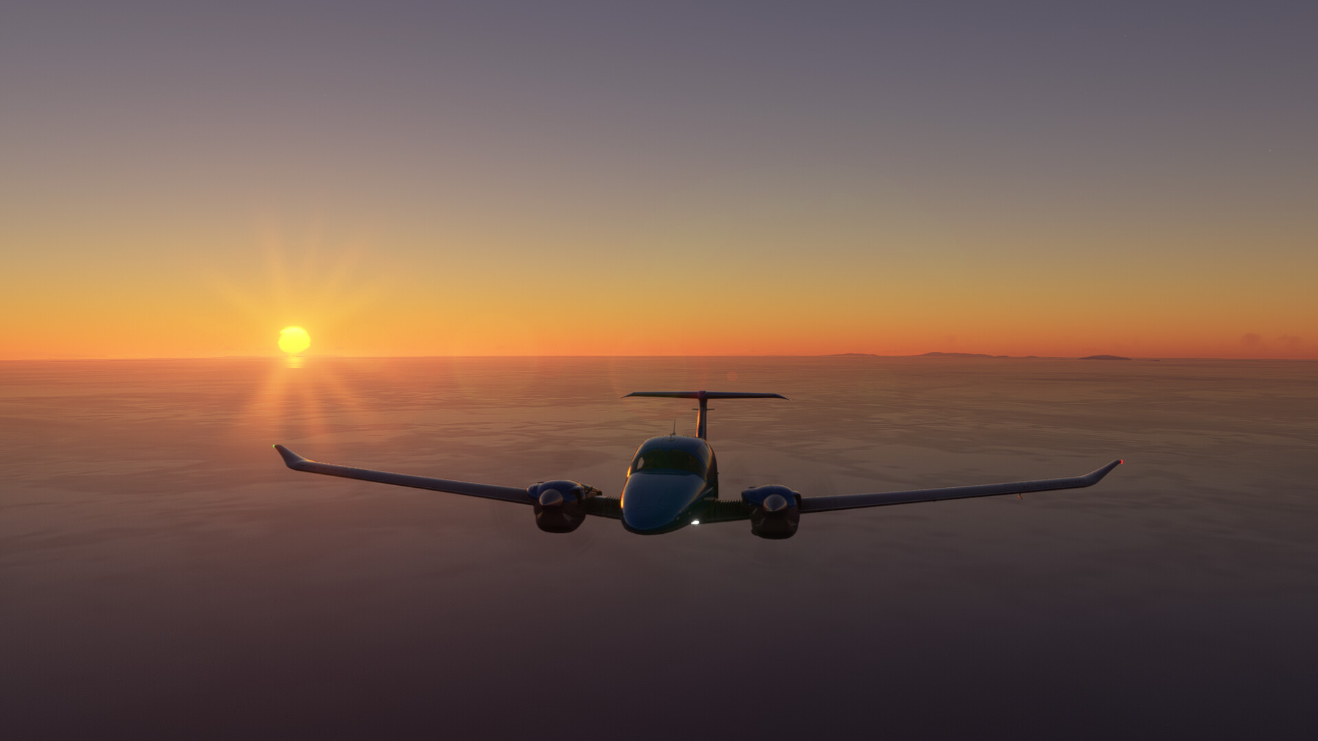
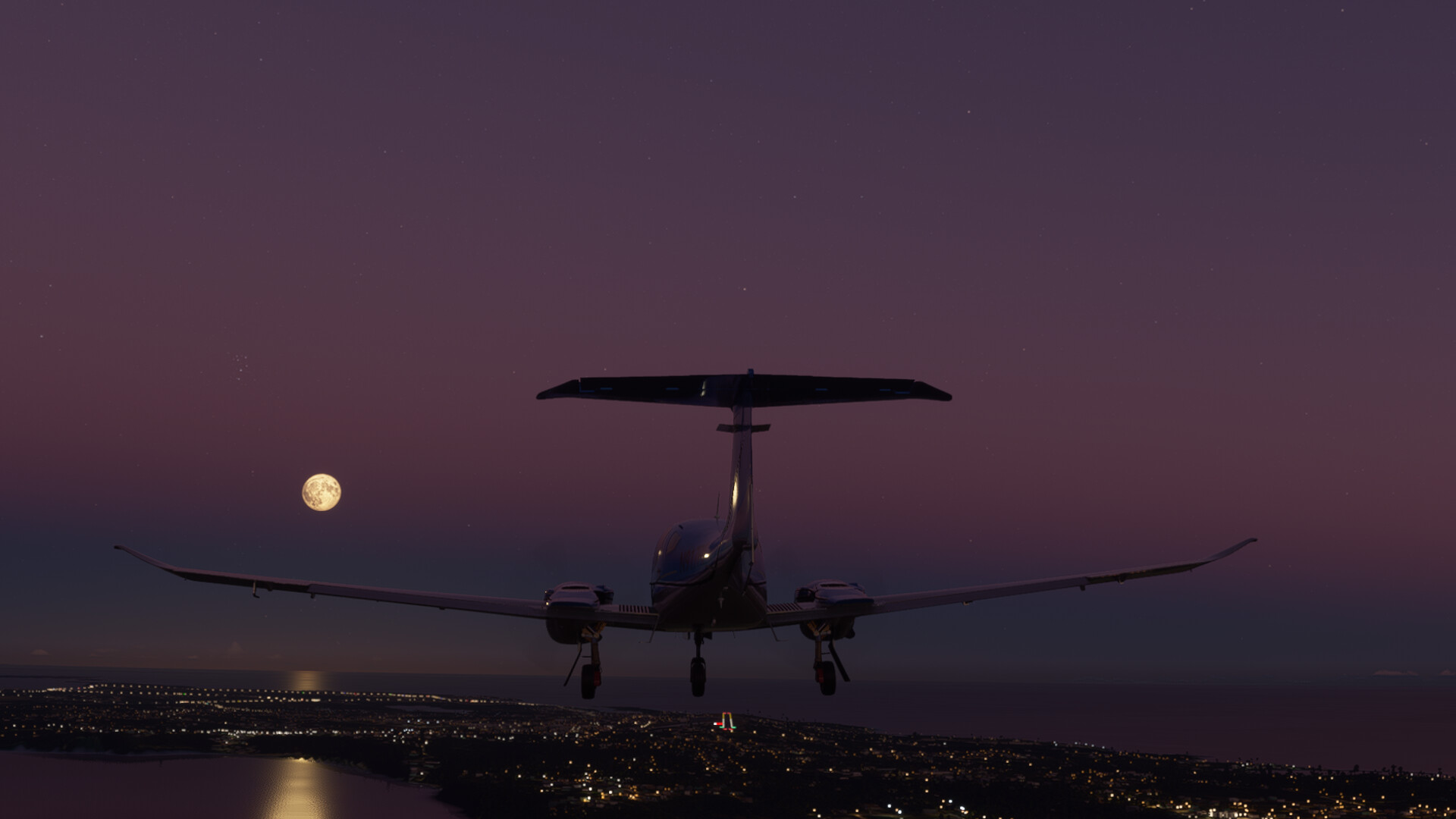
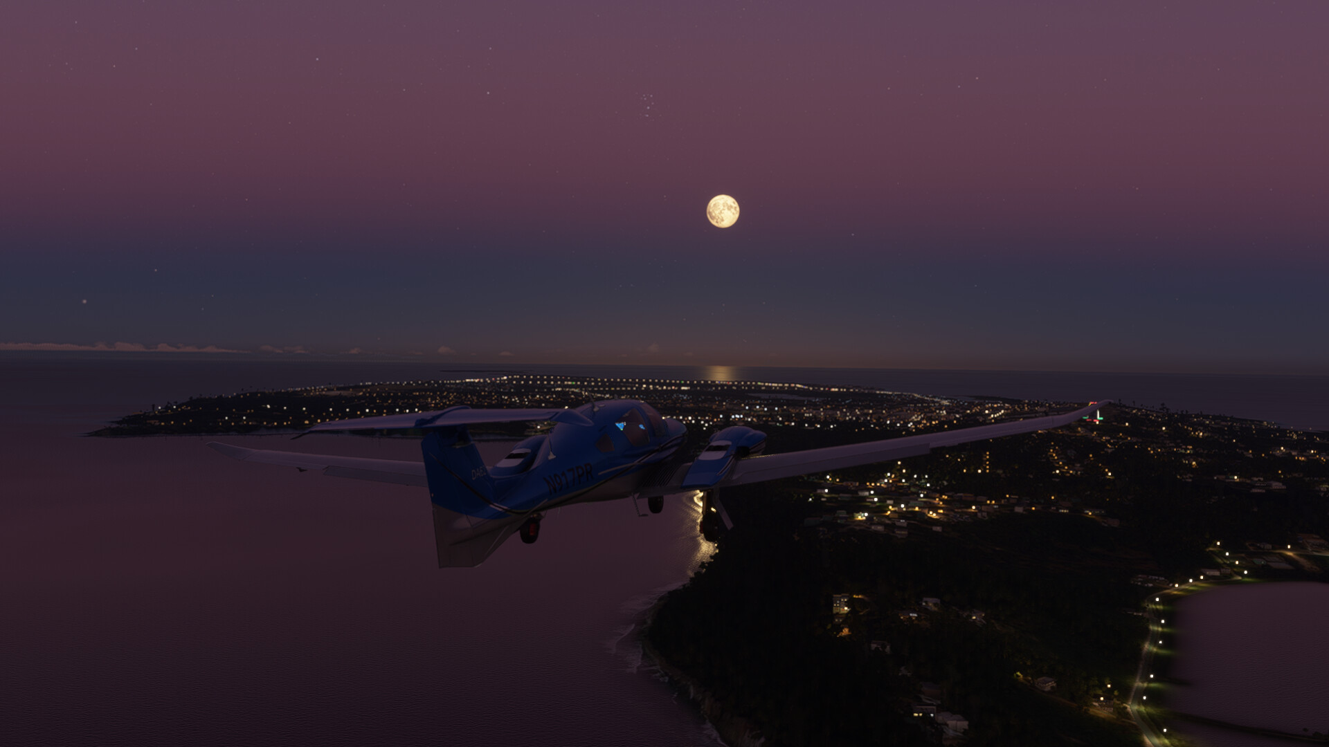
St Thomas to Anguilla (TQPF). For this leg I decided to take the Diamond DA62. It is just a short hop…a mere 110nm
The sun was already getting low to the horizon as I departed from St Thomas…
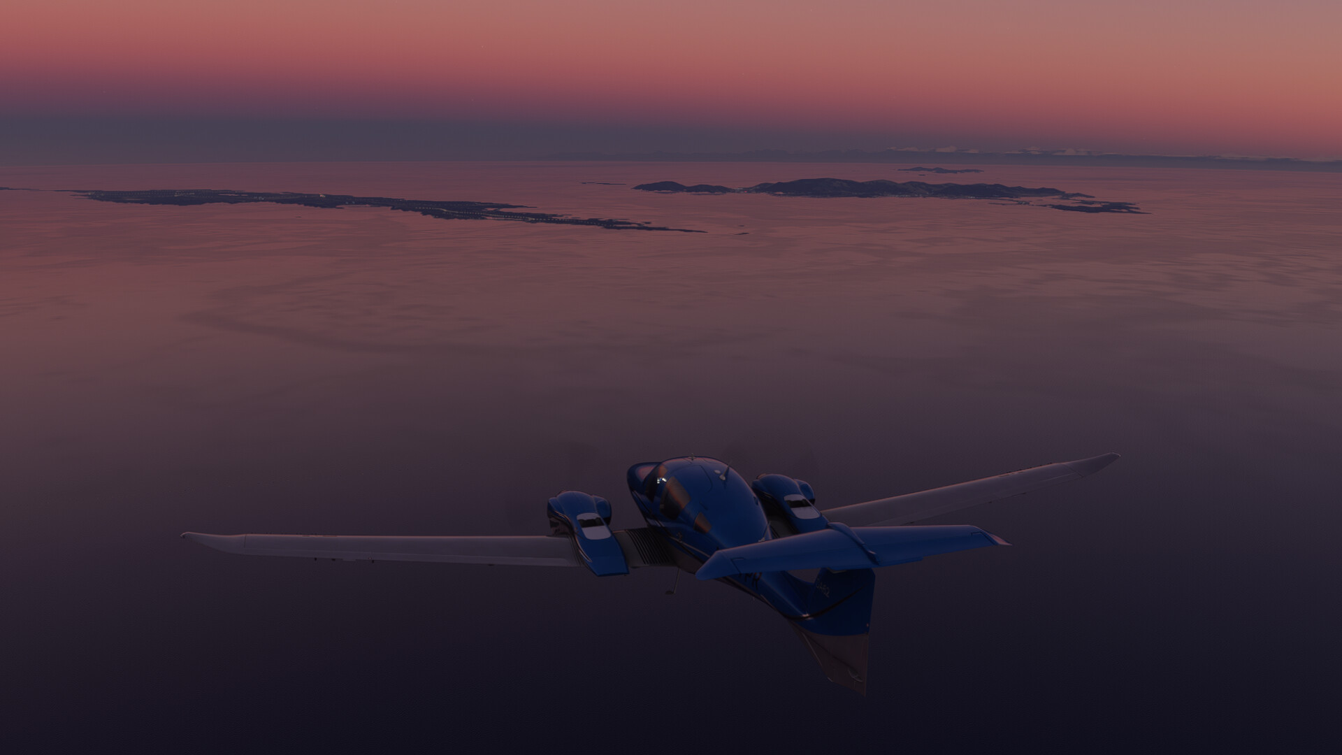
Leaving St Thomas behind…
Looking out over the left wing. The default aircraft may be ‘Sim Lite’, but they certainly look great.
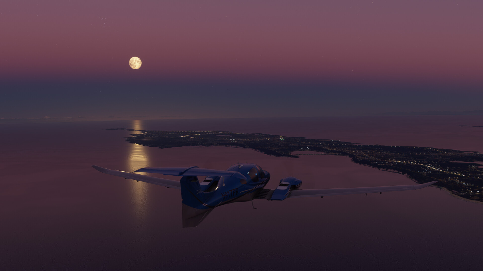
It doesn’t take long before I catch sight of Anguilla, and St Maarten just to the South…
I love the way they modeled the distortion of the Sun as it reaches the horizon.
Anguilla, St Maarten and St Barts…
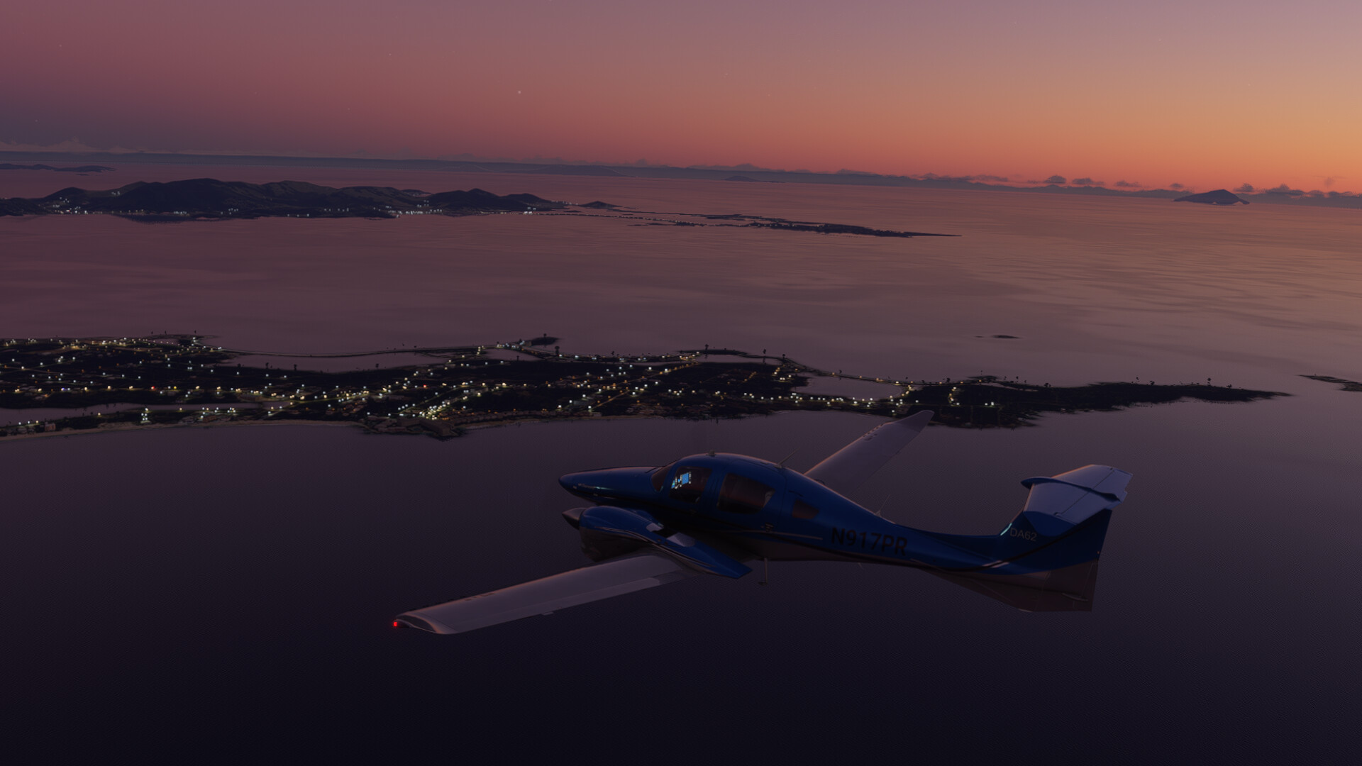
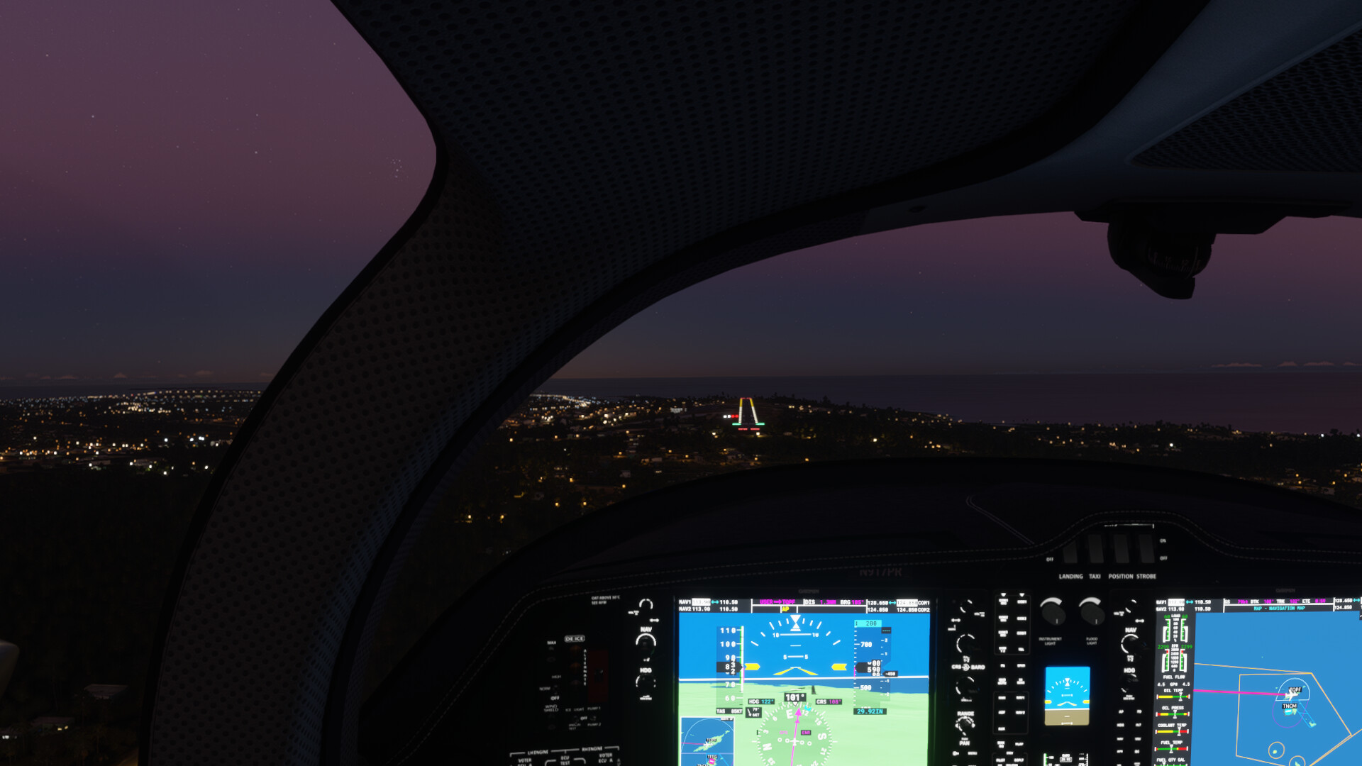
Runway in sight
A quick glance to the right over towards St Maarten.
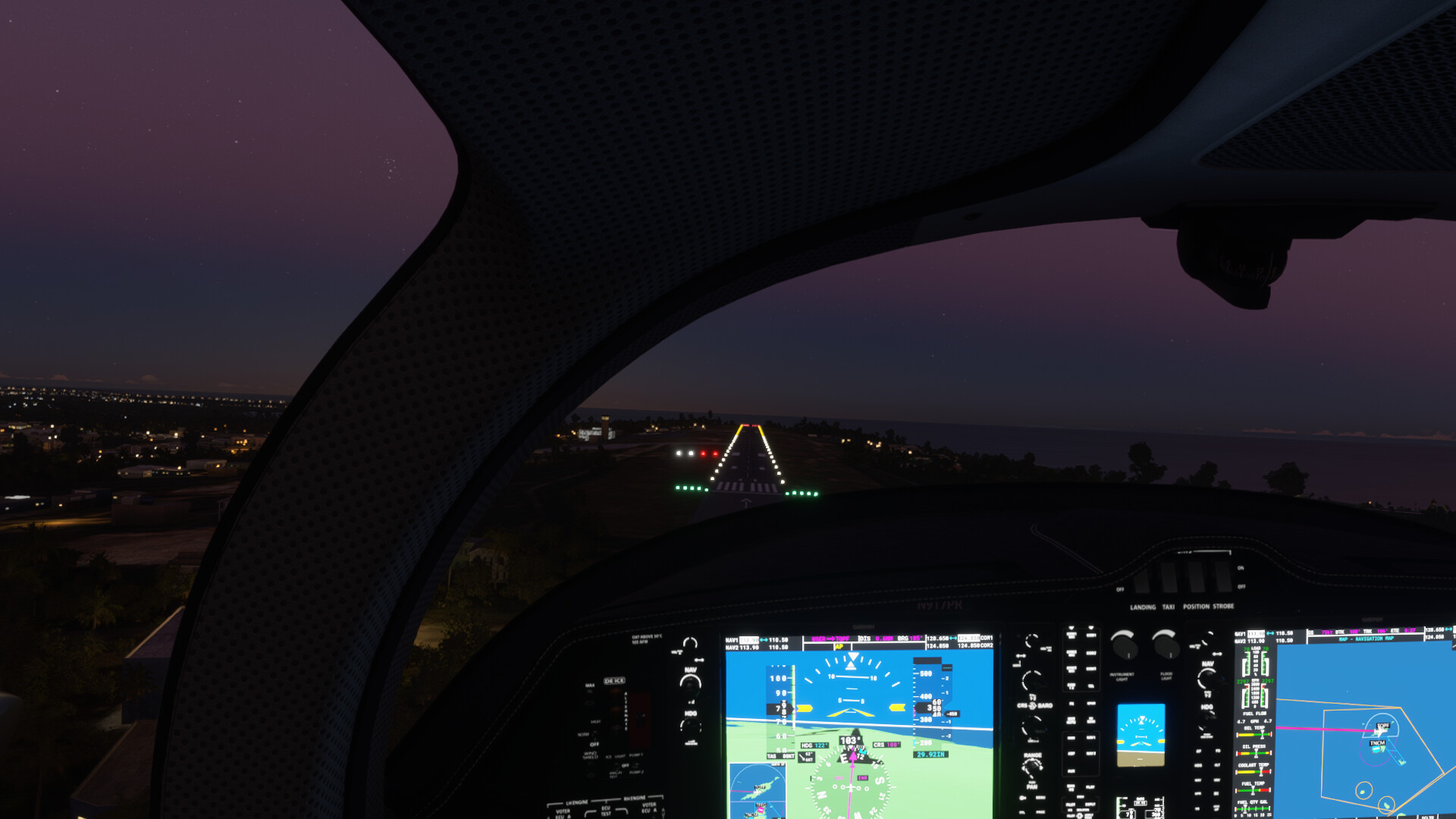
Back on task, lined up for landing…
Short final…
Next up will be a short hop over to Princess Julianna Intl on St Maarten.
6 Likes
Alright, I’ve got a few writeups to catch up on.
First up is my leg departing Reykjavik (BIRK) for Edinburgh (EGPH).
Both were supposed to be VFR and I was looking forward to flying a bit around Edinburgh to sightsee.
Seemingly overnight, with the latest update, the somewhat out of place control tower at Reykjavik disappeared.
The approach the previous night.

View literally the next day.

Departing BERK.

423 knots groundspeed… nice!

Clouds on the descent, still hoping for VMC below.

Great success!

On approach.

One thing I appreciate about MSFS is that the airport lights appear to be somewhat directional, as you’d expect.
Off to find scotch!
7 Likes

4 Likes