Official 6th Annual Mudspike Christmas Flight 2020 - Discussion & AAR Thread

Southbound from Carthage. The Maghreb is dry, but not desert at all. Most definitely no longer in Europe indeed!

Reminds me of DCS Syria TBH. Which it should.

A bit further south, very much desert:


Parked at HLTD. Holy cow does this look like a desolate hellhole in the middle of nowhere.

7 Likes

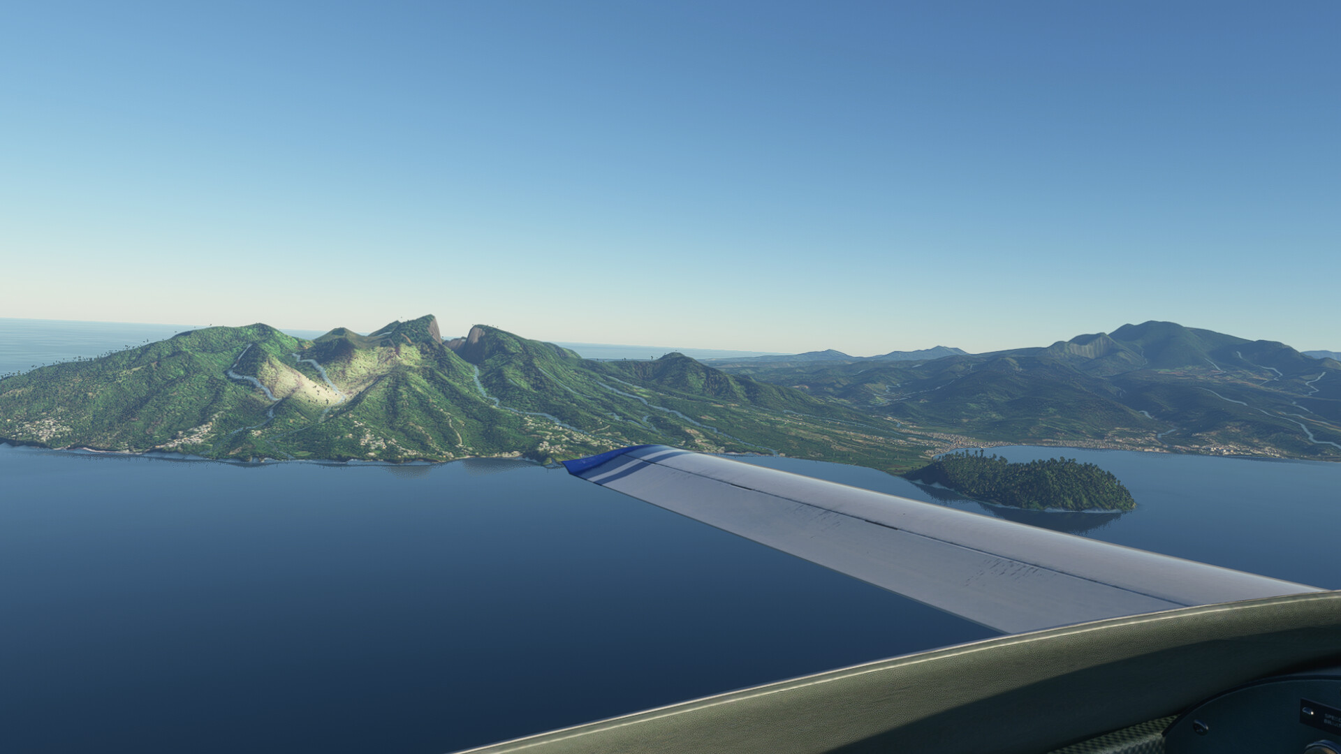
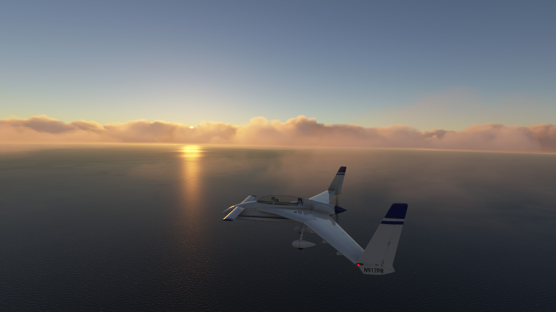
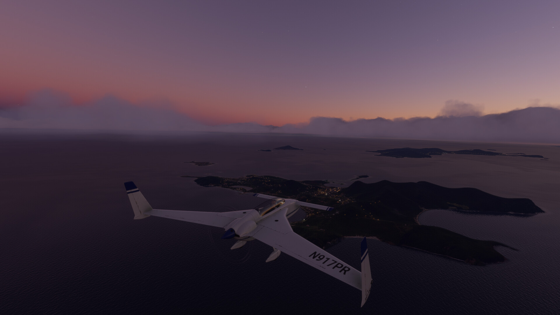
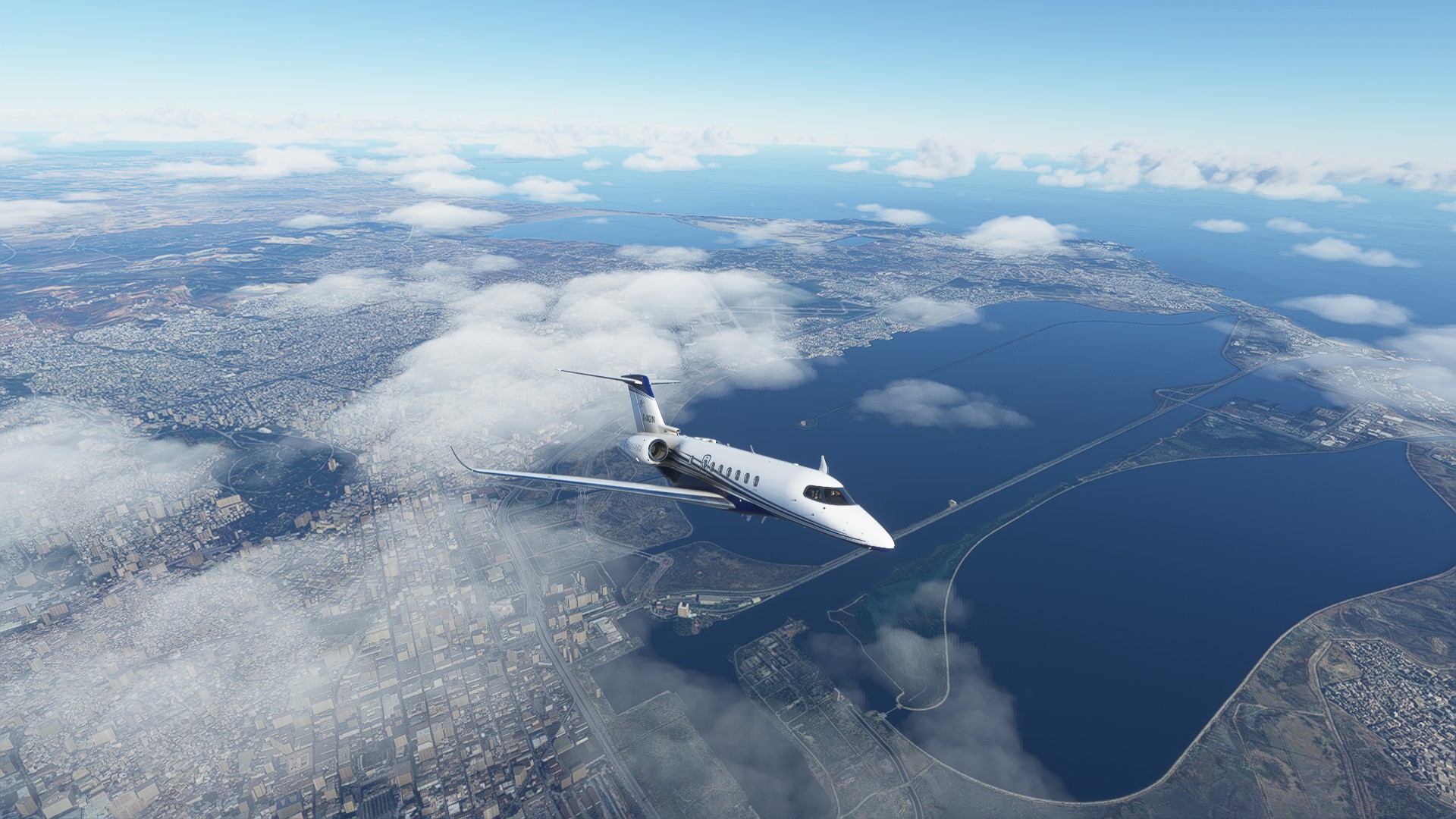
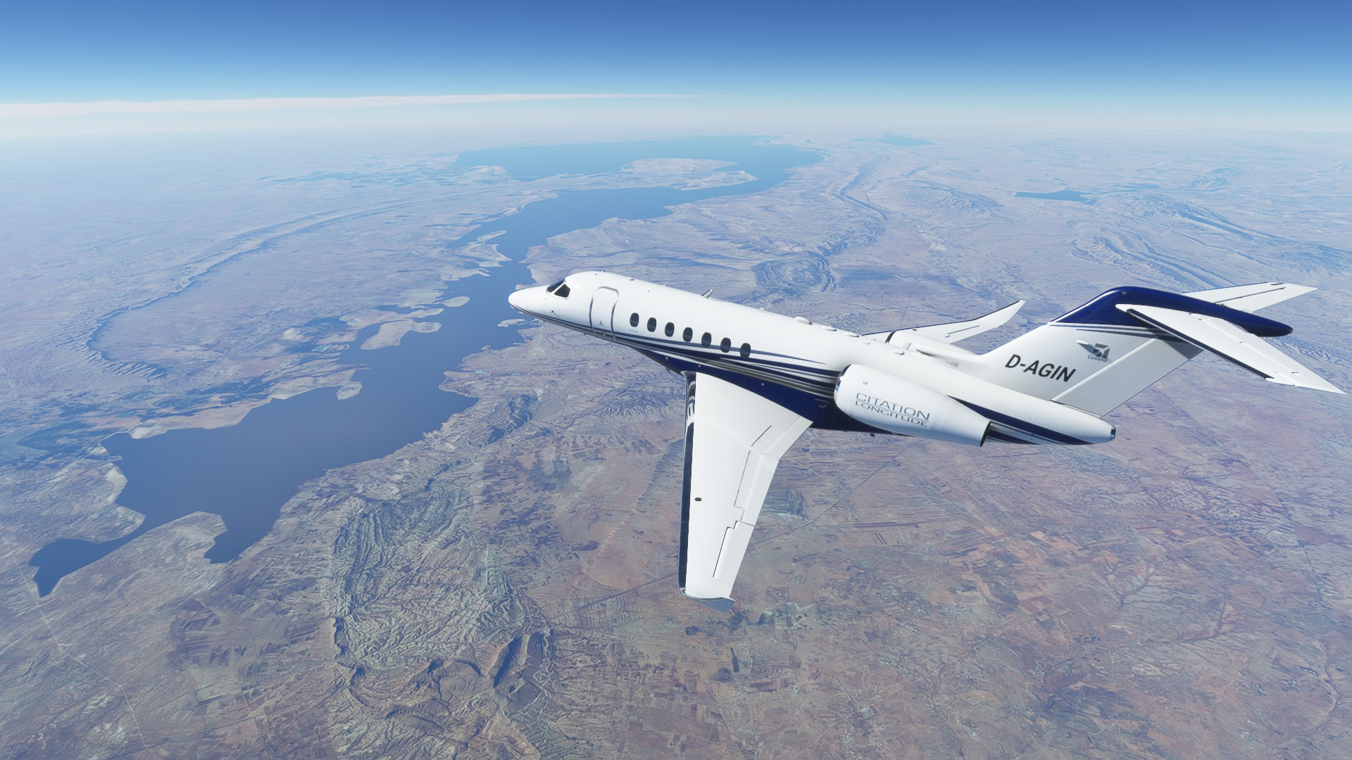
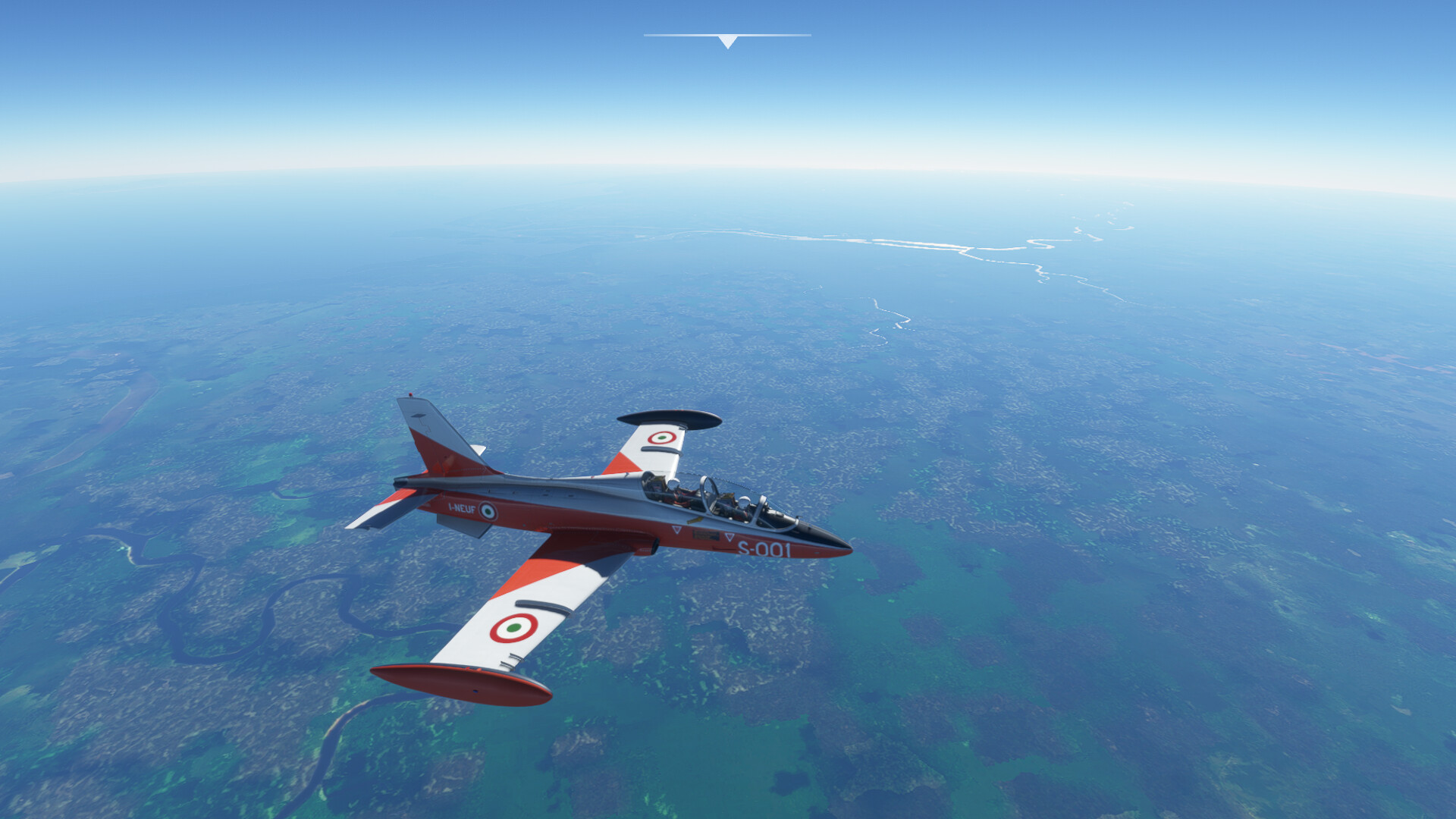
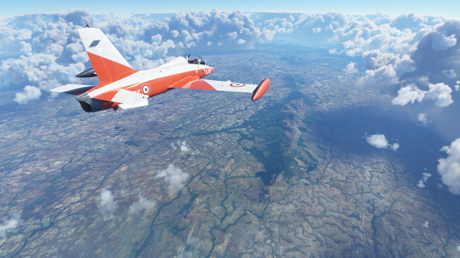
So…don’t ask me how…but I’ve ended up 450NM in the wrong direction. I took off from Cairns in the dark last night, a couple of beers in, thinking I had it sussed.

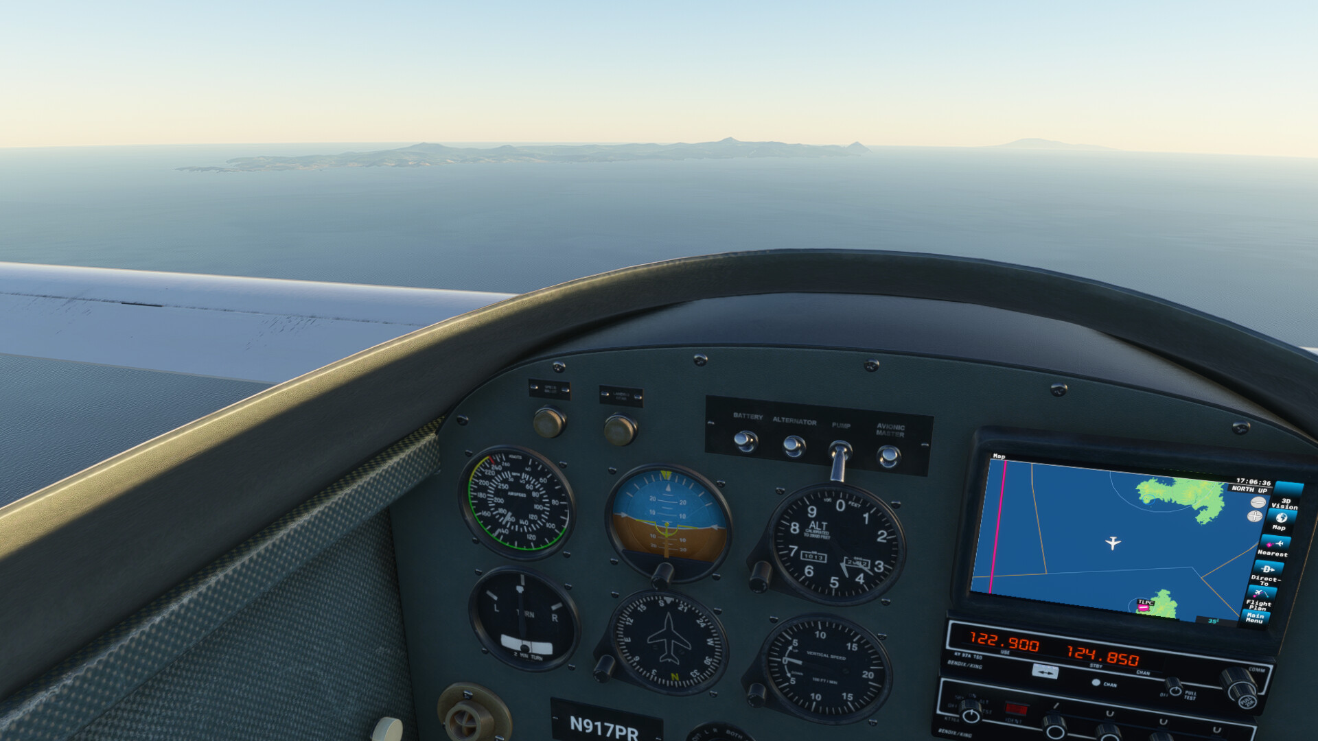
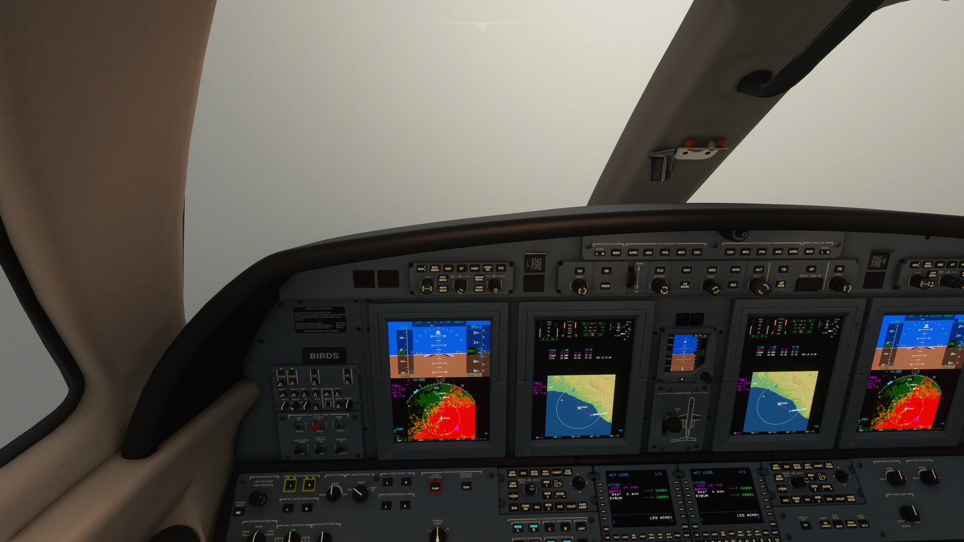
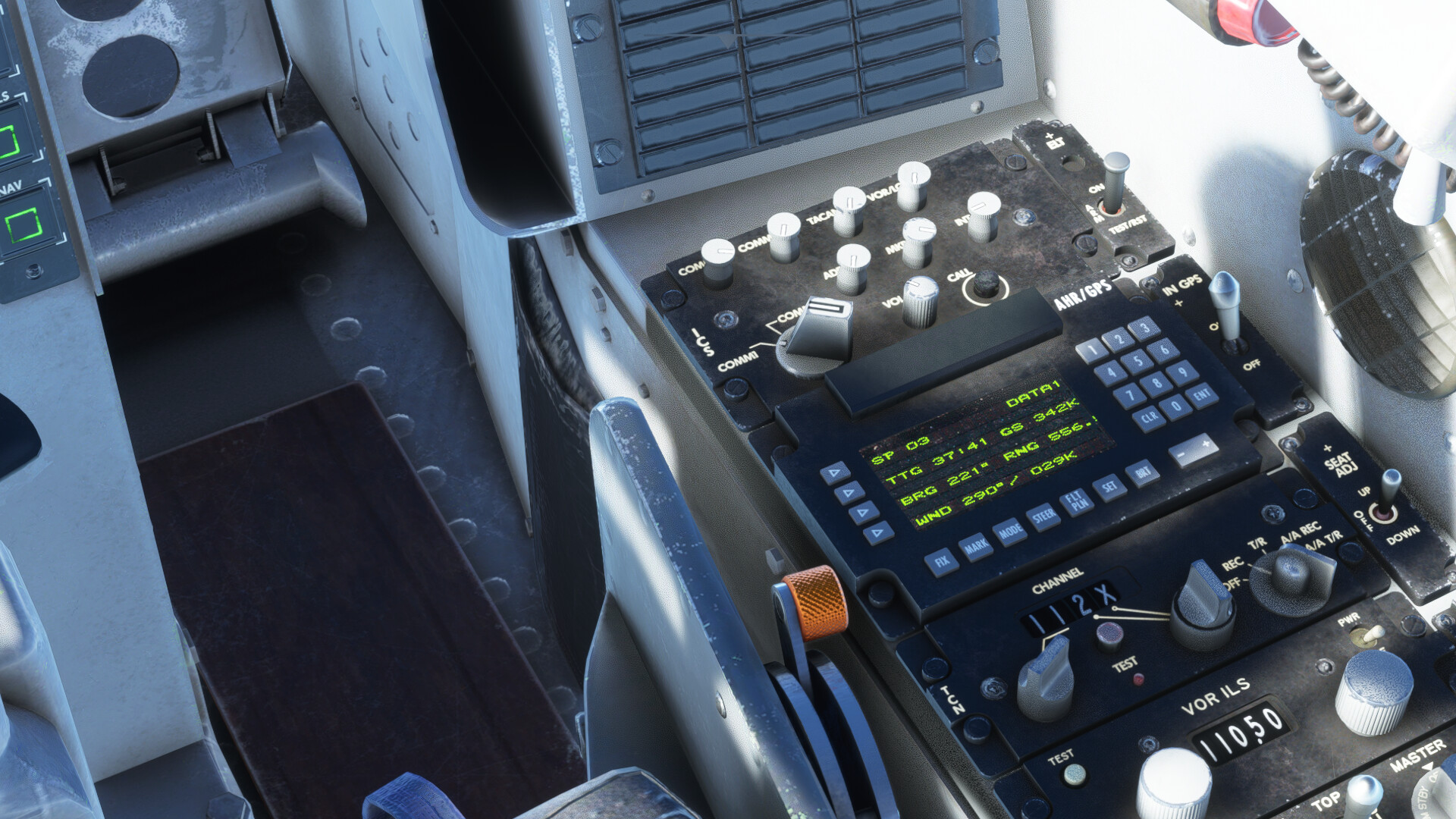
I aligned the INS to get the aircraft position, but didn’t bother with waypoints, thinking that I’d just pick up some VORs along the way to the West, towards Darwin. Once up in the air, I couldn’t for the life of me pick up any VORs, not even Cairns or Townsville. I don’t know if I missed something during the startup, or if the instrument failed, or what happened…but I just couldn’t get the thing to work.

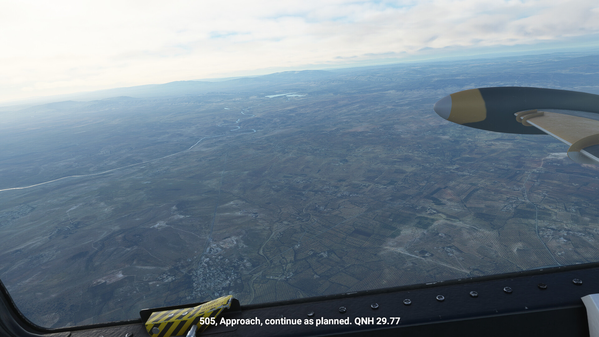
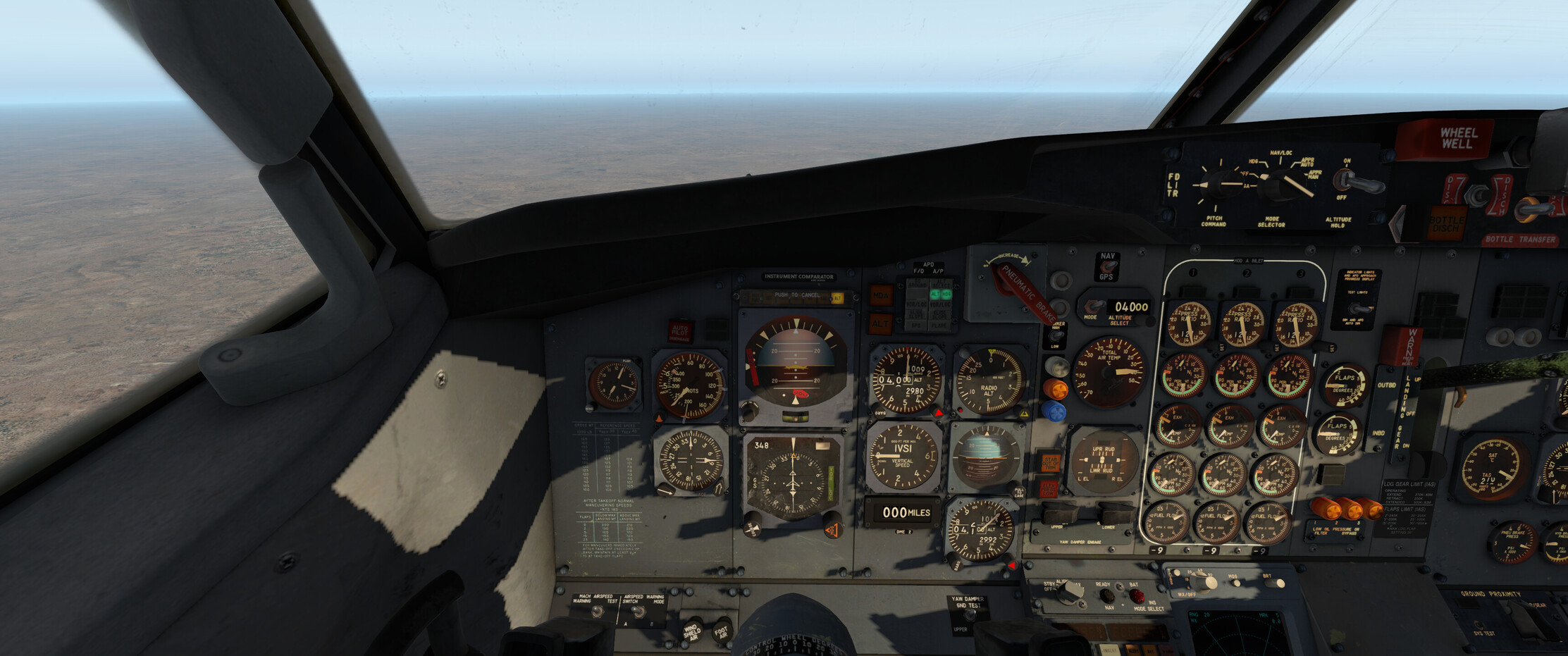
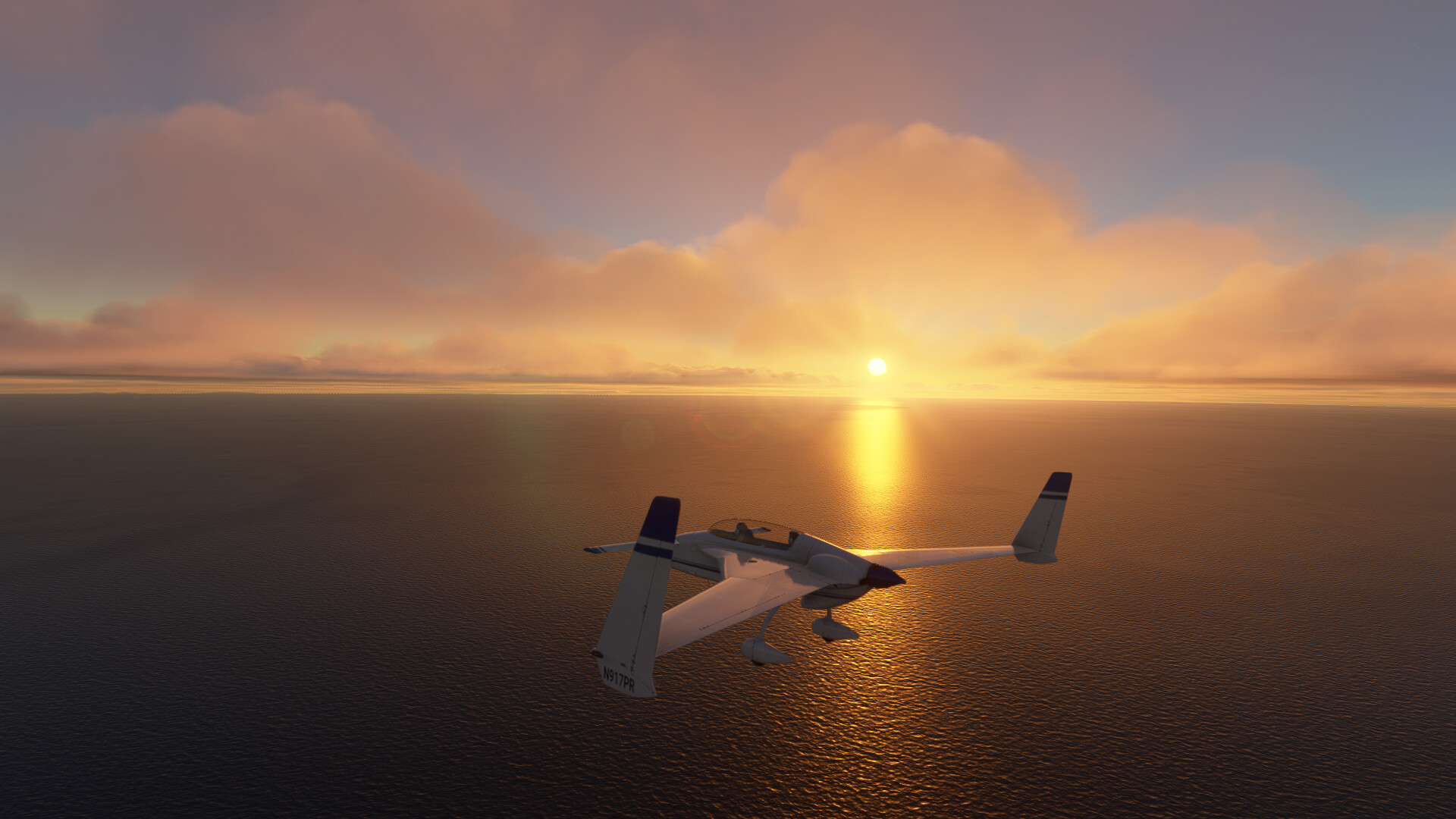
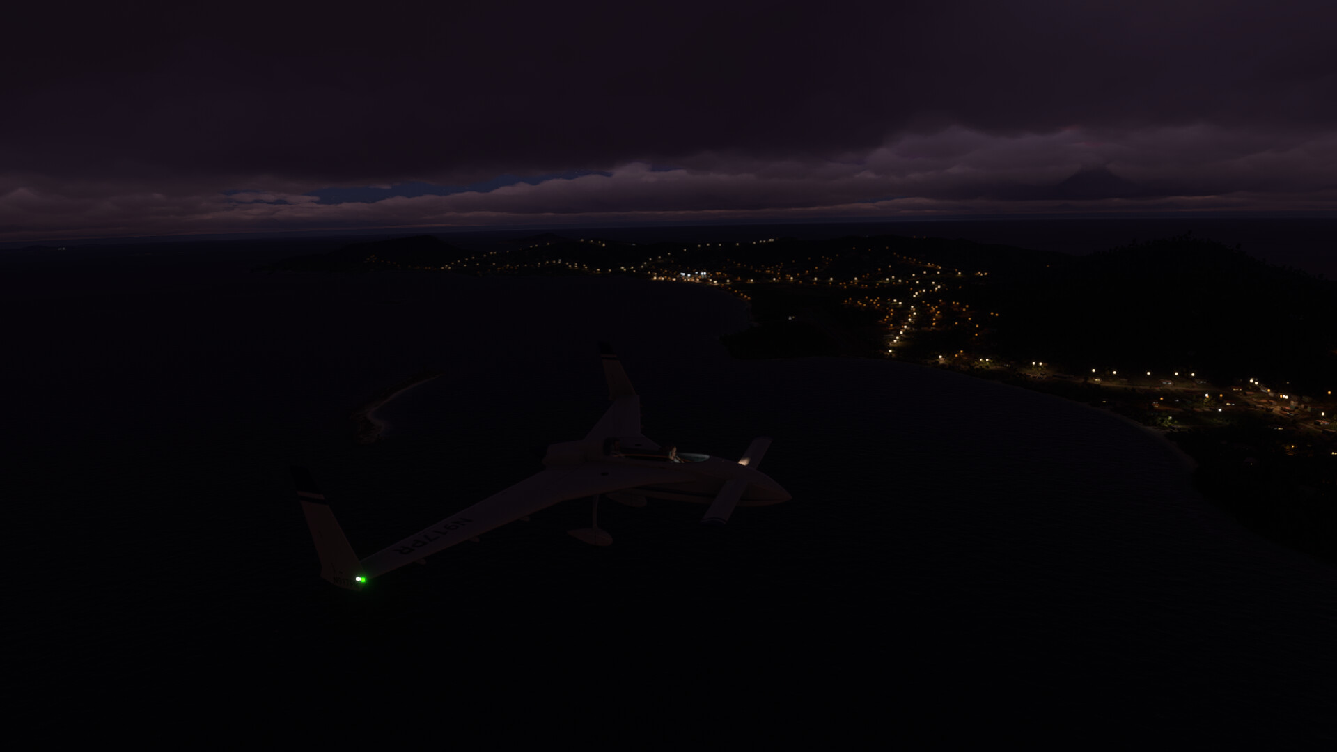
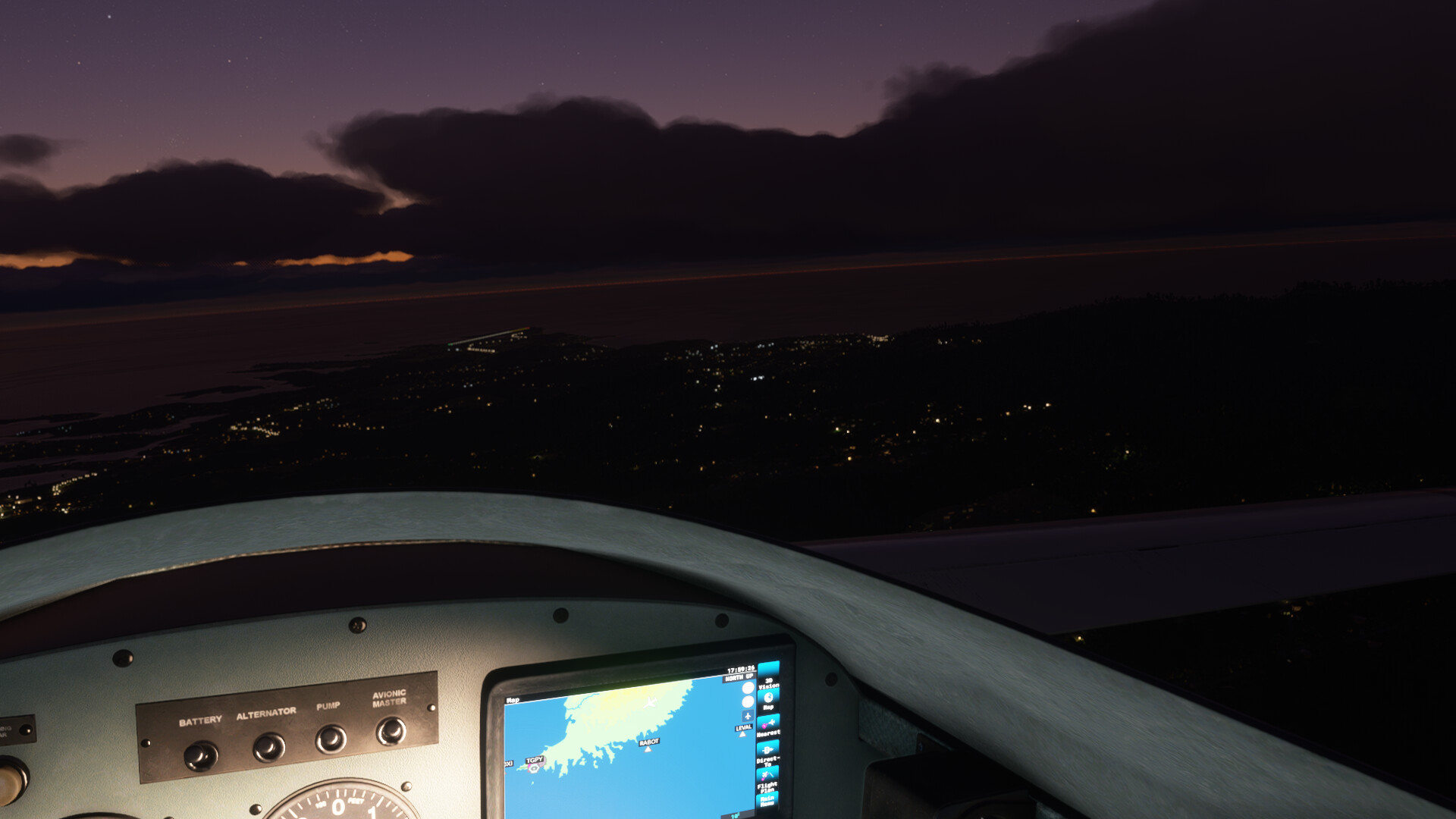
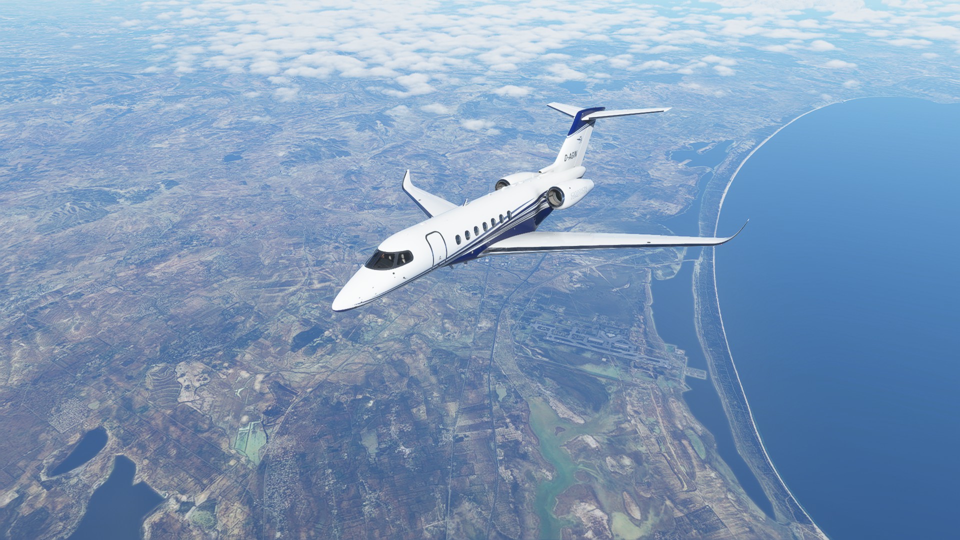
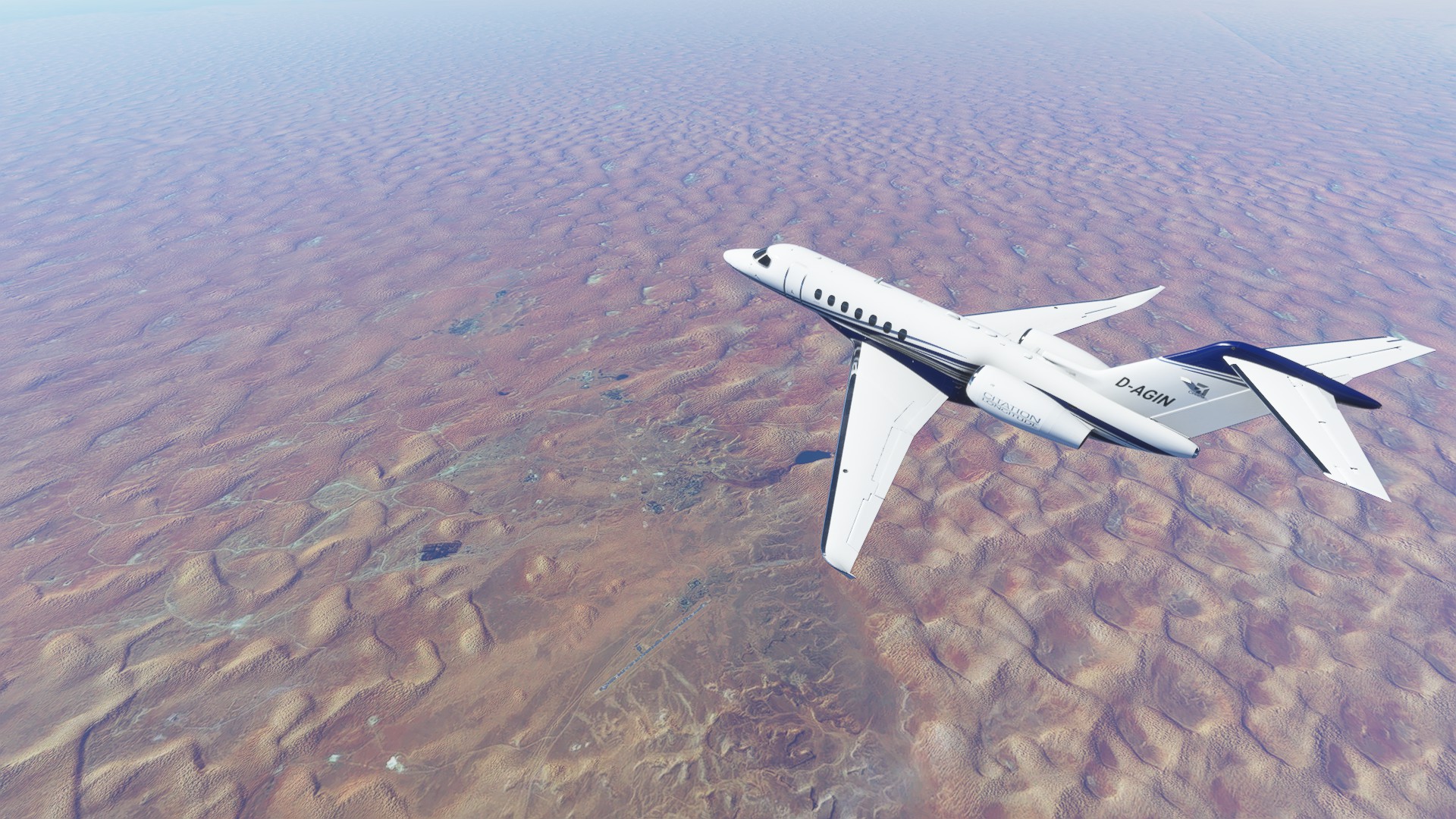
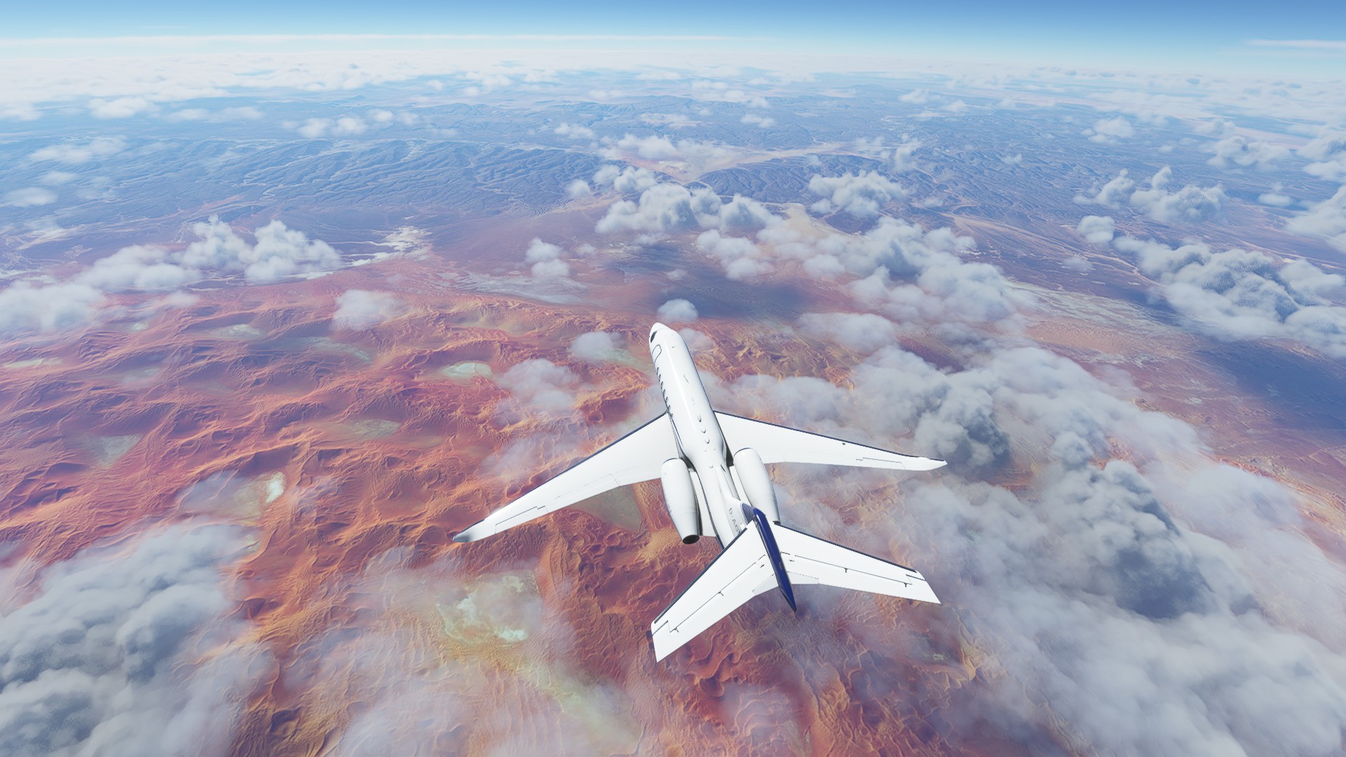
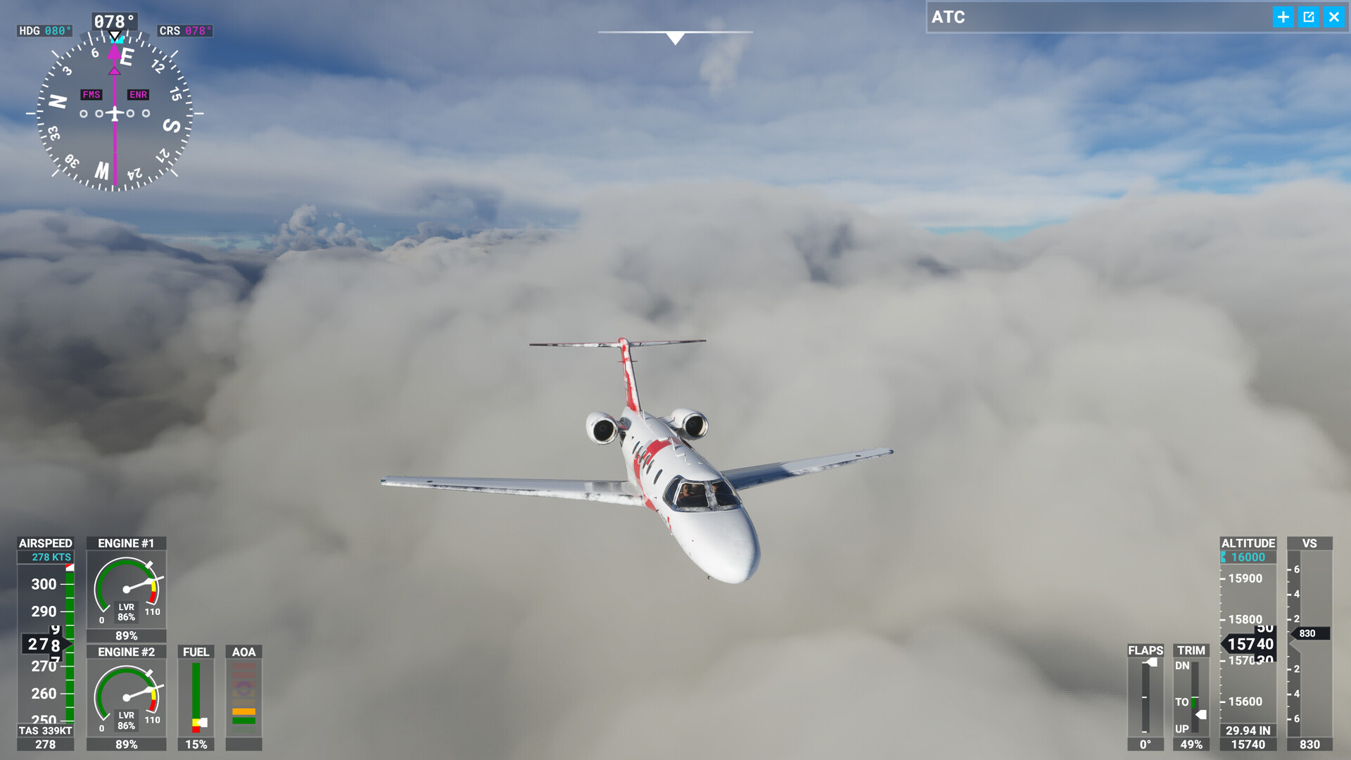
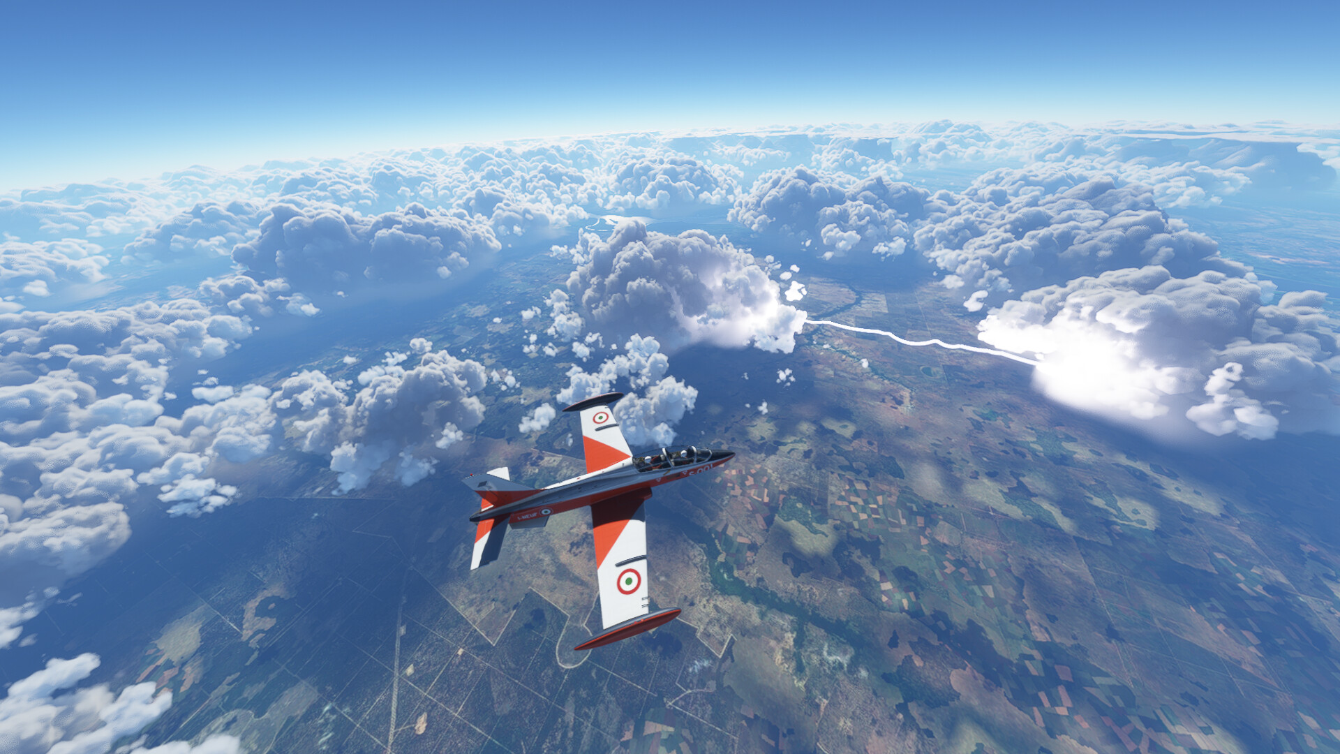
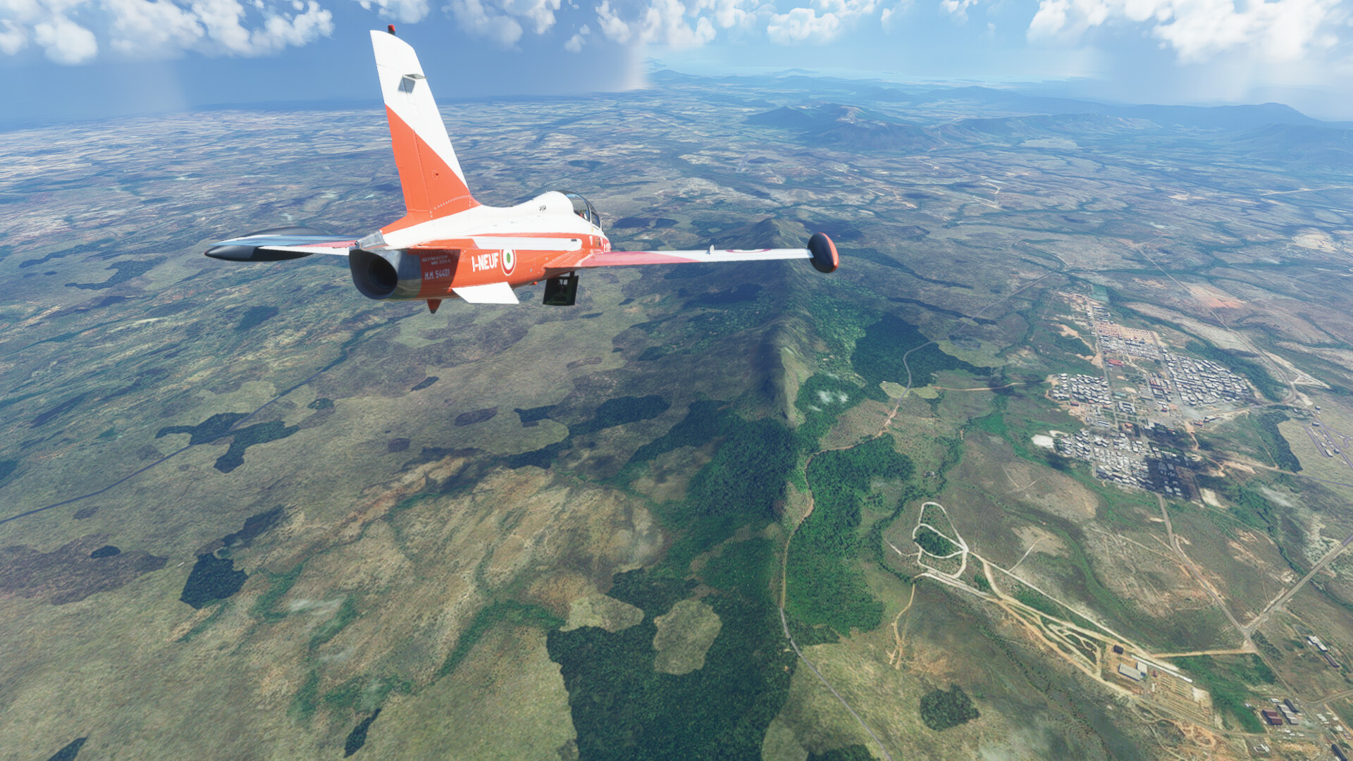
No matter, I thought - I’d figure something out between the INS and the radio navigation en route. Well, it turns out, I couldn’t figure it out. The INS, I think, was actually working, but the HSI potentially wasn’t…and I didn’t think to cross check against the whisky compass…so what the INS was telling me made no sense to me at the time, because I literally was going the wrong way all along. Look, I don’t know. I resisted looking at the map, though.

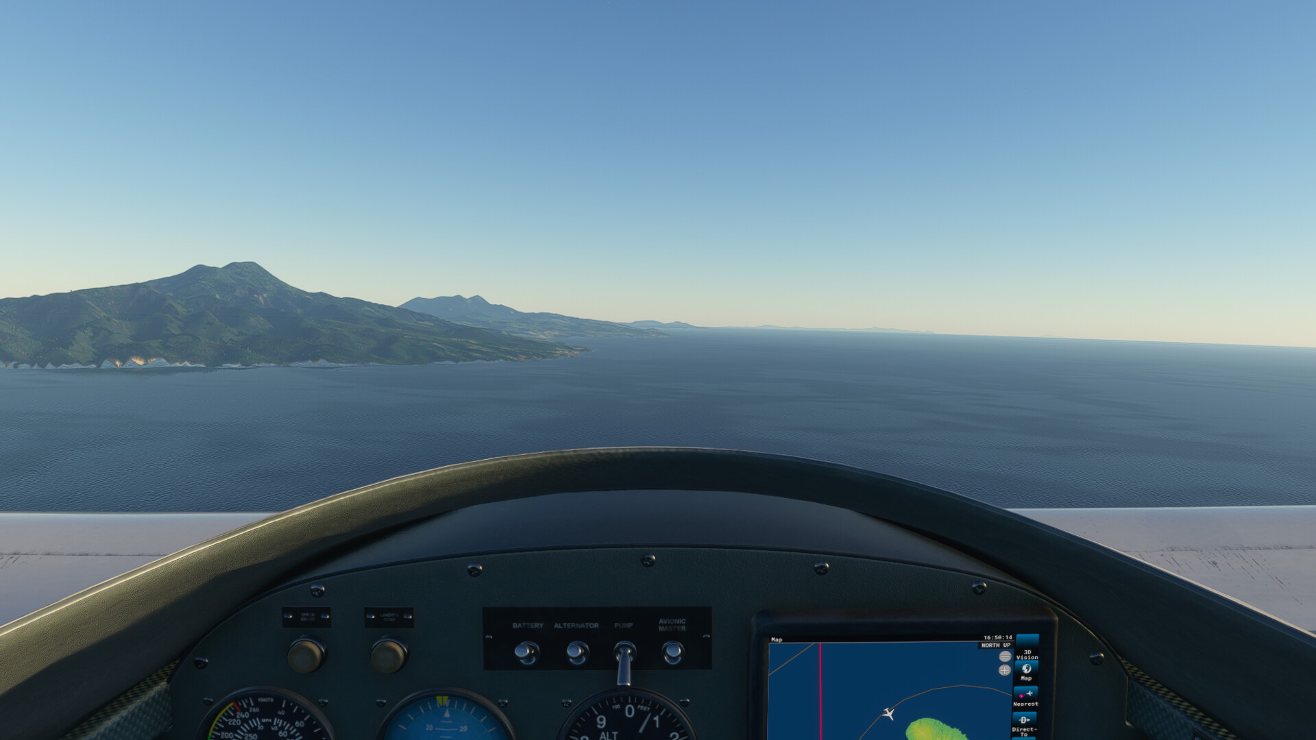
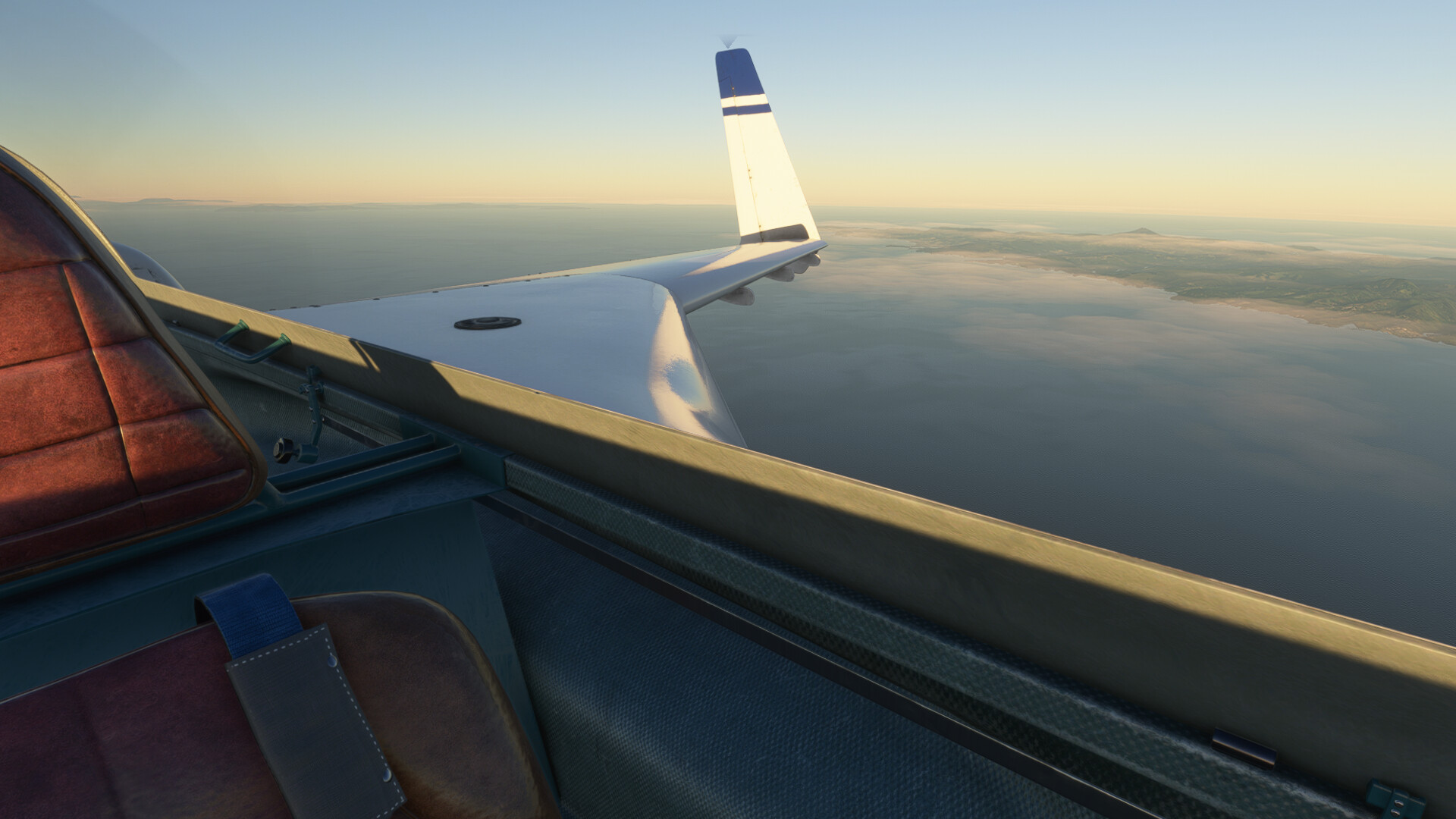
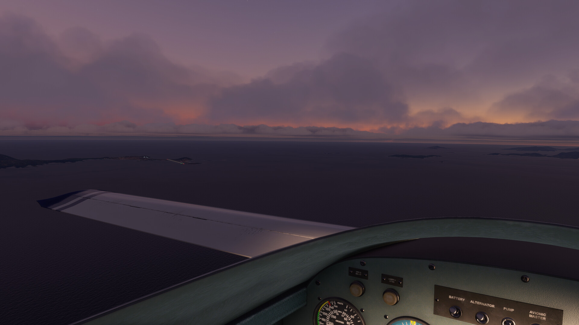
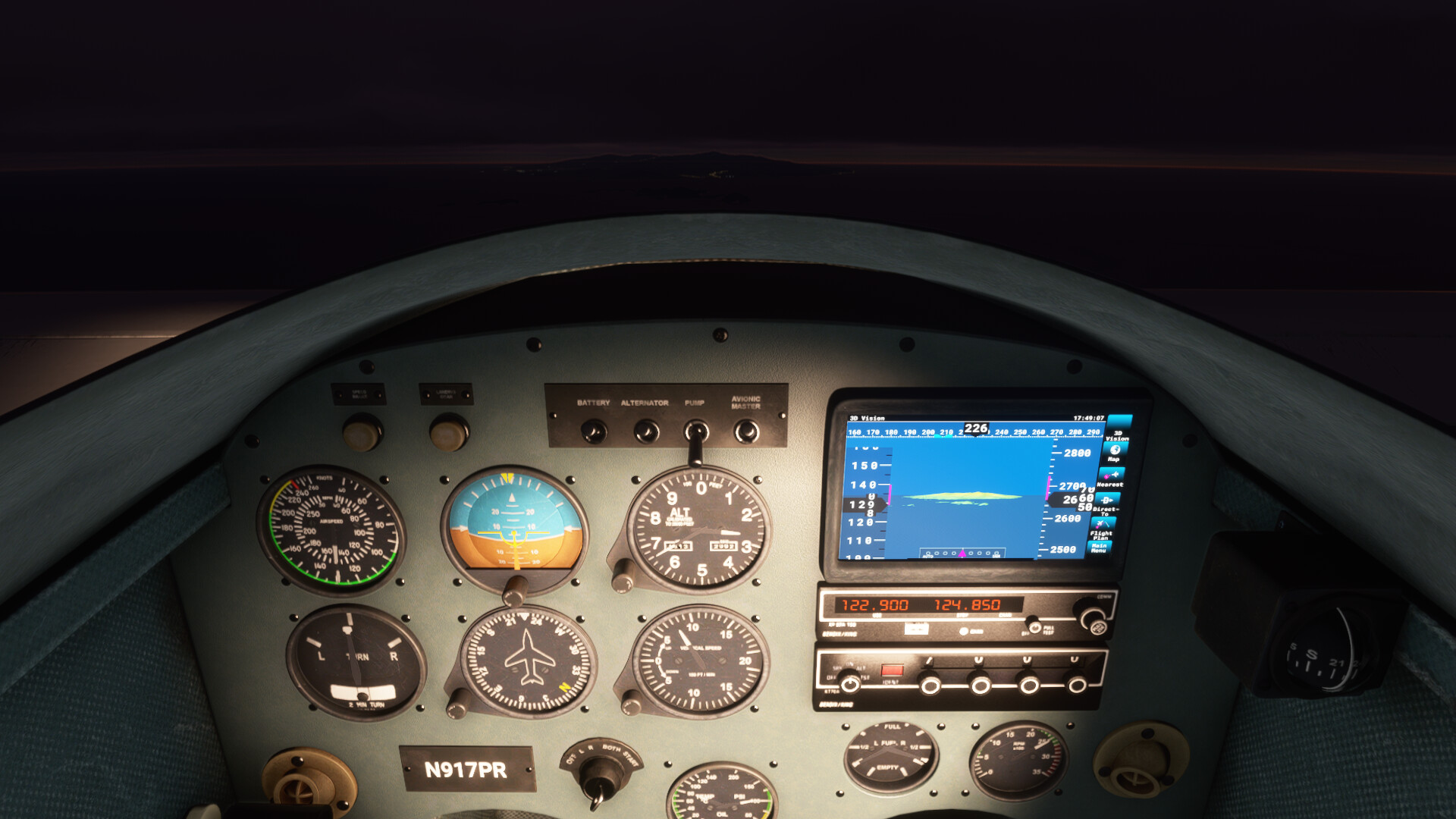
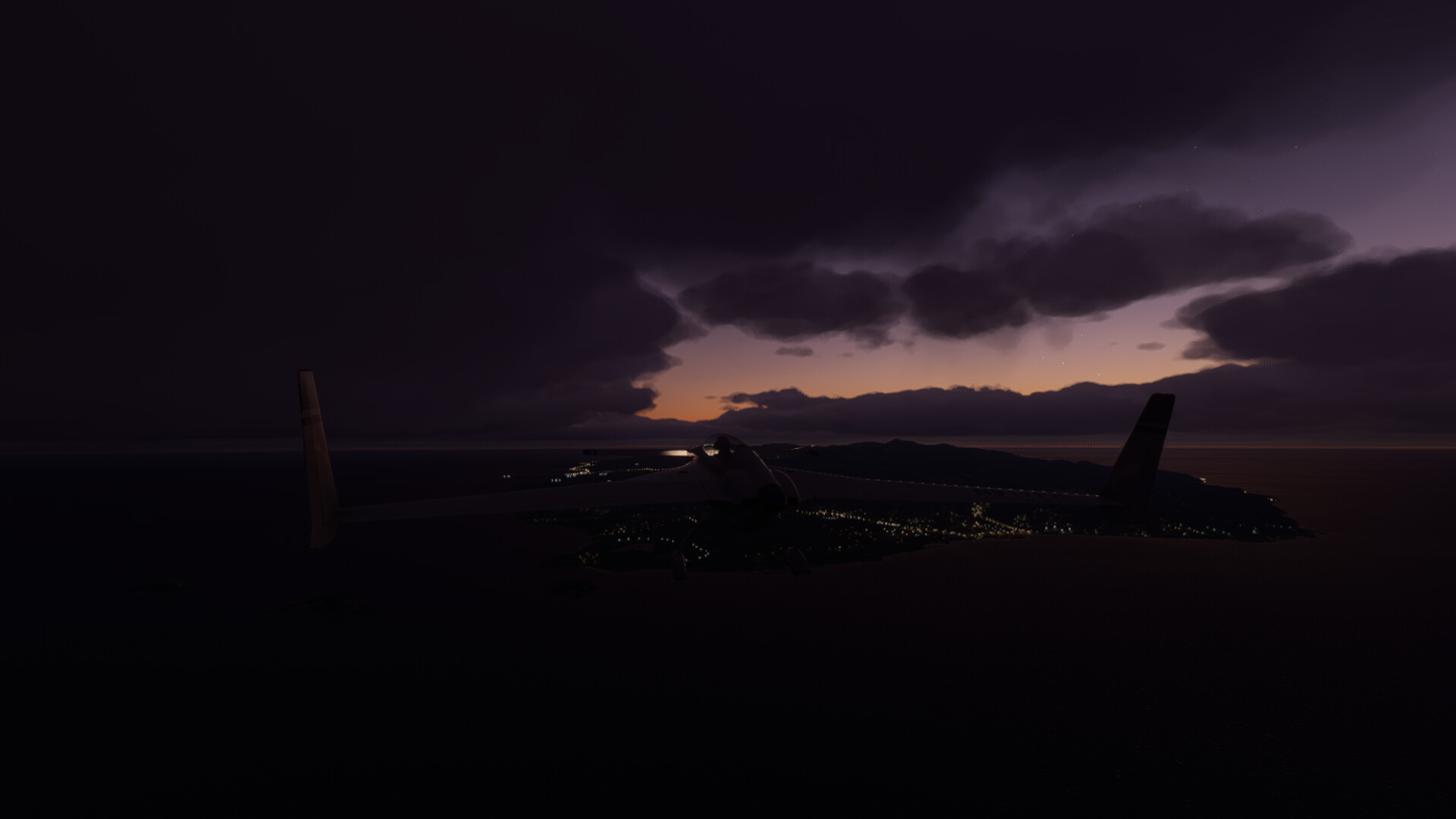
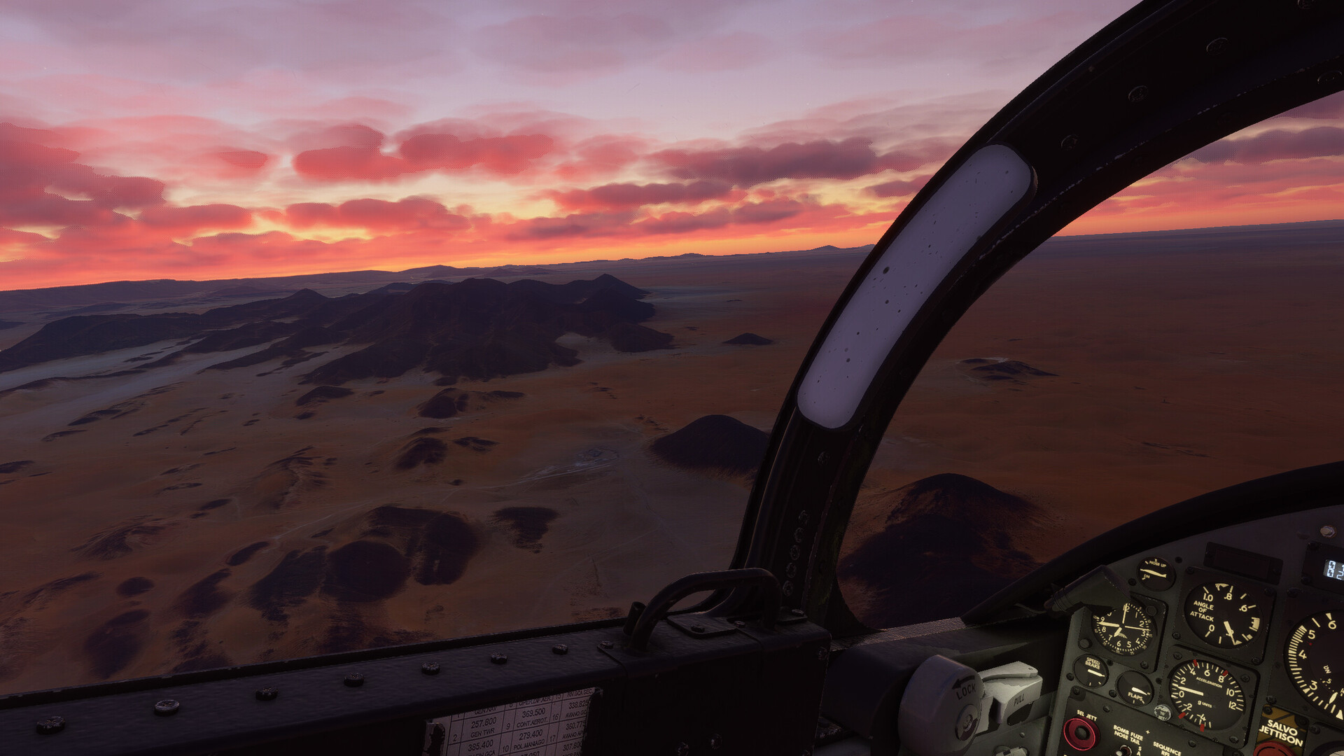
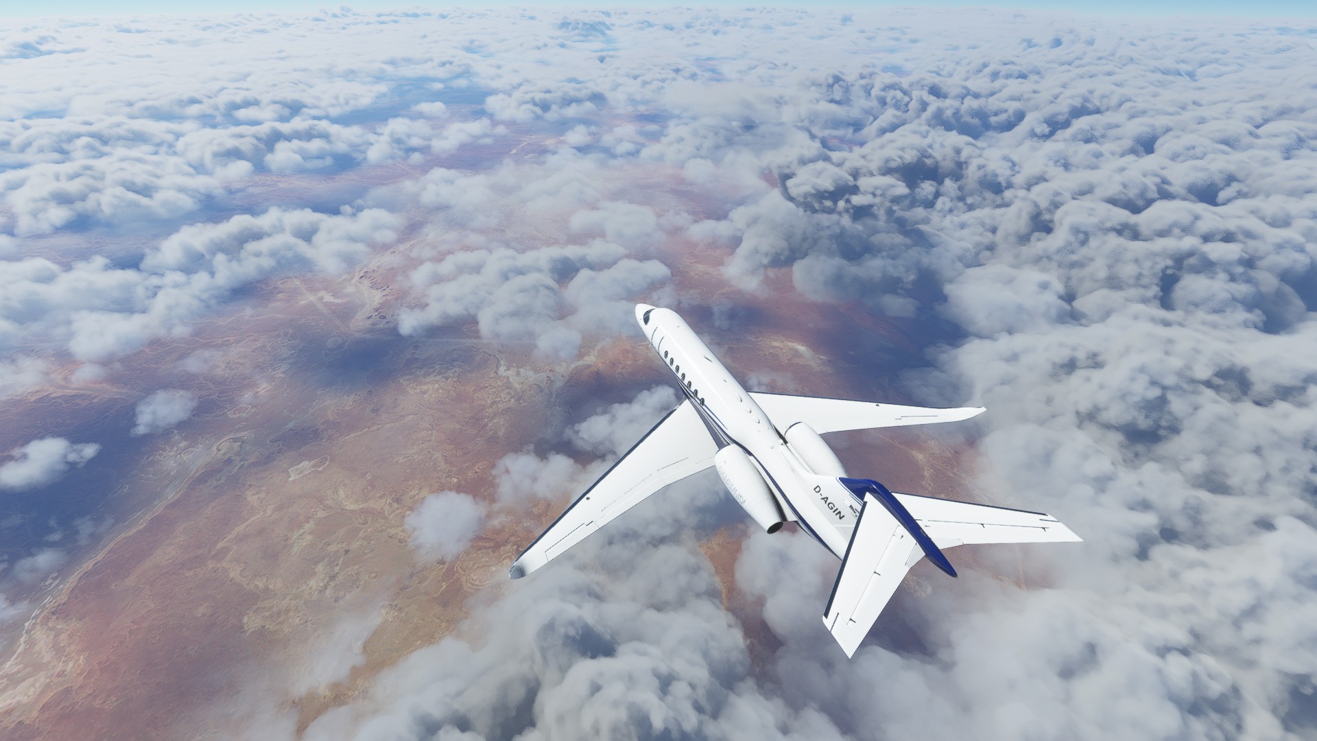
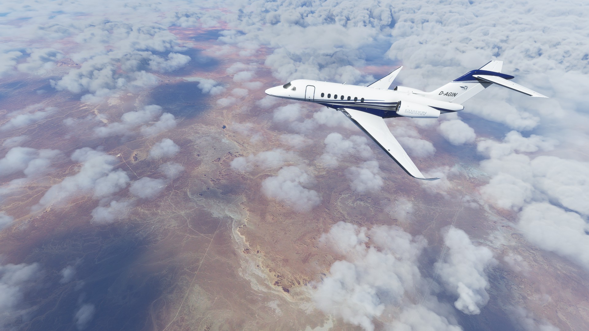
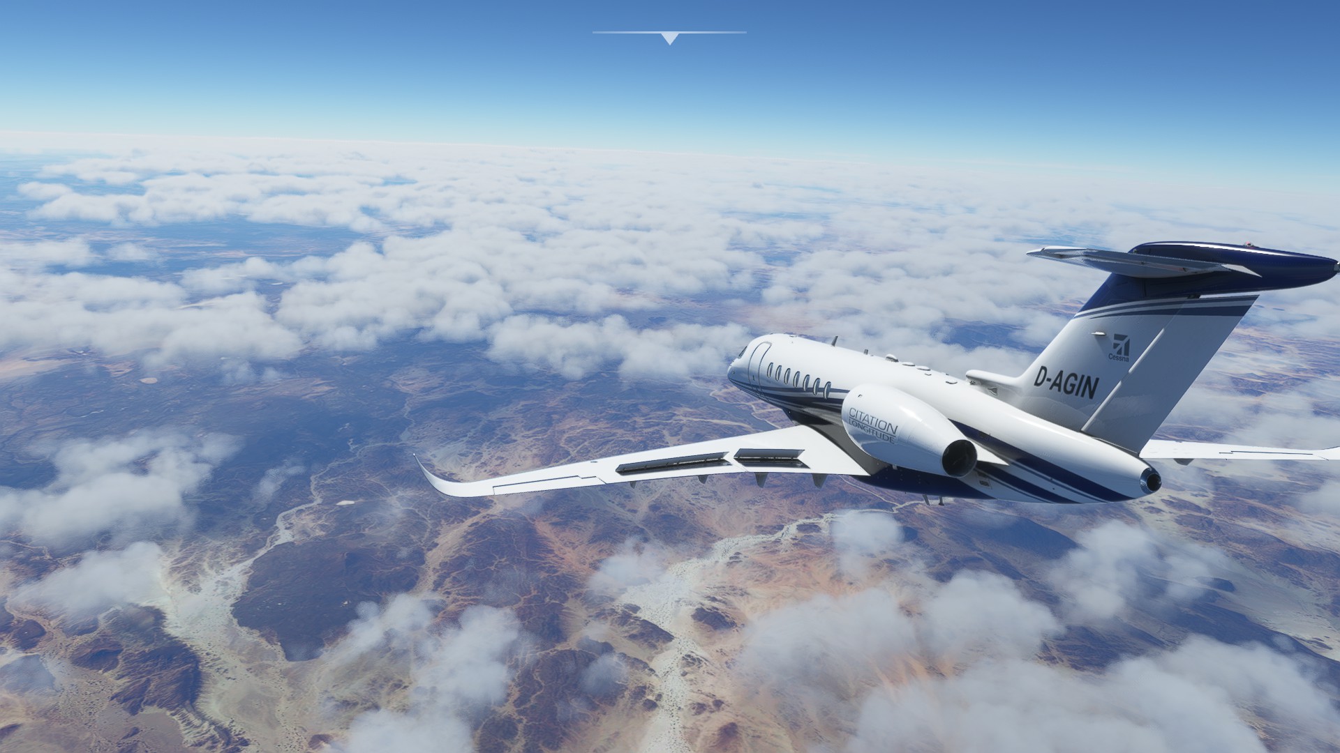
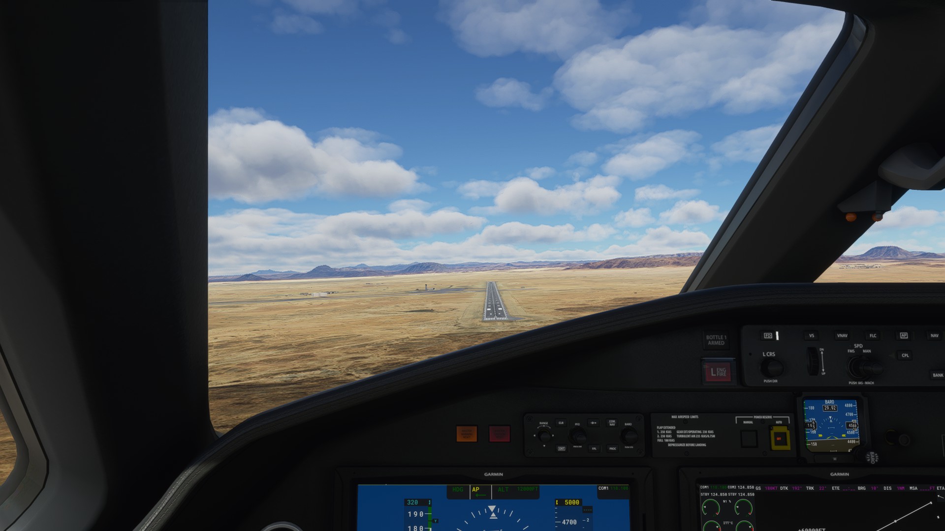
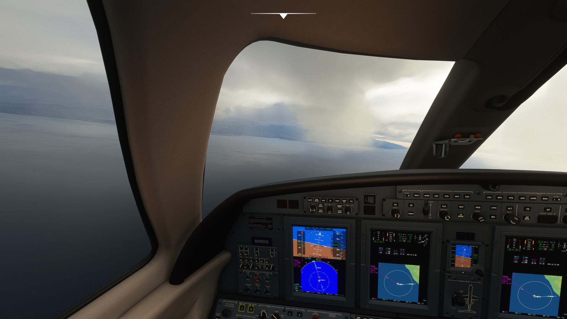
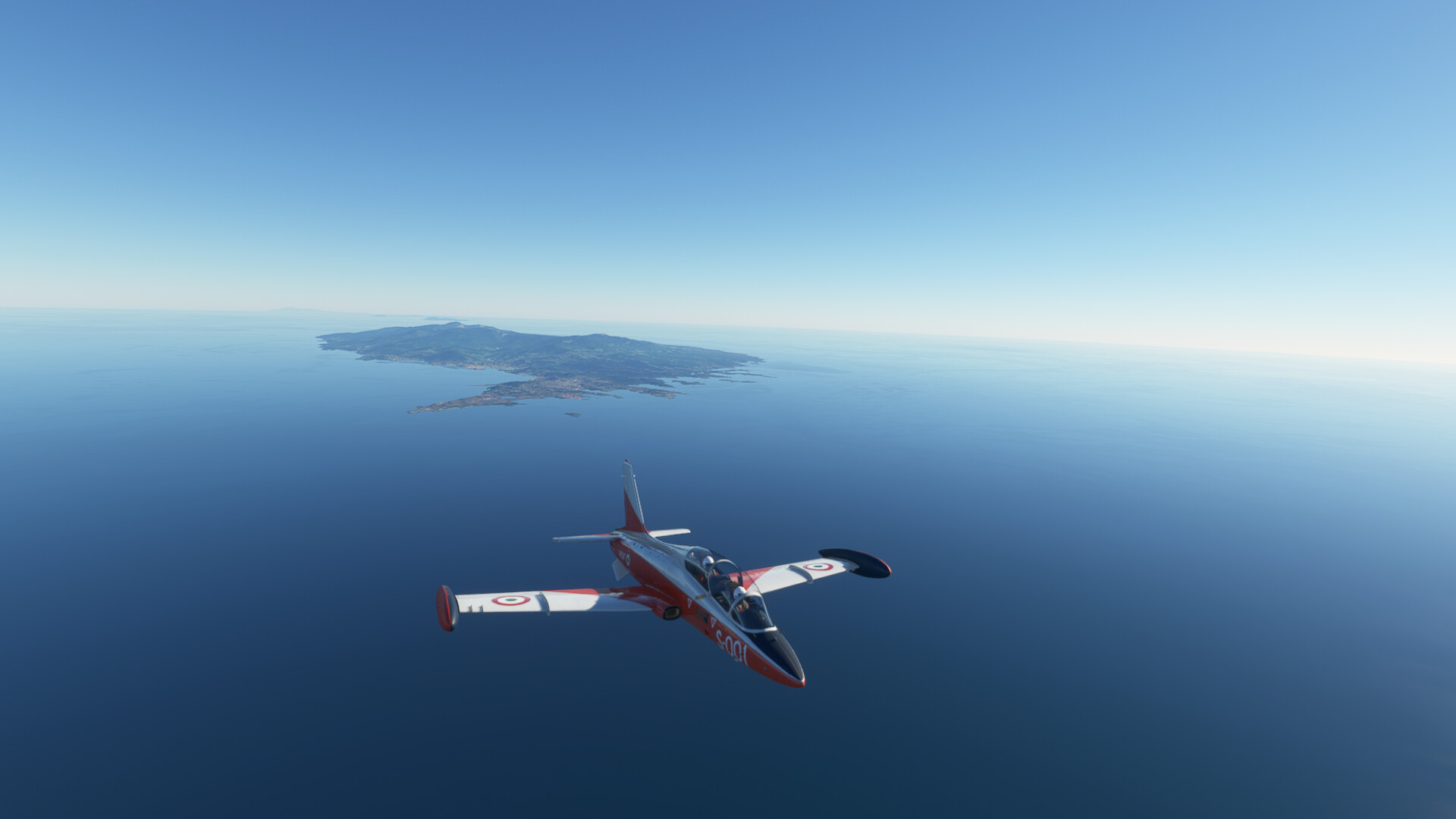
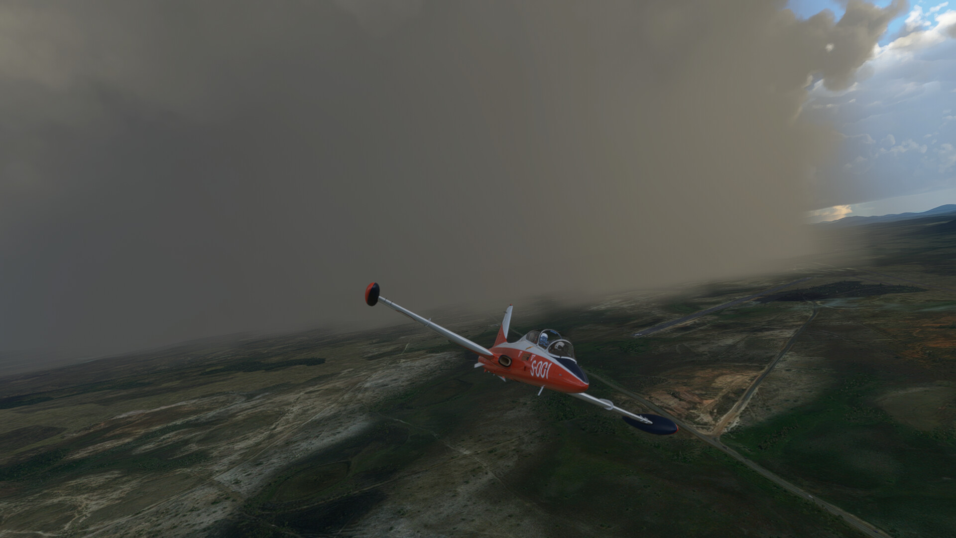
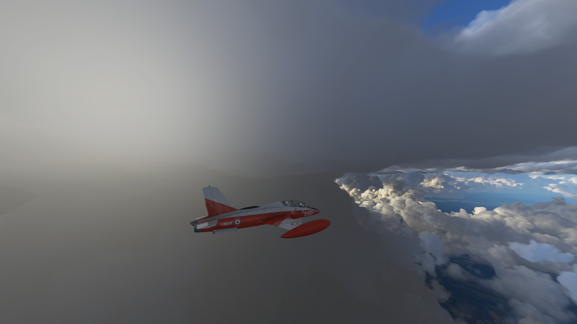
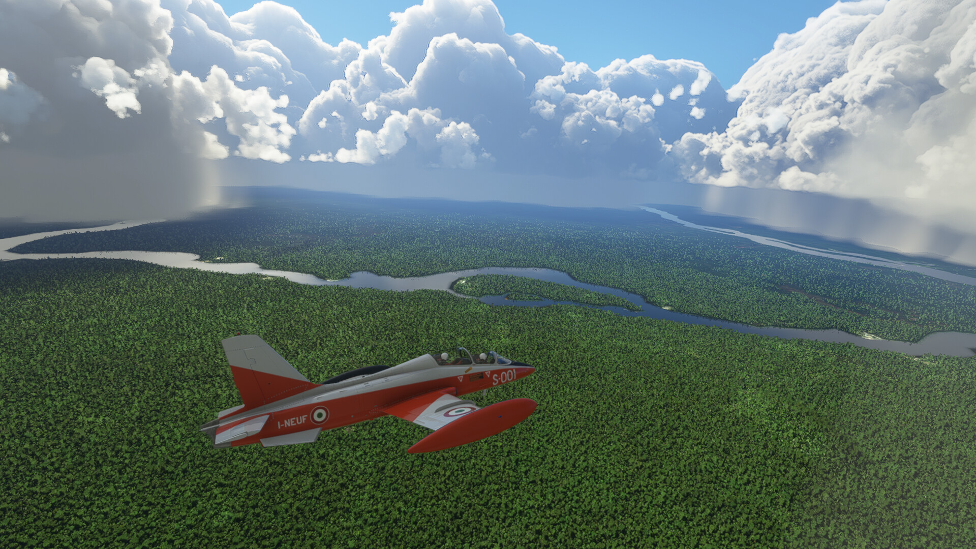
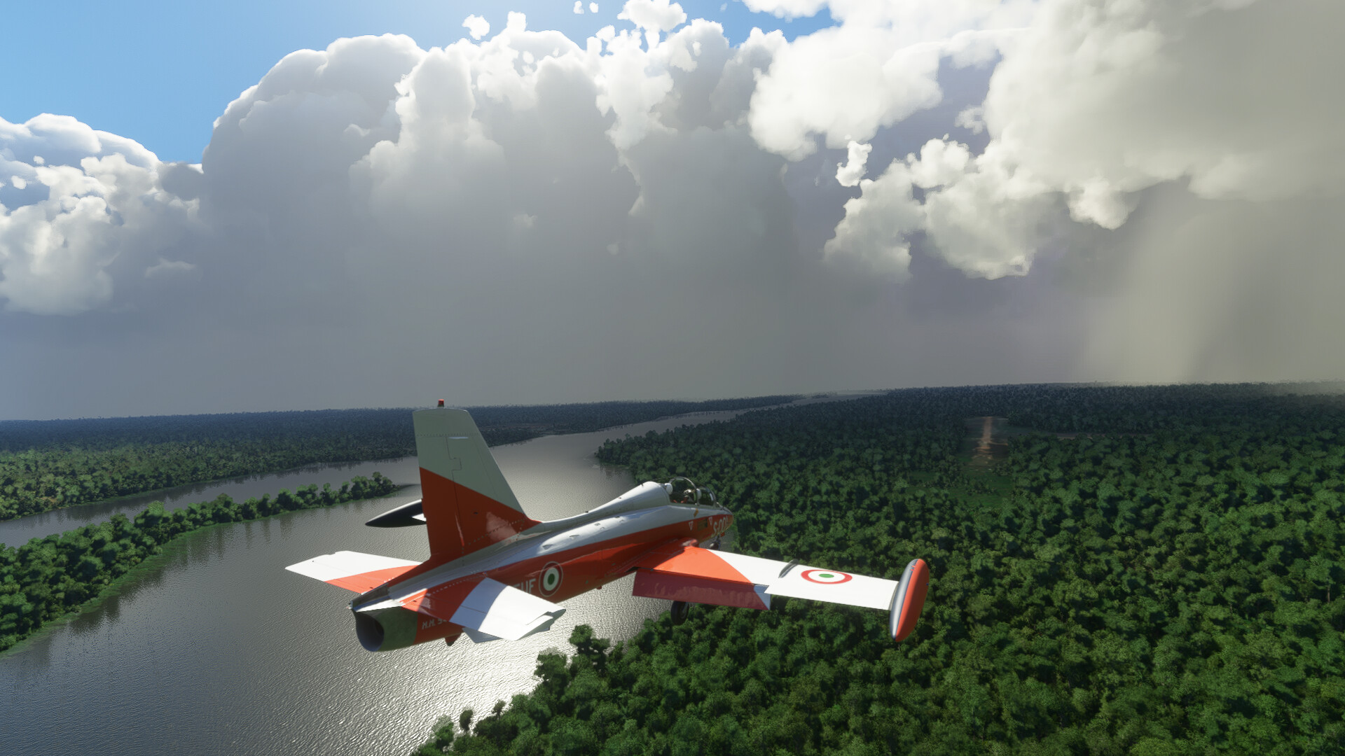
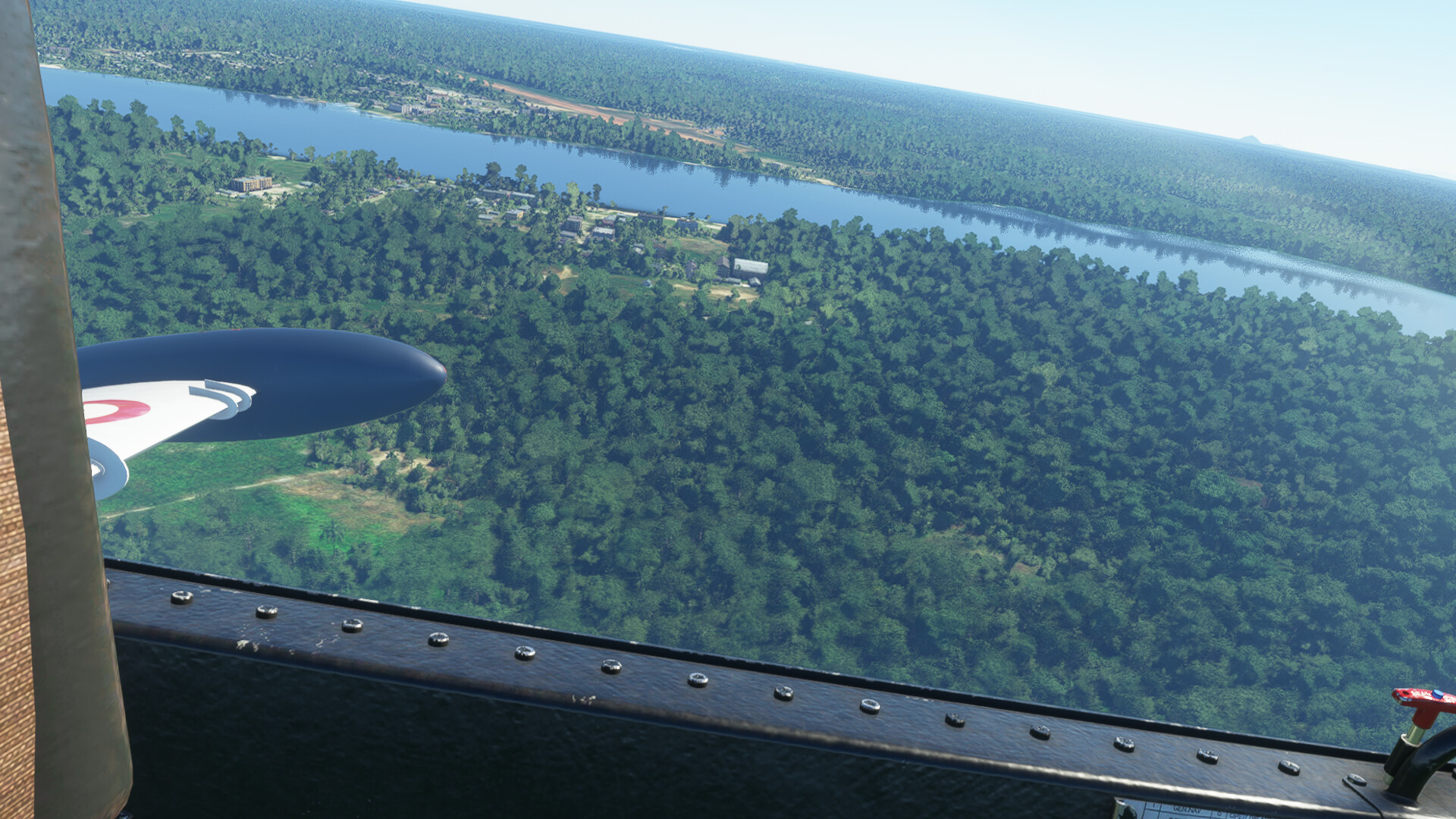
In the end, I saw some small runway lights in the darkness below and circled down the void what felt like forever from 35k feet to get down somewhere, whereever that was. I was really missing modern navigation instruments, a bubble canopy and a HUD, at this point, I can tell you that.

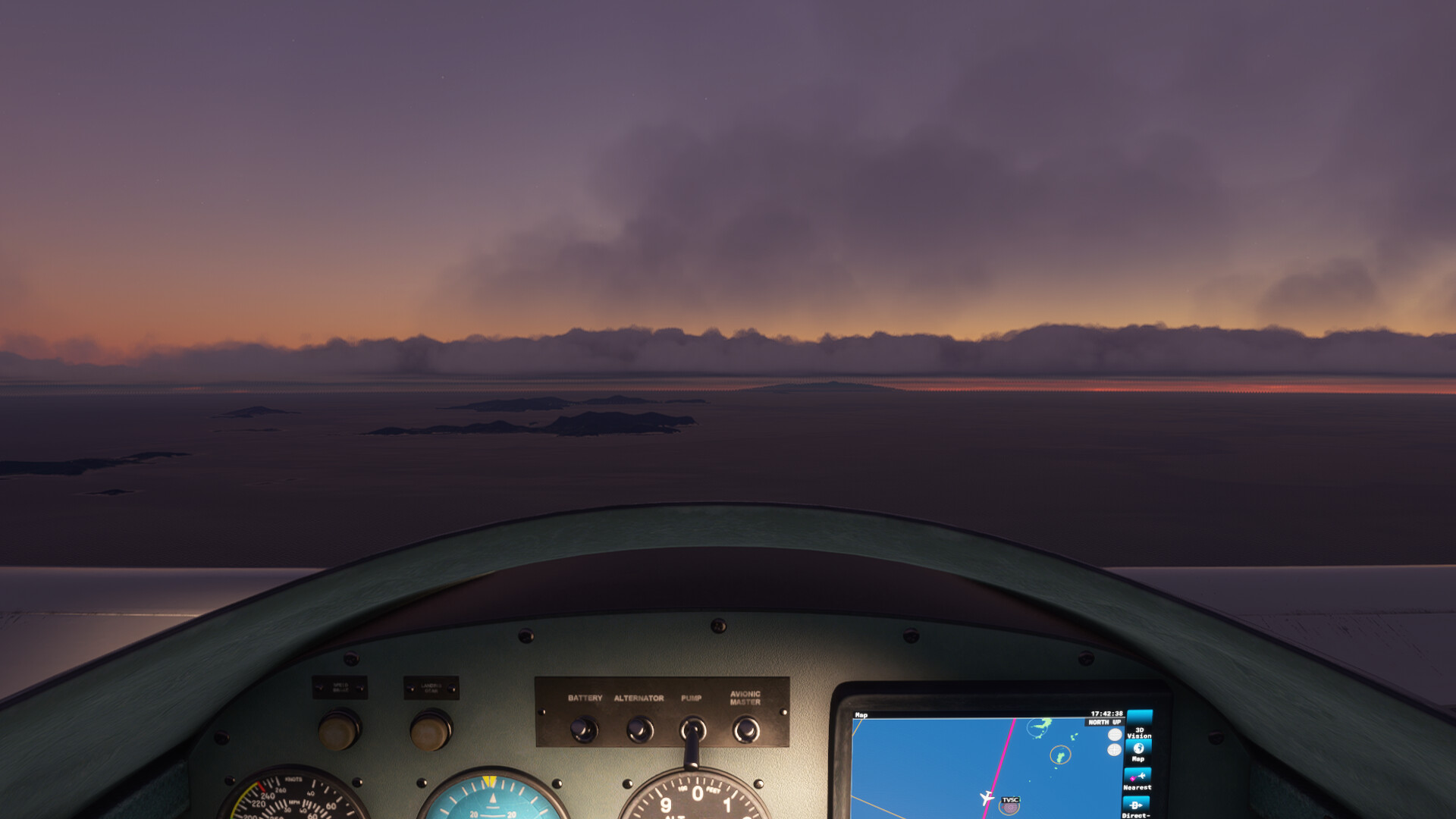
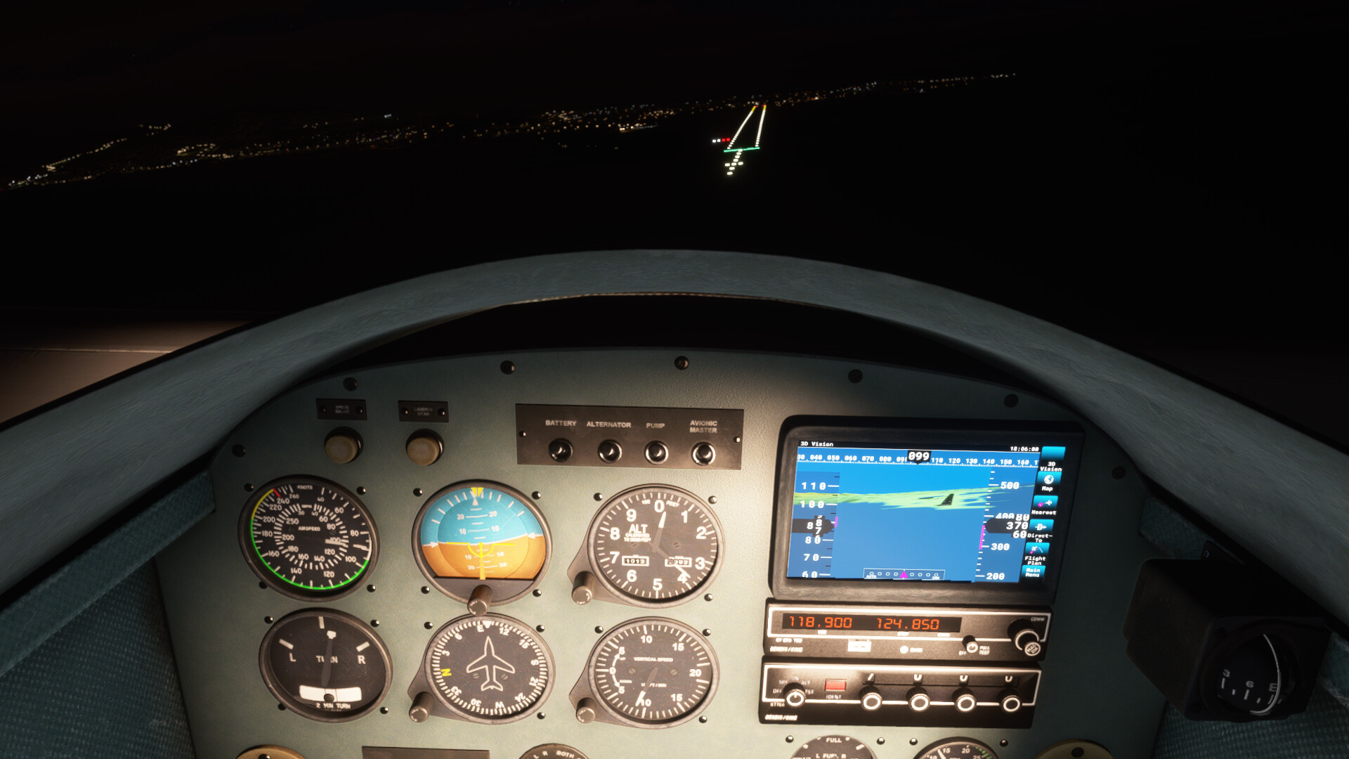
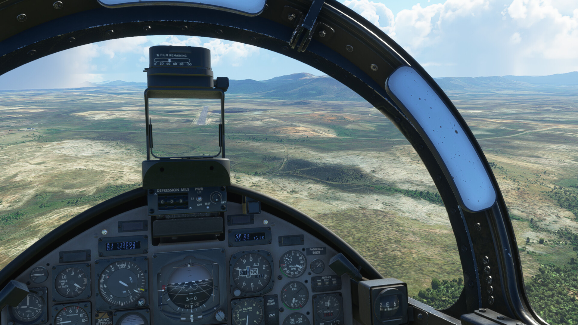
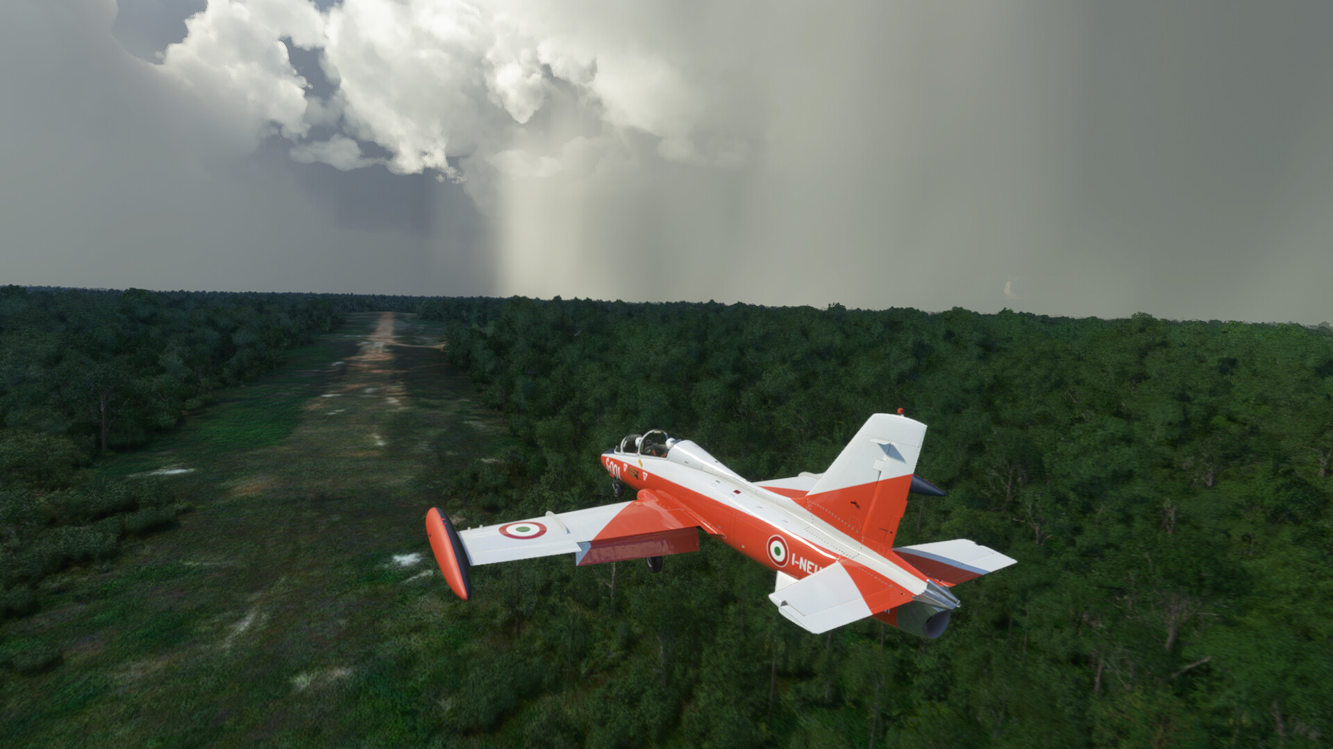
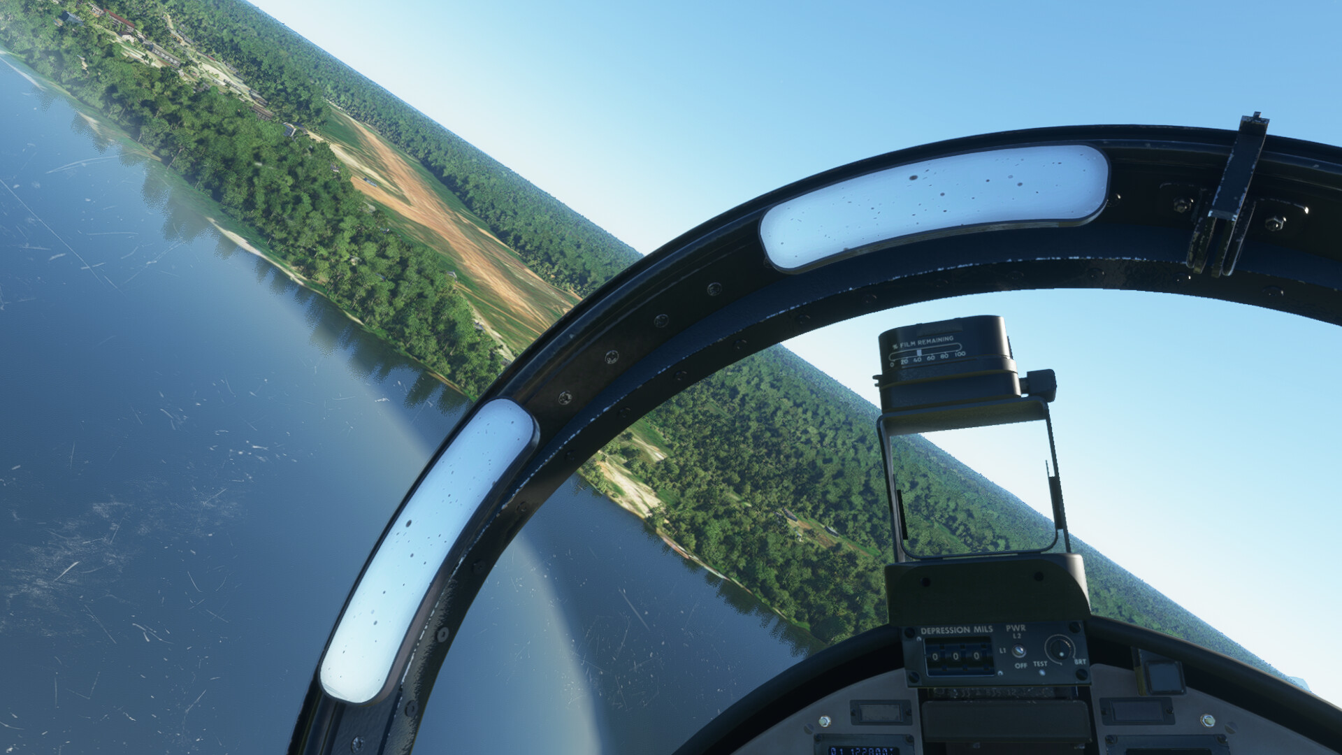
I managed to get down to pattern altitude based on the radar altimeter and I aligned the heading bug to the estimated runway heading. It was hard to do a pattern in the dark with only occasional glimpses of the minimal runway lights, though (just the single row of lights at the start and at the end of the runway).

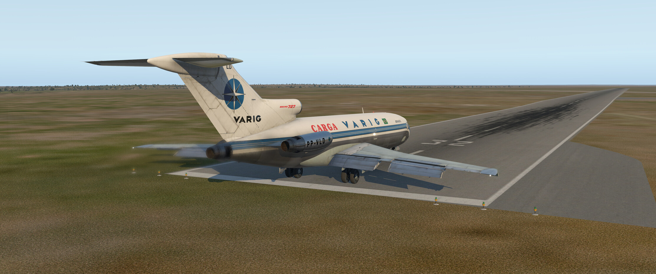
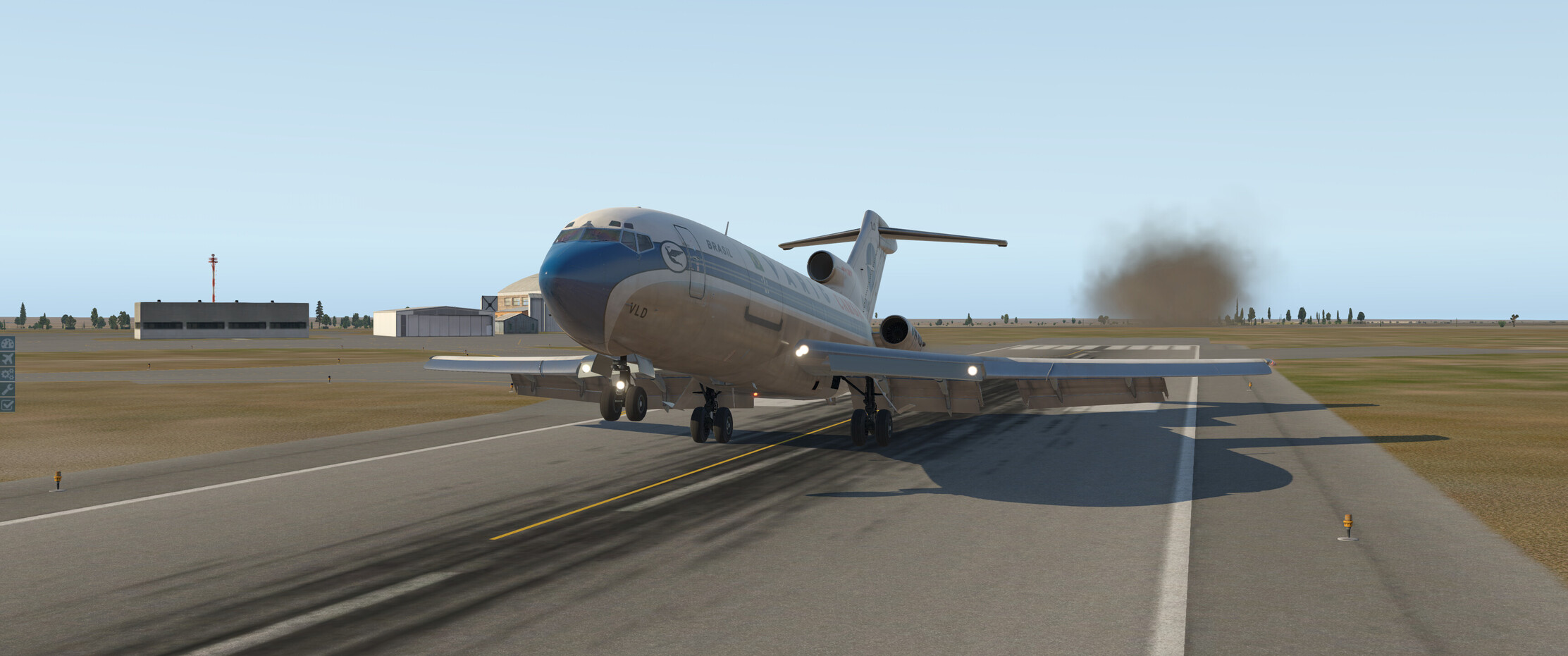
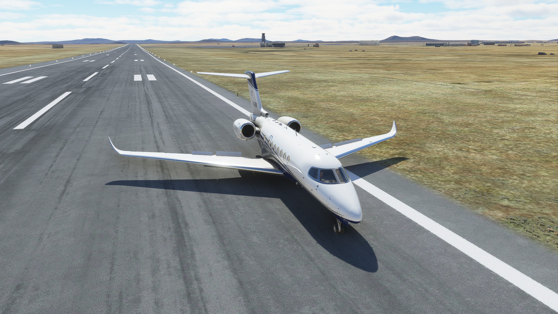
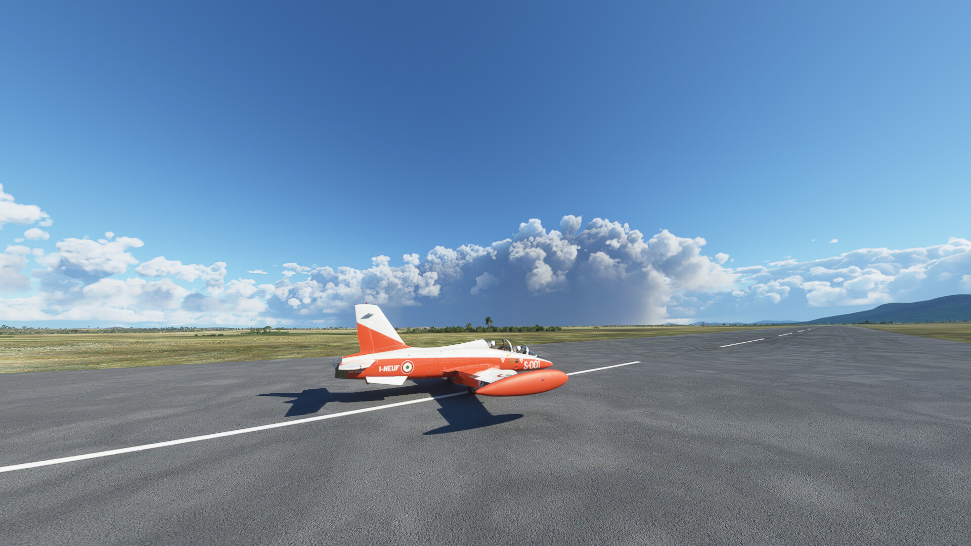
I landed a few meters short of the runway and collapsed the landing gear…but I didn’t blow up, so there’s that!

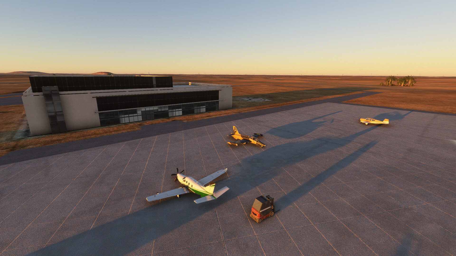
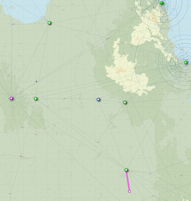
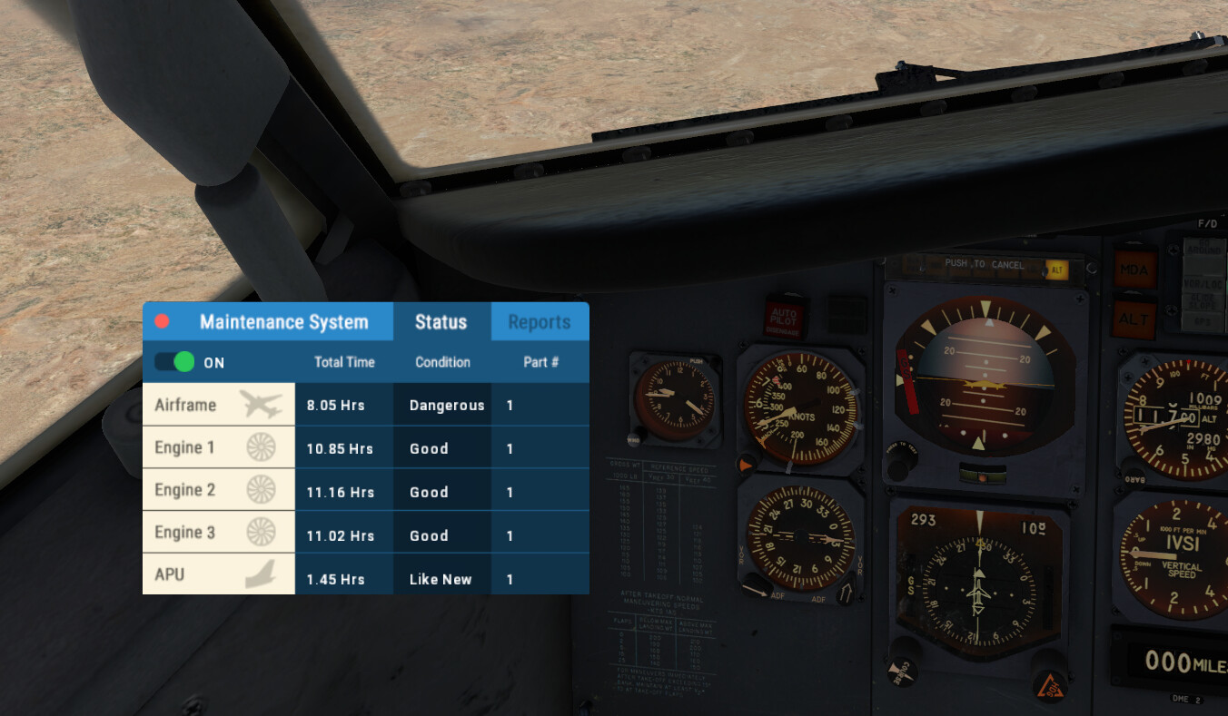
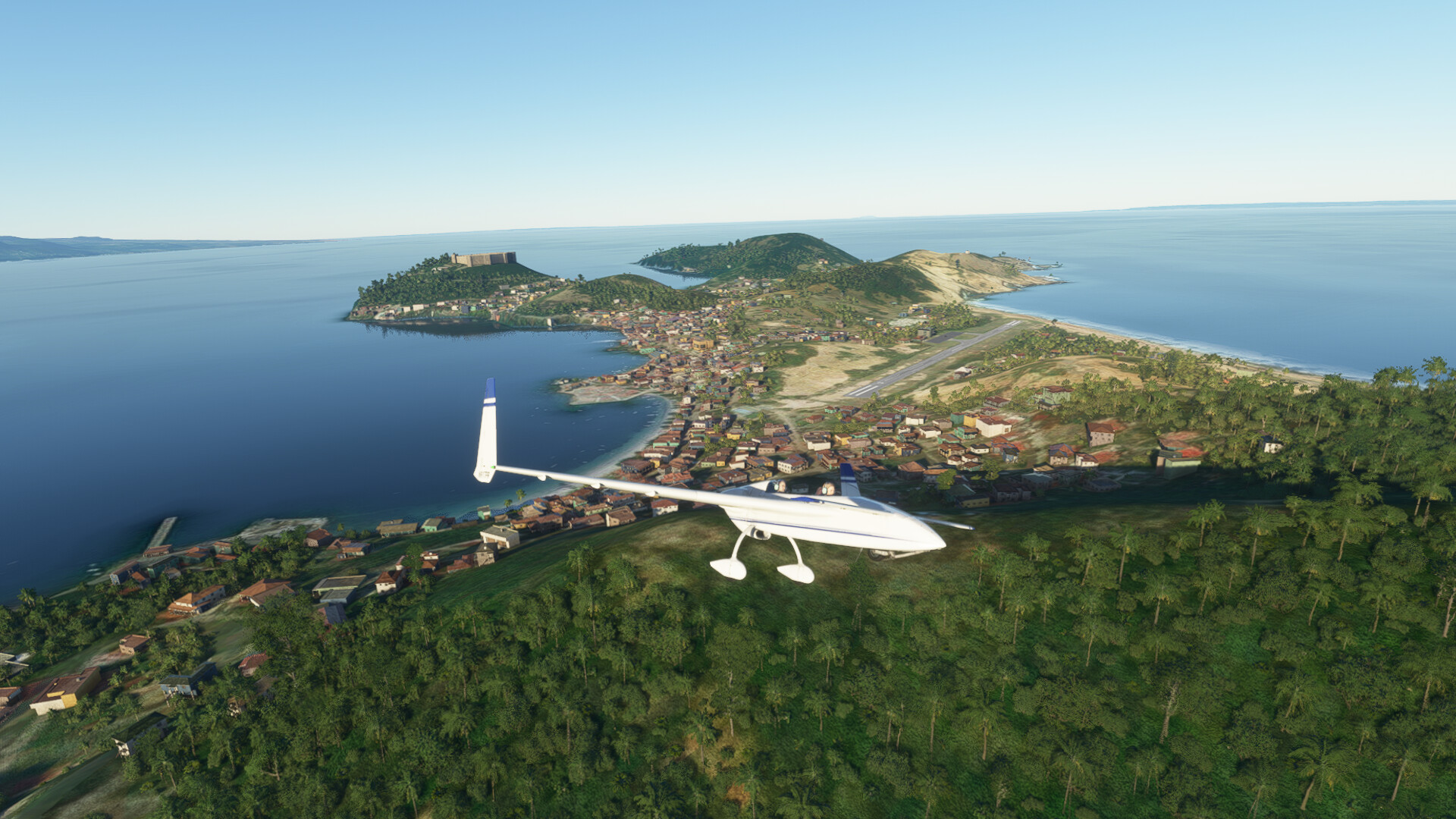
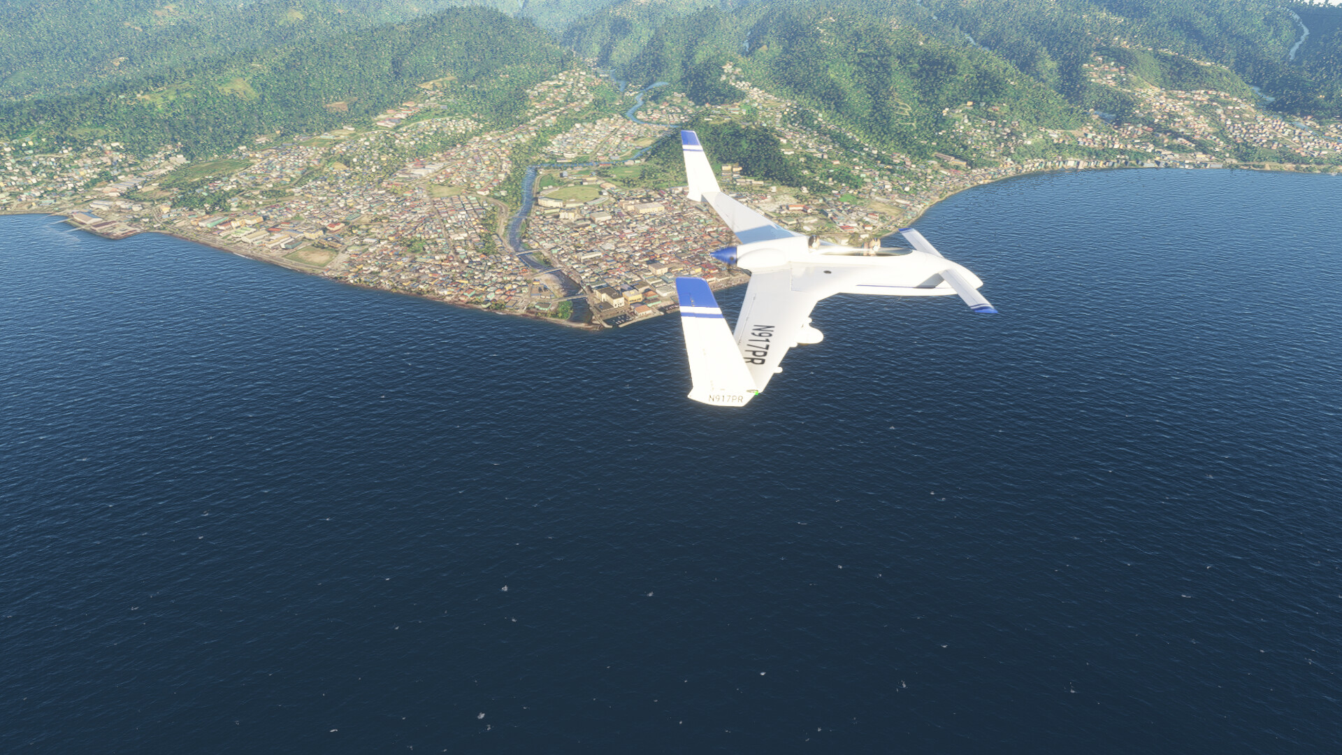
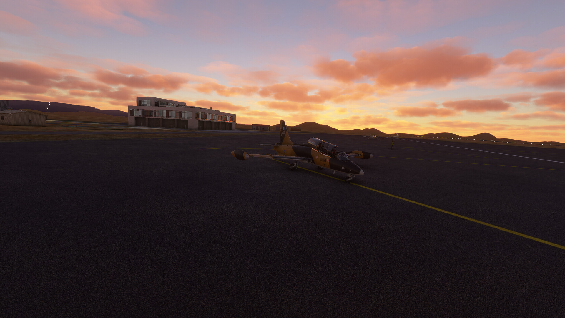
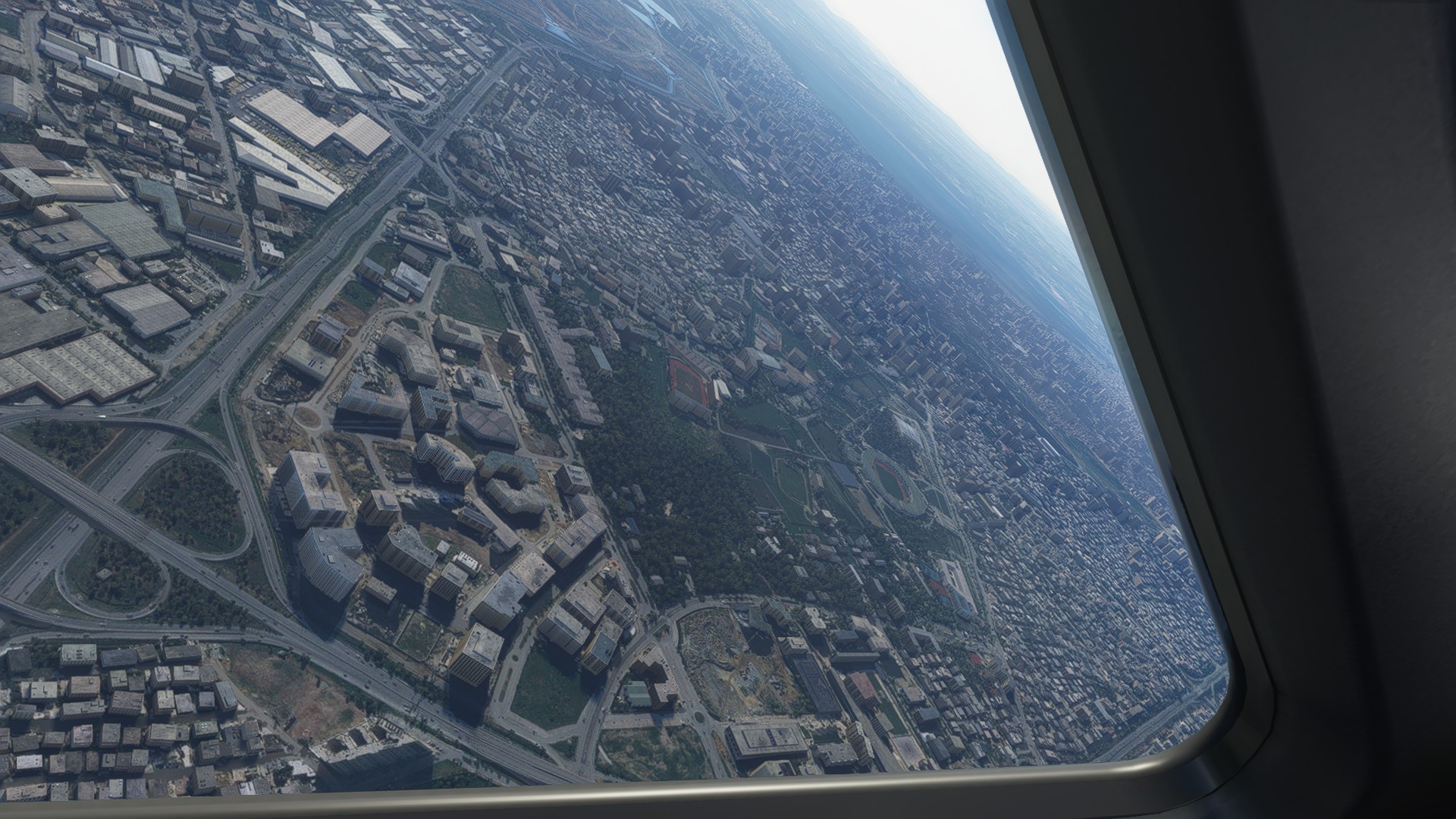
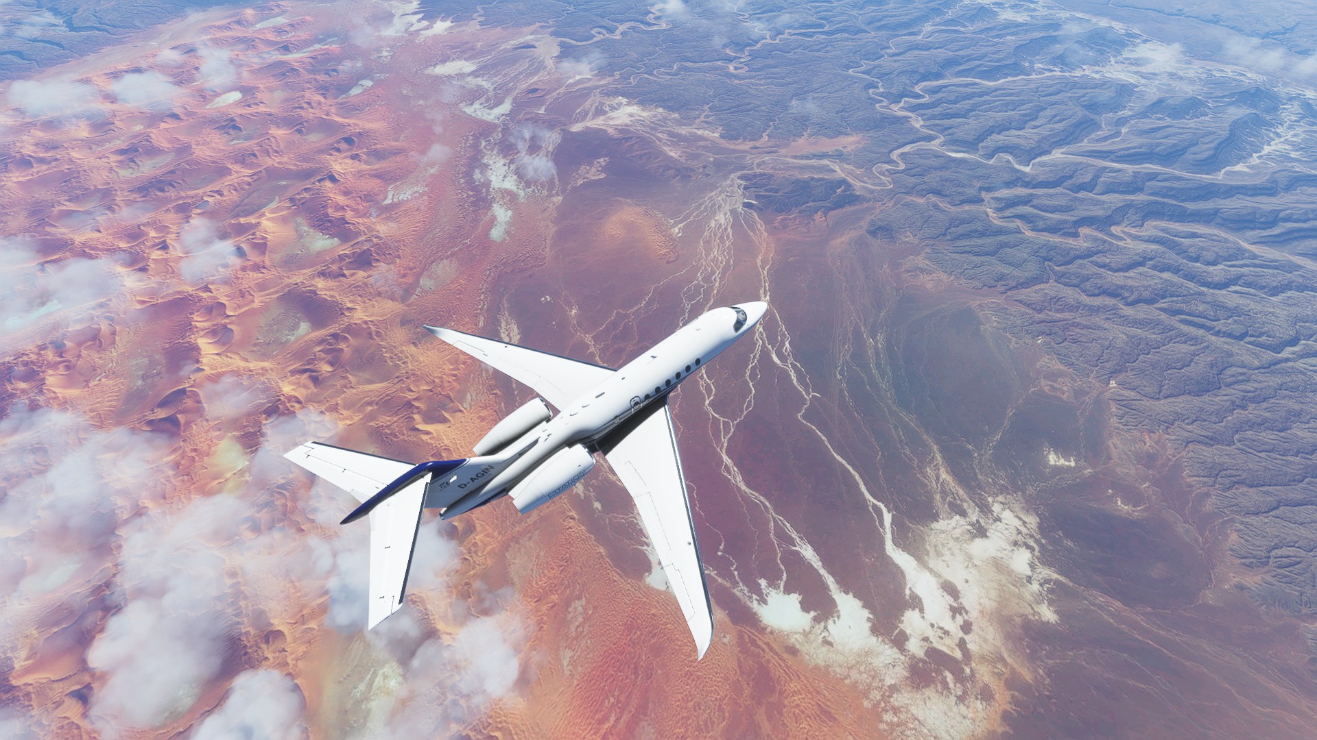
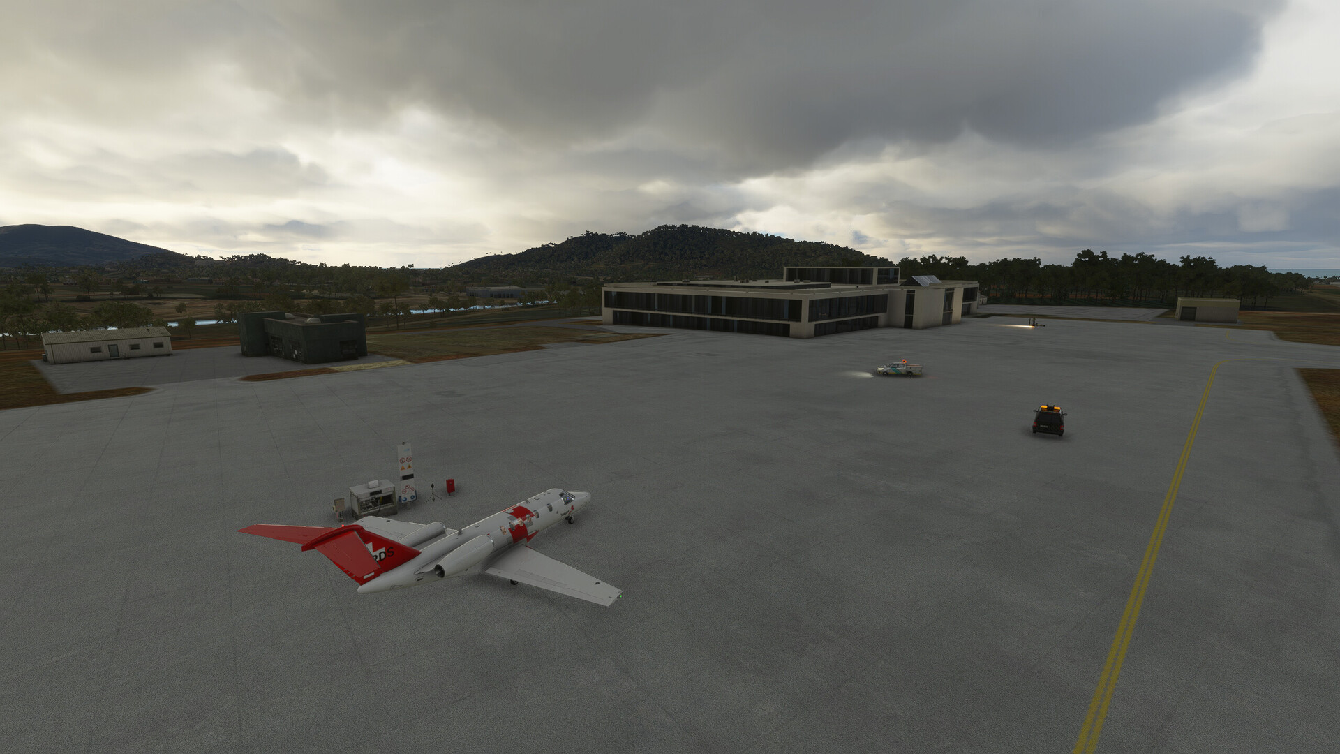
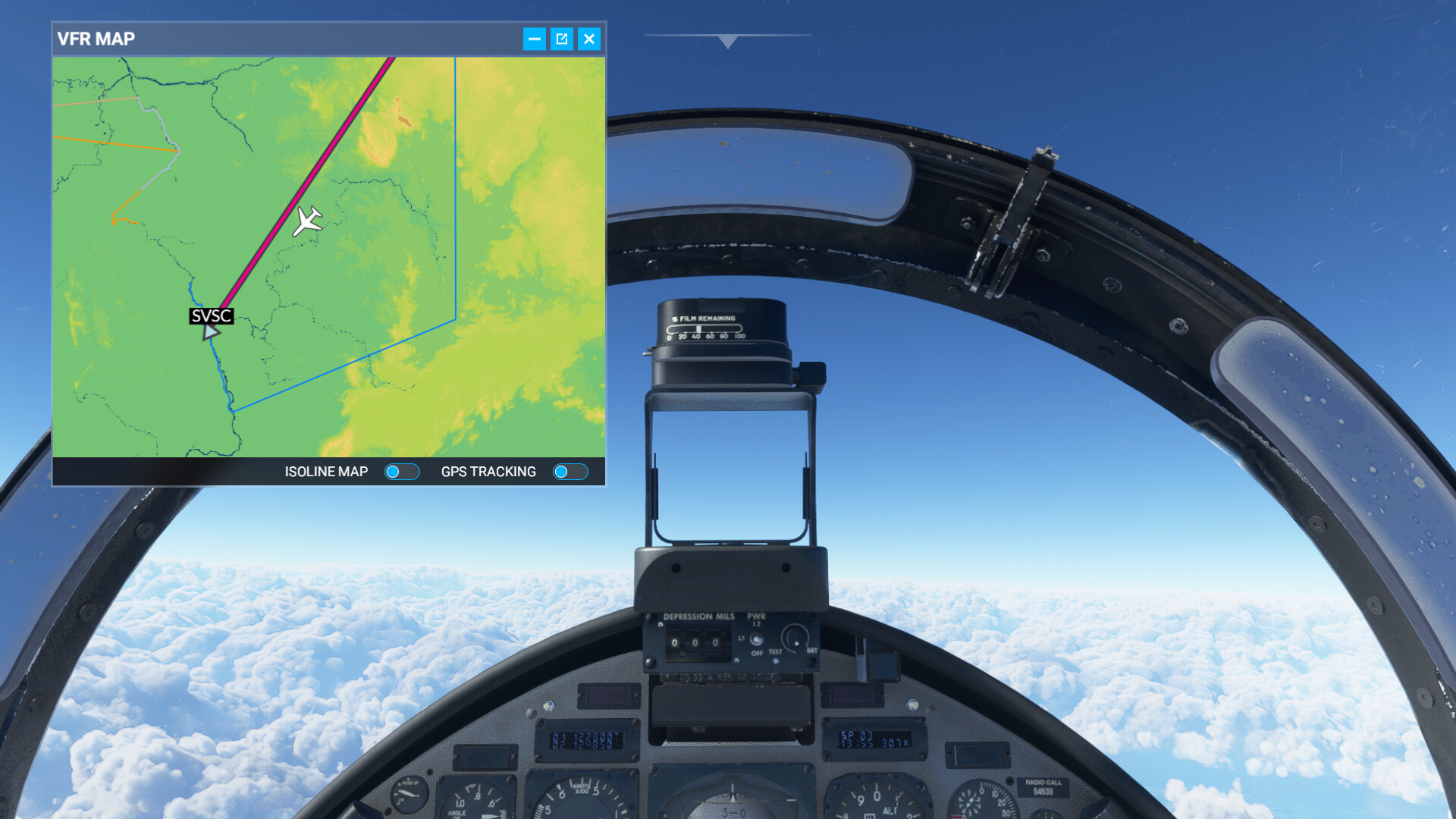
After landing, I found out that I was at Isisford airport, about 90 degrees off course from where I thought I’d be. So there’s that…also it’s a fairly short runway at 1372m / 4500 ft, which isn’t exactly heaps.

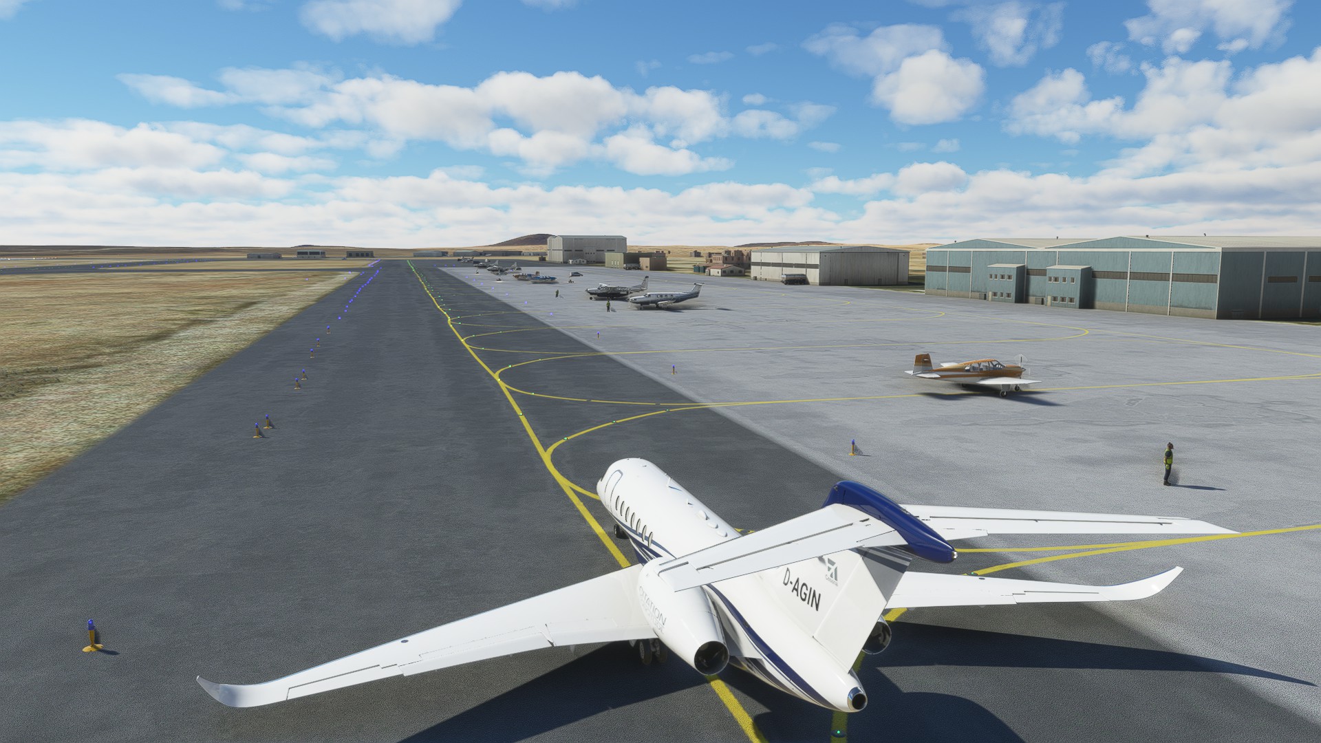
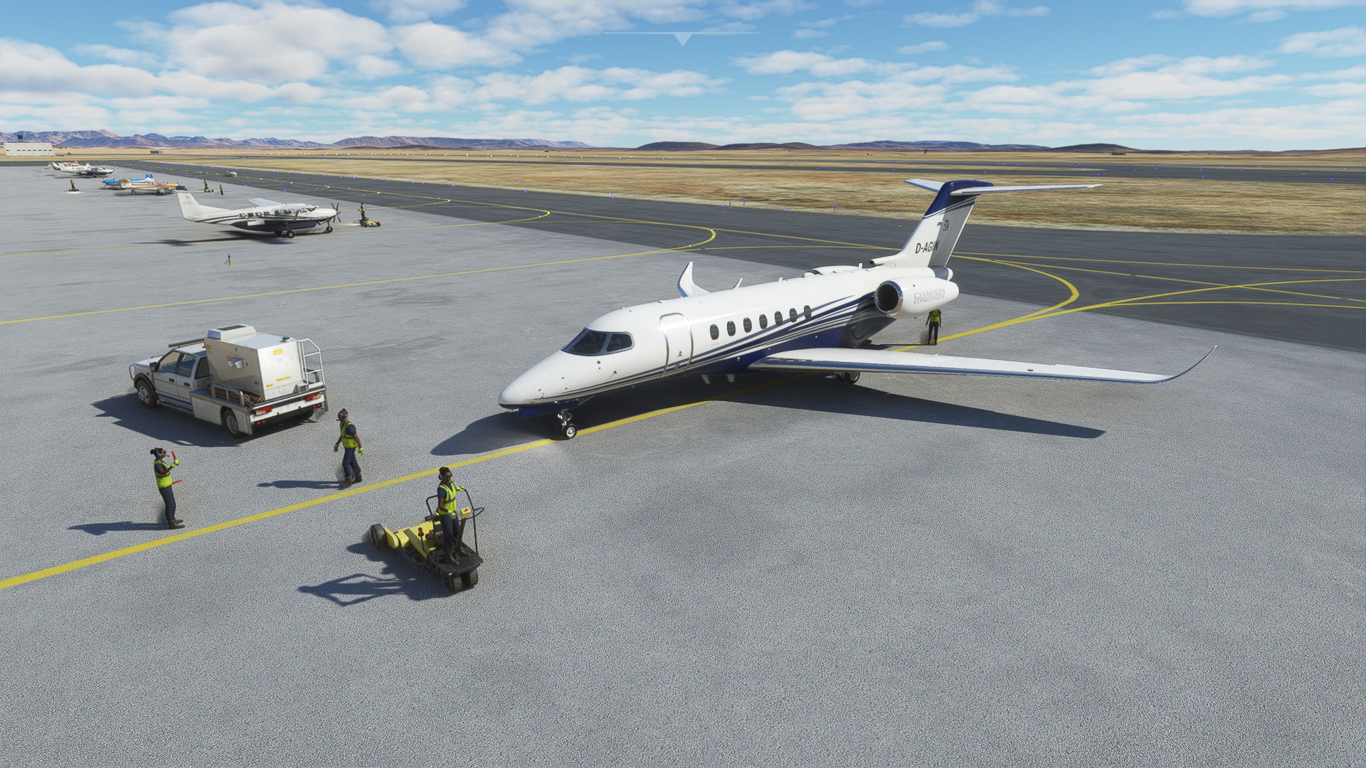
Luckily the little town had a certified Boeing garage, so I could get the landing gear fixed.

I had packed some kangaroo steaks in the converted first class space, which I left for the repair guys as thanks to save weight to minimise the takeoff distance. I couldn’t let go of the NZ pale ale, though - I won’t be able to find replacements for those in the Australian outback.

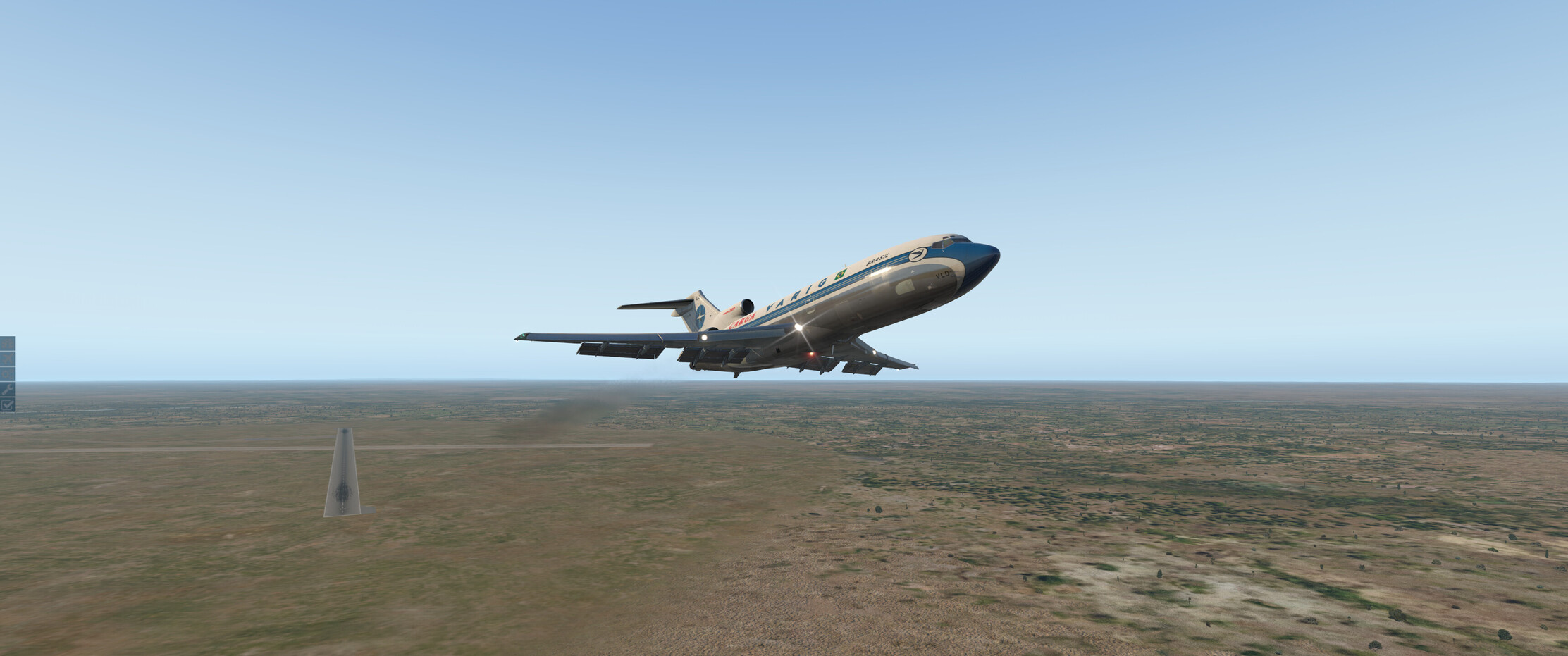
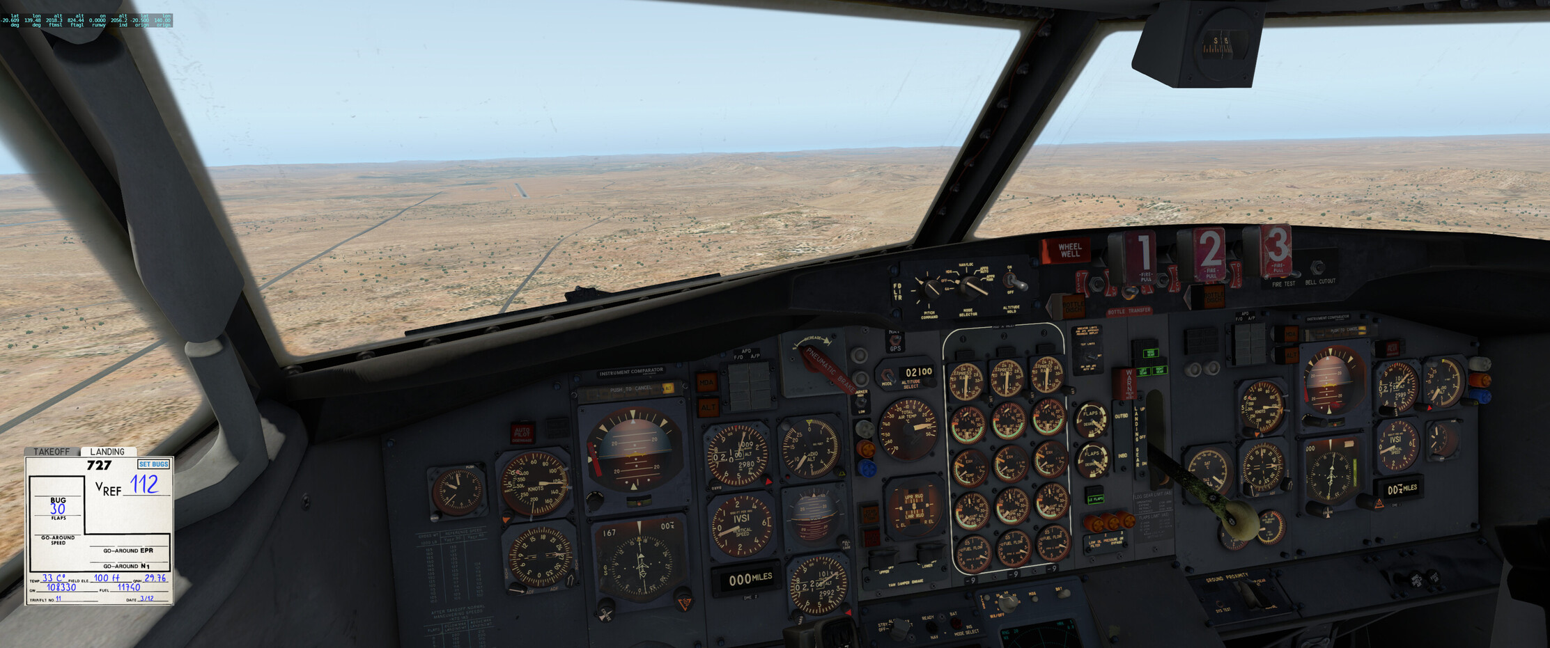
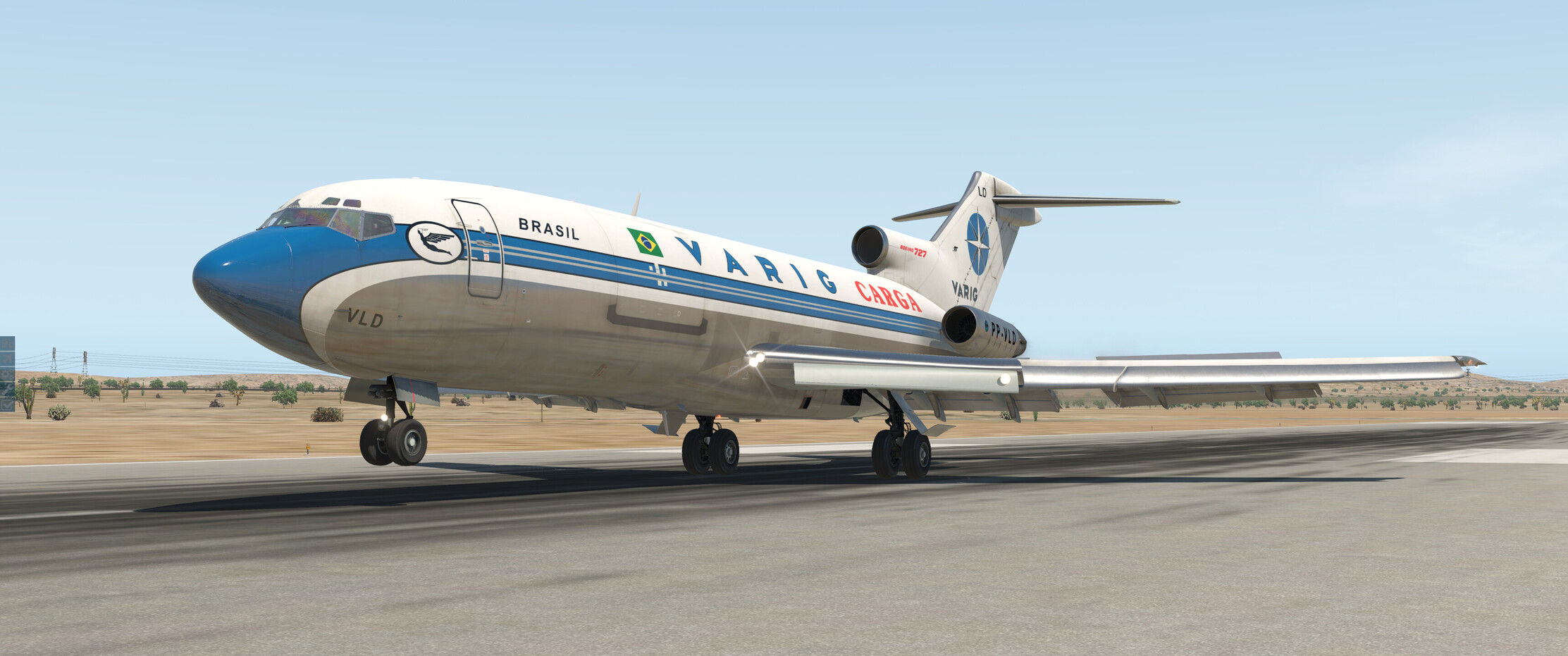
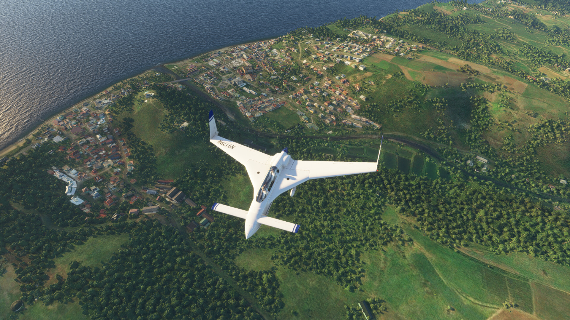
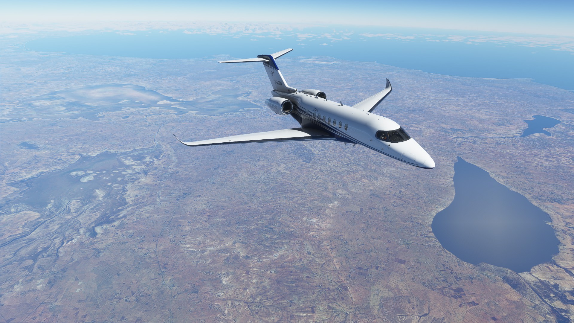
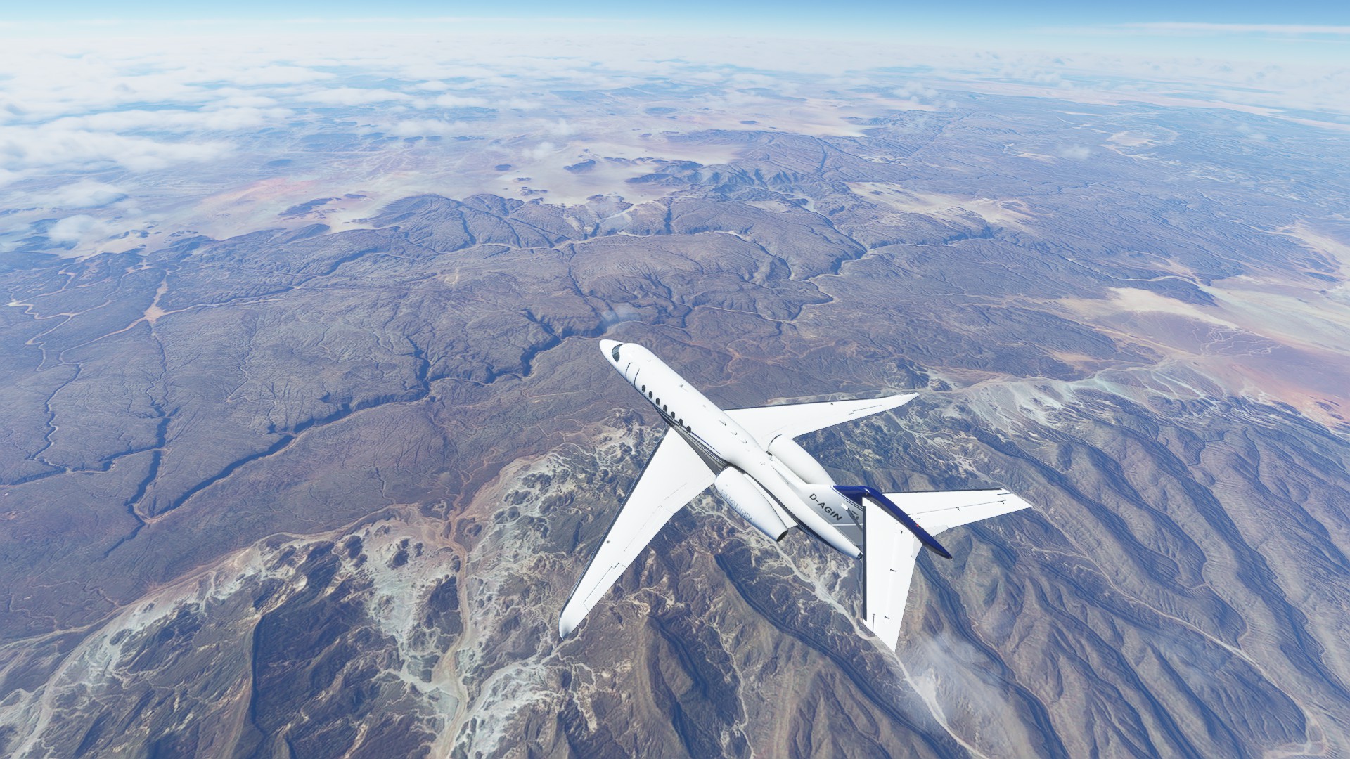
Hence, I took onboard one hours’ worth of fuel and backed right to the edge of the runway, with the plan to do a short hop to another nearby outback field 50NM out, Longreach, with an NDB beacon and a 6400 ft runway.

I held the brakes until takeoff EPR was reached and took off with 25 flaps. Luckily, the -100 is a bit of a pocket rocket, so she stopped gripping the runway well before it ran out, despite the warm day.

I haven’t been able to find a takeoff run chart for the 727-100 yet, so the takeoff run was based on hopes and dreams.

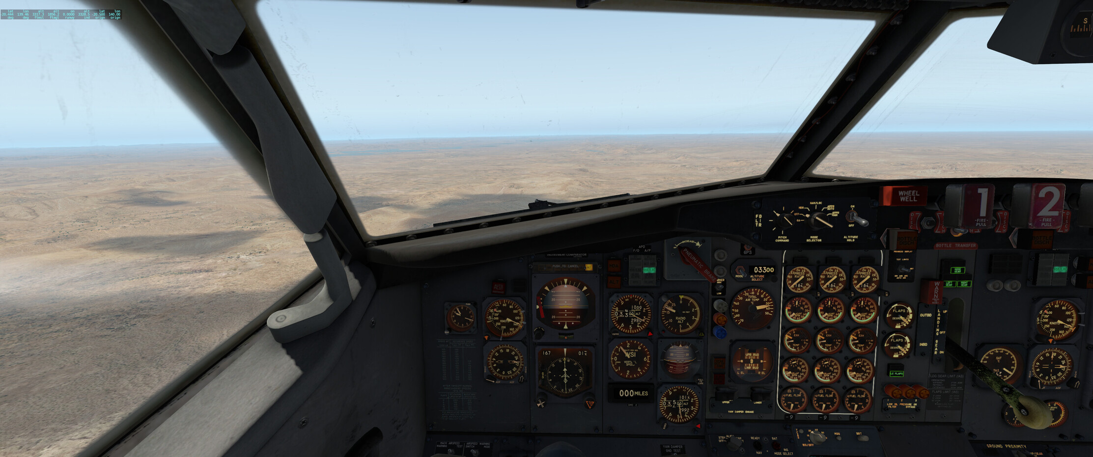
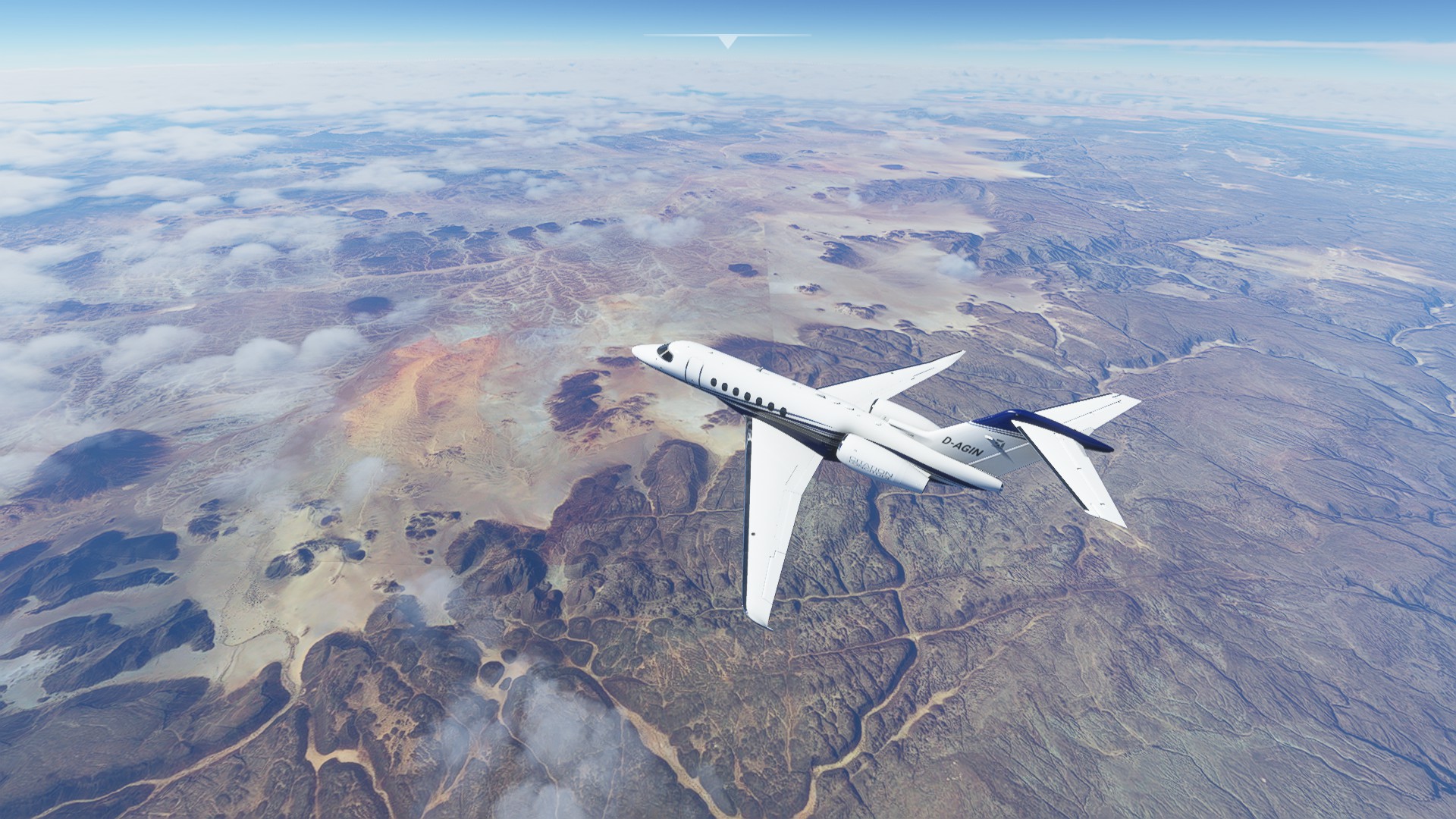
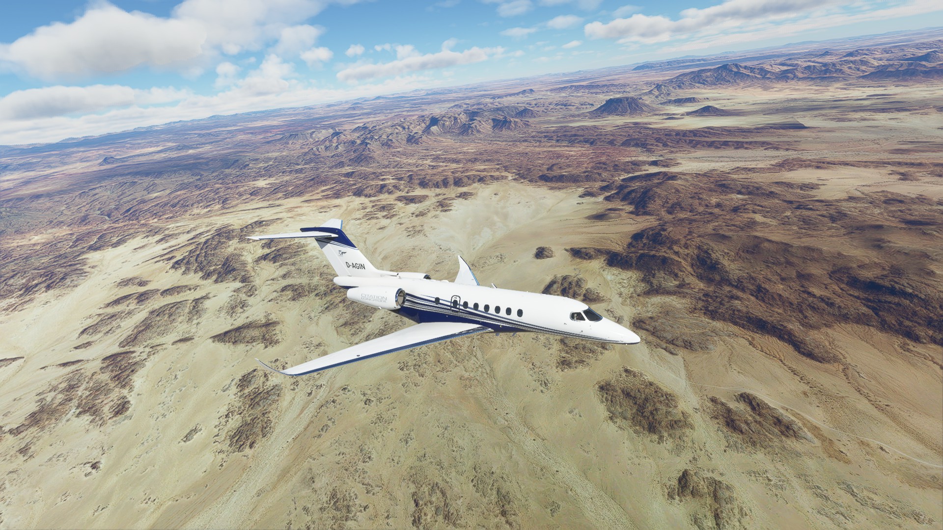
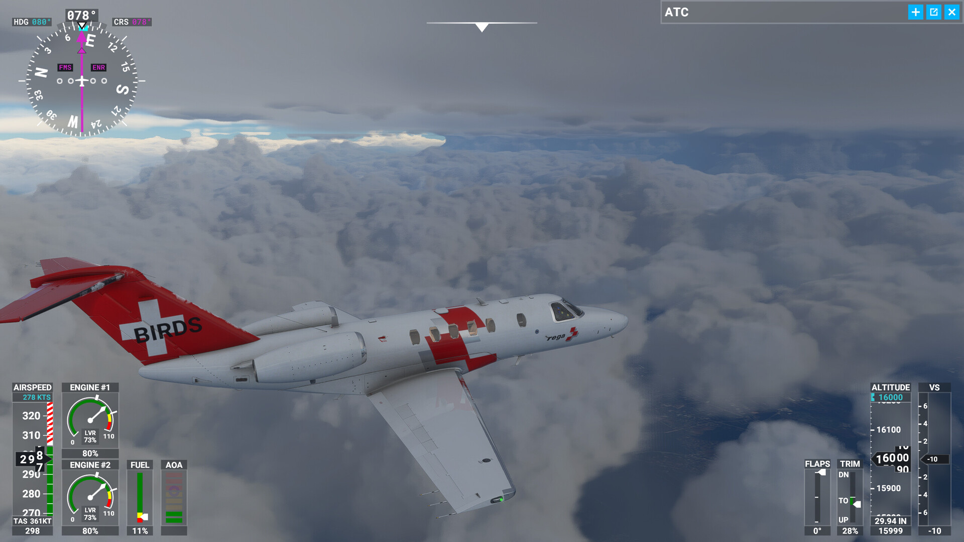
I meandered up to Longreach at 4000ft and 250kts and tuned in on the NDB on the ADF to assist in spotting the small settlement and the runway.

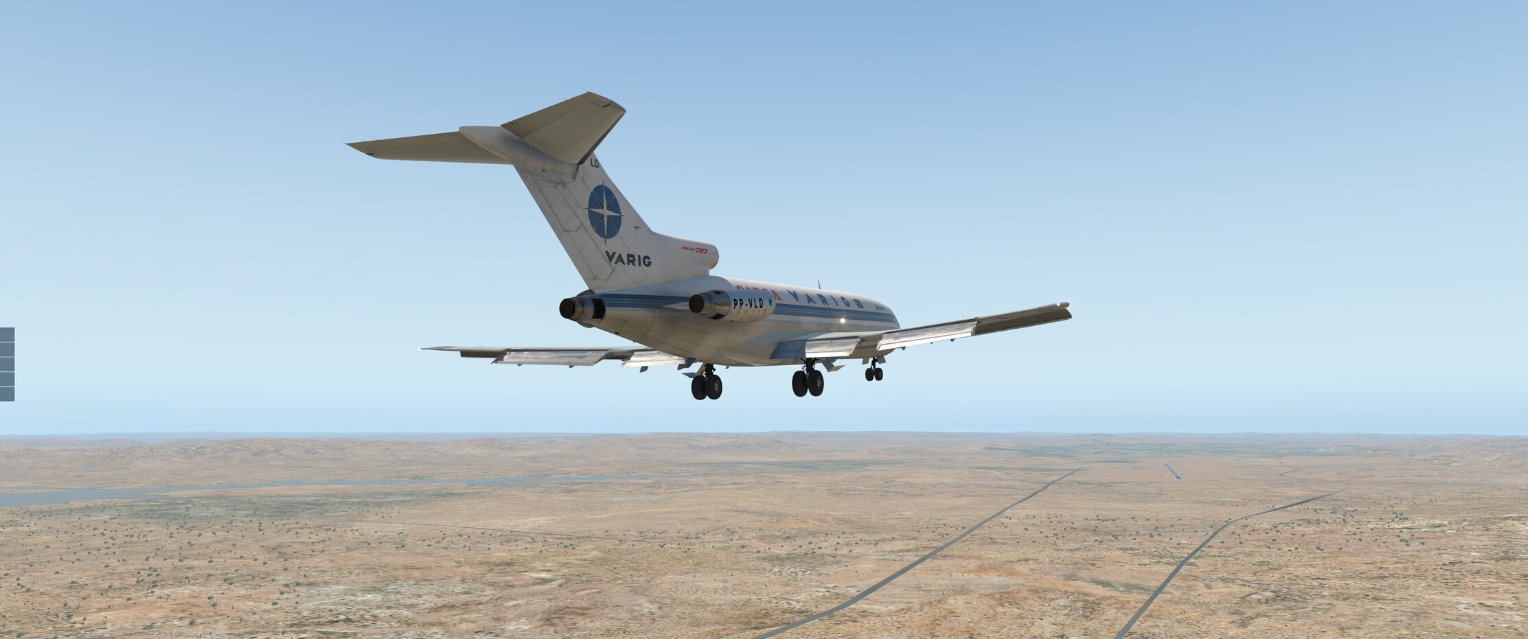
I landed at full flaps, something I think isn’t generally done because of the very slow speeds involved…but I figured I’ve broken enough rules and landing gears by now that using an extreme flap setting is pretty vanilla in comparison. She really does stop on a dime, though - I had heaps of runway left in front of me (the best kind or runway - much better than having heaps of runway left behind me).

I’ll refuel and try to recover some of the lost time now during daylight hours, with no beer involved…see where that leads.

6 Likes

3 Likes

Hm, the aircon just failed and I had to scuttle back to safer altitudes right quick…that’s unfortunate.

Also, going through the maintenance notes en route, it seems like I bent the bird a little after all on that rough landing last night. Oops… :rofl: The good news is, the APU is good as new!

7 Likes

Oh dear…funny, we just got a memo from the Mothership™ the other day reminding us (OK…telling us) line pilots that we are not qualified to restow deployed passenger oxygen masks. Not that any of us King Air pilots have EVER pulled the wrong overhead knob in the old B200 (one is arm / one is deploy). Nobody has ever pulled the wrong one. Particularly the new guys. Particularly the tired old guys. Never. And we certainly never would have restowed the “rubber jungle” to avoid the ire of the maintenance guys. Never.

8 Likes

You survived, and any landing you can walk away from… :wink:

2 Likes

Coming in to land at Mount Isa (YBSM), some 314NM from Longreach, in the right direction this time. The flight here was a bit eventful with the aircon blowing up, but we got here.

I performed the VOR/DME approach as best as I could / understood. The approach seemed to bring you in at a bit of an angle, presumably to avoid the hills to my right - but the weather was clear so it wasn’t difficult to get lined up once past the hills.

https://www.airservicesaustralia.com/aip/current/dap/BMAVO01-150_05NOV2020.pdf

Here I am 13NM out, trying to stick to the 3300 ft minimum altitude:

Coming in manually, no ILS here:

Plenty of runway here, I came to a stop halfway down.

Right. Unfortunately I had to “zero” all the maintenance timers to fix the airframe - would have been nice to let the engines go a bit longer, but such is life. I also went to the XP11 main failures menu and reset all of those to hopefully take care of the aircon.

Having a persistent aircraft is great, but it’s a bit frustrating if you can’t actually easily see what’s gone wrong (as was the case with the aircon - I tried to look for it in the menus but couldn’t find anything). Anyway, that’s a minor gripe.

I now have a nice long runway to take off from again, so I can load plenty of fuel - hopefully we actually get to Darwin soon.

5 Likes

TFFS (Les Saintes Terre De Haut Airport) to TGPY (St Georges/Maurice Bishop Airport), Grenada.

Departing TFFS with a new paint job…


Looking back at the Iles Des Saintes, with Guadeloupe in the background.

Interesting topography at the Northern end of Dominica


Portsmouth, Dominica.

Scott’s Head, at the South end of the island.


Leaving Dominica behind us…

and up ahead is Martinique and in the distance, St Lucia and St Vincent.

The city of Fort de France.

St Lucia up ahead.

Some cloud forming as I pass St Lucia, and the light is starting to soften as sunset beckons.

After enjoying the stunning sunset, I pass the small island of Canouan which is South of St Vincent and the Grenadines. The smart move, with the failing light, would have been to land at the airport there…but ‘pressonitis’ got the better of me…

Flying past the small island of Carriacou, which was my planned destination. Unfortunately, the runway isn’t lit, and the nights in MSFS are pretty dark. At this point I decided to press on to Grenada, which was not too far ahead.


The GPS unit has a rudimentary synthetic vision page, which shows Grenada is straight ahead. I can barely see it on the horizon and I’m pretty much flying by instruments at this point.

A break in the clouds just as I come up on the island…

Airport in sight straight ahead…

Turning final over the inky black sea. It is easy to see how VFR only pilots can get disorientated over the water at night.

The landing was uneventful, but somebody with a sense of humor had switched off all the other airport lights, which made taxiing in rather difficult!

9 Likes


Using the company credit card to buy the crew Sunday breakfast and including the ground crew helps avoid the ire.

9 Likes

Good idea. It’s about that time of year to go get them some gift cards. That usually keeps me out of trouble too!

4 Likes

Give the guys gift cards to Bed Bath & Beyond and the gals ones to Home Depot.

Wheels

1 Like

Sunrise over the sahara
And another hellhole in the middle of nowhere airfield, DAAJ, Djanet Tiska.

5 Likes

My next leg is in the books, 2:40h of flight time today.

I had a little trouble starting up the plane, I think they messed something up. Reloading the sim did the job though.

Flight plan was from Tunis Carthage (DTTA) to Aguenar – Hadj Bey Akhamok Airport (DAAT) in southern Algeria.
DTTA → GAB → EBA → BOD → TAM → DAAT

Again the VORs didn’t work really great, but better than last time. And thanks to skyvector I had a good plan.
I used real weather but not real time because I wanted to fly in daylight.

A bit of a tight turn but I was busy taking screenshots of Tunis. :smiley:

Interesting landscape in Tunisia.

Aha! There is the desert!

Near the Algerian border some clouds appeared. But now and then I still got a good view of the ground.

This was a “wow” moment. That red sand and the mountains.


Different colors and structures on the other side of the mountains.

Descending to 25000ft


The area is called the Hoggar Mountains, with Mount Tahat being the highest peak of Algeria, at around 3000m of elevation.


On final. That was harder than it looked like, as I pretty much had a tail wind until I was at 5000ft before it switched into the opposite direction. I already wondered if the tower was insane when they directed me to that runway, but for down near ground level it was the right decision.

I landed pretty late, fiddled around with the thrust reversers and ended up way to the left side of the runway. At one point I even touched the grass with the left landing gear but fortunately didn’t do any damage.

Pretty full here! Maybe all the Mudspike guys. :slight_smile:


That’s it for today. Next time I’ll fly over Niger and into Chad.

5 Likes

You are just a bit to the northeast of me! :slight_smile:
Beautiful landscape. This alone makes the Africa flight worth it!

1 Like

Whenever I see such unknown landscape to me, such as shown on your screens, I think about taking a little Zlin and just wander through the valleys and over the ridges. I wonder if I ever will, though :grinning:

2 Likes

3rd leg from two days ago, LGPZ to LTFG. I almost killed myself.

The plan was to fly from Greece to Turkey and look at the nice beaches of Antalya. Spoiler: It did not work out that way.

Lifting off the auto pilot insisted to fly west. I can’t figure out why, but it’s the standard MSFS AP and it seems that’s what it’s doing sometimes.

I ended up saving the flight, going back to main menu and loading the flight again. That fixed the AP.
It also got rid of most settings in the flight computer, which I would only notice a few miles before the landing. Checklists, Poneybirds! Use them.

I was flying at 12000 feet for the scenery as the weather was getting more interesting, and I touched a cloud. Icing on the wings, so switched on de-icing and climbed to 16000.

Nice terrain, I’m eager to see Africa!

Wait a minute, that’s not beach-weather!?

Spent the rest of the flight with this view… Scary as the airport I am heading to has no ILS.

Juuuust in time for the approach I pop out of the heavy clouds. Too high, nav frequencies not tuned, thanks to the save/reload earlier. So I put on my captains cap and remembered to 1. aviate, 2. navigate, 3. communicate! So aviate it was.

Hoorah, survival! Let’s not do that again! Triple Raki shot to calm down all my legs!

11 Likes

Beautiful screens and aircraft…!

1 Like

I wish it would fly as advertised. But even like this I am enjoying it. :slight_smile:

TGPY (Grenada) to SVSC (San Carlos Rio Negro Airport, Venezuela)

Time for a side quest… Rather than take the most direct route to my step off point to cross the South Atlantic, I have decided to go on a mini adventure. I’m going to fly down to San Carlos Rio Negro and from there, follow the river South until it joins the Amazon and then follow it all the way to the coast. First things first, I need to get down there from Grenada. I needed a relatively fast airplane, so I pulled the IndiaFoxtEcho MB339 out of my virtual hangar.

Off we go!


Grenada in the rear view mirror…

It’s a short distance to the Venezuelan coast.

556nm to go


From not a cloud in the sky, to active thunderstorms. Thankfully I’m well above the tops. This has to be the first time that I have seen cloud to cloud lightning in a sim!

crossing the Orinoco River.

At about this point I was doing the fuel burn math, and it just wasn’t working. This jet is supposed to have a range in excess of 900nm, but evidently not today. I started looking for a suitable diversion field.


I decided to drop into Ciudad Piar (SVPI) which is located at the end of a long ridgeline, making it easy enough to locate.

There isn’t much there in the sim…but at least there was fuel!

After topping off the tanks, it was time to get out of there before the weather hit…I just made it!

Knowing that there was no working windshield defroster, I had to climb hard and avoid entering any cloud. Those are some pretty big “CB’s” up ahead.

I wasn’t able to climb fast enough, so I picked my way though, skirting under the anvils…in the real world that is not such a smart thing to do.


Finally, a gap I can climb through!

Lots of weather below us as we cruise down to the middle of nowhere!

Time to think about the descent.

I still am blown away by the visuals this sim has to offer.


Down we go!

This doesn’t fill me with confidence!

Eventually I pop out into a gap in the weather.


I make a turn to the left along the river and see a dirt strip straight ahead. This is the San Felipe airport, which is on the Colombian side of the river.

On final for an uneventful landing, despite the weather. I’m going to guess that in the real world, this strip would not be suitable for the MB339.

There wasn’t much infrastructure at San Felipe, so after waiting for the weather to improve, I hopped across the river to San Carlos Rio Negro, which is in Venezuela.

15 Likes
6 Likes