Official 6th Annual Mudspike Christmas Flight 2020 - Discussion & AAR Thread

One of my favourite civilian planes. Loved flying the freeware one I had for FSX.

Also here is a little warning for those of y’all who fly slow planes:
Africa is big. And I mean: really big. Many people underestimate how huge that continent is.
Here is a picture:

3 Likes

First I thought that the picture depicts division of Africa into ‘modern colonies’ :wink:

Was wondering few days back why there are no new reports in this tread. But month end brought some momentum. :+1:

Only one month left! (but no hurry, there is no strict deadline I would say, we have buffer until next Annual flight)

I am definitely calm, I have Citation X ( …and Blackbird) in my hangar :slight_smile: I wish that the org store sale will last longer so I could maybe add Concorde. Reaching 60.000ft is really tempting.

3 Likes

I’m flying the Citation Longitude right now so I am not concerned either.
If I follow my flight plan I should make it in five flights of ~2 hours each.

The only sad thing is that you miss so much of the nice scenery when flying at FL400 or so. Didn’t bother me much in XP11 because I only have stock scenery there, but it sure does in FS2020.

Nice ride … I am sure it can go higher! :wink: but know what you mean.

Nice to see you on the road with 727 @Bearhedge

2 Likes

The implementation is FS2020 is weird.
It should go to FL450 and have an enormous range up there. But it lacks power/speed in FS2020 and it gobbles down fuel like nothing, which it shouldn’t.

I am still trying to find the ideal crusing altitude.

1 Like

I had a bit more XP in me today, I decided…so I did a little 767NM coastal evening hop along the eastern coast of Australia via a few VORs, from YBBN (Brisbane) to YBCS (Cairns).

I wanted to get flying rather than converting decimal minutes and seconds to decimal degrees…so rather than firing up the CIVA, I just figured I’d pick some VORs along the way and see what happens.

I took off and set the AP towards the first VOR as the evening sun glistened on the steel skin of my jet. The light was lovely!

I didn’t have the CIVA to play with this time so instead I decided to see how much beyond the 0.78M cruise speed I could push. She accelerated to somewhere around 0.88M quite happily.

I had a bit of low evening cloud under me as the light started to fade.

Overflying one of the VOR beacons stationed at a regional airport.

Townsville International (YBTL) marked my last VOR waypoint before Cairns. 152NM to go, but I started to think ahead about my descent already, as I’d left it a bit late last time.

45NM from the Cairns VOR DME, descended to 22,500 ft. The other issue I had was the tailwind, which had helped me along the way but meant that I had to make my way to the other side of the airport to land on Runway 15 from the North.

I switched the horizontal AP from VOR to heading and drew a botched DME arc of sorts by rotating the OBS every 10 degrees and taking 90 degree headings from that. I think I saw Cygon Parrot do one of these properly on one of the earlier treks and while I didn’t have time to learn it properly, this technique worked for the purpose. Not bad for a first try, anyway.

It got a bit busy, to be fair. Change heading by 10 degrees every minute or so, manage throttle and slow down through the flap speeds and lower flaps etc. all while going through a cloud layer in the dark.

The magician himself was surprised by his own magic trick when the bird broke through the cloud and the airport lights revealed themselves straight ahead.

Some more quick reading was required to set up the ILS landing system correctly - this was a first time I’ve ever flown a civilian ILS, so it was a bit exciting. I was very happy to see the glideslope lights turn green. The eagle-eyed among you may notice something fairly critical in this picture, though…namely around the configuration…in particular the number of friendly green lights which say “gear”…

Yep…nose gear failure, which I completely did not notice. Not that I could have done much about it, anyway. I don’t know if I broke it with some ham-fisted nose gear steering on my first flight or if it was just chance…but the faults list was clear on takeoff, so who knows.

Still, a fantastic flight of many firsts! I had a great time!

6 Likes

Early morning southbound over the mediterranean. Wow.

After a crossing a cloud layer and skimming the top of it at angels 30, the thing is completely iced over. Is there a way to de-ice the canopy?

8 Likes

That yellow and black striped handle will get rid of a lot of the ice!

6 Likes

I flew low for a minute or ten and the ice was gone. Nice!

Yeah…the icing modeling in MSFS is quite a bit more aggressive than real life. I mean, I’ve gotten into bad icing before…but the frequency and rate of accumulation that occurs in MSFS is pretty inflated. And yes, time and a lower/warmer altitude is what you need there as you discovered…

2 Likes

Made it to Africa! Feet dry at Tunisia. Intend to land at Carthage.

https://youtu.be/DWfY9GRe7SI

Allright, fill 'er up Mo!

8 Likes

TKPK (Basseterre/Robert L Bradshaw Airport, St Kitts) to TFFS (Les Saintes Terre De Haut Airport)

Another short hop, and maybe of interest to @Scoop, the aircraft for this leg is the IndiaFoxtEcho Long E-Z…

The first thing to note is that MSFS won’t allow you to raise or lower landing gear while on the ground. Maybe someday this can be addressed by Asobo. The model looks good though.

Taxi out and take off.

Coming up on Guadeloupe

I took a scenic flight along the Western coastline.

Just to the South of the main island lies the Iles de Saintes, which consists of Terre-de-Bas and Terre-de-Haut.

This is Terre-de-Bas, which has a ‘grass’ strip on it’s Western coast. More like a dirt strip by the looks of it.

Just a few miles East, this is Terre-de-Haut. The airport looks like it will be a challenge coming in from this direction.

I passed over the field to check the windsock.

On a right downwind, the large building on the hill caught my eye…That needs to be checked out.

A fortess of some kind. Looking on Google Maps, this is Fort Napoléon des Saintes.

Time to land…

This is a nice rendition of the Long EZ when you consider the current limitations of the sim. The VSkyLabs Long EZ for XP11 is more detailed and well worth checking out if you don’t already have it.

7 Likes

My next leg took me from London City (EGLC) to Courchevel (LFLJ).

London would be socked in with fog but workable, Courchevel was a bit of an unknown. Nearby fields were calling IFR conditions. But, my hope was that it was low-level fog on the valley floors and that I would find Courchevel high enough up - 6,500 feet to be exact - to be clear.


A foggy, overcast departure from London City Airport.


Starting the descent over France, clouds behind me -


But clear ahead!


Field in sight.


Shut down for the day. I’m a bit curious about how MSFS decides if there’s snow accumulation on the ground. So far I’ve only seen it when I’ve selected the snow preset and I’m starting to wonder if it only displays snow when there’s active snowfall.

Looking at the webcam confirms my suspicion that there should be snow on the ground:


I decided to manually adjust the weather to get the effect and it does look quite nice. It’s just too bad the sim isn’t doing it by itself. Perhaps this is something better handled by a third party engine? REX Weather Force perhaps?

11 Likes

Jettison?

1 Like

On the right hand side near the NAV computer display, there are anti icing controls, I don’t think canopy was an option though.

Leg 4: MYNN-MYSM

Another shortish hop, and because there’s only an NDB at San Salvador, using GPS direct for this leg.

No new gifts from the Bahamas (I’ll pick up cigars later, when I have more space), so time to get heading out. Somebody in a C152 is also heading out under the fairly clear skies.

And a 747 on final for the active runway.

Taking off and on the way!

Flying over Cat Island, about the halfway point of this leg:

The coast of El Salvador popping out of the haze (it was warm and humid, to say the least)

Heading in:

Next up is another short leg into Grand Turks, then Punta Cana after that. At some point around there, I’ll hop into something with longer legs.

7 Likes

Nice. It has the same air scoop under the engine that mine has, but my pals does not. Hmm, three bladed prop. Both the ones I fly are two bladed fixed pitch. Is this sim Eze variable pitch? I have two pitch positions on mine which involve swopping the props. This is on x plane I take it - as yet I have no experience of it.

2 Likes

Another day, another leg of this journey…

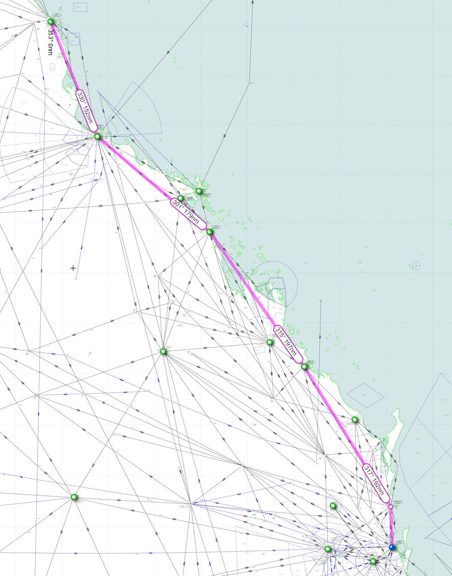
This time it is a 600nm flight from Sebha (HLLS) in Libya to Faya Largeau (FTTY) in Chad. Two places I would most likely never consider visiting in a sim :slight_smile:

Let’s go.

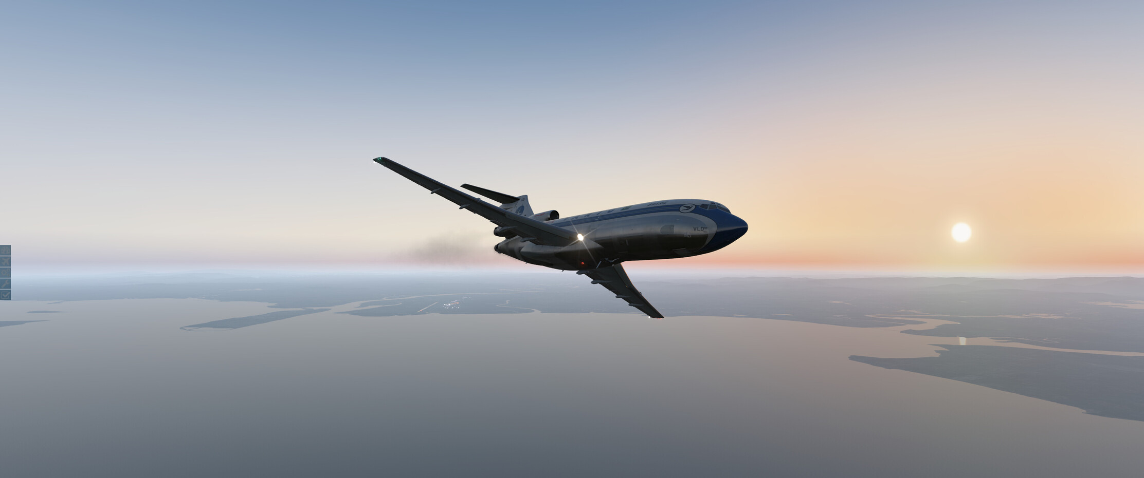
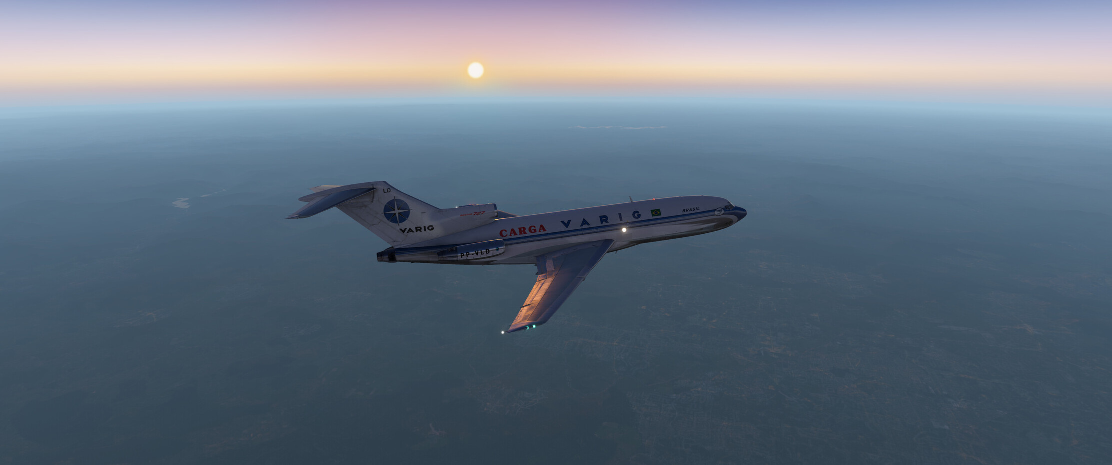
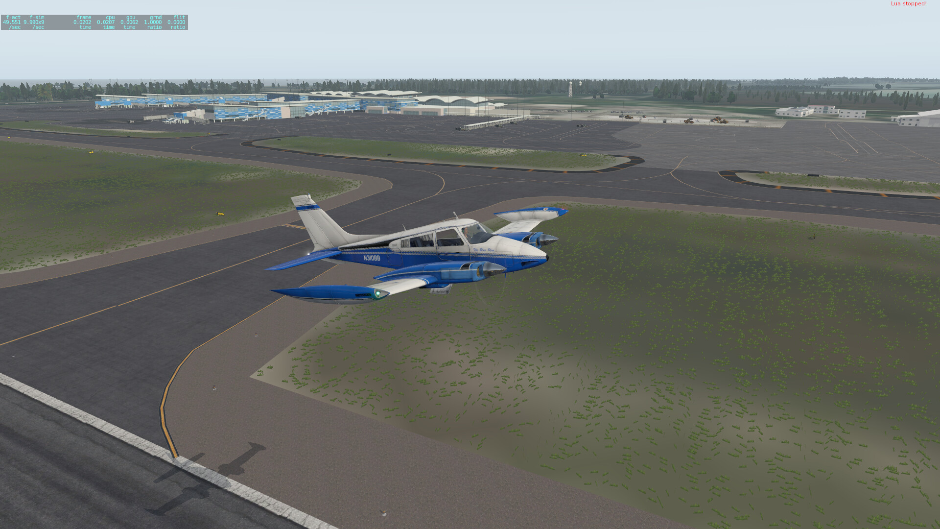
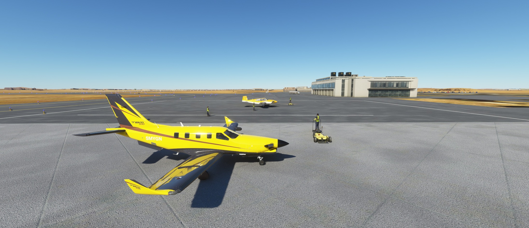
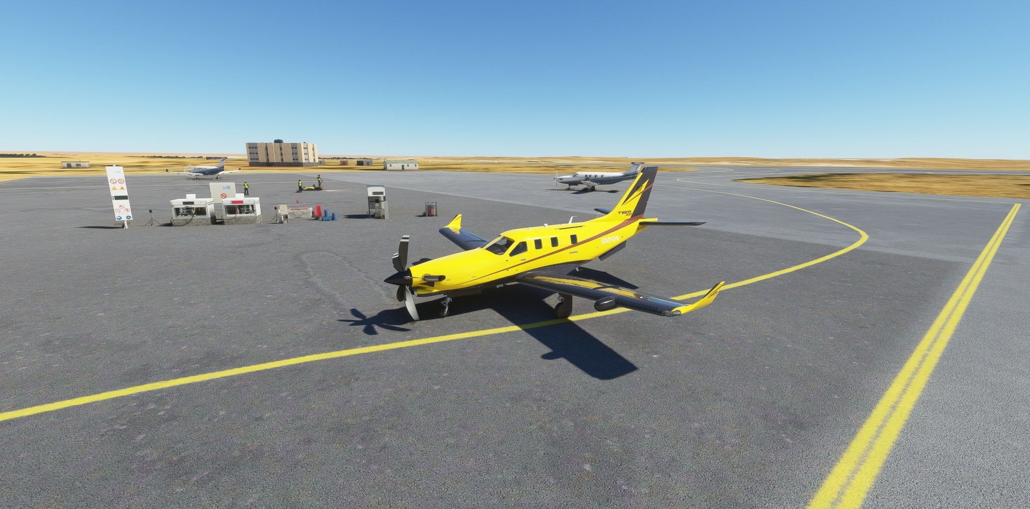
I changed the livery for this flight to match better the local colours… and already on the apron I can see that yellow is indeed the colour to have!

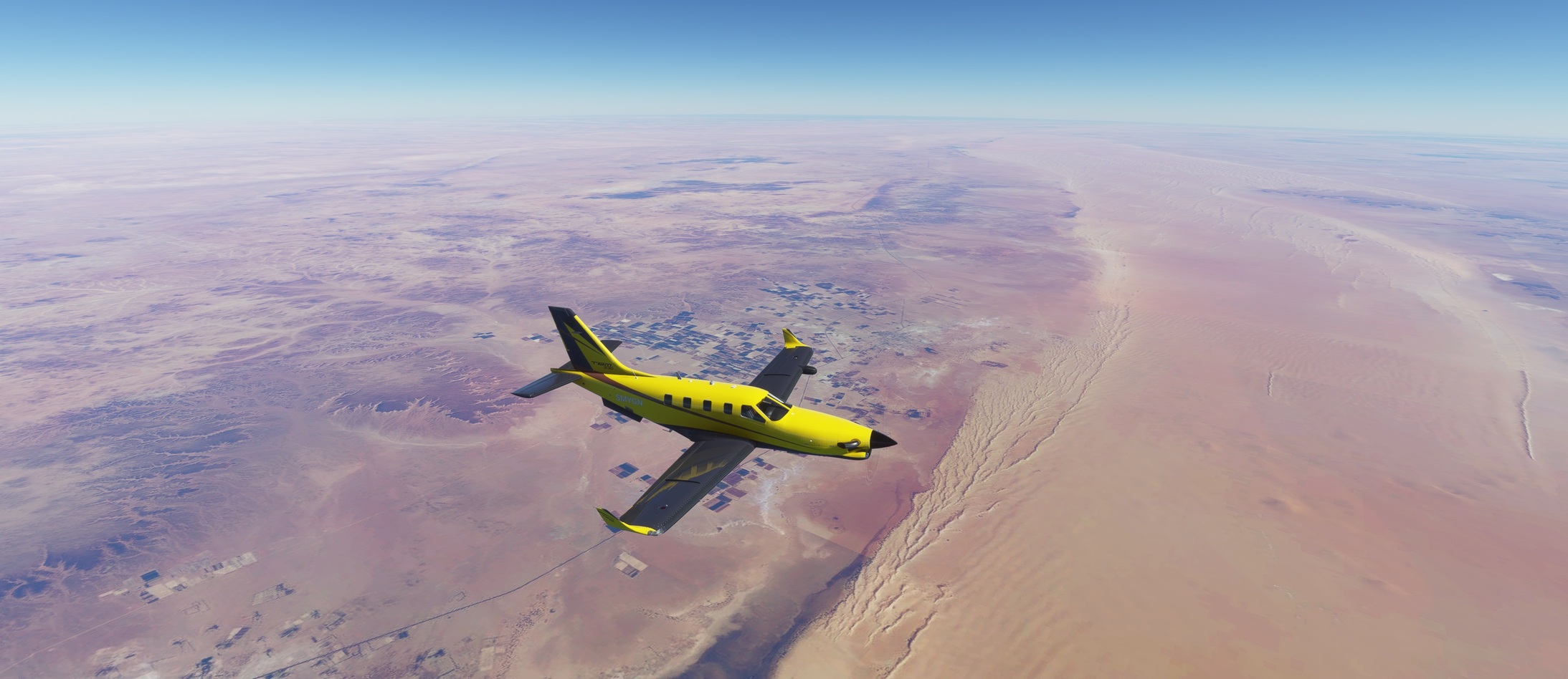
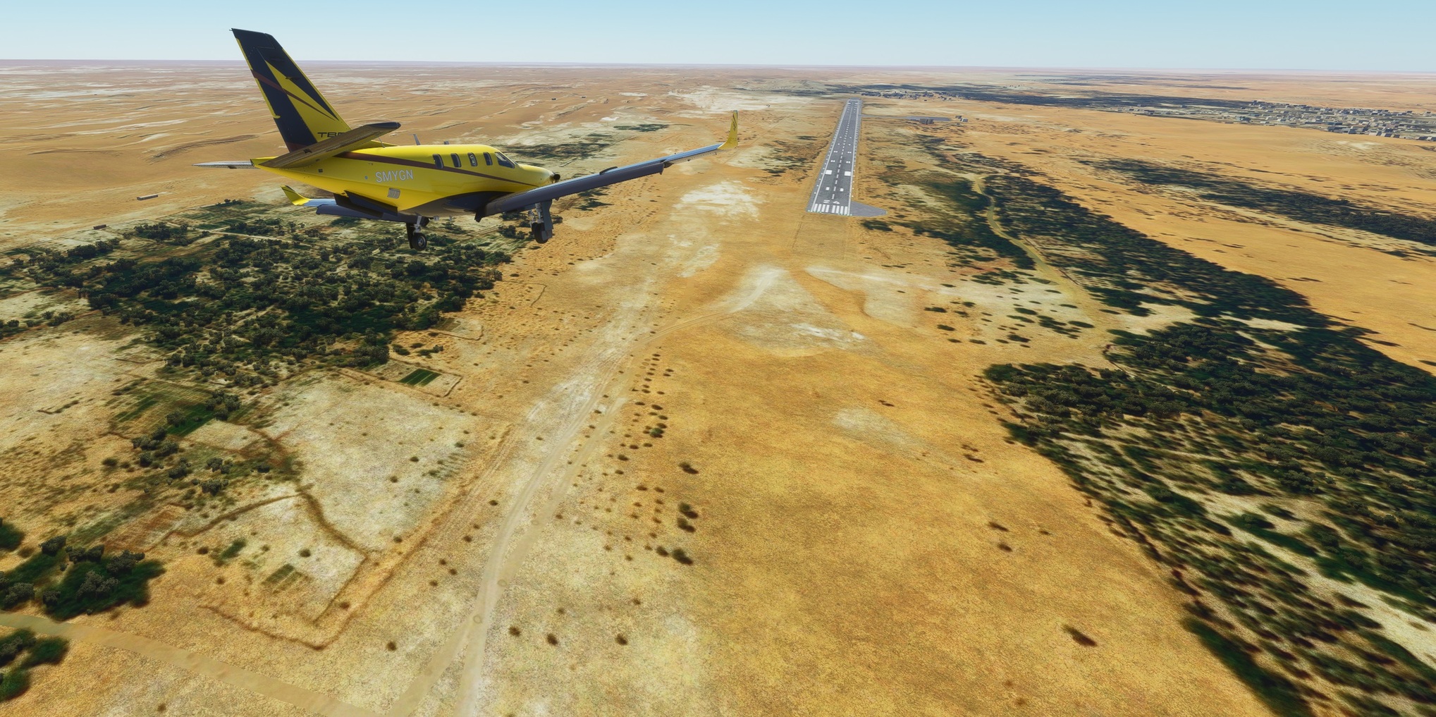
Departing Sebha I was ready for a yellowish featureless terrain… kinda boring flight :yawning_face:

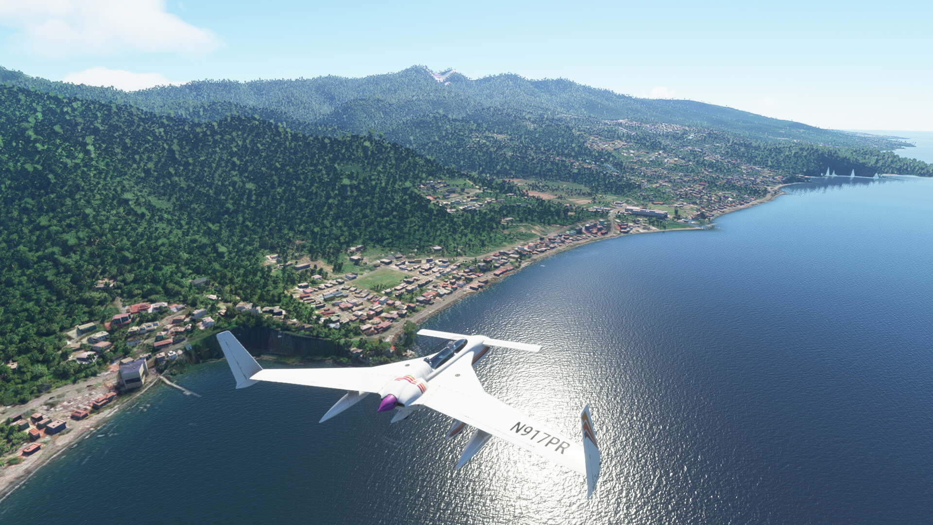
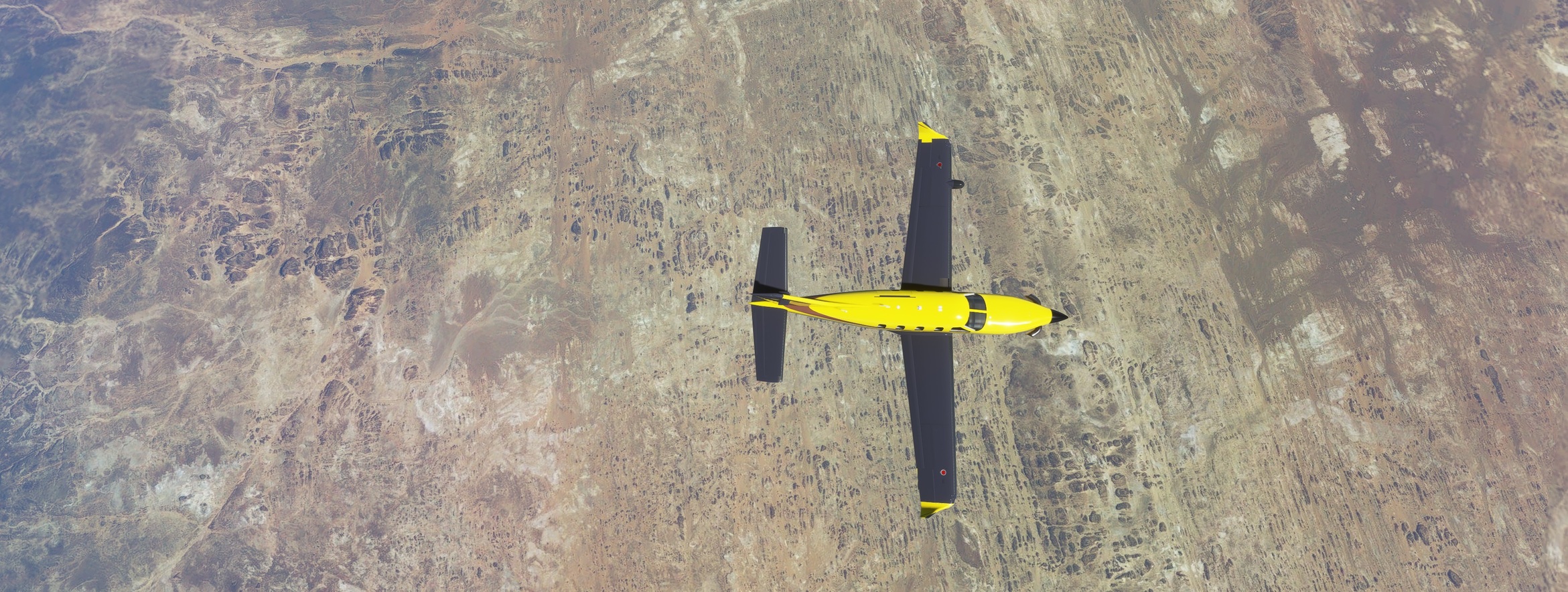
I was wrong, though. I mentioned it already once, but I am really happy with the quality of the ortho streamed within this sim. Sure, this is high above but it looks good also on departure or arrival and approach. Here I changed my expectation of featureless landscape.

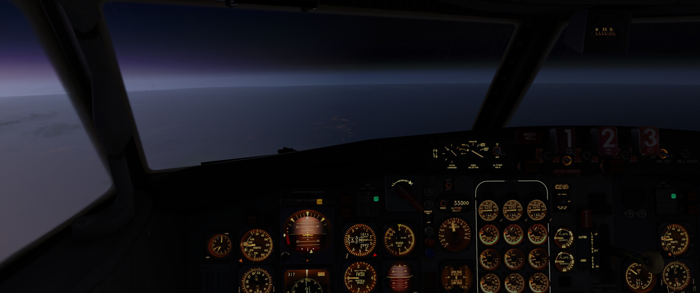
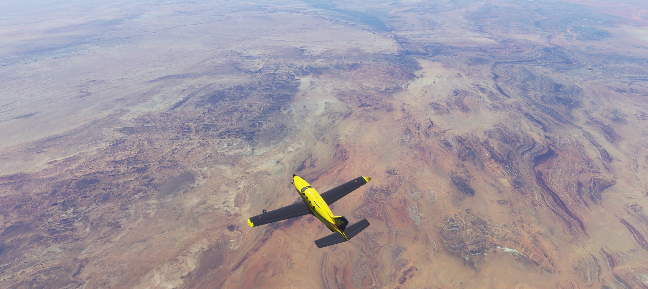
The controller cleared me to FL370. He probably never read the TBM 930 POH which states that the service ceiling is actually FL310. Until that moment, well until landing to be honest, I have not seen it either so once the master caution started to yell at me, I asked for FL330 which, so it seemed, made all of us happy.

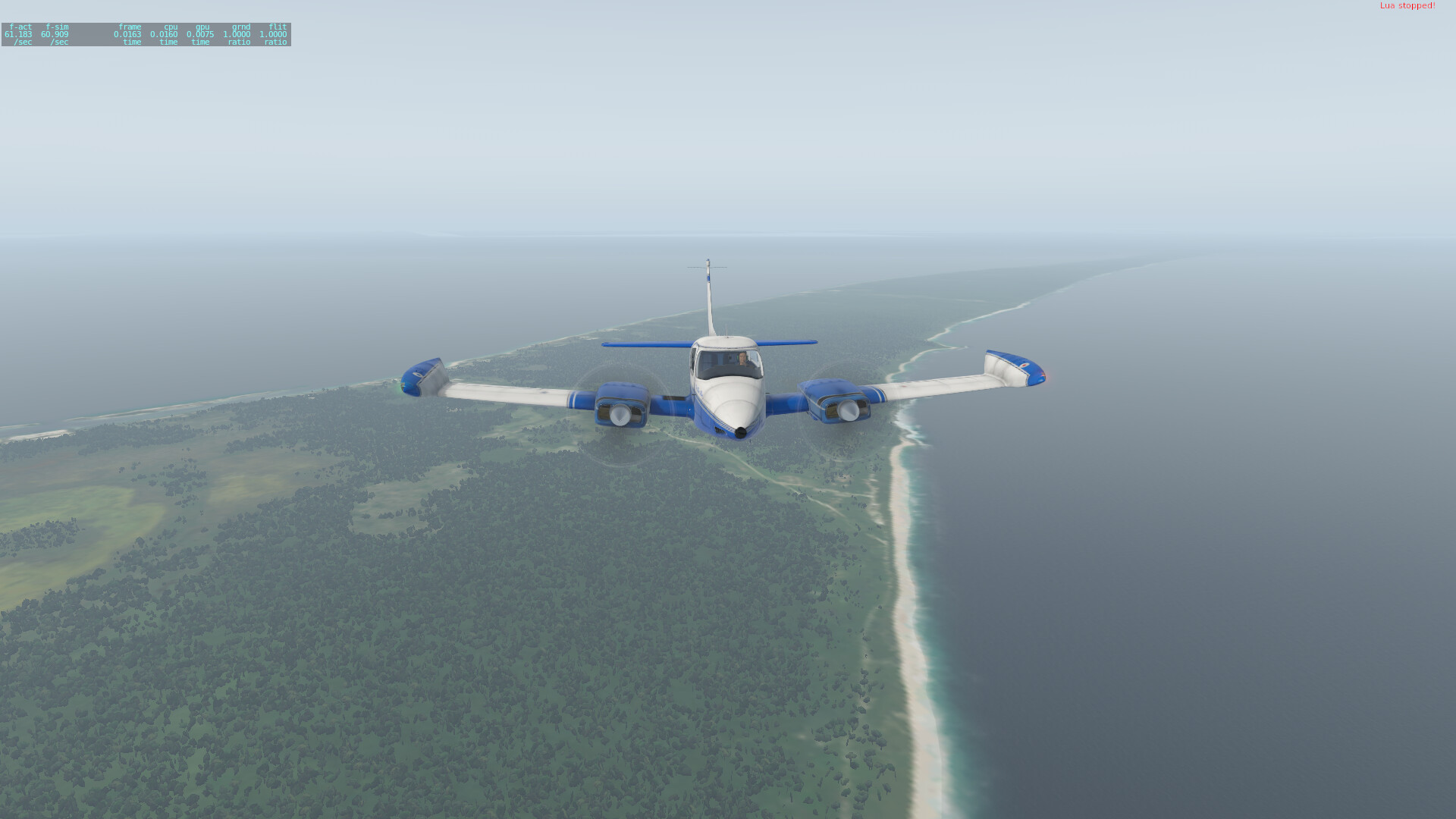
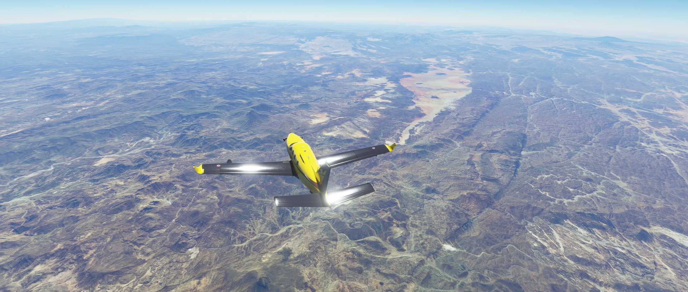
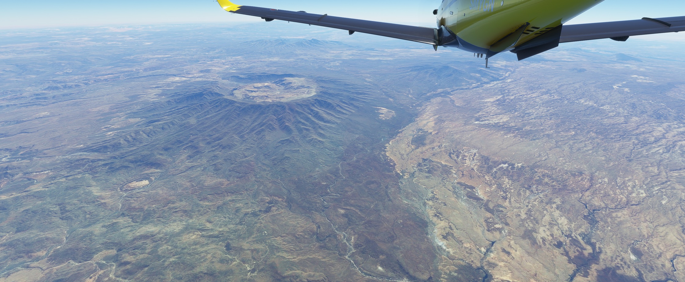
Ever heard of the Tibesti Mountains? Me neither :slight_smile: Wiki says that it is a mountain range in the central Sahara, primarily located in the extreme north of Chad, with a small extension into southern Libya. The highest peak in the range, Emi Koussi, lies to the south at a height of 3,445 metres (11,302 ft).

Wiki also says something about “volcanic origins” of the central part.

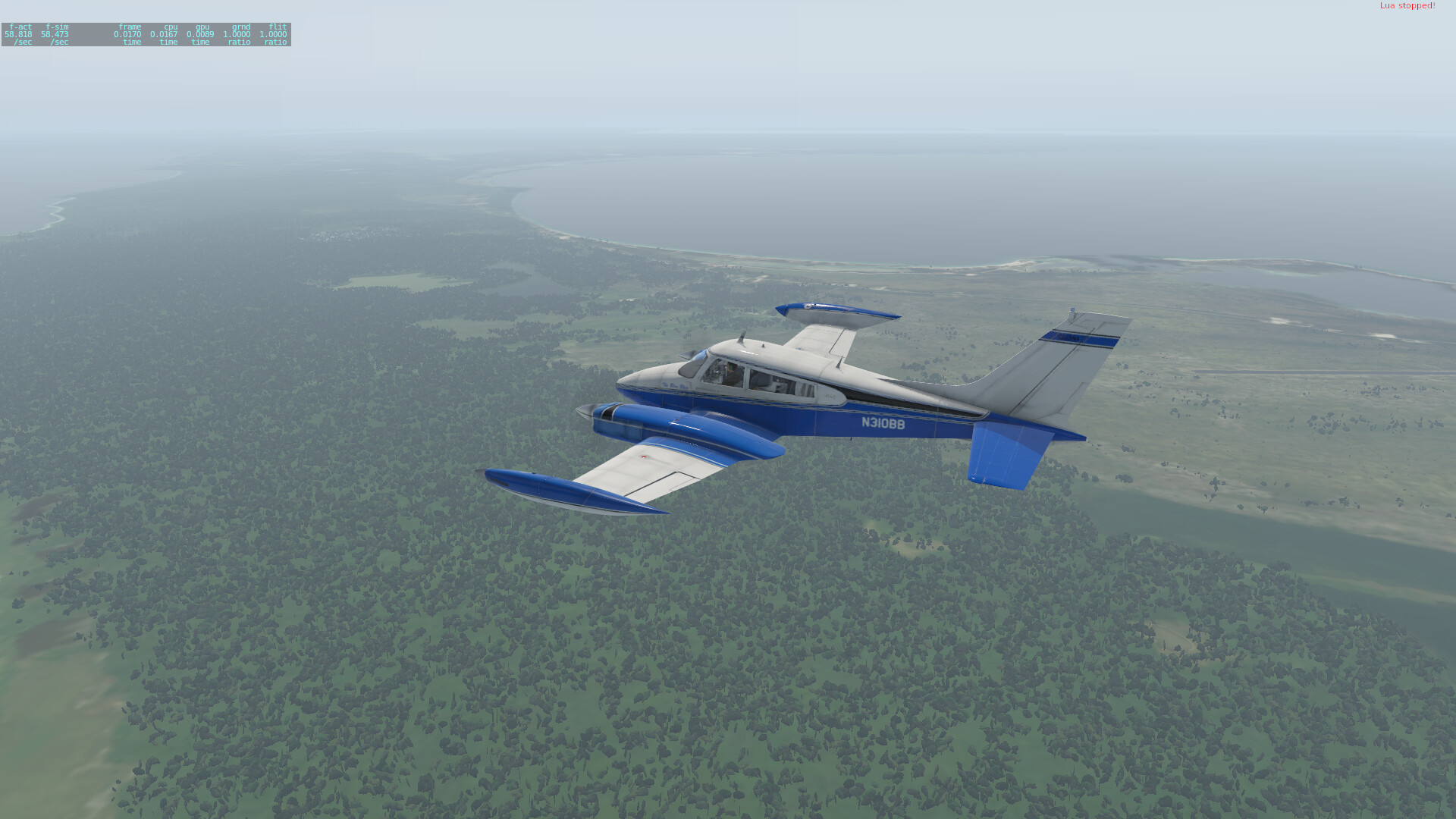
Beautiful. And so much not European.

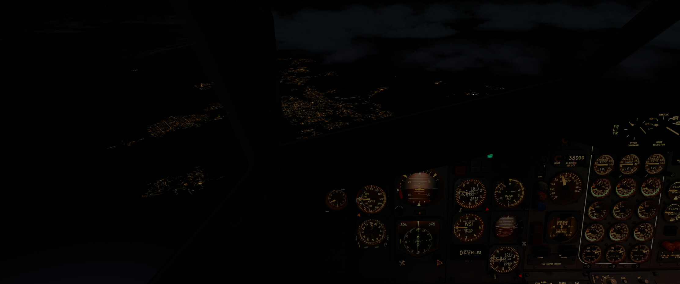
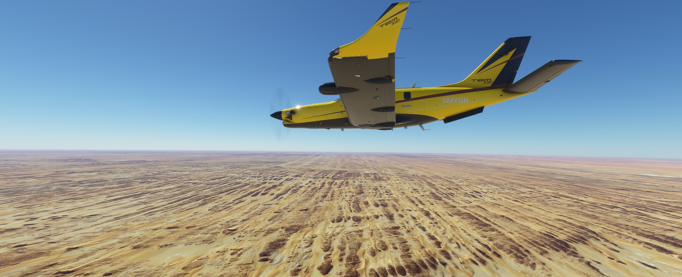
Not trusting the controller since our little disagreement about the assigned FL, I asked for descend well ahead…

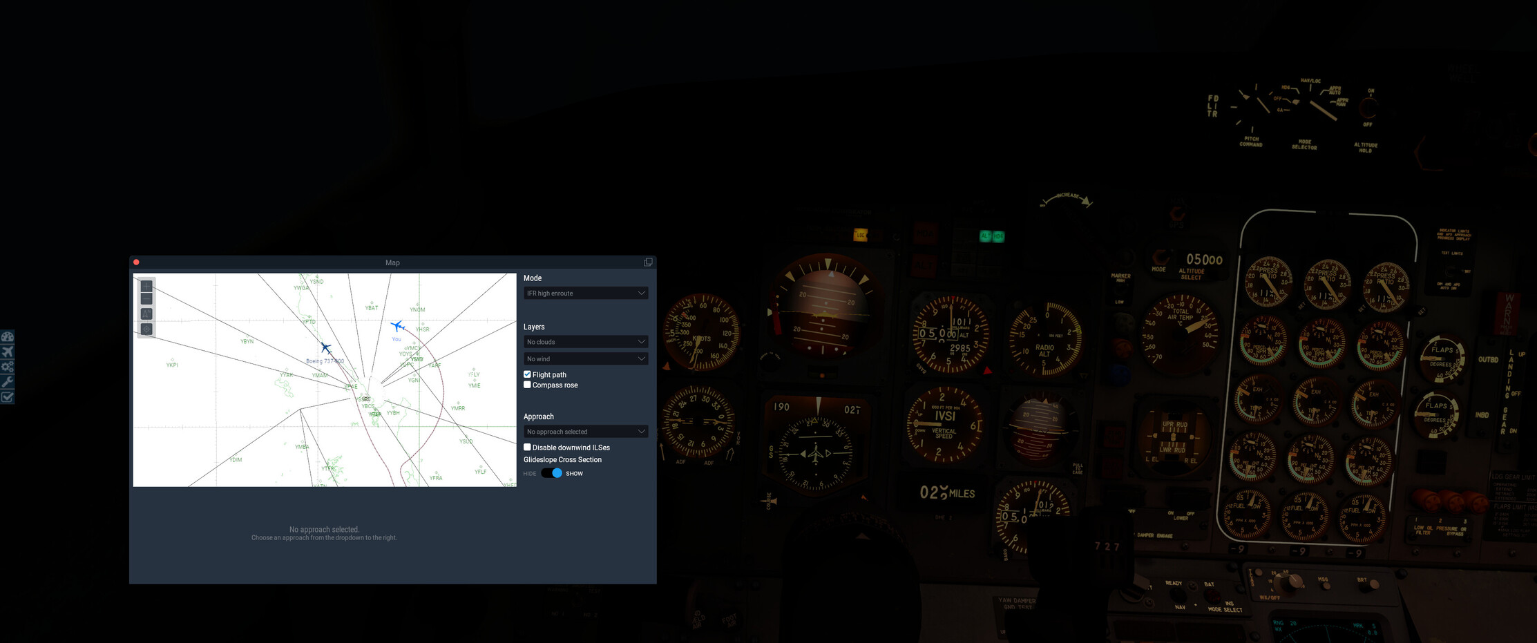
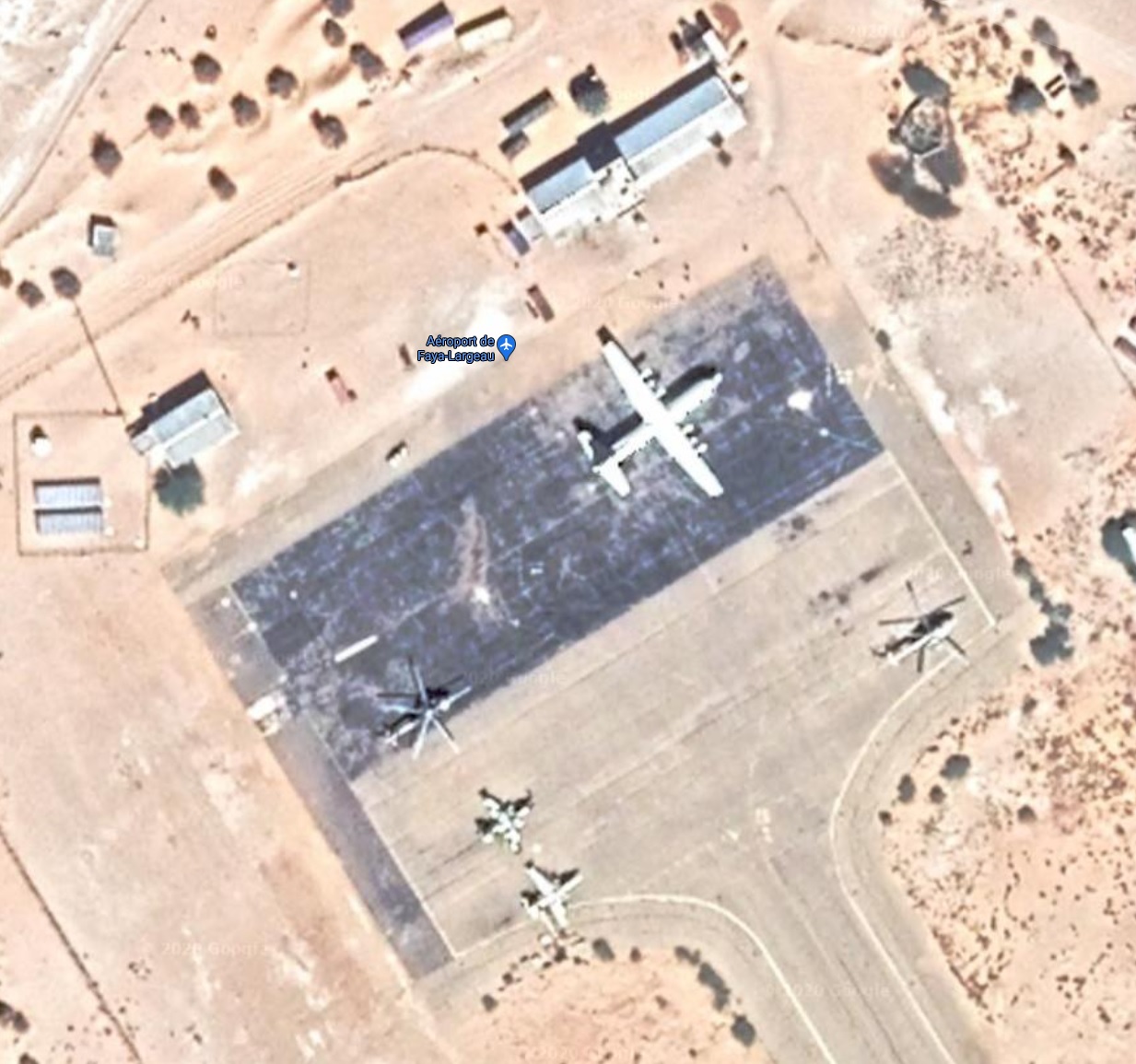
…and on Google maps checked the surrounding areas of the field and the apron. Then I saw this:

Is that a C130 and a Su-25 on one apron? Looks like I picked a military field. I hope the guys will not take themselves too seriously once I show up.

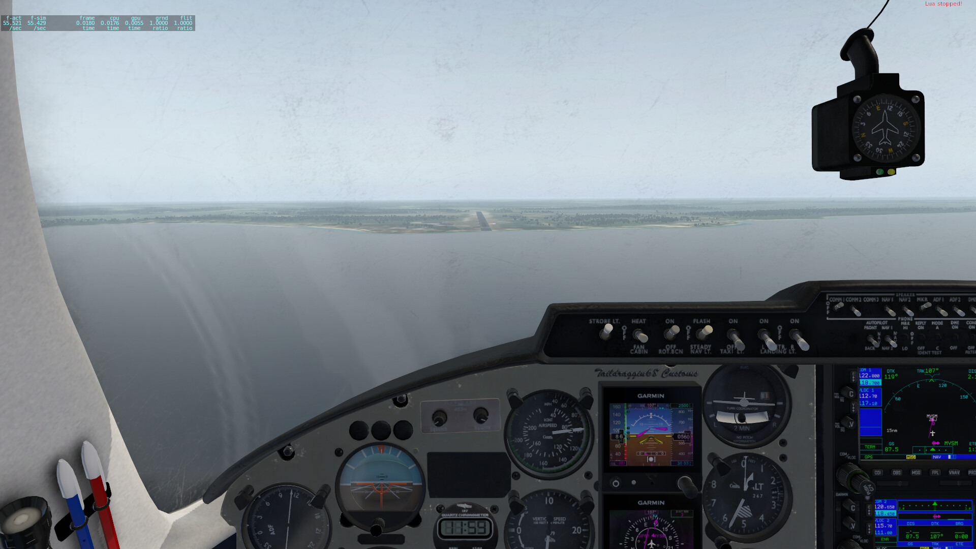
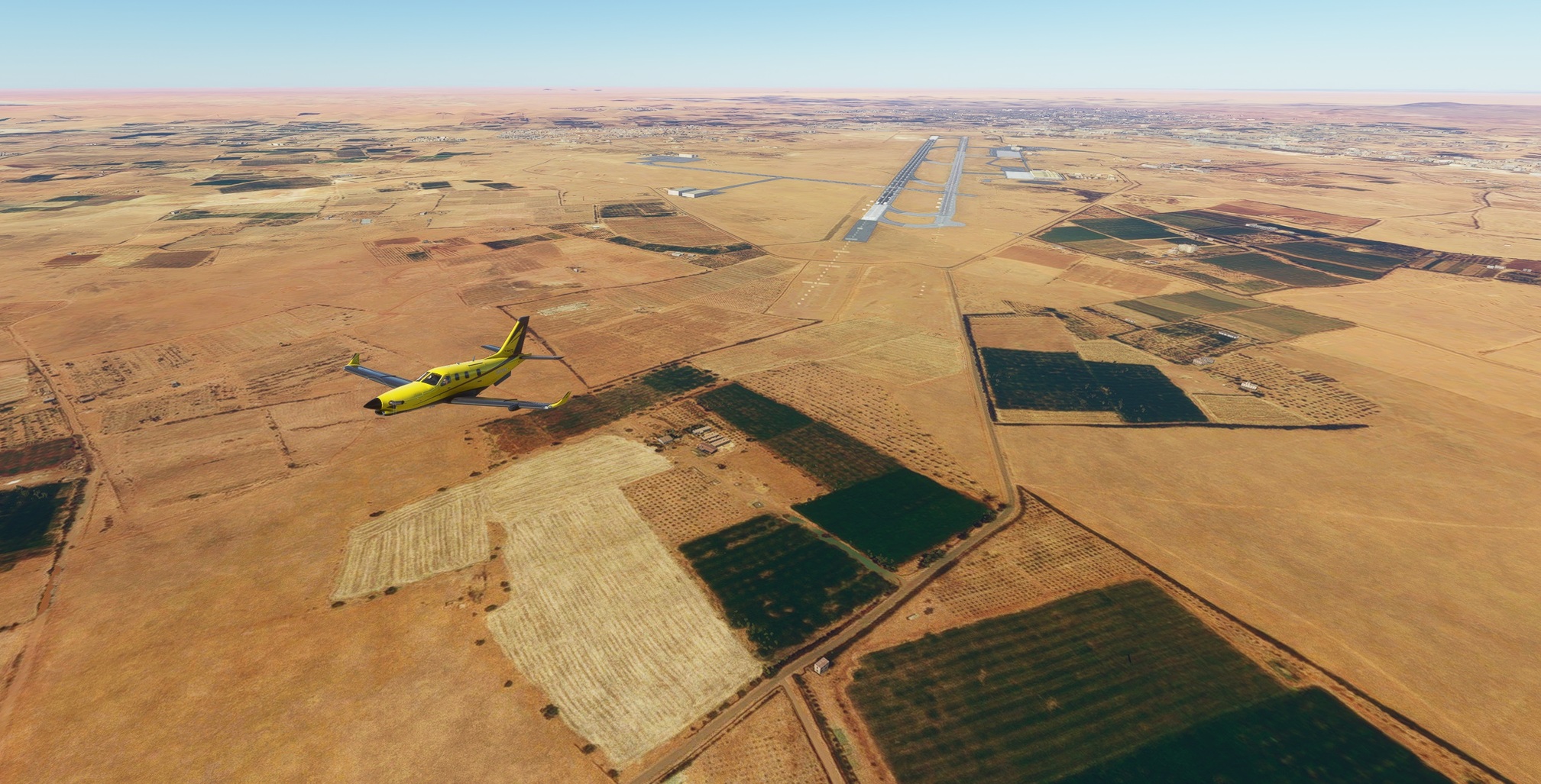
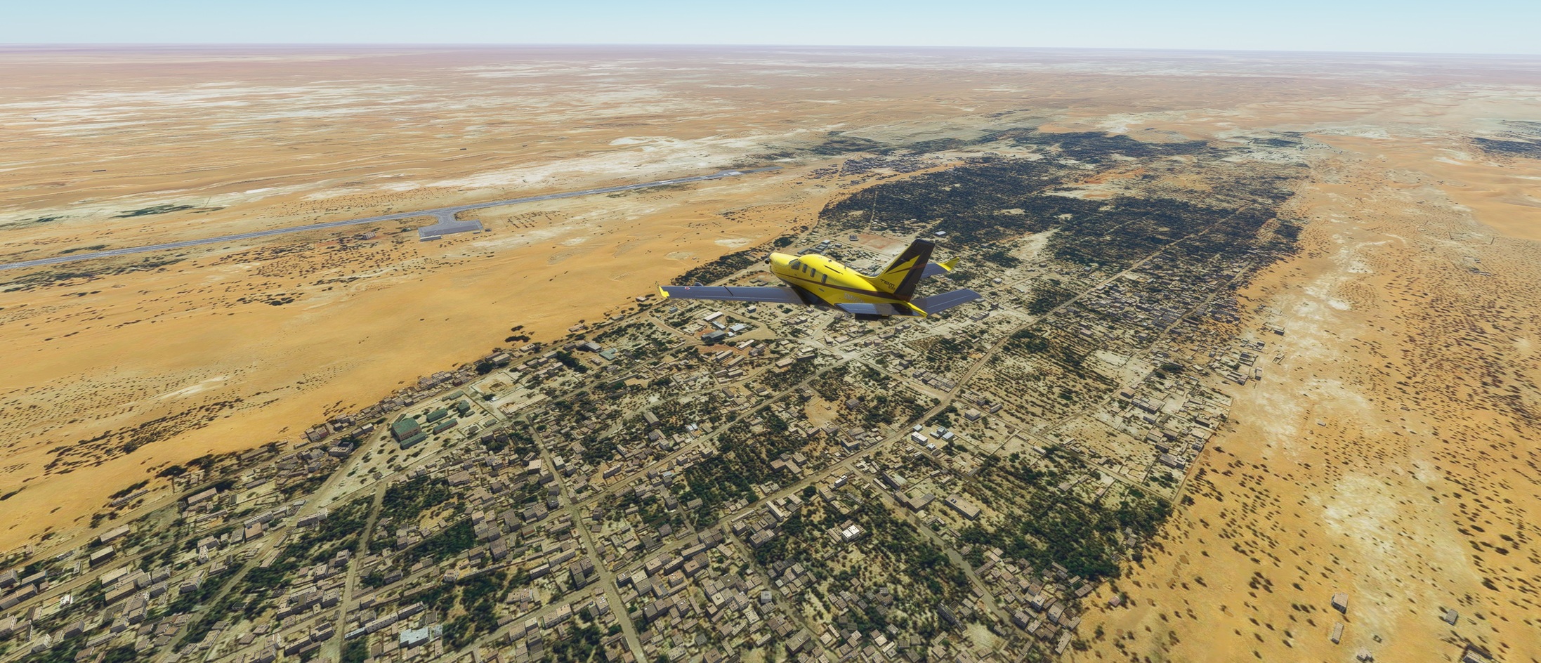
Faya Largeau. My destination. A green patch in otherwise brown / yellow landscape.

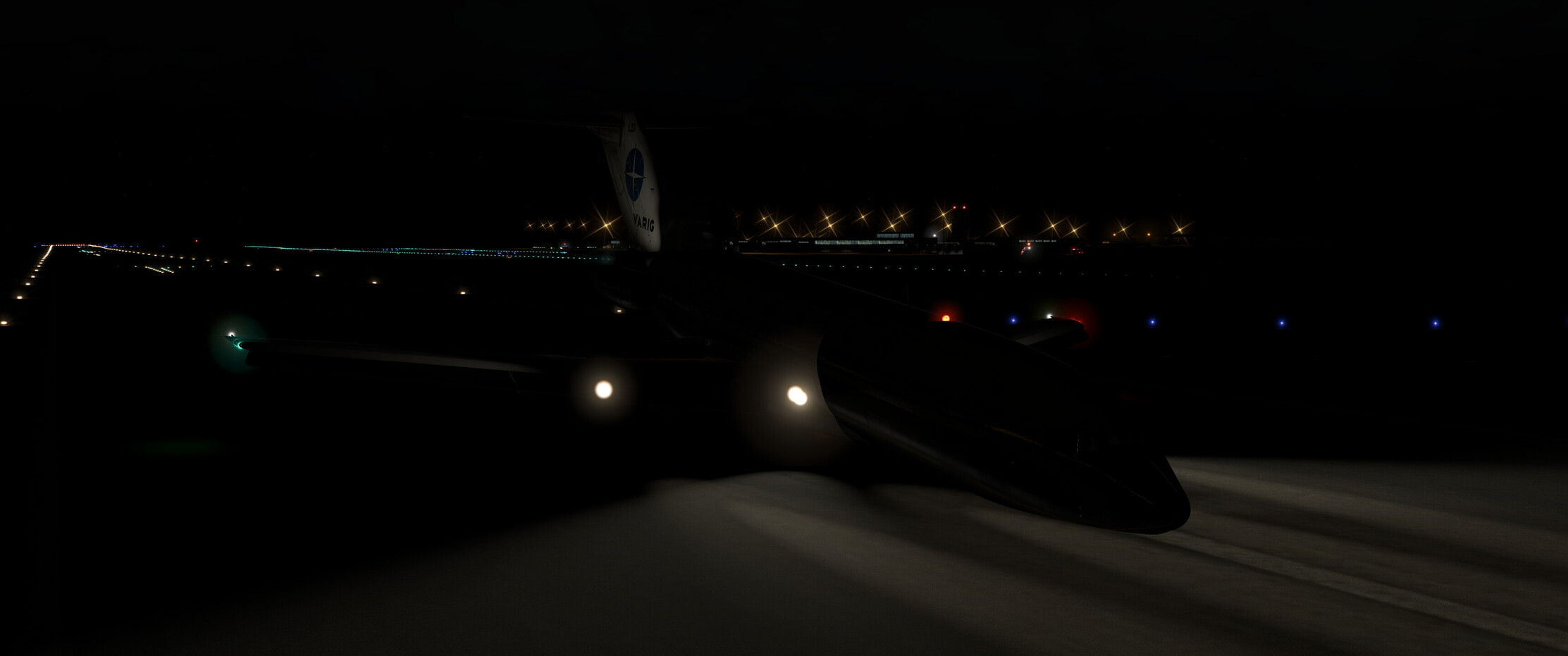
And here we come again - Hot & High? Hot definitely since we are in Africa. And high? Nah, perfectly OK for my landing spot which I picked halfway down the runway :stuck_out_tongue_closed_eyes:

It seems that in Faya they do not fancy the same colour pallete as in Sebha. Though happy no military got involved with me, it looked like I joined a TBM 930 fly-in :slight_smile:

The next leg will bring me to Geneina in Sudan, leaving Sahara definitely behind me.

11 Likes

Fixed pitch, unless I am missing something, and this is in MSFS2020. The XP11 VSkyLabs Long EZ is IMHO most definitely the better product, but some of that is because of limitations with the MSFS itself.

1 Like

dont want to ruin your party but thats PC-12s on that pic :wink:

2 Likes