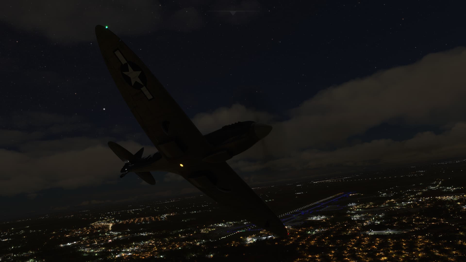
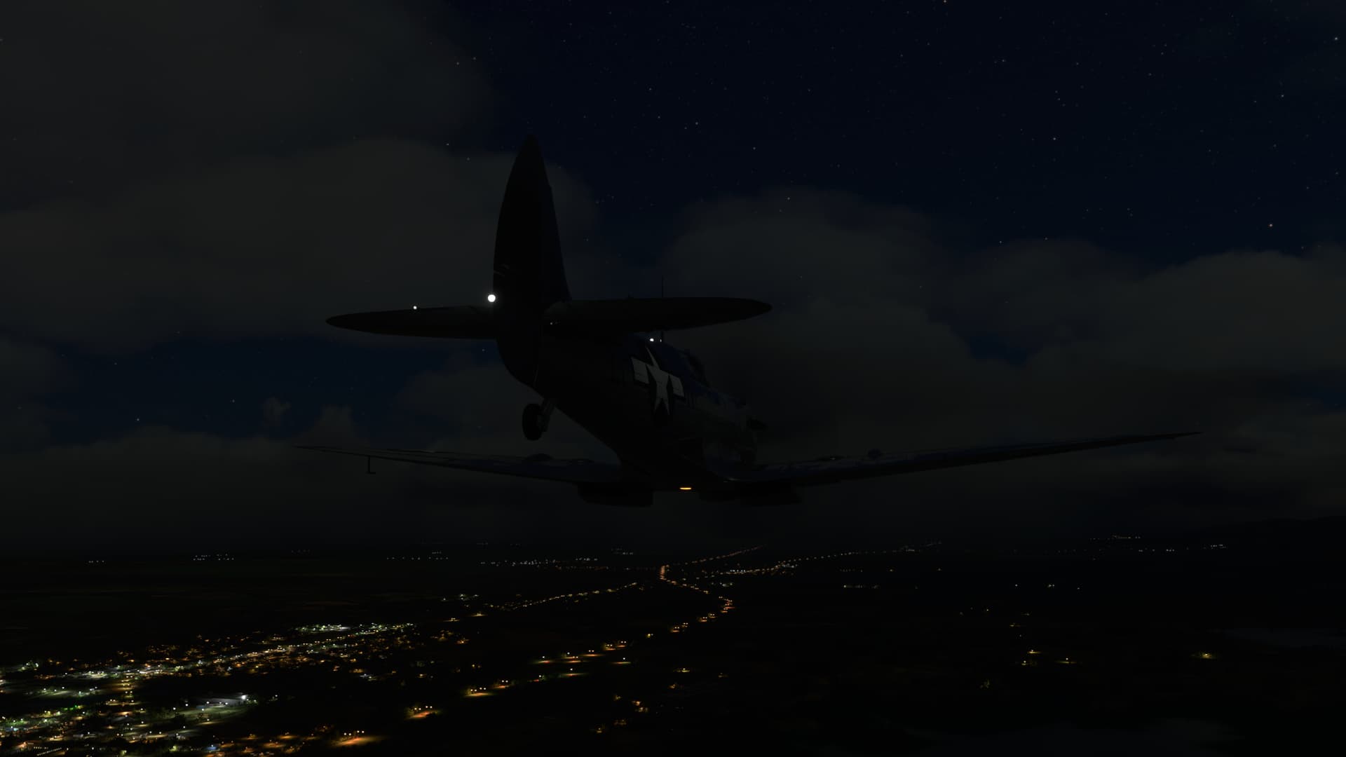
Official 7th Annual Mudspike Christmas Flight 2021 - Discussion and AAR Thread

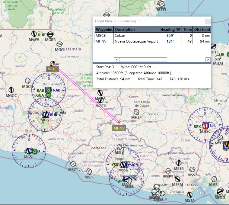
Leg 11 - Coban to Nueva Ocotepeque Airport
94nm
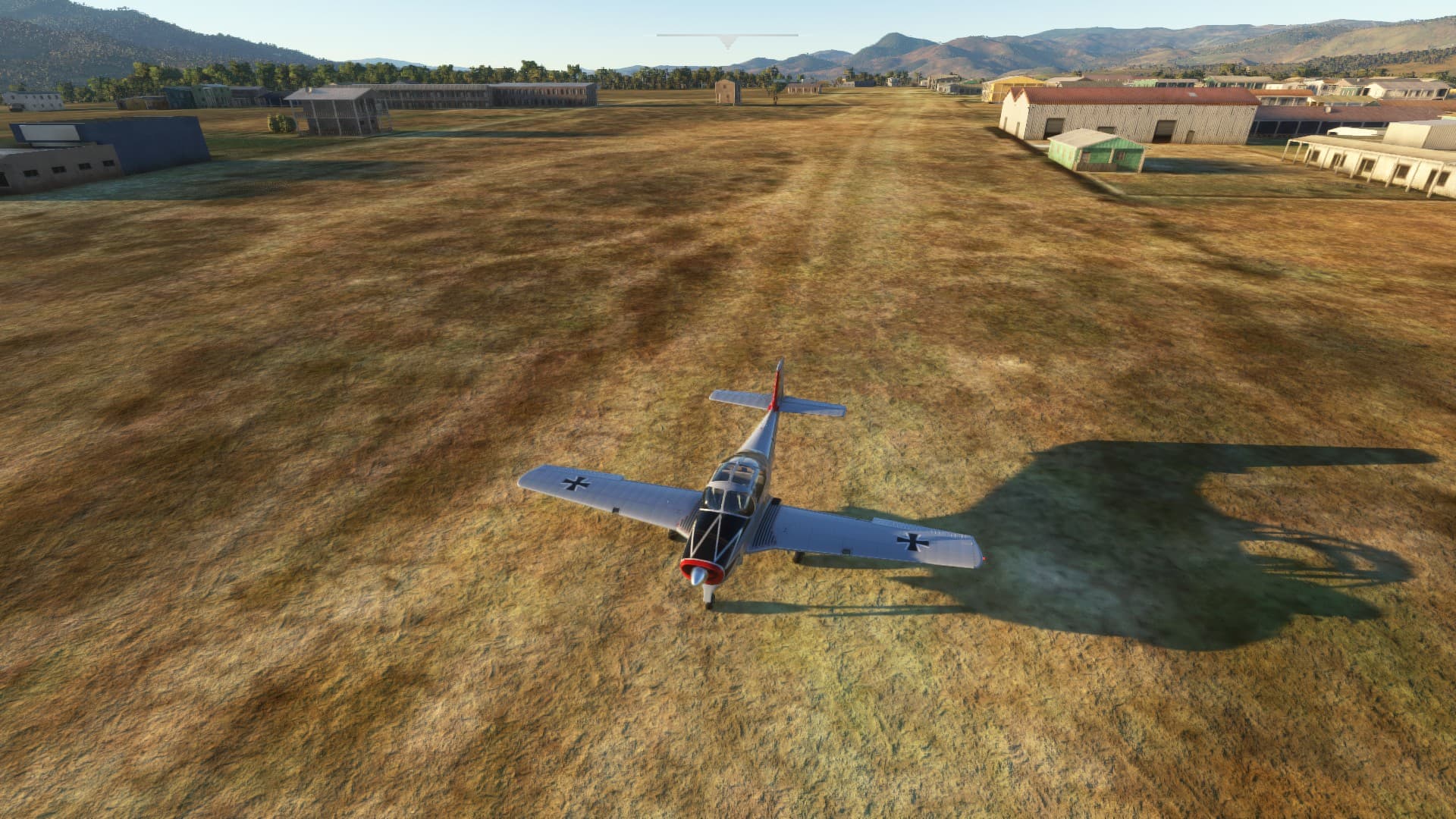
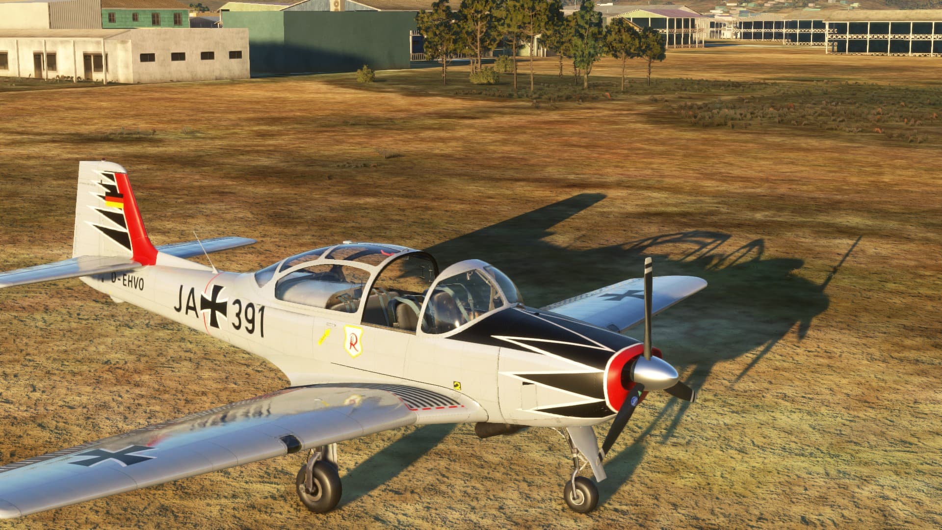
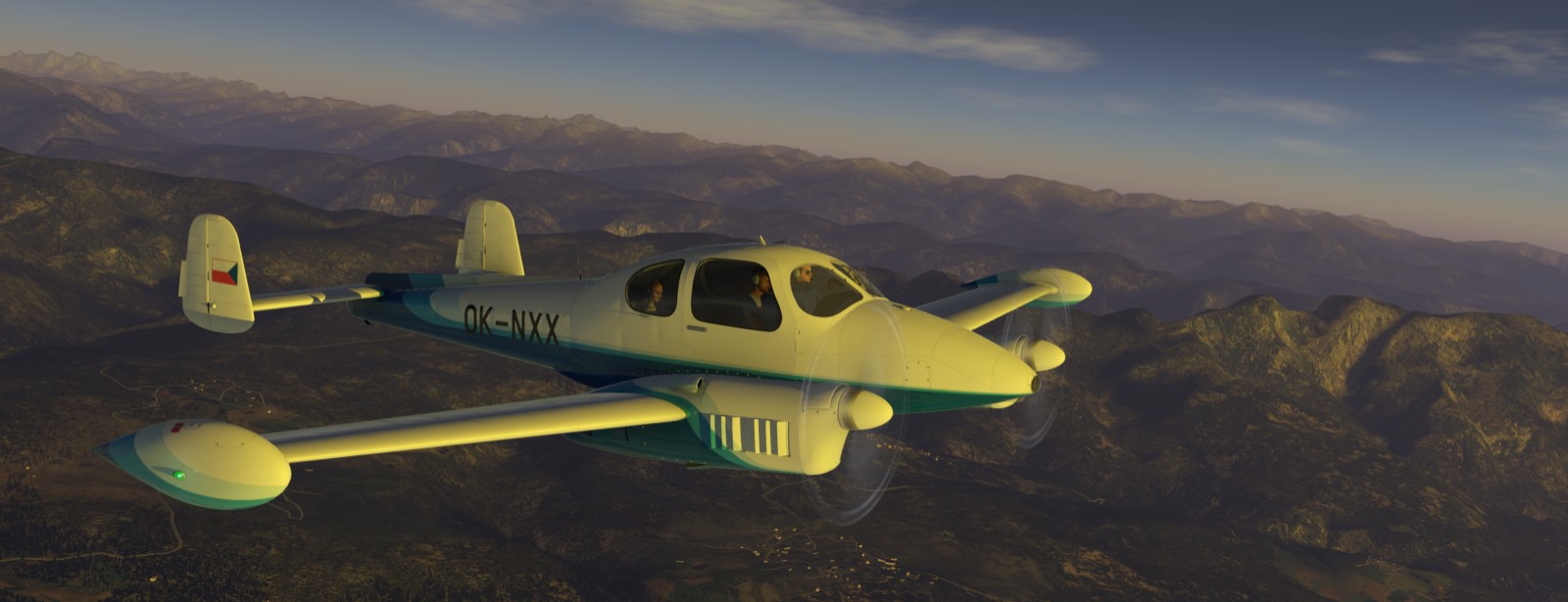
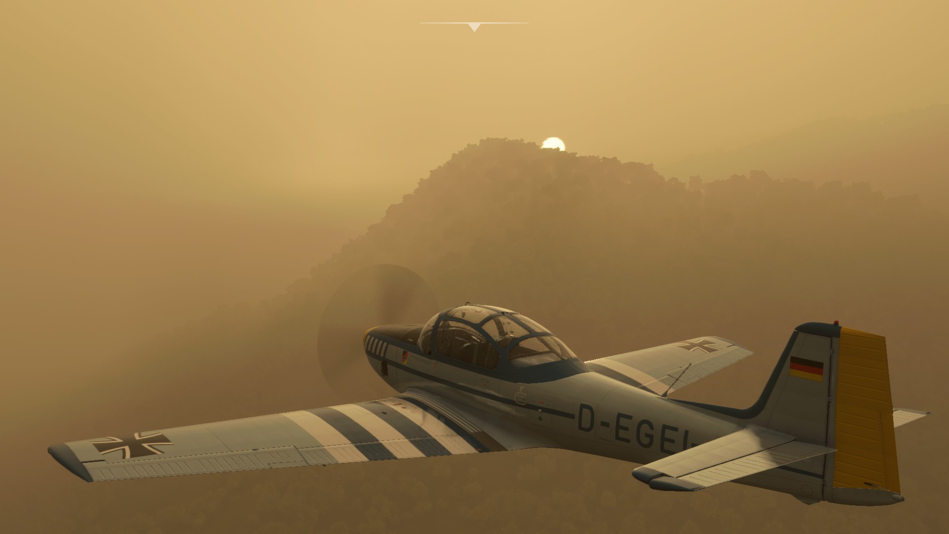
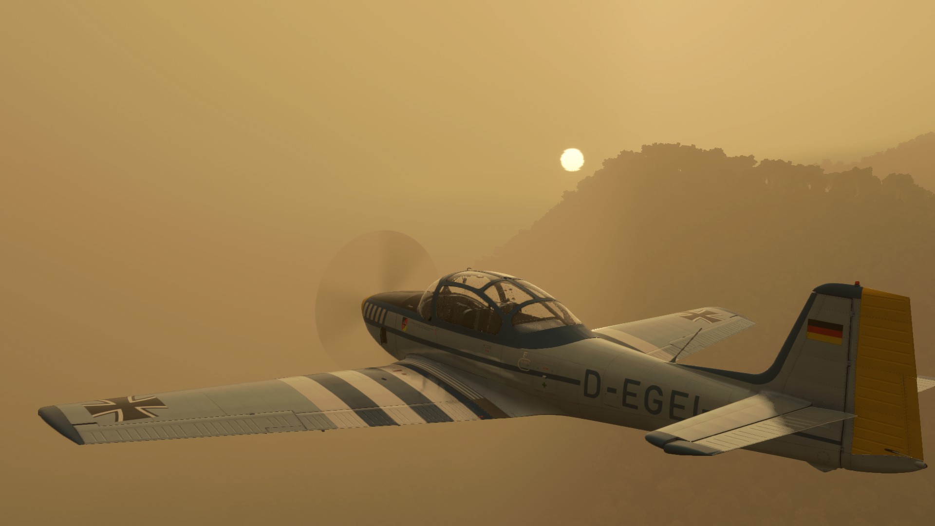
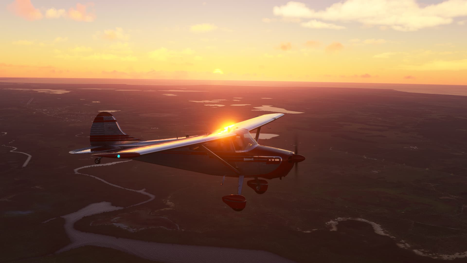
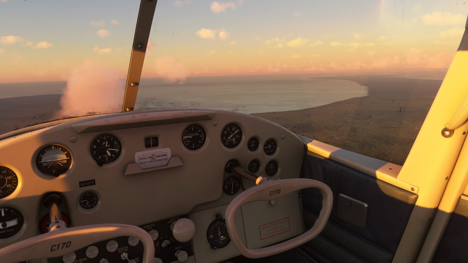
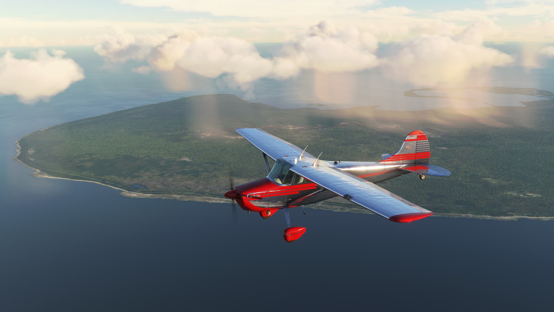
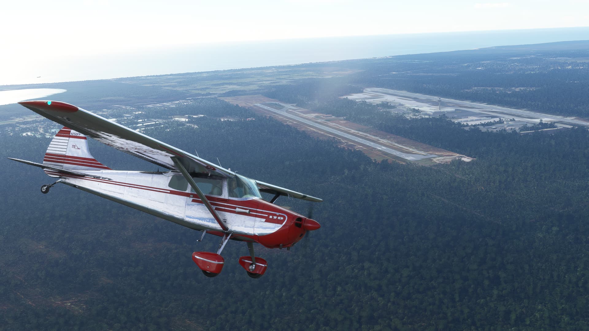
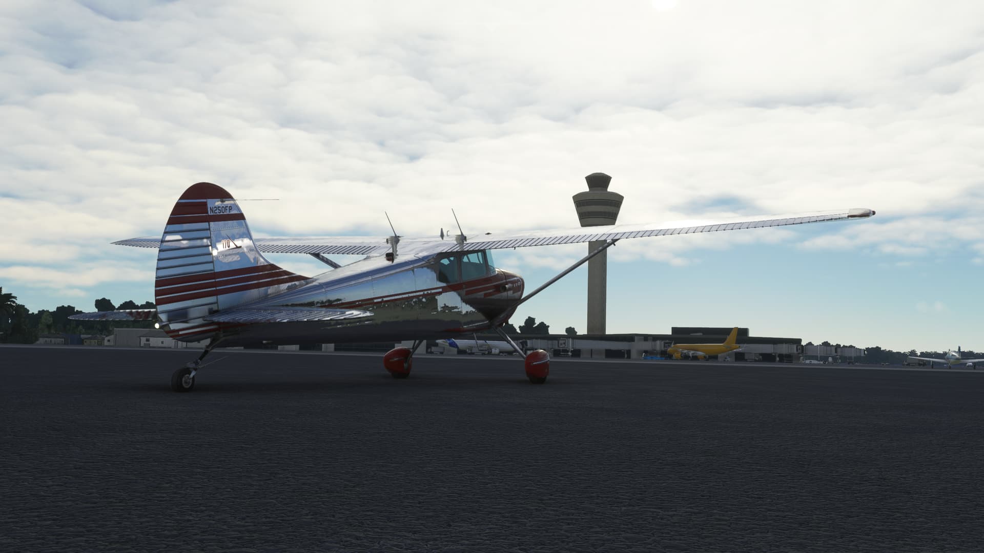
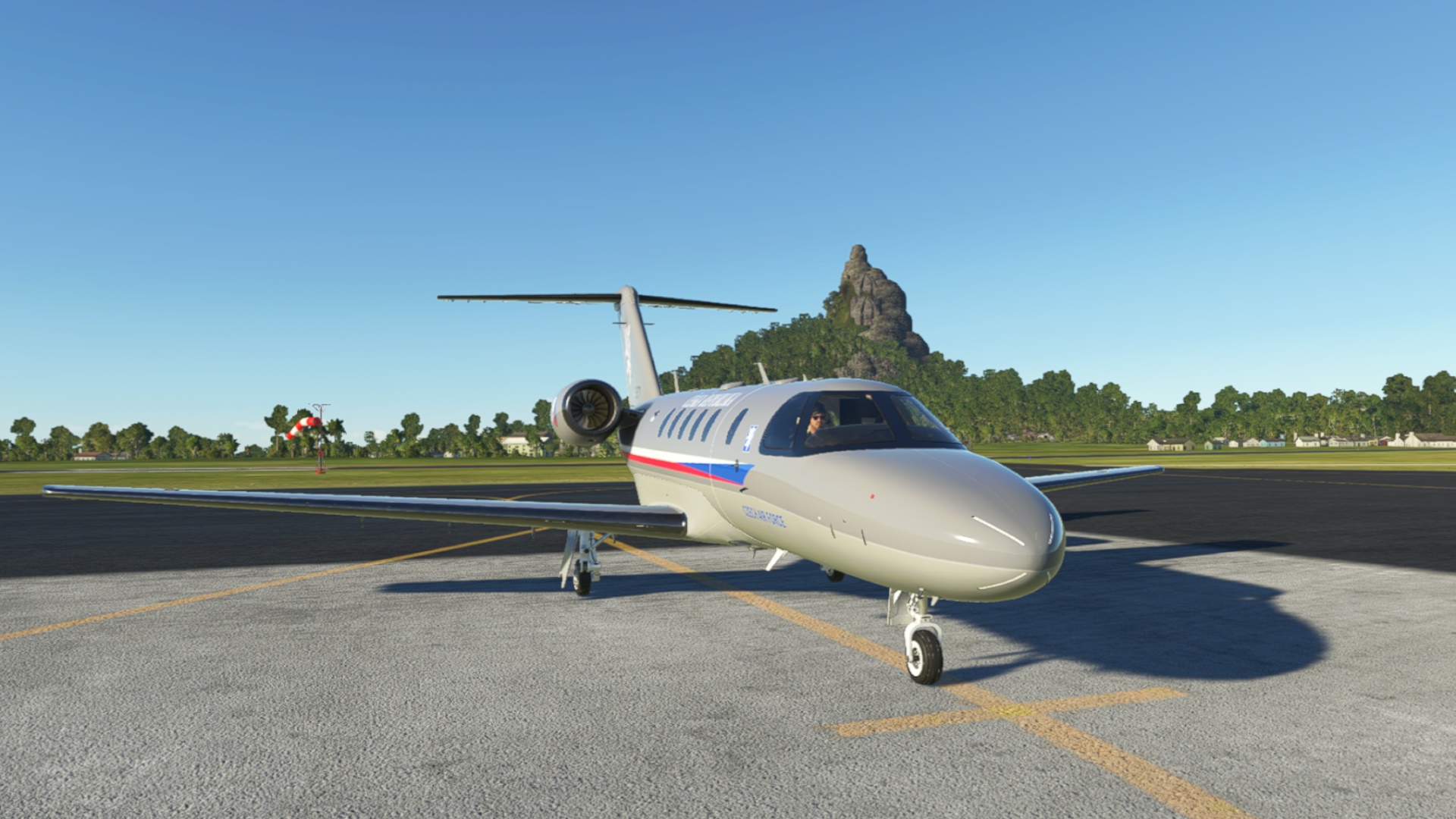
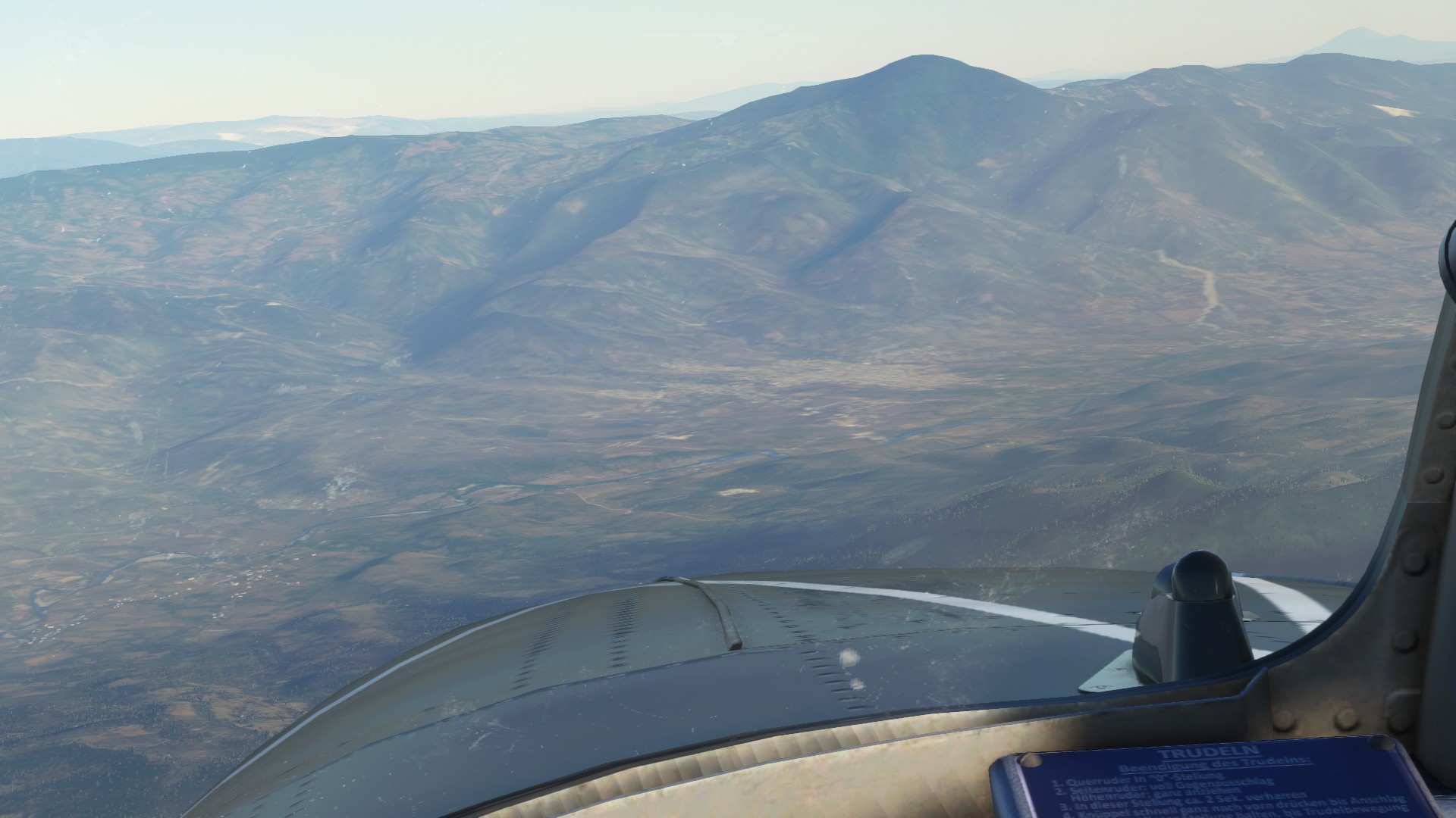
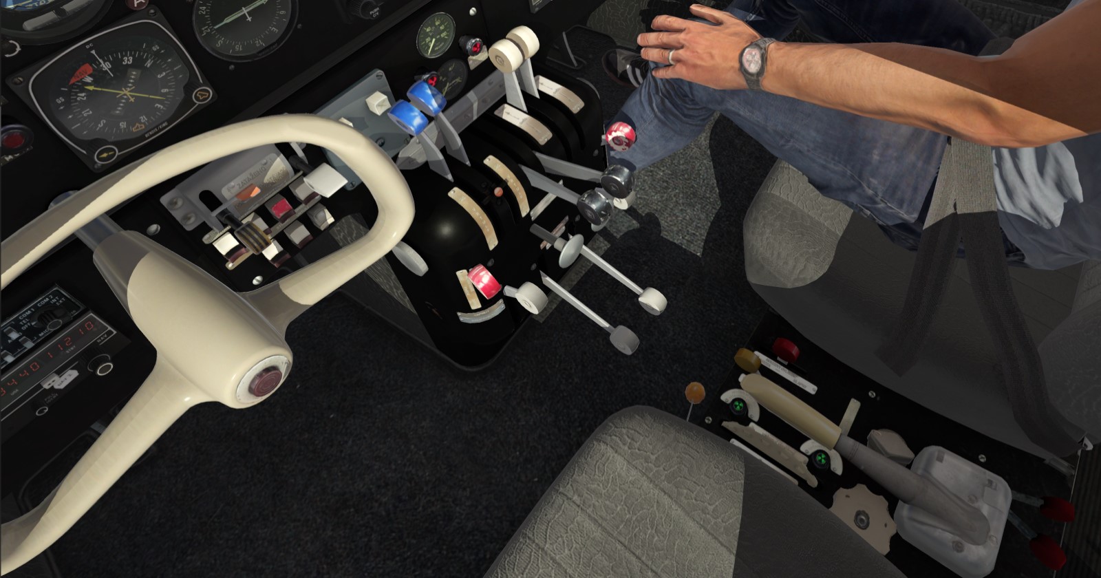
For the next leg headed into Honduras, I decided to go with my latest acquistion (the Xmas flight is always murder on my wallet) the Focke-Wulf P149D by AT simulations. Externally it’s a great model, with the interior being a little rough around the labels and less used gauges. Systems modeling is decent, the flight model seems to be legit from what I’ve read. It’s a very “honest” aircraft to fly, ie stable with little of the proposing tendency seen in a lot of the light AC in MSFS. Also it’s the first one that actually doesn’t have crazy ground handling behavior on take off or landing.
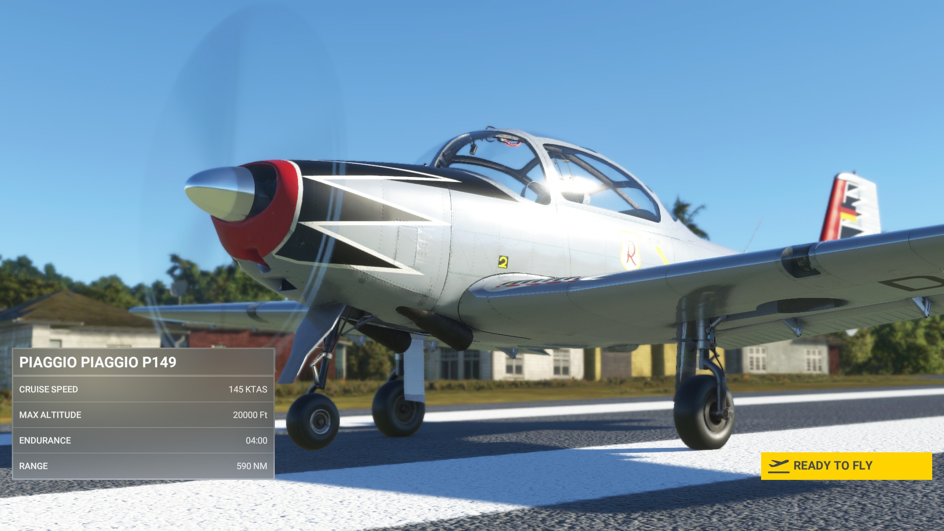

As she is a naturally aspirated AC going through the mountains headed into Honduras is going to be above the critical altitude. Not a huge deal, just something to be aware of as we climb out.
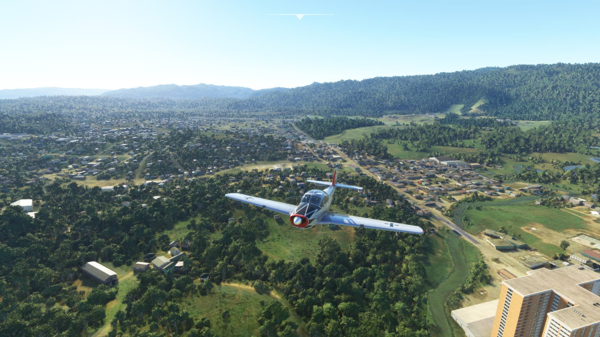
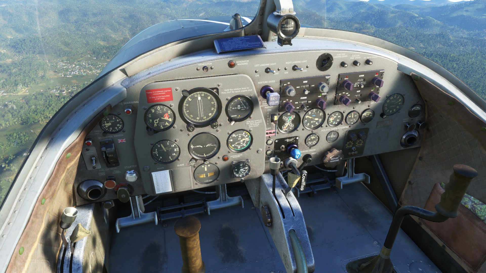
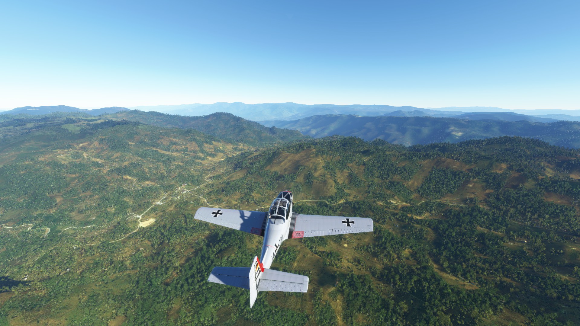
We top out around FL10, and with the throttle full forward we’re doing about .8 atmospheres (which per the handy convertor I found on line is 23" of manifold pressure which seems about right. Cruising speed is 130 kts IAS, so 150 kt TAS or so.
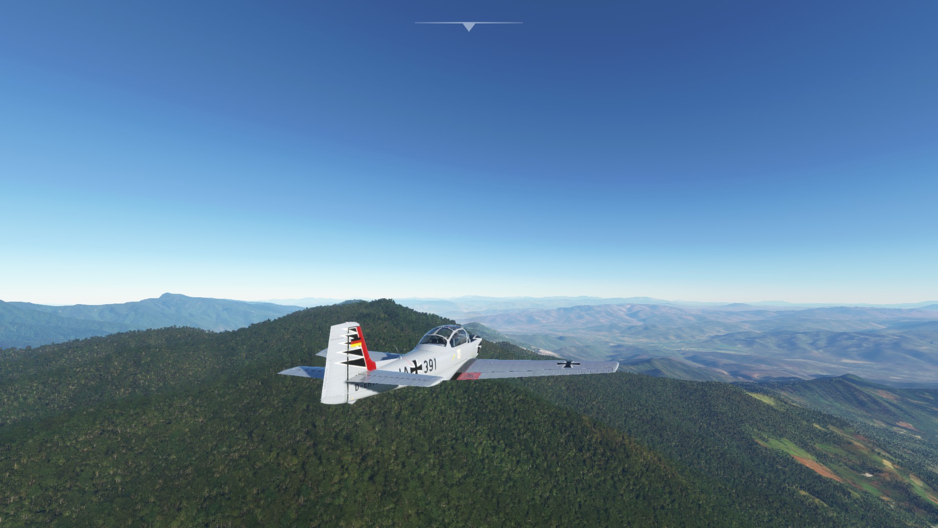
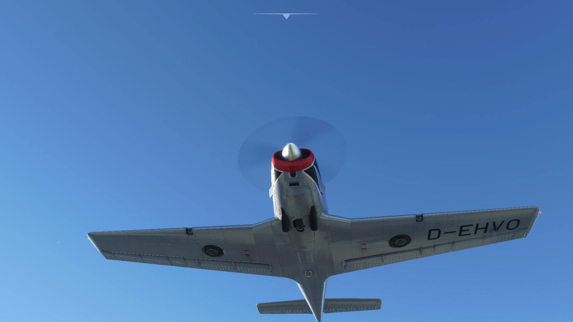


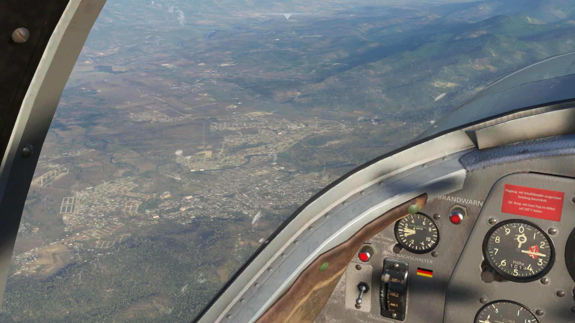
That will be Chiquimula, which is the capital of the of “department” of Chiquimula. We are about 25 miles from the border here.
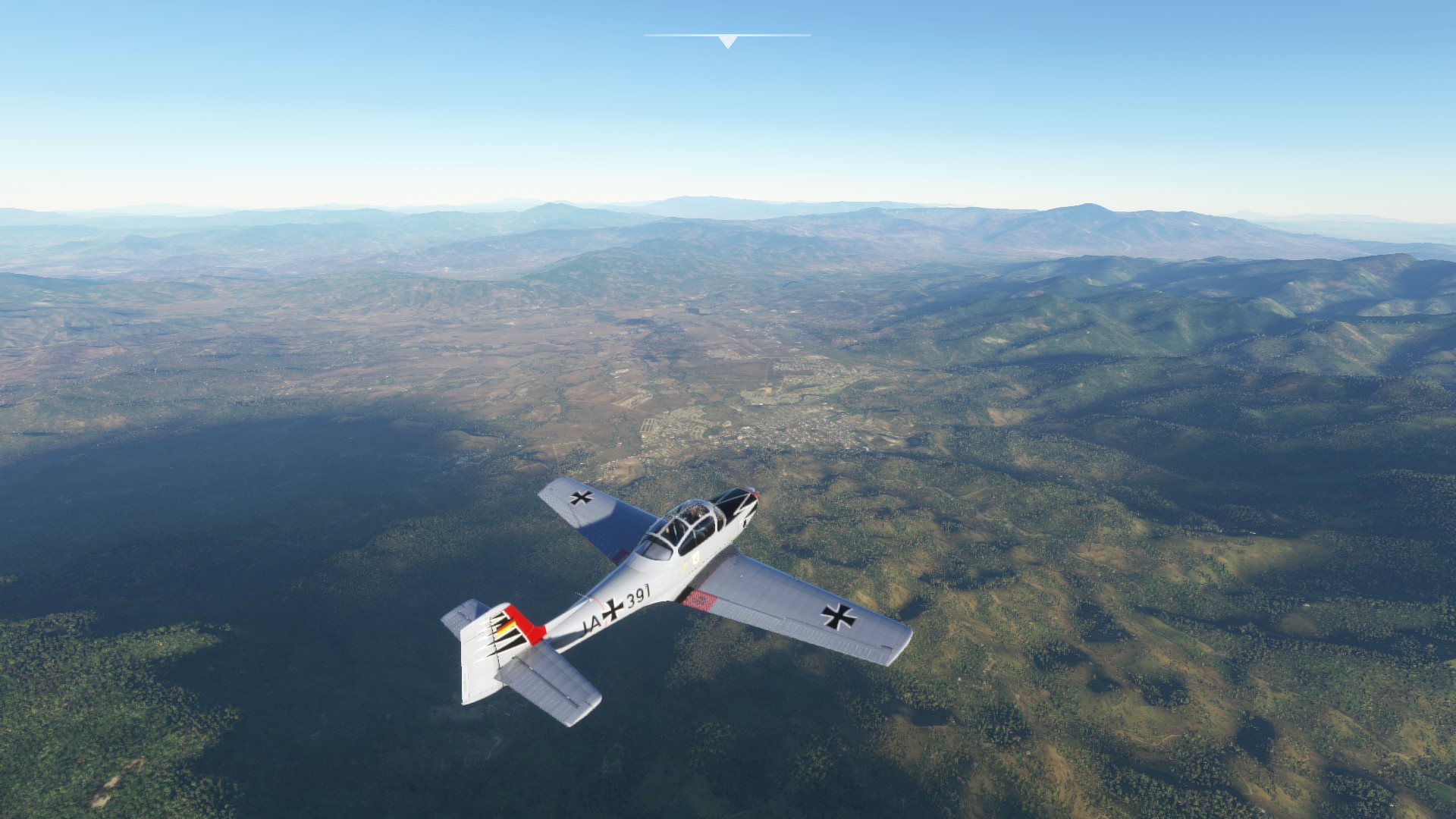
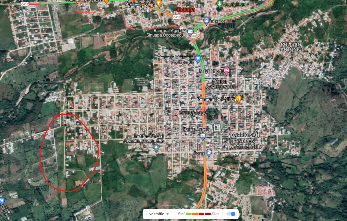
Sinuapa, our destination, in sight.


Real world
Before I put her down, I decided to take advantage of the Focke-Wulf P149D being fully acro rated, with a 7g to -4.5g limit. I’m not entirely sure the handling in some of the more extreme manuvers was correct, but overall it’s certainly fun to throw around. You can tell it’s not an Extra or a Pitt’s, the roll rate is nowhere near as snappy. Certainly capable, and I hope the virtual residents of virtual Sinuapa appreciated the impromptu solo display.

6 Likes

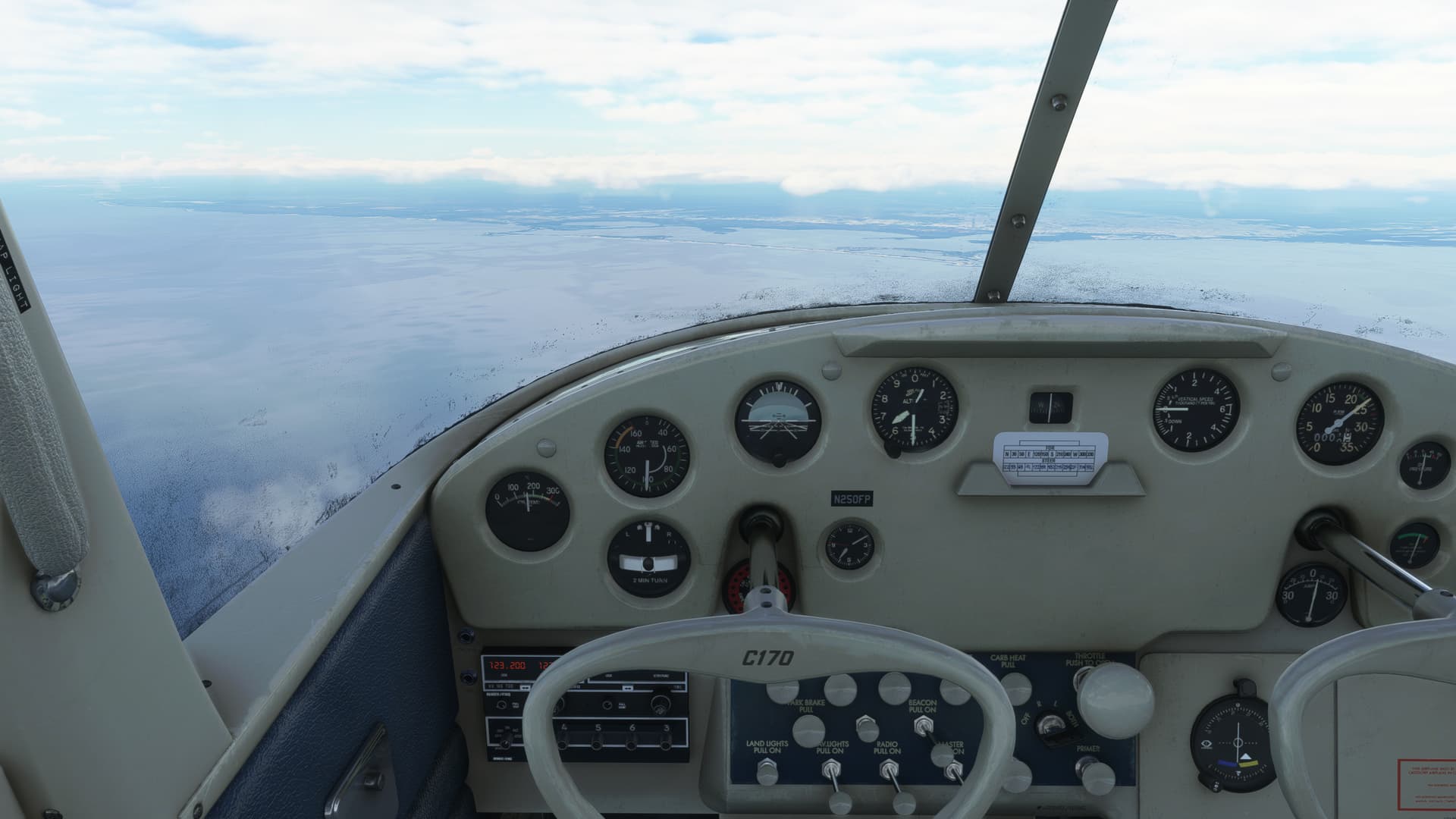
here you go, the rest is hidden between the pilot and copilot seats :grinning_face_with_smiling_eyes:

6 Likes

I like the green radiation warning sign lights.

Is that where the Flux Capacitor is? :grin:

1 Like

I know what you mean! Would you recommend the FW? I am running short of aircraft that are devoid of magenta lines.

Leg 11: Key West TO Havana

OK, just got a message saying that I’ve posted more than 20% of the posts here.

I think that’s Mudspike’s nice way of saying:

So, my apologies for monopolizing the thread. I may combine a few legs in the future to give my pie hole a rest.

I’ll try to keep this one short.

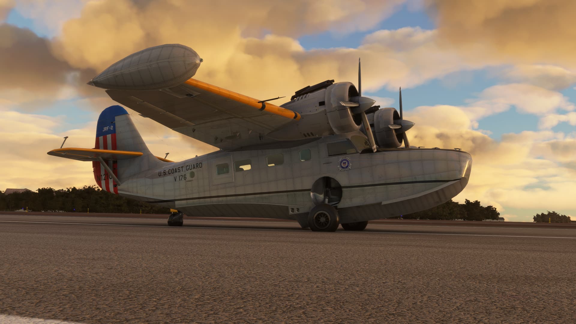
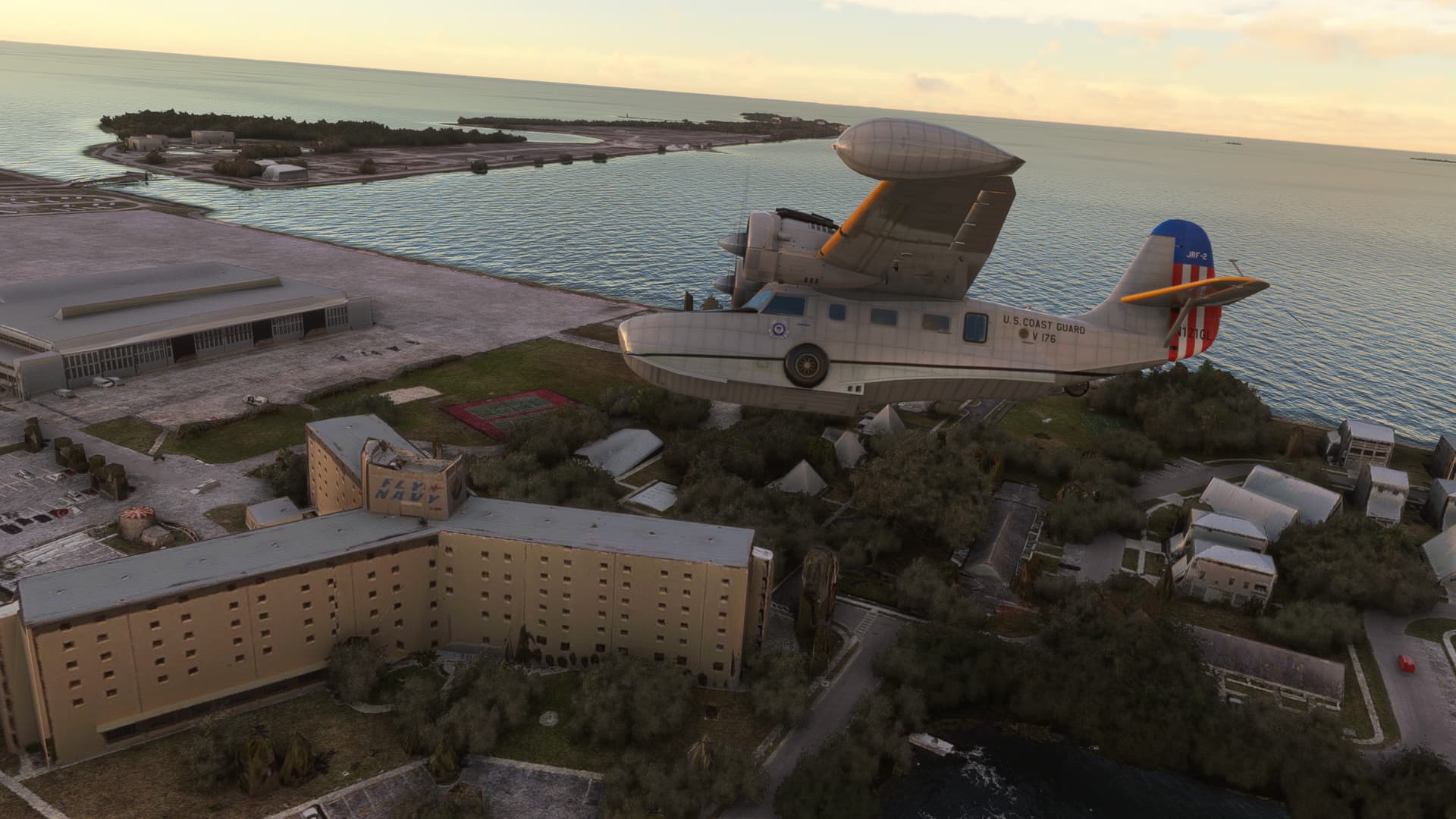
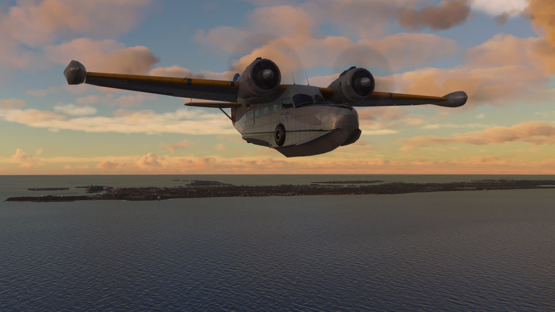
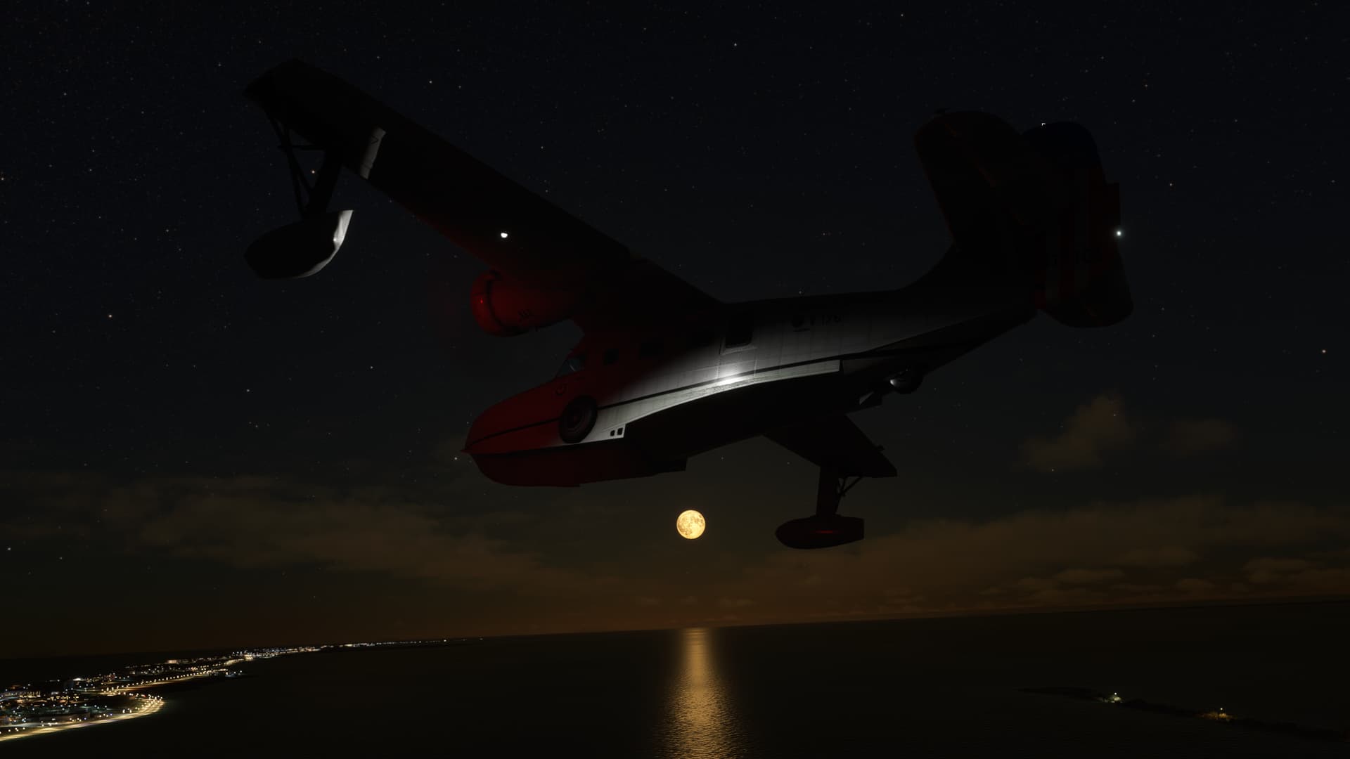
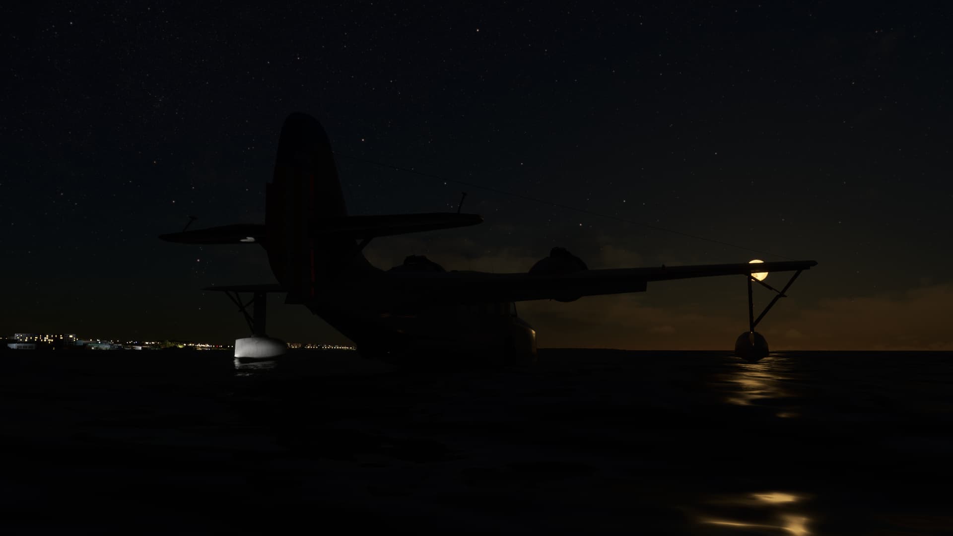
Key West International and the very nice freeware Goose by OzWookie. Coast Guard livery by…well you know who.

Little turn about the Navy Key West BOQ, complete with “FLY NAVY” painted on the air conditioning unit.

Key West in the rear view.

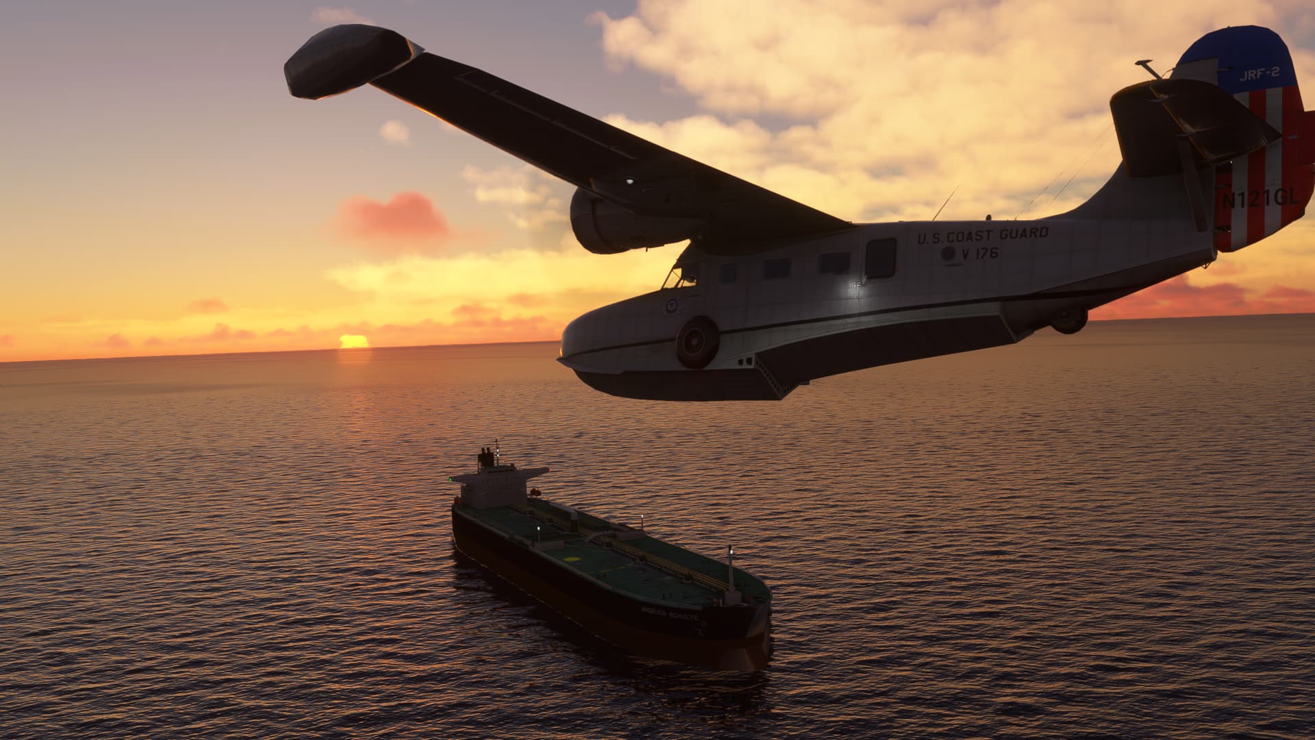
Spotted a big boy hauling the chili. This guy seriously must have been doing 50 knots.

Must be delivering a haul of HP Reverb 2 headset cables!

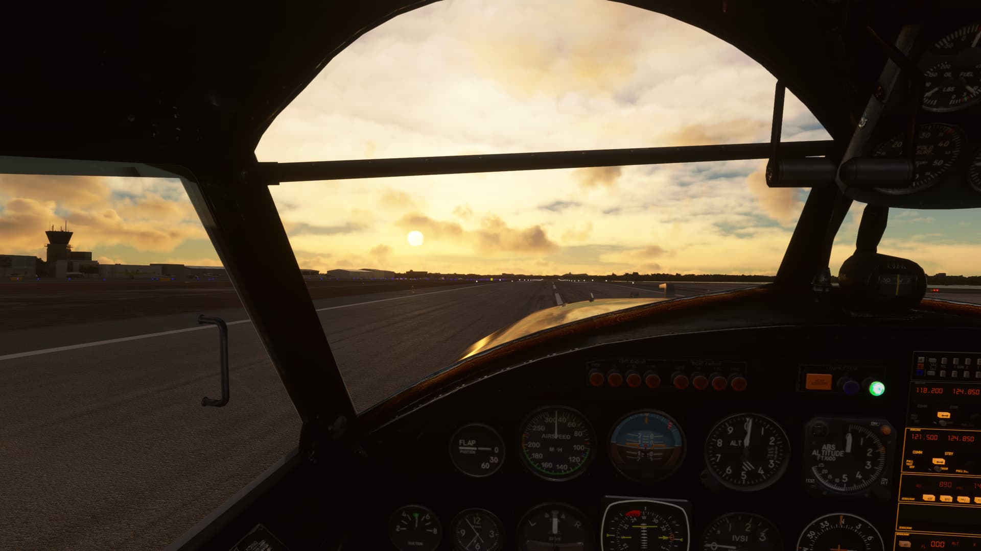
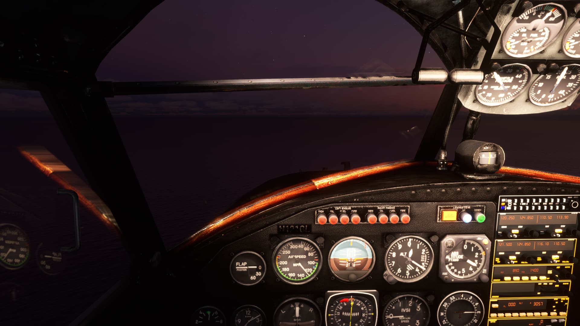
Getting dark. And the lights have two settings,

OFF” and,

Aaaaaigh! My beautiful eyes!

Crossing the coast, when suddenly, I spot a Tiki Bar at 2 o’clock. Dive! Dive!

Got no idea what I’m doing and I’m not even sure that the floats are down…probably should have read the manual but,

Touchdown. Or splashdown, or whatever. Don’t think that the water rudder works. So I may have a long swim to shore.

That’s it for now. Again, sorry for the word explosion. :wink:

10 Likes

I ignore those messages all the time :wink: .Please keep your reports coming!

6 Likes

I nuked that - it was a scary sounding setting called ‘dominating topic minimum percent’ and it kicks in on topics with 5 or more people and defaults to 20%. You can now dominate the topic. :slight_smile:

6 Likes

Agreed…!!

2 Likes

Great report…really nice looking aircraft you have there…

3 Likes

Ignore that. I want more reports! :slight_smile:

3 Likes

I would definitely recommend it, unless you’re looking for something with deep systems modeling. For just fun GA flight it’s a great AC.

1 Like

did few more miles (really few) in the Alps - Samedan LSZS - Ascona LSZD - Raron LSTA - Zermatt heliport LSEZ

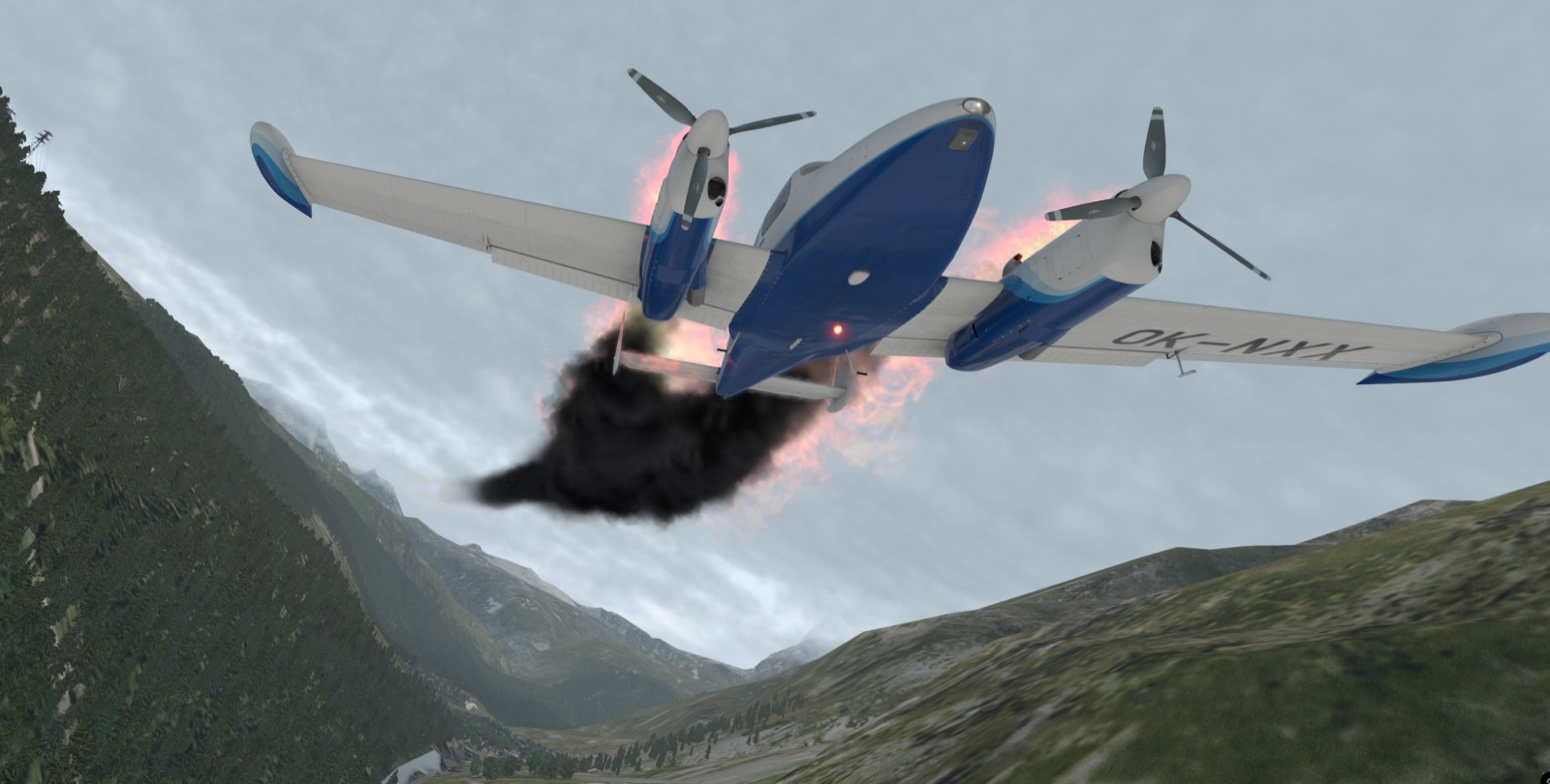
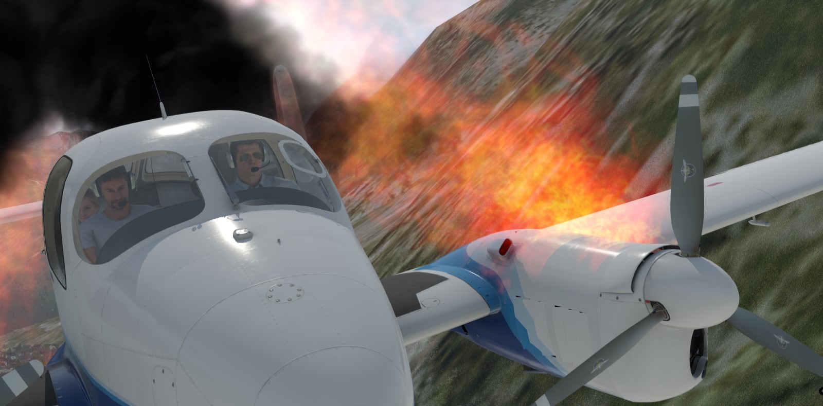
my reckless flying caught me off guard past the Zermatt valley under the Matterhorn in the mountain basin. had some issues right after take off (stuck flaps) but pressed on anyway. cooked both engines probably from overheating and had to turn back and to belly land on the road as there was no other flat surface near Zermatt
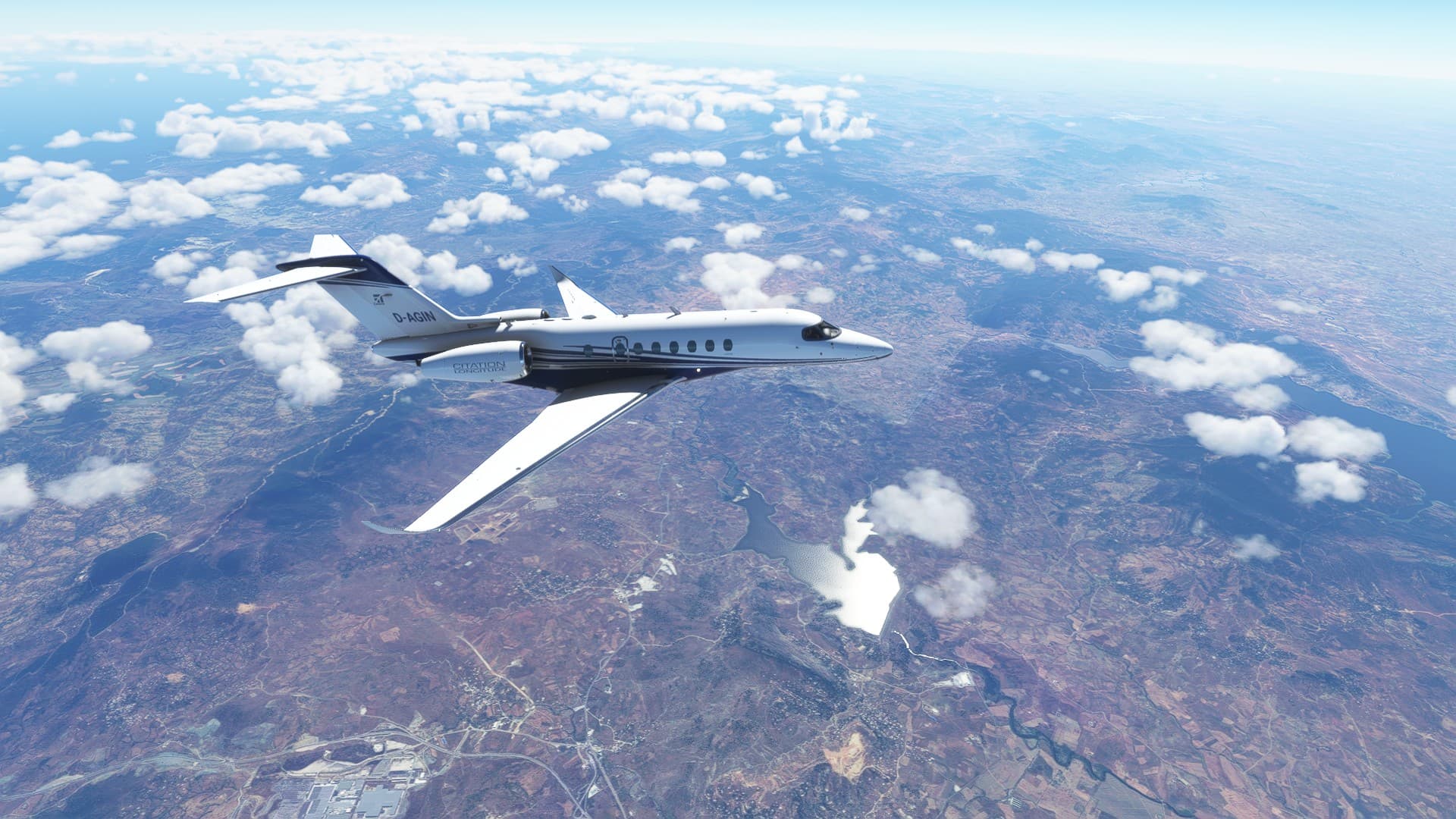
I think now is the time to stop looking careless people :slight_smile:

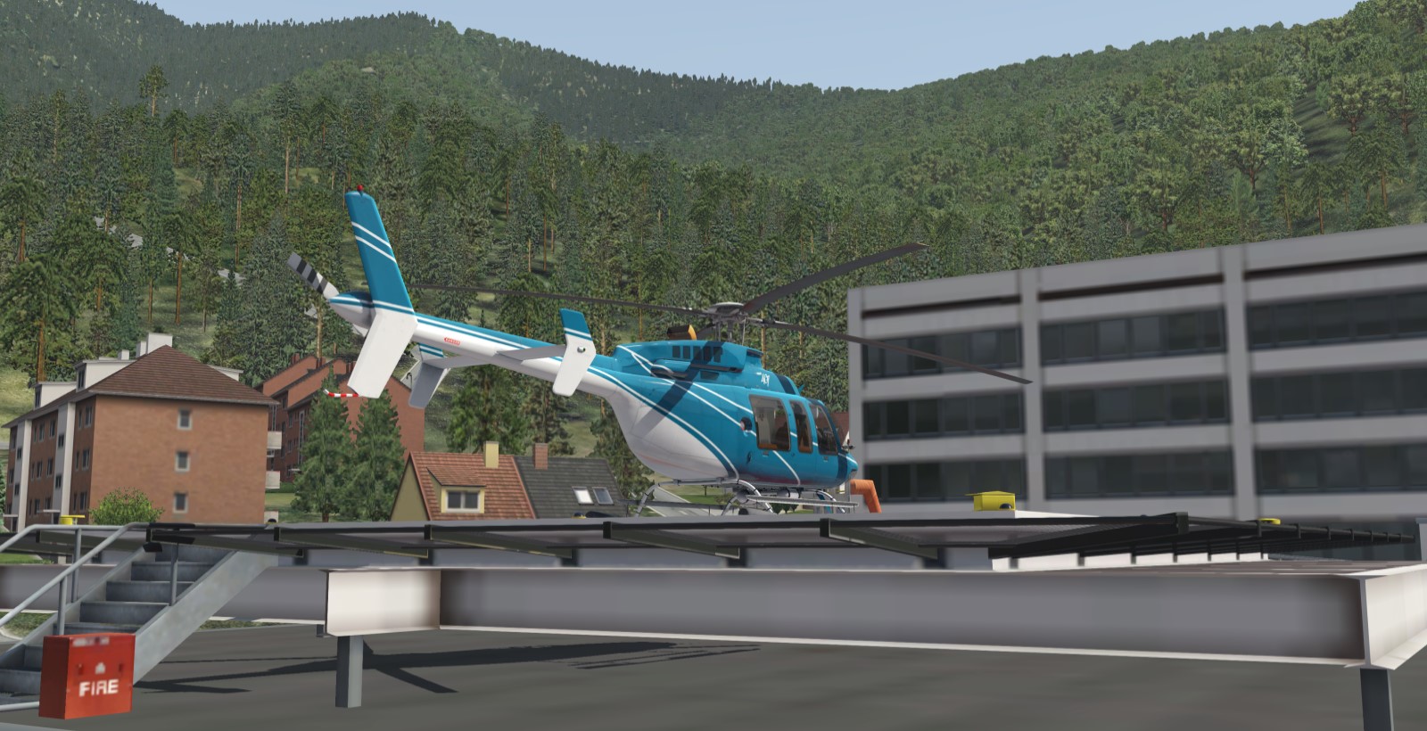
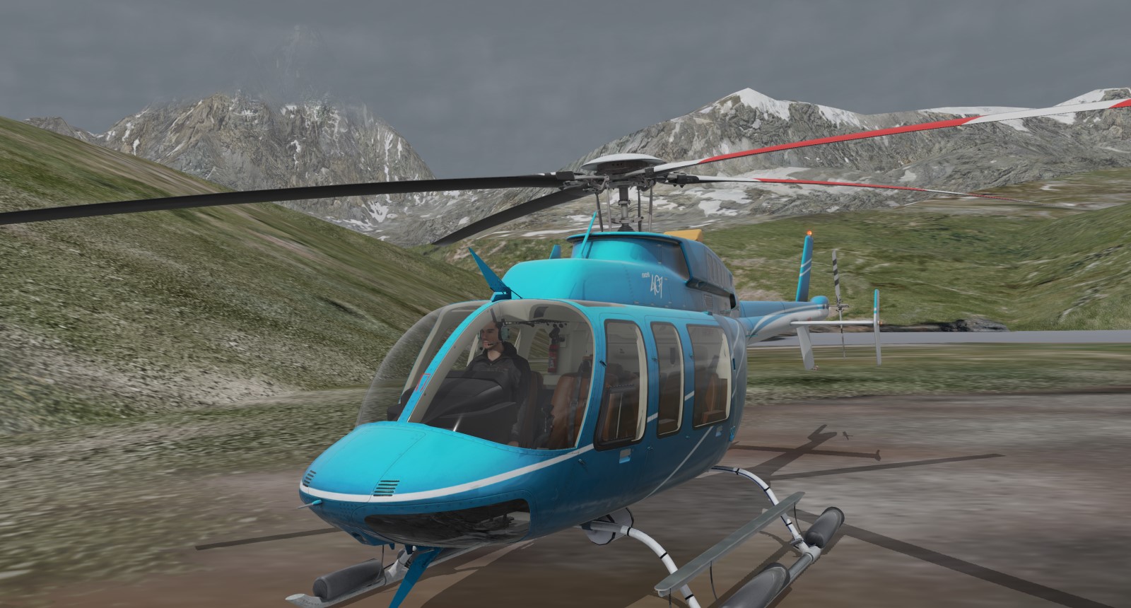
decided to try it from heliport in Bell 407 but Matterhorn didnt want to let me go. experienced flame out, probably from icing, right past the ridge and had to autorotate near lake Lac ge Goillet. at least made it to the other side of Alps - Italy

btw downloading MSFS right now so it will be interesting to check this area again in this other sim

10 Likes

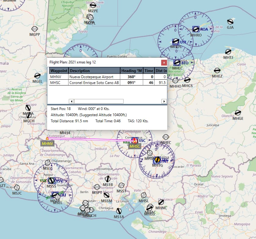
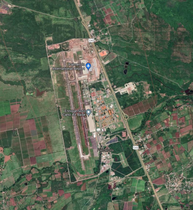
Leg 12 - Nueva Ocotepeque to Coronel Enrique Soto Cano AB
91.5 nm

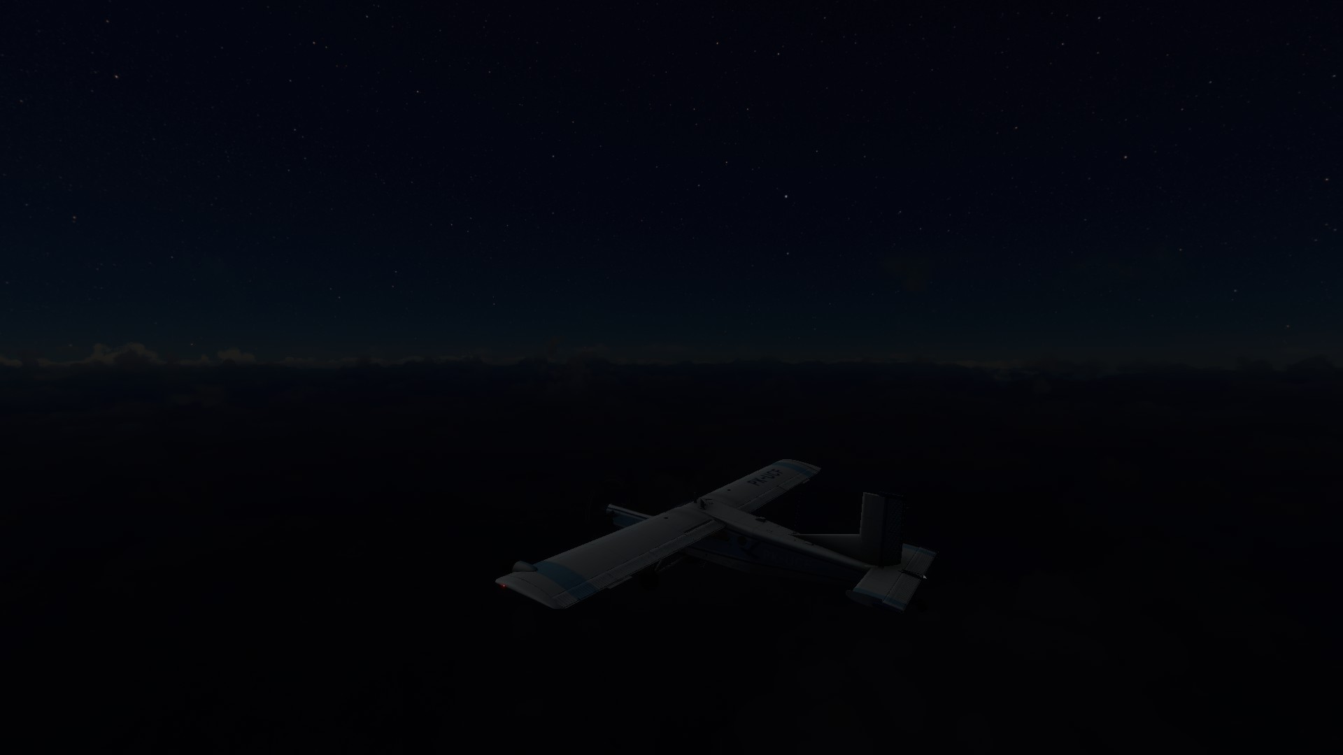
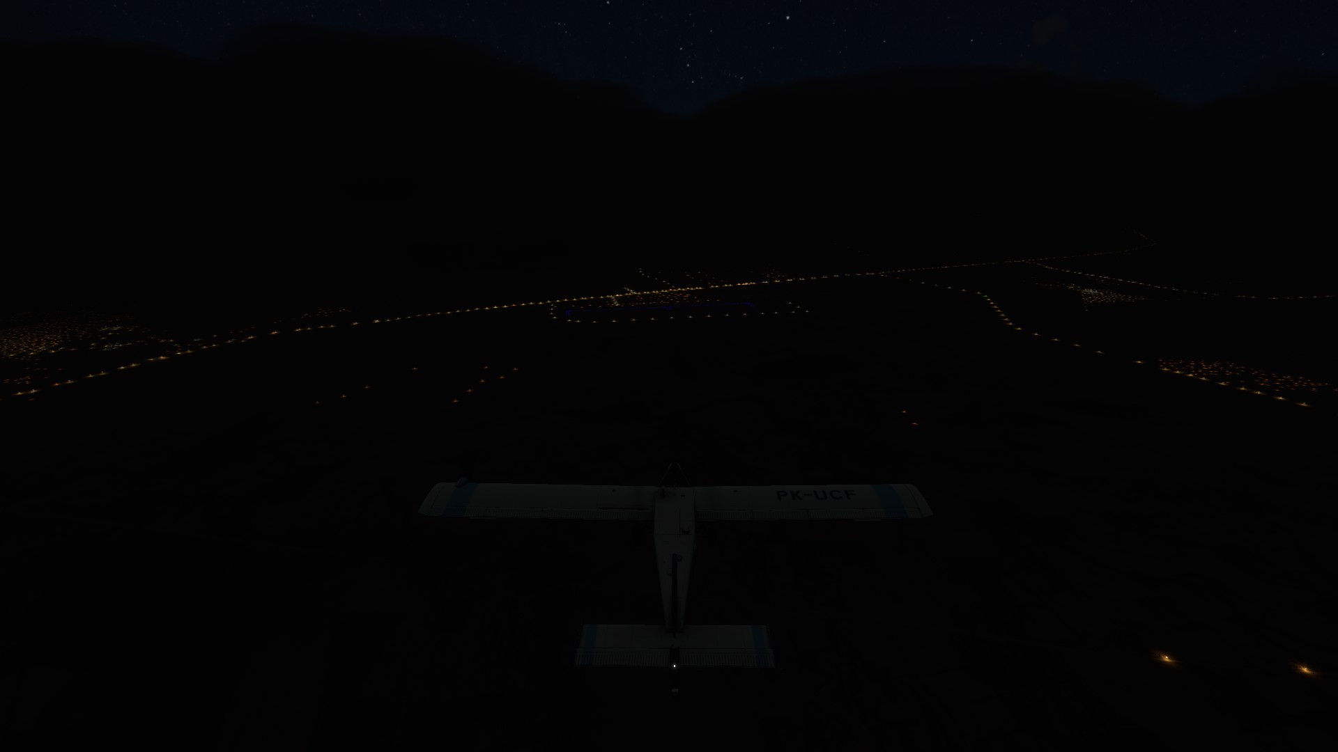
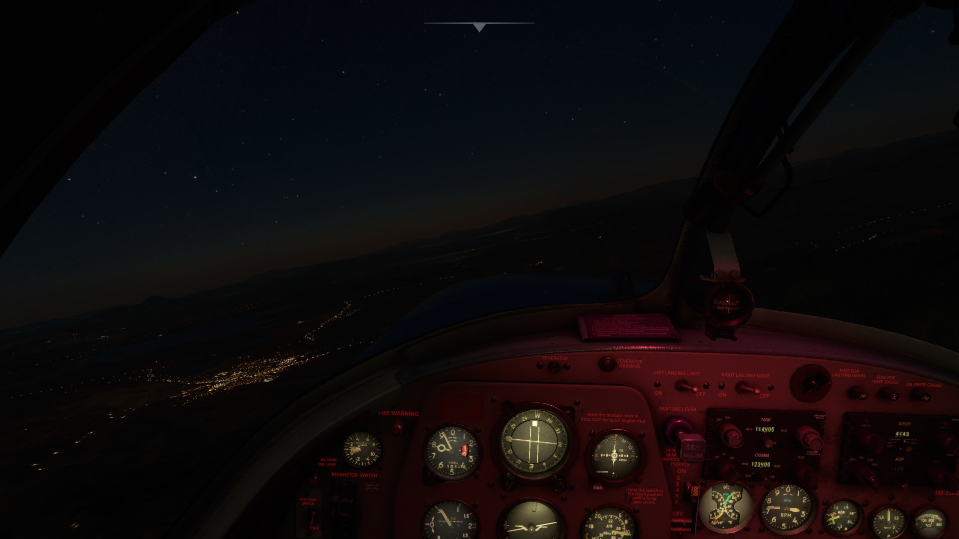
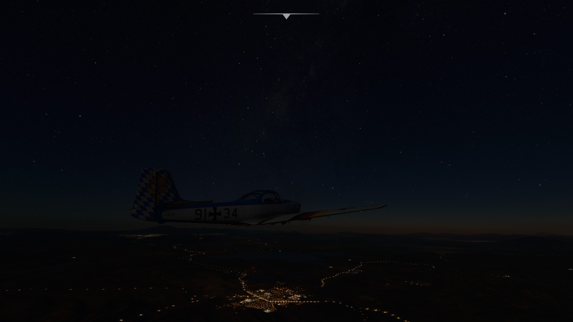
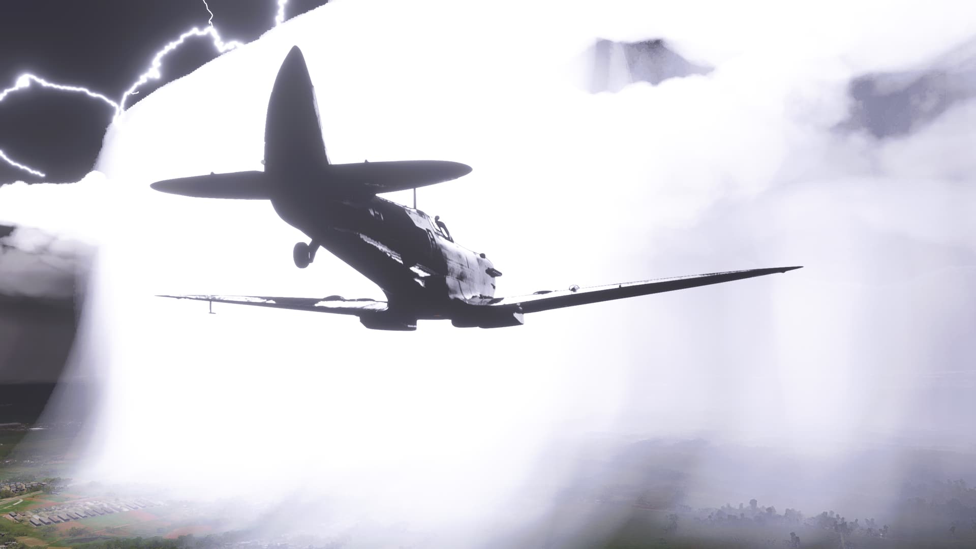
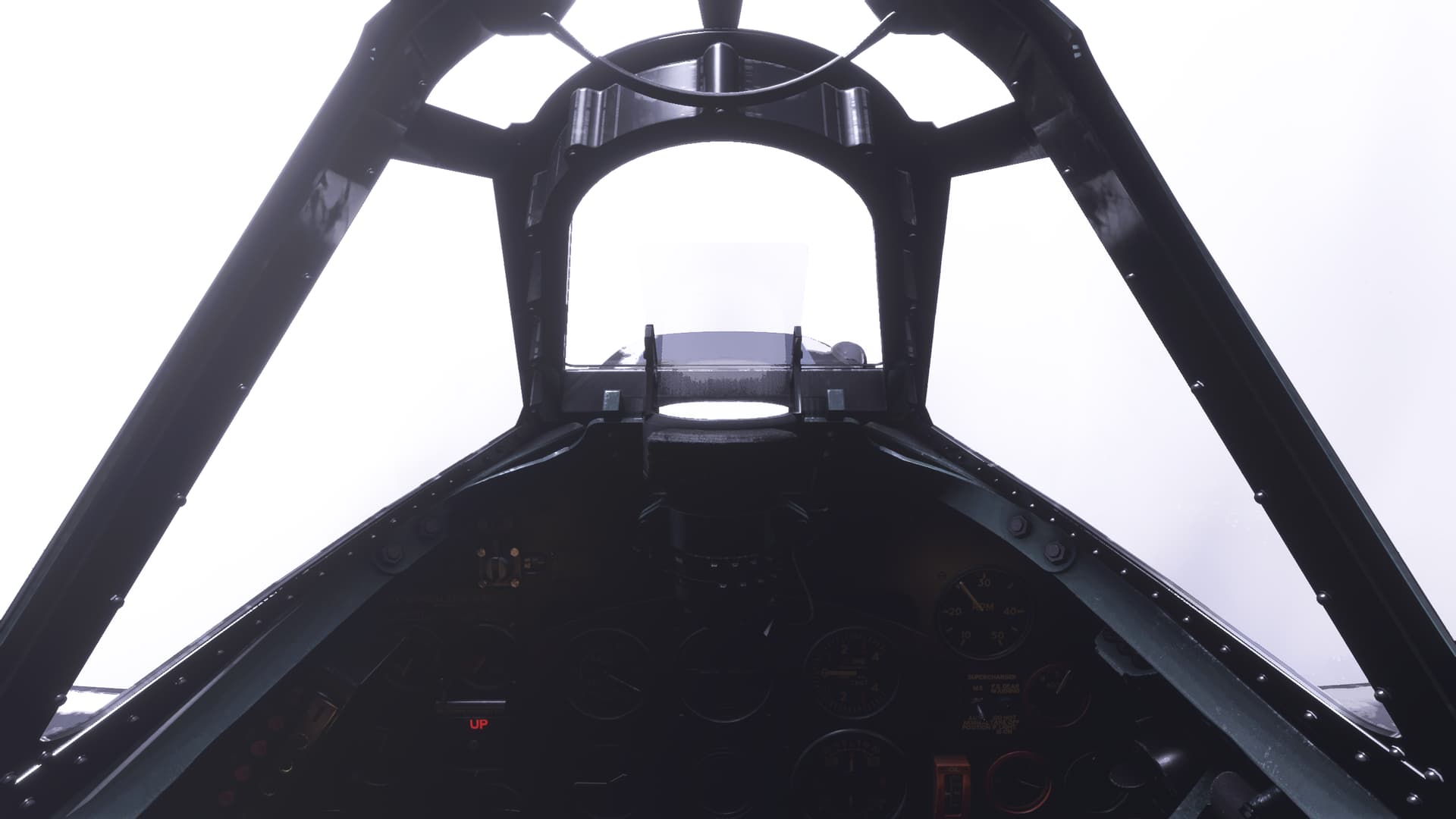
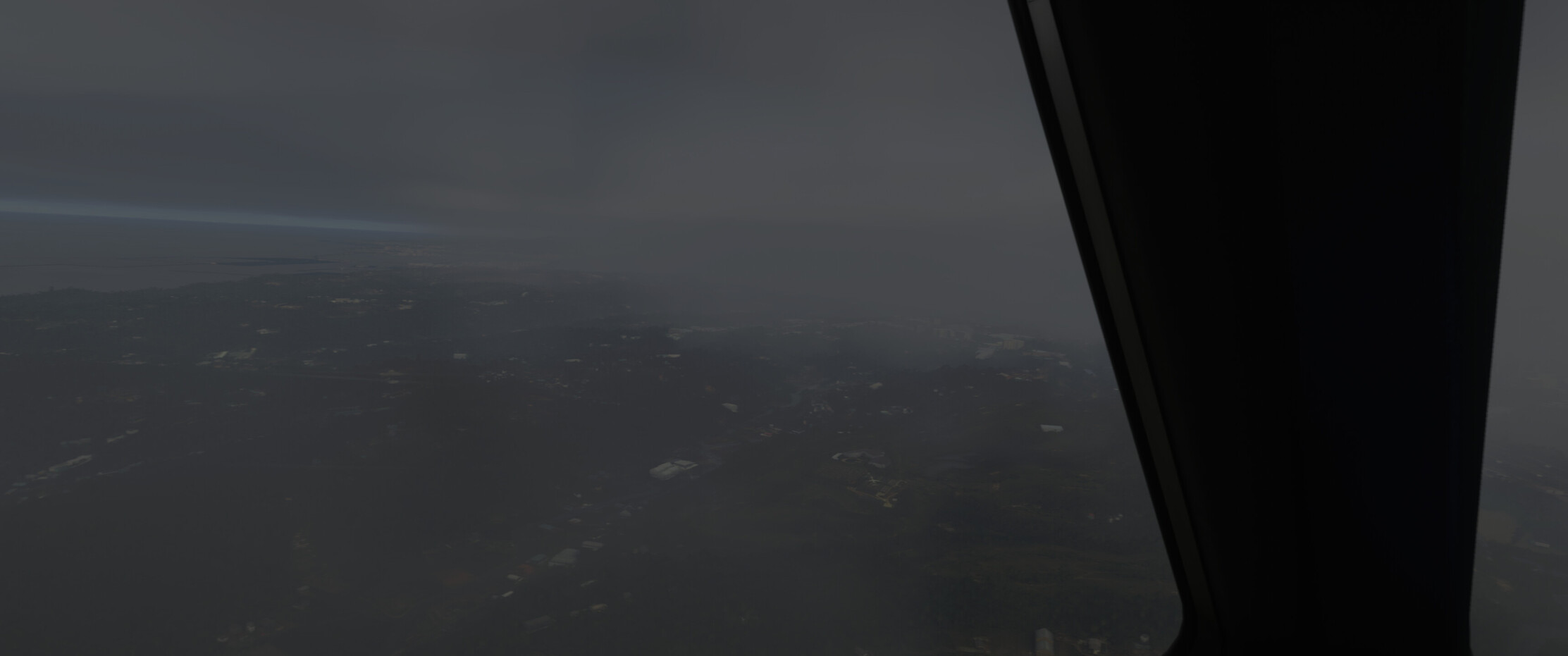
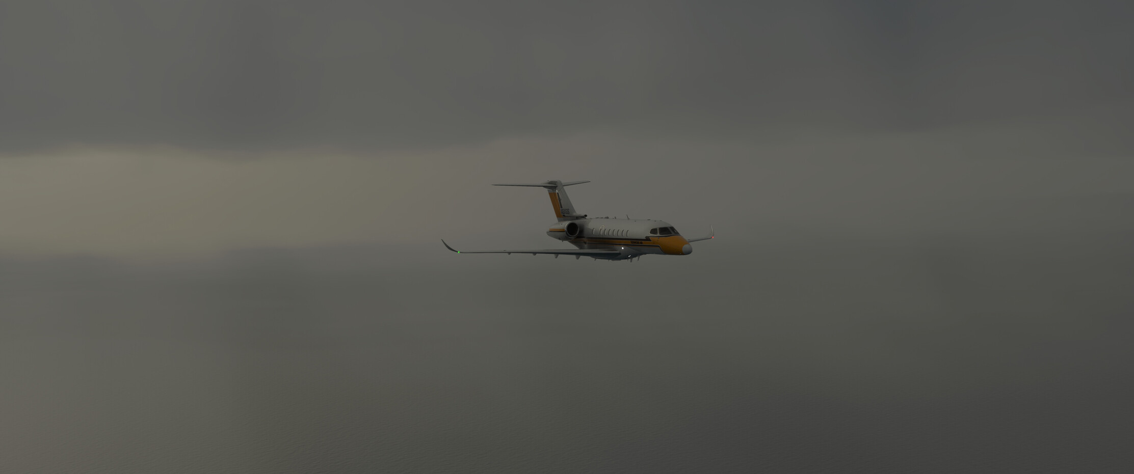
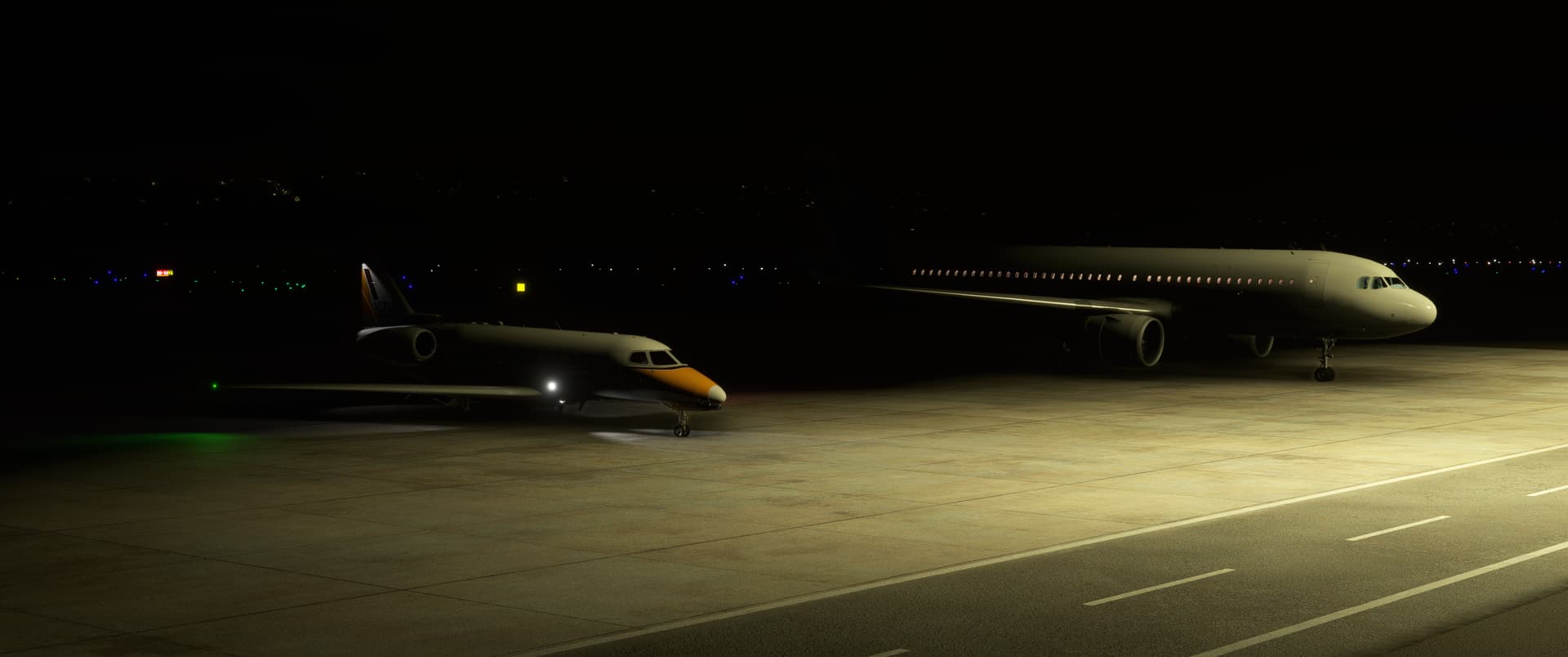
Sticking with my practice of flying my legs with live weather and time, this one in the dark. Oh and a thunderstorm. I tried a couple of different IFR capable AC, but with the high terrain and plenty of mountains I was having finding something that would have a reasonable chance of making it out.

So back to the PC-6 from a few legs ago. It has an excellent rate of climb, and much more importantly the synthetic vision means I can safely navigate around what I can’t climb over.

Yeah not the best weather.


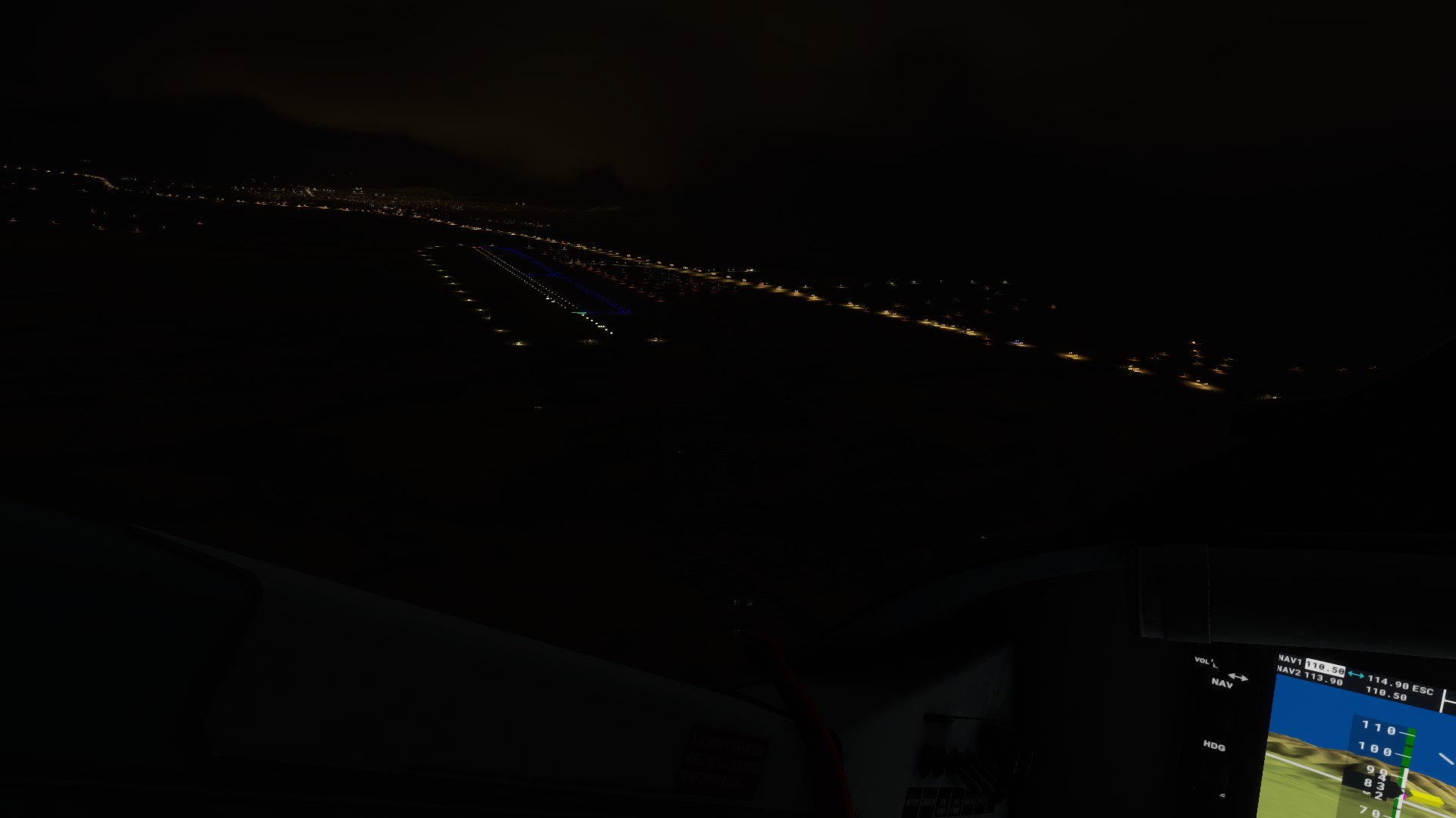
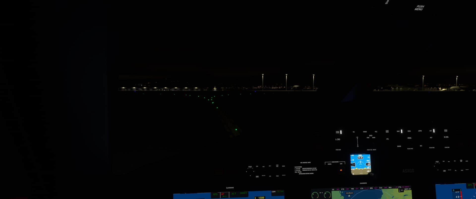
Some runway lights would be nice!


Real world

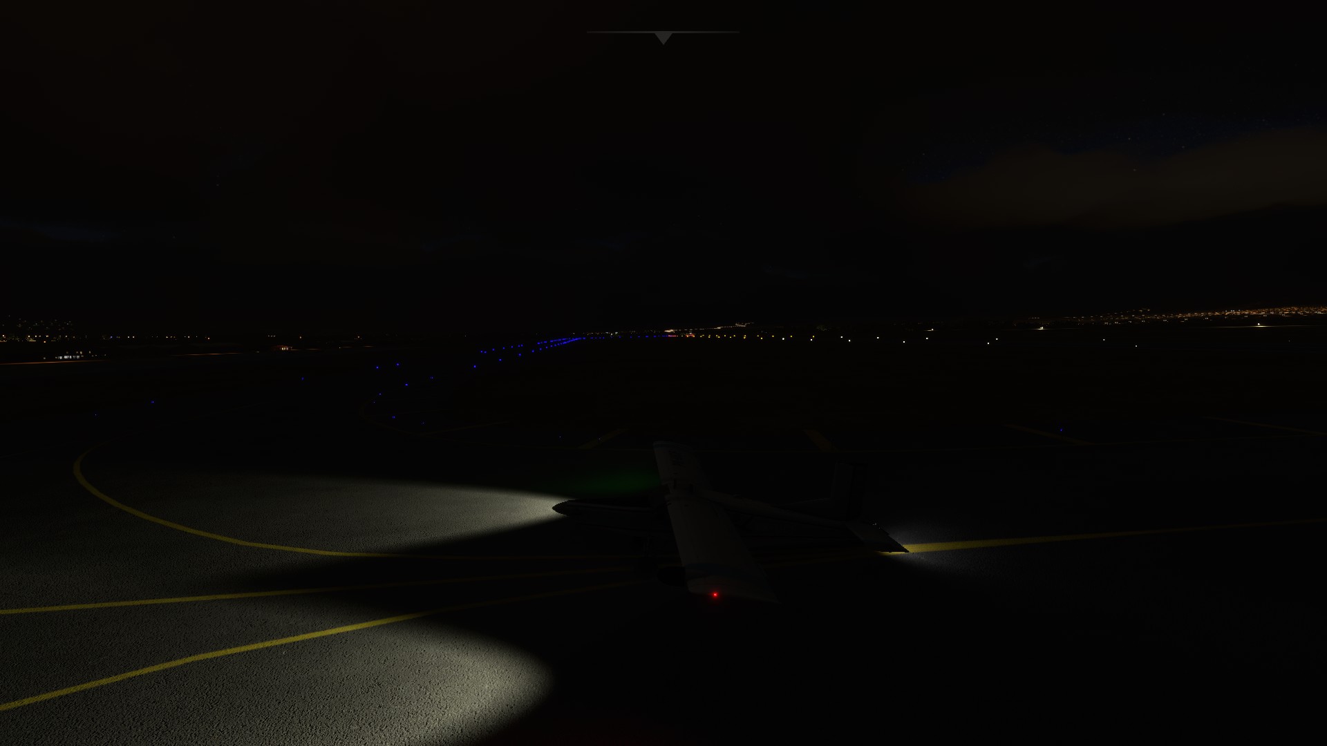
So not exactly the usual visual treat of MSFS, so a few shots from other aborted attempts on this leg:


10 Likes

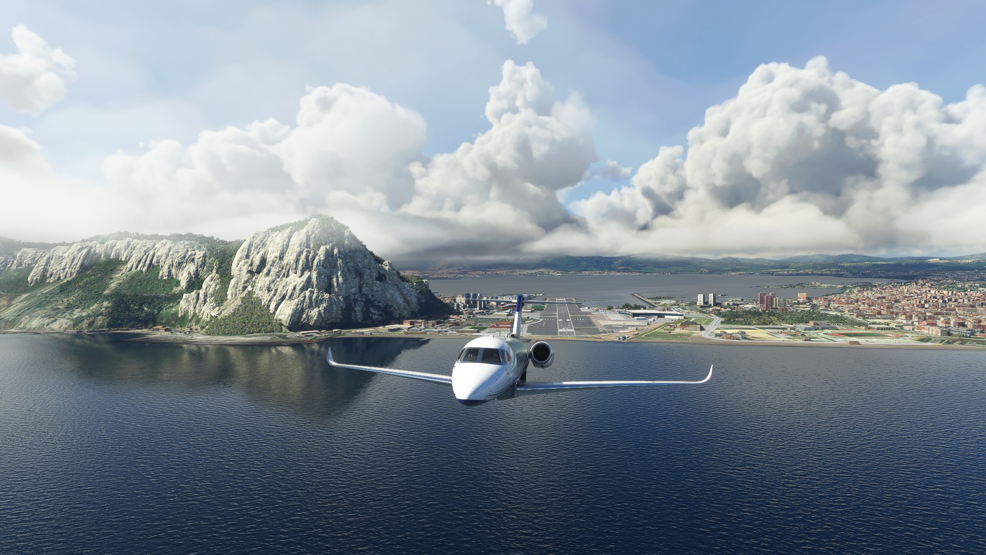
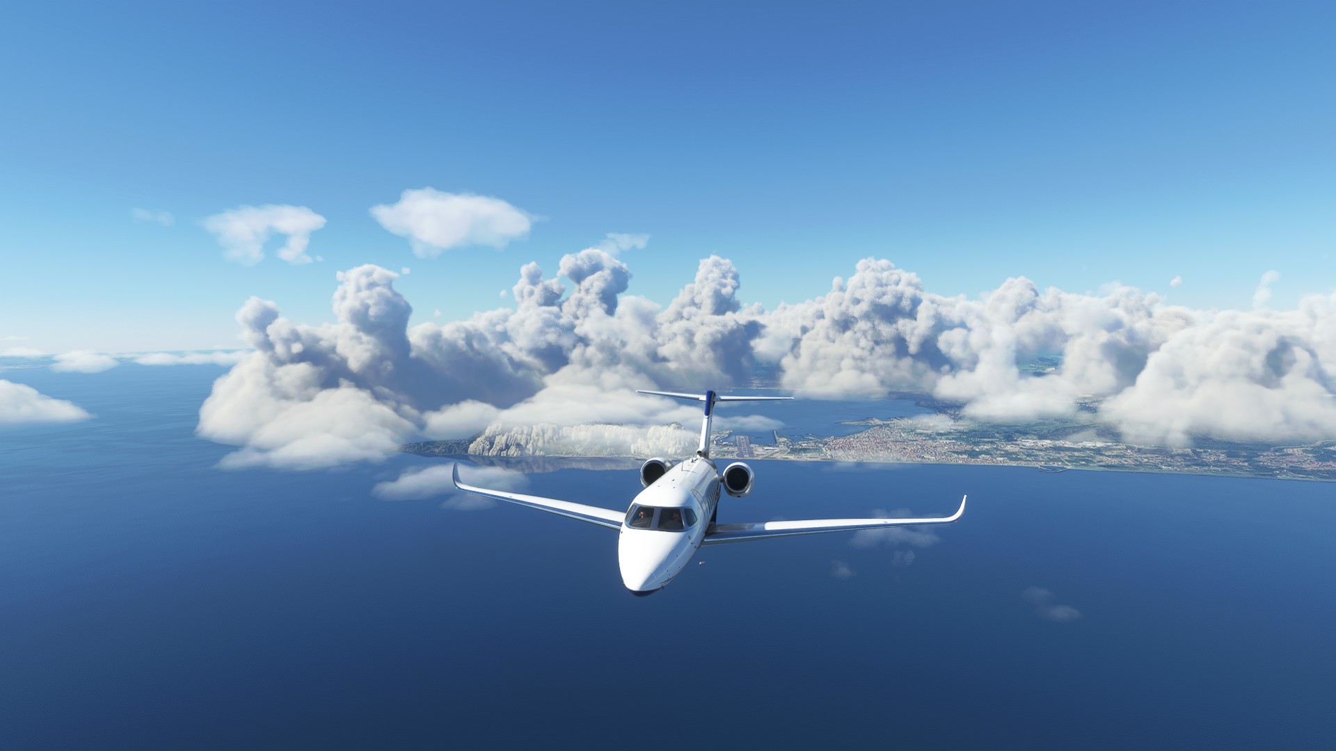
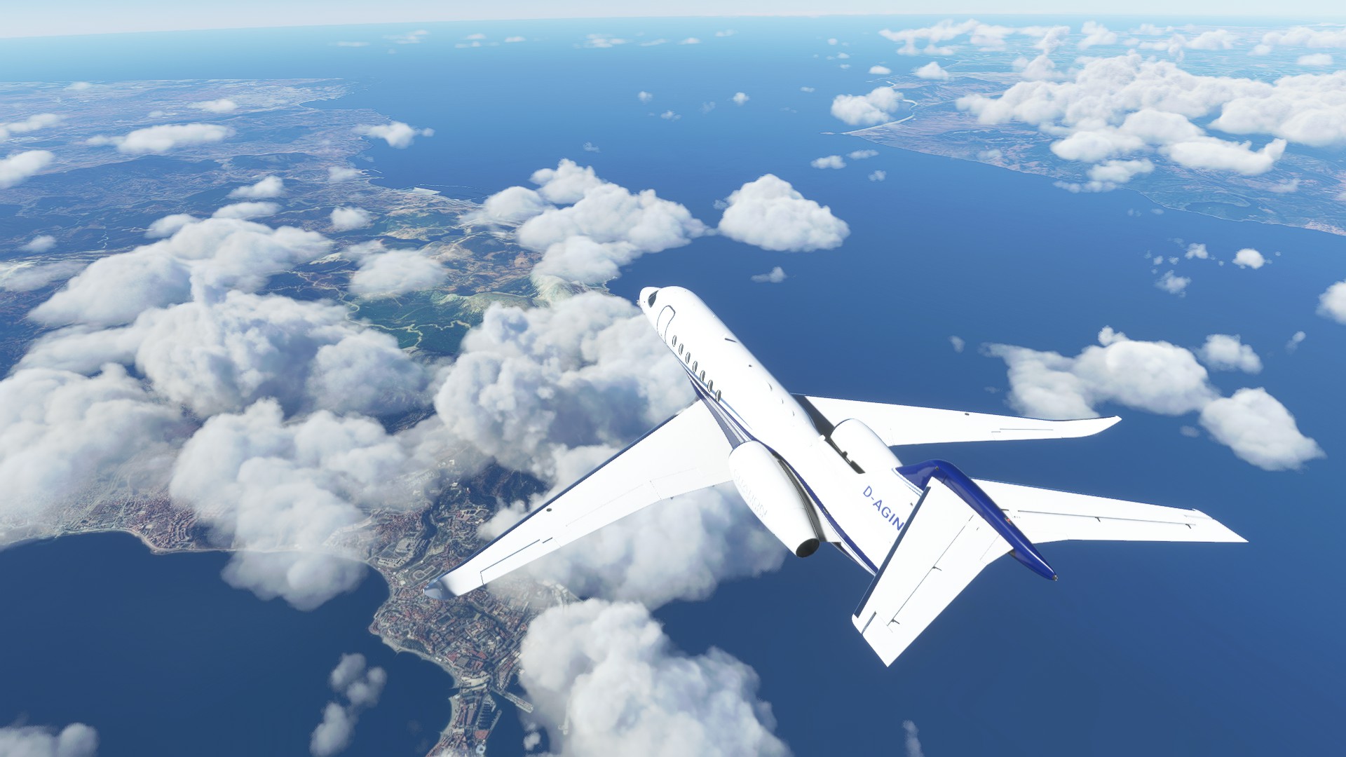
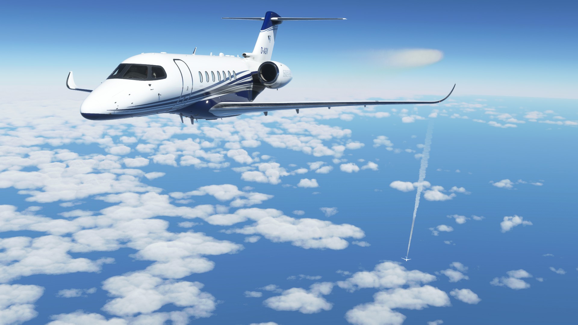
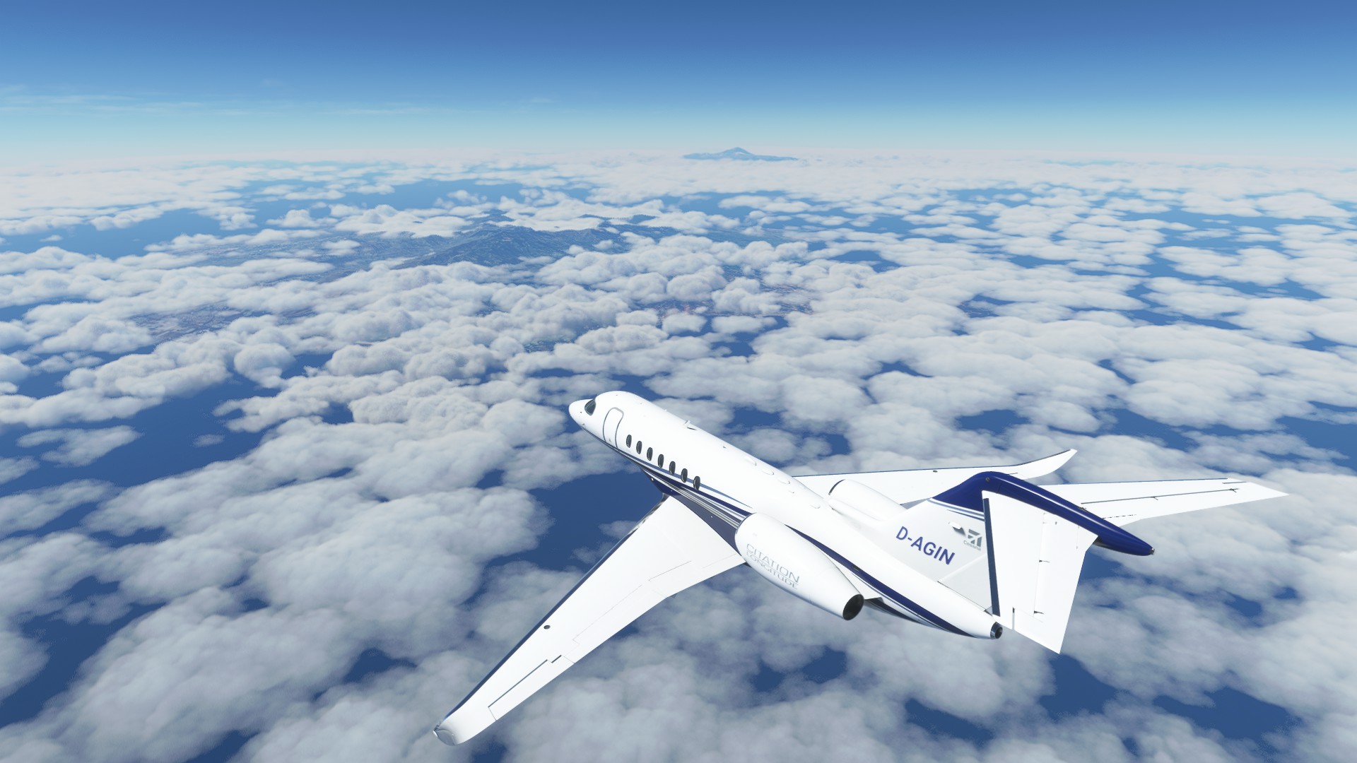
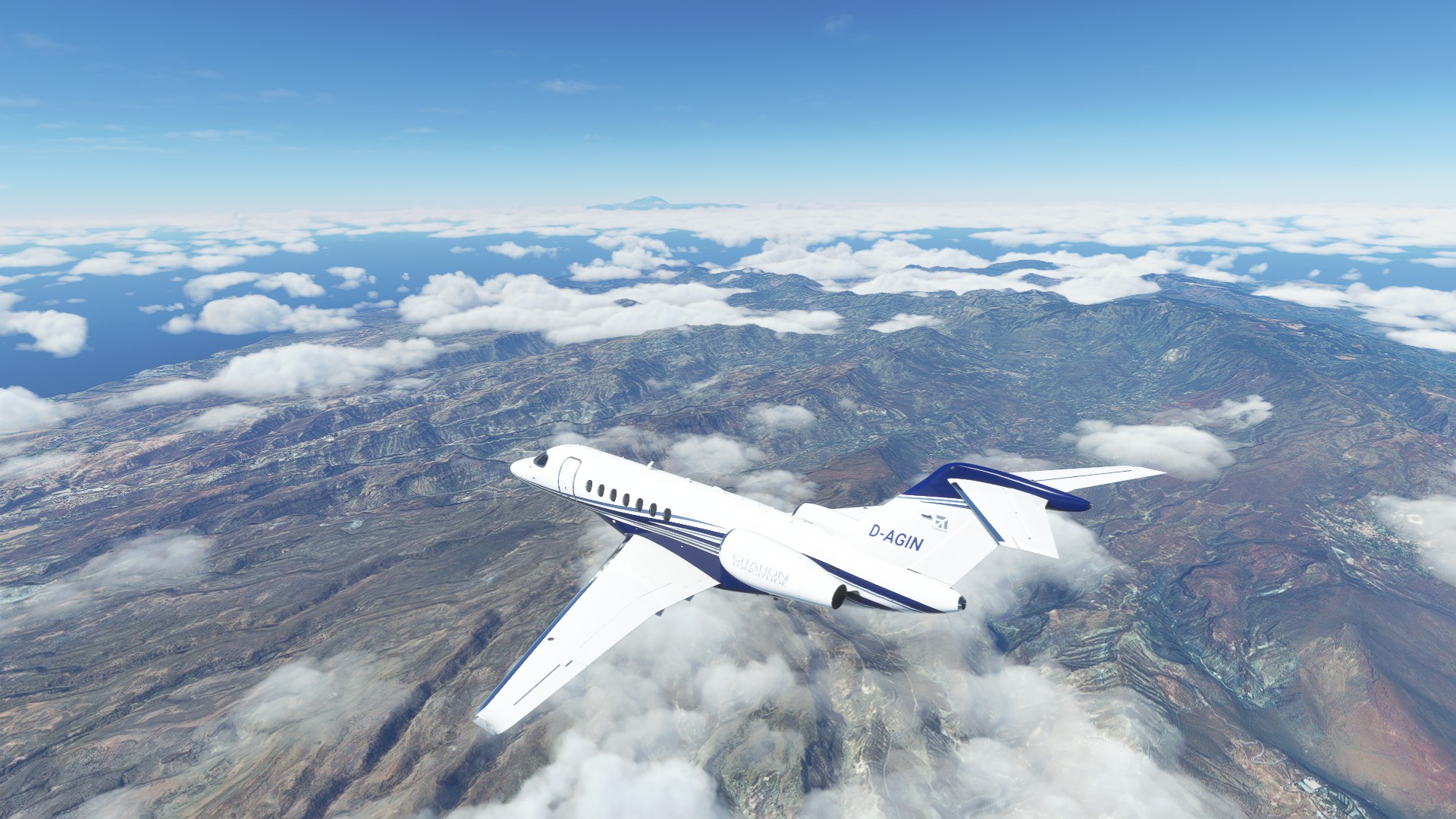
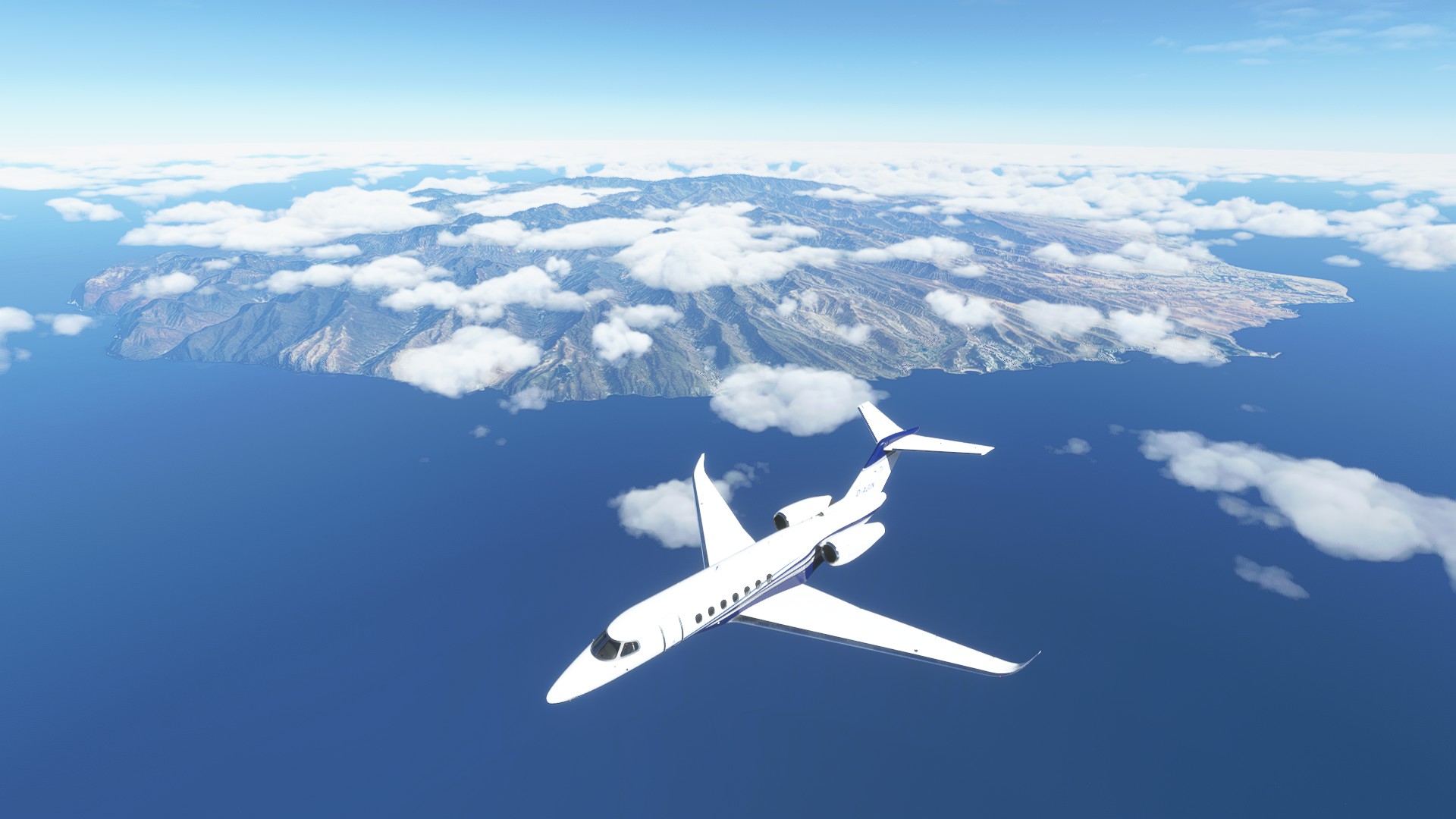
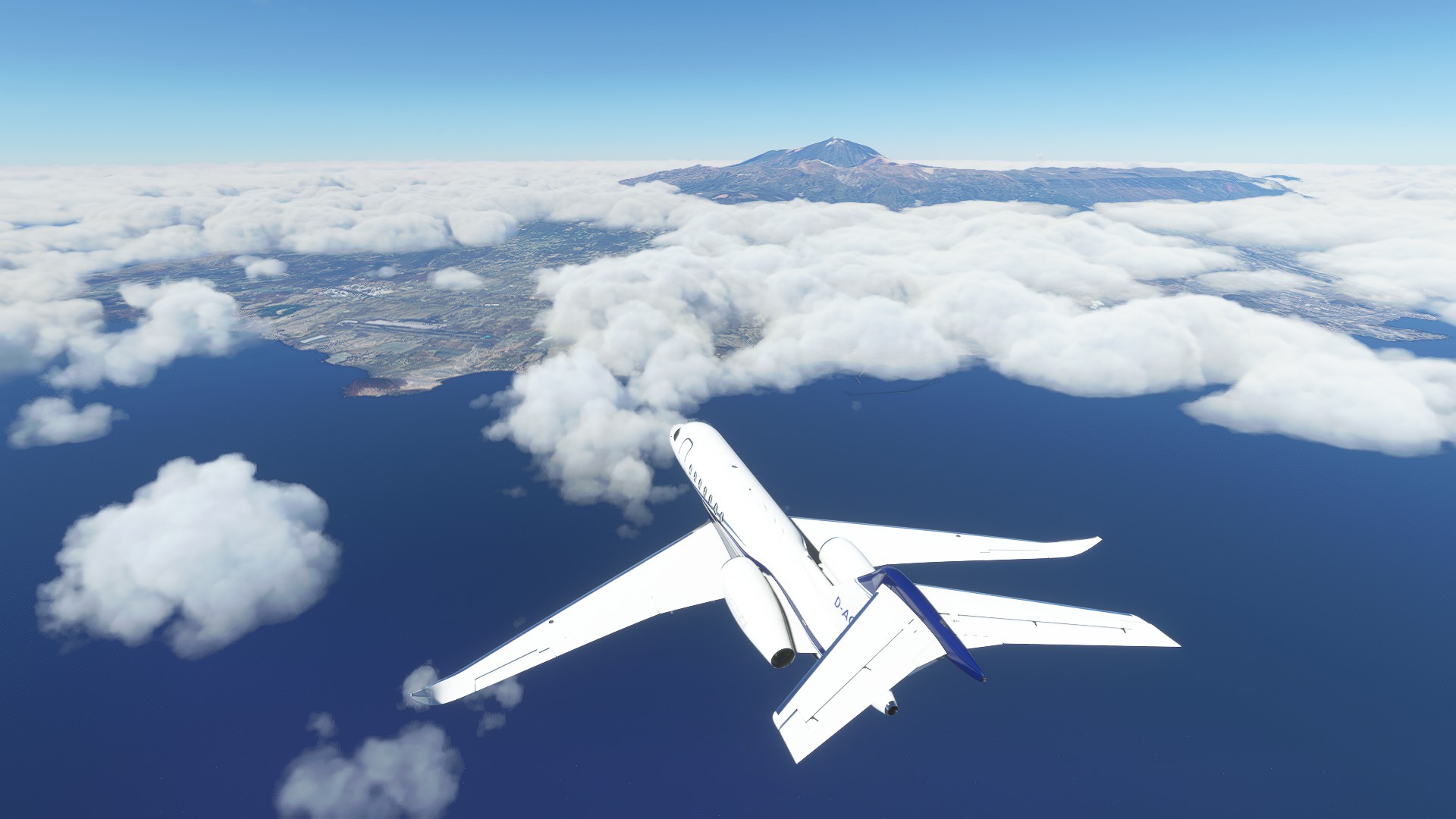
I flew my second leg today, from Gibraltar (LXGB) to Tenerife (GCTS).

Here we go! Escaping the incoming bad weather.

The strait of Gibraltar

Morocco

Hugging the coast a bit, that is Casablanca down there.

Overtook an airliner that was headed to the same island as me.
I wonder how they could report me in sight, I think they were lying. I approached from six o’clock high.


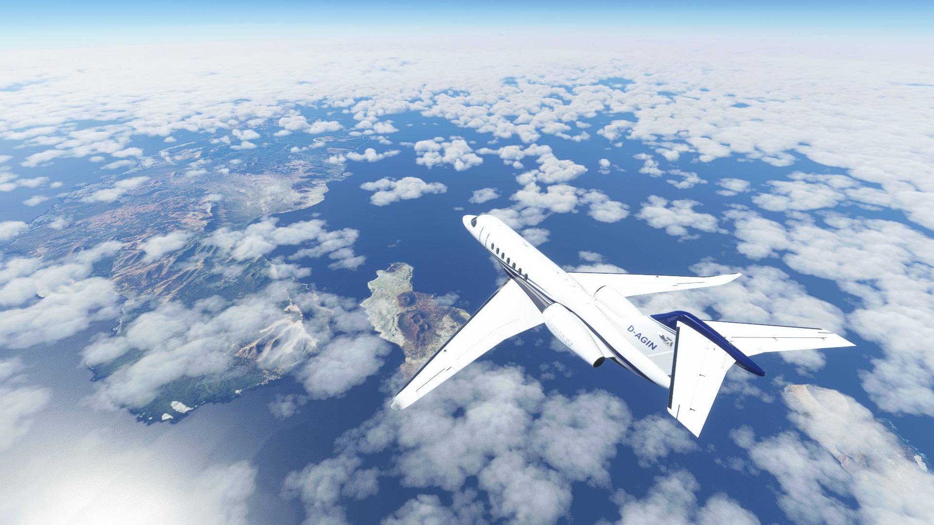
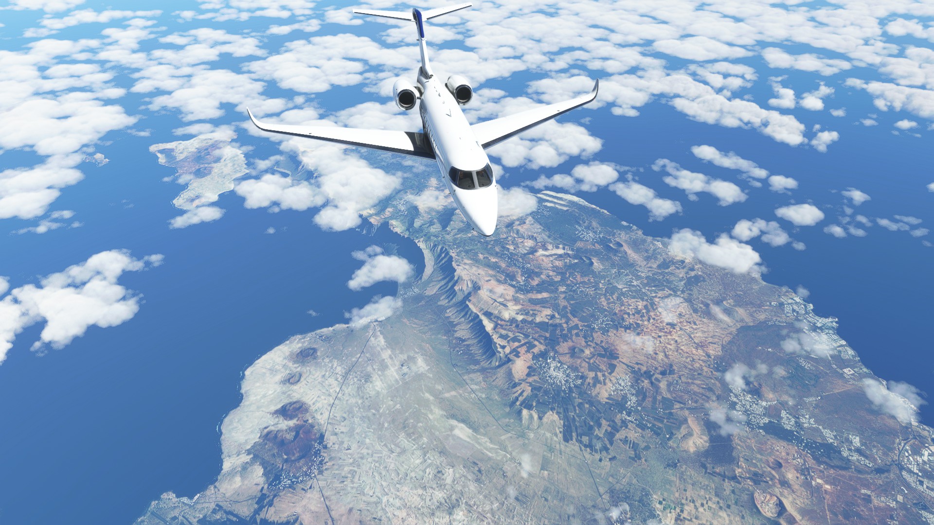
Lanzarote, the most eastern island of the Canary Islands.


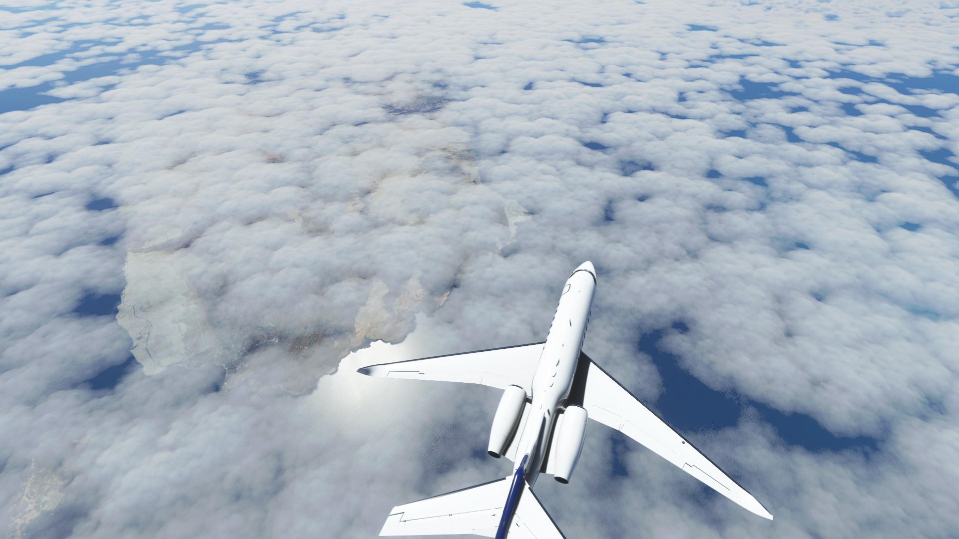
Fuerteventura, but covered by clouds.

Gran Canaria and Tenerife are high enough to be peek out from under the clouds.

Descending near Gran Canaria.


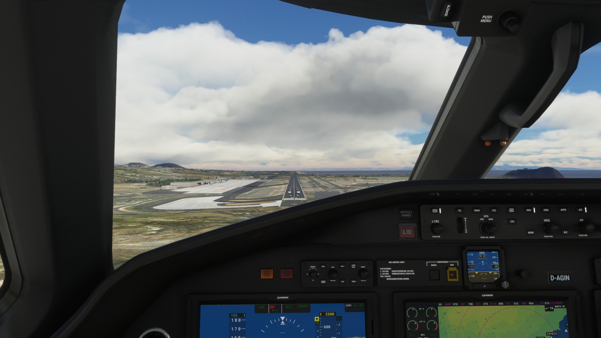
Airport in sight

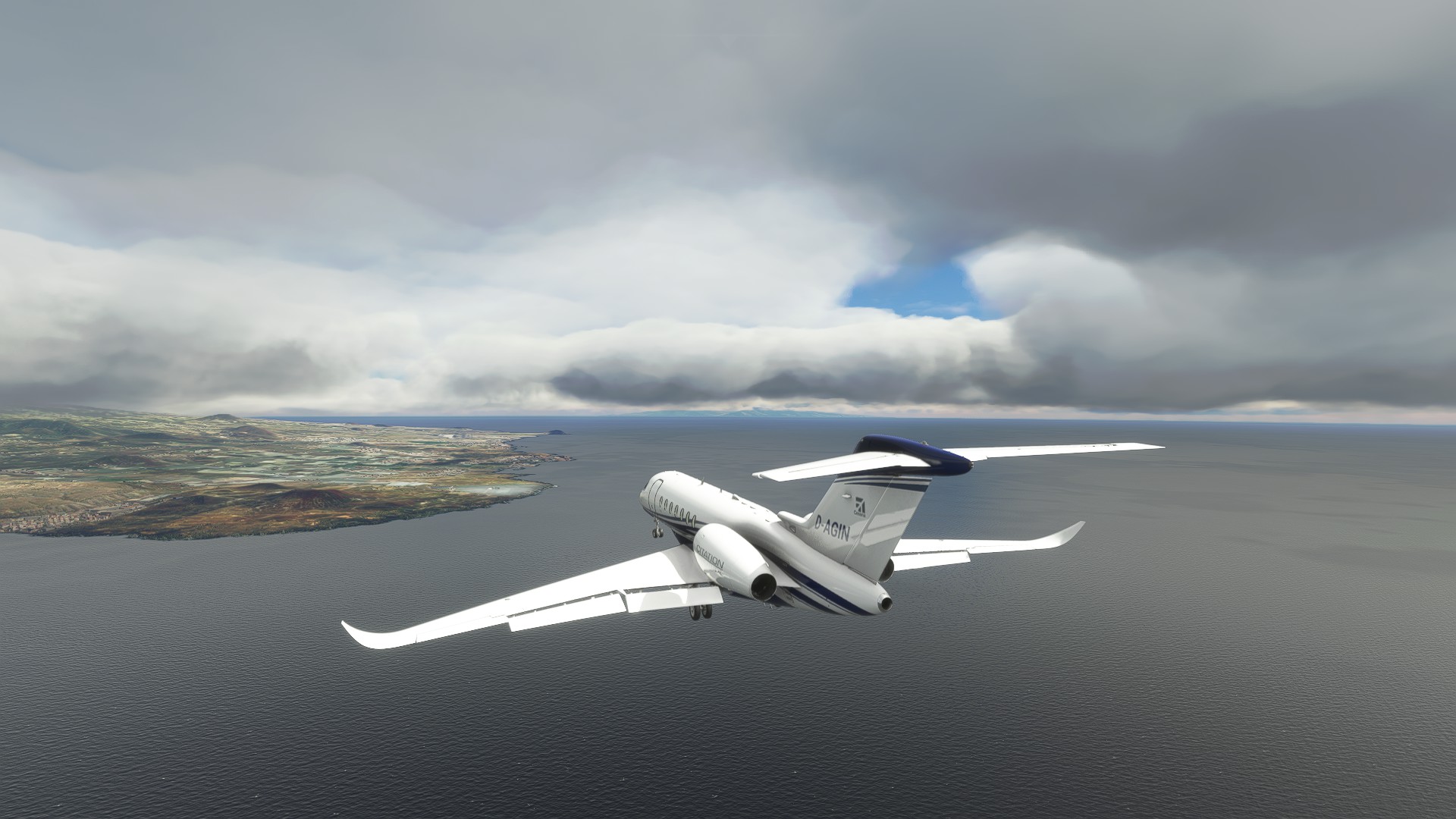
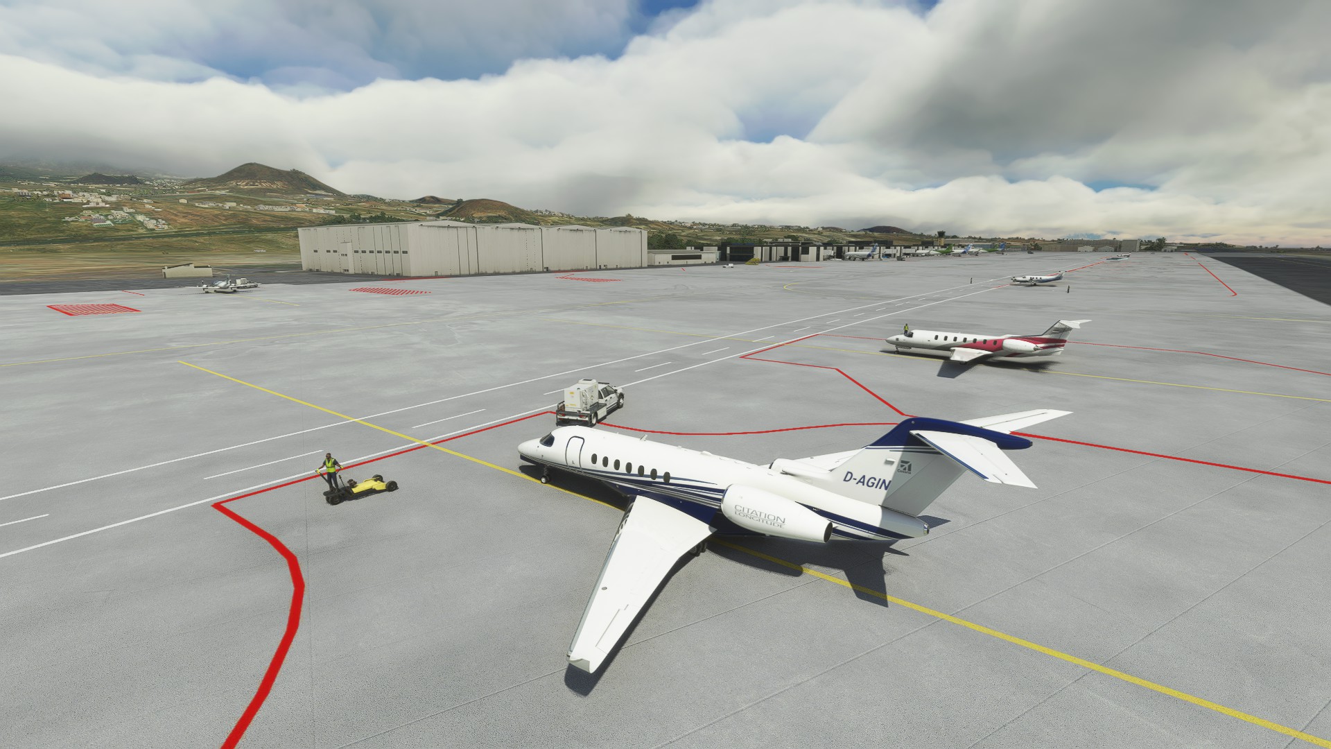
On final. Not too bad. There was some crosswind but it worked out well.
I came in not too hot (like I usually do) so I didn’t even need my thrust reversers.


That’s it! Next up: Fly to Cape Verde.

8 Likes

Ad-Rock Hey Ladies GIF by Beastie Boys

6 Likes

OK, I’m back under 20%!!! Cleared HOT! :rofl:

Well, this proved to be an interesting set of legs. And I don’t mean…

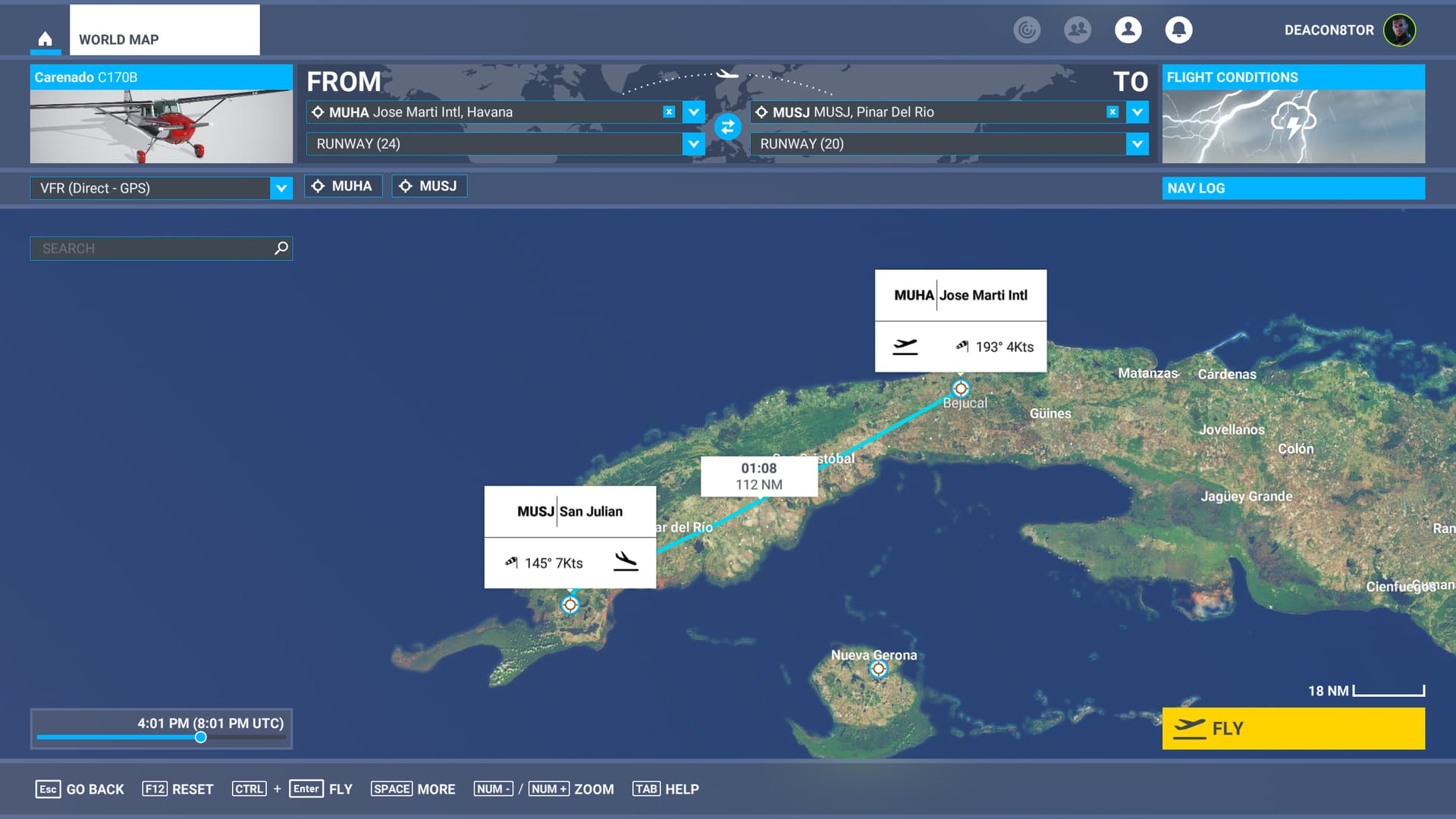
My original intention had been to fly from Havana all the way to Cancun on one bag of gas. But the Flying Iron Spit, which I had planned to fly for this leg, was going to be a little skosh of dinosaurs by the time I got there. Looking at the MSFS map I spotted San Julian Airport pretty close to land’s end. Perfect.

So, Leg 12 - Jose Marti Intl (MUHA) TO San Julian (MUSJ)

My plan was to basically fly down the south side of the mountains and pick up the field in the box formed by the mountains to the north, and the sea to both the west and south.

It was, after all, the ONLY airfield at that end of the island.

Easy, peasy, not a snowball’s chance in Hell of finding it! :wink:

Things started going sideways pretty much off the bat. As is probably a surprise to absolutely no one, I love dawn/dusk flying. But, as I found myself fiddling with the sim, the weather, and the Spit, I accidentally got off the ground much earlier than I had planned; as oxymoronic as that sounds.

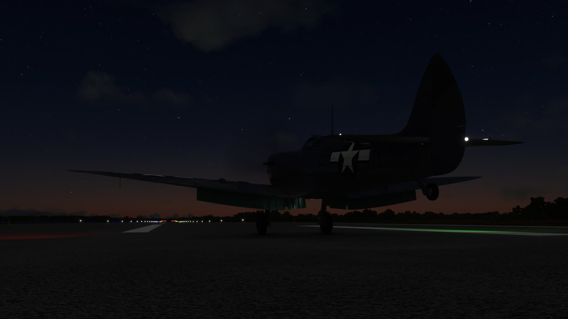
So it was much darker when I took off than expected. With dawn still well off.

Well, I can’t see the mountains; something which I was told in flight school was “bad”.

But, I have the A4 in sight (the highway, not the airplane). It will keep me south of the mountains and lead me pretty much right into the field…even in the dark.

So, looks like smooth sailing from here on out.

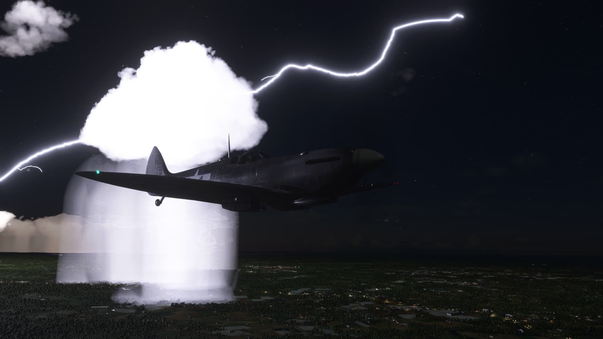
Then…this happened.

And this.

And even a little of this.

Luckily…yes there’s a luckily…luckily, the weather started clearing as I hit the flats towards the west side of the island.

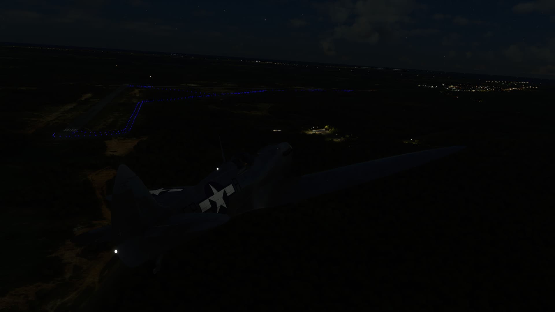
I then spotted what looked like miles of blue lights stretching off into the distance. Taxi lights? But no runway lights.

This was a little sooner than I had expected the field and I couldn’t even see the runways until I was basically over the airport itself.

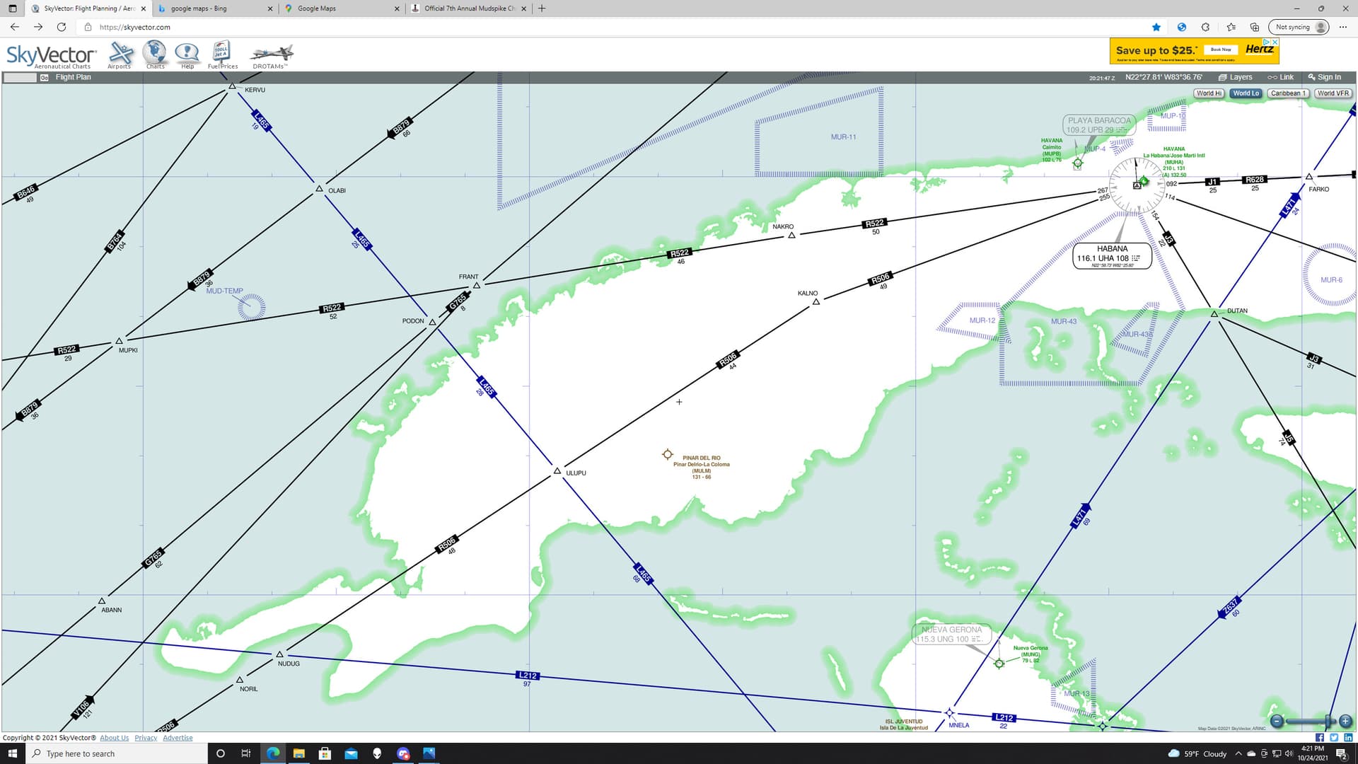
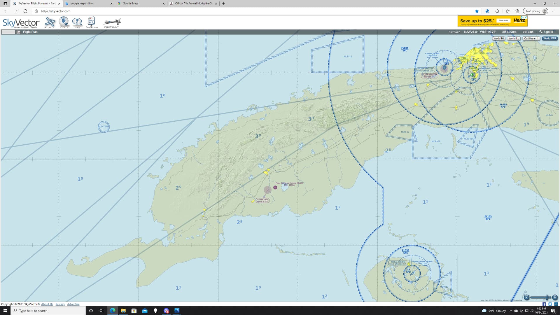
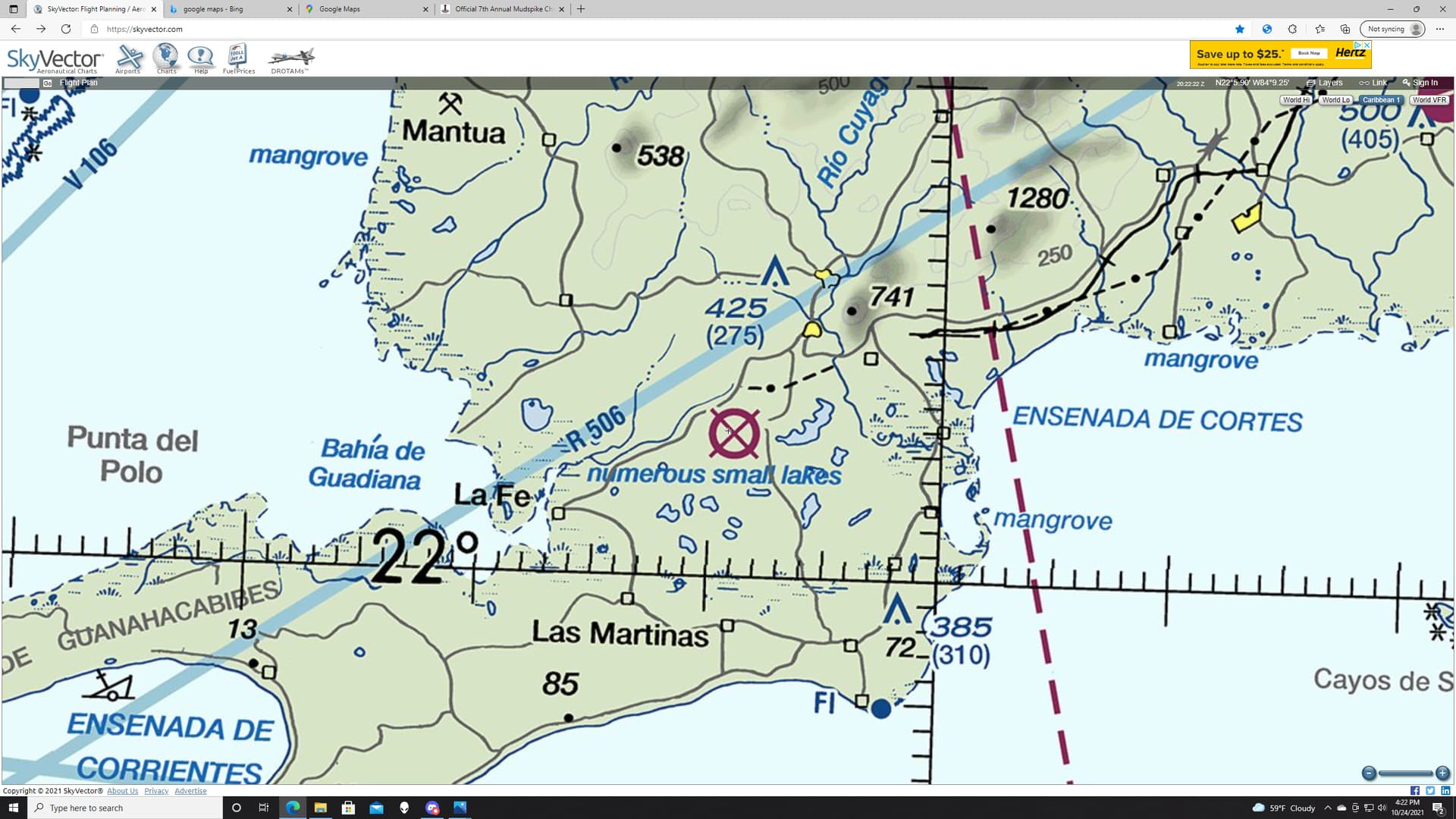
I checked skyvector to see if there were any other fields that I had missed. Then I discovered this.

Not only was this lone, enormous field not on any of the Skyvector charts, neither was my destination.

Sadly, or fortunately depending on how you look at it, I gave in to my curiosity and pulled up the MSFS VFR map…something I had sworn that I wouldn’t do for the Christmas trip.

This mystery airfield was my destination!

Marked closed on only the Caribbean chart.

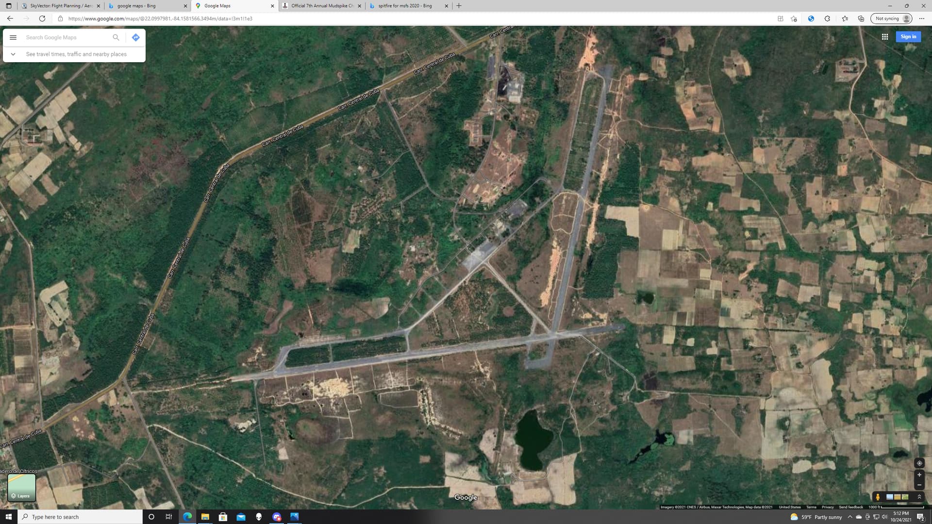
Pretty dead looking on Google Maps. But, as they say, they didn’t roll up the runway.
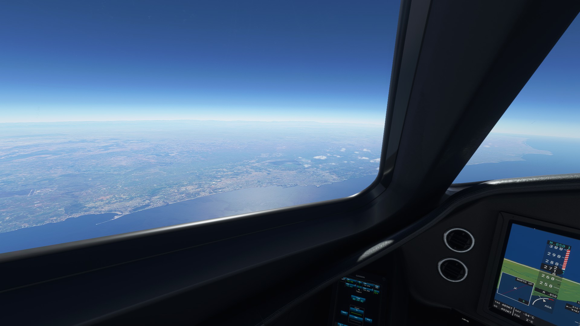
Well, crap. This was my stop. It had looked like such a substantial airport that I had kind of decided to stop here and get gas anyway. Even before I realized that it was last gas this side of Cancun.
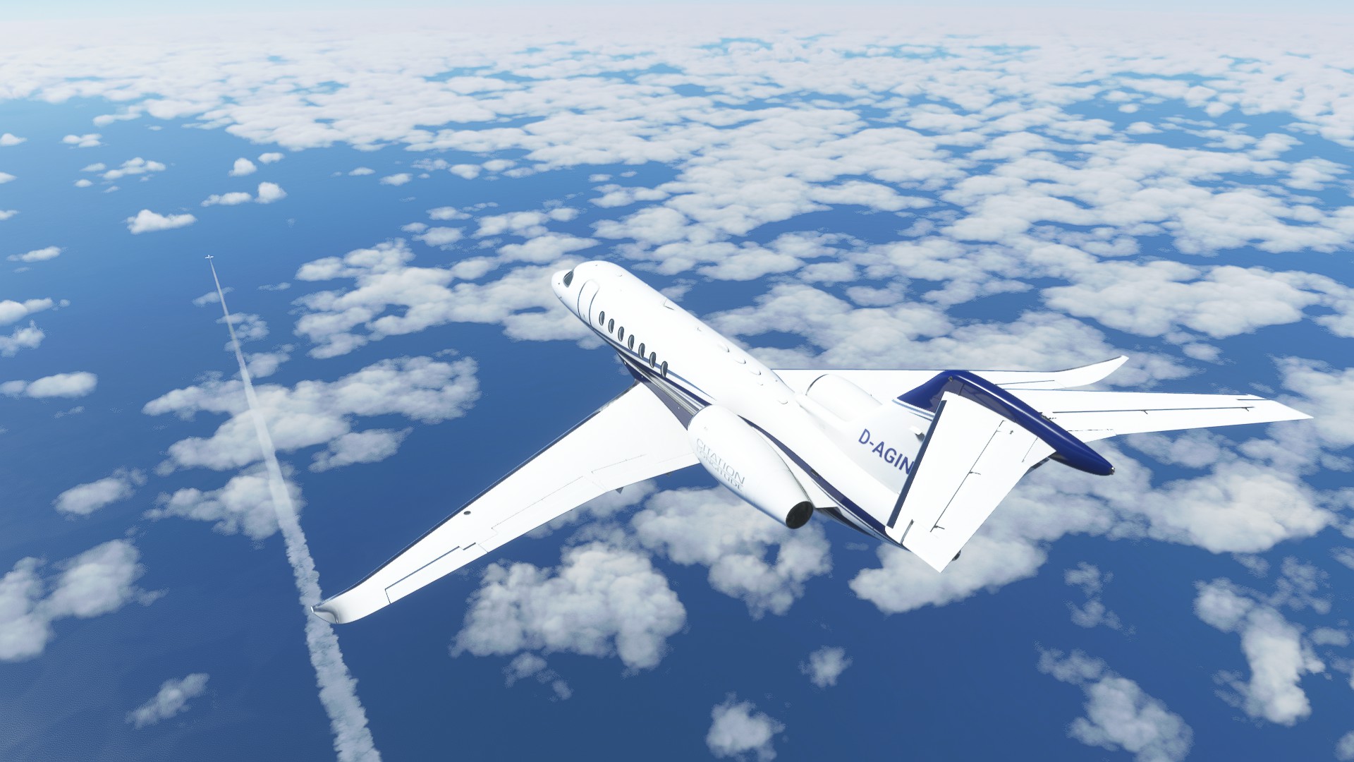
Unfortunately, I had to cheat a little to figure it out. Rats.

Leg 13: San Julian (MUSJ) TO Cancun International (MMUN)

Now this is more like it.

And the sun finally rises!

The Cuban coast and the Bahia de Corrientes.

Land’s end.

In its own good time, the Cancun coast looms into view.

Turning base 12R

Well, didn’t go quite as expected, but any landing you can walk away from… :joy:

11 Likes

You Sir, have great taste when it comes to airplanes (and I’m sure in general too)!

2 Likes

Well, thank you…but I’m not too sure about that second part! :wink:

Oh dear, @Aginor is breathing on my back so I better get moving again :sunglasses:

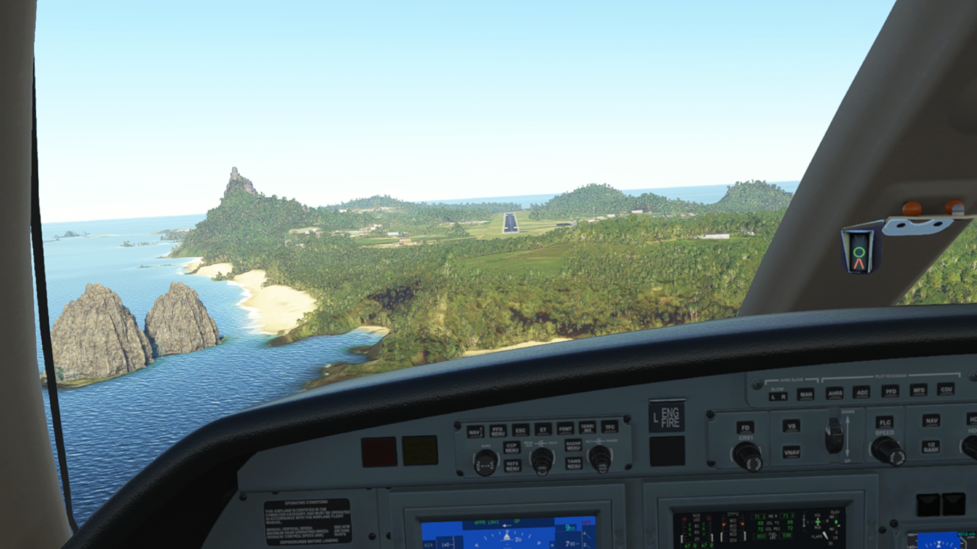
This time I was about to embark on the longest leg in this Christmas trip: 1200nm from Sao Filipe (GVSP), Cape Verde to Fernando de Noronha (SBFN) an island belonging to Brazil.

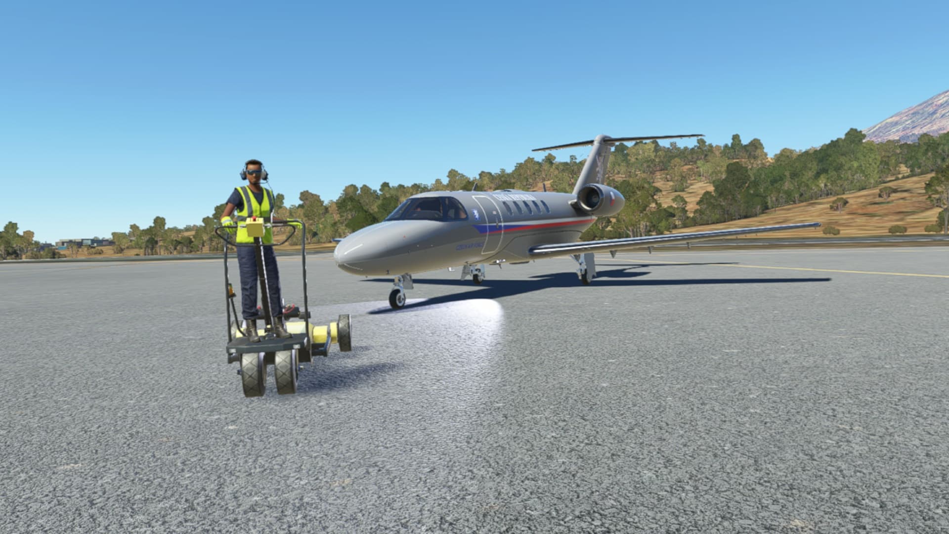
I also finally finished watching a tutorial flight of the WT CJ4 (I was watching this approx. 2hrs tutorial for more than one week :grimacing:) so I am good to go, right? Let’s find out.
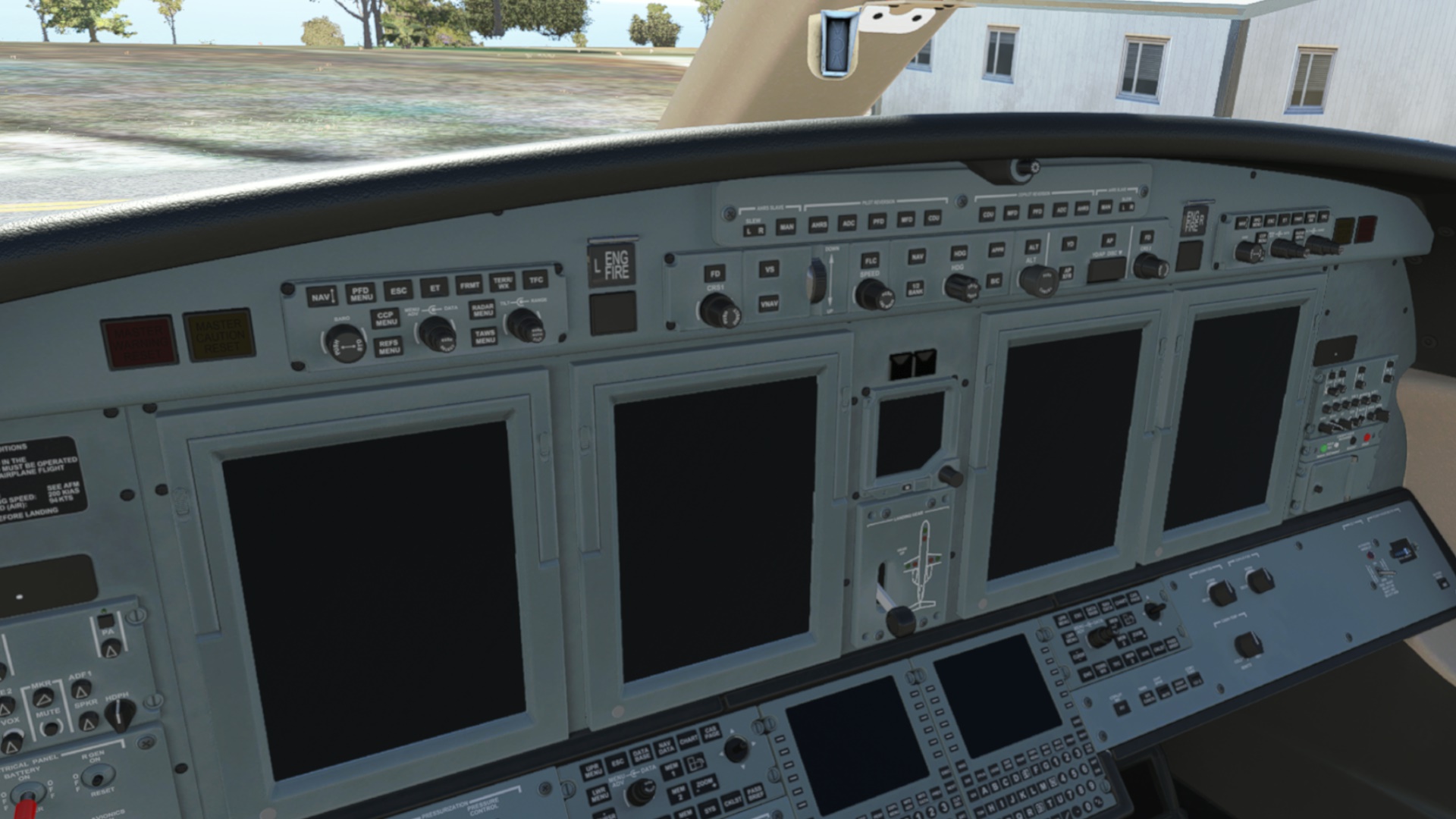
My new office. Looks rather different to the steam gauges of the Electra or three screens of the Cessna Longitude :roll_eyes:

I felt particularly intimidated by the two big calculators on the tilted pedestal… somebody help me please? I just realized that I have forgotten the beginning of the tutorial where they were playing with the FMS to set up the flight. Wish me luck.

Nevermind. Stick and rudder in the end. It will fly as any other aircraft I am sure.

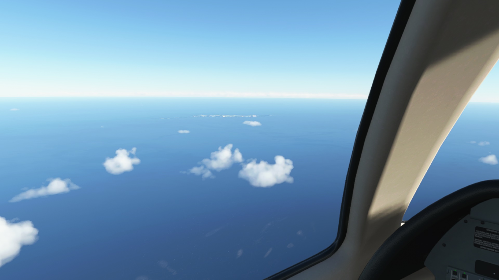
Departing Cape Verde

Cruising at FL440. Autopilot seems to be doing its thing.

Luxury at the back seat. Anybody knows how to get a coffee out of this thing?

VNAV taking care of the descent (CJ4 has no autothrottle so some attention from the pilot is still needed). This is our destination for today.

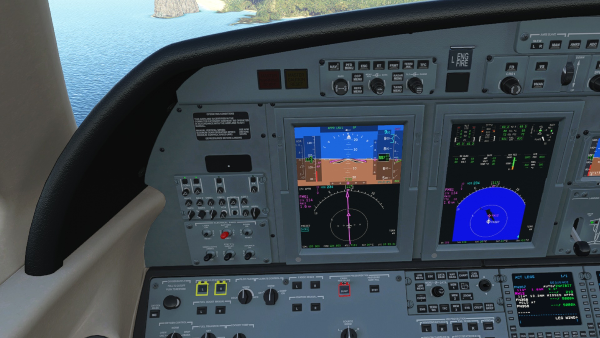
The PFD decided to throw a bunch of additional indicators at me. Less sometimes means more, were my thoughts at this moment.

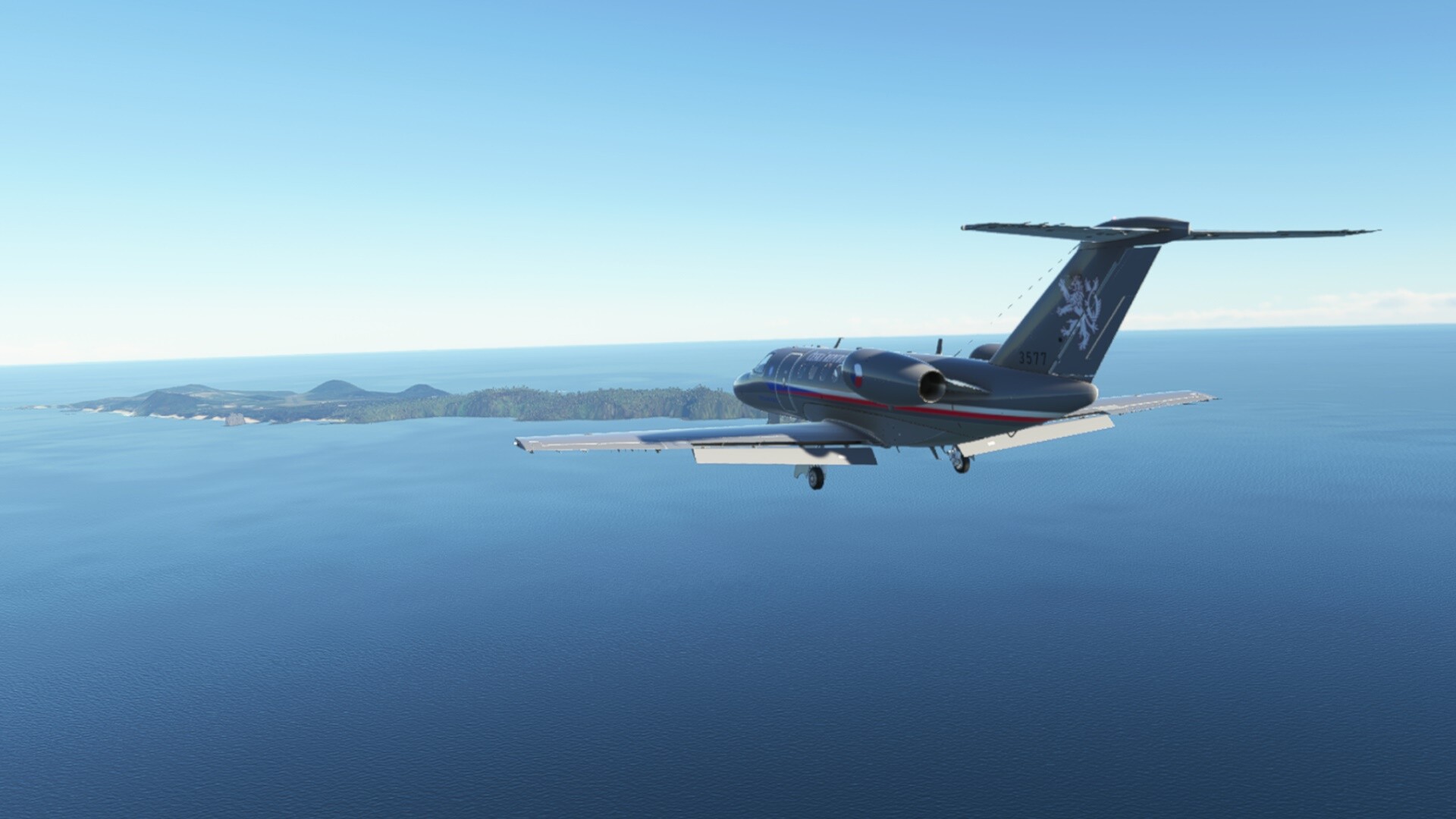
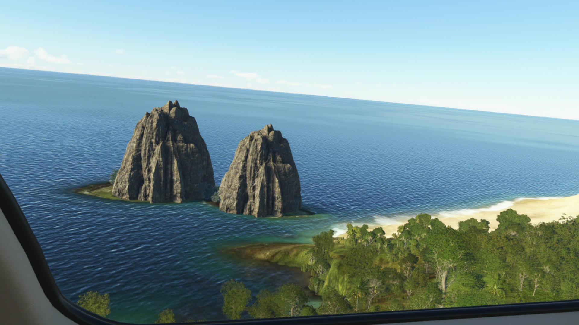
This is a free scenery from flightsim.to. Really nicely done. The rock formation just zipped past my left window.

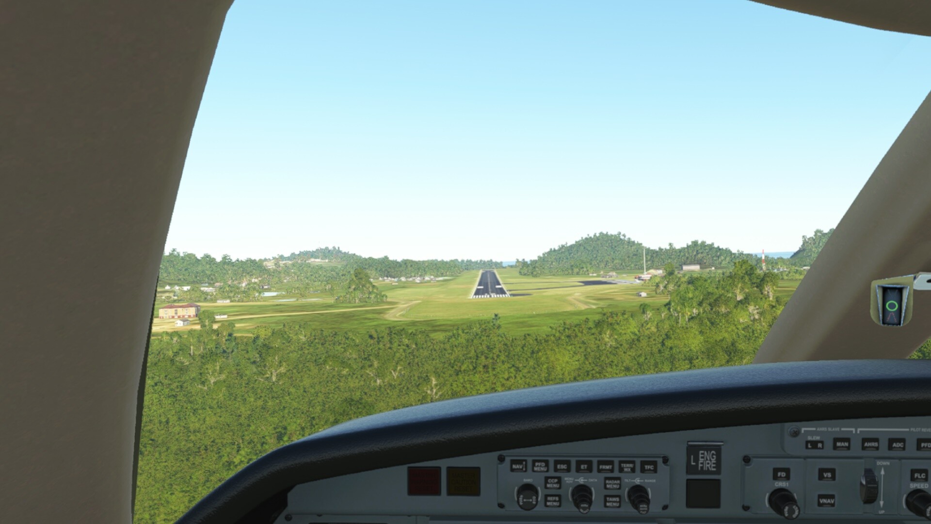
Short finals and taxing back to the apron. This thing likes to float a bit.

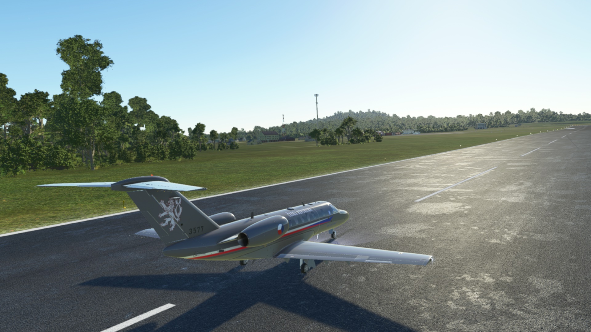
On the apron with sweaty palms.

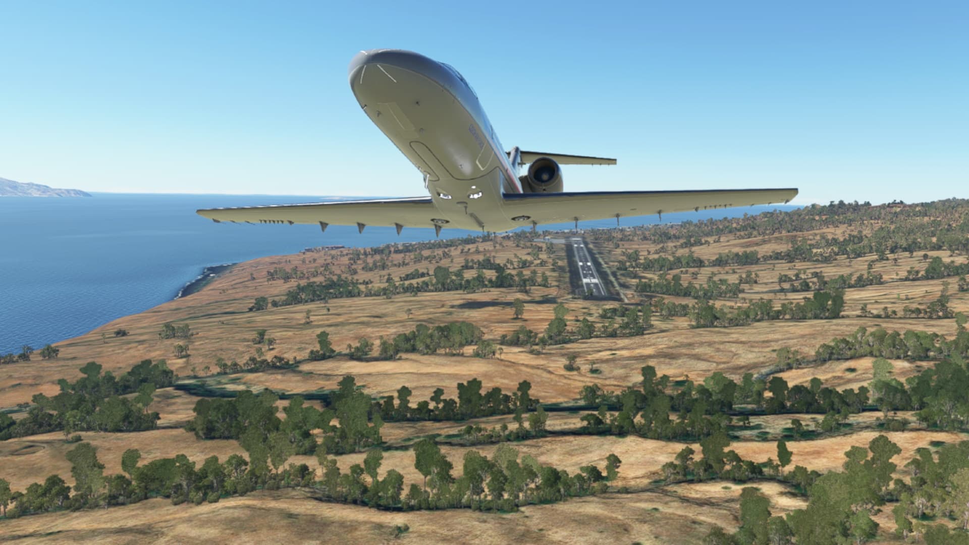
The CJ4 is a nice business jet and WT did a great job bringing it up to payware standards. I think I will re-watch the tutorial and read the manual since I feel I used just a fraction of what the aircraft has to offer. I also think it will become my workhorse for the rest of the trip.

At the moment, I am right in the middle of this Christmas flight. The next leg will take me to Brazil mainland. Never flew there in my entire simming career :slight_smile:

9 Likes

RCTP (Taiwan) - RJFU (Nagasaki)

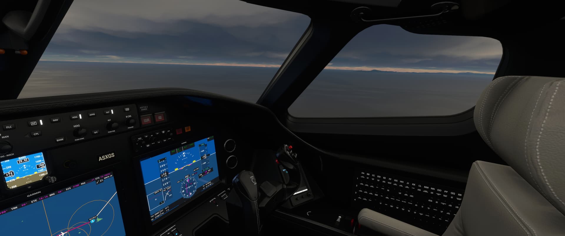
I am currently gleefully following the magenta line and basically purely using MSFS as a vehicle for sightseeing and geography lessons. I didn’t expect that, I normally hate the G1000 in the sim…and I know it doesn’t make for quite as nice screenshots and stories etc. as more interesting aircraft and flight planning would…but I’m having a lot of fun discovering what different places look like from the air, MSFS is great for it!

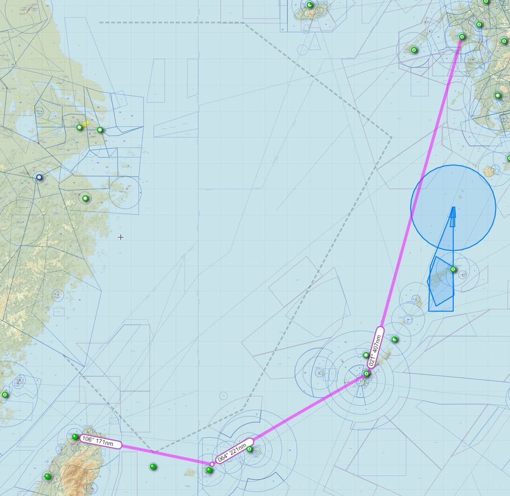
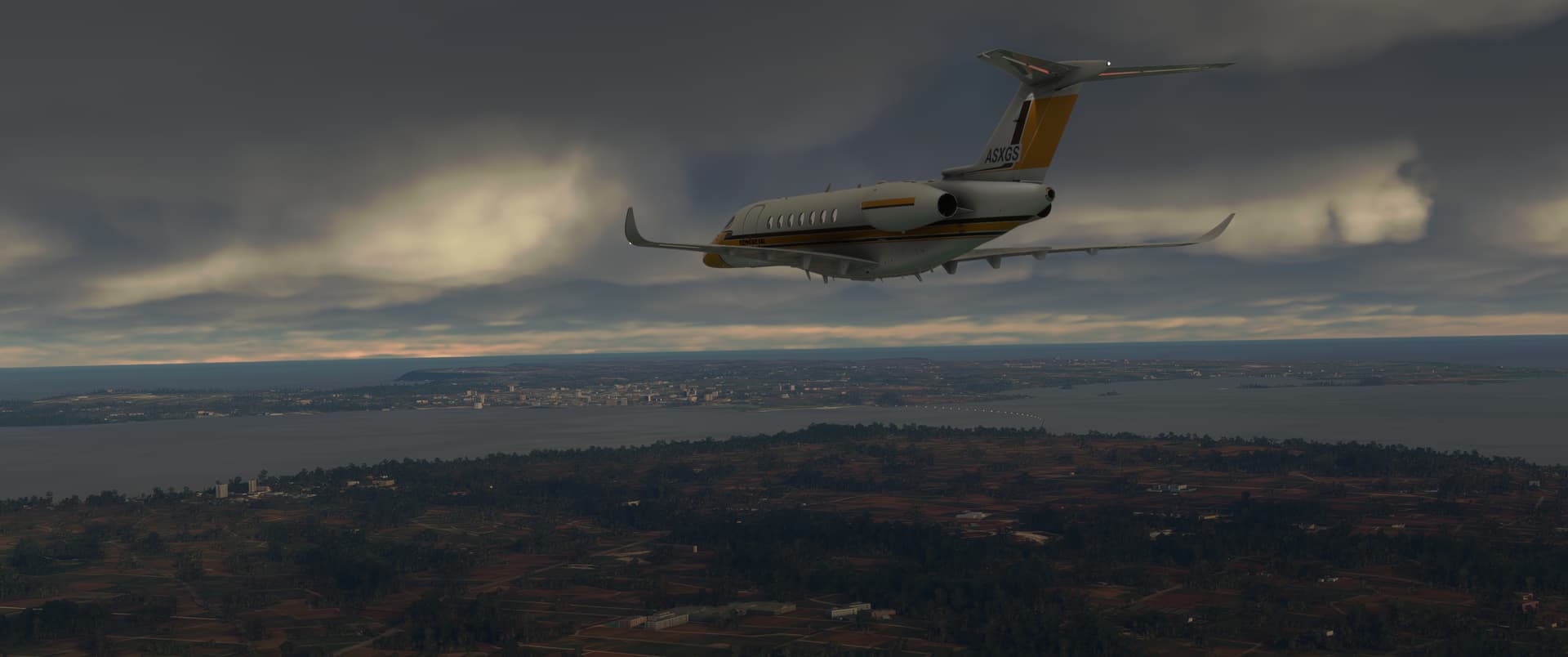
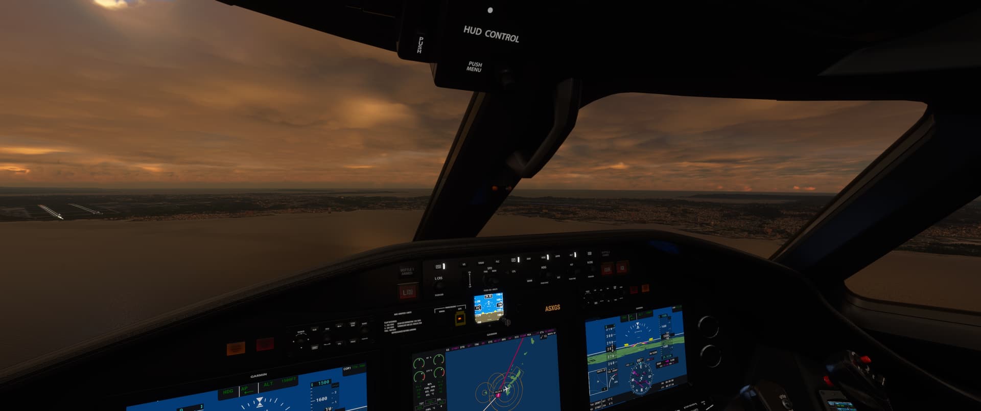
On my flight from Taiwan to Japan, I wanted to check out the various islands en route so opted to fly a little ways to the east first before taking a course towards Okinawa and then Nagasaki. I flew the route rather wastefully at low level until nightfall to take in the sights - but hey, sim fuel is free :slight_smile:

It was rather murky at takeoff, so I almost abandoned my plan to go check out the islands.

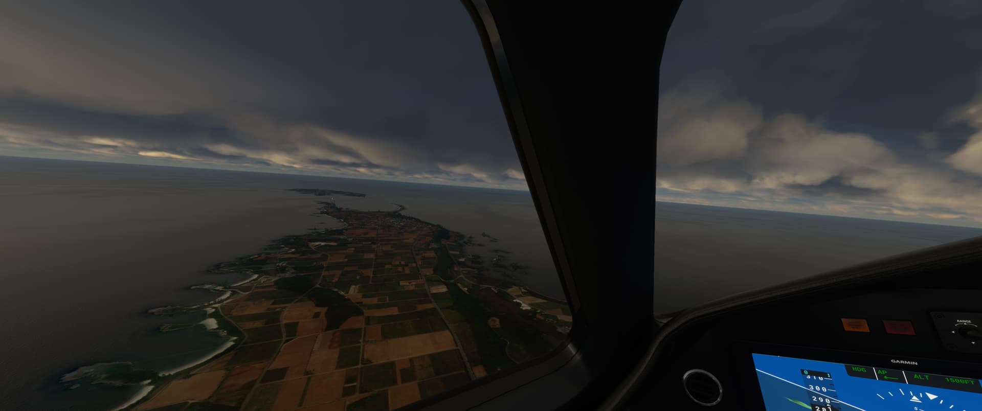
I’m glad I didn’t, though. The weather was fine under the overcast. My first points of interest were the main islands of the Yaeyamas, the remotest part of Japan from the main islands.

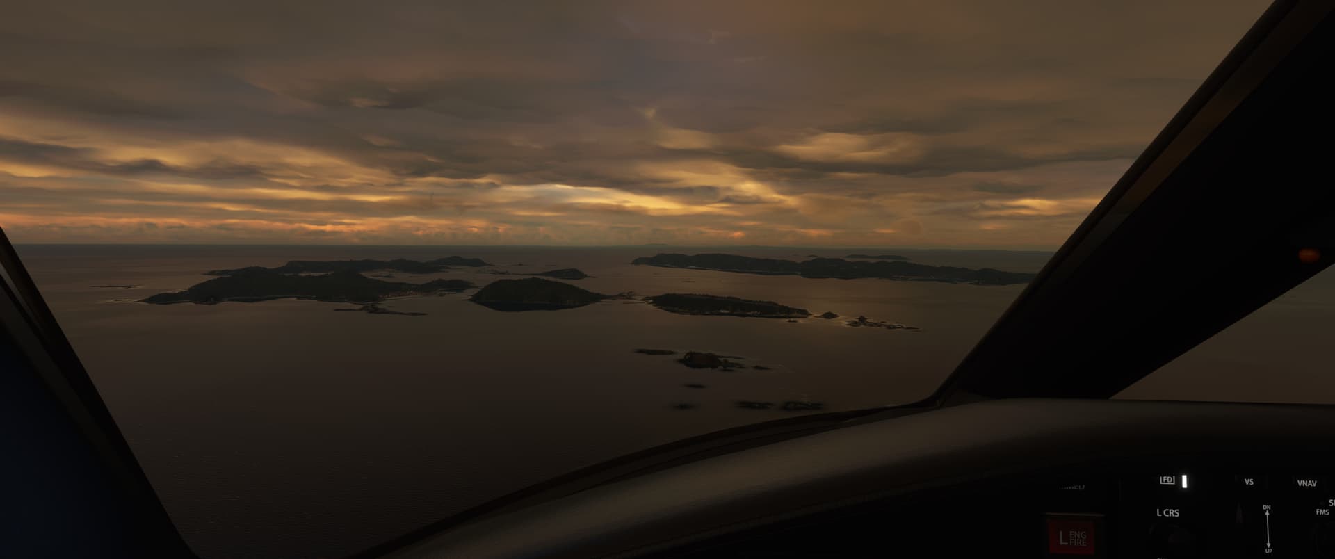
I was treated to rather nice colours as I reached the Kerama islands, just before Okinawa.

After that I flew over Okinawa, passing the US Kadena Air Base.

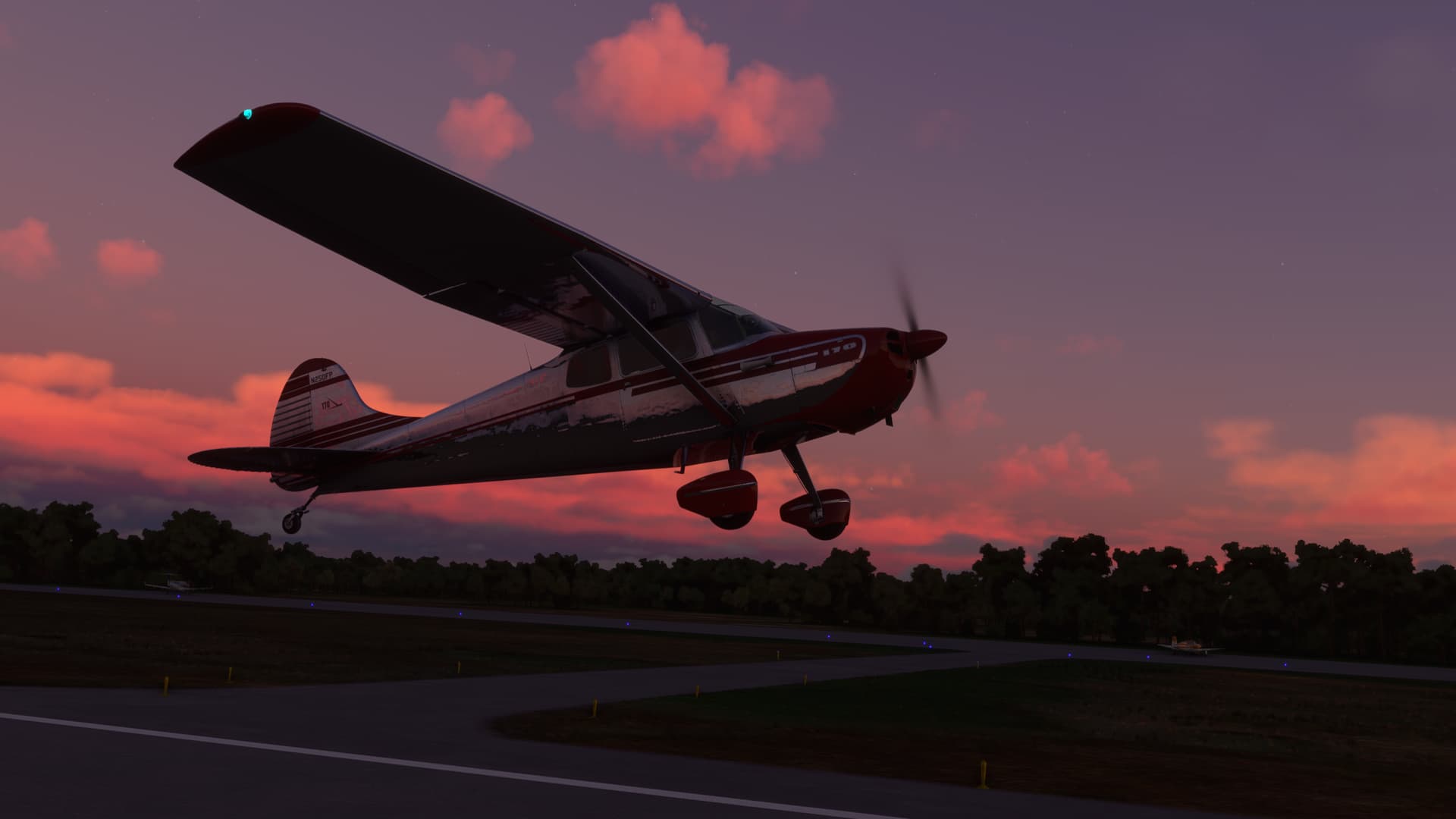
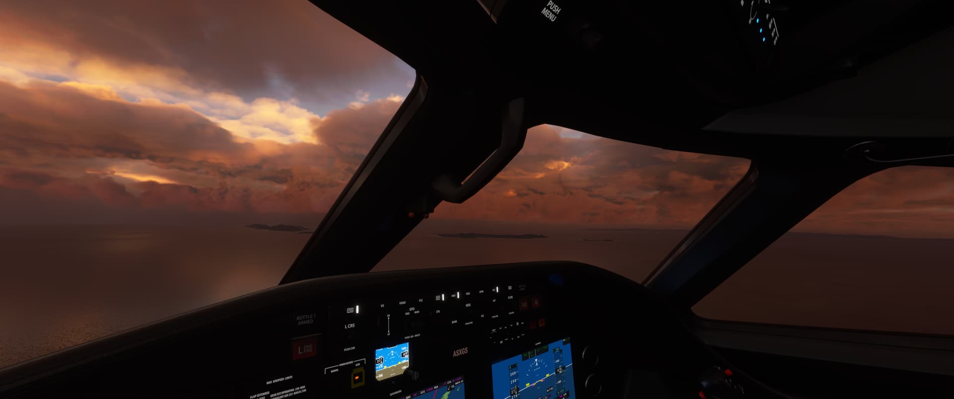
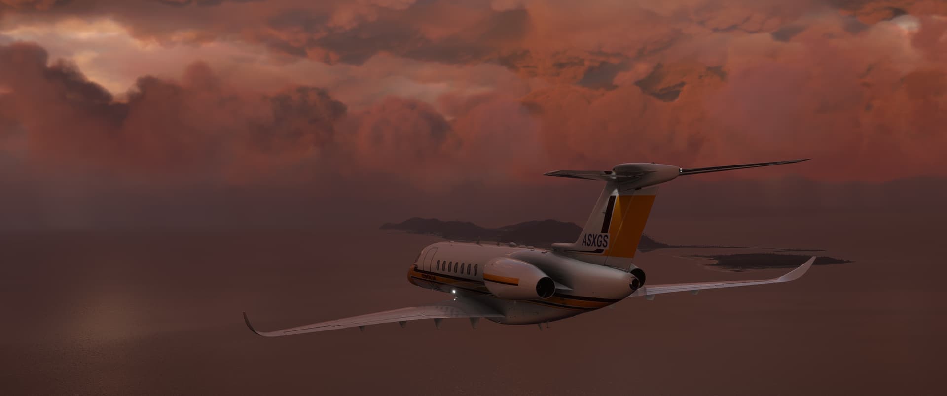
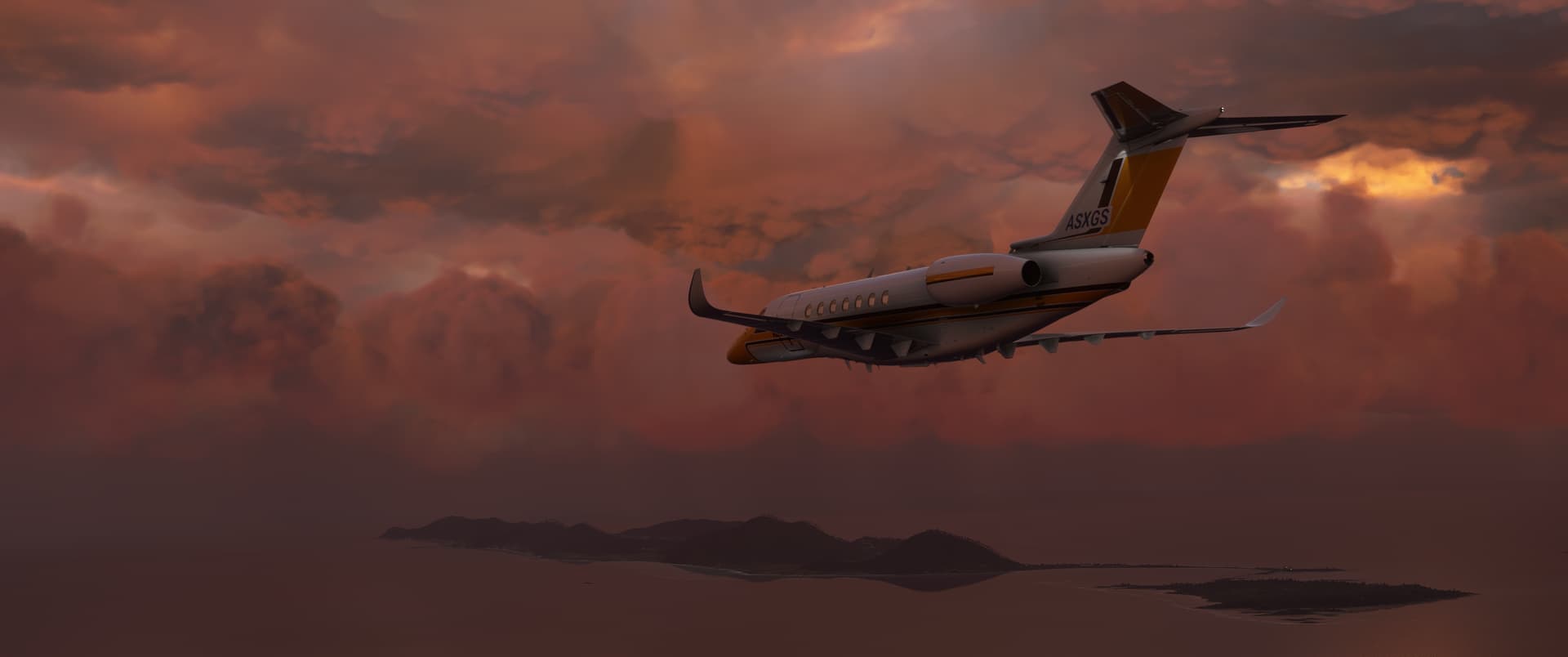
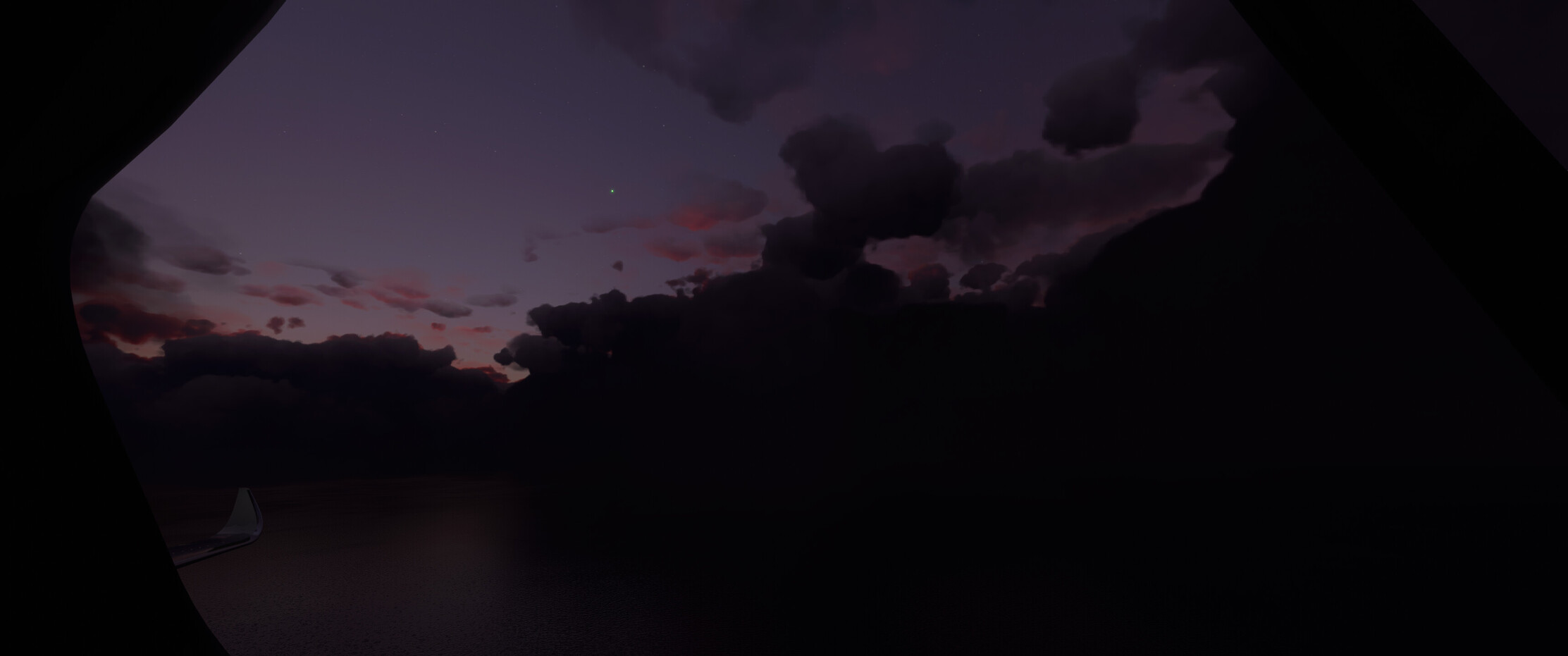
The evening lighting and the clouds became even prettier after that. It was like flying through a painting, all the way until darkness fell properly.

The last purple rays of the sun made the clouds look like puffs of ink on the sky, with stars twinkling on the clear skies above. What a show!

The landing was uneventful. I helped myself to some hot sake and hit the sack.

7 Likes