So speaking of disastrous misadventures, or happy(ish) accidents…
Leg 3: KDAL - KSAN - In X-Plane 12
Needing to cover a lot of distance more quickly, I’m upgrading the plane. So, back at Dallas love, with a couple of crates of my Great Uncle Bubba’s 'shine carefully hidden behind other boxes in the cargo hold, alongside some of my cousin Jose’s Tres Leches cake, and the other various beverages and barbecue sauces.
X-Crafts has said they’ll be updating their ERJ line for XP 12 eventually, but they’re currently neck-deep in finishing the newest versions of their E-Jets. There is a small workaround that was released to address crashes that were happening with the custom Tekton FMS, but the rest is caveat emptor. That definitely came back to bite me in the rear later.

Out of morbid curiosity, and because I’m often a glutton for punishment, I’ll be using the stock ATC for this flight- but we’ll talk about that a bit later.

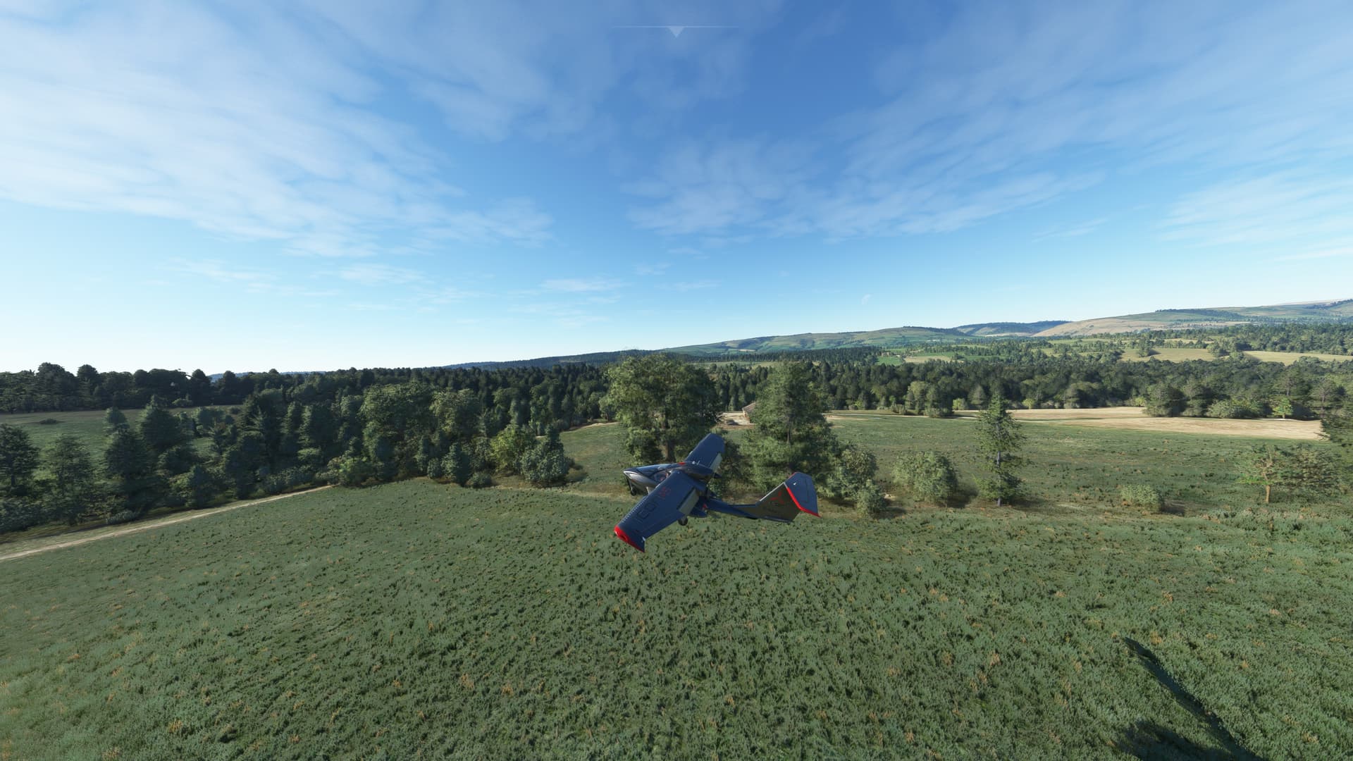
Taking off, and flying low (ATC kept me down at 6,000’ until I was well west of Fort Worth). This is all default XP12 scenery- doesn’t look that bad to my eye, and this is with fairly low-ish settings.


At close distance, the clouds look nice and properly fluffy- though in the back ground the shimmers can be seen between layers.


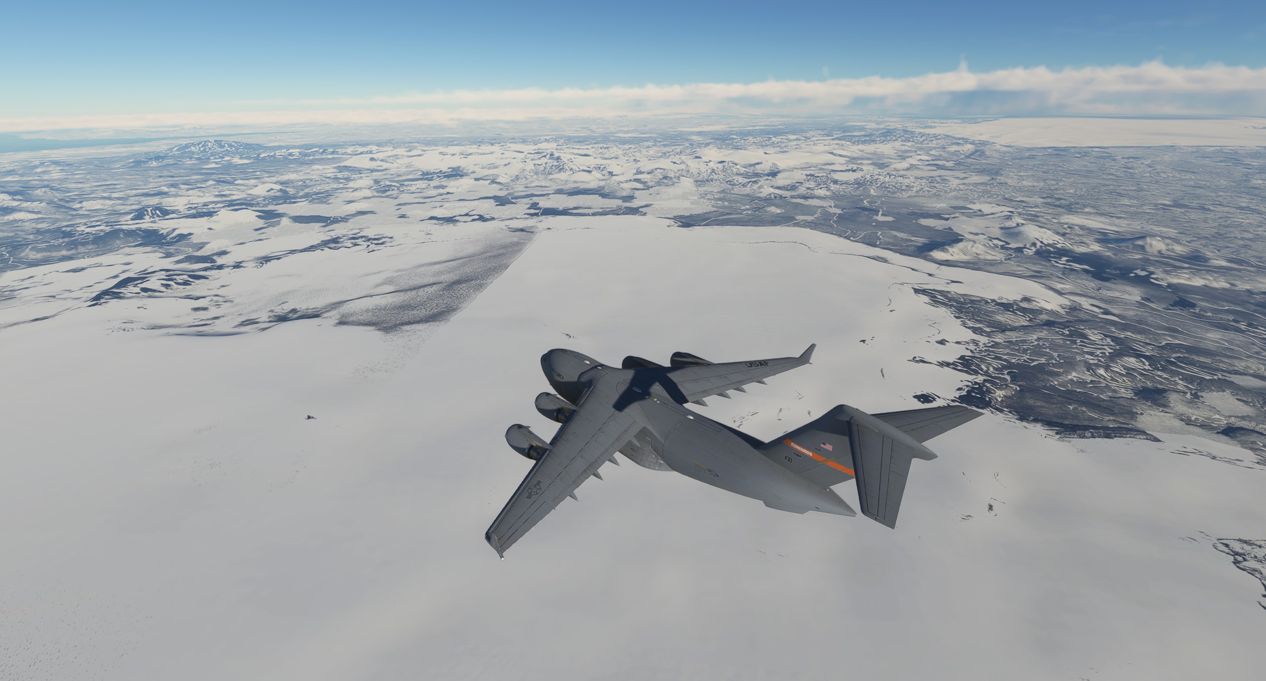
A bit later flying over Southern Arizona, you can see where the tiles of autogen scenery don’t always blend so well between sections.

And then, a bit later, while flying over Arizona and right after taking this screenshot, the program crashed. But was apparently still running in the background.

Not shown: furious cursing that ensued after.
So, once the young’uns were down, since I haven’t yet figured out how to load in mid-flight, I started again from Tucson, the closest large-ish airport to where I’d been previously.
OK, let’s try this again

Over western Arizona, the tiles look a bit better blended than they did before. Nothing changed, and I wish I had Little NavMap running for XP12, to see who this compares with real-world scenery.

Right around this time, I was directed to shift from Albuquerque Center to LA Center for ATC. This is when the problems started. But first, flying over Yuma, Arizona, best known for being home to the furthest west Waffle House in the United States.

Once we cross the Colorado River we’ll be in California, which means we’re flying over my ORBX HD scenery; I wasn’t expecting quite so many clouds, and I was busy fighting with both the ATC and the FMS (part of that cobbled-together part), so didn’t spend as much time as I could closely examining the scenery and how it looks up close.
So right about here, after crossing over Imperial, El Centro, and Anza Borrego State Park, the FMS, which had tried putting me into the aviation equivalent of an open While loop, finally decided to pack it in and quit responding to any further inputs.
“Screw it, we’ll do it live!”
At the same time, well past what should have been my TOD, LA Center continued yelling at me to maintain FL240, even though I was passive over Mt. Laguna and the Cleveland National Forest- meaning I was already in San Diego County.


Not too long after, I’ve decided to tell ATC to stuff it, and started an aggressive descent. This is over El Cajon, and I’m still way, WAY too high to consider continuing the approach.

An extended racetrack pattern to lose altitude and speed over eastern San Diego County results in ATC suggesting I contact ground control at General Abelardo L. Rodriguez International Airport- in Tijuana.

So, completely giving up on ATC and working on hand-flying the plane. And of course, it’s THE ONE TIME that it’s raining in San Diego.

I was getting a localizer signal from Runway 27, but nothing for glideslope or distance; again, that cobbled-together bit. I had cross-tuned the VOR from Mission Bay, but wasn’t getting any distance readings from that either (knowing the rough distance from the airport to that part of town from living right by Mission Bay for so many years). So once I broke out of the clouds, it was obvious that I was just a little bit high.

And it’s not very well captured in the pics here, but the rain effects looked really good.

So, another descending racetrack pattern. My apologies to the residents of Encanto, City Heights, and Southpark.

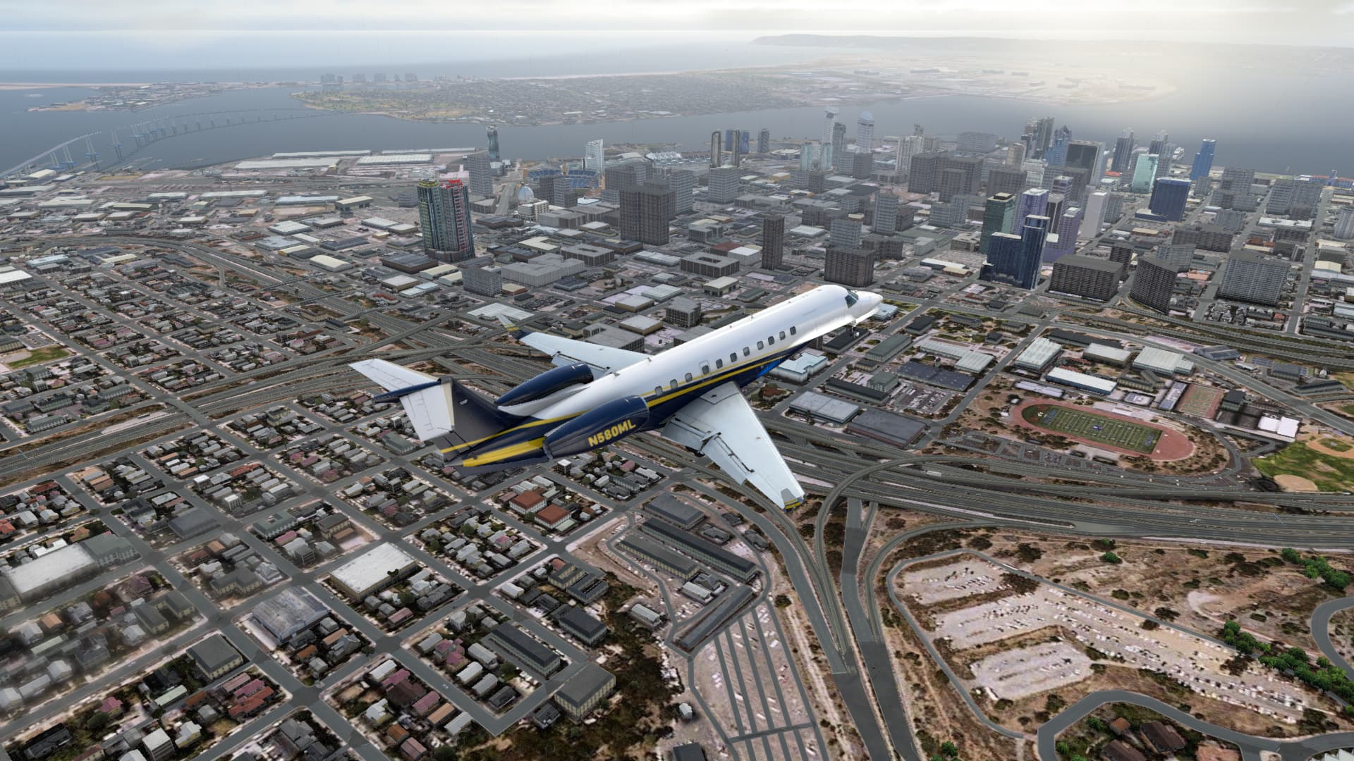
Finally low-ish enough to not completely crunch the plan on landing (I think). Passing over the 5 freeway, East Village, and Sherman Heights. In the background Petco Park is visible, where the Padres just lost the first game of their divisional series to the Dodgers. There also looks to be some weirdness with the Coronado Bridge in the background (probably because of how XP12 does water and shorelines now).

NAS North Island to the left, Balboa Park and the Air and Space museum to the right, and I’m still way higher than I should be- but hey, let’s call it noise abatement for the golf course directly below me.

And the nastygram waiting for me on the ground from ATC- we’ll agree to disagree on this one. Then, shut down and off to find someplace doing a $2 you-call-it night, because after that leg, I need a stiff drink or 6.


I think for the time being, if I’m flying in XP12, I’ll stick to planes that have been fully converted, or at least are stock. I think for even more speed and distance, we’ll try the Citation X for the next leg.