Unfortunately due to my day job, having used the local time & weather for my flights has resulted in some rather dull night time screenshots. Anyway, here goes:
Norfolk Island (YSNF) - Lord Howe Island (YLHI)
My next stopover will be at a tiny volcanic crescent in the middle of the Tasman Sea which goes by the rather proud name of Lord Howe Island.
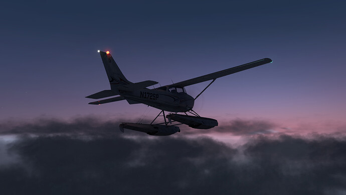
The weather was frankly looking a little less than ideal for a night time stroll with cloud overcast and some decent winds, but then again what’s the worst that can happen? I have my trusty floats and an EBIRP should I need to fail to find my way. Also the winds are going in the right direction, which should cut my travel time a bit.
So we’re off west, into the sunset. Next stop Lord Howe Island, 484 NM - our longest leg yet.
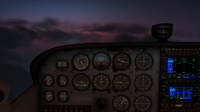
I had to get up to 8300 ft to get some clear skies but that seemed to be no problem for the Cessna.
An hour or so into the journey I spotted strange lights under the haze, like a runway. I was rather confused, as YLHI was still hundreds of miles away and as far as I knew I only had fish underneath me, no land.
As I got closer, I recognised the shape to be an aircraft carrier! Luckily for me no Hornets flew up to bother me and the carrier group was happy for me to fly over them. I had no idea they were so accommodating.
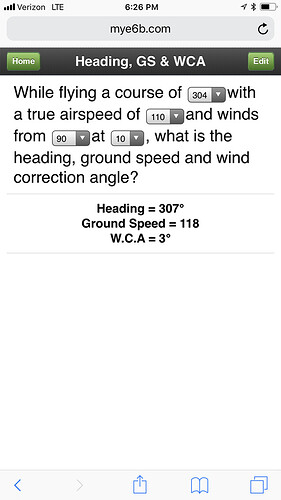
I had a strong Easterly wind pushing me along, which added a good 10+ knots to my ground speed…this was great, but it seems the GPS autopilot has no authority over the rudder, so I had to either be in a massive sideslip or stand on the rudder constantly. In addition to that, if I increased my speed from 100 kts to 110 kts airspeed, it seemed the AP lost the ability to maintain direction in the wind and started doing big turns all over the show. So - I stuck with a sideslip at 100 kts IAS, maintaining 110 kts across ground (well, water). I have to say I’ve felt safer, I felt a bit like a leaf in the wind.
Finally I started my descent through the clouds towards Lord Howe Island. This island has a lot higher cliffs than Norfolk Island did, so I paid attention to the approach charts.
A stiff crosswind at 15 kts made the landing interesting - looking back I perhaps should have just landed in the water but I had no idea about what the coastline was like. The last-second line-up from my crabbing could have been prettier and the wheels probably got a good twisting but we got down safely.
Lord Howe Island (YLHI) - Coffs Harbour (YCFS) on mainland Australia
This leg sees us finally completing the Tasman Sea crossing.
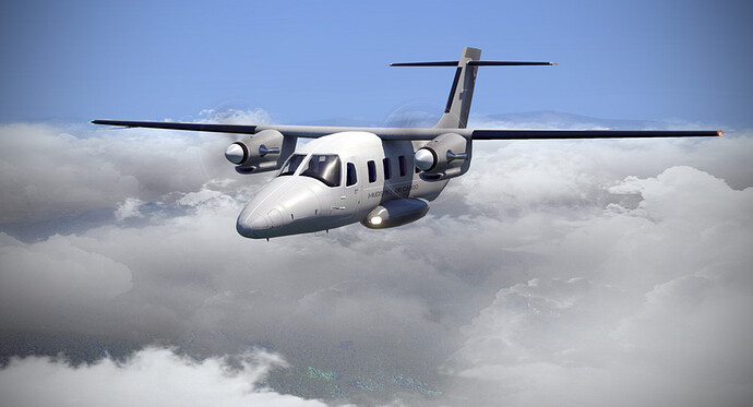
I was lamenting the slowness of the Cessna at the local pub, when an older gentleman approached me and suggested I’d ferry his Beechcraft Baron over to the mainland instead. I jumped at his offer and instead of having another beer, I hopped in the Baron and pushed on.
I was searching my way around the dark cockpit for a little while before finding the battery and floodlight switches; luckily from there on things appeared reasonably straight forward even though I had never flown the bird before.
The Baron is a lot thirstier than the 172 - almost 15 gallons per hour per engine after leaning the mixture in comparison to the Cessna’s 5 gallons per hour!
Still, it was a very pleasant ride in comparison and I was much more comfortable - the yaw damper worked wonders and I wasn’t too uncomfortable despite flying most of the trip in bad visibility. Powering away at 160 kts felt amazing too!
Coffs Harbour had decent visibility once I’d broken out under the clouds and the approach was quite easy with the well-lit Australian coast line improving my situational awareness greatly.
I am looking forward to some Northwest-bound coastal hopping - the fastest way to Christmas Island would be over the desert but I may opt for shorter, more interesting flights along the coast rather than long legs with nothing but miles and miles of burnt red sand and poisonous creatures underneath.


