I certainly knocked out a few miles, but it’s going to be awhile before I make it to Melborne. It would be kind of neat to come in second, as did the real ‘Uiver’. We will see how that works out though.
1 Like
Got another leg in this evening but a dropped internet connection means no map and the weather turned clear shortly after departure and stayed that way for the duration. I know it’s a ‘First World Problem’ but that is the first time I have lost internet in the middle of something that required router and PC reboot. Odd.
If the real world would stop interfering I’d be doing much better.
So today was the official end date for the race. We’ll extend it for another 30 days if everyone is good with that?
5 Likes
Oh! I missed that part ![]()
I am good with extending it.
I’m certainly good with that. In fact, we could extend it indefinitely until we all finished or choose to drop out (hopefully not). It’s all about the journey.
5 Likes
Yeah…I’m definitely good with that because I plan to continue. Had a lot going on the past few weeks that prevented me from moving past Baghdad, but my schedule has cleared out!
1 Like
I support this approach. ![]() Life has been very intense lately so I haven’t been able to get flying but I’m still very much intending to get through the race eventually!
Life has been very intense lately so I haven’t been able to get flying but I’m still very much intending to get through the race eventually!
1 Like
It is decided, the end date for the event is removed.
3 Likes
My trip cancelled for today… so
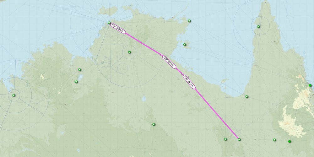
Darwin to Concurry (YPDN-YCCY)…
This one looked simple enough, until you realize that the outback is a big, and empty place! No much to report, other than to say that I was very happy to find the NDB’s at Cloncurry and Mount Isa are of the enroute (high power) variety. It was a 4.7 hour leg.
Farewell Darwin…

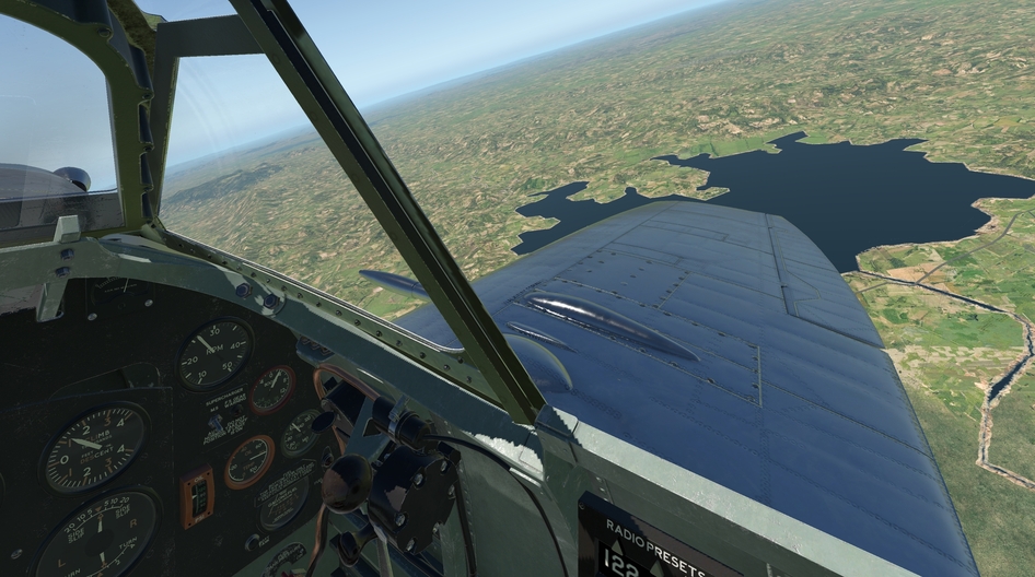
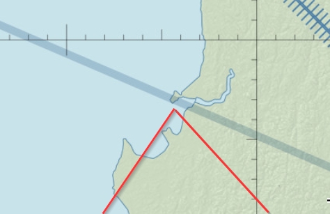
4+ hours later, I was able to identify this lake, and at about the same time, I picked up the NDB at Mt Isla, and a short time later, Cloncurry.

Not much to see scenery wise at Cloncurry, but that runway sure looked good.

Safely down…
Route flown. You can see where I missed a waypoint but then spotted an airport and turned back to get my bearings.

5 Likes
I read that in Bill Bryson’s voice…
1 Like
A few years back I was on a long haul flight back to NZ via Sydney and flew straight across the ‘middle’ of Australia. Even at jet speeds it is a really big and empty place. You would look out of the window, take a nap or read a book for a while and glance out again - and it would literally look as though you hadn’t moved an inch during that time - the landscape was completely unchanged. A strange place.
1 Like
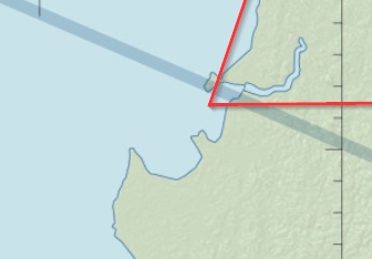
It doesn’t look all that big on the map ![]() . I’m going to approach the remaining legs over the Outback pretty much as if it was an ocean.
. I’m going to approach the remaining legs over the Outback pretty much as if it was an ocean.
1 Like
Enough is enough ! And there was like too much of the haze and fog on my way through India, Bangladesh and Burma ![]()
4 Likes
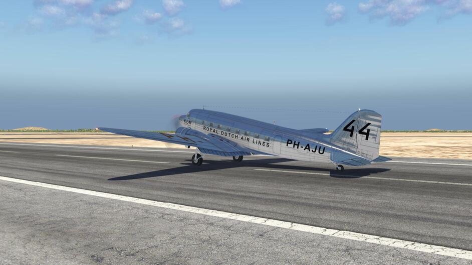
All the fun started at Jodhpur on my way to Allahabad.

The leg itself was too long so I had to make it in two parts. I am not using external fuel tank, it doesnt look good ![]()
So from VIJO Jodhpur to VIGR Gwalior was the first part
Nice sunny day perfect for cross-country

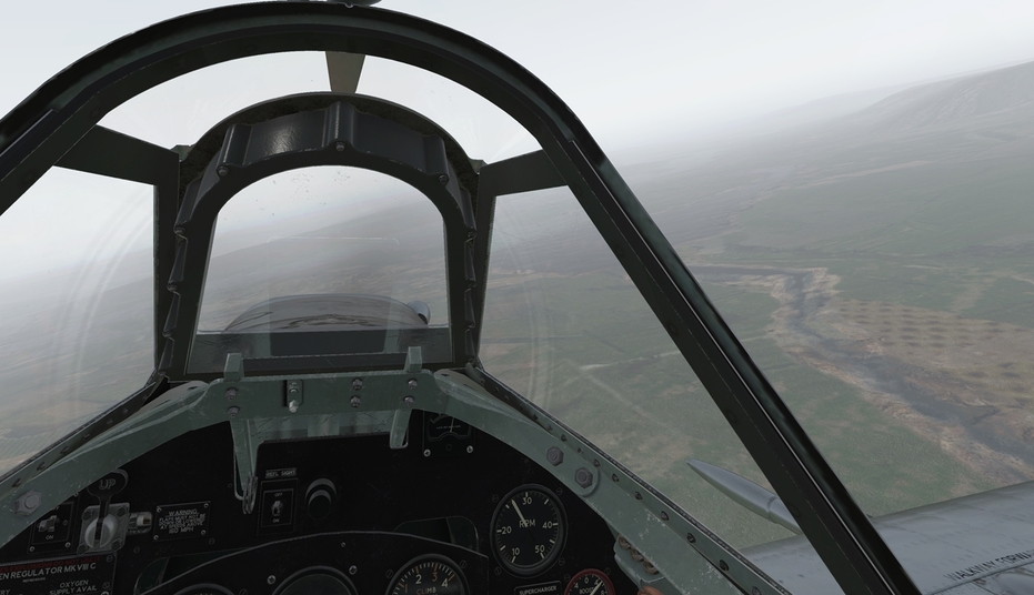
At this point all I wanted was to descent under the clouds and njoy the rest of the flight. But it went all south ![]()
Descended into really heavy haze. Lost my visual references I started to drift to the South. Fortunately I hit the Chambel river and decided to follow it in North East direction.
Hit a bridge running West - East. Decided to folow the route as all routs leads to towns.

Route goes North East also what was good. Checked the map and decided to folow it until the Morena town ( I hoped that it is the correct route ) just North West of Gwalior. In Morena there is big crossroads and one of the routs goes South. To hit that route was my plan. But in haze all plans can go wrong.
Found Morena town, folowed that route to the South and hit another river. All rivers leads to lakes. And there are lakes West of Gwalior. To hit one of the lakes was may plan.
Finaly some lake. Identified as the Pagara Reservoir just West of my destination. Hit the 090 hdg and kept pushing
After long while, running out of gas and ( RL ) time, some suspicious textures below me started to look like town. But no buildings. Pushed further East just to find my self in the bushes again. Turned back and with great relief noticed the Gwalior strobe light

Again lucky as heaven ![]() all the navigational decisions were somehow correct
all the navigational decisions were somehow correct ![]()

7 Likes
Surely not ![]() just fed up with the haze and fog and low clouds and… I will cross quarter of the world just to see nothing
just fed up with the haze and fog and low clouds and… I will cross quarter of the world just to see nothing ![]()
1 Like
Few days passed and went back to Gwalior airport. What a surprise - haze ![]()
What a njoyable views… not funny

At least navigation was breeze, mostly rivers to folow
VEAB Allahabad … haze …
6 Likes
I’ve found haze at every airport from India through to Myanmar … so far. I expect it to continue ![]()
2 Likes
Lets see if further South there is better weather ( you know the answer ![]() ).
).
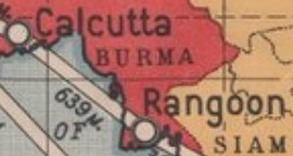
From VEAB Allahabad to VECC Calcutta

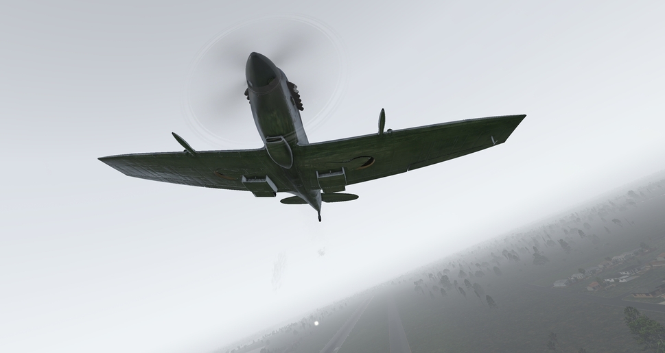
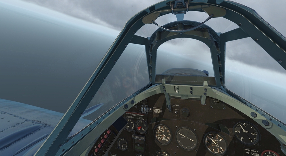
In the middle of the flight there were some better moments I have to say… only to realize that I climbed too high. You can identify it in Spit very quickly - slow blackout out of oxygen deficiency and slow turning propeller out of low fuel pressure / mixture settings ![]()
Descended back down low to njoy the haze again
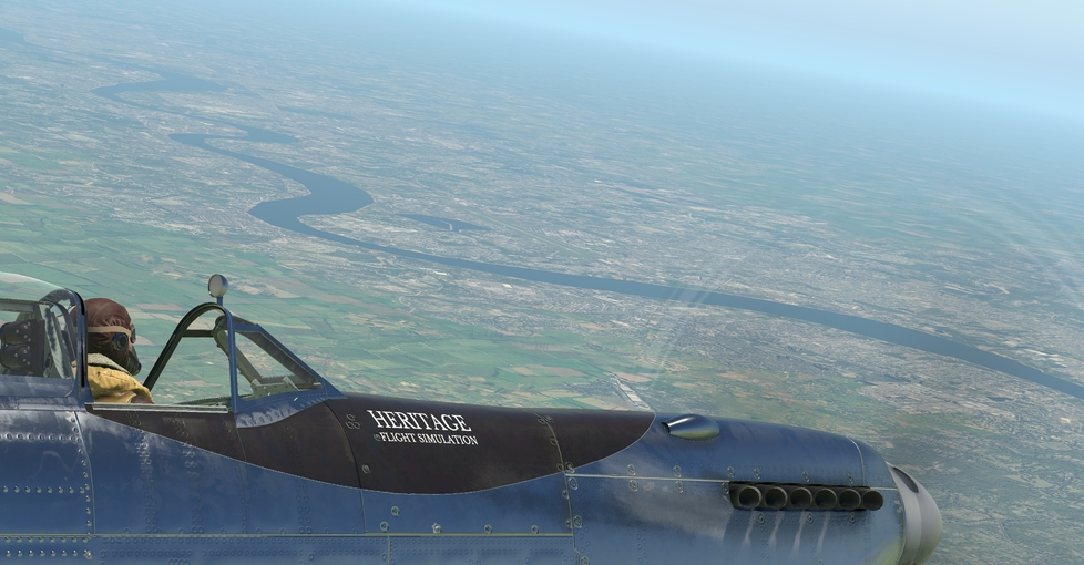
From VECC Calcutta to VYYY Rangoon it looked like easy business along the West coast of Burma.
Until feet wet it was doable

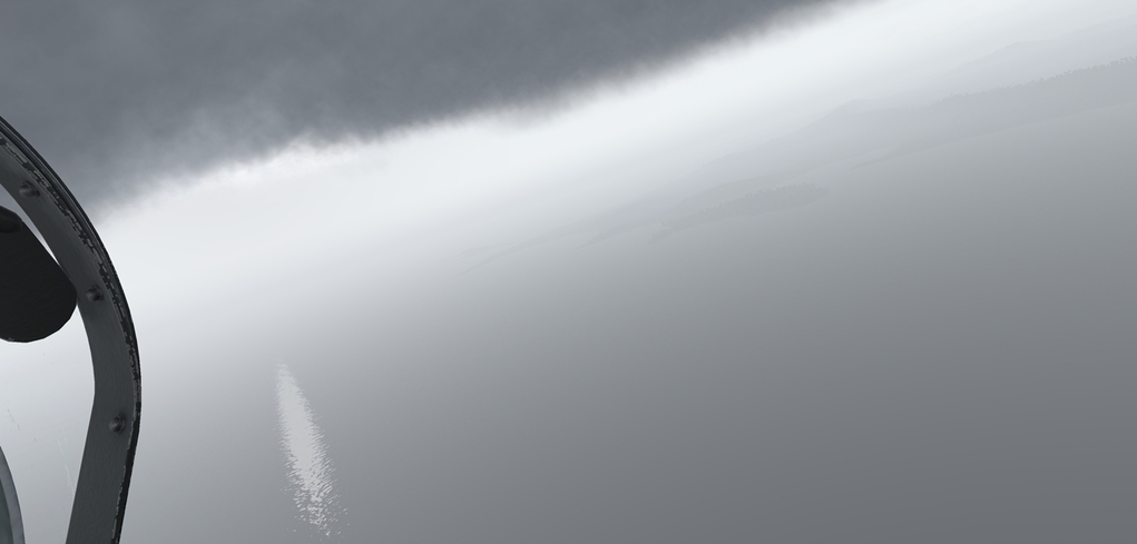
But then it went even worse. Haze is bad !? How about low clouds and fog ![]()
At least over Burma coast it cleared a bit so I was able to got fixed just north of VYSW Sittwe
Few times sun made it through so it was nice
But more often this was my view. Sticking to my planned hdg I pushed to the South East. Not good as the ridge is hiding there
Turned back to the coast to get around it

Trying to read the coastal scenery in these conditions
Eventually got fixed above the right bay


From there hdg 090 and Rangoon came into view
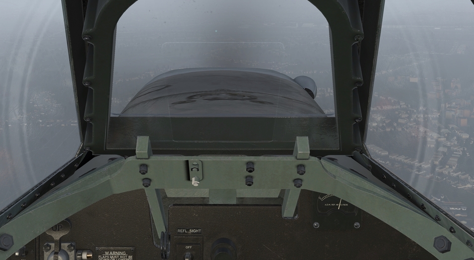
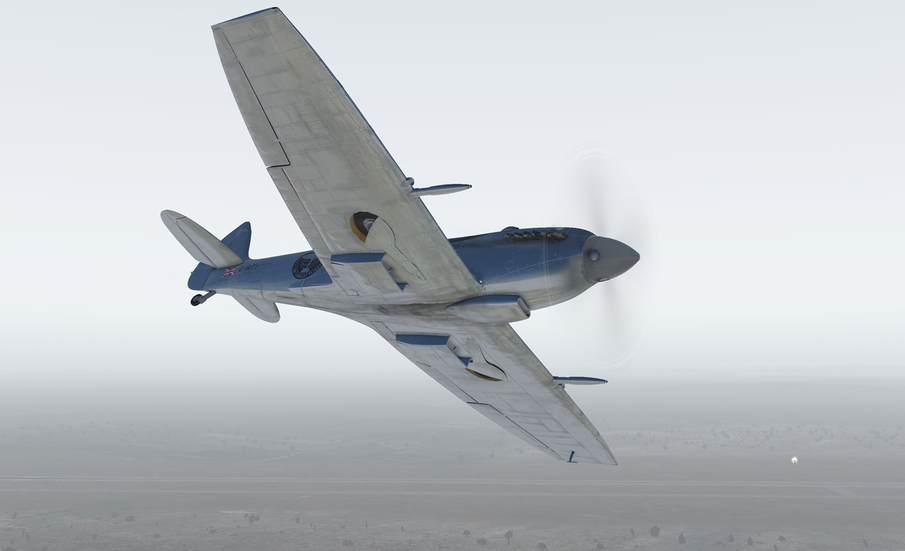
Happy to be on the ground I positioned my self for a perfect photo. Yes it was perfect ! ![]()

10 Likes
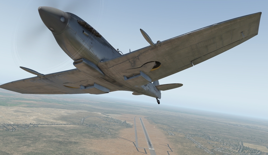
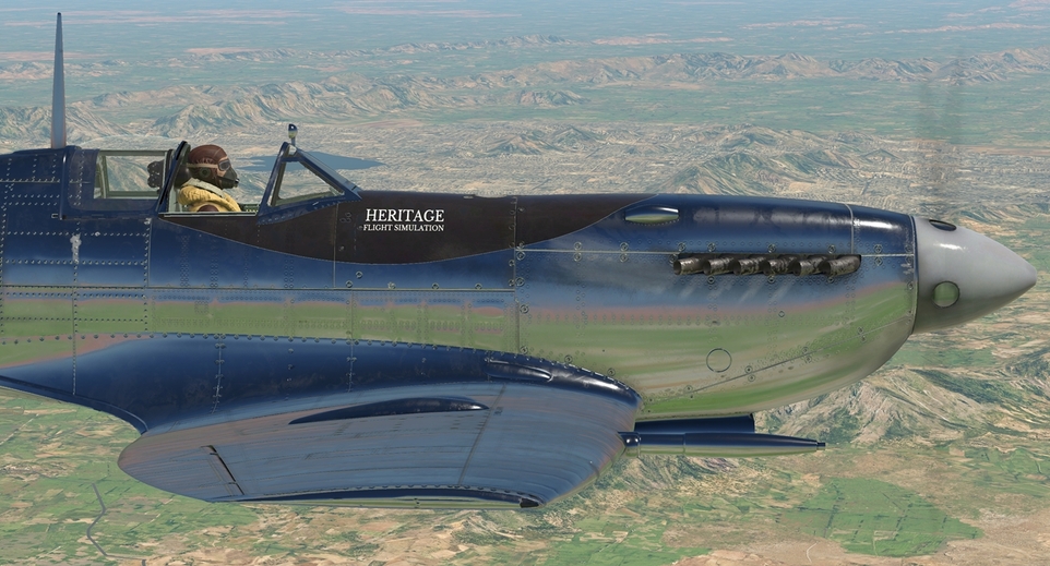
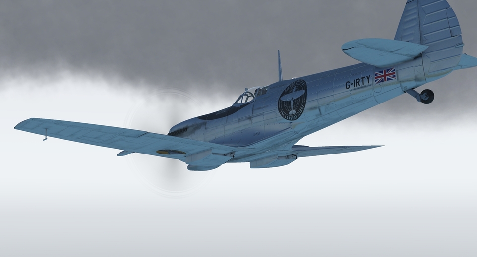
Oh good, im not the only one finding the spit a right hellbish to taxi!
Lovely plane you got there mate, but why clip her wings like that? Its not like you need to win a rolling scissors with a fokker, do you?
3 Likes
I am a practical man… cliped wings are not that much susceptible to damage at takeoff and landing ![]()
Now seriously ( like I realy wasnt in the first sentence ![]() ). The only Spit looking good without cliped wings is Mk.I
). The only Spit looking good without cliped wings is Mk.I ![]()