Downloading all the scenery and airport packs now… Since I’ve had my arm twisted into buying a couple of somewhat period-accurate biplanes and am stuck at home, I might as well join up!
3 Likes
I have no idea what you are talking about!

3 Likes
Next time we’re in Austin, you owe me tacos.
Speaking of, did any of y’all see this?
Not sure yet how compatible they’ll be with 11, but I’m giving them a shot. I’ll keep y’all posted.
3 Likes
Nice find! And yes, please give me a shout if you find yourself in the Austin area. ![]()
![]()
You can join with whatever plane you want Navynuke, but definitely the period-accurate biplanes have much better unobscured view out of cockpit fo VFR navigation ![]()
1 Like
@Sine_Nomine Your AAR stories are classic. Thanks for taking the time to do it.
Makes me embarrased to put my photos up. So here they are:
Heading out of N96 with a destination set for Cleveland Hopkins.

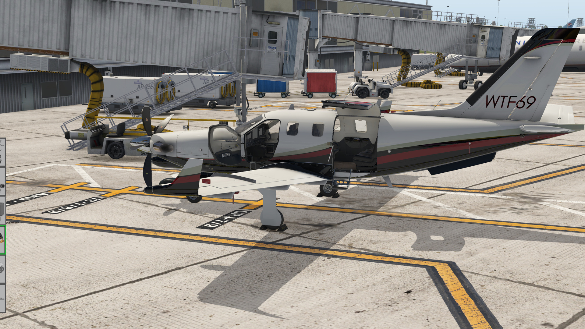
Checking all the maintenance stuff is good to go. Sadly we lost the USMC69 airframe do to a pilot flying under the influence last week. Hopefully the WTF bird last longer.

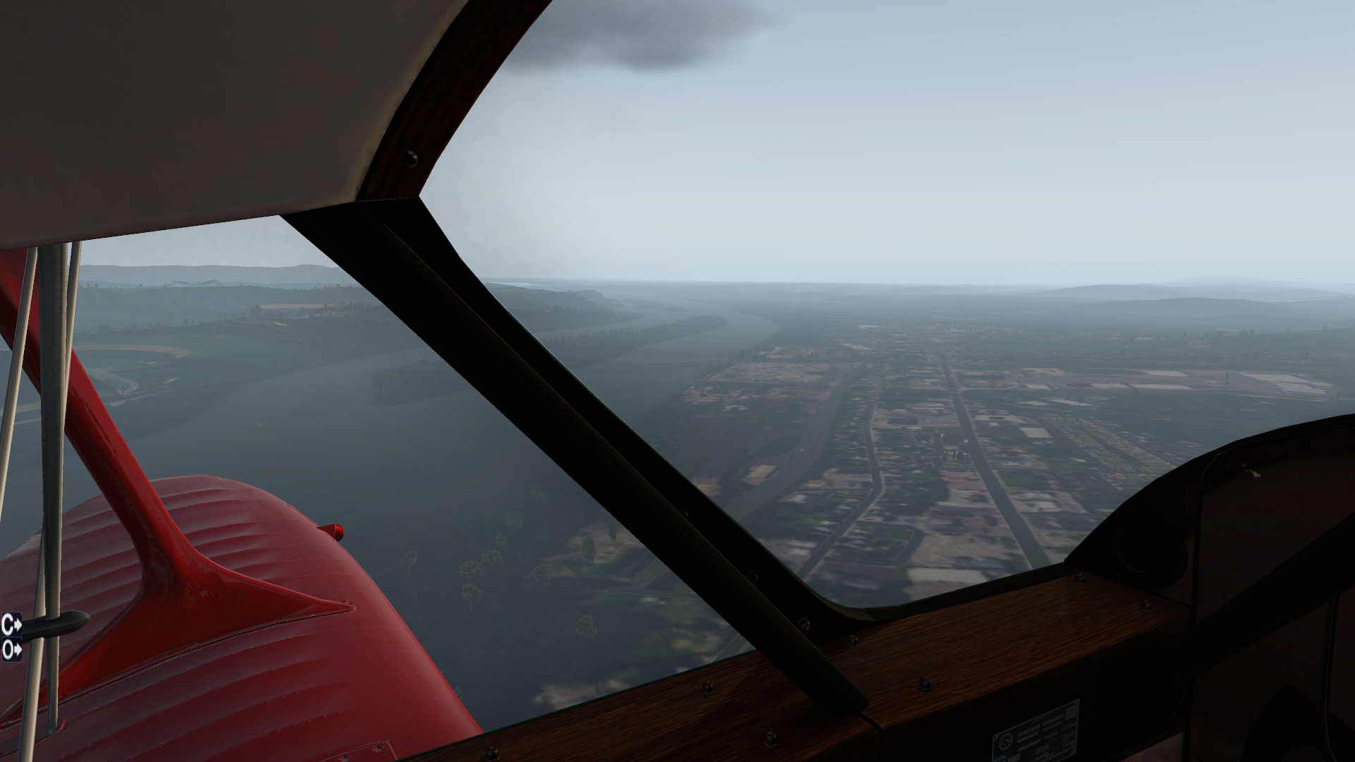
Too soupy for me down there so I’m headed higher. Like a Gunny told me one time, “If you aint cheating, you aint trying!”
Passengers are enjoying the ride so far. Lake Erie in sight were close Approaching Hopkins We park where we want Ah, Cleveland. A landscape just as boring as this AAR.


Next leg will be VFR only, I promise!
10 Likes
Looking for creative ways to put off work and grad school assignments led to also deciding to partake in this one. Three days of downloading, unzipping, converting, and installing scenery, and I’m ready for the first leg of this trip.
Lined up on Runway 19 for takeoff. I’ll spare you the pictures of me taxiing out. I’m pretty sure that’s the American Air Power Museum in the background.

After making a loop around the field (and not being able to see much due to the low overcast, I turned west towards Manhattan. Here I’m starting to see the first skyscrapers of downtown beginning to poke through the murk (and this is about 10 seconds before the plane tried to kill me for the first time - more on that later).

About to cross the East River from Queens into greater Manhattan. Central Park is visible ahead, and I’m passing almost directly over Queensbridge Park. This is stock scenery, which I guess why it’s so sparsely populated with buildings (should’ve thought about that before I took off and added more scenery).

After a fairly uneventful flight over New Jersey (I’ve never had a good experience there, but those are stories for another time), I’m pulling a reverse George Washington and crossing the Delaware - but leaving New Jersey and heading into Pennsylvania.


As I was about to finish Prototype in the summer of 2001, my dad accepted a job offer as a news director at a radio network in western New York. I became very, very familiar with central Pennsylvania from making the long drive from the Hampton Roads area up through central PA to visit them in the southern tier of western New York. In addition, my best friend from school was originally from the York- Lancaster area, and we’d gone up there a time or two to visit. I definitely recognized a lot of the landscape along the way, even though it’s (thankfully) been six years since I last had to make that drive.
Coming up to the south are the slopes of Blue Mountain ski resort, just a bit north of Lehigh Valley airport and the greater Allentown area [insert Billy Joel music lyrics here]. I went skiing here on a weekend trip with that buddy of mine probably 17 years ago now, with a couple of Bucknell students we’d made friends with the previous summer out on Virginia Beach (@Hangar200, if you ever spent any time at Island Republic, that bar featured prominently into that story). The mountain was ok, nothing to write home about, but with slightly better snow than we get up around Boone.


The next waypoint was one of my actual waypoints from my drives up to New York; the quickest (relatively speaking) way to get from Norfolk to Bath was through central Pennsylvania up US highway 15. The road hugs the Susquehanna from Harrisburg all the way north to the state border. It’s a long, slow slog dotted with small towns and low speed limits. Sunbury was my usual fuel/ food stop, especially in my Prelude (loved that little thing, but MAN did it drink some gas).
Just north of town is where the Susquehanna splits into two branches.


Visible to my left is the Shamokin dam, and highway 61 crossing over the river. This was right about the time the Staggerwing tried to kill me for the second time on this flight. But we’ll talk about that after we land.

Flying over US Highway 15. I understand they’ve expanded it over the last decade (finally), and parts of it are now Interstate 99. If you continue north on the highway, you’ll eventually wind your way up to Lewisburg, the home of Bucknell University, and eventually up to Williamsport, the birthplace of Little League baseball, and home of the Little League World Series.
Not too terribly much later, I found myself over Penn’s Cave, and ready to make the turn to start looking for the tiny private field at Bellefonte.

I was able to make it out right before short final, and managed to touch down mostly without incident, taxied back to the hangars, and shut down.


Now, about the plane trying to kill me…
Nowhere in the extensive, in-depth Alabeo/ Coronado documentation that came with the Staggerwing was there any mention of the fuel system, the layout of the tanks, or how to use the fuel switches. Or even how to manipulate those same switches. Needless to say, the tank I started and took off on (I’m not sure which one it was?) ran out of fuel shortly before crossing the East River, which led to frantic flailing of the mouse wheel across ambiguous detection boxes on the right sidewall until the engine restarted and I was able to continue, until the whole thing happened again over Sunbury.
Two hours of internet searching later, and I found a two forum posts that mentioned the fuel system (from 2013), and a link that apparently used to have additional documents on the Alabeo website.
Another couple of hours later, and I managed to find a free upload of the original D17 pilot operator’s handbook (and I’d be happy to send the PDF to anybody else who may want it), and I’ll be using that to sketch up my own procedure and tracking system for the next legs going forward, using the Hobbs meter and manually tracking how much fuel is being burned at 10-15 minute intervals. Aside from that, she’s a lovely lady to fly, though a bit of a handful on the ground (mostly because it’s been a long while since I’ve spent any time in taildraggers). Looking forward to the next leg soon!
8 Likes
Nice write up! Plane looks like a blast. You may want to look at your scenery packs file, it doesnt appear to be any auto generated buildings like its supposed to. Or I’m just not seeing them. I believe the NYC buildings you saw are the landmark buildings which supercede autogen.
2 Likes
Great AAR with some great VFR checkpoints. Love the fuel switch confusion…LOL…sound realistic!
2 Likes
I’m playing with settings in graphics right now- I think the generated objects was a bit too low. Trying to find that sweet spot right now. And also diving back under the hood of x-organizer. Again.
2 Likes
Tinkering with the install is half the fun!!!
1 Like

Chicago to Iowa City…

Ready to roll at Meigs…

Climbing out to the West…

Approaching the site of the original Air Mail airfield. It is located next to the Veteran’s Hospital, just across the road (1st Ave) from Miller Meadow park.


An interesting landmark, to the South of DuPage Airport is the Fermi National Accelerator Laboratory. It is hard to miss, and makes for a great turn point.


From the Accelerator Lab, it is a short leg to Aurora (party on!)…

From Aurora, we follow US30 almost due West for 54nm to Sterling…

The terrain is now flat, with farmland as far as the eye can see. I stuck to US30 like glue…

At Stirling, using the airport as a turn point, I head South West, generally following the Rock River towards Moline.
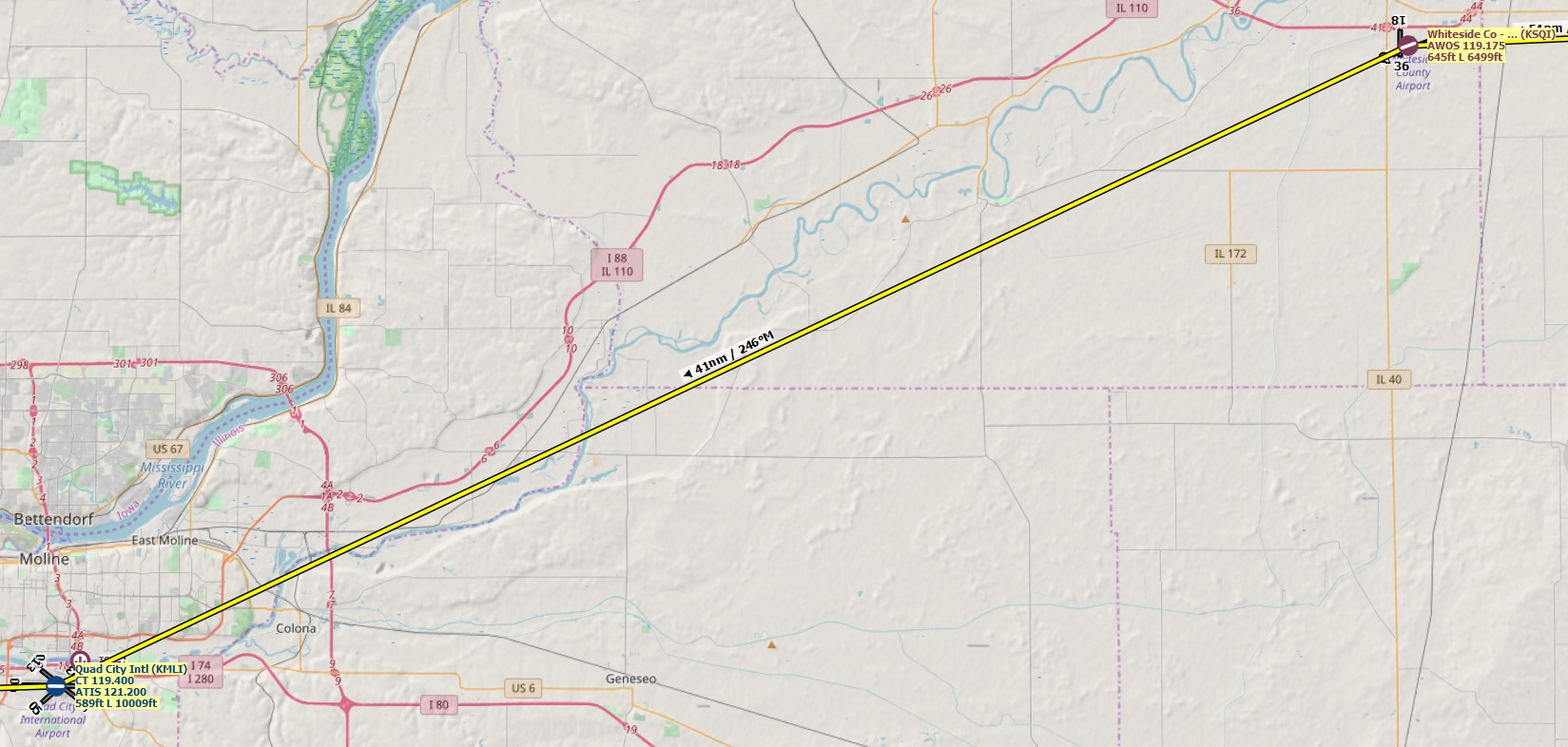


Getting closer to Moline, I catch sight of the Mighty Mississippi off to the North.

Eventually we get to Quad City International KMLI. In 2007, I flew my first solo King Air flight to this airport from Dayton Ohio to deliver the airplane for new paint.

At this point, we start to follow the Mississippi for a stretch There is no chance of getting lost in this area!


We follow the Mississippi for about 20 nm until the river makes a distinct turn to the South at Muscatine, at which point we turn North West towards Iowa City.


Iowa City up ahead…

Airport in sight!

Shut down on the ramp…

Flight time was 2.2 hours. Next Stop will be Offut AFB, Omaha, Nebraska.
6 Likes
Just a reminder that there may be hope of finding things of that type at the Internet Archive.
Wheels
1 Like
![]()
I have been guilty of that… also, that’s a good rego!
1 Like
Back to the first leg again…finally got my gas and spark plugs sorted out in Slatington (69N) and set course for Bellefonte (N96), this time making sure I had enough gas…!

A high broken layer kept the views sort of gloomy until we crossed the Susquehana River, then ActiveSky broke us out with beautiful sunlight and just some scattered clouds…


Pilotage is so much fun in X-Plane. Orthos definitely help and I’m constantly flipping back and forth from my running X-Plane and Skyvector to compare things I’m seeing out the window to where I want to be. I tend to do mid-course corrections TO the points of interest…sort of like an inertial update, but one where I actually fly over the point instead of just marking on the map where I am relative that point. This works good in a sim where you aren’t paying money for flying a bit out of the way, but is less efficient if you are in an actual airplane.


Lots of good terrain features with these long, worn down ridgelines along the route…


Making sure I line up on the right airport since University Park is just a couple miles south of Bellefonte…

First leg complete…!
6 Likes
My trek is taking a slightly different path as it seems international airports don’ t appreciate you landing unannounced and parking at the main terminal gates in Cleveland. Little bummed about losing my plane and my job.
While waiting in jail, I met some nice fellows who just so happened to be really needing to get to San Francisco also. The pay seems good, but the aircraft was located closer to downtown at Burke Lakefront. Off we go!!
My clients secured a helicopter for our trip to Burke Lakefront

Should be located just to the left on downtown, on the coast of the lake


The Browns are so bad Xplane didn’t even model their stadium!!! Should be right there in that oval neighborhood i believe.

Here we are, wonder what they have for me?
(upload://fANBgJ0nsbnXBiZdhQgSM6zxQCc.jpeg)

The next day I went out to check out what they wanted me to fly. I wonder how they got this?

Either way they seem way more laid back when it comes to regulations so I think I’ll fit right in.
8 Likes
As I have read in the Dev blog that also GTX900 series cards are now supported in 11.50 I tried it with my older laptop with GTX950m (after driver update).
The results are better than I expected! On medium(objects;textures)-low(effects;reflections) settings I am around 40fps what is great. Previously it was low settings and fps 20 or lower.
So did the hop from Chicago to Iowa City

Iowa City airport

3 Likes
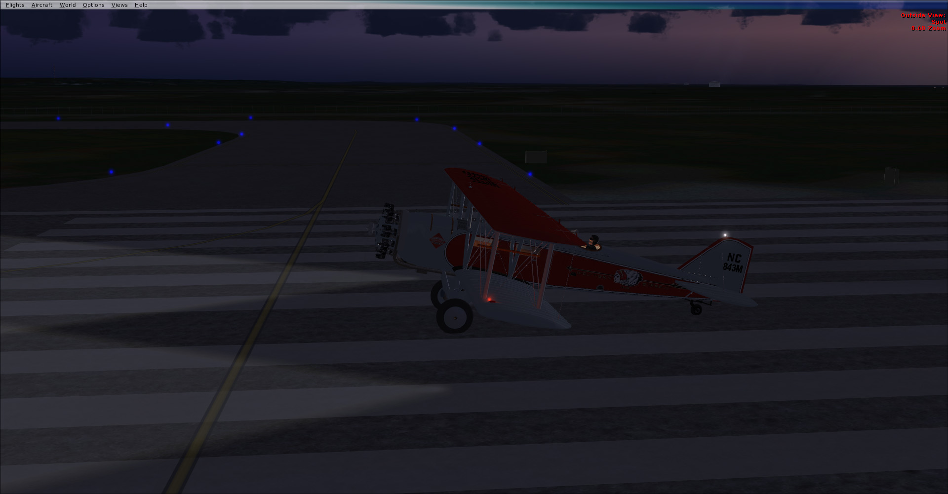
First leg in 0600-0758 Republic Airport (KFRG) to Bellefonte Airport (N96). So about 22 minutes ahead of schedule.
The Boeing Model 40 saw service during the 1920’s and 30’s as a airmail plane. Originally designed to use the Victory V12 engine (they had a whole lot of them left over at the end of WW1), they were later redesigned for the P&W Hornet radial. The model here is a 40B, using the 425hp P&W Hornet. T

I elected for a dawn take off rather than the historical start time of 1000, to give myself more daylight flying time for pilotage. Our modern world has a lot more urban areas to be confused with versus the 1920’s

Climbing out of FSX scenery of downtown NYC, combined with some ortho scenery at 4/m per pixel, which is just a hair blurry at the altitude I’m flying at. I might go down to 3/m and see how that goes.


Hackettstown to our north, meaning we’re on course.


Martins Creek power plant just south of Belvidere NJ, so I’m a little south of my expected line of flight. That’s fine as when I hit the Susquehanna River I can just follow it north to where it Y’s

View from the office. Not a lot to work with, but enough in VFR.


Crossing over the split in the Susquehannah River. Point the nose on 281, and look for a pair of airfields adjacent each other after about 20 mins located in a valley. Can’t be that hard to find…

Okay the cloverleaf was actually a lot easier to spot and our runway is pretty much due north of there.


A nice little flight, with only one real gripe. This model has a serious roll to the left, and no trim to fix it. I am not keen on holding my joystick over for almost 2 hours to keep it flying roughly level and straight. I may stick with this model (which was my plan) or I may go for something else, we shall see.
6 Likes
