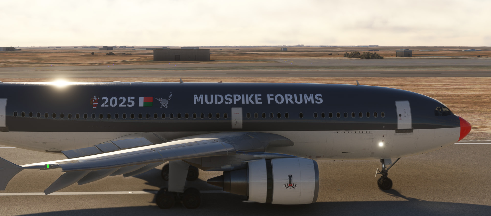
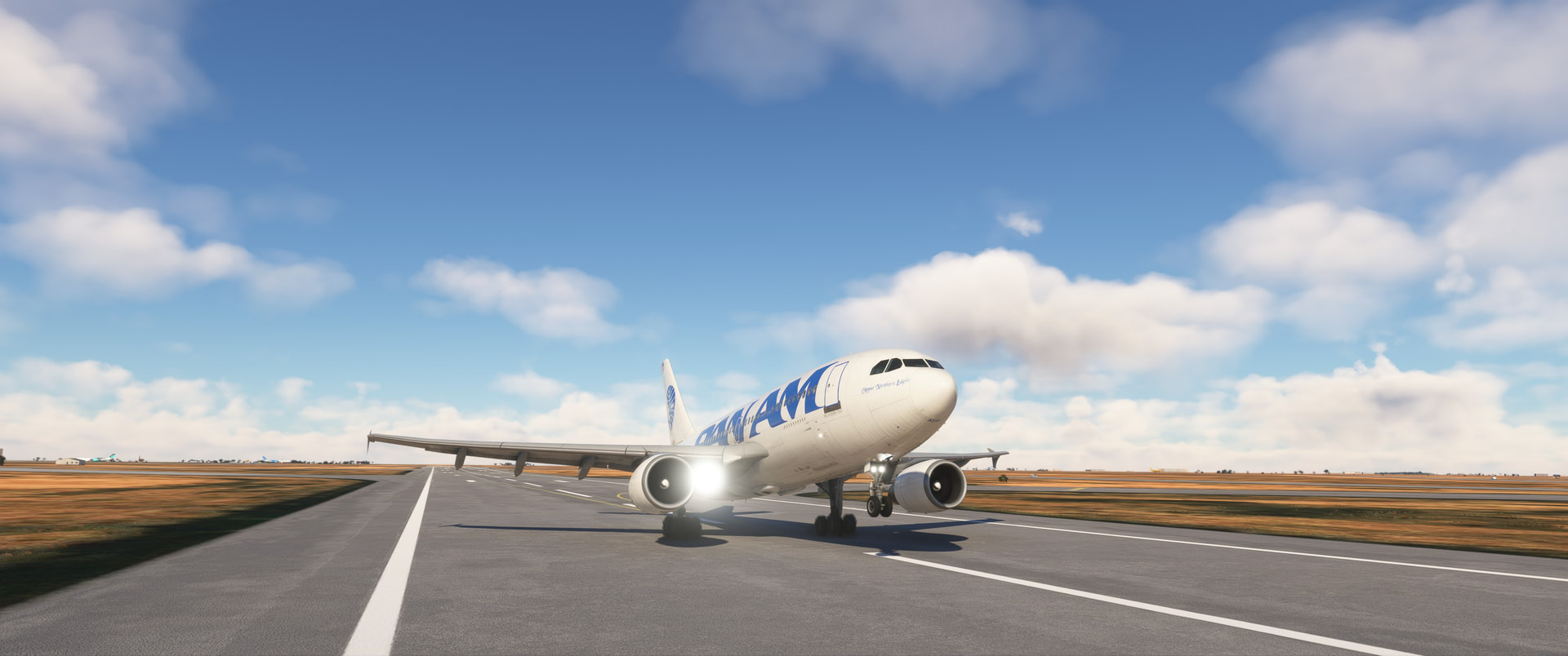
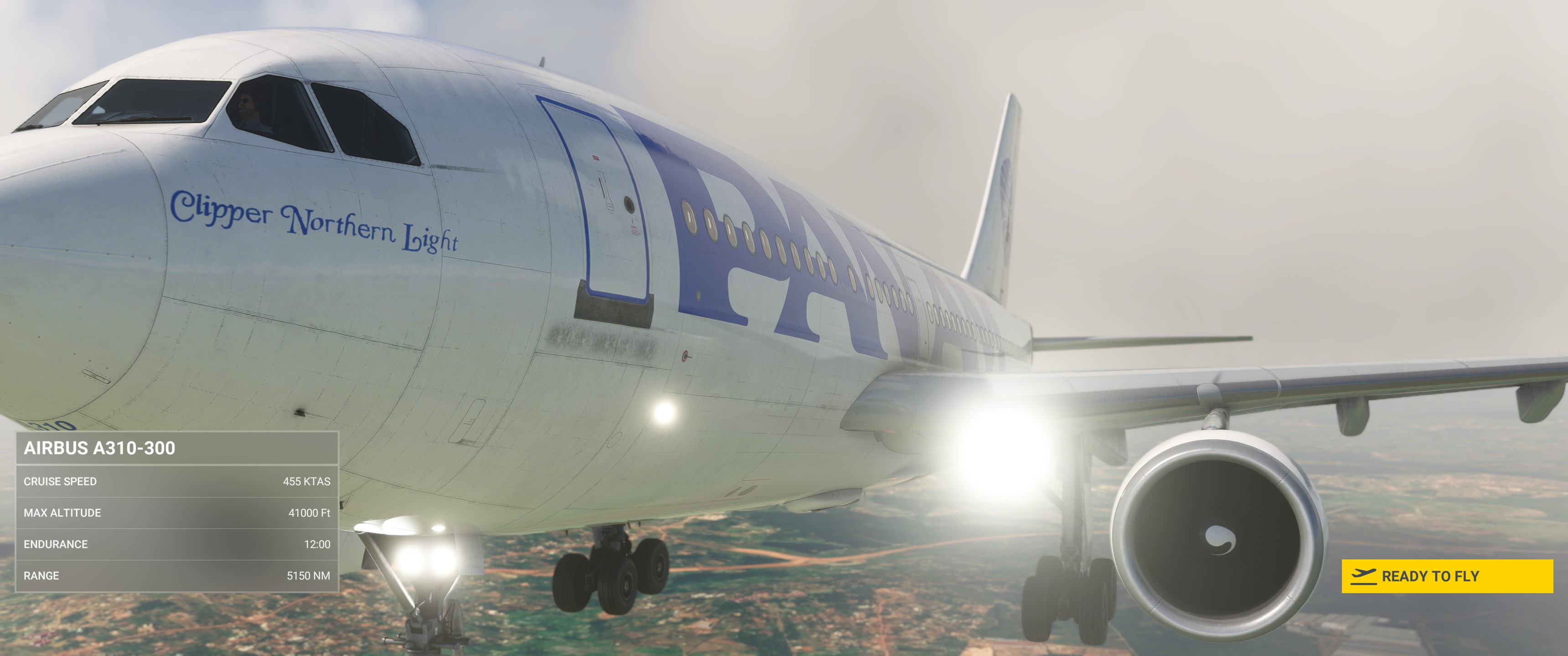
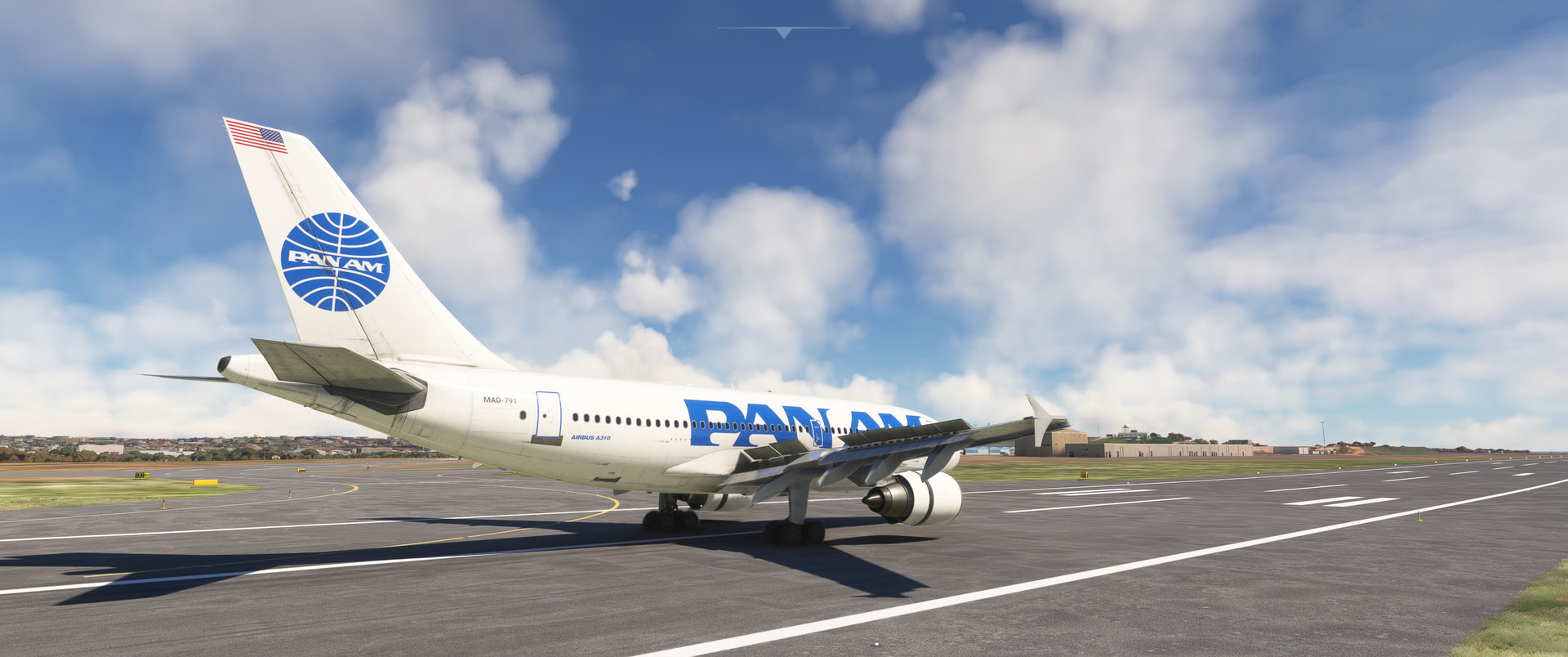
What a lovely red-nosed Mudspike Christmas livery! It fits the short-nosed wide-body A310, what a cute airliner!
6 Likes
Is that X-Plane? Those ancient sites look great!
Leg 10: Kilimanjaro International Airport, Hai District, Kilimanjaro Region, Tanzania (HTKJ) TO Harry Mwaanga Nkumbula International Airport, Livingstone, Zambia (FLHN).
This leg was quiet…too quiet.

Seriously, nothing lit up, blew up, fell off, malfunctioned, crashed, was inadvertently turned on, was inadvertently turned off, or failed to appear (I’m looking at you rhinos!) for the entire flight!
I didn’t know what to do with myself…
This was a repositioning flight from Kilimanjaro to Livingstone, approximately 1000NM.
Now, I know what you’re thinking:
- Aren’t all flights from one place to another “repositioning flights”?
and,
- Hey, Deacon, I’m sure that you know what you’re doing, but shouldn’t you be repositioning the other way?
And the answer to both is technically…yes.
But, convenient strawman, you see:
A. Only God can make a tree and,
III. Only He can also put Mt. Kilimanjaro AND Victoria Falls almost equidistant from Madagascar, such that there is no easy way to visit the three without going at least a little out of the way…
…and by, “a little” I mean approximately a thousand miles.

Alright, that’s enough of that.
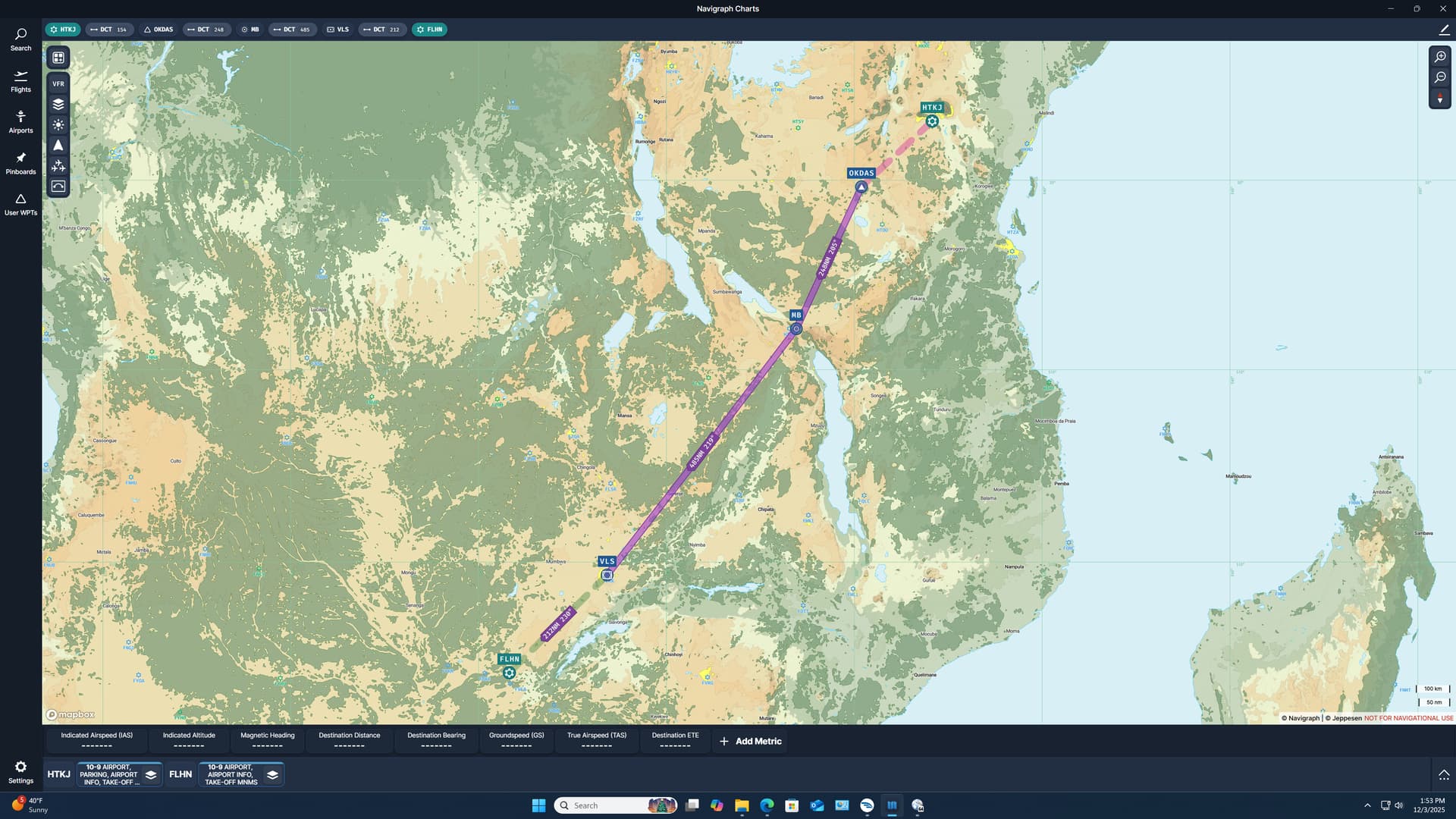
Here’s the route. A pretty straight shot without too much going for it in the way of sightseeing.
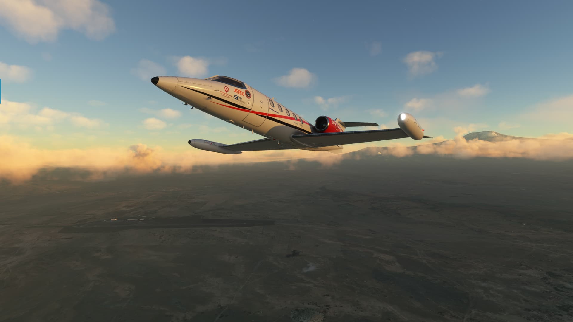
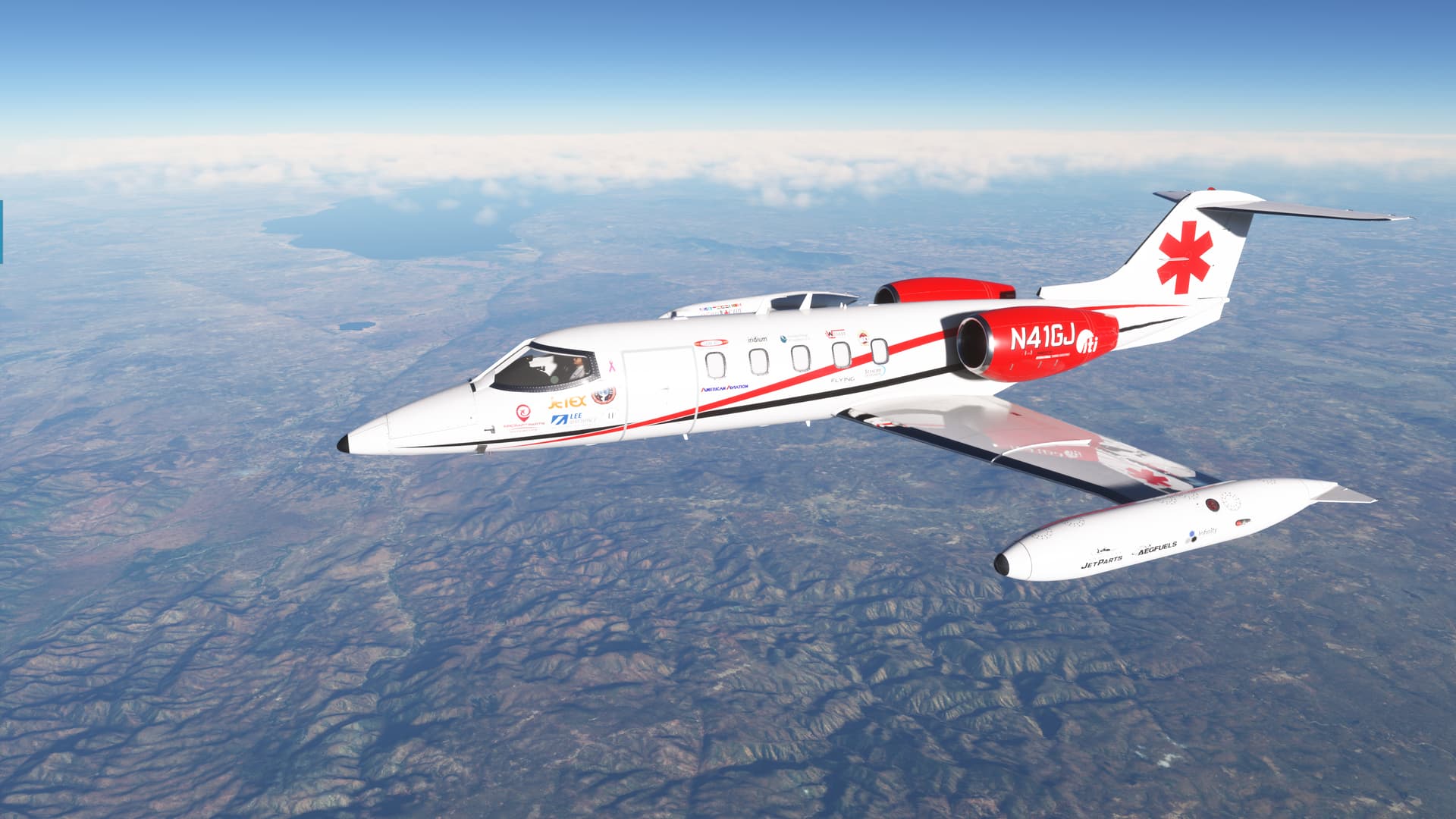
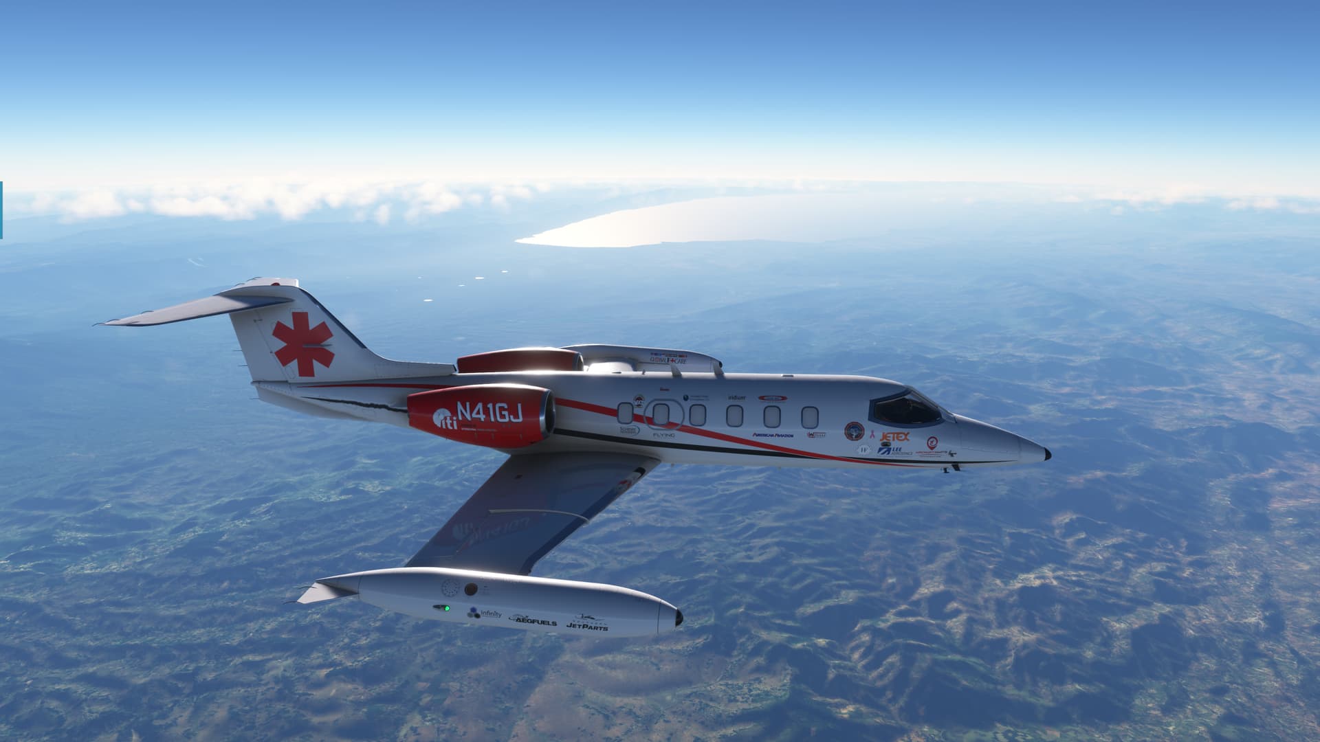
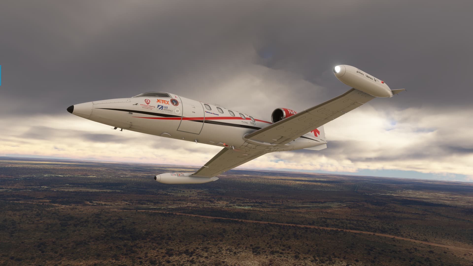
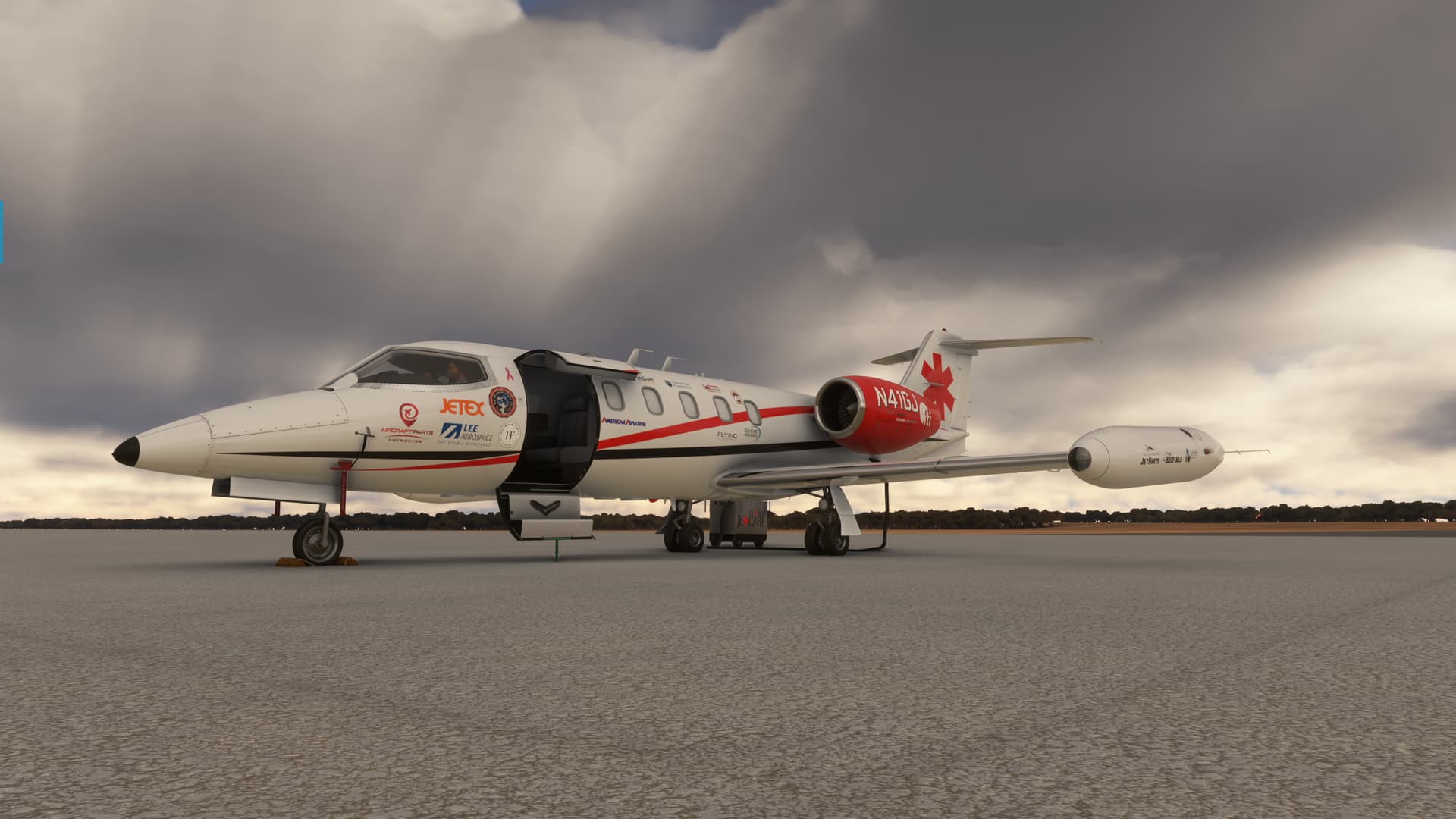
And today we fly the Flysimware Lear 35A in the colors of Global Jet Care, which completed an unofficial record setting around the world flight in N41GJ as a fundraiser for the Classic Lear Jet Foundation, by Crispy136.
Mount Meru in the background shrouded in morning mist.
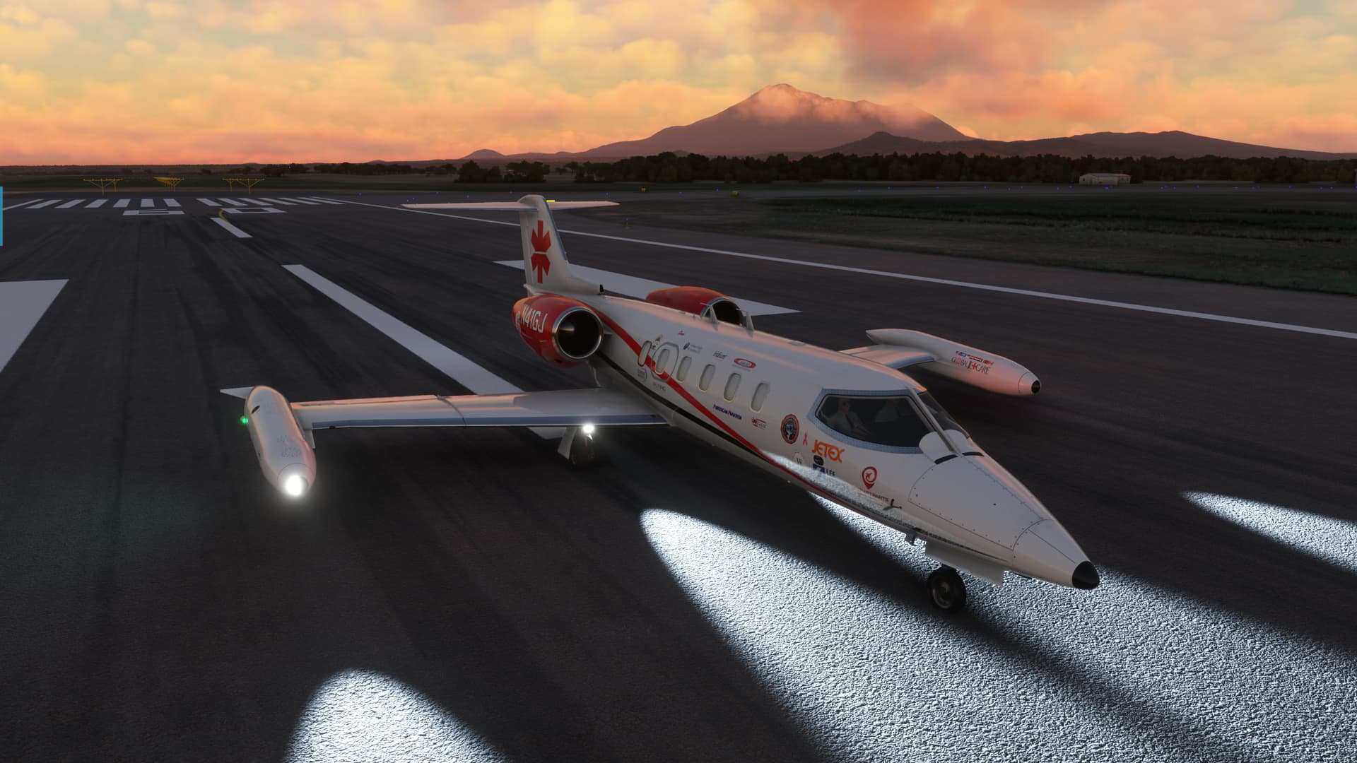
With a fairly light load, we made it off before leaving the near field touchdown zone!
Kilimanjaro on the other side.
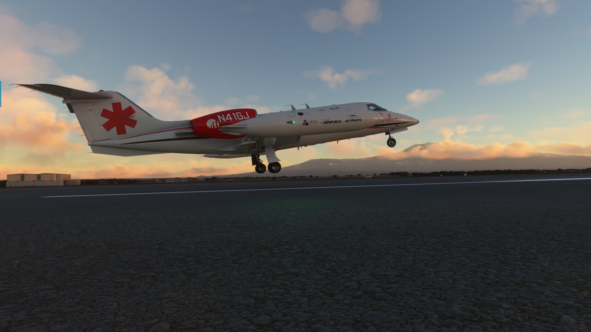
A quick turn on course at 400ft AGL and we were on our way!
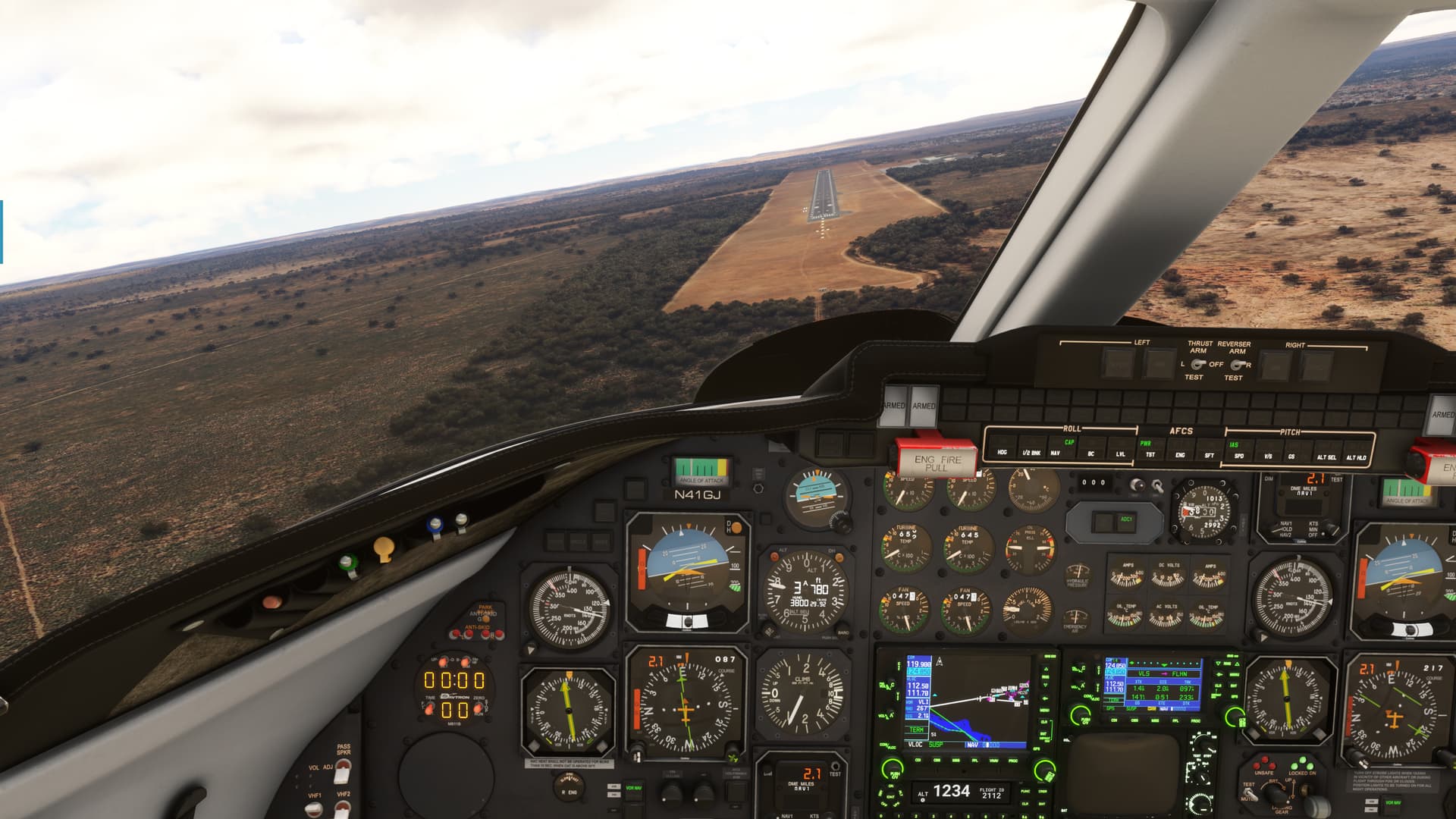
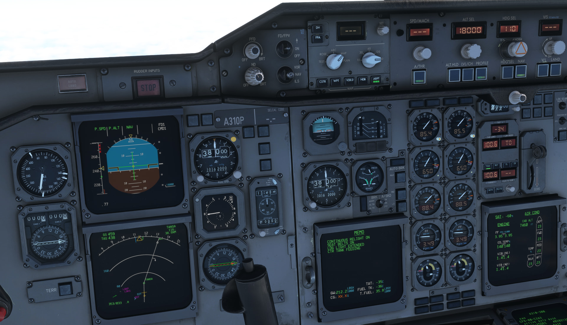
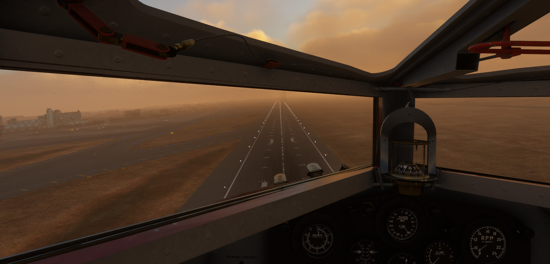
As you can see, the Lear has a nice classic cockpit, but I couldn’t figure out a way to get rid of the FMS.
So, I decided to use them instead! My momma (the one known for her command of the esoteric aphorism) didn’t raise no dummy!
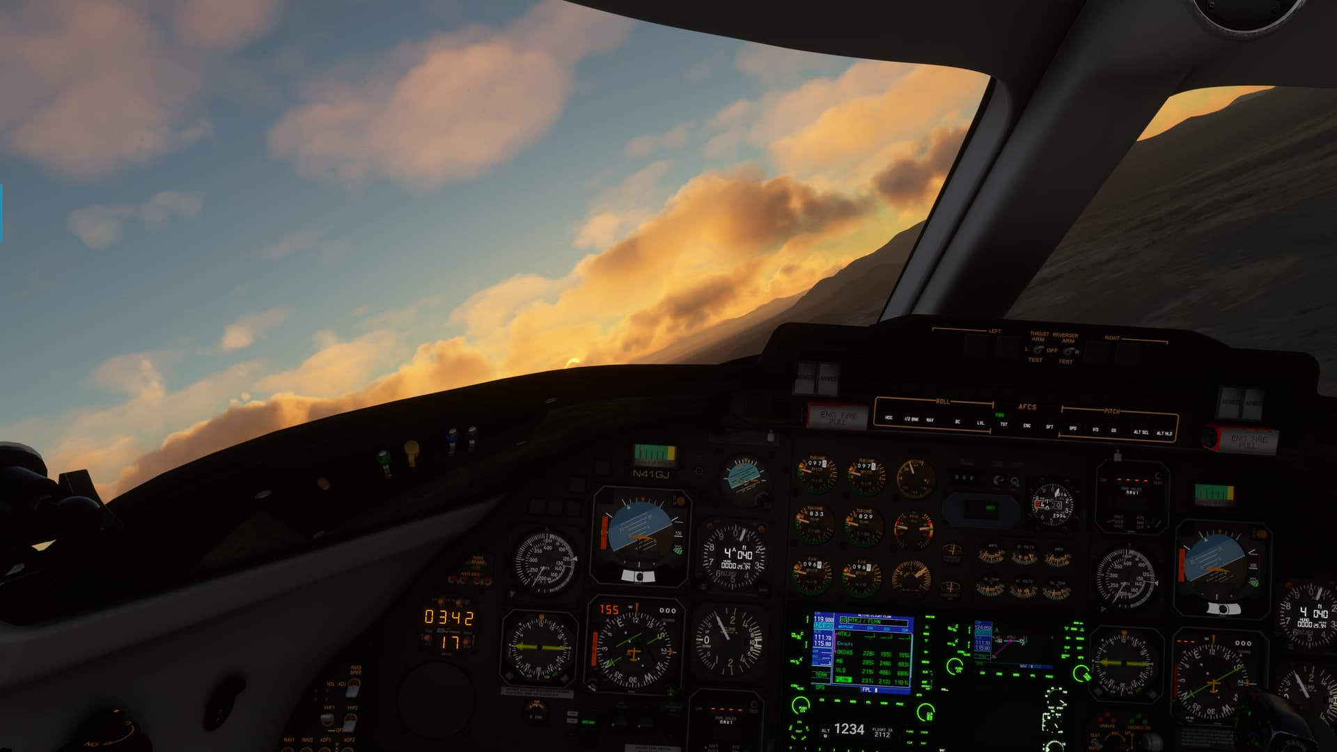
We climbed outta there like a homesick angel.
There was only one question…
How the Hell do you set the level off altitude!?!? ![]()
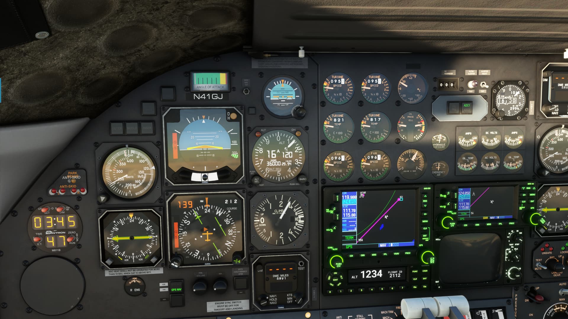
I found it…eventually…right on the altimeter case.
Who the Hell would think to look there? ![]()
OK that dragon slain, we moved on.
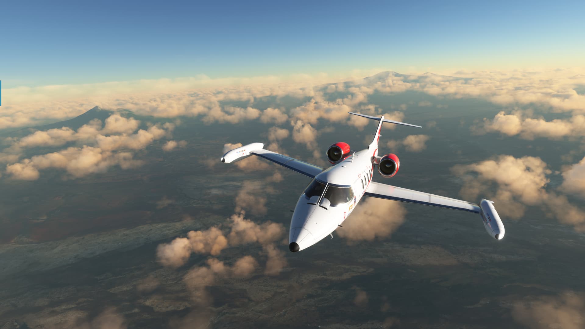
Honestly, not much to be seen once we get up to altitude. The broken layer below largely obscured most of the terrain, which was pleasant if not majestic, in any case.
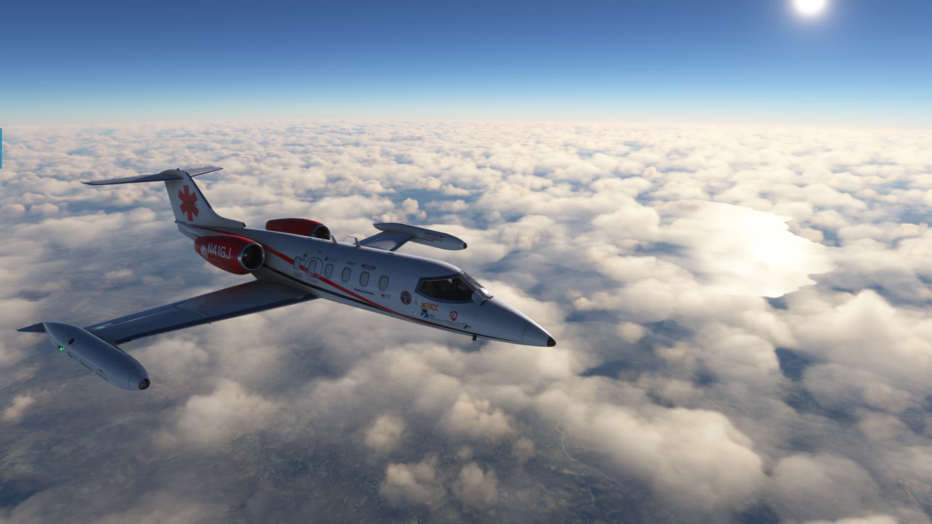
After a fairly brief time at FL360, it was time to start at least thinking about arrival. I shot between the impressively capacious Lakes Malawi and Rukwa, part of the East African Rift System.
Interestingly, though they are both part of the Rift Lake system, Lake Rukwa, above, sounds like an alkaline Hell pool while Malawai, below, sounds like a nice spot to take the family on holiday.
Well, you know what my realtor says…location, location, location.
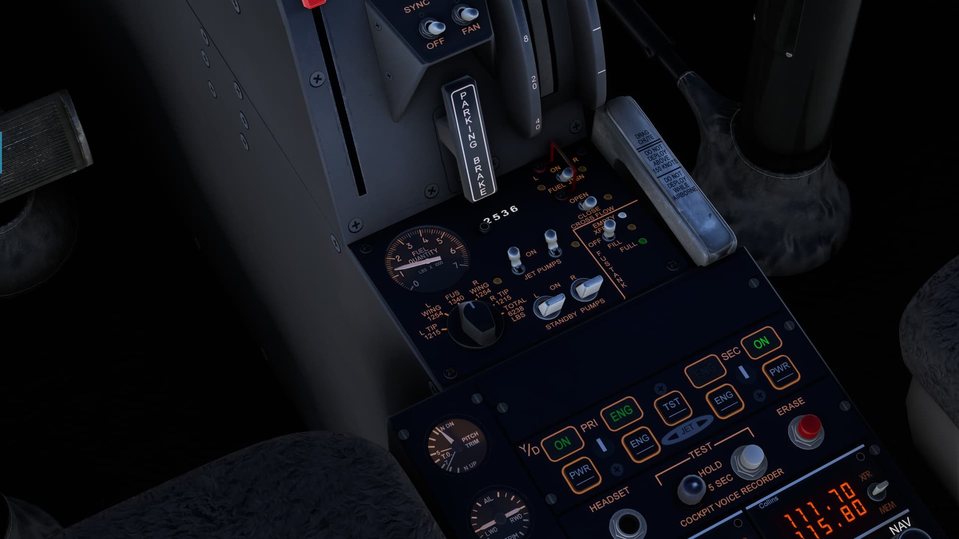
My one and only challenge for this leg was to try to figure out which way I was supposed to transfer fuel in the Lear. Do you transfer fuel TO the fuselage tank from the wings, or FROM it.
I couldn’t find the manual, and it looked like I might run out of fuel from one source or another before landing…so it was a matter of some importance… ![]()
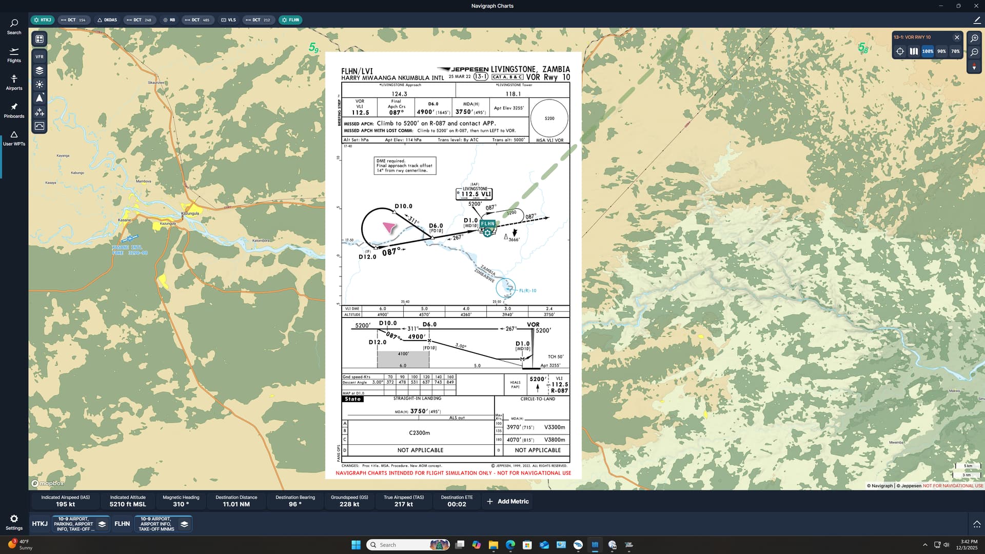
Because I just couldn’t leave well enough alone, I decided to try the raw data VOR into FLHN.
I had actually begun to feel a little guilty as all I had flown thus far were coupled ILSes.
Damn lazy airline pilots! ![]()
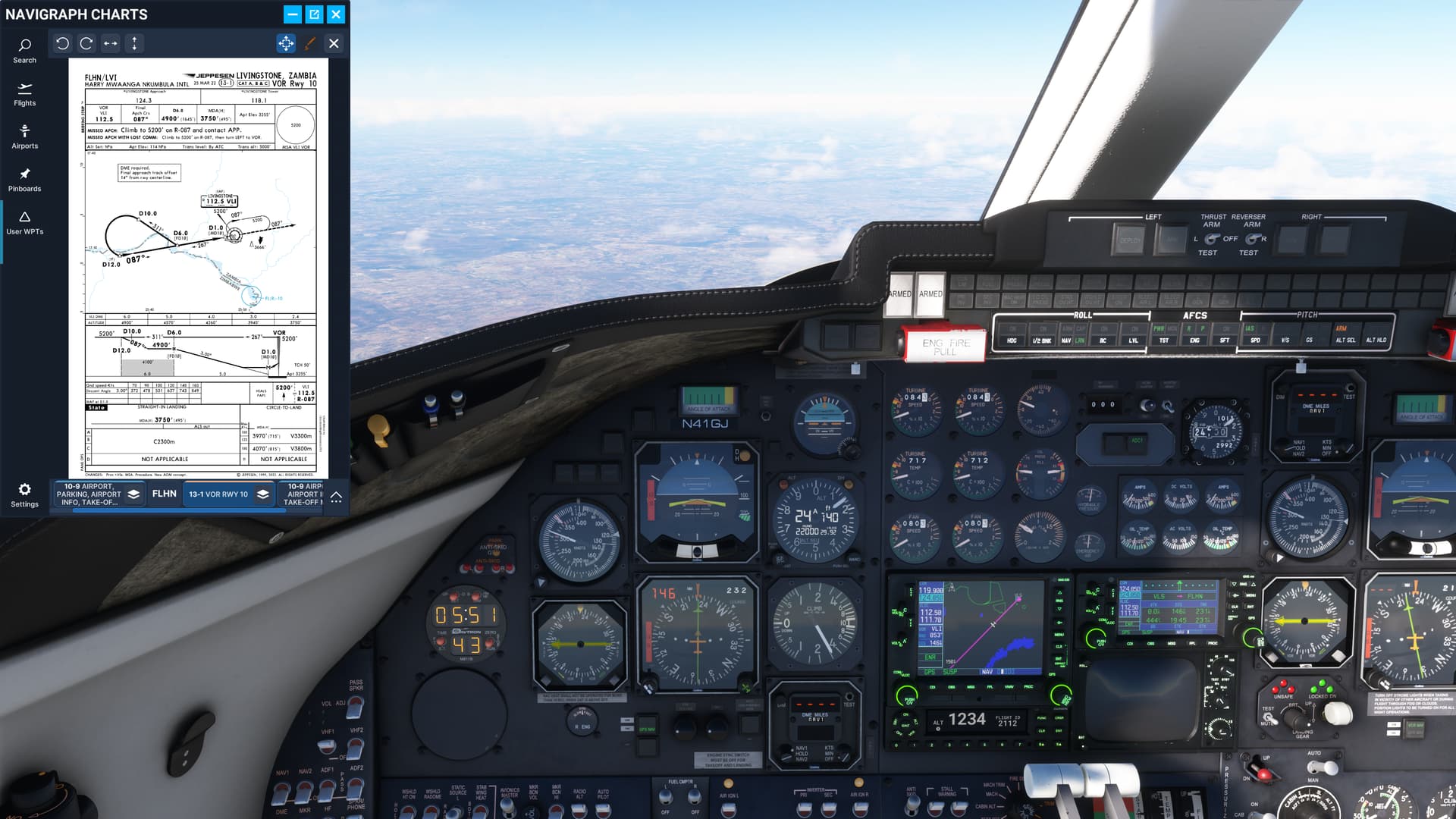
Descent was (mostly) uneventful. I was a bit unaccustomed to the instrument layout in the Lear (you could kind of tell that the aircraft had been a classically designed panel with GPS grafted on somewhere during its life cycle) but with a lot of cross reaching in the cockpit, I finally got her figured out.

My procedure turn was a little late, due to some switchpiggery…
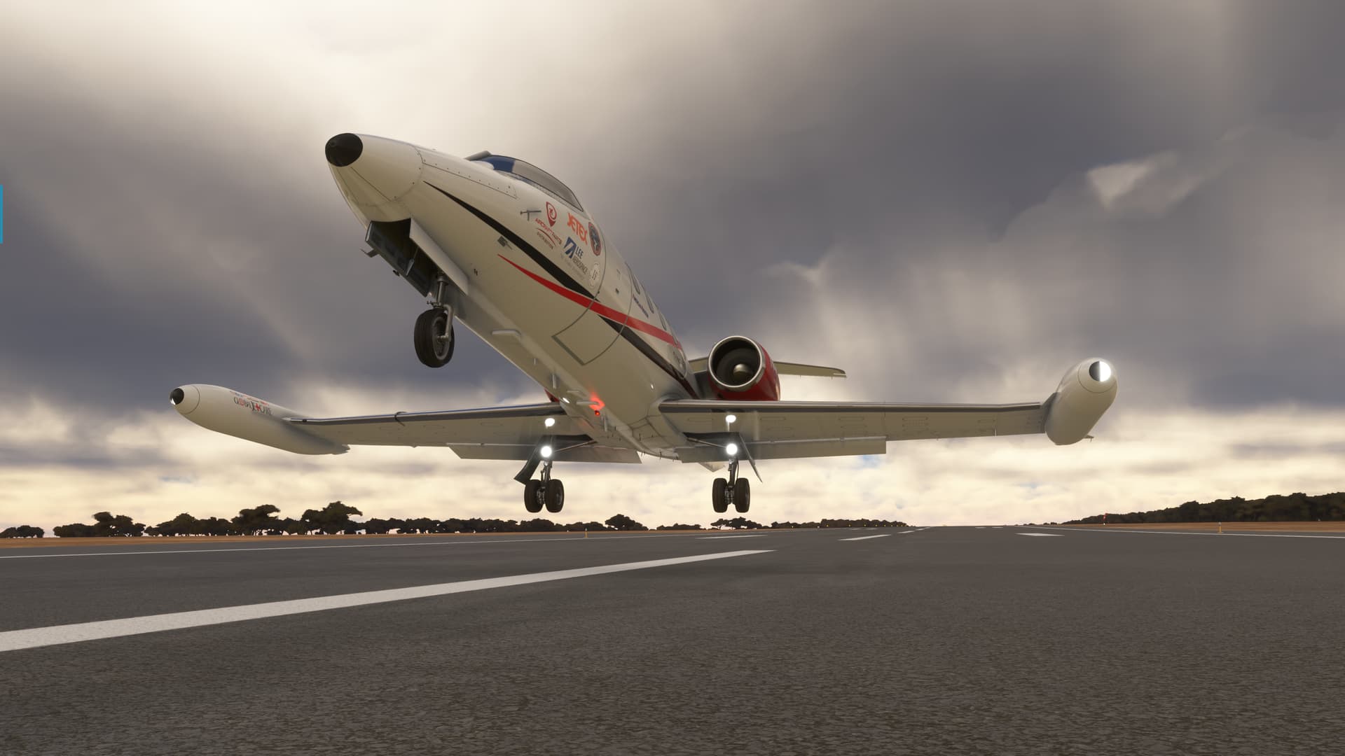
I got her settled down eventually though, and on final.
Landing was nice enough…though a little long. I admit that I was carrying a little extra airspeed for the wife and the dogs. ![]()
Luckily, though I was a bit concerned about it, either I chose to transfer the gas in the right direction…
…or I had enough gas to overcome the fact that I failed to do so!

And that’s it!
Only one or two legs to go now…depending on how direct I make them. We still have a couple of weeks to go here, but that airport bar is really calling my name!
13 Likes
Agreed! Love that livery!!!
3 Likes
Already being on the soil of Madagascar…
…I decided to leave ![]()
Thinking of taking my family to the island of La Reunion at some point, this Christmas flight is a good excuse to check this place at least virtually since it happens to be relatively close.
On y va!
Early morning departure from Ivato airport.
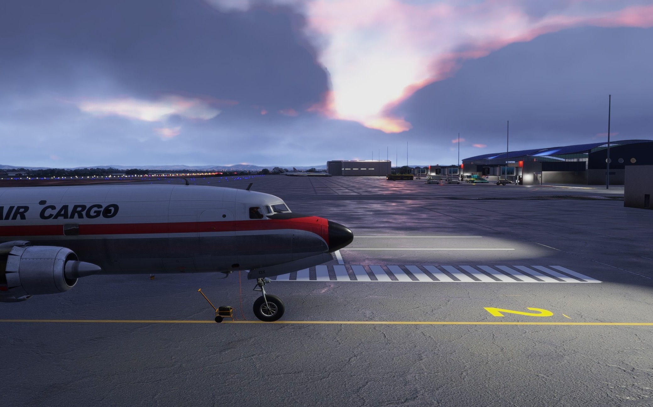
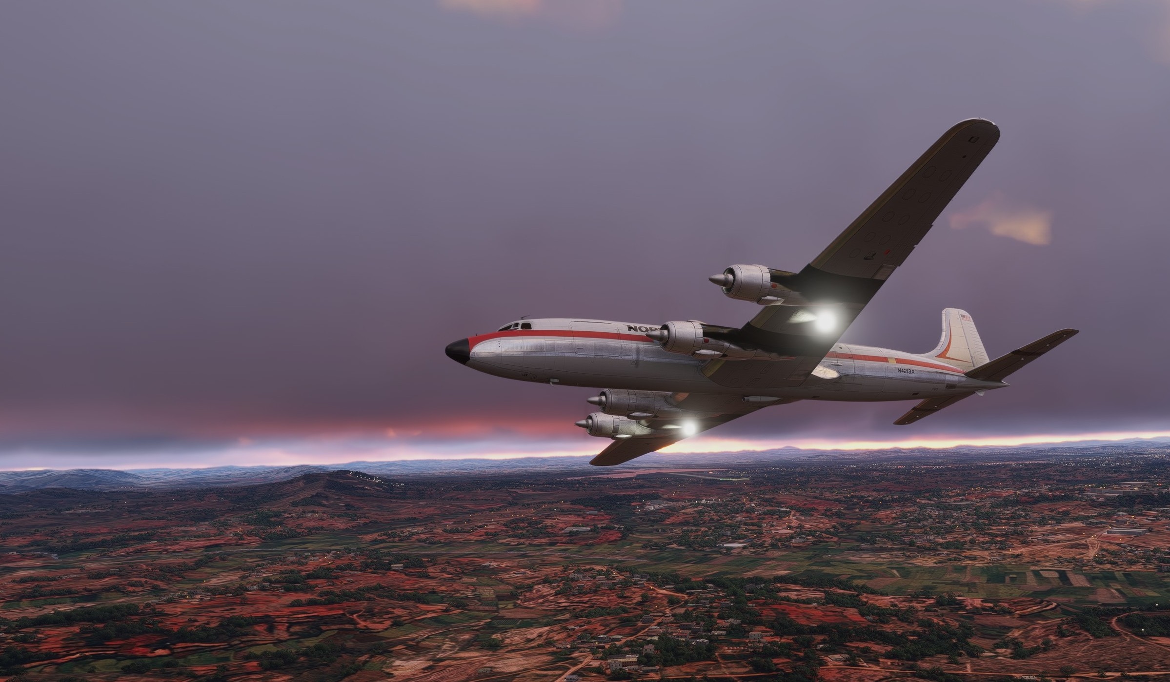
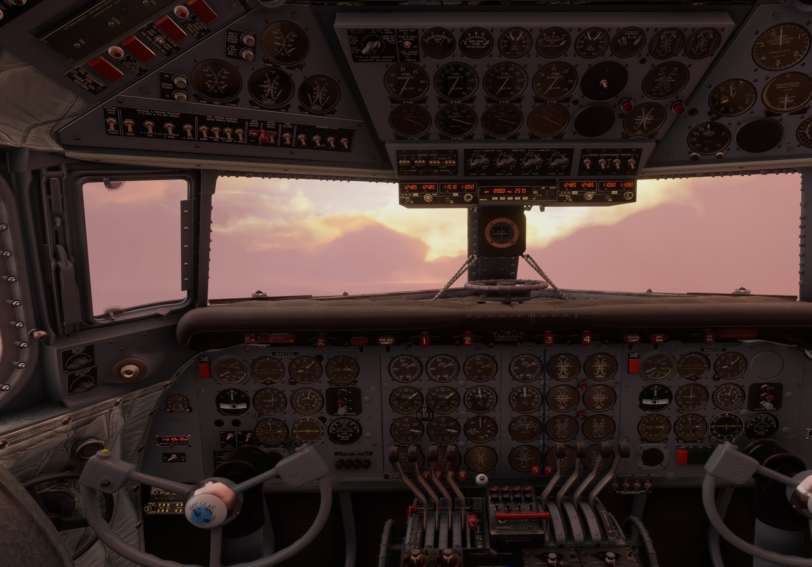
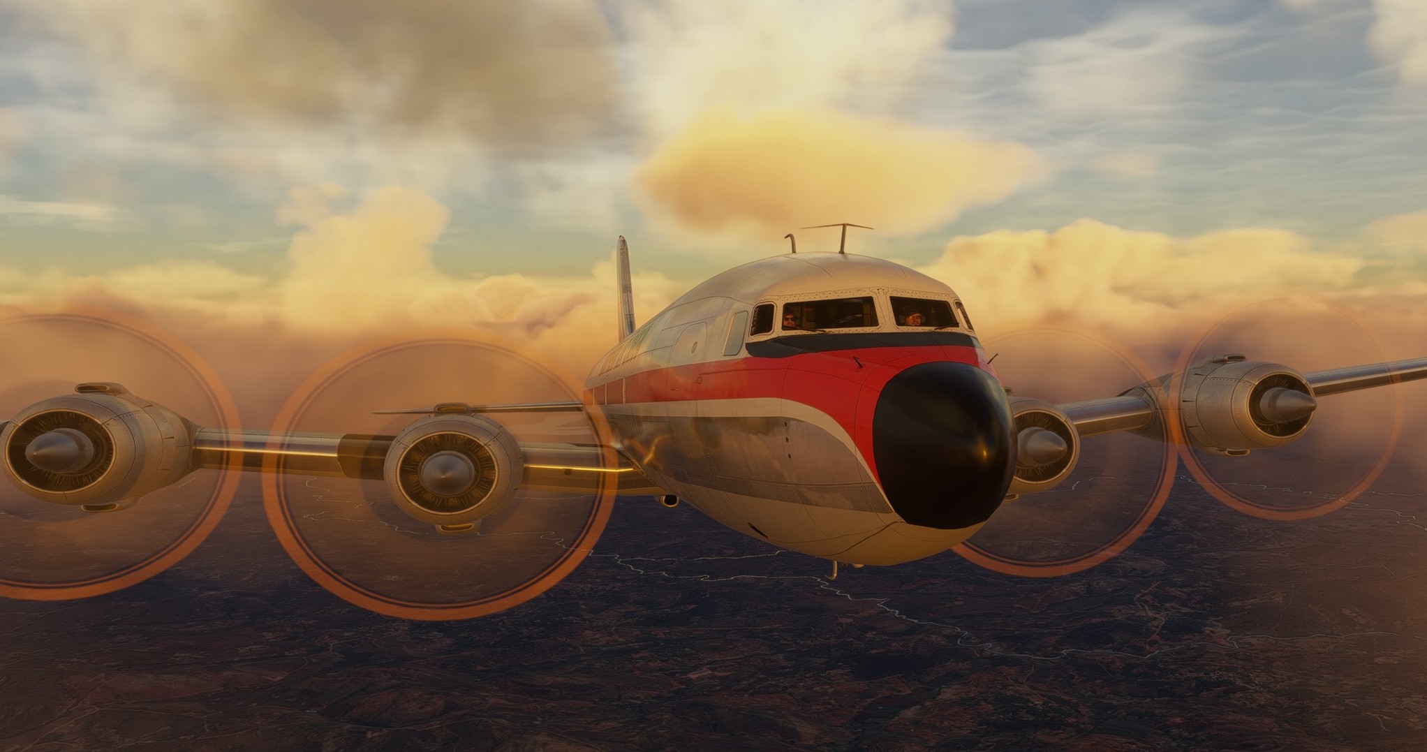
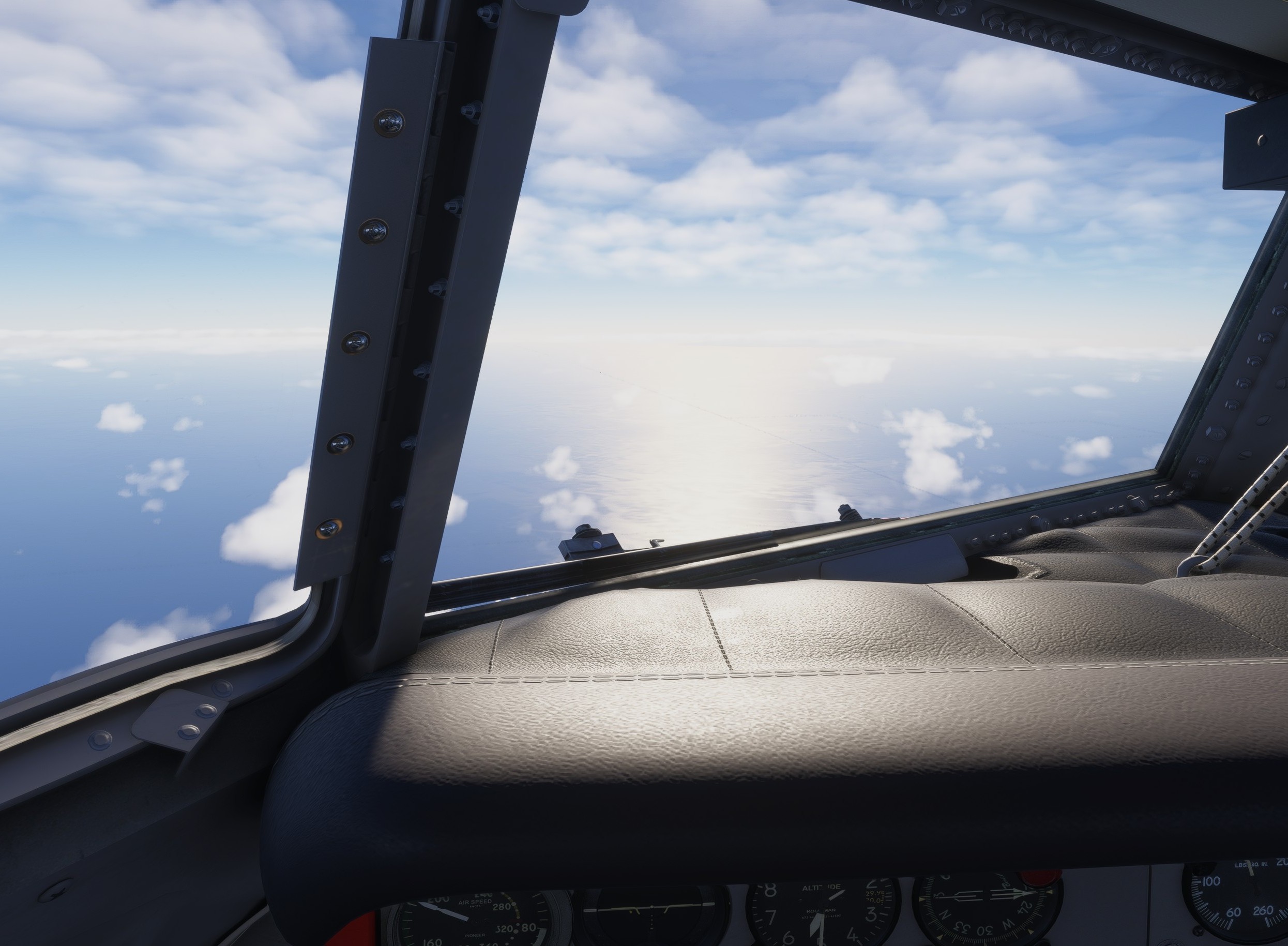
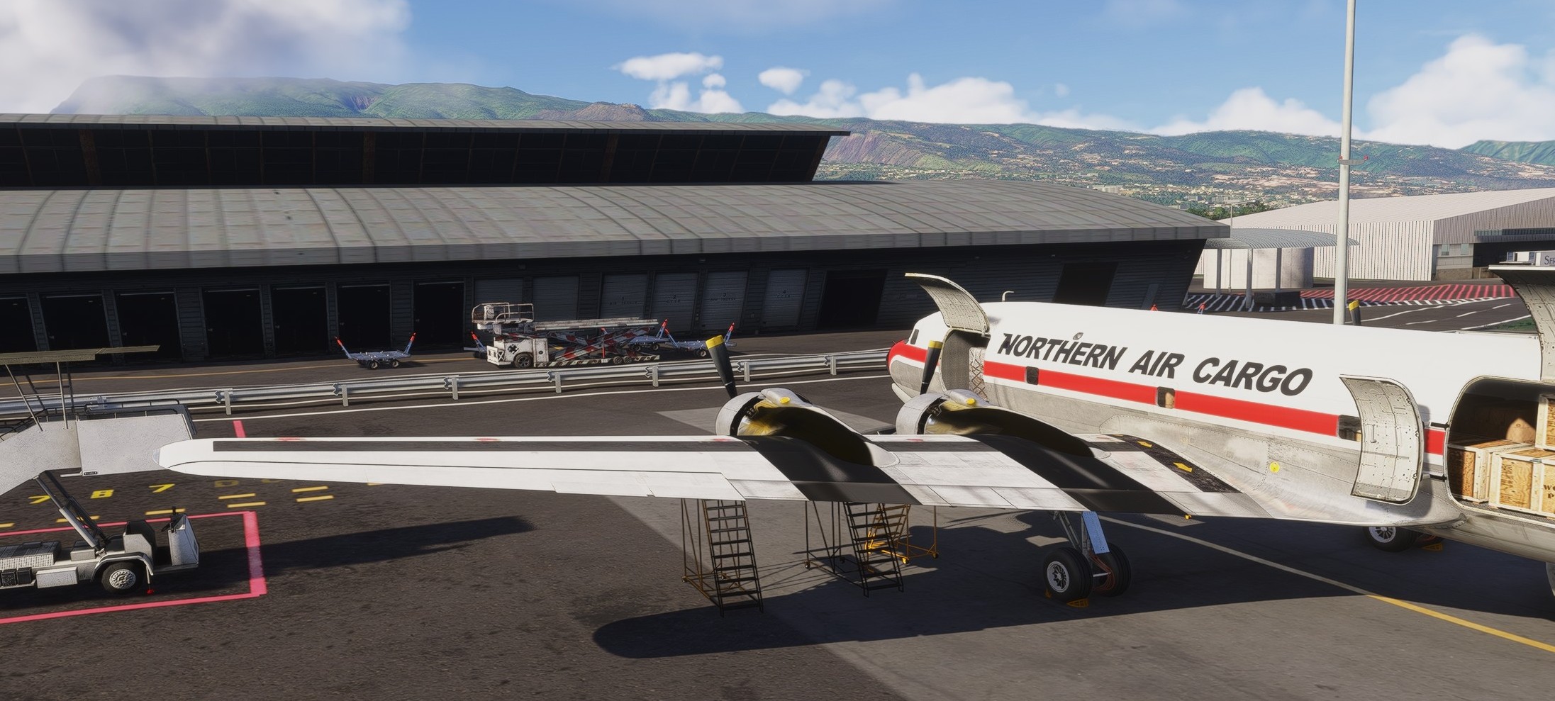
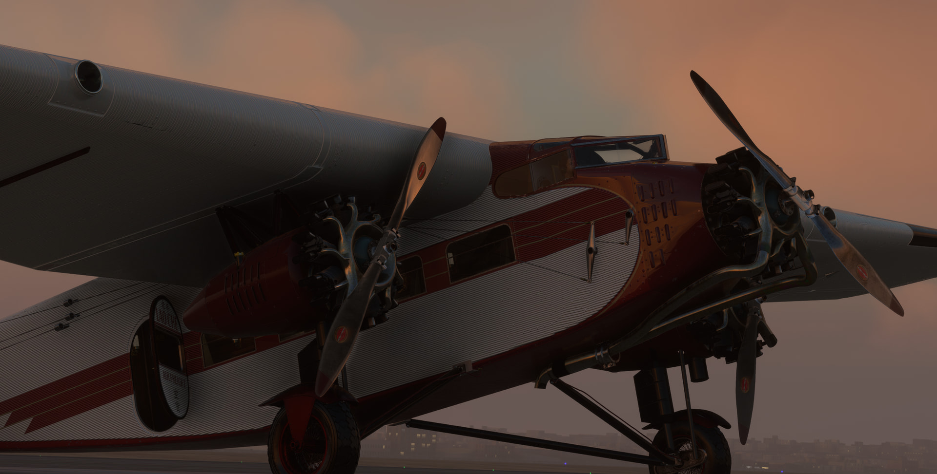
Oh and I forgot to say that it is becoming a tradition to finish the Christmas flight in a DC-6. I like this bird and whenever I fly it, I want more classic propliners ![]()
Looks like I loaded a bit too much of cargo. The take off run was long and slow but the four PW engines gave all the power they had to make it full success.
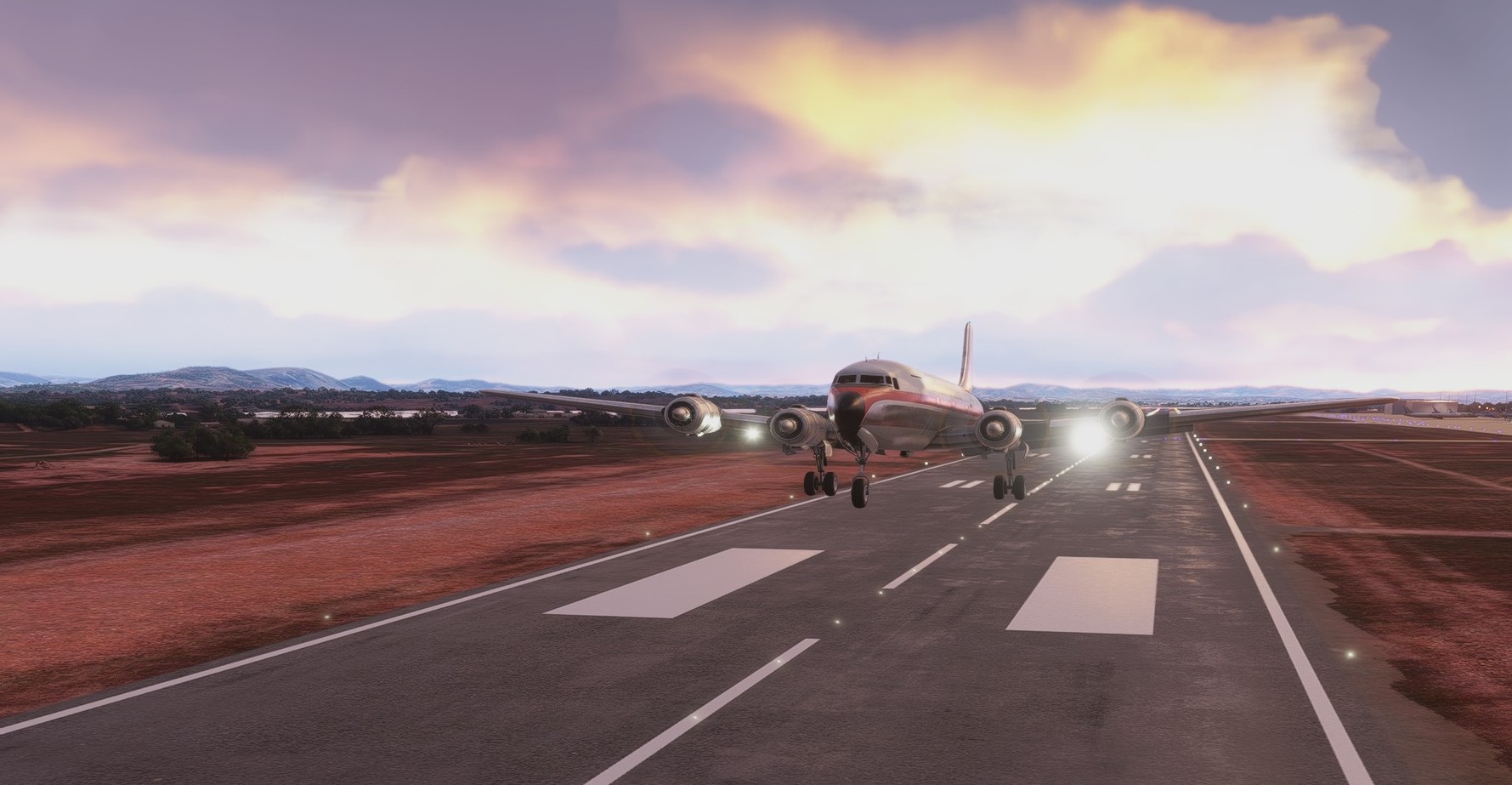
A shallow departure with raising terrain ahead is perhaps not a good setting and potentially a recipe for a disaster so I put a wide smile on my face when looking into people’s kitchens.
Heading 123 (easy to remember) towards La Reunion. Two VORs help me to get there safely.
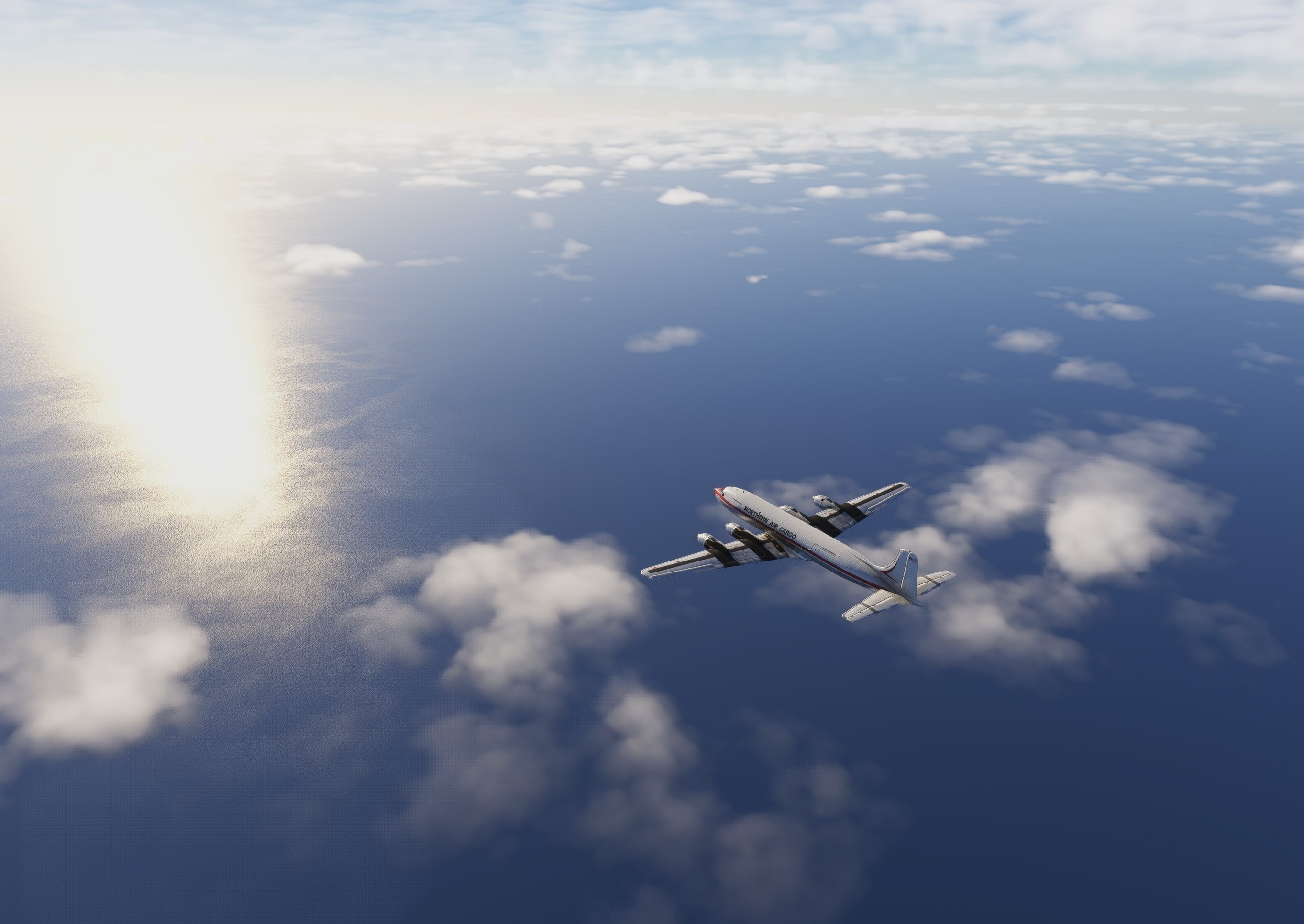
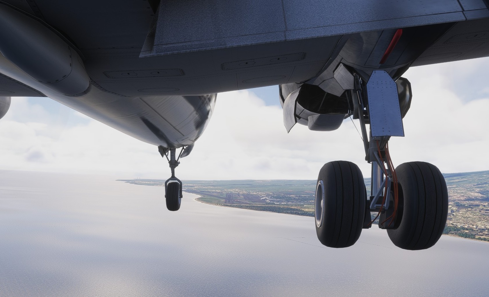
Land on the horizon!
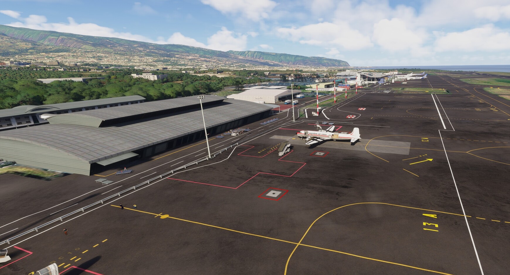
Approaching Roland Garros airport in Saint-Denis, La Reunion.

A little low, a little slow…
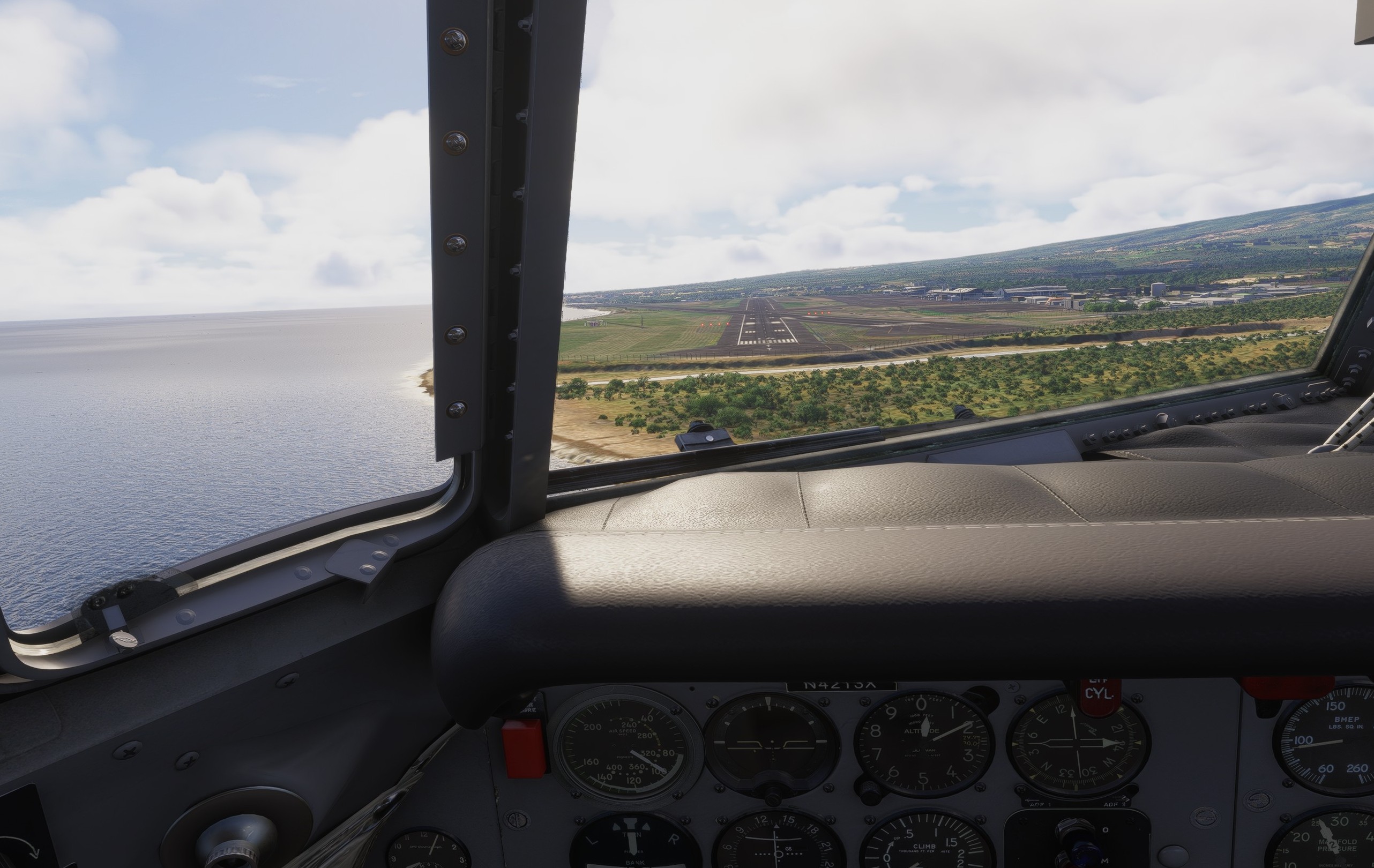
This is a free scenery for the airport. Really nicely done.
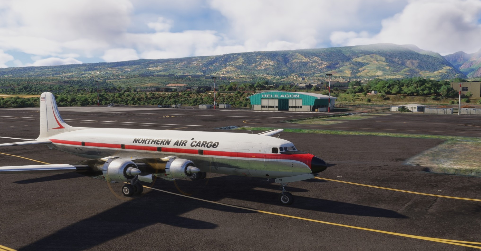
12 Likes
MSFS20
I know there is custom scenery at least for Machu Picchu , maybe even something for the Caral site . too lazy to check / install ![]() ( plus I have all the photogrammetry and updated scenery off , so as I mentioned , all pure default MSFS20 )
( plus I have all the photogrammetry and updated scenery off , so as I mentioned , all pure default MSFS20 )
definitely like to search for them and overfly them in the sim . for details I rather use google maps / earth to check them .
wondering all the time if it looks better by default in MSFS24
4 Likes
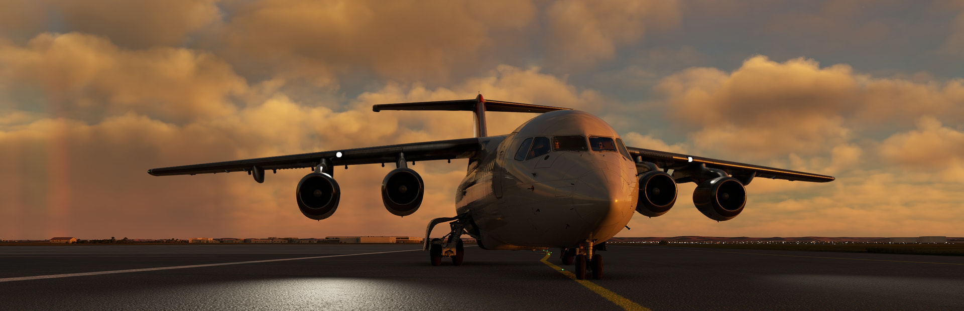
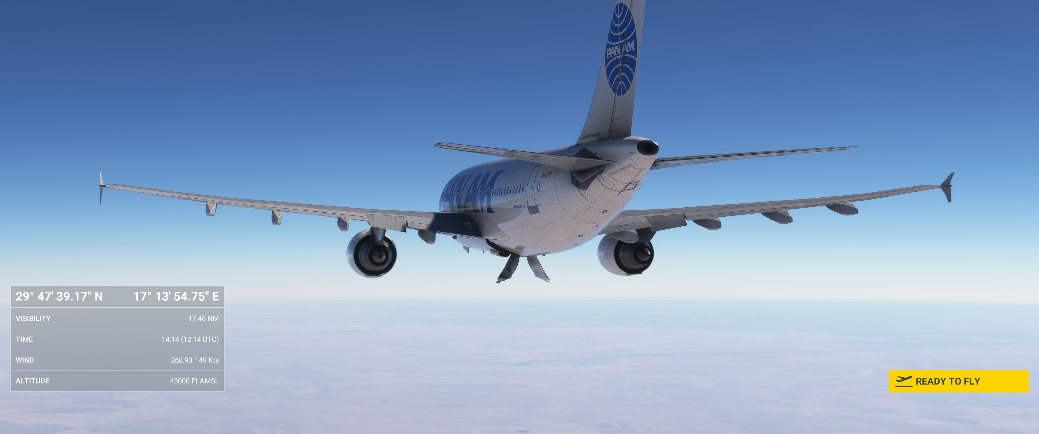
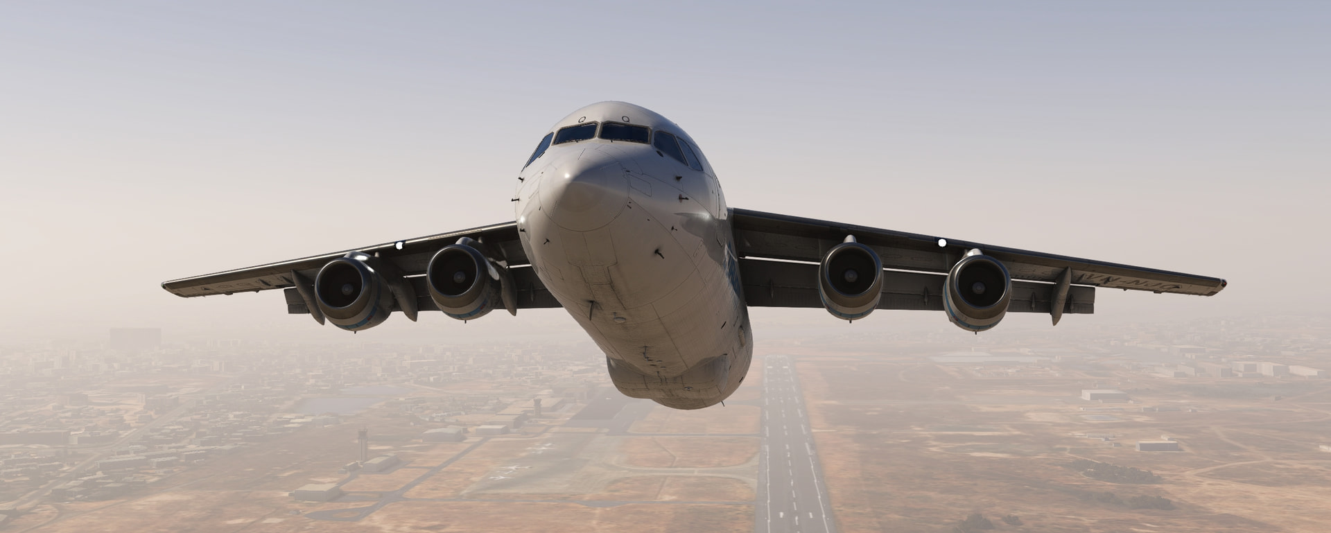
Time for a sunset flight from Libya to Chad! We will be landing just on the edge of lake Chad. Unfortunately as it is winter and I prefer to fly in real time/conditions it means it will be dark.
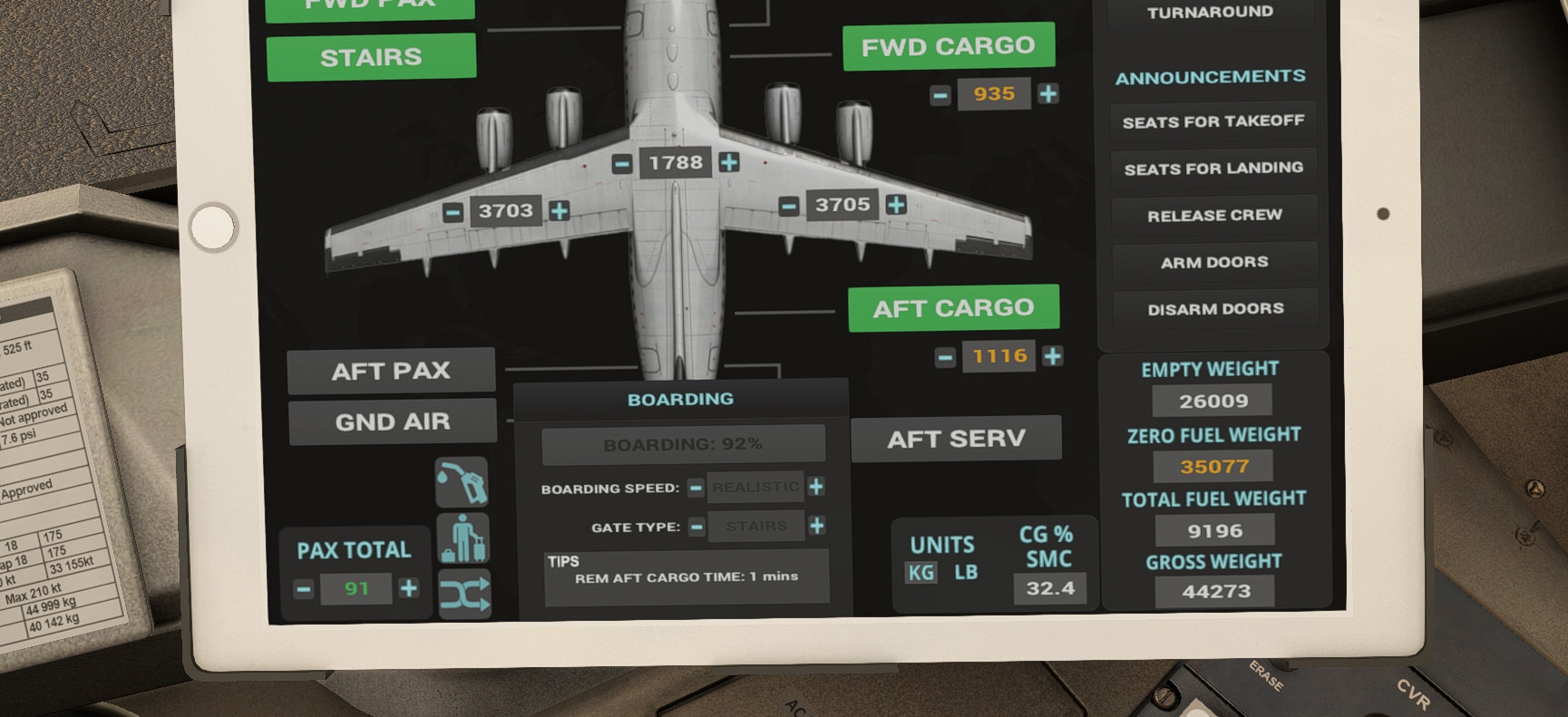
Simbrief was convinced I couldn’t make it with all the proper reserves but I would have enough to make Chad. Not quite sure how accurate it is but hey, I load up the aircraft and she becomes a proper chonker! I usually don’t care for long flights so this will be a new experience to me.
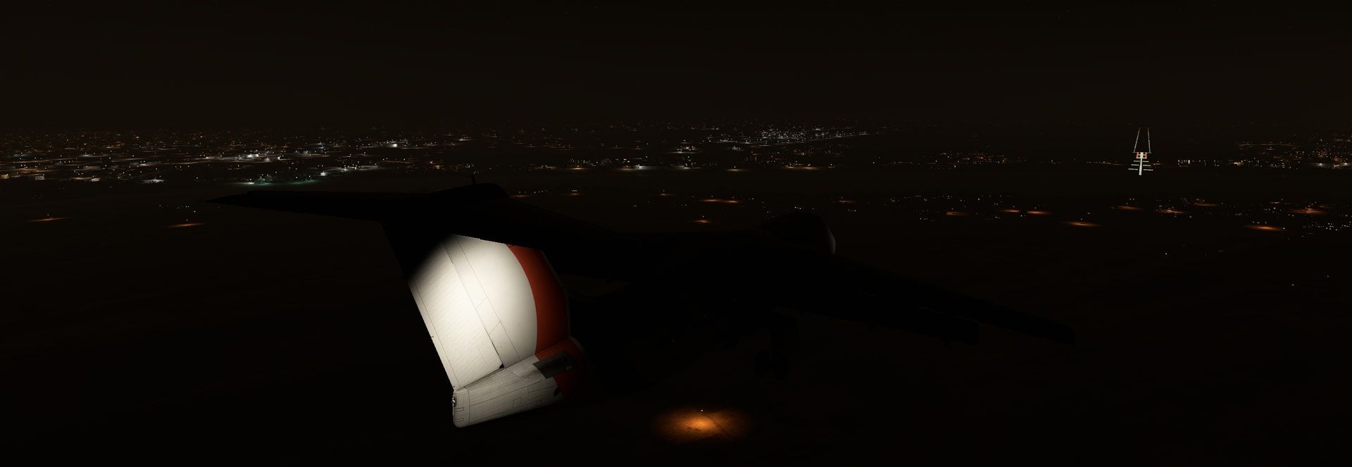
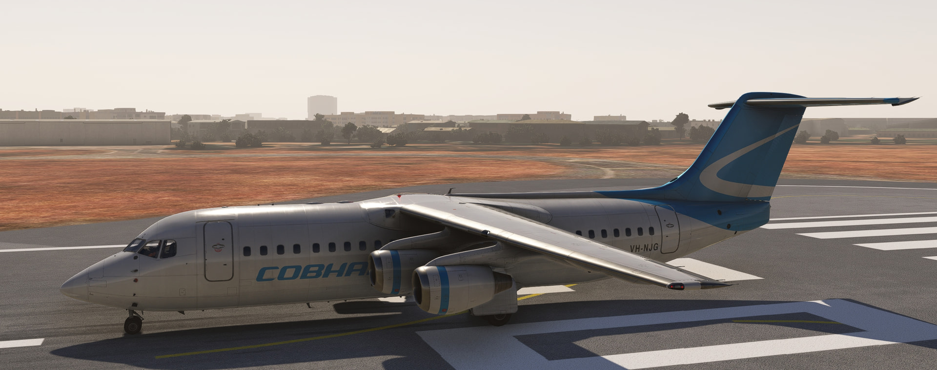
The sun is quickly setting as we taxi out. Fortunately all of these airports have quite long runways.
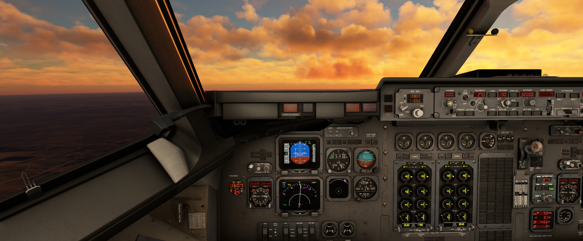
It’s a slow climb up to FL320 it seems.
The first thing I’ve seen for two hours… Made dinner, showered, cleaned the kitchen and got a cup of tea and only just now did I turn on the logo lights to let nobody below me know I am coming.
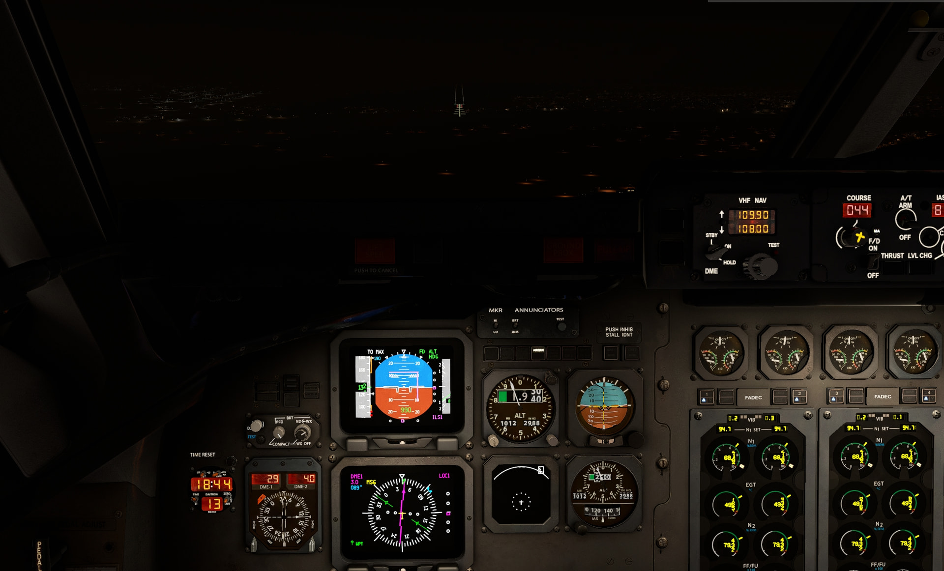
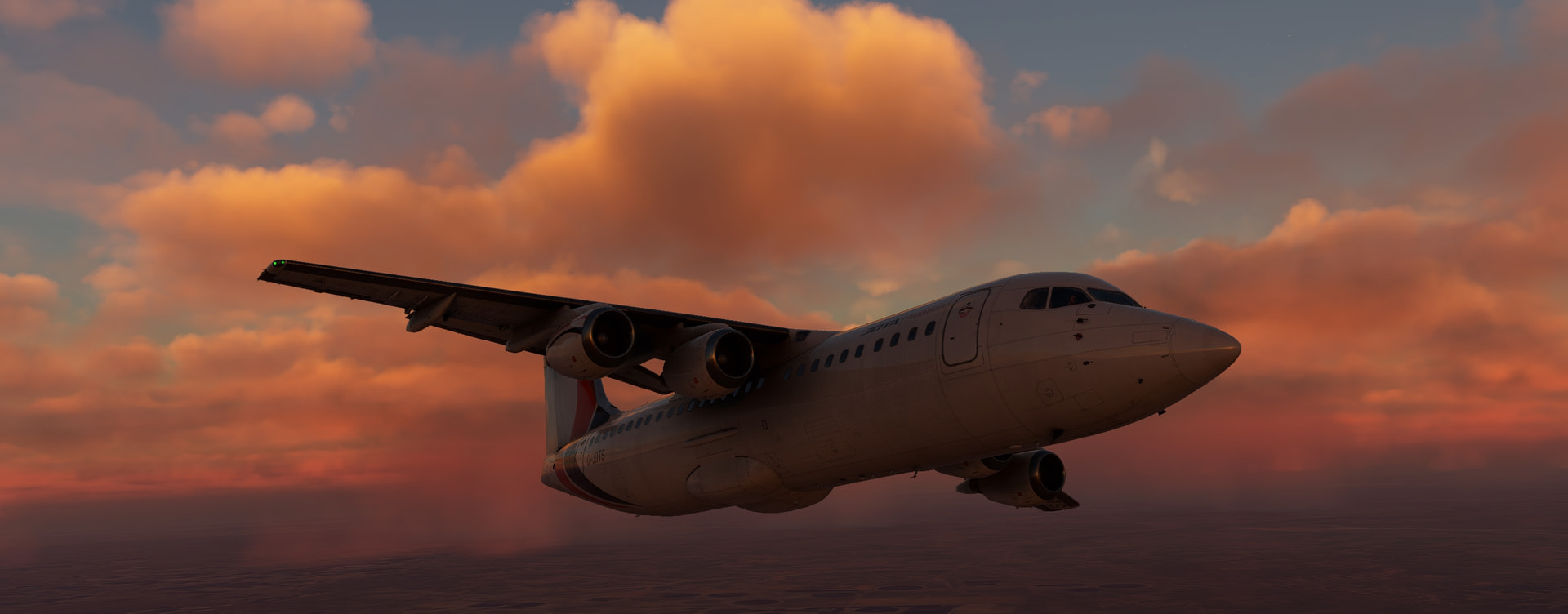
It was a bit gusty on approach but it’s a easy and stable aircraft to fly. I tend to fly very long approaches because I deploy flaps and gears way early so been training a bit on new habits and doing it all on the glideslope. It adds a bit of work for me obviously.
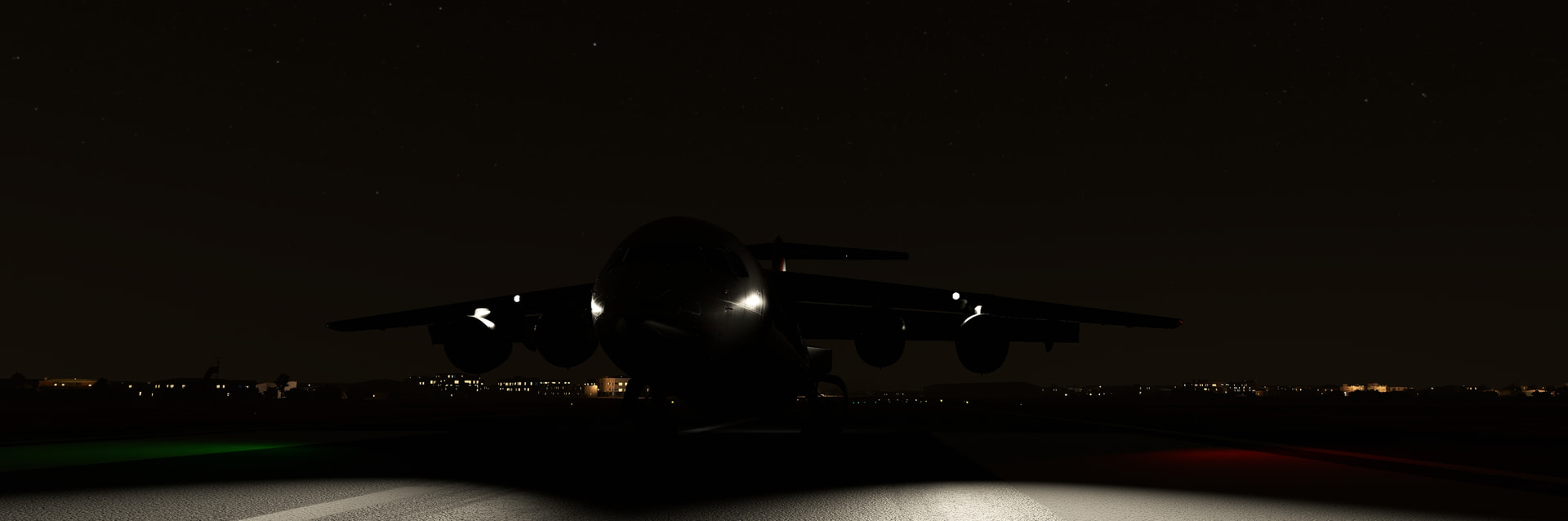
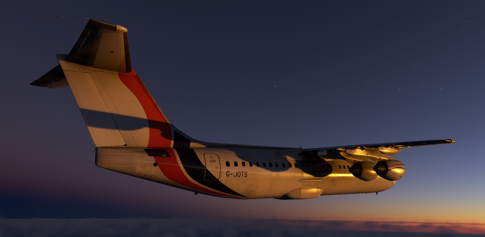
Hoorah, on the ground once more. 2.47 hrs on the engine FADEC’s. I get so so bored during these long flights. There’s a reason I prefer the short hops. Oh well, I can do it I suppose. had somewhere near 4 tons of fuel left and started with 9.1, I think LittleNavMap was a bit more accurate in the range estimations/performance.
13 Likes
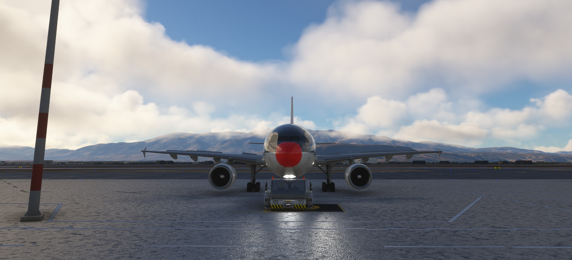
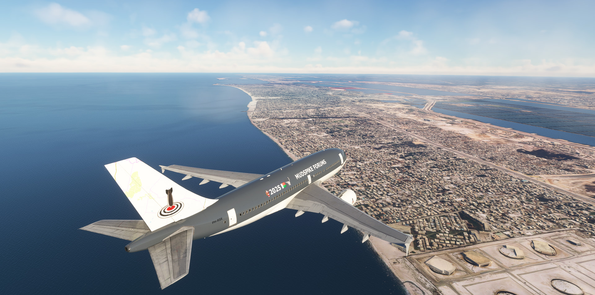
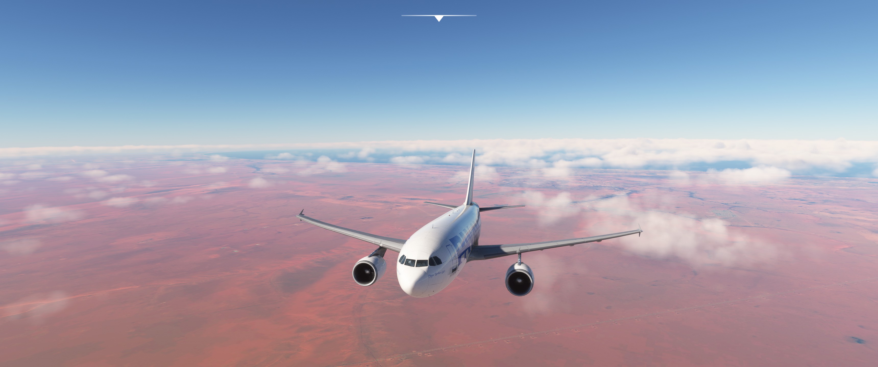
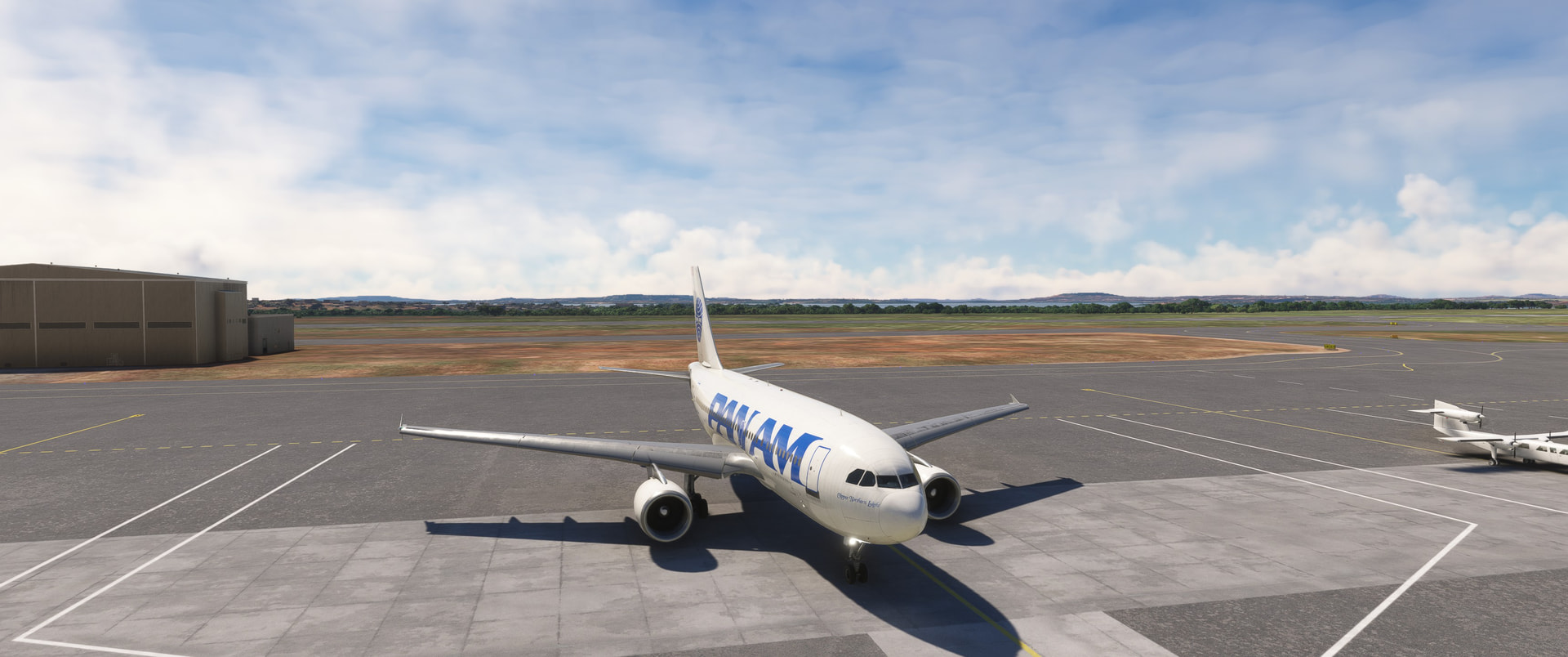
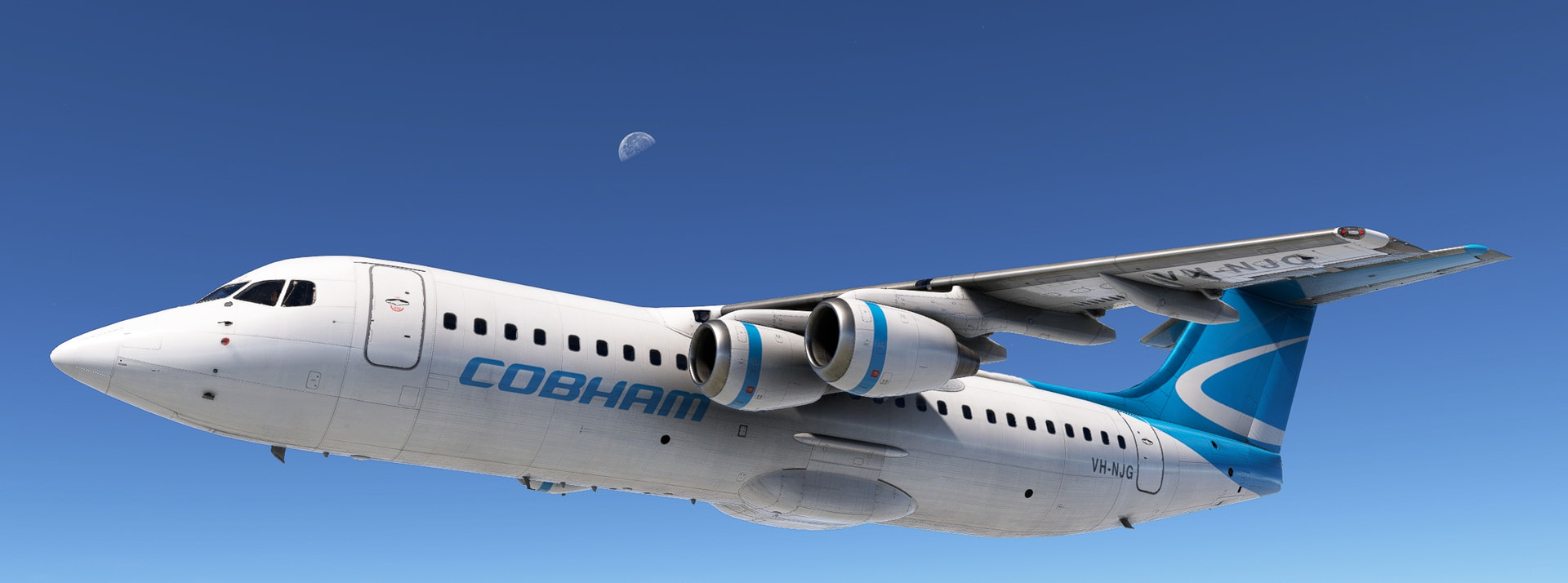
From Europe to Africa with … Airbus A310!
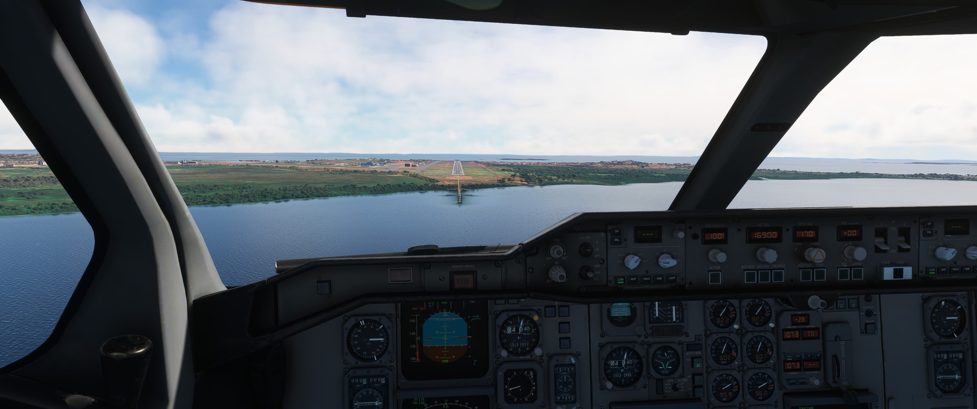
Leg 10: Greece, LGSA (Chania, Ioannis Daskalogiannis) => Egypt, HEBA (Alexandria, Borg El Arab Intl), MSFS2020, real-day, real-time, real-weather, Airbus A310, IFR.
Departure Crete RW29:

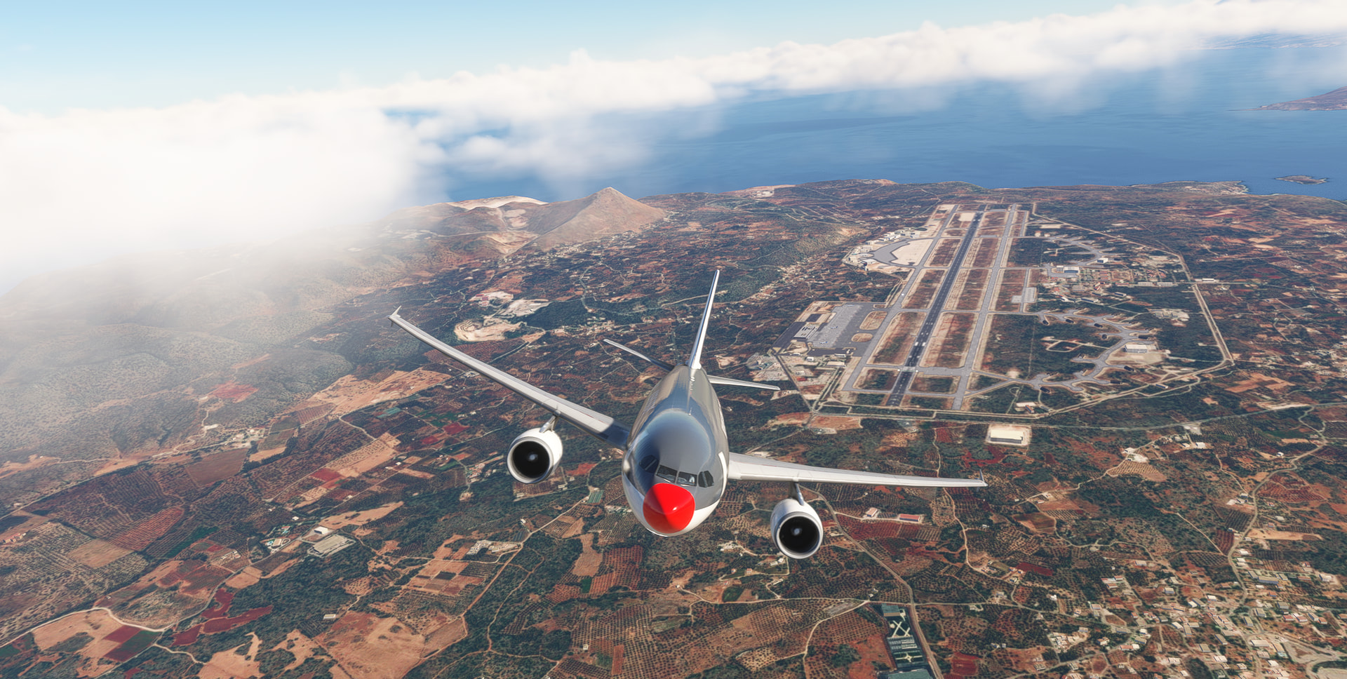
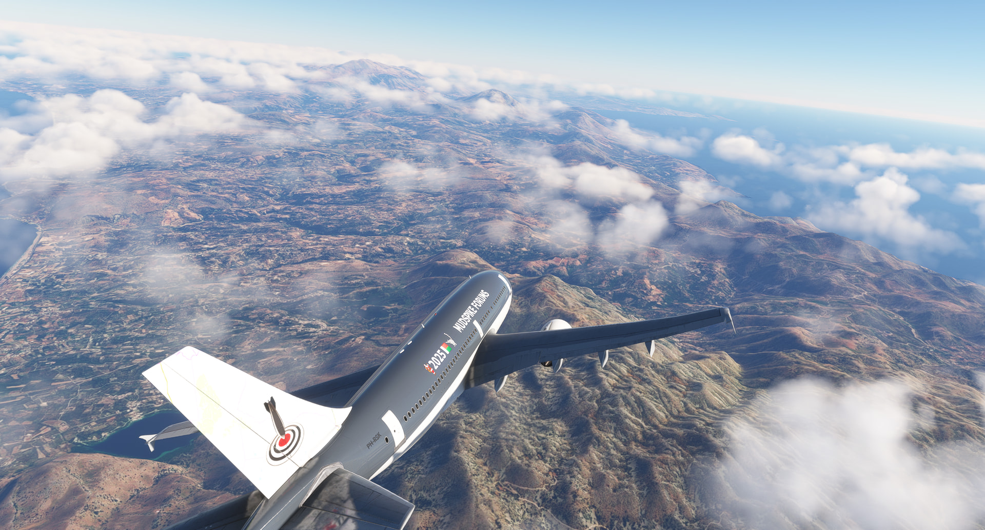
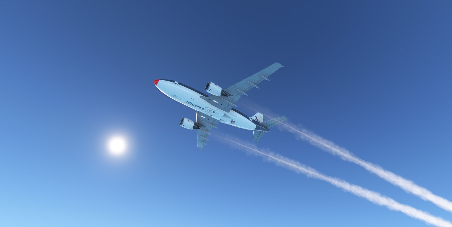
En-route, over the Mediterranean See:
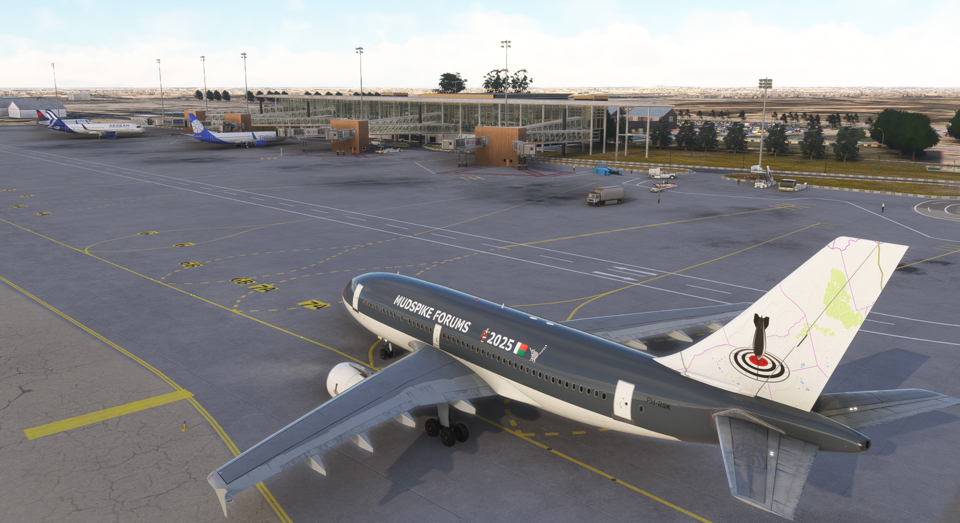
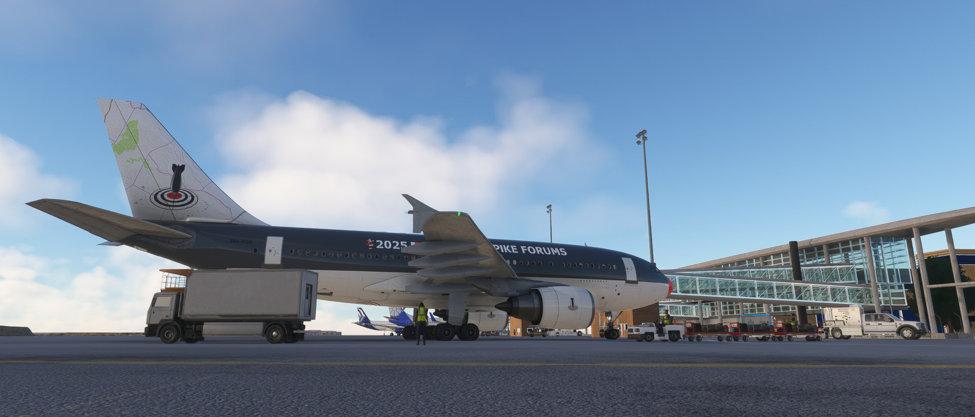
Approached African mainland, Alexandria:

Final and landing RW32:

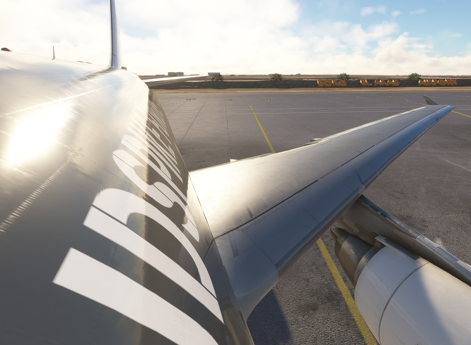
Uneventful overwater flight. From here I have selected a “green” flight plan …
… following the River Nile to the south of Egypt.
14 Likes
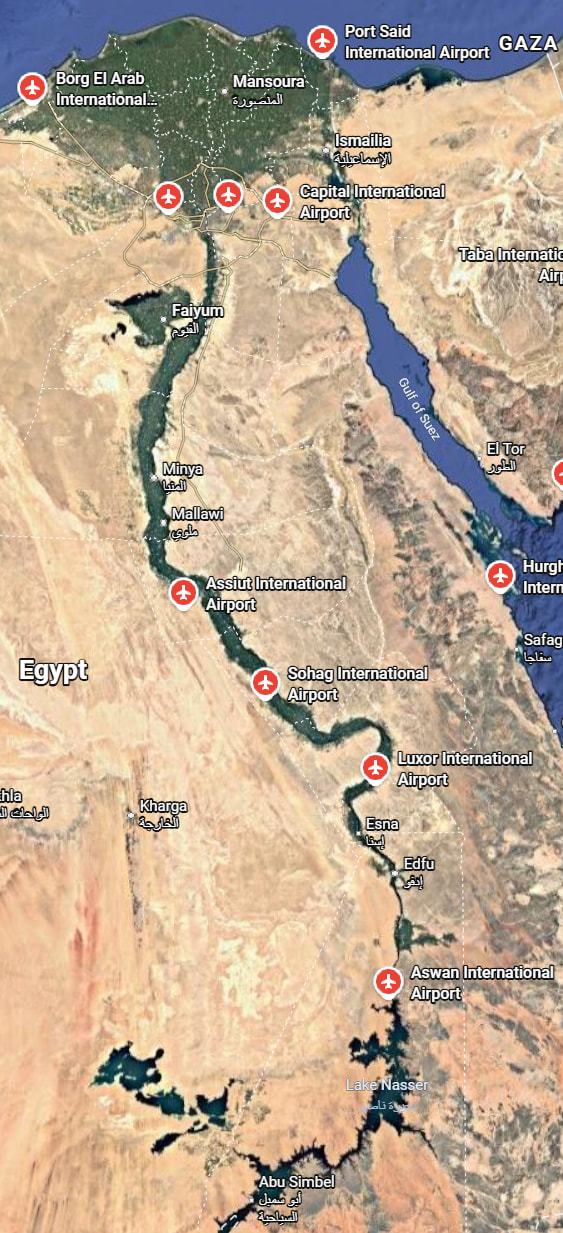
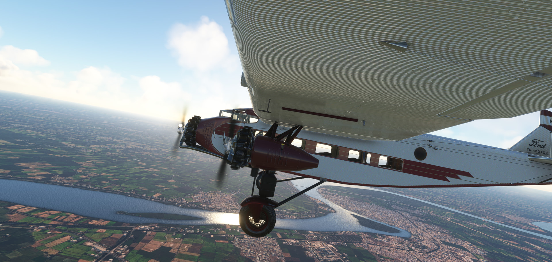
From Alexandria, following the River Nile upstream/south. Although probably not accurate to the movies, I have selected same aircraft from the Indiana Jones series. First adventure, Raiders of the Lost Ark, took partly place in Egypt/Cairo, hence the connection.
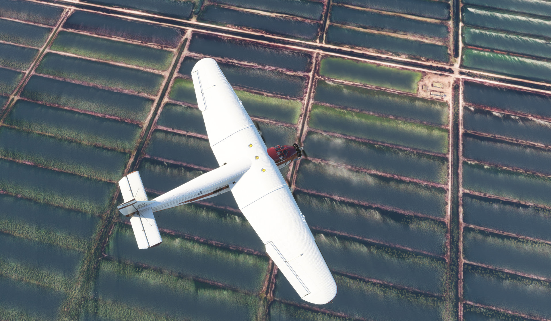
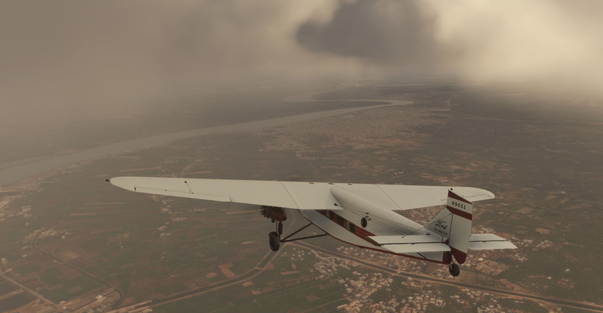
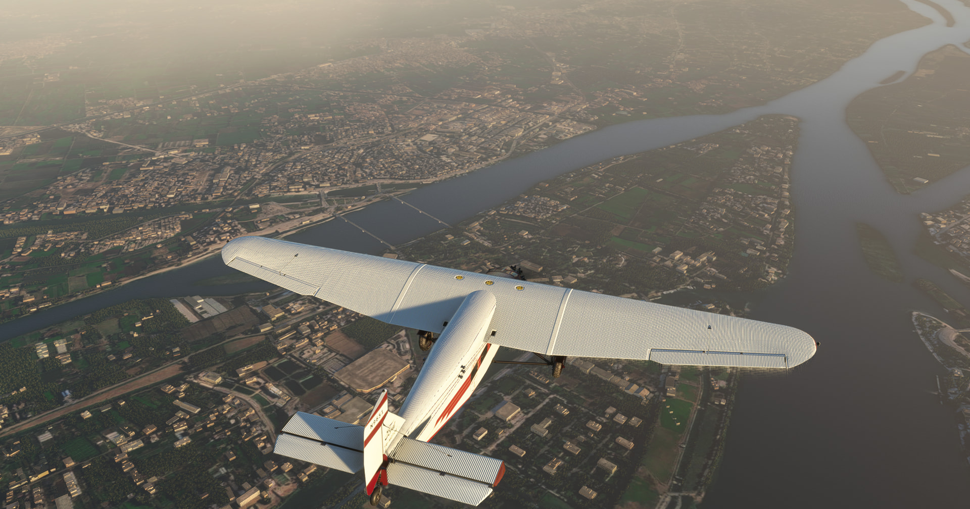
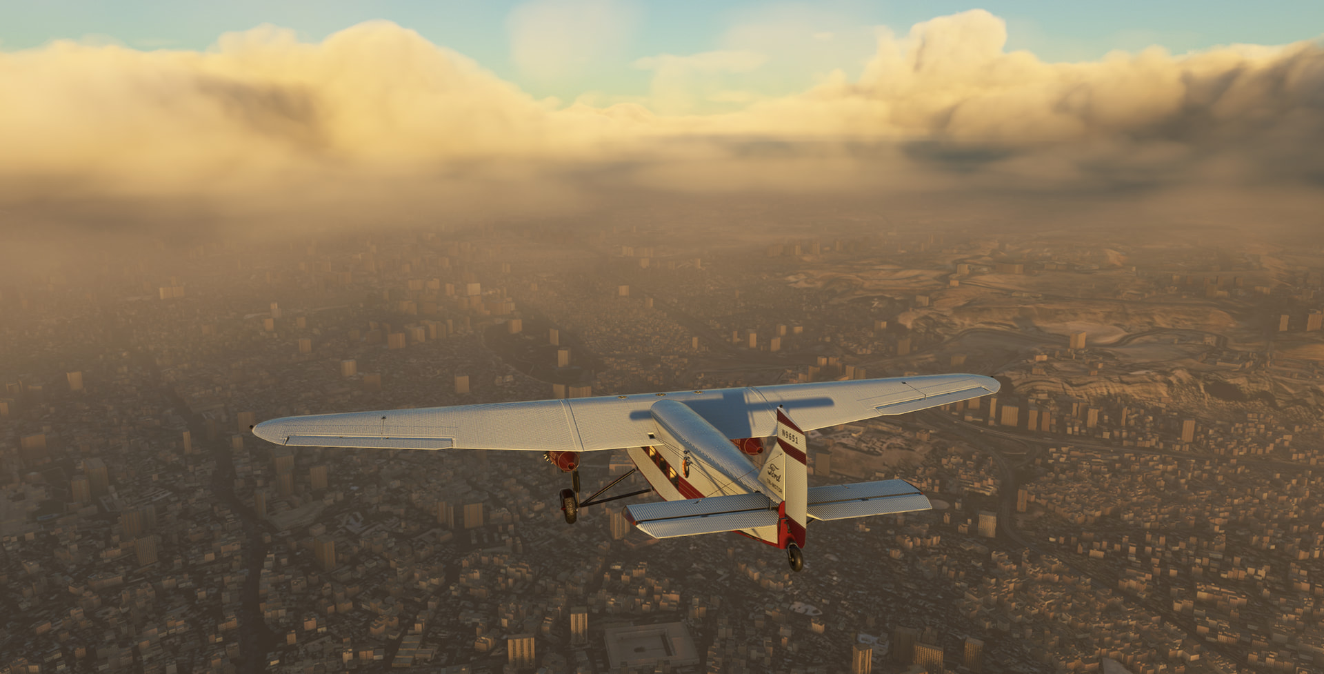
Leg 11: Egypt, HEBA (Alexandria, Borg El Arab Intl) => Egypt, HECA (Cairo International), MSFS2020, real-day, real-time, real-weather, Ford Trimotor, VFR.
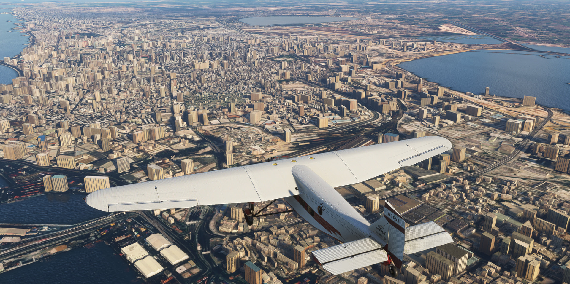
Departure RW32 and leaving Alexandria behind:
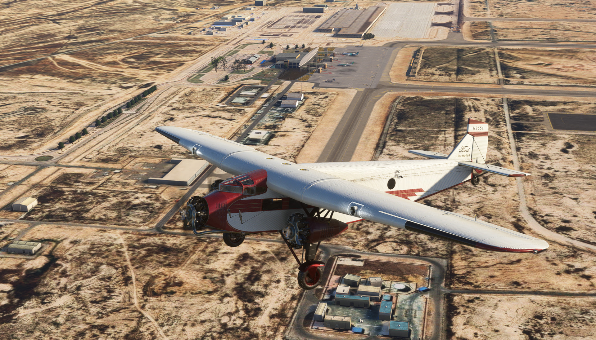
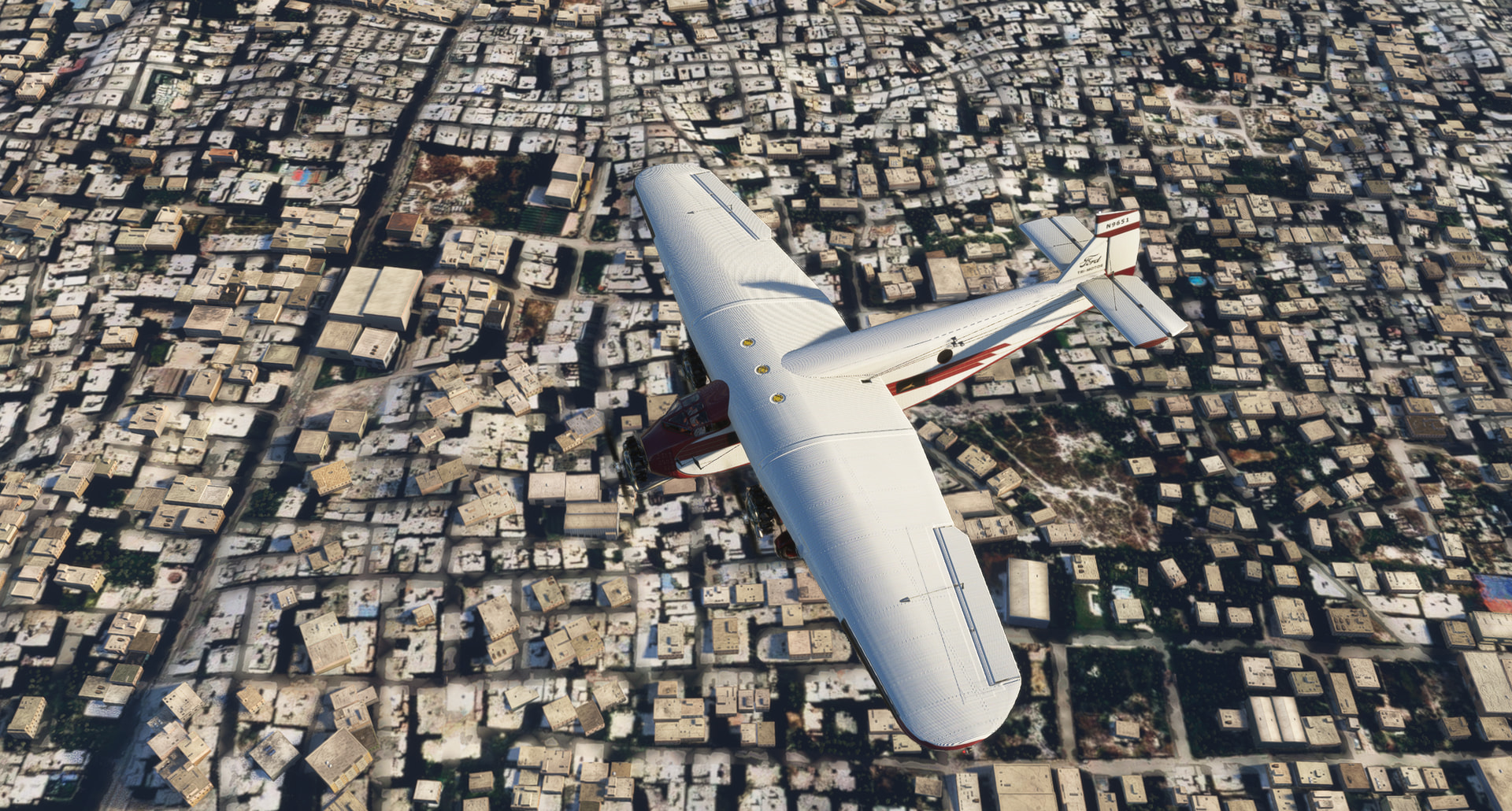
Found one of the main ends of the River Nile into the Mediterranean Sea, weather getting worse:
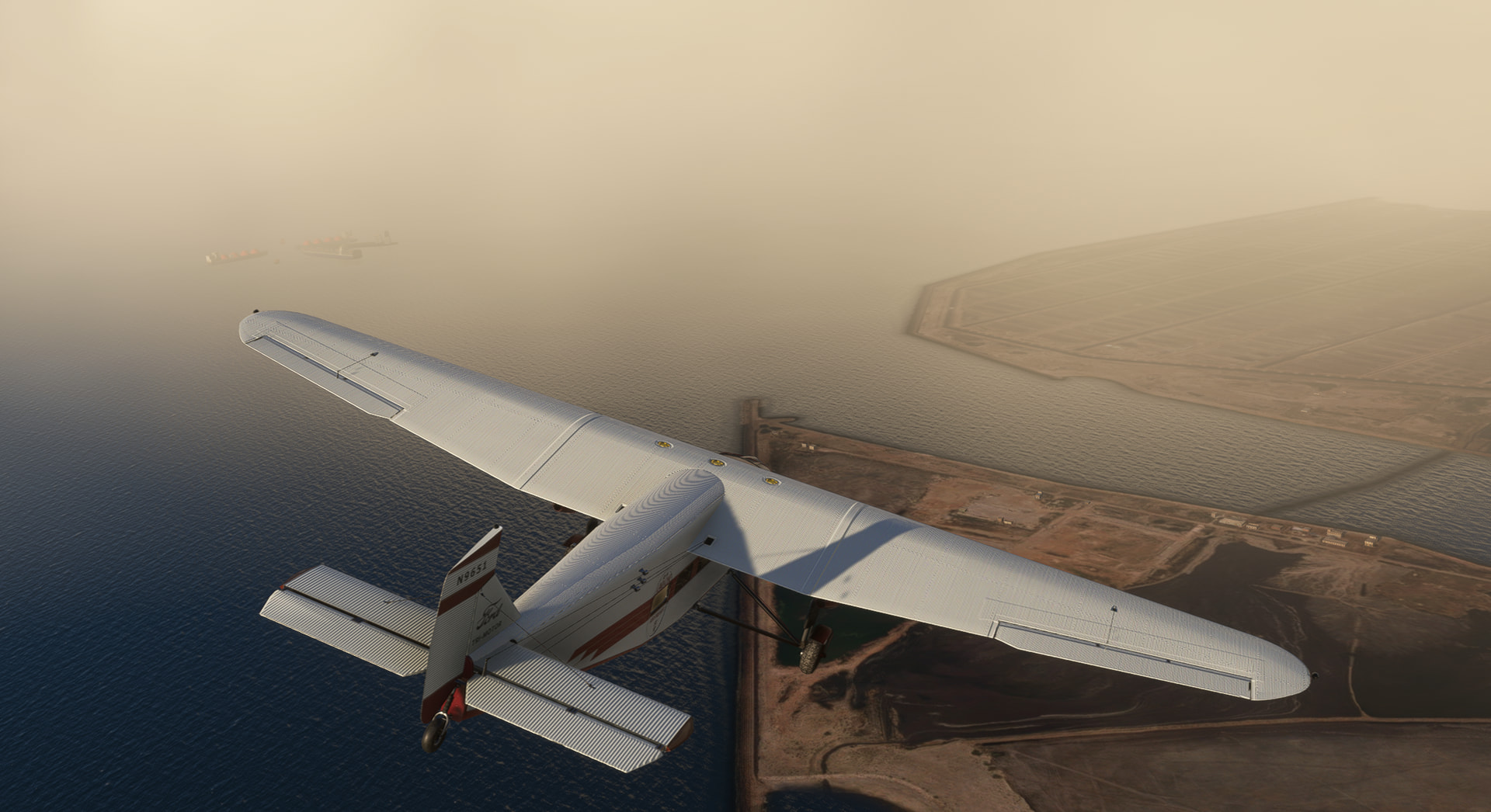
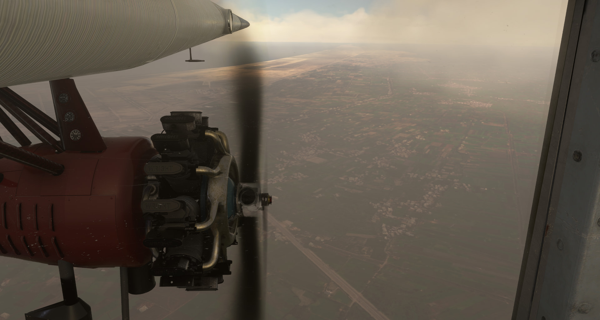
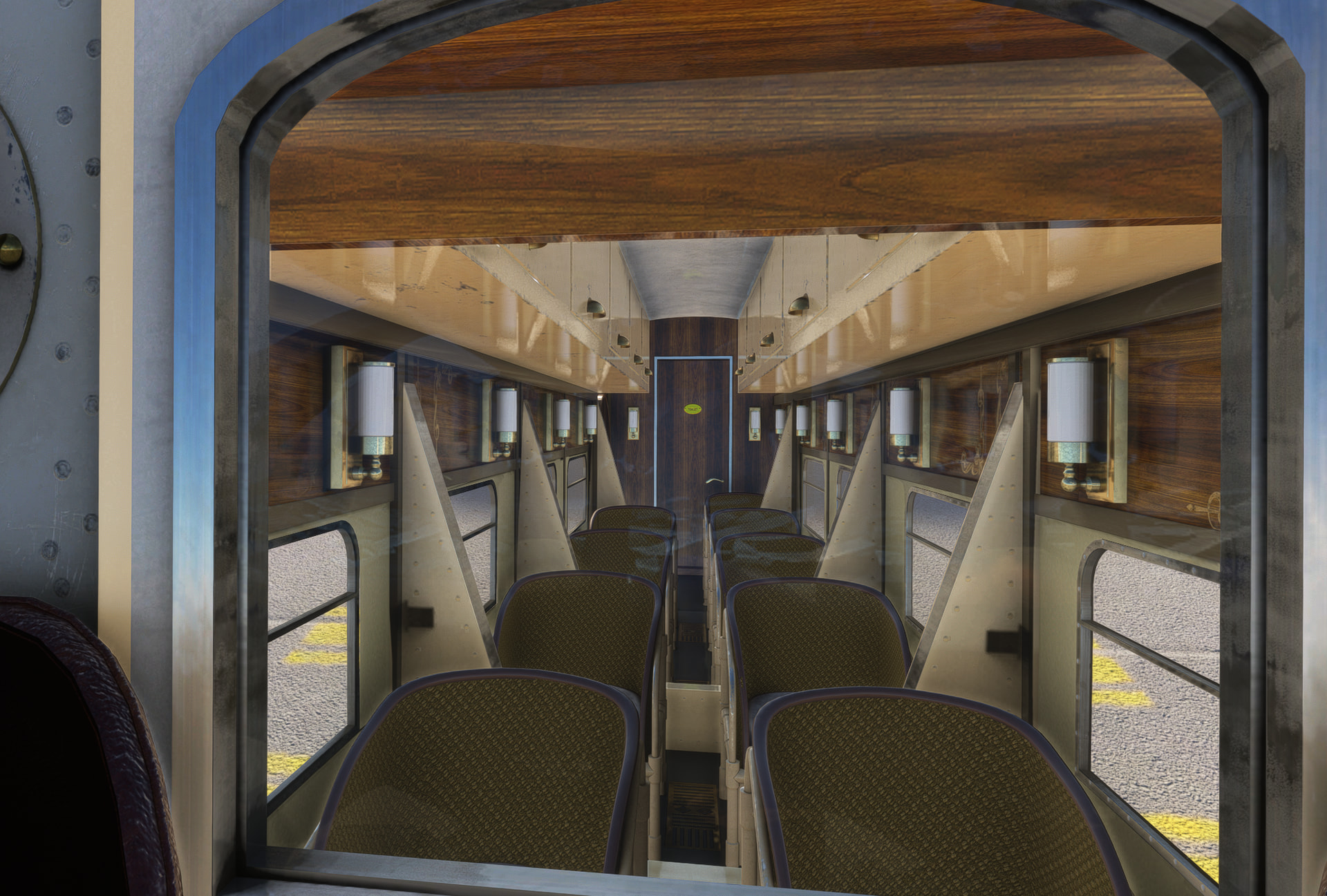
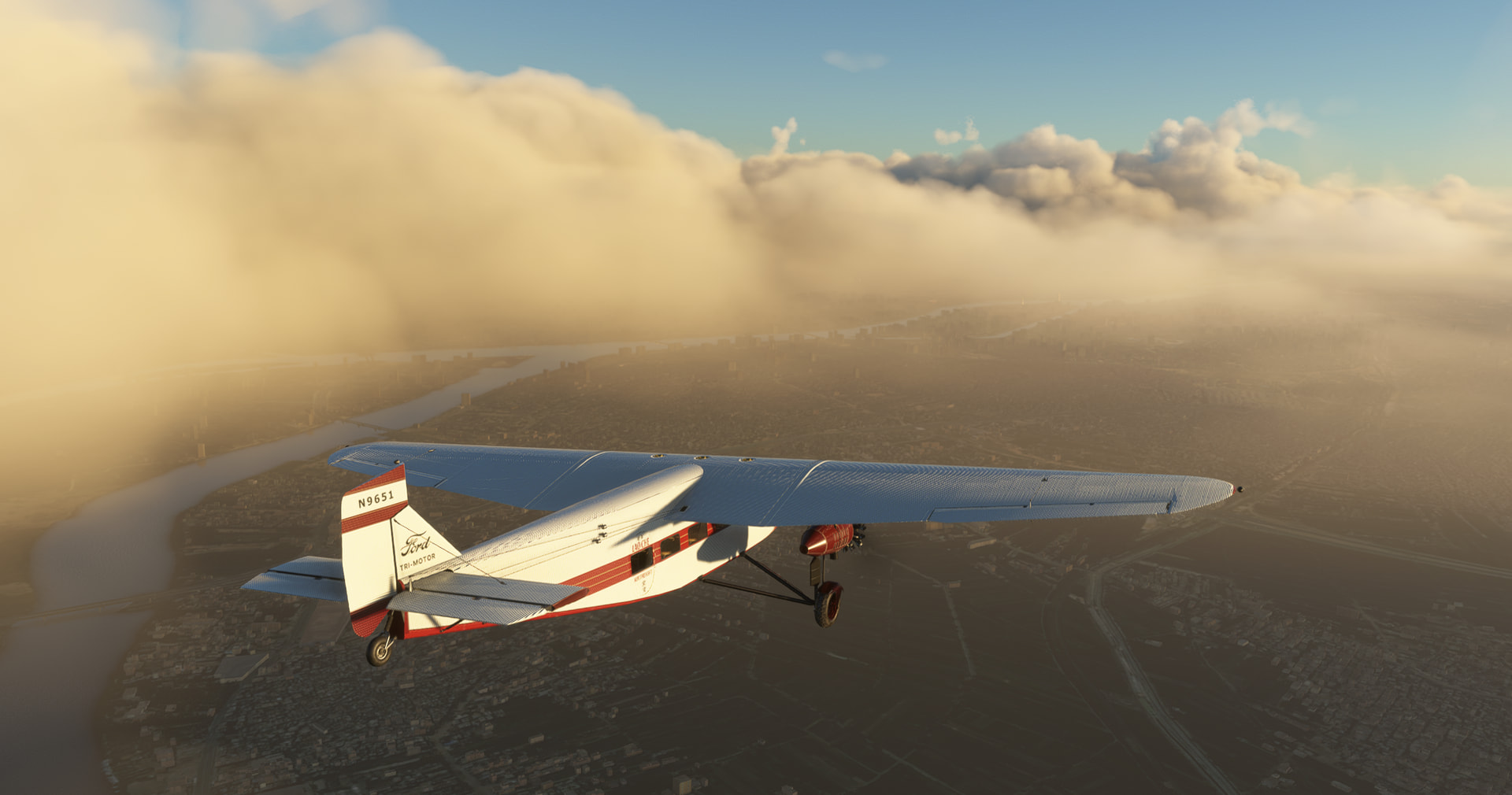
En-route, south:
This is where the Nile splits in two main parts of the Nile delta:
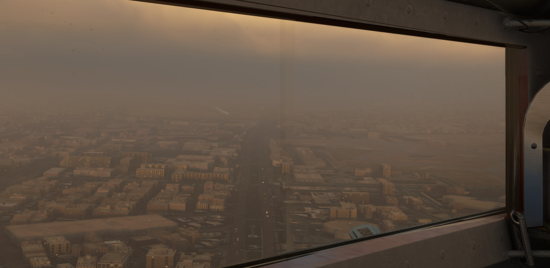
Cairo in clouds, but first a glimpse of the Pyramids:
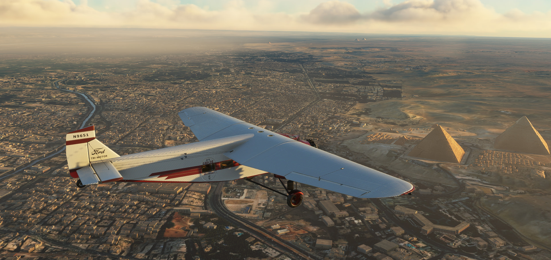
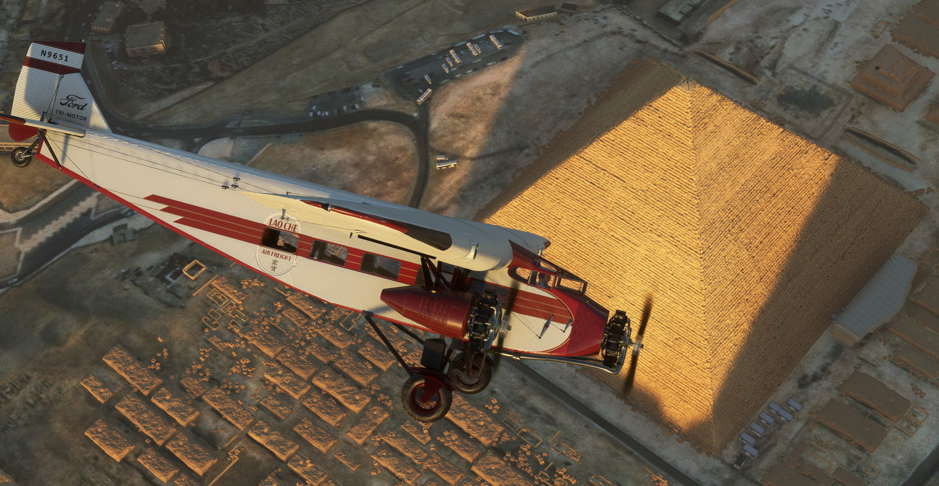
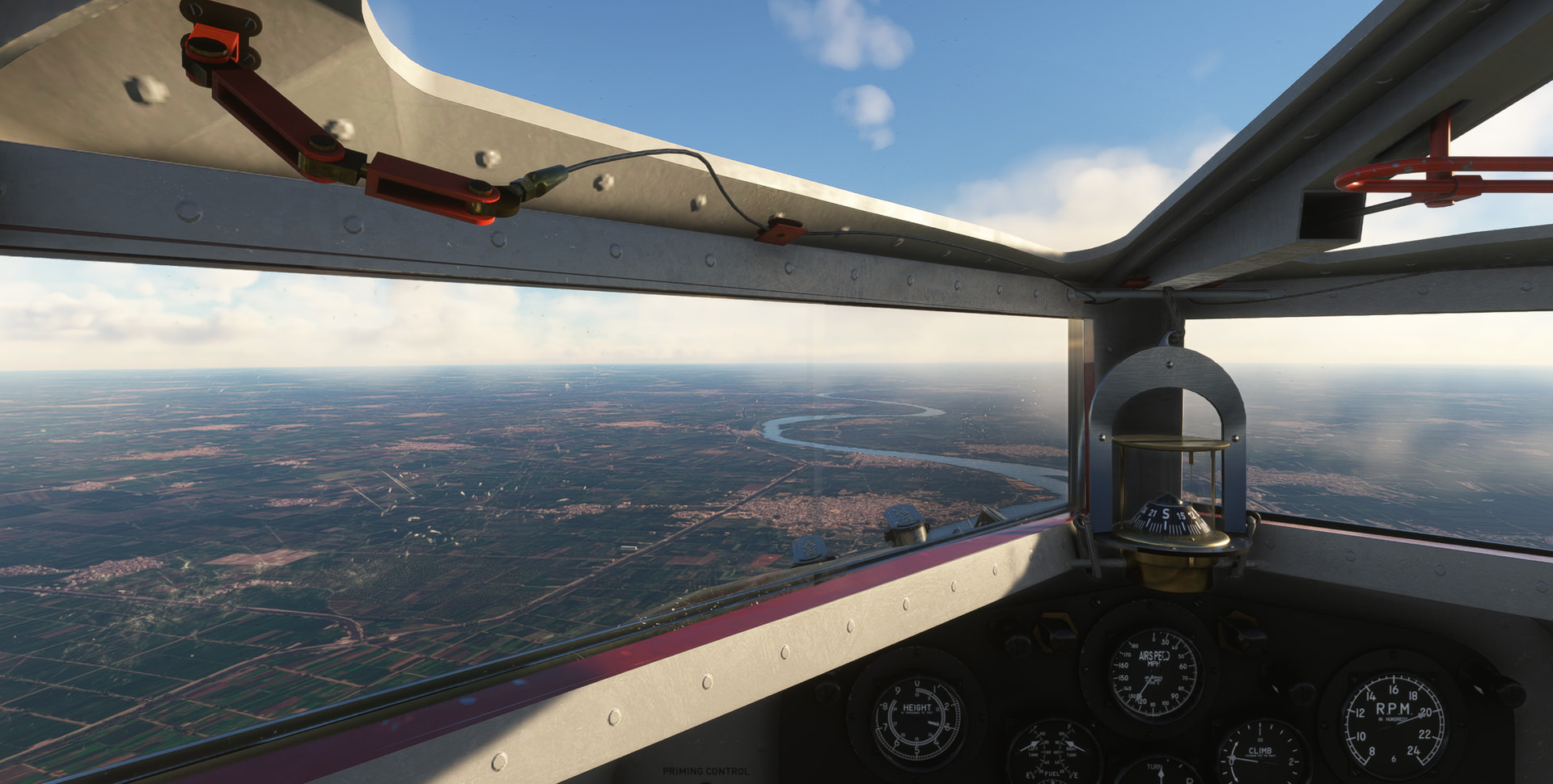
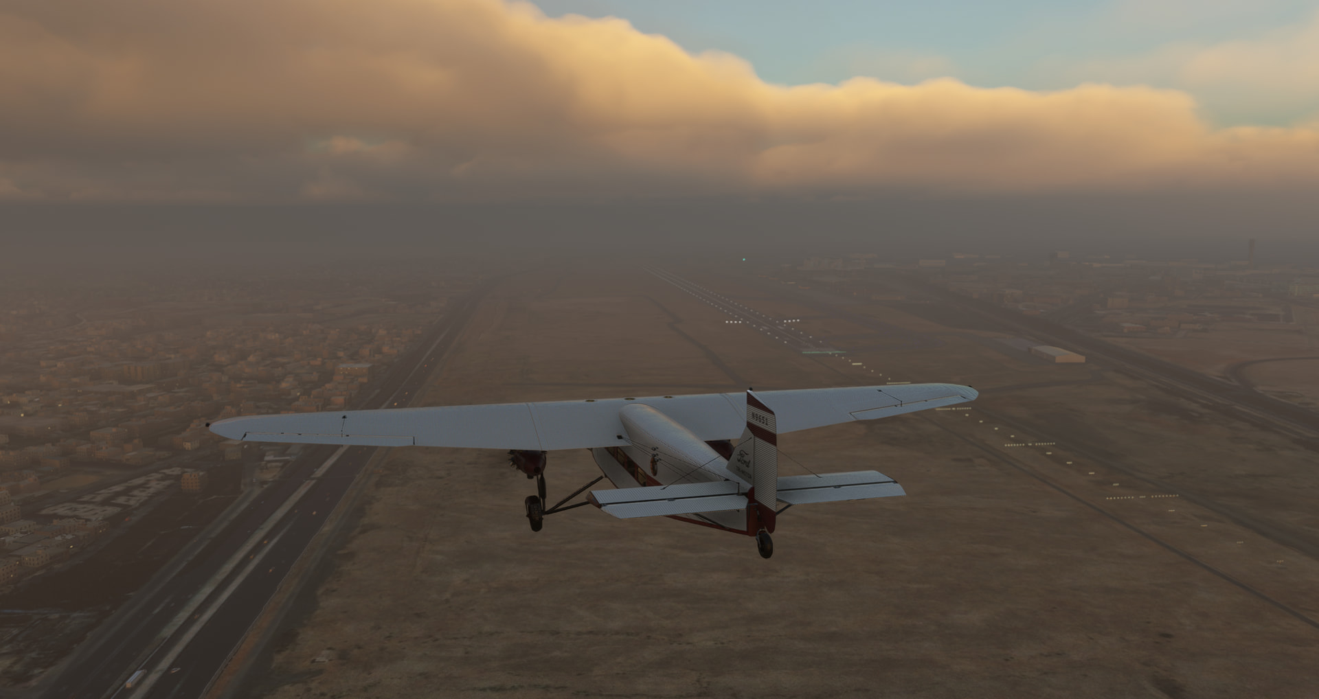
Towards Cairo International airport, marginal VFR weather, following the highway:
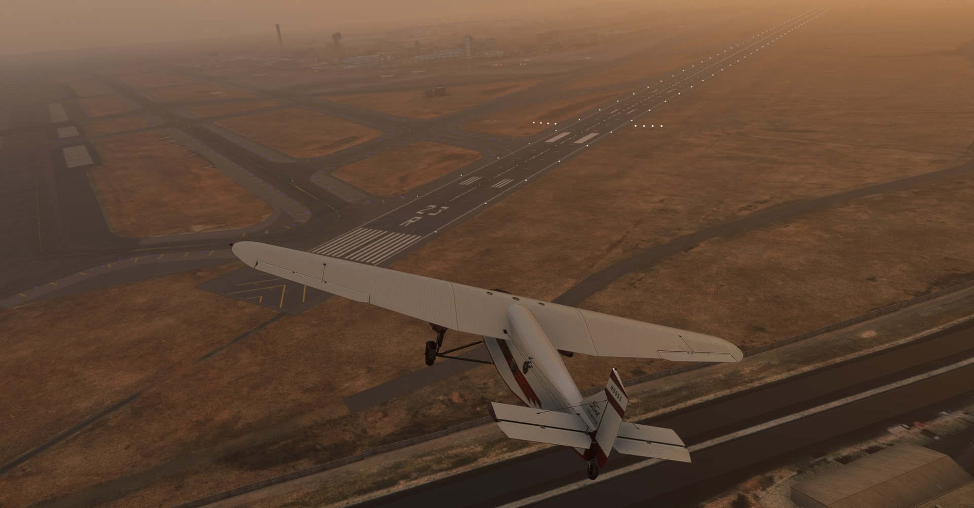
Abeam righthand downwind, turning final RW23R and landing:
Credits for Indiana Jones Ford Trimotor livery: https://flightsim.to/file/59425/ford-trimotor-lao-che-air-freight-indiana-jones-and-the-temple-of-doom
14 Likes
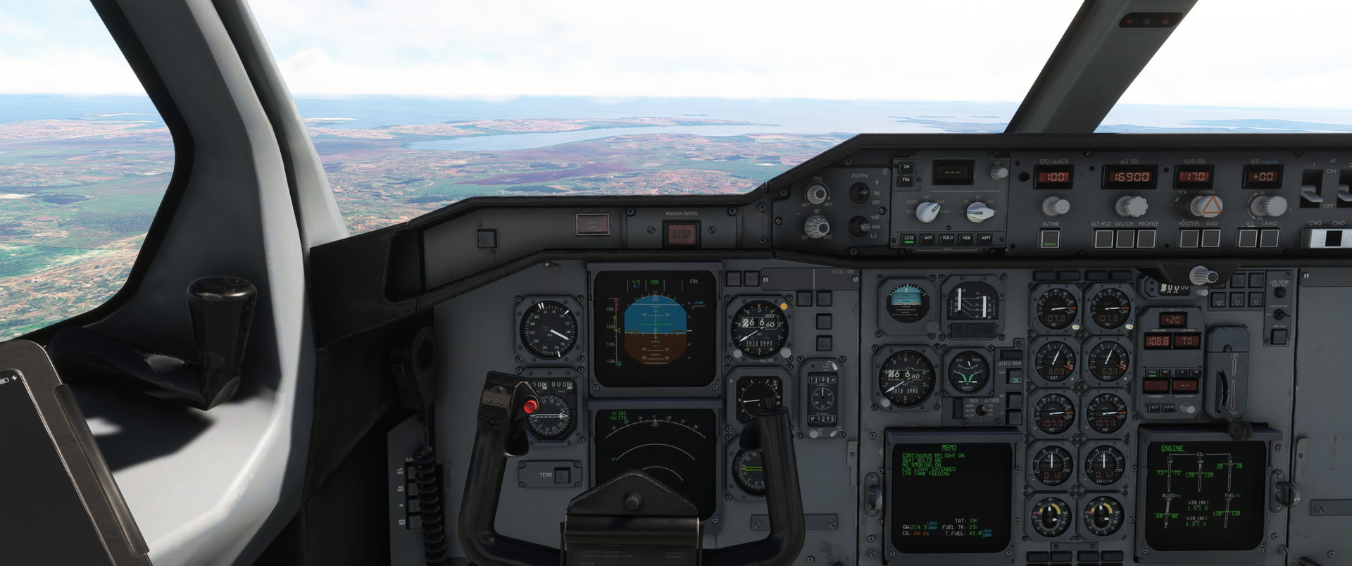
Absolutely fantastic looking there! Is it okay if I ask you if that A310, assuming it is the inibuild A310, is any stable? I learned it too, to cross the sahara. But on my first attempt it crashed and then when I airstart it from the approximate area that the sim crashed, all hell breaks lose in the cockpit, it overstresses and I “die” again.
Config is already weird in airstart.. Considering that I don’t have much time left, I will do the legs in another airframe.
edit: Went to my target airport and landed it there. Fortunately with not many issues. So I did cheat my way out of a portion of my leg..

12 Likes
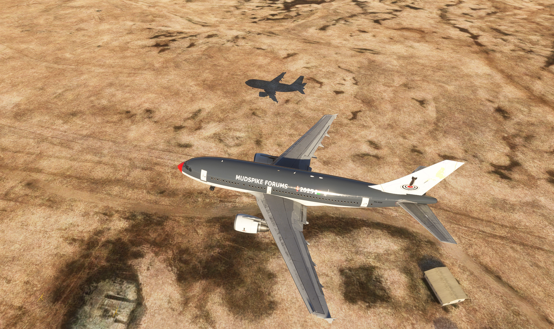
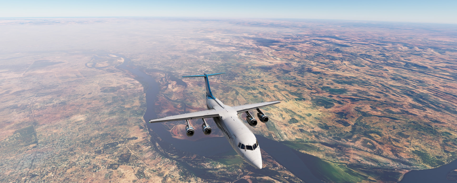
Next leg to Bangui, the capital of the CAR!
Initial spawn position proved… troublesome..
Fortunately a position over was free
Soon enough we taxi out, maximum flaps and a noise abatement climb(Not required, just fun to do.
After cleaning up the wings we prepare for a maximum speed climb profile, got plenty of fuel and I kinda wanna spend as little time in cruise as possible on these long legs. They are boring…
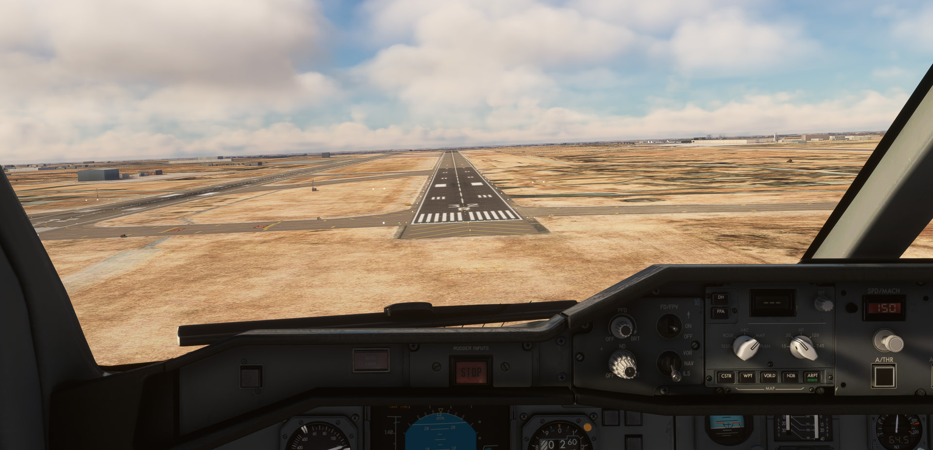
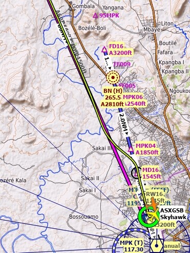
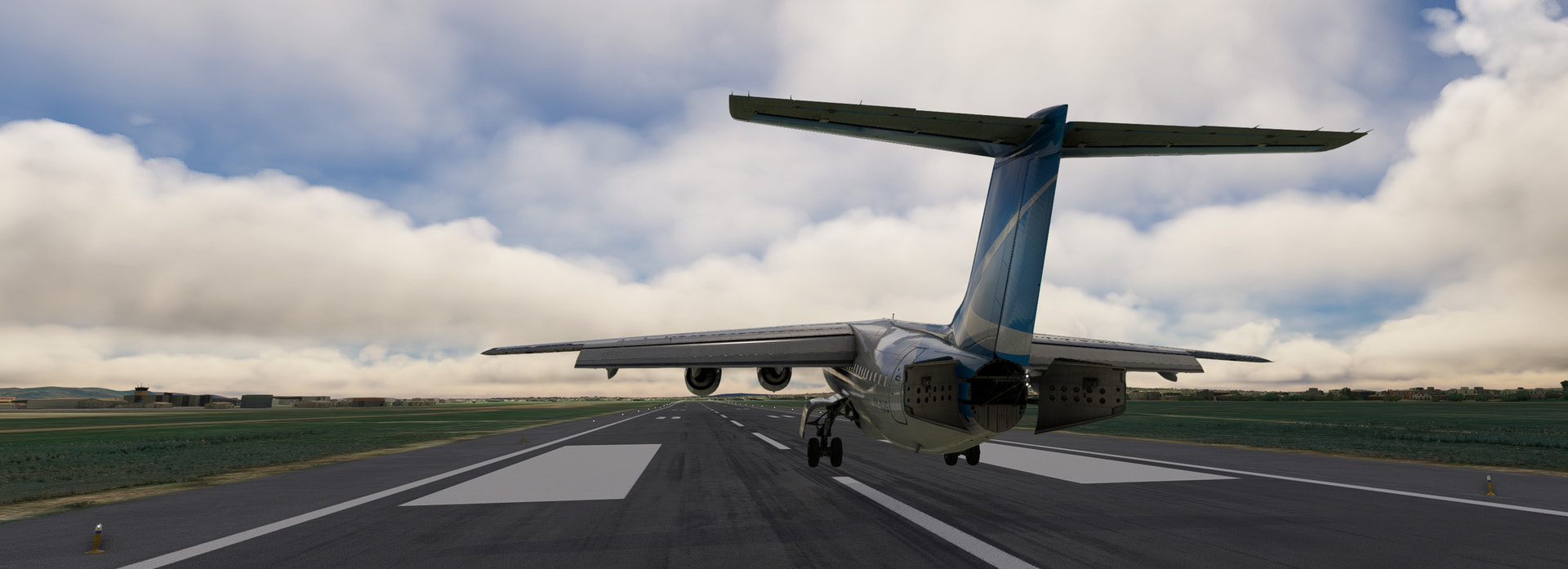
Descending into Bangui-M’poko and I see the broken clouded weather. Going to do a fun RNAV approach vs finding the nearest ILS. It’s something different! Unfortunately it didn’t work out, the approach on the FMS was different from Little nav map(just a step-descent profile aligned with the runway). You can see the results…
At 100ft we make sure the airbrake is at 100%, cut the throttle over the threshold(I approach at Vref+10) and gently glide down. As soon as the wheels touch ground the ground spoilers will deploy and my cheery copilot will call out ground-idle on the throttles.

16 Likes
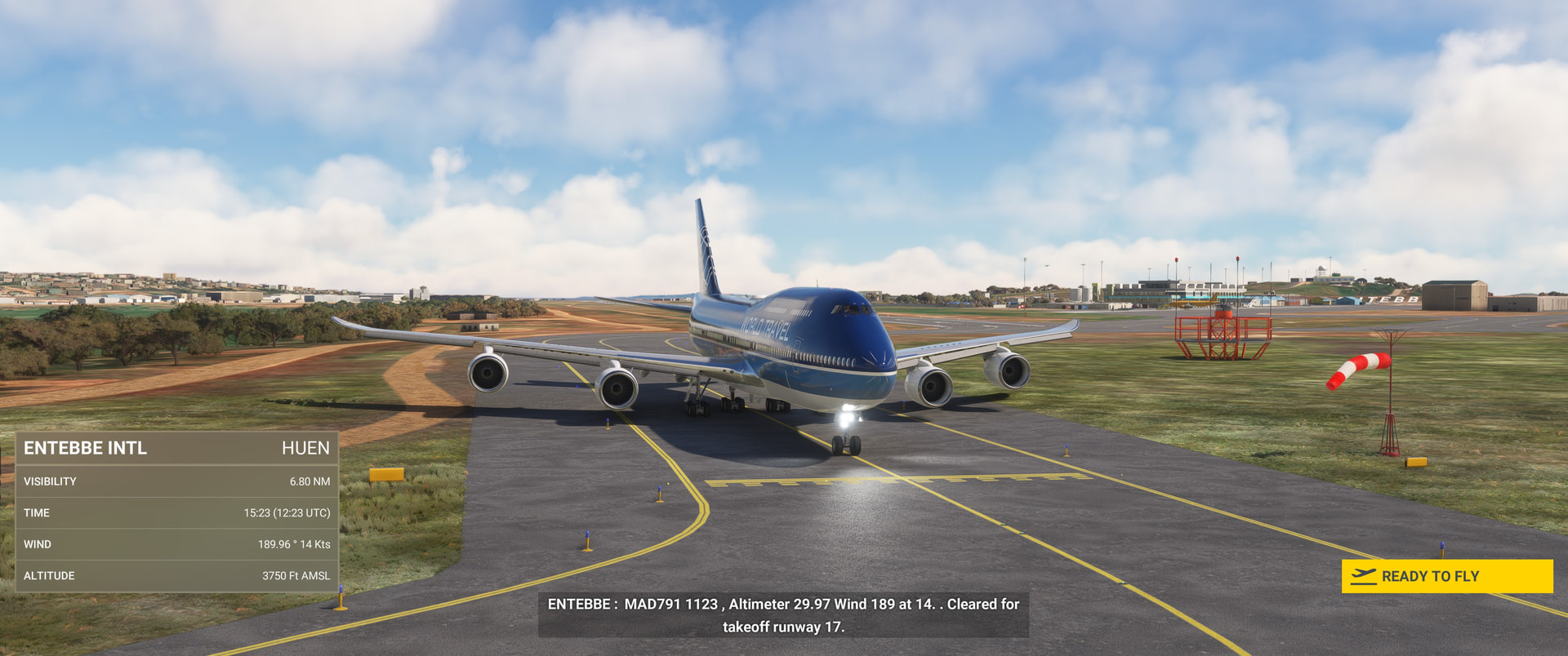
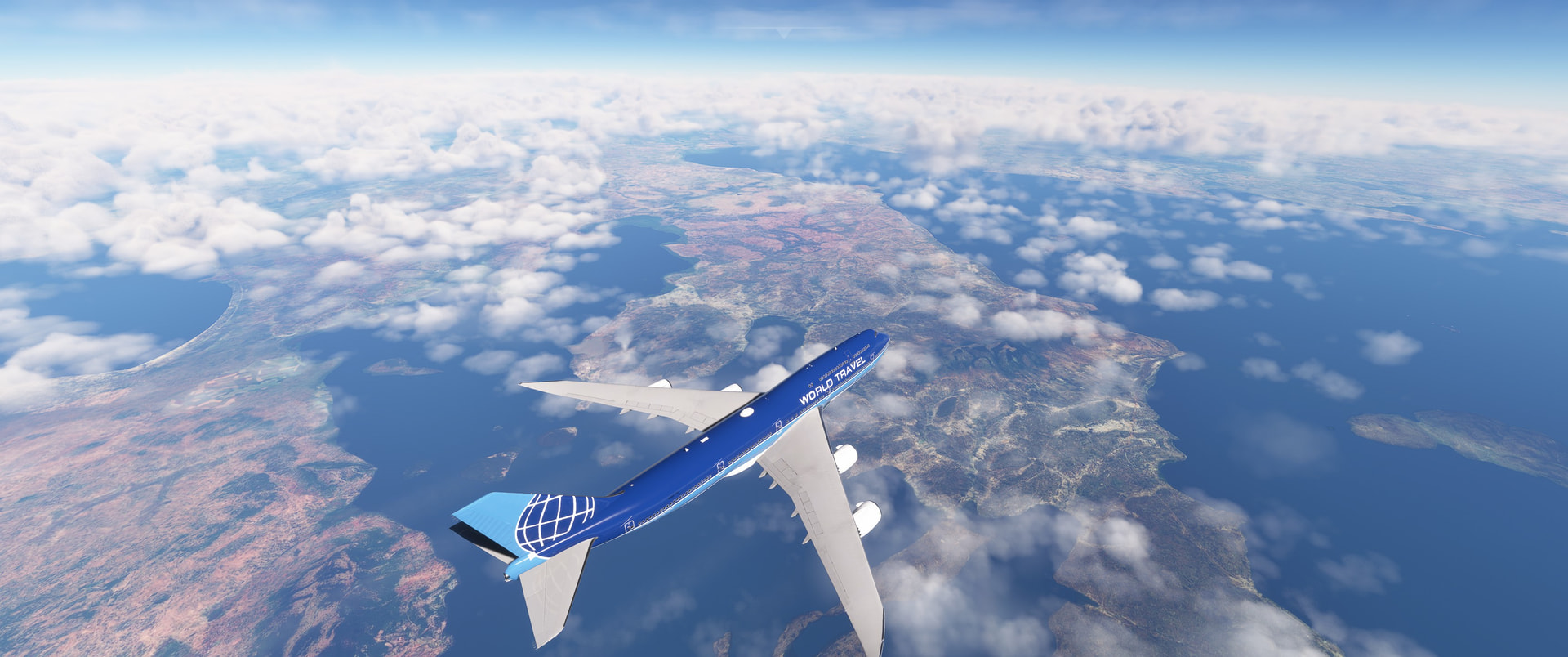
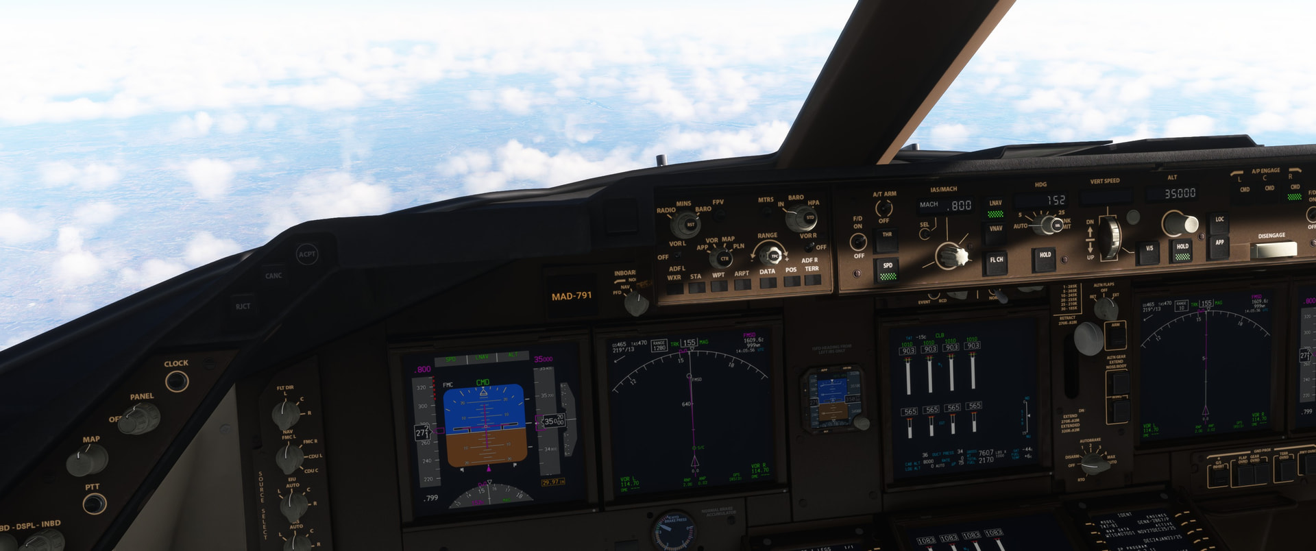
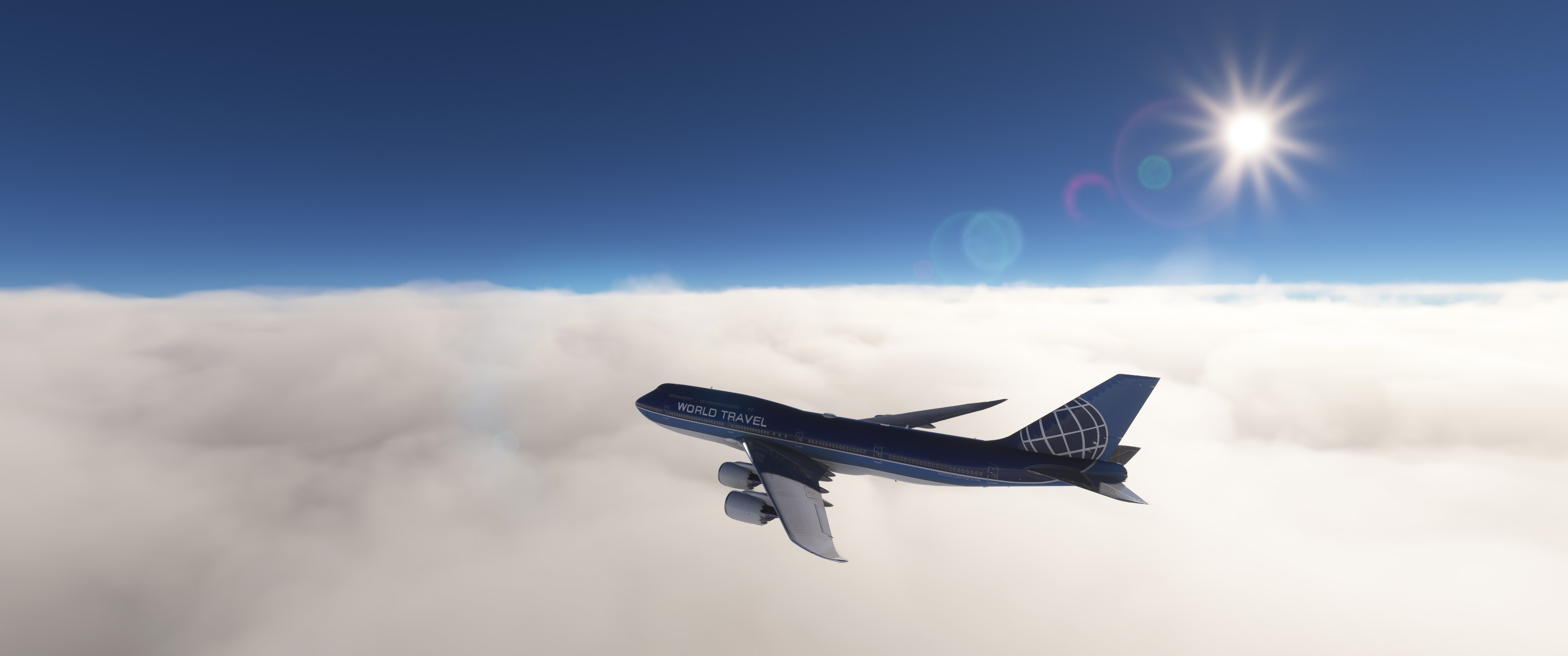
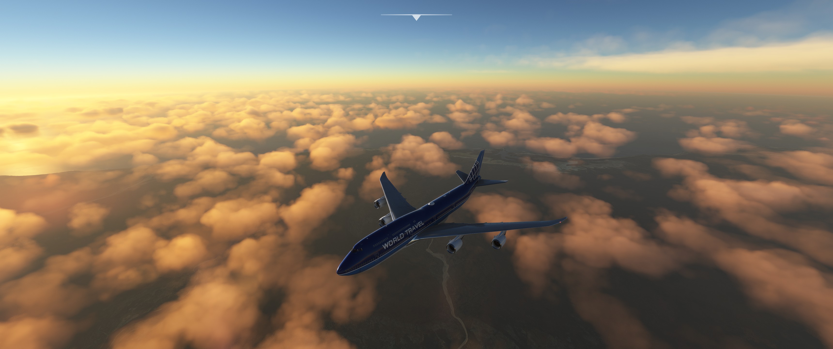
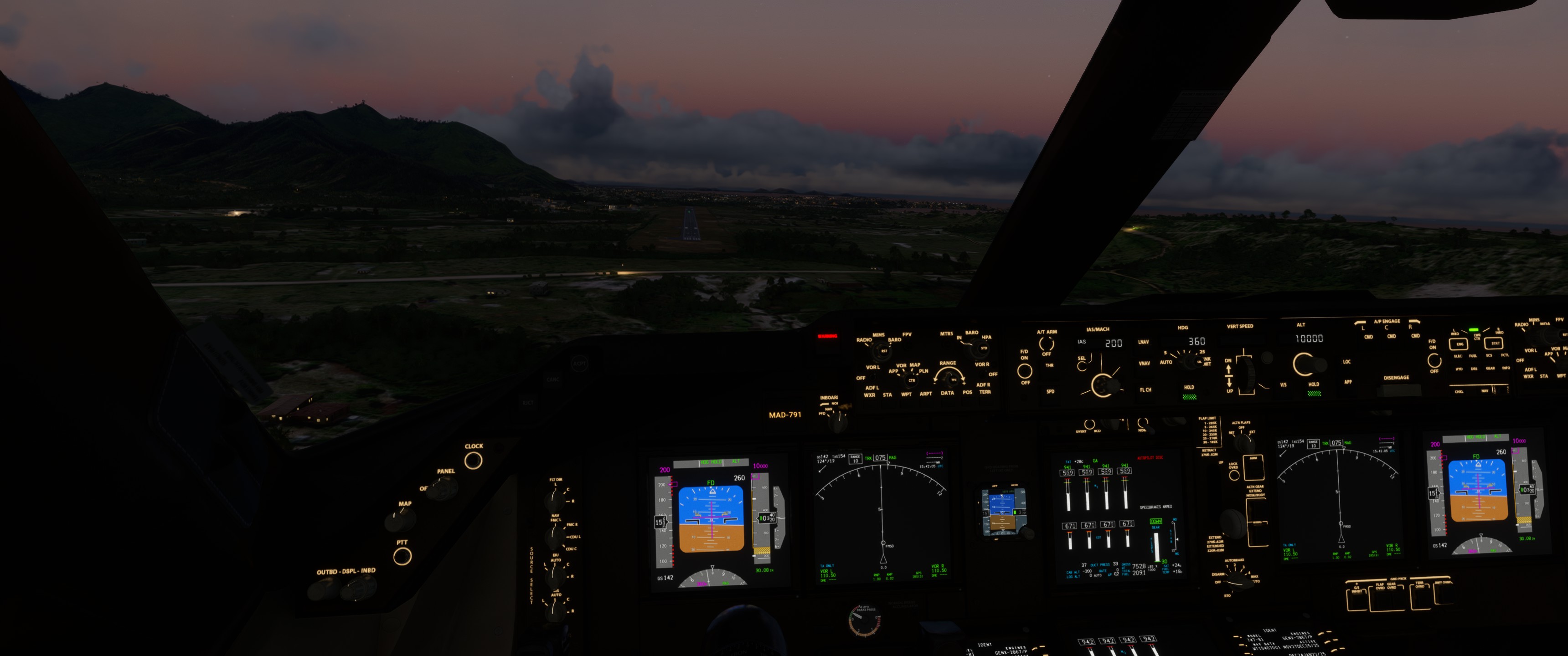
Last day flying virtually for me this year. I’ll try to take the queen of the skies straight into the final destination (bad omen..). Straight from Uganda to Madagascar.
Punched in some stuff and think I am ready to go.
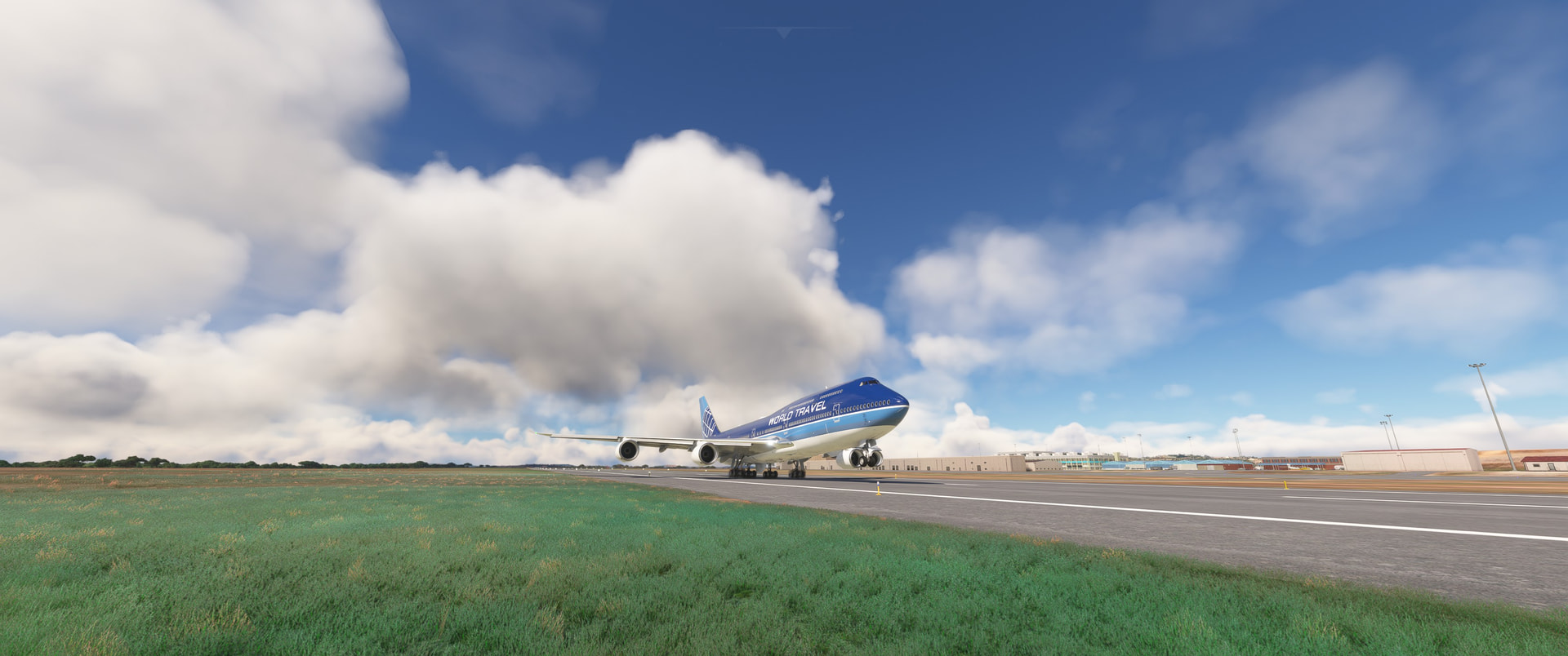
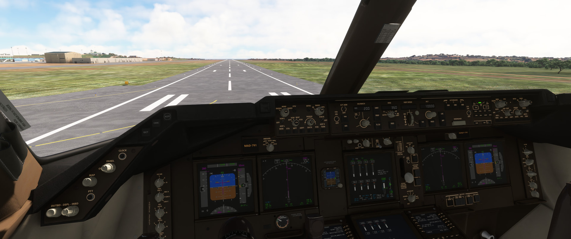
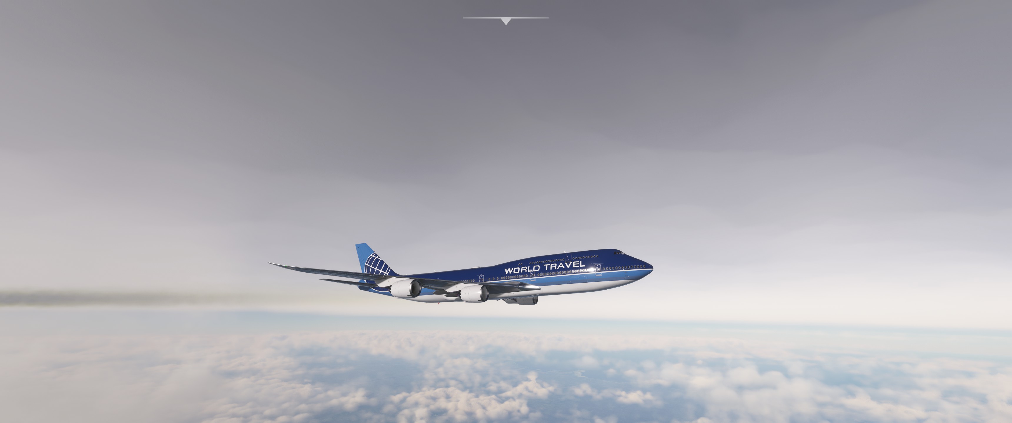
Rotate..
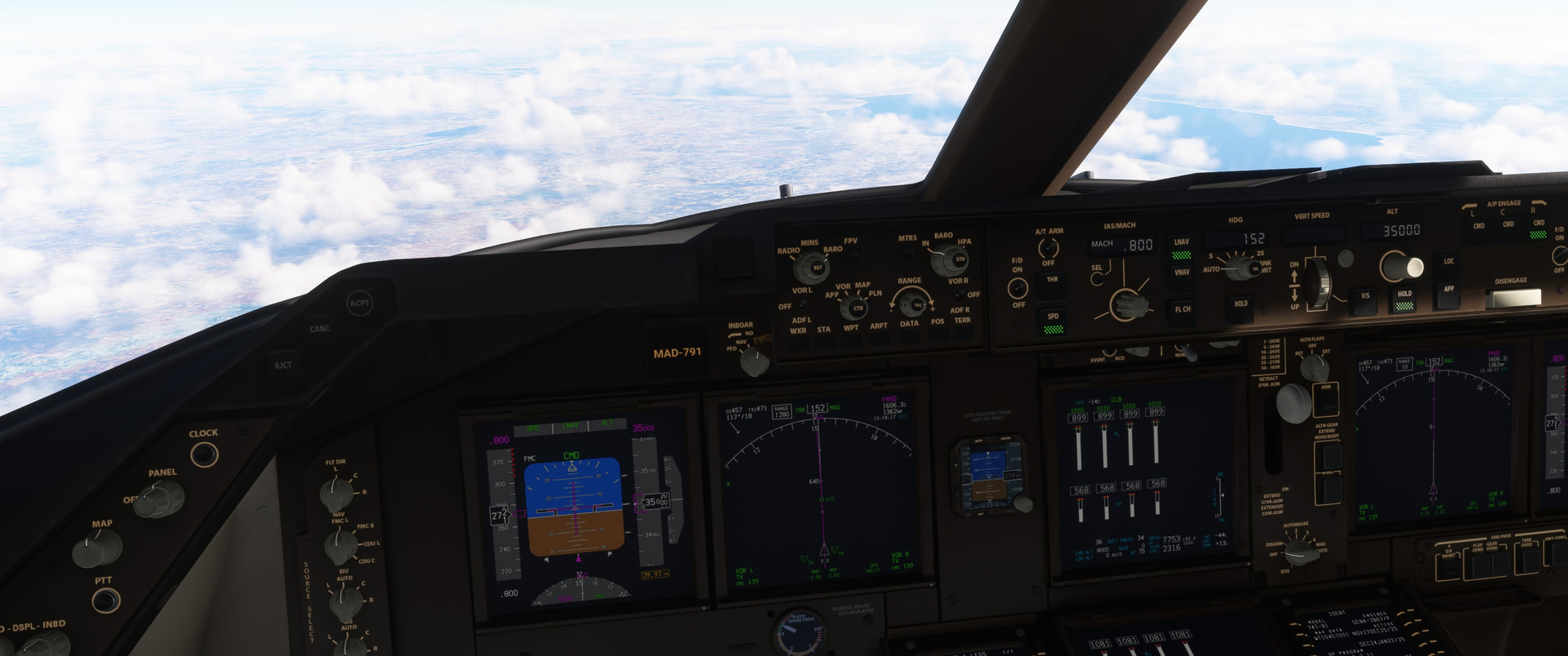
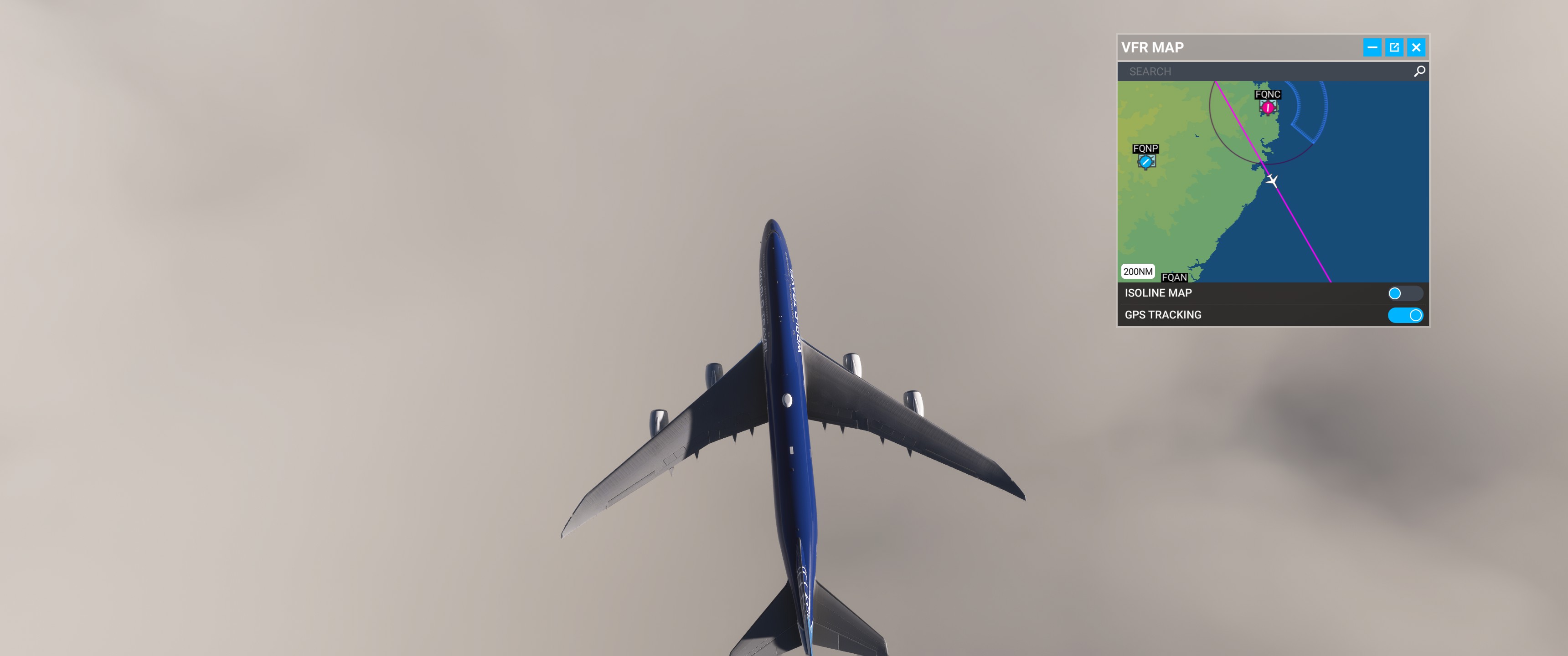
Long way to go.. LNAV got borked because of user error. The ATC hasn’t called for me to get shot down yet, despite going direct for the destination.
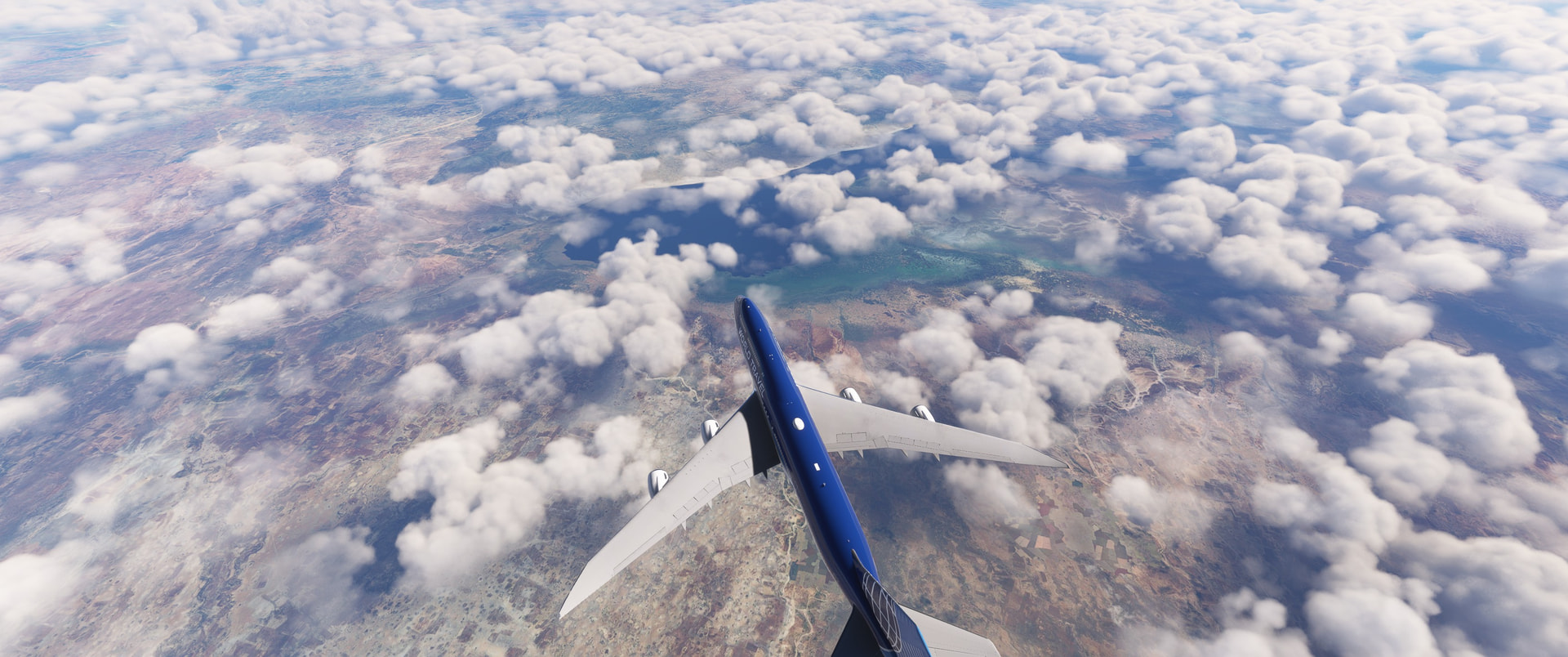
999nm to go..
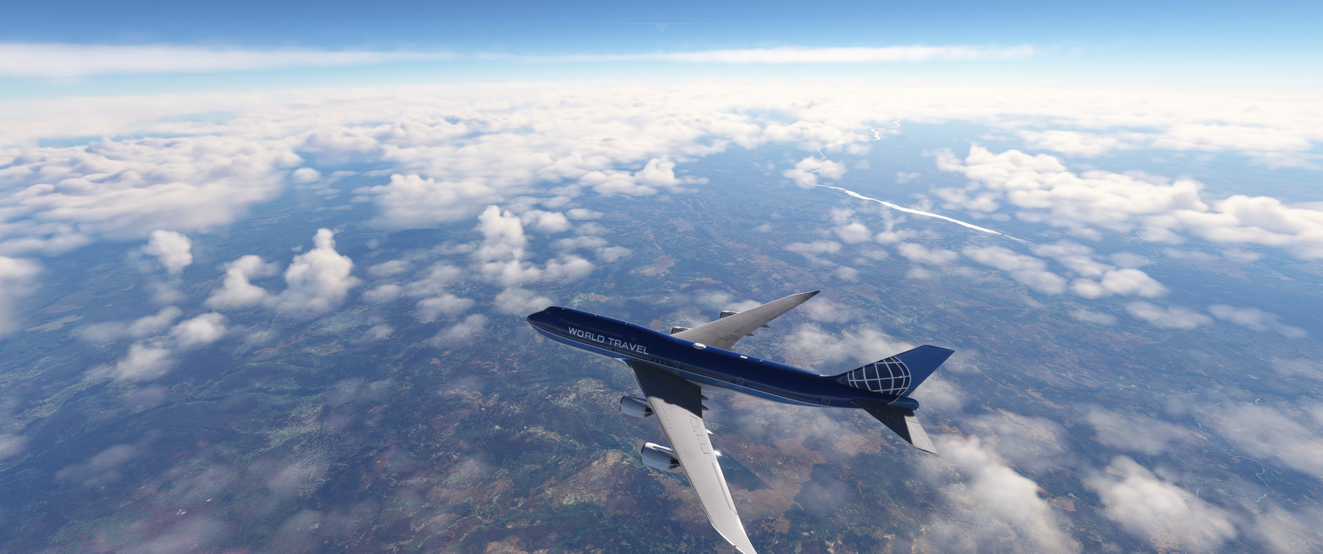
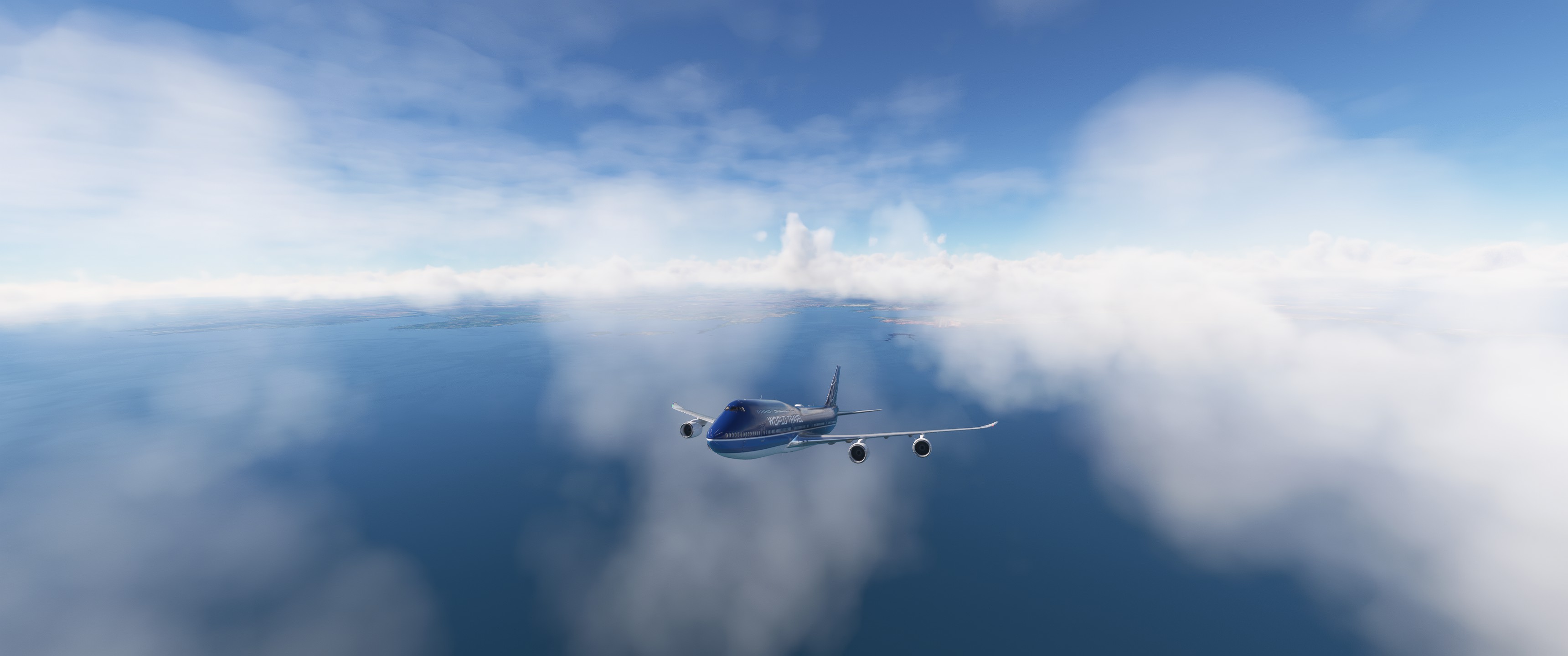
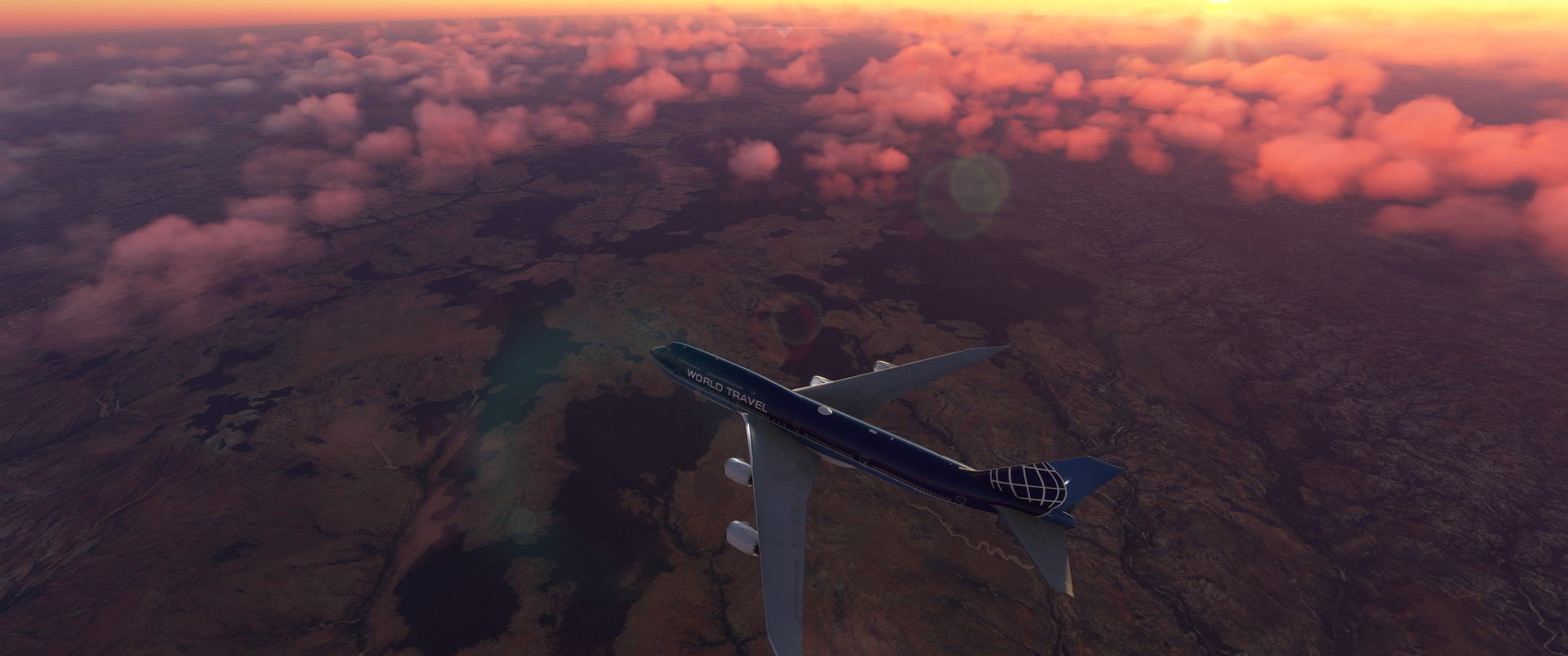
Clouds come up really high here. I think I am at some FL350.
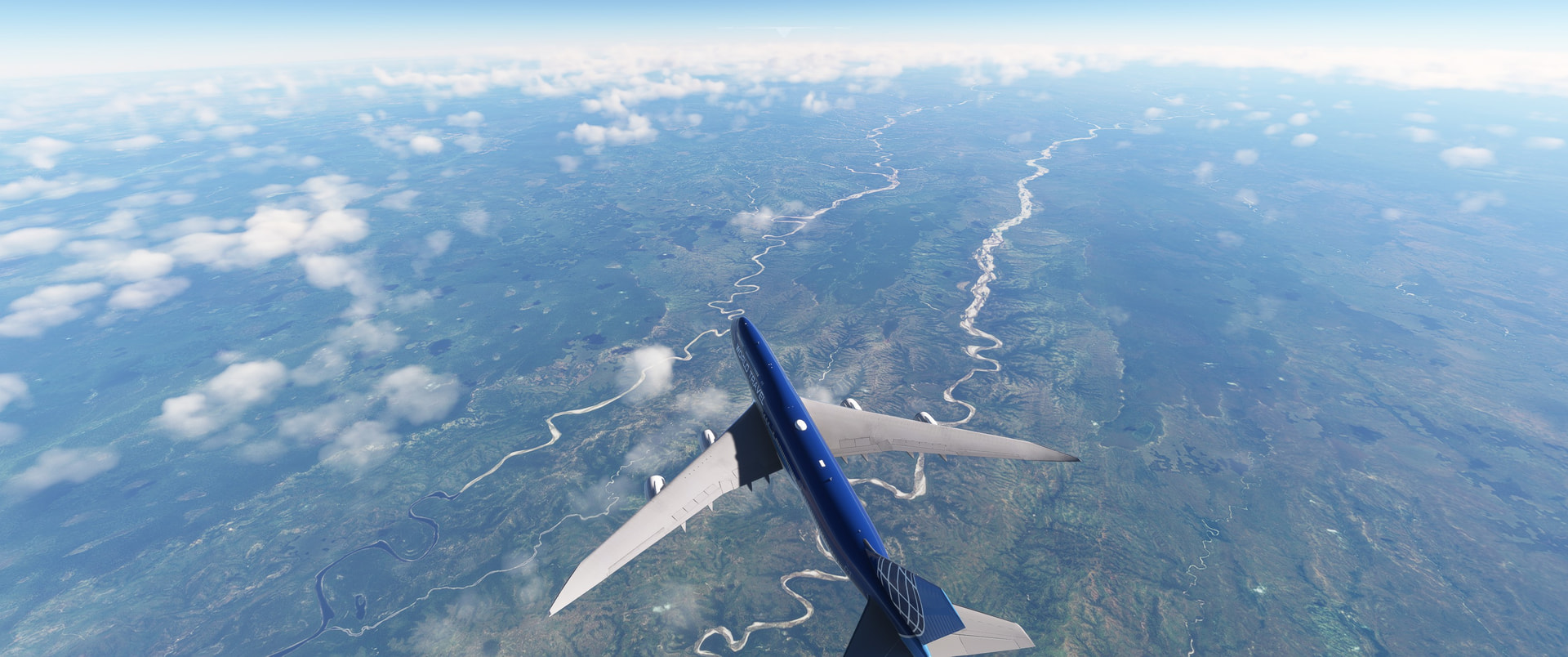
Feet wet but I can’t see anything below me.
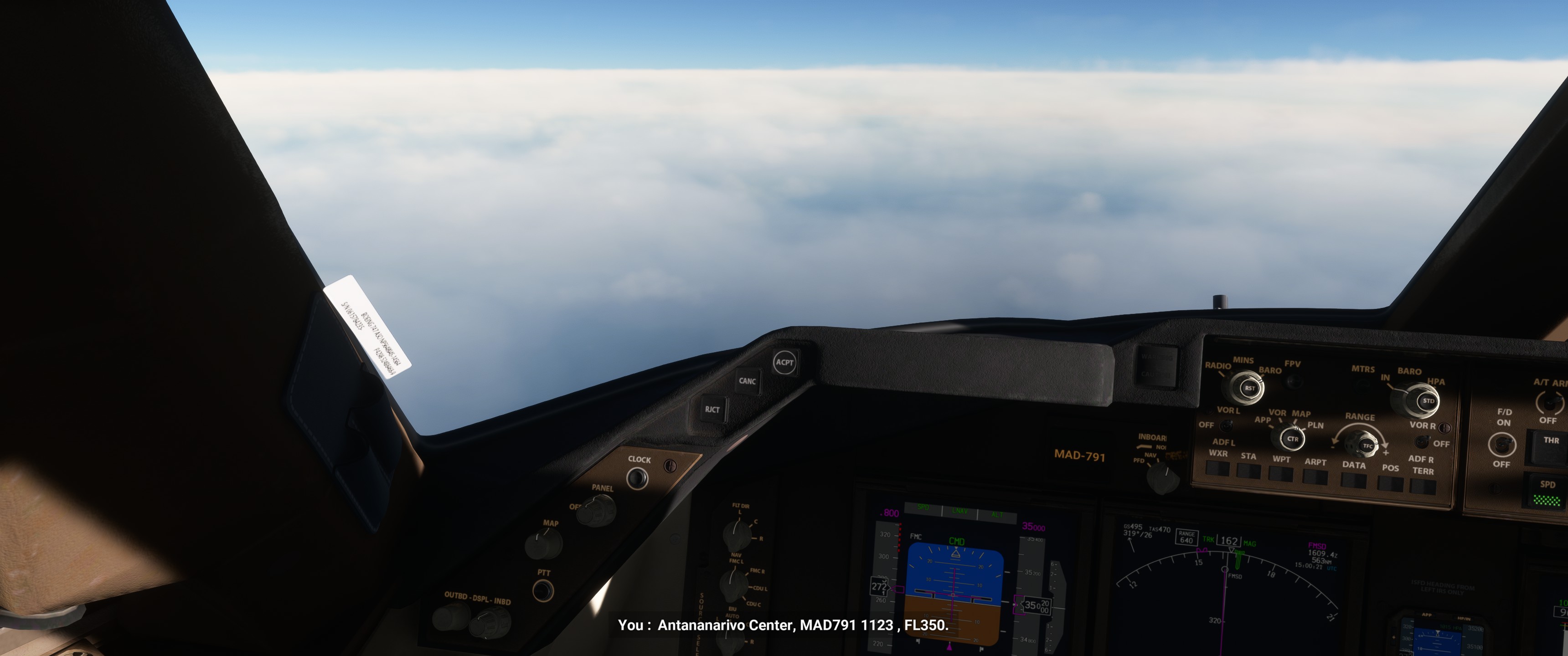
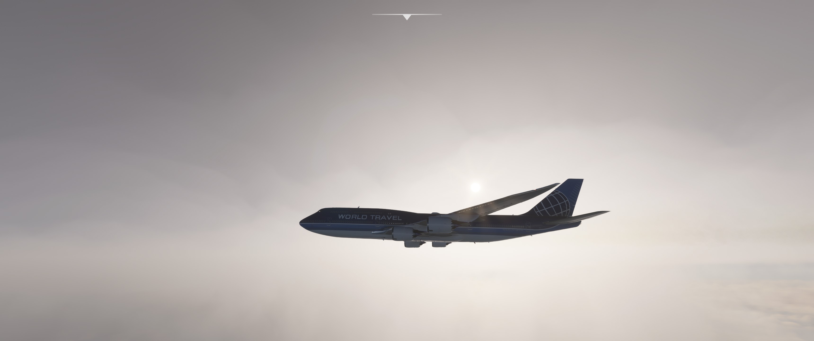
Maybe land?
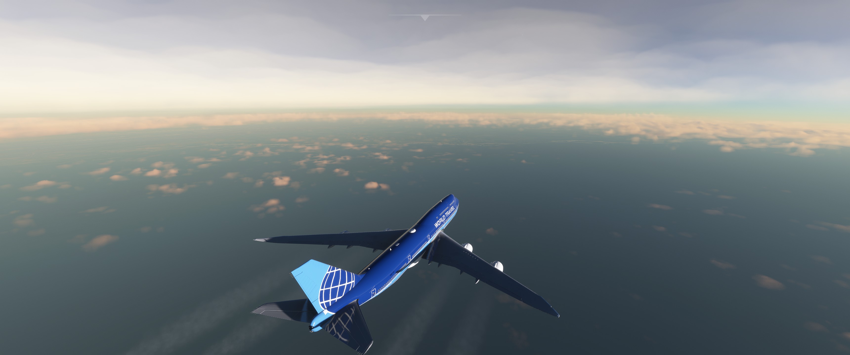
Yeah, also it’s getting dark. Where did the day go?
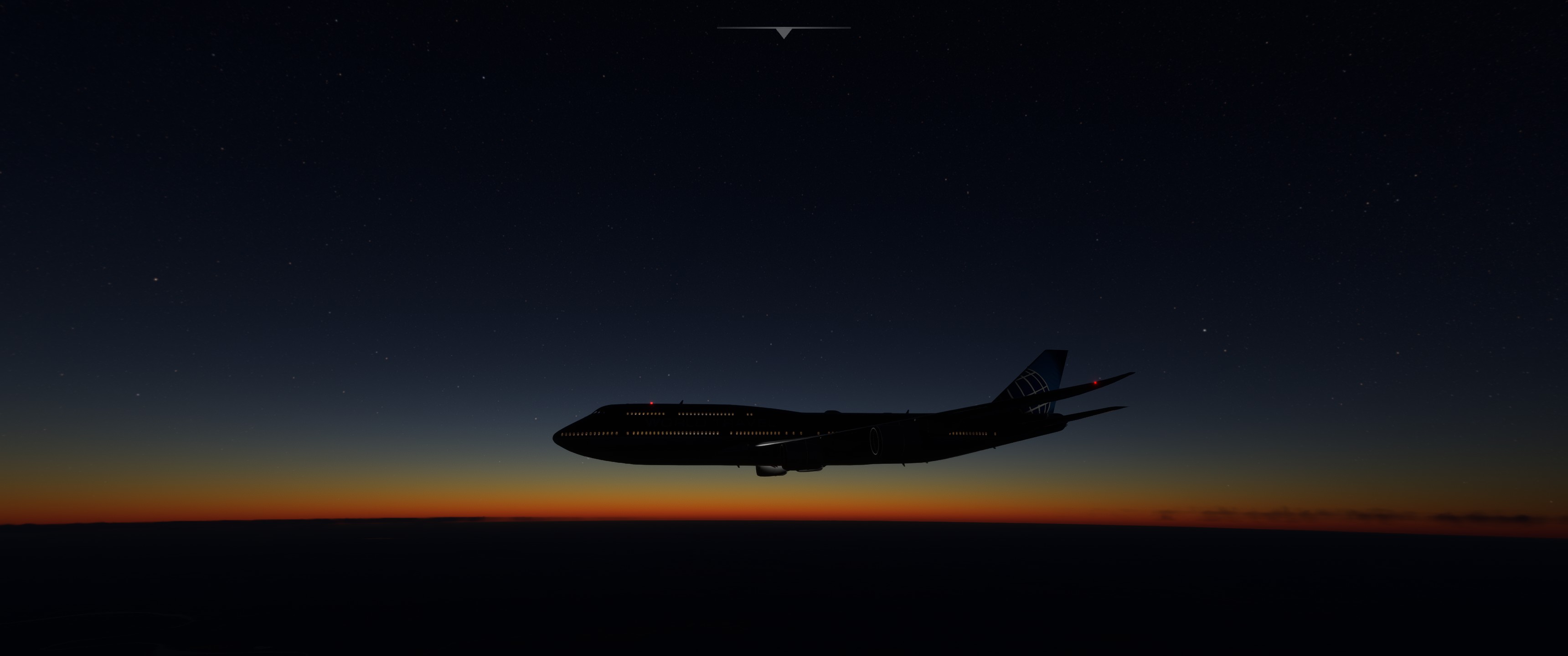
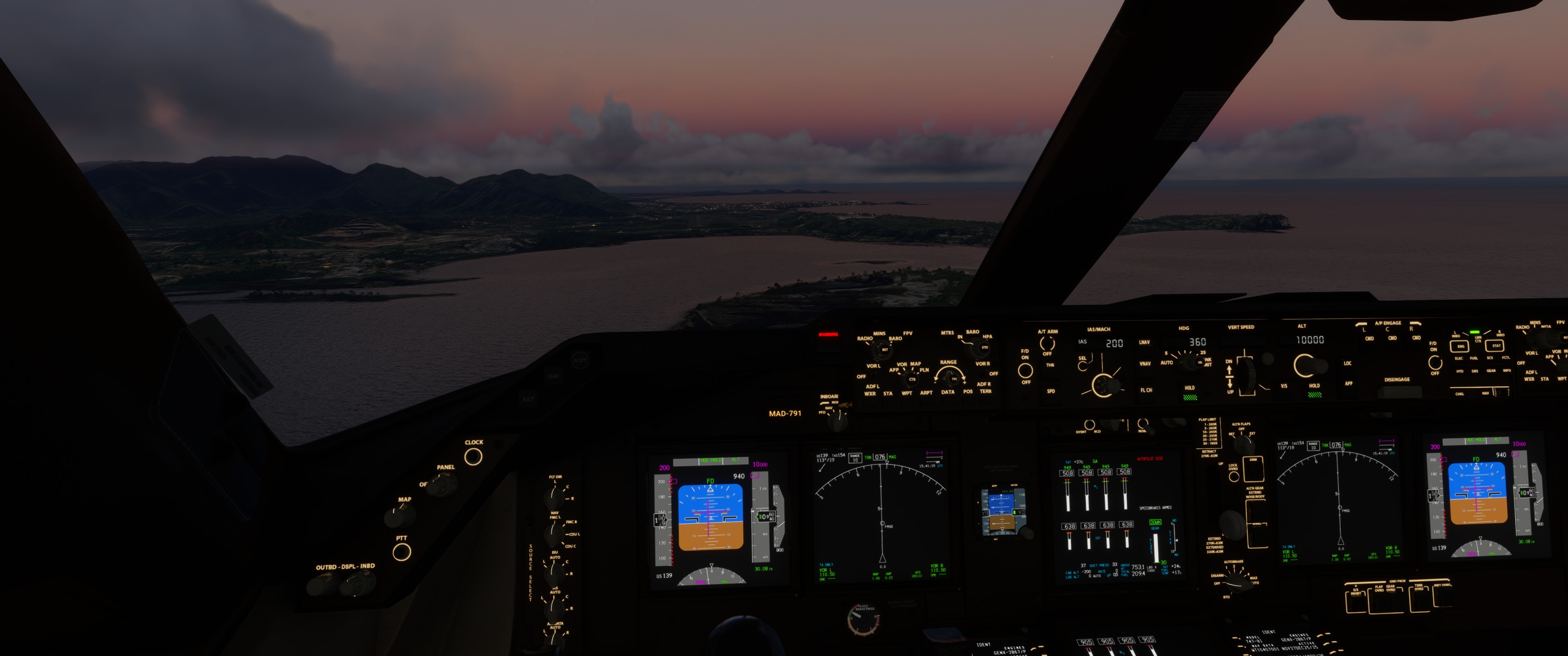
Fortunately still some visibility at the runway
I cheated time a bit because that runway is unlit in my sim..
Uhm that’s very small actually.
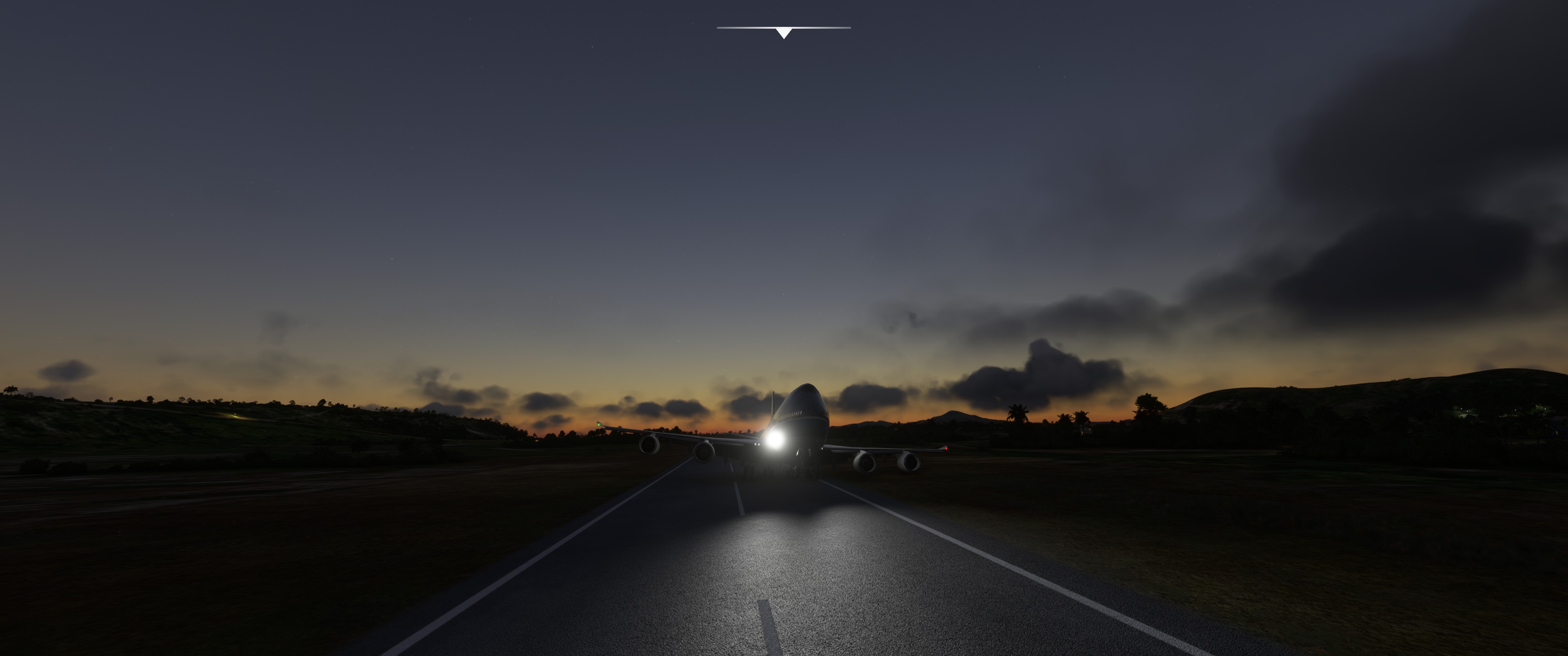
Never before did I try to land the queen on a bicycle lane..
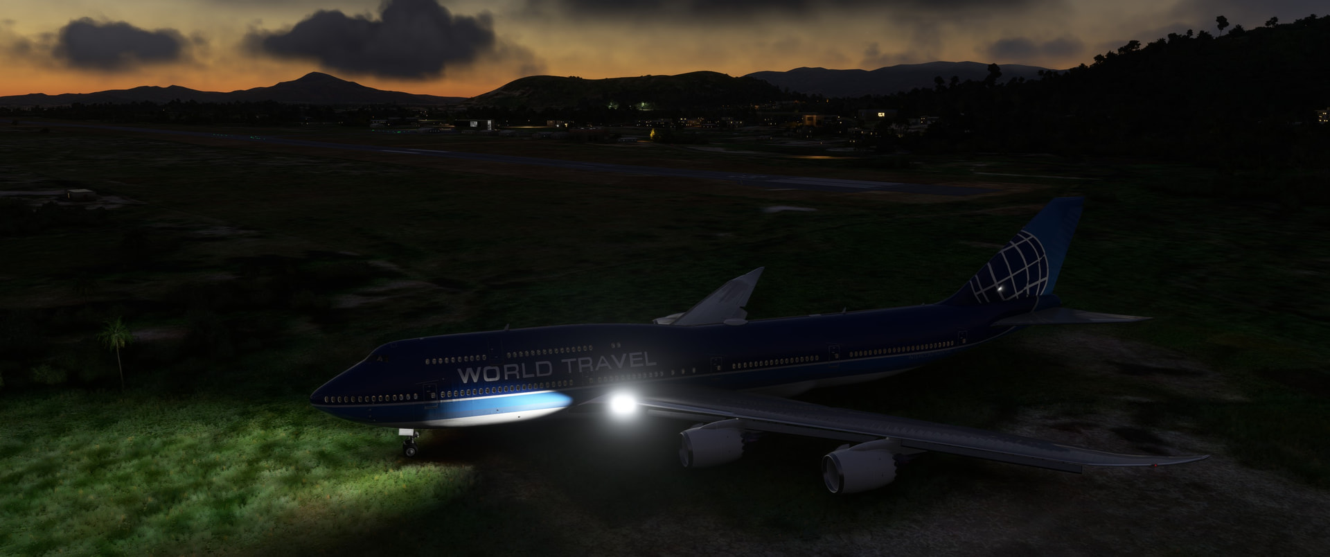
DIdn’t overshoot the runway thát badly. And it’s mainly because I couldn’t get the reversers to work. Tried to taxi back on but this all I got. Good spot to park and call it a hotel. I wouldn’t fly it back.
15 Likes
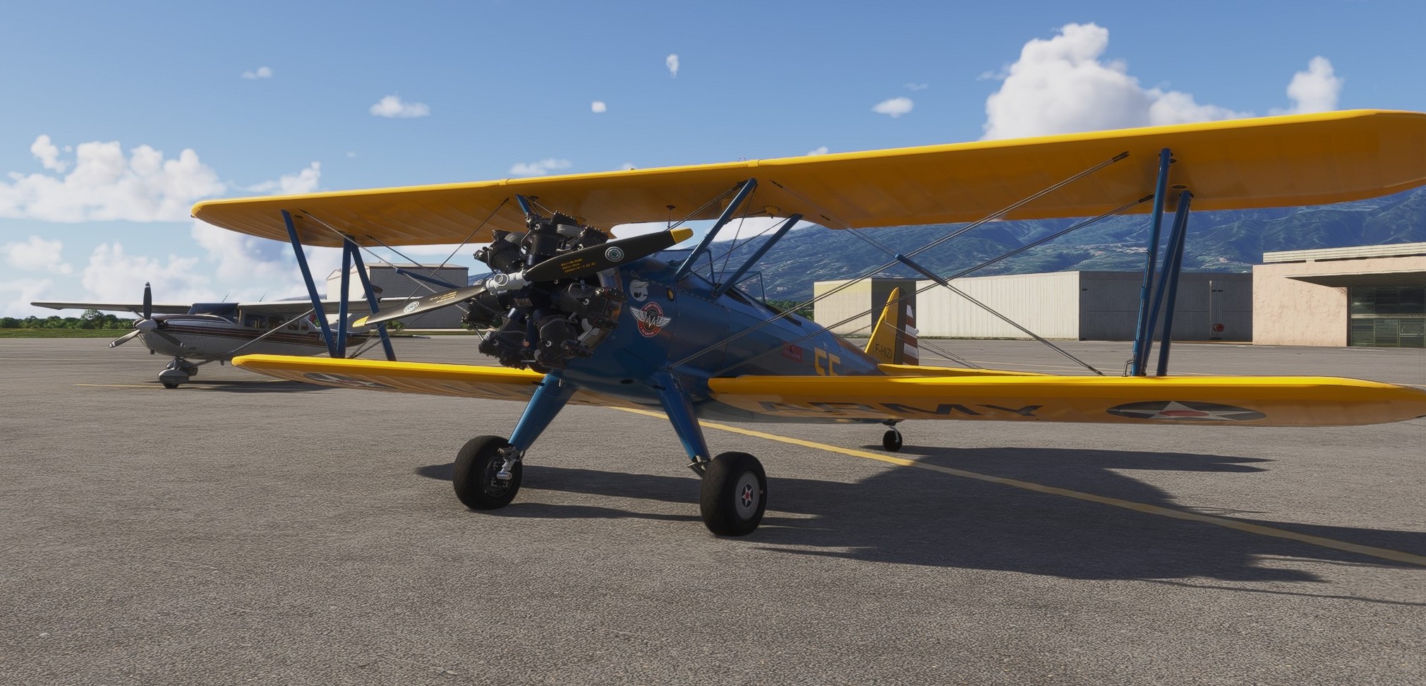
Some fun before heading to the destination of this year’s Christmas flight - crossing of La Reunion North to South.
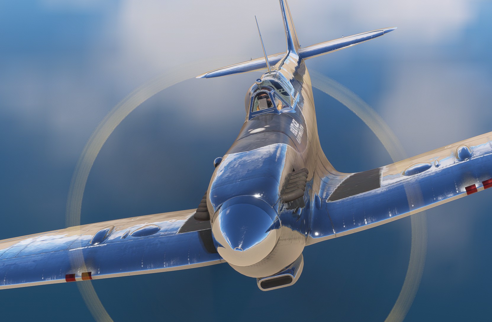
In a classic Stearman PT-17 Kaydet.
As always with real weather…
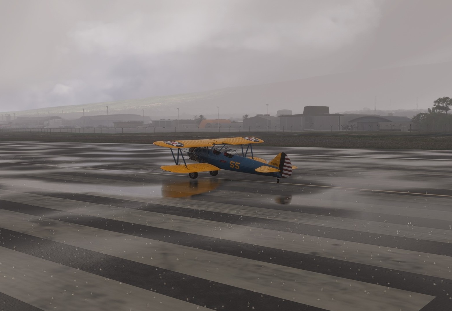
…which quite did not work out this time.
This is better - preset “few clouds”.

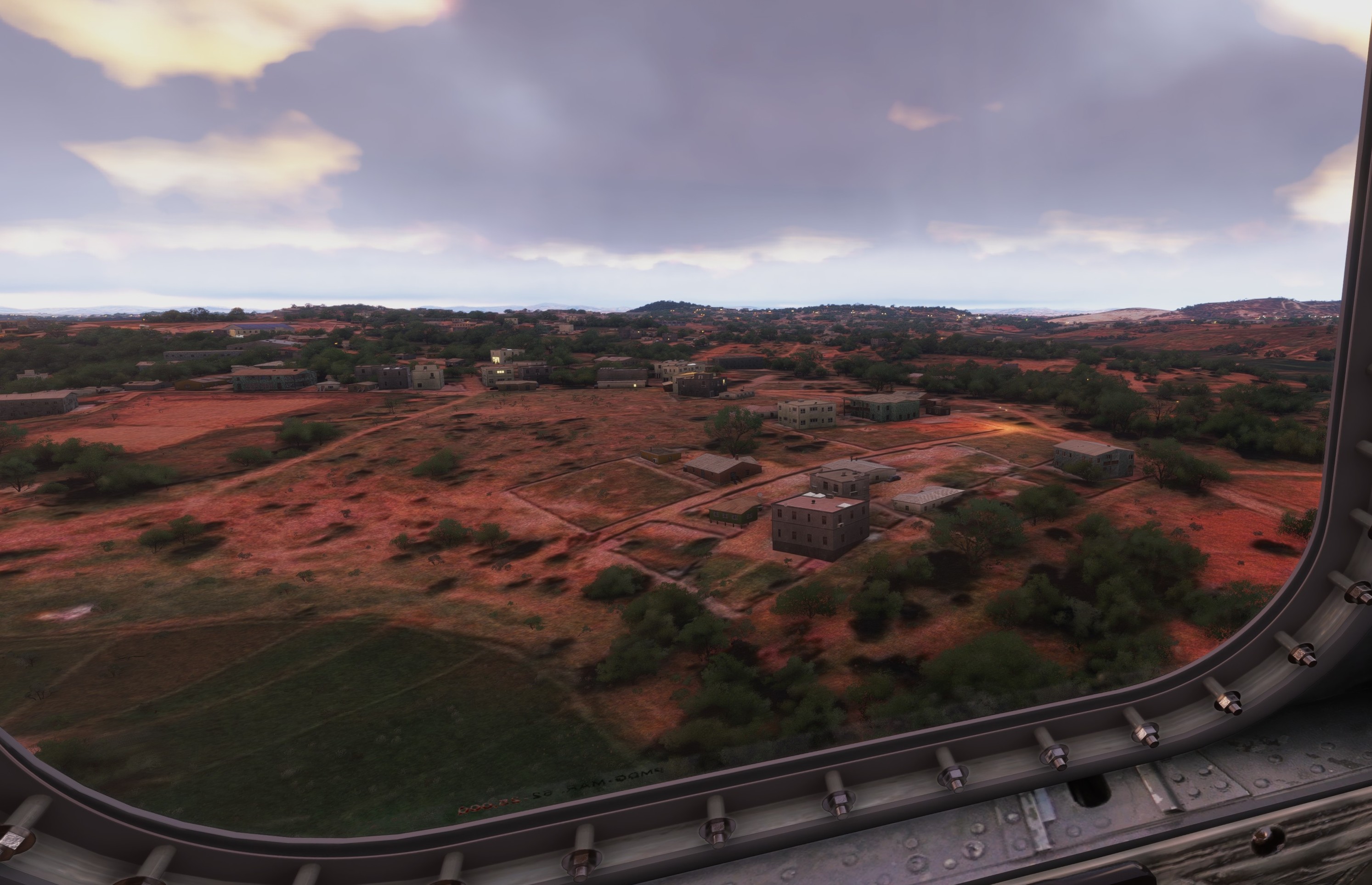
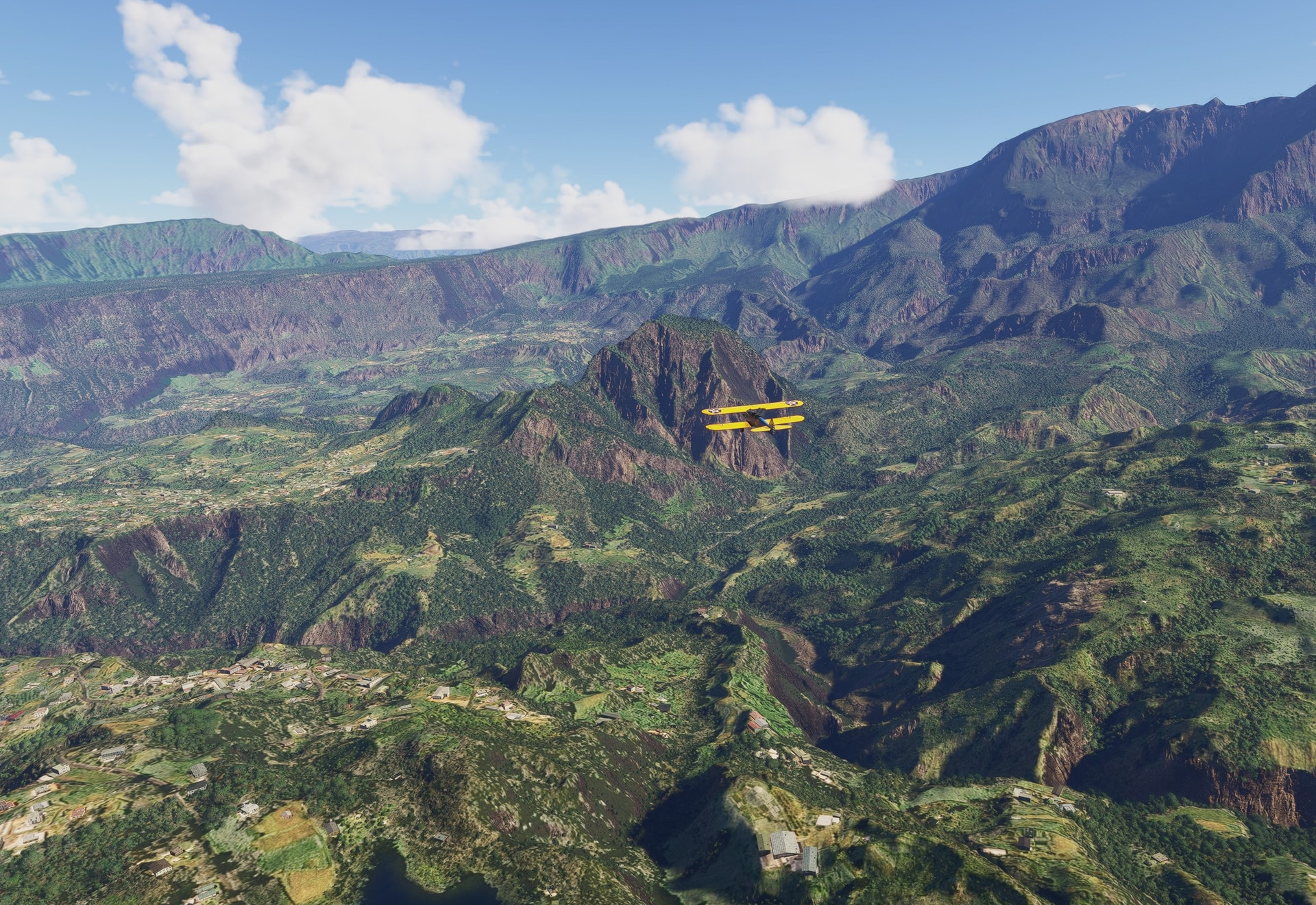
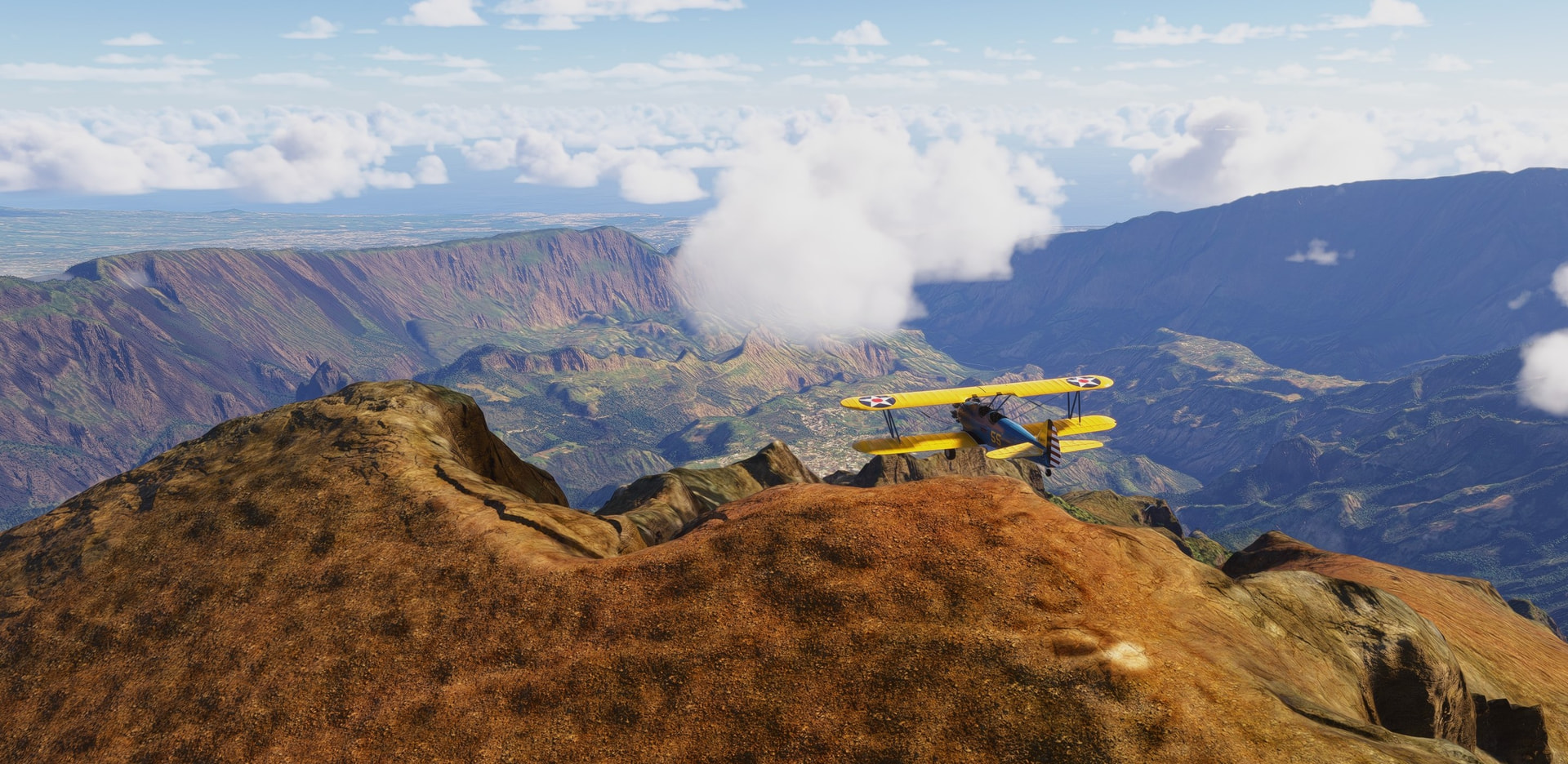
La Reunion is a volcanic island in the Indian ocean and I have to say it is absolutely stunning. MSFS 2024 does justice to its beauty as far as I can say.
The plan is simple - cross the island Nort to South departing from Saint-Denis, La Reuinon’s capital. Here heading towards one of the island’s multiple valleys.
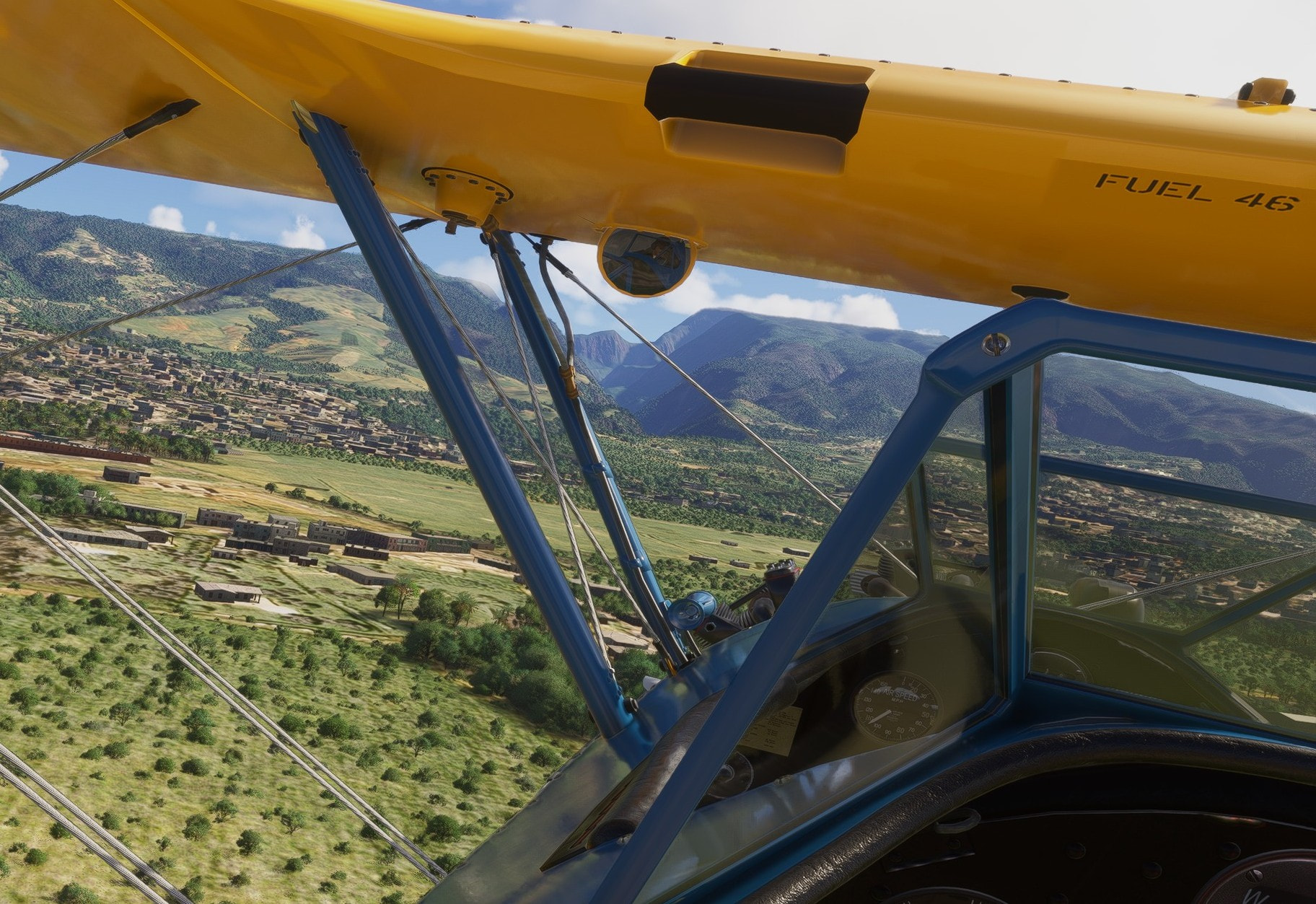
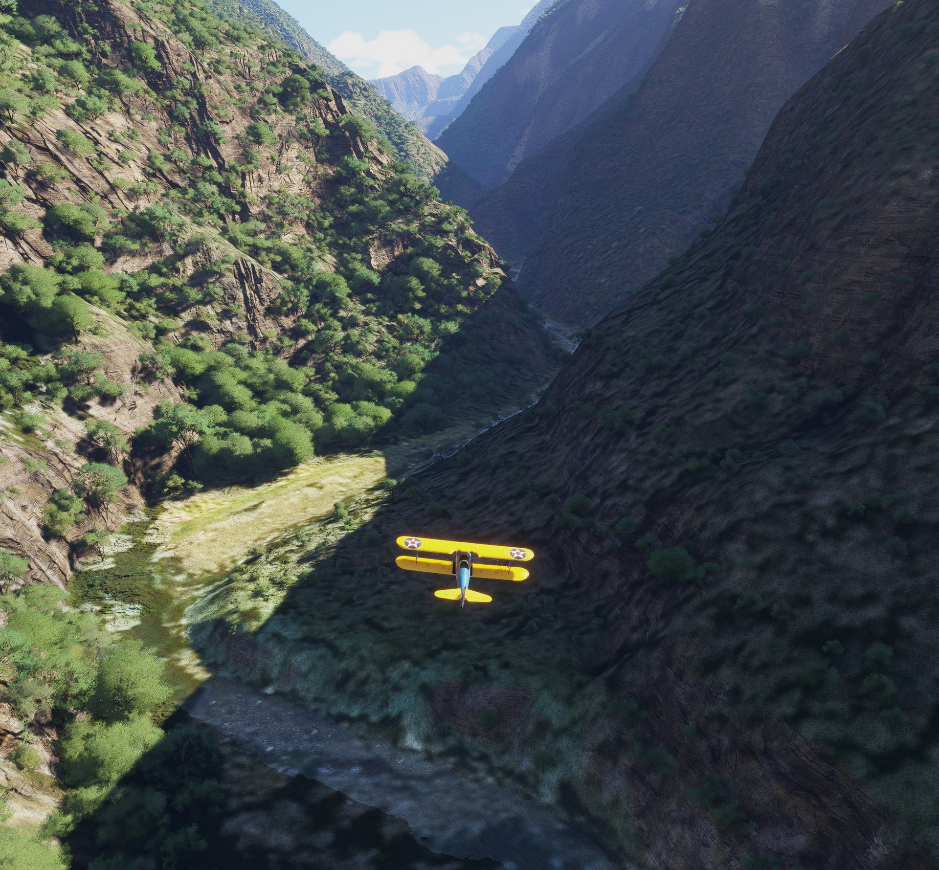
We have come a long way in terrain depiction - no more smeared textures painted on terrain mesh. Asobo introduced some “rocky” overlay making even the steeply descending mountain walls look great.
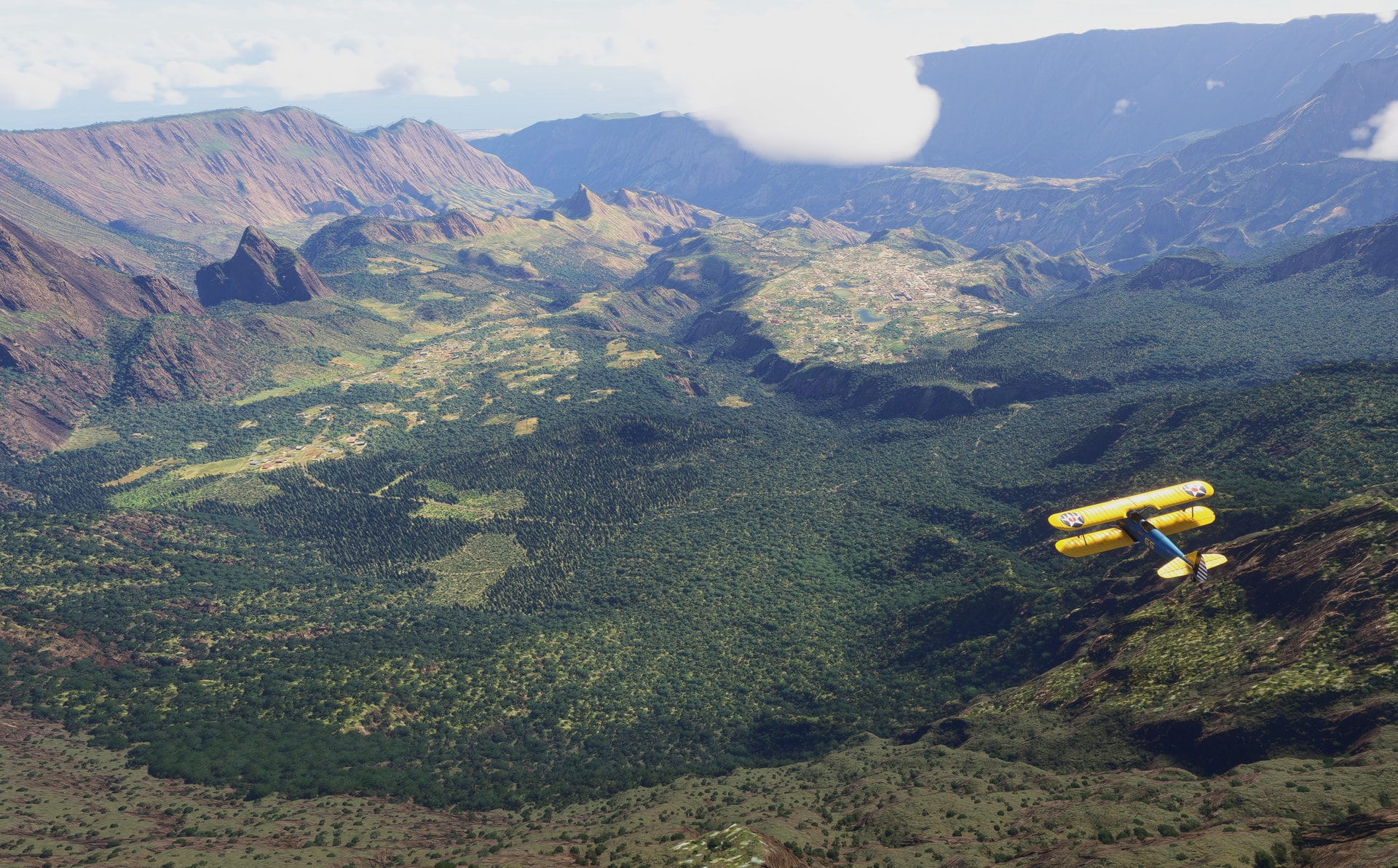
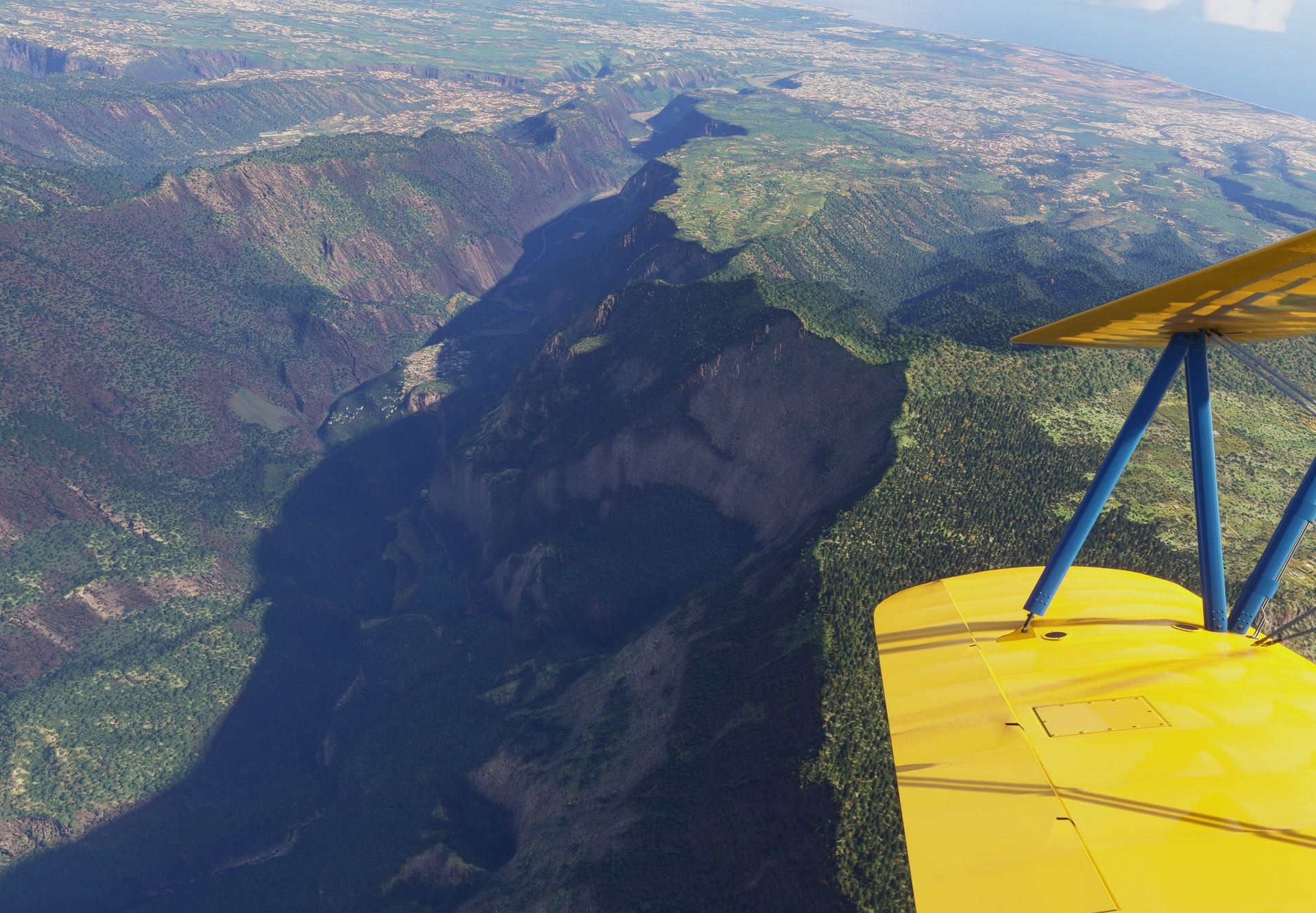
Once over some of the peaks, there is a plateau (or two) in the central part of the island.
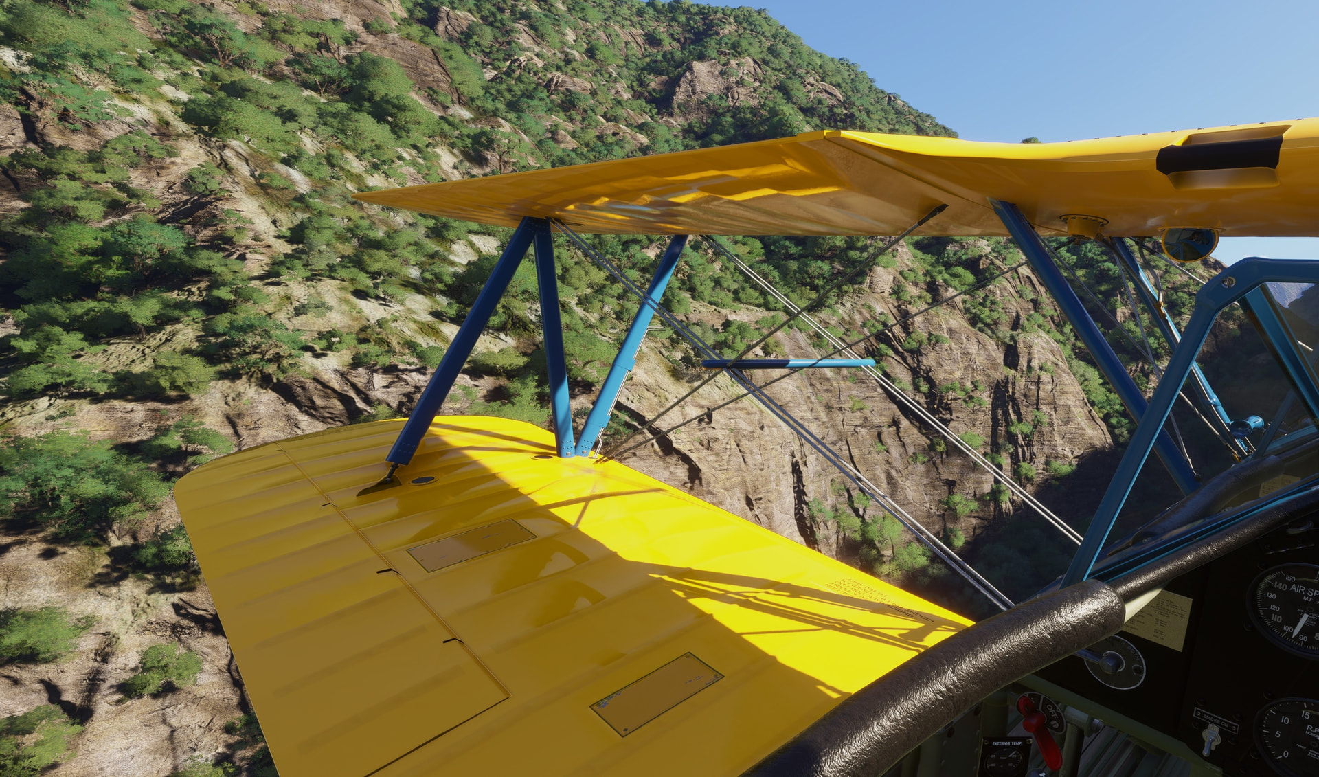
Crowned by Piton de Nieges (here without snow, though) reaching up to 3 070 m (10 069 ft). The question is: Will the PT-17 make it over the top?

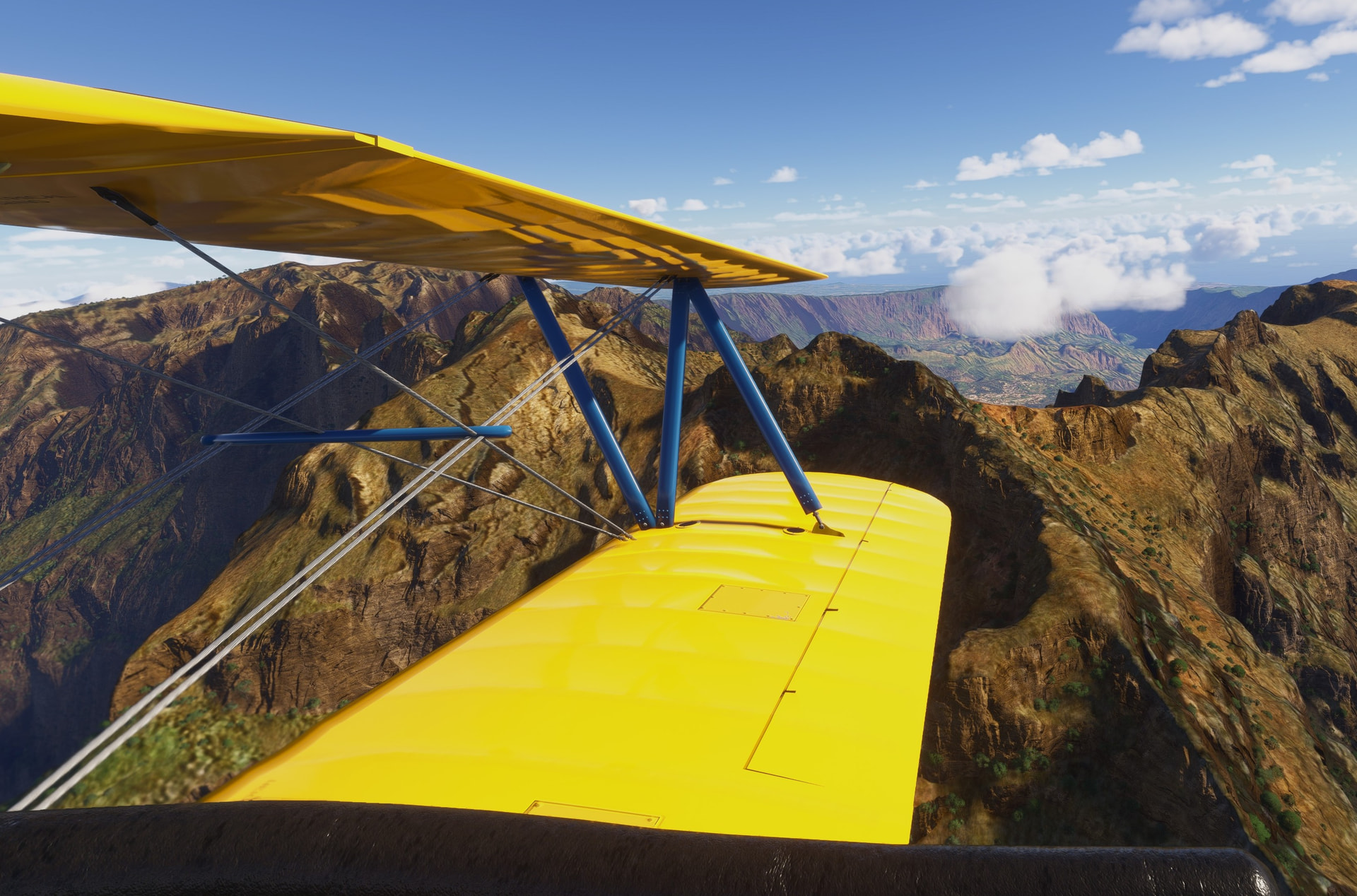
The PT-17 version of the Stearman should climb to over 13 000 ft. Here gaining some altitude and enjoying vistas.

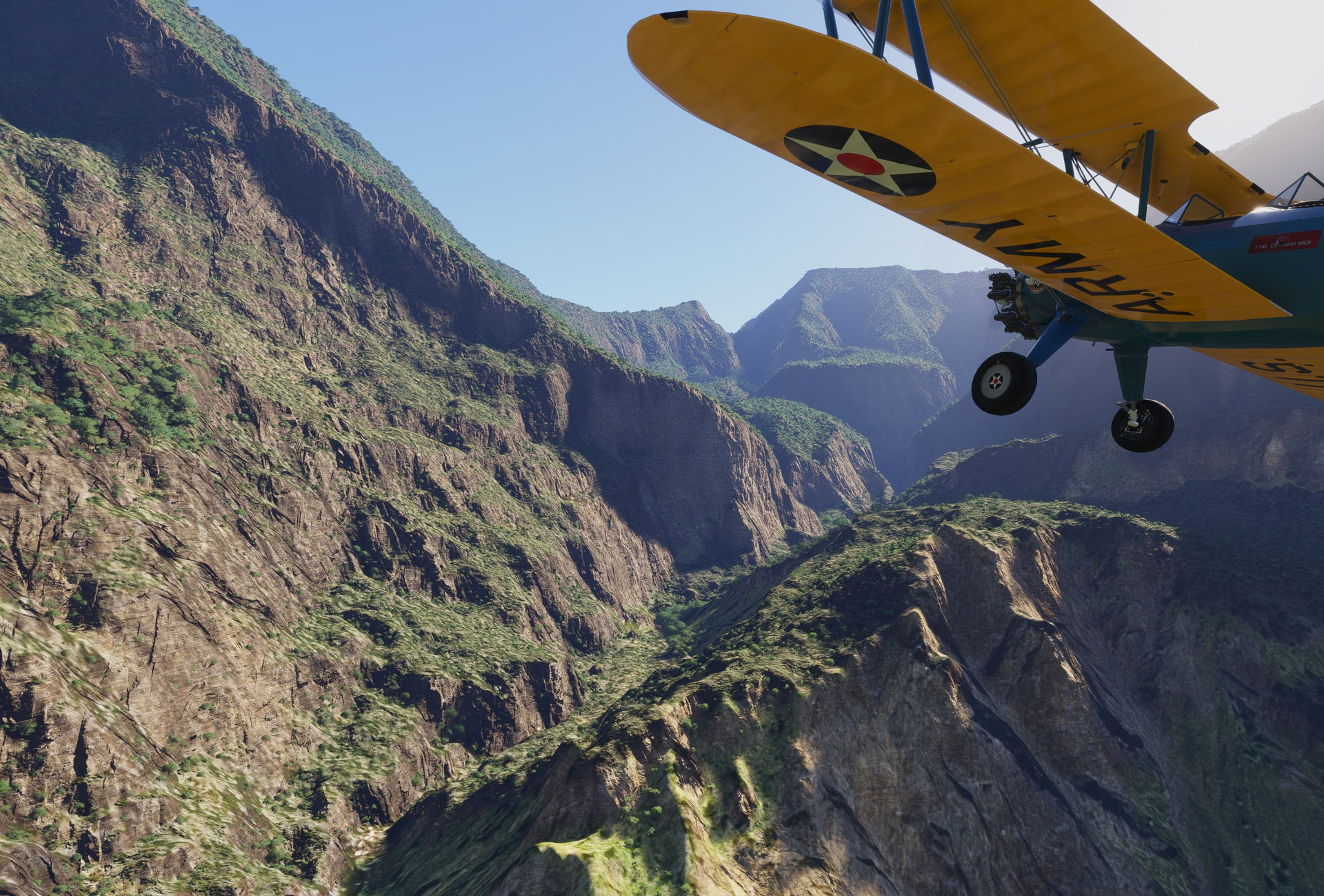
Near the top…
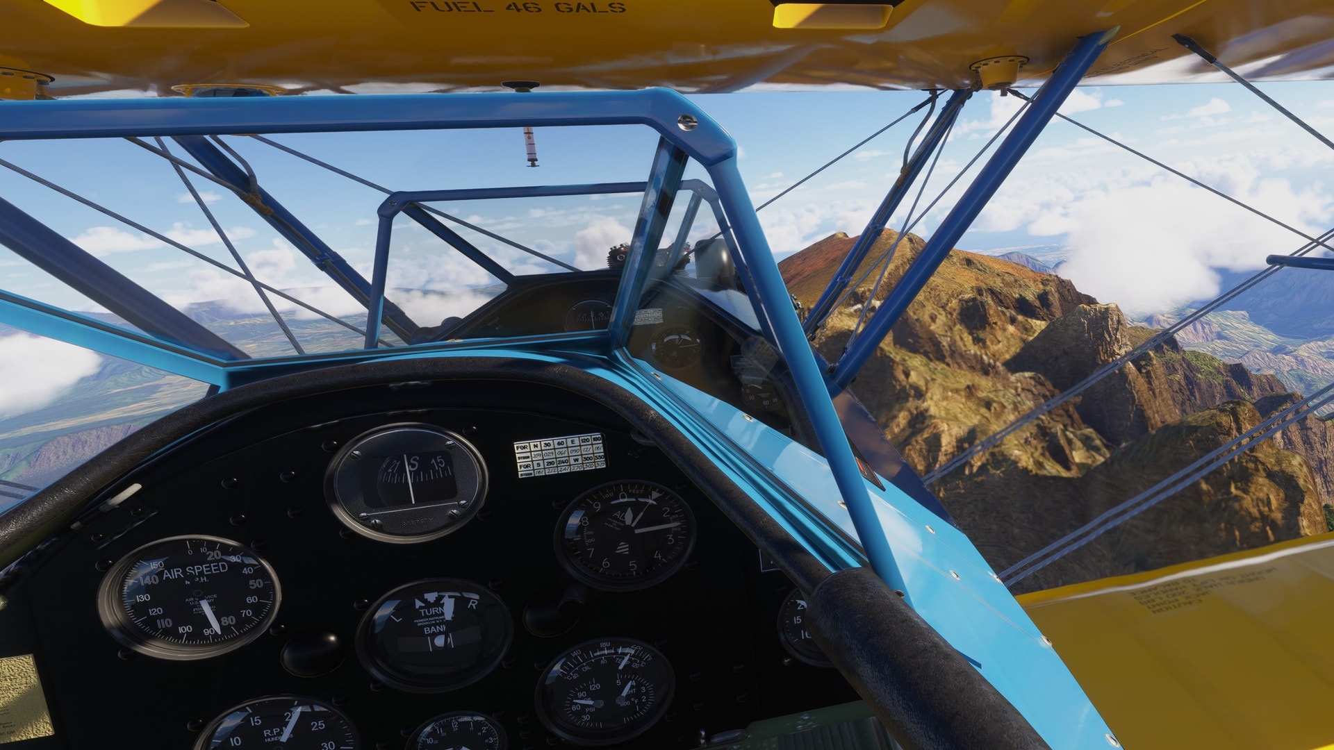
…and over it! Manifold pressure low, temps high… but from here we will be only descending.
This is a military aerobatic trainer so…
Would not expect this guy to drive on the runway, tbh. Fortunately he pulled off right in front of me.
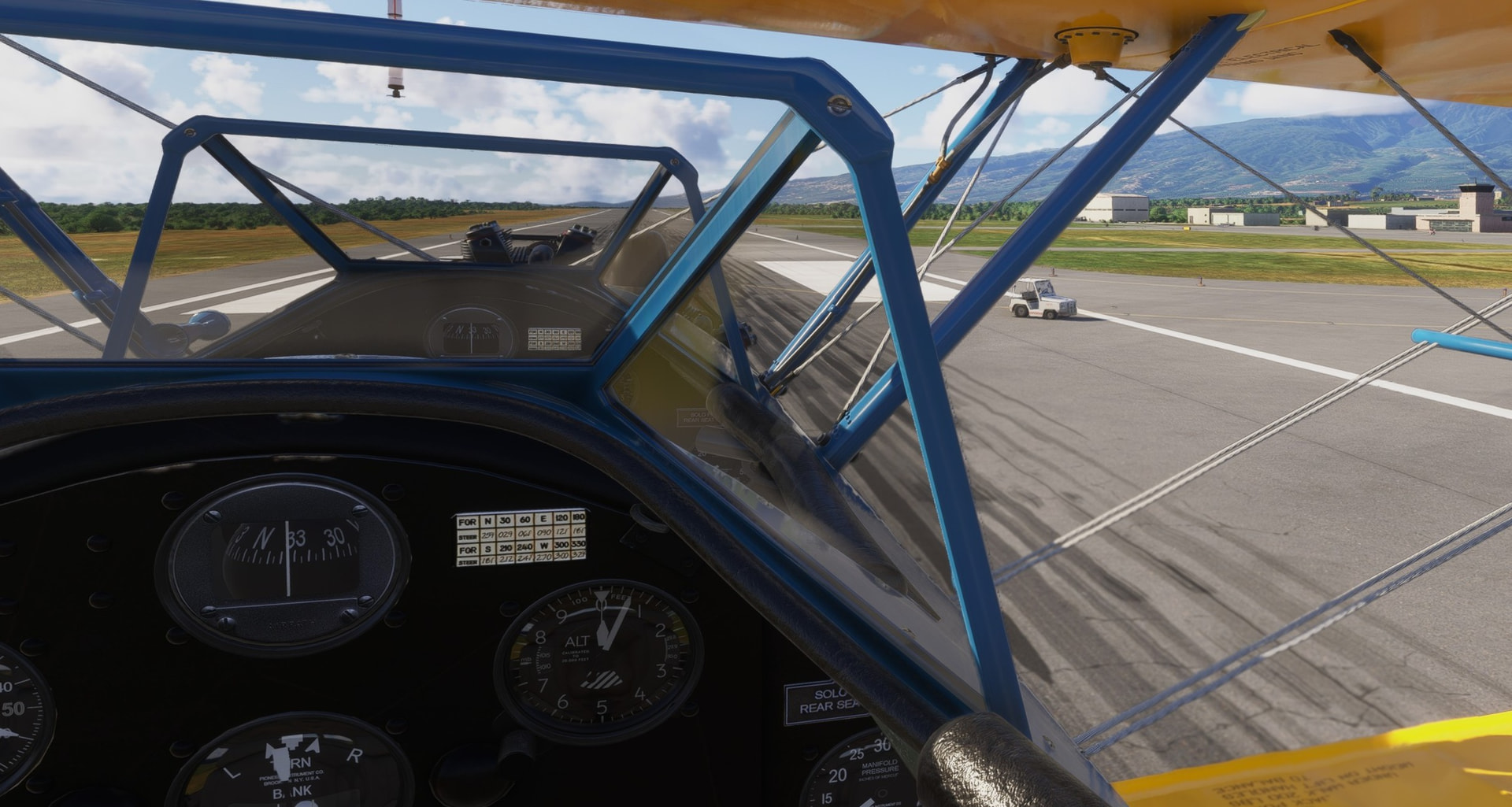
What say you @Aginor ? ![]()
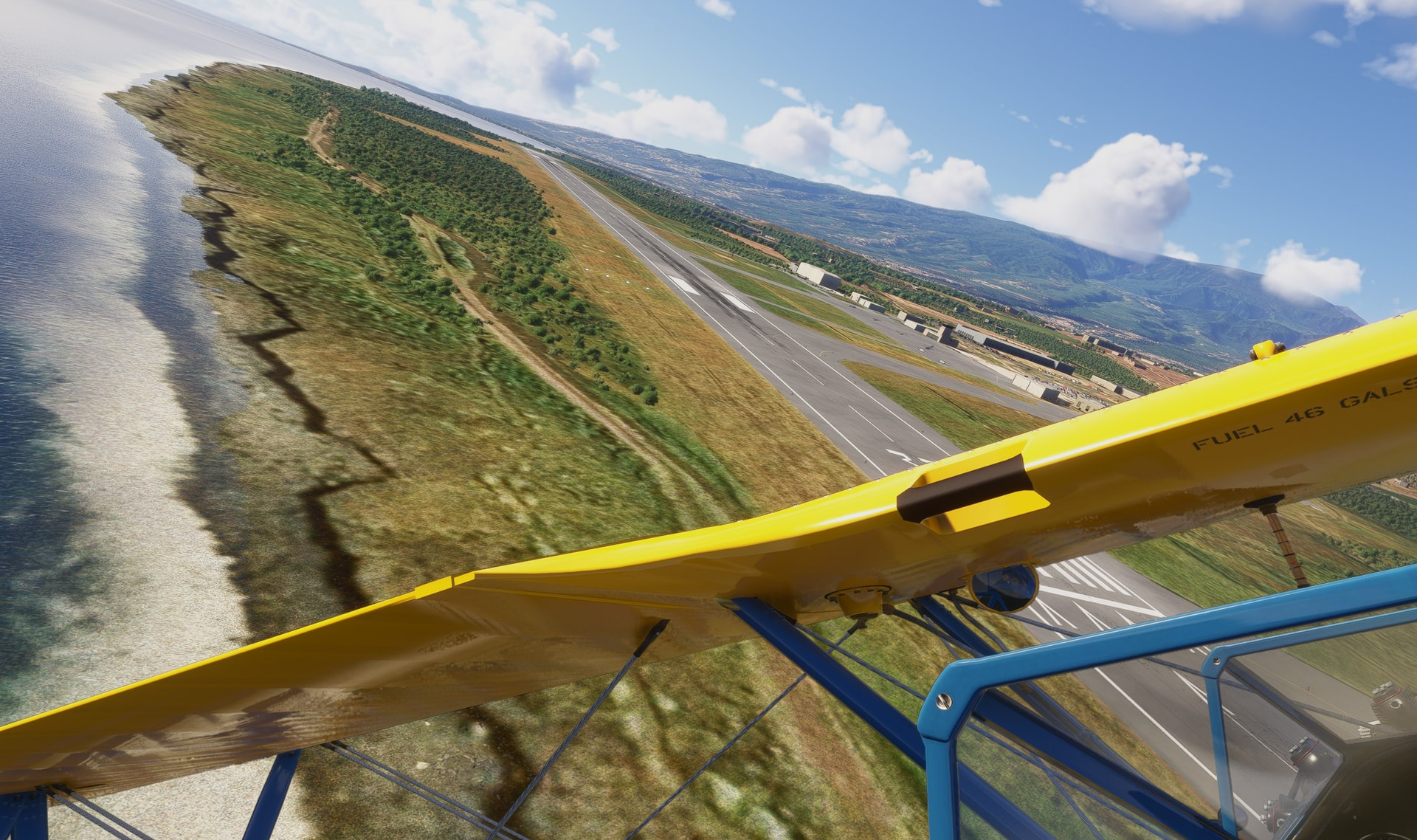
Safely down.
The next leg will conclude this trip. Hope the bar is still opened!
18 Likes
Welcome. We’ll let the crash trucks and maintenance guys take it from there. We got a spot for ya at the party.
5 Likes
Open and ready for ya!
5 Likes
congrats @Sryan ! ![]()
3 Likes
Nice job, @Sryan! Strong work!
@apollon01 that scenery is stunning!
4 Likes
OMG runway bus guy has returned!
3 Likes
noice ! seems like flying through the Andes valleys could have been much nicer experience in ‘24
5 Likes