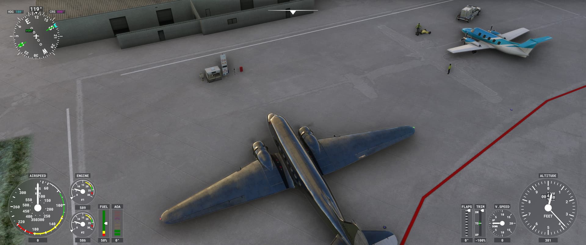
Hmmm … after lunch in the restaurant … the apron was empty … could not find my Bonanza … ![]()
![]()
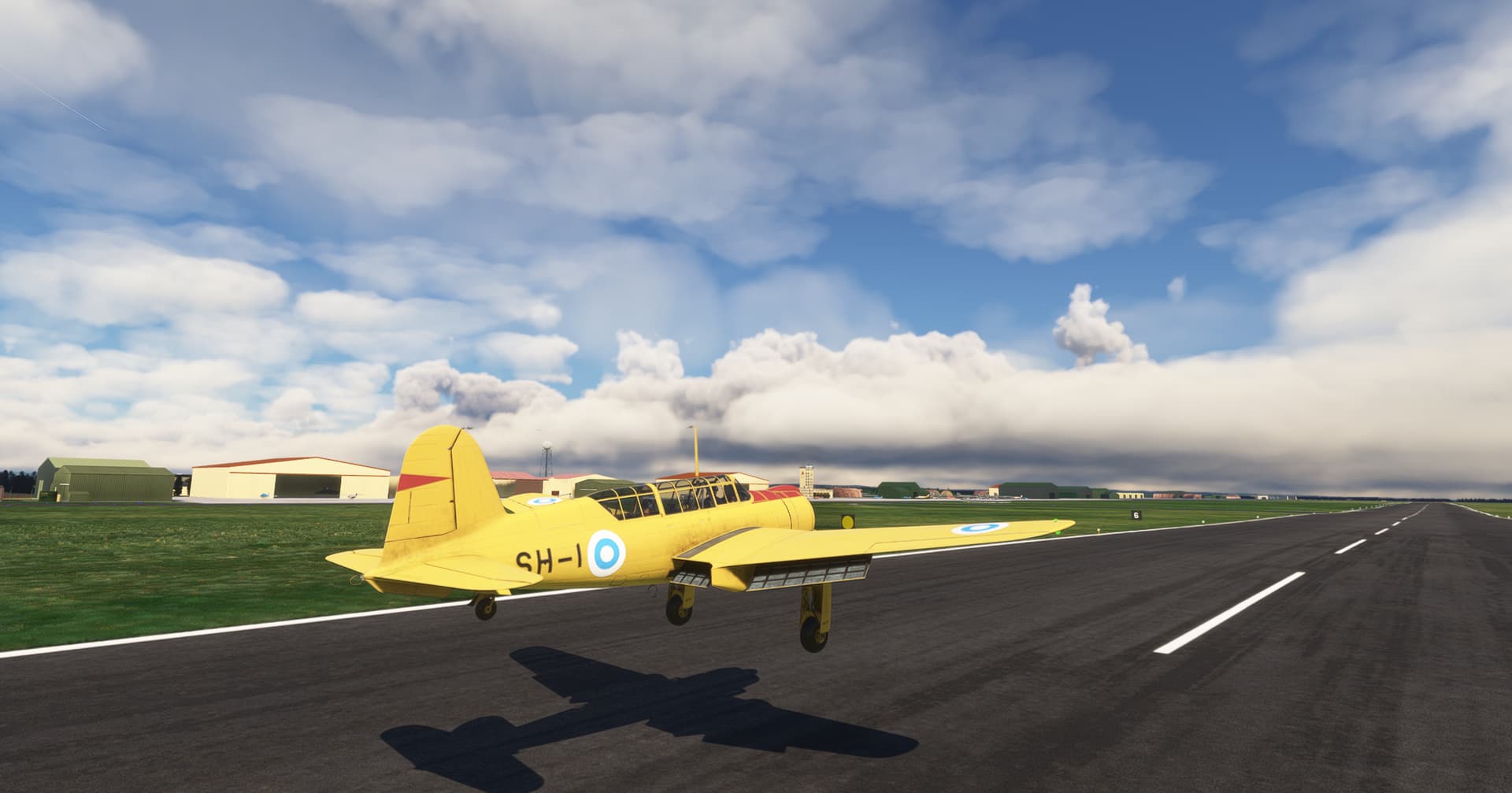
![]() . The slopes are nicely modeled in the sim by the way, after leaving the runway at the end you need to go up-hill, significant thrust required .
. The slopes are nicely modeled in the sim by the way, after leaving the runway at the end you need to go up-hill, significant thrust required .
5 Likes
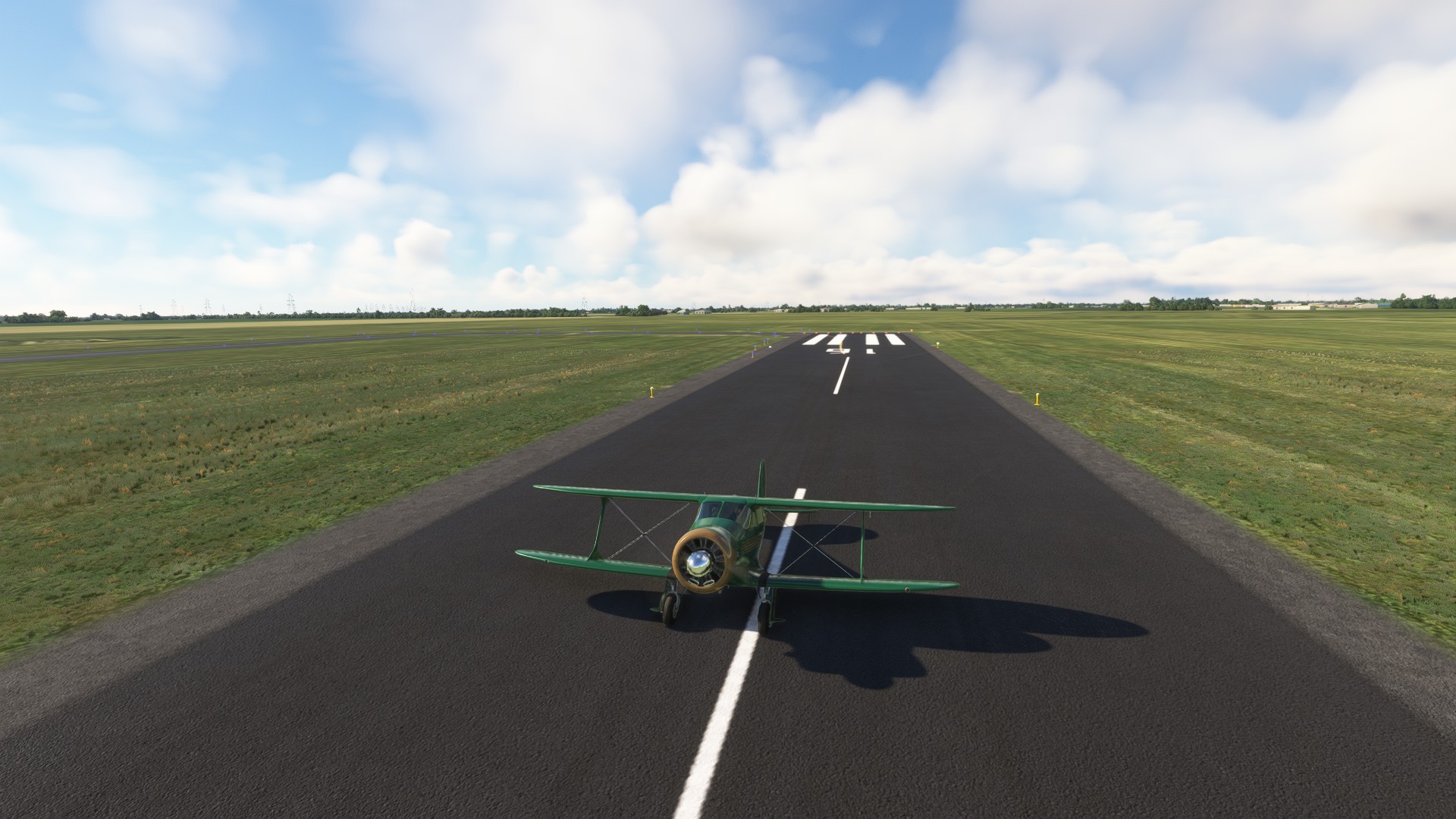
Leg 2:
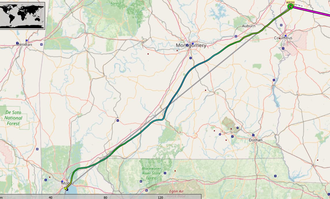
KSGR to LA61
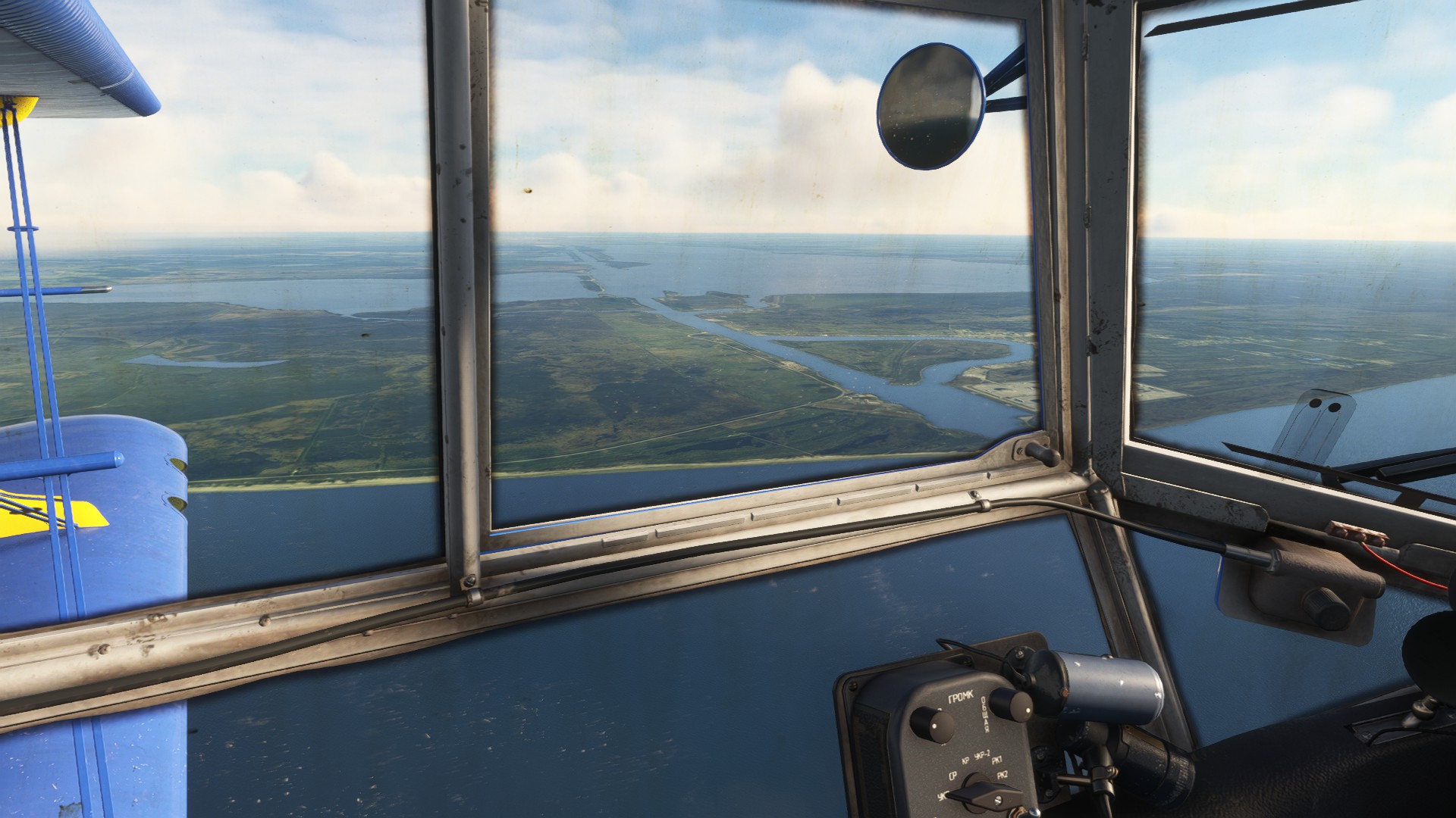
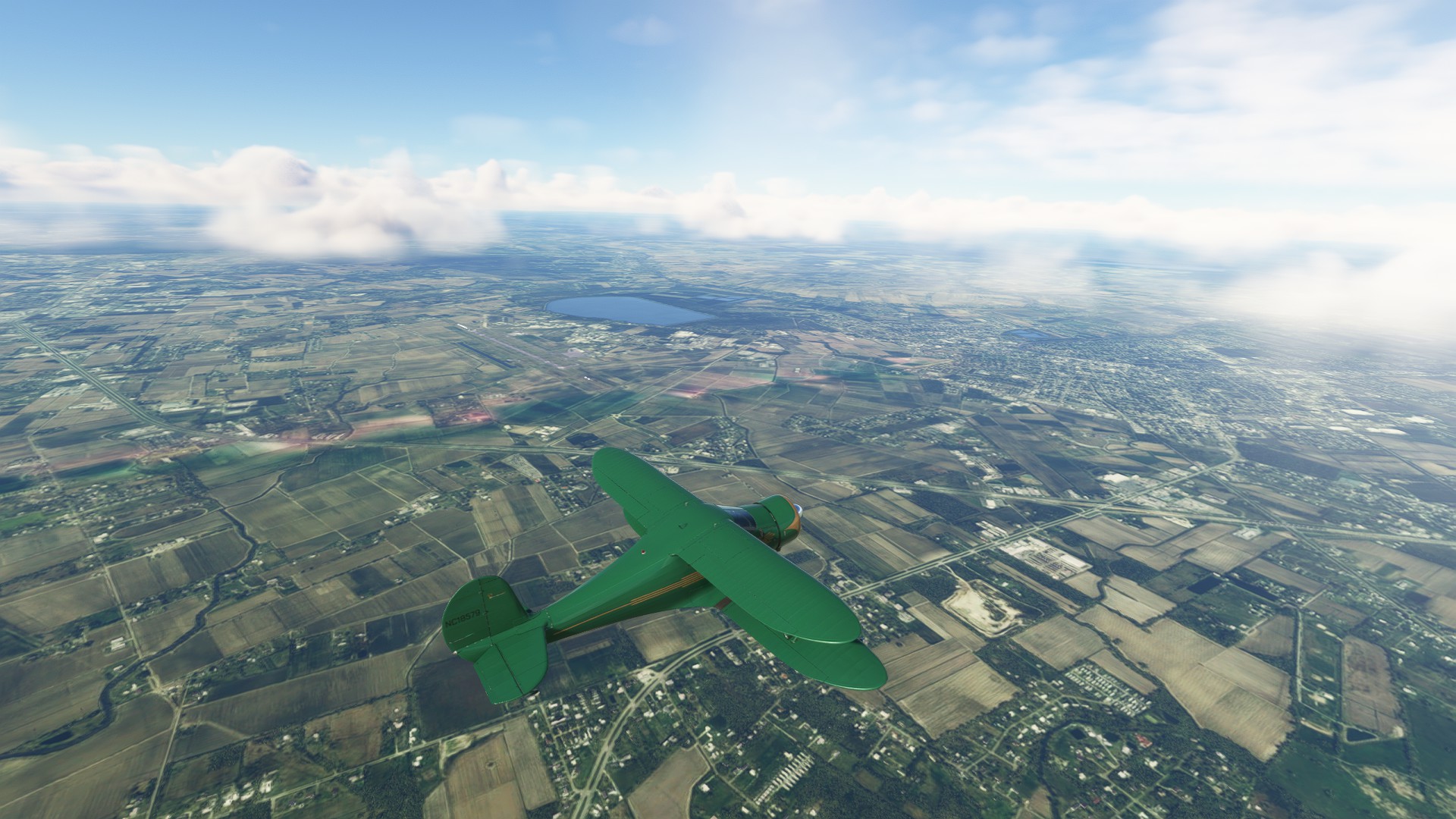
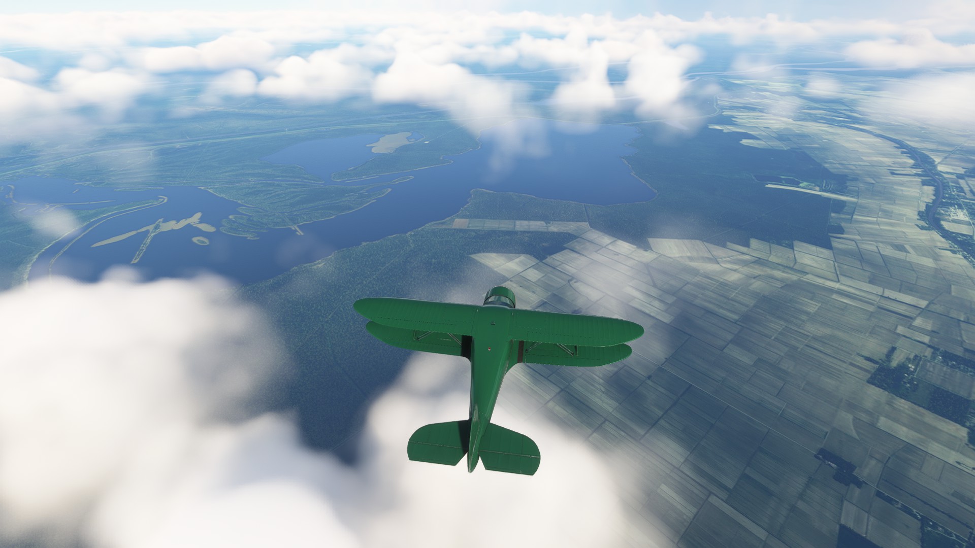
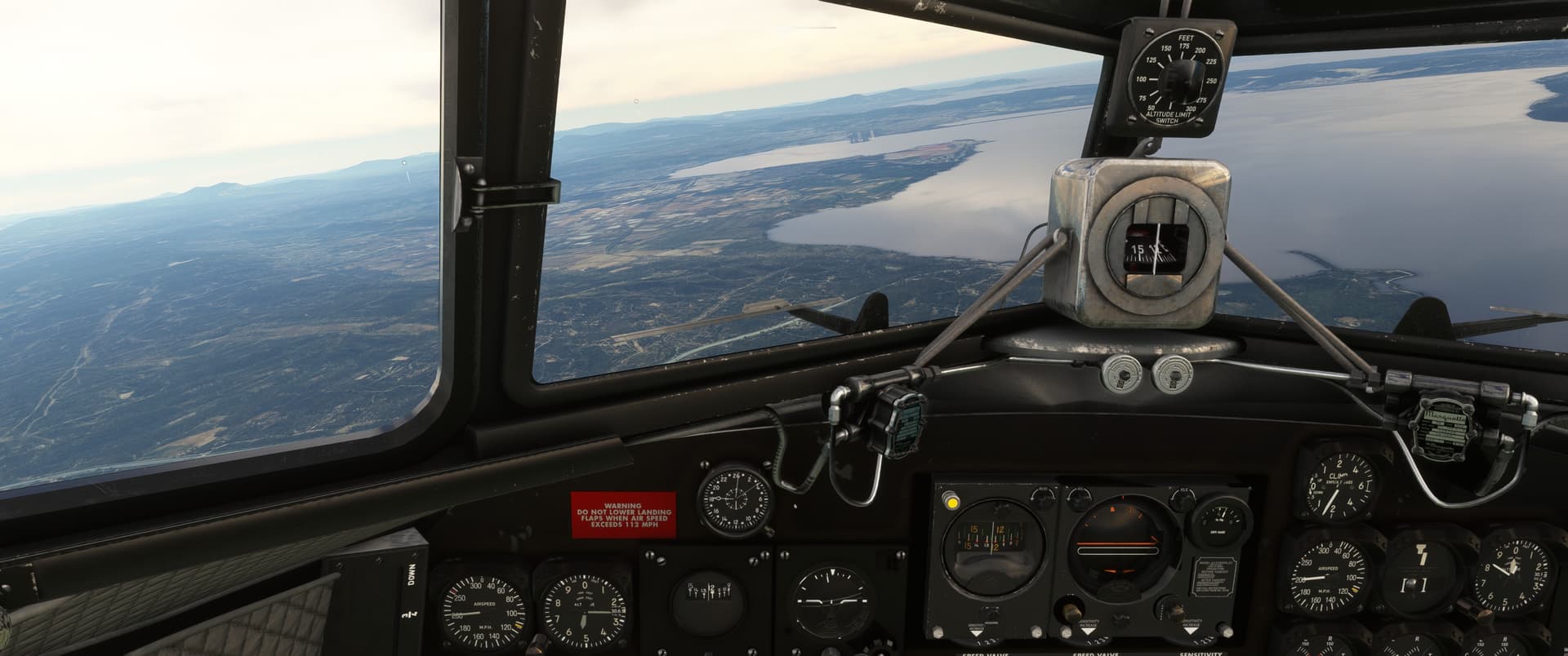
The plan was head east, follow the coast, count the lakes and use the occasional NBD to verify my location and find the strip.
2 hours and 24 minutes for an average speed of ~74 knots.
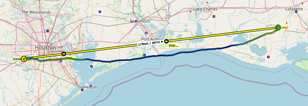
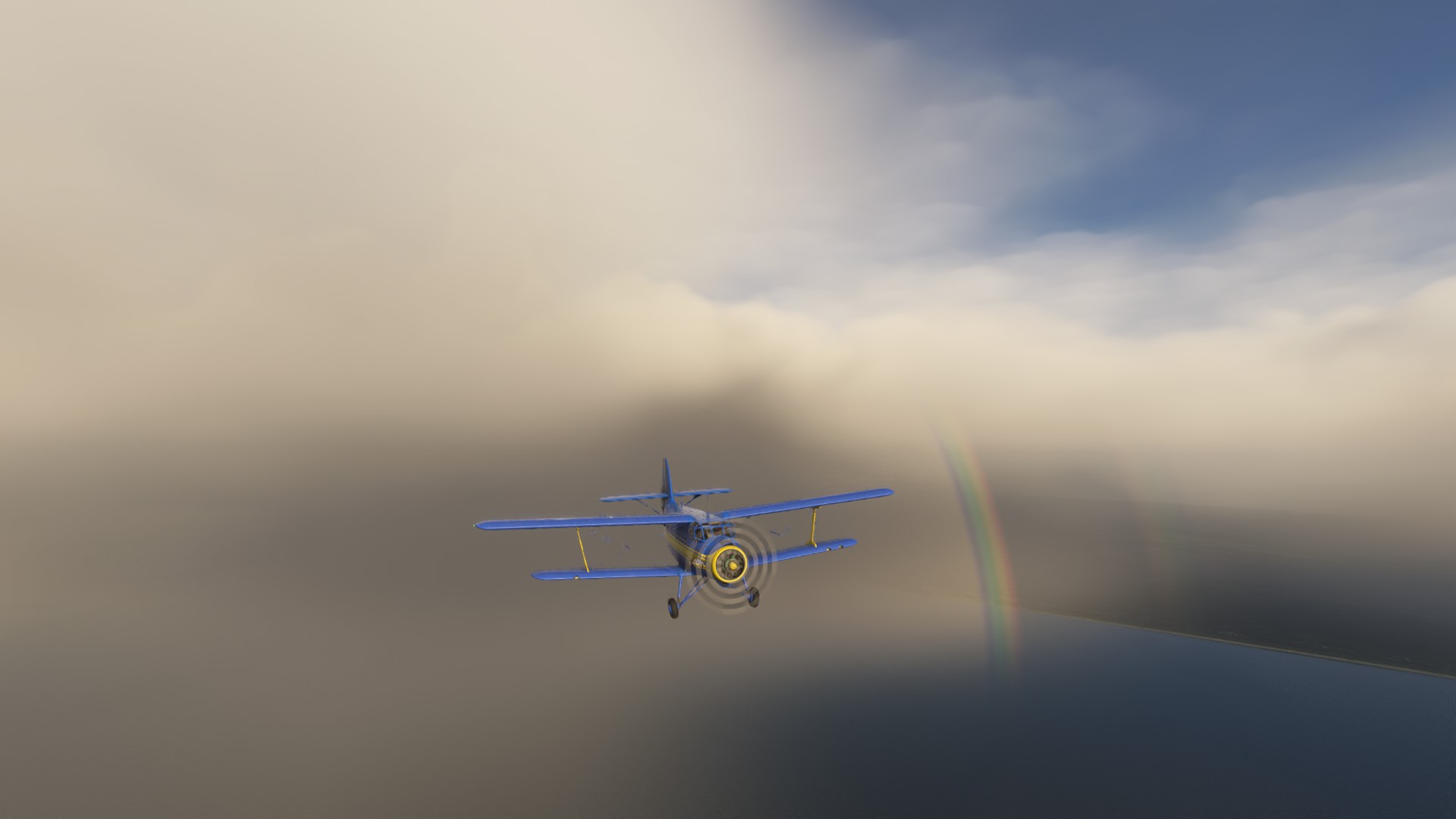
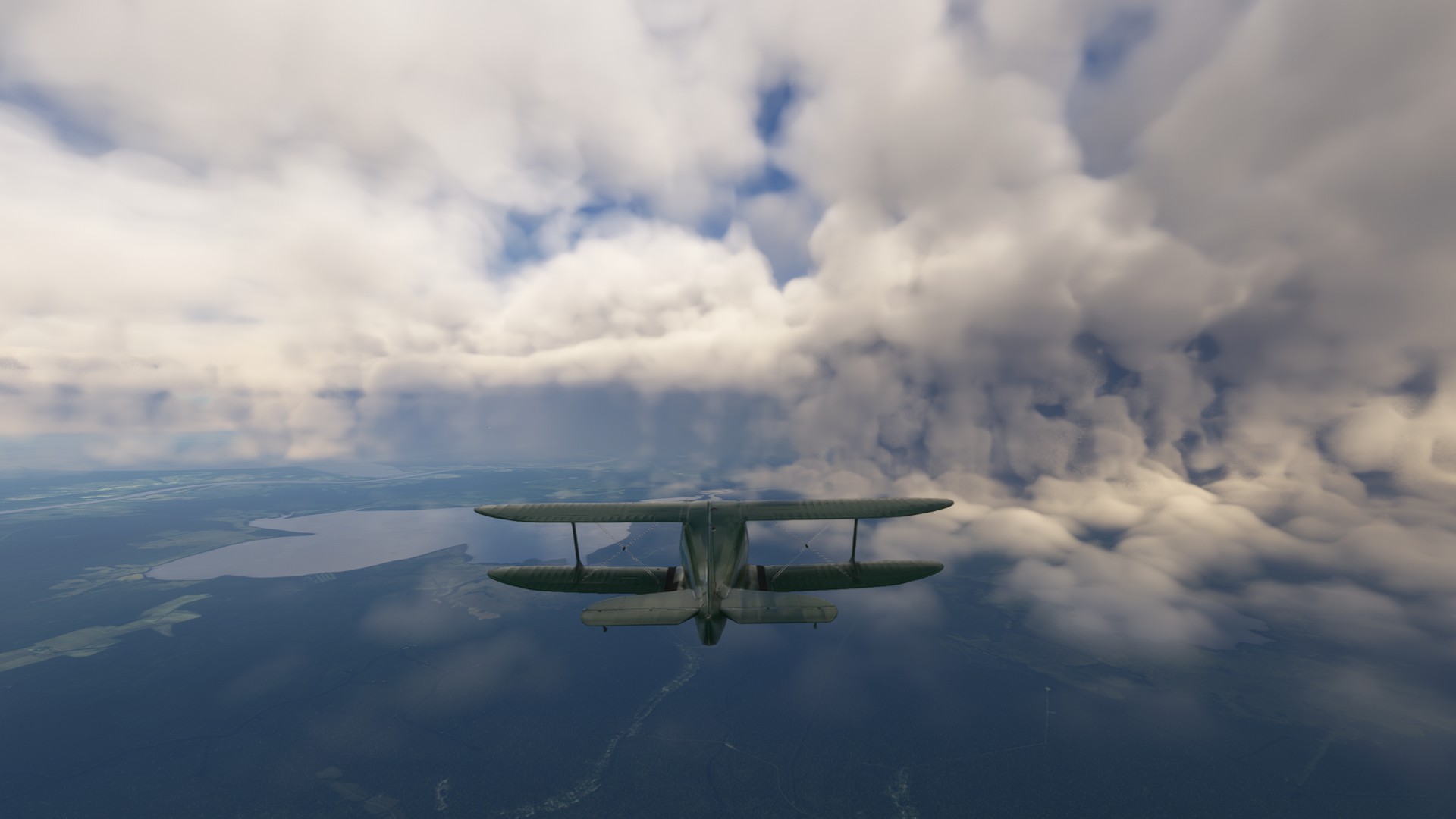
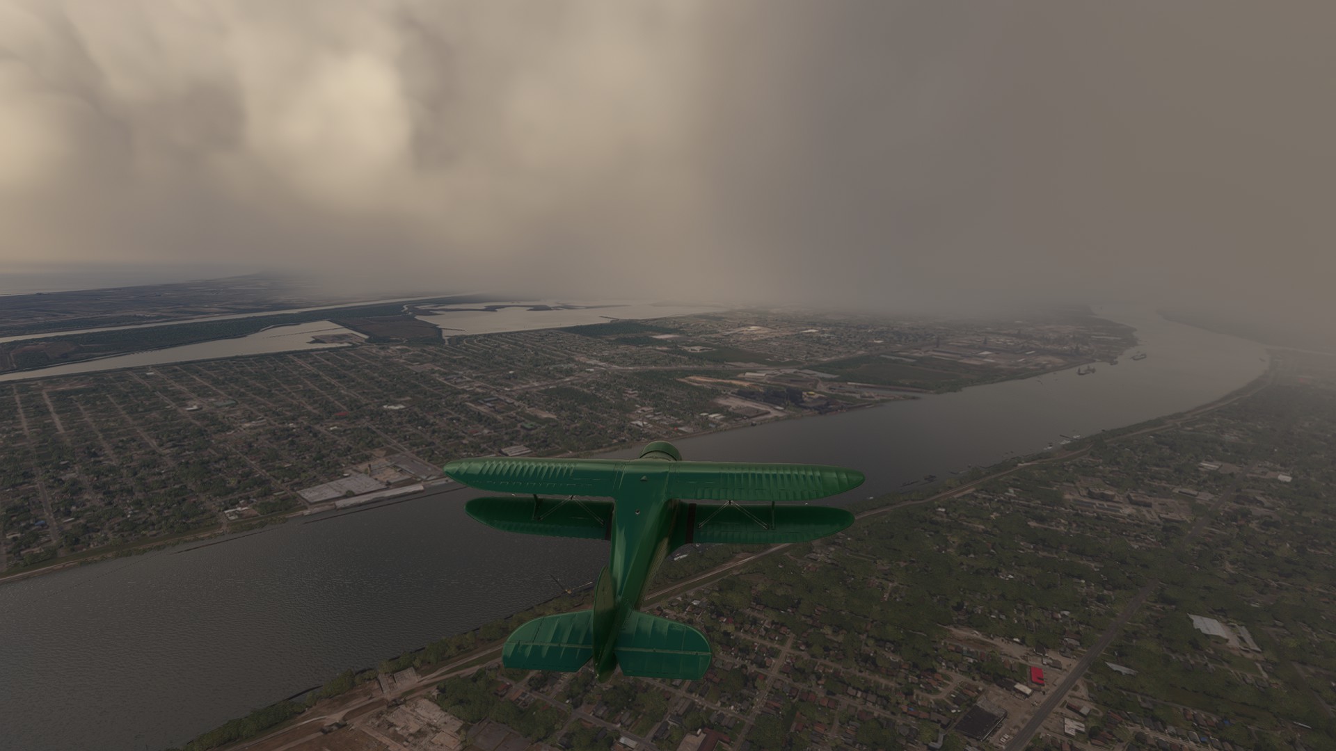
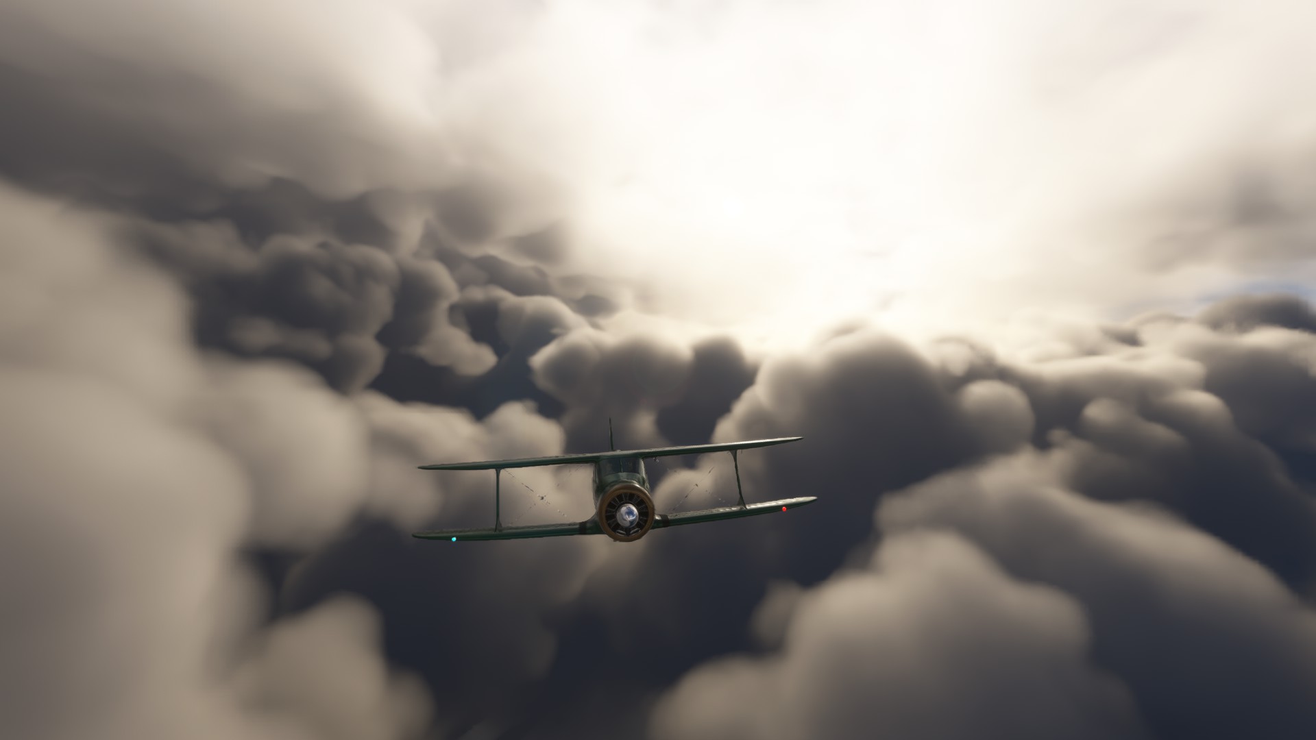
I’m flying with real world weather but adjust the time so I have some daylight to sight see. Well, the cost at night gets fairly foggy. I ended up going of shore a bit to get out of the worst of it, but still ended up IMC for a few minutes here and there.
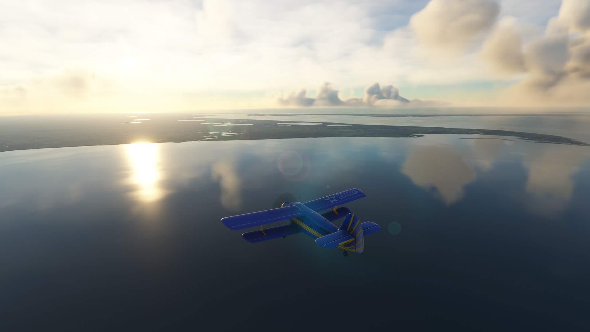
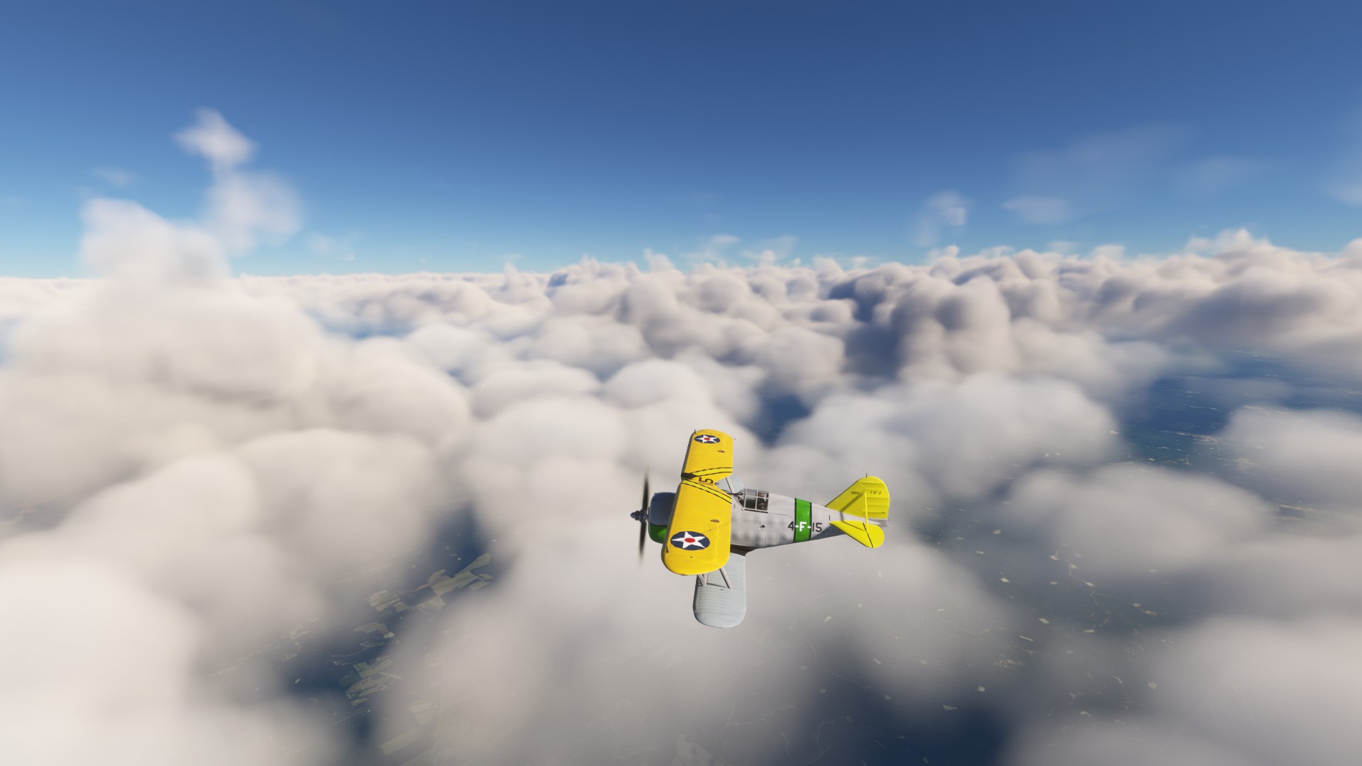
The lake just South of Lake Charles LA, the lake itself is actually Lake Calcasieu (why it’s not lake Charles I don’t know)
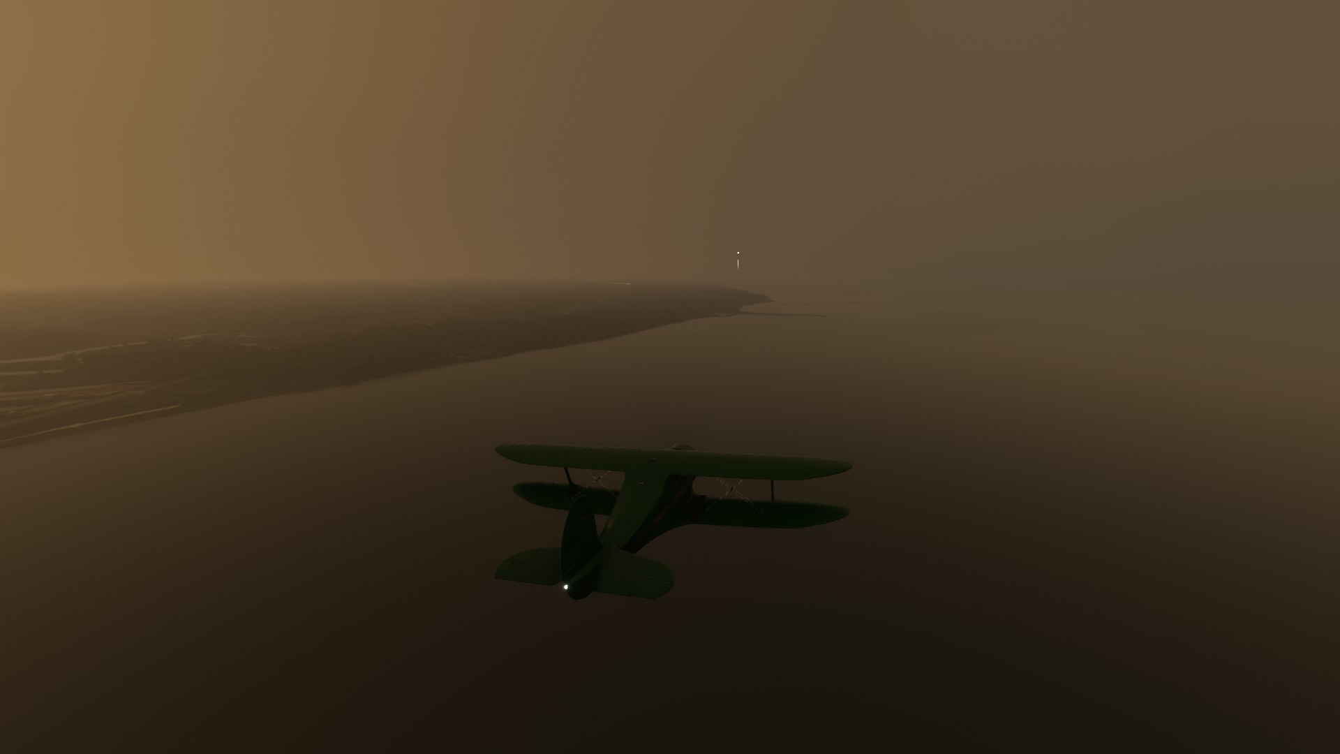
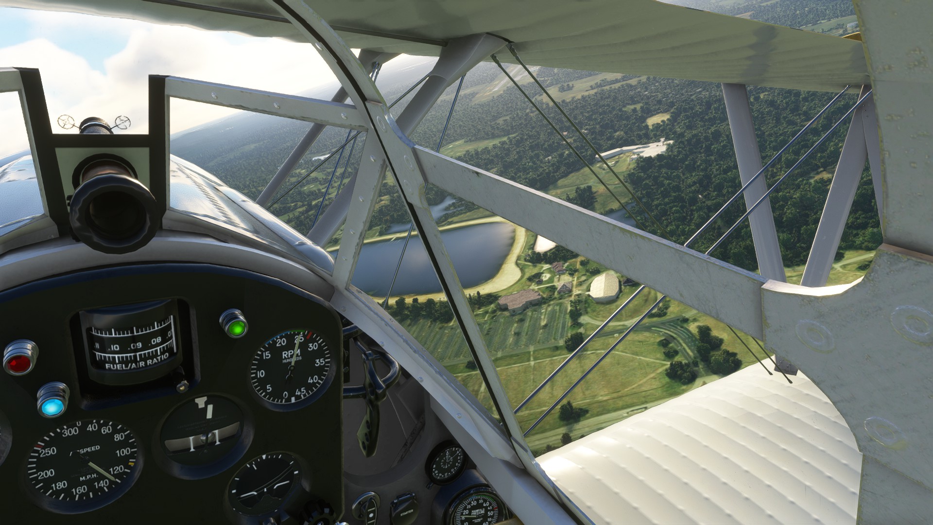
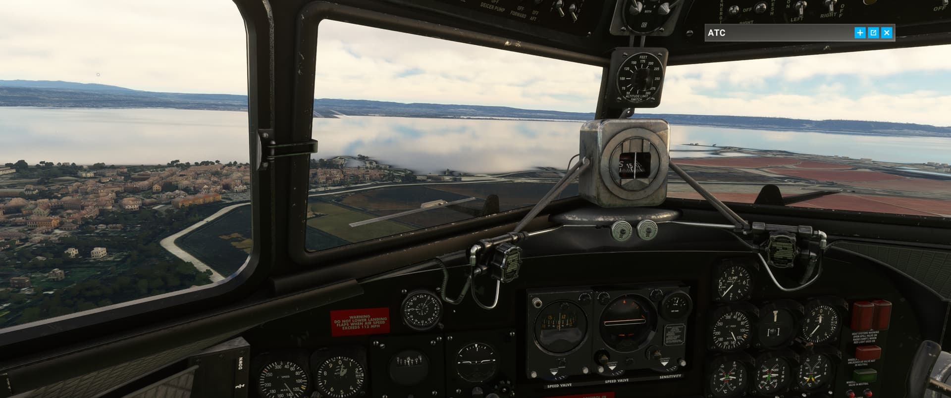
How we’re finding the our landing strip:
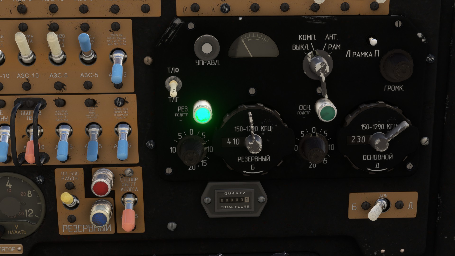
ADF needle showing the strip is dead ahead, sometime in the next 40 miles or so.
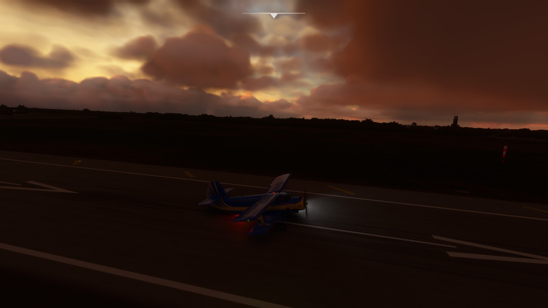
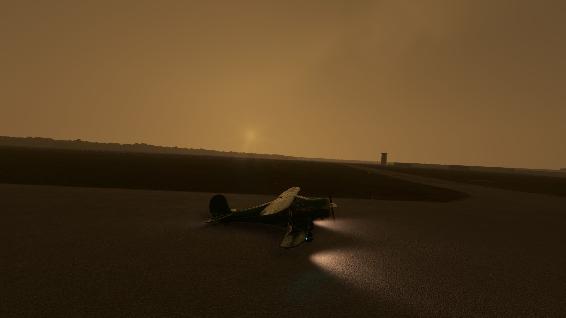
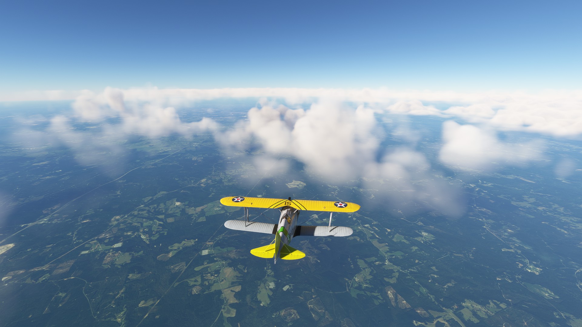
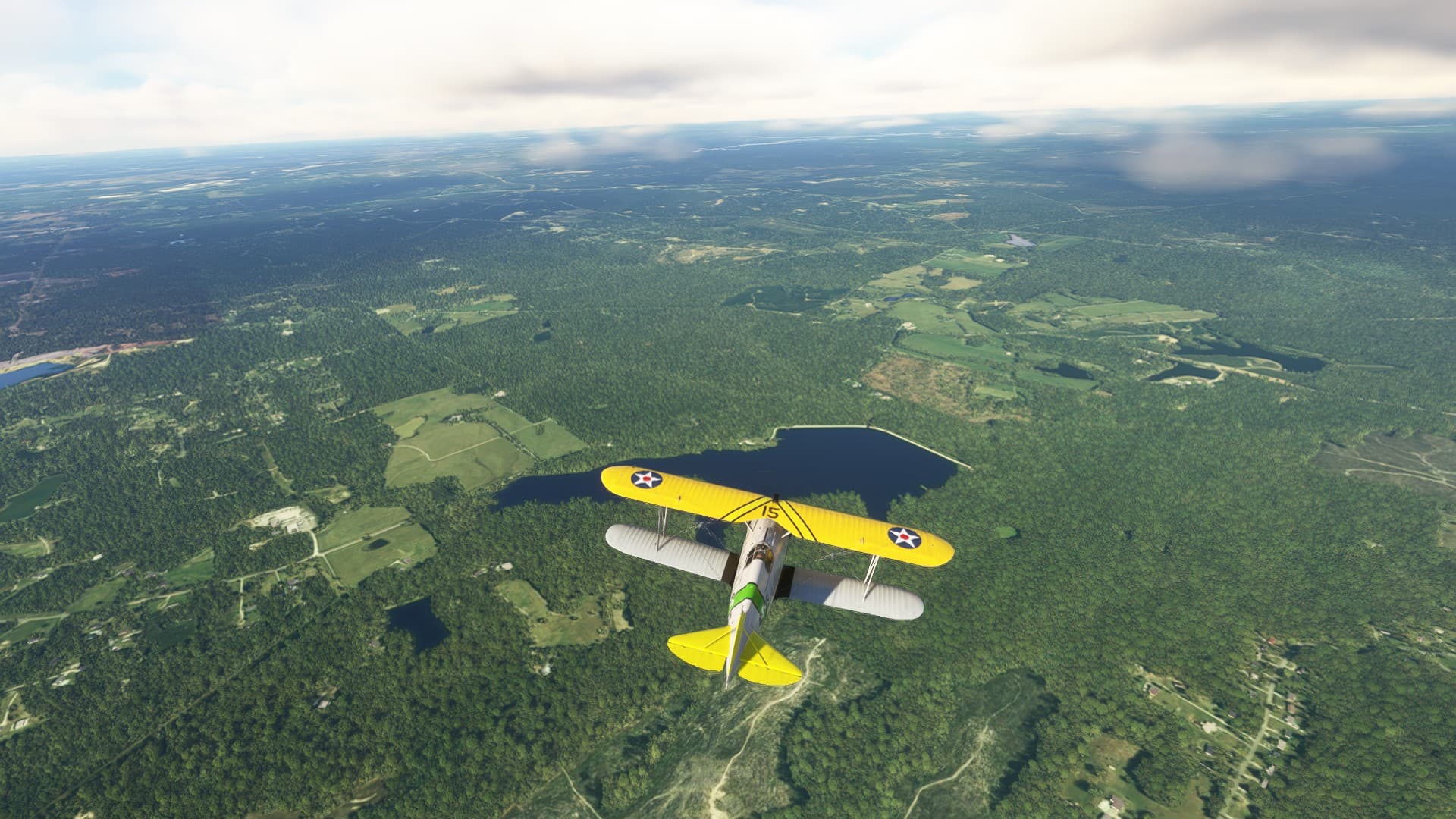
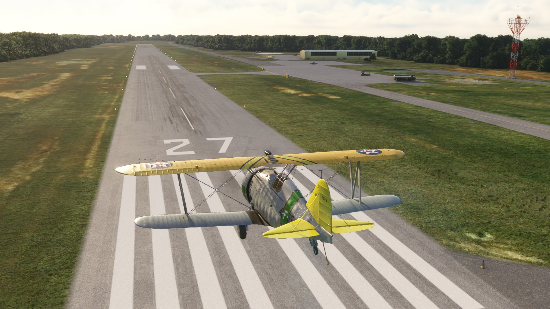
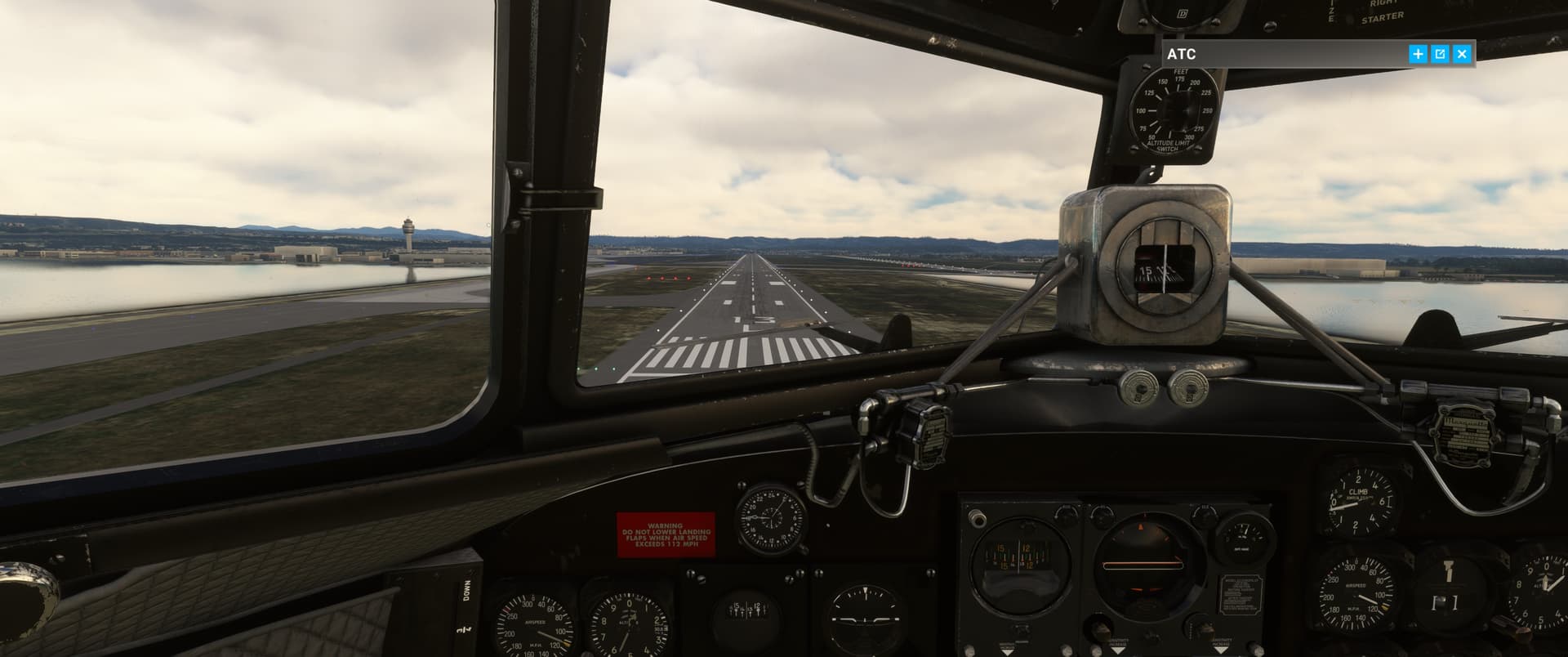
Found it finally
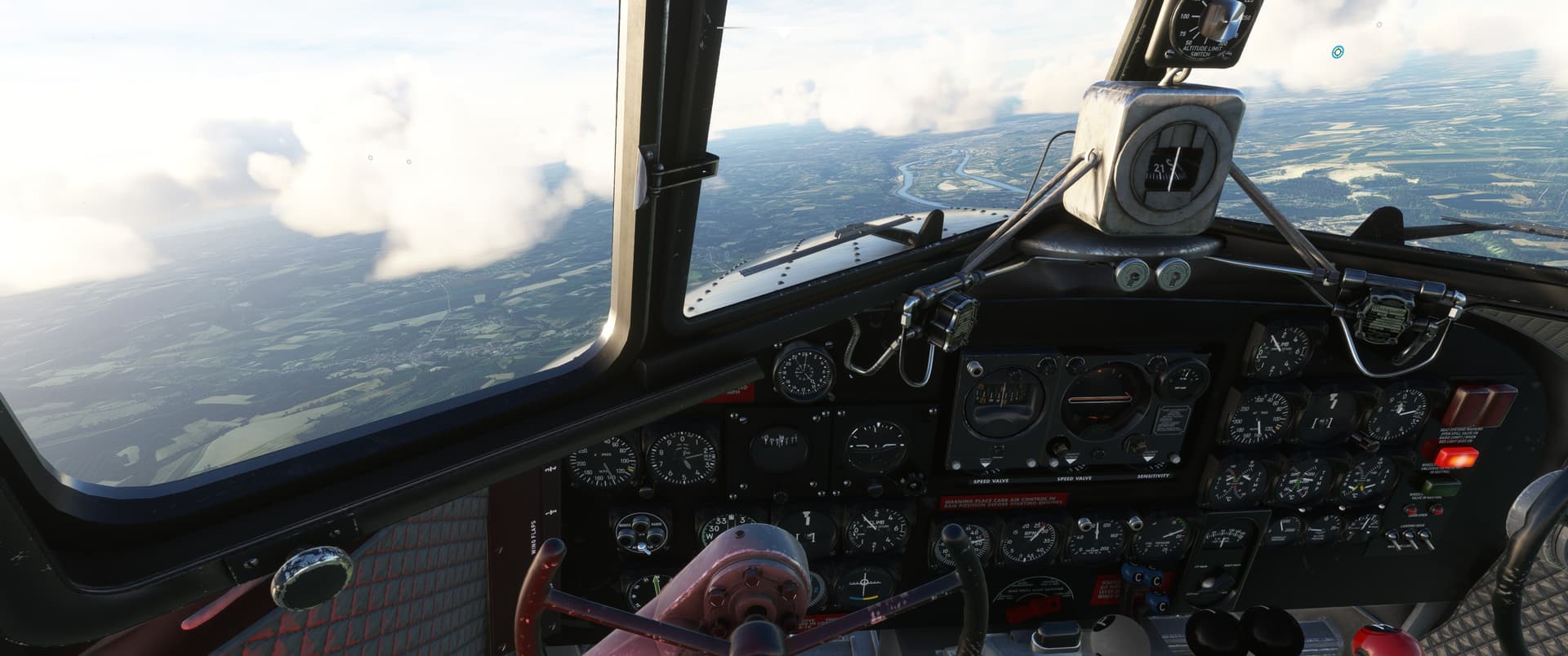
Final at about 53 knots, in a ~9,000lb biplane
Leg 2 done
12 Likes
So, last year I got bogged down in Norway due to the release of the Avro RJ and some bugs in MSFS2020(crashes, so many crashes). Eventually figured it out but it took a bit of time.
Let’s hope this year will be better! I’ve got a plan, and it depends heavily on INS systems unfortunately, so no more VOR/ADF navigation. Crossing the dessert will be boring I suppose, I’ve got a few proper long legs in there whilst I normally try and keep the flight time under an hour. Cruise is so so boring to me ![]()
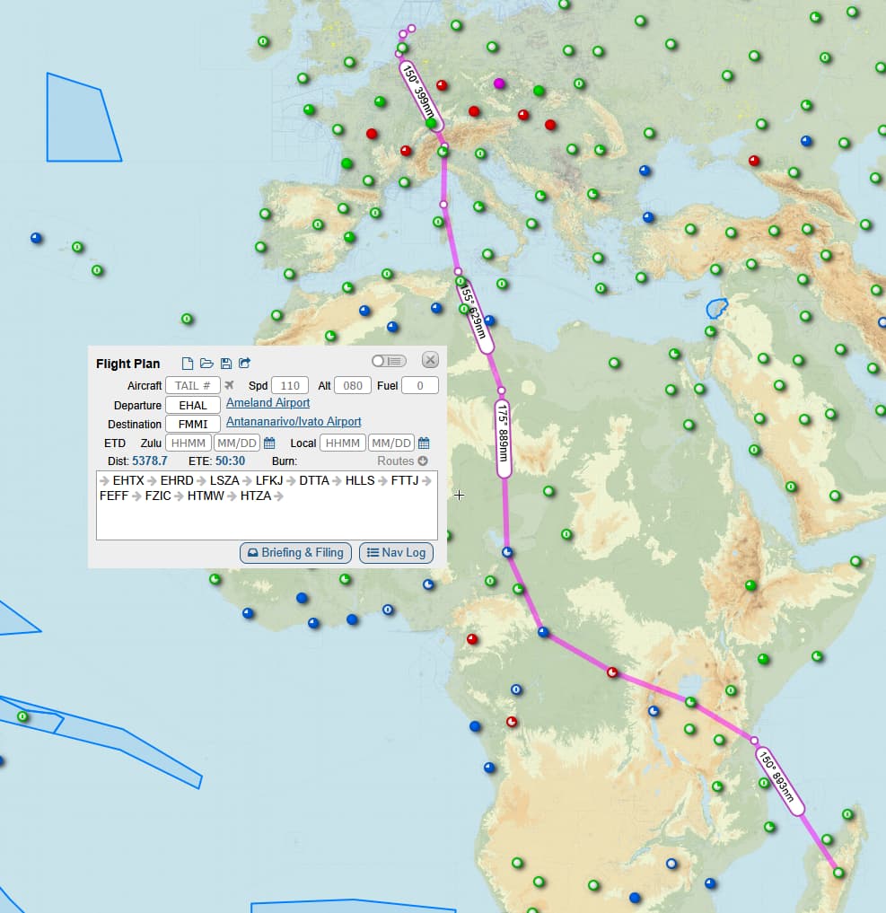
Starting off at one of the northern islands of The Netherlands I will go VFR to Rotterdam, hop in a jet and rocket down to Lugano, visit Sardinia and then off to Cartago, lets hope Cato the drunk won’t mind.
Instead of hopping the coast like I normally would do I now head south towards lake Chad, then to lake Victoria and off to Madagascar.
Might do some VFR sightseeing along the way!
7 Likes
Leg 3
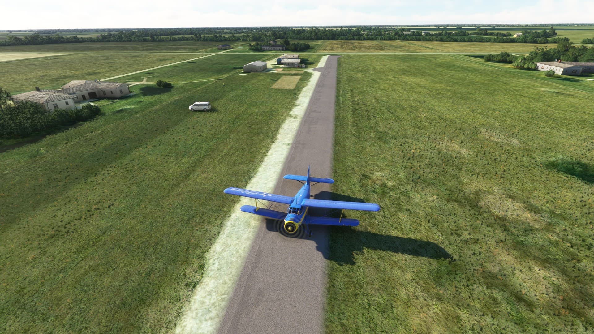
KIYA to KBFM
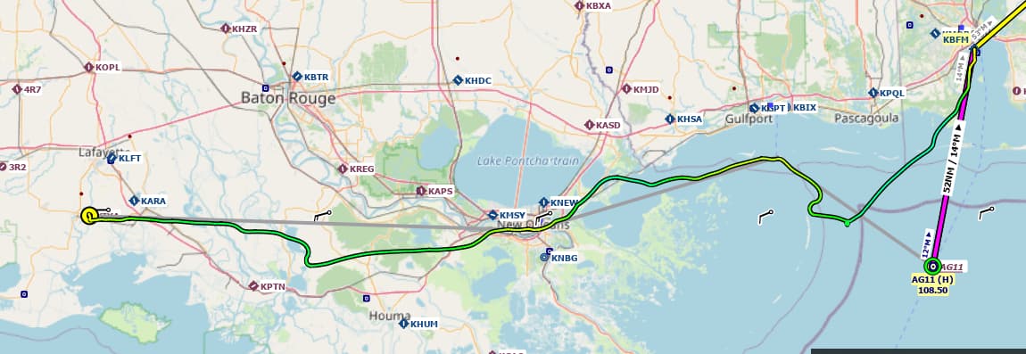
Well that didn’t go quite as planned. The weather guys are going to get a nasty email. The plan was to head over to Mobile and hit all the MSFS points of interest along the way.
1 hour and 37 minutes, for an average speed of ~ 150knots. So obviously a bit faster than our previous trips…
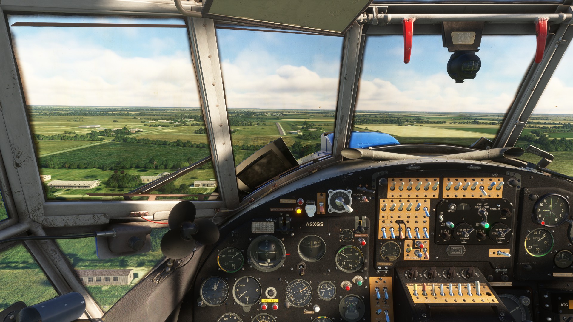
Our trusty steed for today. We moved about 10 miles SE to KIYA to have enough space to get off the ground in something that wasn’t STOL.
The Staggerwing is a damn pretty plane, and the MSFS version certainly captures the lines well. So far so good, weather is cooperating…
Hmm, that is going to present a problem, just W of New Orleans.
Dropping down to about 1000’ got me below the clouds. Still hazy though.
After that it was pretty much solid clouds down to the deck, or as low as I was willing to try without a radar altimeter. Oh and there’s lightning in there too. First time I’ve seen it in MSFS actually.
Elected to abort trying to see the LHA off the coast and turned N to Mobile, IFR pretty much the whole way. The towers weather brief gave me a call of clouds at 2,000. This is what I ended up with
On final, you can see the cloud deck is a bit lower than 2,0000.

But I made it so, I’ll take it.
12 Likes
Nice. I had been eyeing off a Staggerwing for X-Plane. But it looks like is XP11 only… Bugger!
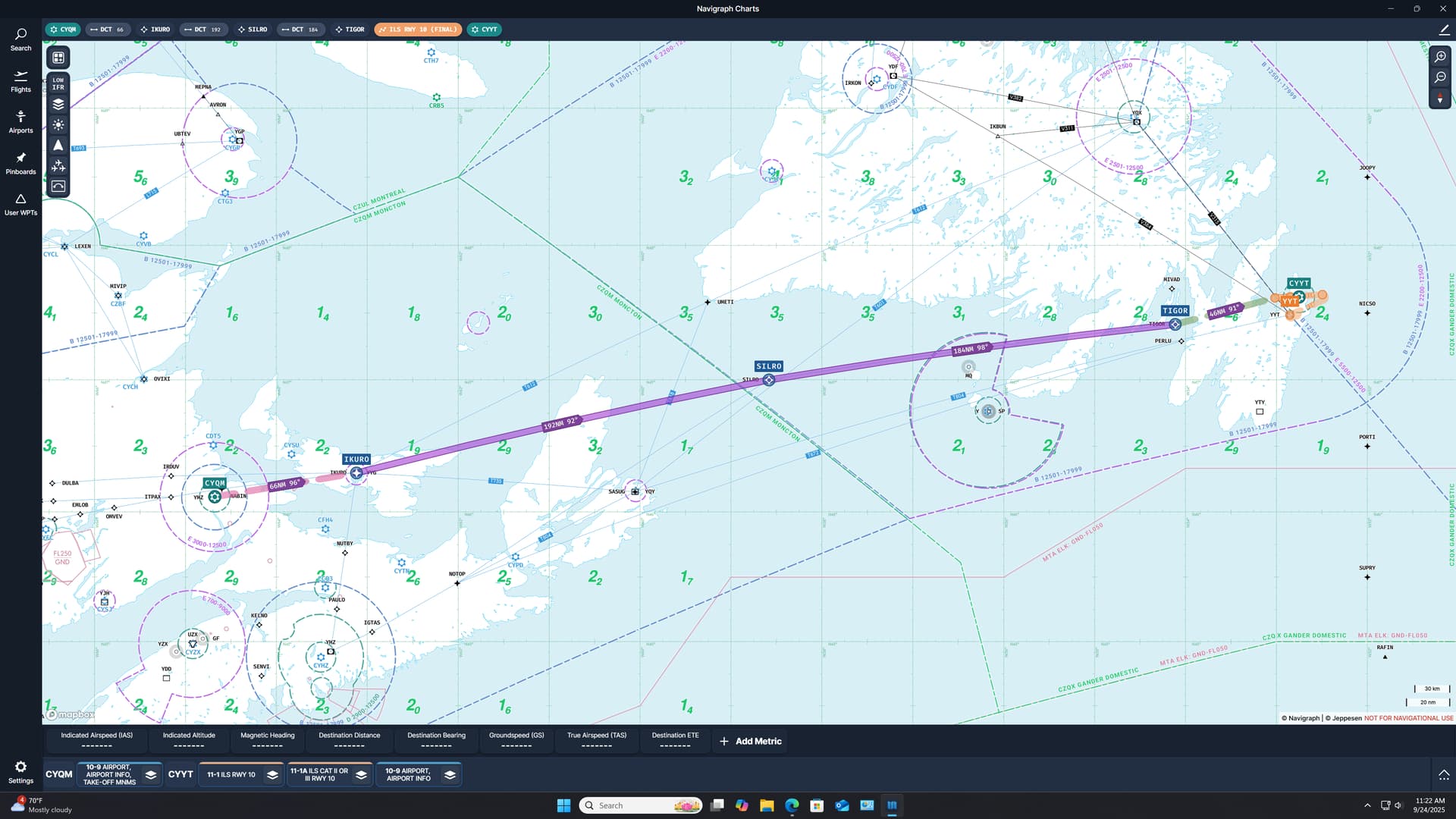
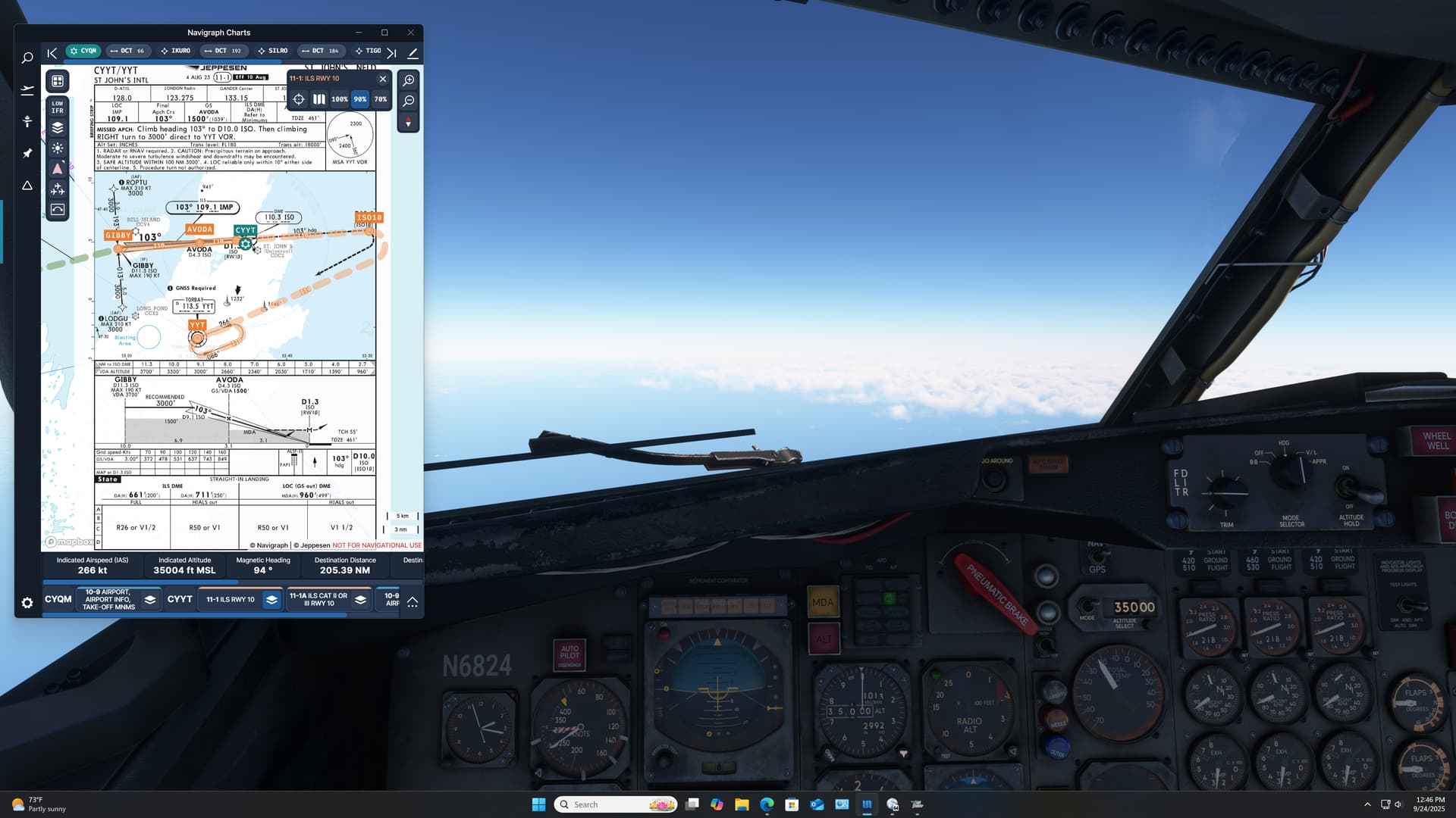
Leg 2: Greater Moncton Roméo LeBlanc International Airport, Dieppe, New Brunswick, Canada (CYQM) TO St. John’s International Airport, St. John’s, Newfoundland and Labrador, Canada (CYYT)
Having had a (typically) less than auspicious start to my holiday travel plans this year, I was more than a little dubious that my next leg was going to go as planned.
Figuring that reducing my overwater distance was no bad thing, considering my previous fuel issues, I chose to continue my trek up the eastern shore of Canada, before hopping over to the Azores.
Plus, I wanted to see if I could come to terms with my gas situation this leg.
500NM from Moncton to St Johns; about 1+10. Mostly dry.
Mostly…

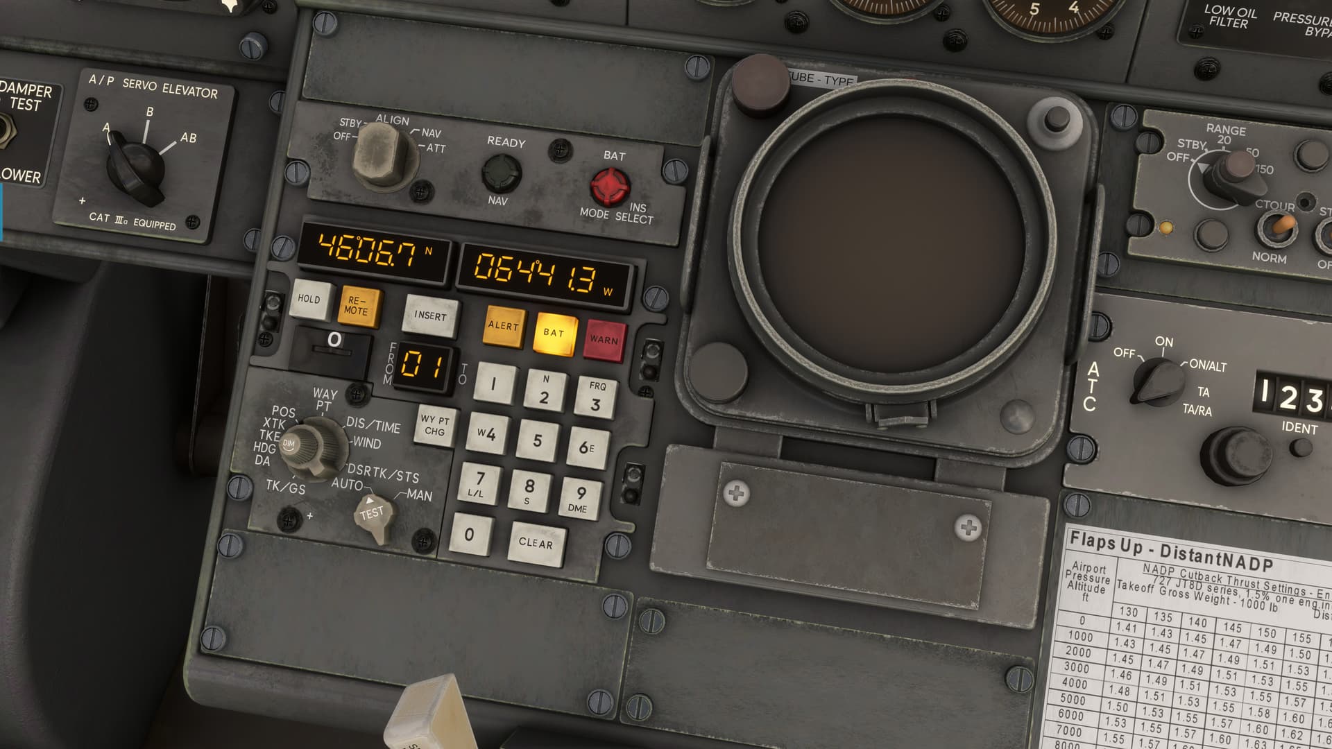
The primary learning objective for this leg? The CIVA INS. Particularly in these days where physical NAVAIDs are going the way of the Dodo, this little baby is going to come in real handy!
Amazingly, I get her aligned and some waypoints loaded.
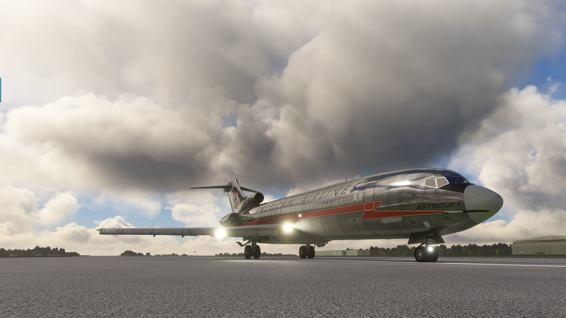
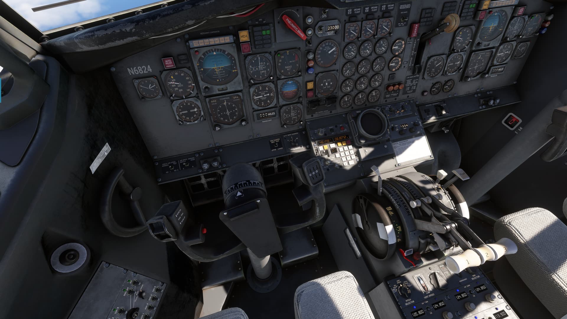
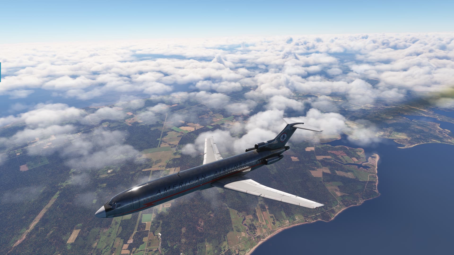
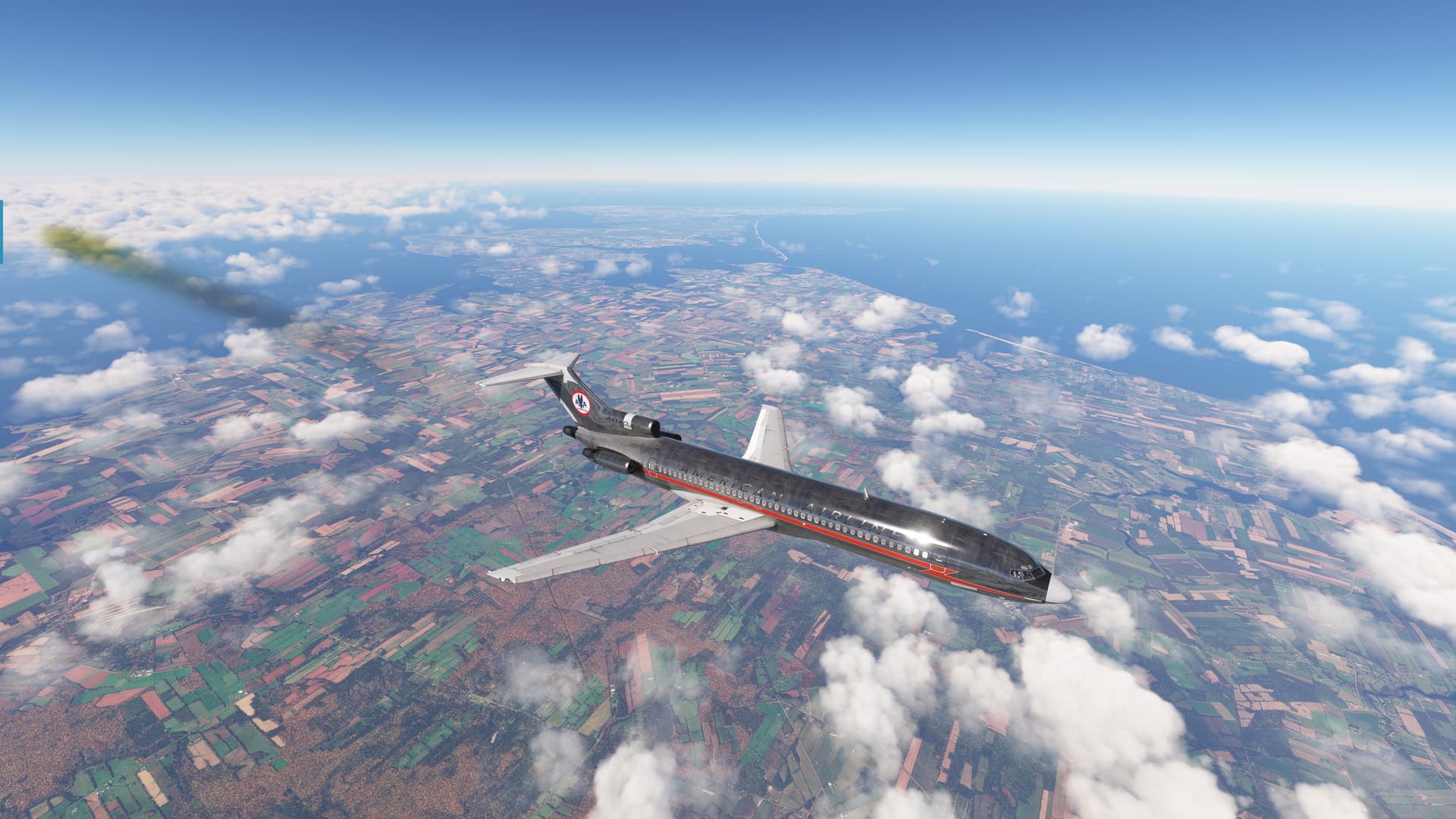
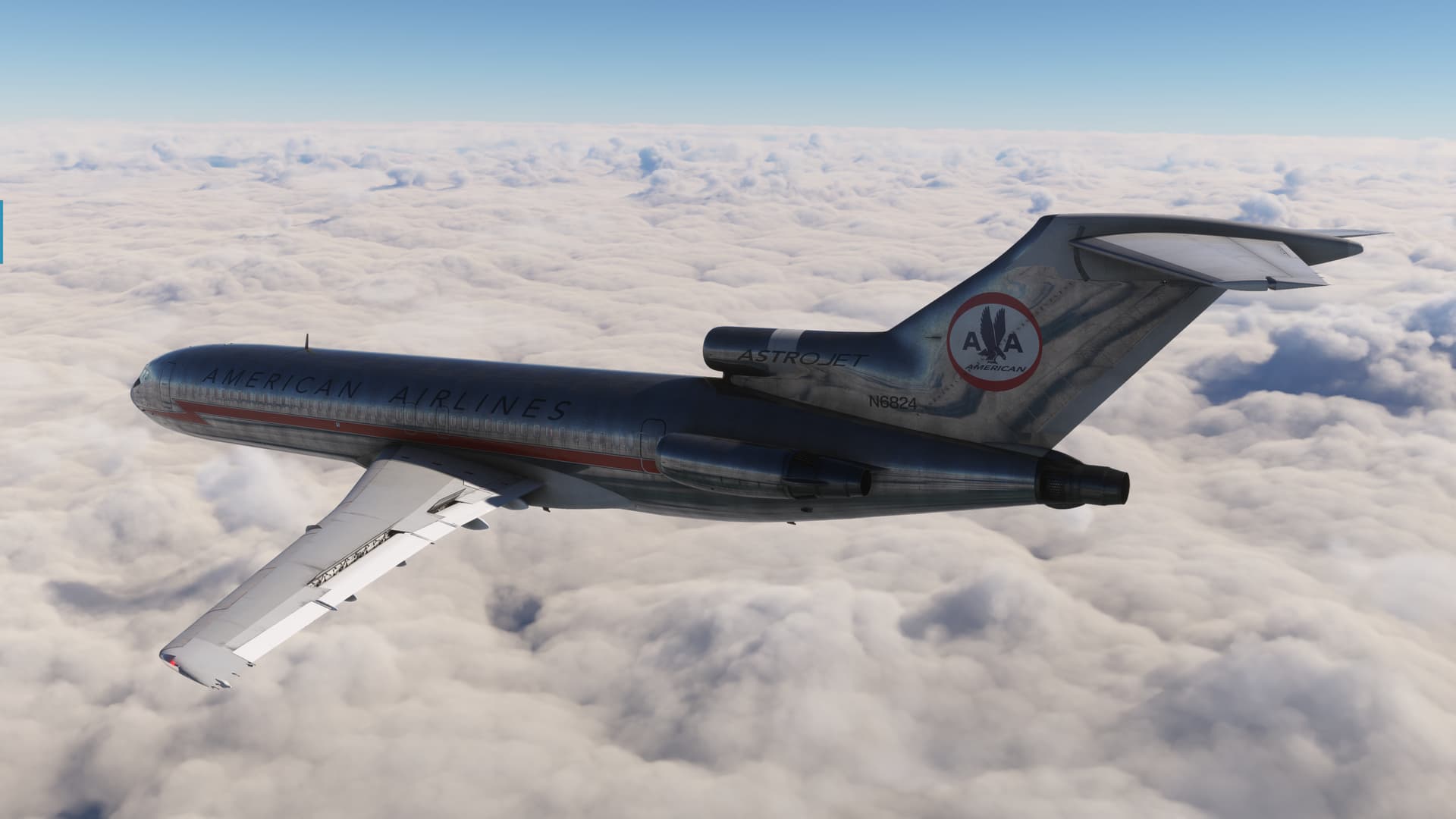
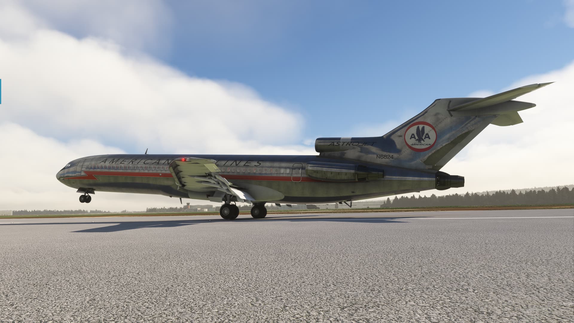
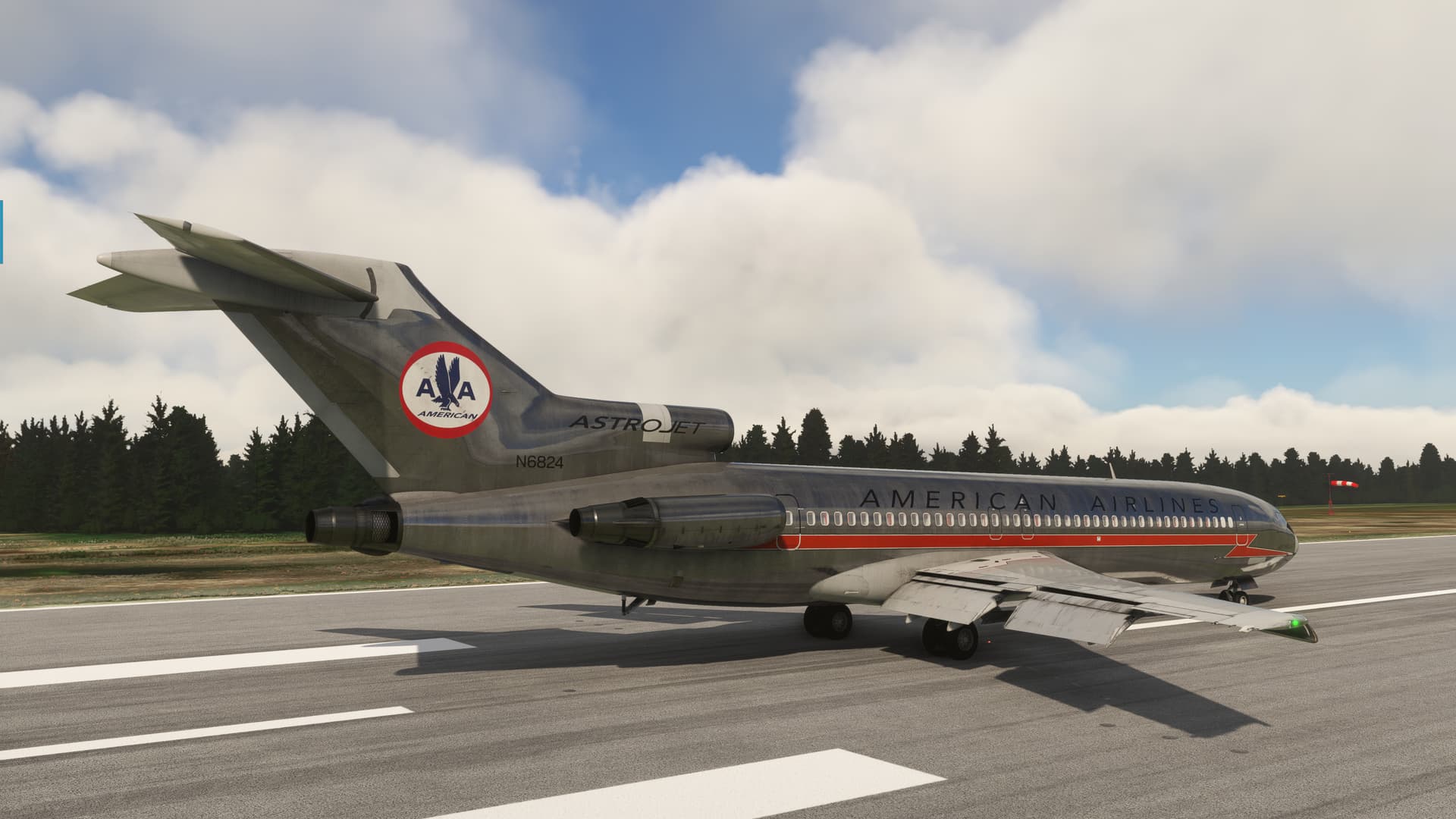
My livery for today is old school American Airlines by CptAnubis. I’m not actually certain that the 727 and this livery ever coincided. But polished aluminum and orange racing stripes > historical accuracy any day! ![]()
This time I made certain to fill the tanks, and with a little over rotation we were on our way.

She still climbs like a bat outta Hell! With only 66NM between me and my first point, things start happening fast. Maybe a little too fast.

The first thing to do was to see if I could get the bird following the INS.
I have no idea what’s going to happen when I turn this knob to AUX NAV.
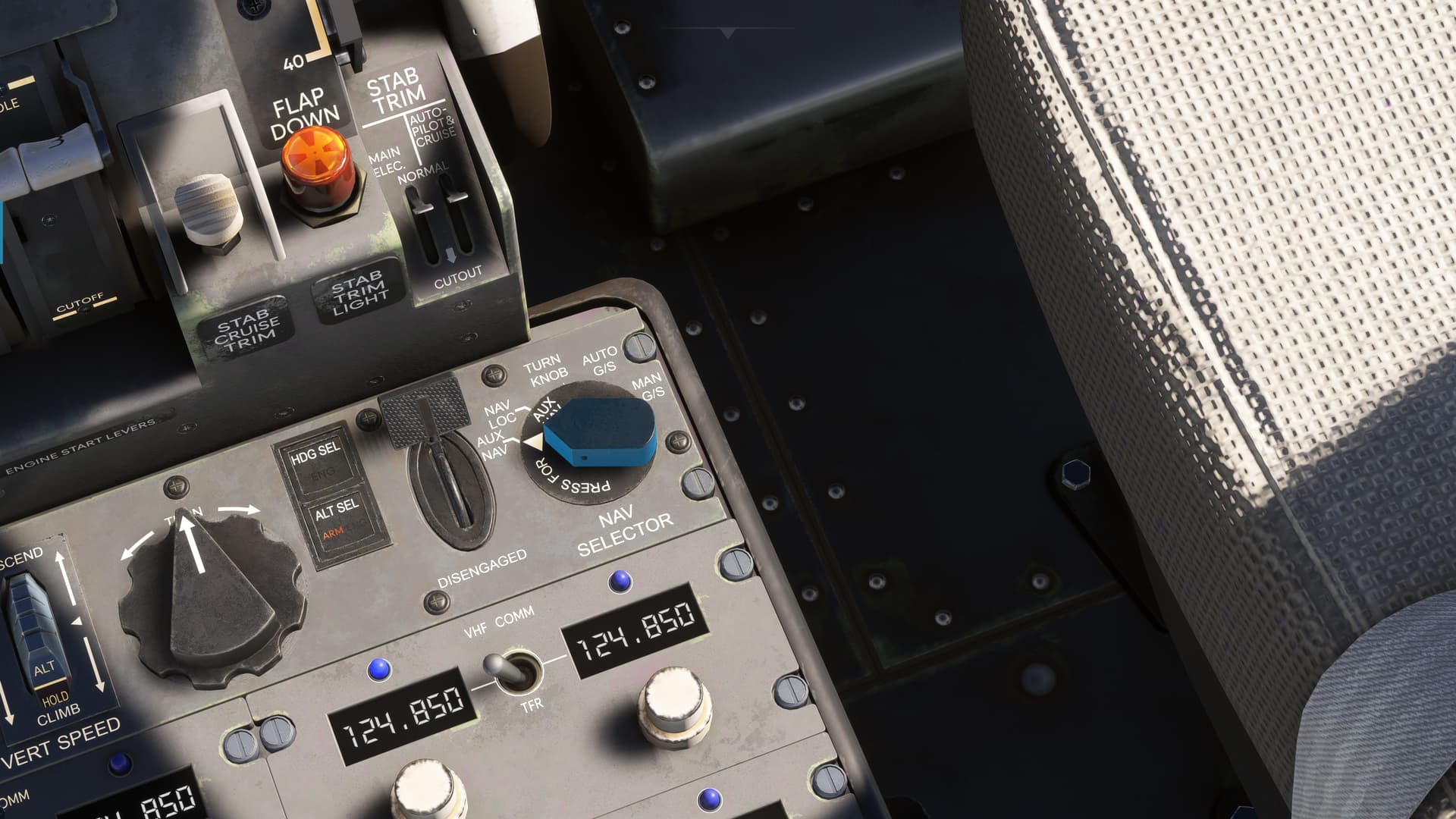
Turns out, quite a lot…not all of it desirable! ![]()
The aircraft does appear to adjust heading to accept the INS course, so, yay, winner winner chicken dinner.
However. The aircraft also, inexplicably, levels off and starts accelerating towards the Barber Pole…and it ain’t for a haircut!
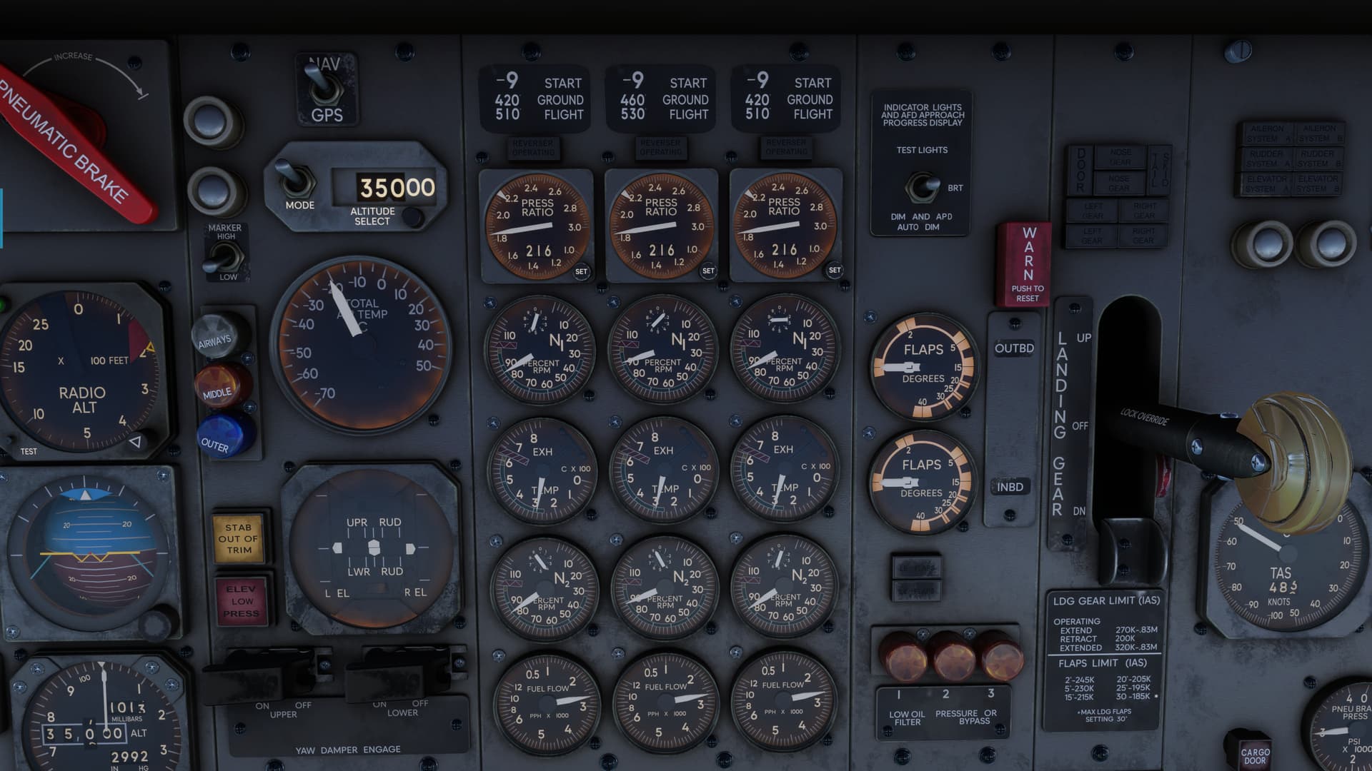
Sooooo, lesson learned number…quite a few by now. In the 72, changing the altitude in the altitude window does not reset the altitude at which the Autopilot will level off.
It appears that it is necessary to rearm the altitude capture function with the pushbutton located behind the throttles each time you change the desired level off altitude.
There is always the possibility that I changed the window when the AP was already in the process of capturing the previous altitude of 10,000ft. But, if so, I missed it. Further investigation is required. ![]()
In any case, after a little clacking, a little Mach tucking, a few (wholly cosmetic) fairings departing the airplane, I was all locked and cocked and ready to rock.
Despite all probability, the CIVA even autosequenced the INS waypoints properly.
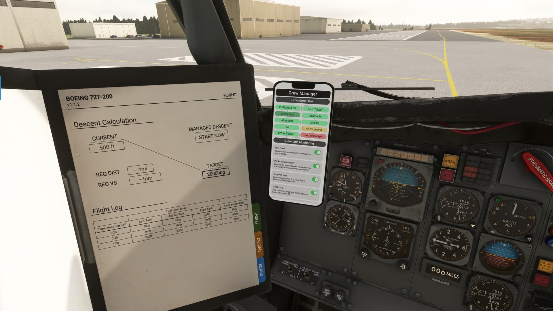
So I turned my attention to the fuel.
After some looking, I finally found the fuel panel behind the FO’s seat. In fact, I caught the FE doing his job and working the boost pumps to, um, do, things…with the fuel?
What can I say? I missed flying sideways by thiiiiiiiiiiis much when I got hired. ![]()
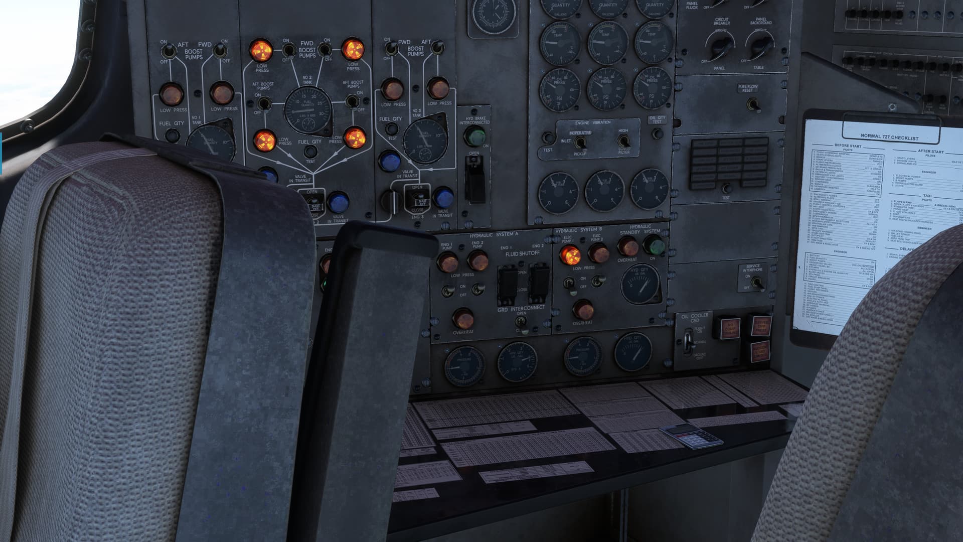
And I made sure to set the EPRs down to what the Interwebs say they should be, about 1.8.
And here’s where I get a little lost.
The FE’s fuel log appears to show that I burned 5600 (Lbs presumably, based on the header). Total. In 20 minutes.
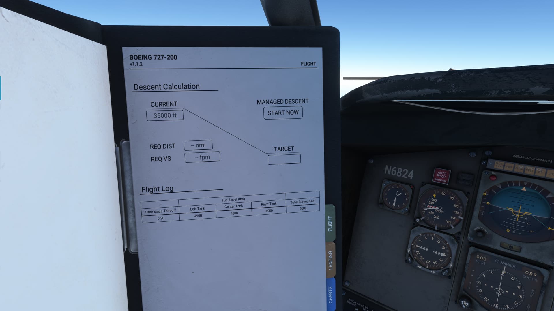
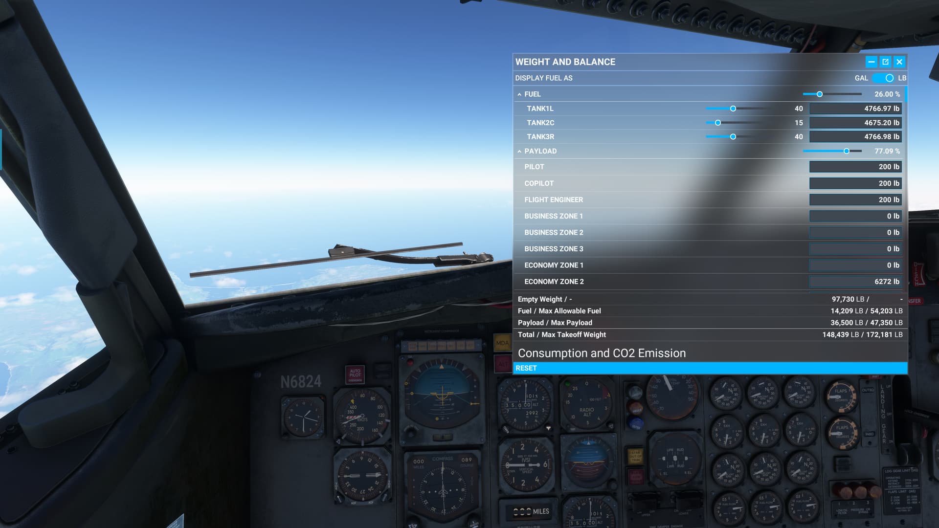
But it also shows that I only have about 4700lbs left per tank. This is what is shown on the FE’s panel as well. That amounts to 26% or so of my total takeoff fuel.
So, where did all the fuel go? ![]()
5,600lbs from 54,203lbs, full takeoff fuel, is not 14,209lbs. On the other hand, 5,600lbs X3 comes a lot closer. So, it’s burn per engine. I think.
But 5600lbs/20 min = 16,800lbs/hr. That feels excessive somehow.
Doing all this in my head is really taxing the one remaining brain cell that I have that hasn’t been euthanized by scotch.
Yet.
Maybe I’m doing the math wrong, but it certainly explains why this 2000NM aircraft only seems to be able to go about 500NM.
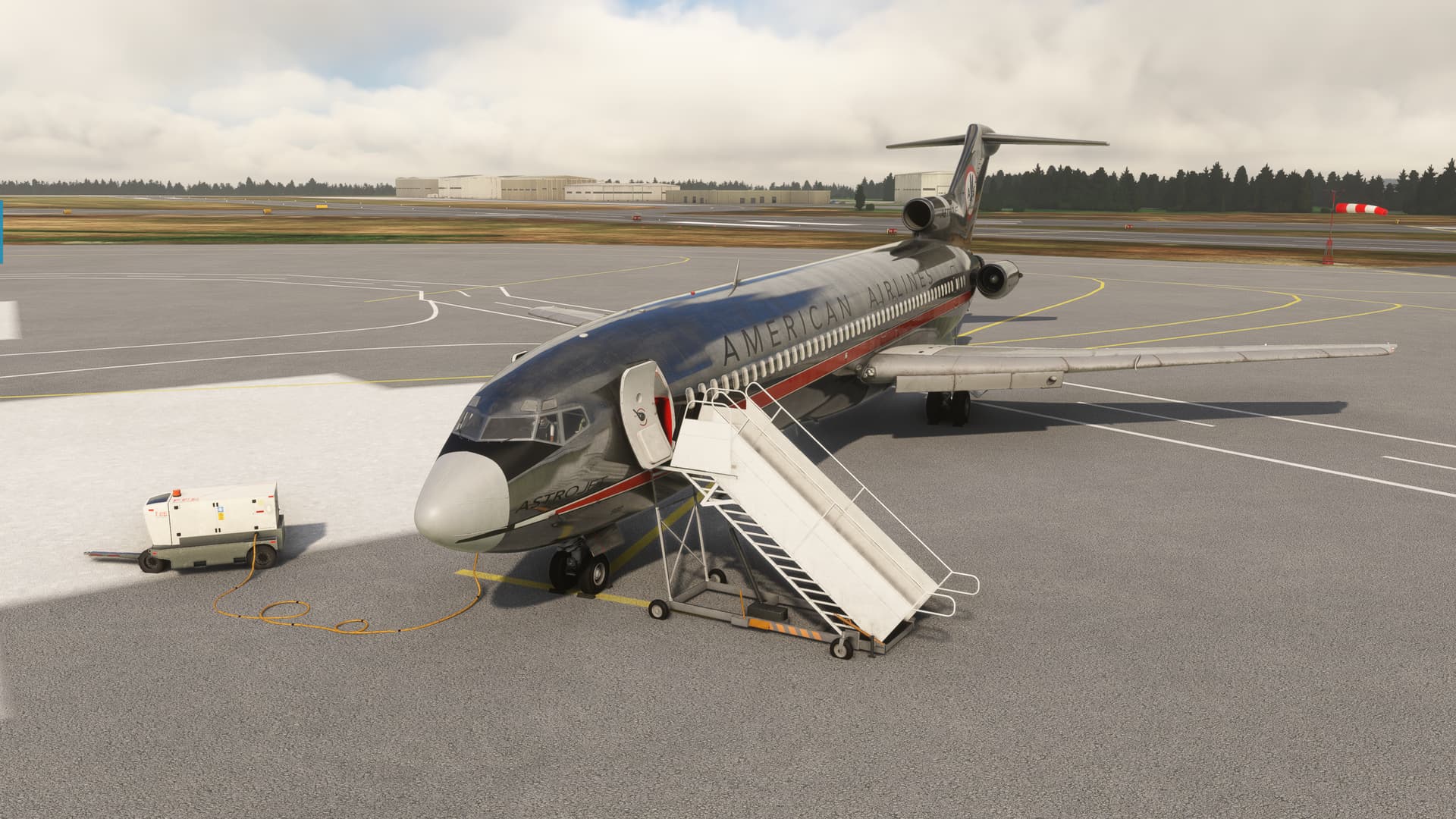
Anyway, head hurty…here’s a picture of an airplane! ![]()
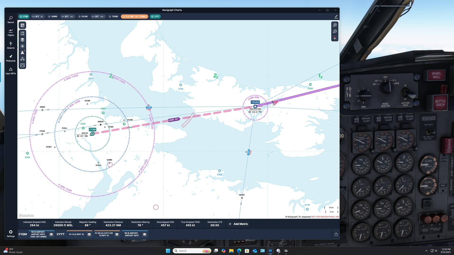
Thankfully, I was nearly at my destination! With quite strong winds out of the northeast, I dialed in the ILS RWY 10 at St John’s.
Once again, with all the tuning, twisting, and flipping that I was going to have to do in this thing, there was a very real chance of a helmet fire at the scene of the upcoming accident. ![]()
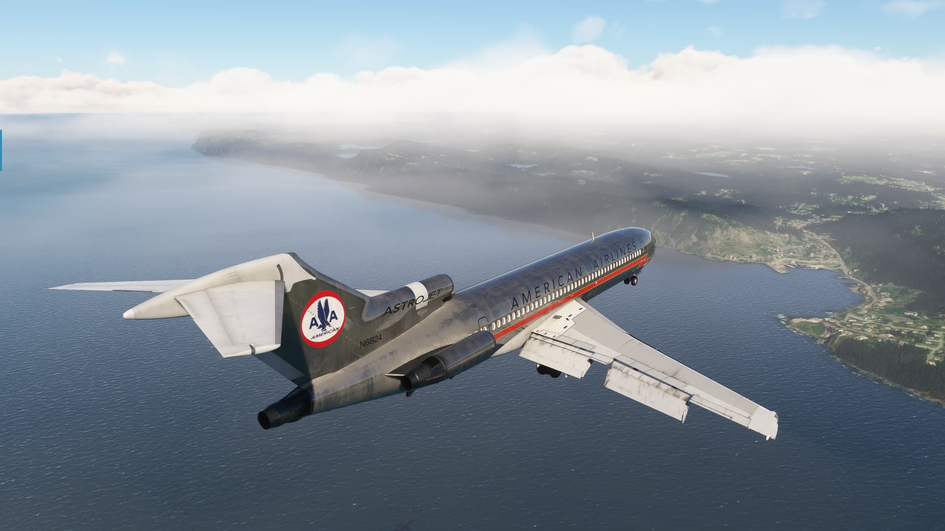
Coming feet dry over Bett’s Island, I was high because, that’s what I do.
Actually, this time it was almost intentional. I really did not want to drill around down low with the throttles up, so I did purposely delay my descent a bit.
All those other times, I have no excuse for. ![]()
Once again, against all possible reason, the AP actually captured both the localizer and the G/S (from above no less) like a champ. The 2000 broken layer proved to be more of a artistic detail than an actual obstacle.
The aircraft flew beautifully.
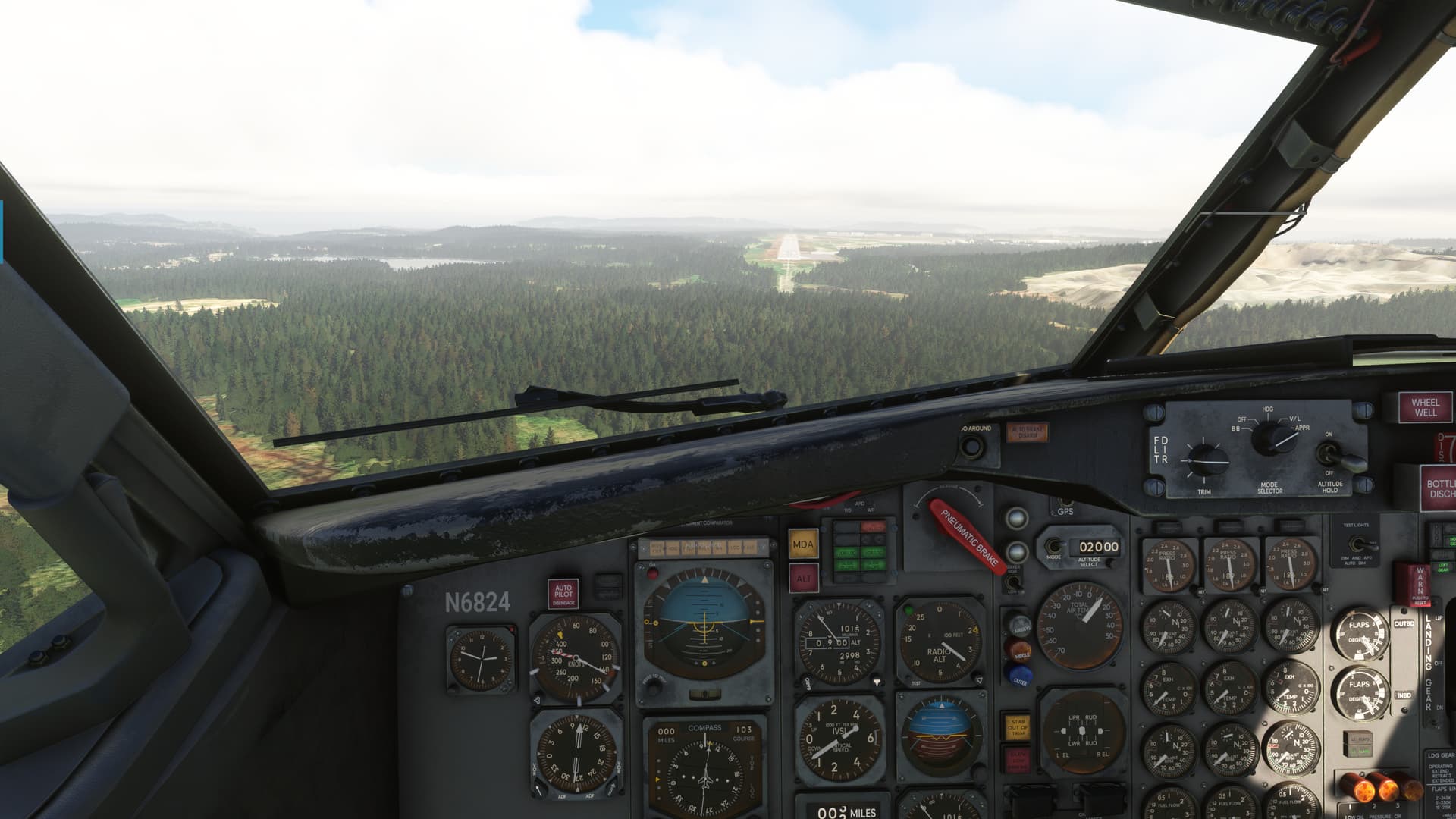
The winds were howling though. Despite that, I performed a textbook landing.
What? You’ve never seen a negative example in a textbook before? ![]()
More seriously, I landed a little crabbed and plunked the jet down on the runway in the pretty stiff crosswind. Not gonna win any beers on the overnight with that one, but I was glad to be here considering my fuel state.
In the end, I landed with a little over 3,000lbs per tank. That’s about 16% fuel remaining. So, the 72 seems to sip gas at cruise, but pours it out like a 40 on a grave in the climb.
Next time, I’m going to keep my own fuel log and see if the fuel flow gauges are reflective of the actual fuel burn. Or if perhaps the FF gets a little cra-cra on the top end.
The only question now is, how am I going to get a 500NM bird across about a 1200NM ocean?
That one’s gonna require some cipherin’.
Dog! Bring daddy’s “thinking scotch”!
15 Likes
I have the Carenado Staggerwing for XP11, and she was a beautiful plane, though the cockpit lighting and documentation of the fuel system left something to be desired.
I know there’s a thread on the org forum about updating existing Carenado planes to be compatible with -12, but I don’t think I’ve seen any comments yet for the Staggerwing.
There is a free version on the site, but I don’t know how accurate or fully fleshed out it is.
https://forums.x-plane.org/files/file/92196-beechcraft-model-17-staggerwing-for-xp-12/
2 Likes
Thanks for that.
This is the payware Staggerwing that I was looking at, but unfortunately it is XP11 only: https://store.x-plane.org/Staggerwing-D17_p_259.html
I might give the Heinz Dziurowitz version a try? but it looks like it could be originally a XP10 aircraft, converted to XP11 so I am unsure how ‘well’ it will work with XP12. And yeah that XP12 version looks ‘ordinary’ so I think I will pass on that one.
I have found running XP11 aircraft in XP12 to be a bit hit and miss (e.g. my Justflight Vulcan loads and does everything fine… except for the ability to retract the landing gear).
Besides it isn’t as if I don’t have enough aircraft that are built/coded for XP12 ![]()
1 Like
I forgot Carenado rebranded as Alabeo.
This is the one I have. The interior is pretty much useless in -12 with how dark it is because of changes in the lighting modeling.
1 Like
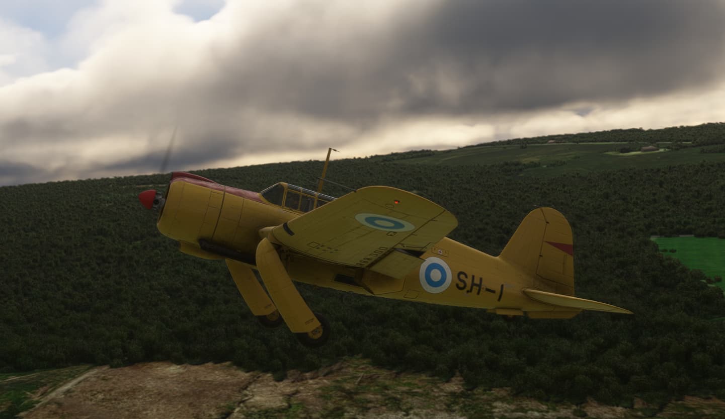
Leg 4
KBFM to KPIM
Actually went pretty much according to plan, flew it entirely VFR (Visually Follow Roads) again. Tracking I-65 worked quiet nicely as Alabama is pretty green and it stands out.
1 hour and 5 minute for an average speed of 193 knots, we were moving today.
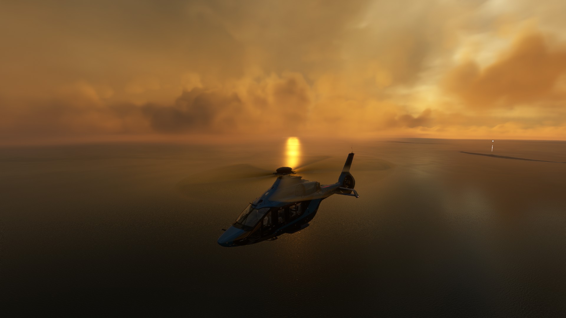
Bonus shot: I took a helo trip to see the LHA and Ft. Massachusetts which I missed yesterday due to the weather. MSFS definitely is pretty.
Alright lets get started, lined up and ready:
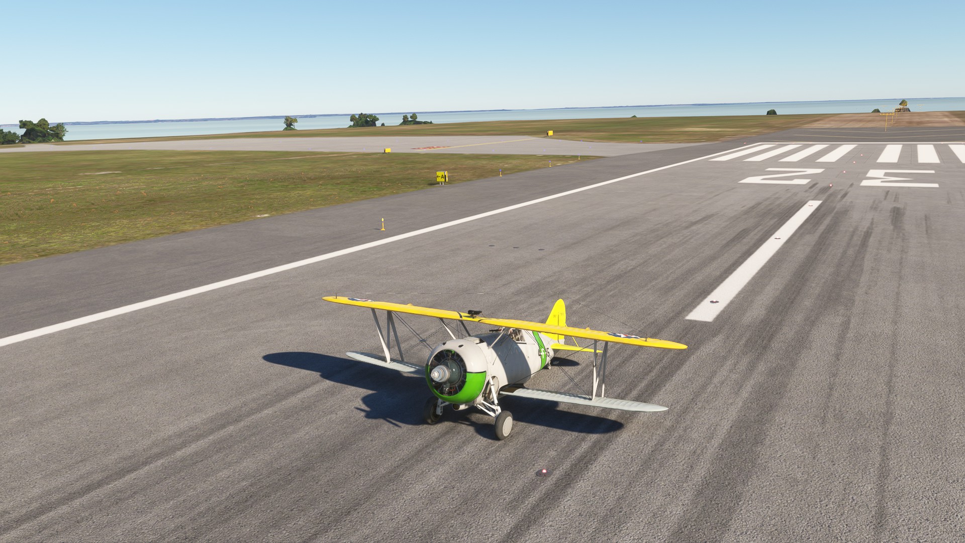
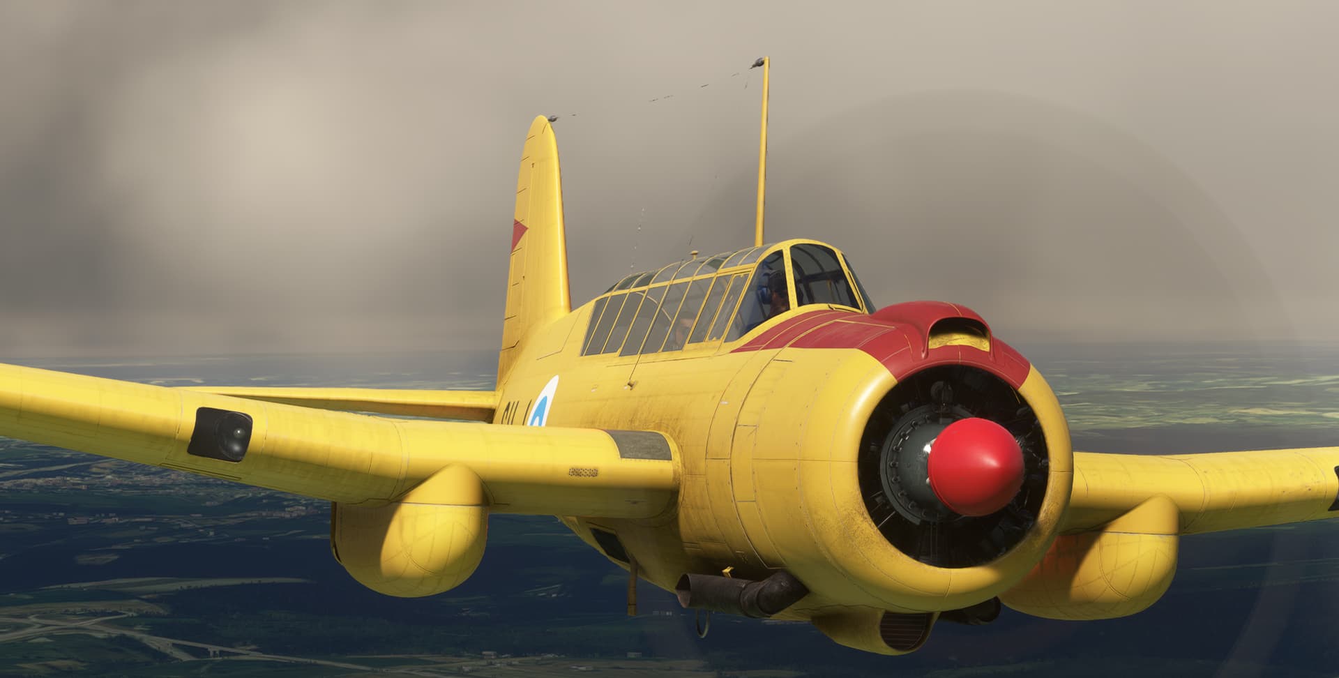
The Aeroplane Heaven Grumman F3F-2 deserves to be a better aircraft. It’s a lot of fun, but has some bugs that really detract, and the systems modeling is light at best. We’ll be in Lexington Airwing colors.
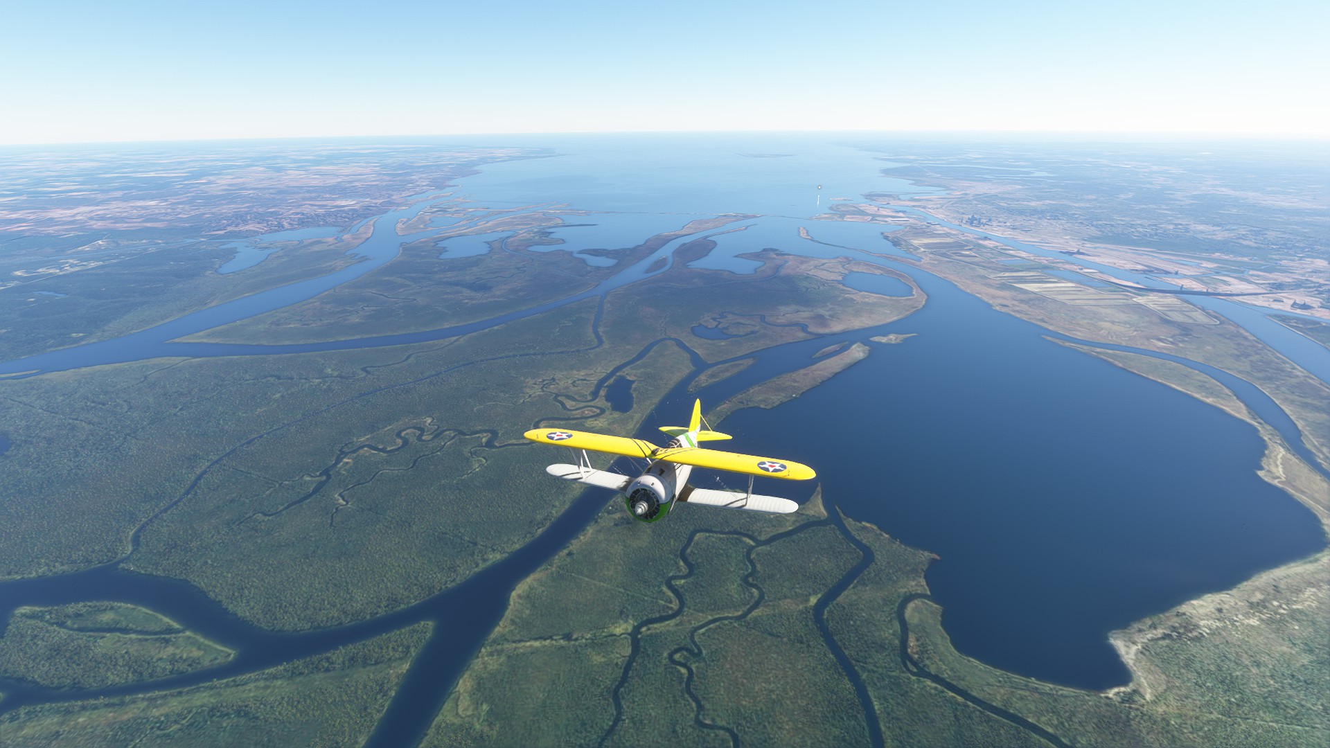
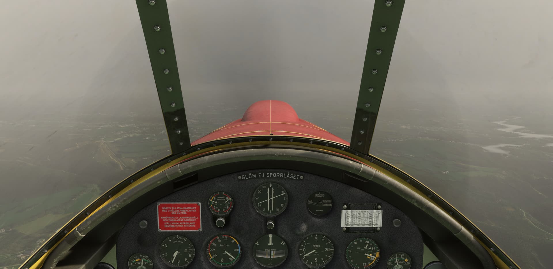
Clouds made it a little difficult, but overall the ground visibility was reasonable.
I took her up to almost FL180, and the lack of engine modeling became apparent. Still fun to fly however.
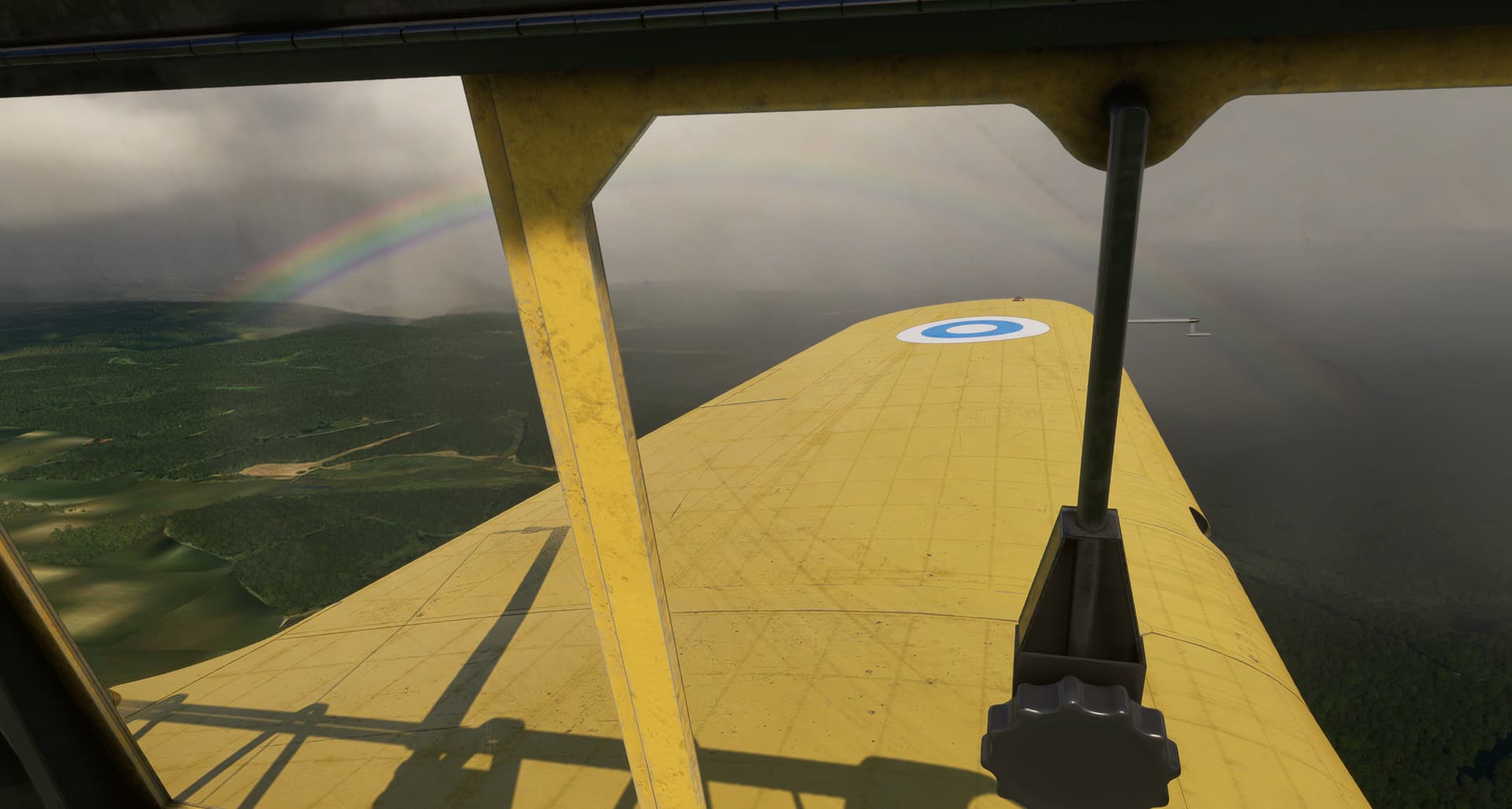
Dropped back down to look for my landing strip.
Turn to final (yes I’m a bit early, we’ll pretend I’m using a curved approach like in the Corsair).
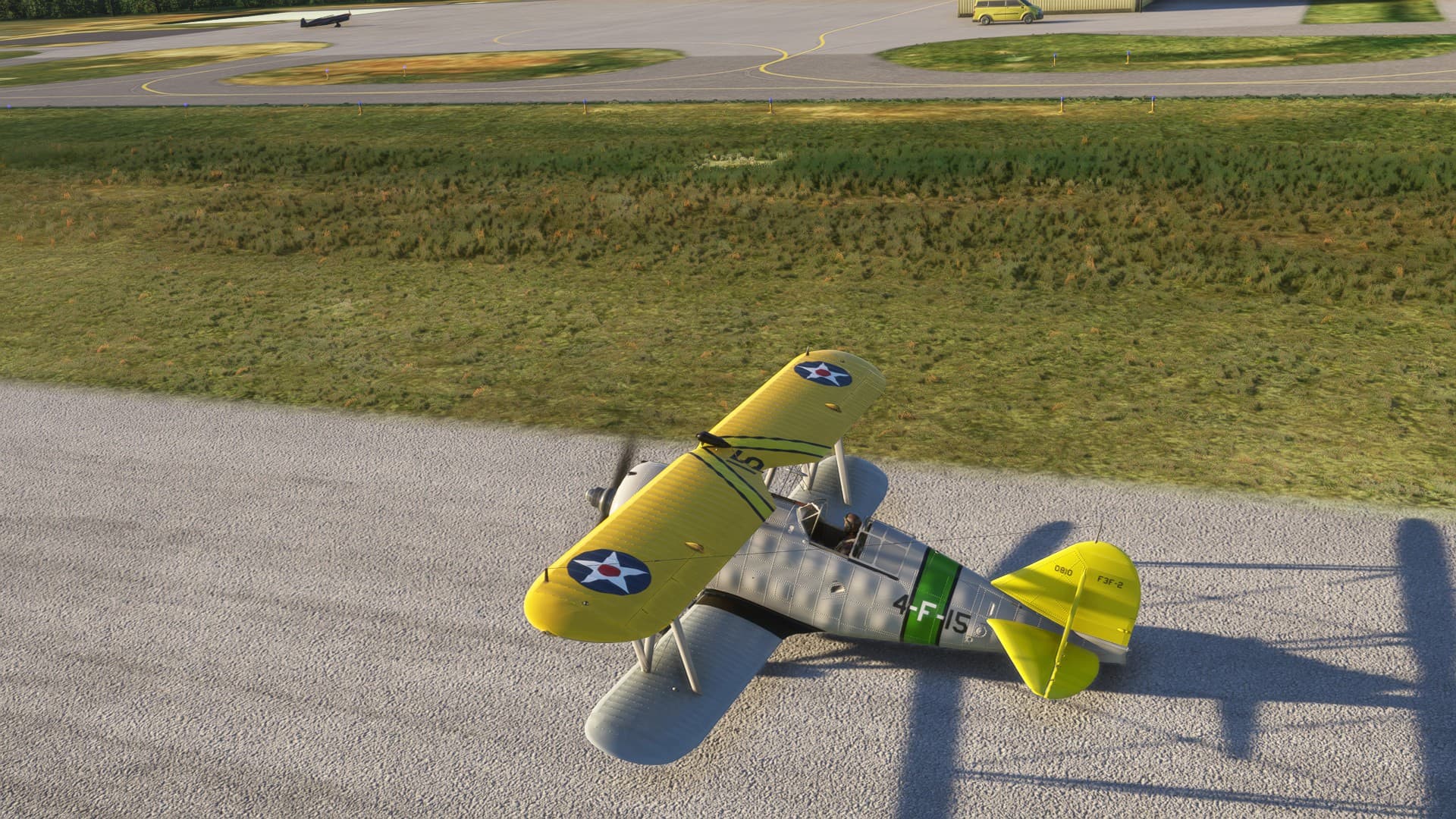
With an update and cleanup, this could be a really fun tail dragger. As is, if you’re just going up to mess around it really is fun, and looks spectacular. If you can get it on sale for $10 and you have an interest, I’d say go for it. Fast and biplane don’t usually go together, so this is one of the few options.
One more leg to go before we hit the ocean decisions, decision on what to fly across the water.
11 Likes
Did you figure out what was up with the fuel burn?
The 727 is a great looking aircraft. You really make it no easier for me to resist buying it ![]()
2 Likes
I haven’t quite yet.
The fuel flow appears to work as advertised. I just can’t determine if the apparent climb fuel is correct. It seems extremely high, even if I climb at full power.
I haven’t found any really good planning charts for the 72, which always makes it harder.
But, if the aircraft is supposedly capable of flying about 2000NM (purely based on the Internet), then that fuel is going somewhere.
Next flight I’m going to try some (admittedly max) climb power settings from a chart in the sim manual and play with the fuel flow. Maybe there’s a point where the FF spikes and that is throwing off the normal numbers.
Will let you know!
5 Likes
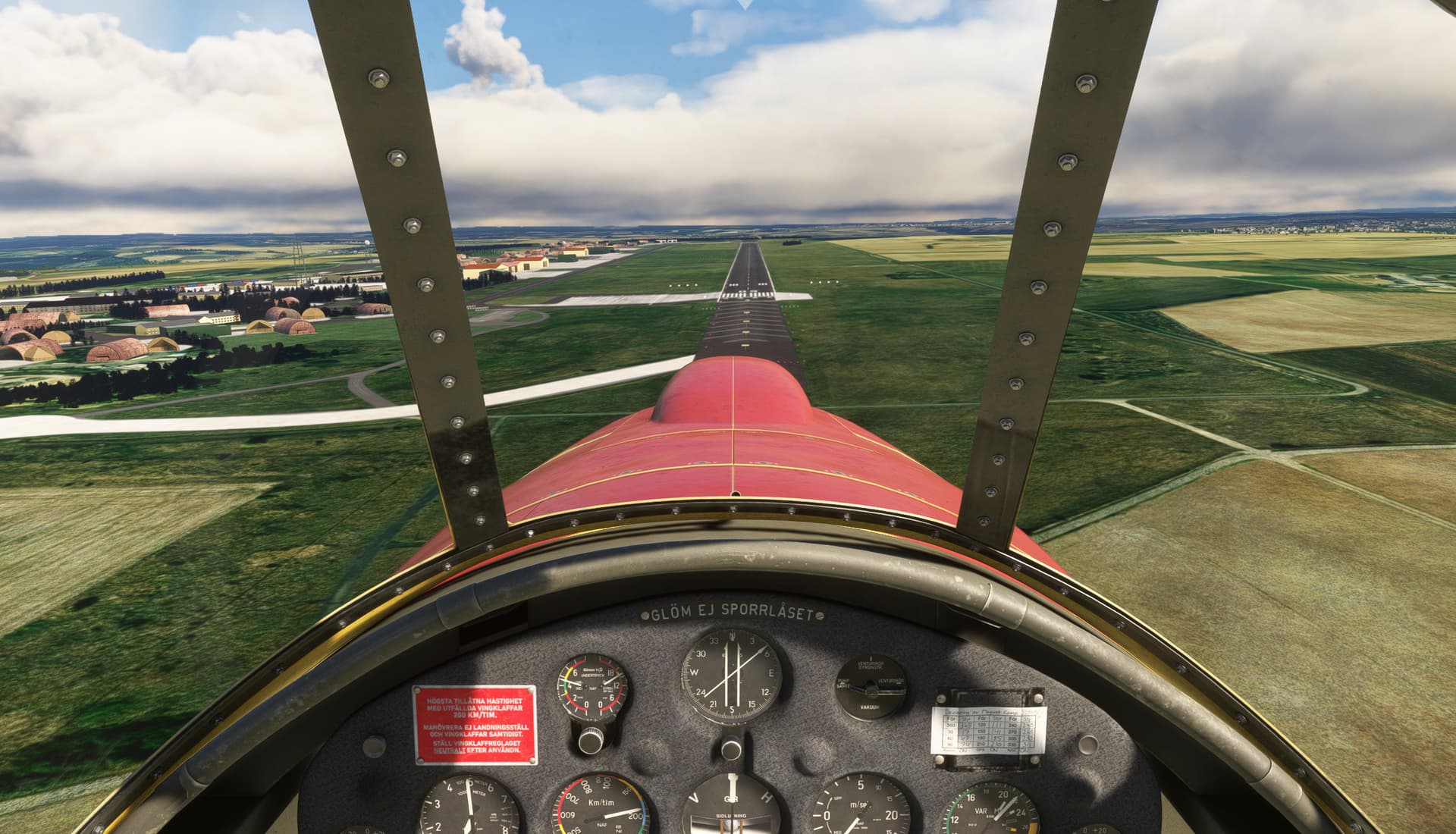
Leg 2: EBSP (Spa) => EDRB (Bitburg, back to Cold War 1988 airport layout), MSFS2020, real-day, real-time, real-weather, SAAB B17A, VFR, sightseeing on the way:
Departure EBSP, interesting way to retract gear:
En-route, weather/cloud-base marginal:
For all car racing fans (F1 was here once), Nürburgring:
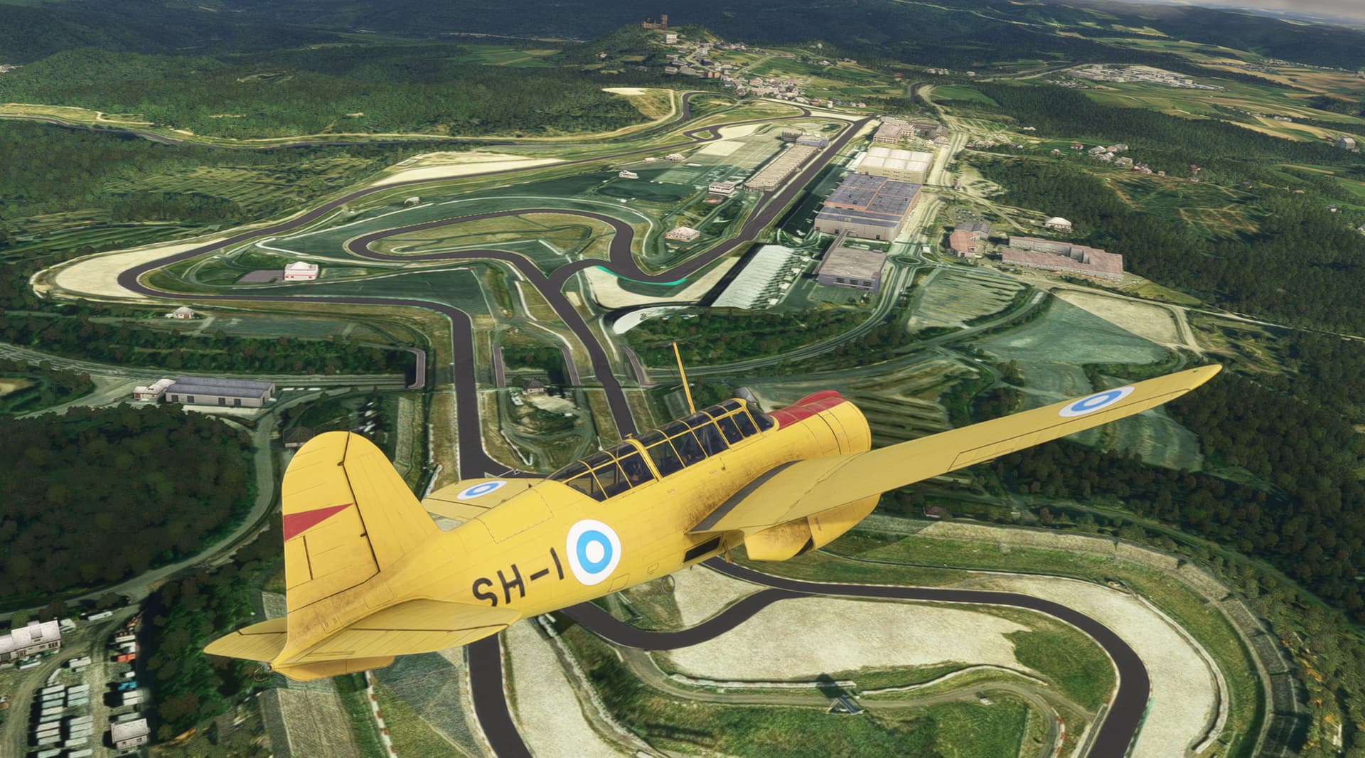
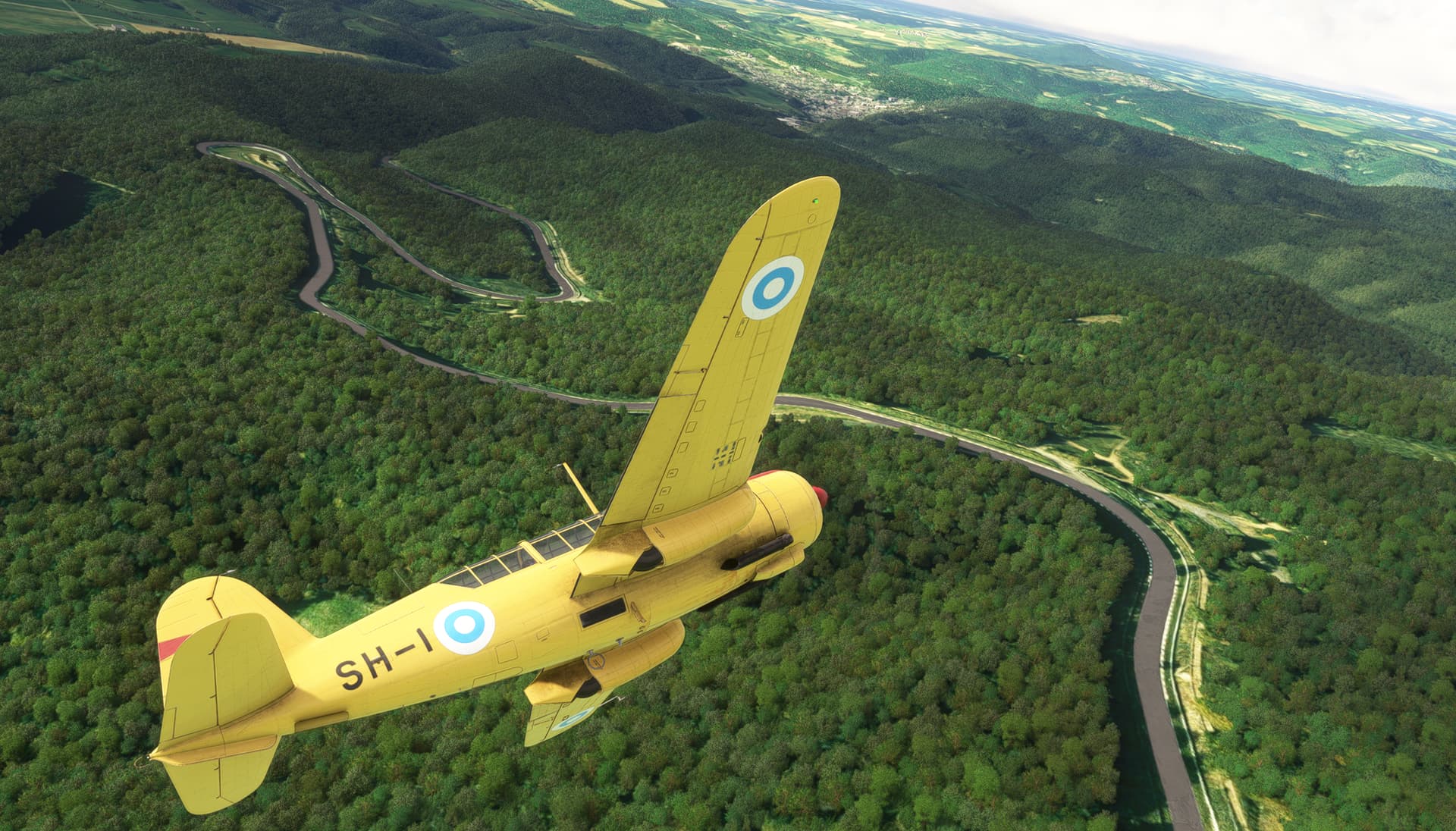
Nürburgring, credits to https://flightsim.to/file/50394/nrburgring-nordschleife-gp-track
Downwind abeam EDRB:
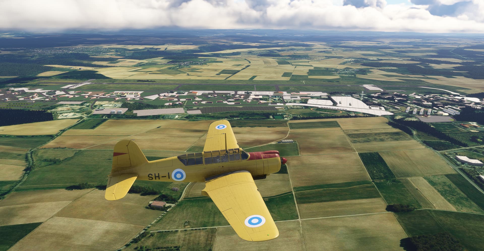
Final RW06:
Parking at apron:
Bitburg Air Base 1988, credits to https://flightsim.to/file/91400/bitburg-afb-88-v3
12 Likes
I have done enough (virtual) laps of the Nordschleife to recognise the carousel, just after the 13km marker in that second shot ![]()
5 Likes
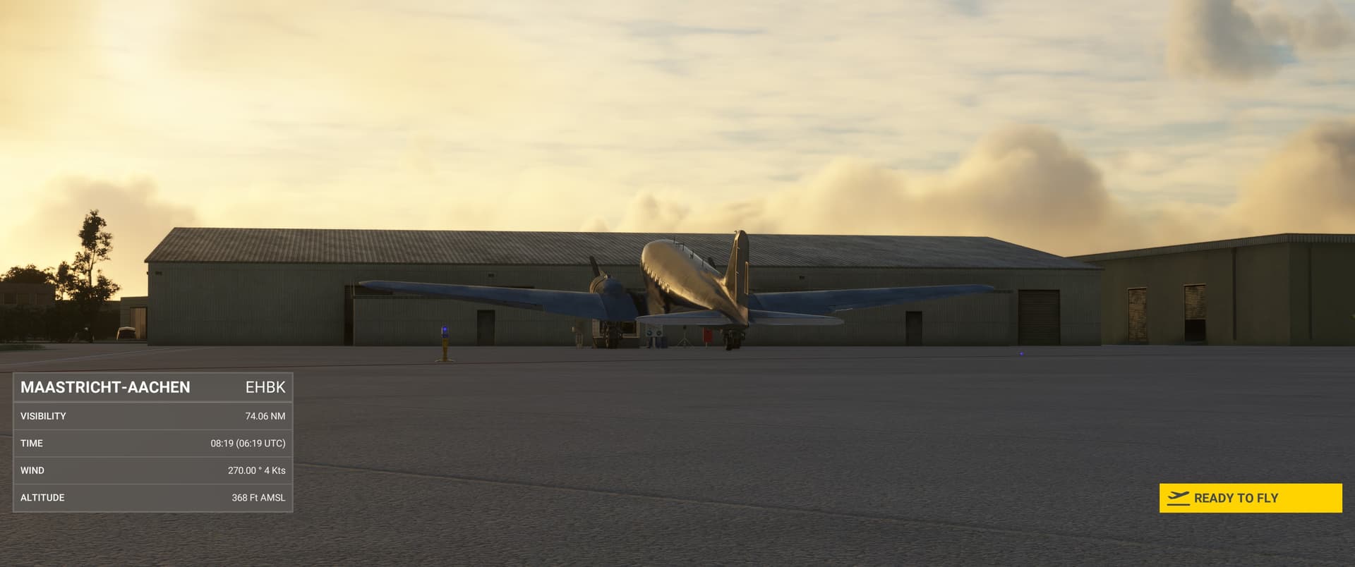
Welcome to sleepy, tiny Maastricht-Aachen airport. A very long time ago, a tiny version of me witnessed that heavier-than-air metal wing things can take to the skies for the first time at this place.
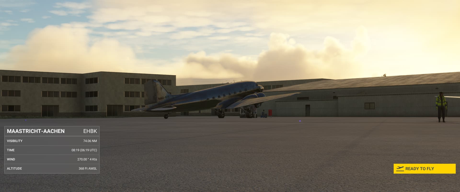
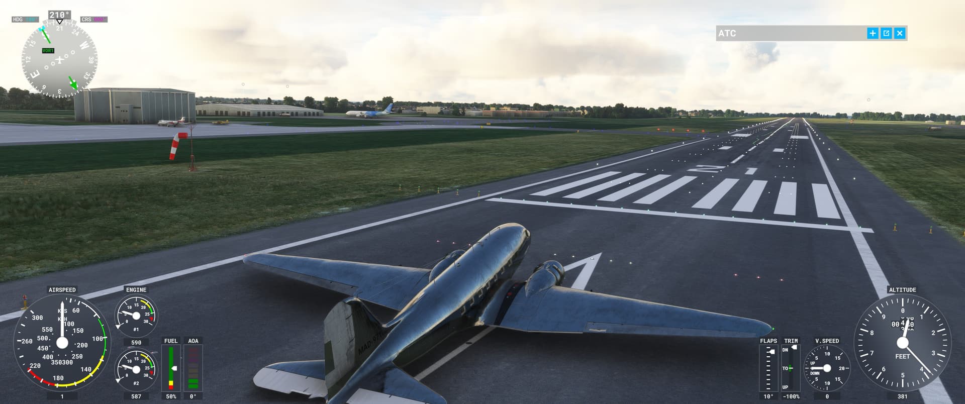
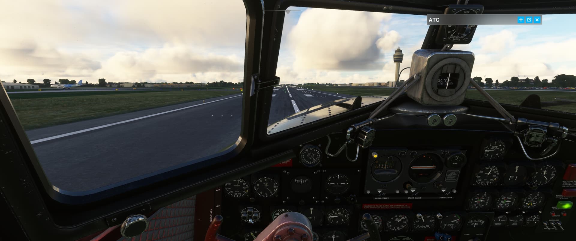
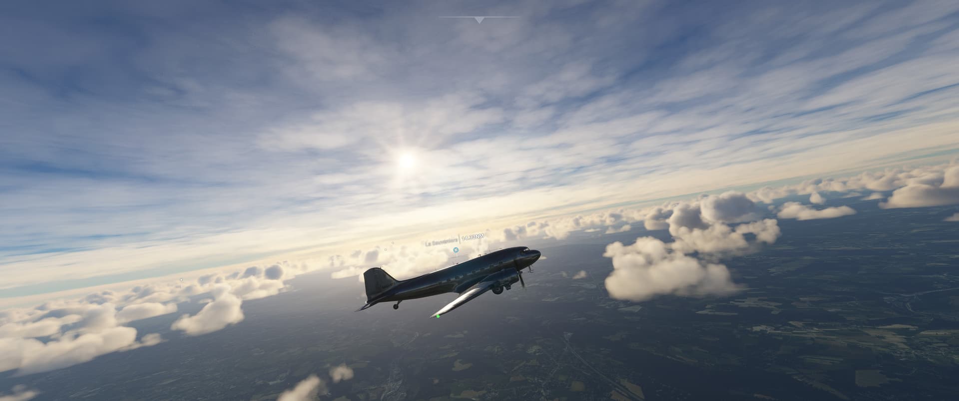
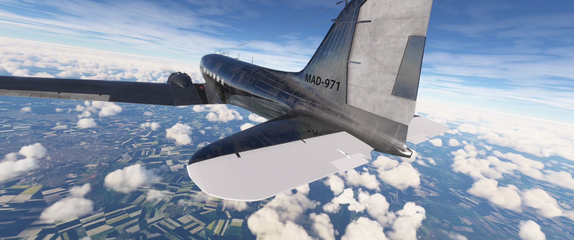
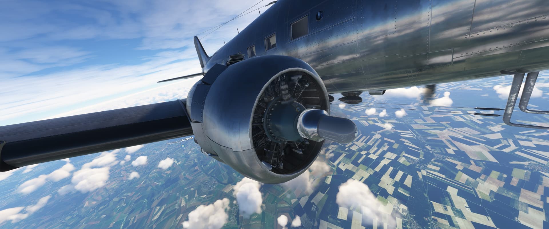
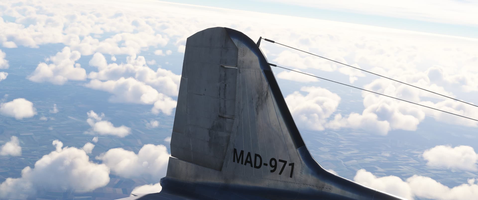
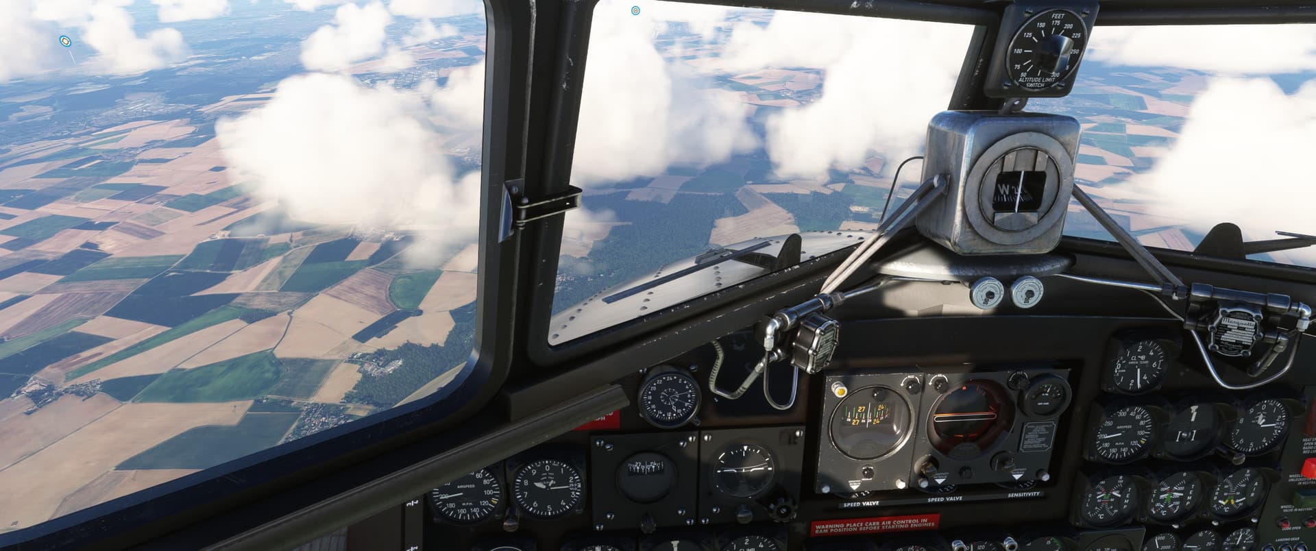
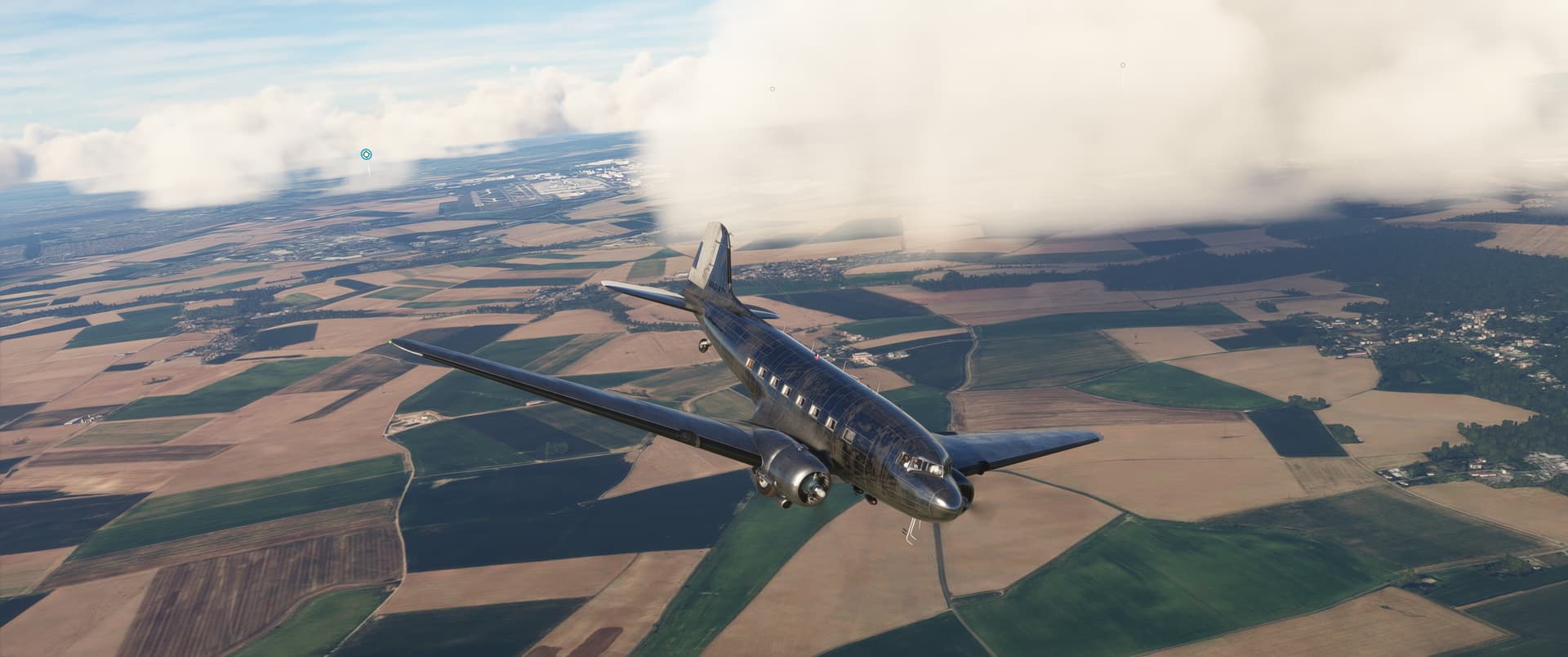
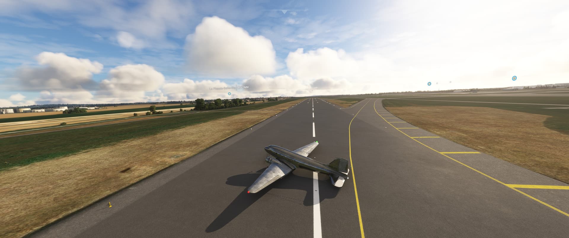
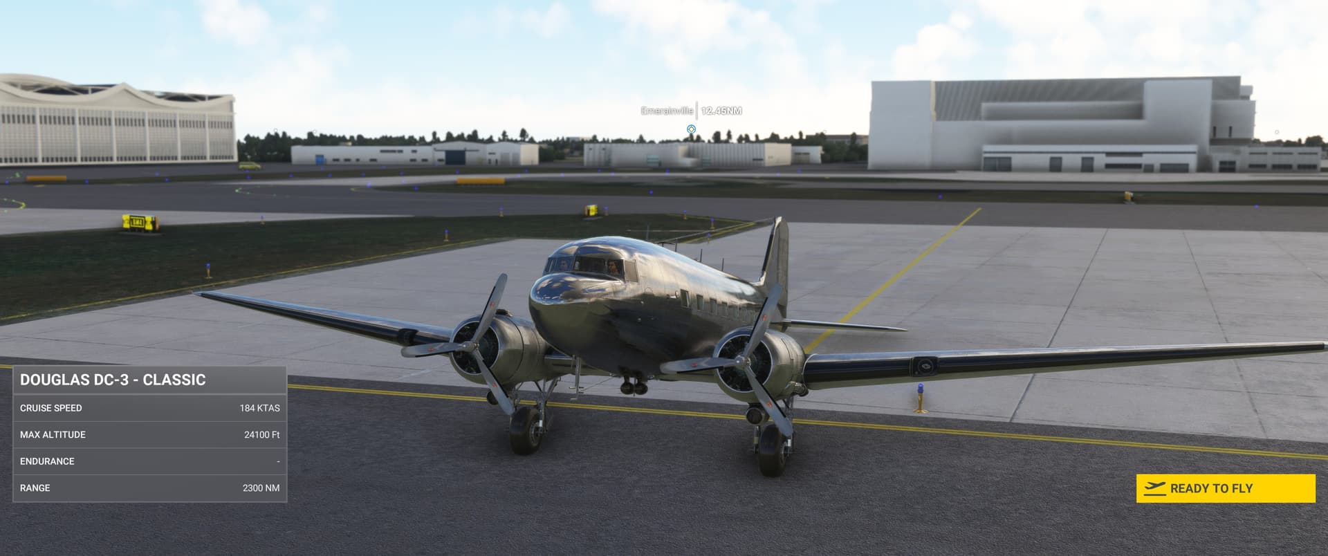
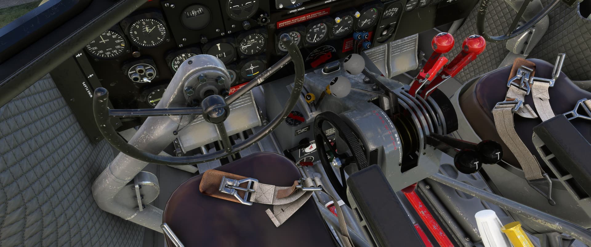
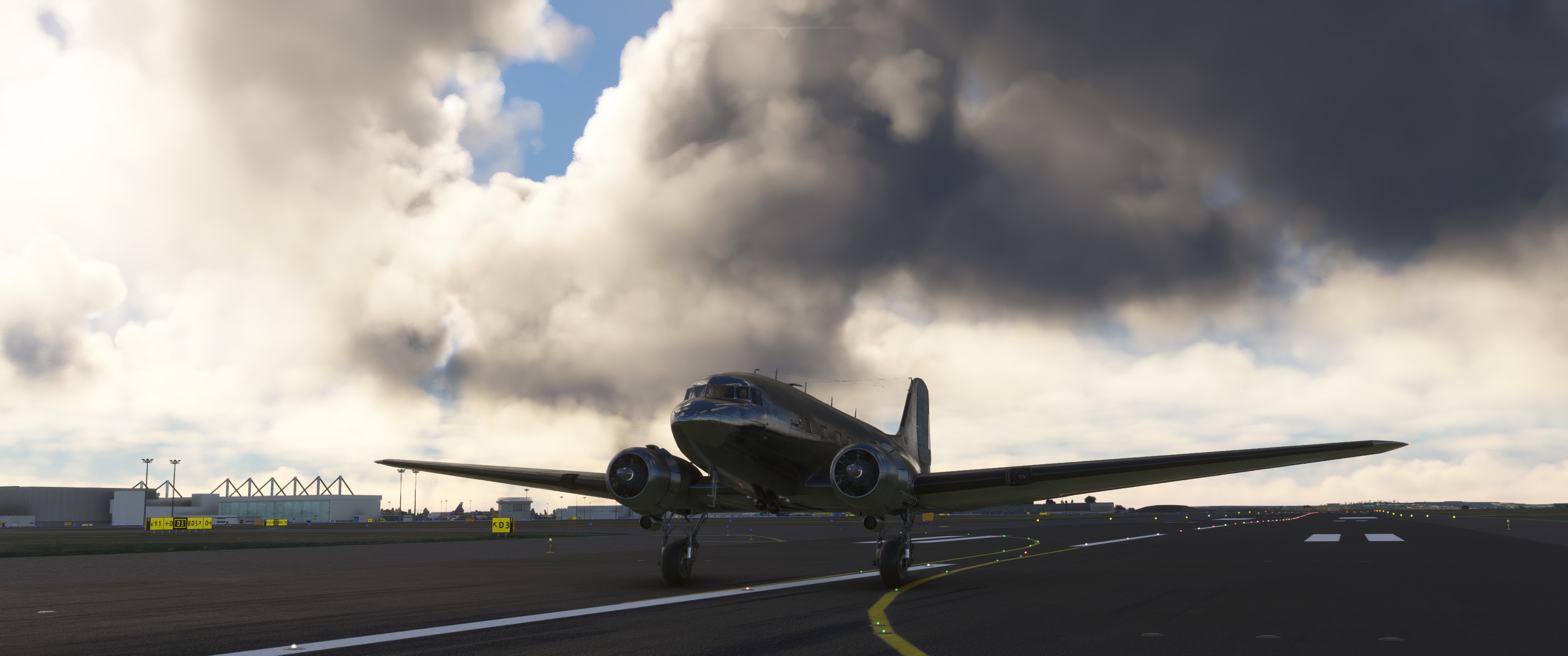
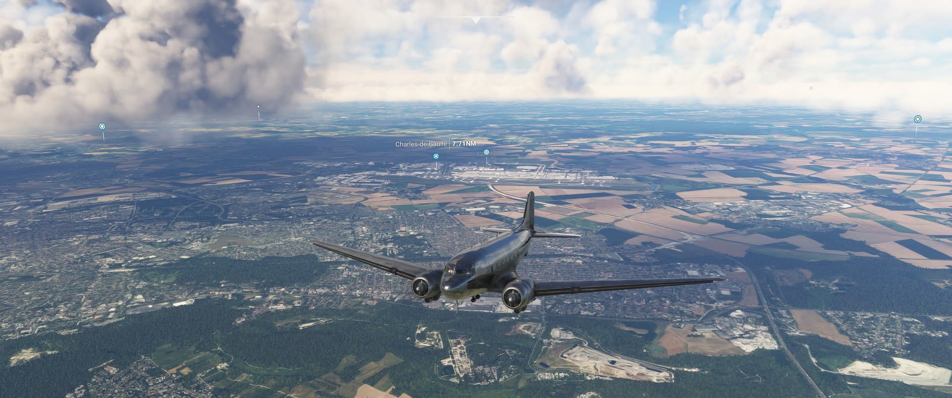
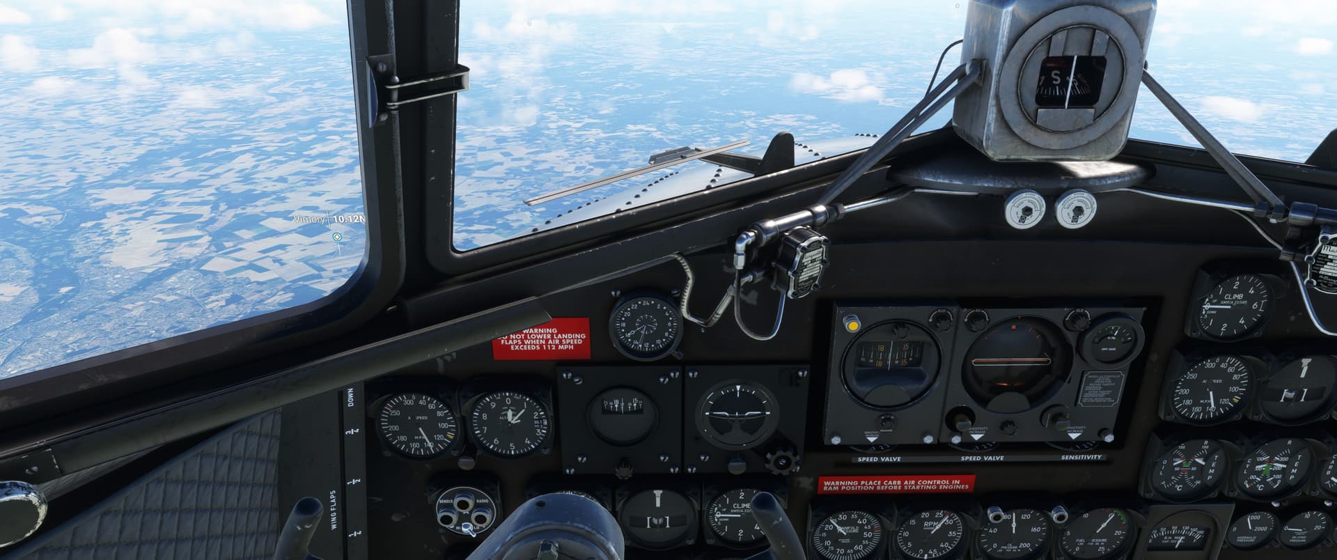
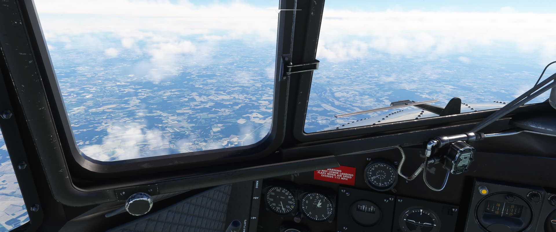
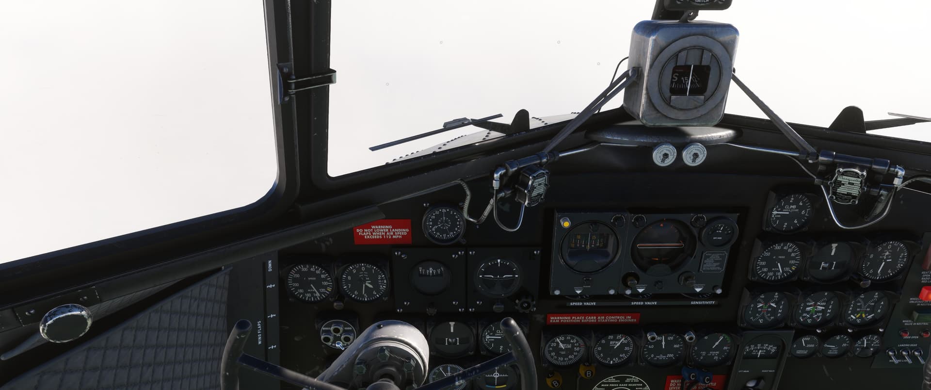
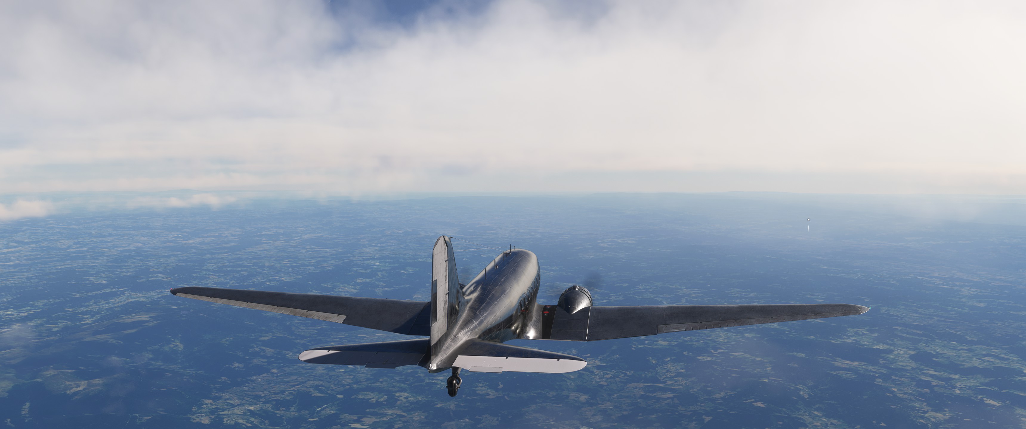
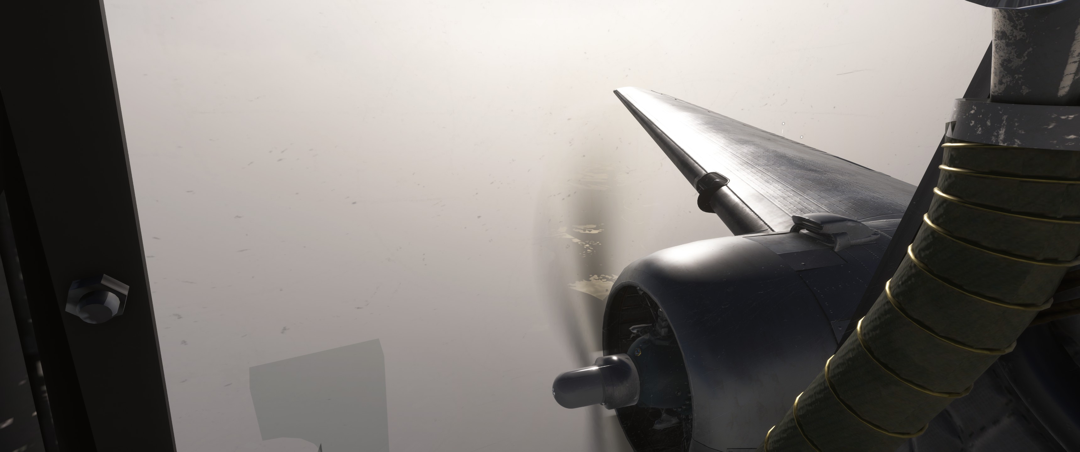
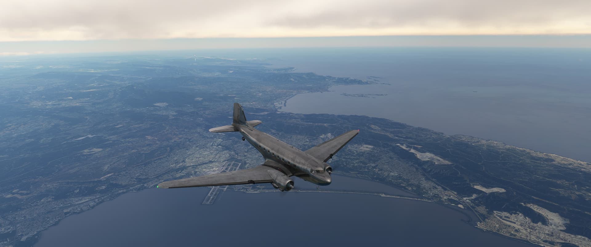
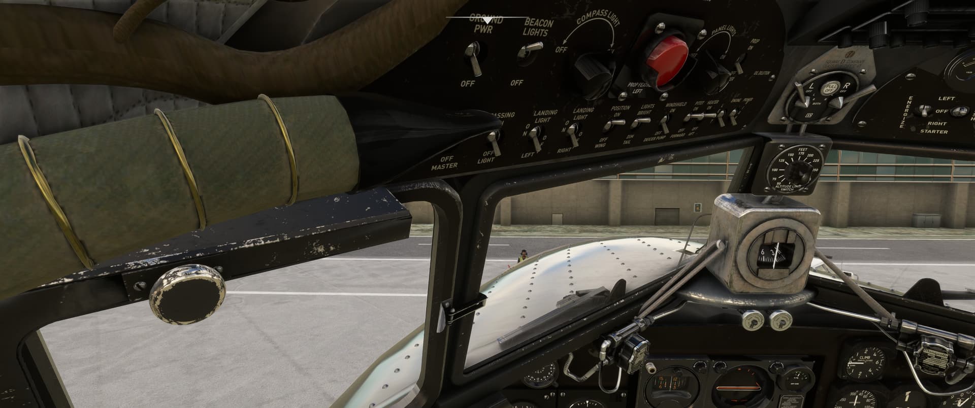
Some time ago, for the 40th anniversary of MSFS, we got a new freebie in the form of the DC-3. My plan for the day was to either try to follow the Maas/Meuse river VFR down as deep into Belgium and France as possible, maybe even up to Verdun, or else beg Paris control for directions to well… Paris.
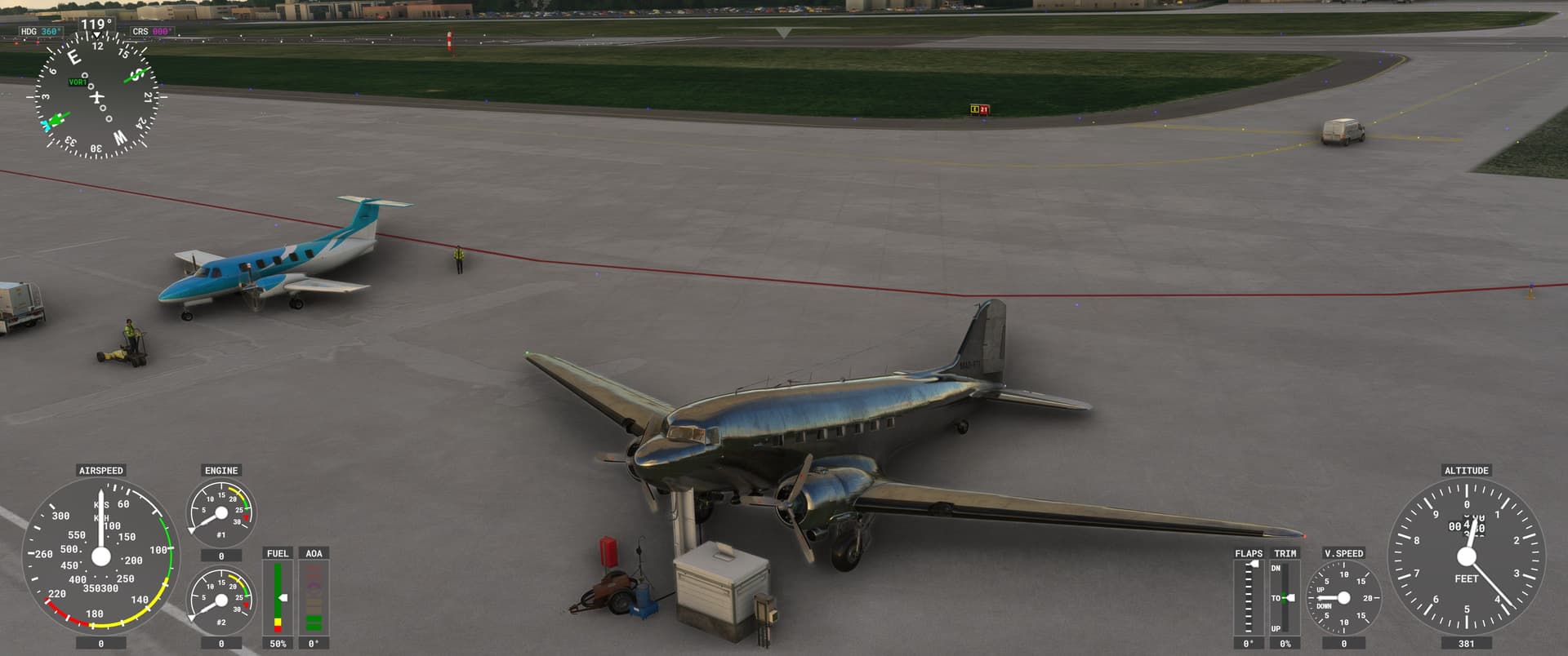
Ground power is connected (some slight clipping of the scenery though…)
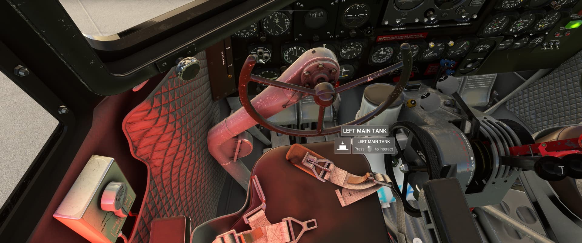
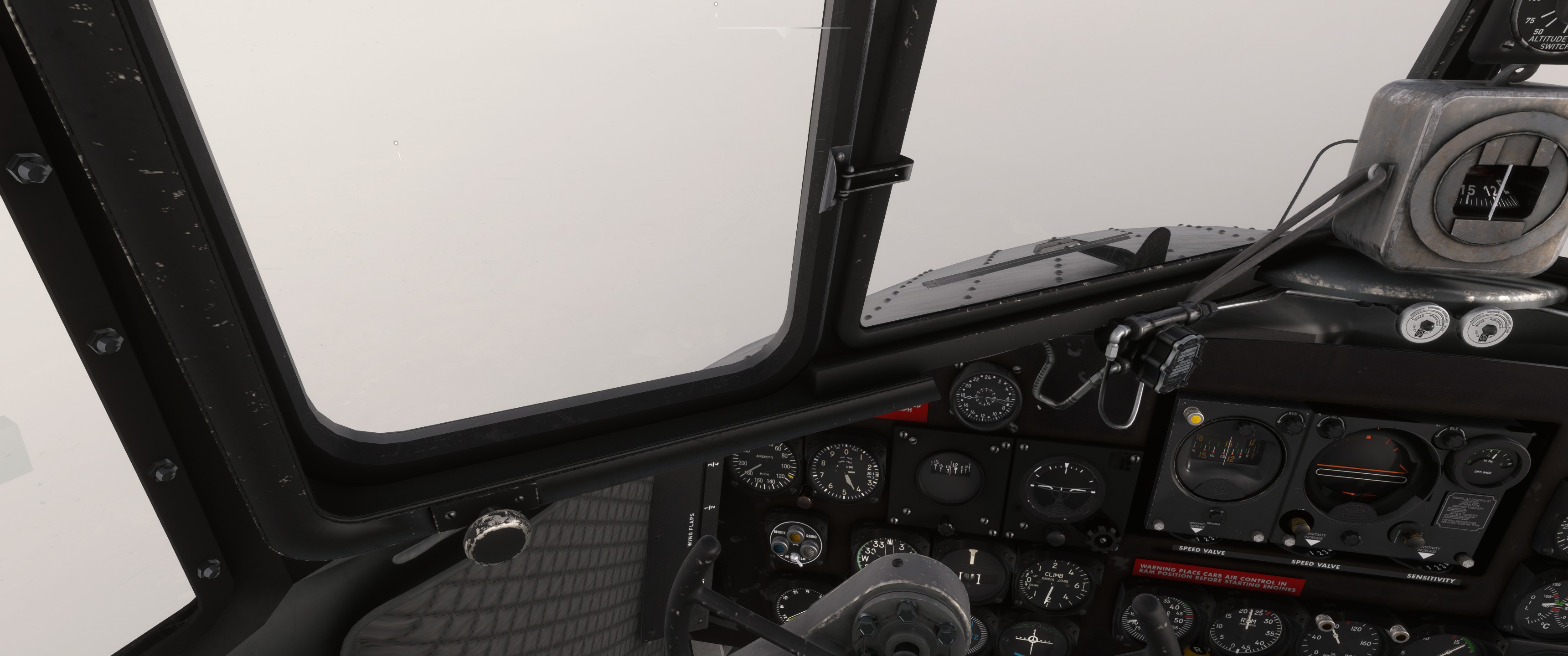
I’m having some troubles selecting the tank for the left-hand engine. This thingy that I can’t exactly recognize is blocking the view and it appears impossible to look around properly. Fortunately with some precision guess-work I can find the selector.
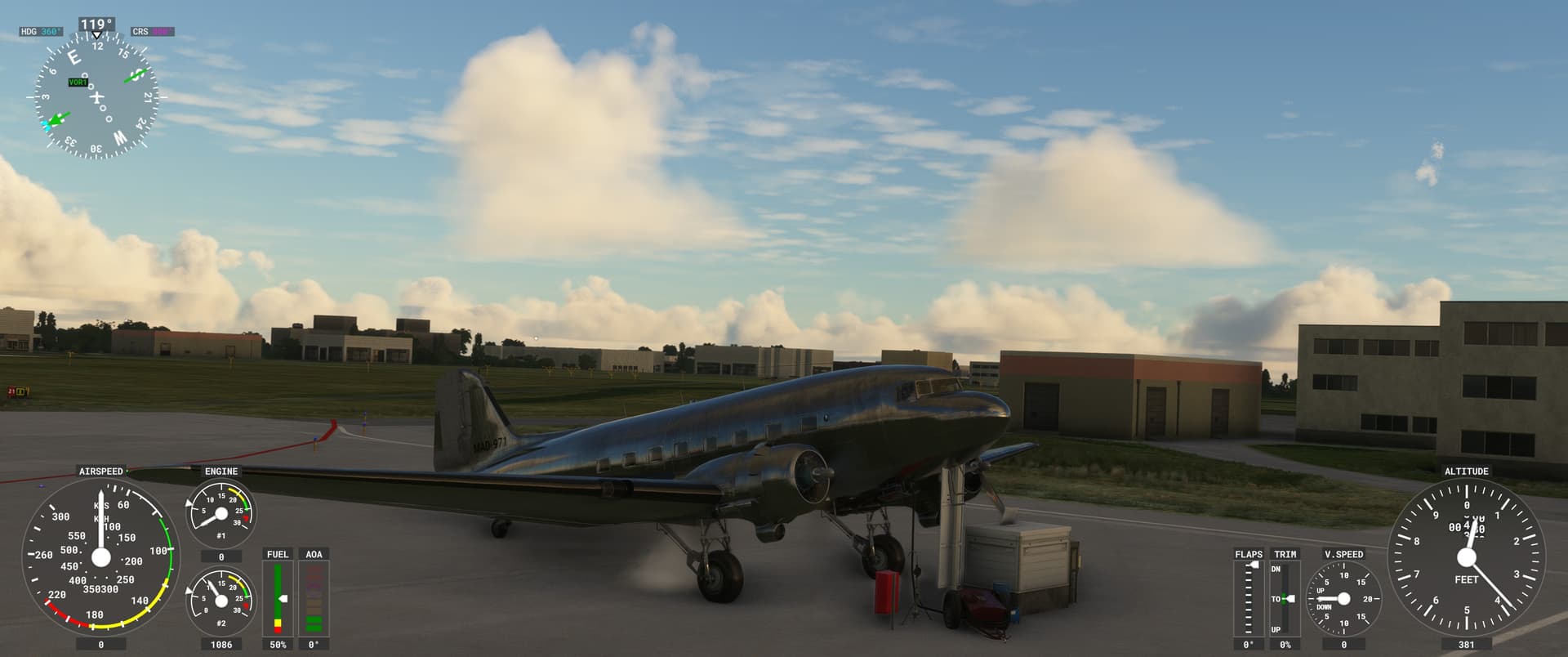
I go through the hoopes and get a starting engine. She sounds good (my apologies for the HUD).
I get the invisible pushback and have my first D’oh! moment… The thing in my cockpit blocking the view was the scenery clipping into the airframe!
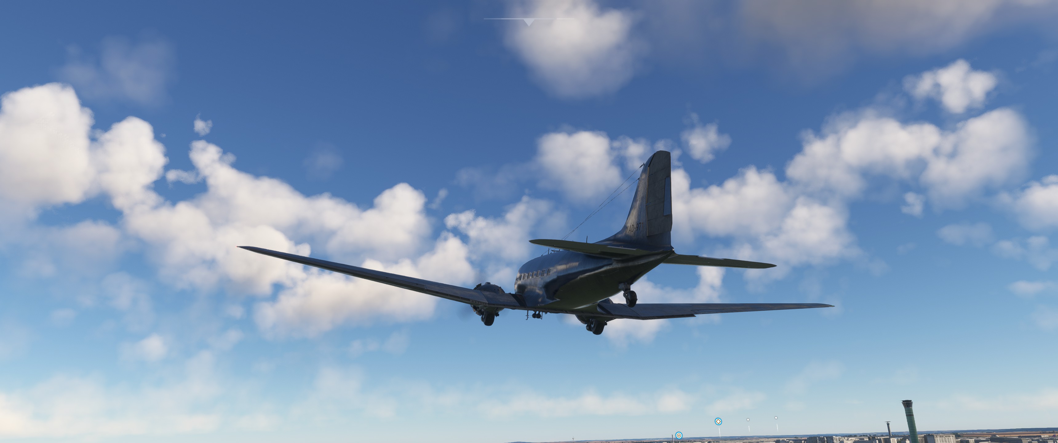
She throws her rear up quite easily… wait whats up with the trim tabs…

Quite hairy but I am up…
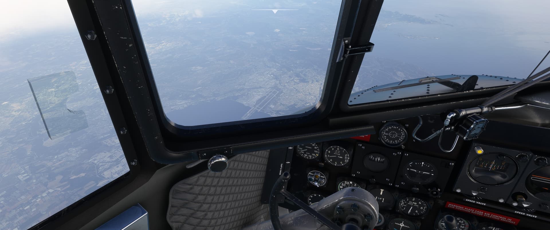
Lets follow this river then…
2020 still looks very fresh to me but I have to adjust all these signs and stuff.
I swap seats with the co-pilot so I can keep an eye on the river. he immediately jots down something about “PIC” in his logbook…
The office… I tried flying on the gyropilot but it does immediate suicide dives. I’ll figure out how it works later and give my joystick hand a proper workout with about 60 minutes of hand flying today.
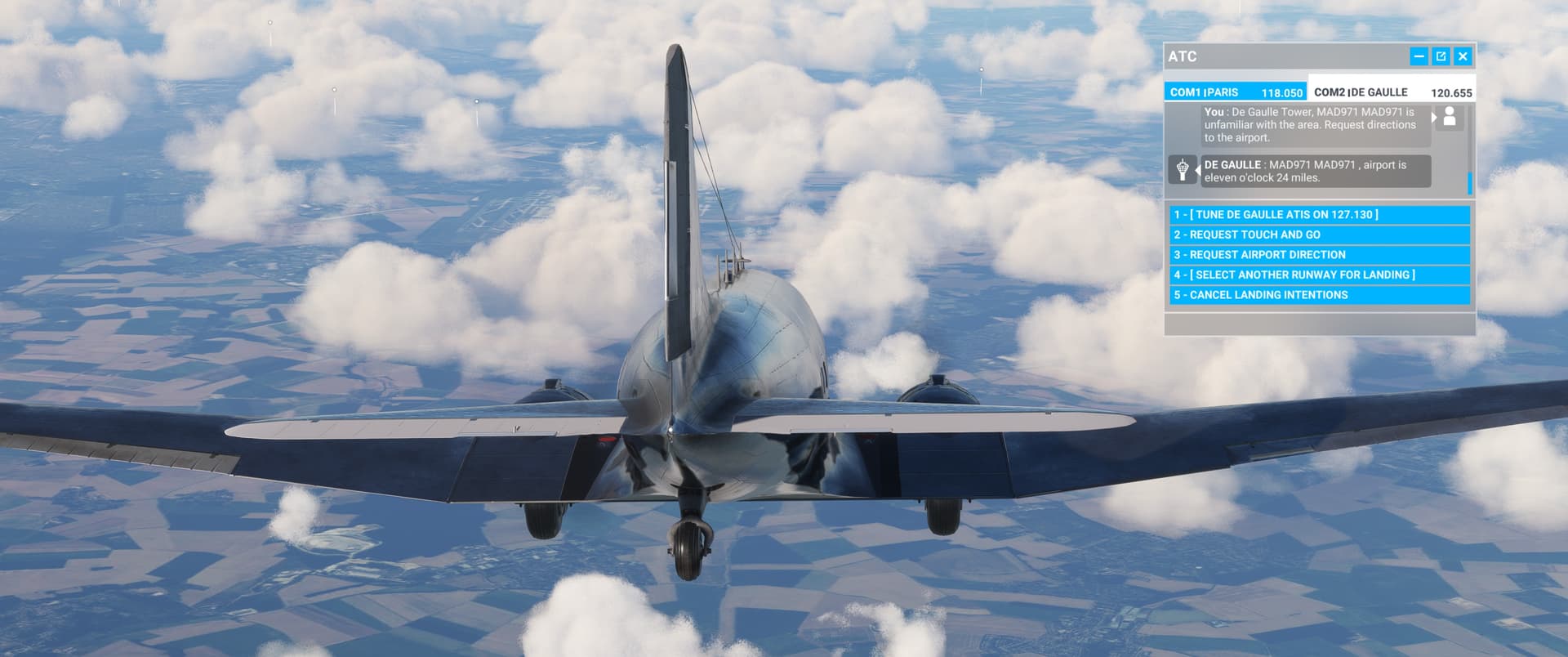
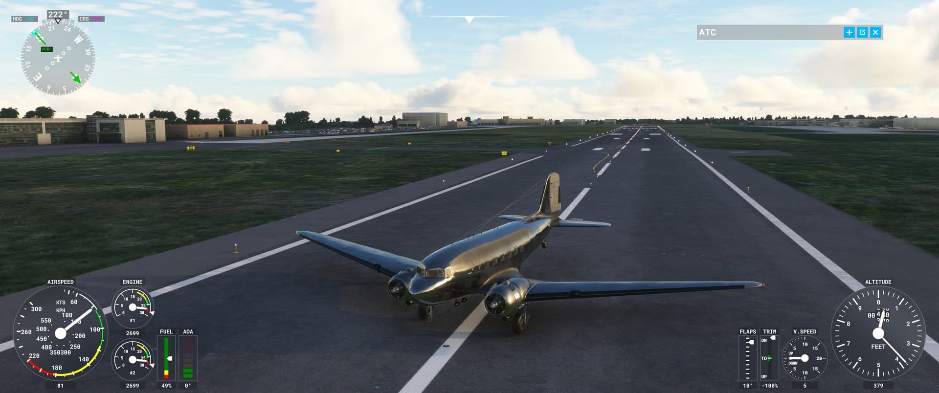
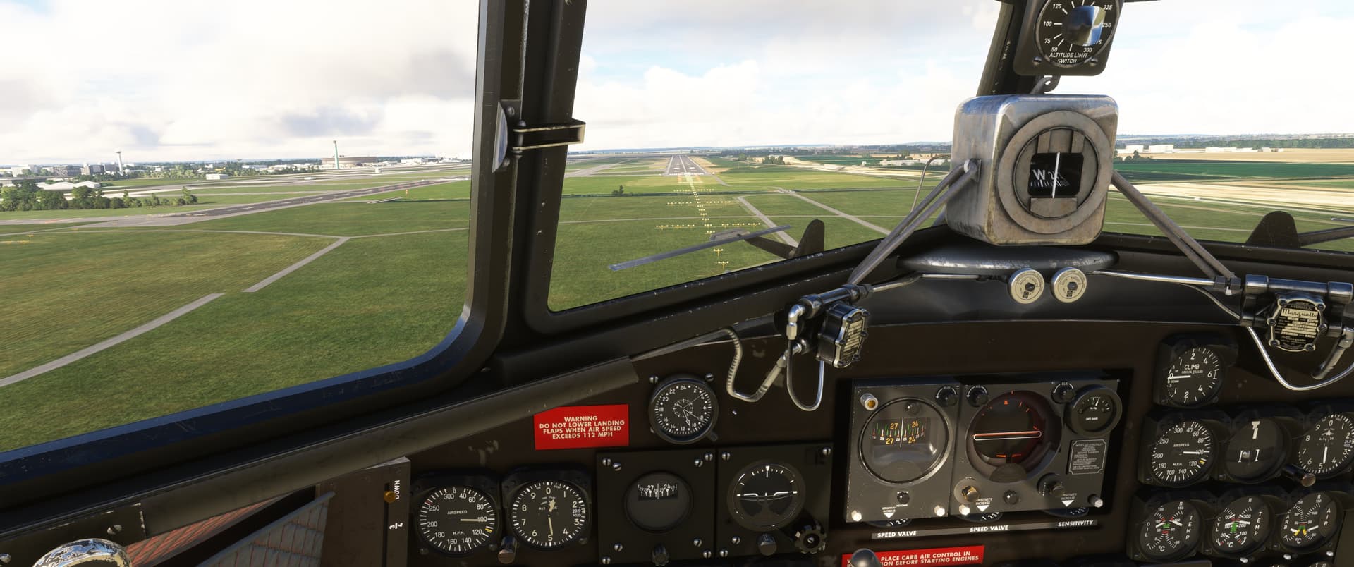
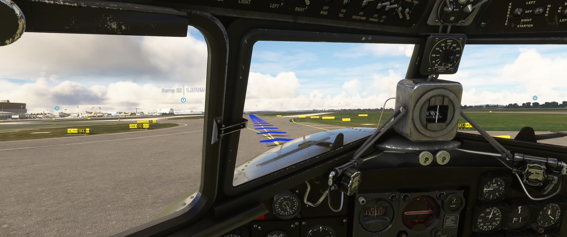
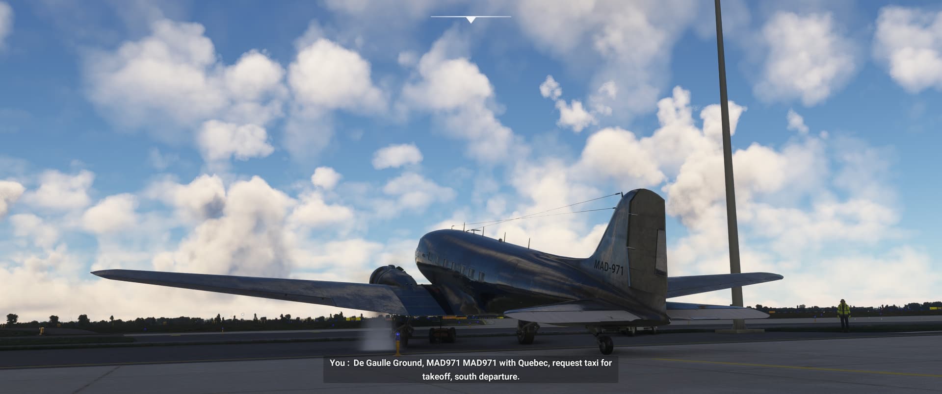
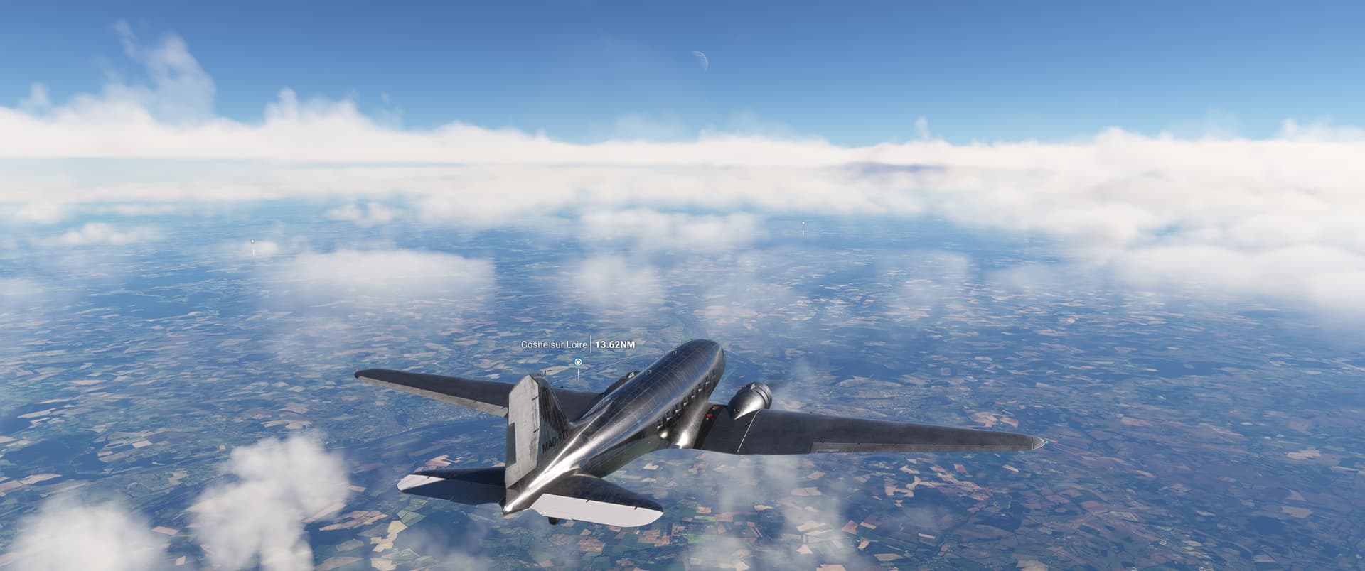
That river? Lost a long time ago. I get talked into CDG.
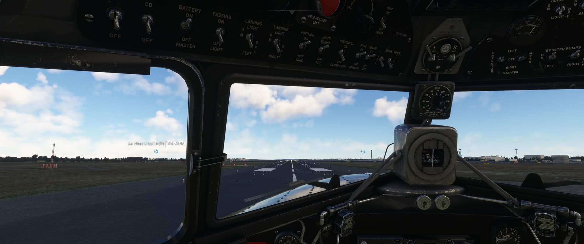
I see something landable but I am high.

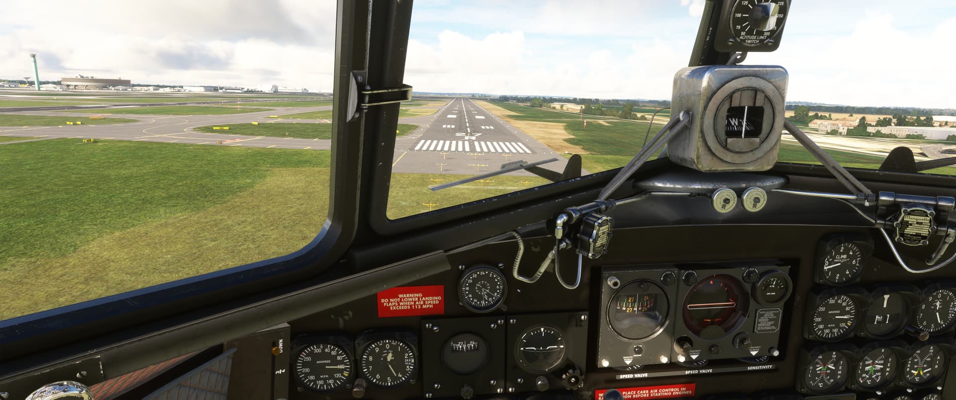
The landing was much better than the take-off… until I 270 degree flipped it.
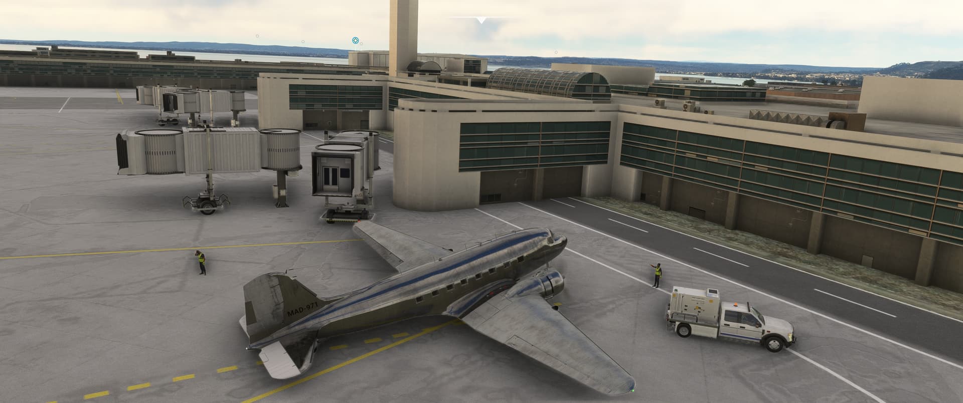
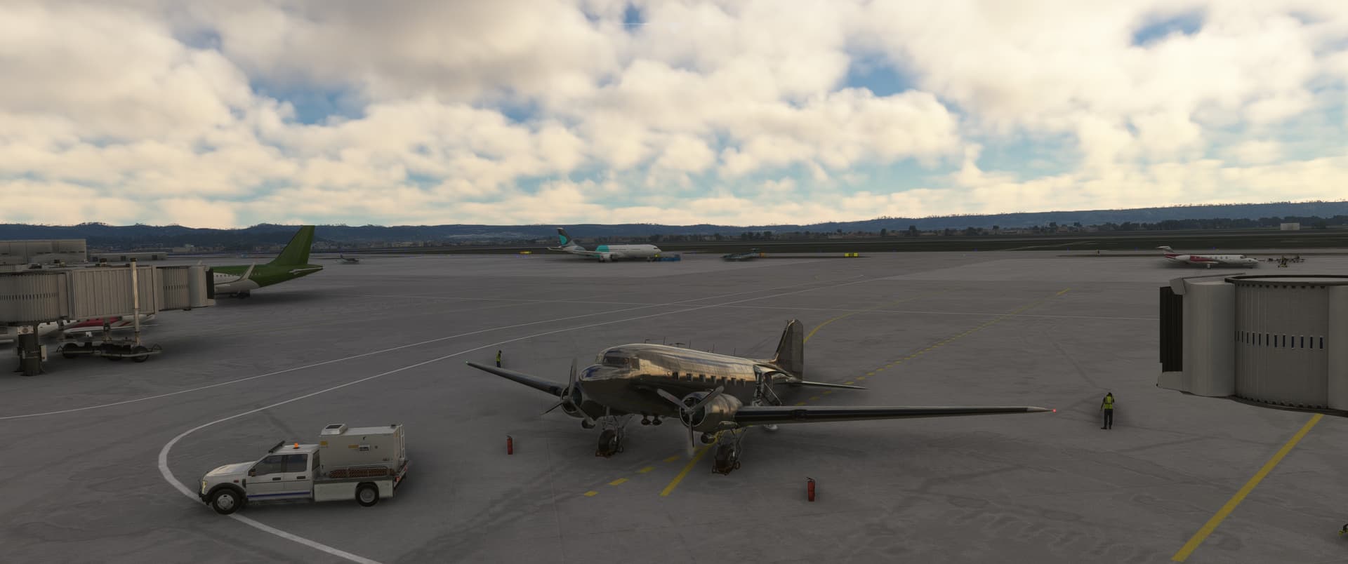
2 miles to parking! I know some celebrities who’d rather fly that distance.
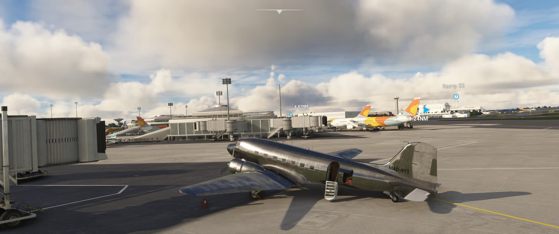
Let my pax off at a more classy spot.
12 Likes
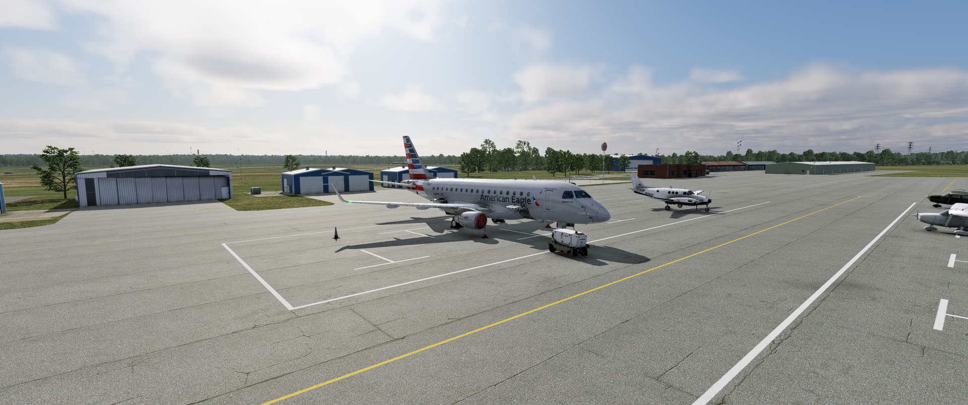
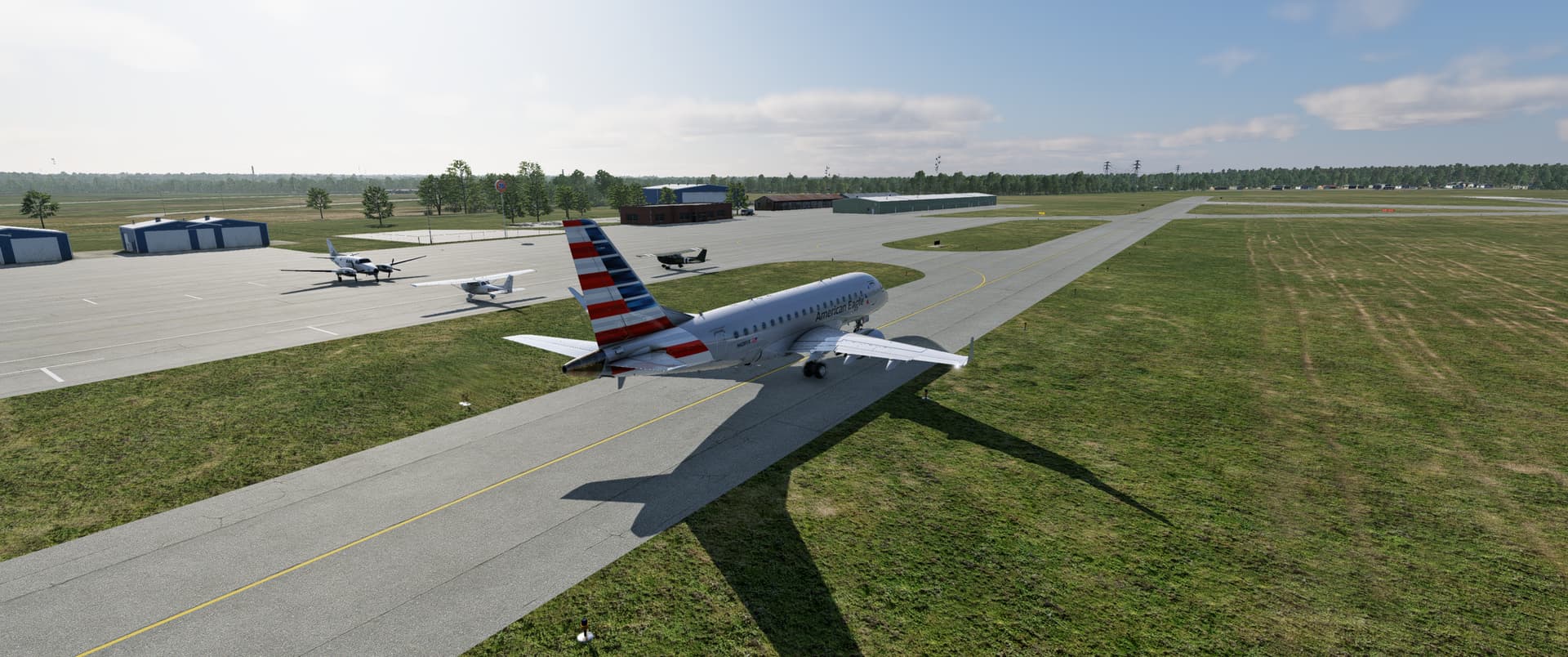
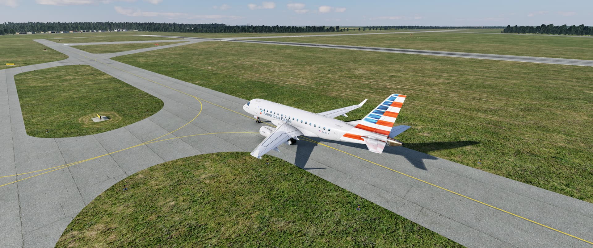
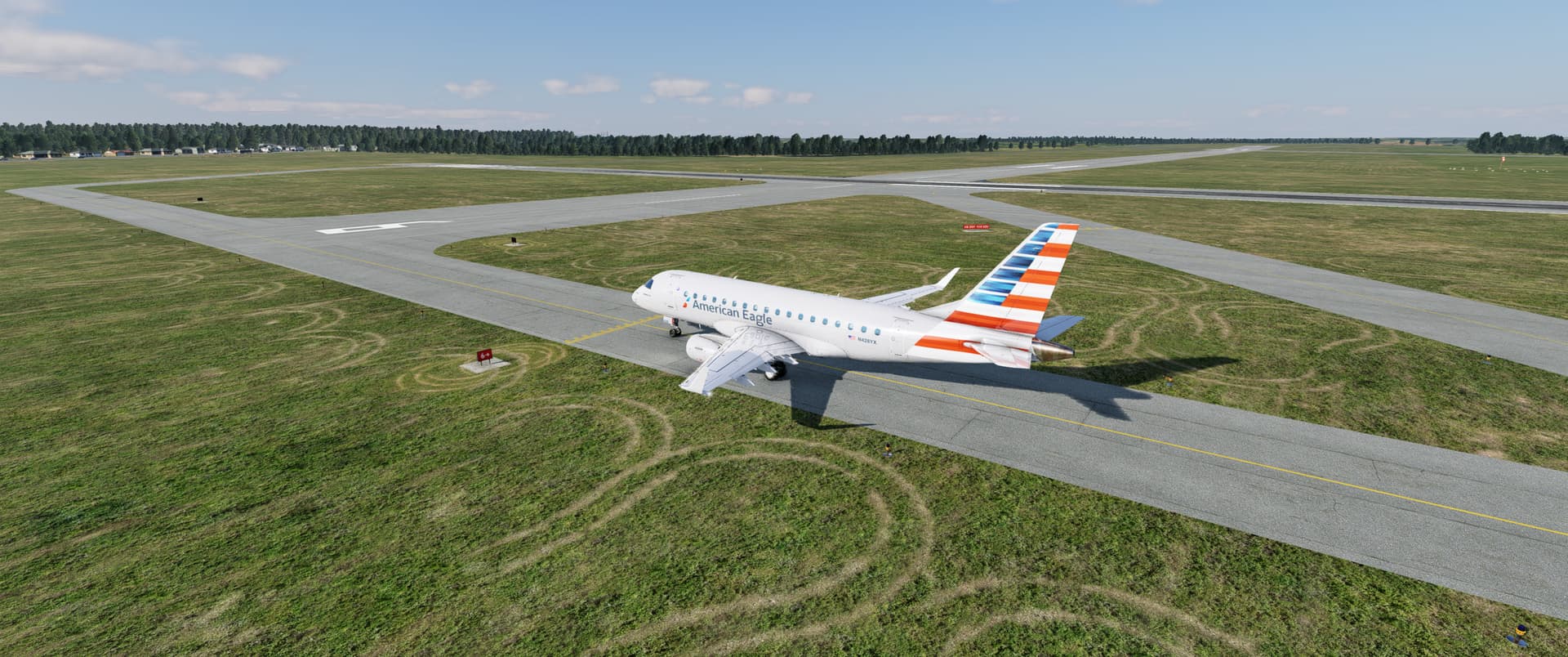
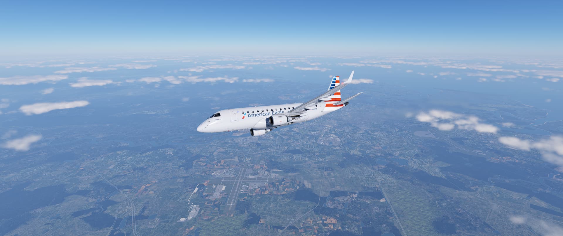
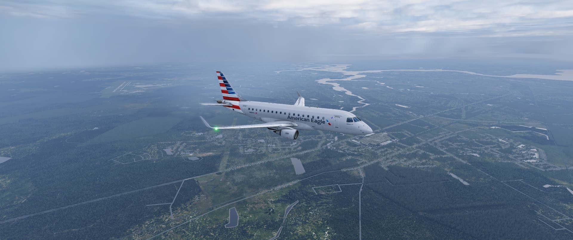
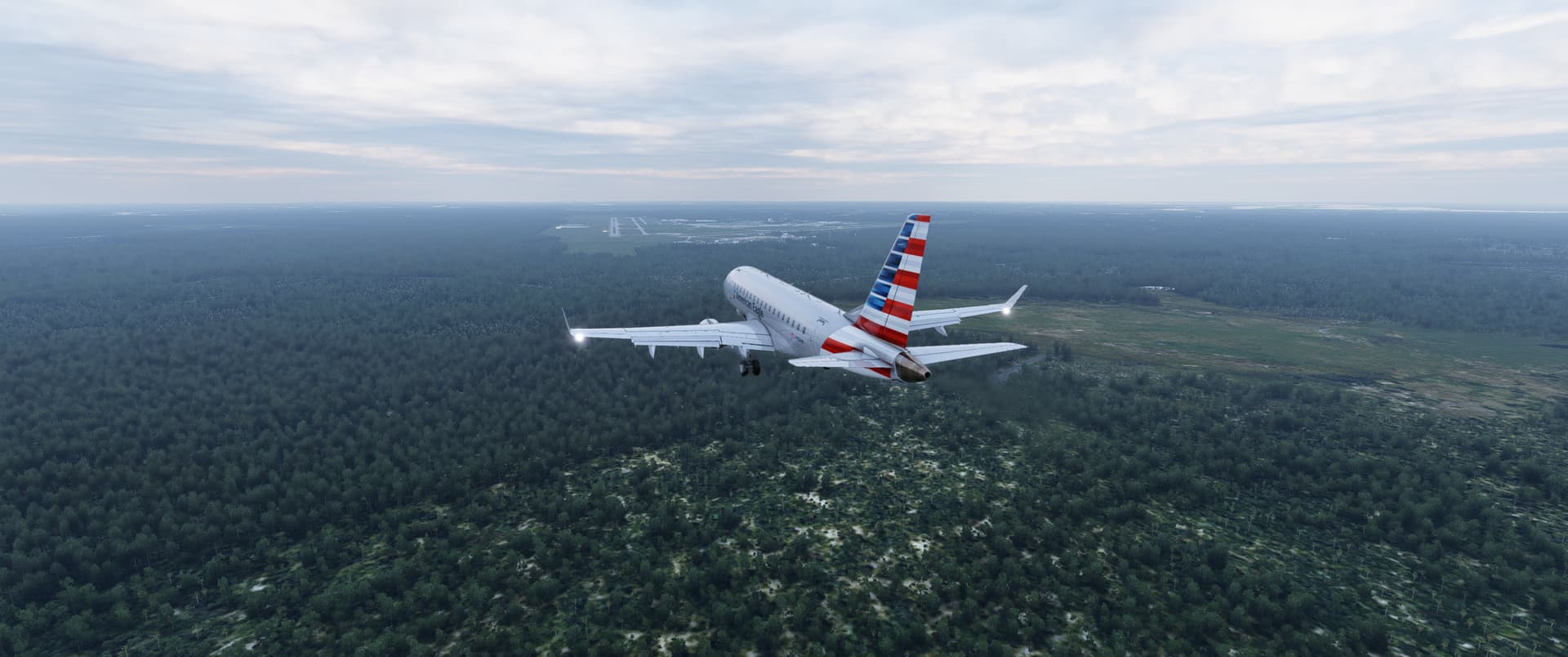
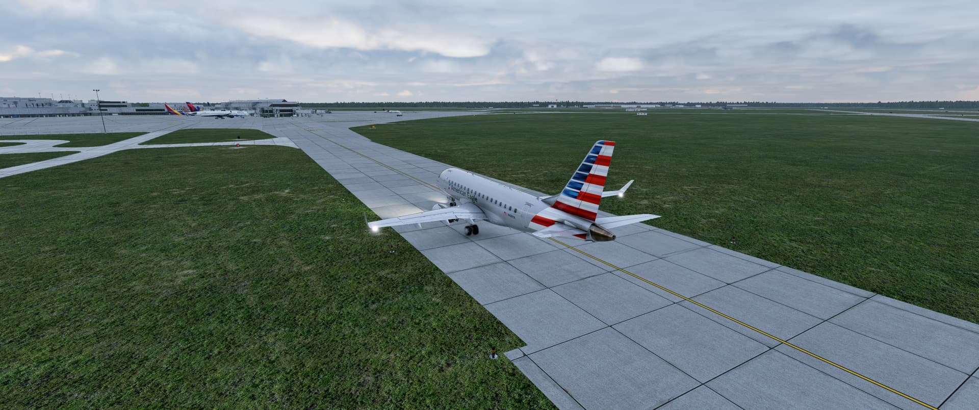
First leg in the book. KTBR to KJAX in a E170
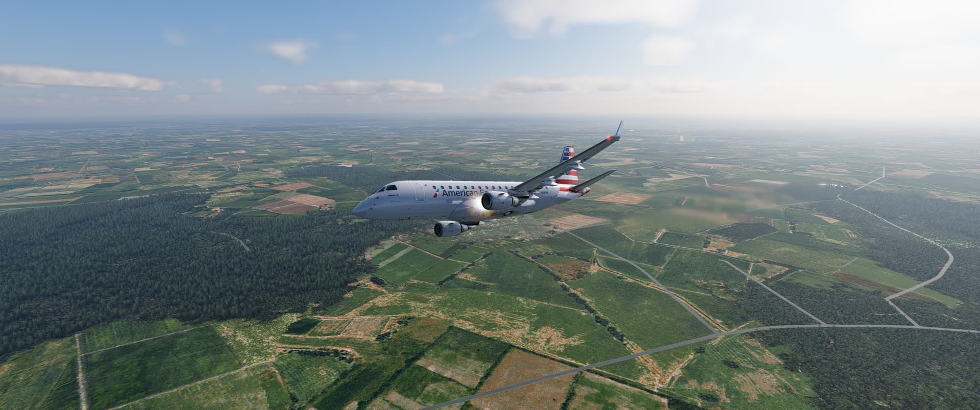
Up next is KJAX to KMIA. Will have to wait till next weekend. Tropics got some activity making flights a little hard this weekend.
10 Likes
My plan for the second leg? Sorta dead-reckon it to the mediterranean sea, see if I can find the Rhône river along the way and find a large lake near the sea so I can land in Marseille.
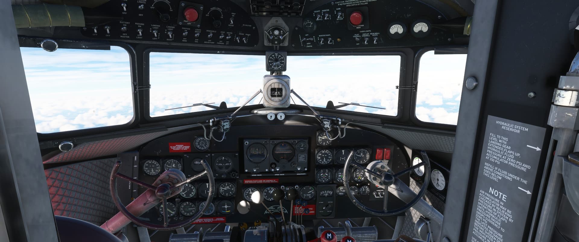
Start-up was easier without scenery blocking my view inside
Engine start
The thing I hadn’t learned about the gyropilot? I just had to trust it. It seems a little crazy at first but it will latch onto the designated pitch at some point. Now it’s smoothly keeping the nose up and guiding us through the turn south.
Smoothly captured the heading too.
Leveled off but the thing doesn’t hold altitude. I let it drift up and down a bit like a concorde would during my journey.
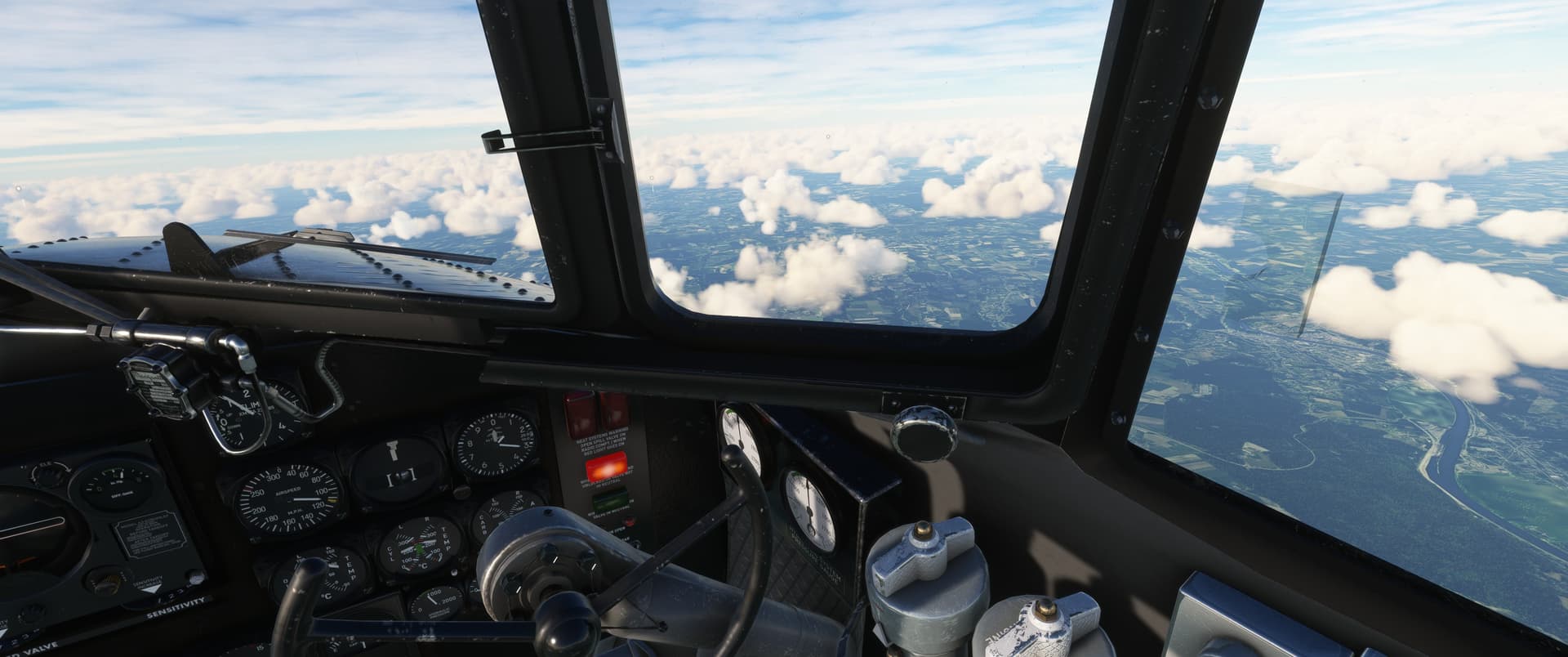
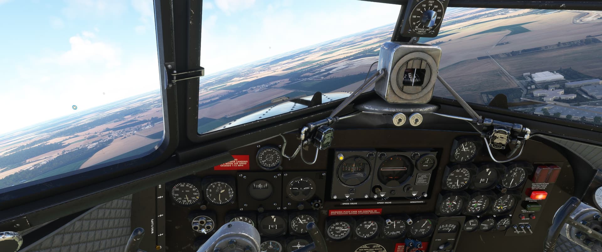
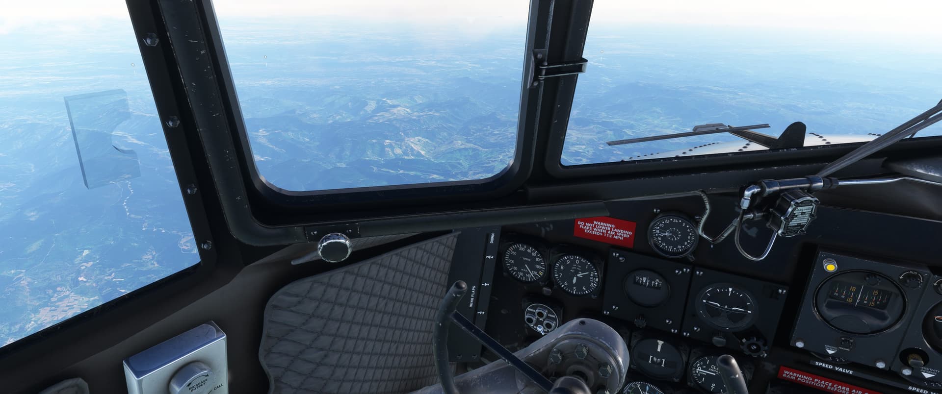
Cruising over Northern France…
“VFR” but I am on gyropilot so I’ll allow it from myself.
Terrain starts to roughen up
I really love how southern France looks.
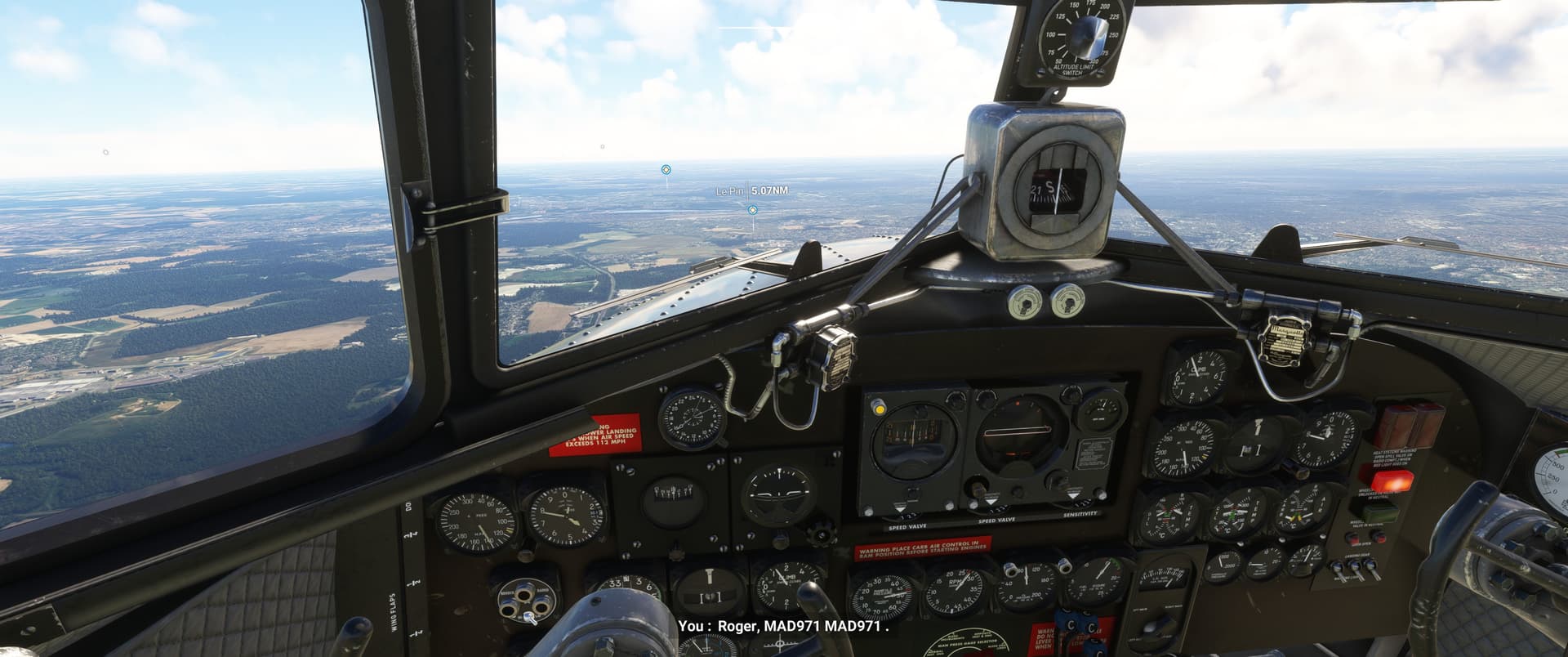
Found Rhône
I am getting close and should start to descent out of these clouds now…
Almost overshot it already
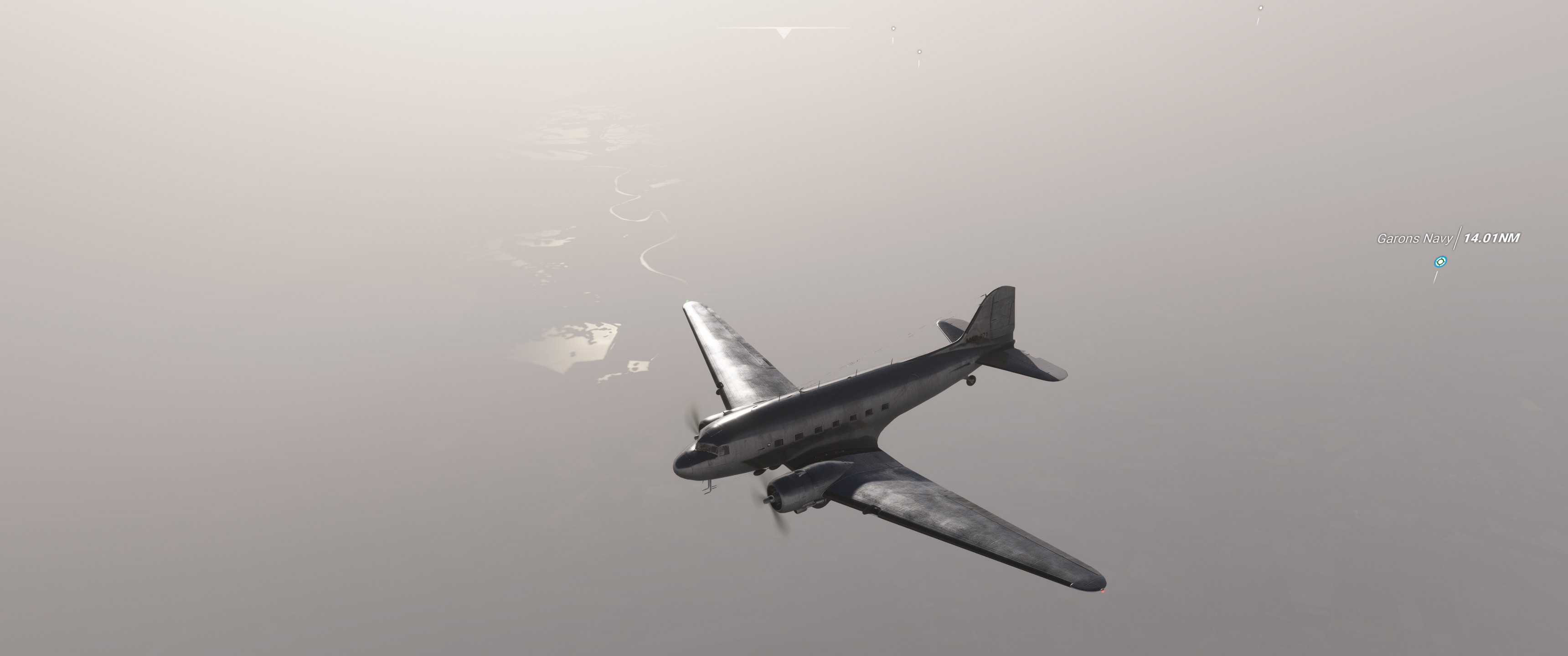
Sneaky shortcut…
Let’s hope I don’t run him over…
15 Likes
Great report! I need to get back in the DC-3 this year.
1 Like
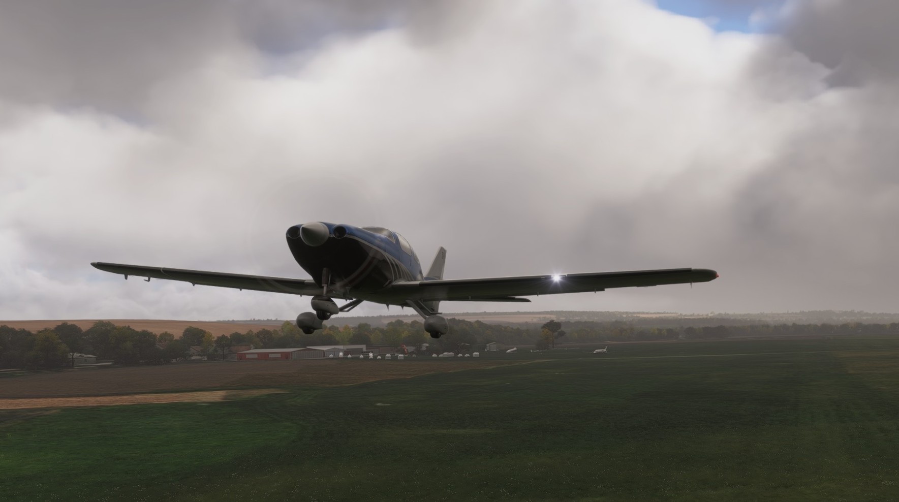
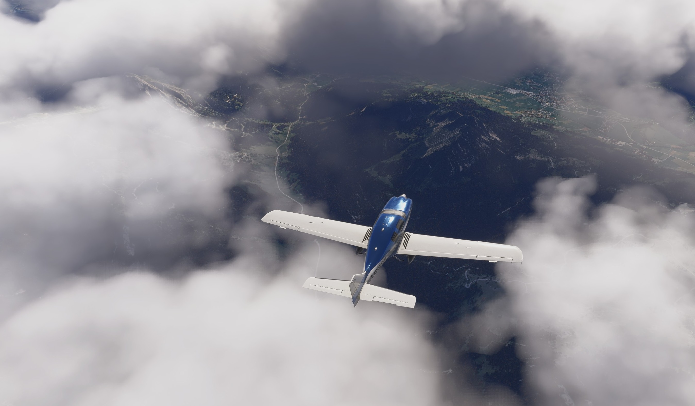
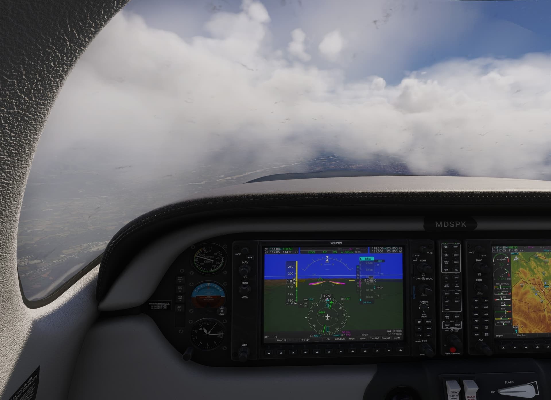
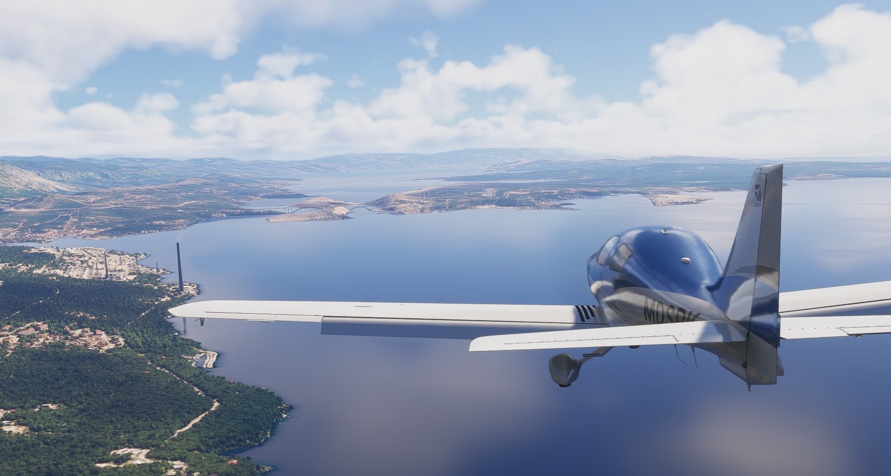
For the next leg to Rijeka in Croatia, I needed something that can take off in max 550 meters (1800 ft) and cruise fast enough not to make the Alps crossing at some 260 nm boring.
Enter the Cessna 400 Corvalis TT and off the chocks we go.
This aircraft is included in the MSFS 2024 standard edition and if I was to choose a general aviation airplane for personal use, this would be it.
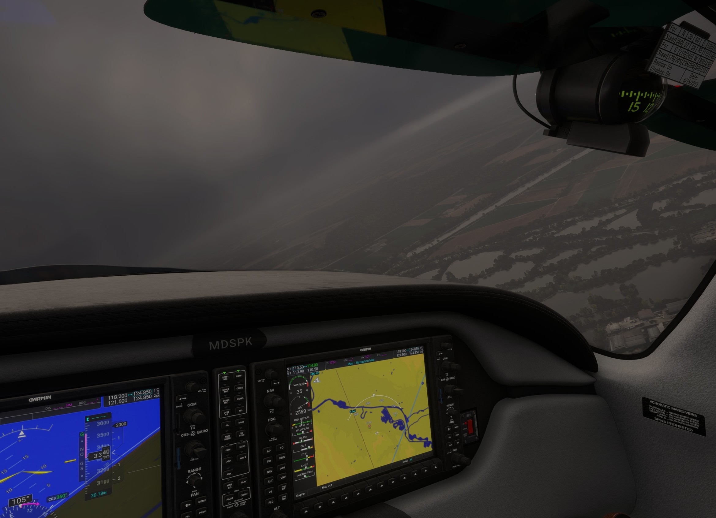
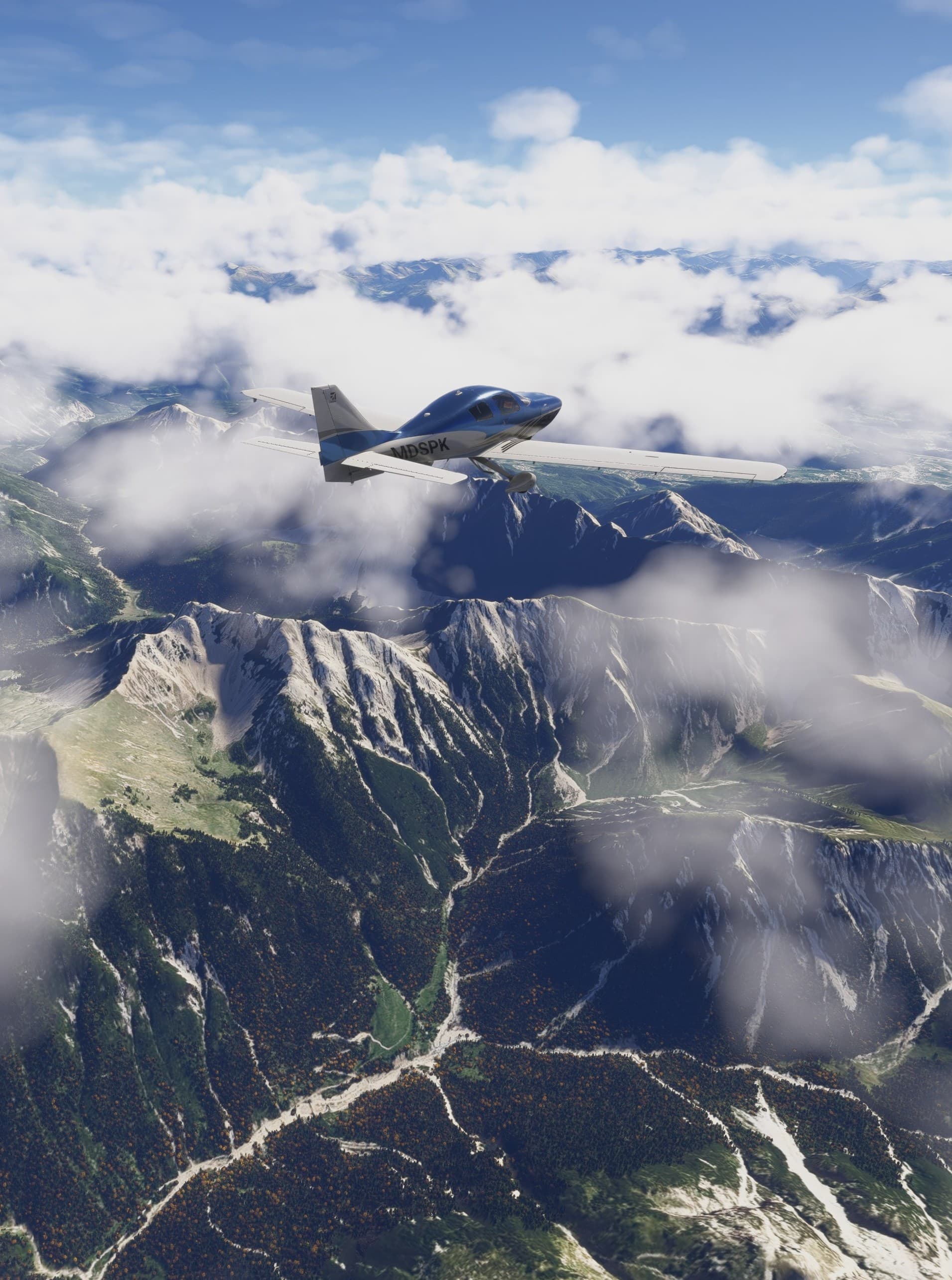
Weather picked up from where I left it off during my visit to Ulm Minster.
One of the things about commercial flying that always takes my breath away is the moment when the plane pierces through the weather and emerges above the clouds.
MSFS 2024 is a masterclass in replicating that feeling.
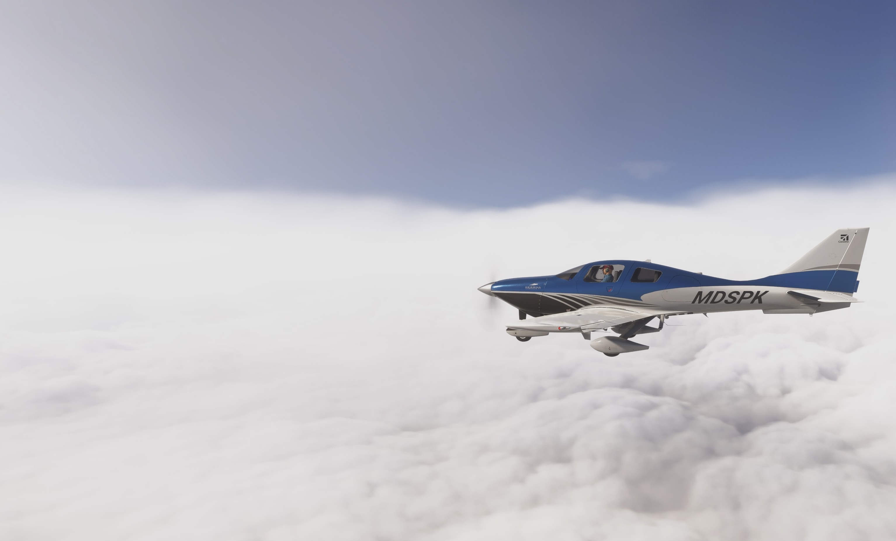
Alps visible through the holes in the cloud layer. Let’s take in the scenery and cruise above.
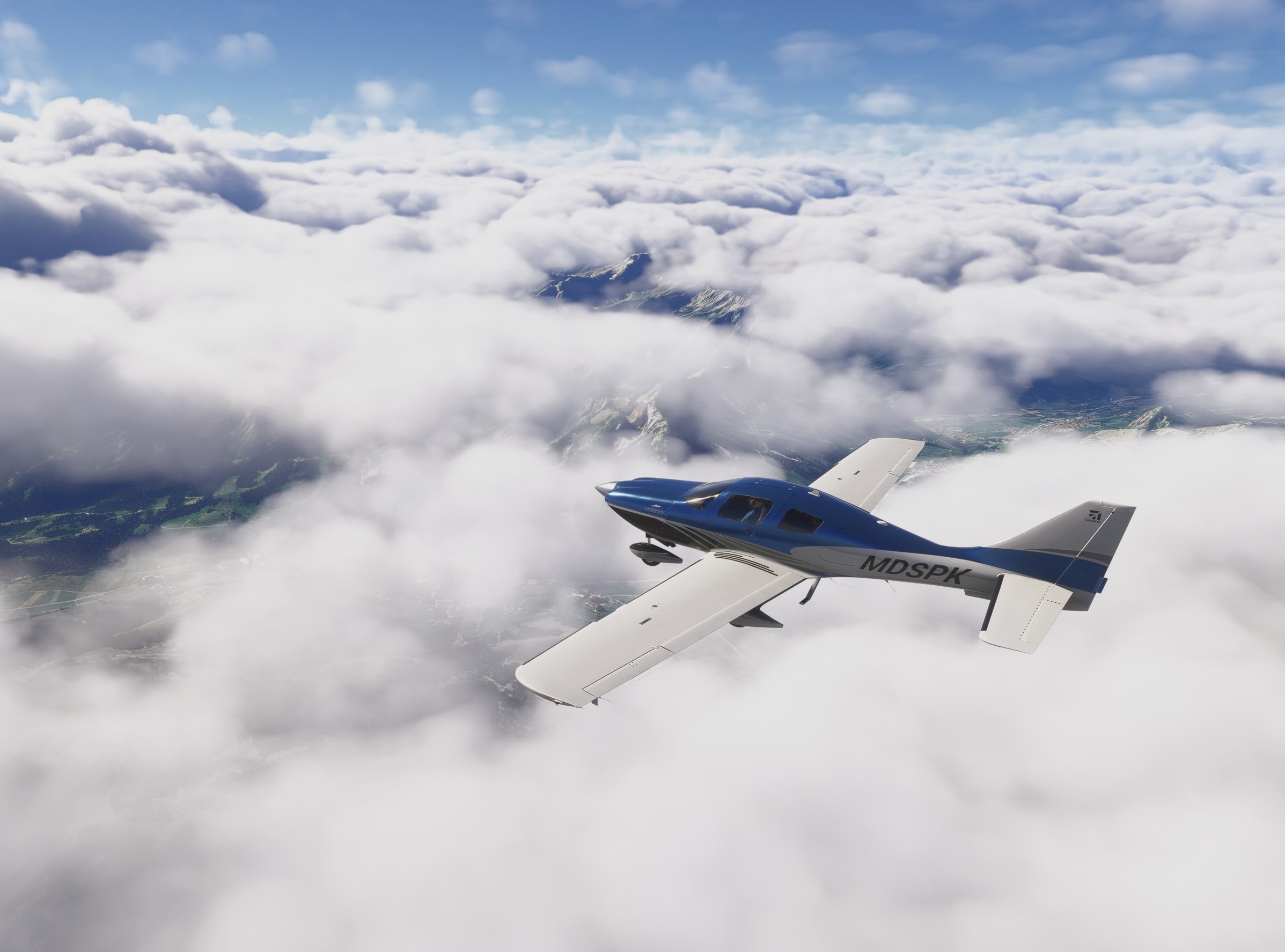
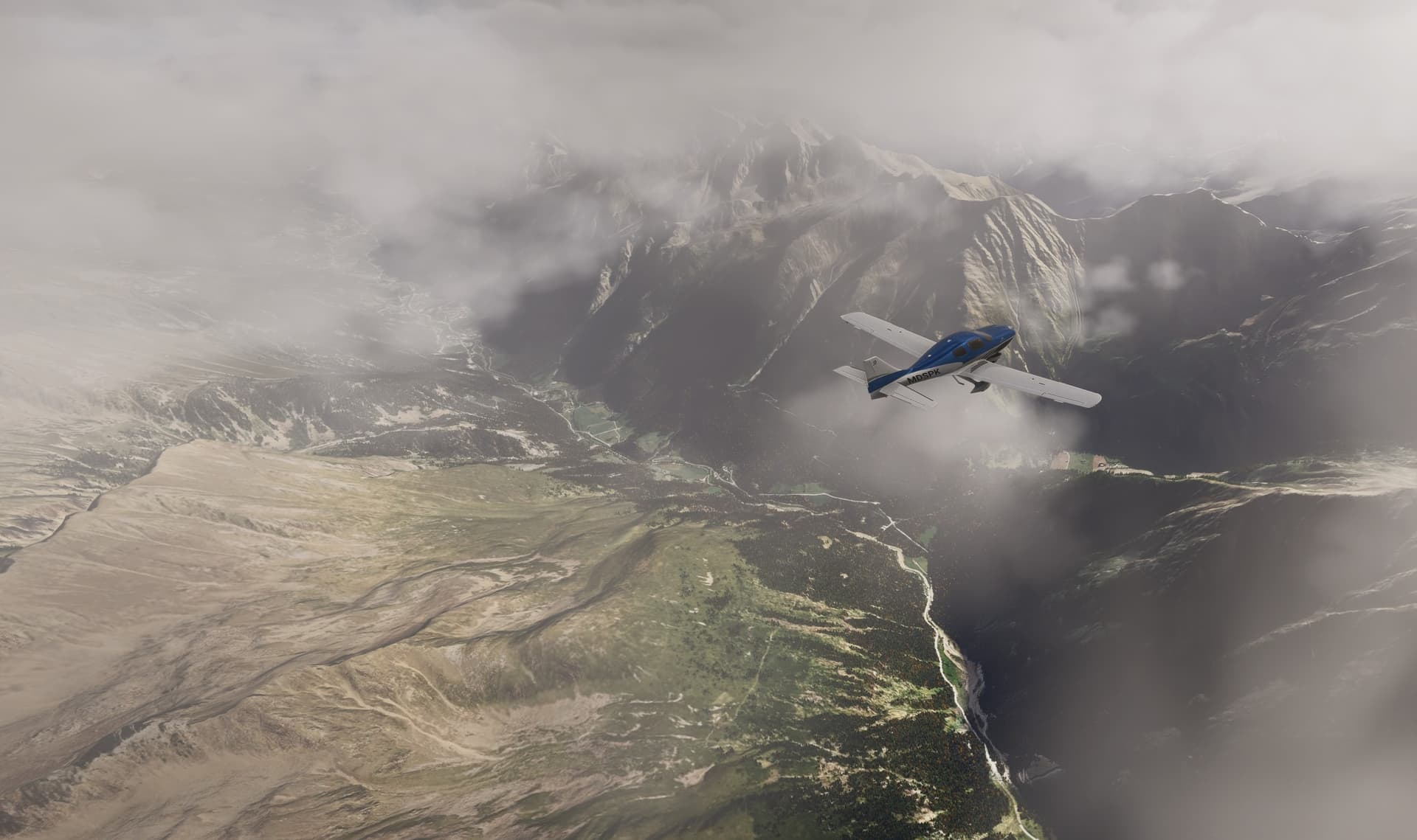
Descending towards Rijeka and landing.
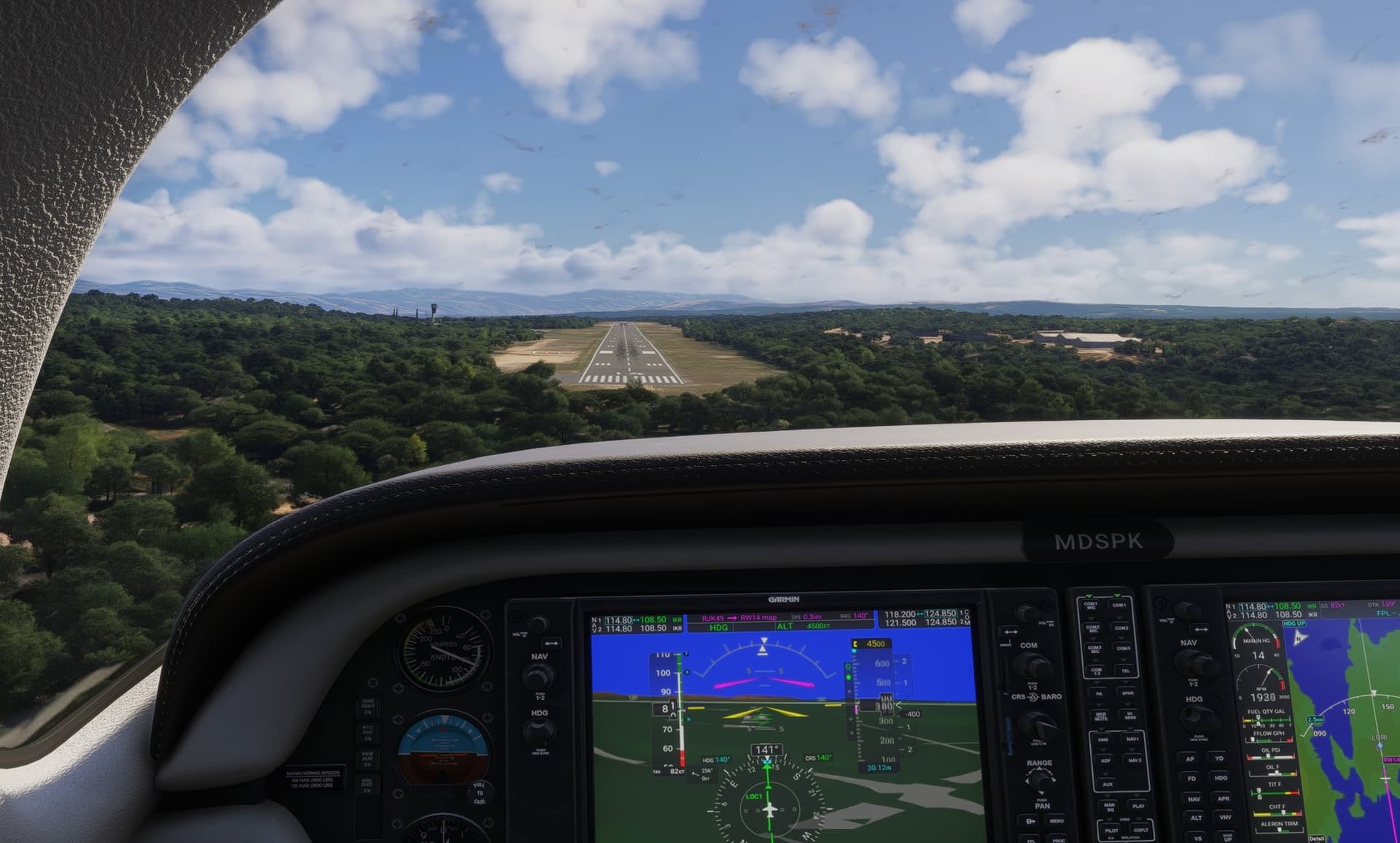
Apparently, I managed to hit a “bespoke” airport of MSFS - Rijeka airport is custom made and looks quite nice.

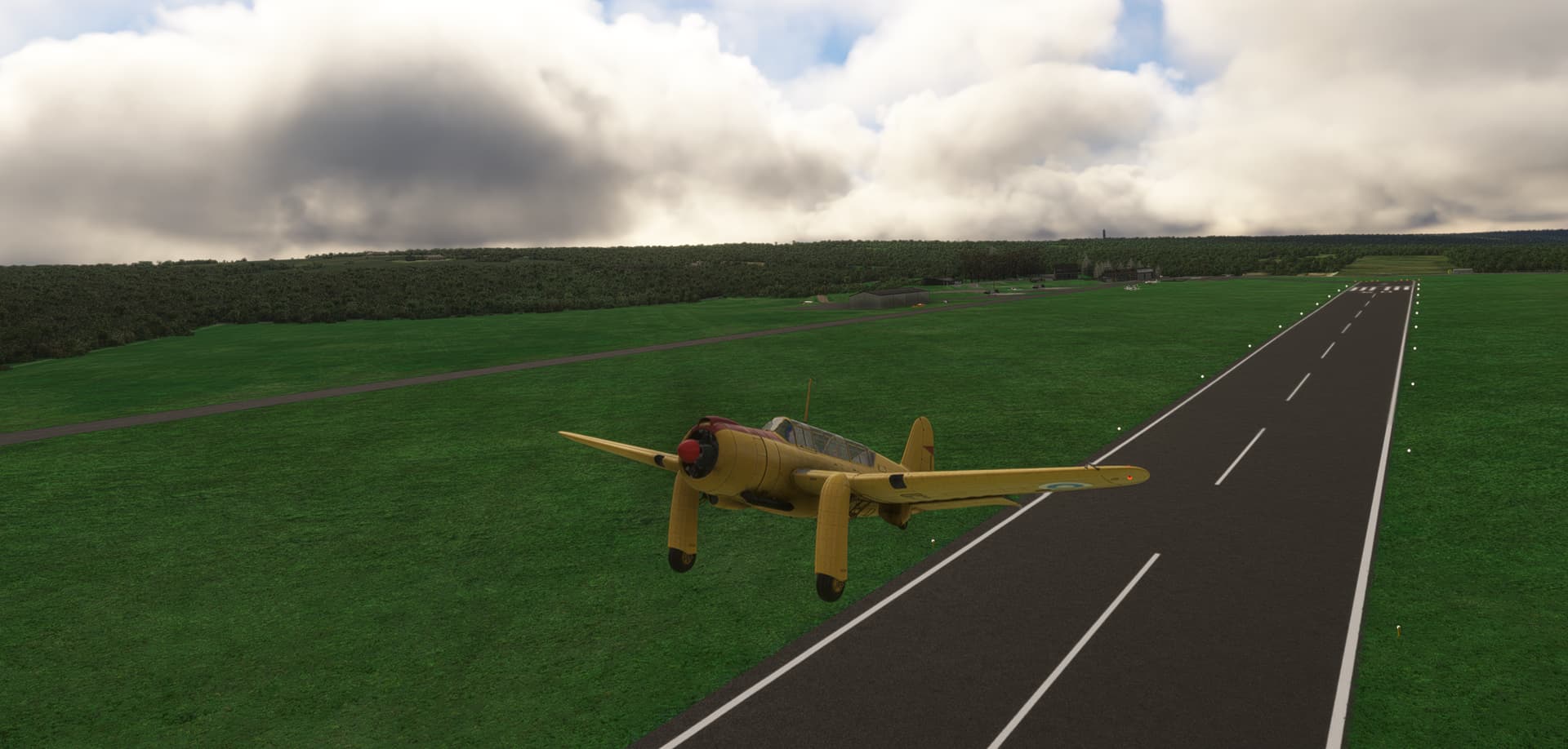
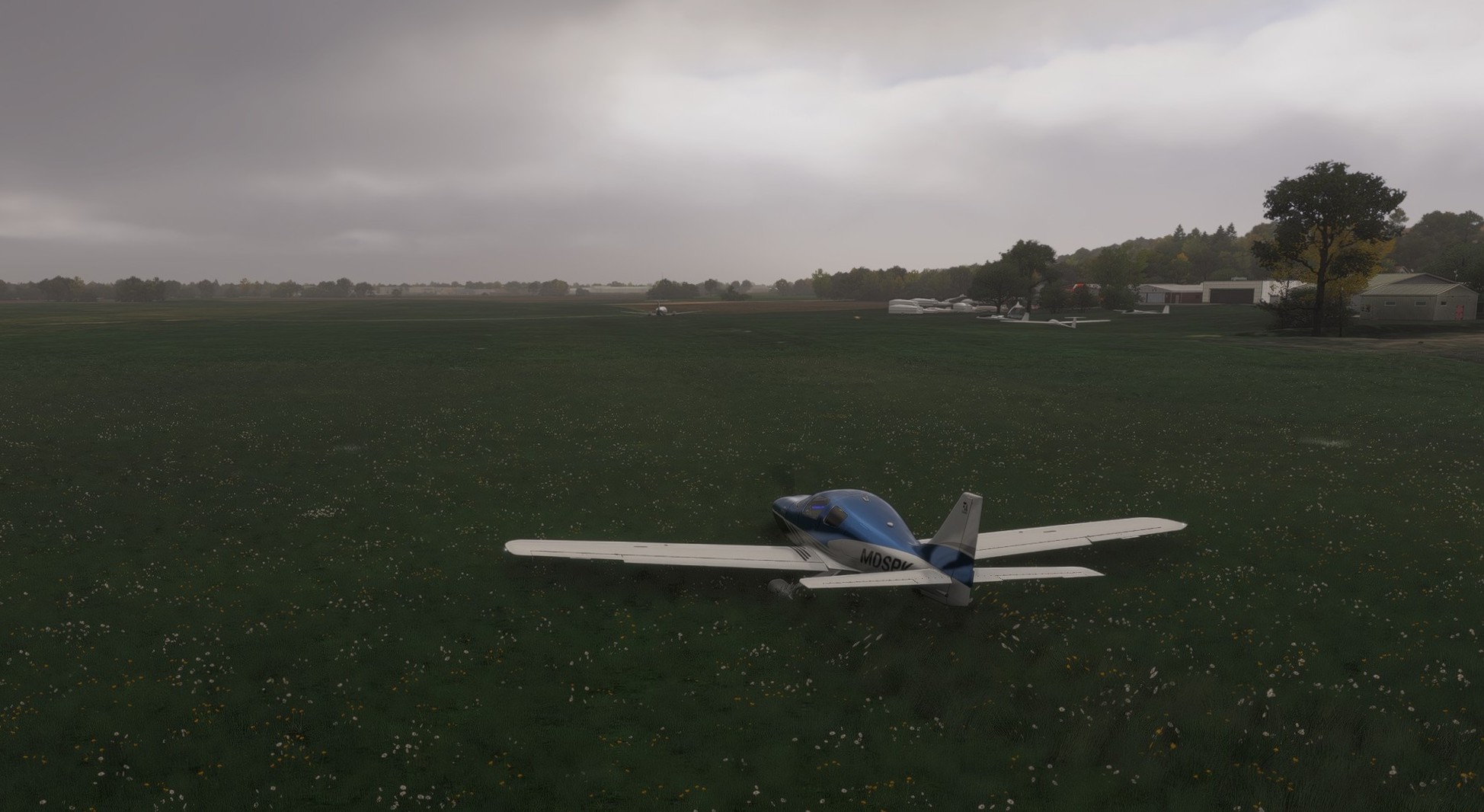
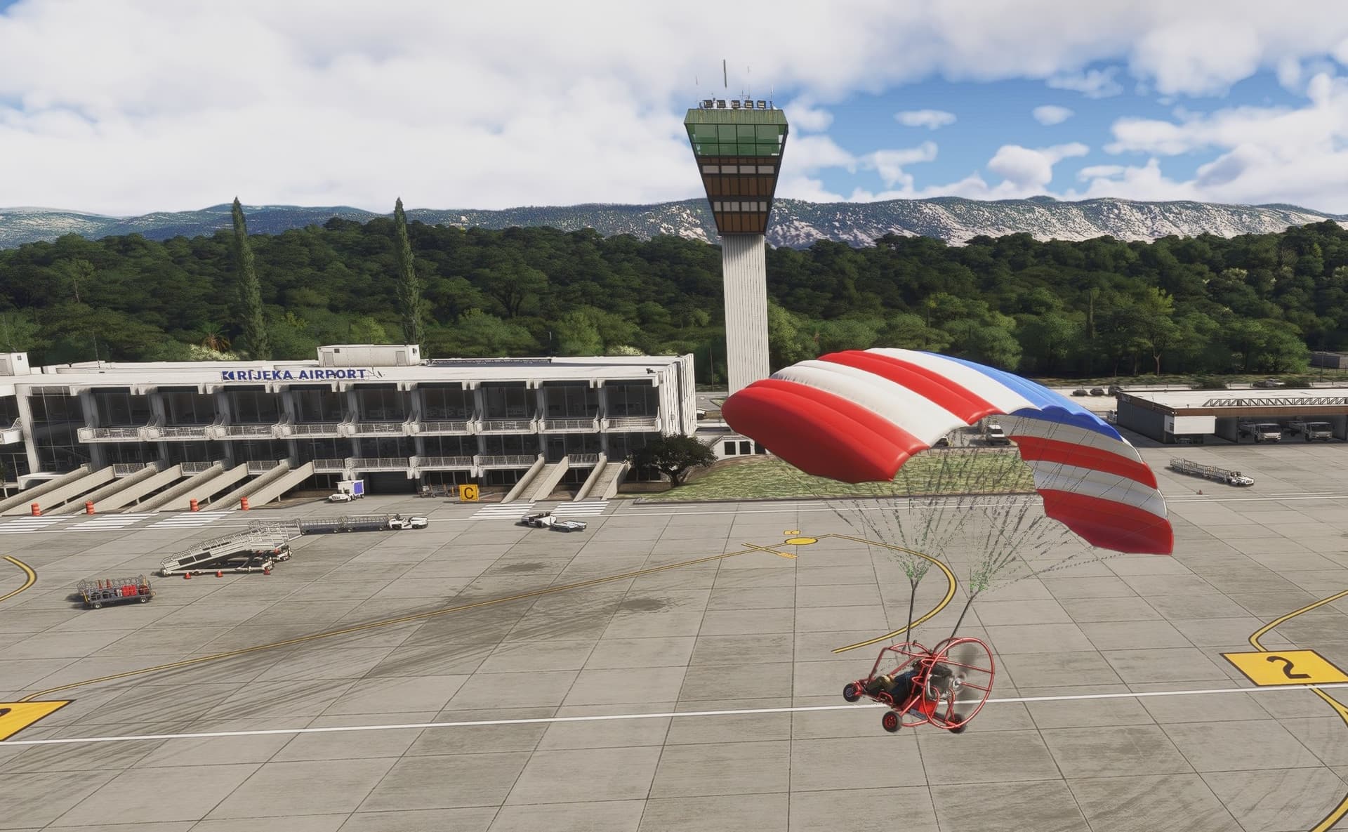
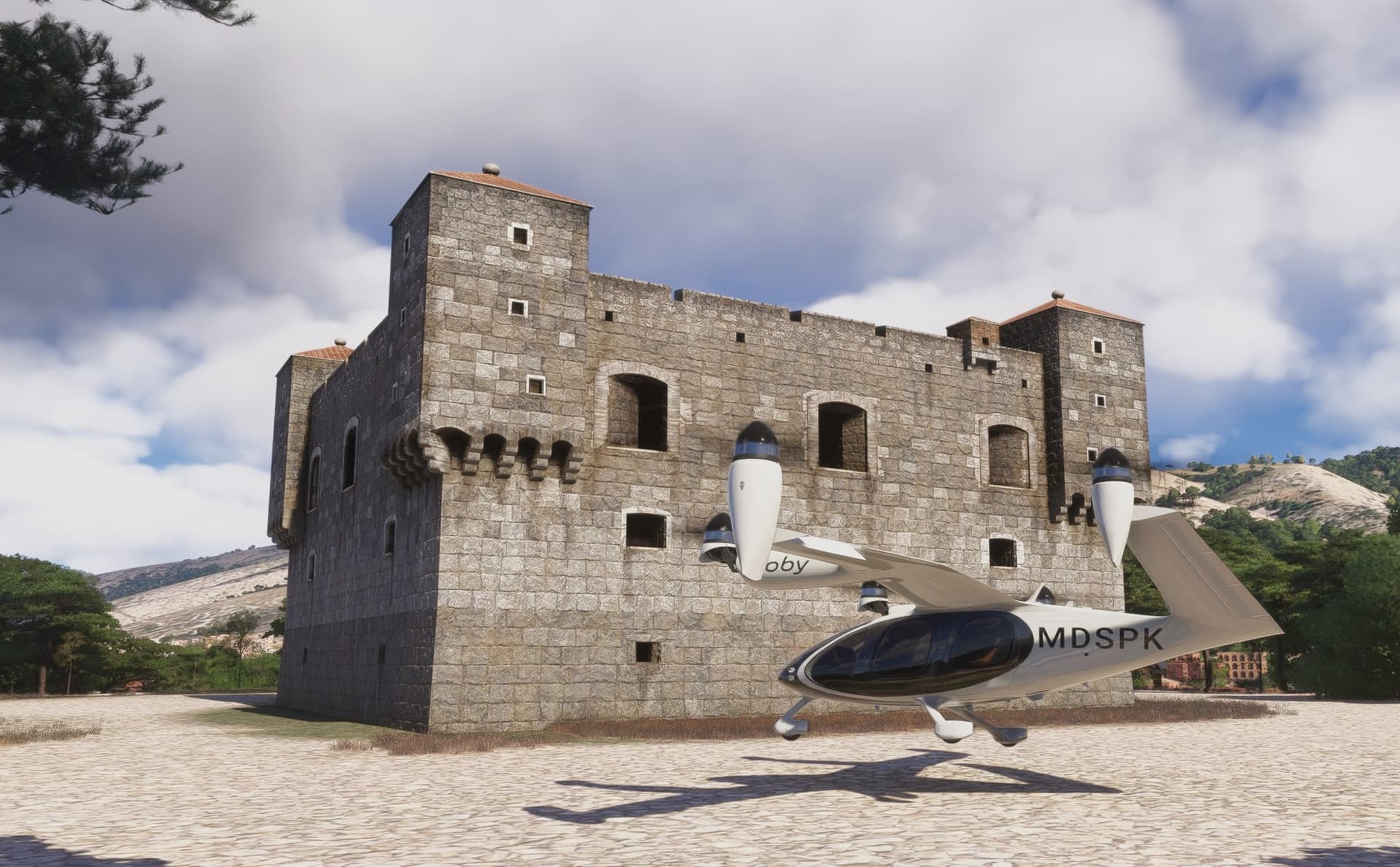
After landing, I swapped to something a bit more leisurely to pay a visit to the next point of interest. This one wing craft does not need much of a runway to take off so why to waste time taxing.
Intermezzo
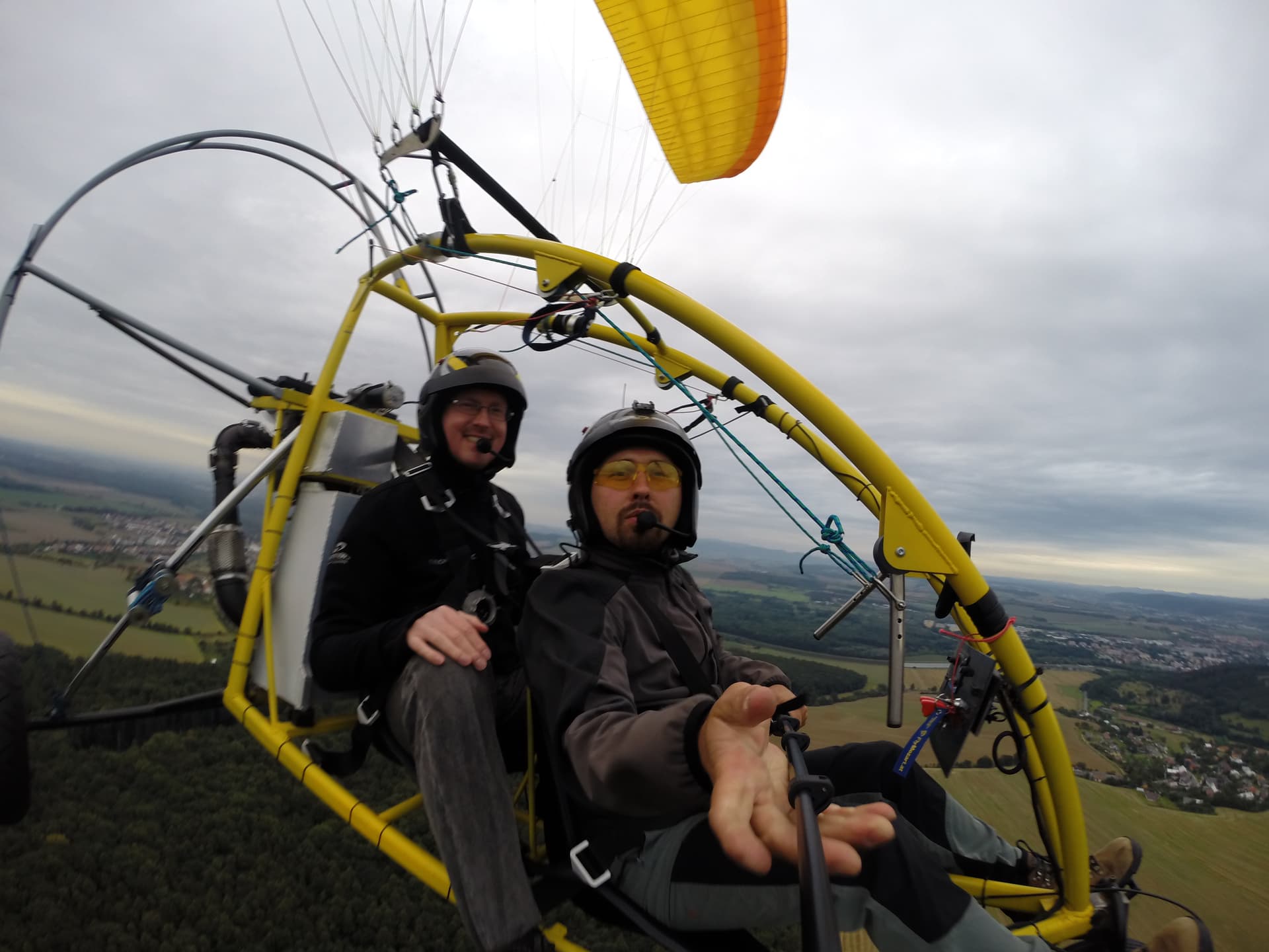
I flew in this tricycle twice in my life as a passenger and actually experienced my first emergency engine out landing ever on the first flight (why I agreed to fly the second time, I don’t know).
We were happily cruising at what seemed to be a walking speed when all of a sudden I could hear the engine splutter and when the fan stopped, the pilot just announced that we were about to land… which we did within few seconds. That made me think that probably you do not want to fly over anything you wouldn’t want to land on.
After landing (on a harvested field, fortunately), the pilot asked me determine our location so that he could call his buddy to pick us and the gear up. I got to the nearby cycling path and asked two surprised cyclists. Pitty, I left the helmet on the field and was not wearing a flying suit at least.
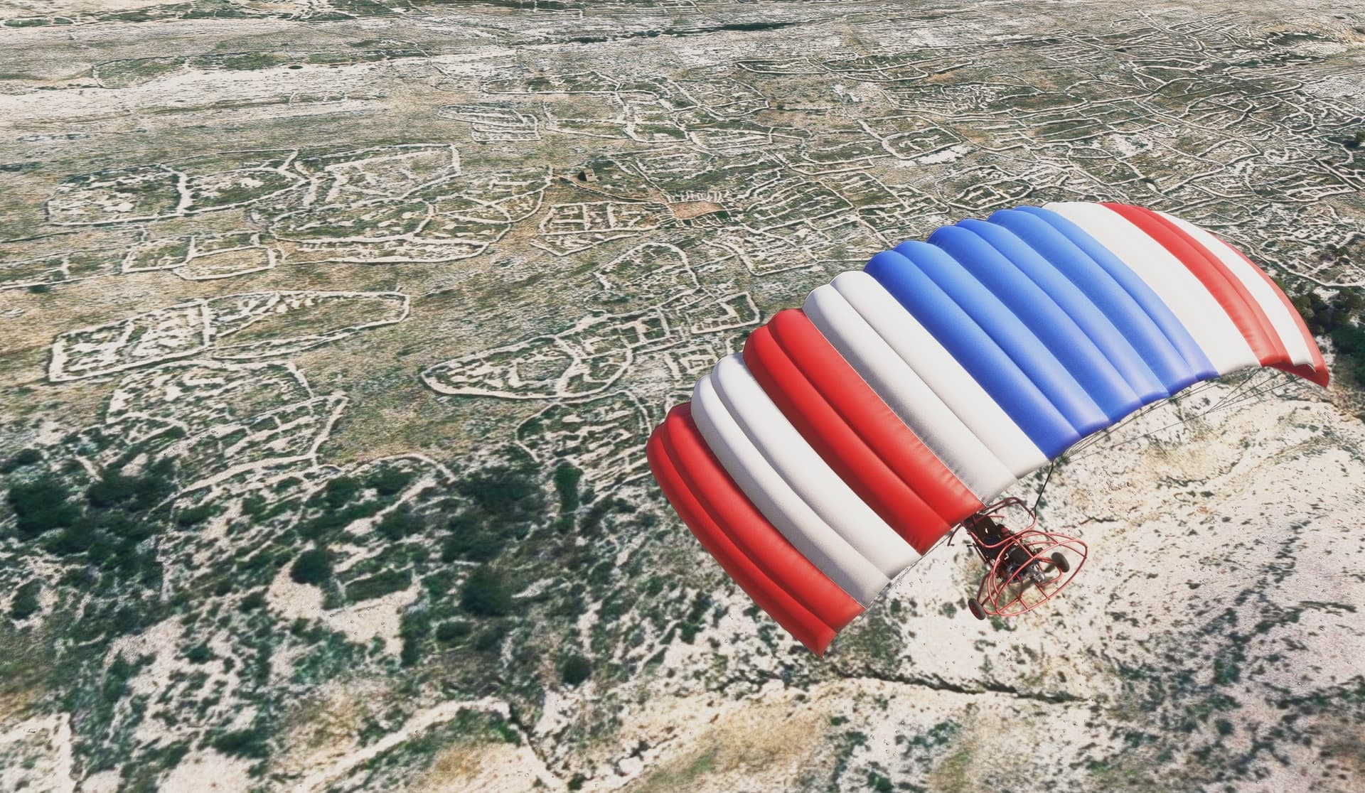
The biggest enemy of this thing is the wind. Of which I had abundance in this flight. In practical terms it meant that I flew the entire route sideways and in one case was even blown up a cliff without being able to influence much the speed and direction of flight.
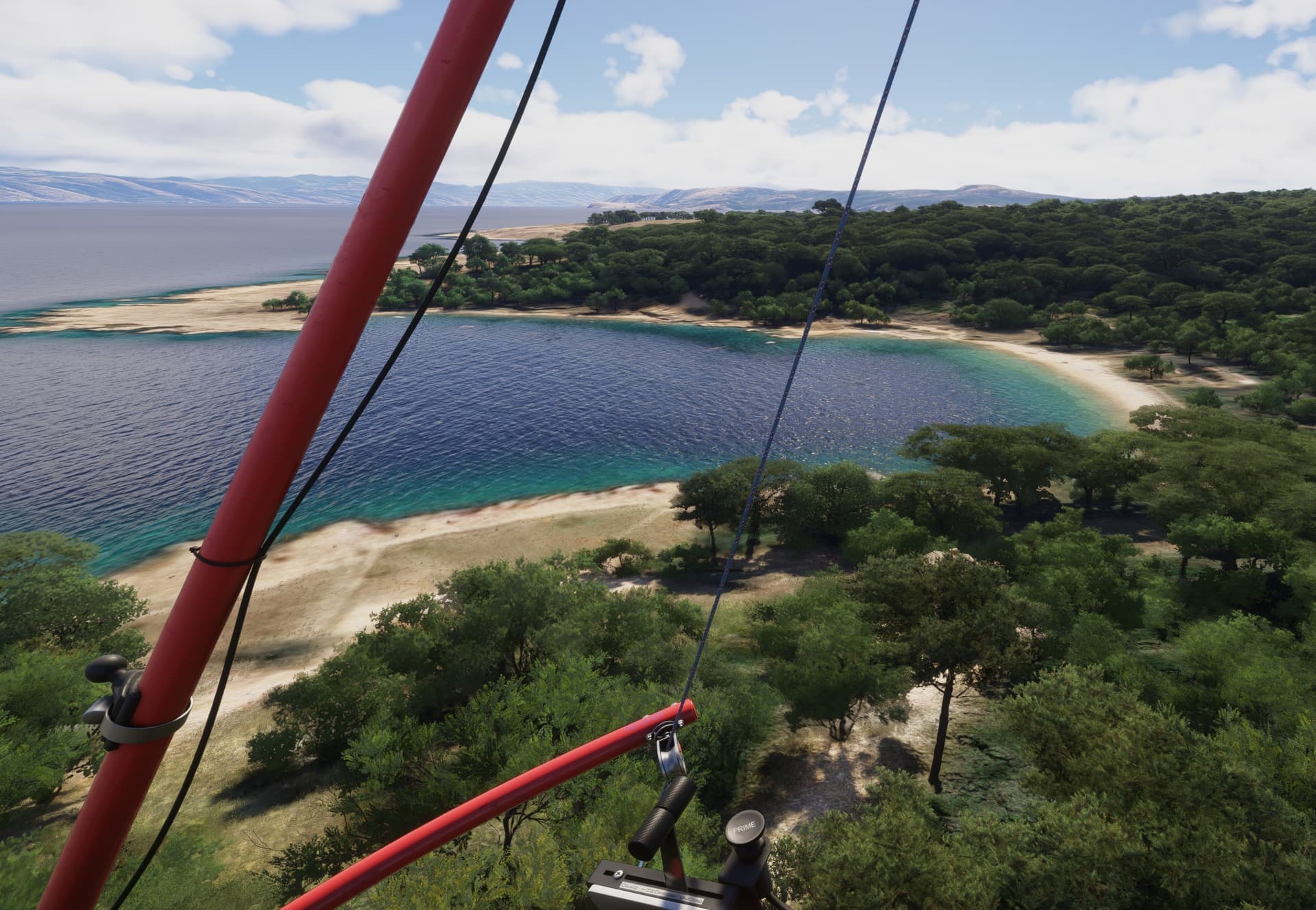
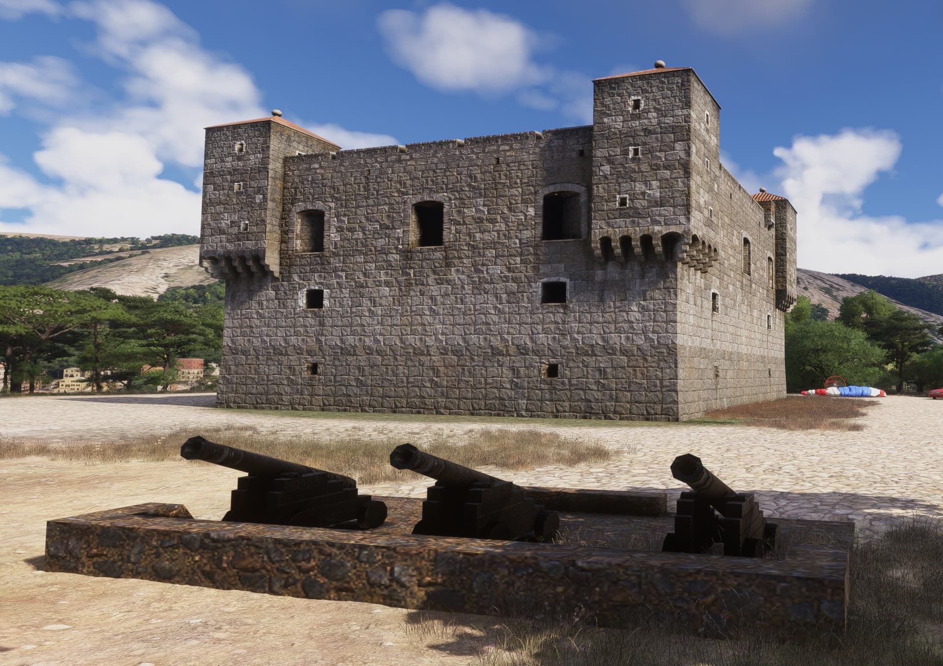
Long story flight short, I resorted to slew mode to cut through the last bit of the sea crossing to arrive to Nehaj fortress. This square shaped fortress was built in 1558 and its purpose was to defend the city of Senj.
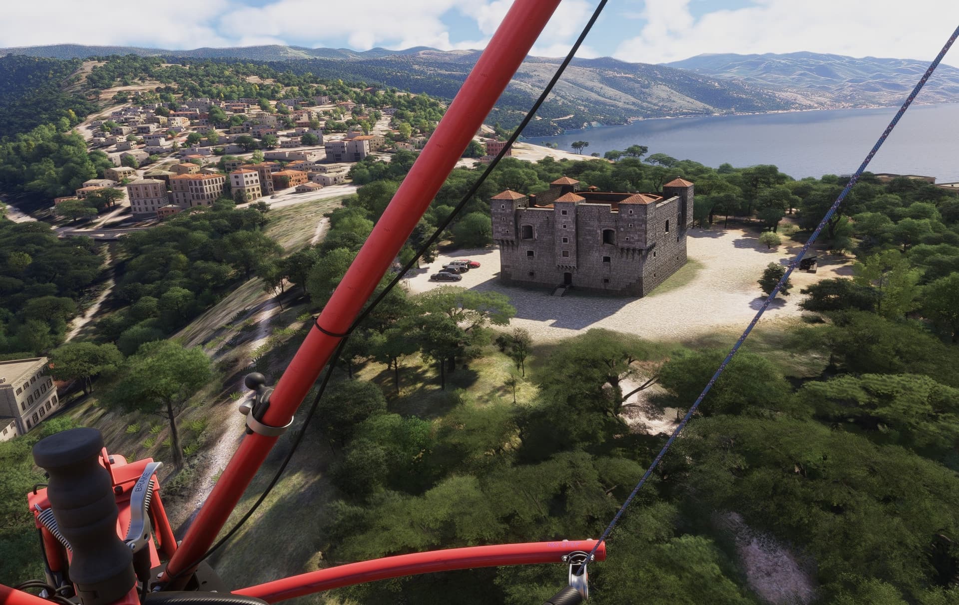
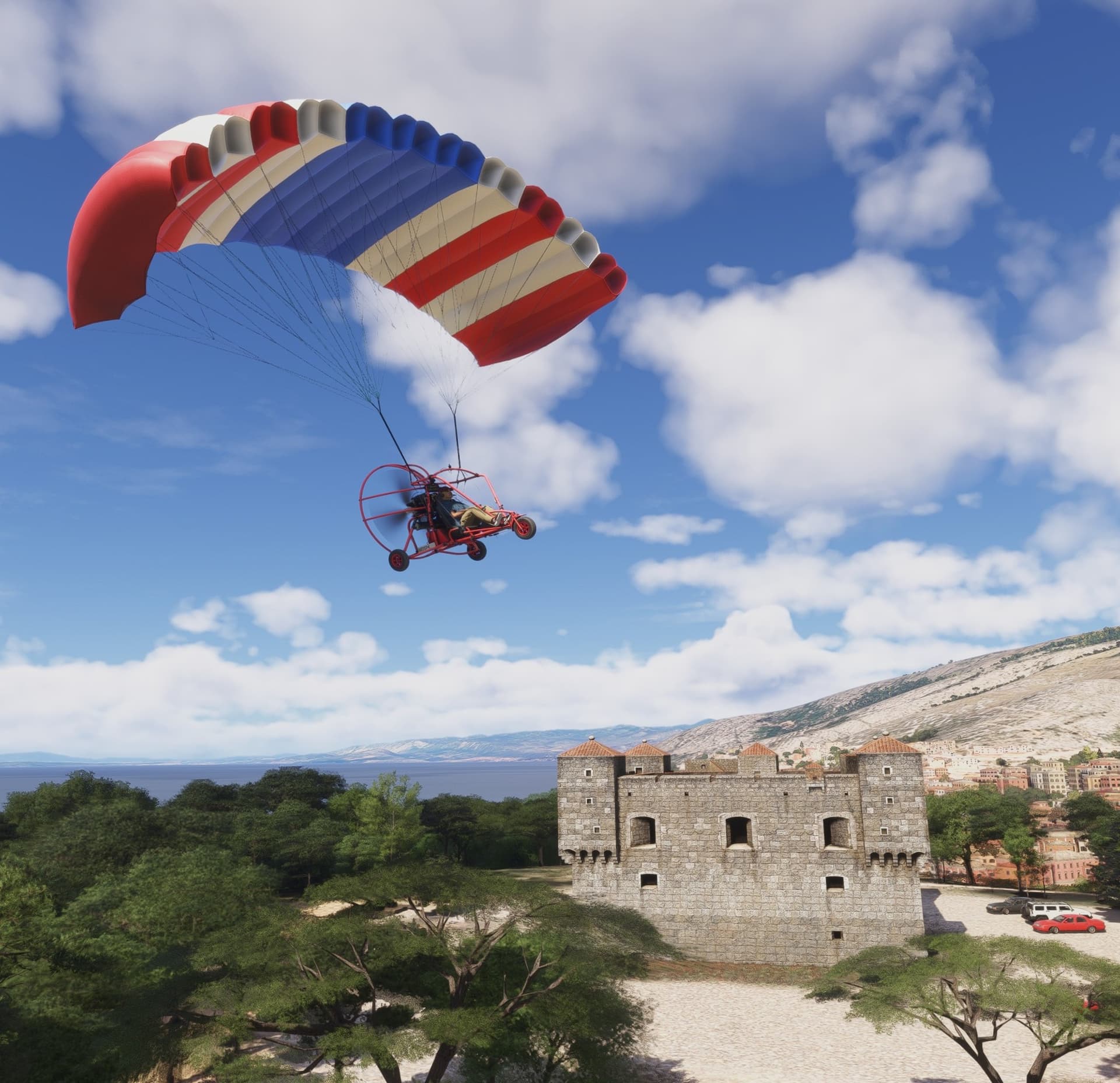
Following my first landing in this aircraft, you can spot—off in the distance—where I crash-landed into the trees just behind the fortress.
13 Likes
Great report! Glad you’re still with us, my friend!
3 Likes