Wait for a certain flying boat to arrive and unload the remainder of the German beer, Italian Wine and Greek Ouzo… Our bar is well stocked!
5 Likes
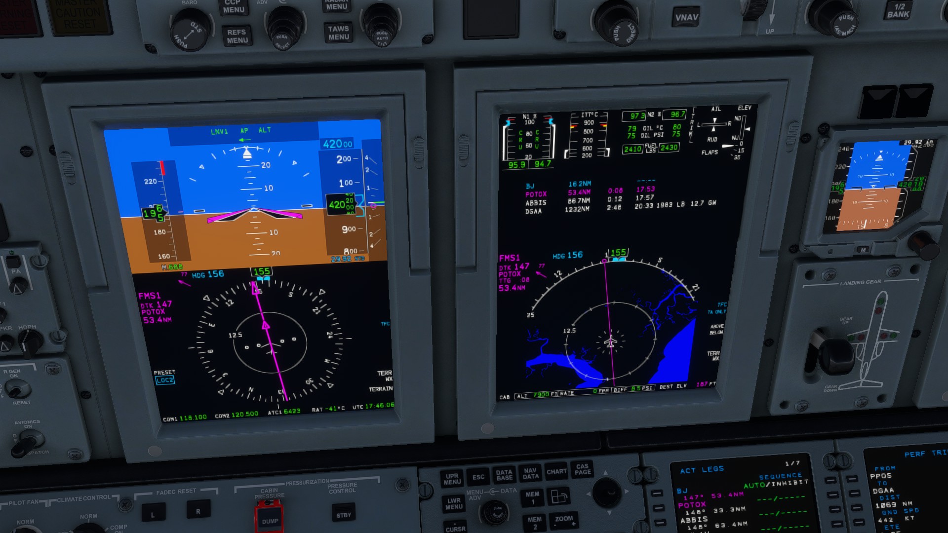
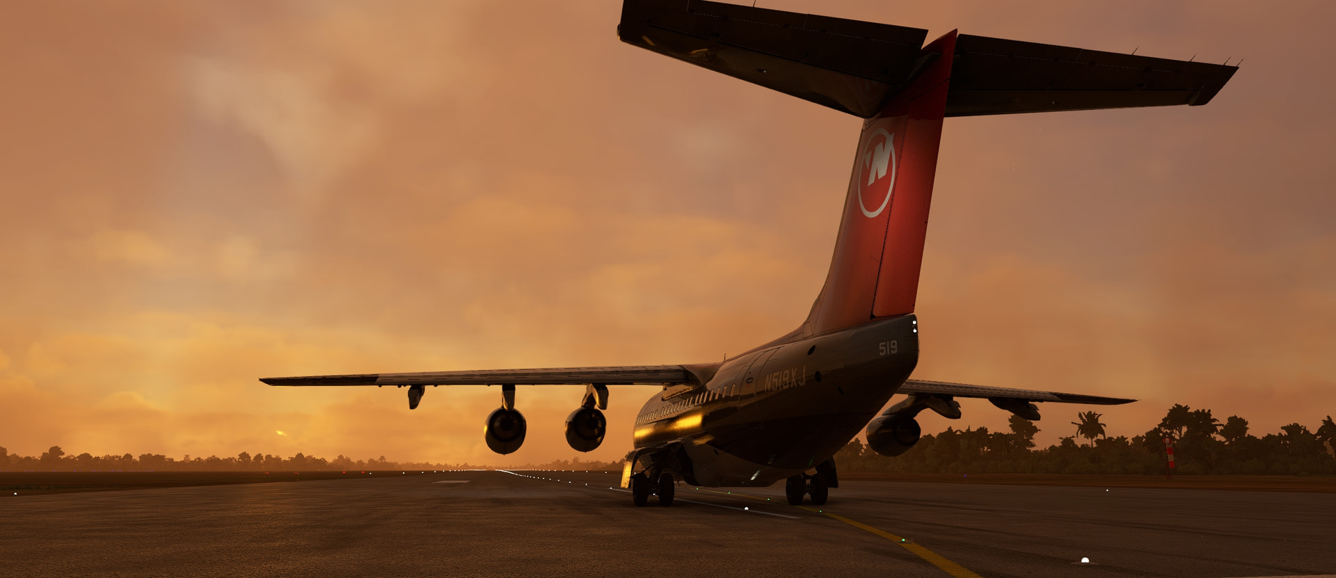
Leg 6 (?) - Port Blair to … Somewhere in India!
So I’ve had a bunch of stuff, planned and unplanned, to do to the home network and that’s set me back both by taking up my spare time and also by the PSU in my usual PC dying (I’m typing this on my gaming rig which doesn’t have any productivity apps on it, so we won’t have the summary or handwriting on maps or anything for this report).
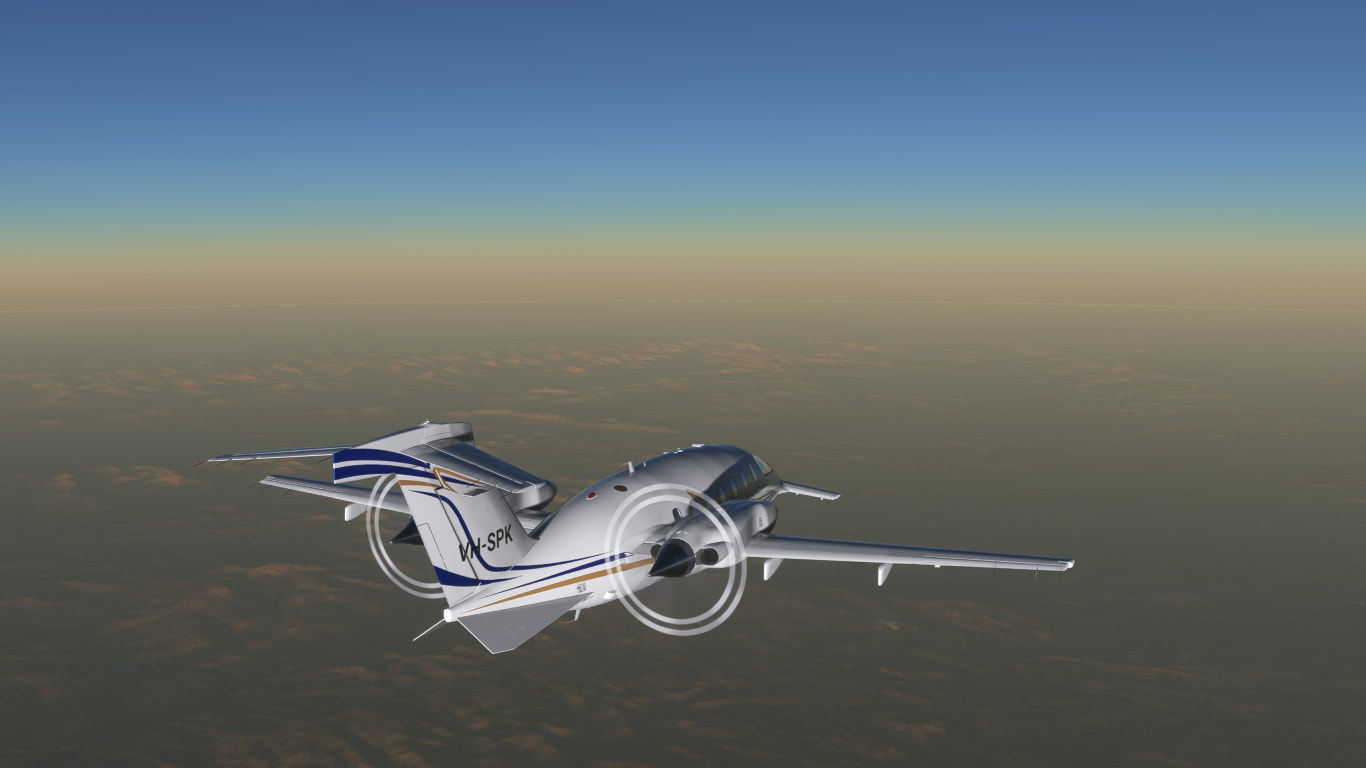
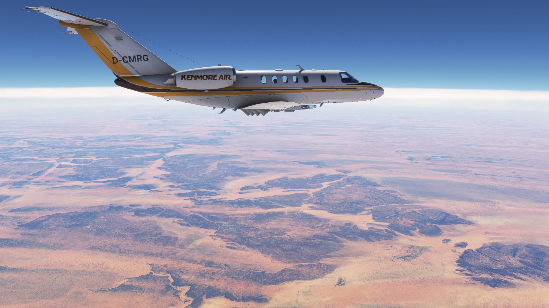
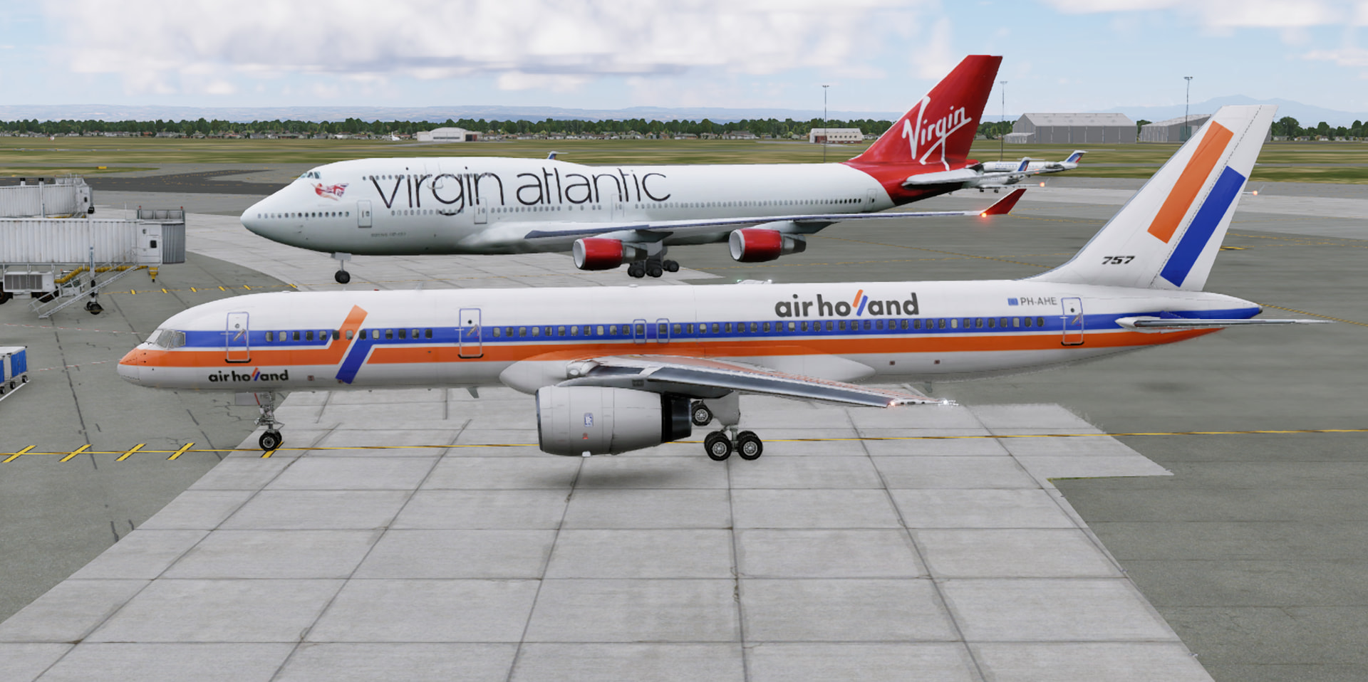
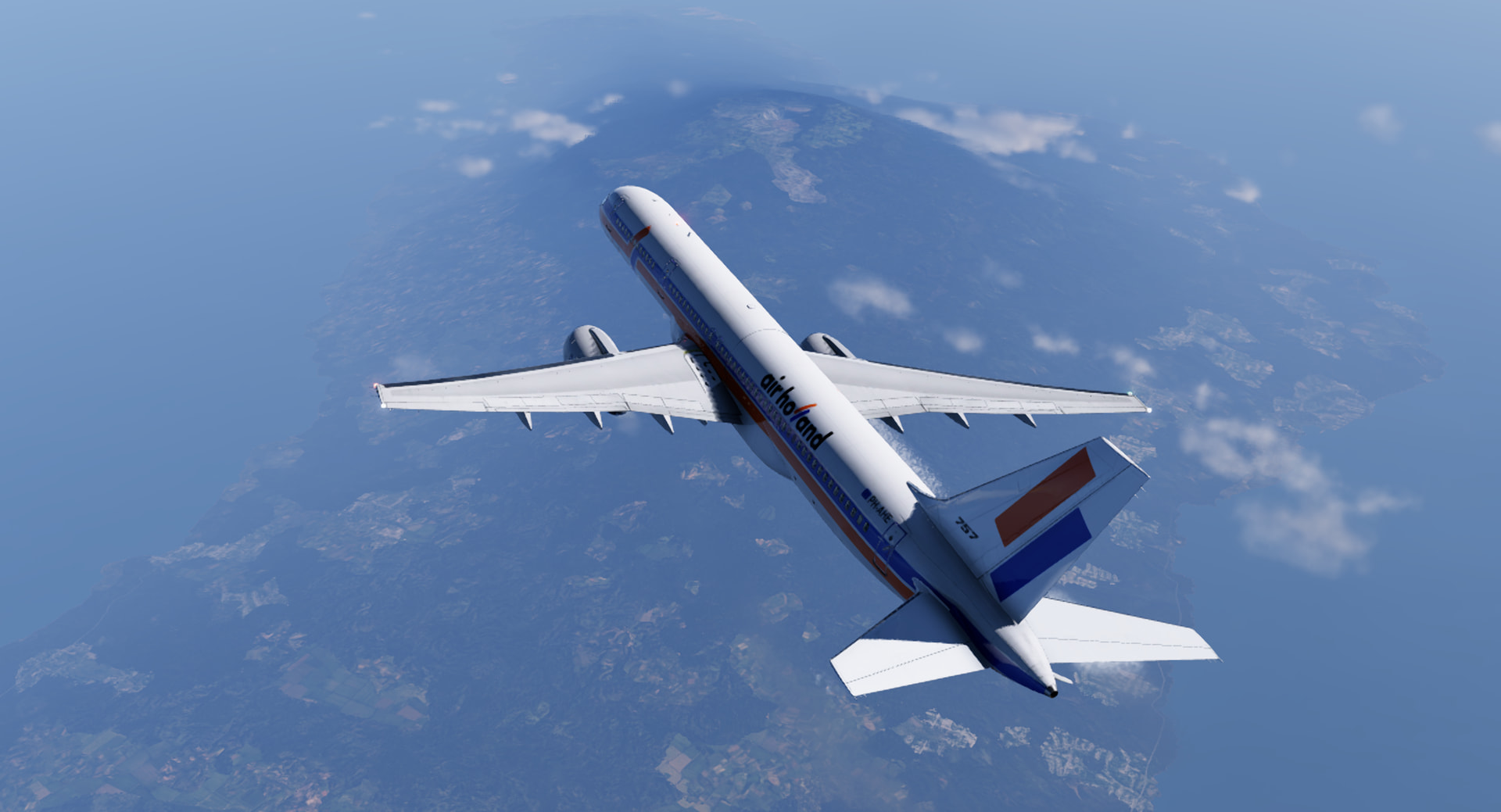
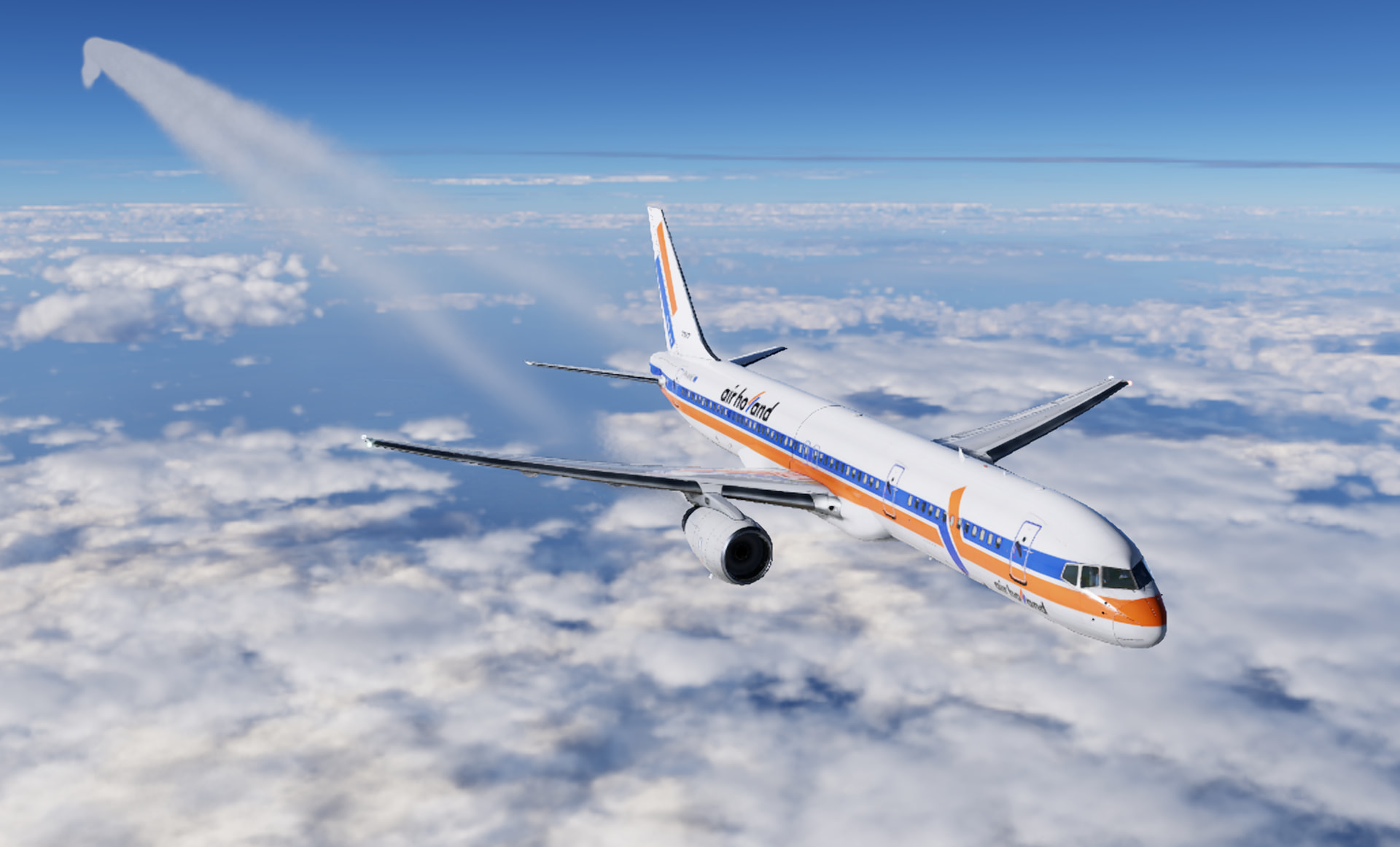
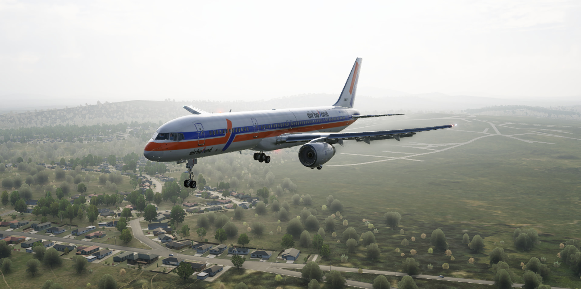
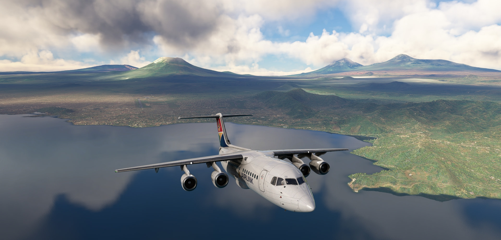
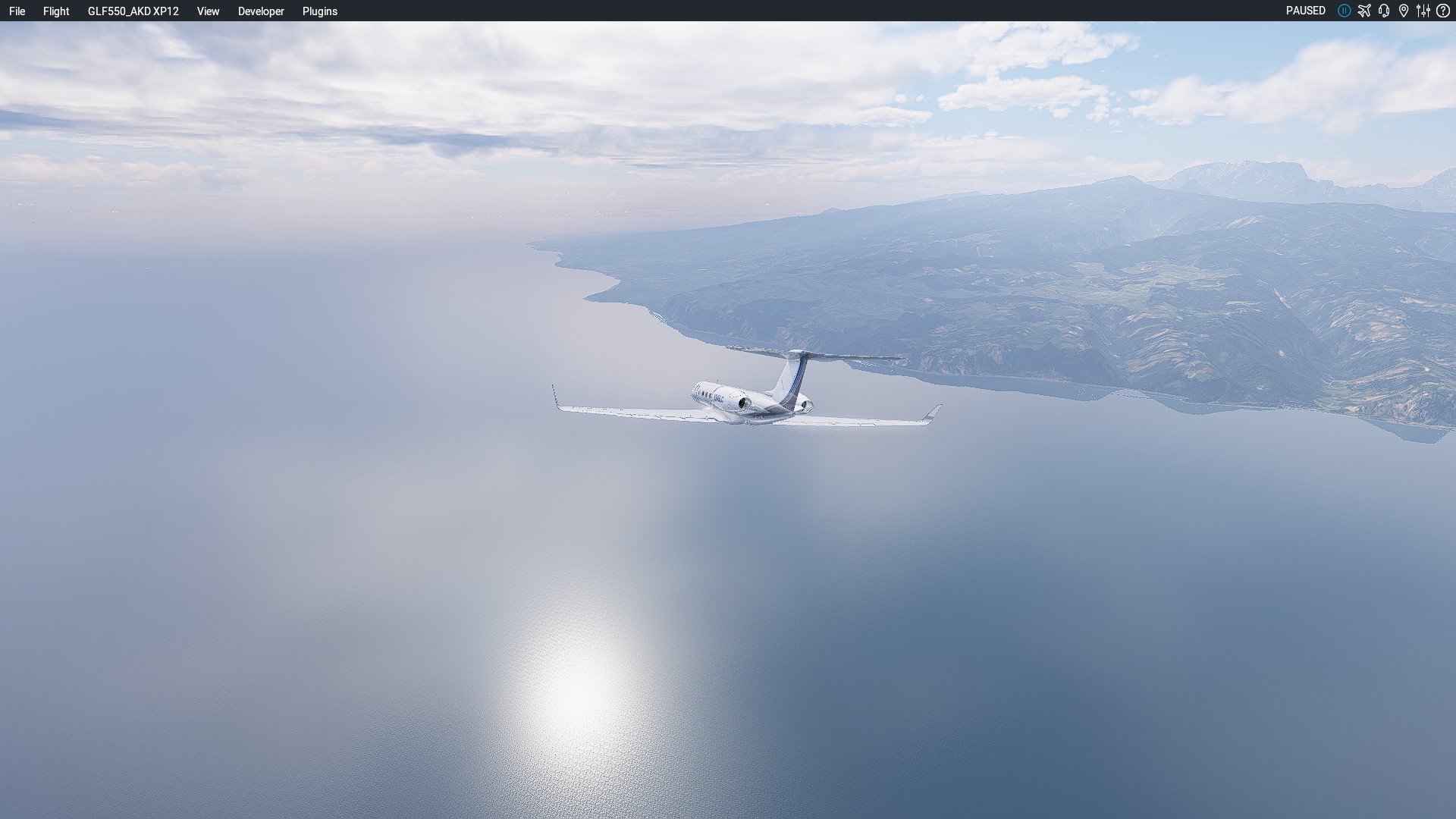
We’re in Port Blair, let’s try to get to Mumbai … the plane can definitely do it!
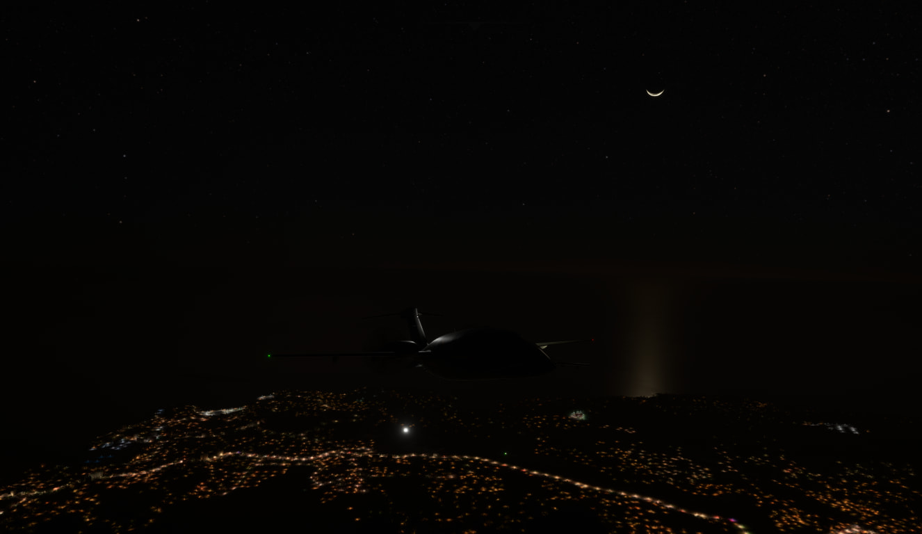
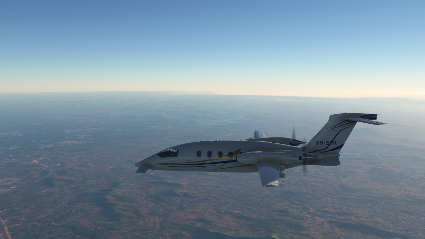
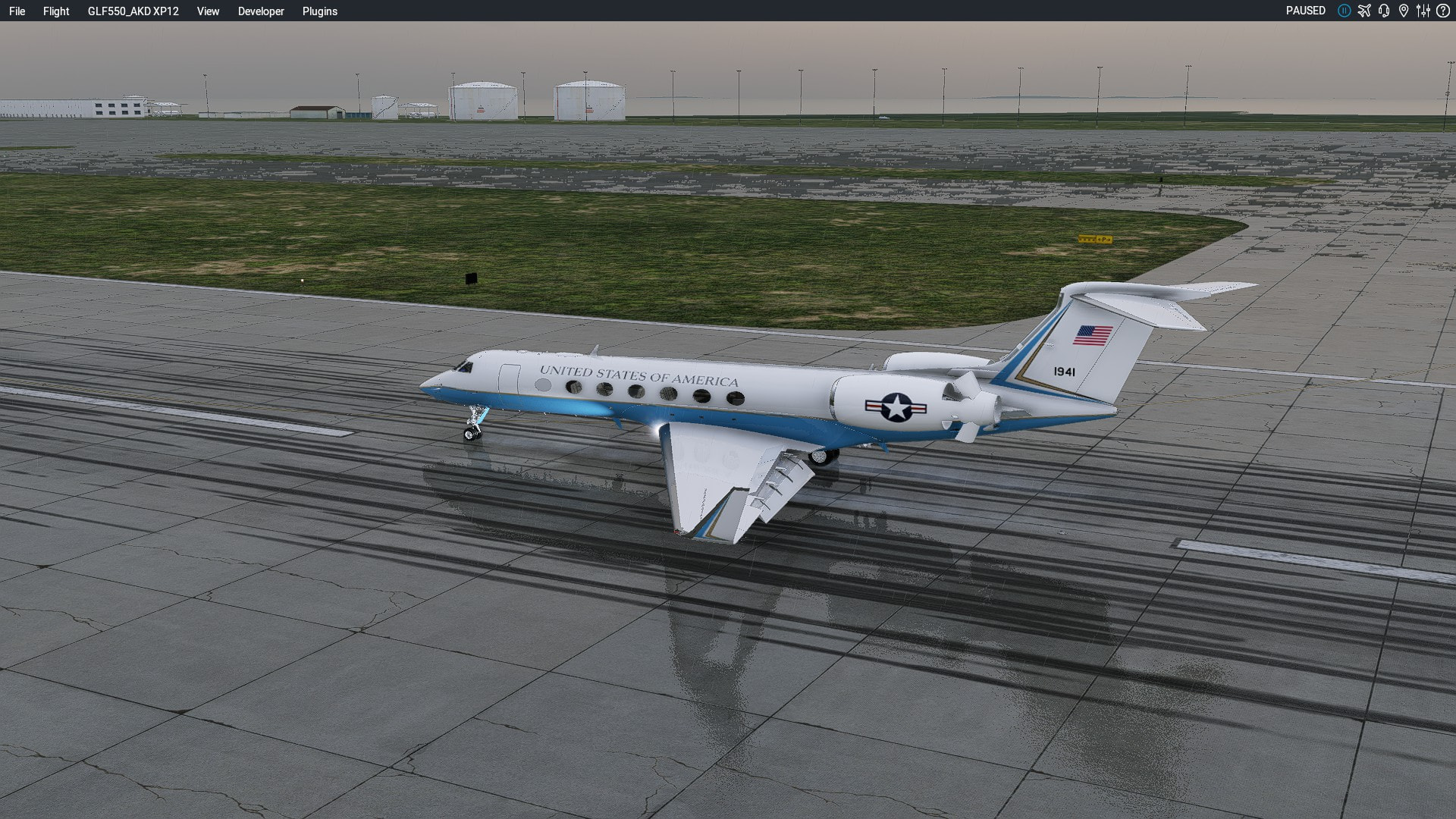
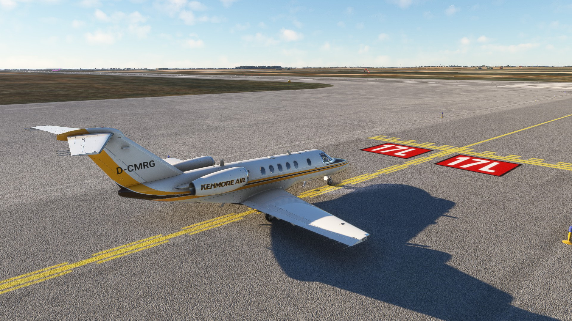
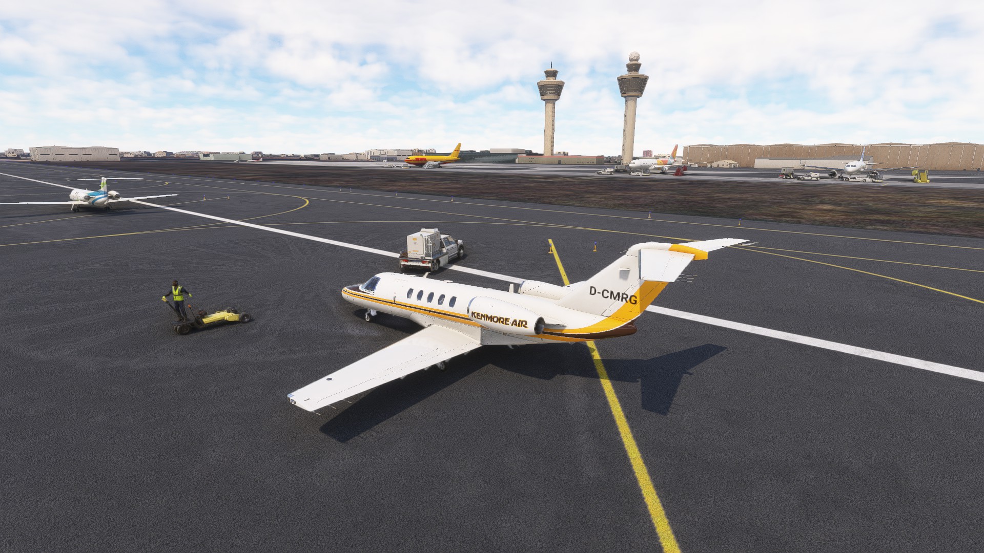
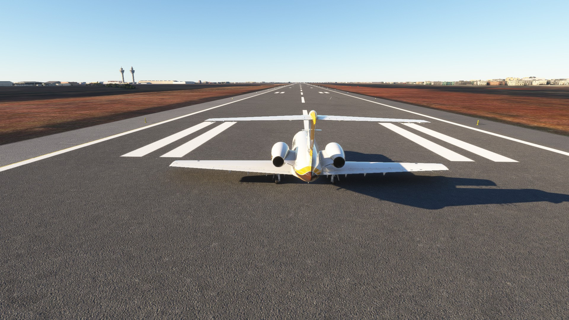
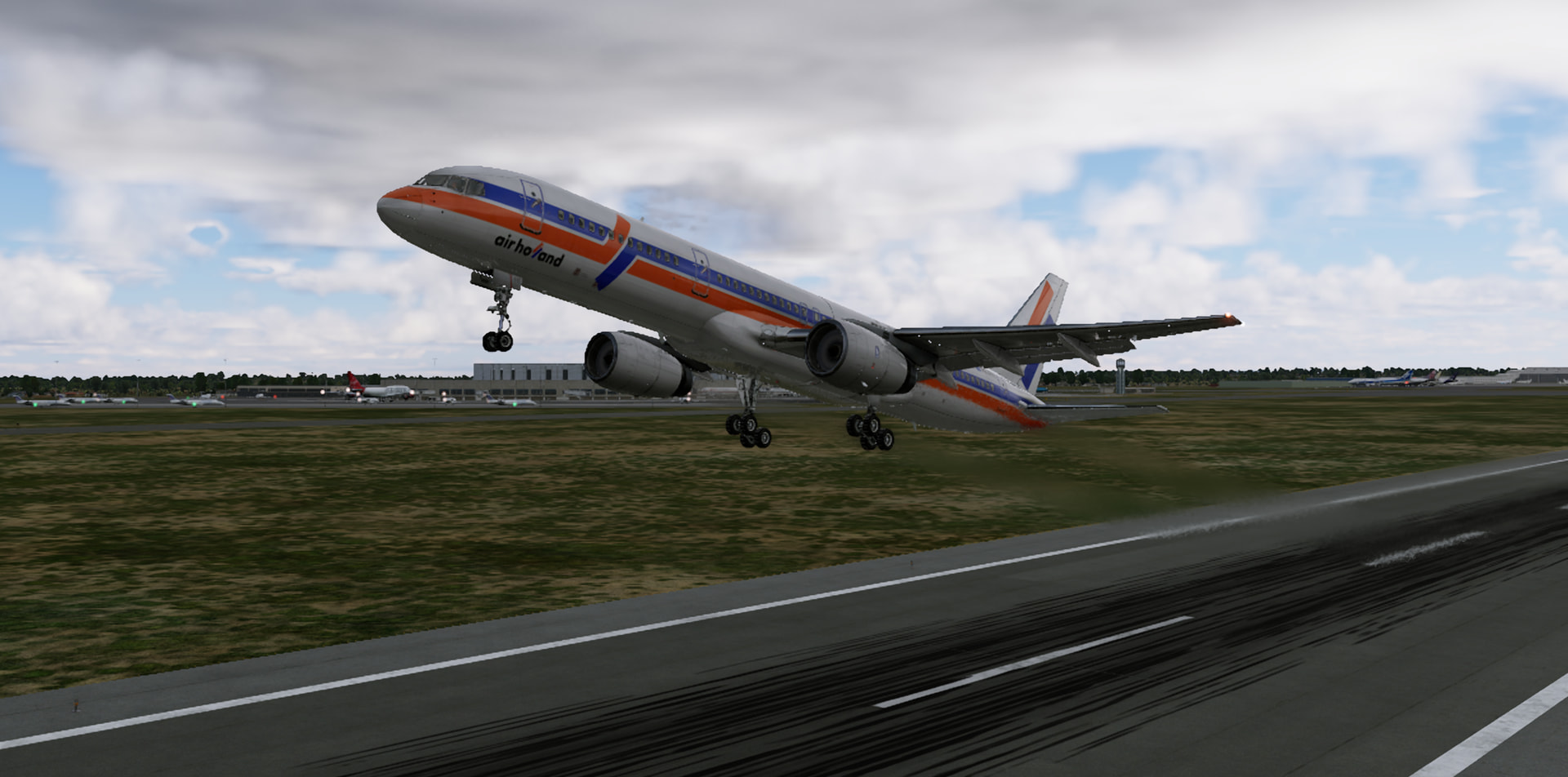
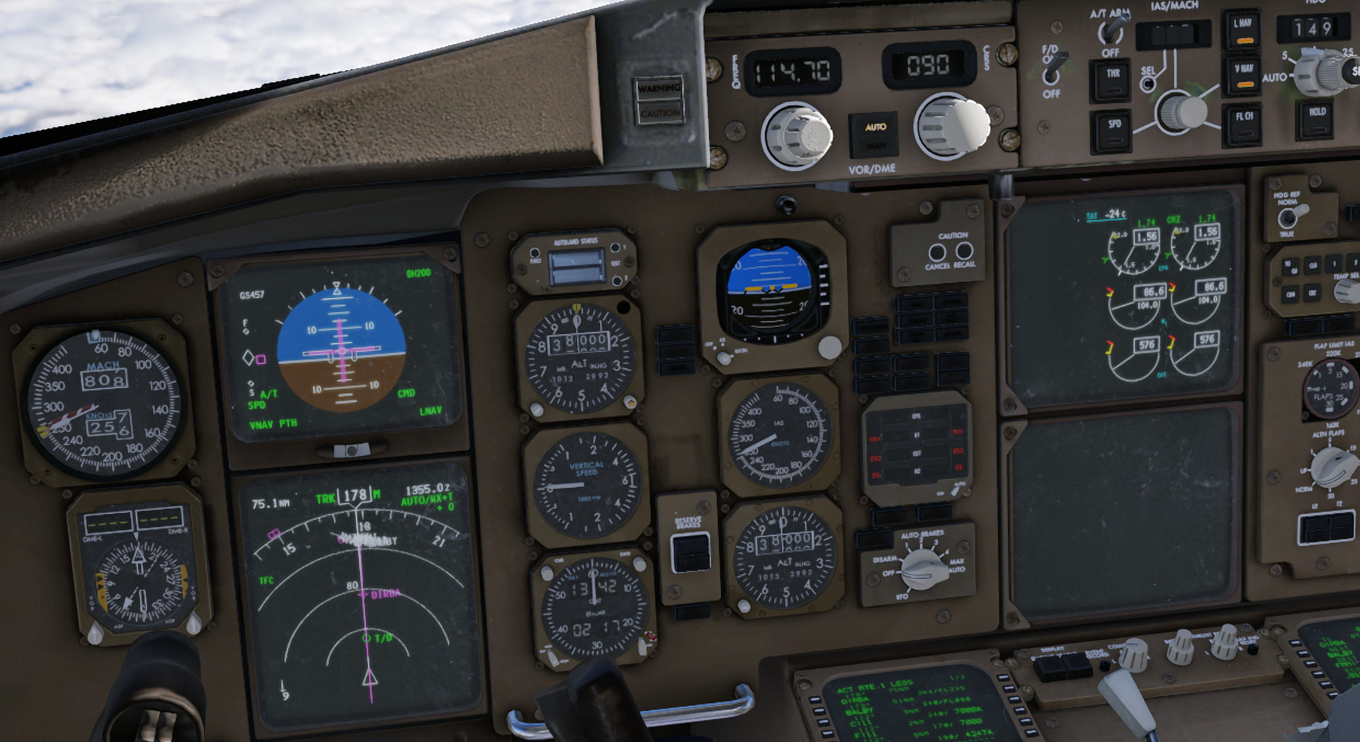
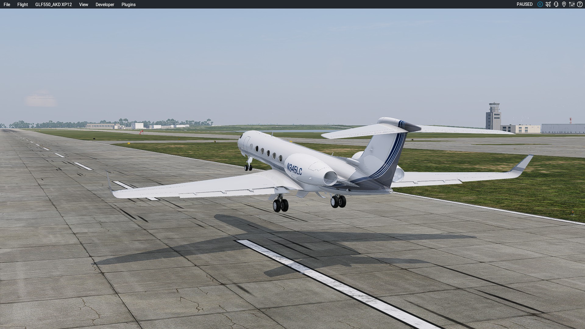
It’s still early in the morning as we line up for departure at Port Blair:

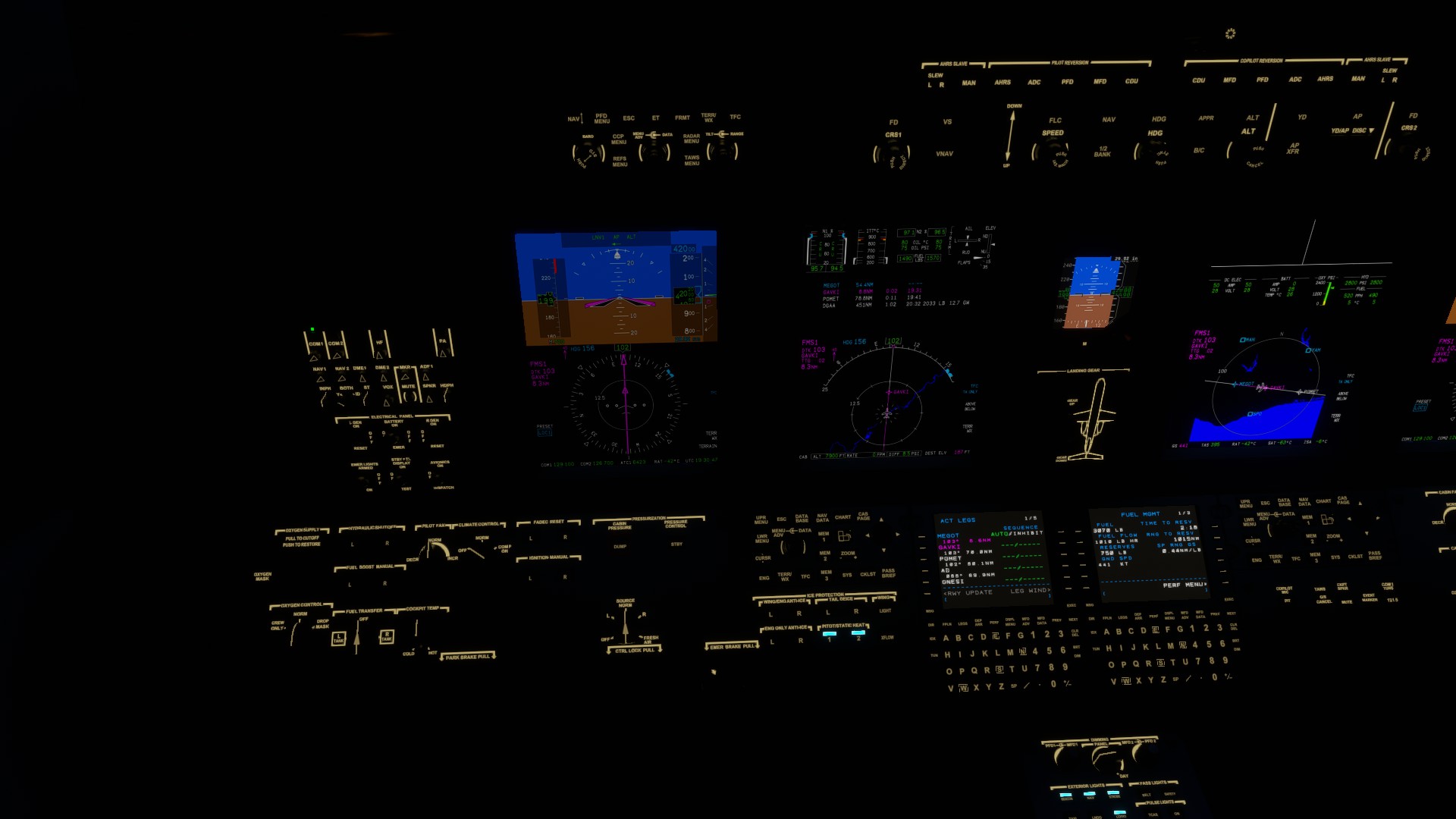
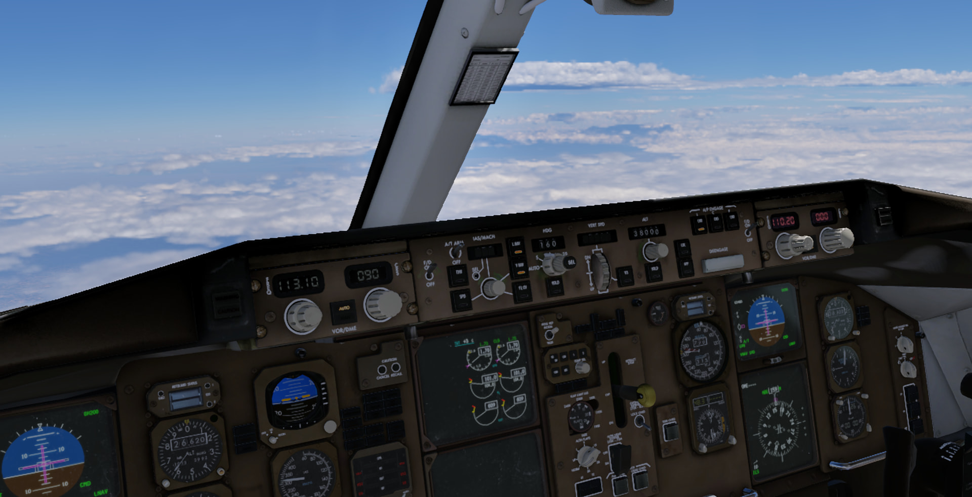
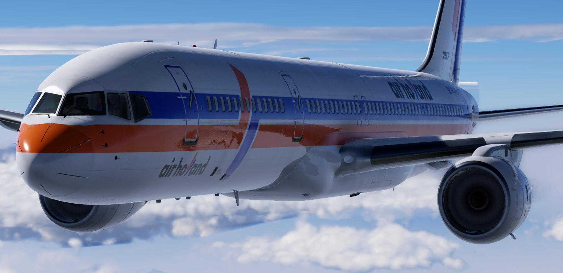
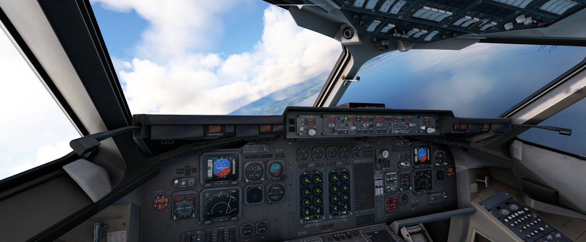
As we climb out the autopilot refuses to go into LNAV mode - it never rains! And the moon has a cheshire cat smile at our misfortune ![]()
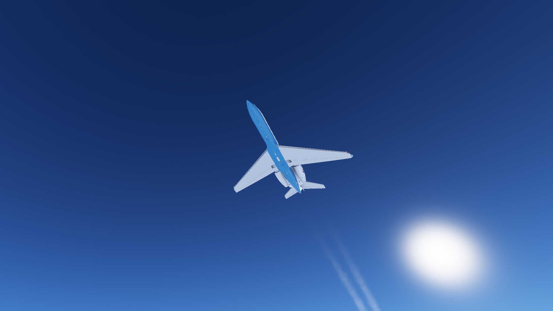
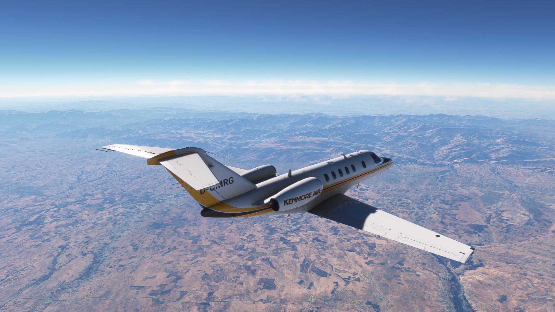
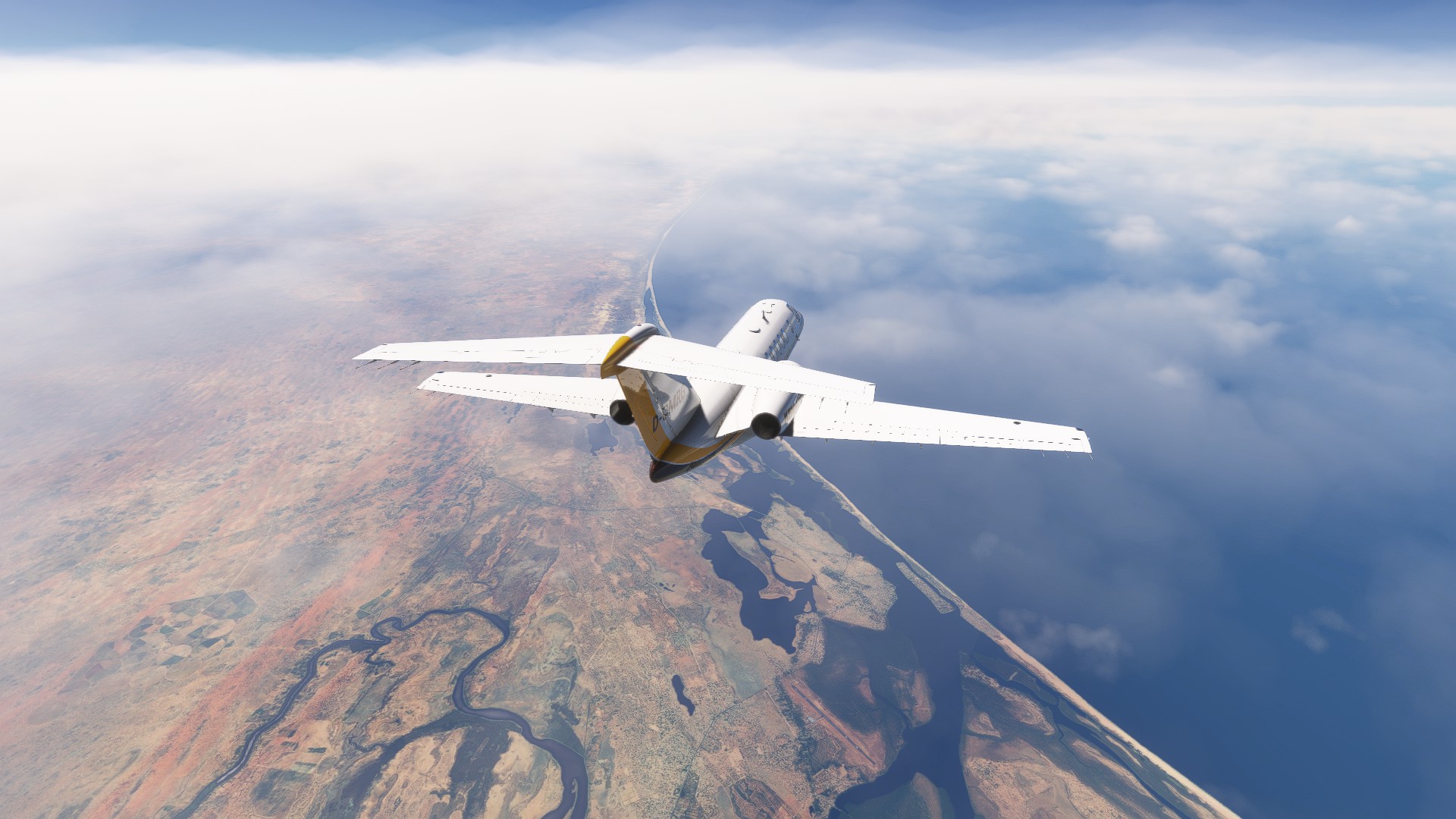
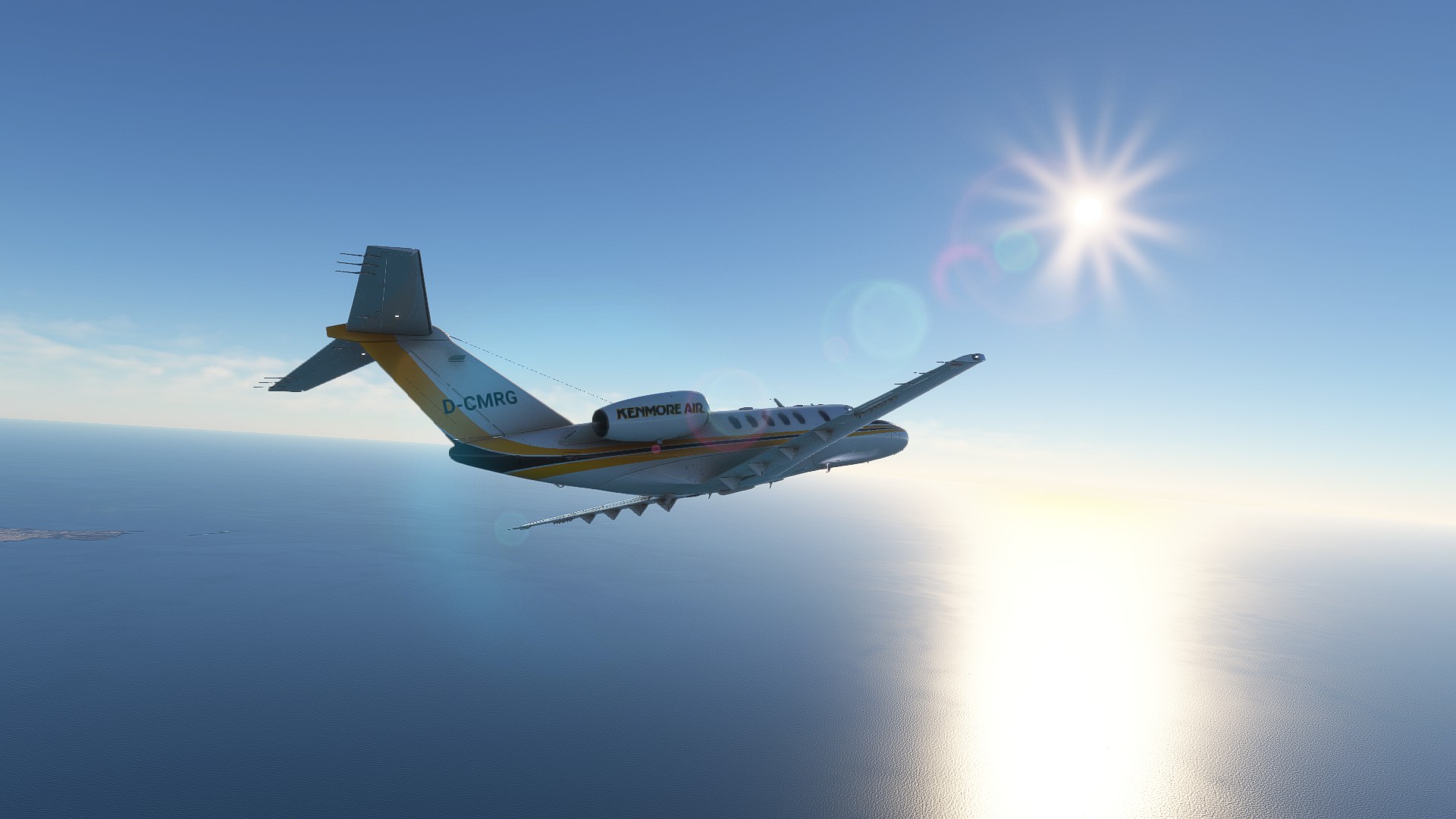
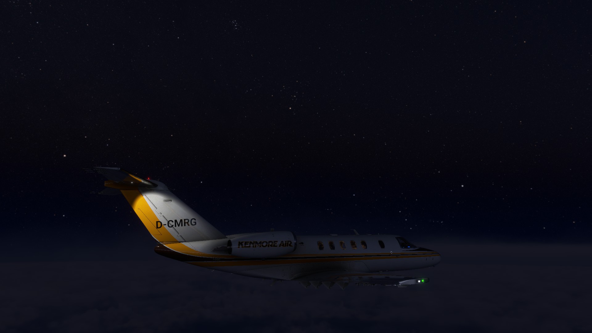
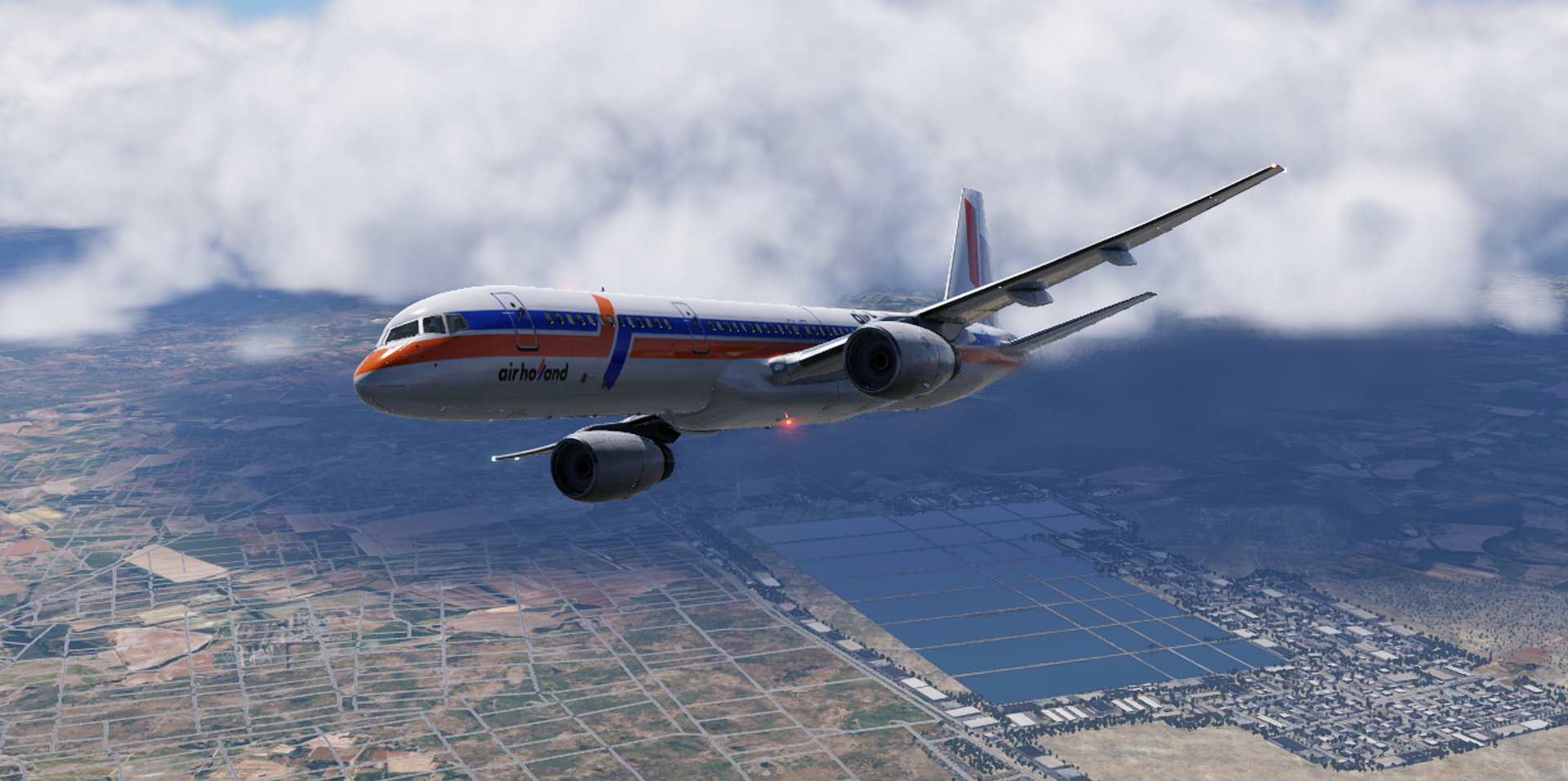
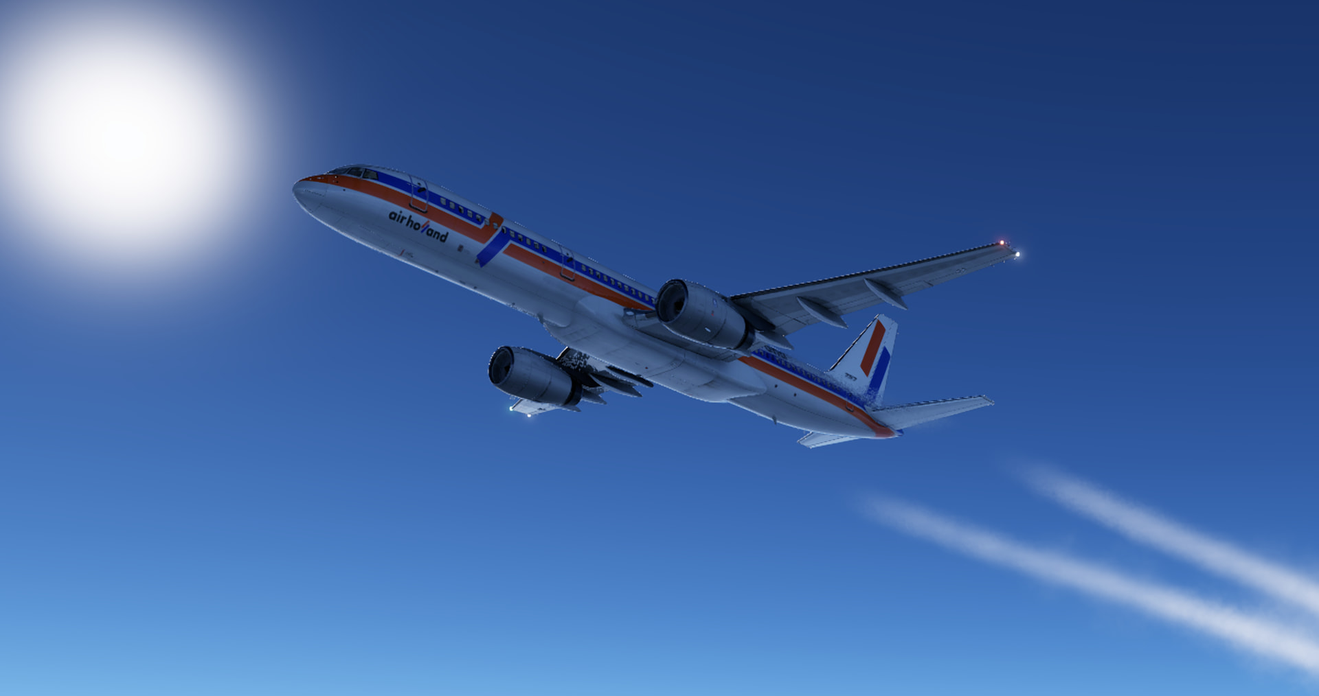
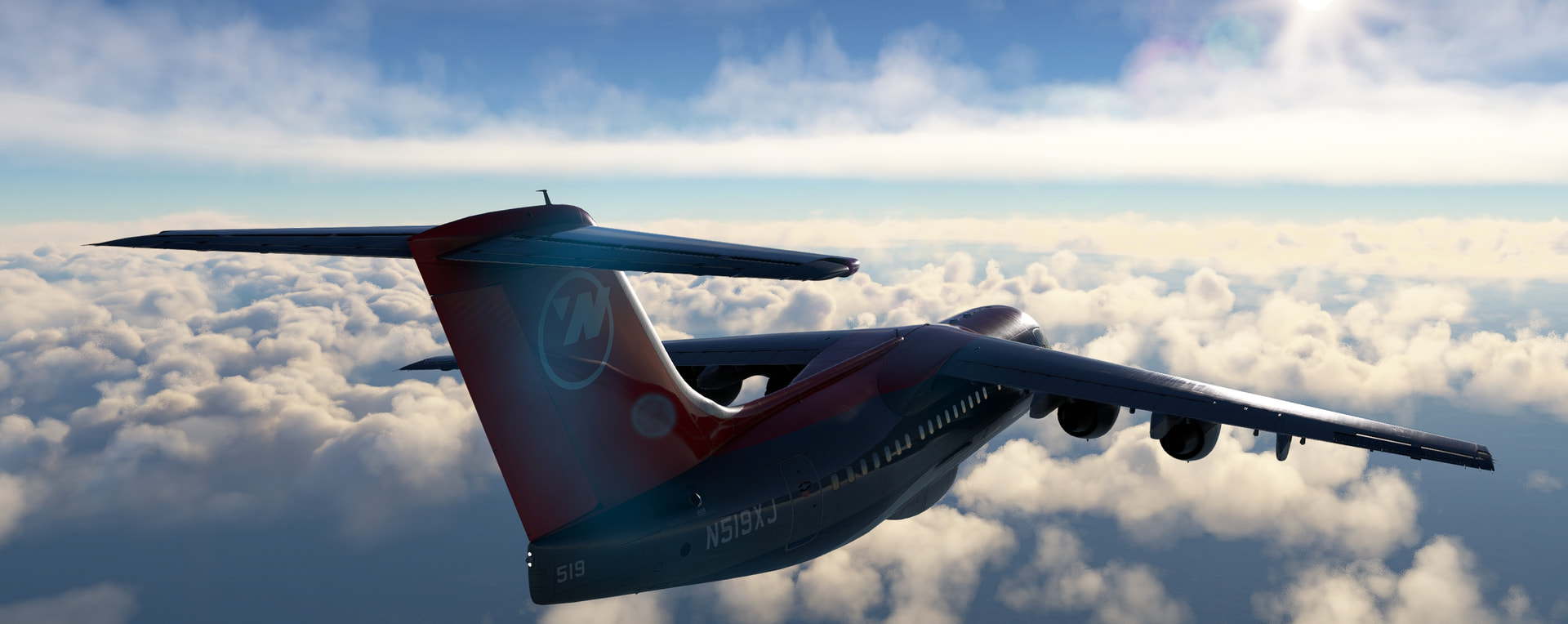
And we’ve got a headwind - our groundspeed isn’t going to be as impressive this leg (340 instead of above 350 in the cruise):
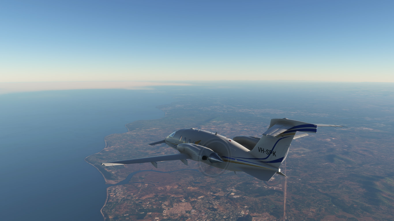
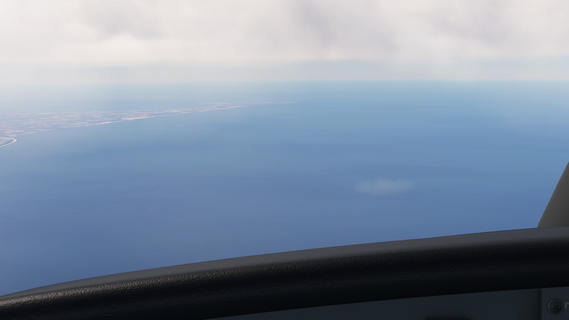
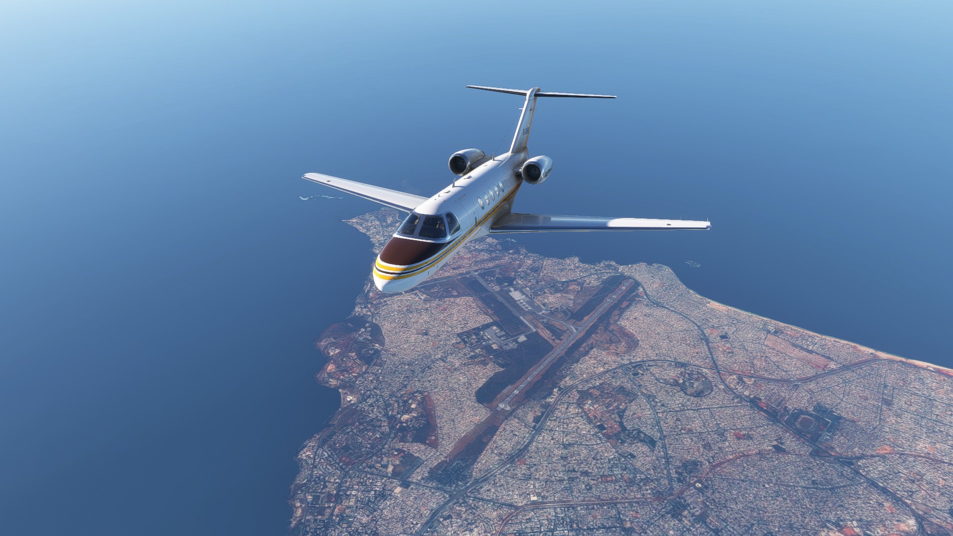
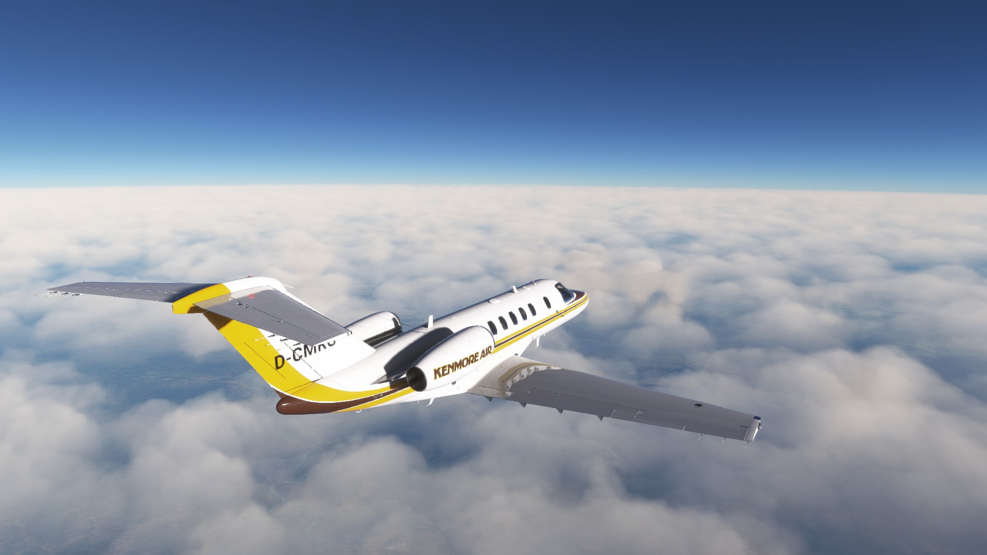
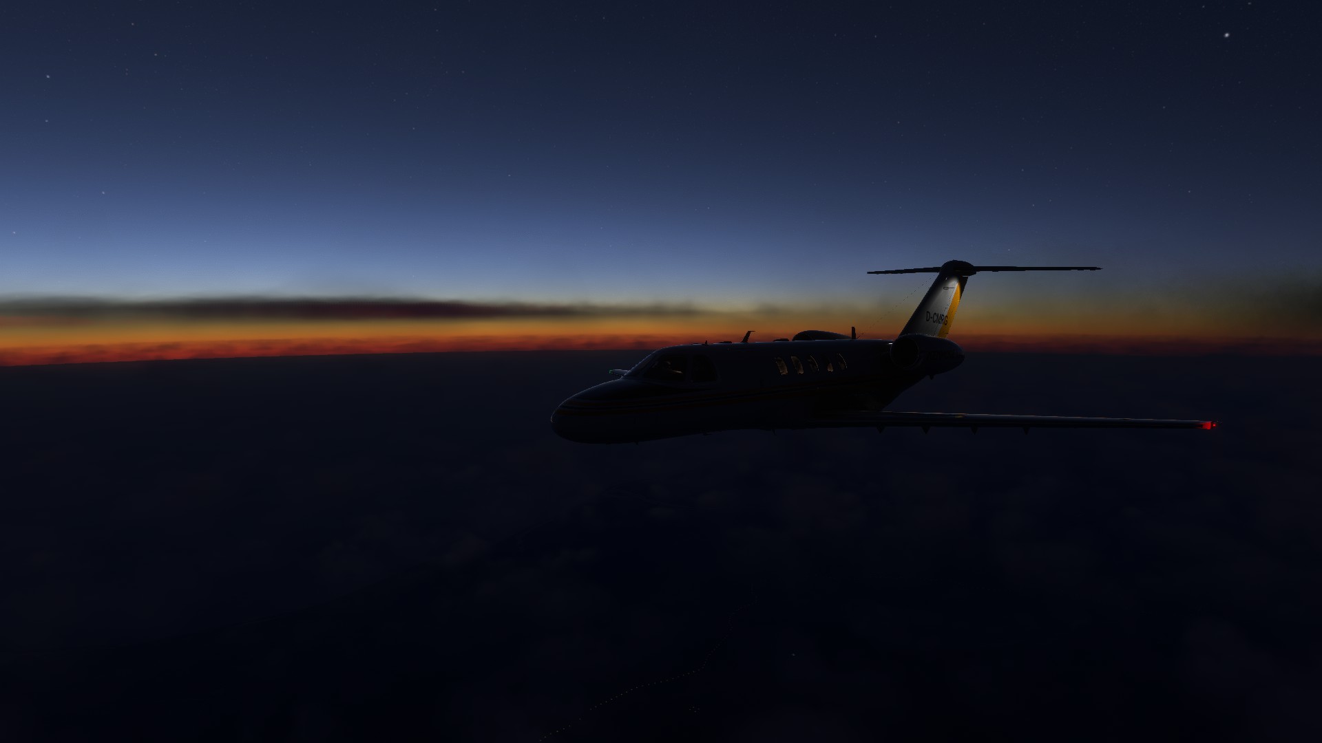
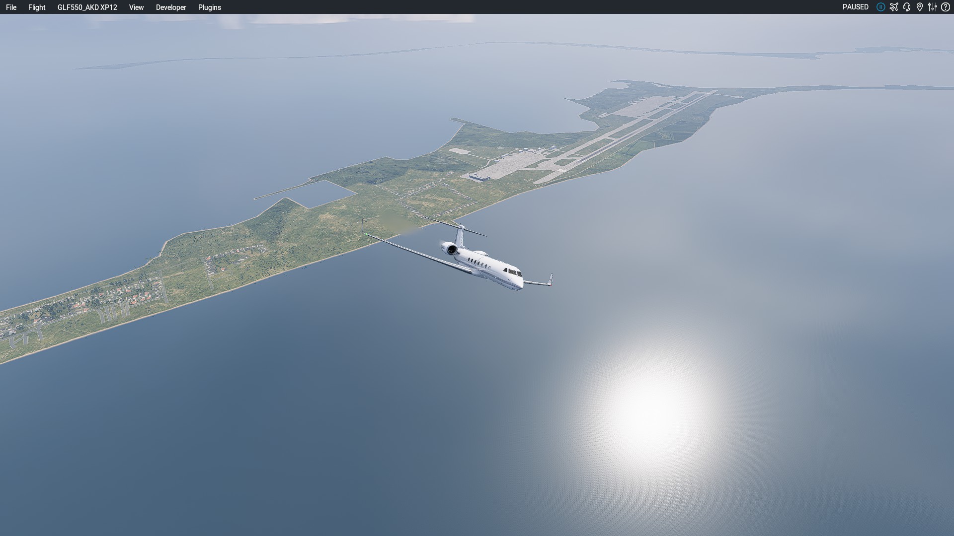
As we coast in over Chennai the impending sunrise colours the horizon behind us:
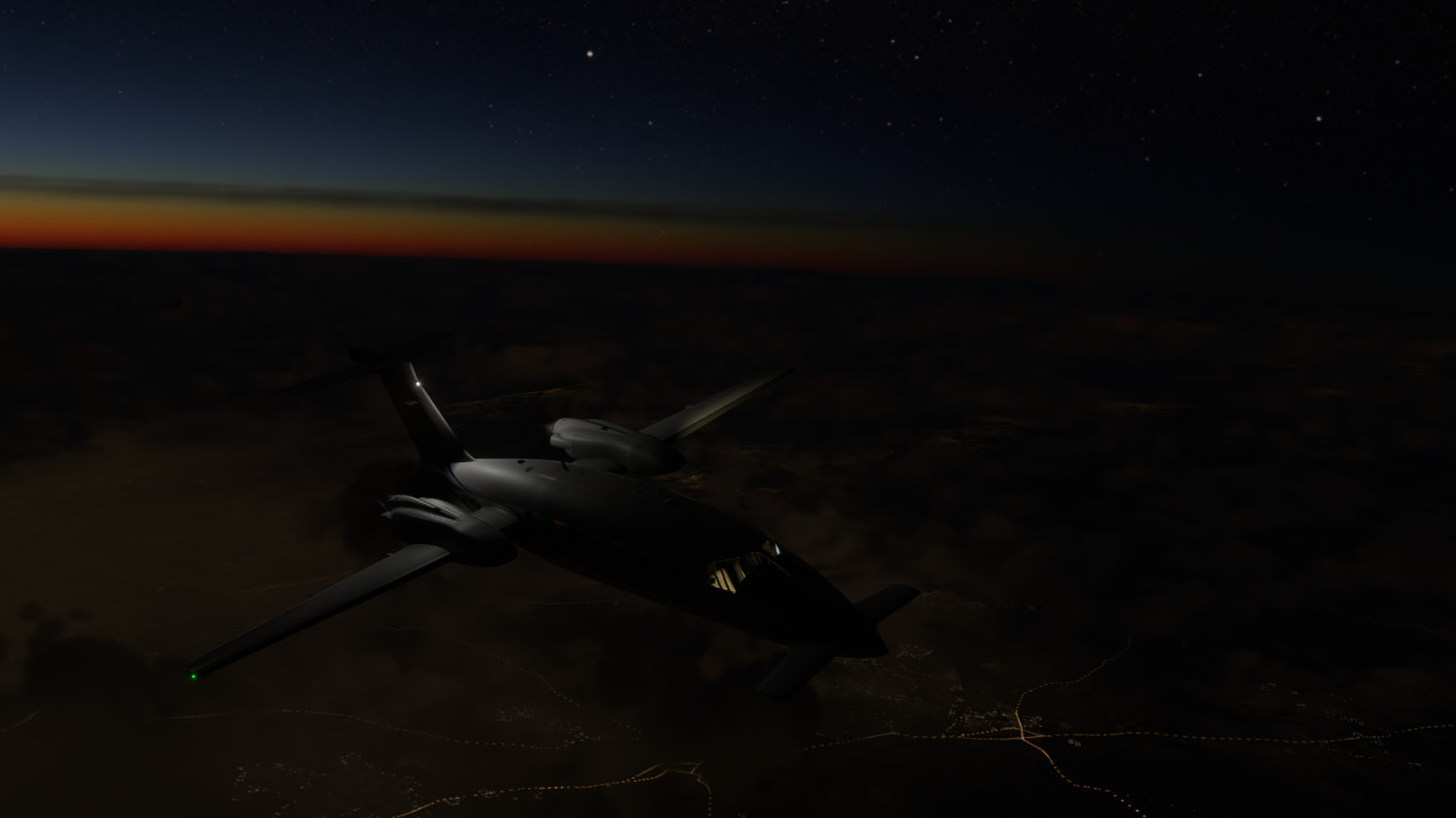
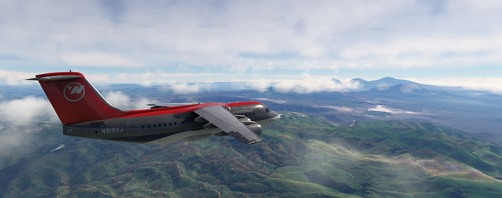
As fast as this plane is, it can’t outrun the sunrise!
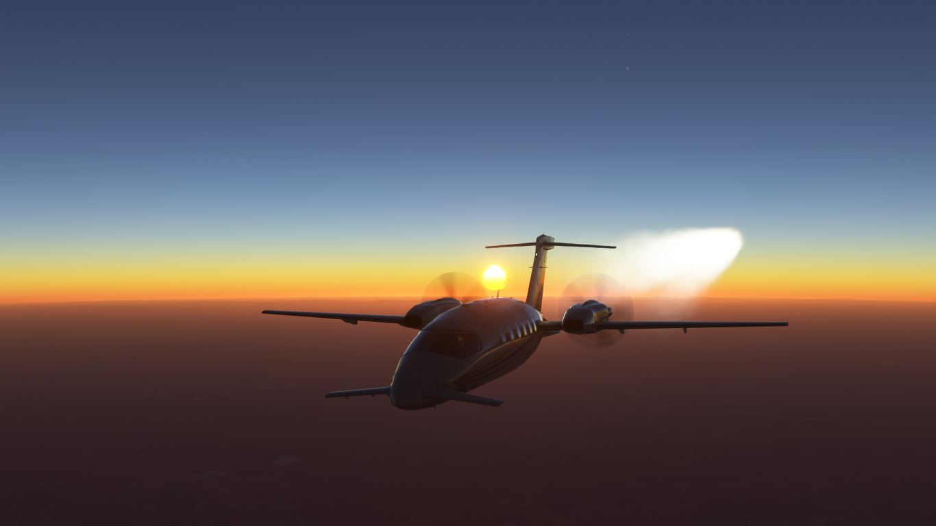
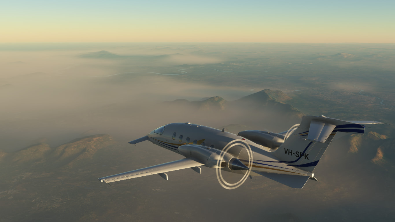
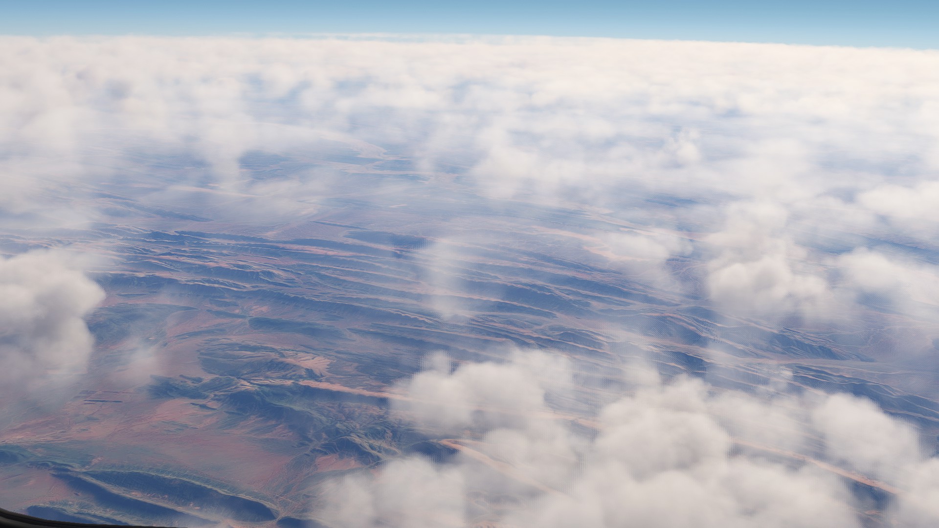
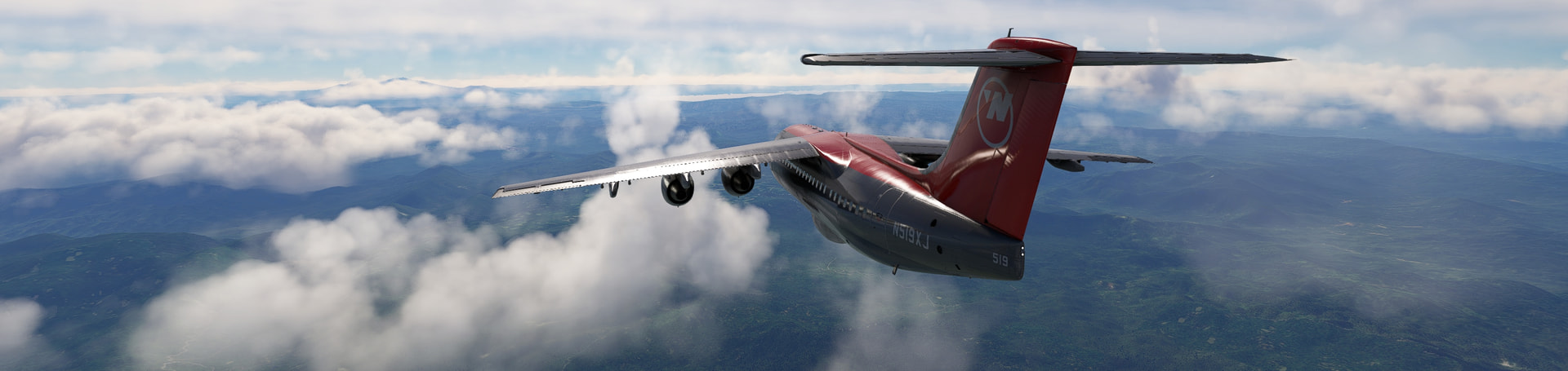
The sun is up at FL410 where we are, but it’s only just kissing the tops of the hills below:
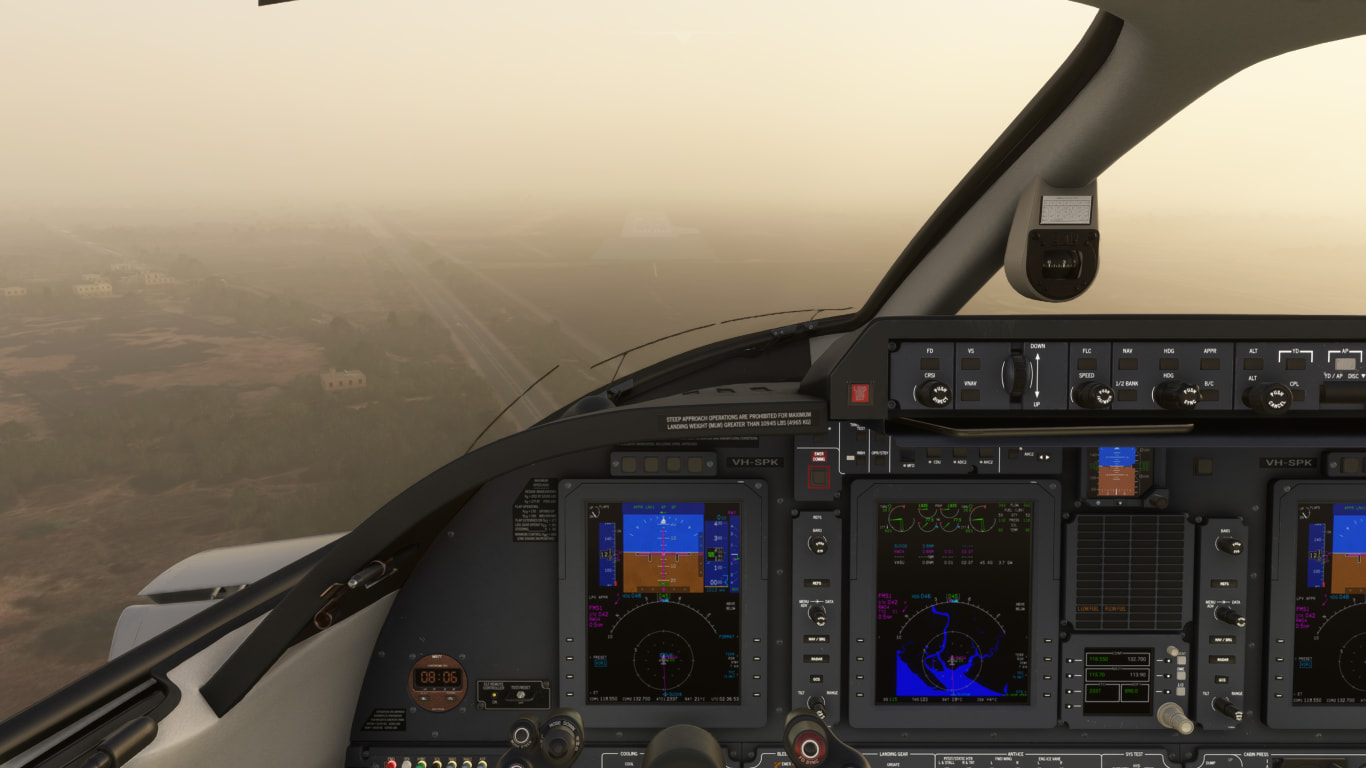
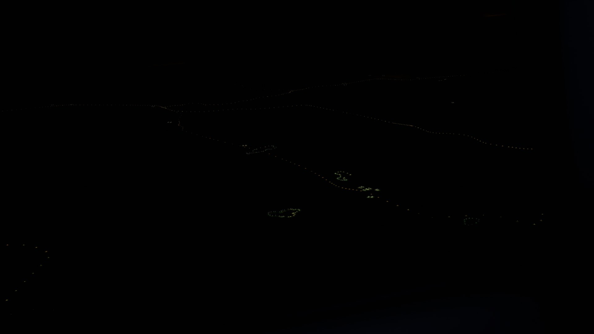
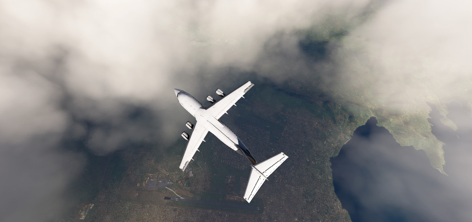
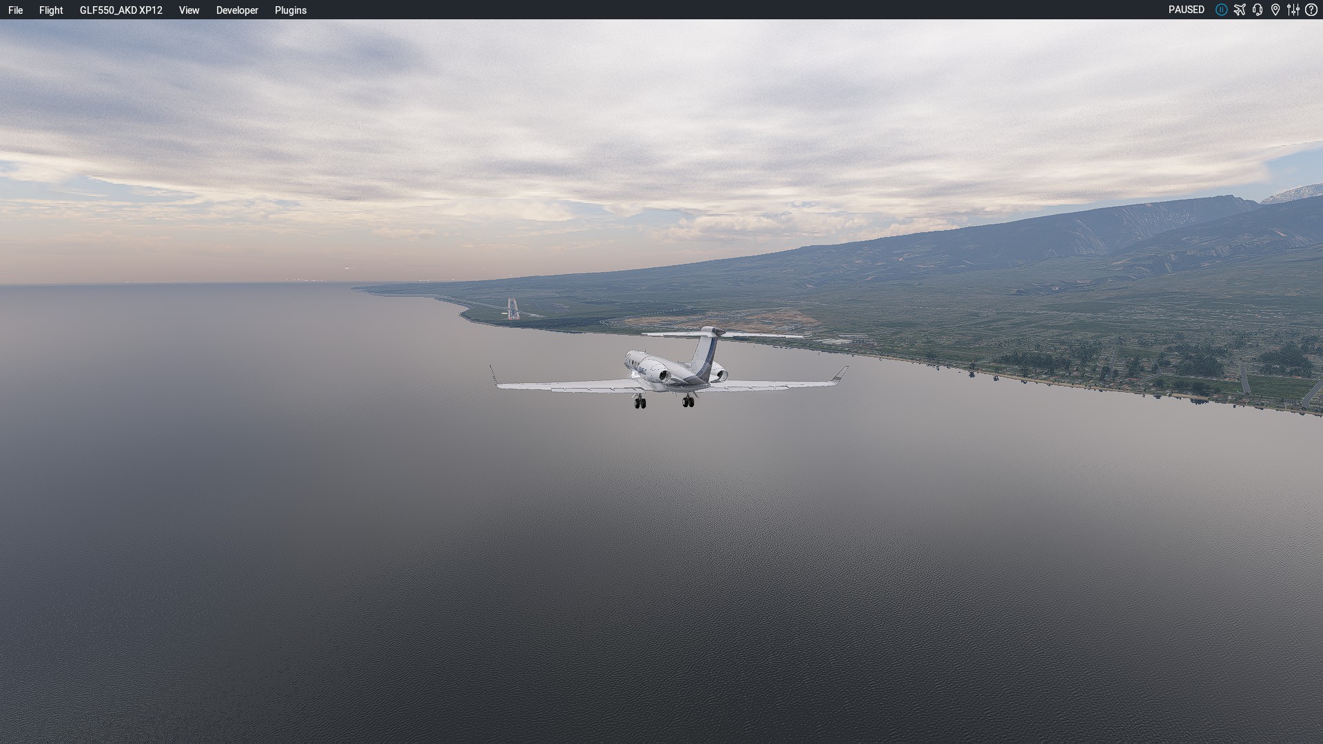
As we descend to Mumbai, we see the city ahead shrouded in smog… this isn’t going to be fun to fly by hand!
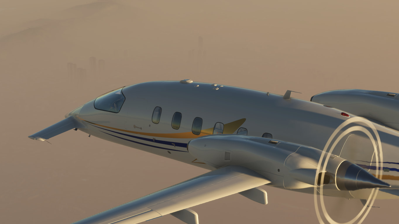
Tall buildings loom menacingly out of the smog before disappearing again:
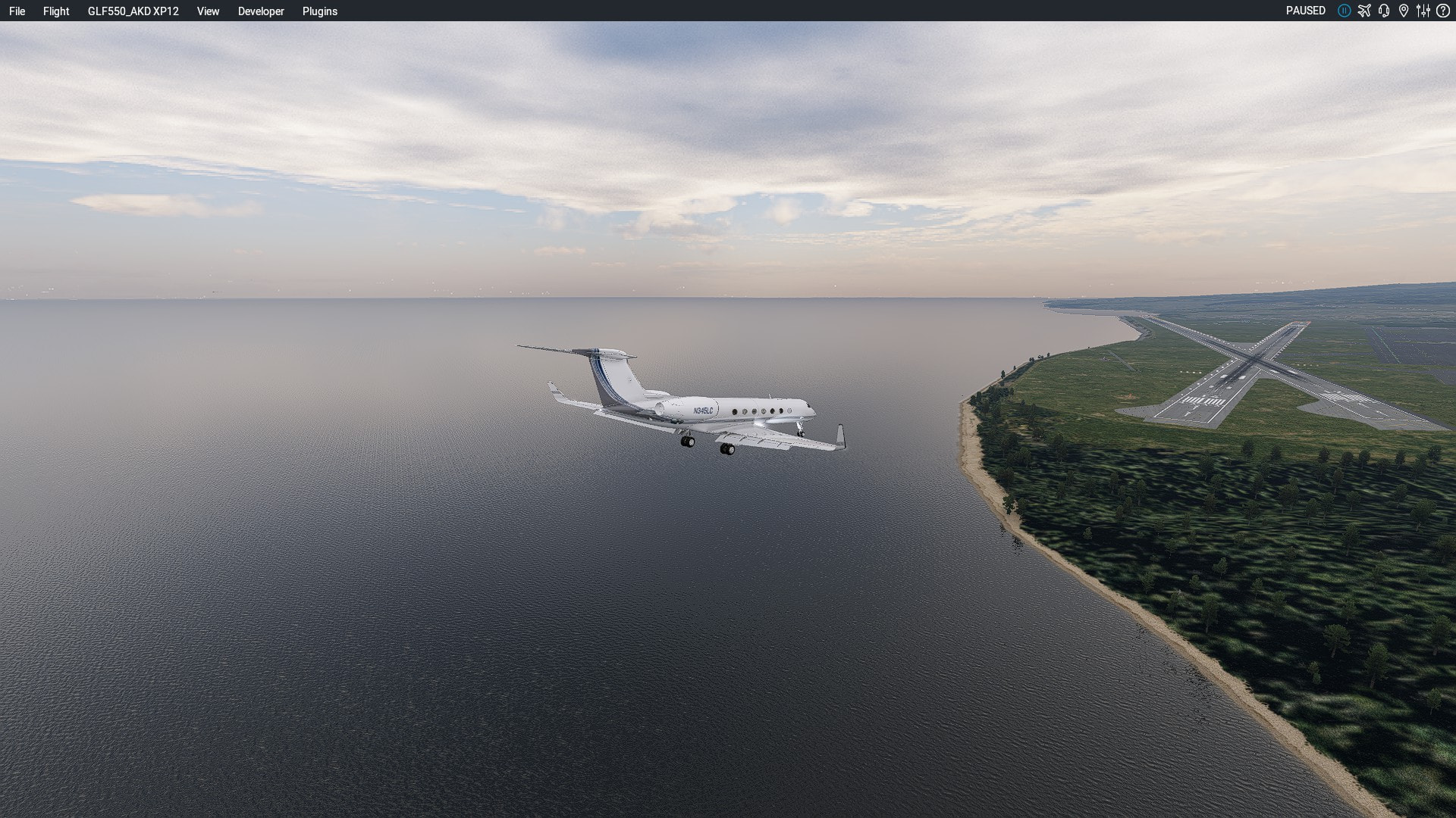
I try my best, but I can’t handfly well enough at a busy airport to land. After going around from a very bad approach, with traffic in front and behind us, I give up and divert. Surat is the next airport up the coast, though it looks like it is smoggy there as well:
There’s another option off to our right … smog! I suspect the whole area is shrouded in smog or low lying fog, but MSFS just doesn’t know about any weather except at airports with a weather service ![]() :
:
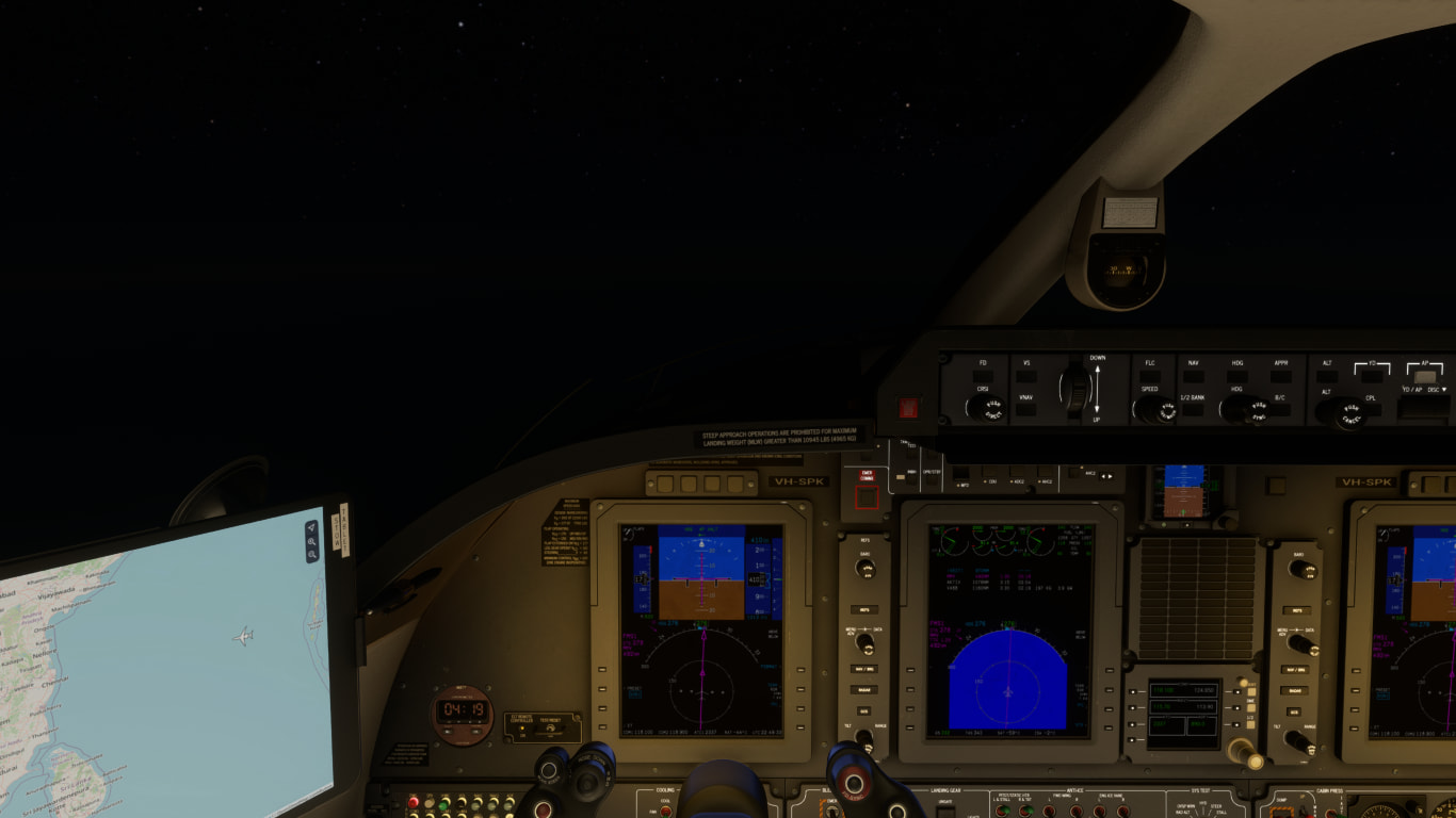
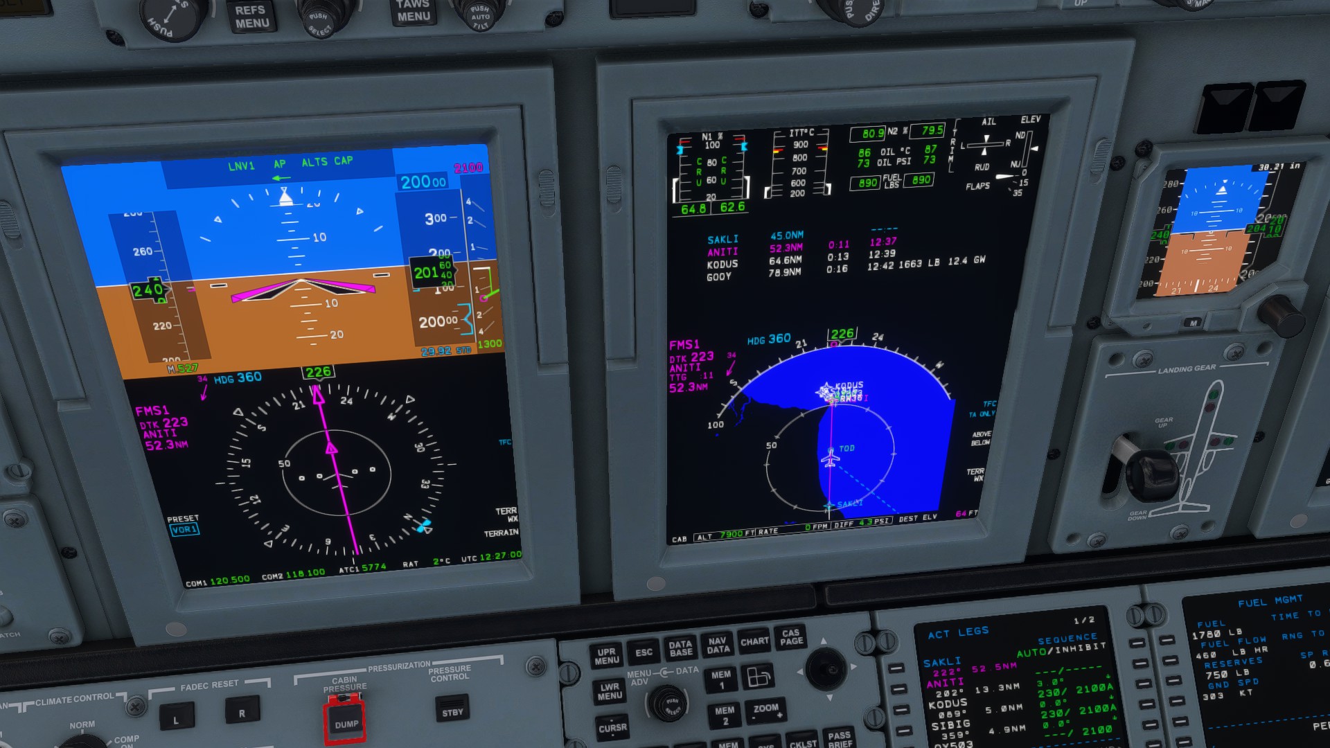
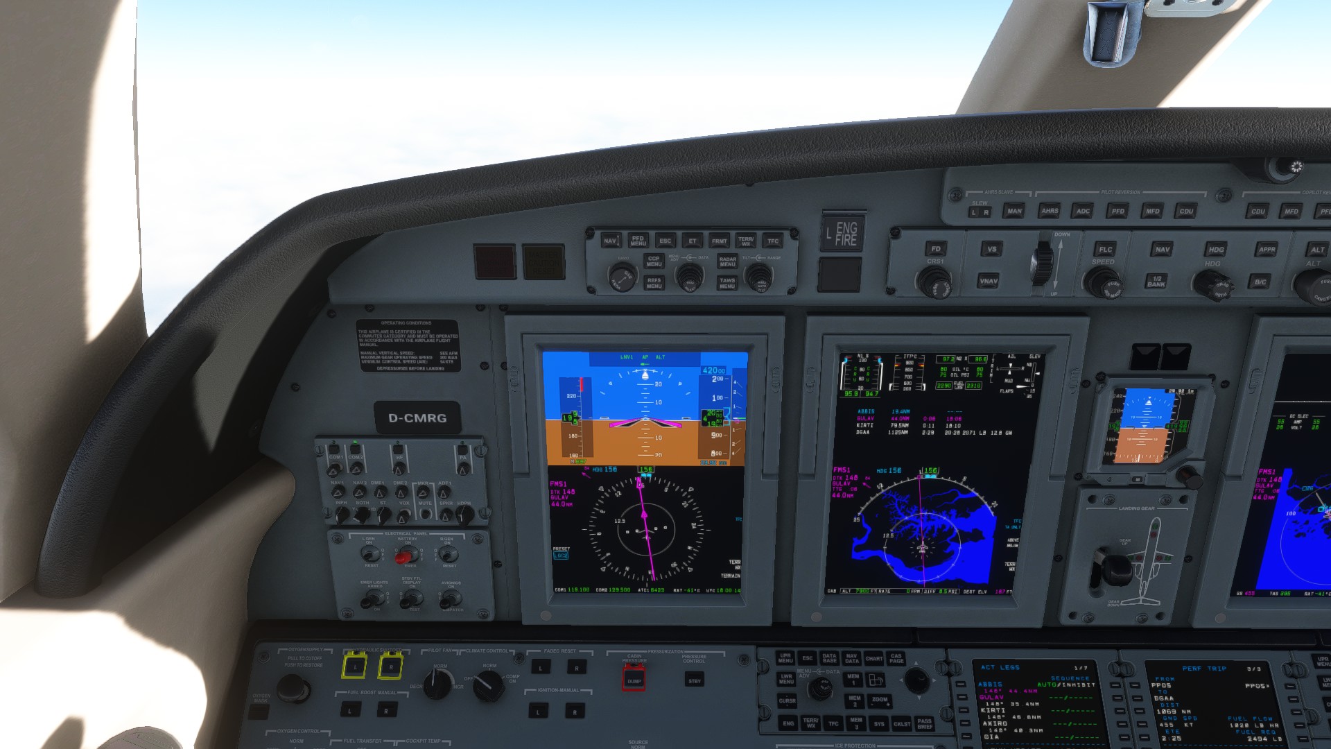
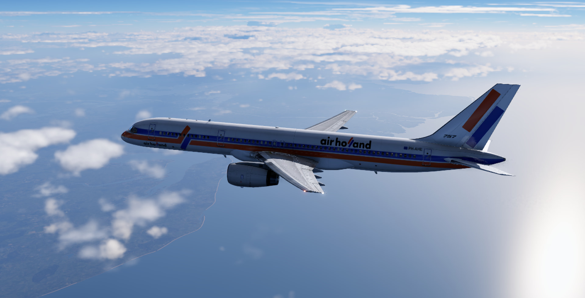
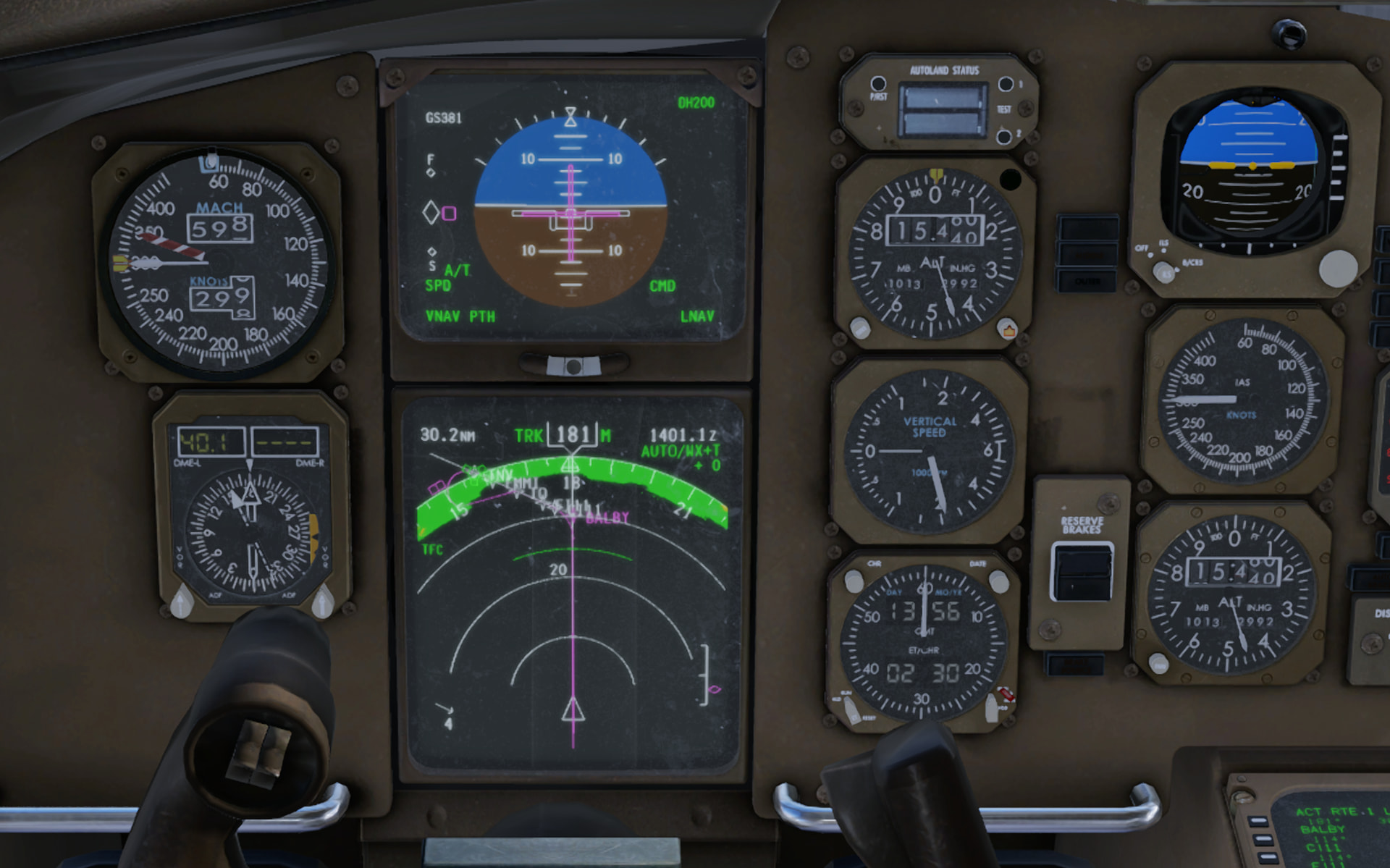
But the best news - after binning our flight plan and reprogramming for Surat the autopilot will now engage in LNAV and VNAV modes!
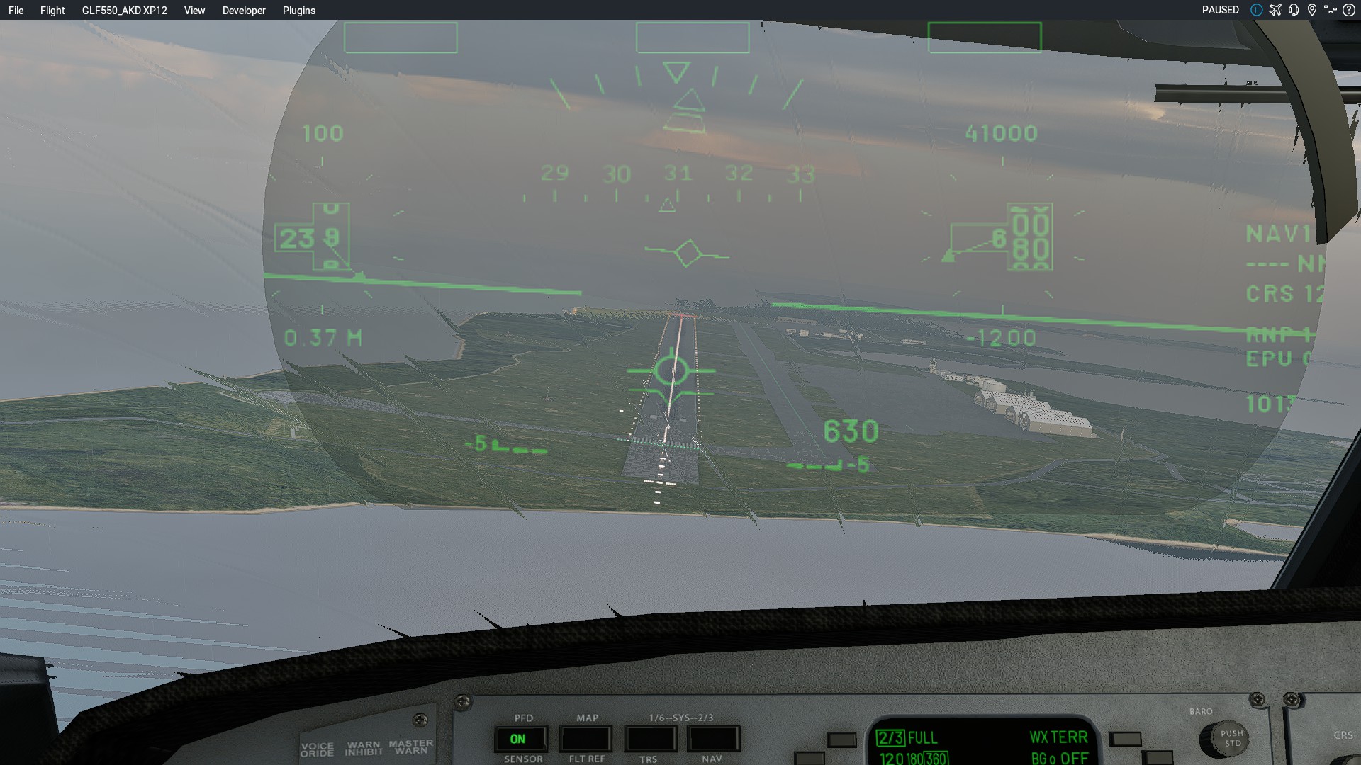
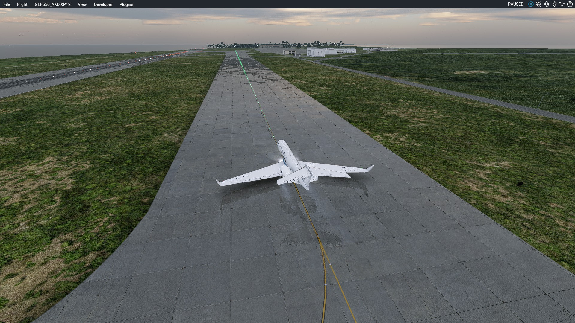
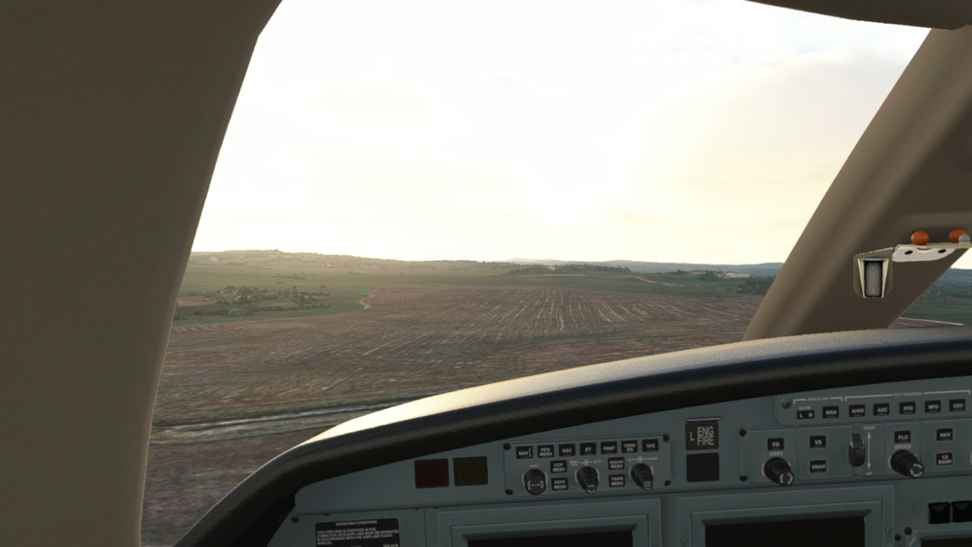
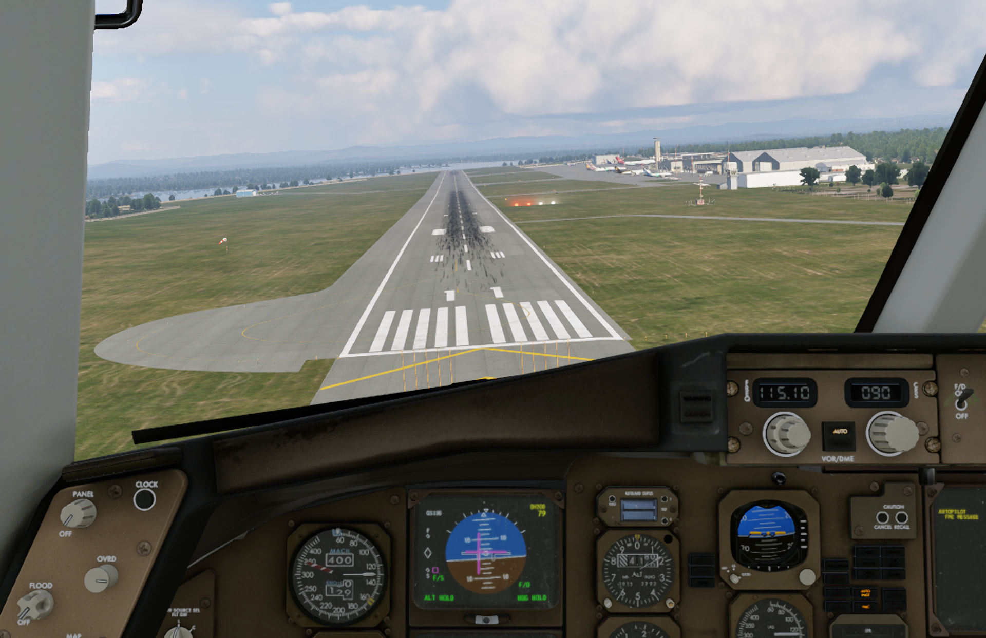
As we descend the fuel warning lights come on. Runway in sight - 200 feet AGL is below minimums but we don’t have the fuel to go anywhere else! Thankfully with the autopilot working and an airport that isn’t as busy, our lineup is perfect:
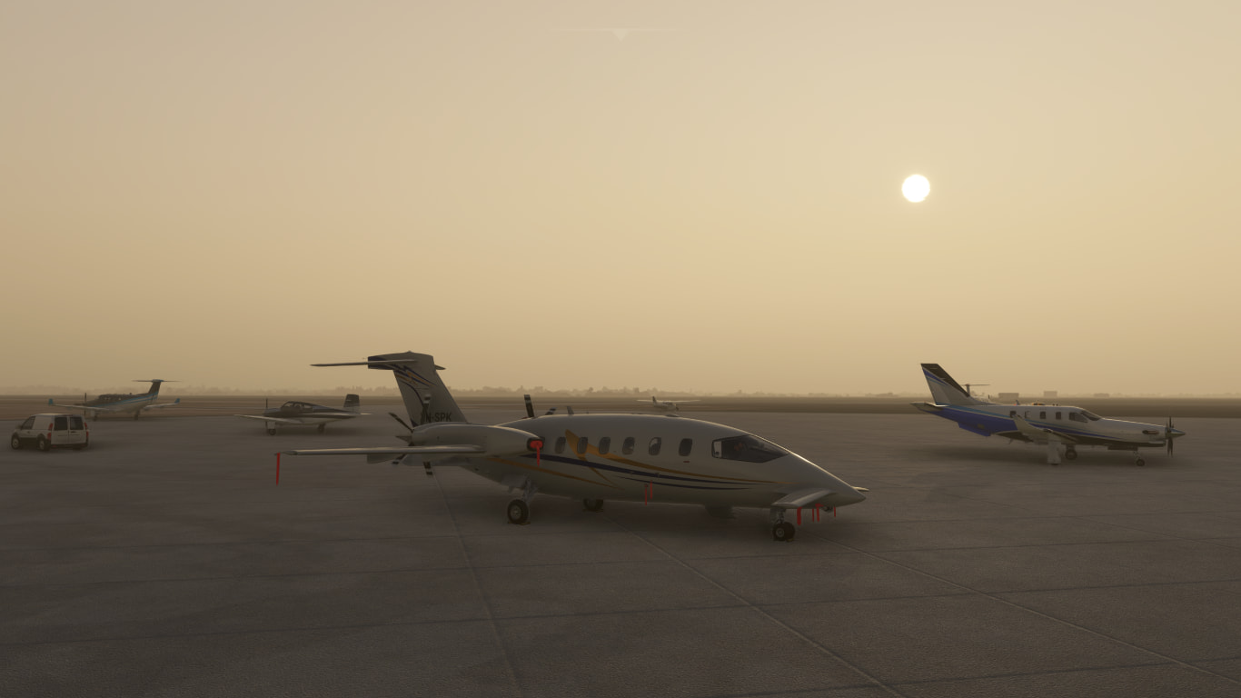
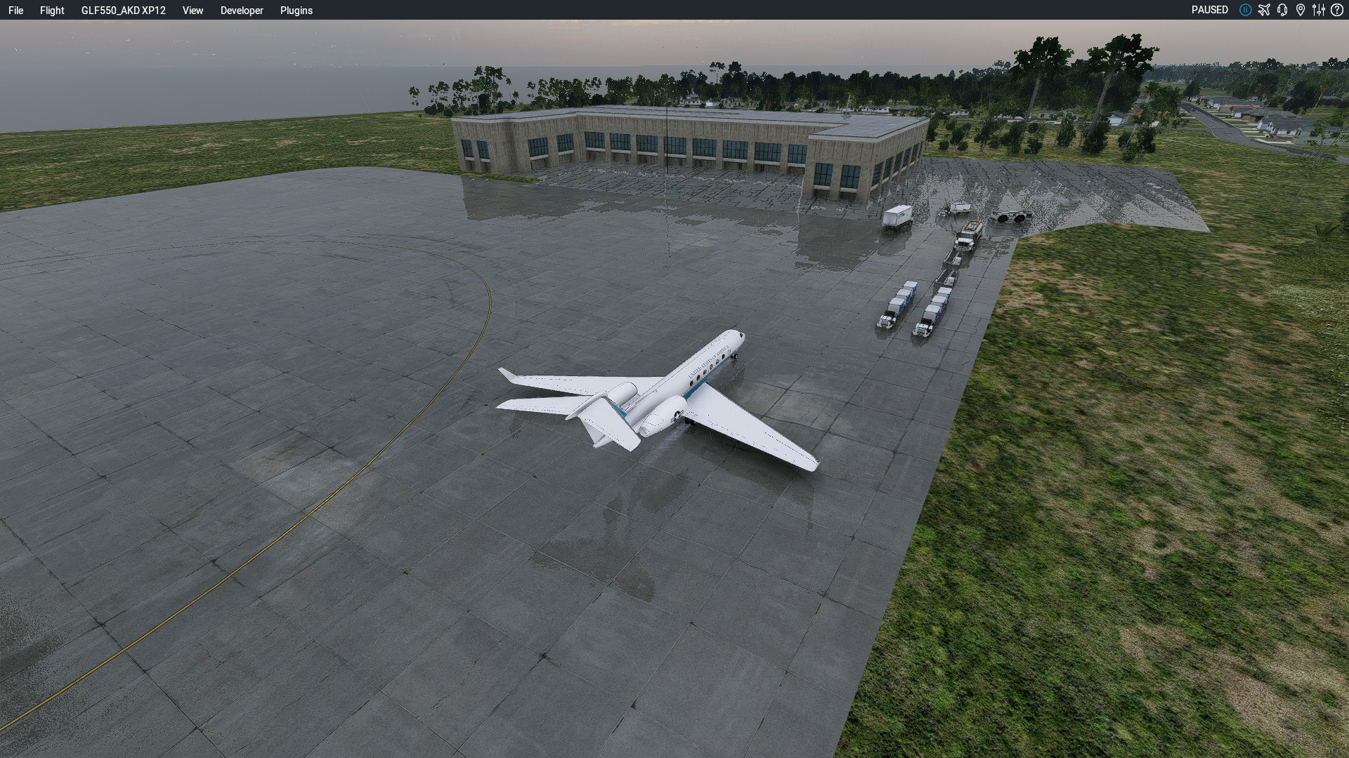
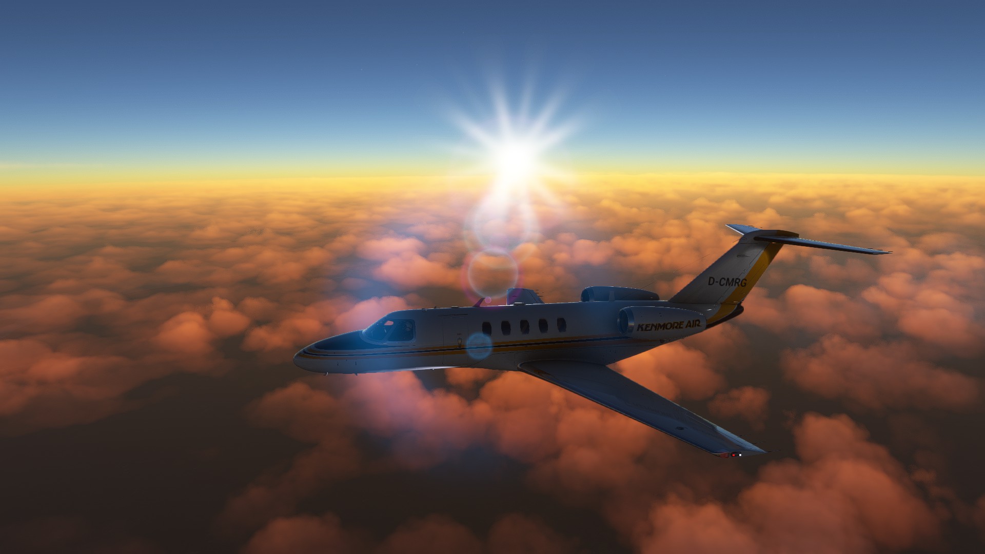
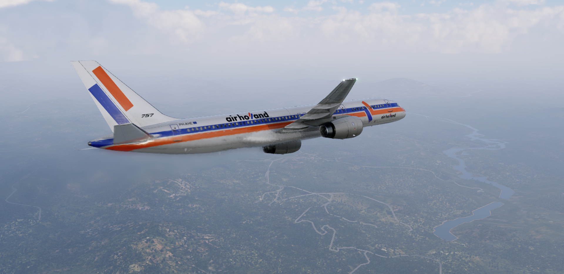
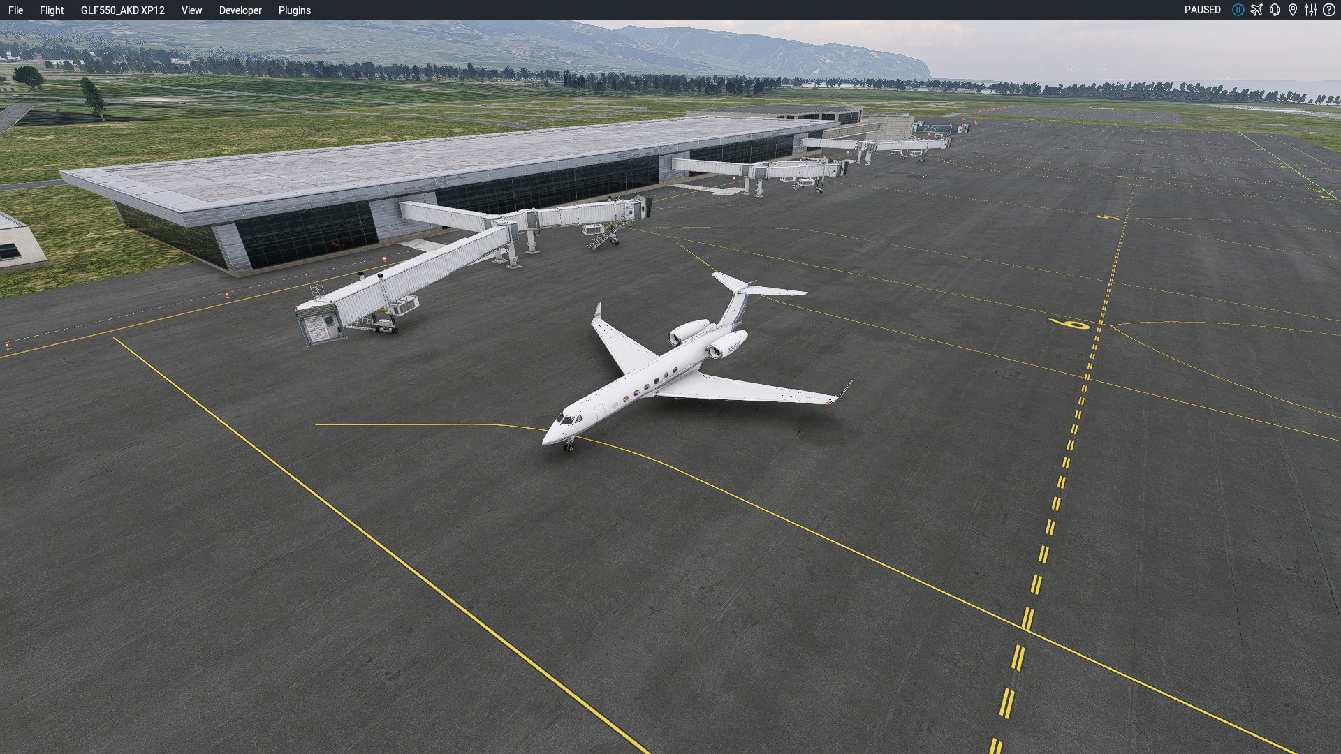
We park up with the other light traffic, as the sun shines weakly through the fog/smog:
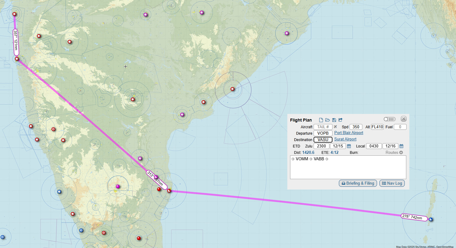
As I said, I’m not going to be able to update the flight log until I get my Linux box back up and running, but here’s what the FMS says we did:

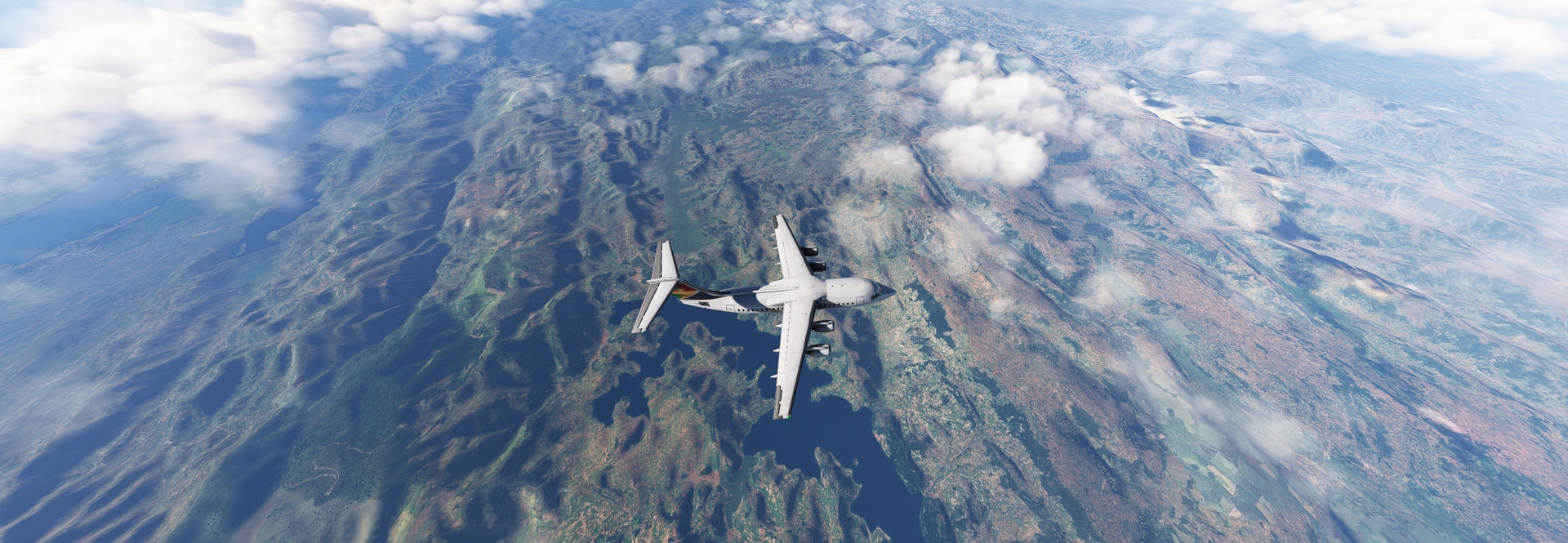
And here’s the route we ended up taking:
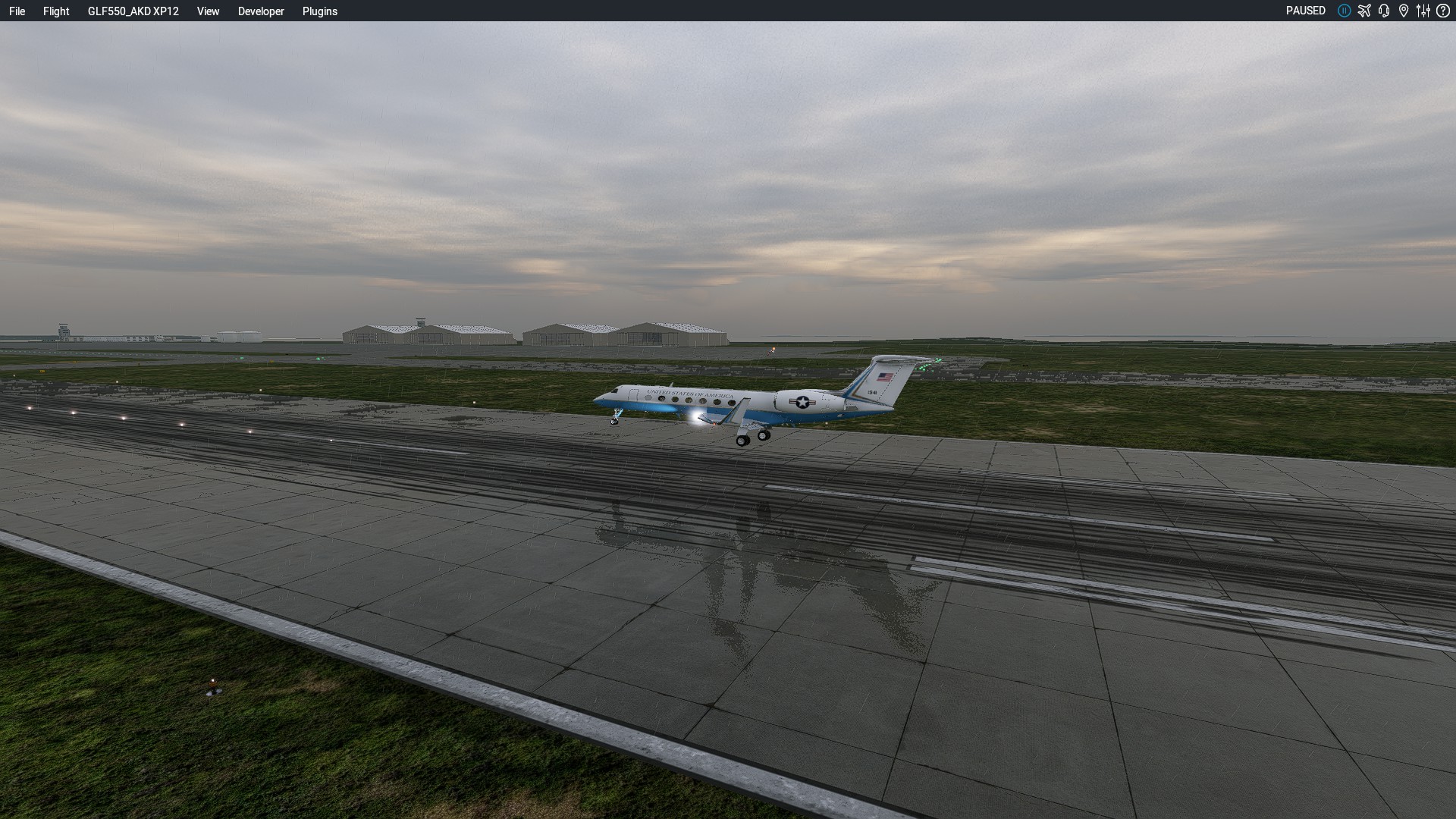
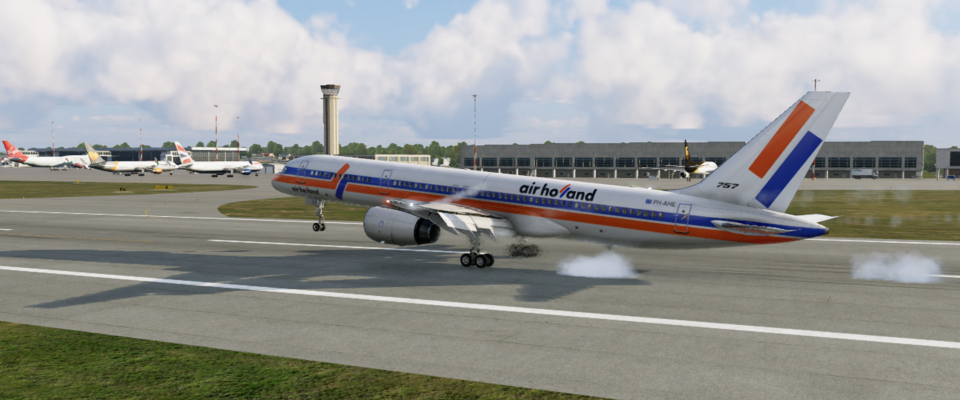
And we did manage to park and shut down without flaming out ![]()
15 Likes
congrats @apollon01 ! ![]()
3 Likes
So my original plan was to track through South Asia, the Middle East and down the East Coast of Africa. That all turned to clag as Christmas got closer and I was still in Perth. Next leg although a lot closer was still in Australia.
Still from Cocos/Keeling I had planned on Chennai as my next destination, but Christmas got even closer, so it was time to cut another corner and head to another island in the middle of the Indian Ocean.
For this destination some kind of ‘disguise’ would be required if I wanted to land there. I have never been to Diego Garcia, but know folks who have. I’m not missing much apparently?
Now that I have figured out the MCDU, the AP is on just after the undercarriage has finished retracting.
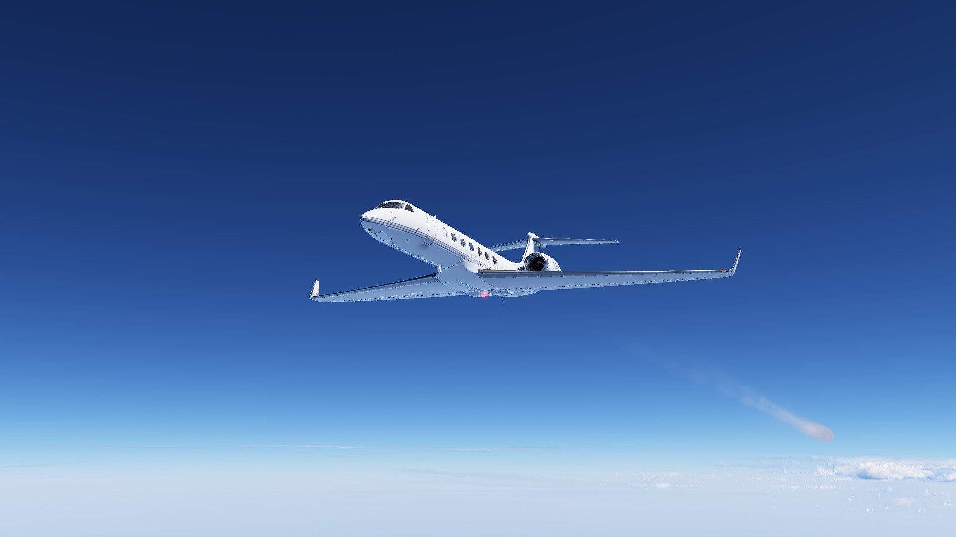
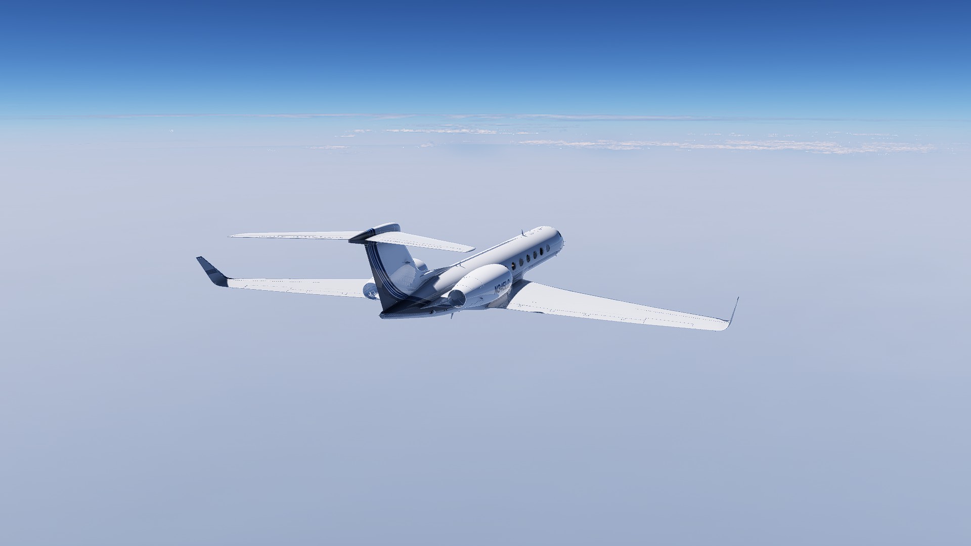
Cloud below, blue sky above. FL410 @ 0.85 mach and all I need to do is sit back and catch up on some reading.
Glanced up from my book when the aircraft ‘beeped’ to let me know we had reached TOD, but everything was looking good and I just let the AP do its thing.
Island/Runway (same thing really!) in sight and I thought I would hand fly it from here.
I am loving this, I’m definitely a HUD cripple (I blame DCS), but still coming in hot and high.
Didn’t hit too hard…
But needed full reverse…
And was (just) slow enough to take the 2nd last exit.
Not sure if I am supposed to park it here, But these buildings were closest.
16 Likes
I’m lagging behind with my flights and even more with my reports.
Leg 3: Casablanca, Marocco to Dakar, Senegal // Mohamed V (GMMN) to Leopold Sedar Senghor (GOOY)
Pushback
Ready for Departure. We’re heading south.
Passing the Atlas.
Overflying the western Sahara.

It’s a fascinating landscape. I’m glad I’m up here in my A/C controlled cockpit
We’re passing the Spanish Sahara. I wasn’t aware of the history and territorial disputes in this corner of the world.
Already descending into Senegal.
Dakar is directly ahead.
I mainly chose Dakar because I knew the name from the famous Rally Paris-Dakar. Nowadays this rally doesn’t start in Paris and doesn’t finish in Dakar. But the name Rally Dakar is still used…
It was an interesting approach with an overhead pass and an almost 180 turn. ATC seems to struggle in MSFS to step you down in time, right? Managed to do an ok landing. One more leg in the books.
13 Likes
Leg 4: Dakar, Senegal to Accra, Ghana // Leopold Sedar Senghor (GOOY) to Kotoka Intl (DGAA)
This one got interesting. I orginally planned for a daytime arrival by turning back the sim clock as usual. But I must have reset to current time without noticing first. As I started in the afternoon IRL.
Ready for departure again.
We headed out north and had to turn around. I wrestled a little bit with the AP to capture the flight plan. Eventually she turned left. I’m still new to all this FMS and autopilot stuff.
Passing over Dakar again. The CJ4 climbs rather well.
1200 nm to our destination. I’m starting to understand all the clever bits of the FMS. It really makes flying easy once you get used to the user interface.
Not much sight seeing from FL420
Which is unfortunate because the map looks rather interesting.
This was the moment I realized, I better prepare for some night flying…
I forgot about my scares over the beautiful lighting.
The start look very different today…
I can see Orion, Taurus and the Pleiades..
Configured for night flying.
There’s people down there. Africa is huge.
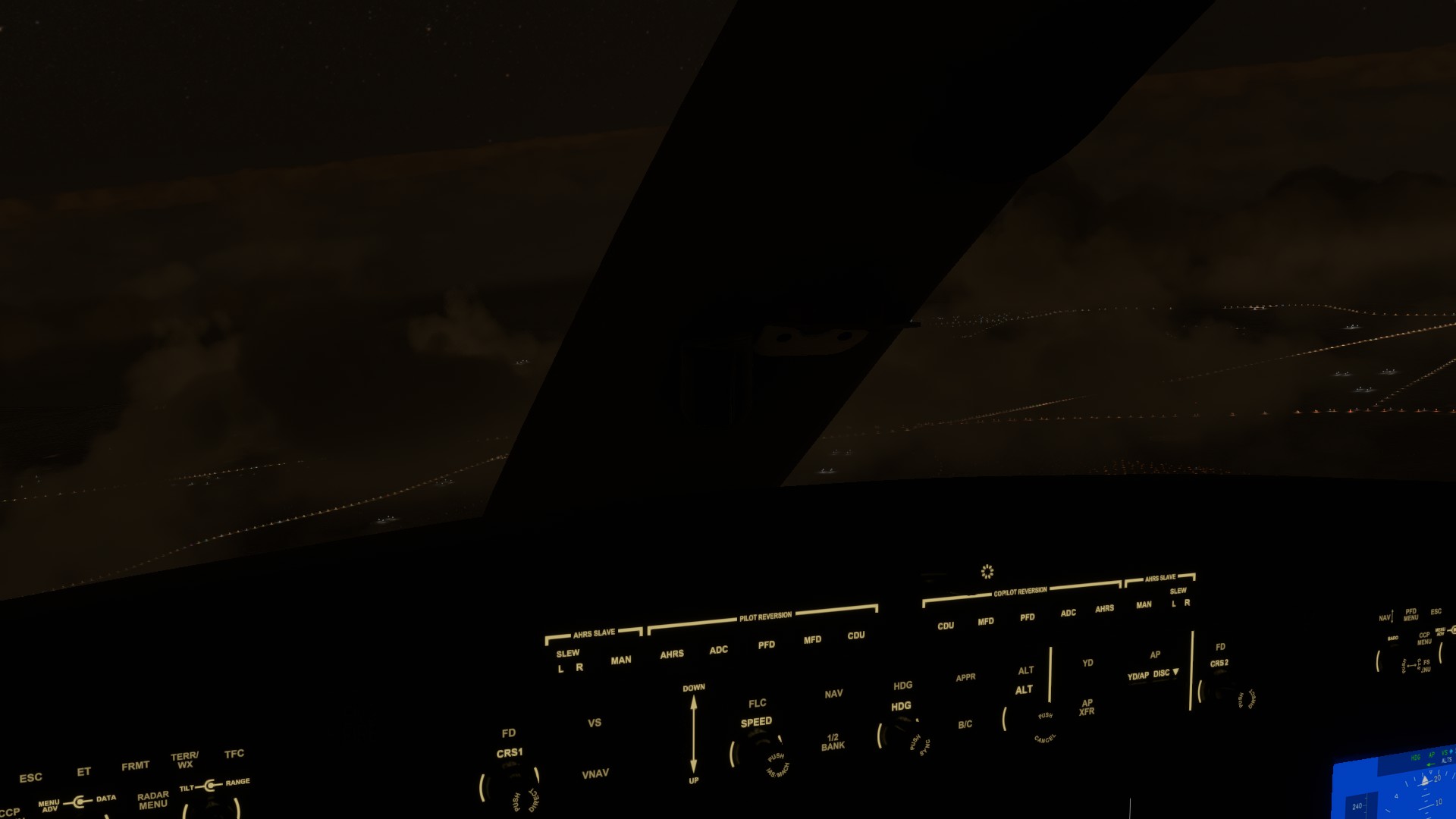
This was the last sceenshot I could take before all my attention went to the approach. It was a mess. I could only find a chart with a DME Arc approach for my planned ILS landing.
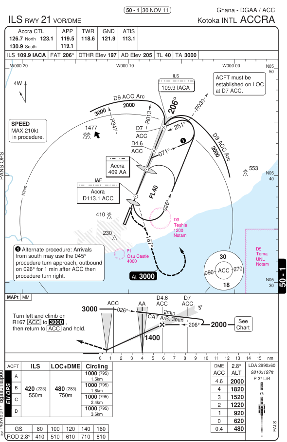
I managed to set VOR1 to the ILS and VOR2 to ACC VOR for the DME arc. ATC cleared me down to 6500 ft. I could decipher something like DME9 approach for RWY 21 and cleared for ACC. Not sure would this supposed to mean. I fumbled between FMS navigation and VOR. Eventually I decided to dump the preplanned waypoints from the FMS and switch navigation to VOR and fly the DME arc with HDG mode on the AP.
I overshoot the localizer a little and concentrated completely on correcting that. It never occured to me that 6500 ft was to high to land from 9 nm out. As I overflew the VOR - still at 6500 ft - I realized, I messed up and entered a missed approach.
This time I also tried to decend and was scaffolded by ATC to climb 6500 ft. This was still my assigned altitude. Not sure what went wrong. I decided to fly a wide downind leg to separate from the airport and fly another 9 nm DME arc from the other side. This time ATC stepped me down. Although I overshot the localizer again I managed to land without much more hazzle.

Ignore the south west departure turn to the east from my next leg in this picture.
Things happen fast when something unexpected occurs. But I guess that’s how you learn ![]()
12 Likes
Great reports! I like your description of the DME arc approach ![]()
Africa looks indeed stunning from above, and the bit about the Spanish Sahara is new to me. Will have to google it.
The CJ4 does climb really well. Only do not forget to bring the throttle from climb setting back to cruise setting, else you end up eating grass… like me in Christmas flight 2021 ![]()
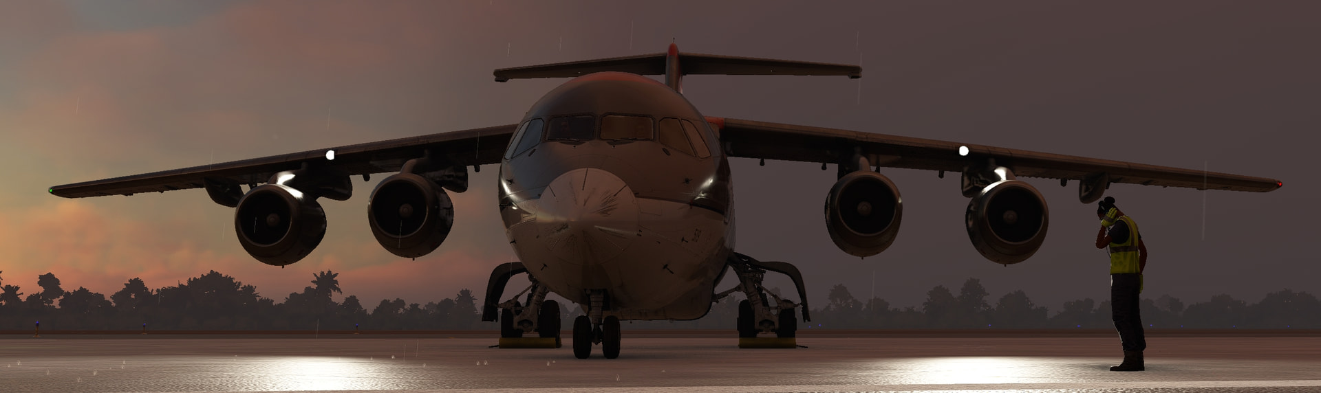
Fuel tanks and battery depleted - note the blank displays and avionics.
9 Likes
Leaving African mainland to Madagascar!
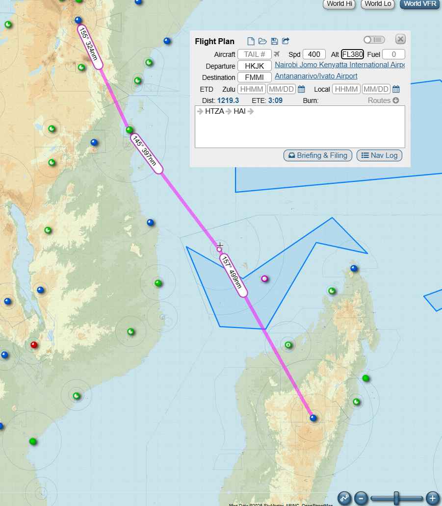
Leg 14: Kenya, HKJK (Nairobi, Jomo Kenyatta Intl) => Madagascar, FMMI (Ivato Intl), XP12, real-day, real-time, real-weather, Boeing B757-200, IFR:
Departure Nairobi RW06:
Passing Mount Kilimanjaro in Tanzania:
En-route to HAI VOR/DME at Comoro Island:
On to Madagascar:
Approaching Top Of Descent (T/D) and descending:
Ivato airport FMMI on the map, final RW11 and landing:

14 Likes
Bangoka to Goma , flew this one a couple of days ago but forgot to post it. The Entebbe approach took me way over Lake Kivu, cool scenery around here! Next flight is to Entebbe which will take me out over lake Victoria which honestly, that’s ETOPS area! Fortunately I’ve got 5 APU’… wait 4 engines…
14 Likes
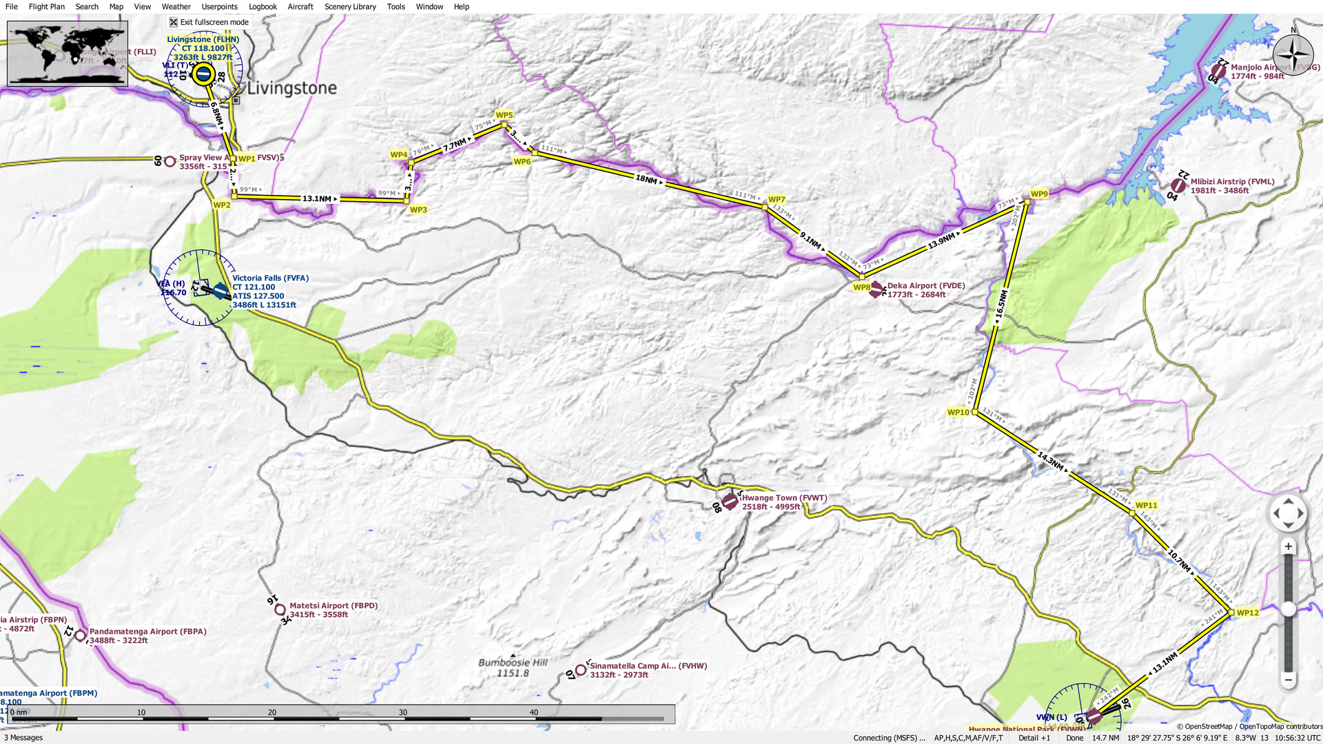
Leg 11: Harry Mwaanga Nkumbula International Airport, Livingstone, Zambia (FLHN) TO Hwange National Park Airport, Matabeleland North, Zimbabwe (FVWN)
OK, it’s been a while, for which I apologize…my LOW MOTIVATION light came on there for a bit.
If you’ll recall, when last we left our intrepid hero (provided “intrepid” means middle aged and sarcastic), he had just landed in Livingstone, Zambia. And if you’ll further recall (provided you had successfully recalled previously) the objective of doing so had been to reposition the flight for a tour of Victoria Falls.
Now that we’re all caught up on my dizzying exploits (well, at least I’m dizzy…hmmm, maybe I should see someone about that…should my left arm be numb? ![]() ), we can move only ever forward.
), we can move only ever forward.
Prior to setting off, I admit to engaging in some fortuitous, if mostly unintentional, cheating. In trying out a few recently installed candidate aircraft for the flight, I couldn’t help but notice that Victoria Falls in default MSFS 2020 looked (as my flight school roomate was fond of saying) like someone had set its face on fire…and put it out with a golf shoe (i.e. somewhat less than picturesque).
A quick dash to the scenery library and fourteen bucks later, I was the proud owner of Jeppeson2001’s Victoria Falls scenery.
And it, as Robert Frost might have said, has made all the difference.
But enough rambling…

The plan was to depart FLHN and proceed immediately south to the, conveniently located, Victoria Falls, followed by a daring dash down the dark depths of the Zambezi (sorry, it didn’t start with a D). At some point I would break off, following the Gwaji river tributary, for the Hwange National Park Airport, a oddly situated 15,000ft runway near, well, nothing I could find other than the park.
What were they planning on bringing in here anyway? The Space Shuttle? ![]()
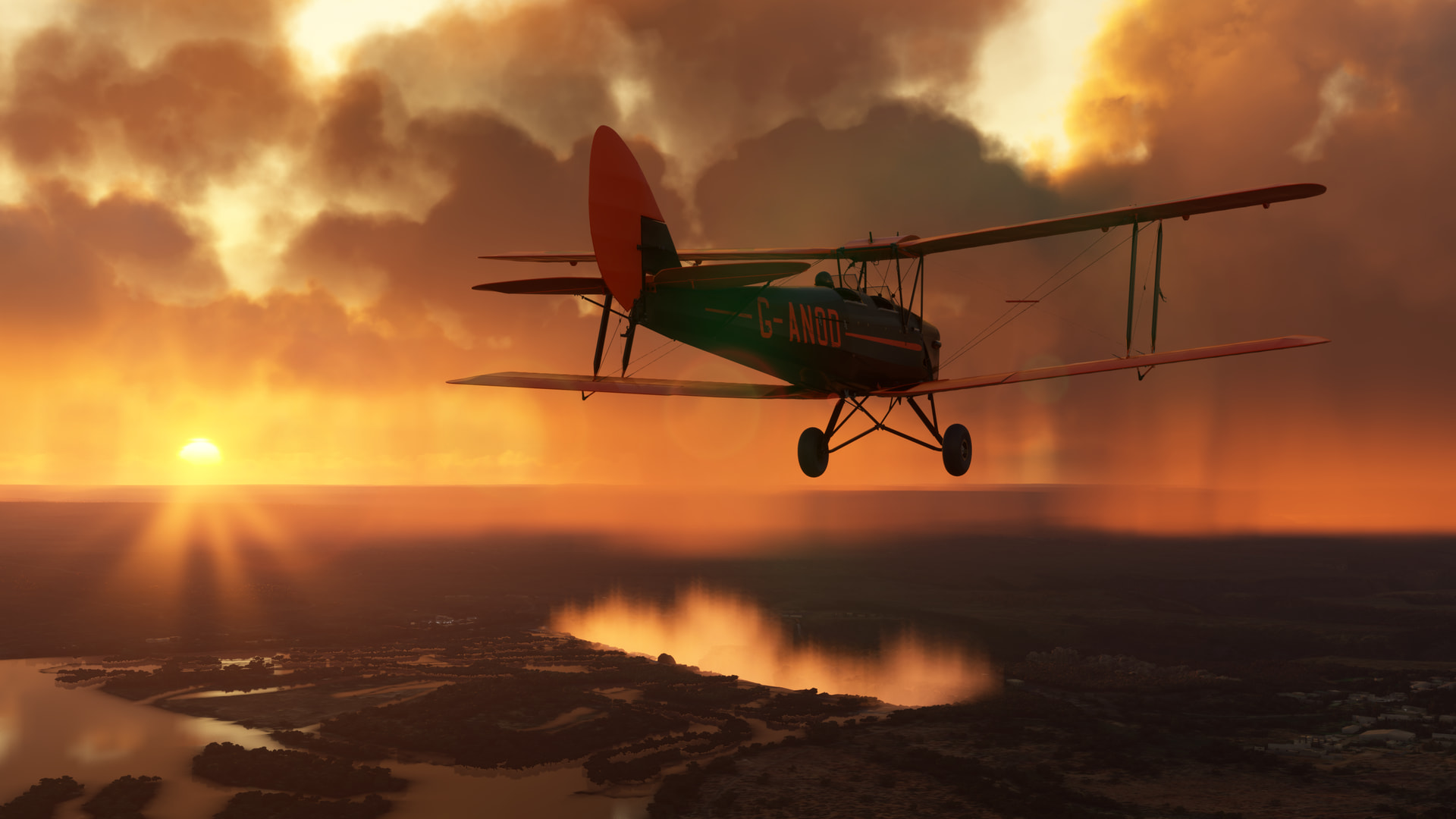
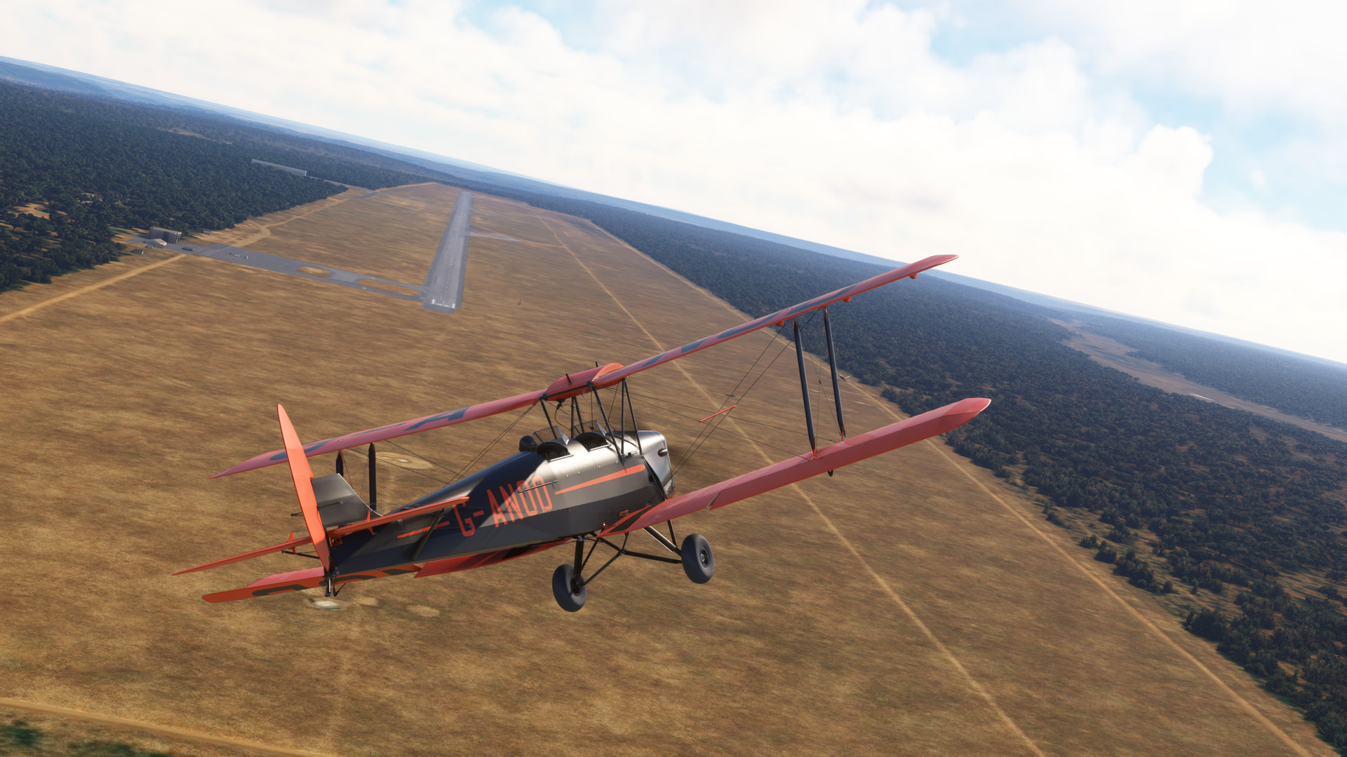
A hot, but not unseasonably so, dawn in Zambia. I had been getting Age of Exploration vibes ever since I had crossed the coast of Morocco and had been itching to feel the warm wind in my face and to hear it keening through the wires.
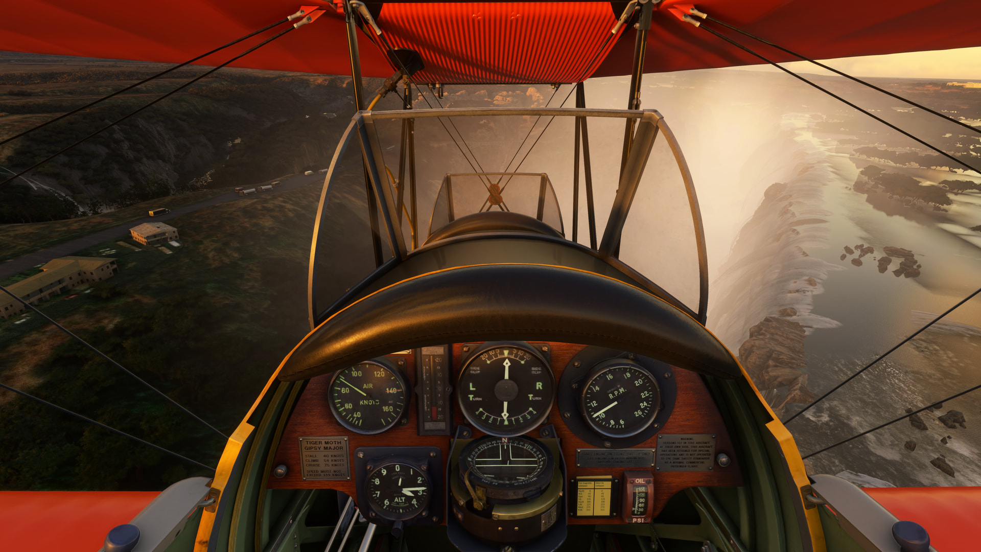
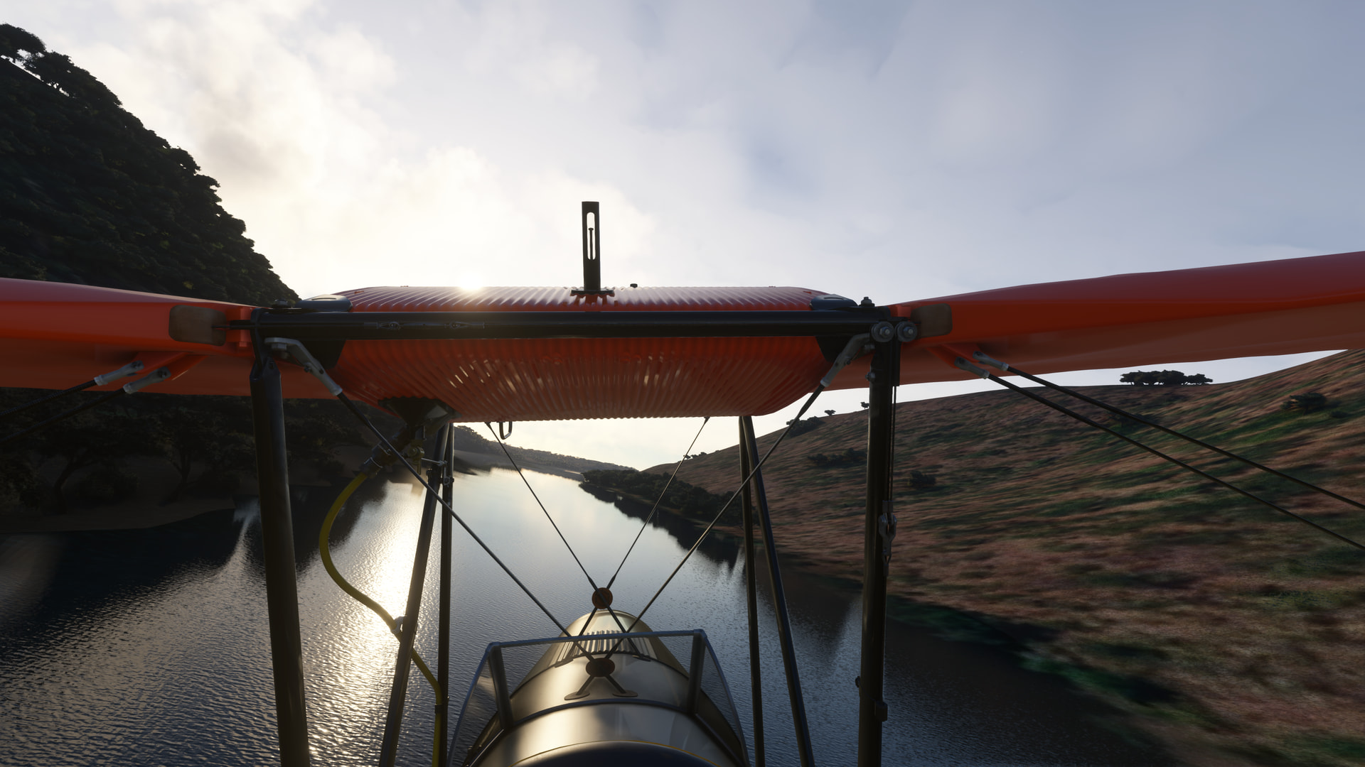
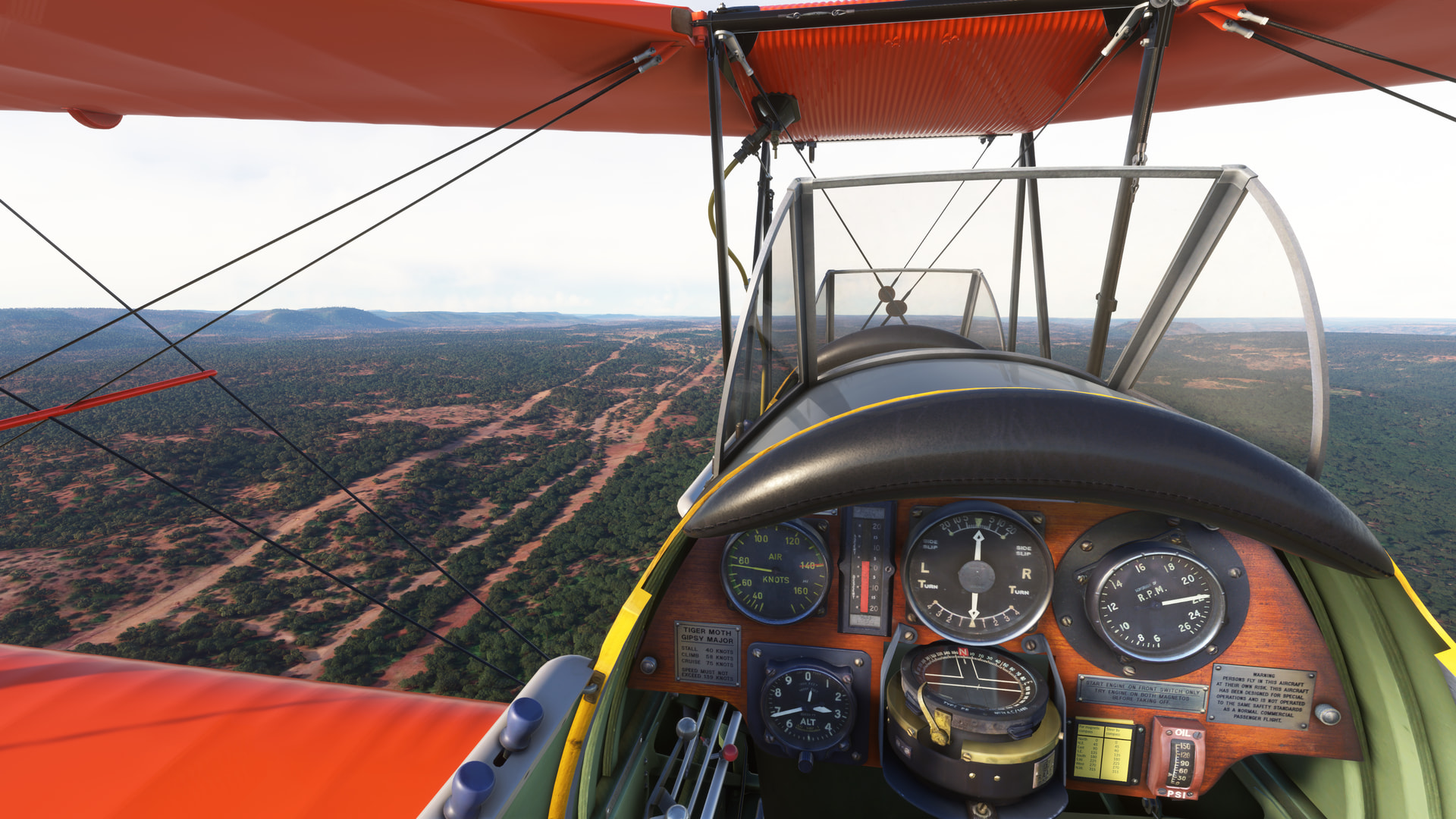
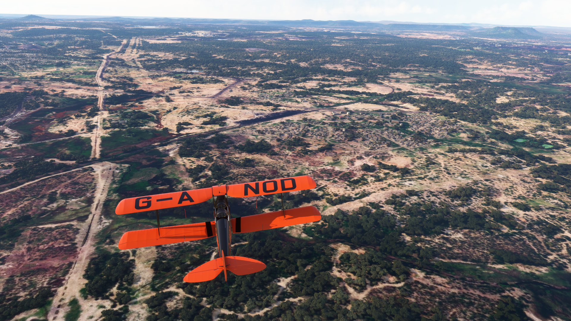
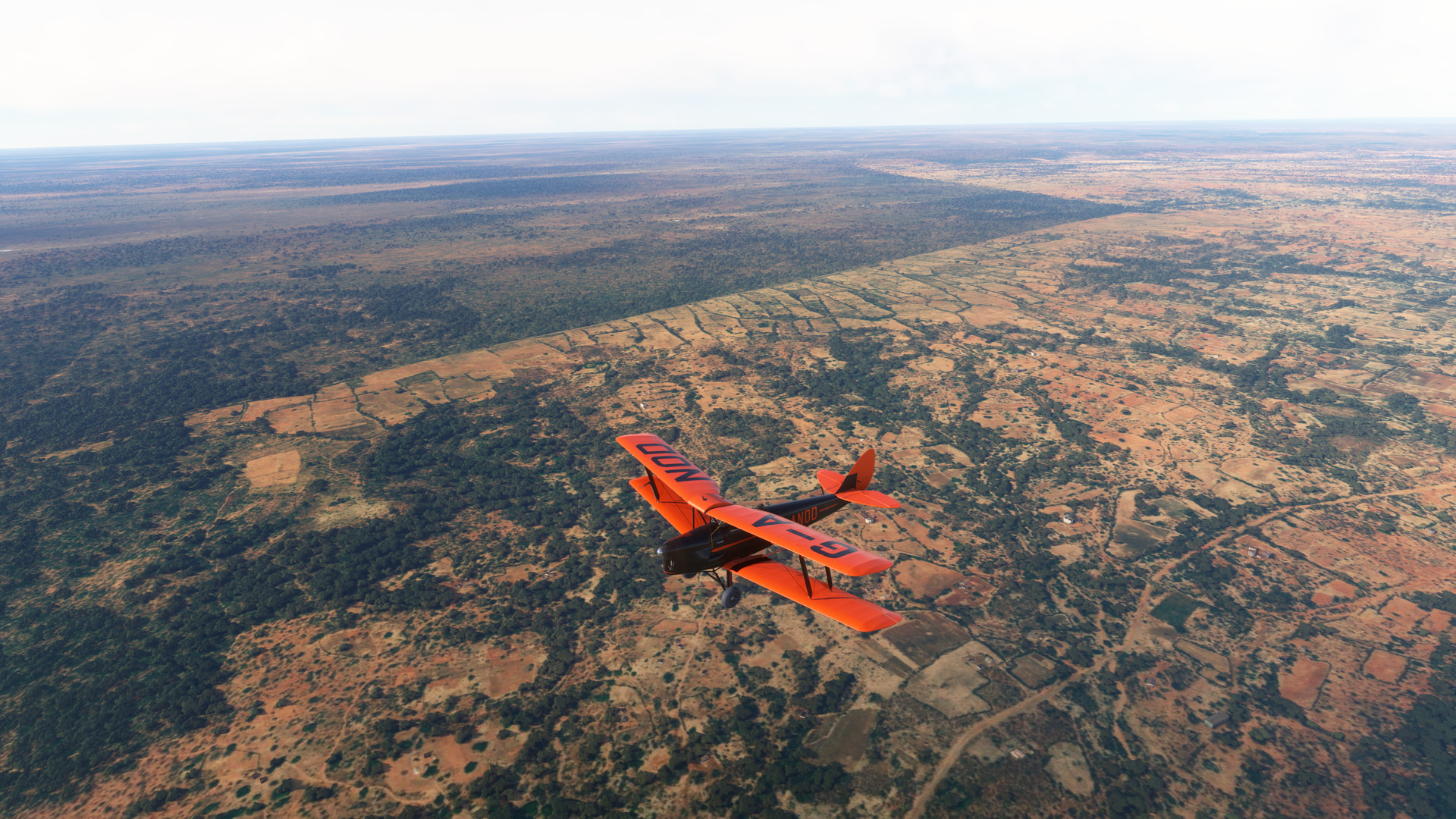
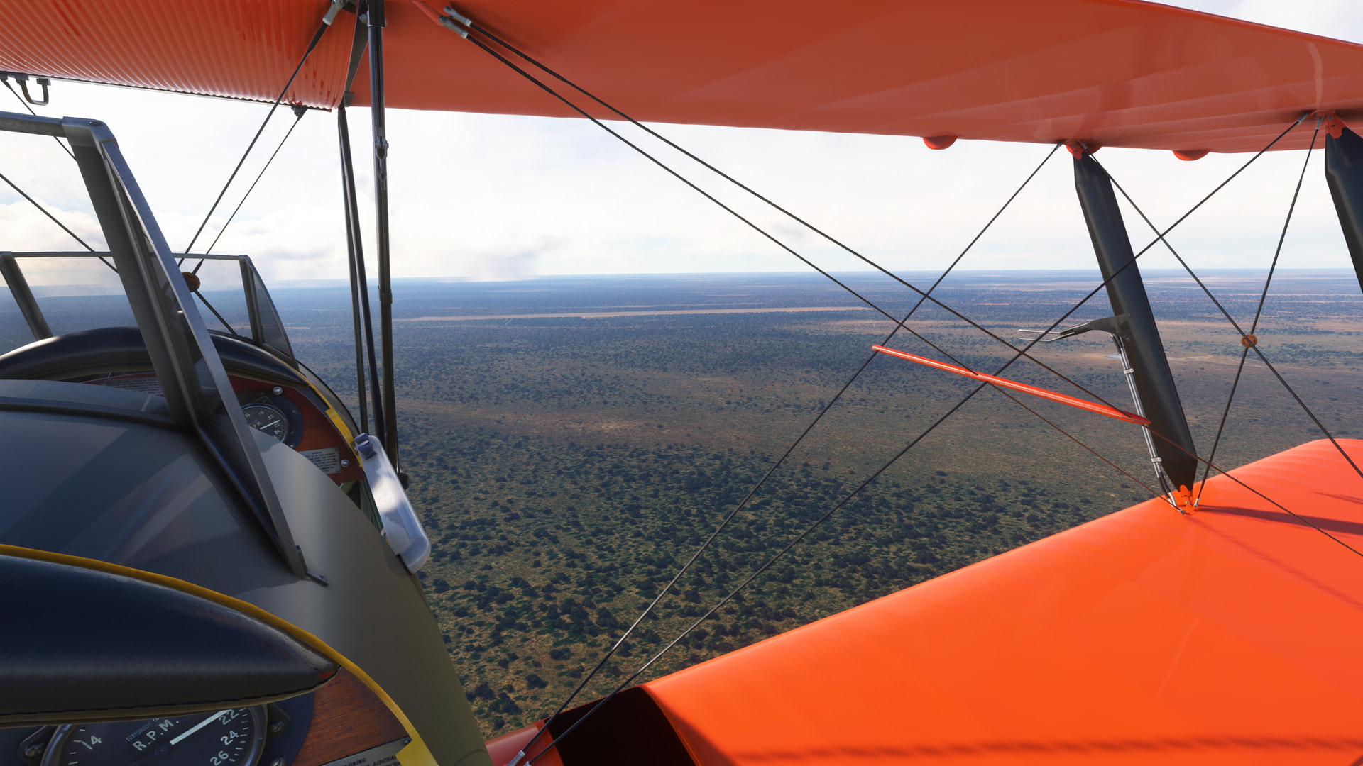
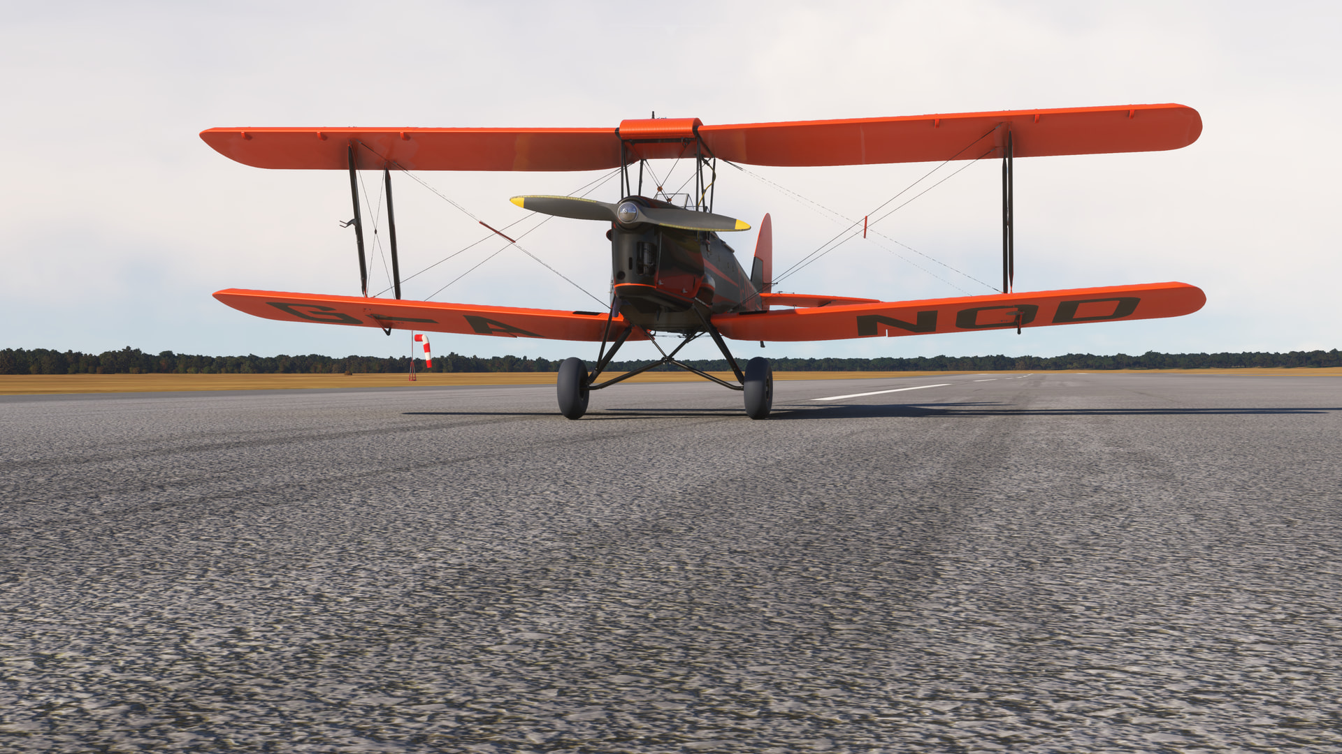
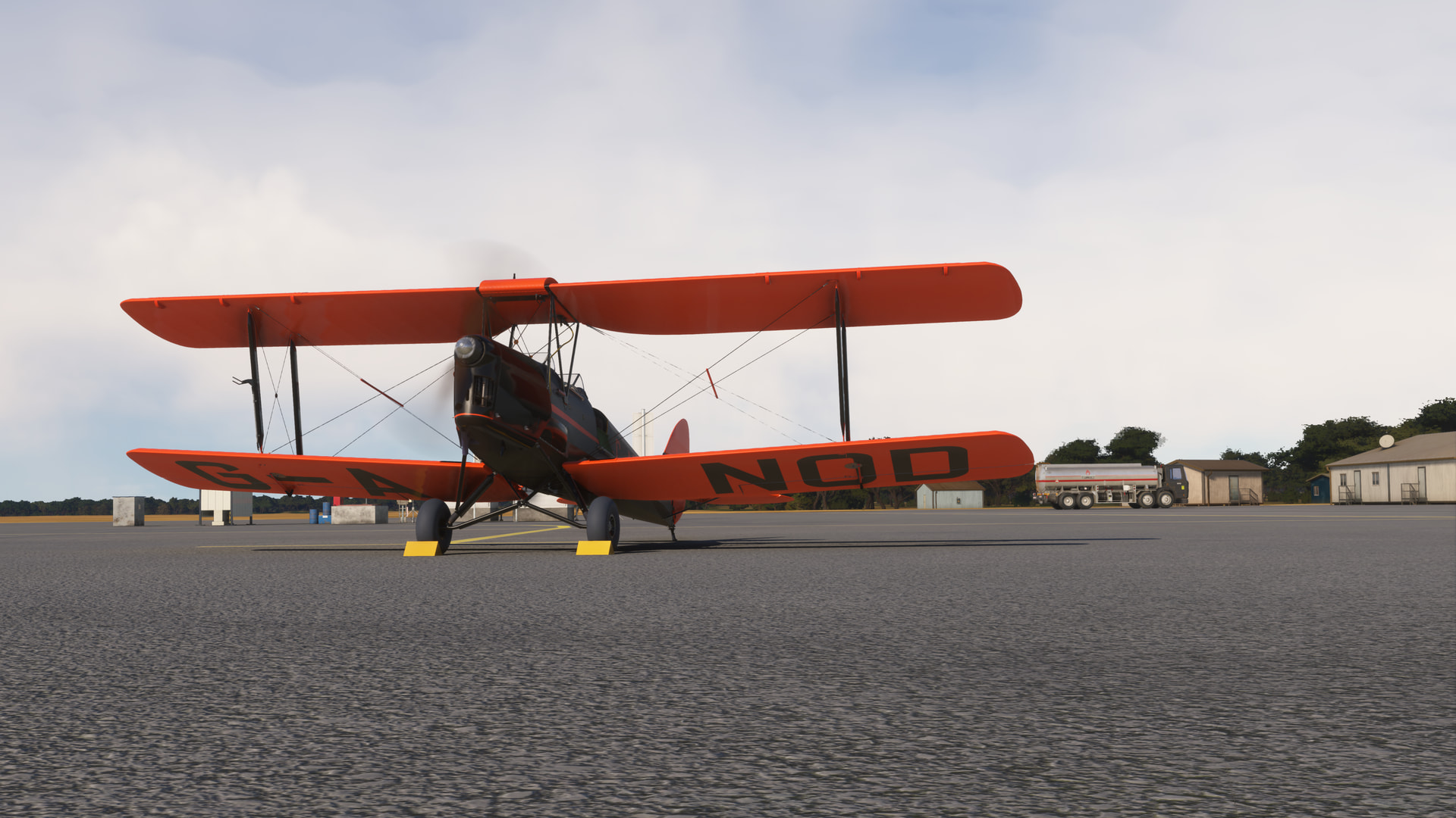
So, I dusted off Ant’s lovely Tiger Moth for the voyage.
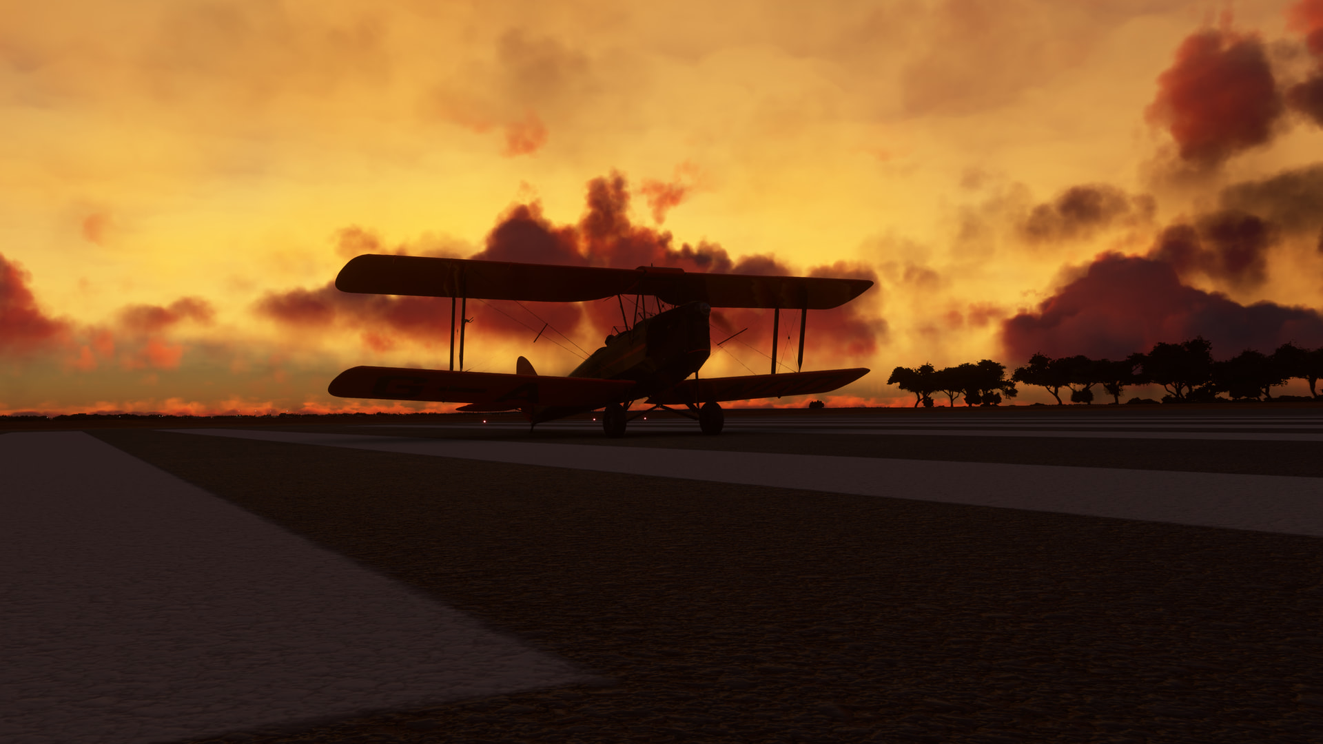
G-ANOD livery by Jankees.
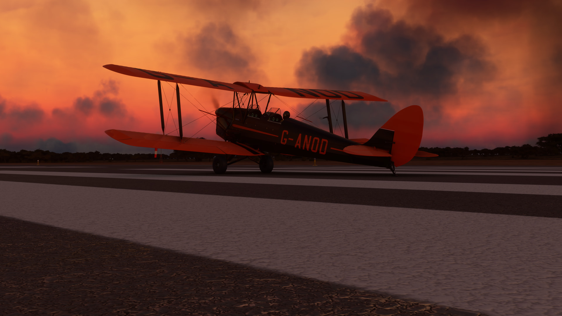
With the earlier rainshowers (and returned lightning…when did that happen?) having passed off to the south, we were up and on our way into a freshening southwesterly breeze.
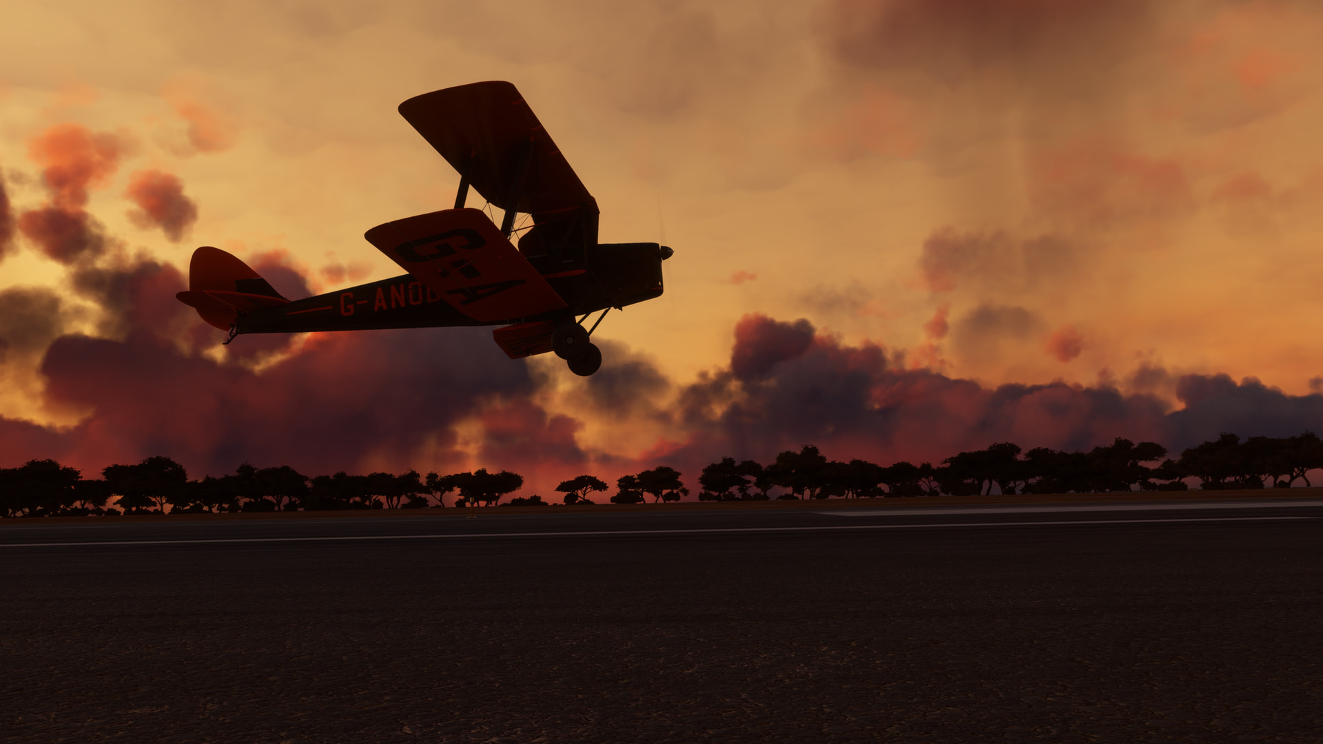
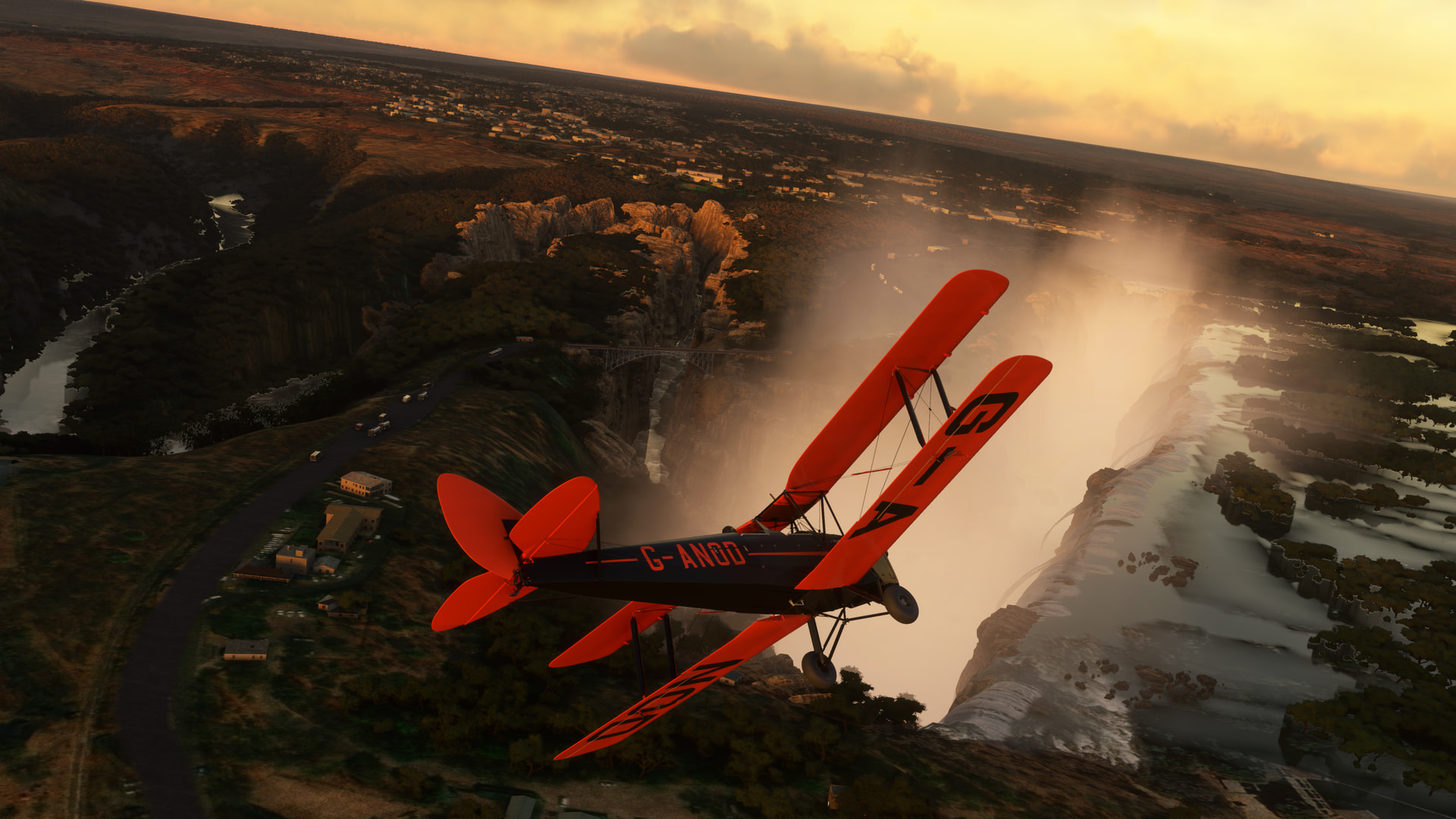
In a brief span of time, I could already see the spray of the falls in the distance, highlighted by the rising sun.
Impressive!
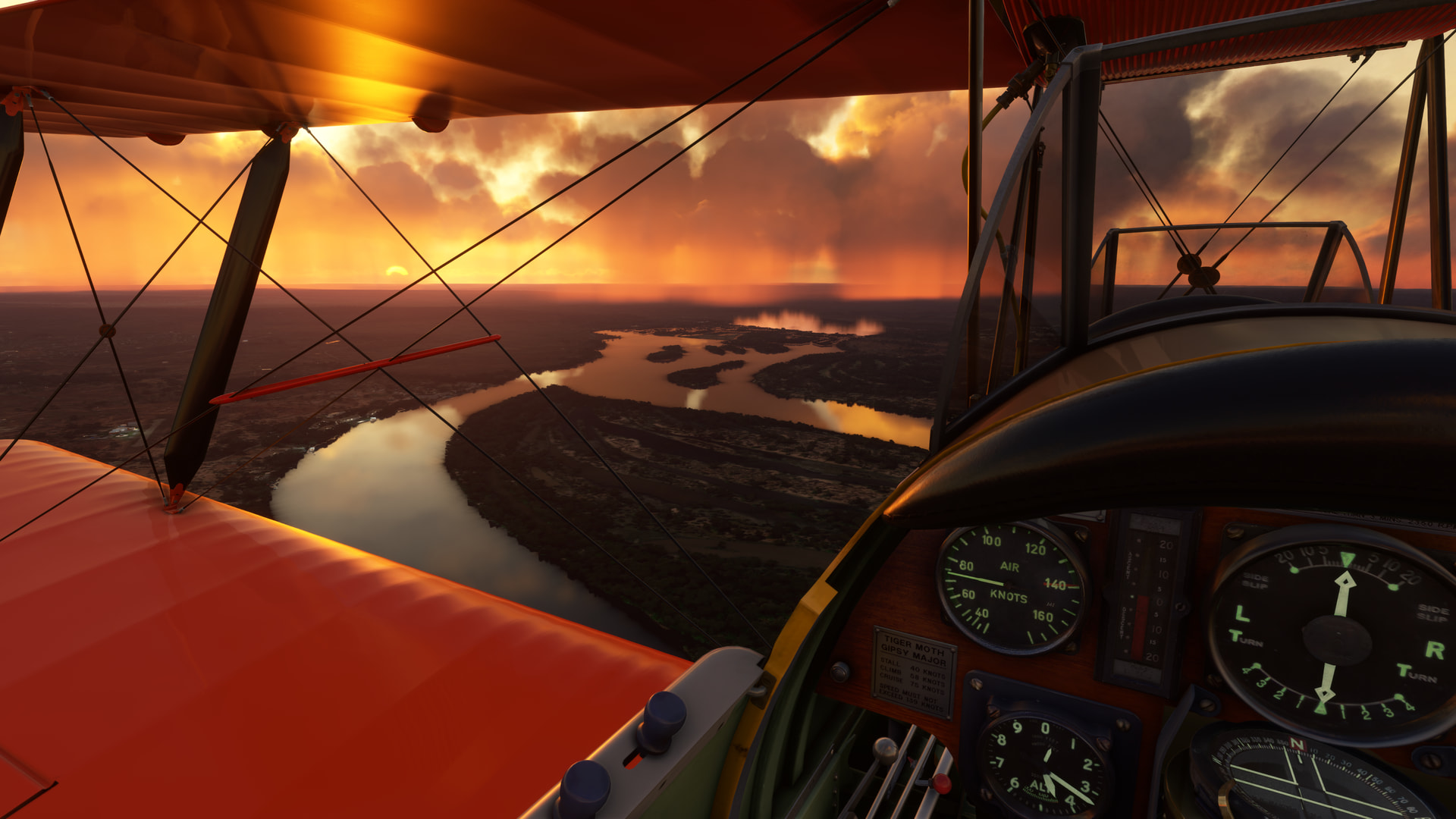
This is what flight sim is all about, isn’t it?
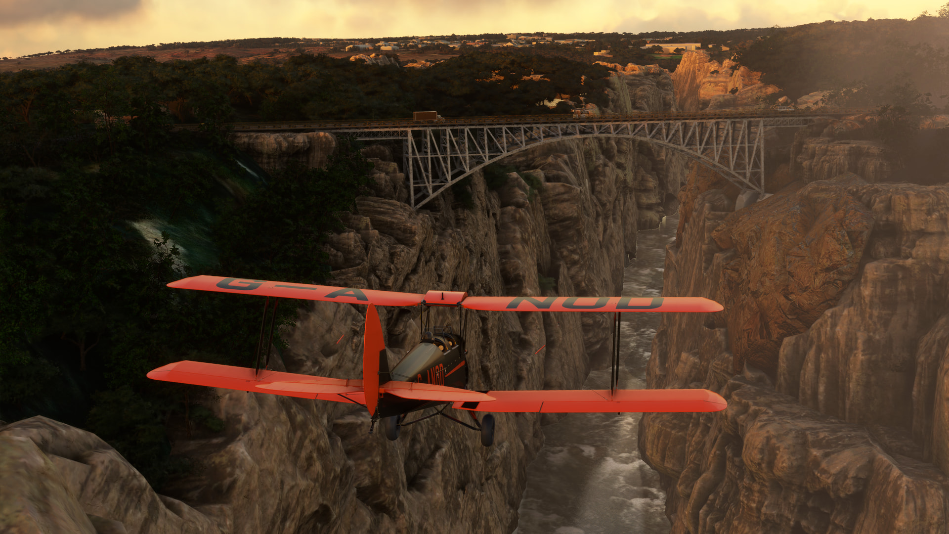
I took a quick turn about the falls, which immediately made the 14 clams worth the price of admission. Even if I never come back. The falls themselves spread in the impressively broad line that’s shrouded in mist to the left of the picture below.
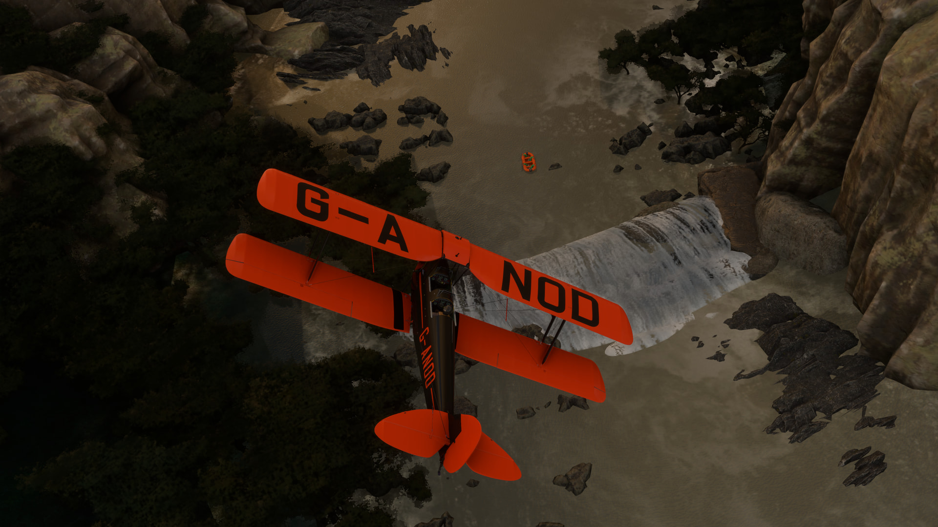
What’s almost as fascinating is the massively steep gorge that immediately emanates from the falls eastern edge, knifing through the rocks and then immediately cutting back to the placid (and maybe aptly named, certainly by comparison) Silent Pool.
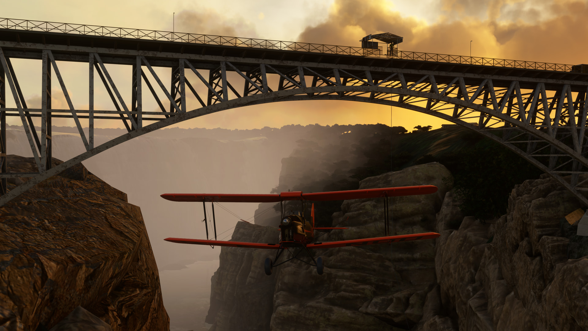
At the head of the pool is a smaller waterfall with a hydroelectric damn sited at the top; a fairly impressive waterfall in its own right!
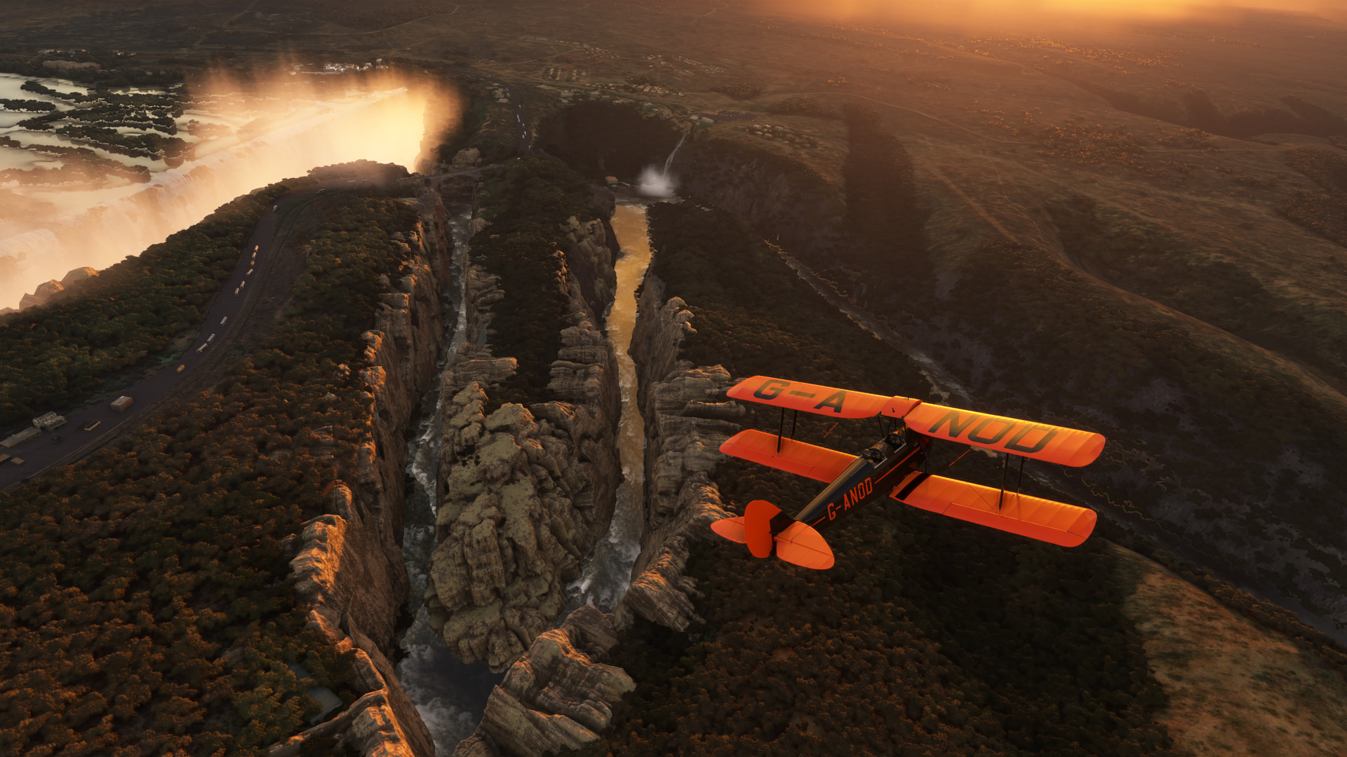
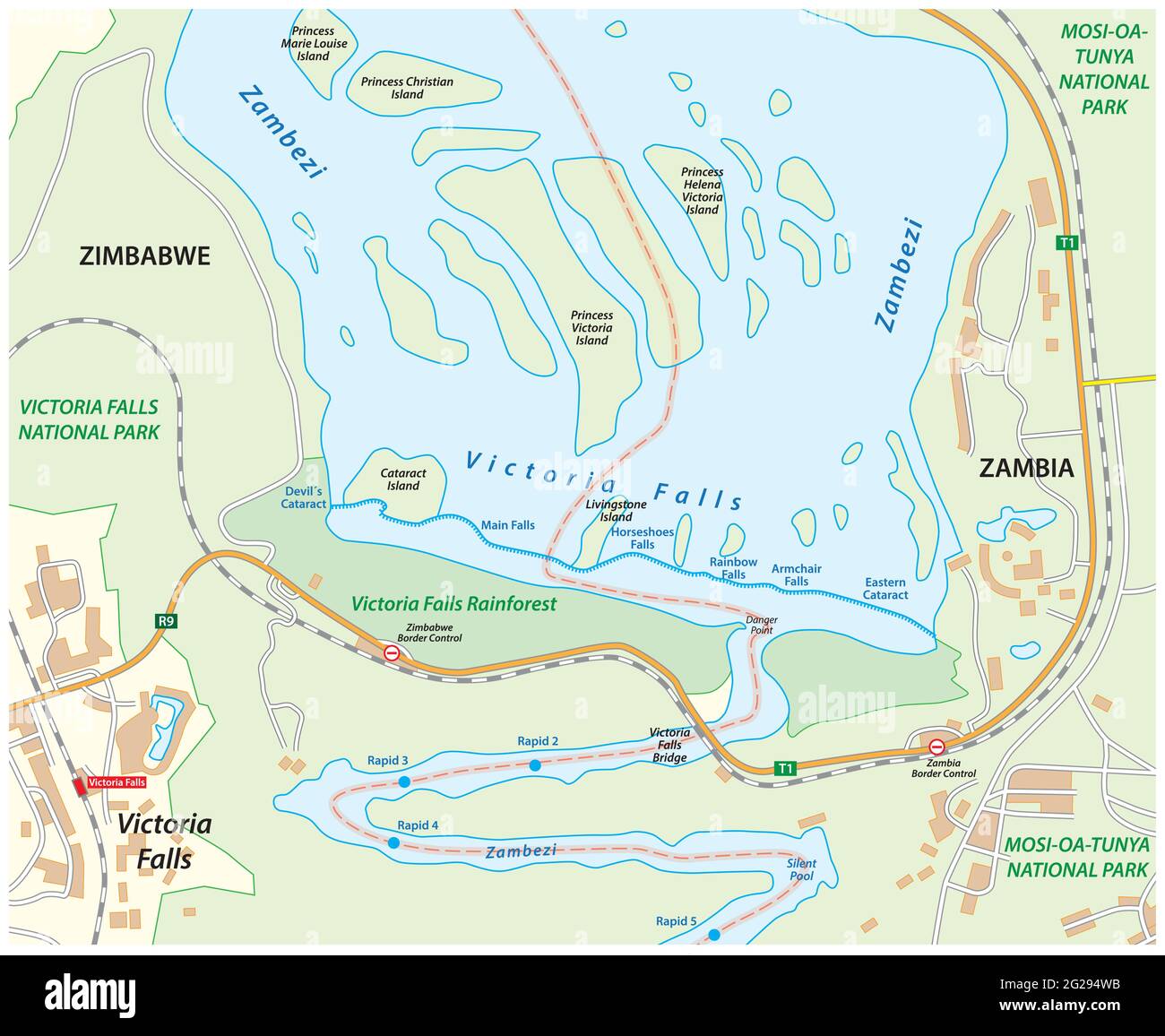
Here’s an overhead map for a better angle.
As I circled around the falls eastern edge, I began thinking…which is never good!
OK, this might be a bad idea.
Well, in for a penny!
For the record, I did not cut that guy’s bungee! ![]()
Um, that might have been the “easy” part. ![]()

Being in a tight canyon and not knowing if you are going to be able to hack the turn is never a great feeling.
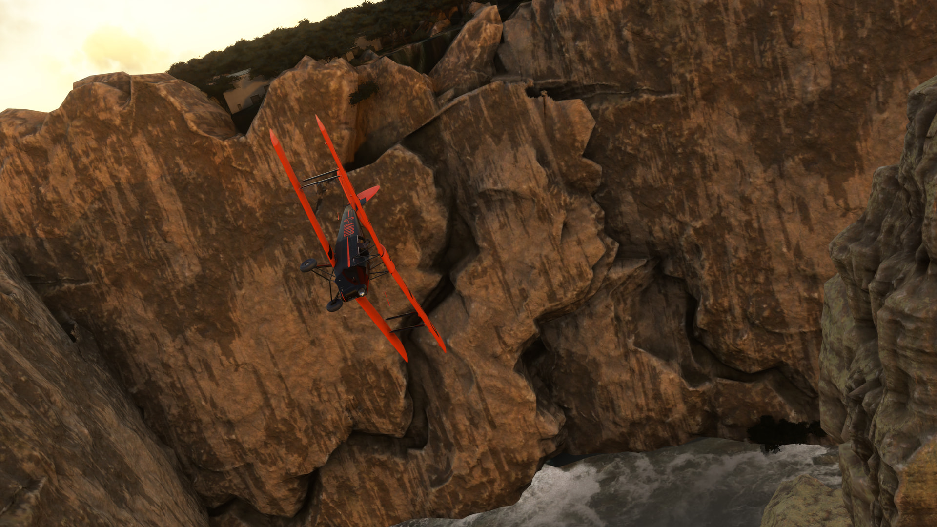
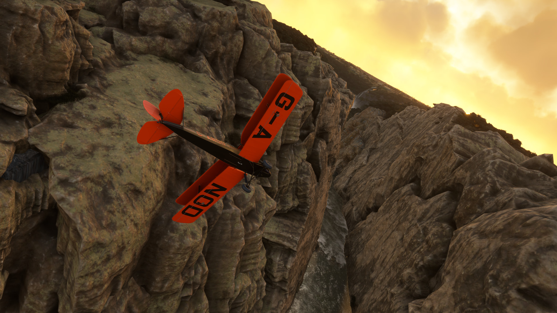
But, by luck more than skill, I made it out and into the Silent Pool.
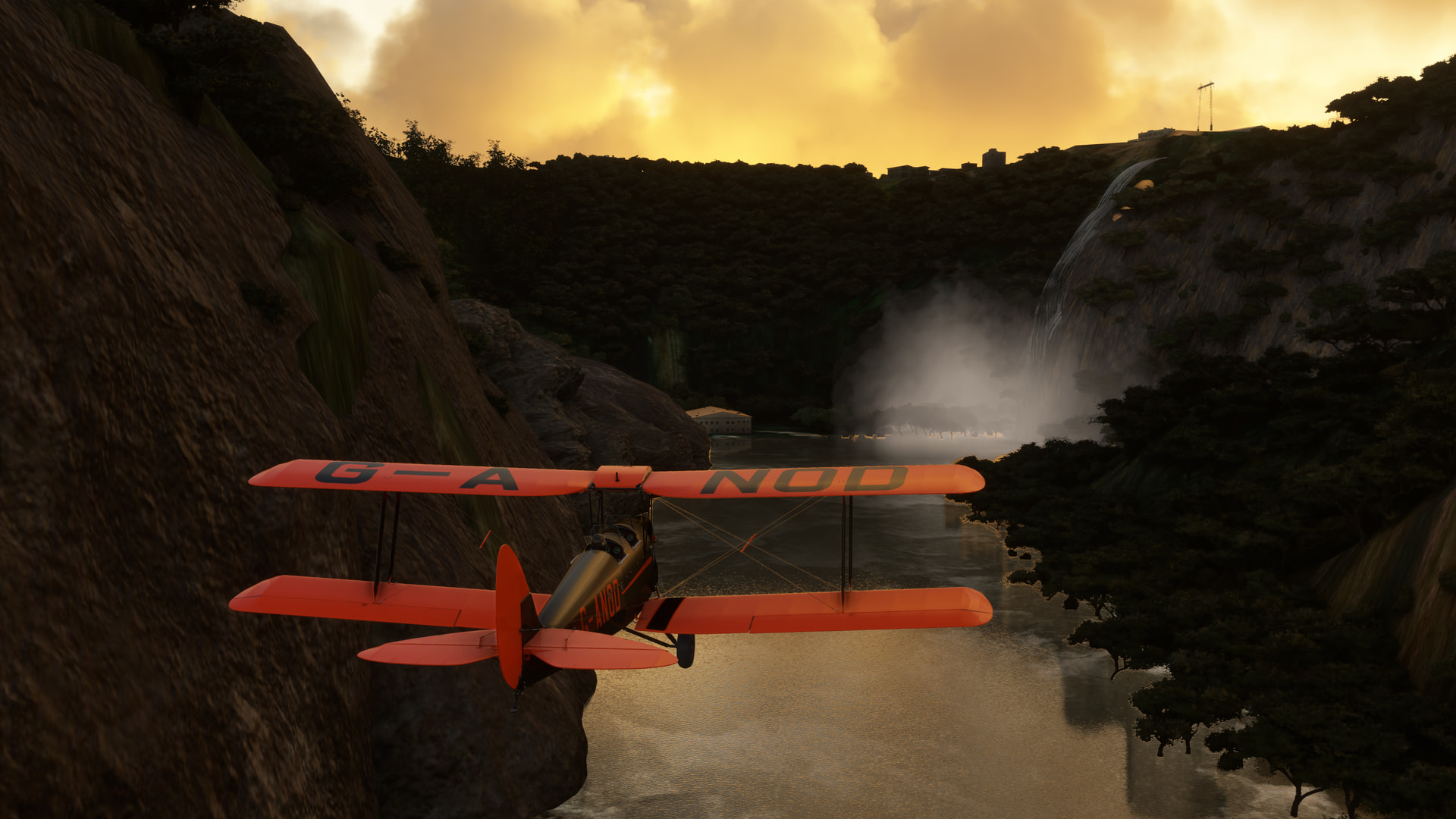
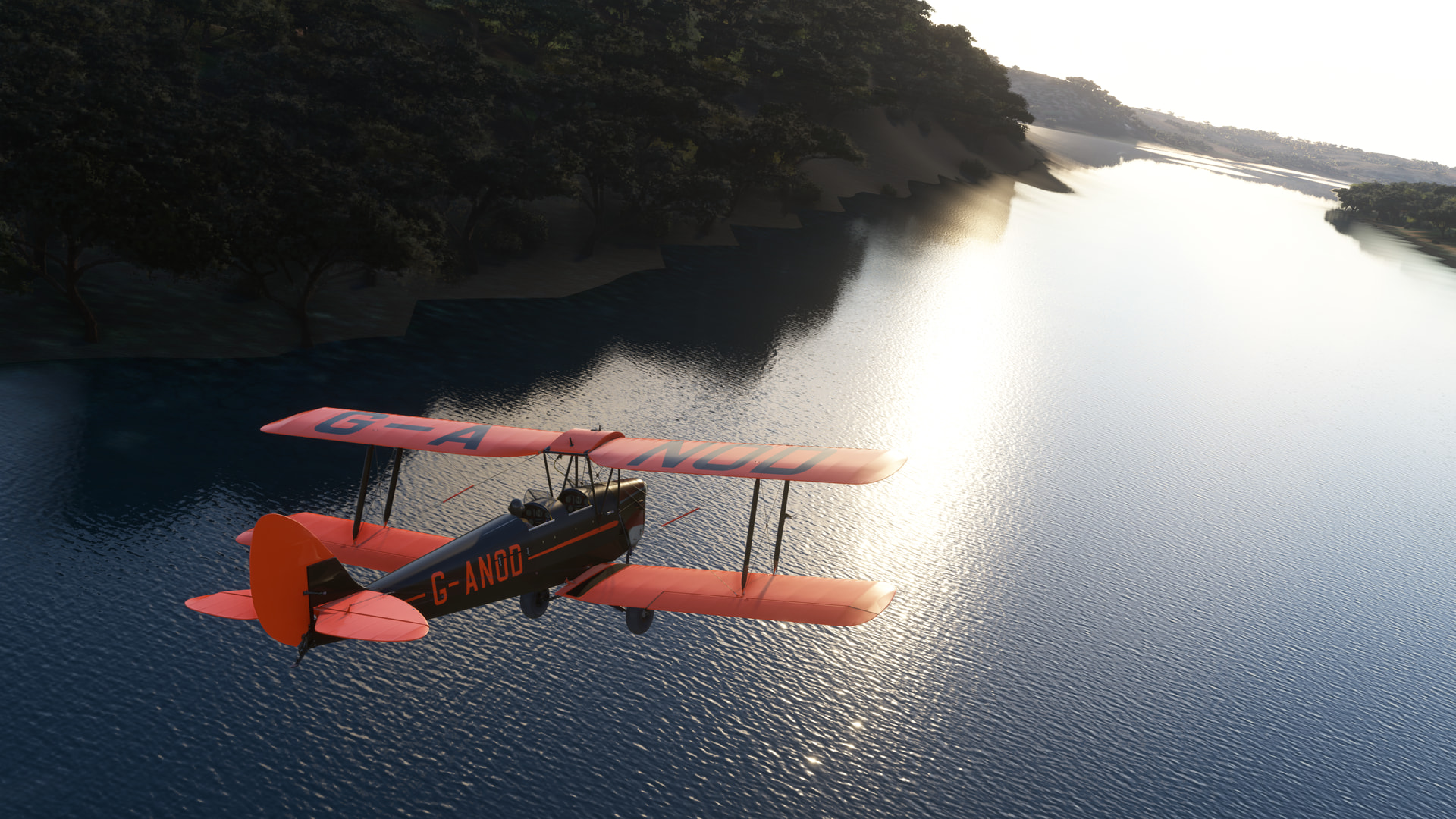
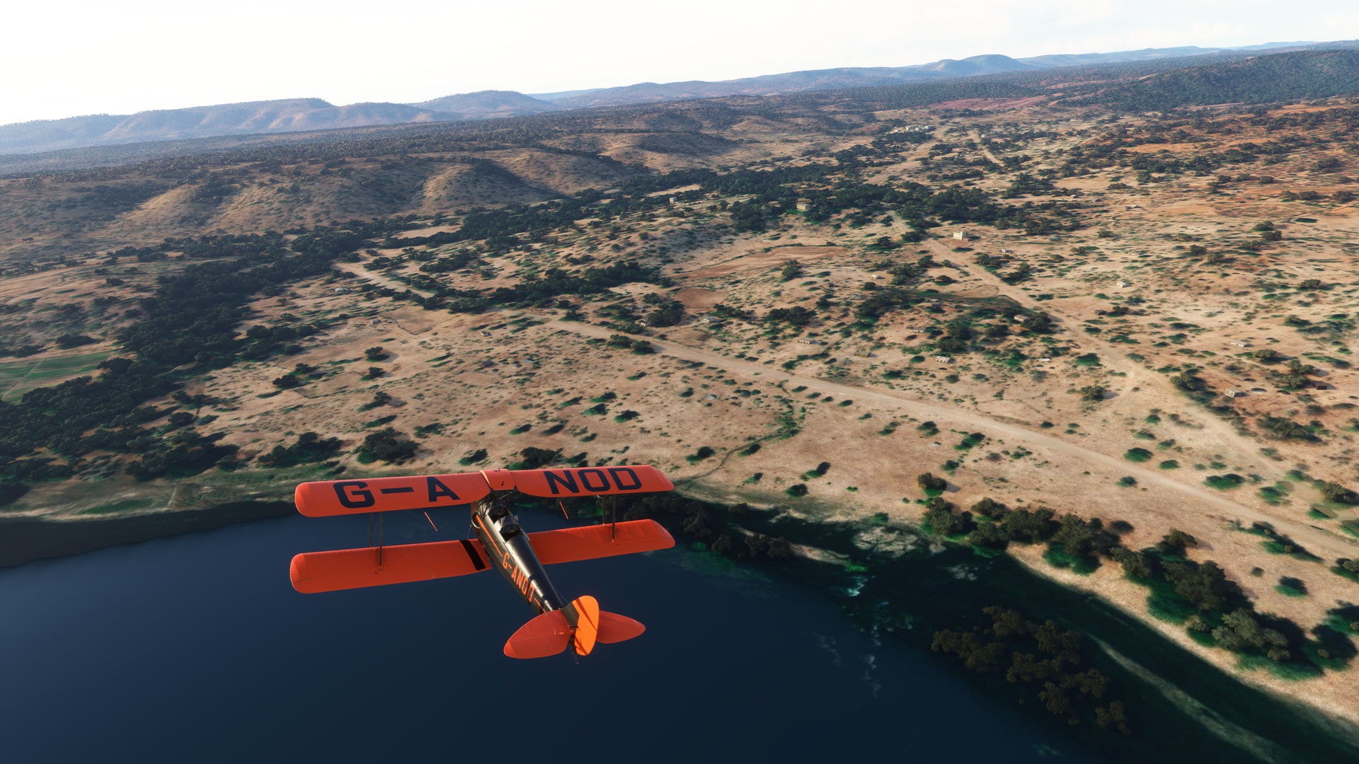
From there I honked a turn down south and followed the course of the Zambezi.
I highly recommend this add on. You can see that, even beyond the area of the falls, the rapids and surrounding canyon walls run for a number of miles. Though I didn’t take advantage of it, there are also a number of fields and helipads represented to explore.
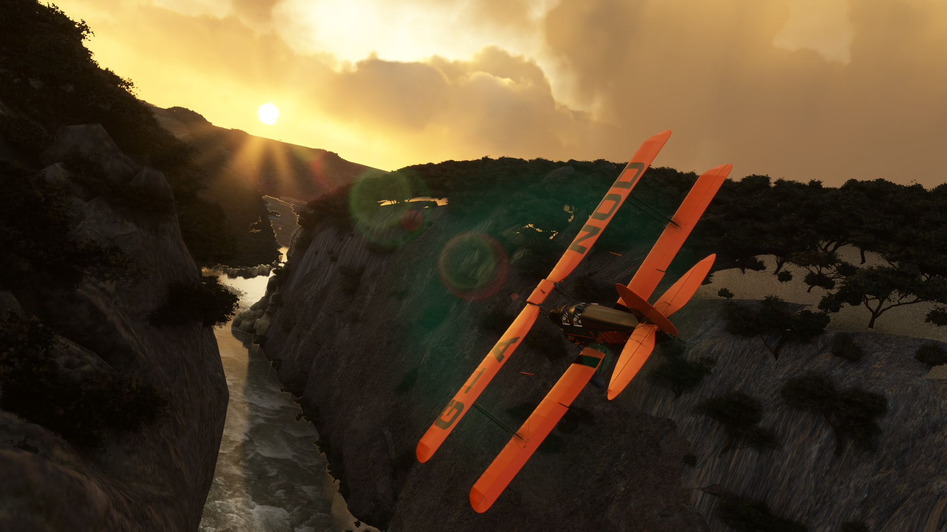
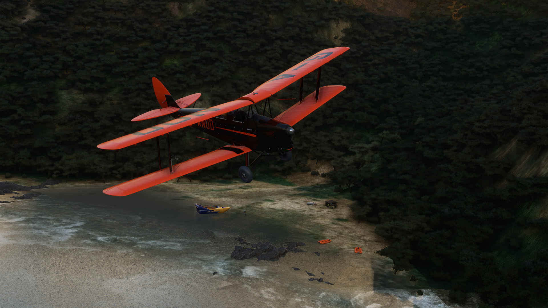
There’s even the odd white water rafter or two to be seen.
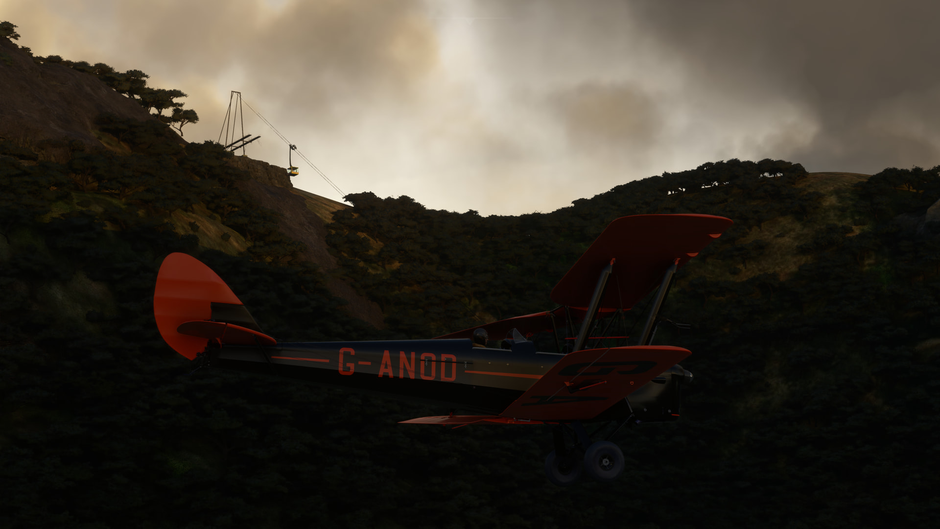
Sadly, the scenery had to end eventually, right about at the scene of this water tour and working cable car…very cool!
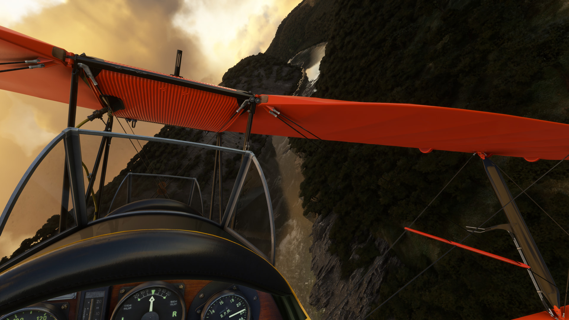
Then I was back in the comparatively bland default scenery, which is still nothing to sneeze at (I’m not really sure why you would want to nor what effect you think it would have, but it is a saying). ![]()
Originally, and as I had said earlier, I intended to take the Zambezi all the way out to the smaller Gwaji, then cut south. But, as I continued further west I began to look with a little concern at my gas gauge. Or plunger, in this case.
Since, in flying these flights, I generally take no great care to plan my expected speed or fuel burn, I was just kind of eyeballing it here. That being the case, and discretion being the better part of valor and all that, I ultimately decided to cut the route just a little short.
However, just so y’all don’t think I’m a total slacker, I did devise something of a bailout plan before takeoff.
In case I was feeling a little skosh on gas, I had planned to turn south just a little bit before the airfield at Deka, then follow the (hopefully prominent) road down to Hwange, turn east and finally follow the east-west highway out to the field.
If you look at it, the distance saved is not exceptional, but it does have the virtue of having not one, but two bailout fields available to me should the gas situation get a little, ahem, interesting.
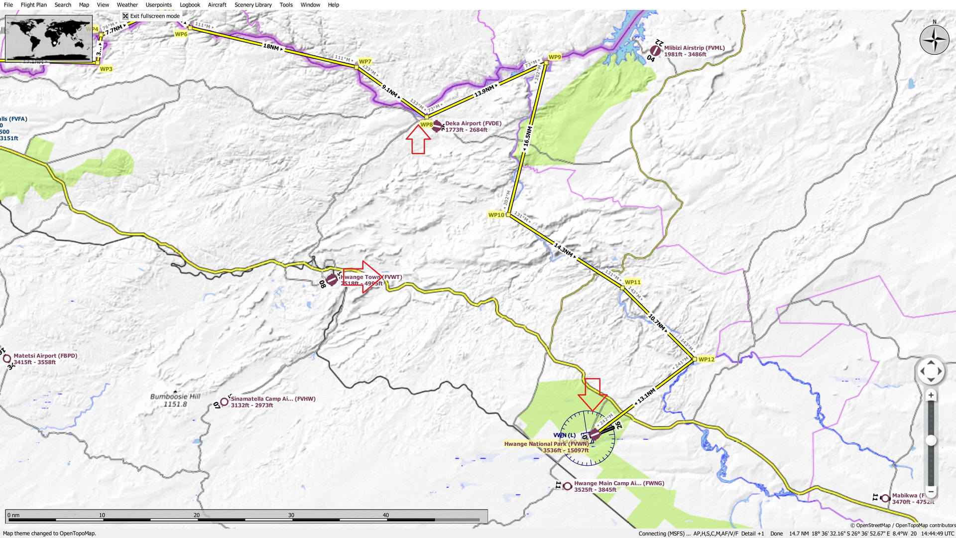
Luckily, I found the road coming into Deka without too much difficulty, and hung a right.
Bidding the Zambezi adieu.
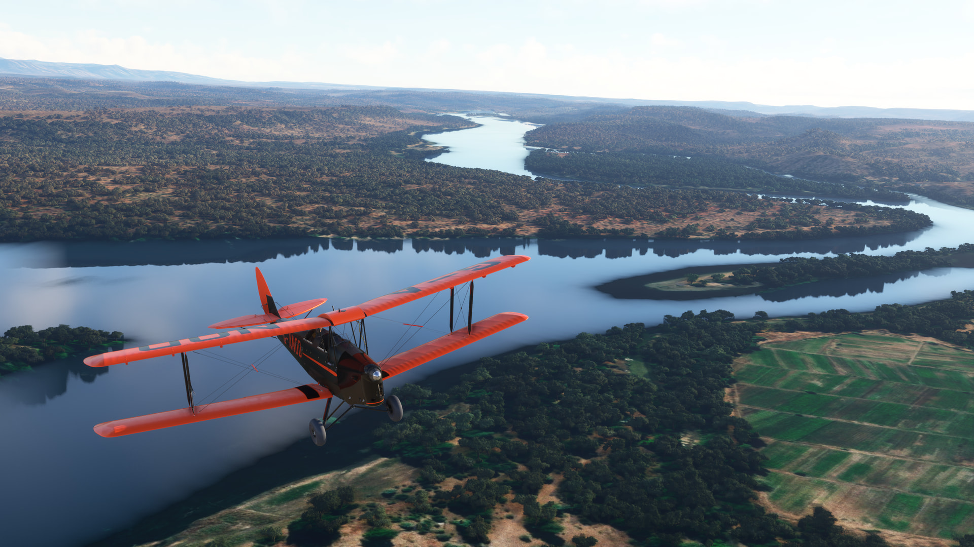
And heading south towards Hwange.
After what started to feel like too long, I began to get that old familiar doubt.
Had I already passed Hwange?
Would I even recognize it if I saw it?
Surely, this was the consequence of not having a good ETE calculated.
Still, the fact that flight sim can capture that gut feeling that I have felt on many a pre-GPS visual route is kind of a testimony to how well it tricks my brain into believing that I am actually flying! ![]()
In the end, the small collection of buildings that is Hwange presented itself and, backed up by a little terrain association, I felt like I once again knew where I was.
Mostly. ![]()
The next leg proved to be the same exercise in trying to match chart to ground in the Land of the Vague Landmark. ![]()
Ultimately, of all the squirrels that I jumped at, it was this sharp tree line cut that was to prove most reassuring.
The edge of the National Park, I’m guessing!
You wouldn’t think that a 15,000ft strip would be all that hard to find in the trees, but you’d be surprised!
After more than a few moments of anxious searching, I finally broke it out from the flatlands.
Following a late turn to downwind, I wrapped it a little tight and had to apply copious cross controlling to get her down.
Some of my old instructors would have told you that they couldn’t tell the difference! ![]()
In the end, a few extra knots were no bad thing as the engine quit when I pulled the power back to idle!
This happens in the Cub as well for some reason. If I ever actually flew a plane that would conk out at the Idle Stops, I think it’d be time to adjust the dang Idle Stops!!! ![]()
Well, somehow, I made it. This turned out to be a much more exciting and enjoyable flight than I had anticipated. It gave me many flashbacks (or maybe that’s related to the dizziness…I really got to see a doctor!) to my earliest days of flying: low and slow (or sometimes lower and faster!) with a paper chart stuffed under my leg, sweat running down my visor like a Zambian rainstorm, and no idea what I was doing!
Some people would say that not much has changed! ![]()
15 Likes
Those falls are awesome Deacon!
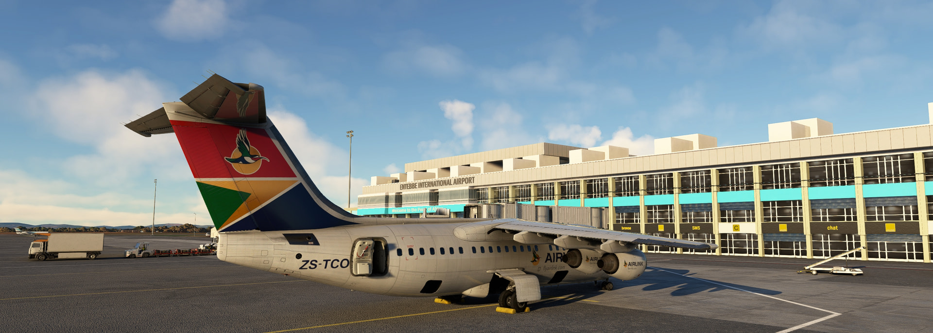
For me, onwards to Entebbe! This time in a SA livery.
Taxi out, and awaaaay, we go! This heap of metal still enjoys climbing as much as ever, so the SID which takes me out over the lake, to then cross the airport at 13 000ft is easy peasy lemon squeezy. I pretend I get cleared up to cruising altitude anyway so zoom zoom off into the skies!
The scenery is beautiful around here, I can very much appreciate the change after crossing the Sahara.
The joys of a plane with a speedbrake and the ability to do steep approaches cannot be overstated. Quickly enjoy we deploy the airbrakes and down we go.
Puttering around a bit at a lower altitude, probably to deconflict with departing traffic but when you are the only aircraft in the universe it feels a bit silly.
I forgot to record for the replay, but check the flight time on the clock on the left! Precious delicious short flights!

10 Likes
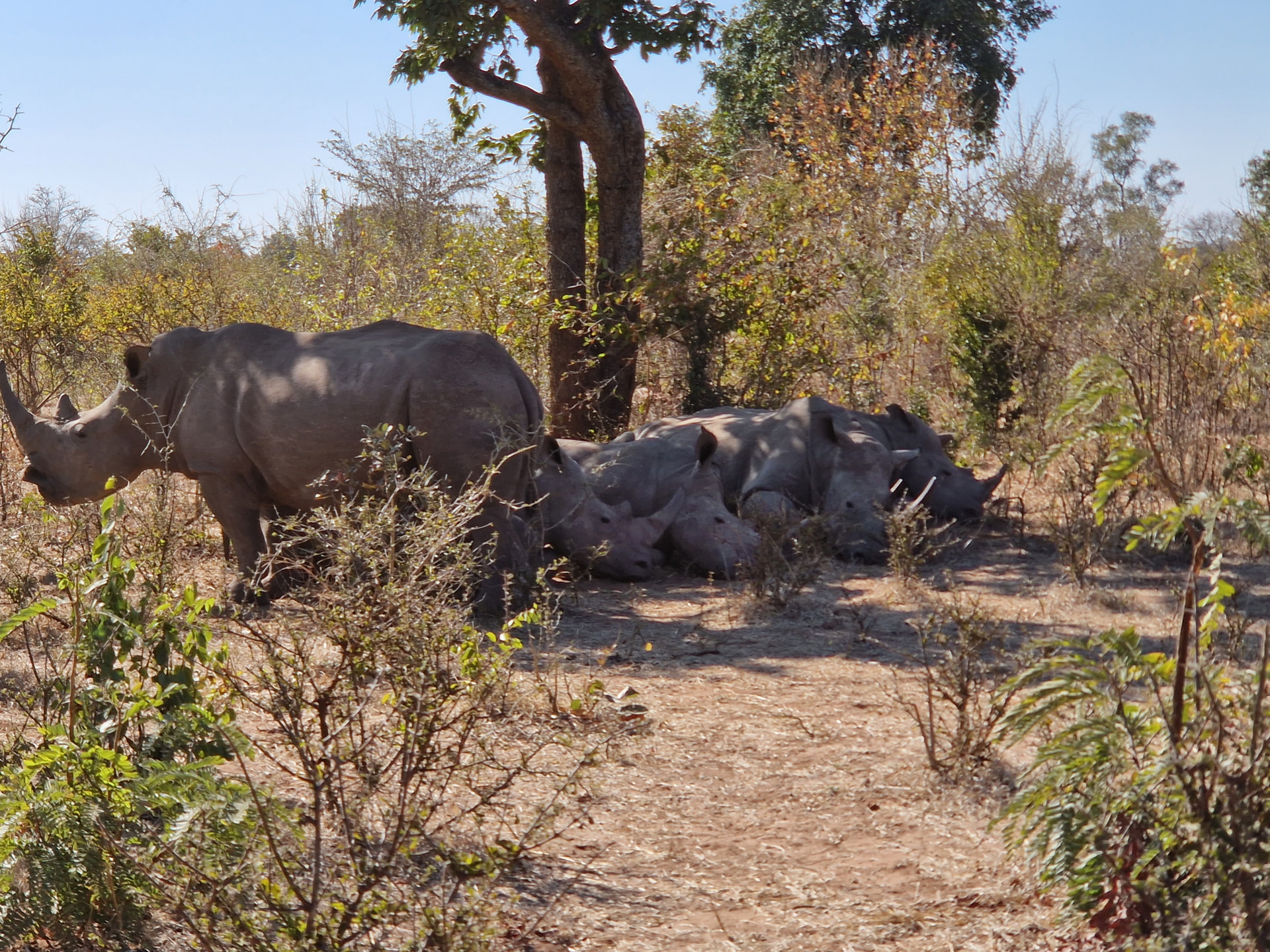
Great looking scenery ![]()
And how about rhinos btw? ![]()
2 Likes
Don’t even get me started! ![]()
2 Likes
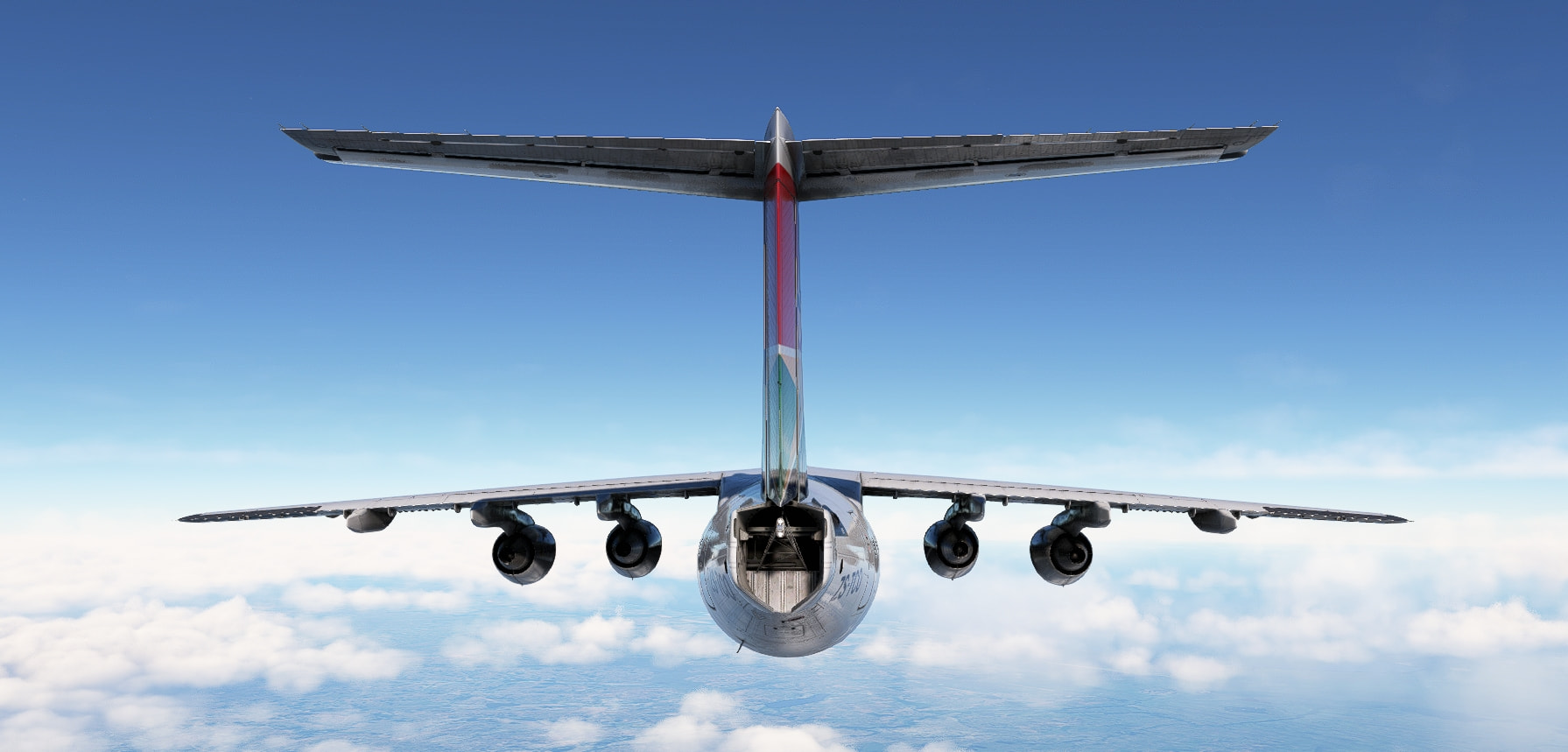
Another morning, another flight in my trusty 5-APU’d airc….

That is not how I left it for the night… What did they do to my nose? Also, feels a bit bigger… I suppose? Honestly I can’t remember. It’s got 5 APU’s so it has to be my aircraft, right?
11 Likes
Thank you!
See? That’s all I was asking for! ![]()
5 Likes
Checking out all the other reports…
Congrats do everyone who already made it
Hello fellow business jet pilot. We must have missed each other by days ![]()
This looks awesome!
nice
Indeed. If the continent wasn’t that big, I would have loved to cross it low level in a prop plane.
I have flown two more legs which I still need to report.
One stretchy leg away from Madagascar. I should be able to make it this year…
9 Likes
RL flying has seriously impacted my progress.. I’m still at Dakar with the entire continent of Africa to cross..and only 4 days to go. I’m thinking Blackbird Simulations will be my savior this year. I prefer low and slow.. but it’s going to have to be high and fast. ![]()
5 Likes
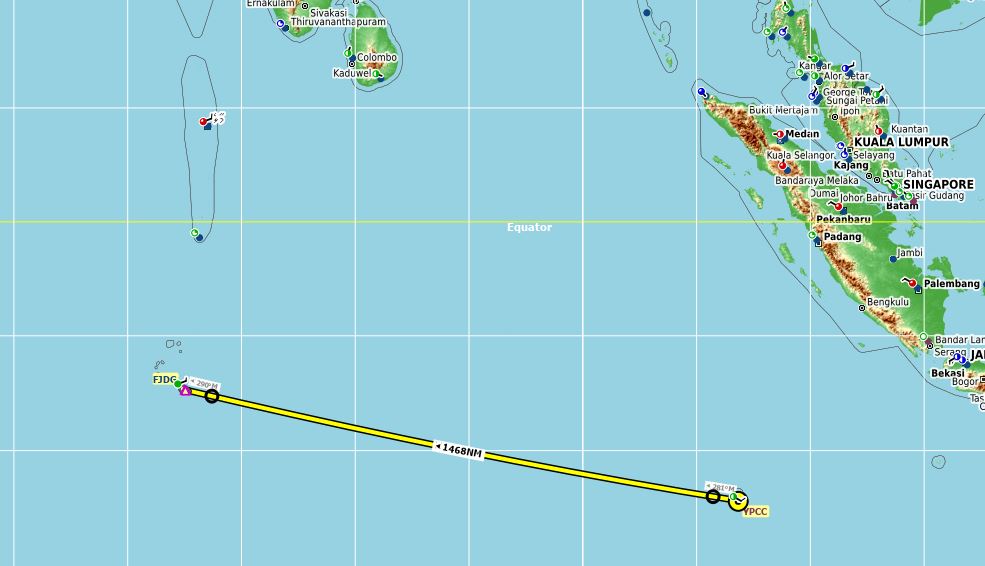
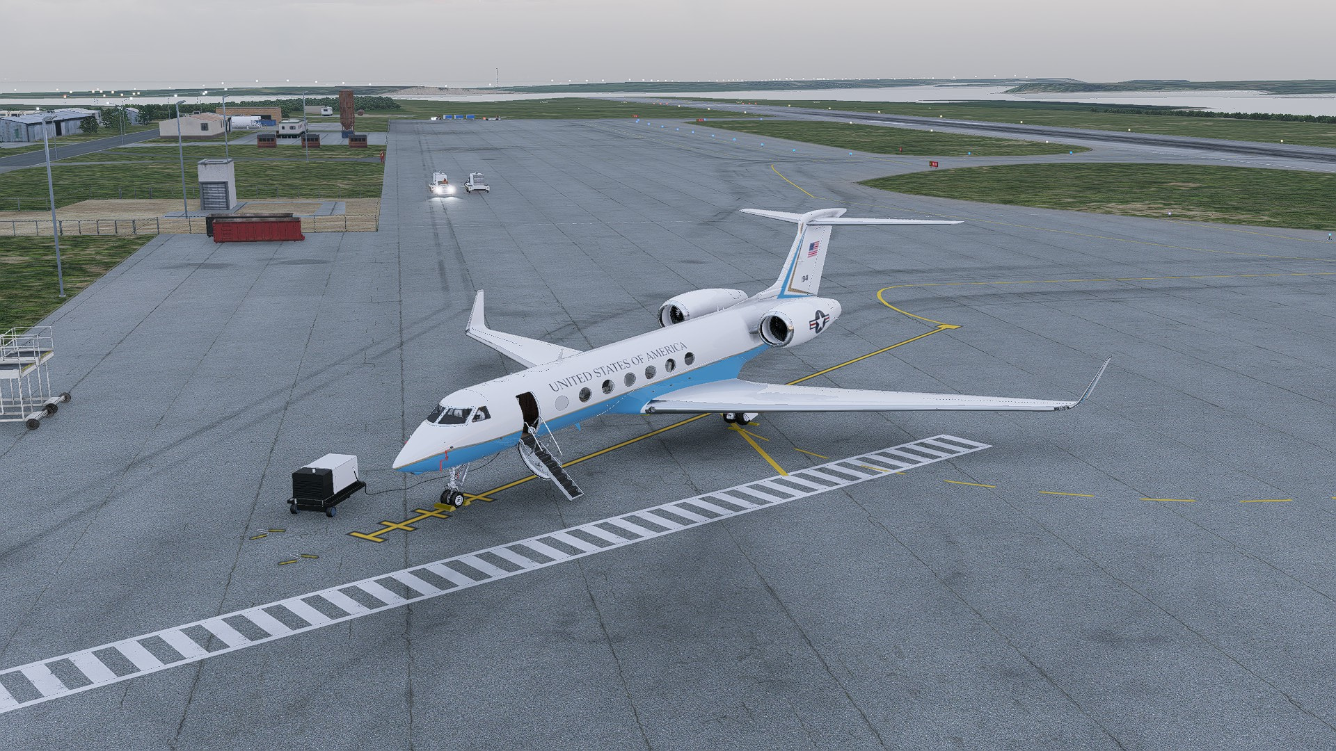
I am cutting this a bit close. If my personal challenge was ‘Island Hopping’… nailed it.
Another shortcut and another paint job. ‘No Airman, I am not telling you why you are awake after midnight repainting my plane and I am not telling you my destination… Need to know!’
But for the rest of you

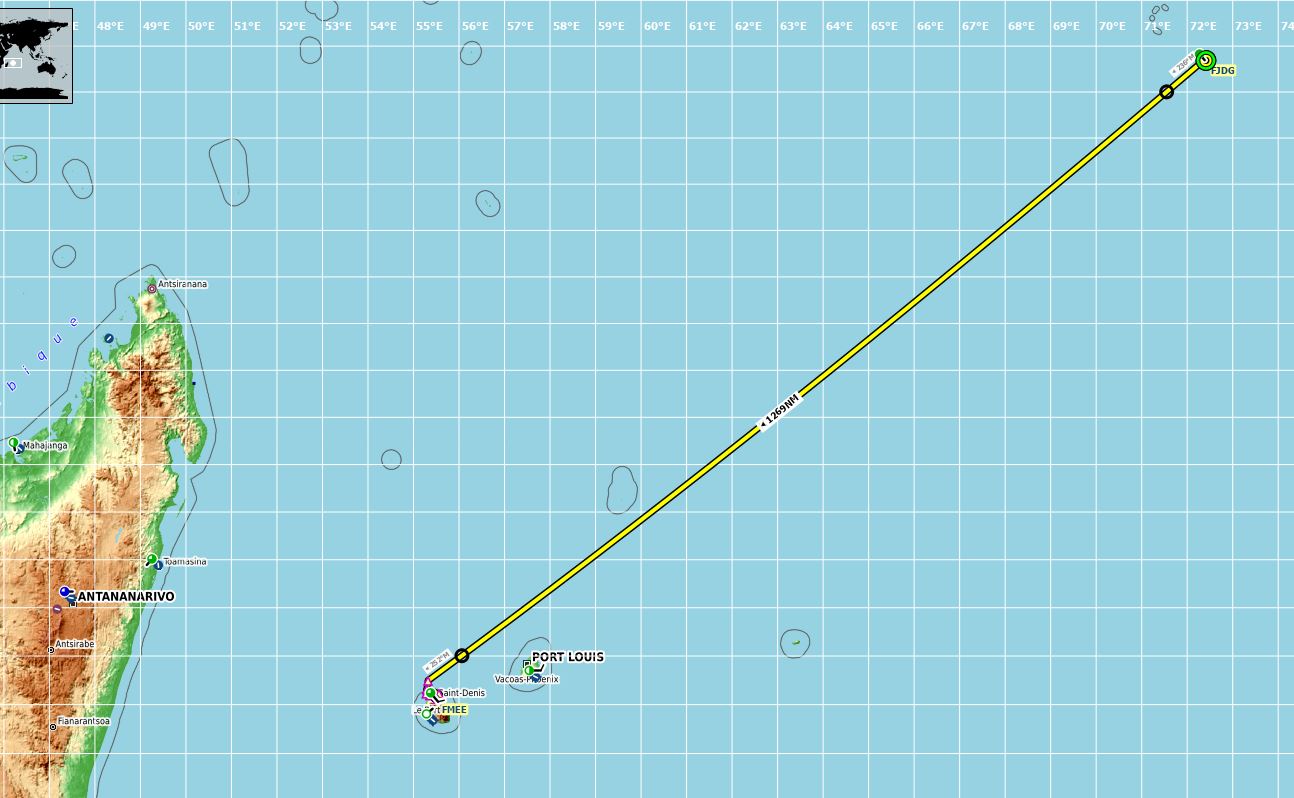
And away we go on the penultimate leg.
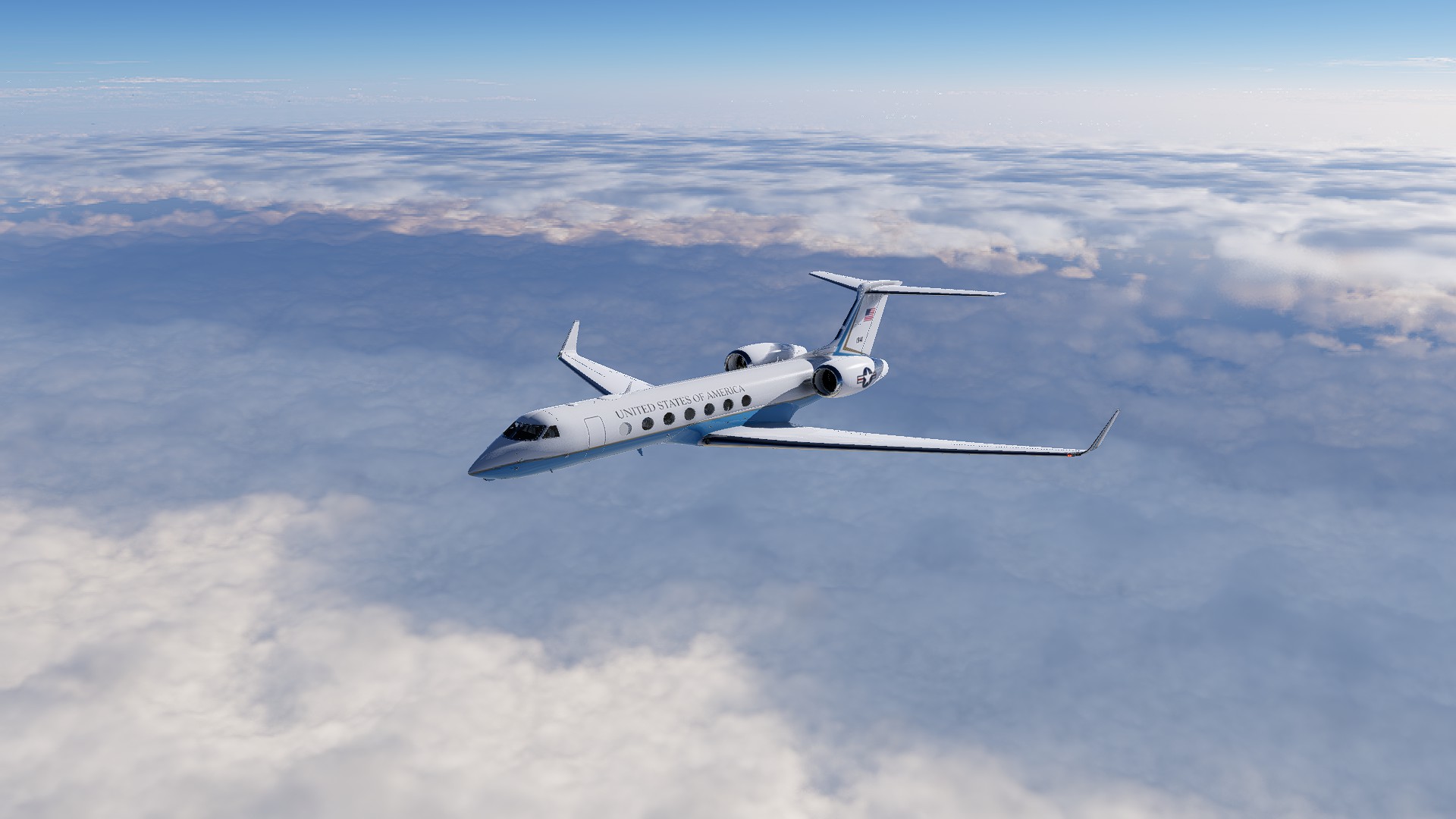
Once again, not a lot to see except for ocean and sky
[grid]
[grid]
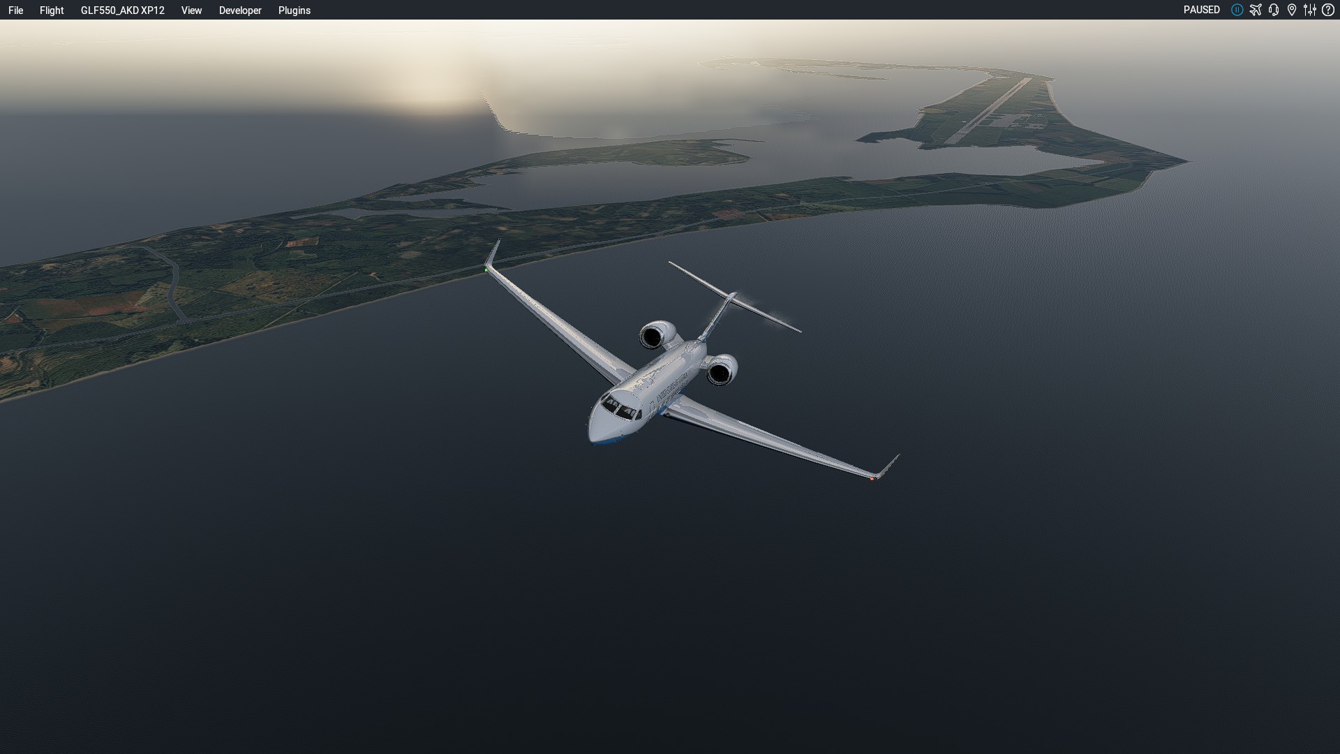
If I had MS scenery I would be giving you a tour of the Island. But because this is X-Plane…
Approach & Landing
And I still suck at parking ![]()
14 Likes
Yesterday’s final leg this 2025 Christmas Flight for me … on to our destination!
This time a leg with two in-between stopovers, for coffee and for lunch. The final stretch during the Golden Hour.
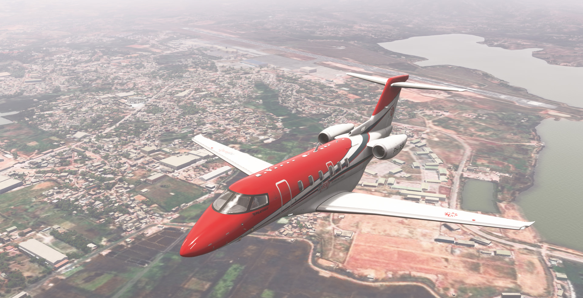
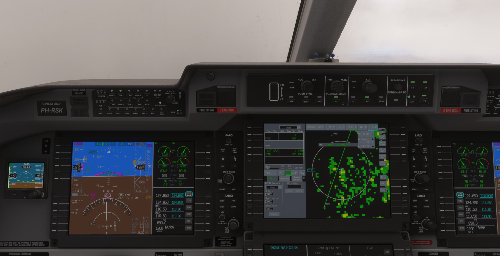
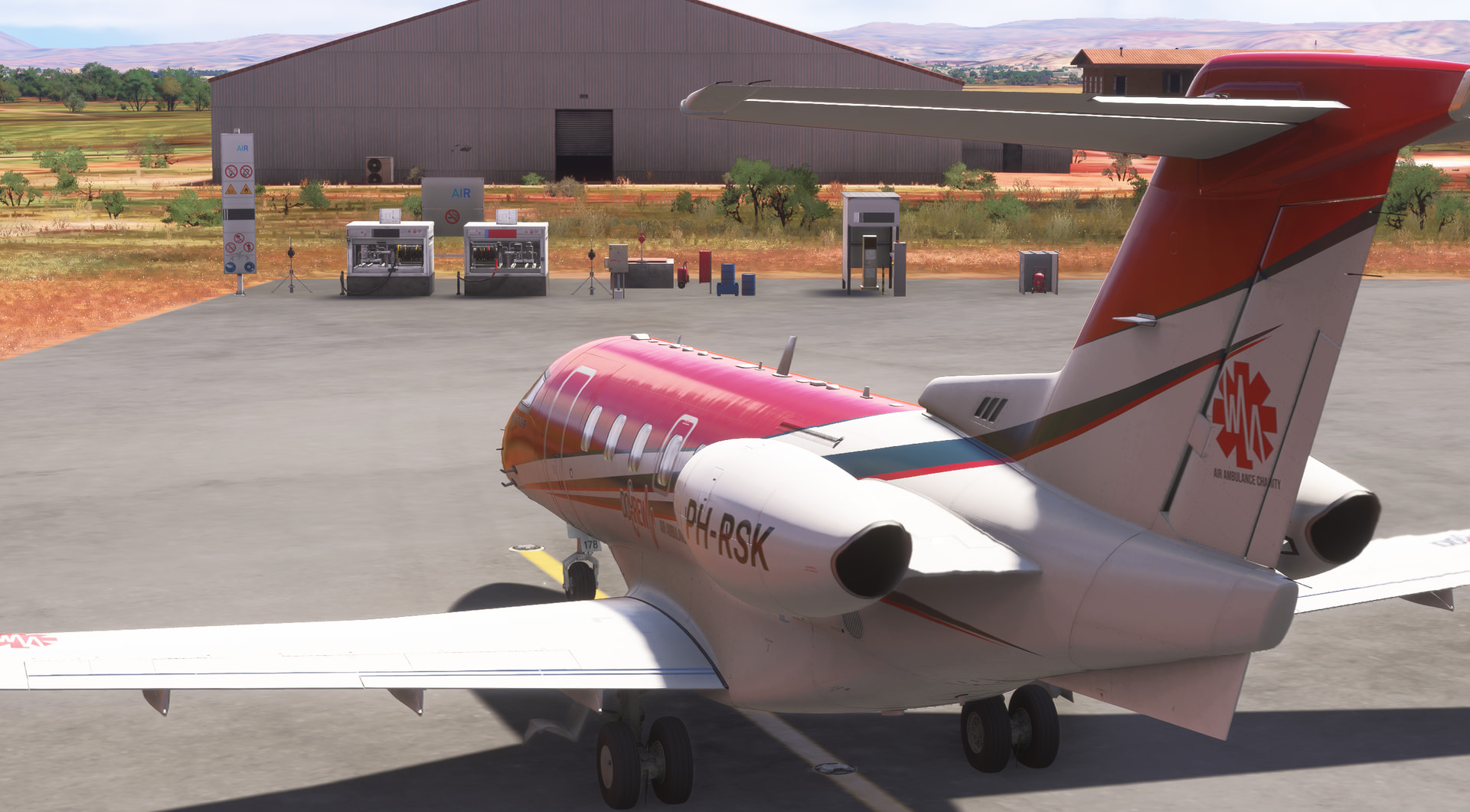
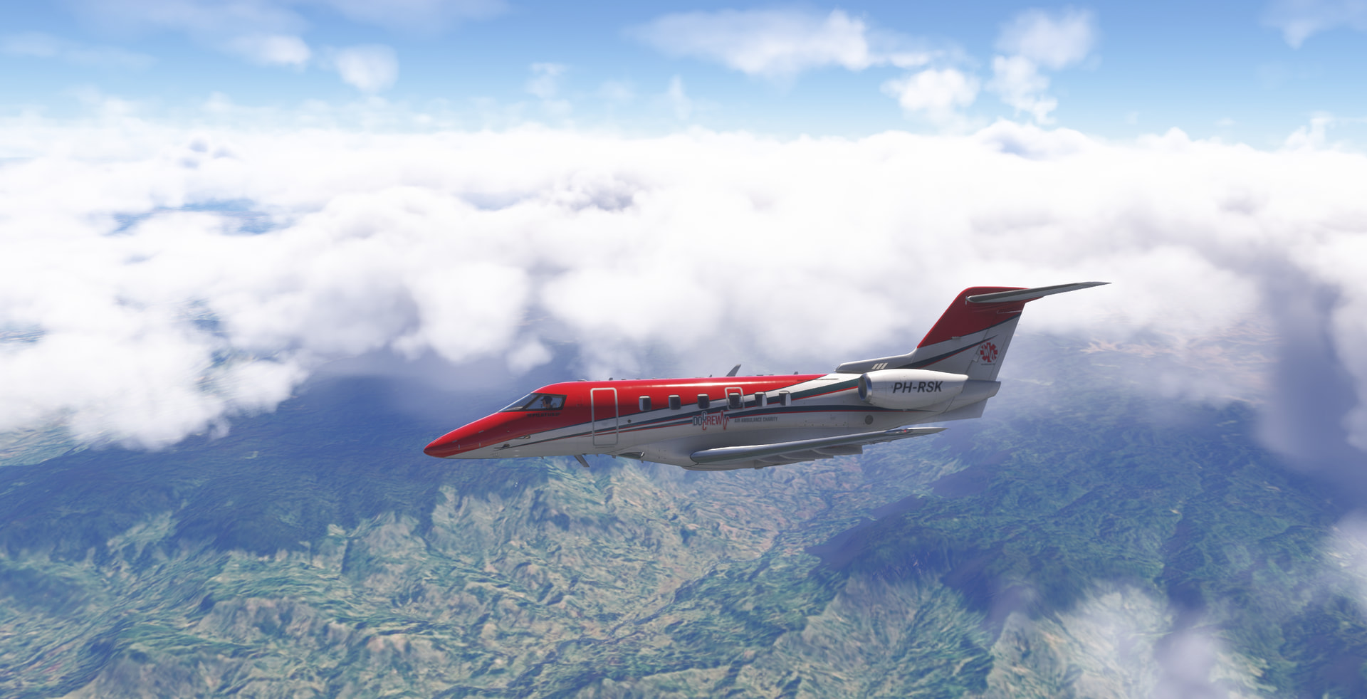
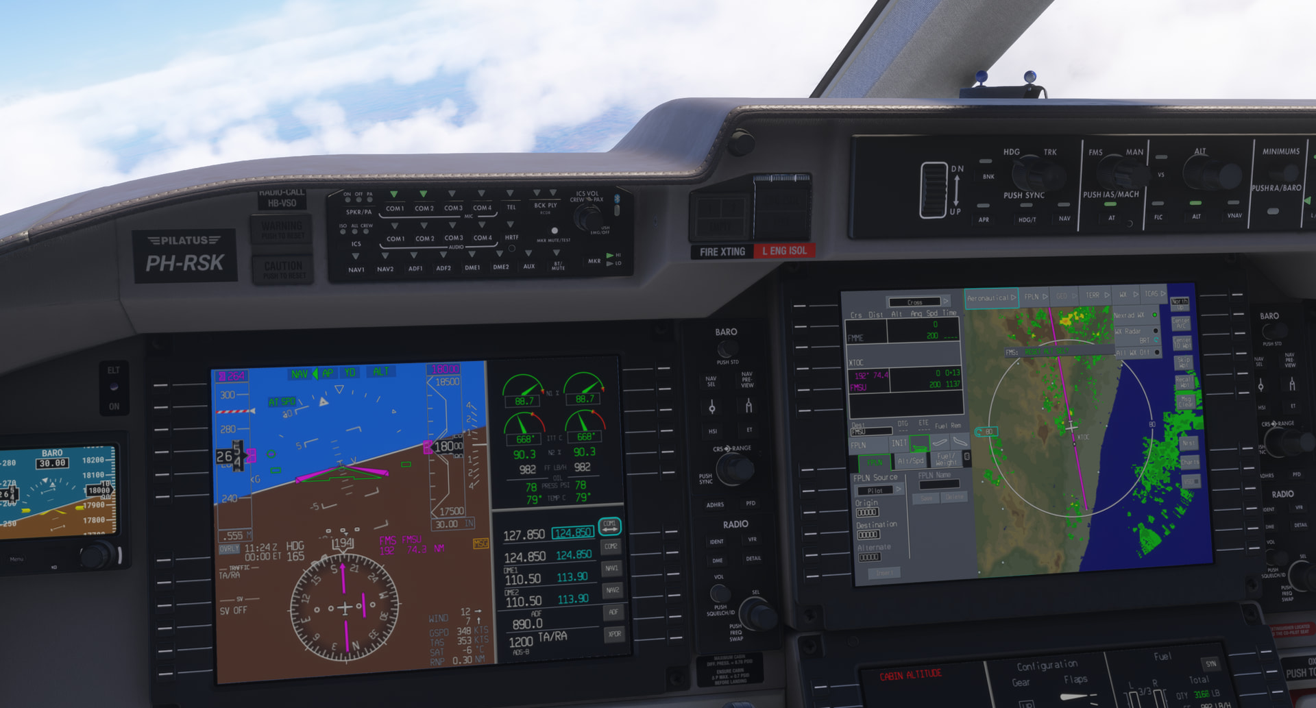
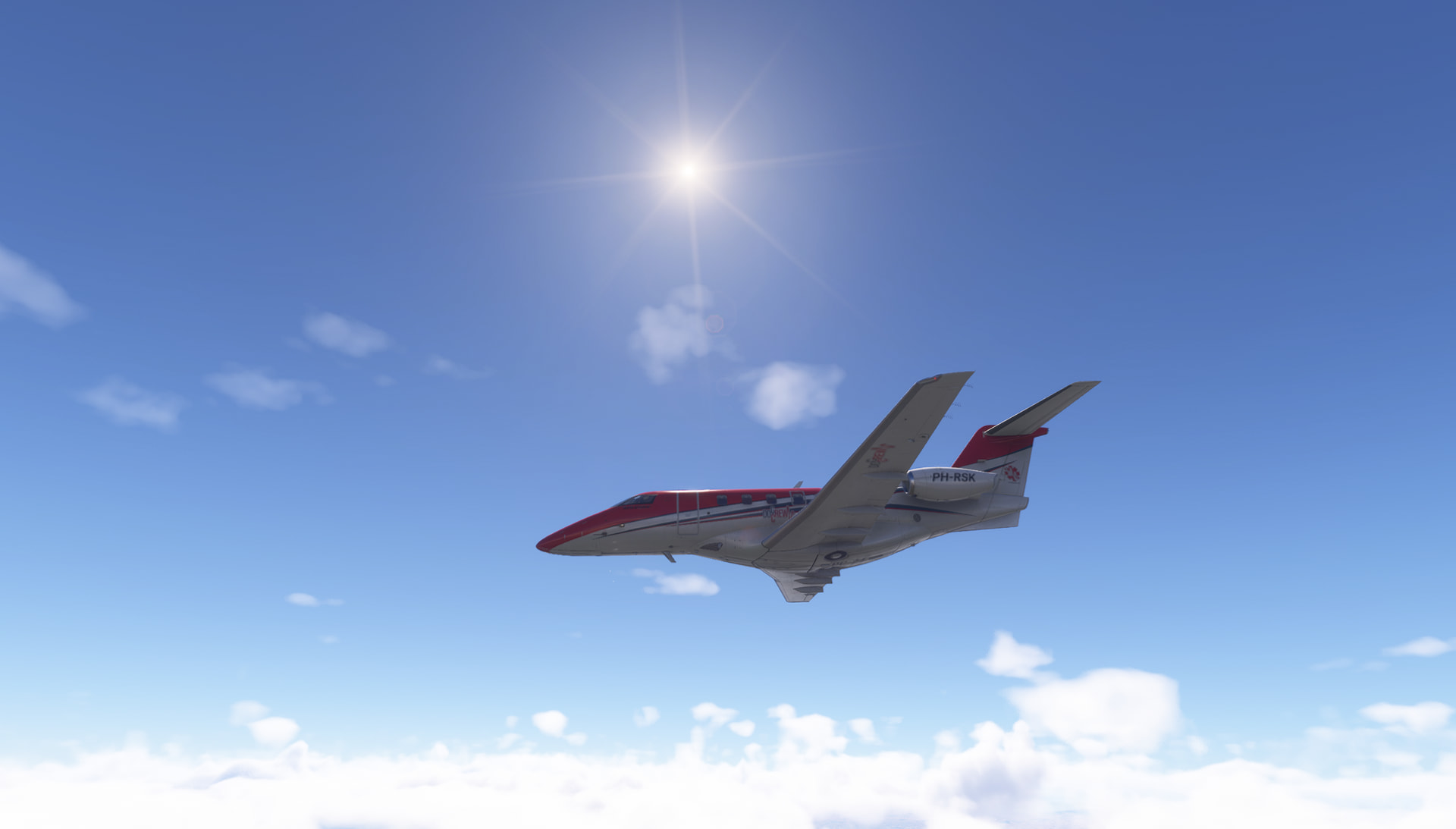
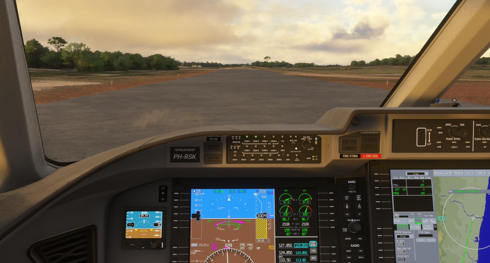
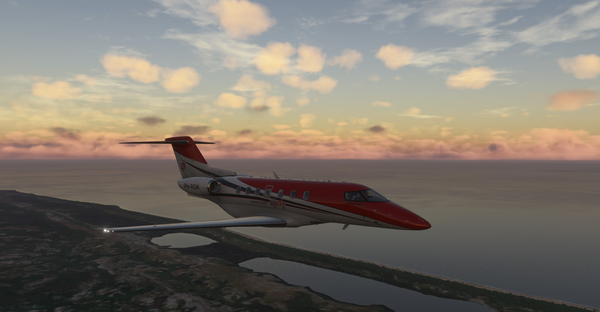
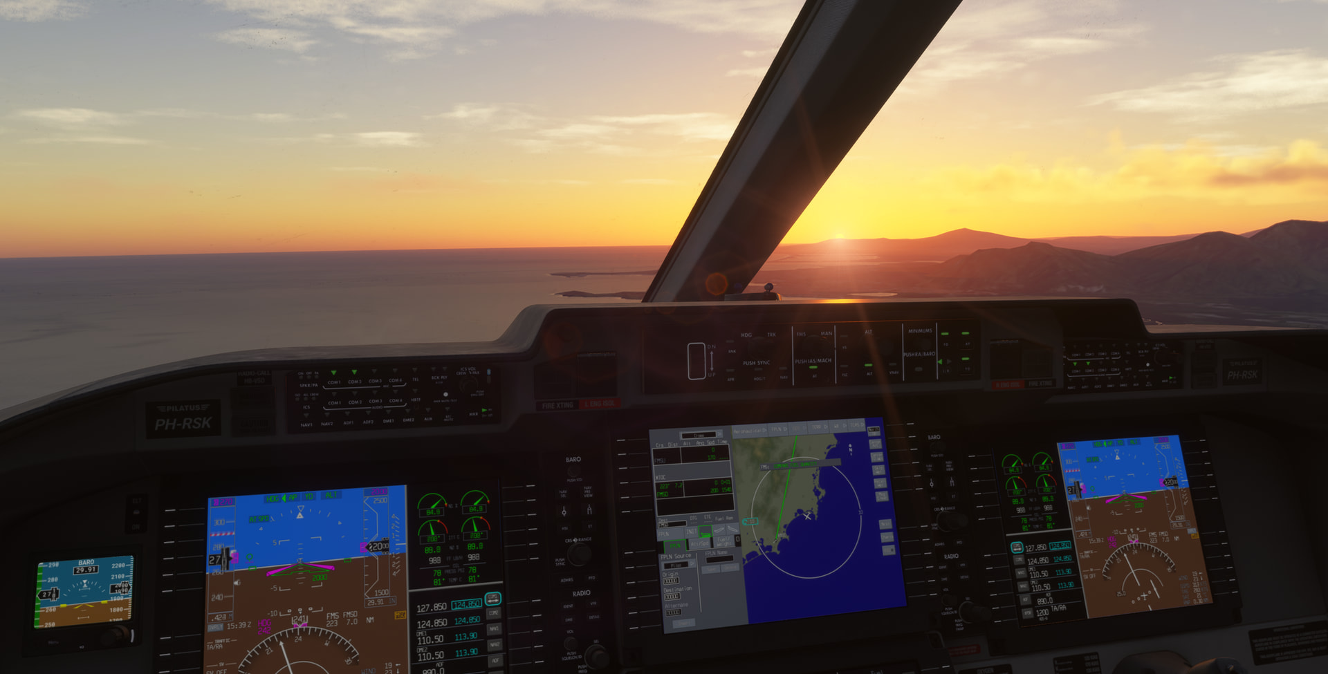
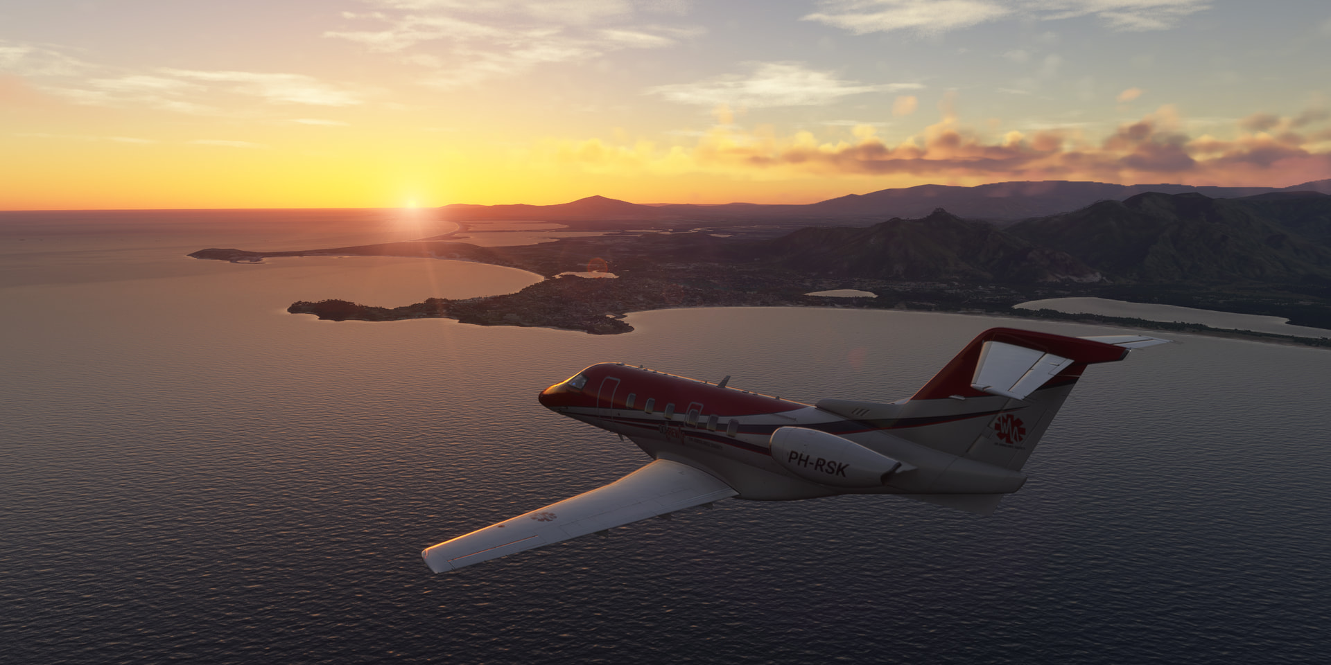
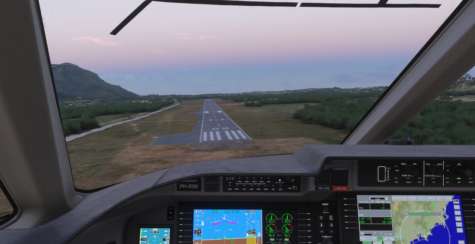
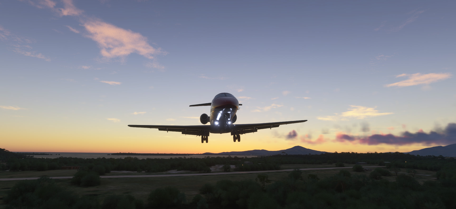
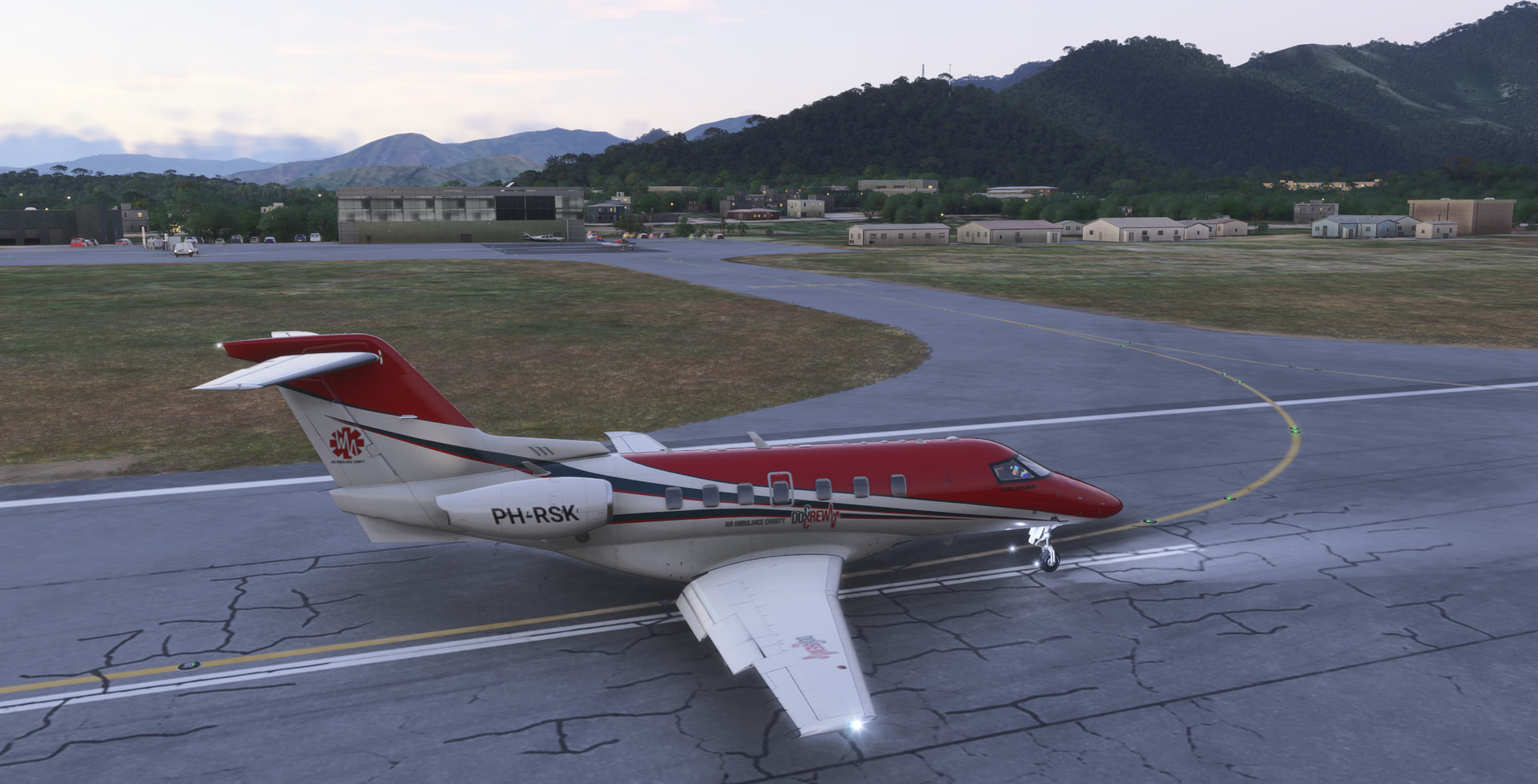
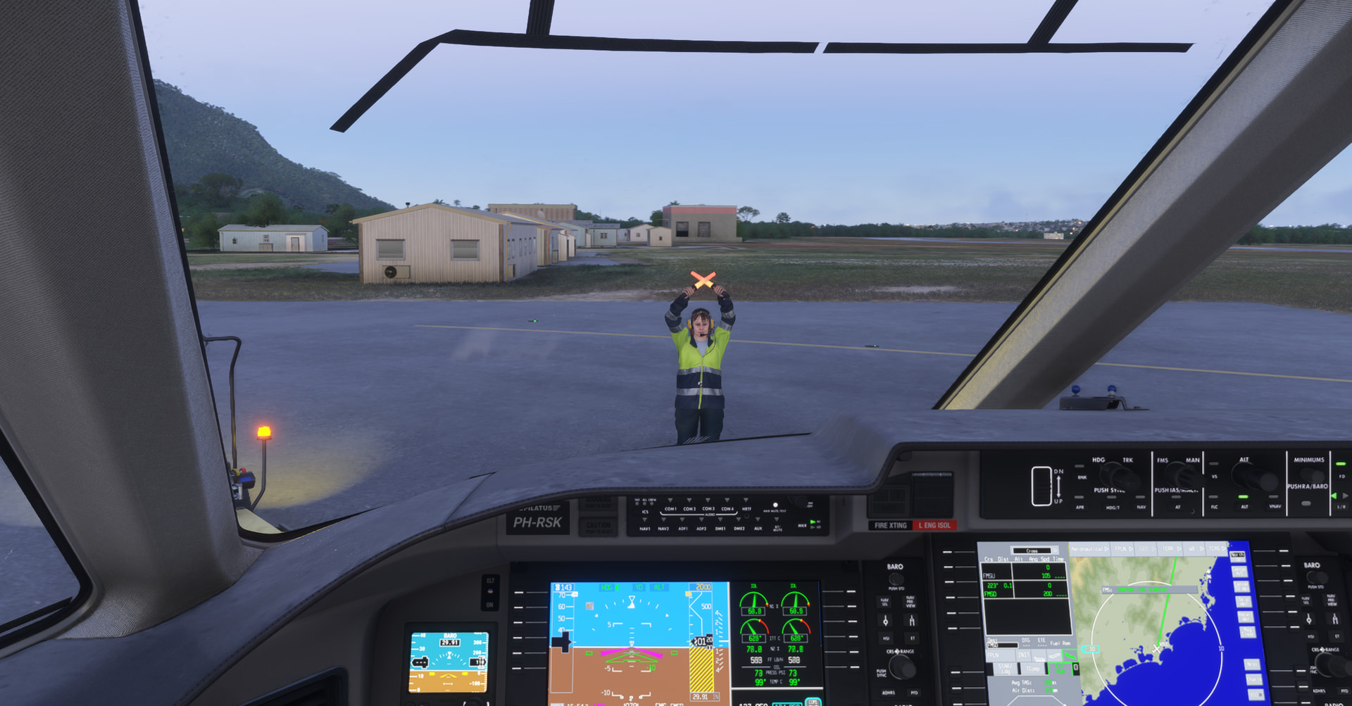
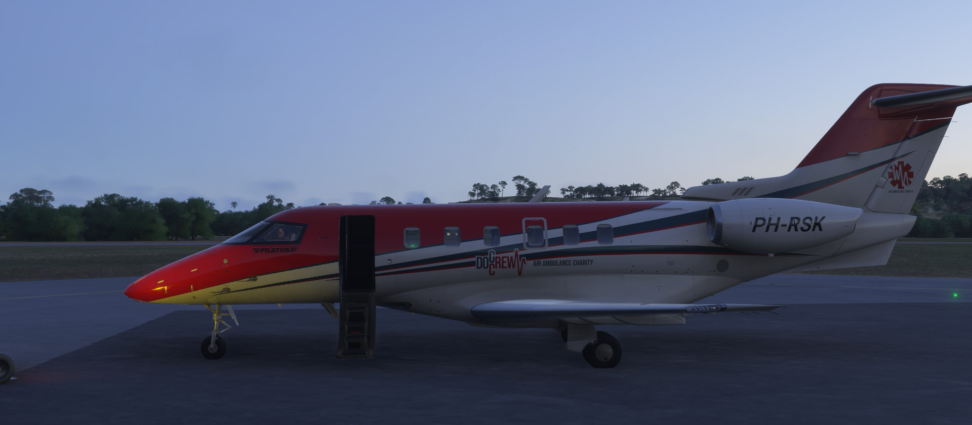
Leg 15: All on Madagascar: FMMI (Ivato International) => FMME (Antsirabe) => FMSU (Vangaindrano) => FMSD (Tolagnaro), MSFS2024, real-day, real-time, real-weather, Pilatus PC-24, IFR/VFR:
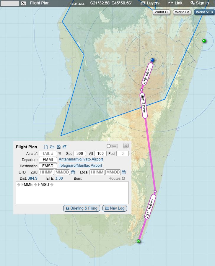
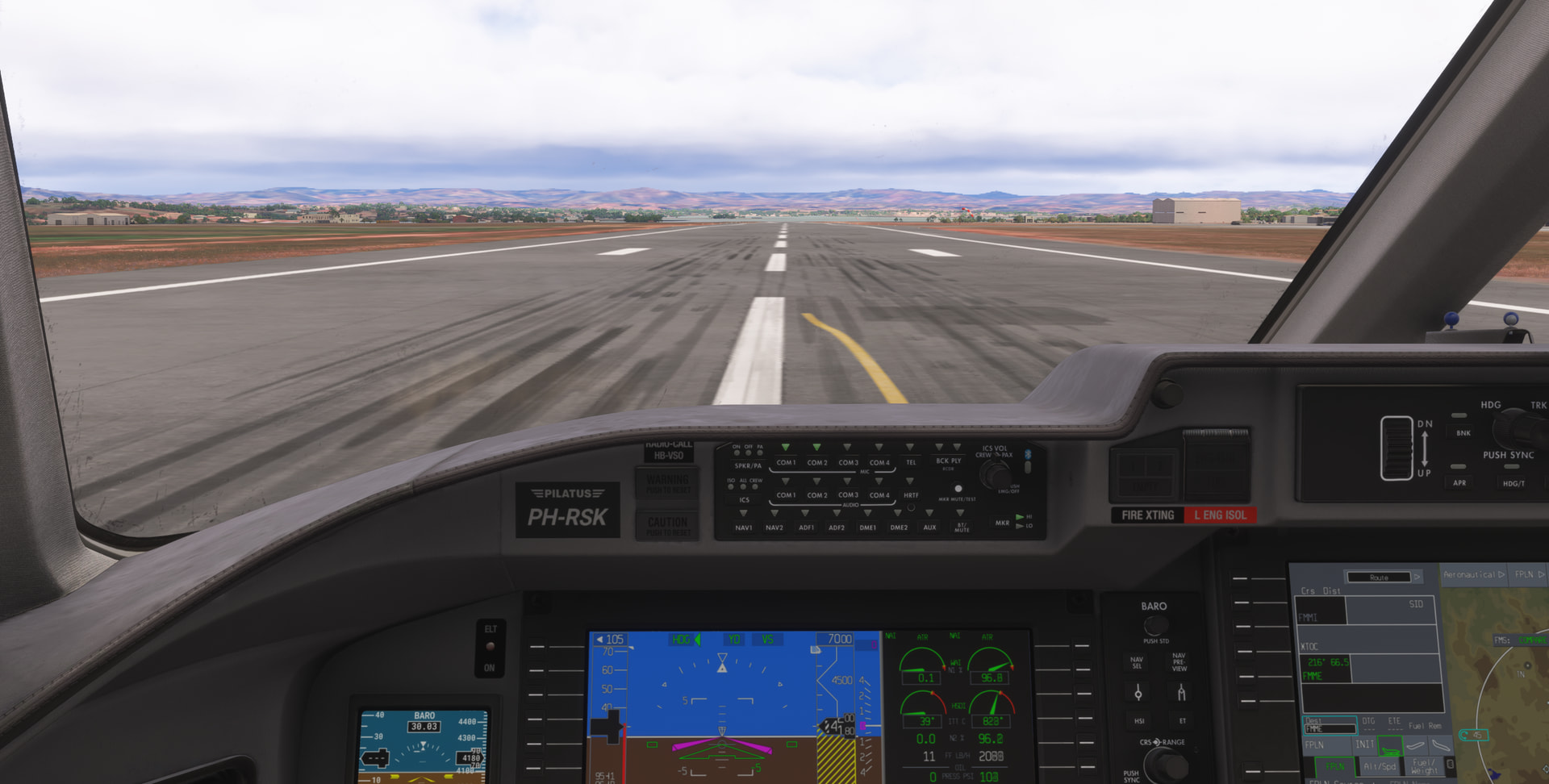
Departure Ivato RW11:
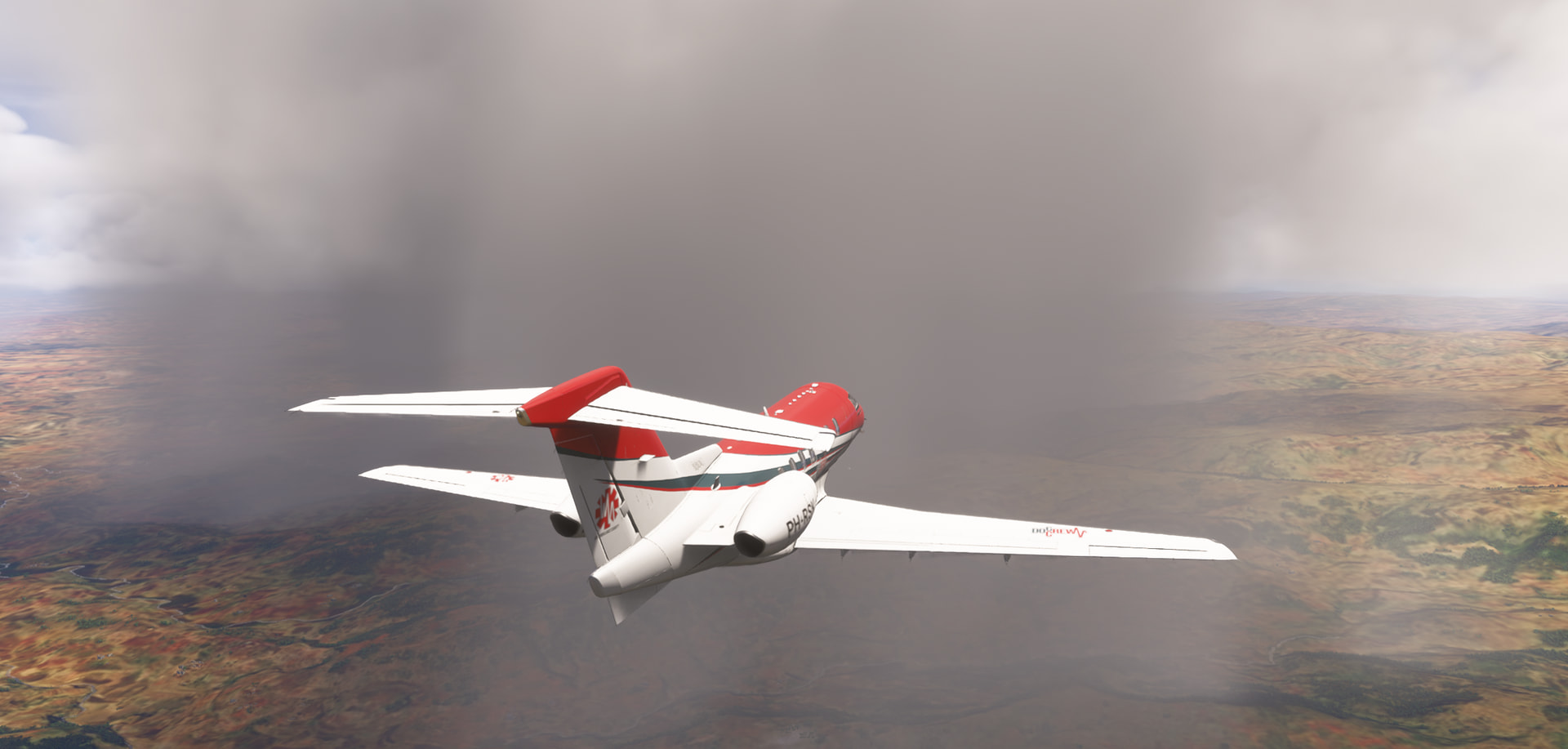
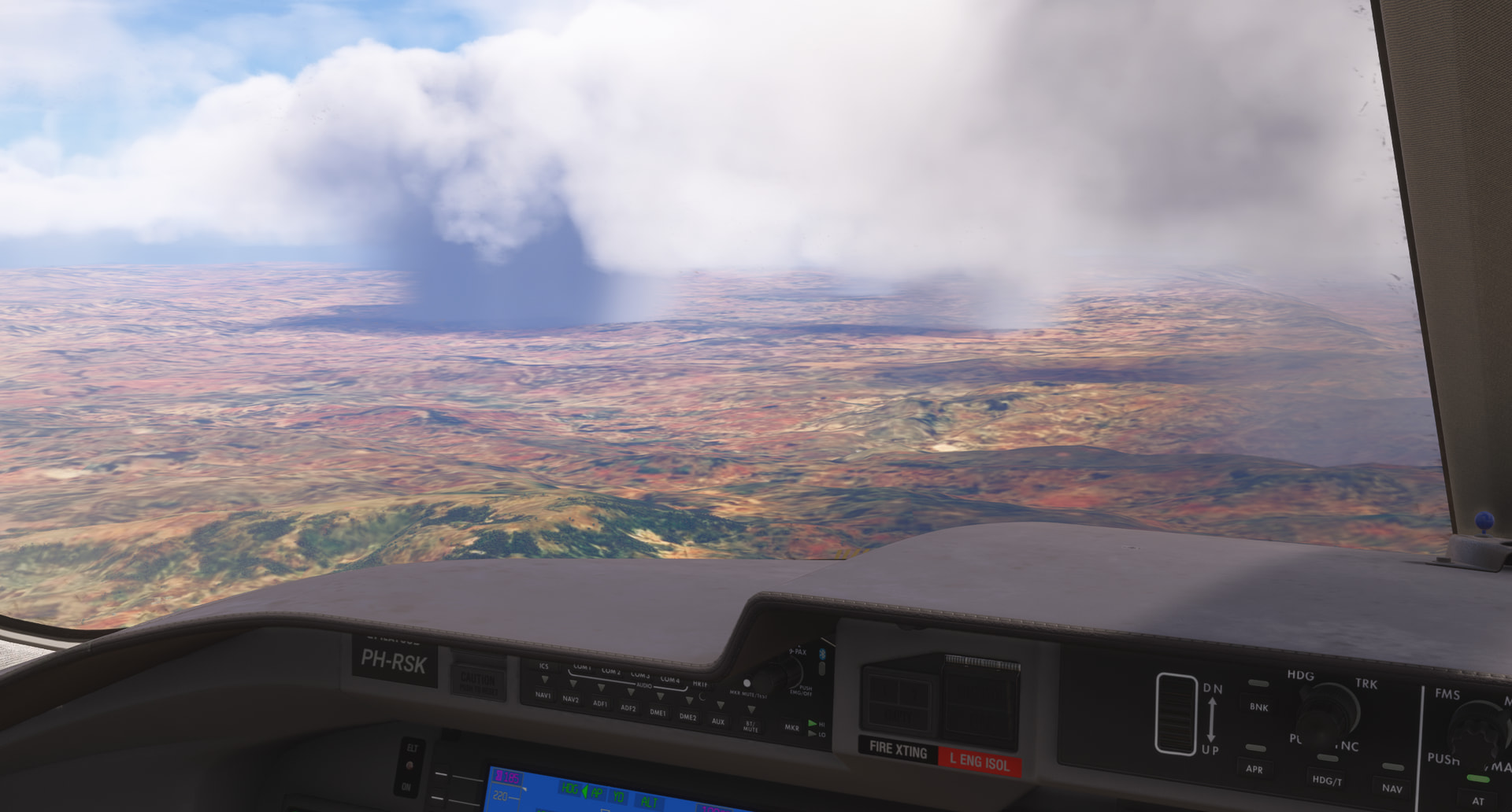
Significant thunderstorms en-route, including lightning and thunder (first time I experienced this in MSFS2024), but SkyVector SIGMET already told us:
Coffee at FMME (Antsirabe), RW23:
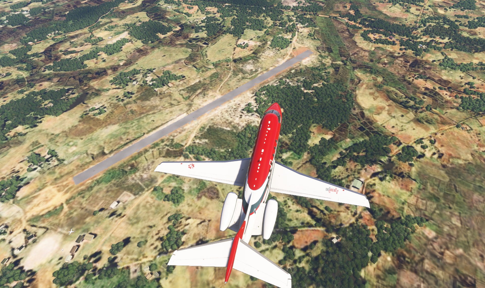
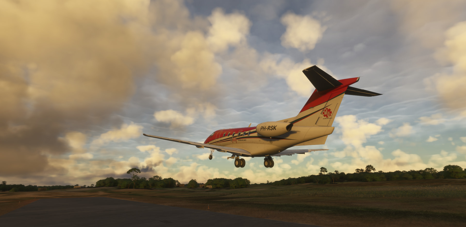
On to FMSU (Vangaindrano) for lunch, RW04:
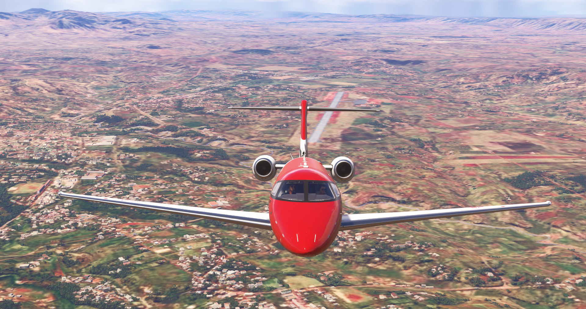
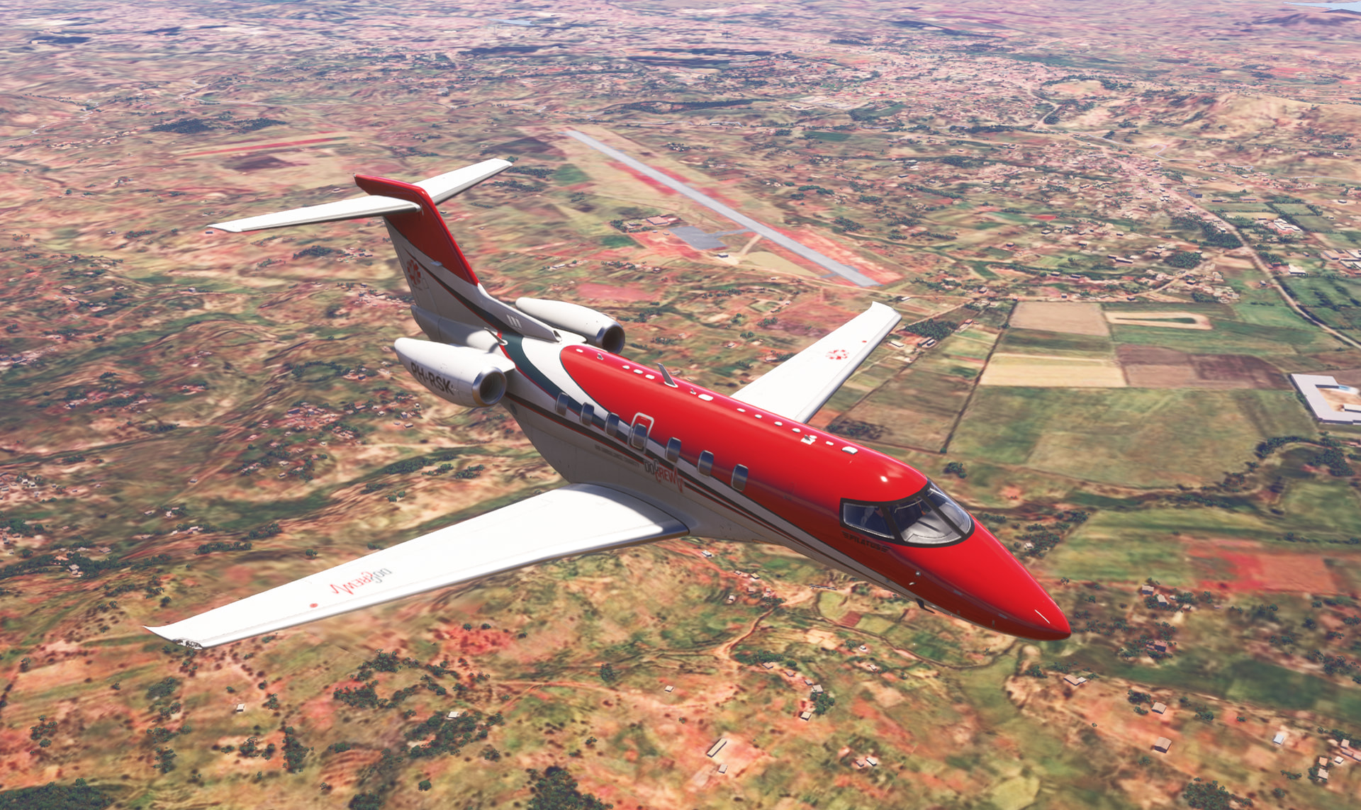
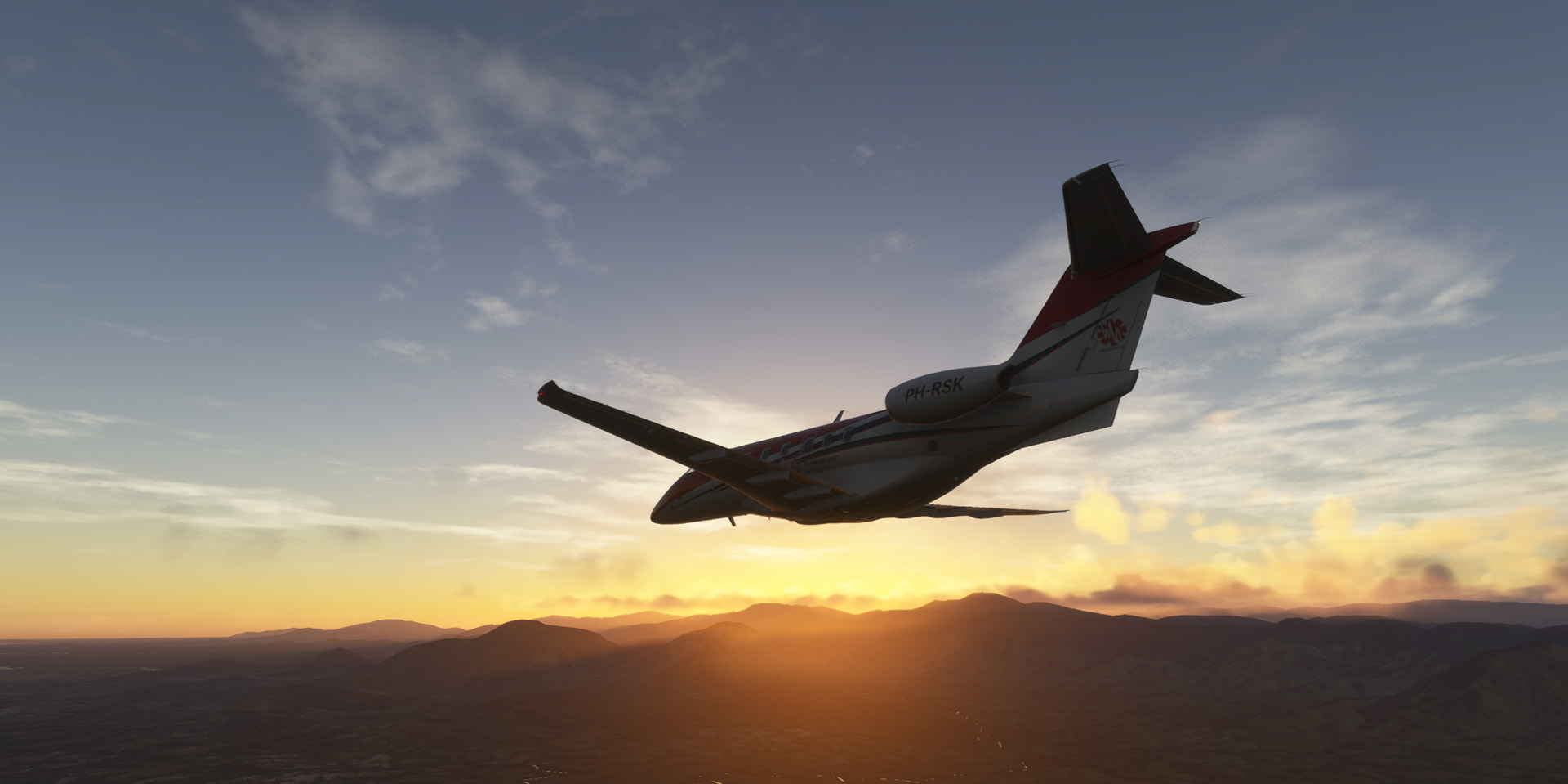
Golden Hour towards FMSD (Tolagnaro), along the East Madagascar coast line:
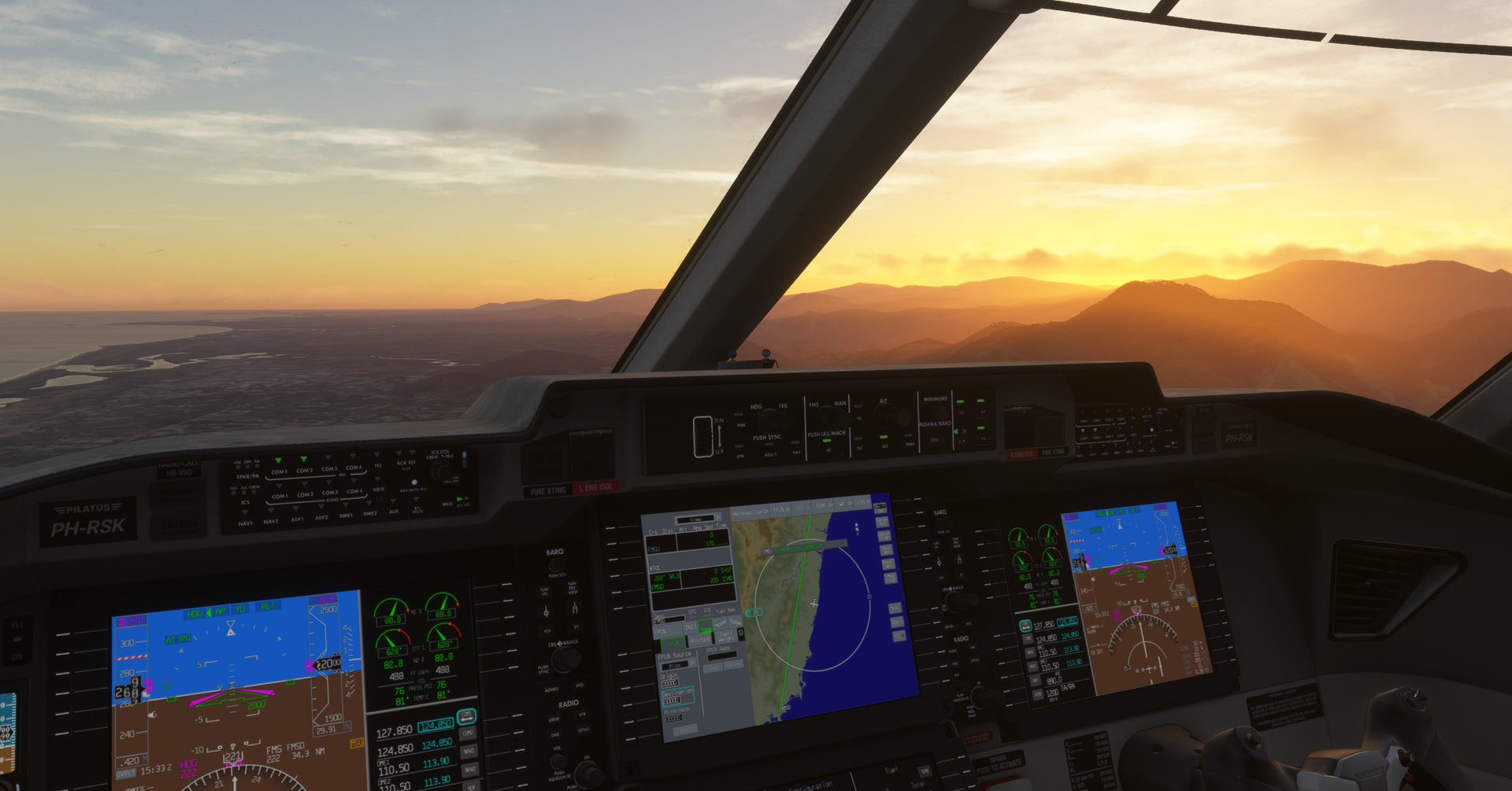
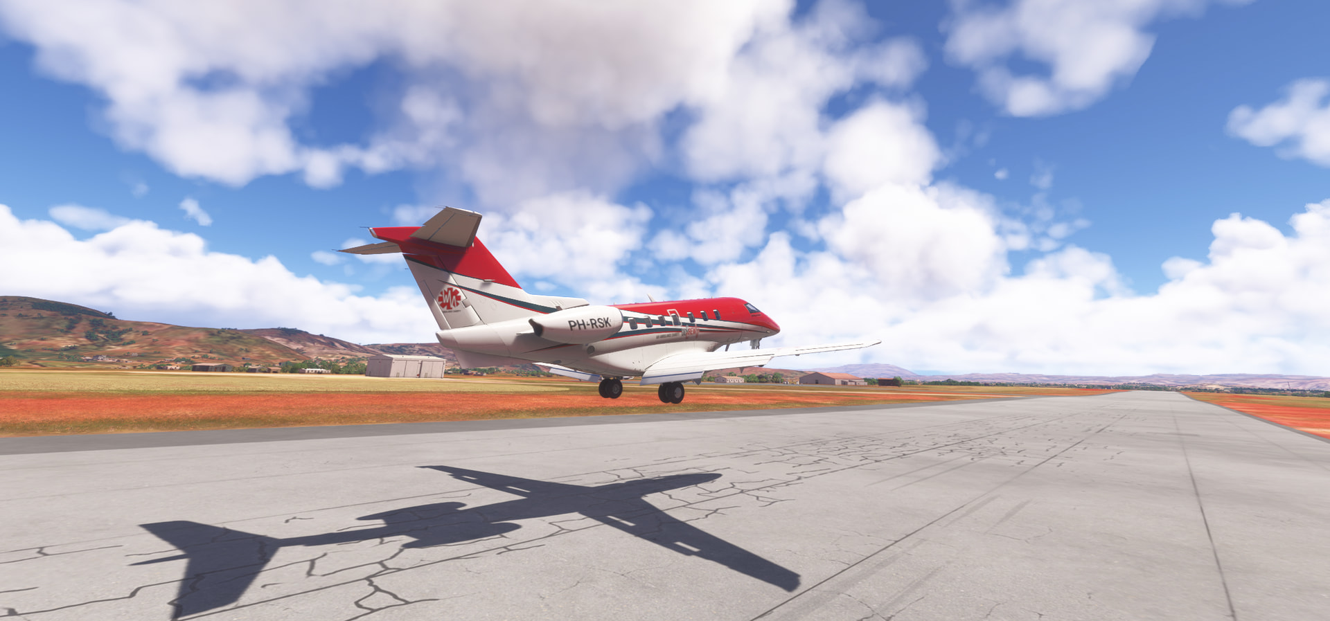
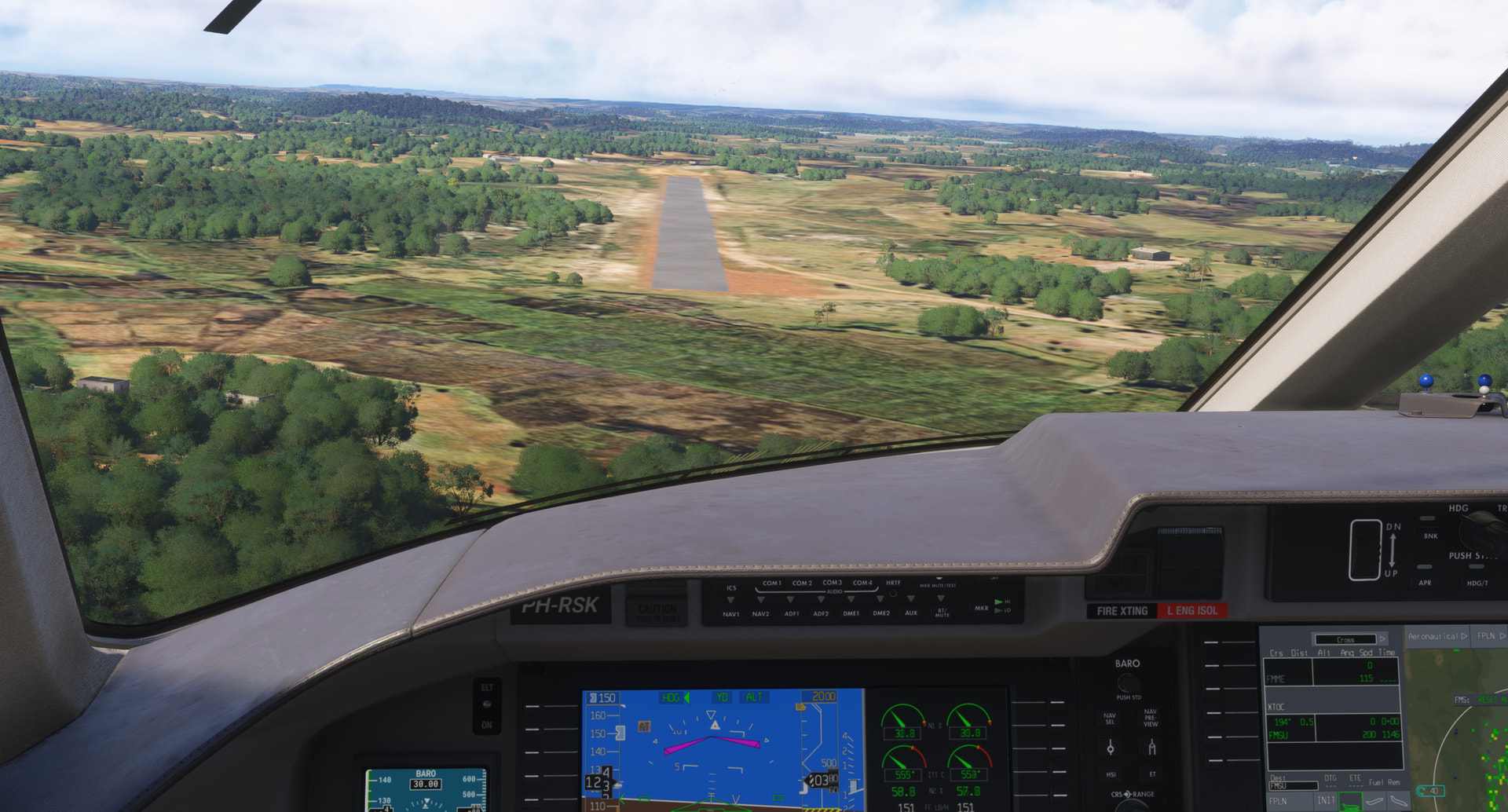
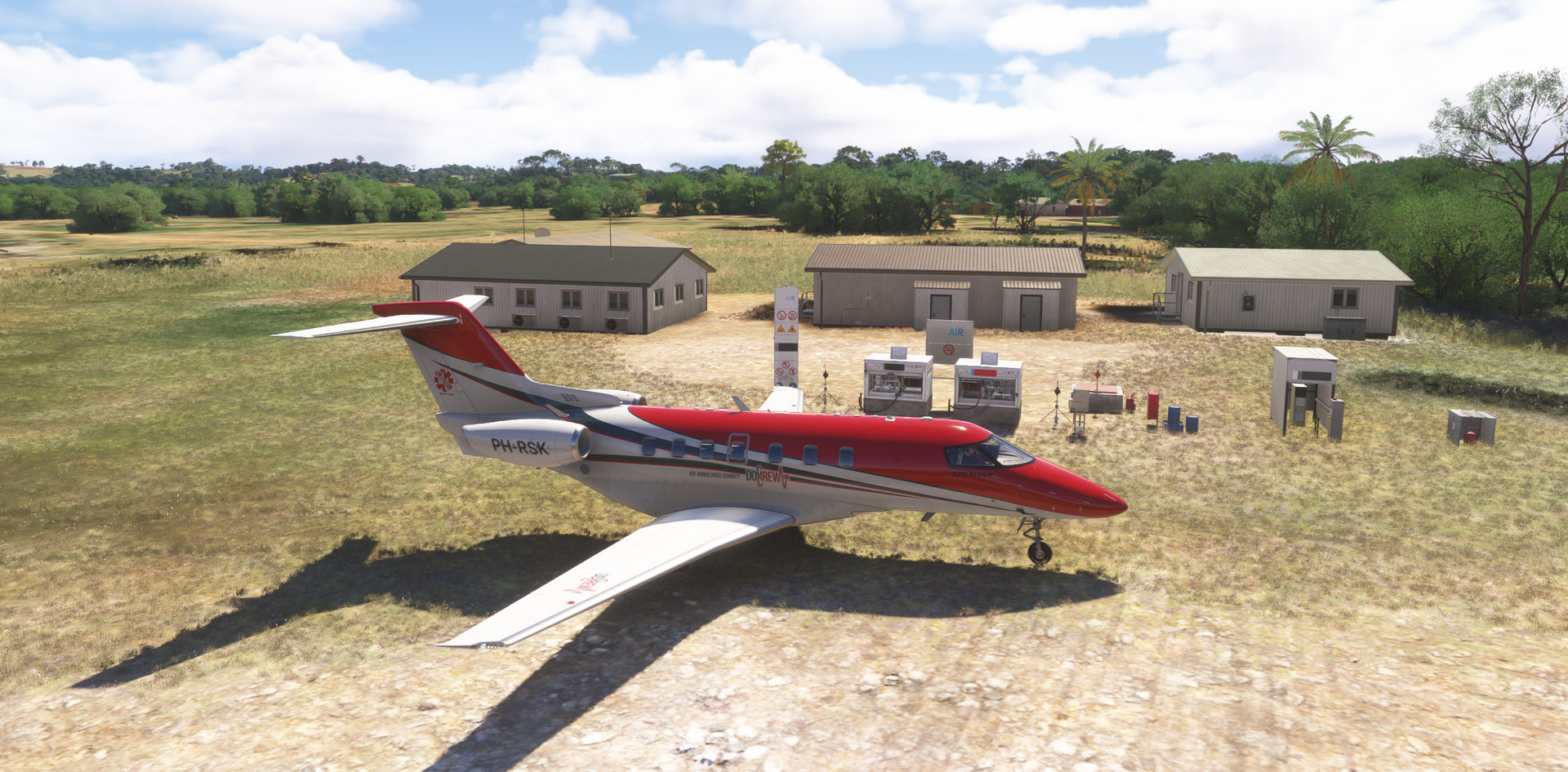
Approaching Tolagnaro and airport FMSD, final RW08 and landing:

It has been a great and long Christmas Flight this year! Thanks for @TeTeT and @apollon01 for initiating and thanks all for watching and reading. I enjoyed reading all your reports. Good luck for those still on their way!
Personally, I learned a lot this Flight … many new aircraft to fly, painting an aircraft, planning around risky countries, seen many wonderful parts of the globe and it refreshed and enriched my topography knowledge. Hope to “see” you all next year!
**

Merry Christmas and a wonderful 2026!
**
P.S. How do I get back home to The Netherlands, Rotterdam (EHRD) … we’ll see … later care …
14 Likes