Congrats and welcome to the party!
1 Like
congrats @Roughskirt ! ![]()
2 Likes
I am somewhere in the middle of Brazil … with two days left ![]()
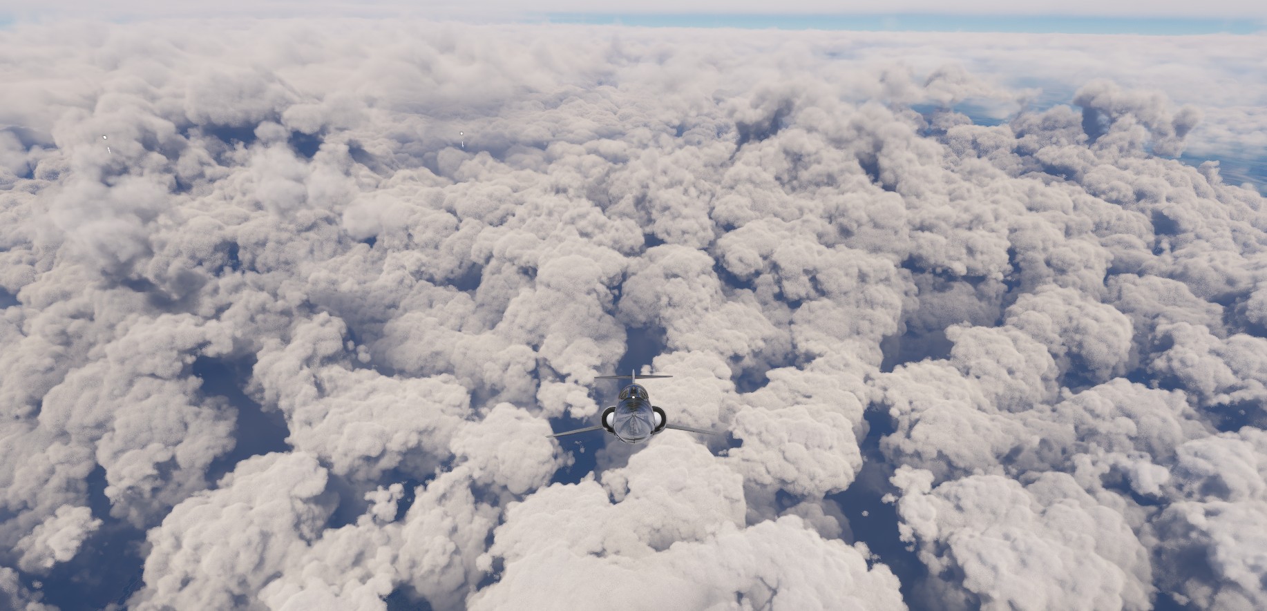
… I am afraid that its too late for me to even start to learn to fly Blackbird ![]()
I guess it will be series of takeoffs and landings skipping the cruises . will rename my mount to Starskipper
5 Likes
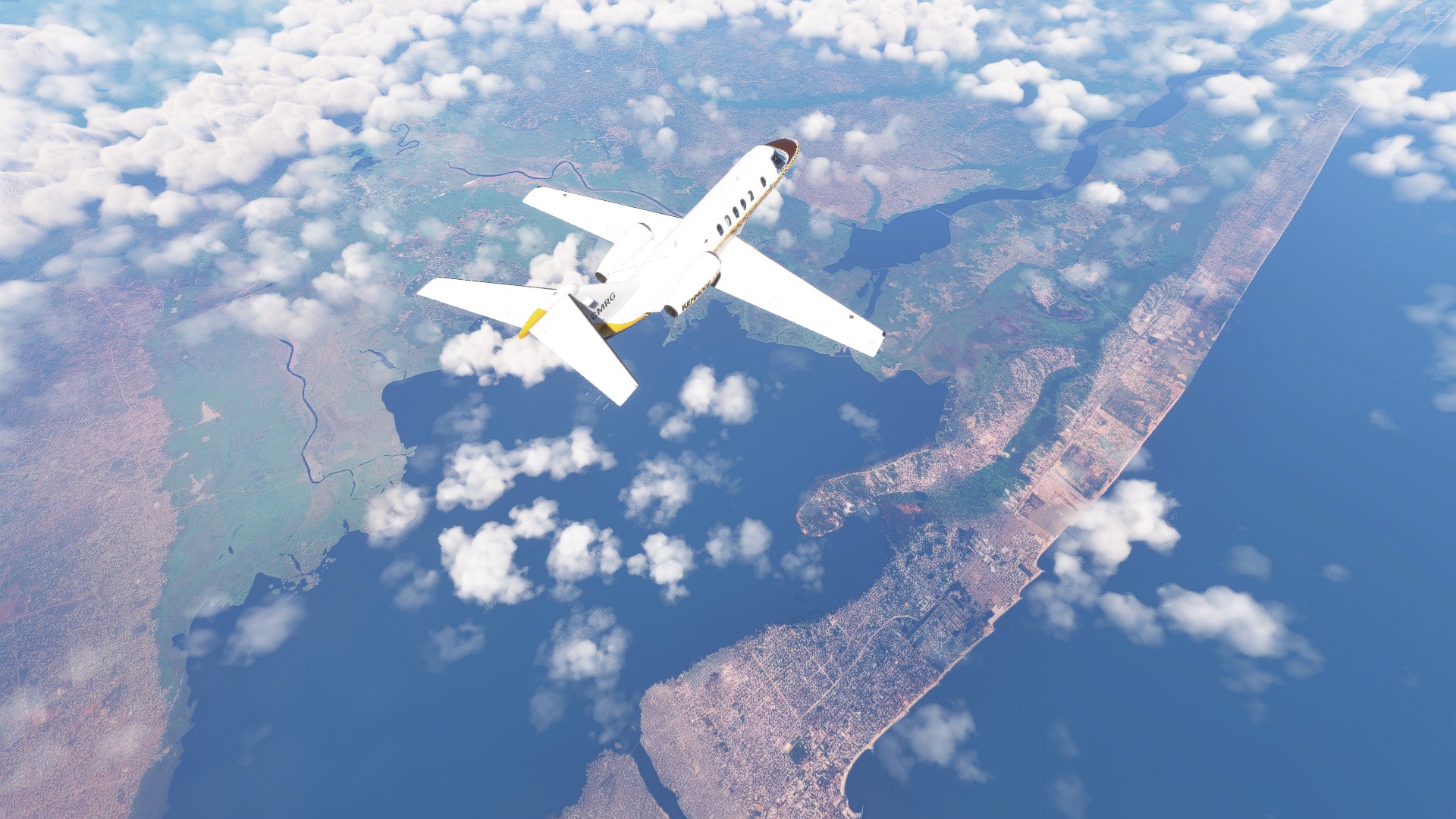
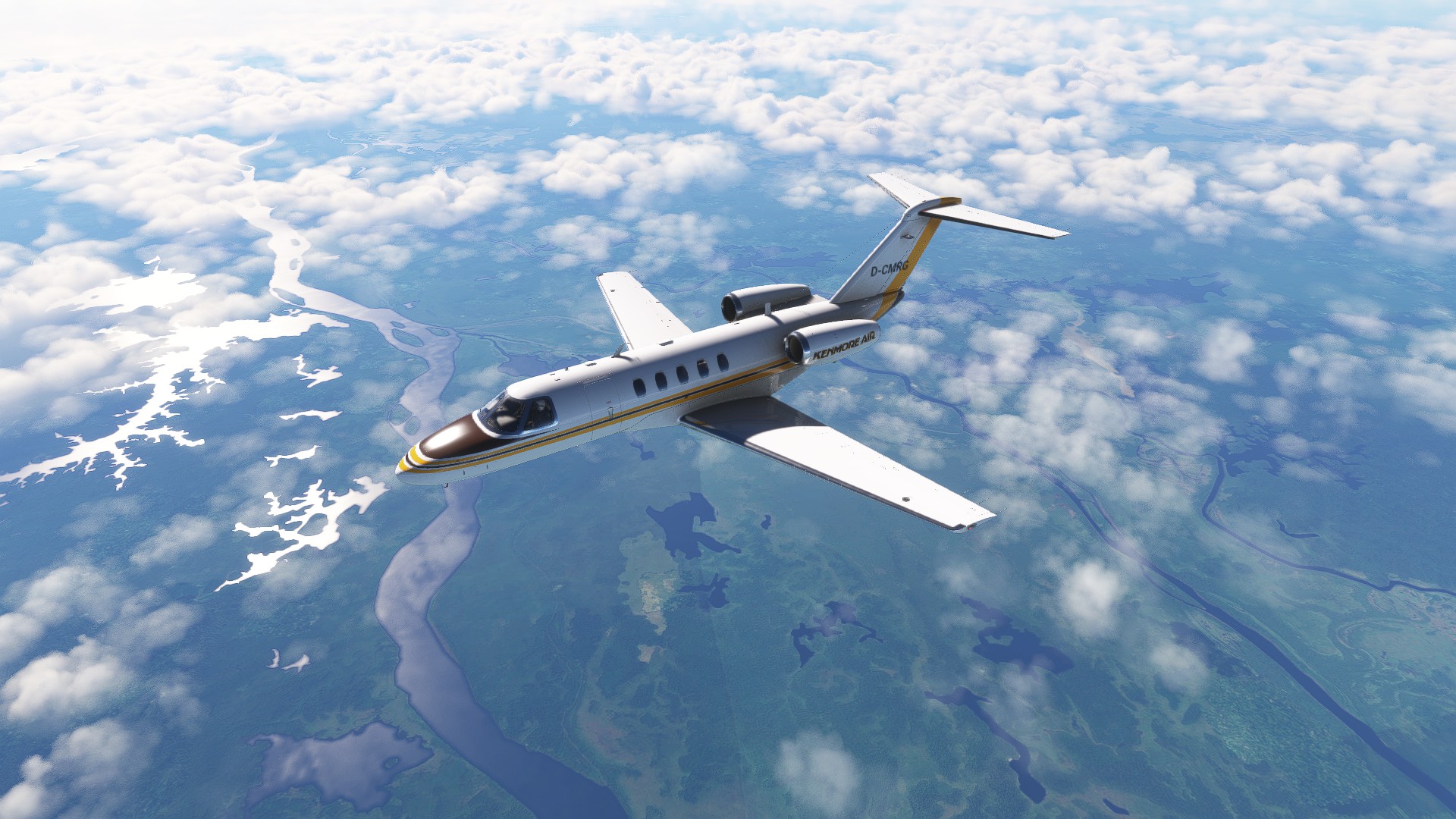
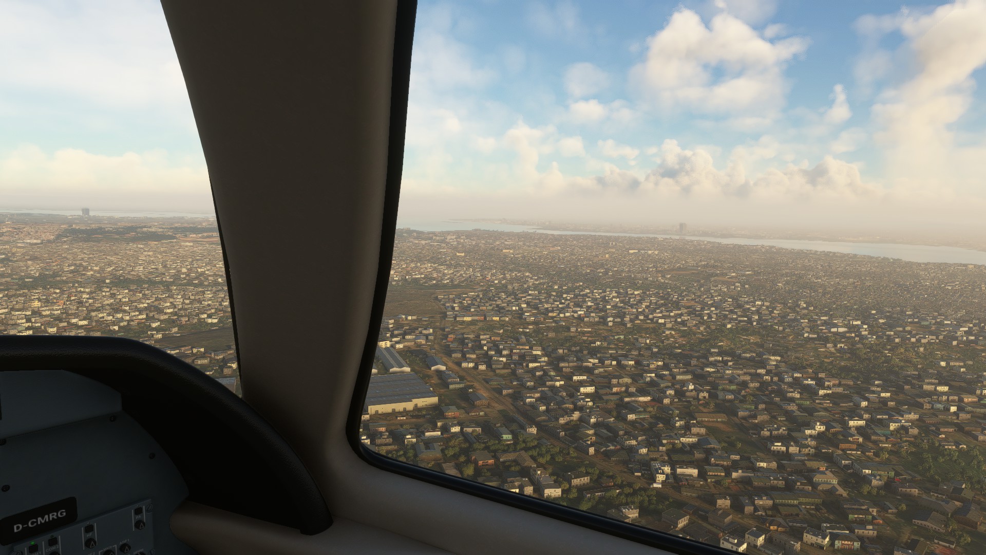
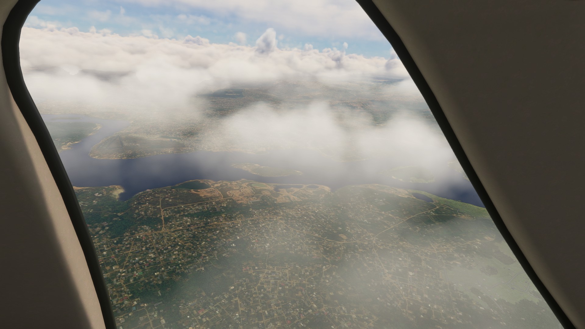
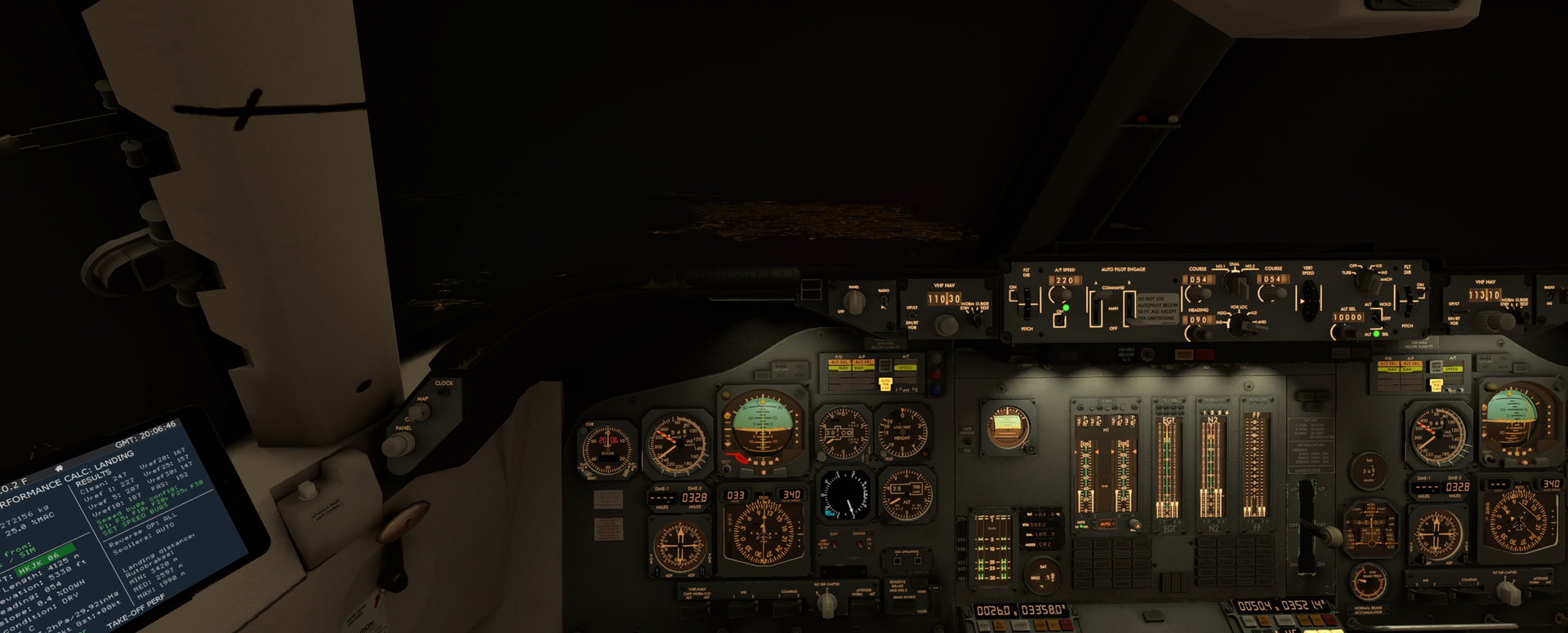
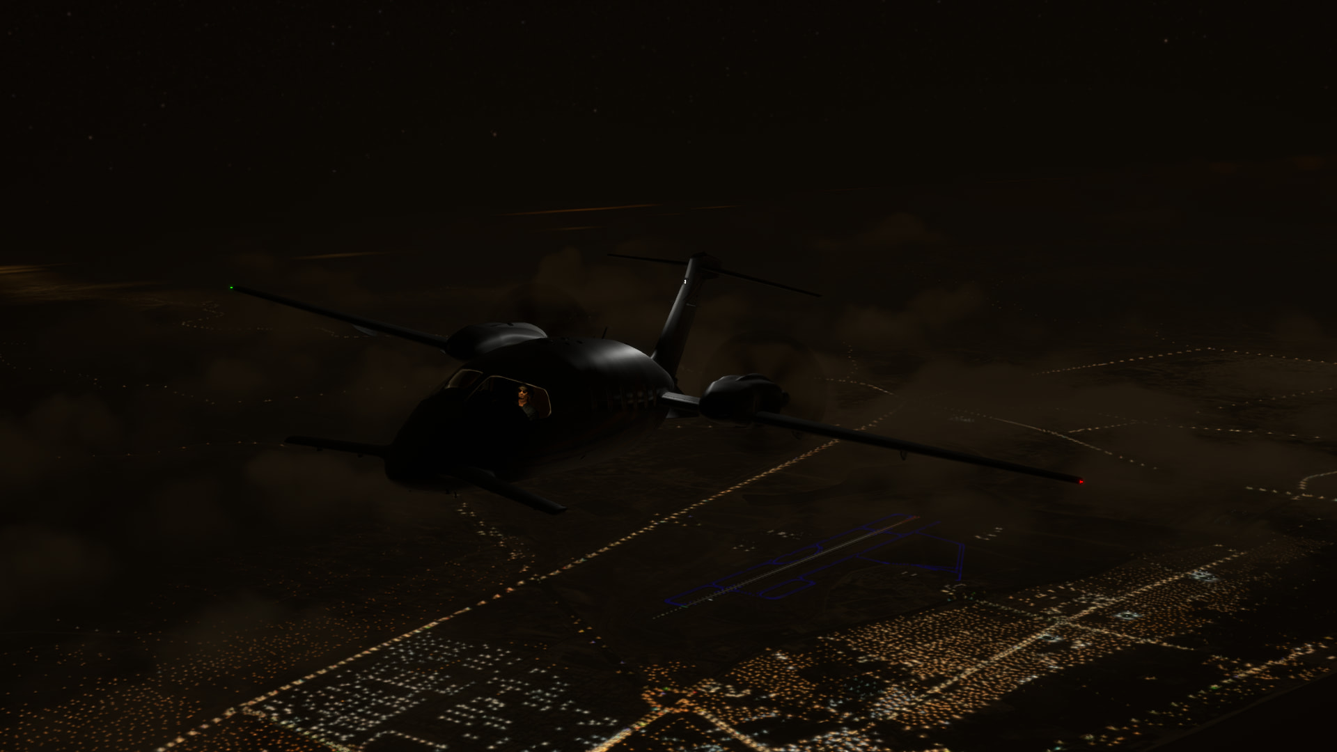
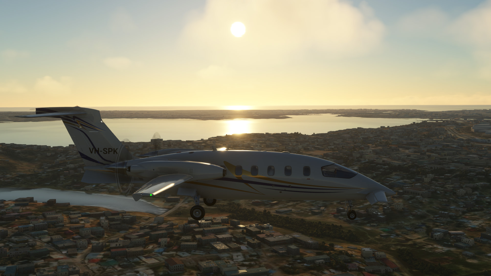
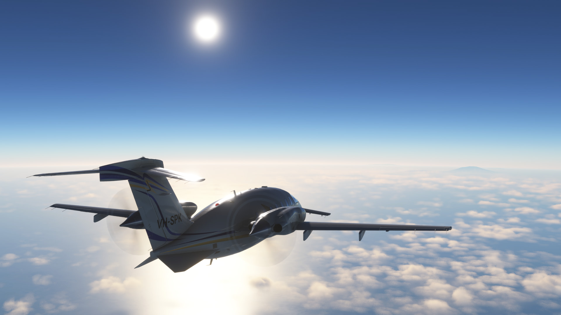
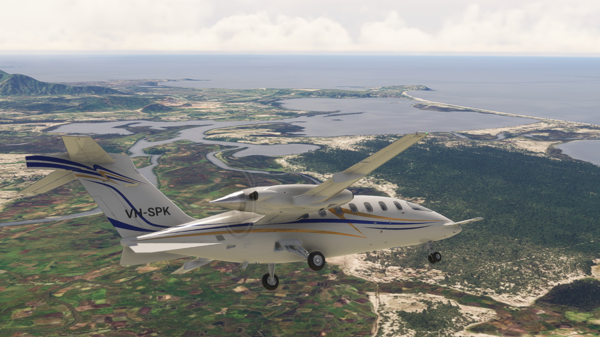
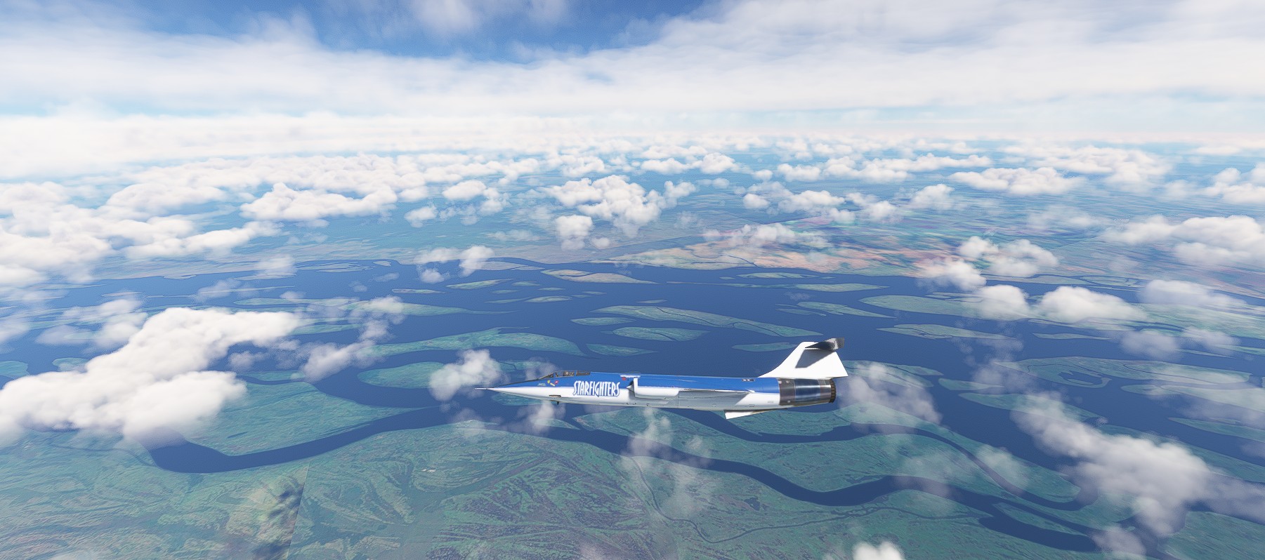
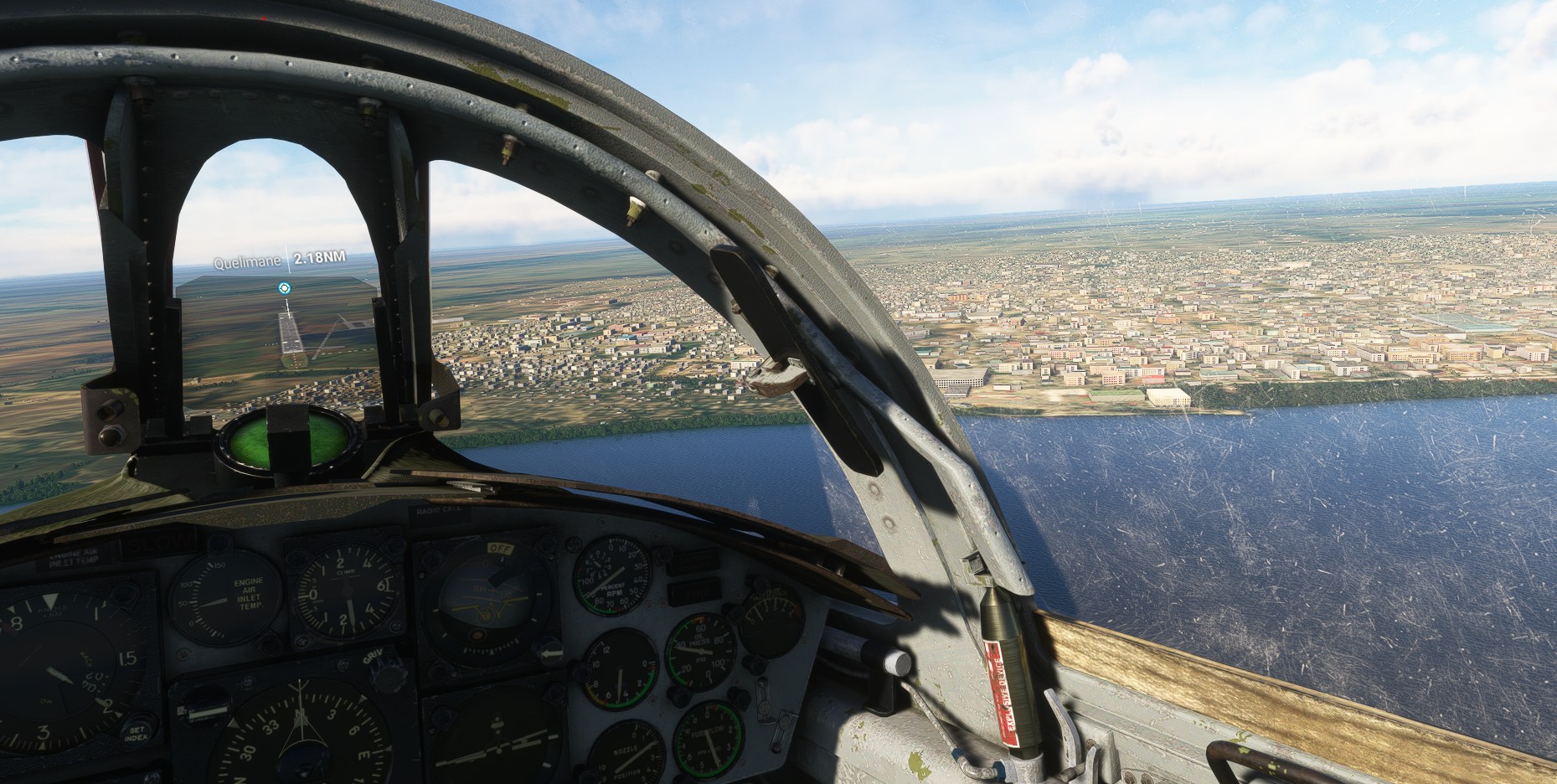
Leg 5: Accra, Ghana to Kinshasa Democratic Republic of Congo // IFR Kotoka Intl (DGAA) to N Djili Intl (FZAA)
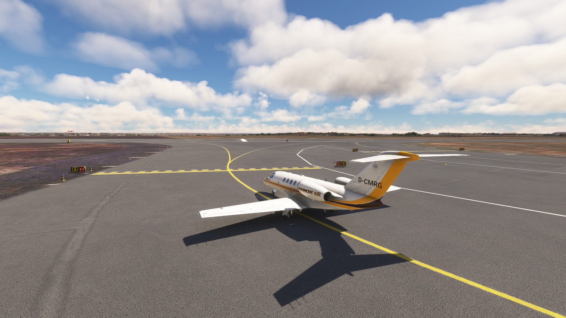
Departing from Accra. This time it’s daylight again.
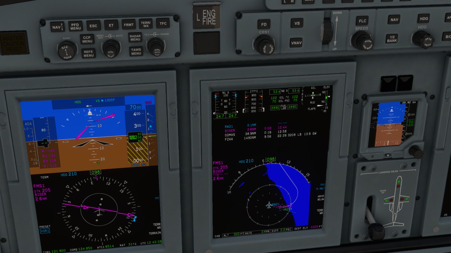
After feeding all the parameters into the FMS we got our V-Speeds and departure programmed and ready.
And off we go
We will follow the coast and cross the border between Ghana and Togo.
And into Benin. Nigeria is straight ahead.

Somewhere over Cameroon.
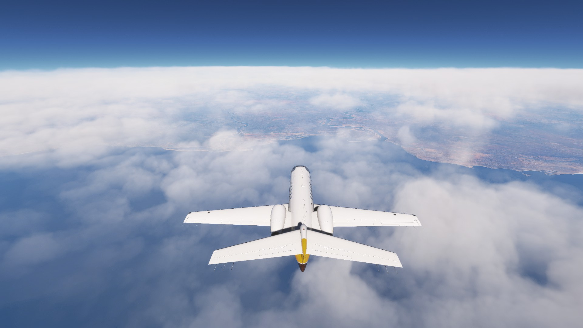
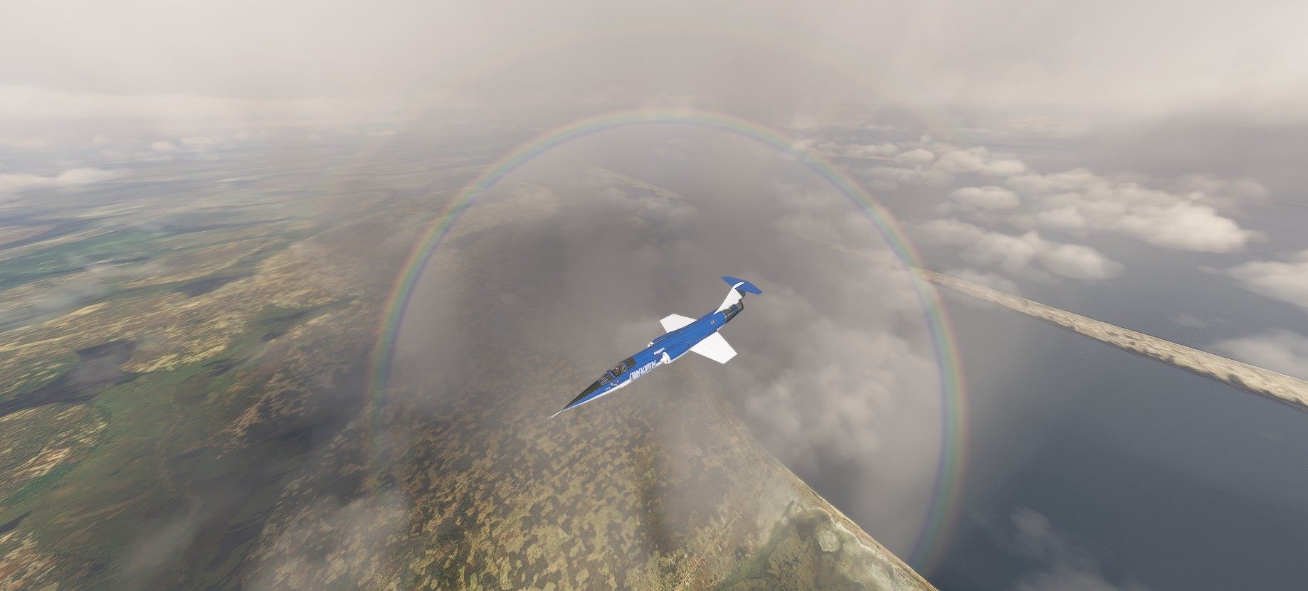
Descending into Gabon.
Our planned destination was Kinshasa. Our alternative was Brazzaville, Congo (the country) on the other side of the Congo (the river). I messed up a little with the ATC and accidentally requested to go to the alternate. I decided this would be a good practices an reconfigured the FMS for an apporach to Maya-Maya.
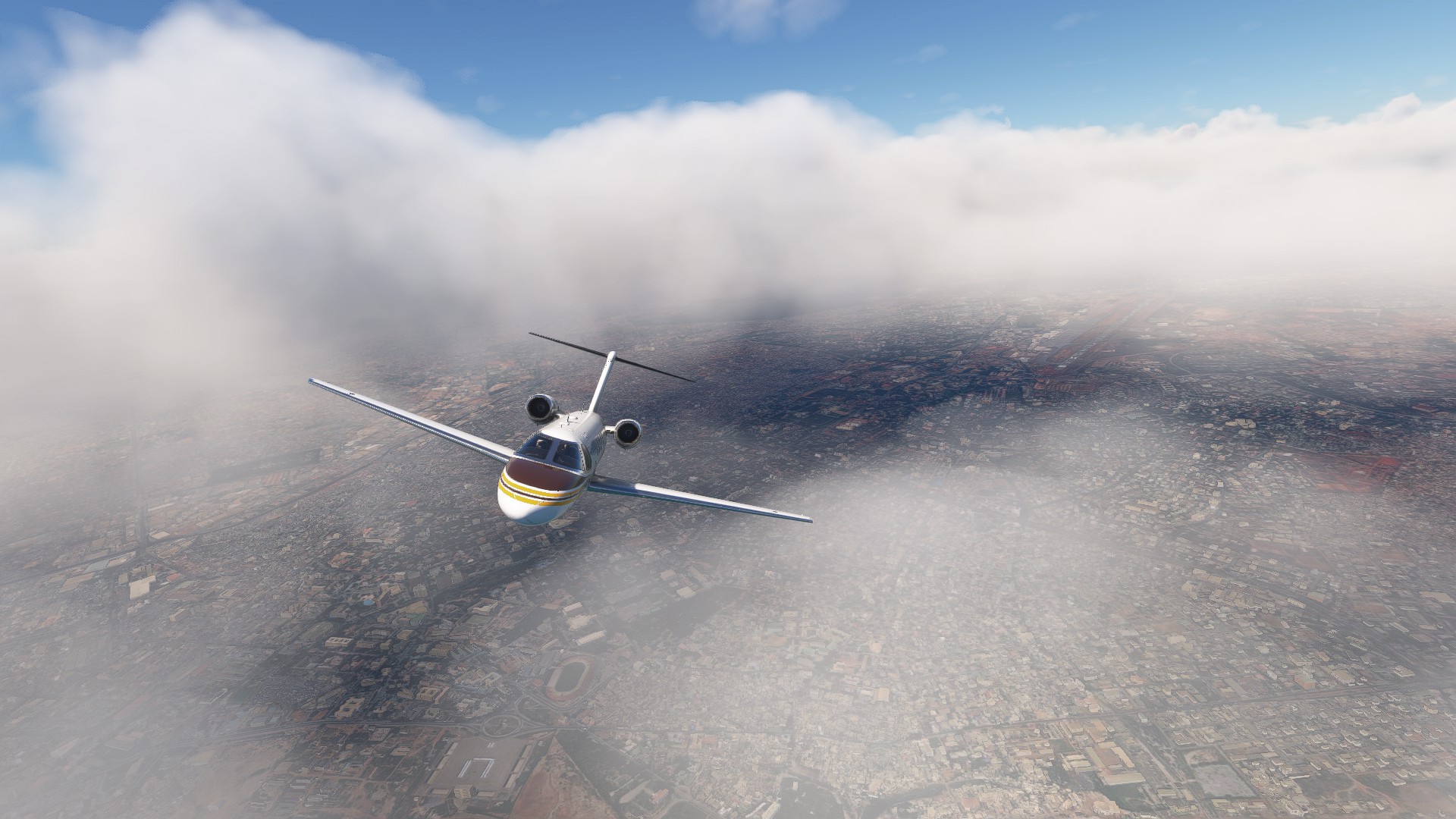
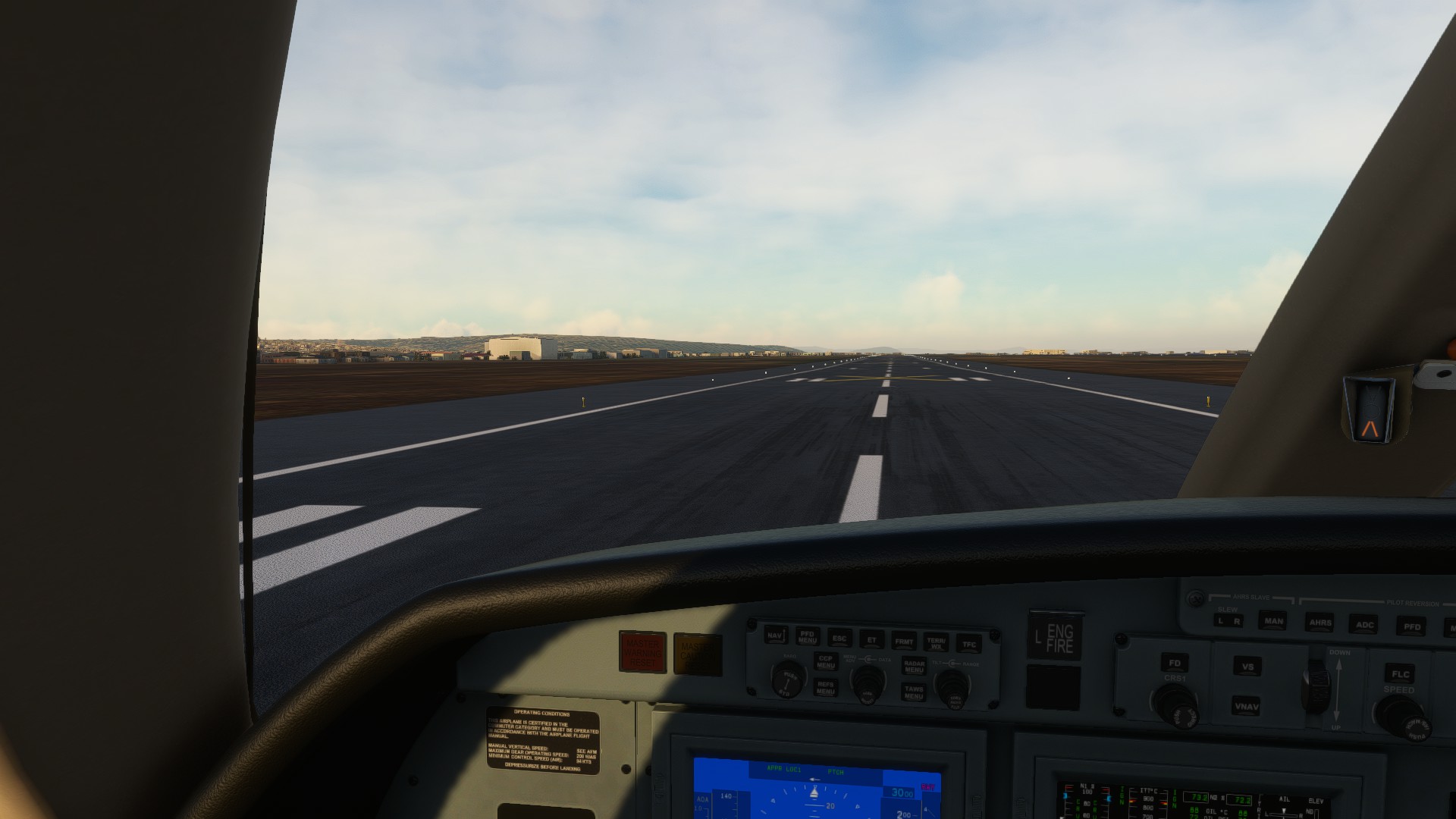
After fumbling a little bit I managed to repogram a new route. The descent was quite stunning.
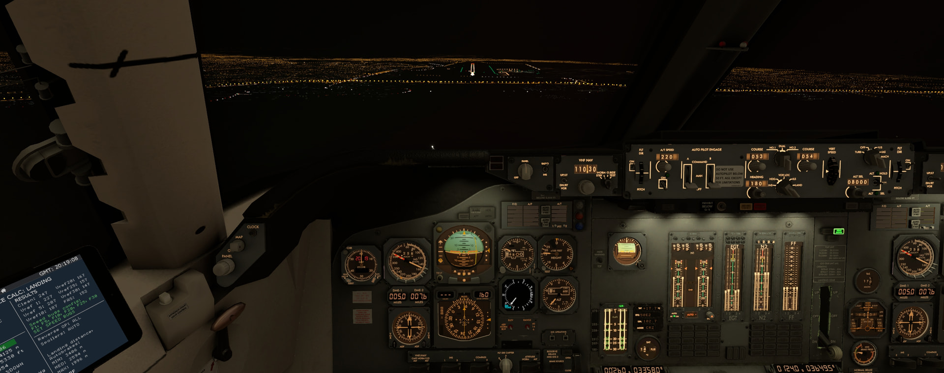
On final into Brazzaville.
To our left we could see the Congo river and Kinshasa.
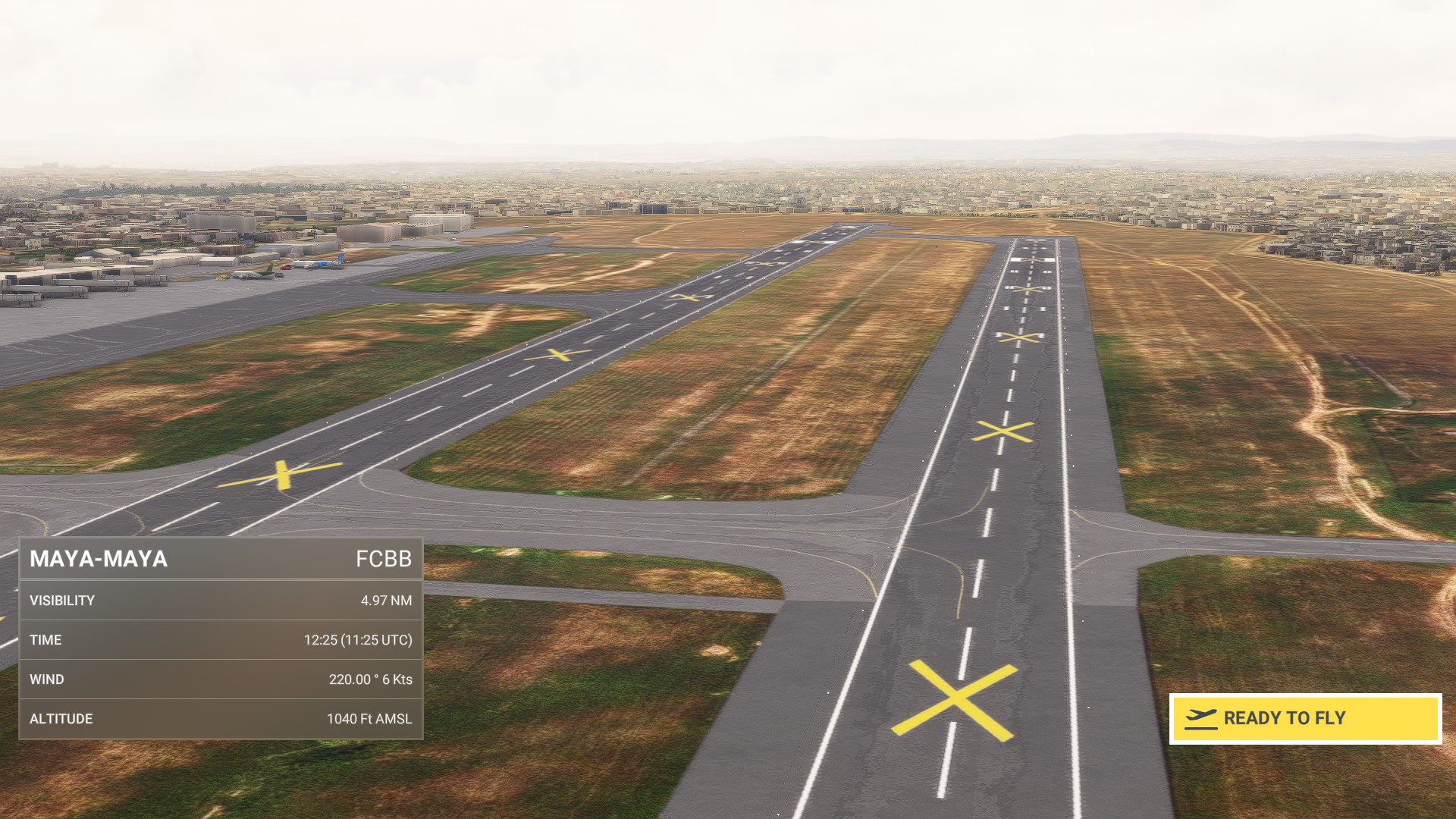
It was very nice to mark the active runway with huge yellow crosses ![]()
Not sure what exactly is wrong with this airport in MSFS. Even Little Navmap shows all runways crossed out. Yet the flight plan was accepted and ATC brought me down without a hazzle.
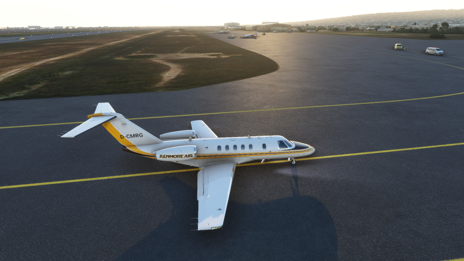
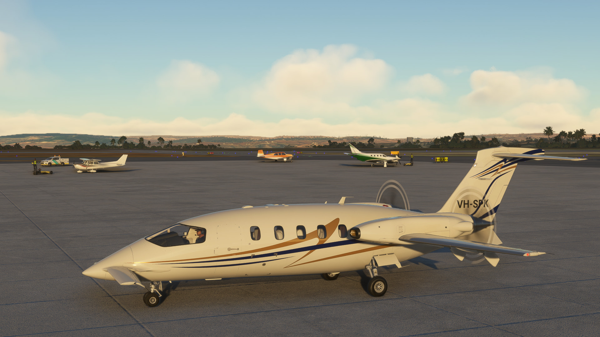
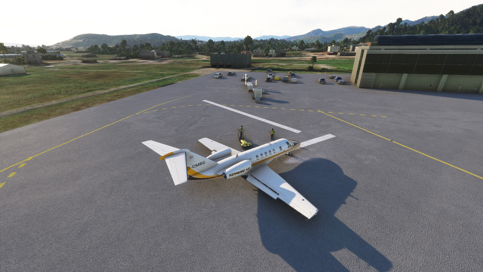
I was not alone so I stopped worrying and shut her down on the ramp.
9 Likes
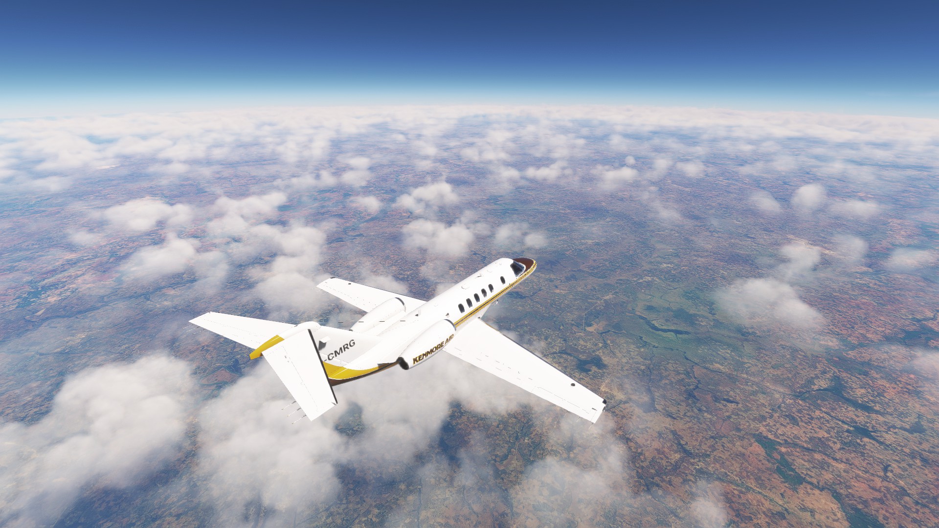
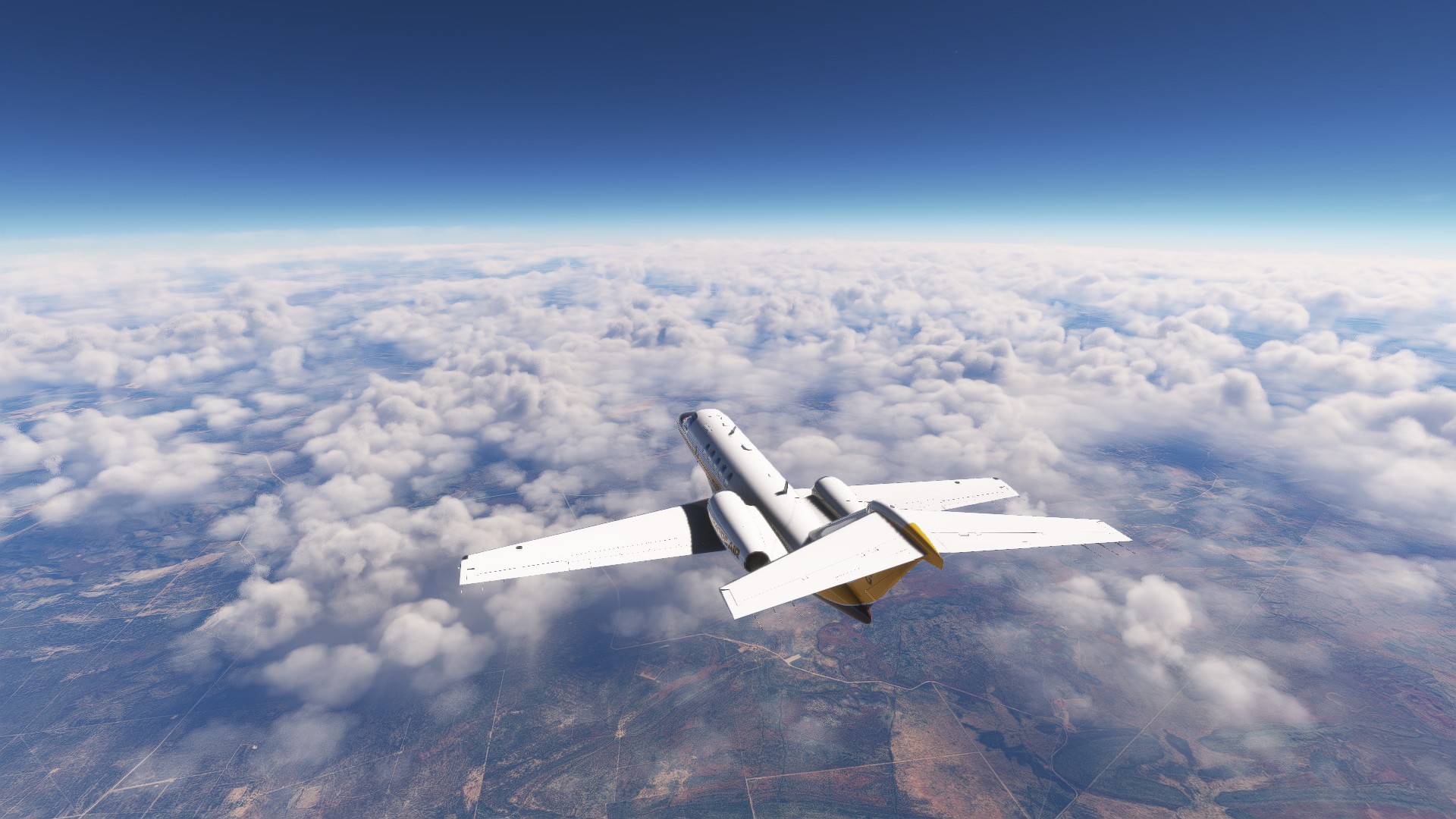
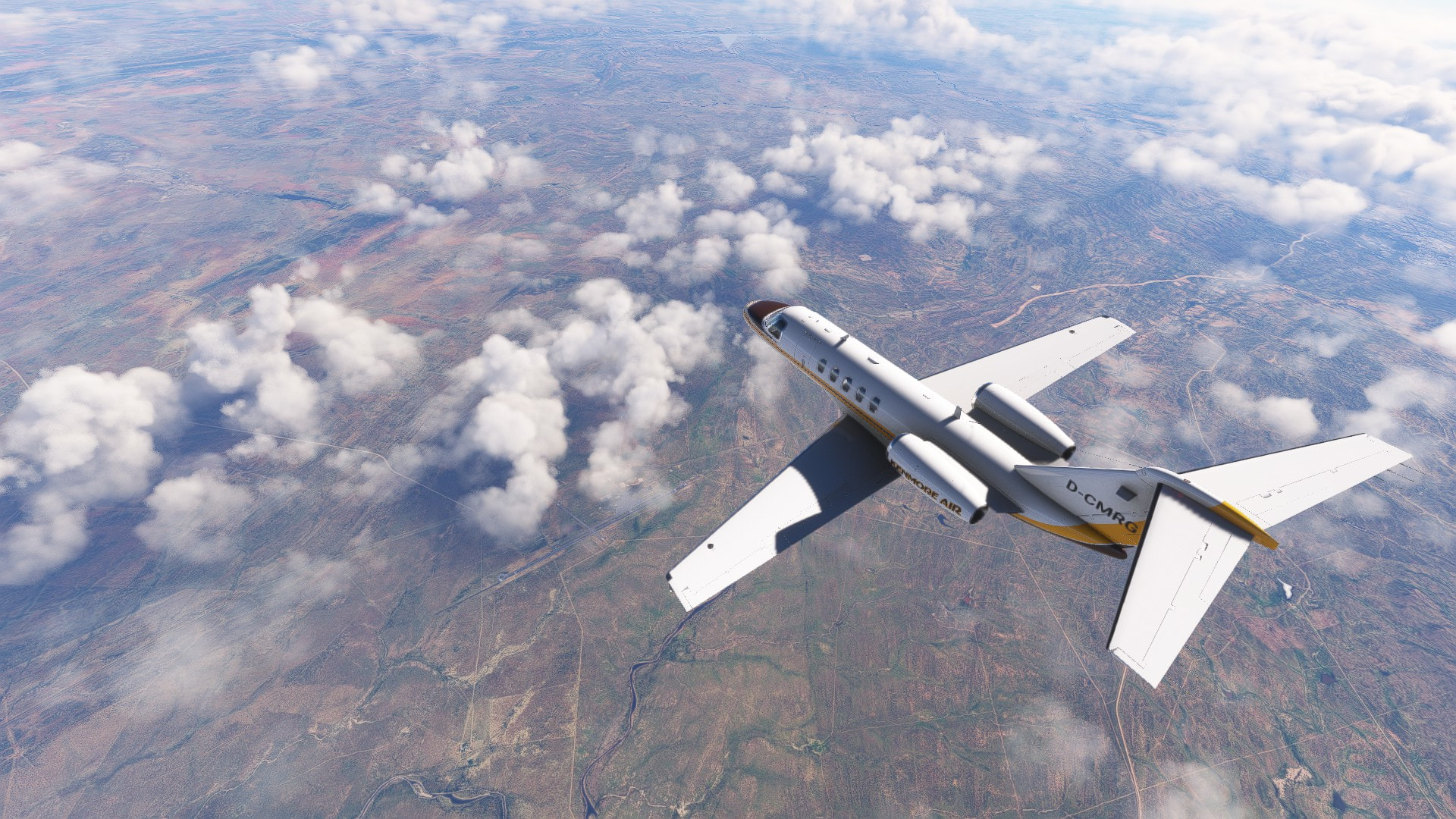
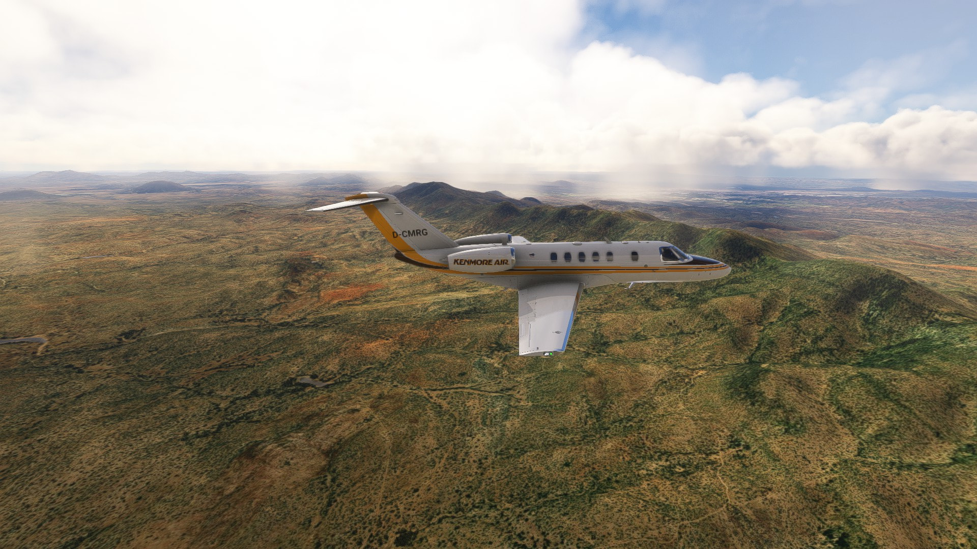
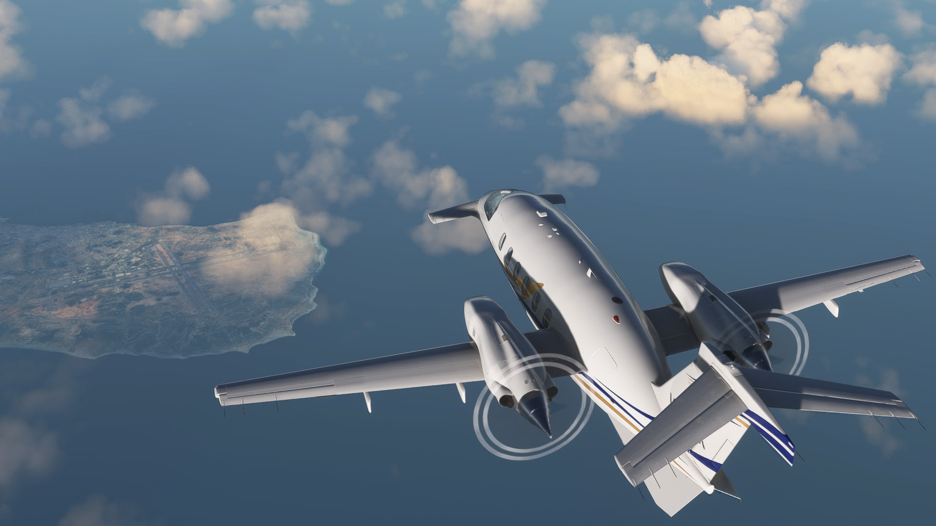
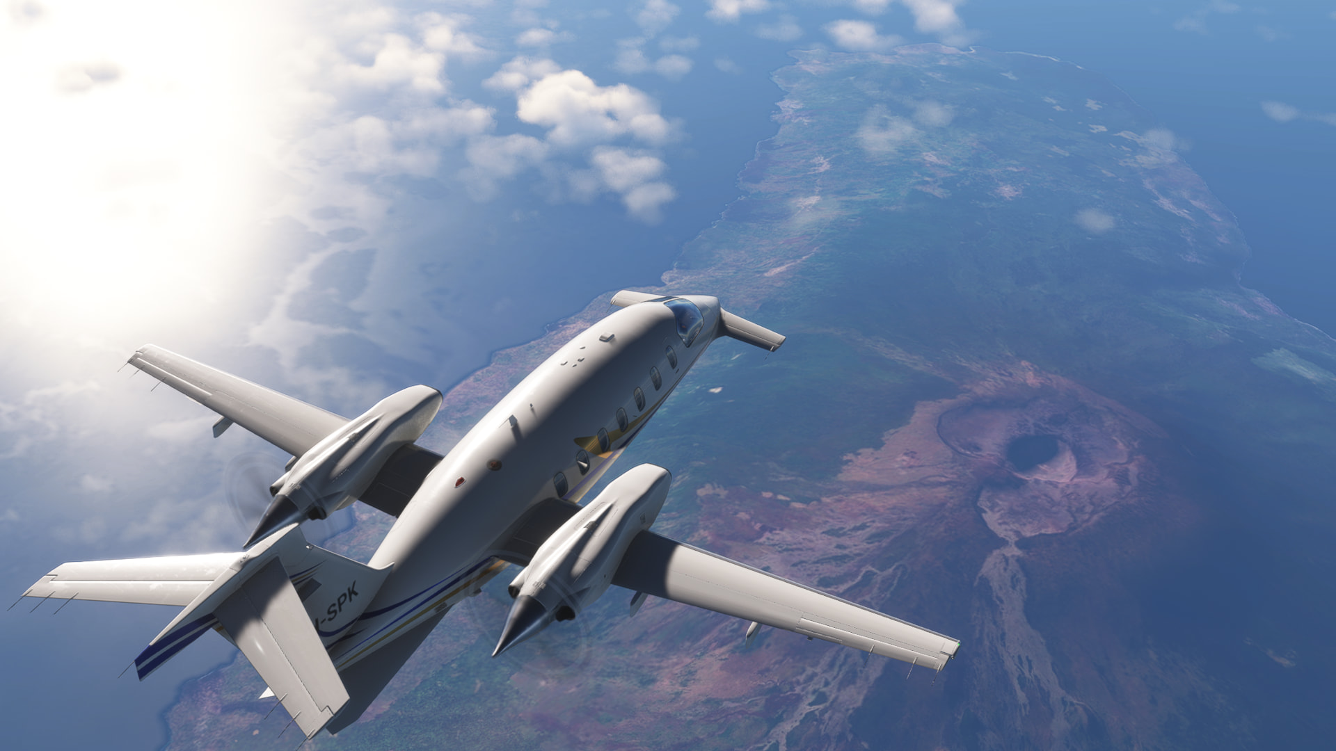
Leg 6: Kinshasa, Democratic Republic of Congo Brazzaville, Congo to Windhoek, Namibia // IFR Maya-Maya (FCBB) to Hosea Kutako Intl (FYWH)
This is fine
Again, ATC worked flawlessly and we were on our way, departing from the ghost airport.
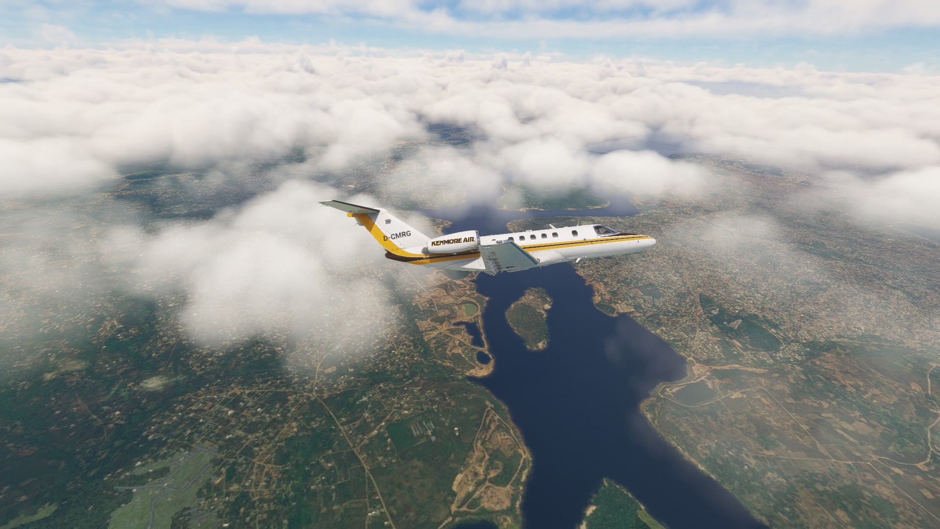
Crossing from one Congo into the other.
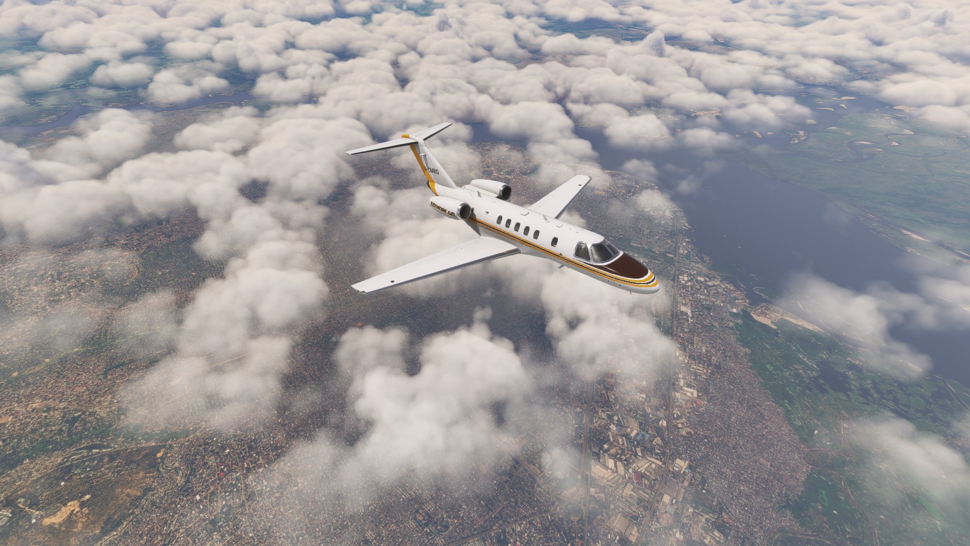
Kinshasa is huge. This is were Ali fought Foreman in the Rumble in the Jungle.
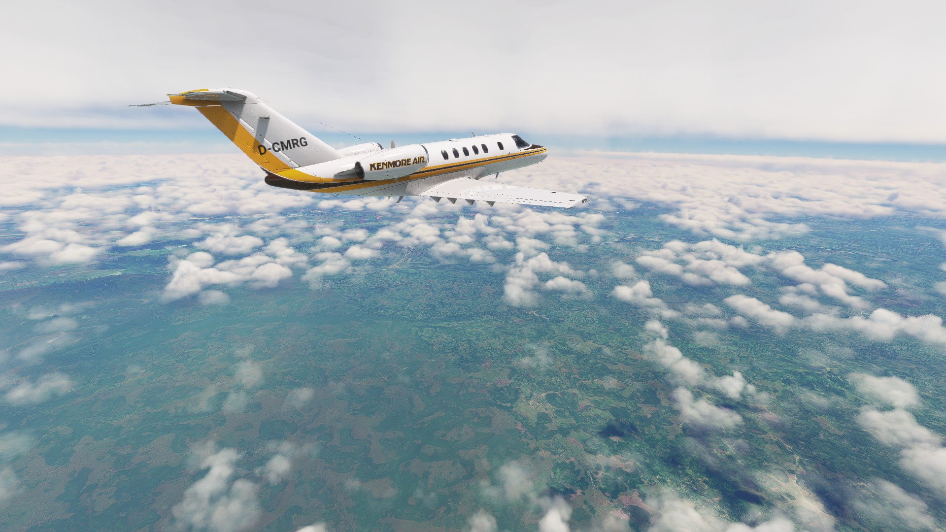
I got a glimpse of the high clouds over Africa as well.
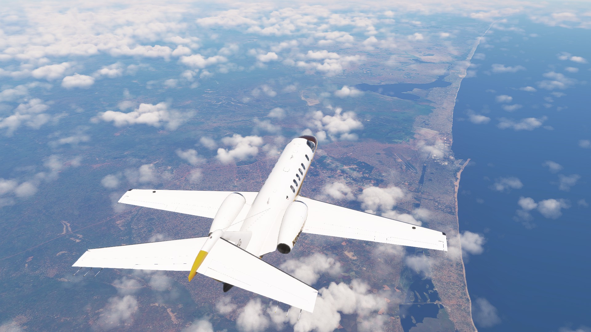
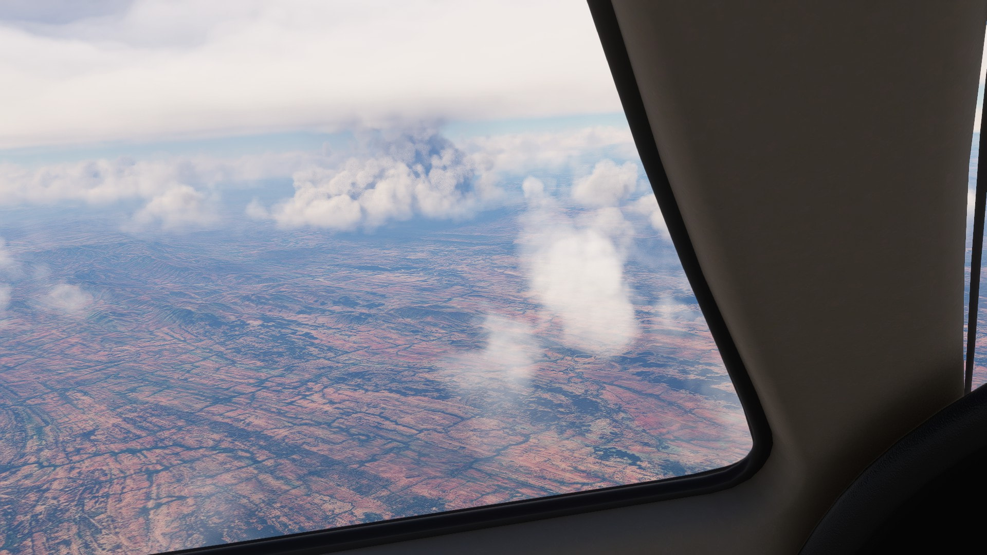
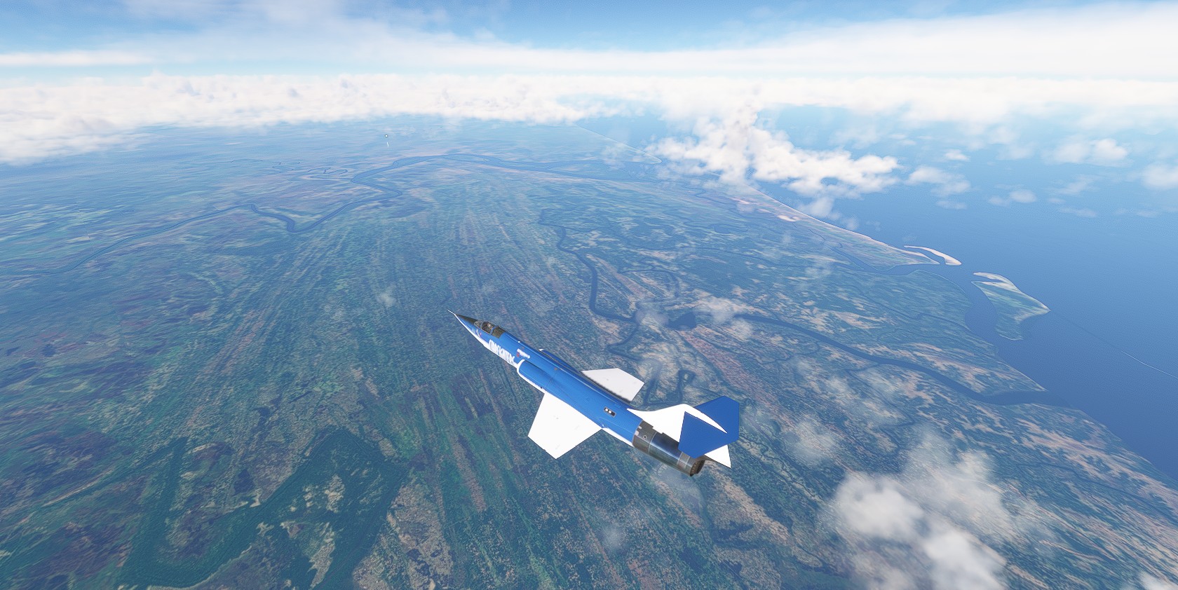
Overflying Angola.
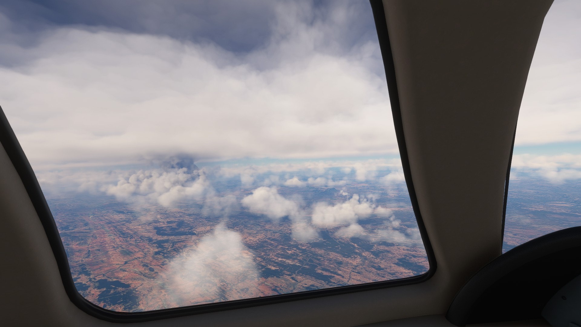
Crusining happily along. WX radar shows some patches far ahead. But it’s not a factor.
Looks quite nice.
This is our destination airport. The available STARs were really weird.
Still 190 nm to go ![]()

It’s like a really long leg out to get us on an VNAV/LNAV approach. I guess IRL you would be vectored by ATC to a closer entry point.
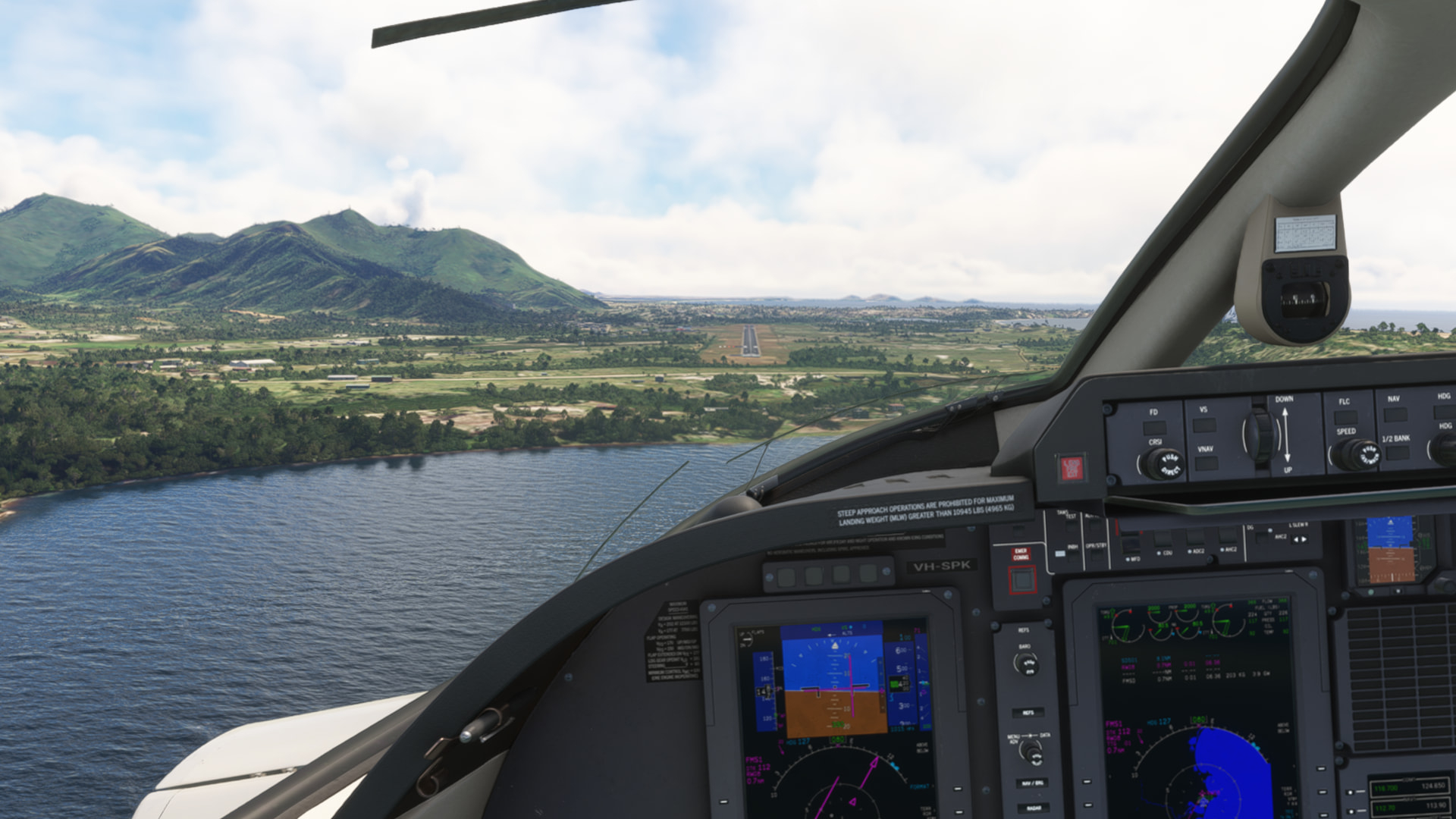
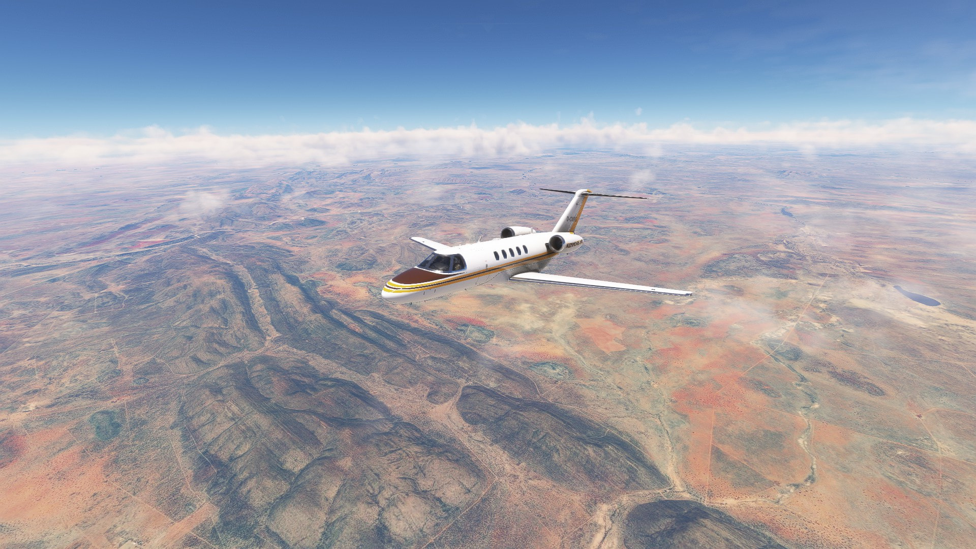
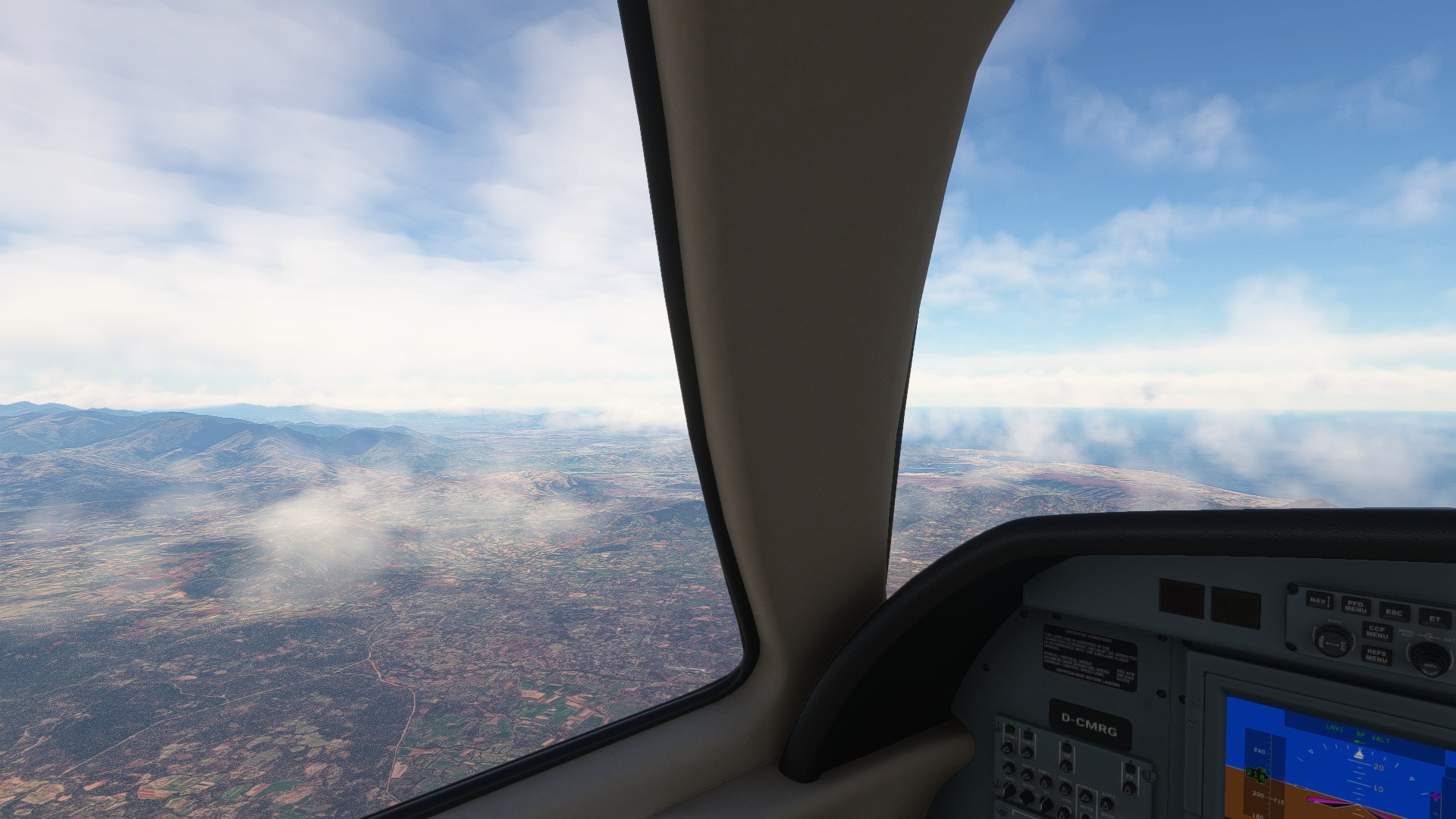
Namibia’s landscape looks stunning. Airport elevation is rather high at 5400 ft.
What a scenic approach…
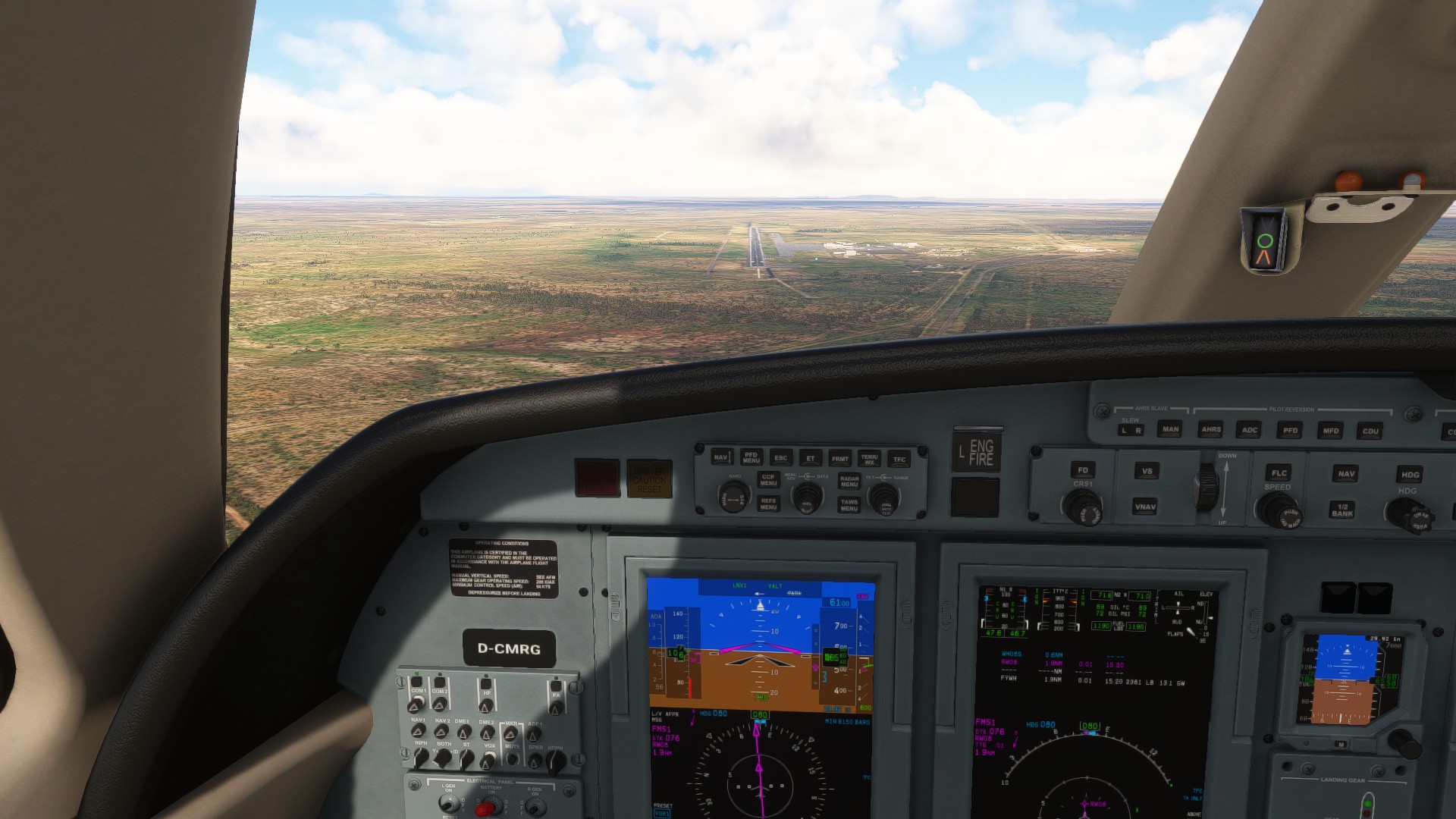
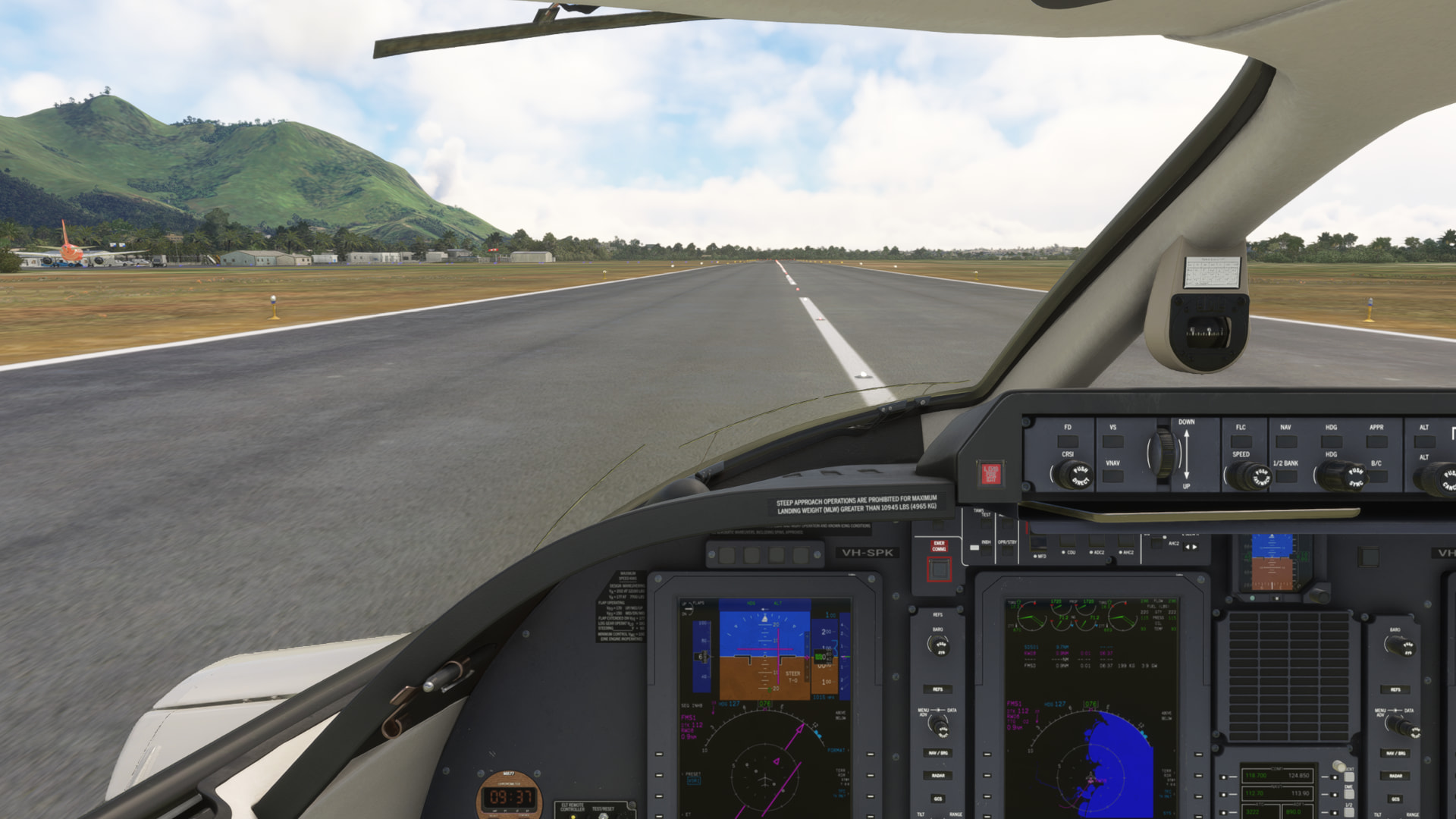
I got a little distracted. I guess my pre selected altitude stopped the proper VNAV descent. Since I had the runway in sight I handflew the rest for a slight off center but smooth touchdown.
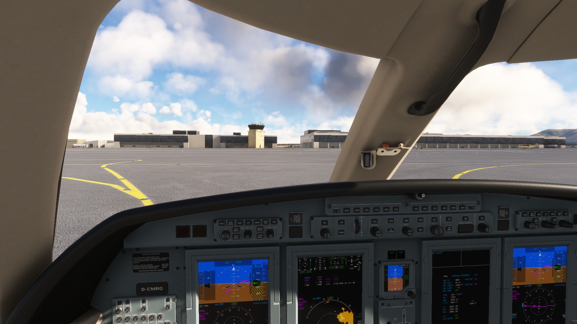
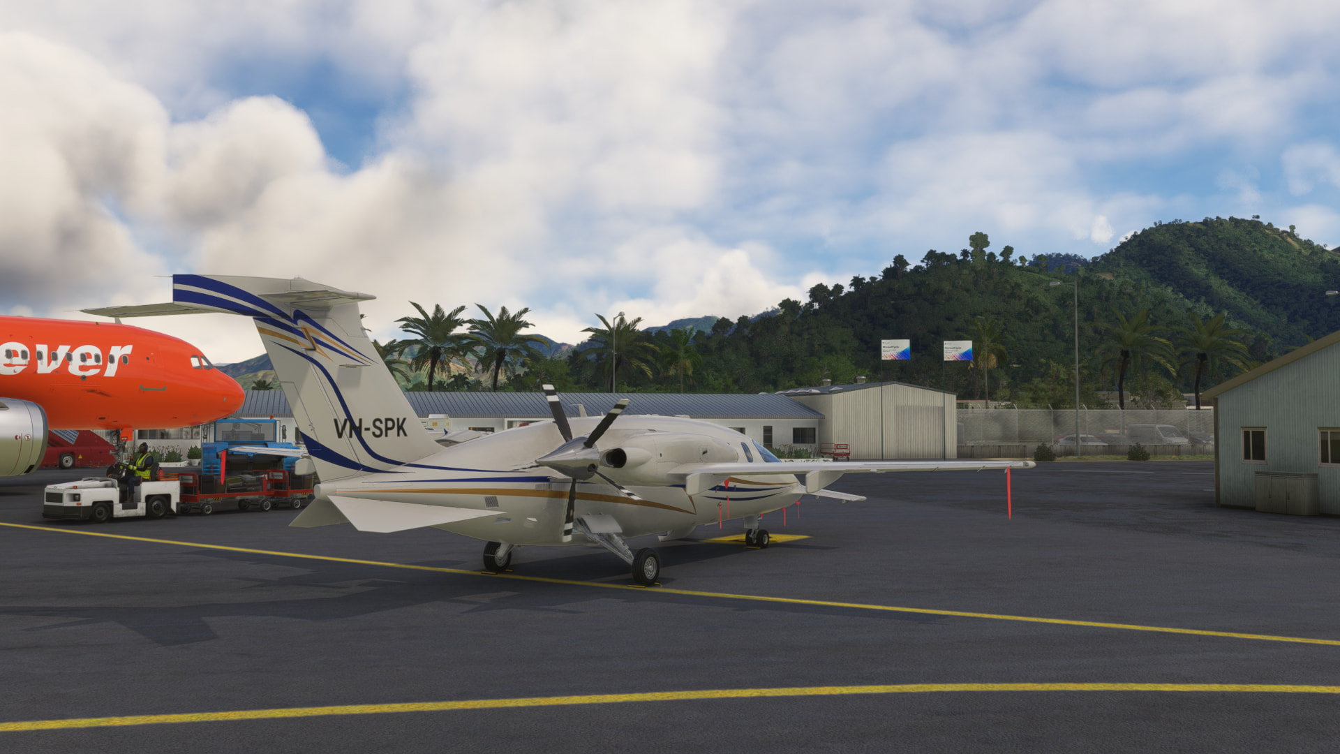
Welcome to Windhoek!
One leg to go..
9 Likes
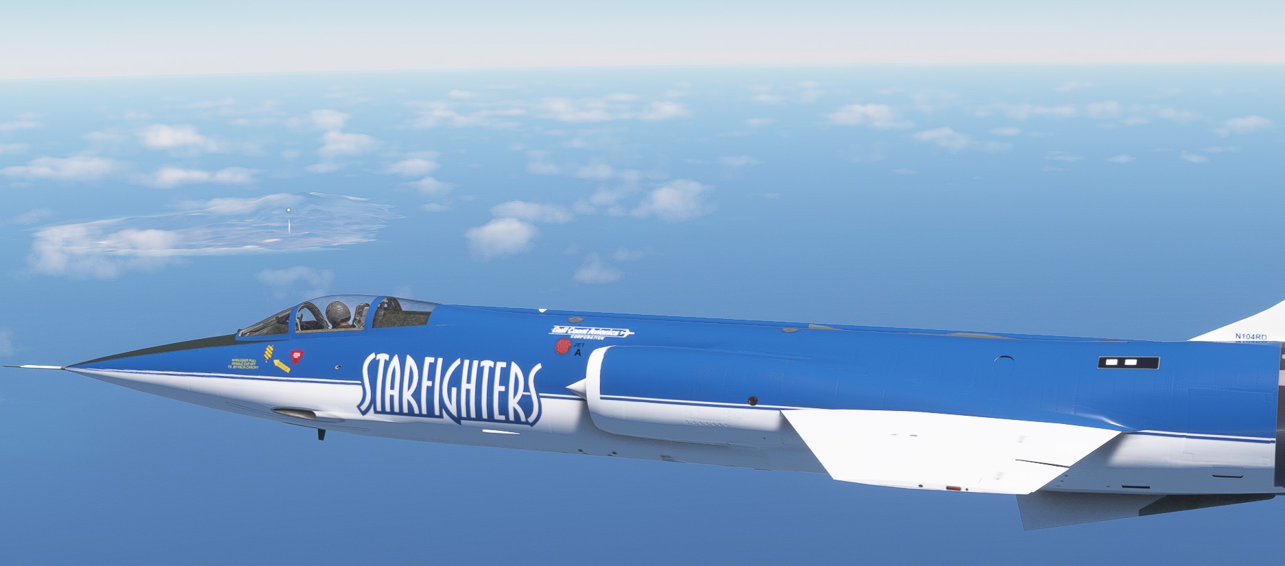
this is crossing Brasil ![]() … and fast forward over the Atlantic to the coasts of West Africa
… and fast forward over the Atlantic to the coasts of West Africa
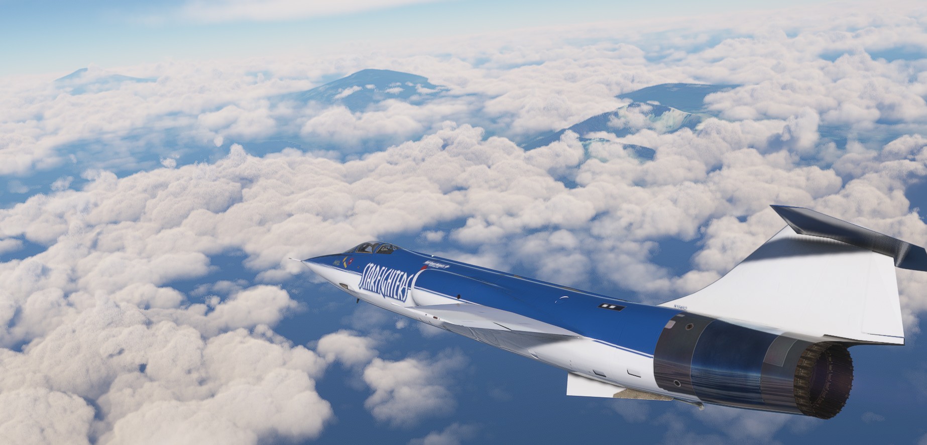
on top
hate aproaches over high trees
like a fish in the water
plus the water - Sobradinho reservoir
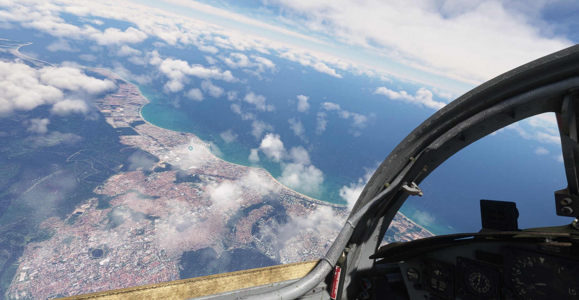
at the East Coast - João Pessoa
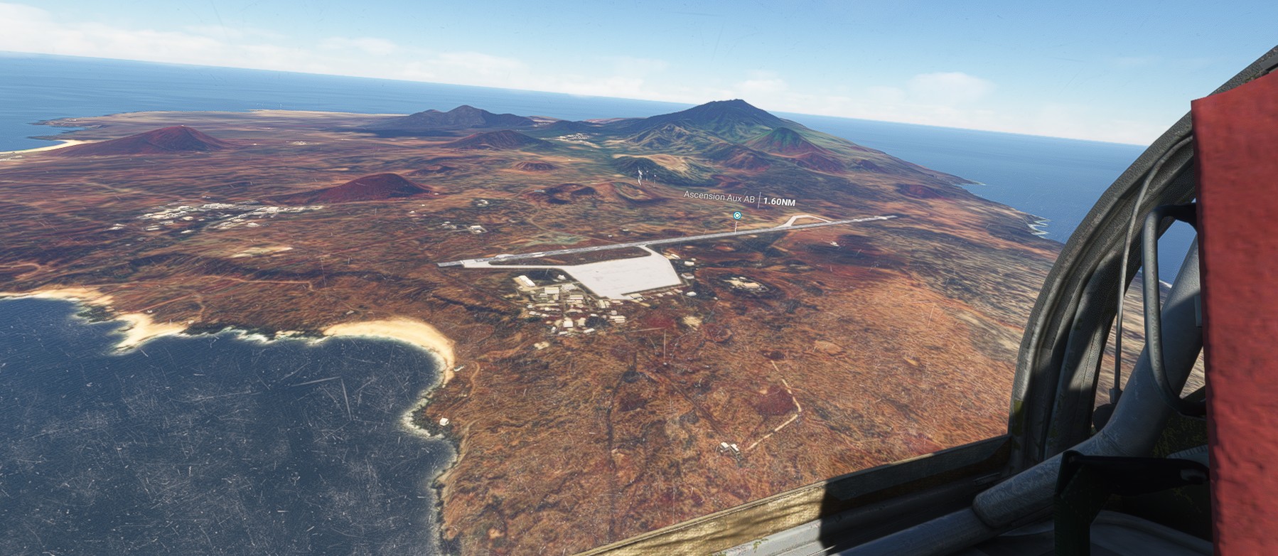
and in the middle - Ascension island
and This Is Africa ![]()
12 Likes
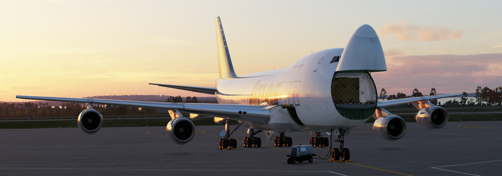
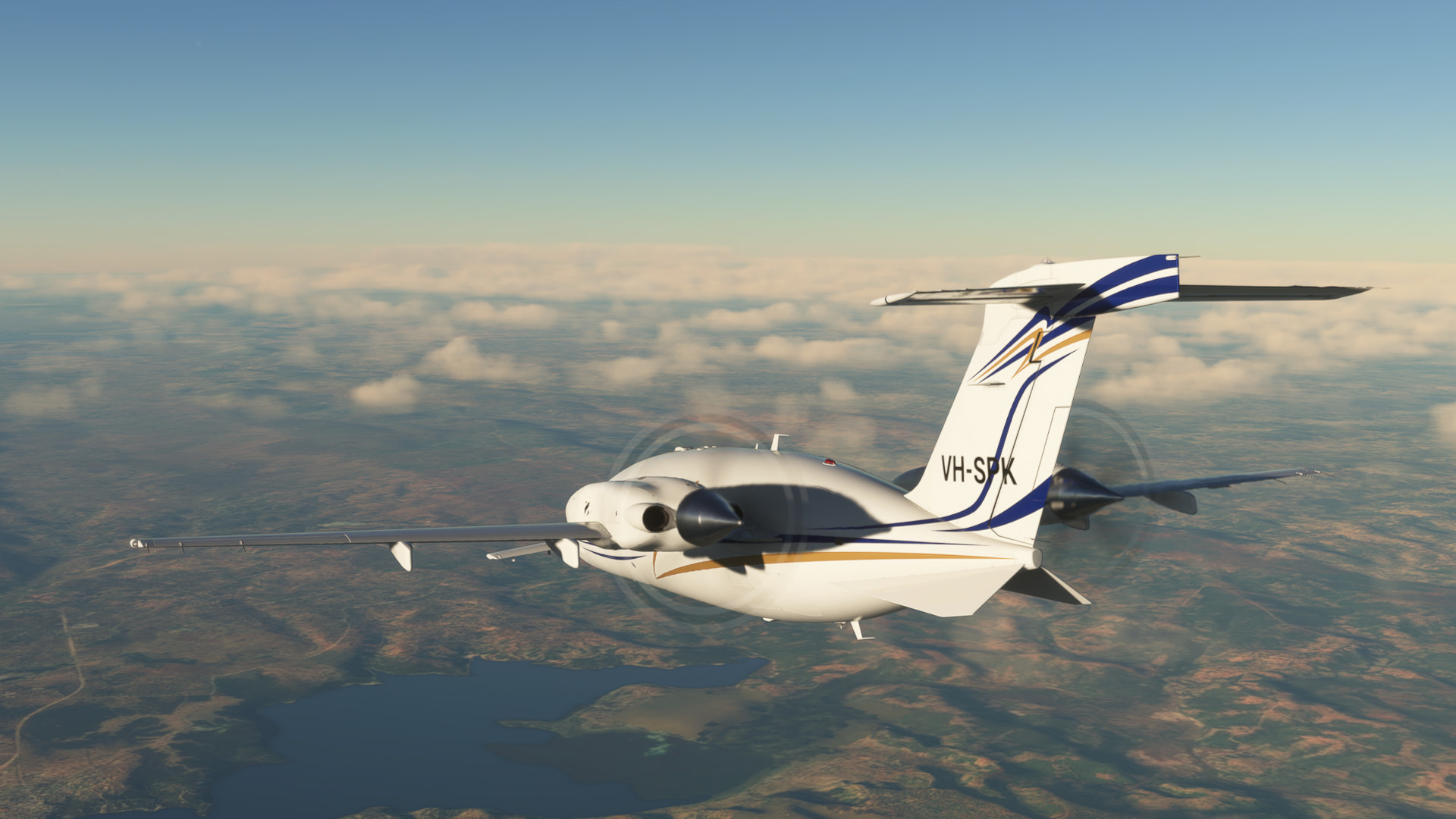
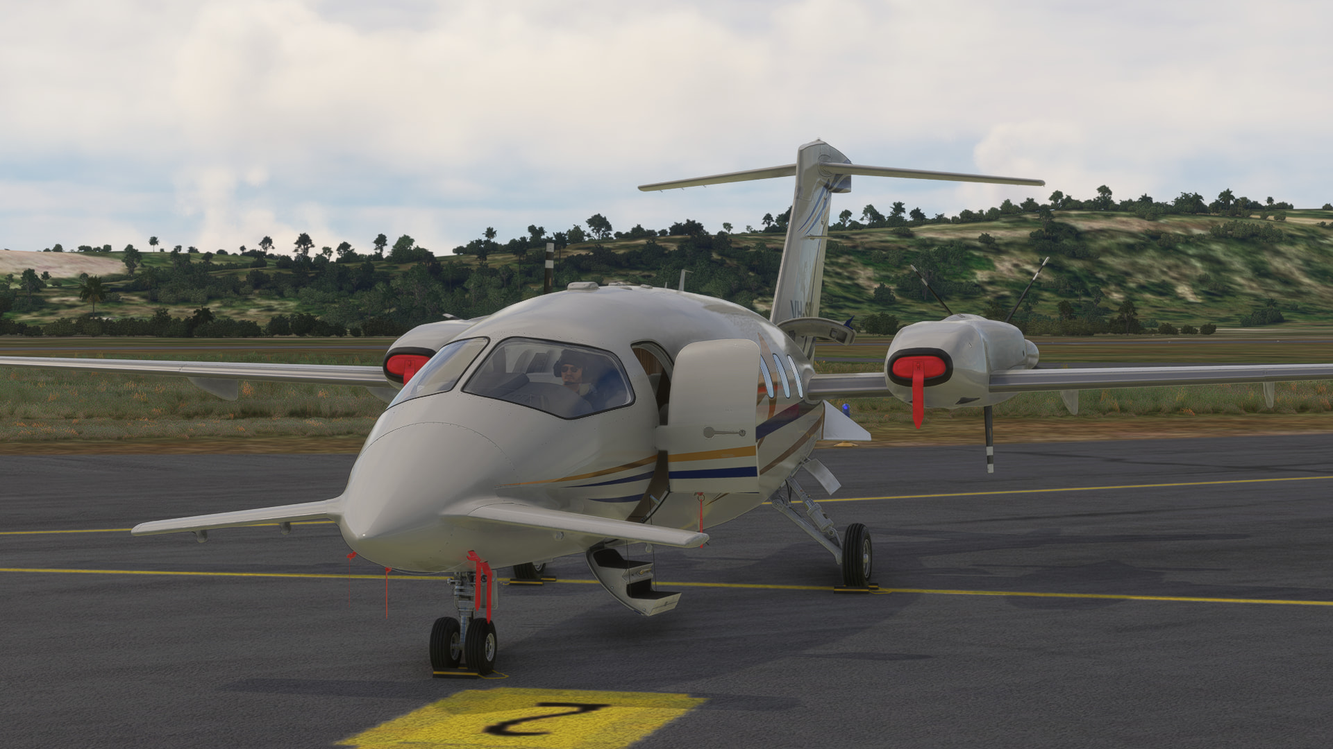
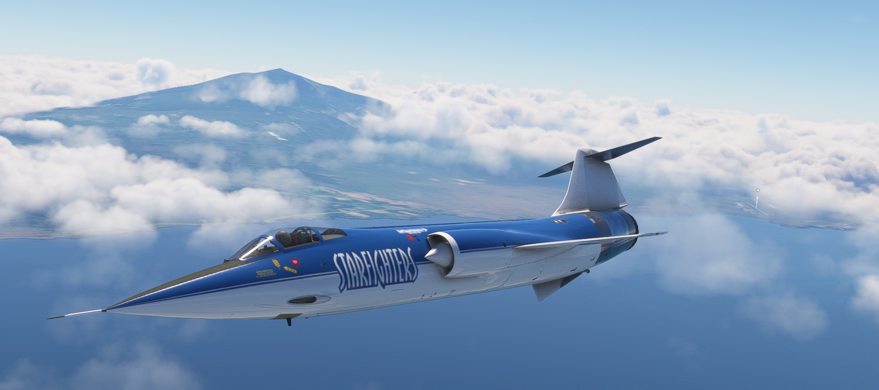
Lets get her loaded up! Max cargo, plenty of fuel and this aircraft still has power to spare!
Now I have THREE CIVA’s to program! What a joy!
The lights in XP12 are gorgeous!
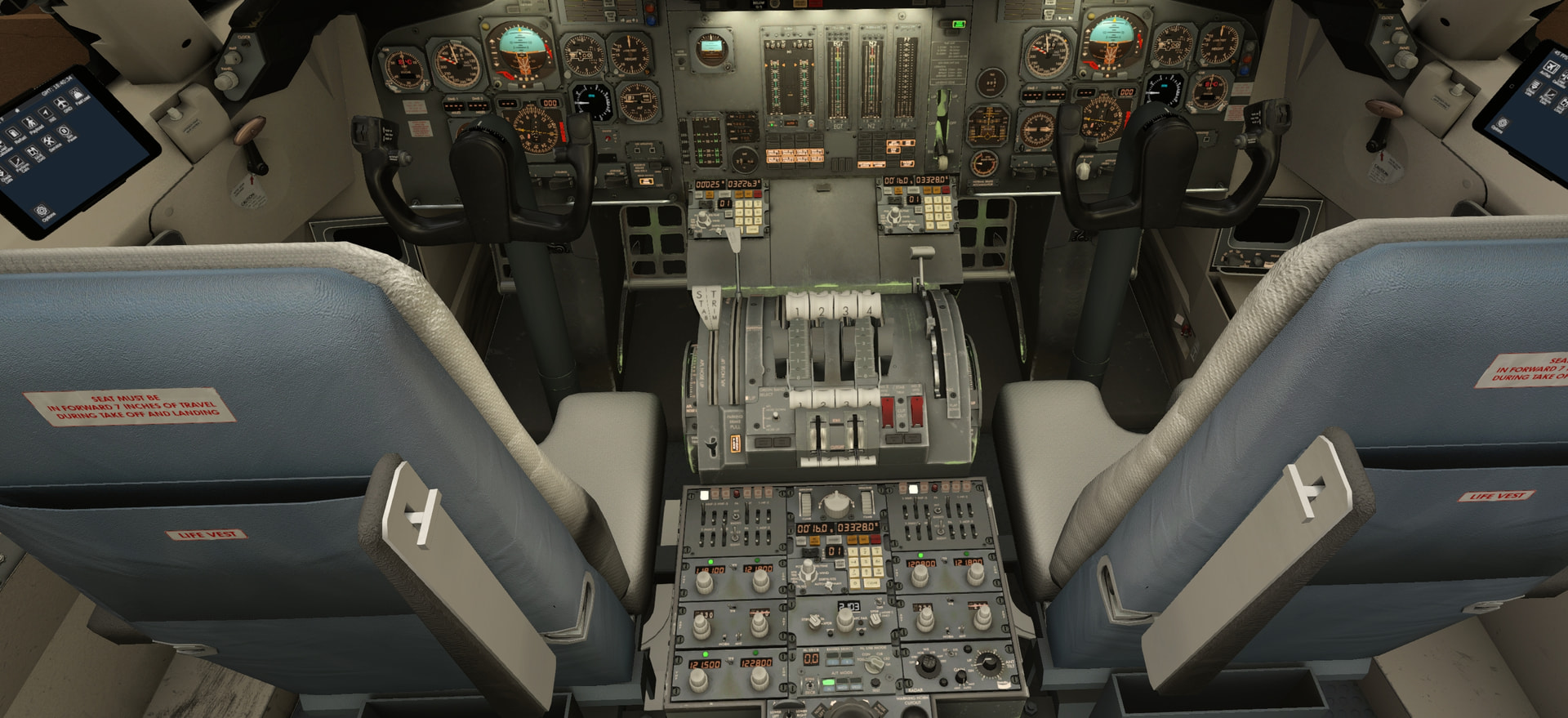
It’s a relatively simple and straight forward aircraft, I thoroughly enjoy the fact that you don’t have to wait for a computer to boot, you flip a switch, you get feed back! Soon enough we are getting a pushback going.
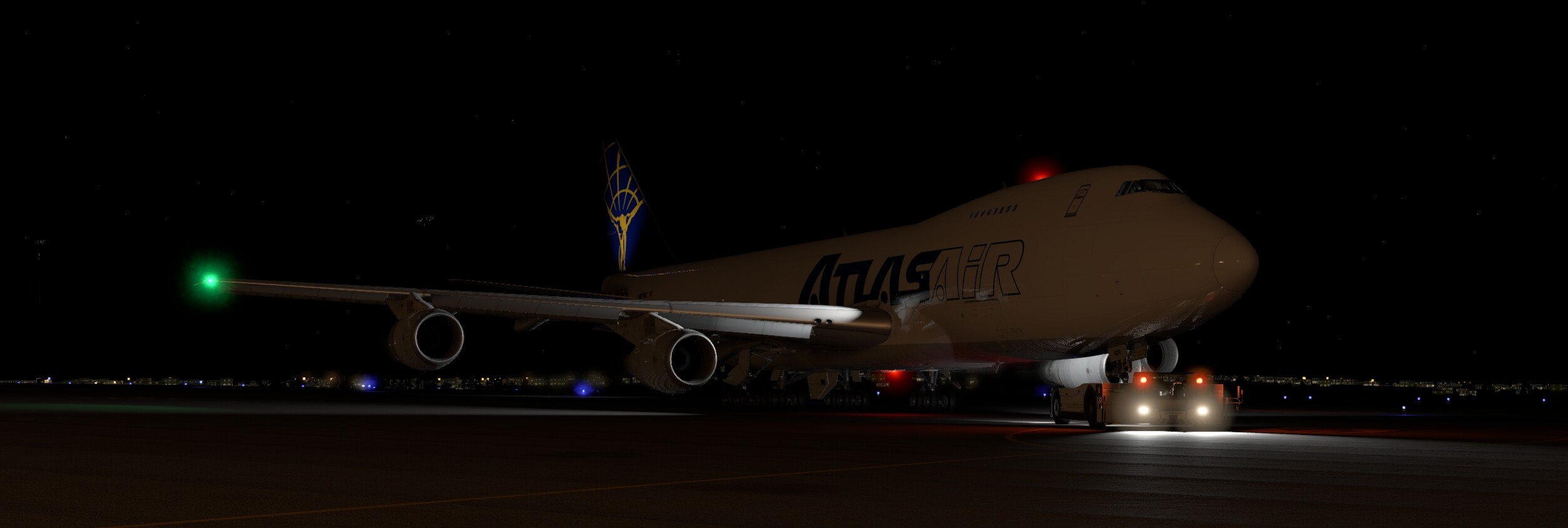
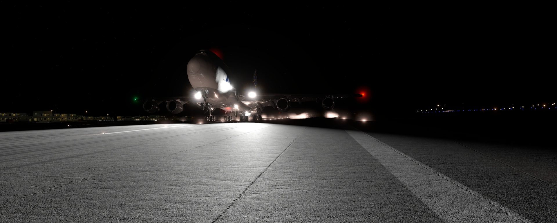
A little taxi later we are on the runway, and away we go!
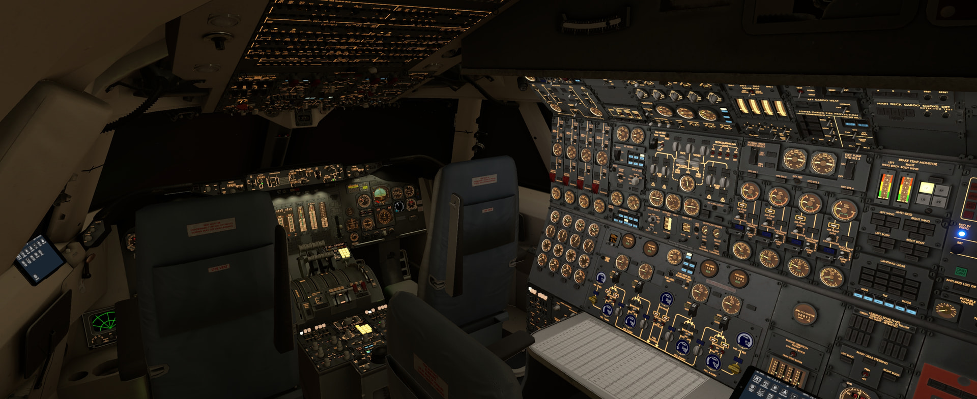
Still in cruise currently, not much to do except check the INS and fuel balancing every now and then. There’s no fancy magic here, open a valve, stop a pump and bobs your uncle! I really enjoy the ability to do all the calculations yourself and how Felis’ manuals and tablet guide you through it. It just invites you to play with the value’s and see what it does.
XP12 also simulates weight really well, the pushback felt really realistic compared to the widebodies I know.
11 Likes
Looking for my destination, should be on the other side of this city!

Lookin for some glide slope babbyy toniiiiight
Well, the inertia of this plane sure does make it stable! Follow the numbers and it is a joy to fly!
Touchdown, I think the vapour trails are a bug
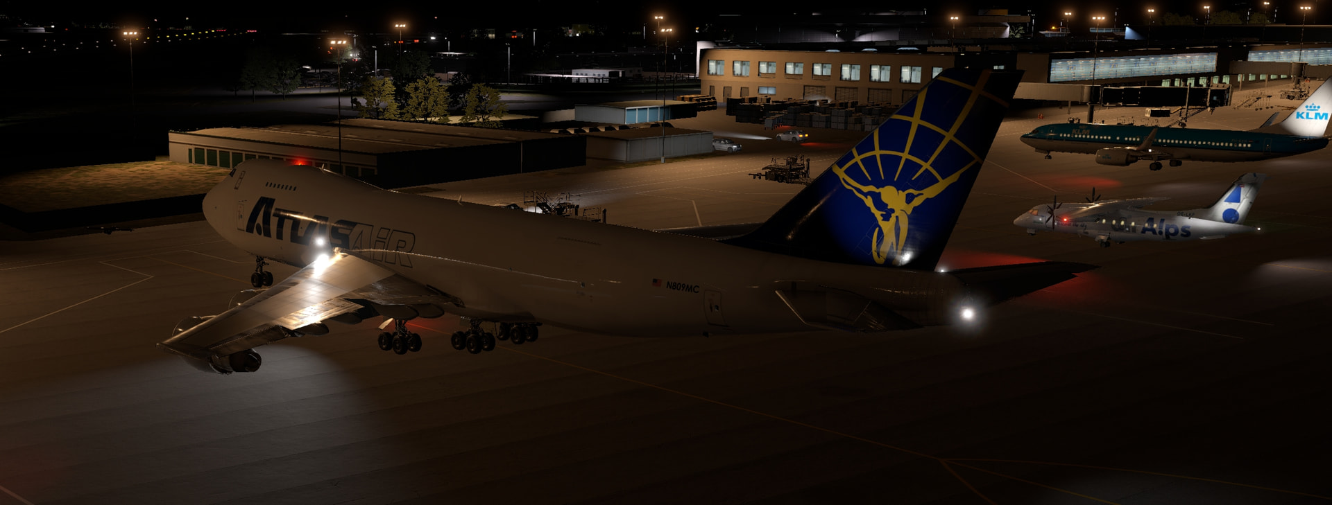
I was going to enjoy taxing in and exploring nairobi but my PC crashed. It suffers from some instability and I think it is the AMD GPU but so far I’ve found no evidence to pinpoint a specific component.
16 Likes
@Roughskirt congratulations! Strong work!
@NEVO traditionally I think the flight was to be completed by New Years…so you have some time left.
And actually, I think we all agreed at some point that no one gives a wet slap when you finish really…the journey is the thing!
@TheAlmightySnark That 74 is incredible!
6 Likes
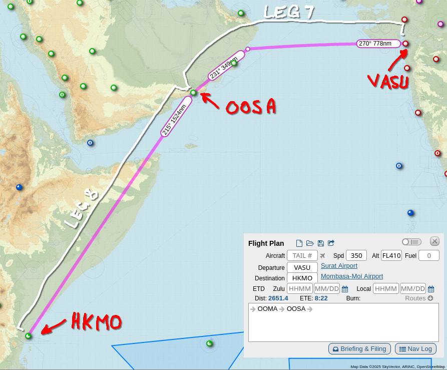
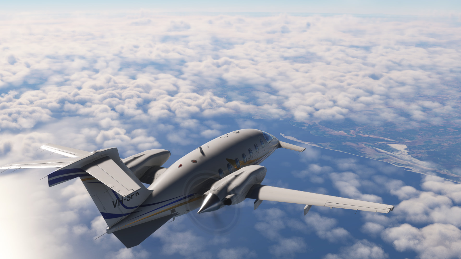
Legs 7 and 8 - Surat to Mombasa
Two-for-one here as I’ve been busy! Here’s the route:
We start in Surat on a cool morning, ready to cross the Arabian sea to Oman. It’s still hazy, but we get airborne without incident and climb on course:
To make the most of the speed this leg we cruise at FL360. The autopilot is still on the fritz, and we’ve got a huge headwind (another reason to cruise lower and faster!)
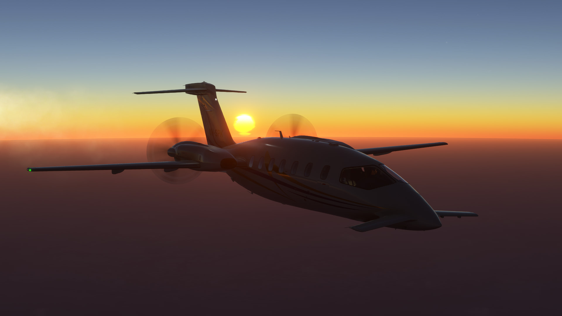
After an uneventful climb and cruise most of the way across the gulf, the sun starts to rise behind us:
We pass over Masirah airport (on Masirah island), a former RAF base which was important during WWII for conducting maritime patrols over the gulf to protect the supply of oil:
After another uneventful cruise, we start to descend towards our destination, Salalah in southern Oman. The terrain is dramatic in the morning sun:
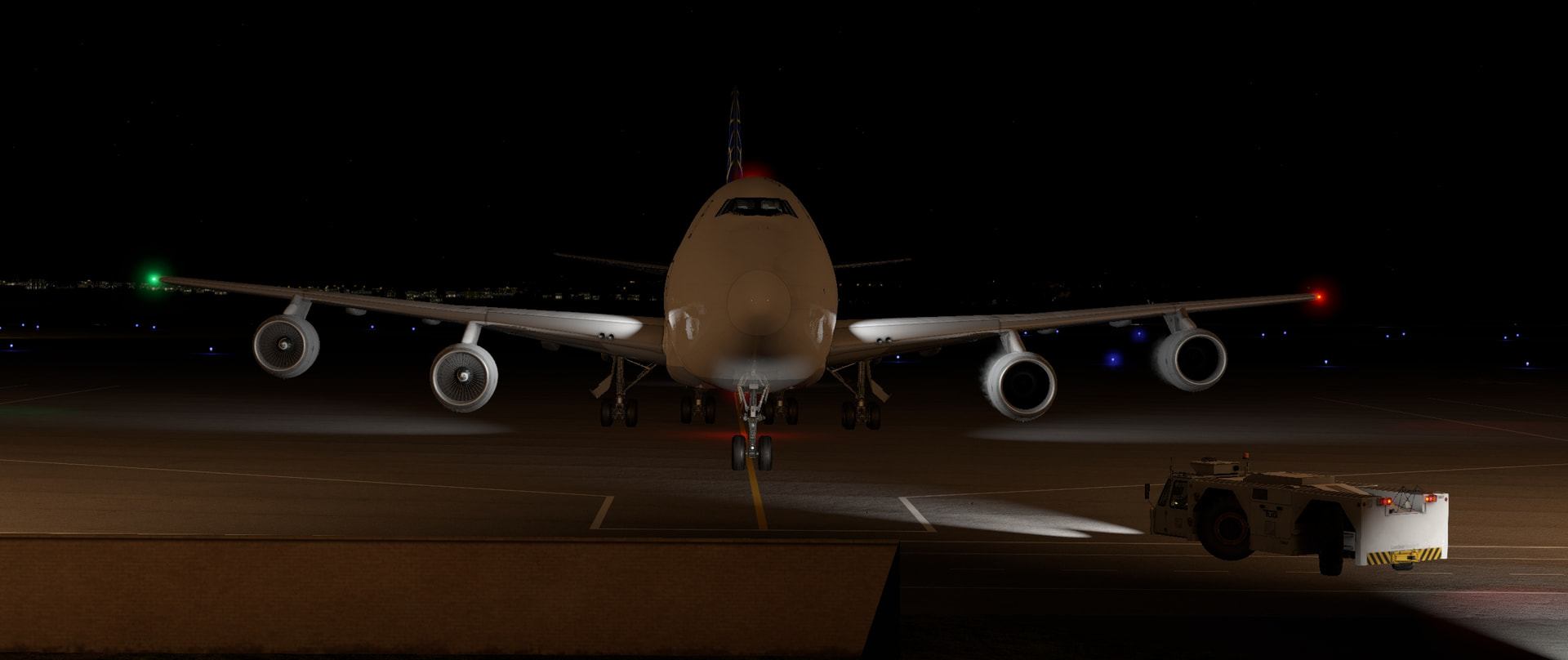
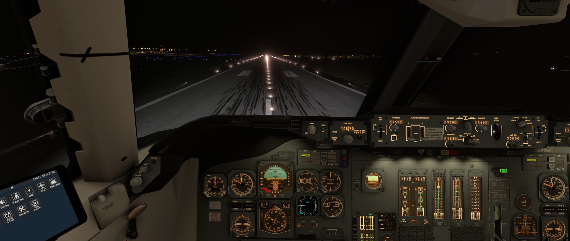
Landing is uneventful:
After a rest we depart for:
This morning I haven’t told MSFS2020 where we’re going, I program everything manually into the FMS. And now the FMS will go into LNAV mode! We happily climb away from Salalah with everything working properly:
Once again the sunrise is one of the notable points in the cruise, this time we get to see it from the cockpit:
As this is the longest leg I’ve attempted so far, and the temperatures above FL380 are down at ISA-20, I experiment and climb above the highest altitude in the cruise tables. We get a cabin pressure differential warning at FL442, so I descend to FL440 for cruise:
After a very uneventful cruise, we enter Kenya and descend towards Mombasa over Kilifi Creek (I’m not sure if the lake at the mouth has a different name, and Google is again unhelpful)
As we line up on final I glance left and see an amazing view:
Despite the lineup being pretty good, this is the worst landing I have made in this aeroplane so far: I float all the way down the runway, oscillating in up and down, before managing to land and stop just before the end of the runway!
I breathe a sigh of relief as I park up:
My workstation is back in action - it was just a blown power supply, and now that’s replaced ![]() - so here is the trip summary to this point. As I write this, I’m preparing to depart Mombasa - we’ll see if we can make it all the way to Madagascar!
- so here is the trip summary to this point. As I write this, I’m preparing to depart Mombasa - we’ll see if we can make it all the way to Madagascar!
(I’ve had to go to decimal hours on the totals because I’m still not totally across how LibreOffice works… I imagine this is more familiar to the pilots amongst us in any case)
14 Likes
Also, New Years isn’t further defined. Chinese New Year is February 17 ![]()
Congrats for making it to the finish line @Roughskirt
@TheAlmightySnark I have been eyeing off the ‘Felis’ 747-200 since we lost the Jumbo from XP11. I’m thinking that my wallet is about to become 70 Dollaridoos lighter. I will probably go with the passenger varient though, just for the QANTAS livery.
10 Likes
I’m not sure that’s the exact verbiage I’d have chosen…
I don’t think there has never been a hard date on finishing a given Xmas flight. Rather than do something that technically fits into my self-imposed theme this year but was out of the spirit of it, I’ll be making my way across Africa all year. Hopefully just in time to start the 2026 trek ![]()
4 Likes
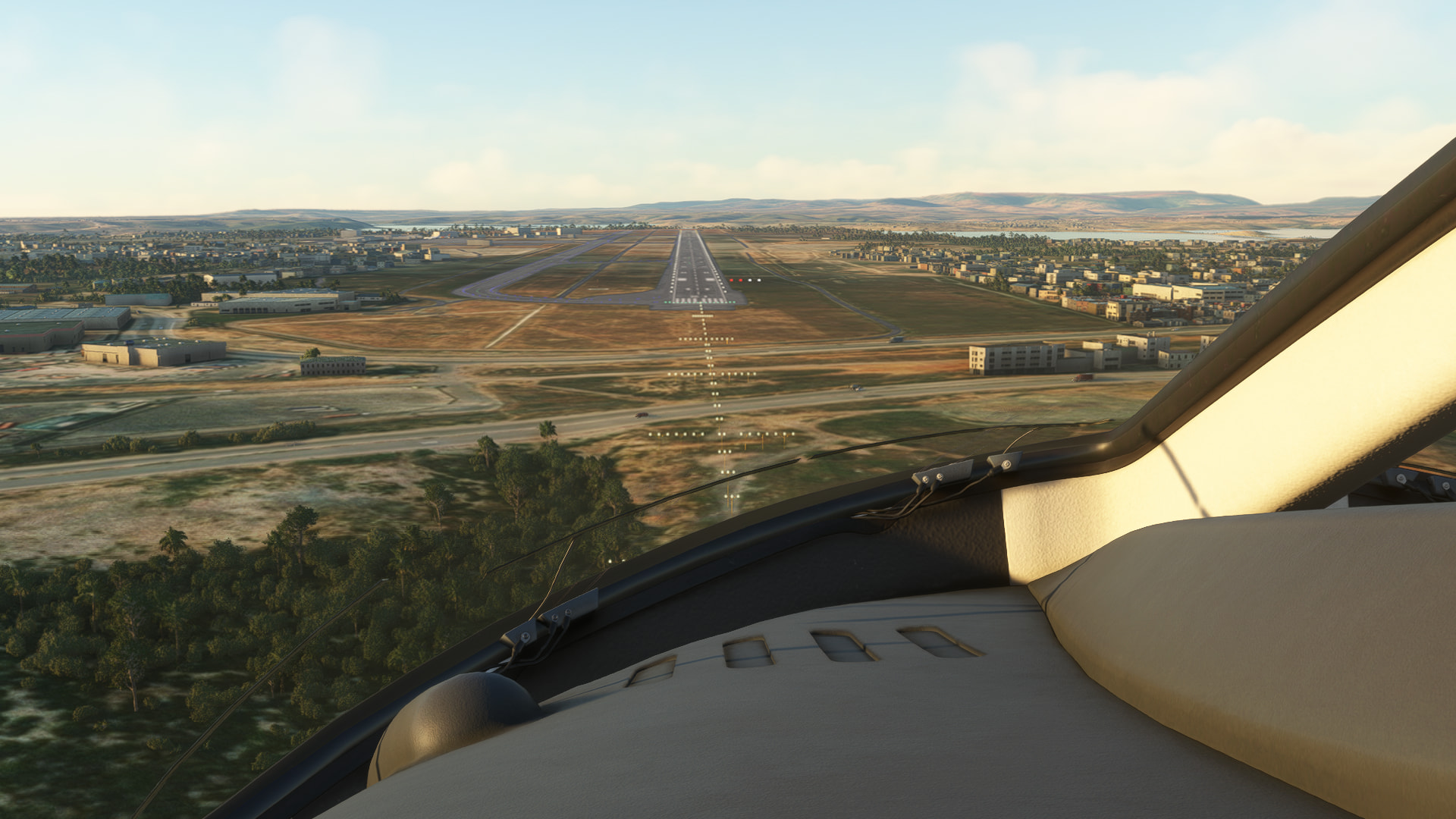
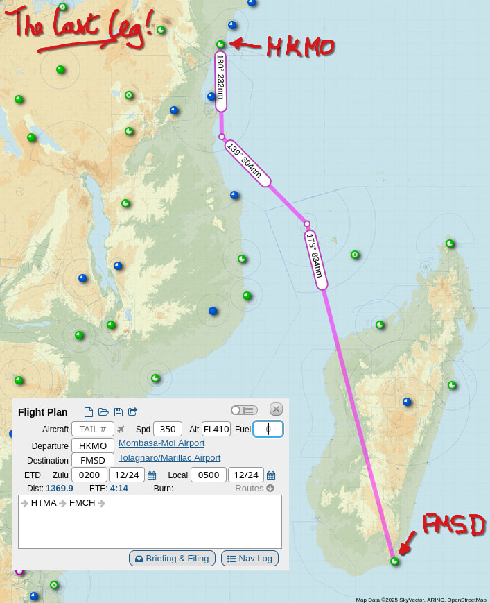
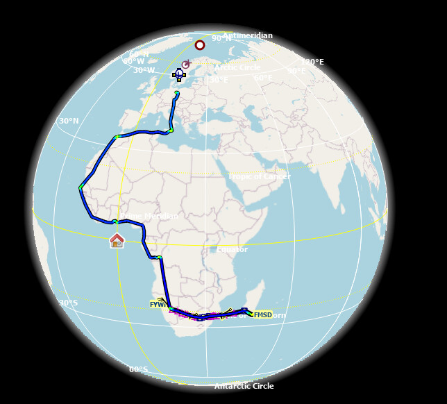
Leg 9 - Moi to Tôlanaro
Time for the final leg! We’re again going to be making the most of the range capability of the P.180 to fly from Moi International Airport (HKMO) in Mombasa to our final destination at the Aéroport de Tôlanaro (FMSD) - and here is our route:
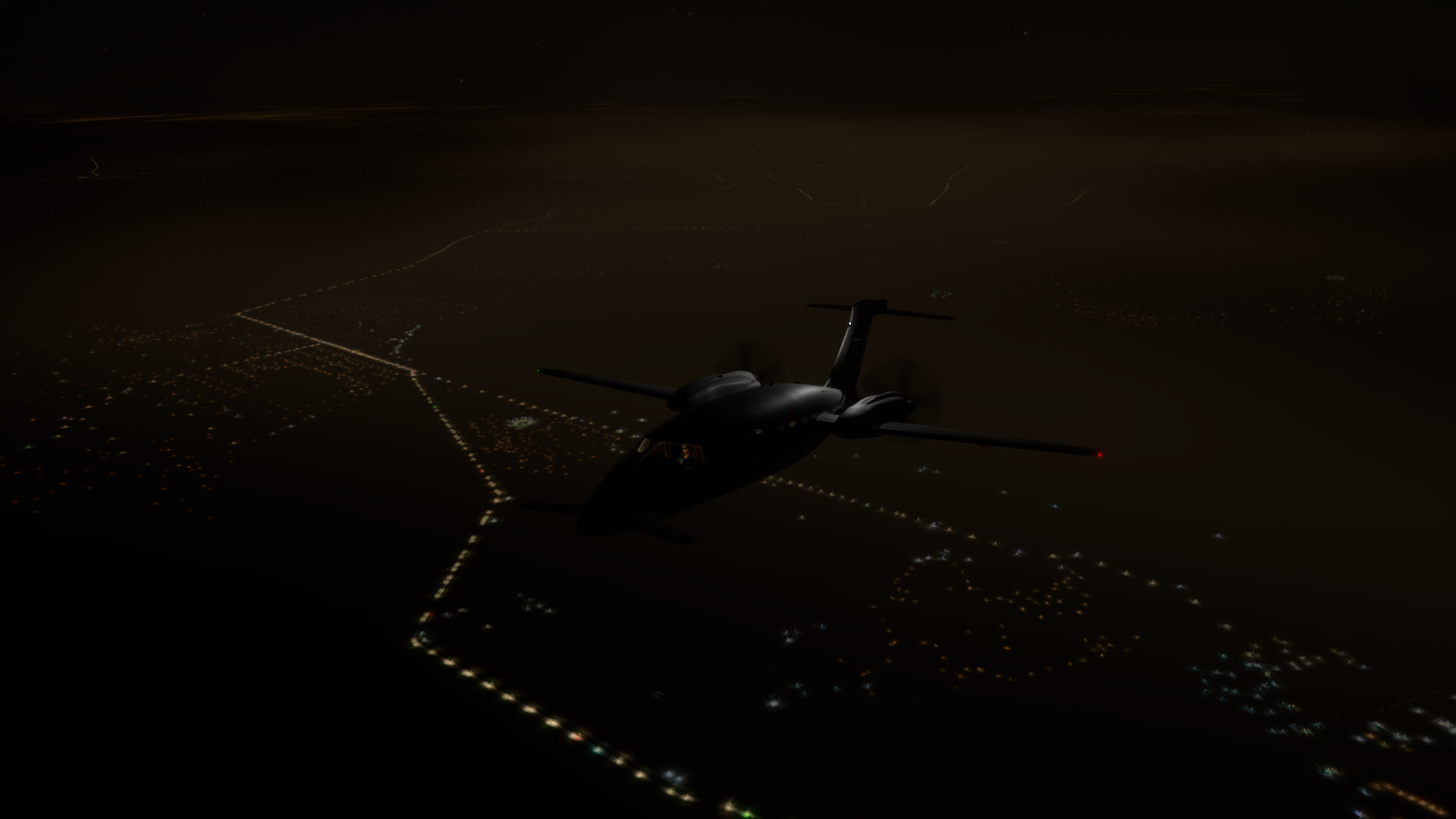
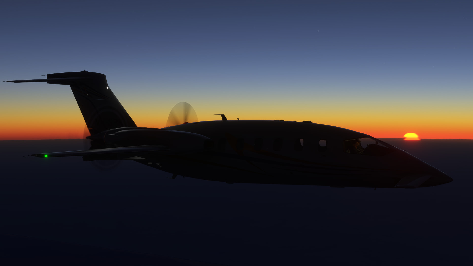
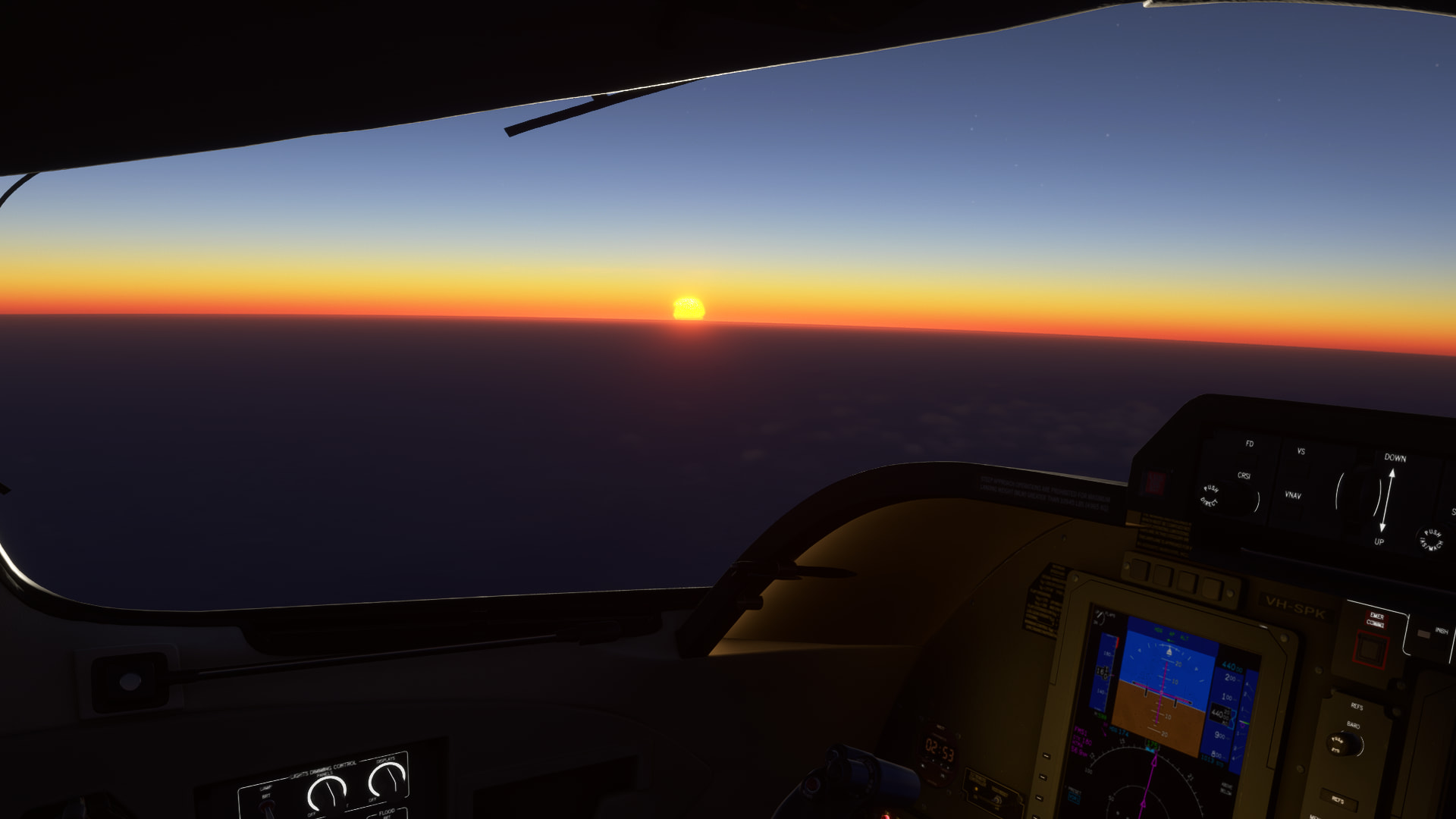
After a dark and uneventful departure from Mombasa we climb to our cruise altitude, FL440, and are greeted by another beautiful sunrise:
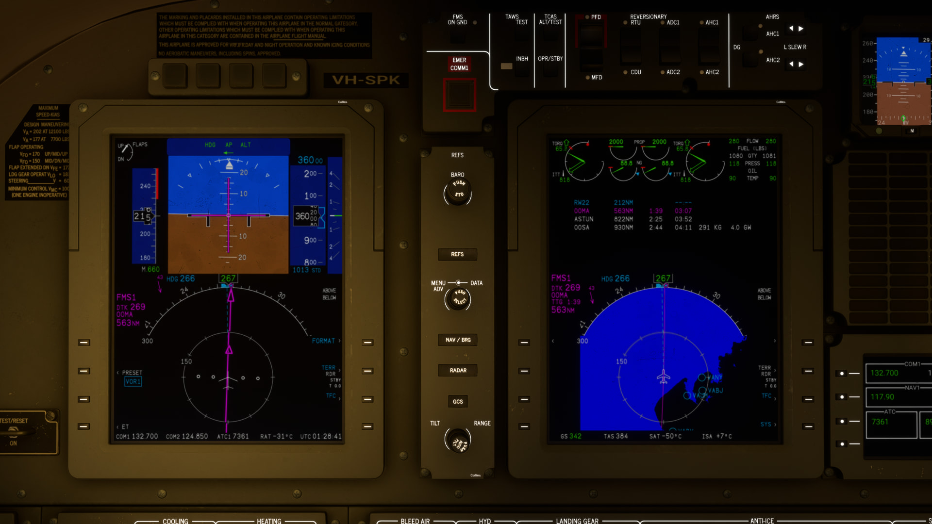
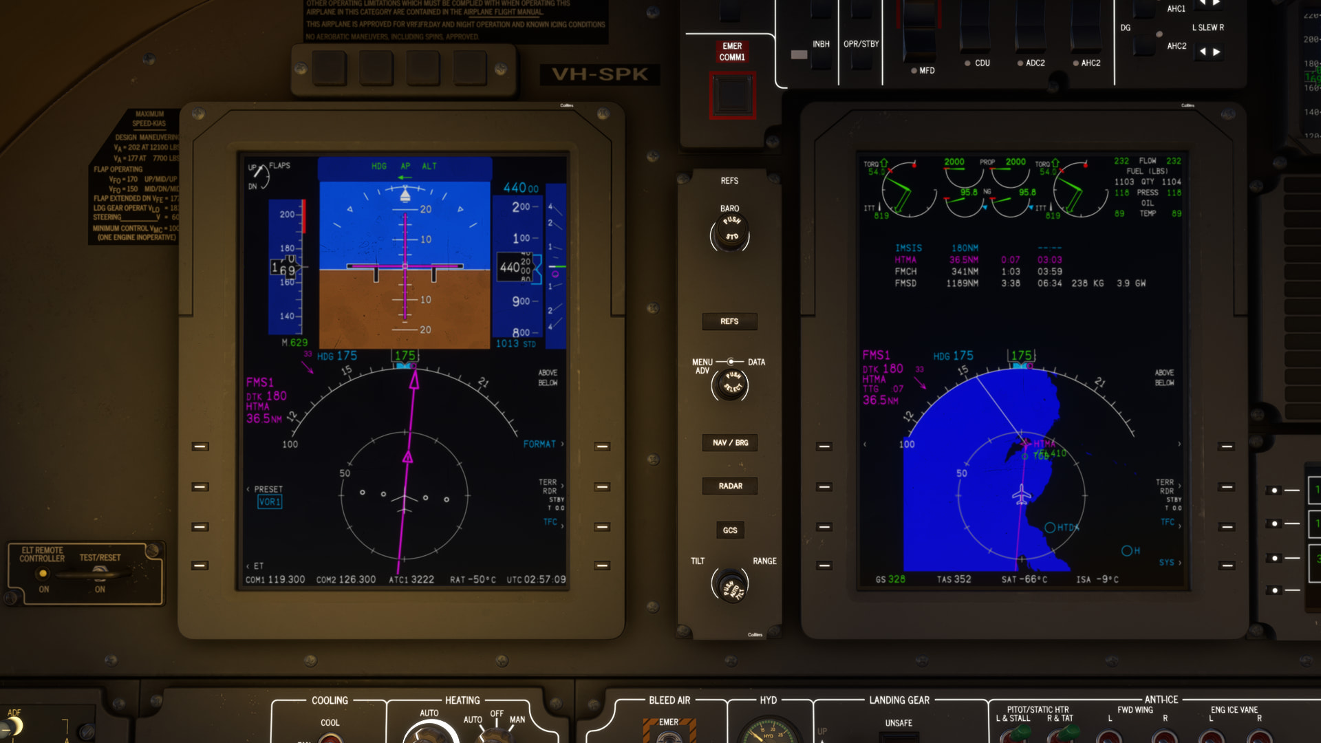
We’ve got another headwind, and despite manually programming the FMS the autopilot is again refusing to engage LNAV or VNAV. I give up and fly on HDG and ALT HOLD:
Our first waypoint is Mafia Airport on Mafia Island in Tanzania. I thought the name was funny, but apparently it just means “island chain” in the local dialect:
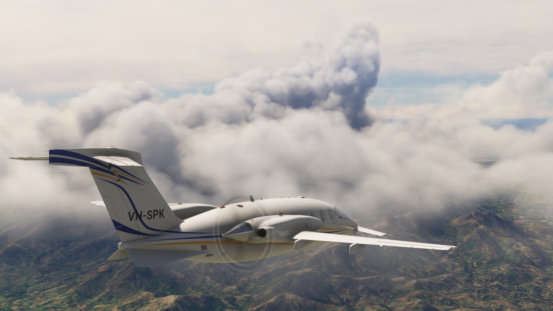
We turn southeast to cross the ocean for our next waypoint, Comoros. Soon, Mount Karthala looms ominously through the cloud:
Mount Karthala is an active volcano, it last erupted in 2005 and 2006. There used to be a lake in the caldera, but an eruption in 1991 destroyed the lake:
We continue over the ocean, and before long the coast of Madagascar appears out of the cloud!
The flight over the central part of Madagascar is uneventful - the terrain reminds me of home. On descent we see some towering cumulus and I’m momentarily worried it is sitting over the airport:
But as we pass the hills the coast is clear (literally!)
I line up for landing - let’s make this a good one!
It is a smooth landing and we come to a stop, bringing this year’s Christmas Flight to a close!
I park up… in the only spot available!
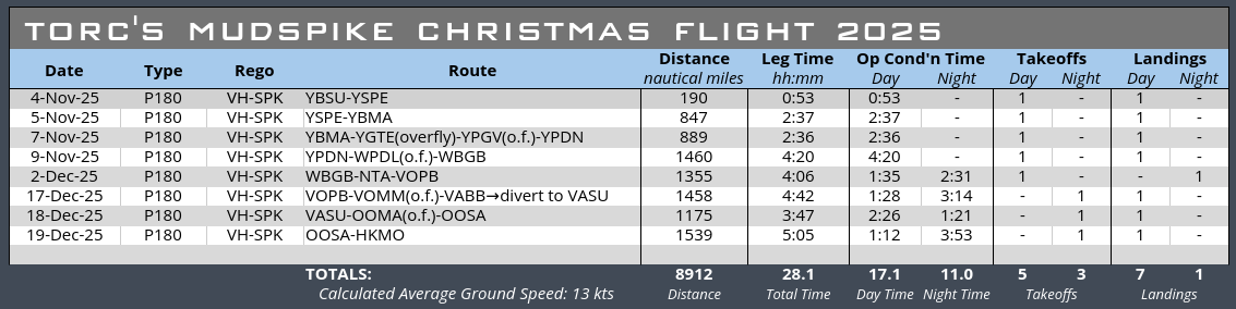
And here’s what we had to do to get here:
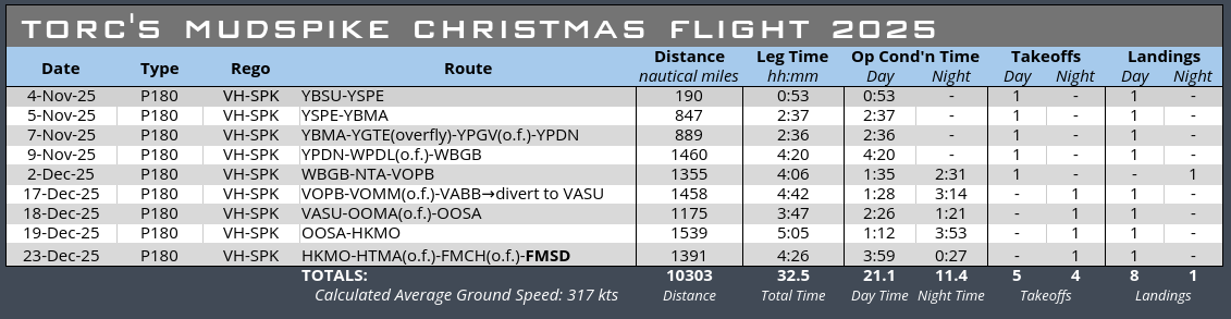
32.5 hours in the air, 10,303 nm covered. Average speed of 317 kts is not too shabby! Though I didn’t get my 3 night landings this year, so no passengers for me ![]()
The FlightFX Avanti P.180 was a fun aircraft to fly, I’m not totally sold on the engine modelling (the fuel consumption doesn’t seem to care about cruising altitude or speed above a certain point), but the cruise speed and altitudes it can achieve are pretty impressive for a turboprop. It’s certainly been more fun to drag halfway around the world than the King Air was last year, though like the King Air I’m not sure I’d do it again in this aircraft. The annoying problems with the autopilot spoiled my fun for about a third of the legs.
Anyway, time to push it into the sea so the next contestant can park up ![]()
Congratulations to all that have made it so far, and to everyone still on their way I’ll keep a seat for you at the bar!
17 Likes
Hee hee, sorry, I shamelessly borrowed it from Douglas Adams:
”The Dentrassis are the best cooks and the best drink mixers and they don’t give a wet slap about anything else. And they’ll always help hitchhikers aboard, partly because they like the company, but mostly because it annoys the Vogons.”
![]()
Great job, @Torc !
4 Likes
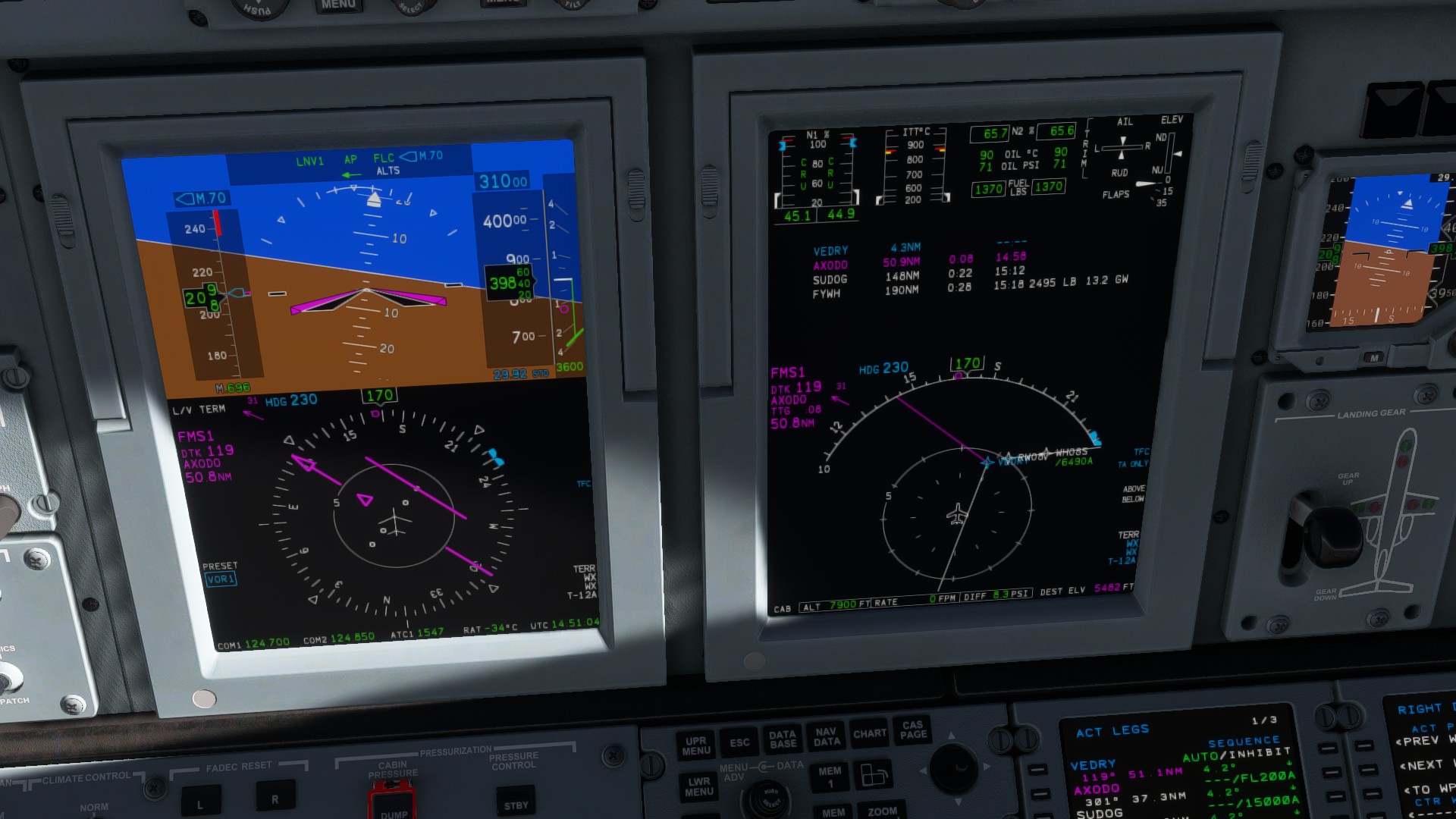
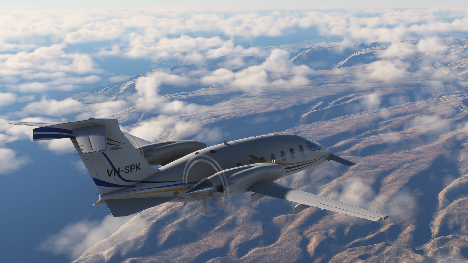
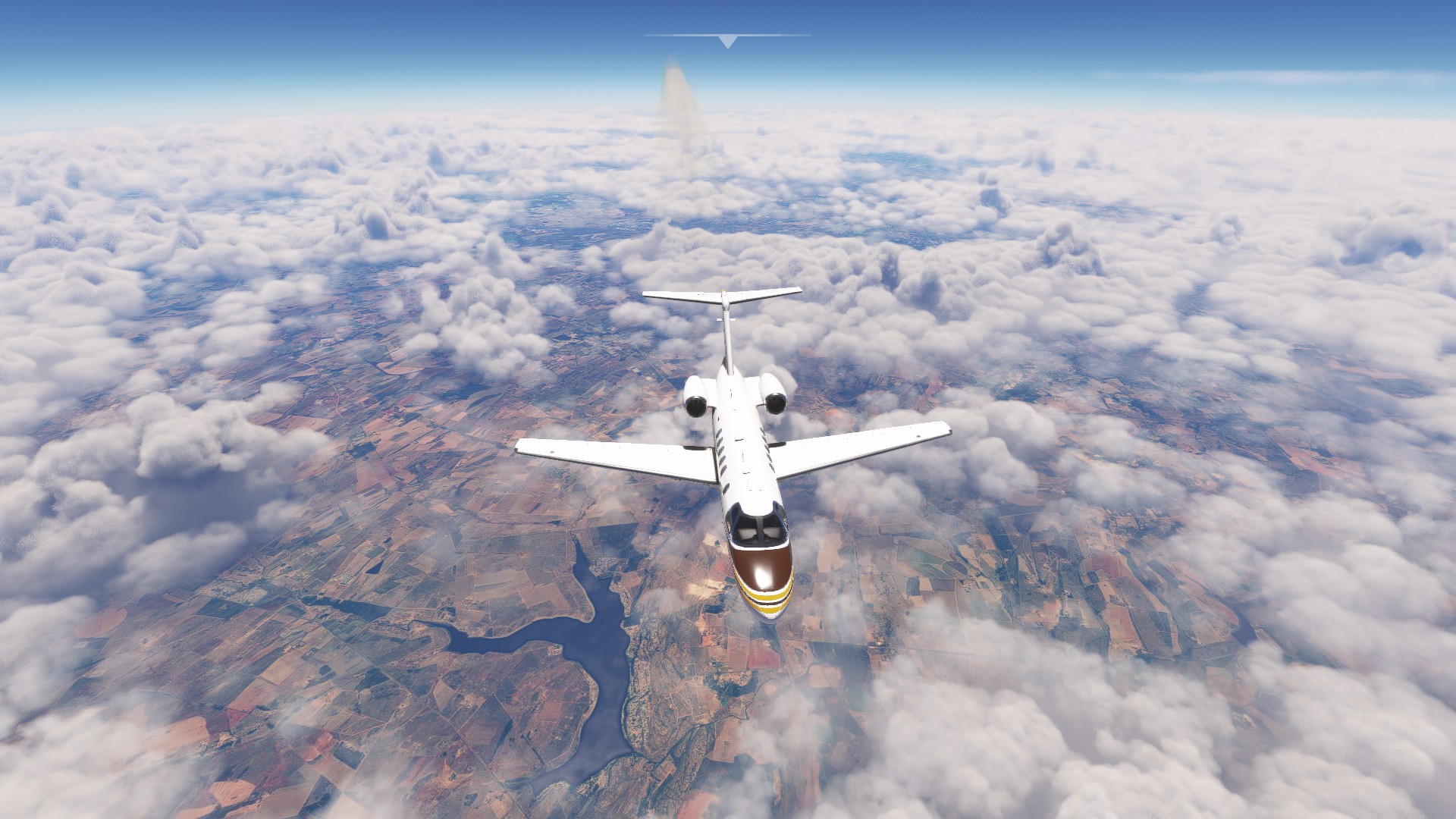
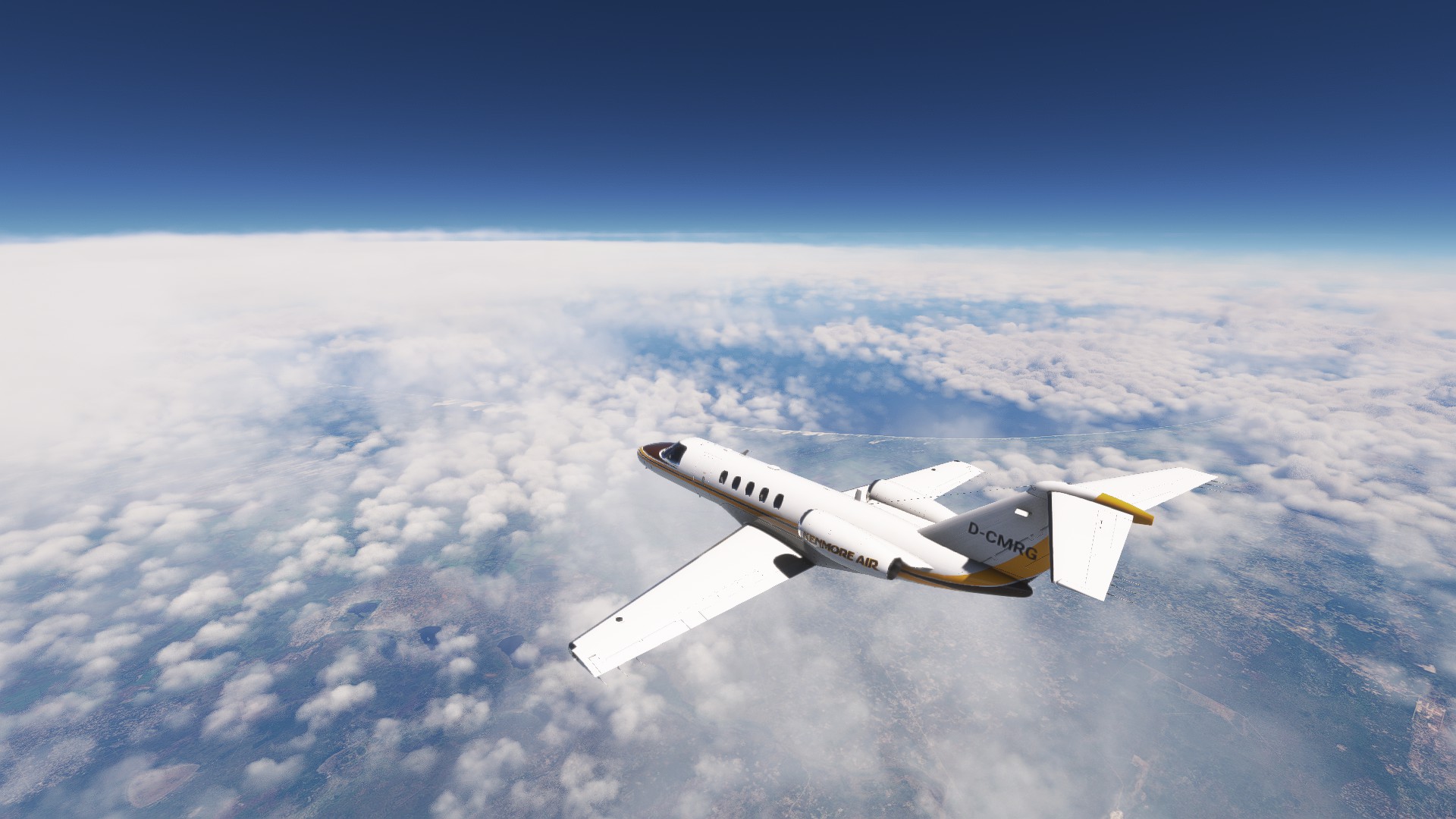
(Final) Leg 7: Windhoek, Namibia to Tôlagnaro, Madagascar // IFR Hosea Kutako Intl (FYWH) to Tolagnaro (FMSD)
And now for the final report of my trek. I flew the leg yesterday. Just in time as if I’ve made a proper plan this year.
Ready to kick off the final flight. Weather was actually really good this whole journey.
Good bye Namibia. It was a pleasure. Certainly one of my highlights on this trek. Well worth the slight detour…
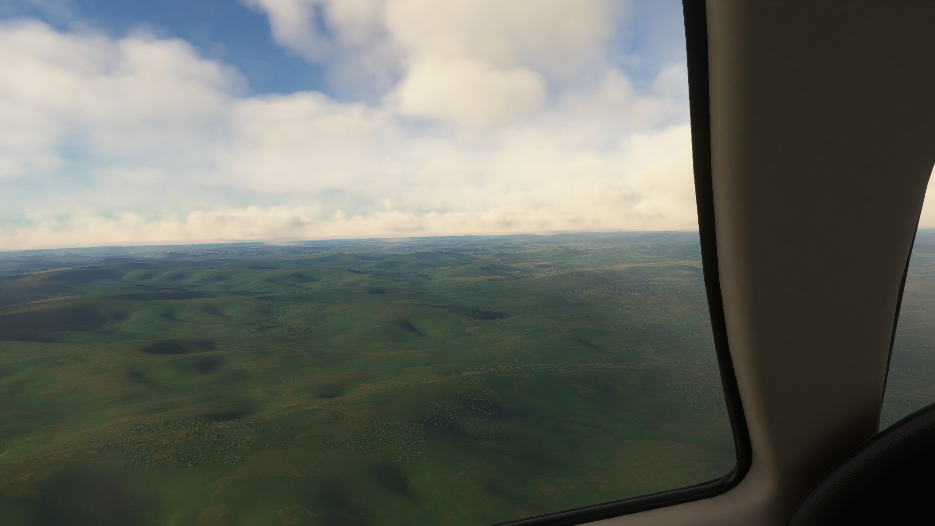
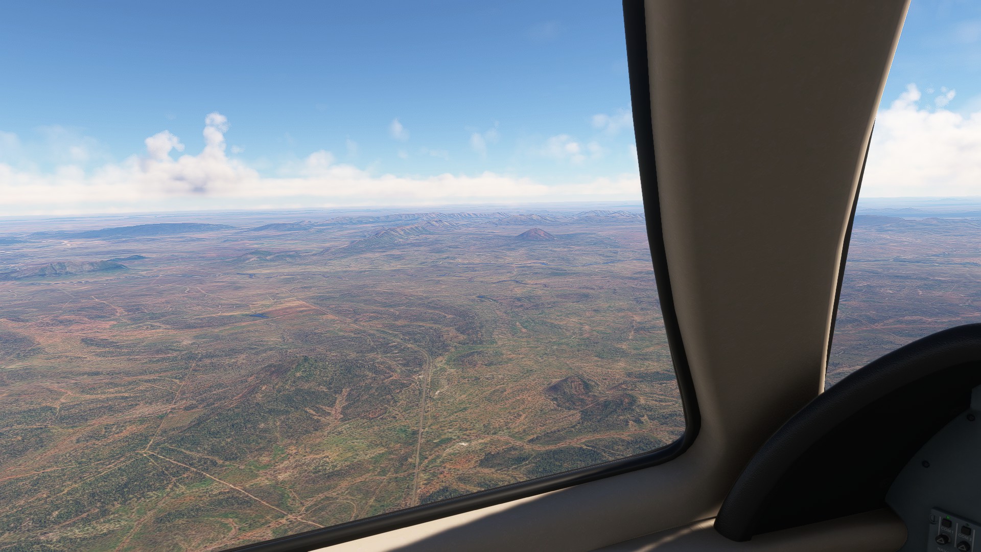
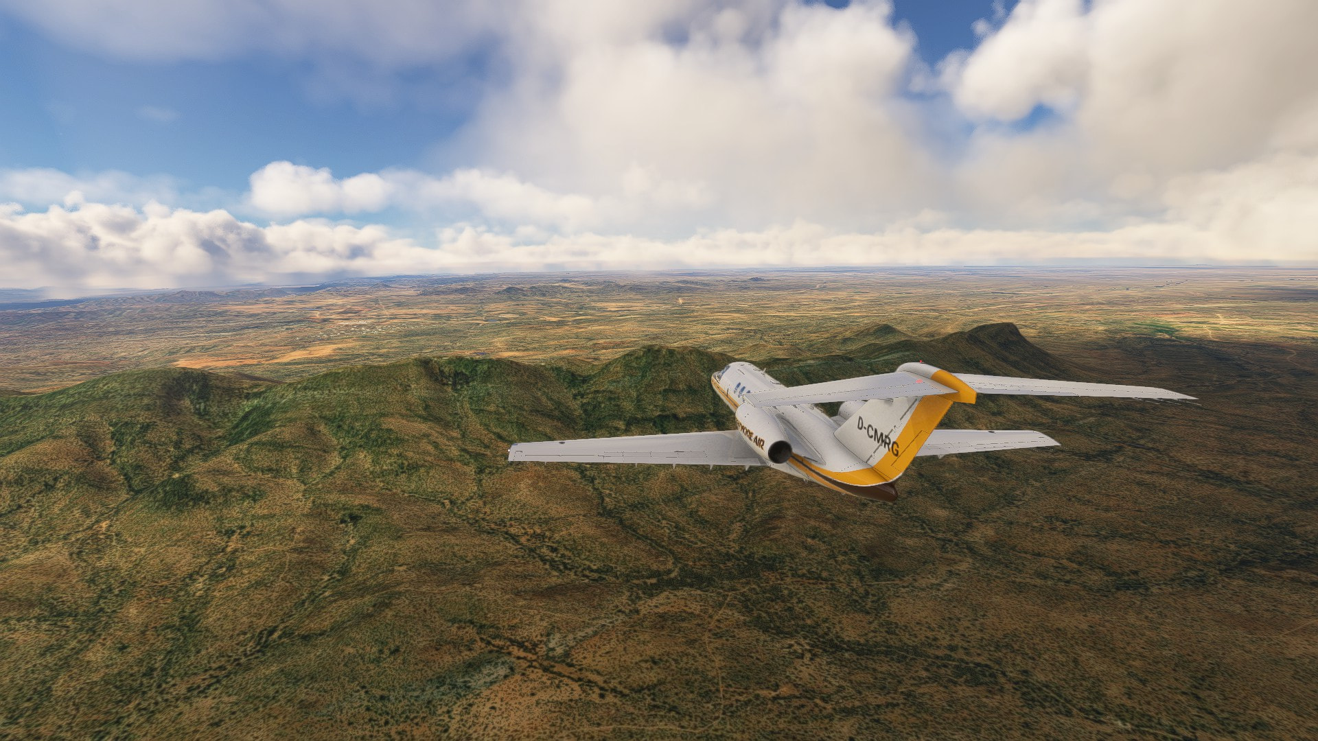
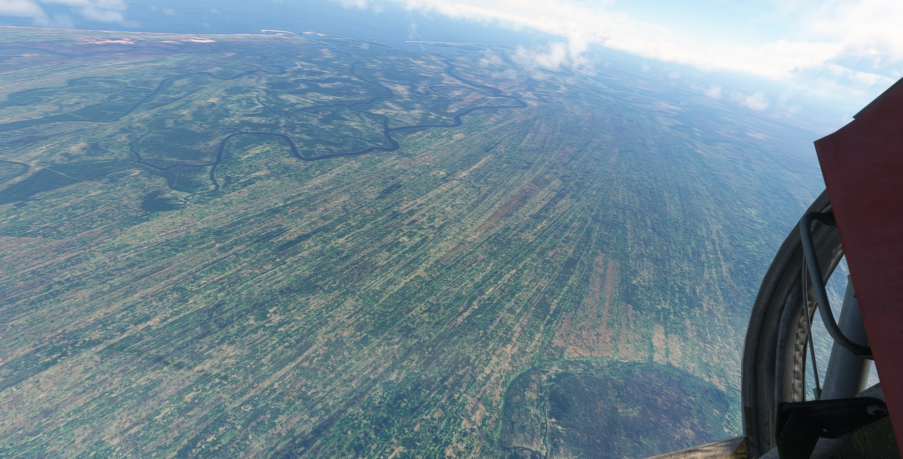
Now crossing the huge plains of the southern half of the continent. This will be the longest leg.
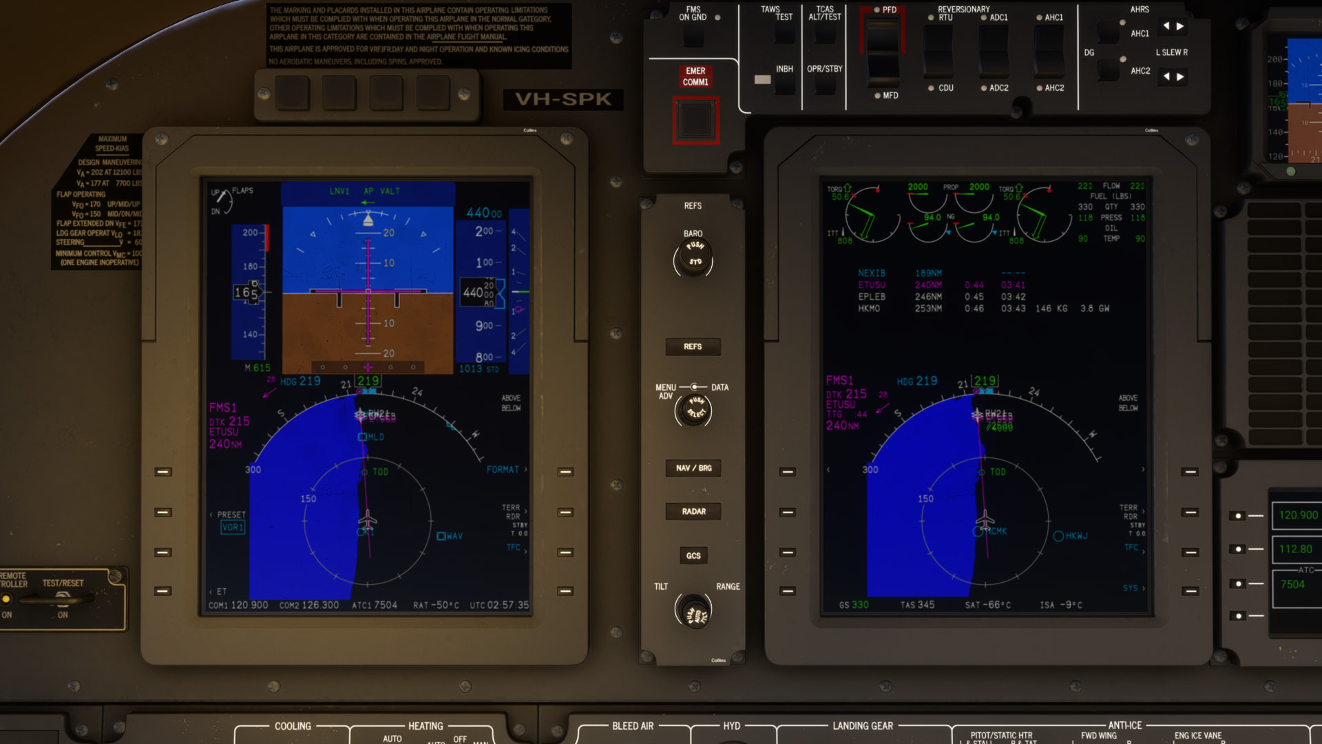
I finished the climb to FL450. Expected fuel at our destination is 0 lb. This will increase once I throttle back when reaching M0.74. She really likes to go high and fast.
This is Botswana.
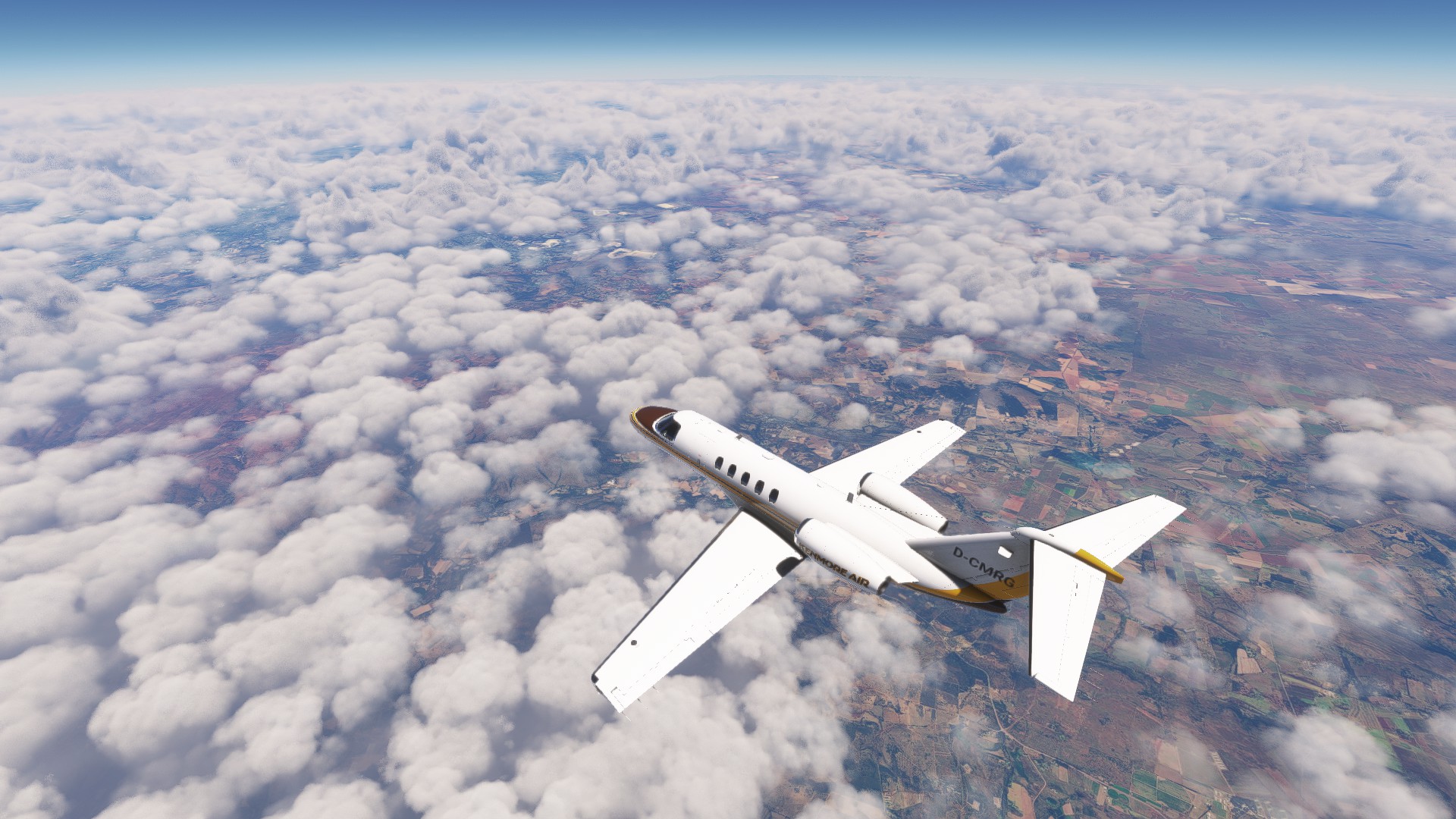
Clouds are getting denser as we fly into South African airspace.
Passing right between Johannesburg and Pretoria.
Cutting through the southern tip of Mozambique, we get a glimpse of the Indian Ocean.
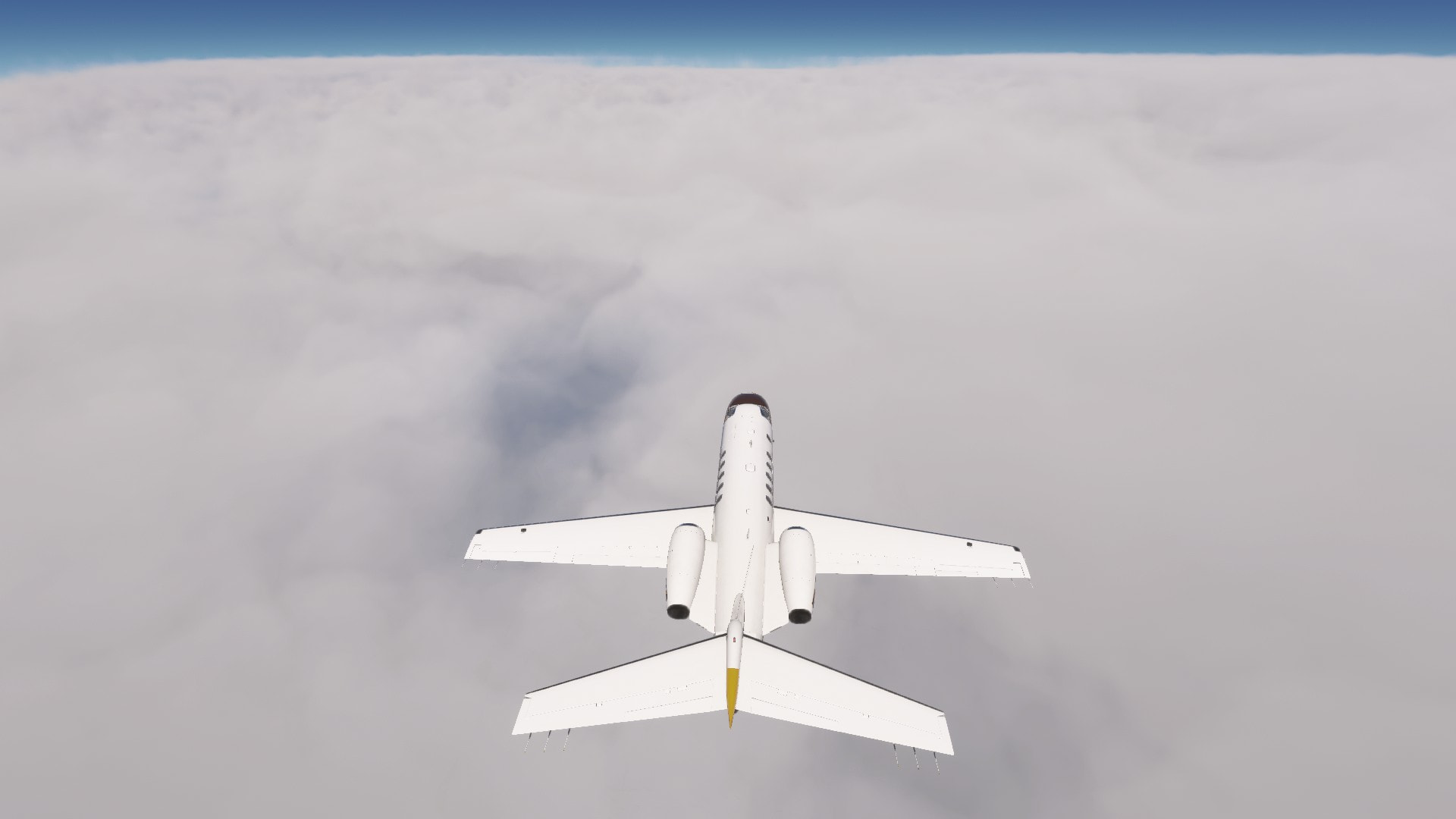
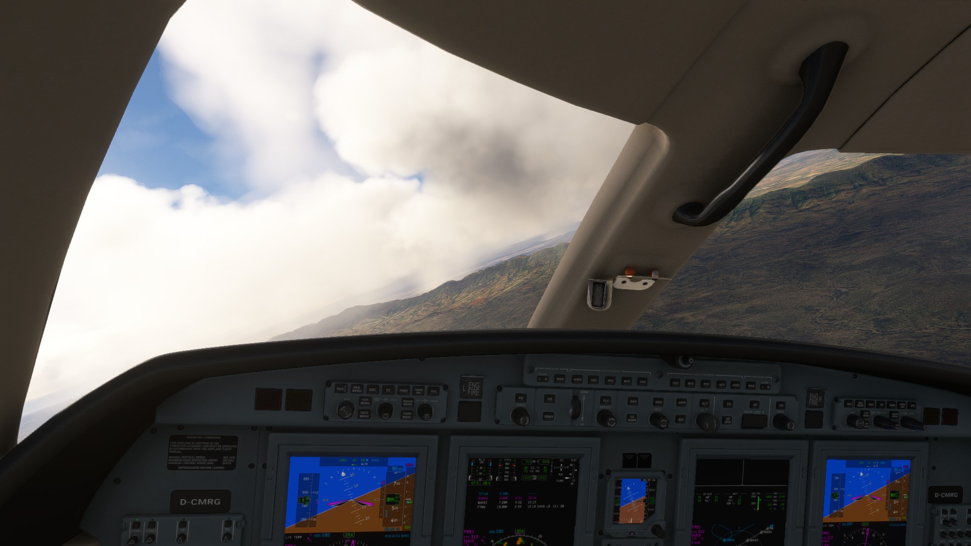
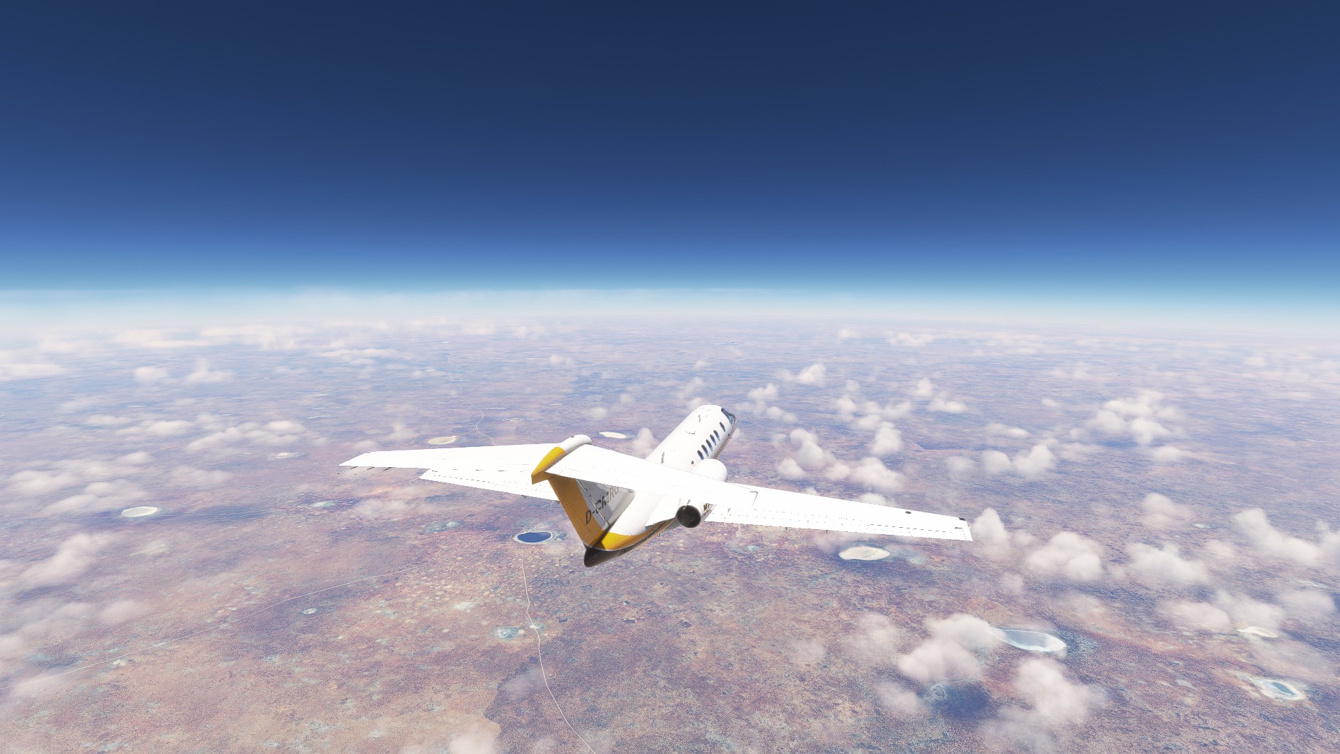
There is overcast on the whole way to Madagascar.
Luckily we got a 60 kt tail wind during our eastbound leg. Expected fuel at landing is nearly 1600 lb. We don’t even need to dig into our reserve.
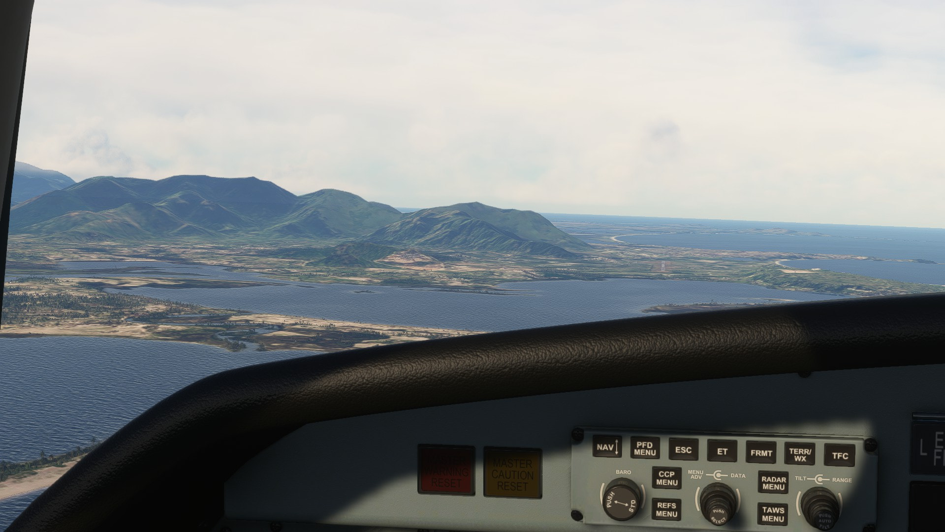
There she is. Such a big island.

Interesting features on the ground. Looks outlandish. Almost like another planet.
This must be the TCU I read about in the METAR.
Fortunately we don’t need to go there.
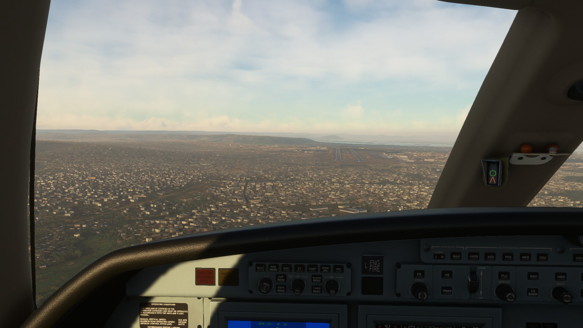
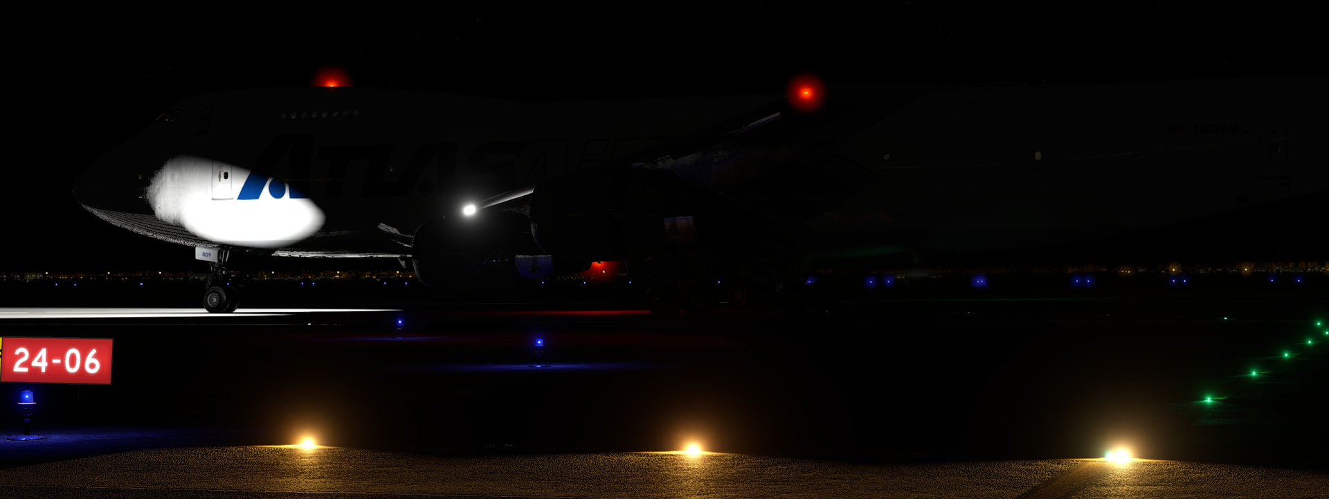
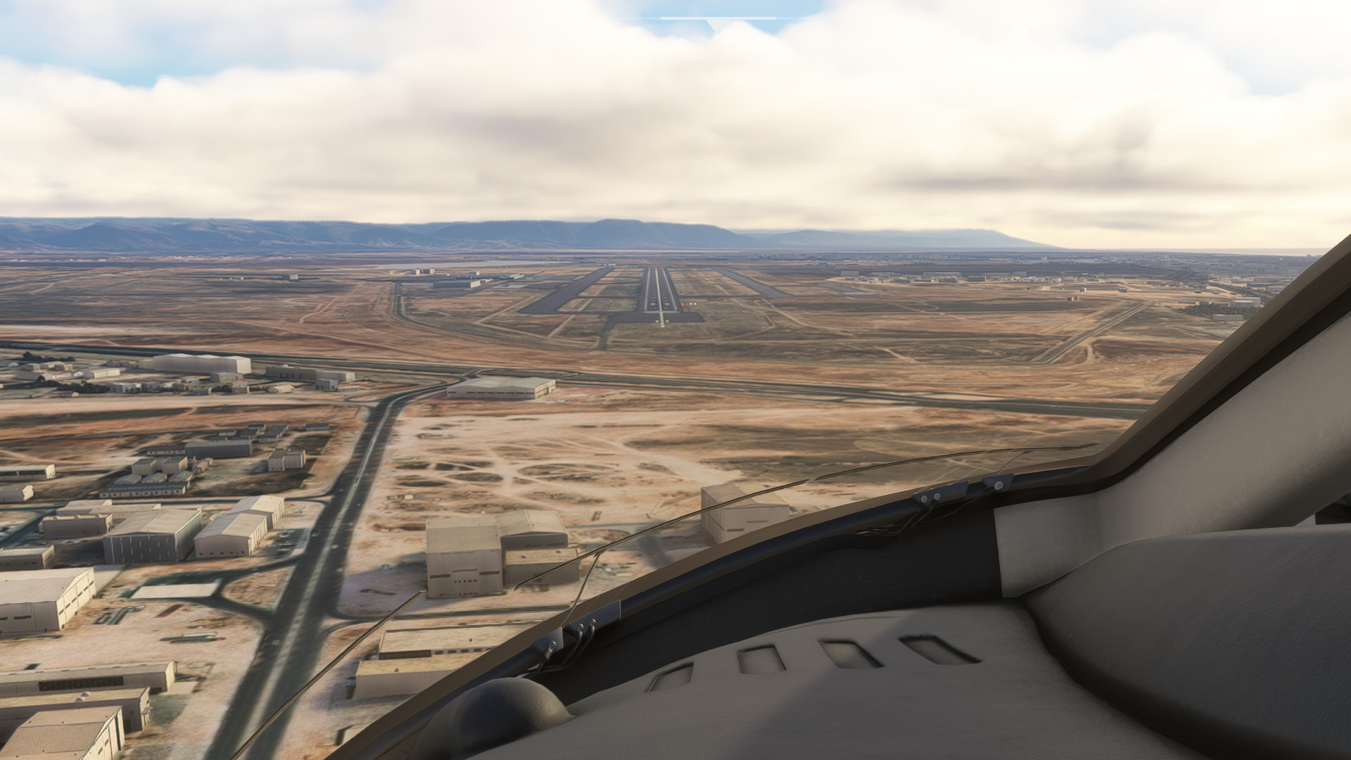
And we’re already at our destination. Weather holds up.
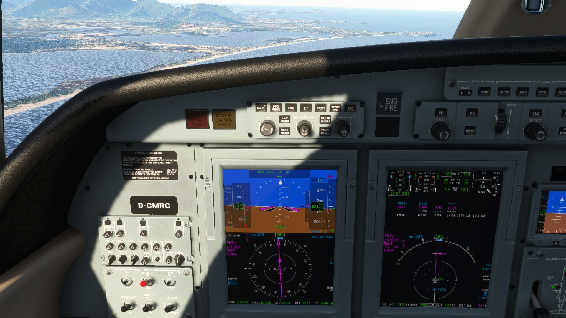
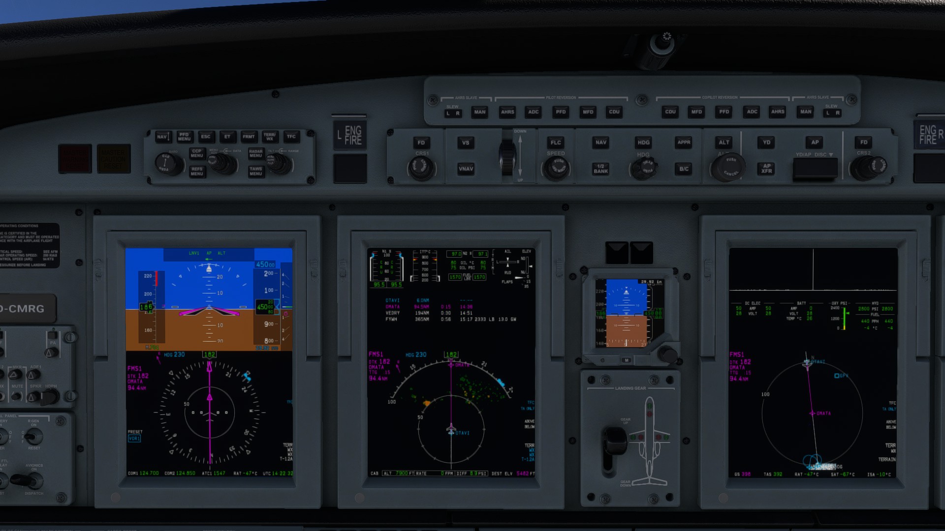
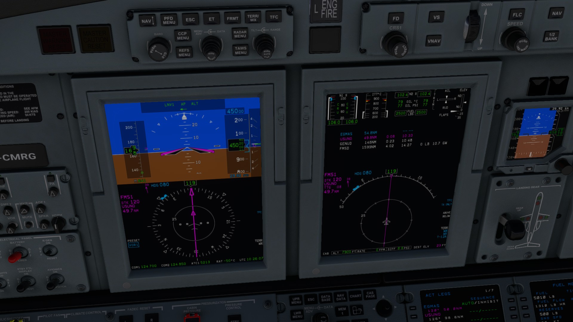
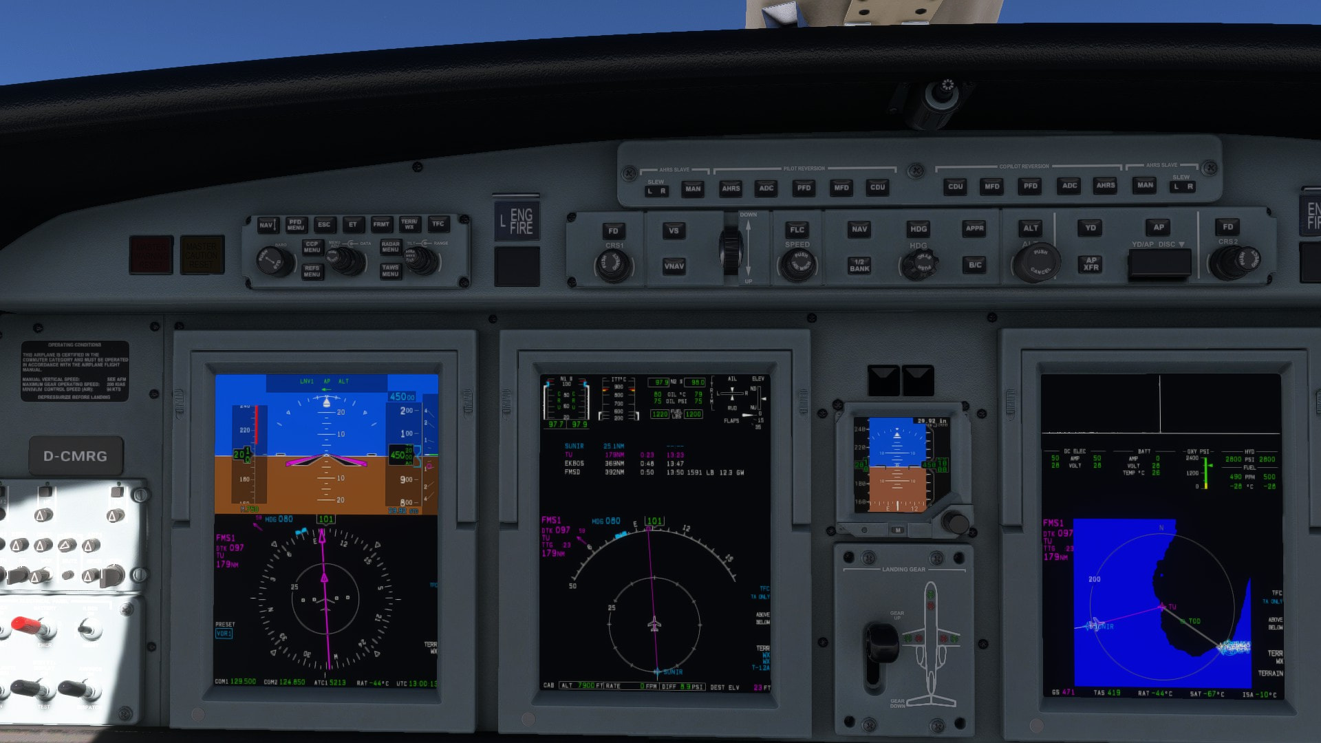
This time ATC worked flawlessly and I even managed to get VNAV bring us right to the FAF. Quite a heavy wind at 27 kt, mostly with head wind component though. I push APP to fly the RNAV approach. Minimums on the chart I could find seems rather excessive with 1650 ft for an airport at sea level. I guess it’s because of the steep mountains to the west. Runway in sight at 7 nm so I let George fly us down the (virtual) glide path.
Nice scenery. The nice thing for me in MSFS2020 is, I did not install any addons and it still looks amazing.
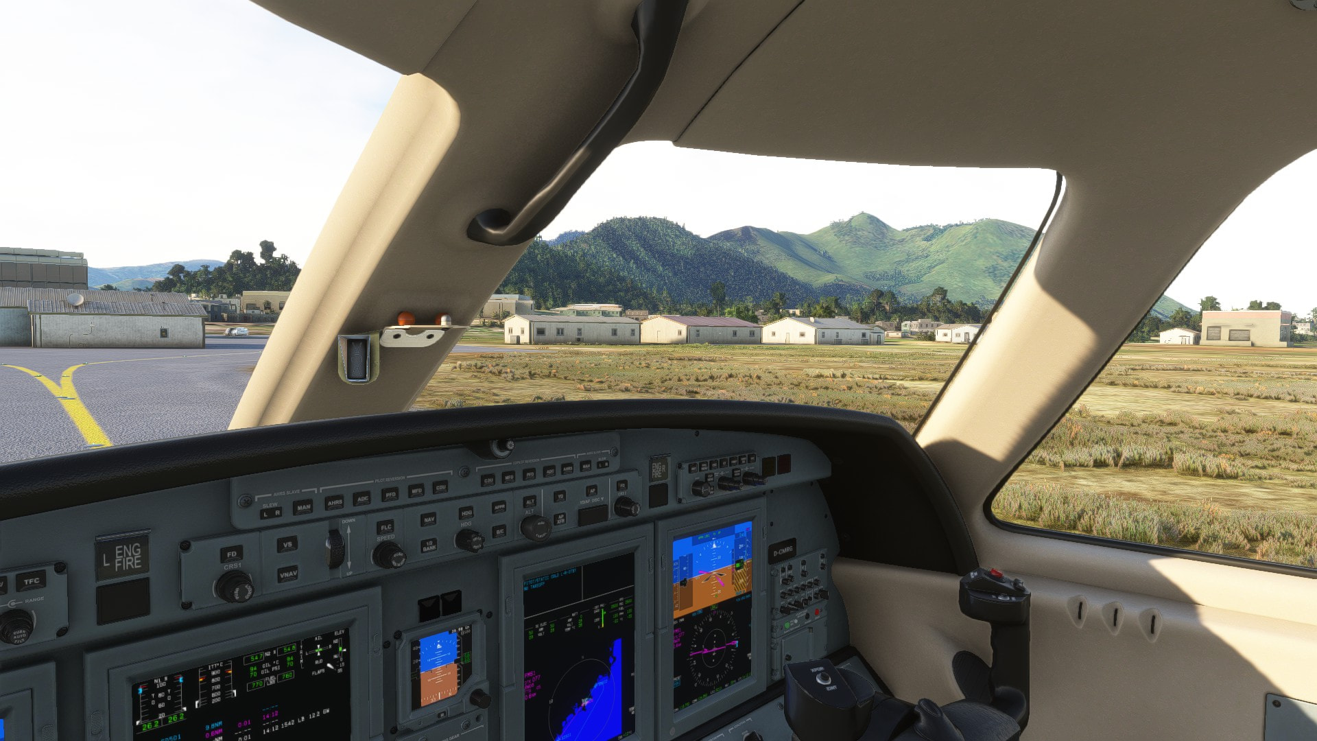
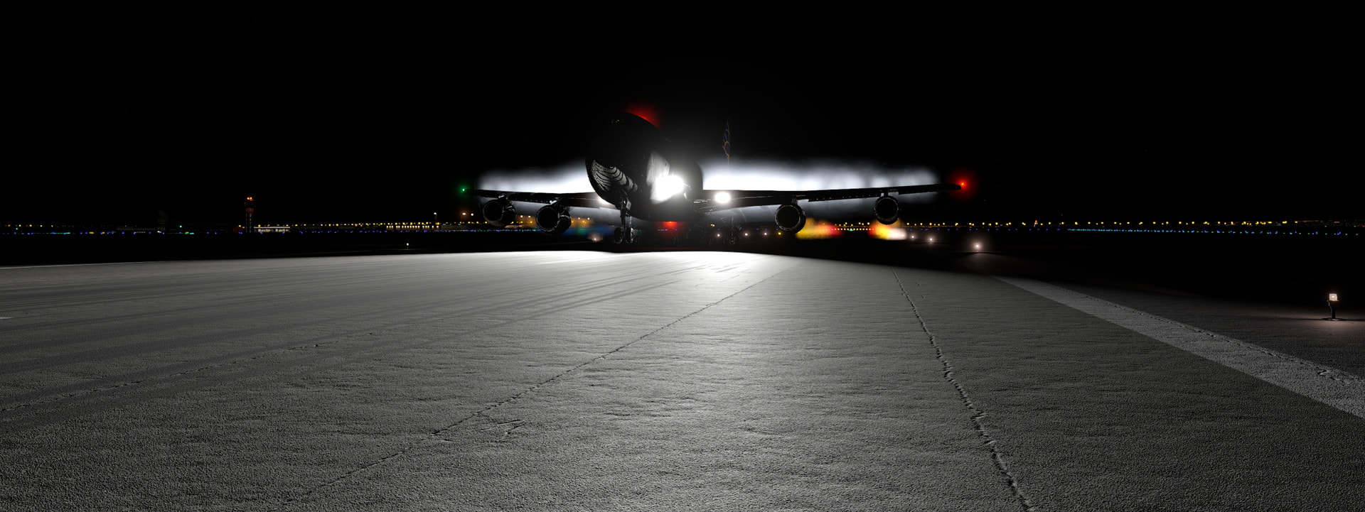
And here we are. Touchdown was a little messy when i deactivated the AP and adjusted for wind. But were safe and sound.
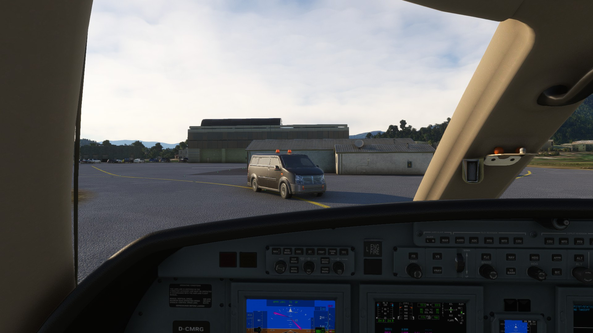
Oh look. @Aginor ‘s friend is also here and heading right for us. Luckily he mad a sharp left turn away from us.
And that’s it for this year. What a ride. I crossed over 33 countries.
Is there still booze left at the bar?

Thanks for reading and merry christmas, everyone.
16 Likes
Congratulations @miRage!
2 Likes
congrats @Torc ! ![]()
3 Likes
congrats @miRage ! ![]()
1 Like
Great report, congrats!
1 Like
sure that , but I want to have it finished this time on time , I am far too long on the ’ roads ’ ![]()
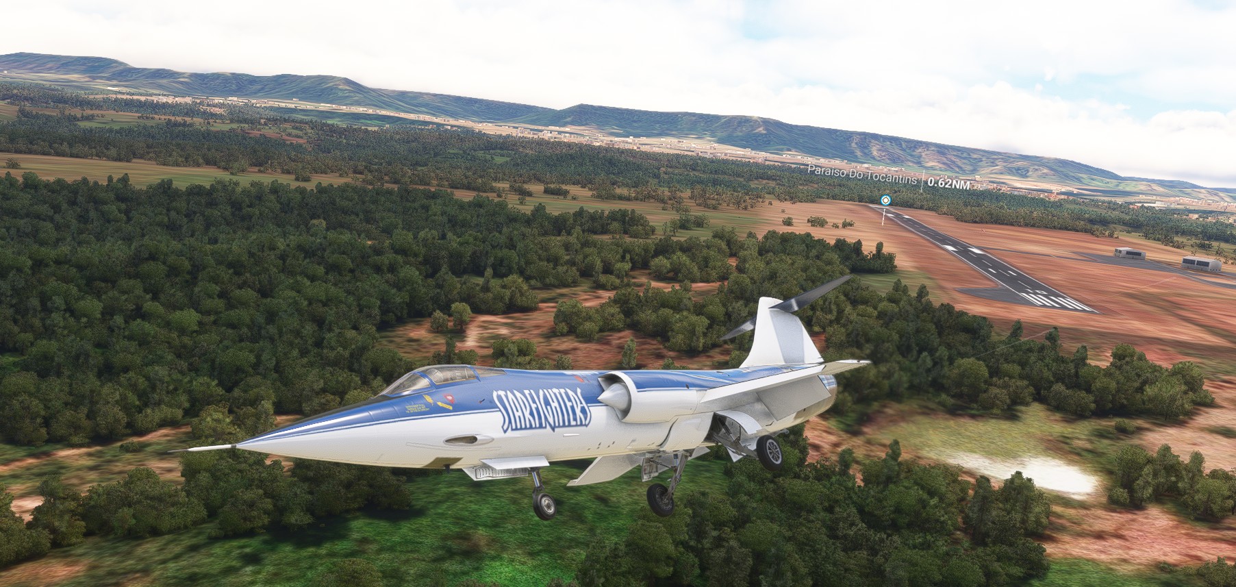
Africa , here we go !
leaving São Tomé and Príncipe island ![]() didnt know its republic
didnt know its republic
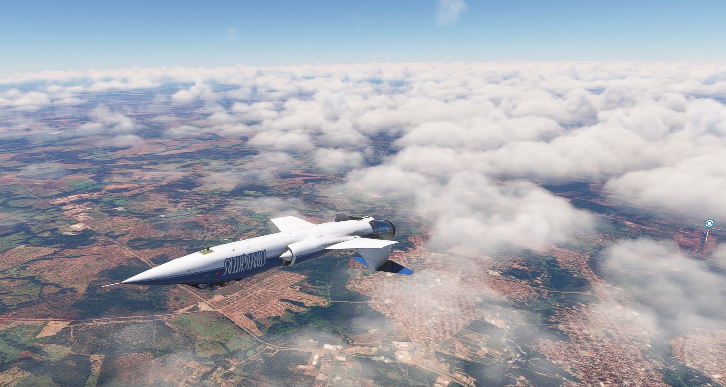
low level in Gabon ![]()
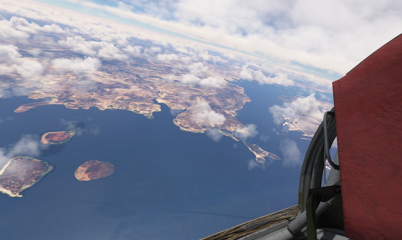
big river in Congo ![]()
rainy over lake Bangweulu , Zambia ![]()
and where the ocean meets the land , Mozambique ![]()
and from here it will be ’ short hop for Mudspike , but big leap for Learjet full of presents ’ ( and some beer oc ) ![]() one more leg to go
one more leg to go
13 Likes