Official 11th Annual Mudspike Christmas Flight 2025 - Discussion and AAR Thread

Well if I want to be a part of this I’d better get on with it!

Last year I dragged a King Air 350 from Sunshine Coast airport (Australia) to Svarlbard. That ended up being 12,700 nautical miles of flying which I did in real time with real weather (while doing other things and leaving the sim on autopilot, of course). Same plan for this year, and since I’m avoiding super-long overwater flights we’re going to keep to much the same route until we cross the Gulf of Oman, at which point we’ll head south down the coast of Africa instead of northwest into Europe.

So there’s the rough route. I’ll try to do the same as last year, but I am starting in November instead of September so we’ll see how we go. The route is a bit shorter, around 10,500nm instead of 12,700nm, and I’ve got an ace up my sleeve:

I wanted to fly the FlightFX P.180 for last year’s Christmas Flight but it wasn’t ready in time. So I’ll fly it this year - it’ll be interesting to see how it compares to the King Air over the same route! The version of the P.180 modelled uses the same ProLine 21 avionics suite as the (modded) King Air I flew last year, so it should be easy to adapt to it.

(Also I work in that blue building behind the plane :nerd_face: )

14 Likes

If it’s anything like the MSFS, she absolutely screams along like a biz jet. A lot of fun to fly, and a handful to stay ahead of it if you treat it like a normal turbo prop.

3 Likes

Good to know, and I’m still using MSFS (FS2020?) - Australian internet is no-go for the streaming requirements of FS2024.

I actually have a big network drive that most of my games live on now, which means I’ve downloaded all of FS2020 and the scenery packs rather than play musical terrain packs depending upon where I’m flying.

1 Like

I am already starting to regret the personal challenge that I set for myself this year. Finding the time, even for a two (and a bit) hour flight is a struggle.

This leg, Ceduna (YCDU) to Kalgoorlie (YPKG) - The Heart of the Gold Fields and a Frontier Town if ever there was.

Taking off into some near total cloud cover, but a lot better than the solid overcast, rain and high winds of the past few days.

Broke through at a bit over 3000ft.

Cleared up as I headed out over the ‘Great Australian Bight’. Bight as in oceanic bay. Not Bite as the locals would have you believe, even if it does look like a huge ‘bite’ has been taken out of the coast.

A few hundred km almost due North from here is Maralinga. Site of the British nuclear testing of the 1950s, and still too contaminated with plutonium and other radioactive elements for the indigenous inhabitants, who were evicted, to ever return to their land.

Below is the airstrip for the aptly named Border Village. Not really a village, actually just a roadhouse, motel and caravan (trailer) park. But it is also the location of Hole 6 of the worlds longest golf course Nullarbor Links, situated along 1,365km of the Eyre Highway.

Starting at Ceduna and ending coincidentally in Kalgoorlie the average distance between holes is 66km (distances from tee to hole are average for a regulation course).

According to Wikipedia. Due to its location, the course has many unusual natural hazards, including crows, emus, kangaroos, three species of deadly venomous snakes, wedge-tailed eagles, and wombat holes.[ A further complication is that the ambient temperatures can reach over 50 °C (122 °F) during the day.

The observant among you may have noticed that my magenta line earlier was way North of my actual track. Note to self, if you are going to go to all the trouble of doing a ‘proper’ flight plan, don’t forget to activate it :roll_eyes:

Anyhoo, that sorted out, I figured now was about the time to begin a nice, gentle 500fpm descent to pick up the programmed approach.

No ILS at YPKG, but the autopilot did a pretty good job of keeping me on the glide path. Down safely, the distraction of hot air balloons notwithstanding.

12 Likes

Leg 1: Sunshine Coast to Stanthorpe

OK, let’s do a simple one to get familiar with the P.180. From home (Sunshine Coast, YBSU) to Stanthorpe (YSPE), to get some w… “Grape Juice” for everyone to enjoy when I arrive :sunglasses:

Here’s the route:

And we load up ready for the flight! (Still not tired of looking at my shiny new plane :nerd_face: ):

Departing Sunshine Coast - the airport has got an upgrade since last year thanks to Shunt’s excellent addon, and no longer has trees within the airport boundary:

The aircraft has a nice cockpit, and the PL21 avionics is fairly familiar - though again I had problems with the NAV mode in the autopilot (I don’t think MSFS like the “Press HDG then NAV while lined up on the runway to get a sensible Flight Director for climbout” procedure we use in the King Air sim). I had to manually get back on track in HDG and the winds aloft didn’t help:

The weather isn’t much better up here Harry, though it gets nicer as we head south (yeah still not sick of looking at the shiny new plane :stuck_out_tongue: ):

As we head south we fly over Moreton Island (Mulgumpin), there’s a ferry across from the mainland and it’s a popular destination for daytrips and camping:

In cruise I couldn’t quite get the book numbers out of the engines due to ITT limits, but we got the cruise speed in any case and a very tasty groundspeed of 360 kts :sunglasses: :

My pilot guy is very good at hiding his enjoyment of the speed :man_shrugging: :

And pretty soon Brisbane Centre has us on descent with Moogerah Peaks off our left:

There’s a bit of chop over the Main Range, but the small wings probably help:

Passing Warwick at 4900’ AMSL, which is about 2000’ AGL. I’m pretty sure the big building to the left is the Big W shopping centre:

We fly a downwind pattern over Stanthorpe and complete the before landing checklist. I appear to have brought an instructor on this flight? And yeah - still not sick of looking at the slick new plane:

Turning final, Stanthorpe to the left of the screen and Applethorpe kinda visible just beyond the airport:

Parked up. This flight was a bit slow, taking my time getting used to the new aircraft. And I’m pretty sure they don’t get aircraft like this at Stanthorpe too often!

So our first leg is done, I’ve proven I can fly this plane, and we’re going to load up on w… Grape Juice before the next leg :wink:

12 Likes

Amazing that a prop aircraft can do that :+1:

Grape juice is fine I guess, wine would be worse :rofl:

3 Likes

@Harry_Bumcrack and @Torc great reports!

4 Likes

@Torc , great report

btw I have noticed that you are flying over offline scenery ( no satellite imagery ) . if it is by purpose ( internet connection etc. ) then all ok ! but it happened to me already in the past that I have noticed it only after a while and had to re-set my settings .

3 Likes

and @Harry_Bumcrack … you also :stuck_out_tongue_winking_eye:

1 Like

It is on purpose - but thanks for telling me in any case!

1 Like

but you guys are definitely flying great looking planes :slight_smile:

2 Likes

Isn’t @Harry_Bumcrack flying XP12?

1 Like

Leg 2: KSGJ - KMIA

Recent events changed my initial plans for routing, which we’ll get into later.

Everything started off on a typically warm Florida morning.

Flying over the inlet entering the city of St. Augustine Beach proper.

Continuing south, every self-respecting Southerner should be able to know exactly where I am in this shot.

A bit later, flying over the Space Coast. The old space shuttle landing strip is visible to the east.

And later, the massive Vehicle Assembly Building at Kennedy Space Center, where the Artemis II is being assembled and readied for launch (hopefully next year).

South of Melbourne my course took a turn inland, over the part of Florida that’s gators, mosquitos, oranges, and Florida Man.

And I’m not sure if I should be worried this I saw this in Lake Okeechobee?

I finally left the swamps and swamp-people behind as Miami came into sight. Overflying KMIA on my way to approach 26R.

Flying out to Wynwood and Miami Beach. My sister’s apartment is somewhere down there in the first shot.

Before I started this leg, I installed Live Traffic to populate the world and give it more life. So far it’s seemed to work ok. So far. I’m sneaking in between a couple of airliners here (since of course ATC doesn’t really work that much with the real traffic.

…and then right after touchdown and turning off the active to taxi to the GA parking, the game crashed hard. I’m not sure if it’s the newest beta that was just pushed out a few days ago, or something not playing nicely; I couldn’t tell anything from the log.txt file yet. But screw it, we’re calling this leg completed because I landed.

The next leg will feature something bigger and a bit faster as we leave the US.

13 Likes

Yes XP-12.

I have ortho for Australia, I used it last year with XP-11, but am running out of disc space so it is on a backup drive at the moment.

5 Likes

sure he is … :stuck_out_tongue_winking_eye:

2 Likes

Leg 6: Aéroport International de N’Djaména, Chad (FTTJ) TO Jomo Kenyatta International Airport, Nairobi, Kenya (HKJK)

The languid African dawn approached and it was time to go.

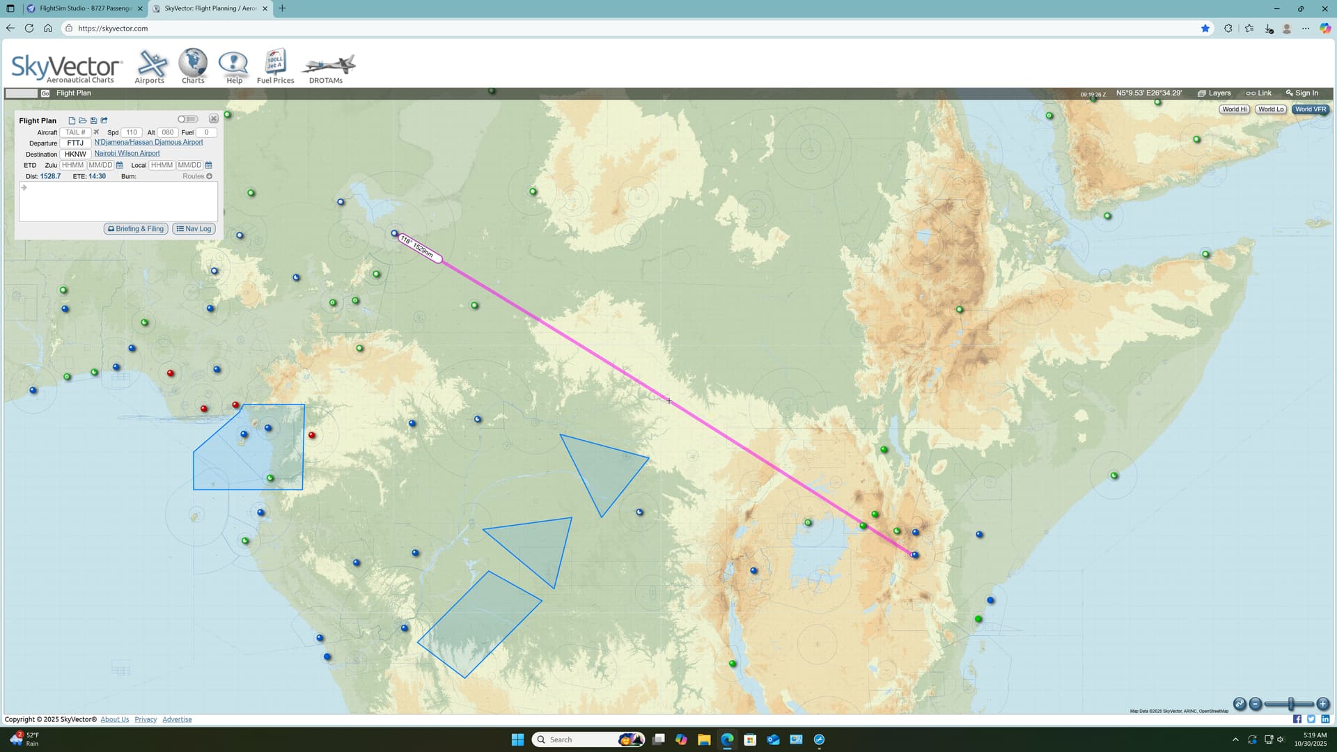
Continuing my trek towards Kilimanjaro, I plotted a very reasonable 1500 mile(ish) leg to Nairobi. I had initially hoped to use some of city’s more traditional fields but, in the end, the long runways of Jomo Kenyatta lured me in.

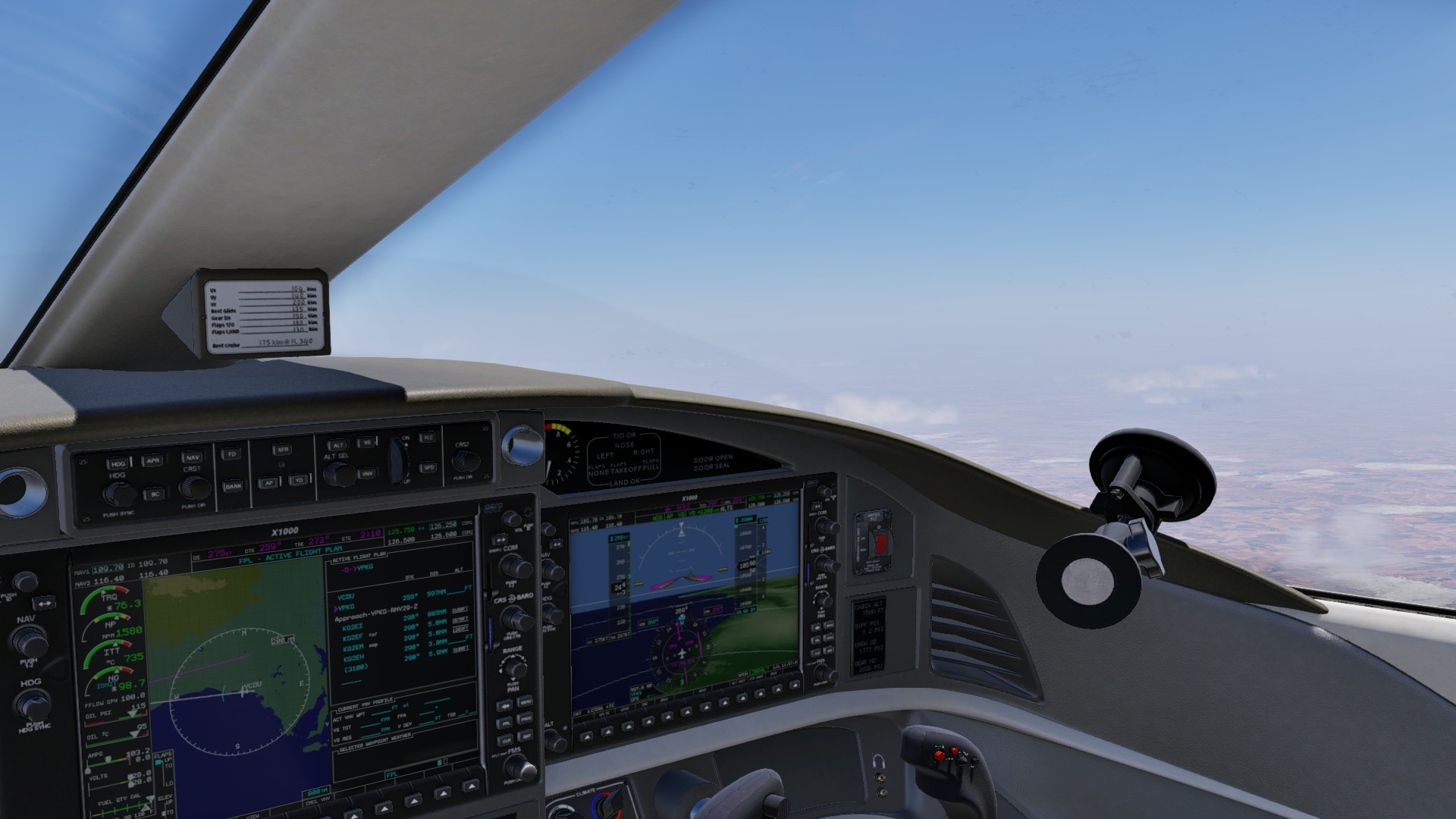
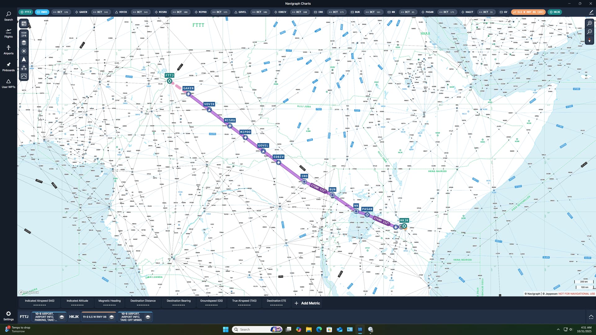
Having not yet found the source of my previous long range nav issue, I was sorely tempted to revisit the topic on this flight. A look at the high chart made me feel a little guilty though, and I resolved myself to flying the airways, for this leg at least.

On the plus side however, my planned route was likely going to exceed the total number of waypoints available to the CIVA, requiring me to do a little waypoint swapping. So this would be a good opportunity to try something new.

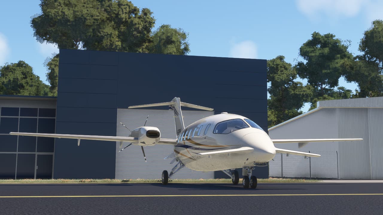
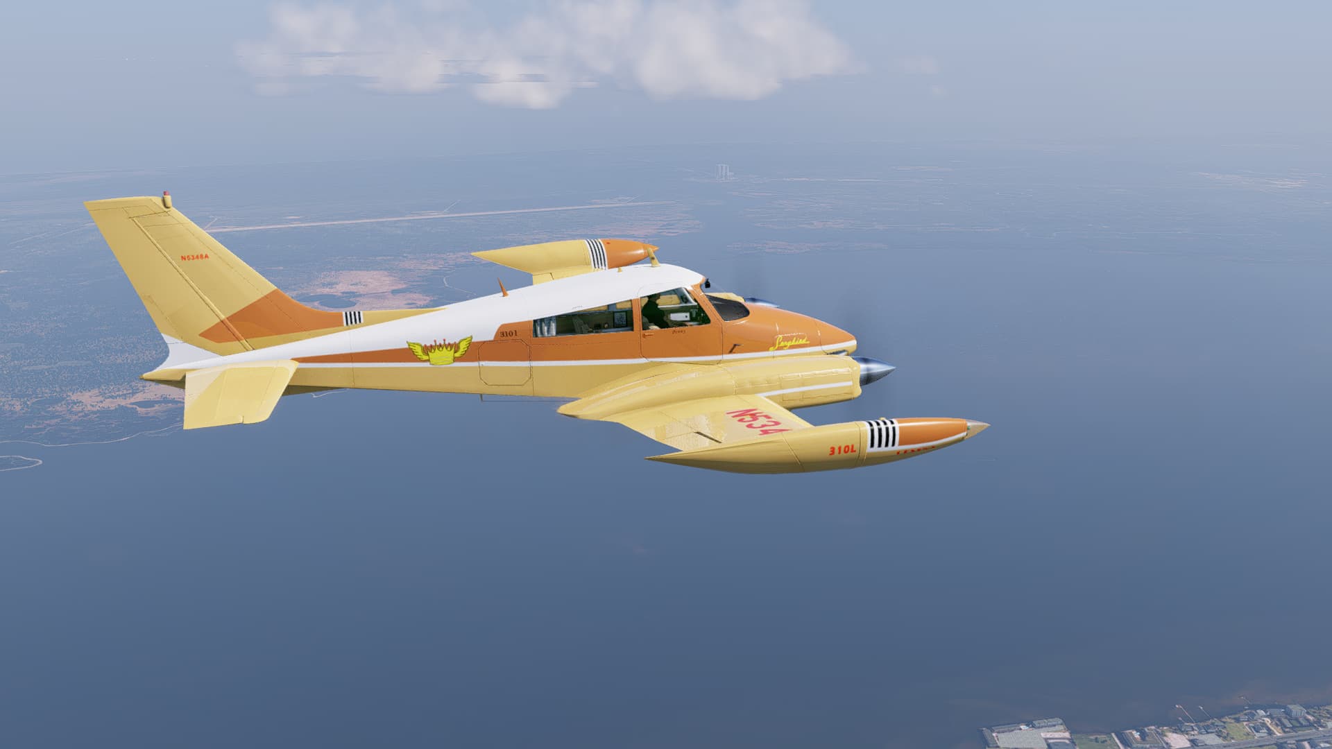
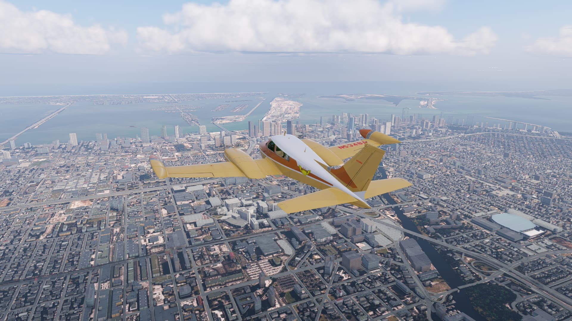
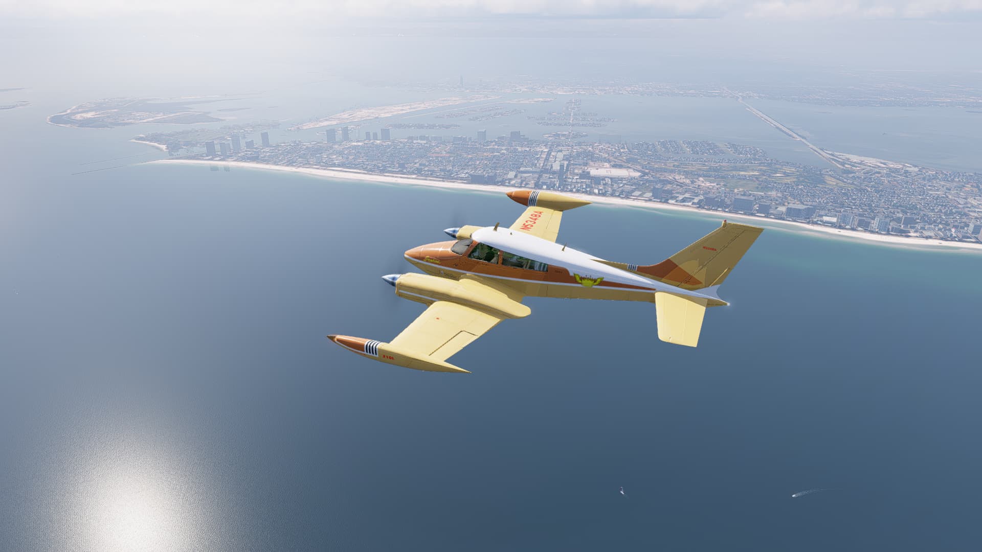
Thus armed with plan and purpose, I found a good livery for my hard working 72 and began trying to find N’Djaména on the Flight Sim map.

…wait…I’m sorry, what was that?

Hippos?

Did you say frickin’ Hippos?

3FrowgIt6s0g

Leg 6: Frickin’ Hippos

So.

As I think I’ve previously related, my initial enthusiasm for sightseeing my way across Africa had turned to disappointment and frustration as my online forays into what passes for a search engine in this latest age of Humankind (that age apparently being the one most immediately preceding the one in which Charlton Heston is pursued by Dr Zaius into the Forbidden Zone, despite the prohibition by the Great Lawgiver, he being an ape of infinite wisdom and jest) had almost, but not quite completely, entirely failed to produce anything which might be considered a marginally useful map of the POIs in the sim.

However.

In the end, I finally decided that, if I ever wished be around to reveal my inmost self unto the Bomb Almighty, and the Fellowship of the Holy Fallout, I was really going to need to watch my stress levels and recognize futility when I saw it. :wink:

Thus.

I had concluded from the POI map that I did have that there just wasn’t much to be seen along my route of flight, encouraging me to transit said jewel of Africa rather higher and faster than I might have otherwise, had I found something to descend and slow down for.

As a consequence.

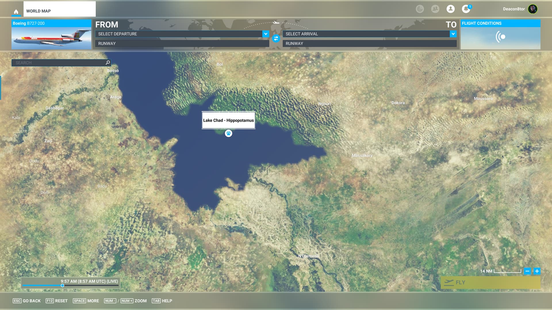
You might imagine my surprise then when, panning around in the vicinity of N’Djaména, (being unable to remember the field’s identifier, my memory being so short that I can’t quite tell you how I began this sentence) I should stumble across the telltale pawprint…

[Note to self…look up, “Do Hippos have paws?”]

…of the aforementioned frickin’ Hippos.

Now.

If you’d like to hear my feelings about how not intuitive it was to find said frickin’ Hippos in question when something like frickin’ Hippos was exactly the kind of thing I was hoping to find in the first place, then I’d invite you to view my 200 slide Power Point presentation entitled,

“People Who Indiscriminately Remove Potentially Important Details When Designing Zoomable Interfaces Are Naughty and Should be Ashamed of Themselves.”

Highly Informative Link That You Totally Won’t Get Rick Rolled By Clicking

But I digress…

N’Djaména. Africa. 2025.

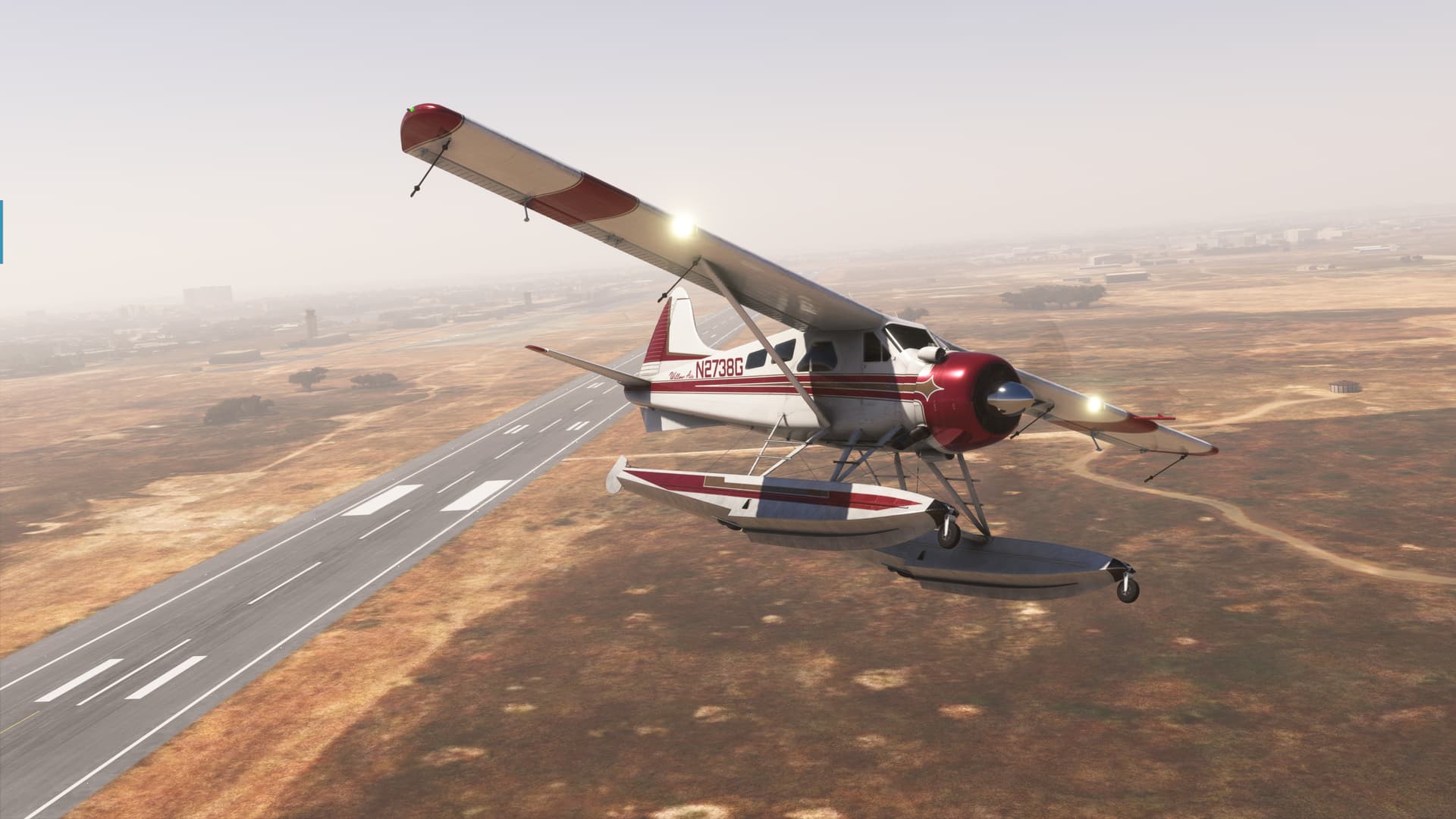
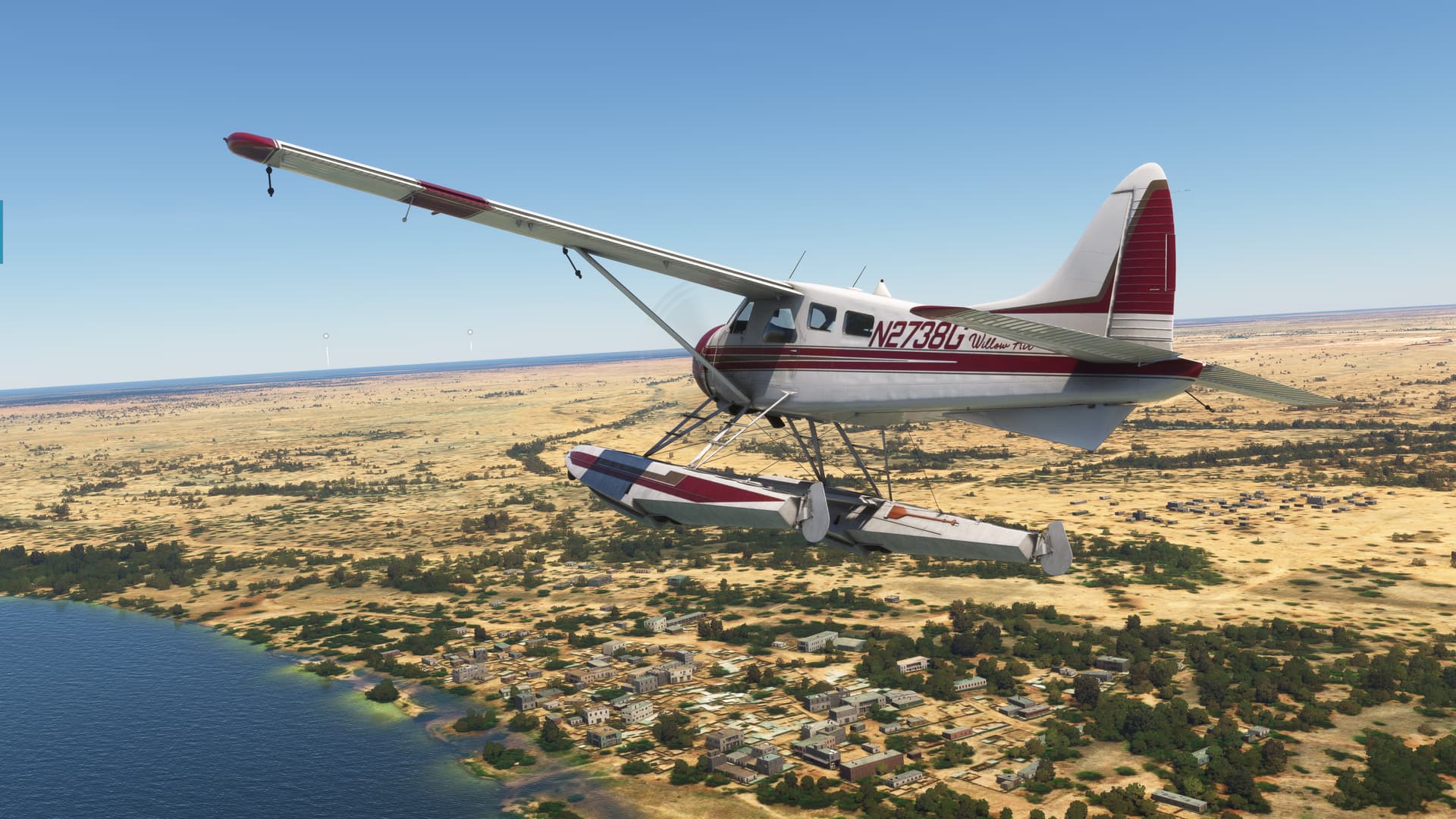
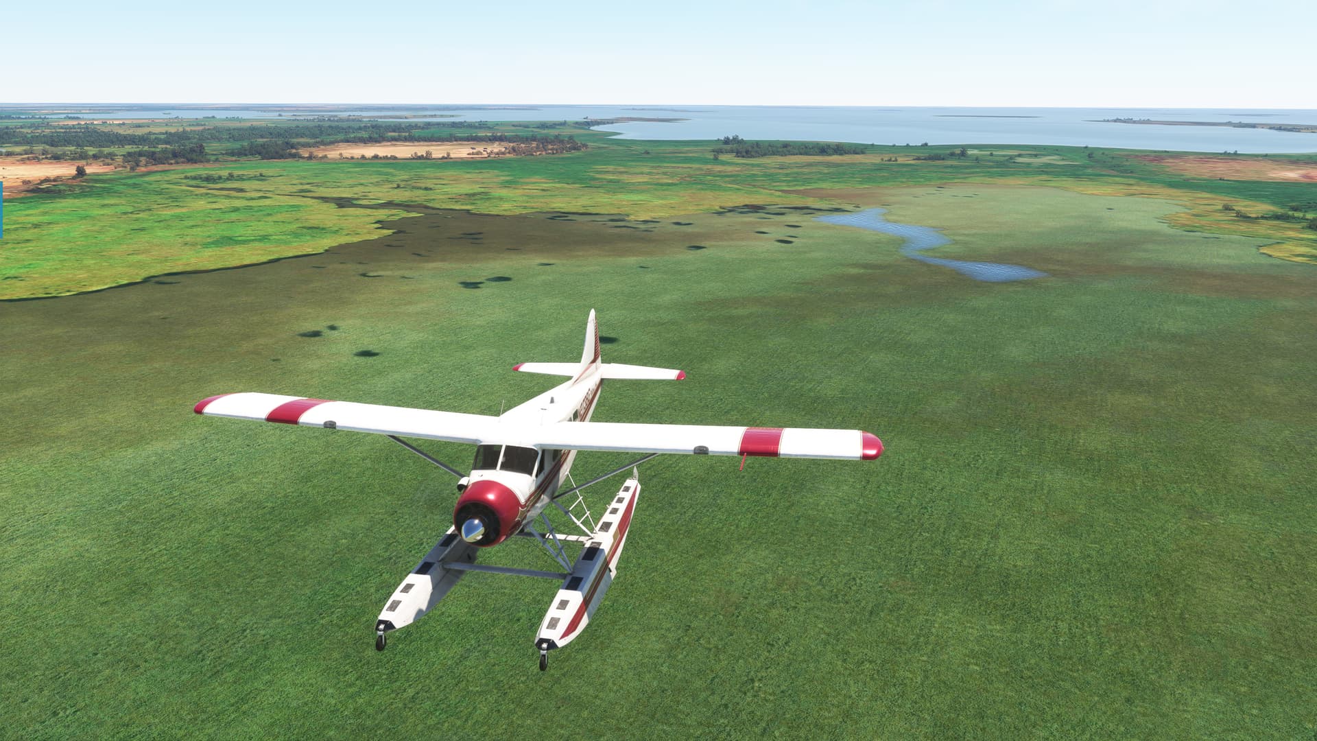
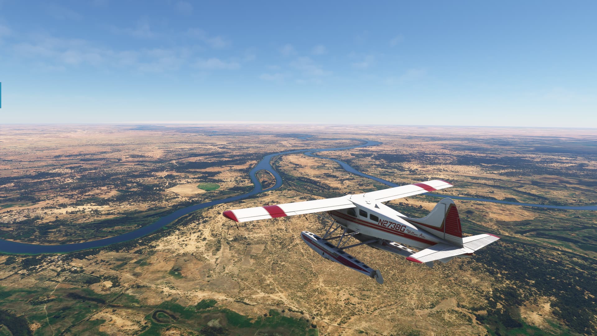
And so it was that I found myself, without preamble, admiring my Beaver, in Willow Air colors, courtesy of Crispy136.

Because, if my dog is going to start an air service, who am I not to support her?

OK, I’ve wasted enough of your time…with a short roll and a quick turnout to the south, I went to go find me some frickin’ Hippos.

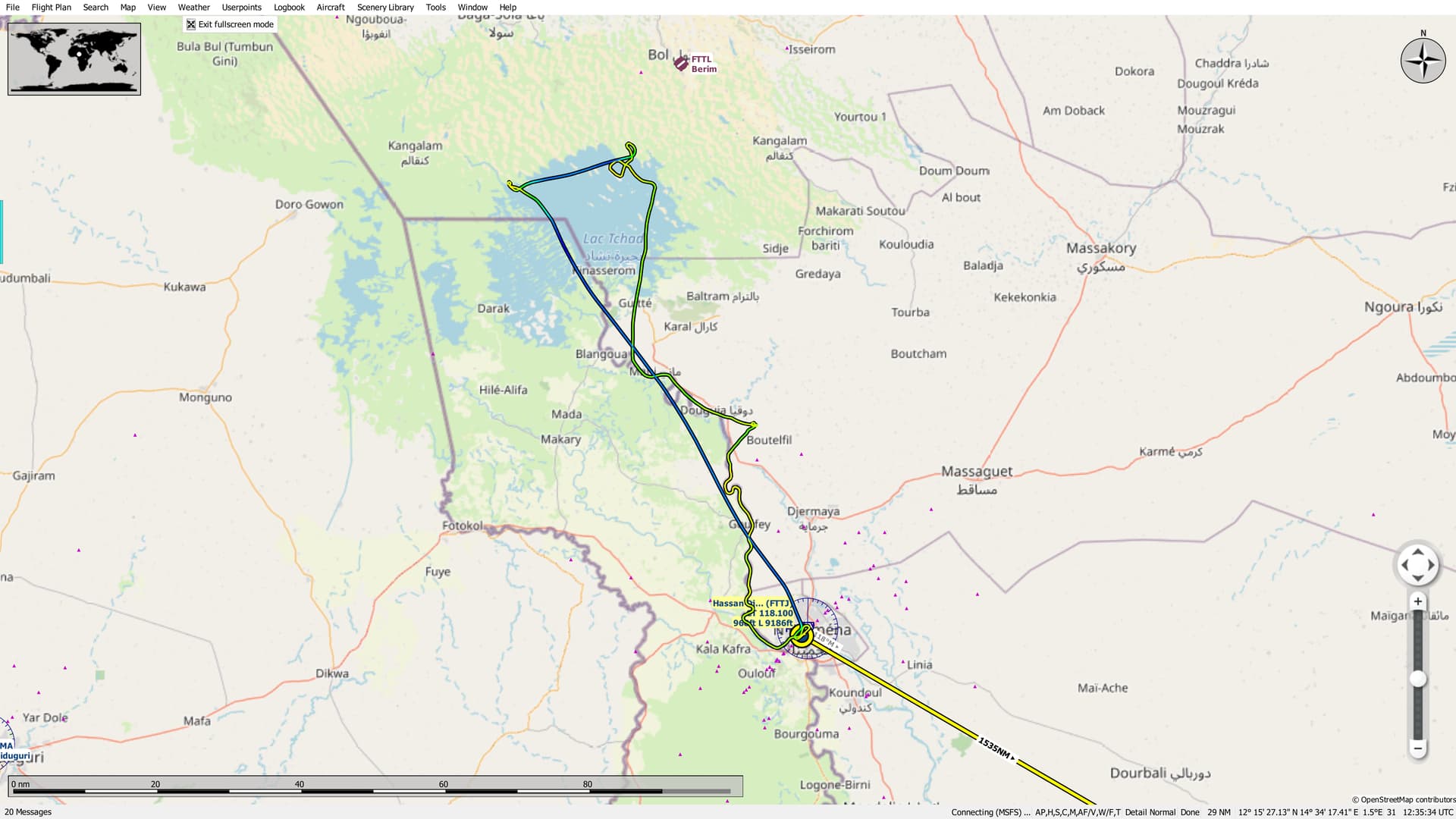
Navigation was simplicity itself (said I to myself, receiving a knowing look in return). I just needed to follow the Chari River out to Lake Chad. The Hippos (frickin’ and otherwise) should be located on the northern bank.

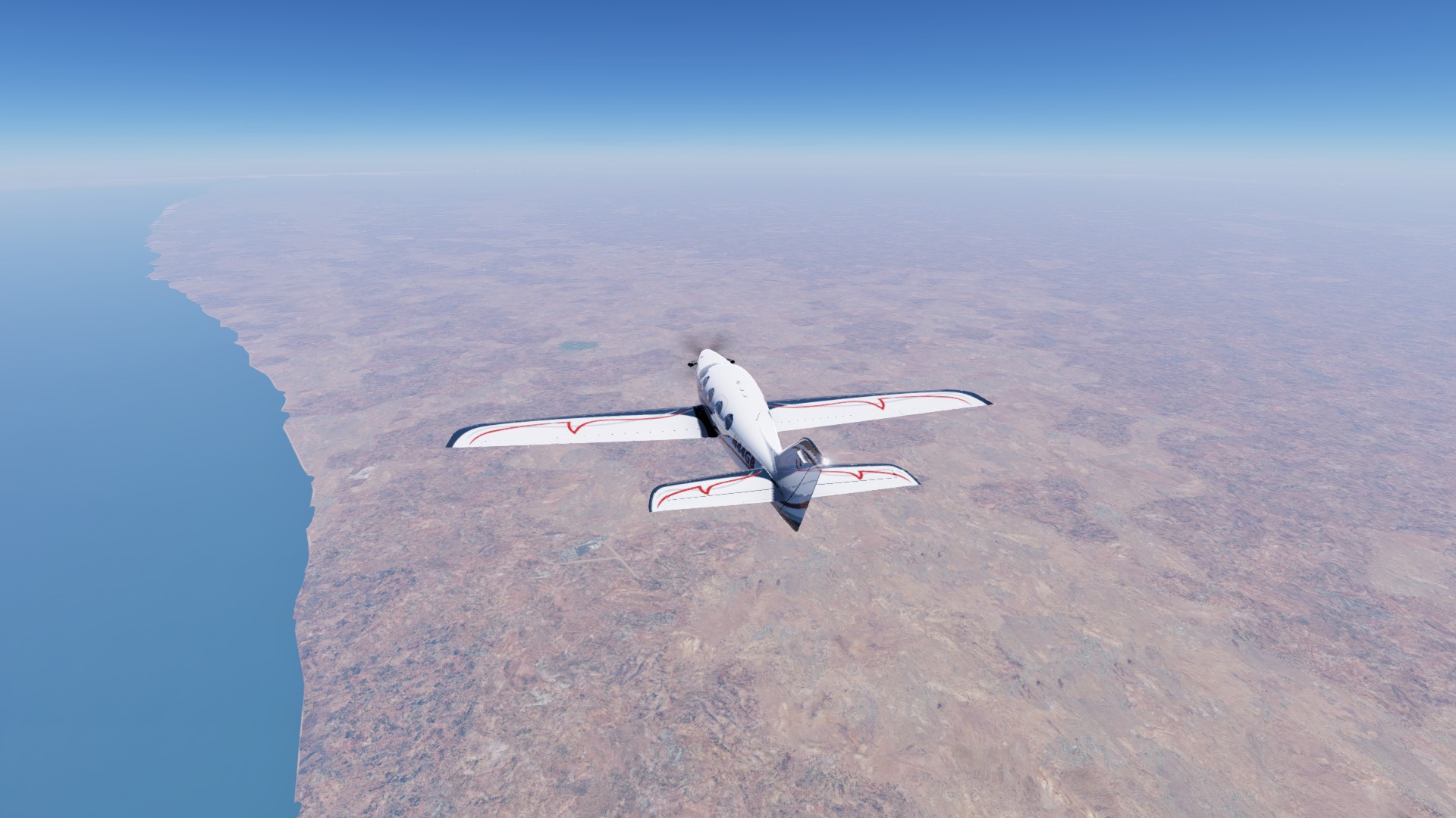
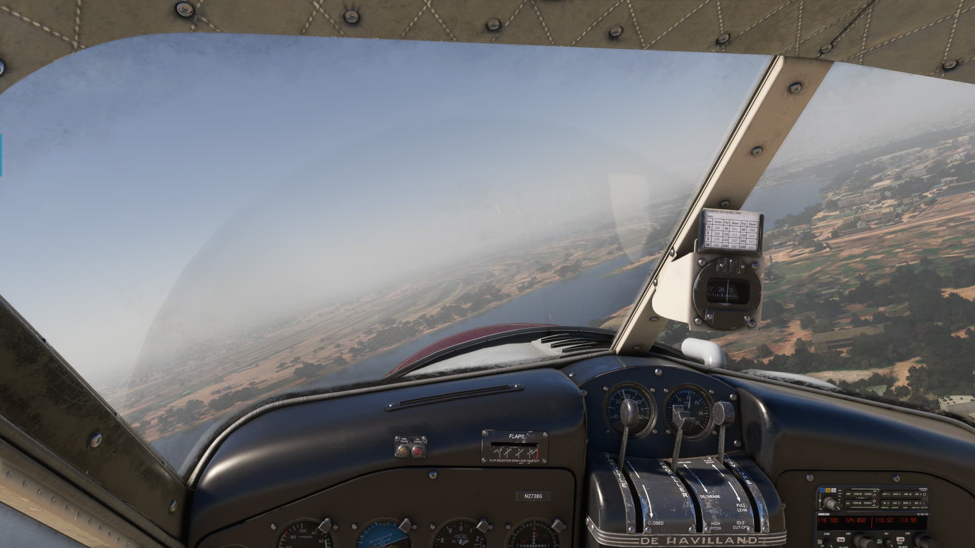
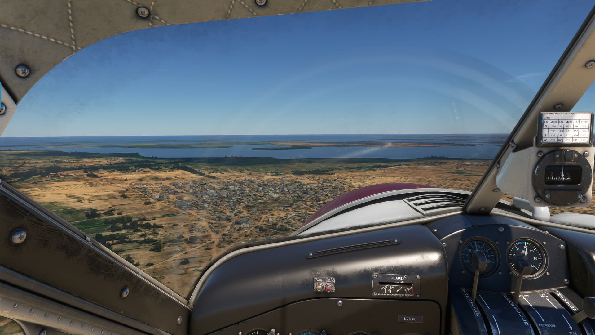
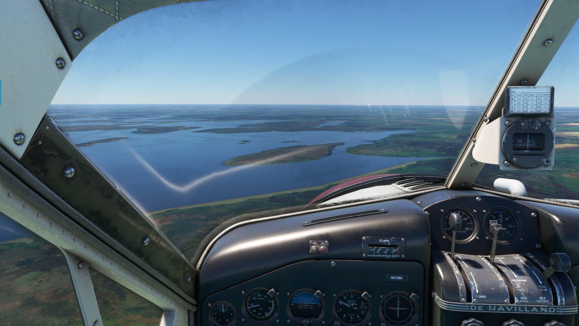
No sense in going high this time, I camereened down the river between Chad and Cameroon.

Really lovely job on this livery, both inside and out.

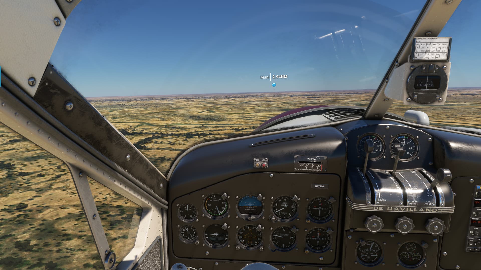
Having forgotten to turn off the POI markers, I was surprised by one popping up off my nose.

I began to wonder how many other things I had missed on my previous leg. :thinking:

So of course, I had to go take a look!

Huh…

Well, according to the search engine, Mani is supposed to be a town of some sort.

Far be it for me to cast aspersions. But, the Mani Tourism Board might want to zhuzh it up a little. You know, maybe some throw pillows or a building or something. :man_shrugging:

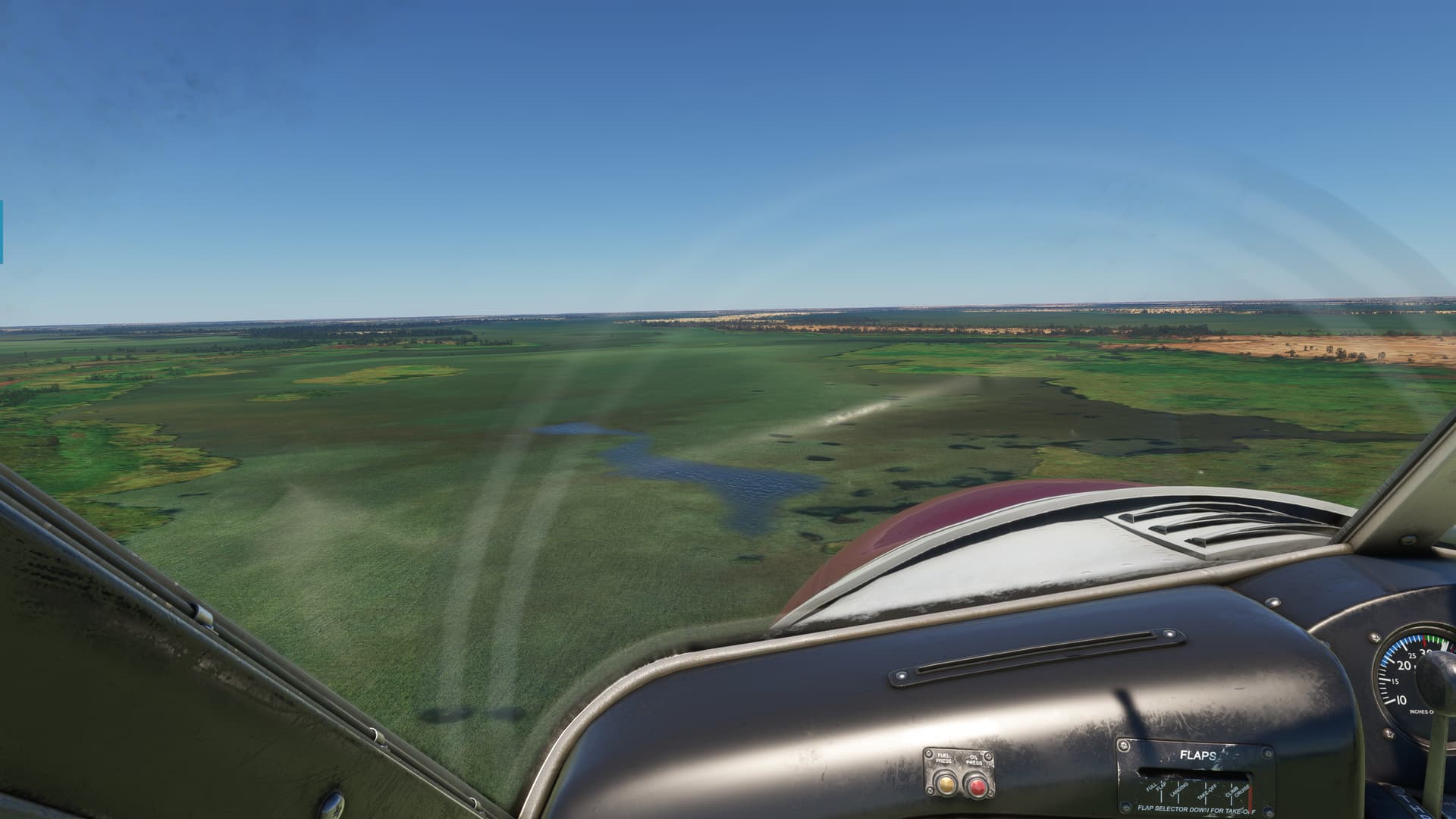
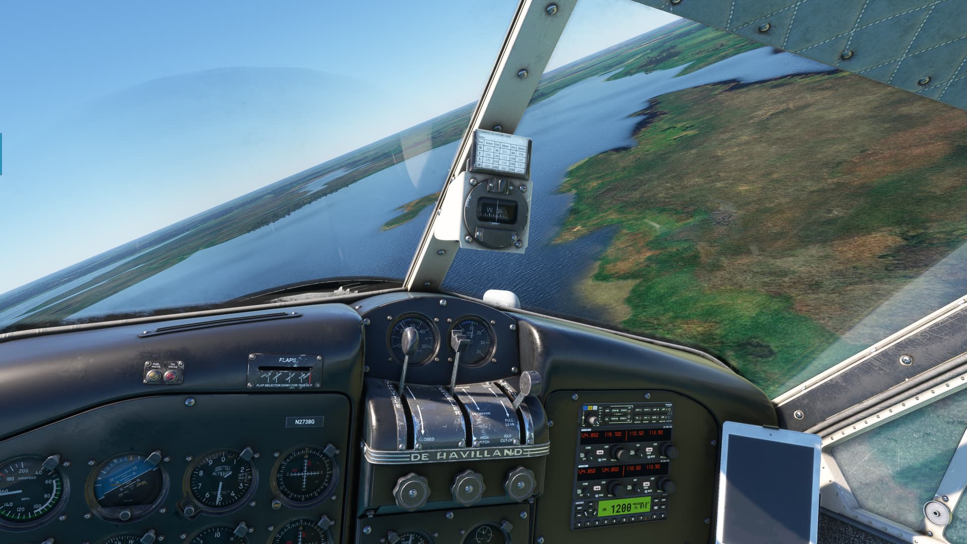
Anyway, back to it. I head down south and find the river again. Hmmm, now here’s a good size town.

No POI marker though.

On second thought, maybe Mani’s Tourism Board is just swinging for the fences. You know, “Fake it till you make it”?

Approaching the east edge of Lake Chad, I take an eyeball shot at where I saw the Hippo POI, passing over the town of Guitte along the way.

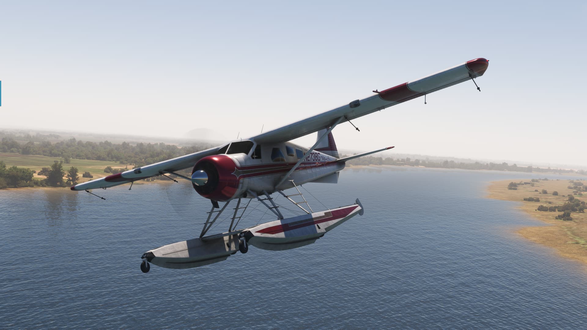
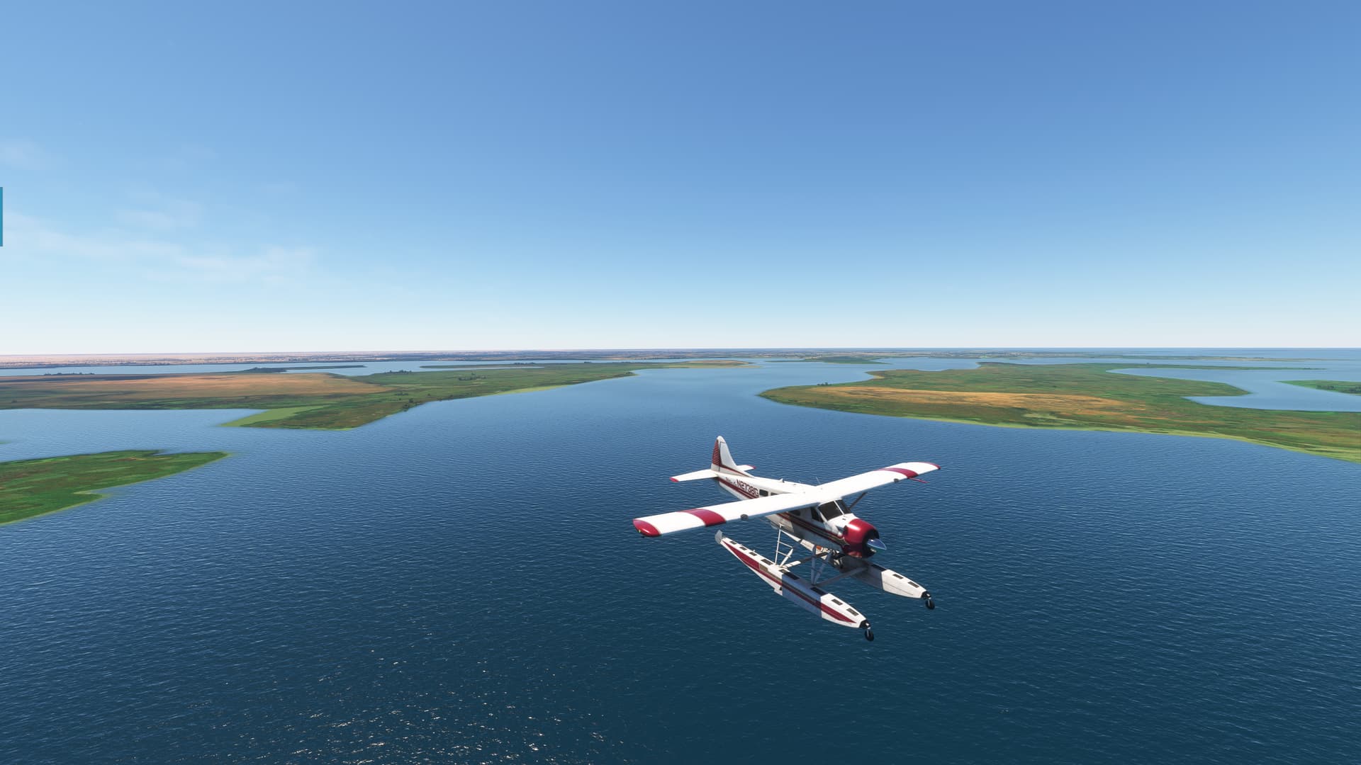
Lake Chad is pretty impressive.

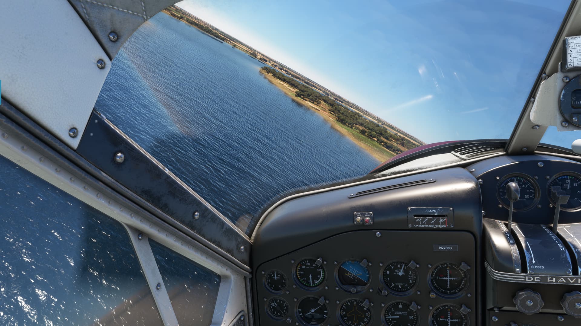
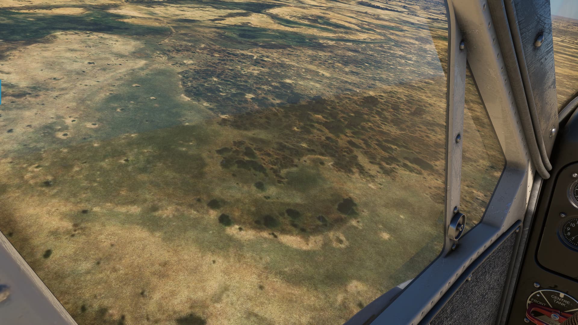
Crossing the north coast, I set up a search pattern where I remembered the Hippos to be located on the map.

But, I find nothing. No matter how hard I look. Not even in what looks to be a perfect wallowing spot.

I mean I’d wallow here…who wouldn’t?

I continue to find nothing and my gas is getting a little skosh. I had turned off the POI markers after Mani (I mean, how ya’ going to keep 'em down on the farm, after they seen Mani :wink:)

But, I turn them back on now.

Nutz.

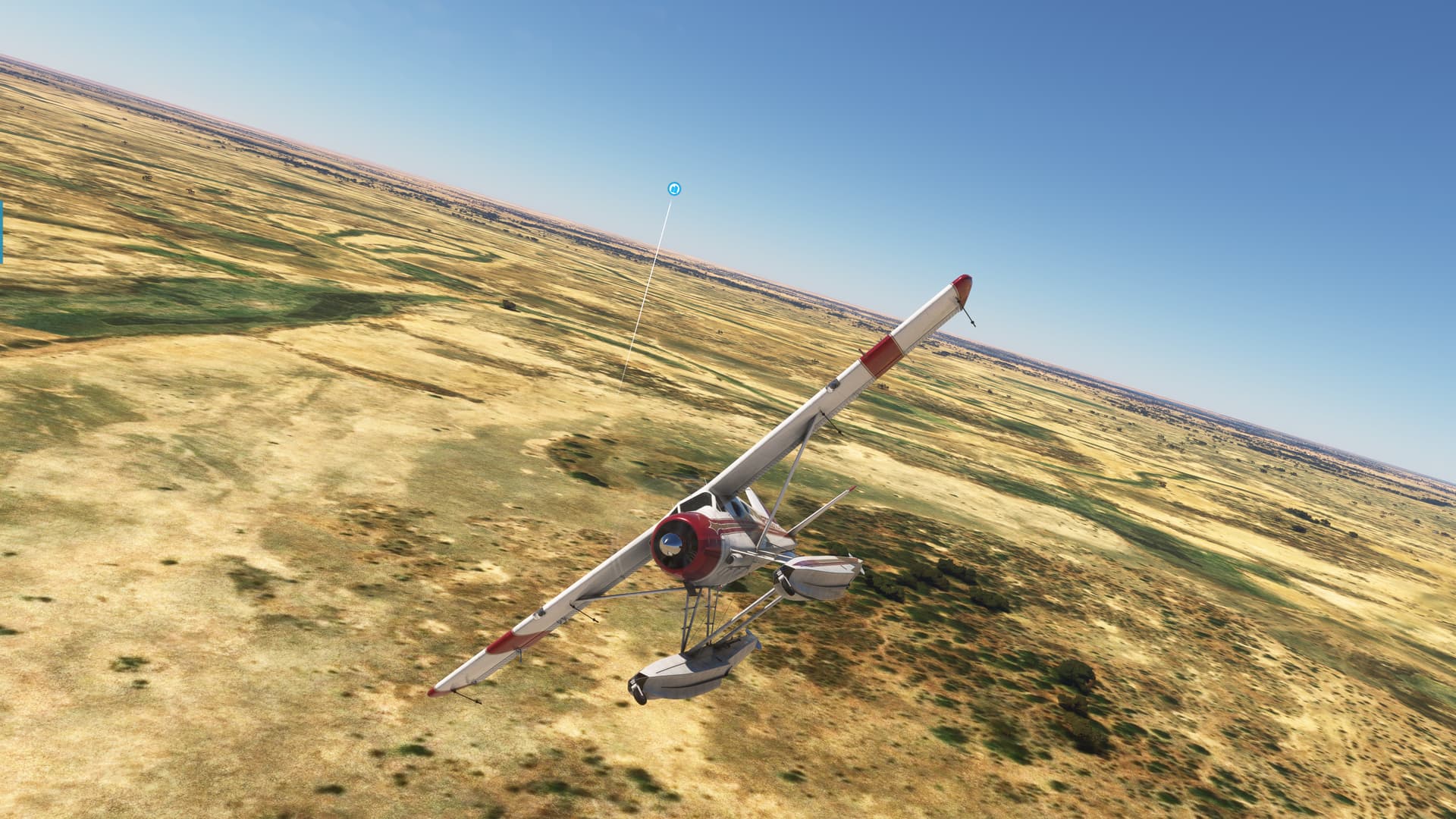
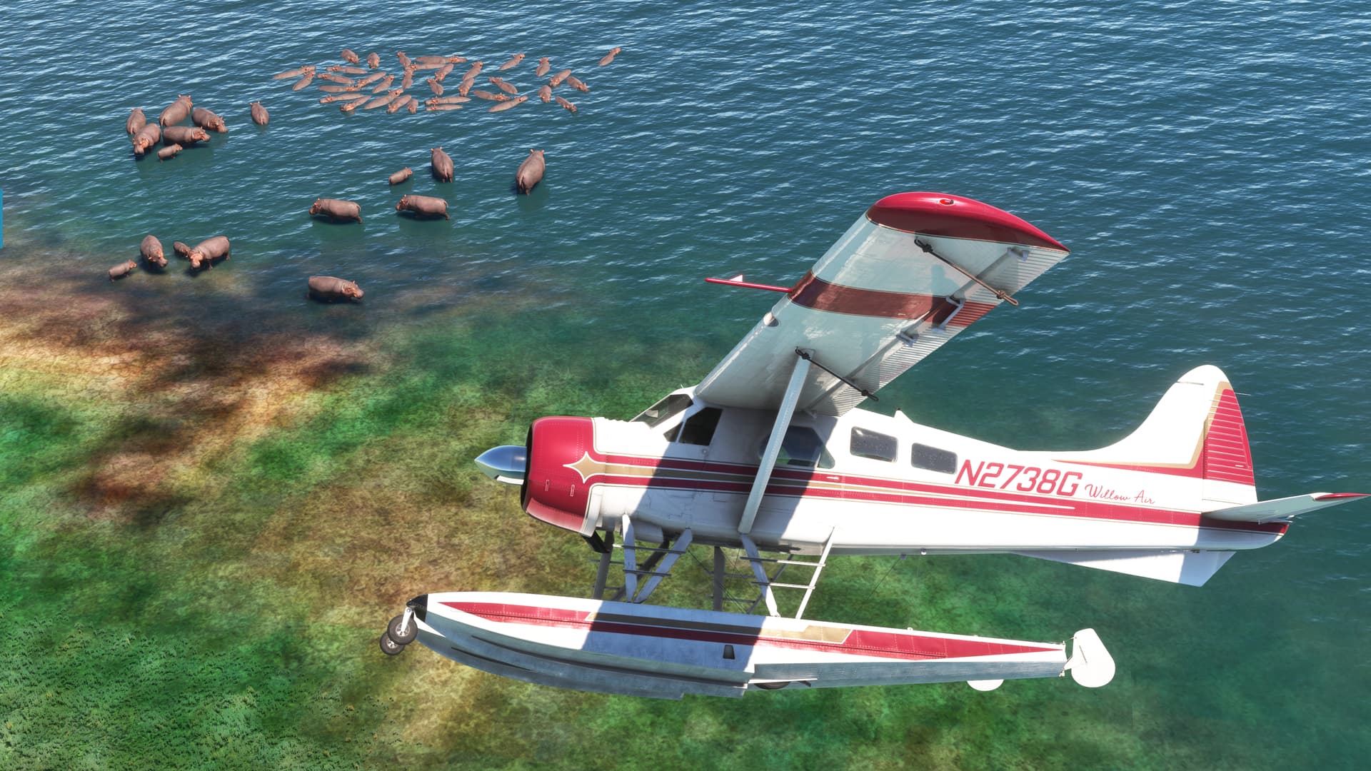
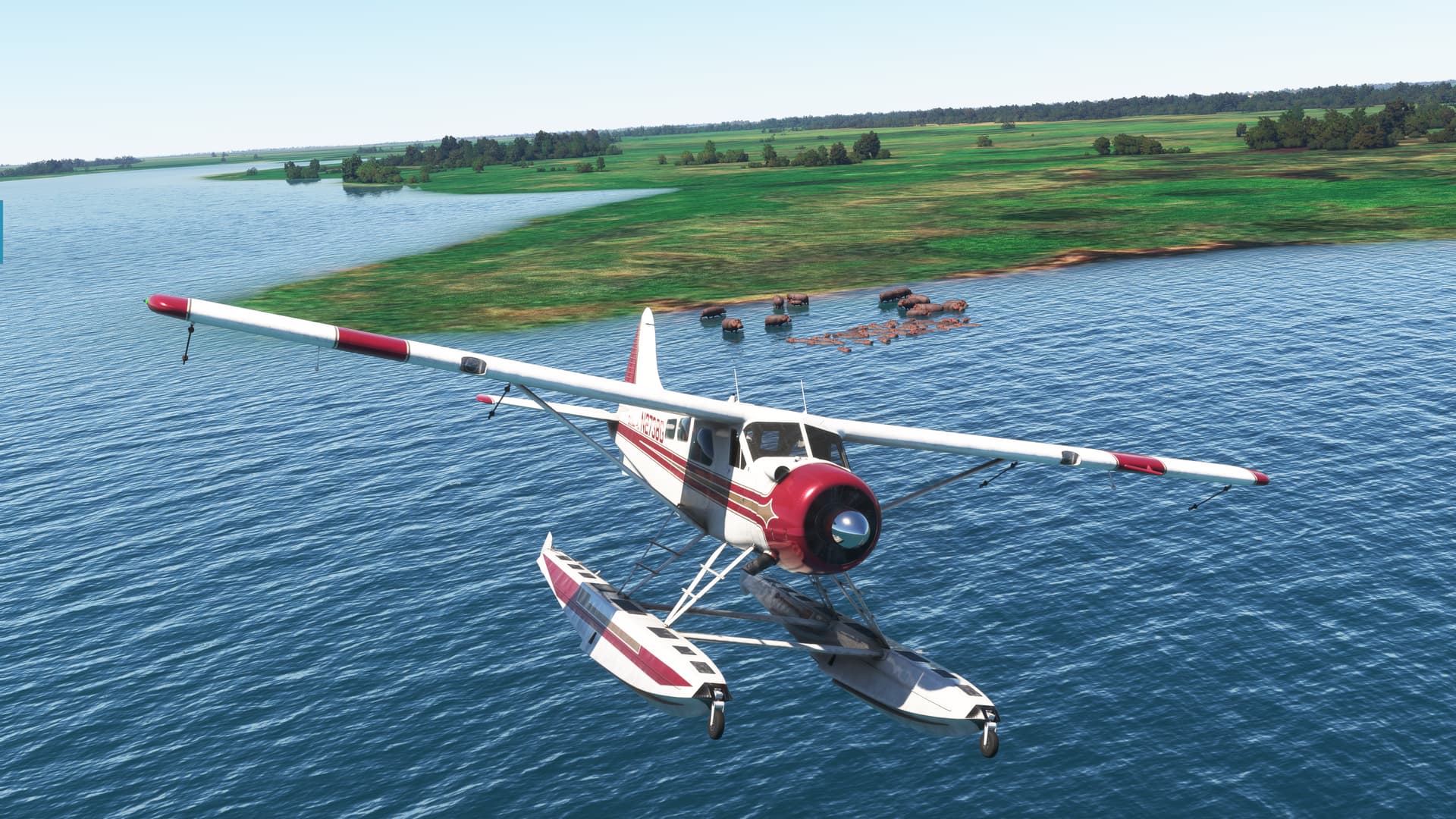
Eventually, I give in and consult the Interwebz once again (since I had such luck last time) and discover that the frickin’ Hippos are reputedly in an inlet further west.

Somewhere in the vicinity of that small island just off my right float.

Searching…

Searching…

Frickin’ Hippos!!!

Totally worth it.

Now, to get home.

Largely forgetting that I had been dragging these floats around for the last hour (and thus could have stopped literally any place wet), I picked up a heading back to N’Djaména and kept a weather eye on the gas.

Luckily, the VOR came in almost immediately and I had no issue finding the field.

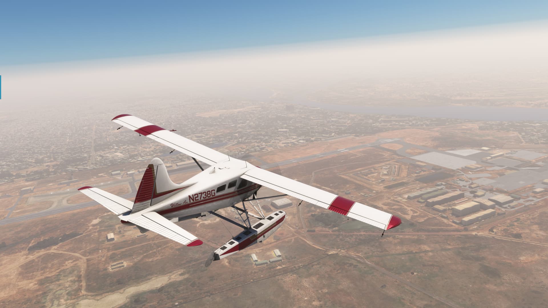
Except for the haze, which was almost certainly reflective of the actual weather at N’Djaména.

But, nothing too scary (beyond my flying :laughing:).

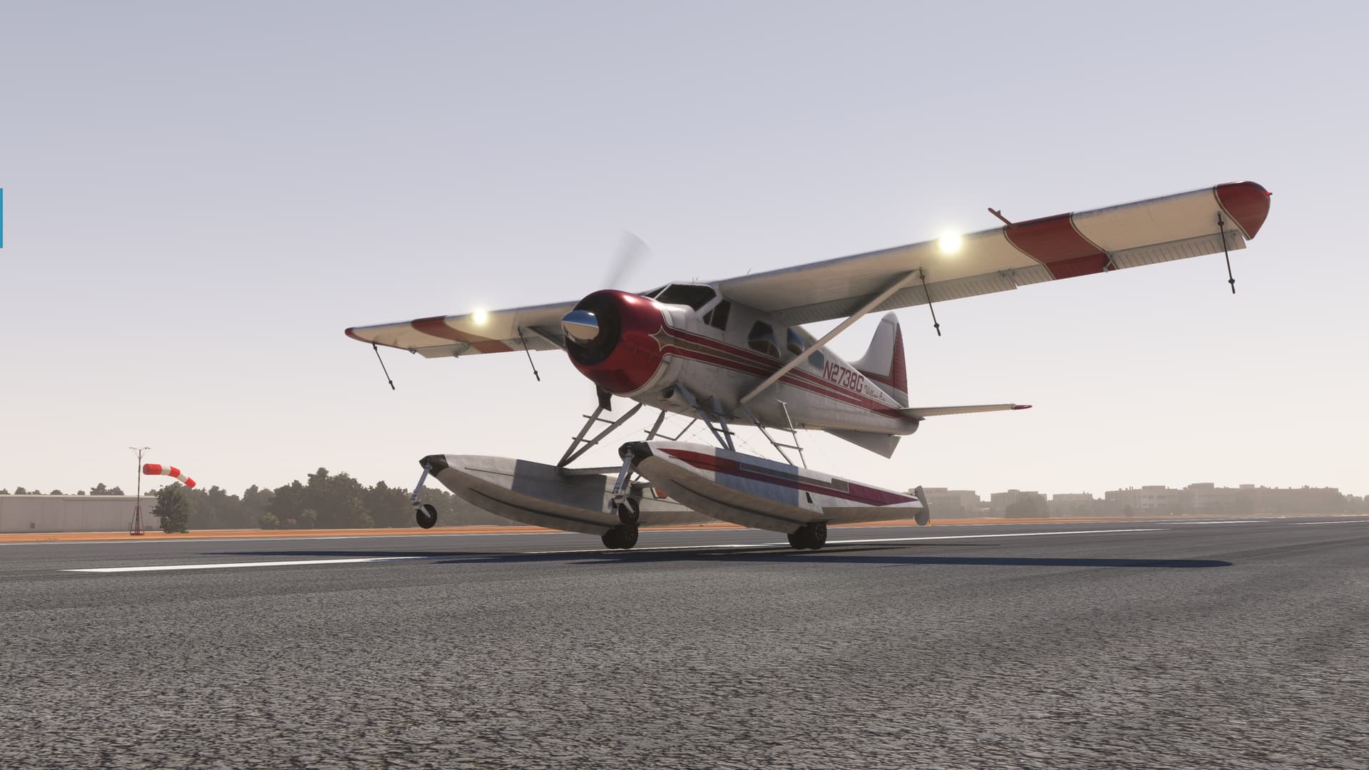
My (second) landing was pretty nice. :grin:

And here we are. Back at the ramp.

So, pretty awesome that I actually got to see some wildlife in MSFS. Not super jazzed that there was probably more that I might have found if I had zoomed in enough previously, but lesson learned.

I still think that there must be some repository out there that shows (from a high level) where all the interesting stuff is in the sim.

Hell, in Falcon 3.0, I found Godzilla.

15 Likes

Fully agreed. Great report!

2 Likes

Another awesome AAR Kurt. And on the subject of:

A former SAS mate of mine once related a story told to him by a member of the British SAS. By the time it reached my ears it was at least third or fourth hand, and although soldiers have tendency to ‘embellish’ is succinct enough that I have no doubt about its veracity.

The story goes that a patrol was travelling in zodiacs at some speed, at night, on a river somewhere in Africa when one of the boats came to an abrupt halt spilling the crew into the water. Apparently there is a signals logbook at Hereford with the following entry:

“Signal received from callsign XX. Message reads Patrol aborted due to collision with hippopotamus Message ends.”

9 Likes

LOL, great story!

I’m sure the Hippo’s log read,

“Spotted SAS. Sank same”. :joy:

7 Likes

So, about ’em Badges…

The way I’m reading the room, you guys think we should have participation and completion badges, but the general consensus is to not make it a competition.

:white_circle: I will award one and one badge only, to the value of Silver, to anyone who sends me a PM with a link to an AAR of one or more legs towards the selected goal for the Christmas Flight, before the year is over.

:yellow_circle: I will also award one and one badge only, to the value of gold, to anyone who sends me a PM with a link to an AAR of the last leg and successful landing at the selected goal for the Christmas Flight, before the year is over.

The Badges will be named X-Mas Aviator (year) and will be achievable for every Christmas Flight, starting from this year.

13 Likes