Great news! Thanks @Troll
If the weather depiction is as precise as in Turkmenistan, then it is actual over the airport… with severe VMC all around ![]()
Great report as always ![]()
Must have been tough to deal with a pissed hippo in the aftermath ![]()
At night ![]()
Great news! Thanks @Troll
If the weather depiction is as precise as in Turkmenistan, then it is actual over the airport… with severe VMC all around ![]()
Great report as always ![]()
Must have been tough to deal with a pissed hippo in the aftermath ![]()
At night ![]()
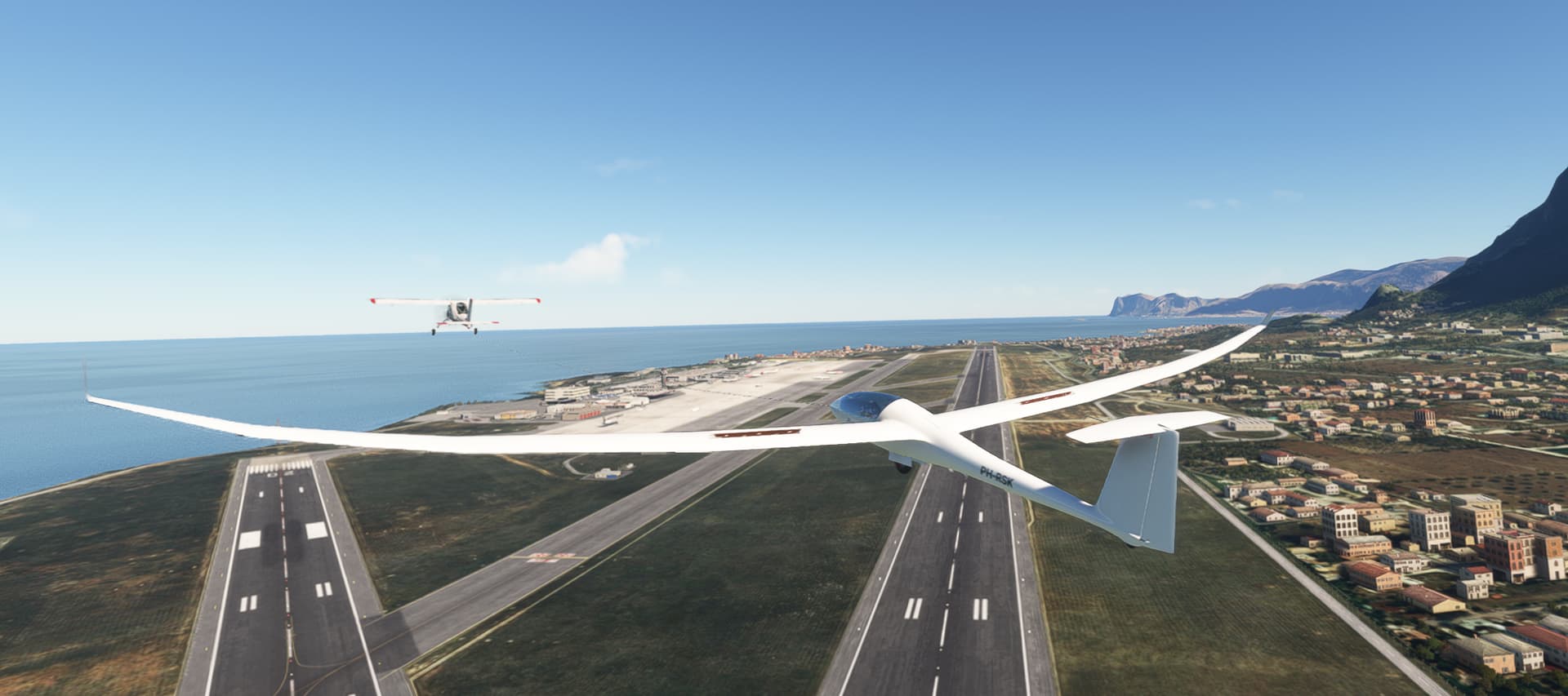
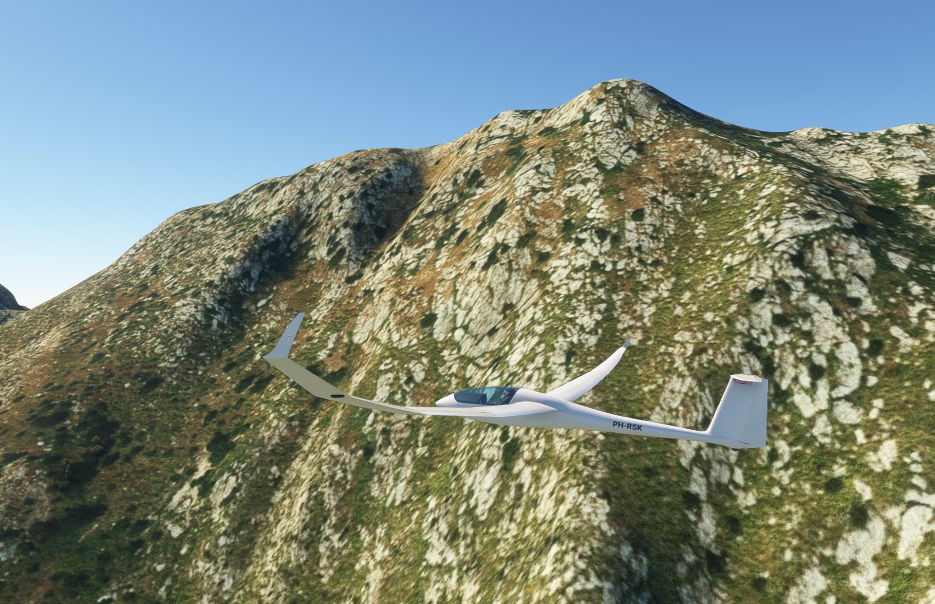
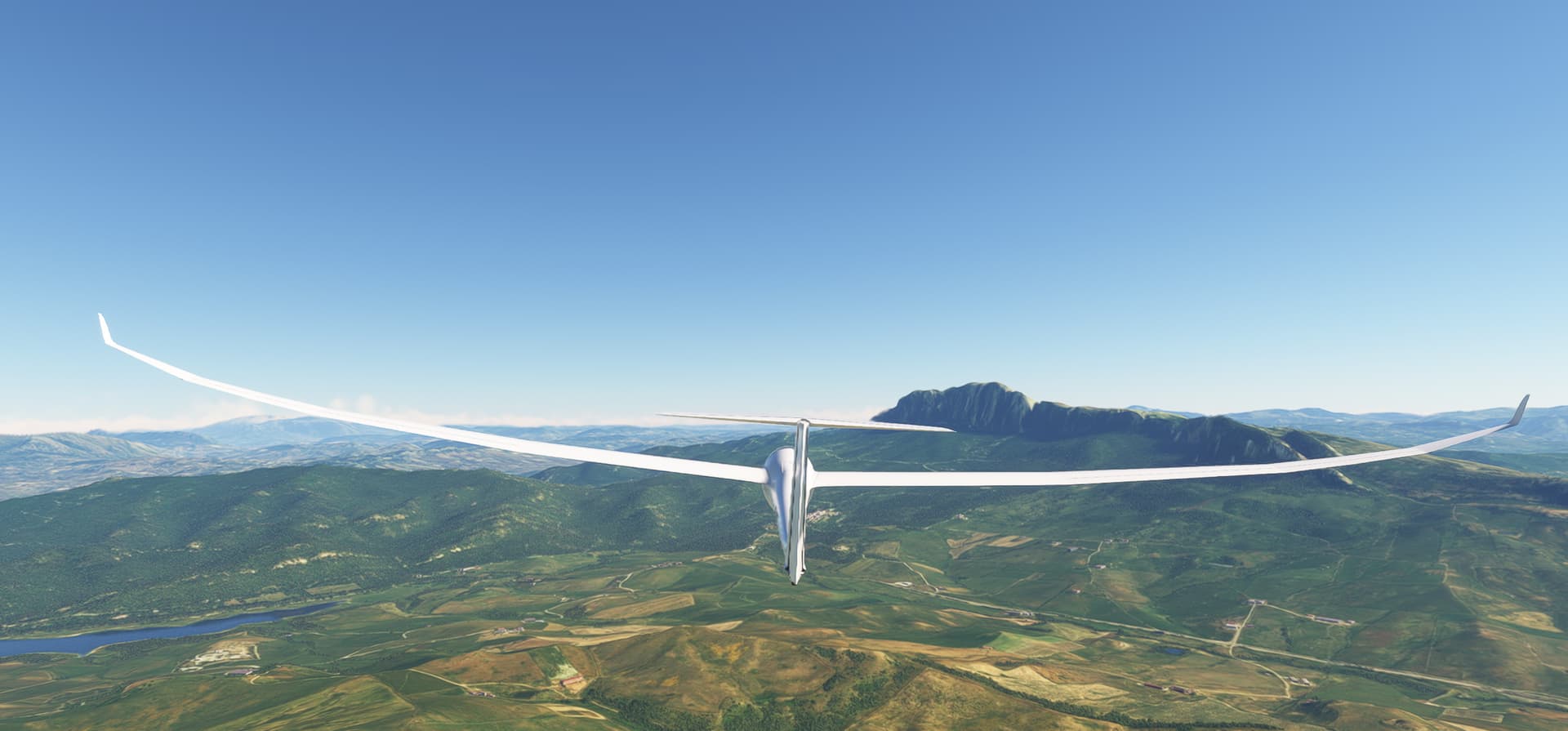
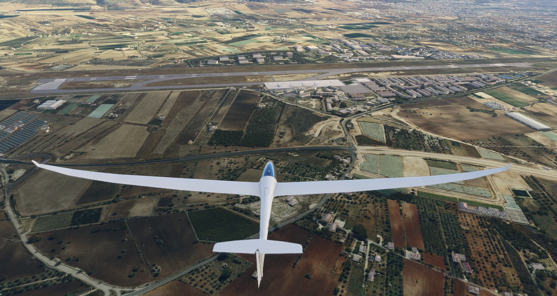
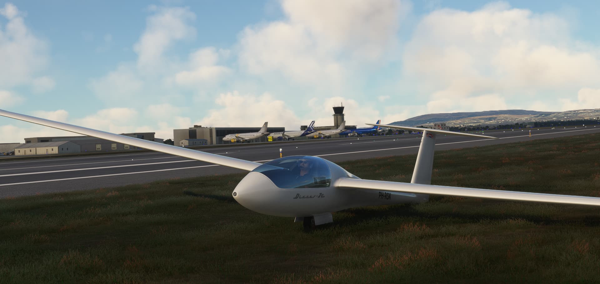
This time a planned destination, RGMDM - Oasi dei Re Airfield (Marina di Modica) on Sicily, Italy, LIPW in MSFS. However, departure Palermo (LICJ) with … a glider. Discus 2c by GotFriends, freeware MSFS2020 and MSFS2024 glider. For those interested, this website is all you need for gliding in(to) ![]() MSFS: https://simsoaring.club/
MSFS: https://simsoaring.club/
Leg 7: Sicily LICJ (Palermo) => (we’ll see later), MSFS2020, real-day, real-time, real-weather, Discus 2c, VFR.
Departure Palermo LICJ RW02:
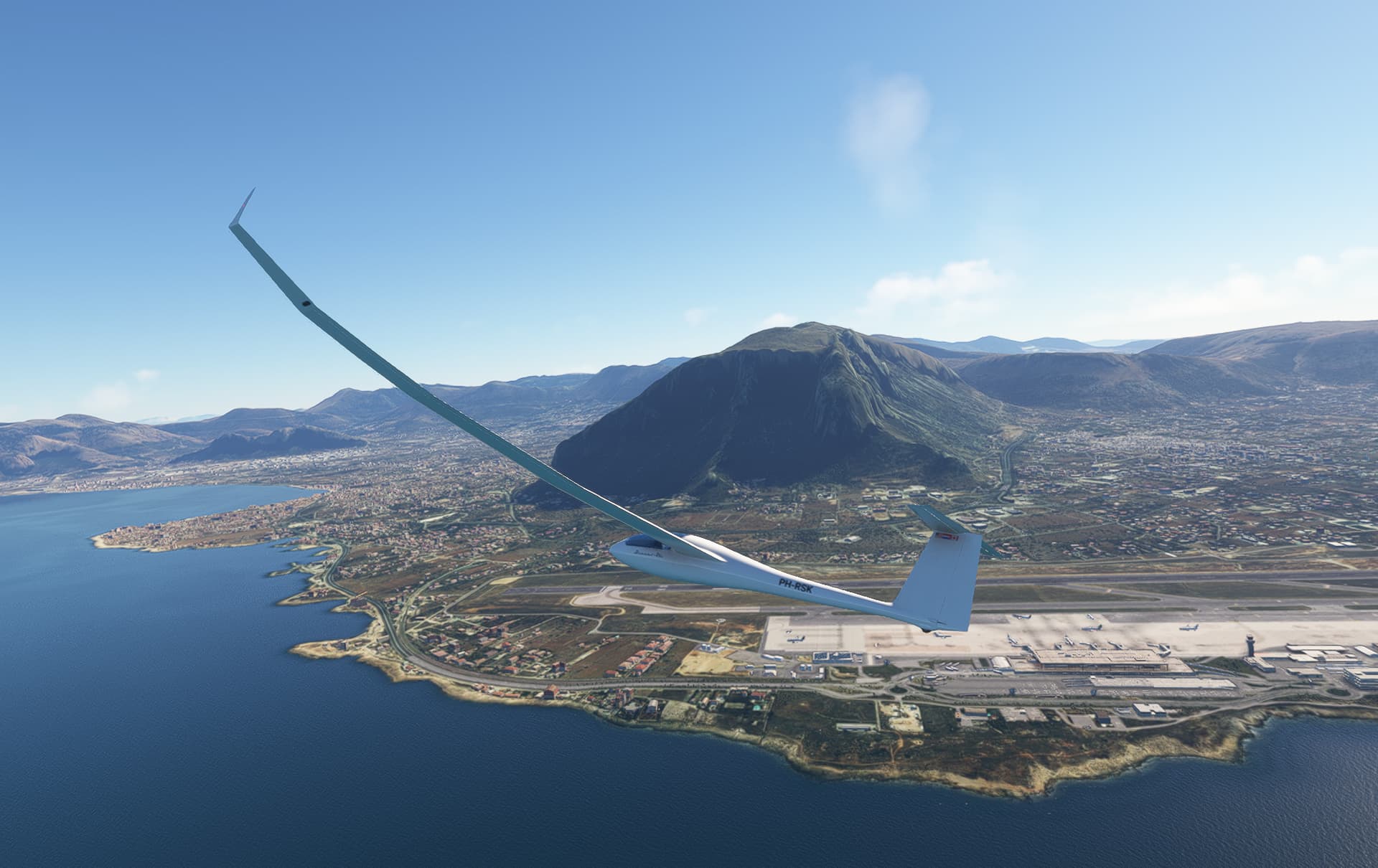
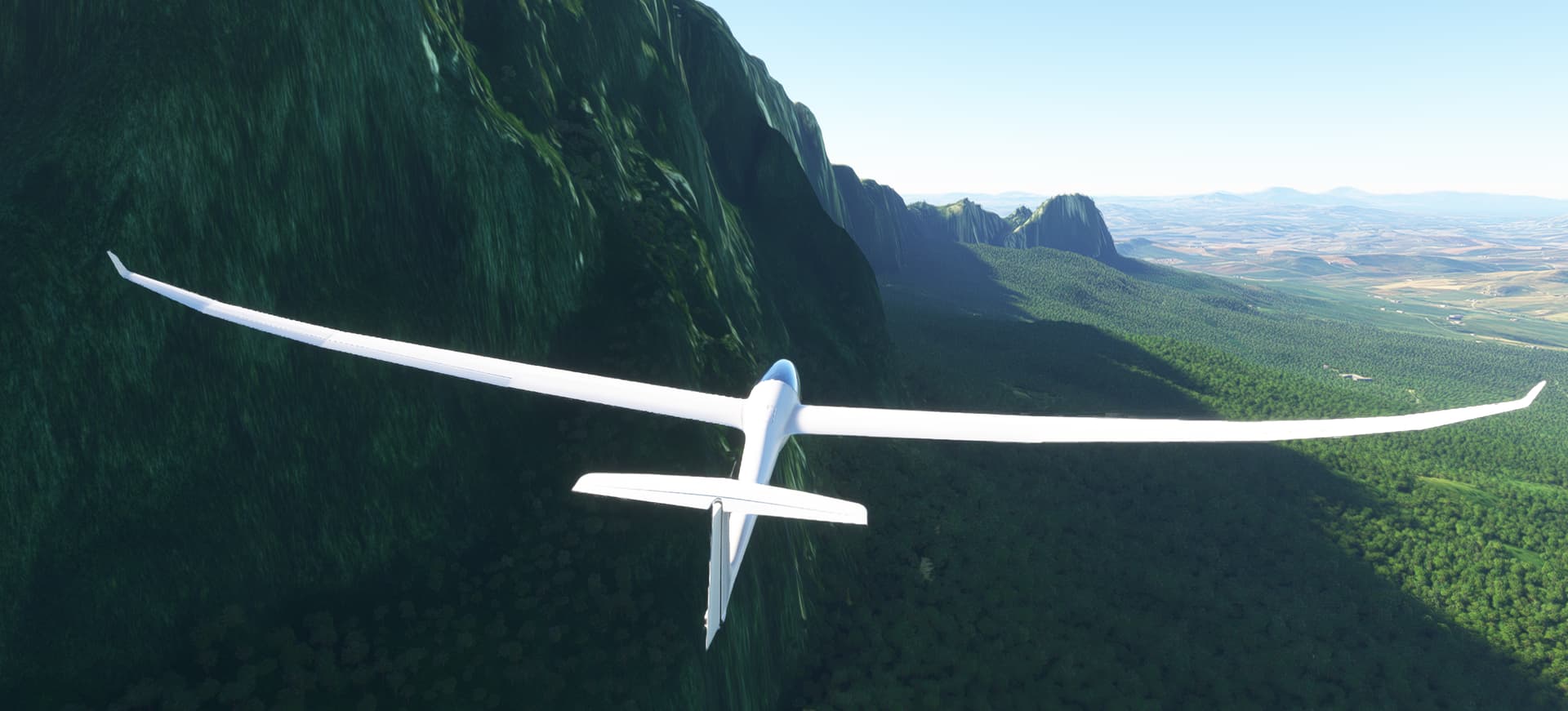
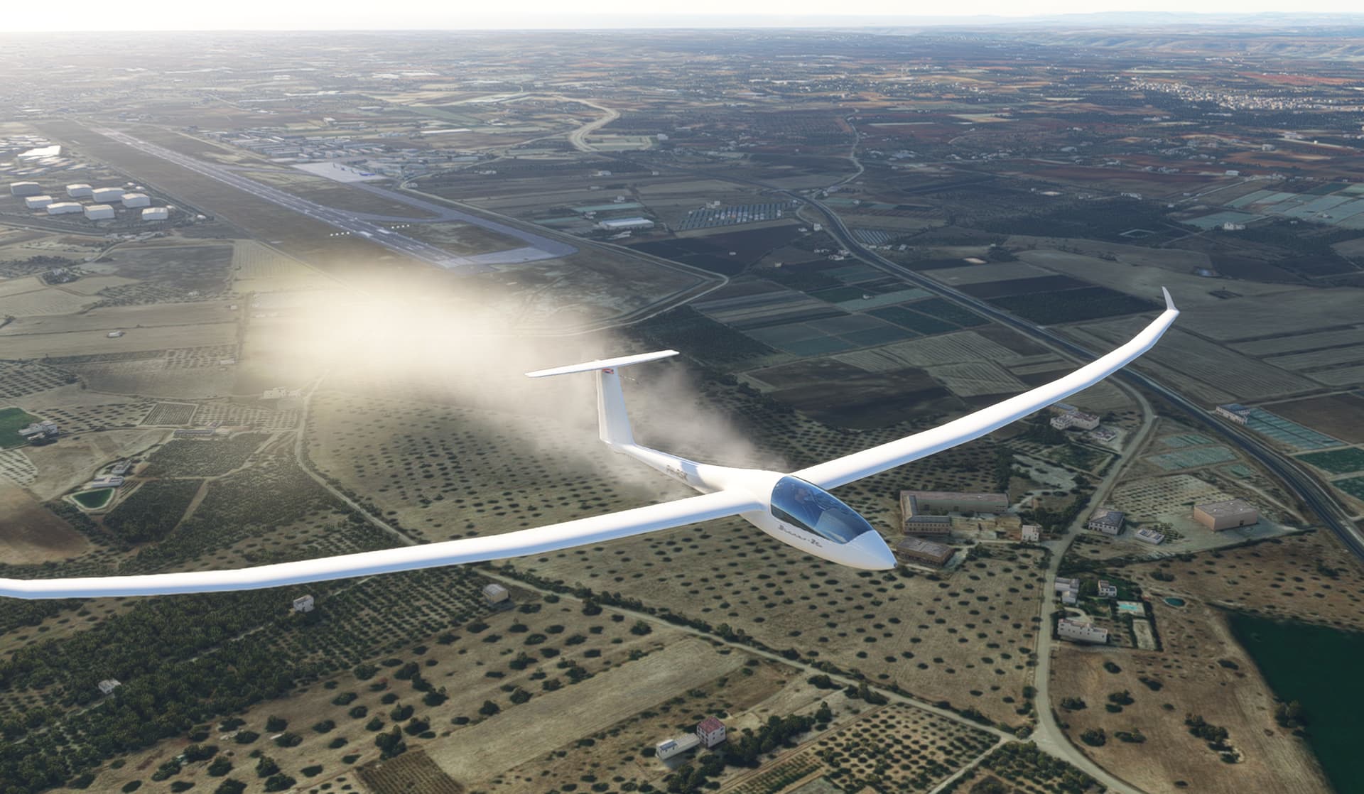
Wind from north, using the mountains to climb:
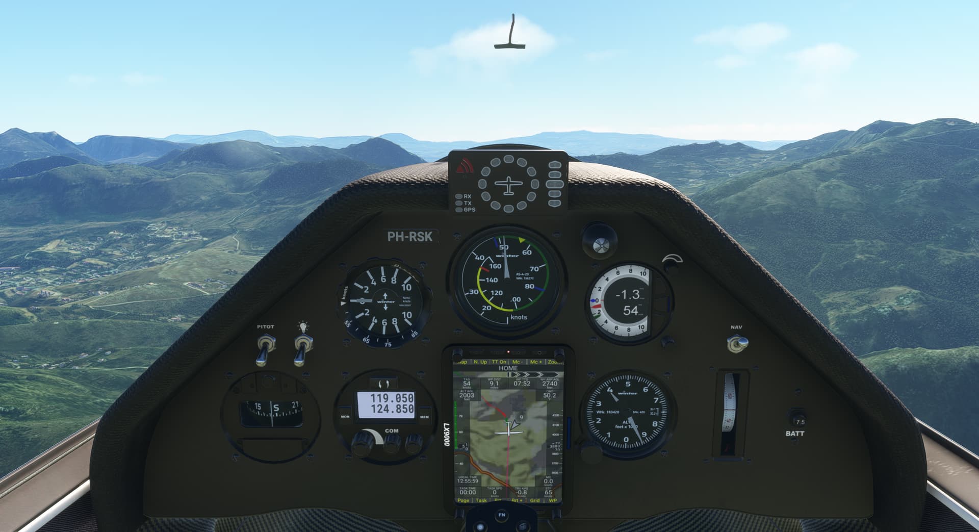
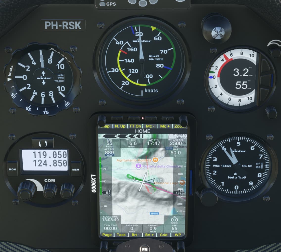
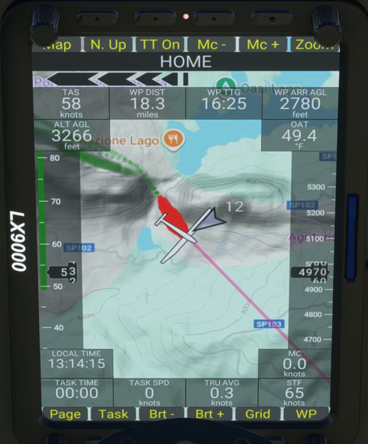
Interesting display to show vario, climbing (green) and descending (red) indications. Some tracks along the mountain to gain altitude:
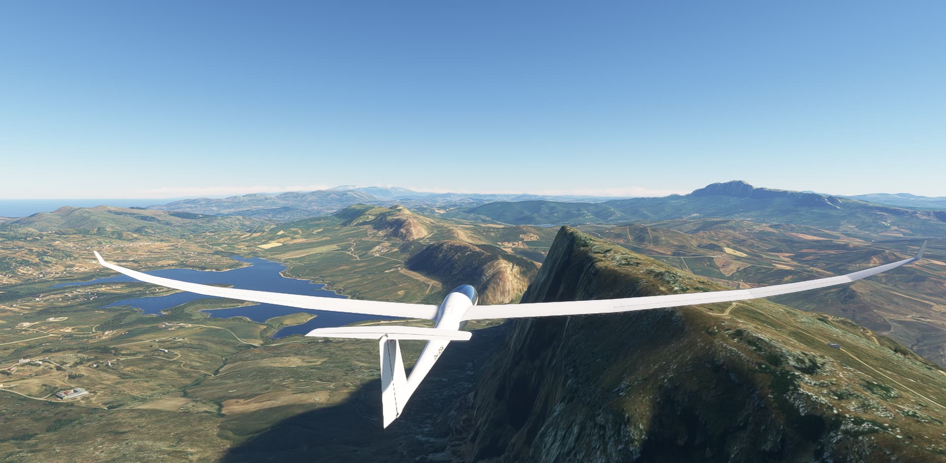
After the mountain an expected descend, nicely modelled:
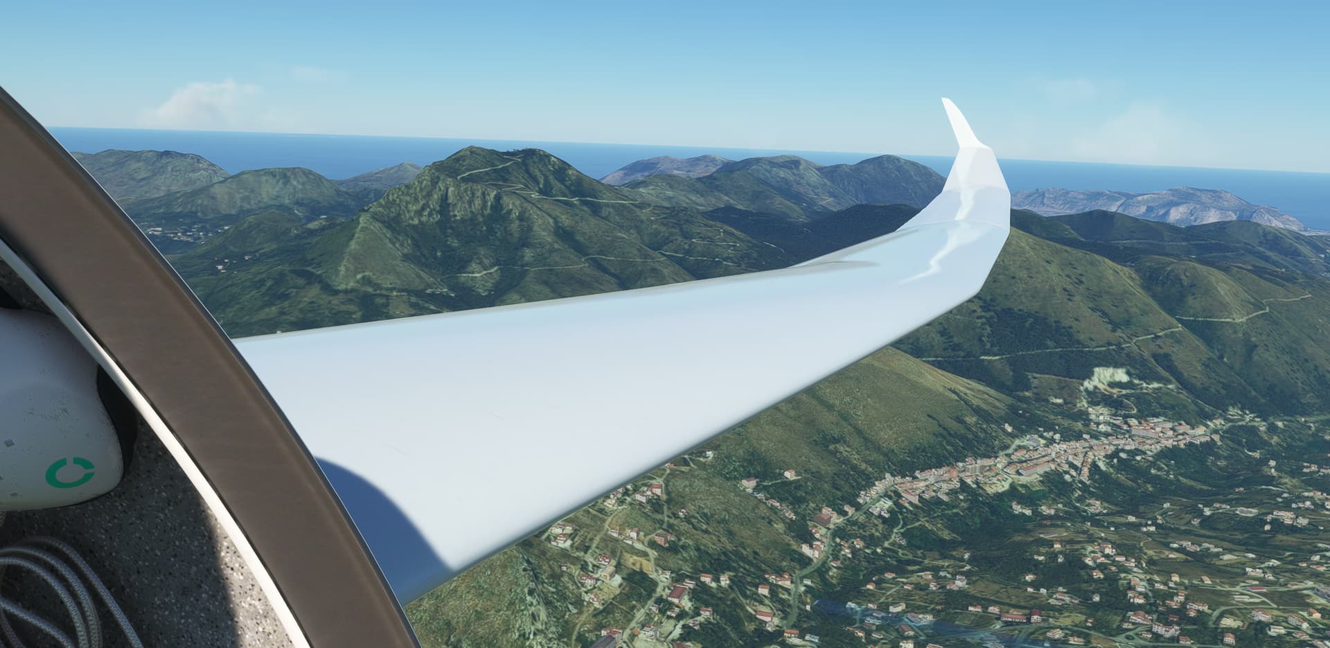
On to the next mountain:
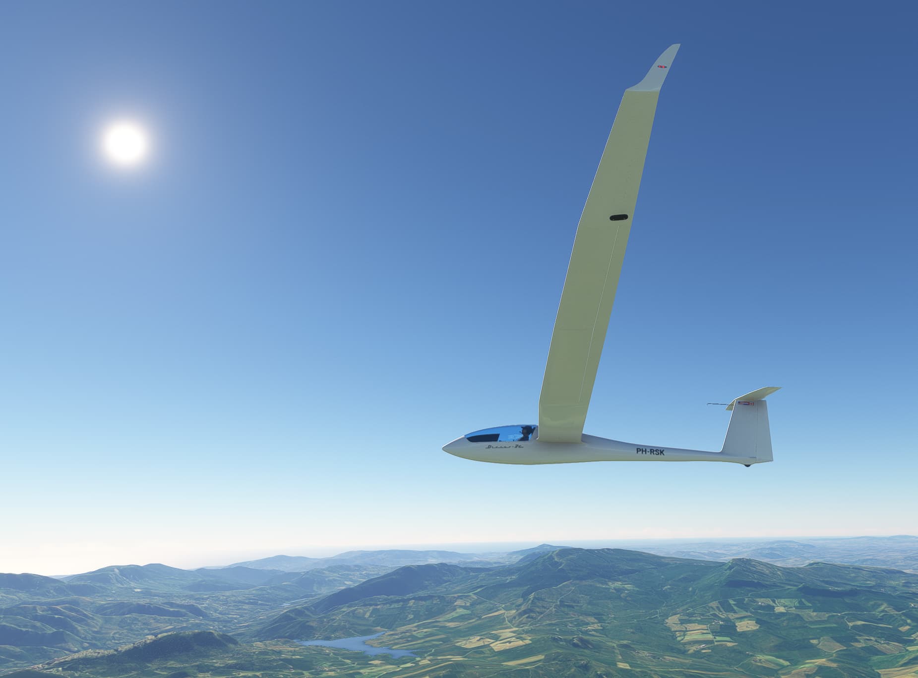
Clear weather at first, later on some clouds:
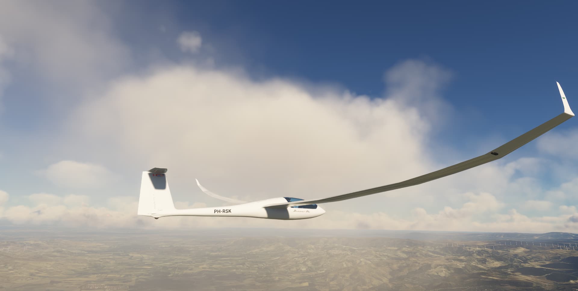
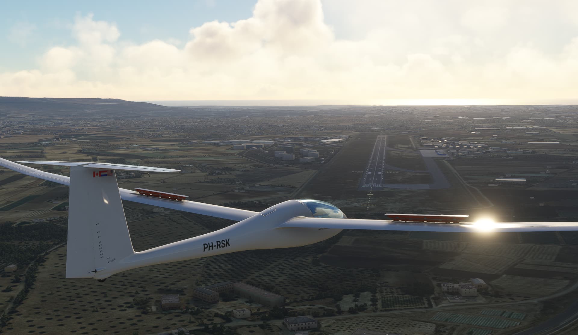
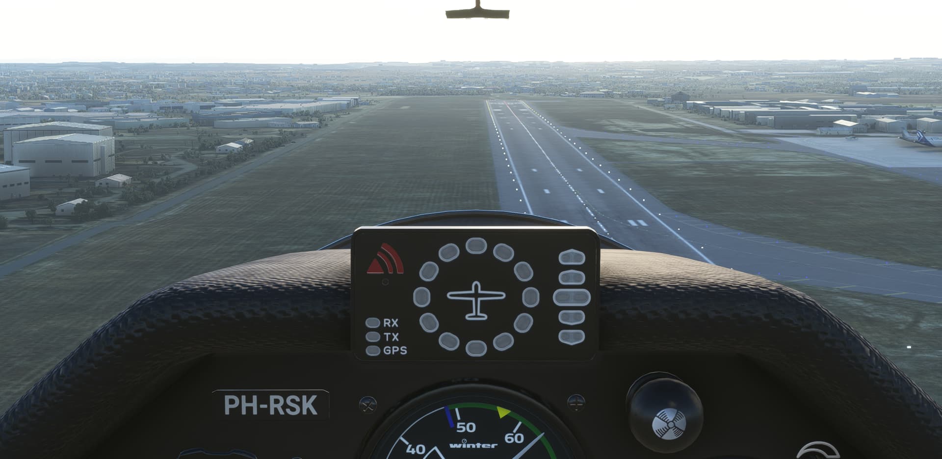
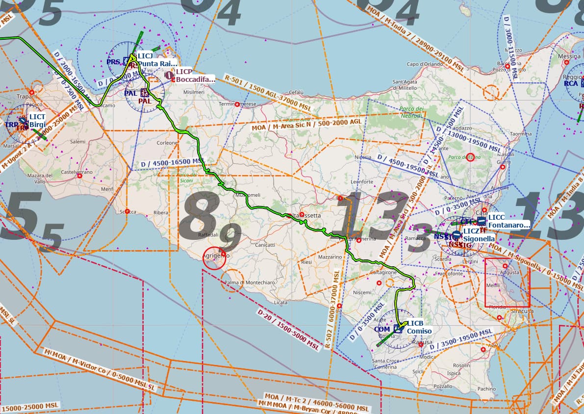
En-route, it became clear that the planned destination could not be reached, so diverted to LICB (Comiso). Approaching Comiso, dropping the water ballast on downwind, final and landing on purpose on the grass next to RW23:
Route flown:
Credits to: Discus-2c Standard – Got Friends
Nicely done. I think that might be a first - A question for the ‘old hands’, has anyone else done a Xmas flight leg in a glider before?
Specifically a purpose built glider, off the top of my head no. An atmospheric re-entry followed by the glide phase to the destination, yes.
Amazing! I agree…gotta be a first.
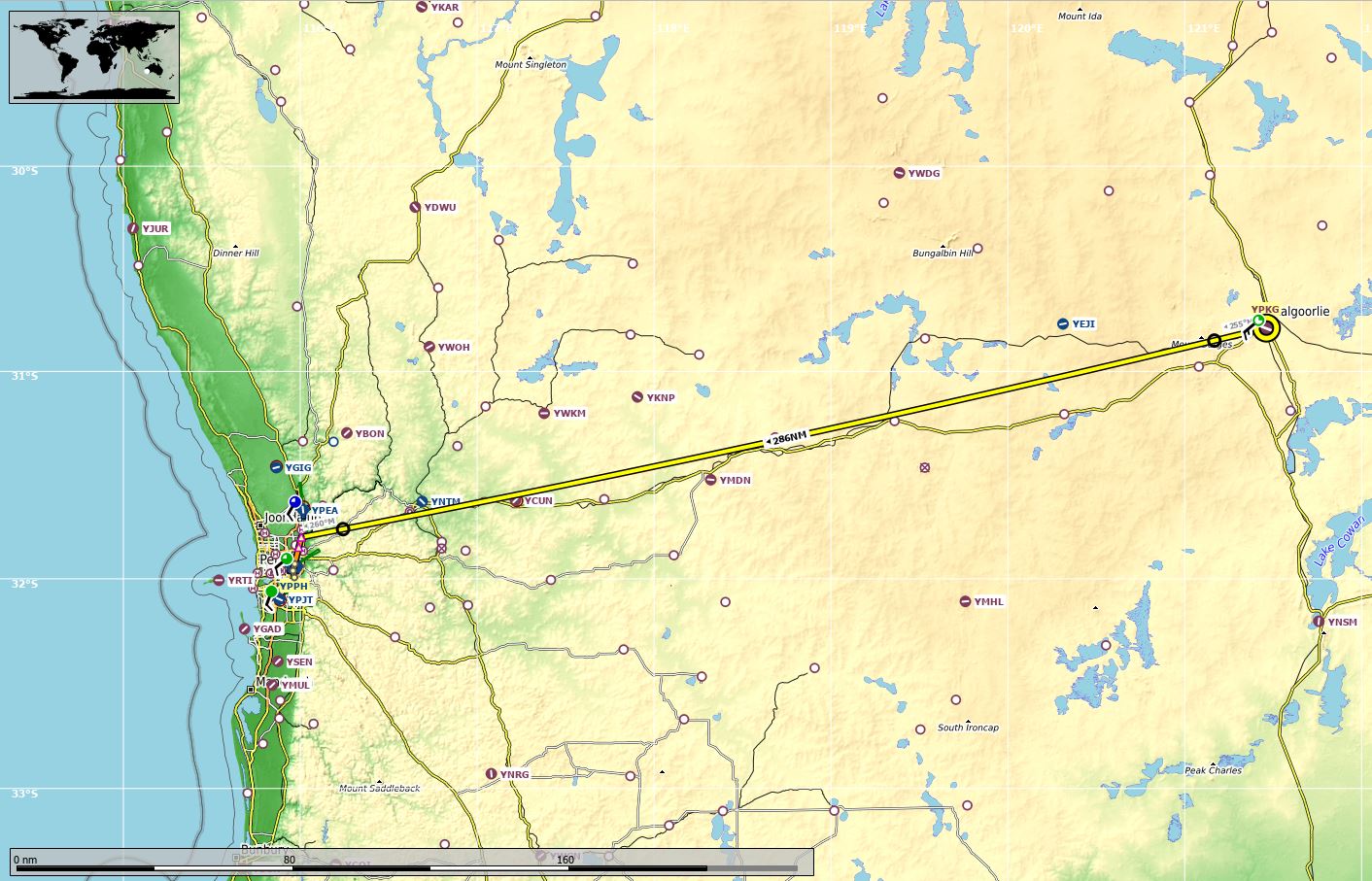
I am finally starting to feel like I am making some progress. Still a long way to go, but at least I have made to the West Coast - Perth/YPPH.
I am back to using little navmap. Not only for the extra options it allows for flight planning, but I also ‘bit the bullet’ and started a Navigraph subscription (NAVDATA only at this stage). As will become clear, the ‘out of date’ message was bugging me and the current AIRAC data was over a year old.
I have a cunning plan for the next few legs, because they will by necessity be long ones and I needed to get to grips with an aircraft that has the legs and the speed. To help me ease into it.
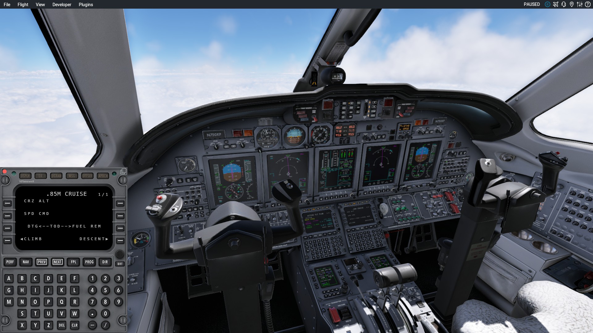
Therefore my trusty steed for today is an X-Plane ‘original’:
Weather isn’t the best. But beggars can’t be choosers.
Hmmm, this is new. But maybe because I am used to MFDs, courtesy of DCS, it is fairly intuitive and loading up a flight plan was actually a lot easier than with the Garmin avionics. And no flashy “navdata out of date” warning at the bottom of the screen.
Everything looks good for departure, and I am away.
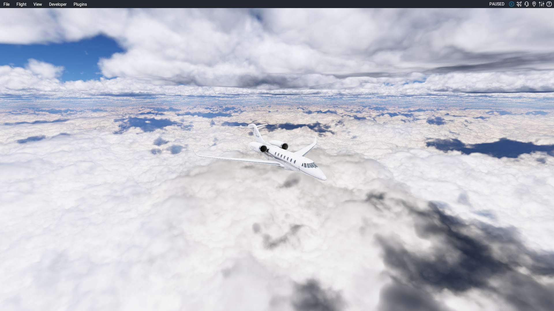
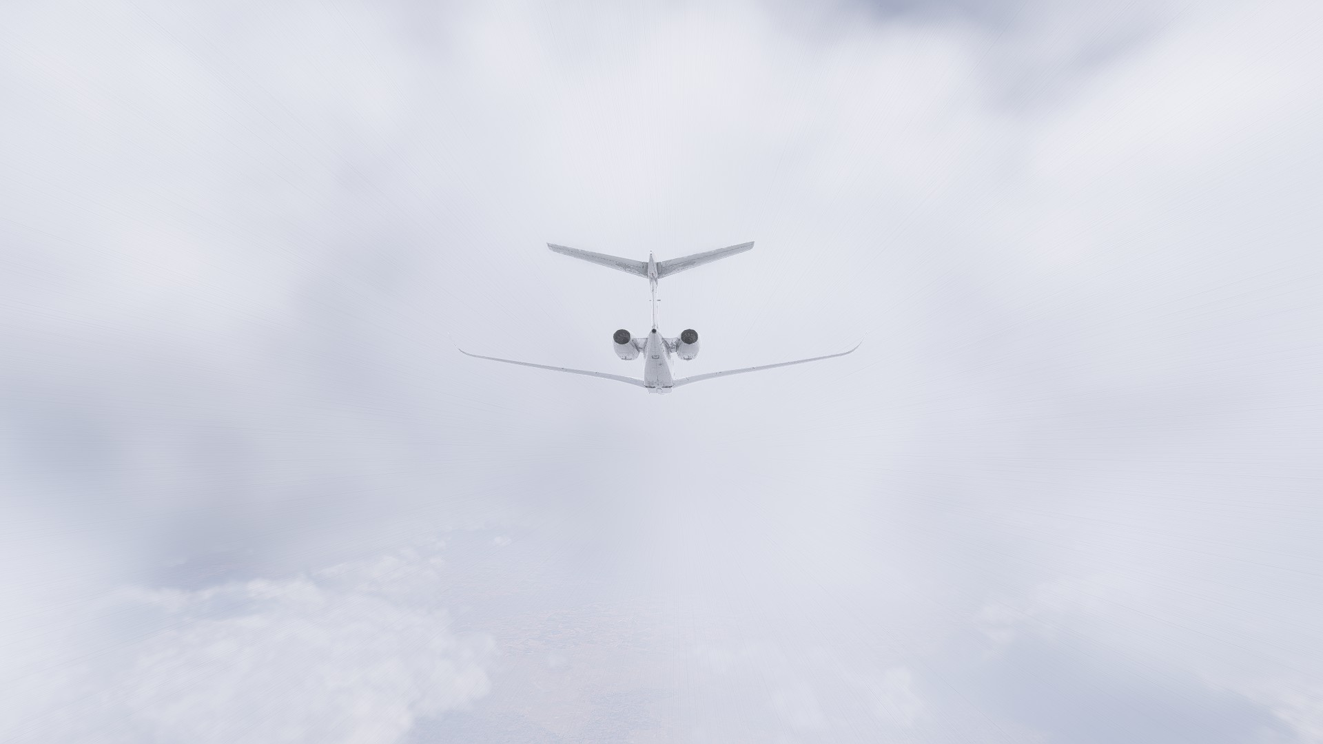
Not a lot to see today, except for clouds:
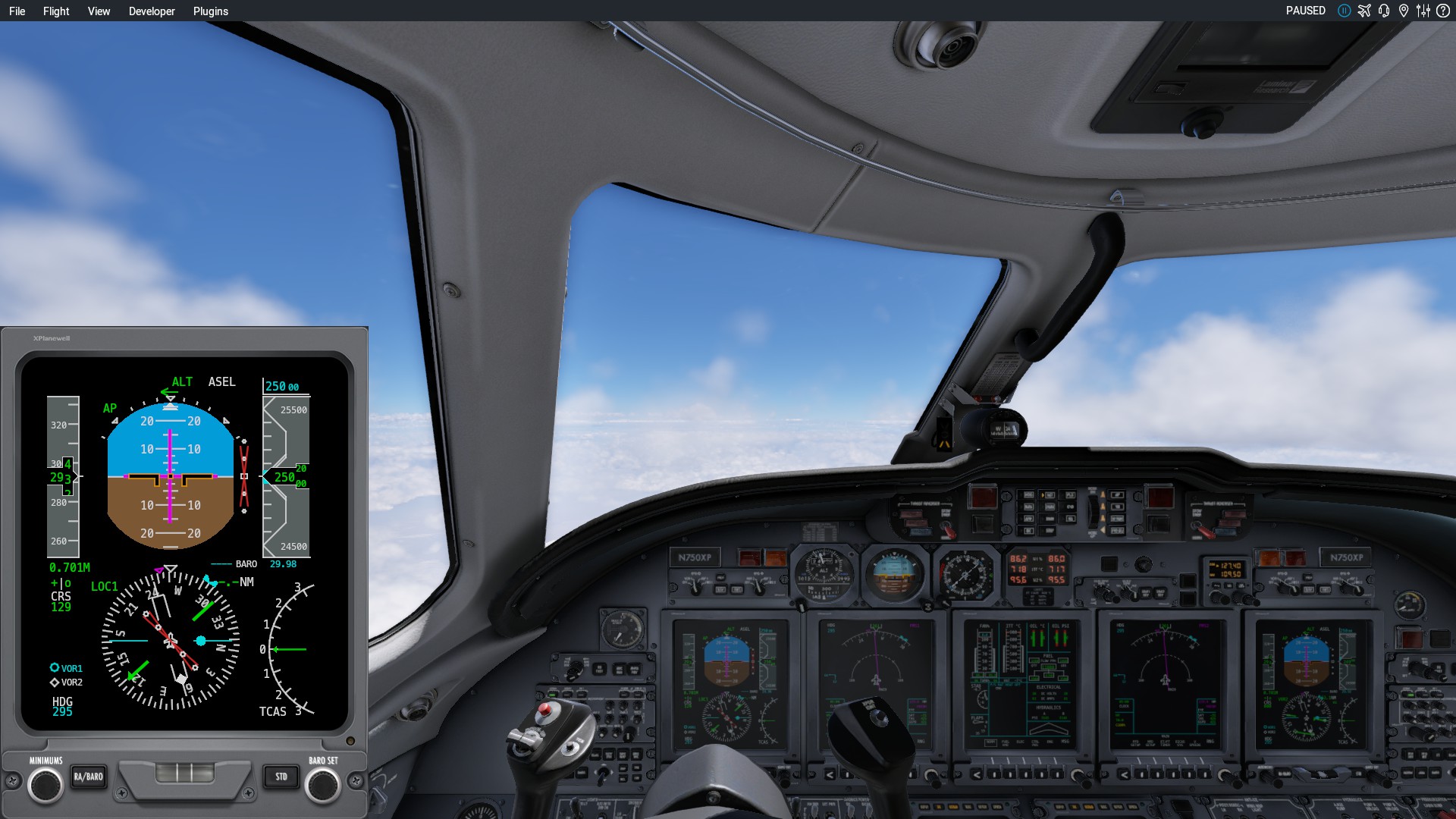
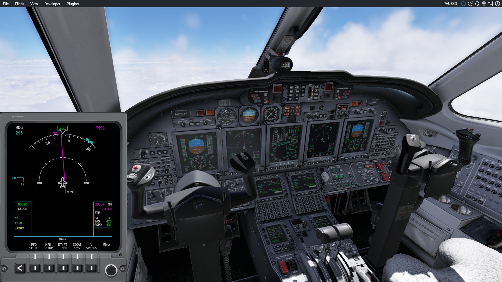
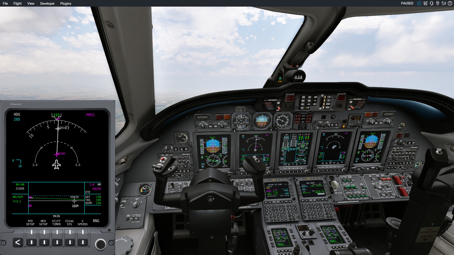
And not only is this thing a rocketship, with a fairly short flight I am really on a steep learning curve trying to stay ahead of the aircraft, especially when there are so many extra instruments, buttons, knobs and dials to ‘learn’… so many:
I really didn’t know what I was doing and will definitely have to RTFM rather than trying to learn on the fly…
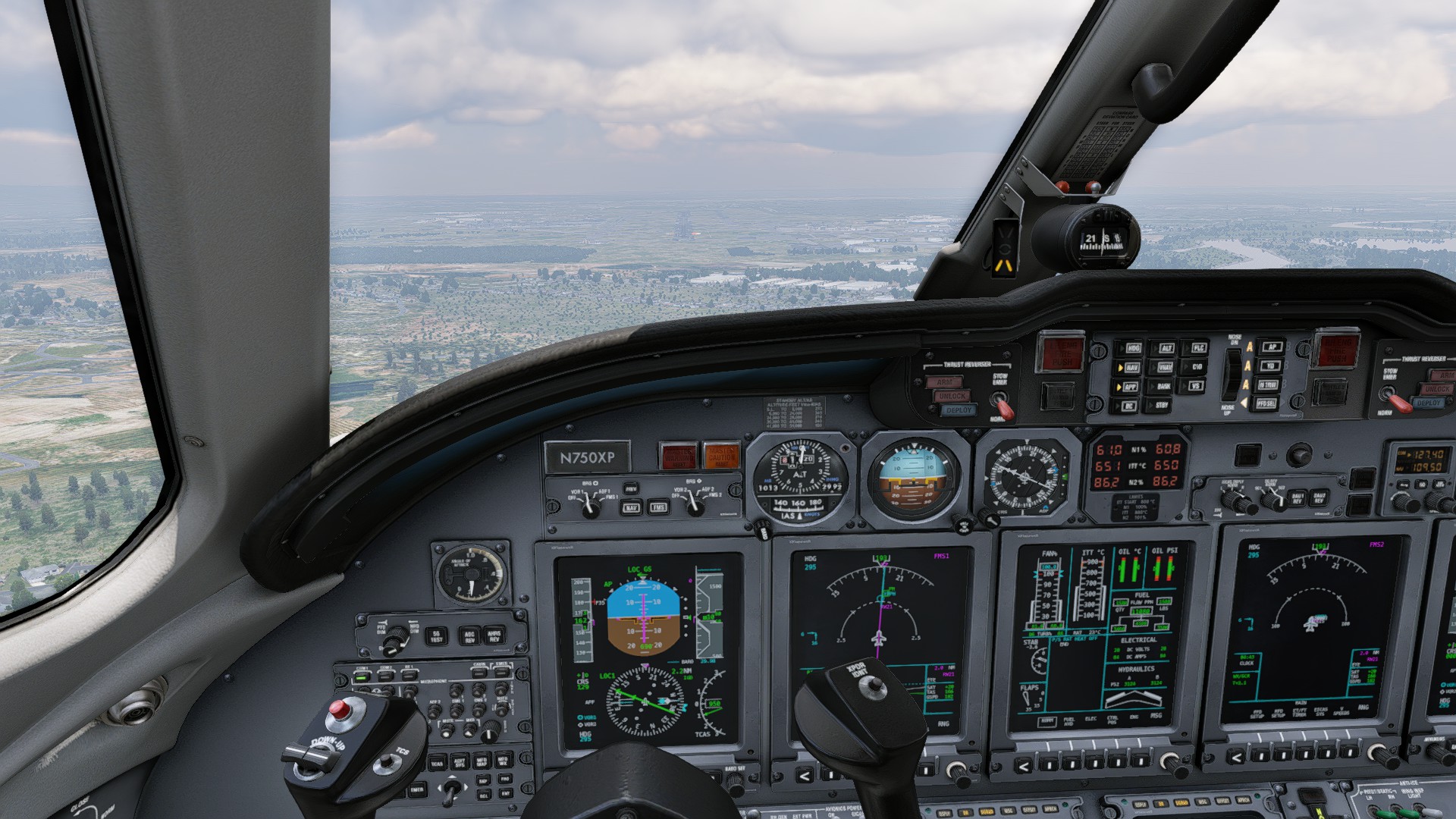
But the AP picked up the localiser and kept me on the glideslope nicely.
Until I took over and got a little low at the end.
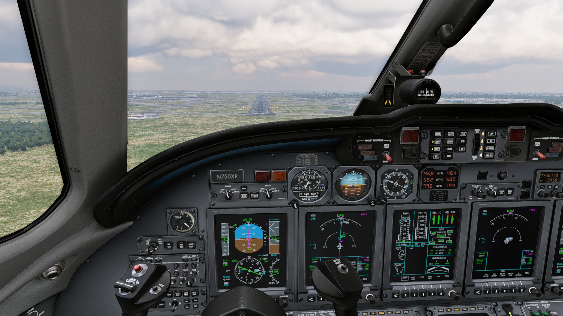
In (reverse) thrust we trust… And again, left of the centreline. I definitely have to have my Mk1 Eyeball recalibrated!
Next stop, I don’t know. Wherever it is I need to set aside the time for a long flight.
That’s a beautiful looking aircraft and XP12 looks spectacular!
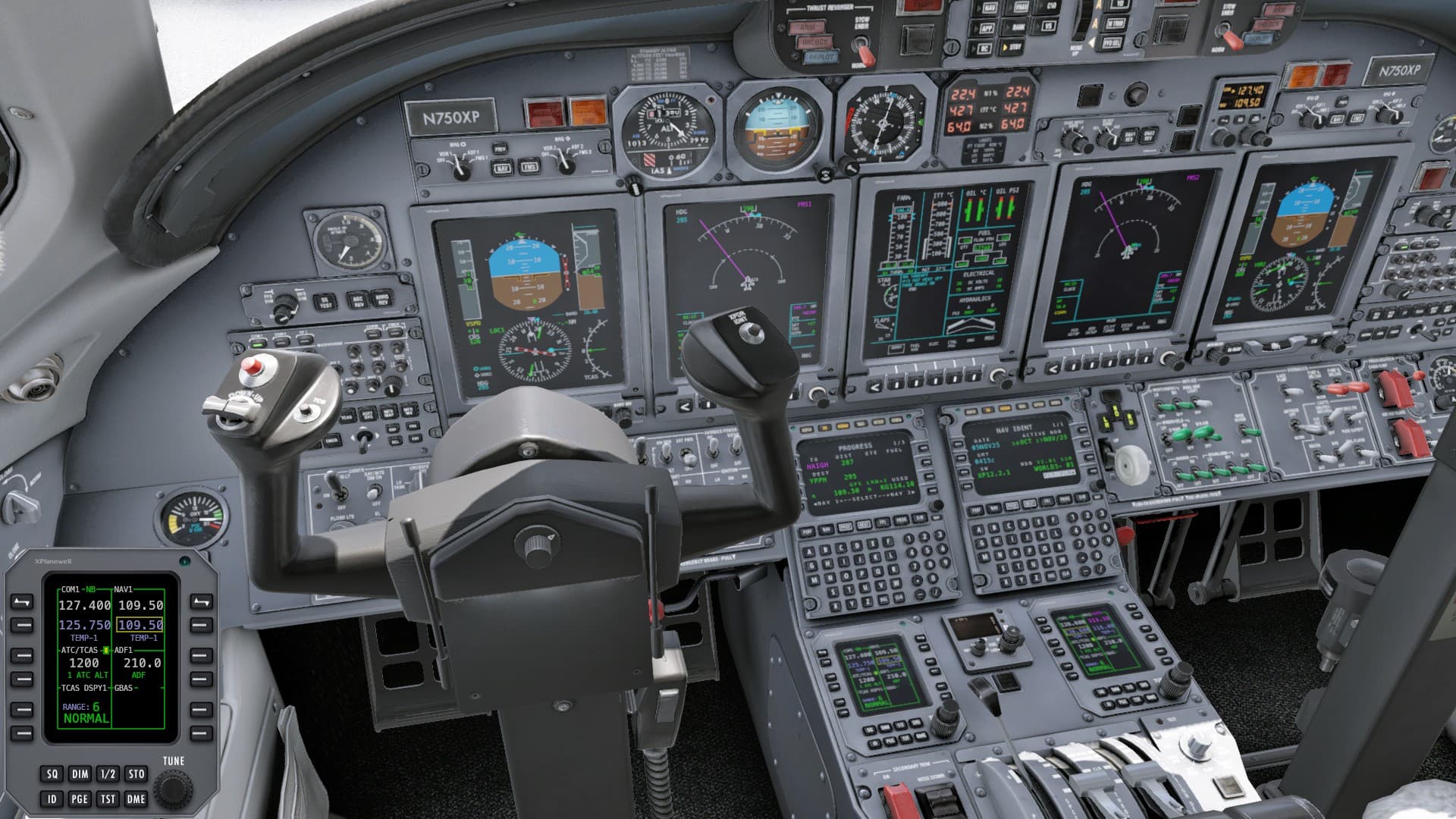
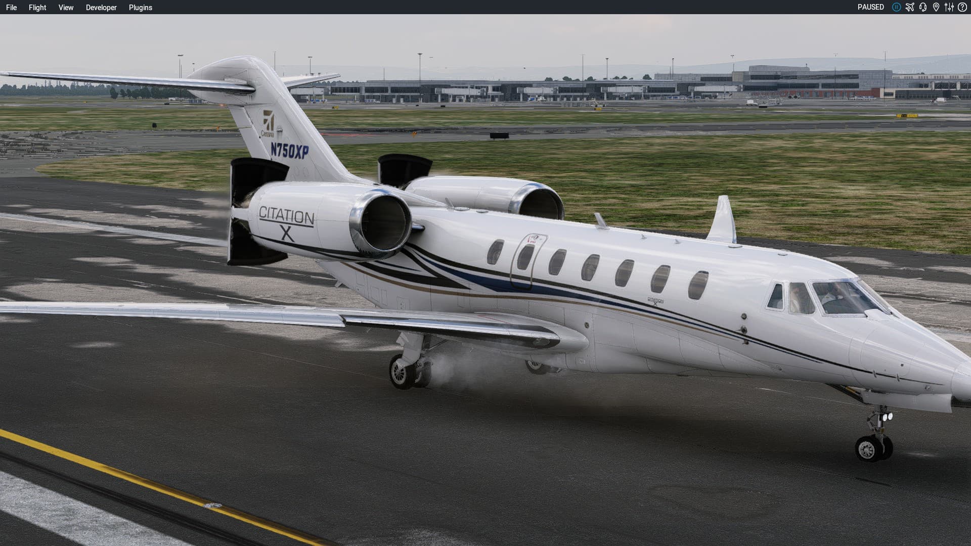
Ted and Dan posted links to a couple of ‘settings guides’. That made a significant difference on my ageing PC and the Citation sure is purty aint it.
It was a bit daunting, but I need to ‘step up’ if I am going to get there before the end of the year.
flying XP12 is like walking on a really high suspended bridge and being afraid of heights … " just dont look down! " ![]()
![]()
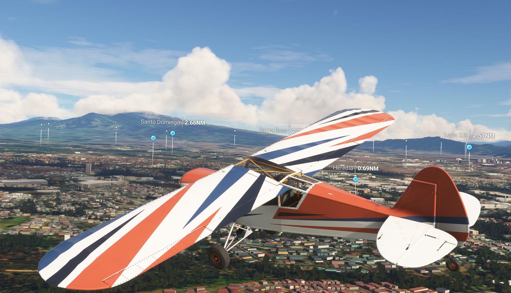
Volcan Arenal , Costa Rica
the ’ lets check some POIs ’ seemed like good idea at my destination San José . took the Cub for a spin and was like ’ hmmm , so many POIs !? … is the MSFS showing me all the nearby restaurants or something ?? ’ ![]()
I was considering the included MD-82 or even the A330-300 (Maybe too big of a step up there?) ![]() But looking at what else was ‘available’, I have decided on the next aircraft. Payware G550 by AKD Studios:
But looking at what else was ‘available’, I have decided on the next aircraft. Payware G550 by AKD Studios:
On the plus side this would actually get me Madagascar from here. On the minus side, it is definitely more towards the ‘study sim’ end of the spectrum and skipping a ‘bit’ of reading plus a couple of hours of tutorial videos isn’t an option.
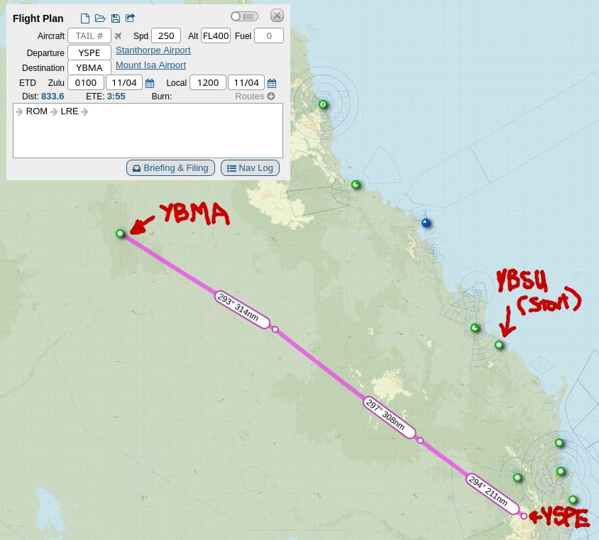
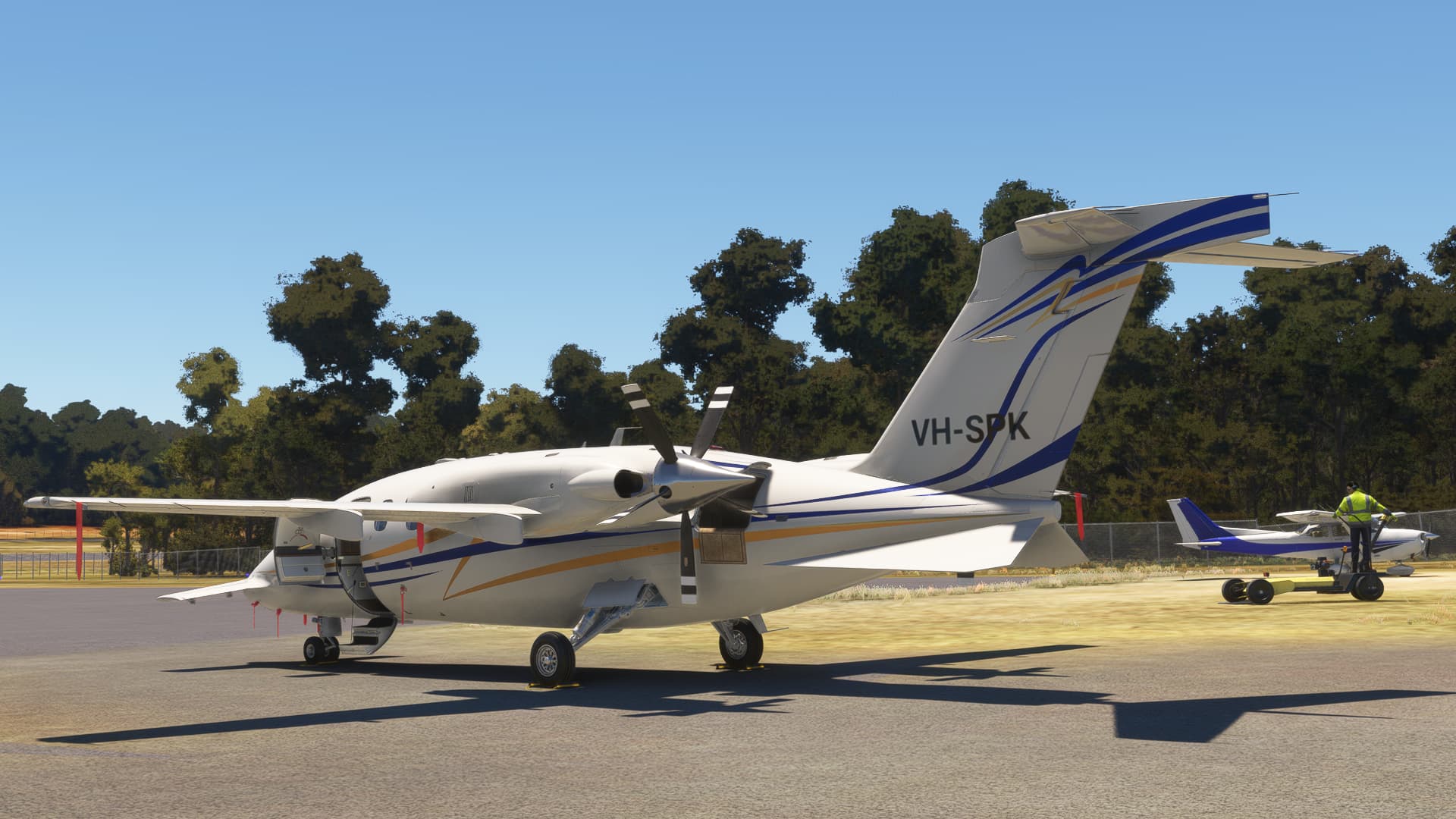
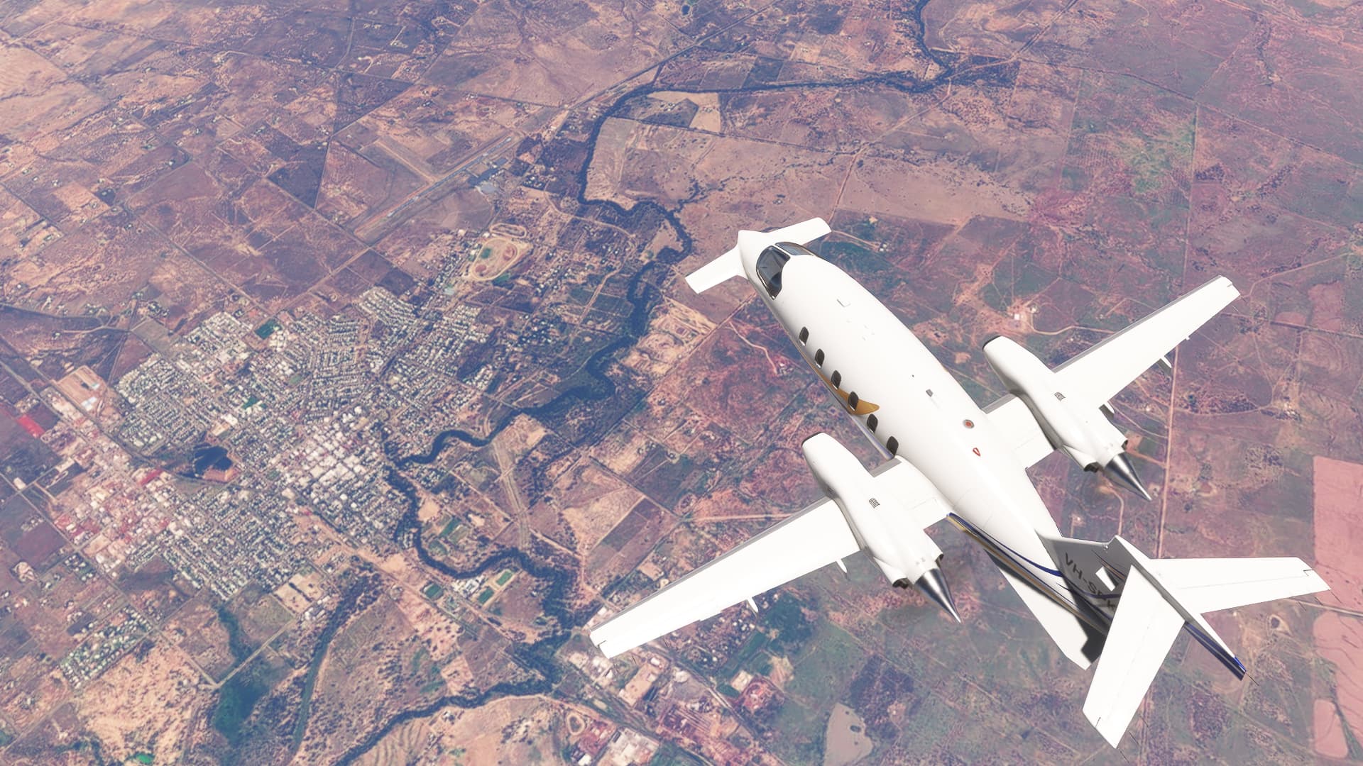
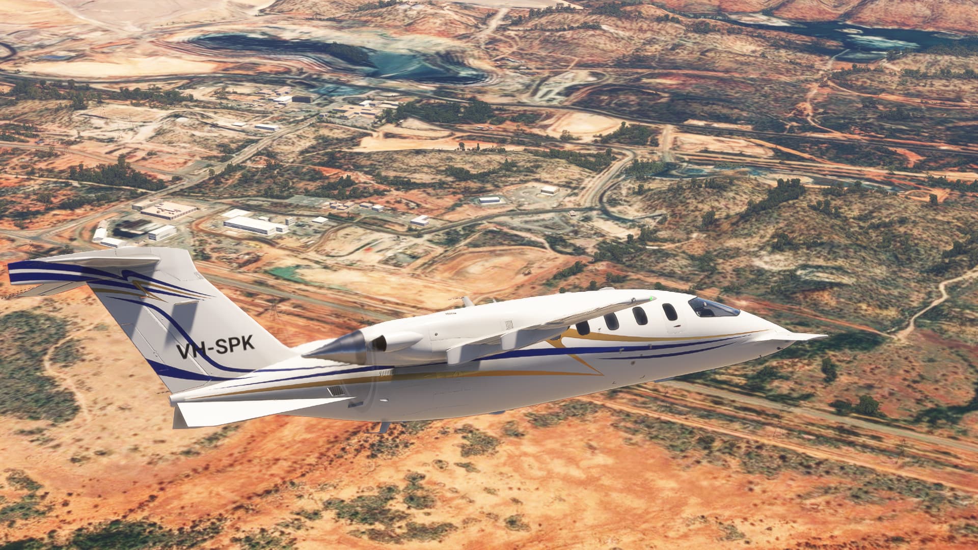
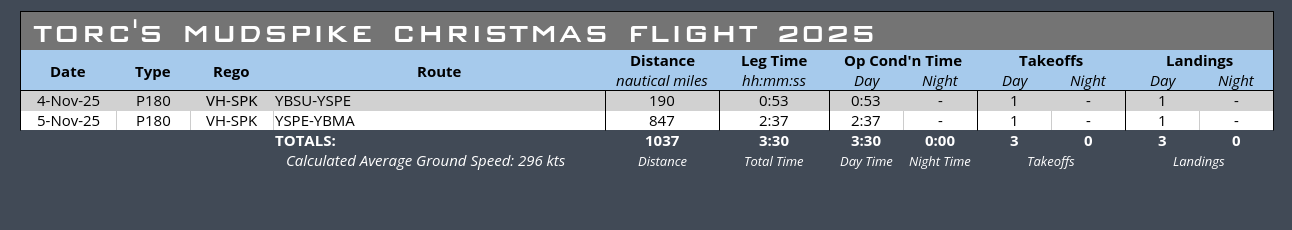
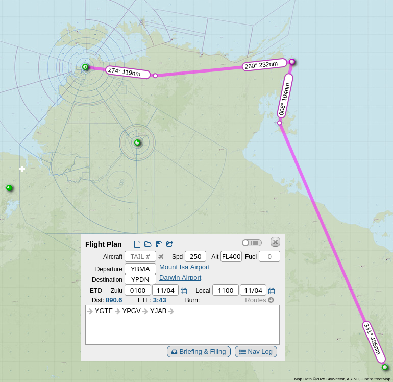
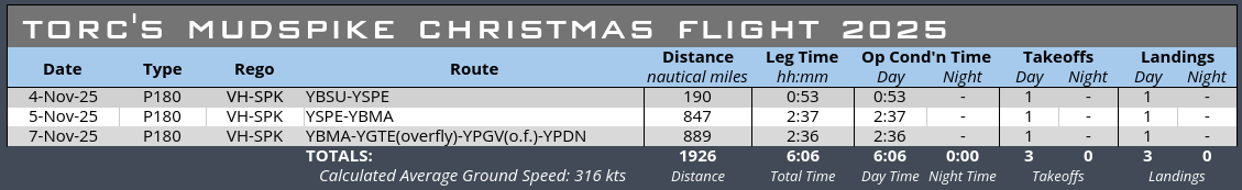
Leg 2: Stanthorpe to Mt Isa
Time for our second leg - Stanthorpe (YPSE) to Mount Isa (YBMA). We’re going to try for max cruise performance this leg, which we should get at FL270 (today is ISA+10).
Here’s the route we’ll take, it’s a pretty direct flight with a slight dogleg to pass over Roma and Longreach on the way:
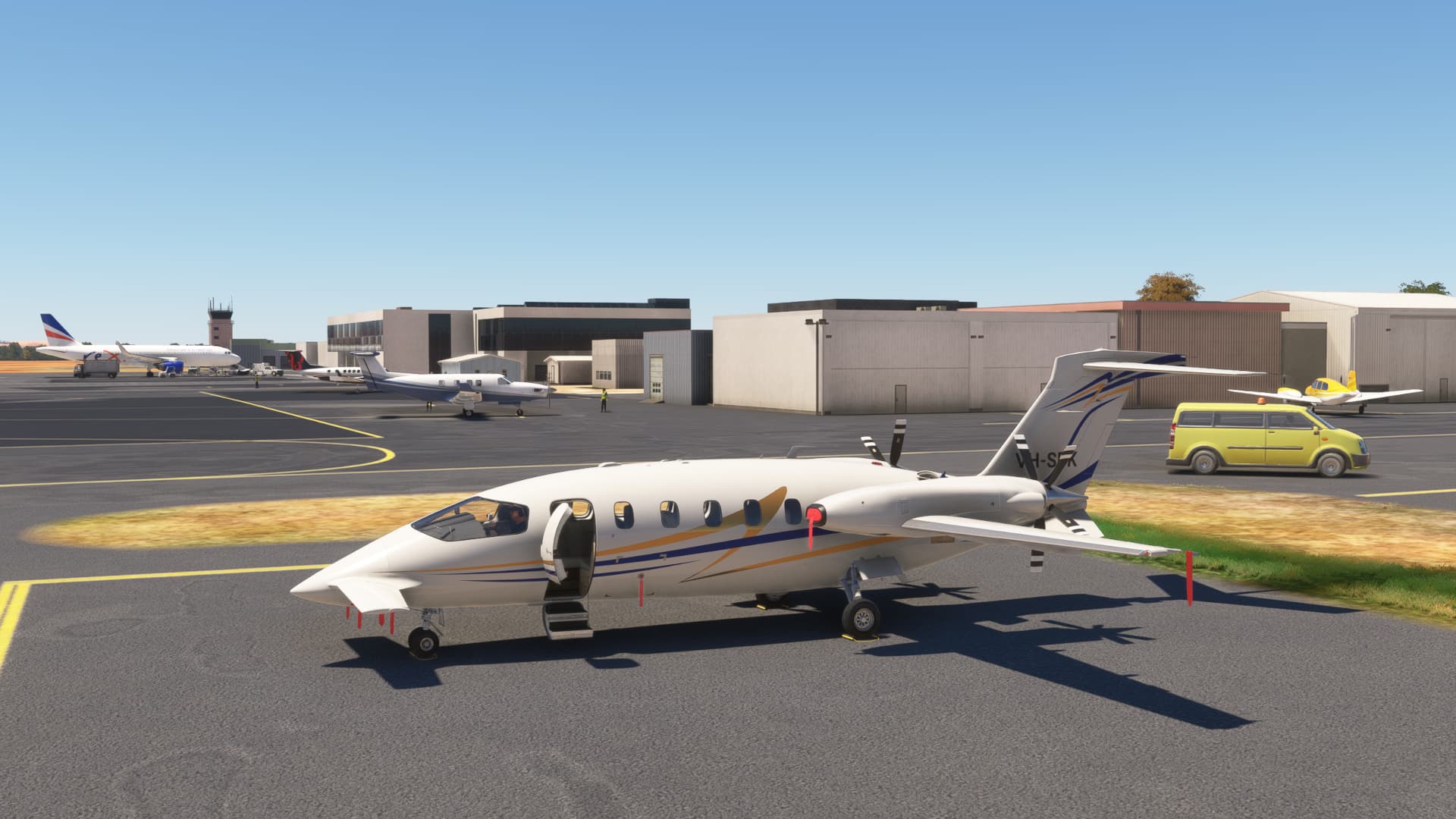
We finish loading up at Stanthorpe for departure:
After Nevo’s timely reminder, I’ve created a manual cache and have downloaded the terrain around my departure and arrival airports, and I’ve created a large cache that will hold the downloaded tiles so I hopefully don’t have to download them each time. So Stanthorpe looks a bit nicer as I leave:
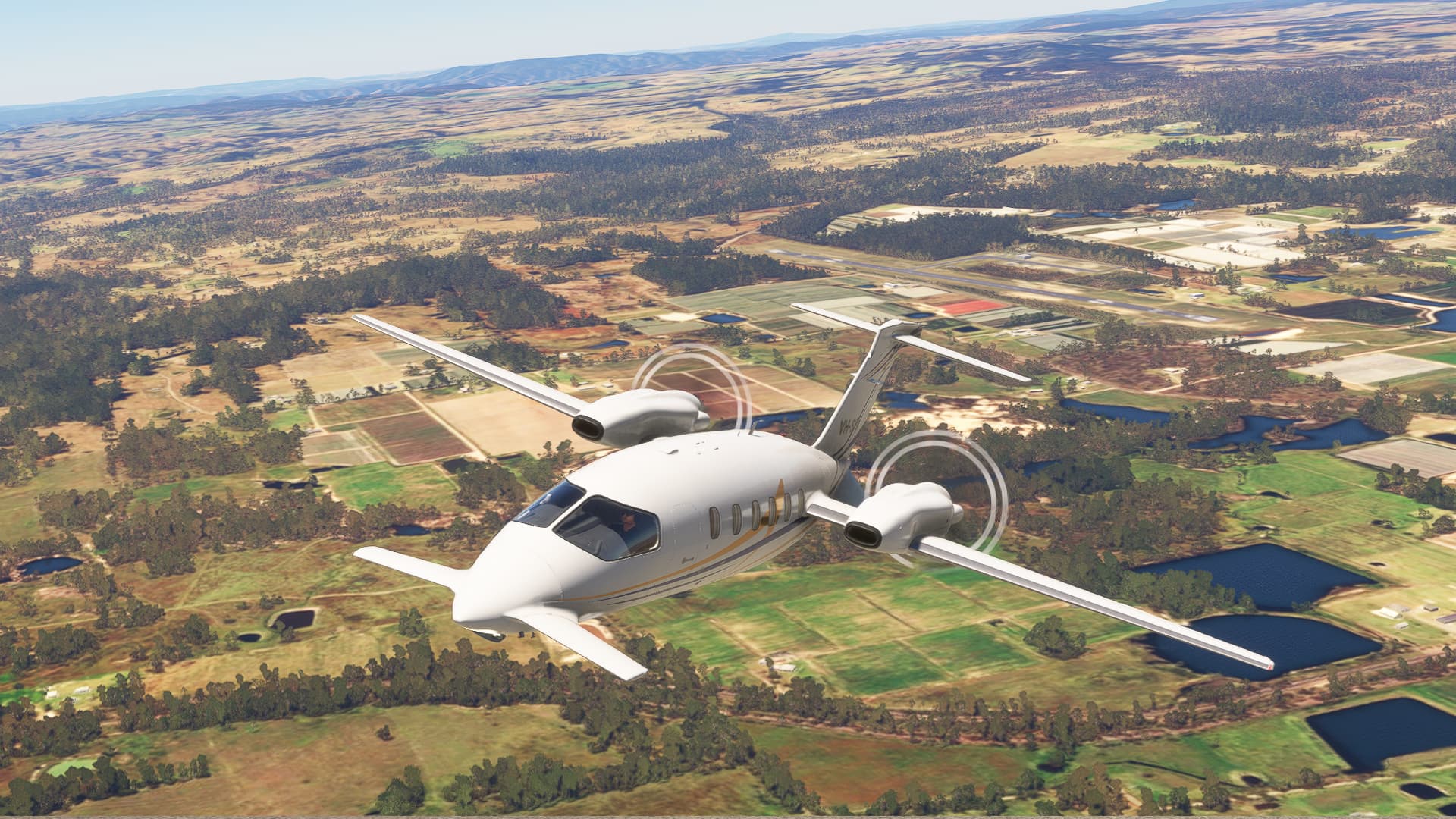
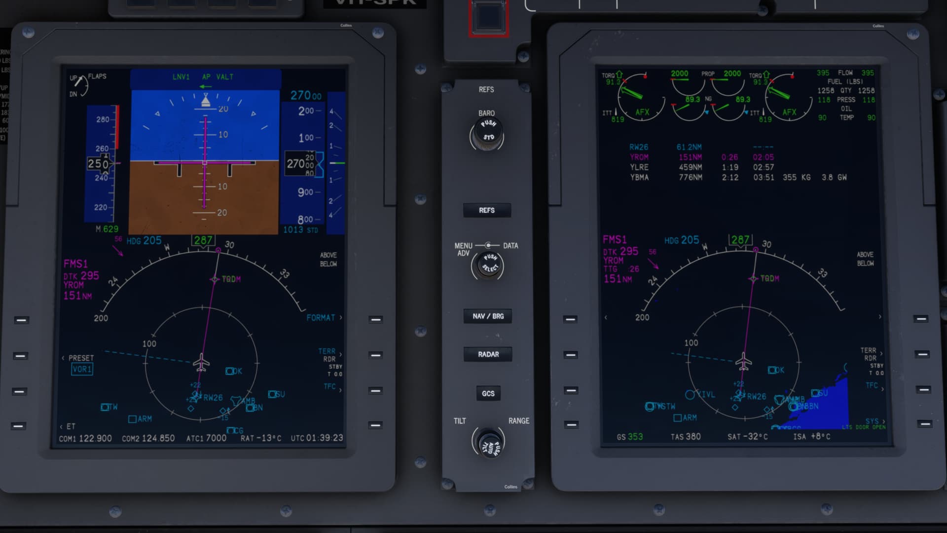
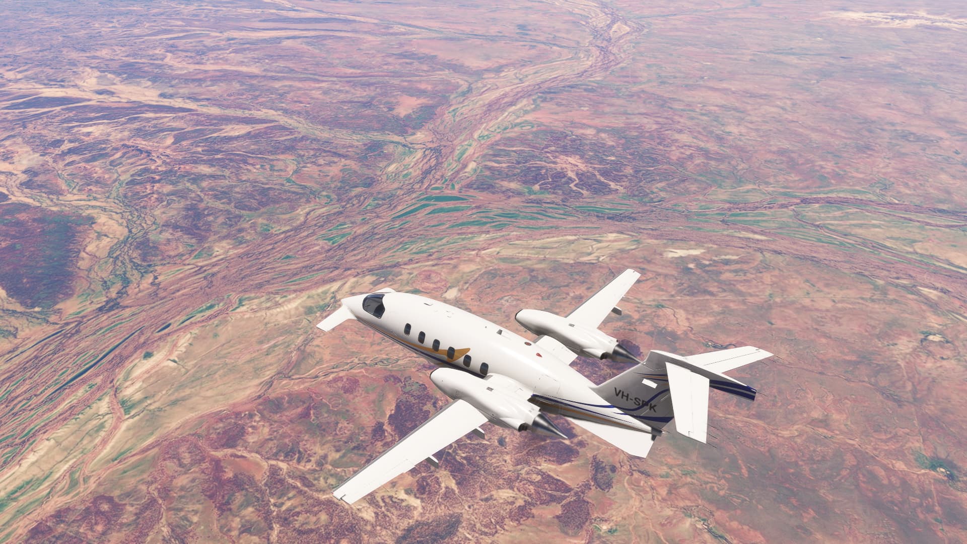
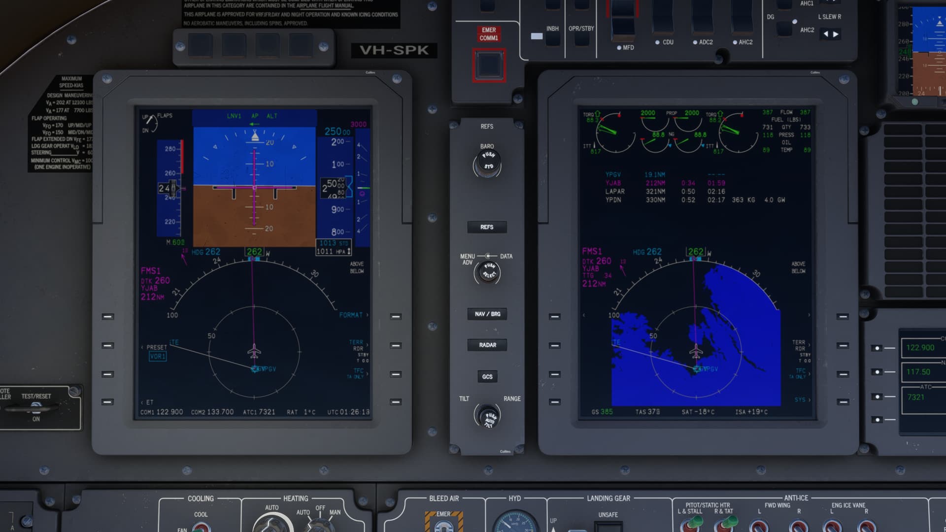
Set into cruise, I’m not quite getting the book numbers for the engine again, but I am getting the performance - TAS of 380 ![]()
The aircraft has a distinctly nose-down attitude at maximum cruise:
Passing over the city of Roma which I think of as the gateway to Western Queensland, as you have to drive through there to get to a lot of places further west.
Roma also had the dubious distinction of being a place where the big insurance companies wouldn’t give you flood coverage, but the Australian government has since constructed a flood levee around the town to remove that particular excuse …
As we continue further north-west, we pass over Longreach, the historical home of Qantas:
The Flinders River is spectacular when you’ve got the terrain textures loaded:
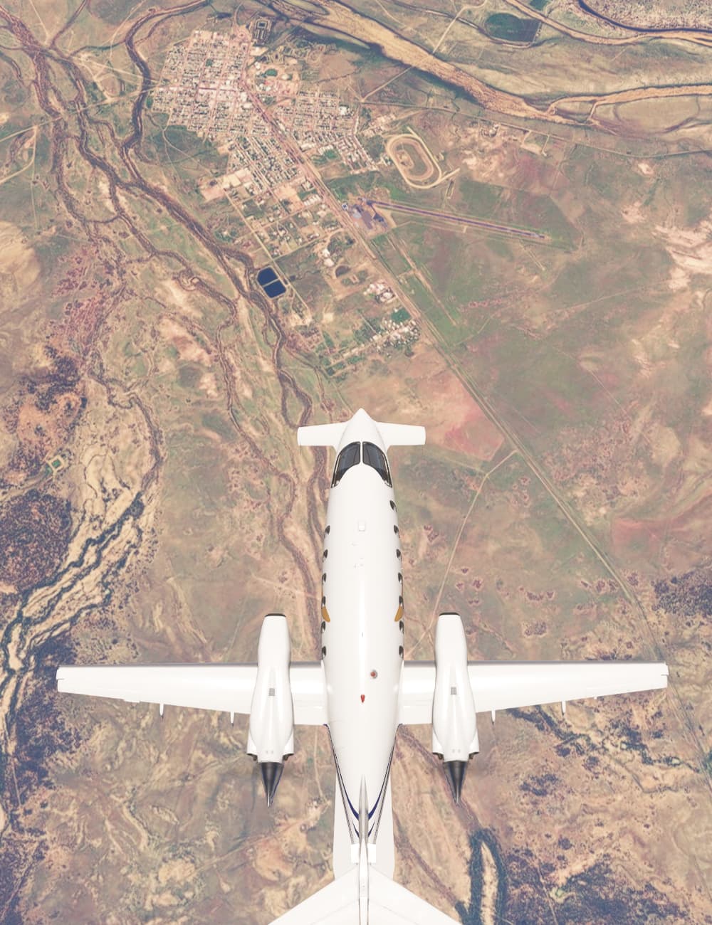
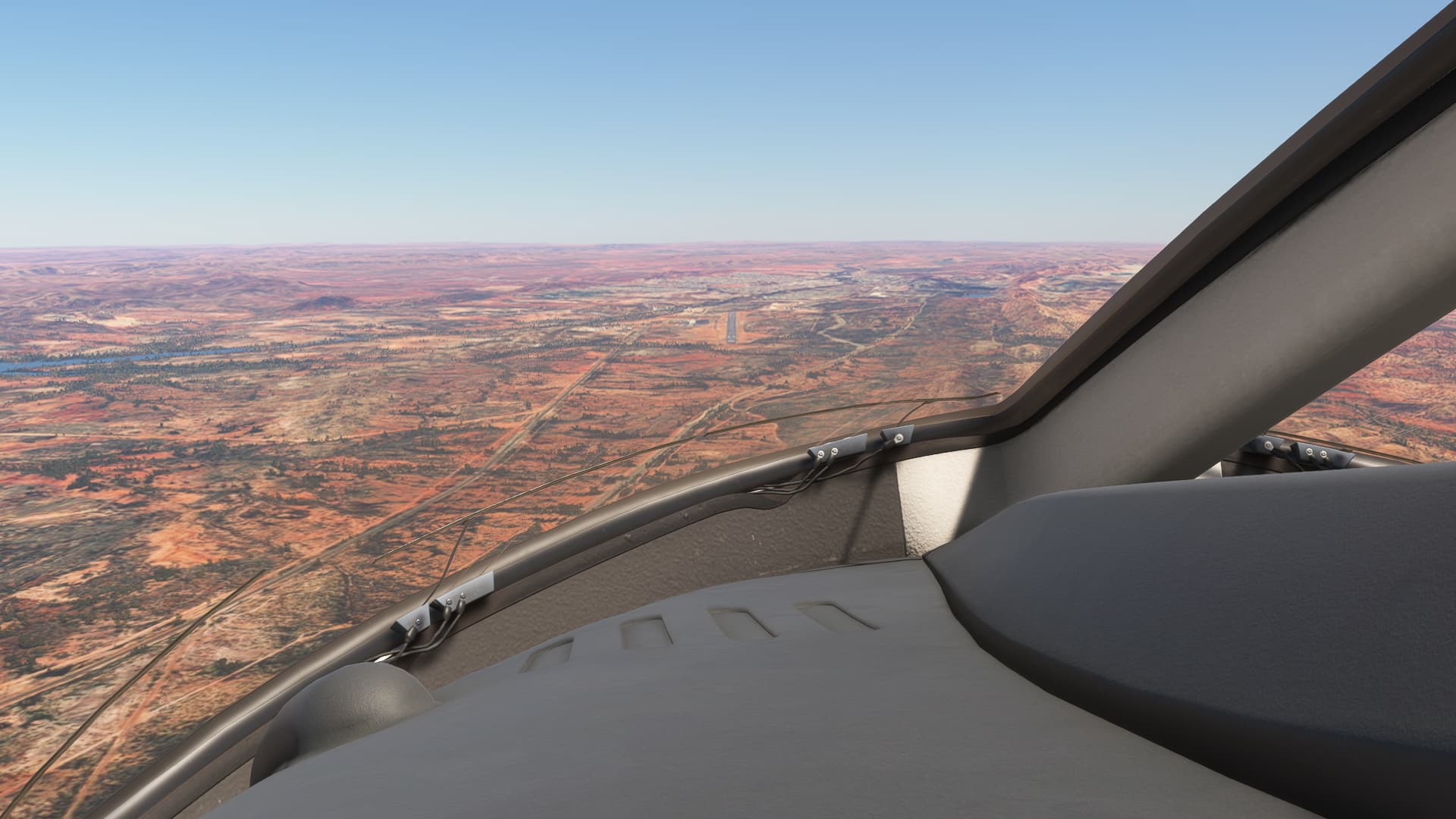
But soon enough it’s time to descend, and we fly past Mt Isa airport (above the cockpit) and township (above the tail) as we join the circuit to land:
Turning onto final over the George Fisher Mine, to the north of town:
A bit fast and high on final, but we make a smooth landing:
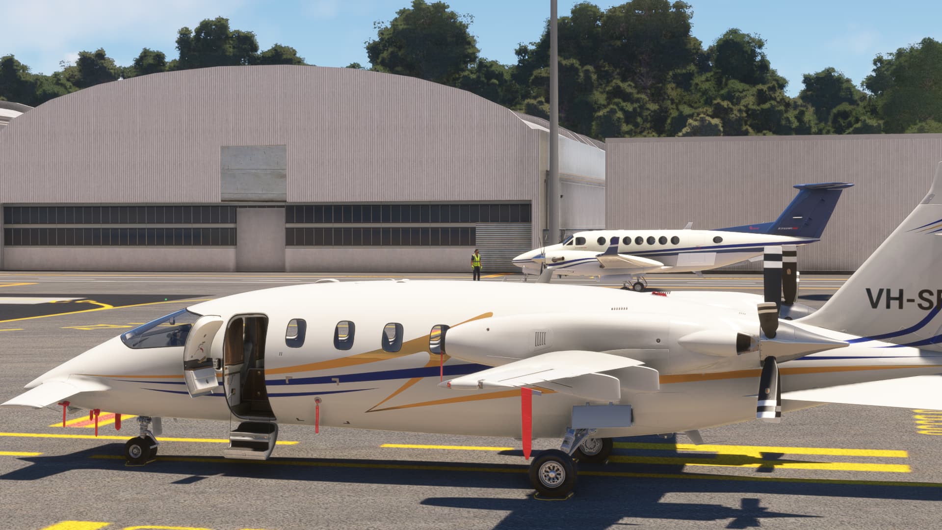
And we park up. It’s a busy day at the airport with lots of vehicular traffic on the apron (which I’ve never seen in real life):
So we made good time, with an average true airspeed of 345 kts in the FMS flight log. That went down to 322 groundspeed due to a constant quartering headwind, but I’ll take it over the King Air ![]()

Nice choice! The Queen of private jets IMHO. We had the CNO’s G-5 parked next to us in the hangar at Andrews. It looked fast just sitting there!
And the FLIR? Amazeballs.
@Torc are you perhaps running up against the ISA on climbout?
When we flew our Encores out in the sandbox there were occasions where we were ISA+a lot until we got well into the 30s.
Well I may not be a Southerner but that gosh darn golly is the only and only Daytona of the 24hr fame! I’d be a damned fool the day I don’t recognize that darned Le Mans chicane!
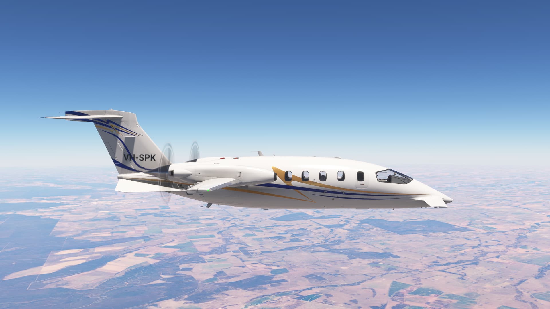
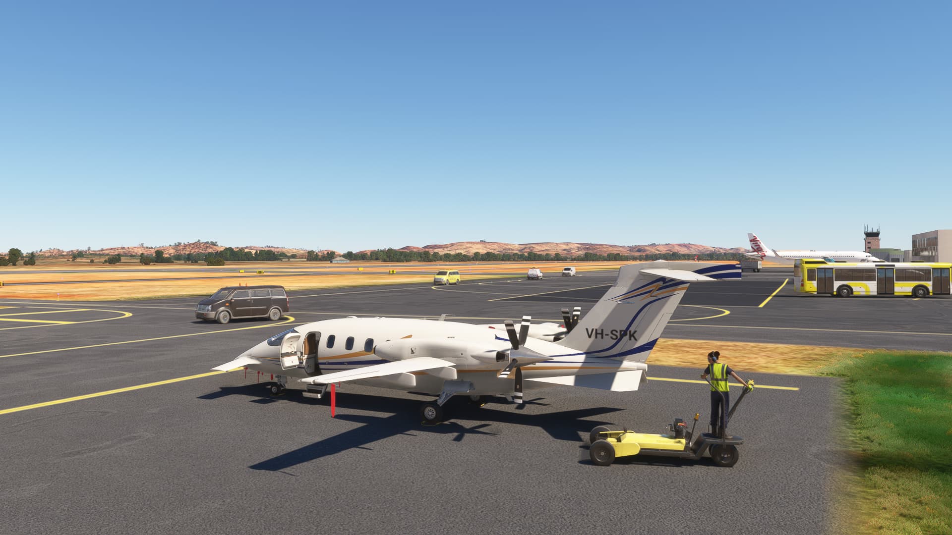
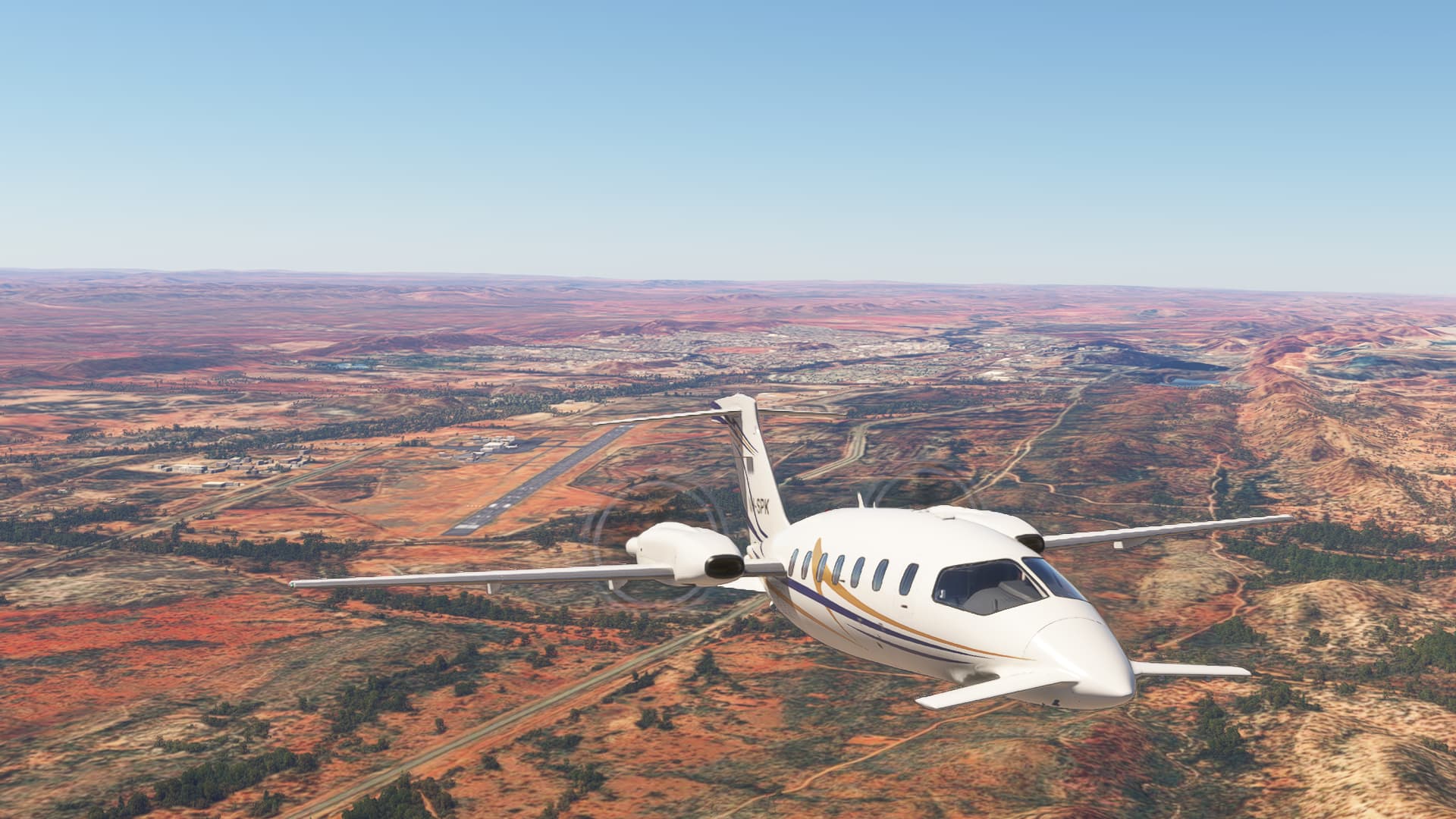
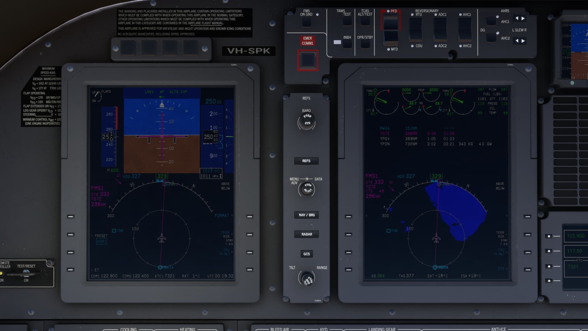
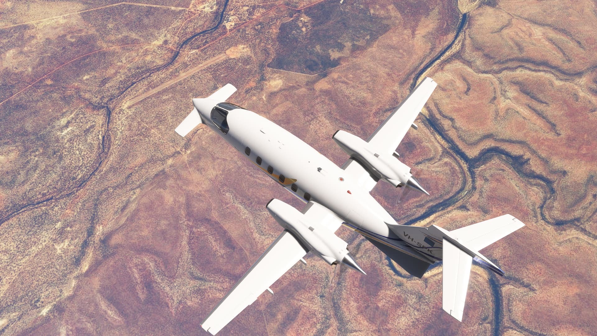
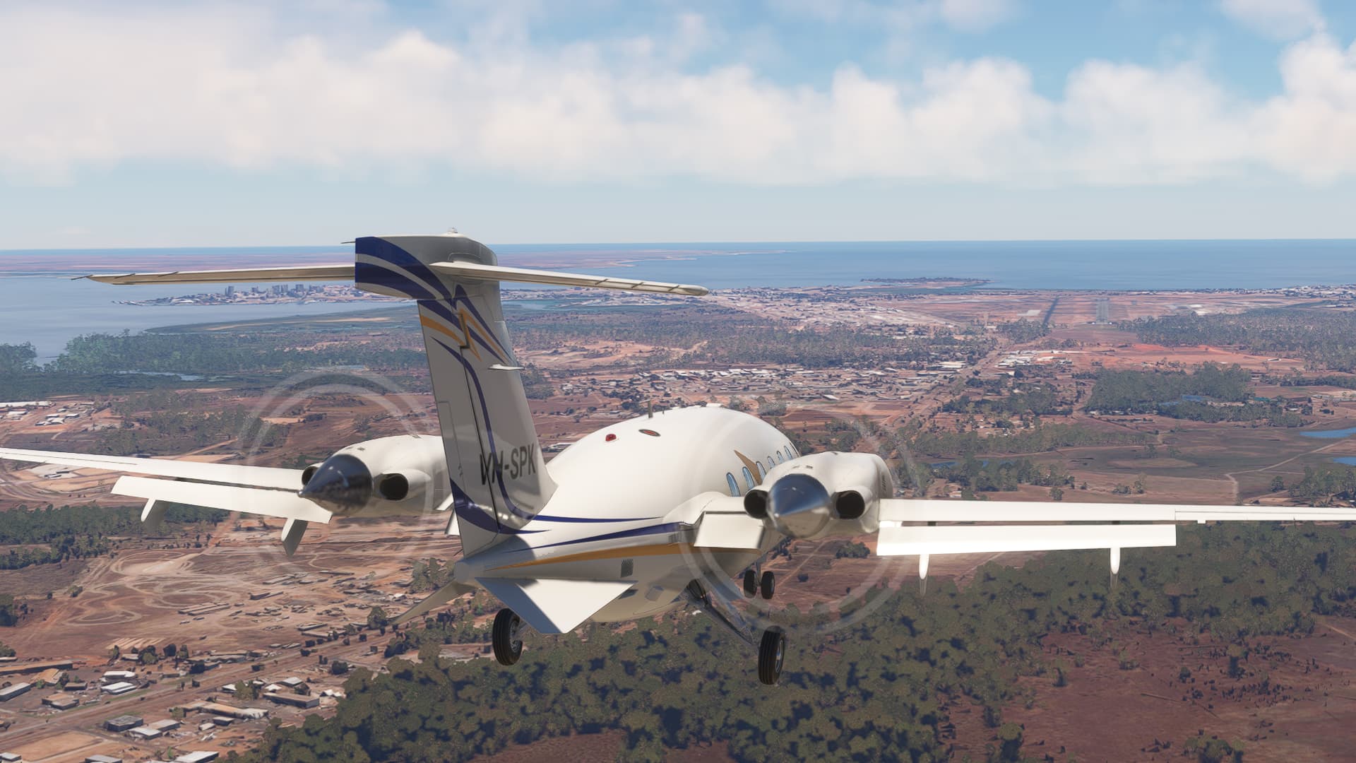
Leg 3: Mt Isa to Darwin
This is the first leg where we’ll be directly comparing to last year’s King Air flight. The route is a bit roundabout (I was still in sightseeing mode at this point last year ![]() ) but gets us there:
) but gets us there:
The crazy Formula Van Grand Prix on the Mt Isa apron continues as we start up:
And we beat a hasty retreat from the madness:
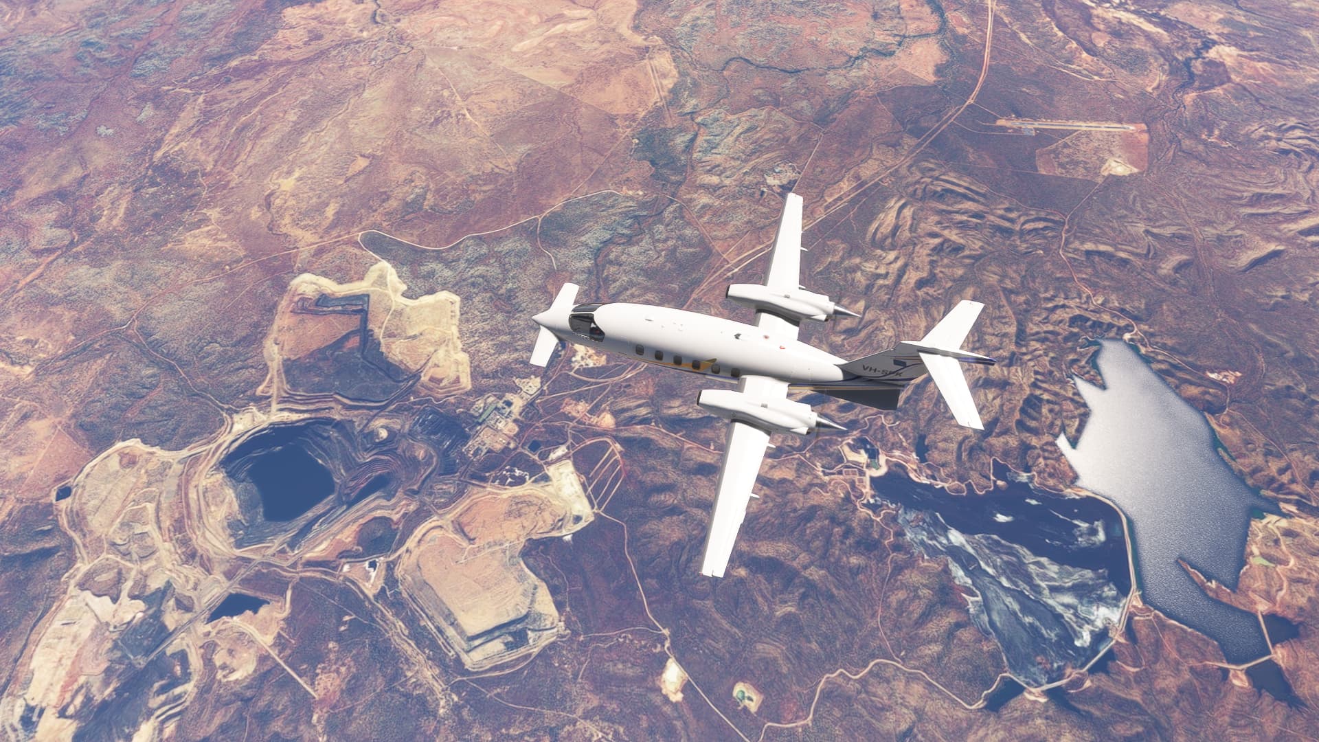
Mining has been the largest single sector in Queensland’s economy for some time now, averaging about 12% of “Gross Value Added” (can’t tell you what that is, probably something a politician made up to make mining a bigger part of the economy than healthcare services ![]() ). We fly over the now-closed Century Zinc Mine:
). We fly over the now-closed Century Zinc Mine:
And I am getting the book numbers today, either the ISA+20 tables are better than the ISA+10 tables in the module manual or I was doing something wrong in the last two legs:
Another historically large contributor to Queensland’s economy is farming - in coastal areas cropping (sugar cane is quite extensively farmed near where I live) and inland running cattle. We fly over Wollogorang Station, it doesn’t seem like much with a dirt airstrip and a homestead (just to the top right of the airstrip, barely visible in the satellite image used to make the terrain), but the station runs around 30,000 head of cattle and straddles the Queensland and Northern Territory State Border:
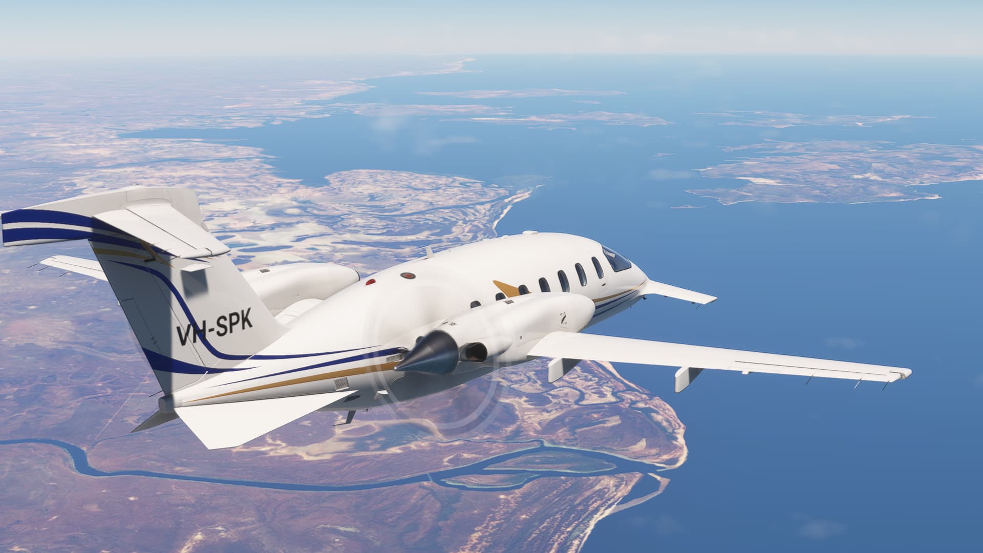
Soon enough we coast out over the Gulf of Carpentaria:
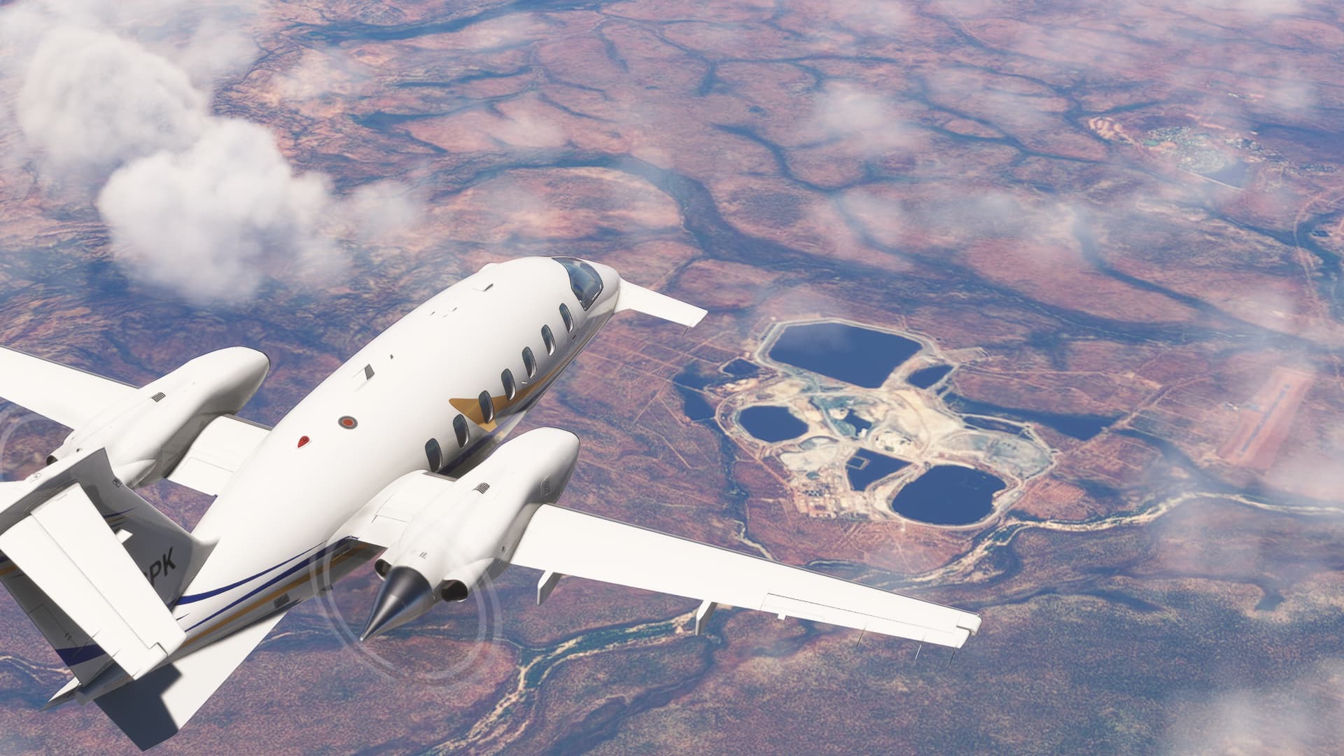
And very quickly we’re over Groote Eyelandt! The GEMCO manganese mine is to the far lower left of the photo, with the airstrip and the community of Angurugu just off the left wing. Just to the north of the airstrip are some older pits that are currently being remediated, and the township of Alganyuga is just visible towards the top of the image (there is a port for exporting the manganese there, you can just see it jutting out into the water):
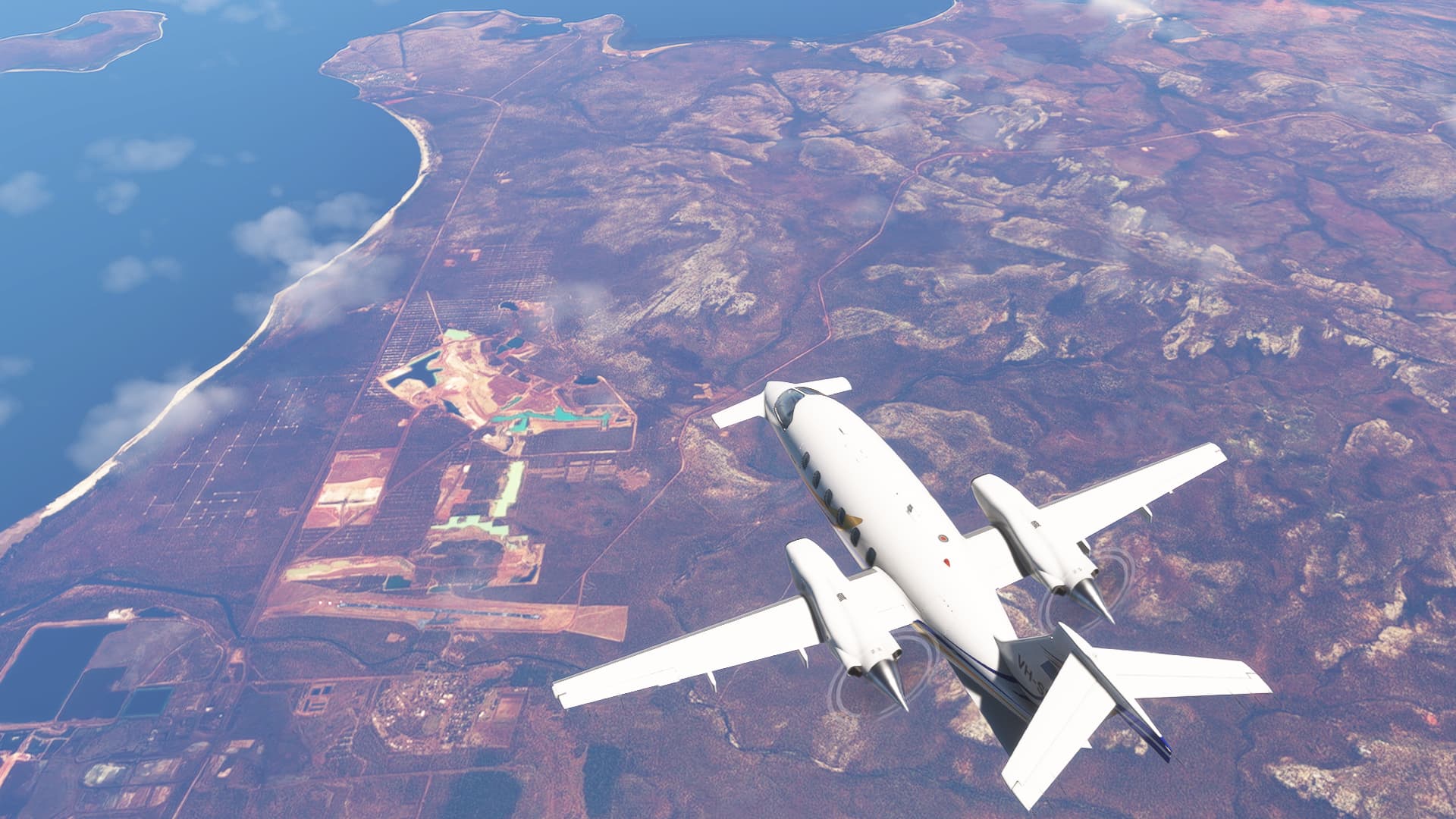
Continuing to follow last year’s route, we overfly the Gove bauxite mine and we start to see some weather around. The Gove airport is half obscured by cloud to the left of the mine:
And now for the first time this Christmas Flight we’ve got a tailwind, and a very nice groundspeed of 385 knots ![]()
Now on the final stretch over Arnhem Land in the Northern Territory, we fly over the Aboriginal Community of Ramingining (the township is just ahead of the right nacelle). The film Ten Canoes, the first film with all dialogue being in Australian Aboriginal languages, was shot at the nearby Arafura Swamp (to the top right of the photo) and many of the actors in the film were from Ramingining:
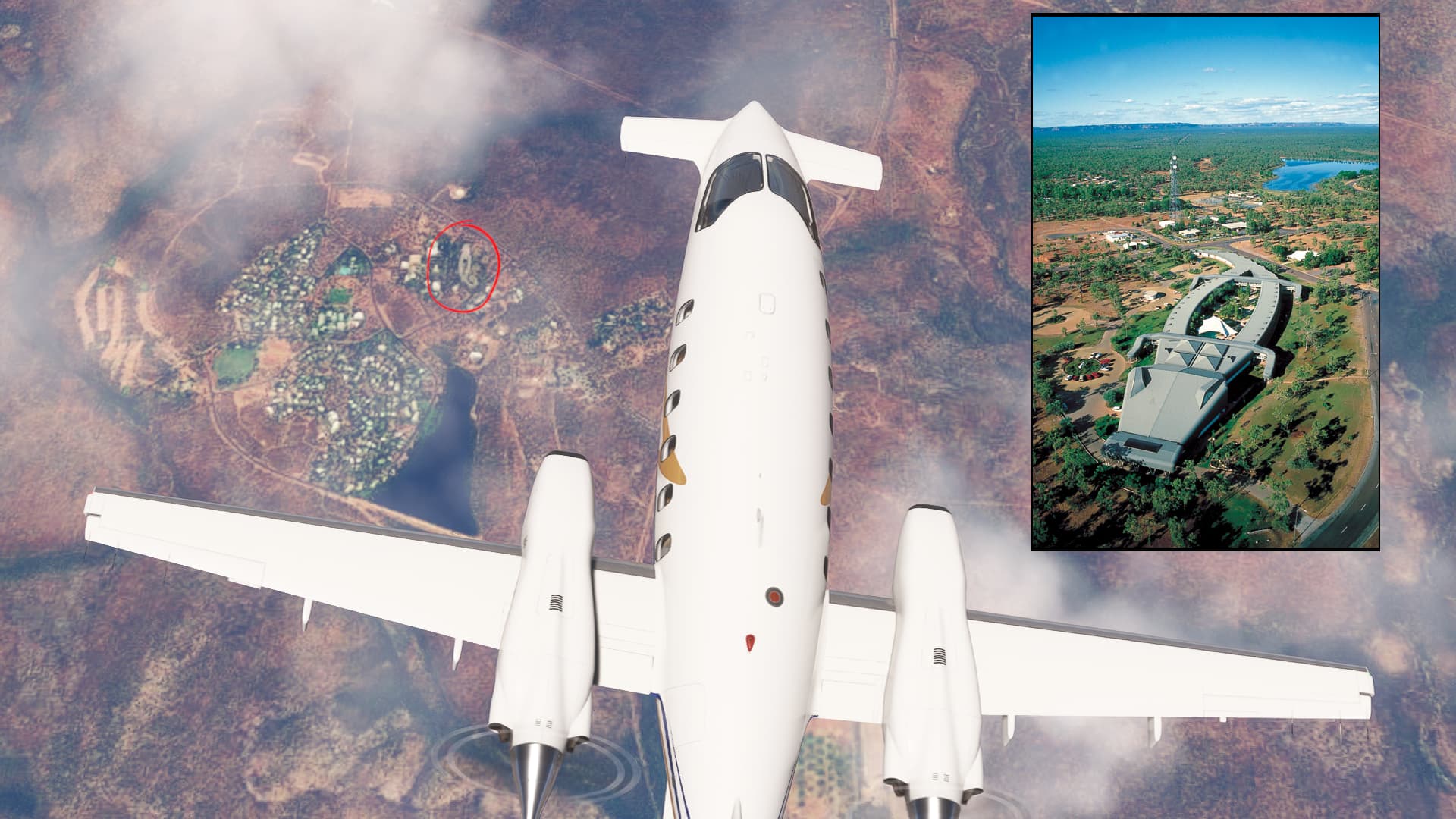
Last bit of sightseeing before Darwin, we fly over Jabiru. The town to the top right, airport to the right, and the now-closed Ranger Uranium mine is obvious:
Now that the Ranger mine is closed, Jabiru is a tourist hub. The Crocodile Hotel is a well known (if a bit tacky ![]() ) landmark:
) landmark:
And we’re finally on descent to land in Darwin. The property to the bottom left of the photo has the requisite number of (presumably broken) cars and boats for rural NT (or Qld ![]() ):
):
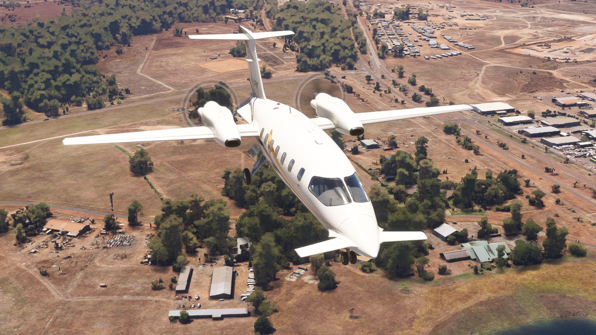
Nicely lined up and a smooth landing. The city centre of Darwin is just under the tail of the aircraft, off to the southwest:
And we park up, the new hotness in the foreground and the old-and-busted behind ![]()
We covered the route in 2:36 with an average groundspeed of 345 kts. Last year, in the King Air, we did the same 889 nm in 3:46, for an average groundspeed of 236 kts. I am happy with my choice of aircraft for this year!
Here’s where we’re up to so far, almost 2,000 nm done out of around 10,000:
Nice report! That aircraft has a sort of quirky charm to it, doesn’t it?
Great report.
You forgot to mention that some of the cattle stations here are larger than a lot of European countries.
But even though I have also travelled this country extensively and spent some time in Arnhem Land, have learned a thing or two as well, among them:
Which is a fantastic movie, the way it ties past and present together and I would encourage anyone to track down a copy and watch it.
A shame as it’s pretty amazing…
But the HUD is an awesome addition by itself!