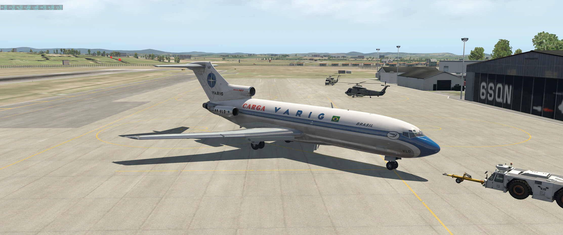
Okay! Xmas flight! Let’s get this show on the road! Starting out at NZWP, i.e. the Whenuapai RNZAF Air Base, real time, real weather (ASXP). Nice day here so should be fine.
Today we’ll be crossing the pond to YBBN (Brisbane). A 1,244 NM leg. I’m a bit short on time, so I’ll see how I do this - if I can fly the whole thing, perhaps with a bit of time compression, I will, otherwise I’ll go as far as I can today and perhaps fly the approach to YBBN at the first opportunity.
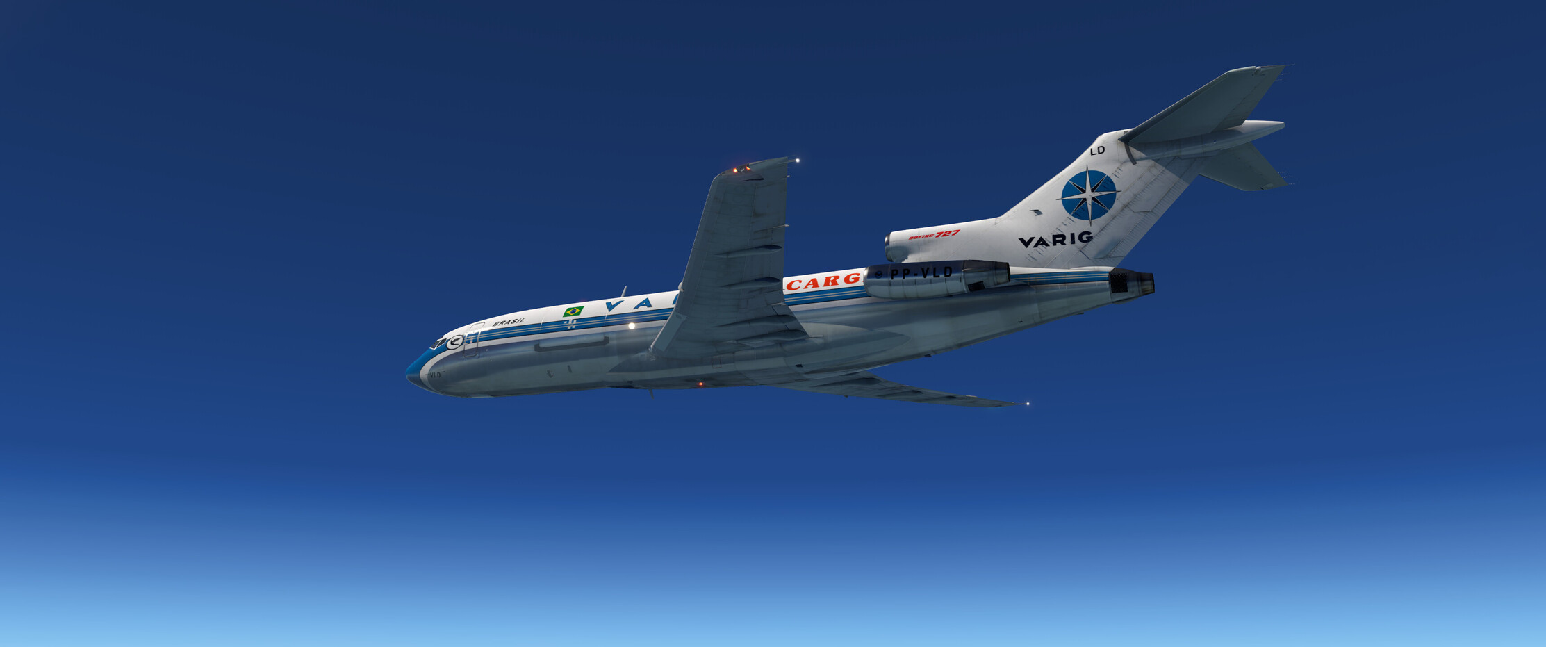
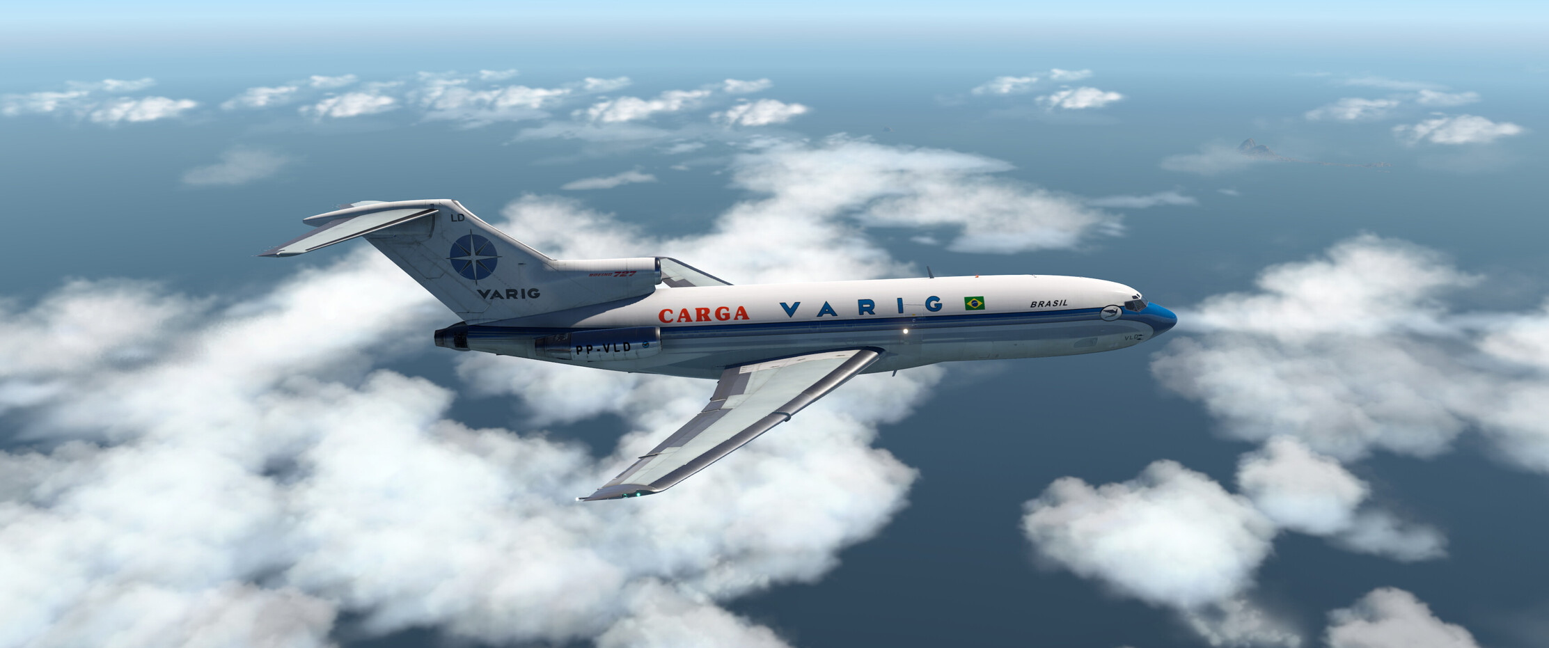
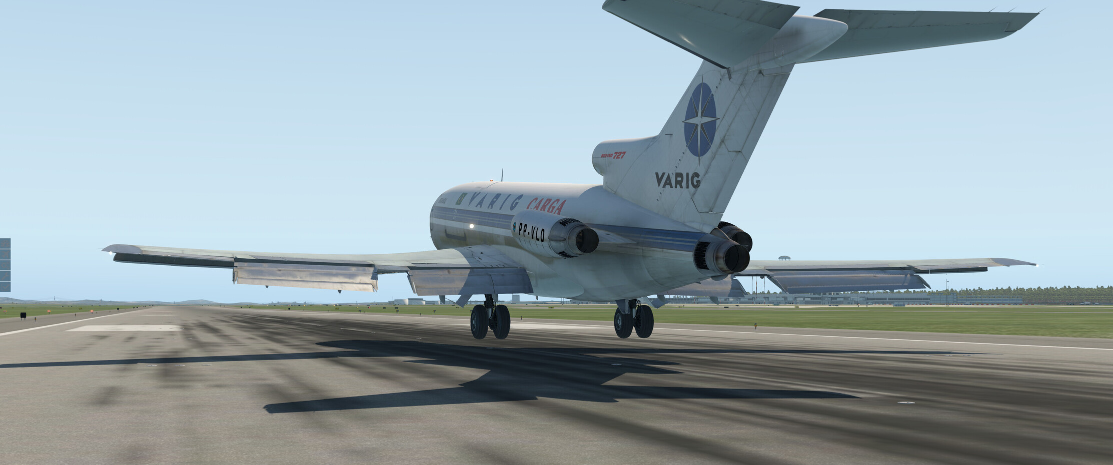
I’m flying the wonderful Flyjsim Boeing 727-100, which I haven’t flown much yet but I like it a lot, so far.
I’m also going to try to learn to use airways and approaches etc. a bit, which will be new to me, so I’m sure I’ll do it all wrong, but it should be fun regardless 
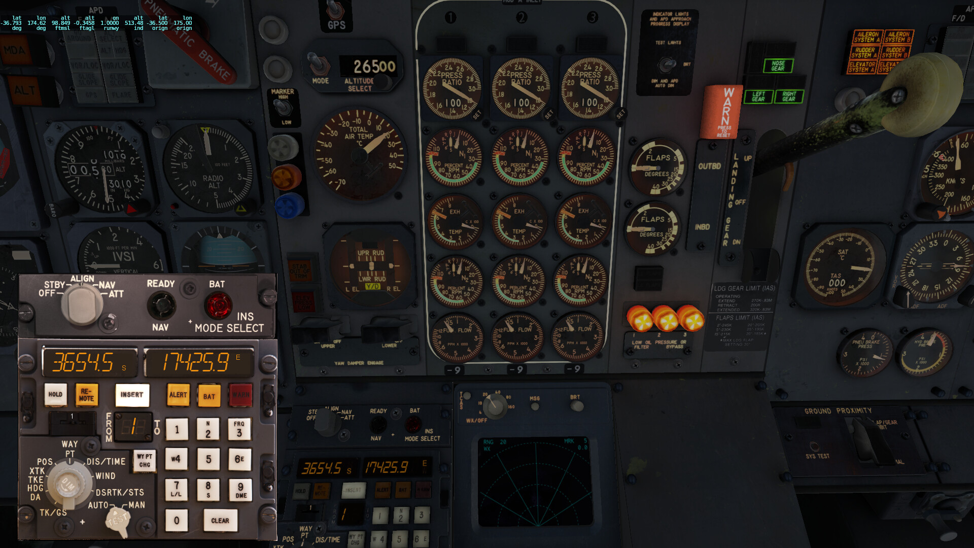
I’ll be using the CIVA INS for navigation, which adds another dimension to the fun, as it’s all rather manual and probably won’t tell me if I’ve got it all wrong, heh.
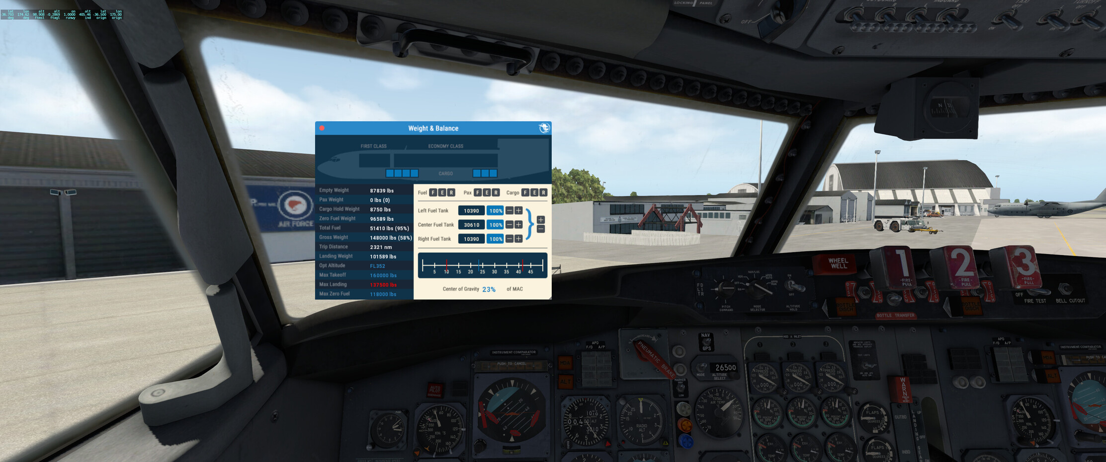
I’ve got the cargo bays full of NZ pale ale but I’ve kept the top deck empty for now, for souvenirs, more beer and perhaps some frozen kangaroo steaks and such. We should only need about 29k lbs of fuel but I took full tanks as I don’t trust myself not to get something wrong. We should definitely be able to make landfall in Australia, fuel-wise, but who knows where we’ll end up. If I get completely lost, I’ll just follow the coast and find a VOR to home to, take it from there.
Setting up the CIVA INS:
3 good engines turning, powering back, just because we can:
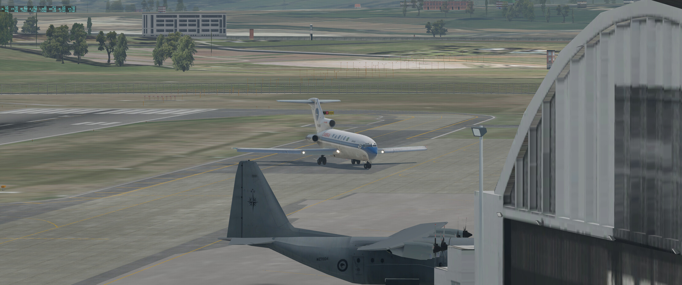
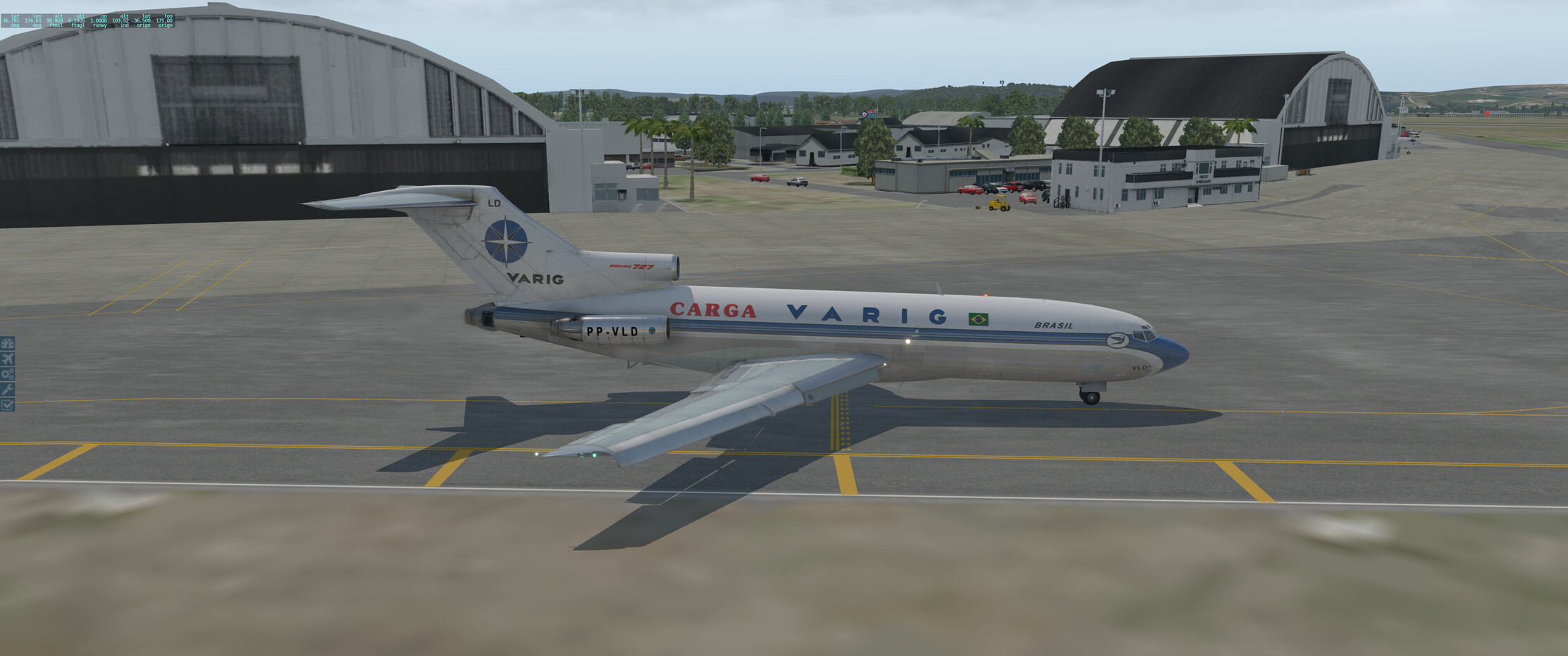
Waving good bye to the good men at the RNZAF Officer’s Mess while taxiing by. It’s quite fun steering the jet with the tiller on the ground, feels quite different to the smaller aircraft:
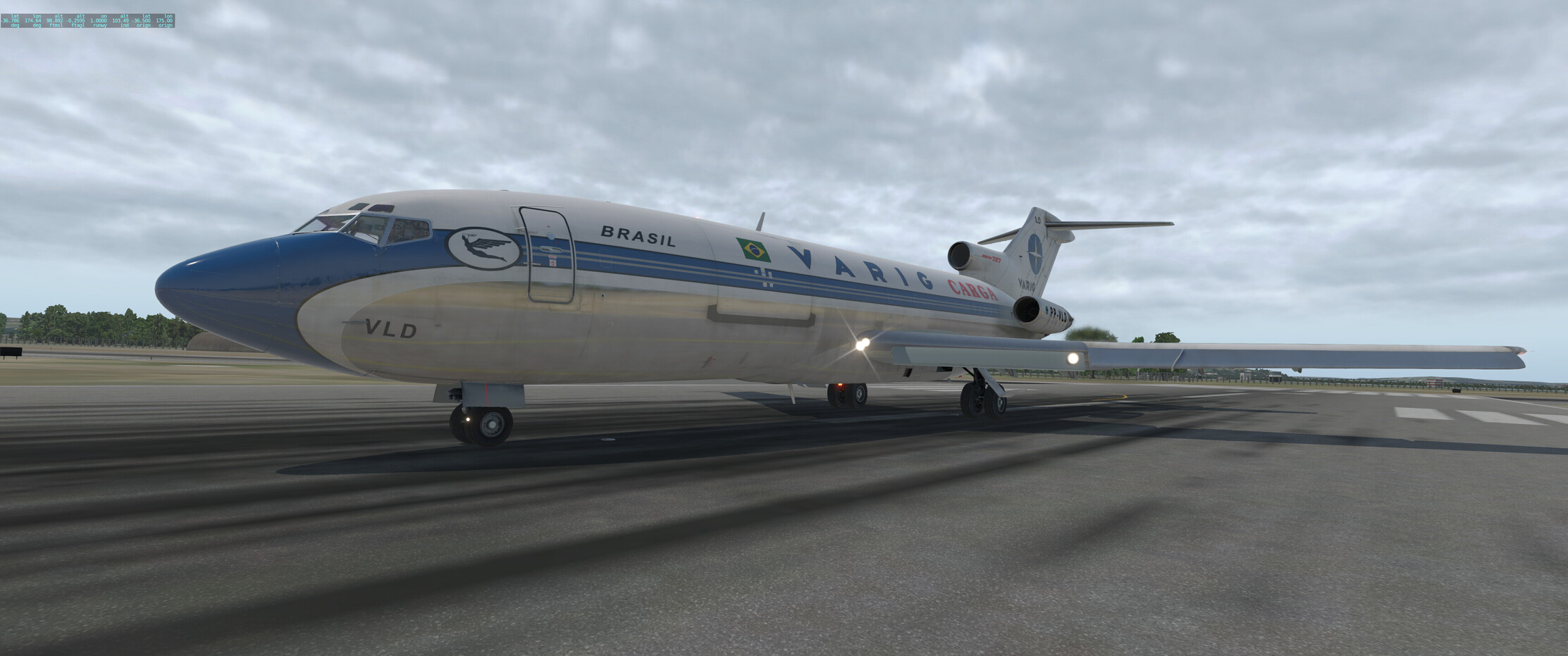
Ready to go! Last checks, all looks good. EPR per bugs, V speed bugs set, and we’re rolling.
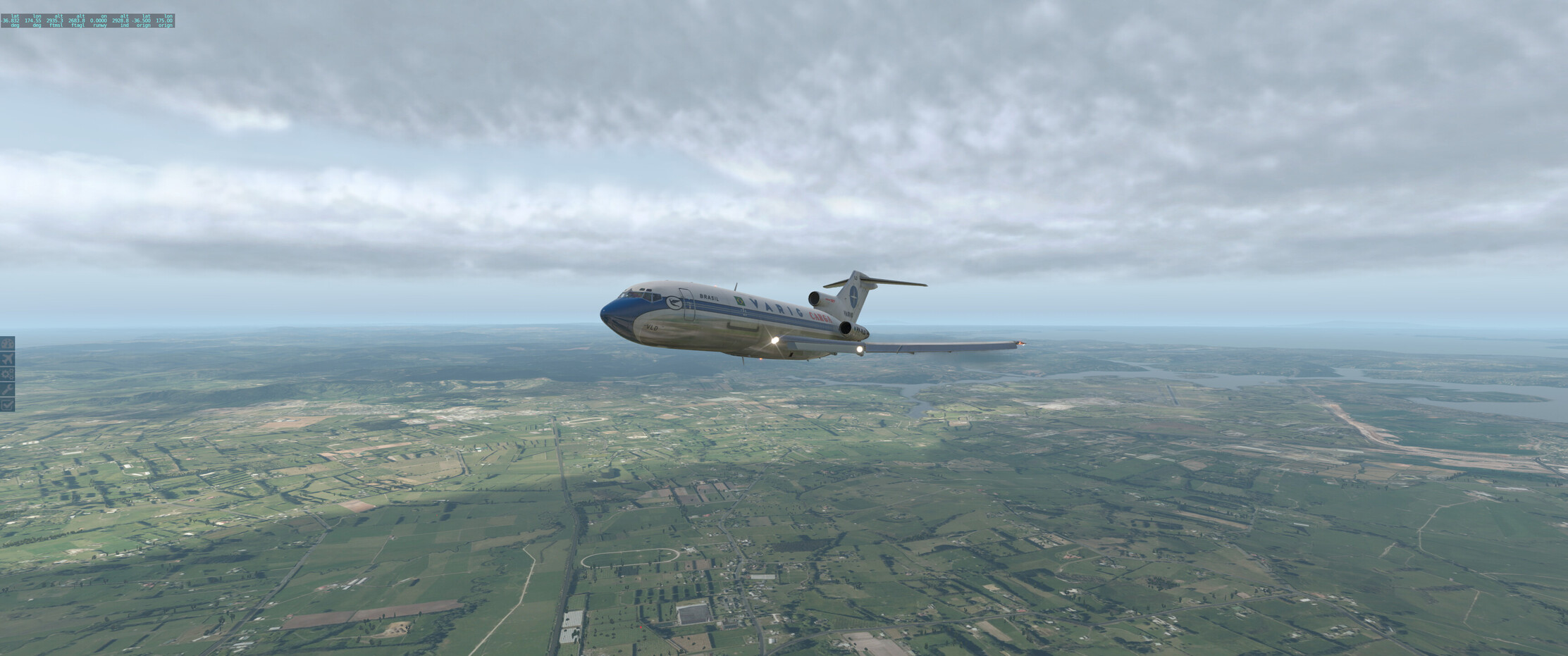
Goodbye Auckland! You can see Rangitoto, the volcanic island, in the background, and Auckland Sky Tower in the distance on the right. My home is just below the #2 engine near the water.
I set out to fly the WP VOR/DME 213 for 12 NM to get to WYTAK per the Whenuapai SID, with the autopilot set to level out at 3000 ft, which it miraculously did. Thanks, Chuck’s guide!
Turning to capture Auckland airport’s VOR radial 275, which will take me to my first INS waypoint, UPLAR.
Punching through the clouds, fiddling with the autopilots per Chuck’s instructions and switching the autopilot to follow the CIVA INS:
First pure CIVA INS waypoint reached - the next one should be in range of Lord Howe Island VOR, so that’ll hopefully provide a bit of a cross check and a bit of comfort.
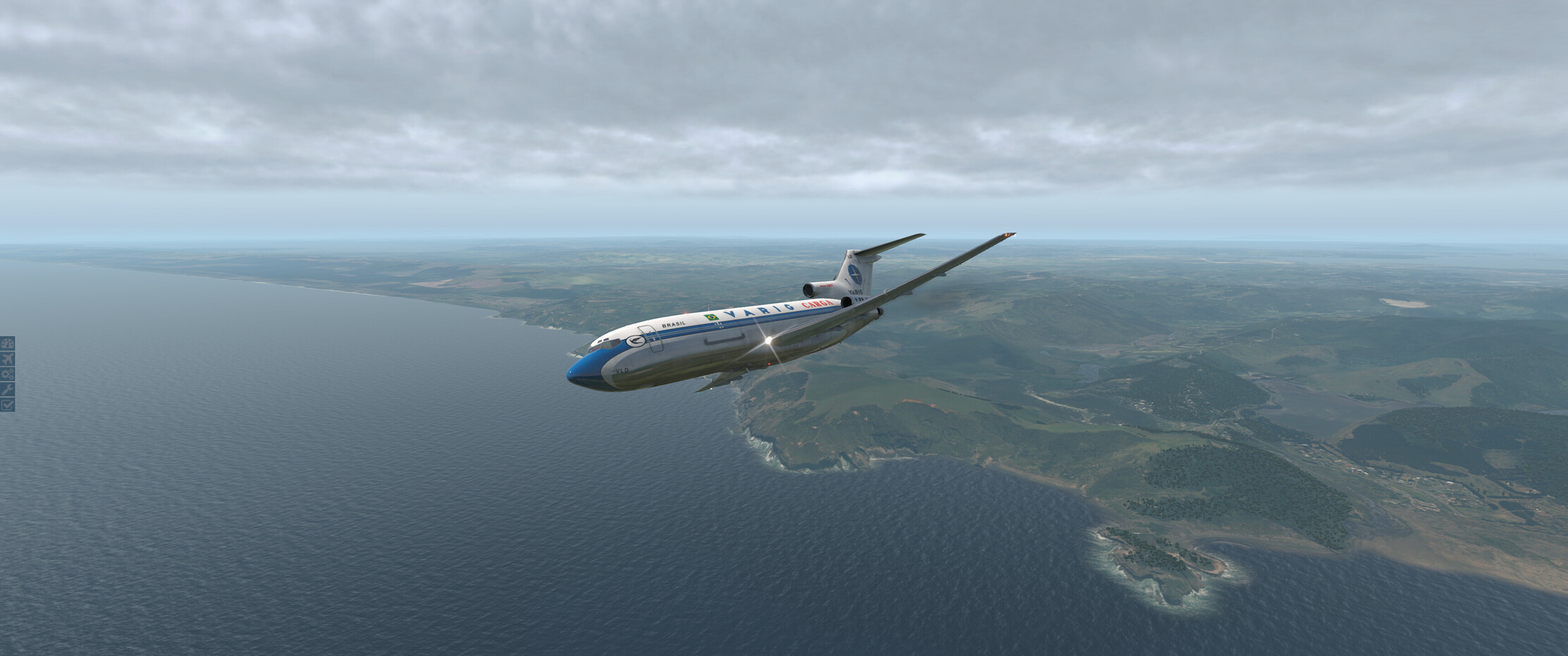
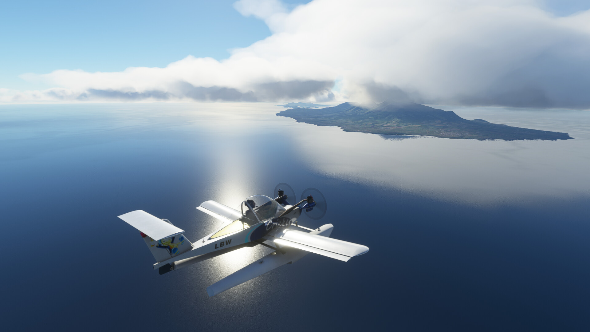
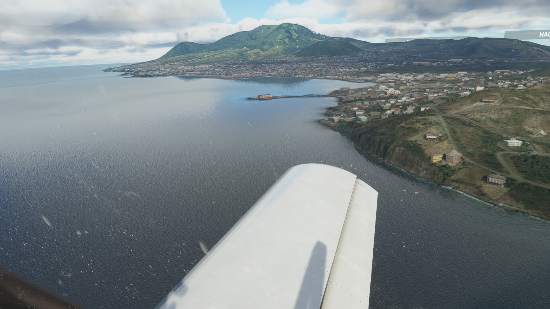
It turns out Lord Howe Island doesn’t have a VOR, just an NDB which I seem to struggle to tune in for…but no matter, I’ve sited the rock visually and it seems to be about where it should be, so that’s good!
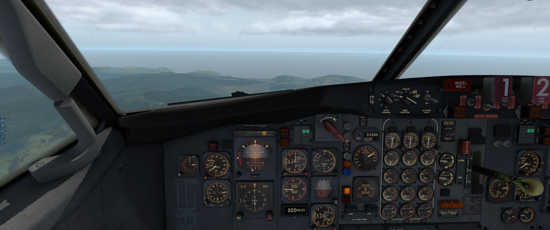
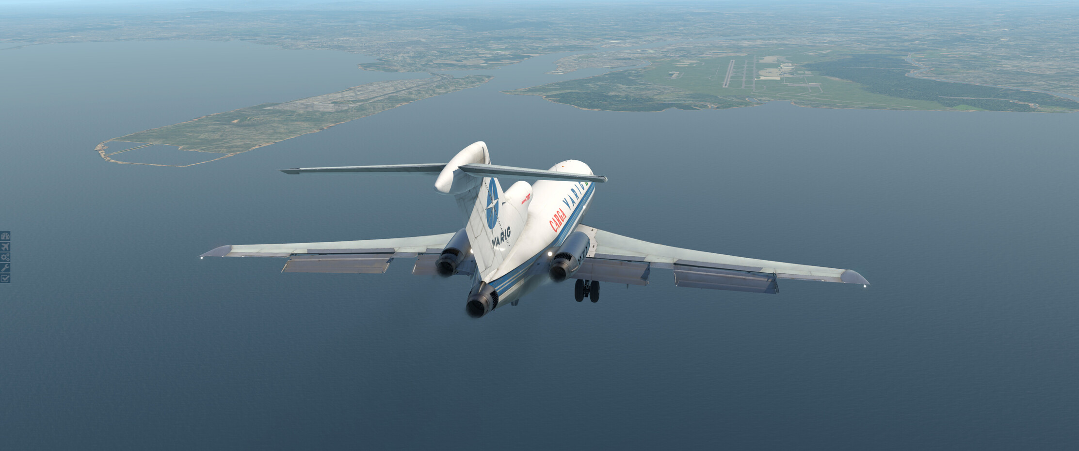
I found my way to the YBBN VOR, which was great…initially I had great plans to learn how to use ILS and whatnot, but in the end I was busy enough getting to the right radial while learning to use the IAS Hold AP mode for the descent through the flap speeds and so on, so I just put her down manually.
I ended up very high for the final, not having descended fast enough, but at 25 flaps and with the IAS bug set to 140 the bird descends nicely over a short distance so I didn’t have much manual flying left to do at the end.