welcome to Menorca!
4 Likes
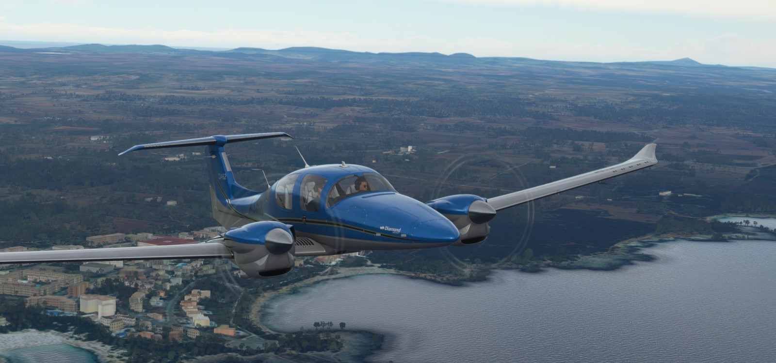
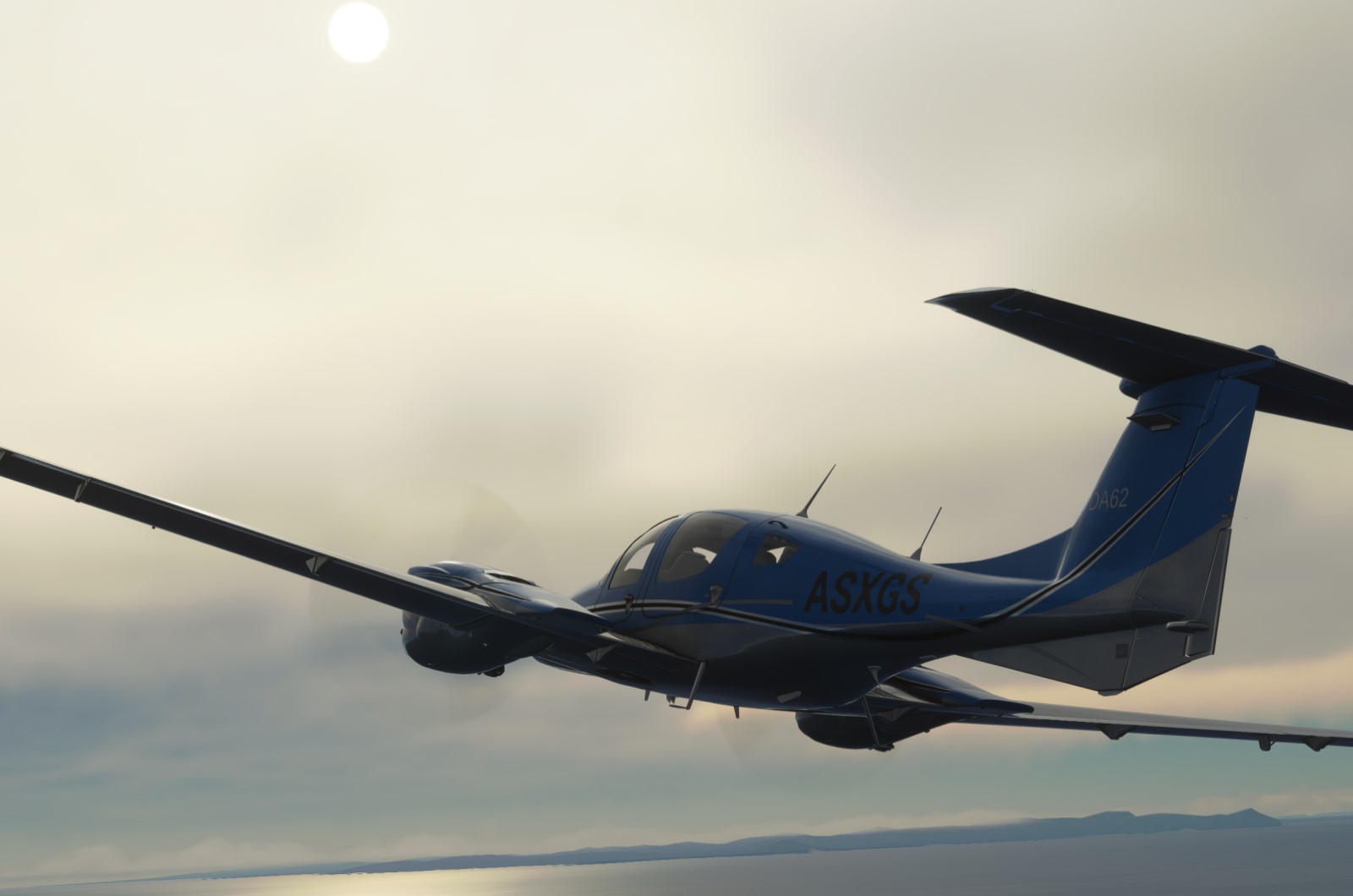
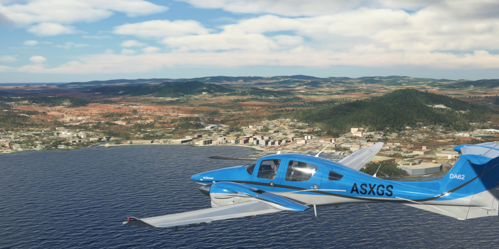
Jaén, Peru (SPJE) to Lima, also Peru (SPJC). You will all have to forgive me for the lack of dramatic low level shots as I flew the Maranon River valley in VR and I ran out of time to replay the flight to get those screenshots. I’ll try to remember to do that when I get home from training.
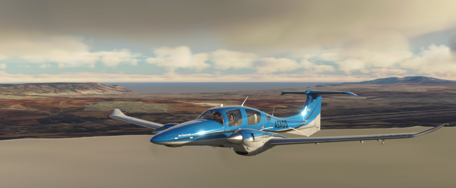
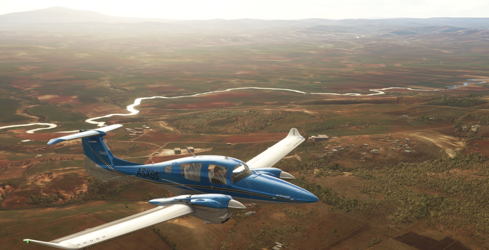
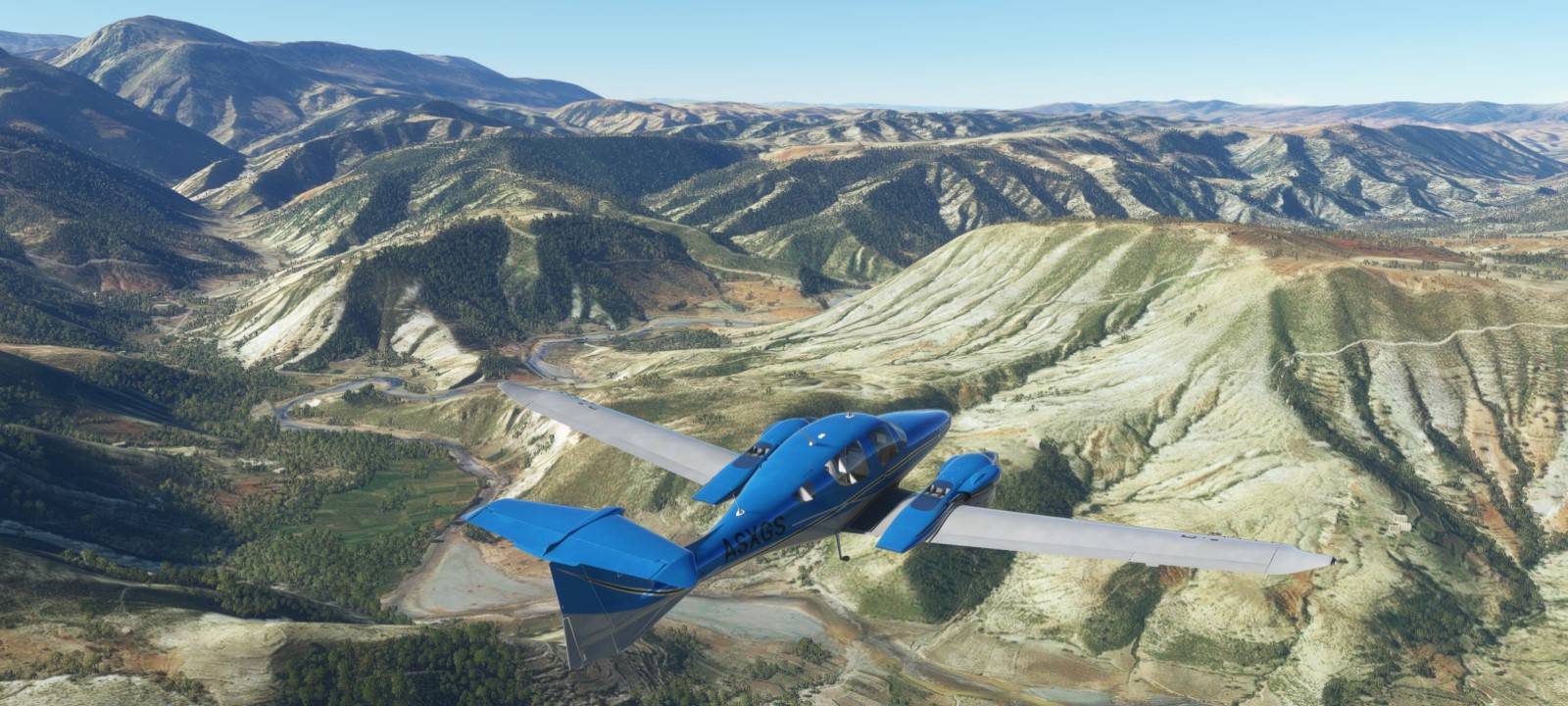
I found this excellent livery on Flightsim.to.
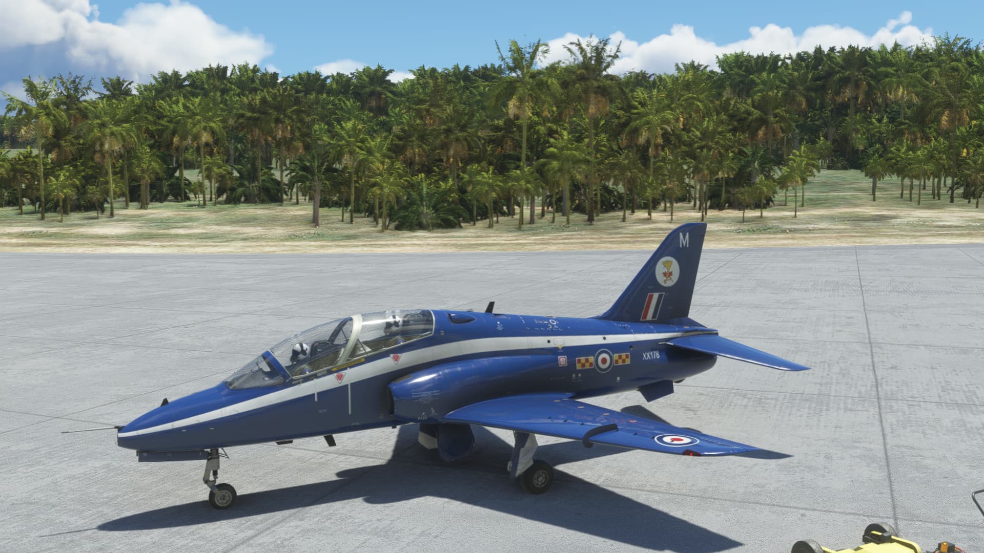
After takeoff I climbed up a bit for the transit to the start of the river valley.
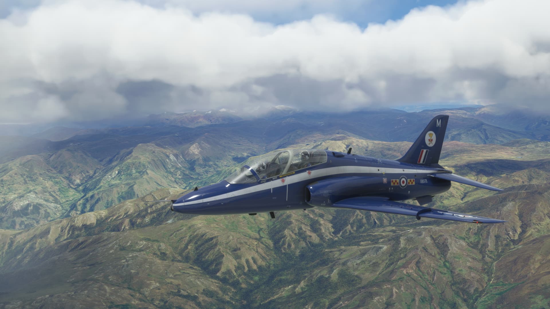
Fast forward to after the valley run, which was a lot of fun in VR, I popped up to a higher cruise altitude for the last third or so of the flight. Fuel was starting to be a concern. Climbing through the cloud deck put me into icing conditions for a short time…I iced up but it really only caused visibility issues. I was able to climb through the icing layer and cleared the canopy with the defog switch.
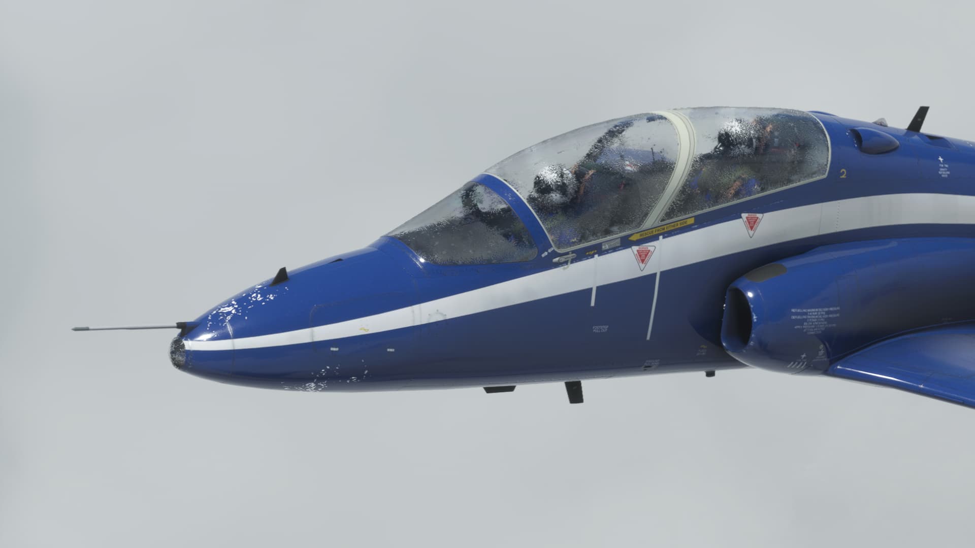
Back near the coast

Lima directly ahead.
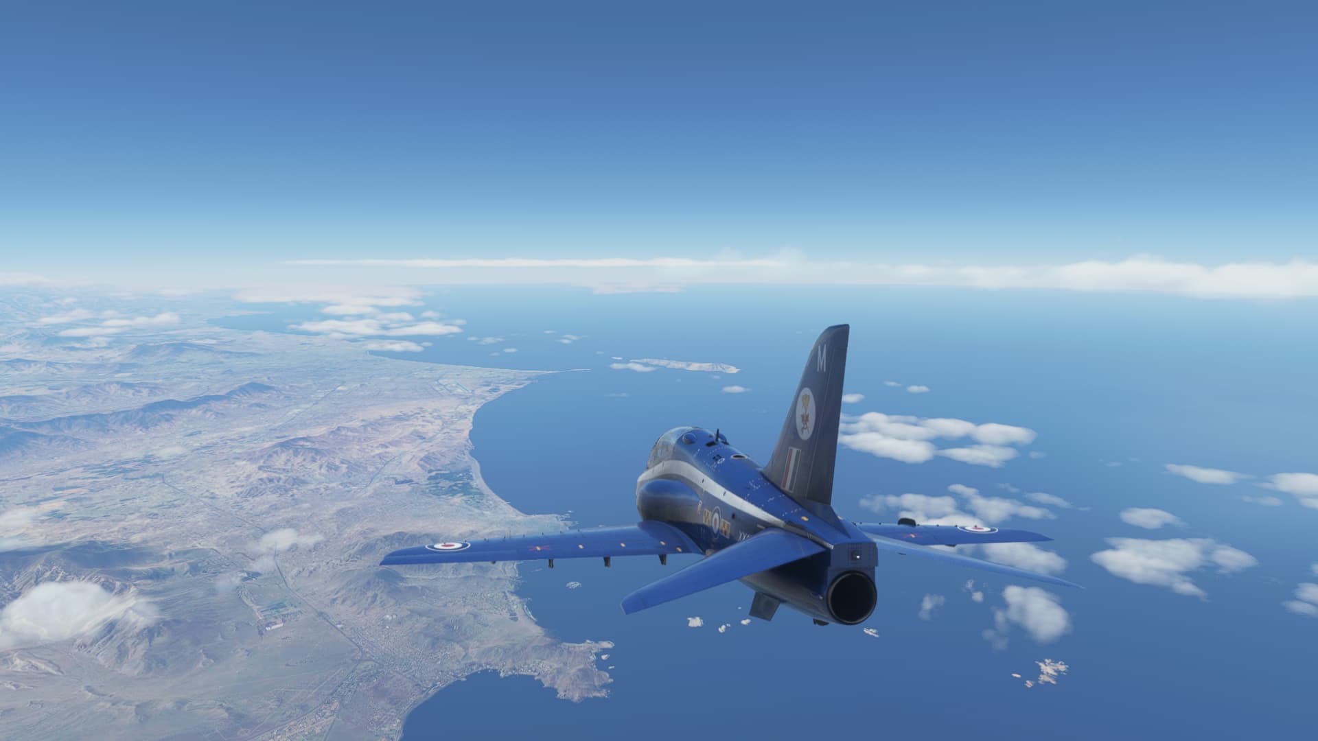
With the airport in sight, I pulled the power to idle, deployed the speed brake, deploying flaps and gear when the speed came back enough.
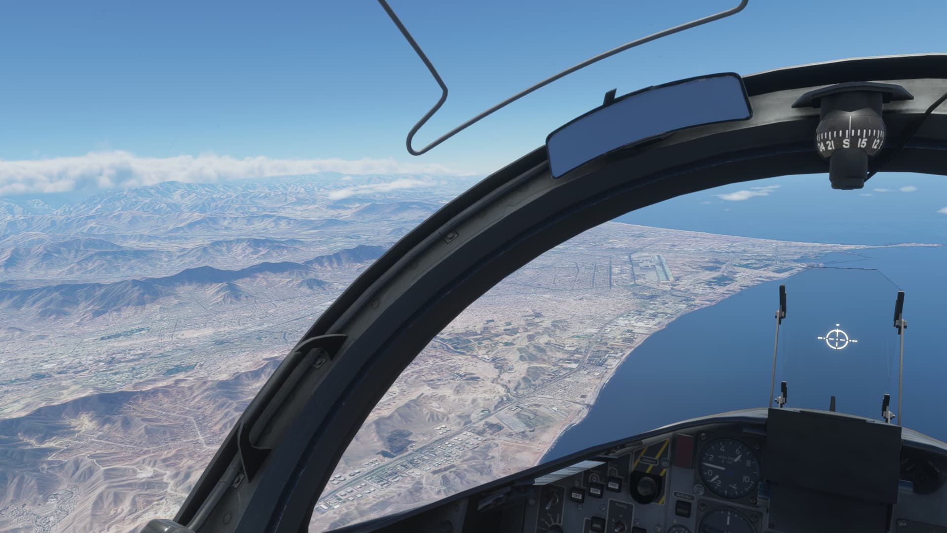
Taxiing in …
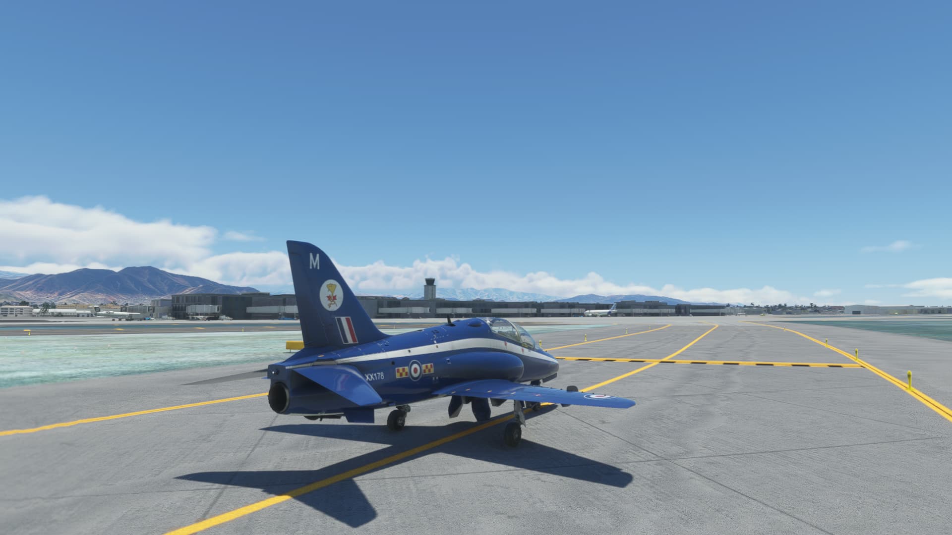
Safely parked.

This is where I have to leave in until I get home next weekend. I’ll be playing in a different sim this week, which isn’t as much fun, and the graphics are nowhere near MSFS level. 
11 Likes
That Hawk is calling to me.
Mmmmm…fast and steam gaugey. 
1 Like
You haven’t bought it yet? It’s without a doubt the best fast jet in the sim. Not cheap at $50 but IMHO well worth it.
1 Like
I’ve been riiiiiiiiight there, but haven’t gotten it yet.
Honestly, having flown the T-45, the Goshawk speaks to me more. The real virtue of the Hawk to me are those beautiful analogue gauges.
I’m just afraid that I won’t fly her much in the future.
But every screenshot of her brings me just that much closer. 
1 Like
I certainly get why the T-45 would be more appealing to you. Still, I think that if you picked this one up, you probably won’t be flying the IndiaFoxtEcho T-45 all that much…
1 Like
Another leg in the books.
GVNP to SBFN, 1200nm crossing the equator and entering Brasilian airspace.
As always real weather, also real time and my usual long range plane, the Citation Longitude.
There was a beginning thunderstorm in the area, light rain and some lightning. I got out jsut in time, according to Windy dot com there was a larger cell just to the west of the islands.
Goodbye Cabo Verde!
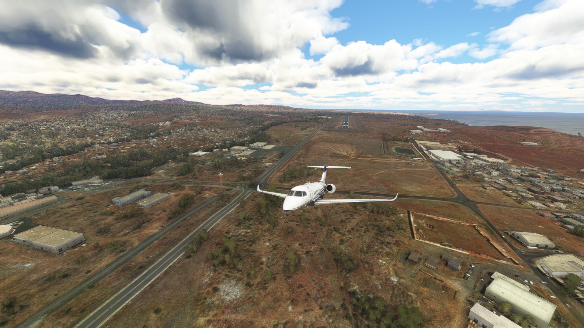
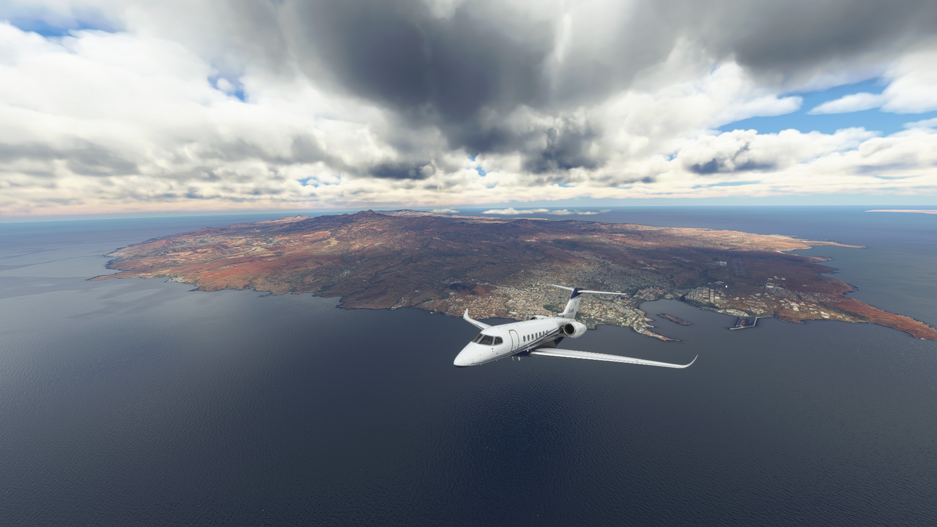
I avoided the bad weather to my right toward the west.
Sadly I couldn’t take any more pics of the Cabo Verde islands as I flew away, as I was fighting the autopilot that tried its best to kill me.
Finally reaching cruise altitude. From here on it is 1200 miles of water ahead.

I’ll be honest and admit that this was too boring to spend my time on, so I skipped ahead to the point where I was crossing the equator, 1000 miles to the south.
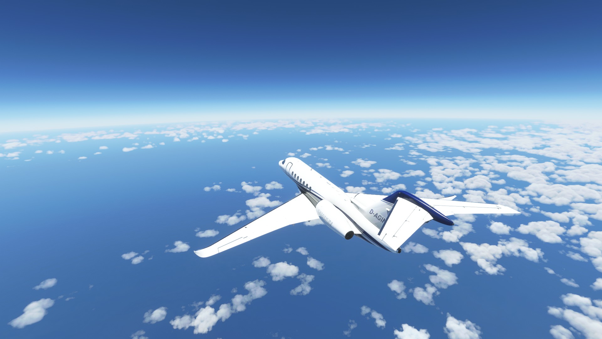
Fernando de Noronha must be somewhere over there…
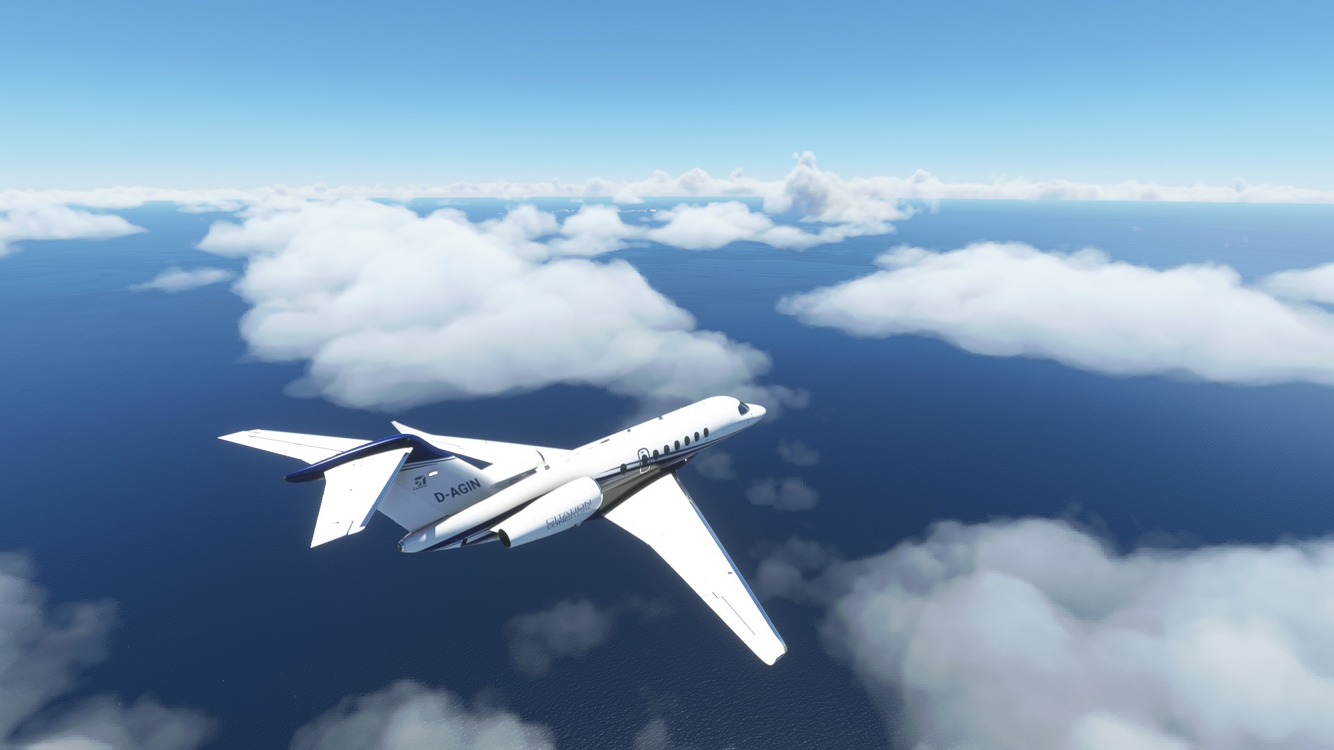
I descended and flew around near the clouds. I enjoy that a lot in this sim. It gives a sense of speed and the clouds look so nice.
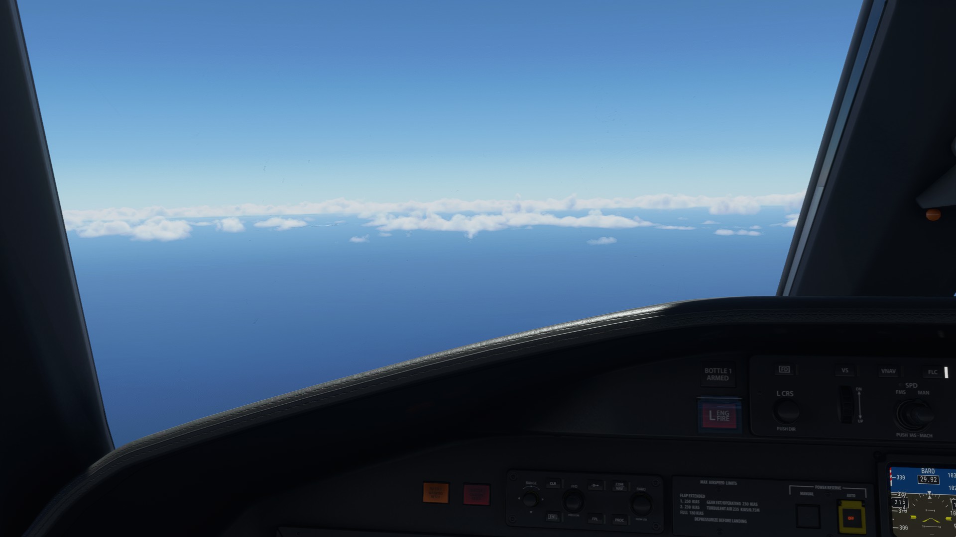
Yay, airport in sight!
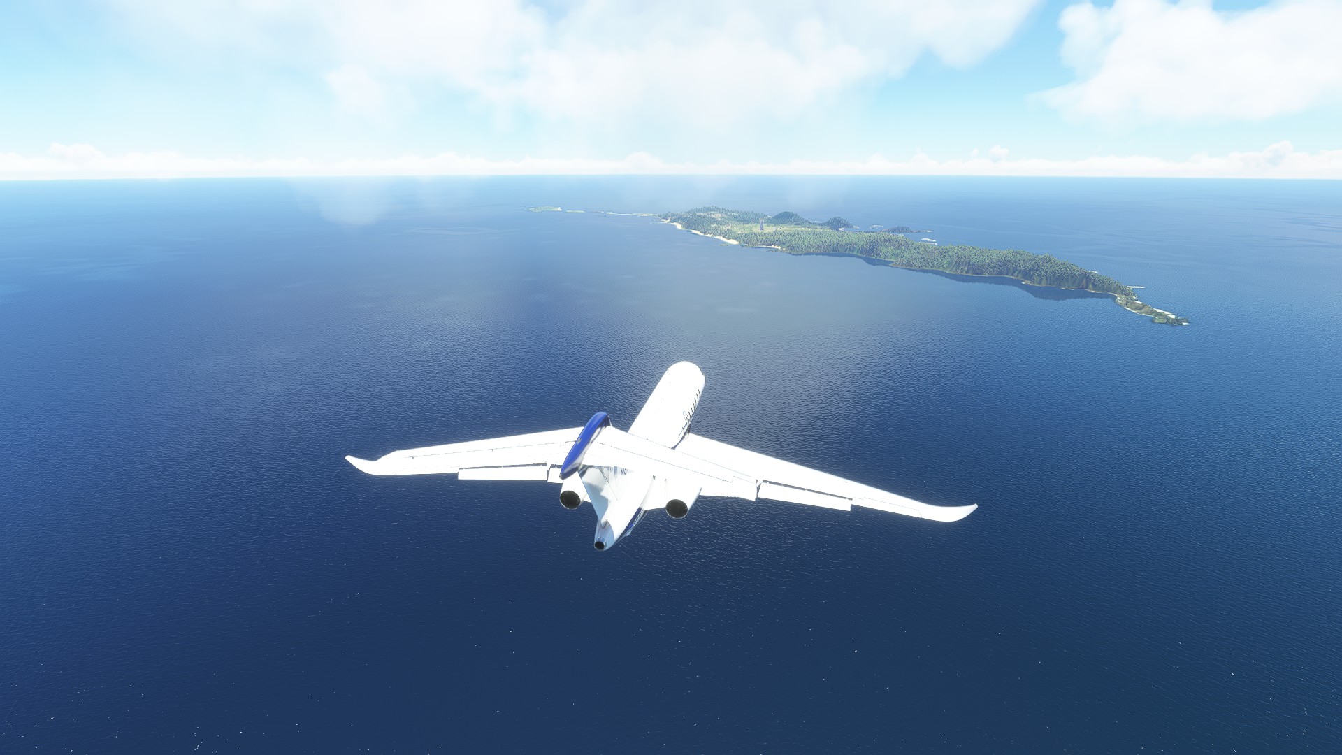
On final, looking good…
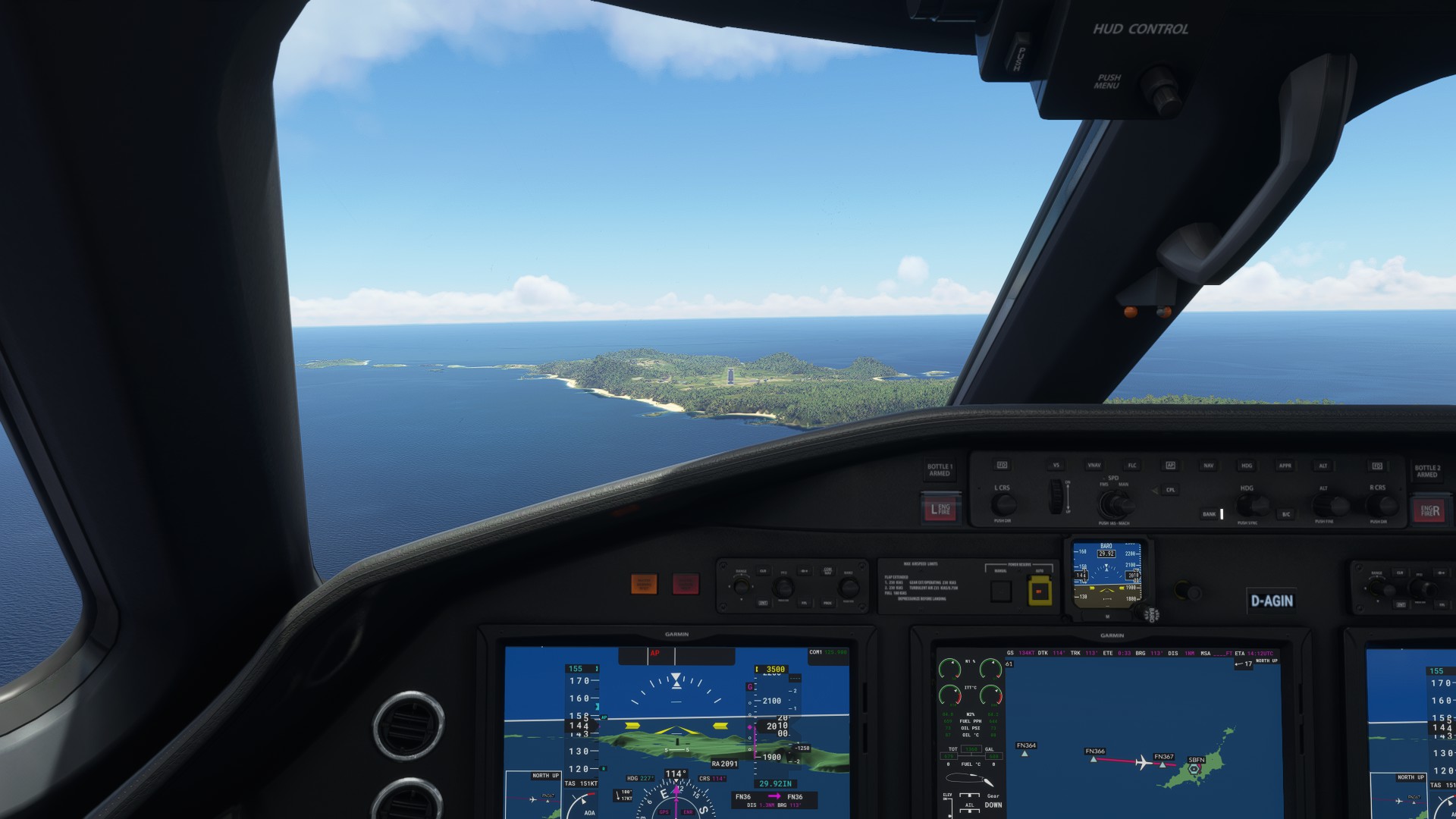
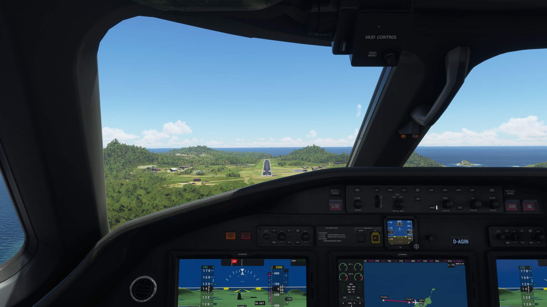
For f***'s sake what is that fuel truck doing on the runway?! Going around!

Well, at least it gave me the opportunity to look at the island.
Around 3000 people live here, most of them work in the tourism sector. The rest are farmers and fishermen.
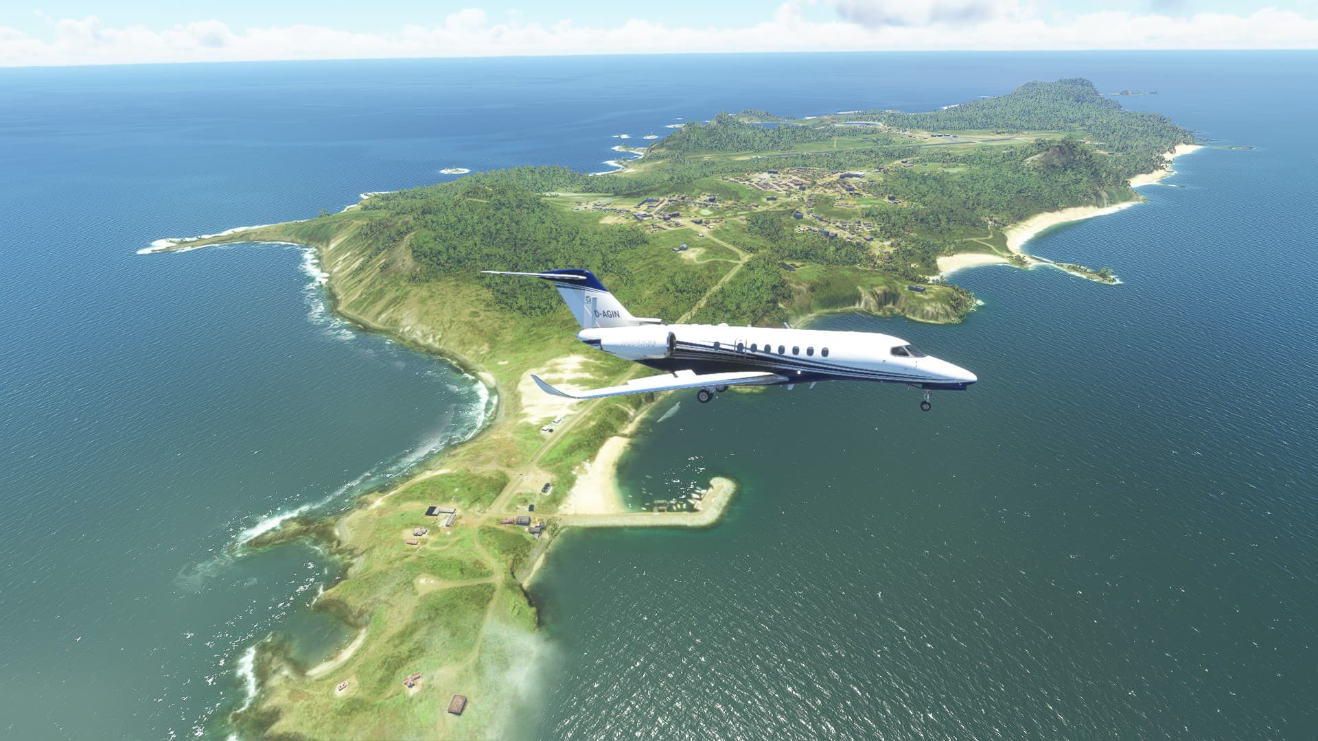
Turning on final. again.
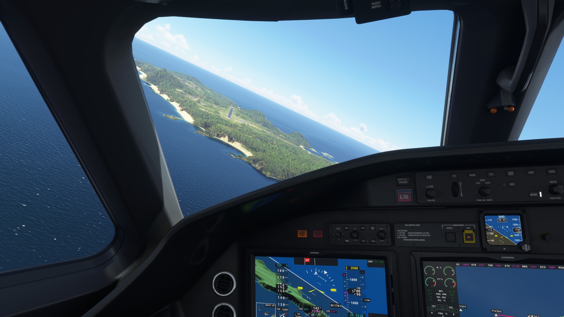
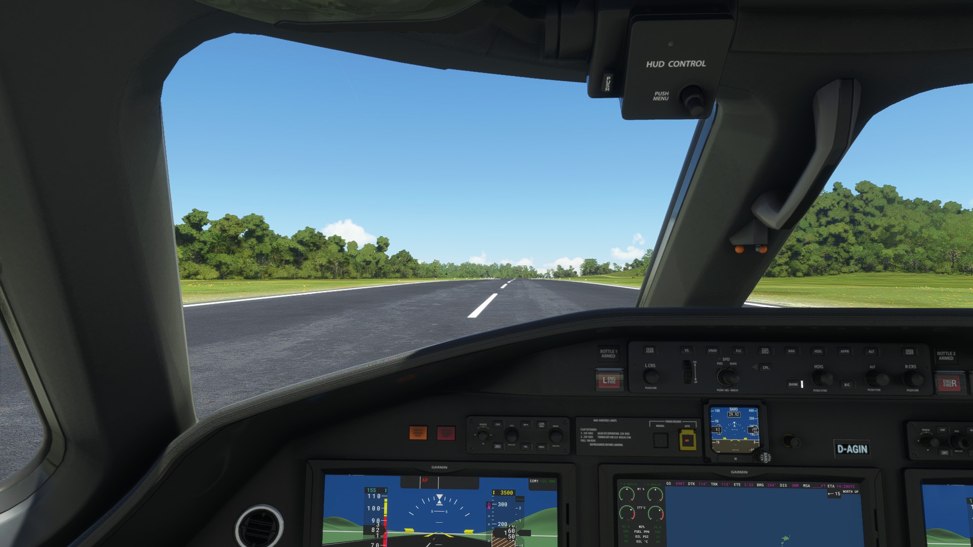
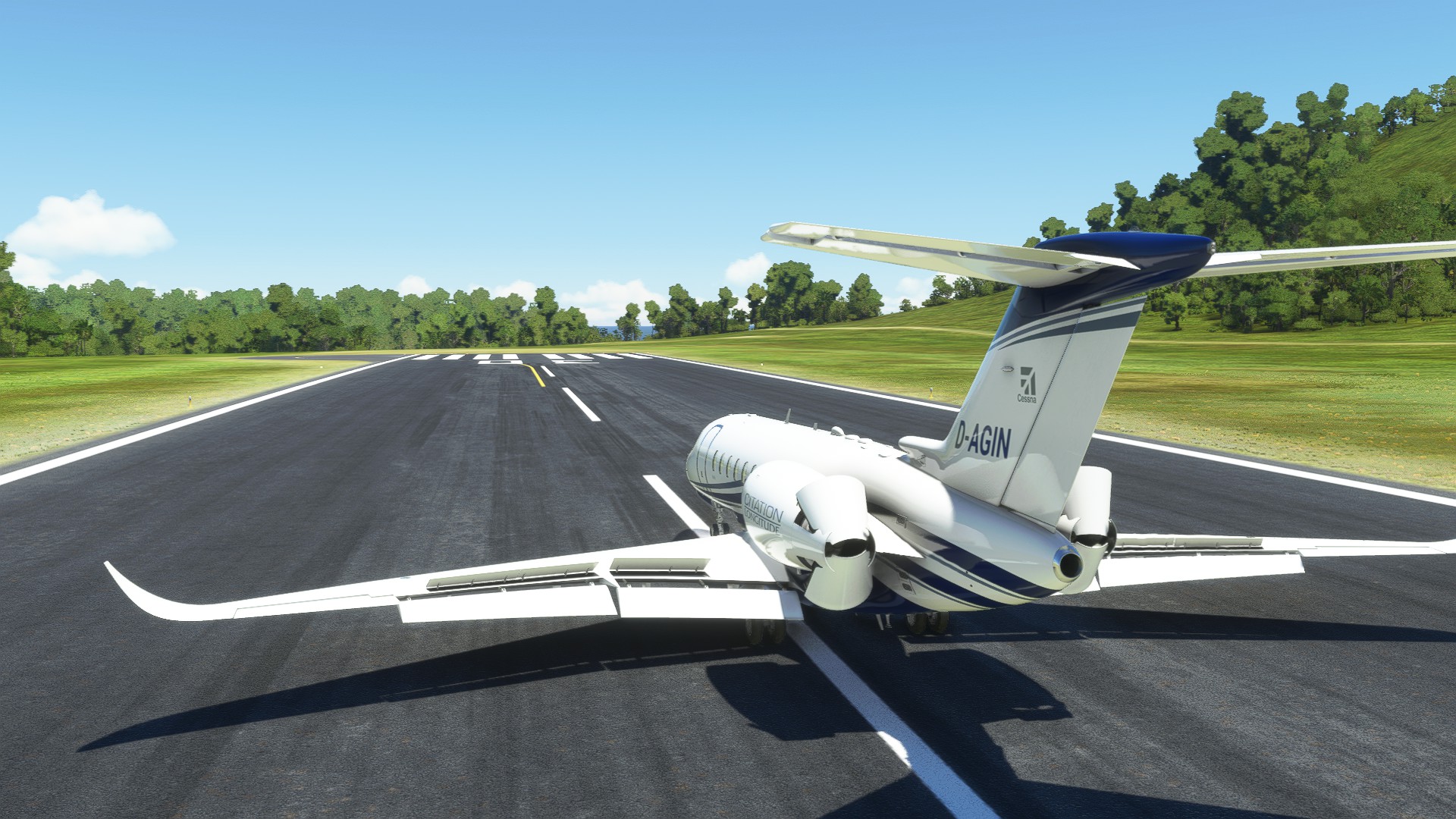
…aaaand down. The runway is curved a bit. I landed a bit long since there was another fuel truck on the taxiway on its way to the runway. That gave me an excuse to use my thrust reversers.
Fuel truck guy strikes again!
He’s right where I want to go, blocking my parking spot.
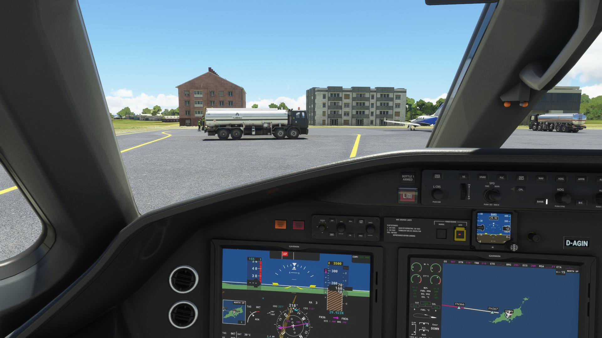
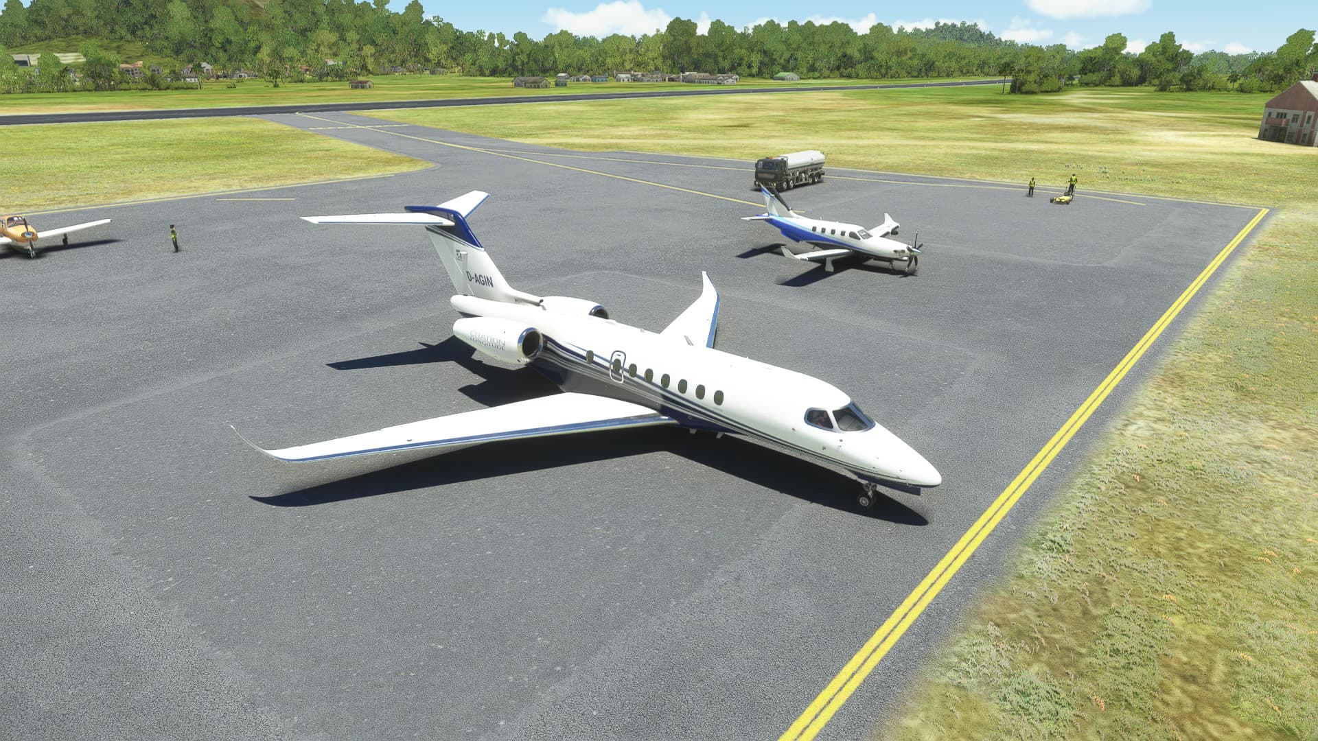
At least his colleague drove away so I could take the other spot.
Time for a Mojito, and some rest before I fly over to mainland Brasil.
Maybe I’ll make it another long leg and fly directly to Rio, that’s 1300nm but at least most of it is along the interesting coast of Brasil. But I might cut it short and fly to Salvador or Ilheus.
8 Likes
It looks like the fuel truck guys are bored and are actively looking for customers wherever thay can 
4 Likes
Did someone say, “mojito”?
2 Likes
It’s like ringing a dinner bell on a ranch…
3 Likes
And we haven’t even gotten to the Pisco Sours yet!
2 Likes
I just threw up in my mouth a little bit there.
I’ll tell that story when I (eventually) get to flying again, and make it to Peru myself.
3 Likes
Leg 14: Cancun International TO Belize City
OR
Why I Should Have Listened to @PaulRix!
Well, at this point I’m not sure whether I’m having more fun enjoying the great scenery and aircraft of MSFS or with digging myself out of whatever hole I’ve dug myself into this week.
This journey has been like one long Emergency Procedures Sim for me!
Microsoft Emergency Procedures Simulator (MSEPS)? 
This leg was going to take me down the Yucatan Peninsula.
I folded and bought the Flysimware G-44A Widgeon for this bit of Caribbean flying. I really enjoyed the Goose and was sucked in by the promise of a MSFS native Grumman Amphib. Also, despite some issues on release, the Widgeon has been improved steadily by the Dev who seems dedicated to improving the product. It’s something I always appreciate.
My only reluctance was that the Widgeon came with a modern GPS, which was something I have been trying to avoid on this trip. In the end I decided to just switch the unit to a non-nav page and only use the COM/NAV portion of the screen.
This was to be the least of my problems.
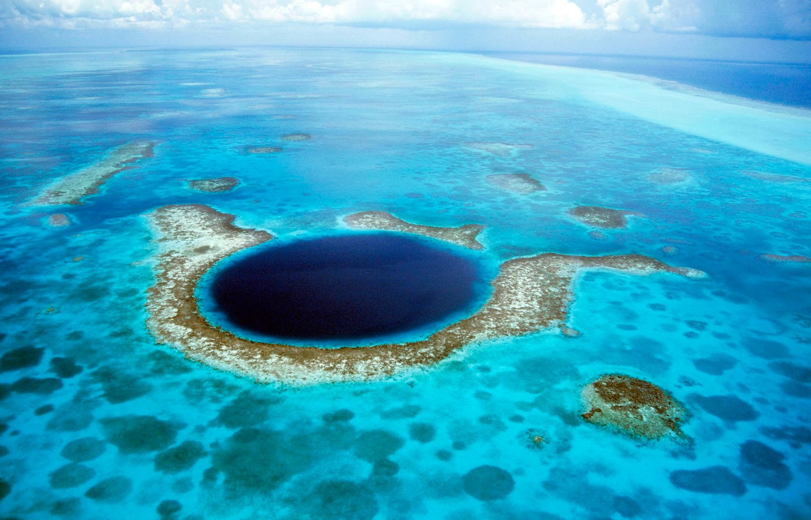
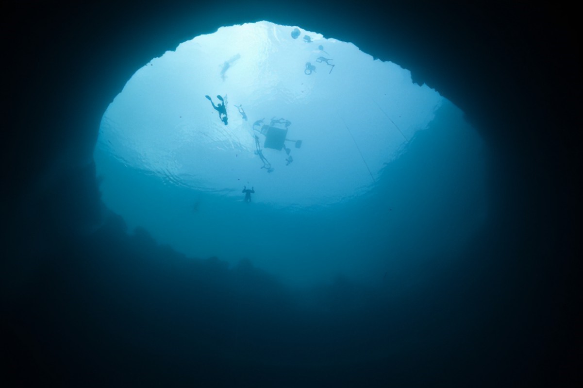
My flight plan had a particular destination in mind, The Great Blue Hole. A giant marine sinkhole to the east of Belize. I have dove a few places in the Caribbean, but this one remains on my bucket list.
I was very interested in seeing how it looked in MSFS and,
“It looked to be a great day for sightseeing”
mishap pilot was heard to say…
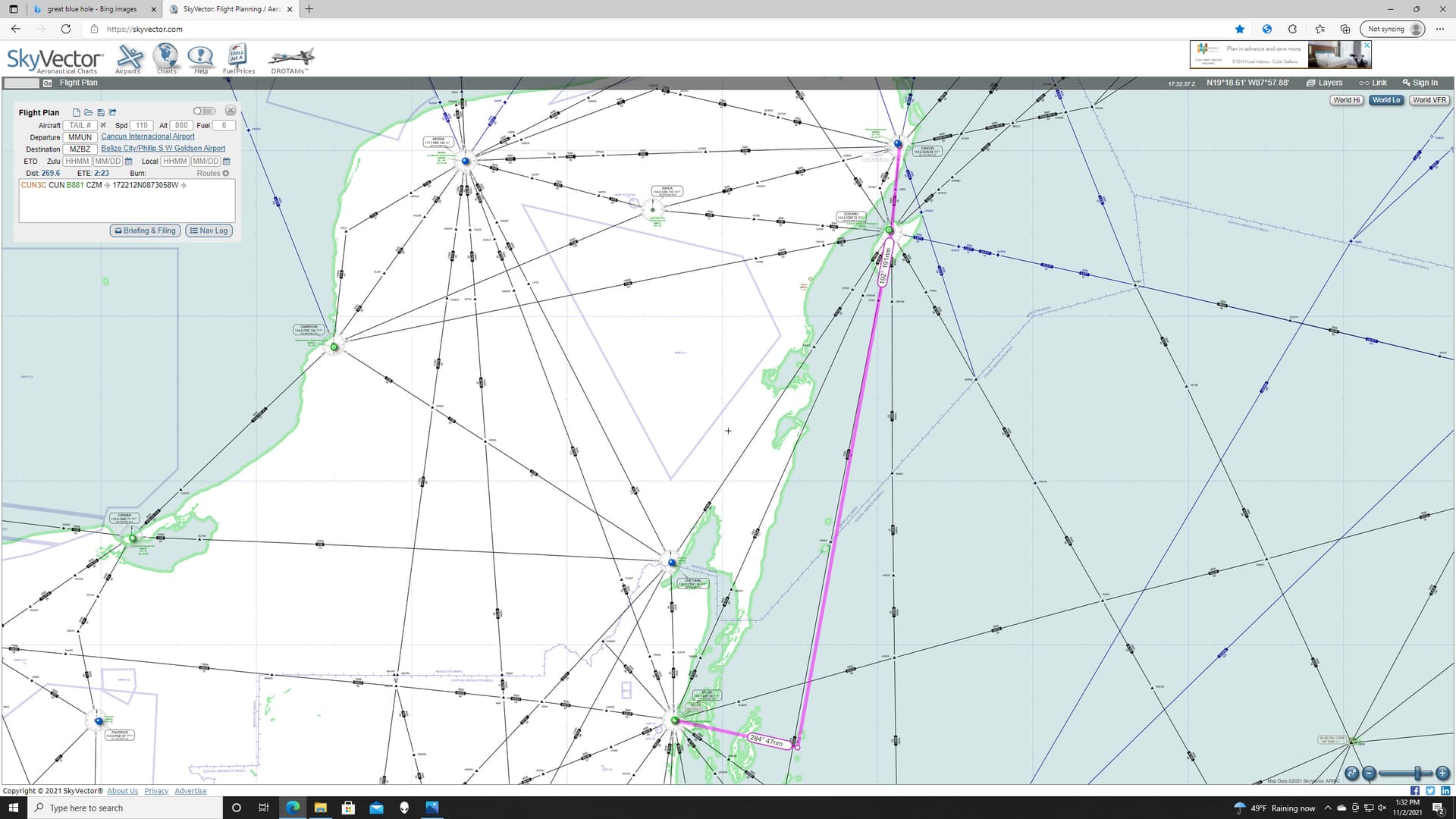
To start with I had to do a little jiggery pokery in Skyvector to estimate where the Blue Hole was.
As best I could figure, following G521 down from Cozumel (CZM) would have me fly almost over the site. It seemed pretty distinct in the pictures, so I was hoping to be able to pick it up visually once I got close. I also planned to use a cross radial from Belize (BZE) to help me find it. Of course, this was purely a SWAG at the location and, because there is only one OBS in the Widgeon, I’d have to use the ADF or switch back and forth between the two freqs.
Should be interesting.
So, off I went in a native 1942 US Coast Guard livery. The Coast Guard was apparently not screwing around in 1942!
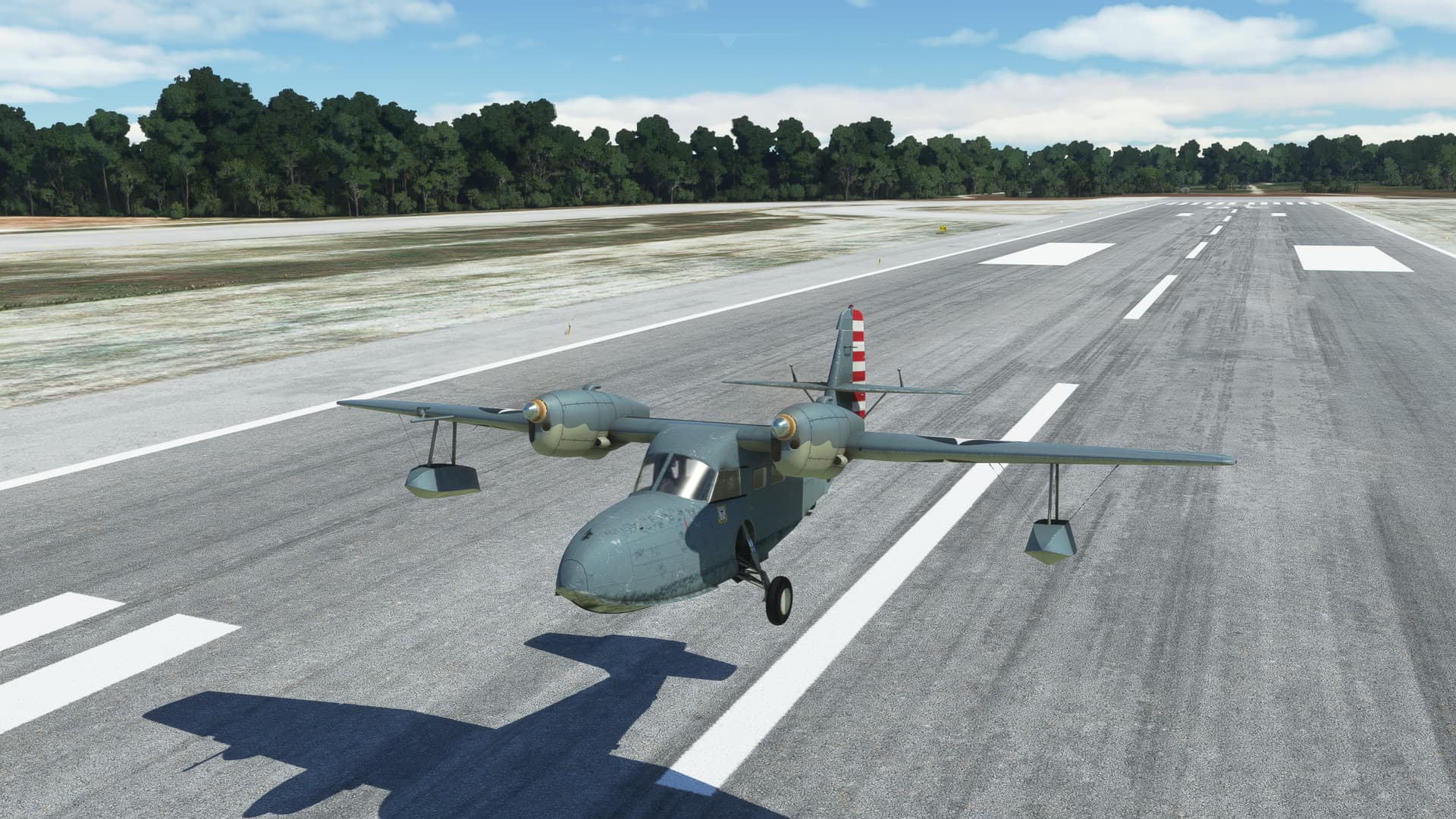
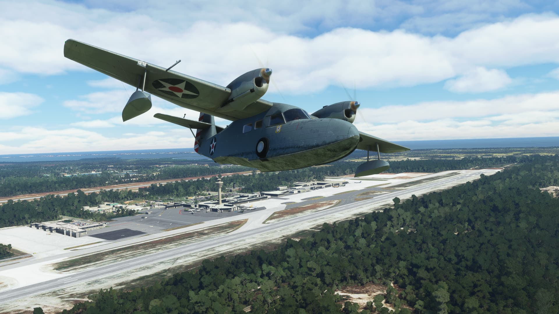
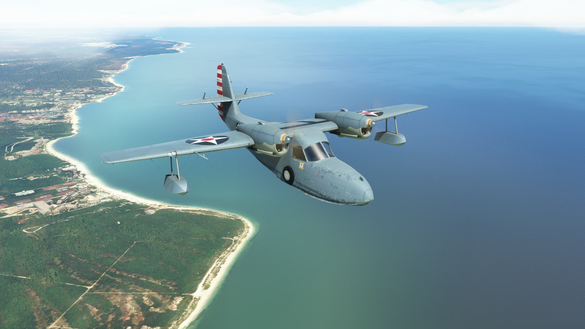
The fun began on my turnout from Cancun (well, no sense in wasting time).
I had set my initial course to Cozumel on the ground and turned to an intercept heading immediately after takeoff. But, try as I might, I could not get the aircraft to intercept the radial.
“Must be a strong crosswind”
But, somewhere in the region of 40 degrees of wind correction angle, my BS flag finally came into view. [I’m mixing my colloquialisms here…that was a joke.]
There was no way that this was due to the wind.
It was at this point that my gaze settled on the Wet Compass.
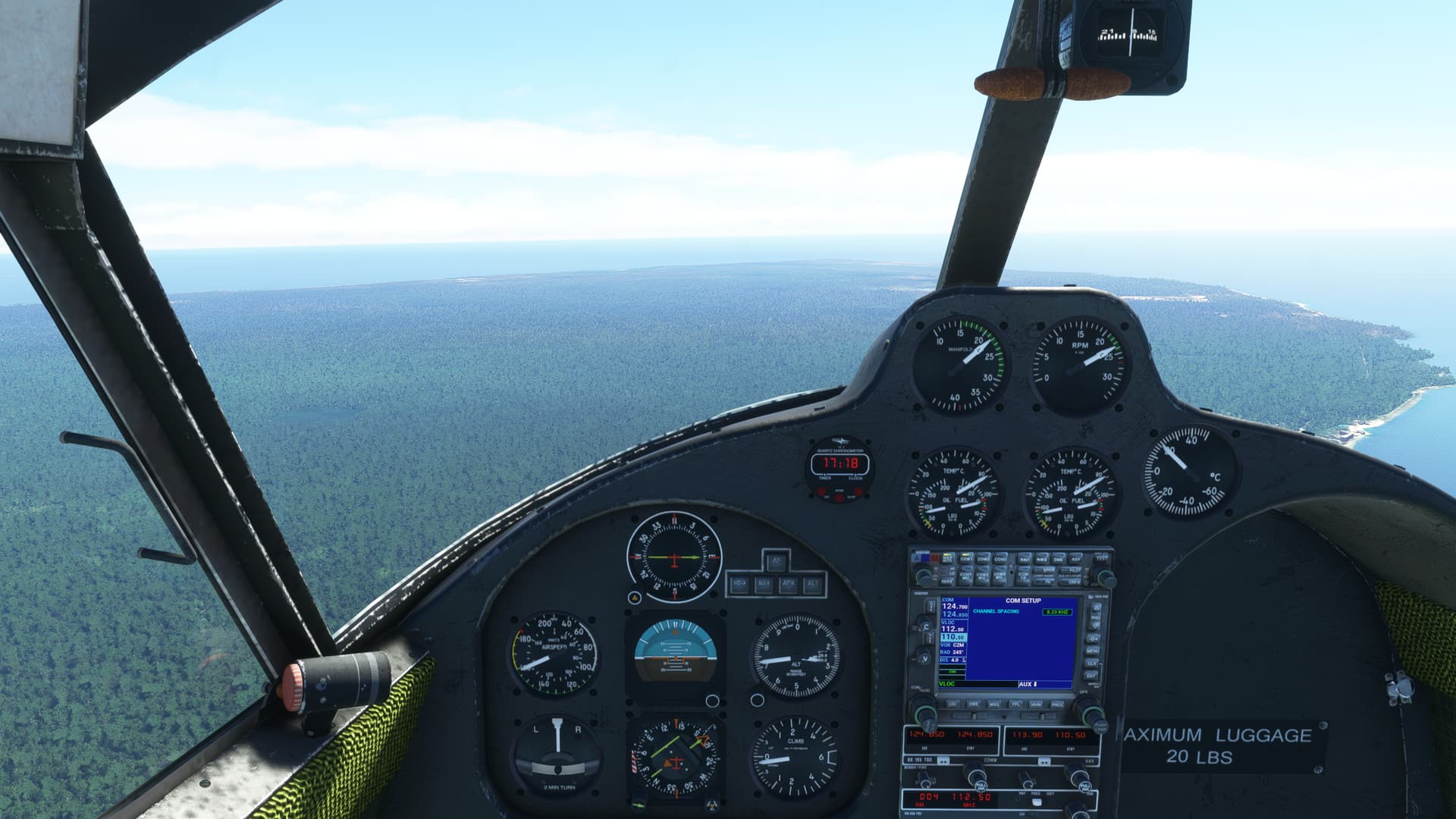
It indicated a good 40 degree difference from the DG/OBS. I looked around for a DG/Slave switch or an INCR/DECR (AKA an “Inker Dinker”) to fix the problem. Nada.
The good news was that, while the OBS did not show where I was pointing, it did show where I was going. So, as long as I could disconnect my head from my behind (Not an issue. In my case they are rarely connected anyway), I could still navigate. After a fashion.
Fortunately, I was VMC and the island of Cozumel loomed large in the windscreen.
I’ve actually stayed at that dive resort on the nose there.
That was where my wife was dragged to Davy Jones Locker on her first open water dive by an over enthusiastic Dive Master.
She has some opinions on the subject…
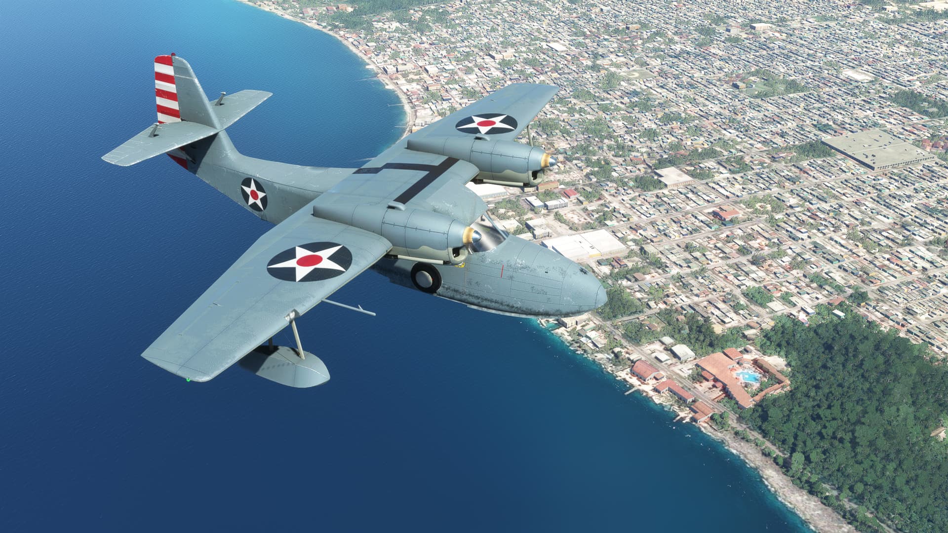
Okay, heading south. Tracking the airway (mostly). I spot Punta Wilson off in the distance.
Feeling pretty good about where I am in the world.
Plus, it’s not raining and I can see where I’m going.
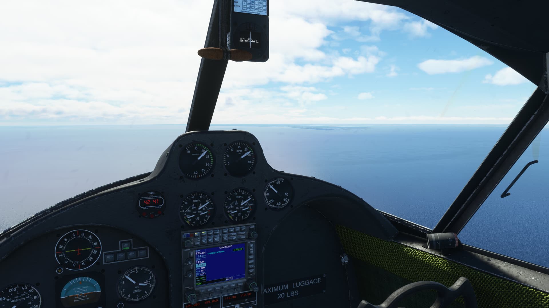
[5 minutes later…]
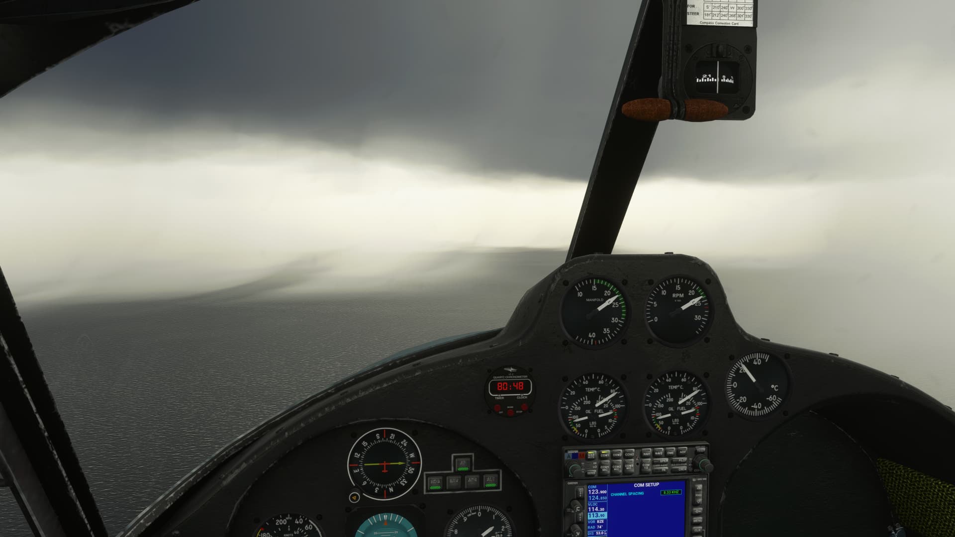

Okay…so it’s raining and I can’t see where I’m going.
Then I lost the VOR signal to CZM.

So at this point, I’m 2500 feet over the water, I’ve lost my lateral Nav, and I’m in IMC.
The best I can manage now is to hold my current heading, dial in the cross radial to Belize and turn towards the field when it centers. The rain is really coming down. I descend to about 1000ft as the attitude gyro is a little wonky (since fixed by the dev) and I’d like to attain some kind of horizon.
I am rapidly running out of instruments!
And then…
Northern Cay hoves into view between the sheets of rain…
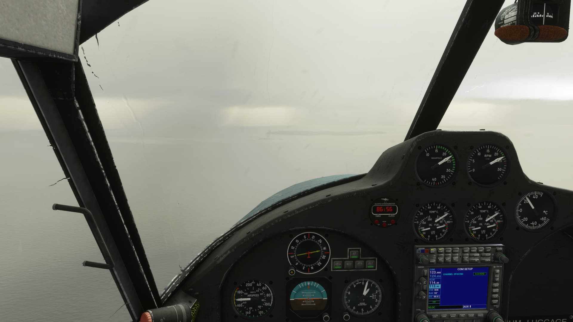
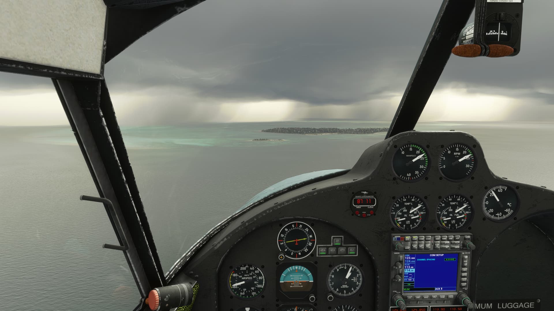
Northern Two Cayes Airstrip.
I begin thinking (not good). If I can press just a little farther south, I might just be able to pick up the Blue Hole.
If I can’t, then I might hang a 180, try to find this strip again, and wait out the weather.
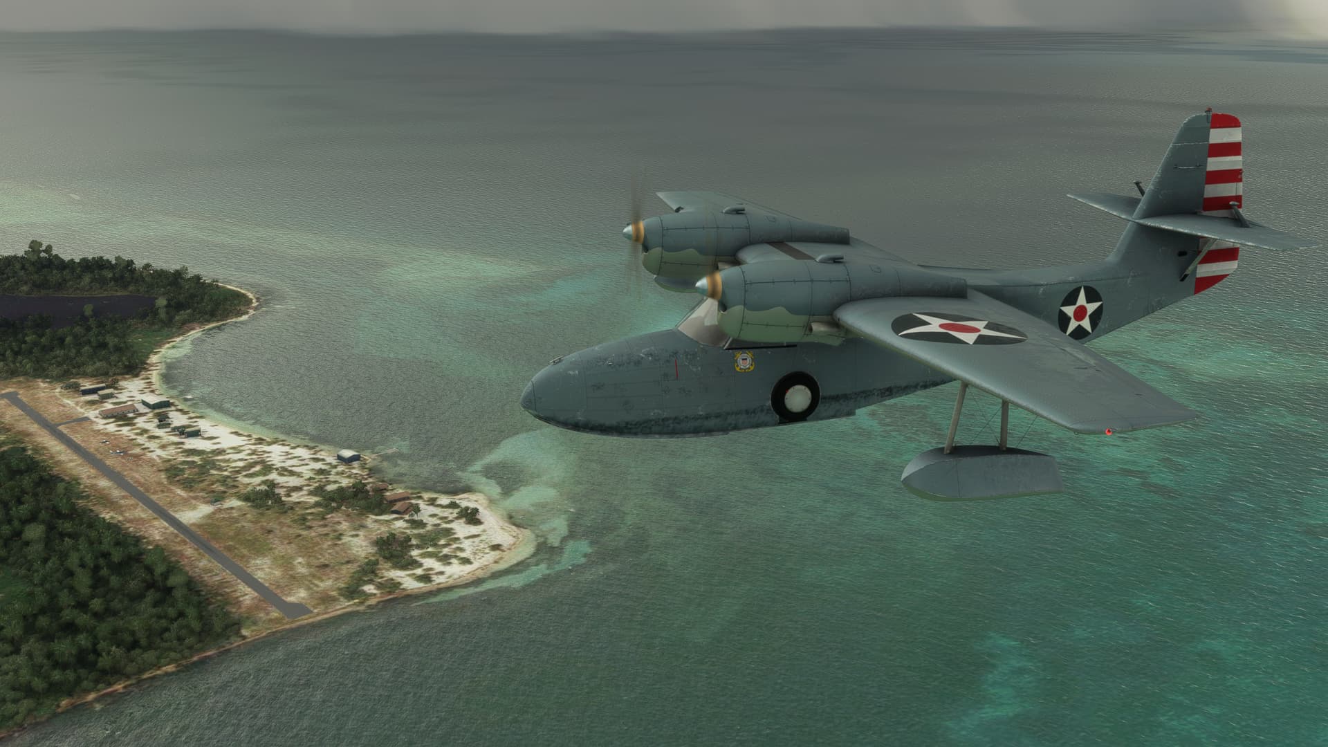
I press south. The rain has just barely let up.
“There she is! Theeeere she is!”

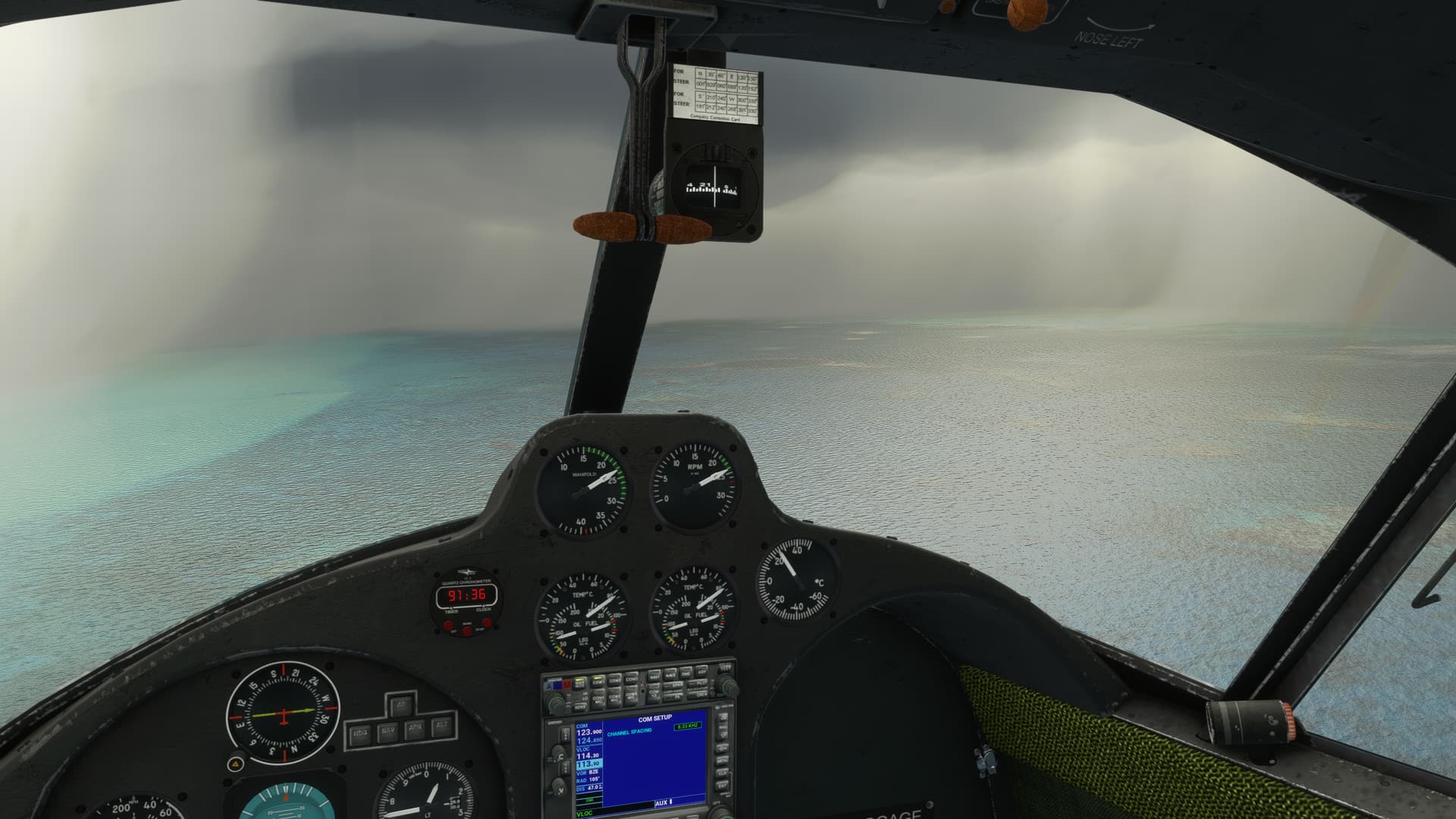
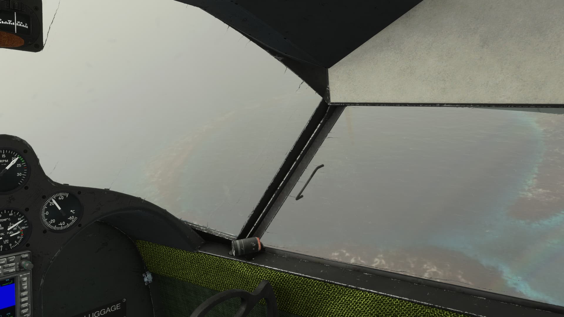
…
And then I explode…!

So, maybe you remember the last time I exploded using Active Pause.
After tailsliding the Ryan into the Cocoa Beach waterfront @PaulRix had been kind enough to recommend:
Flight Recorder » Microsoft Flight Simulator
to me to avoid any similar unpleasantries.
Well, I didn’t take that advice, figuring that I just didn’t have time to rewatch every flight twice in order to take screenies.
Besides, now that I knew what the risks were, I could totally manage them, right?
Right?
And so, having no intention of repeating that leg, I departed Northern Two Cayes and launched again into the goo in the hope of finding the Hole a second time.
Well, who says that lightning never strikes twice?
Hmmmm, probably shouldn’t say that the way my luck has been going… 
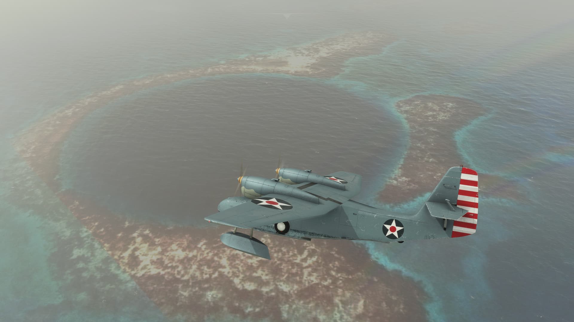
Oddly, there WAS an unexpected benefit to becoming a yard sale over the Great Blue Hole.
When I took my second whack at a screen shot, once again using the useful but perilous Active Pause [Use at Own risk], I noticed that my OBS was still spinning, even though my aircraft was frozen.
Well, THAT’S why my CDI was off! More than that, I’d be willing to bet that is also why my Corsair’s heading didn’t seem to be working. MSFS let’s your DG spin when you’re frozen just as it let’s your airspeed change!
What a stupid design!
Had I only listened to @PaulRix, I would have had about half the emergencies that I have had on this trip!
Anyway, I learned something.
So, with that behind me and the Great Blue Hole sighted, twice, I made a beeline for Belize.
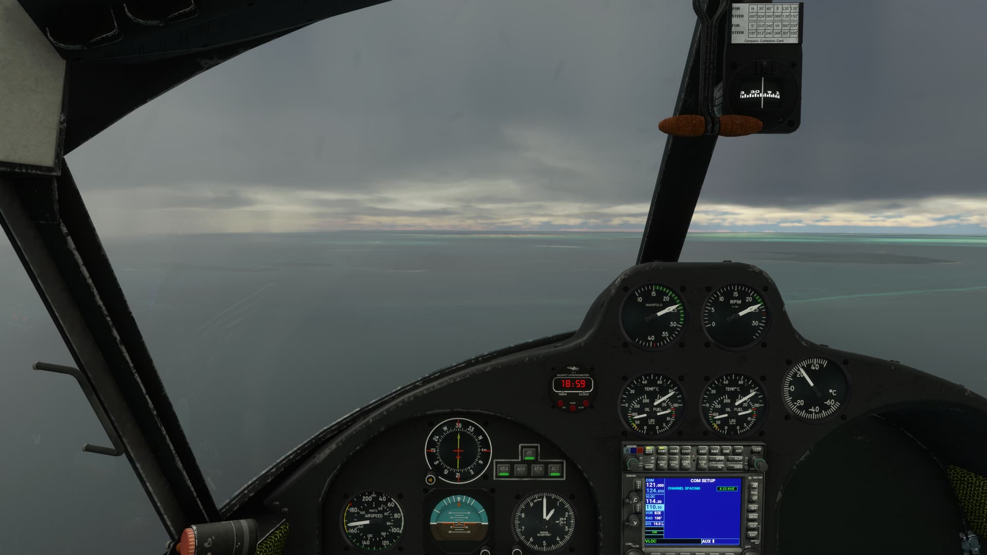
Having taught me a valuable lesson, the Sim gods took pity on me and the skies parted as I approached the coastline.
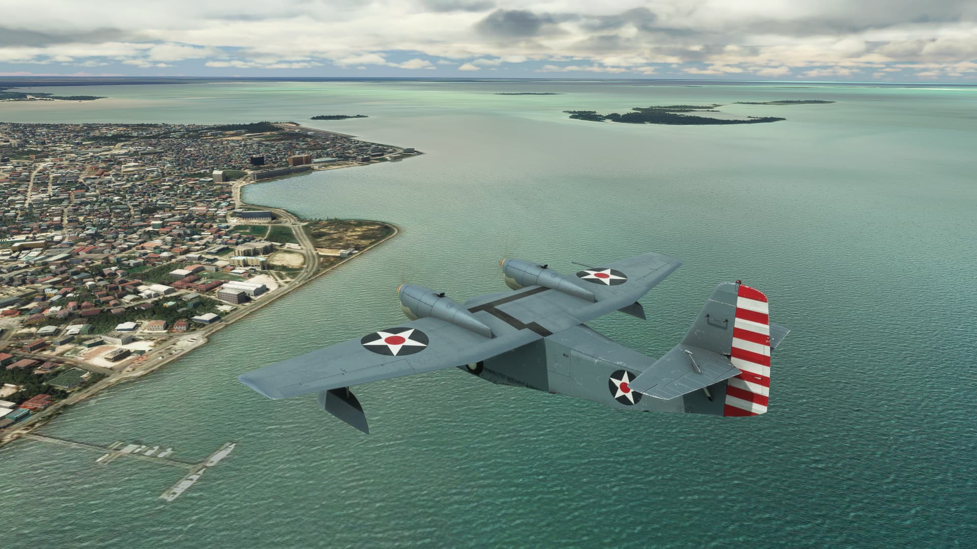
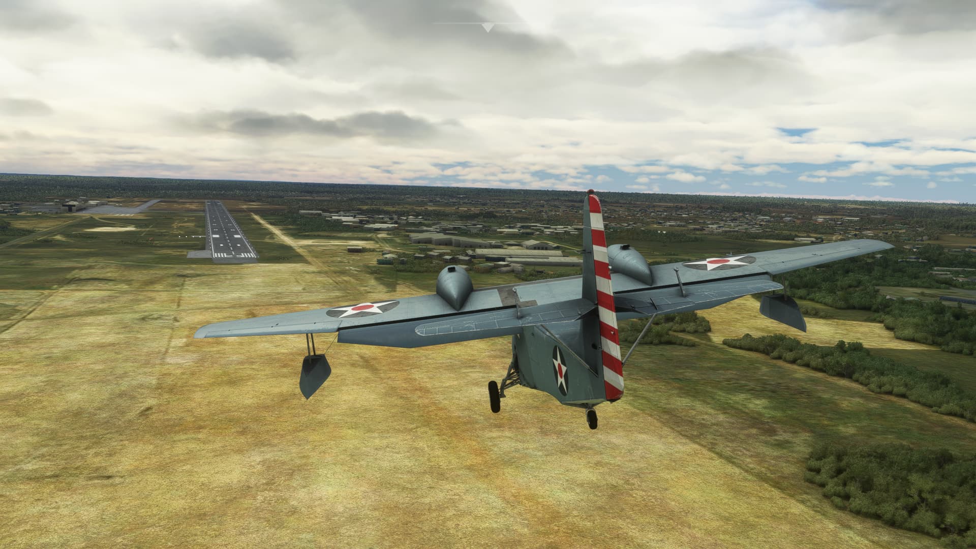
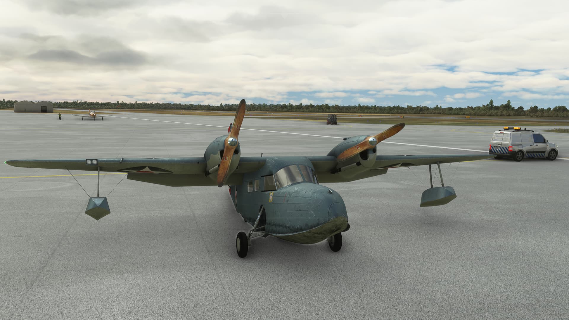
Well, another leg under my belt.
Hey, what’s a guy gotta do to get a $&^% Mojito around here?

11 Likes
Great report!
4 Likes
Great write up @Deacon211 !
3 Likes
The Asobo development team after coming up with the idea “Active Pause”…

Great AAR @Deacon211 . Nice choice of airplane too…although I fully expect there to be a leg in the JF Hawk by the time you reach Stanley…

6 Likes
actually whats the point of using Active Pause ? I am using just… Pause in every sim 
I have used active pause a few times in DCS.
It is useful if you want to learn fighting in the jet using the complex systems, but everything is moving so damn fast while you are busy pressing all the buttons.