Official 7th Annual Mudspike Christmas Flight 2021 - Discussion and AAR Thread

Leg 29: Ushuaia/Malvinas Argentinas Airport (SAWH) TO Rio Grande Airport, Argentina (SAWE)

OR

As I was heading down the South American peninsula, I found myself looking for any interesting historic information about the region. As it happened, I stumbled across this book along the way.

Written by the famous author Antoine De Saint-Exupery (short for Antoine Marie Jean-Baptiste Roger, comte de Saint-Exupéry…if ever there was a pilot in need of a callsign…), it is a short but beautifully written account of flying in the airmail service from Buenos Aires to points south on the continent.

It’s great stuff, filled with square shouldered aviators bracing, teeth bared, into the face of high-altitude snow squalls, with nothing but the dim light of a miner’s lamp to guide them. And yet, Saint-Exupery captures both the fragility of the pilot’s courage and the self-aware but iron will of the operations director that sends them up every night.

The fact that Saint-Exupery was himself both a pilot and the managing director of Aeroposta Argentina, gives the novel something of a strange, surreptitiously autobiographical feel.

Definitely worth a read.

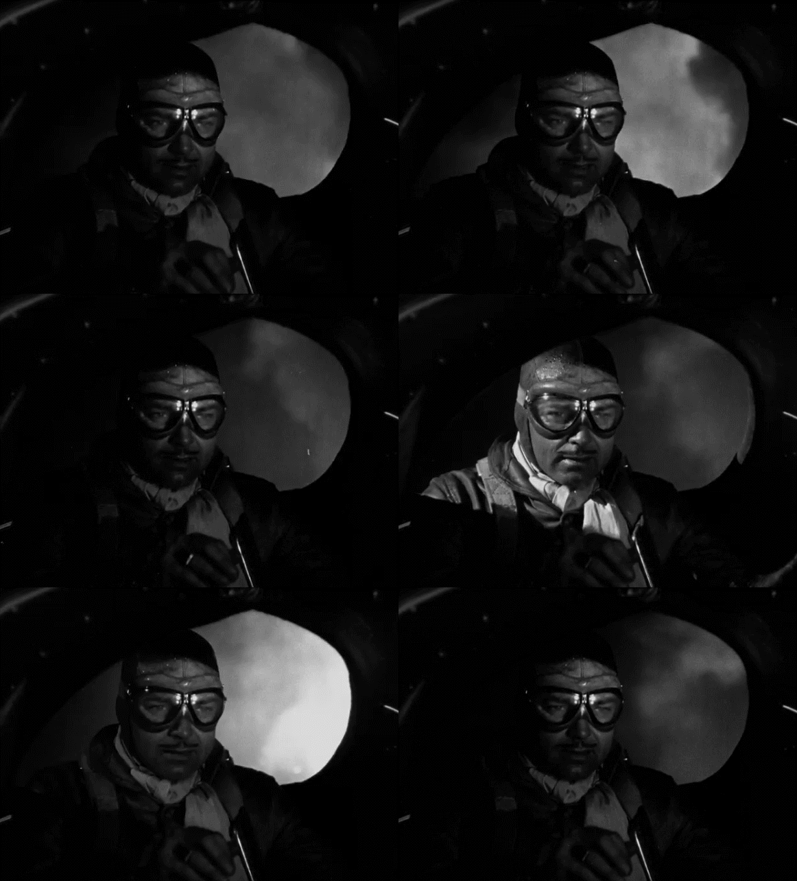
It was also made into a movie that I’m certain I must have seen at some point, starring the great Clark Gable, including others.

And since we share such an uncanny resemblance…
R (1)

How could I not? :wink:

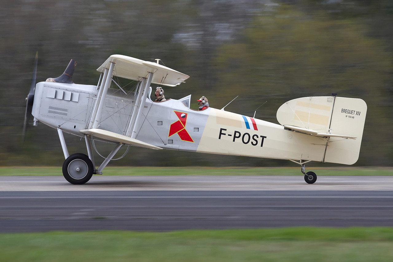
I had a certain amount of difficulty figuring out exactly what type of aircraft the pilots flew in the book and, as you can see, most of the movie and cover art takes the usual liberties on the matter.

As best I can tell, I was looking for something like the old Breguet 14
Though it appears that the service also flew the Latecoeré Late 25 at some point in its history.
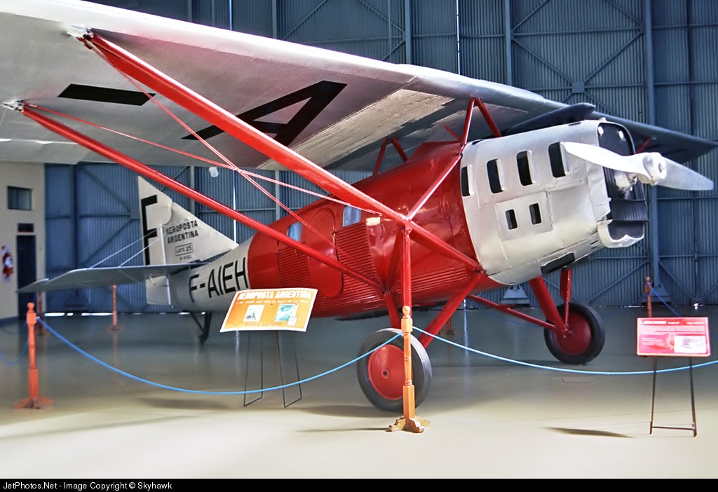
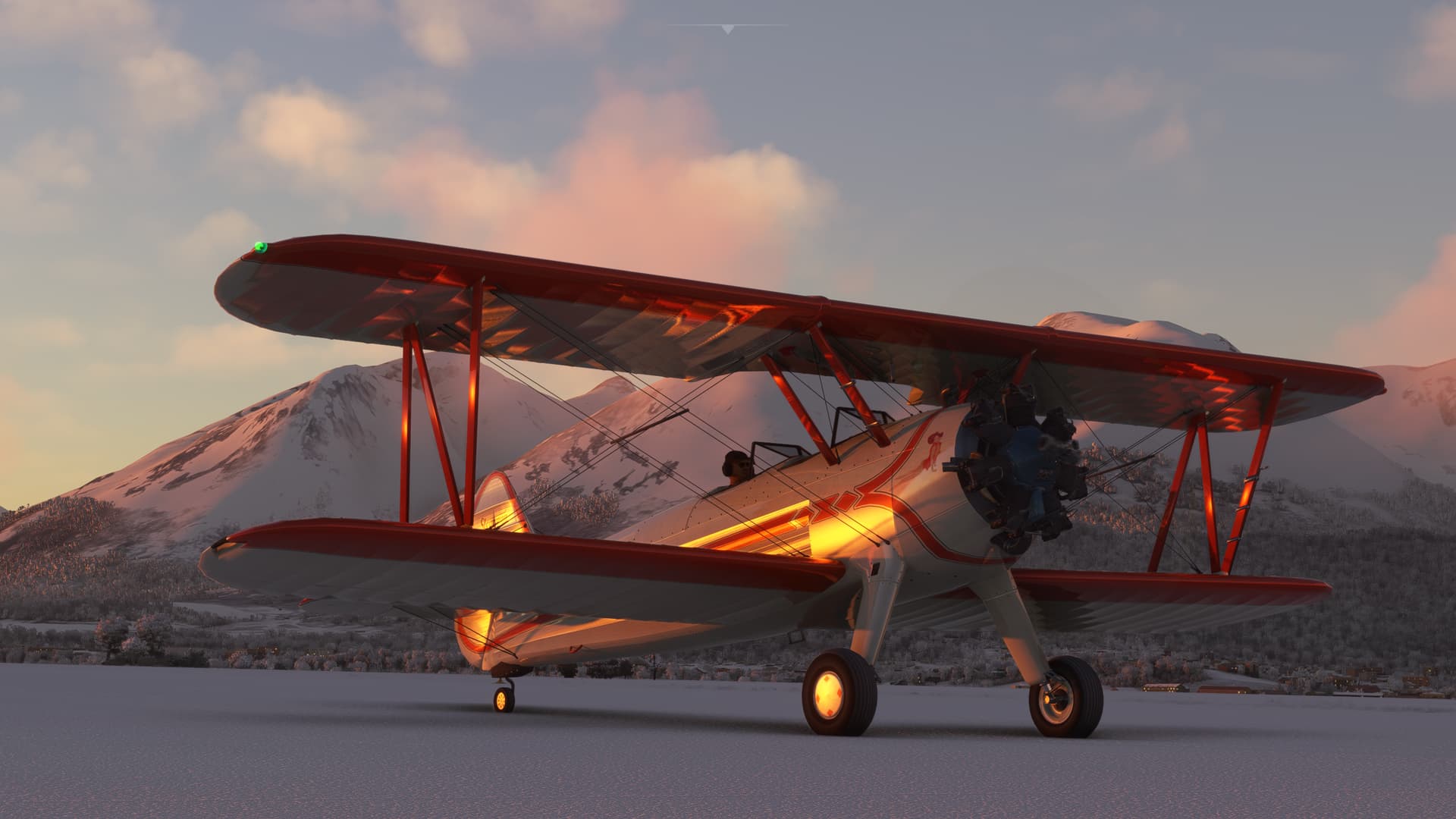
I said all that to say that I could find neither for MSFS (though I can still one day hope). The closest that I had in my stable was the Stearman, which is fine…it’s a beautiful aircraft.
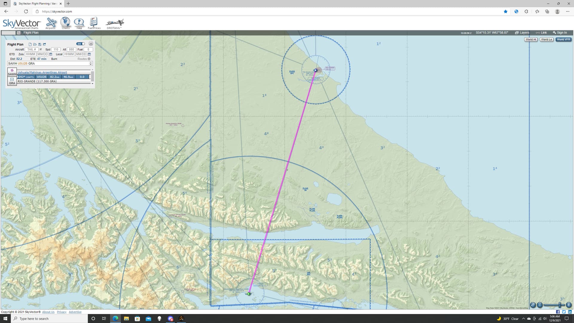
My flight plan wasn’t based on any historic route. It was simply a continuation of my journey towards Port Stanley.
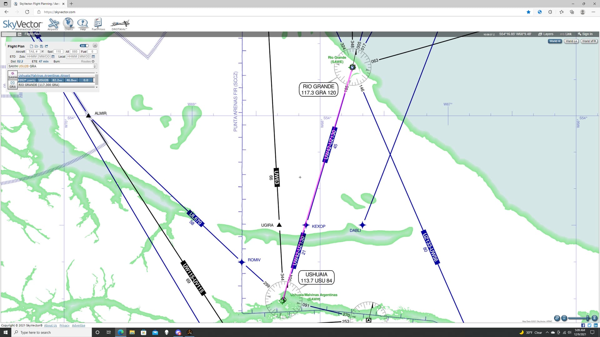
As you can see from the Nav log, the Gremlins are not above their Di-A-bo-lical Sa-Bo-Taygee, even on the briefest of sojourns into the blue.

Brief Aside: If you are not nor have been familiar with the corpus of Bugs Bunny’s collective musings, I belatedly apologize for the last 29 legs worth of references.

And you may find enlightenment here:

LOONEY TUNES (Looney Toons): BUGS BUNNY - Falling Hare (1943) (Remastered) (HD 1080p) - Bing video

In any case, as you can see, I only have one leg on this flight plan, in what I would think was a generally northnortheasterly direction. But the projected course calculated by Skyvector is 092 degrees magnetic, or 104 degrees true.

My first thought was simply that I didn’t get the subtle, Earth squashing/stretching geometry of the planet rendered flat, especially towards the poles.

But the same course overlayed on the Low Altitude chart shows a course of 004. That I believe.

No idea.
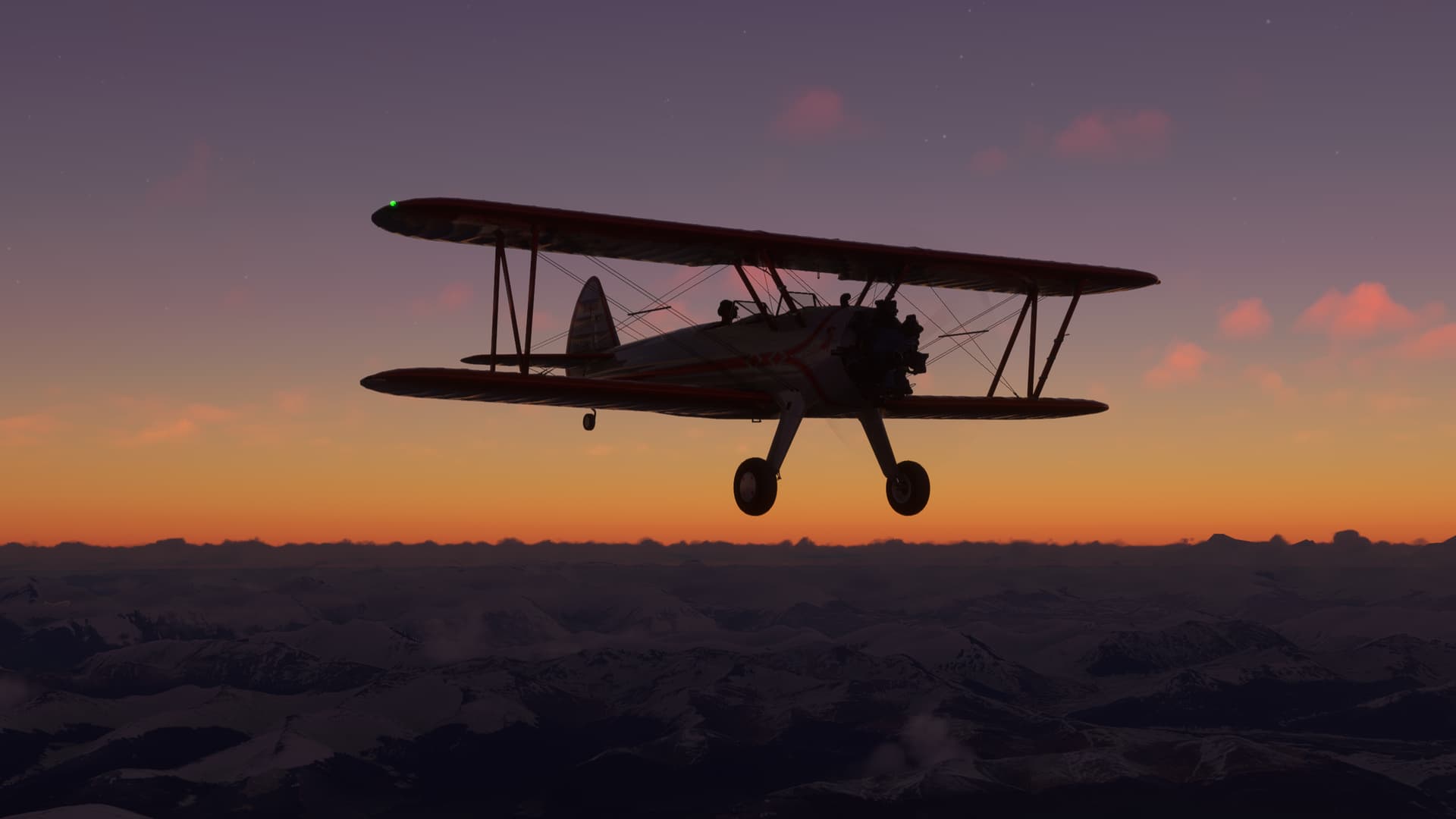
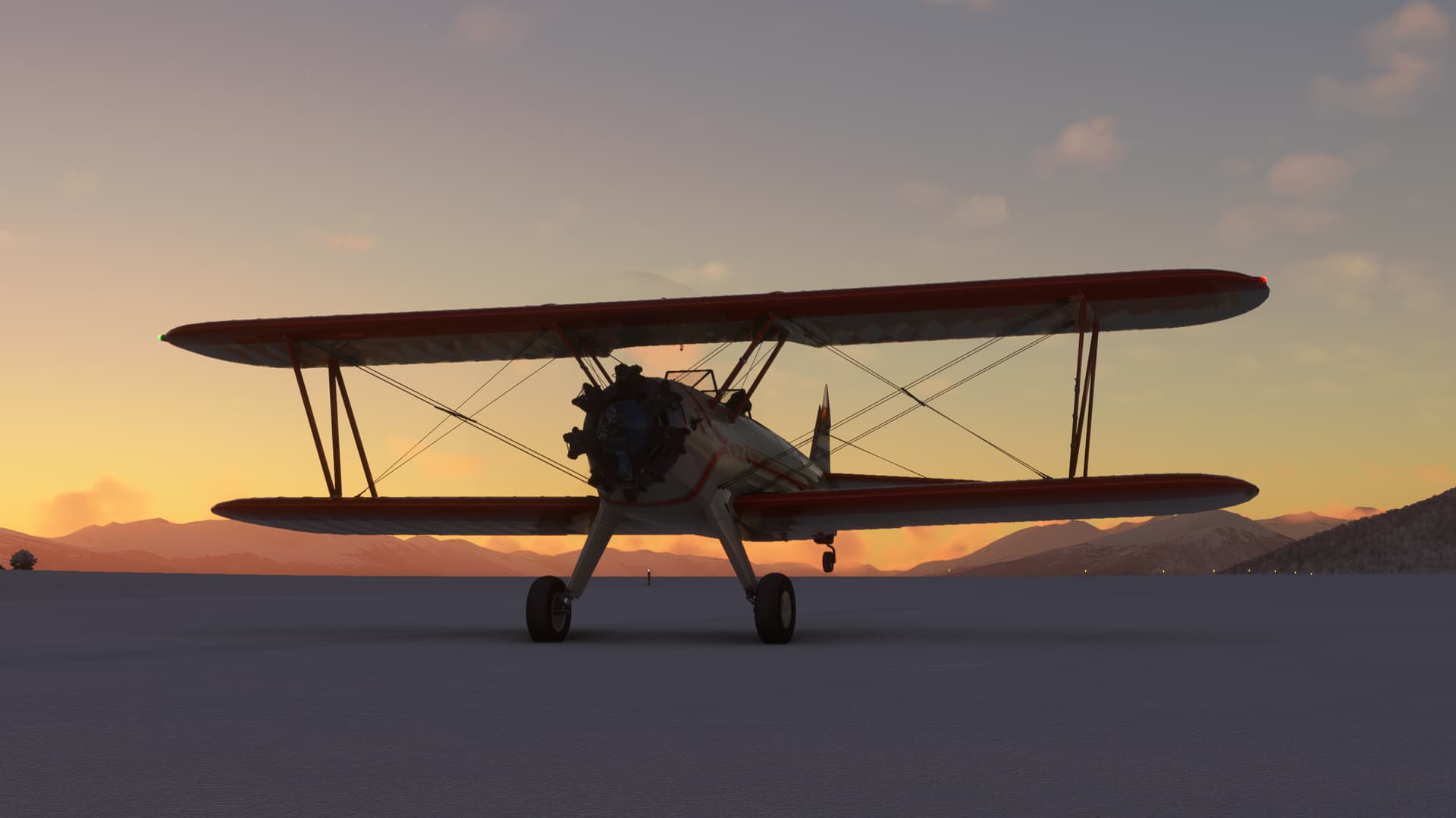
So, that crisis averted, I take off into the gloaming.

Yes, I know the name of the book is Night Flight, but my momma didn’t raise no dummy!
Since, my MSFS sometimes loads snow even in the Tropics, I waited for the scenery to change. But it appears that snow has come to Tierra del Fuego.
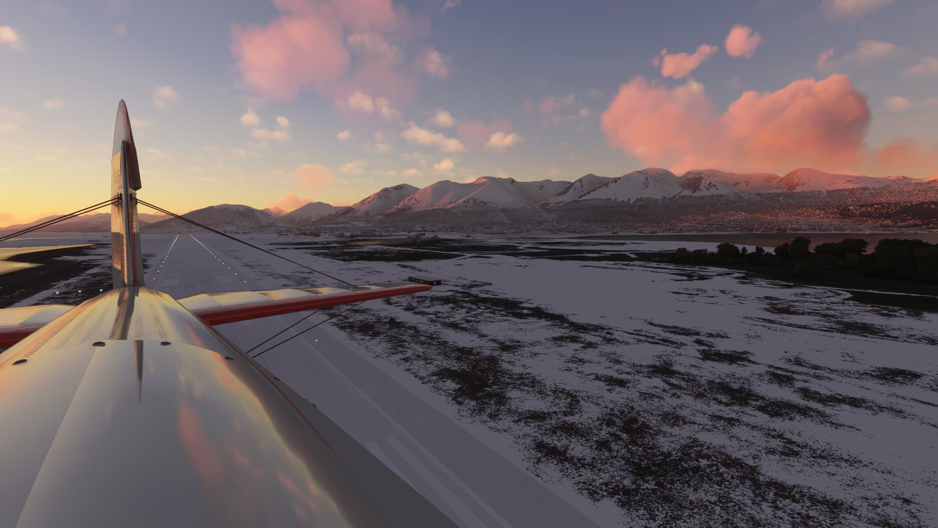
I hook a hard left onto what I sincerely hope is the proper course to Rio Grande, the Beagle Channel left behind.
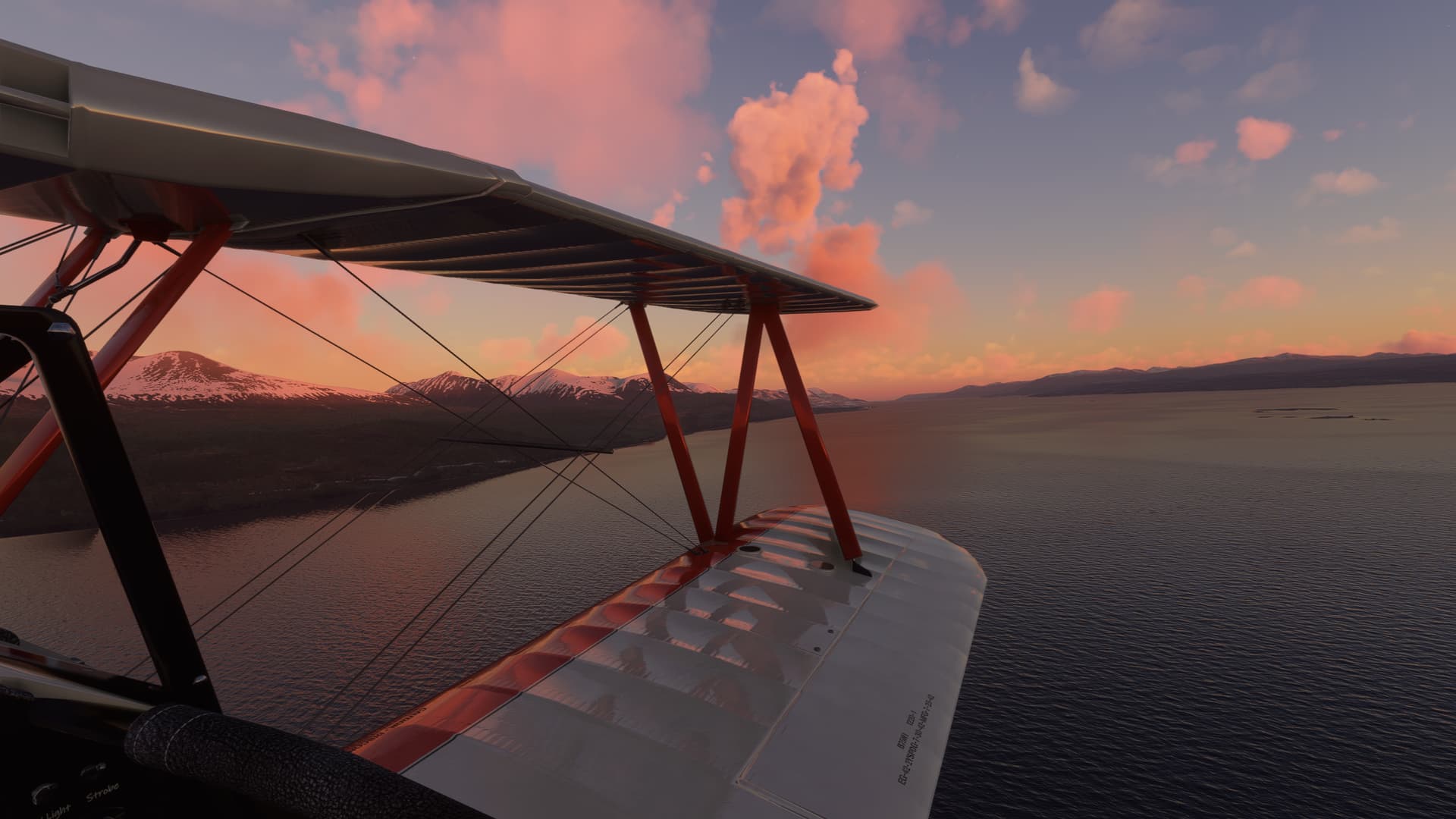
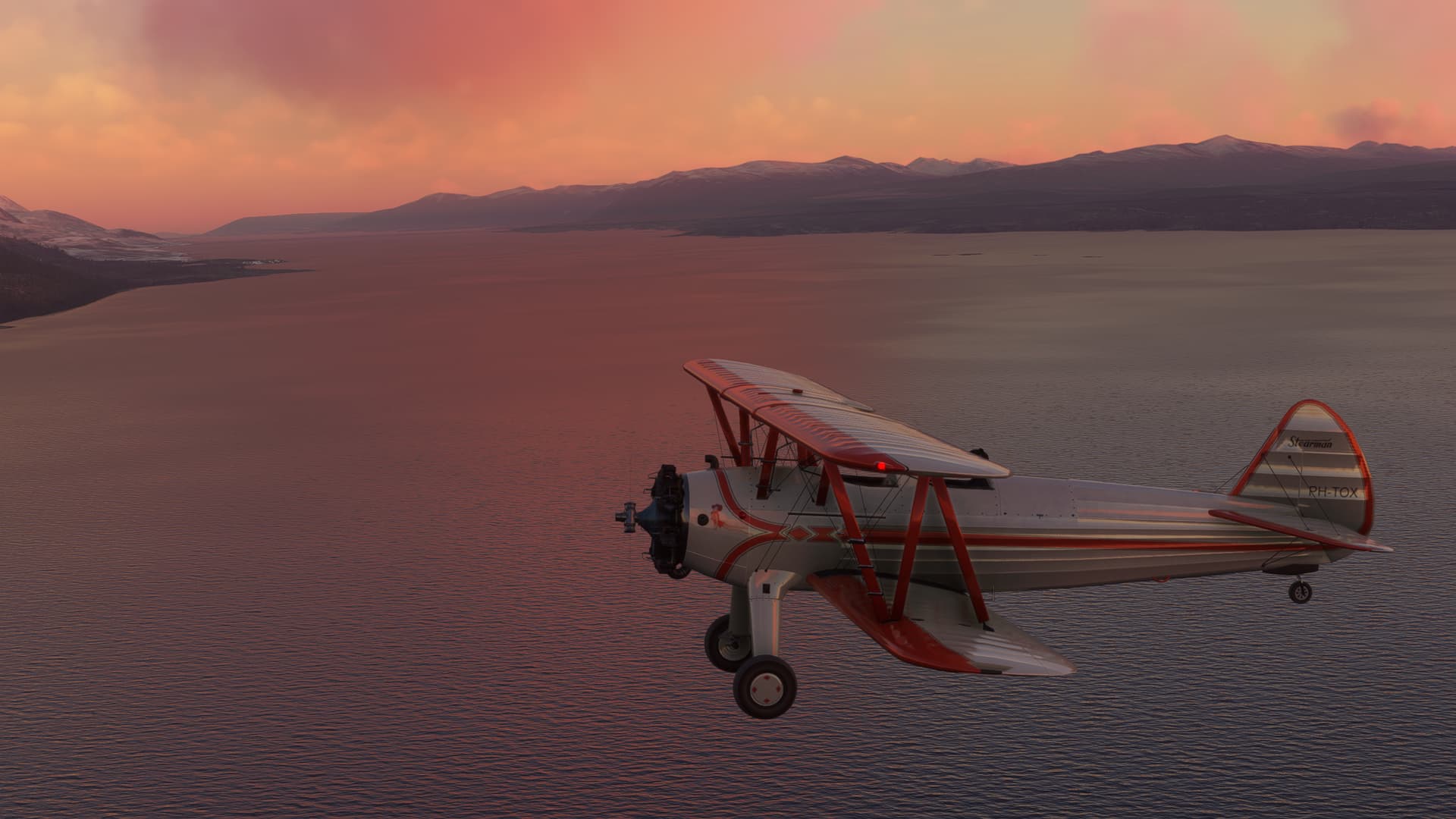
I’m not entirely certain how this is going to go, but the Stearman climbs well and clears the peaks bordering the channel without too much effort.
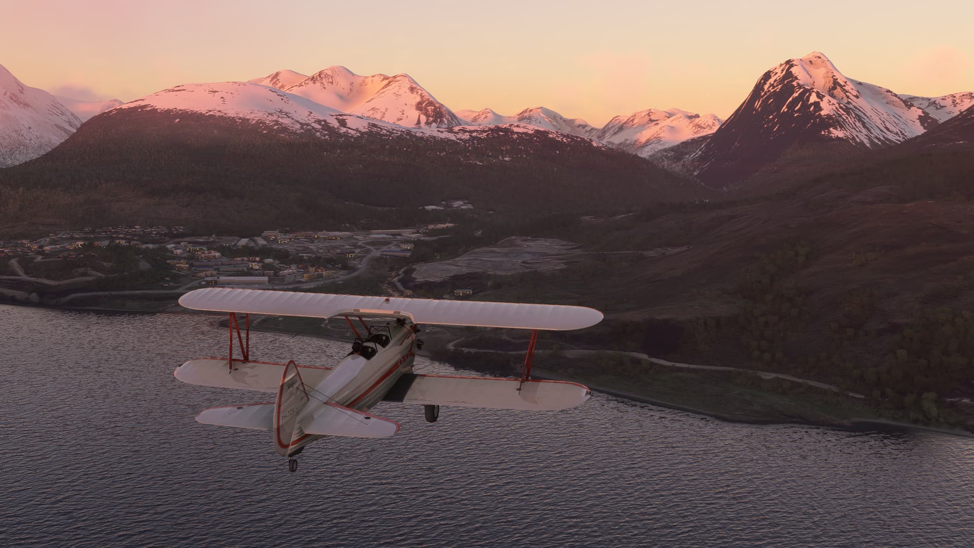
Probably should have worn a jacket.
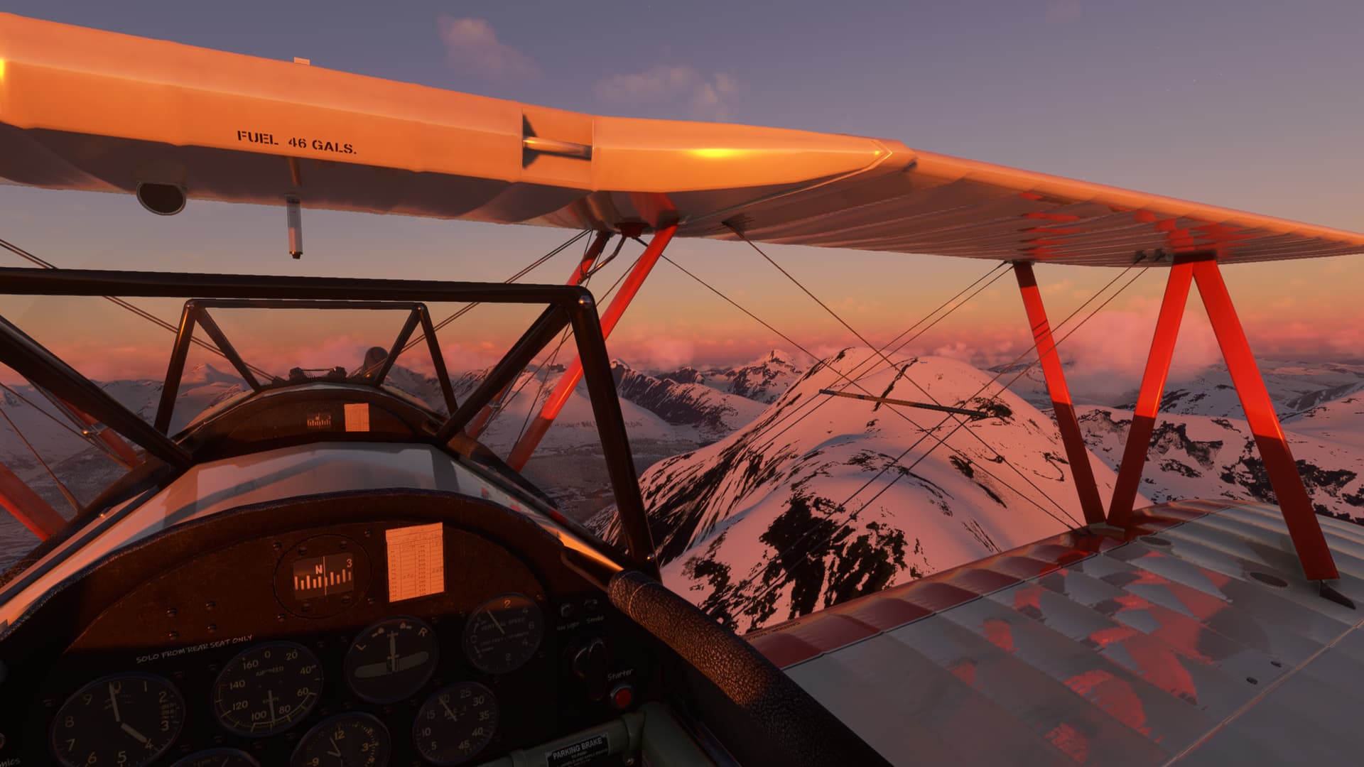
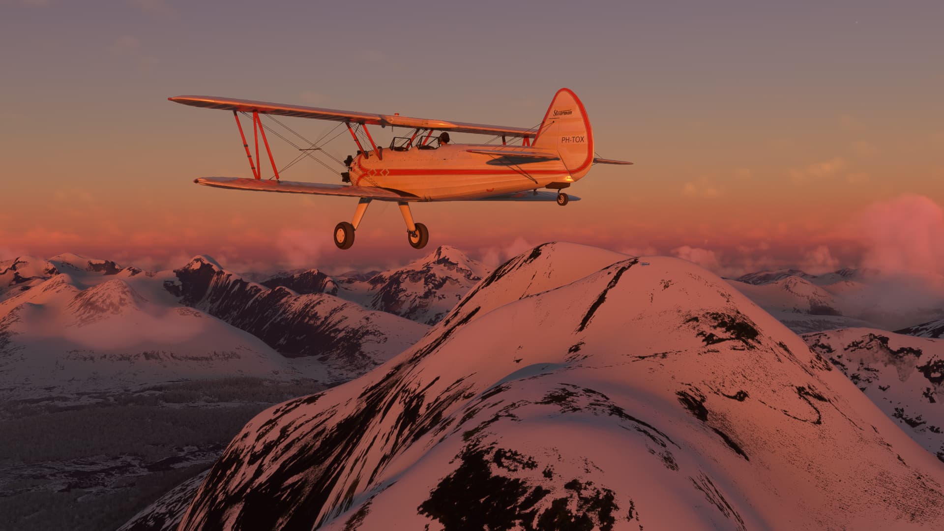
I feel like I’m picking up a little drift, but there aren’t really very many checkpoints once I cross the Lago Fagnano. I throw in a token ten degrees of wind correction, but I won’t really know how it worked out until I get to the opposite coast.
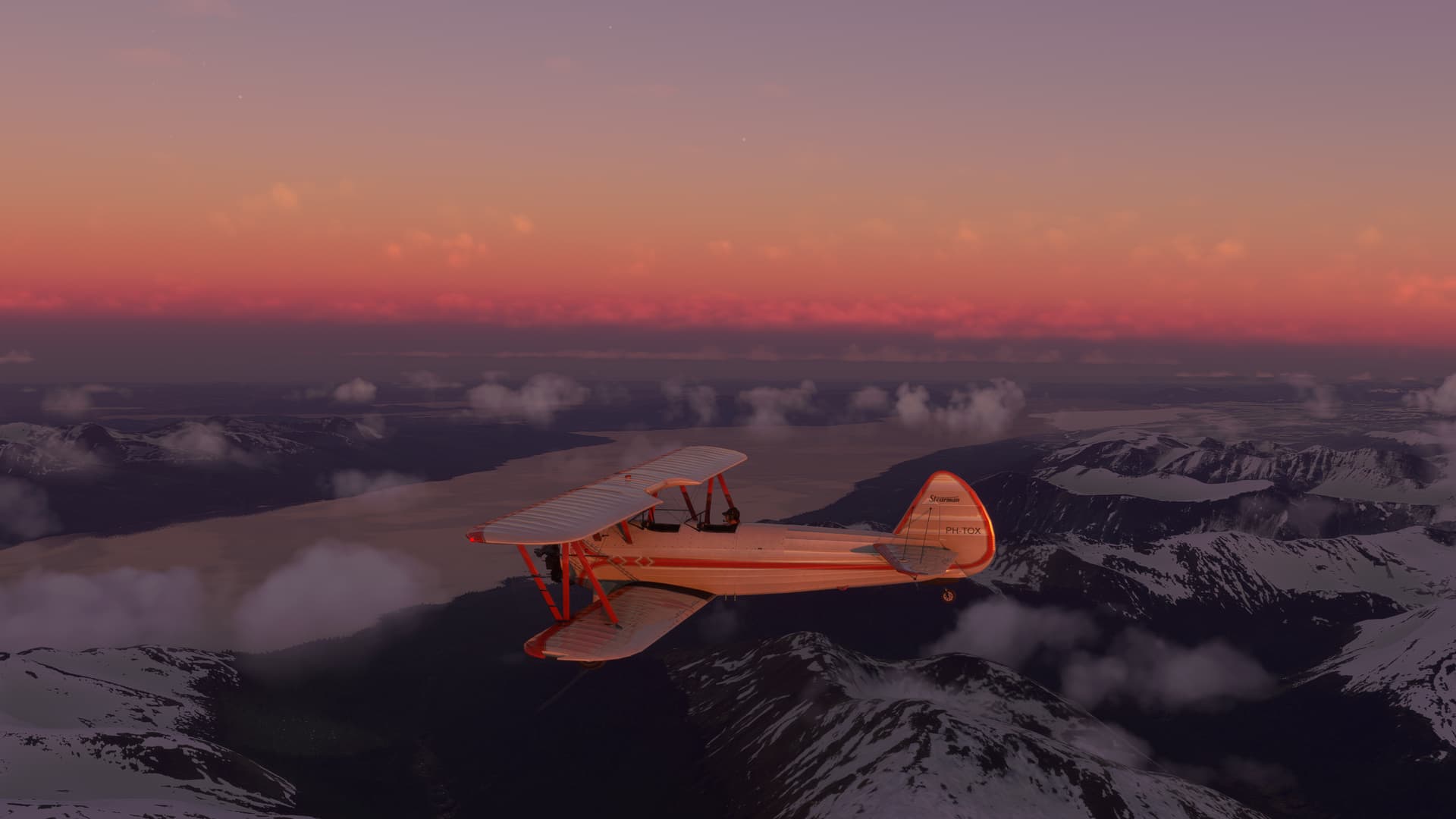
I did seriously entertain the possibility of taking off in darkness. But the long light of the low southern latitudes was something I’m sure any savvy aviator would have taken advantage of.

But the light is finally leaving me behind.
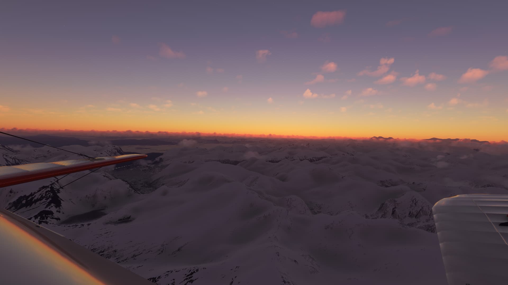
Lago Yehuin and the neighboring Laguna Esperanza come into view on my right before the light abandons me. They will likely be my last checkpoints before the coast…wherever I cross it.
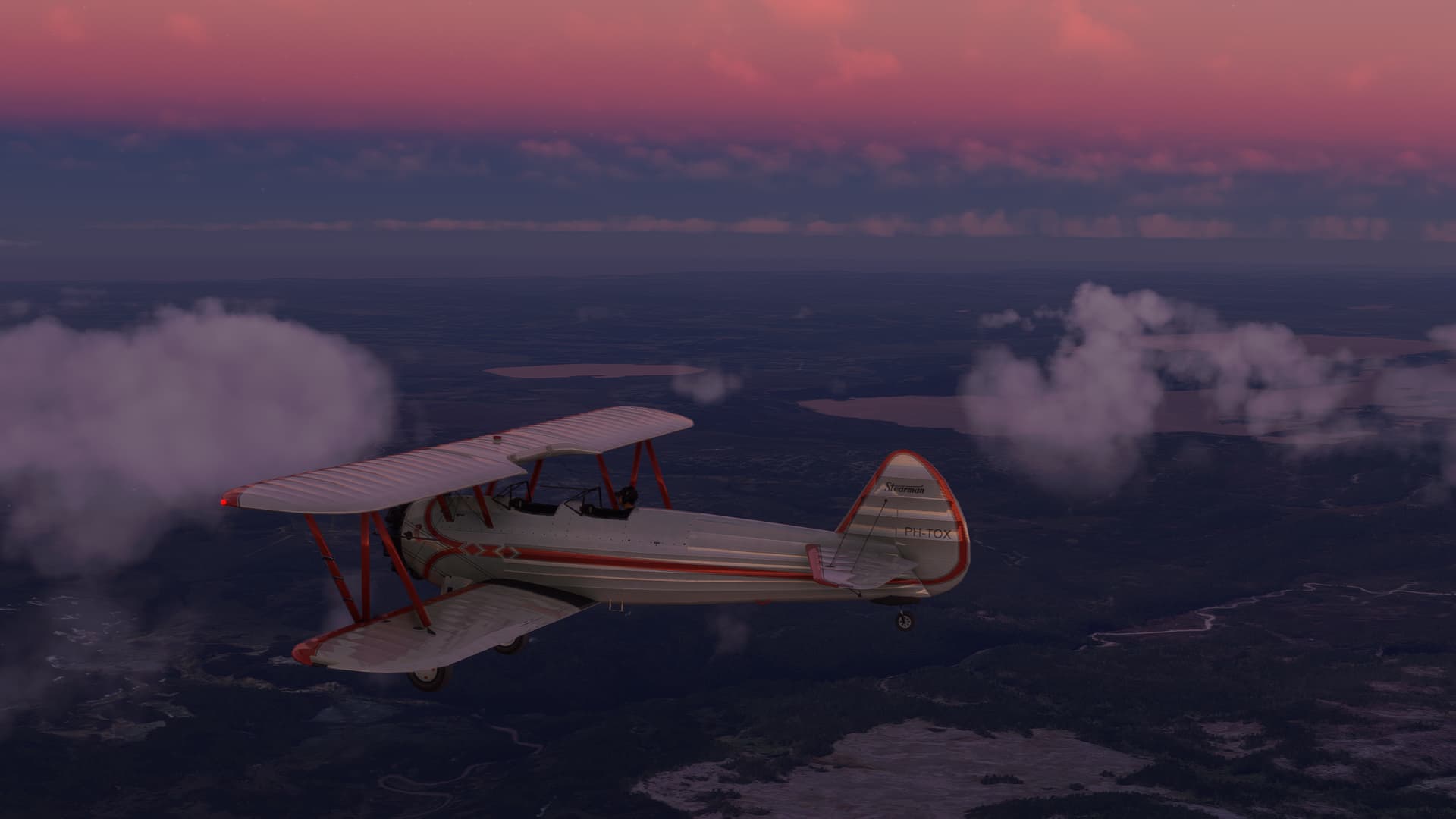
I always wonder at the bowl of night as it covers the day. MSFS represents it beautifully.
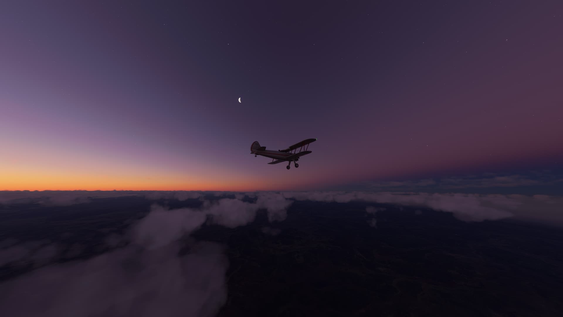
As you can see, the cloud is thickening. The METAR at Rio Grande was reporting under a mile in mist, for which I have no plan.

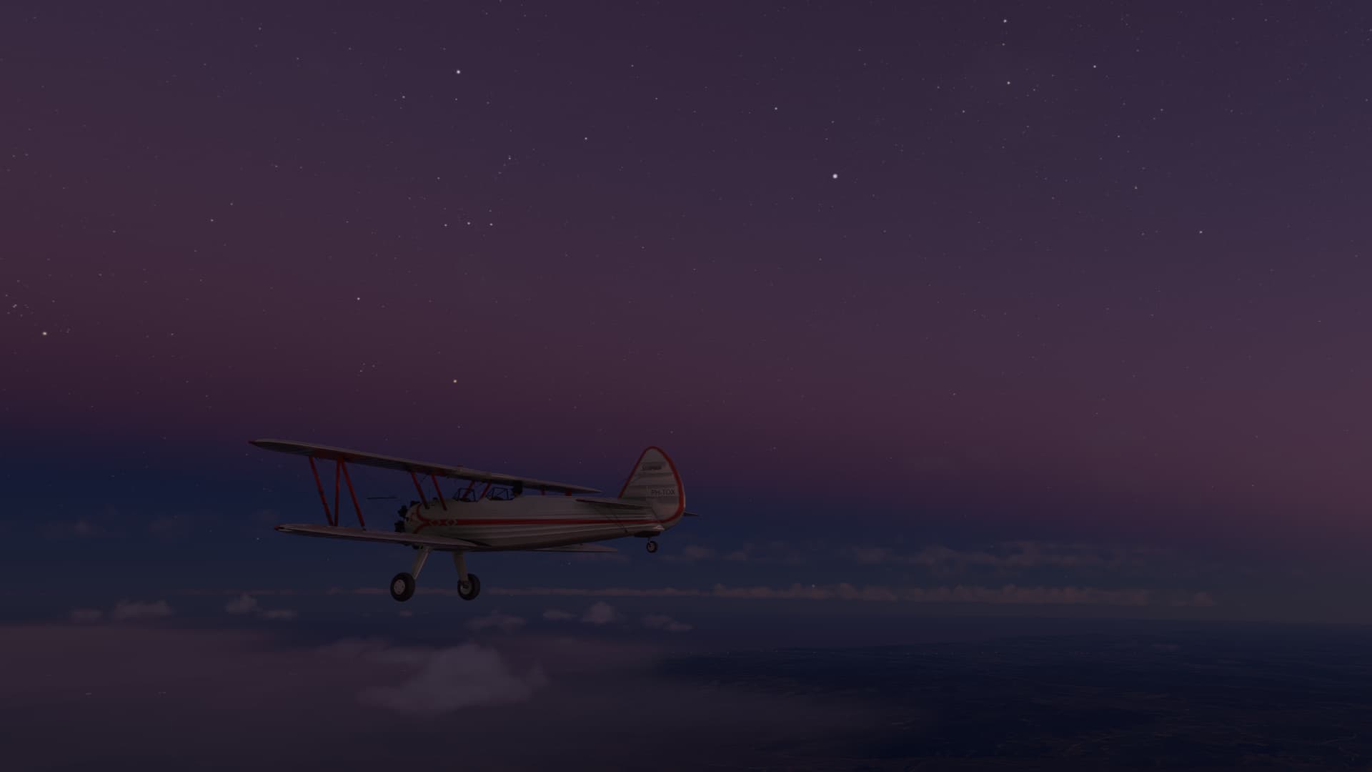
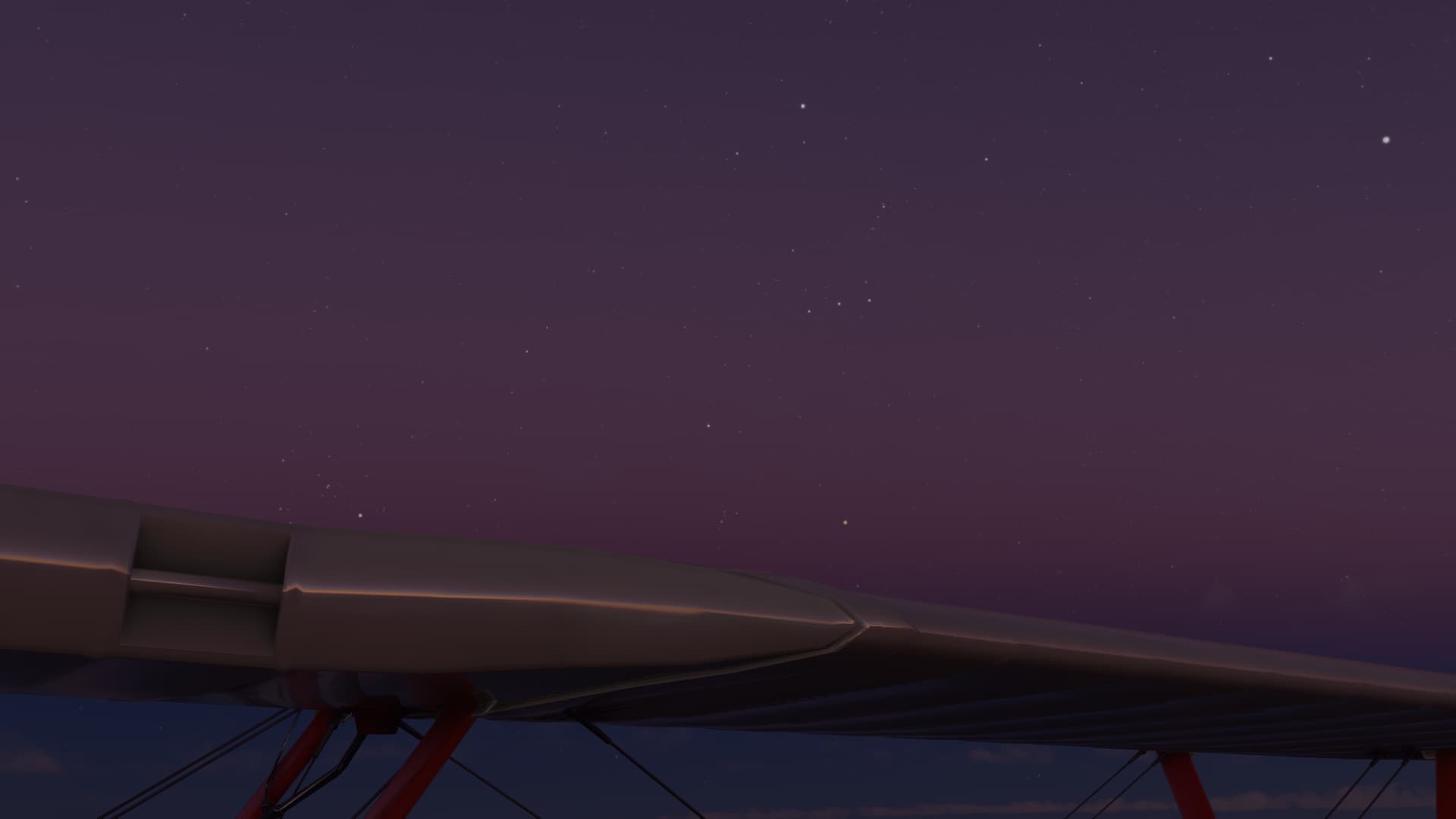
Orion rises over the right upper plane. I have always taken the sighting of this constellation as a good omen.

Let’s see if it holds in the sim.
The coast comes into view in the last few moments of dusk. Rio Grande glows like a beacon to the north. I did drift a little south, but not terribly.
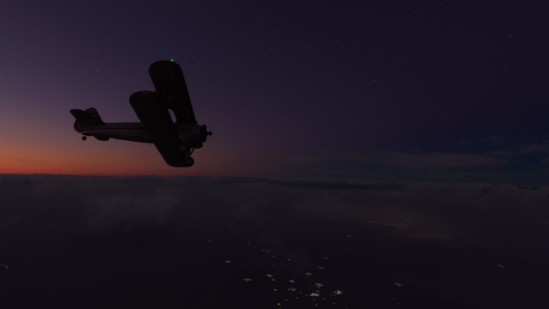
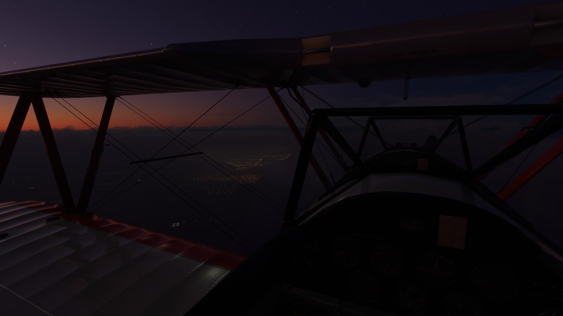
I spot the field and back it up with my compass heading. Seems reasonable.
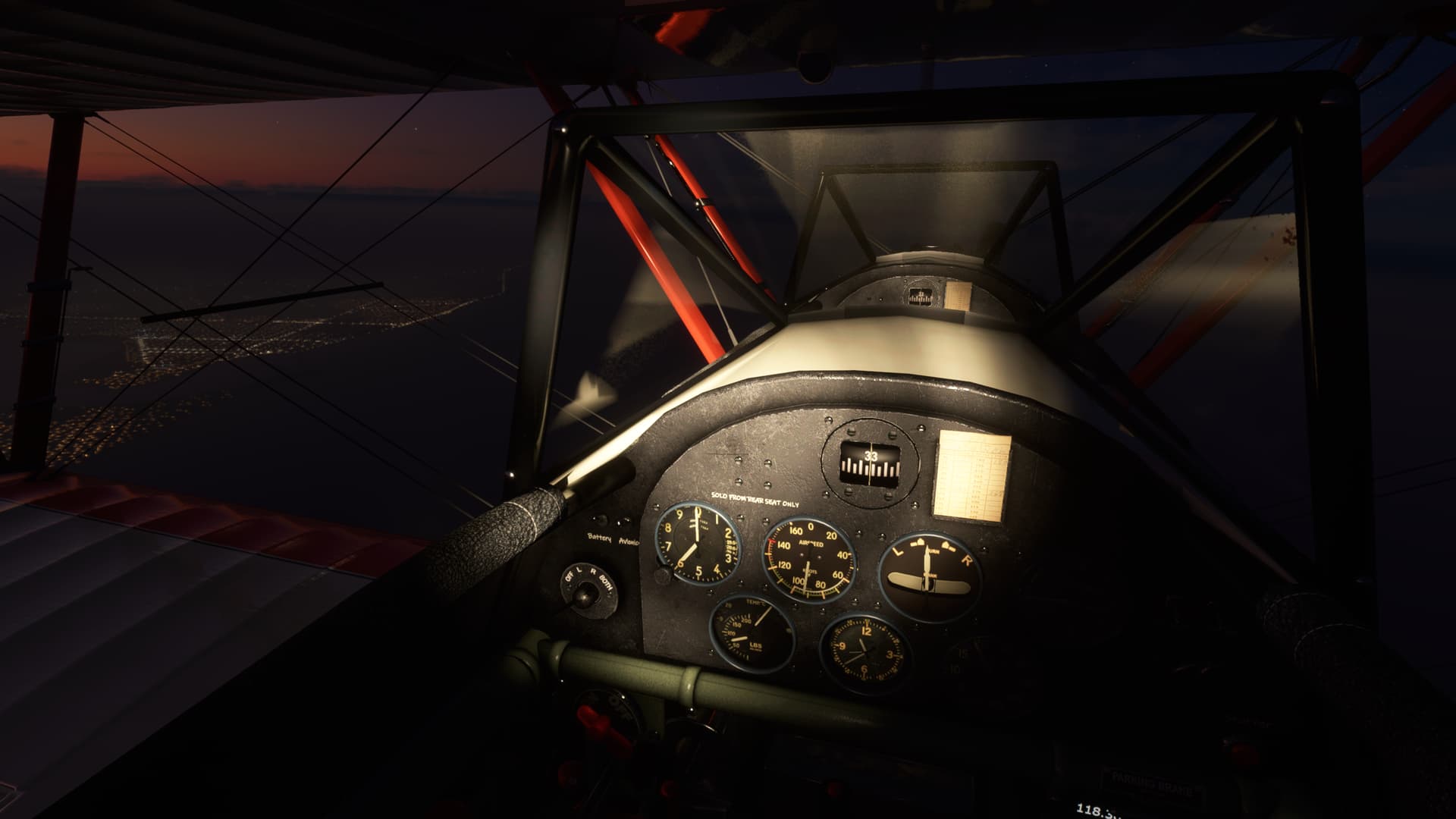
I am a little high. But with the low mist of the weather report, I’m hesitant to drop down too early. I don’t want to lose the field in the horizontal.

In the book, Saint-Exupery writes of the subtle terror of flying in night so dark that the pilot feels the need to illuminate his hands, lest his courage fail him.

I feel fortunate for the moon that picks out the details of my wings.
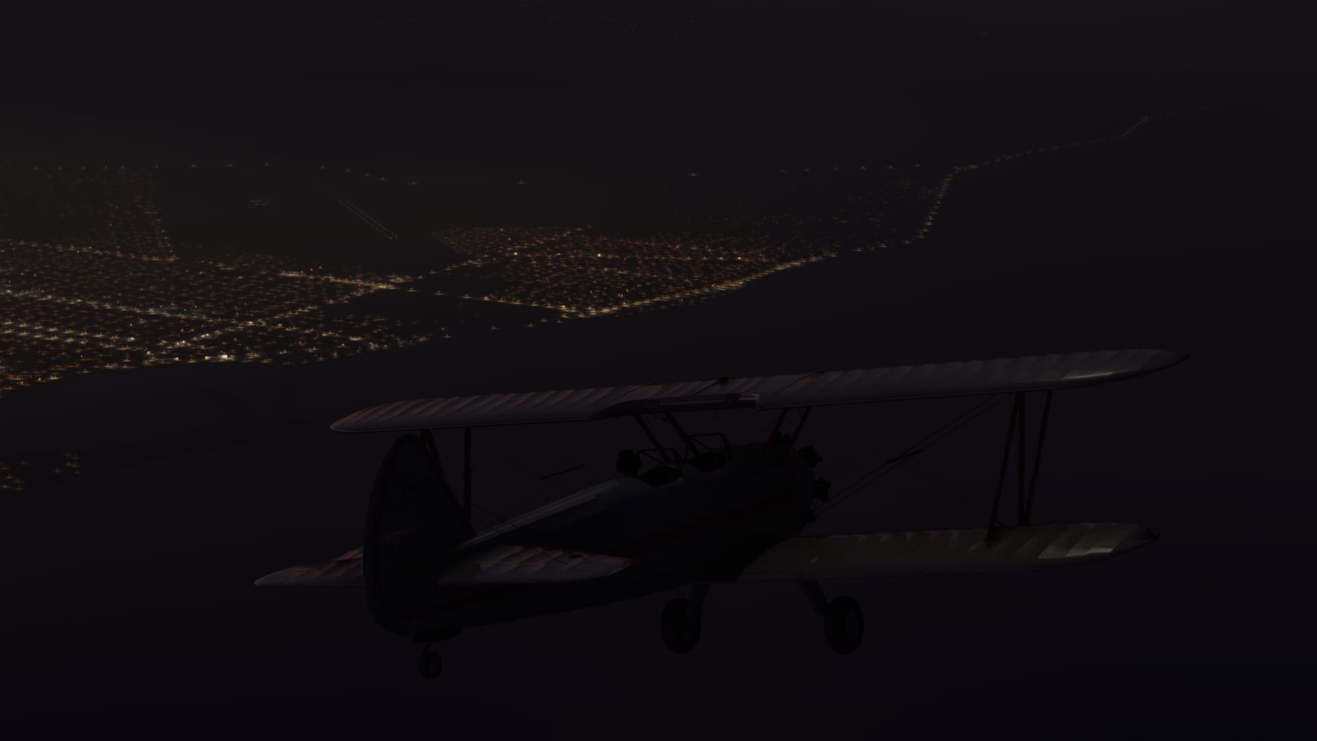
I have to slip the Stearman in, but that’s OK. The runway lights fade in and out in the mist and I’m glad I stayed above it up until now.
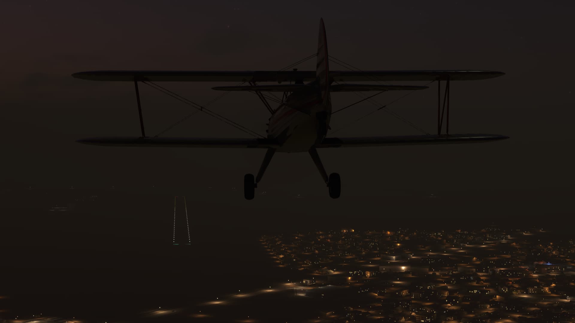
I touch down and the whistling of the wind in the wires finally fades on a deserted airfield.

What must it have been like in those early days, to finally touch down safely after braving the hazards of the Andes?
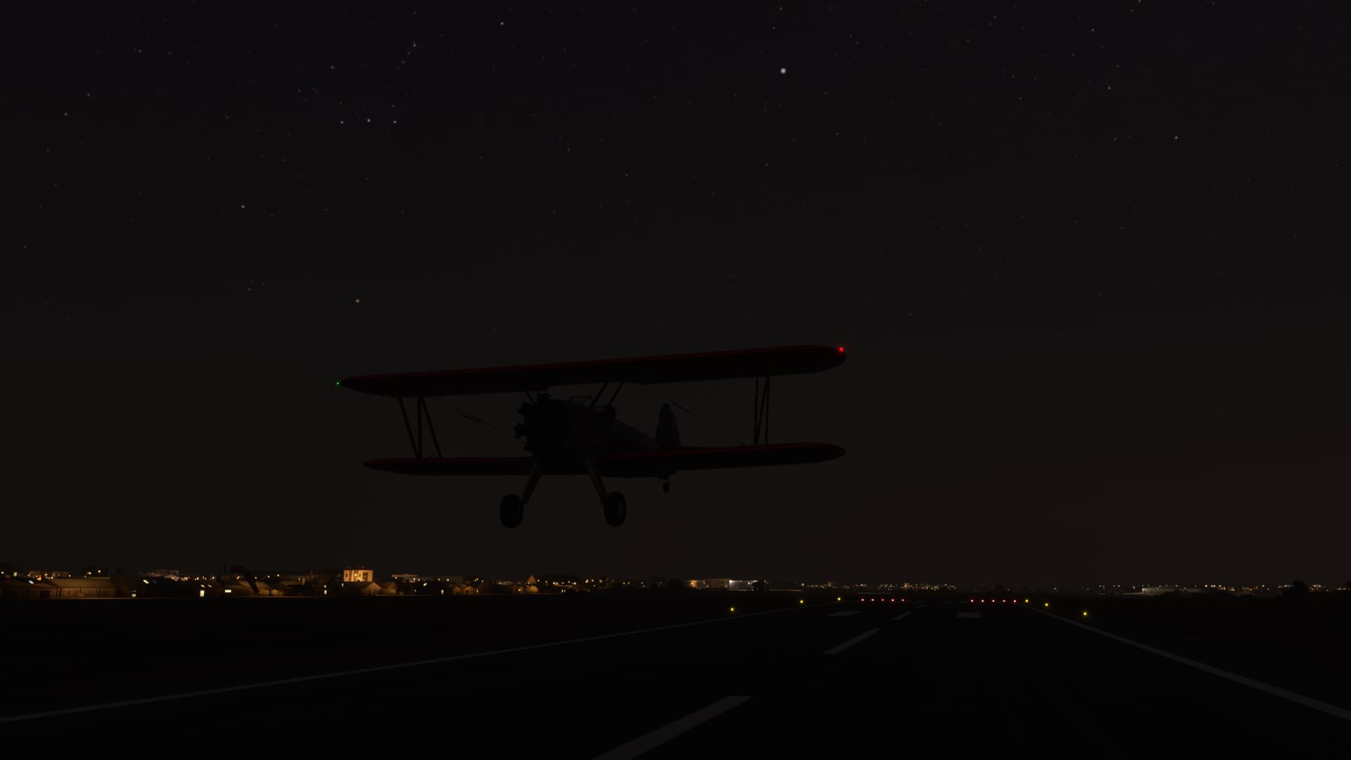
A brief flight, but a long report. I feel the journey’s end approaching more with each leg and feel, (oddly, for it is a sim) the melancholy of the approaching denouement.
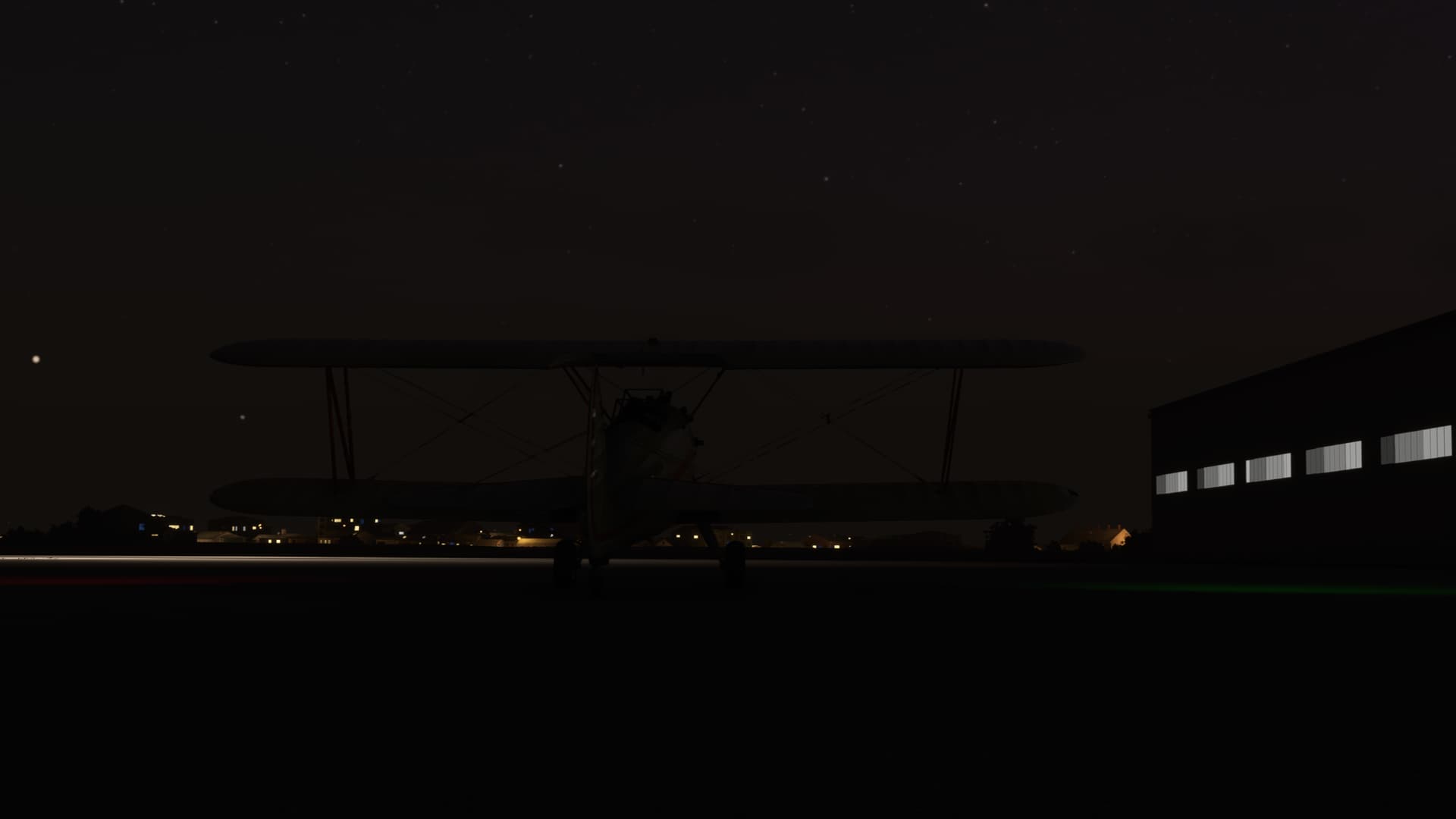
Or maybe, it’s this French wine I’m drinking…
11 Likes

Enrique Malek (MPDA) - Tachina (SETN)

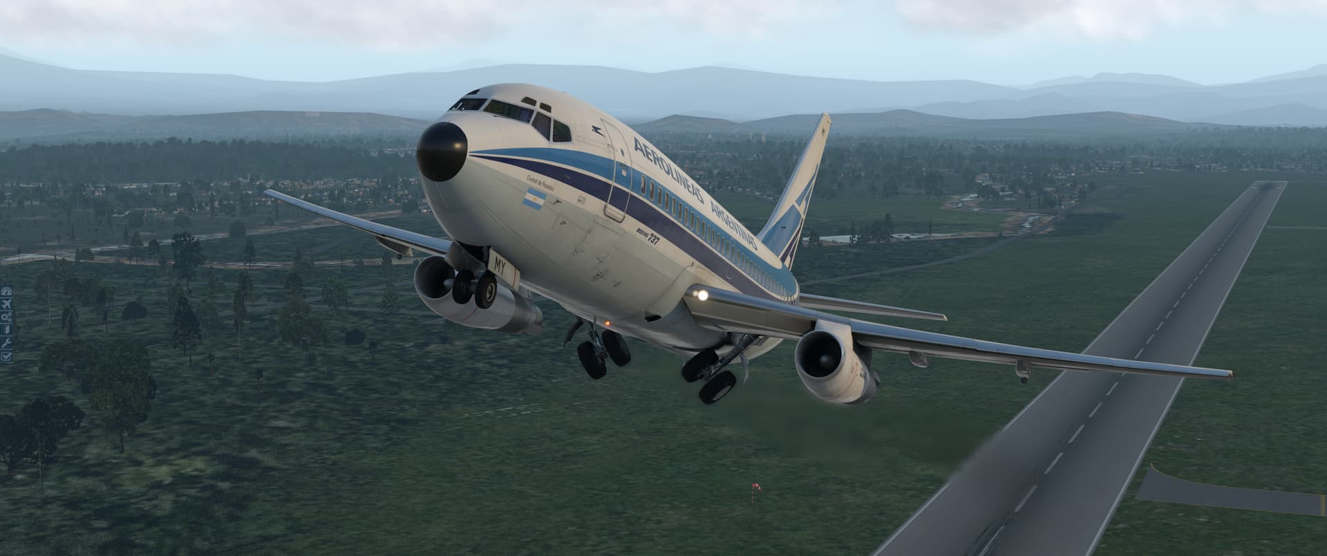
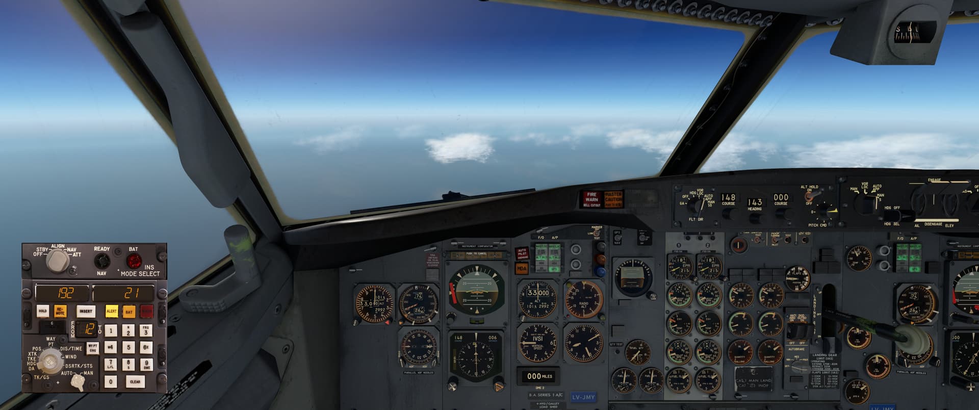
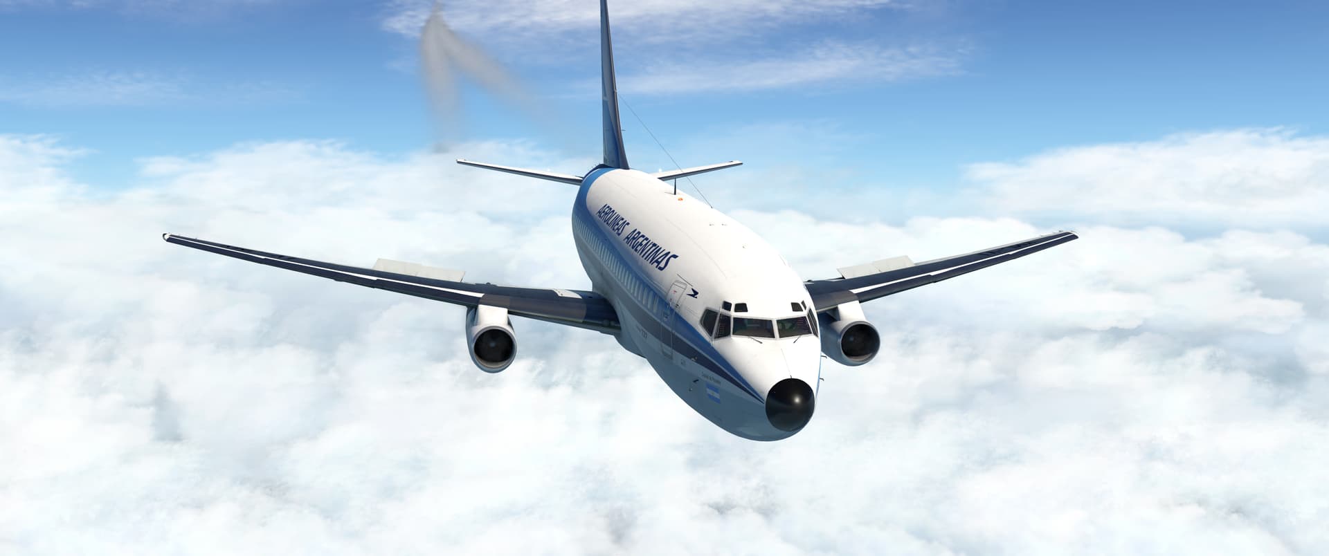
I’m continuing my haphazard “I know some of these words” approach to IFR flight planning. This approach (pardon the pun) yields excellent learning opportunities. My passengers in the back may feel differently, probably depending on their sense for adventure and / or ability to equalise…anyway.

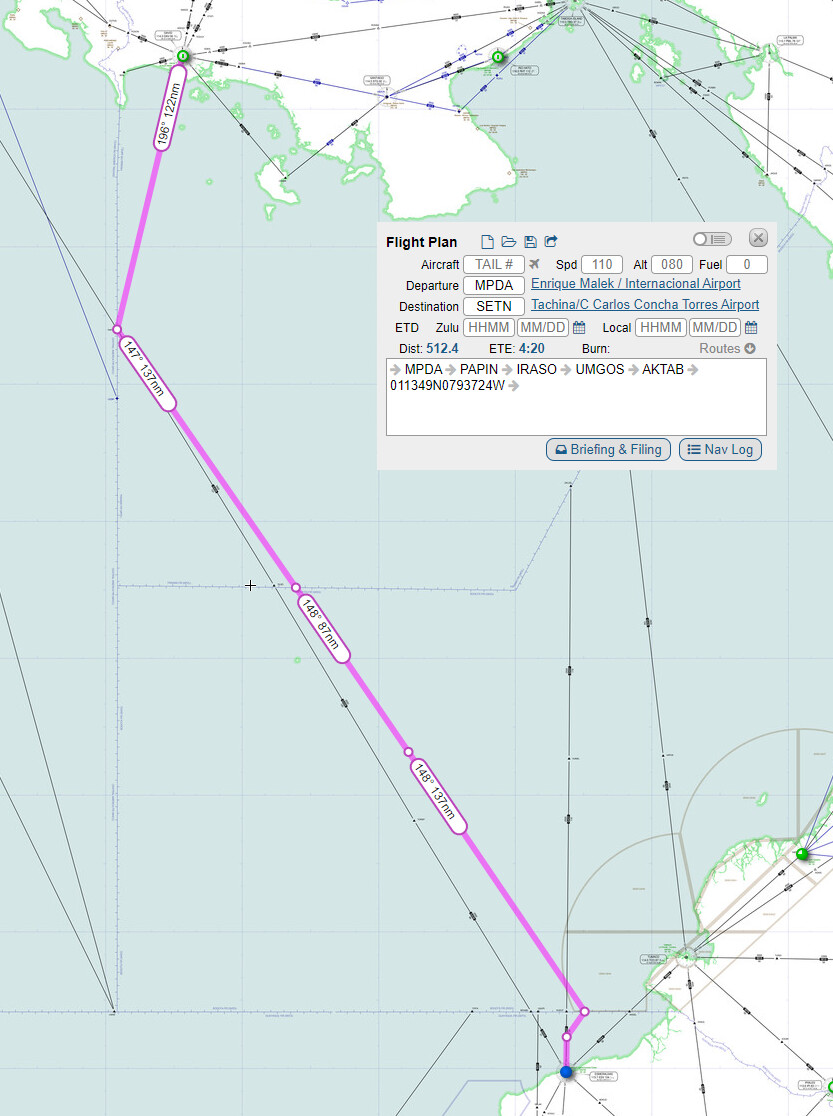
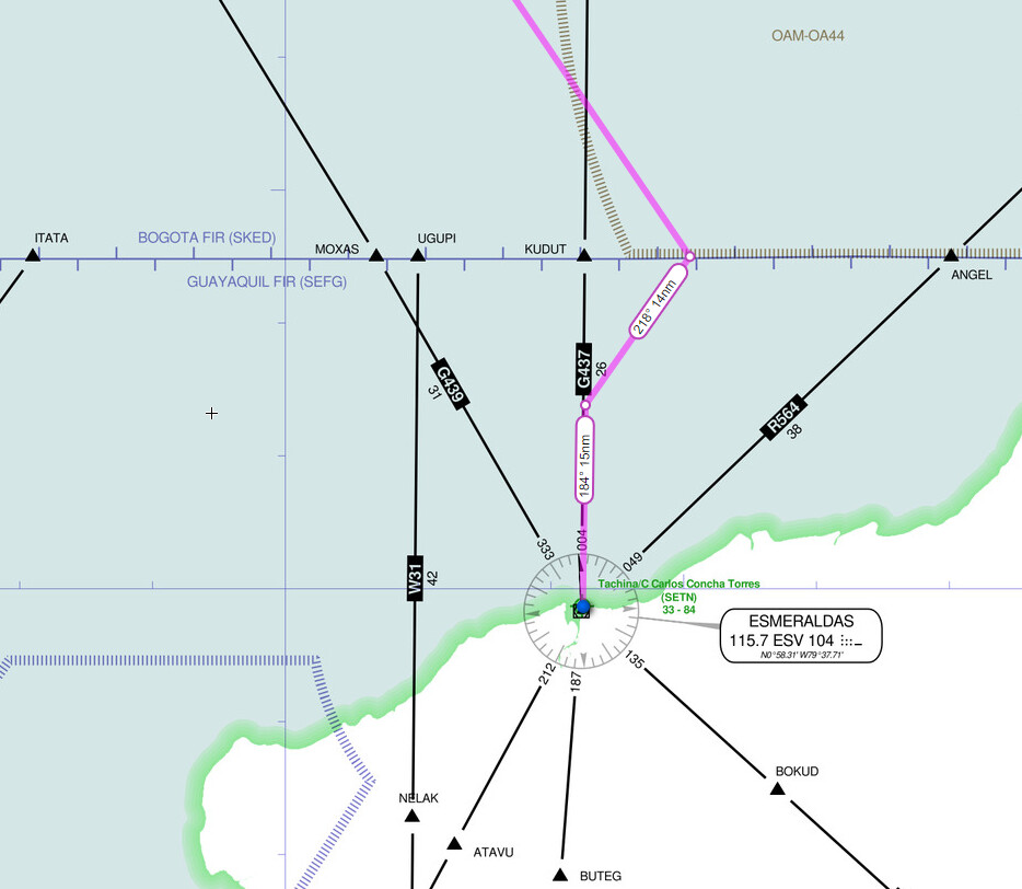
There’s a VOR DME beacon at SETN and ILS for Rwy 18. My Online Flight Planner route gave me a last waypoint at AKTAB, 27NM NE from Tachina on the 20 radial. I planned to start my descent about 100NM out, i.e. 60NM before AKTAB. From AKTAB, I’d turn SW and continue my descent, in order to end up north of the SETN VOR, then come in heading 184 to the localizer.

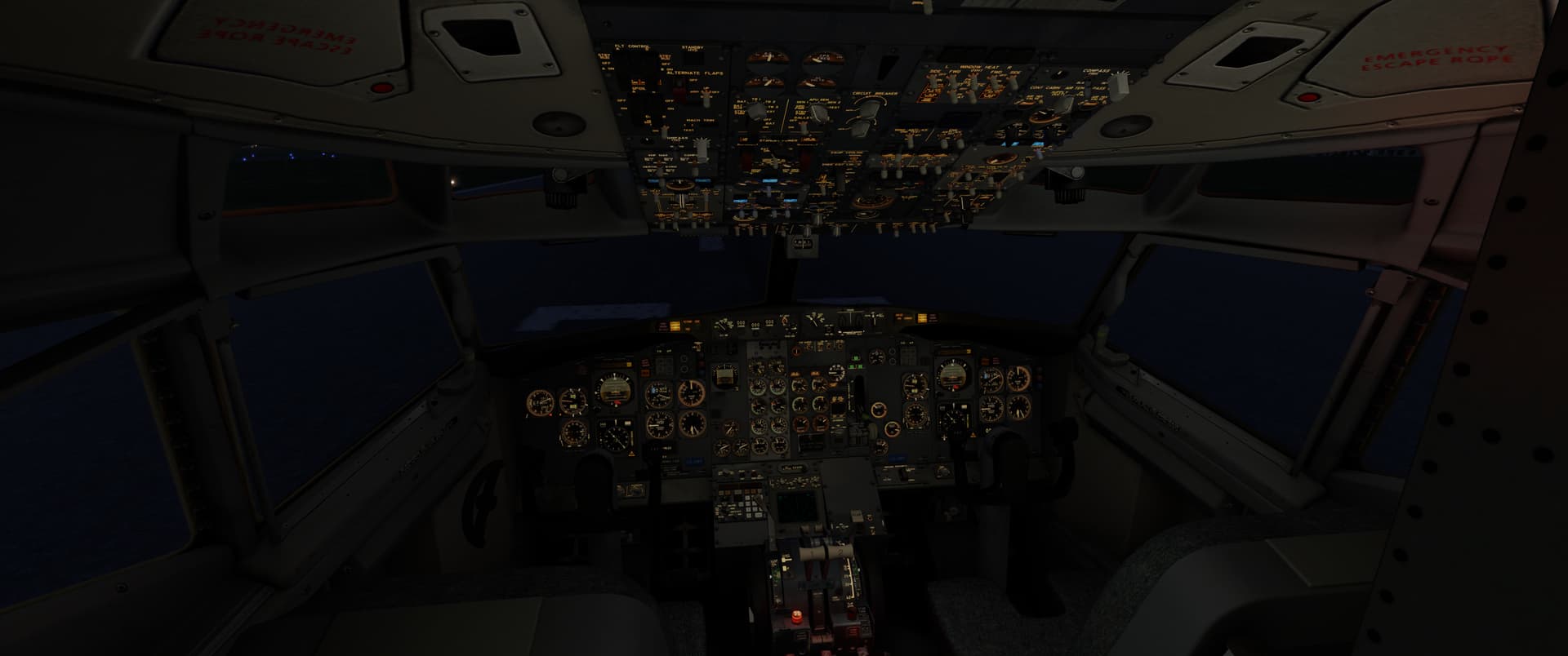
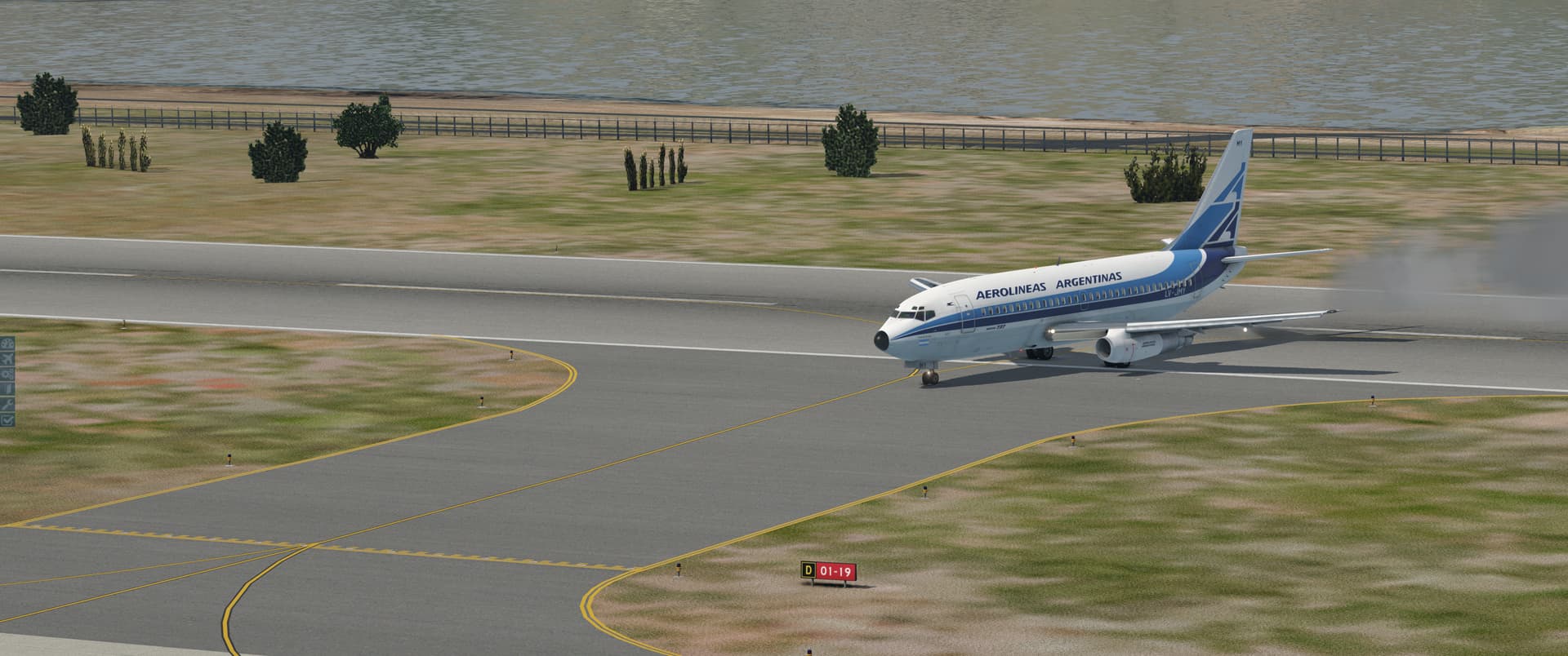
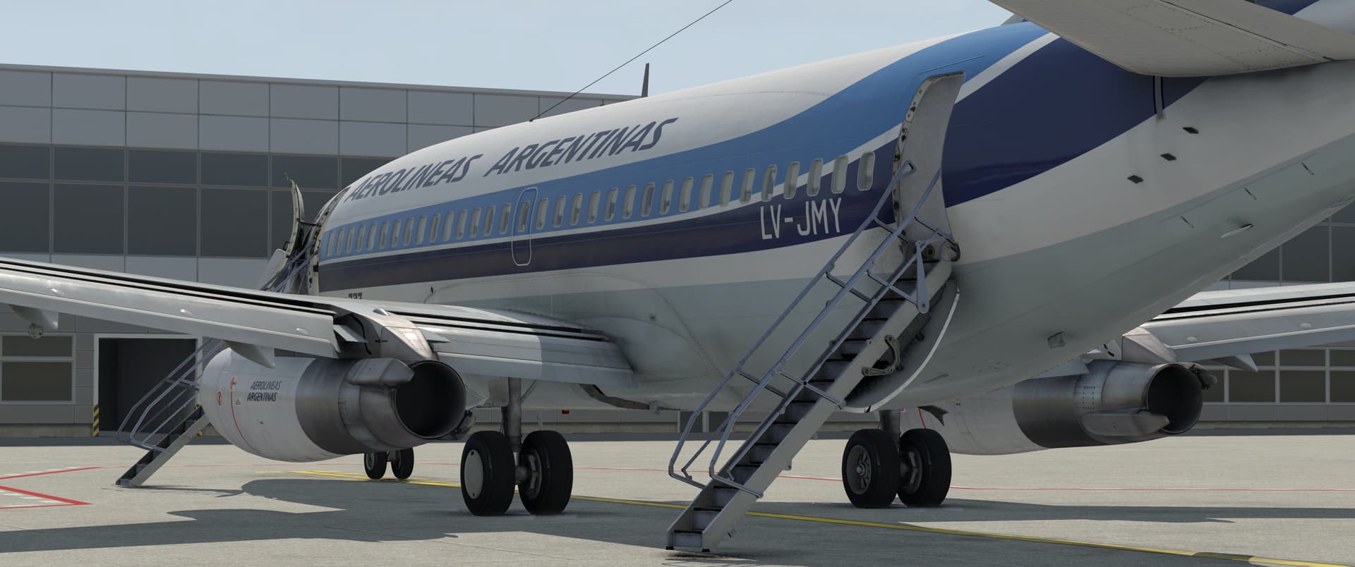
It was still dark when I started bringing the 737 to life.

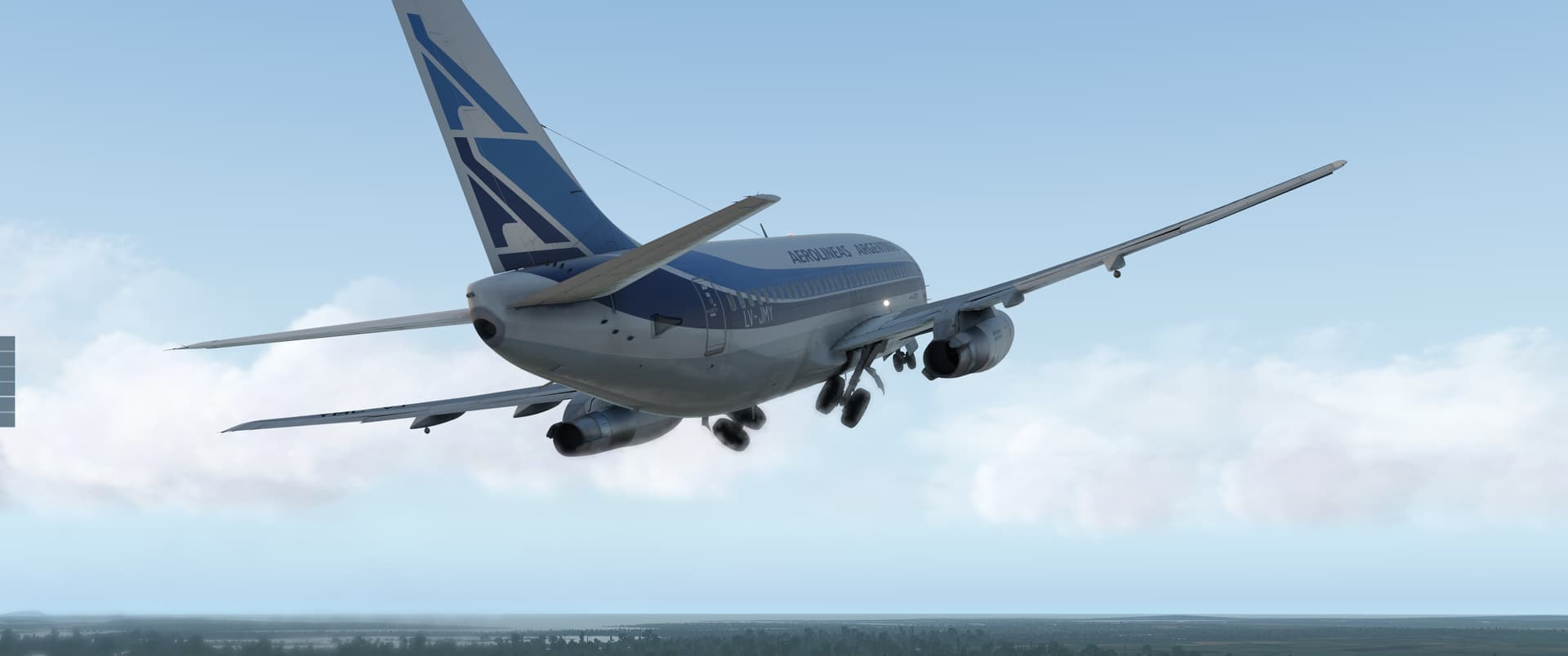
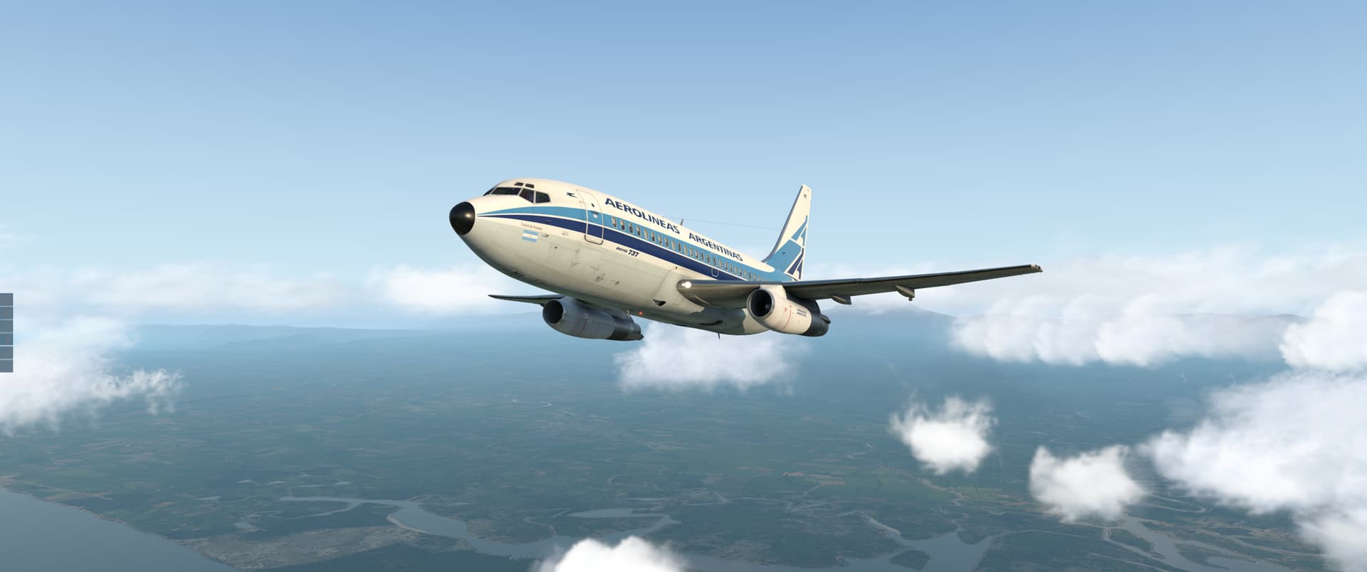
By the time I had everything up and running, the sun was up. We joined the tumbling mirth of sun-split clouds - and did a hundred things…
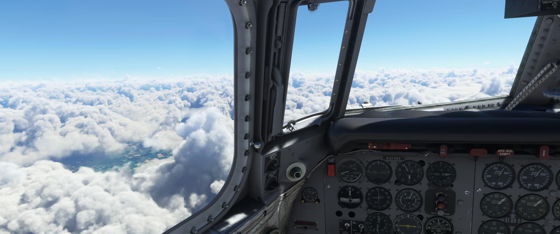
…such as maintained V2+15 at T/O power until thrust reduction height at 1,000 AGL, then reduced power to 90% N1 and adjusted pitch to accelerate to 210-220 KIAS and retracted flaps during acceleration, followed by setting up a 250 IAS climb at 3,000 AGL and heading towards our first waypoint…unsure if that checklist is what John Gillespie Magee was imagining when he wrote “High Flight”…

I set the altimeters to 29.92 at 18,000 and climbed 280 KIAS until FL 260, then switched to Mach climb at 0.70M for the rest of the climb. Fuel flow on the climb was about 3,800 pounds per hour per engine. This time I only brought the necessary fuel, so it felt prudent to watch it a bit.

The winds aloft forecast at Windy.com estimated that I’d have a light headwind at 20 kts or so. The Delco numbers agreed - a southerly wind, 21 knots.

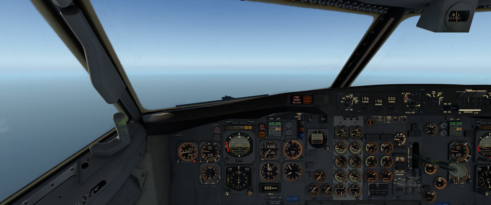
Once at altitude, I ran some fuel numbers. Fuel flow at cruise was 4420 PPH or so, and at my first fuel check we had 11,840 lbs of fuel onboard - we’d get to run the engines for 160 minutes or so before the gliding phase of the flight. The INS told me we were doing 424 kts over ground, which meant a 40-minute flight, or thereabouts…so I had a 2-hour reserve.

I then tried to work out a TAS number, which lead me down a rabbit hole, to my detriment…I couldn’t get the manually calculated TAS number right when I compared it to the Delco numbers, even if I took the wind into account. I kept getting too high a number. It wasn’t until I found an online calculator, that I remembered about Equivalent Air Speed and compressibility…which at my cruise altitude and Mach speed of 0.75 obviously makes a big difference. Unfortunately, my E-6B doesn’t have an EAS function. Anyway, I learned something, so that was good.

What wasn’t so good, was that by the time I looked up, I was too close to AKTAB. I’d done it again, stuffed up my descent planning. Out with the boards, everybody in the back hold your nose, close your mouth and blow until your ears pop…keep doing it…

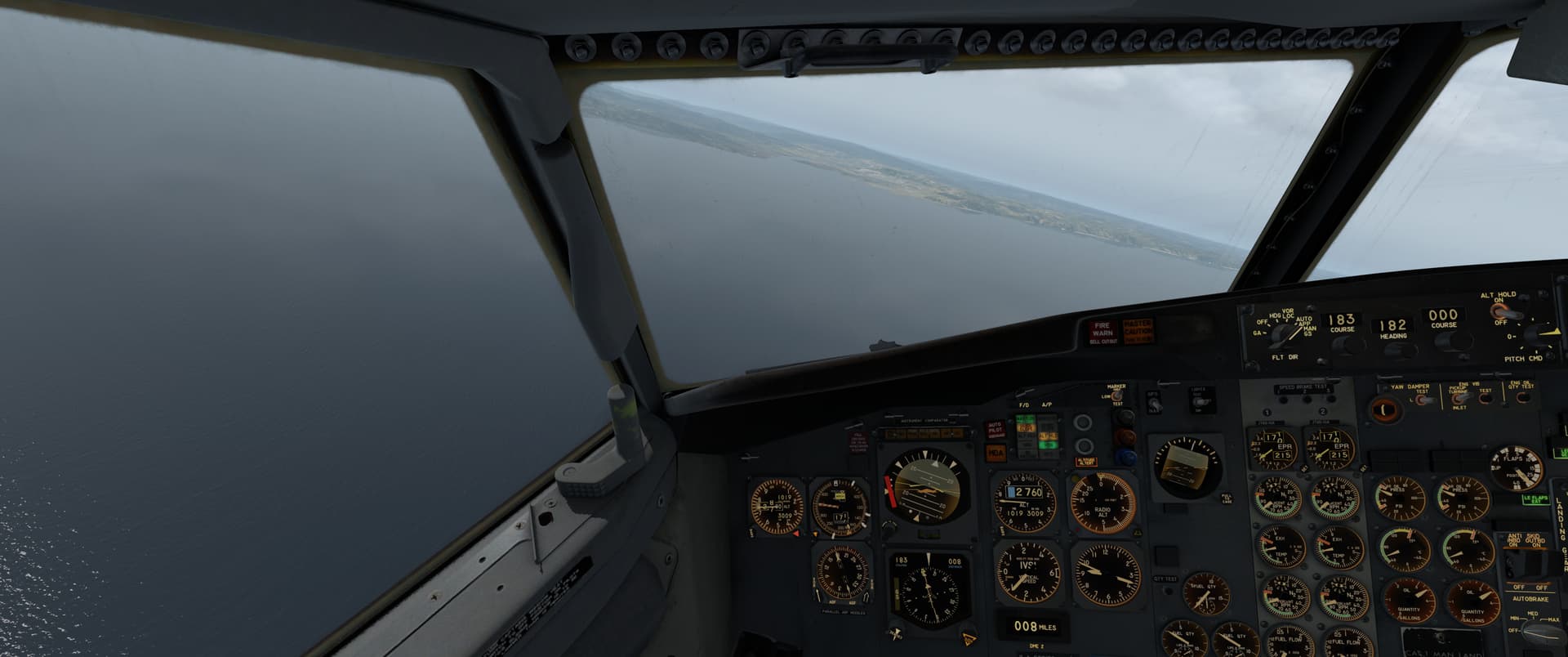
Now, as I broke through the cloud deck, way high, a number of things did not make sense. The lay of the land wasn’t what I thought it was, and although my course indicator was centered, the distance to the VOR wasn’t what it should be…basically, one way or another I was in the wrong place.

I decided to turn around and head back out to sea, so I wouldn’t hit anything solid while working things out. I had fuel, I had a good VOR DME that was giving me distance - there was no reason to panic.

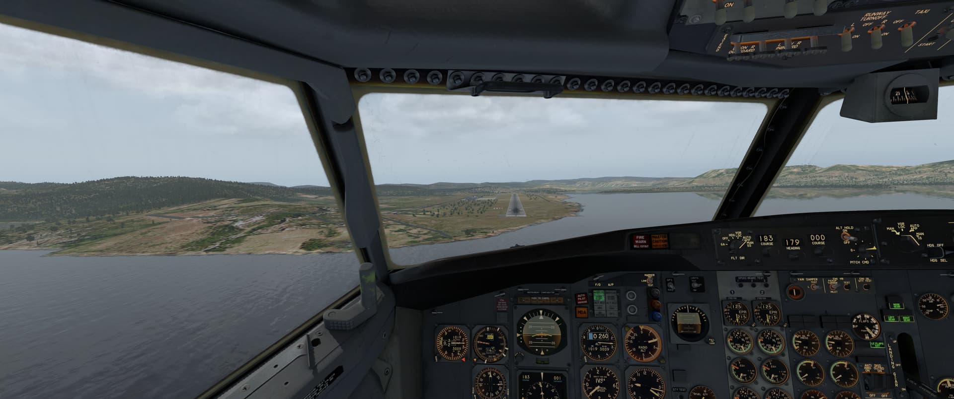
I levelled out and put the heading AP on with a 3,000 ft altitude hold, then set out to find out where I was. Somehow, I’d ended up about 20 NM east from the airfield. I meandered over the water for a bit until I was on the right radial, then turned back in and found the airfield.

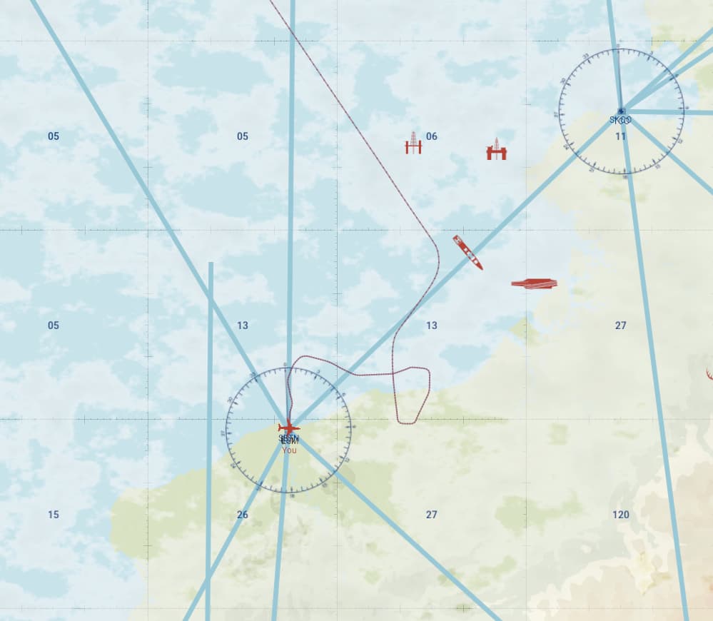
Once I got the plane emptied out and the cleaning crews in the cabin, I took a look at my flight path.

My last 3 waypoints were AKTAB, a custom waypoint 15NM north of the airfield, and the airfield itself. Instead of starting to use the VOR as my reference as soon as I got within its range, I had the course indicator source selector on the INS (rather than NAV)…and it looks like it either drifted (unlikely on such a short flight) or I’d set up my initial coordinates incorrectly at the departure airport: I made the turns I had planned to make (albeit in a steep dive due to my failed descent), but I wasn’t where the INS told me I was.

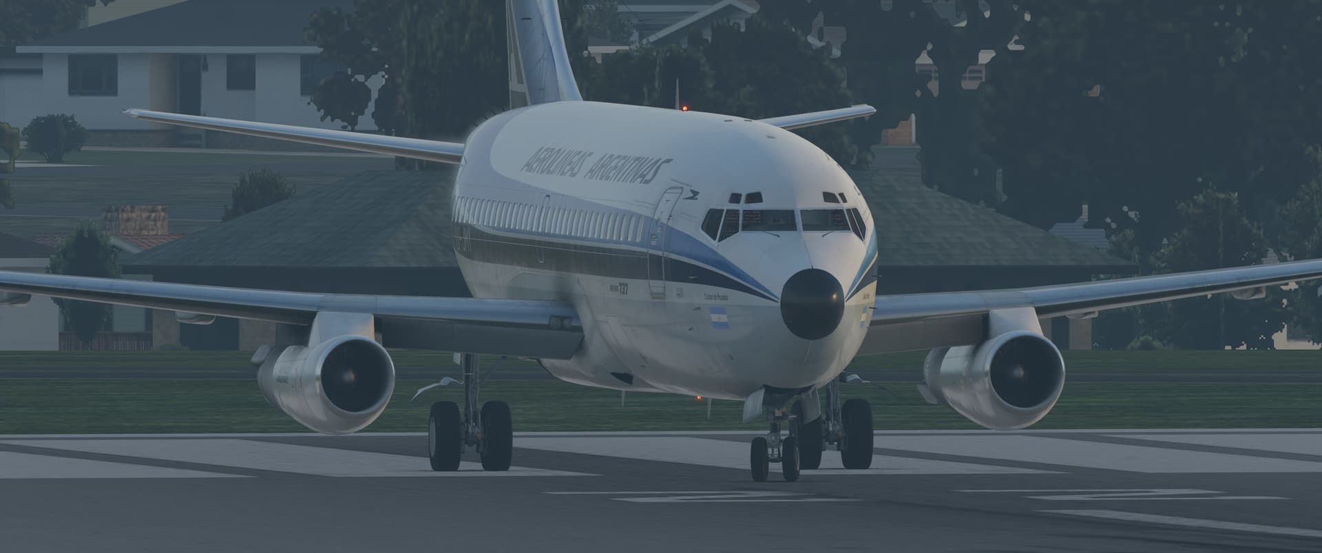
I’m off to see the Aerolineas Argentinas near-miss investigation board, back in a bit…

11 Likes

That was a really cool report - and that theme would make for a fine add-on to MSFS.

Postal service missions set in the time when men were made of steel and aircraft of wood and fabric. :smiley:

4 Likes

It almost makes me want to fly the US Air Mail trek we did last year…or was it the year before? I enjoyed that one a lot.

3 Likes

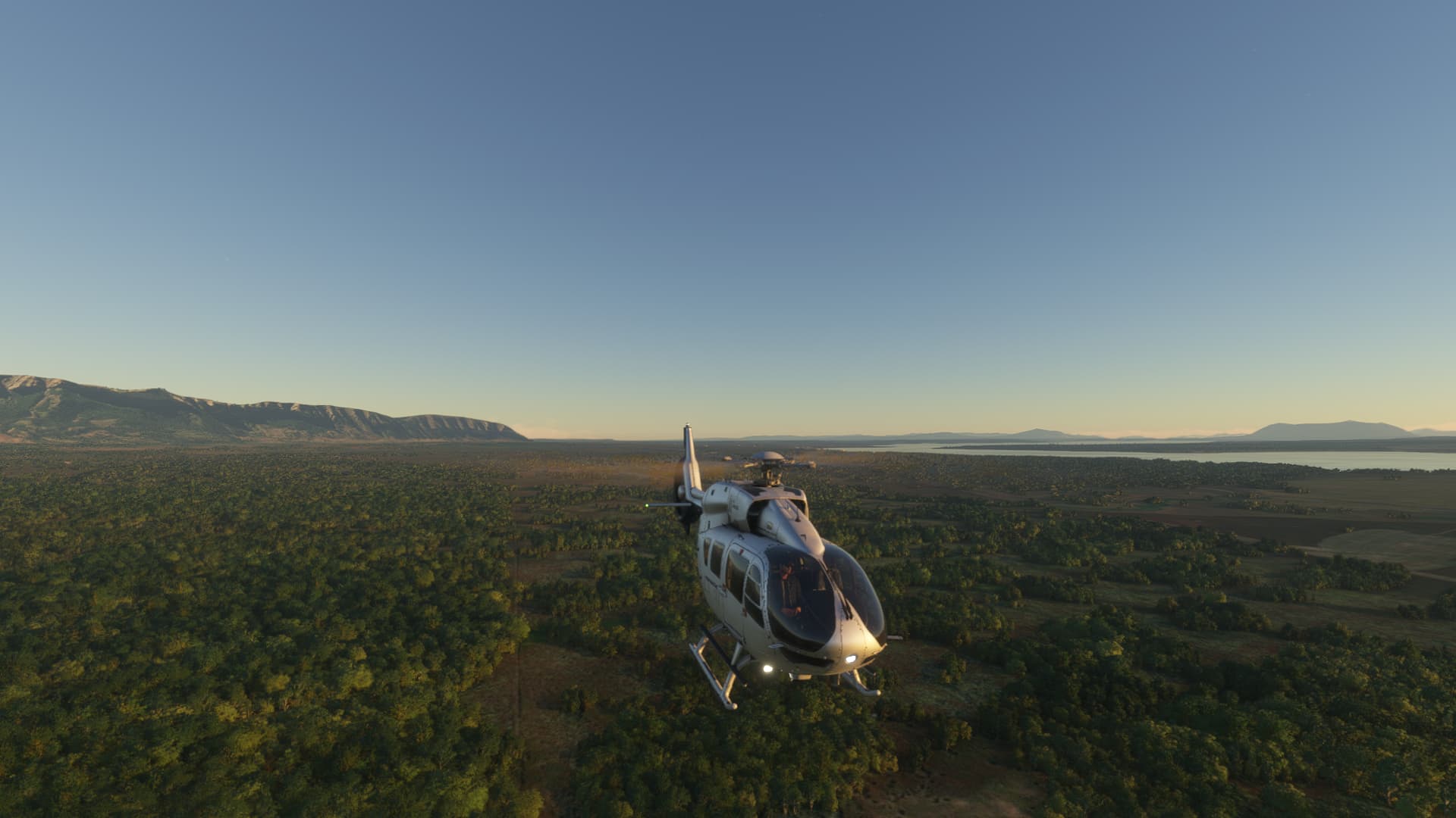
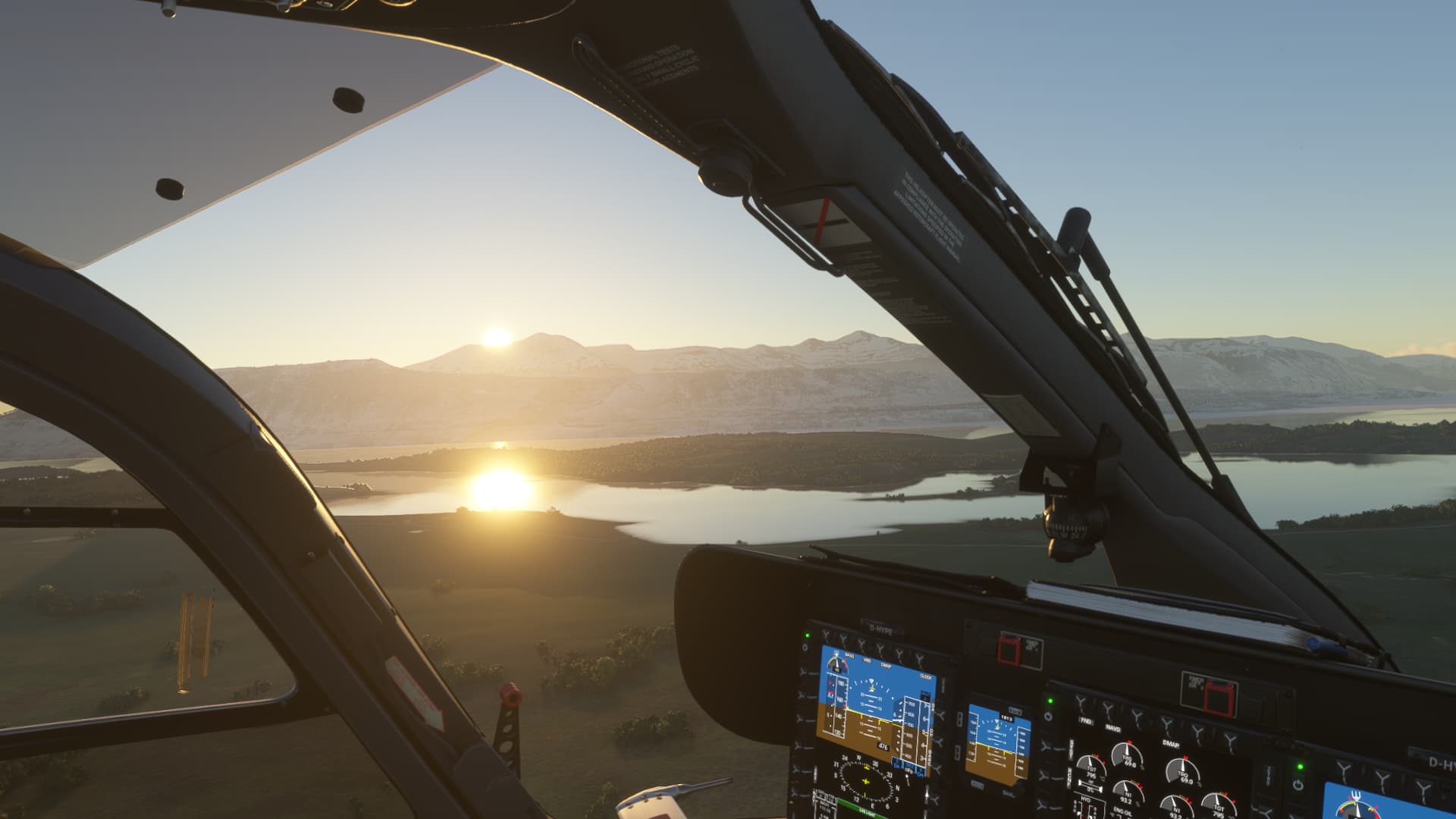
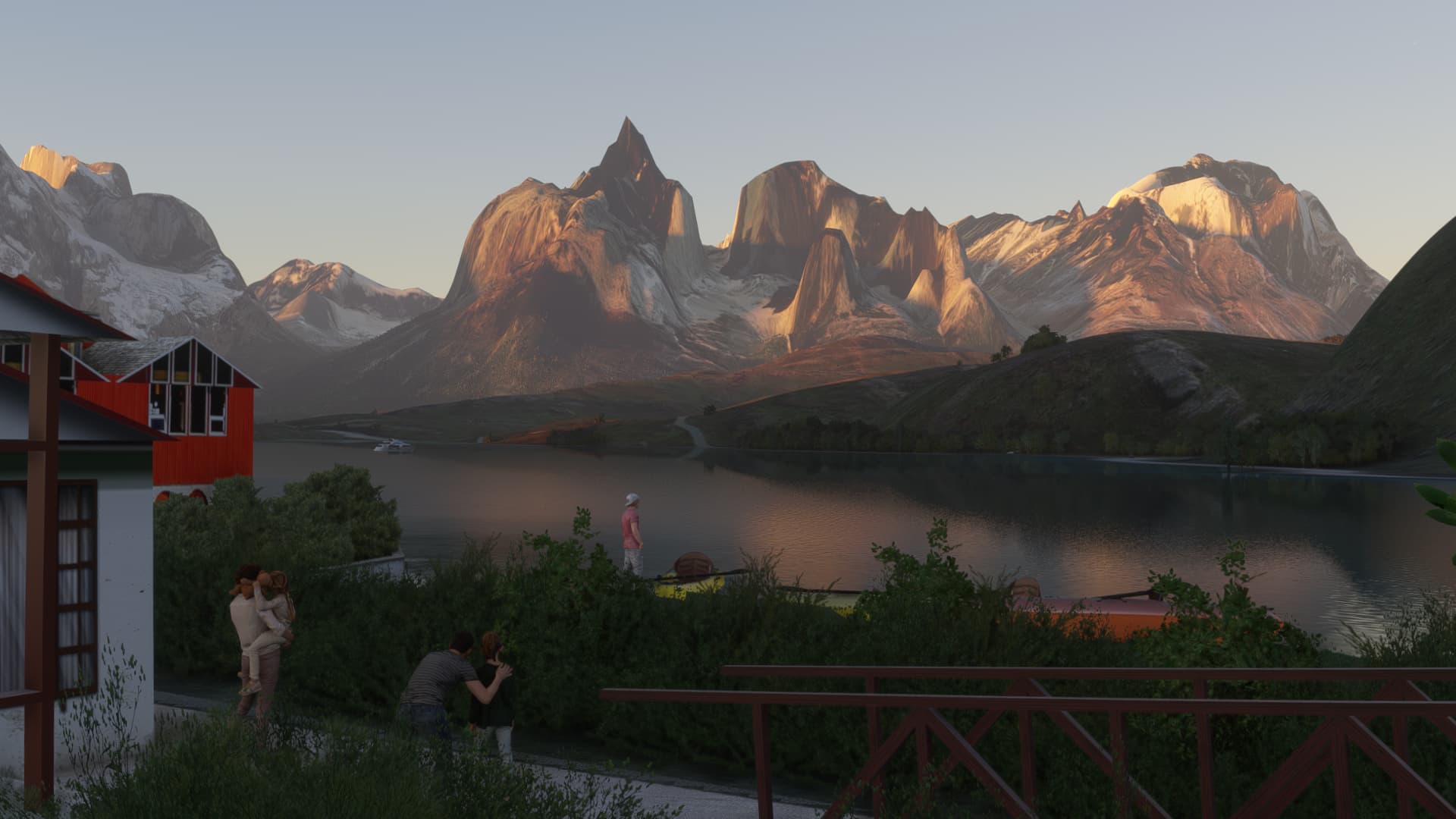
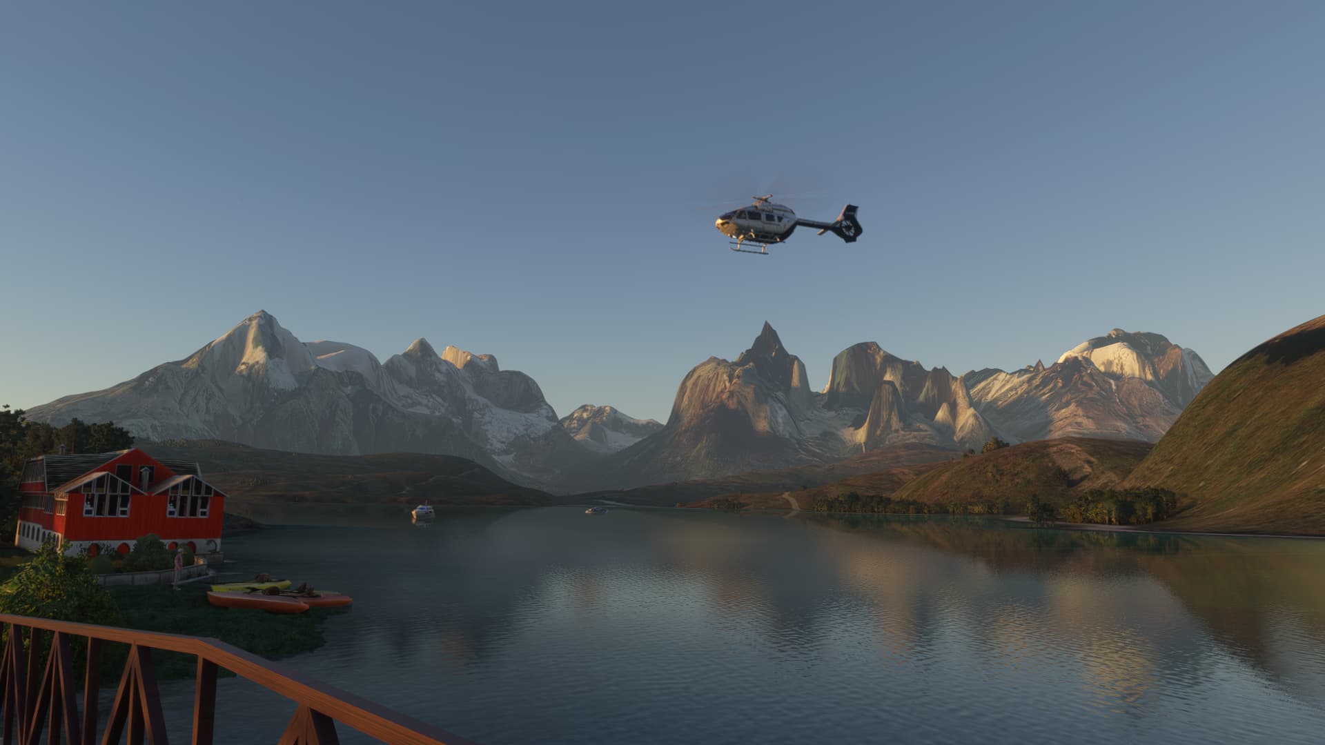
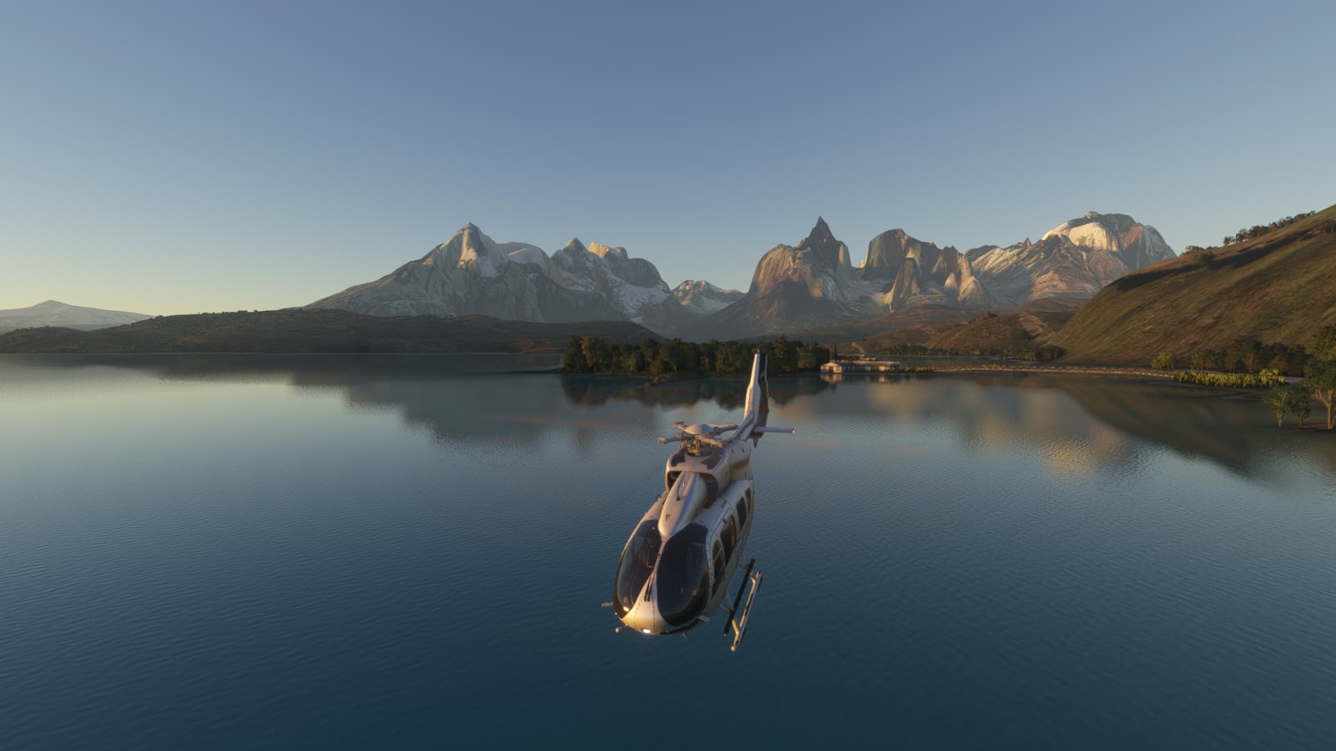
I took a quick helicopter flight back to the Torres del Paine National Park. The scenery I picked up in the recent sales for SCNT included the airport, the stunning mountains, which are about 40nm NNW of the airport and the Hostería Pehoé…a small hotel with an epic view.

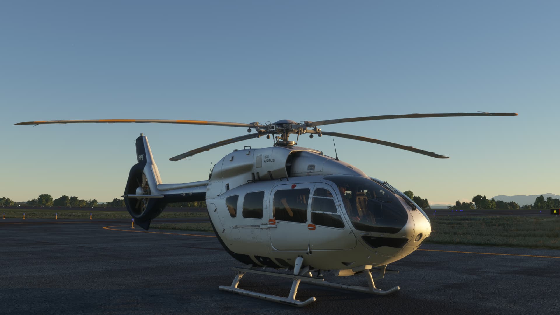
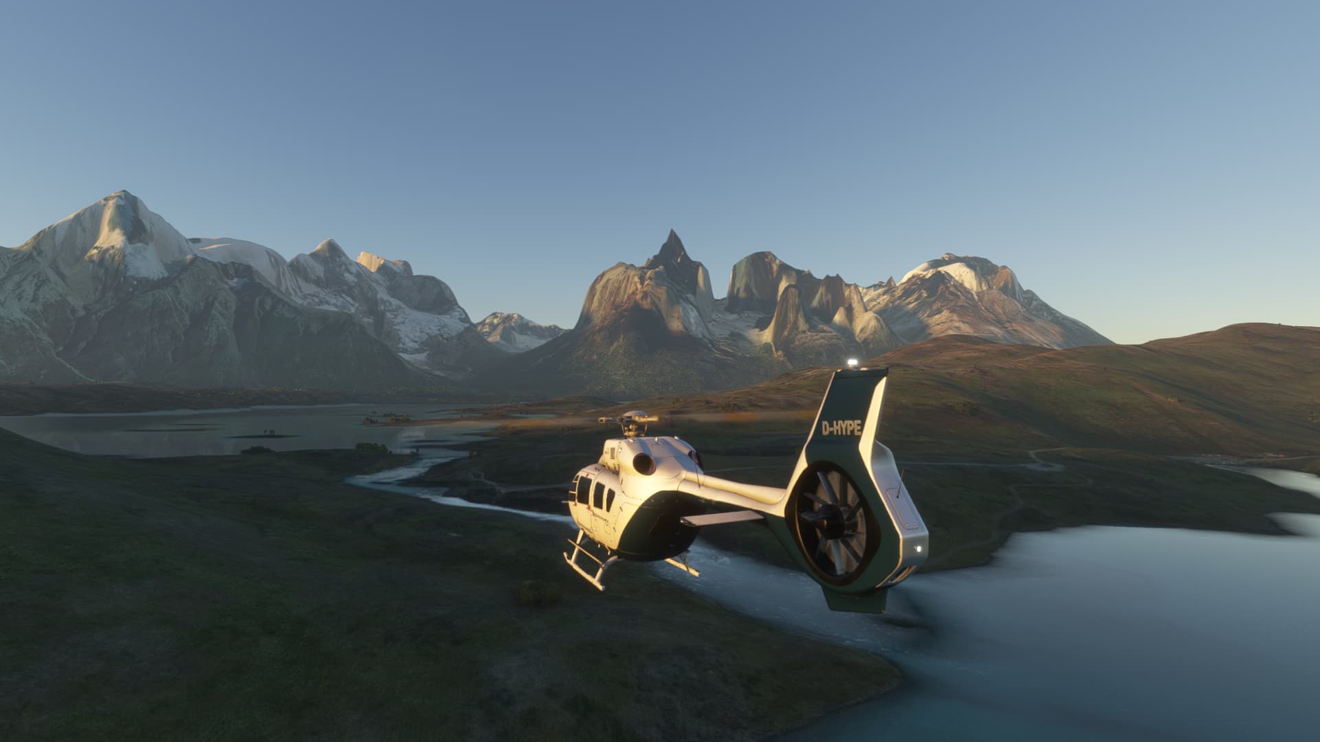
The Hype Performance Group H145 is coming along very nicely…

Heading out from the airport, the light is already softening. I will have to make this a fairly quick hop.

Approaching some very impressive lumps of granite.

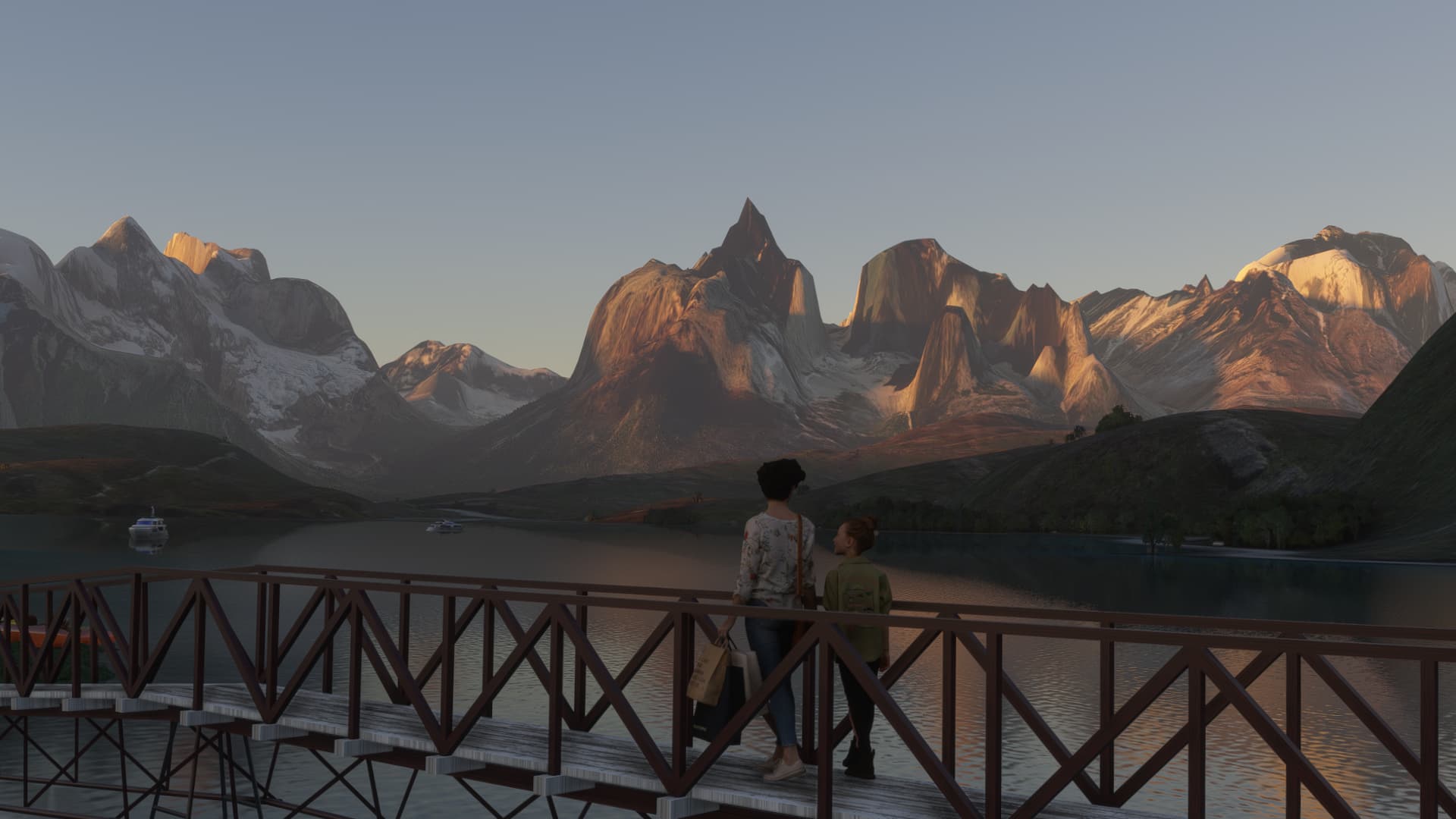
This is the Hostería Pehoé

A photo of the real place.

I guess they can’t hear the helicopter hovering just a few feet away. :rofl:


After taking in the scenery, it was time to head back to the airport.

I just made it before it was dark. My next leg will be a short hop to Punta Arenas. After that, Stanley beckons. :sunglasses:

10 Likes

Now that, redefines bravery.

1 Like

Okay, successfully made the hop from Key West to Havana.

Next morning, began my trek across Cuba. Early bird gets the worm, right? Up and out early only to realize, you are headed East dummy.

Shifted my remaining hops across Cuba to the afternoon and there was much rejoicing! I have also come to the realization that Cuba is reaaallllyy long.

Then I land and I get this:

So, he’s blocking the taxiway. His cousin did the same to me on the runway (however, I channeled my inner Jersey and promptly went around him). Is MSFS simulating realistic US/Cuba relations?

I bought them all daquiris in the bar and now we’re friends. :slight_smile:

10 Likes

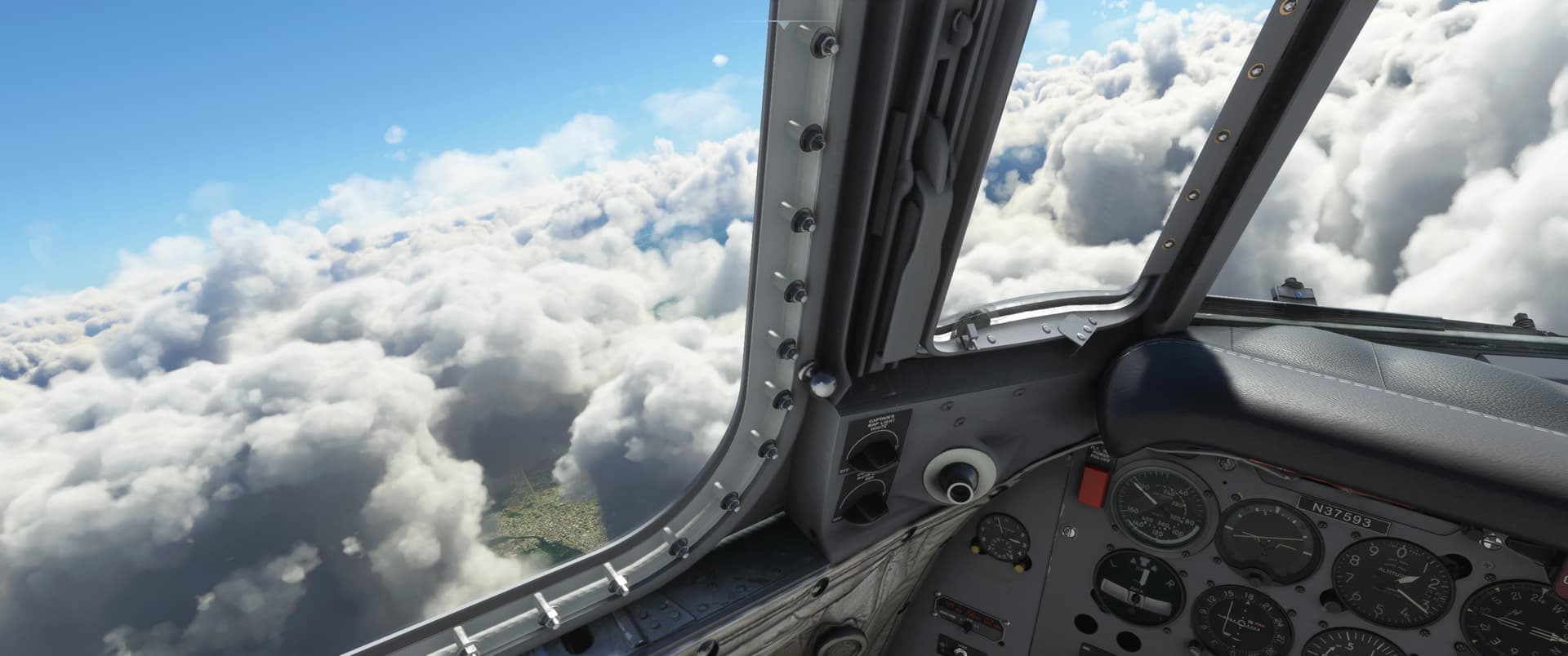
Tachina / C Carlos Concha Torres Airport (SETN) - Regional Santa Rosa Airport (SERO)

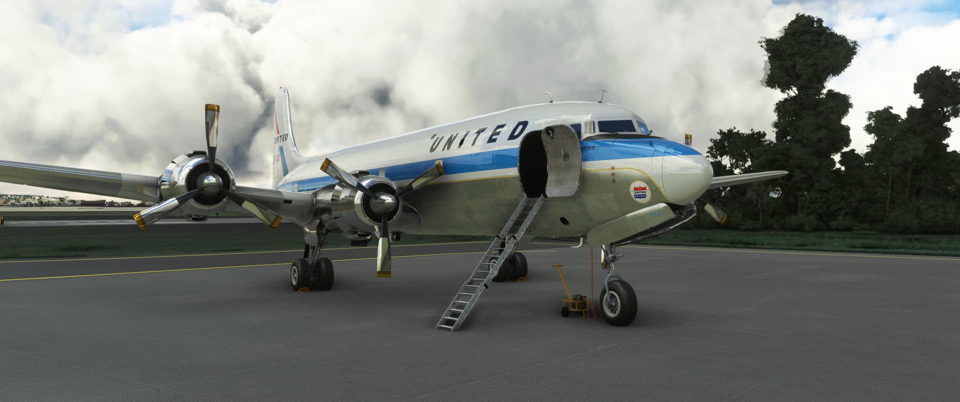
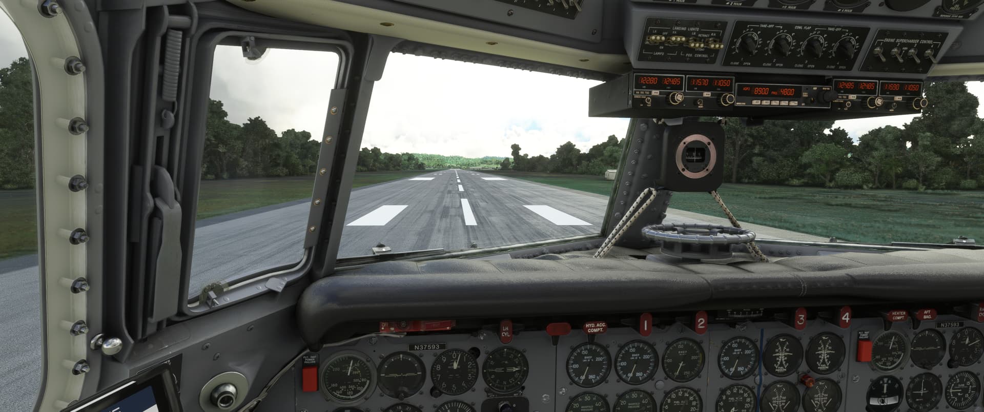
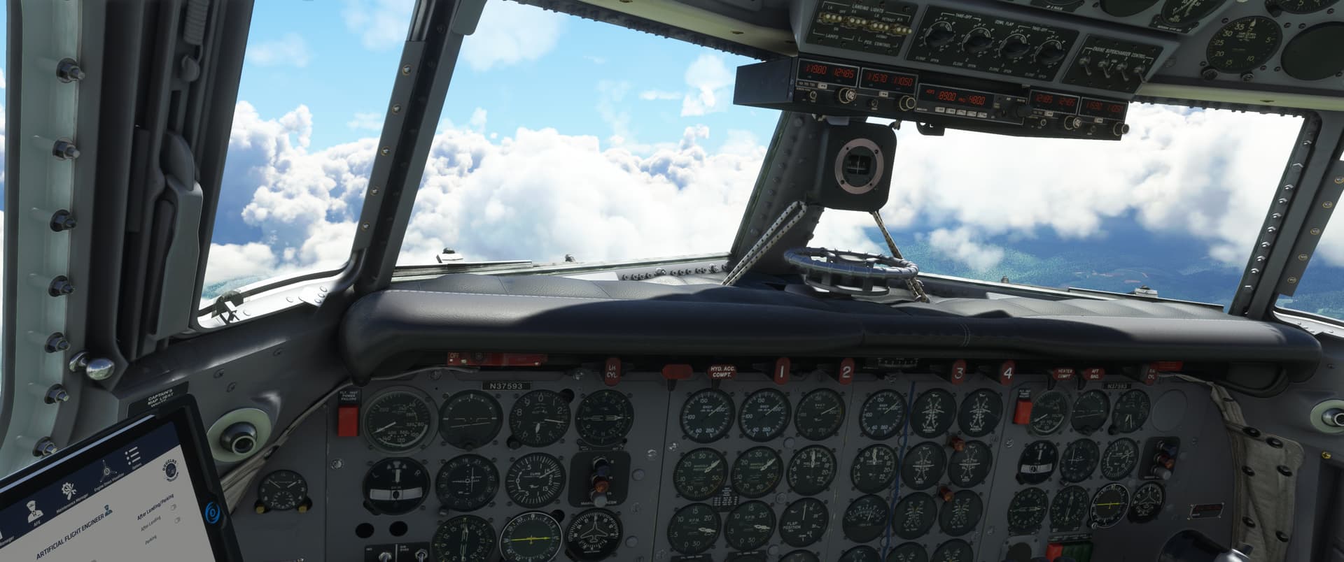
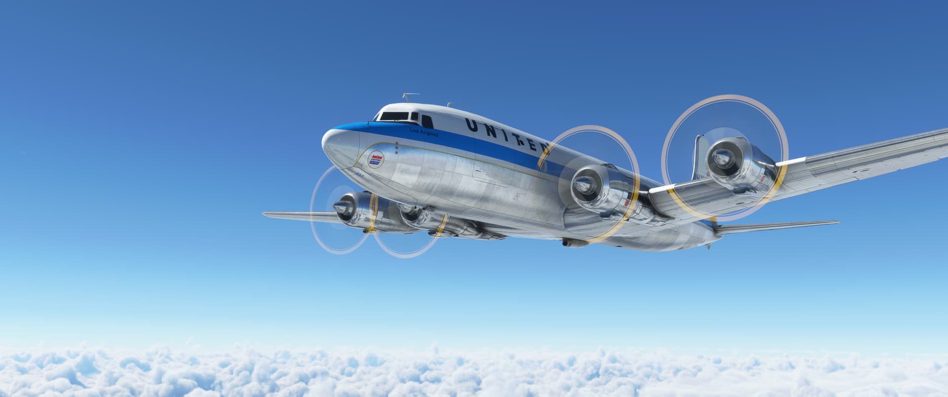
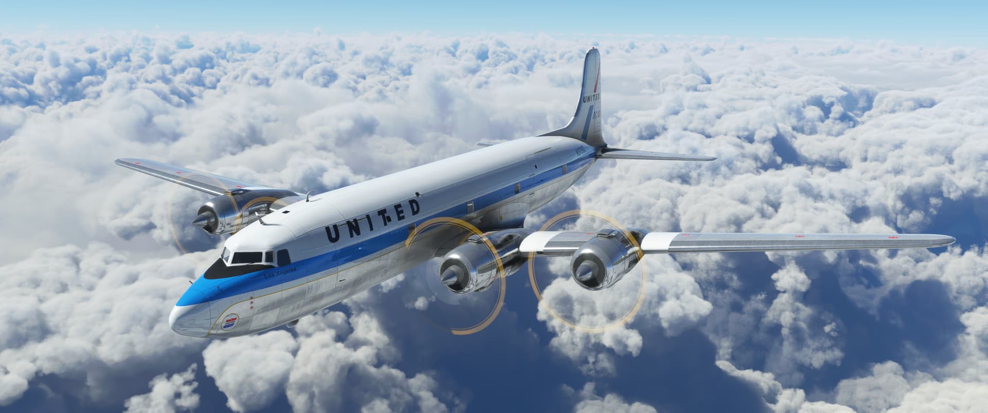
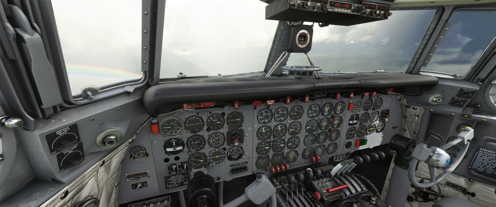
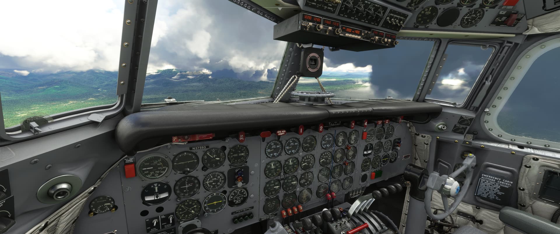
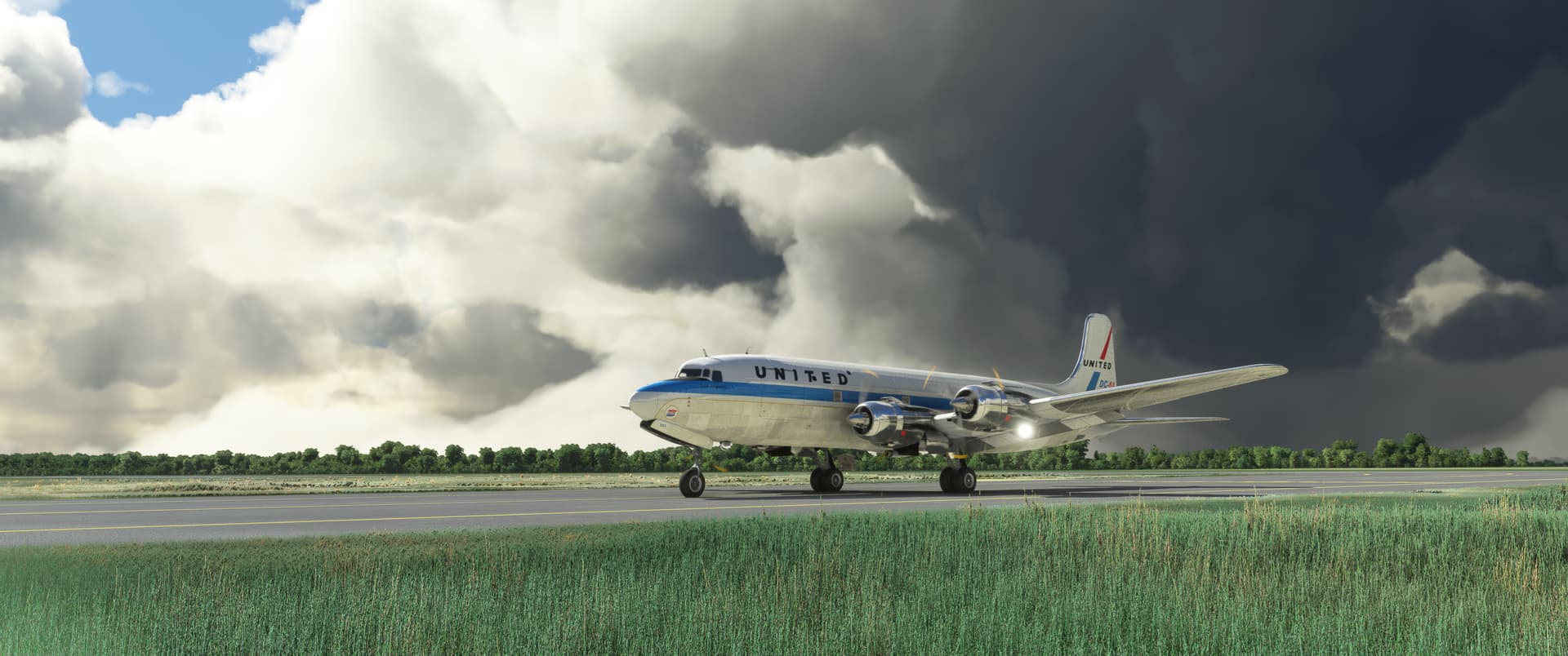
It was time for me to take a deep breath and step back in time from the jet age to the DC-6 again. I am determined to learn to fly this bird.

I loaded 50% fuel and headed south.

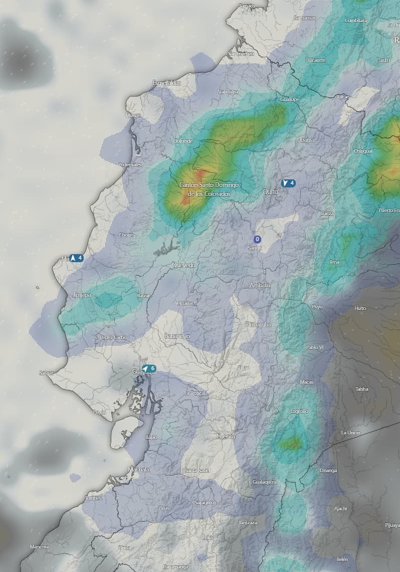
Weather at Tachina wasn’t great, if not terrible. Scattered clouds at 2,000 ft, with more layers further up. Bit of rain, light winds.

While there are very intrepid-looking mountain airfields to the east, discretion is the better part of valor and I need to acknowledge that in weather like this, it’s very likely that I’ll end up scattering my remains on a mountainside if I venture there.

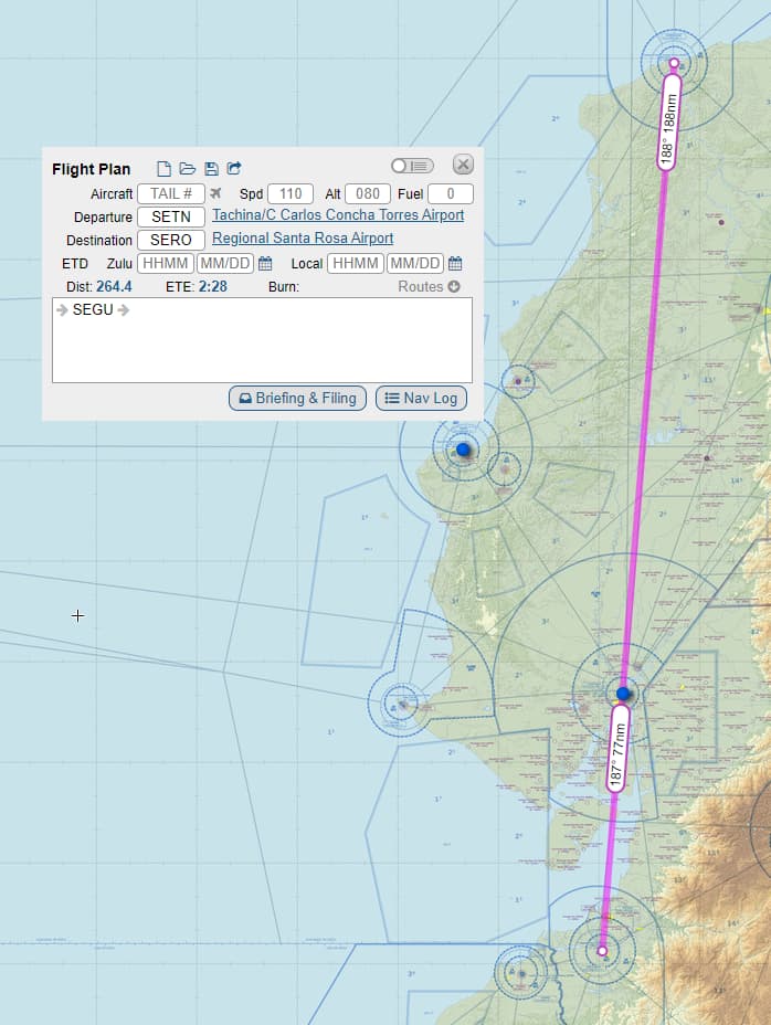
Hence, I decided to track the ESV VOR DME radial 188 outbound from Tachina direct to Guayaquil, an airfield 188 NM in the South. Guayaquil is also equipped with a VOR DME, so it was a fairly straightforward exercise, in theory anyway. I’d land there if I felt that way inclined - if I felt like continuing, I’d go ahead and fly a further 77 NM to the south to Regional Santa Rosa, another VOR-equipped airfield.

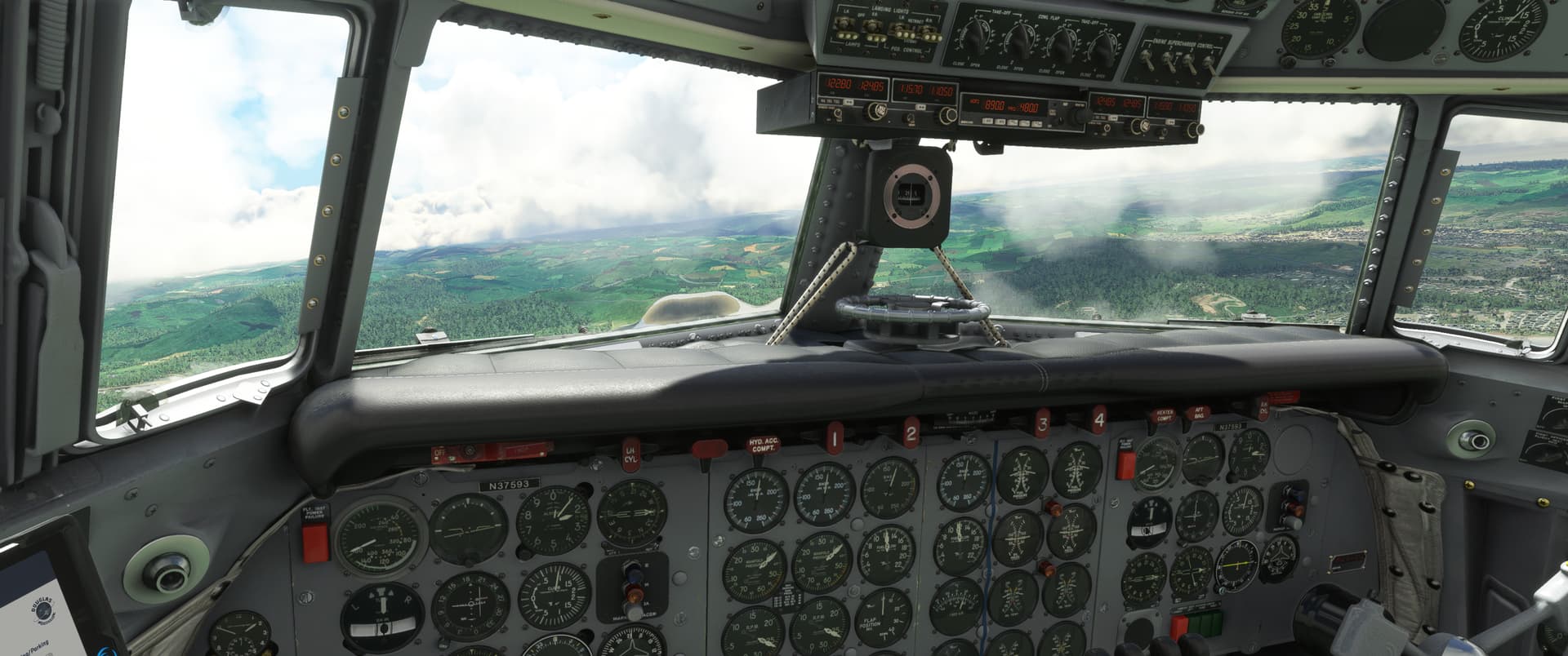
One of my goals for this flight was to work out how to use the gyropilot, which I did. I broke out of the clouds between 8,000 - 9,000 and continued my climb to 20,000 for the cruise.

I could see the treacherous mountains inland, but I had a good VOR track so I knew that there was nothing higher than about 3,600 ft under my flight path.

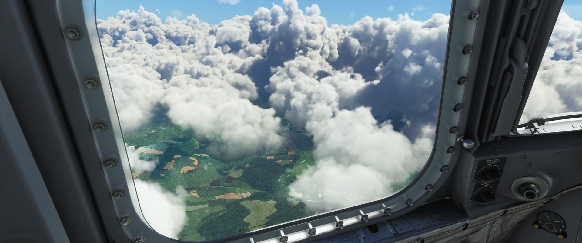
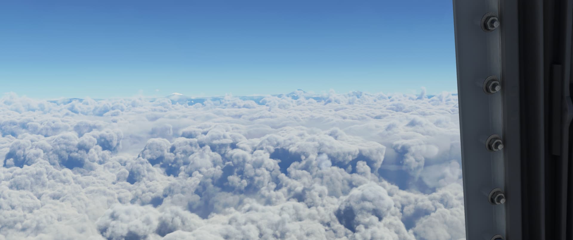
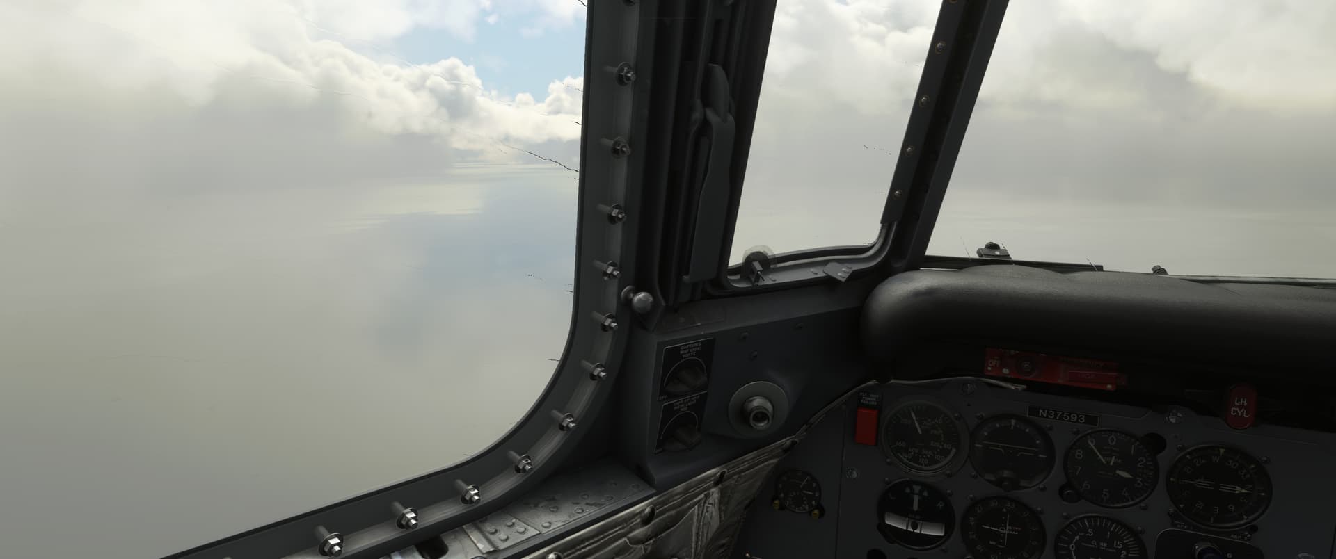
If anything, the cloud cover was getting thicker along the way, though. I contemplated heading east across the mountain range, as the weather was clear in the lee of the mountains, whereas the weather ahead in the south was cloudy with overcast at 3,300 and potentially dropping.

In the end, as I arrived over Guayaquil, I decided to continue south as in the end SERO was a well-equipped field with sea to the west. If I lost situational awareness, I’d head west over the water to reset before coming back in.

As usual, I underestimated the distance it would take for me to descend, so I ended up having to do a descending turn out to sea. It was fine, though, I let the gyro drop us at a steady 1,000 feet per minute and I picked cardinal headings to keep things simple in my head, whilst spinning the OBS to keep a good understanding where I was in relation to the field.

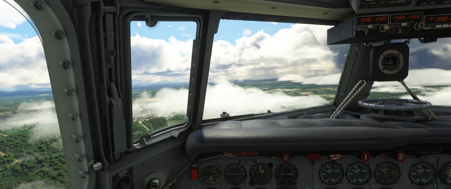
The descent into the clouds was slightly unnerving, but I knew I was well clear of the mountains, so it was okay.

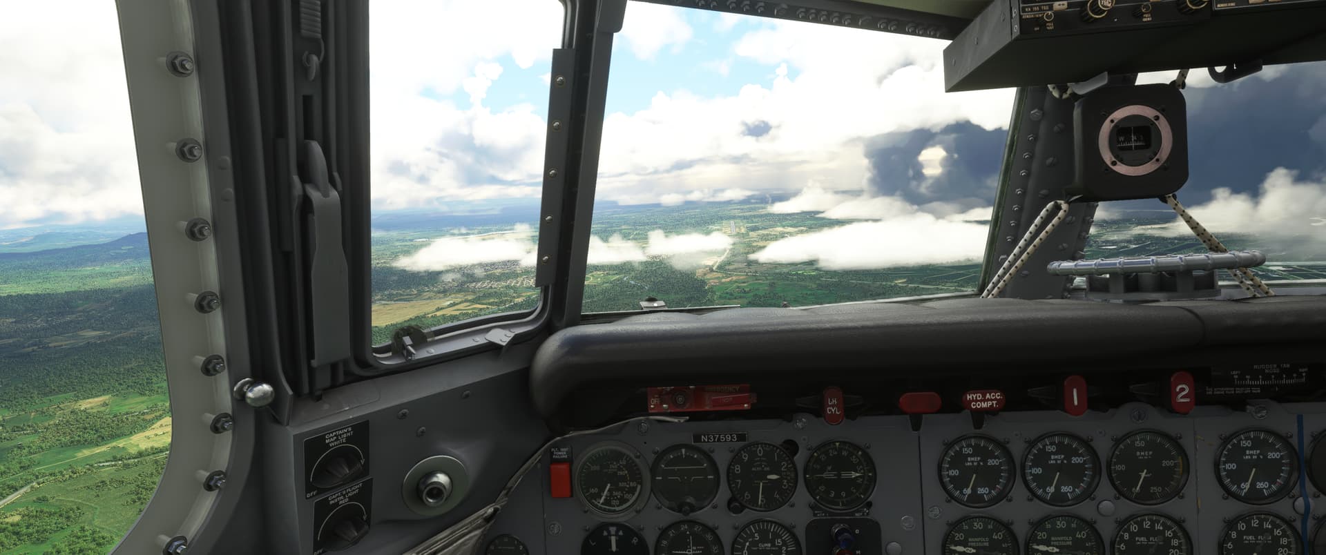
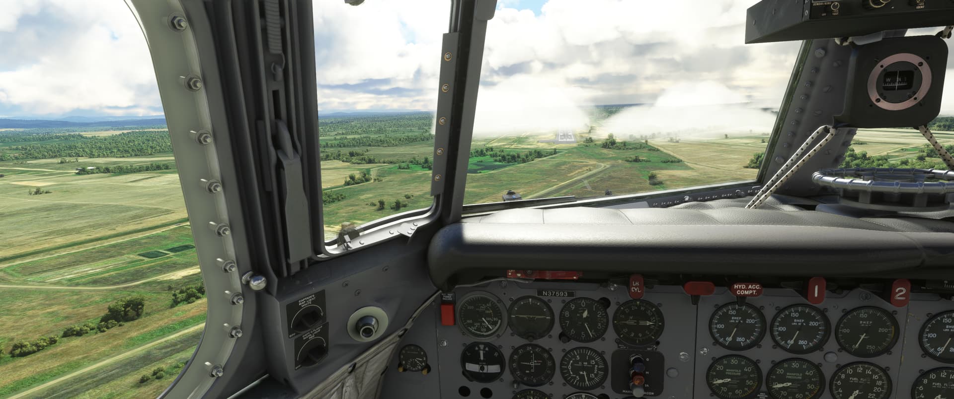
At 2,900 ft, I was in and out of the clouds a bit. Fortunately there was some clear air NE of the field, so my turn to the runway heading was in visual conditions and I spotted the field not long after lining up.

The field was partially obscured by cloud, which made for a bit of extra excitement on final.

That was really fun and rewarding.

10 Likes

You mean without the help from the AFE? Seeing the first 50+ item checklist, I am not sure I have such ambition :slight_smile:

Btw. this might be of some help in your journey towards the DC-6 profficiency:
https://flightsim.to/file/16797/pmdg-dc-6-in-game-checklist

I think the beauty of this fuel load is that the aux tanks are not involved :smiley:

Now imagine if the DC-6 allowed for shared cockpit. One pilot and the other one flight engineer… hmm…

I Like Yes GIF by Saturday Night Live

4 Likes

For starters just with him, hehe…probably next start learning a little about the different power settings and how to nurse the engines.

It’s really great game experience design to make it possible for players to fly full flights with the AFE while still working out what is what in the cockpit.

Thanks for the checklist!

2 Likes

For proper engine management and execution of different phases of flight, I found Rob Randazzo’s video tutorials very helpful:

Some of them I have seen multiple times :stuck_out_tongue_winking_eye:

4 Likes

Definitely - I’ve started watching them a bit, though plenty to go through.

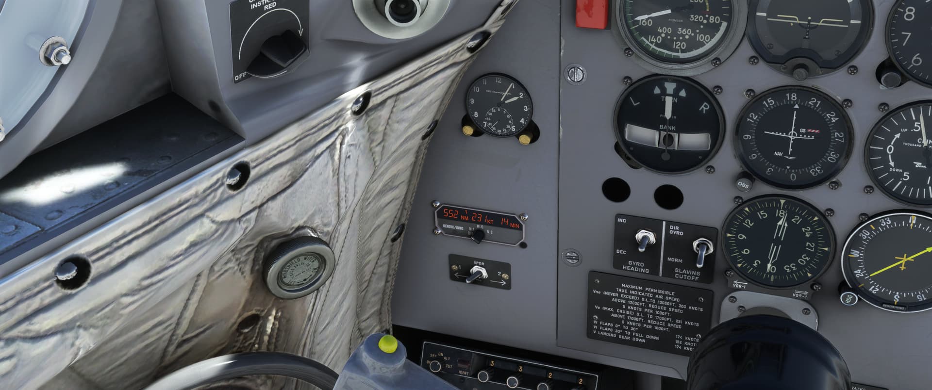
Yesterday I sorted out the cockpit views - Rob’s video unfortunately refers to them by an incorrect category, but I found a forum thread that resolved that issue. The default views are pretty good, just needed to get them rebound to the numpad. Today’s flight involved ADF use as well as VORs so I’m now reasonably comfortable with the Bendix navigation stack.

Next I think I’ll try to find the gyro keys in the controls assignment menu and put them on the HOTAS. It’s a bit more manual than the 737-200…you set the AP into a turn rather than giving it a new heading, hehe. It’s too cumbersome to look down and use the AP manually, especially when snaking along an elusive radial that doesn’t want to center.

Once I’ve got the basic flight “creature comforts” sorted, I’ll start digging into the finer points… :smiley:

2 Likes

You can put the gyropilot into LOC mode and it will happily track a VOR radial. That’s a lot less labor intensive than having to constantly change the heading. Be prepared to go back into heading (gyro?) mode as you approach a VOR though as the signal will drop off as you enter the cone of silence.

1 Like

I’m off today on a real life commercial flight and away from my screen shots, so this will be a narrative only update.

Made it to Jamaica without issue on Friday and, yesterday, made the trek across to Columbia (SKBQ).

Was all proud of myself as I figured out how to program an approach to the airport in the Garmin (rather than my usual “direct to” tactic and then figure it out when I see it). However, after my graceful execution of the planned approach to runway 5, the tower informed me that I was not permitted to land and to clear the runway immediately. Alas, they wanted me to use the other end (runway 23). Learning in process folks.

I’ll try for better manners when I get to Bogata.

7 Likes

No worries. On this trek on multiple occasions, I was sent to a rwy with the strongest tailwind component.

So maybe you did it right, in the end.

Beer Ok GIF by Busch

5 Likes

Yes, by all means, trust, but verify. :joy:

Awesome report @Bearhedge! The DC-6 is a bit of a taskmaster, but after awhile it becomes pretty intuitive.

I thought about abandoning the AFE, particularly after some of our, um, differences of opinion.

But, I’d argue that the aircraft was designed for a three person crew (probably more with a navigator, radio operator, etc) so I don’t feel that the AFE is in any way a concession.

I think, anyway you fly it, it’s a pretty damn realistic cockpit presentation! :+1:t2:

2 Likes

@paulrix That’s awesome, I had not noticed that functionality yet…that’ll be great for the next flight.

I’m aware that I’m singing really high praise of the module, which might get a bit old…and I understand that PMDG devs can be somewhat curmudgeonly…but I have to say, I am stoked about the way they’ve done the AFE. For me, that functionality makes the difference between me being able to use the aircraft for this trek effectively while I’m learning it.

That’s super clever, because it makes an otherwise hard to approach module accessible for the casual sim pilot - and then you can take it from there to the level of complexity you want, depending on your level of enthusiasm and time available.

Agree re the 2-3 person crew…you definitely have plenty to do in this aircraft.

In one of the PMDG training videos, he is explaining how, back in the day, the comprehensive startup checklists and tests were actually completed by a team of people before the captain even arrived to the aircraft…so going through all those tests by yourself alone, you’d be doing even more than 3 people’s job. I’m quite interested in going through that process a few times to learn to understand the systems better, but I’ve got zero qualms about not doing it before every flight!

2 Likes

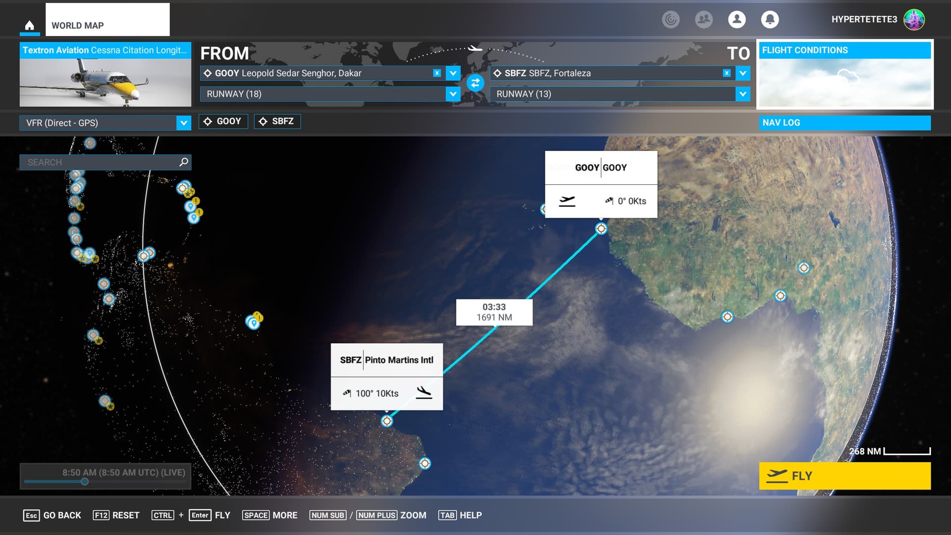
Next leg on my journey to Port Stanley is leaving Africa and entering South America: Dakar to Fortaleza in Brazil.

For technical reasons I had to conduct this flight three times: I had planned to do it in real time and let the Longitude fly on autopilot for several hours over the Atlantic; but two times I came back to my simming system and the MSFS2020 process had exited. It babbled something about a safe mode when re-starting, but obviously a resume was not an option.

So the third time around I skipped to approach right after starting from Dakar and landed safely in South America. Big time cheat - duuh.

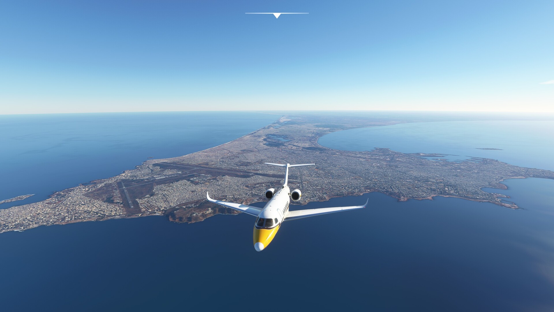
Leaving Africa, Dakar in the background:

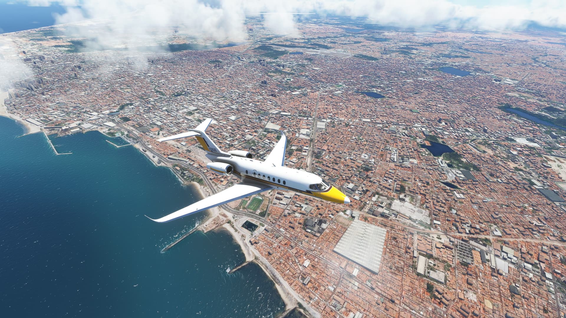
Pinto Martins Intl in sight 8 o’clock:

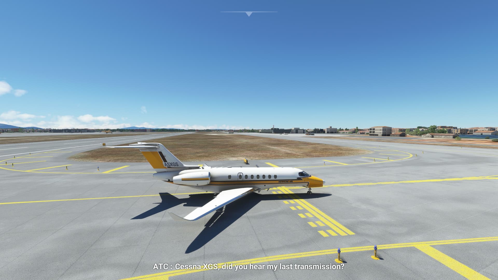
Leaving the runway. And no idea what transmission ATC is referring too :smiley:

My original flight plan asks for 5 more legs through South America. Apparently there are not enough weekends left before Christmas to do the trek in time. Though with the time difference between Germany and Brazil and Argentine I might be able to do some more flights under the sun light during weekdays!

Just hope the crashes are owned to the Atlantic Sea and not my game setup - it’s essentially non modded.

Cheers,
TeTeT

9 Likes

Skipping to approach is entirely acceptable - after all, there are no rules!

Pretty sure it even says that in the rules :grin:

Hopefully your stability issues were one offs.

4 Likes