Official 7th Annual Mudspike Christmas Flight 2021 - Discussion and AAR Thread

Welcome onboard @BierRunner, and what better way to join Mudspike in style than by joining our Christmas trek bandwagon - good work!

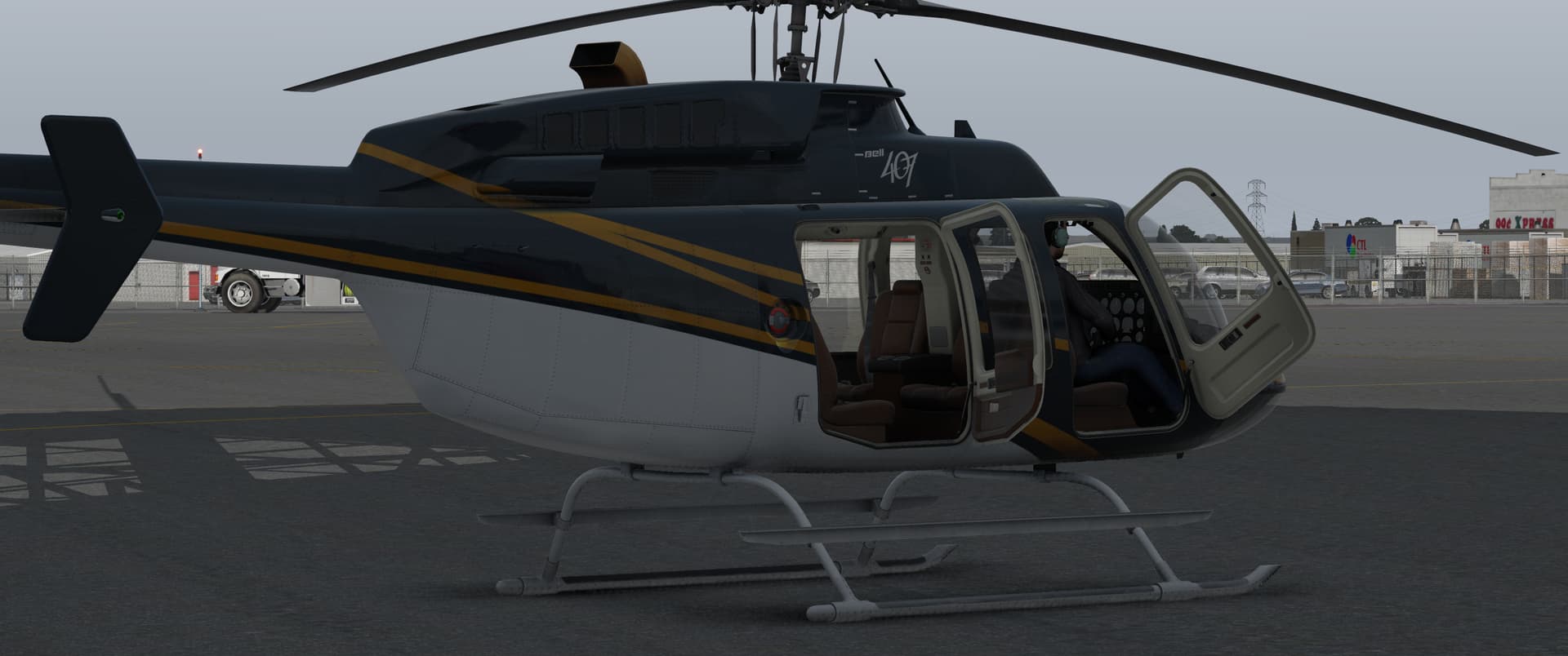
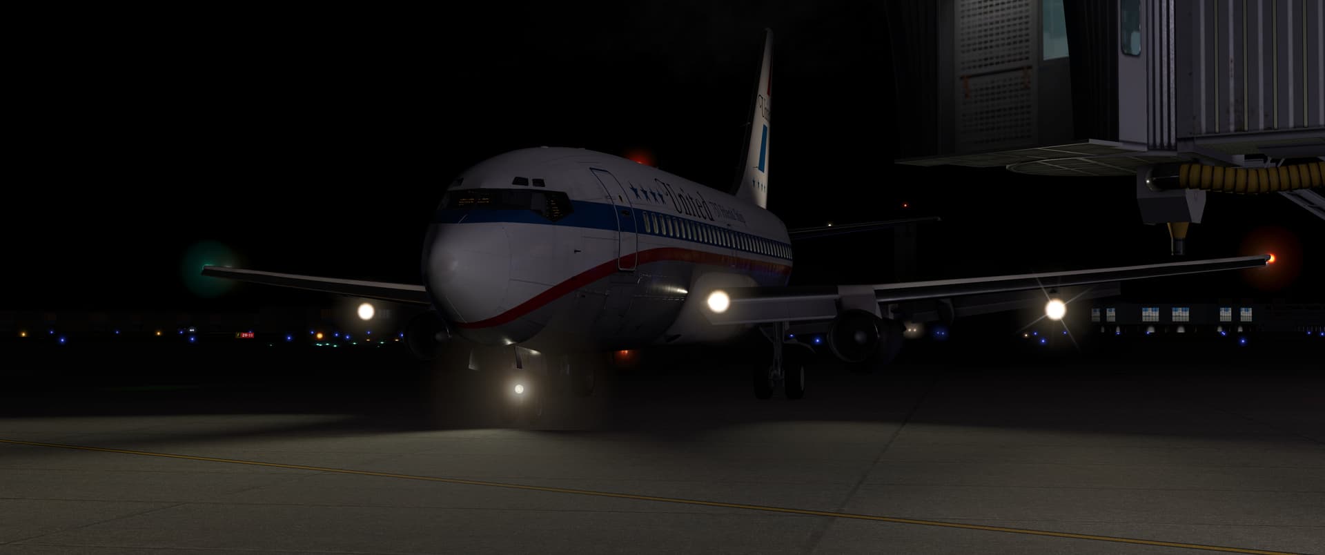
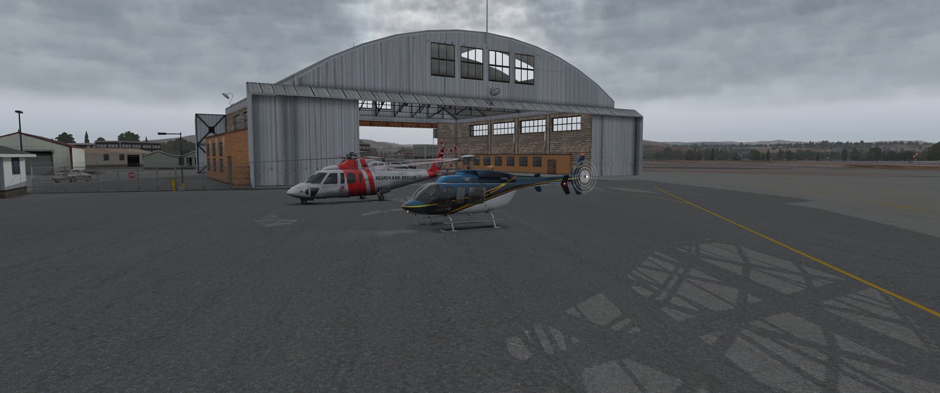
I had a couple more flights in the Bell 407 - it’s a nice little helicopter! Quick to start and very agile. The first leg was a short hop south along the Yakima river canyon from Bowers airfield to Yakima.
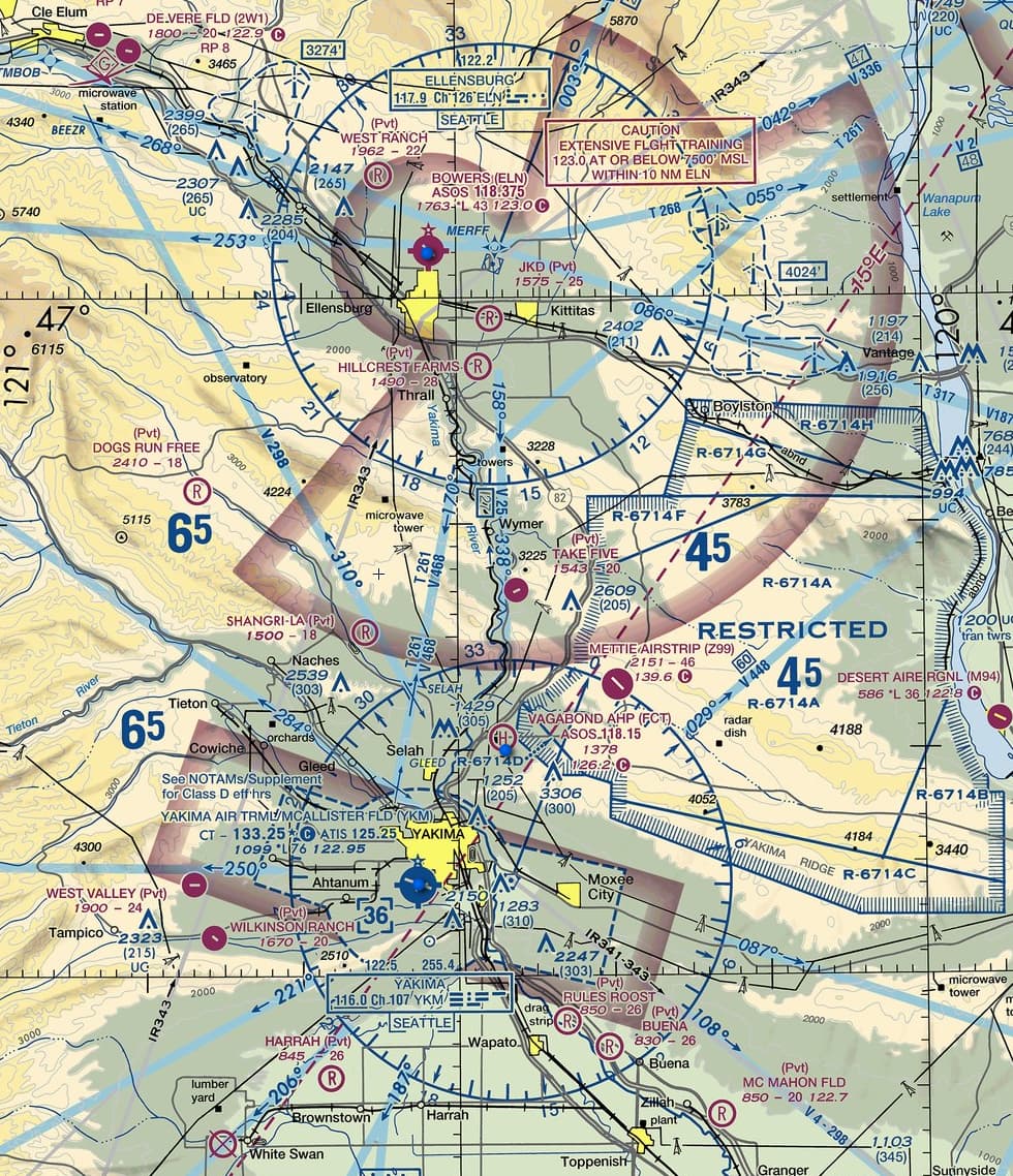
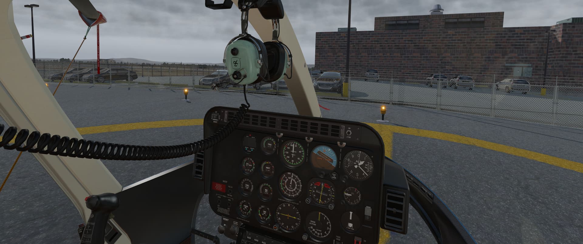
No willing passengers were to be found. I didn’t blame them.
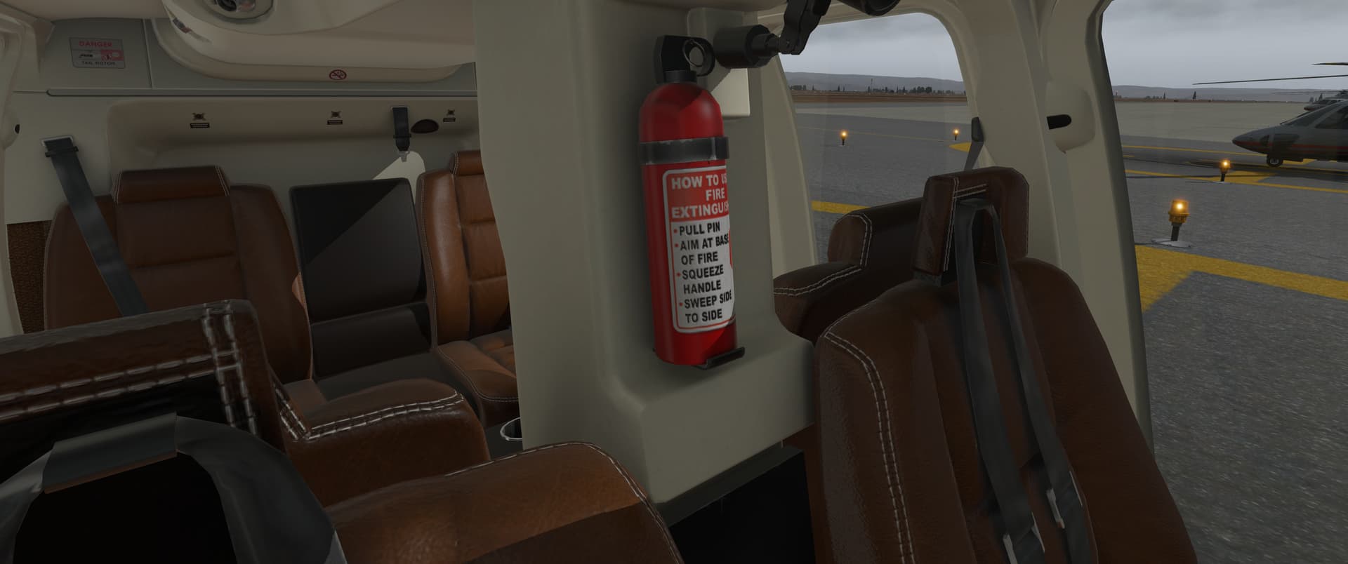
The canyon run was short but sweet. The weather forecast showed deteriorating visibility, but I got to Yakima before it became an issue.
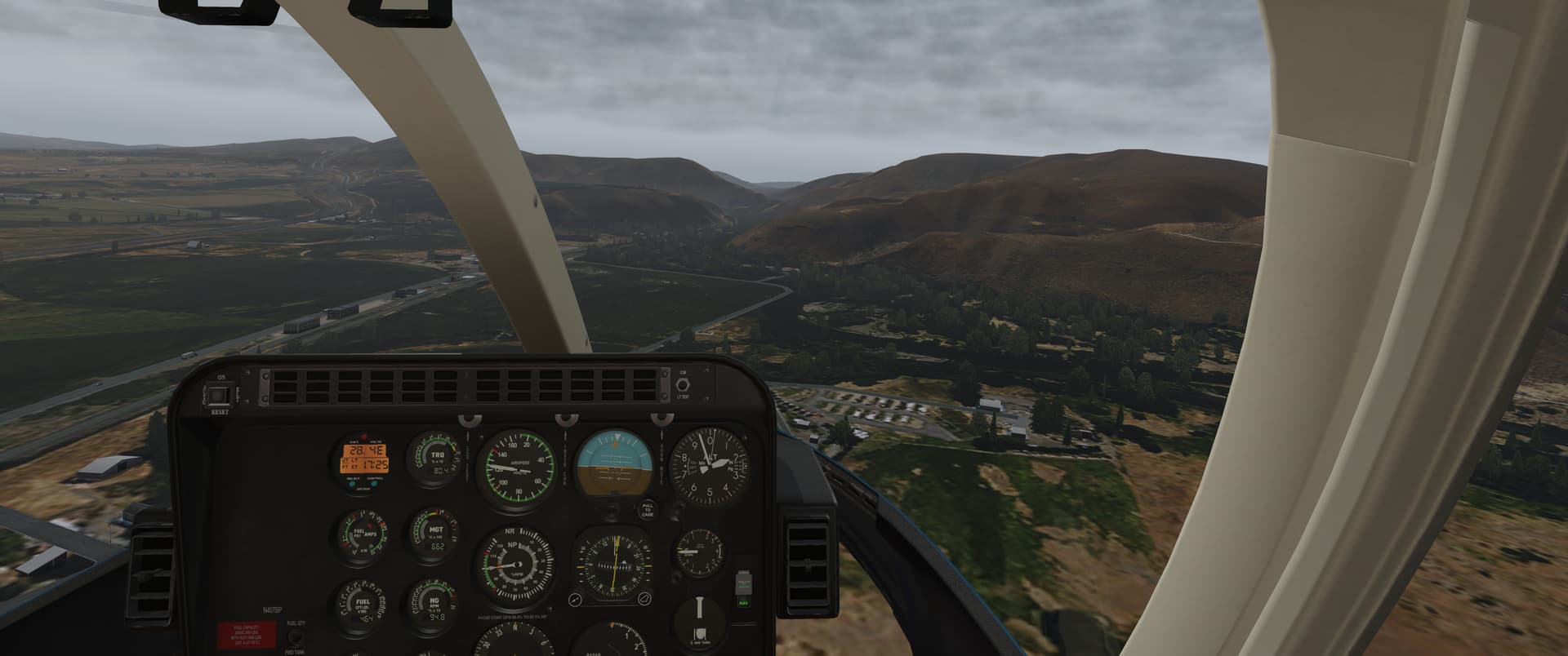
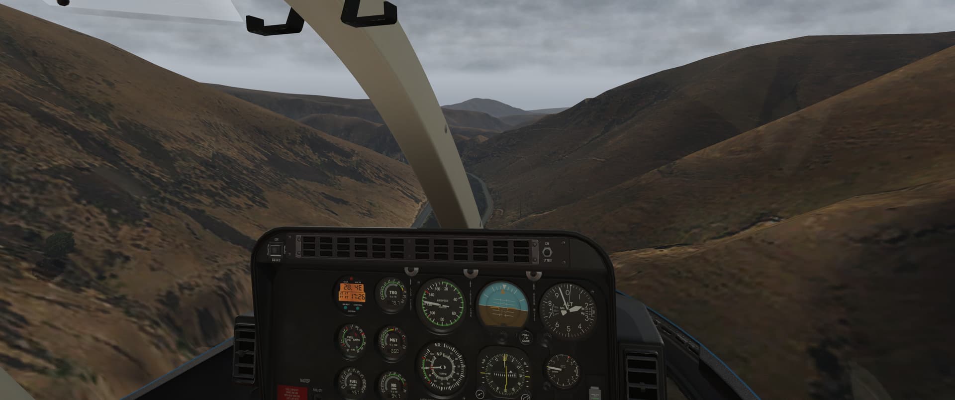
Parked up at Yakima.
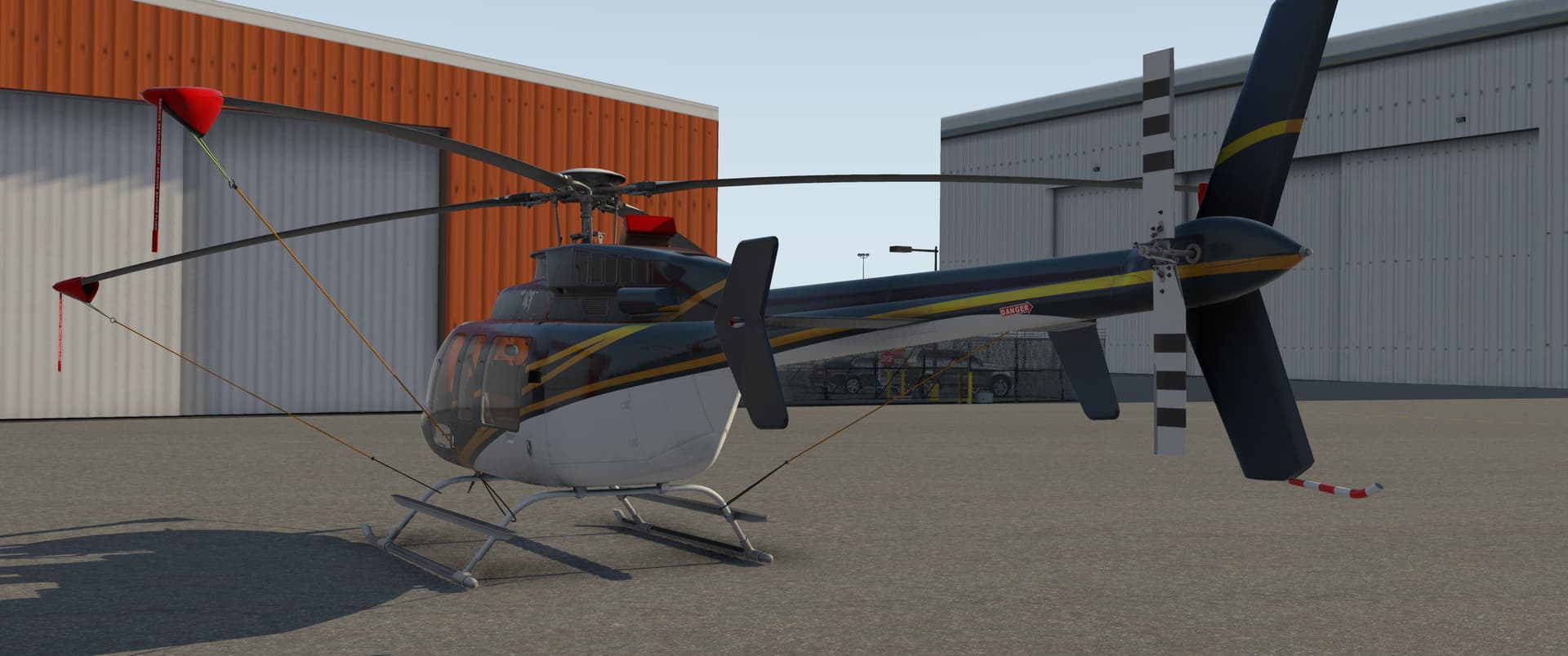
From Yakima, I flew east to the Tri-Cities airport, where I’d jump into something with longer legs.
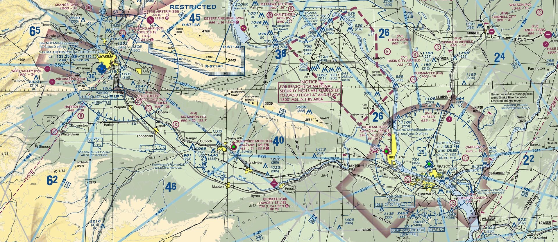
My route followed the southern side of Rattlesnake Hills, more or less all the way to Pasco, my destination. I hoped for no engine trouble, as I definitely wasn’t wearing snake-resistant footwear…I obviously had white loafers on to match my 80’s baller helicopter.
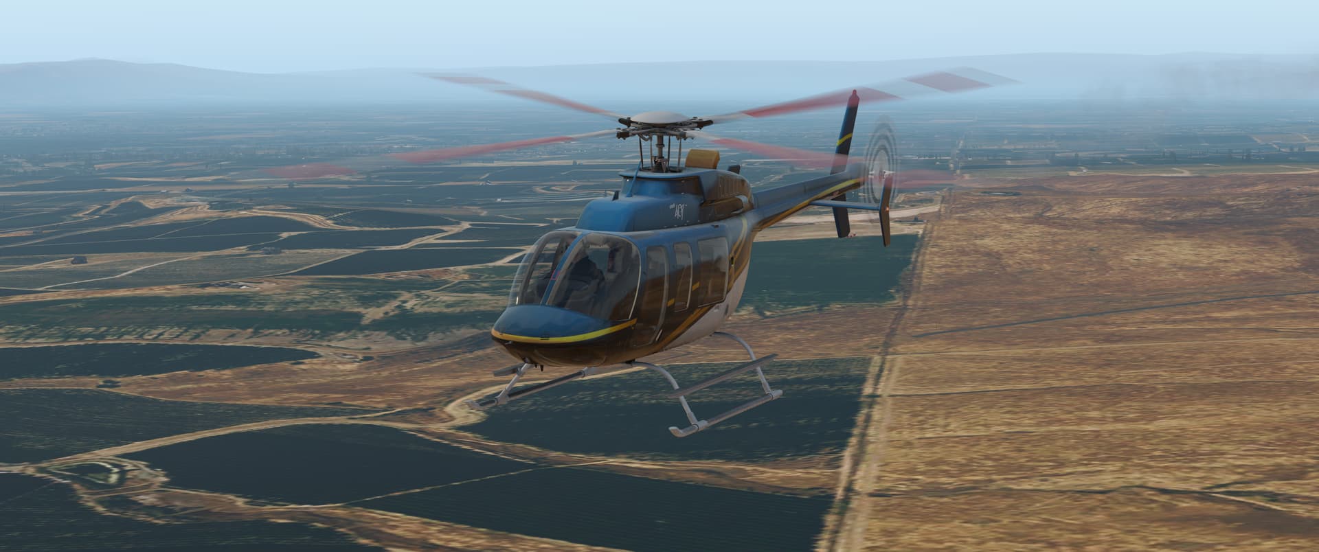
Arriving to Pasco.
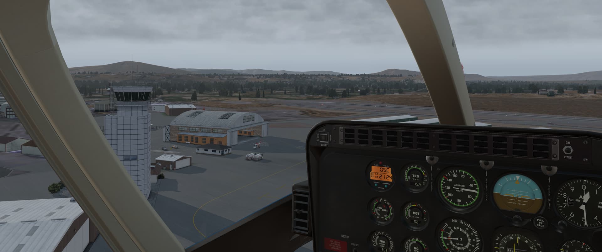
Tri-Cities (KPSC) - Louis Armstrong New Orleans (KMSY)

My next leg was a long one. I had thought about flying a bit more in Washington state, as I had a couple more XP11 aircraft I really wanted to have try out…but alas, it is 7th of December and I needed to get going.

I got myself a nice IFR plan right across the continent.

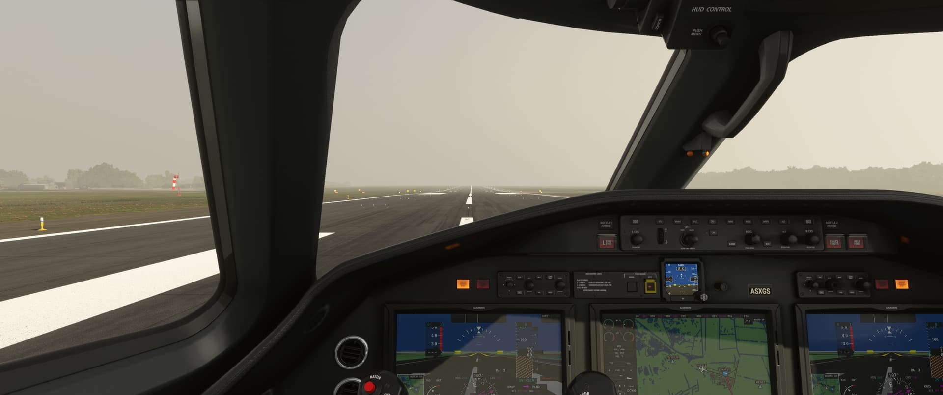
For this flight, I had real time and real weather on. The winds were relatively benign, 7kt northerly, so I took off with a slight quartering tailwind, figured it would be okay, and so it was…using runway 12 set me up better for the first waypoint than a taking off into the wind would have.
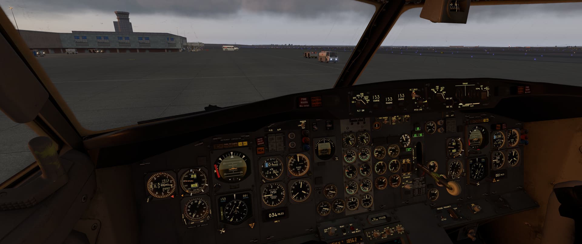
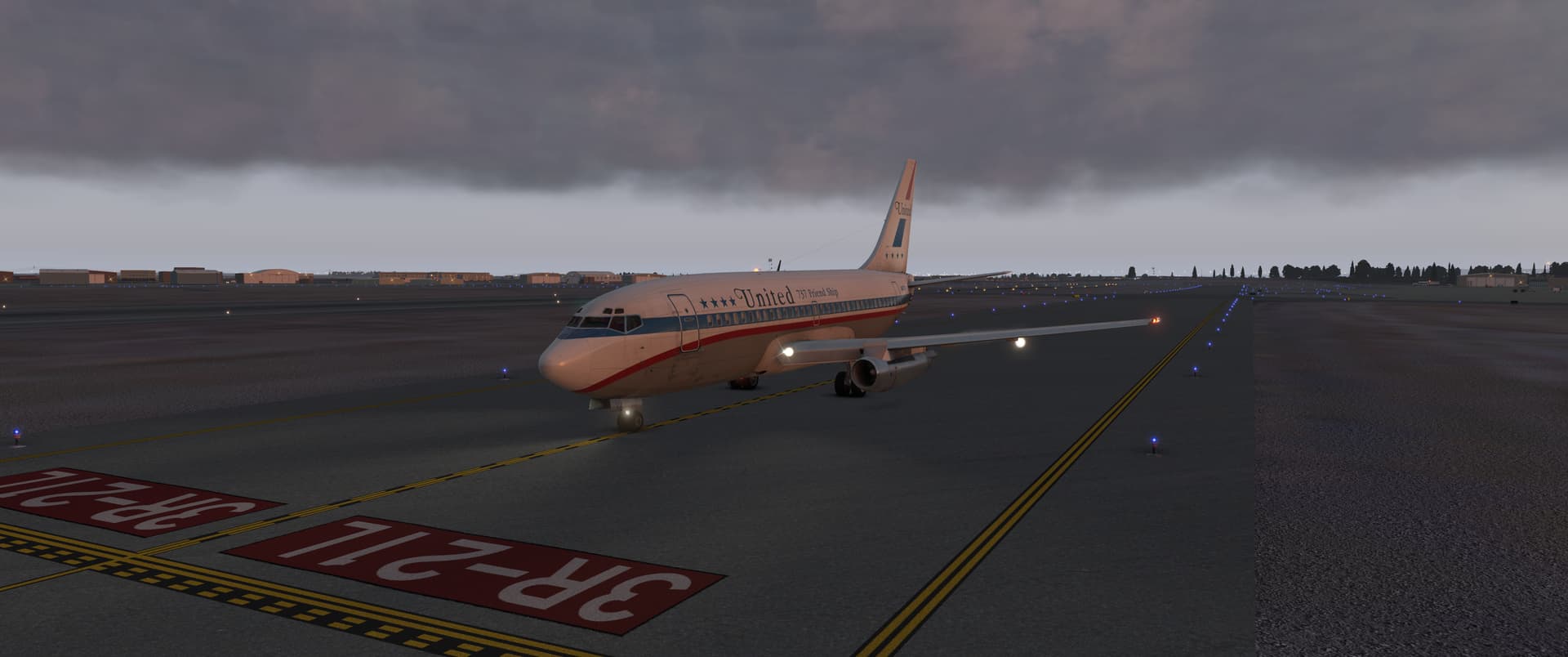
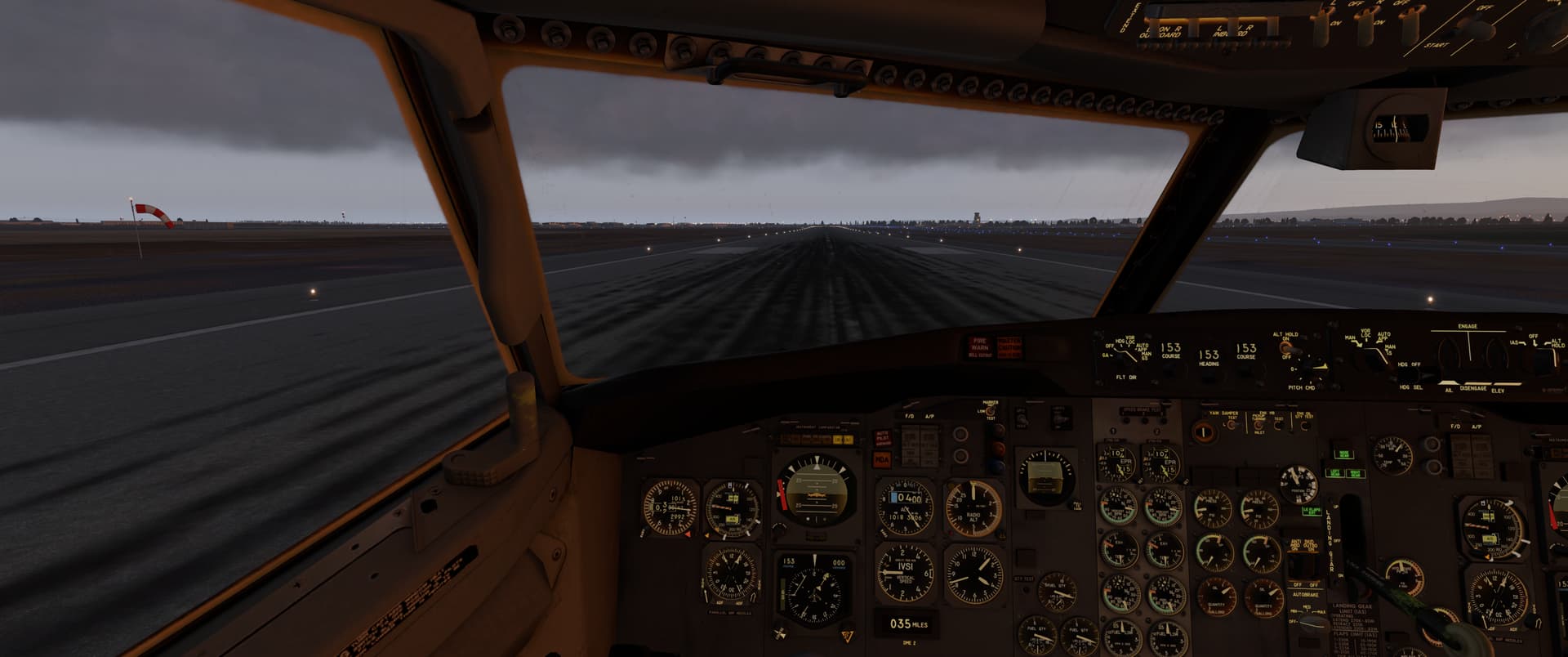
I hand flew the initial climb and captured the radial out, then levelled out at 5,000 ft for a minute to set up the autopilot for the climb before switching the navigation over to the Delco INS.
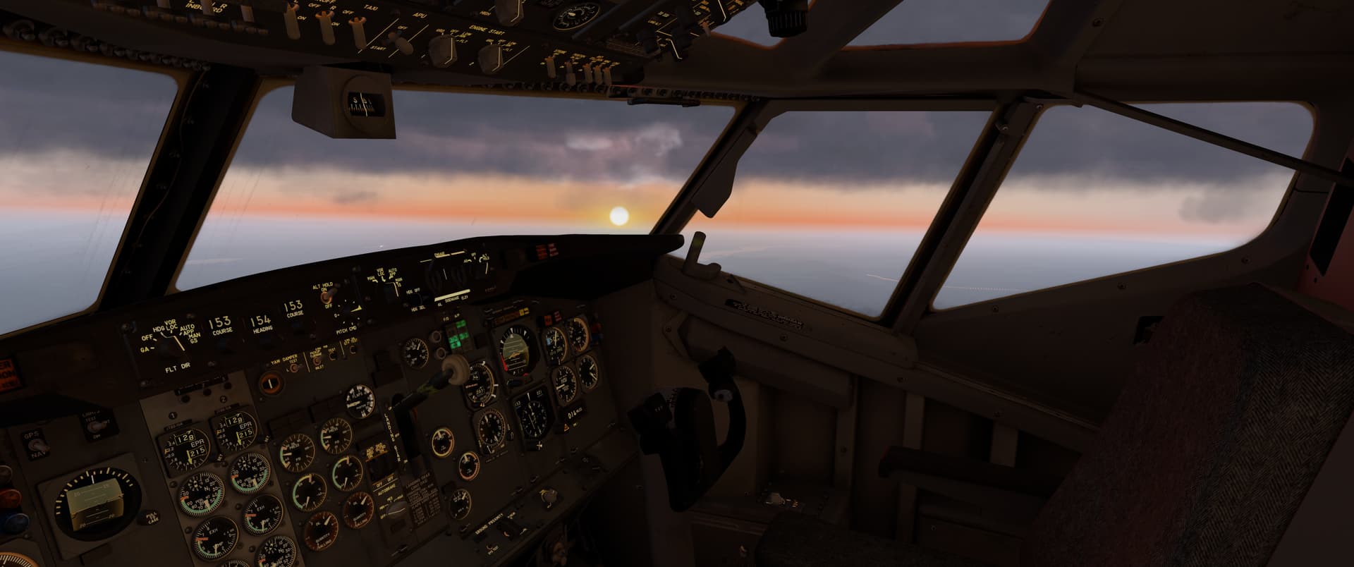
After the brief altitude hold, I set up the AP for an IAS climb to my eventual cruise altitude, 33k ft or so. At least so far the INS distances matched the VOR beacons, so I was reasonably confident the INS was taking us the right way.
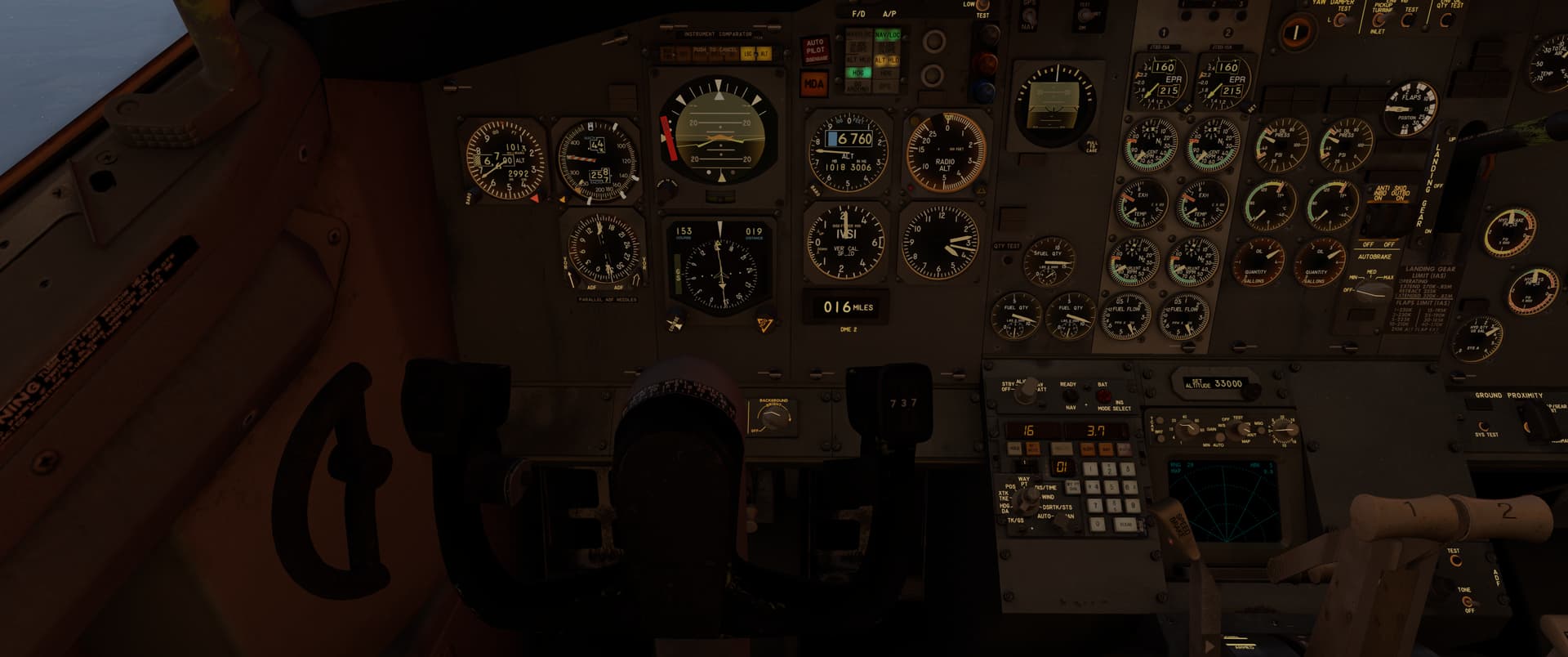
I first broke out of the overcast at around 12k ft, but I had further layers of cloud much further up too.
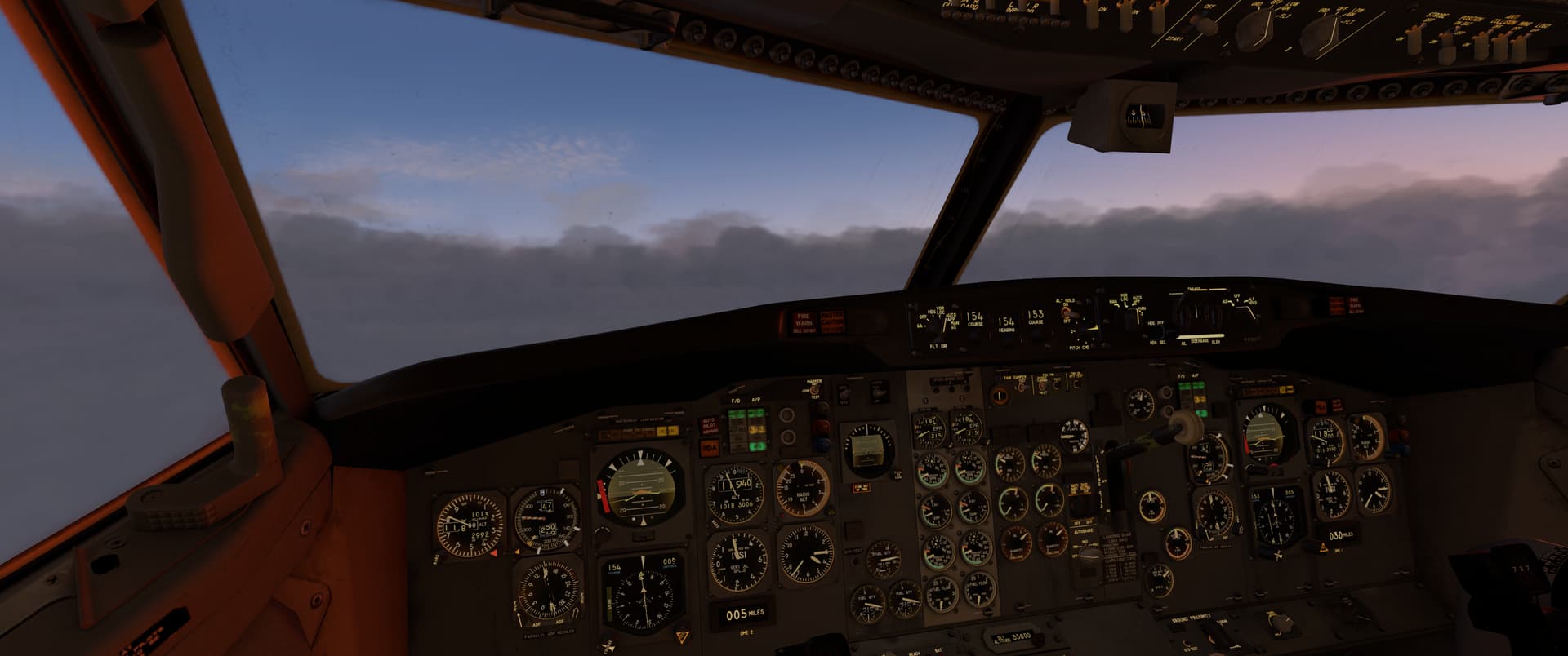
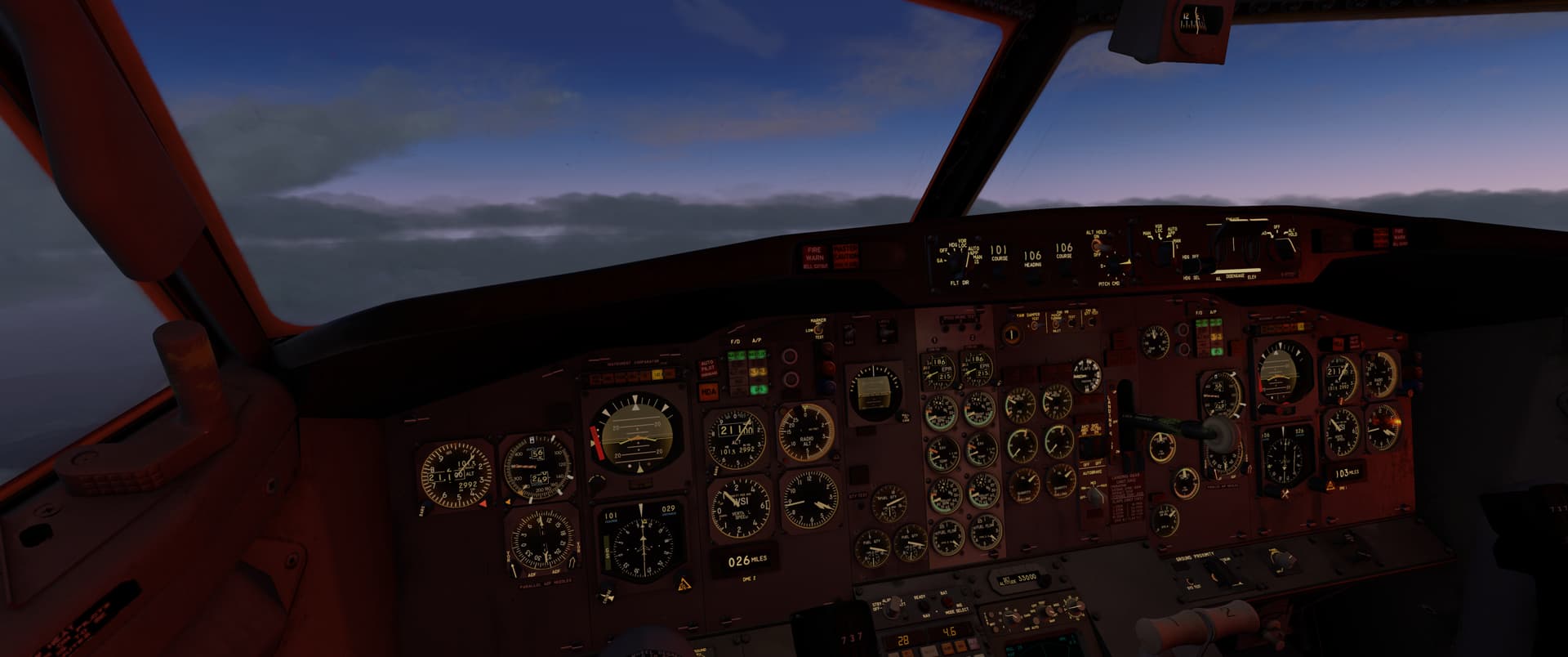
Each of the jets was guzzling 3,800 pounds per hour on the climb…good thing I brought full fuel. All the engine instruments showed no issues, so that was good. Interestingly, the right wing tank had a bit more fuel than the left, despite similar consumption on both…the APU fuel usage on the ground, perhaps, unsure.

The sun was setting as I settled in for the long cruise.

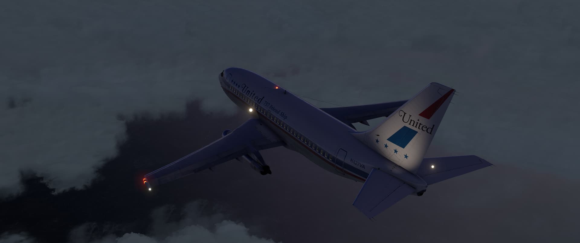
Once at altitude, I took out the E6B and started spinning some fuel flow and range numbers. The engines were now sipping a more moderate 2,200 PPH per engine, which gave me over 6 hours of flight time considering all the fuel I brought. I checked the INS for a ground speed estimate to see how far that would take me.
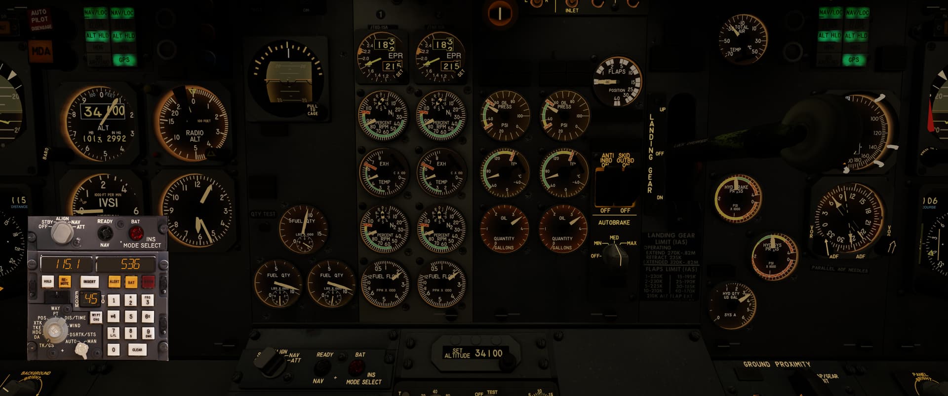
536 knots over ground?! Considering I was cruising at M0.75, that’s not the number I expected…I flicked the instrument over to the wind side to find out what was going on.
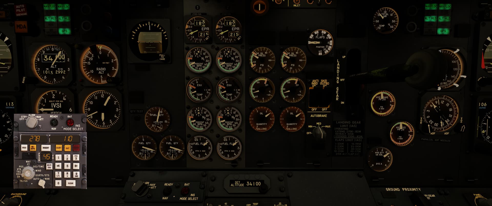
A 110-knot tailwind? I take it. I wasn’t going to run out of fuel anyway, but I had heaps of buffer now. Handy.

As I got closer to New Orleans, I spent a bit of time working out an approach. One of these days I’ll learn to do these things properly, but in the meantime it makes for an interesting time in the cockpit.

I opted to fly in via the Fighting Tiger VOR, track the 135 radial for 28NM and turn towards RQR VOR, hopefully catch the RWY 11 localizer somewhere along the way.
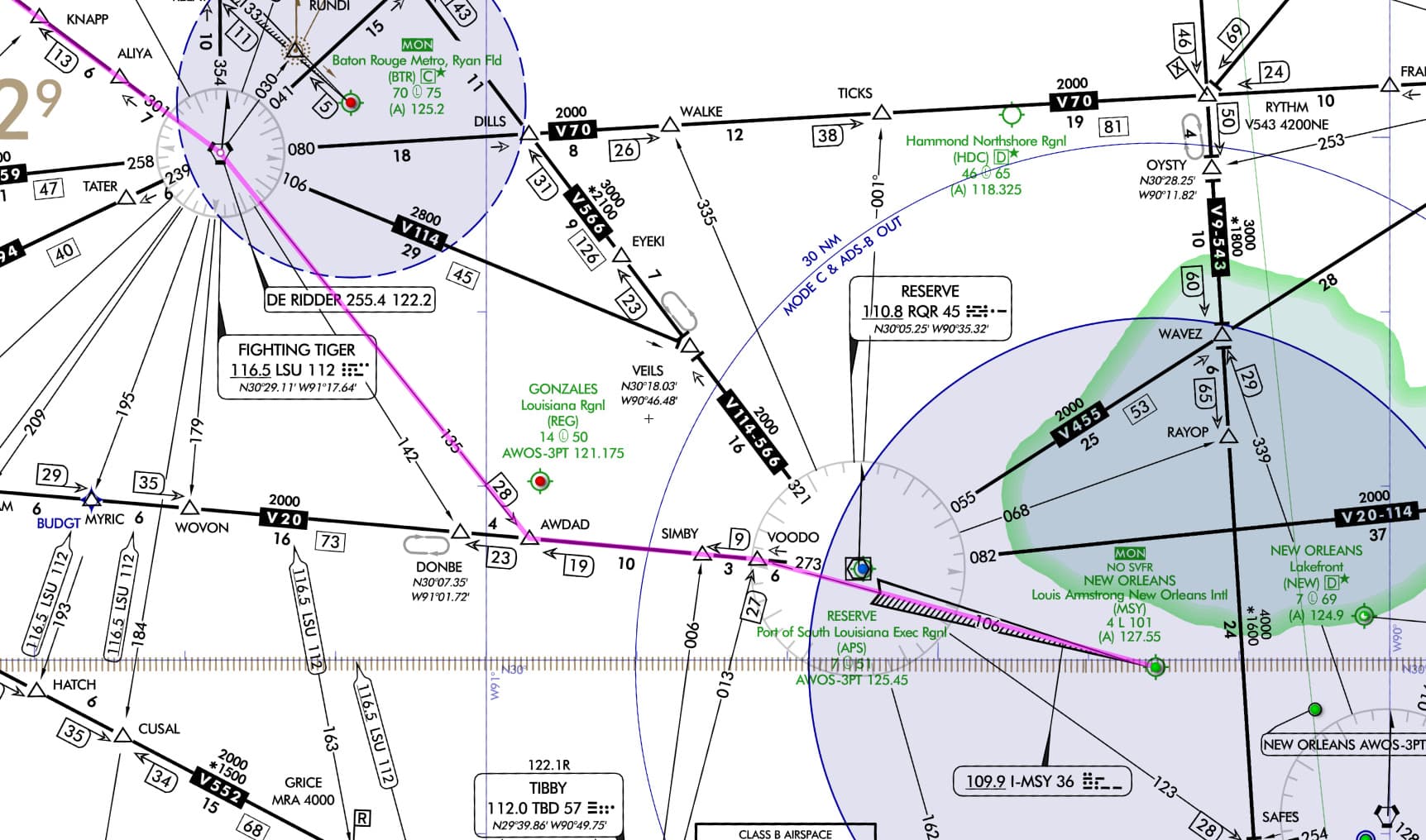
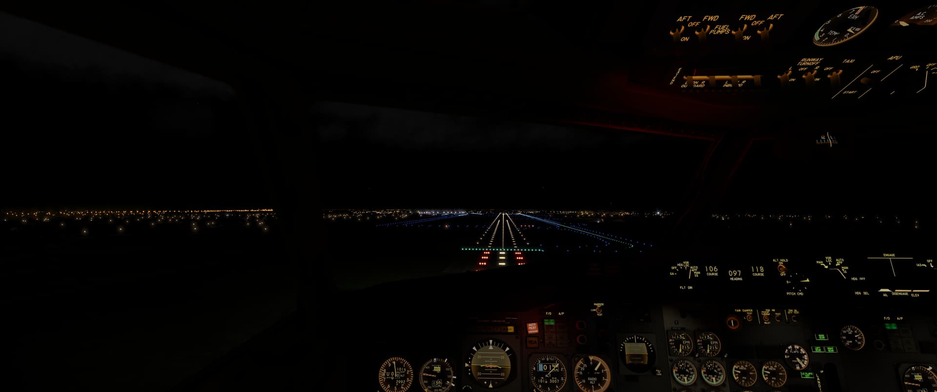
It mostly worked out that way. The night was cloudy with a bit of rain, but it looked as though I should be able to sight the airport fairly early.
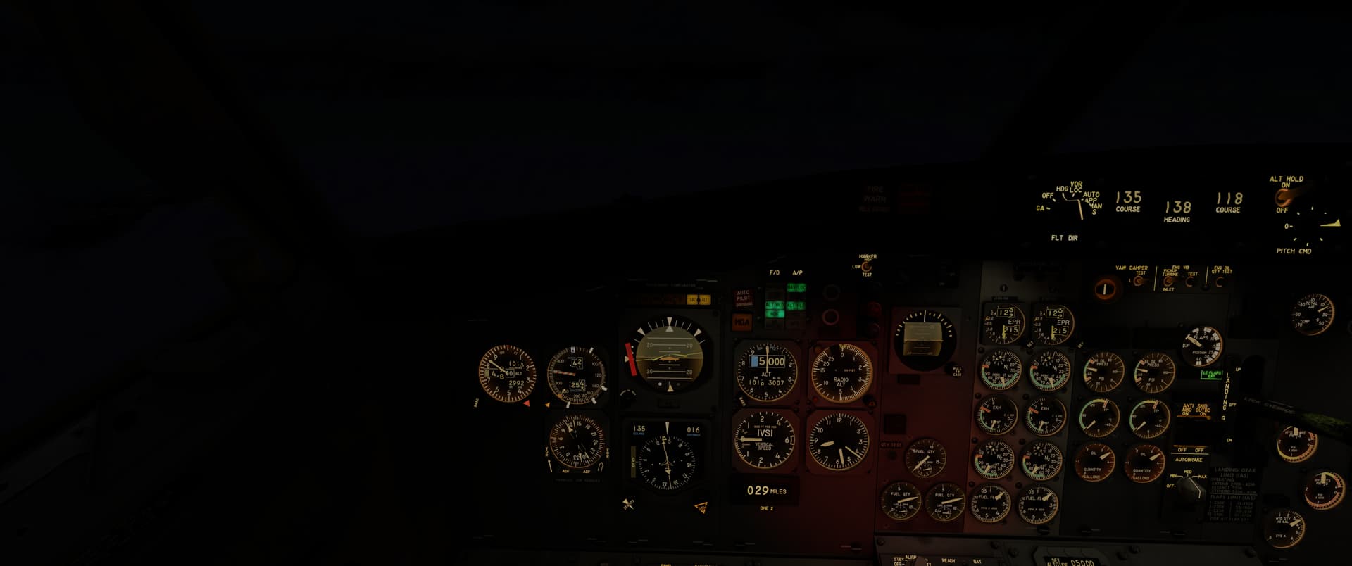
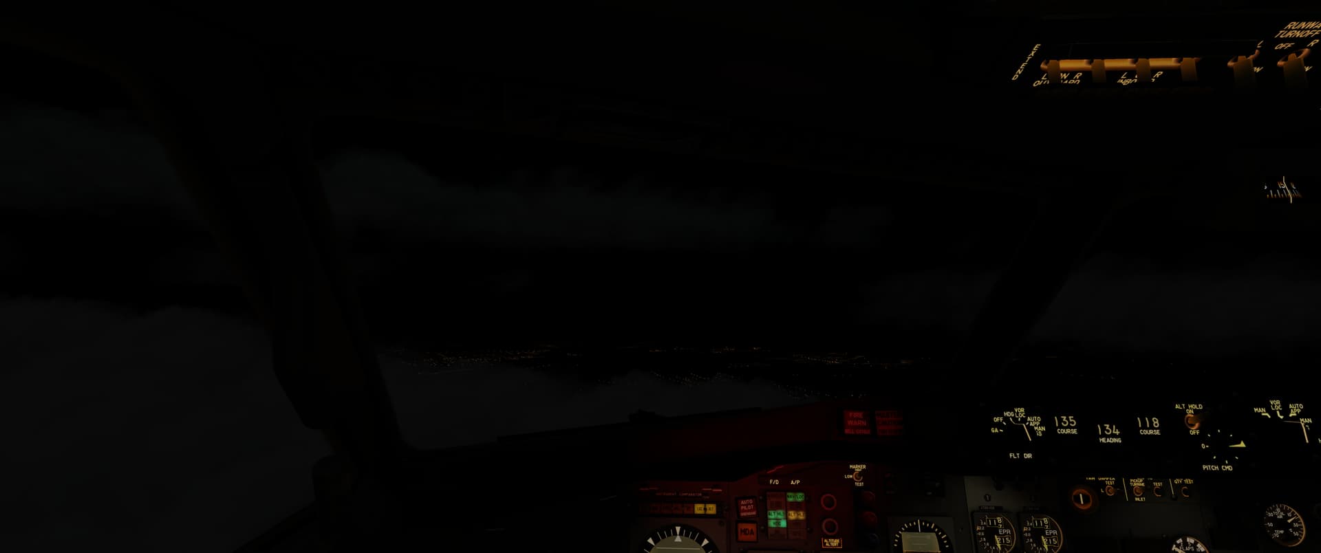
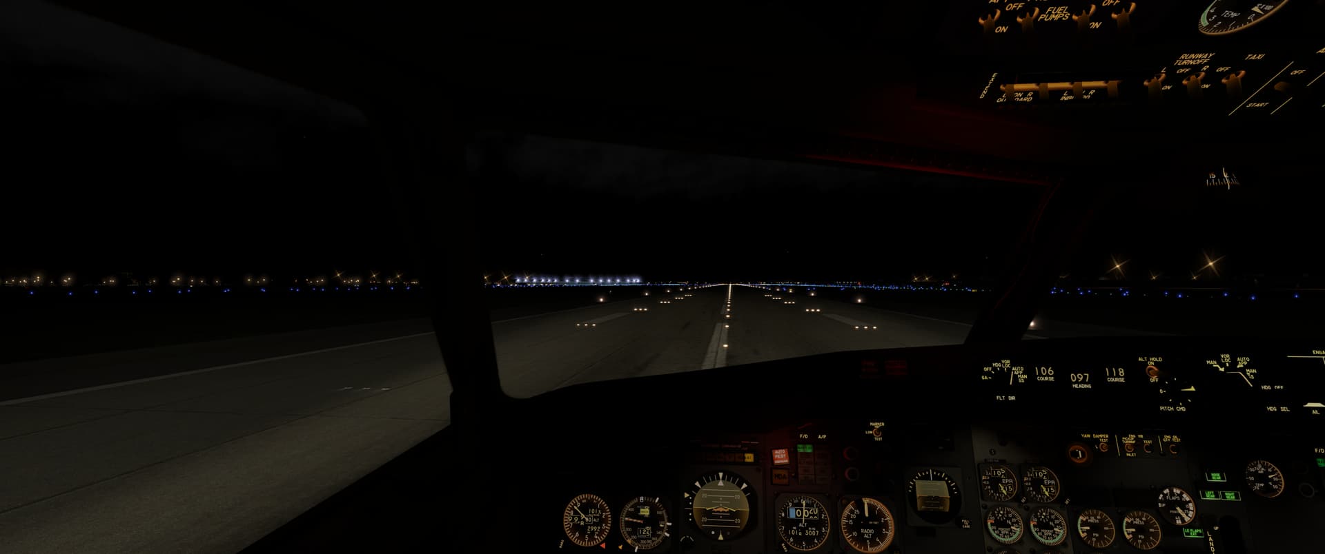
I was still quite amazed when the runway turned out to be where I hoped it would!
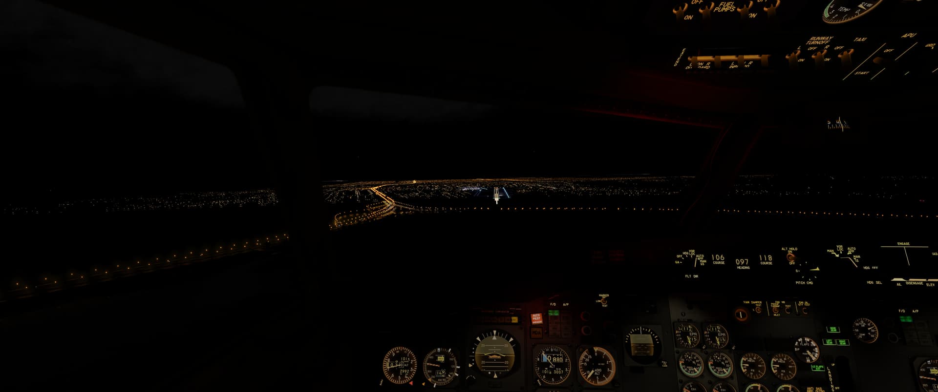
That was a very rewarding flight. A fairly long leg with lots of waypoints - I had to cycle new ones into the INS along the way - and a night time approach, which mostly went the way I envisioned.

I’m sure it wasn’t by the book, but I was pleased that I managed to use the INS and radio navigation well enough to get to a point 1,700 NM away. :slight_smile:

11 Likes

Welcome aboard @BierRunner! I used to live not too far from you (Zanesville). Looking forward to reading your post flight reports. :sunglasses:

1 Like

Welcome @BierRunner !

It looks like it’ll be good fun reading your reports :laughing: :+1:

1 Like

Welcome on board Bierrunner! Looking forward to hearing more of your journey.

Good luck, and Godspeed!

Killer report @Bearhedge!

You really have me pining for a nice jetset era airliner in MSFS.

1 Like

Welcome @BierRunner ! Thanks for taking up the challenge and posting reports! I managed to complete one (?) a few years ago and I am quite proud of that. :slight_smile:

1 Like

This one is a bit of a fill-in report…well, that’s not quite right, I had a good time but there was definitely an element of cranking down the overall miles left on the journey so I’d buy myself a bit of time for a semi-properly planned flight or two down the line. I didn’t have long stints available, so it had to be this way.
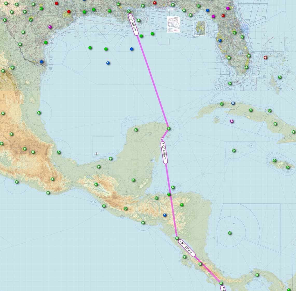
New Orleans Intl (KMSY) - Cancun (MMUN) - Tulum (MMTU) - Managua (MNMG) - Enrique Malek Intl (MPDA)

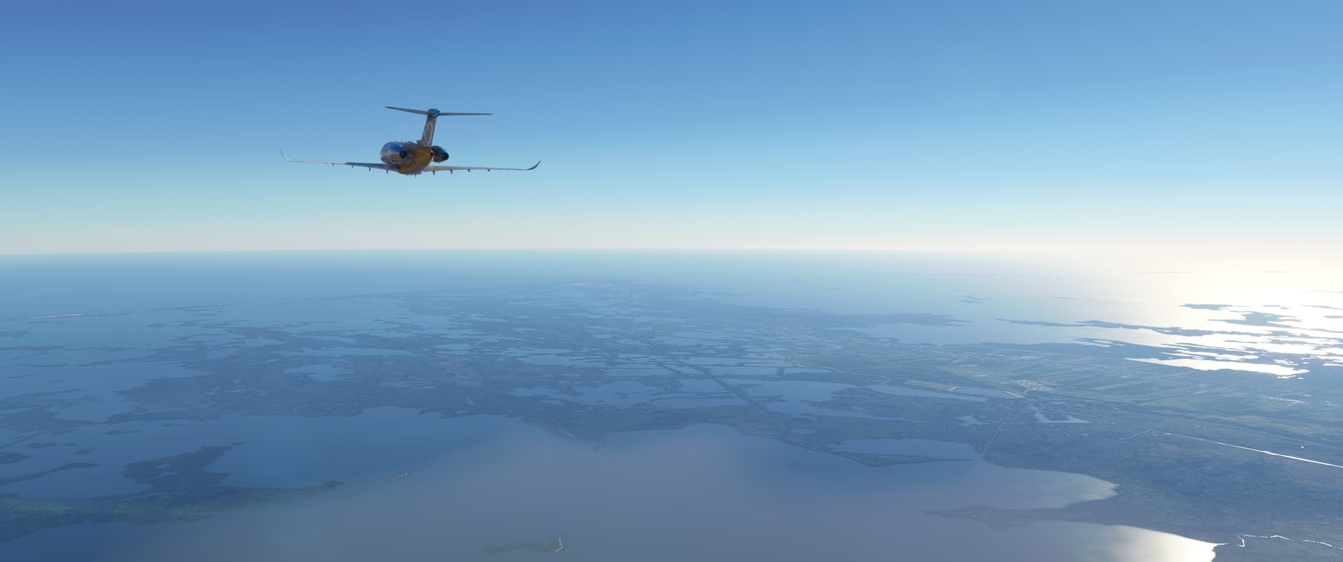
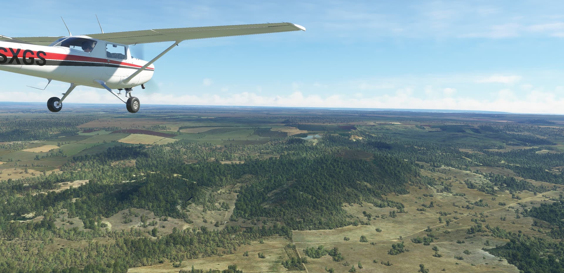
My first leg was from New Orleans to Cancun. I took off into the muck but had nice sunset views later on and interesting views of the Louisiana wetlands on the way.
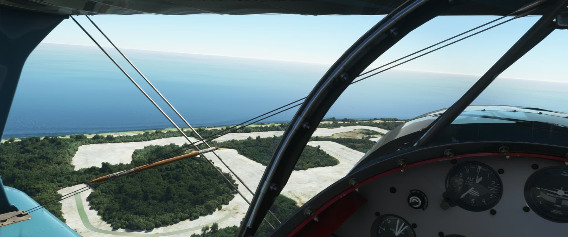
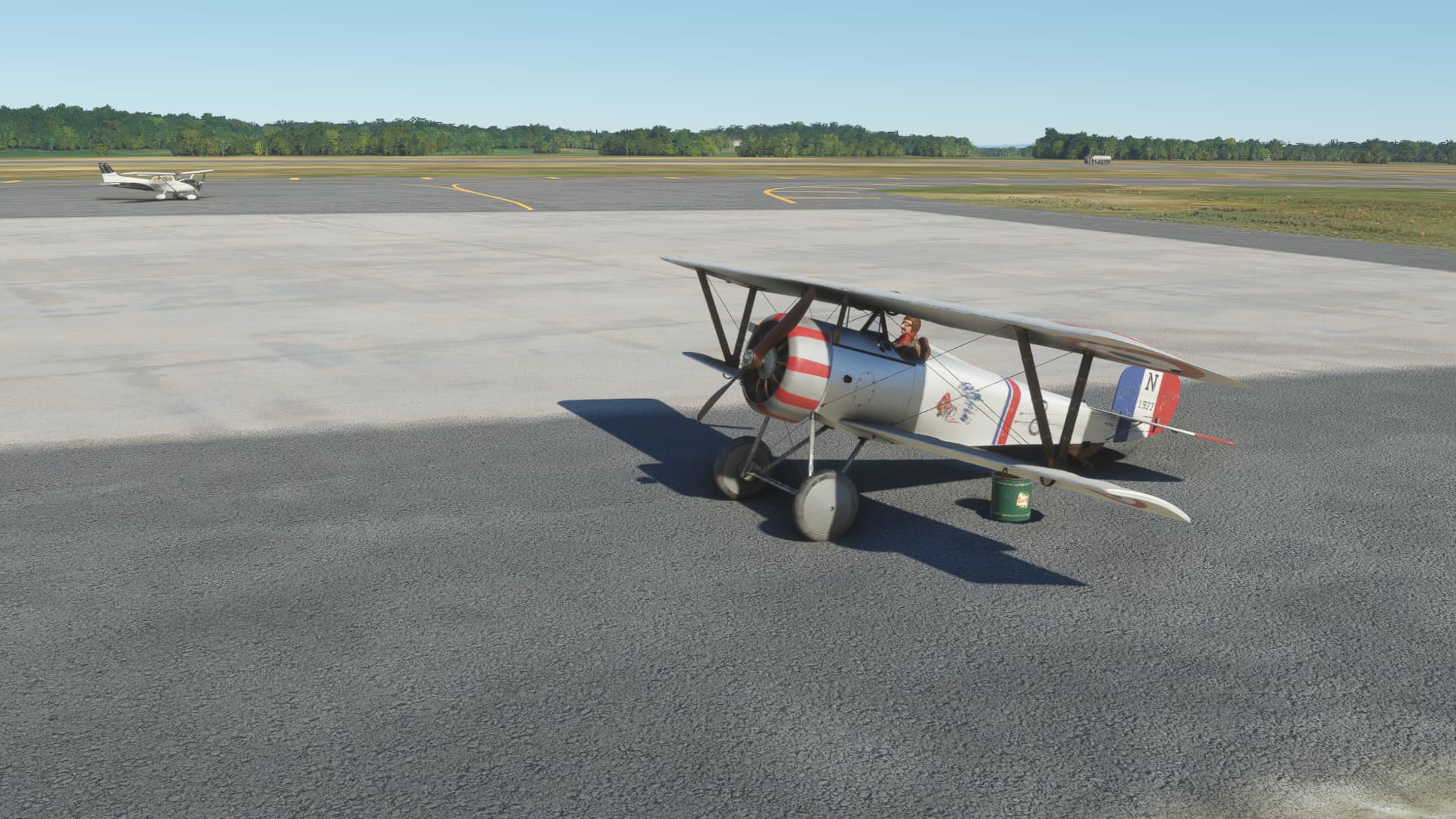
I had enough time for a short hop in the Pitts down the coast from Cancun to a small airfield called Tulum, after that.

From Tulum, I headed towards Managua, Nicaragua. The runway that was ample for the Pitts suddenly appeared a tad on the short side. (yeah, I definitely did not set that altimeter…we weren’t in Badwater Basin)

I let the airspeed build up to the last moment and lifted off with perhaps a bit less margin than I wanted. The balmy 24C temperature probably didn’t help.

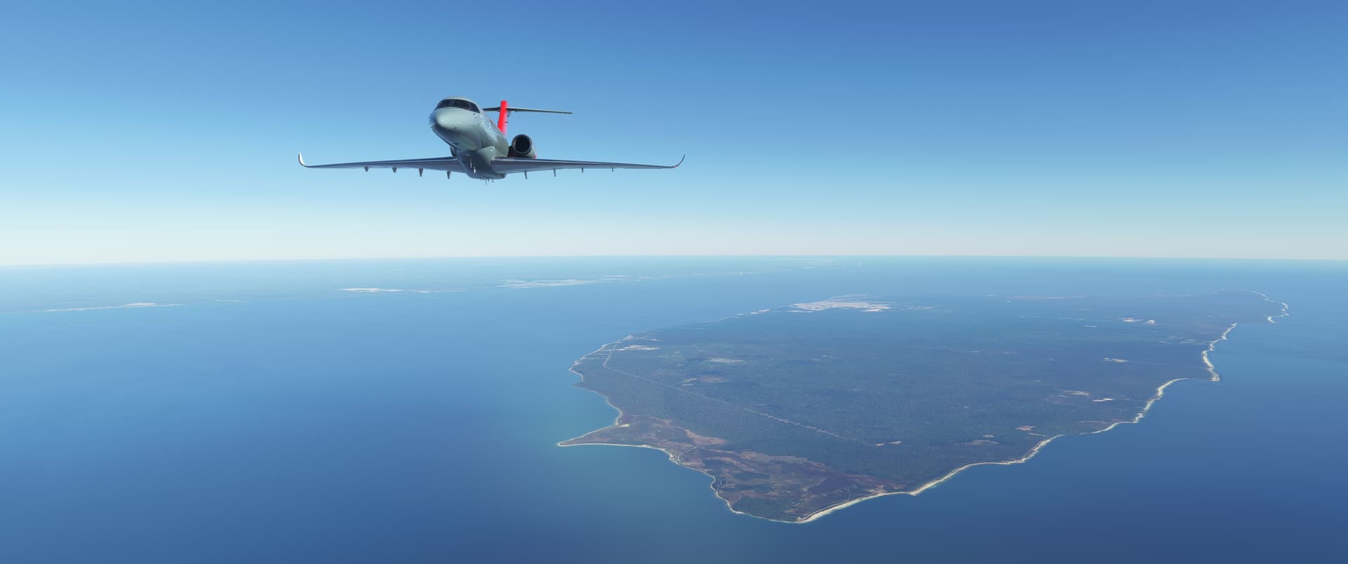
I passed Cozumel Island in the climb.

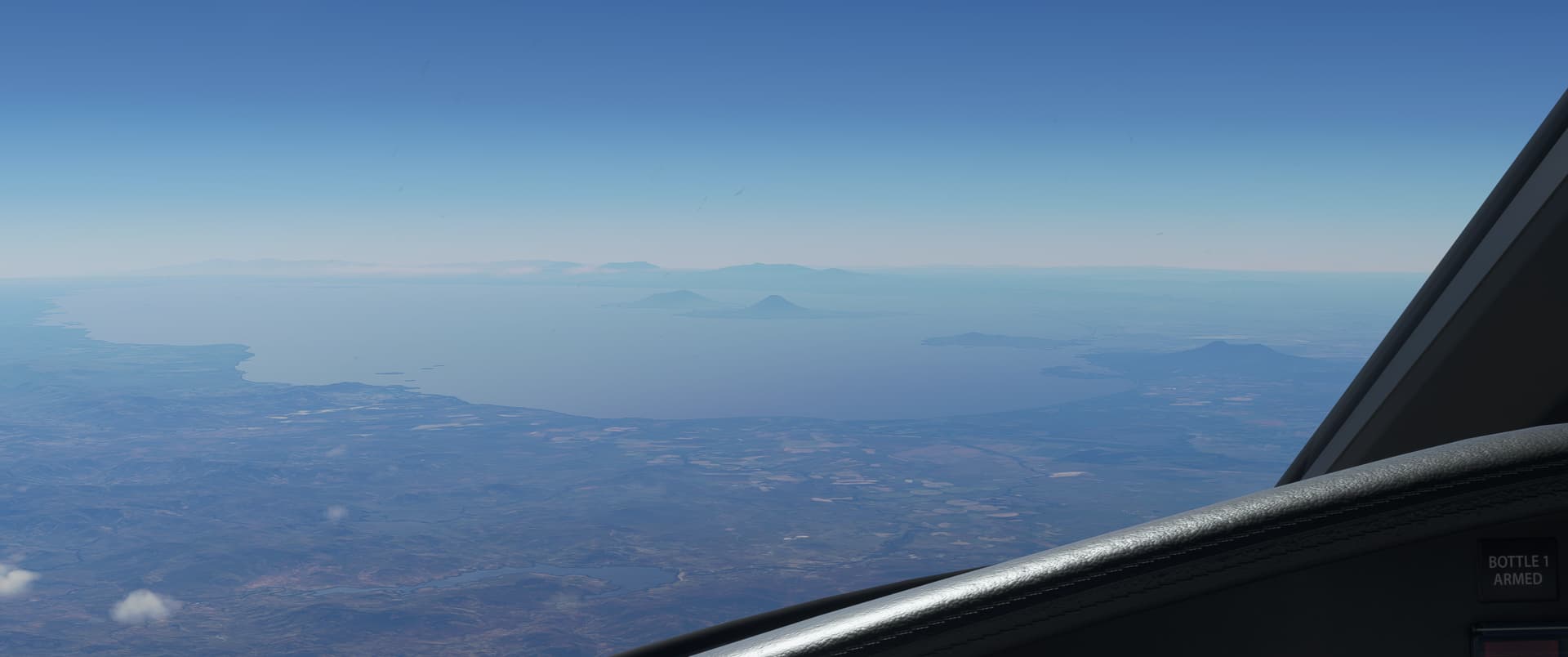
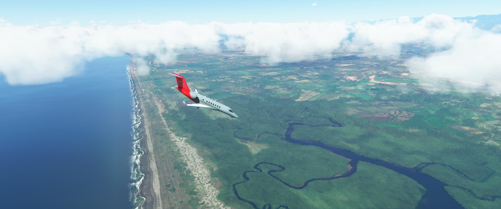
As I approached Managua, I saw Lake Cocibolca and the Concepción volcano island in the haze. At this point, I ran some fuel numbers and decided to continue on to Enrique Malek in Panama.

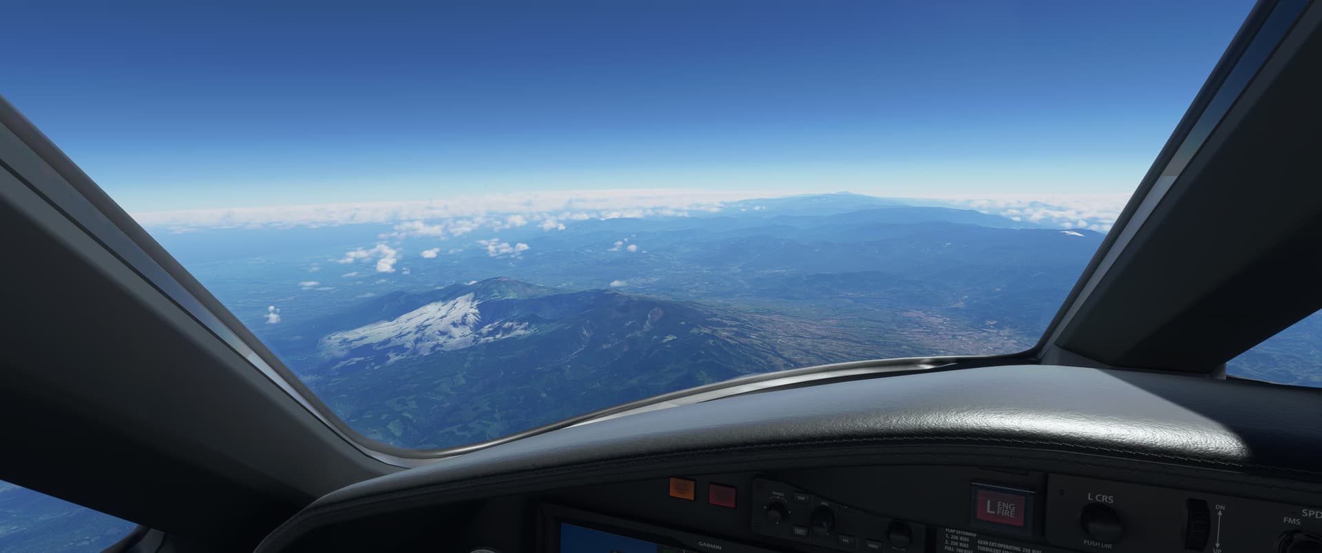
On the way there, I flew over the Chirripó National Park.

I got a bit distracted and I didn’t quite time the descent right, some would say. Extend all the things! Think draggy thoughts!
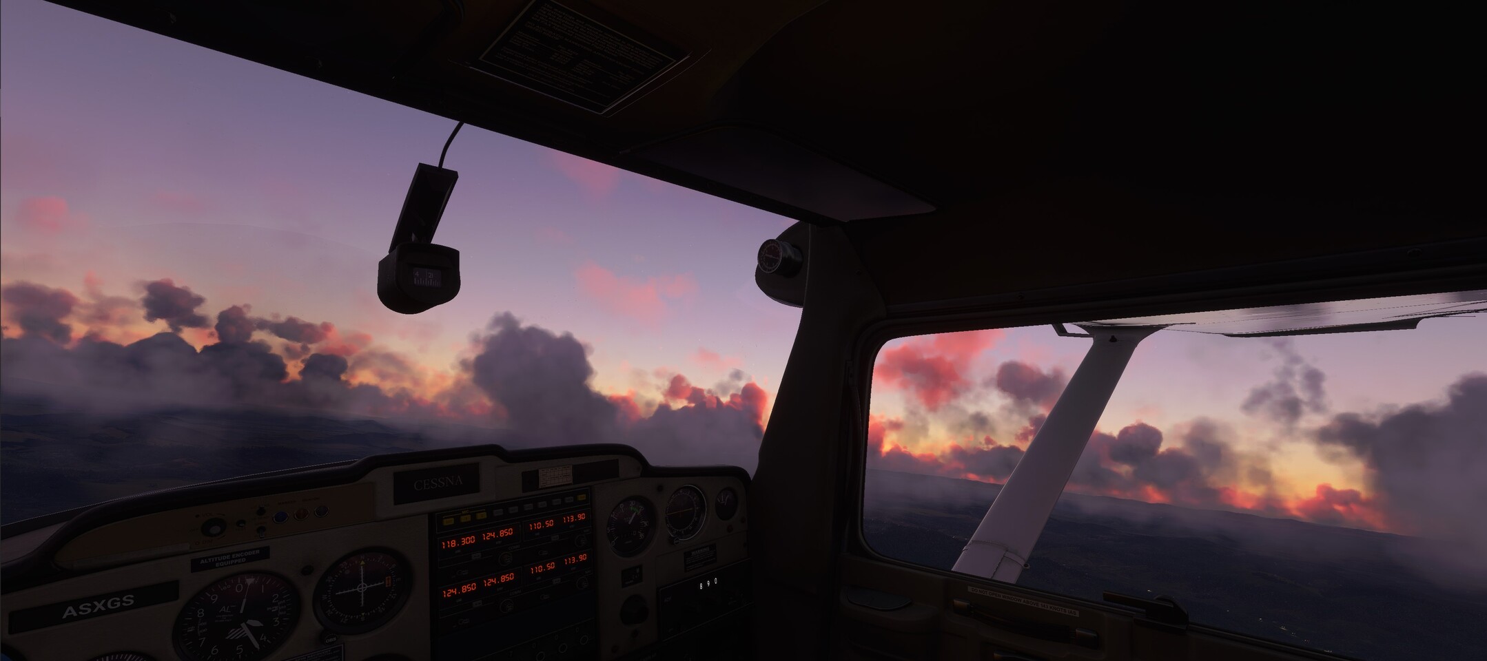
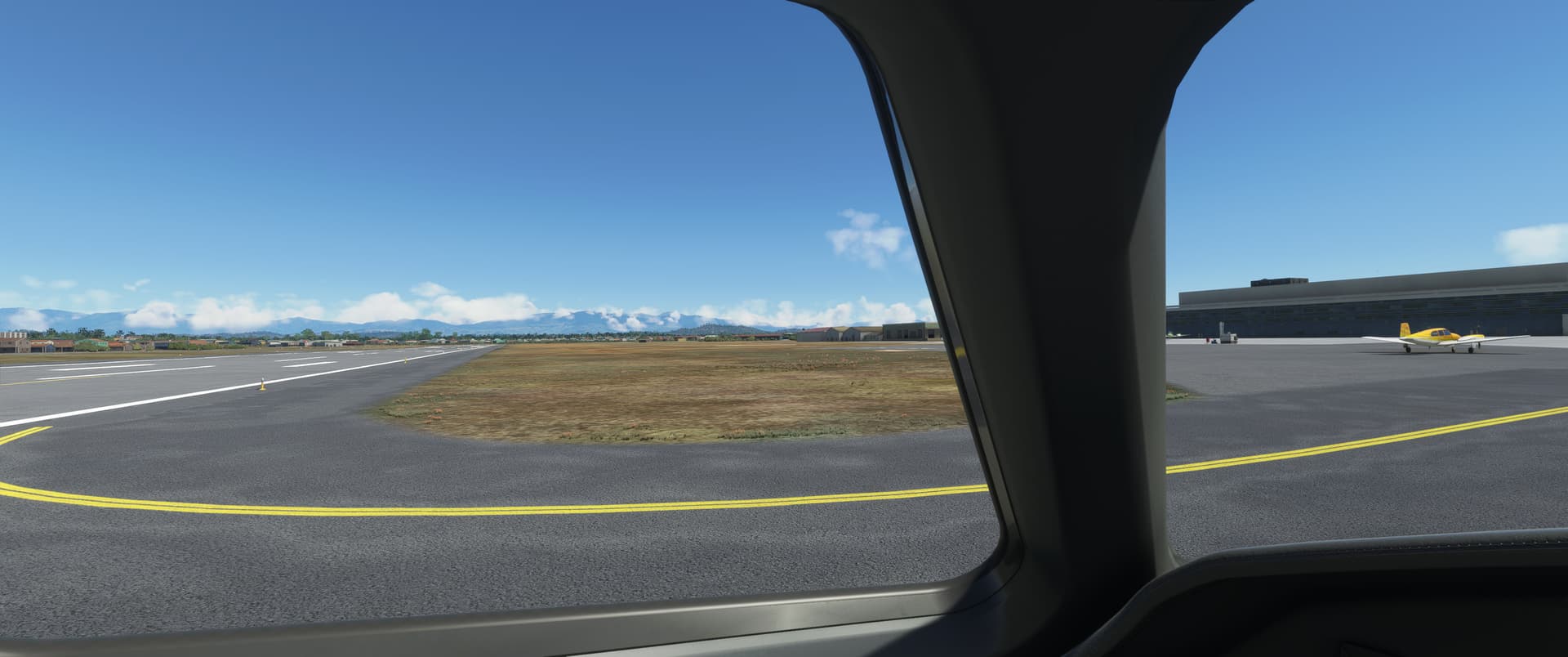
Well. This has been a bit of a hell-for-leather couple of legs, but I’m in Panama, so that’s not a bad result.
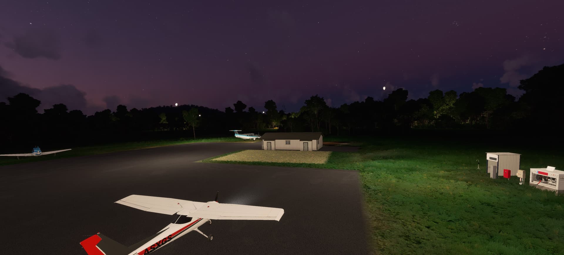
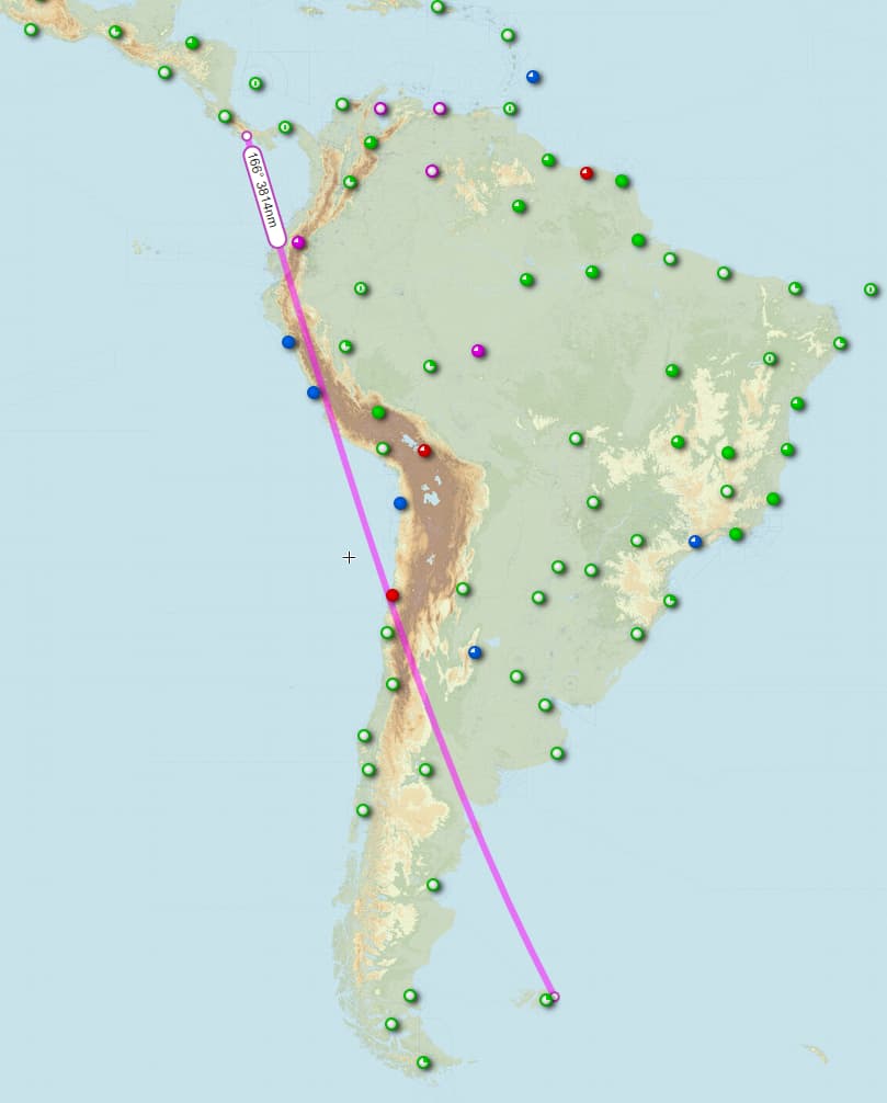
I’ve got 3,813 NM left, as the crow flies. It would have to be a bluewater crow, obviously. 254NM a day or so to get there before the Christmas / New Years craziness starts. I’m pretty happy with that, should be able to plan half a dozen slightly longer fun flights or some nice short hops.

9 Likes

Nice progress there! I think you will probably get to Stanley before I do at this rate!

2 Likes

Zapala (SAHZ) to La Araucanía International Airport (SCQP)

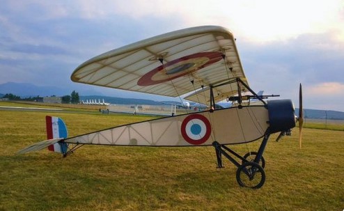
On April 3rd 1918, Luis Candelaria flew from Zapala to Cunco in a Morane-Saulnier Type L parasol monoplane. This was the first airplane crossing of the Andes.

A replica. Looks pretty flimsy to me!
Screenshot_215

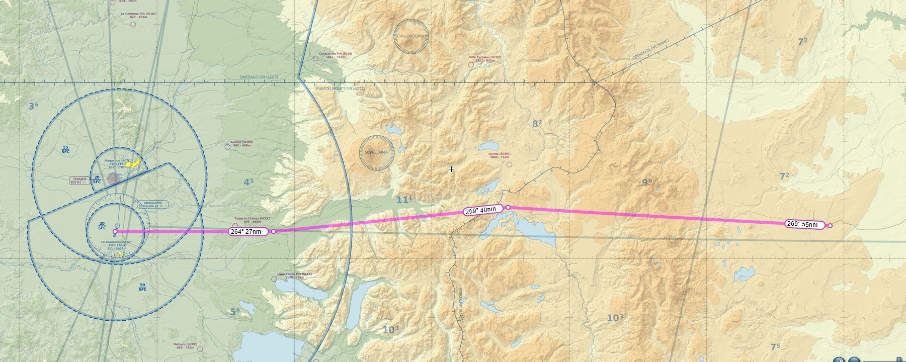
The route takes me almost directly west.

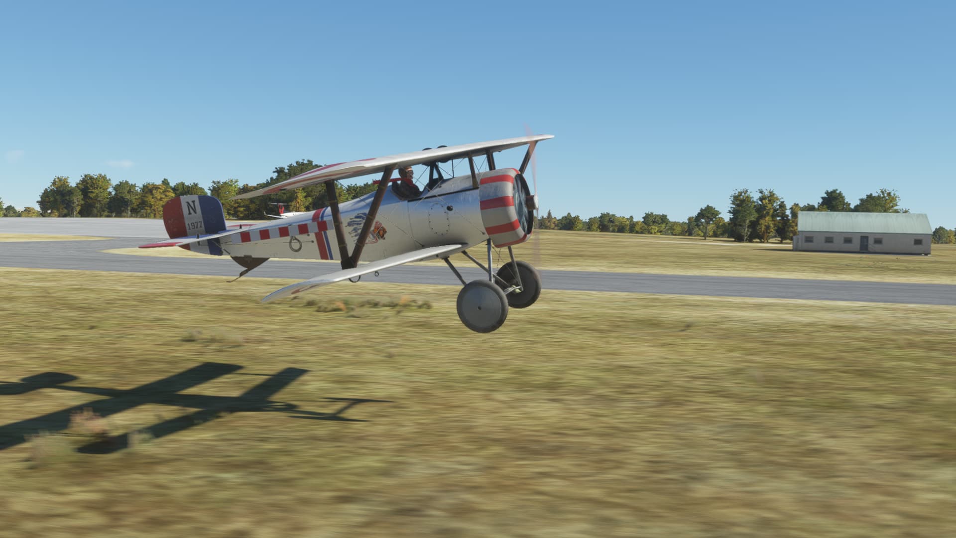
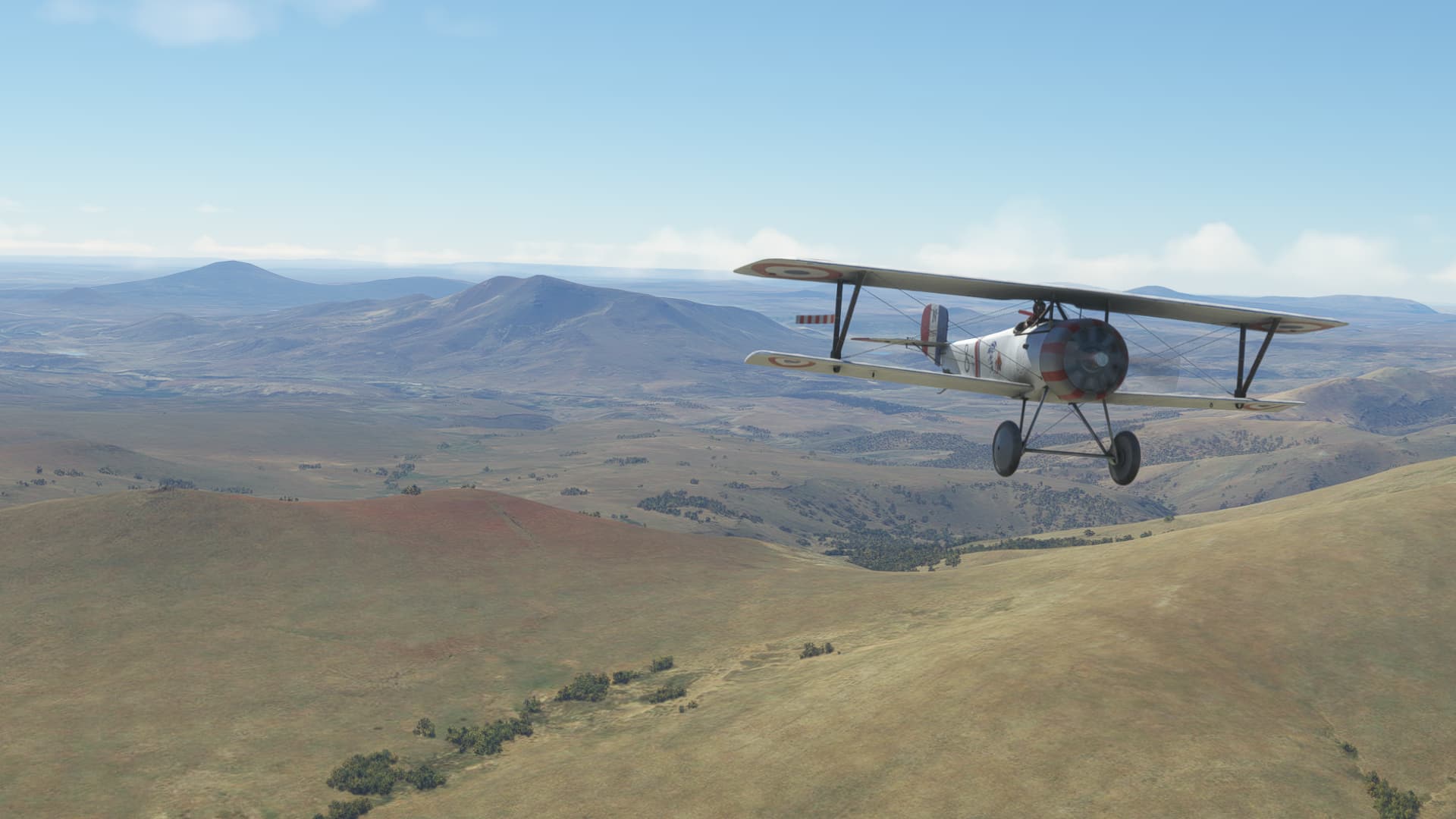
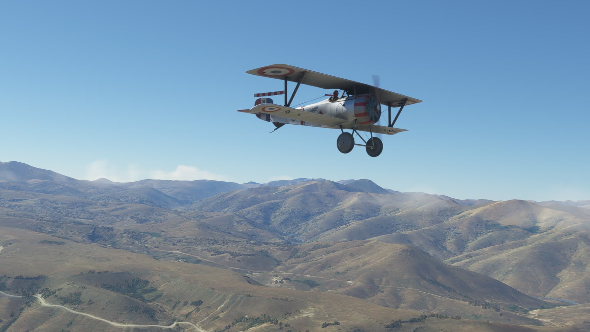
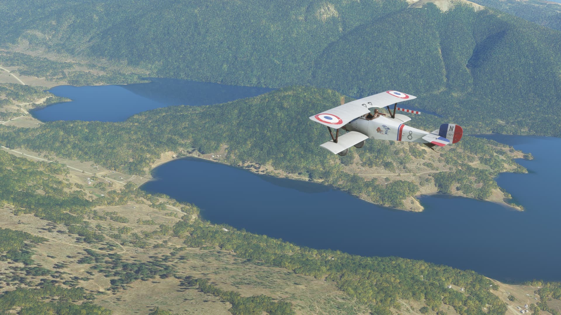
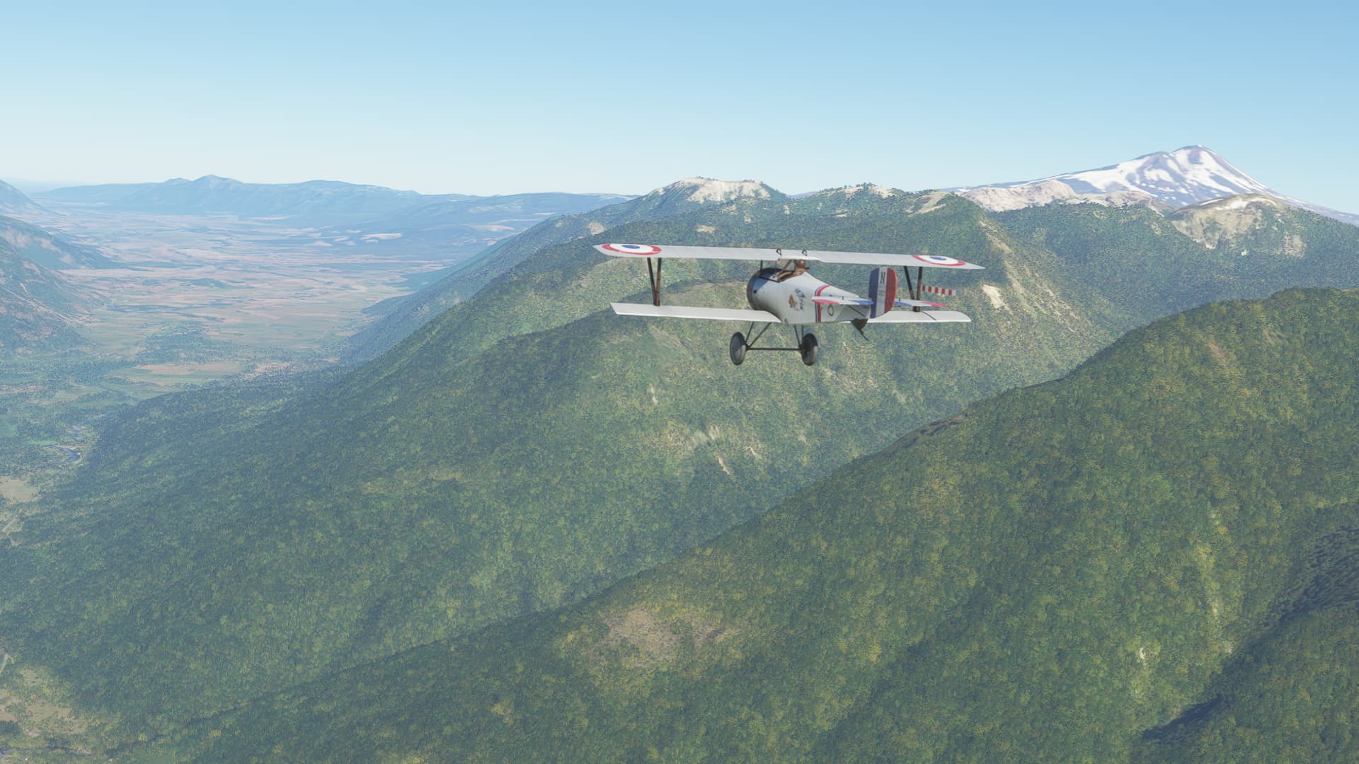
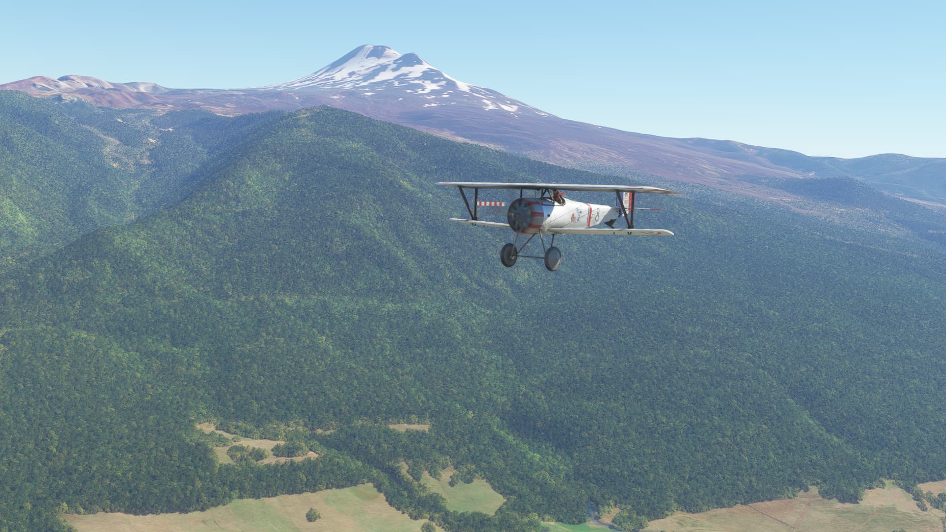
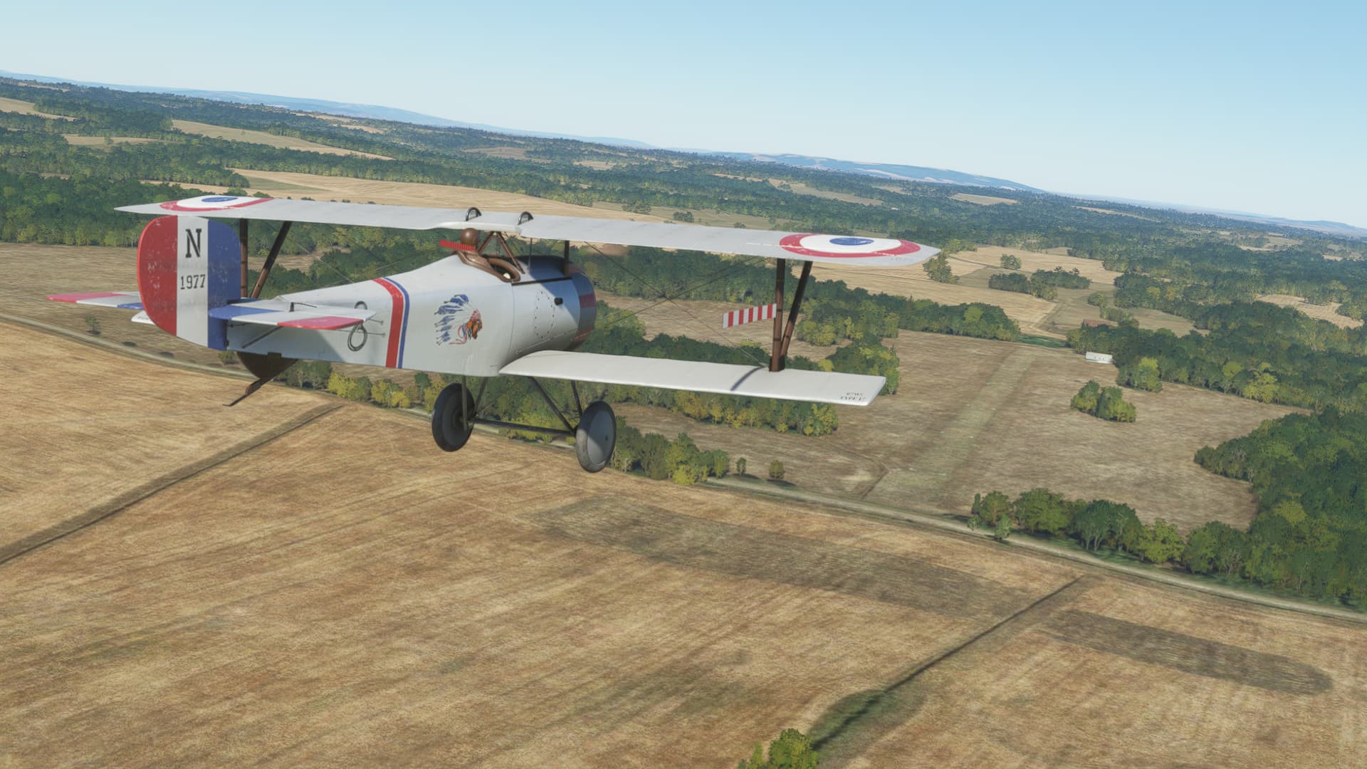
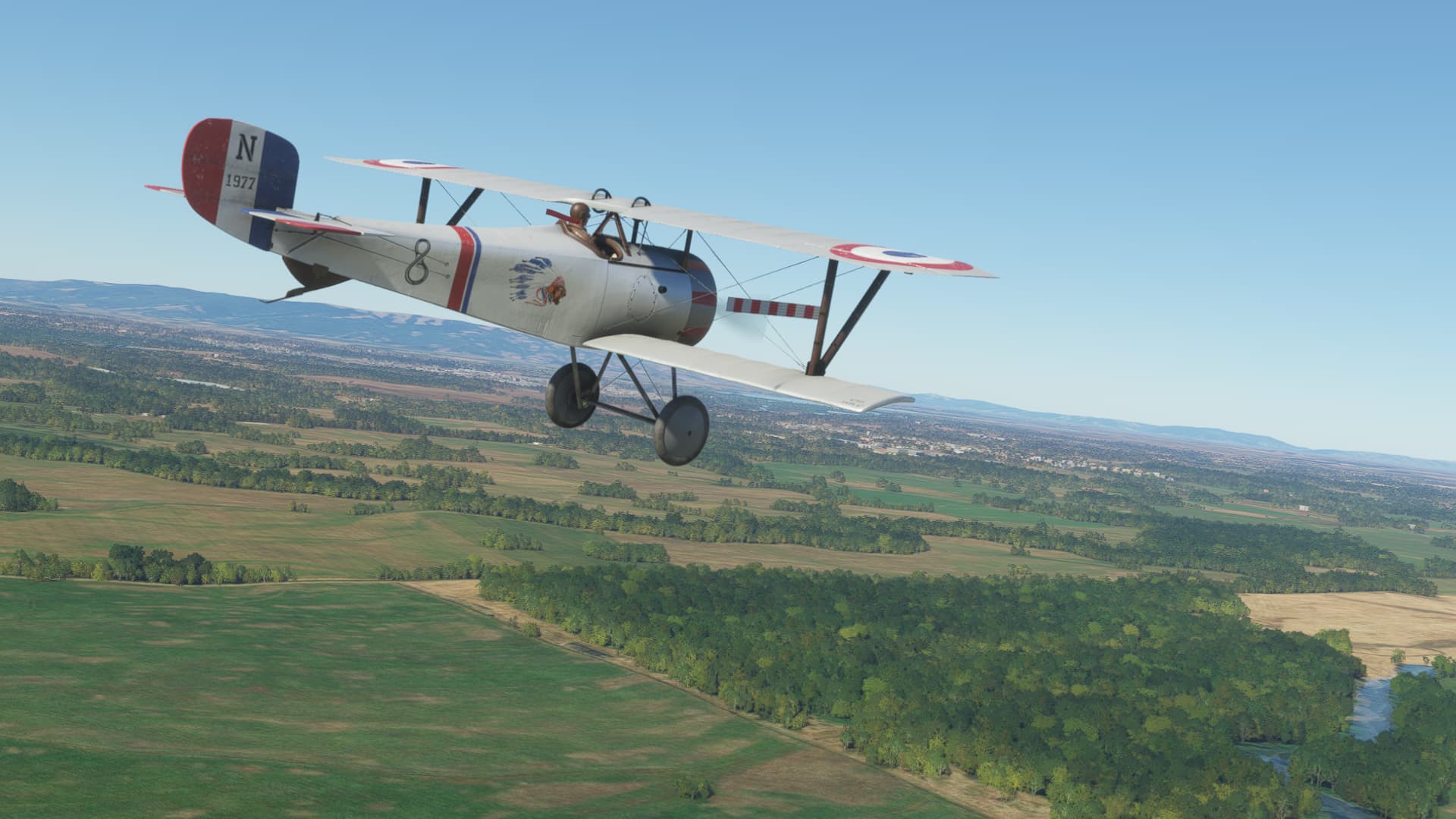
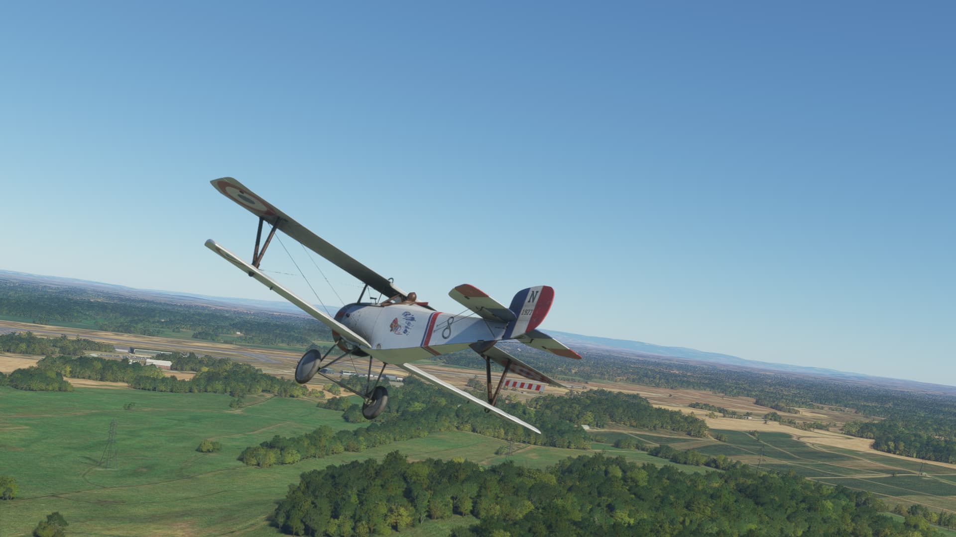
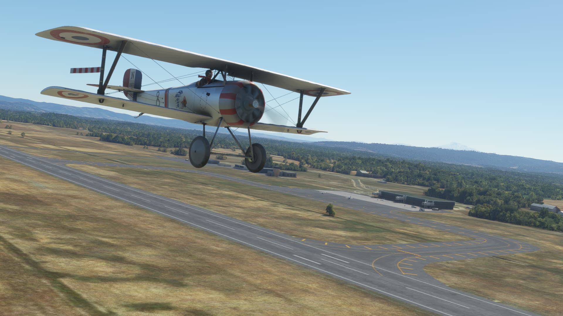
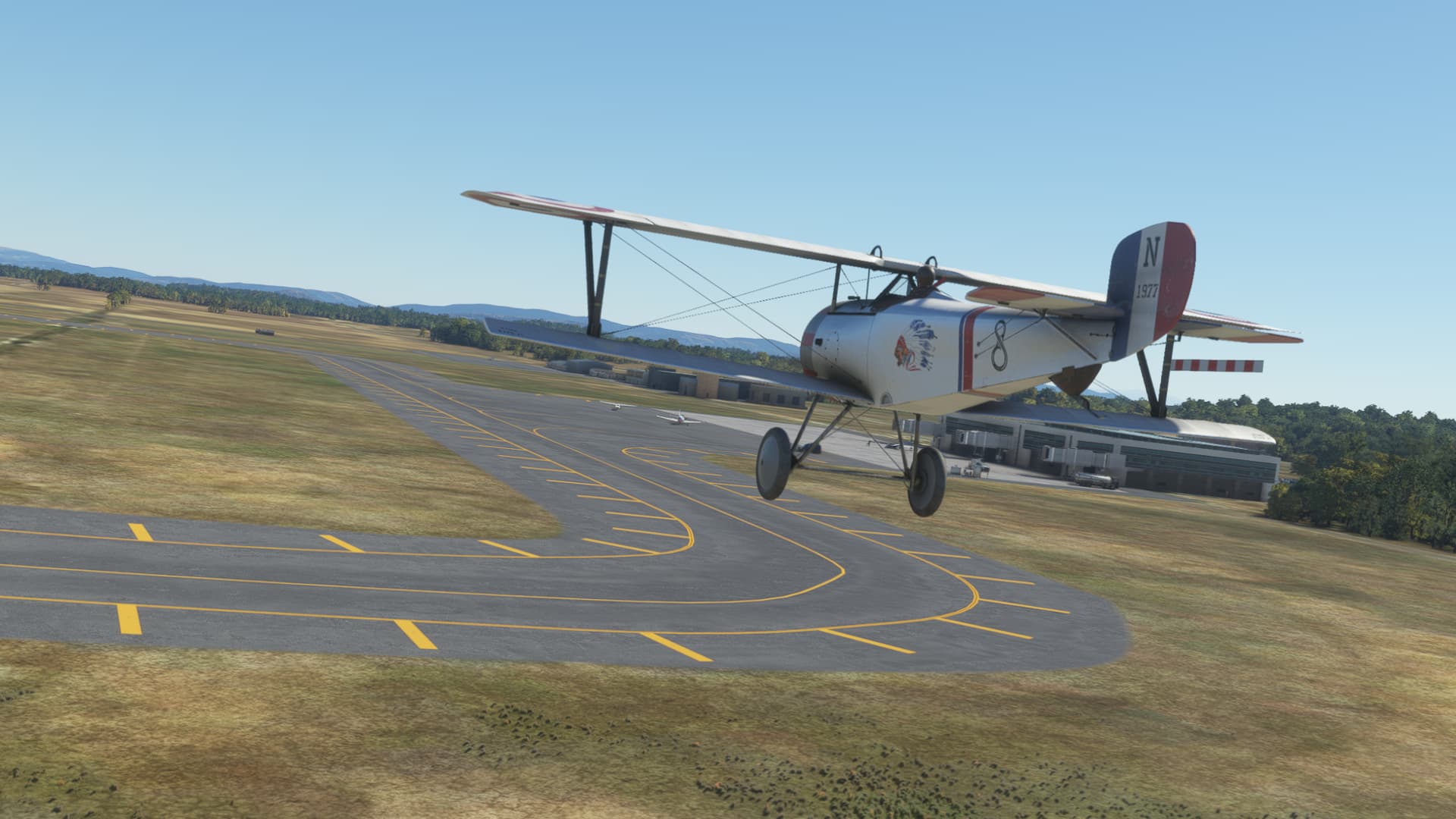
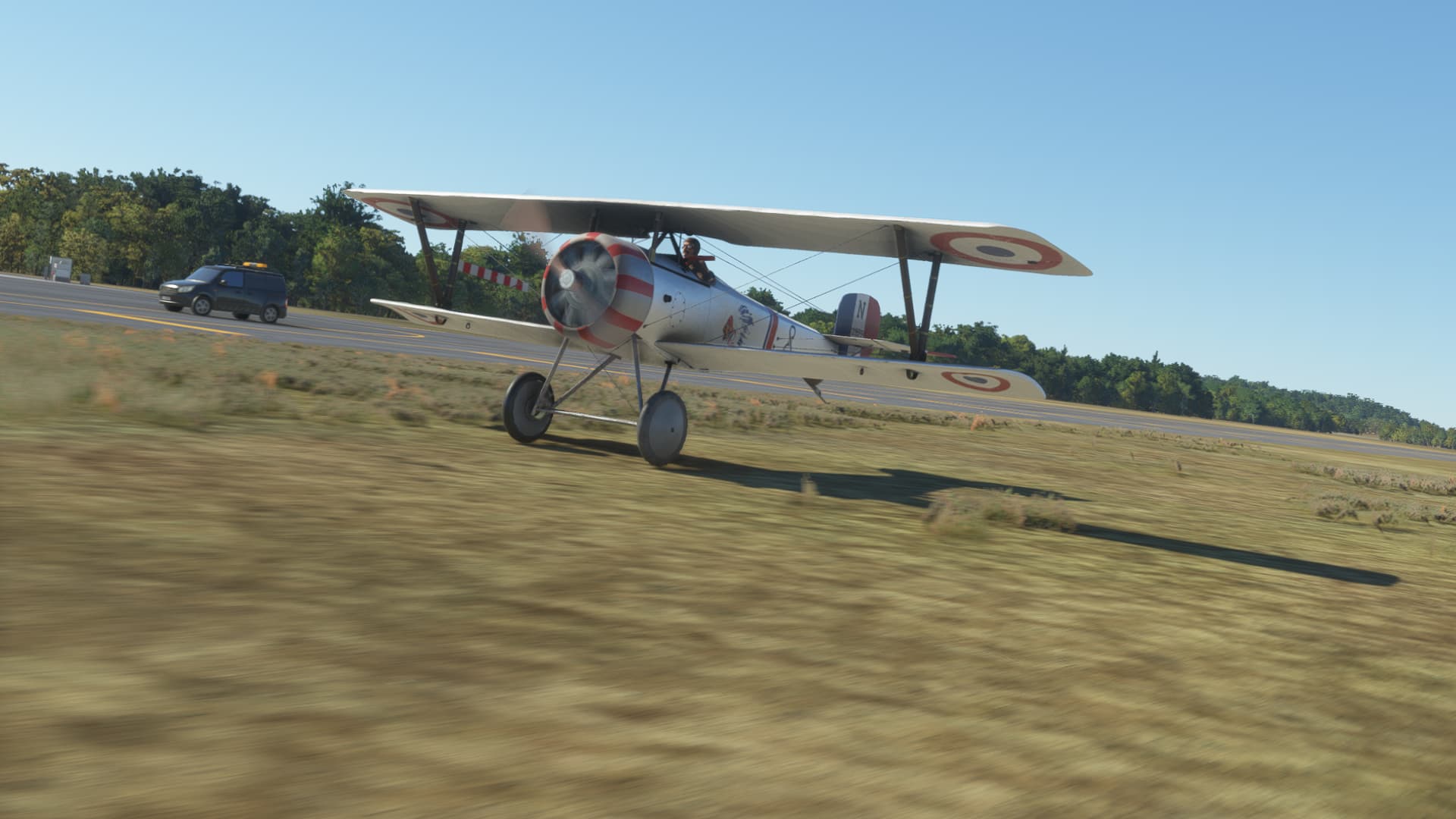
While I don’t have a Morane-Saulnier Type L, I do have a Nieuport 17 (by Big Radials) from the same period…close enough for our purposes I think.

And we are off!

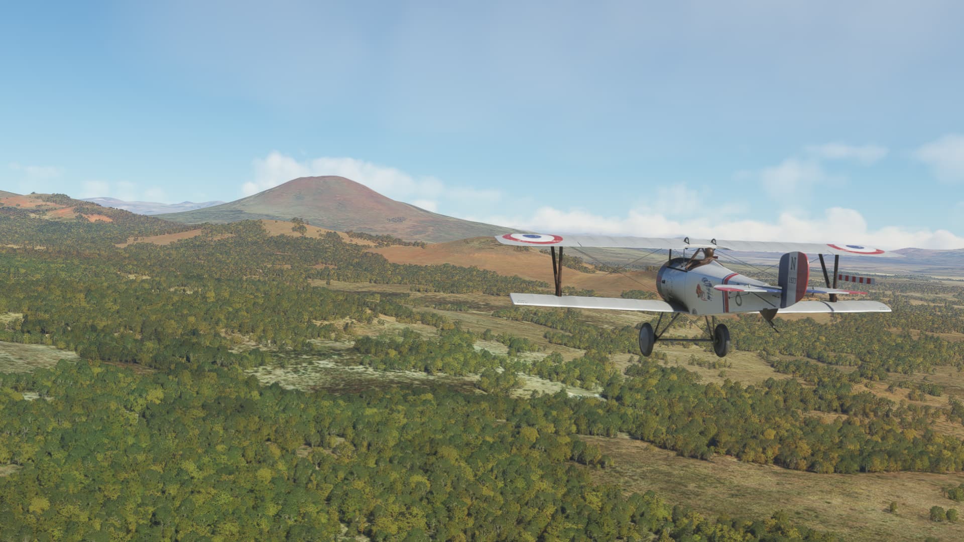
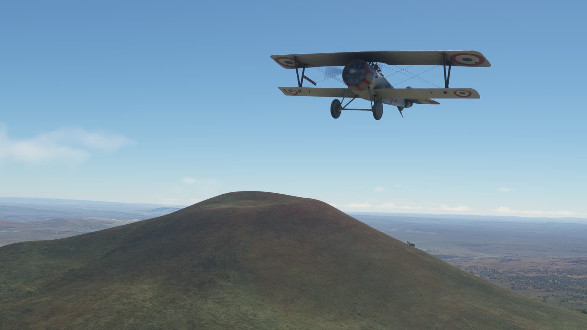
The first landmark is the Calcino Volcano (Volcán Calcino)…


Continuing west. You can still see the volcano back there.

Up ahead, the valley that will take us to the town of Cunco…

Off to the right, the volcano Llaima.

Passing over a grass strip near Cunco. I decided to press on to a larger airport, which would be better suited for the next leg.

The town of Pitrufquen

Airport in sight

Left downwind…

Seeing as this airplane has a tail skid, I decided to land on the grass …

Touchdown!

Parked.

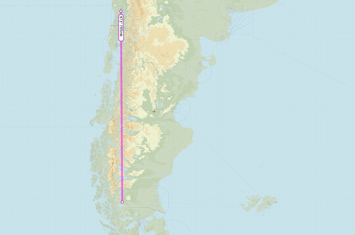
My next leg should take me almost 800 nm south to Teniente Julio Gallardo Airport (SCNT ), Puerto Natales, Chile.

11 Likes

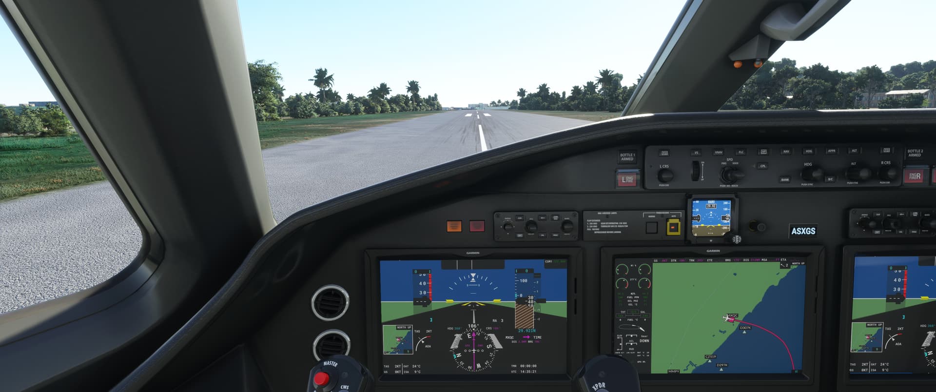
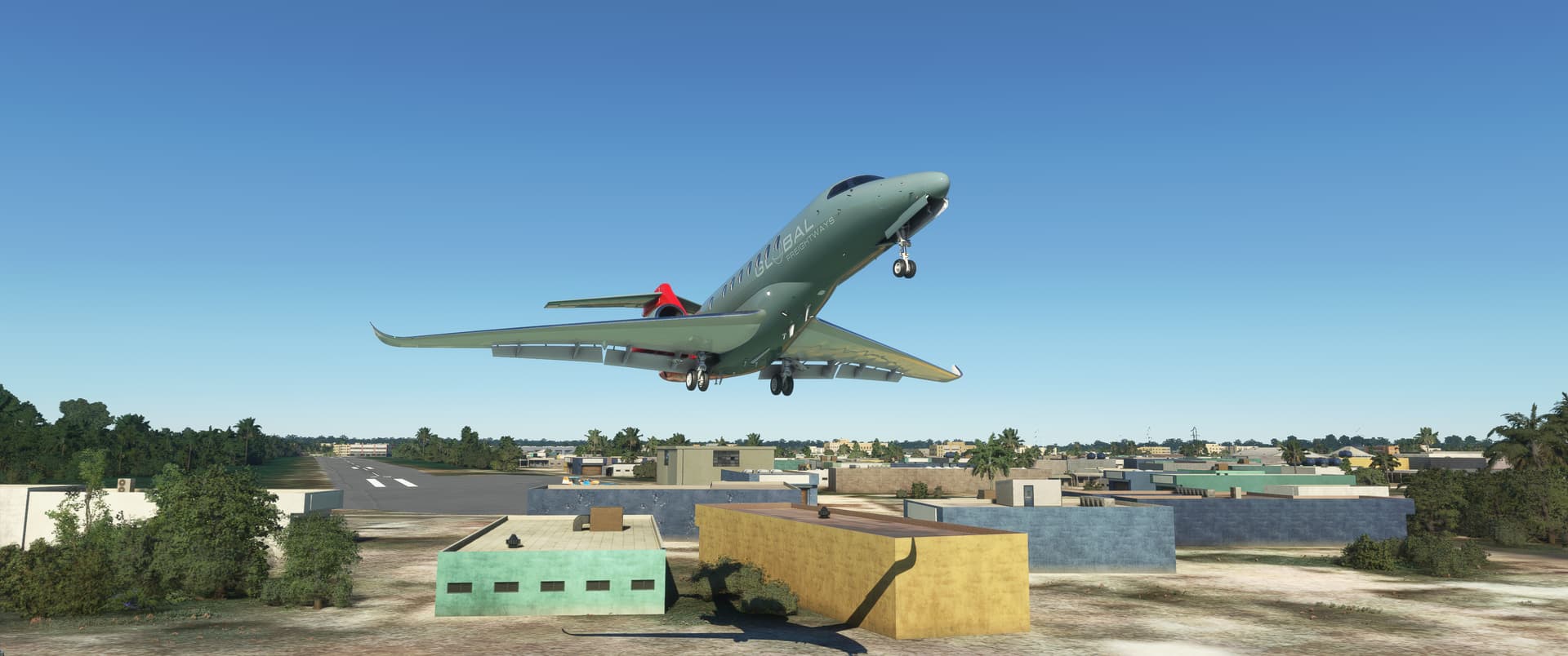
quick cargo flight yesterday, forgot that its quite long flight and the hour advanced

mostly flat west of Salvador

at least apron was iluminated

8 Likes

:laughing:

If big enough, the C152 might have been able to land on it.

5 Likes

Great job guys! You can feel it in the air, we’re getting close.

Hey, BTW. I went to download the Port Stanley scenery and saw that it had been taken down for incompatibility with SU7.

So, is the airfield there otherwise and/or does anyone who had the scenery know if it still works.

Be a shame to fly some long leg there and have the sim crash when the airfield loads.

2 Likes

The freeware version seems to work for me. I’m not sure why they took it down. I am pretty sure the airport is there by default in MSFS but it isn’t all that detailed. Worst case scenario, RAF Mt Pleasant is fairly close by.

3 Likes

Visually, it looks OK to me too.

Let me know if you want me to share the zip with you.

2 Likes

Good! After seeing some missing airfields in MSFS, I was concerned that our Christmas destination wasn’t going to be there!

1 Like

La Araucanía International Airport (SCQP) to Teniente Julio Gallardo Airport (SCNT ), Puerto Natales, Chile.

I guess the title for this leg would be “Oops!.. I Did It Again”. :crazy_face:

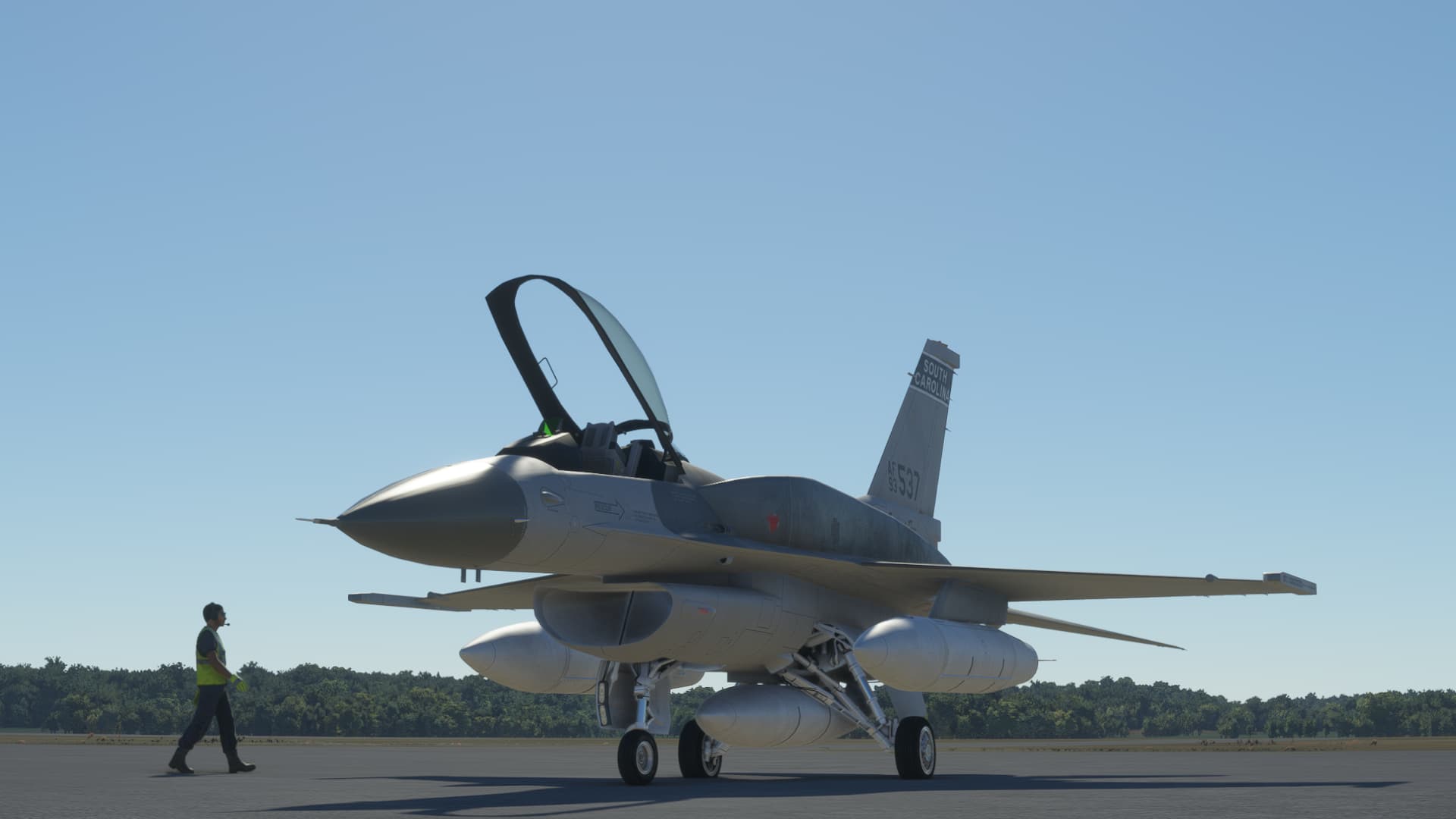
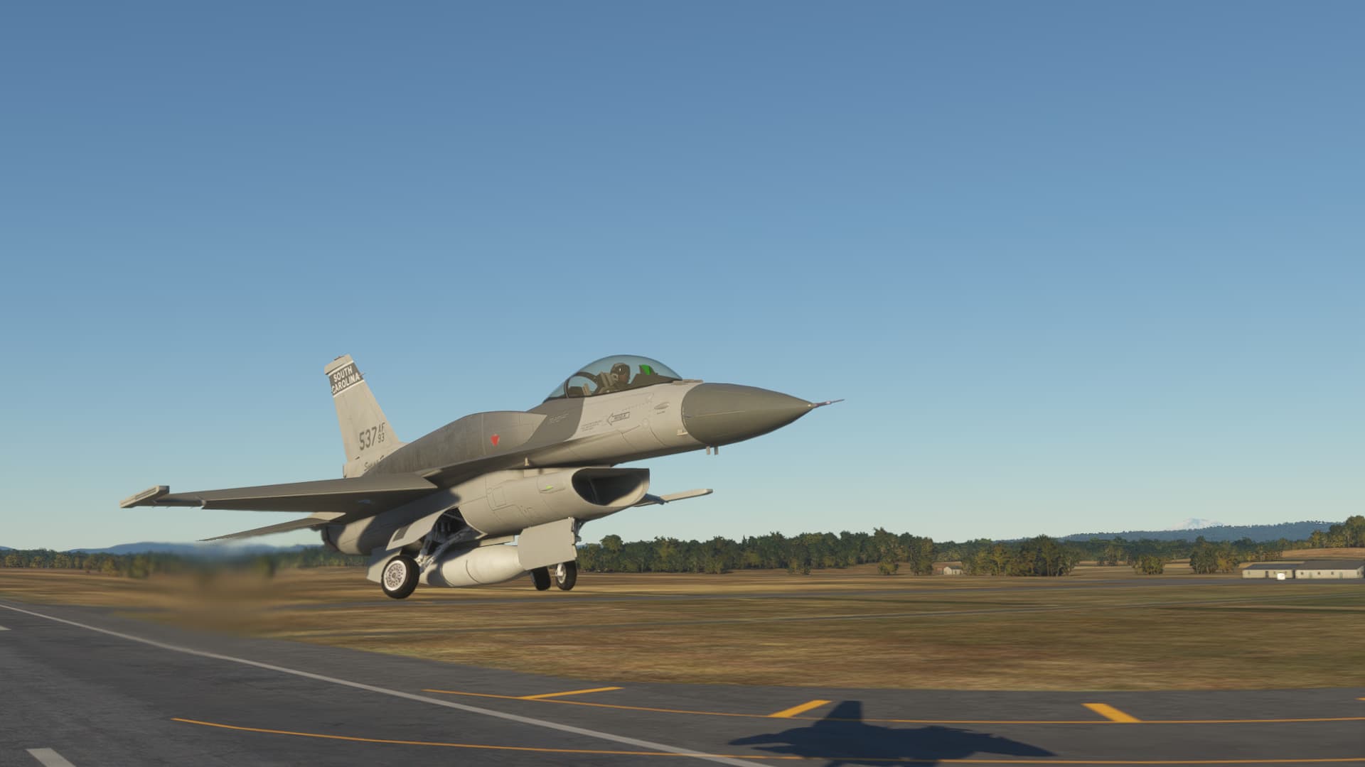
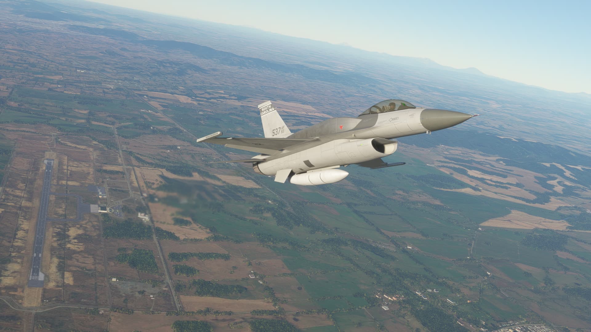
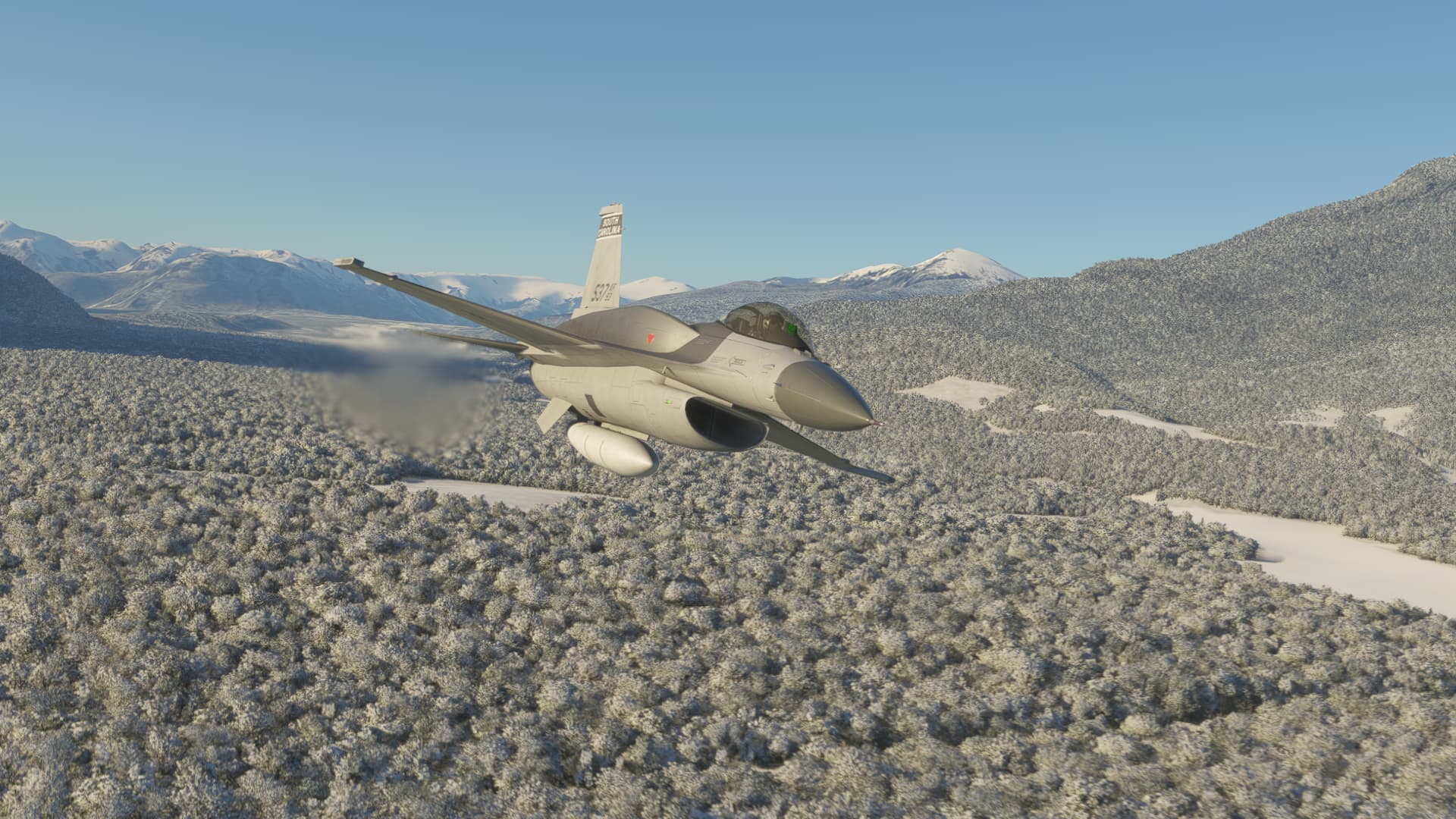
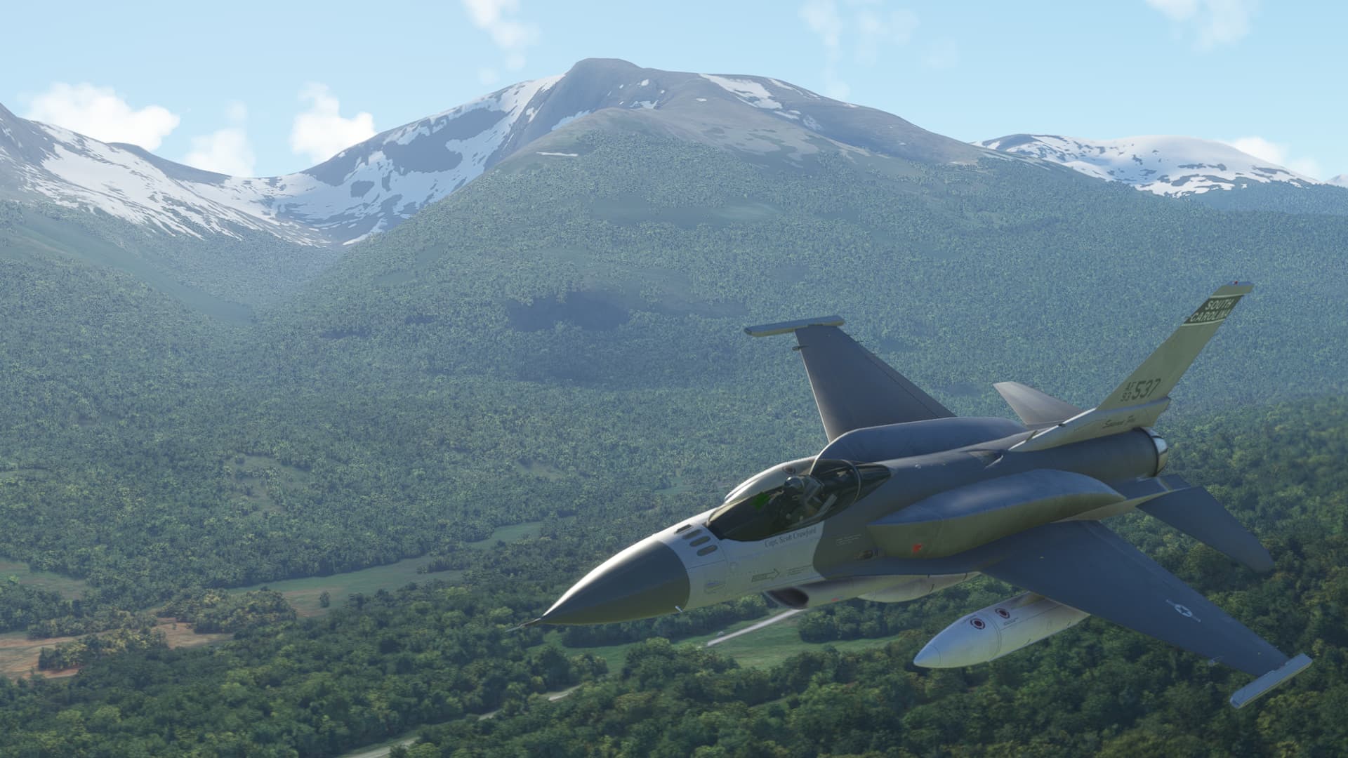
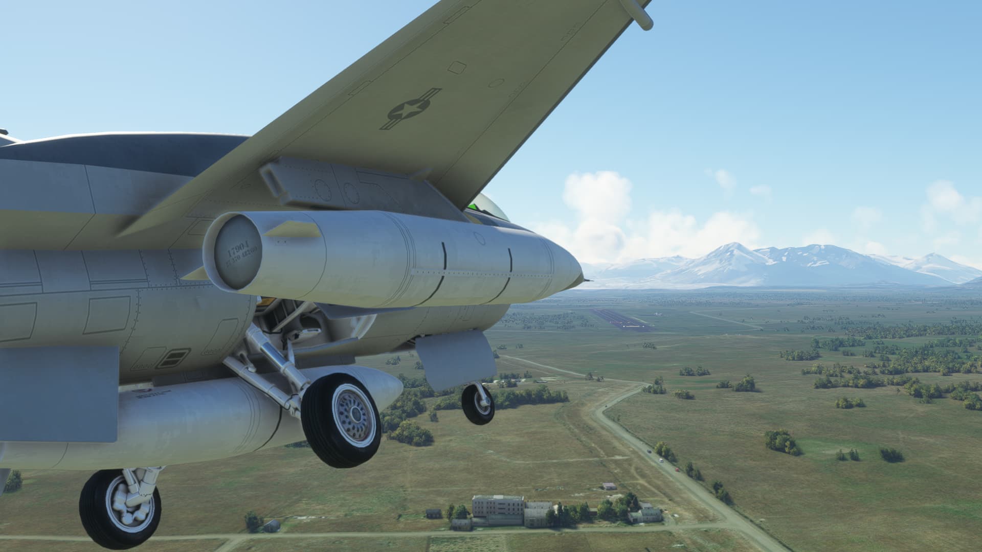
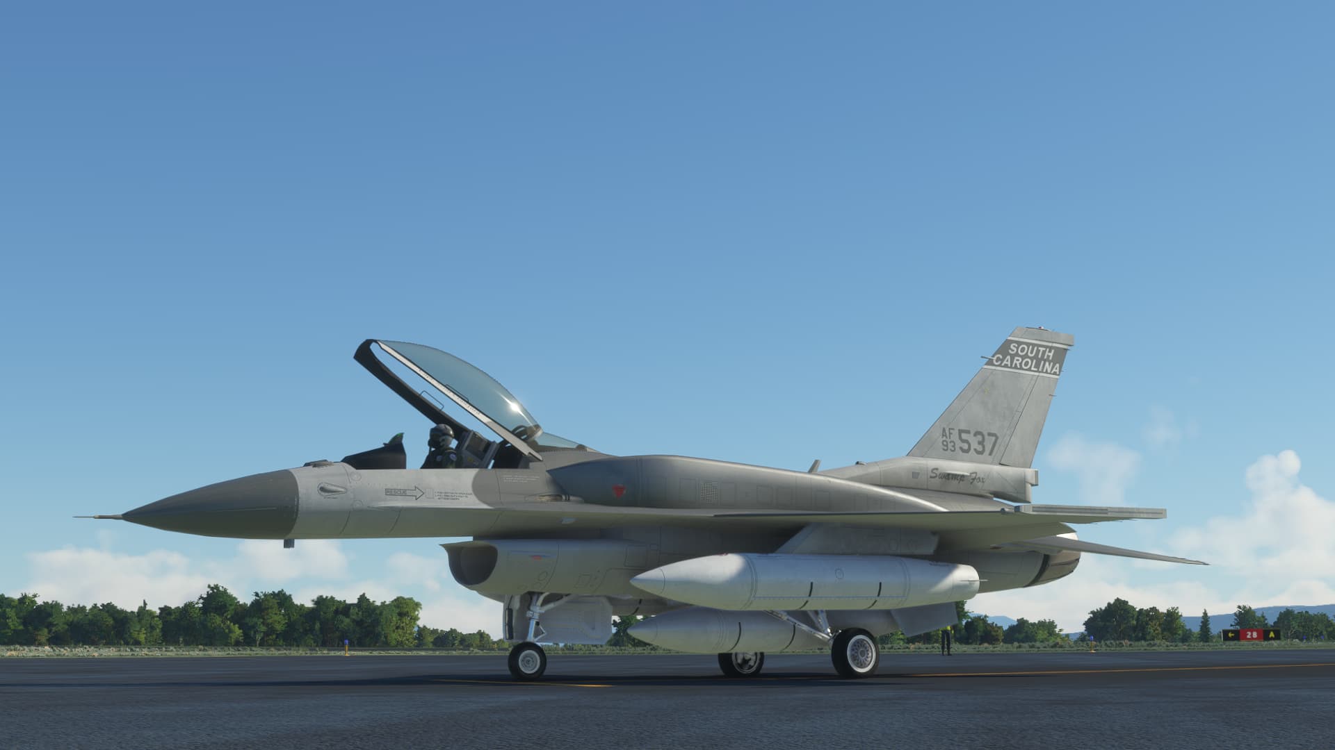
The SC Designs F16 dropped today…so:

Loaded up with all the fuel I could take, she still performs well on takeoff.

Climbing out…

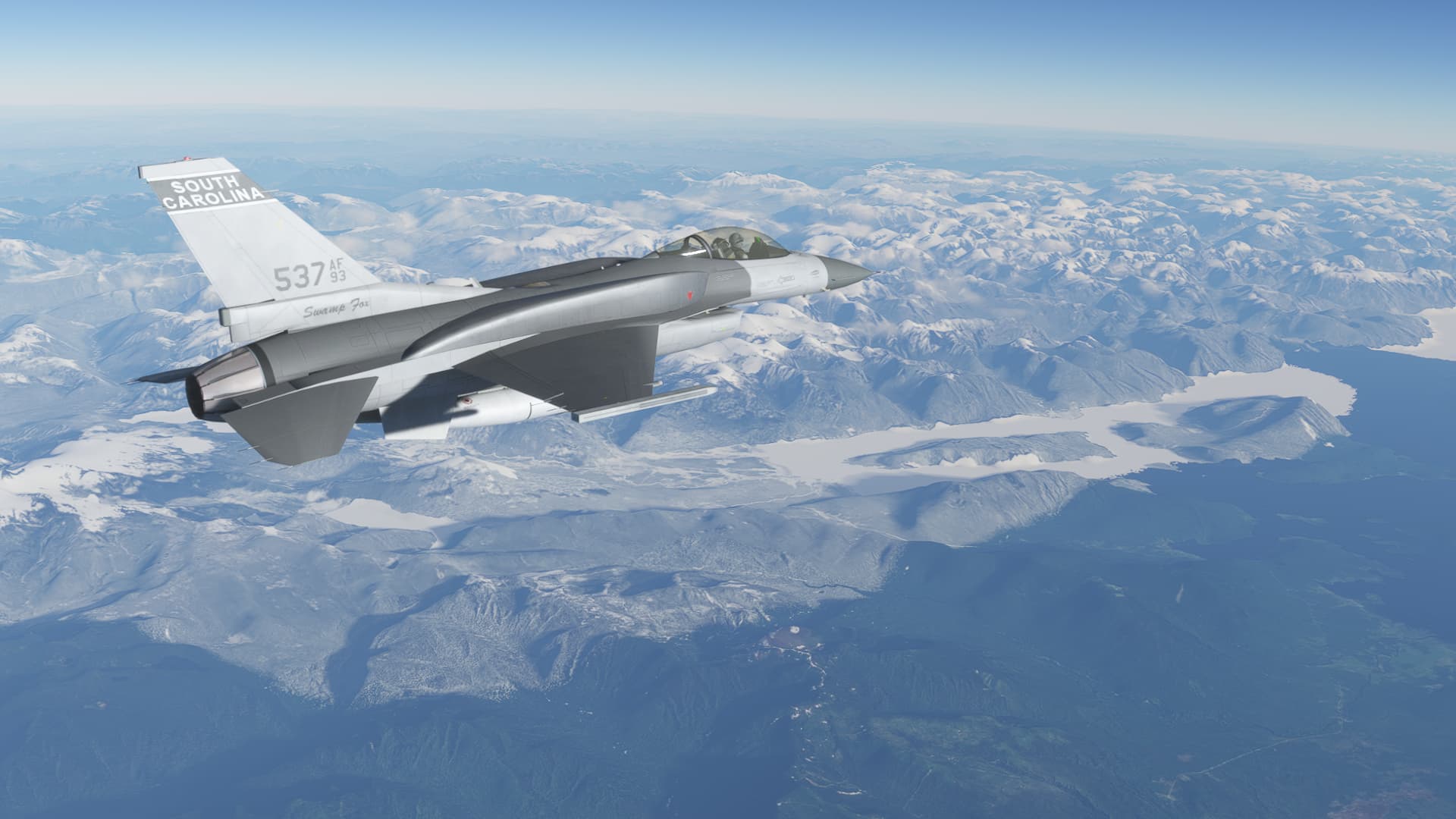
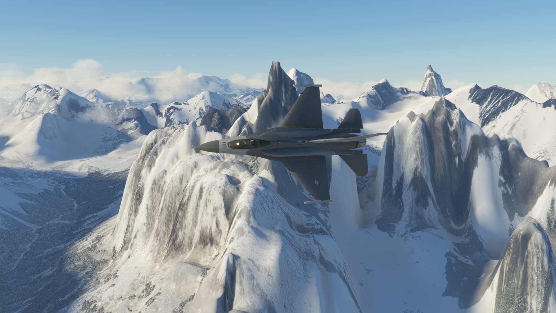
I was soon cruising along at FL410 M0.92 but that looks like too much fun down there…

So fuel burn be damned…


After playing in the frozen weeds for awhile, I went back upstairs for the rest of the transit except for a brief visit to the Torres del Paine National Park . I’m considering coming back here for a better look around in something a little slower before pushing on.

Teniente Julio Gallardo Airport in sight…

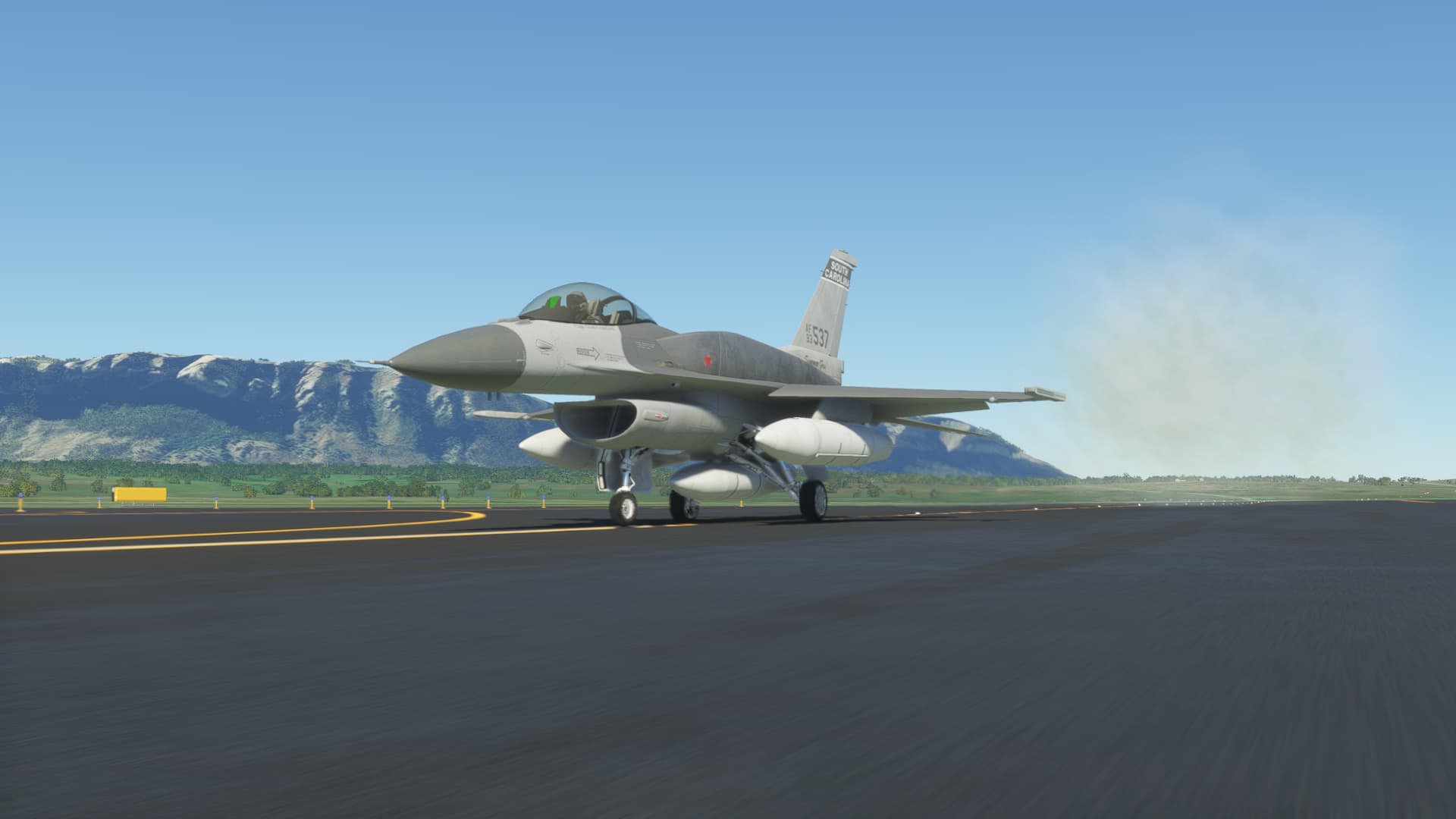
Turning final.

That cloud of smoke behind me actually came from the tires…so I guess my landing was ‘positive’. :grimacing:

But the airplane can be used again…so all is good.

Not too far to go now. :sunglasses:

10 Likes

Wait… where did the tanks go in some of those shots?

3 Likes

Good spot… that’s what happens when you use a replay to get missed shots and don’t configure the aircraft properly. :woozy_face:

6 Likes

On the one hand Yay viper in MSFS! the ultimate joyride for sightseeing. Also a crate I won’t have to learn all over again, because I’m intimate with it.

On the other hand Gah those shoulder bags. What an abomination! My eyes! I need to go wash them with bleach now. What did they do to my beautiful girl?

On the gripping hand, it’s MSFS so probably not much depth to it anyway, right? And how well does that cope with things roaring along at 600 knots?

4 Likes

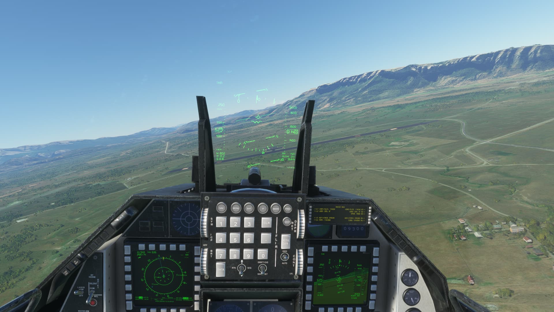
Sim Lite, most definitely. I threw the conformal tanks on because lots of fuel is a good thing if you don’t really know how much you need :wink: .

It’s fun and easy to fly, with a great view in VR. It most definitely isn’t the DCS Viper.

5 Likes