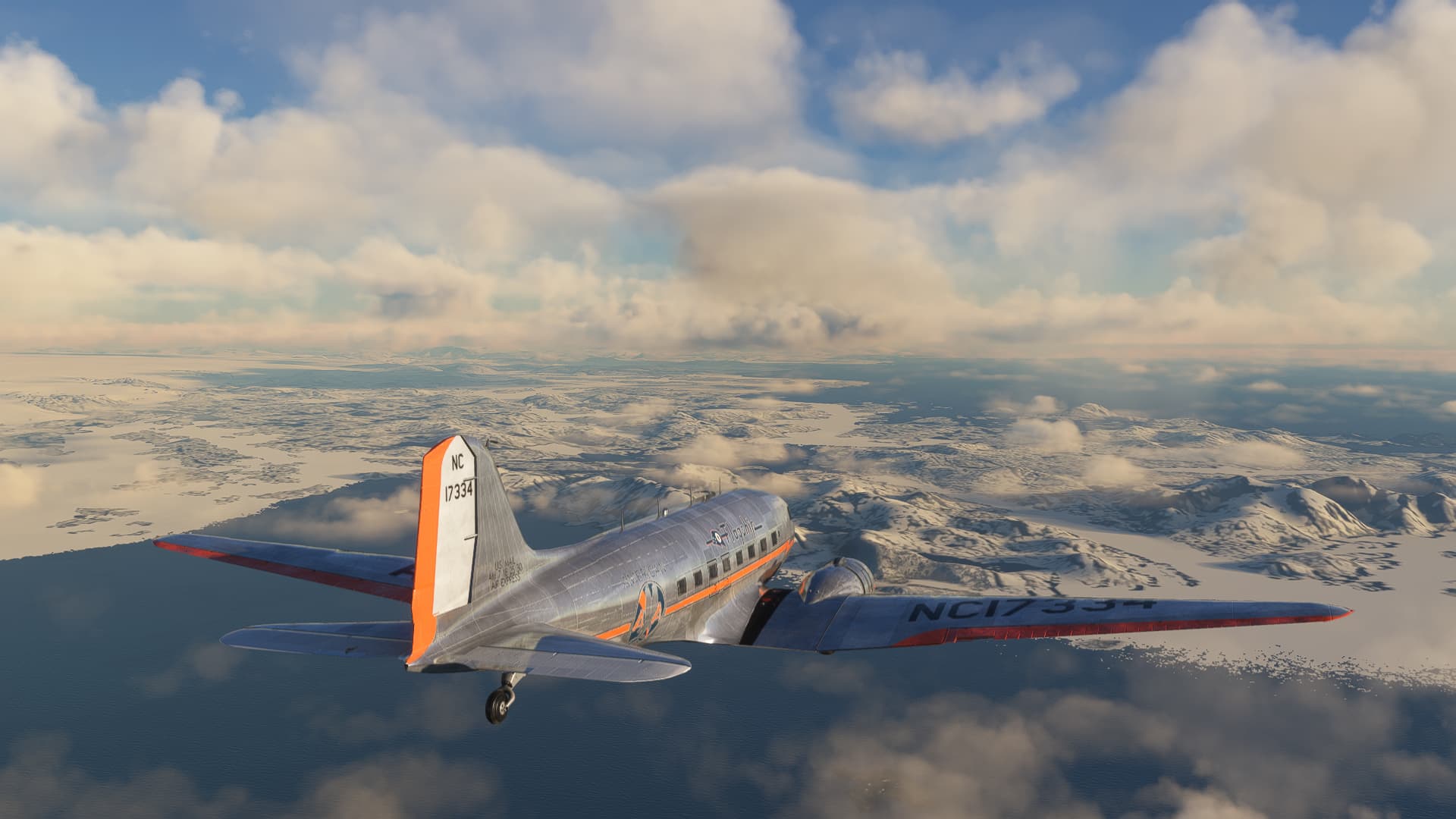
Great reports, everyone. We seem to be converging on the NAT tracks all at the same time!
I took a few days off in Northern Europe. My sunny, bucolic dash across the eastern continent seems to have turned a bit cloudy and grey.
Still, what makes a poor day for flying makes a great day for schnapps and a warm fire!
#glasshalffull
#ofschnapps
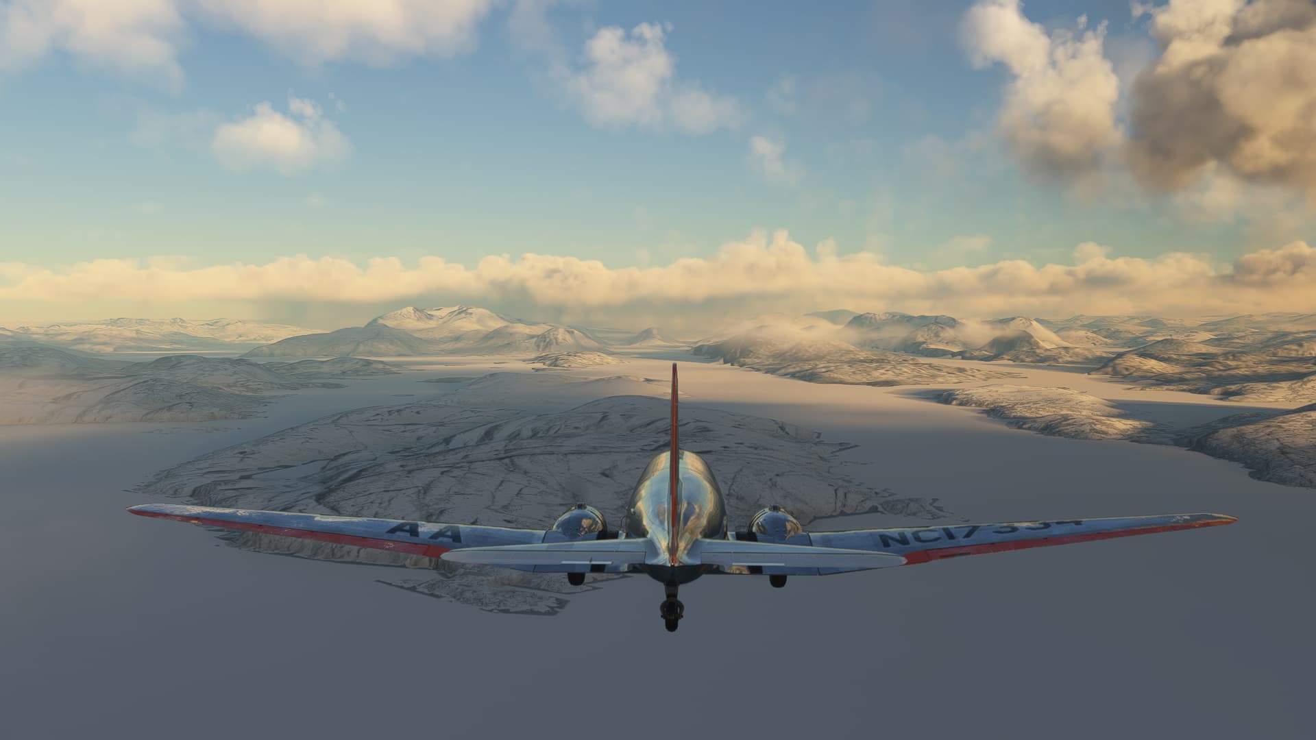
Can’t just sit here all winter, however, can I?
Hmmm, or can I? 
No, I guess I can’t.
Leg 27 Eindhoven Airport, Eindhoven, Netherlands (EHEH) TO RAF Brize Norton, Oxfordshire, England, UK (EGVN)
A splash of water on the face, a brisk tip toe across the cold floor and into my flight boots (which I’ve left by the fire), and I’m off to Old Blighty.
260NM and a hop across the Channel (even I should be able to find that) and @Victork2 gets an unexpected house guest. 
“Cue the music, Squiffy!” (It makes the report better, trust me)
Ron Goodwin : Battle of Britain, original film soundtrack (1969) - YouTube
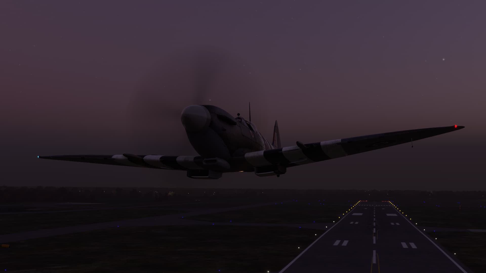
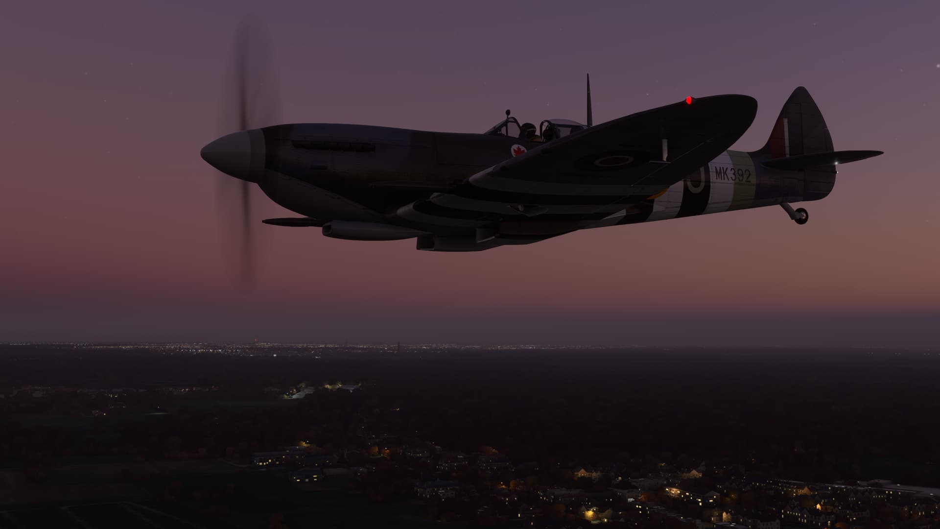
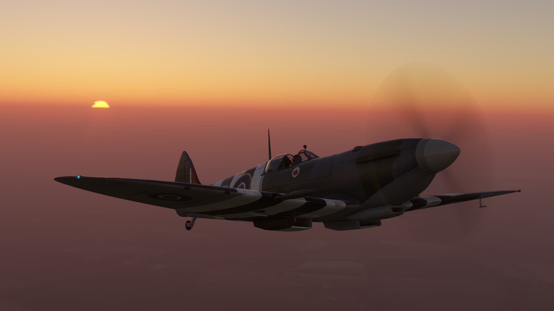
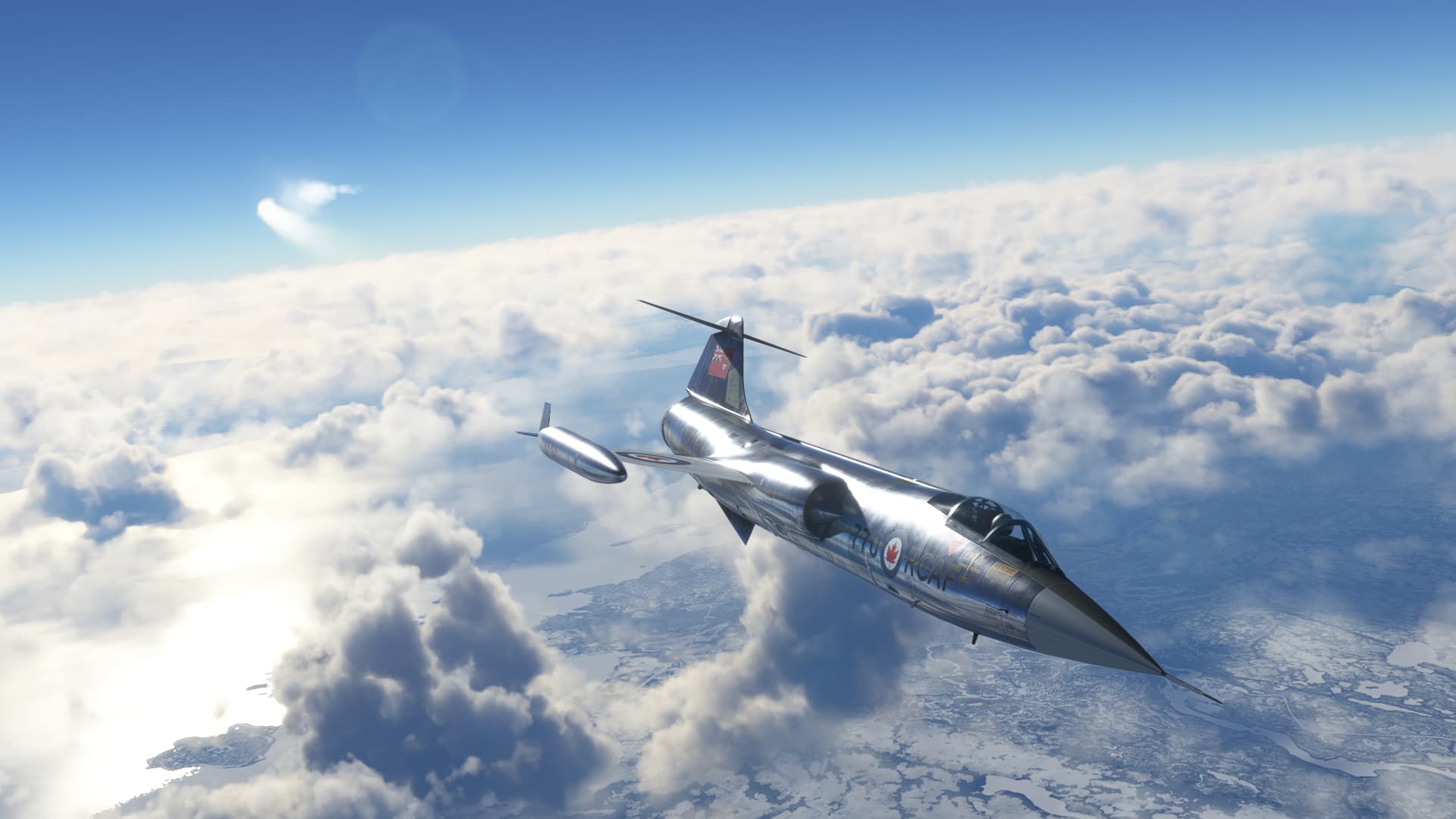
It stands to reason that there would be only one proper aircraft to make this leg, the Flying Iron Spitfire Mk IXc. Here in Wing Commander J.E. ‘Johnnie’ Johnson’s livery by Jankees.
Now, with LIVE WEATHER!!!. Yes, Live Weather has returned to Deacon’s computer with SU11. This has really made my day. REX weather was great, but the better meshing of METARs and frontal weather by MSFS makes for a much more believable environment IMHO.
And as a special reward for my patience…
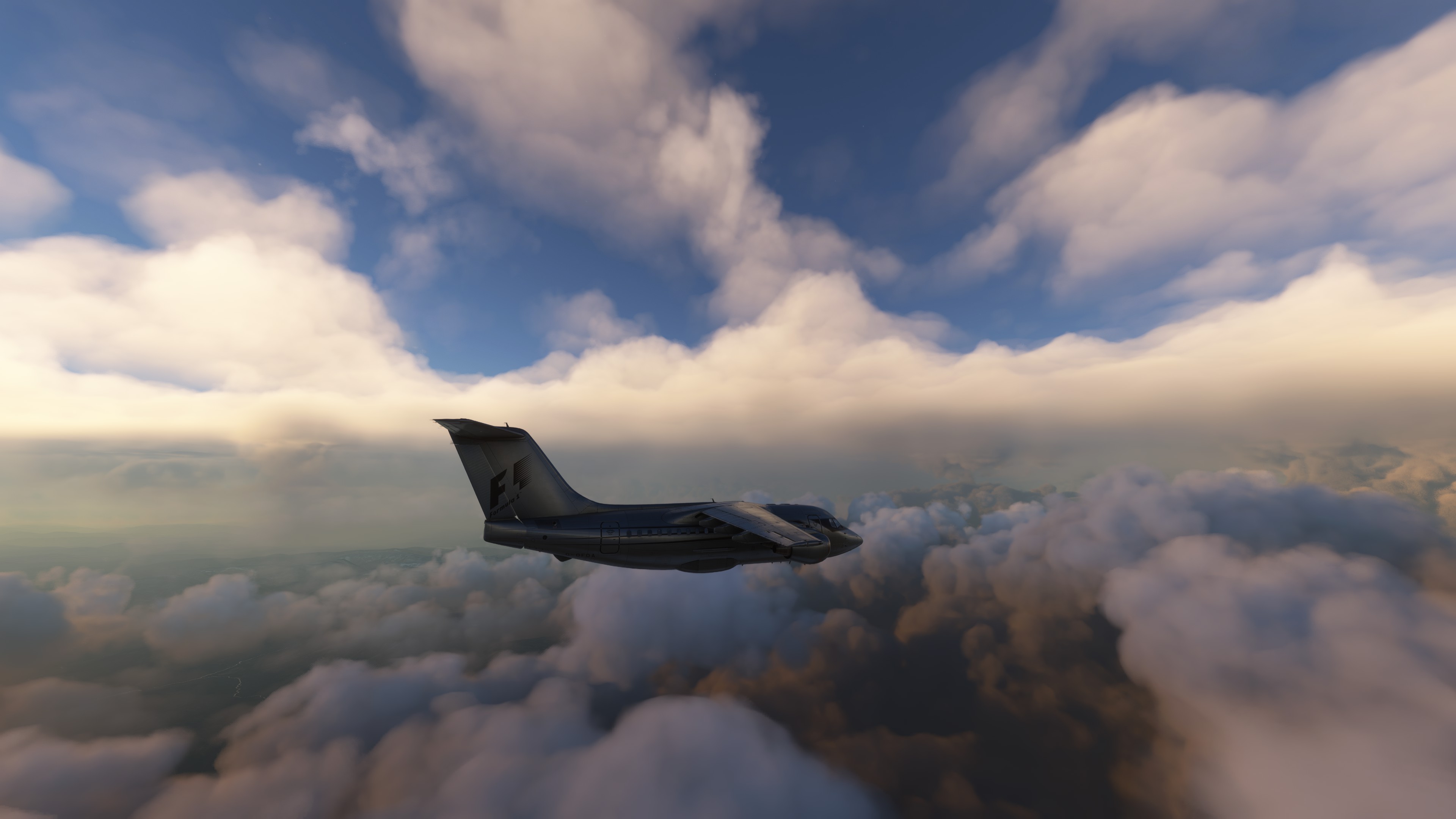
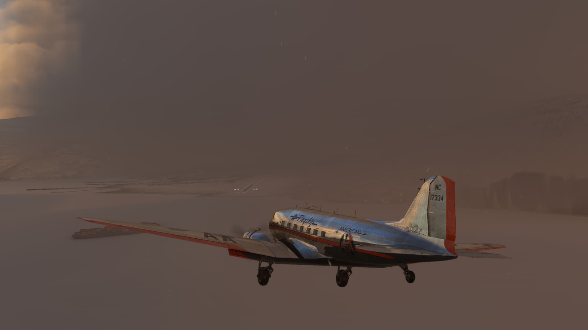
Ta Da! The Goo! The Soup! The Clag! This might fall under the heading of, “Be careful of what you ask for”. 
Actually, the weather in Eindovhen isn’t particularly bad. It’s just misty. But it does shorten the horizon somewhat.
Still, all I have to do is find the Channel and I’m hoping gross map correlation will take me on from there.
Let’s see how that works out!
Turns out, the Low Countries are actually quite, wait for it, low. Flat too. Other than hawking the compass, my best tool seems to be pinging off the passing towns, like a Snooker ball.
The distant lights of what must undoubtedly be, he said with more confidence than he felt, Tilburg dial me in to my approximate position.
Followed by a close encounter with Baarle. You can almost imagine the flat silence of a foggy Fall morning…
being interrupted by the high tearing of a Merlin coming in over the treetops.
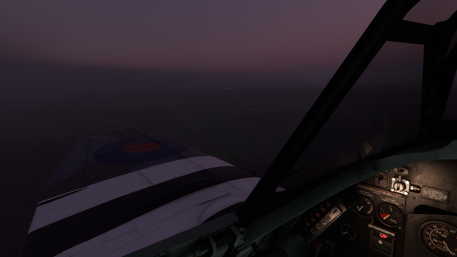
The sun is beginning to peak over the flat haze layer. But the misty air coming in through my open cockpit still brings a damp chill.
I pull the collar of my Irvin higher up against my neck.
A last pass, eye level to the church steeple at Wouw, tells me I should be getting close to the sea.
Time to take my usual peek.
It seems that I am approaching the Oosterschelde, literally the eastern estuary of the Schelde. I can work with that. The peninsula to the south of me appears to be the Walcheren (Maybe? I still can’t tell sometimes what the map is referencing. City or state? Fish or fowl?)
In any case, this seems like something there shouldn’t be two of.
Map says it’s the Werkeiland Neeltje Jans. “Work Island” I’m assuming is the loose translation. Artificial island, maybe? The wacky part, at least to me, is that it seems to be both the location of a theme park and the anchor of the Eastern Scheld Storm Surge Barrier; visible to the north and south.
Hopefully, not serving both functions at once! 
I try to get to the point of Walcheren. That’s its name now, dammit! I’ve decided.
And turn back on course towards England. The fog bank in the distance is completely failing to fill me with enthusiasm.
In time…
“Dover?”
No, Bradwell on Sea, but good guess!
A fog lays upon the land like a blanket. “Blankets it”, someone better at English than myself might say.
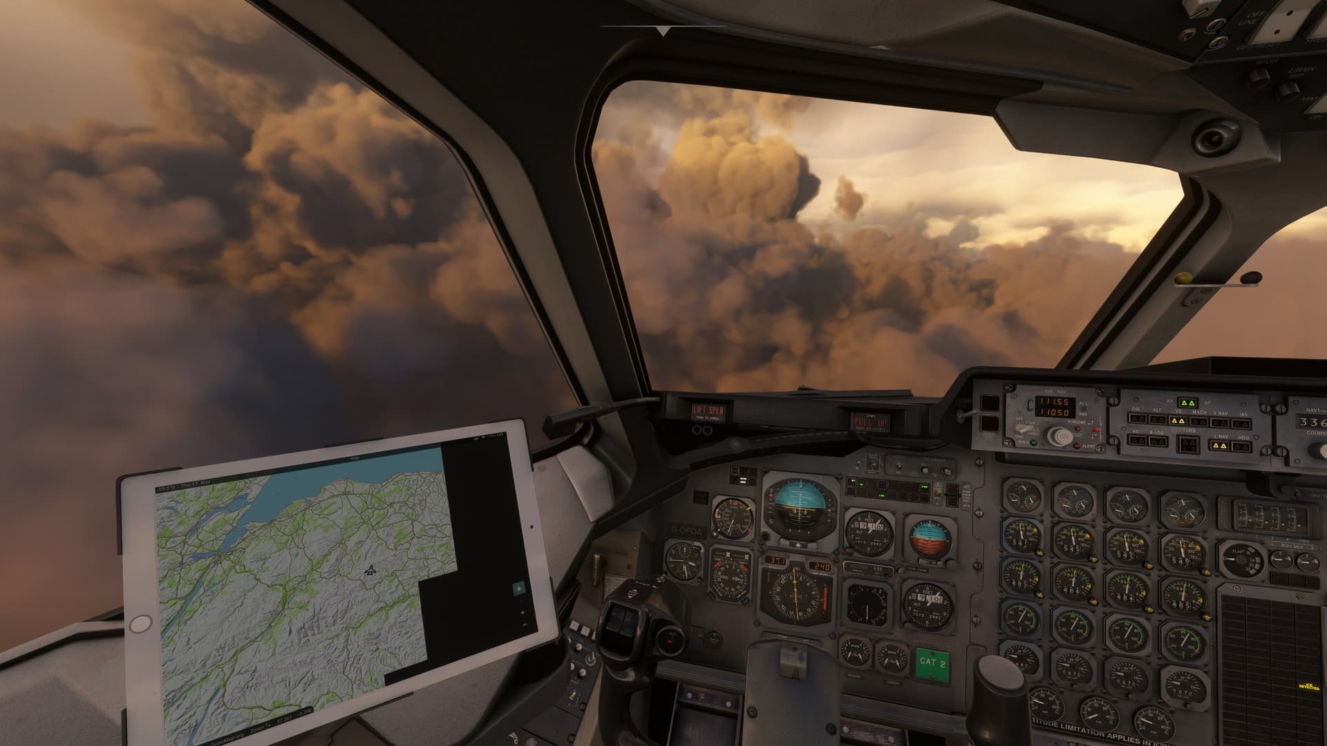
I need to see what the view is like down low. I don’t have a ton of gas and no idea of how to shoot an approach in this thing without a good, old fashioned GCA.
You don’t happen to have a GCA on you, do you? No? Me neither.
Not good. This is the view from about 600ft.
I probably get down to about 400ft before I chicken out and climb back up to 1000.
I may have to make a play for it eventually. But there’s no point in smacking into a hillside any earlier than I need to.
There is a brief sucker hole that fills me with false hope. But it disappears within a few minutes.
Eventually, the time comes to poke my nose back down in hope of sighting the field.
With exquisite care, I get low enough to make ground contact. After a fashion.
The houses streak by below, close enough to touch.
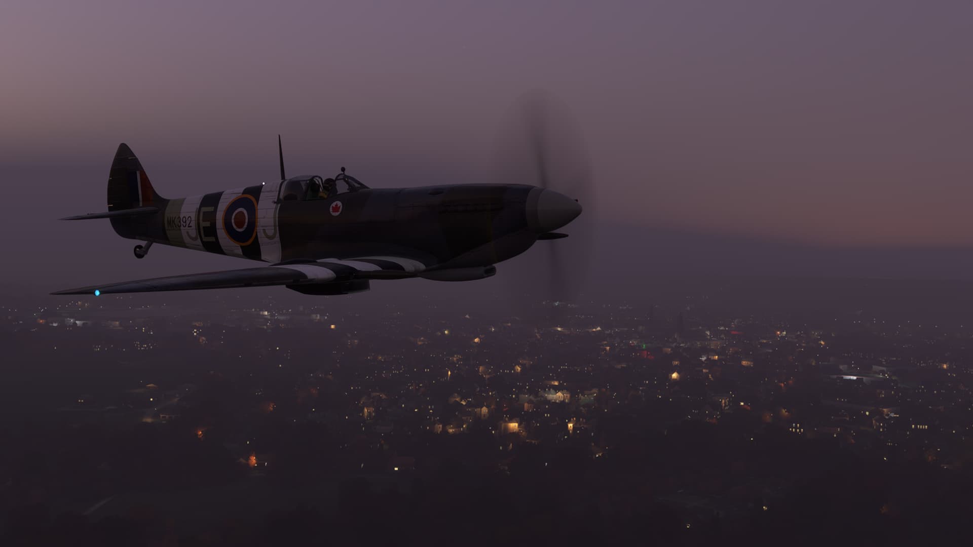
And then, in what is becoming a bit of a “thing” for me, I unexpectedly break out of the fog and into the misty sunshine!
I spy what looks like it could be the spires of Oxford. I heel on over and make a play for them.
Bloody Marvelous!
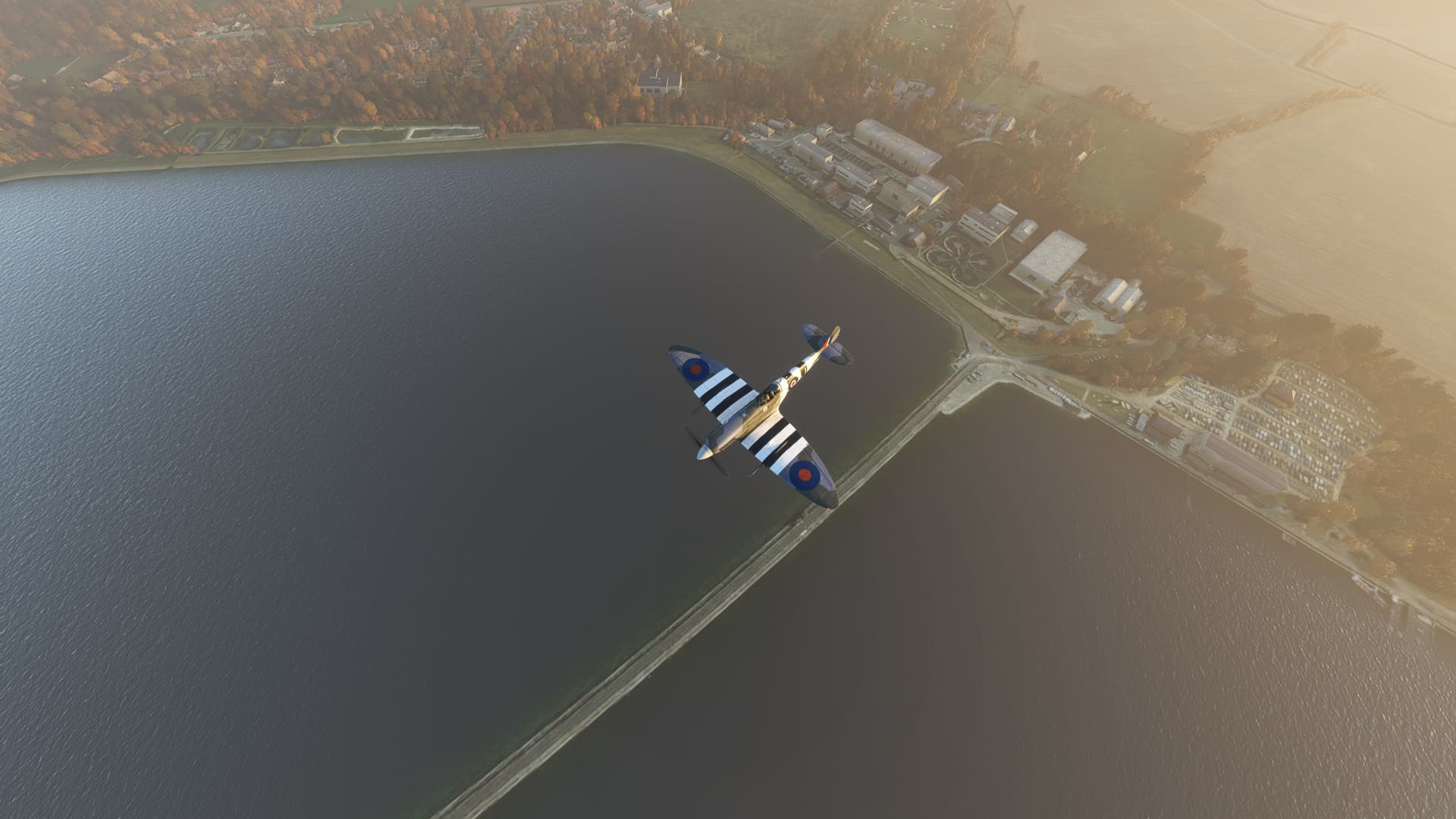
From Oxford, I can find the Farmoor Reservoir.
Which leads me, through spectacular rolling fields,
To Brize Norton!
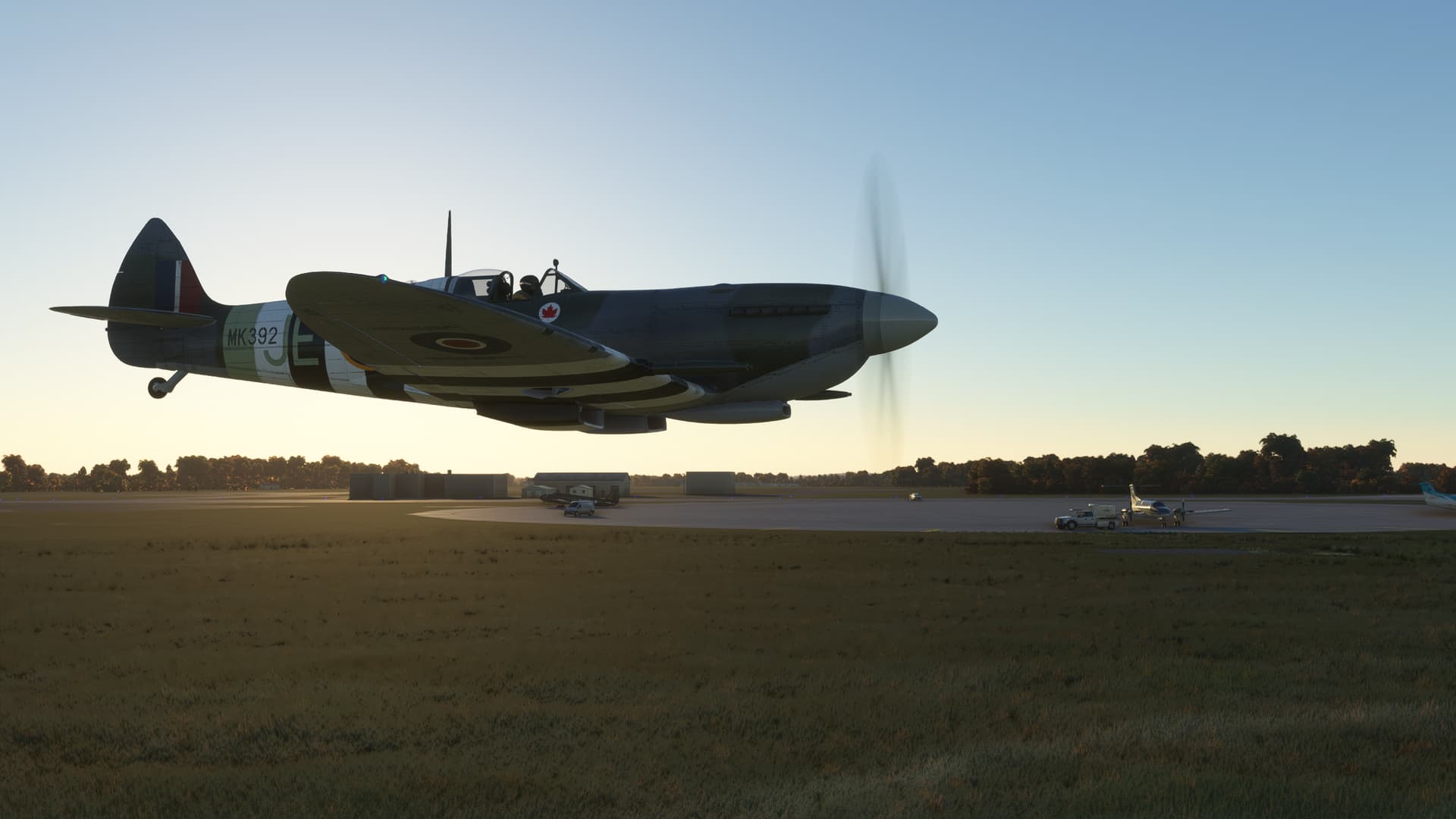
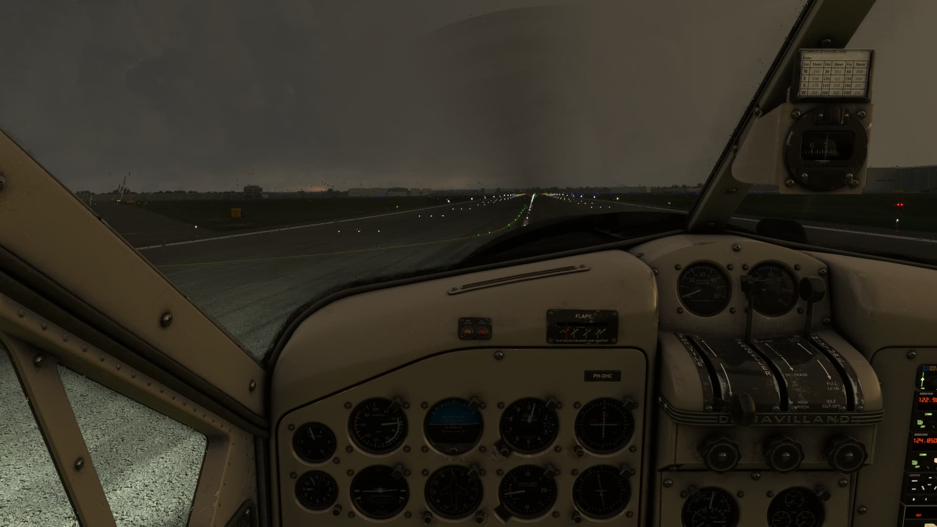
No ILS this time ‘round. Time to wake up the Wheels Watch!
Pitchout to landing.
Not bad, particularly compared to some of mine recently. 
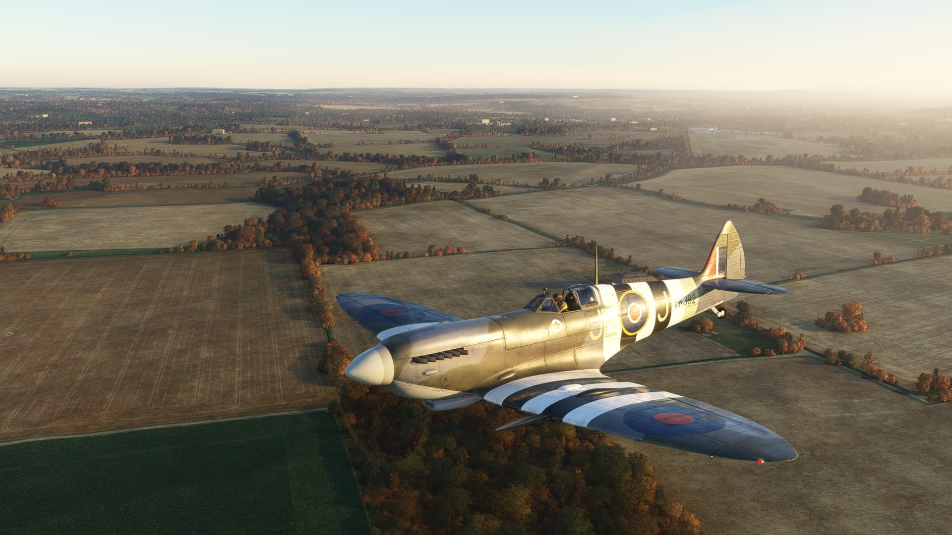
And here we are, on what turned out to be quite a lovely morning!
And for @Victork2, I bring Frankincense from Qatar because, if you are buying Christmas gifts, and you go through somewhere that actually sells, you know, Frankincense, how can you not?
So again, both fun, and somewhat harder than I expected. These, launches into the “Dark Cloudy” with little gas and no plan make for terrible aviation…
but GREAT aviation stories!