Alright. I have a few legs to catch up in order to get to Kef to see @keets and @PaulRix at the bar.
I’ve just got home from flying the redeye, so if you’re looking for the King’s Good English, prepare to be disappointed! 
I’m going to try to move these along in the interest of time.
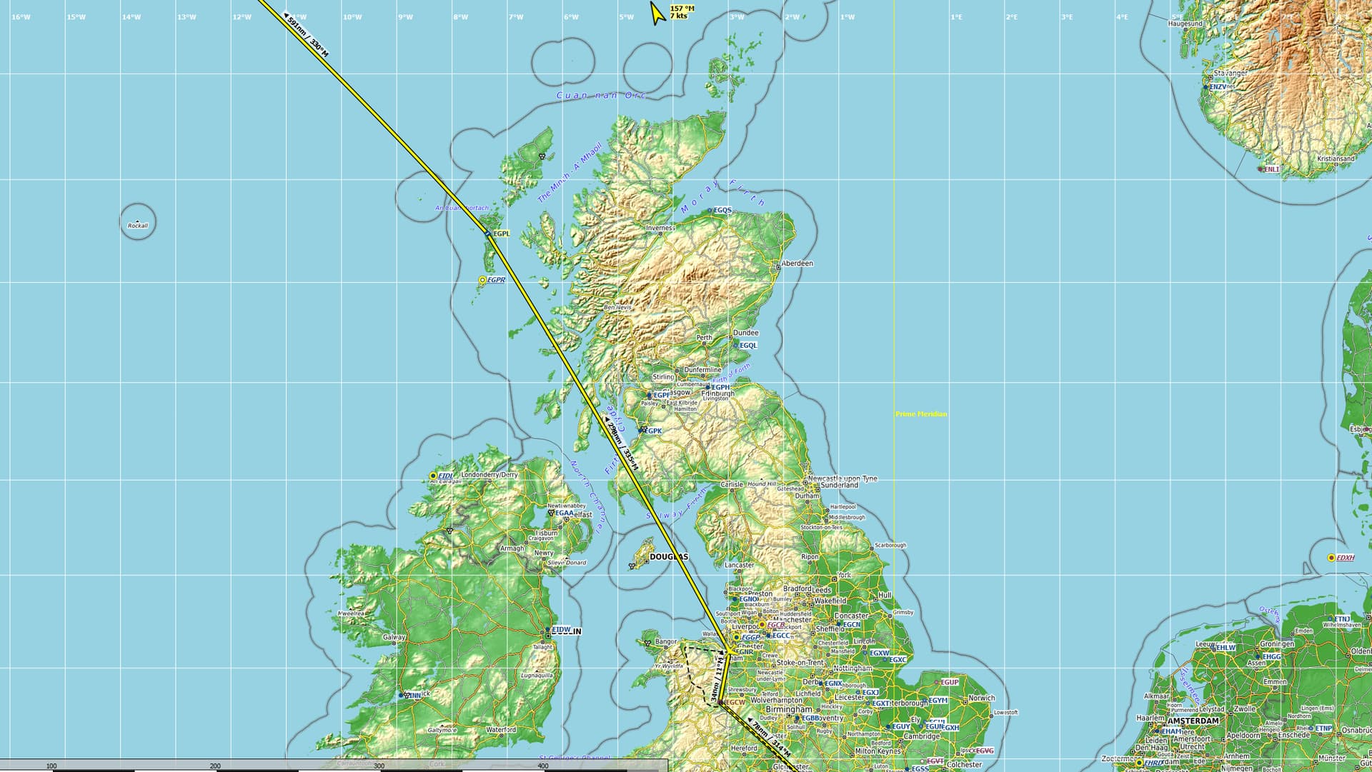
Leg 30 Hawarden Airport, Flintshire, Wales, UK (EGNR) TO Benbecula Airport, Benbecula, Outer Hebrides, Scotland, UK (EGPL)
Side Game: See how many times I can say, “Well, that’s disconcerting” in one flight.
With a renewed sense of purpose, I decided to go the long way to North America. Too many cool things to see to cop out now! In that all too familiar mission creep though, I went from Keflavik direct to a stop in the Faroes (thanks @keets!  ) to stopping in the Outer Hebrides for time.
Long way indeed!
298NM for the first leg.
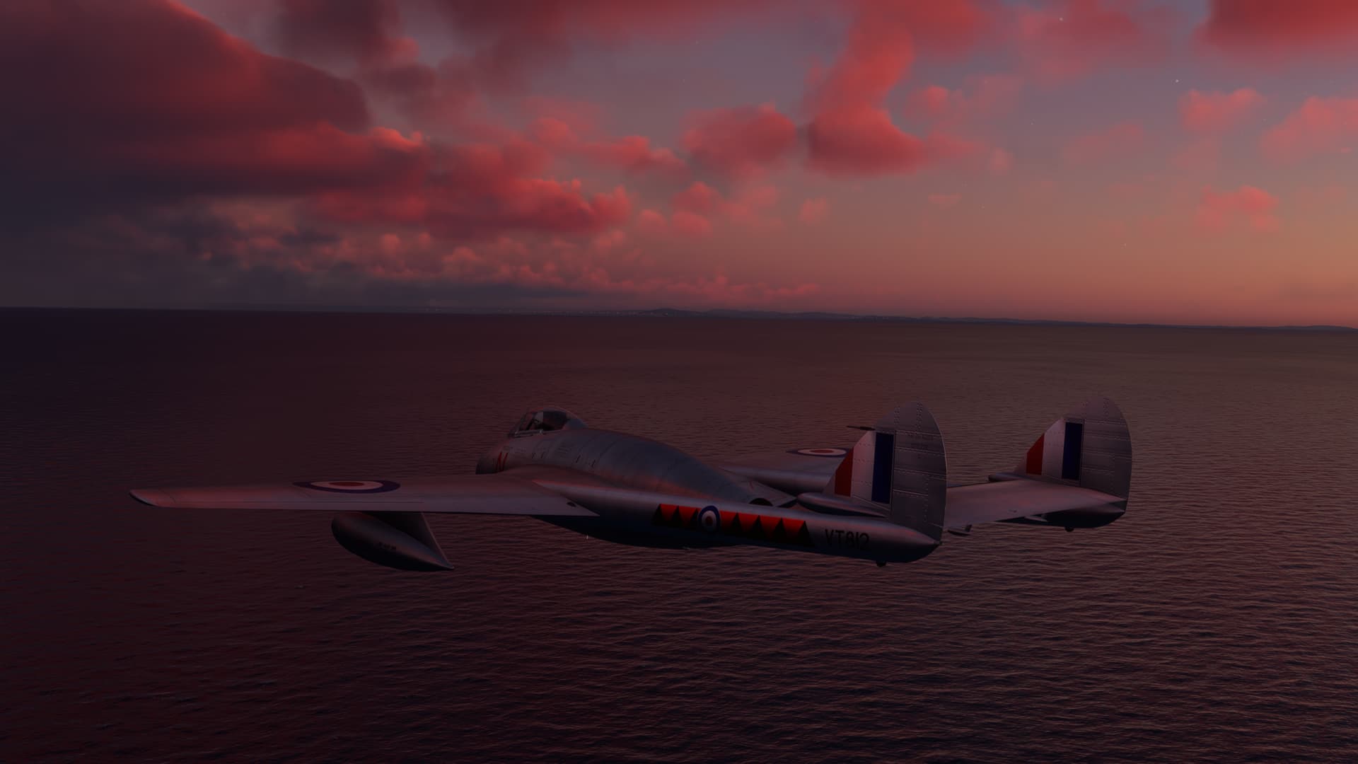
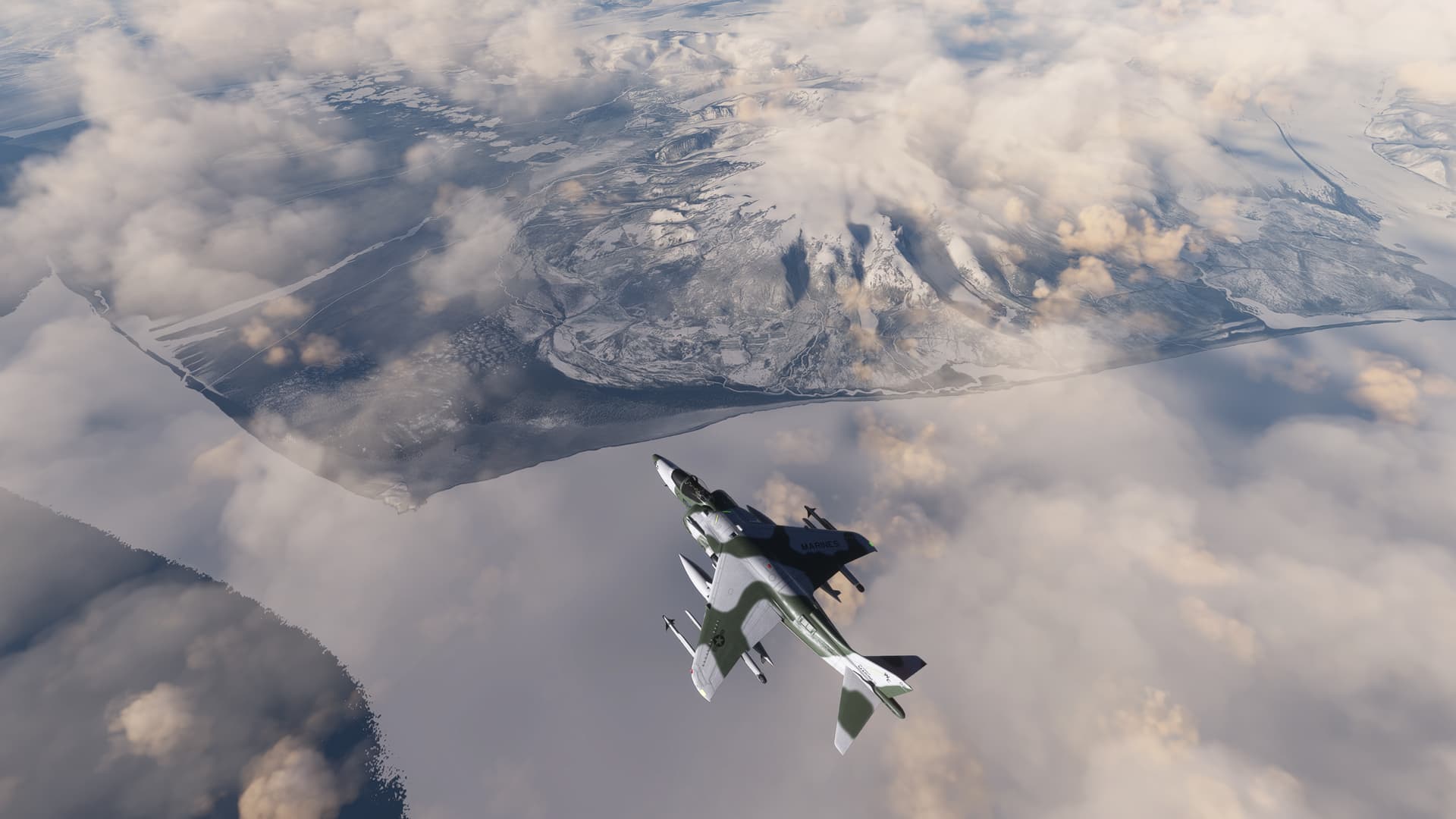
The other driver here was, of course range. I wanted some giddyap, and that meant a fighter. And that meant stepping on the loud pedal!
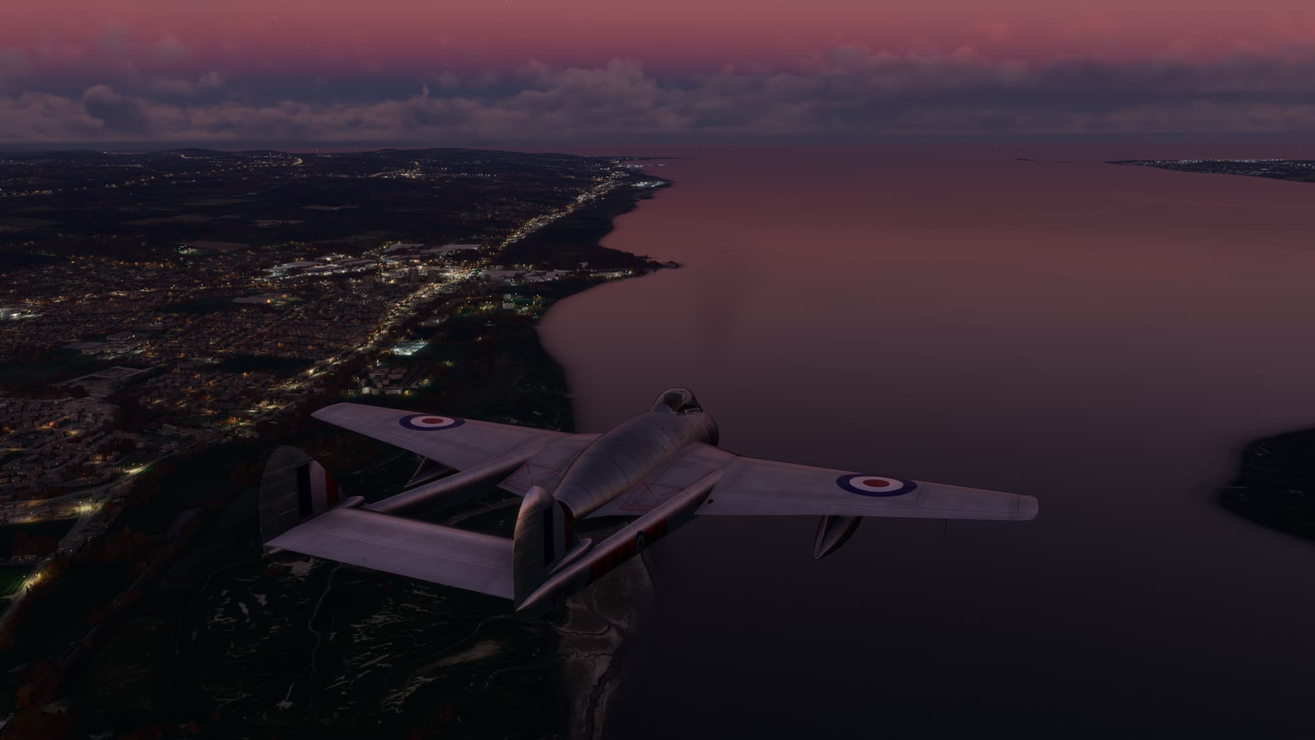
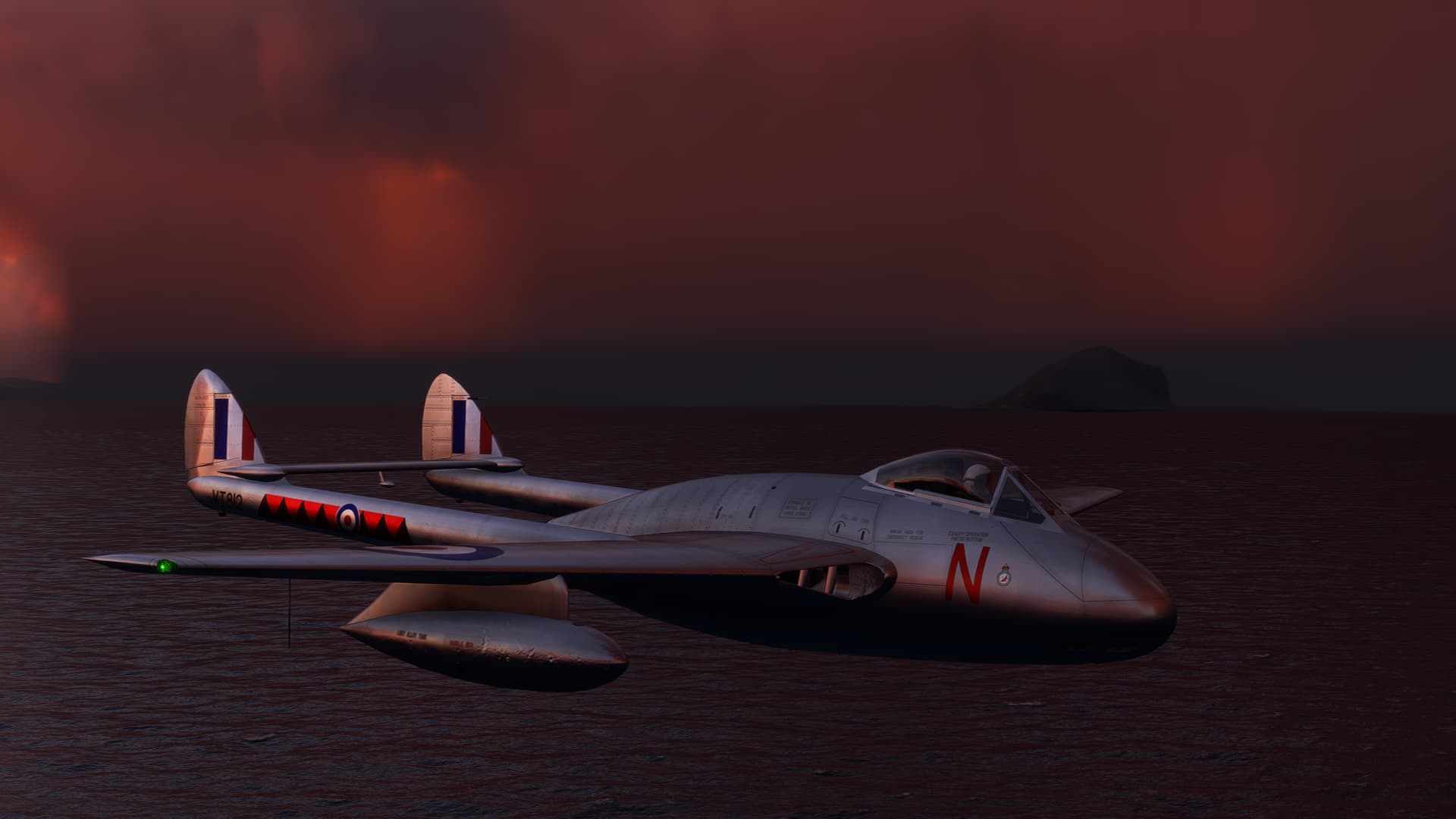
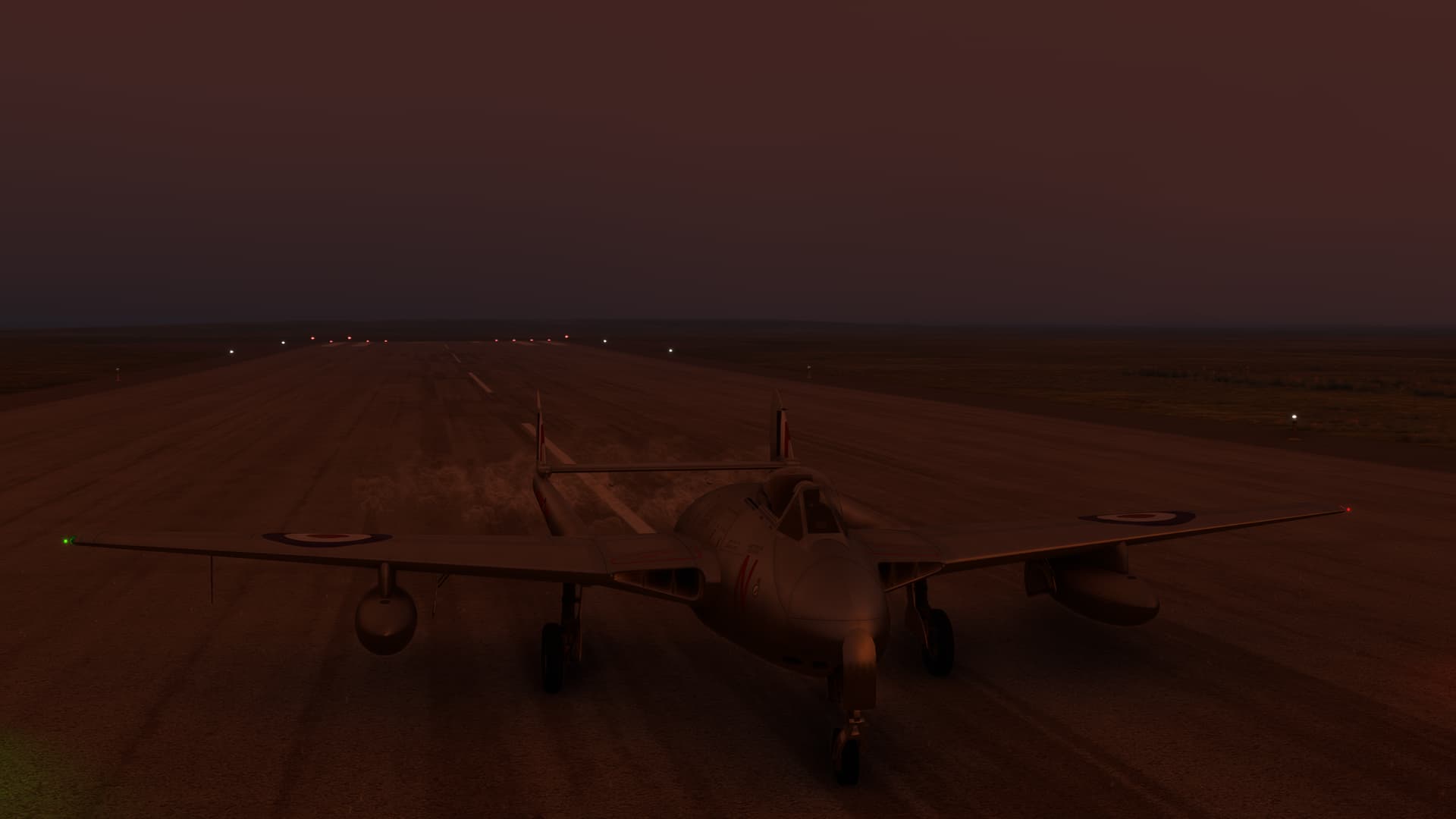
In the search for something appropriate, I decided to try the excellent freeware Dehavilland Vampire by Robcarrich.
Let’s not waste time. Punch it, Chewie!
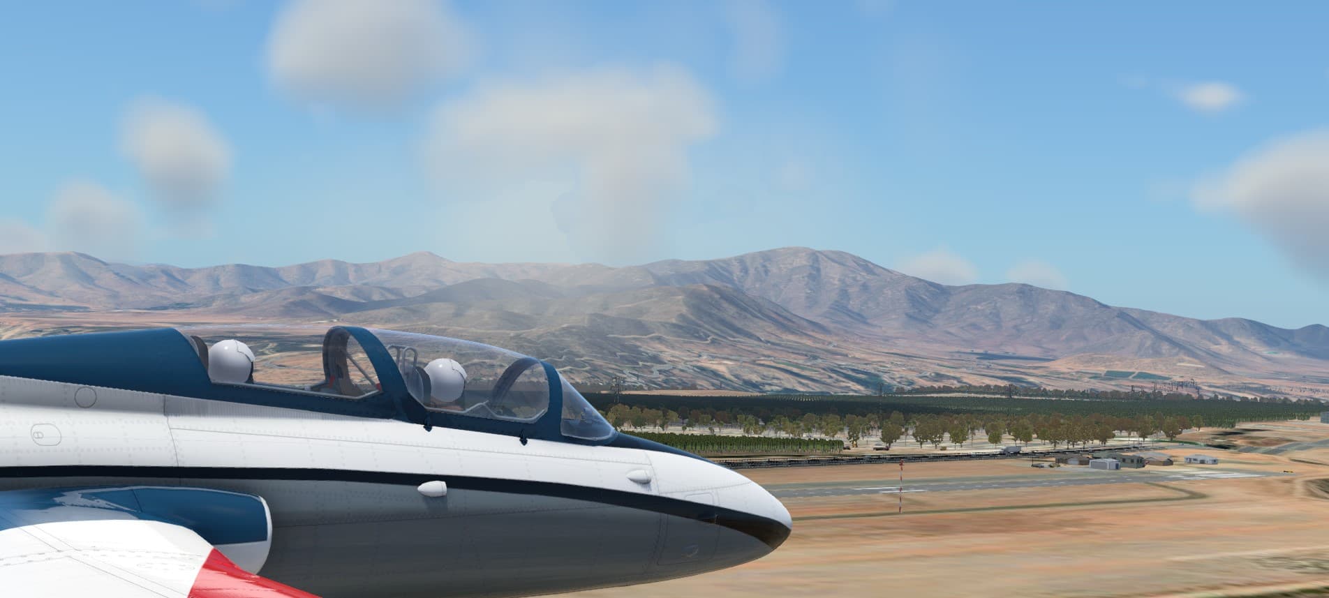
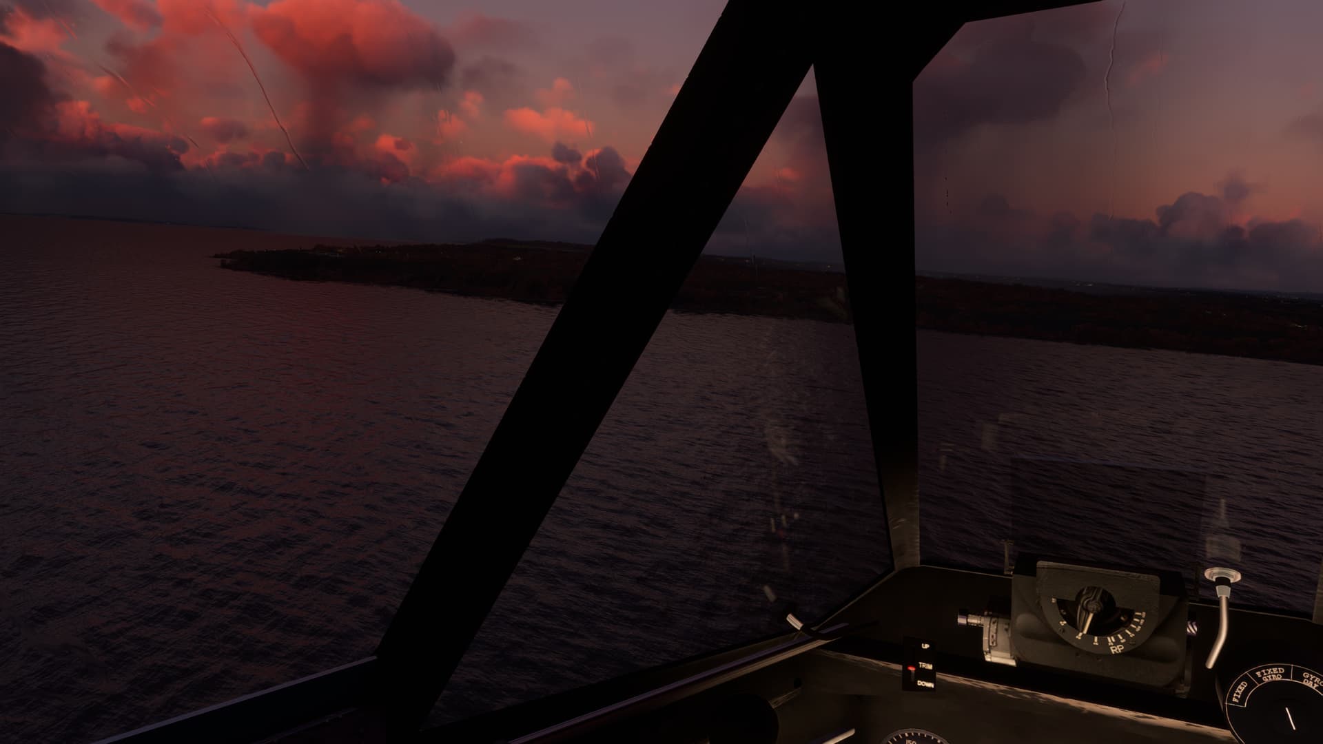
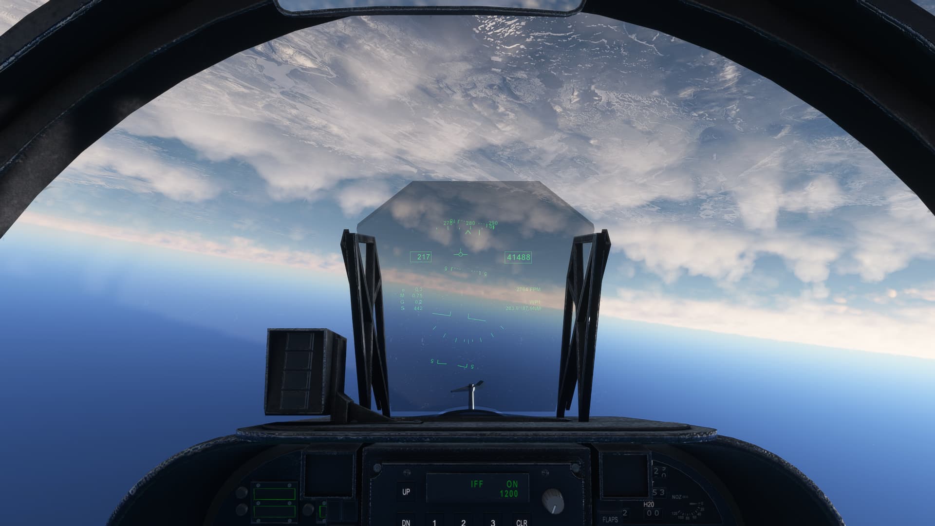
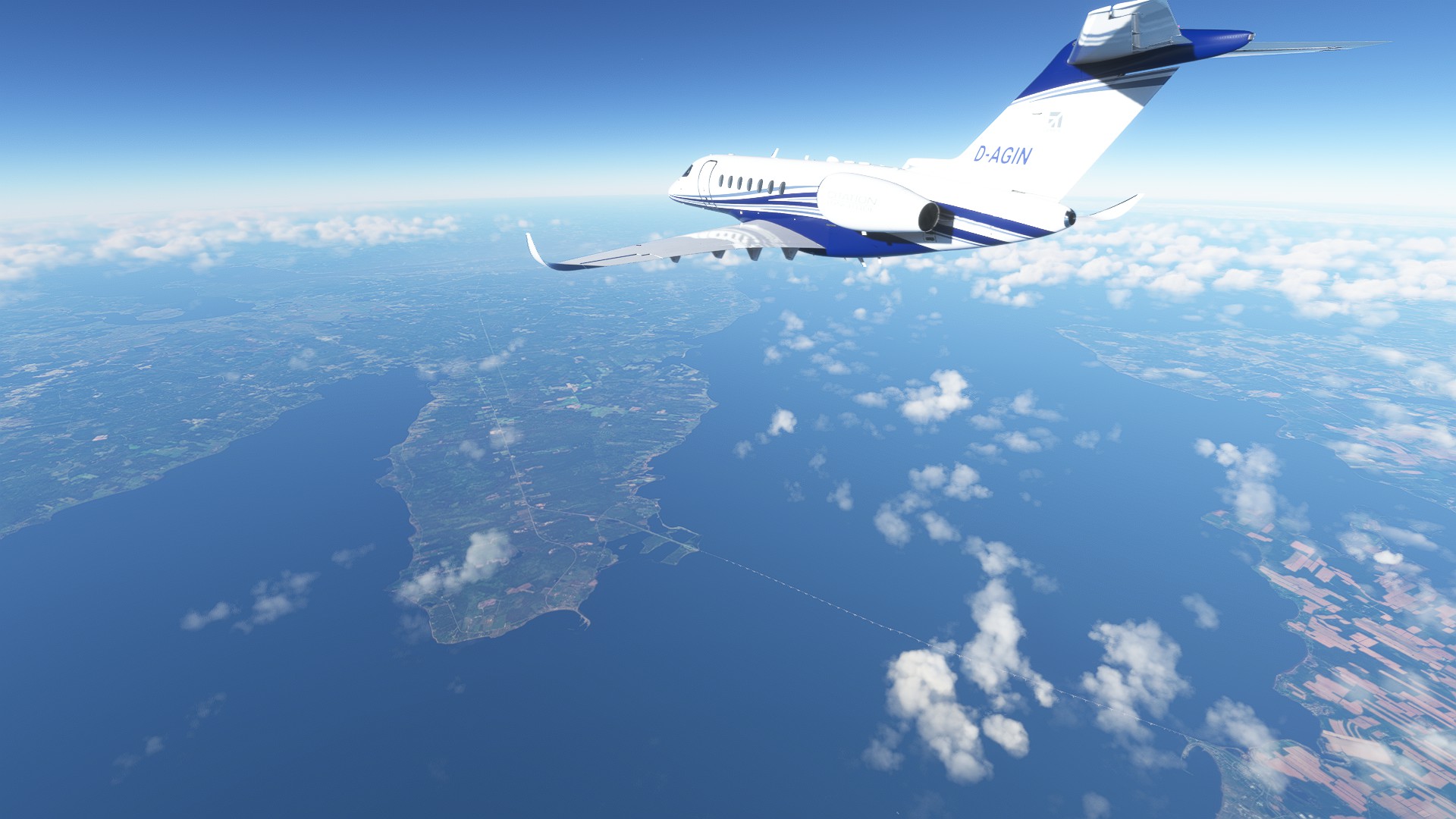
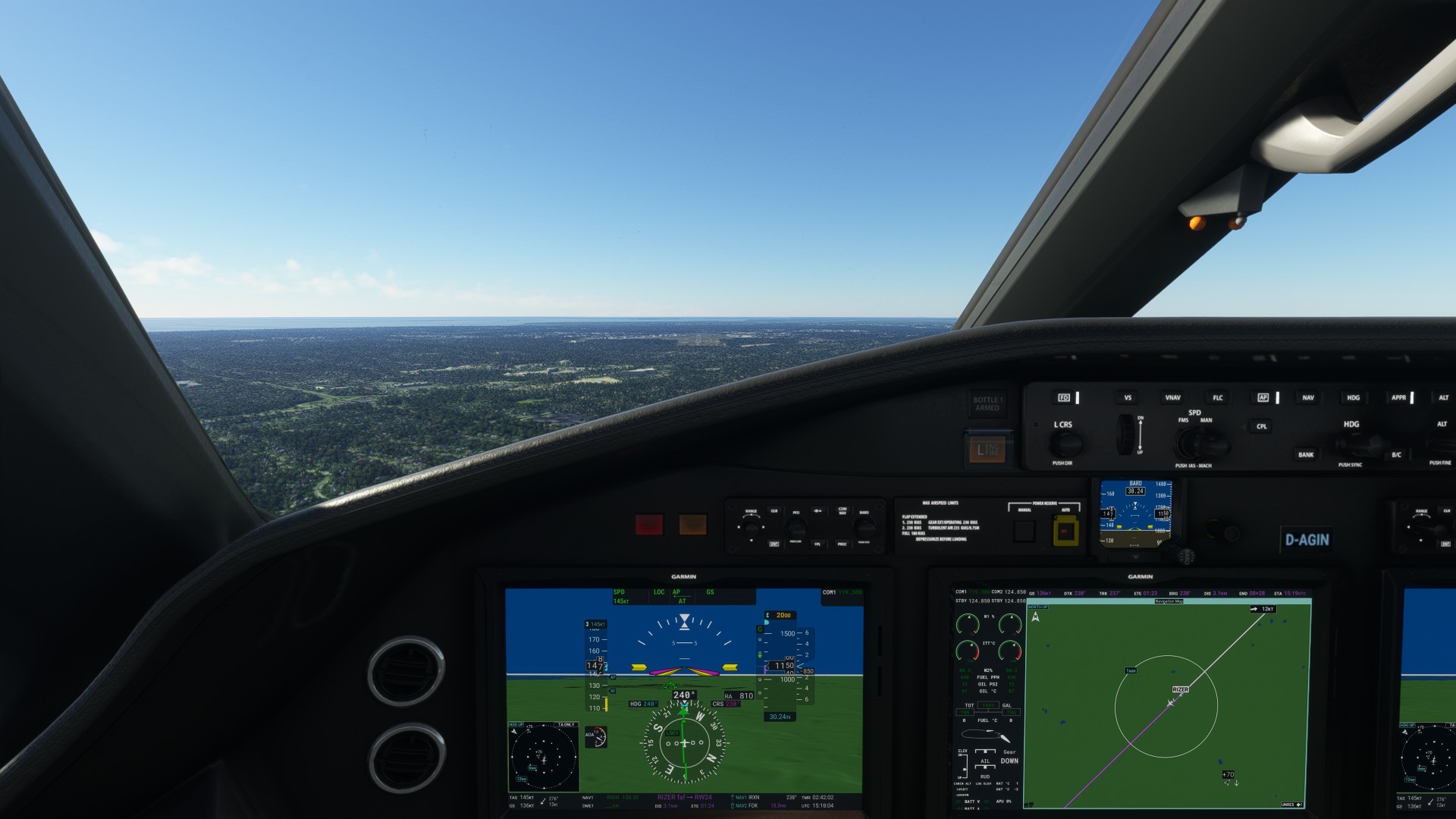
As you can see, the weather at takeoff was clear and a million.
Not quite so much so ahead.
I hit the edge of the weather just west of Blackpool.
The rain showers start almost immediately.
Looks like the Isle of Man is getting it.
The view ahead…
Well, that’s disconcerting.

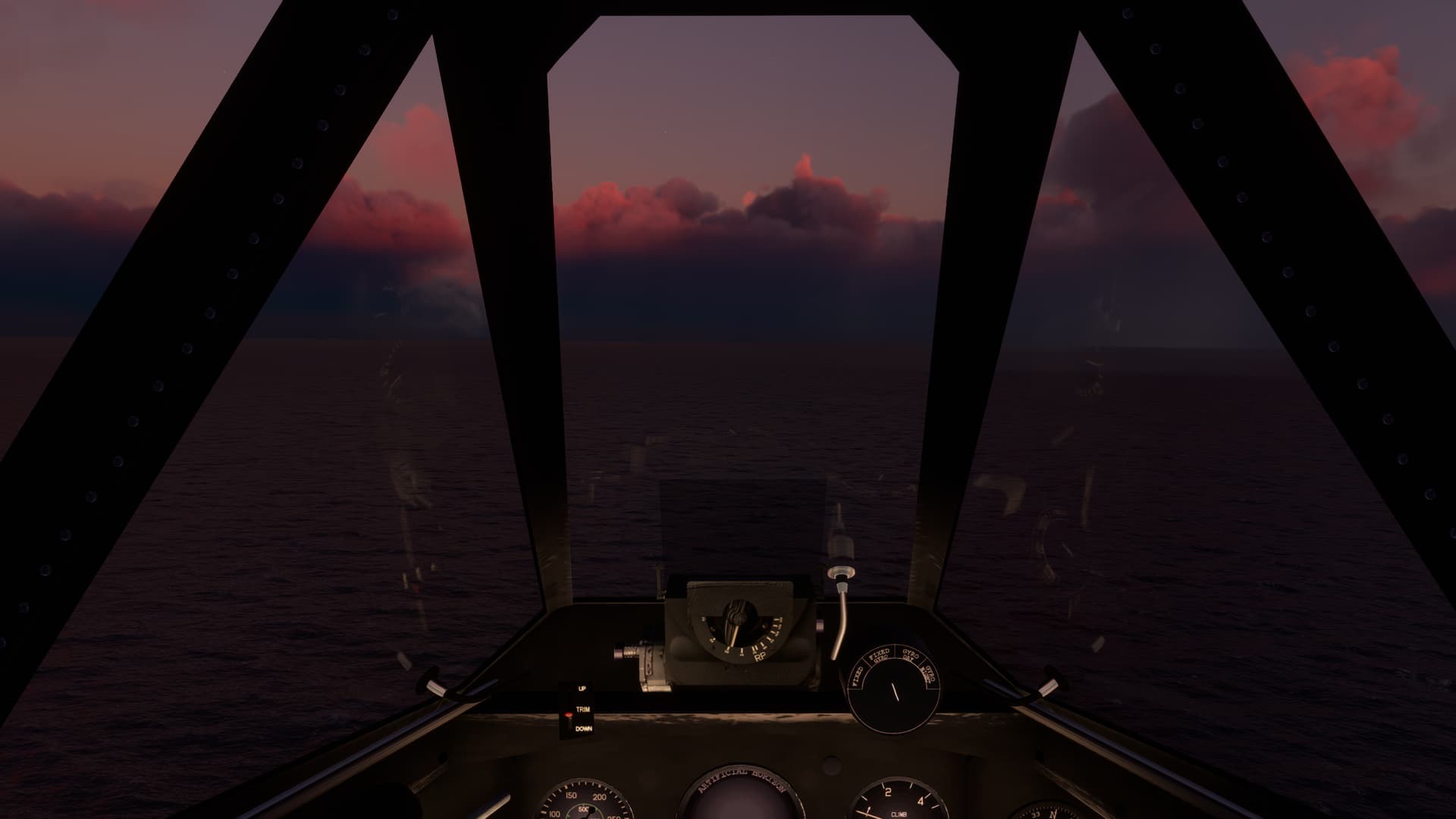
I smack into the shower like a ton of bricks. Vis drops to near zero. Luckily, I’m over the water.
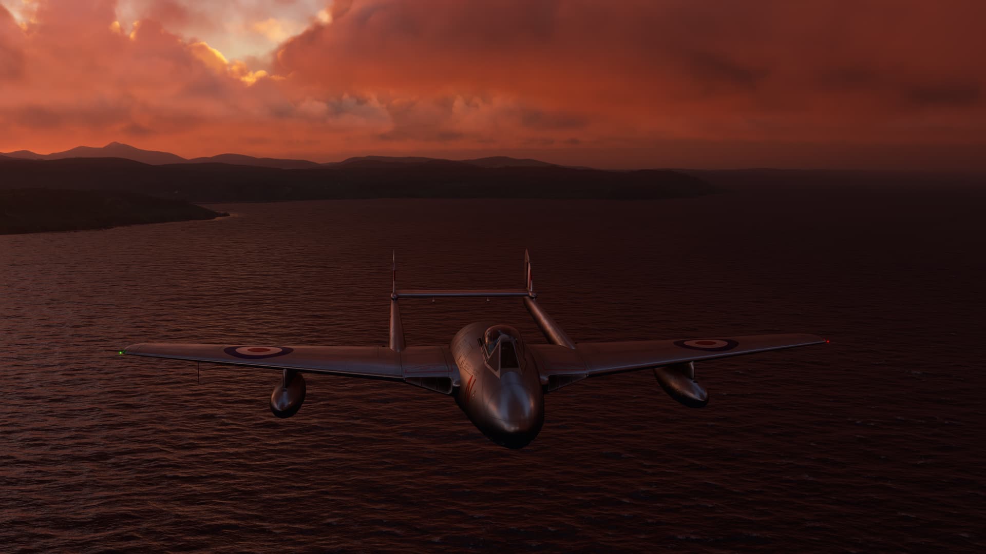
I come out of the storm, just in time to cross Burrow Head at the mouth of Luce Bay.
One quick pop over Grey Hill, with Girvan off to my right…
And I’m right back down on the water.
Hmmmm… 
Well, that’s disconcerting.

Right before I go be a hero, in zero-zero, I spy with my little eye, Ailsa Craig. 340ft AGL. Pity that I’m flying 339… 
In I go again. This one is bigger than the last and takes me well onto the Isle of Arran.
Where I come face to face with some, um, Geological Realities.
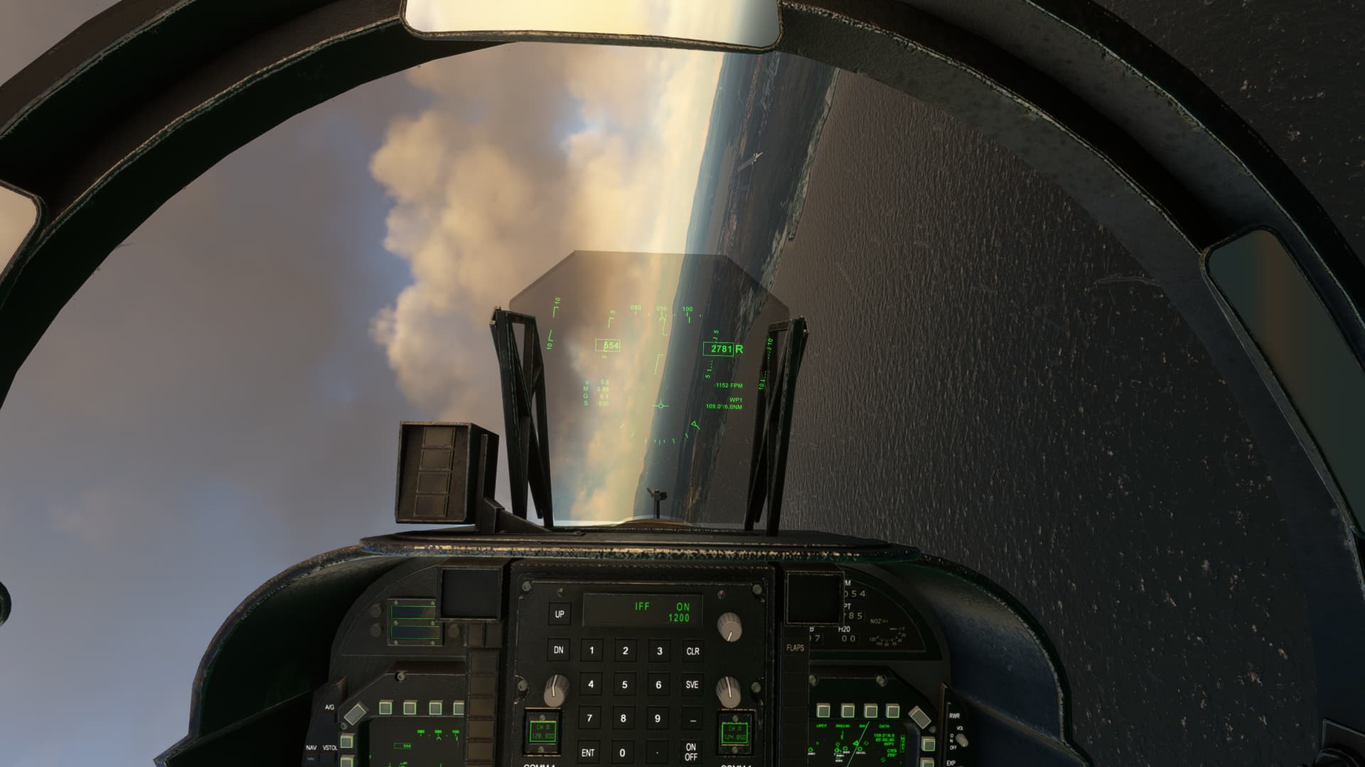
I finally break back into the clear approaching the Sound of Jura.
But, as you can see, I go right back in. Vis is so low I need to put a couple of hundred feet under me for the wife and dogs.
I break clear again just in time to get a face full of the Carsaig Arches. Beautiful scenery, now that I get to see some of it!
I get a little breather here, which is good since the elevation really goes up along my flight path. Dropping into the Passage of Tiree I look back over my shoulder to take in Ben More back between my tails.
Last spit of land before I reach the Sea of the Hebrides. The Cairns of Coll. Almost there!
The wind definitely picks up as I cross the sea. Luckily the triple peaks of Beinn Mhor, Beinn Chordail, and Beinn na Laire are fairly unmistakable rising out of the water.
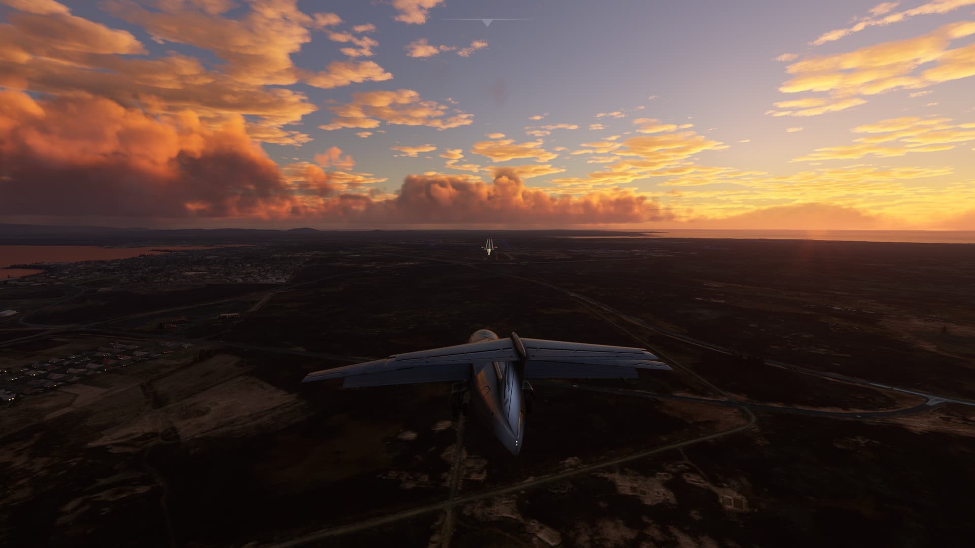
Crossing the mouth of the flats as I approach Benbecula and the airfield…
Anyone? Anyone?
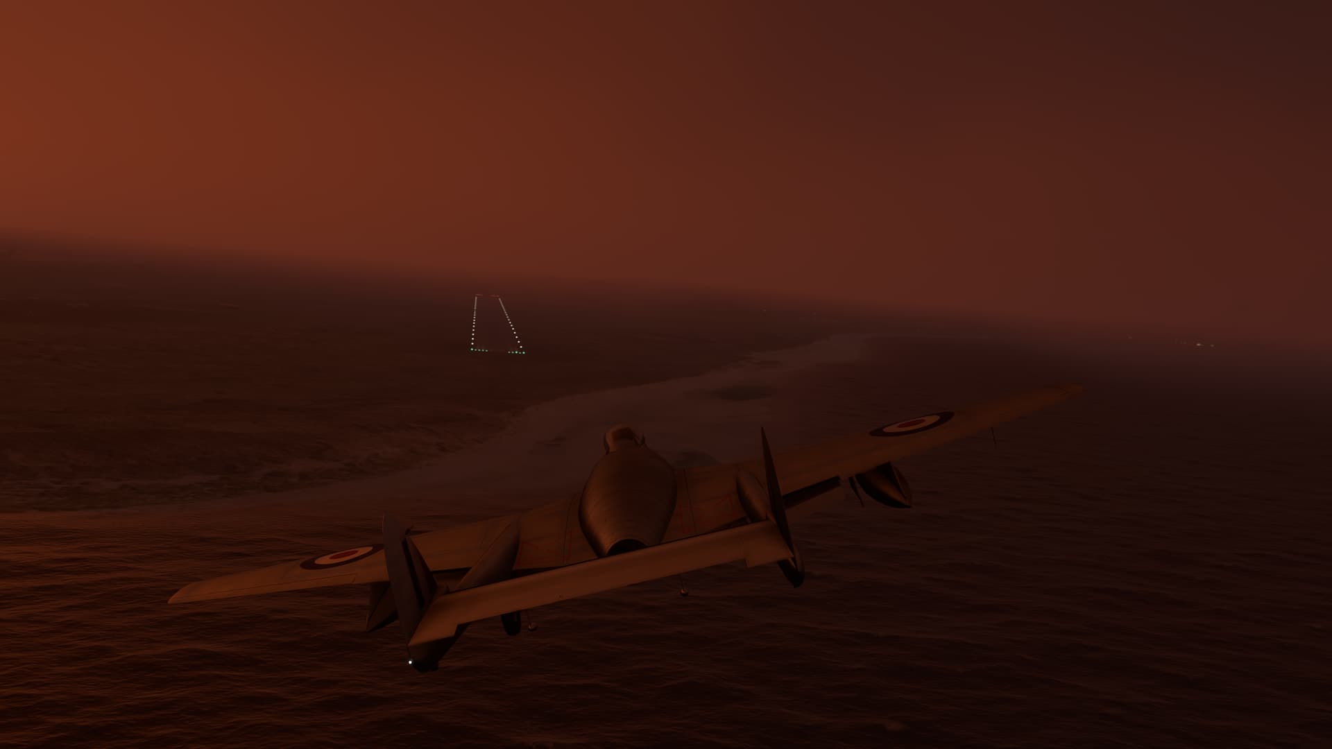
One last time! All together now…
Well, that’s disconcerting.

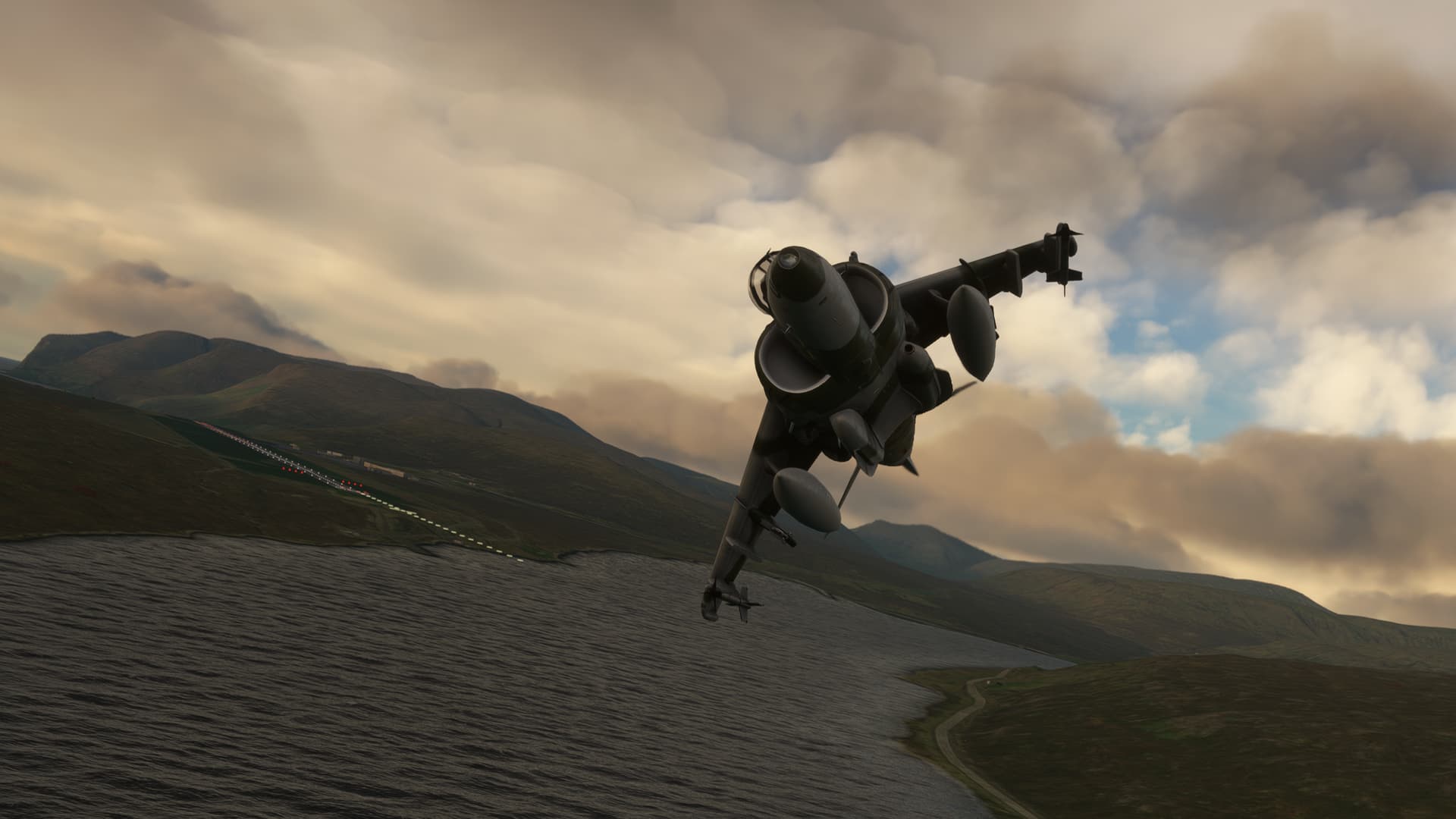
And in I go.
With nothing short of blind luck…
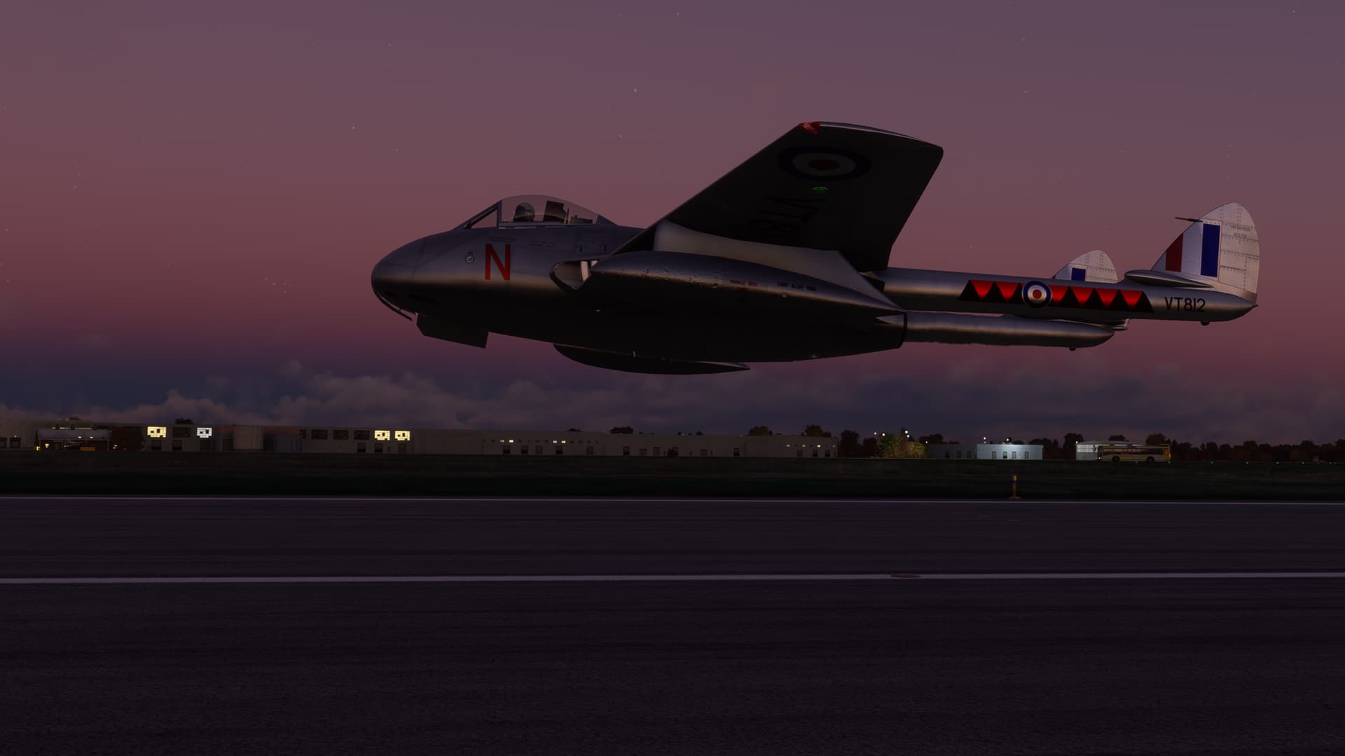
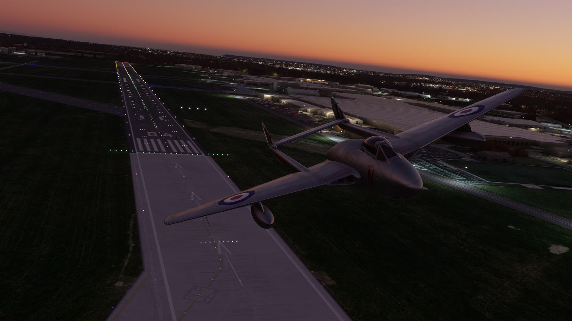
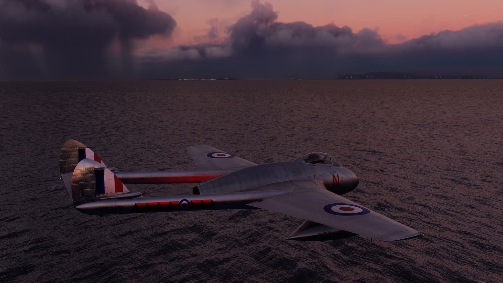
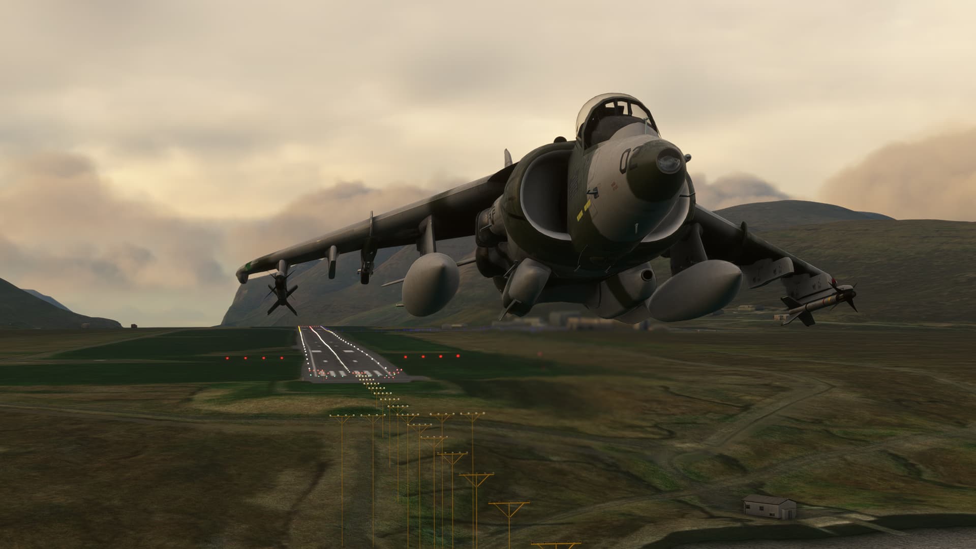
I’m still in and out of the rain, so I keep the pattern tight. The Vampire is a little squirrely, but I horse her around.
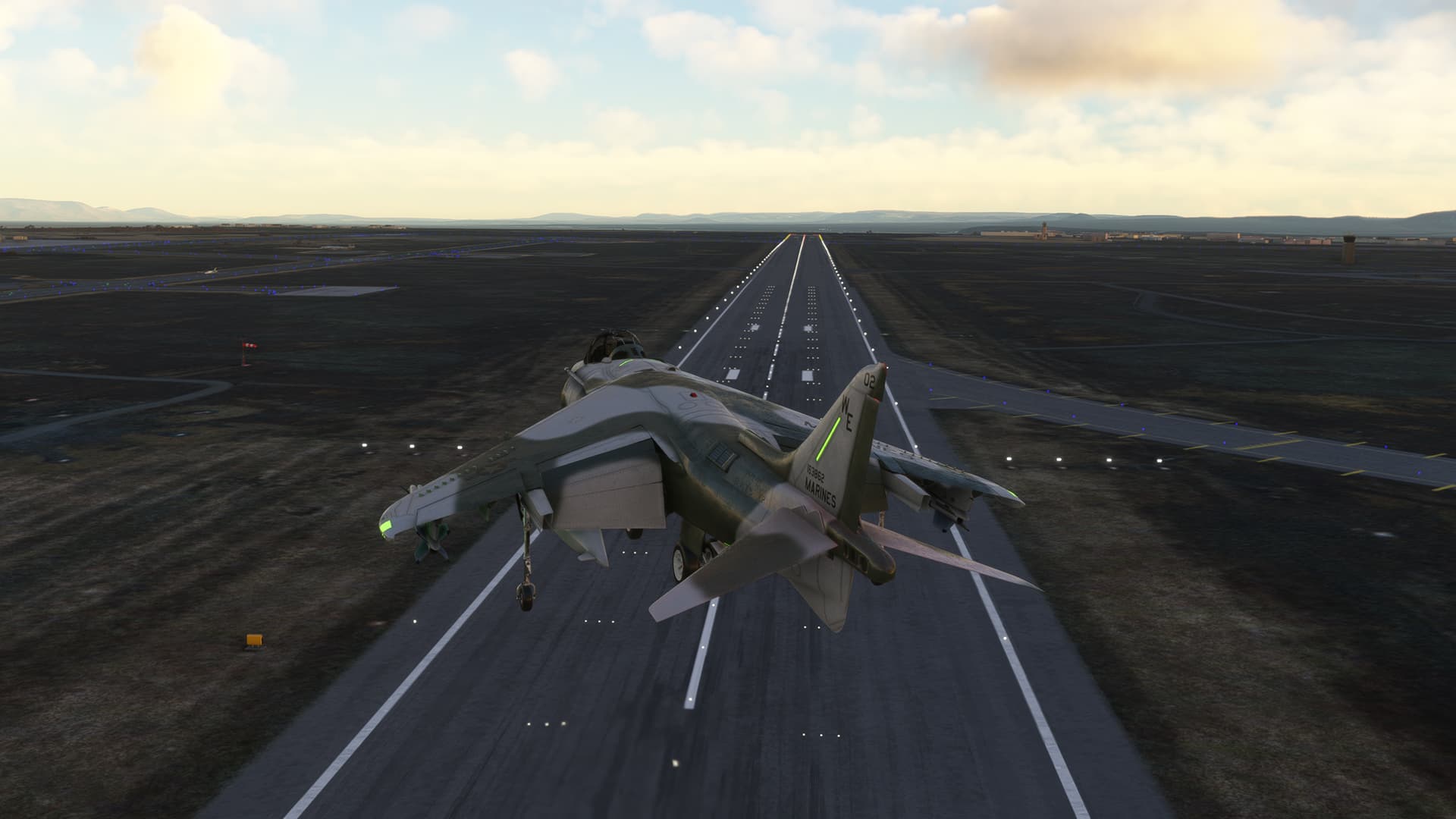
I plunk her down on the runway, not knowing how the V decelerates.
And, as I pull up to the tower, the sun finally rises.
You know, there’s a small chance that I may have just underestimated the effect of the latitude on the dawn.
Just sayin’.
Leg 31 Benbecula Airport Benbecula, Outer Hebrides, Scotland, UK (EGPL) TO Vágar Airport, Faroe Islands (EKVG)
This one is short, I promise! 275NM. Based on @keets recommendation, I had to try the Faroes.
But first, I was really looking forward to trying the DC-3 and couldn’t wait any longer. I loaded her up onto the rainy Scottish tarmac.
…
…
…

My Live Weather is gone.
It’s OK.
I’m fine.
I’m fine.
I’m…

I may not be fine. As such.
OK, OK, that’s enough of that. I got some sort of weather to work after much fiddling with it. You don’t want to know.
Anyway, let’s get the Hell out of here!
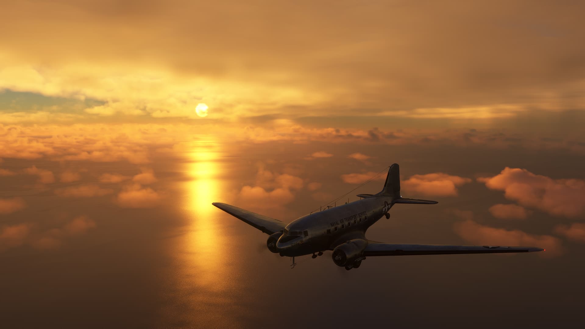
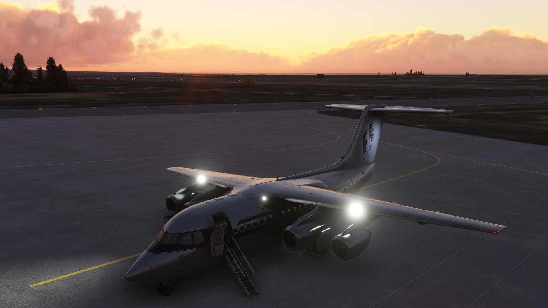
Naval Air Transport Service livery by Jankees.
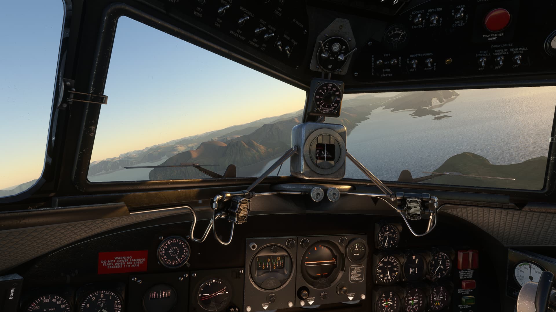
Sweet flyer, the DC-3.
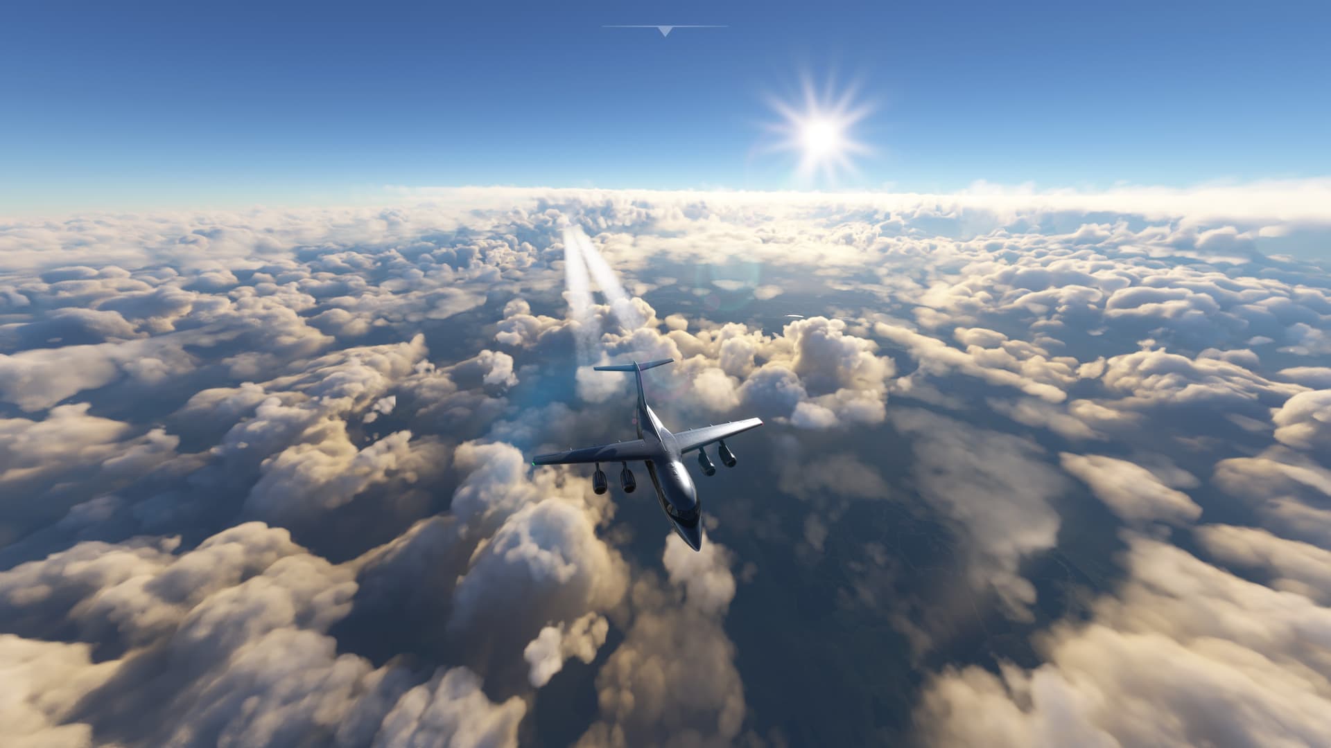
The weather is certainly better than the last leg, or four. I trek due north over the tidal flats.
With a goodly tailwind, I briefly leave the Outer Hebrides and head north over the Cuan nan Eilean.
“Nollaig chridheil agus bliadhna mhath ur”
to my Scottish friends.
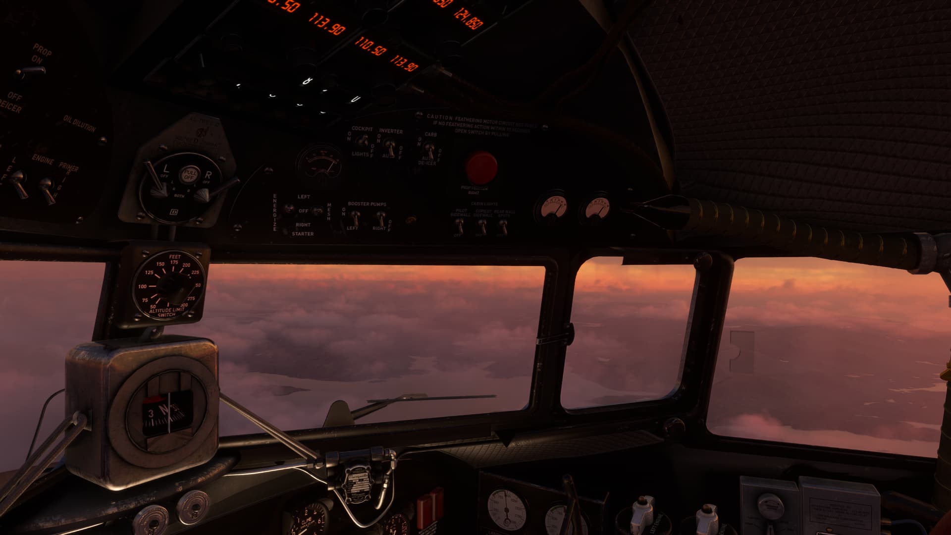
With fairer weather today, the sun warms the chilly cockpit. A bit.
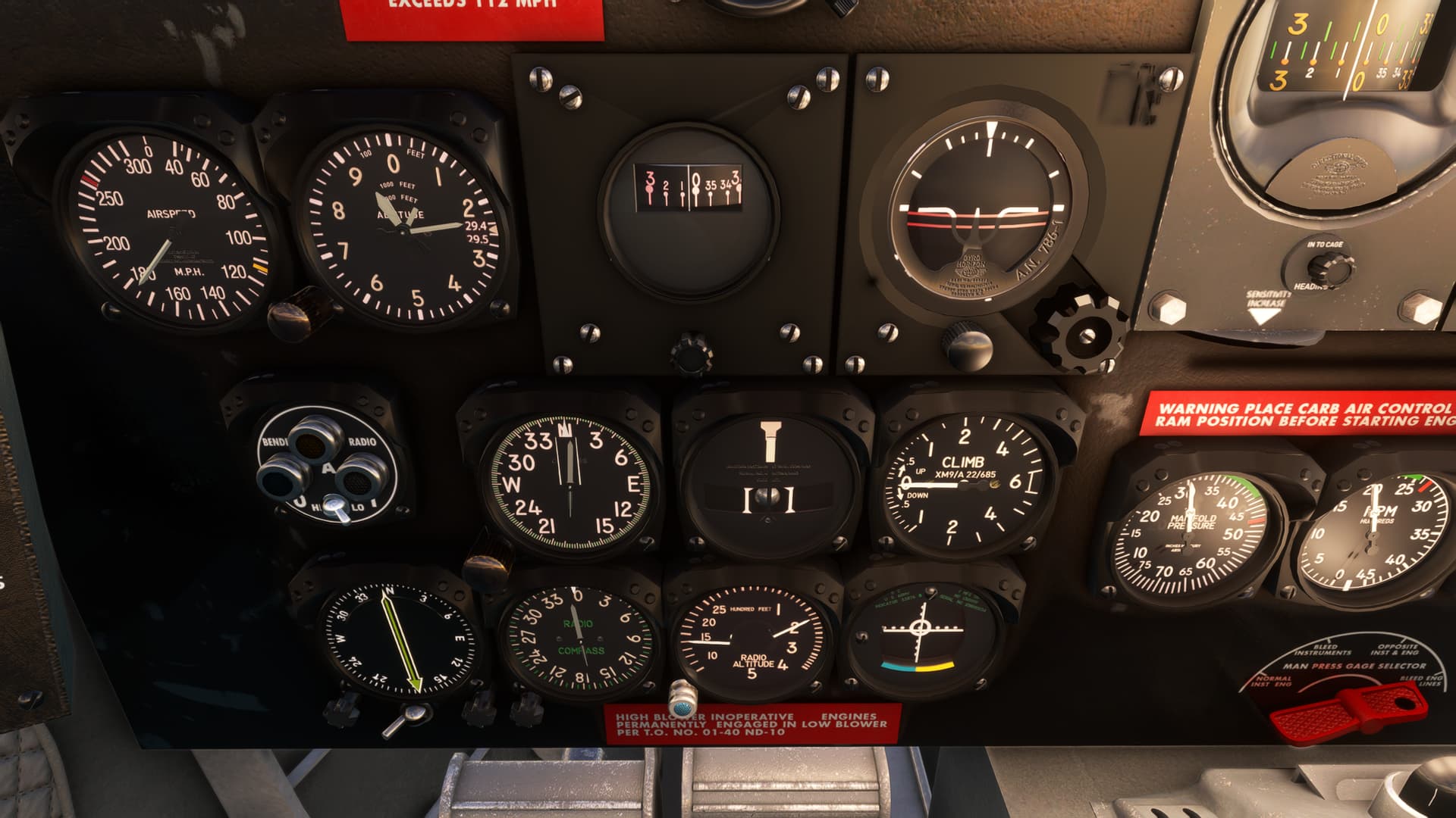
I tune in the NDB and pan about the cockpit at the sheer embarrassment of wealth I seem to have in the way of compass cards…not all of which I’m sure should be indicating something right now. I pick the most likely.
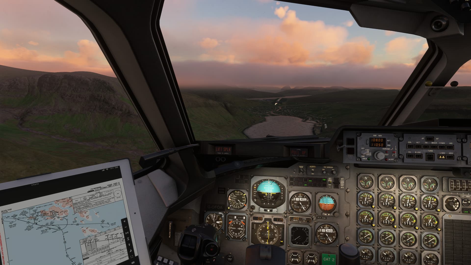
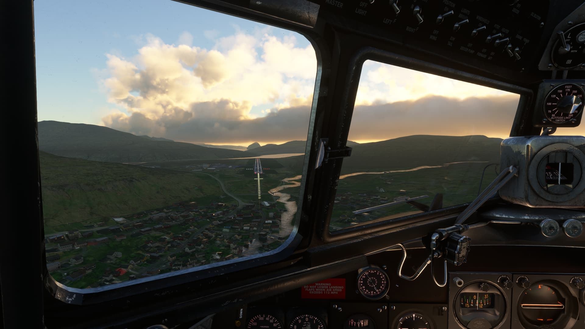
The island of Suduroy (I’m guessing here from Google Earth) comes into view between the clouds and points my way to the field.
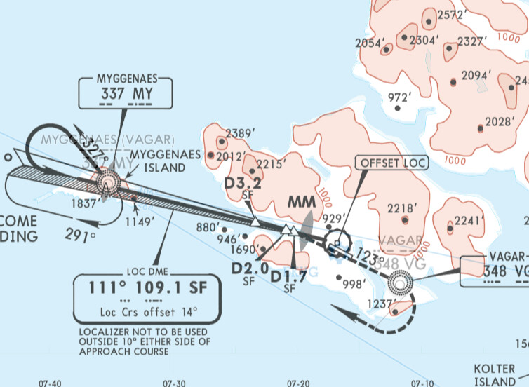
I turn to center the ADF needle so that I can get a good angle on the LOC. I know that it is down a fairly steep valley and offset, so putting on a big bat turn isn’t going to help my approach any.
I can’t say whether the clouds ended, or MSFS refrained from continuing to draw them, but the field is thankfully in the clear.
I’m going to guess that the two PAPIs are accurate at different points in the offset approach like DCA. So, I just split the difference for now.
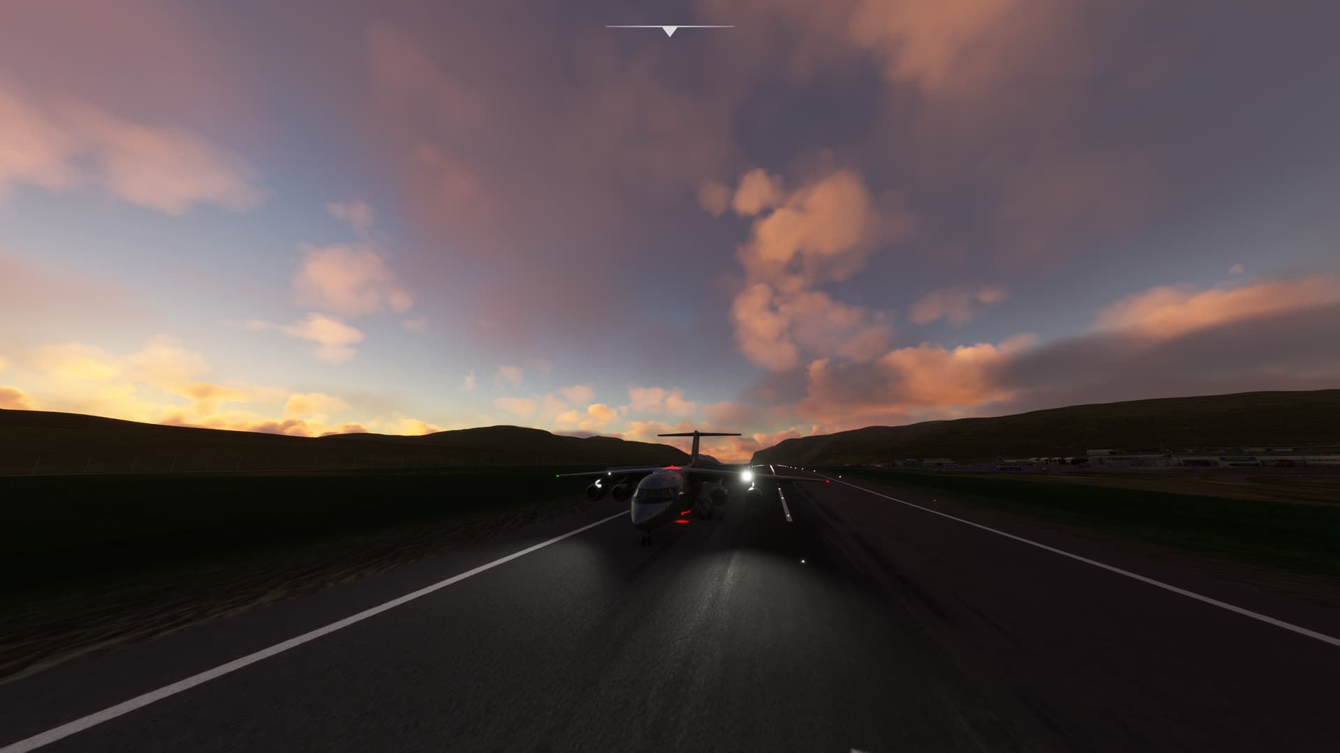
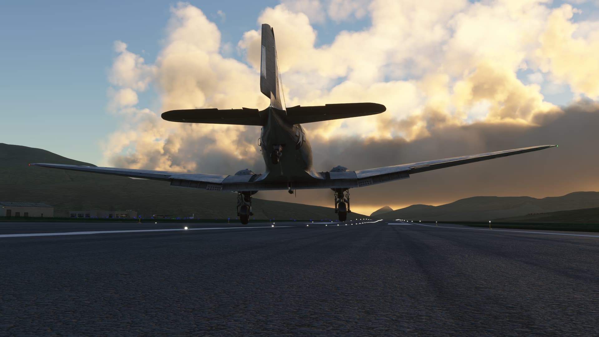
I wheel land with a healthy right to left crosswind. The DC-3 takes it like a champ!
Down on the ramp. Next stop Kef and a cold one with the boys!
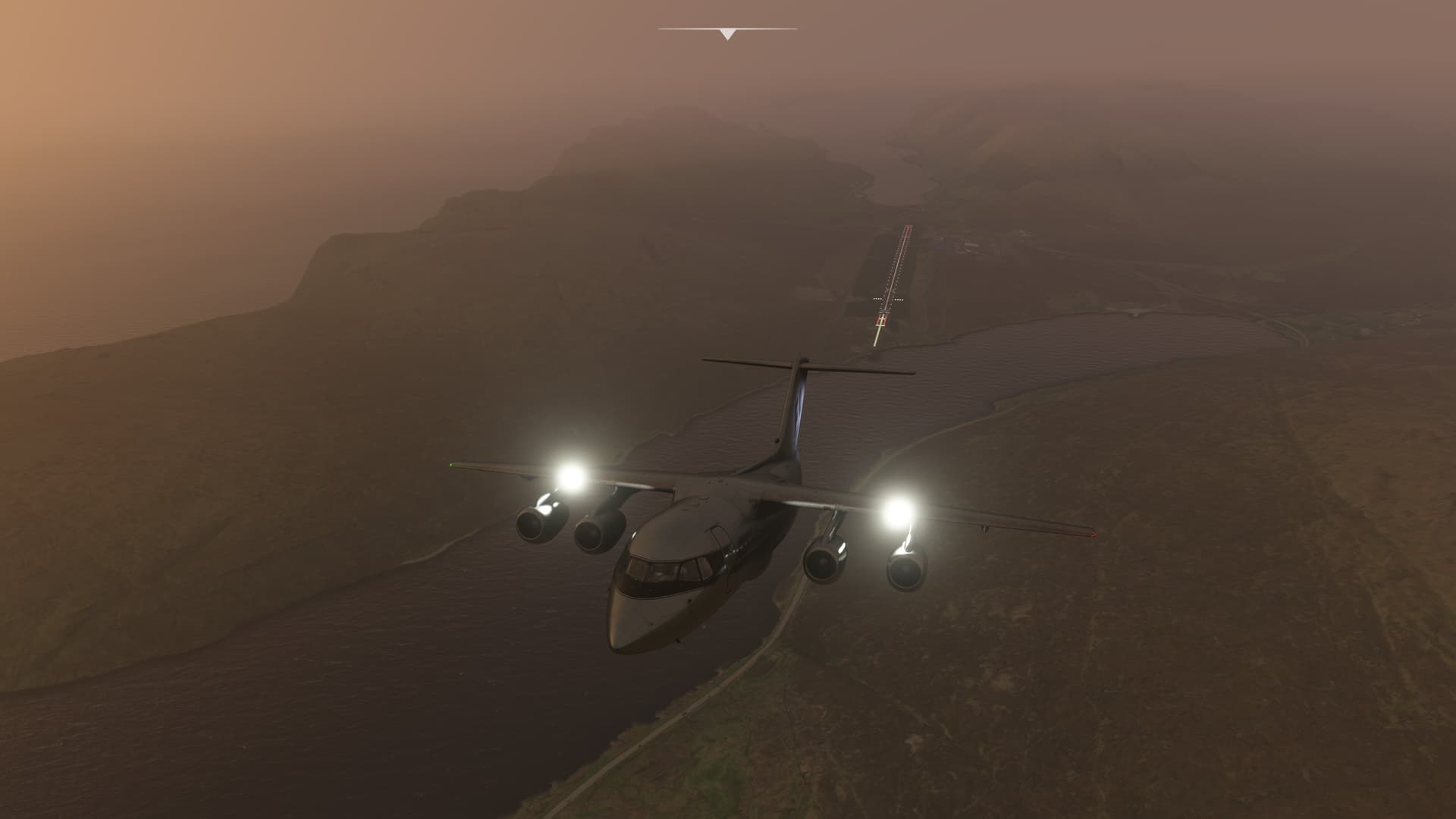
A little teeth grinding with the loss of Live Weather, but I made it OK. I’m thinking something on my system does not like the MB server very much.
Very un holiday-like!