I’m a big fan. I have a six pack of these in the fridge right now.

8 Likes
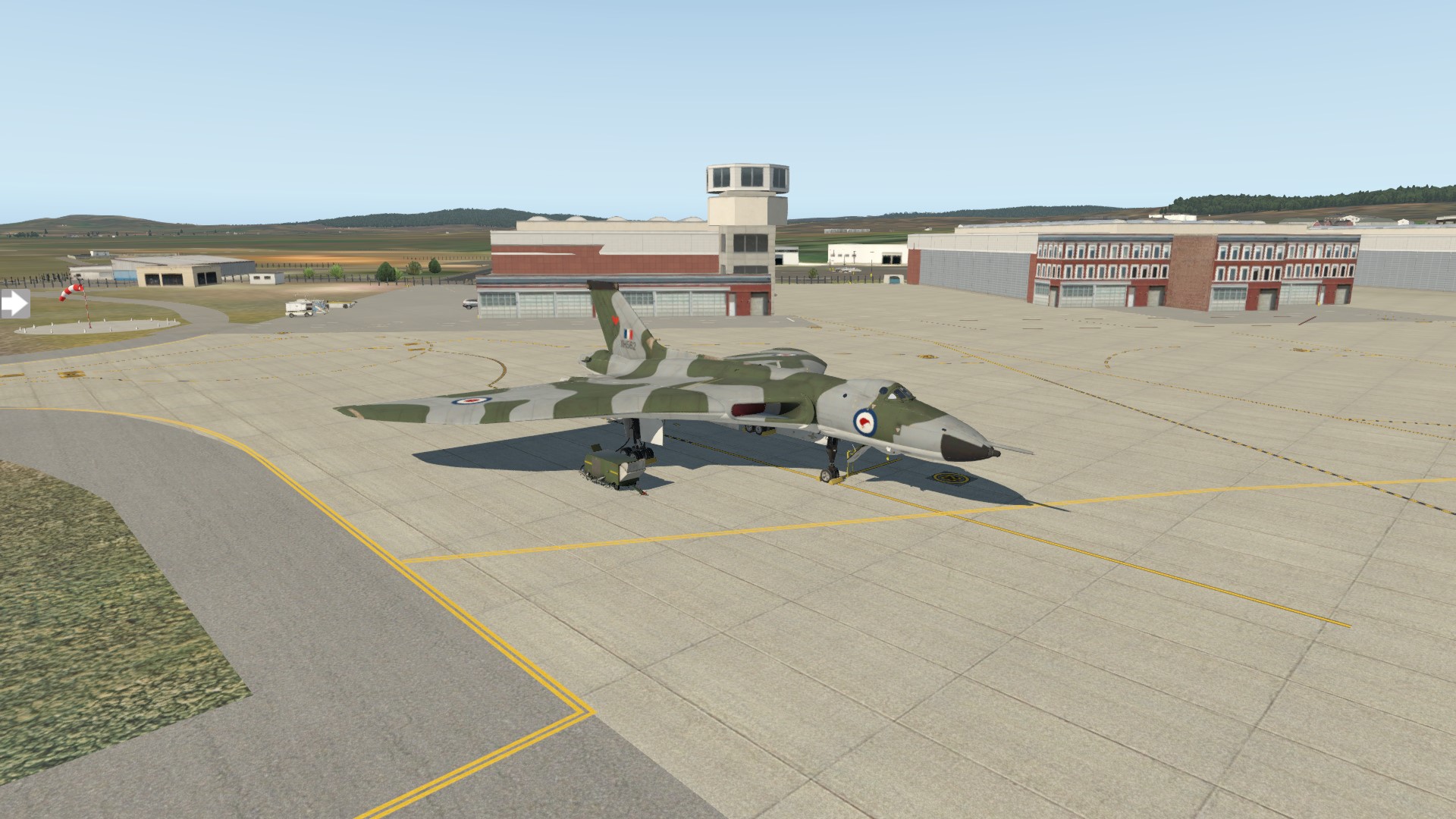
I don’t have a lot of time in the Vulcan, let alone flying one into mainland China  so this will be a challenging experience for me to get it from Canberra to Daocheng Yading. You will have to excuse the lo-rez XP11 screenshots, the JustFlight payware version is really well detailed and runs fine in VR on my potato of a PC if you are prepared to sacrifice some eye candy.
Prepped and ready for depature. According to the manifest I have exactly 14,300 pounds of Christmas cheer to distribute upon my arrival at ZUDC 
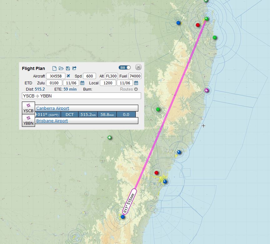
First stop is Brisbane (because that is where I would be heading IRL) and although Archerfield (YBAF) where I would have been taking the Cirrus is now 'out’as a destination, a direct route to YBBN gives me a straight shot into 01R.
But… If I’m going to do this solo.
I’m going to have to cheat 

Even if flying a multi crew, multi engine bomber solo would have been just another day in the office for the Air Transport Auxiliary - SPITFIRE WOMEN on Vimeo
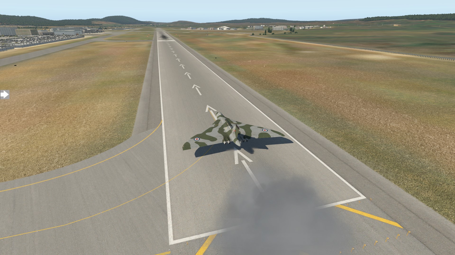
Winds favourable for a departure to the North, lined up and… aint nothing subtle about 4 x Olympus spooling up!
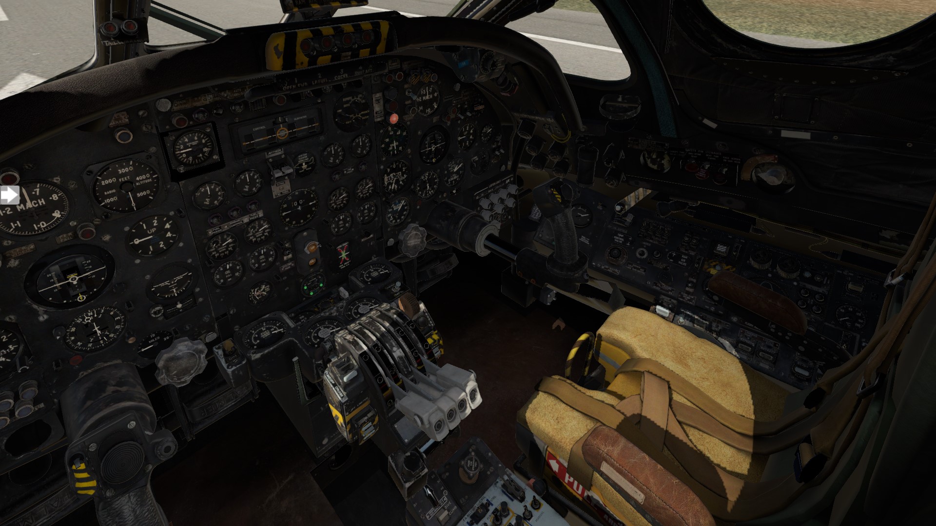
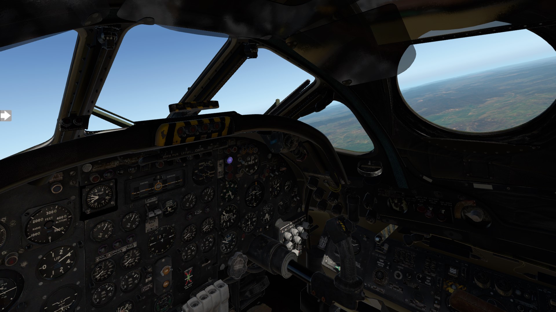
This sim shines in VR. You really notice how cramped the cockpit is for such a large aircraft, but visibility isn’t as bad as it looks on a 2D monitor and it doesn’t feel claustrophobic.
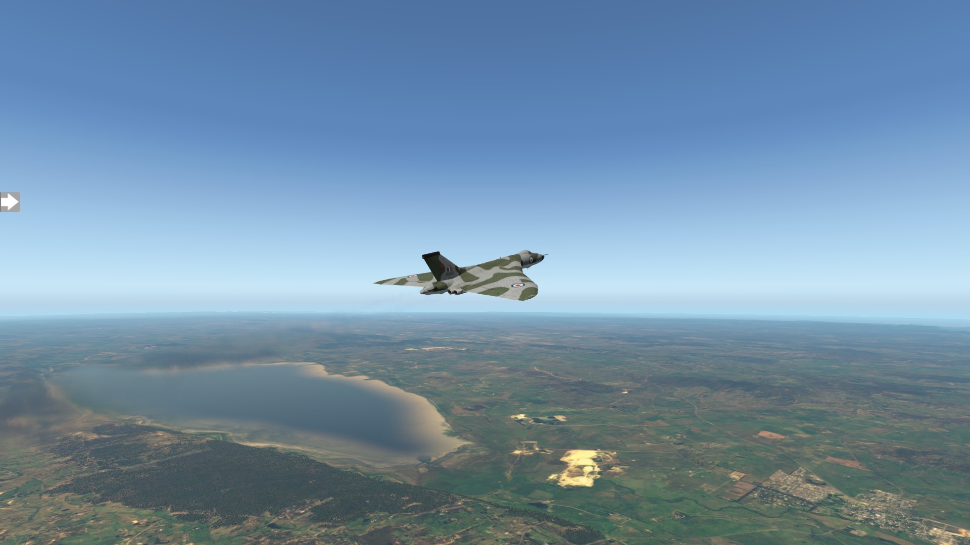
Now that I am heading in the correct general direction, The GTN750? ‘cheat’ is supposed to output to the Beam Compass and autopilot if the MFS is set to remote, but I must have missed something?
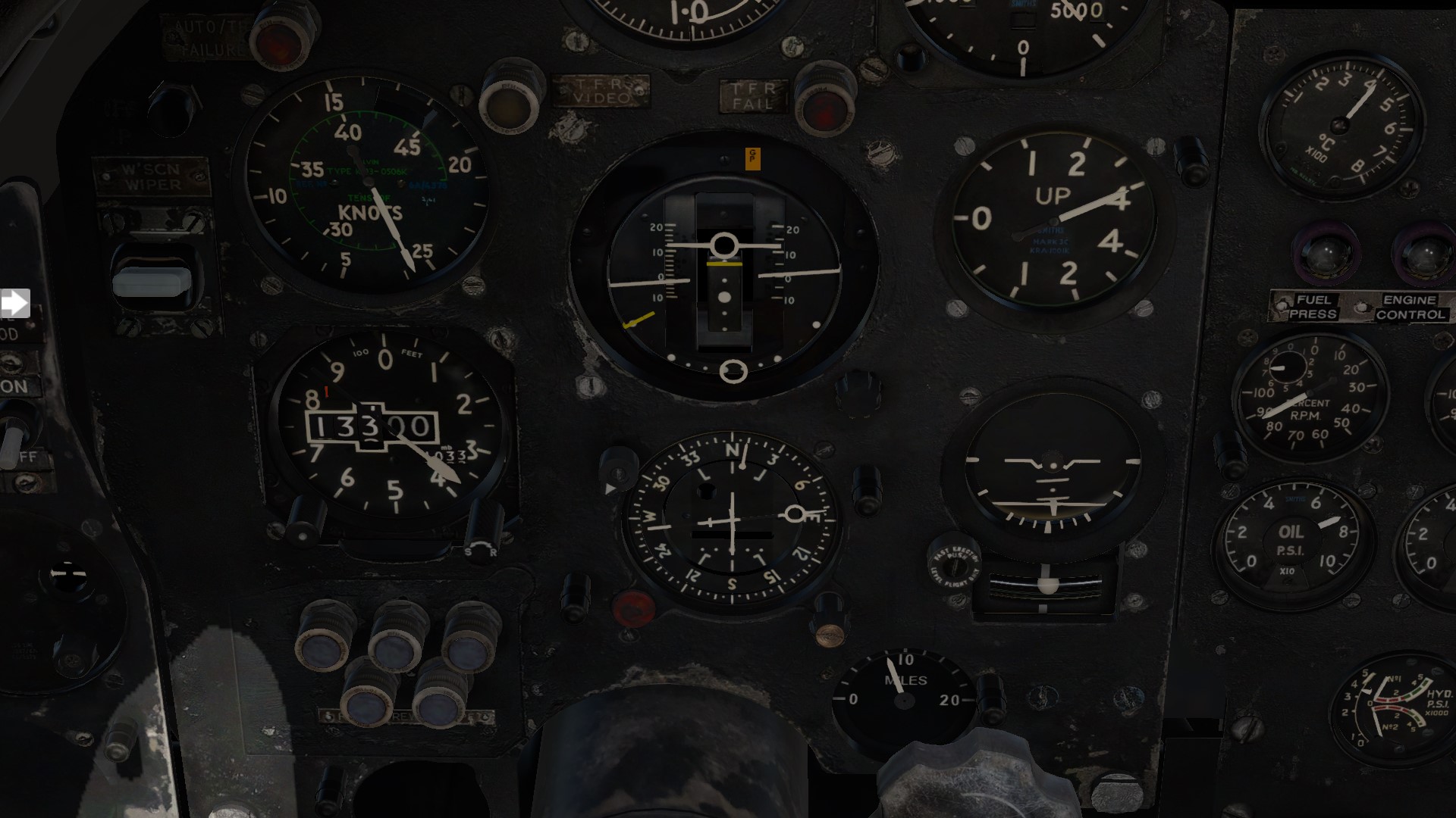
And, according to the included flight tutorial:
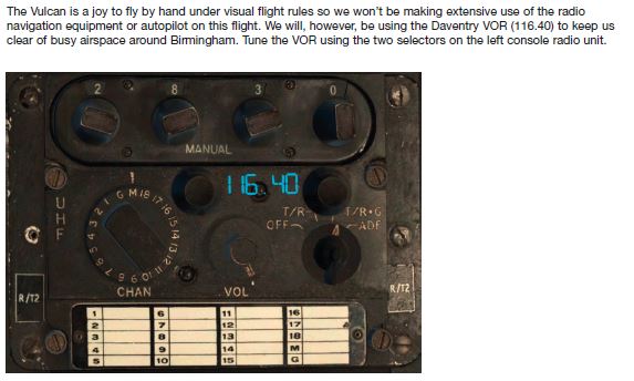
Yeah, big help with the navigation there, but at least I can tune Com1 and Nav1 channels for when I get close to Brisbane (and use the Garmin as a moving map cheat/backup if I need to). So ya know what? If it is a joy to fly by hand under VFR then I have heaps of fuel and all I have to do is hit the coast, head North and turn in at Moreton Bay.
Approaching the coast.
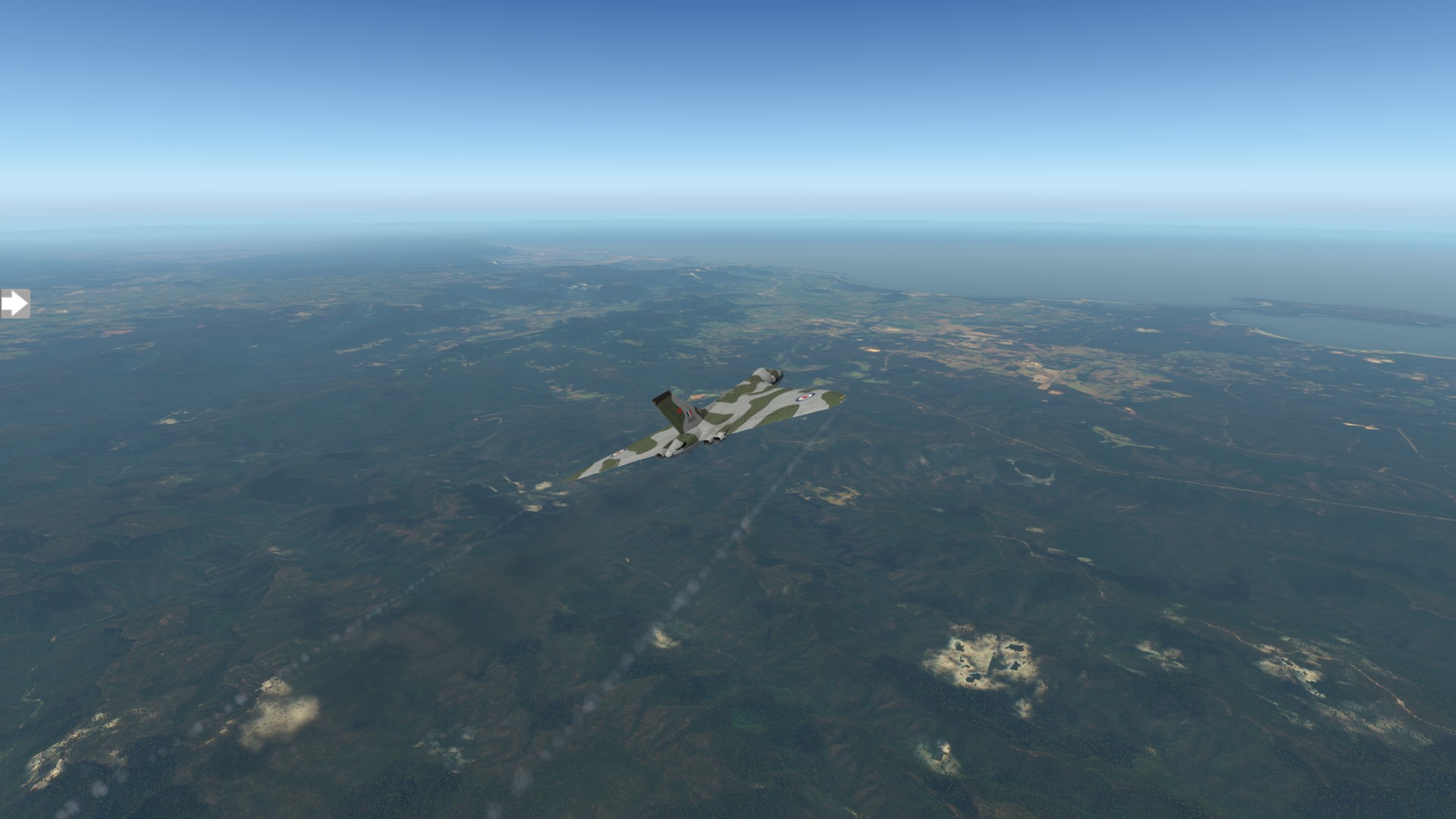
And turn North.
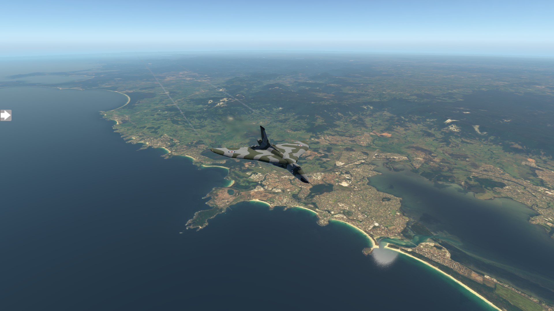
I think I’m on course, a quick detour for a nav fix and photo op… just because 

Approaching Moreton Bay, ‘world famous’ Gold Coast below.
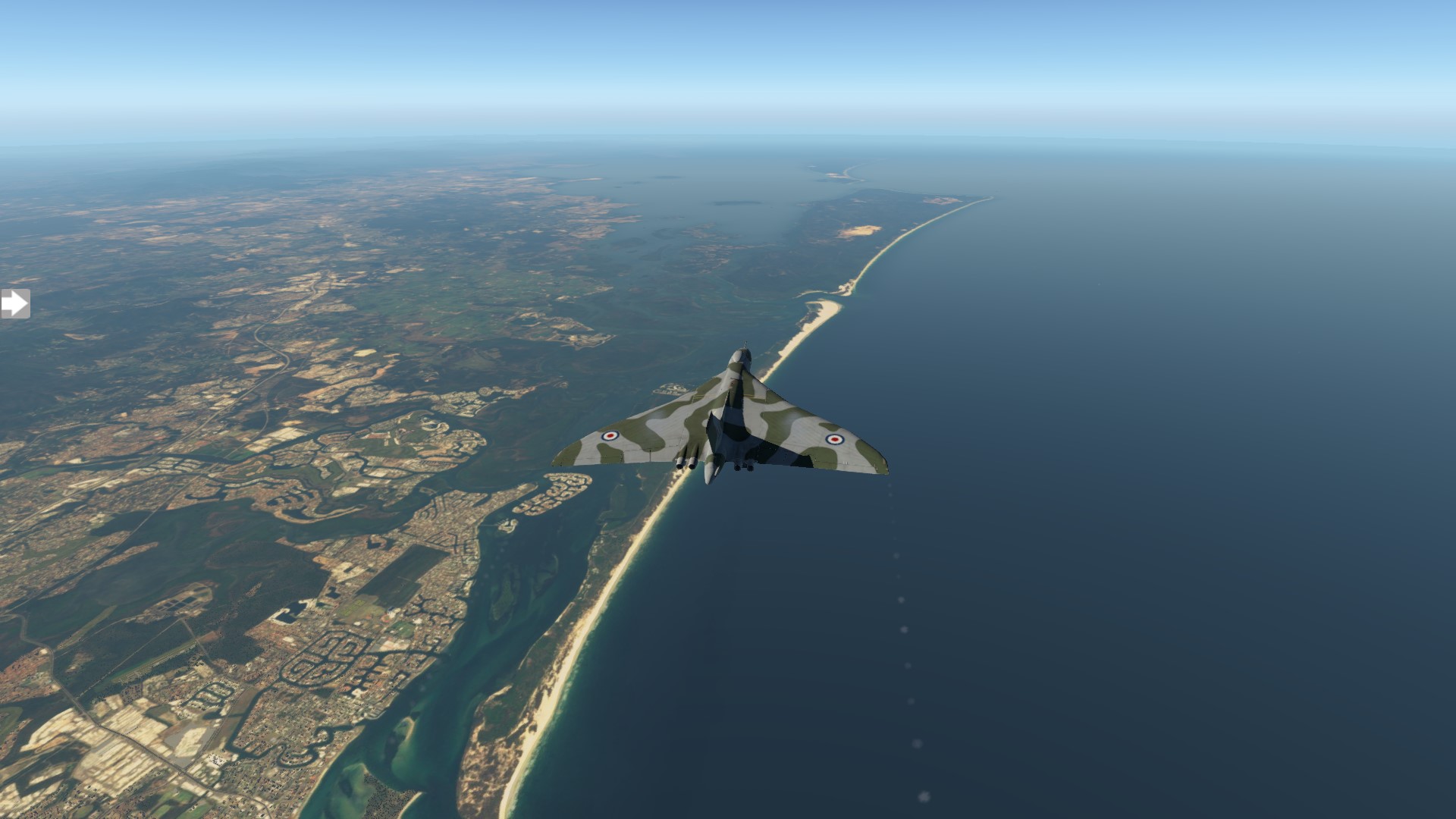
Rather than land from the North, I couldn’t resist a flyover of the old neighbourhood (That is the house I lived in as a boy).
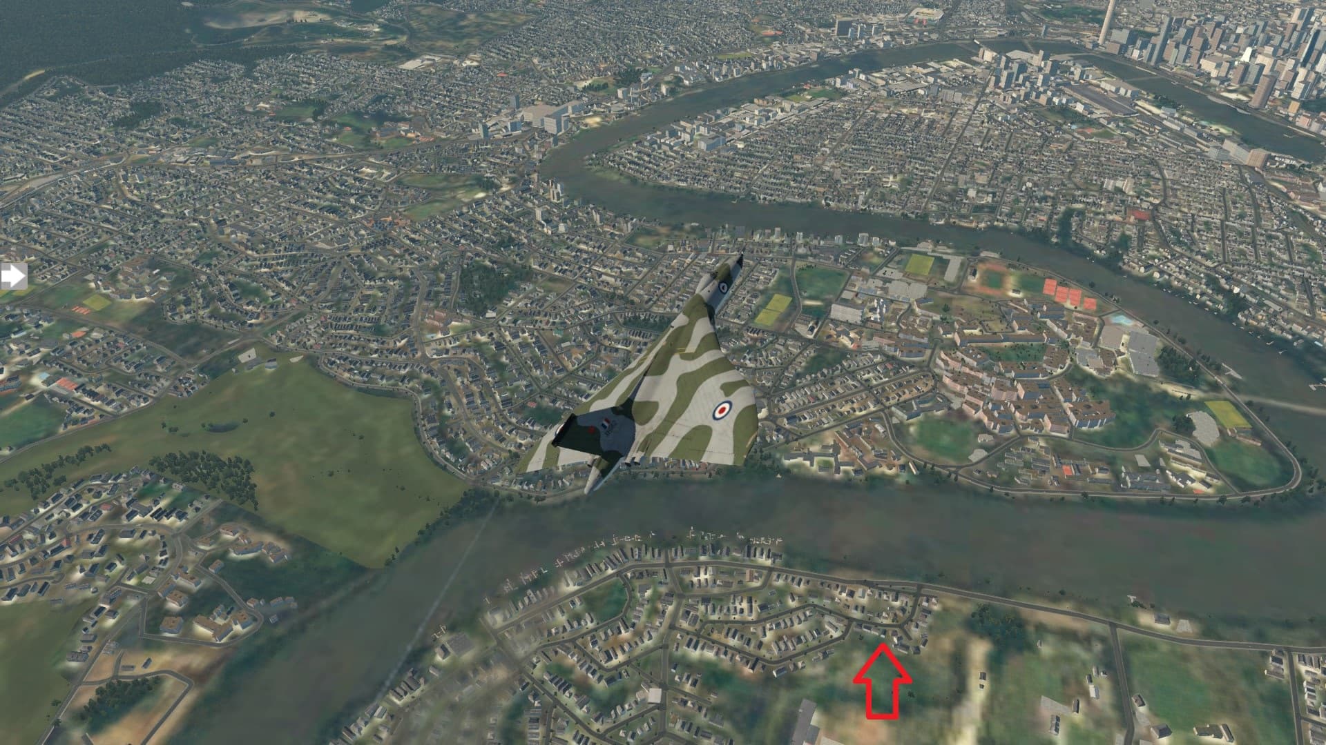
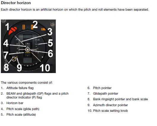
Which set me up for my original plan of landing at 01R… First ‘few’ attempts were ordinary, I can’t for the life of me figure out how to get the glideslope up on the Director Horizon.
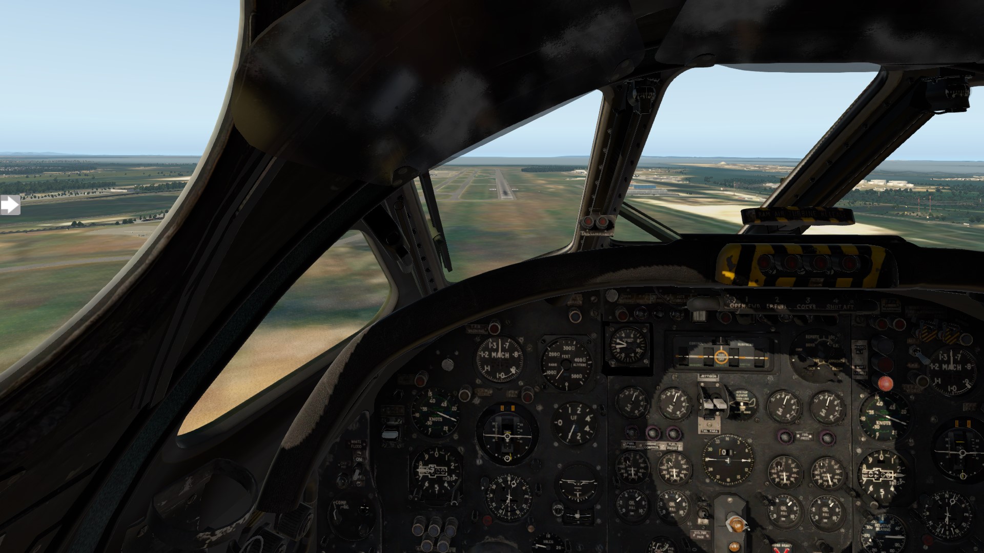
So I was pretty much relying on the PAPI and I had real trouble shedding enough airspeed or altitude at first.
Actually reading the procedures helped and using airbrakes, I finally got it back on the ground.
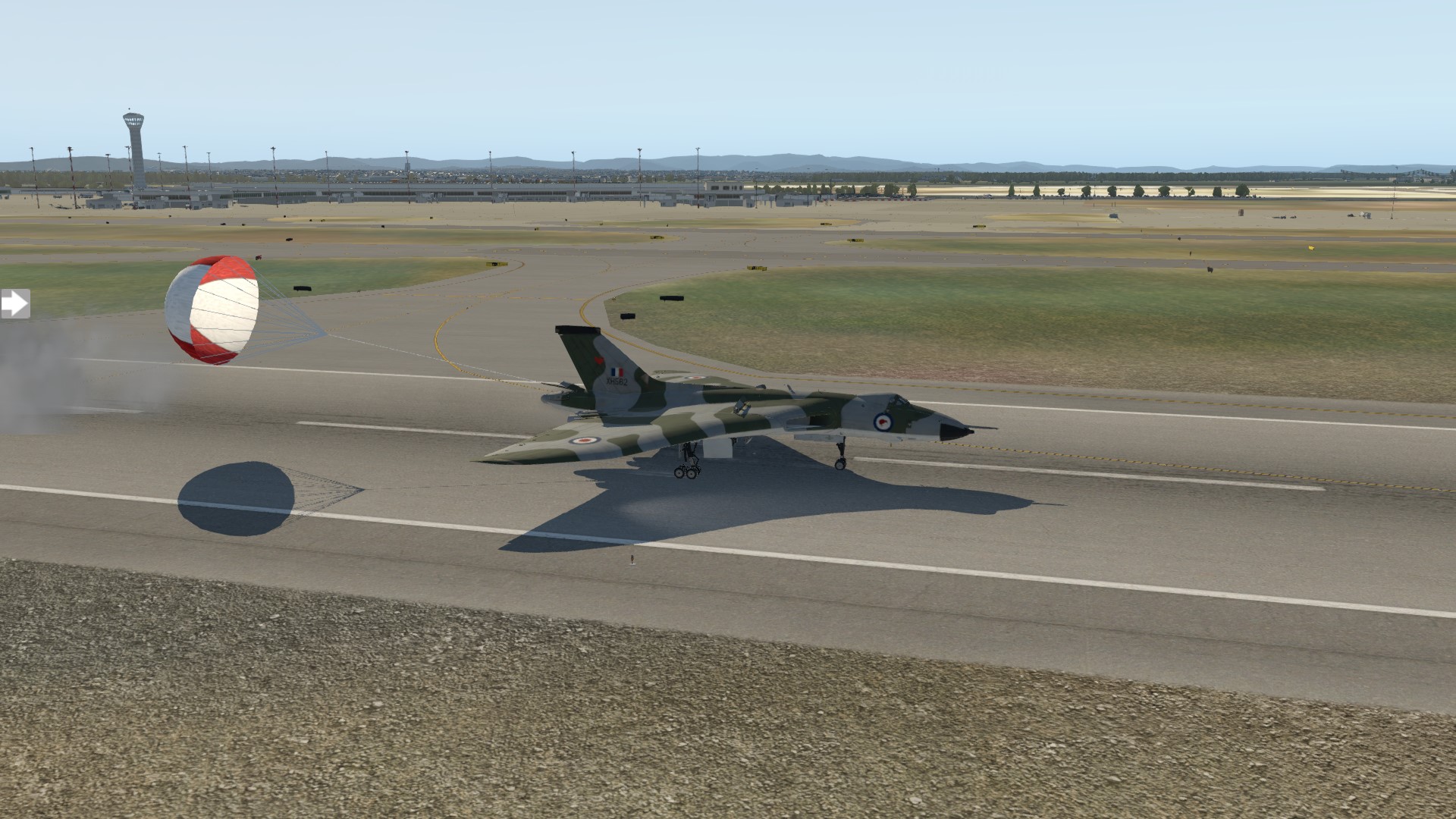
And parked.
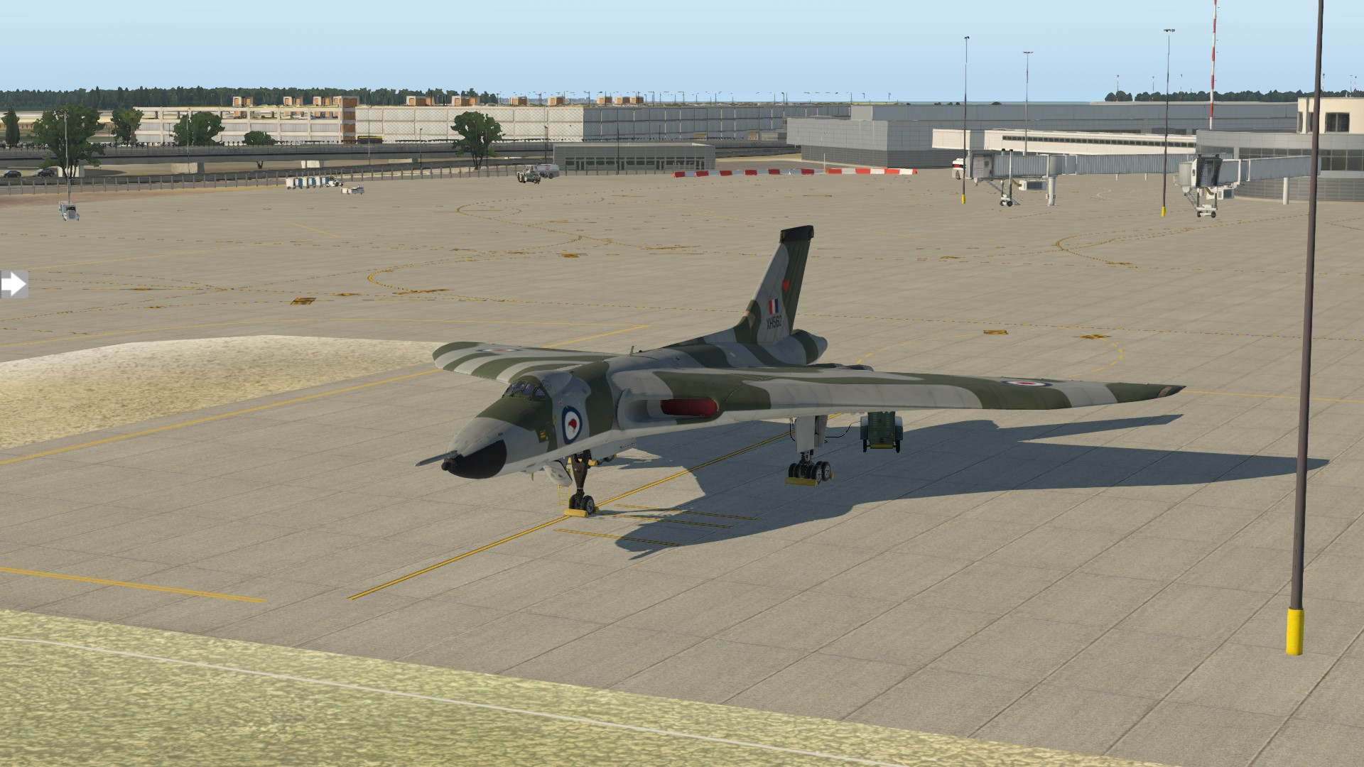
Next leg; don’t know?. If I was in the Cirrus the plan was to head up the coast to PNG and from there across to Jakarta. Now? Maybe Darwin? Maybe Singapore? First I have to suss out getting the Garmin to play nice with the compass and AP & what I am doing wrong tuning the ILS freq.
12 Likes
Great AAR!
1 Like
I am on a bit of a roll (and there was nothing worth watching on the telly last night) so I thought I would get the next stage of the journey done.
Brisbane to Darwin
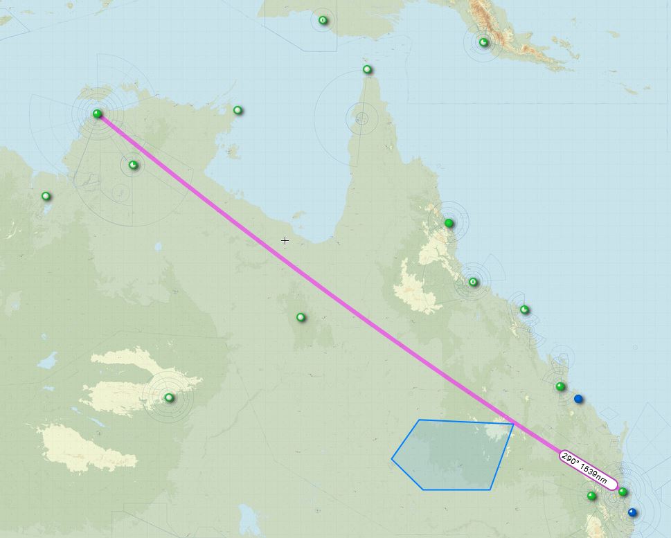
Who would have thought that an Australian, of all people, could forget how unimaginably vast this country can be…
Singapore would be right on the limit for the Vulcan’s endurance, even Darwin is going to need better than half full tanks. And, Darwin then gives me options for the next hop into South East Asia. Darwin, yeah… Funny place Darwin & not necessarily haha funny… At least it is only a virtual visit 
I figured out what was going on with the ILS, it took a bit of cross referencing in the manual and it is really quite simple, just not intuitive
Once the ‘UHF’ radio has been tuned to Nav1 I need to select GP on the MFS Comp selector (#14 in the below image) to get glidepath AND localiser to show on the Director Horizon 
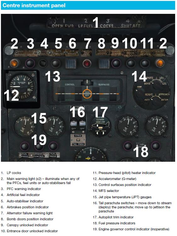
Unfortunately the manual doesn’t actually describe the function of each control or dial in one place, it is spread over two or sometimes three sections. All I needed to do was use that obscure control over there. See simples, right?
The MFS is obviously something that the Co Pilot would normally twiddle with, but like a lot of other controls it has been ‘repurposed’ to fit in with the XP11 schema.
A bit like how the UHF radio, TACAN and Radio Compass ‘work’ in XP11. I assume Radio Compass is the ADF indicator as described in the Right Instrument Panel (Co-Pilot) section of the manual?
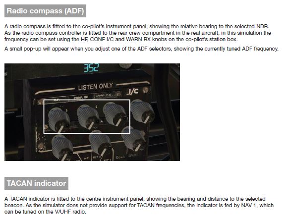
WRT my ‘Garmin’ issues from the first leg, I came across this on the x-plane forums:
The default GNS 2D pop-up window can drive the course deviation indicator in the 3D HSI (Beam Compass in the manual), as long as you use the 2D GPS pop-up to switch the CDI mode from VLOC to GPS. The RealityXP GTN 750 can be used as a 2D pop-up, though it doesn’t seem to drive the HSI’s CDI in the 3D cockpit.
I honestly can’t be arsed resetting to the default GNS and because the HSI will point to the Nav1 freq anyway, plus I can use the ‘Radio Compass’ and ‘TACAN’ (fingers crossed emoji) and just use the GTN750 as a back-up/failsafe.
I think I have also figured out the autopilot but I guess I’m about to find out.
For departure I use Rapid start (I love that feature, none of that starting one engine at a time rubbish), a quick taxi and scramble…
Wow, at about 65% MTOW the Vulcan climbs like a homesick angel.
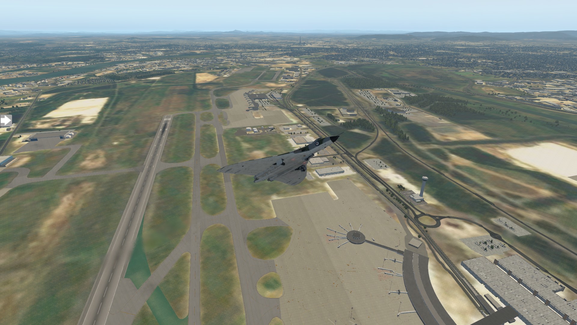
Ciao Brisbane
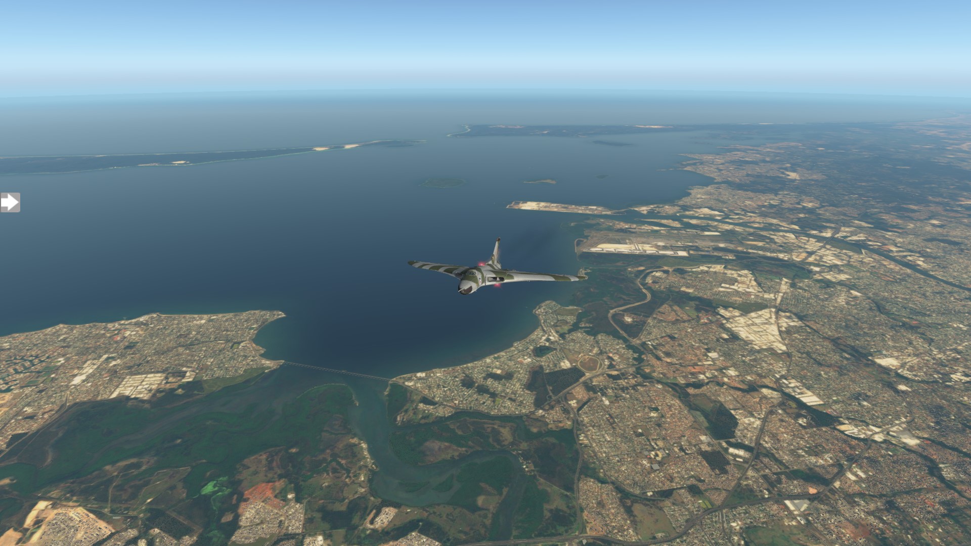
Oh, and did I mention how unimaginably vast this country can be… and barren. Because once we are over the range, our course takes us over thousands of square kilometers of flat open remoteness… And that is just one of the cattle properties that we will be flying over today!
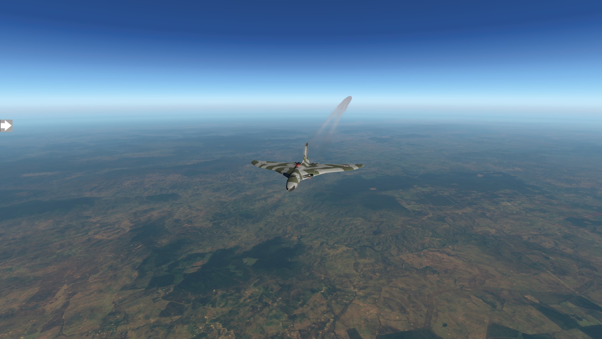
Lovely day for a flight though.
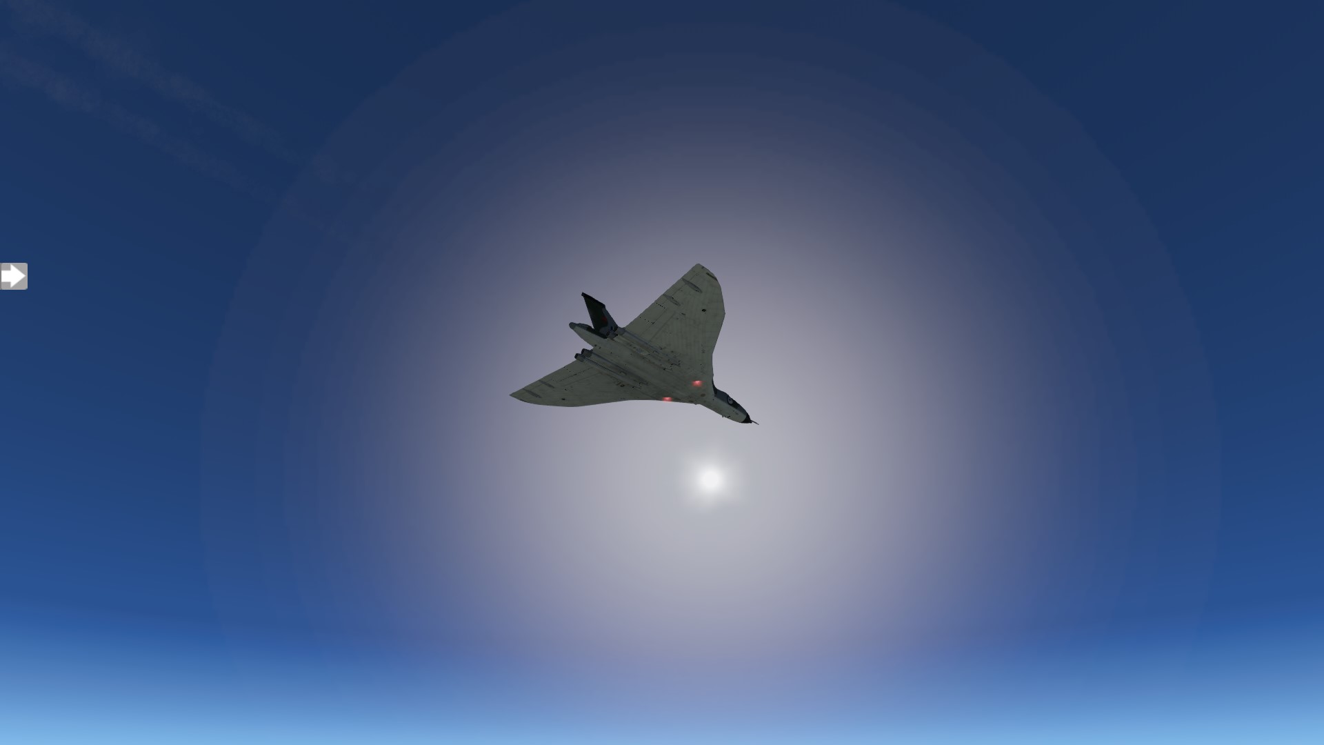
But yeah… Vast.
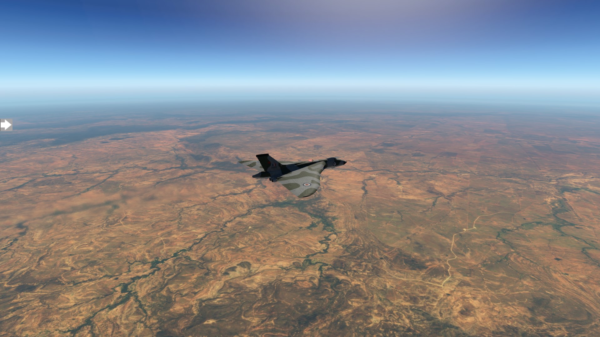
Are we there yet?

Nope, that looks like the Gulf coming up on our right so it means we are only a bit over half way!
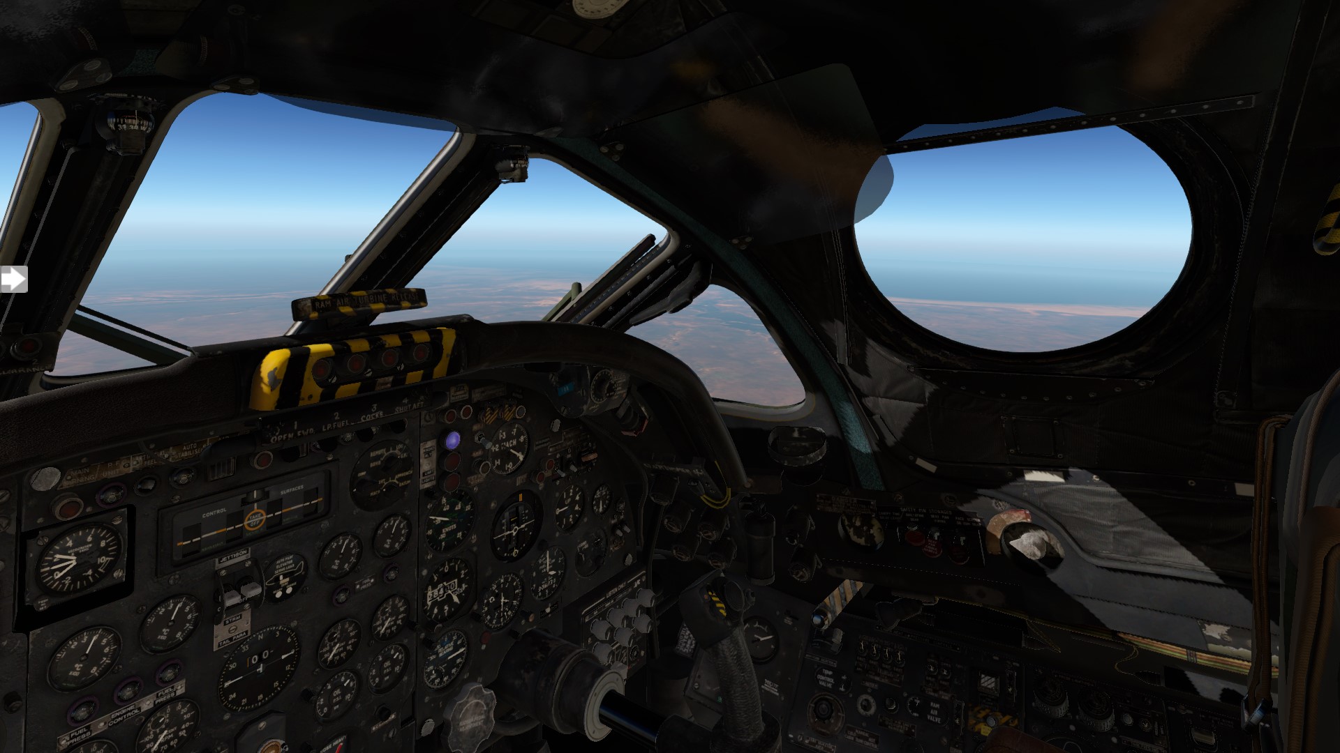
Wouldn’t want to have to ditch or bail out around here. That’s crocodile country if I have ever seen it.
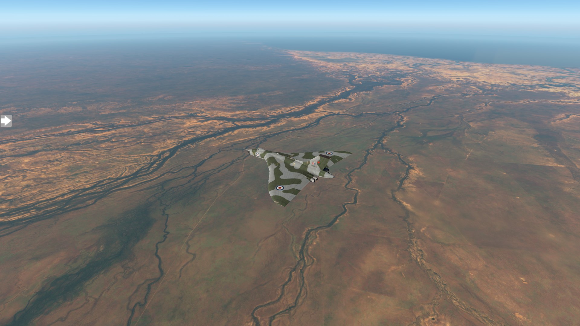
Yeah, typical Gulf country. Great fishing… if you can put up with the heat, humidity, mosquitos, crocs, snakes, spiders, water buffalo…
Probably time for a nav check?
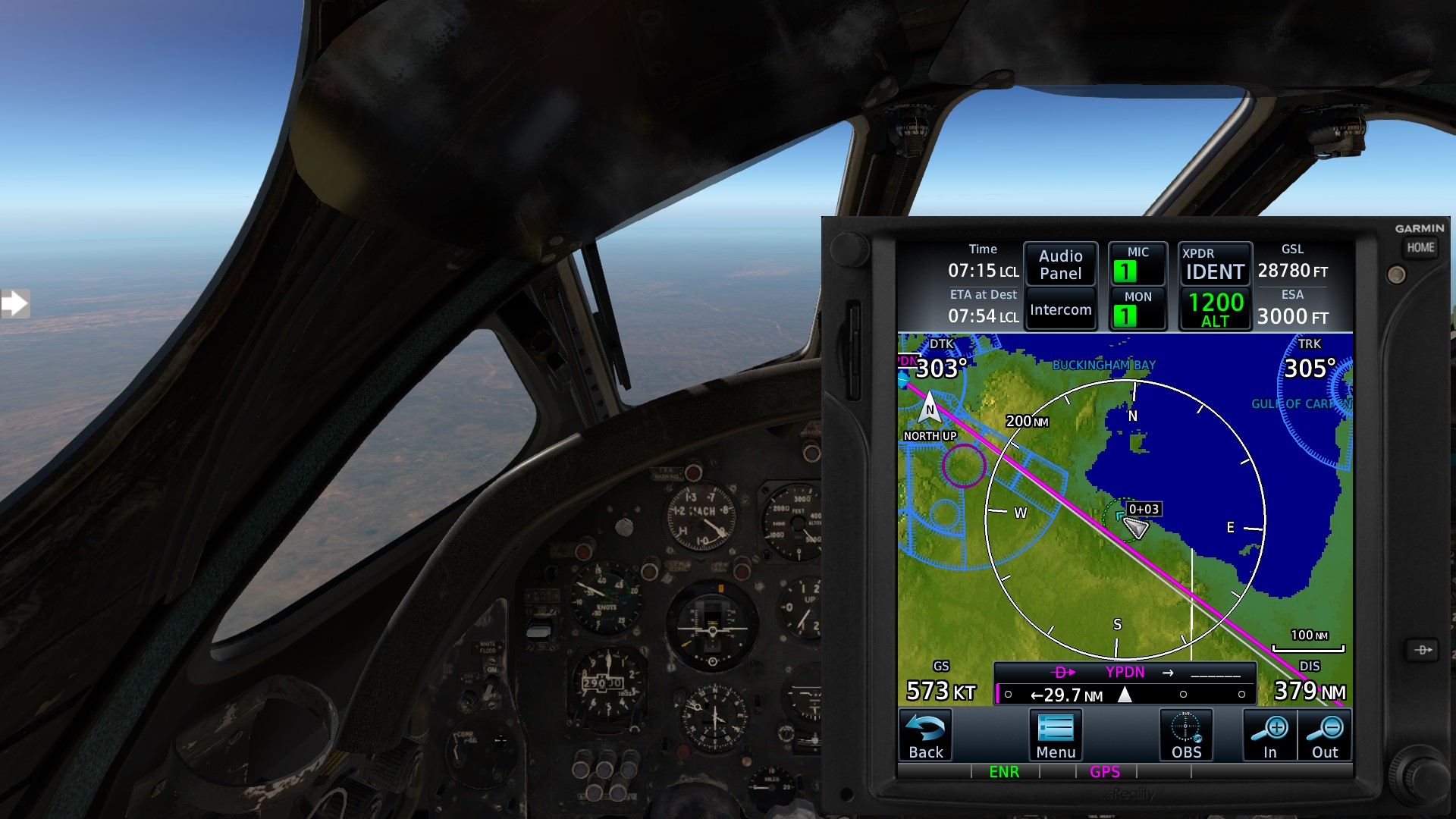
Not to shabby for steam instruments but I might line it up a bit better.
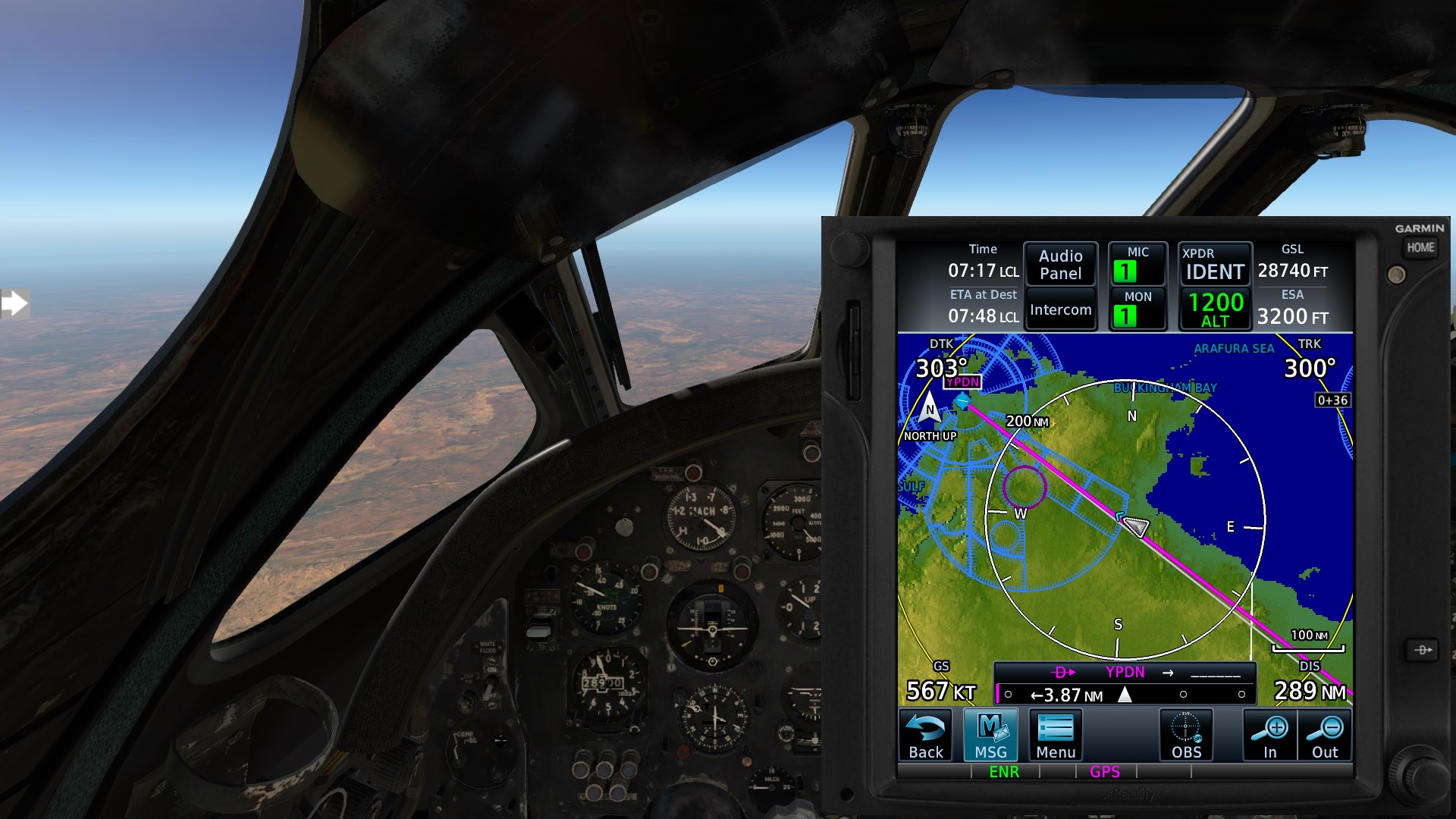
That’s better and I might as well think about starting my descent about now.
The manual doesn’t really explain how to read the instruments (e.g. the airspeed has an inner and outer scale, but that isn’t mentioned anywhere).
I’m coming in a little high again but comparing the PAPI with what the the Director Horizon is showing me I have it figured out now
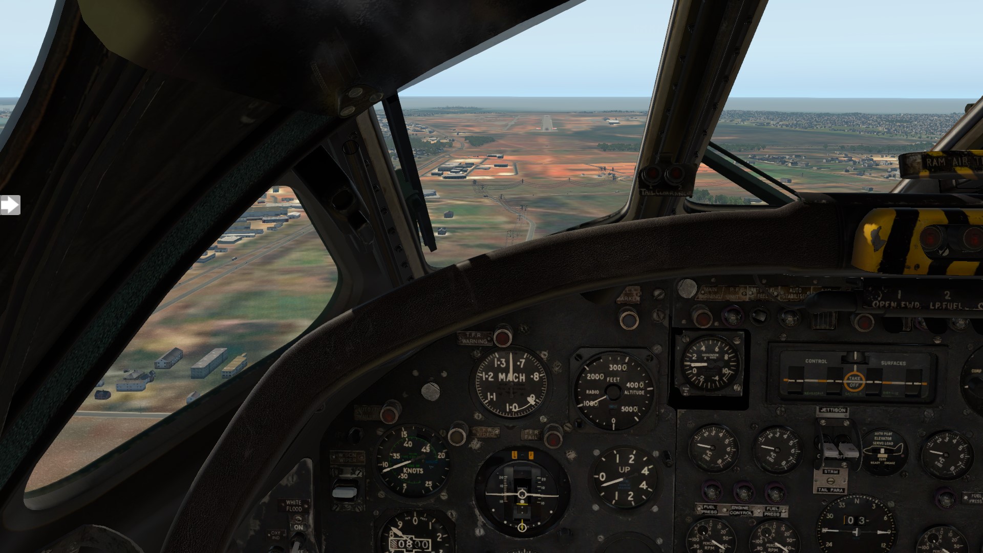
10 Likes
Really glad you can get up and stretch your legs IRL. Can you imagine doing that flight in a tuna can of a cockpit and not being able to stretch? yikes.
1 Like
Only a bit over two hours in real time, but yeah, pause is bound to a joystick button
1 Like
I was looking forward to this one 
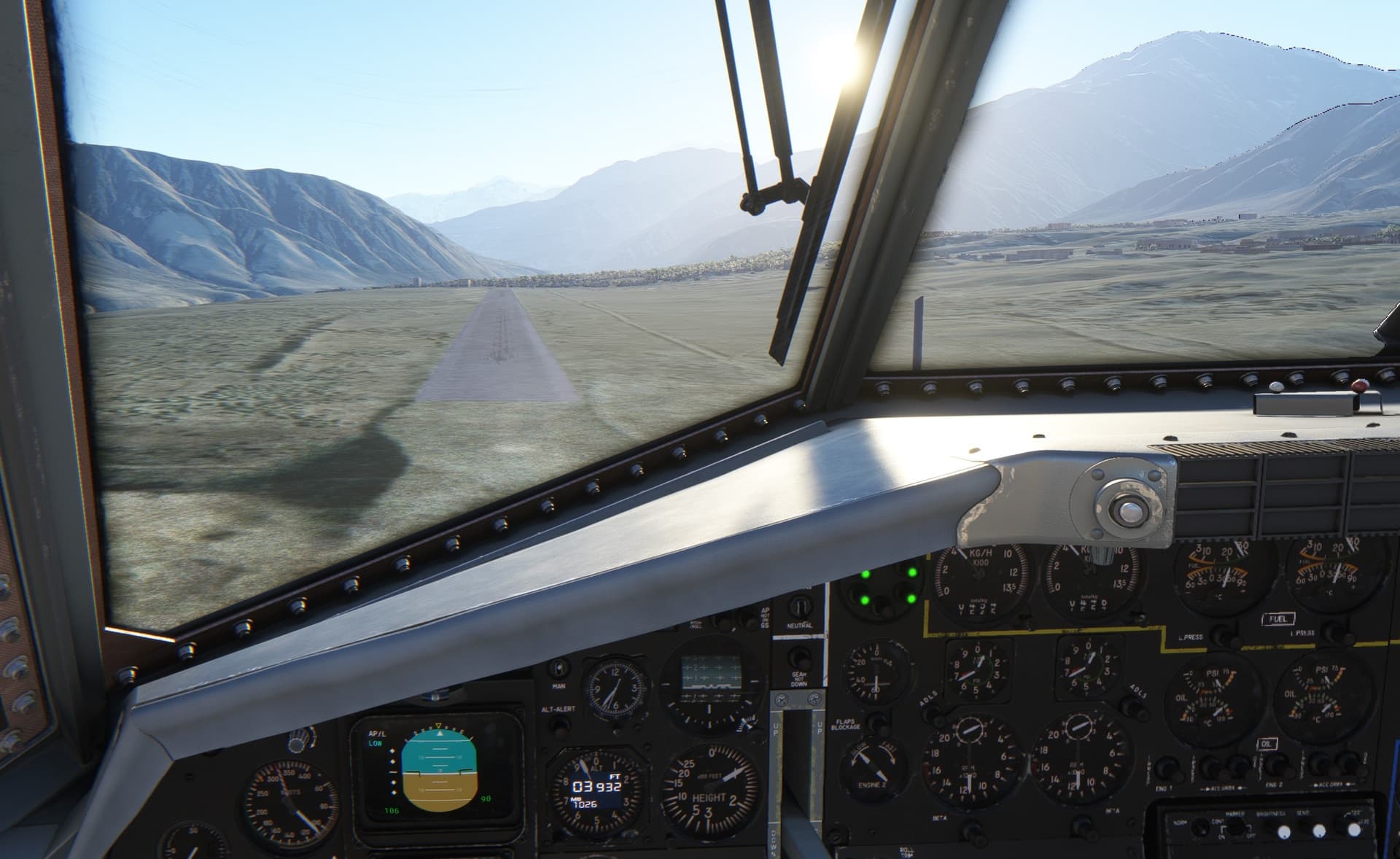
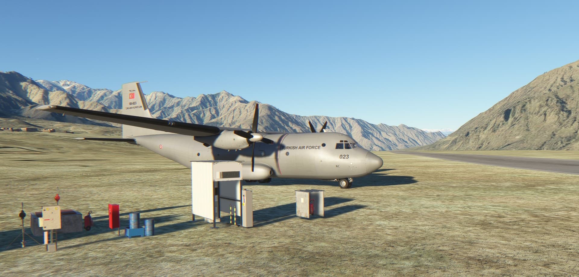
Durnig the recent sales, I picked AzurPoly’s C-160 Transall. Even though all I really wanted was a steam gauge C-130, I digressed and opted for “the best turboprop you never heard of” (as one youtuber put it) instead.
Because, in what else to fly the leg from Dushanbe in Tajikistan to Bagram in Afghanistan?
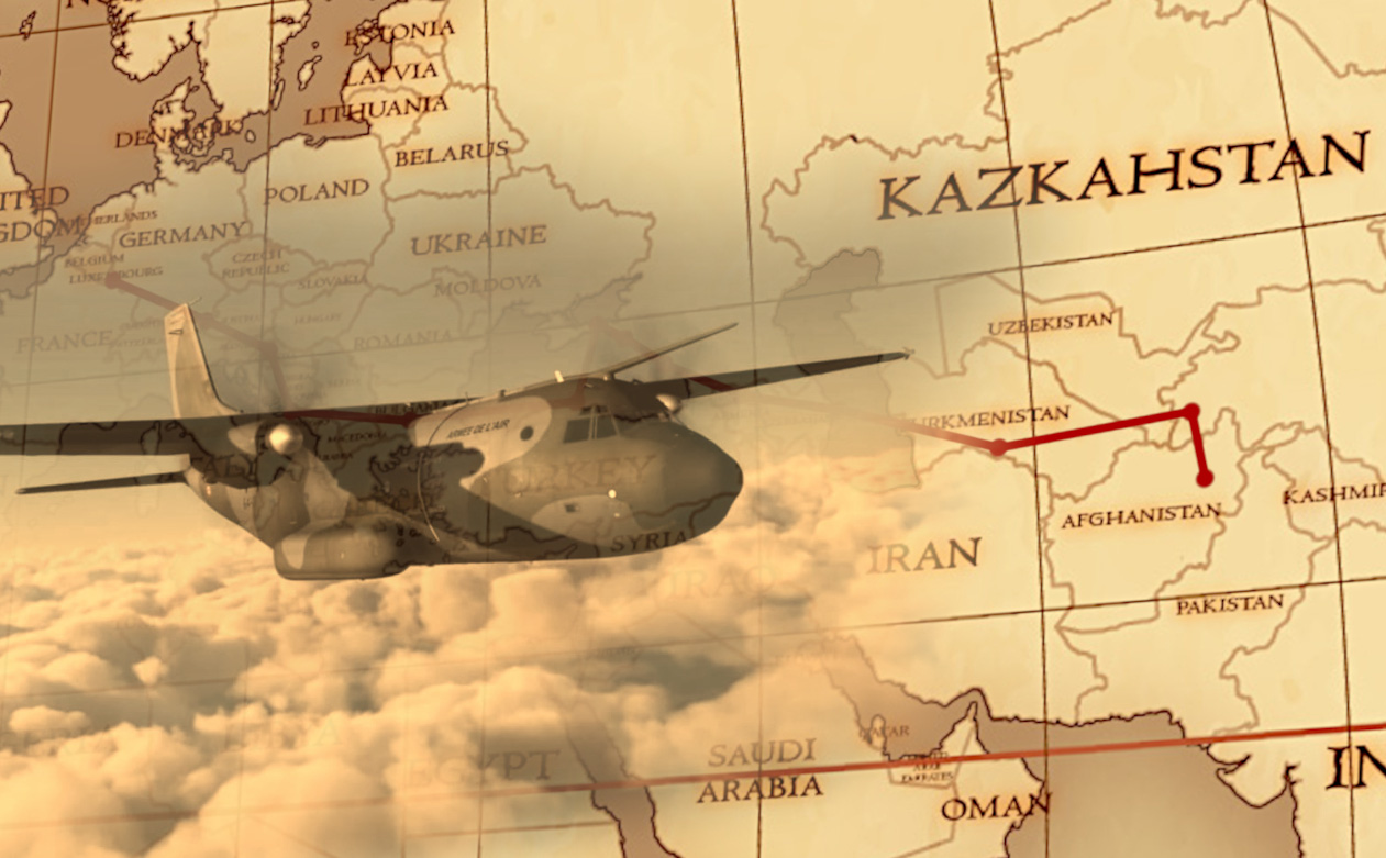
AzurPoly did make a great job on the aircraft inside-out and even though they make it clear there are some features missing, I find it pretty good already. Plus - the 1.2.0 update is lurking around the corner.
I was not looking forward to this leg only because the Transall but also because the old school navigation I wanted to put into practice. The ILS approach to rwy 03 in Bagram requires a DME arc arrival which looked like a challenge just right for the Transall with its EHSI gauge capable to display two VORs as well as its RMI gauge which would come handy in flying the DME arc.
As I left the optional GPS out of this flight, some thorough preparation was needed. Feel free to skip it in case you are interested just about the flight and the screens 
Nav Preparation
To fly the DME arc properly, a VOR gauge, DME (obviously) and RMI needs to be set up properly. That was not a big issue. The problem was, how to get to the initial fix for the DME arc? It is defined as a radial from the VOR station and a distance. OK, but a good idea would be to approach this DME arc fix in such a way that allows for a comfortable progress to the DME arc.
I decided to solve this riddle by flying to a custom made fix few nautical miles out of the DME arc fix which would allow me to descend in time and position just fine for the arc itself.
To do this, I would need to set the two available NAV radios with active and stand-by frequencies properly, swap in time and set new CDI courses.
After take off from Dushanbe, I turn south towards Qurgonteppa NDB and then follow south to overfly Kunduz airport (no nav aid but the weather was supposed to be fine).
Once leaving Kunduz behind my back, I need to intercept Termez VOR/DME on radial 134 (set to NAV2 radio and made active) and fly this radial until 180 nm from the VOR station. There I should be just able to receive a signal from rather short-range Kabul VOR/DME which should provide me my custom fix on radial 36 (set to NAV1 radio and made active).
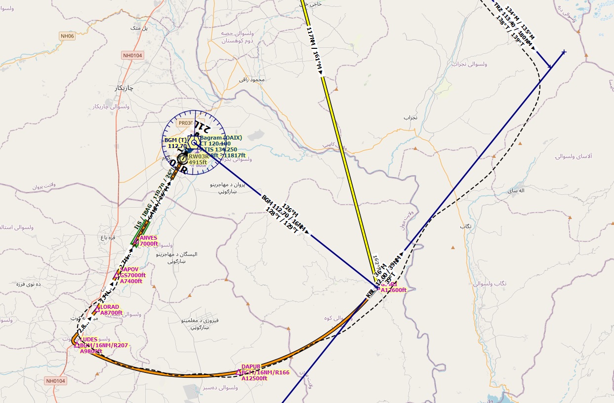
At this point, following the Kabul VOR/DME radial 36 towards the station, I switch to the Bagram VOR/DME (previously set on NAV2 radio on stand-by frequency) and change the CDI course to radial 126, which when intersecting with the Kabul radial makes a DME arc fix some 16 nm from the Bagram VOR/DME.
From there, I need to fly the DME arc and crosscheck at two points - radial 166 and radial 207 that I am on the arc not very far from the 16 nm distance from the station.
I need also to descend when flying the arc so that I intercept the ILS signal (tuned to NAV1 radio on stand-by frequency) at the right place and at the right altitude.
When established on the ILS, I will land at Bagram.
Easy, eh? What can go wrong?
Cargo loaded so let’s climb to the cockpit to get the two turboprops into business. Check the details on the cargo and the access to the cockpit. Well done AzurPoly!

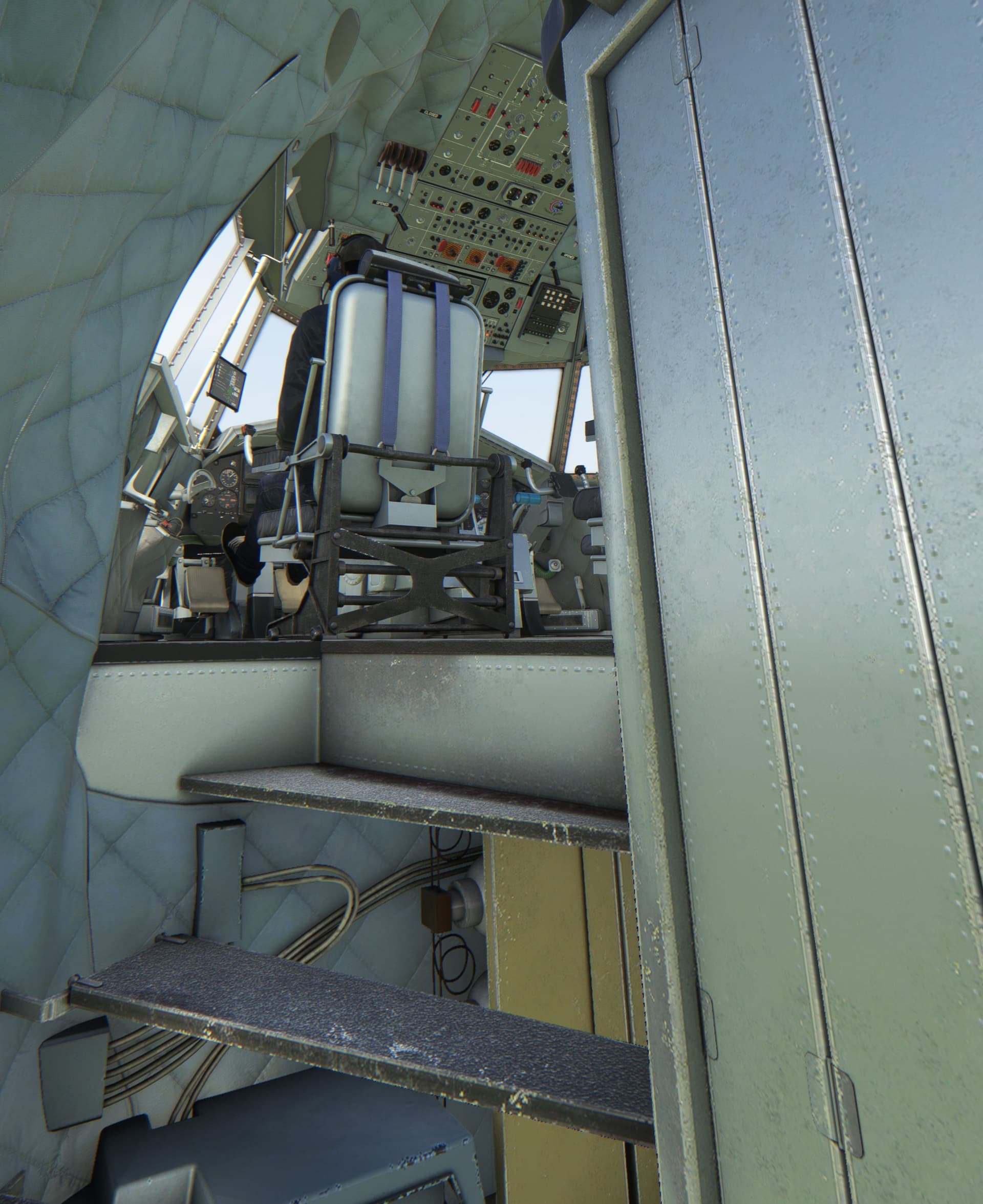
Ready… Steady…
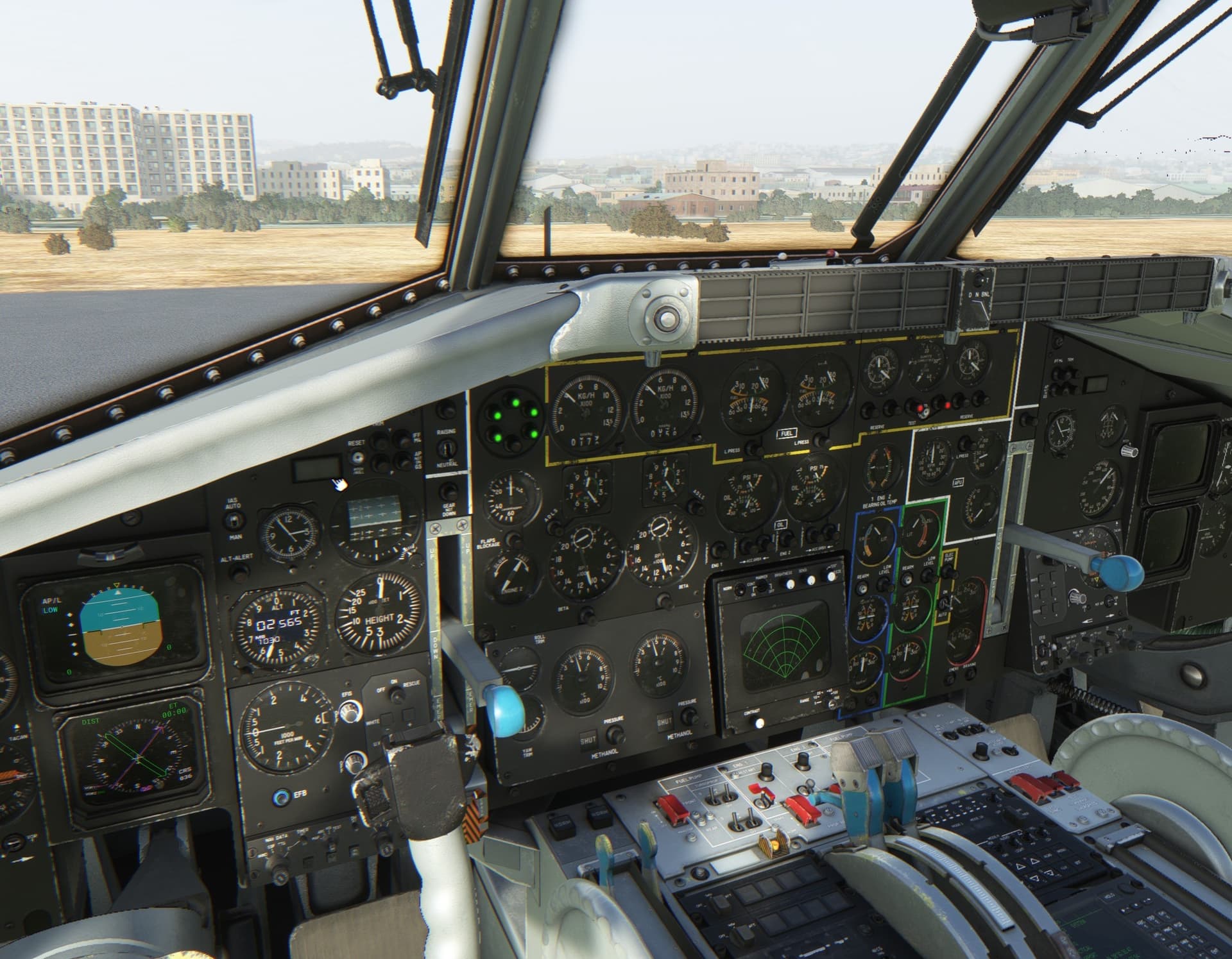
GO!
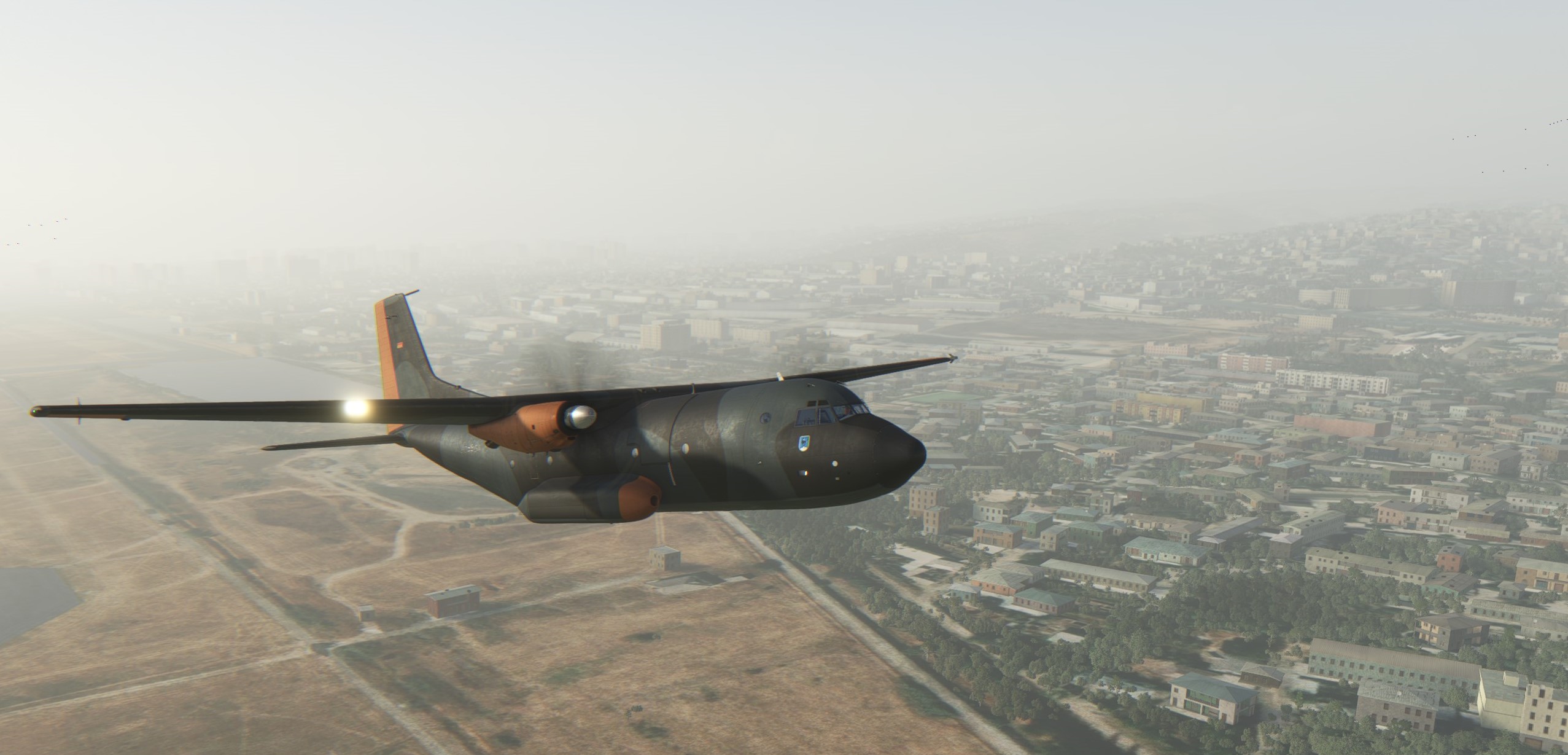
Similarly to the previous leg, the weather is murky only around the airport. Once out, the weather was clear.
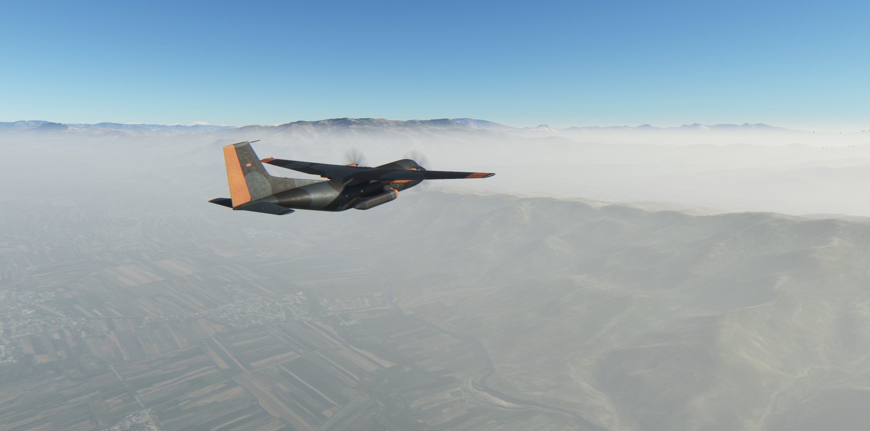
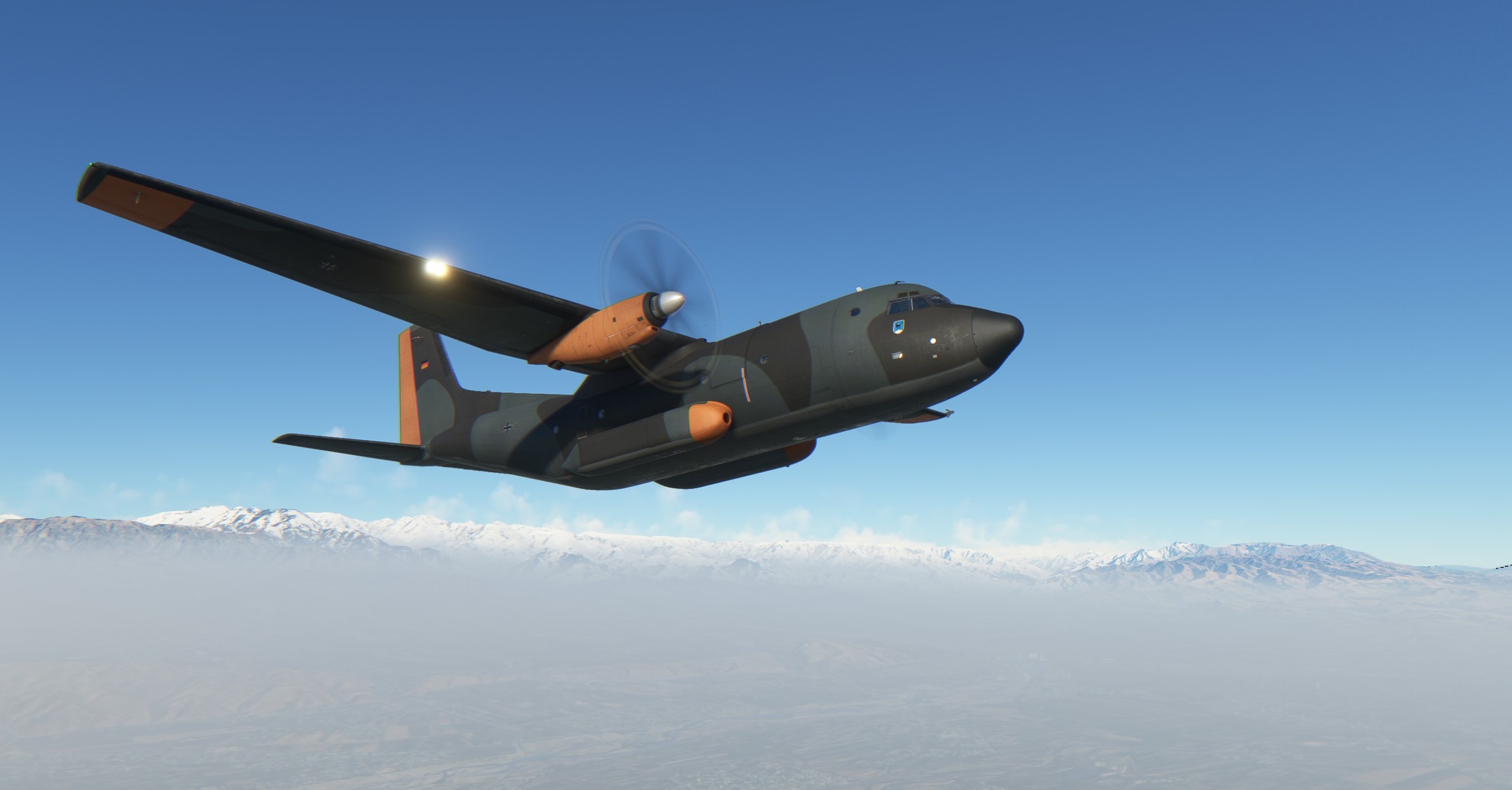
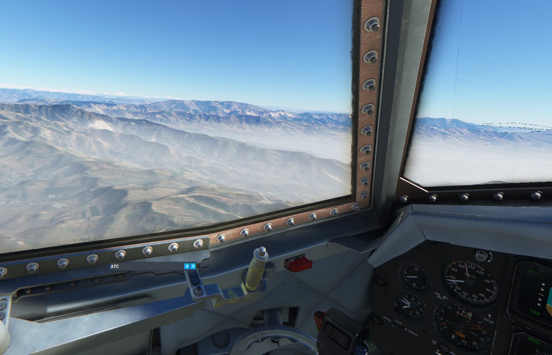
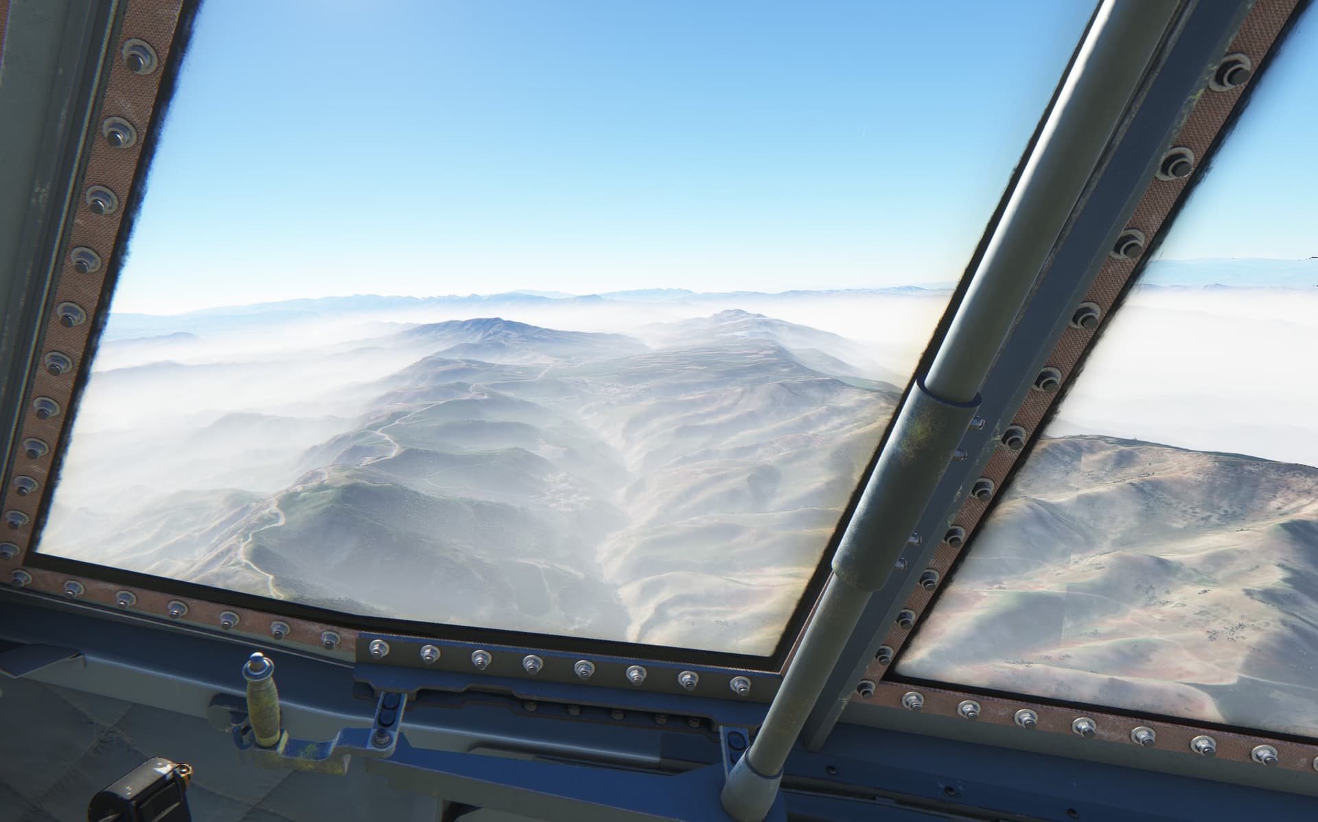
Enjoyng the ride from the flight engineer seat. Many of the switches - e.g. generators - are operated by the flight engineer. It is difficult to reach them from the pilot seat as anyone who flew the Transall in VR can surely confirm
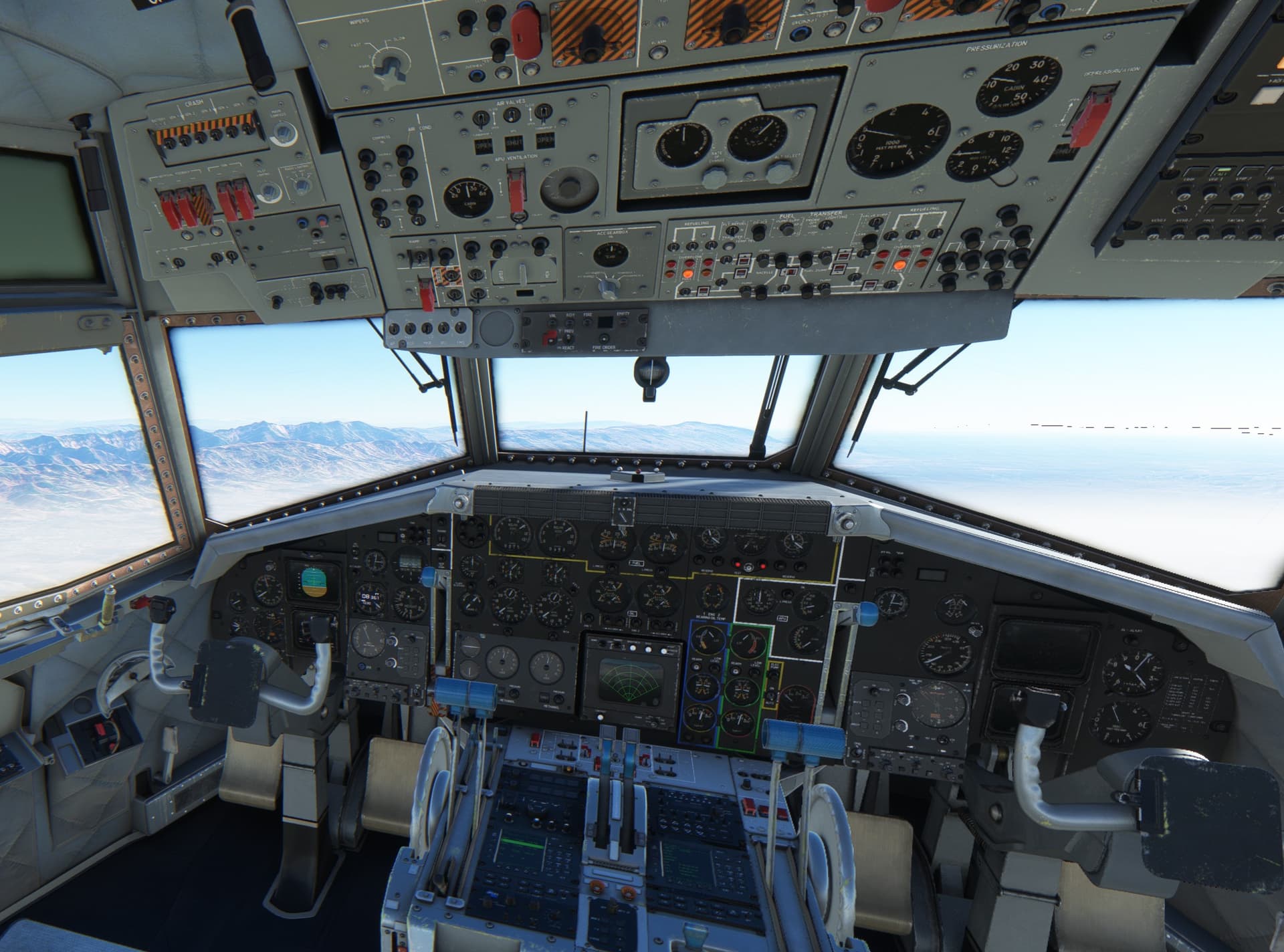
Progressing towards Kunduz.
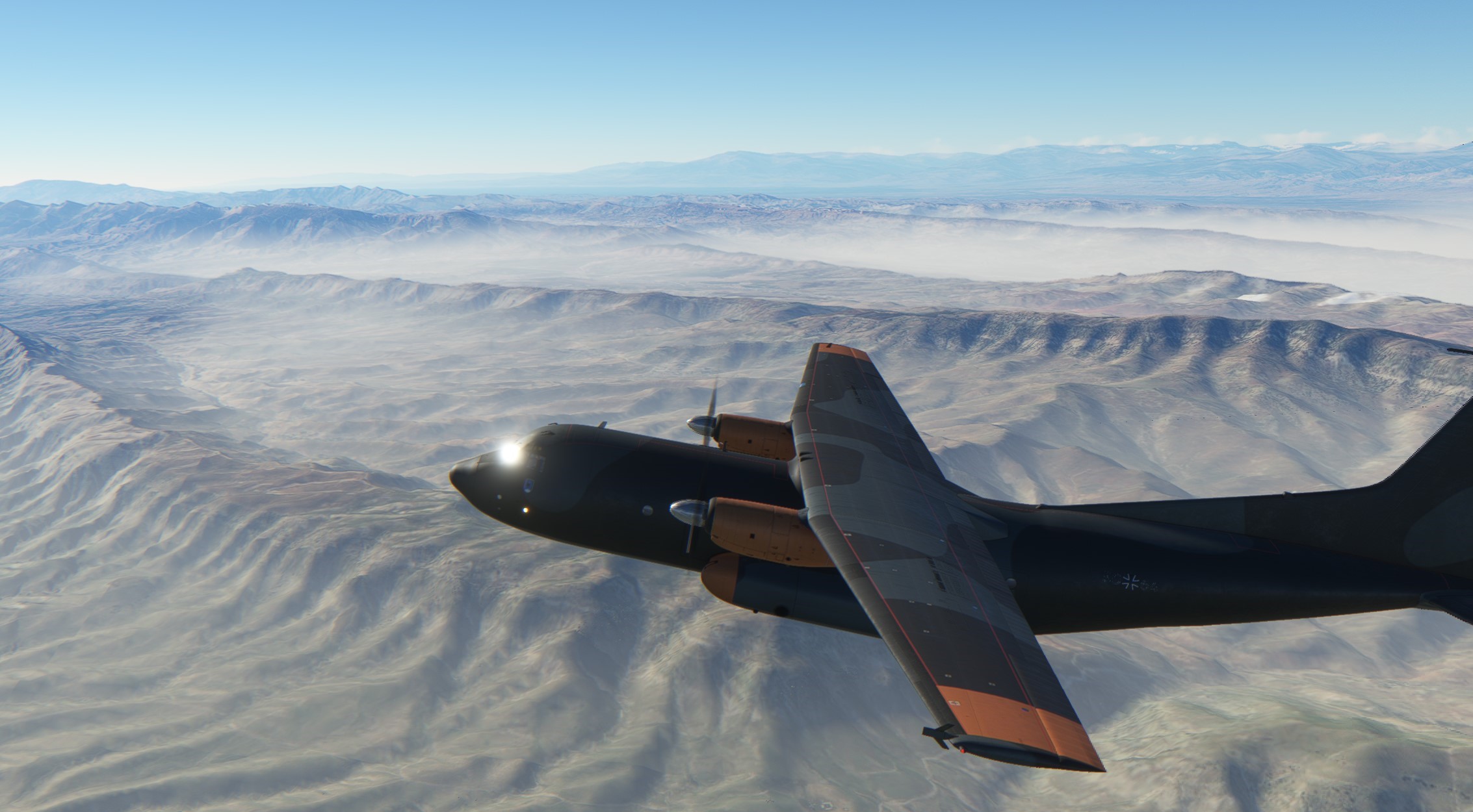
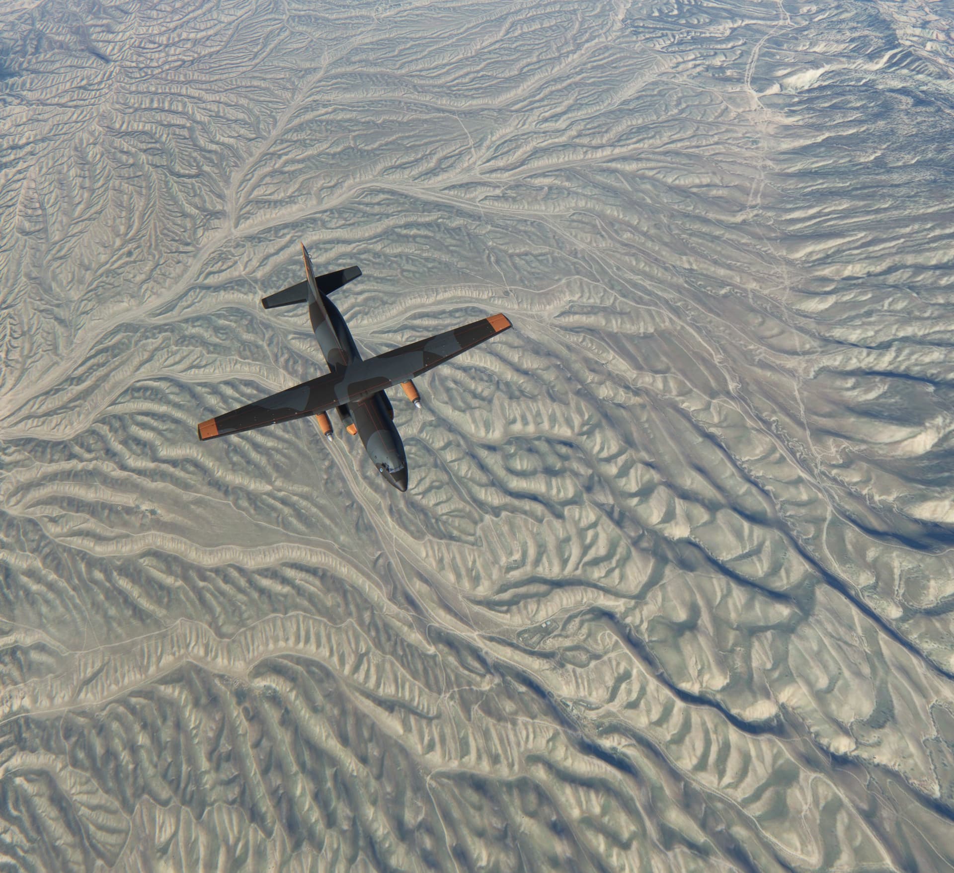
City of Kunduz. Interesting squarish urbanization as seen from the air.

Kunduz airport. From here on I am relying on classic radio nav school.
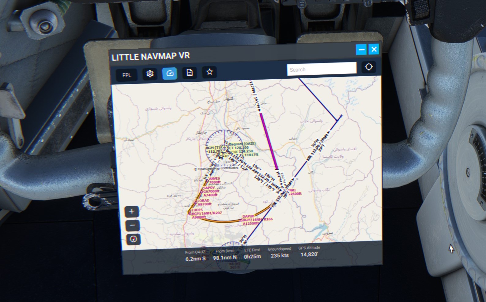
This is my plan as viewed in LittleNavMap. All active and stand-by frequencies tuned and checked and active radials set!
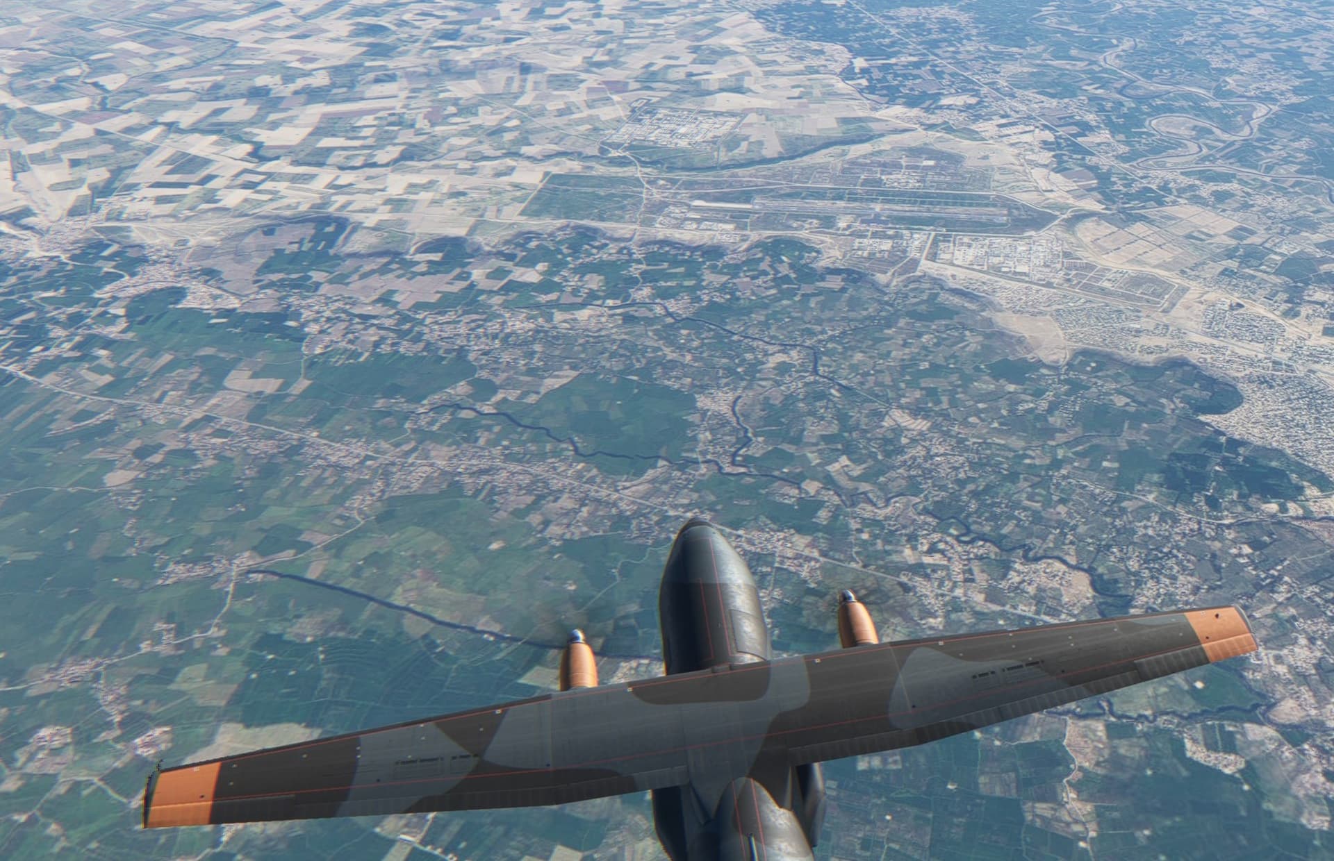
Tracking the Termez VOR/DME outbound on radial 134 over the mountains. Bagram is to the right of the flight path.
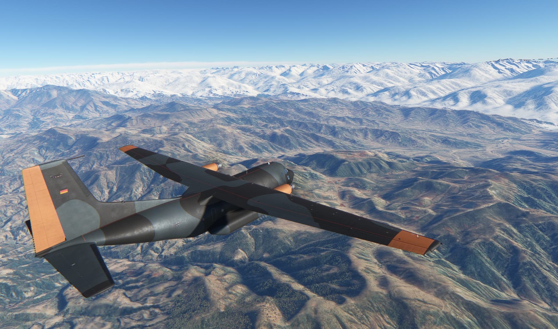
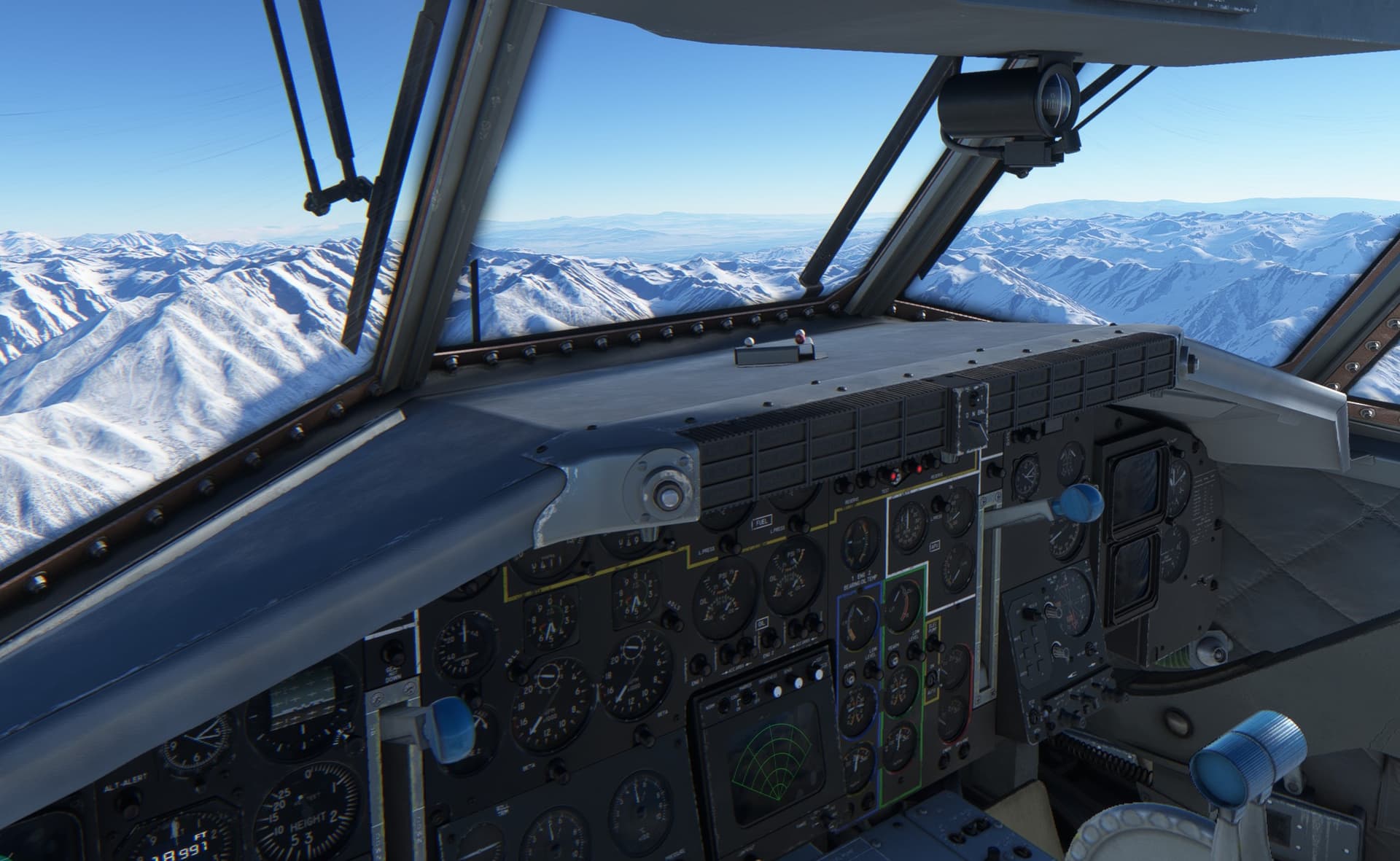
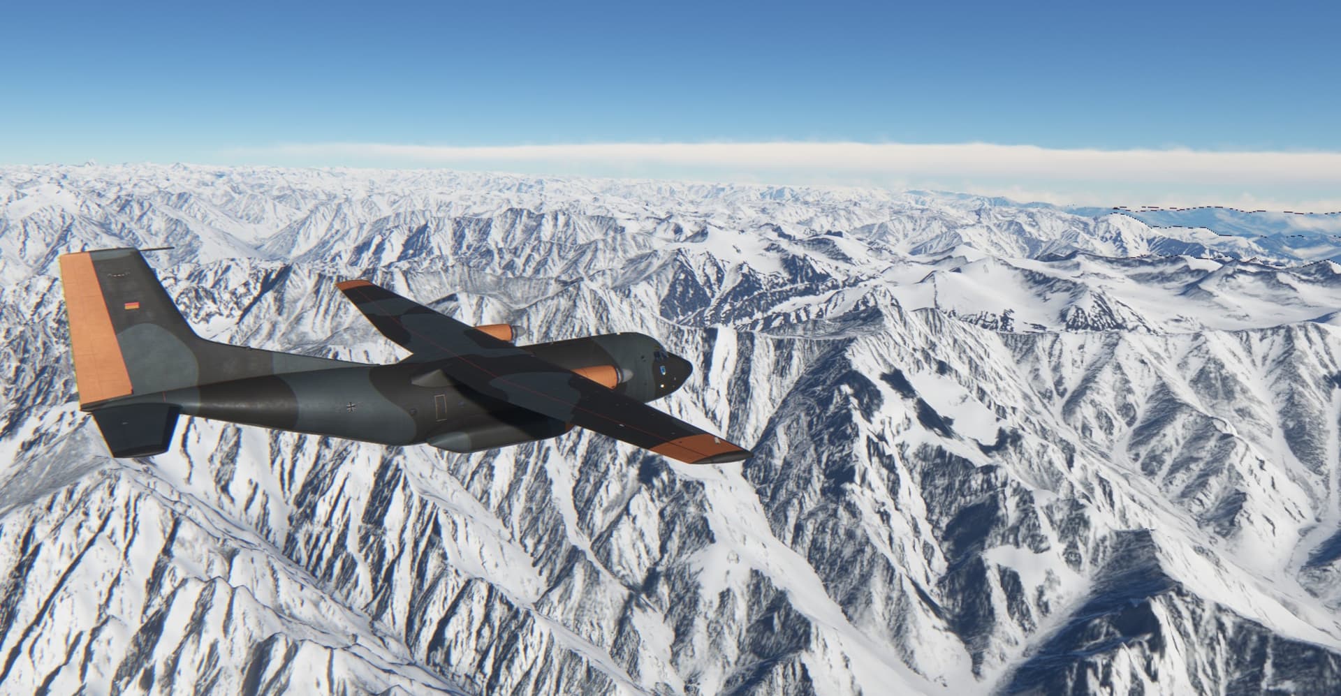
Here I am some 181 nm from the Termez VOR/DME and the Kabul VOR/DME signal just kicked-in. Nicely on the fix
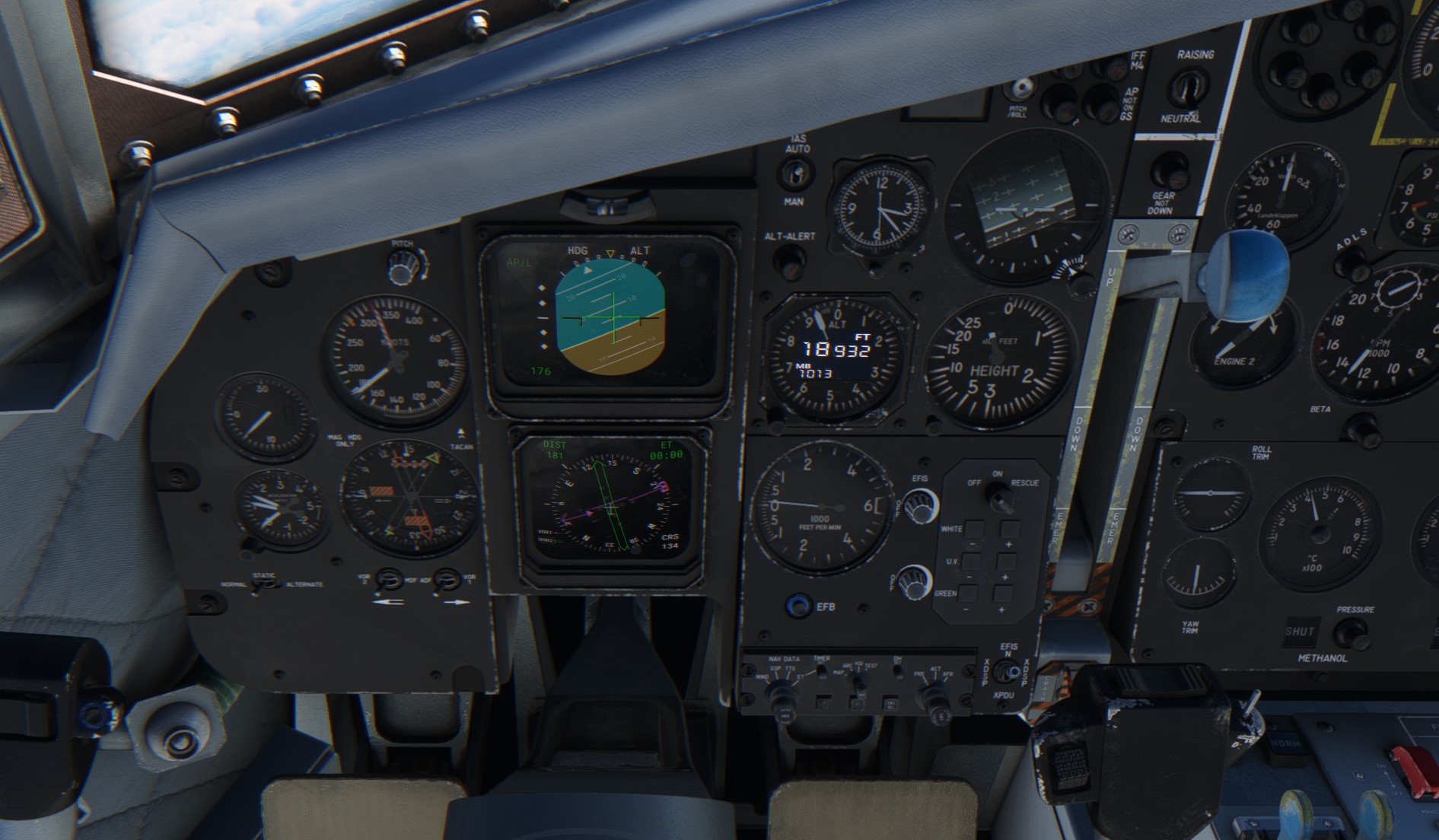
Like I said - Bagram to the right.
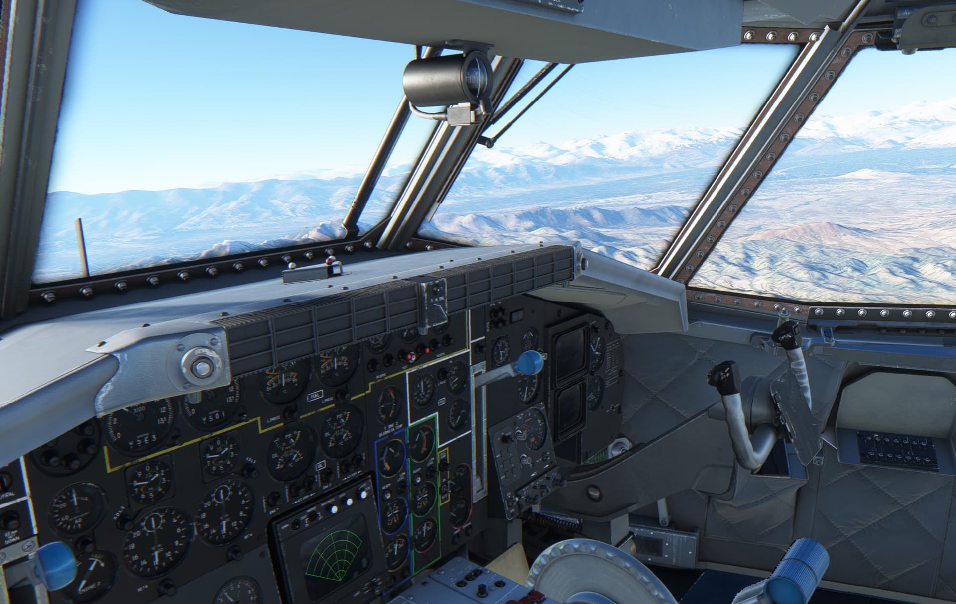
This is already the second fix of the DME arc - radial 166 of the Bagram VOR/DME. I am slightly off so need to turn more into the inside of the arc. I also need to descend from 12500 ft to 9800 ft. At the speed of 140 kts, I need to loose some 2700 feet in 4.8 minutes - resulting in about 560 ft/minute descent rate.
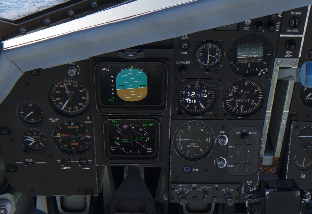
Not much time to look out of the window. Though the few glimpses I got were well worth the risk of sliding away from the flight path…
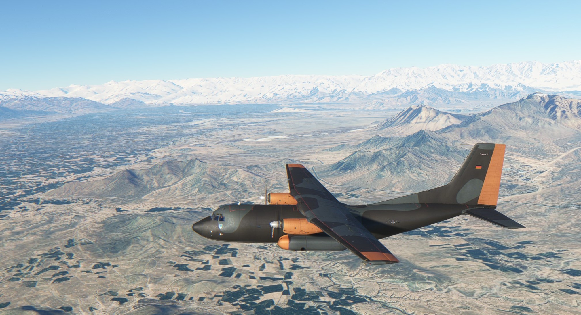
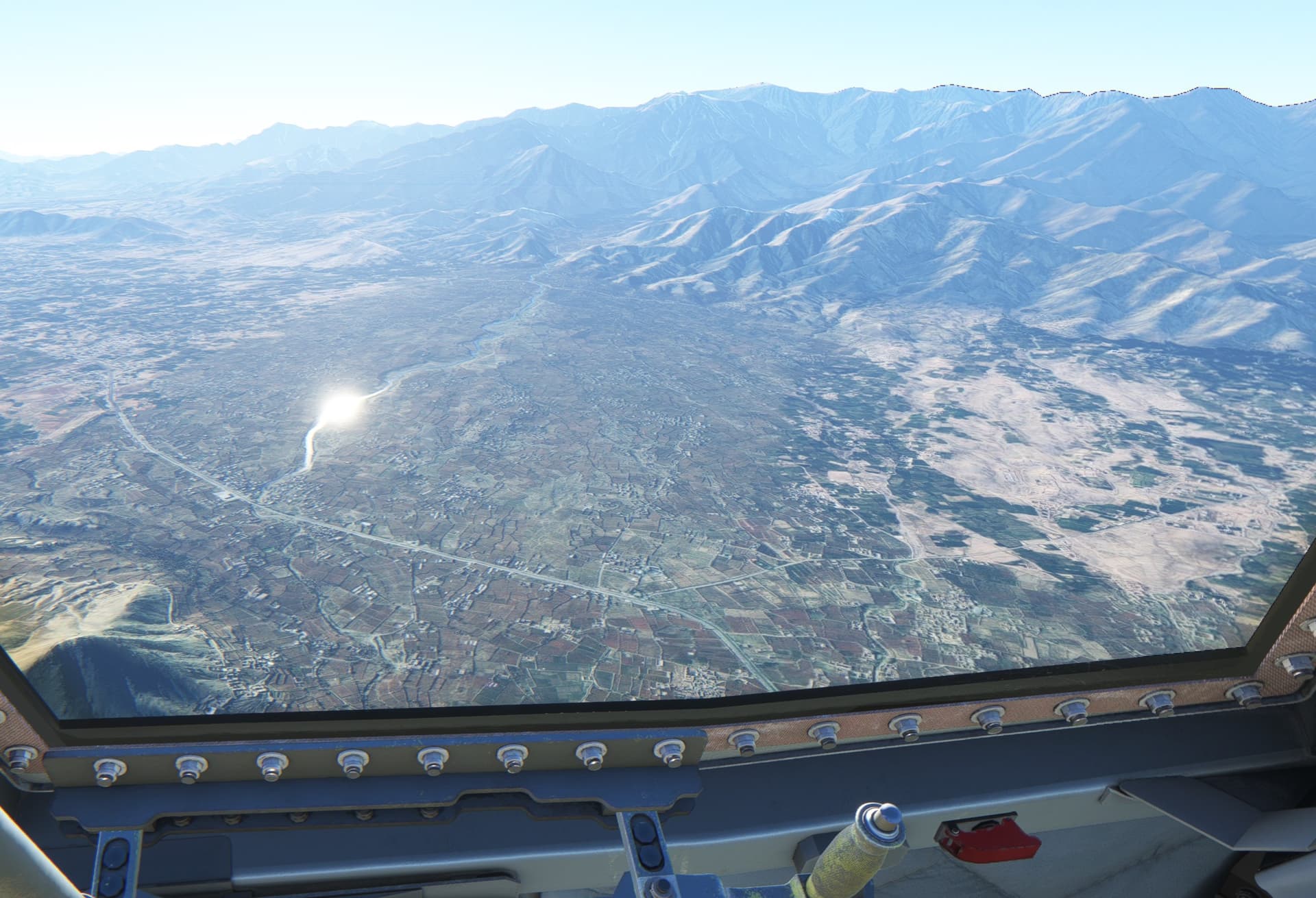
…which I did  Though as I have not messed up the radios, I end up intercepting the ILS and turning towards the field (a bit overshooting, thought).
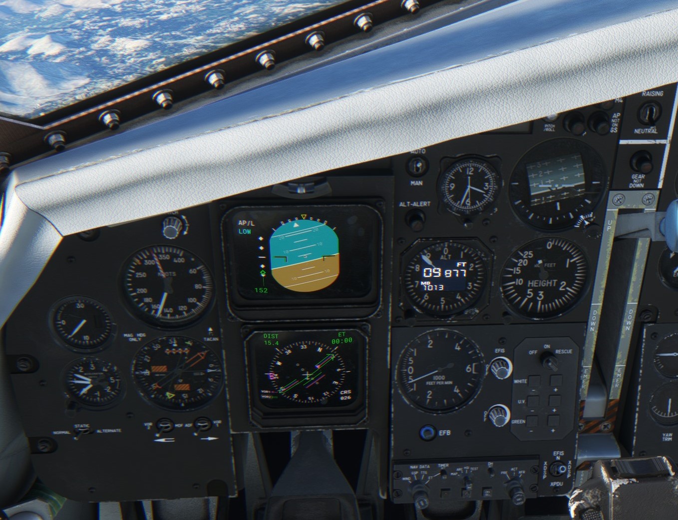
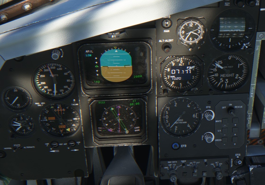
Fully established!
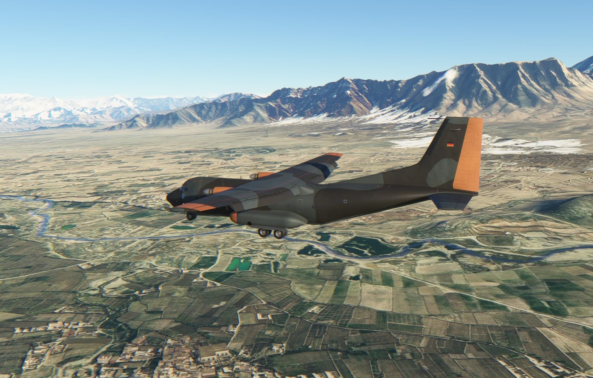
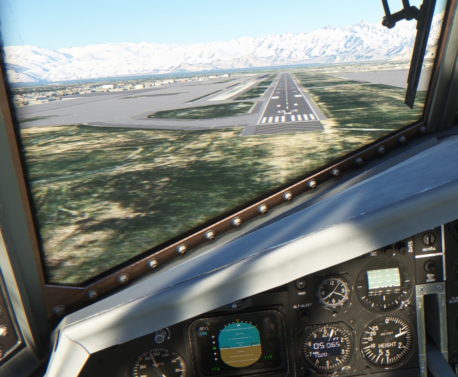
Now the job is to drive the Transall safely to the runway.

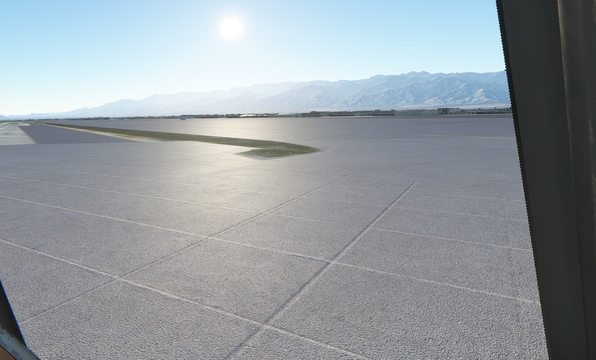
Where is everyone? Bagram airport fell to Taliban rebel forces on 15 August 2021.
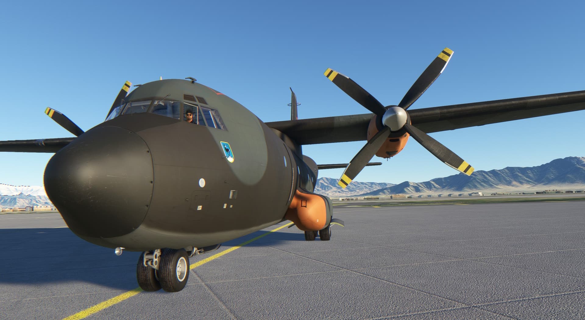
Leaning out of the cockpit
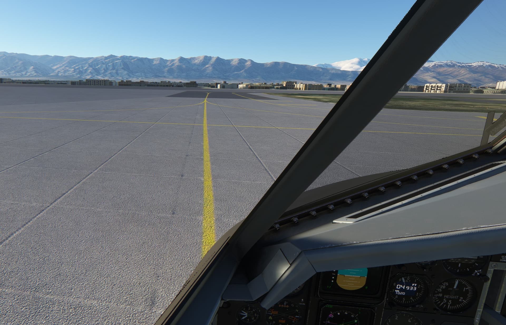
Another memorable MSFS flight in the books. I did enjoy it and like the Transall so far. I think I will stick with it for some of the following legs.
And this is how I executed the arrival and approach.
Kashmir is next. Stay tuned.
12 Likes
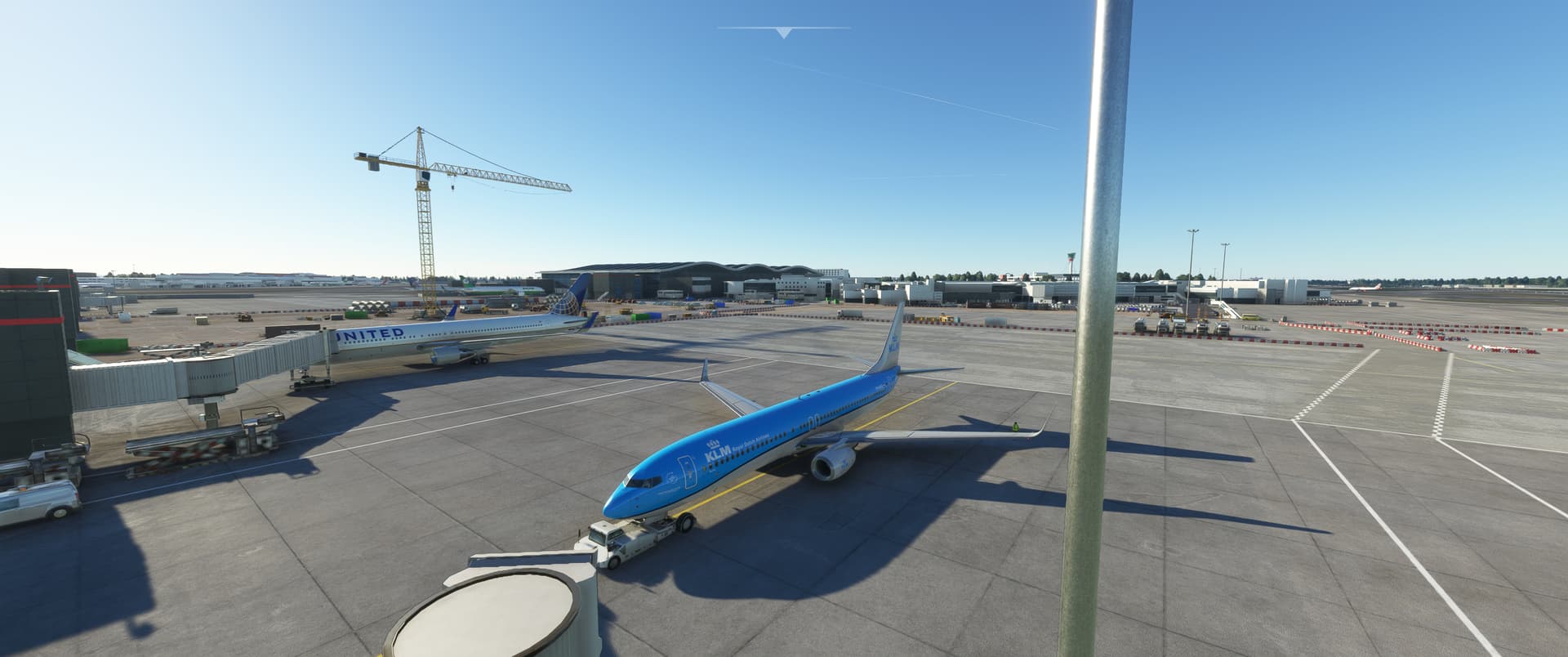
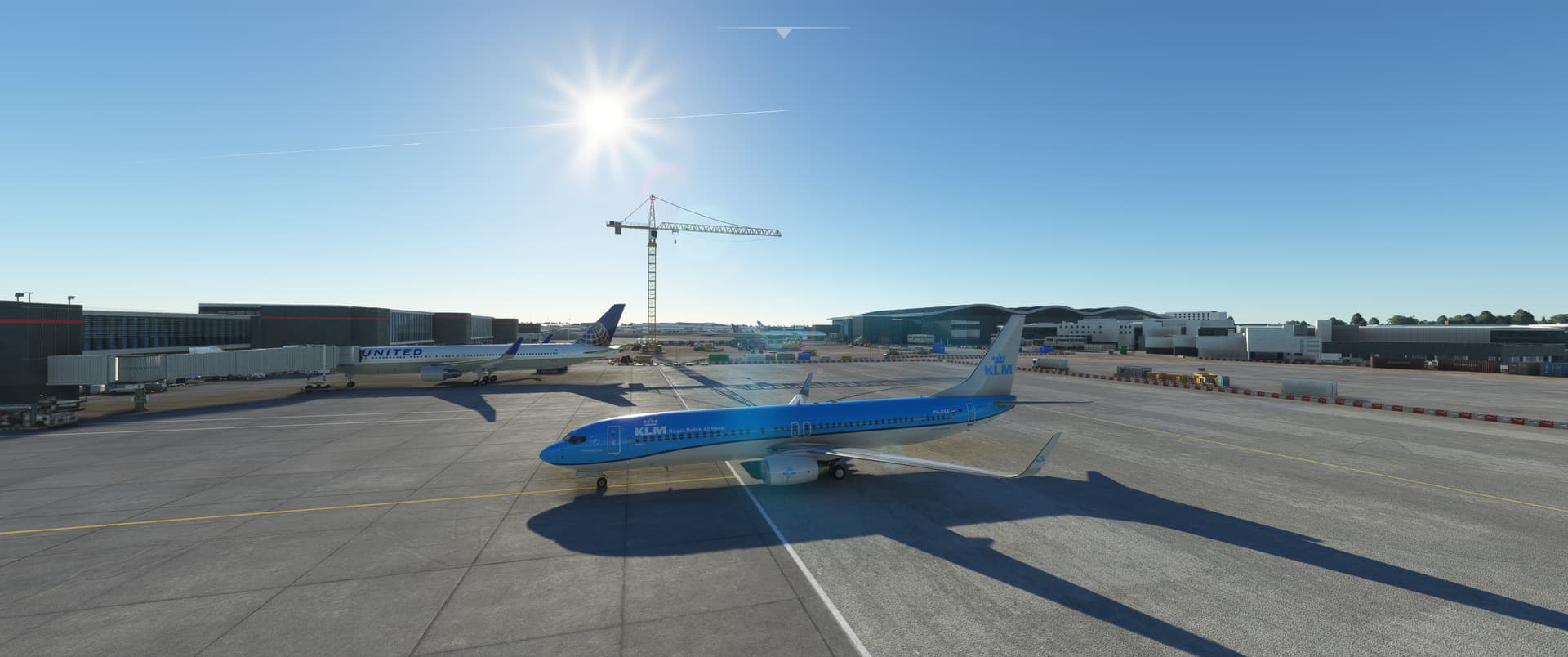
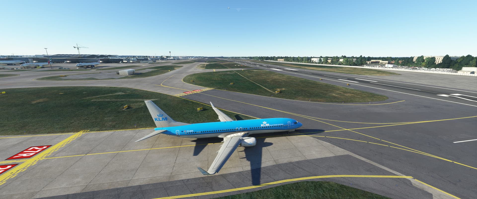
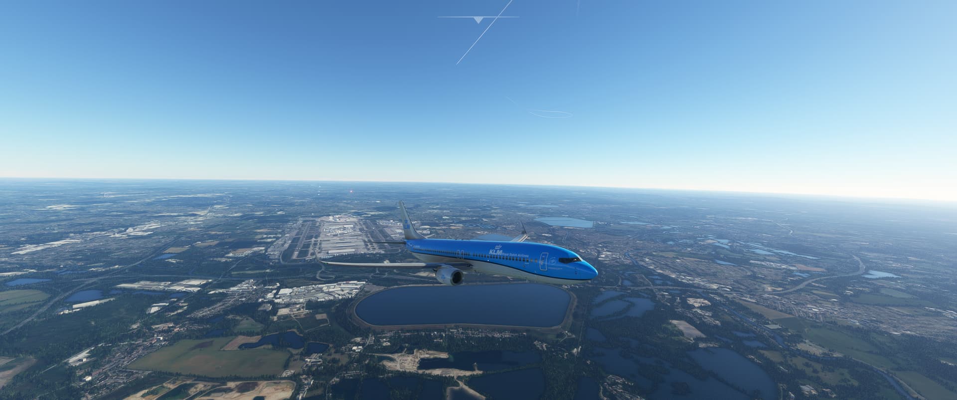
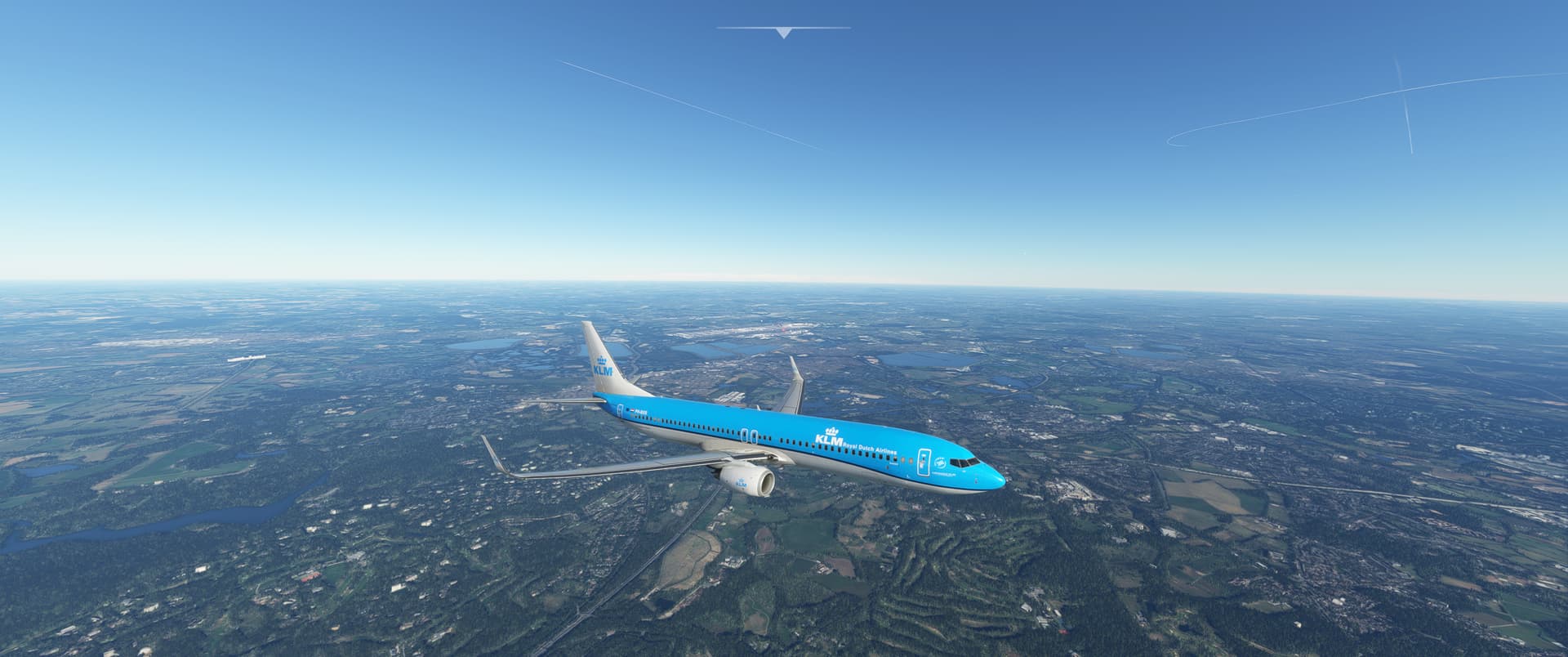
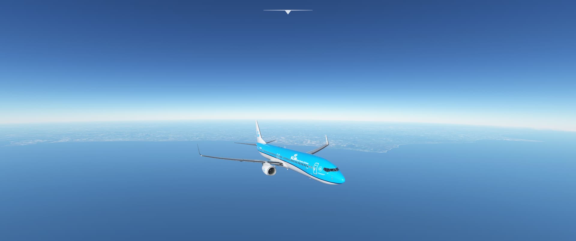
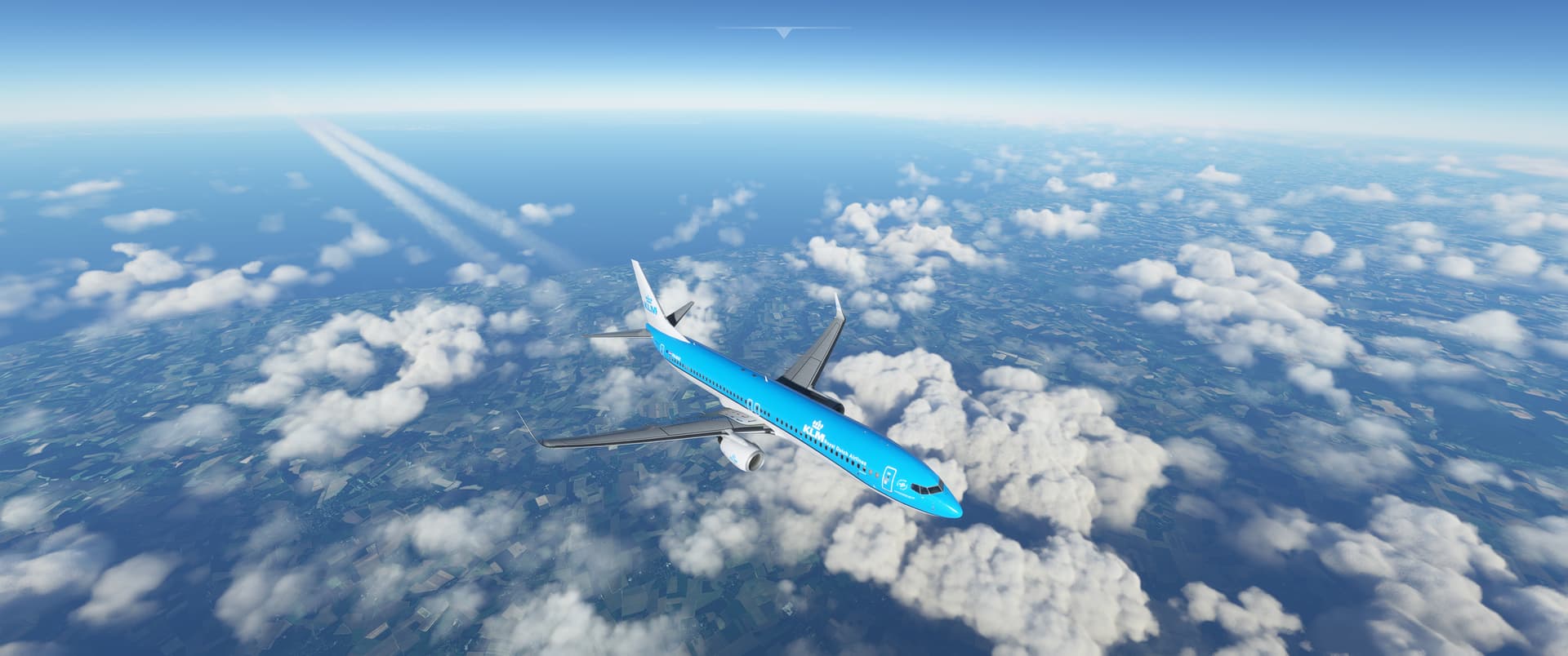
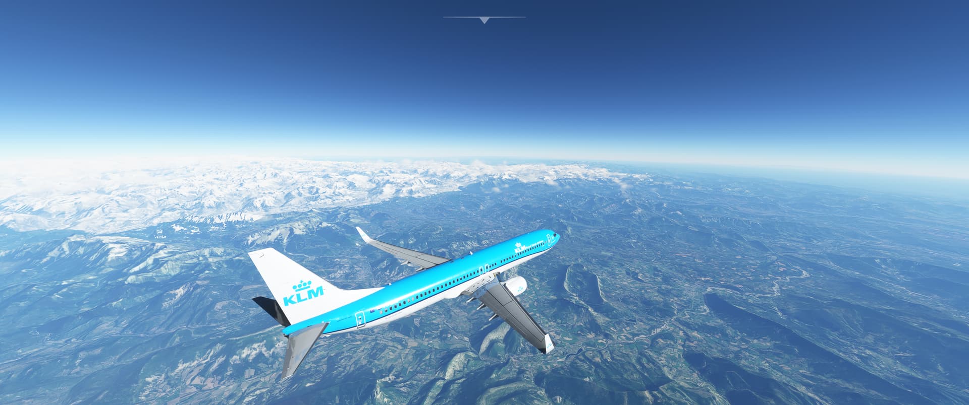
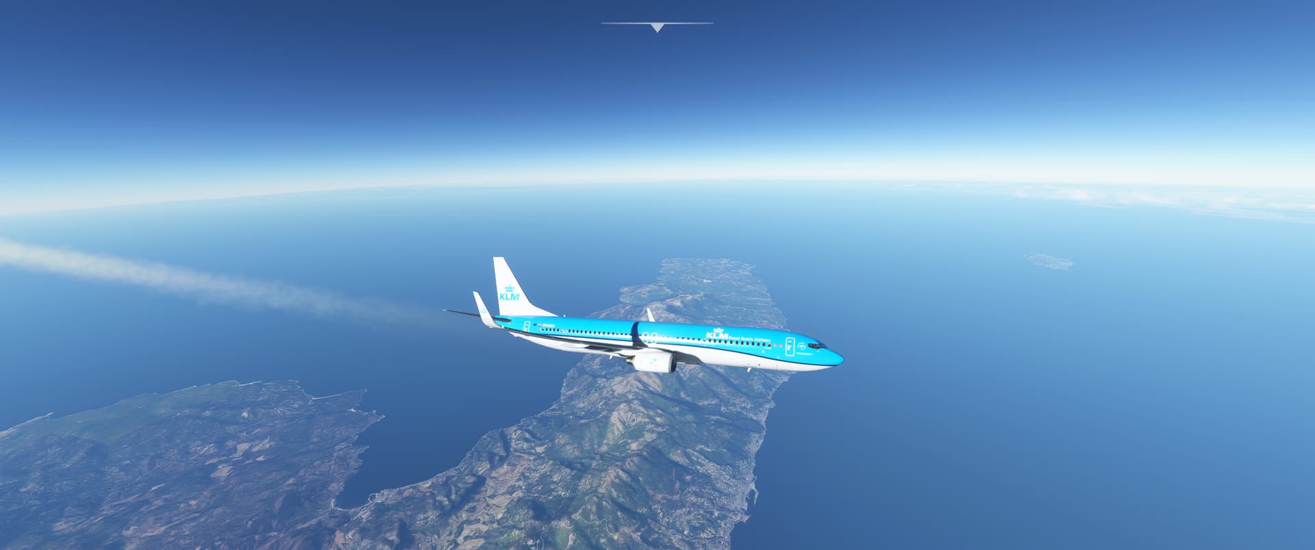
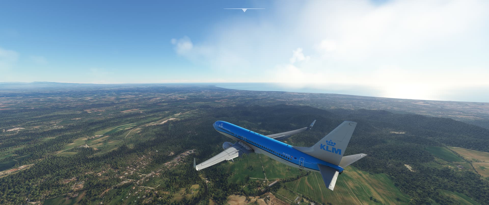
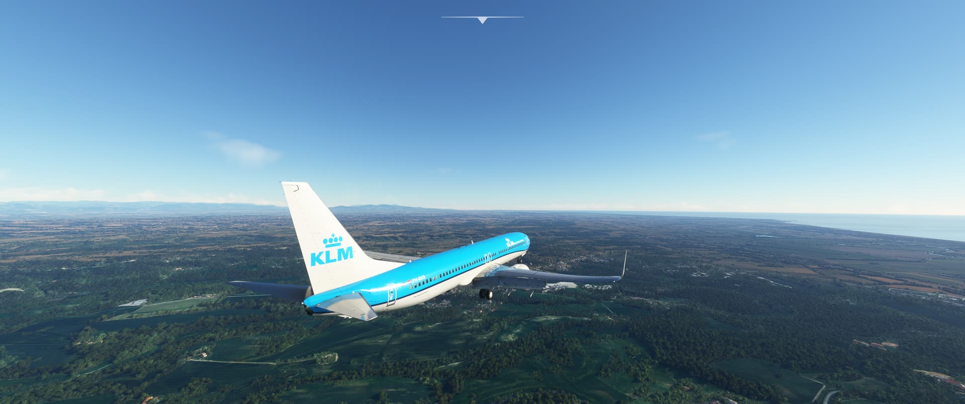

Slow progress at this end unfortunately. I’m not so sure I will be able to complete the trek this year, but we will see how far I can get.
For this leg - Midland Texas (KMAF) to Aspen Colorado (KASE) I decided to take the recently released IRIS Texan II.
Fired up on the ramp at Midland…
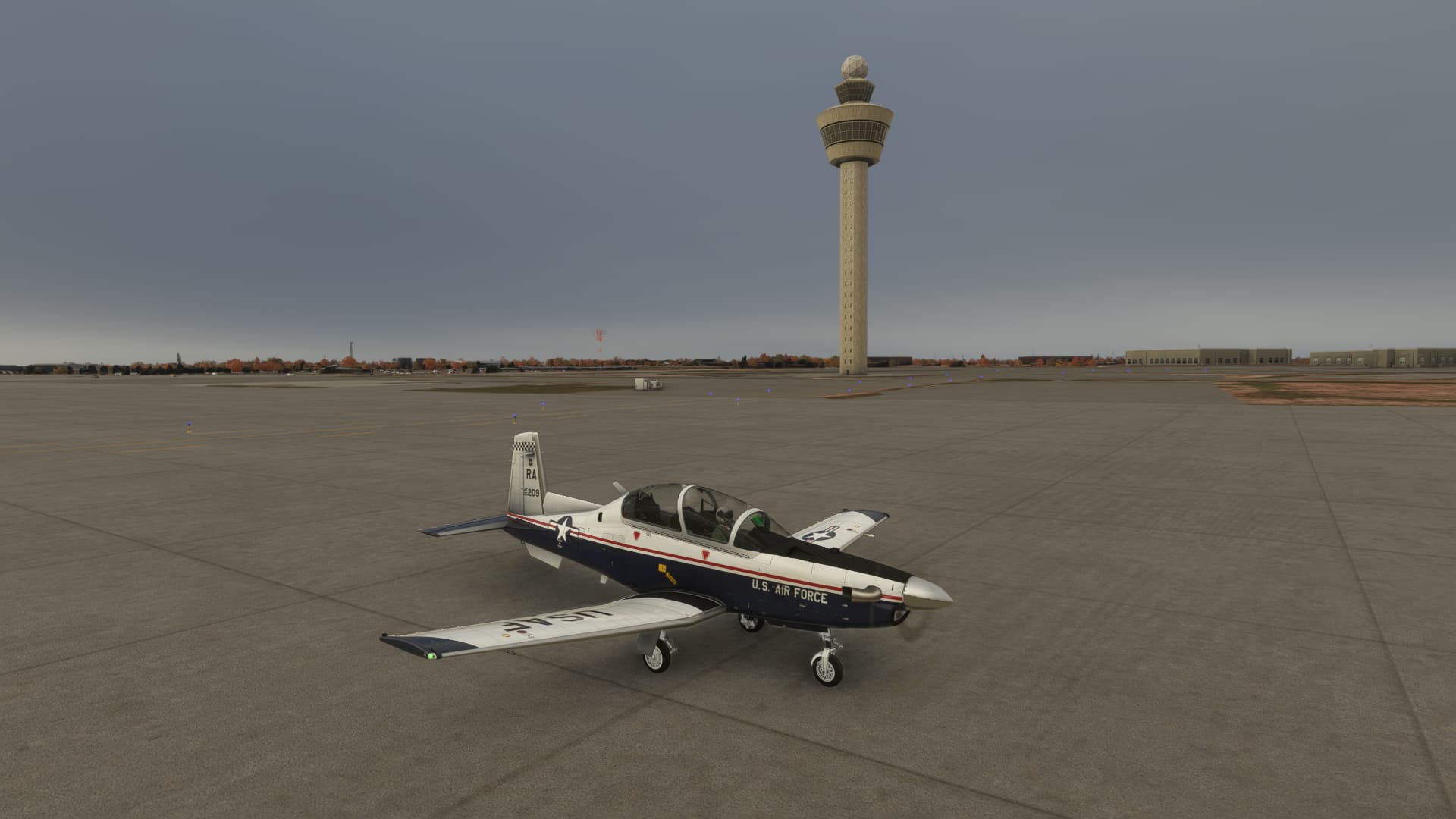
I always thought the Pilatus PC9 and Texan II family as being very functional looking. Not completely ugly, but not exactly easy on the eye. Pilatus fixed that with the PC21 which I might take for the next leg.
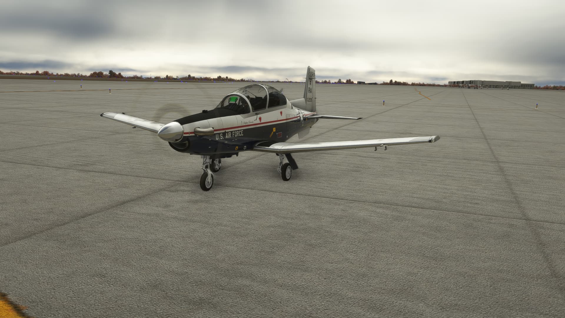
Away we go…
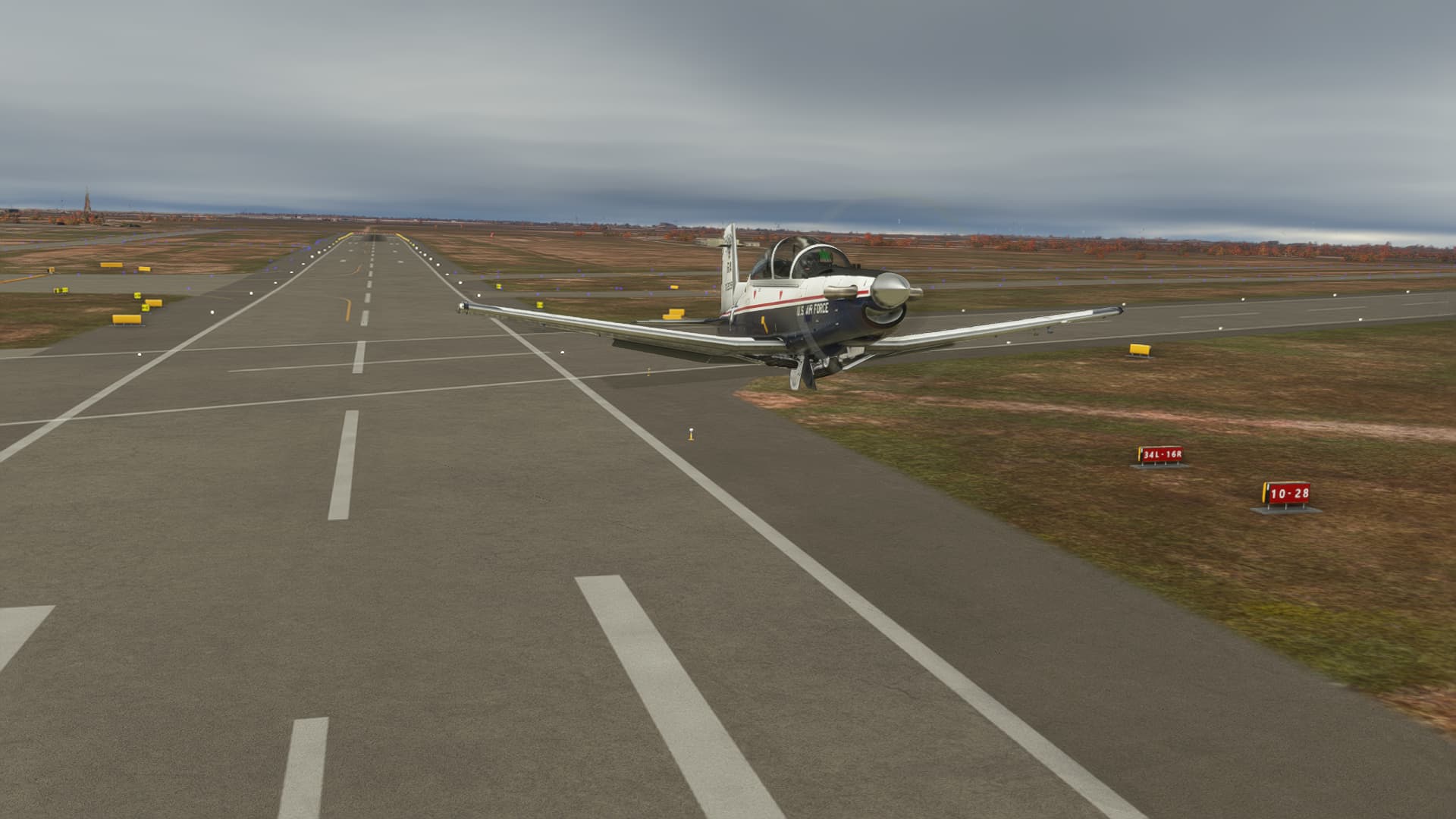
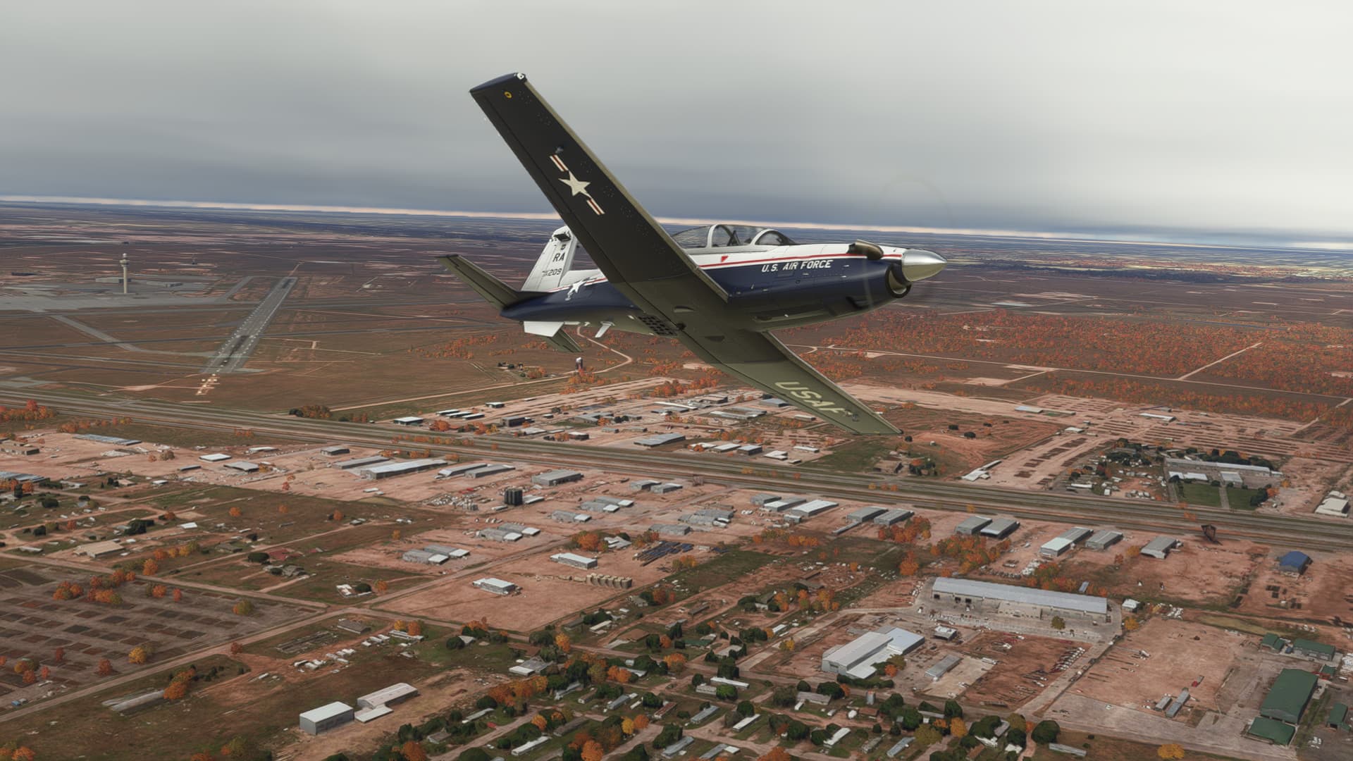
Texas is kind of flat, at least in this area.

At 300+ knots ground speed it doesn’t take too long before the terrain starts to become more interesting.
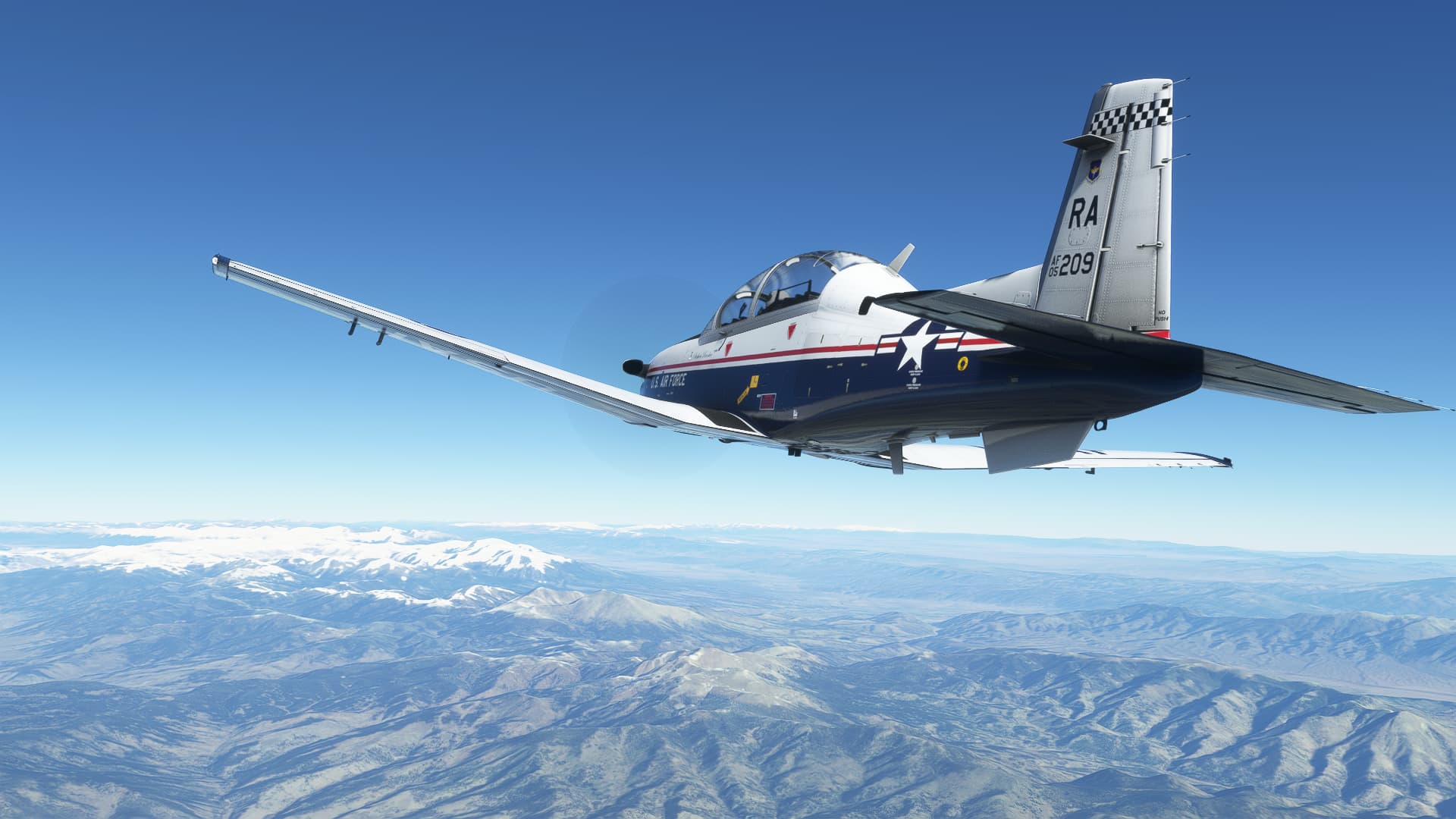
Coming up on Aspen…

Aspen is one of those airports where you land in one direction, and depart back the way you came in… and I’m approaching from the wrong direction. This is a sim though, so hold please hold my beer….
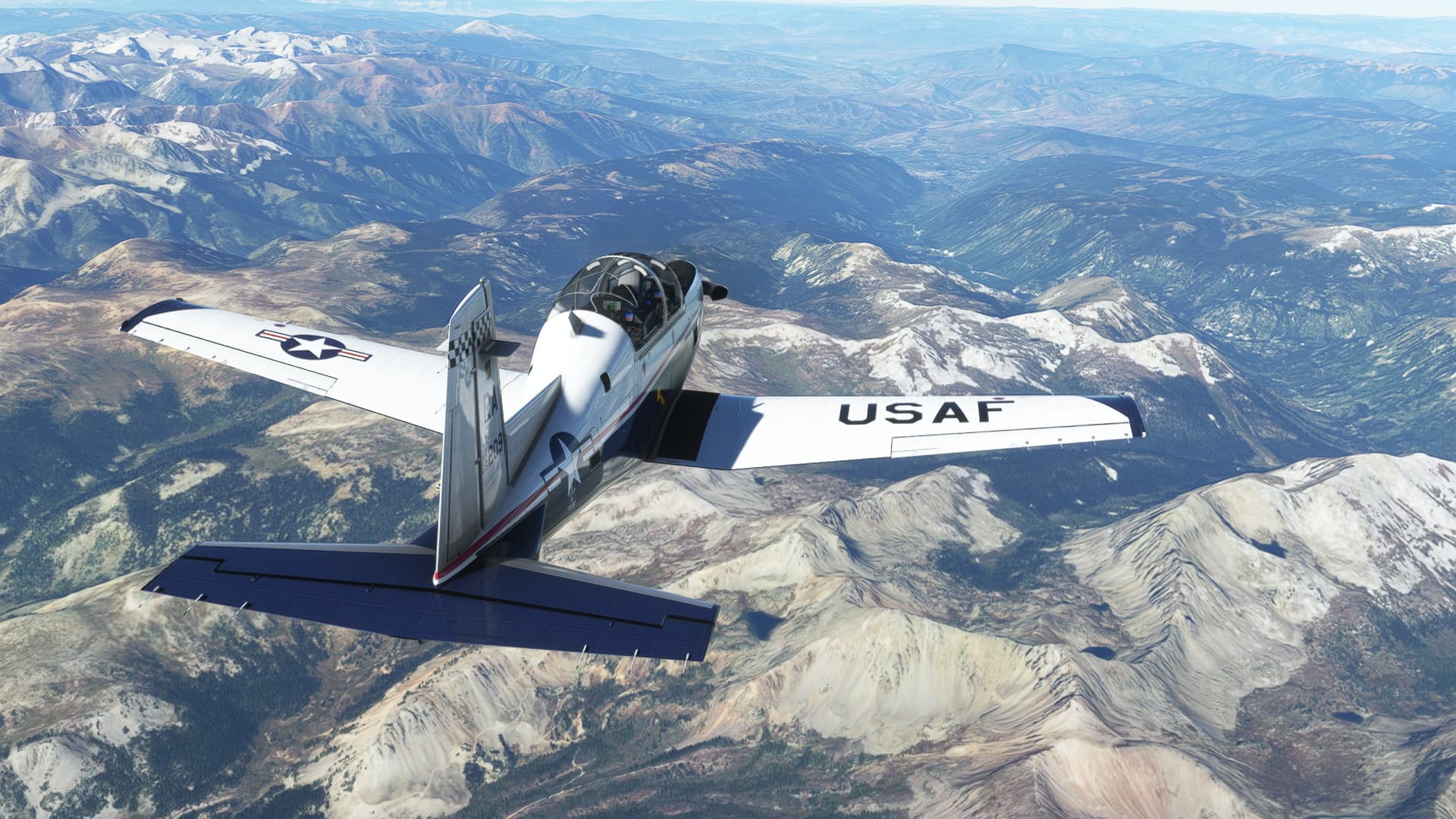
Airport in sight.
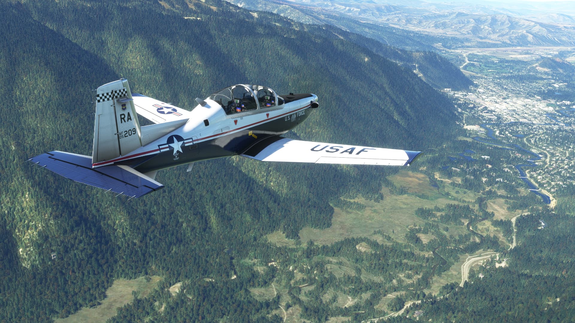
I got the gear down, but due to an electrical problem that manifested enroute, I have no flaps.
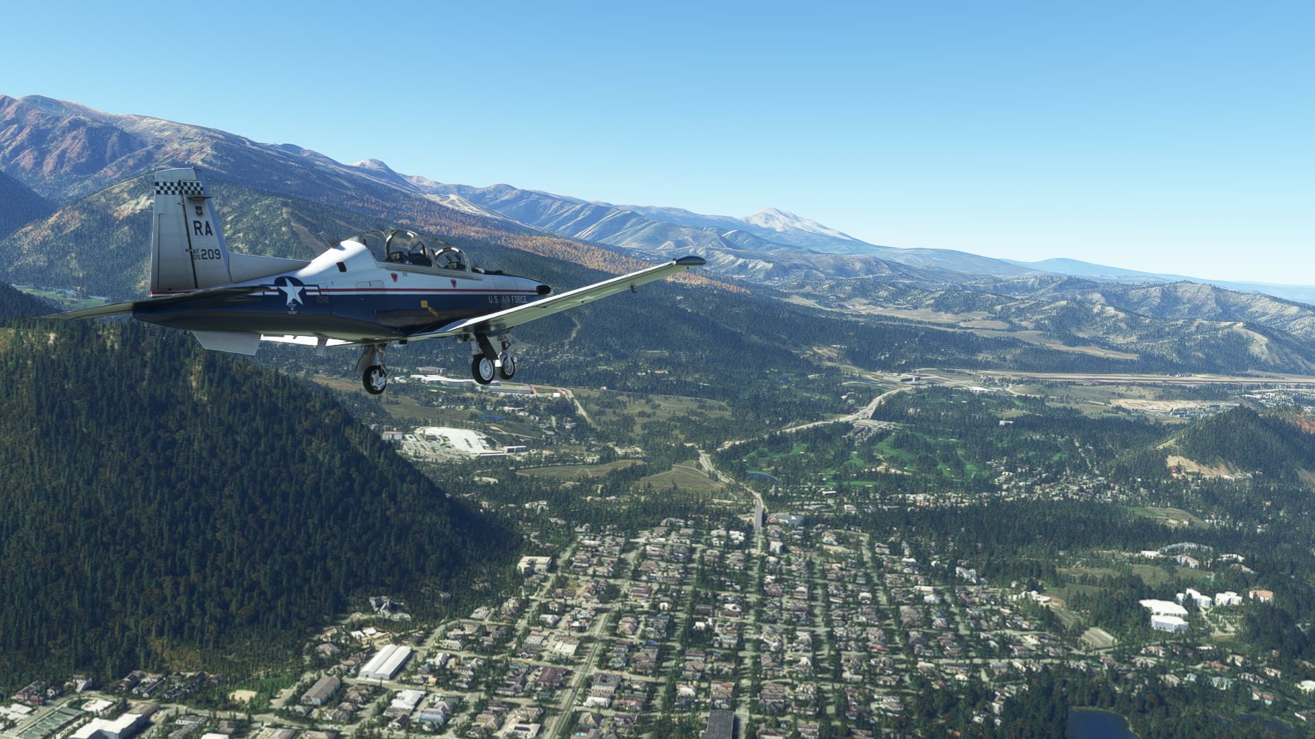
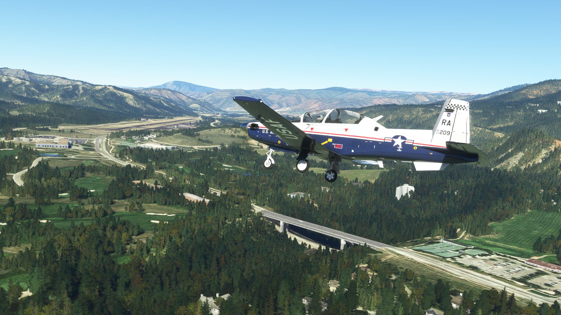
Pretty much stable on final…
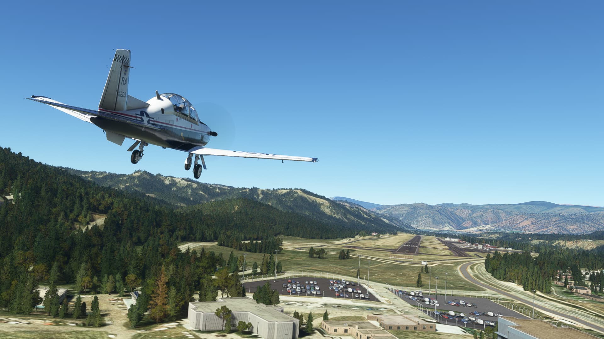
Touchdown… pretty much in the zone.

Taxiing to parking.
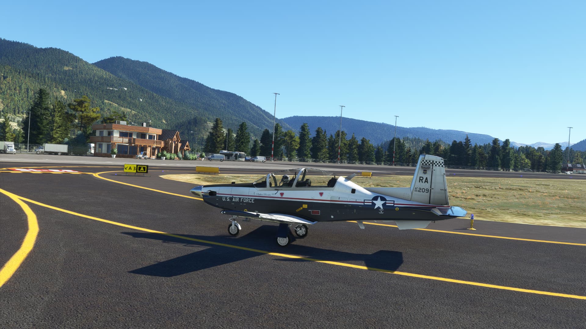
Shut down and ready to head to the bar.
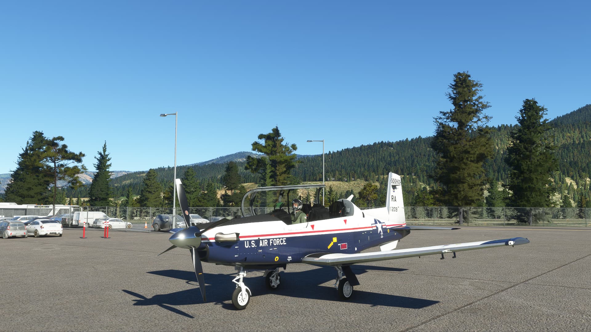
I am not sure where I am heading next. Maybe Salt Lake City.
10 Likes
Nice work. Stop on over to KHIF or KODG and I’ll buy ya whatever you’re (virtually) drinking.
How come? Are failures one of the addon features?
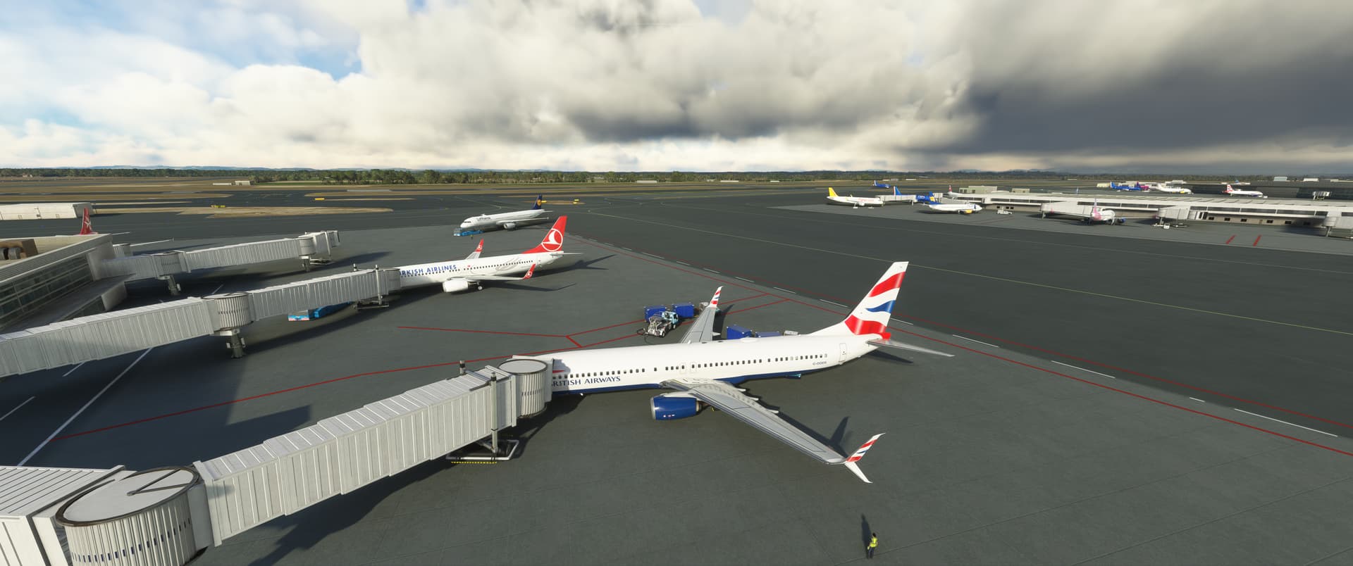
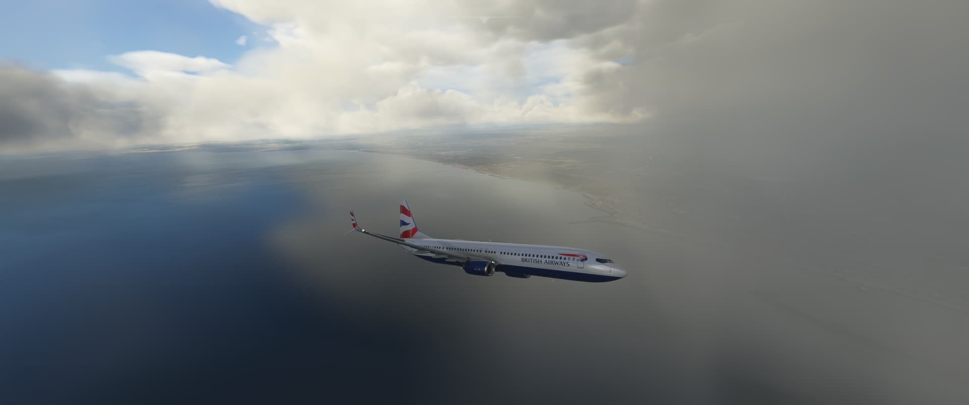
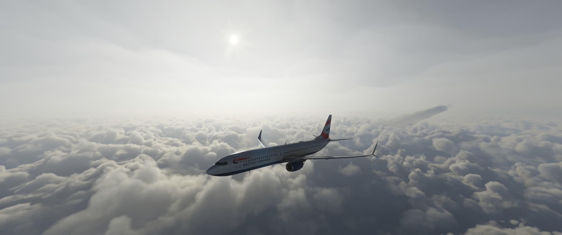
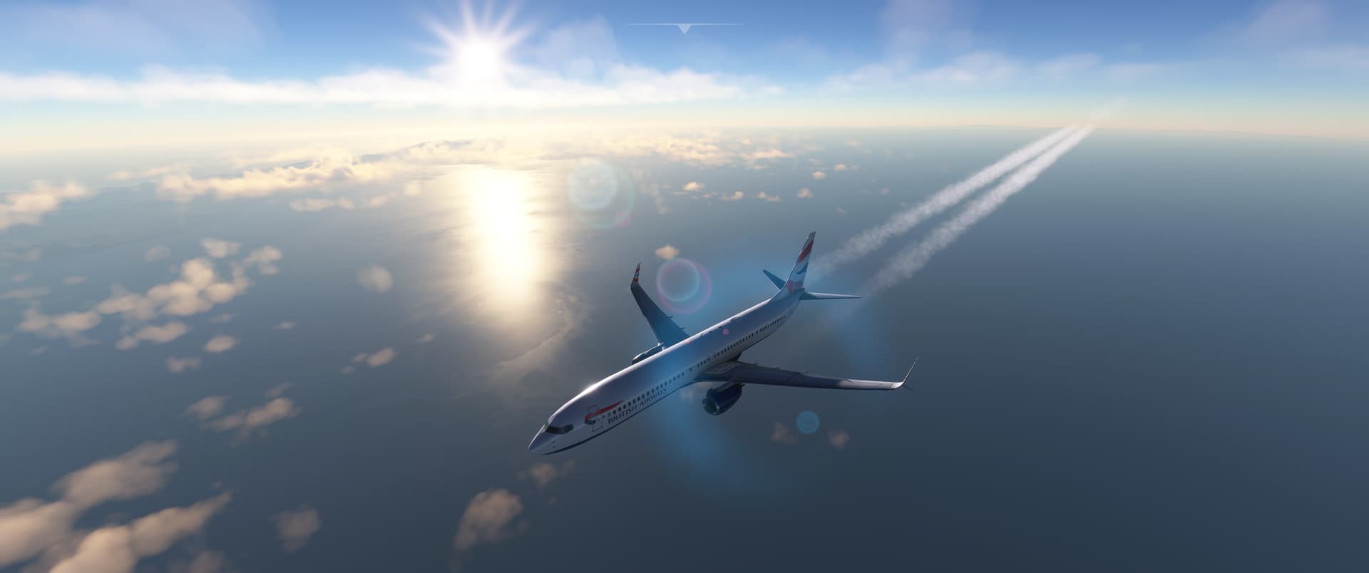
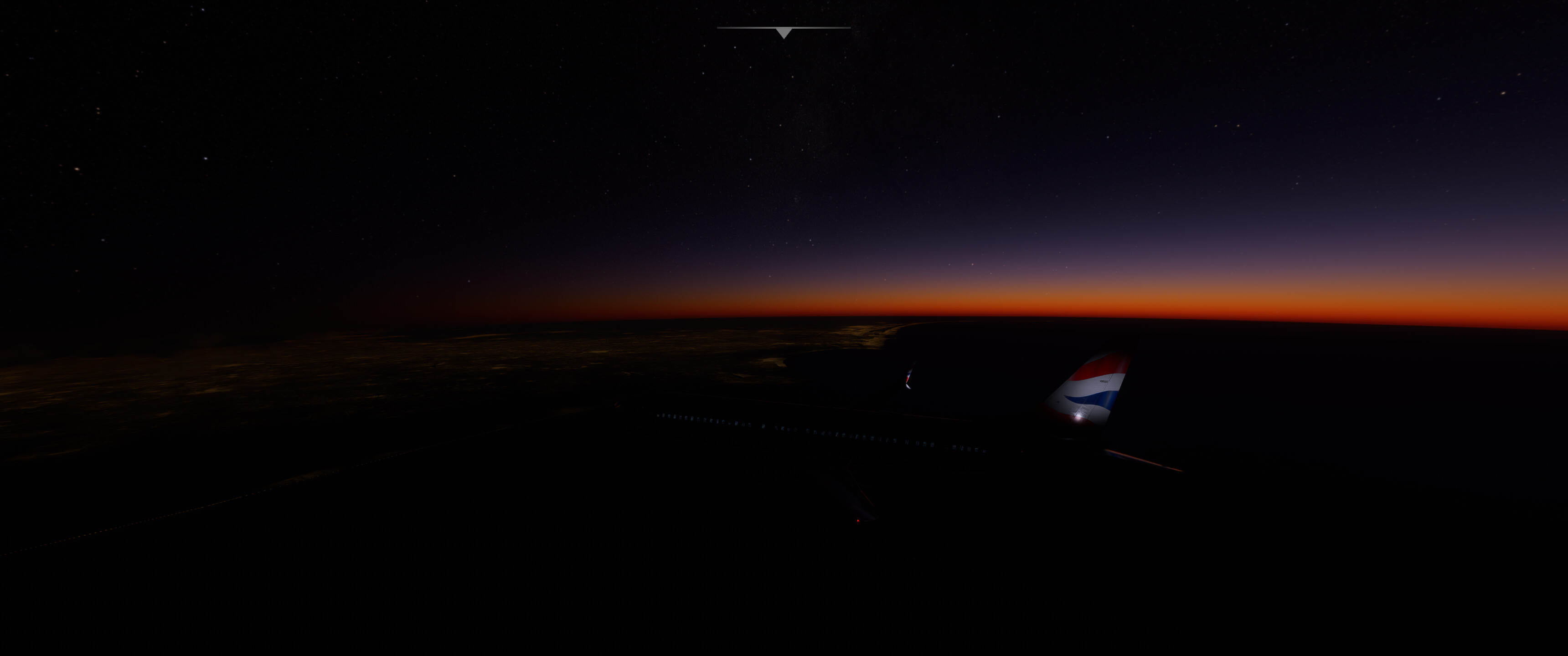
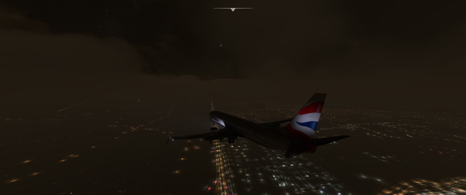
Next leg took me from Bagram in Afghanistan to Chilas in Kashmir in Pakistan.
Why Chilas? No specific reason other than that I searched for an airport reasonably close to Skardu where I want to fly next.

Cold & dark startup at night is always a bit special. The cockpit lighting in the Transall is quite nice and I am sure I would enjoy it even more if I found also the way to illuminate the radios, the pedestal, the overhead panel…
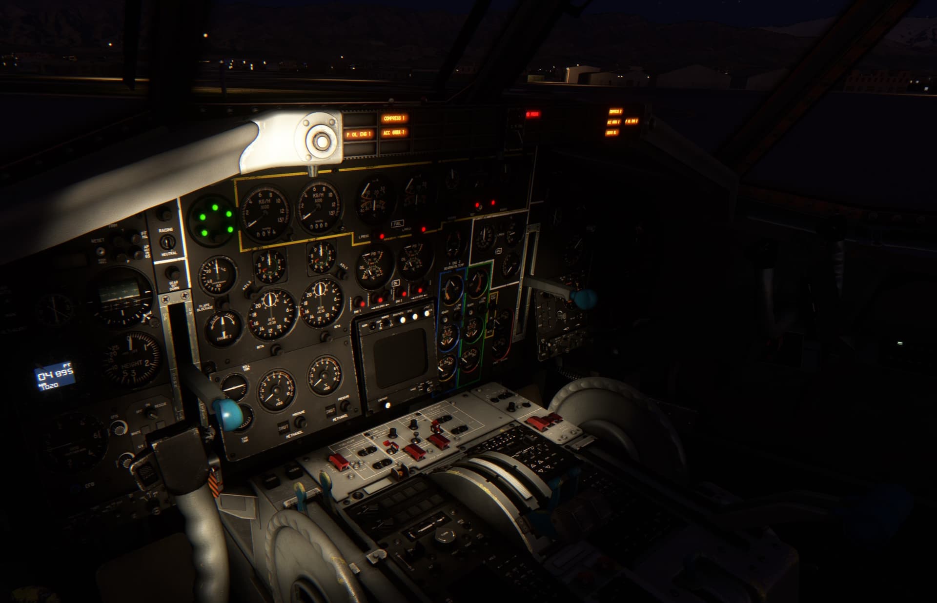
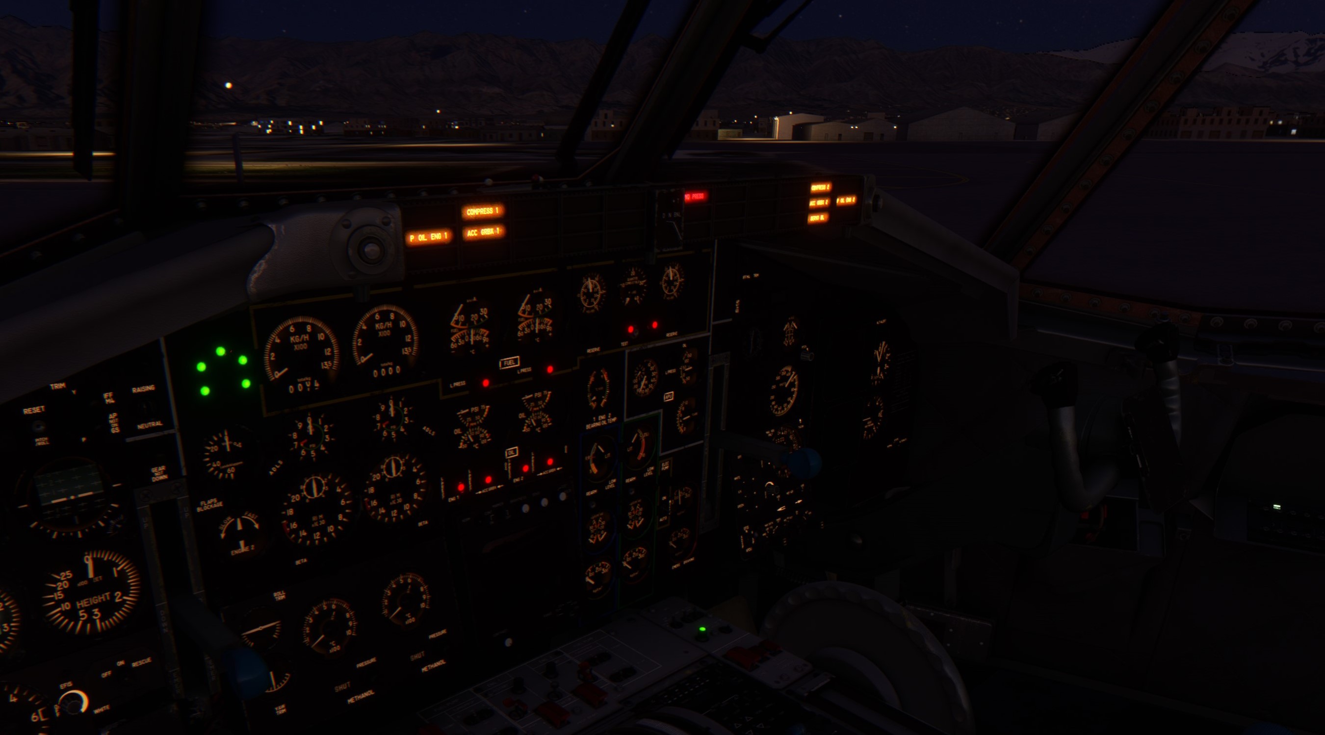
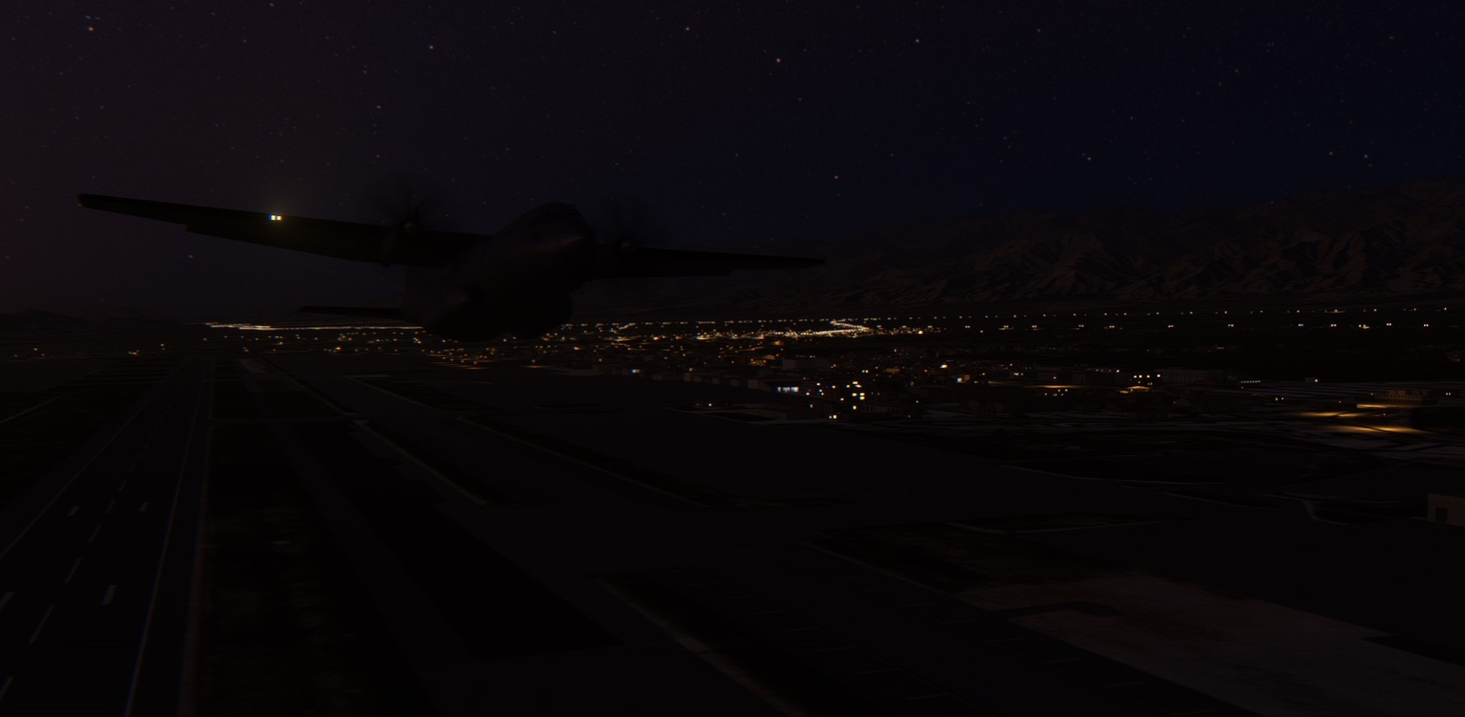
Early morning take off. Maybe the road lights are a bit overdone in this part of the world?
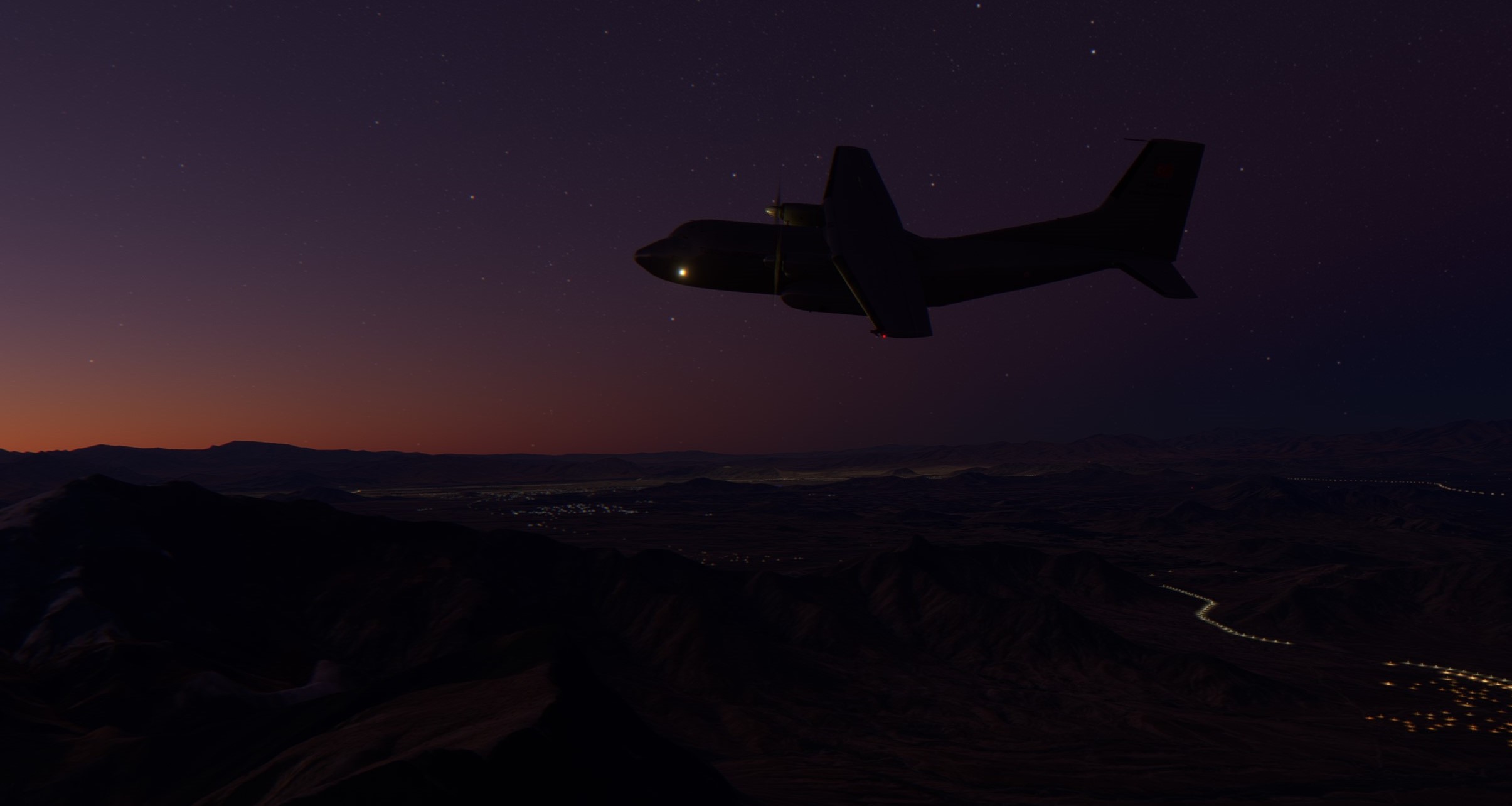
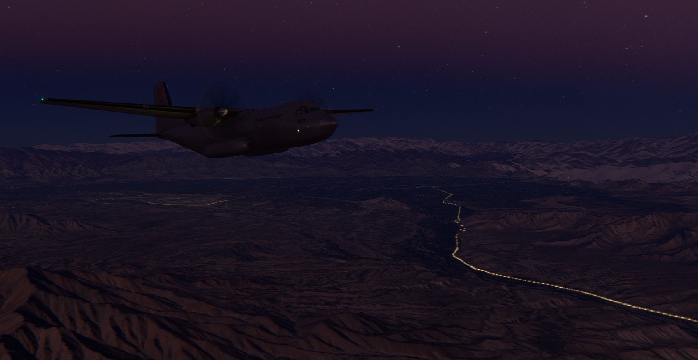
Enjoying calm and quiet moments flying over the mountains with the Sun slowly rising above the horizon.
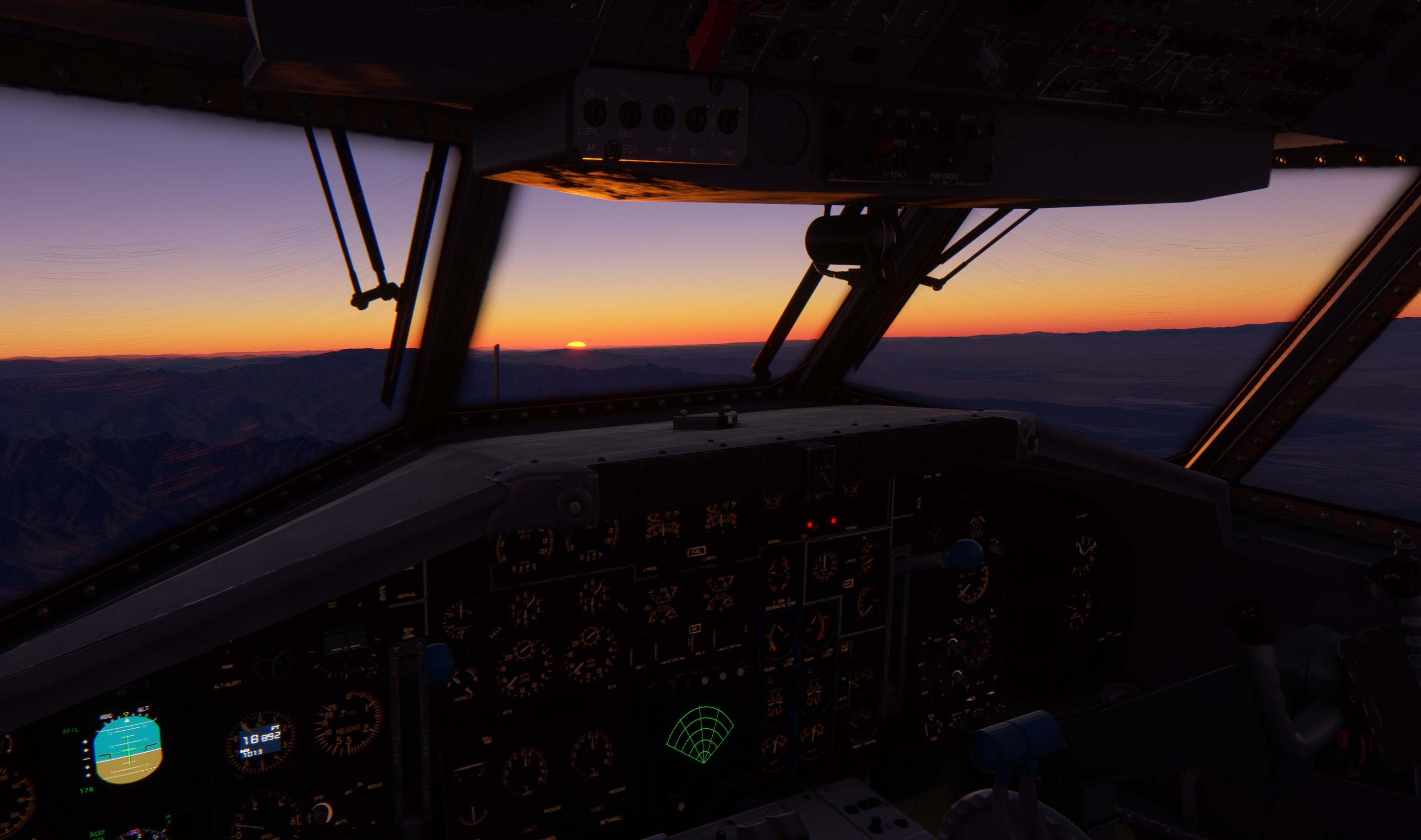
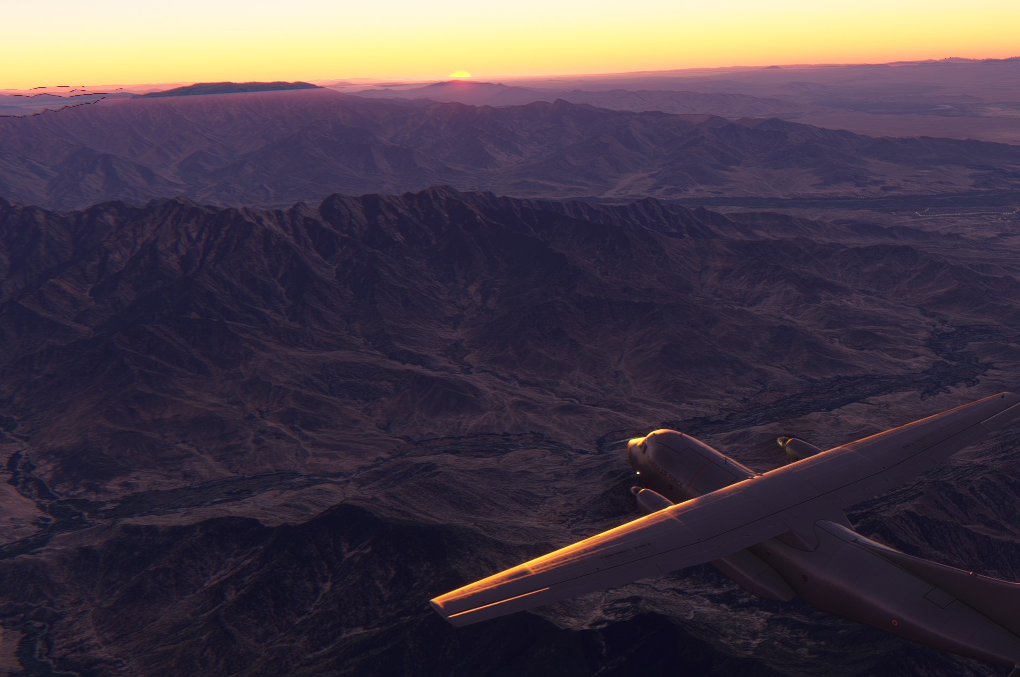
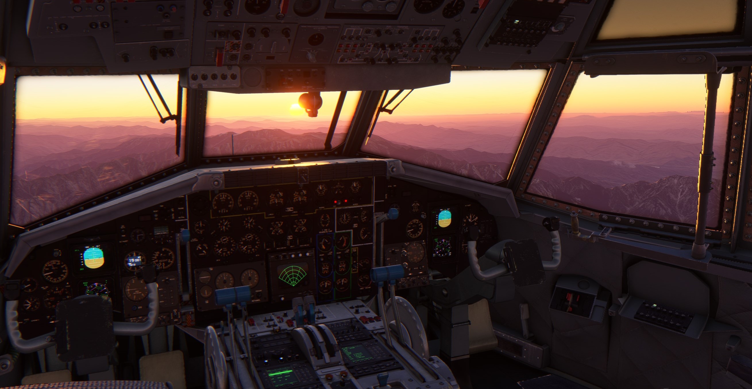

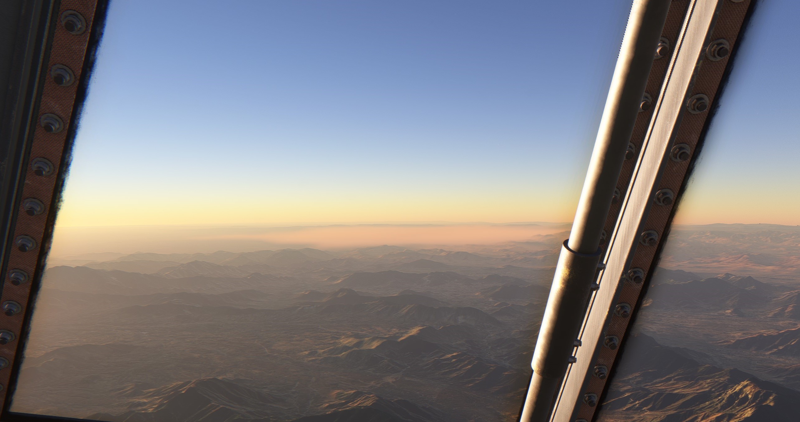
Saidu Sharif airport. My waypoint on the way to Chilas. From here on I need to identify the right valley which to follow and then to descend into for the final stages of the arrival.

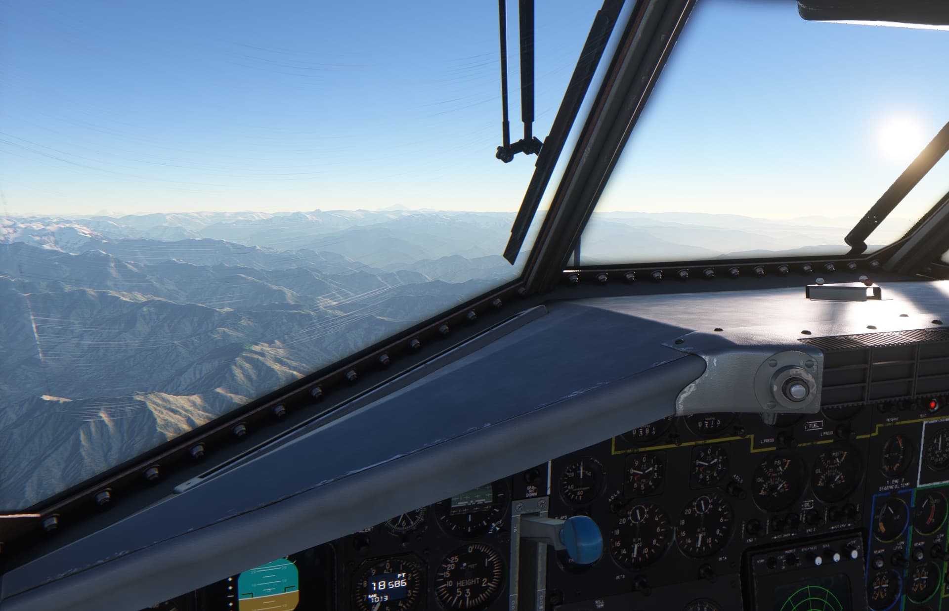
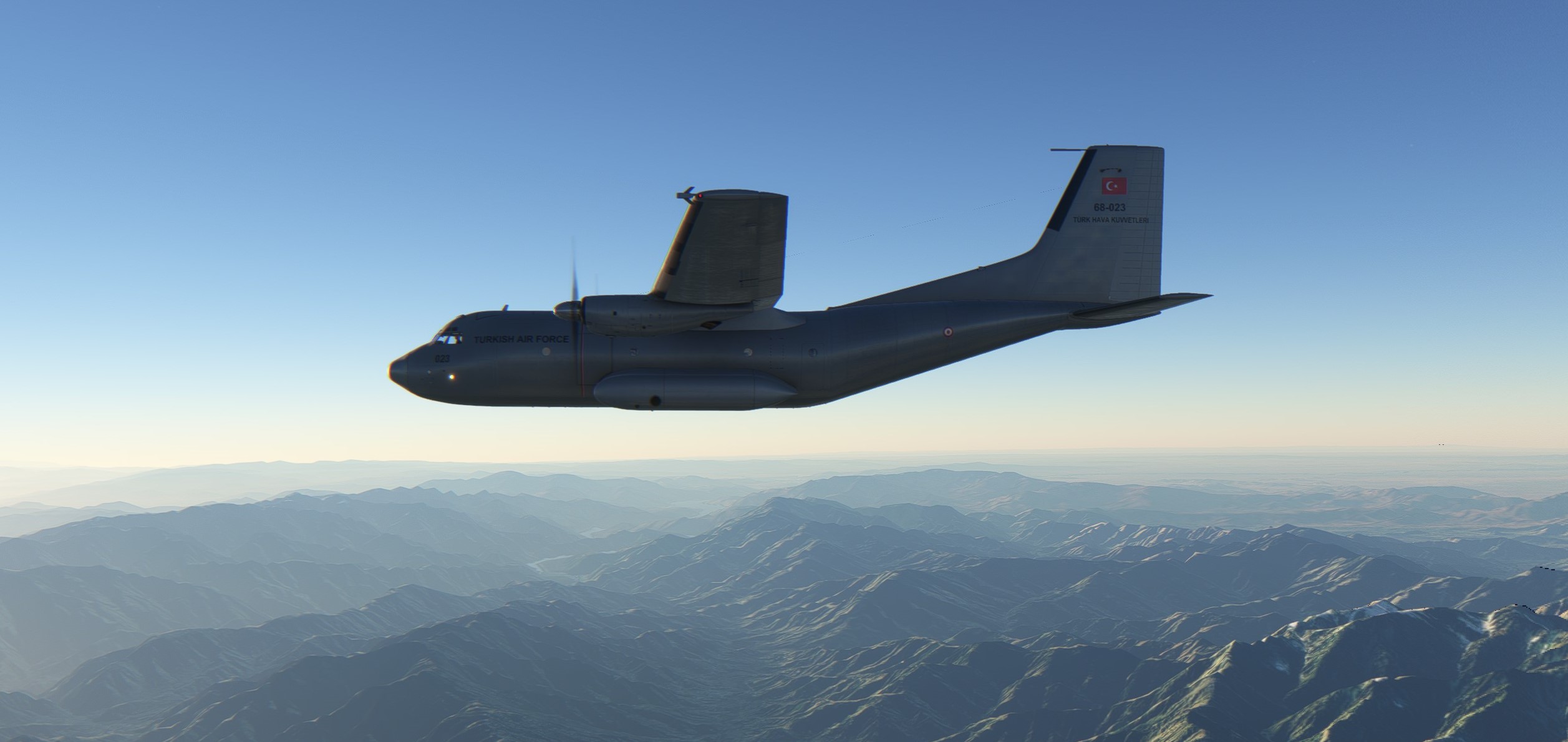
Not easy to follow a particular valley.
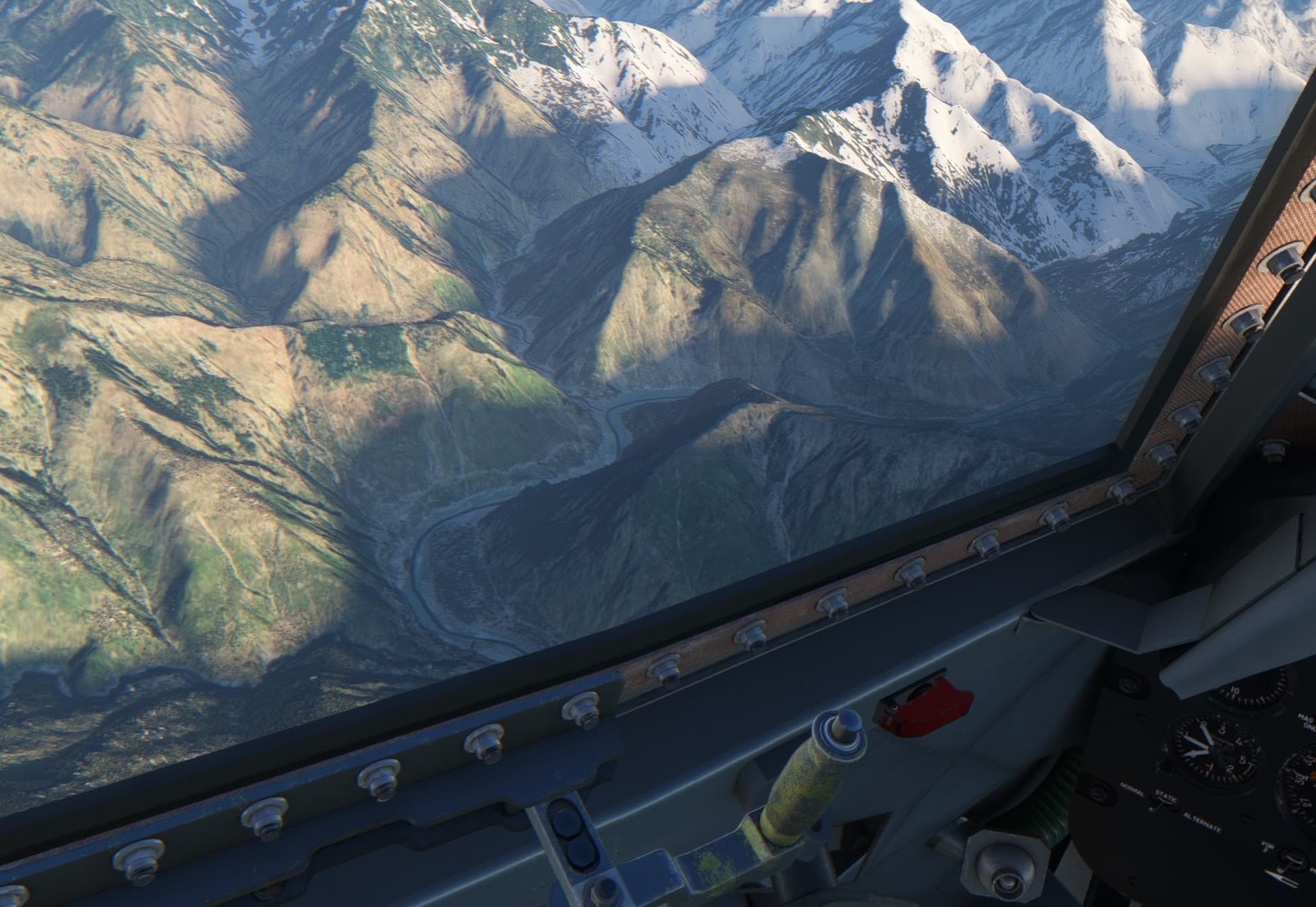
Nanga Parbat. It really stands out from the mountain range. If you are, like me, into mountains I can recommend a 2010 movie of the same name talking about Messner brothers.
Nanga Parbat 2010 Trailer
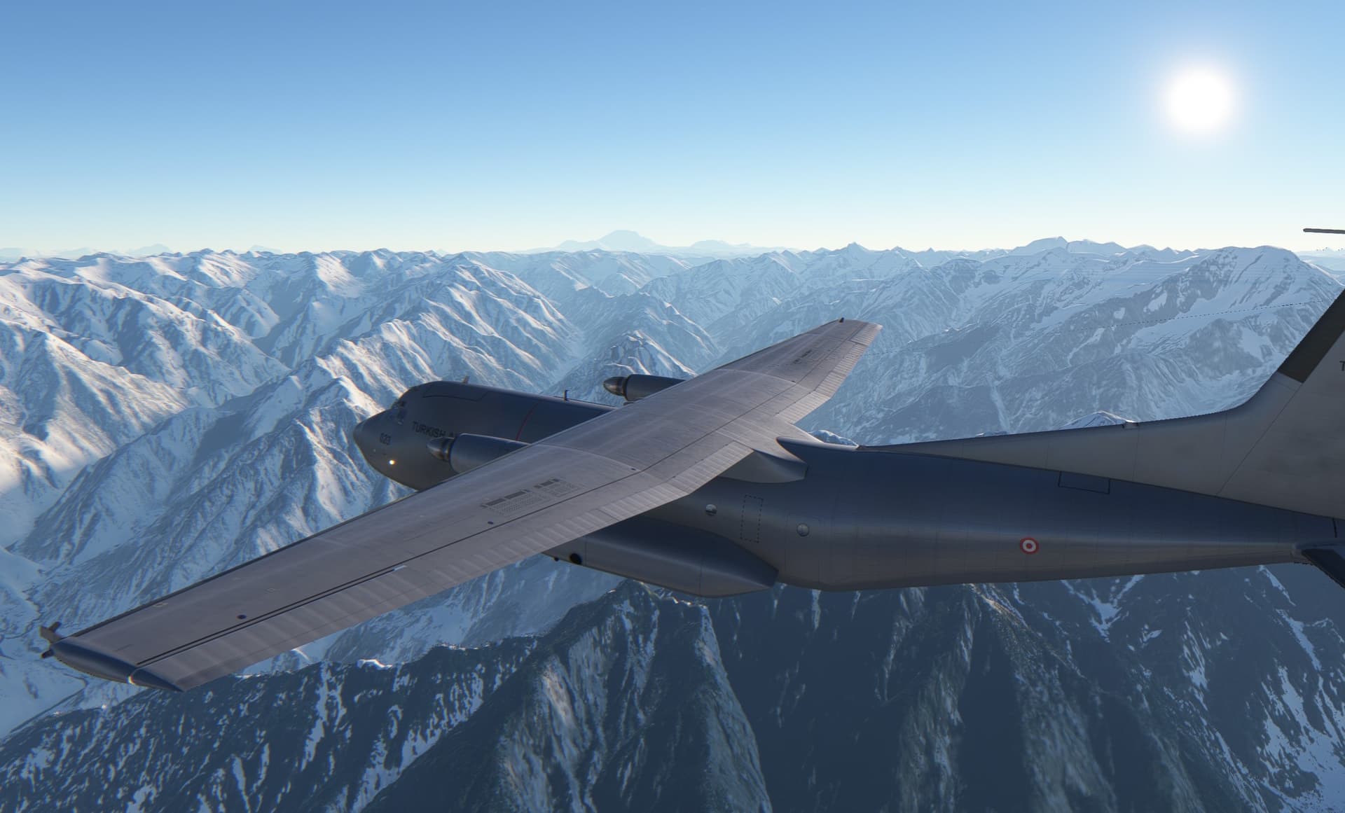
And this is Karakoram, mountain range which is crowned by the K2.
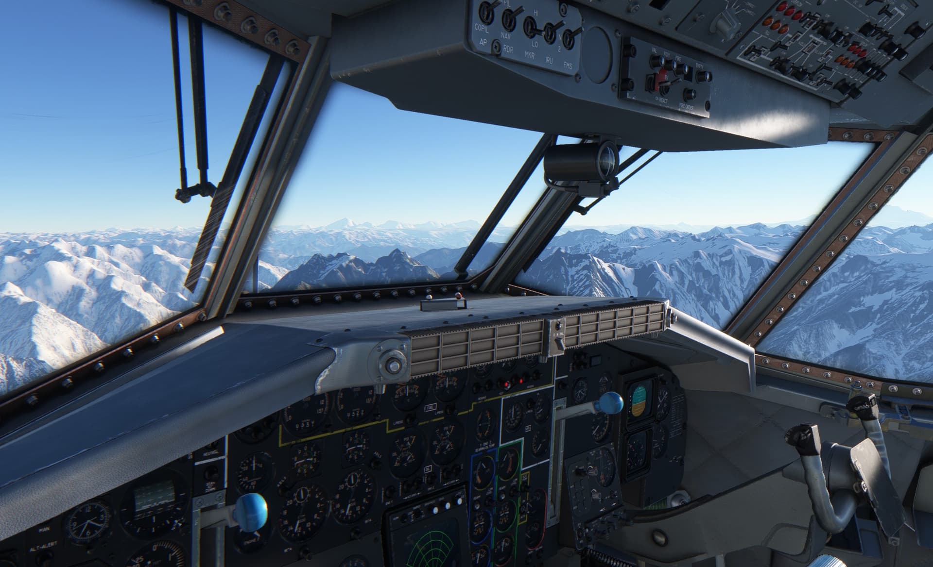
Time to get down and dirty.
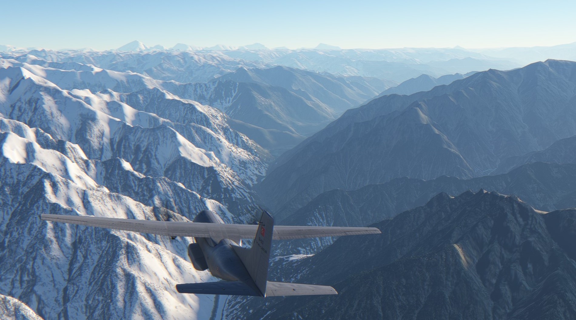
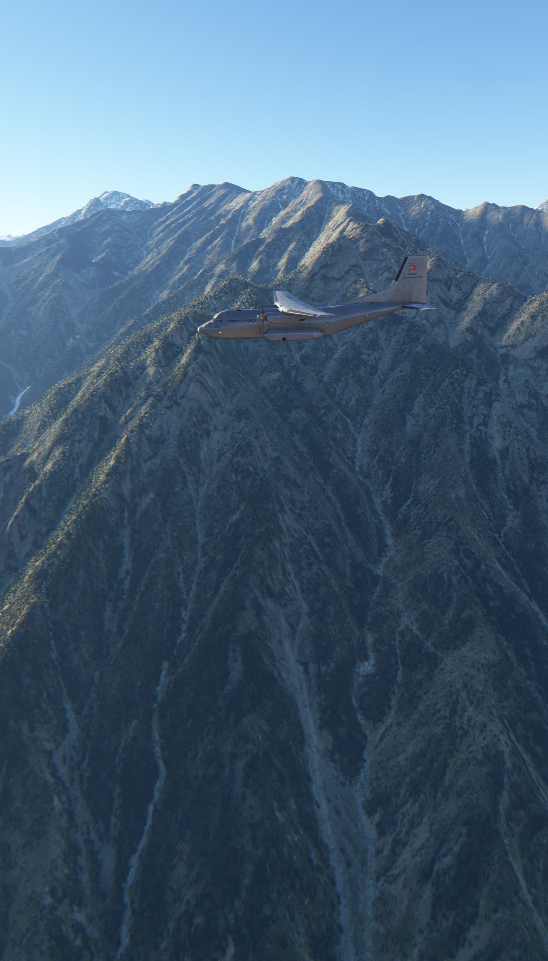
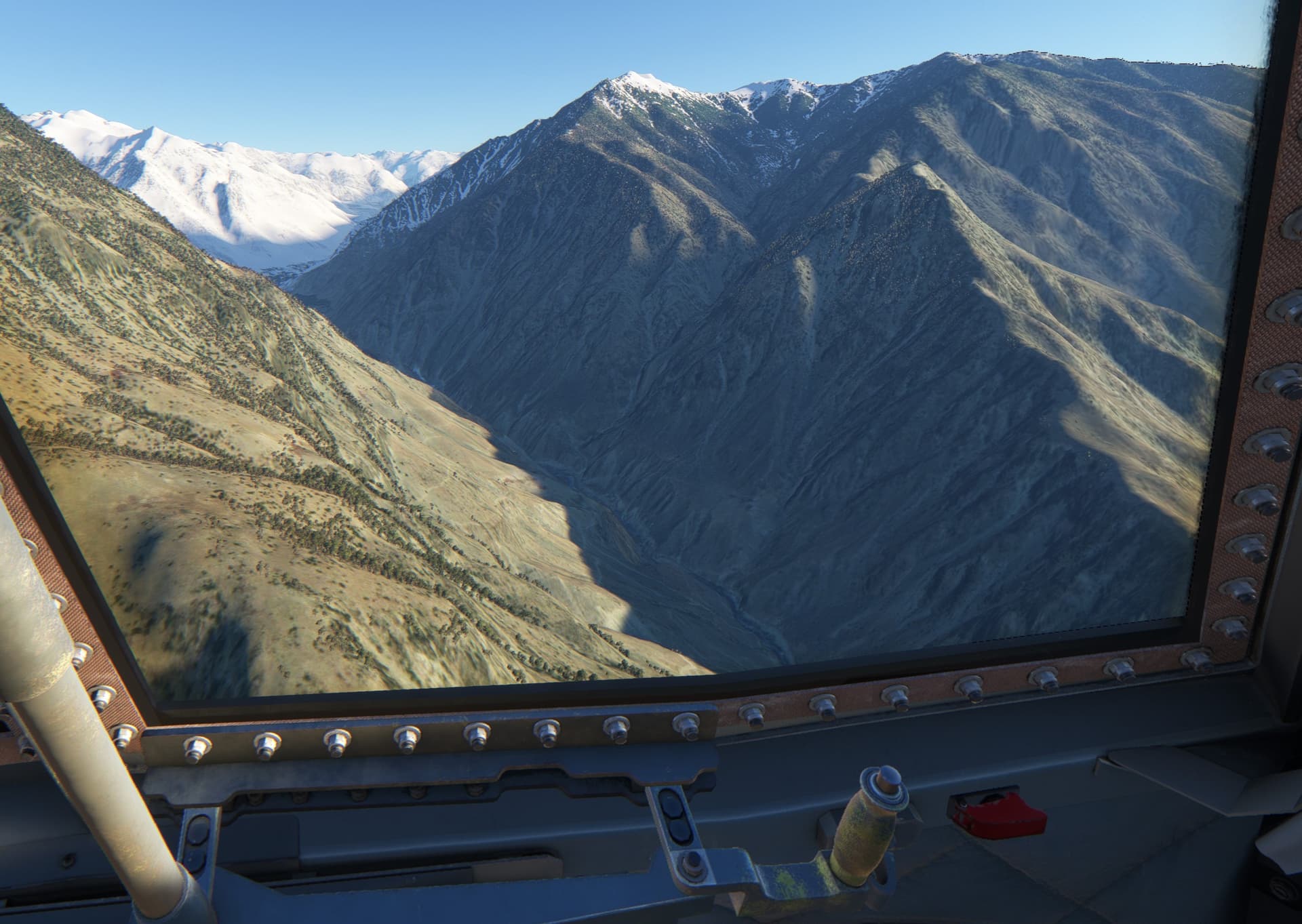
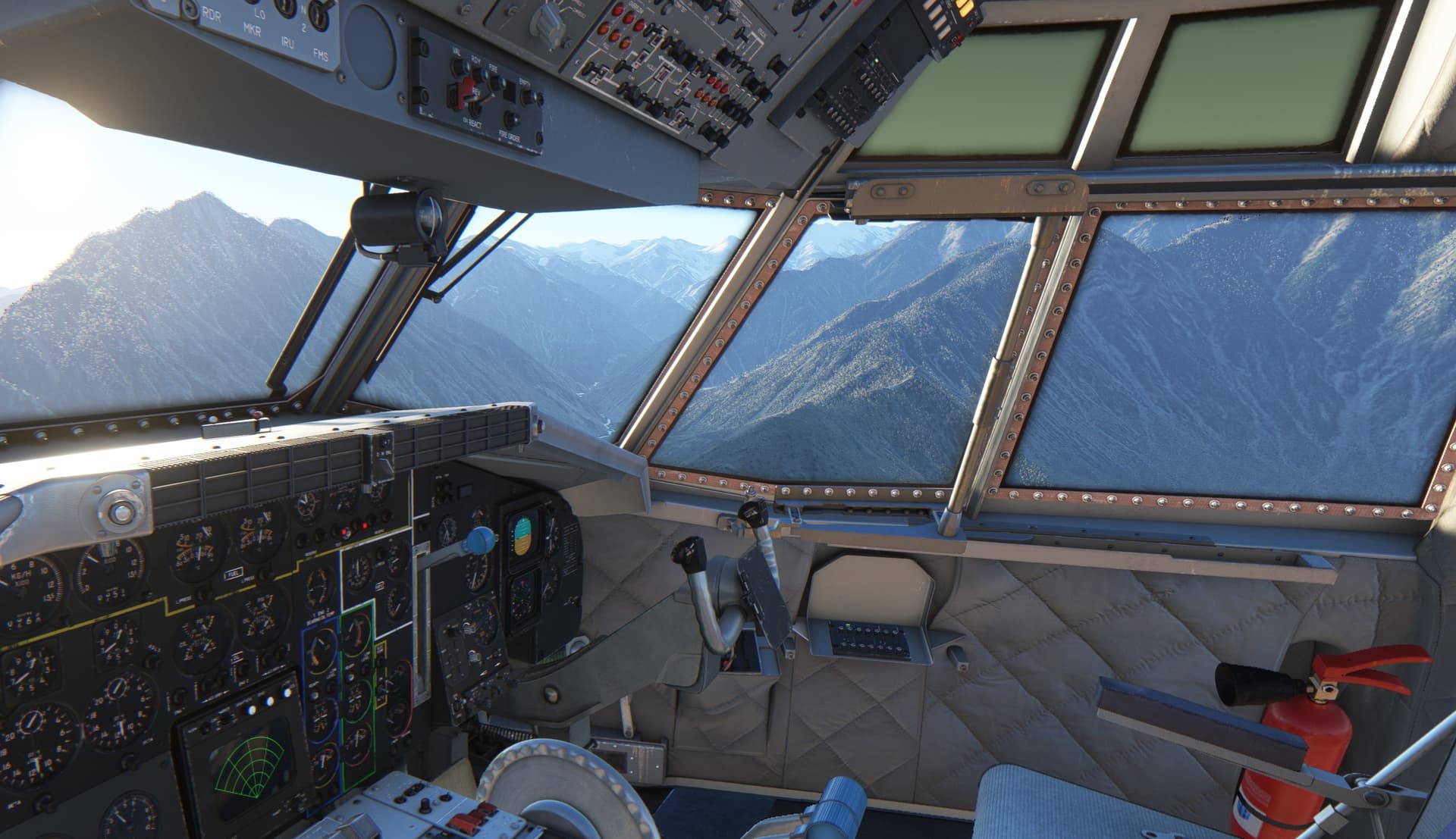
I find it fascinating in what kind of places people are able to live.
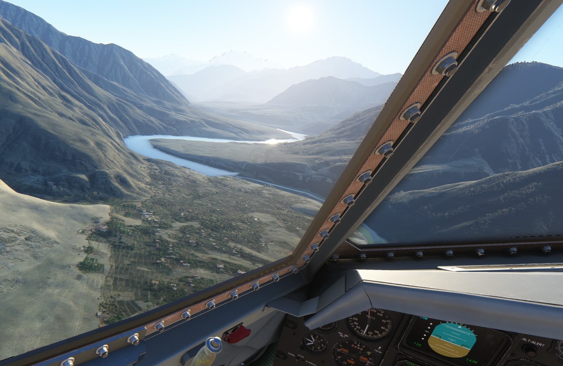
Approach to Chilas. As the runway blends with the terrain especially in this low Sun, you do not want to miss and turn back for another try.
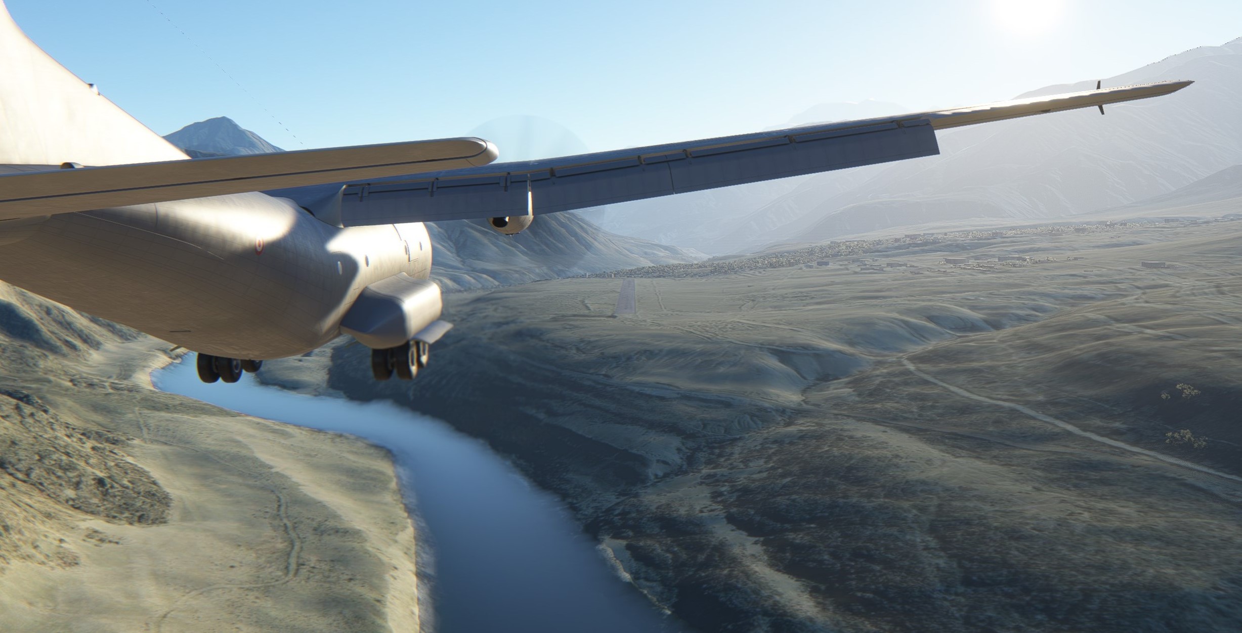
Getting some rest and preparing for Skardu.
Stay tuned.
12 Likes
This was supposed to be an easy one.
A relatively short hop from Chilas to Skardu in Kashmir, Pakistan.
I mean… check how cool is this:
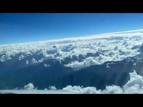
However, I did not intend to fly over the mountains but rather to follow the valleys from Chilas to Skardu.
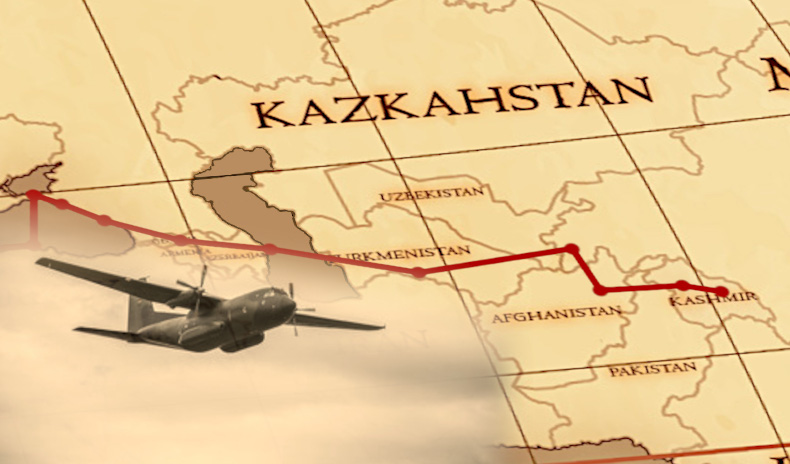
They told me to follow the river and half-way turn right at the fork. What can go wrong?
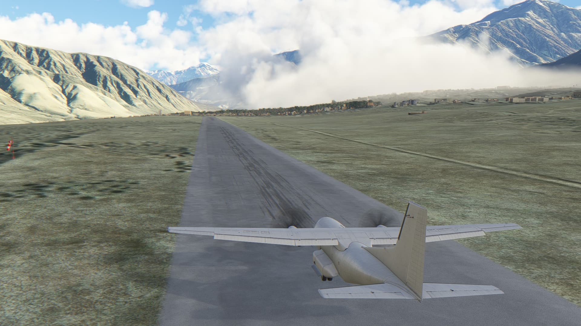
Well… one of the things that can complicate the trip is the weather.
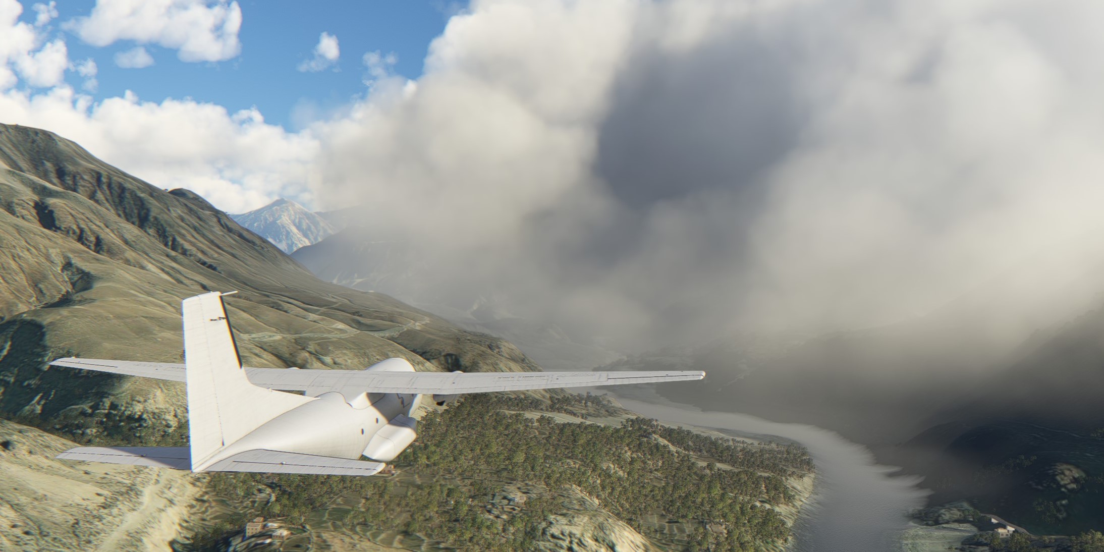
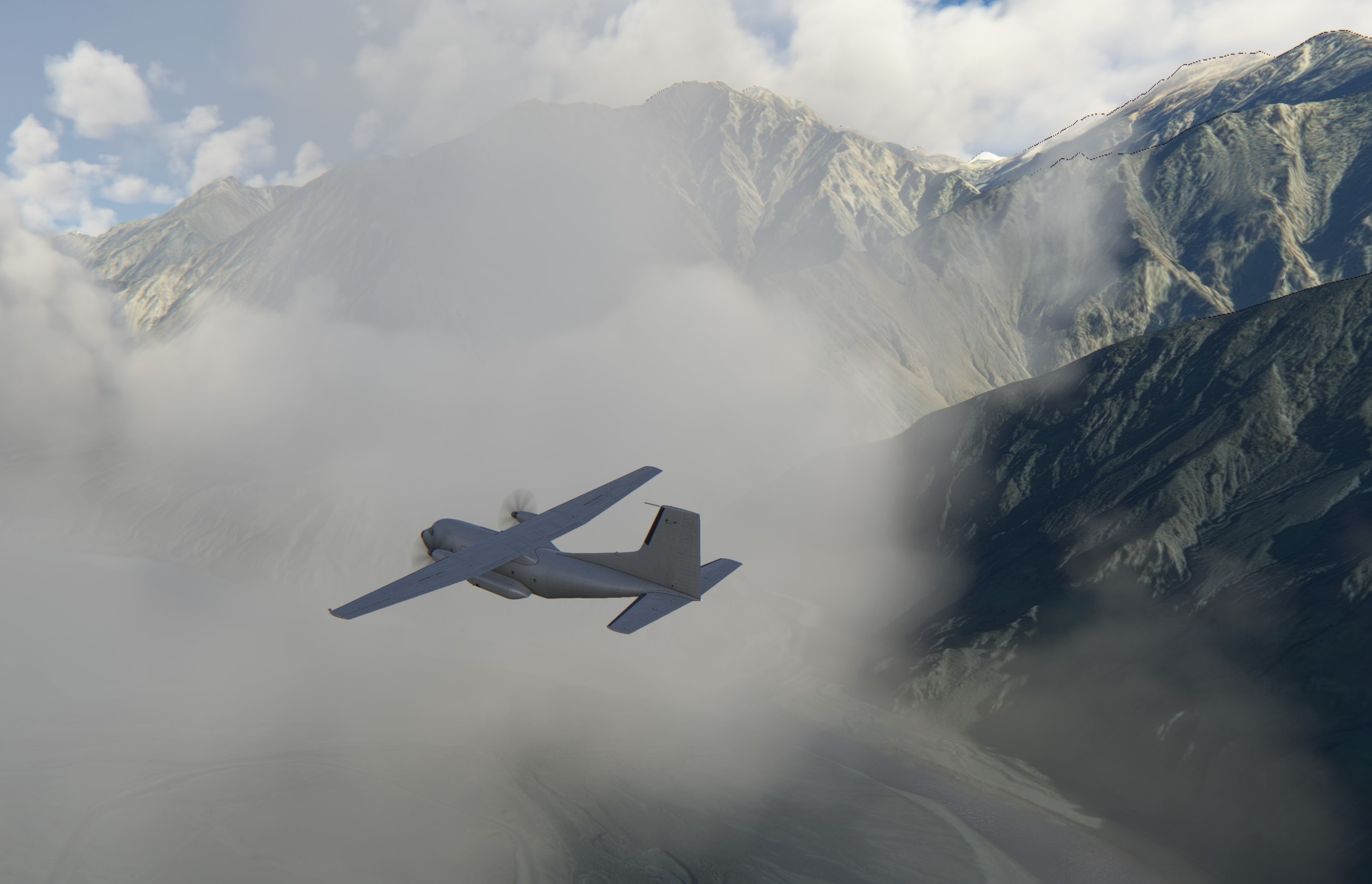
There is something chilling in zipping down the valley at some 200+ kts. I think I pulled over 2g in the process, thus doubling the weight of the cargo 
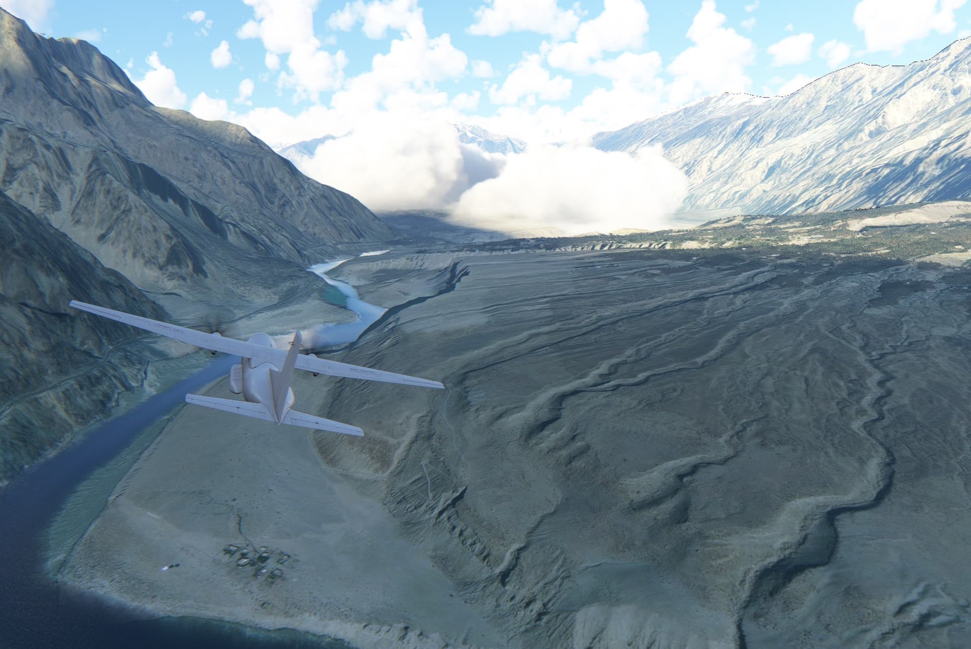
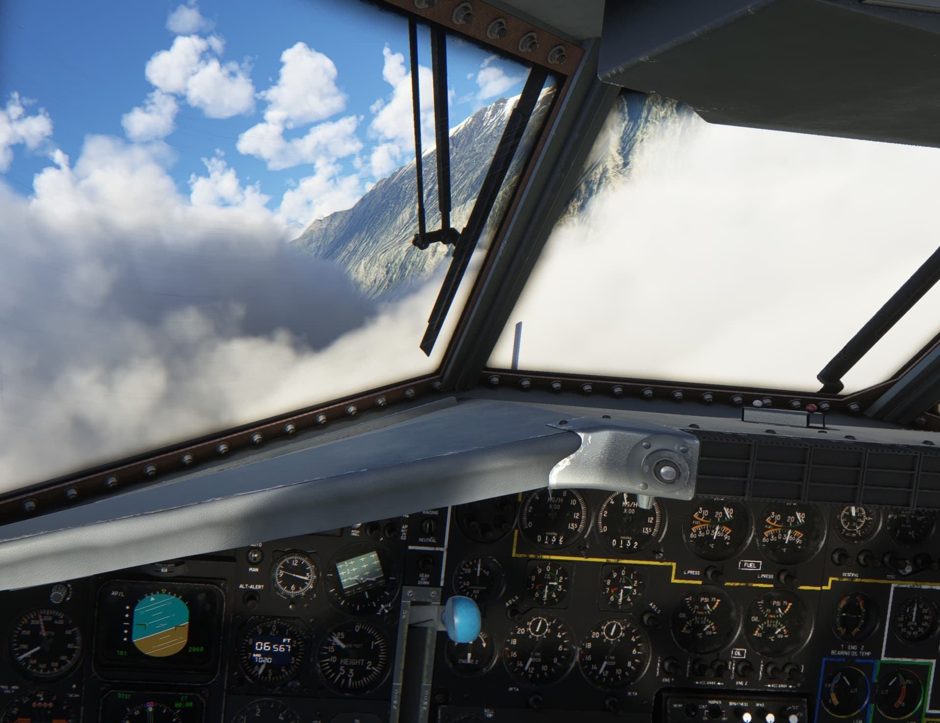
This must be the fork marking the turn right… directly into the cloud
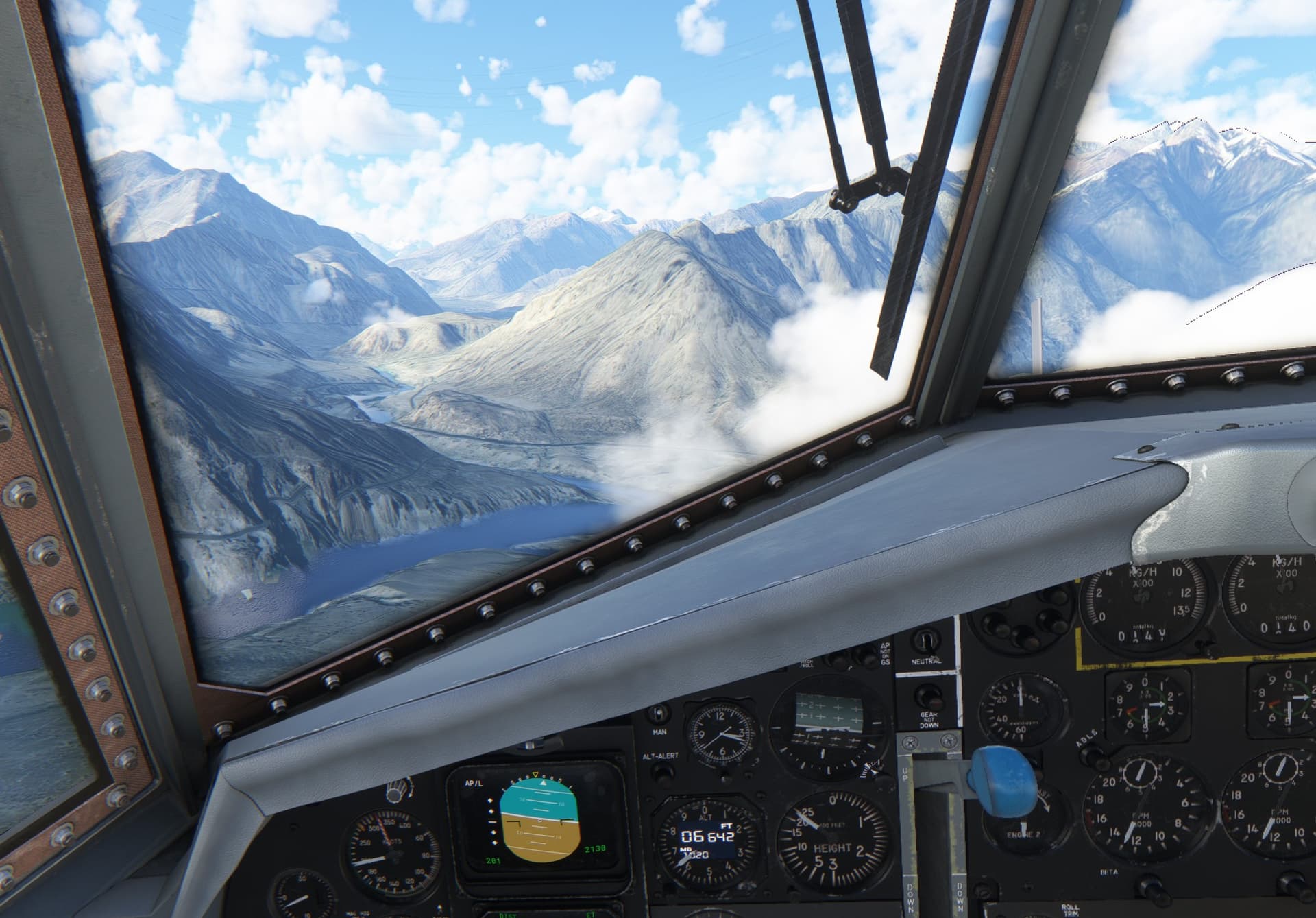
The vistas were magnificent at times…
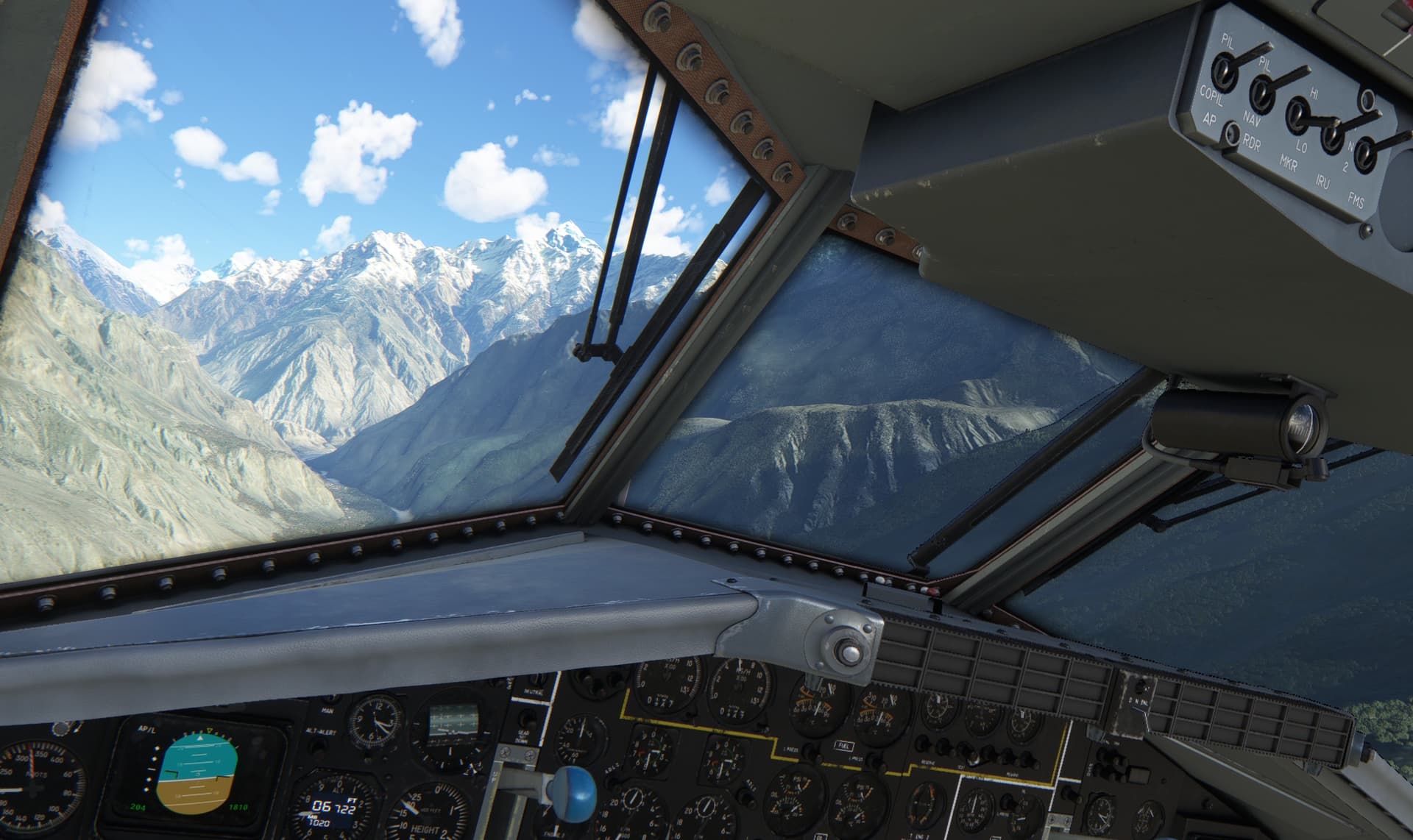
…and the valley a bit narrow at others.
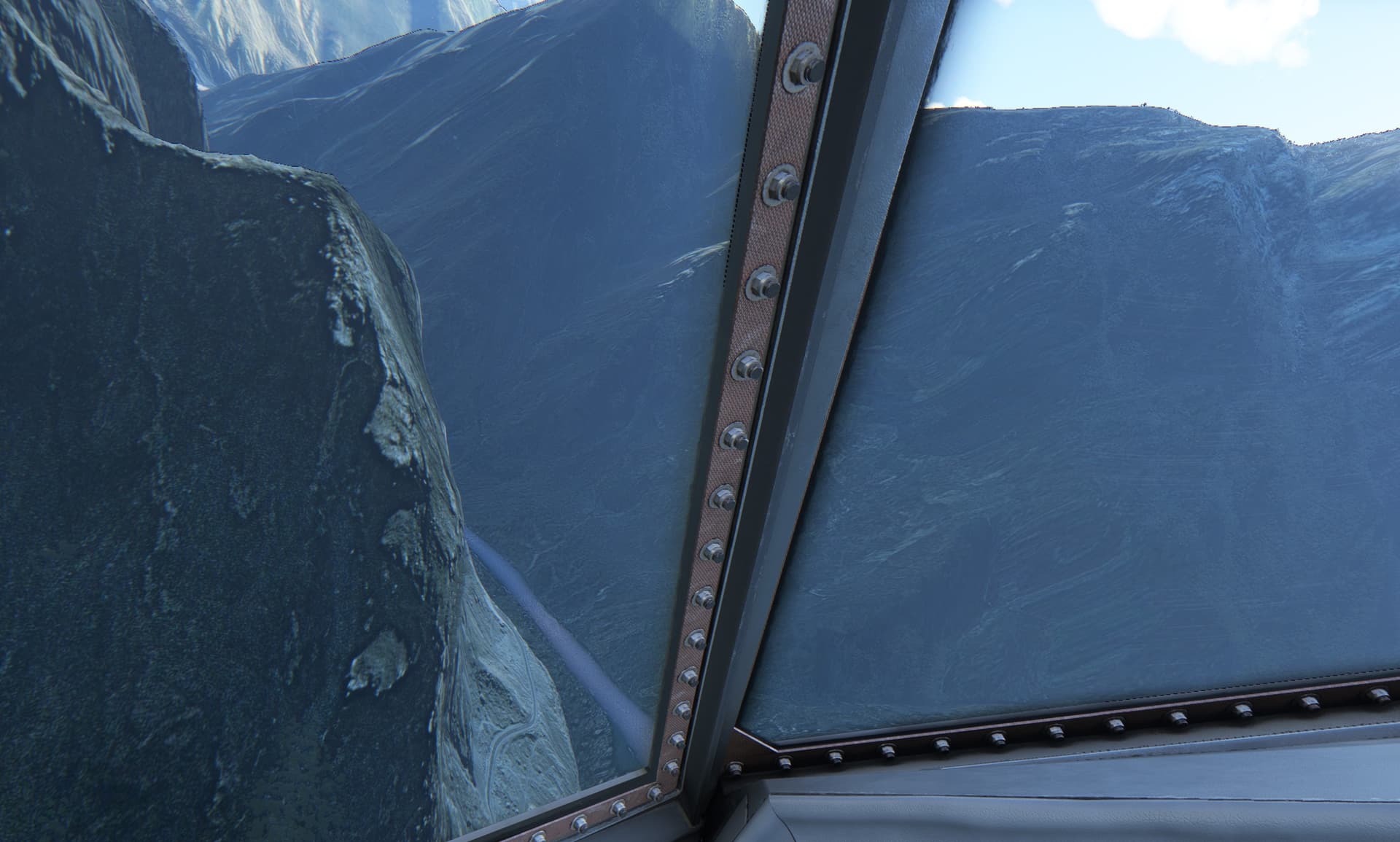
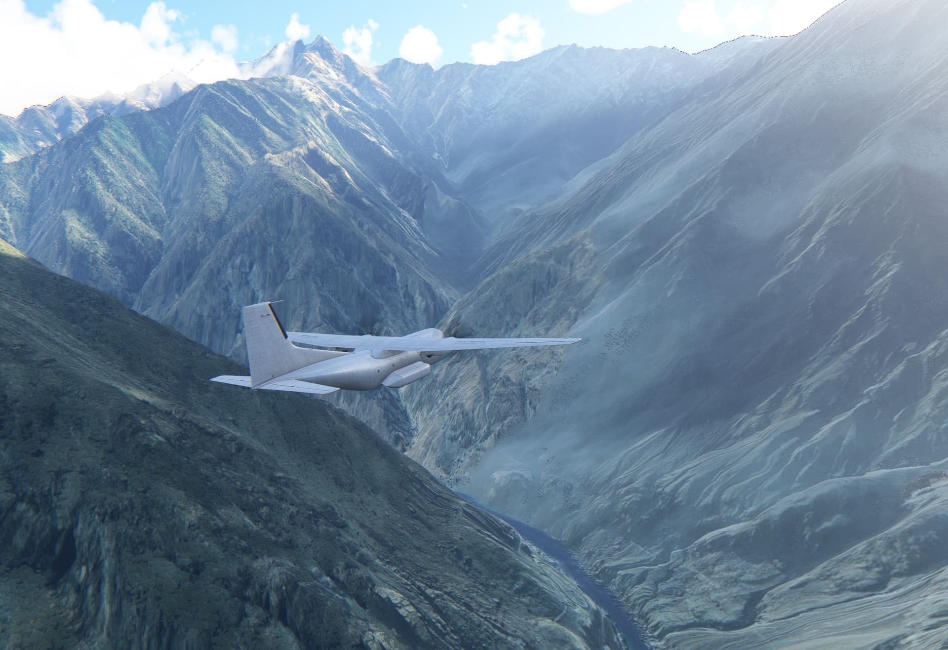
I knew the general direction was East-ish. So when I was flying to the South for some time, I started to hesitate and questioned my situational awareness. Ya know… world passes by quite swiftly at 200 kts so you probably do not want to make a steep turn into a valley to find yourself facing a wall.
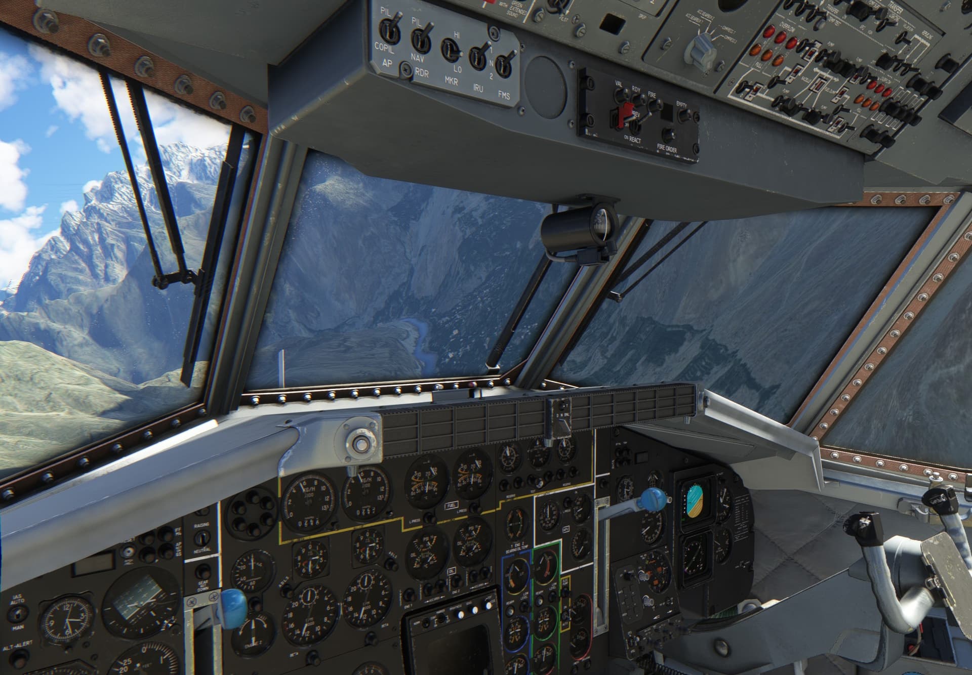
After a little while I finally chickened out and started to climb above the summits.
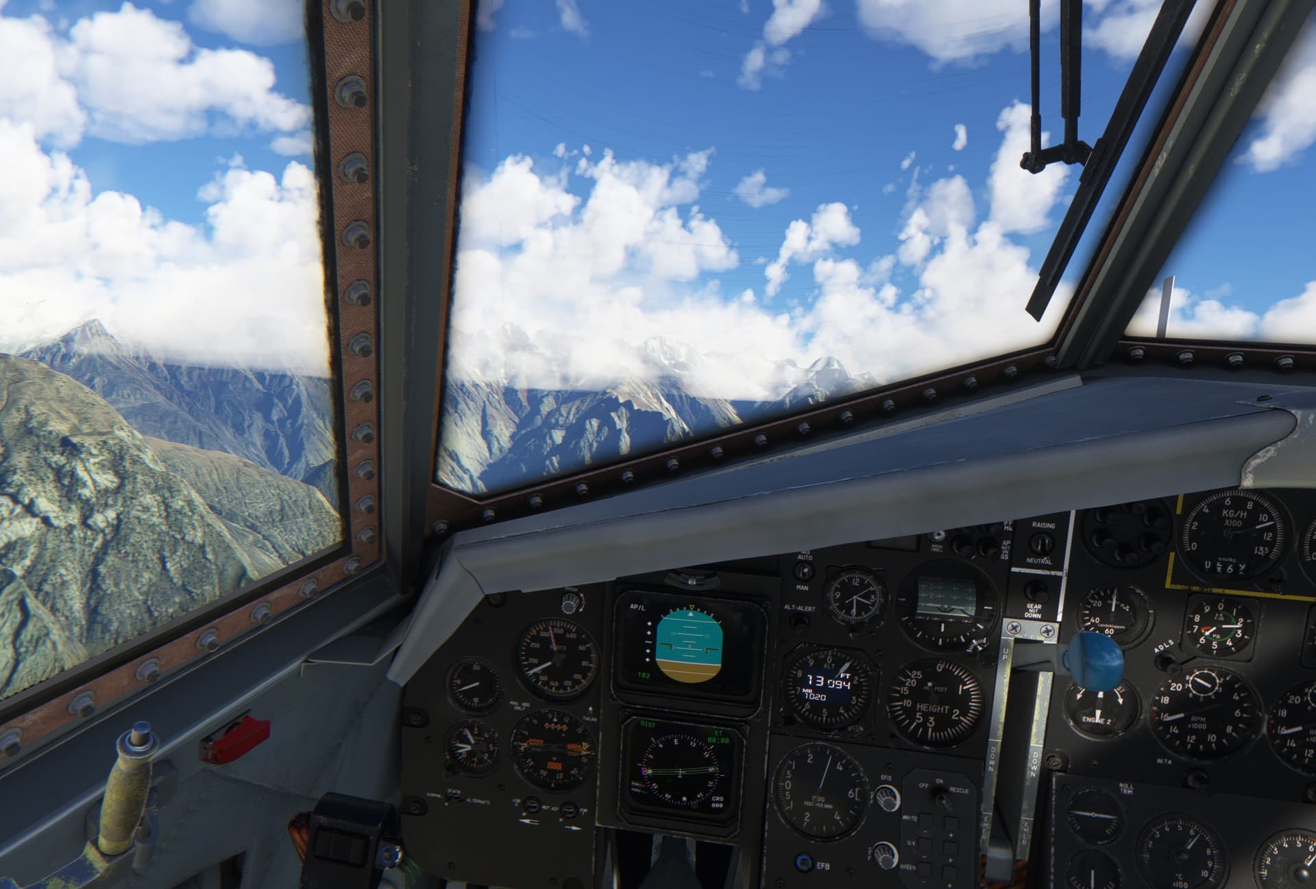
…where this happened to me
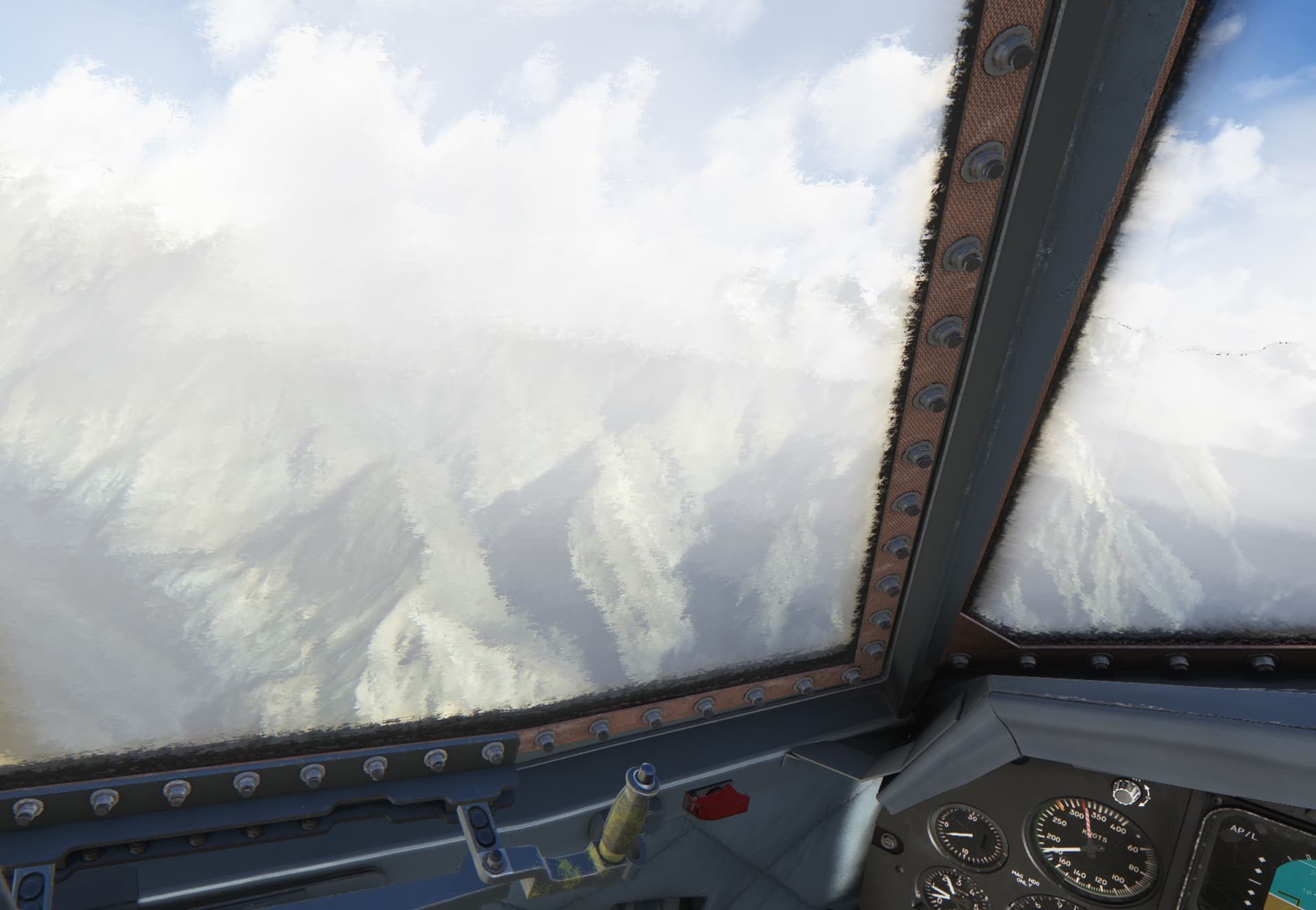
However just when I was flipping the de-icing switches, a wide valley opened in front of me and guess what - it was Skardu!
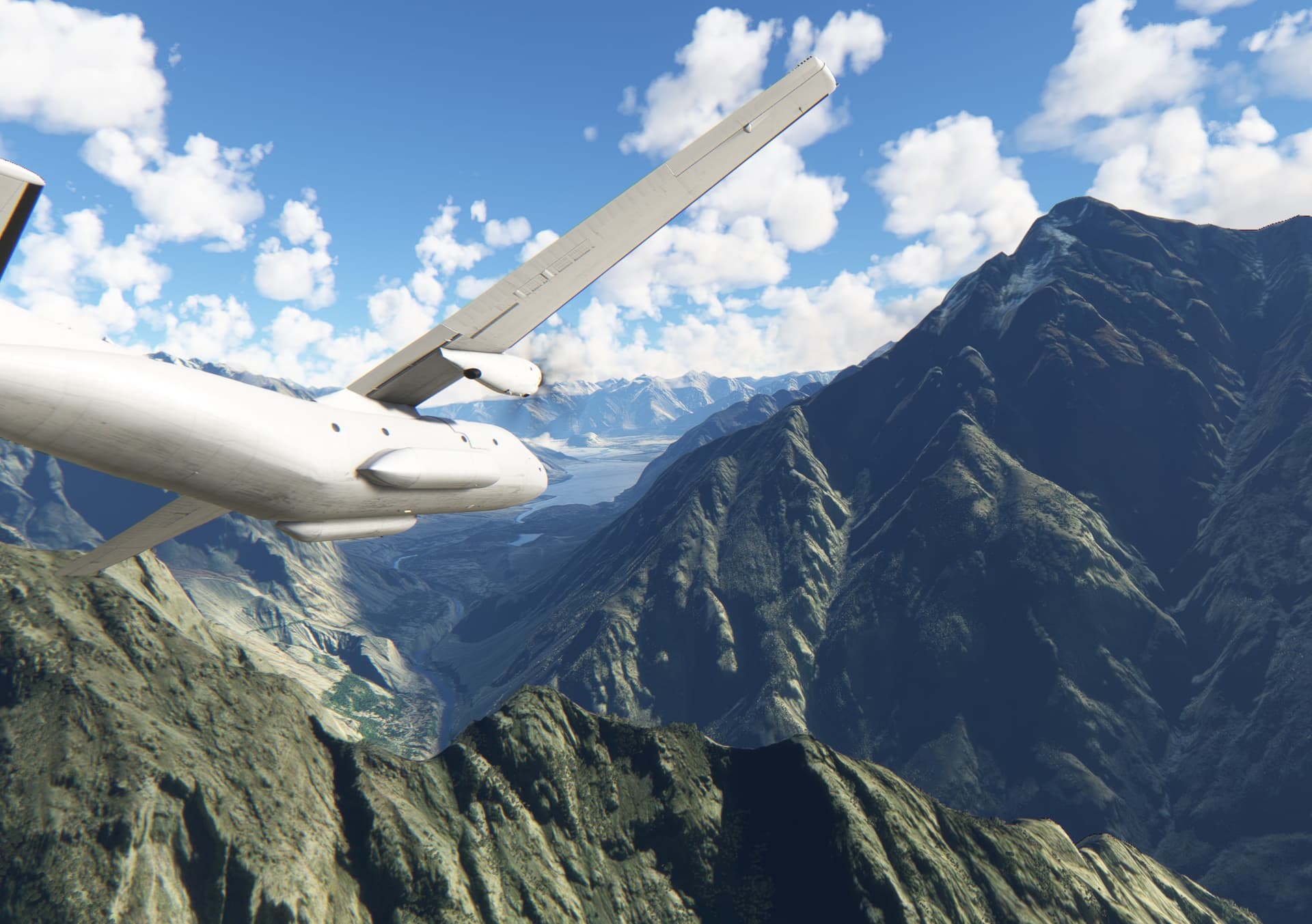
With this wind (pretty much a perfect 90 degrees x-wind) the landing would not be pretty.
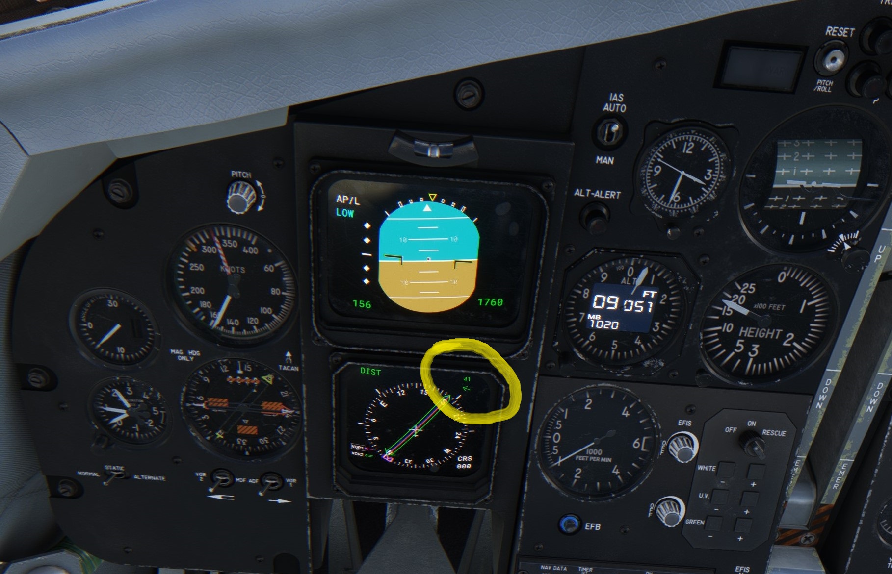
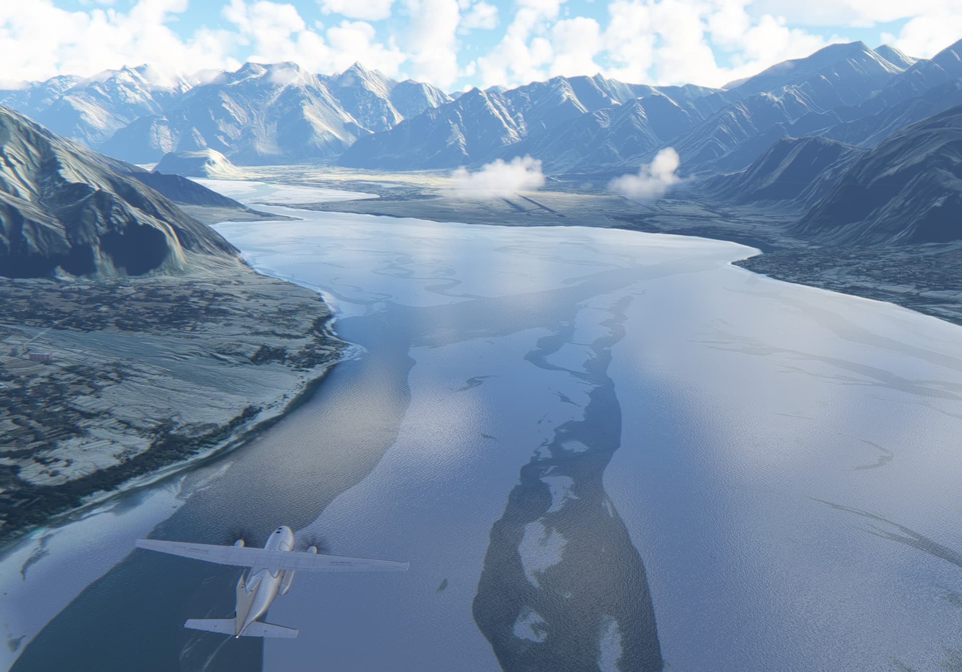
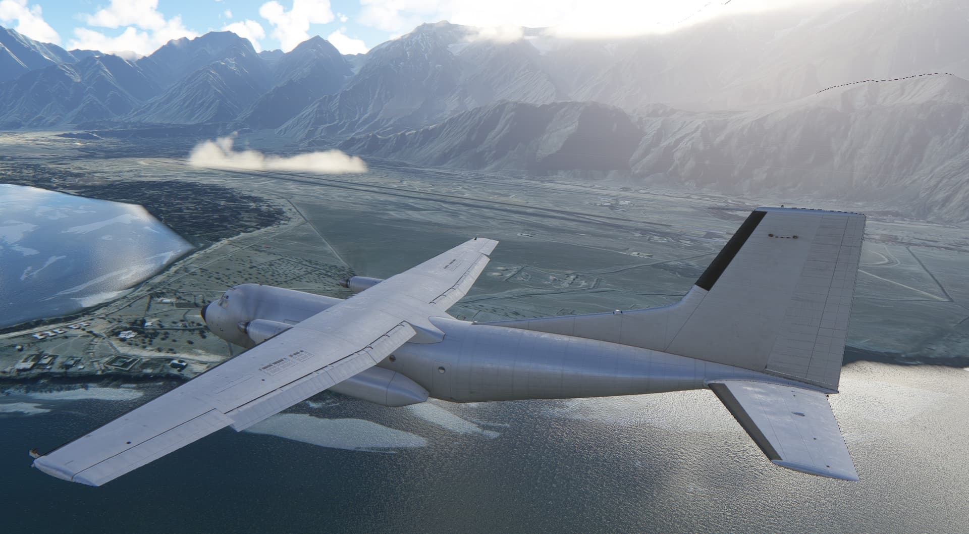
And - as expected - it was not
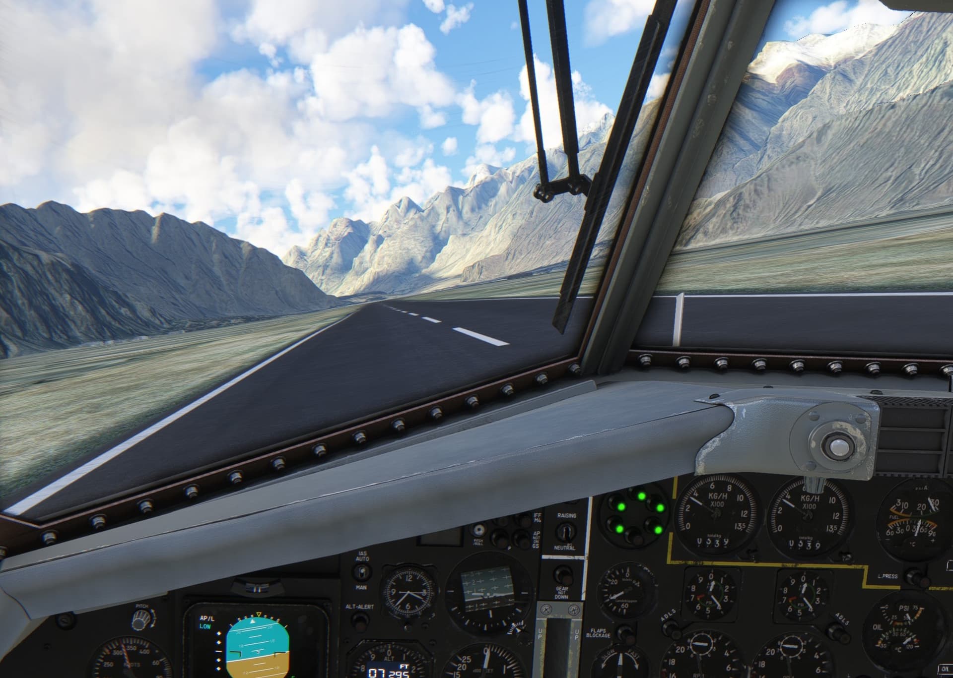
All the following legs will happen in high mountains. At this point I am aware that I need to press on if I want to finish on time but at the same time it feels pity not to stop at all of the challenging and picturesque airports on the way. I need to strike the right balance
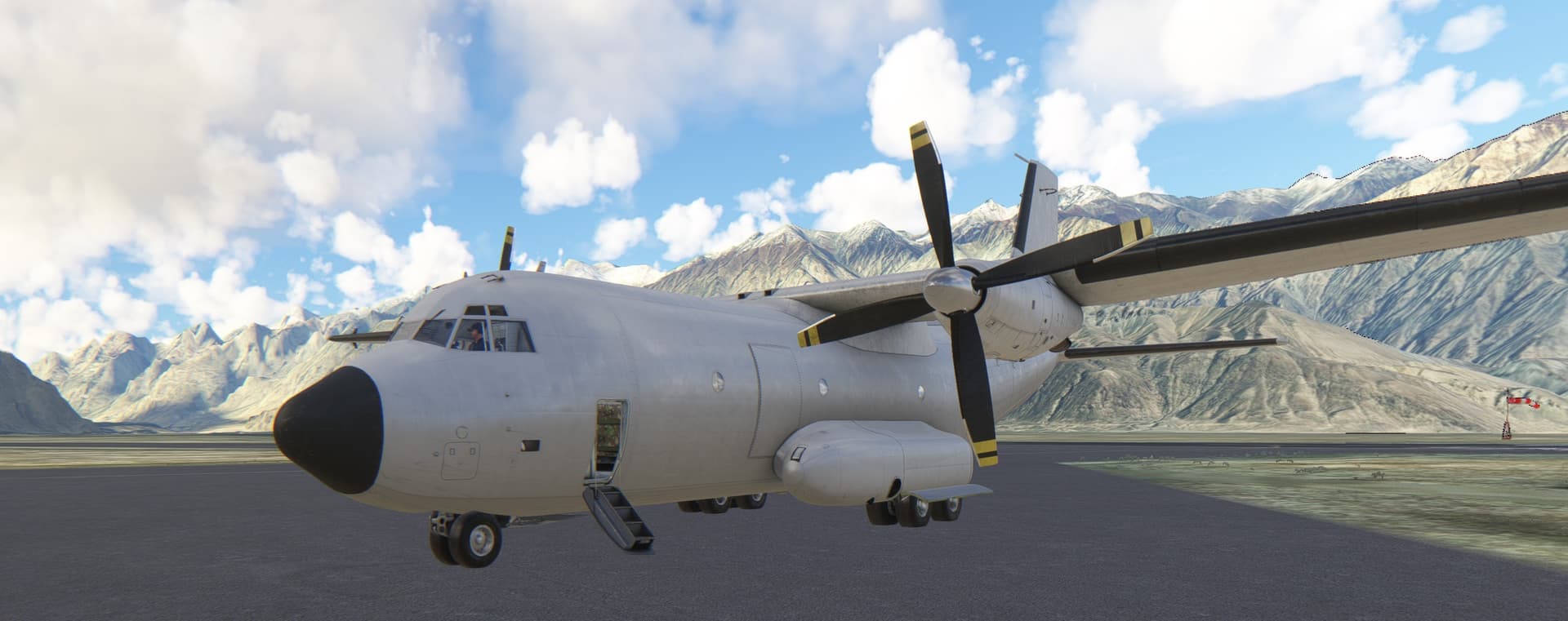
Stay tuned.
11 Likes
Picking back up at PASY, I swapped over to the 738 for one of the longer legs this trip. I’d be flying over 1300NM down to Kushiro Airport, RJCK, in Japan.
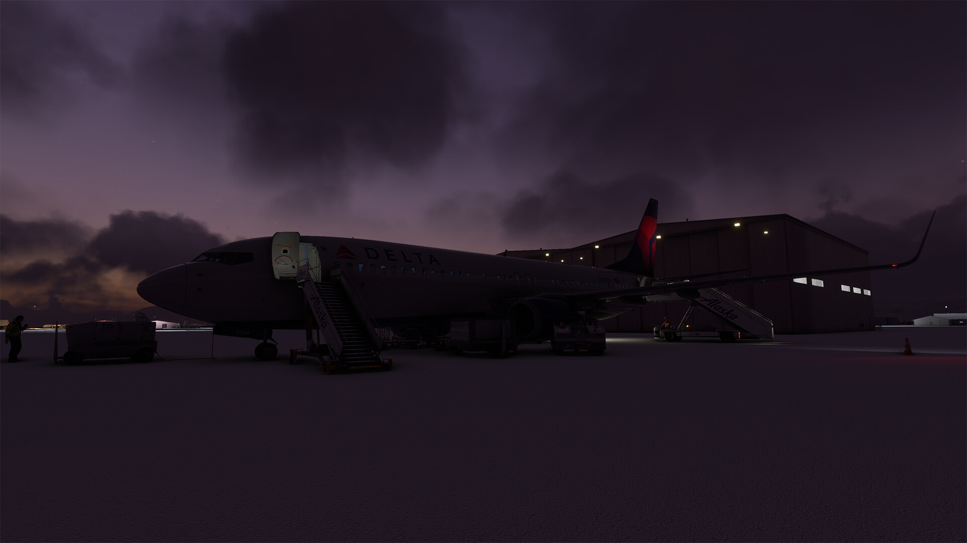
Early morning departure, this will be a trend due to time differences. It has made for some great screenshots.
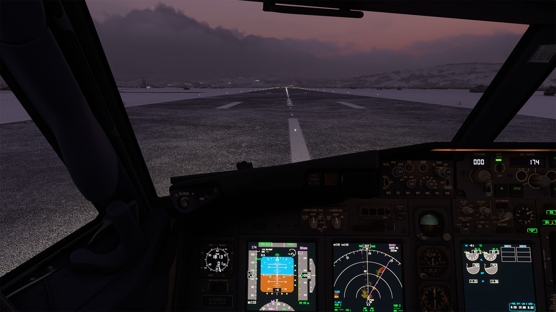

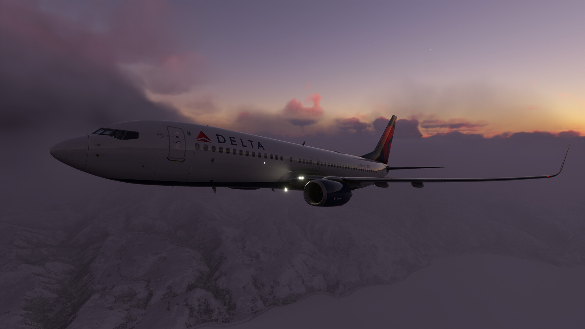
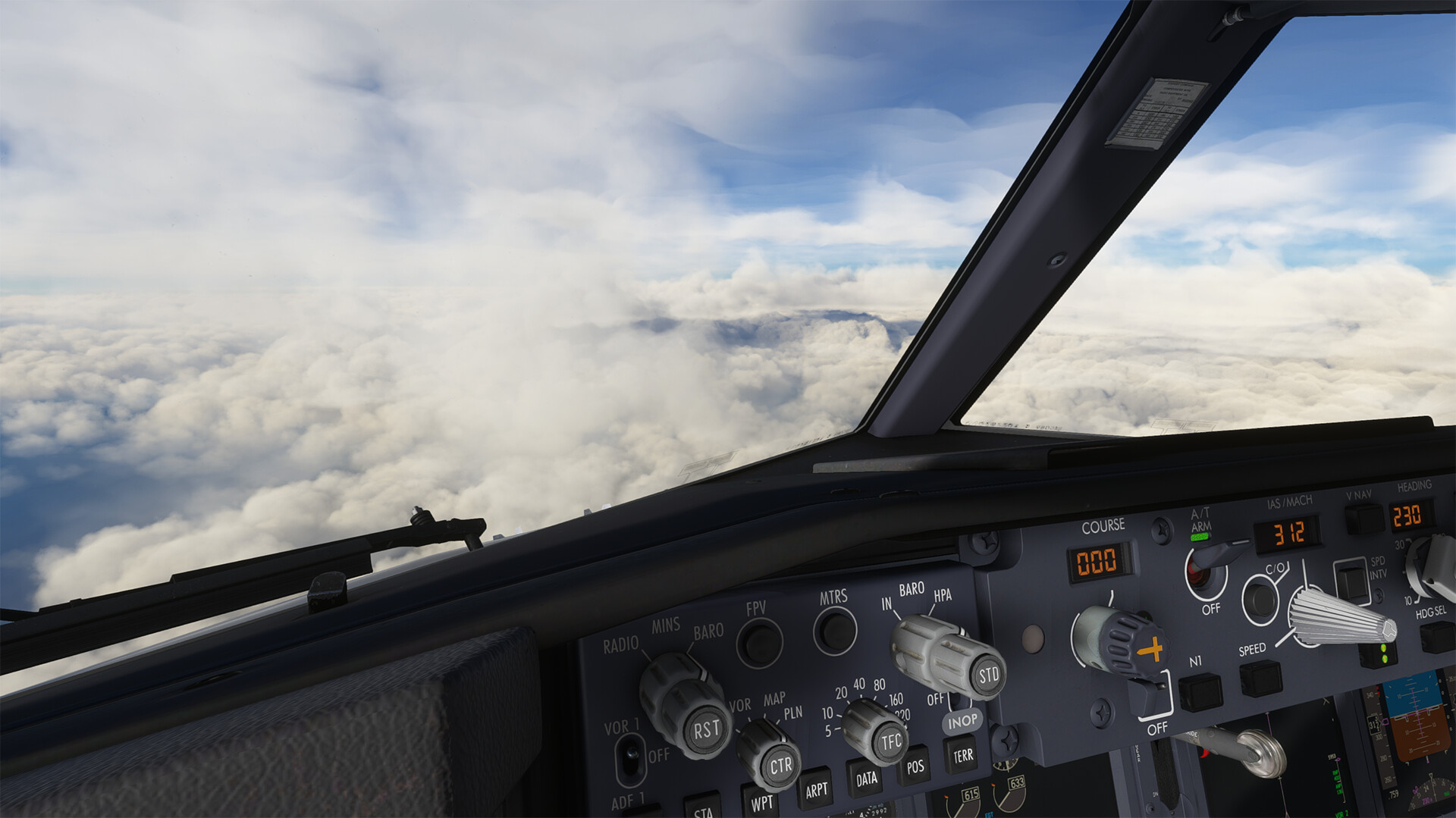
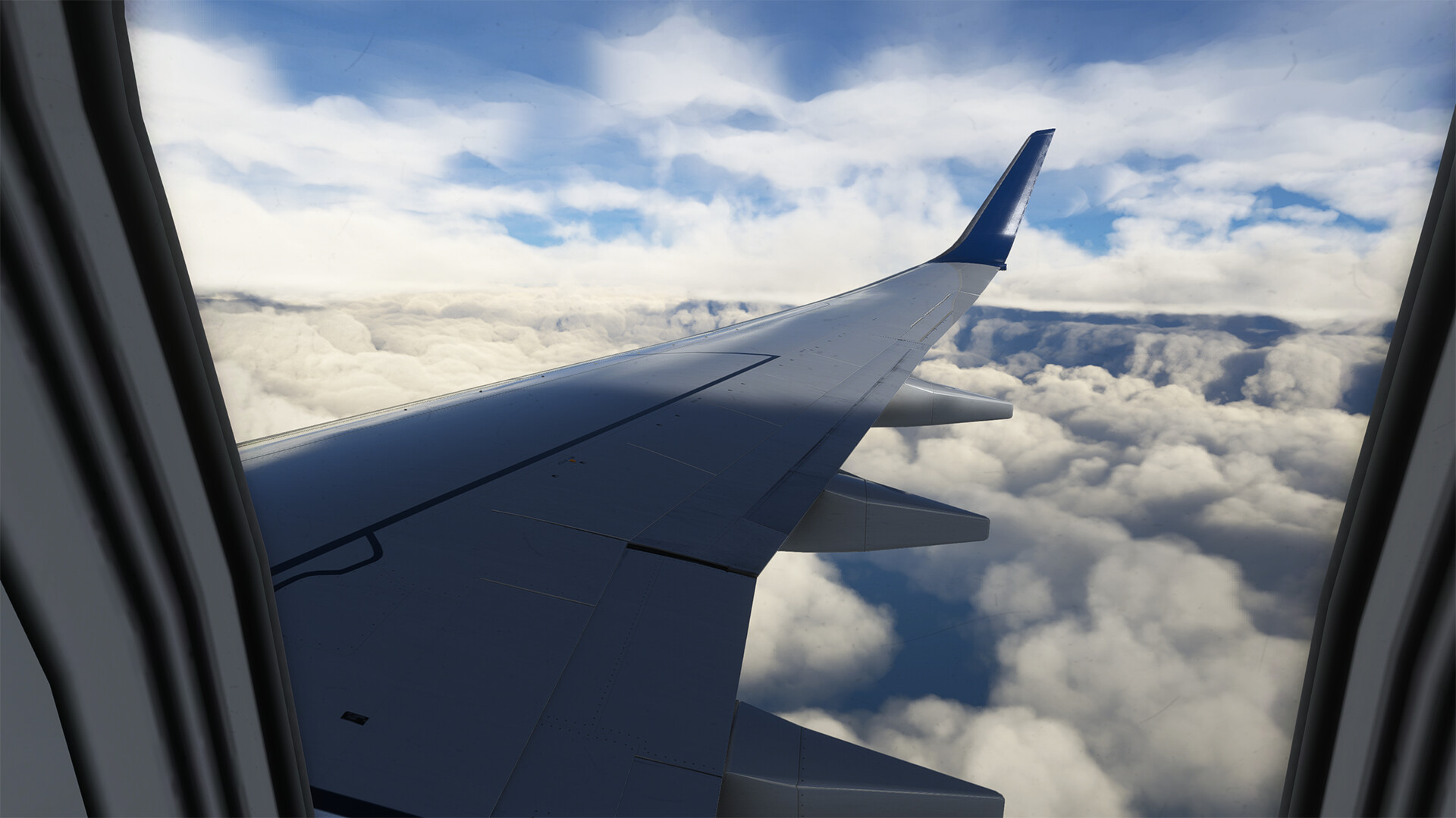
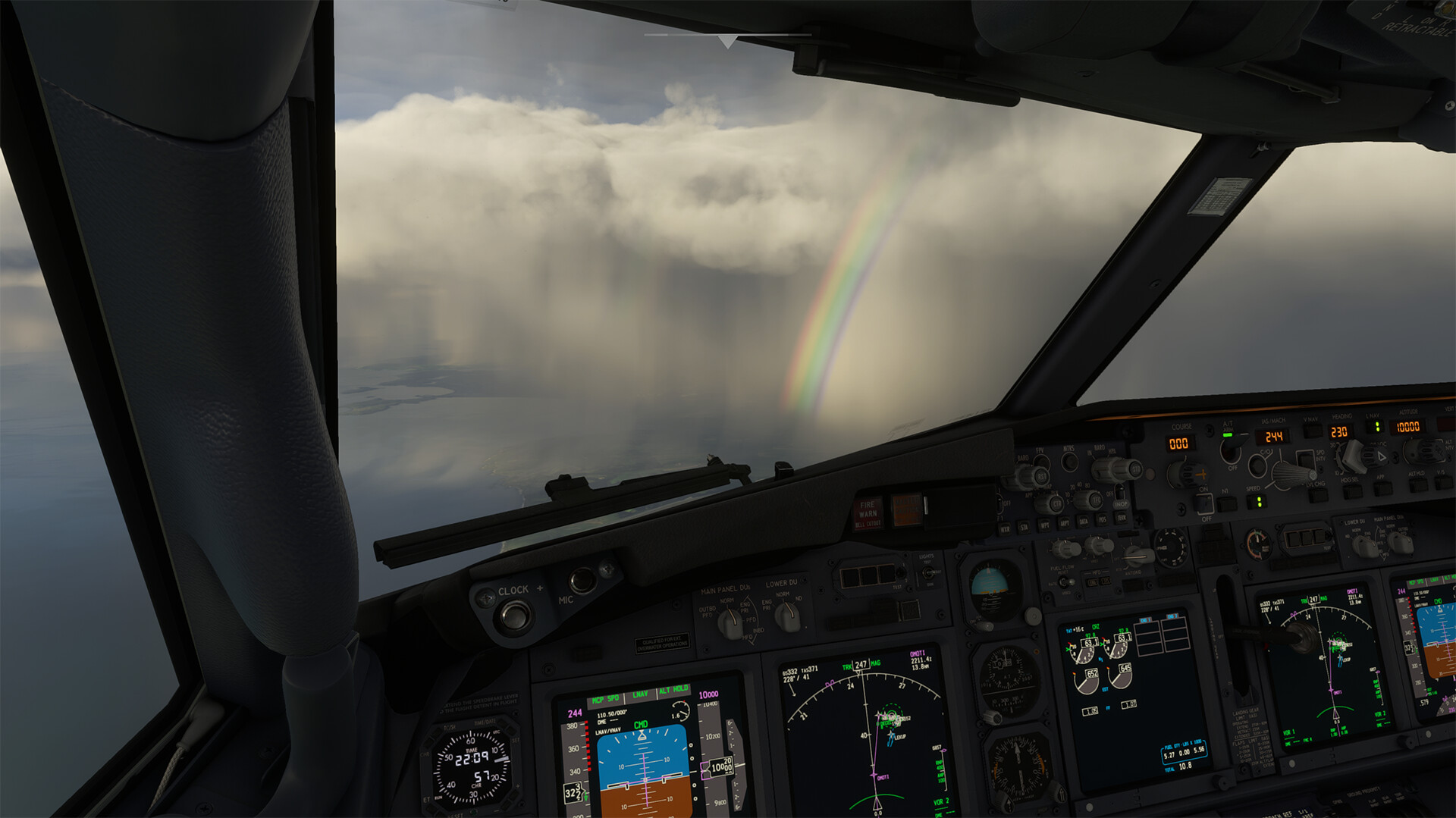
The arrival into Japan was stunning due to scattered showers throughout the area.
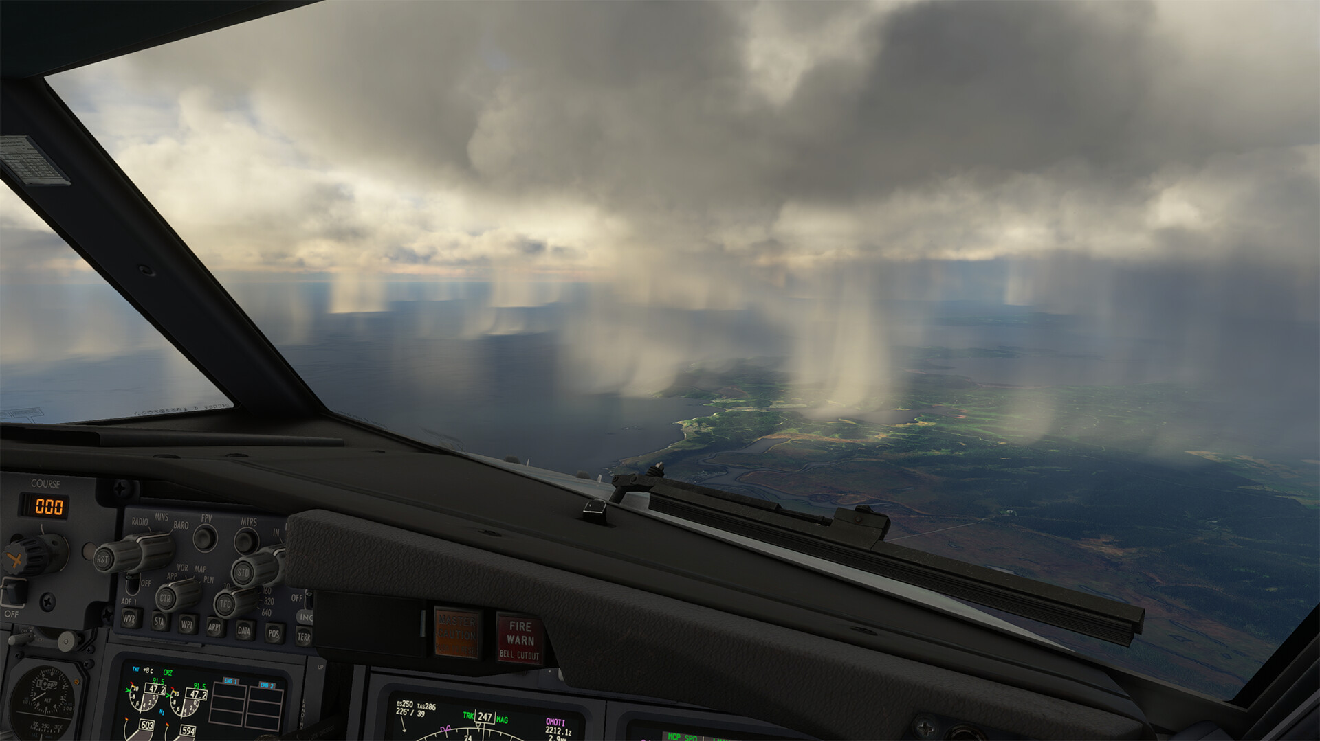
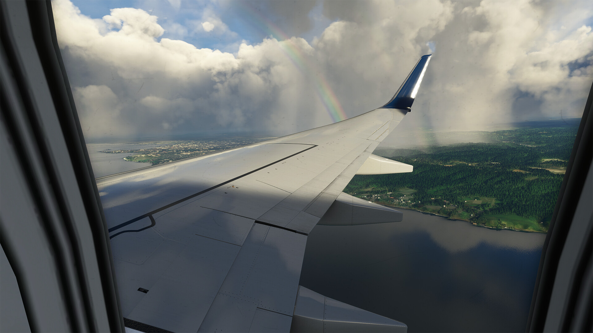
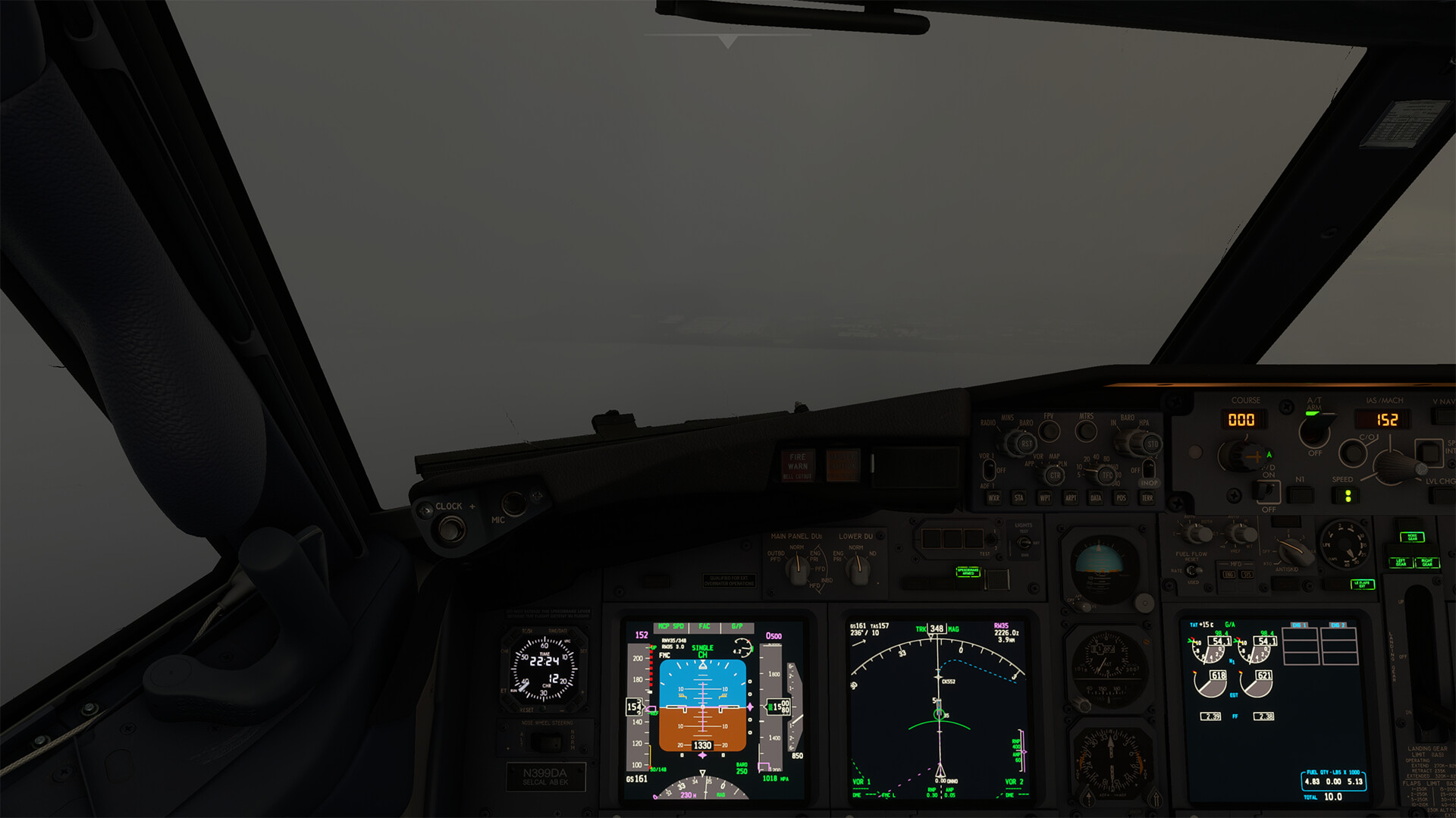
Of course one of these showers was parked right on final for the arrival runway.
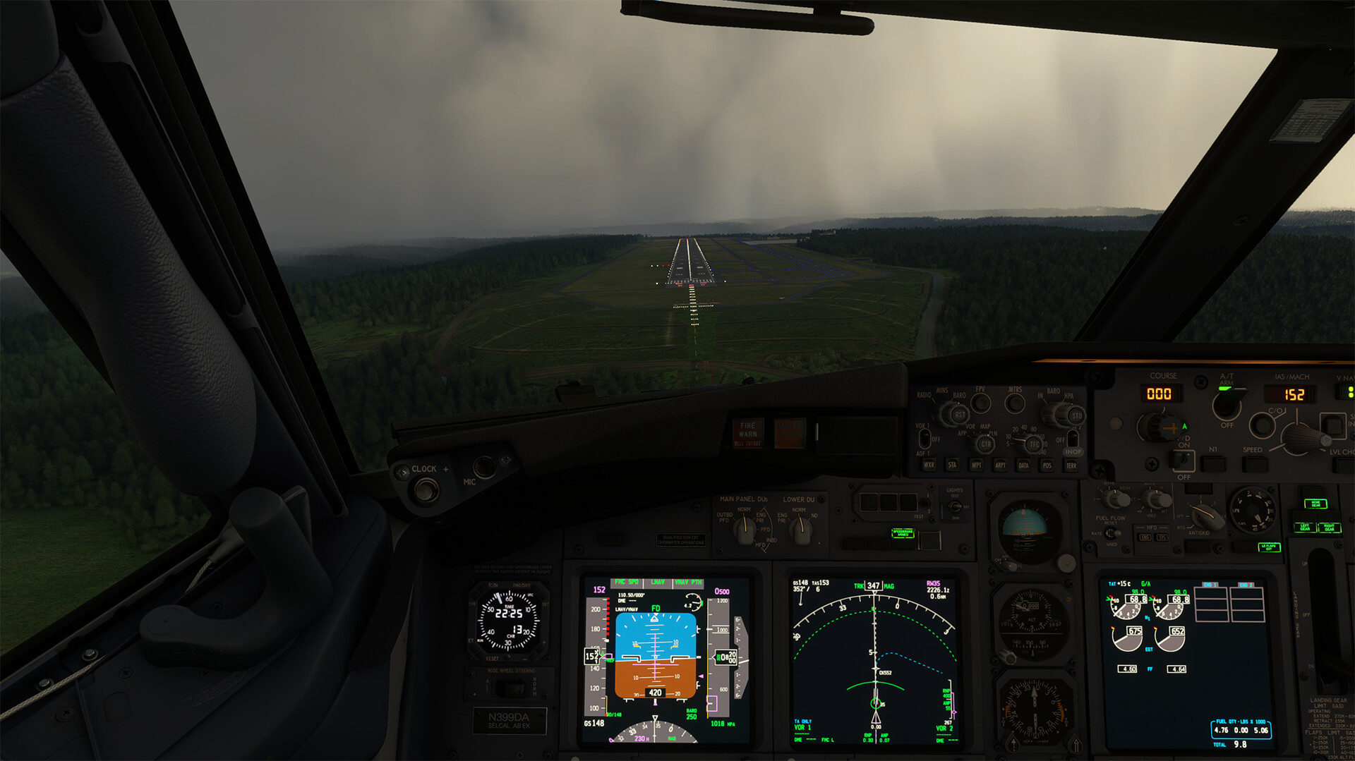
But the field itself was, for the moment, still VMC.
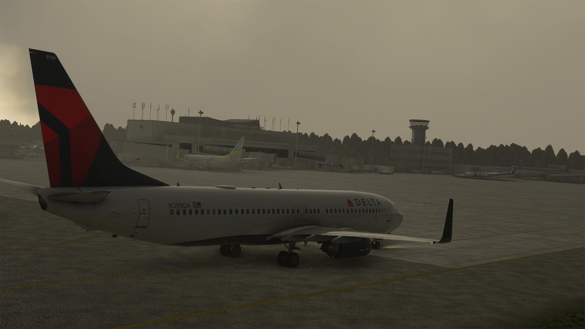

Like my trek through North America, my stops in Japan will focus on hand-crafted airports. Next up, I’ll head south to Tokyo RJTT.
10 Likes
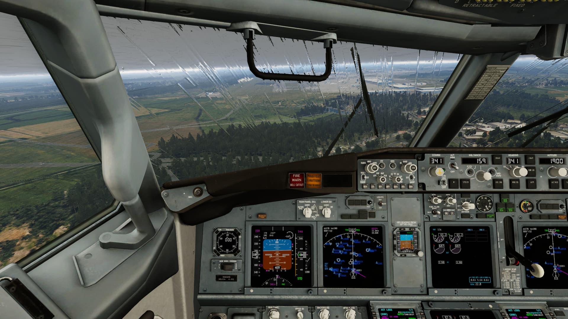
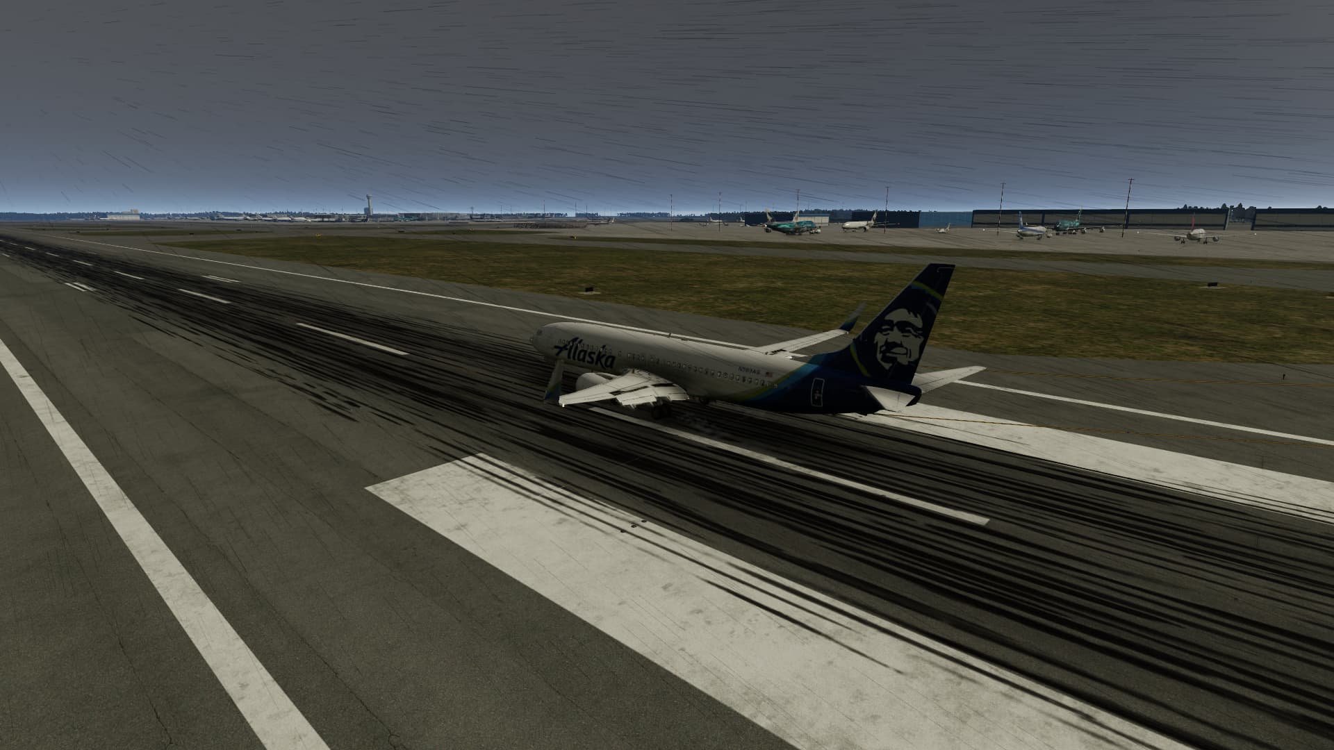
I also departed from Shemya (PASY) in a 738, but I headed to RJAA. I flew in X-plane, so my screen shots arent as pretty as MSFS, but I do find it interesting how similar the experience with the weather was.
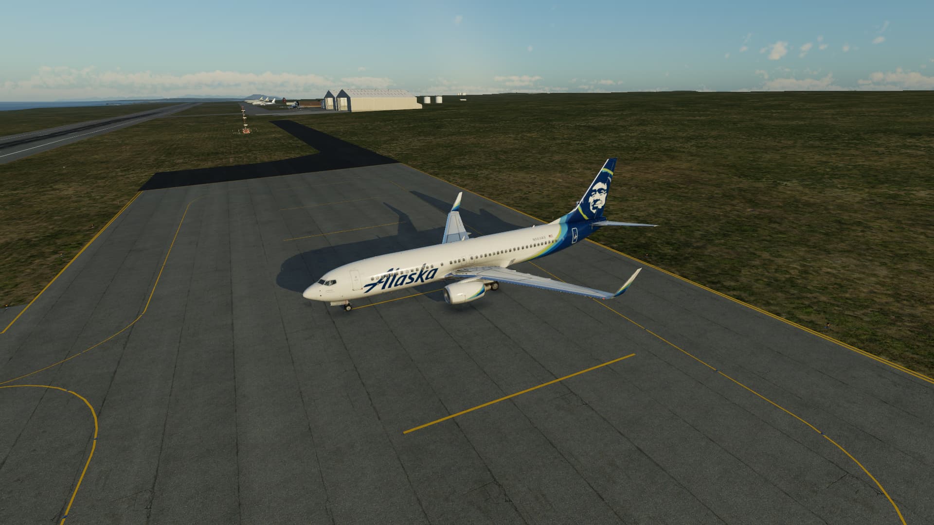
The weather was actually fine for the first half or so of the journey
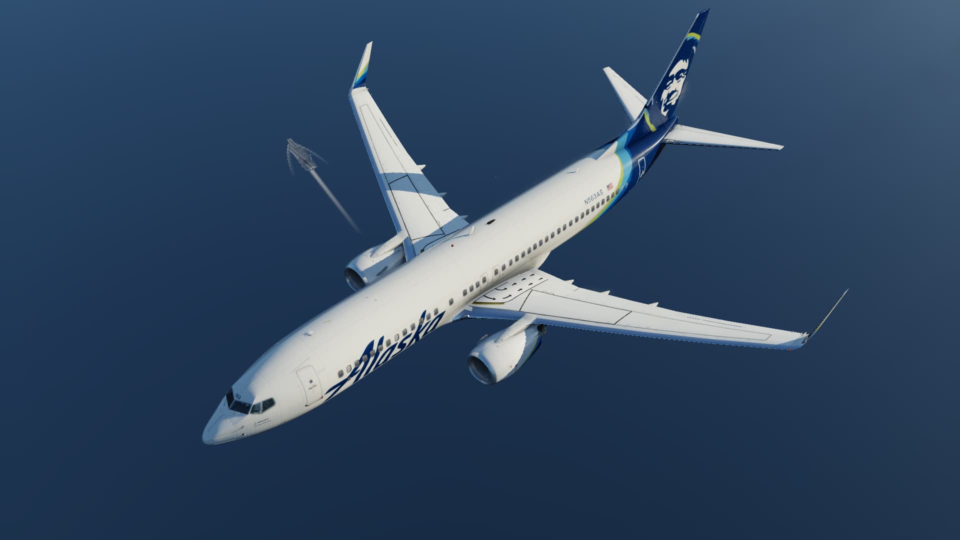
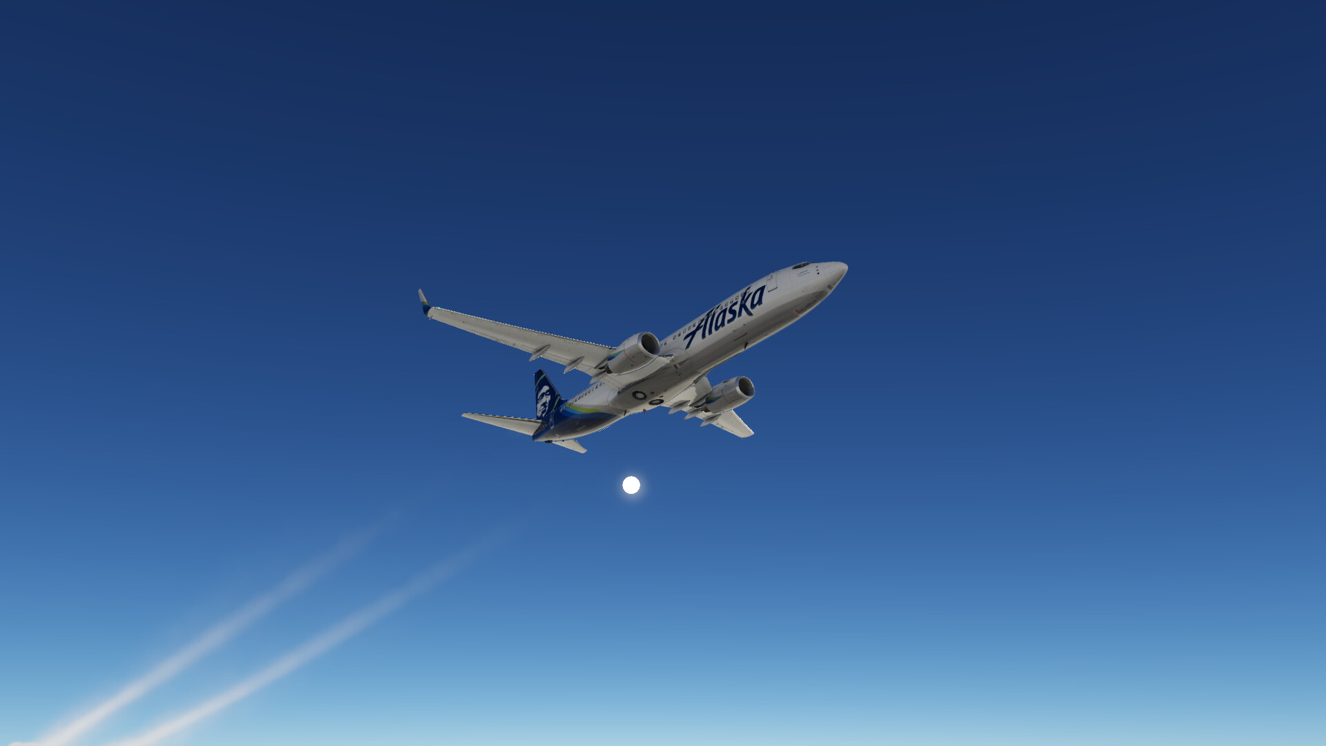
Here’s where it got kinda fun and the weather turned. I ended up between layers.
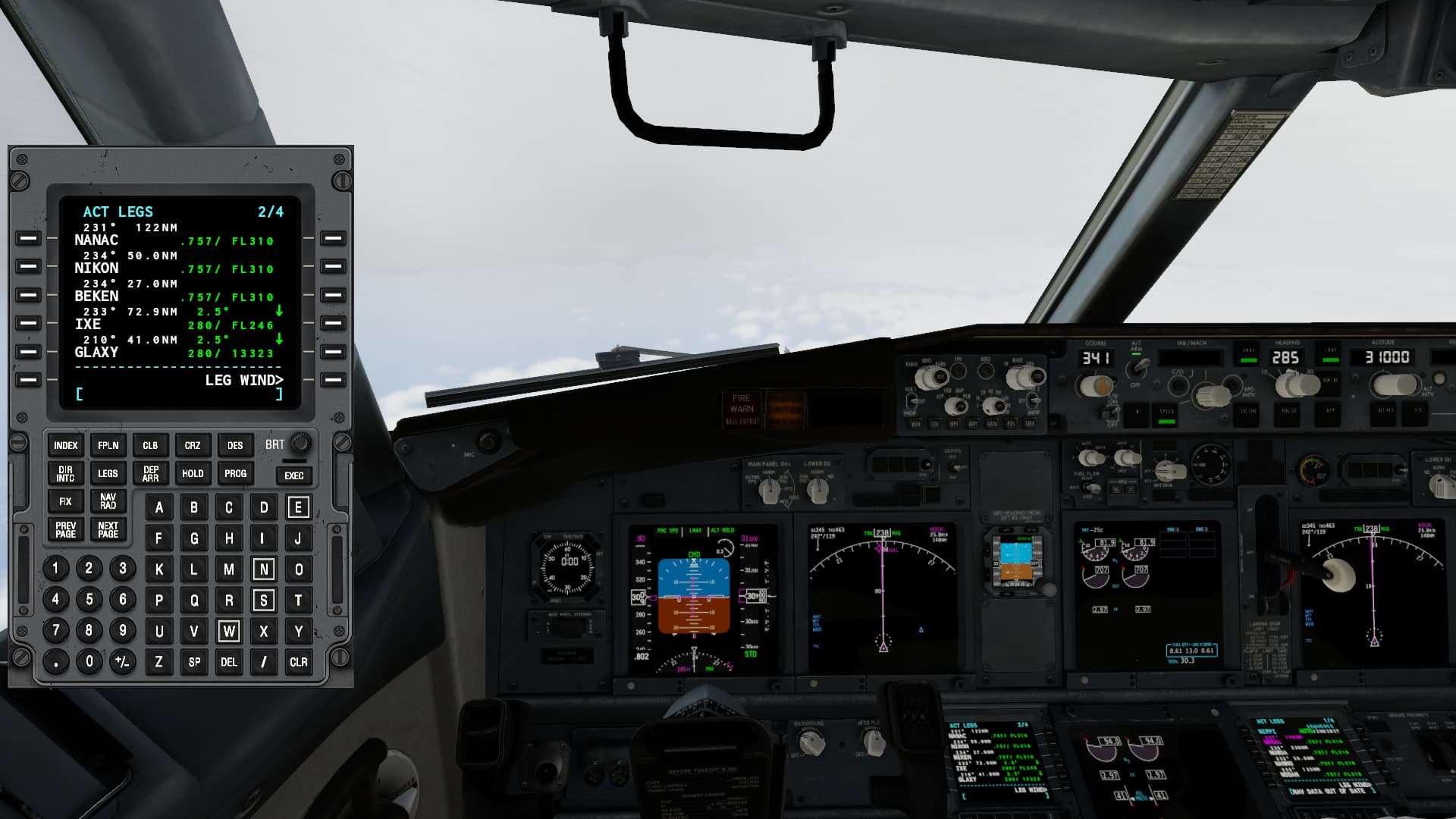
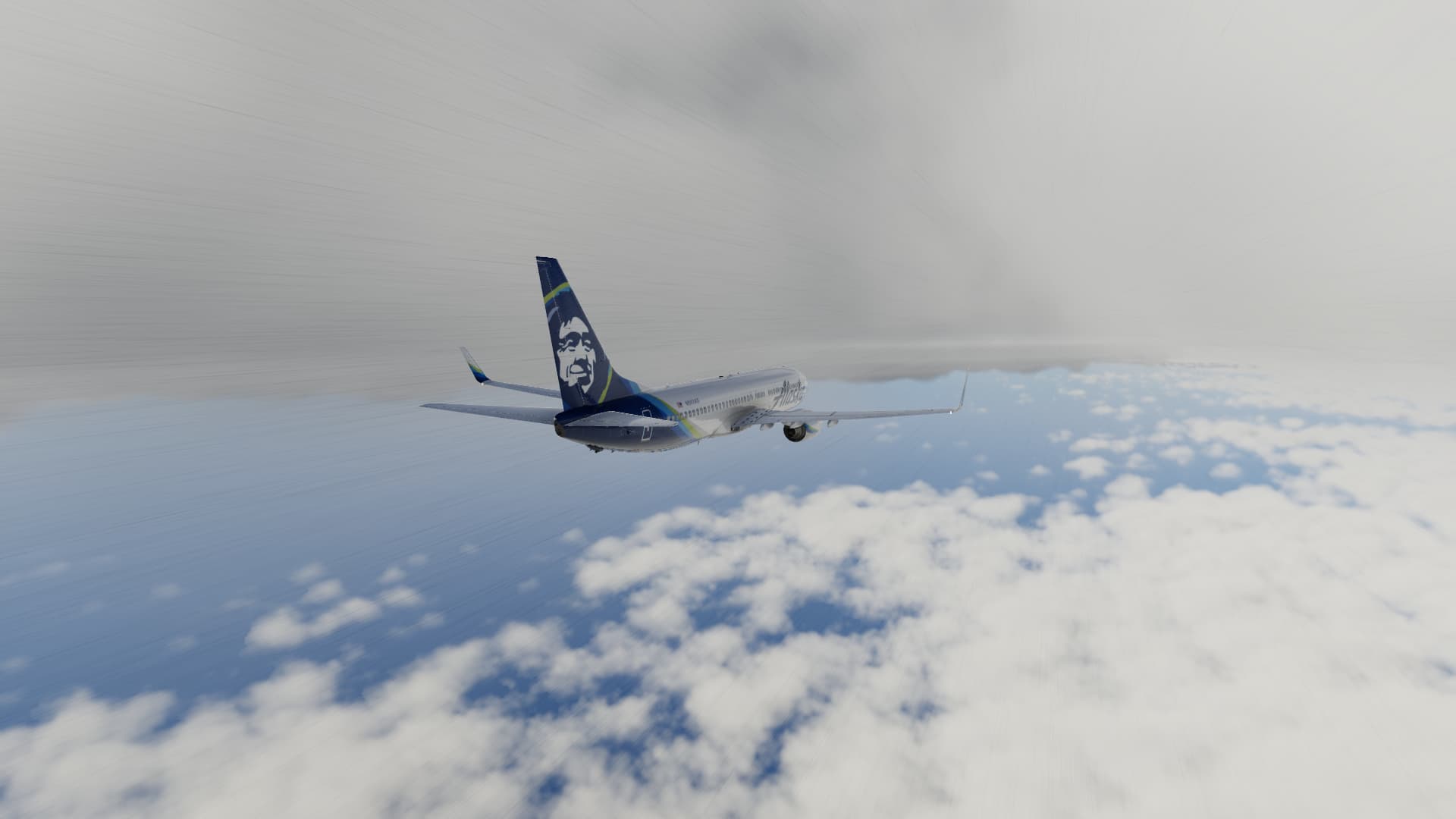
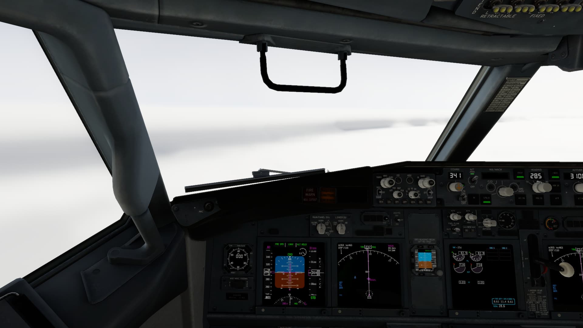
Then it got worse. The descent was on instruments. Apparently X-plane 12 wants you to feel like you’re flying the millennium falcon when it’s raining.
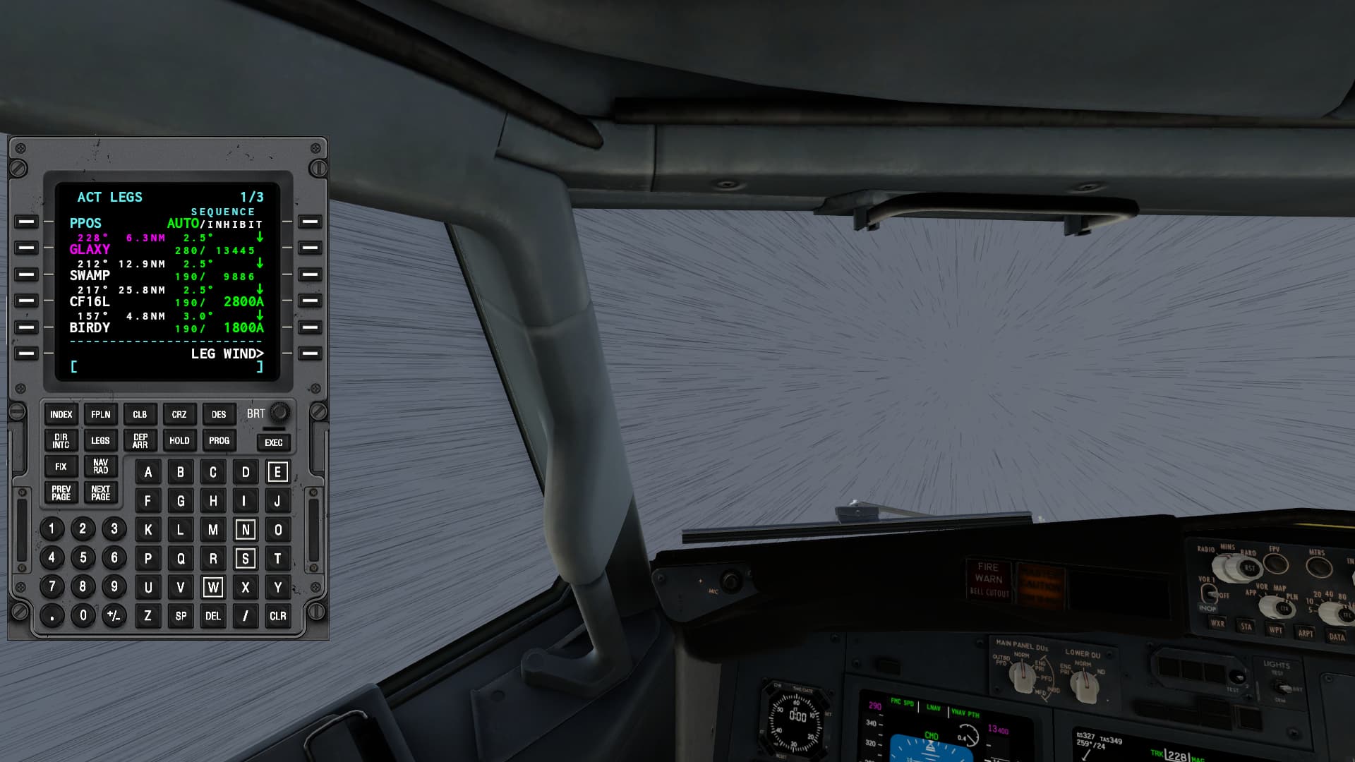
But once I broke out, it was fine.
11 Likes
Dunno whether it is because of the region we fly but I can only envy the weather depiction you got in your trip.
I am getting usually clear weather pretty much since I left Europe behind which is a bit weird 
2 Likes
If you haven’t seen it, the Zibo 737 mod for XP11/12 is pretty amazing. It’s a freeware mod that’s payware quality.
The downside has been the 125kt headwinds heading southwest 
4 Likes
I’ll check it out.
Just curious, did you use any time compression crossing the ocean? If so, did it affect your fuel? (as in didn’t use much)
2 Likes