So… anyone still doing this?
My advice: Wait!
But let’s not get ahead of ourselves, here is my report for today’s flight:
In January it was way too cold to continue this trek, and, well… actually it still is. Montana has an OAT of -10C° today.
I still wanted to get another leg in, so I did it.
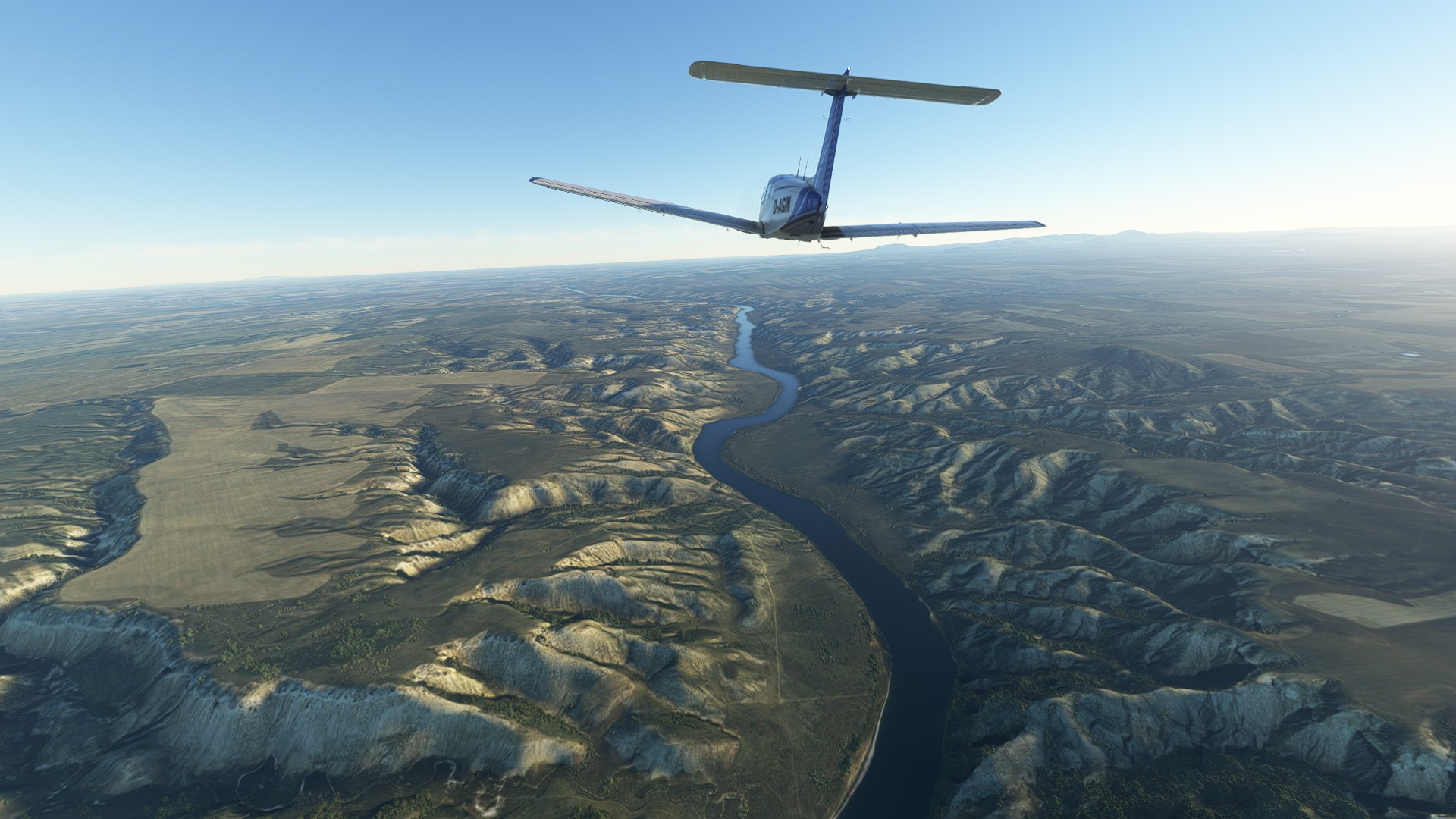
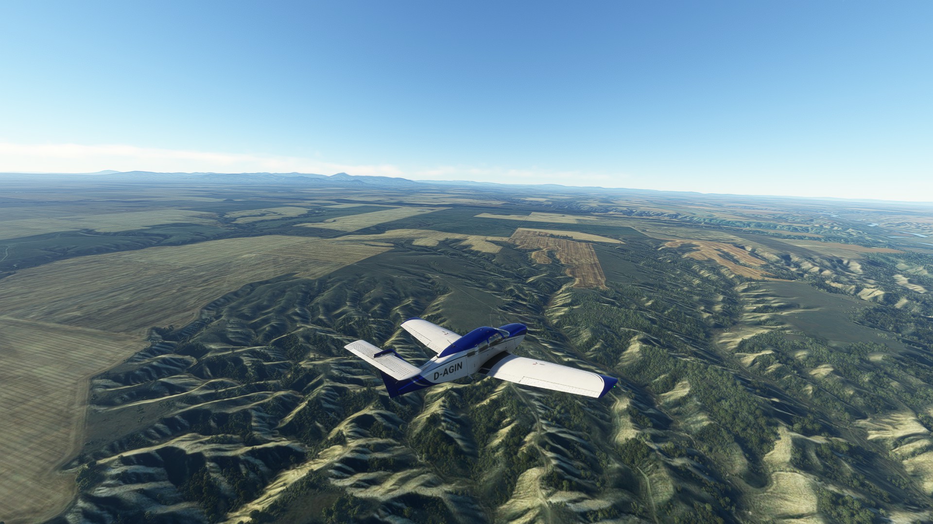
Here is me taking off from Wolf Point (KOLF) in my Turbo Arrow IV.

Now, I don’t know if there is actually snow and if the Missouri is frozen over, but the sim cannot decide either. So you will see ice and no ice in some screenshots, it kept changing. It looked cool though so I didn’t mind.

Somewhere near where the Milk River joins the Missouri.

just a few miles east of Fort Peck.
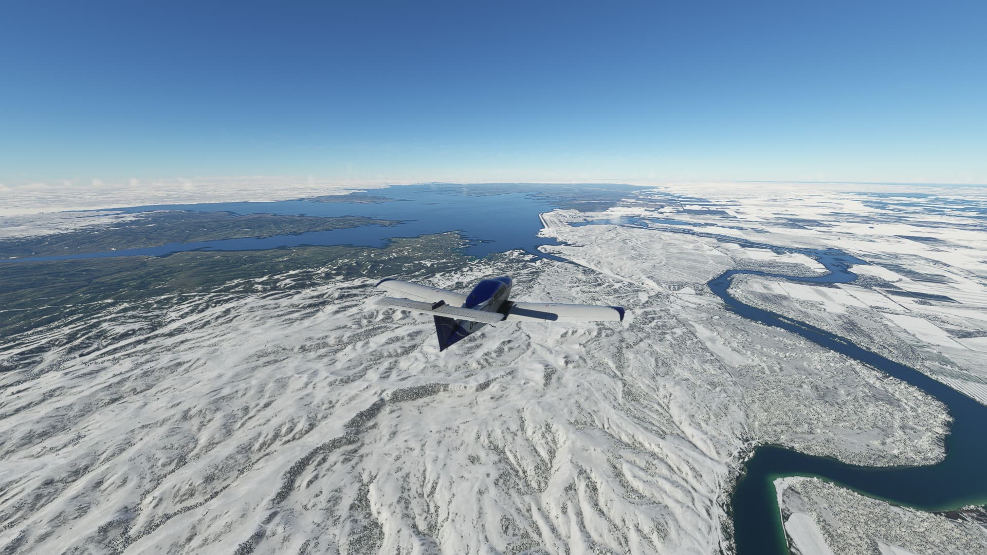
Suddenly half of the Fort Peck reservoir lake froze over.
But I could take a good look at the dam, which was completed in 1961.
At 21,026 feet (6,409 m) in length and over 250 feet (76 m) in height, it is the largest hydraulically filled dam in the United States, and creates Fort Peck Lake, the fifth largest artificial lake in the U.S., more than 130 miles (210 km) long, 200 feet (61 m) deep, and it has a 1,520-mile (2,450 km) shoreline which is longer than the state of California’s coastline.

To be honest, there is not much to see here, especially in winter.
The journals of the expedition also describe this place as quite cold in April.

The expedition was here May 14, 1805 and almost lost a boat here when a sudden wind struck the sail. They managed to cut the sail off in the last moment.

The UL Bend Wildlife refuge

It magically thawed as soon as I flew by (I must have been coming in hot) which makes the landscape look much more beautiful.

The end of Lake Fort Peck. Those mountains on the right are where Zortman is, an old mining town that has a little airport.

From here on the Missouri is a regular river again, similar to how it looked back in 1805

My divert field, Sand Creek Field Station. You can also see U.S. Highway 191 and the bridge where it crosses the Missouri. When I saw how narrow the landing strip is I was kinda hoping that I would not have to land here. In fact I think I’d rather fly to Zortman if possible.

James Kipp recreation area and the bridge.

I descended and followed the river. Nice geological structures here.

That’s my destination, Heller Farm Airport (L51).
Not much to see here, but it is comparatively flat, reasonably wide, and almost 3000ft long.
https://www.aopa.org/destinations/airports/L51/details

I had to ascend while flying the pattern because the Turbo Arrow cannot turn steeply enough.

On final. I still couldn’t see what part exactly of that meadow was supposed to be the runway.

The gras felt nice though. An easy landing, even for a not-so-much bush plane like mine.

Parked. I guess I’ll wait another month before I continue though. The next leg will get me to the foot of the Rocky Mountains, and I really don’t want to fly there in icing conditions. I was lucky this time that the clouds were a bit more west than me. See you then!