If it had been present, I would’ve tried…Even with the bungaloes that are there in real life.
Took off from Montgomery Field, as I lived in Mission Valley for my first year in San Diego (when I get around to writing my book, my roommate from that time is going to get ROASTED). Flying south and west, I’m over Mission Valley, and as @Gunnyhighway pointed out, this is what Qualcomm Stadium looks like with the freeware:

Upper left corner should be the stadium instead of…whatever that is. Further, middle of the shot should be a shopping center, including an Ikea and a Costco. Behind that is visible the 8 freeway, and there should be hotels on the southern rim of the canyon. Further, that first apartment should be across the street from that shopping center.
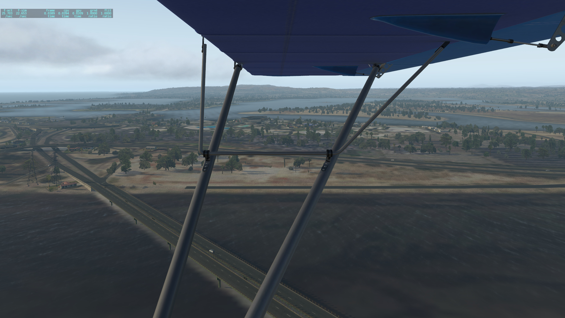
805 Interchange, looking south. Looks pretty accurate from what I remember.

My last couple of years in San Diego, as I was studying at community college, I was also doing a work study at the VA Regional office (if anybody had their VA claims go through that office in those years, my apologies). The blank spot is roughly where it should be.

Next, heading south into Normal Heights via Texas Street, which runs all the way through Balboa Park to the south. My last few months in San Diego, I lived a little bit east of here, right around where these apartment buildings are.


Heading further south towards Balboa Park. This is the back side of the park, where Balboa Naval Medical Center should be (all the way to the left). The zoo is on the other side of the road in the middle of the frame.

The Air and Space Museum (obviously, with the Automotive museum and Municipal gym flanking it. The 163 highway is behind in the middle of the frame, and KSAN in the upper left corner. The neighborhood on the other side of the 163 is Banker’s Hill.

I lived for a year in Little Italy, which before the 5 freeway went in, stretched all the way to Balboa Park, and was linked with the tuna fleet that used to dock where the cruise ship piers were. That condo is in the center of the current shot, and is pretty accurately captured.

Continuing up Harbor Drive towards Point Loma and Ocean Beach. In the background is the old Naval Training Center (back when San Diego had boot camp), now Liberty Station, a collection of shops, restaurants, and some military housing (look at the red roofs).
The empty spot in the foreground is where the old USS Recruit is currently.

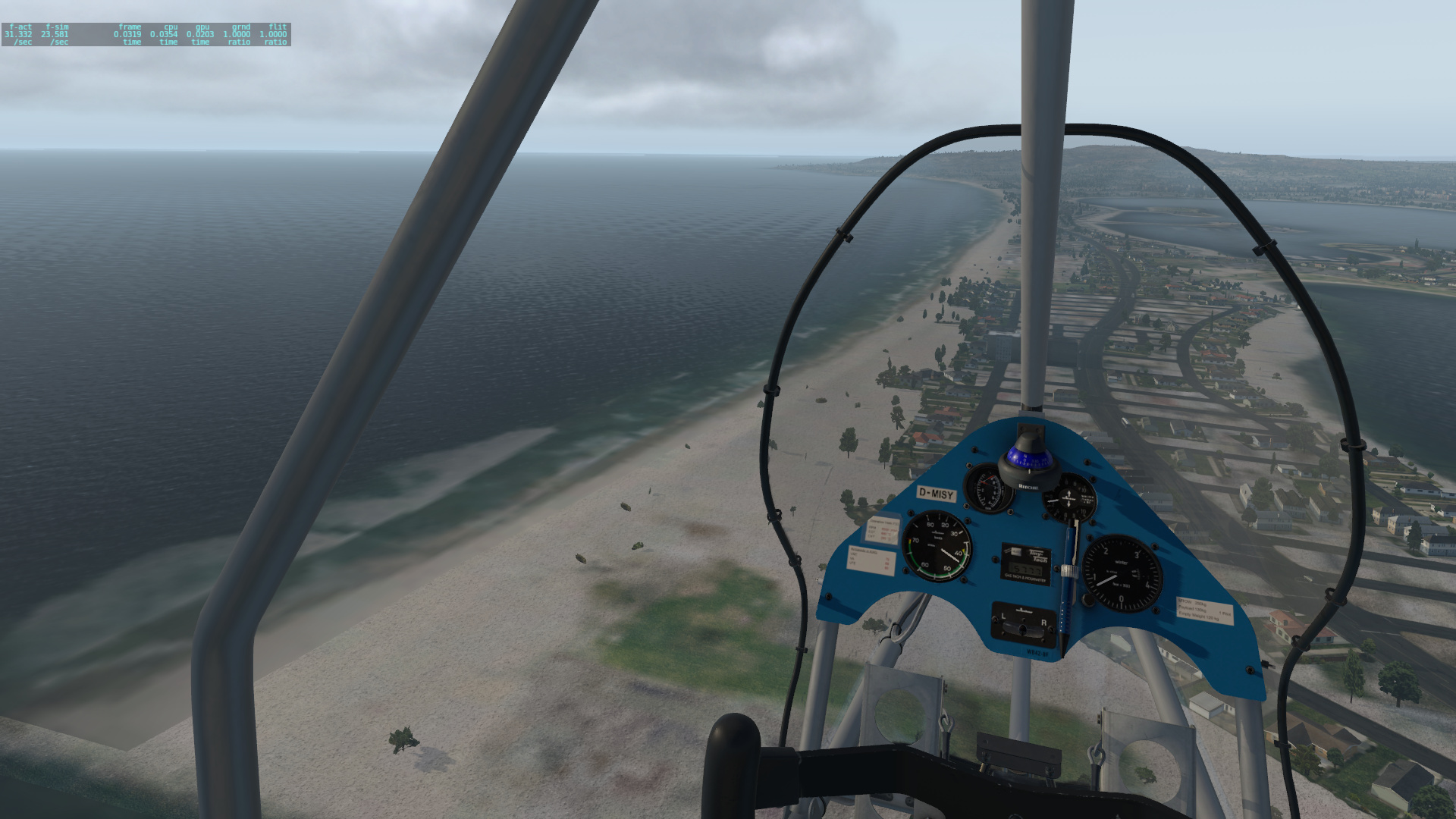
Flying down the San Diego River towards the northern end of Ocean Beach. At the very end is Dog Beach, a large off-leash park that’s open to the public. Second shot is looking north, towards Mission Bay. Sea World is in the middle of the frame, where you see that light blue spot (we’ll come back to that).

Flying over Ocean Beach, towards Sunset Cliffs. The OB Pier should be right about where we are now.

Turned back north, flying over Mission Beach, towards Pacific Beach. Bottom left is where I used to play beach volleyball with a couple of other nukes as my regular teammates (so no, it’s not just pilots).
That blank spot beachside near the top of the frame is where the Little Dipper and associated amusement park should be.
Anyway, it’s late, and my buzz is wearing off. On a related note, the stock ultralight in XP11 is a surprising amount of fun!
(to be continued…)


