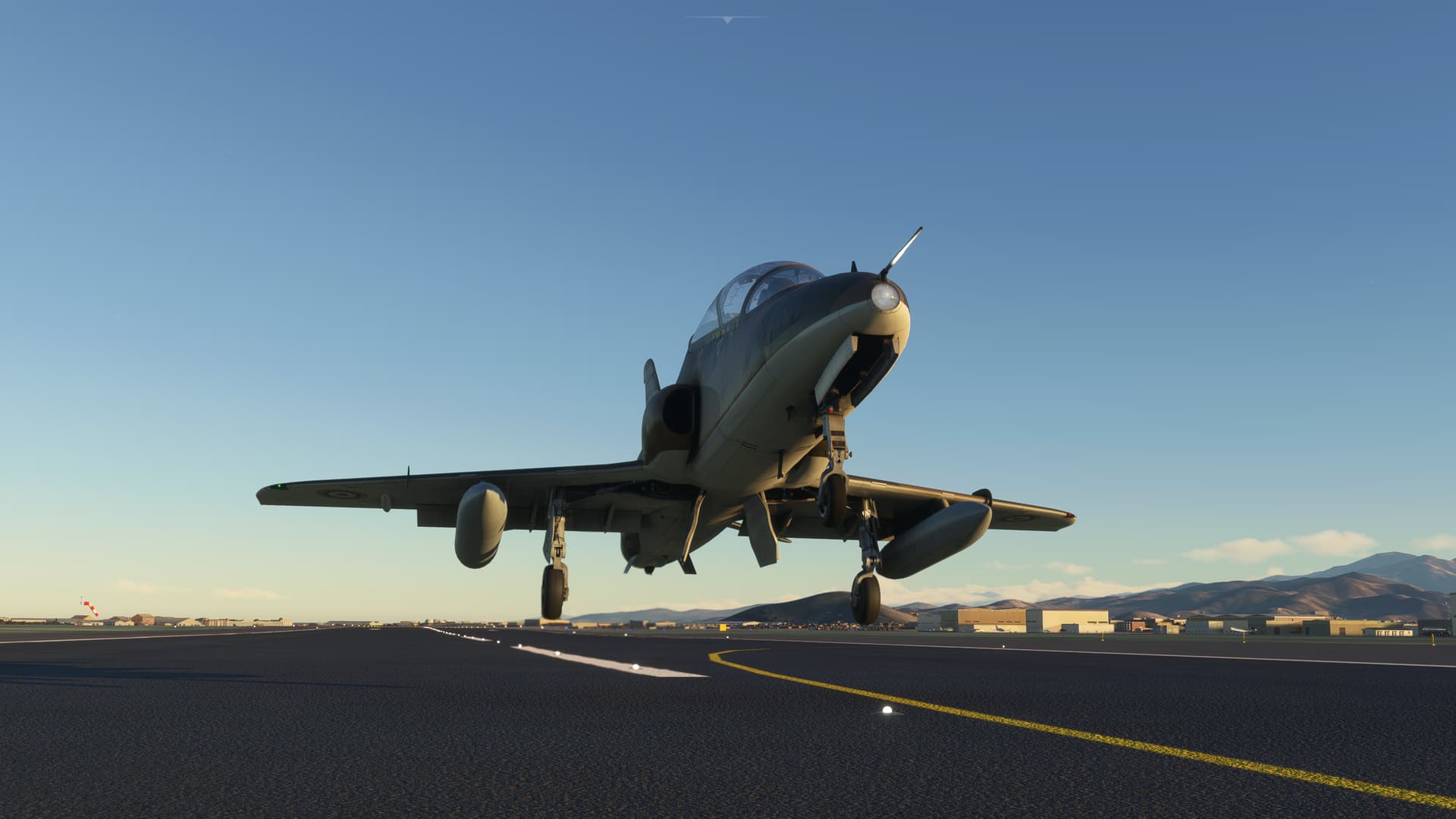
The artist is a former Navy Chief and he seems to take pride in some of the smaller details that he has included in this skin. I noticed the Propeller warning strips right off, but I’m sure there are many others!
2 Likes
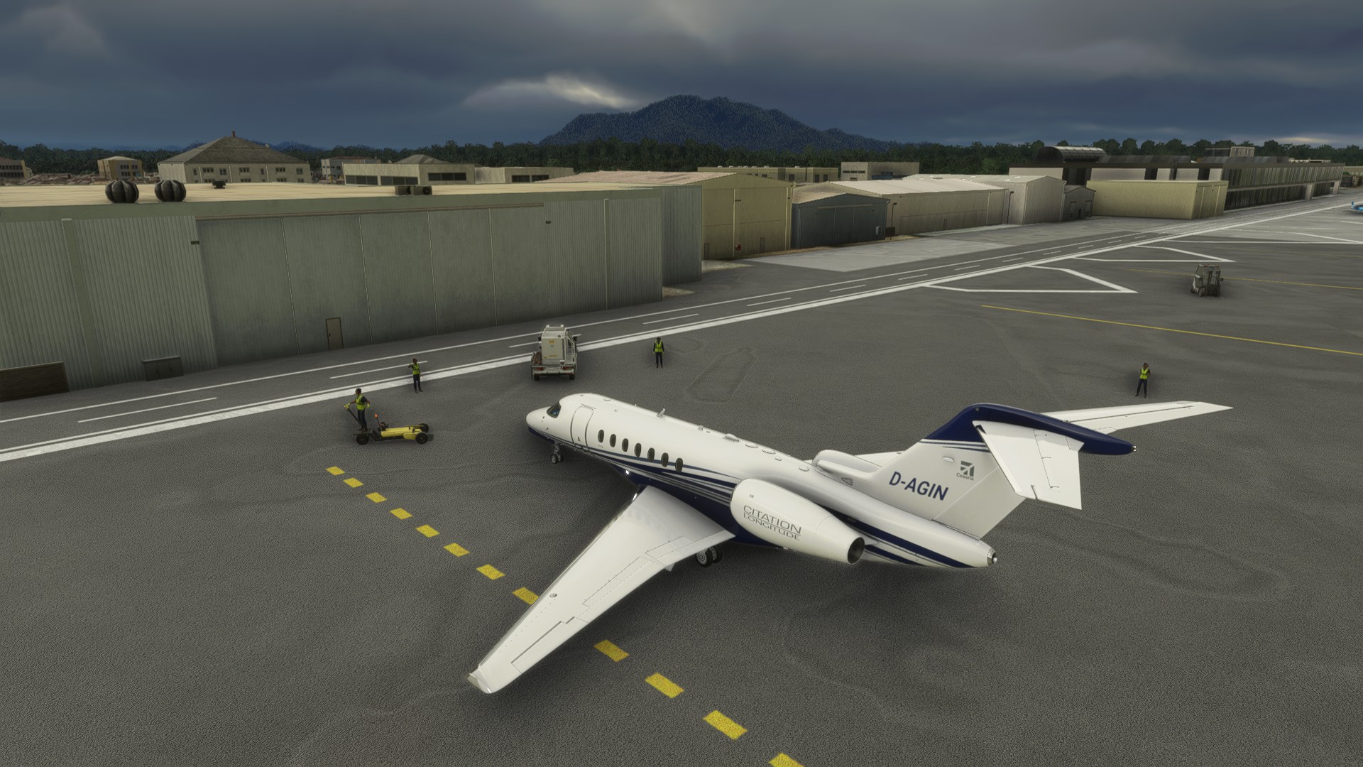
Alright, last one for awhile. I’m going to be away from my simming rig, so I figured I’d make hay while the Sun shines!
Leg 20: Jorge Chavez International Airport, Lima, Peru (SPJC) TO Maria Reiche Neuman Airport, Nasca Peru (SPZA)
OR

This is a fairly brief one as I wanted to knock this one out.
In addition to Machu Picchu , I wanted to go see the Nasca Lines. Just to make certain I actually saw something I downloaded this:
Nazca Lines » Microsoft Flight Simulator
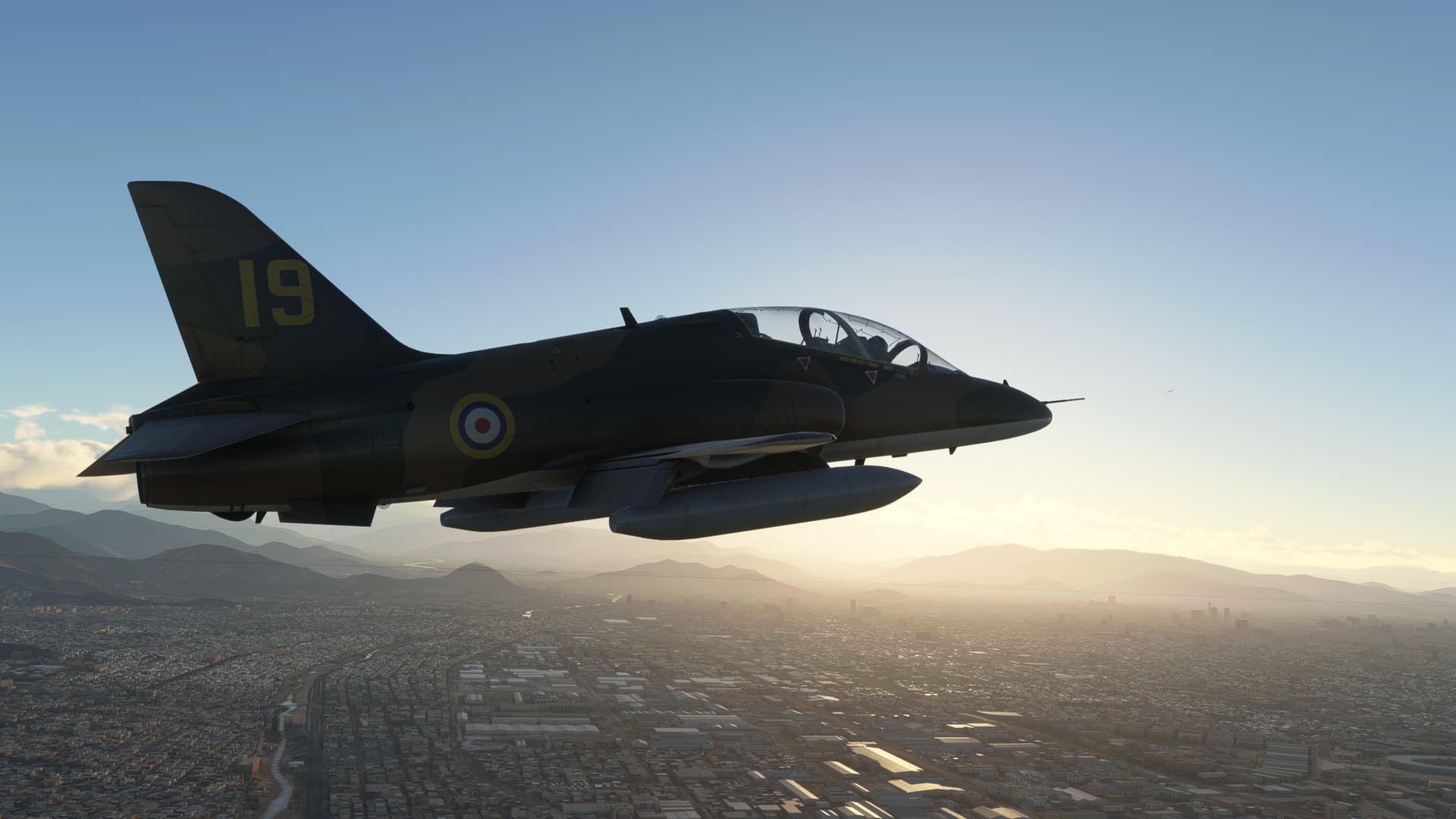
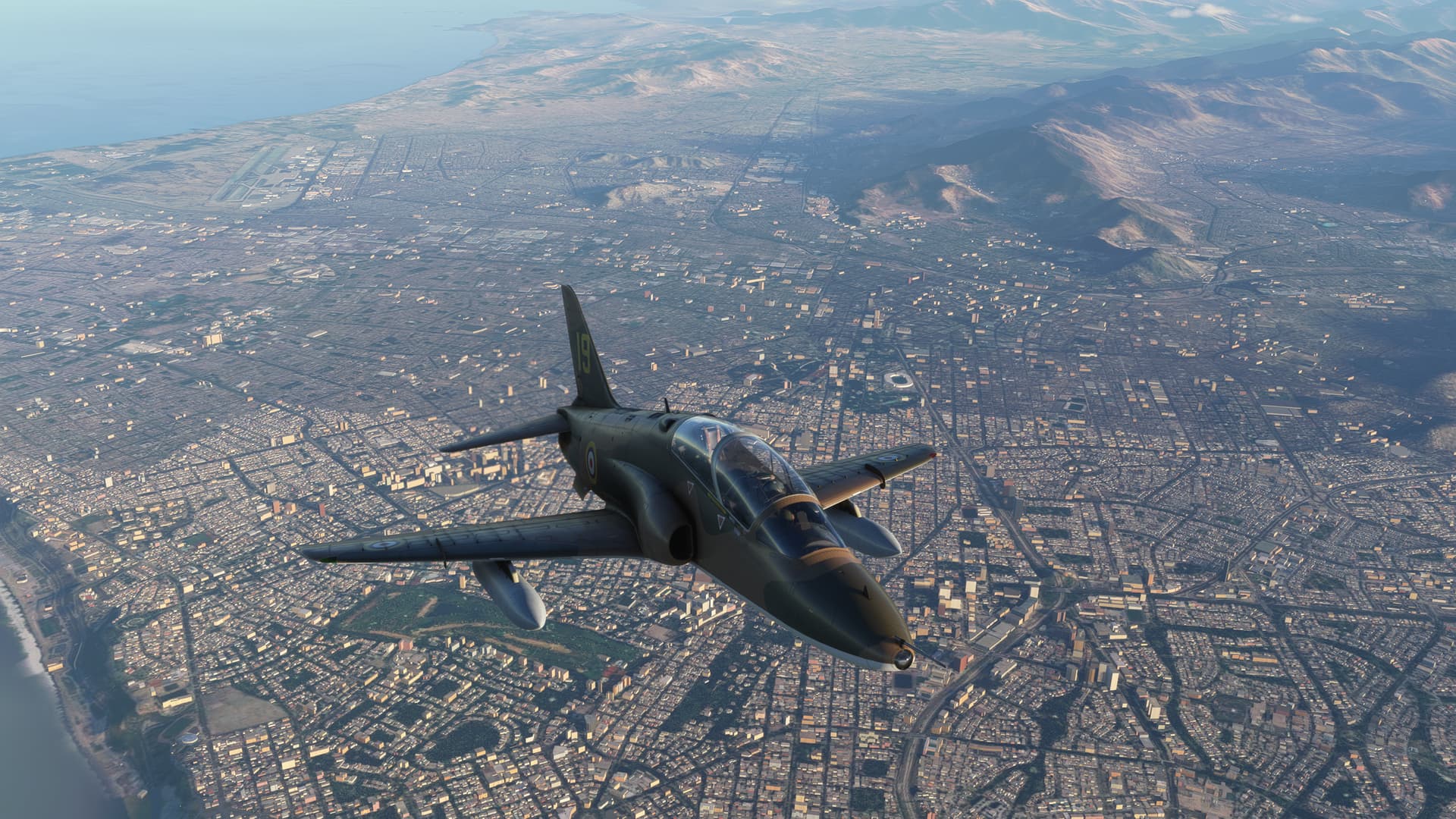
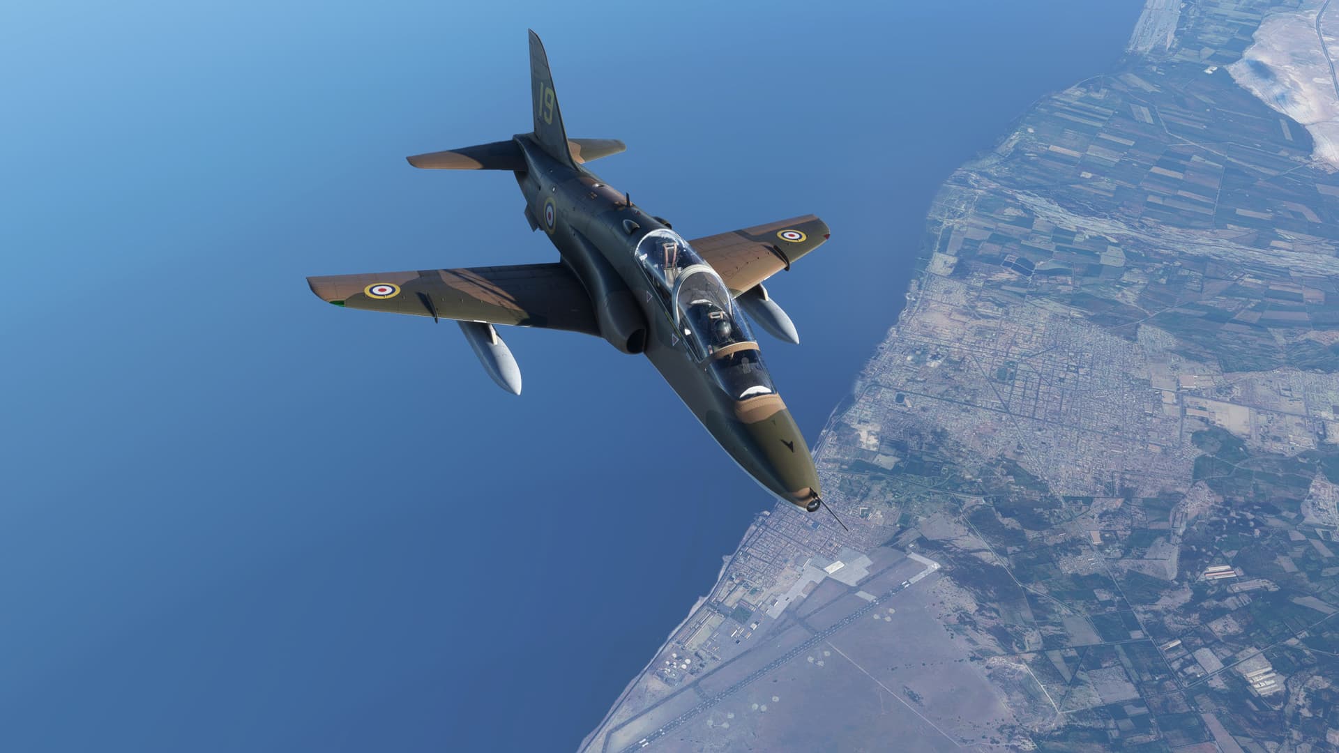
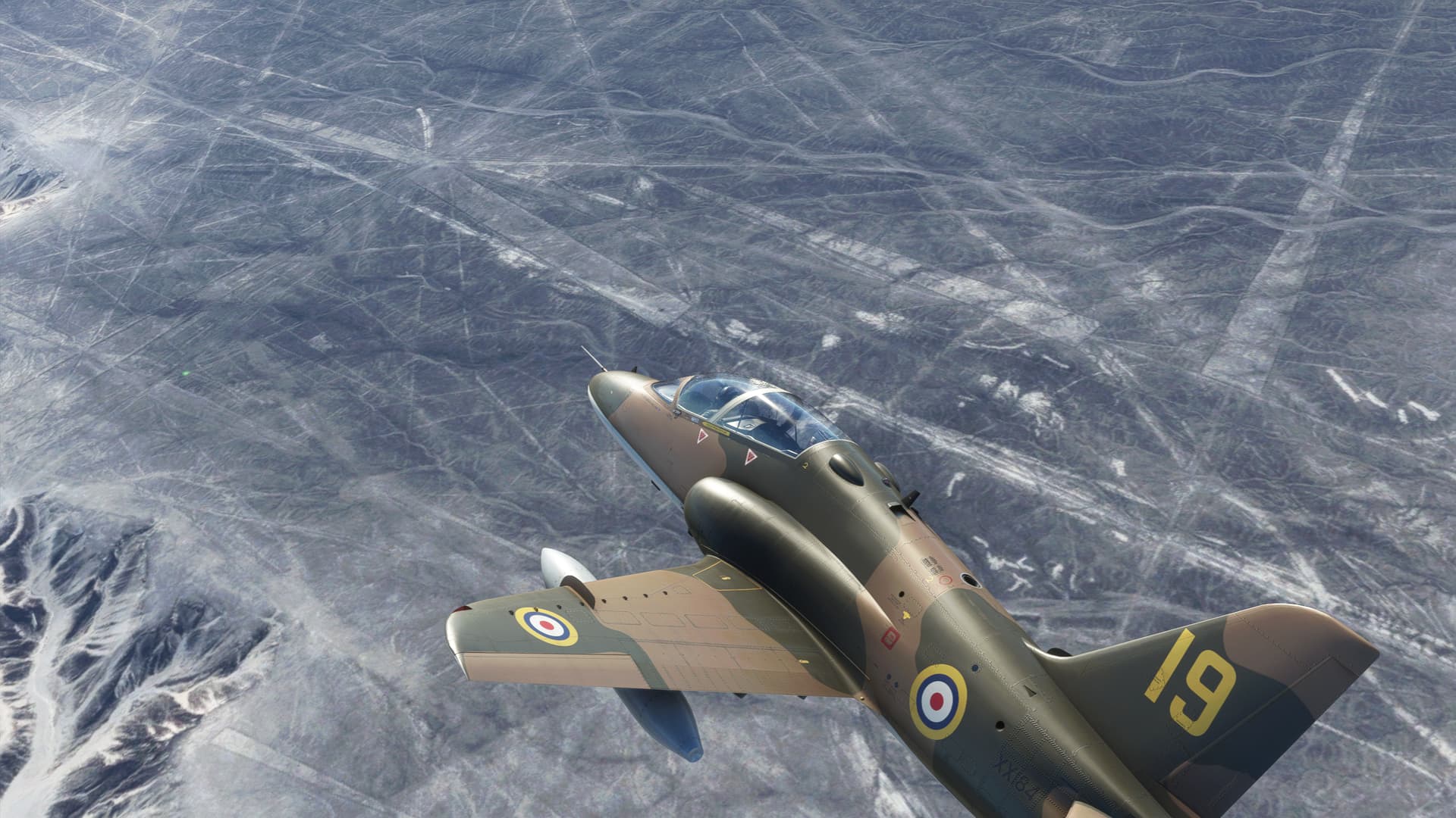
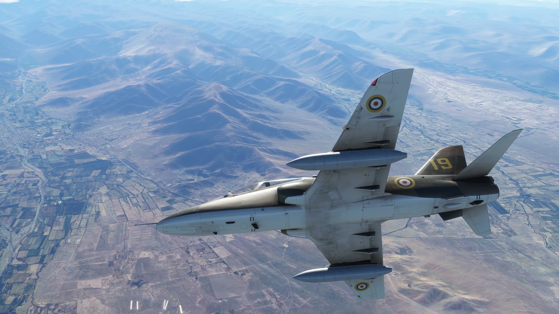
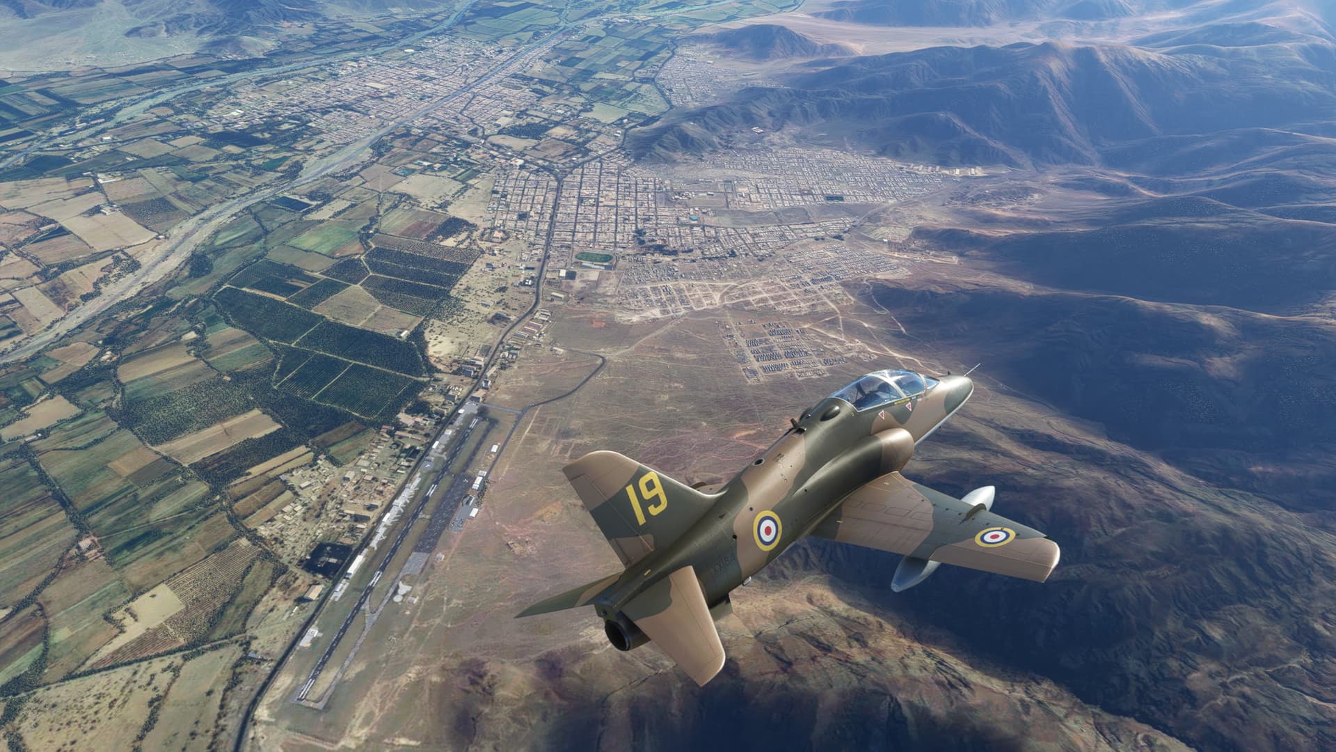
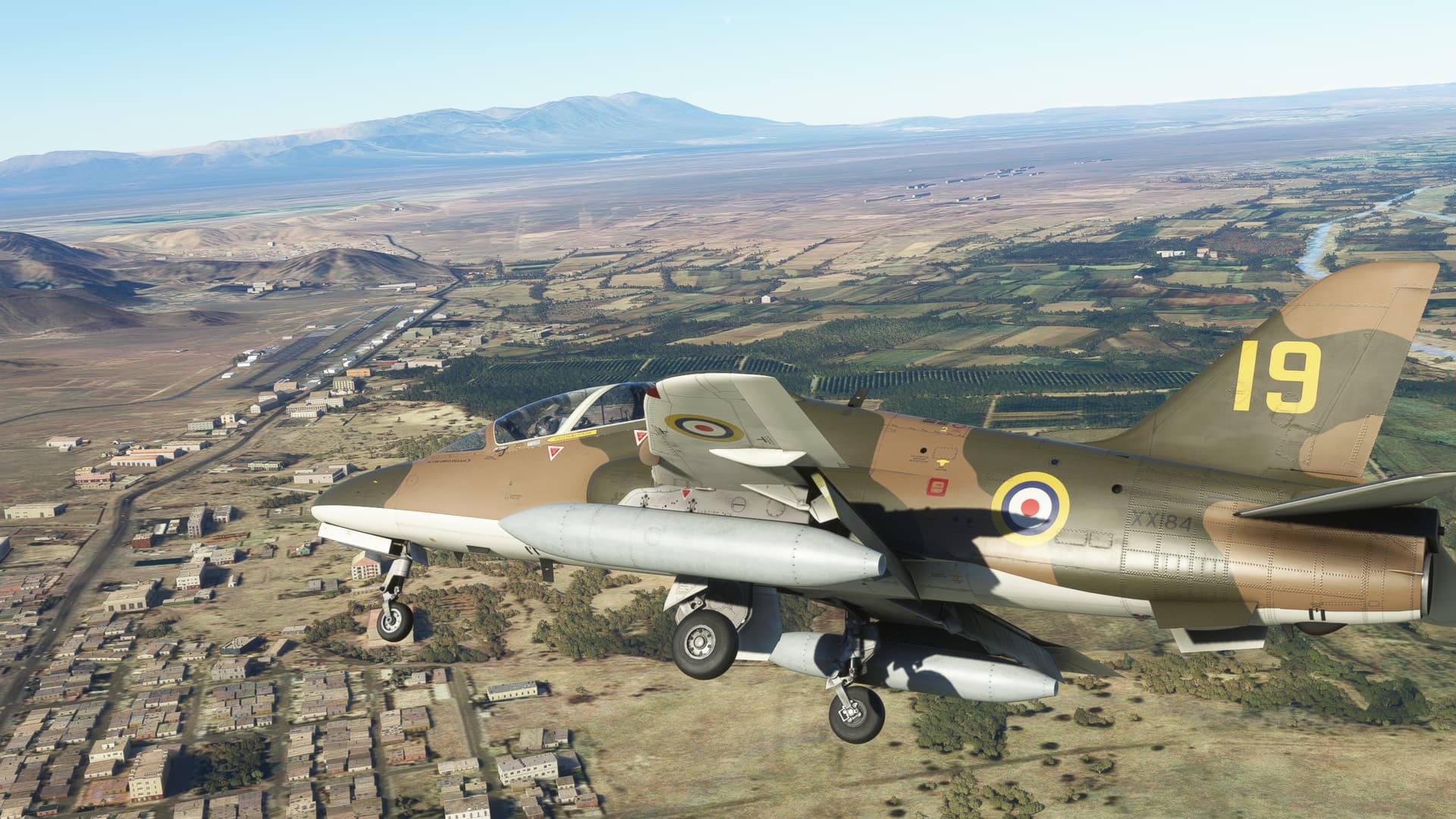
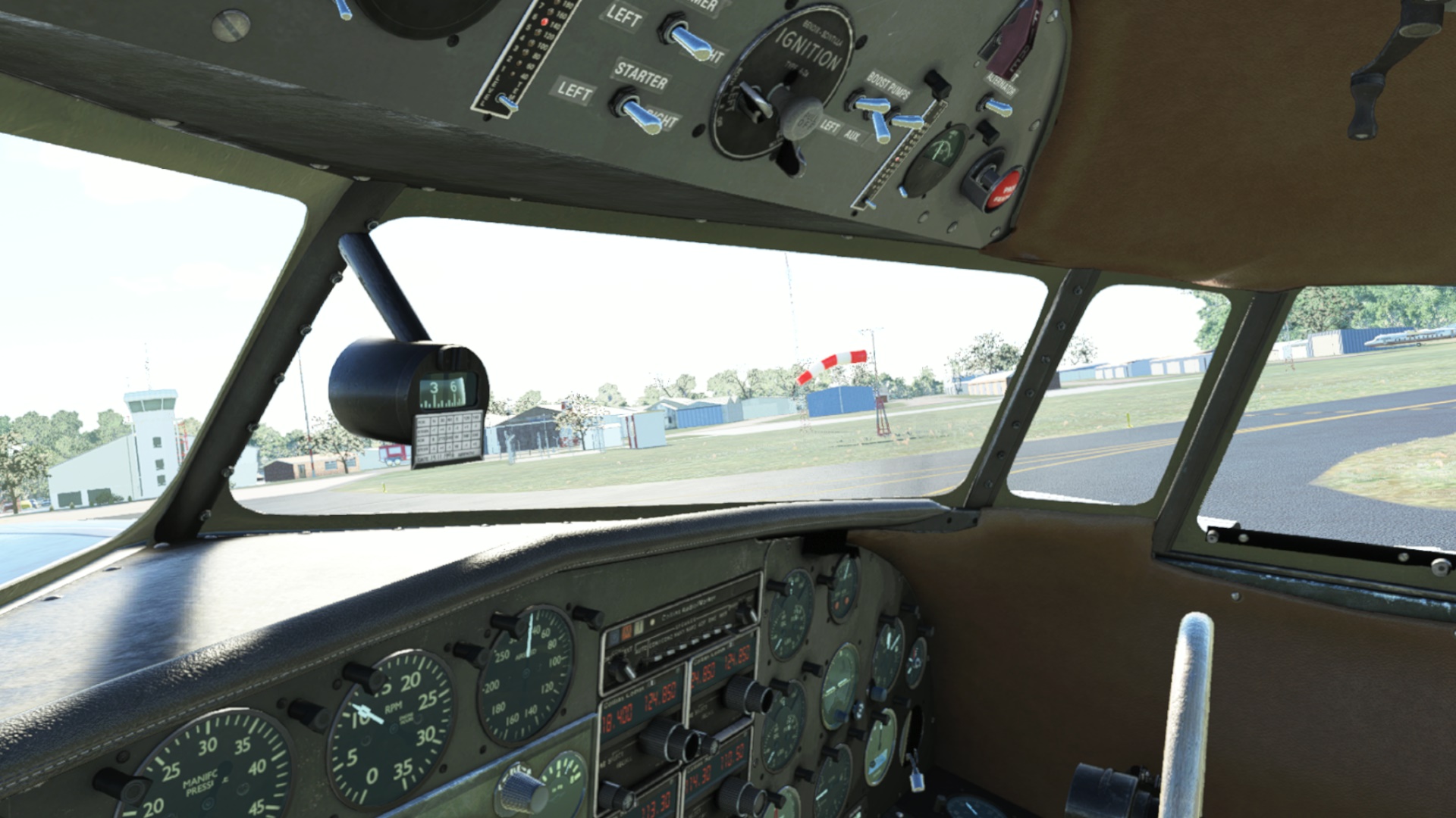
For the sake of speed and altitude (I had no idea of the proper viewing altitude of this site) I returned to the Just Flight Hawk 19 Sqn, Battle of Britain Anniversary scheme by MortiUK.
Without further ado…
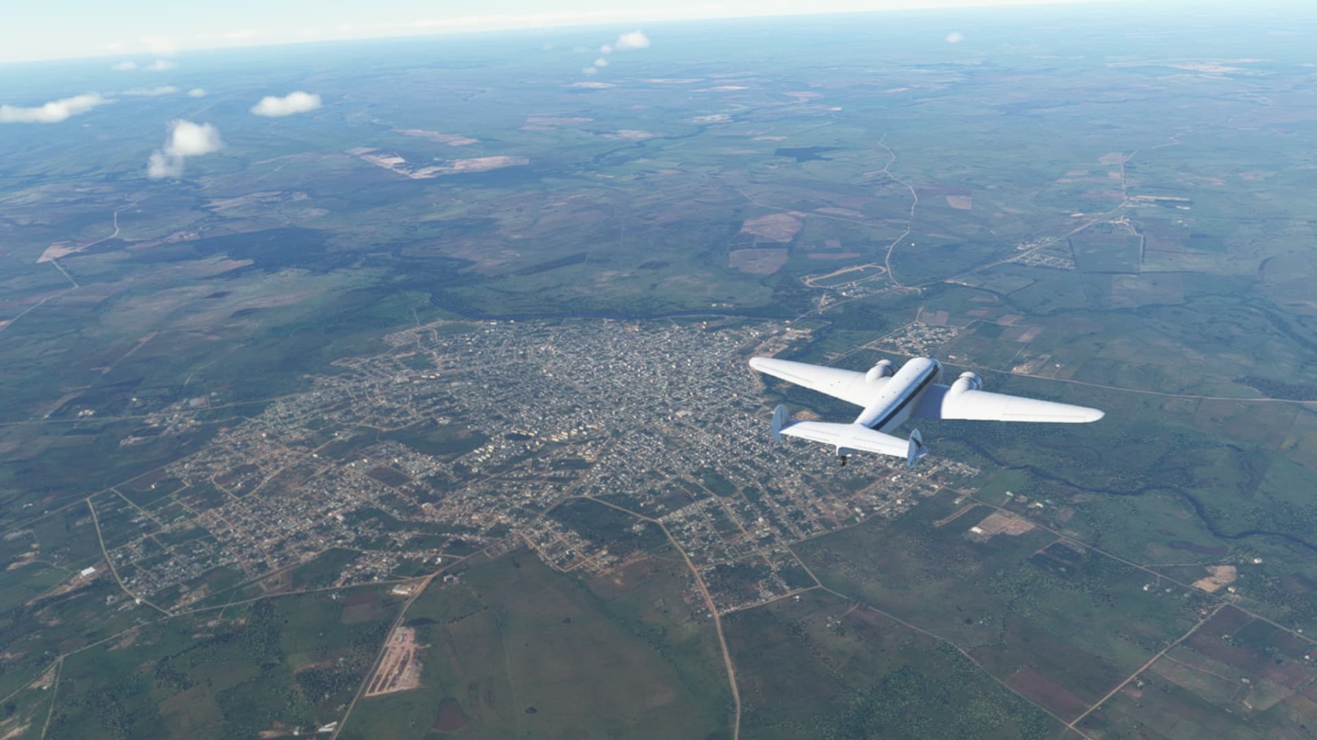
Off we go from Lima. The coastal area looks clear, which was obviously a concern for this flight.
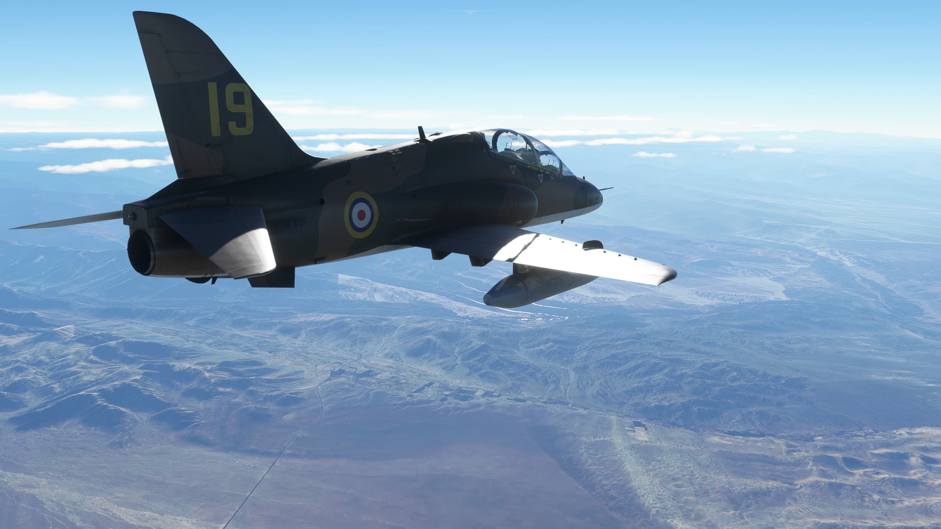
It was a little hazy, but the sun was coming over the mountains on what looked to be a beautiful morning!
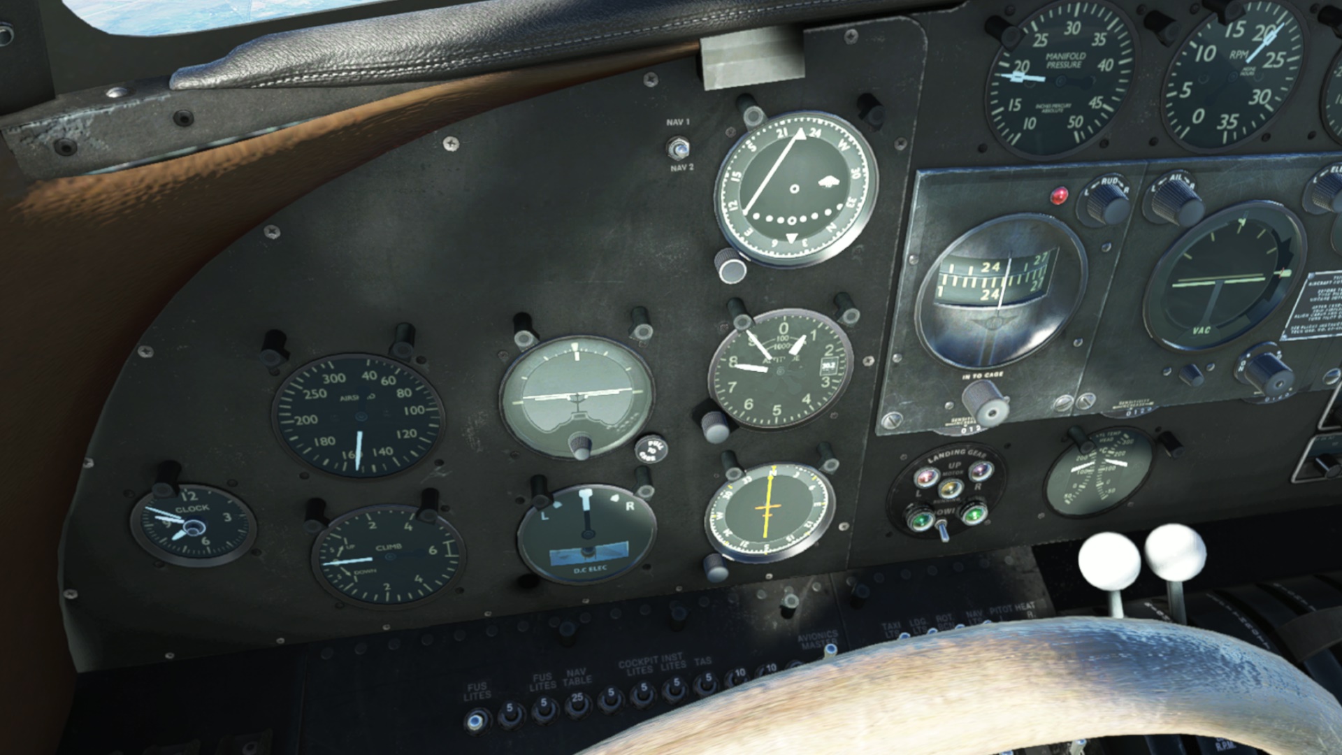
I figured out the Nav radio, but had fairly poor reception, generally less than 35NM even at 20,000ft. Dunno what the deal was.
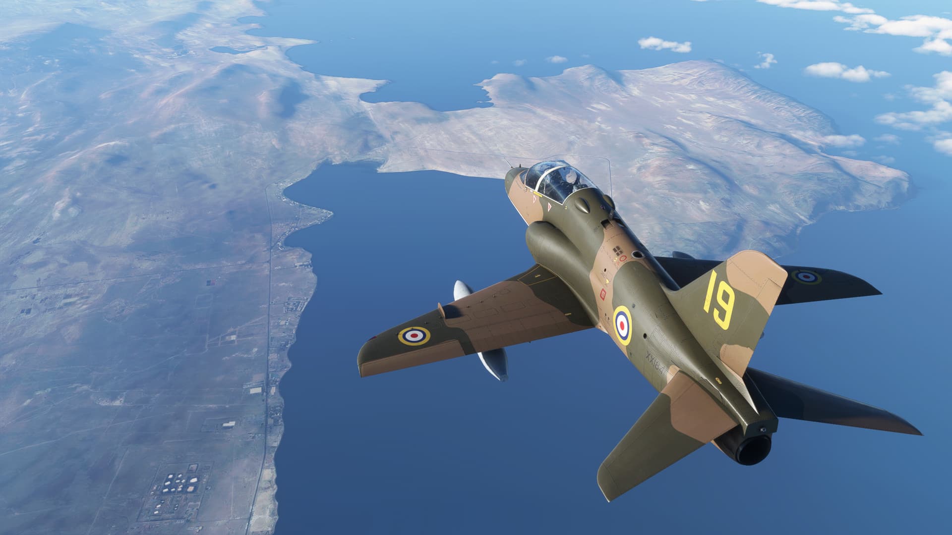
Despite that, I followed the smell of Pisco to, well, Pisco. My mouth watered even as my head ached.
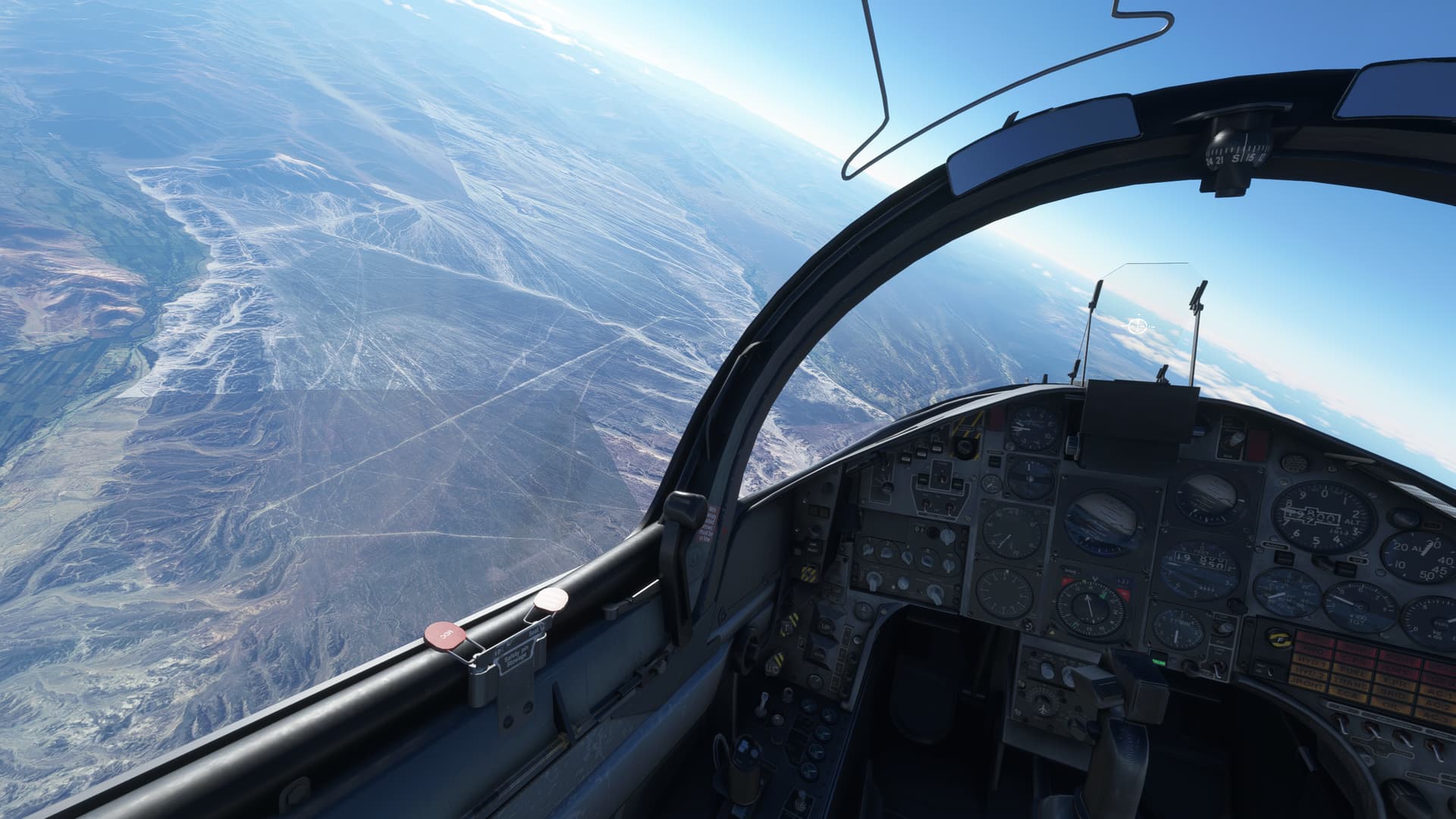
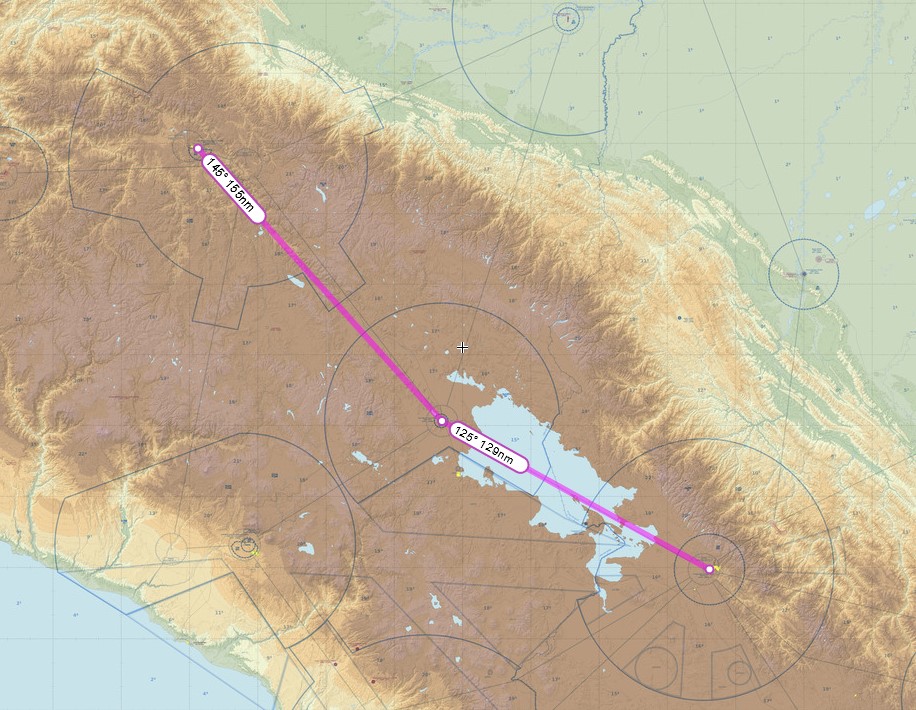
The next part was going to be a bit more difficult. There was no Navaid at my destination. And I had lost the VOR signal about 35NM south of Pisco. That left me about 65NM to free nav. The only saving grace was the Panamerican Highway running very roughly through the site.
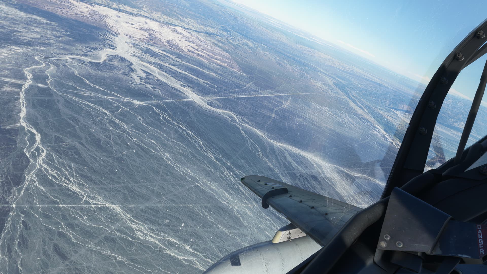
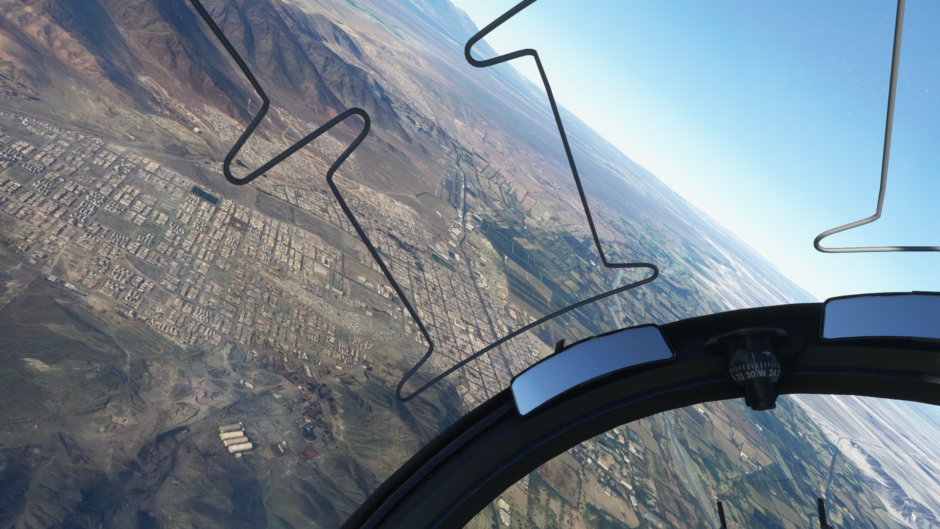
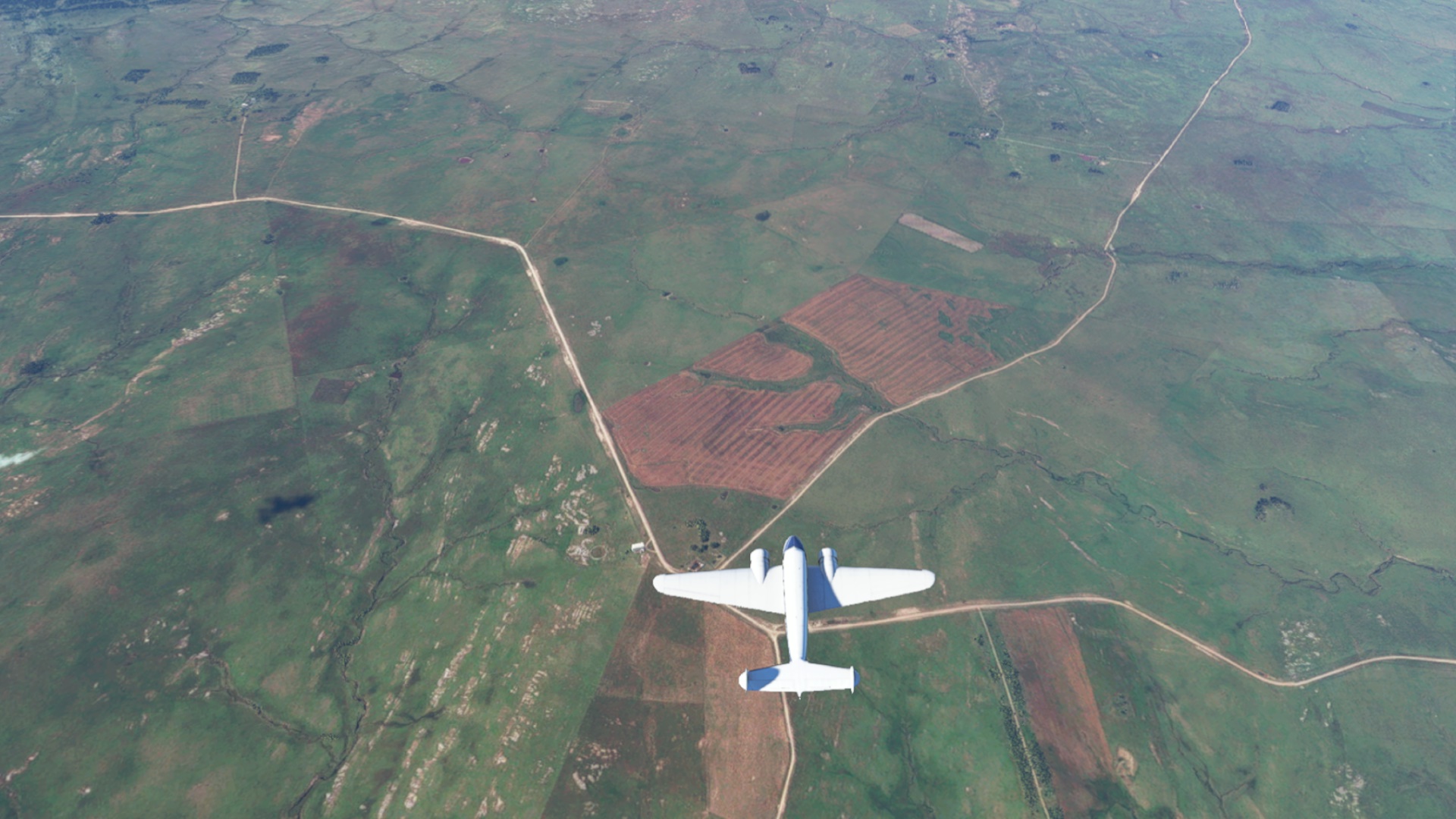
In the event, the area of the Nasca lines was not difficult to find. The site is enormous with lines running every which way.
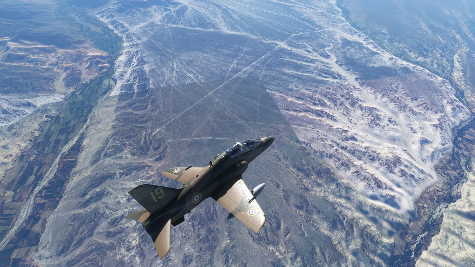
Finding any of the figures proved more difficult. I saw a few vague outlines of things, some arrowheads, but the Condor, which I was looking for particularly, was nowhere to be found.
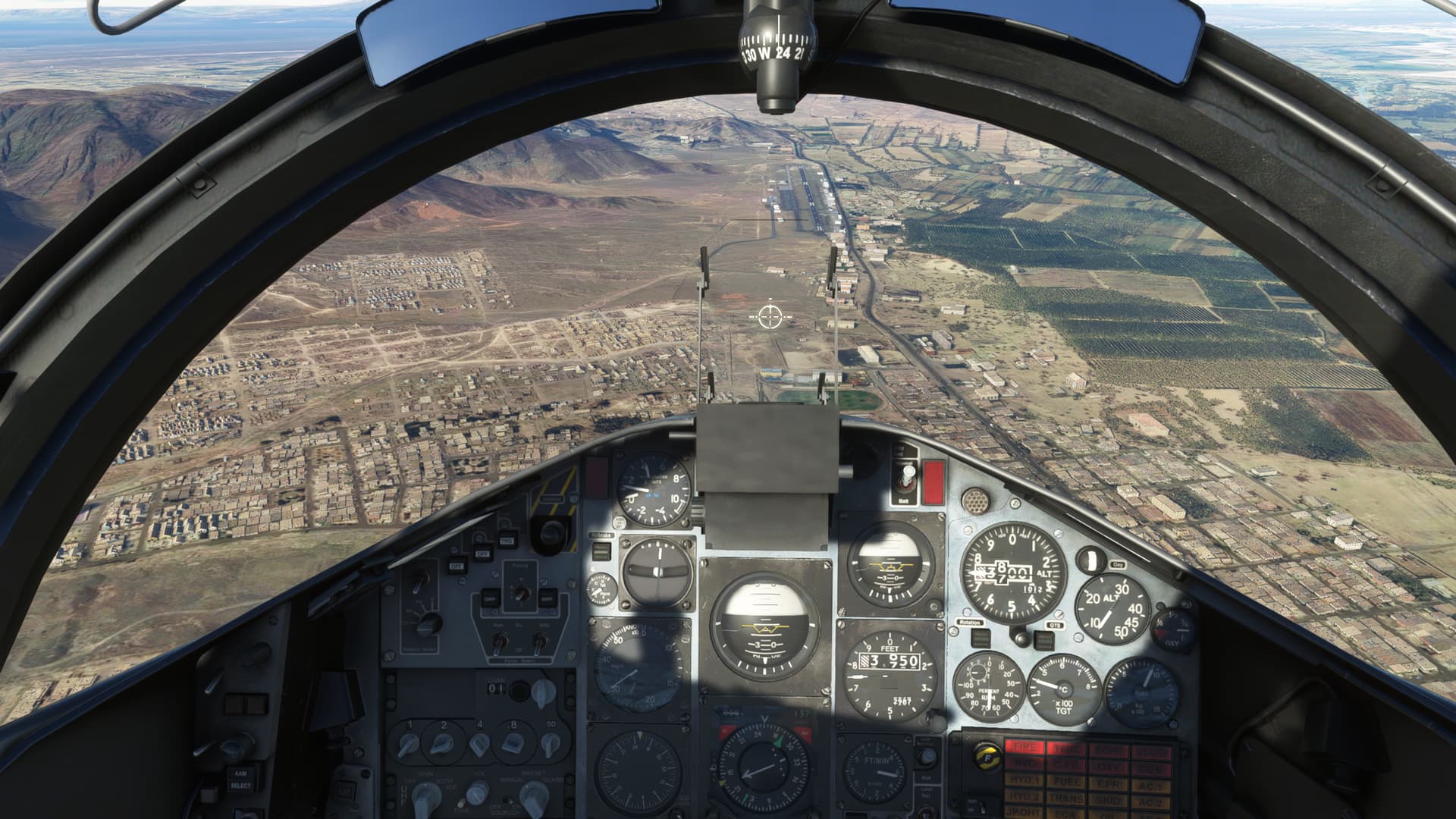
I stayed as long as fuel allowed. I was nowhere near certain that I would be able to find the airport easily and I need to spare a little go juice to pointlessly search for it for awhile.
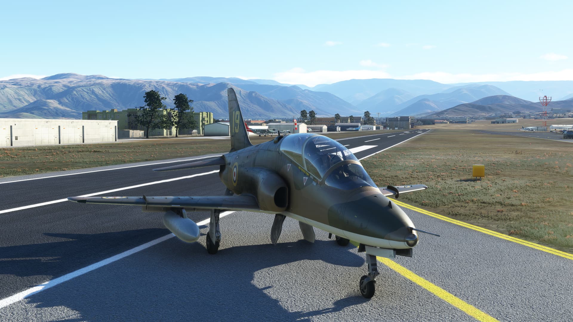
I’m here to tell you that was no easy task, but I did manage to find the (quite short) runway eventually.
After a meteoric descent, I got lined up for the break. I’m sure the local shop owners were appreciative. ![]()
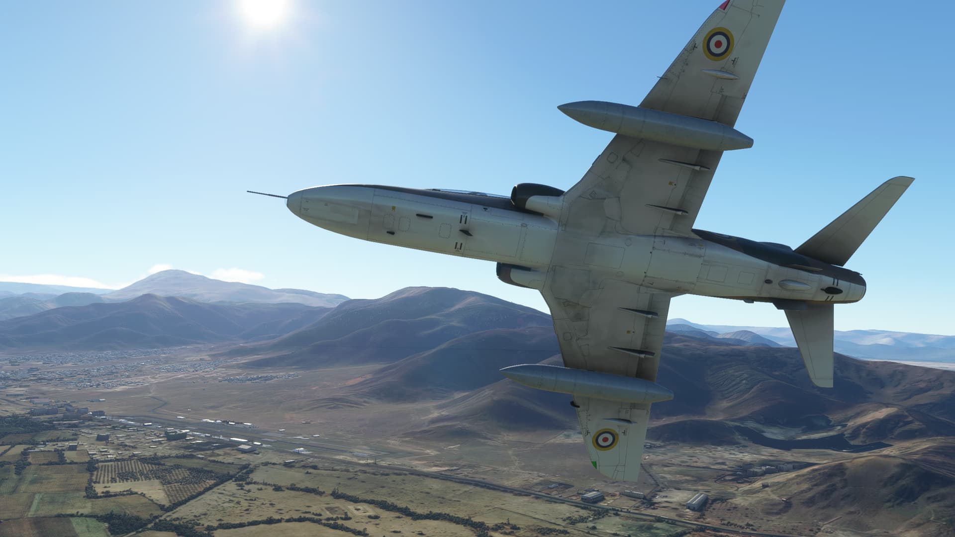
OK, if the Hawk wasn’t carrier qualified before, it sure is after my landing!
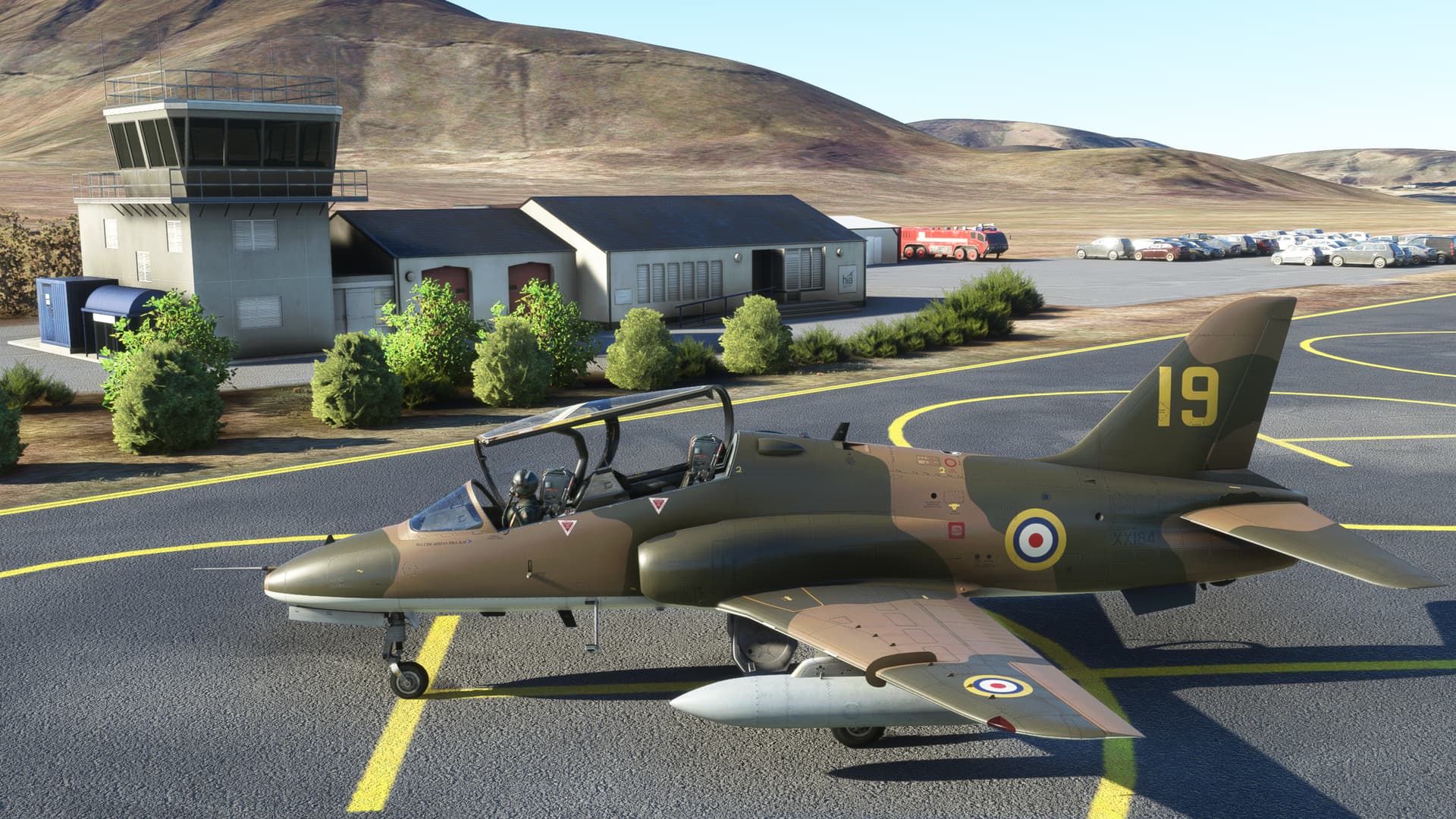
Well, here I am in Nasca. Where’s my Pisco Sour and my Tinfoil hat?
9 Likes

Awesome! I have that same scenery installed, and I was worried about it being compatible still. I’ll eventually be heading there too- I’ll tell the story then about my adventure there. And yes, too many Pisco Sours were involved.
1 Like
I learned something new today.
Btw. have you seen the Flight movie back in 2012?
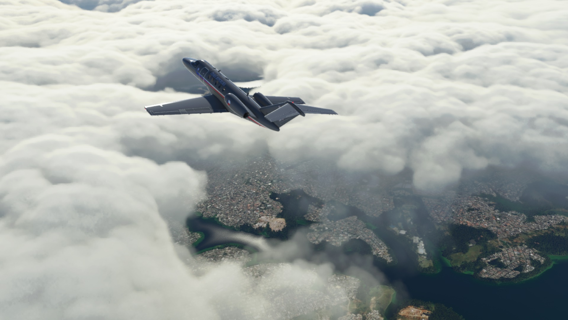
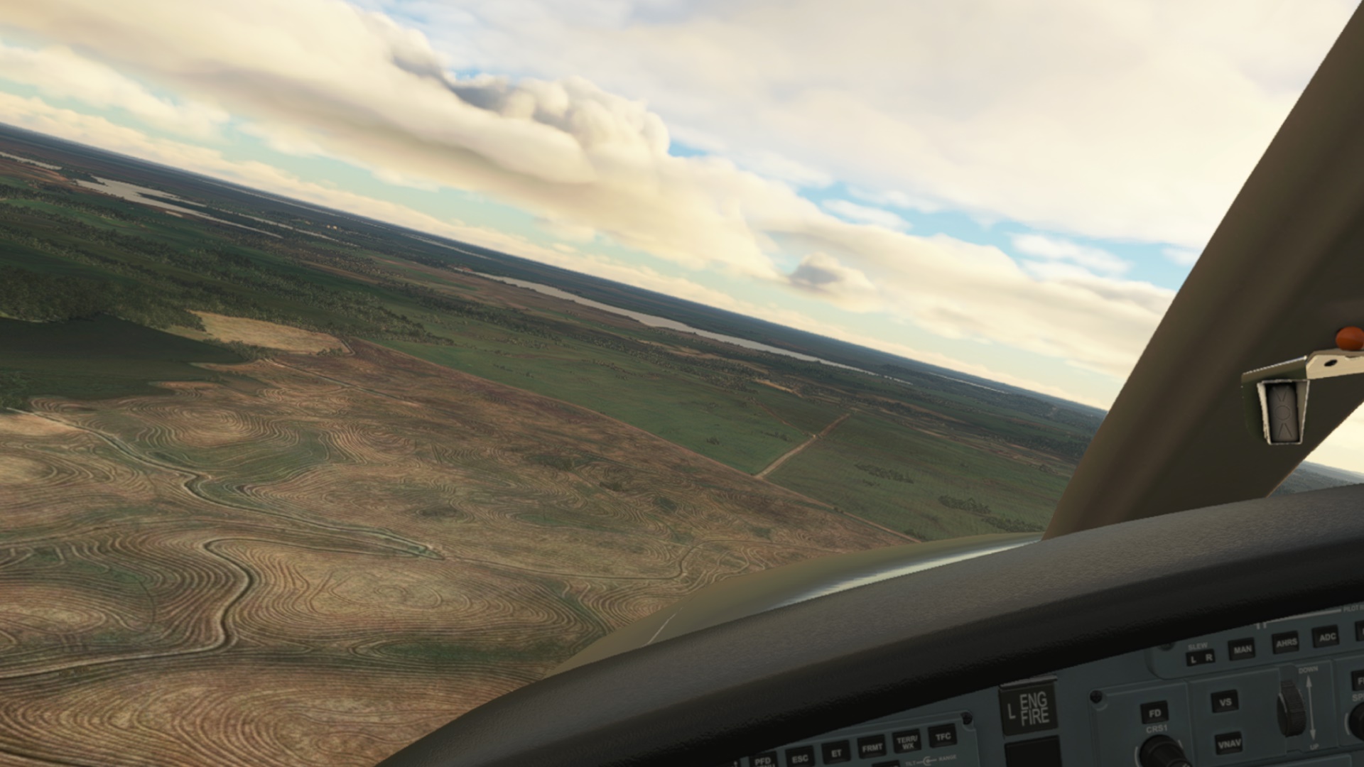
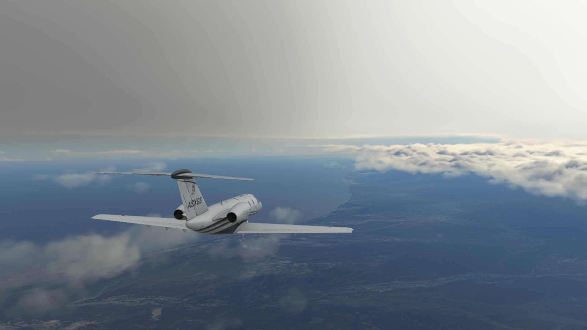
The plan was to fly from Congonhas (SBSP) in Brazil to Angel Adami Airport (SUAA) in Uruguay; some 840nm of ground to cover. As you can sense by now, the flight did not go exactly to the plan ![]()
Anyway, let’s take it step by step. Quick preflight, full throttle and off we go.
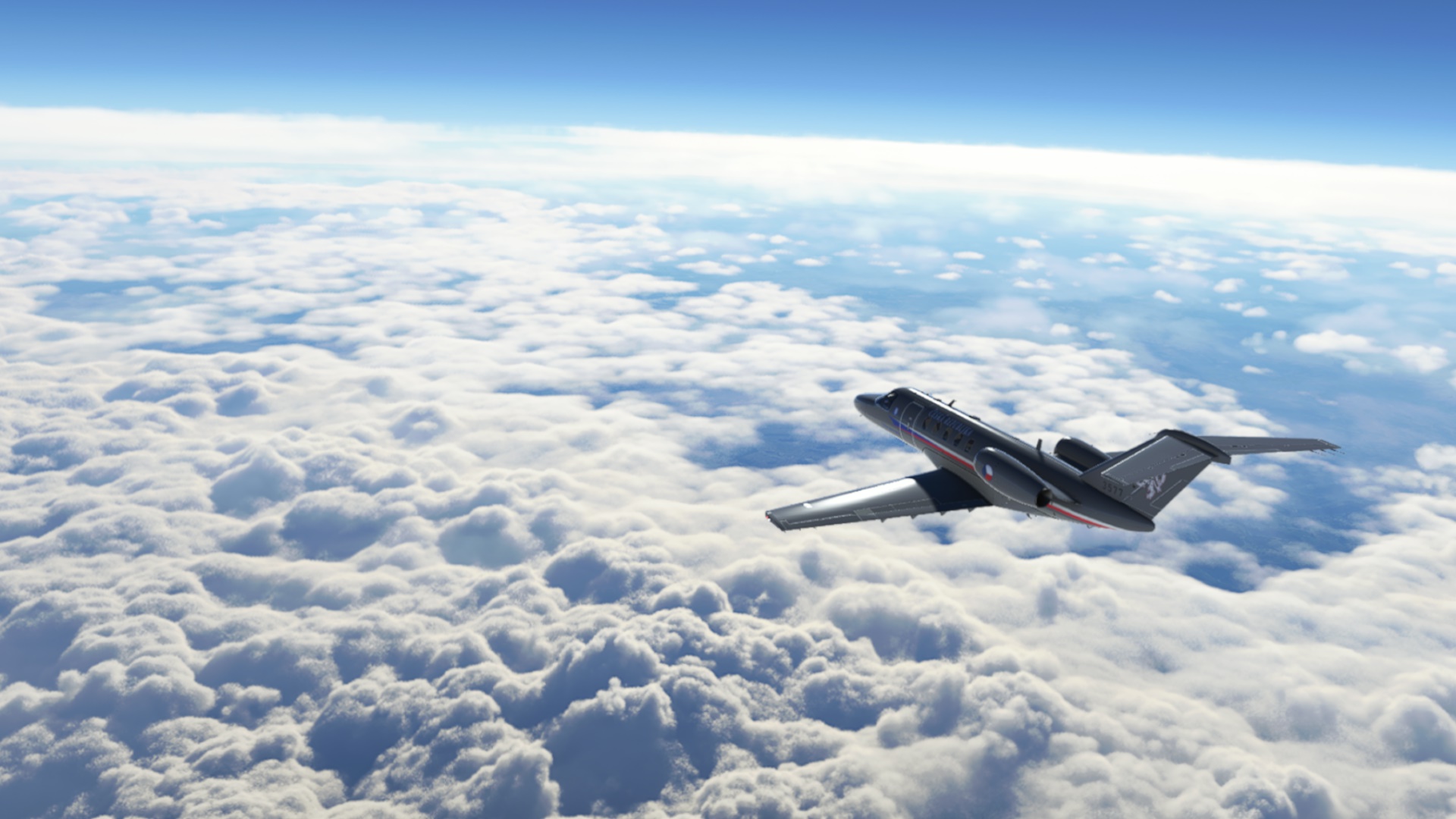
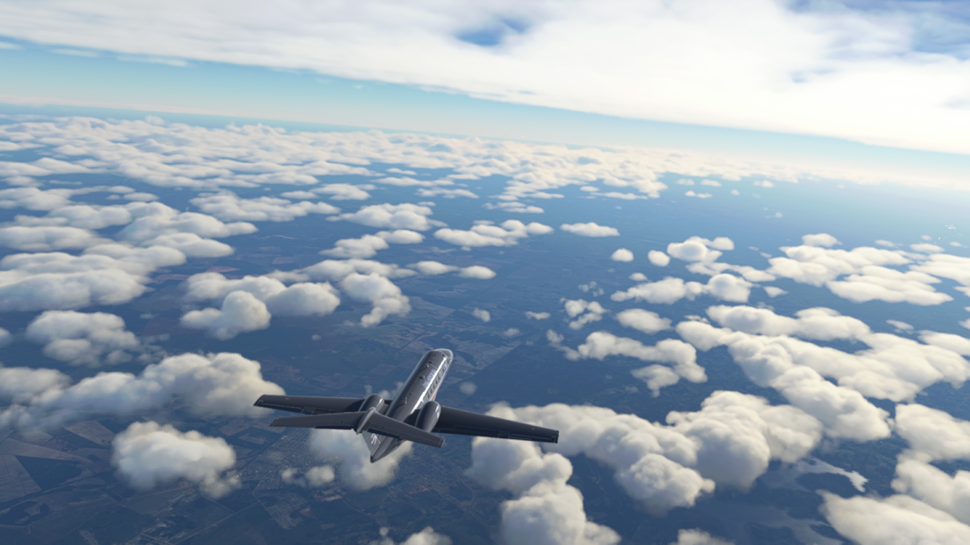
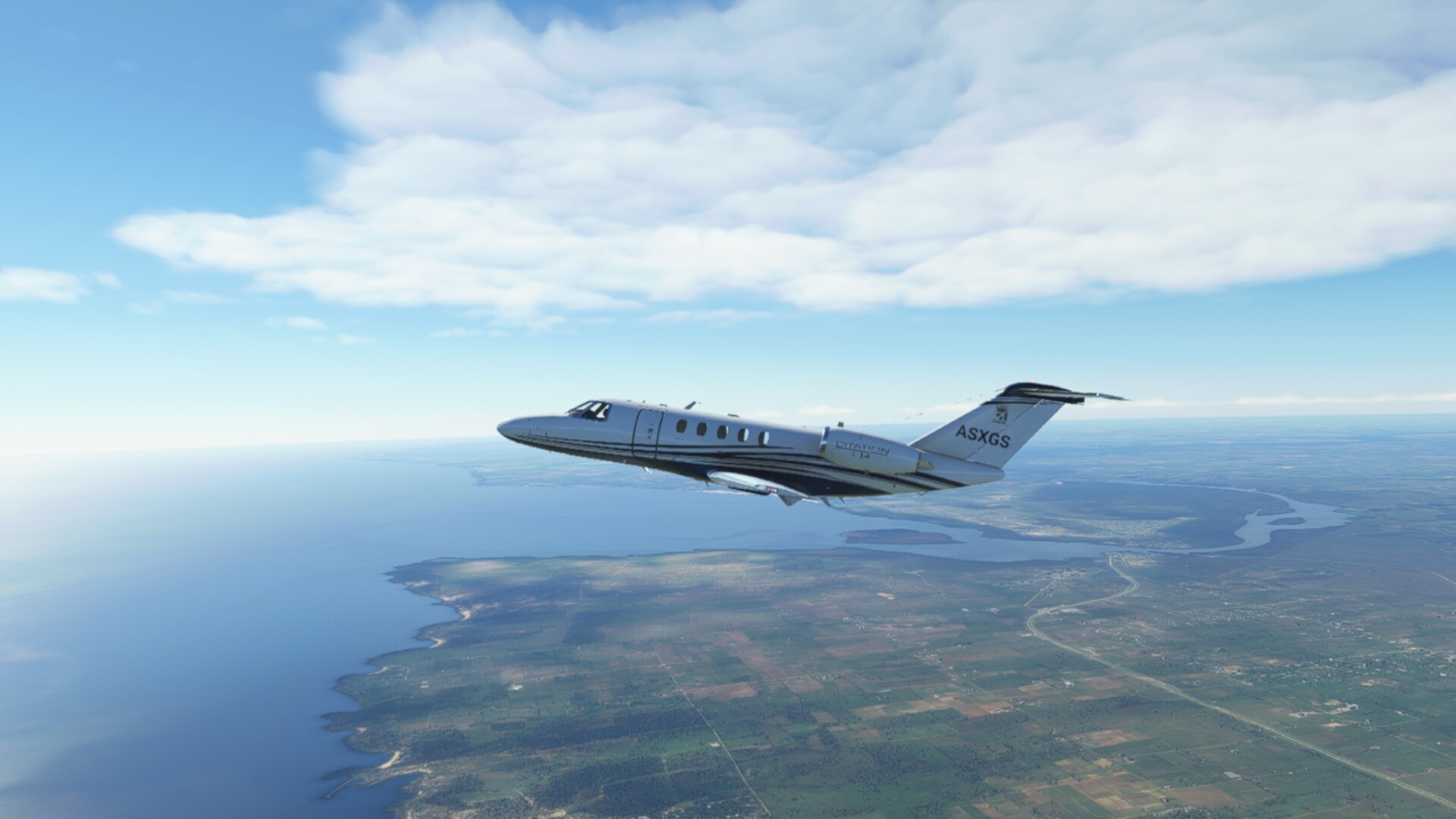
Soon above the cloud deck. Beautiful vistas as always.
Here I was checking why the ground speed was so slow - yeah, 90kts headwind. Hmm…
(I have failed to spot much more important issue that was lurking behind the corner. Stay tuned…)
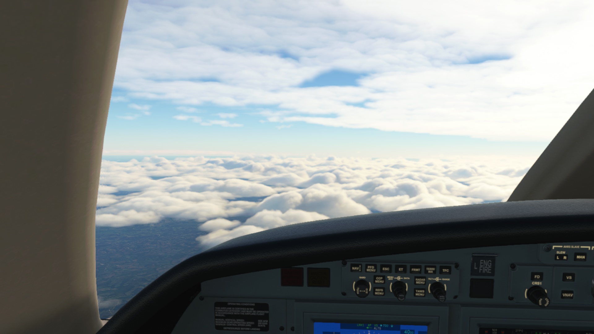
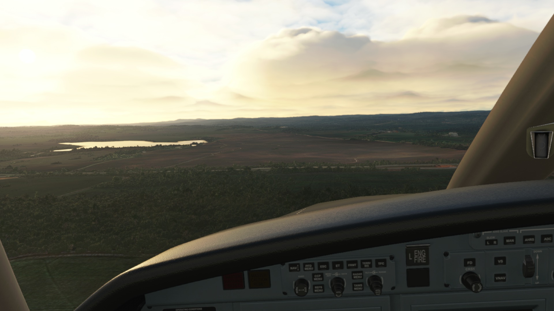
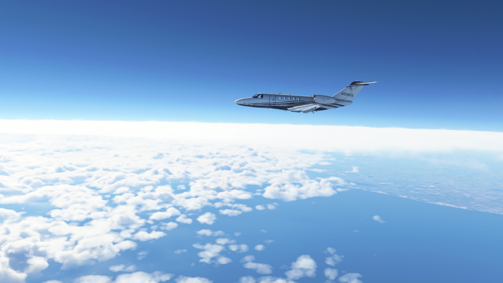
Though the life was still good and comfy…
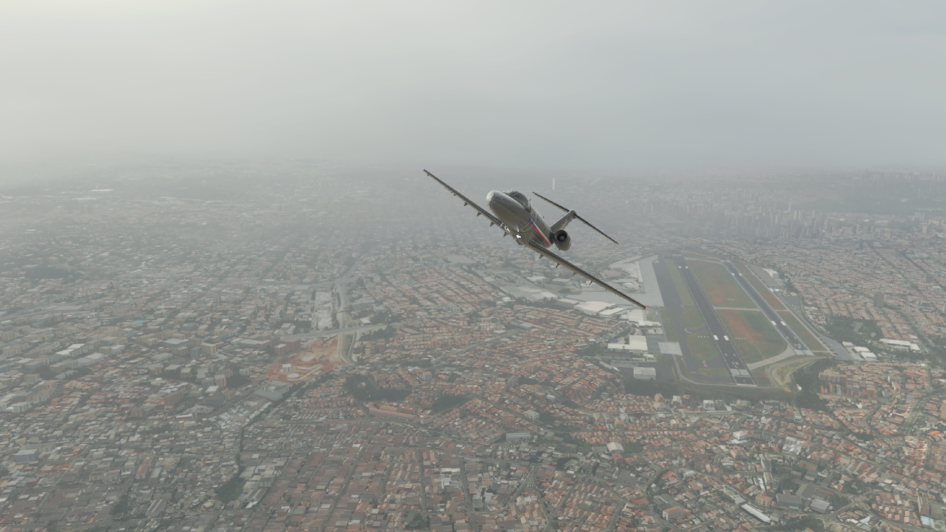
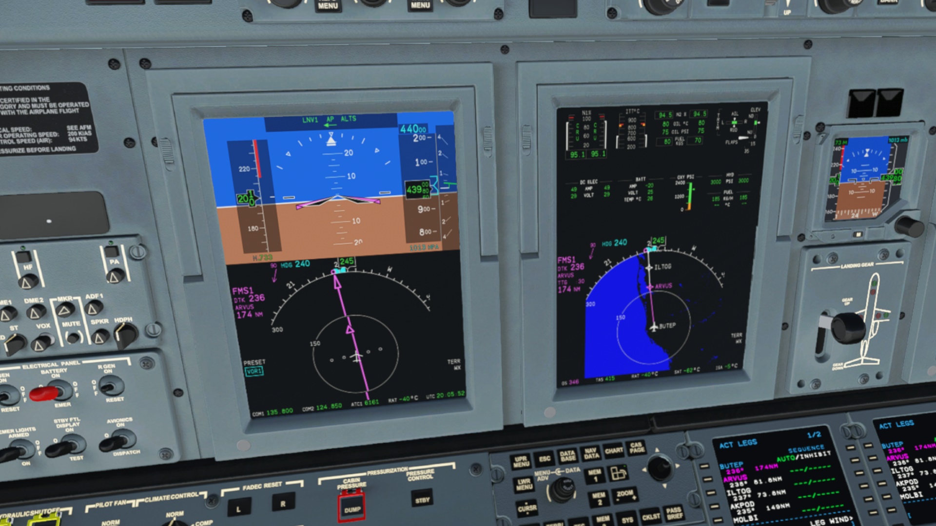
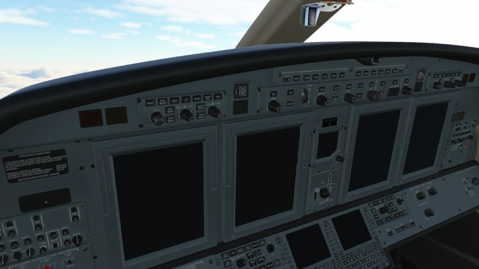
Then all of a sudden, the aircraft started to yell at me in red and yellow. WTH? In what units is the remaining fuel measured? Is it in tens of kilograms or just kilograms? At this point, I was already gliding.
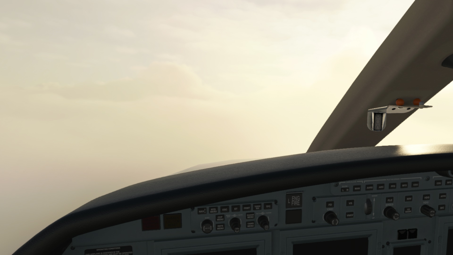
There is probably a good reason why the CJ4 is not used as a glider. Its gliding performance, shall we say, is not stellar ![]() Still better than a brick thrown out of the window… though the ground was coming to greet me a bit quicker that I expected.
Still better than a brick thrown out of the window… though the ground was coming to greet me a bit quicker that I expected.

Anybody help me how to overlay airports over the moving map? Where is my trusted G1000/3000? HMD down, a quick glimpse on the LittleNavMap… let’s aim for Pelotas airport (SBPK). Yes, I was still optimistic about the CJ4’s gliding performance. And the name of the town was probably also hinting on me that what I was to achieve was a joke ![]()
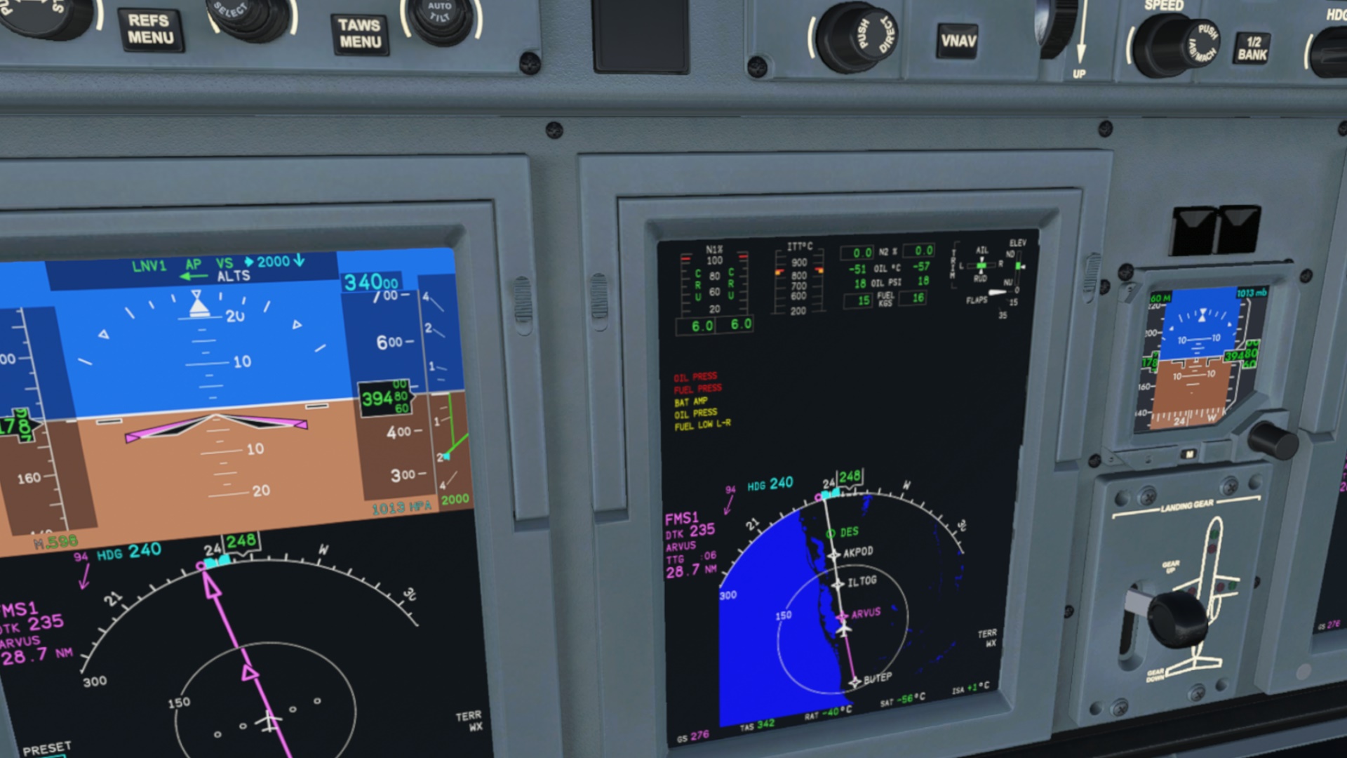
While checking the LittleNavMap, the battery decided to throw a towel into the ring (did they mention around 10mins power on battery in the tutorial flight?) and the cockpit looked like this:
And with such an “energetically friendly” cockpit you do not want to get into this:
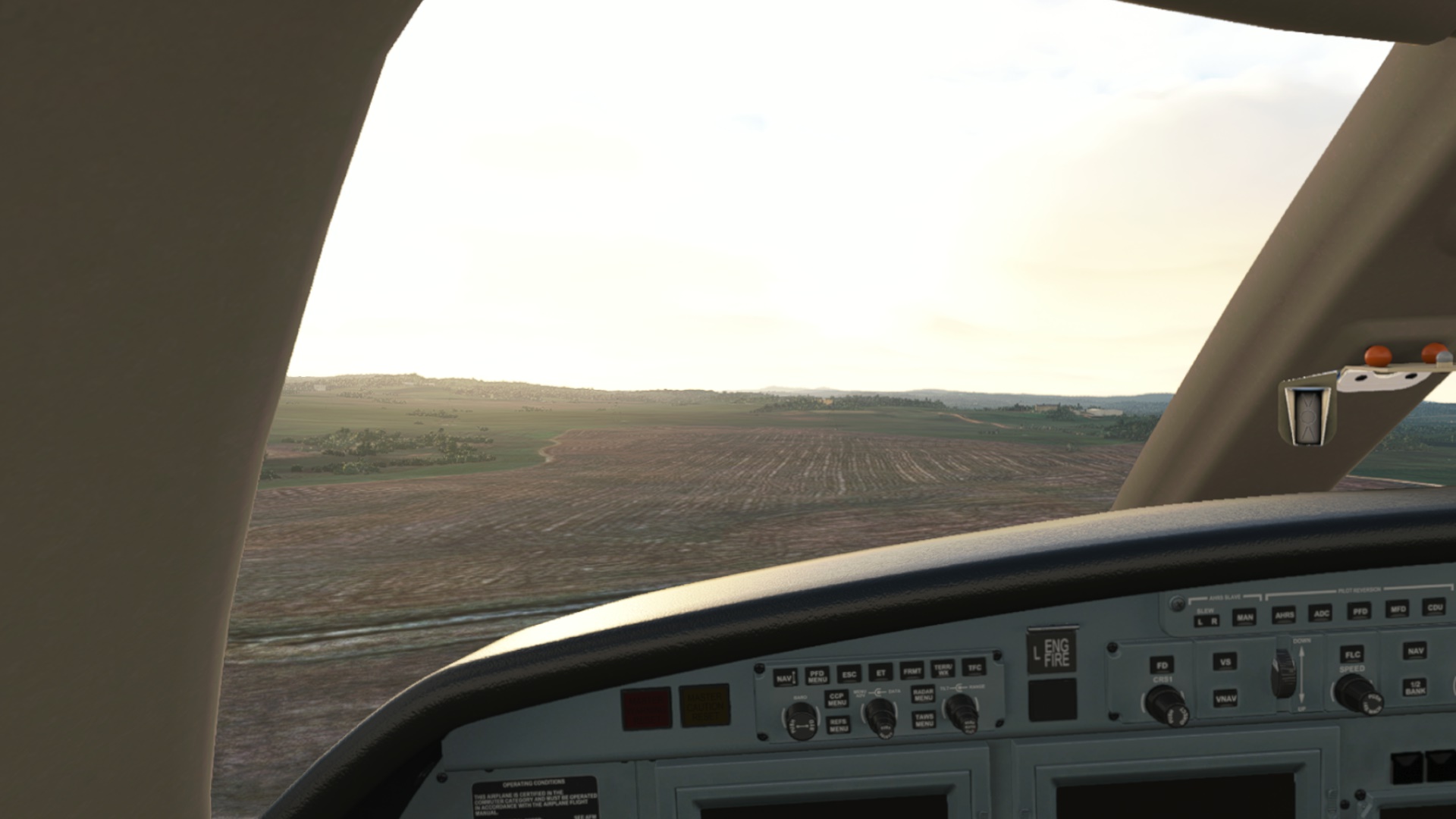
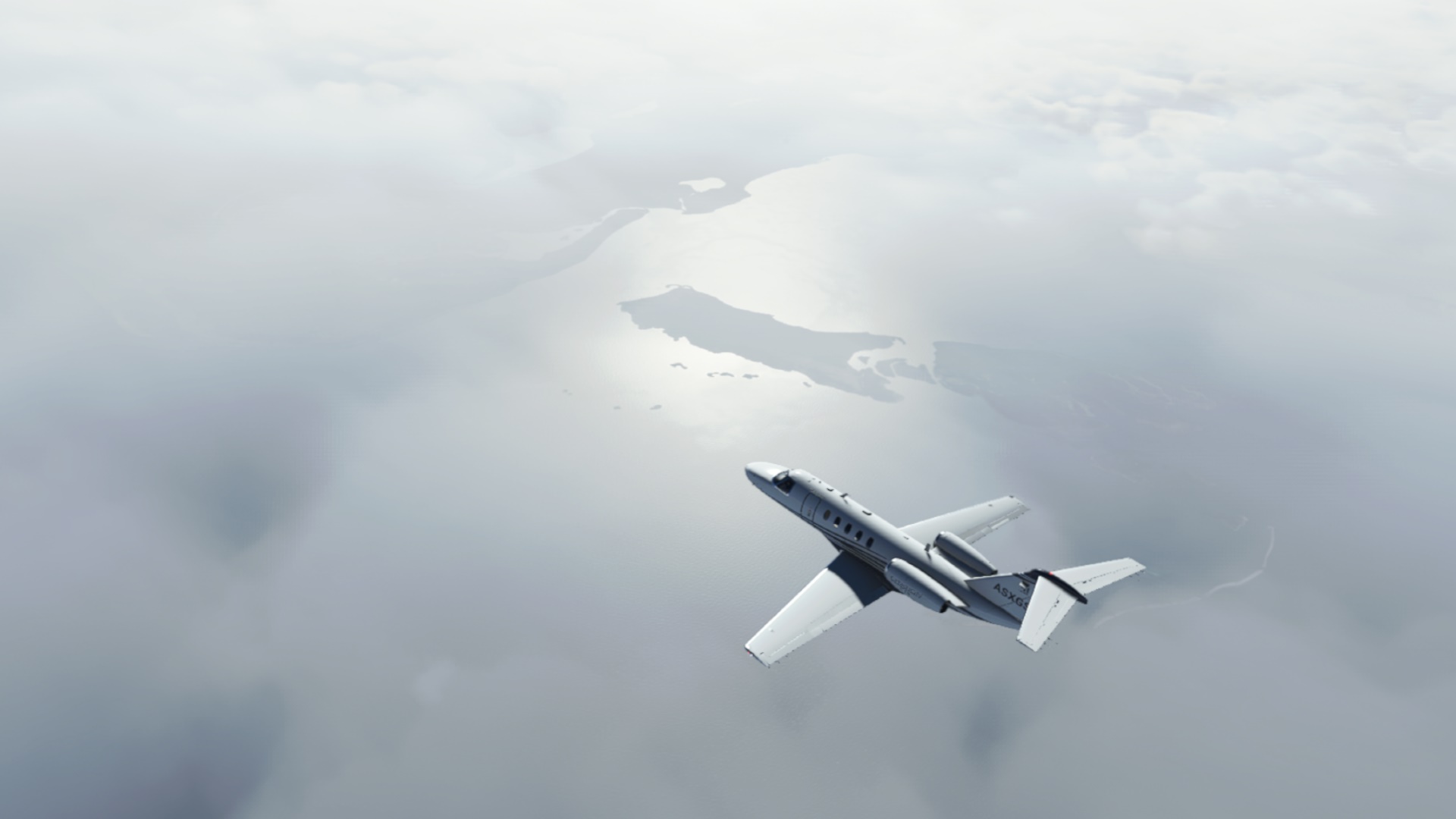
When I broke out from the clouds I realized that it would be still a long walk to Pelotas. Time to look for a suitable landing spot.
This one looked OK. Here the “landing into the open” scene from Flight movie came up my mind.
MSFS fortunately does not model high voltage wires ![]()
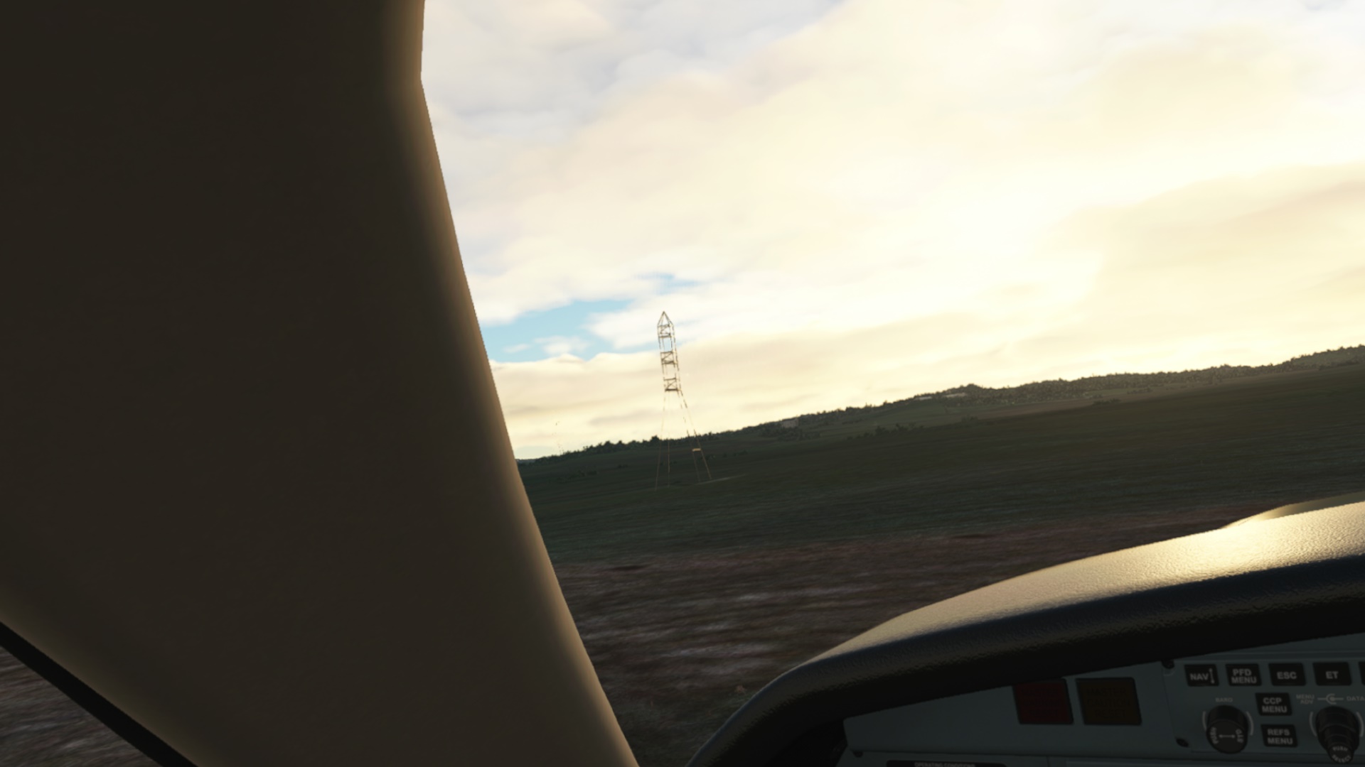
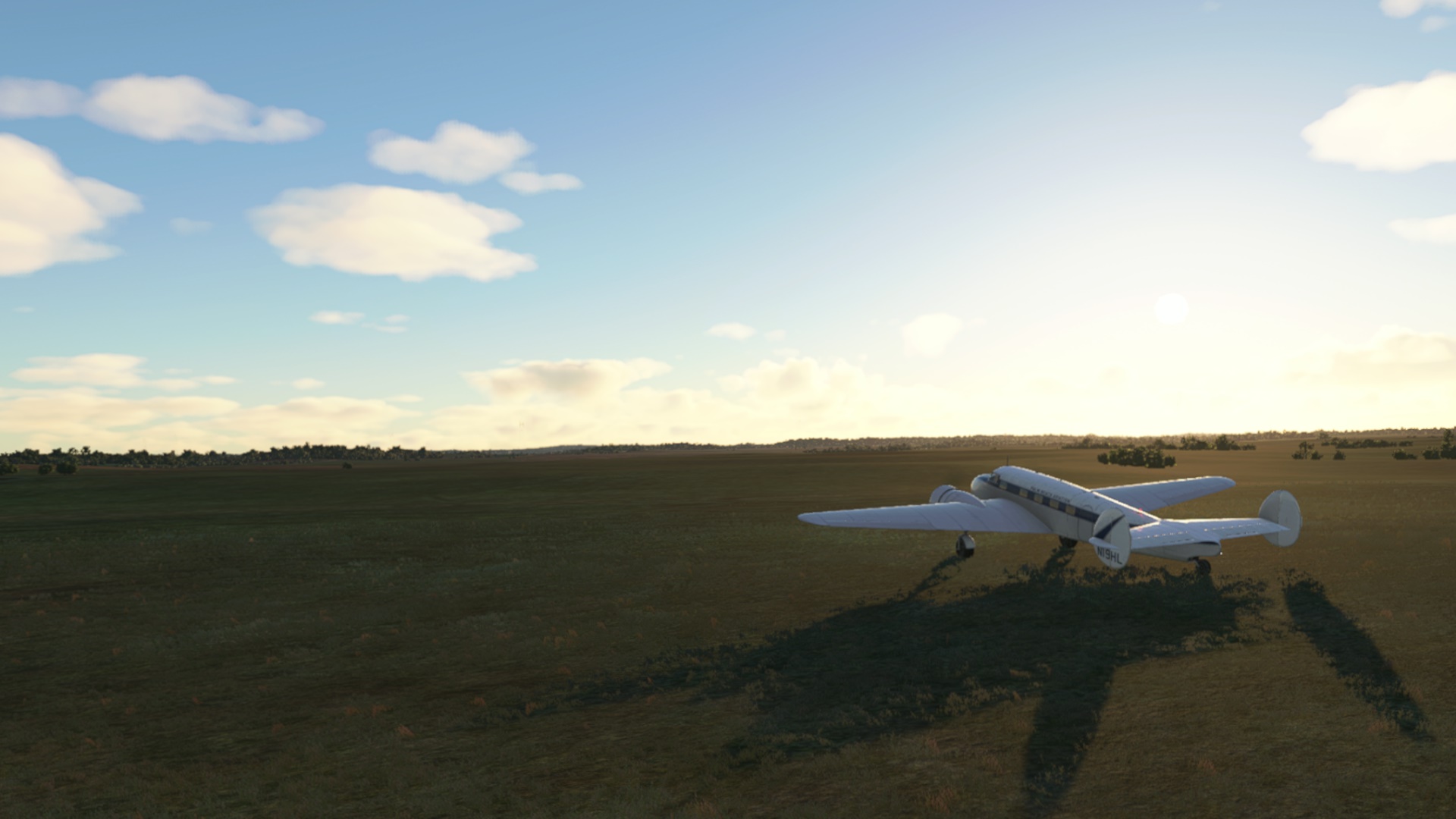
Down. Safely? Yes in the sim ![]() Hope the insurance will cover the damage to the farmer.
Hope the insurance will cover the damage to the farmer.
So how about some debriefing?
Well, I was upset at first. Then I cooled down. I learned something new and it is just a game, right?
First thing I checked was the CJ4 range - well over 2000nm and I had 50% fuel. So what was the problem? The headwind? Partially but that was just a contributing factor. The major one - I realized after a while - was the fact that I forgotten to decrease the thrust from take off detent to climb detent. I recall that the climb really felt like a rocket. Now I know why! Once back at home, I need to test what the difference in fuel flow is between take off and climb throttle setting.
Another thing to reflect upon was why I did not make it to some airfield with so much altitude to play with. I realized too late that I should find a suitable airport and also I realized too late that CJ4 would probably not glide all that well.
So this is my honest AAR followed by some self-critique. I am actually happy with the experience I made since I come out of it a little wiser ![]()
14 Likes
Nicely handled. One of the things I love about sims is that you can learn from situations like this without having to do any paperwork afterwards ![]() .
.
7 Likes
Nice job keeping your head!
Citations have a nice flat belly. It probably pancakes in pretty well.
3 Likes
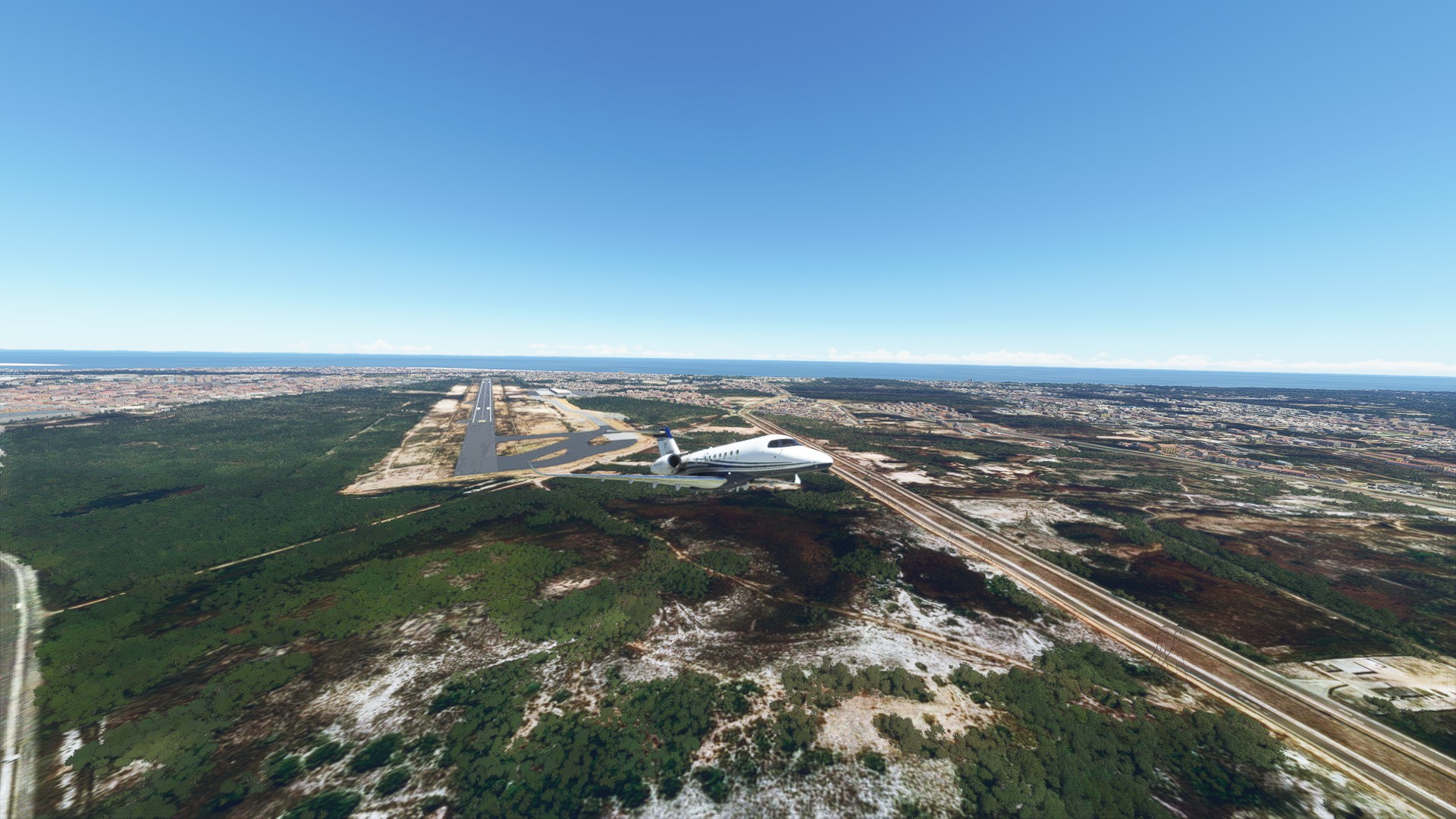
In order to continue the flight as scheduled, I need to get to Angel Adami airport (SUAA) first. Technically, my next leg should start where the last one ended, so…
In the air, gear up, flaps up. Time around 0600LOC to avoid unsolicited spectators ![]()

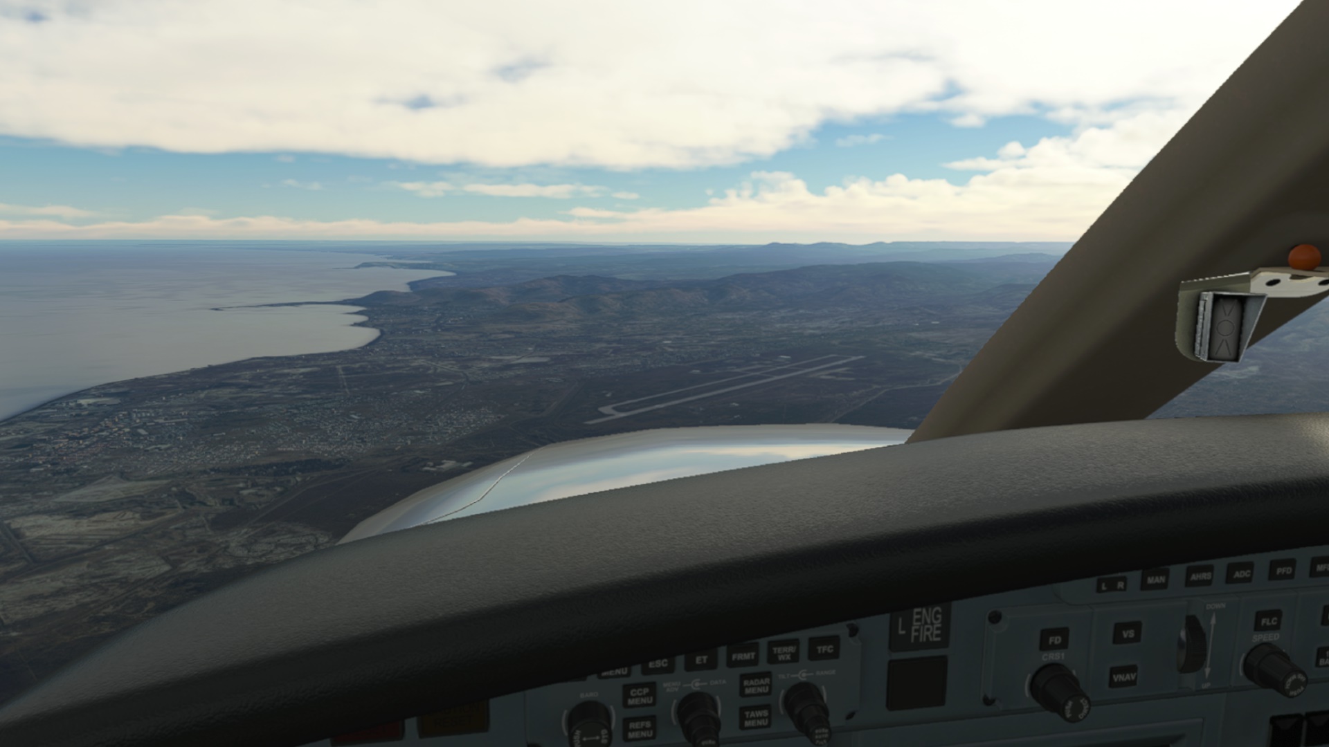
This is the airport in Pelotas which I wanted to land on yesterday. There is also a PTS VOR, one of four navaids which I used to get to Angel Adami. This time I checked ingame what was the range of the VORs and NDB.
I will probably never get bored with this view.
Melo - my next turning point.
Uruguay.
Here I am already tracking inbound the Adami NDB on 395 kHz. When I first tuned it in, the ADF needle was showing almost 90 degrees to the right. The reason is that there is another NDB called San Gregorio in relative vicinity to Melo which shares the same frequency with the Adami NDB.
Watching out for the field. Not so easy in MSFS. I recall that in FSX / P3D the paved runways were always “shining” from miles away.
On my way to Angel Adami airport, I have seen a couple of hippodromes. Probably a common activity in Uruguay.
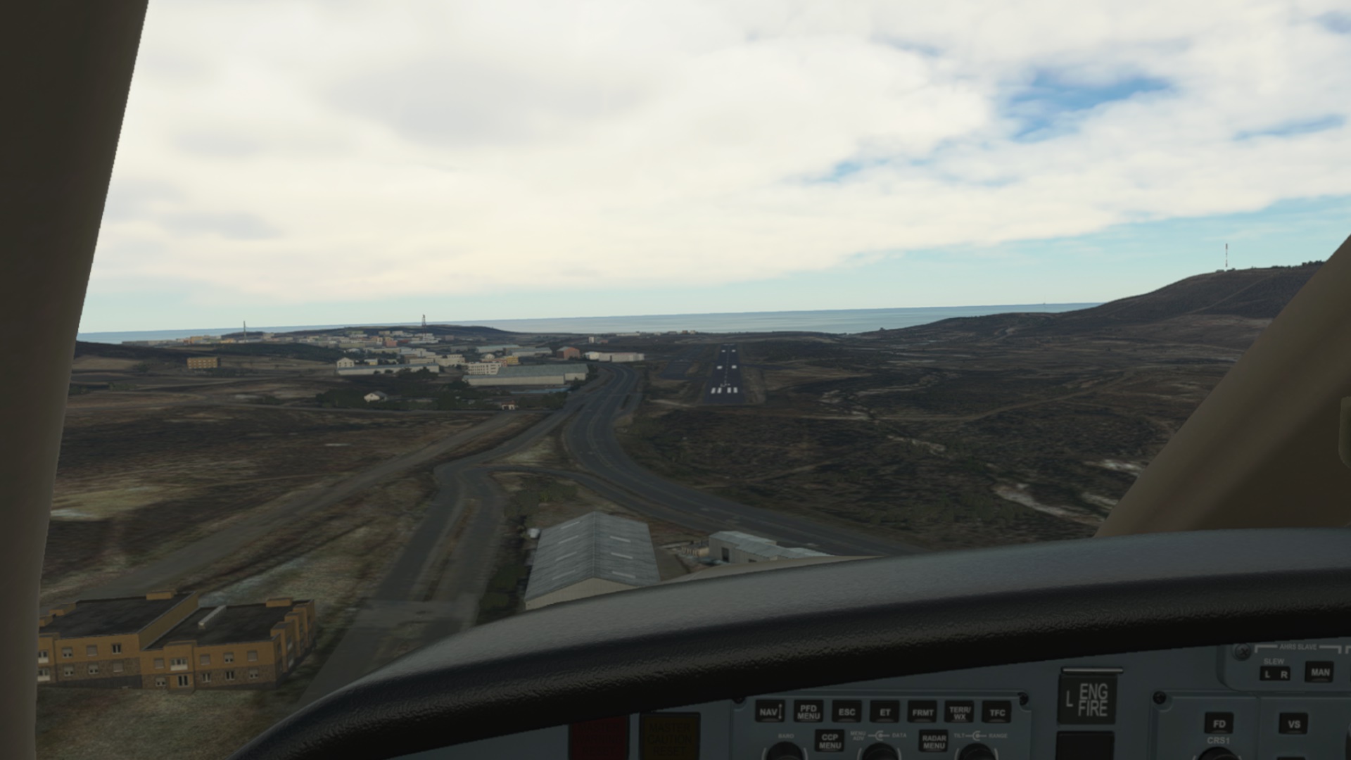
Entering left downwind for Rwy 19, wind 210/27. Seems to be a windy place.
(don’t look at the fuel gauge, please)
Windy - yes. Some crabbing was in order.
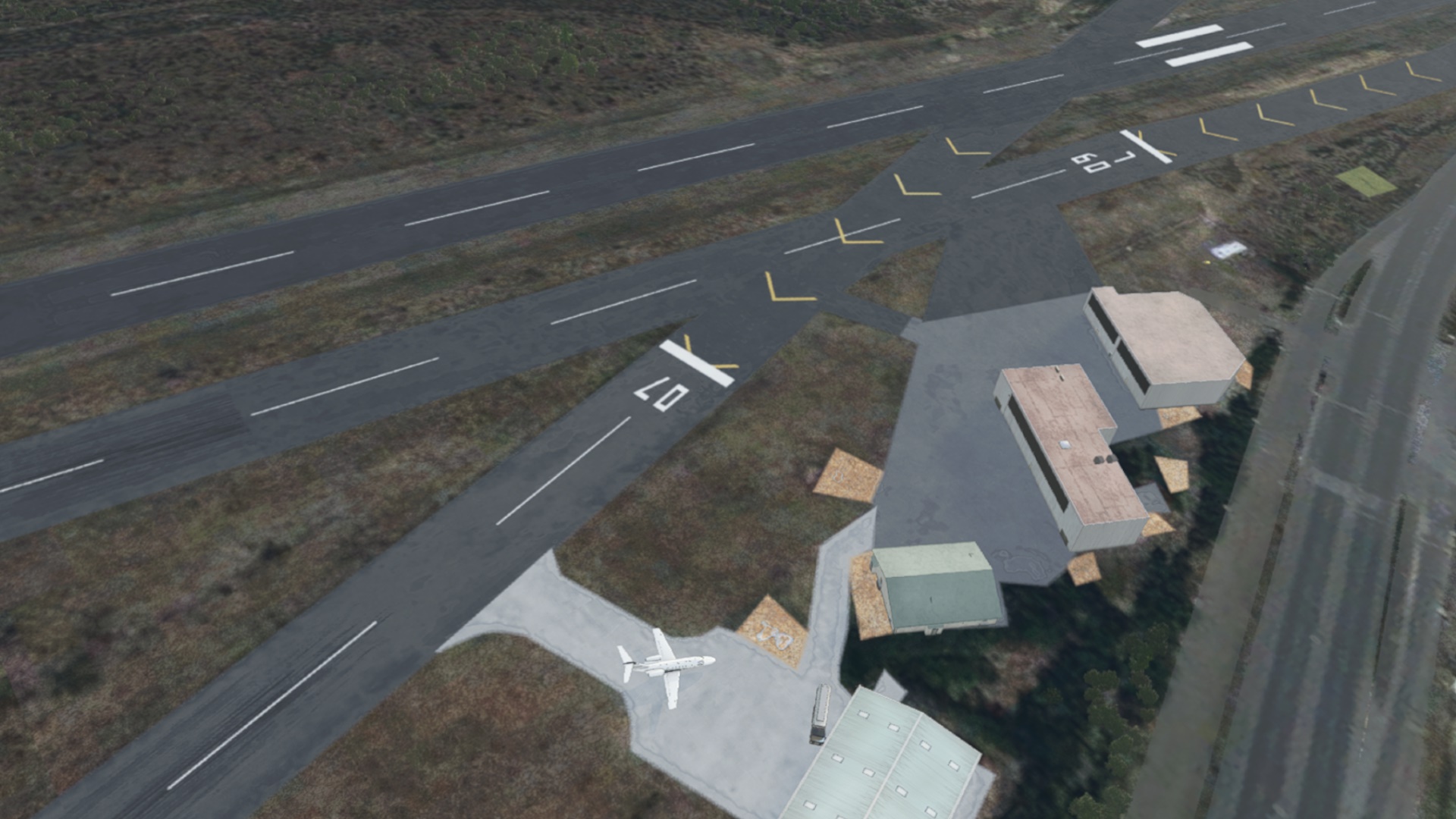
The landing was OK-ish. I find MSFS quite forgiving when it comes to crosswind landings.
Wind? What wind?
After shut down.
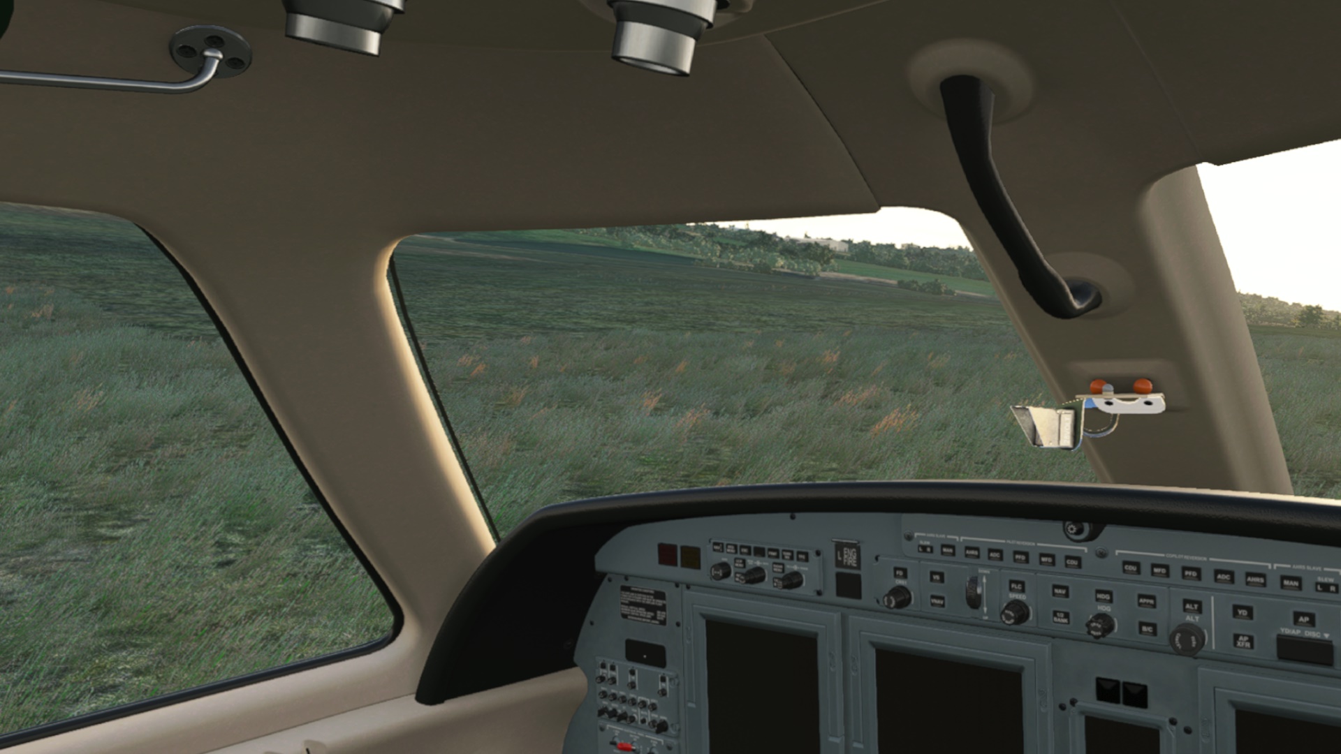
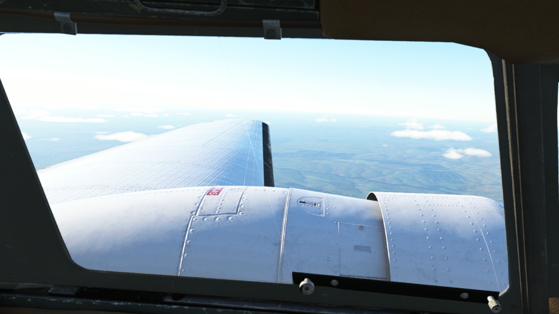
We can now open the windows and the rivets look great, see?. Now the mixtures and engines, pretty please…

Next time I will resume my planned route. Only two more legs to go!
10 Likes
I’m thrilled to say I have no direct experience to confirm this! ![]() (Yet!)
(Yet!)
2 Likes
Great report @apollon01 and I admire your dedication to, “play the ball where it lies”!
2 Likes
Cusco, Peru (SPZO) to La Paz, Bolivia (SLLP).
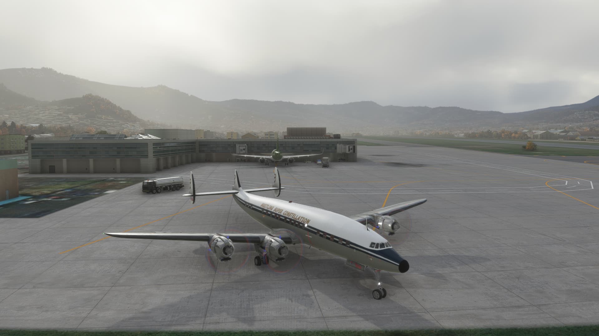
After quite a bit of flight testing, I felt a bit more confident in taking the RedWing Connie on the next leg to La Paz. The airport elevation is 13314ft AMSL making it the highest elevation International Airport in the world. Here we are all fired up and starting the taxi out.
And off we go, with the gear retracting.
Climbing away from Cusco…
Now I have figured out how to climb up into the 20’s in this beast, I am soon well above the mountains that in testing, I had such a hard time with. Beautiful, and yet I looked down at them with a great sense of foreboding and respect.
More Cumulo-granitus clouds…
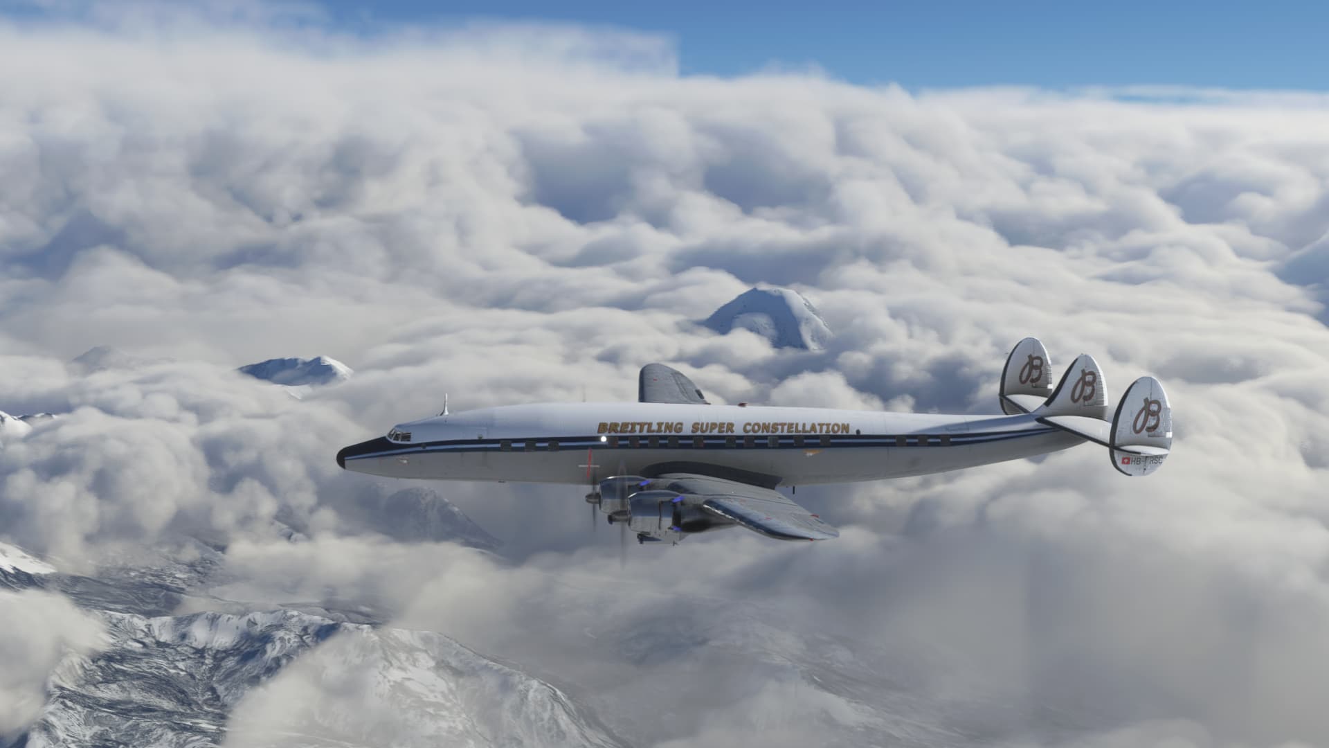
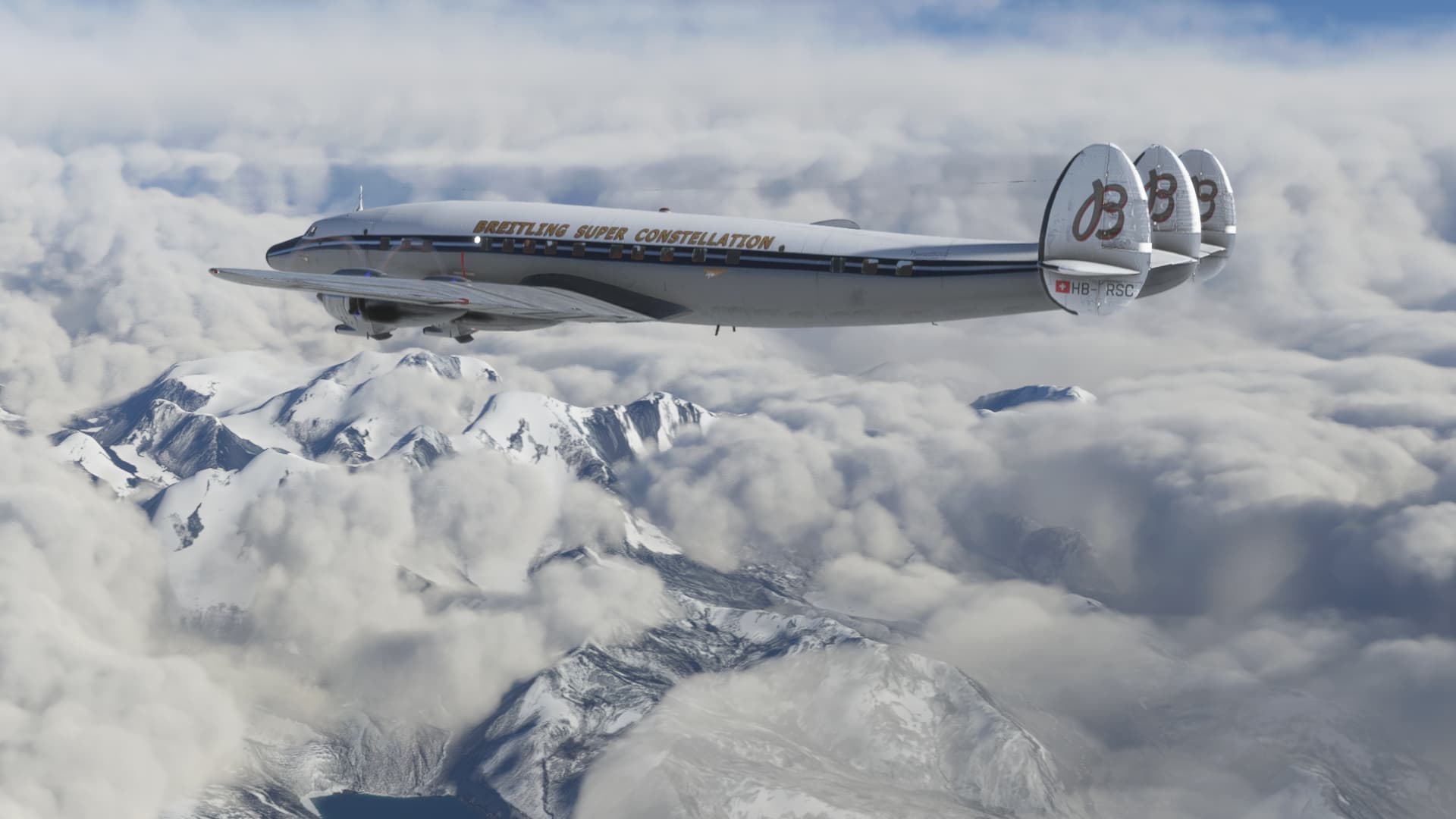
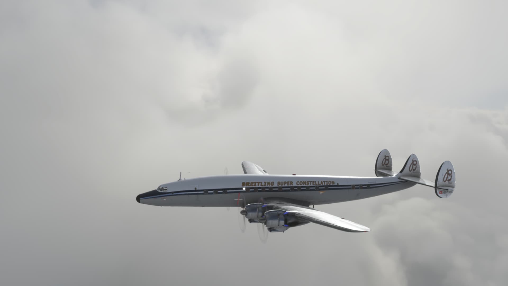
The Connie is such an elegant airplane…
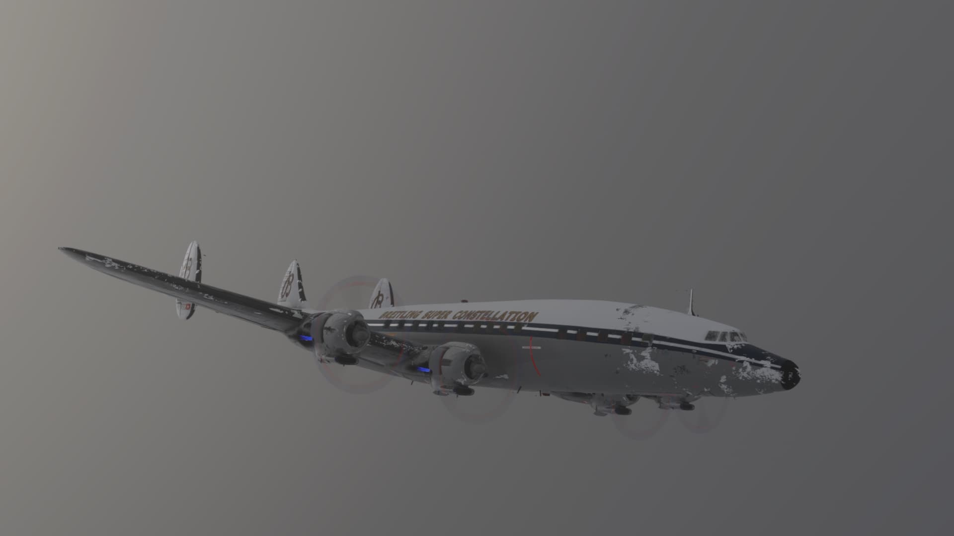
As I headed towards the Juliaca VOR, the cloud layer thickened and before I knew it, I was IMC and picking up ice…
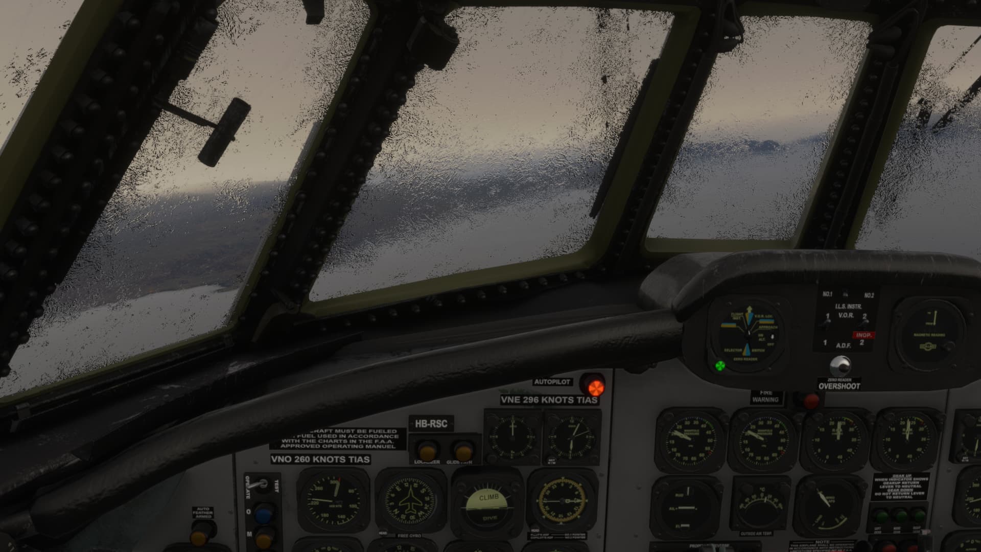
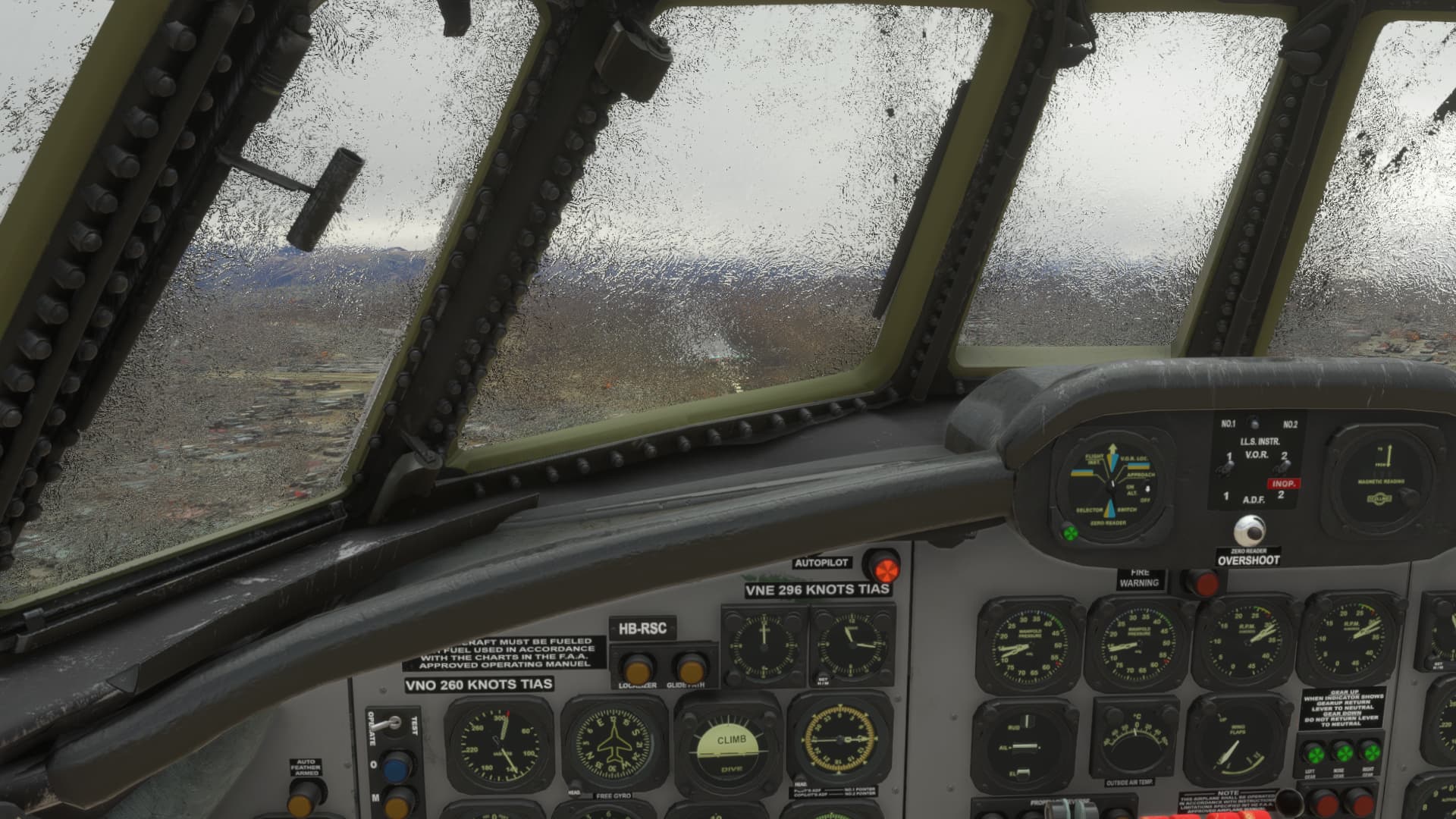
I descended in the hope of breaking out below the cloud deck…and for brief periods I was able to see Lake Titicaca. The lake sits at 12500 ft AMSL, and I figured it was probably the safest place to descend in this area. I am still figuring out the anti-icing systems on the RedWing Connie…so far I haven’t found the windshield heat. Hopefully it will melt off on it’s own ![]() .
.
Finally I arrived at La Paz (which was a much bigger city than I imagined).
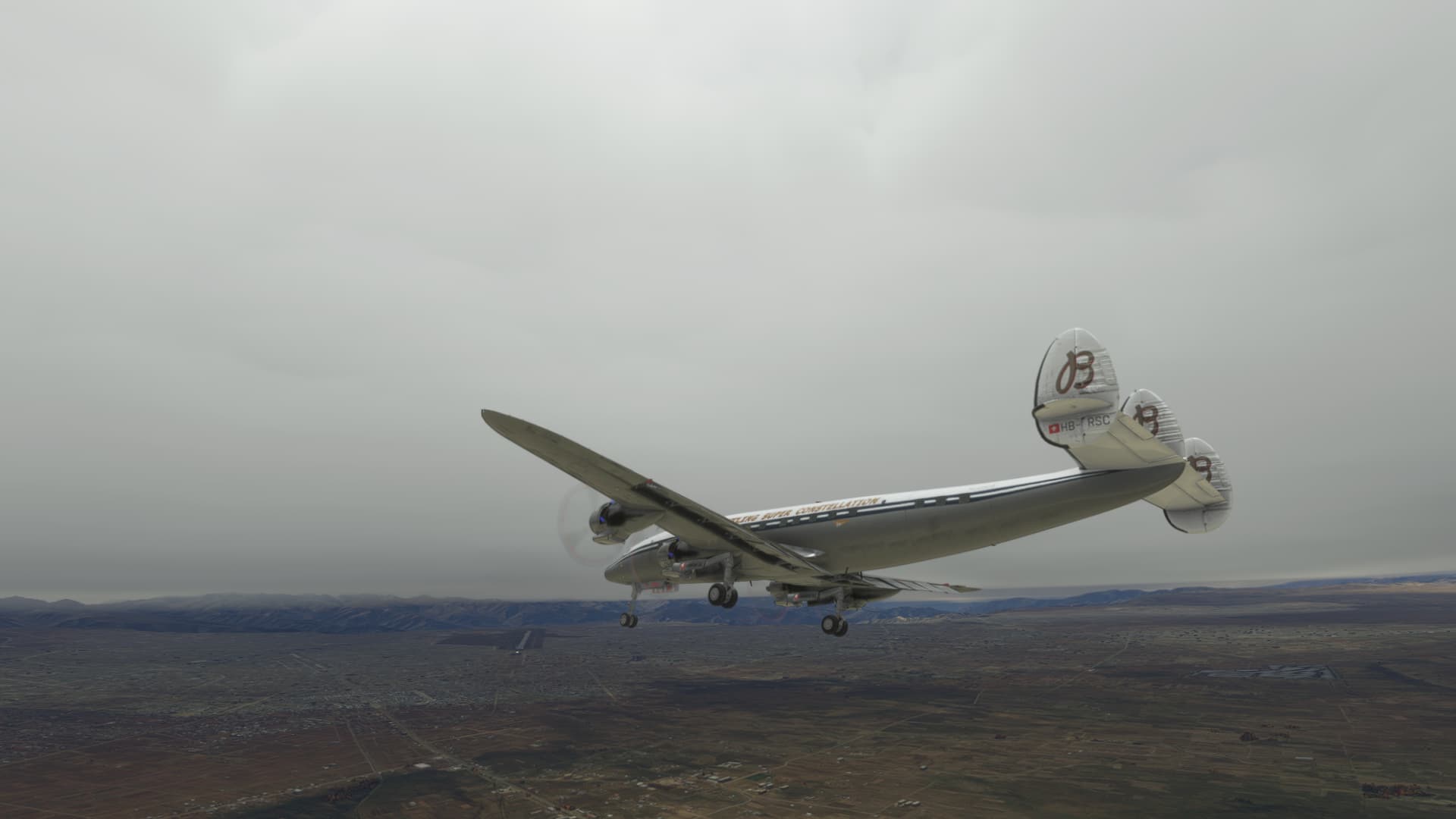
The view was not great…but I could just see enough to line up on the runway and set down.
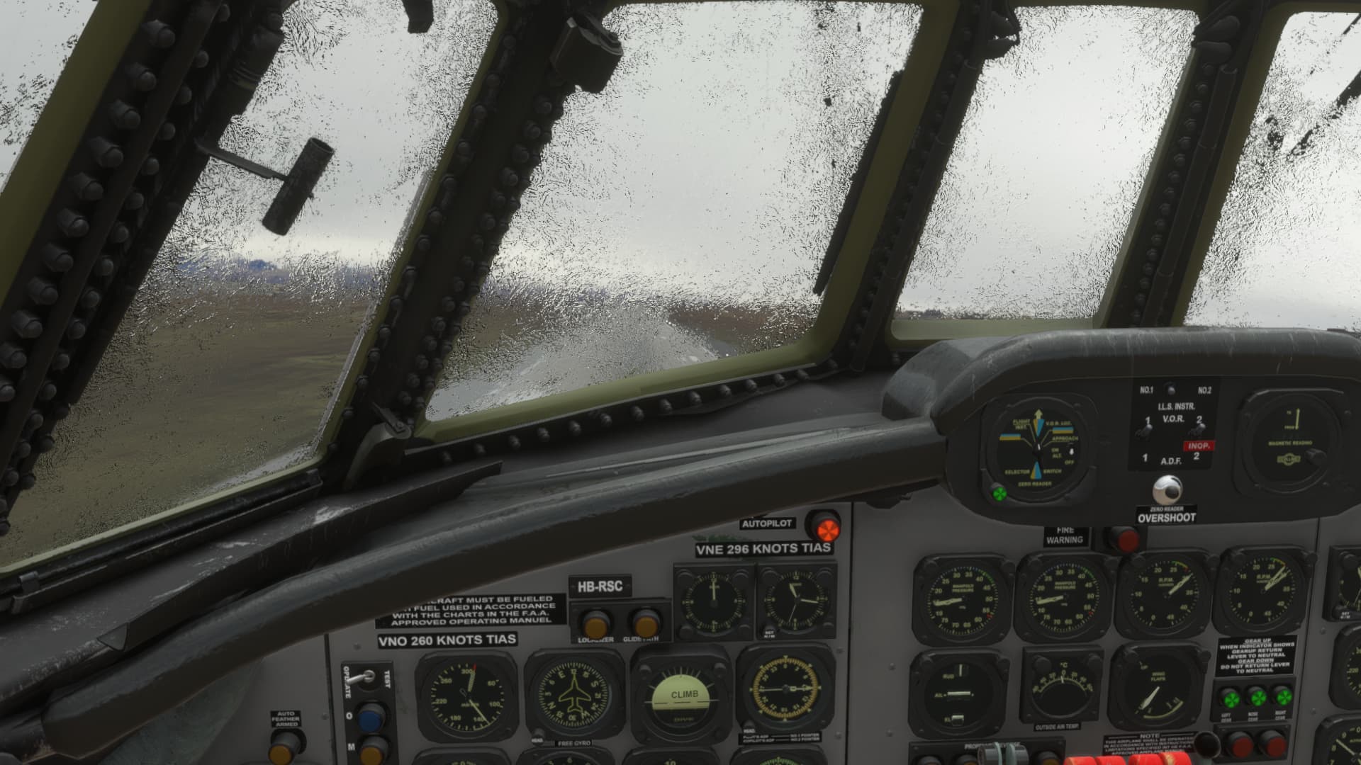
Shut down and glad to be safely on the ground. I’m definitely heading to the bar!
I’m not sure where my next leg will take me. If I want to head over to Rio De Janeiro, now is the time to head in that direction… or I could stay on a more southerly track and head towards Cordoba, Argentina. Seeing as how busy my work schedule is going to get over the next few weeks, Cordoba might be the smartest choice.
11 Likes
Great report!
I hear the call of the Connie. It’s one of my favorite airplanes.
Does anything happen in MSFS icing other than a clouded windscreen?
I avoid it just for the play of the thing. But I’m not sure what happens if I go blundering into it (I’m something of a blunderer).
1 Like
I have to admit, with the Connie I didn’t notice any performance degradation due to icing, but that might be by design seeing as they haven’t finished developing the anti-icing systems yet. Next time I get into icing I will pay closer attention and report back.
2 Likes
I know for the stock planes, it will kill any of the static pressure instruments, and effect the handling. Haven’t had a carb ice up on me yet, but I haven’t really tested it out in any weather where that’s a risk.
1 Like
Reading @PaulRix reports, I am thinking I should have flown along the western coast of the South American continent as opposed to the eastern flatlands. Maybe next time ![]()
This 840nm leg from Montevideo (SUAA) in Uruguay to Comodoro Rivadavia (SARA) in Argentina was quite boring (=uneventful) in the perspective of the last couple of flights but enjoyable nonetheless.
I think I will need some assistance from the ladies in yellow jackets.
On my way to Argentina. This time, I set the power properly for the climb. Quite a difference in terms of fuel flow.
Weather getting across my flight path…
…which means I will enjoy some pretty views. Really stunning ![]()
Originally, this was my destination: General Enrique Mosconi International Airport (SAVC)…
…which I swapped for 13 de Diciembre Airport (SARA) few miles further south just for fun since this airport is considerably smaller and does not have any published approaches. I was curious how the ATC would handle the IFR flight with VFR landing.
Well… it just brought me down to 3200ft on a direct heading to the field even though the landing runway was 10R. So I flew pretty much on a perpendicular trajectory to the runway. Then I was cleared to descend to some 2100ft (or so) and should report the runway is sight. I never got to that point as almost immediately I was mandated to climb back to 3200ft and the “runway in sight” option never appeared in the communication list. So I landed as initially advised with the ATC tirelessly instructing me to expedite the climb to 3200ft. As I did not get any call from the tower after landing, I suppose it was OK.
Nevermind, down and safe. The runway layout seems a bit unconventional to me ![]()
9 Likes
My leg of today… well, it wasn’t boring!
The plan was to fly from Aracaju–Santa Maria International Airport (SBAR) to Rio (SBGL).
Real time, real weather, the usual plane.
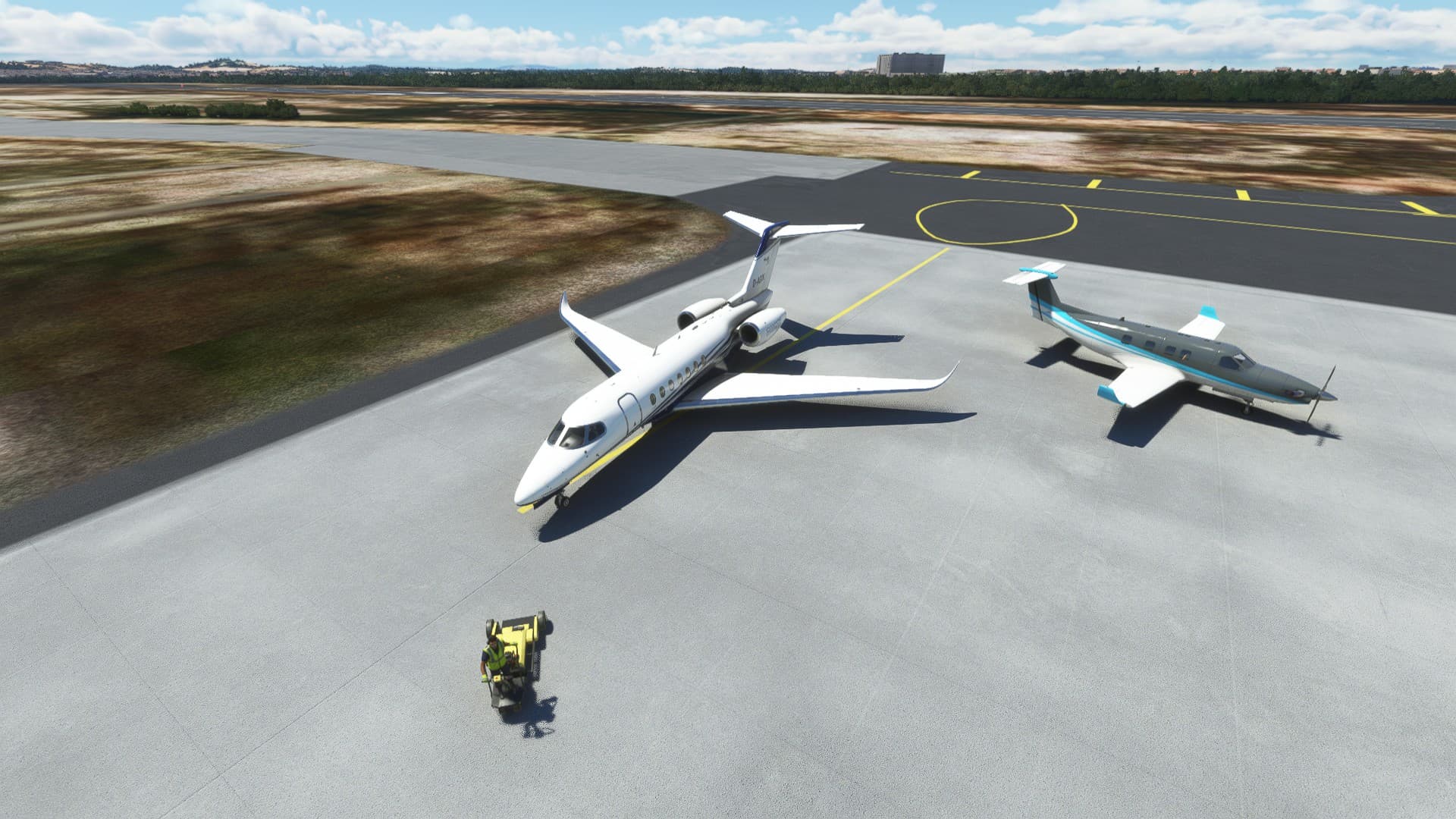
We start off in a… less than ideal starting position. The pushback almost pushed my wing tip through that other plane’s tail. The weather was nice in Aracaju though.
Off we go!
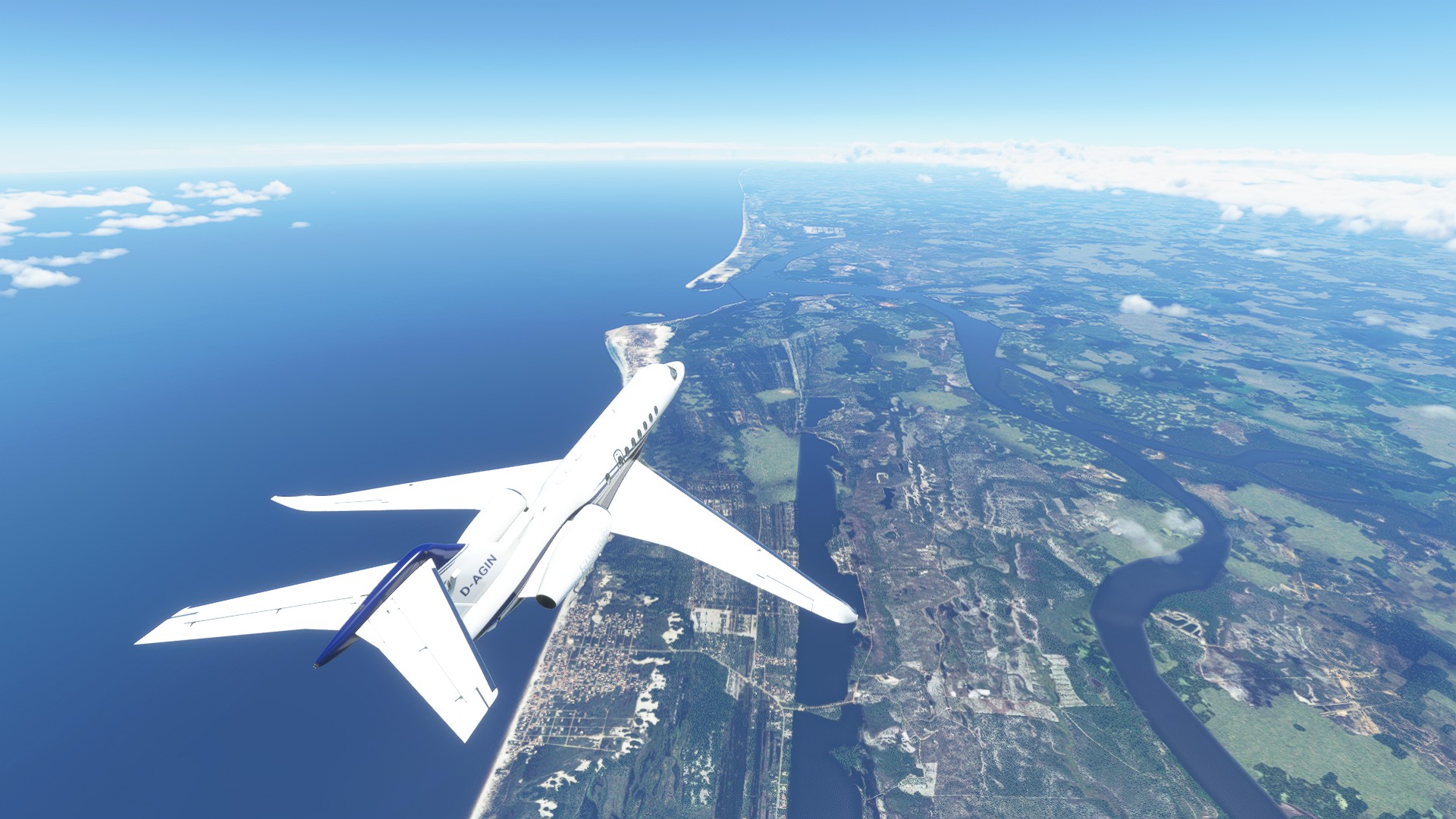
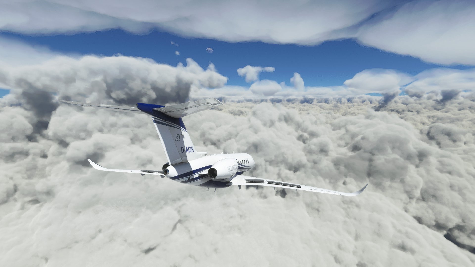
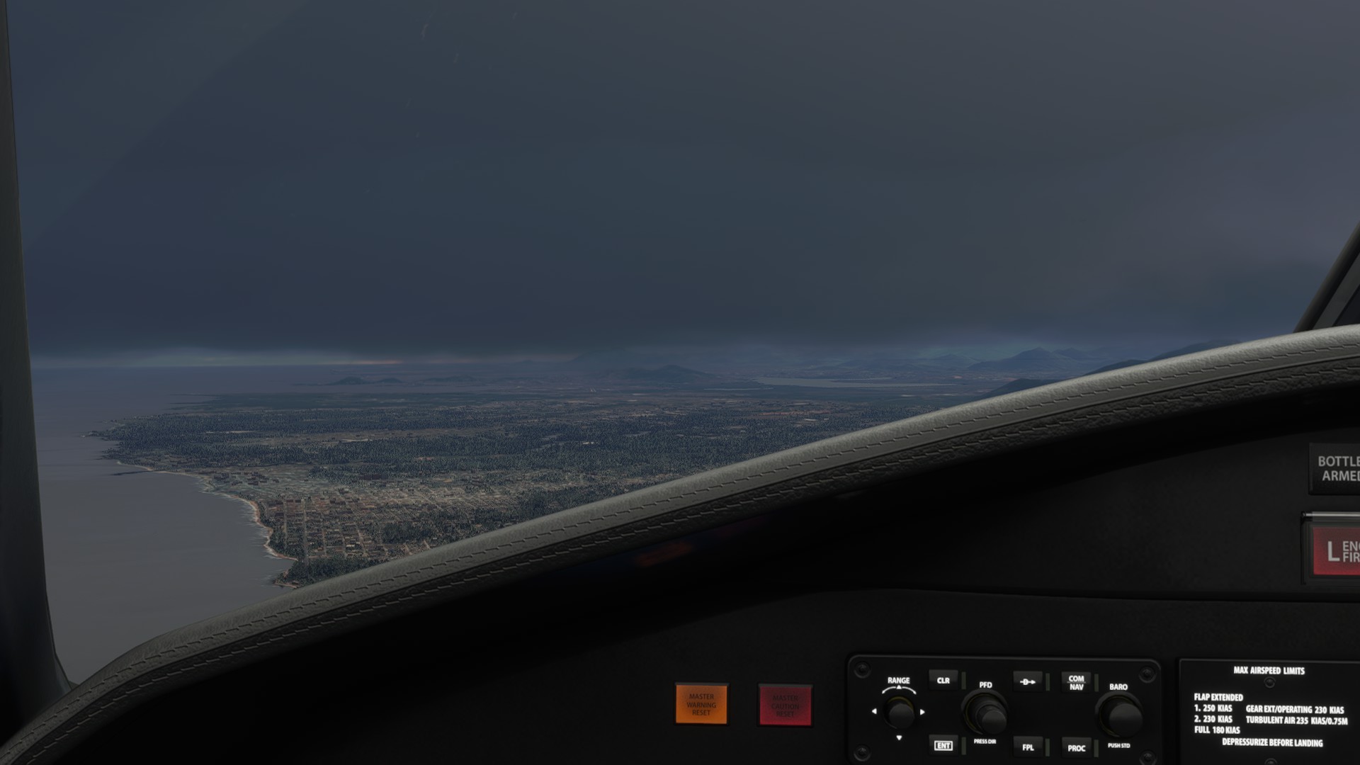
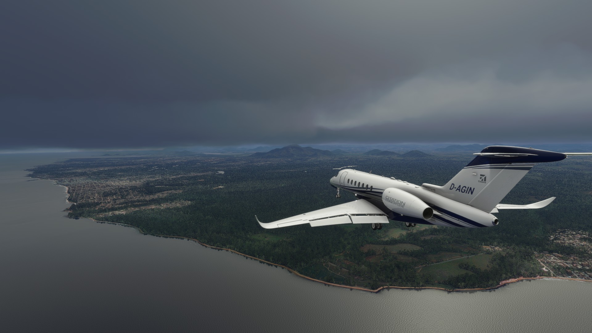
Heading south along the coast for a bit. Nice beaches they have here. But you can already see the bad weather ahead.
No worries, ladies and gentlemen, we are flying at 38,000ft what could possibly happen?
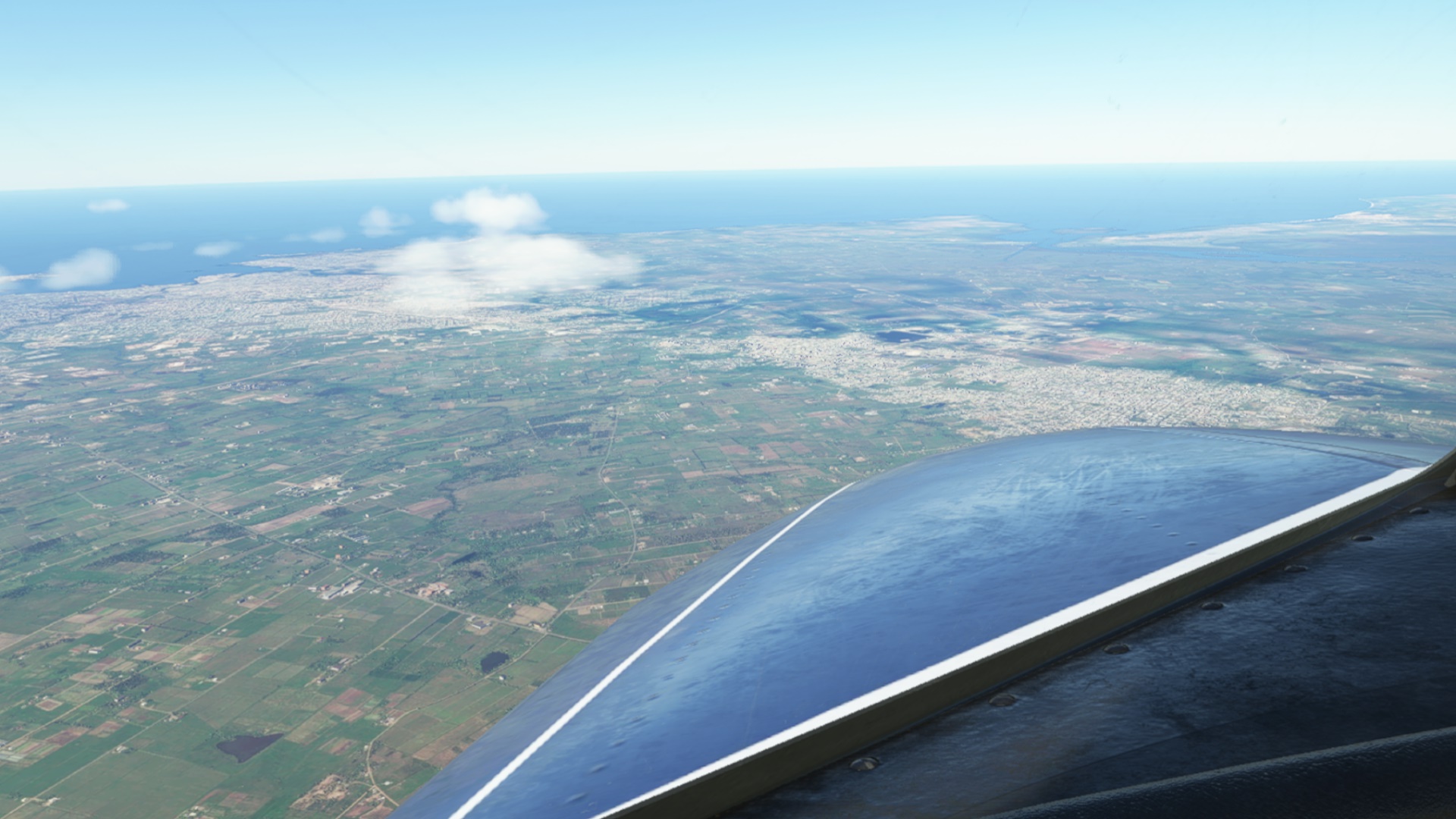
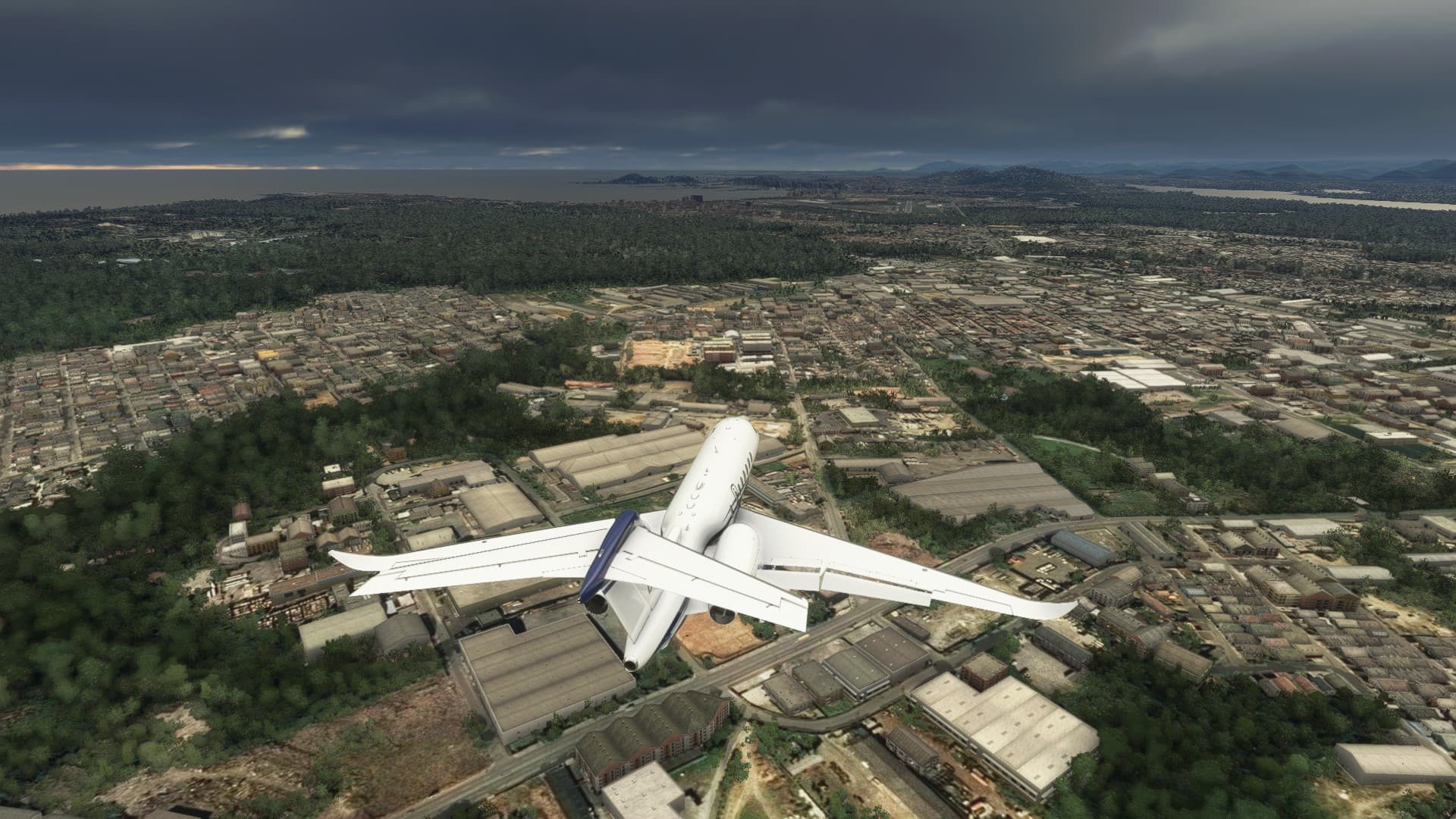
Salvador. Brasil’s third largest city at a population of almost 3 million people.
There are some refineries for oil, but it is also an industrial centre for tobacco, sugar cane, cotton and cocoa. Some of it is here since the 16th century.
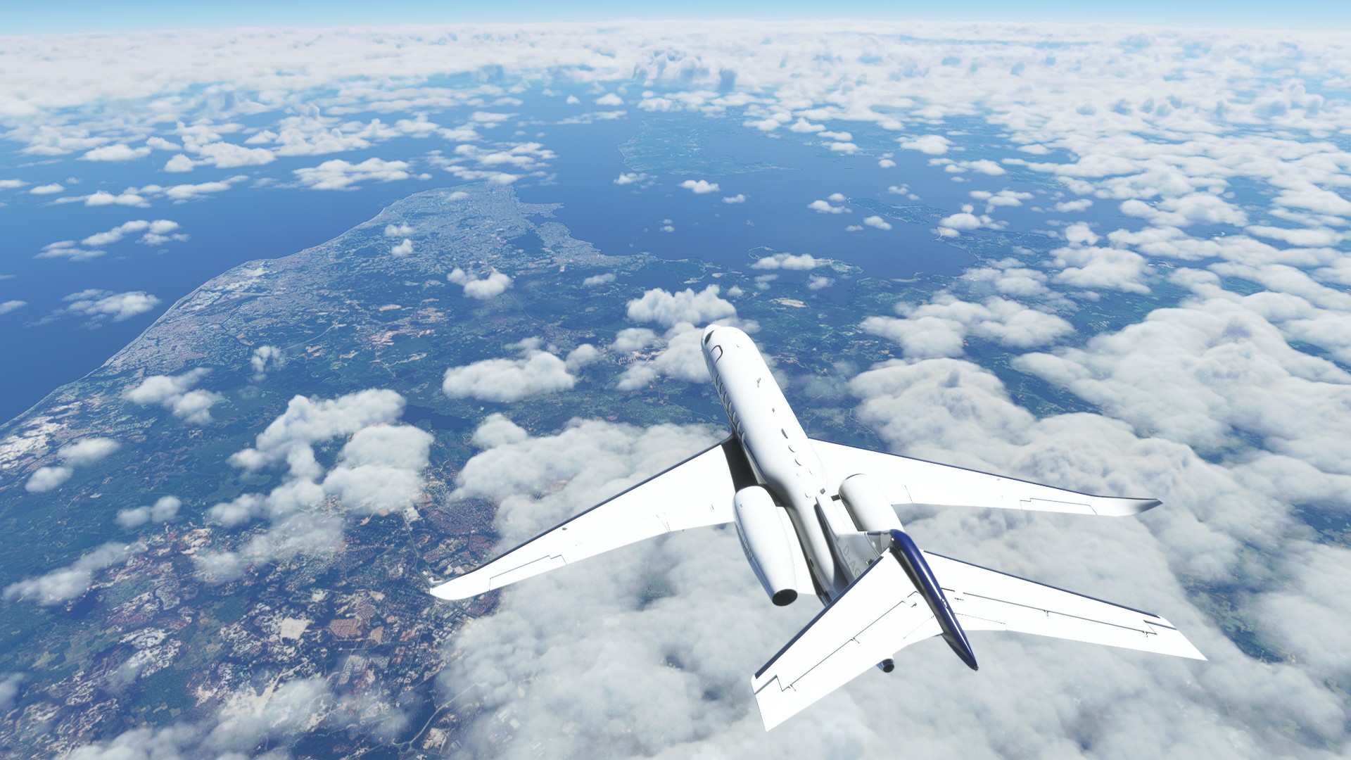
Continuing south.
Then something weird happened.
I was just on my second screen looking at Windy dot com to show my children the massive storm cell I was flying over, as I suddenly heard an overspeed warning.
The autopilot had decided to bank over 90° to starboard, and go into a 40 degree dive.
I do fly with realistic restrictions, so seeing the speed climb quickly toward 400 knots didn’t make me happy at all.
frantically I pulled back the throttles to idle and extended the speedbrakes while trying to roll the plane back to upright and carefully pulling out of the dive without ripping the wings off.
It took me longer than I like to admit to notice that the autopilot had not deactivated as I had assumed it to do. The autothrottles were keeping the plane on cruise power for FL380 (a few percent below climb power). I was fighting the AP.
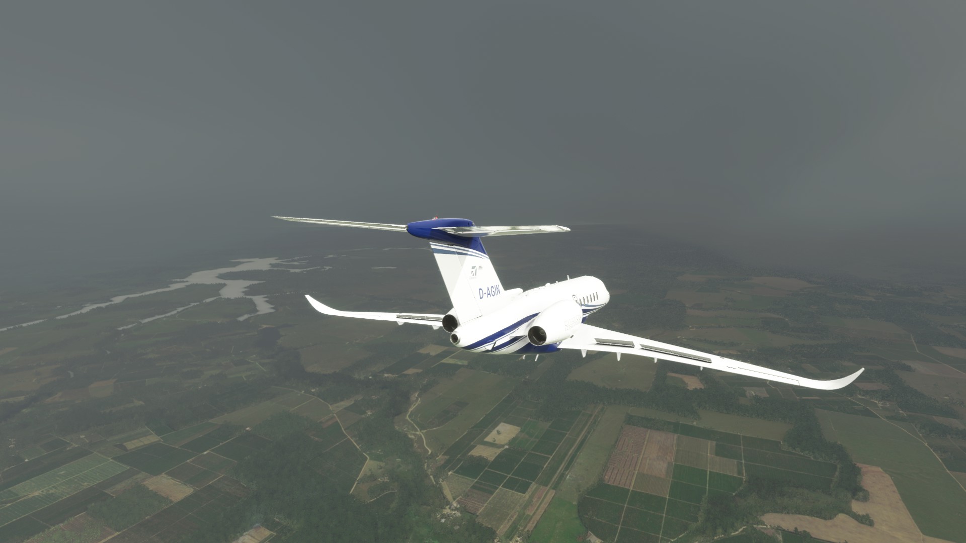
So I deactivated the autothrottles and the autopilot, and slowly got back to wings level. I ended up in IMC between those cloud layers, having lost almost 20,000ft, with icing forming on my windshield.
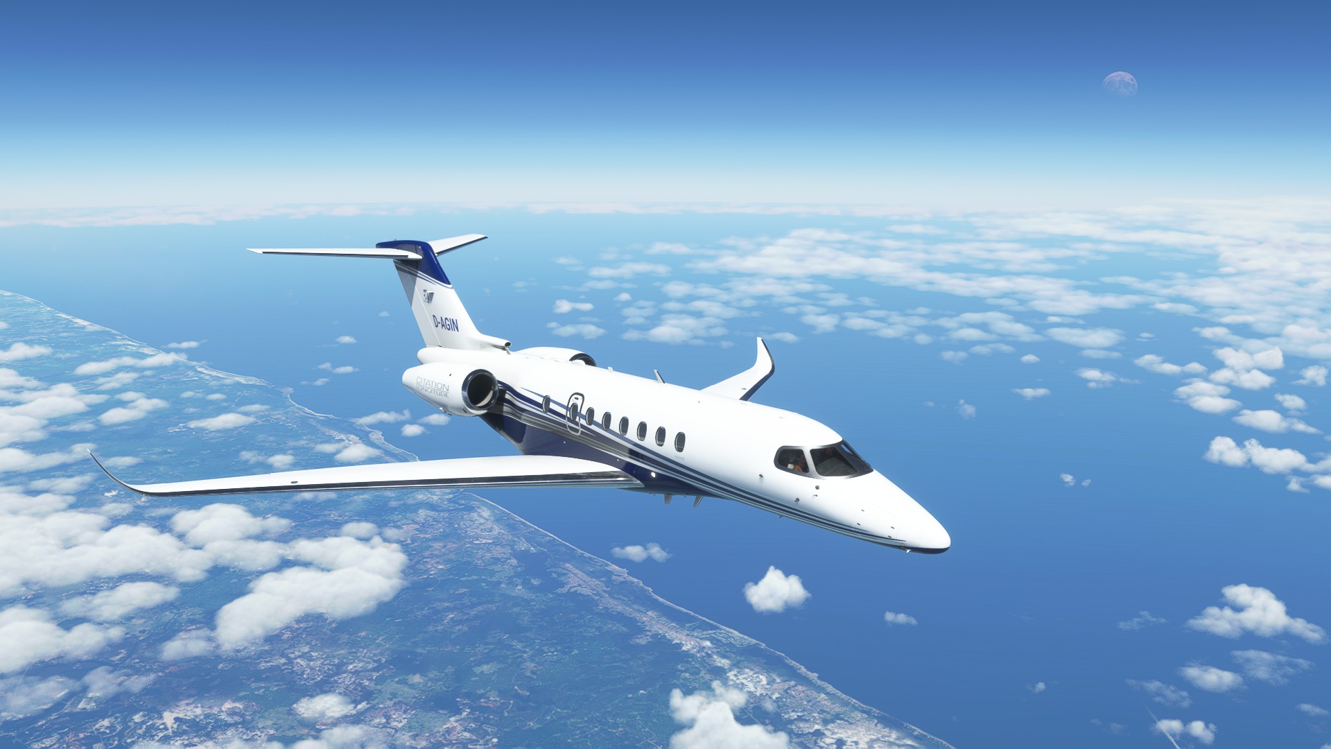
(this dramatic shot was taken shortly after, when I felt a tiny bit more comfortable)
Of course I didn’t have the anti-ice stuff activated (except for pitot heat of course), as I didn’t fly through clouds. I quickly activated it all, because the last thing I needed now was ice.
It was hard to maintain level flight. I could not reactivate the AP, not even for HDG+ALT. It kept trying to roll right and dive.
I also had to pull the stick almost fully back. Apparently the AP had messed with the trim because I was trimmed 10 degrees nose down or so. So I reset everything to normal. I tried to reactivate the AP a few more times while climbing back to a more comfortable altitude, but somewhere near Vitória de Conquista I made the decision that hand-flying a jet at FL380 is just no fun. I wasn’t going to hand fly this thing to Rio at snail speed either, so diverting it was.
I knew the weather was really bad at Ilheus, so I dialed in an approach to Porto Seguro (that means Safe Port! A Good sign, right?) and flew the plane there.
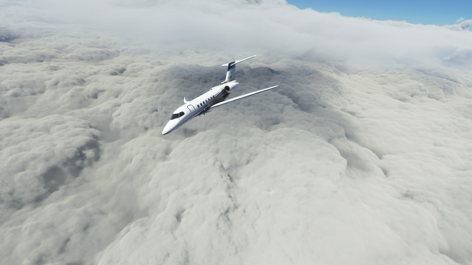
As it turned out the place was far less safe than its name suggested. Clouds everywhere. I din’t even take screenshots because there were solid clouds from 1,500ft all the way up to 24,000ft. It was dire.
I still tried flying an approach but there is no ILS and I couldn’t see the runway until I was right over it. There were also heavy gusts of wind throwing the plane around. I tried twice but failed to make an even halfway acceptable approach. No way I would make it.
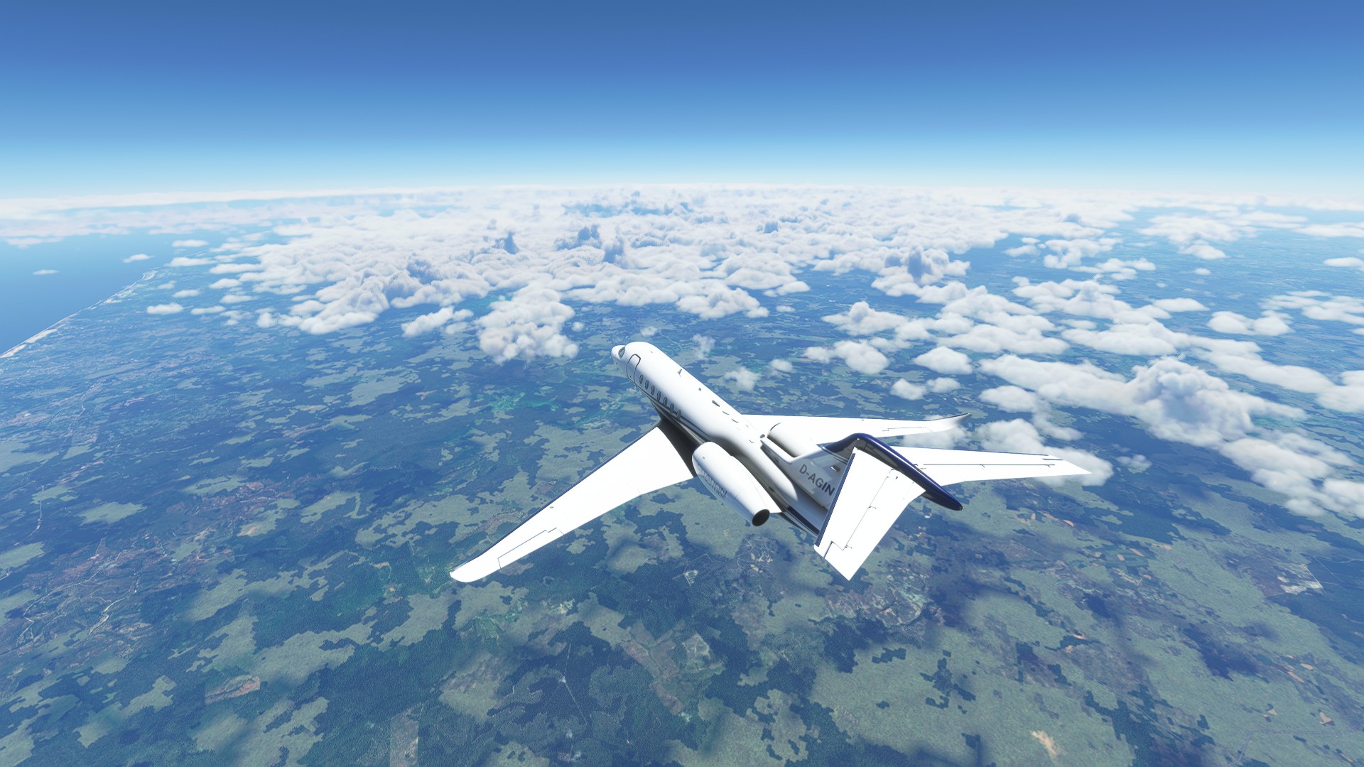
So I climbed out of the souposphere again and continued south. I just dialed in a direct route to my original destination SBGL and flew into that direction at 30,000ft.
I assure you that my normal flight tracks do NOT look like this: ![]()
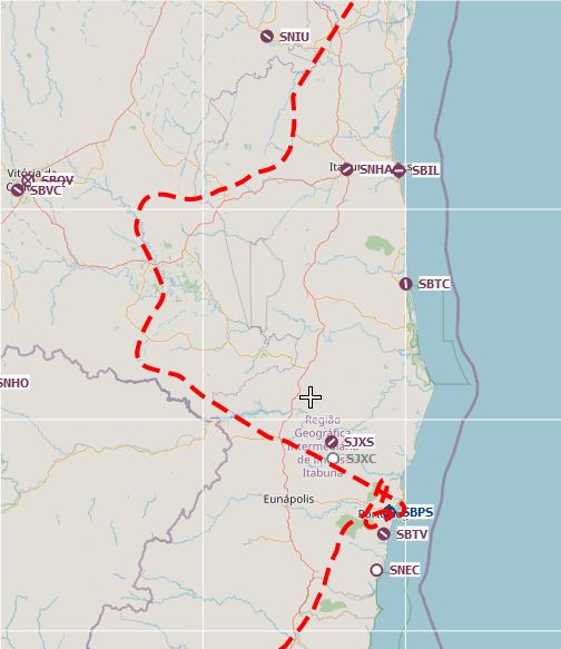
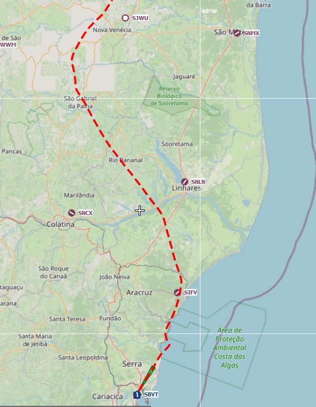
Again I went back to the charts to check where I could go. Either out of that bad weather area or at least to an airport with ILS. Meanwhile Windy showed really bad weather in Rio as well, but the clouds did look a bit thinner around Vitória (SBVT), 200nm south of Porto Seguro. And that airport has an ILS!
Another change of plans (thankfully the ATC didn’t even ask why I was diverting again).
Entering the souposphere again.

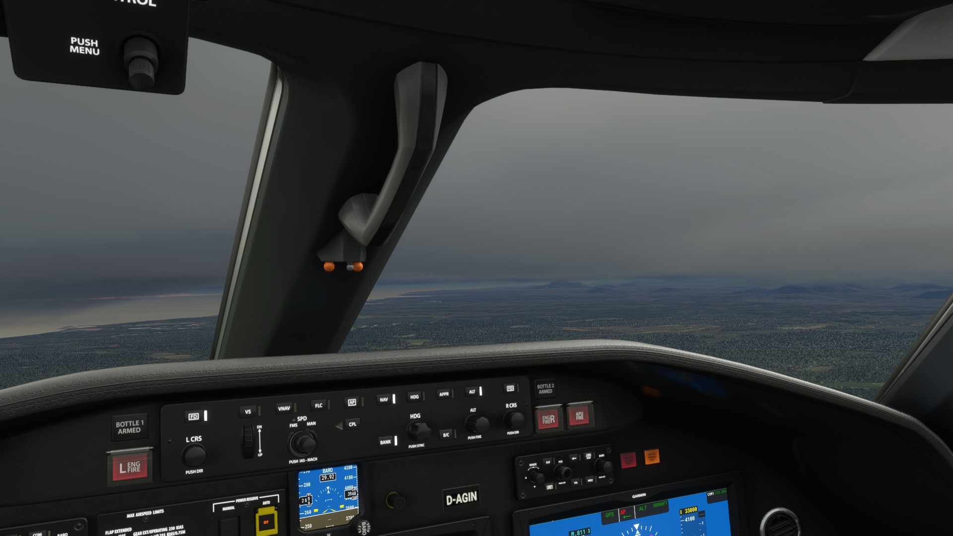
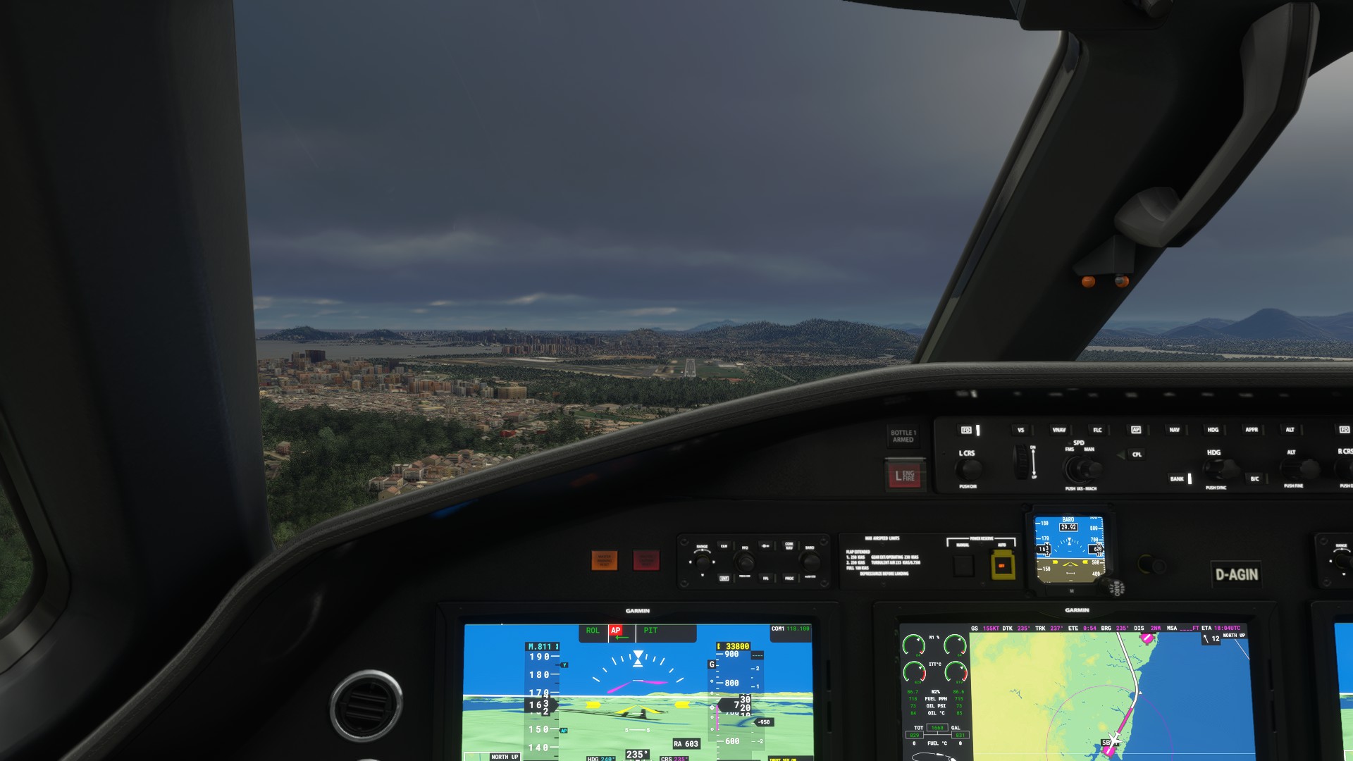
Flying at 4000ft. This is brilliant visibility compared to what I had further north.
Oh yeah. Mountains. That’s what I needed now…
Field in sight! Kind of.
I found the ILS nicely so my long final approach looked pretty good. 15 knots crosswind but that’s manageable.
Made it down in one piece. Time to get the jet checked for damage!
Vitória is a large city with two giant ports, which makes it a major trade hub. But I read that it is also a nice destination for tourists. Right now I just hope there is a good bar near. I need a Mojito or five.
Next up: Fly to Rio (yes, I said that before. Let’s see if it works next time).
11 Likes
Nicely done! You survived and the airplane is in one piece… ![]()
![]()
One thing that has served me well both in the sim and with real flying is that if you ever have to ask yourself “what is it doing now?”, or “where is it taking me?” then the big red button on your yoke is your friend ![]() .
.
8 Likes
Whoa, did you figure out what was the problem?
3 Likes
Great job. I’m sure you guys remember back when the training departments all added that “Autopilot-OFF, Autothrottles-OFF” step after this exact thing happened in real life.
Excellent save!
2 Likes
Sadly not.
I handled it like a catastrophic failure of the autopilot system, but I am thinking it was just a sim bug. It happened right after alt-tabbing out of the sim.
5 Likes
No matter what caused the problem it was still a nice save. ![]()
Wheels
3 Likes