When it rains…it rains in the mountains…LOL… 
4 Likes
I thought I was supposed to panic and say “your airplane” to the right seater… I’ve been doing it wrong all this time!!

3 Likes
I think the Airbus has a no Alt-Tab limitation IAW AD 1989-05-3 for just that reason.
Ha, if you were flying with me the joke would be on you! 
3 Likes
Leg 16
Jaco to Palmar Sur
74.2 nm
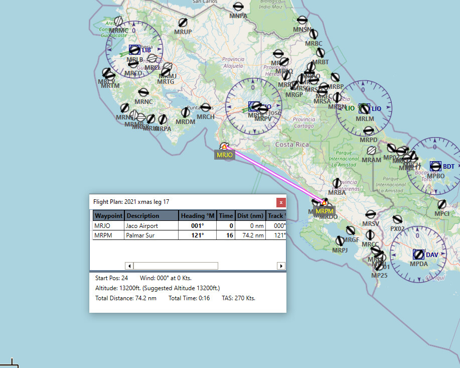
In our continued series of “How to Kill Yourself in an Islander” we will again be continuing S down central America in the Islander.
Todays flight started off in nice clear promising weather (don’t they all…)
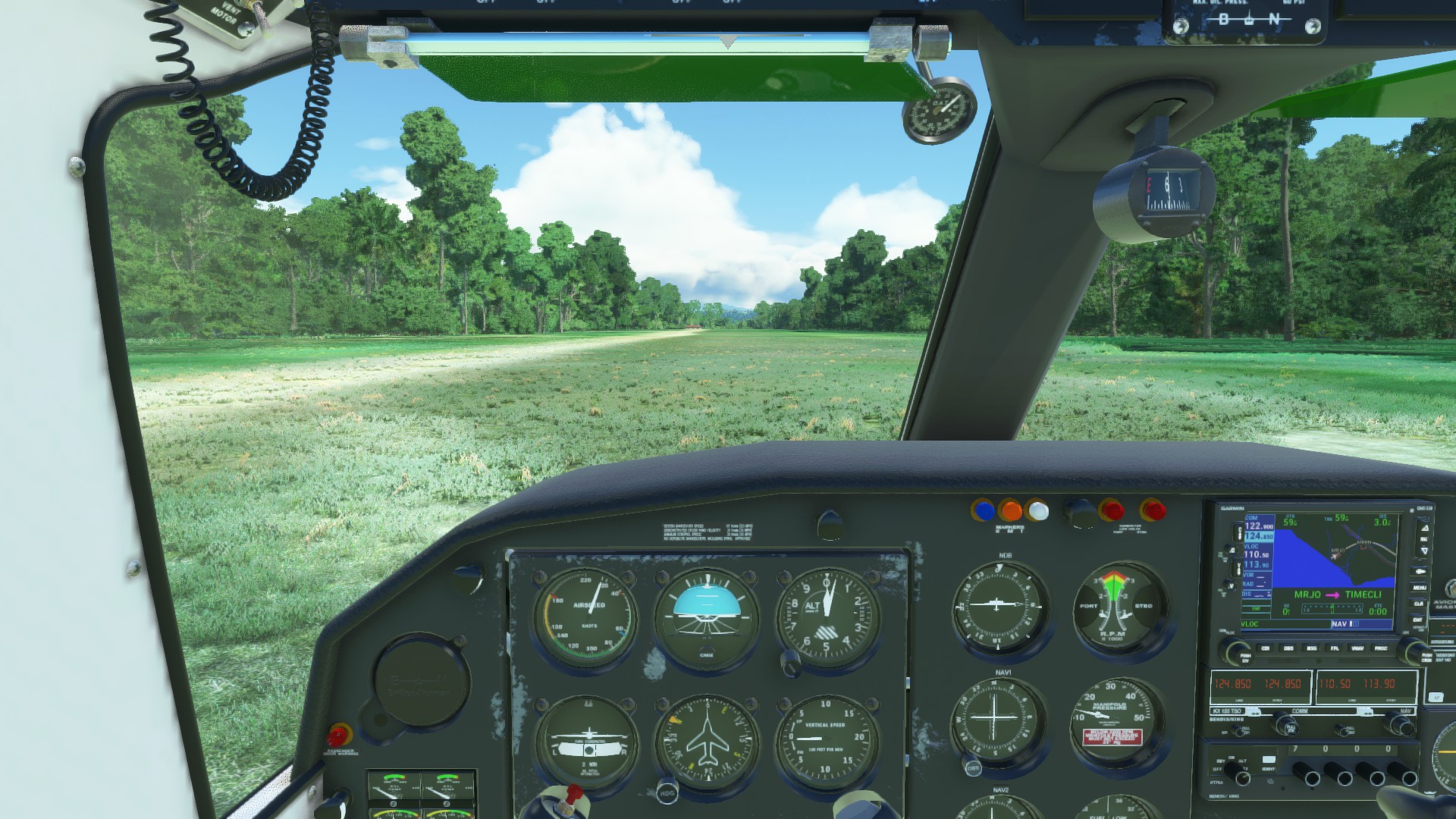
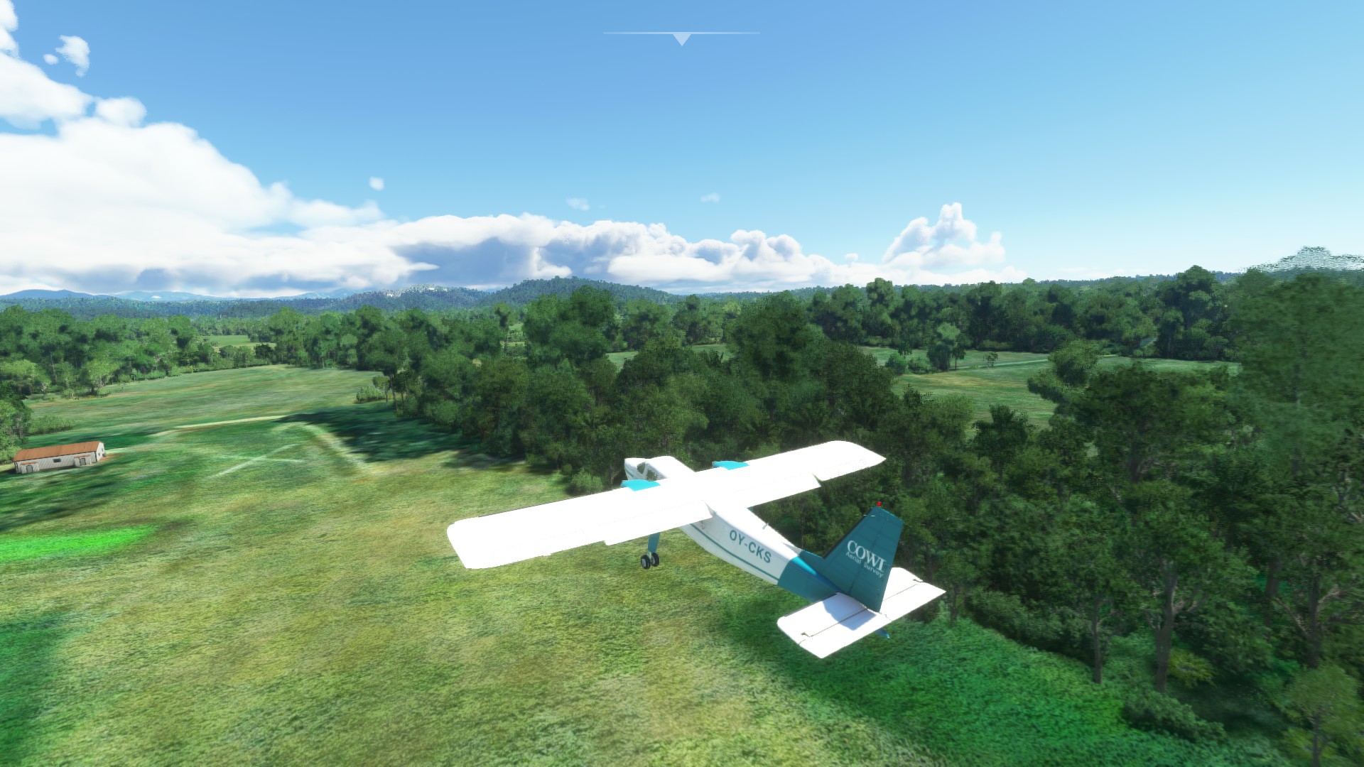
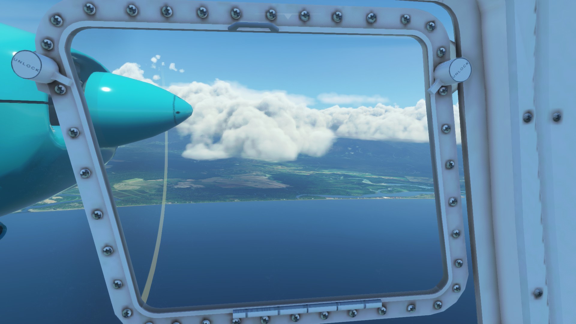
And here comes the rain we knew was lurking around here somewhere.
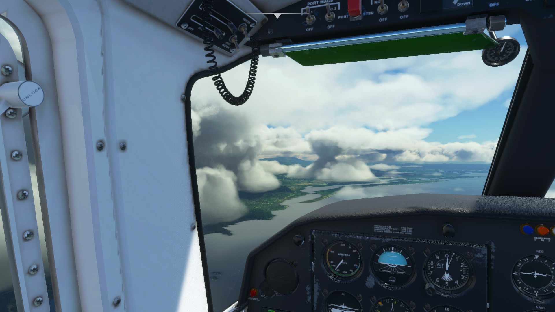
Down into the murk AGAIN, I swear I have spent most of my time in central America descending into clouds that may or may not have mountains in them.
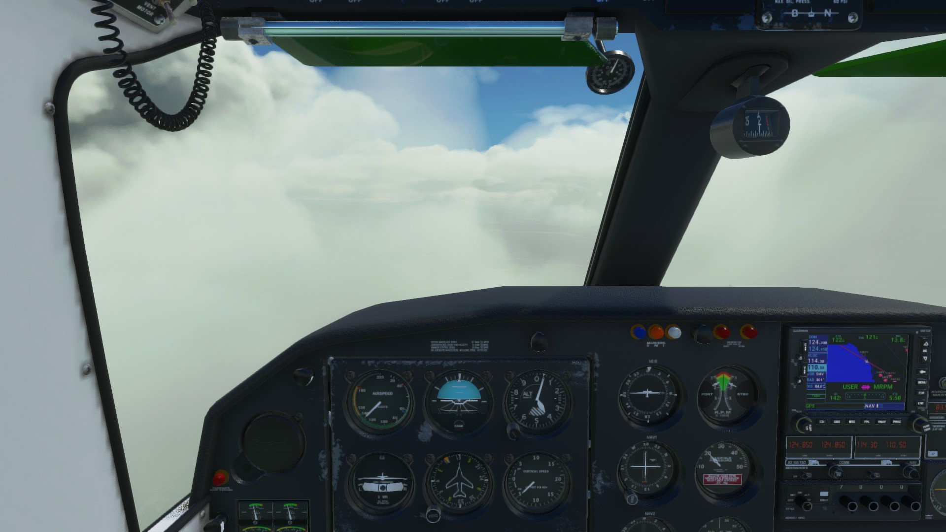
Surprisingly no mountains, and reasonable weather under the layer.
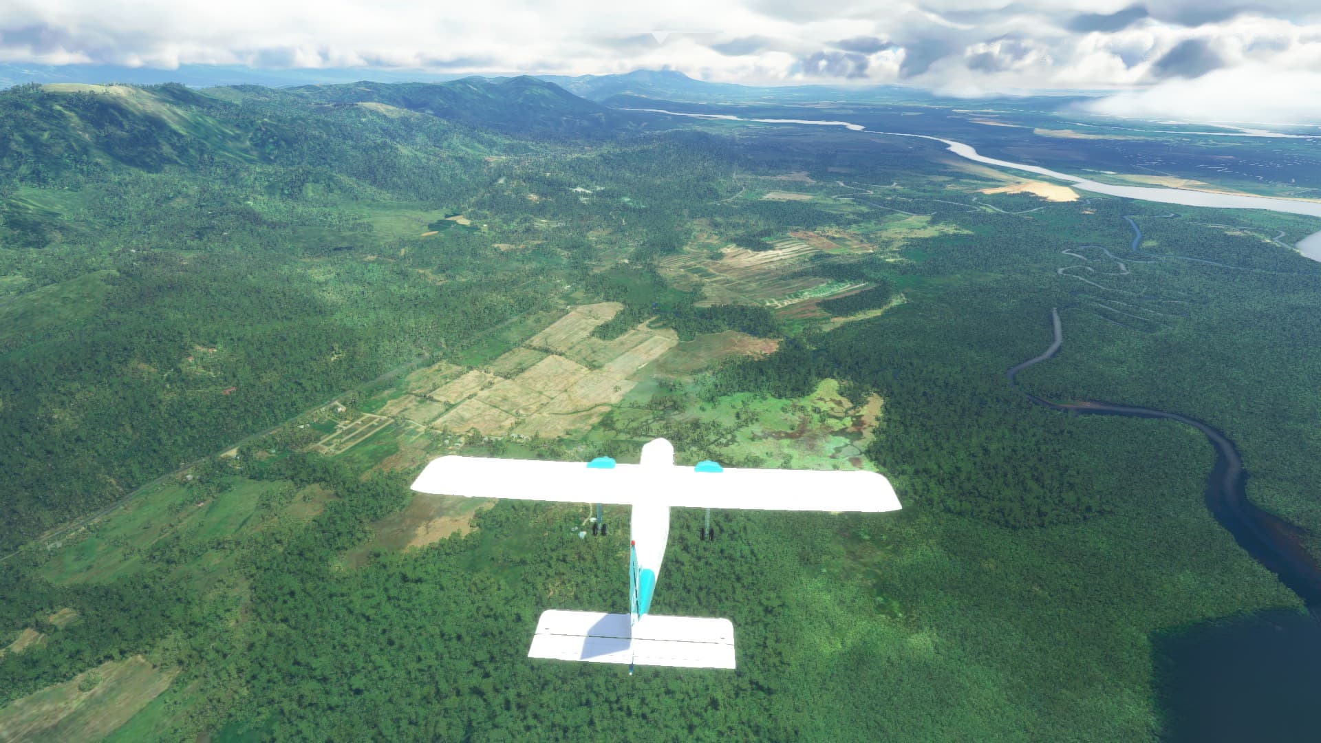
Down safely
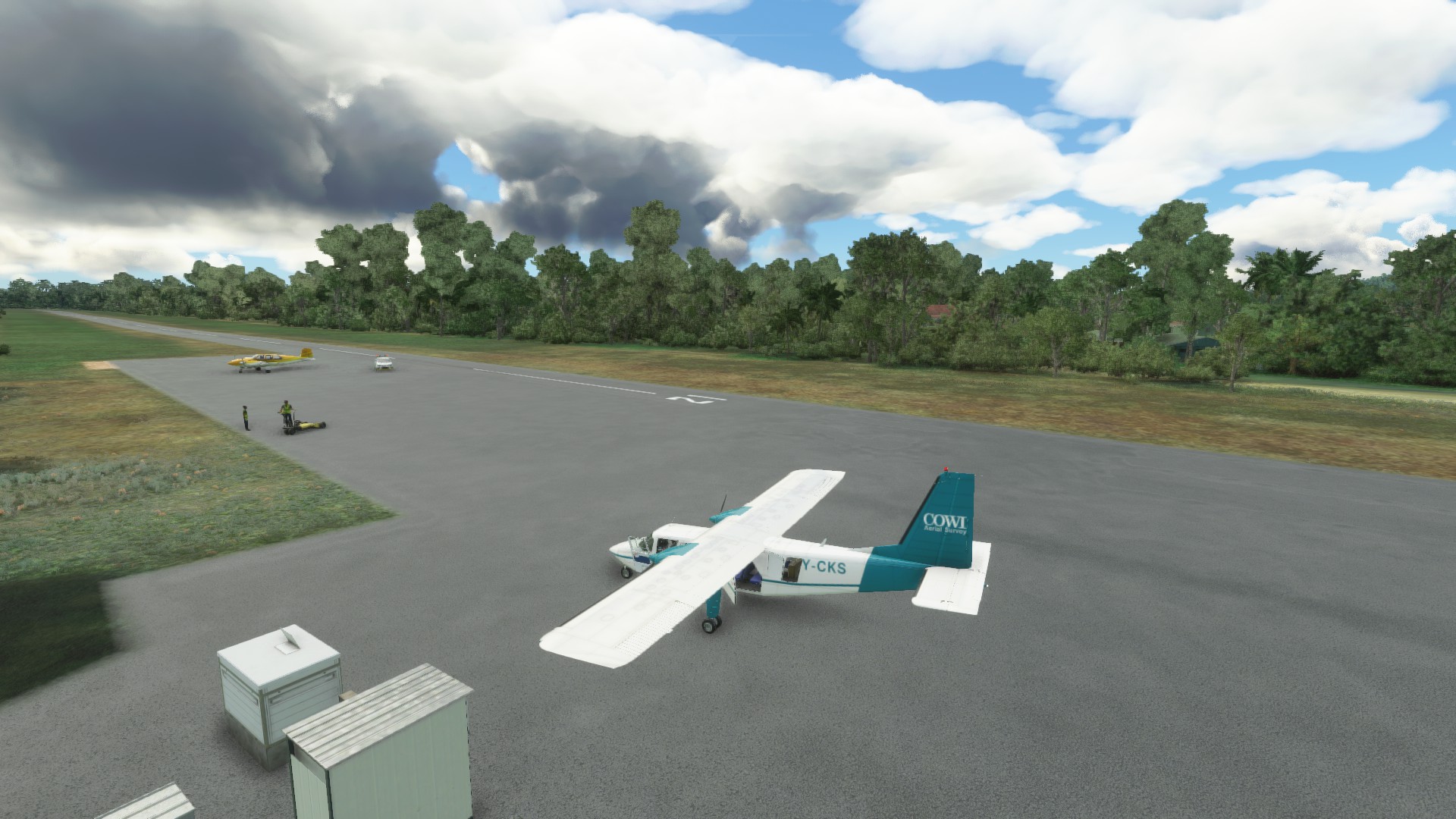
I swear my last flight gave my a bit of PTSD about descending through a cloud layer. We made this little short hop to pickup a few thousand feet of extra runway space for out next flight.
11 Likes
Leg 17
Palmar Sur to Howard AFB (now known as (Panamá Pacífico International Airport)
229.3 nm
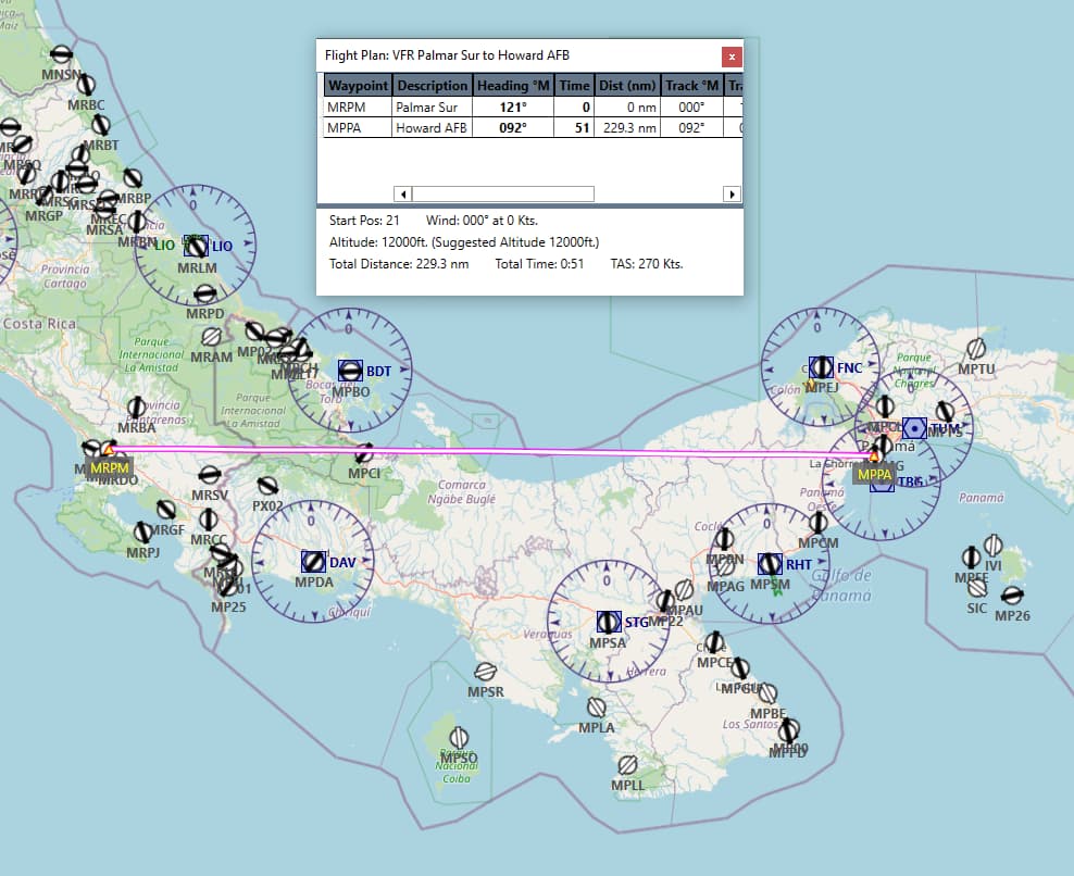
For this trip which is about double what I’ve been doing so far, I figured something with a bit longer legs would be good. Enter the PMDG DC-6. I took the advice of folks here on MS and picked up the DC-6 over the Connie, and this the first real test flight of it.
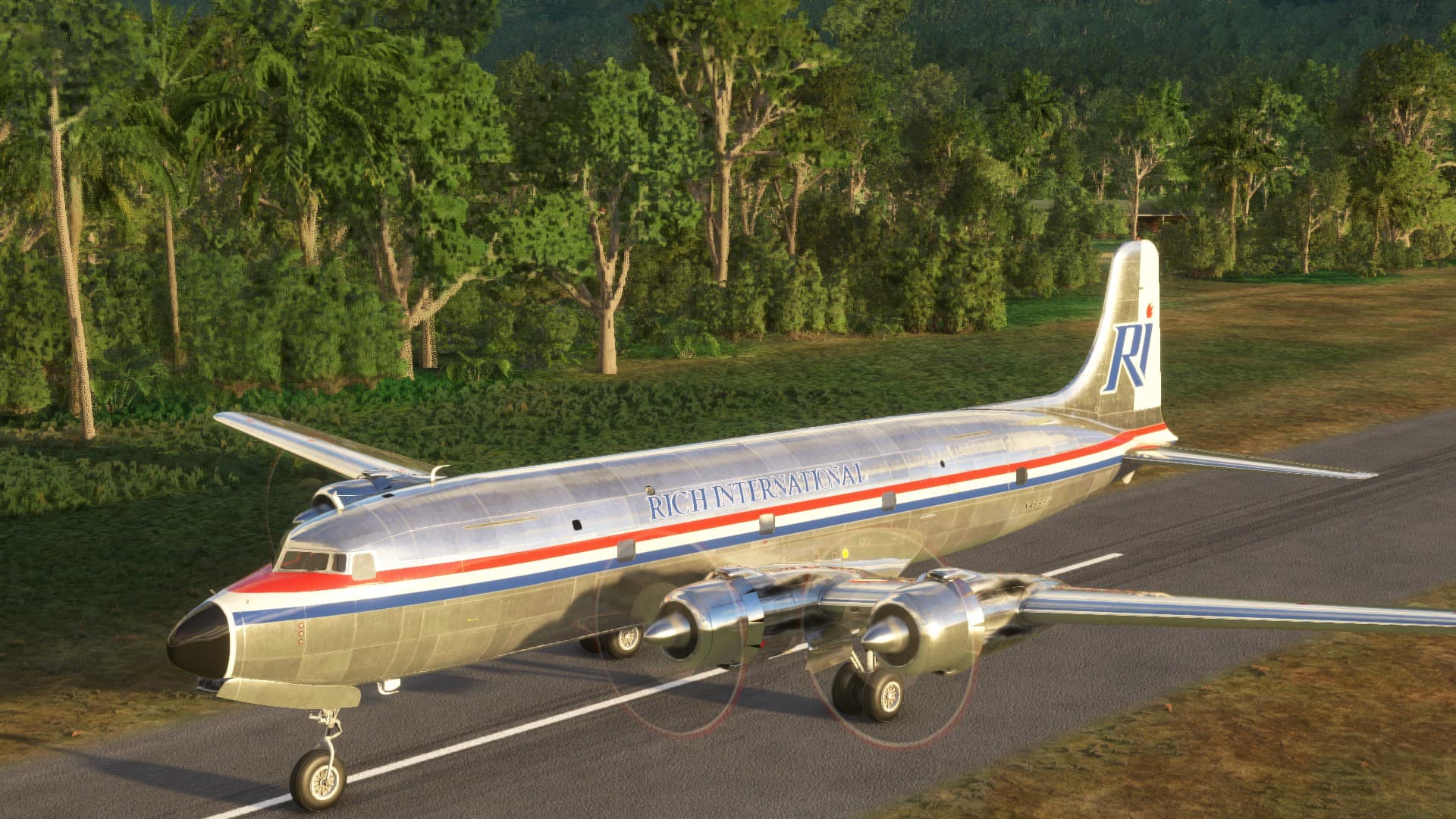
A completely empty DC-6A can take off with a 4000’ strip with a bit of room to spare. A 50% loaded one will not. I mean according to the POH, not that I tried that and fireballed or anything…
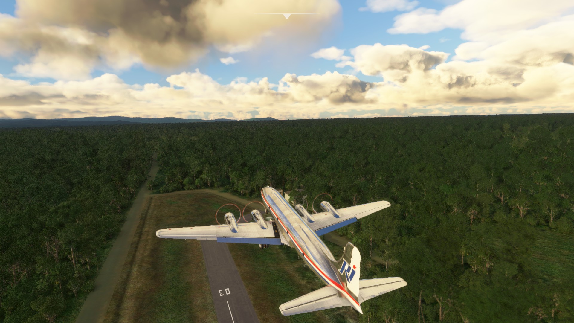
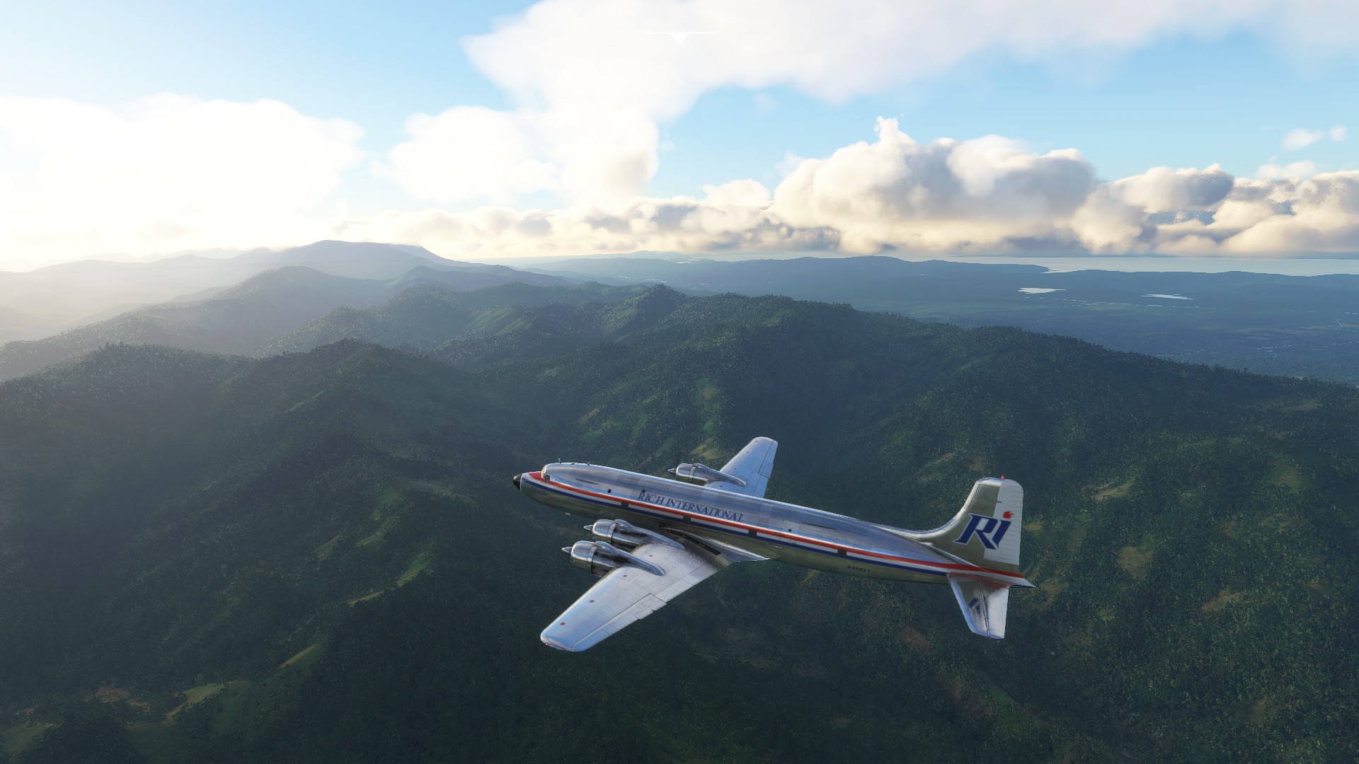
Pleasantly above the clouds at around FL150, about 230 KIAS in cruise.
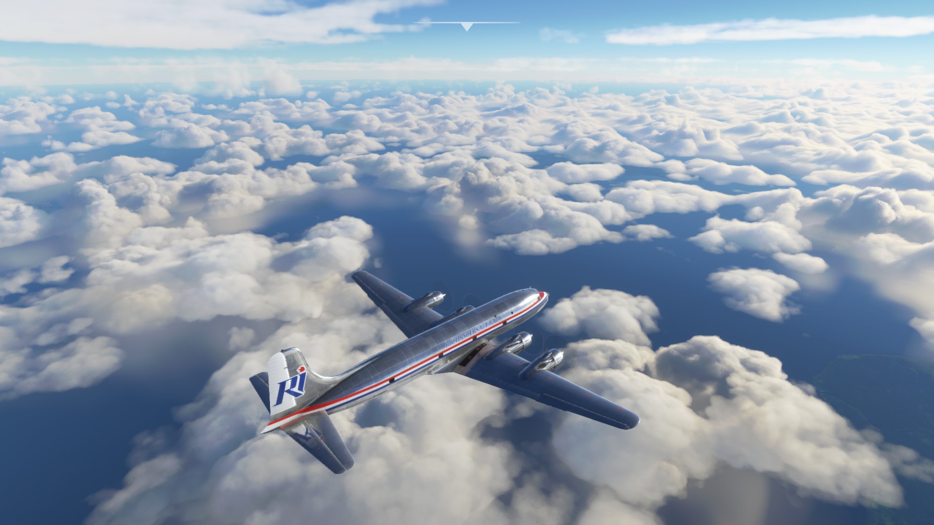
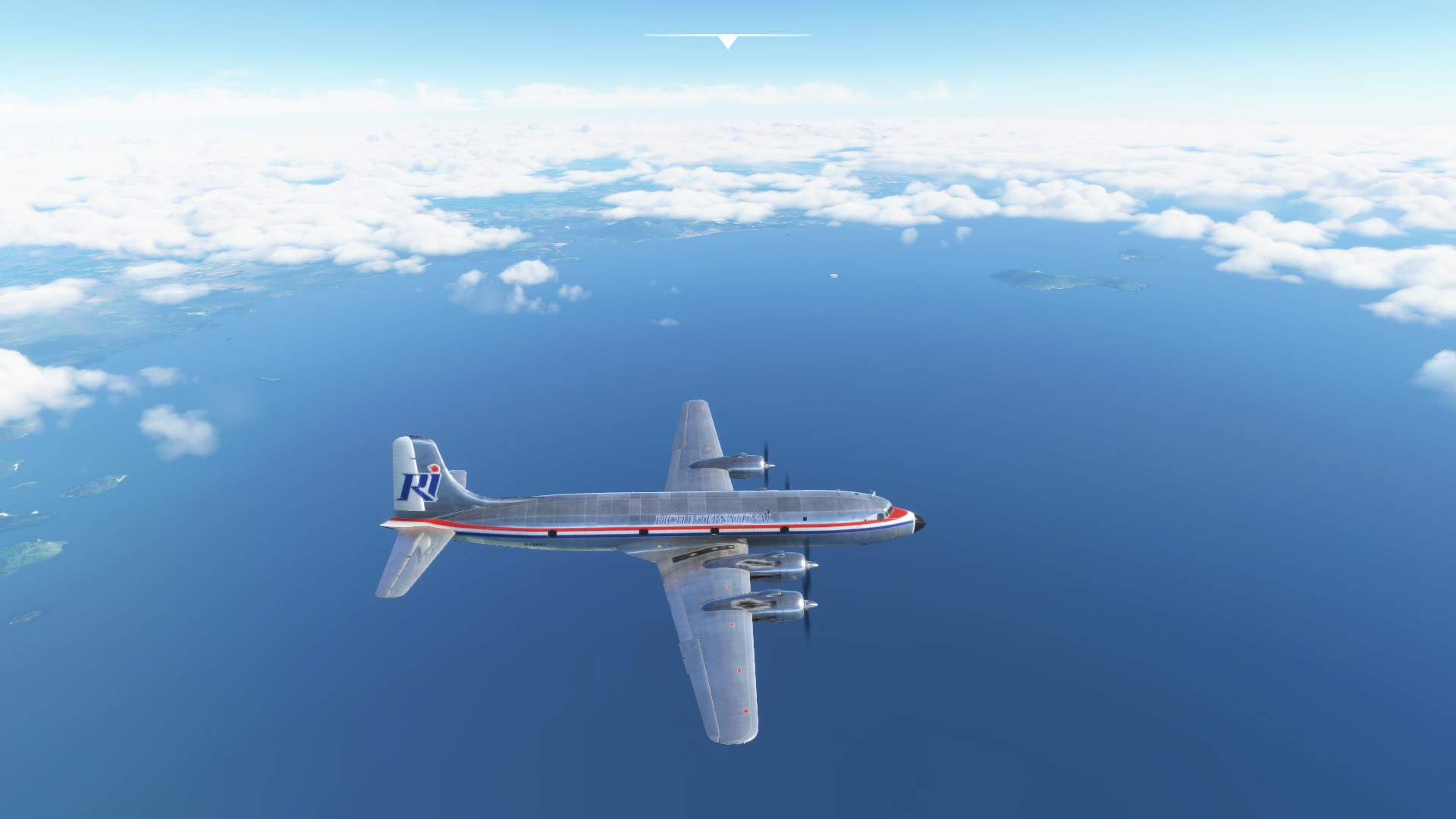
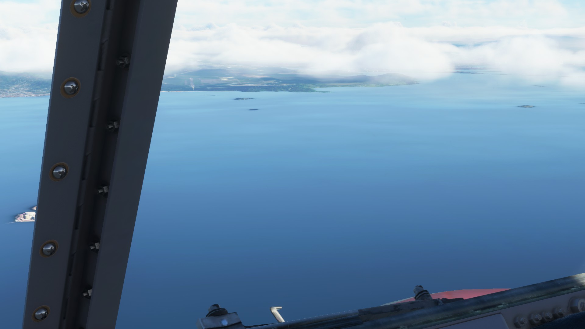
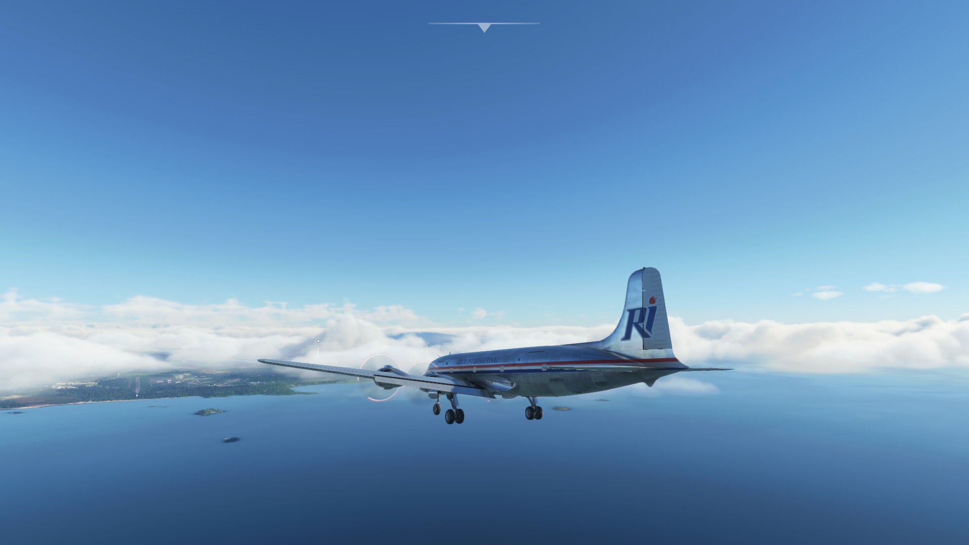
Overall she flies very well, and as I have had a chance to mess with the DC-6 more I am finding plenty of details to keep my busy. Overall a very solid addition to the virtual MSFS hanger.
8 Likes
Change of plans.
With the most of this Christmas flight behind me, I decided to alter a bit the plans and for the leg Comodoro Rivadavia (SAVC) to Presidente Carlos Ibáñez del Campo International Airport (SCCI) in Punta Arena in Argentina go for this:
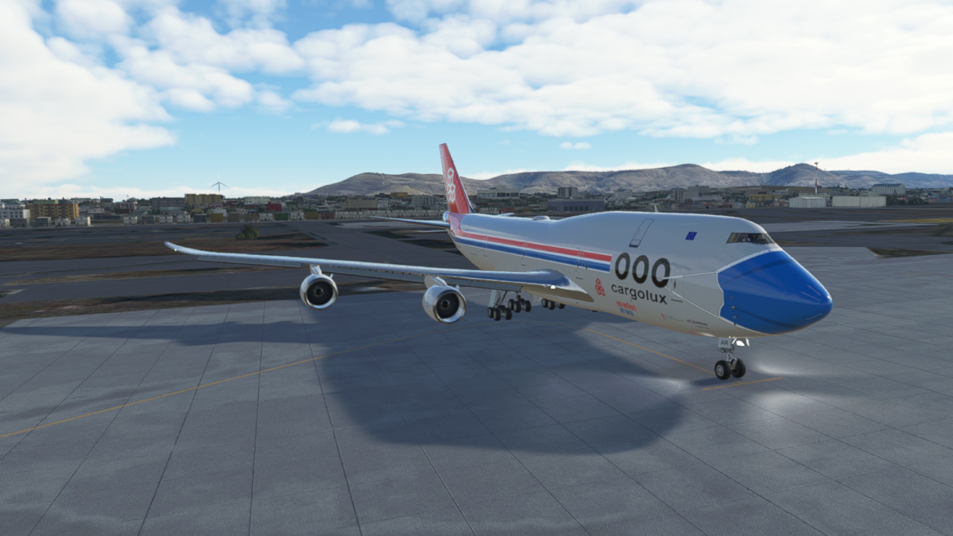
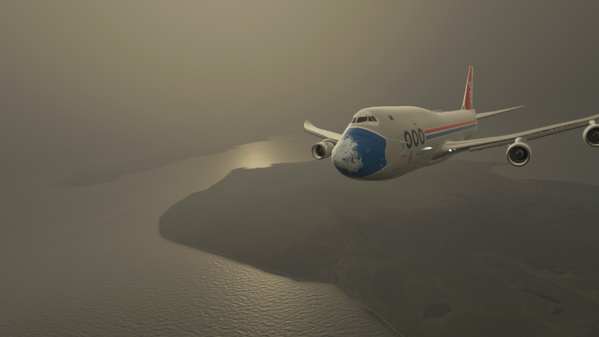
Such an animal was completely out of my interest but since this flight is about hauling some cargo, why not to do it on a large scale for once 
After spending some 20mins in the cockpit and then fiddling with the autopilot, I thought I was good to go. The MSFS rendition with the Salty mod is far from full-fidelity simulation so, on the other hand, very much accessible to noobs in this category (like myself).
Ehm…
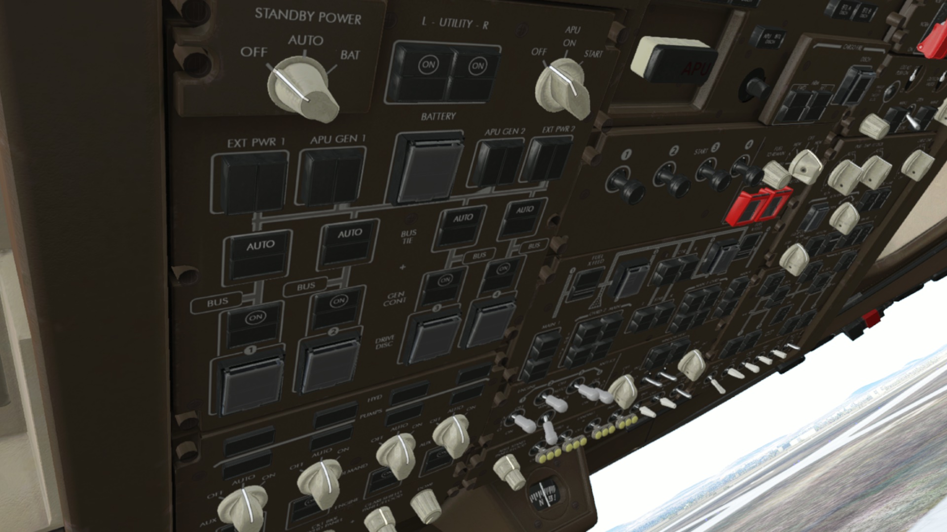
Ehm ehm… The CJ4 has two big calculators in the cockpit and this one has got even three of them. So it must be a better plane, right?
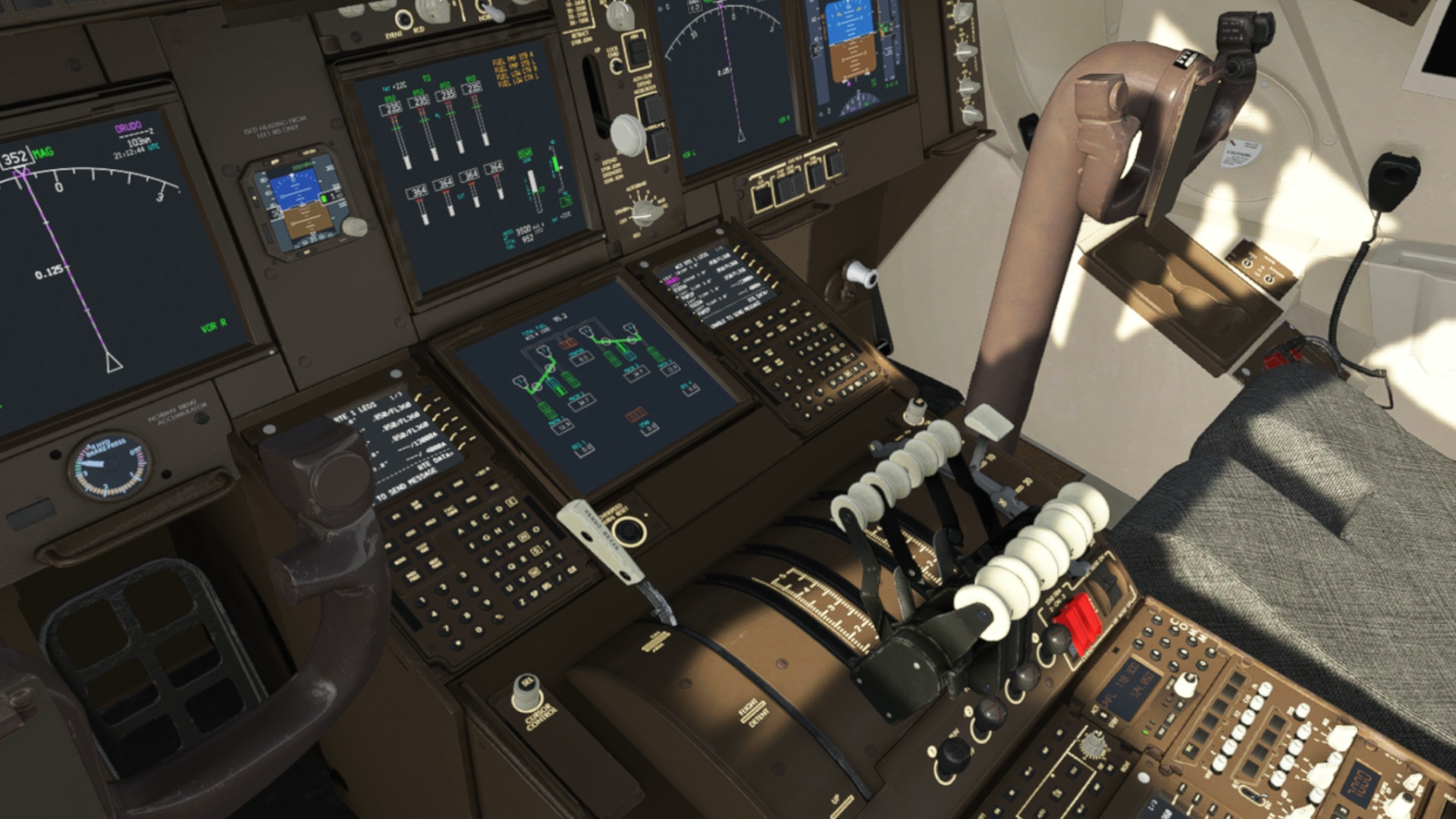
Anyway, the inbuilt interactive checklist got me running in no time (some 7+7+2 items only ). Let’s check how this heavy bird flies.
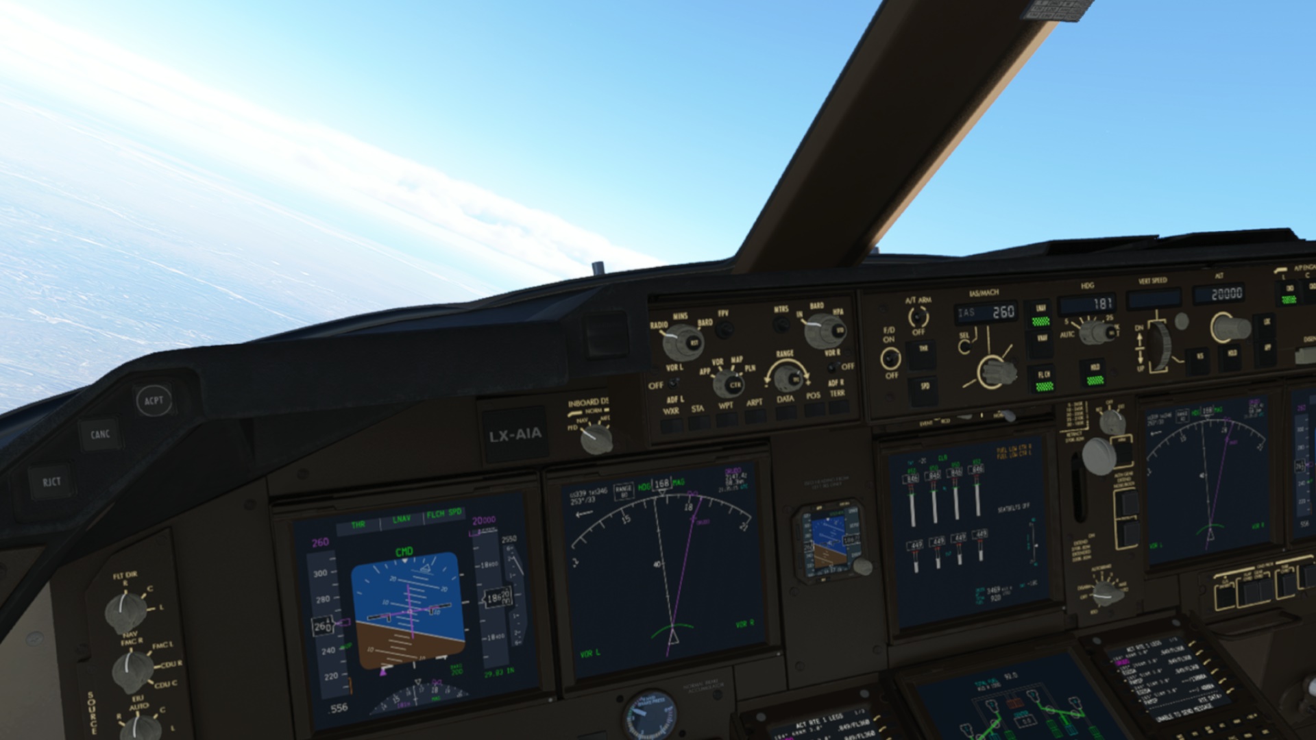
Probably quite well if you know what to do. I mean… many switches, knobs and levers are inoperative, though I have to say that the remaining (operative) bunch got me confused initially as I was unable to set up the autopilot properly. For some reason, the Heading mode got stuck in (unable to disengage) and the aircraft just refused to follow the heading dialed in. Doh! I swear it worked during my first flight.
So AP off and hand flying to bring the 747 on the desired course (=magenta line). From there the AP resumed LNAV and all was fine. Uf!
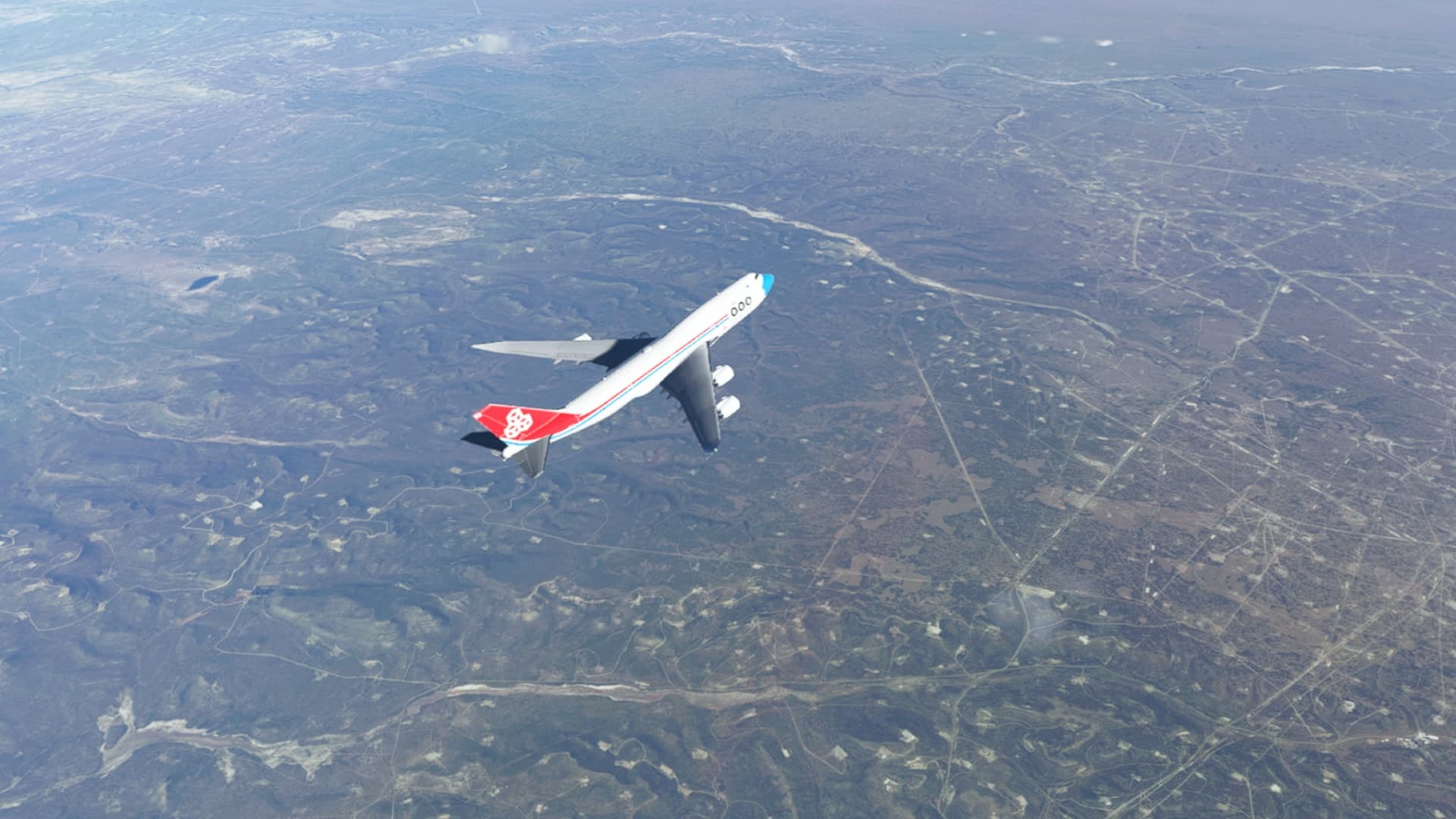
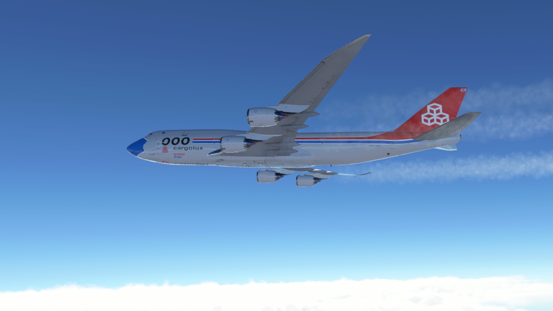
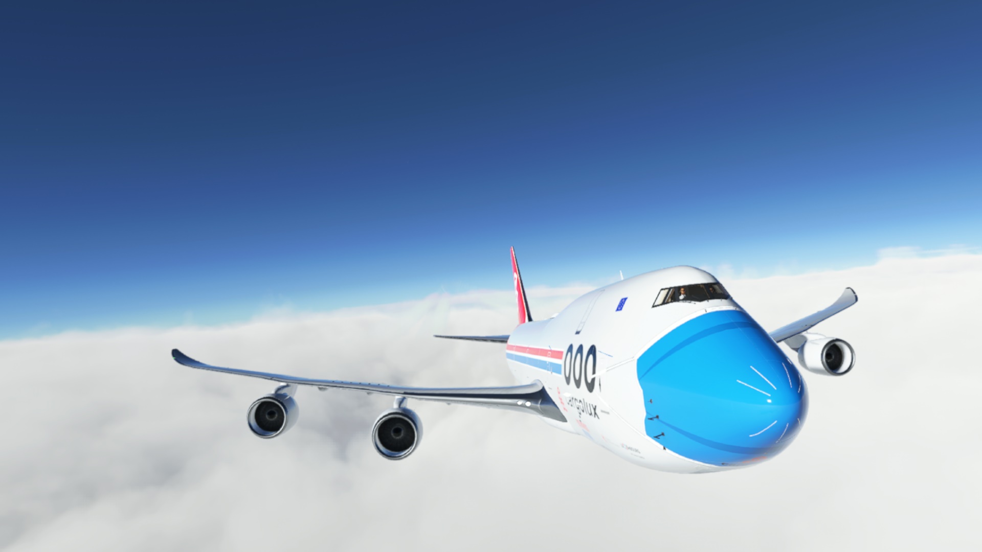

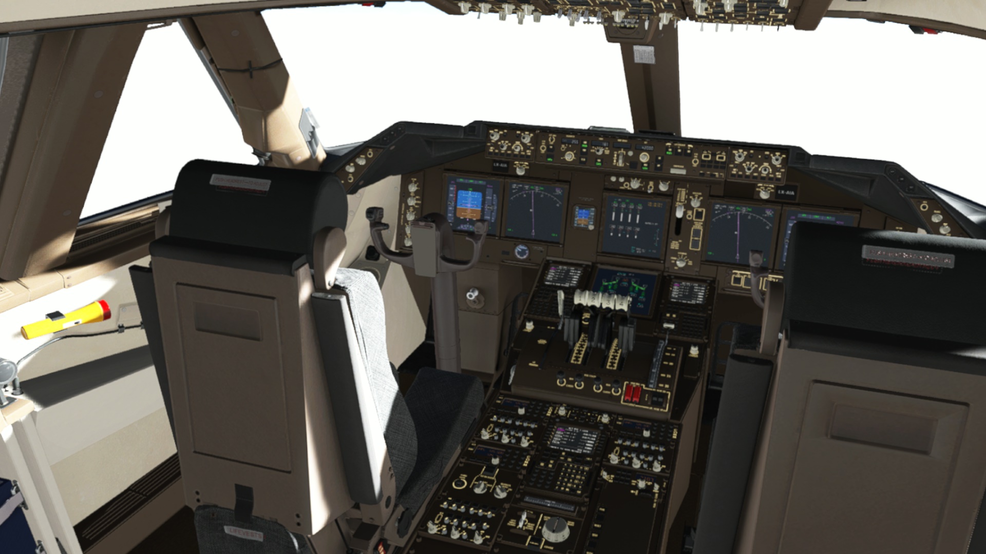
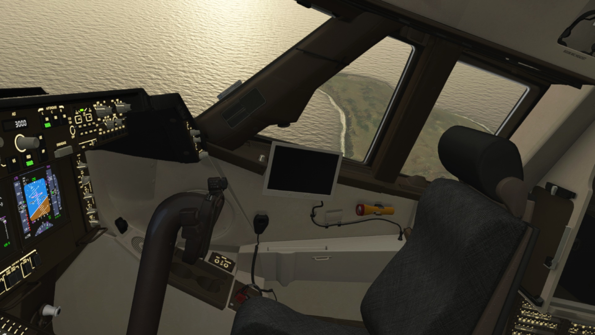
This is one big cockpit. I think it is only in VR where one can truly appreciate its size. 2D just does not do it justice.
Picking up some ice.
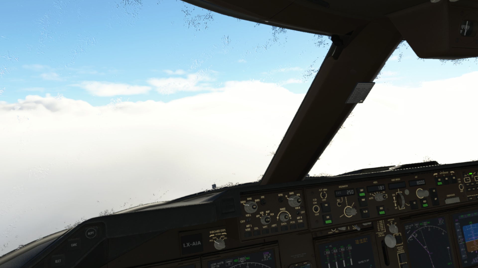
No wonder in this weather and outside temperature.
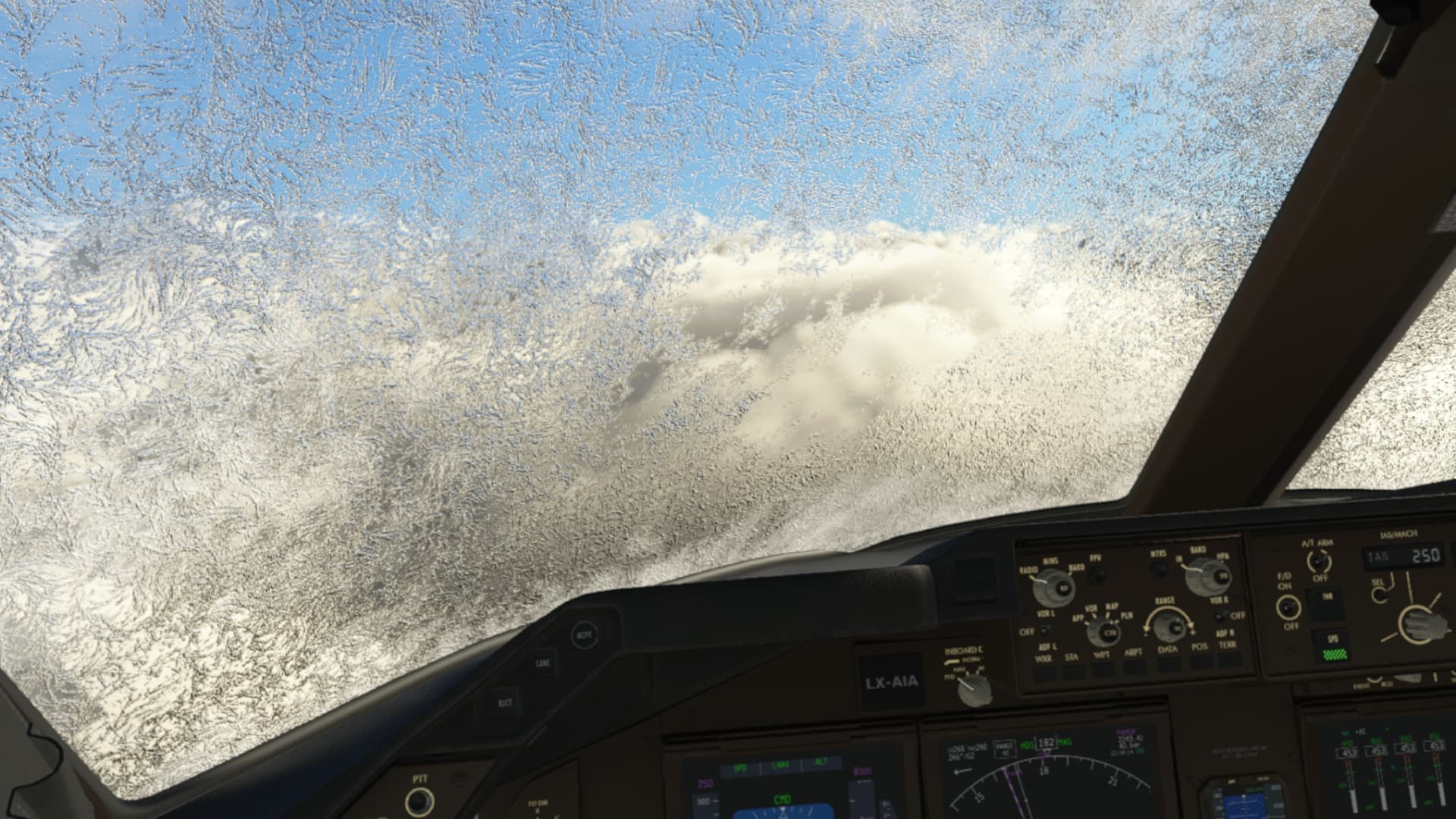
Picking up some more ice. De-icing equipment already doing its job.
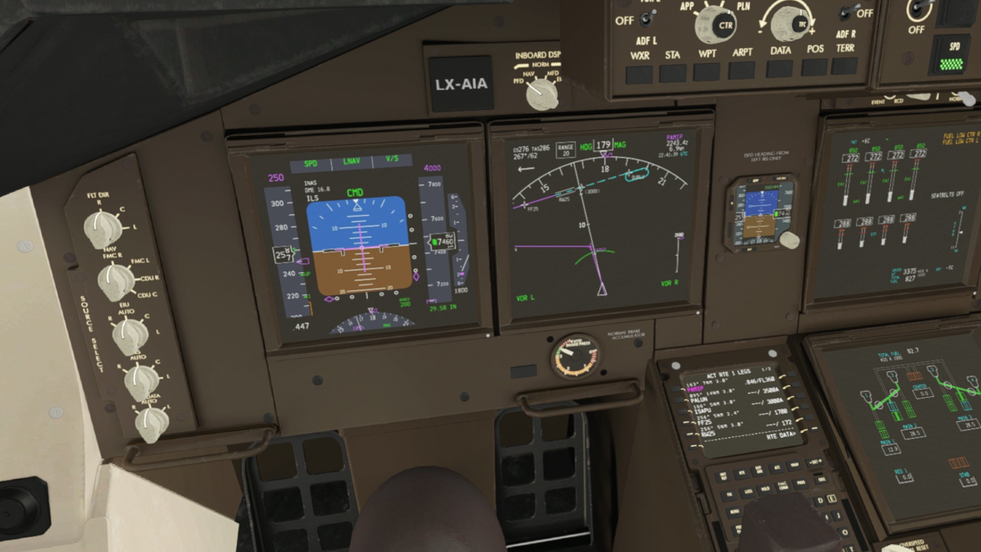
Check the wind: 267/62 at an altitude of 7500ft. It seems like I will be in for some bumpy landing.
Finally seeing some land. Though still pretty much in a soup.

Approaching the Rwy25.
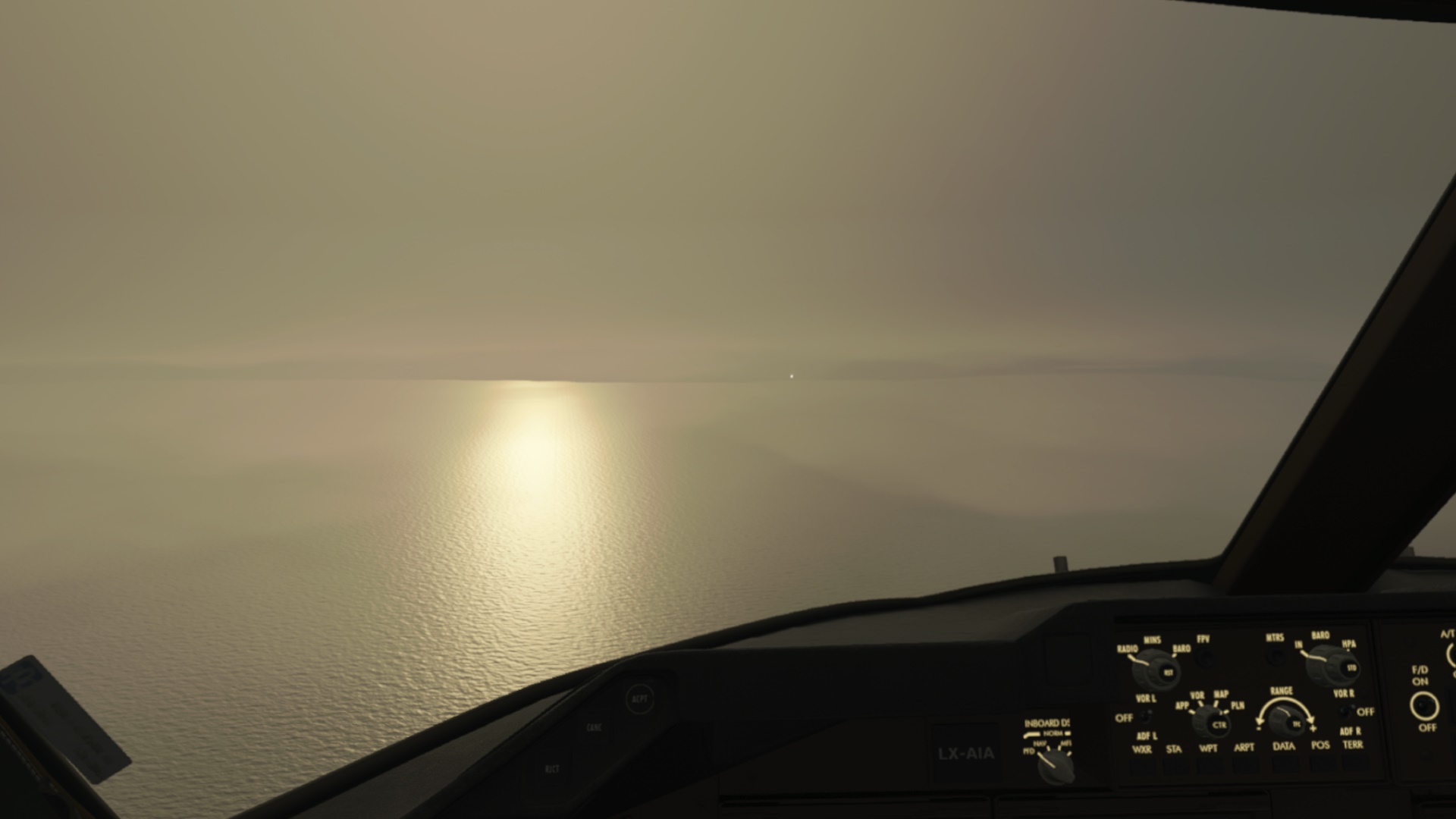
The weather was not so bad in the end. However, the wind remained to be quite strong (277/51 at 1700ft).
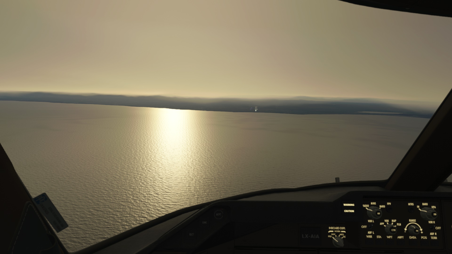
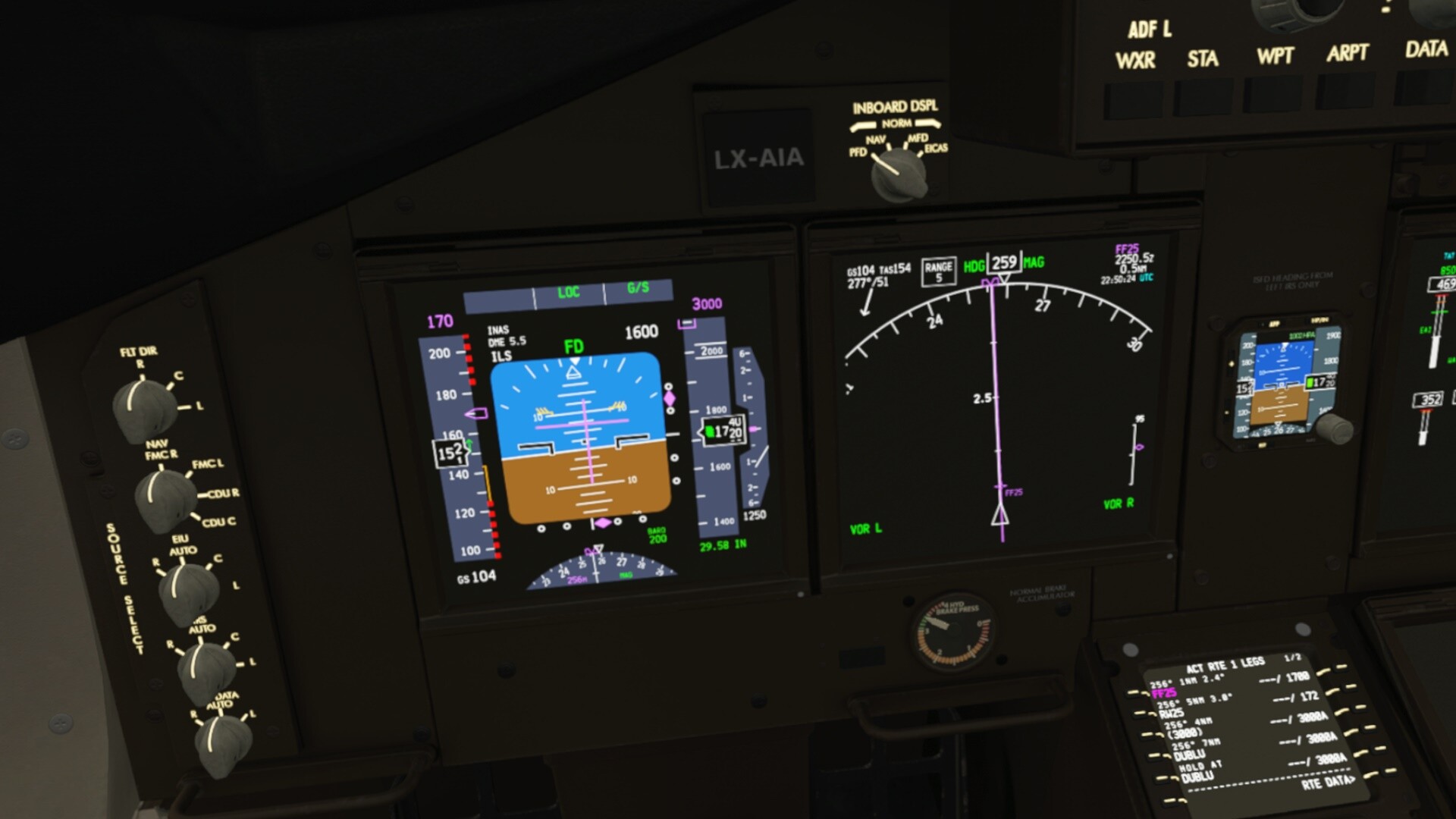
Landing. I touched down late down the runway actually since I had no idea about the approach and landing speeds. Next time I need to check how to set them via the FMC.
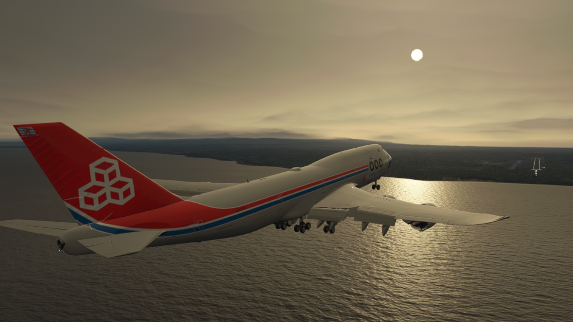


(You know this joke: Tower to the Captain: You landed a bit to the left of the centerline, Captain. Captain: Yes, and my FO landed a bit to the right of the centerline. Clearly not applicable here
)
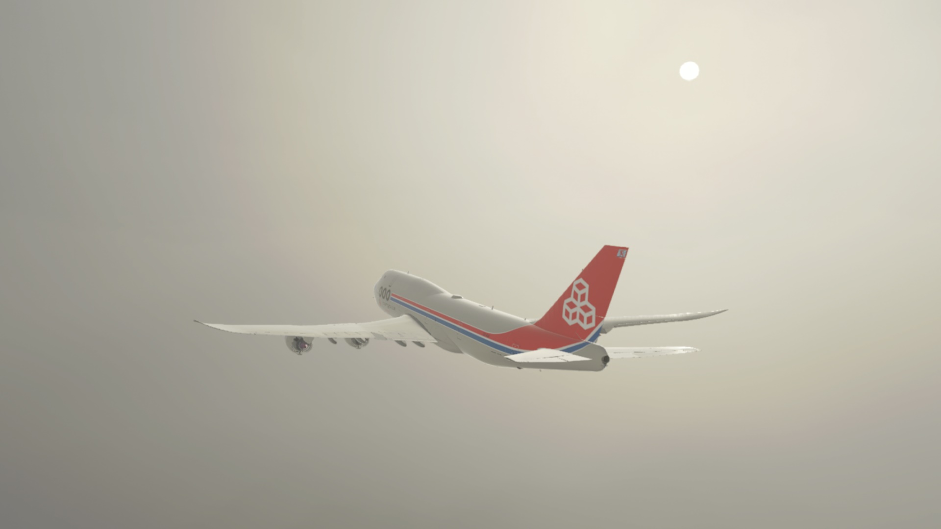
At the gate. Here I realized I was flying a cargo plane  It looks like it will be a long jump to get on the finger
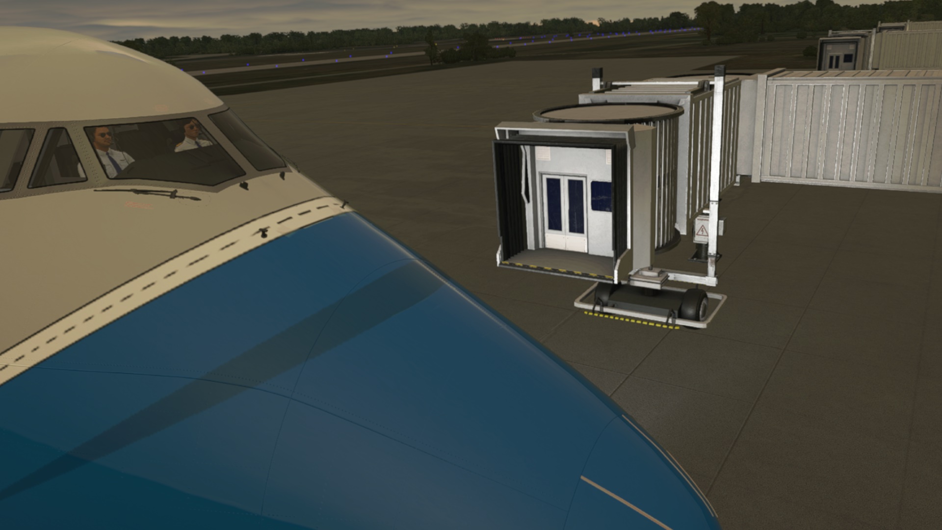
Will I continue flying the 747? Not my cuppa to be honest. It is a different kind of flying (I am more GA maybe up to CJ4 / Longitude and classic props of course!), though maybe if the MSFS version gets more polished. Let’s see…
What’s next? Scale down a bit and take a JustFlight Arrow to explore a bit the area towards Ushuaia (SAWH) or perhaps Guardiamarina Zanartu (SCGZ) before jumping to the final destination.
8 Likes
Nice job scaling up and getting her on the ground in one piece, given the conditions.
3 Likes
Leg 21: Nasca/Maria Reiche Neuman, Peru (SPZA) TO Cusco/Alejandro Velasco Astete Airport, Peru (SPZO)
OR Speak of the Devil…
At this point I have lost my internal compass a bit and find myself floundering as to where to go next. I’d like to see the best that the continent has to offer, but I know that my time is finite.
I had been debating about going to Machu Picchu. @PaulRix had done such a great job of visiting the site and I knew that my freeware scenery was not going to hold a candle to it. But, after having come all this way, how could I not?
So. First step, get thee to Cusco!
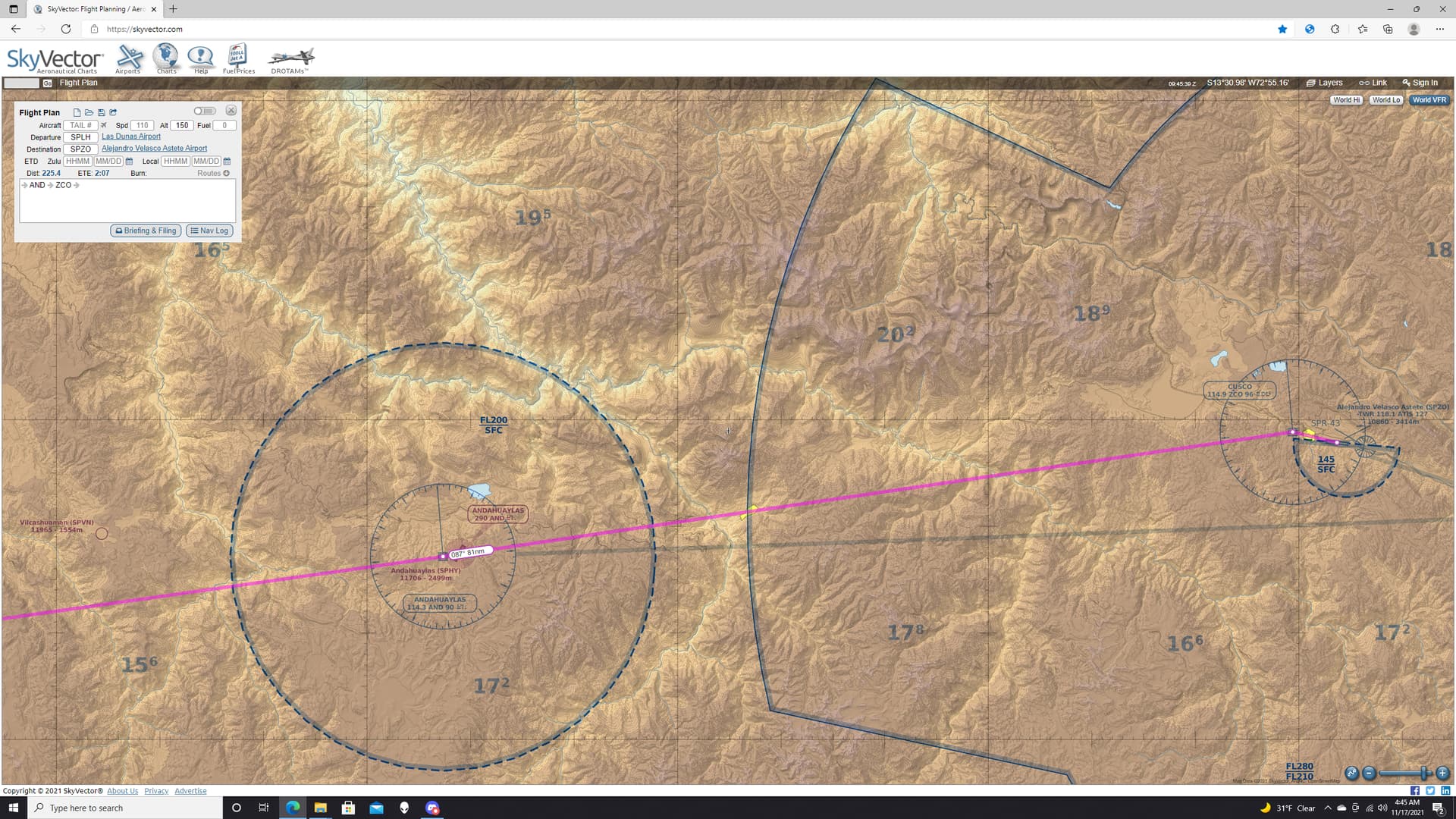
This seemed like it would be fairly straightforward (doesn’t it always?). The weather in Nasca and Cusco was VFR. The mileage was a reasonable 250NM or so. Both airports were in both real life AND the sim.

I thought for the challenge of mountain flying I’d take the Electra, in Delta Air Lines livery by Jan Kees.
She was a bit cranky starting up, but I quick started her into submission.
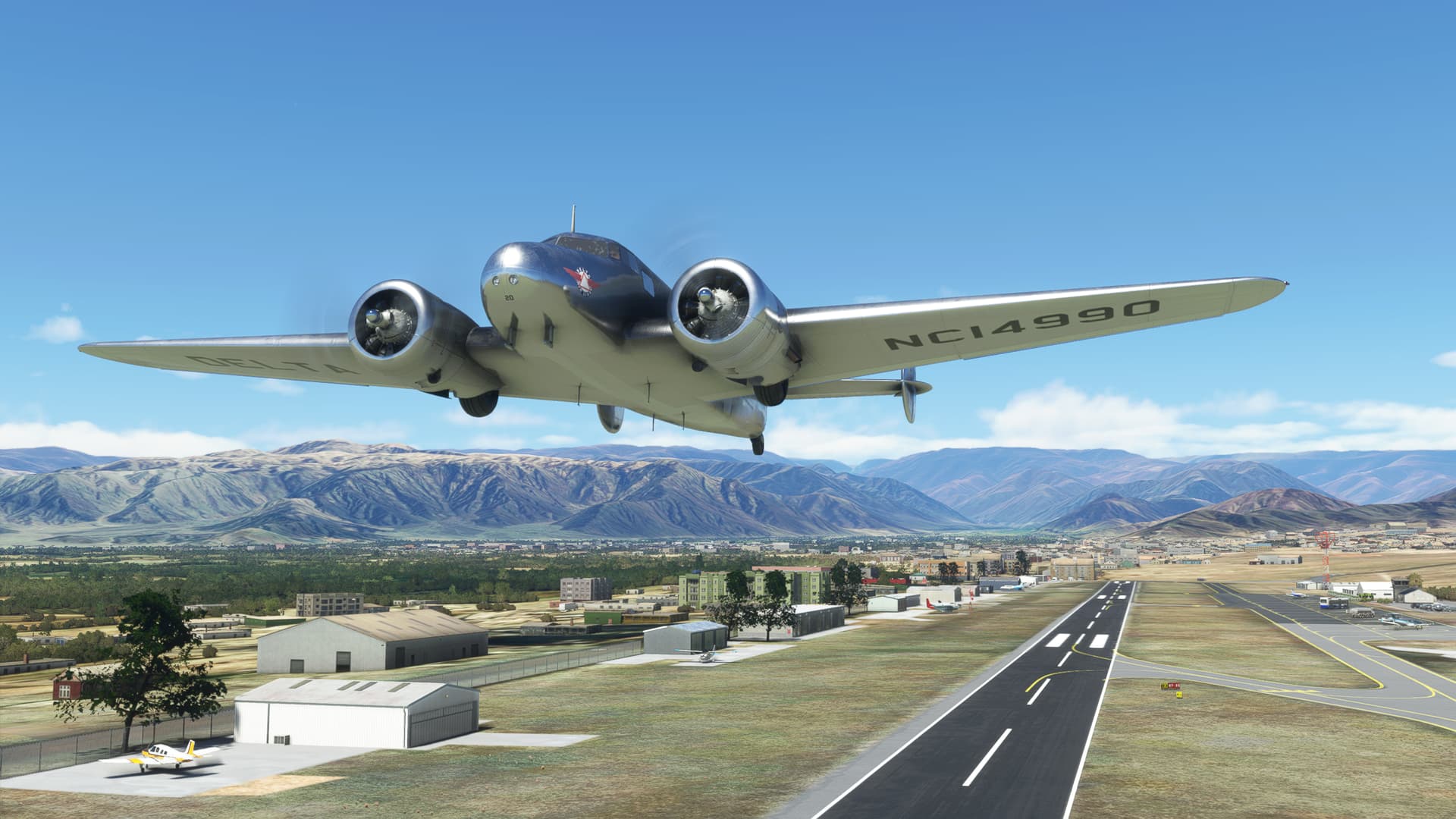
The initial turn on course placed me conveniently in the Rio de Aja valley for the climb out. I had half been expecting to circle up before I entered the mountains.
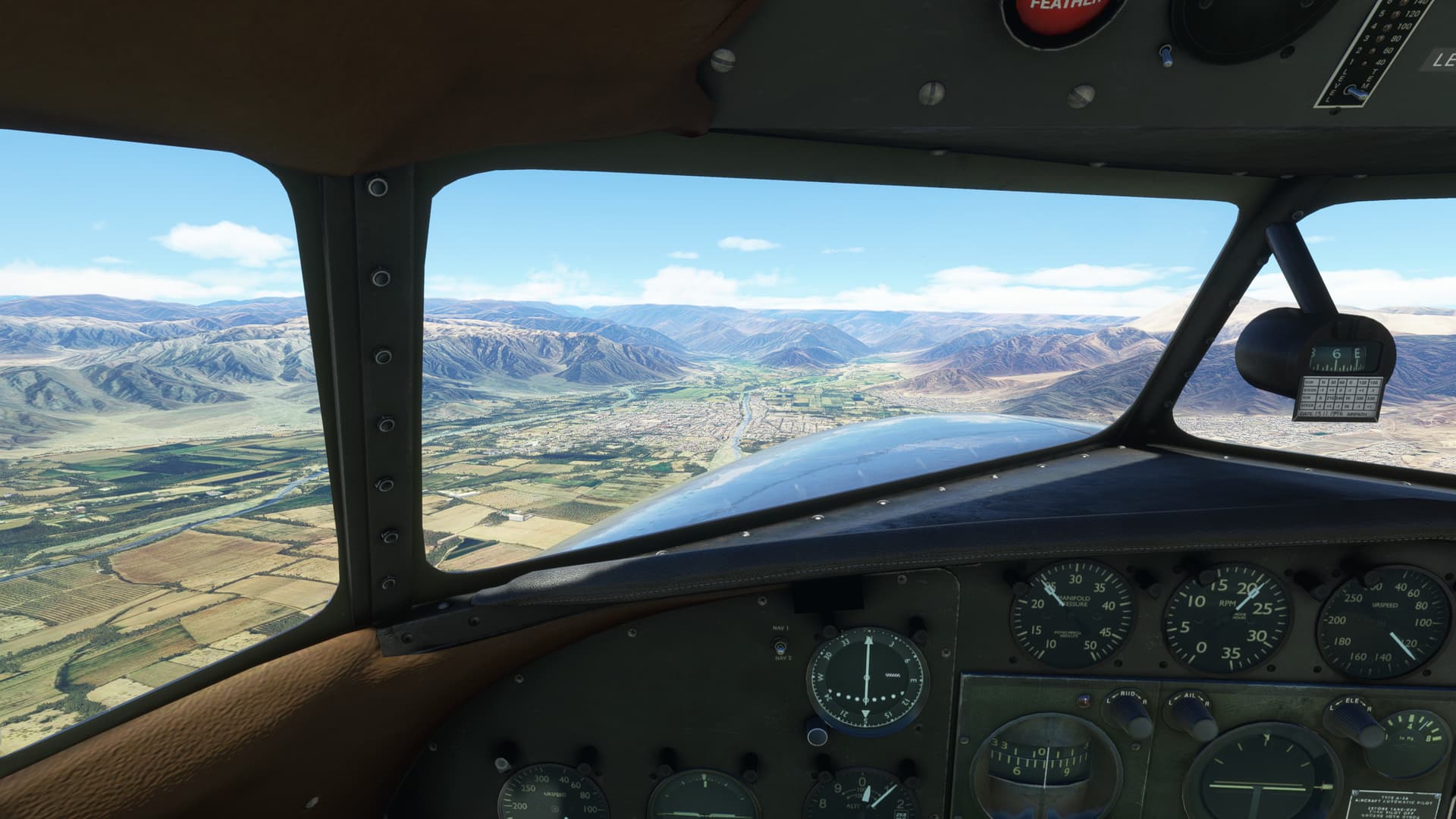
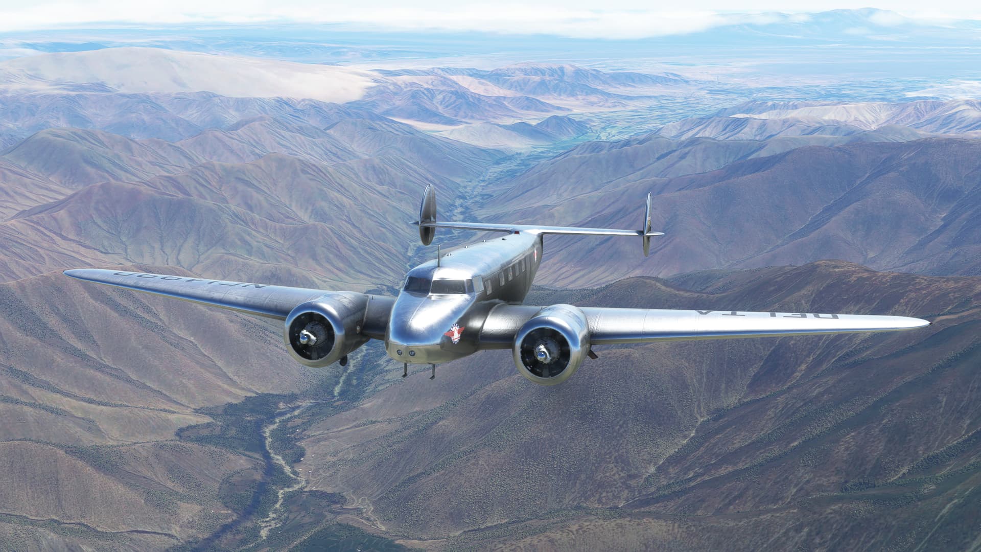
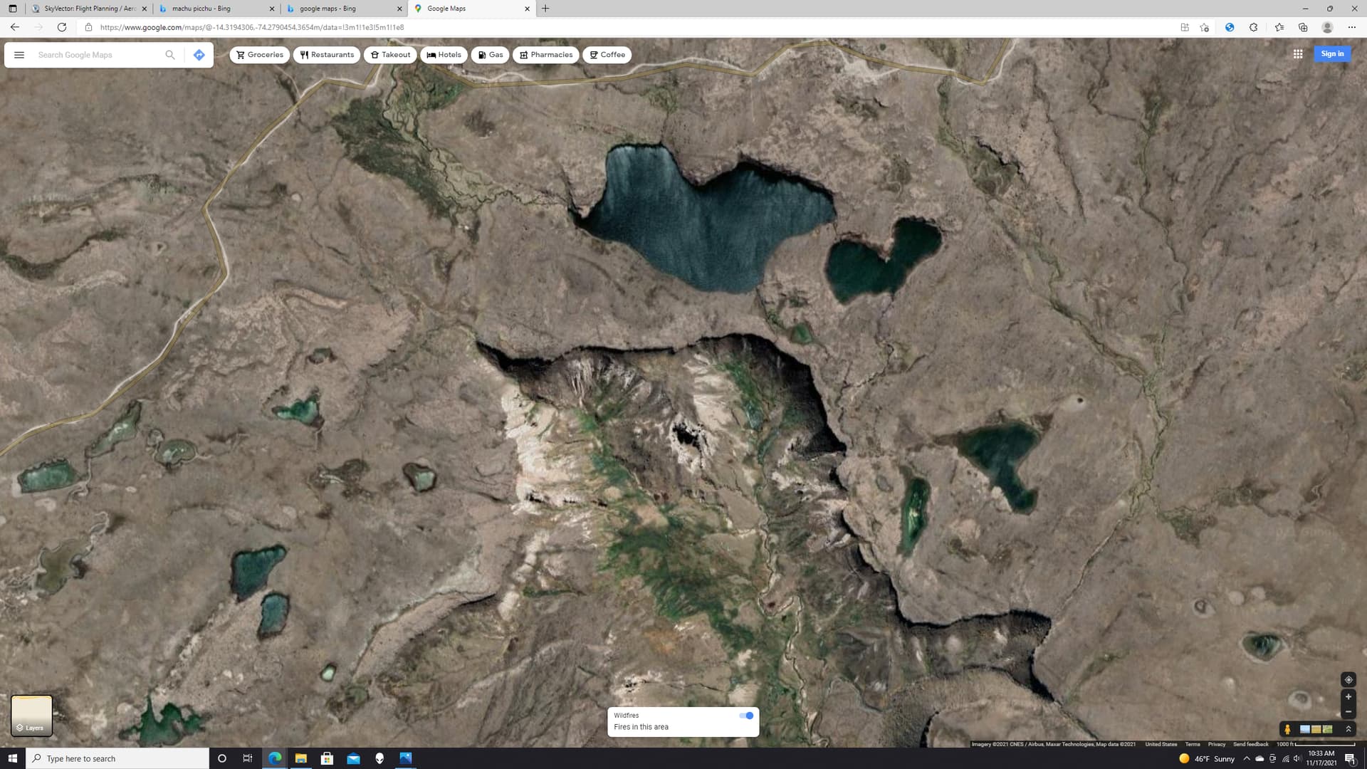
As seems like SOP now, I turned to a best guess heading and waited to pick up either a terrain feature or a radio signal. After 20 or so sweaty minutes, I got a sweet lock on both the Andahuaylas VOR (AND) and the NDB and found myself over a beautiful stretch of volcanic flatland lakes that must be amazing to see in real life.
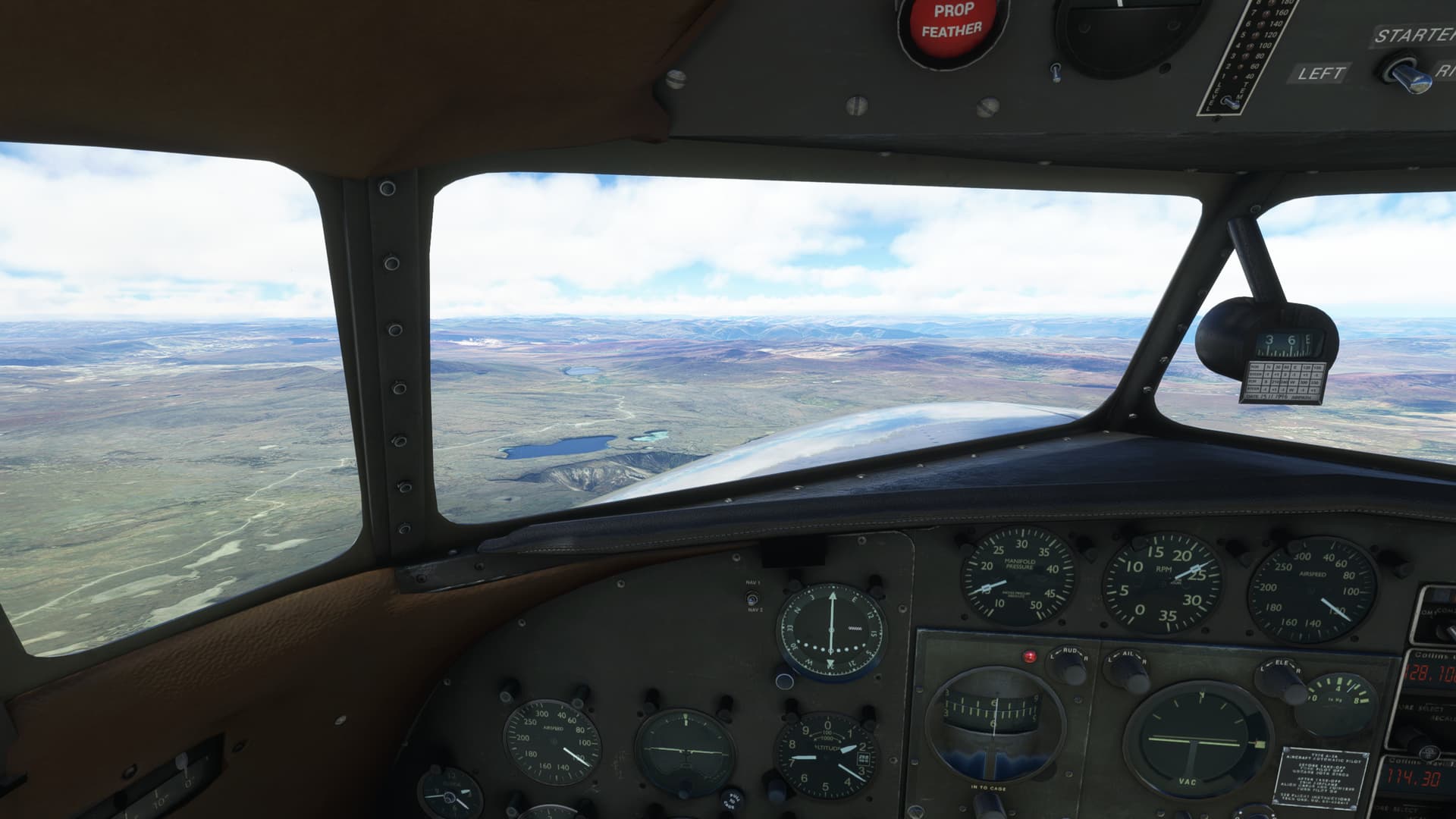
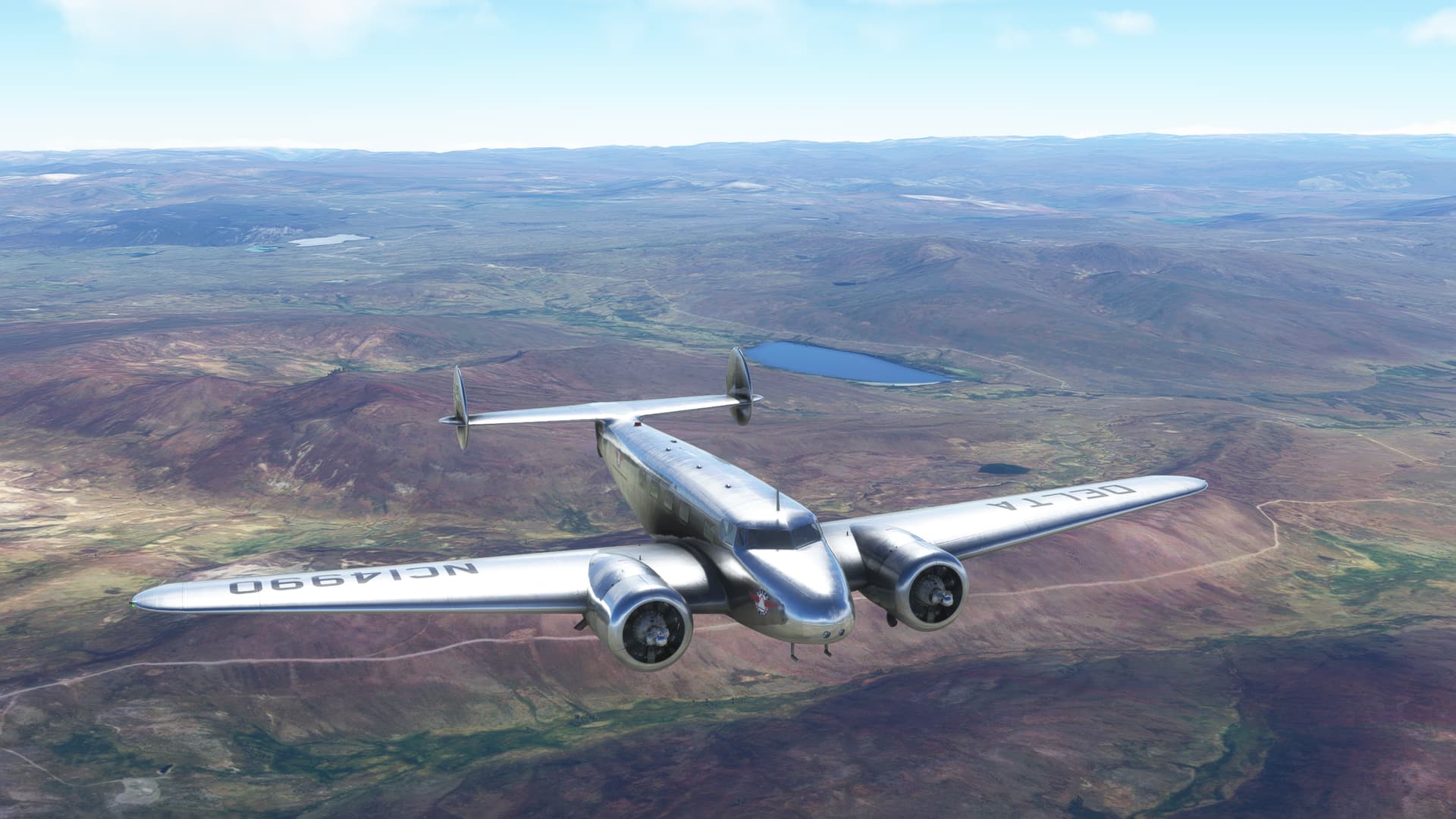
I was feeling pretty good about the flight (it’s funny how often I say that), when the first hints of cloud began capping the mountains.
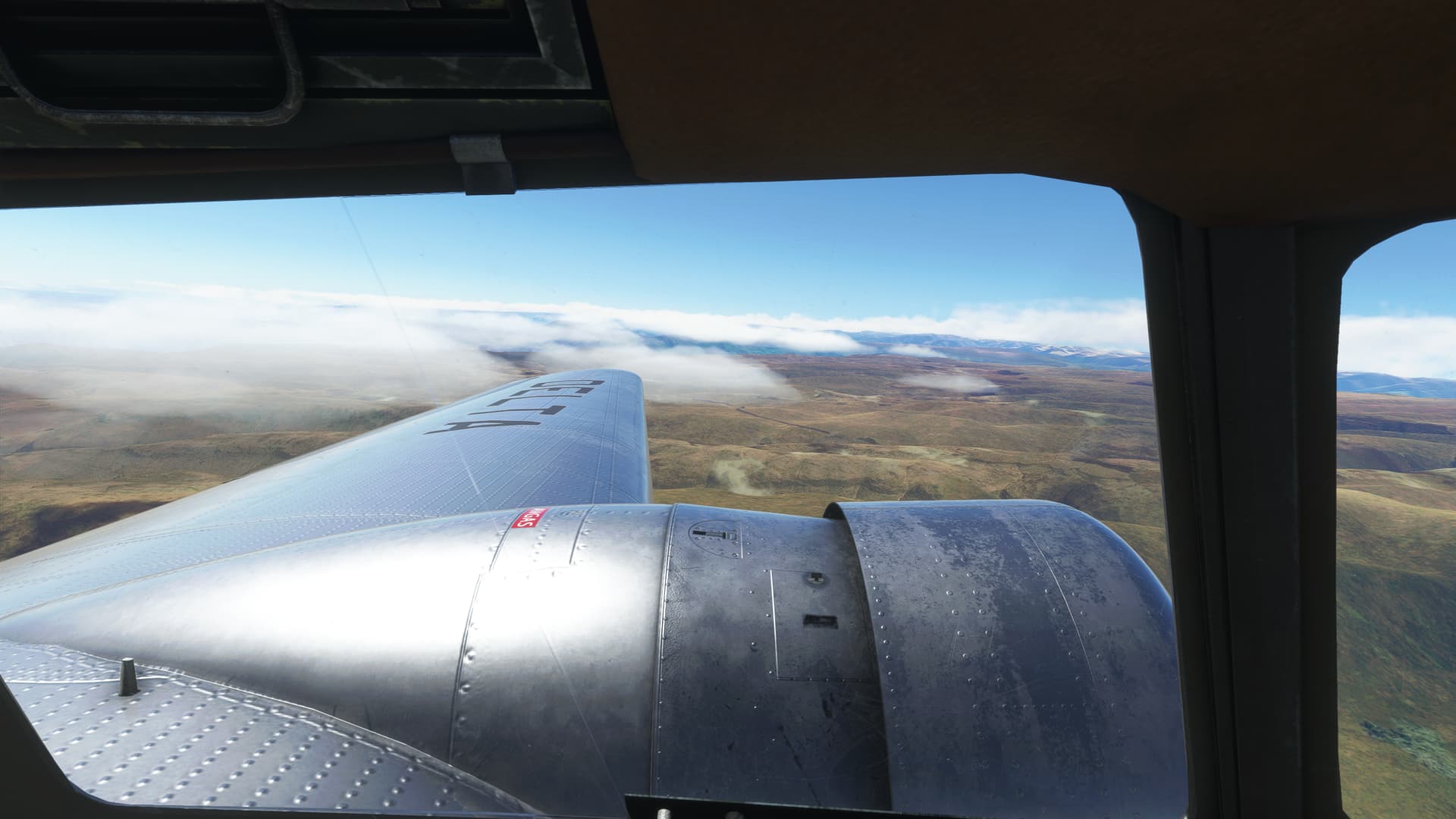
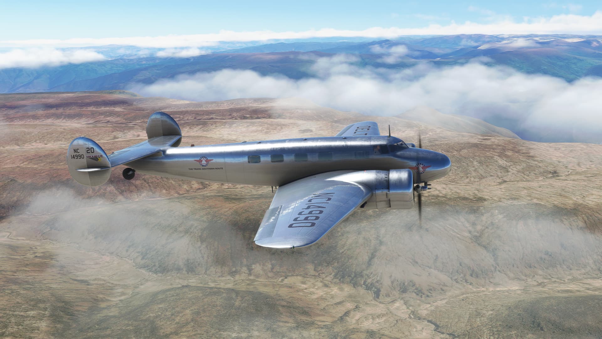
Which solidified into rain showers.
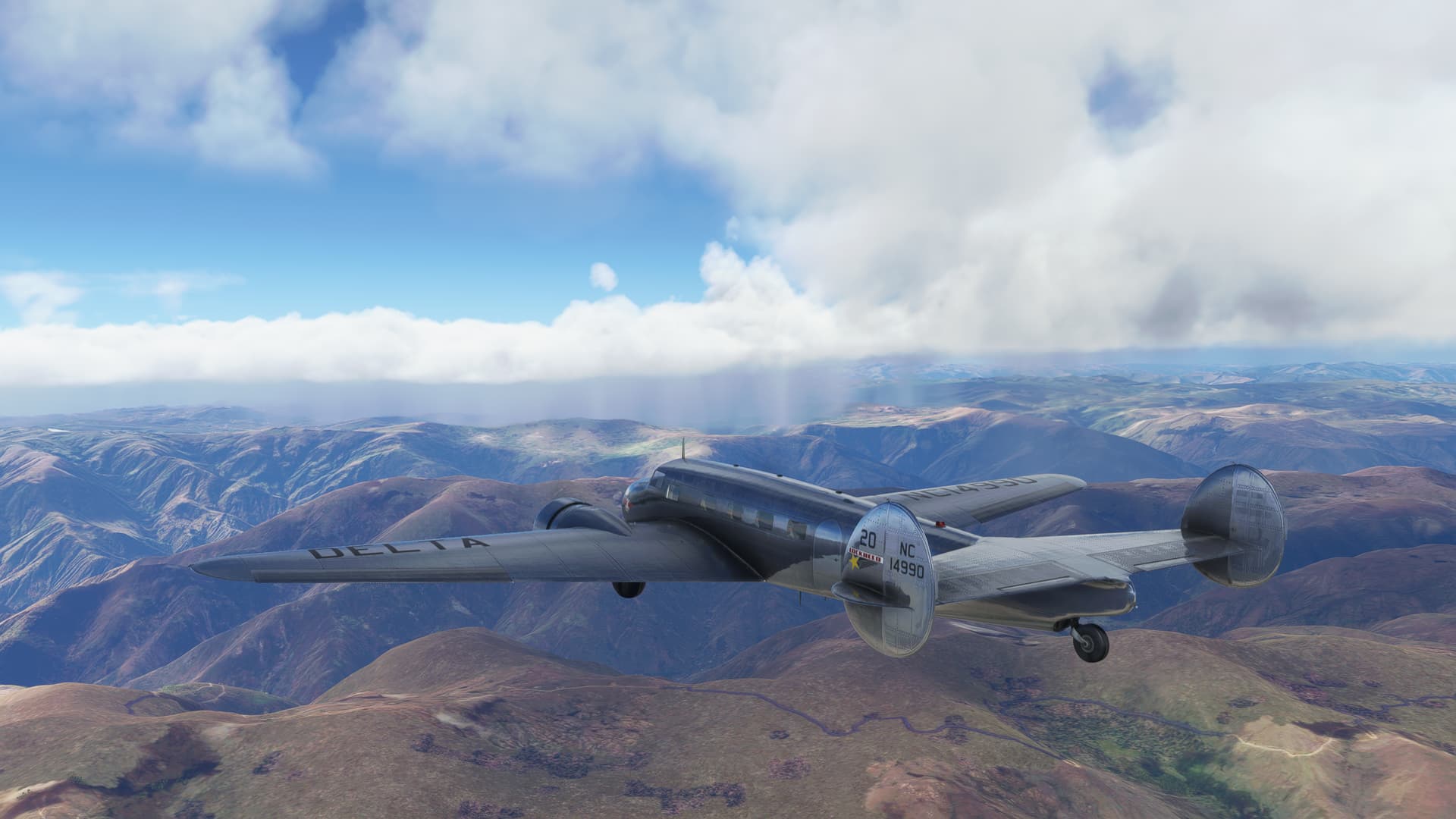
With lightning.
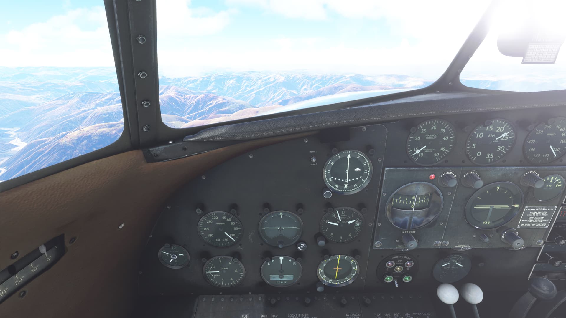
Shortly thereafter, I was on instruments.
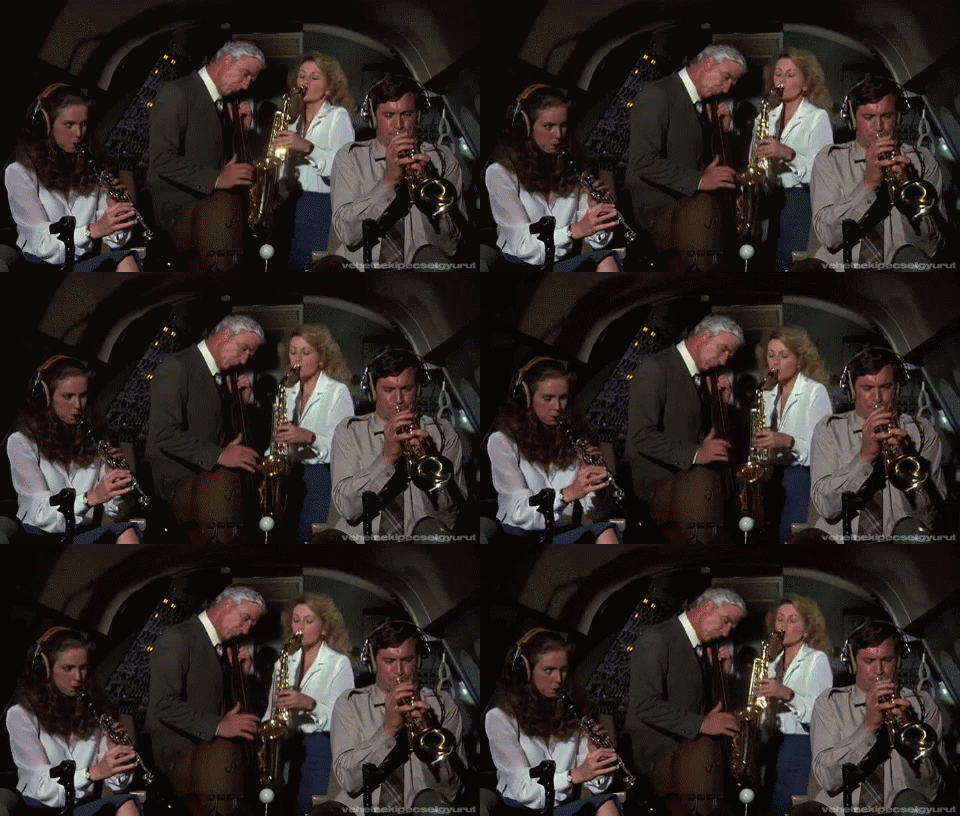
Just kidding.
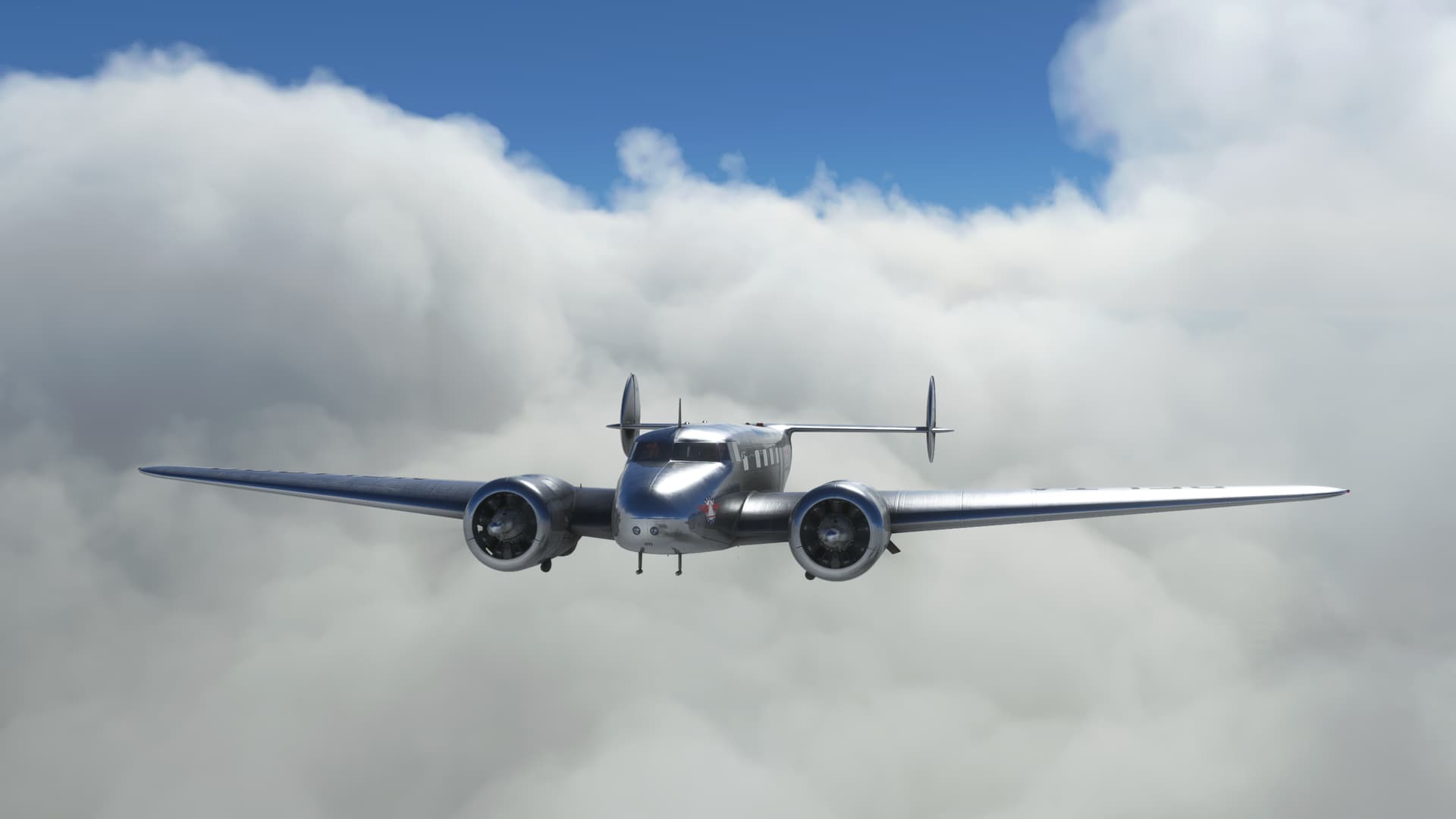
Hey, what’s the Minimum Off Route Altitude around here?
Yikes!
They weren’t lying.

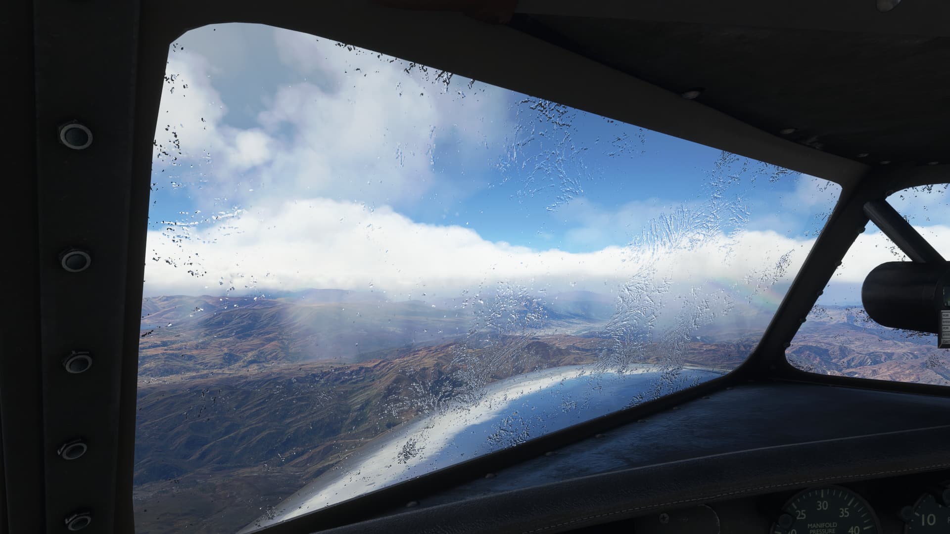
Hey, remember when I said that I had no experience with icing in MSFS?
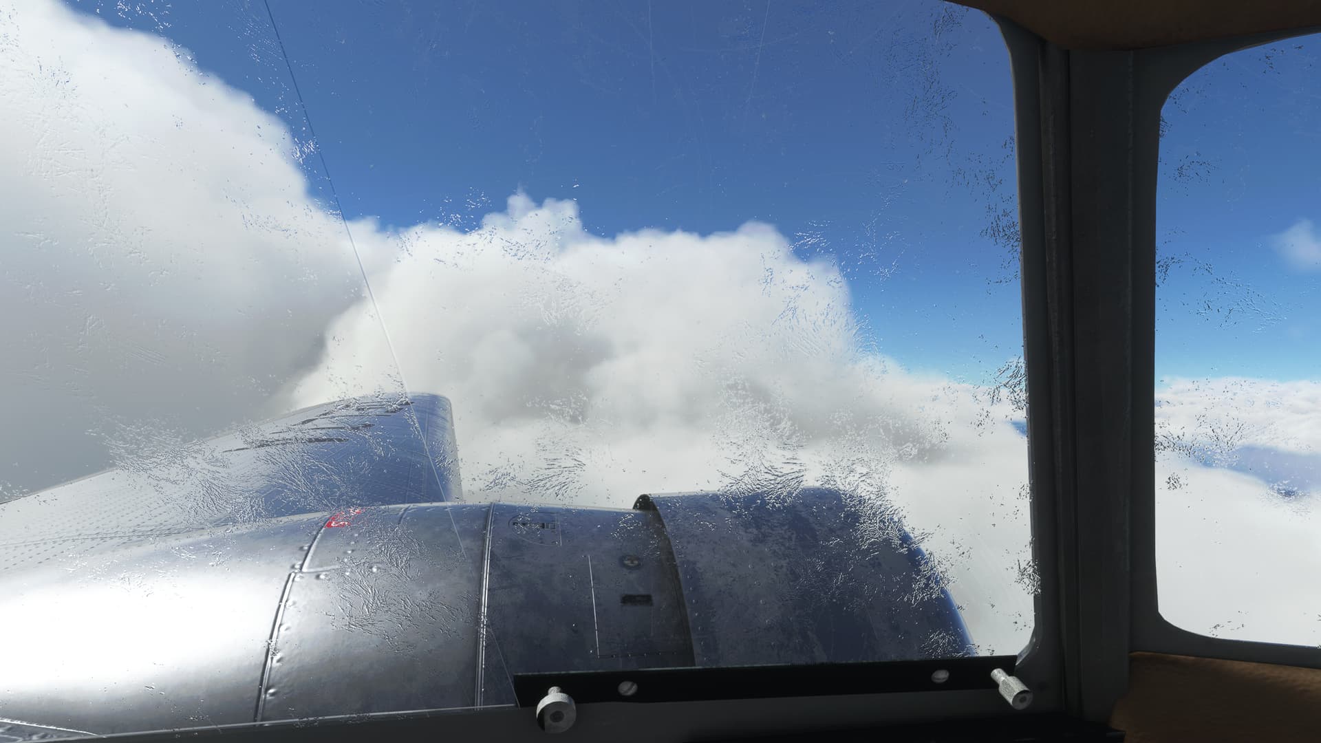
Where’s the damned Outside Air Temperature gauge?

I began to notice a distinct LACK of anti-icing gear installed on the Electra.
No prop deice. No inflatable boots on the wings. Jack.
Well, hopefully it won’t get any worse…
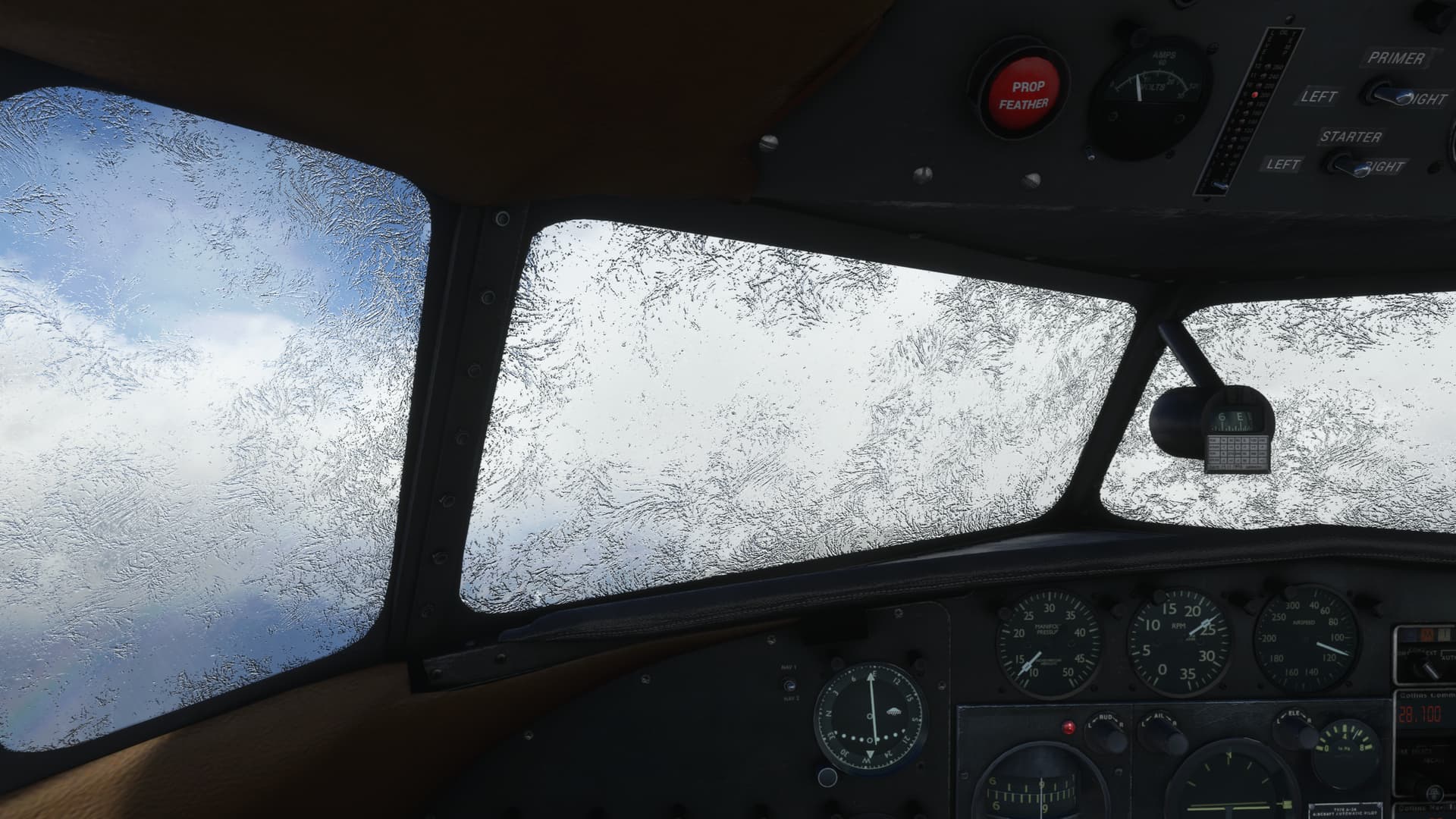
OK, it’s worse.
Now I have something of a dilemma. I have VOR, but no DME. I did manage to find some approach charts for Cusco and after a worryingly long scroll through the document finally came upon a couple of VOR/DME approaches to the field.
Luckily, the Descent-in-holds are co-located with the VOR and there’s timing to the MAP. So, not ideal maybe, but doable.
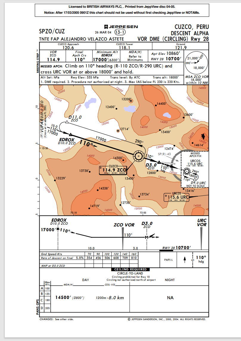
But, that’s not going to solve my SEEING problem. I managed to cruise climb to FL190 over the course of the journey. But that only gives me two thousand feet to lose at the hold.
If I don’t get out of the icing, one way or another, I’m kind of up the creek.
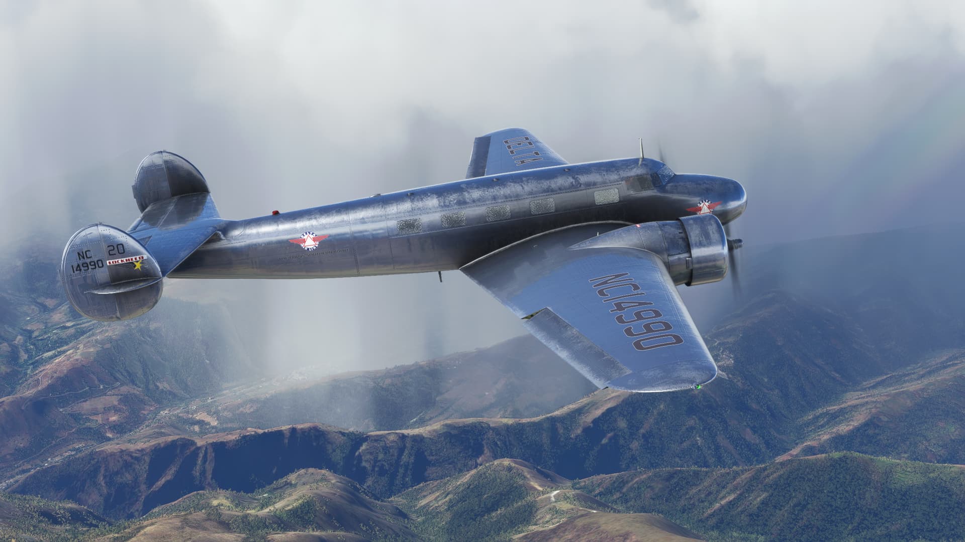
In the event, the sky gods hadn’t yet abandoned me.
As I approached Cusco, the cloud layer thinned and the ice began to sublimate away. Cusco emerged from the mist.
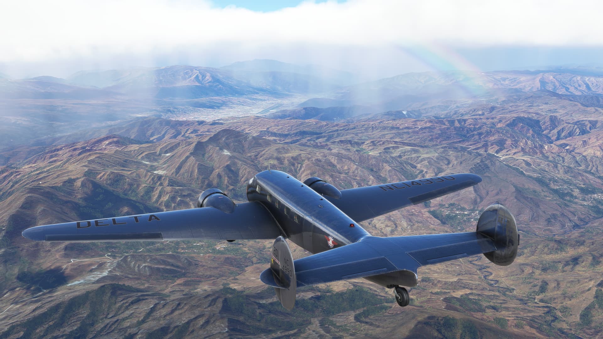
I happily crumple up my approach plate and throw it over my shoulder.
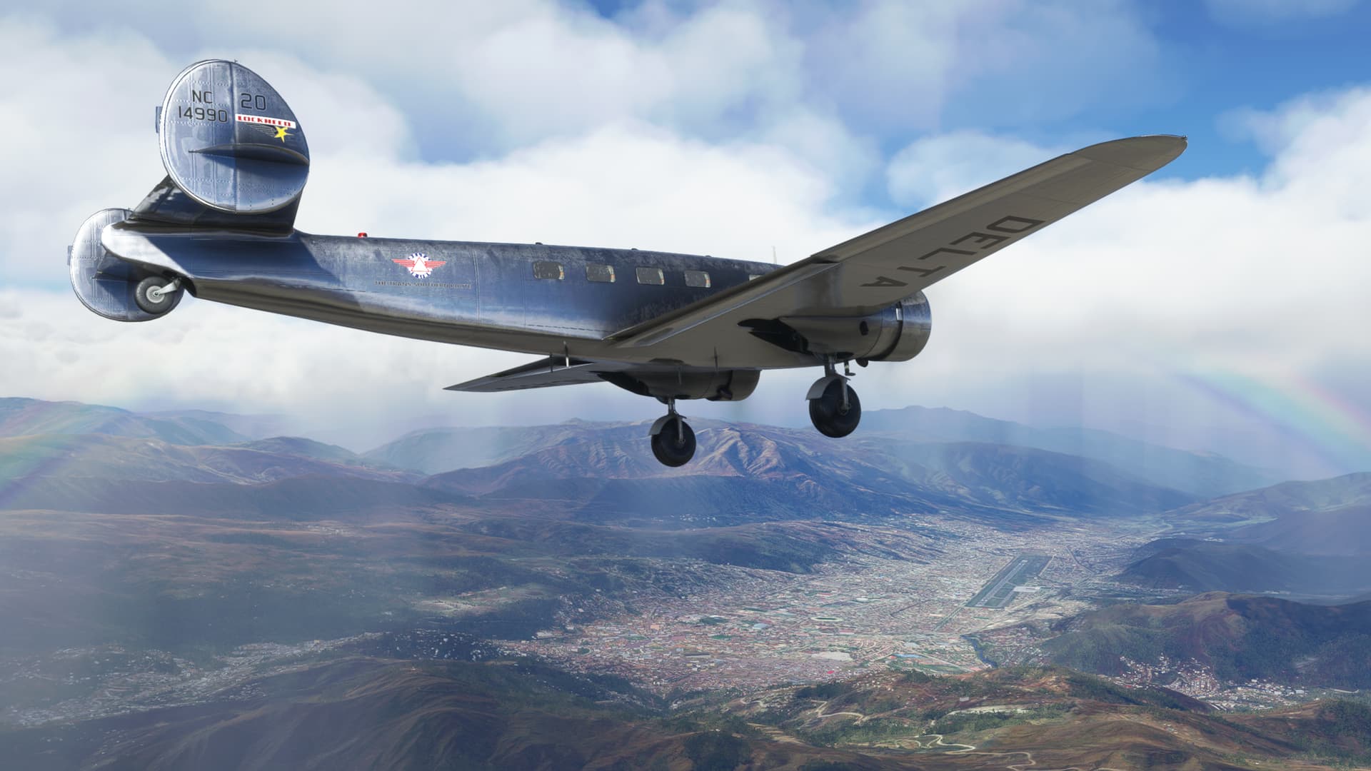
Getting in there was fairly sporty and, terrified of MSFS drawing in a cloud layer at the last minute, I dropped out of the sky like crap from a tall Llama.
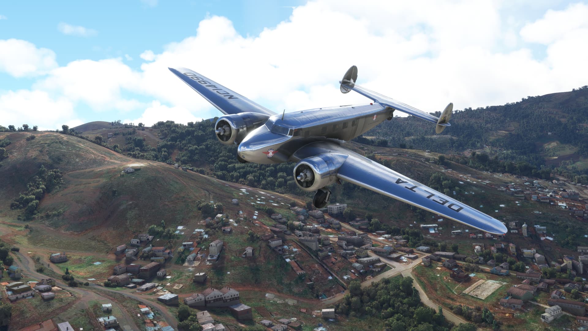
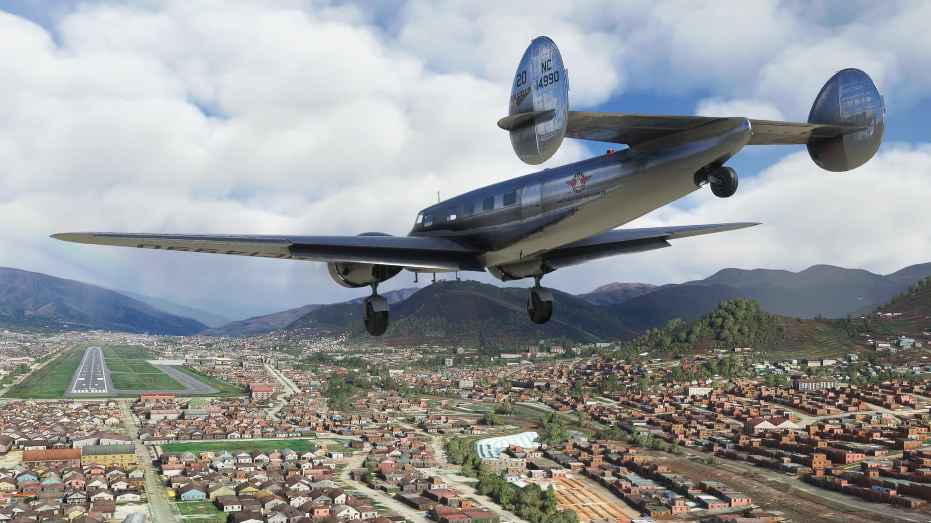
Alright, a little worrying at times, but I finally managed to pull into the FBO and call it a day.
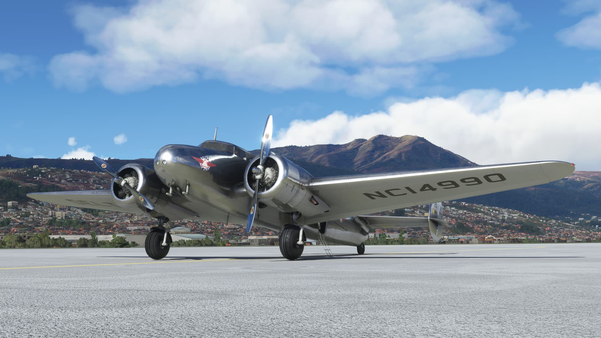
And it’s the NEXT one that I am concerned about!
8 Likes
Great choice!
2 Likes
There are some moments in computer gaming that you will always remember. A pitched boss battle. A come from behind victory. Or sometimes that brief moment of transportation; when you are no longer sitting in front of your desk but are, for only a moment or two perhaps, someplace else entirely.
This flight was one of those moments for me; filled with high and lows, tragedy and triumph.
Let’s get to it, shall we?
Leg 21: Alejandro Velasco Astete Airport, Cusco, Peru (SPZO) TO Padre Aldamiz Airport, Puerto Maldonado, Peru (SPTU)
OR
Much of my decision to visit, rather than bypass, Machu Picchu was based on the friendly green icons displayed on the Skyvector map, denoting VFR weather.
Of course, VFR weather in the mountains is very subjective. The valleys can be clear and the mountains capped in cloud. The valleys submerged in fog, but the mountains illuminated by high clear sunshine.
But it was worth a go, as they say.
If you read my last leg report, you’ll remember that the mountaintops on this day were clobbered by thunderstorms, rain, and icing. If I was going to attempt this, what I really needed was an aircraft that had the power to, should I not like where I was at, get me out of being at there. So to speak.
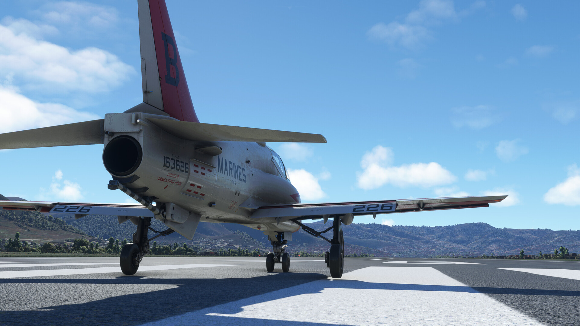
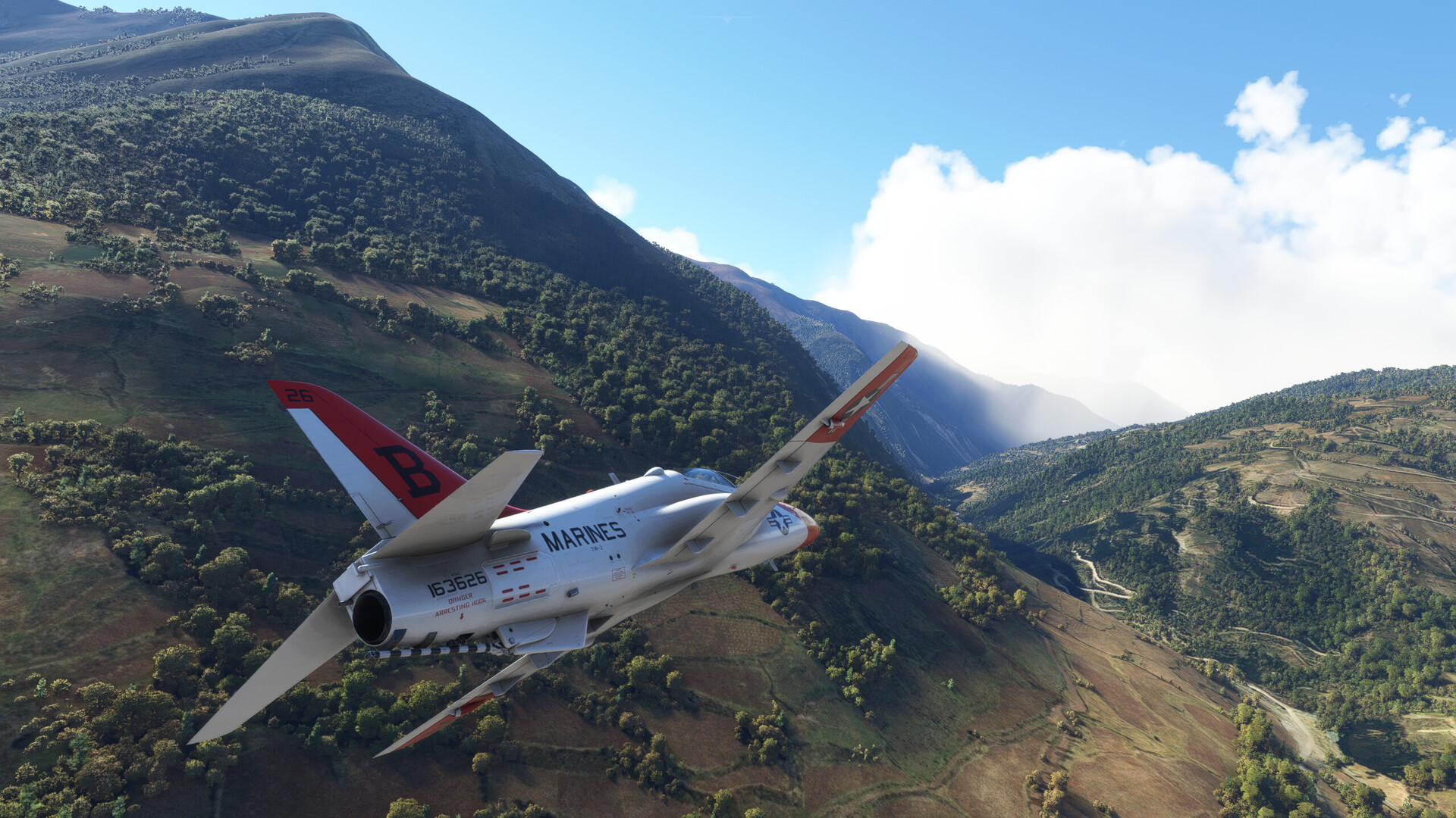
One of the Hawks seemed the most obvious choice for me. This time, I (fatefully) chose the IndiaFoxEcho T-45C, in the colors of my old squadron, VT-22.
I chose the Goshawk for two reasons:
-
I felt that I had neglected it thus far in my journey, and
-
It had “Marines” painted on the side, which must be good for an extra 1000 to 1500 pounds of thrust on appearance alone.

I Would retain the same proscriptions against GPS and magenta lines on this flight. So there would be no waypoints…which is good since I don’t know how to enter them in the T-45C anyway!
My plan was straightforward(esque).
The mountain tops were, in varying degrees, obscured. But the airport plain and the passes seemed clear. I figured I’d depart the field to the west and fly northwest up the wide mountain valley in which the airfield sits. Then, as the valley angled more purely west, I’d take a hard right turn into the mountain passes. The pass I’d chosen tees into the Urubamba River valley a few miles SE of Machu Picchu. As long as I could manage some of the tighter river bends, this route would circumnavigate Machu Picchu itself and, should the weather allow, I just might be able to sight the ruins.
Heck, it looked good on paper!
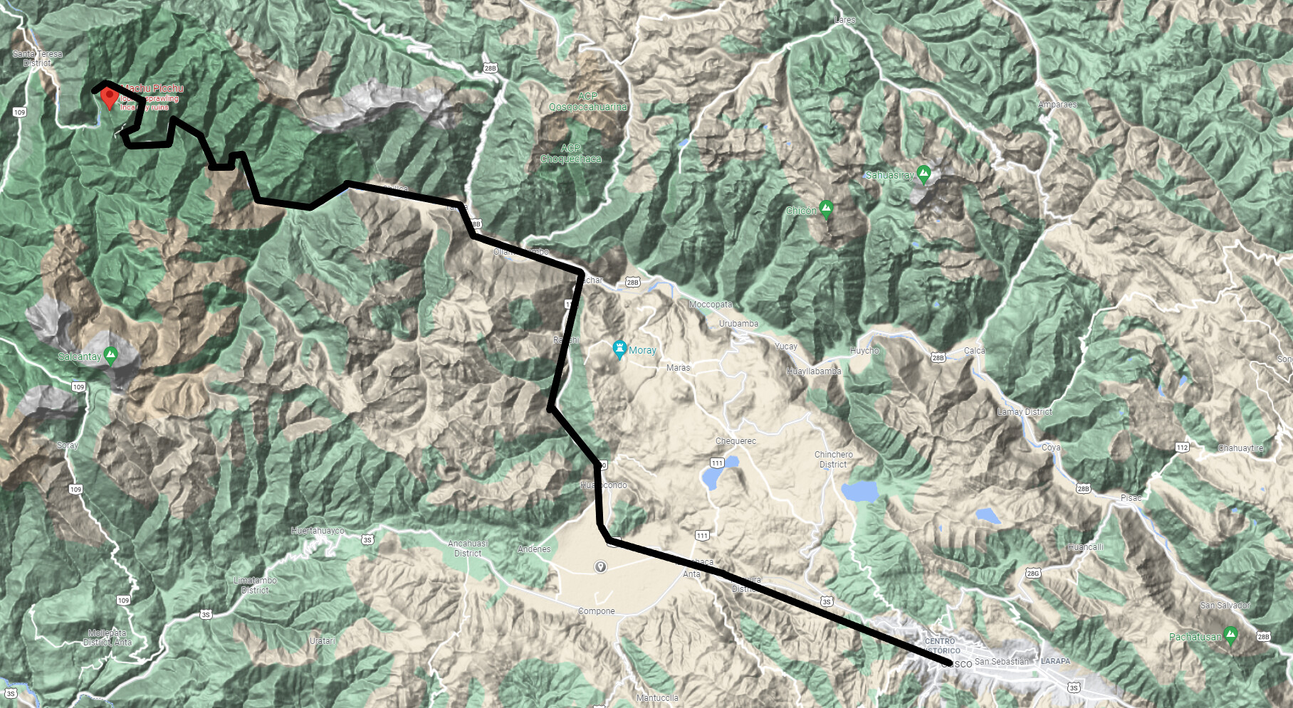
Successful or not, once I had reached the site I would climb and set course for my destination, Padre Aldamiz Airport, in Puerto Maldonado, Peru on the eastern side of the mountain range.
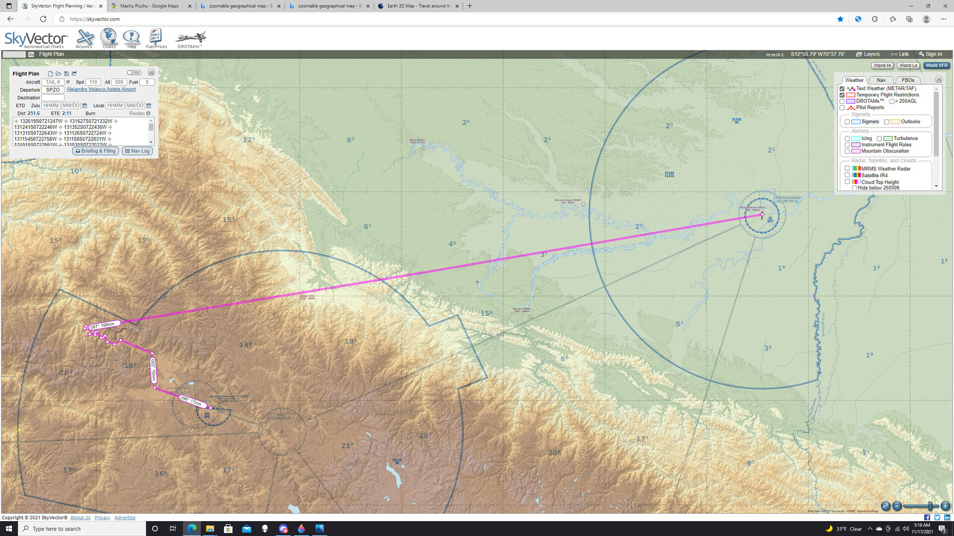
Simple, n’est-ce pas?
OK, here goes nothing!
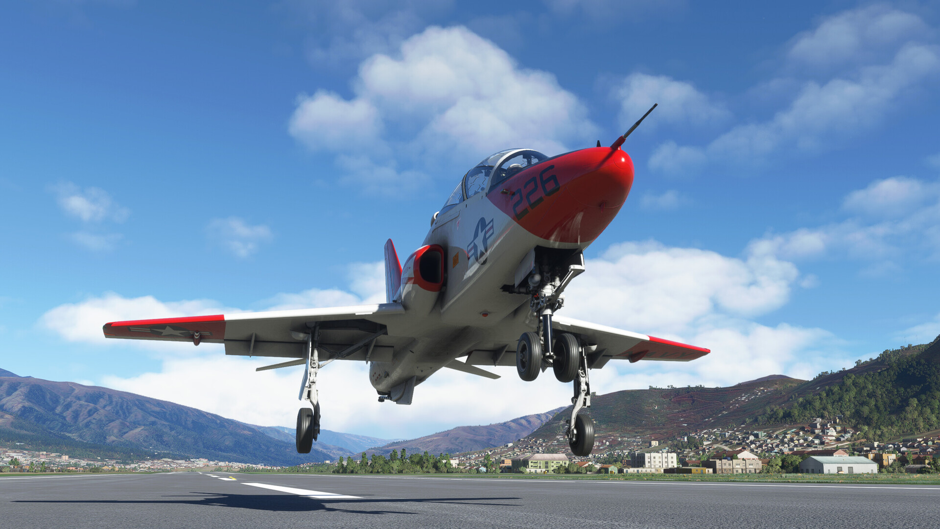
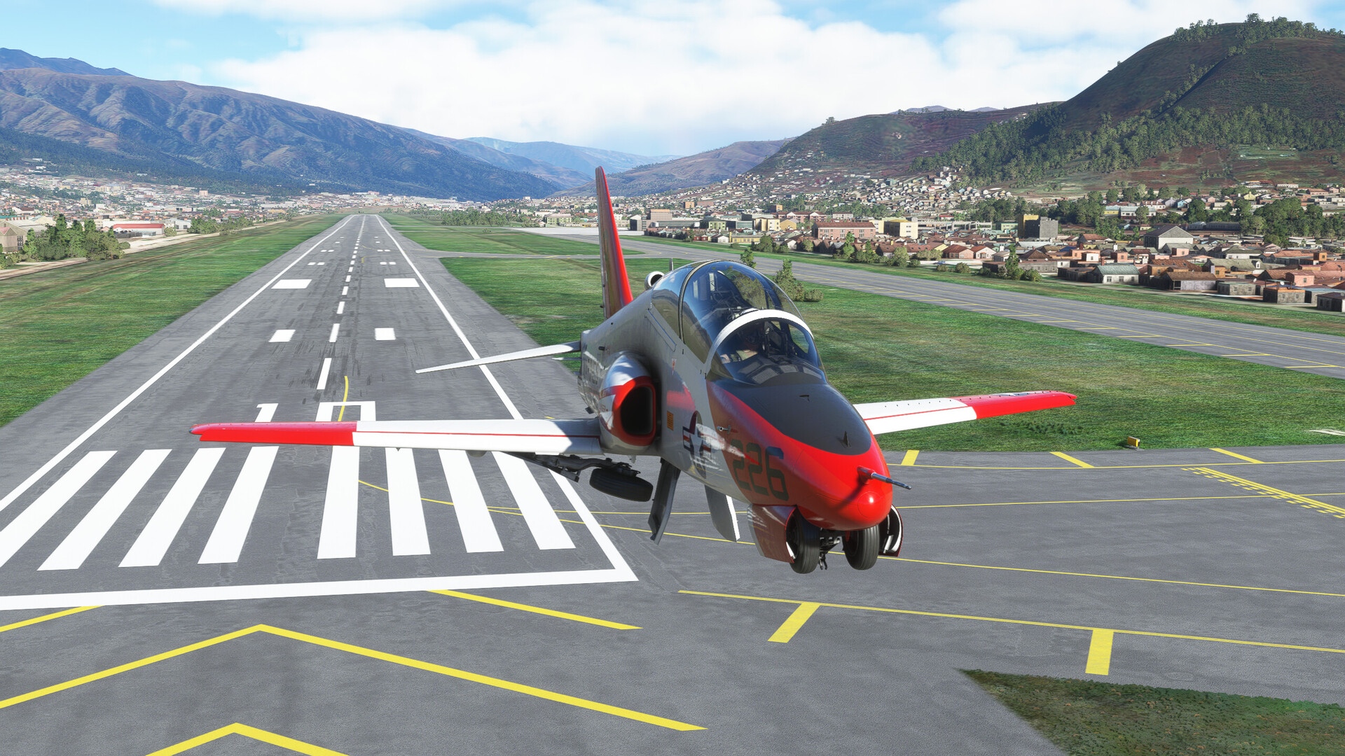
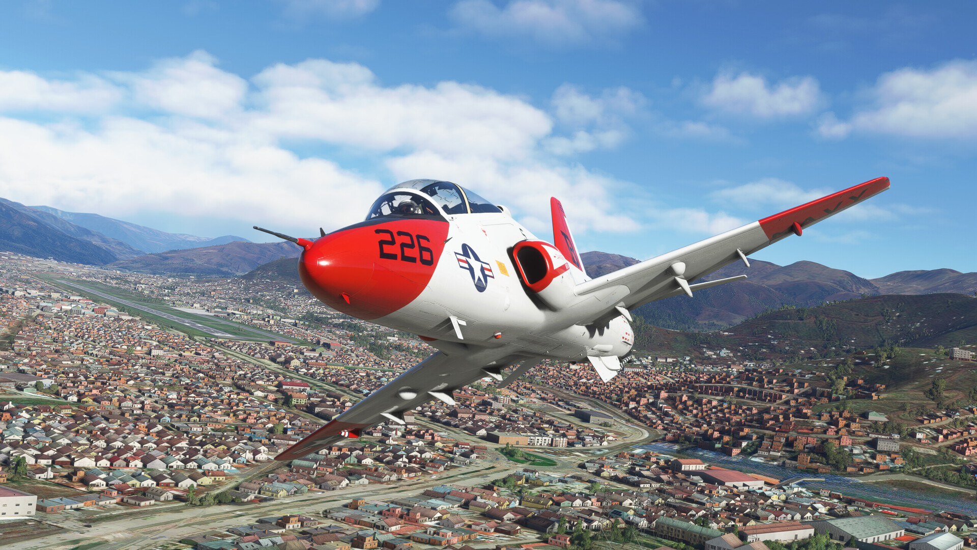
The turnout into the slot goes well enough. Since I had reloaded the scenario, the weather is deceptively clear. If I got to Machu Picchu before the sim drew in the glowering overcast, it would hardly be my fault, would it? 
Just after the road leans left is the last knob of hill that marks my turn point. So far, so good.
A few S turns gets me into the pass.

Hmmm, looks a bit misty in there.
“Well, maybe it’ll clear up…”, he said dubiously.
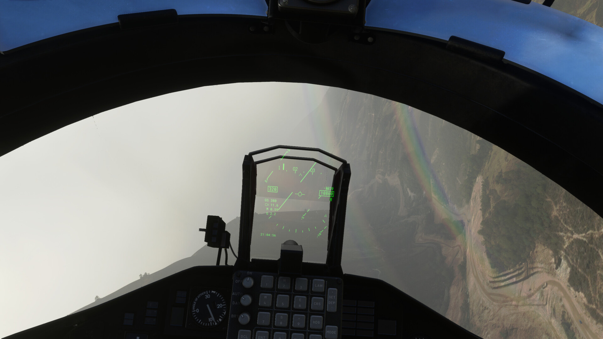
Here’s the T. The vis sinks to about 3 miles.
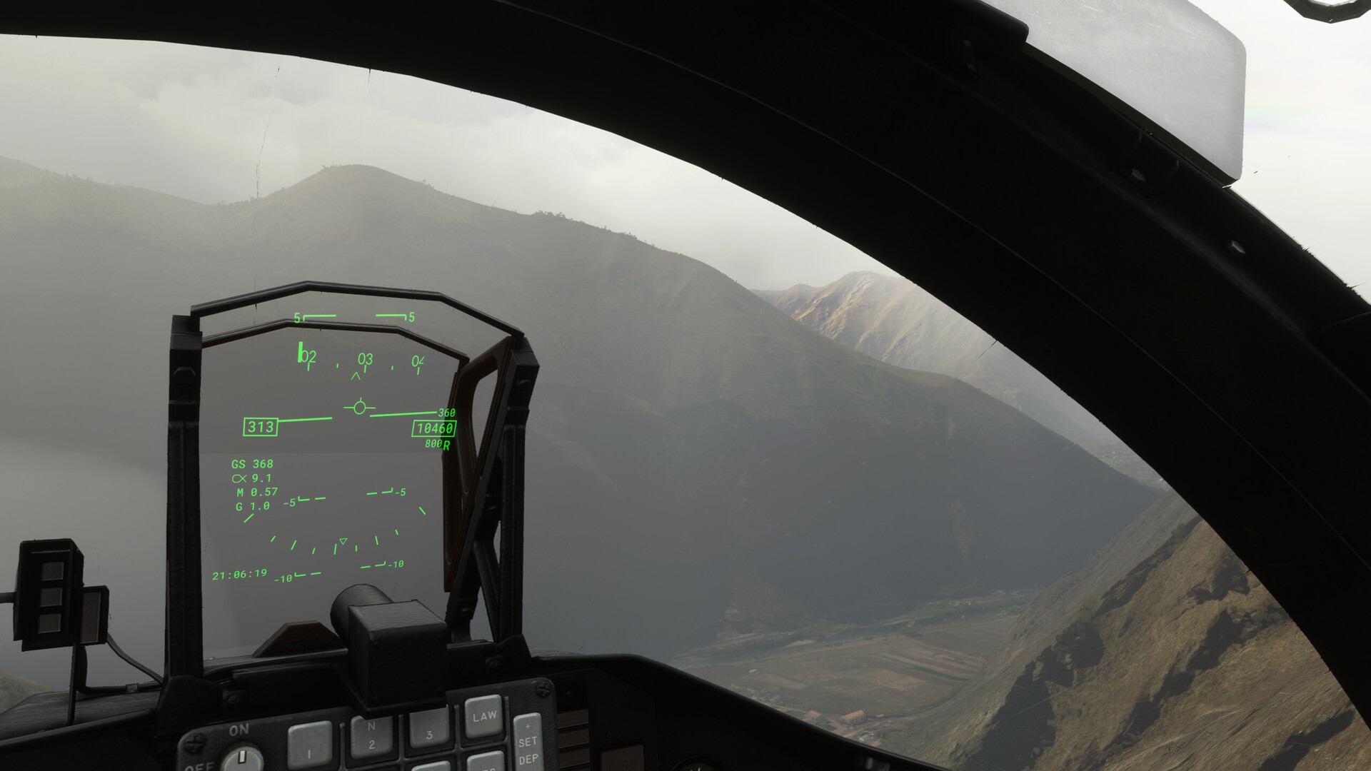
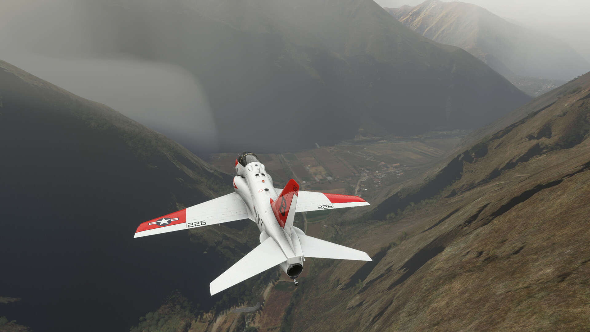
It looks as if it’s really going to come down to luck. The weather’s patchy, but there are spots of blue still to be found.
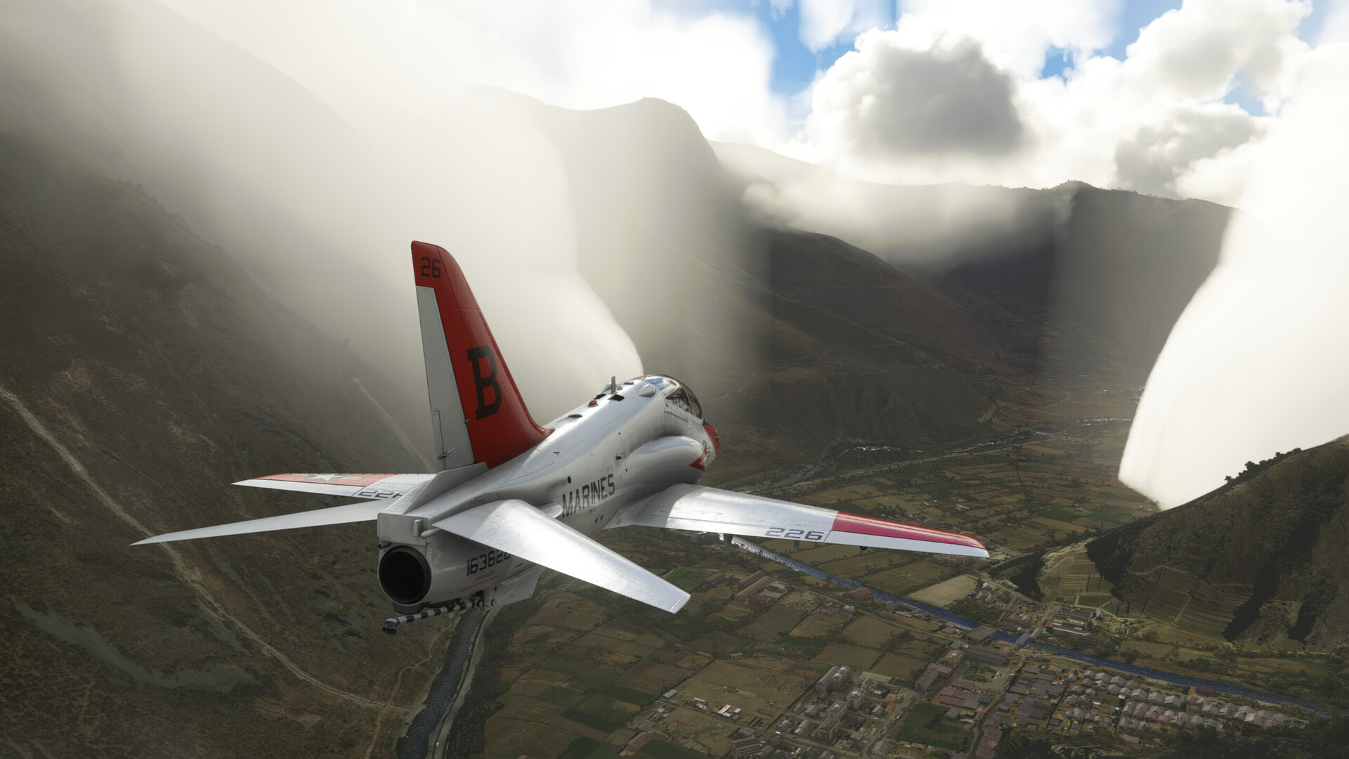
“Oh, yeah. That doesn’t look at all ominous!”
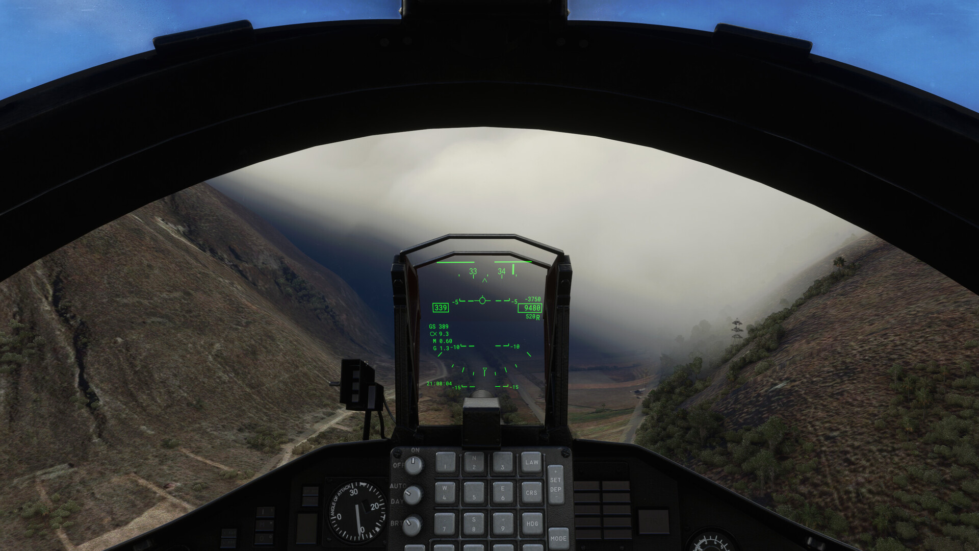
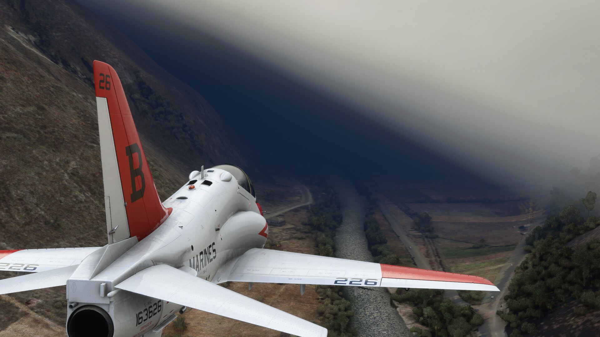
I plunge in and there it is, dark as a cow’s tucchus on a moonless prairie night.
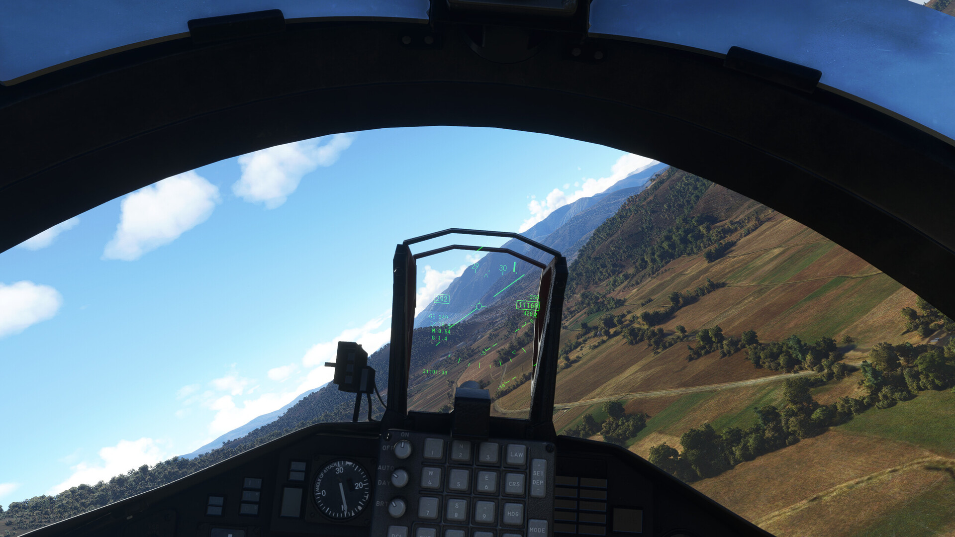
It’s a surprisingly suspenseful sim moment. I am hard IMC. I know that the mountain walls are only a few hundred feet to either side. I know the river bends. I have no idea when, or how much.
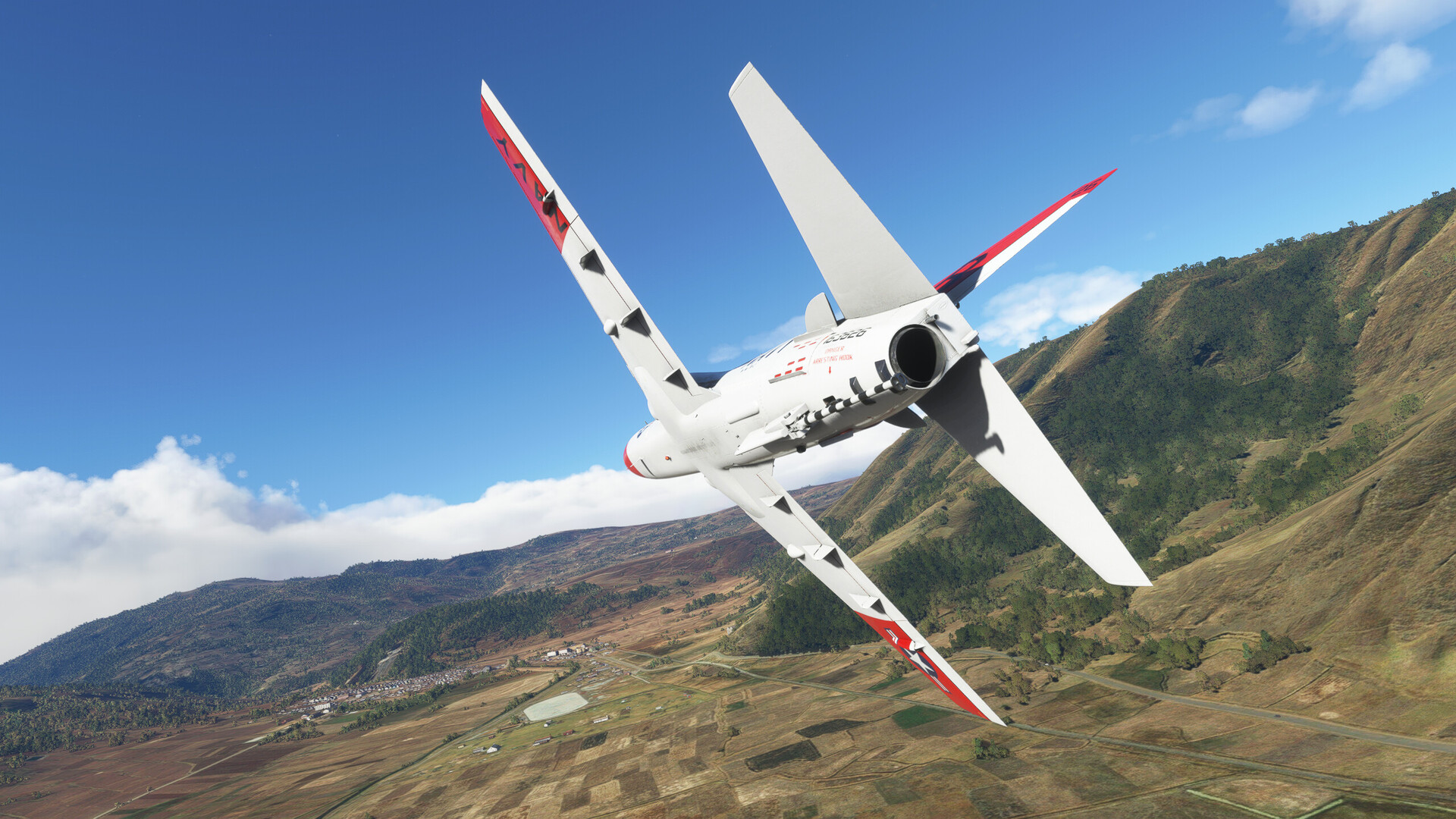
I’m out. MRT and a 4G pullup. The plane feels sluggish at this altitude. I breathe an audible sigh of relief as I burst into the clear.
As you can see in the pic, the river valley is still visible beneath me. I dive back in, hoping to resume the ingress.
I can’t help it.
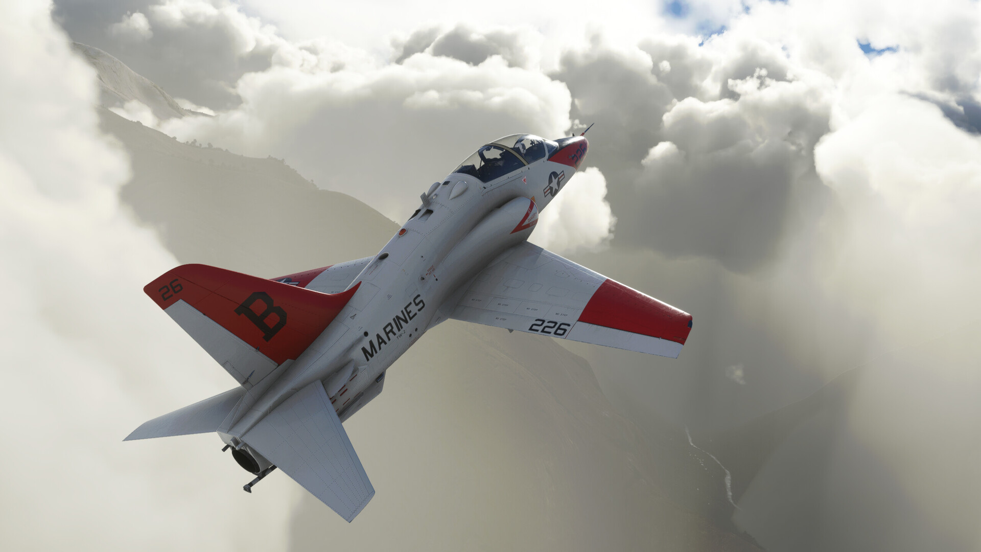
Nope. The second recovery takes even longer to pull clear than the first. I roll on my back to get the nose down before I run out of Schlitz.
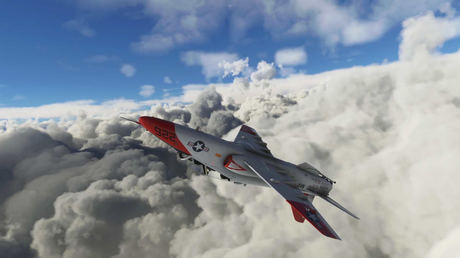
I think my goal is right smack dab in the middle of that CB over there. Well, I gave it the old college try. But I’m not at all sure as to how much gas it’s going to take to get to Puerto Maldonado, so I better get going.
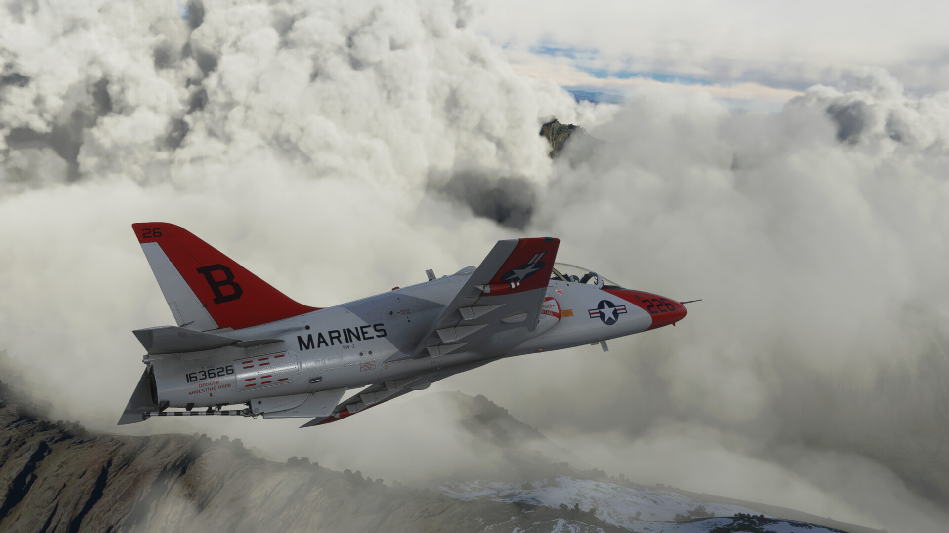
I bust on up to 40,000ft and pull the power back. I’m just using AOA to fly Max Range although, to be honest, I’m not sure how well MSFS or IFE simulates that.
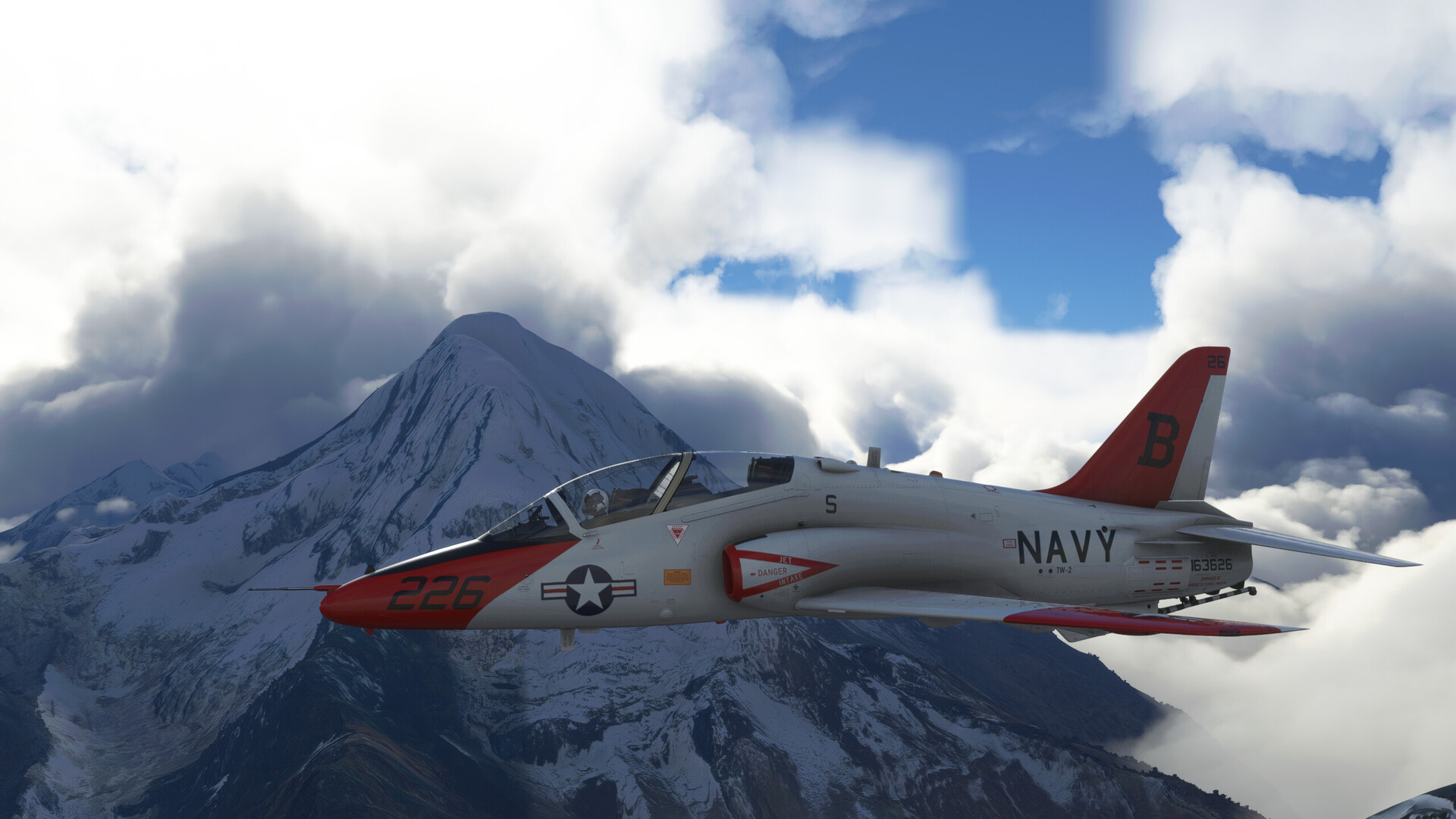
I tune the Puerto Maldonado VOR (PDO) in on NAV 1, but I get no indication that it’s working. And it is here where I probably shot myself in the foot by not reading more deeply into the T-45C’s systems. Having flown the A and other McDonnell Douglas products, I felt that I could probably get the VOR working in the C. But there is literally no symbology that is coming up for me and, AFAIK, no other buttons to push.
This puts me in a pickle. I spent a lot of gas blasting around down low. The overcast from the mountains has followed me east and continues as far as the eye can see. I know that the mountains continue for some ways east of Machu Picchu. And, since I don’t have any way of knowing how far I’ve gone (other than by estimation), I face the choice of letting down early and crashing into the mountains or letting down late and overflying my destination.
And their ain’t a lot of airfields in this neck of the woods.
If this were a movie, this would be that part where the music plays suspensefully, but worryingly, as all hangs on a moment’s decision.
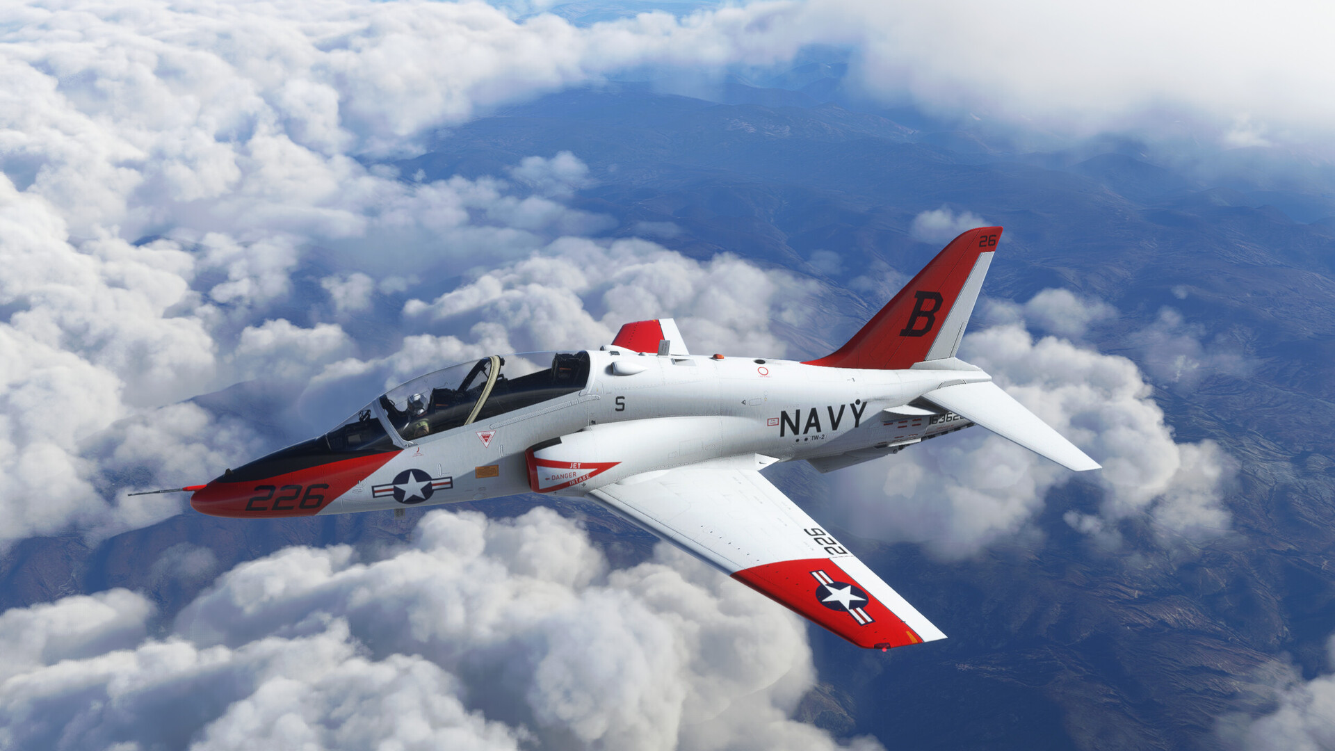
Well, no guts, no glory.
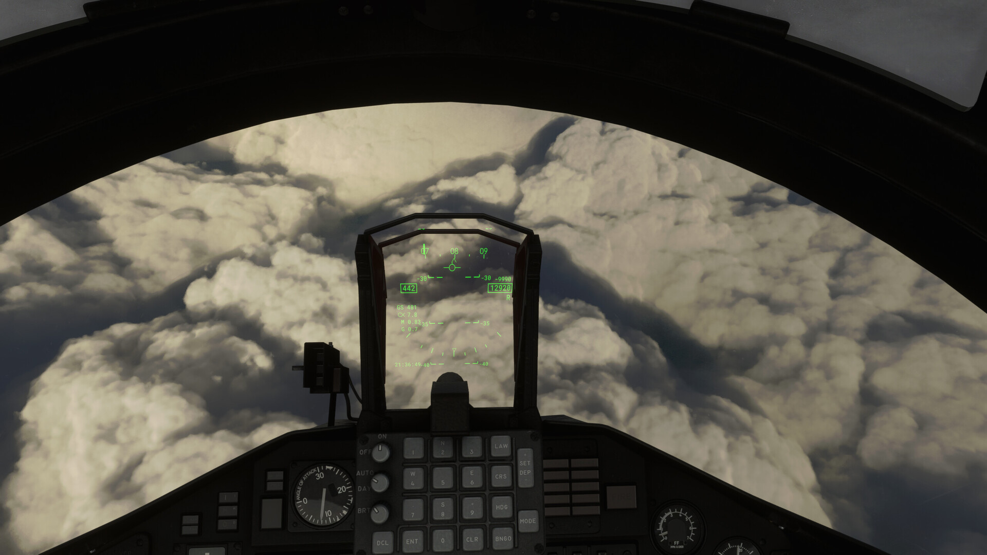
I shove my nose over into a good 30 degree dive and enter the clouds. The entire time my eyes are drawn to the Radar Altimeter, looking for it to come off the peg.
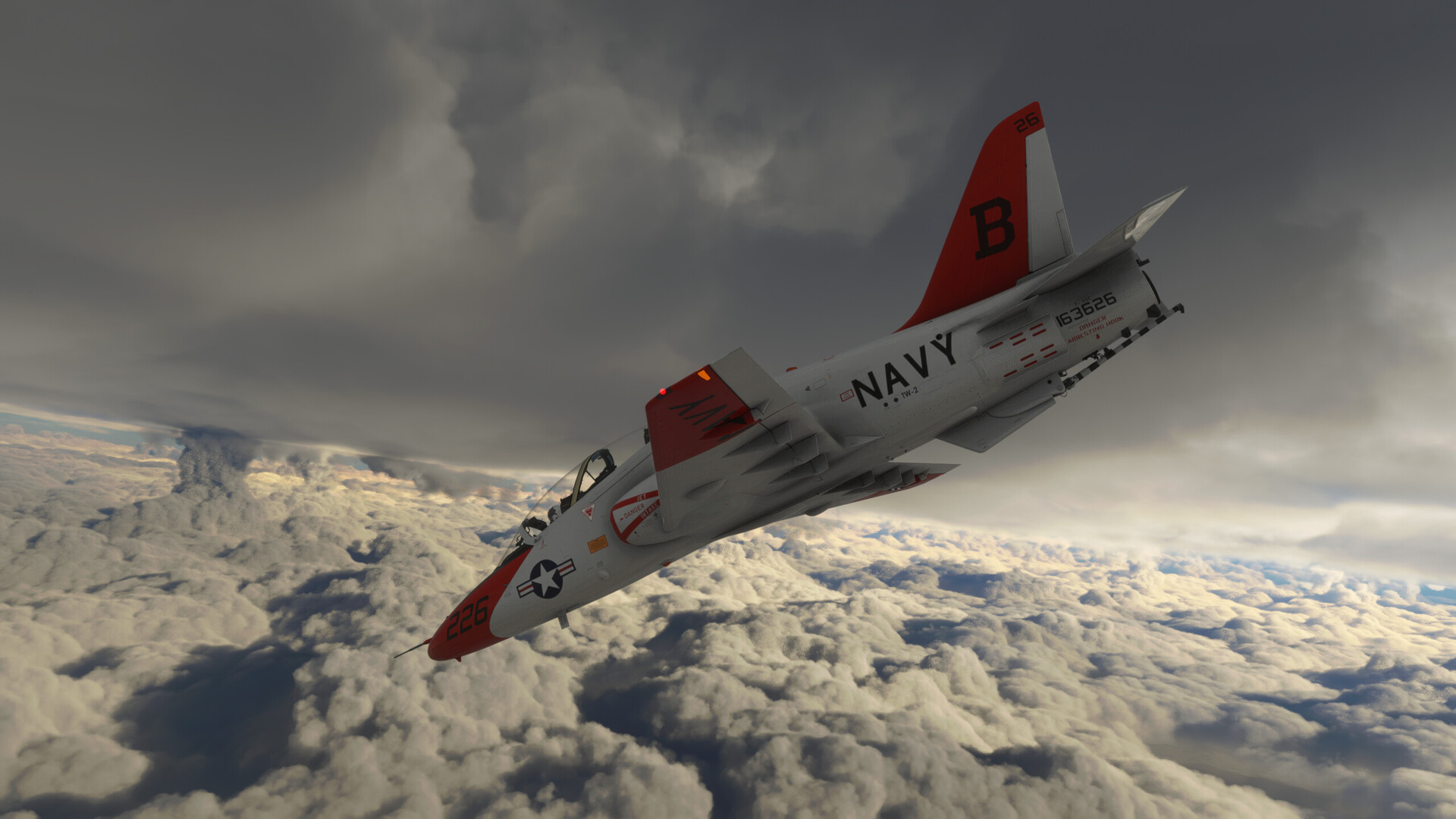
Suddenly, through a rare gap in the clouds, I spot a river. There was a river that had run up towards Puerto Maldonado! It also looks as though I have gotten past the mountains.
Could I really be this lucky?
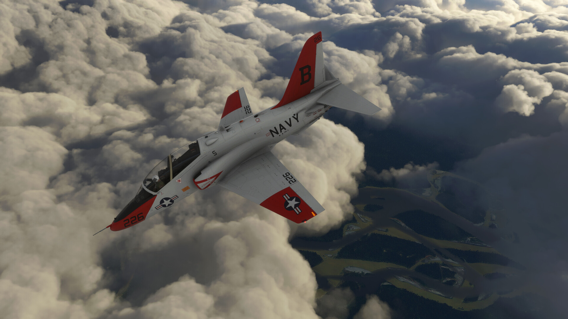
I blow through the cloud deck. Once I’ve gotten my bearings, I spot the river again to my left.
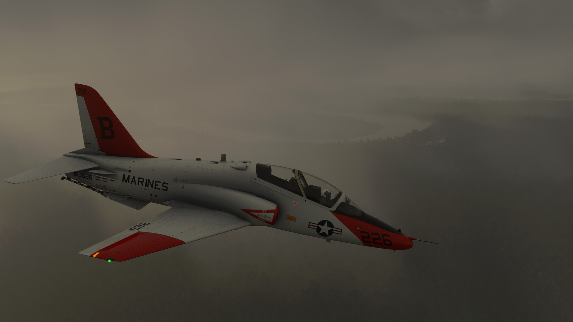
I pick up a course to follow it. The overcast looks to be at about 1000ft AGL. I’m not going to be able to see much besides the water at this altitude. If the field is too far from it’s banks, or buried in the jungle, it’s sayonarna for this jamoke!
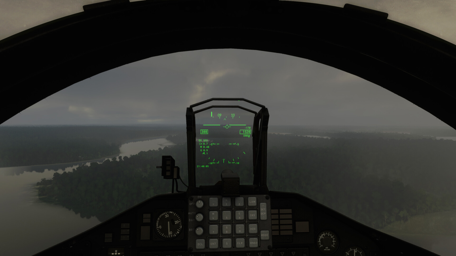
I still don’t know for certain that I haven’t overflown the airfield. Or that this is even the correct river.
I spy an intersection with a bunch of crazed tributaries coming in from the south. I correlate it with the chart.
“This could be it.” Or I could be telling myself a story. Doesn’t matter. There’s nowhere else to go.
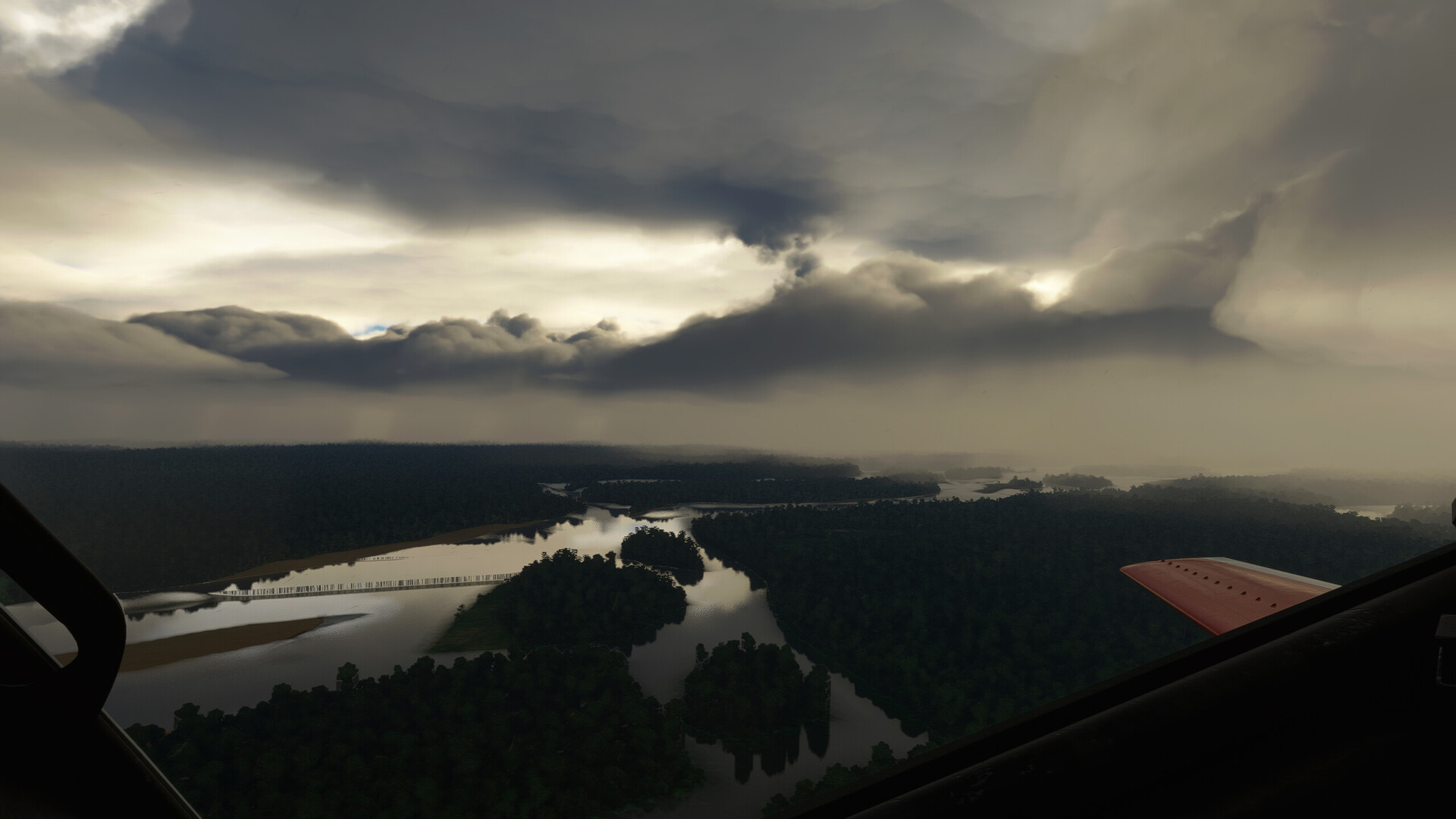
I’ve been looking for a big Oxbow. This looks like a good candidate.
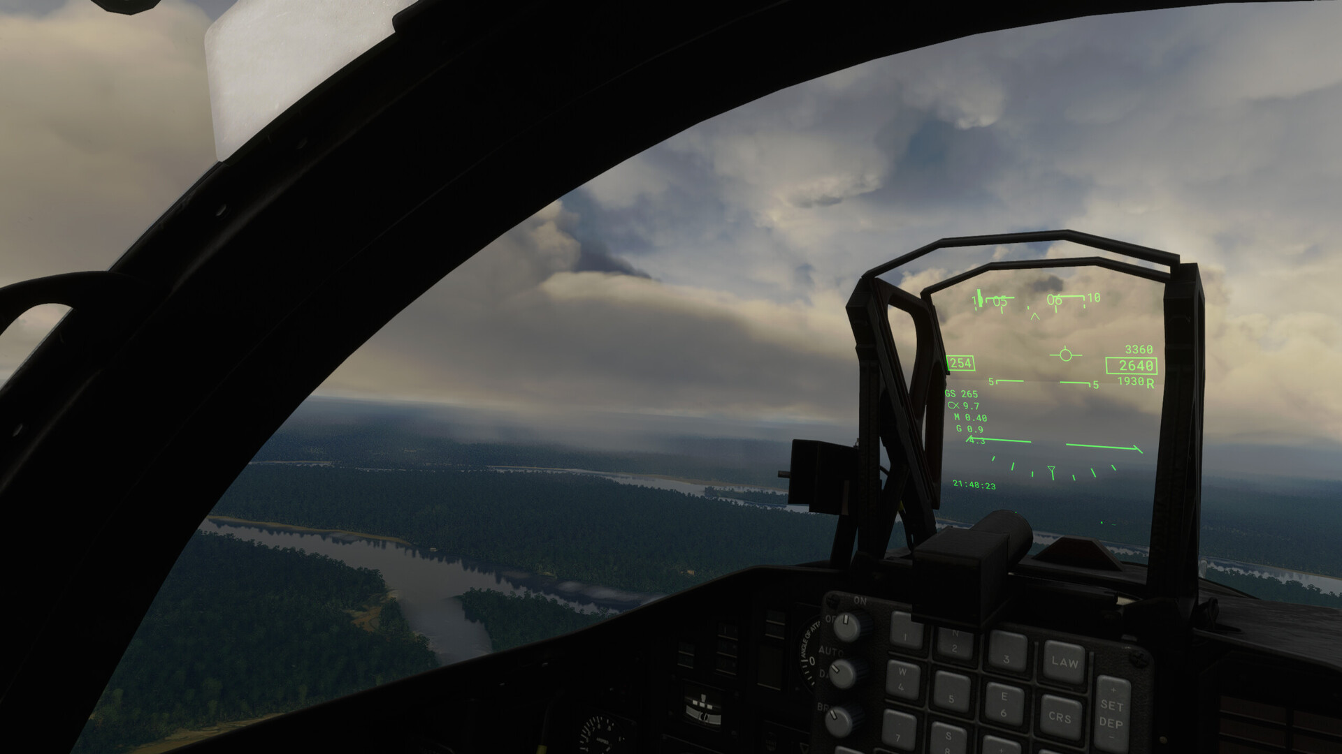
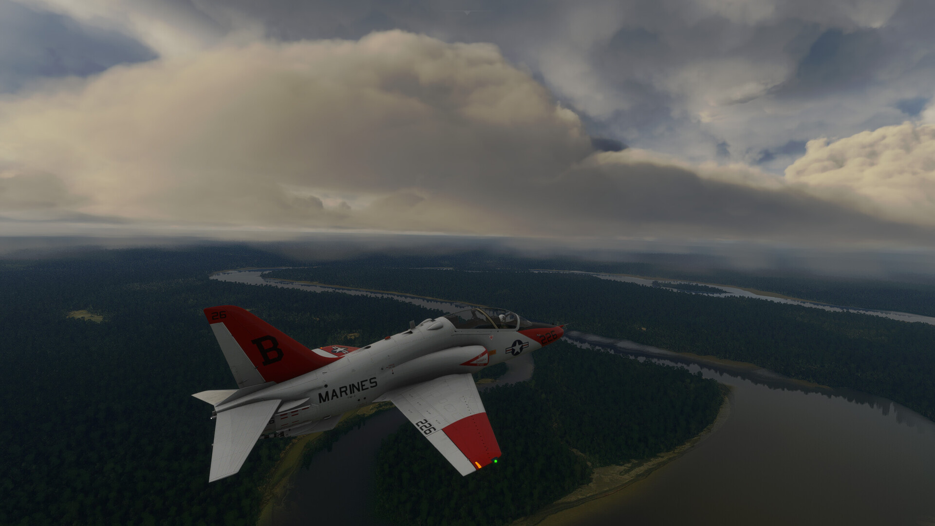
Then, out of the murk, I spot a town along the bank. A sizeable one.
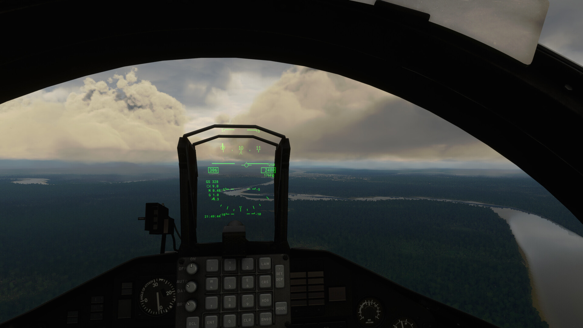
A runway flashes past my canopy!
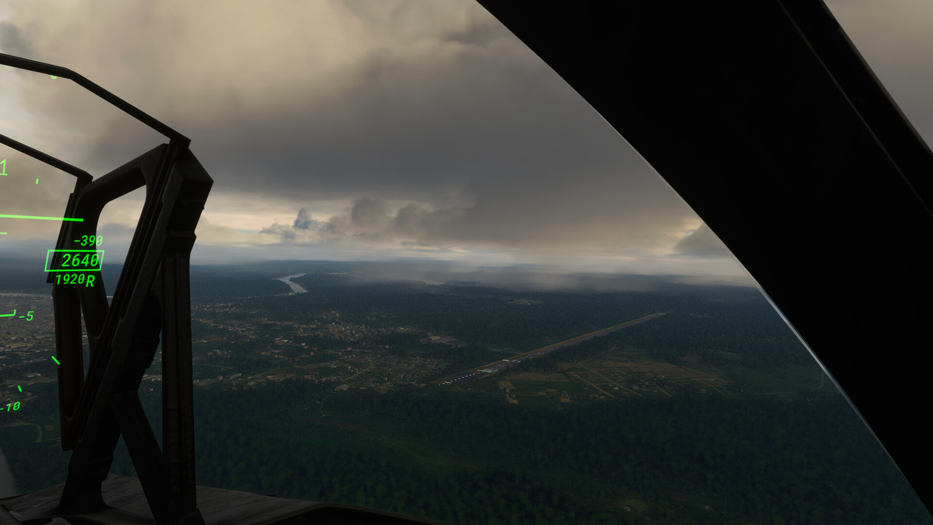
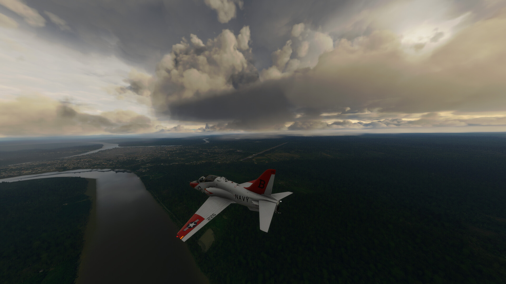
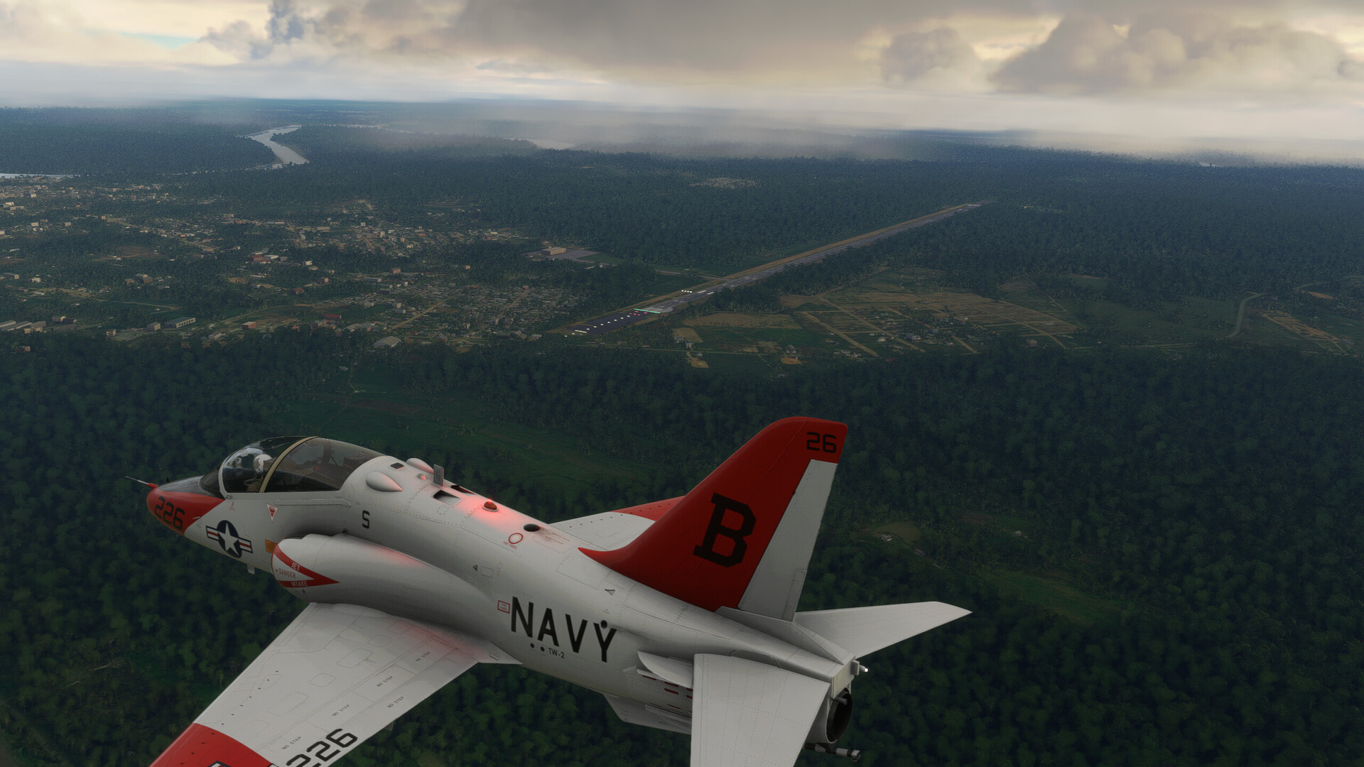
I bend the jet around into the overhead. Runway looks long enough. Asphalt.
“If this wasn’t my destination before, it is now!”
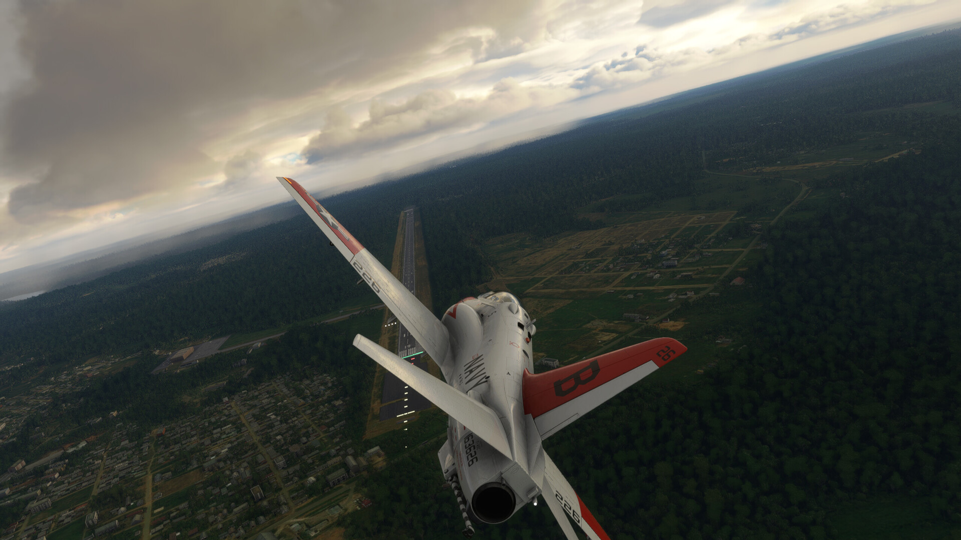
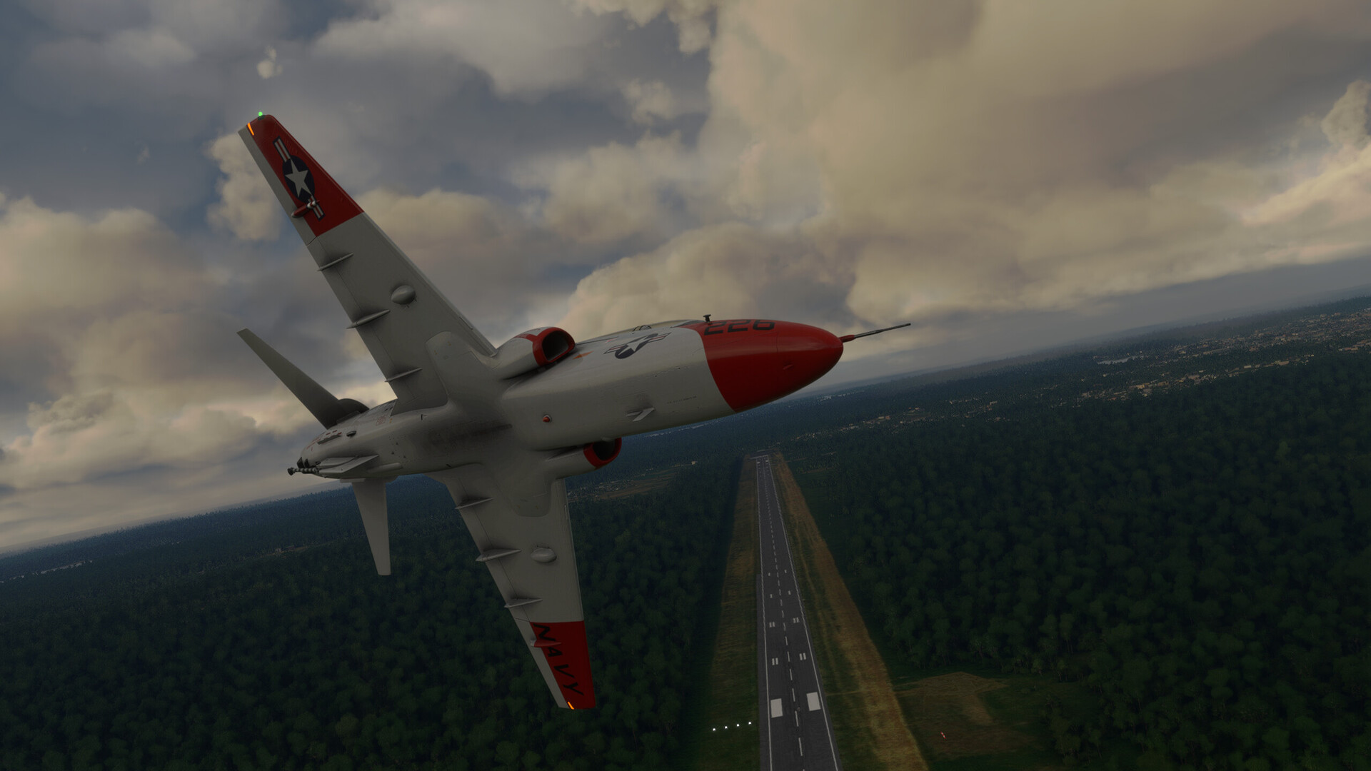
Sloppy break (Sauce for the goose at this point).
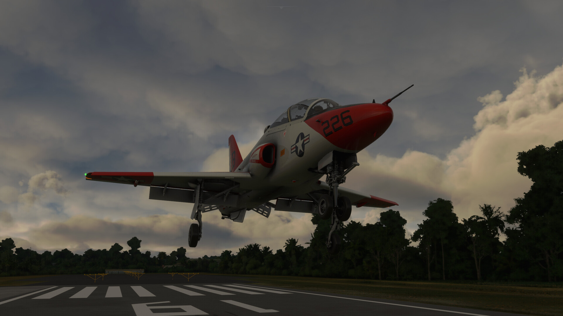
And into a nice no-flare carrier landing. CAAA-runch!
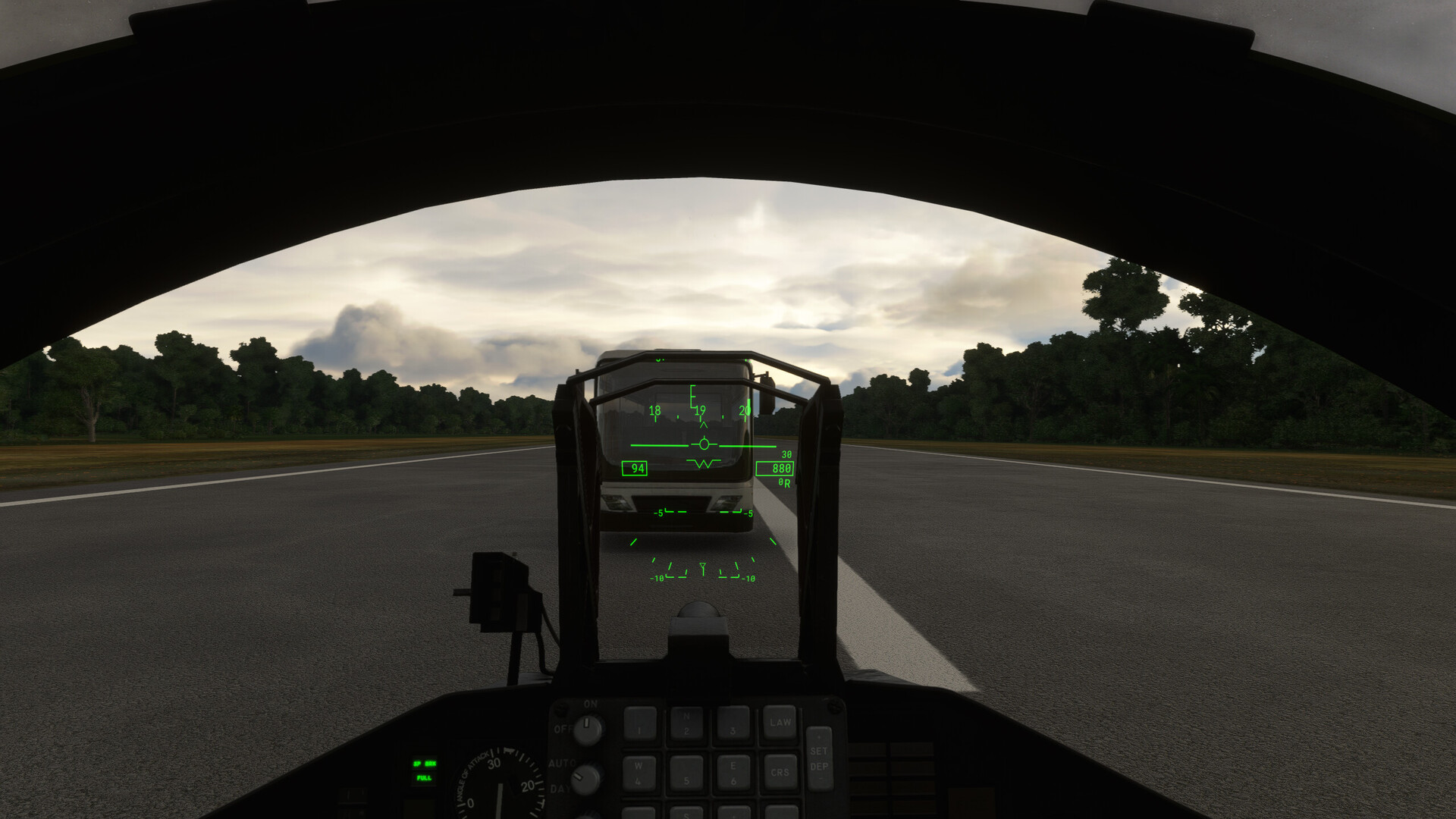
A really oddly enthusiastic bus driver comes out to meet me. Note that I’m still doing 94knots. Talk about service!
And onto the ramp.

This was nothing short of a miracle. Once I couldn’t pull up the VOR, I was completely shooting from the hip. If I hadn’t sighted that river, I’d have crashed into the Peruvian jungle like some old Humphrey Bogart movie.
It was breathtaking and terrifying all at the same time. I mean, for a sim, I was ACTUALLY sweating. This was one for the books.
EPILOGUE:
After doing a pretty fair amount of troubleshooting, I concluded that I was probably not in the correct mode in the T-45C to receive VOR symbology on my MFD. Some of the MFD design logic seems counterintuitive in the IFE T-45 and I do wonder if there isn’t a thing or two not quite right about it. A more concise but sim focused manual would probably help in that regard. But surely, if I had done everything as the manual said, I would have had guidance to SPTU.
Live and learn!
13 Likes
Nice flight!
2 Likes
This AAR made my morning coffee break a little longer than usual. My boss did not like it.
I did, though! Thanks.
3 Likes
MSFS really is giving us some very realistic weather induced challenges that I have not experienced to this level in a desktop sim before. Flying the Connie in the mountains and weather, unable to climb…it made me feel quite anxious.

6 Likes
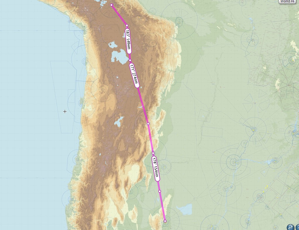
La Paz Bolivia (SLLP) to Cordoba, Argentina (SACO).
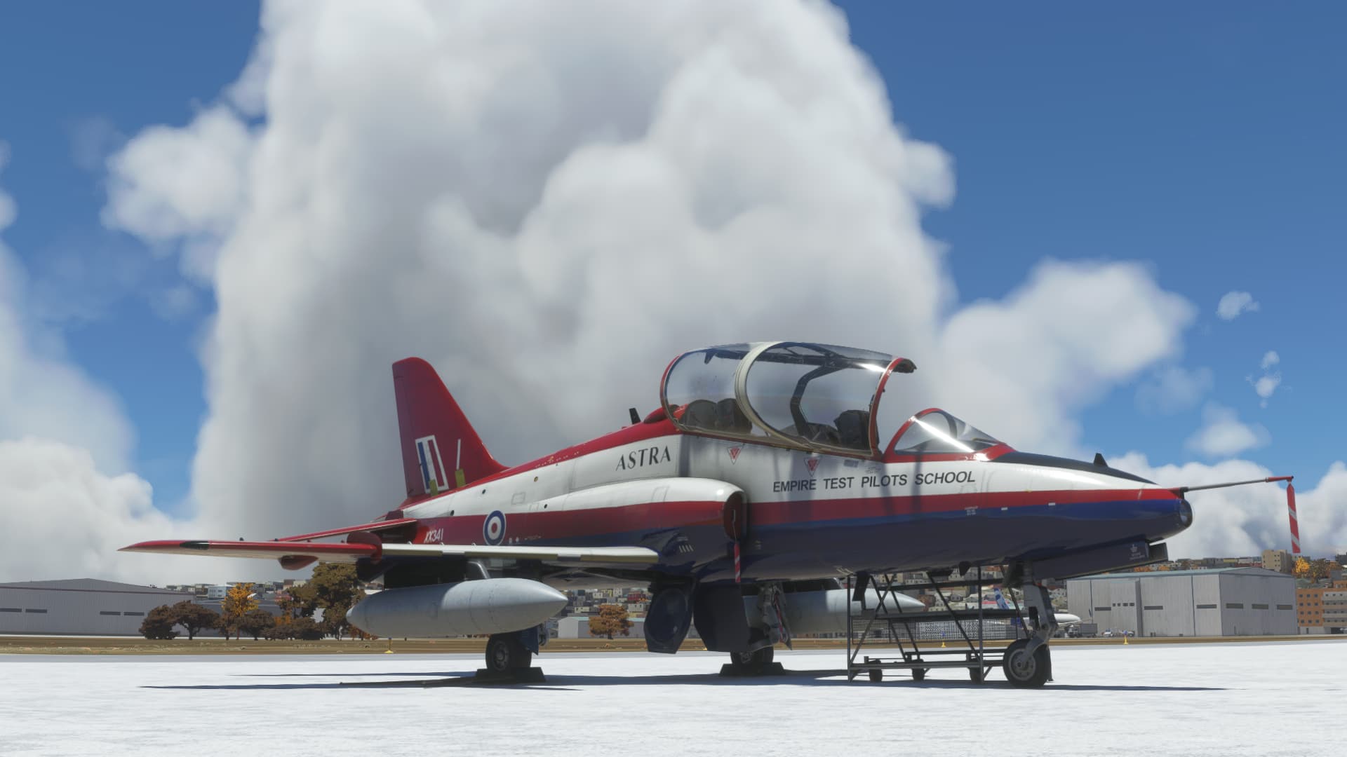
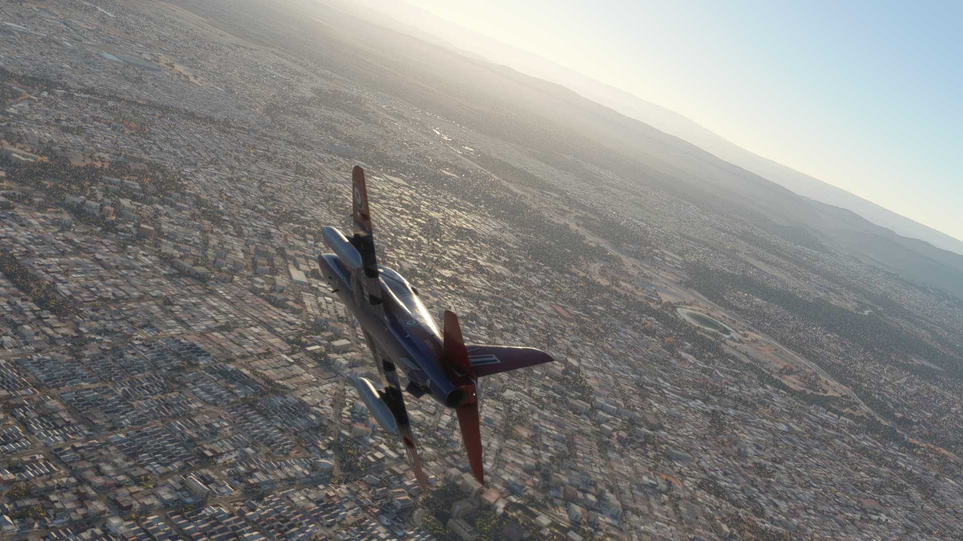
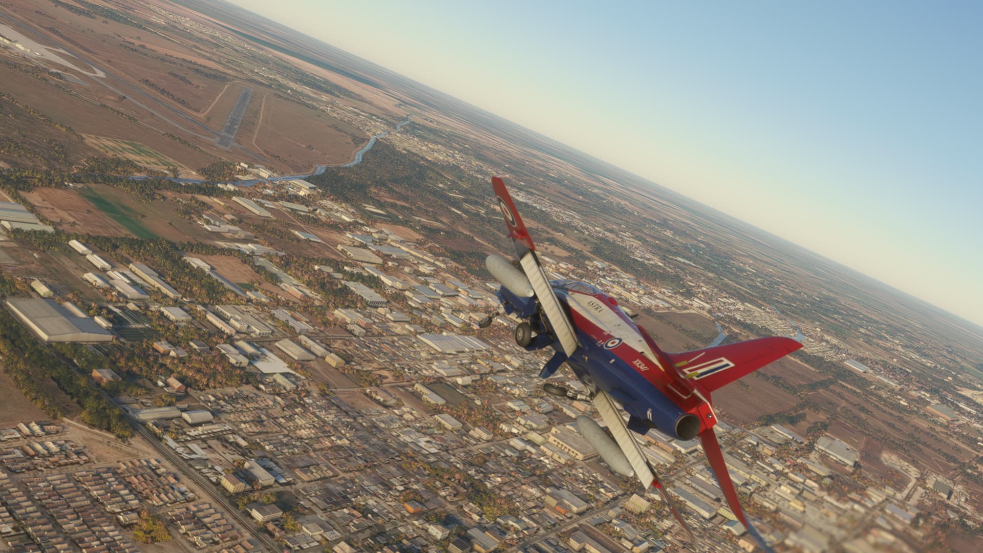
The holiday season is upon us, which means my work schedule is going to be somewhat hectic over the next few weeks. That means I need to keep trucking south rather than go sight seeing at Rio De Janeiro and Buenos Aires, so Cordoba is the next stop. From La Paz it is a flight of 926nm if I hop from VOR to VOR. I decided to take the Hawk, loaded with extra fuel, utilizing the drop tanks that came with a recent update. Even so, this was going to be pushing it but I figured I could always stop along the way for fuel if needed.
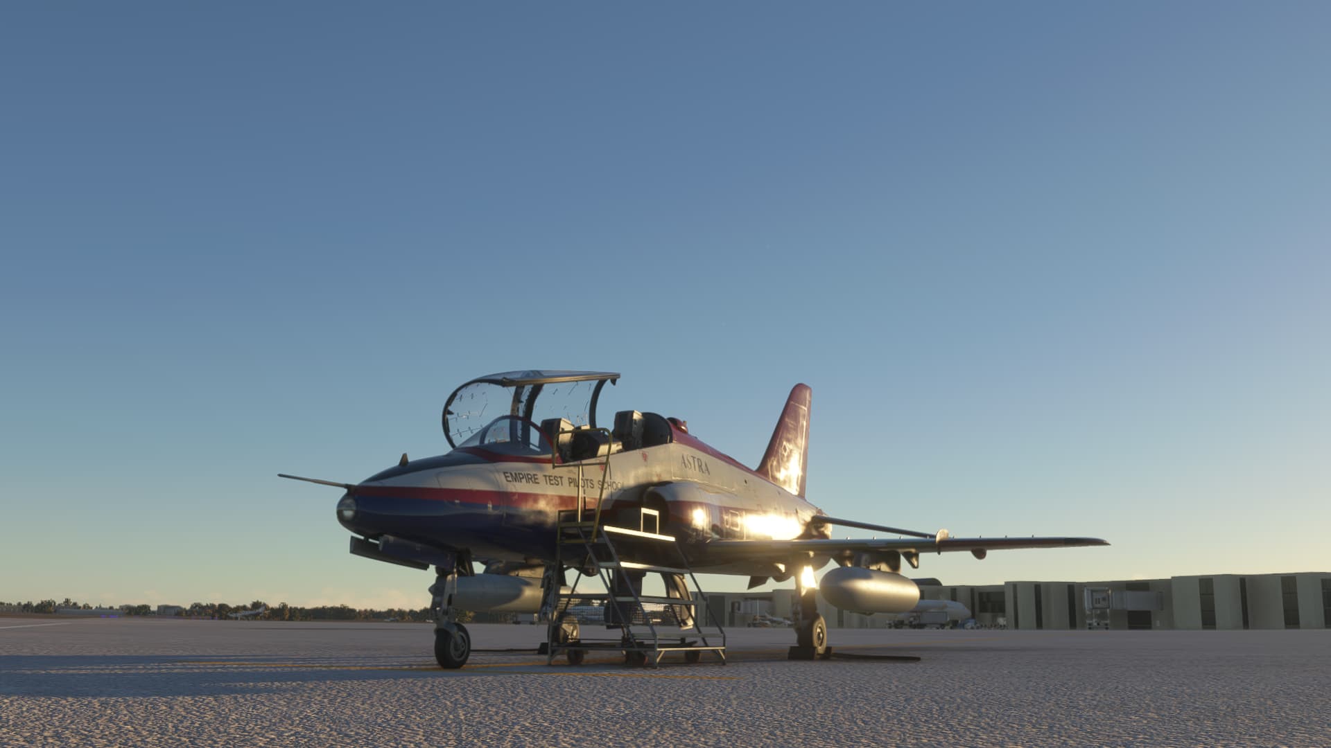
Fueled up and ready for the crew.
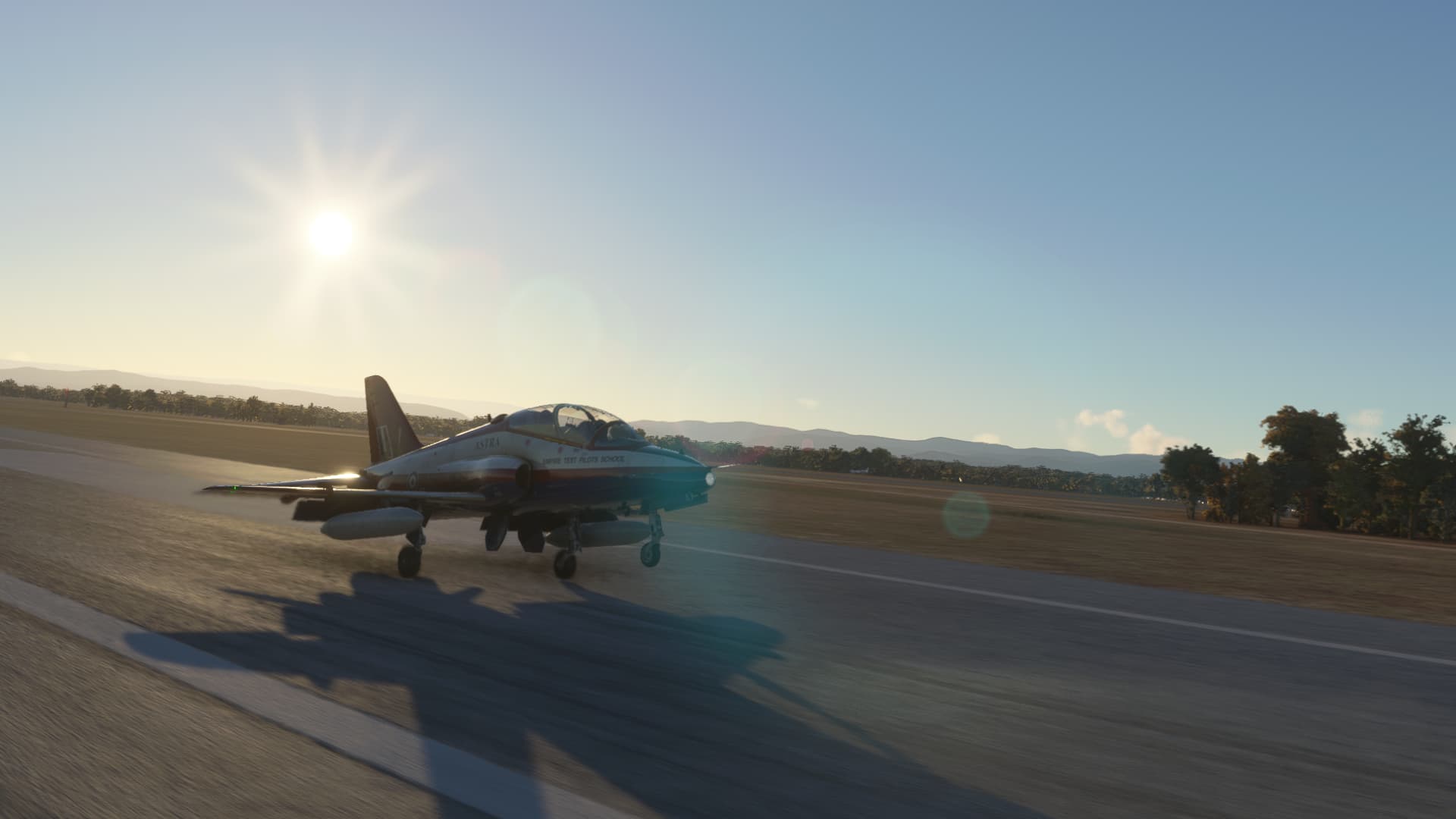
The runway is 13123ft long…and I needed almost all of it. The airport elevation is 13314ft AMSL causing a definite lack of oomph on the takeoff roll.
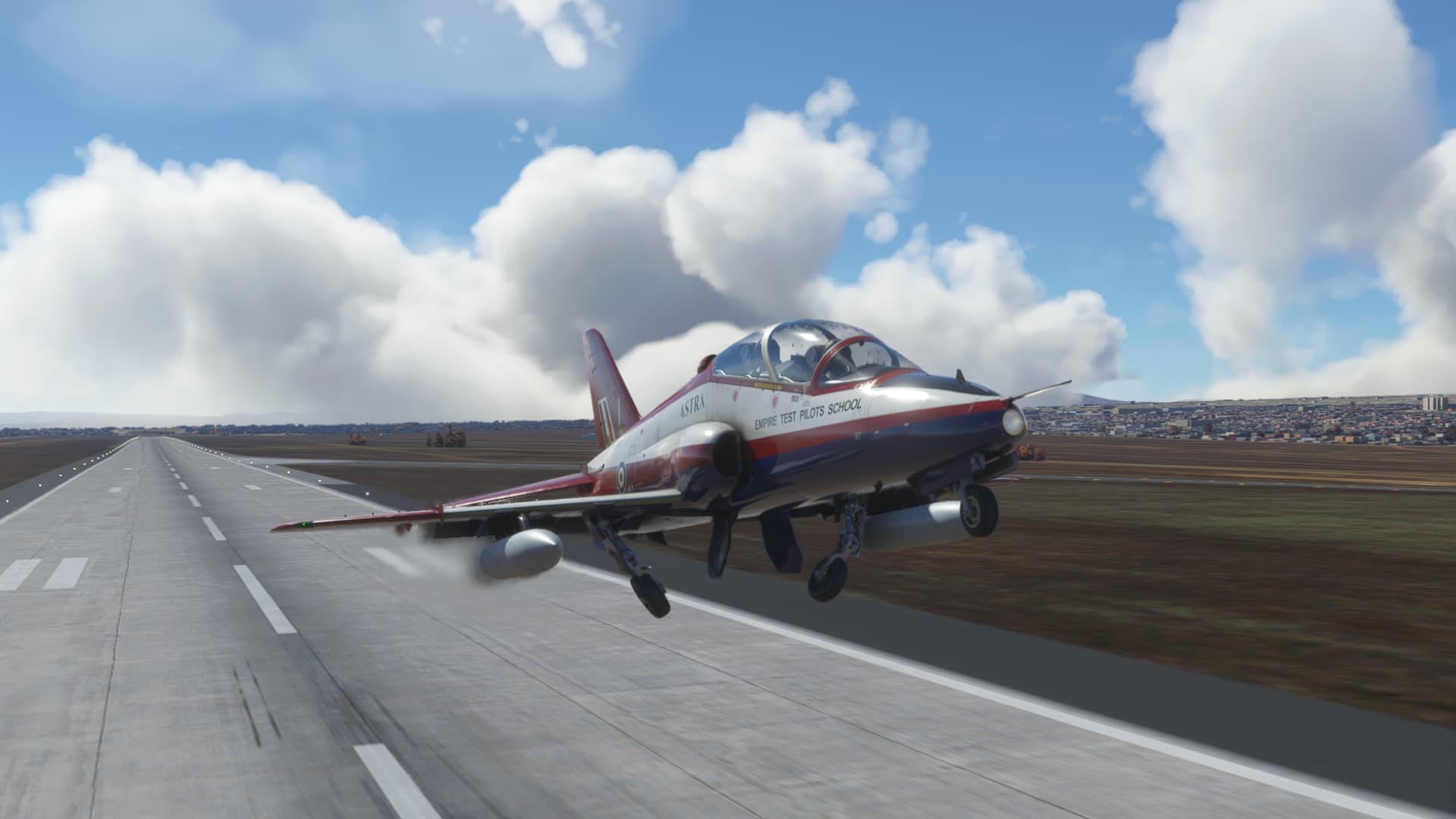
Carefully climbing away in a shallow climb, not quite ready to retract the flaps.
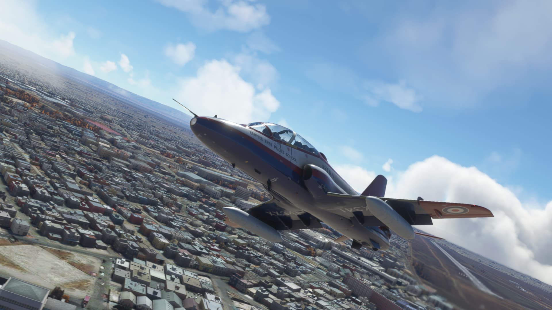
Leaving La Paz in the rear view mirror.
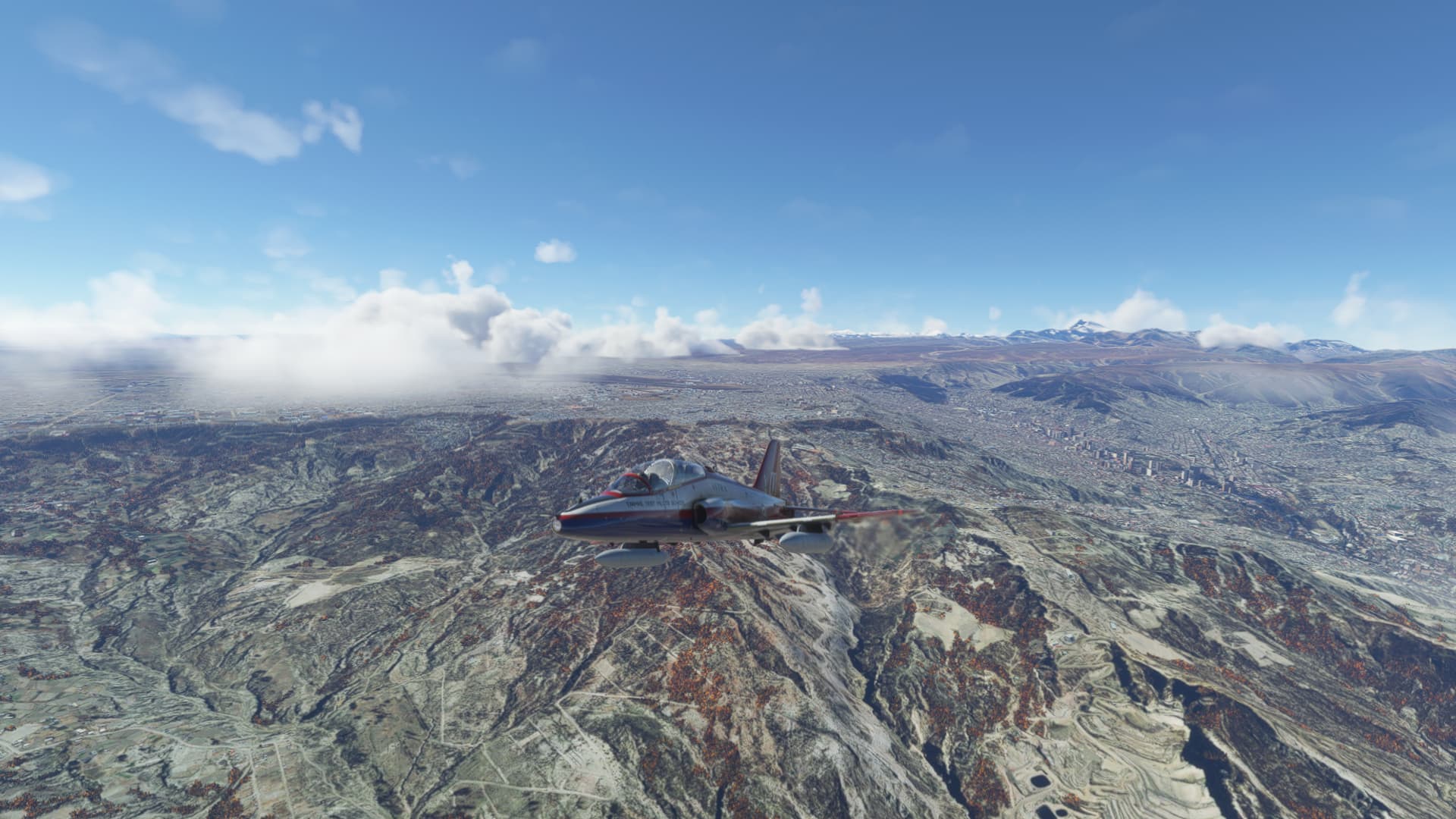
Now at a safe altitude, I have the Oruro VOR dialed in and I am heading in the right direction.
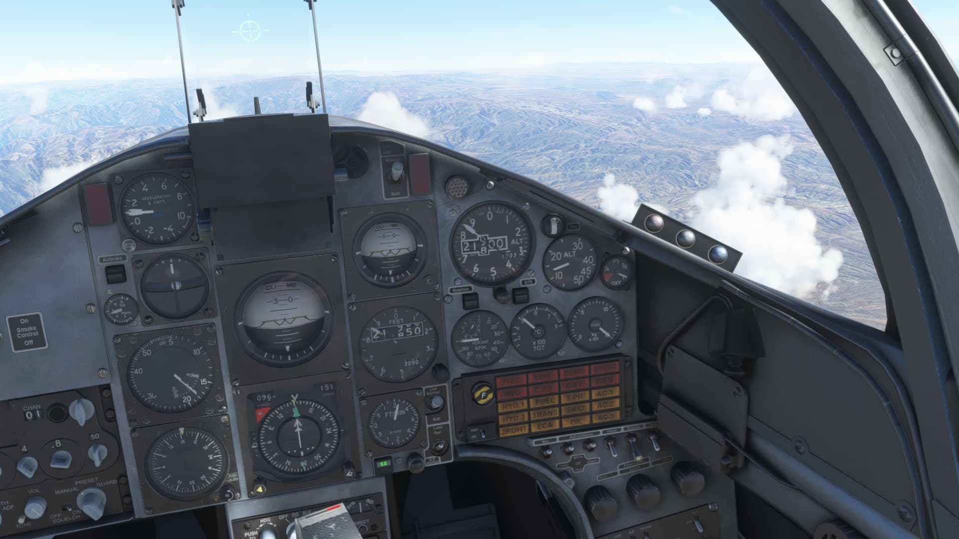
The Andes provide some stunning scenery on this trek…
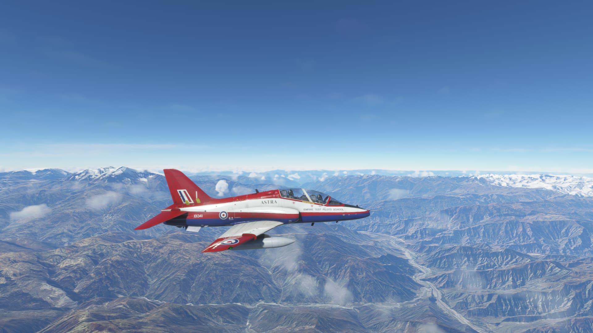
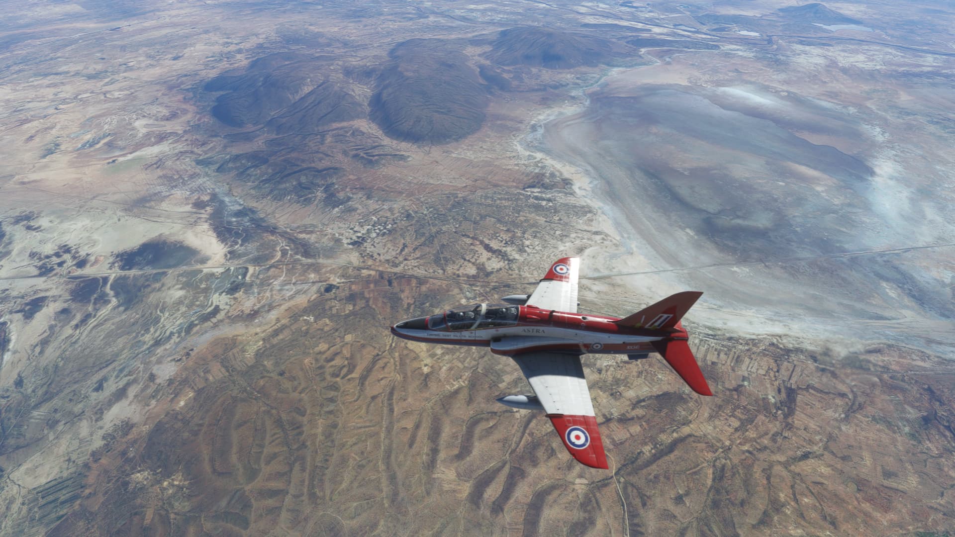
Passing Oruro, Bolivia.
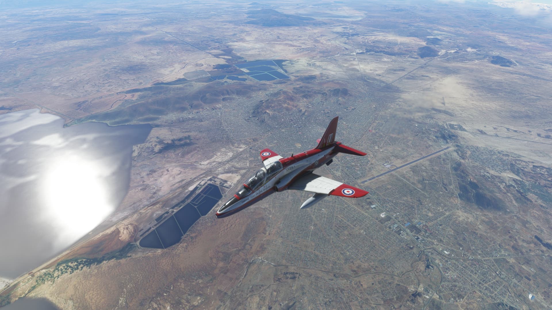
Coming up on Uyuni
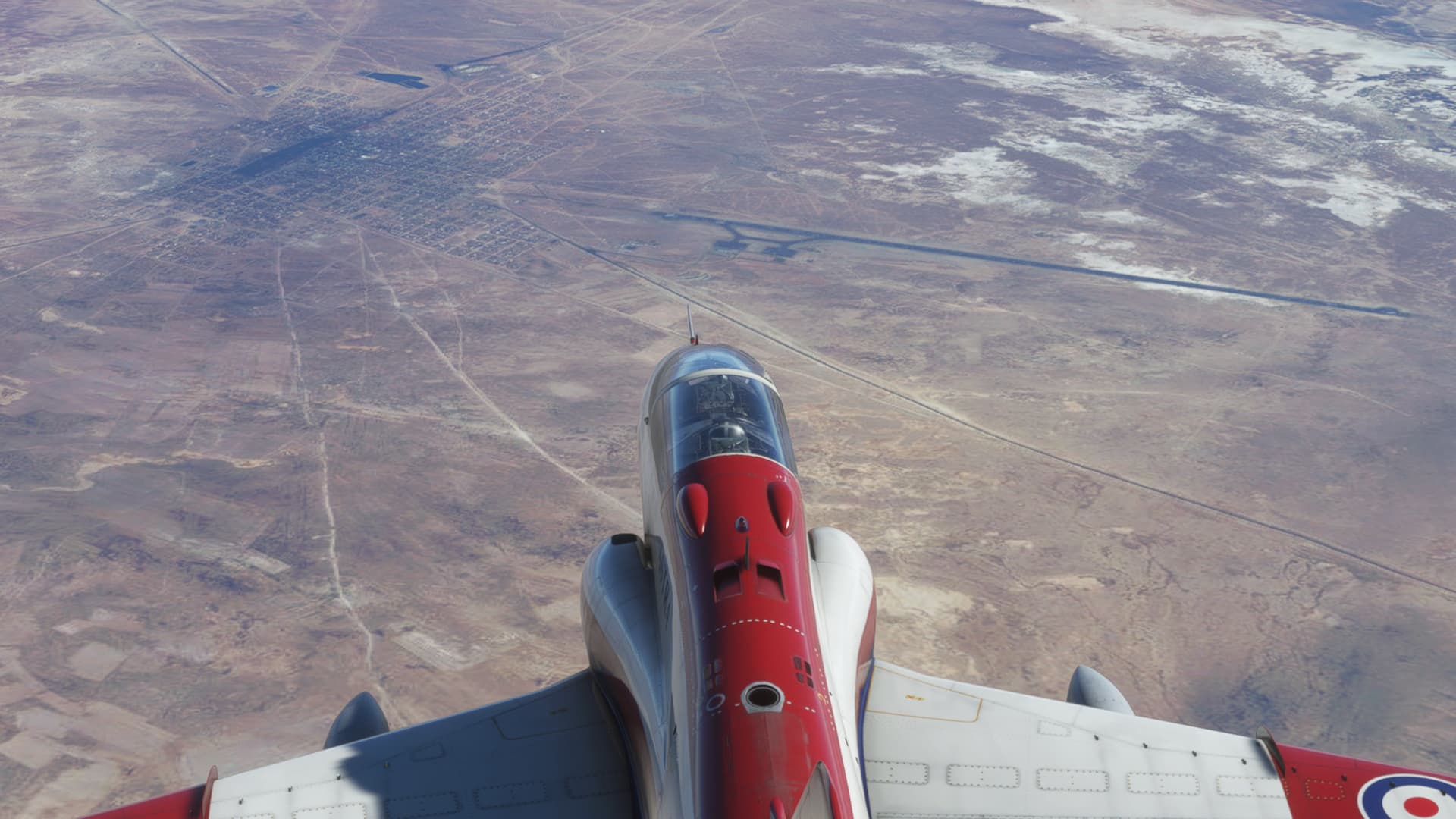
Before long, we start to see evidence of agriculture…we are now on the east side of the Andes…
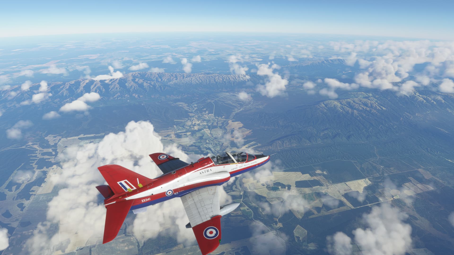
Eventually Cordoba comes into sight. I stayed high because fuel was getting very low…
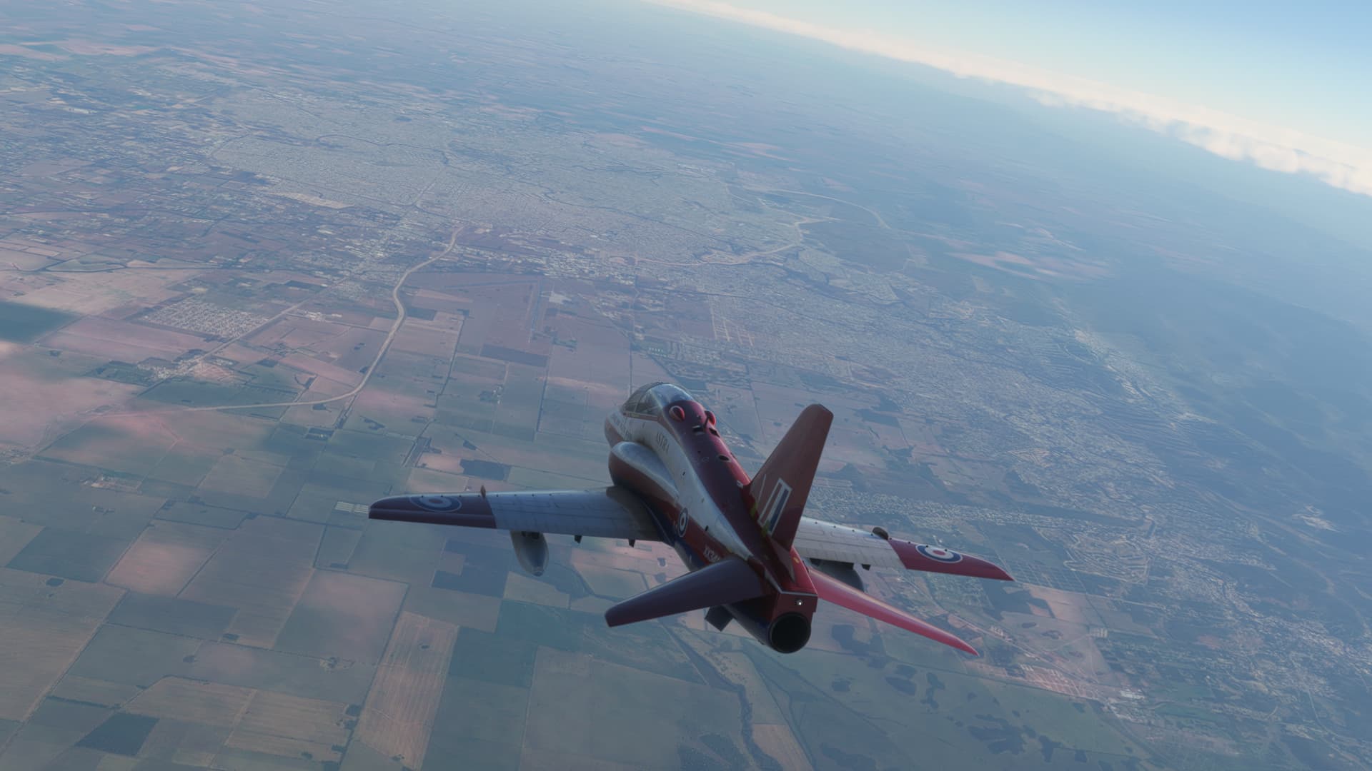
Diving into the overhead…I was able to get a quick glimpse of a windsock which made it easy to select the best runway.
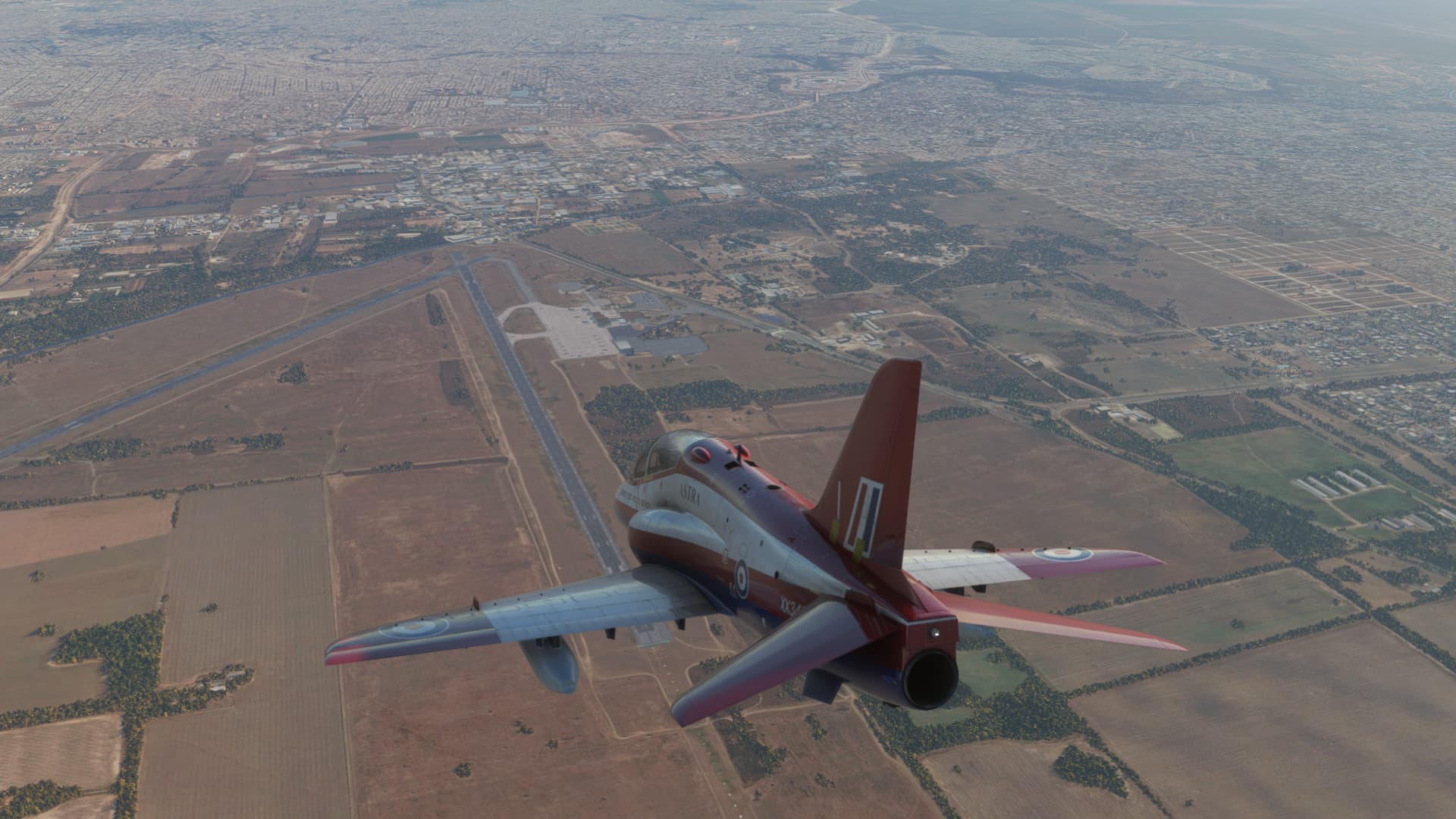
It a tight base to final turn that took me over the city.
On final, gear traveling.
Down safe…
Parked and shut down.
I’m not sure where I am headed next, but I have a week to figure it out.
9 Likes
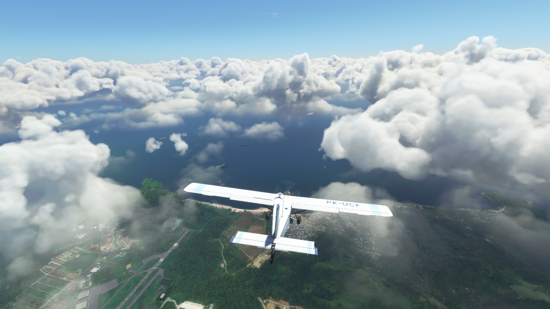
And a quick interlude to check out the Panama canal in MSFS:
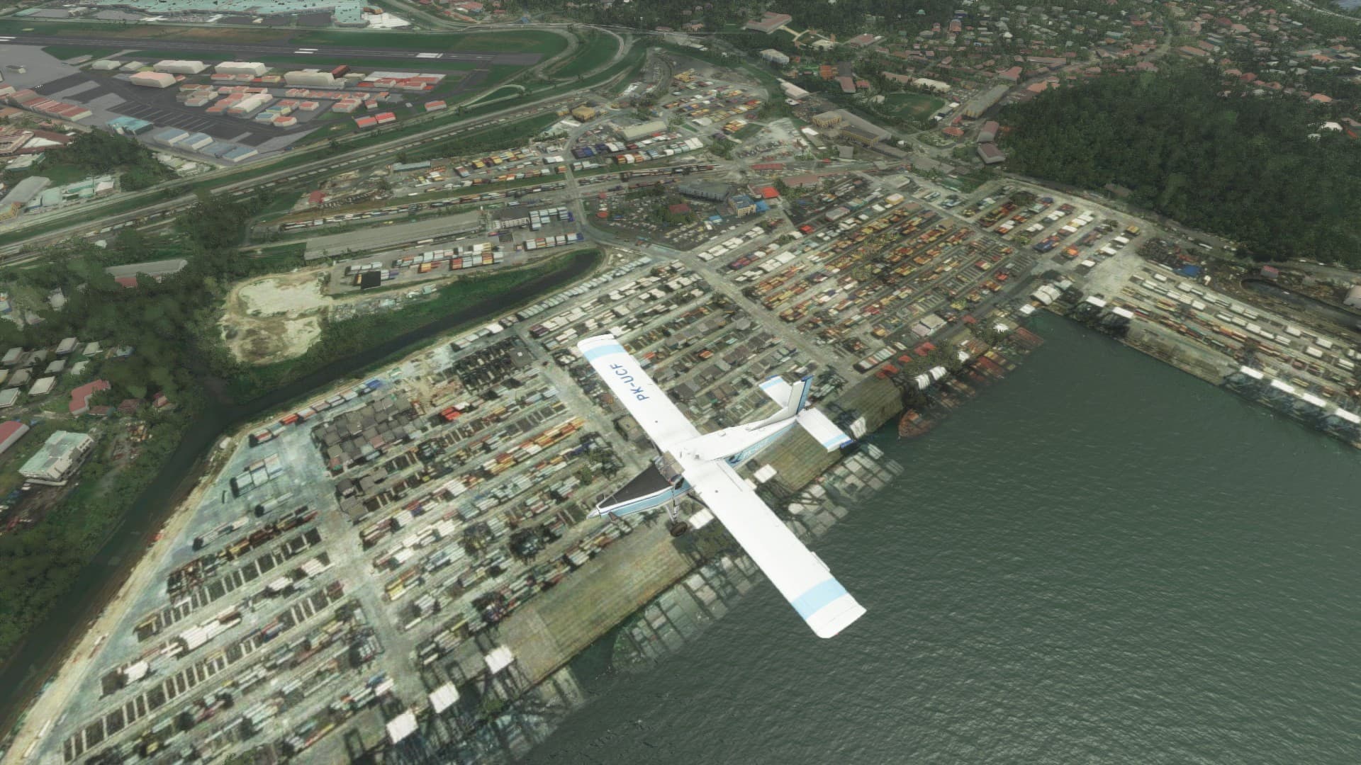
MSFS continues to have the issue of treating ships as water level terrain. Pacific edge of the locks.
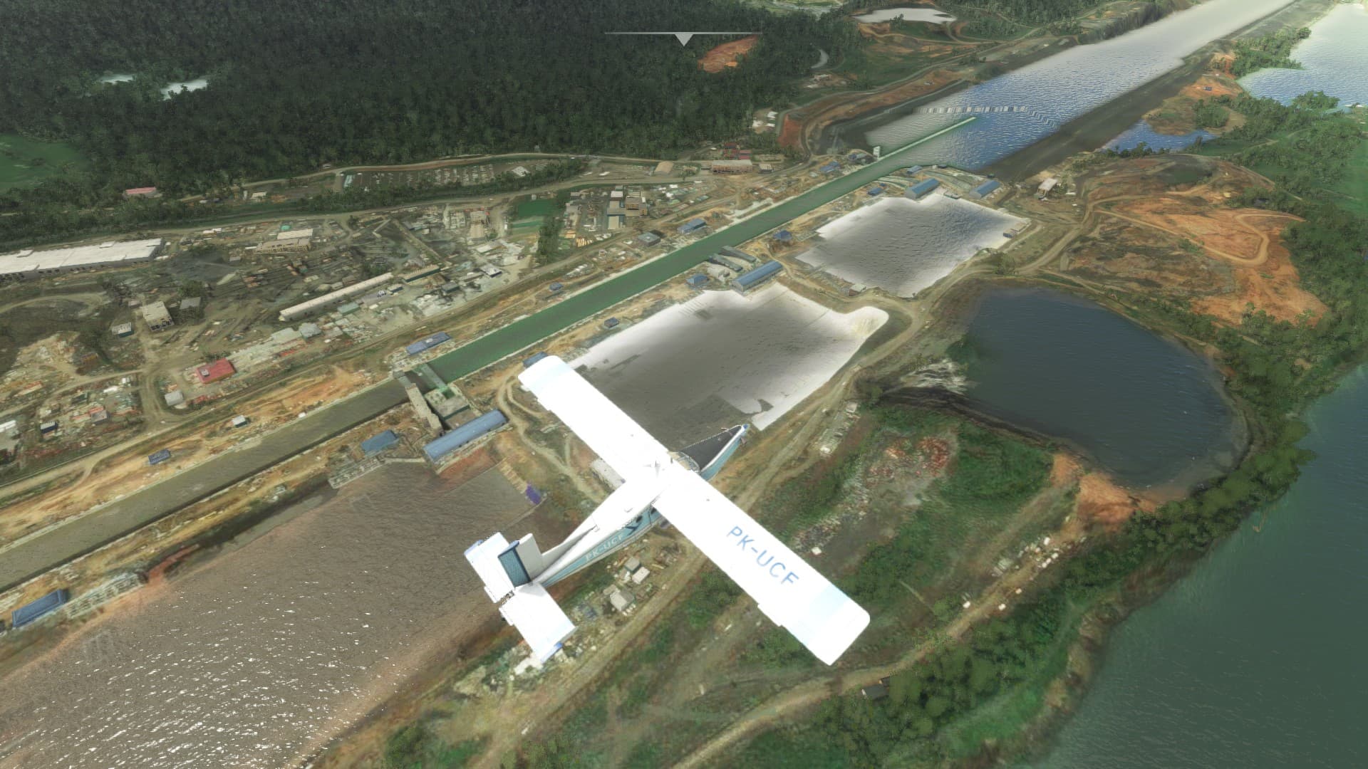
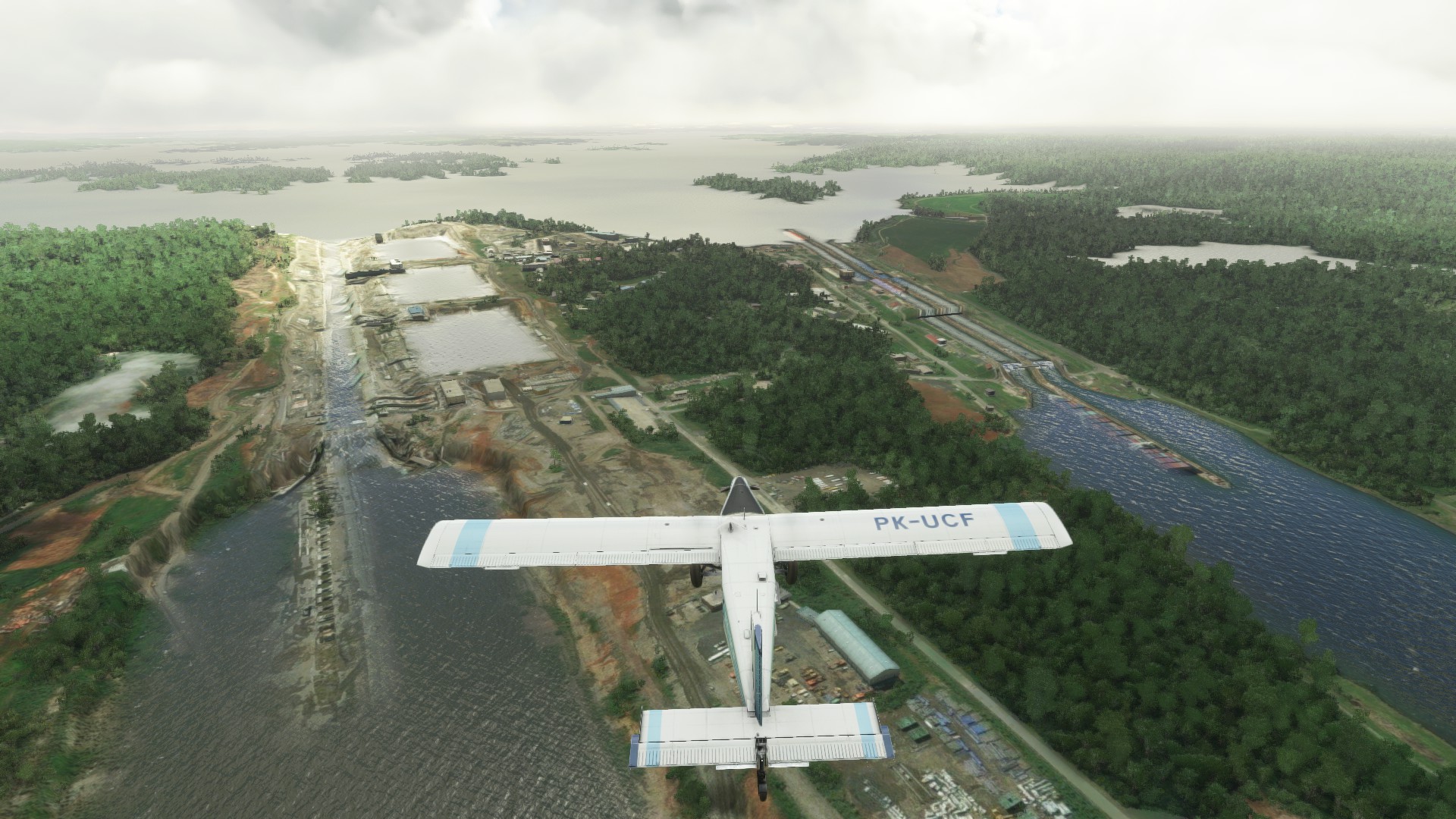
Headed into the Pacific side of Gatun lake
The Atlantic side. I honestly can’t blame them for the terrain here. It’s not likely too many spots in the world have a sea level change. It would be cool if they went back and updated this at some point.
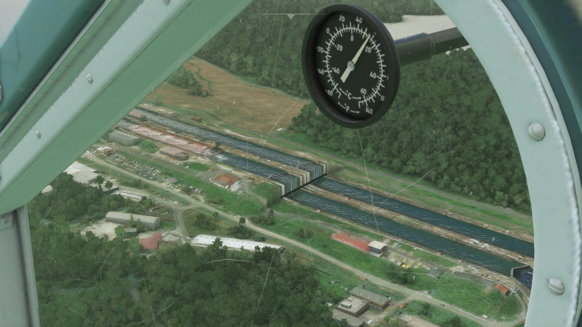
Ship issue again.

And back where we started
9 Likes
didnt do much flying lately but back in the saddle again above North-Western Africa
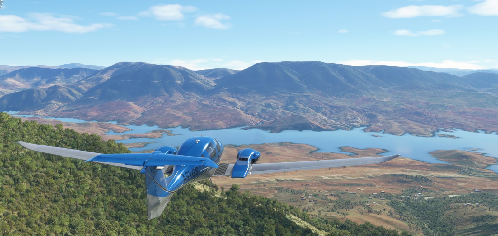
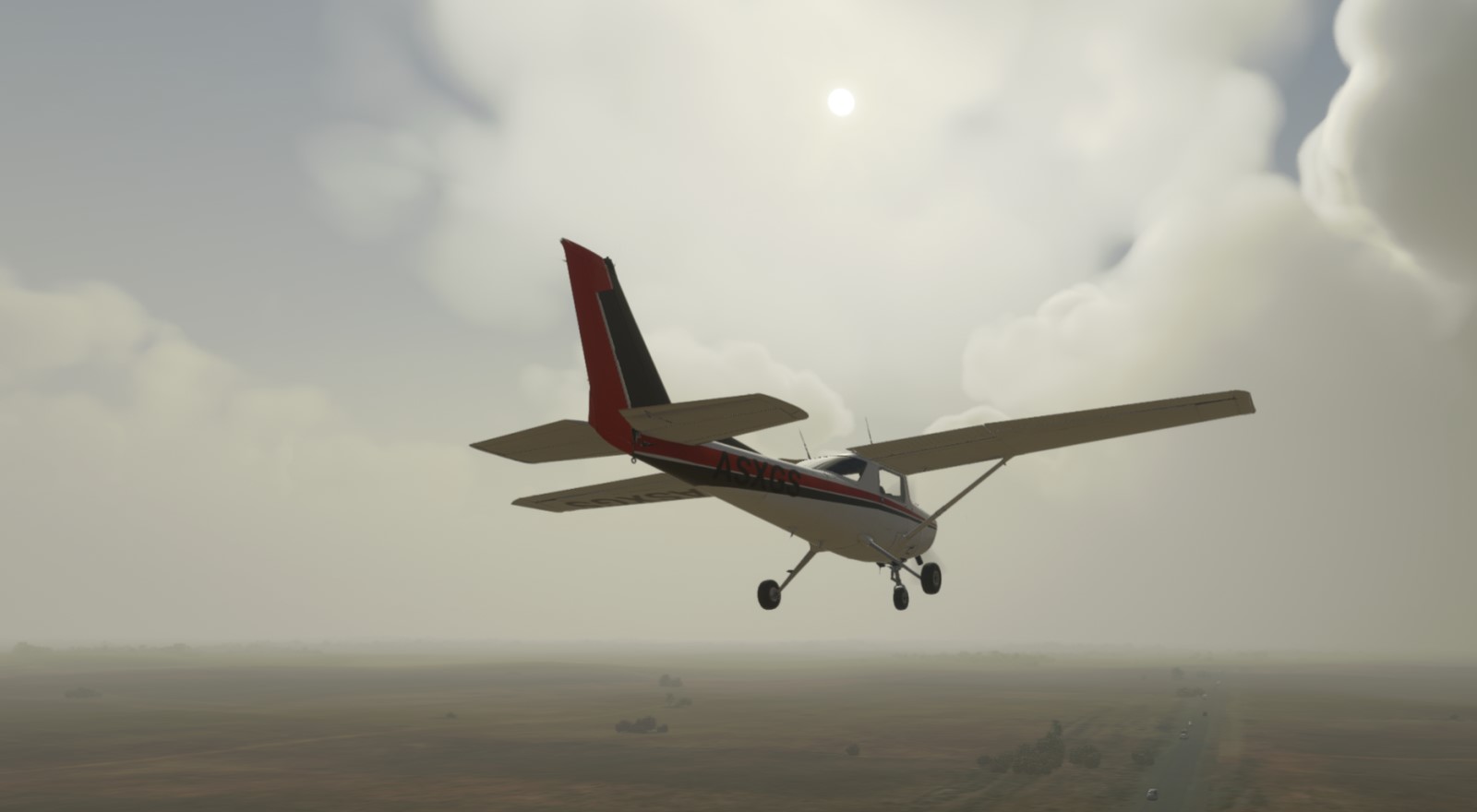
installed NeoFly to add some ‘purpose’ and ‘plane monitoring’ so its not all about the sightseeing… now its also about slow pace in the default C152
started in Survival mode but discovered that sim rate change fails the mission so went with Custom mode instead but with DID set to ON - ‘Your pilot & career die with a crash’ - so hopefully will make it to destination in one piece 
9 Likes
I would love to try this.
But, considering how often I crash, I’m not sure I’d ever get to see it in action!
That sounds fun…
After landing my glider, I was approached by a pair of gentlemen with “MP” written in large, friendly(?) letters on their armbands. They advised me that I was, rather unexpectedly from their point of view, enjoying the hospitality of the Japan Air Self-Defense Force.
Luckily, their cautious frowns quickly changed to smiles when I explained to them that I was participating in the Great Mudspike Christmas trek. They helpfully explained where I was, which turned out to be the Hofu Airbase.
They wouldn’t allow me to continue my journey with my plane without giving it a thorough engine overhaul, though. Instead, they gave me a courtesy airplane so I could keep flying…
I do like a friendly six-pack! See how the DG aligns with the whisky compass here, by the way…that’s going to feature in the story.
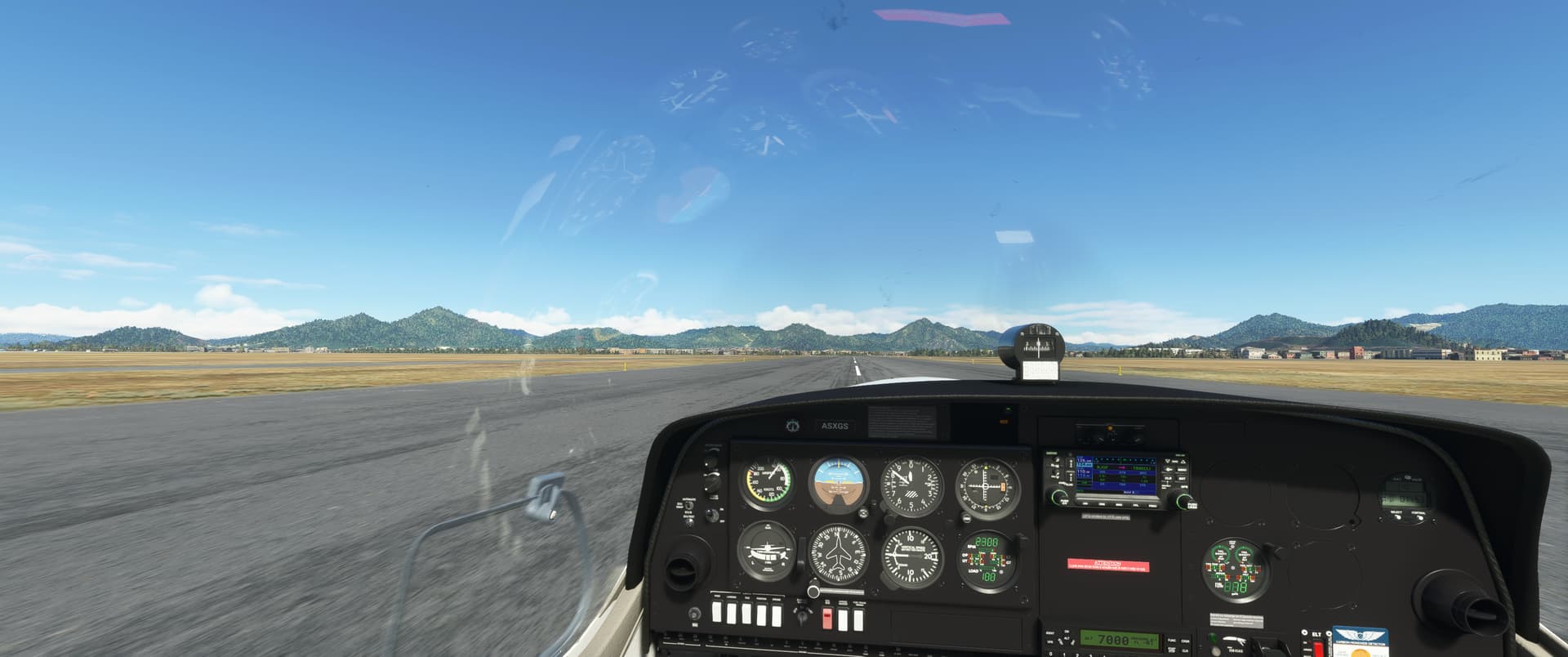
It was a nice day over the beautiful landscape and I was really enjoying looking out of the bubble canopy.
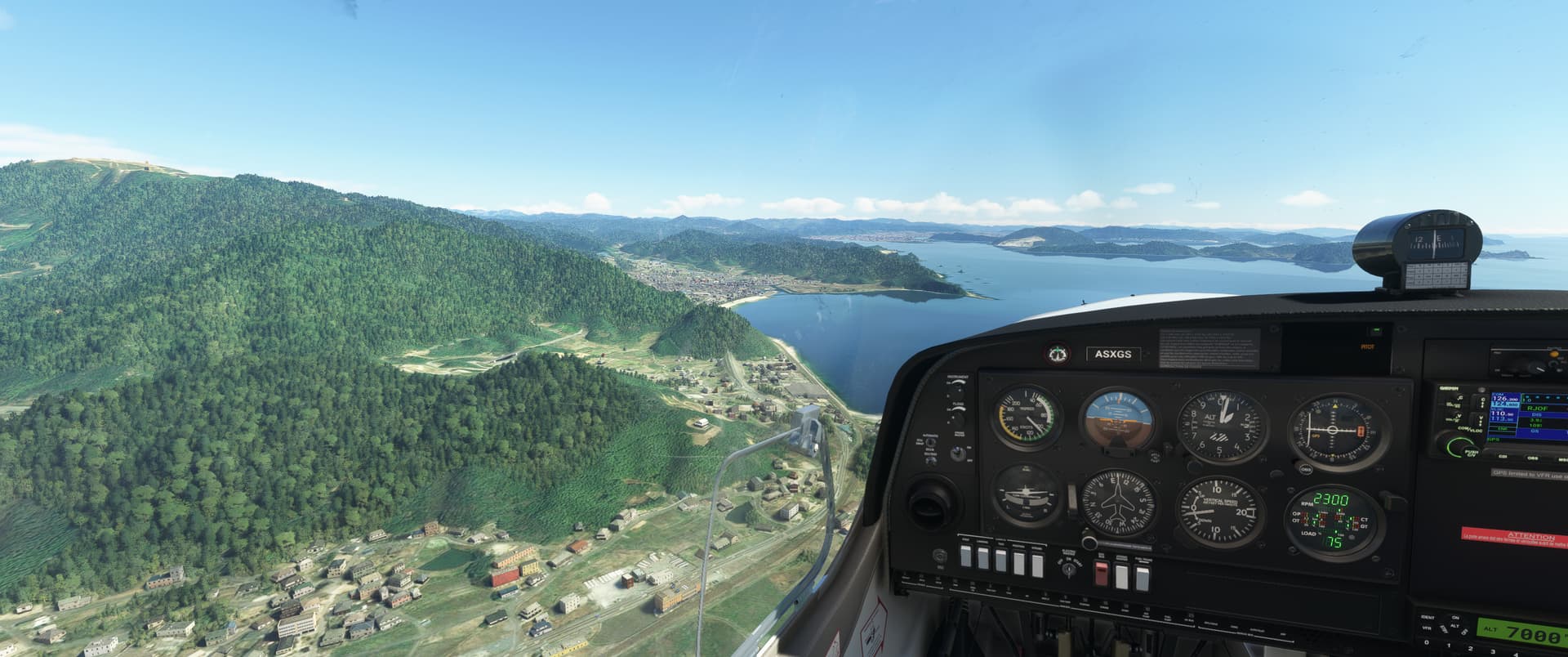
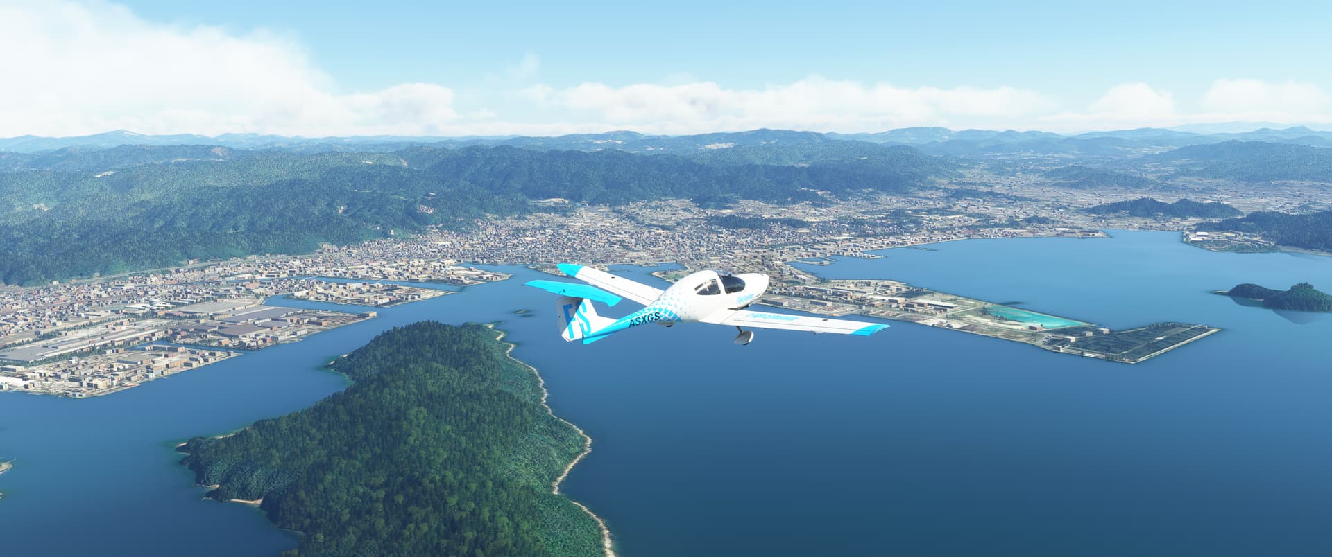
After a short journey over the water, it was time to head over to dry land and find Hiroshima airport.
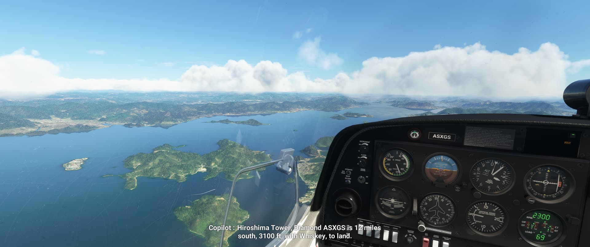
I was navigating visually and figured that I’d use Mihara port as a pinpoint and follow a river valley with rail tracks to the west until I hit the airport. Well. Find the airport. Bad choice of words. Now, at this point I hadn’t realised it yet, but the eagle-eyed among you may notice that the DG and the whisky compass no longer align.
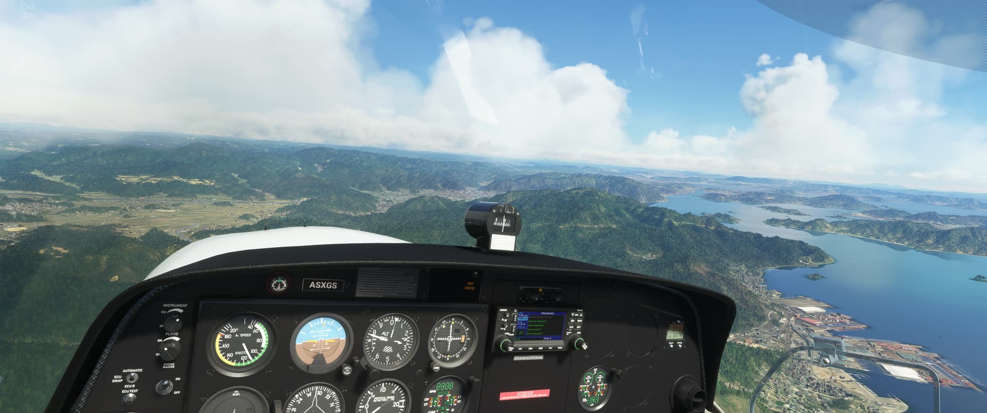
I turned to follow the river, glanced at the DG, got thoroughly confused and thought I’d taken a wrong turn somewhere or found the wrong river valley…circled back around to the port area and took another look at the chart…until I finally clicked and cross checked the DG with the whisky compass. Huh. Somewhere along the line I must have rotated the DG off course, or it malfunctioned, I’m not sure.
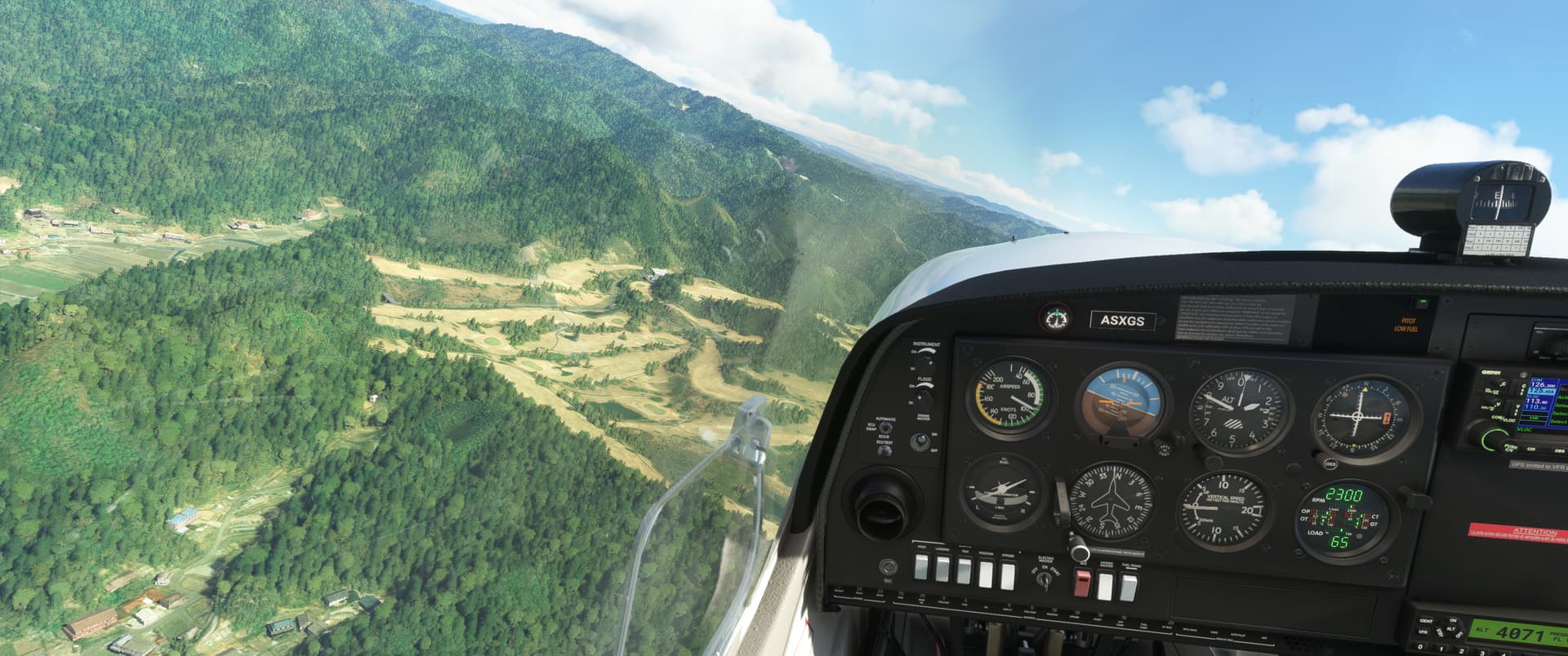
After that confusion was sorted out, it was easy enough to find the fork in the river and the runway a bit further west.
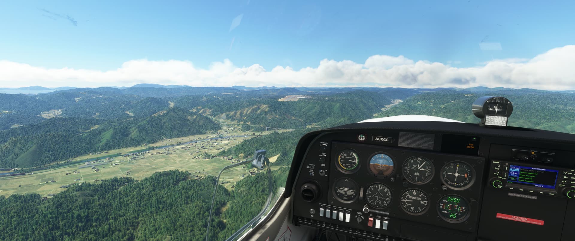
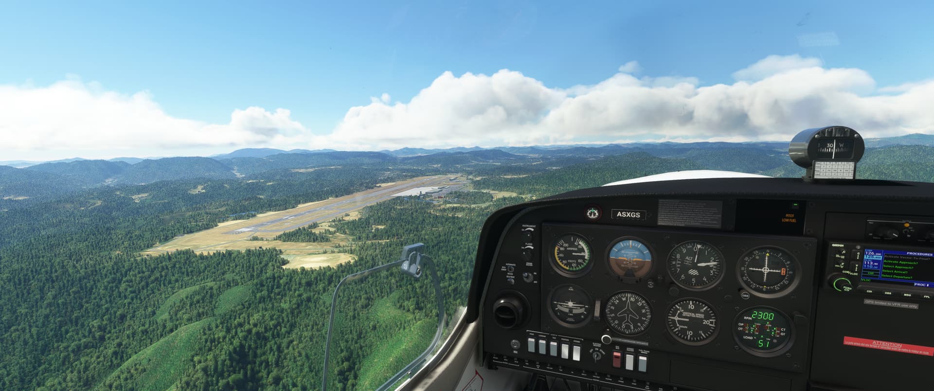
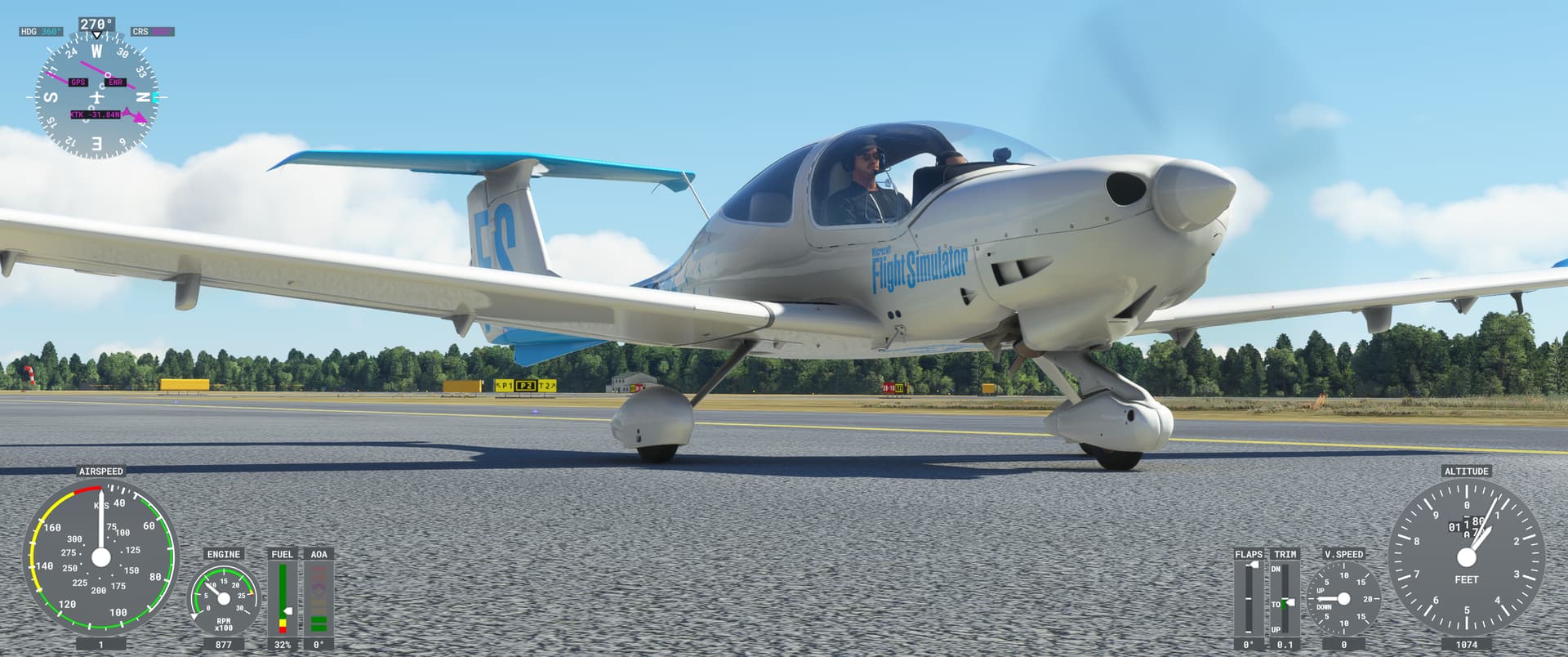
From Hiroshima I flew an uneventful night leg over to Kamchatka - a longer leg to make some tracks. I was looking forward to exploring more of Japan, but there will be other opportunities for that in the future, I’m sure.
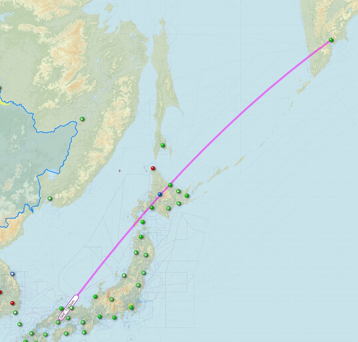
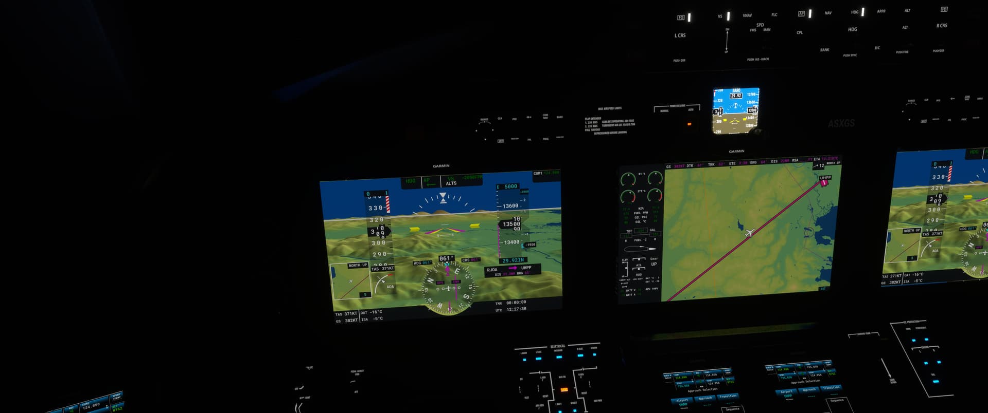
7 Likes
UHPP (Petropavlovsk-Kamchatky) - PAAT (Casco Cove)
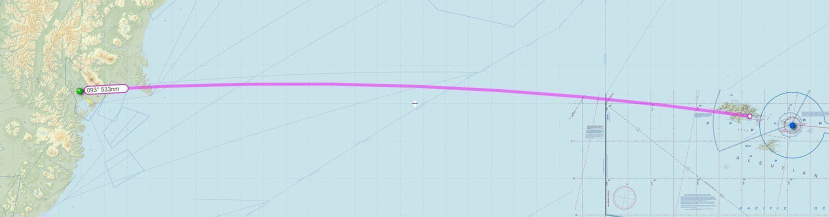
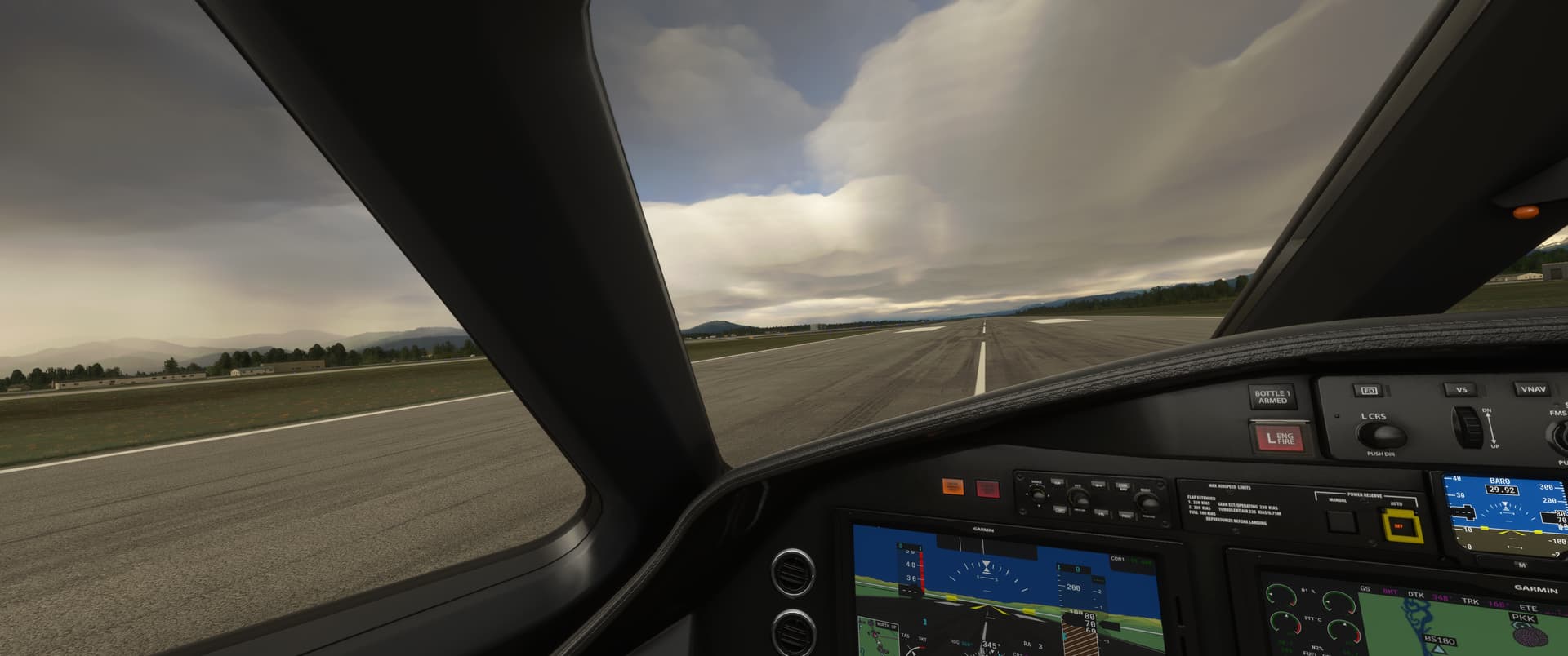
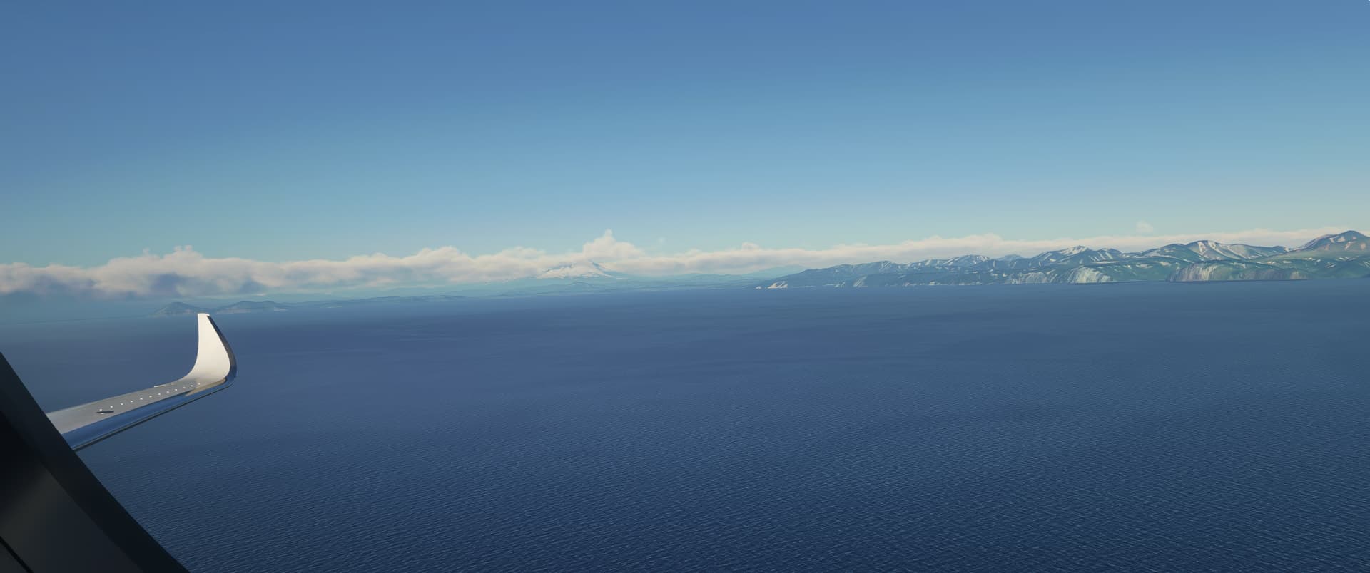
Leaving the Russian coast behind - you can see the Avachinsky volcano reaching up to almost 9,000 ft in the distance.
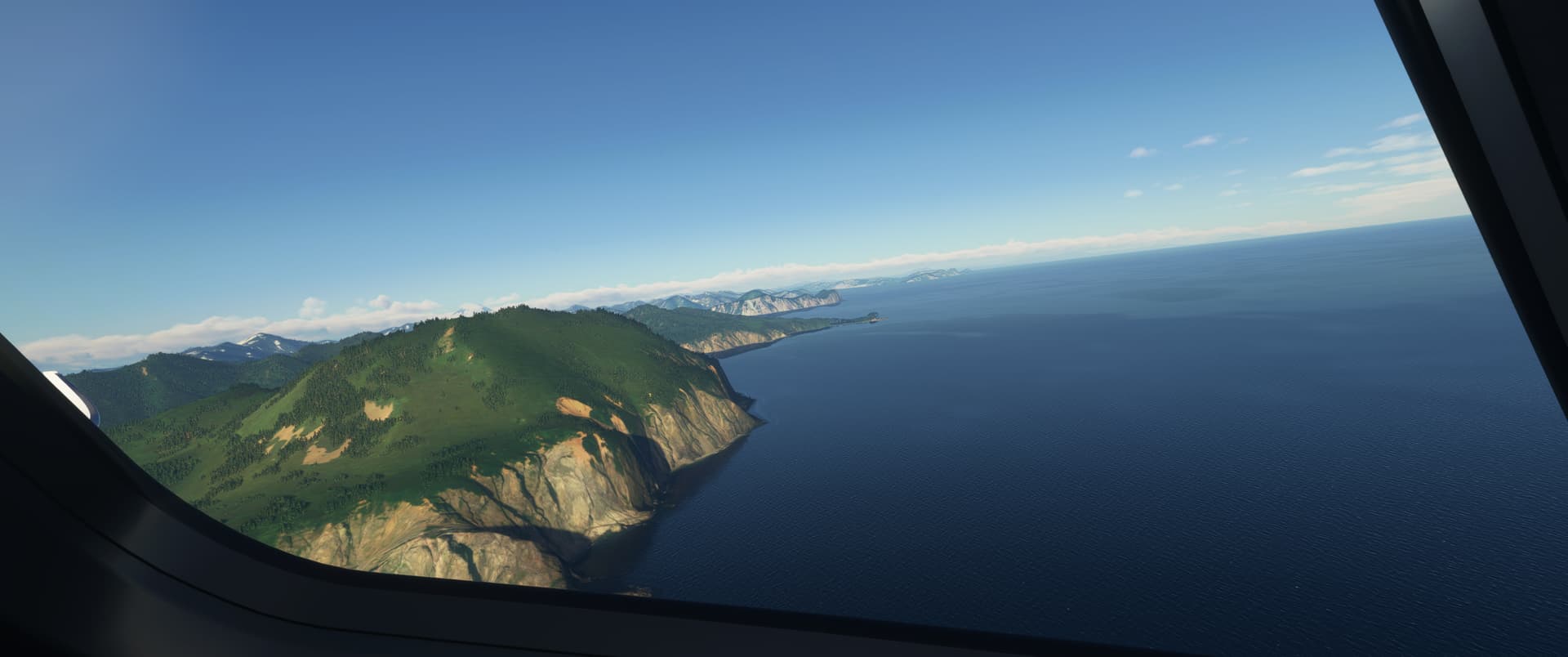
The cruise towards Casco Cove was uneventful, but of course weather at PAAT was not going to play ball.
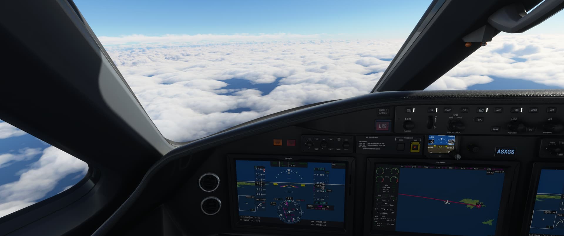
In fairness, it could have been worse. I broke out of the clouds at 3,000 or so.
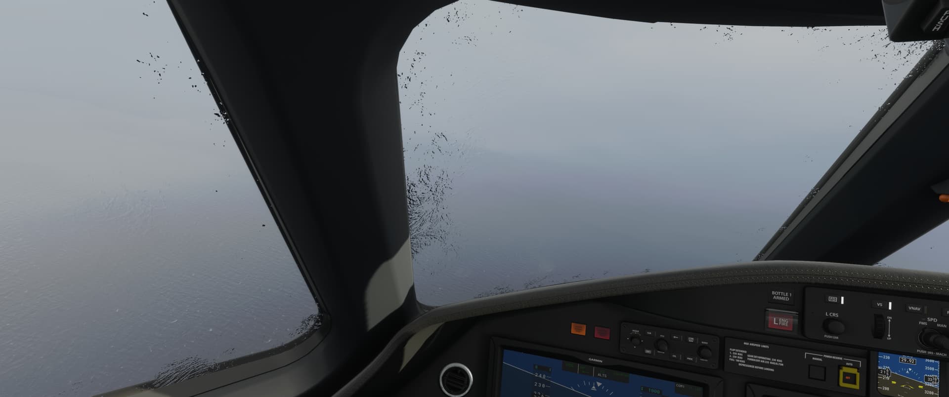
11NM out, I had the cove in sight - so now I just had the 26kt crosswind to contend with.
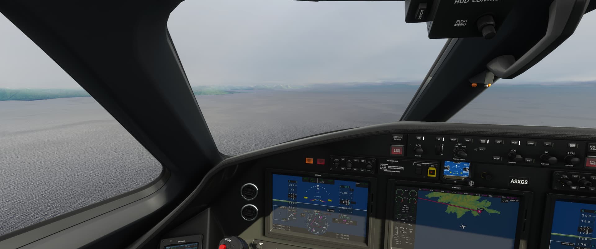
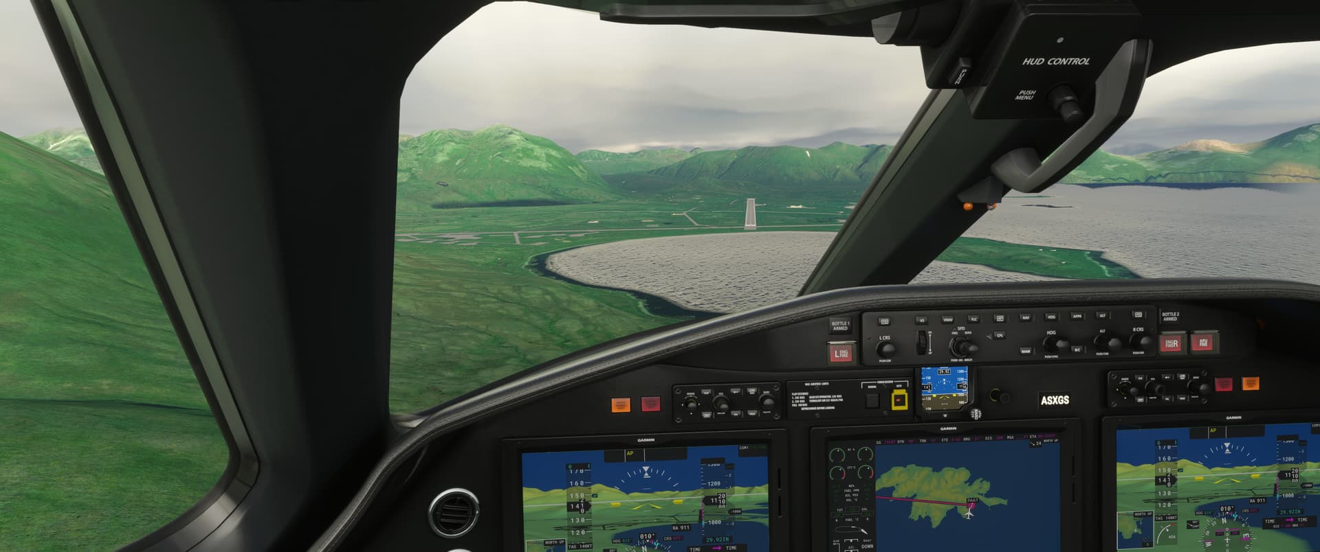

PAAT - Tanaga Island, Hot Springs Bay cabins
I’ll keep this one short and embarrassing.
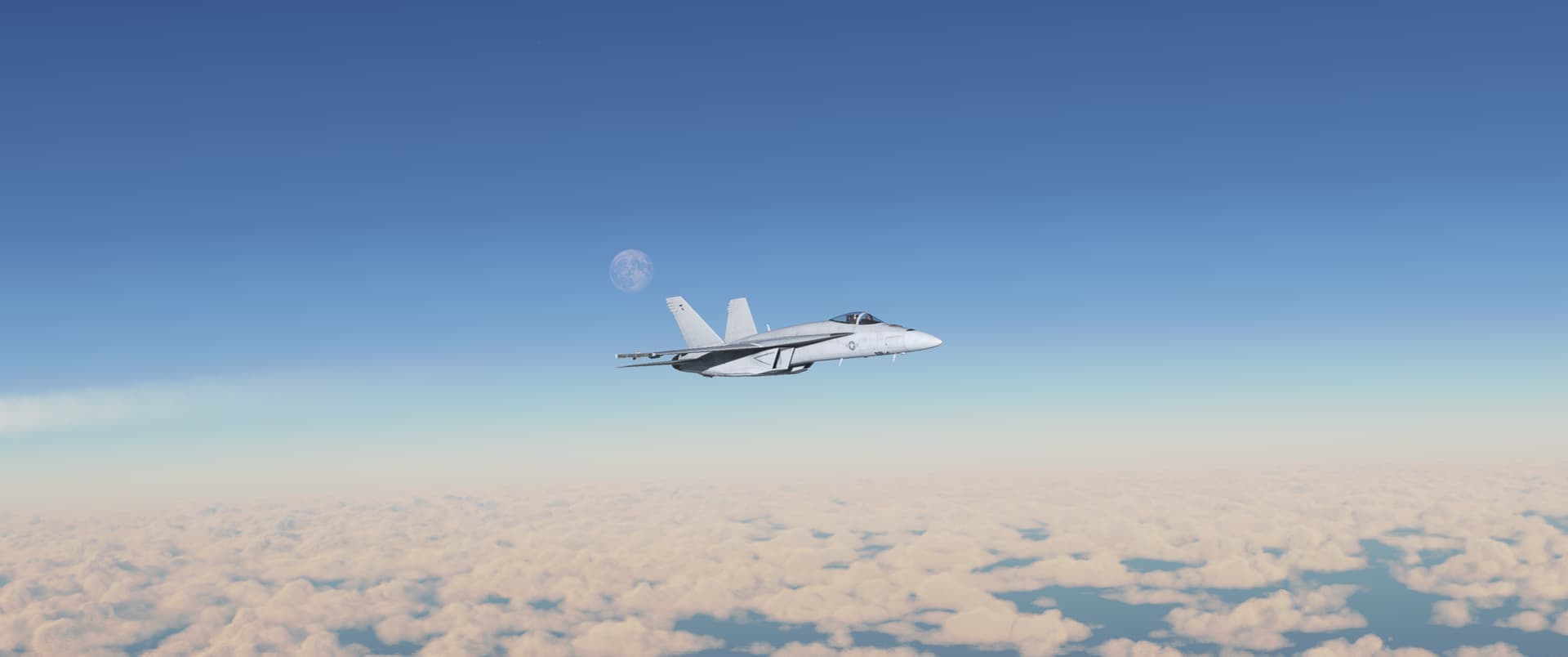
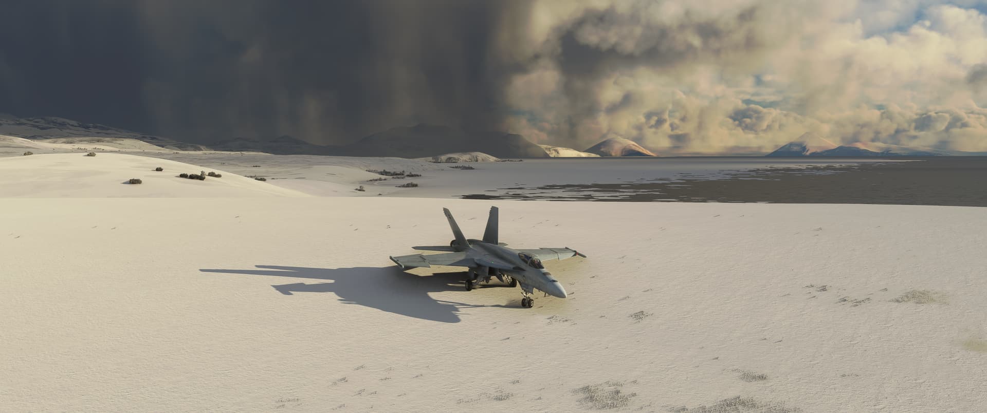
Hint - taking the default 50% fuel and going full blowtorch for the lols without thinking is not conducive to getting where you want to be. Ideally you think about this before you have 436 pounds of fuel with 45NM to the nearest air strip, with the chart showing place names like “Falls Pt”, “Bumpy Pt” and “Gusty Bay” as the flattest points in the landscape.
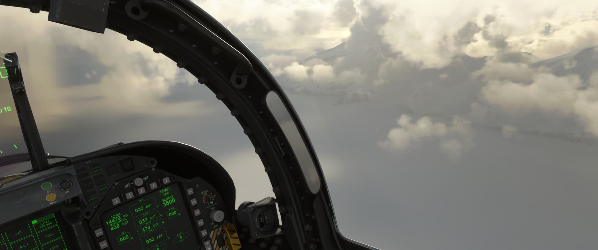

I took the one look at the chart my fuel allowed me and figured that Hot Spring Bay and “cabins” looked like the flattest, most inviting place on the island, with some shelter too. Maybe I’d find a warm hut, some friendly fishermen and a hot pool to soak in, why not. Glass half full, right!
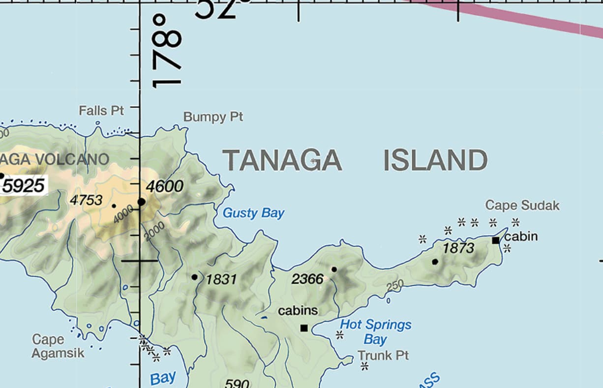
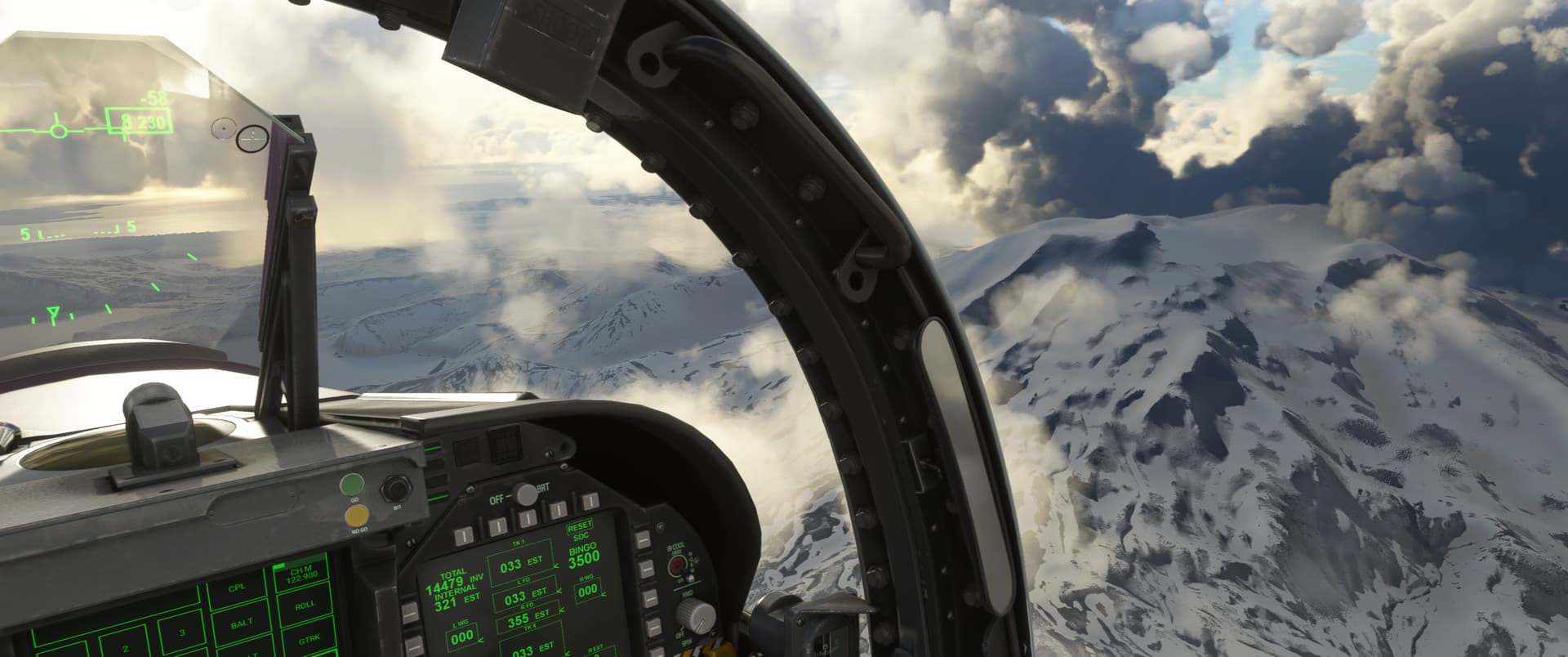
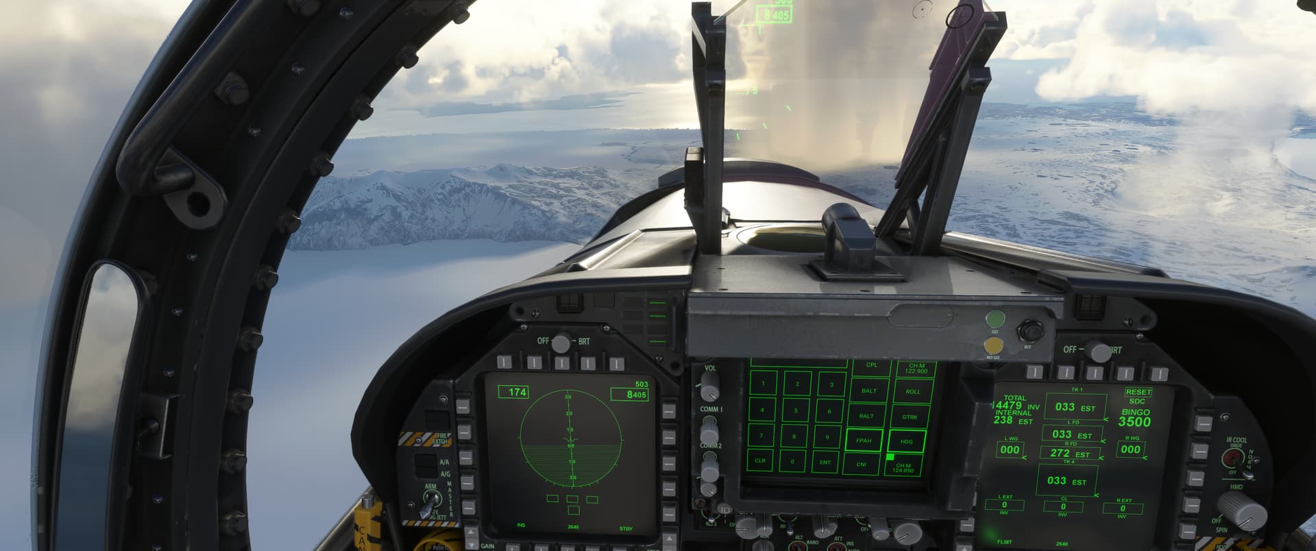
Hot Spring Bay and Trunk Pt just off the nose on the left.
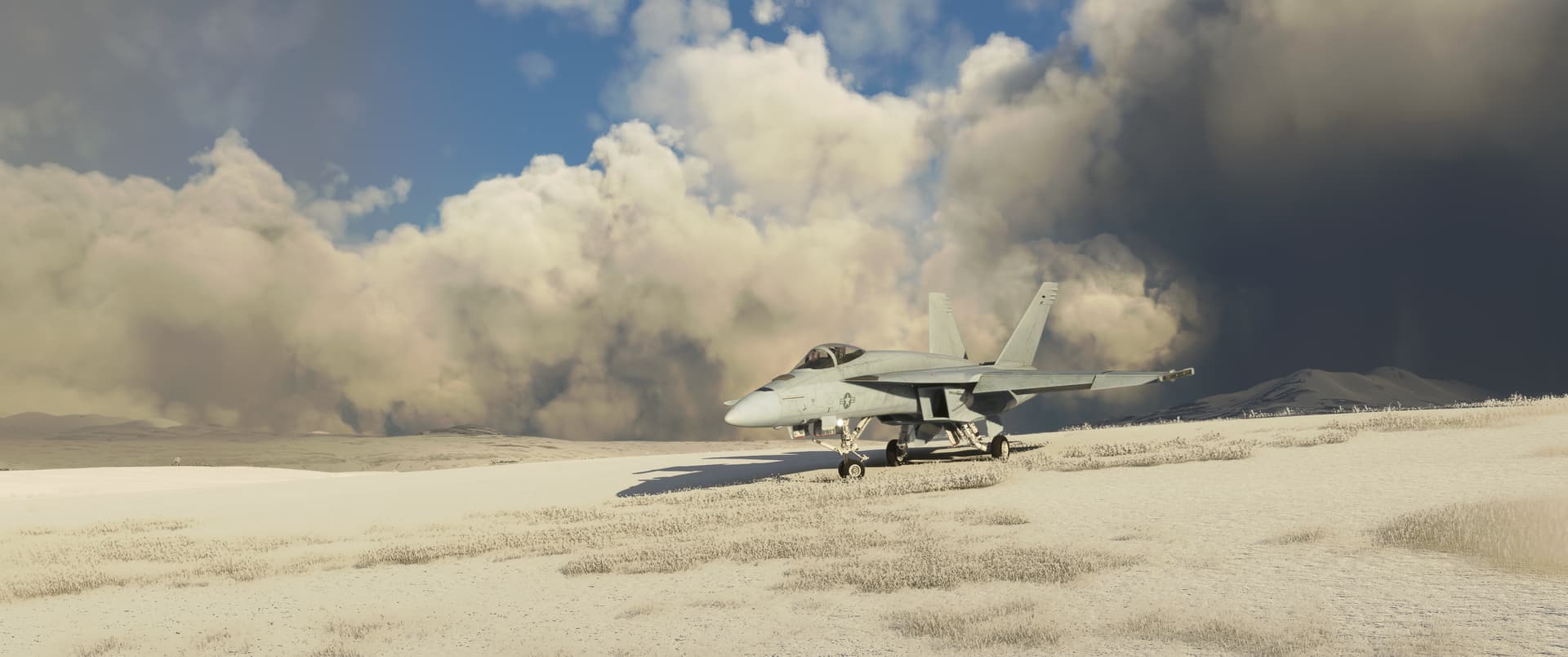
Luckily the MSFS Hornet comes with tundra tires, apparently…
11 Likes